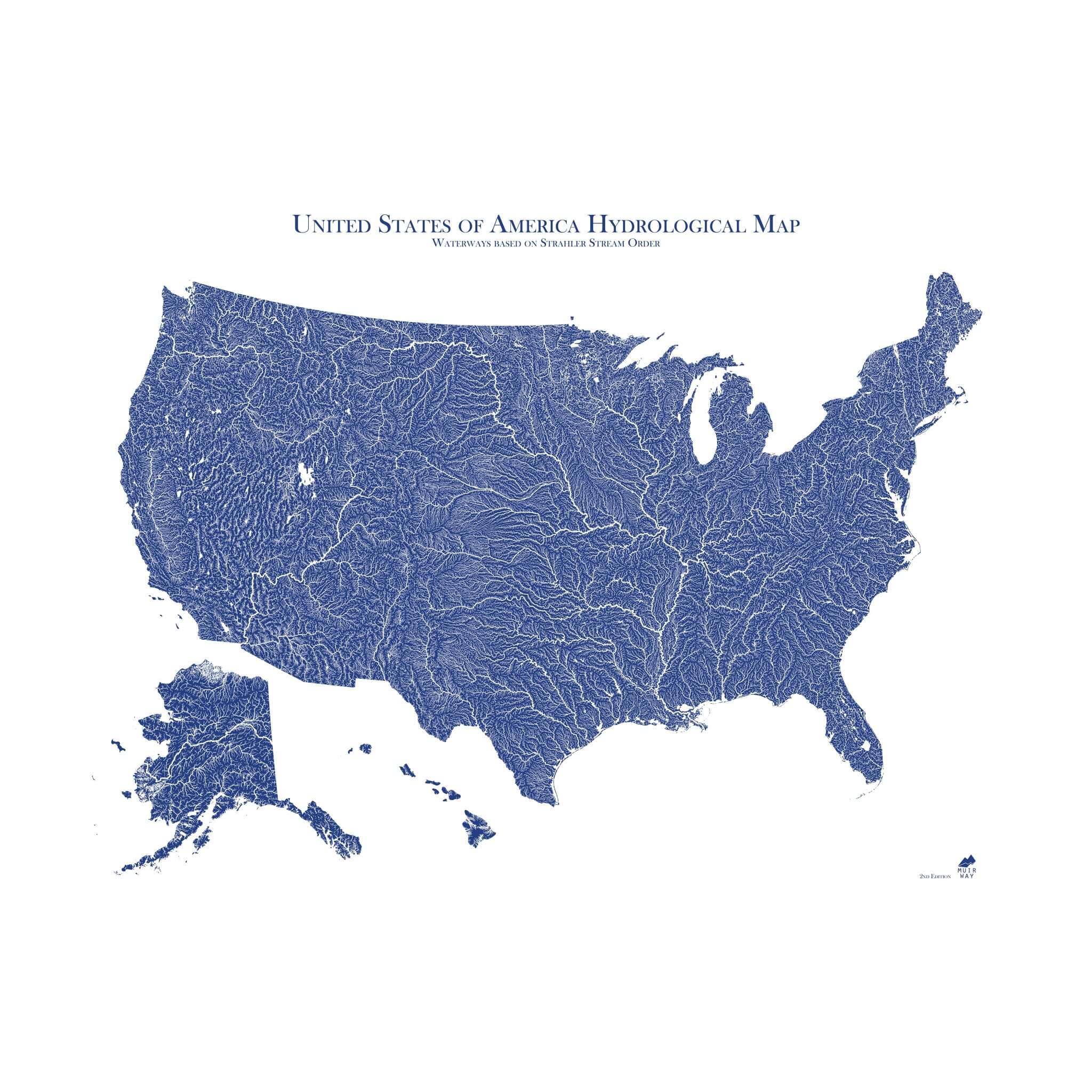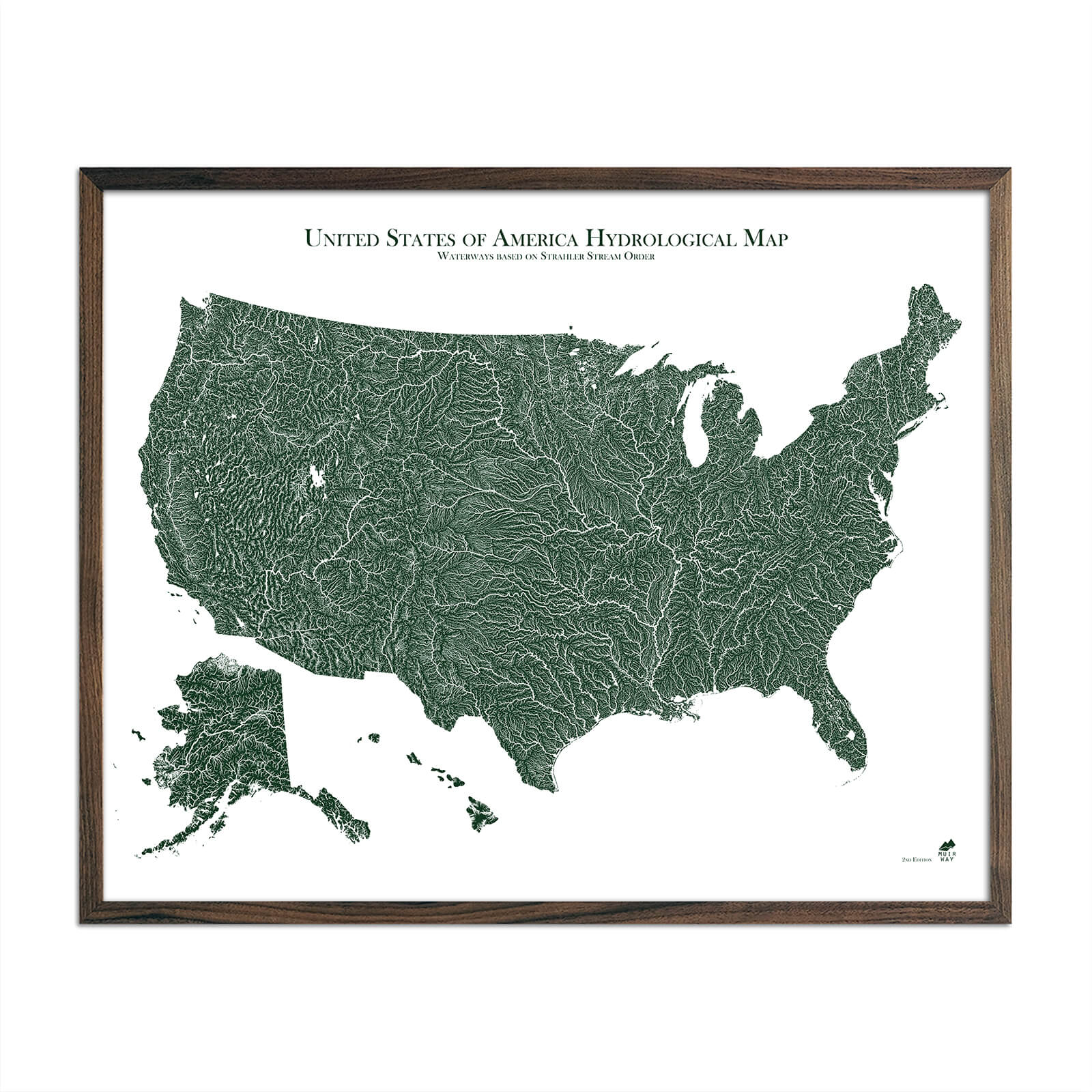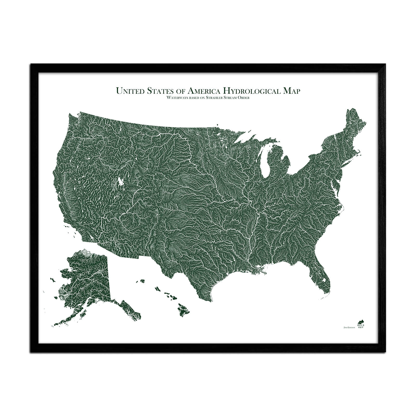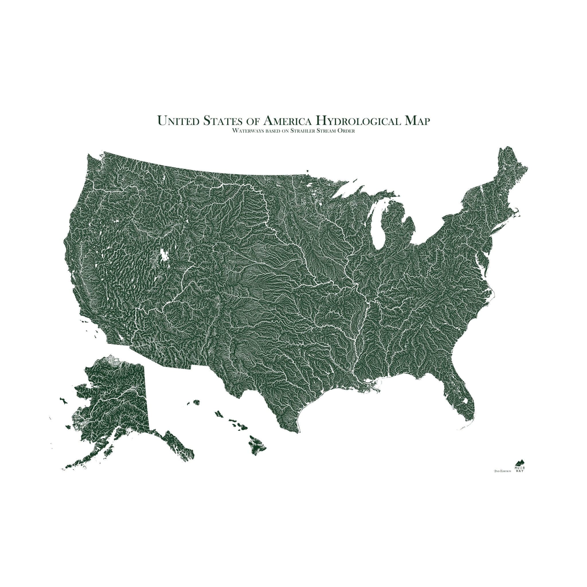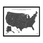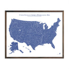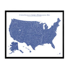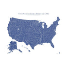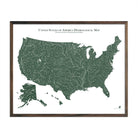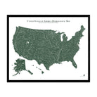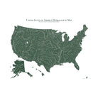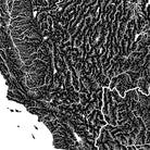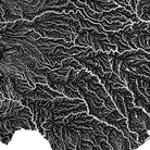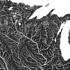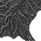
US Hydrological Map
Currently 10 people are looking at this product
At Muir Way, we believe in providing the utmost quality, design, and value.
- Lasts a lifetime
- Unsurpassed archival materials and printing
- Over 5000 5-star reviews
- 30-day returns*
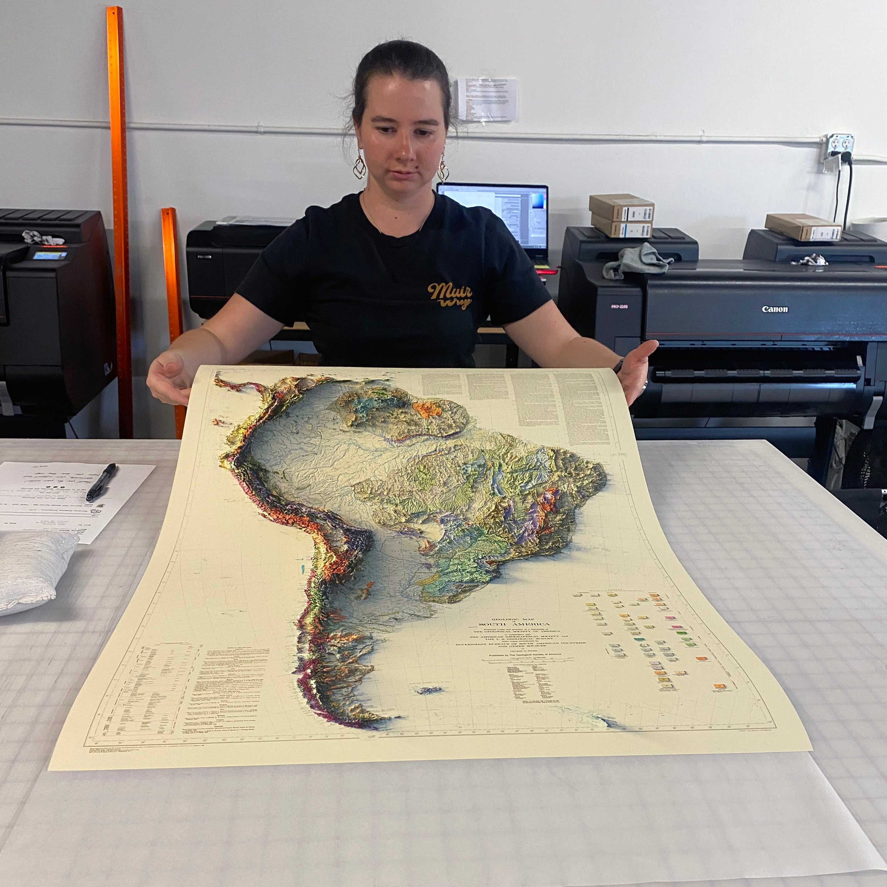
- Individually printed in our San Diego workshop

Description
Water is literally the lifeblood of any country. If you’re drawn to water, you know that how and where it flows tells the story of a place.
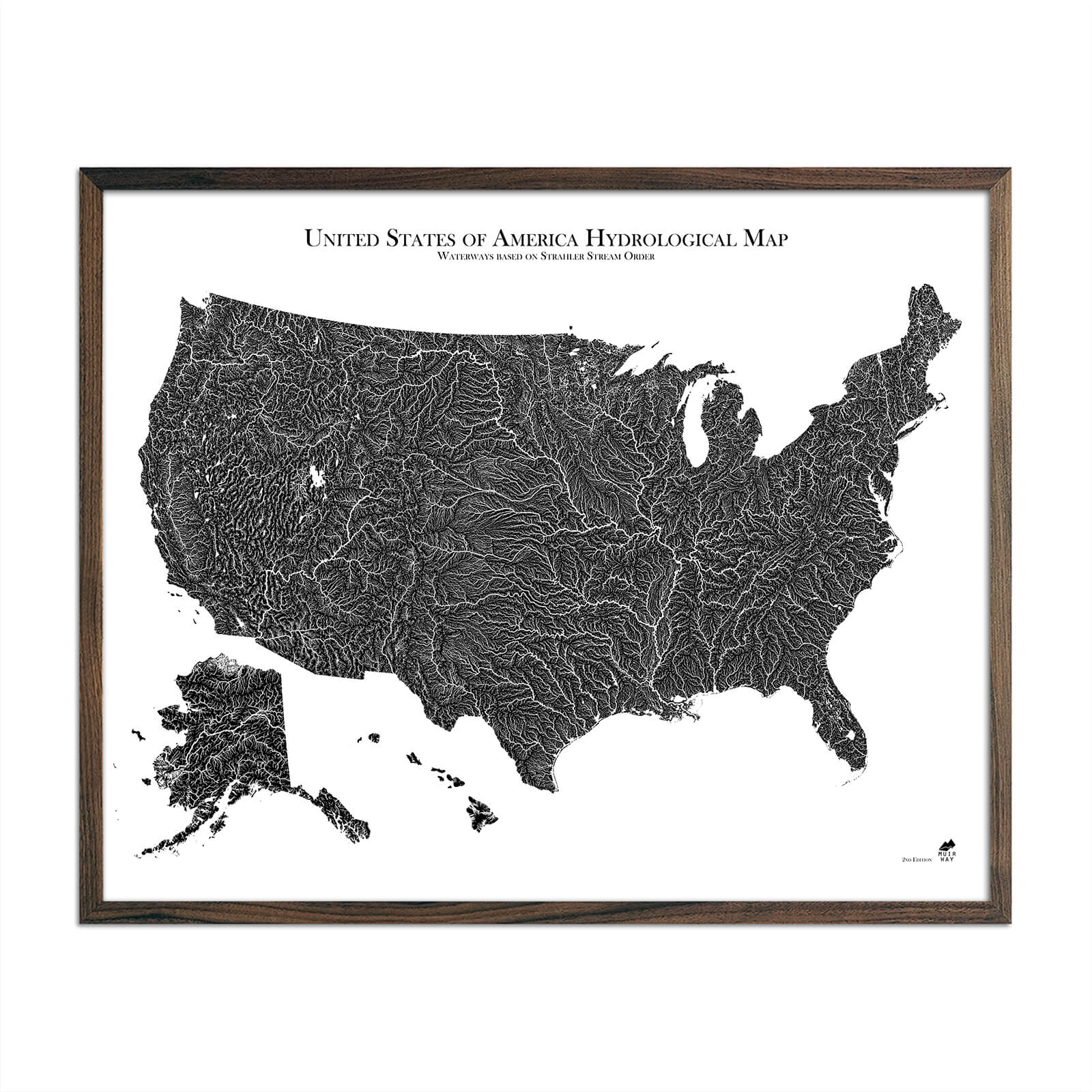
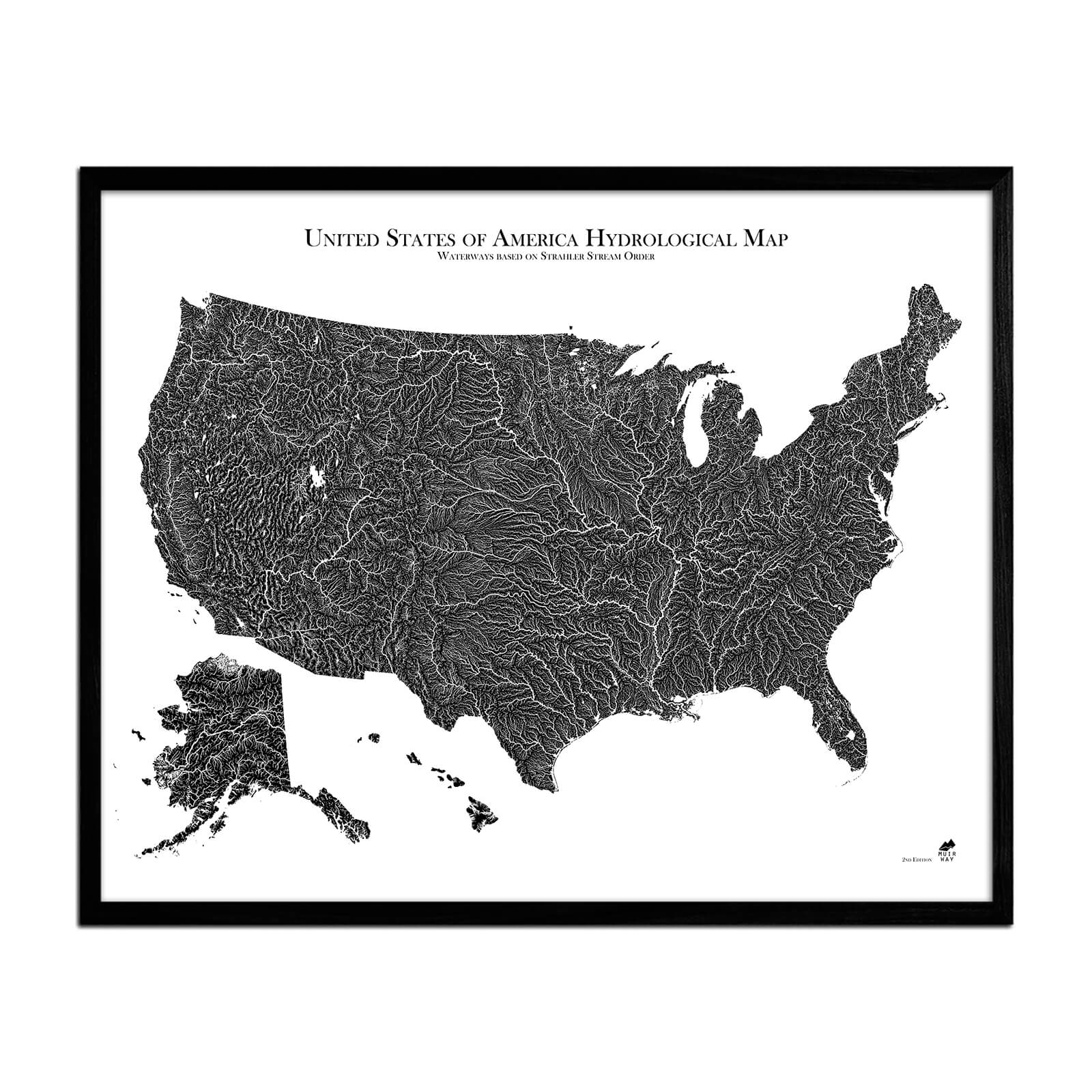
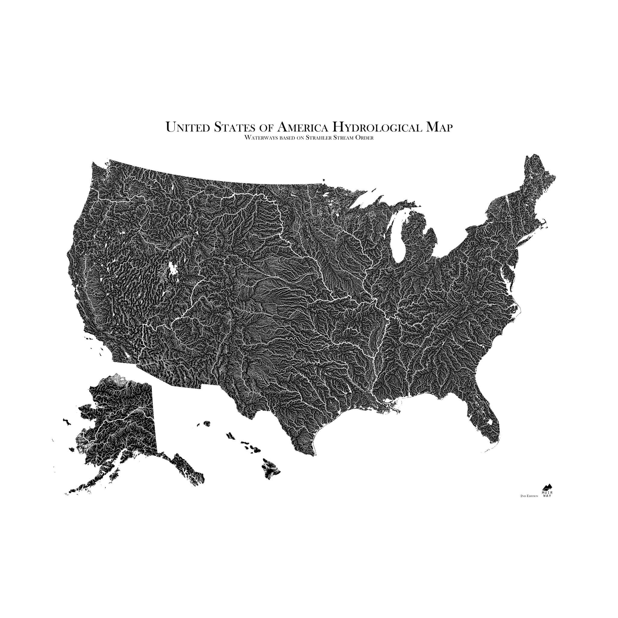
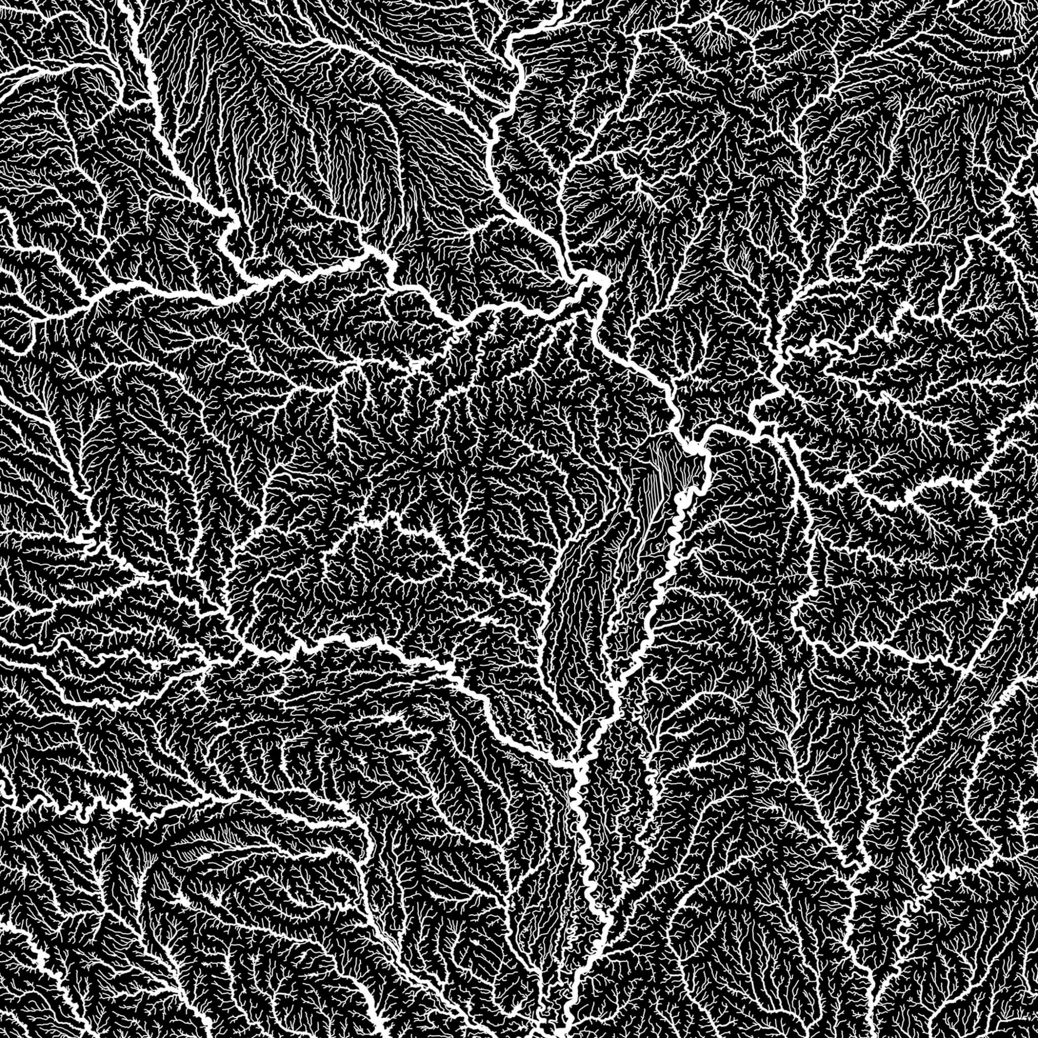
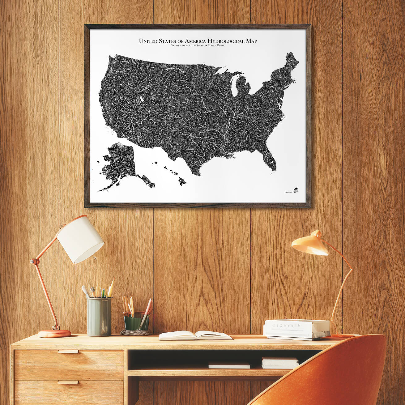
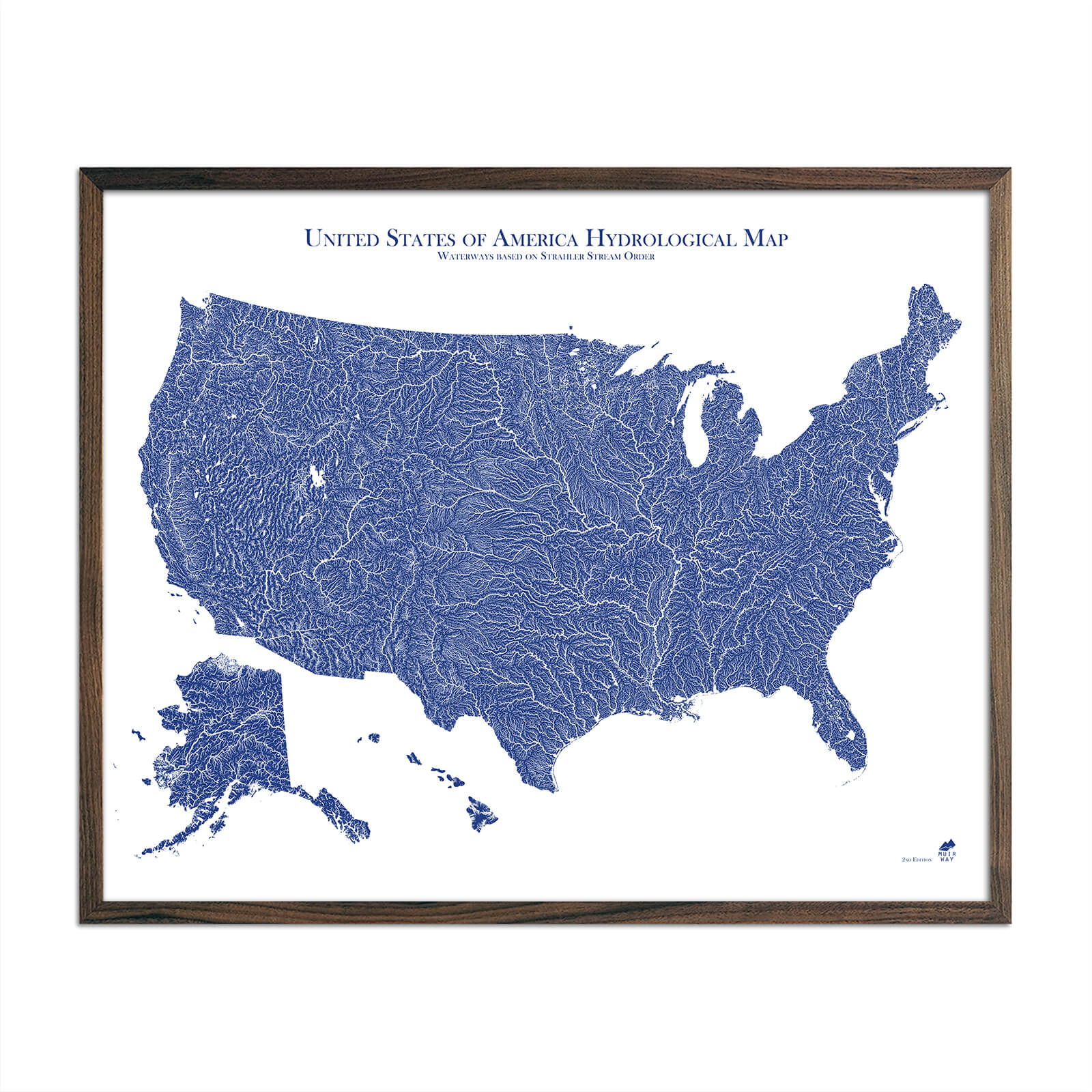
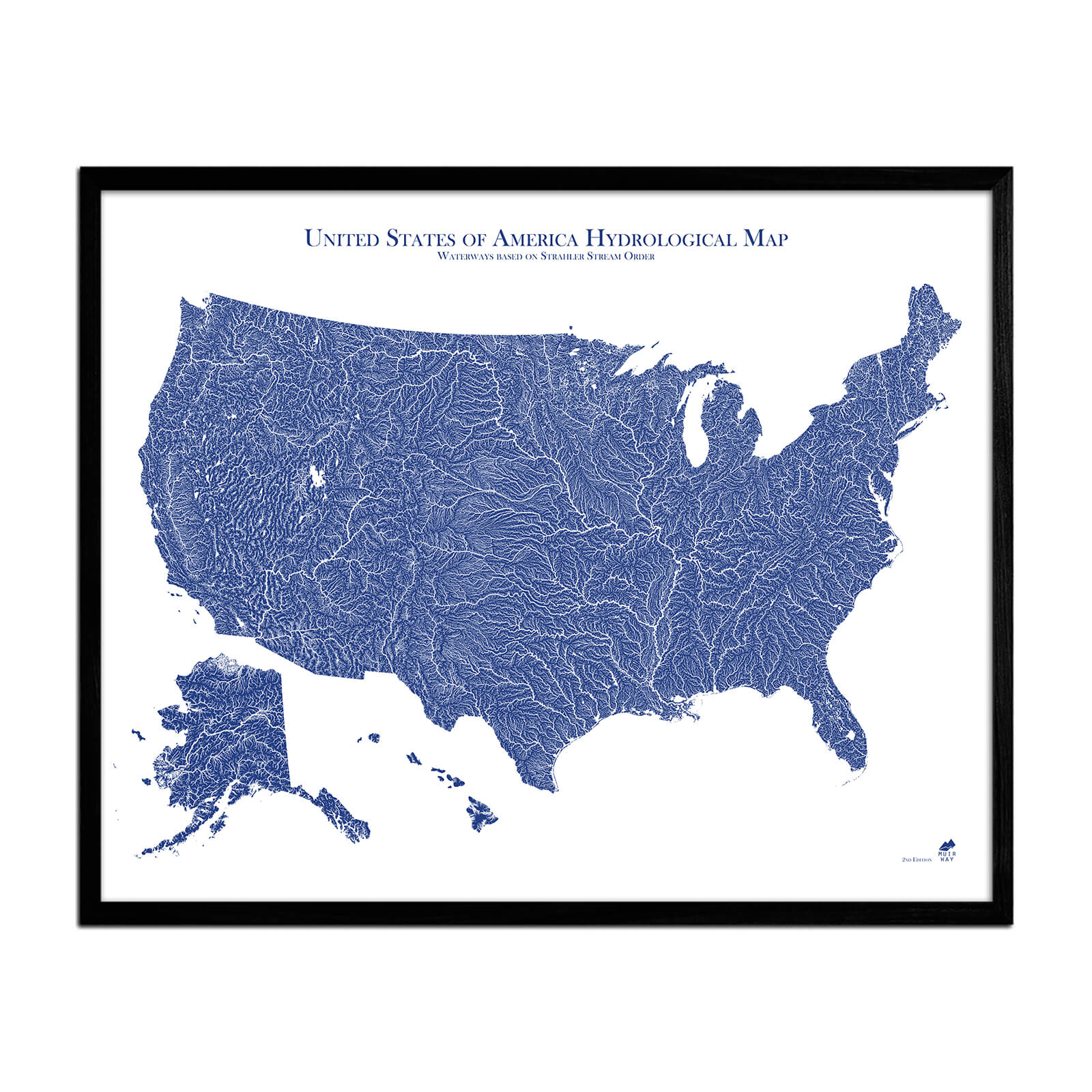
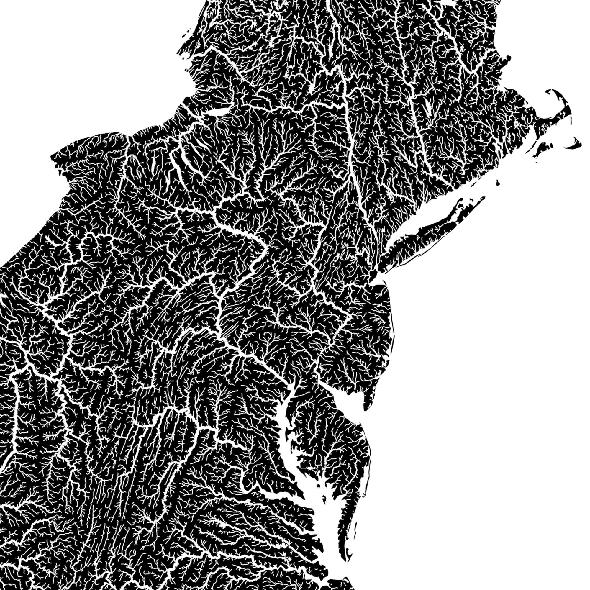
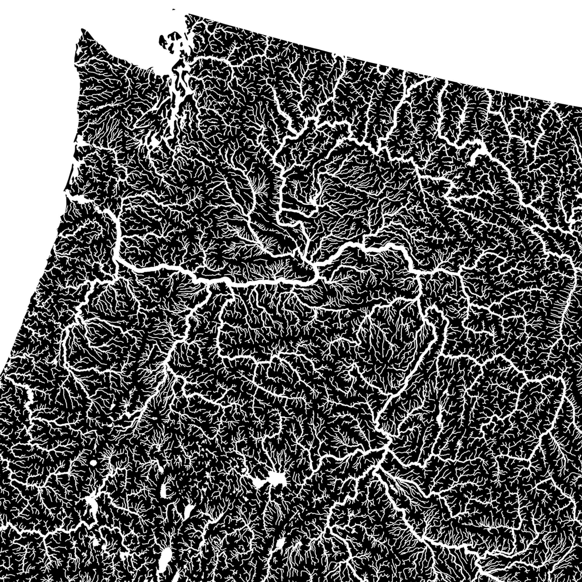
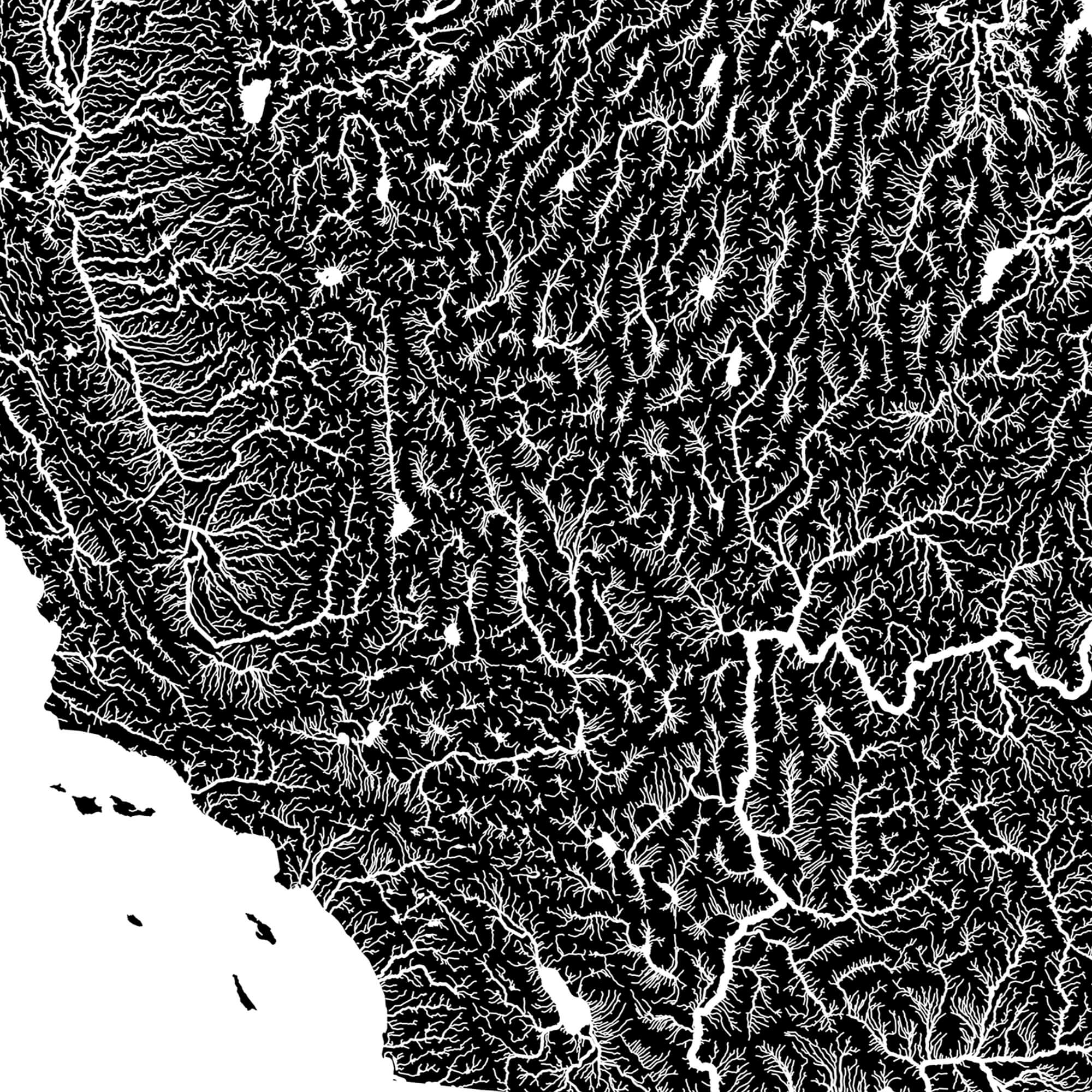
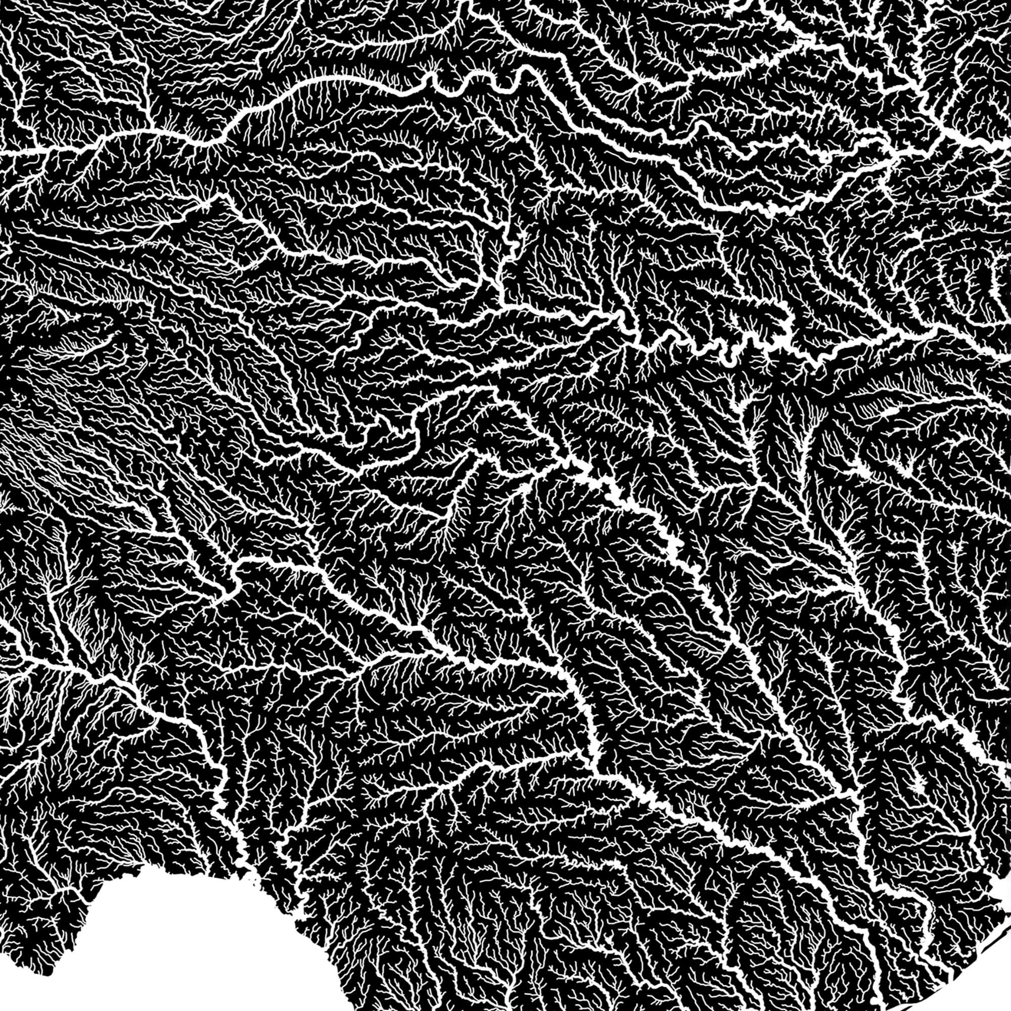
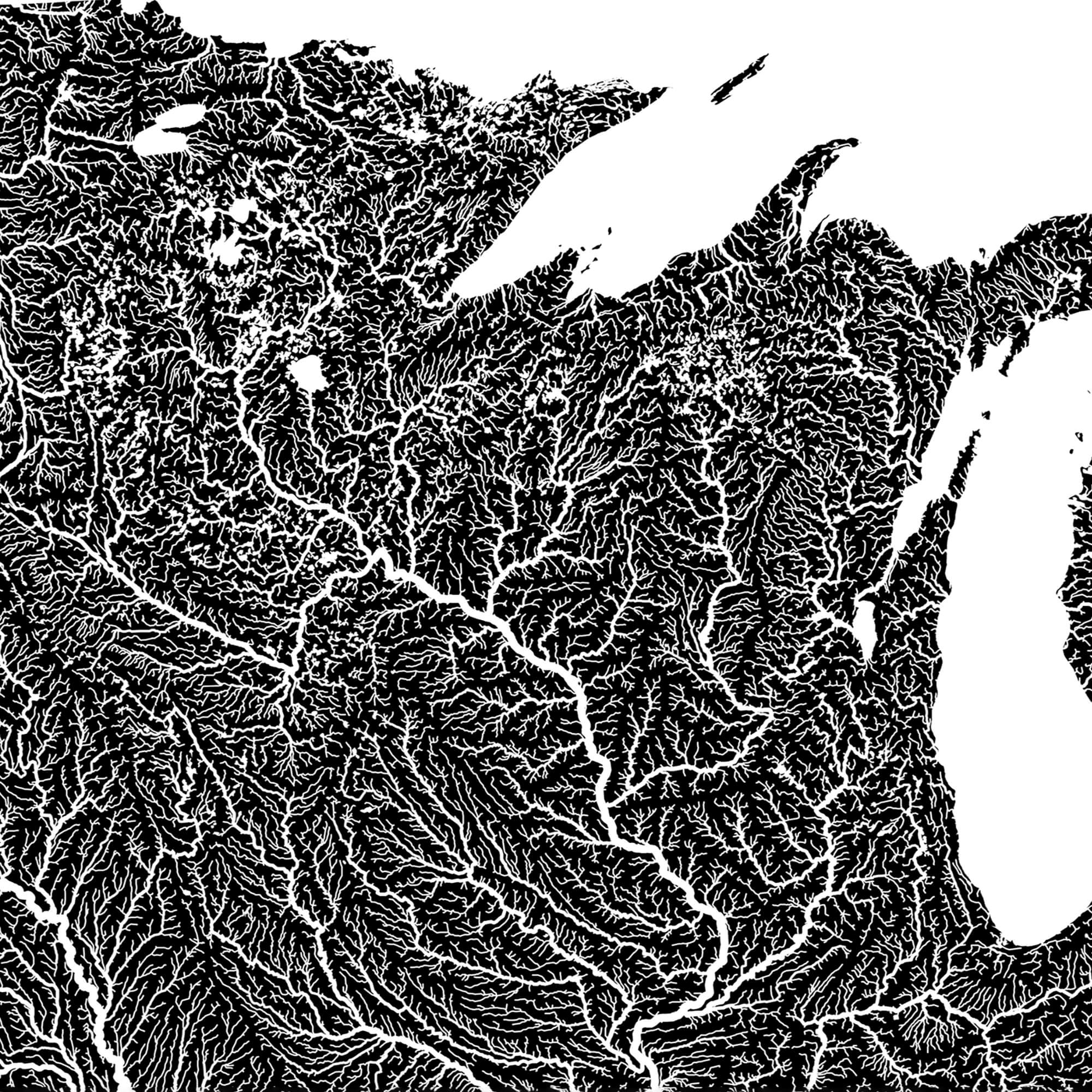
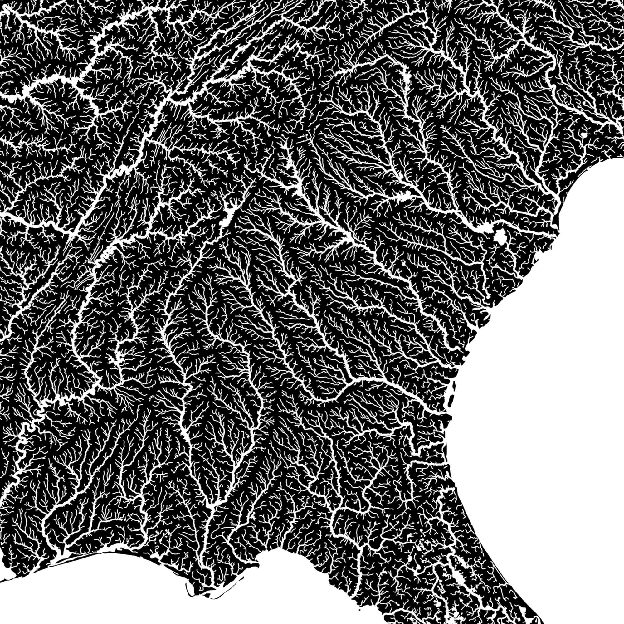
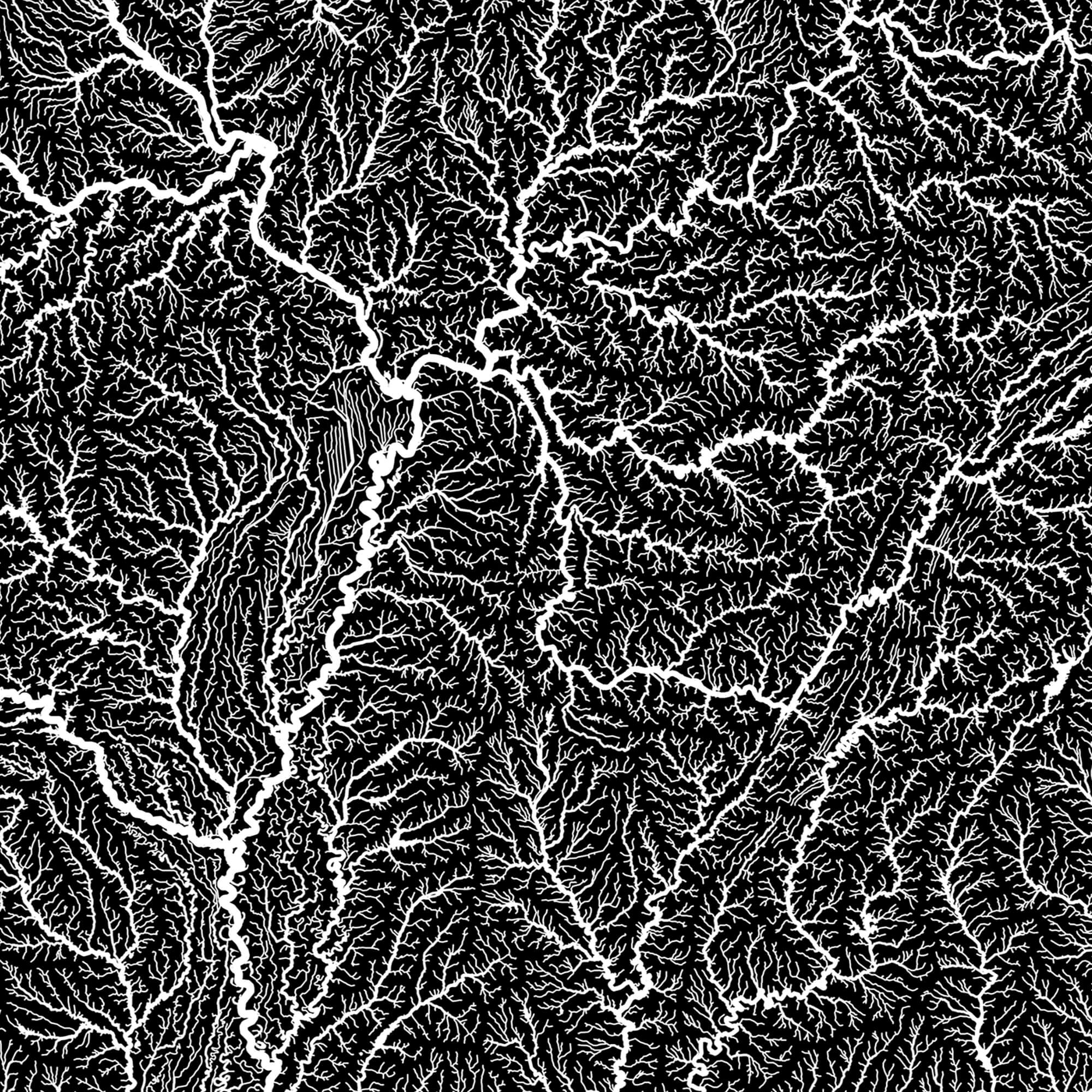
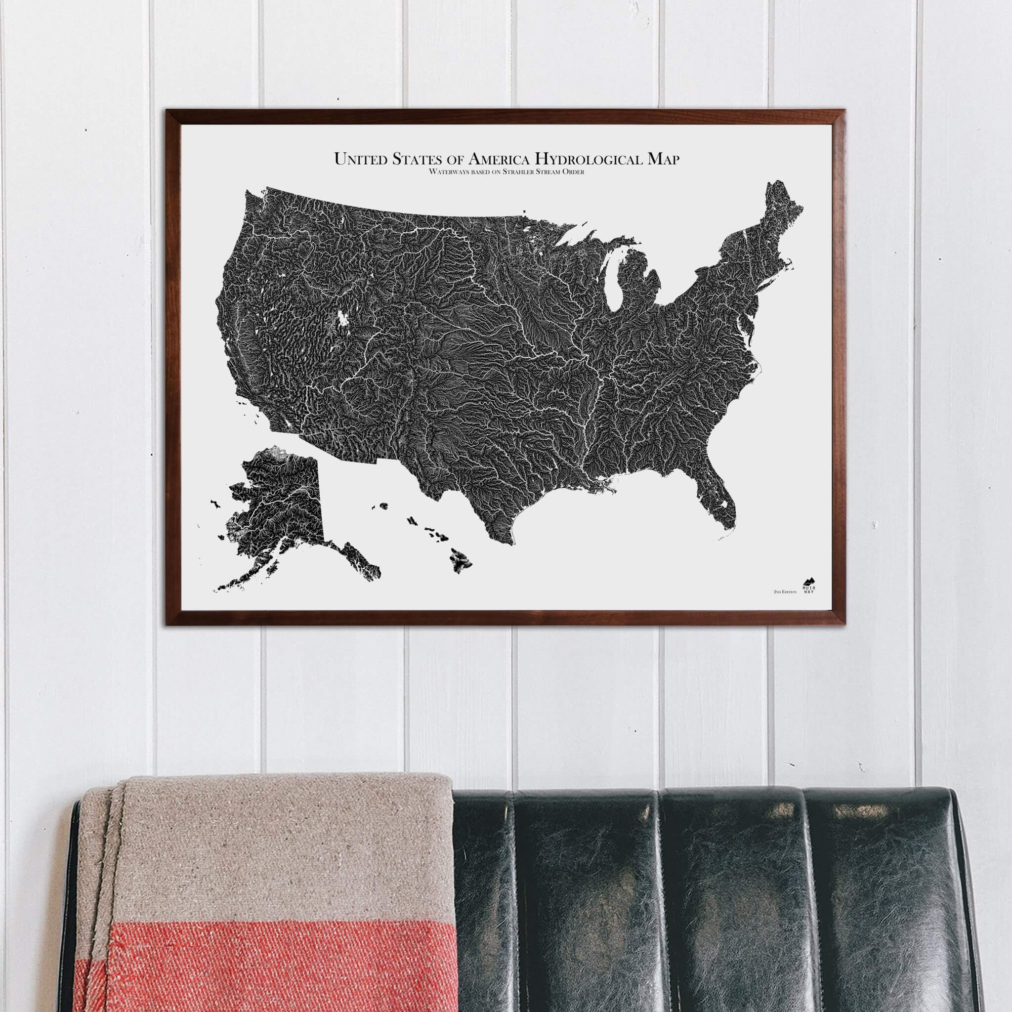
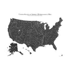
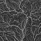
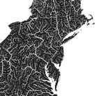
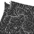
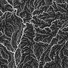
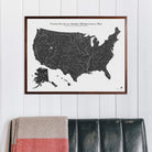
The USA Hydrological Map shows every river, stream, and lake, including non-perennial waterways, in fascinating detail. Our map of these water bodies displays the USA’s (Lower-48, Hawaii, and Alaska) rivers and streams using the Strahler Stream Order method. This method displays them graphically by rank, mapping how they interconnect in their intricate watersheds. The flow of water also has a dendritic, aesthetic elegance that our map captures beautifully.
Our map of the USA depicts every watercourse in the country in detail, from large rivers to intermittent streams, and every body of water with a diameter greater than 6 miles. For an extra aesthetic touch, we apply the Strahler Stream Order method to show the hierarchy of streams as they flow from their source. Lines representing rivers thicken as they acquire the flow of tributaries and gain relative importance. This allows us to legibly map a dry gulch in Nevada alongside the mighty Mississippi-Missouri River system, and enhances a sense of the interconnectedness of our waterways.
In our Hydrology Series, you’ll not only find your favorite rivers and lakes, but you’ll also be able to trace their origins and outflow and appreciate the beauty of their connections.
Shipping and Returns
FREE SHIPPING on orders to the contiguous US over $49 with UPS ground or USPS to PO Boxes.
Holiday Fulfillment & Shipping
- During the holiday season, production and carrier networks experience delays.
- Orders may take a few days longer to ship and arrive than our standard estimates.
- Need it by a specific date? Please order early and let us know at info@muir-way.com.
- We’ll send tracking as soon as your order ships.
Order cutoff dates for Christmas delivery:

Unframed prints - Printed to order and shipped within 5-7 business days
Framed prints - Custom framed and will ship in 3-4 weeks
Full refund on returns of unframed paper prints within 30 days of purchase. Prints must be returned in NEW condition without creases or damage. Please email us at info@muir-way.com for instructions.
If prints are shipped back to us and are not in new condition, we offer a store credit or can return them to you.
We do NOT ACCEPT returns or exchanges on framed prints or canvas wraps because they are made to order.
Click HERE for more information on shipping and returns.
Gallery Quality
Made in the USA
We consider our maps to be works of art, so we print and frame them accordingly.
Using award-winning printers with gallery quality fine art paper and inks, our maps will exceed expectations and last a lifetime.
- Archival Paper and Inks
- 100% Cotton, OBA-Free, and Acid-Free
- Heavyweight 21.5 mil
- Certified to last 100 years
Read customer reviews HERE attesting to the quality of our prints.
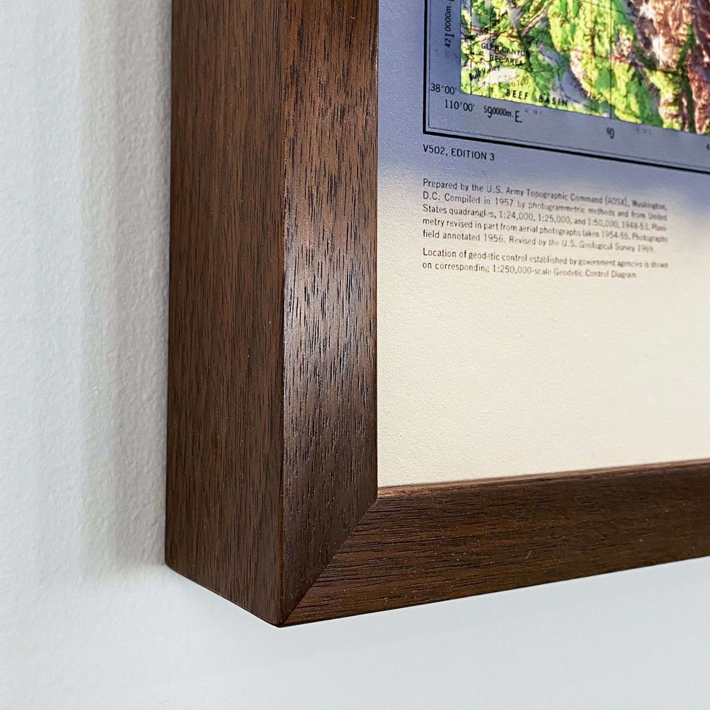
American Hardwood Frames
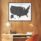
We use real Walnut for our frames, unlike the lesser quality veneer you will typically find elsewhere. With beautiful hardwood grain, each is handmade to order at a professional frame shop.
- 7/8 inch face and 1 1/2 inch depth
- Acrylite glazing (more clear than glass)
- Acid-free backing paper
- Hanging wire installed
Archival Inks
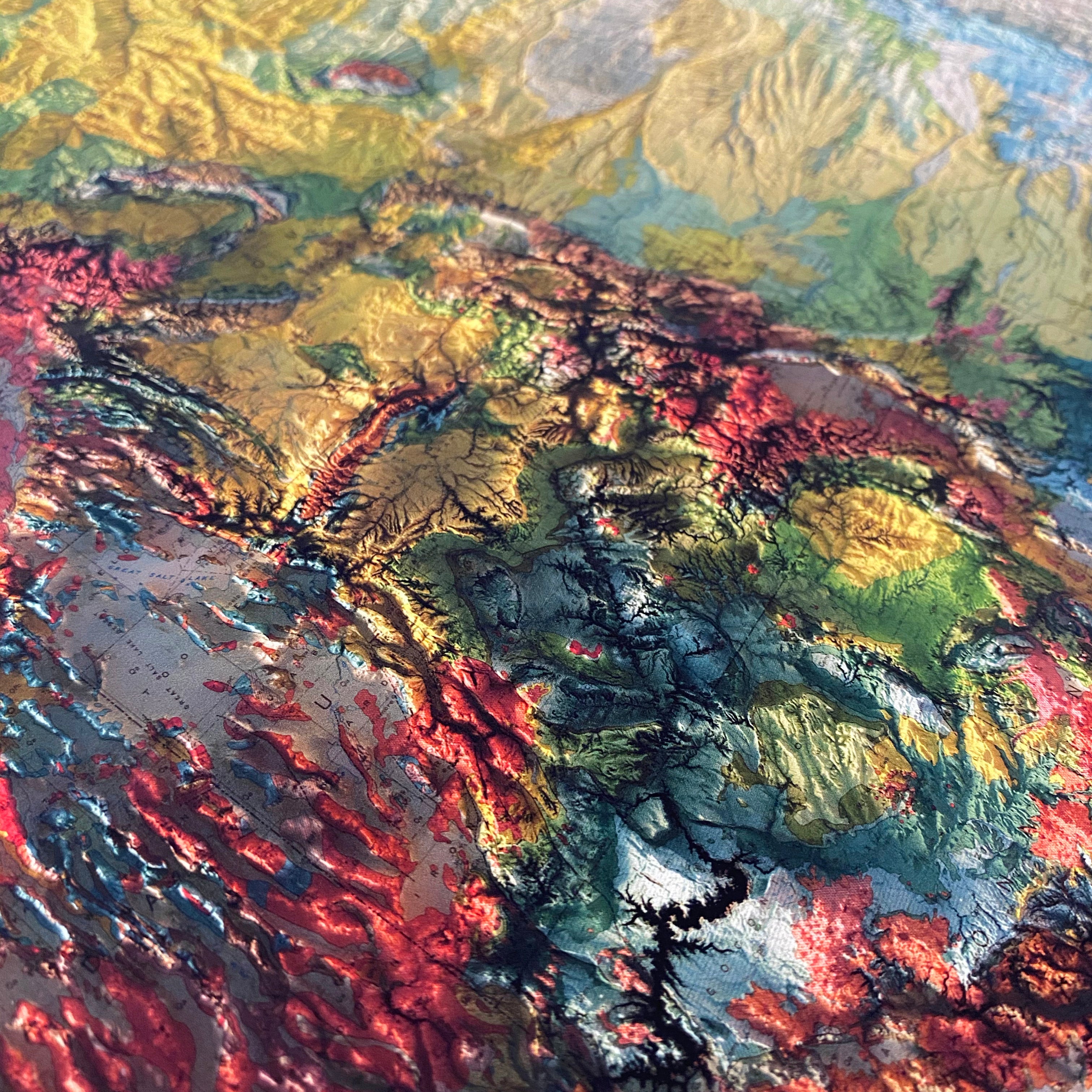
Each map is produced on our 12-color gicleé printers using premium inks to ensure an intricately detailed, fade-free piece with amazing colors.
Fine Art Paper
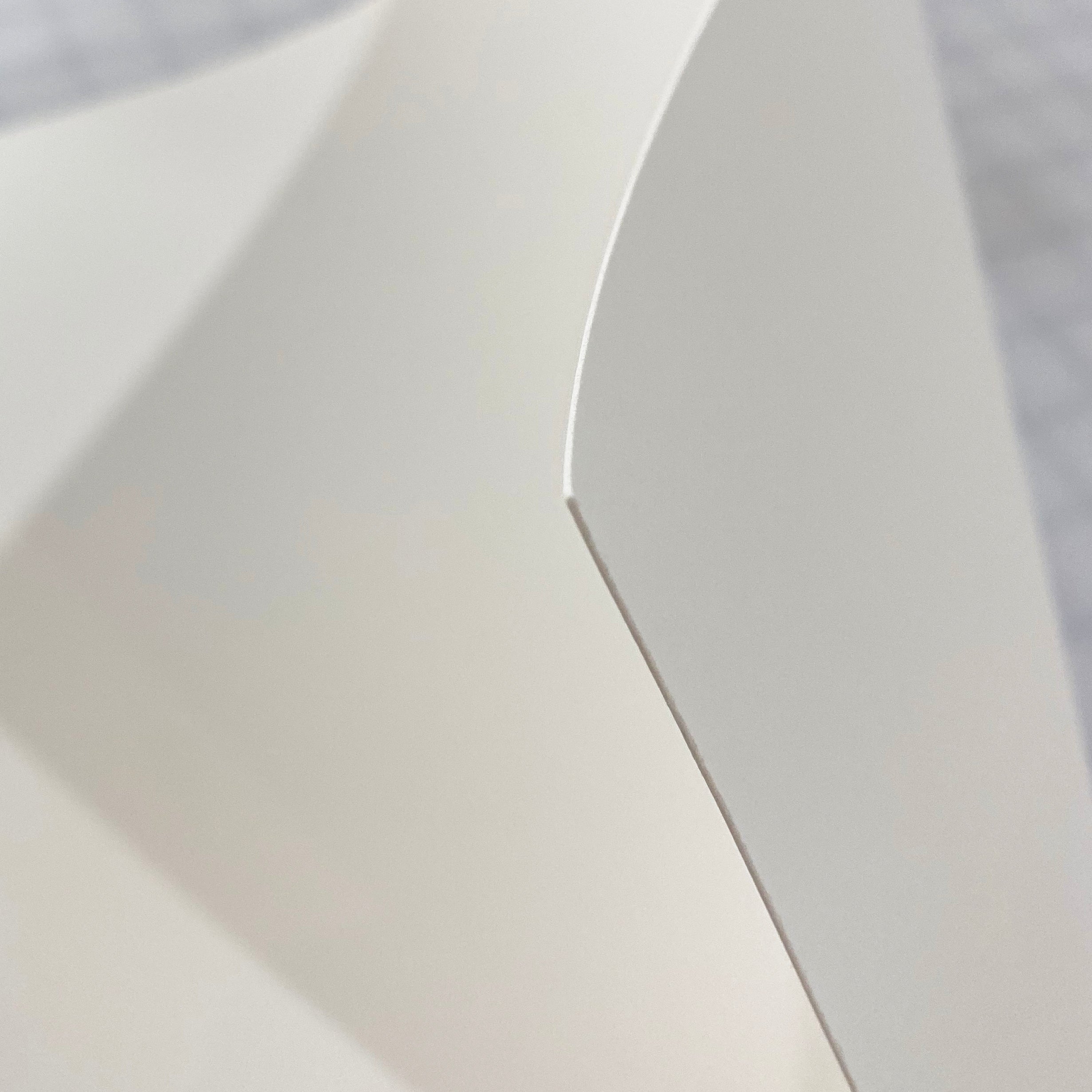
Museum-quality, 100% cotton, acid-free archival paper that’s rated to last 100+ years.
Authentic Hardwood Frames
No pressed wood, no veneer. Every custom frame is handmade from real Walnut.
Made in the usa
We individually print each order in our San Diego workshop. Even our paper is sourced from domestic manufacturers.


