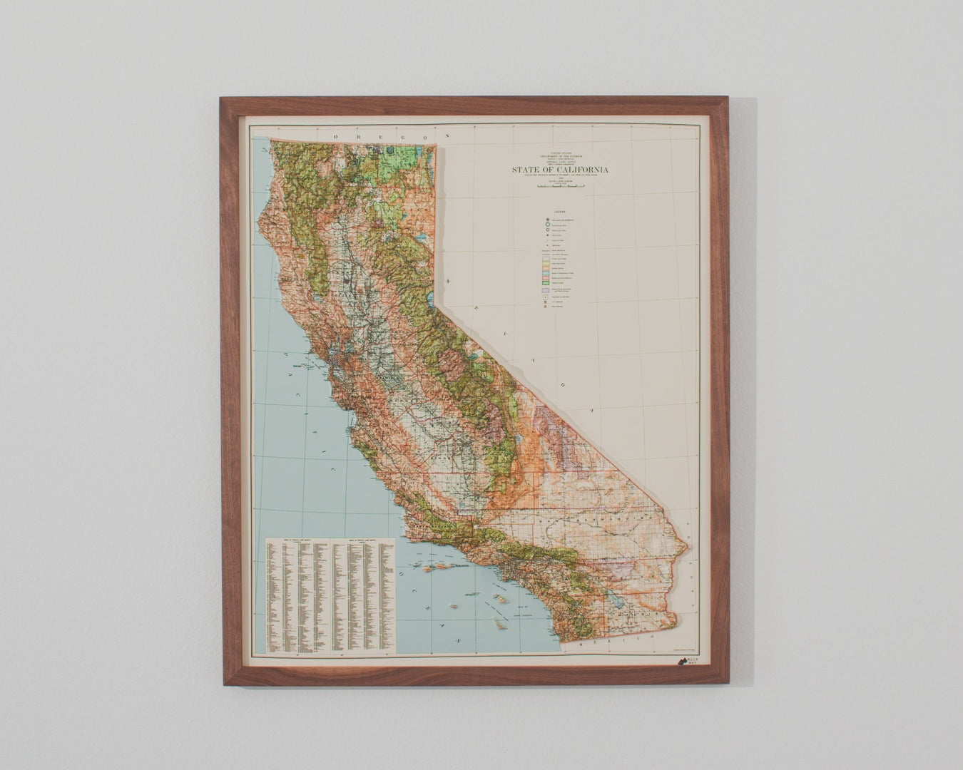
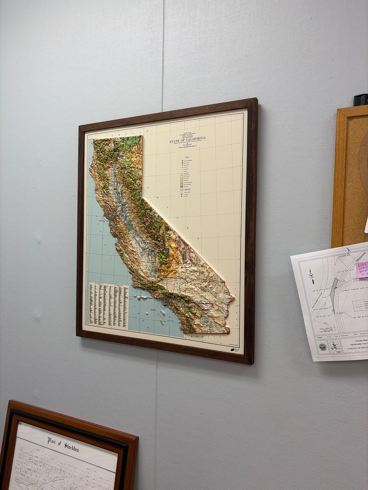
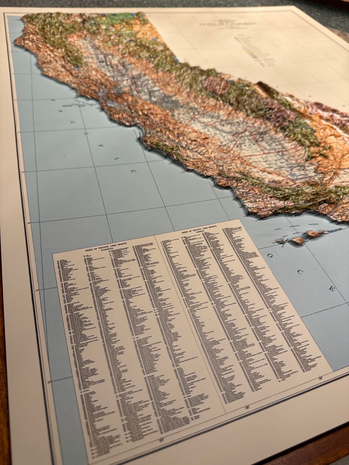
This map is based on a 1944 topographical survey of California, produced in the middle of World War II, an era when detailed terrain mapping across the state was a priority — capturing everything from the peaks of the Sierra Nevada to the fertile Central Valley and California's long coastline.
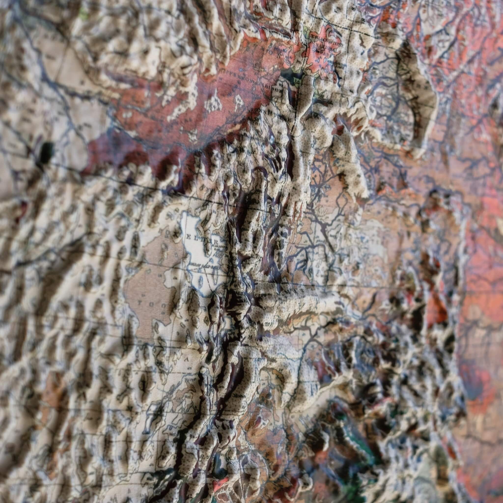
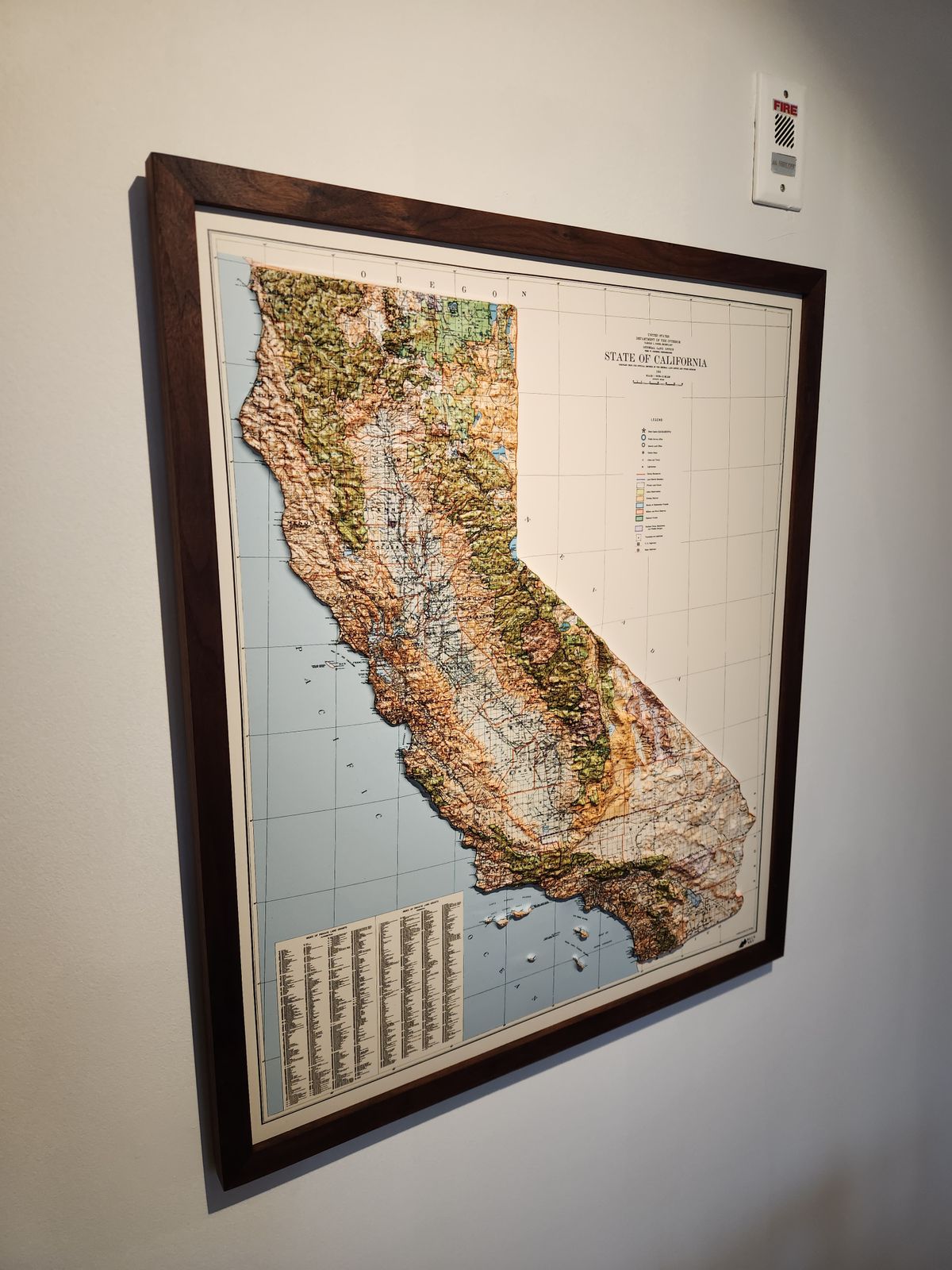
To create this 3D raised relief map, we georeference the original 1944 survey and combine it with modern digital elevation data to sculpt a precisely detailed 3D mold of California's terrain. The full-color map is then printed, heated, and vacuum-formed over that mold, stretching the image into genuine raised, textured relief — so the Sierra Nevada's ridgelines and the contours of the Central Valley aren't just printed, they're physically there under your fingers.
Framed versions of this map have no glass or acrylic over them, so you're free to touch the map and explore its intricacies by hand.
For the flat, framed fine-art-print version of this map, click here.
PLEASE NOTE: You will love this map if you embrace its anomalies. When the plastic is heated and stretched over the 3D mold, the image may be altered, causing warped lines and text around higher elevations. The fine print on plastic is not as sharp as on paper, sometimes rendering very small text illegible.
- Size - unframed 24x28 inches
- Size - framed 25x29 inches
- Material - plastic mounted on foam board
- Handmade real Walnut frame available
- Individually made in our San Diego, CA shop