


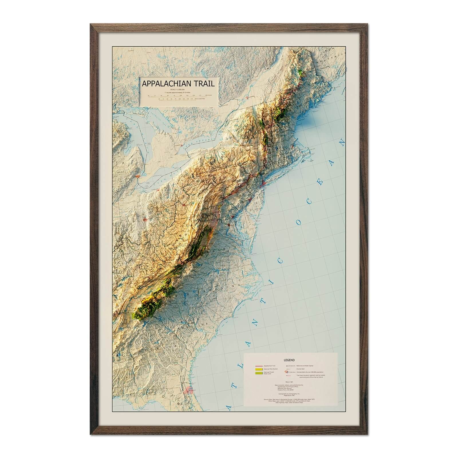
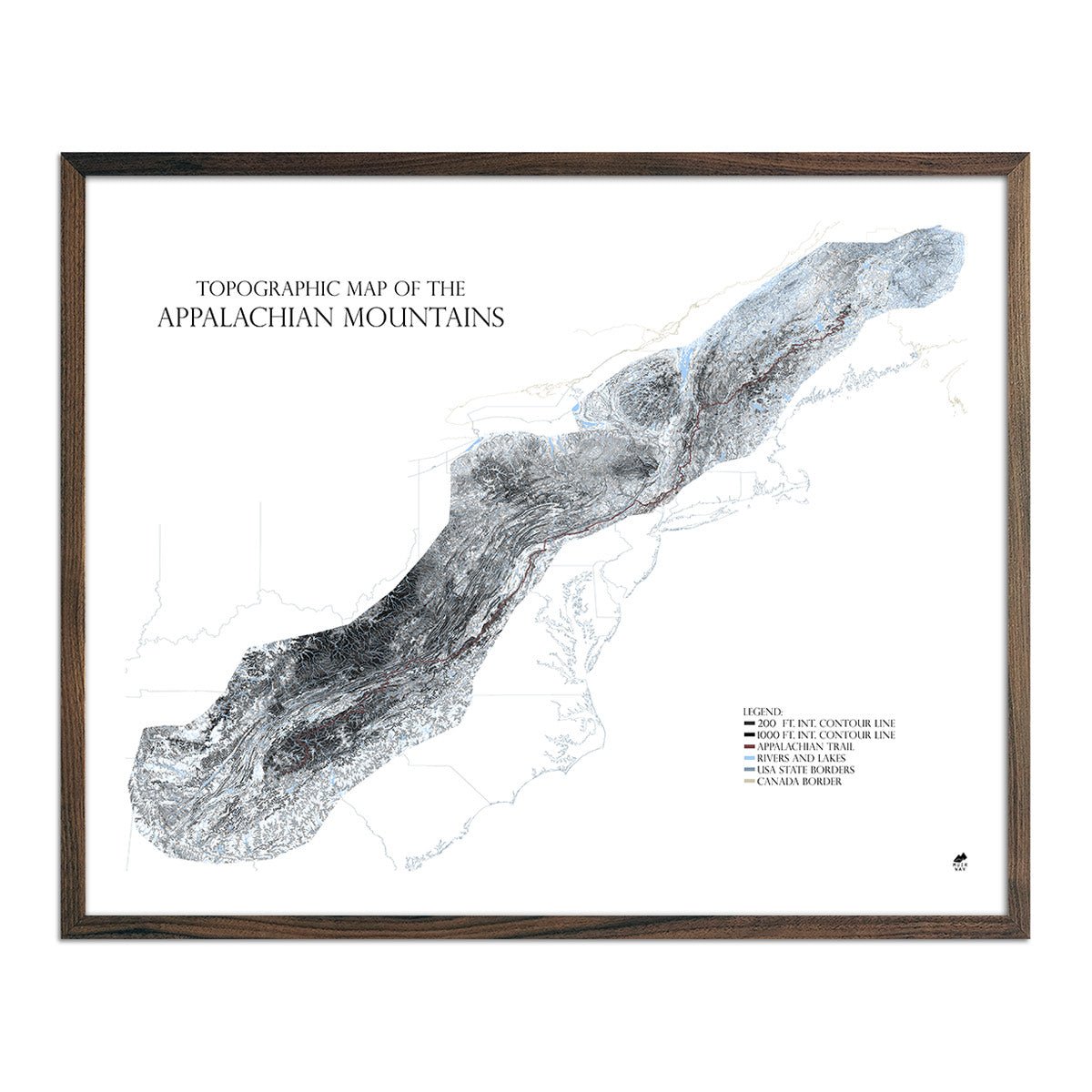


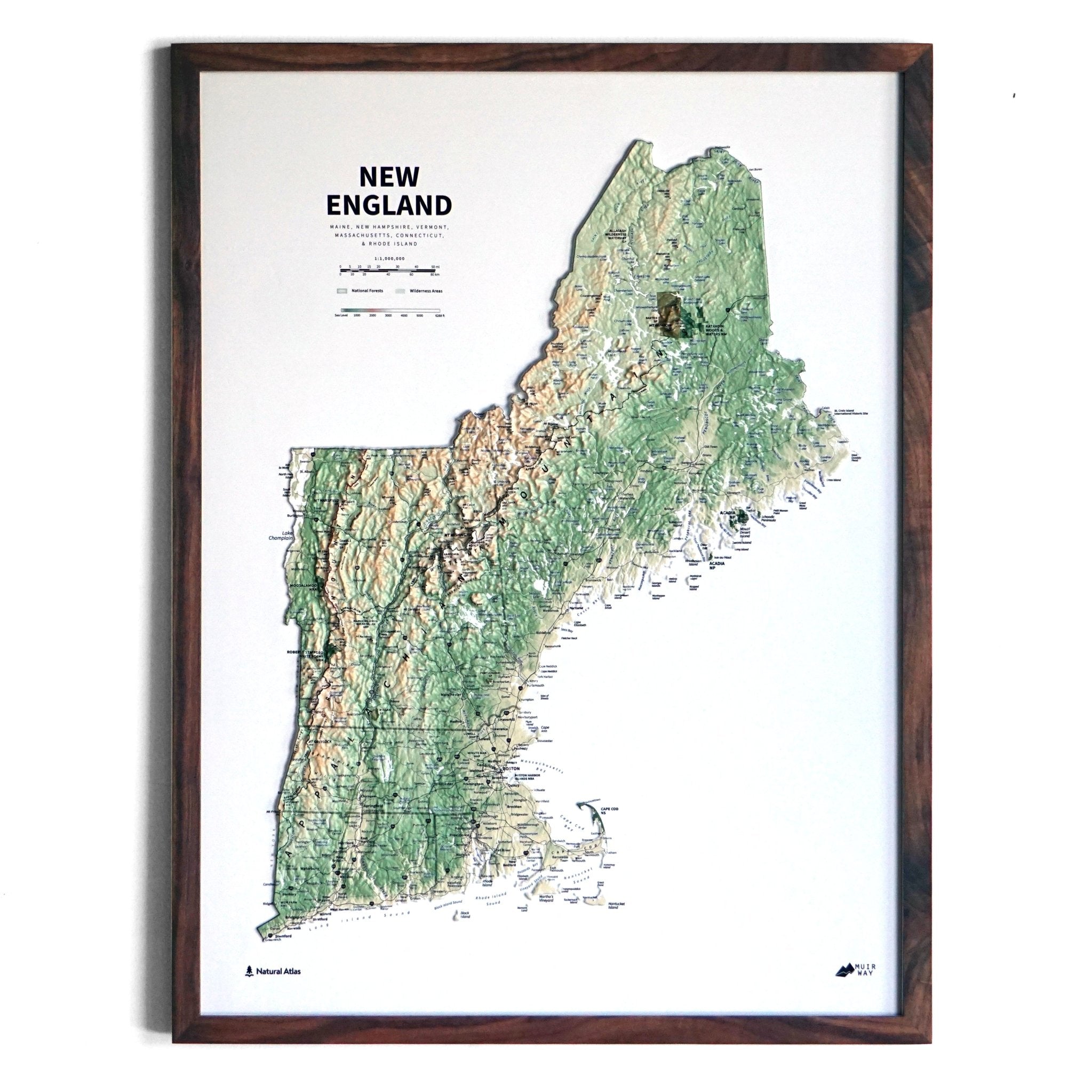
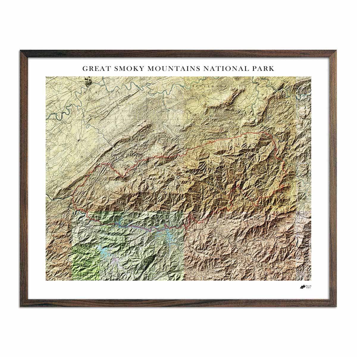
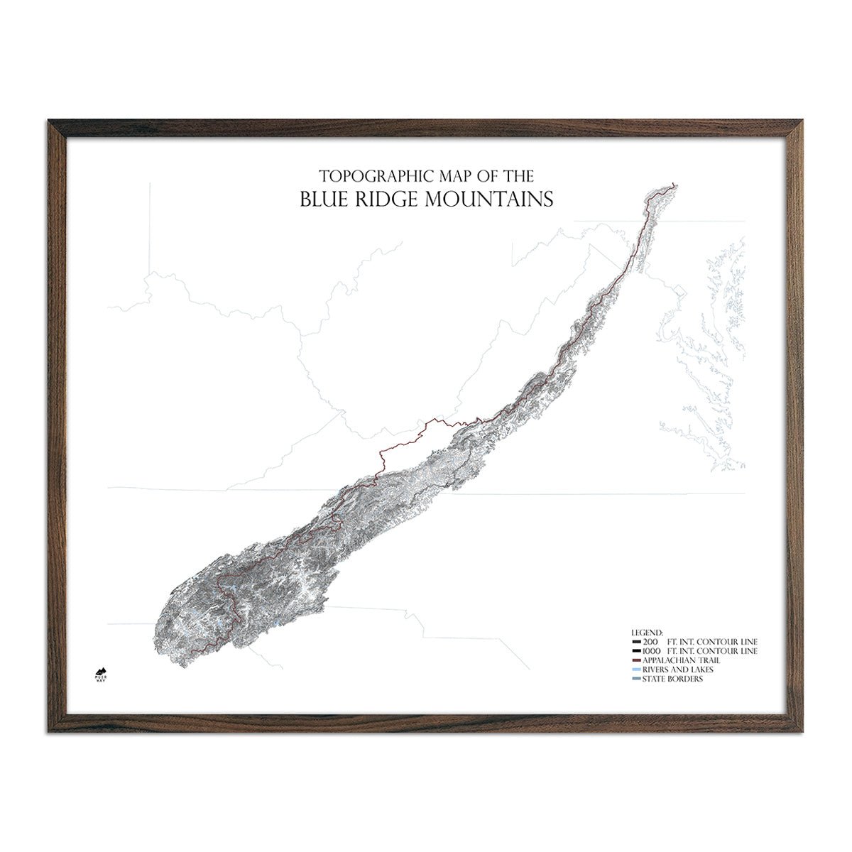
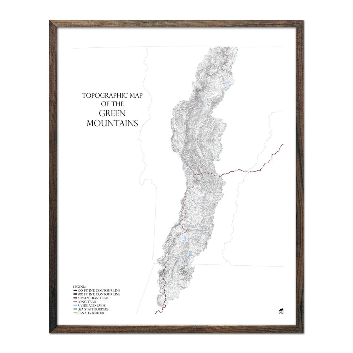
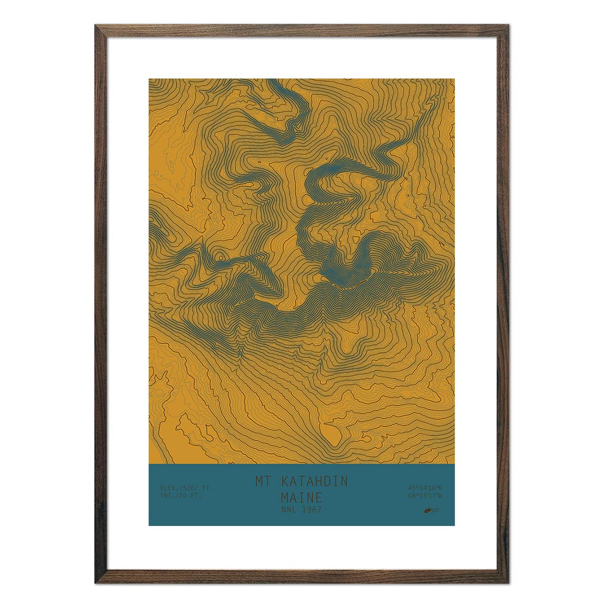
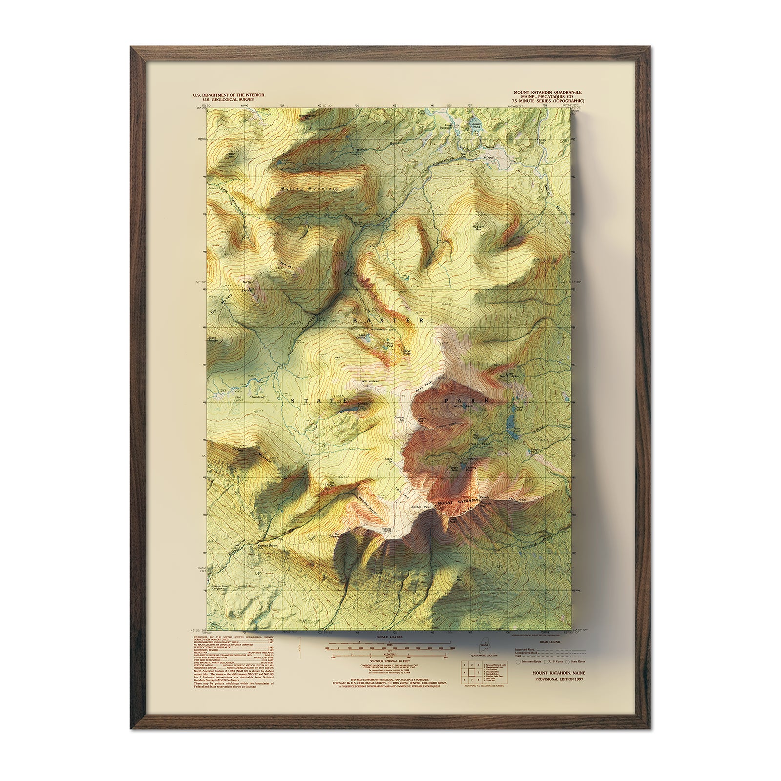

Appalachian Trail Map Wall Art
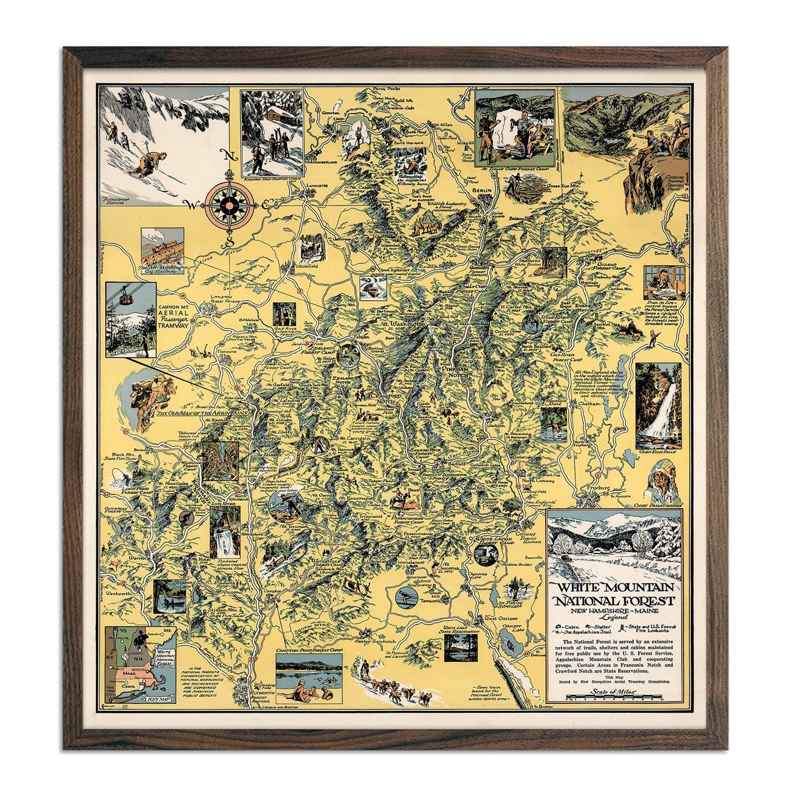
The Appalachian Trail stretches 2,190 miles through 14 states, from Springer Mountain, Georgia to Mount Katahdin, Maine. Muir Way's Appalachian Trail map collection features topographic relief maps and elevation art prints that capture every ridge and valley along the AT corridor.
We offer Appalachian Trail maps printed on 100-year archival fine art paper using archival pigment inks or as 3D raised relief maps. Available framed in real wood or unframed in standard sizes. Free shipping.
About the Appalachian Trail
Established in 1968 as one of the original National Scenic Trails, the AT passes through the Great Smoky Mountains, Shenandoah, and eight other national park units. Its terrain ranges from the gentle ridgelines of the mid-Atlantic to the rugged peaks of New Hampshire's White Mountains.
