Skip to content
Facebook
Instagram
Pinterest
FREE SHIPPING ON ORDERS OVER $49
Country/Region
United States (USD $)
United States (USD $)
Best Sellers
3D "Factory Seconds" Sale
Shop by Region
Shop by Type
Historical Prints
Home Goods
About Us
Search for your map
Account
Cart
Popular Collections
Best Sellers
Shop by Region
Maps of USA
State Maps
International Maps
National Park Maps
Shop by Type
3D RAISED Relief Maps
Hydrological Maps
Custom Wood Carved Map
Regular price
From
$ 300.00 USD
5.0 / 5.0
3 reviews
Vintage Shaded Relief Maps
Elevation Maps
Natural Atlas
TOPO Series
National Parks Series
Shaded Relief Series
Range Series
Digital Gift Card
Regular price
From
$ 20.00 USD
5.0 / 5.0
5 reviews
Walnut Frames "Factory Seconds"
Historical Prints
1884 Fish Drawings
1875 Zoology Lithographs
1868 Yosemite Photographs
1873 Yellowstone Photographs
1874 Moon Photography
Astronomy
Civil War Maps
Historical Nautical Charts
Vintage Maps - Misc
USGS Quadrant Maps
1876 State Map Collection
1876 Geologic & Topographic
1883 US State Maps
1904 Yellowstone Maps
1906 Hawaiian Islands Maps
Apparel/Home Goods
Glasses
Books
Tees
Hats
Blankets
Walnut Frame for 3D Raised Relief Map
Regular price
From
$ 220.00 USD
5.0 / 5.0
1 review
About Us
Our Story
Reviews
FAQs
Shipping and Returns
Contact Us
Best Sellers
3D "Factory Seconds" Sale
Shop by Region
USA Maps
State Maps
International Maps
National Park Maps
Shop by Type
Collections
3D RAISED Relief
2D Vintage Shaded Relief
Hydrology Series
Custom Maps
Golf Courses - 3D Wood
2D Elevation Relief
Natural Atlas Maps
TOPO Series
National Park Series
2D Shaded Relief
Mountain Range
Gift Cards
Walnut Frames
3D RAISED Relief Maps
Hydrological Maps
3D Raised Relief
Historical Prints
Illustrations and Photographs
1884 Fish Drawings
1875 Zoology Drawings
1868 Yosemite Photos
1873 Yellowstone Photos
1874 Moon Photos
Historical Maps
Astronomy
Civil War Maps
Nautical Maps
Assorted Vintage
USGS Quadrant Maps
1876 State Maps
1876 Geologic/Topographic
1883 State Maps
1904 Yellowstone Maps
1906 Hawaii Maps
1884 Fish Drawings
Civil War Maps
Astronomy
Astronomy
Home Goods
Mountain Glasses
Field Guides
Books
Tees
Hats
Topo Blankets
Walnut Frames
Mountain Glasses
Tees
Books
About Us
Our Story
Reviews
FAQs
Shipping and Returns
Contact Us
All Muir Way Maps
Filter
Sort by
Best selling
Most relevant
Best selling
Alphabetically, A-Z
Alphabetically, Z-A
Date, old to new
Date, new to old
Filters
Sort by
Most relevant
Best selling
Alphabetically, A-Z
Alphabetically, Z-A
Date, old to new
Date, new to old
Apply
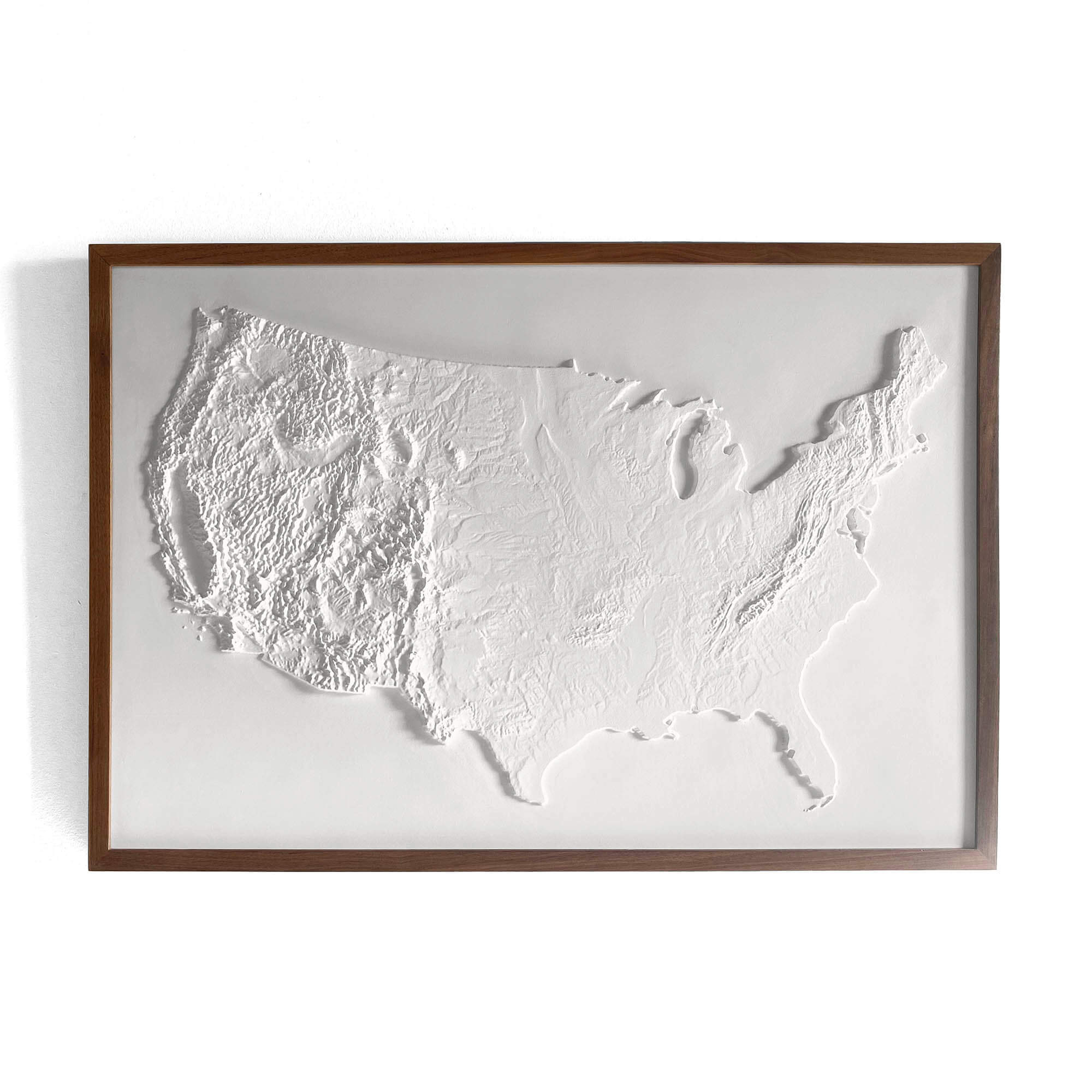
USA 3D Raised Relief Map
Regular price
From
$ 199.00 USD
5.0 / 5.0
4 reviews
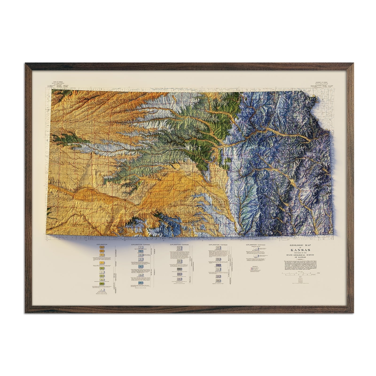
Kansas 1937 Shaded Relief Map
Regular price
From
$ 79.00 USD
5.0 / 5.0
3 reviews
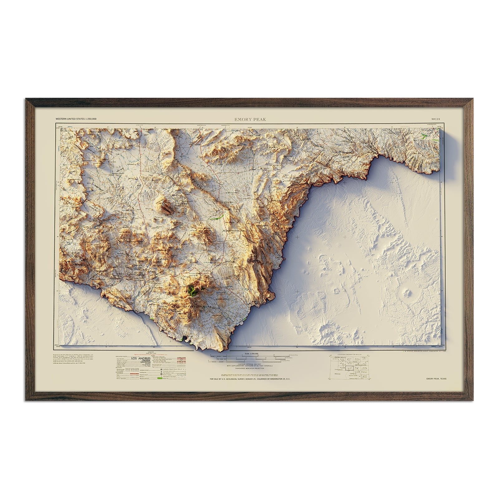
Big Bend 1965 Shaded Relief Map
Regular price
From
$ 79.00 USD
5.0 / 5.0
4 reviews
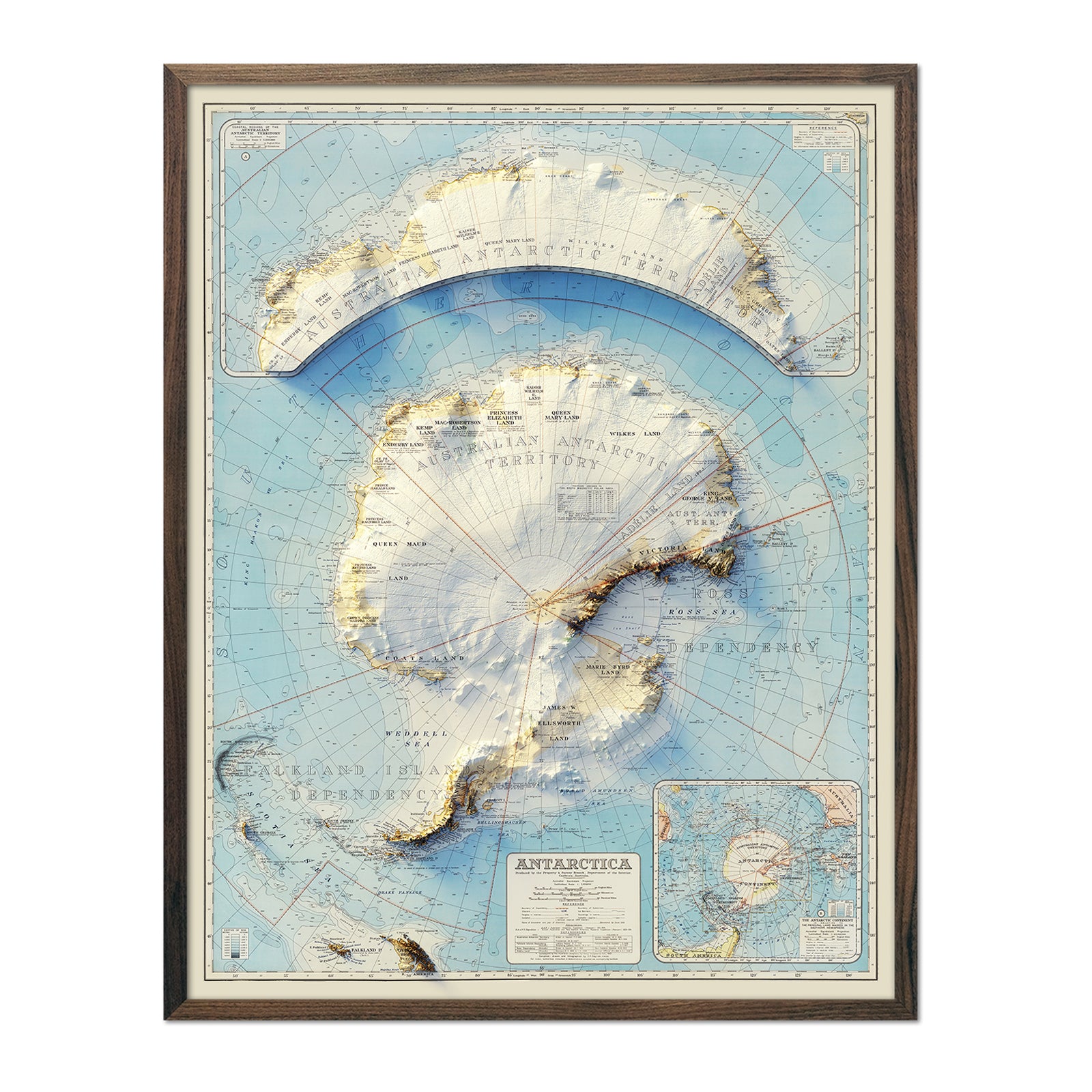
Antarctica 1939 Shaded Relief Map
Regular price
From
$ 64.00 USD
5.0 / 5.0
5 reviews
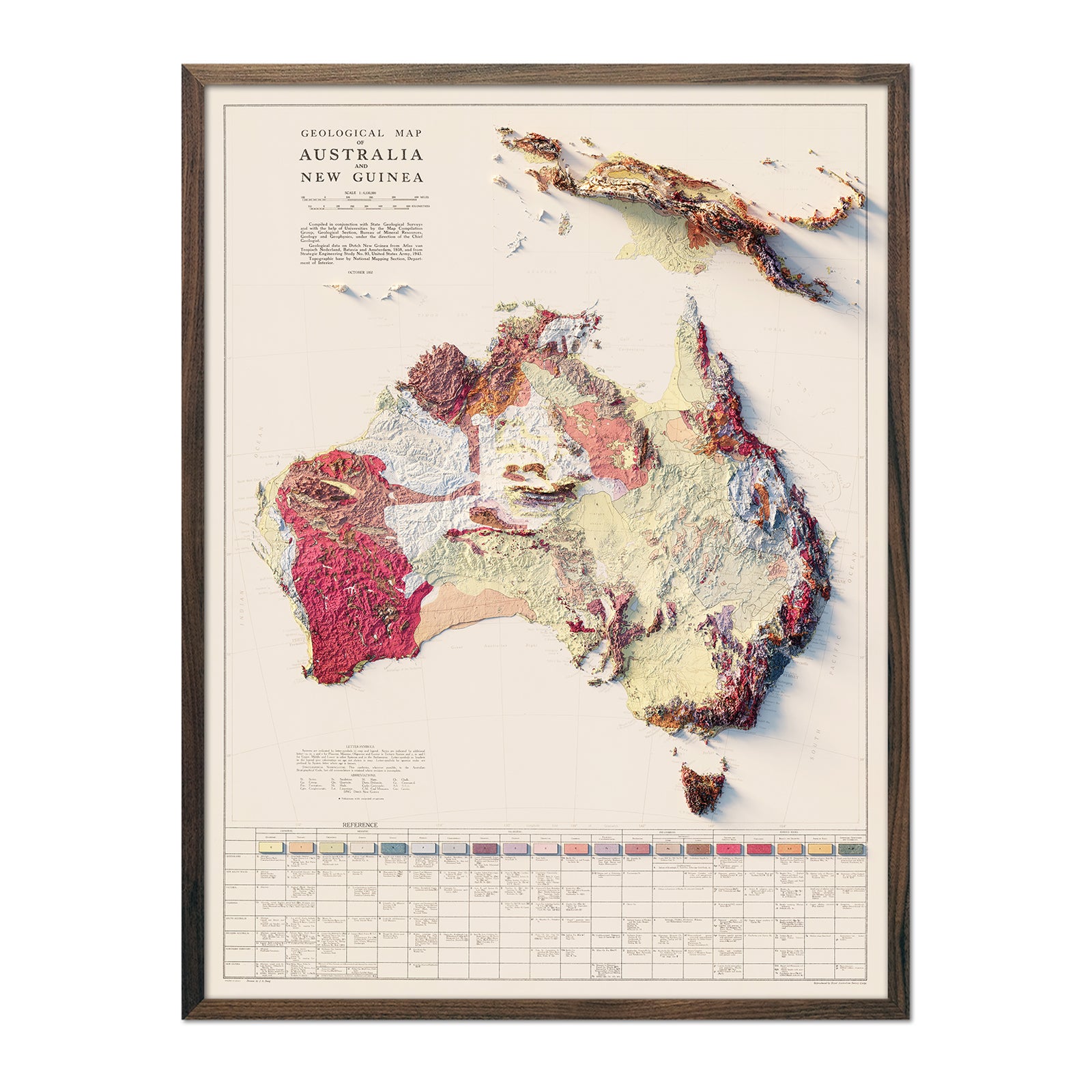
Australia 1952 Shaded Relief Map
Regular price
From
$ 79.00 USD
4.7 / 5.0
6 reviews
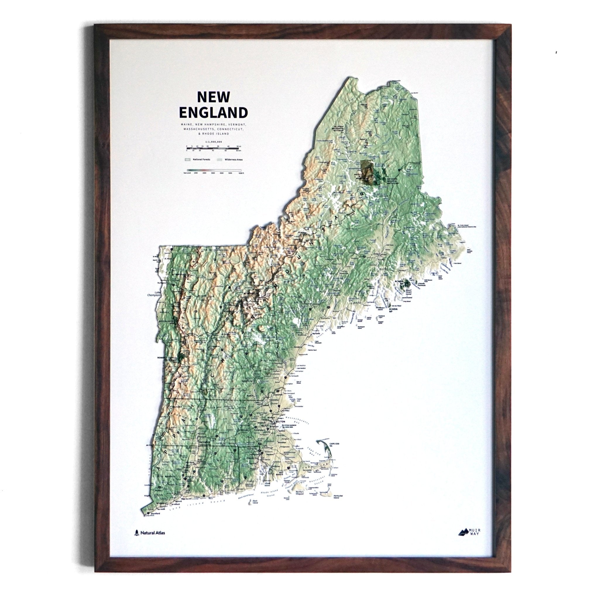
New England 3D Raised Relief Map
Regular price
From
$ 185.00 USD
5.0 / 5.0
9 reviews
Pacific Northwest Regional Hydrological Map
Regular price
From
$ 79.00 USD
5.0 / 5.0
1680 reviews
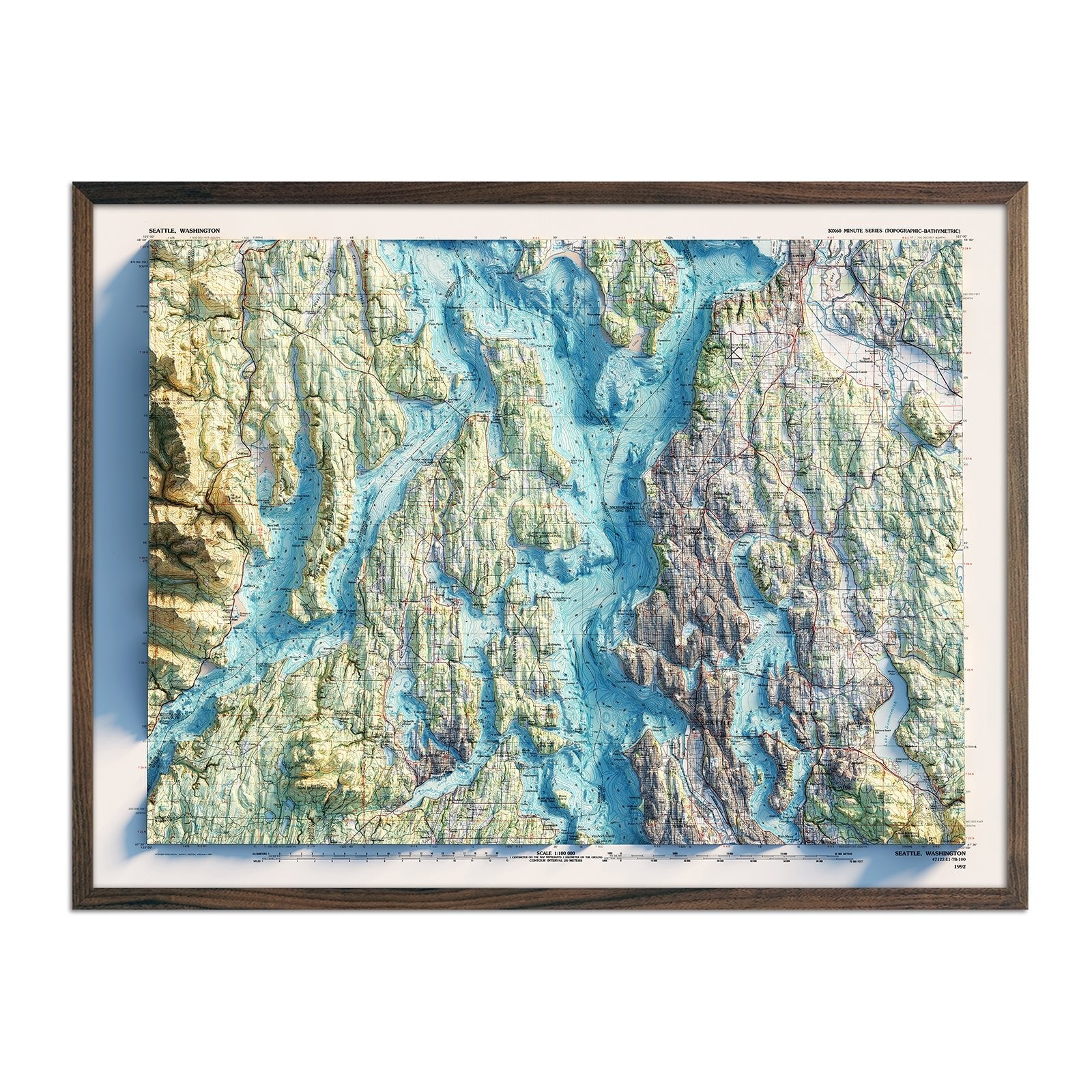
Seattle 1992 Shaded Relief Map
Regular price
From
$ 79.00 USD
5.0 / 5.0
5 reviews
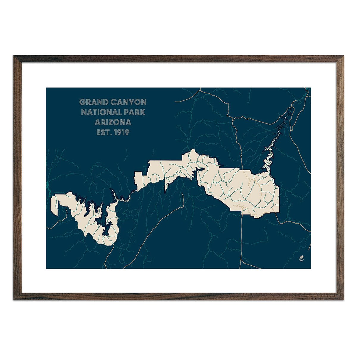
Grand Canyon National Park Map
Regular price
From
$ 49.00 USD
5.0 / 5.0
288 reviews
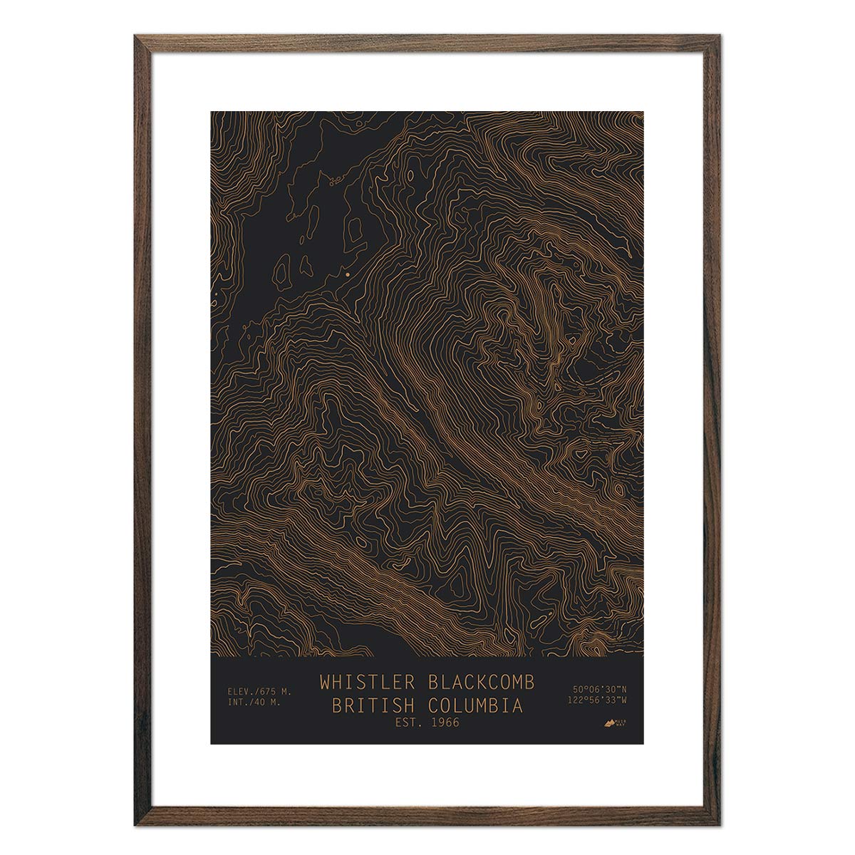
Whistler Blackcomb, British Columbia
Regular price
From
$ 49.00 USD
5.0 / 5.0
16 reviews
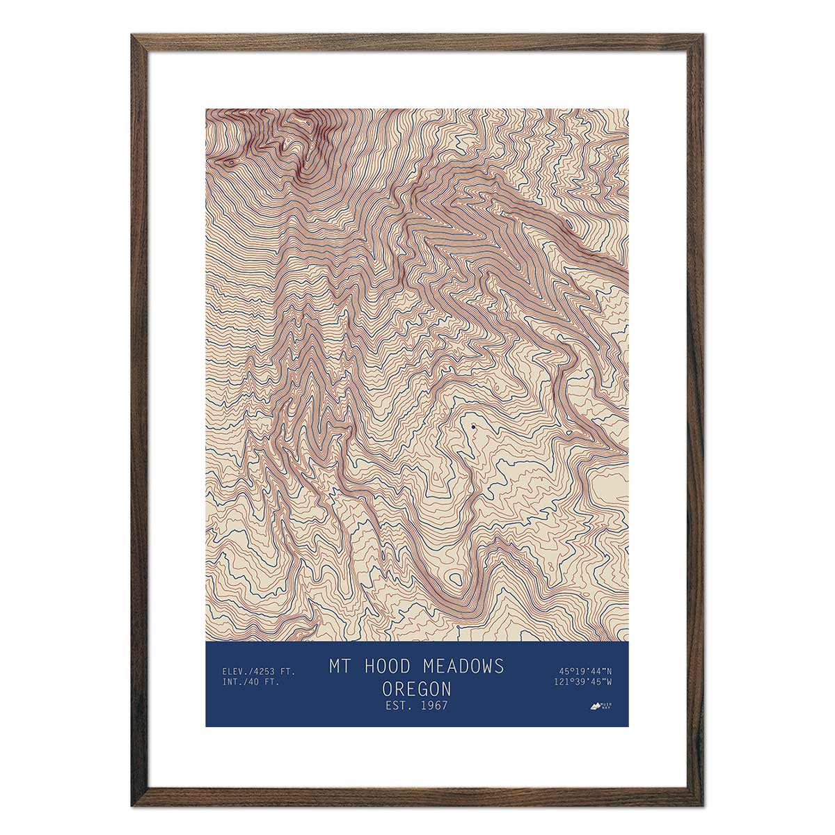
Mount Hood Meadows, Oregon
Regular price
From
$ 49.00 USD
4.9 / 5.0
10 reviews
Alta, Utah
Regular price
From
$ 49.00 USD
5.0 / 5.0
10 reviews
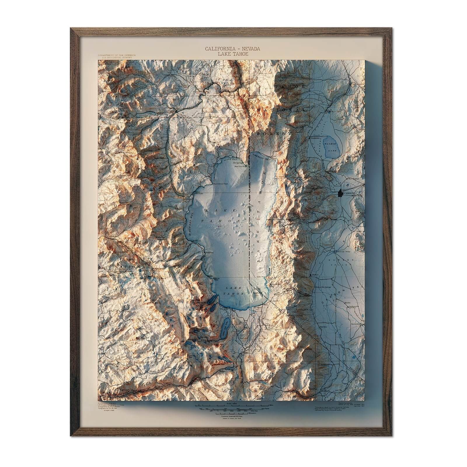
Lake Tahoe 1895 Shaded Relief Map
Regular price
From
$ 64.00 USD
5.0 / 5.0
7 reviews
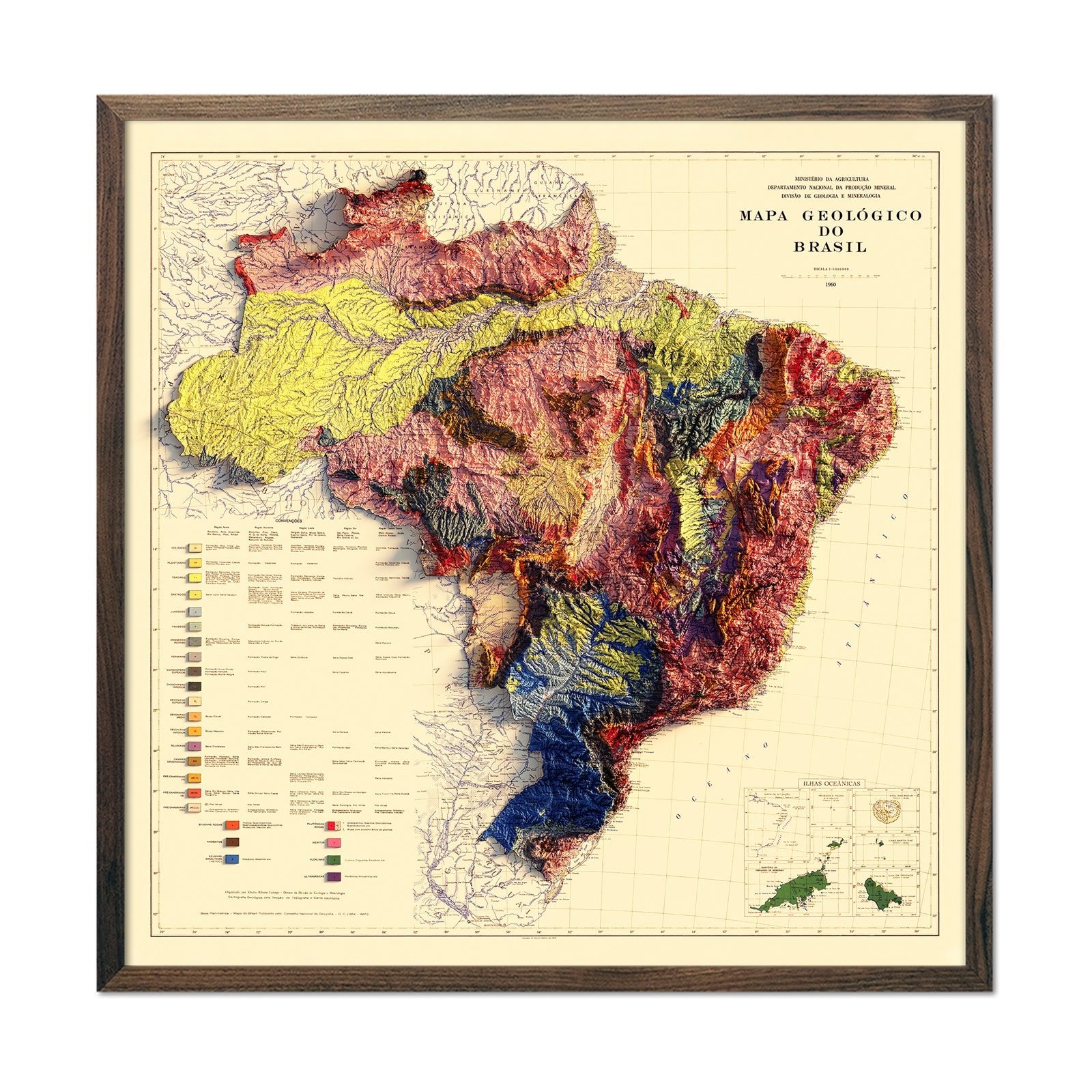
Brazil 1960 Shaded Relief Map
Regular price
From
$ 89.00 USD
5.0 / 5.0
3 reviews
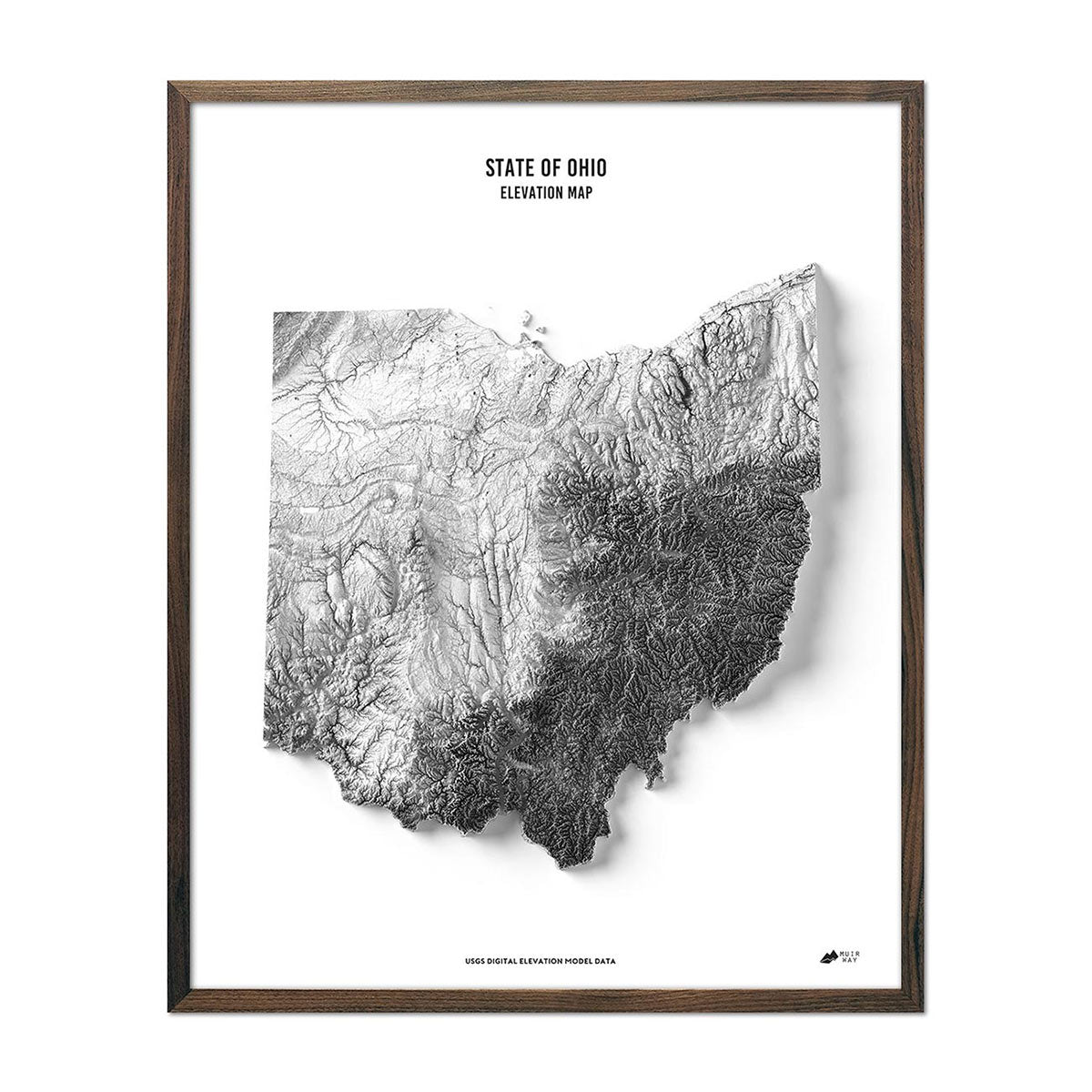
Ohio Elevation Map
Regular price
From
$ 79.00 USD
4.9 / 5.0
269 reviews
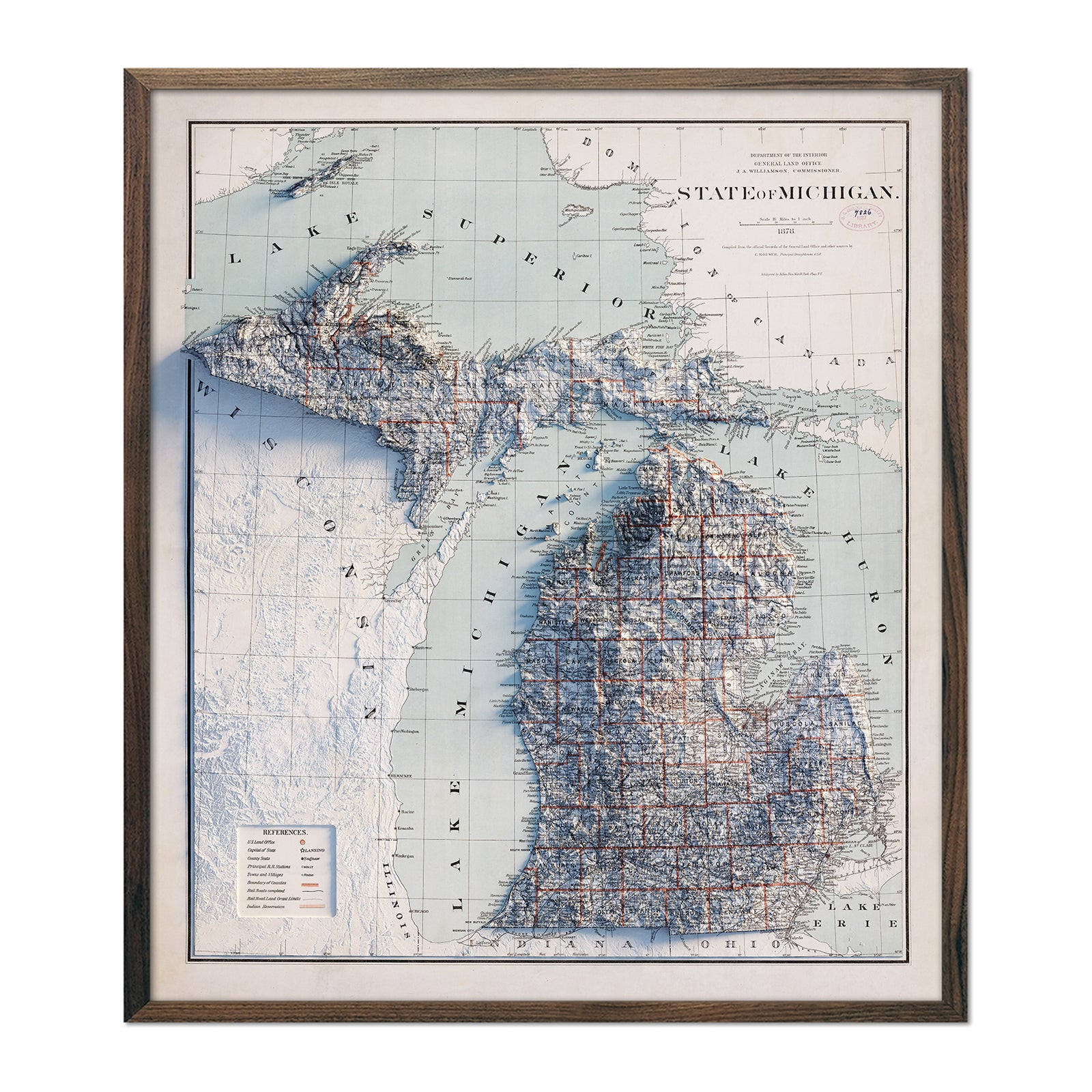
Michigan 1878 Shaded Relief Map
Regular price
From
$ 99.00 USD
5.0 / 5.0
1 review
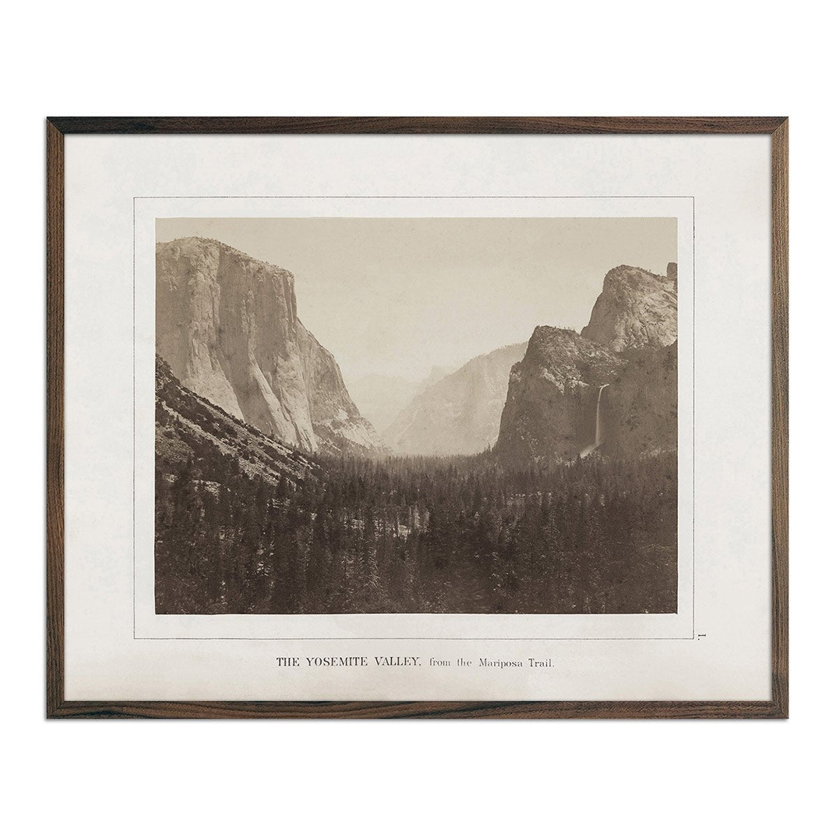
Yosemite Valley, Yosemite 1868
Regular price
From
$ 35.00 USD
4.7 / 5.0
19 reviews
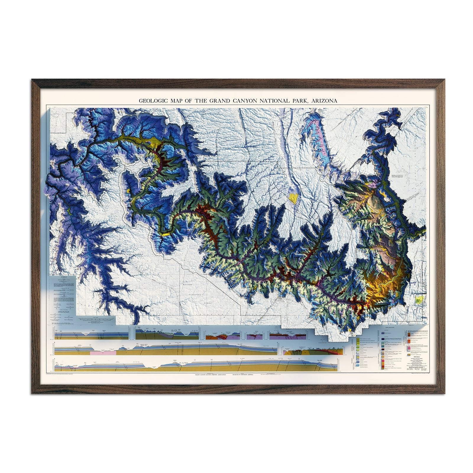
Grand Canyon 1976 Shaded Relief Map
Regular price
From
$ 79.00 USD
4.8 / 5.0
4 reviews
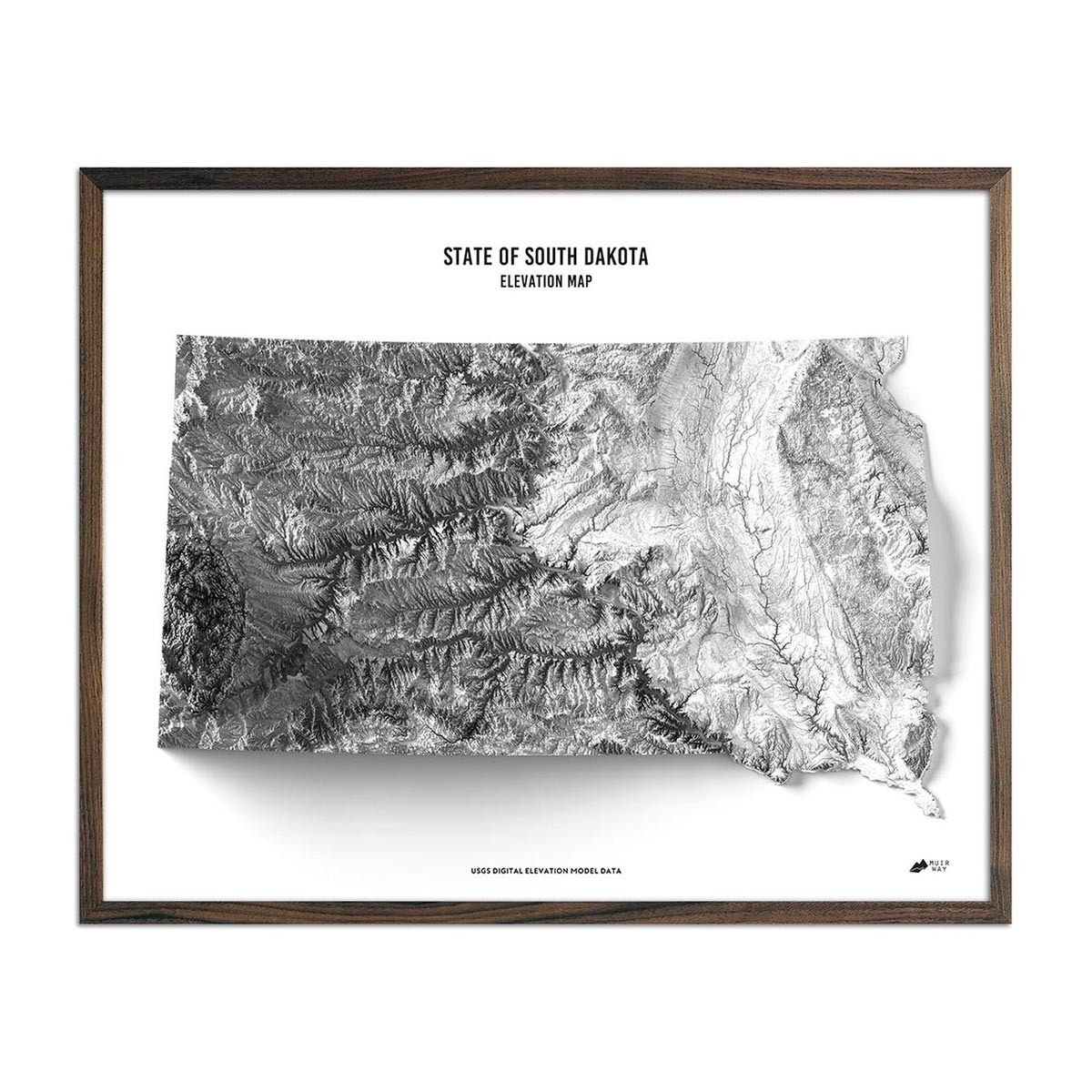
South Dakota Elevation Map
Regular price
From
$ 79.00 USD
4.9 / 5.0
269 reviews
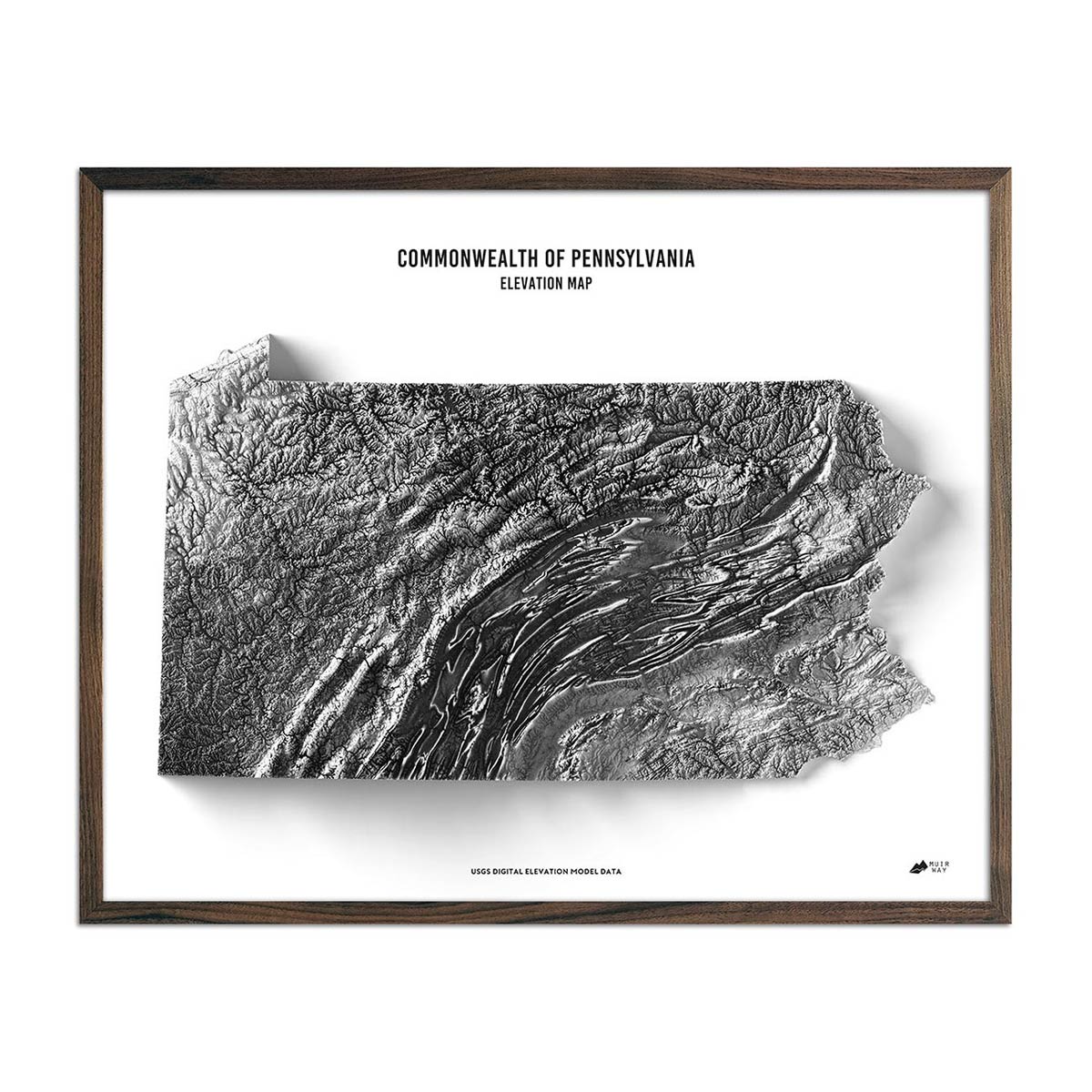
Pennsylvania Elevation Map
Regular price
From
$ 79.00 USD
4.9 / 5.0
269 reviews
Indiana 1987 Shaded Relief Map
Regular price
From
$ 79.00 USD
5.0 / 5.0
2 reviews
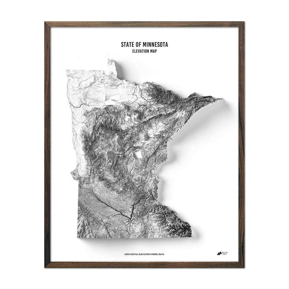
Minnesota Elevation Map
Regular price
From
$ 79.00 USD
4.9 / 5.0
269 reviews
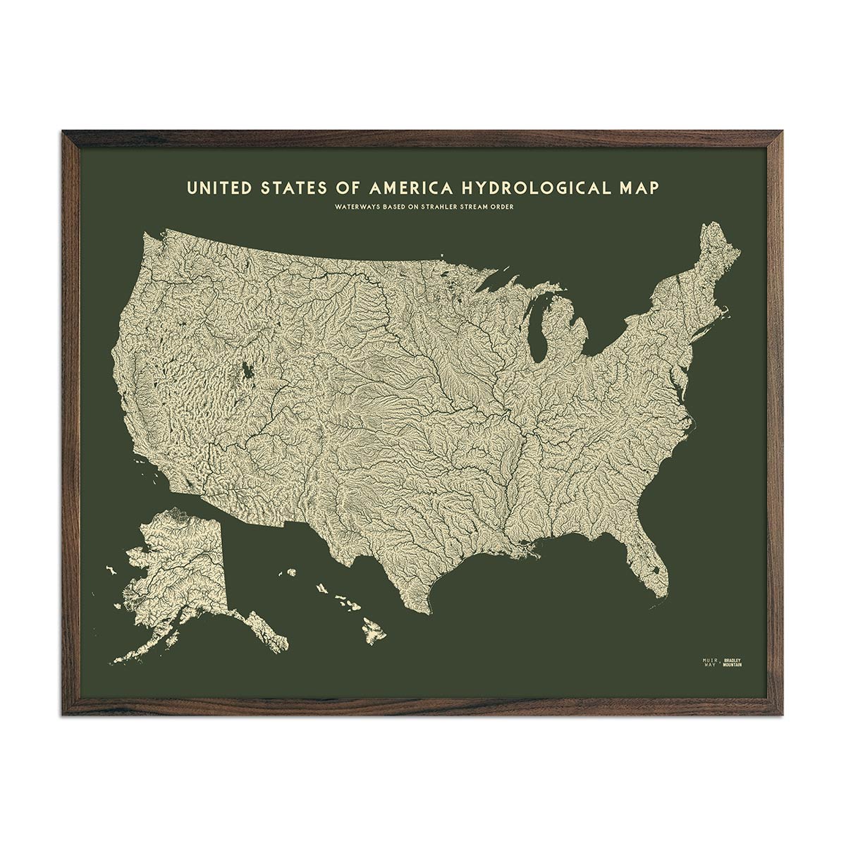
USA Hydrological Map – Canvas Green
Regular price
From
$ 79.00 USD
5.0 / 5.0
1680 reviews
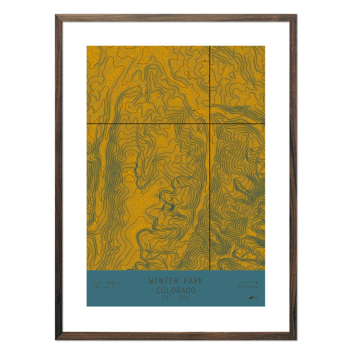
Winter Park, Colorado
Regular price
From
$ 49.00 USD
5.0 / 5.0
13 reviews
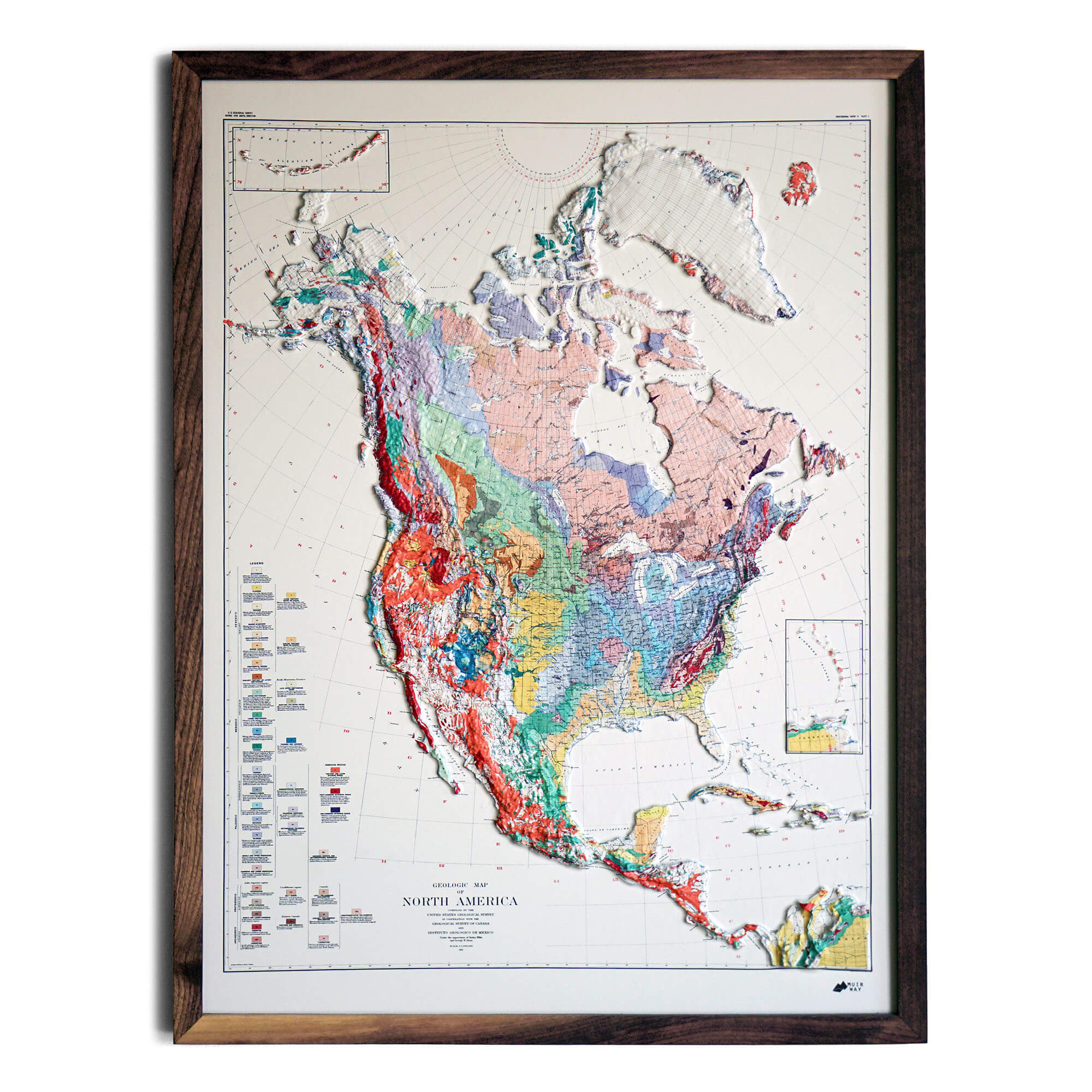
North America 1911 3D Raised Relief Map
Regular price
From
$ 185.00 USD
5.0 / 5.0
2 reviews
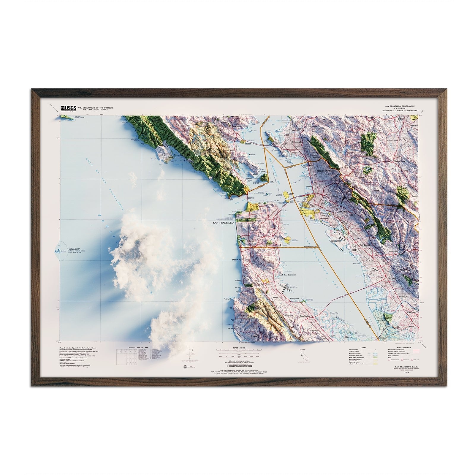
San Francisco, California 1978 Shaded Relief Map
Regular price
From
$ 79.00 USD
5.0 / 5.0
5 reviews
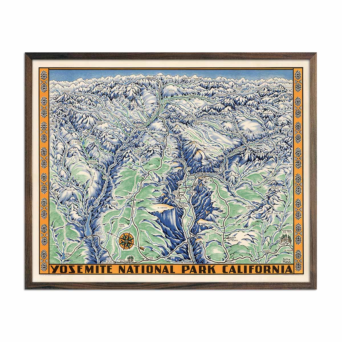
Yosemite National Park 1955 Map
Regular price
From
$ 79.00 USD
5.0 / 5.0
112 reviews
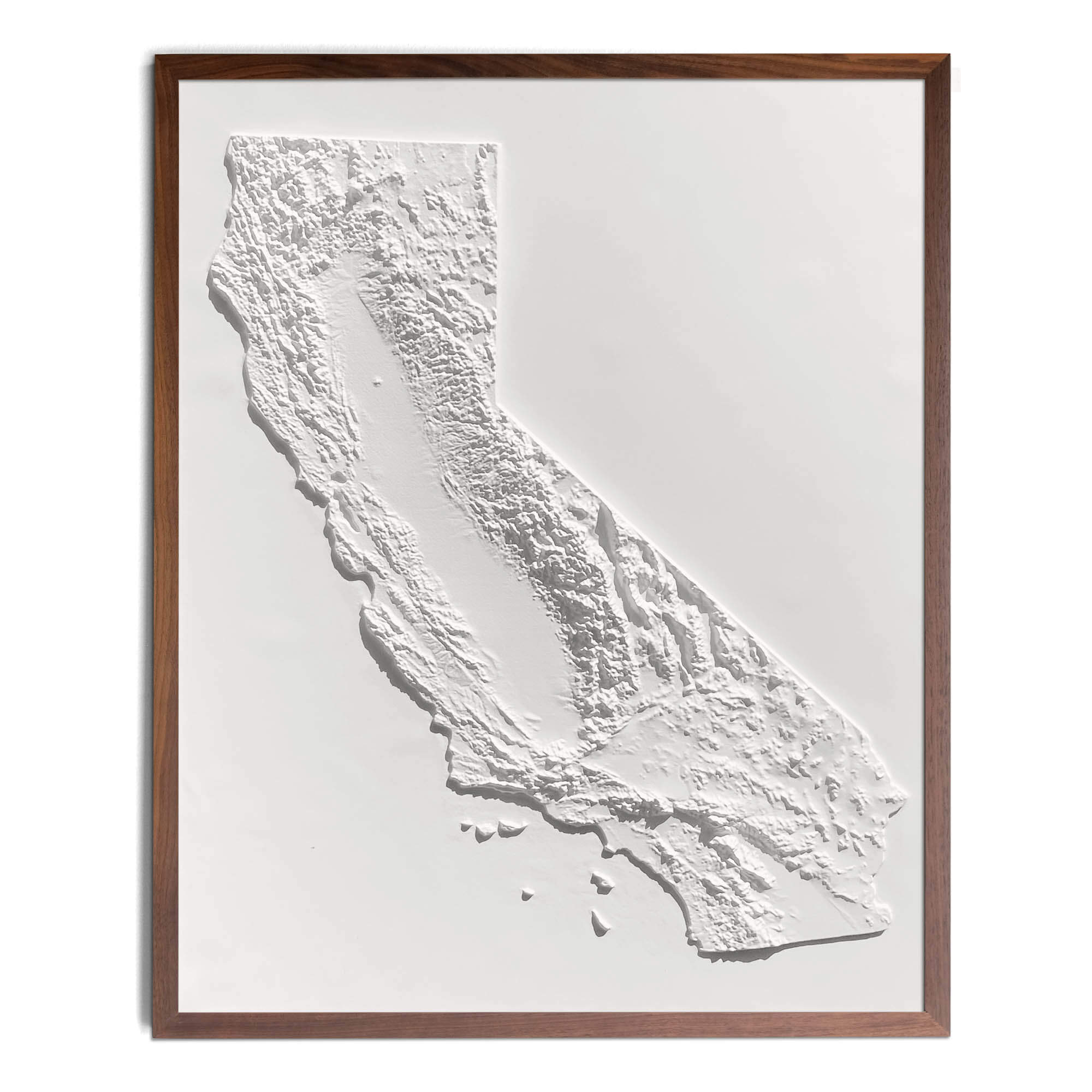
California 3D Raised Relief Map
Regular price
From
$ 149.00 USD
4.8 / 5.0
4 reviews
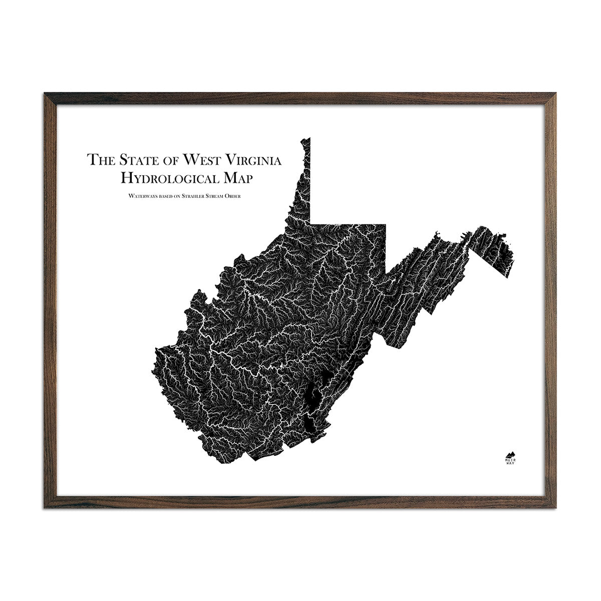
West Virginia Hydrological Map
Regular price
From
$ 79.00 USD
5.0 / 5.0
1680 reviews
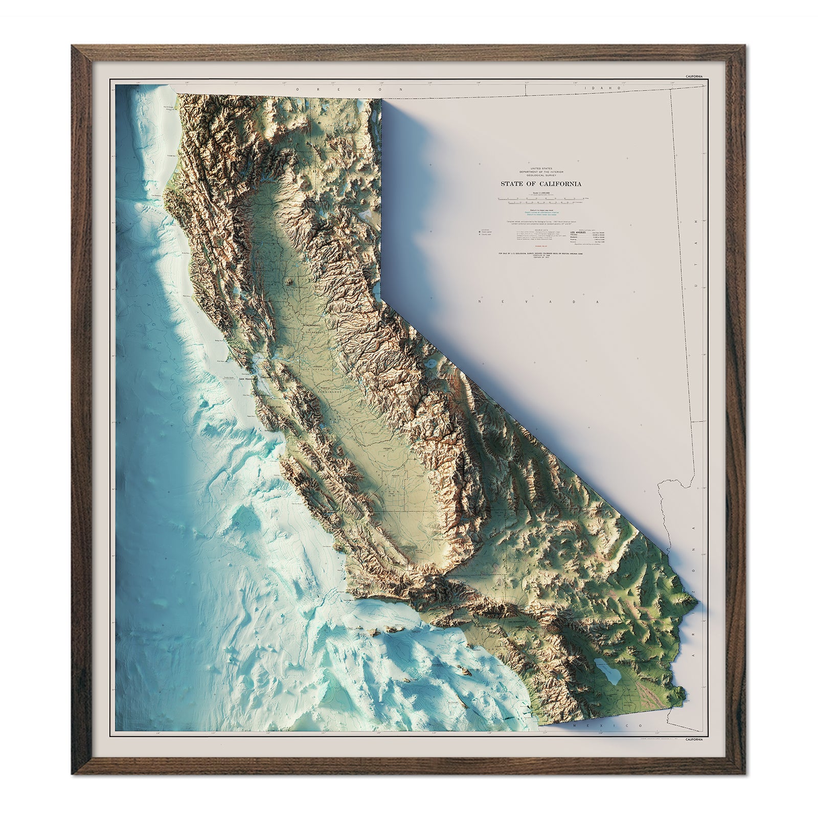
California 1971 Shaded Relief Map
Regular price
From
$ 89.00 USD
5.0 / 5.0
3 reviews
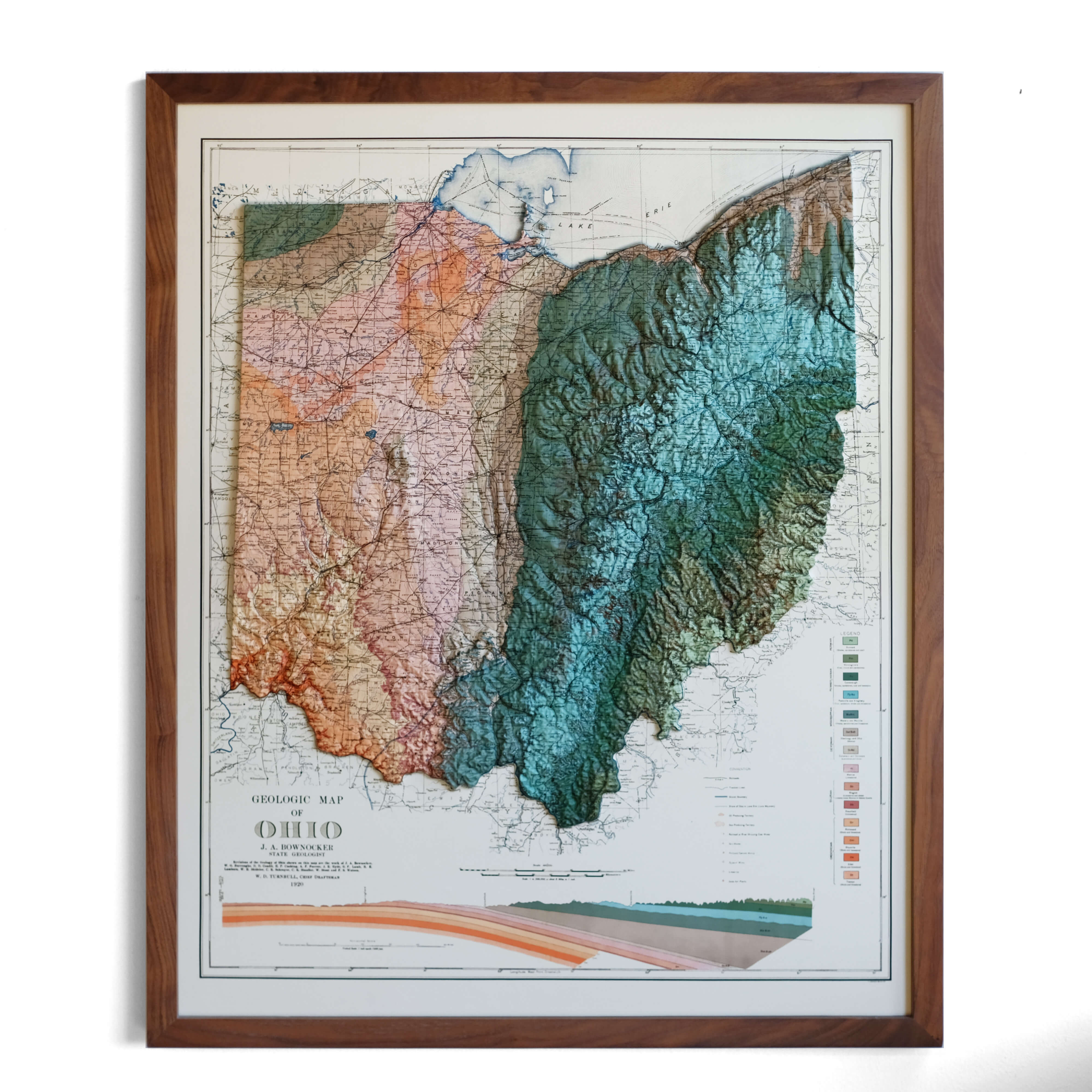
Ohio 1920 3D Raised Relief Map
Regular price
From
$ 170.00 USD
5.0 / 5.0
2 reviews
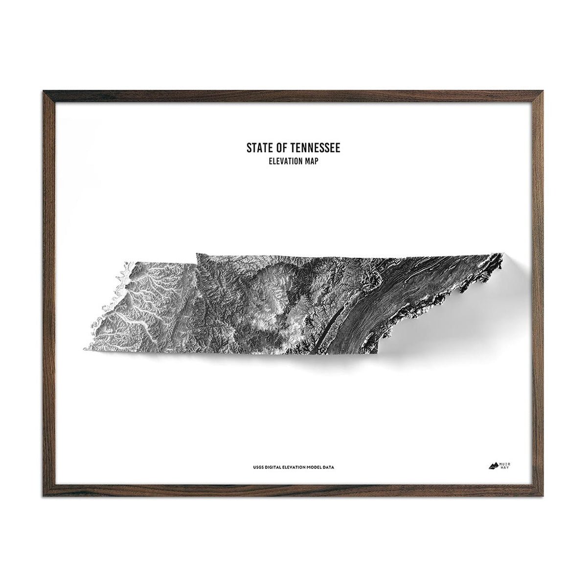
Tennessee Elevation Map
Regular price
From
$ 79.00 USD
4.9 / 5.0
269 reviews
Idaho 1959 3D Raised Relief Map
Regular price
From
$ 185.00 USD
4.9 / 5.0
9 reviews
Ireland 1962 3D Raised Relief Map
Regular price
From
$ 170.00 USD
5.0 / 5.0
6 reviews
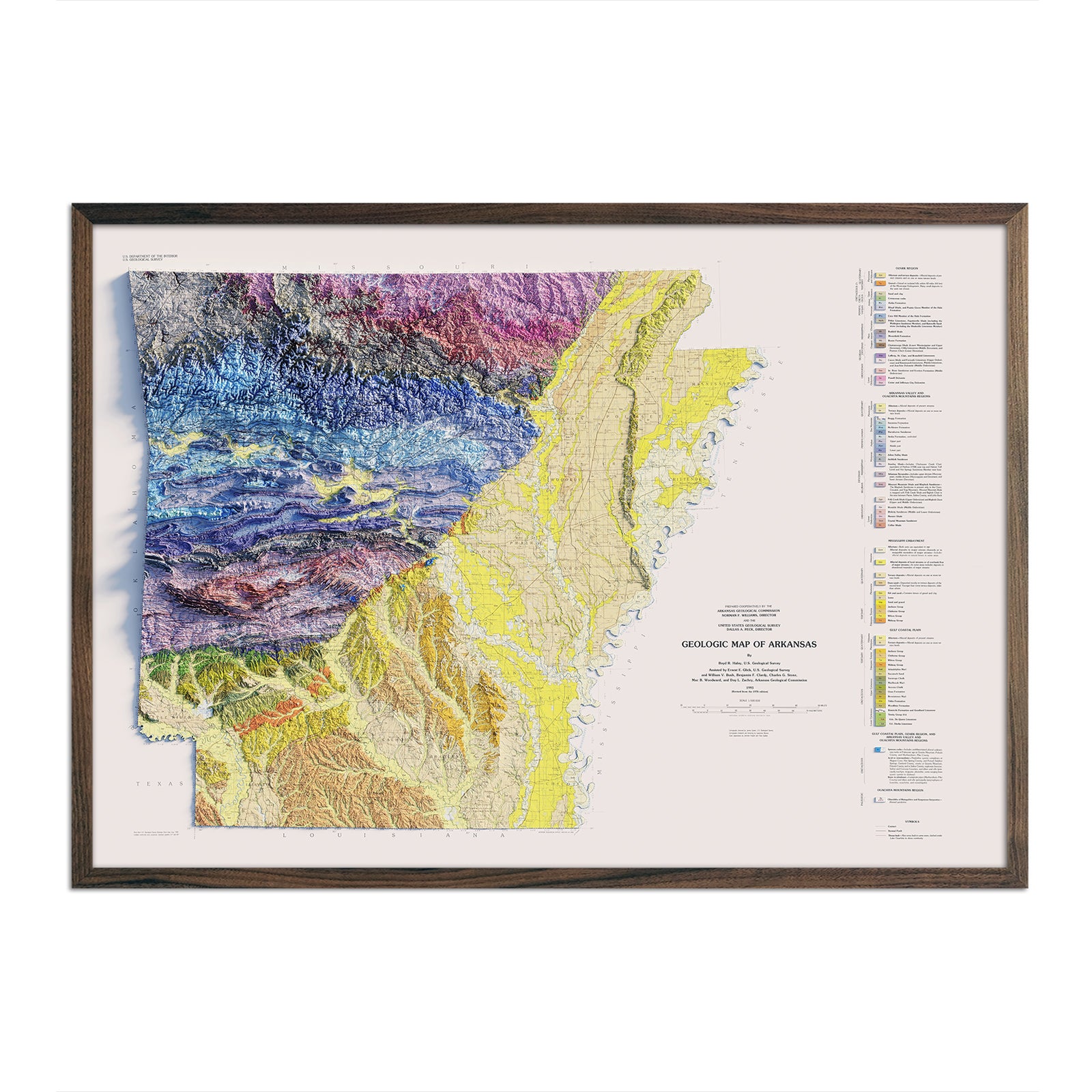
Arkansas 1993 Shaded Relief Map
Regular price
From
$ 79.00 USD
4.5 / 5.0
4 reviews
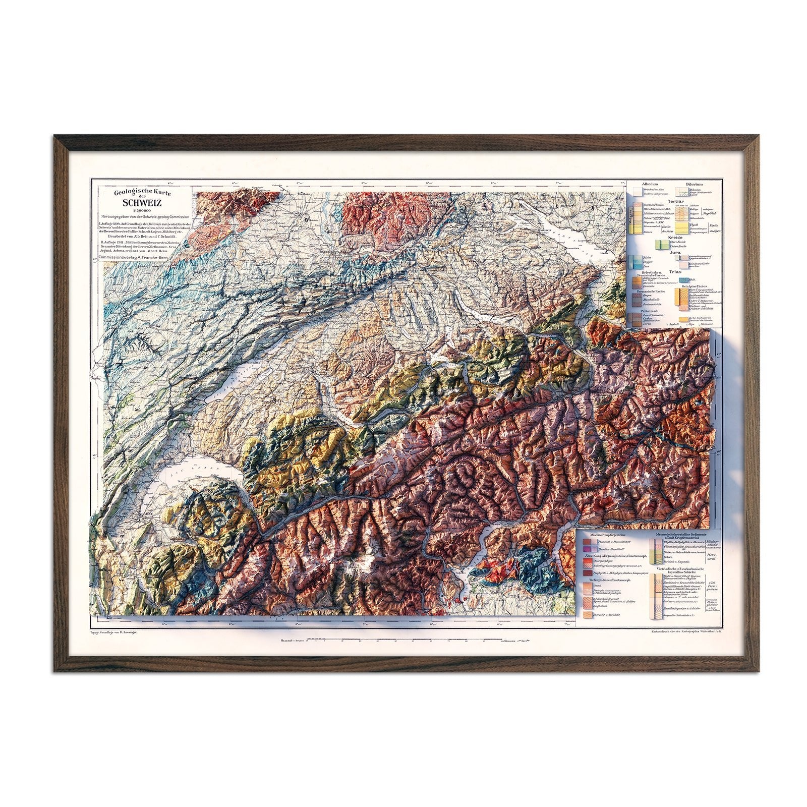
Switzerland 1911 Shaded Relief Map
Regular price
From
$ 79.00 USD
4.3 / 5.0
3 reviews
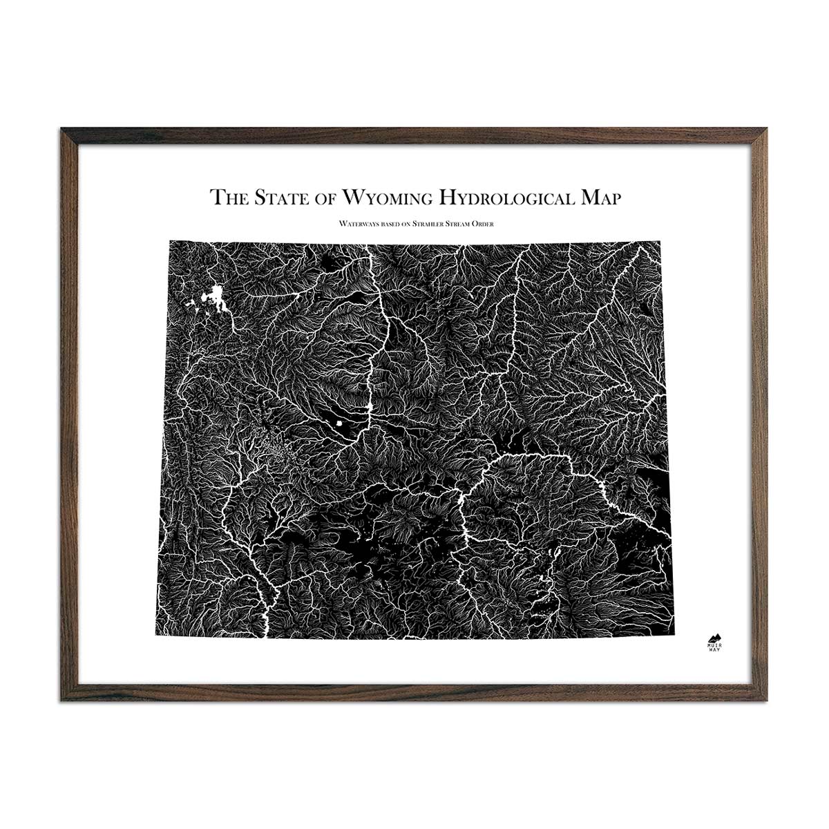
Wyoming Hydrological Map
Regular price
From
$ 79.00 USD
5.0 / 5.0
1680 reviews
Maryland Hydrological Map
Regular price
From
$ 79.00 USD
5.0 / 5.0
1680 reviews
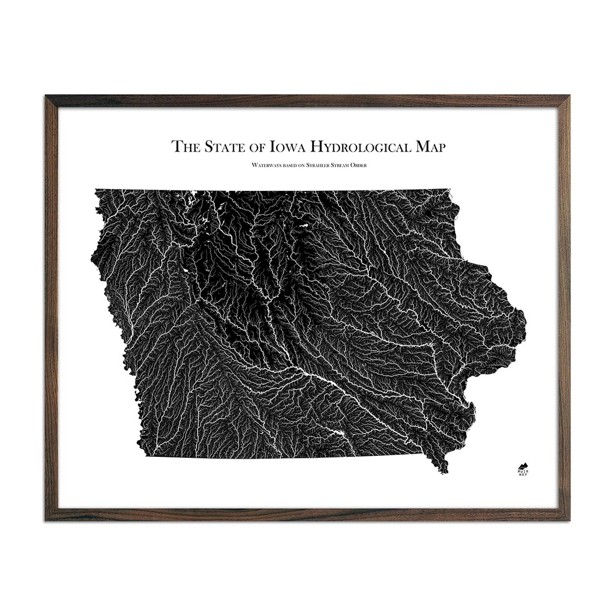
Iowa Hydrological Map
Regular price
From
$ 79.00 USD
5.0 / 5.0
1680 reviews
New Hampshire 1950 3D Raised Relief Map
Regular price
From
$ 175.00 USD
5.0 / 5.0
4 reviews
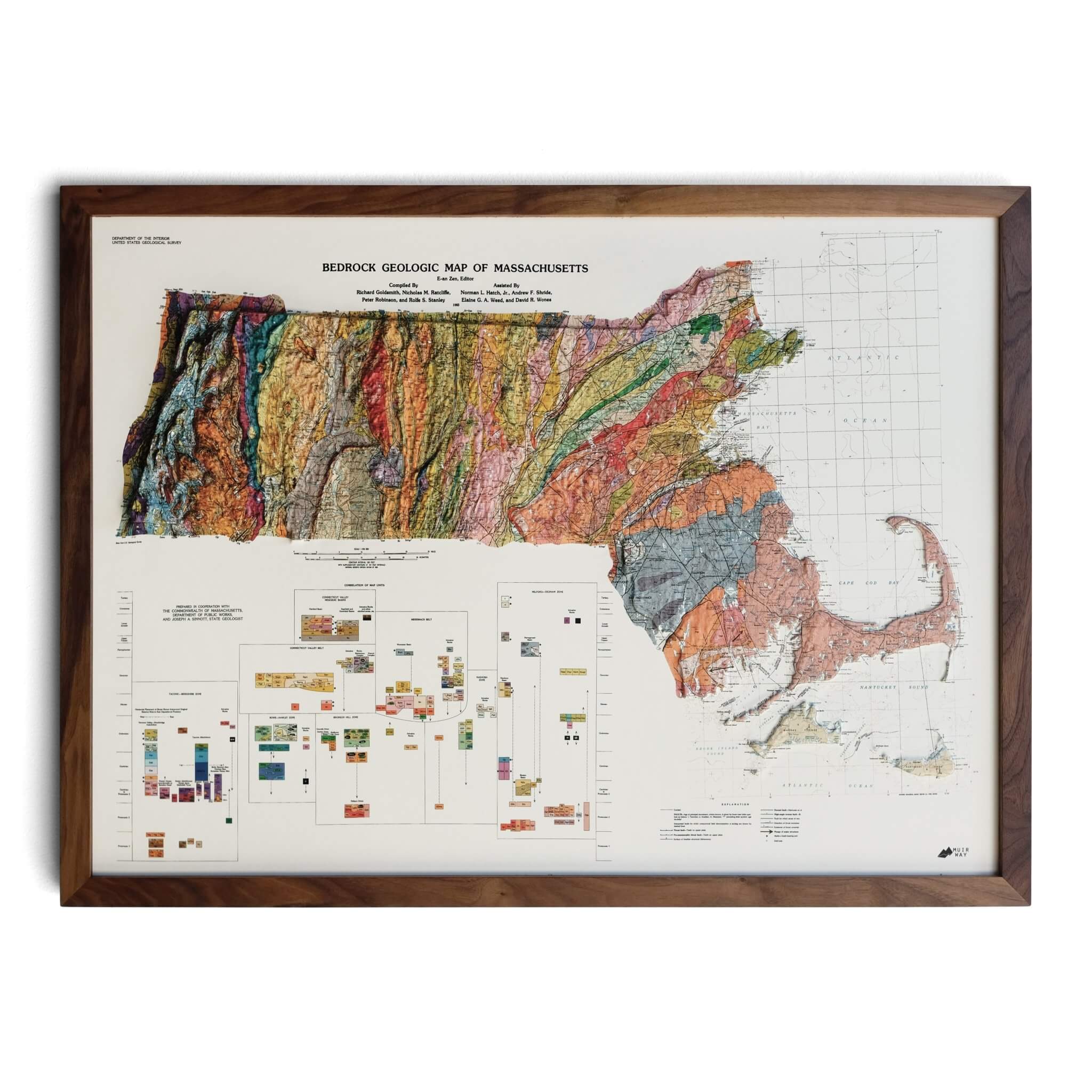
Massachusetts 1983 3D Raised Relief Map
Regular price
From
$ 170.00 USD
5.0 / 5.0
2 reviews
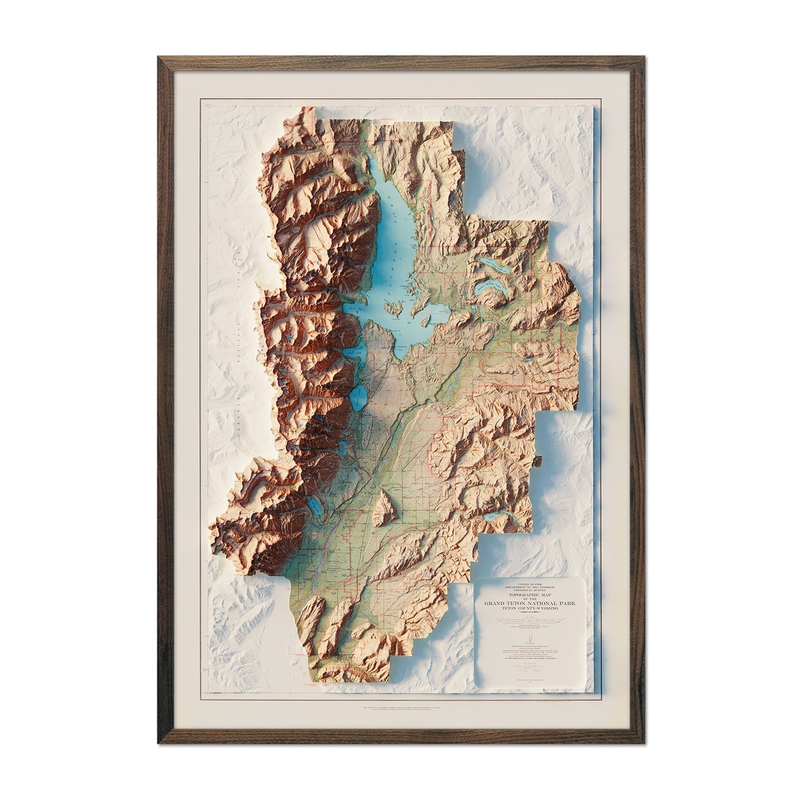
Grand Teton National Park 1965 Shaded Relief Map
Regular price
From
$ 79.00 USD
4.8 / 5.0
4 reviews
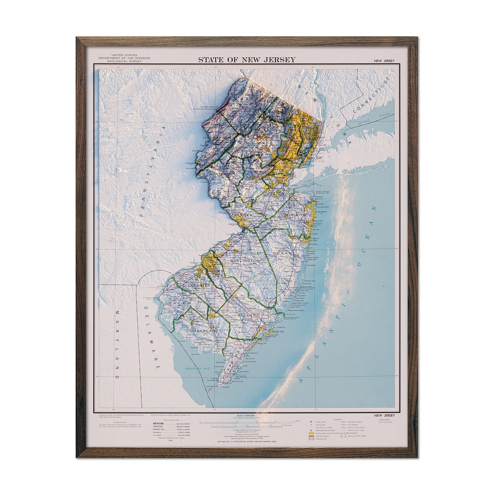
New Jersey 1974 Shaded Relief Map
Regular price
From
$ 64.00 USD
5.0 / 5.0
1 review
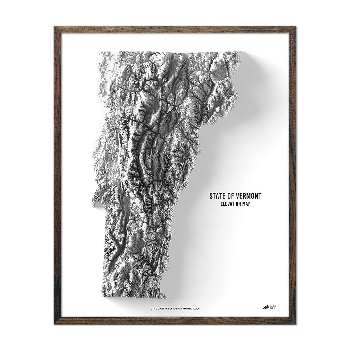
Vermont Elevation Map
Regular price
From
$ 79.00 USD
4.9 / 5.0
269 reviews
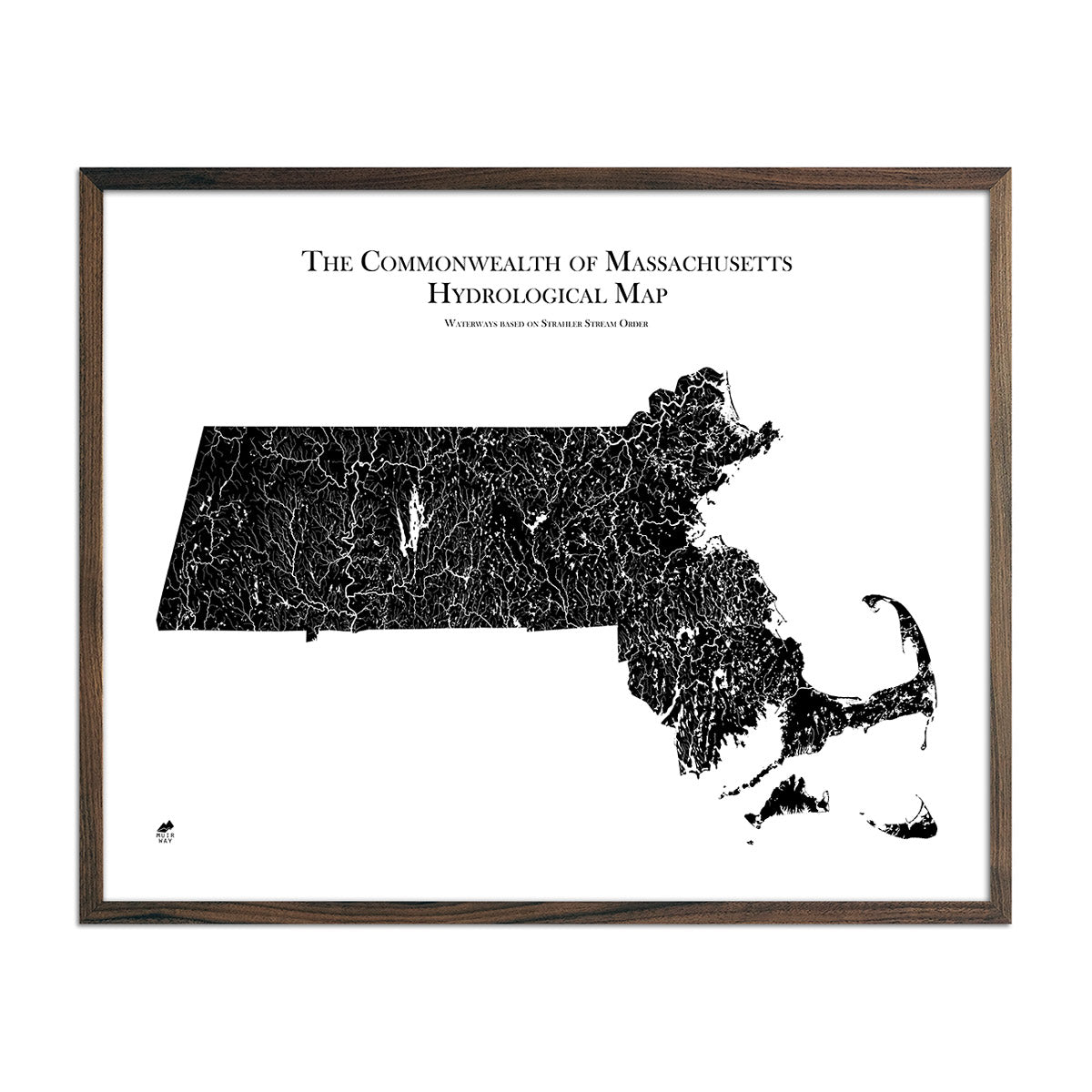
Massachusetts Hydrological Map
Regular price
From
$ 79.00 USD
5.0 / 5.0
1680 reviews
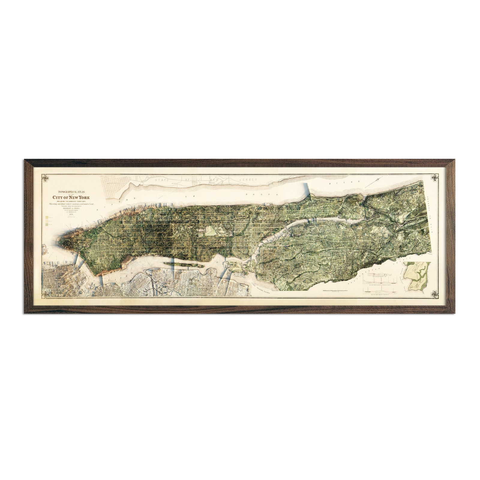
New York City 1874 Shaded Relief Map
Regular price
From
$ 79.00 USD
5.0 / 5.0
1 review
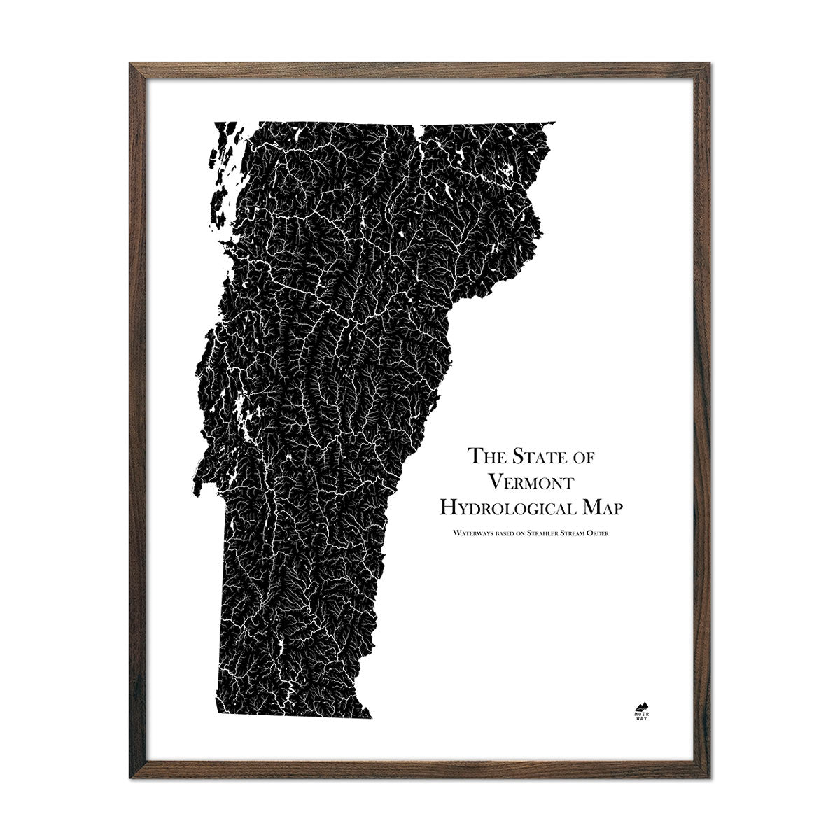
Vermont Hydrological Map
Regular price
From
$ 79.00 USD
5.0 / 5.0
1680 reviews
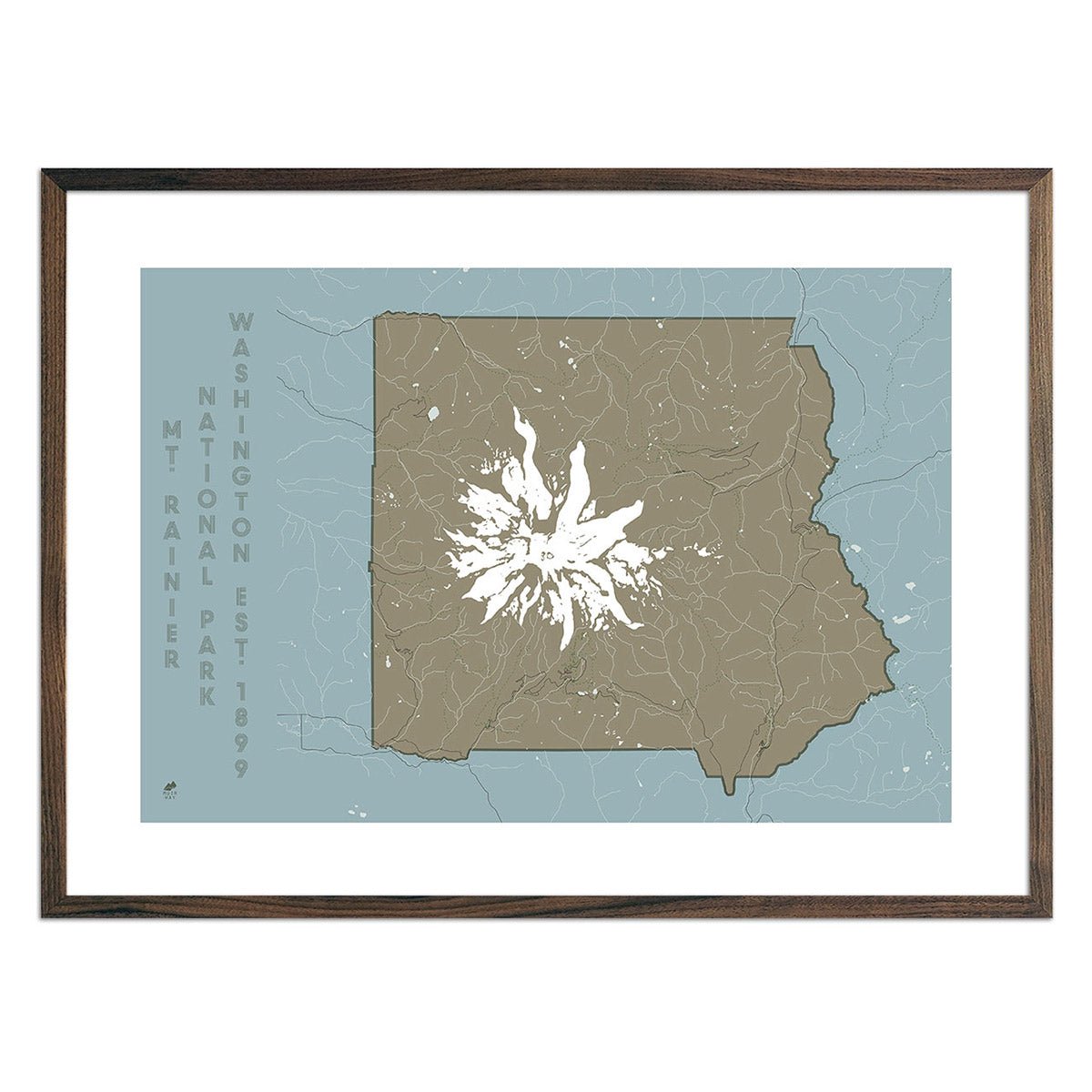
Mt. Rainier National Park Map
Regular price
From
$ 49.00 USD
5.0 / 5.0
288 reviews
Colorado 1935 Shaded Relief Map
Regular price
From
$ 79.00 USD
5.0 / 5.0
1 review
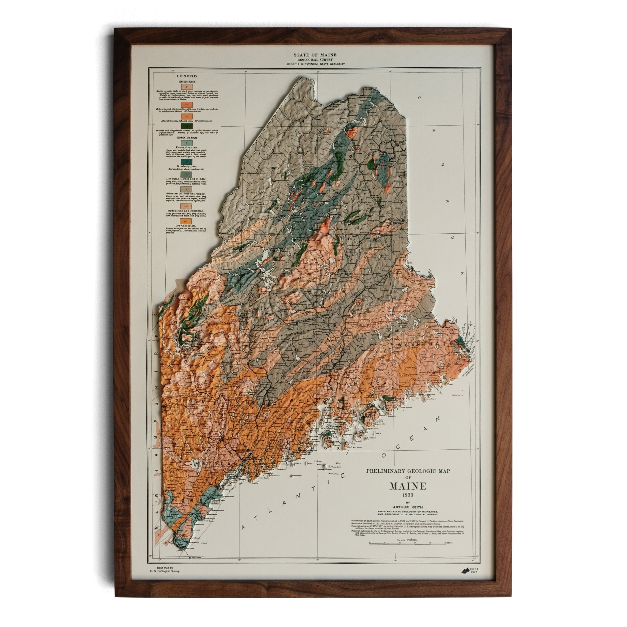
Maine 1933 3D Raised Relief Map
Regular price
From
$ 170.00 USD
5.0 / 5.0
6 reviews
« Previous
·
1
…
3
4
5
6
7
…
31
·
Next »
Your cart
Close
Spend
$ 49.00 USD
more for
free shipping
!
Your order is eligible for free shipping!
You may also like
Previous
Next
The Lake Tahoe Tumbler
Regular price
$ 59.00 USD
Add to cart
Close
Your cart is empty
Start shopping