Skip to content
Facebook
Instagram
Pinterest
FREE SHIPPING ON ORDERS OVER $49
Country/Region
United States (USD $)
United States (USD $)
Best Sellers
3D "Factory Seconds" Sale
Shop by Region
Shop by Type
Historical Prints
Home Goods
About Us
Search for your map
Account
Cart
Popular Collections
Best Sellers
Shop by Region
Maps of USA
State Maps
International Maps
National Park Maps
Shop by Type
3D RAISED Relief Maps
Hydrological Maps
Custom Wood Carved Map
Regular price
From
$ 300.00 USD
5.0 / 5.0
3 reviews
Vintage Shaded Relief Maps
Elevation Maps
Natural Atlas
TOPO Series
National Parks Series
Shaded Relief Series
Range Series
Digital Gift Card
Regular price
From
$ 20.00 USD
5.0 / 5.0
5 reviews
Walnut Frames "Factory Seconds"
Historical Prints
1884 Fish Drawings
1875 Zoology Lithographs
1868 Yosemite Photographs
1873 Yellowstone Photographs
1874 Moon Photography
Astronomy
Civil War Maps
Historical Nautical Charts
Vintage Maps - Misc
USGS Quadrant Maps
1876 State Map Collection
1876 Geologic & Topographic
1883 US State Maps
1904 Yellowstone Maps
1906 Hawaiian Islands Maps
Apparel/Home Goods
Glasses
Books
Tees
Hats
Blankets
Walnut Frame for 3D Raised Relief Map
Regular price
From
$ 220.00 USD
5.0 / 5.0
1 review
About Us
Our Story
Reviews
FAQs
Shipping and Returns
Contact Us
Best Sellers
3D "Factory Seconds" Sale
Shop by Region
USA Maps
State Maps
International Maps
National Park Maps
Shop by Type
Collections
3D RAISED Relief
2D Vintage Shaded Relief
Hydrology Series
Custom Maps
Golf Courses - 3D Wood
2D Elevation Relief
Natural Atlas Maps
TOPO Series
National Park Series
2D Shaded Relief
Mountain Range
Gift Cards
Walnut Frames
3D RAISED Relief Maps
Hydrological Maps
3D Raised Relief
Historical Prints
Illustrations and Photographs
1884 Fish Drawings
1875 Zoology Drawings
1868 Yosemite Photos
1873 Yellowstone Photos
1874 Moon Photos
Historical Maps
Astronomy
Civil War Maps
Nautical Maps
Assorted Vintage
USGS Quadrant Maps
1876 State Maps
1876 Geologic/Topographic
1883 State Maps
1904 Yellowstone Maps
1906 Hawaii Maps
1884 Fish Drawings
Civil War Maps
Astronomy
Astronomy
Home Goods
Mountain Glasses
Field Guides
Books
Tees
Hats
Topo Blankets
Walnut Frames
Mountain Glasses
Tees
Books
About Us
Our Story
Reviews
FAQs
Shipping and Returns
Contact Us
All Muir Way Maps
Filter
Sort by
Best selling
Most relevant
Best selling
Alphabetically, A-Z
Alphabetically, Z-A
Date, old to new
Date, new to old
Filters
Sort by
Most relevant
Best selling
Alphabetically, A-Z
Alphabetically, Z-A
Date, old to new
Date, new to old
Apply
Washington 1982 3D Raised Relief Map
Regular price
From
$ 170.00 USD
5.0 / 5.0
1 review
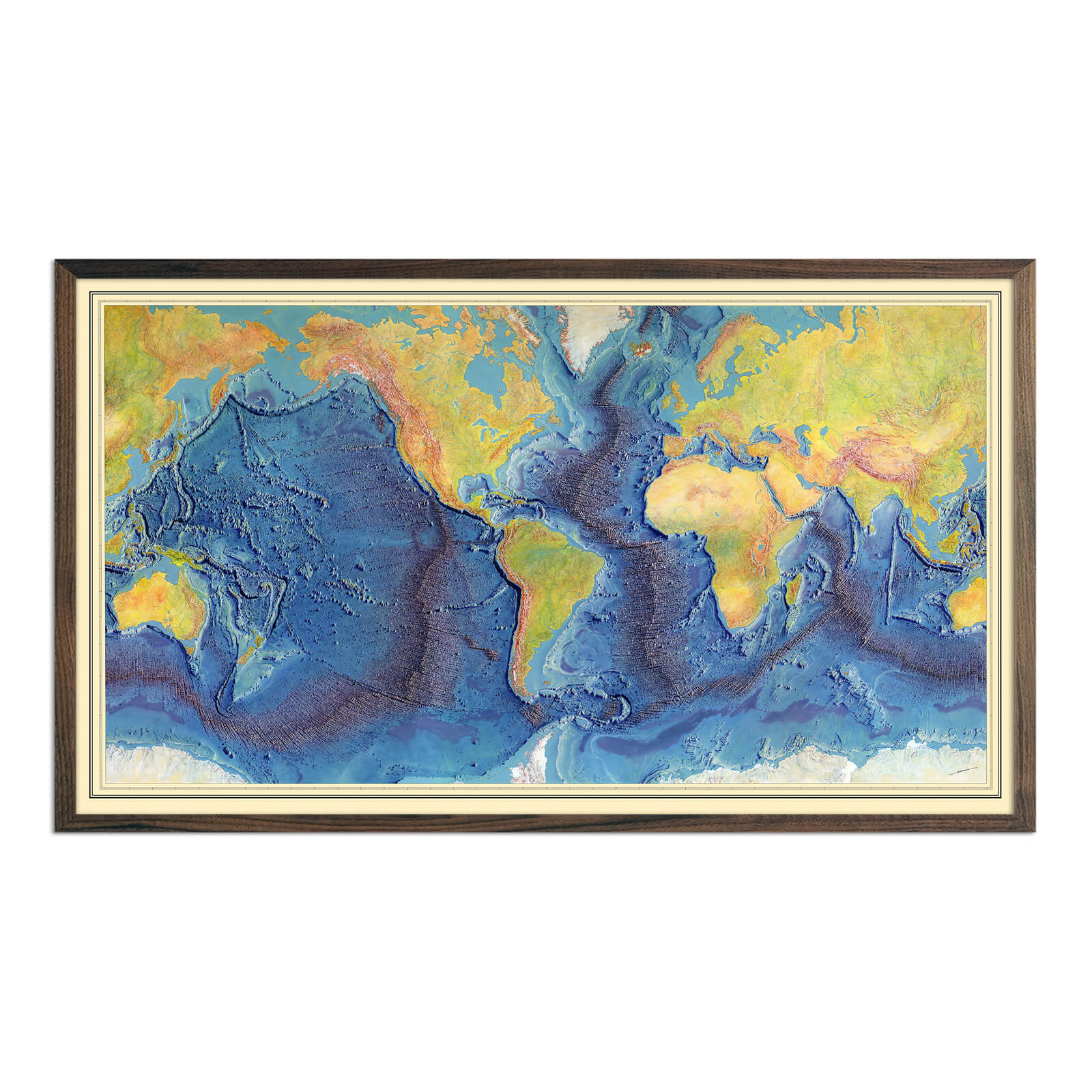
World Ocean Floor Map by Heinrich Berann
Regular price
From
$ 89.00 USD
5.0 / 5.0
1 review
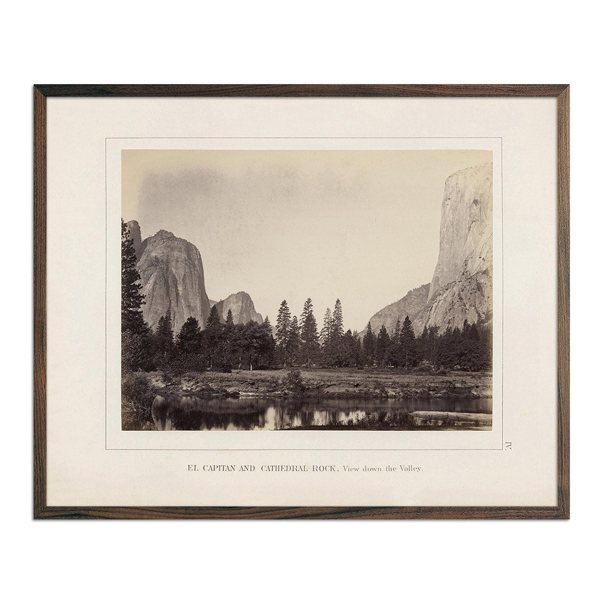
El Capitan and Cathedral Rock, Yosemite 1868
Regular price
From
$ 35.00 USD
4.7 / 5.0
19 reviews
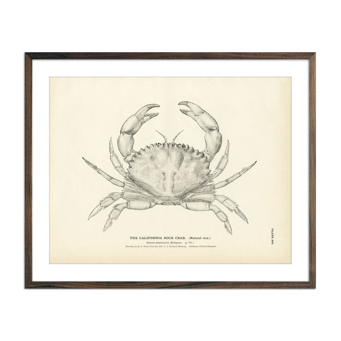
California Rock Crab Art Print
Regular price
From
$ 35.00 USD
5.0 / 5.0
2 reviews
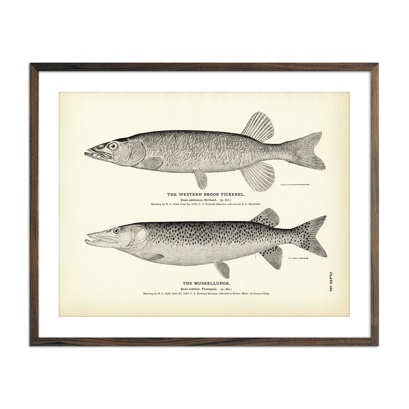
Western Brook Pickerel and Muskellunge Art Print
Regular price
From
$ 35.00 USD
5.0 / 5.0
1 review
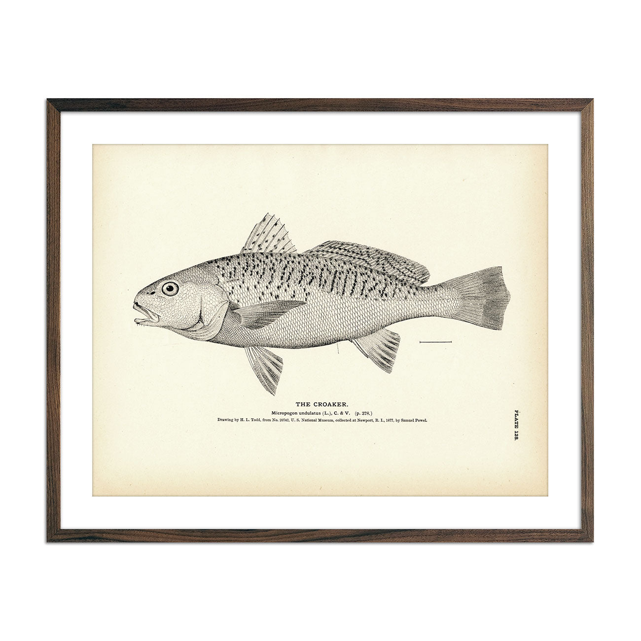
Croaker Art Print
Regular price
From
$ 35.00 USD
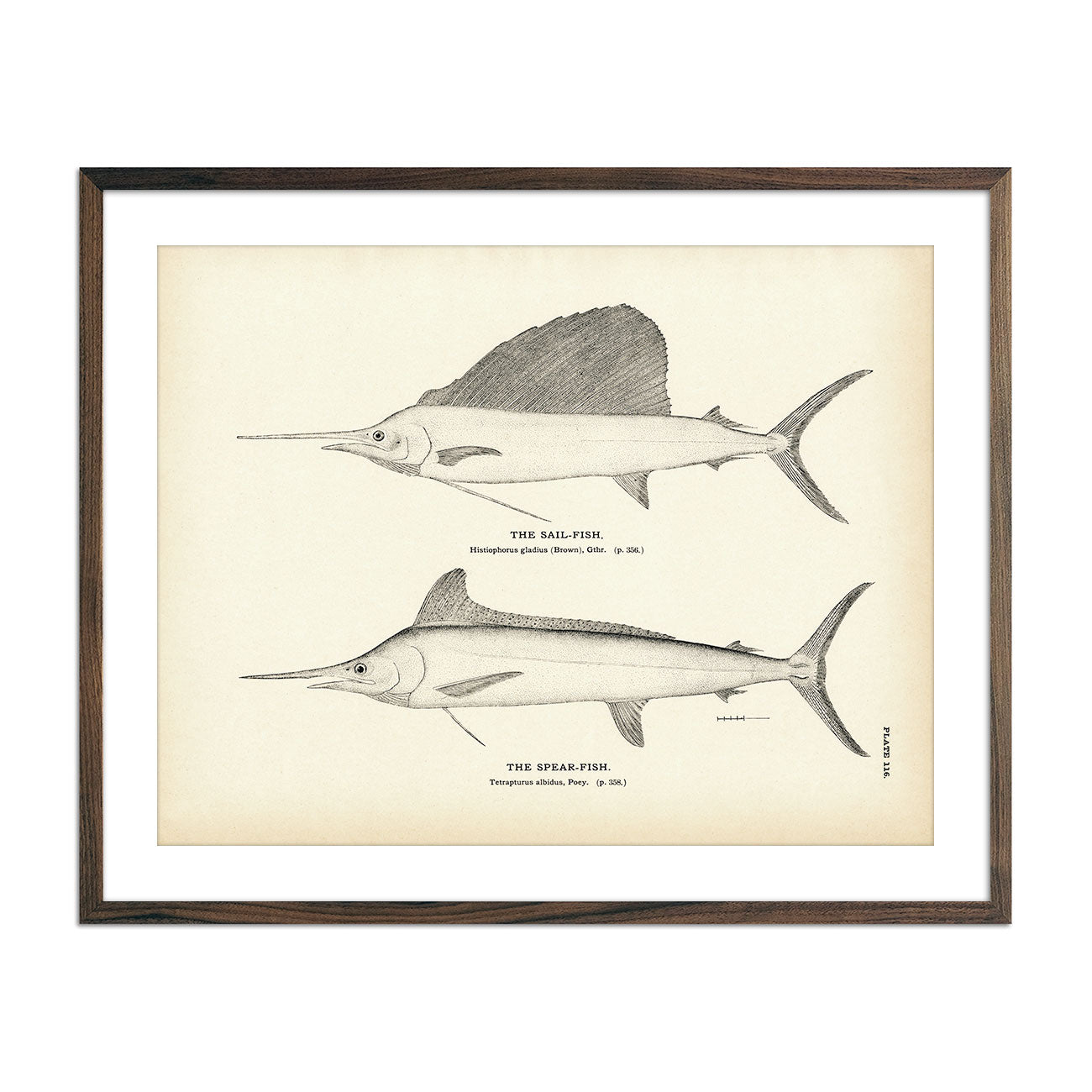
Sail-Fish and Spear-Fish Art Print
Regular price
From
$ 35.00 USD
5.0 / 5.0
4 reviews
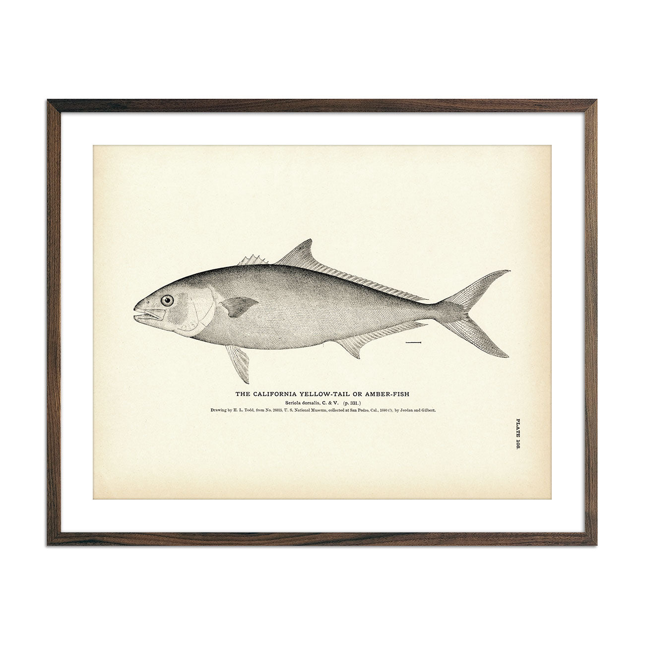
California Yellow-Tail (Amber-Fish) Art Print
Regular price
From
$ 35.00 USD
5.0 / 5.0
3 reviews
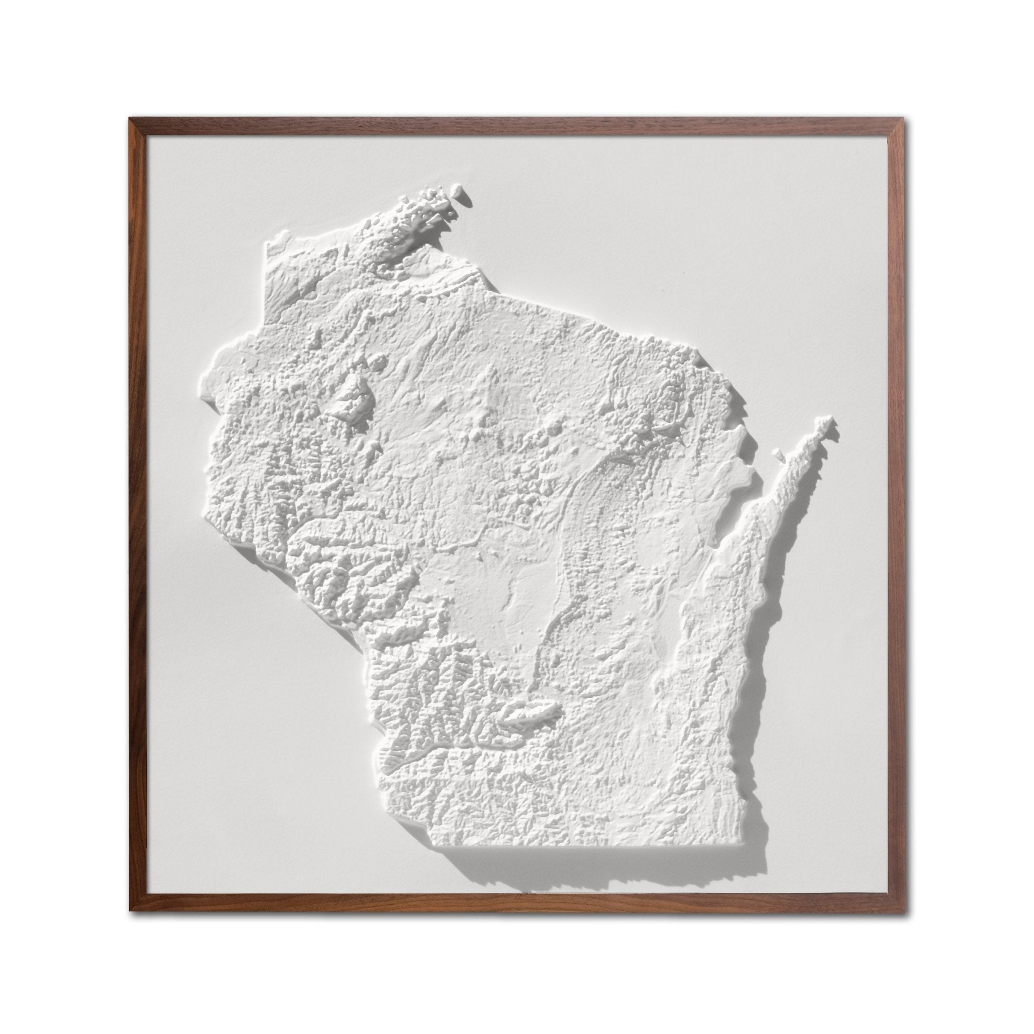
Wisconsin 3D Raised Relief Map
Regular price
From
$ 129.00 USD
5.0 / 5.0
2 reviews
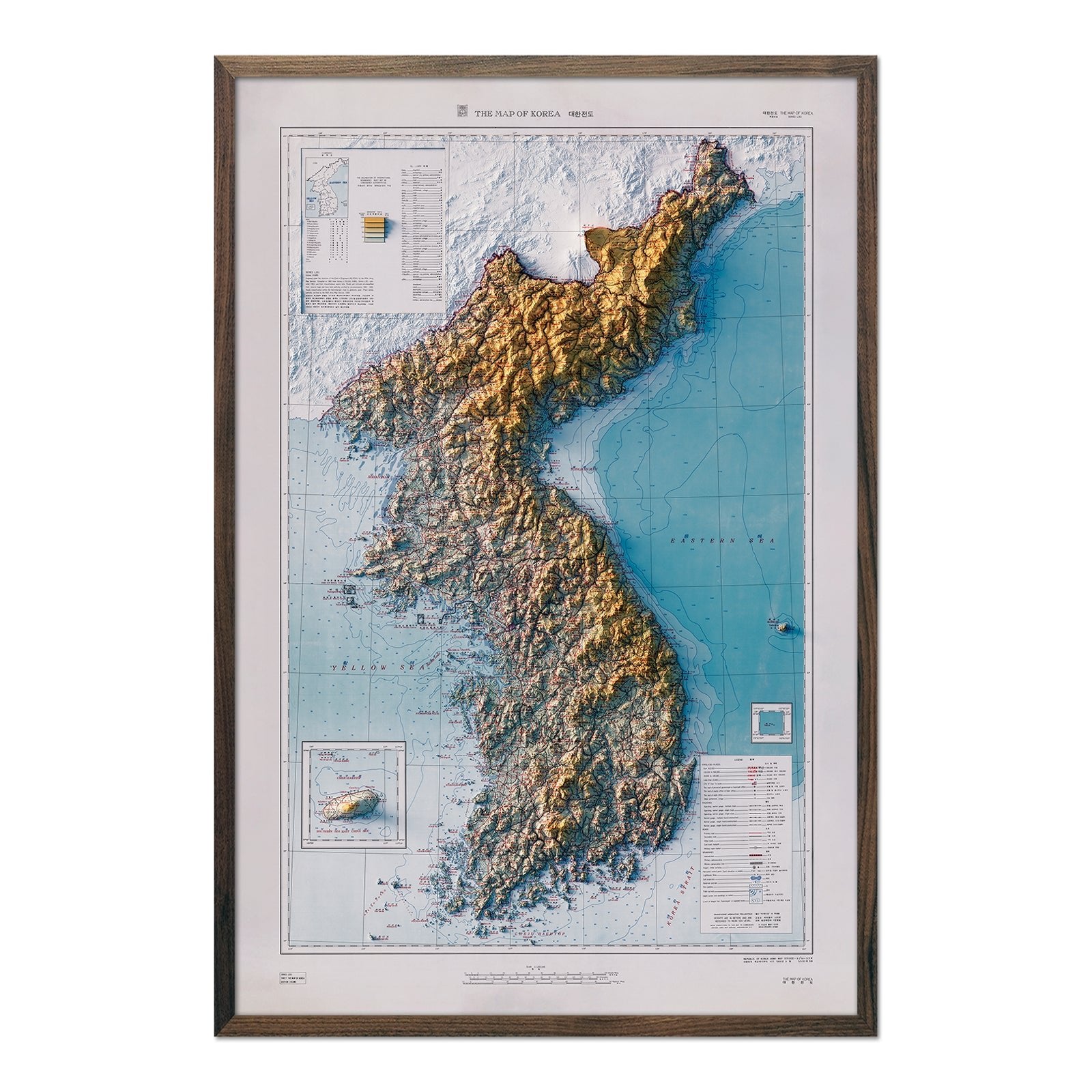
Korea 1966 Shaded Relief Map
Regular price
From
$ 79.00 USD
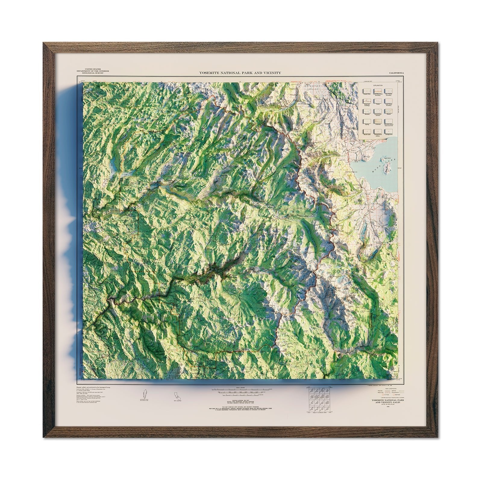
Yosemite National Park 1958 Shaded Relief Map
Regular price
From
$ 89.00 USD
4.5 / 5.0
2 reviews
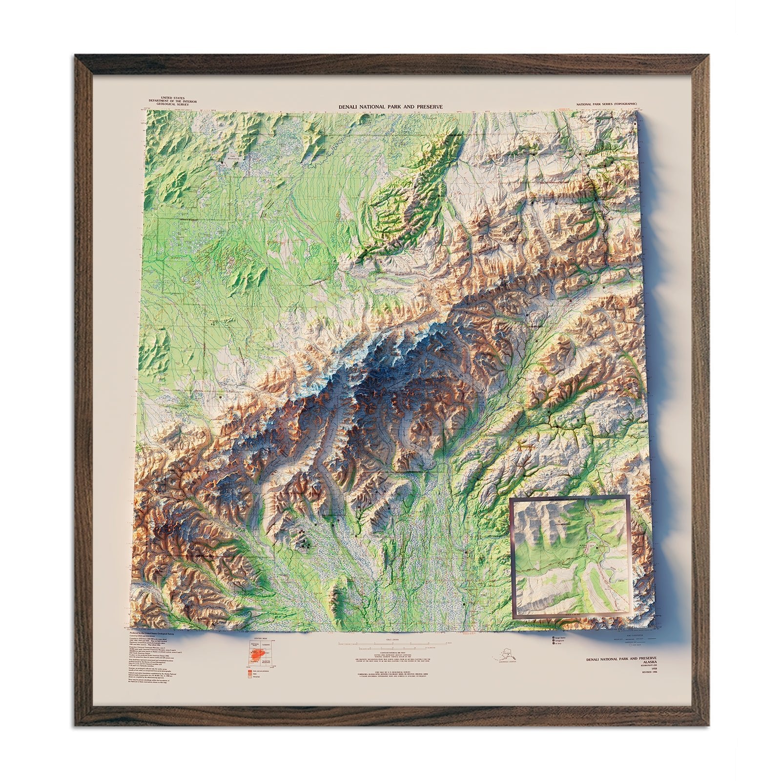
Denali National Park 1986 Shaded Relief Map
Regular price
From
$ 89.00 USD
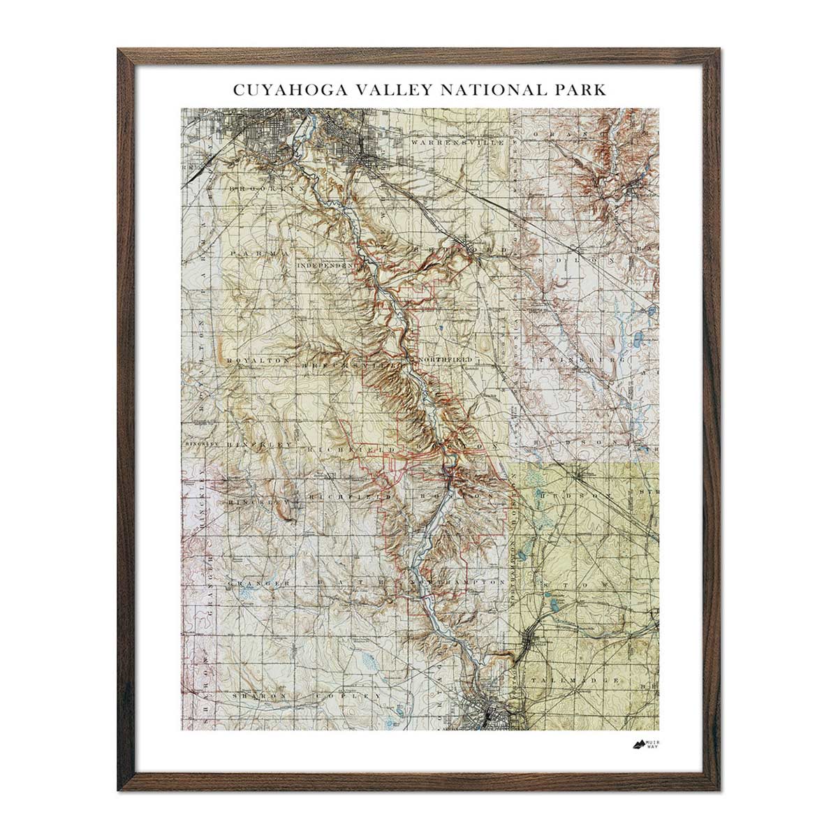
Cuyahoga Valley Shaded Relief Map
Regular price
From
$ 79.00 USD
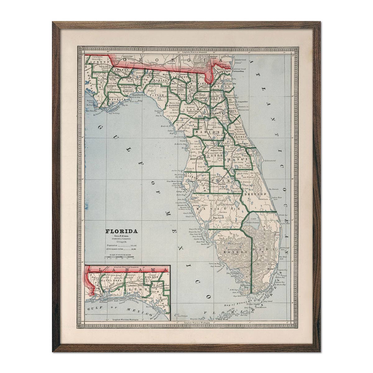
Florida 1883 Map
Regular price
From
$ 64.00 USD
5.0 / 5.0
2 reviews
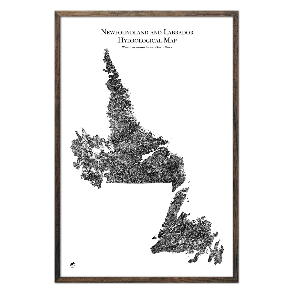
Newfoundland and Labrador Hydrological Map
Regular price
From
$ 59.00 USD
5.0 / 5.0
1680 reviews
Manitoba Hydrological Map
Regular price
From
$ 59.00 USD
5.0 / 5.0
1680 reviews
Kansas State 1876 Map
Regular price
From
$ 64.00 USD
5.0 / 5.0
38 reviews
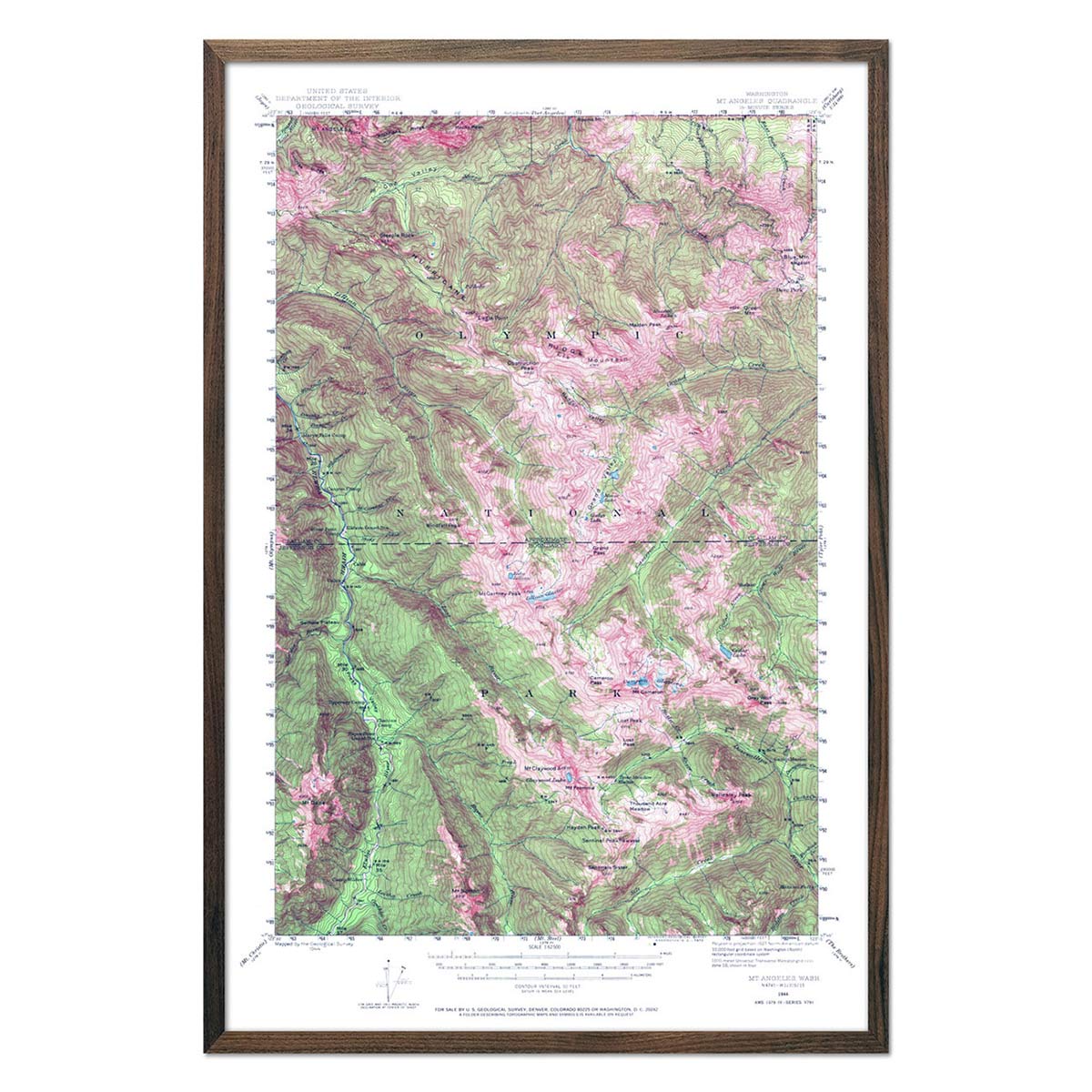
Olympic National Park 1944 USGS Map
Regular price
From
$ 69.00 USD
4.9 / 5.0
144 reviews
Range Tee Vintage Black
Regular price
$ 34.00 USD
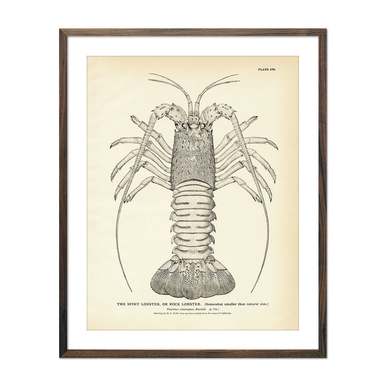
Spiny Lobster (Rock Lobster) Art Print
Regular price
From
$ 35.00 USD
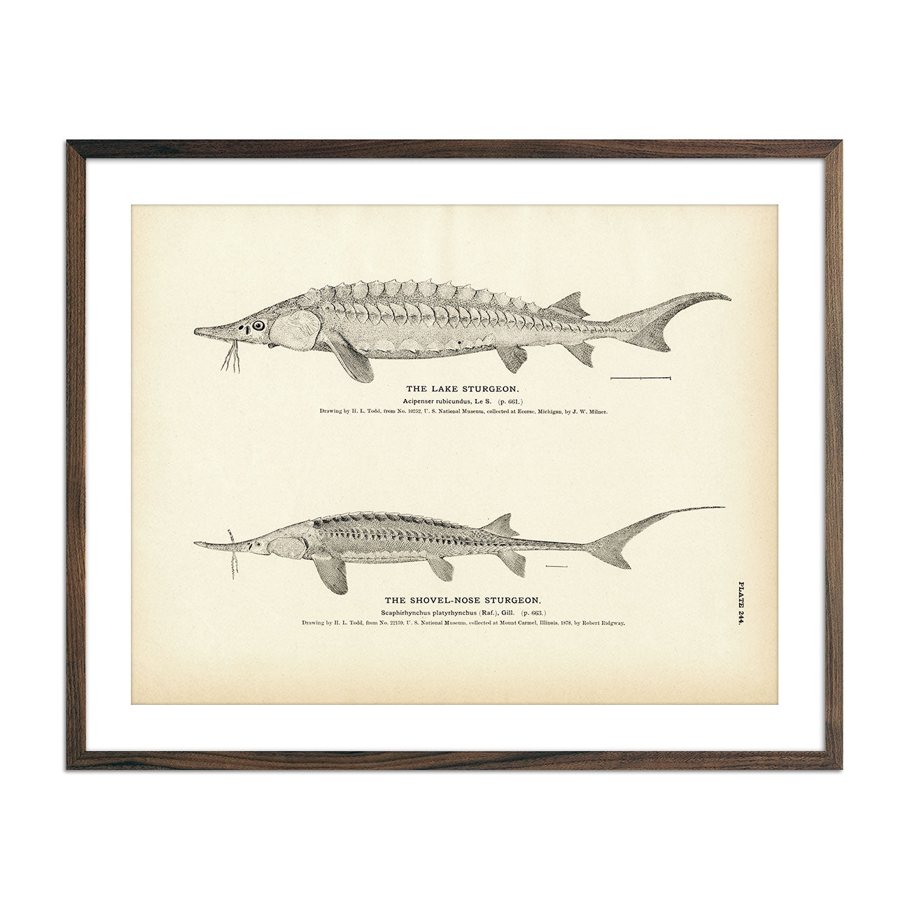
Lake Sturgeon and Shovel-Nose Sturgeon Art Print
Regular price
From
$ 35.00 USD
5.0 / 5.0
2 reviews
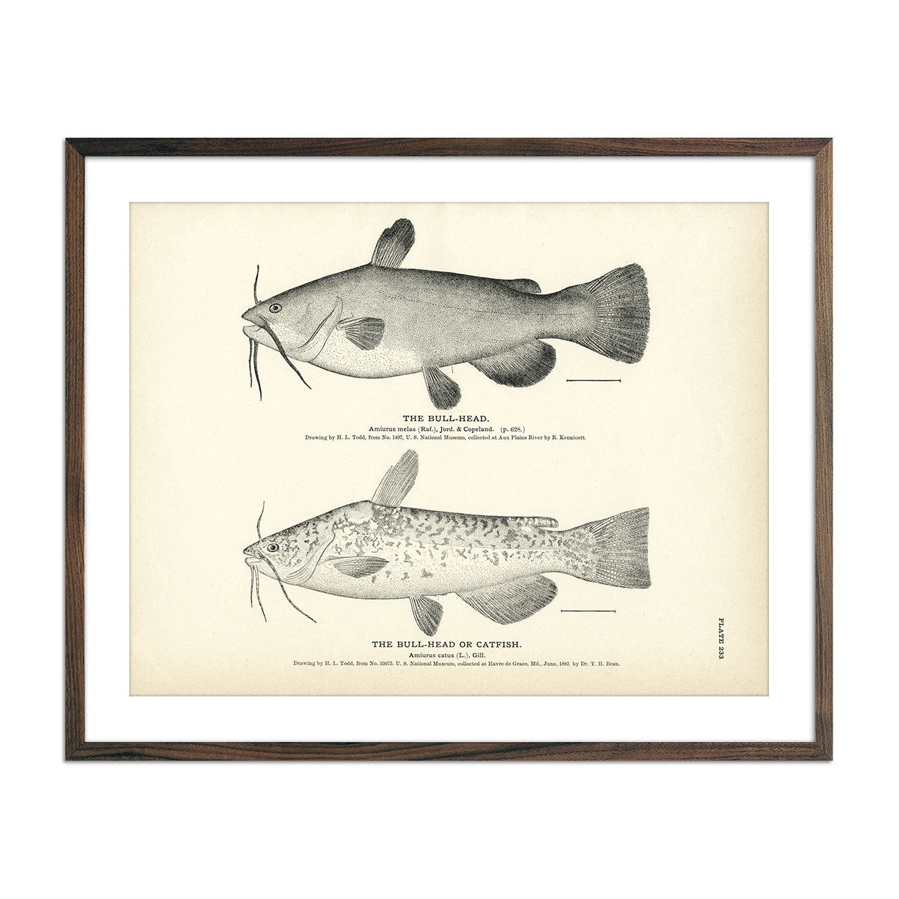
Bull-Head and Catfish Art Print
Regular price
From
$ 35.00 USD
5.0 / 5.0
2 reviews
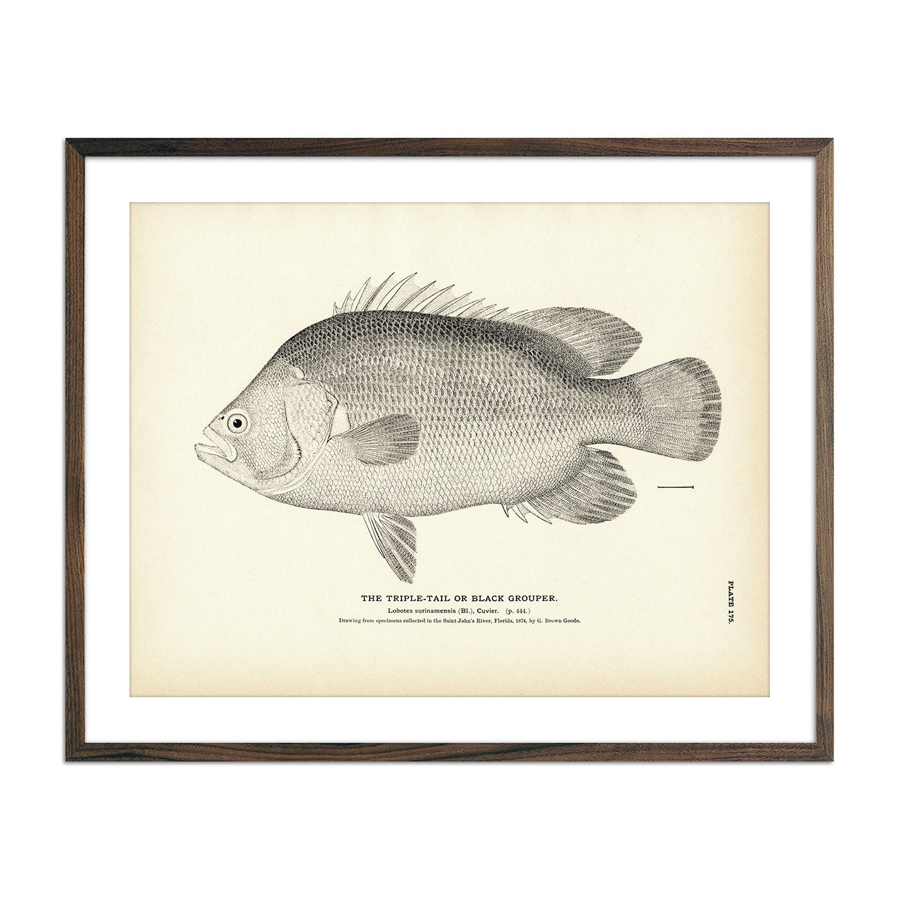
Triple-Tail (Black Grouper) Art Print
Regular price
From
$ 35.00 USD
5.0 / 5.0
2 reviews
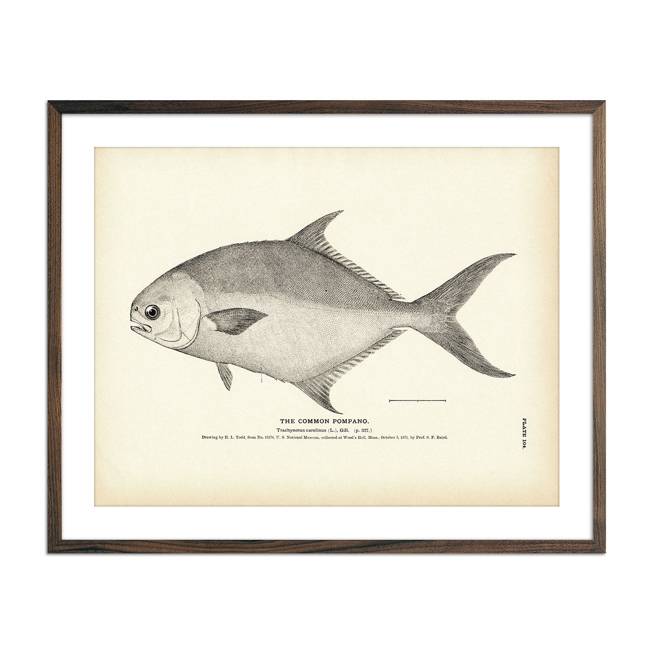
Common Pompano Art Print
Regular price
From
$ 35.00 USD
5.0 / 5.0
5 reviews
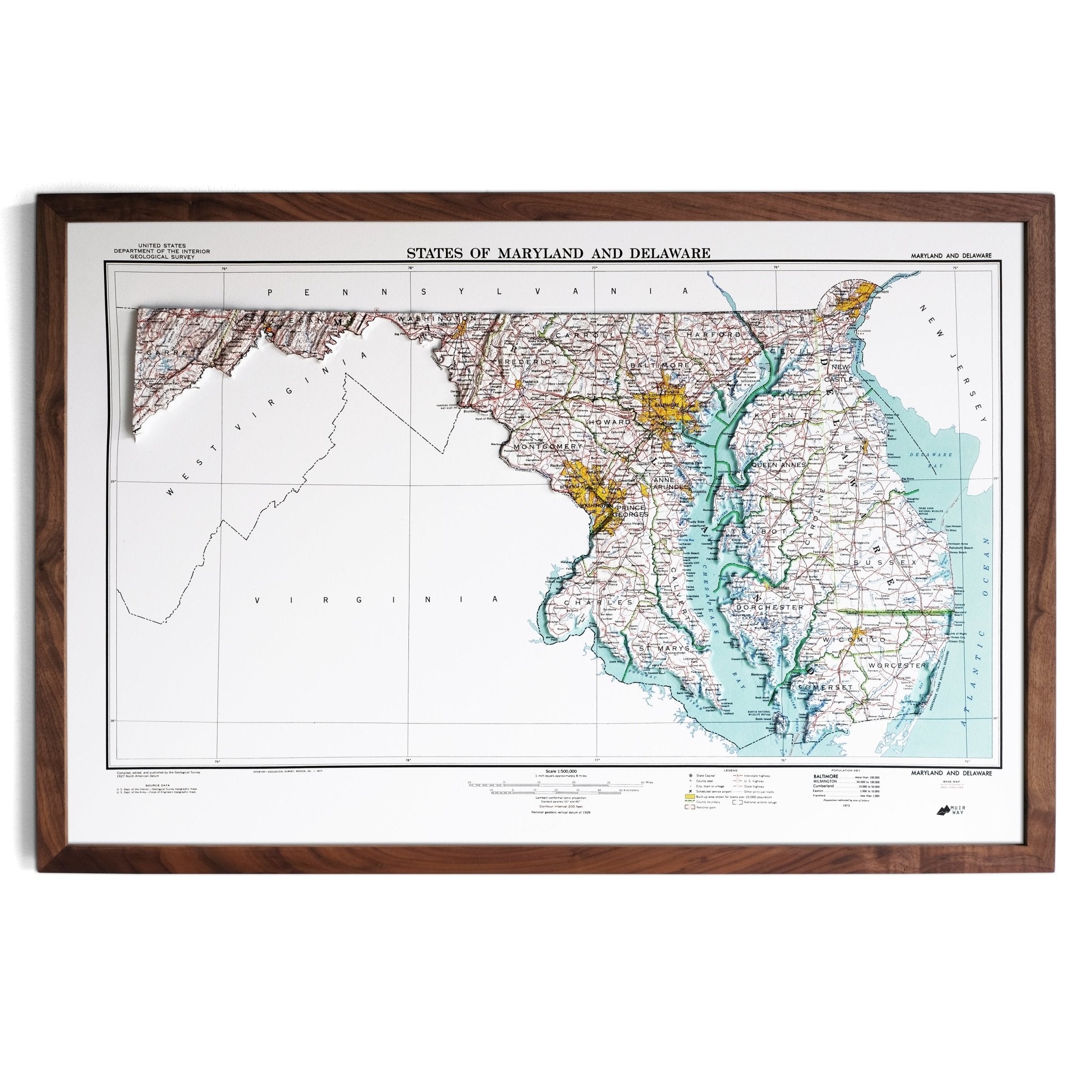
Maryland 1973 3D Raised Relief Map
Regular price
From
$ 170.00 USD
5.0 / 5.0
2 reviews
Telluride, Colorado 1955 Shaded Relief Map
Regular price
From
$ 79.00 USD
5.0 / 5.0
1 review
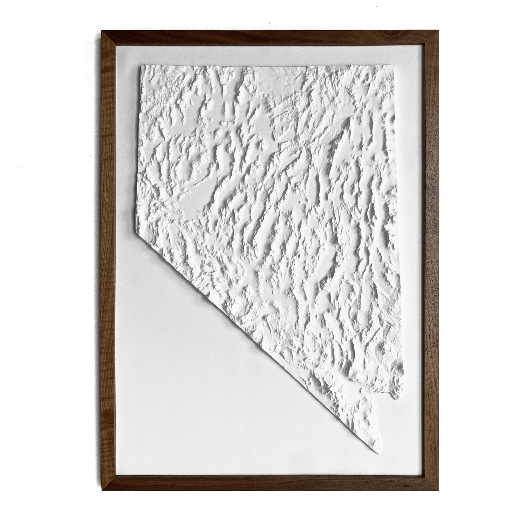
Nevada 3D Raised Relief Map
Regular price
From
$ 149.00 USD
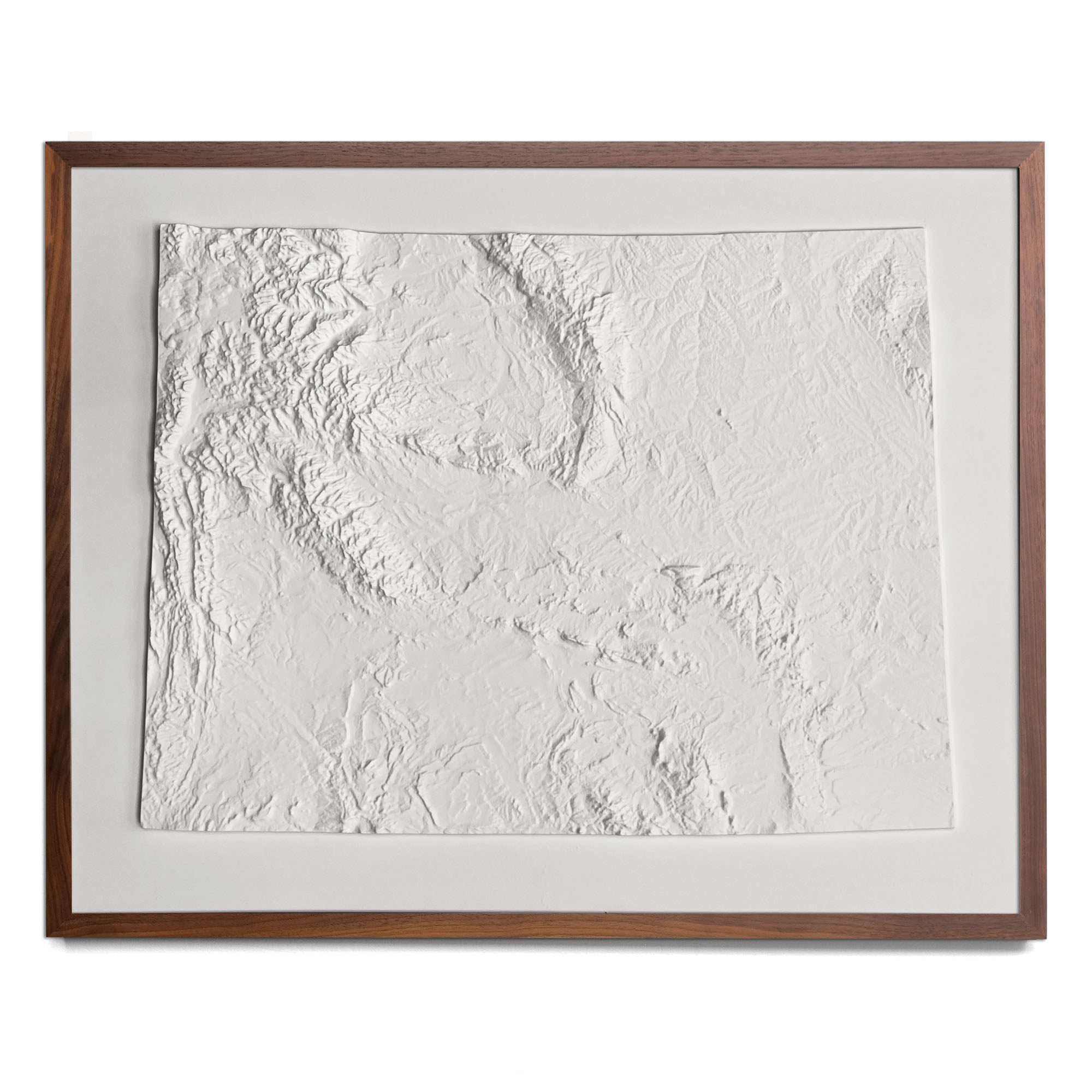
Wyoming 3D Raised Relief Map
Regular price
From
$ 149.00 USD
5.0 / 5.0
2 reviews
Africa Geological 1958 Shaded Relief Map
Regular price
From
$ 89.00 USD
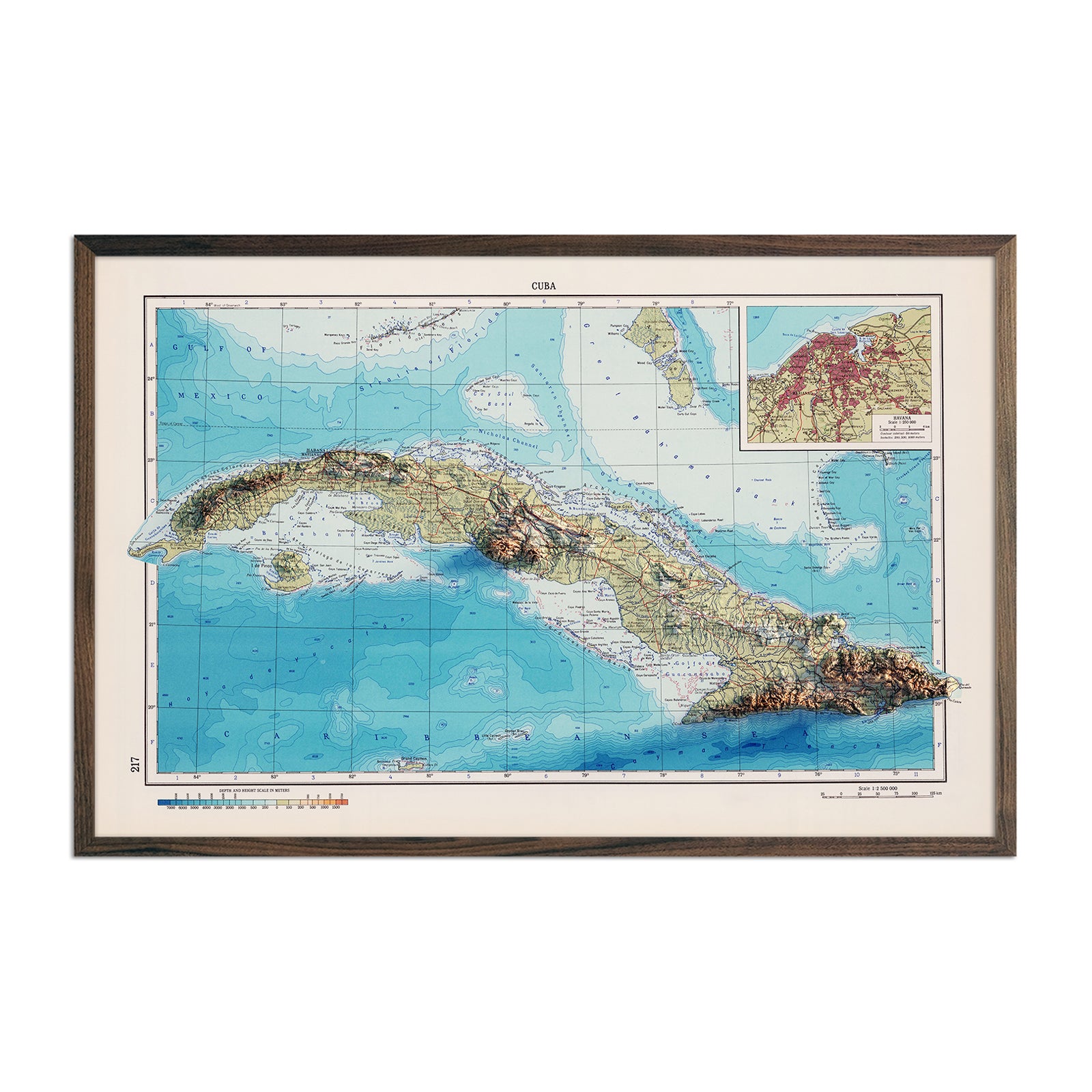
Cuba 1967 Shaded Relief Map
Regular price
From
$ 89.00 USD
5.0 / 5.0
1 review
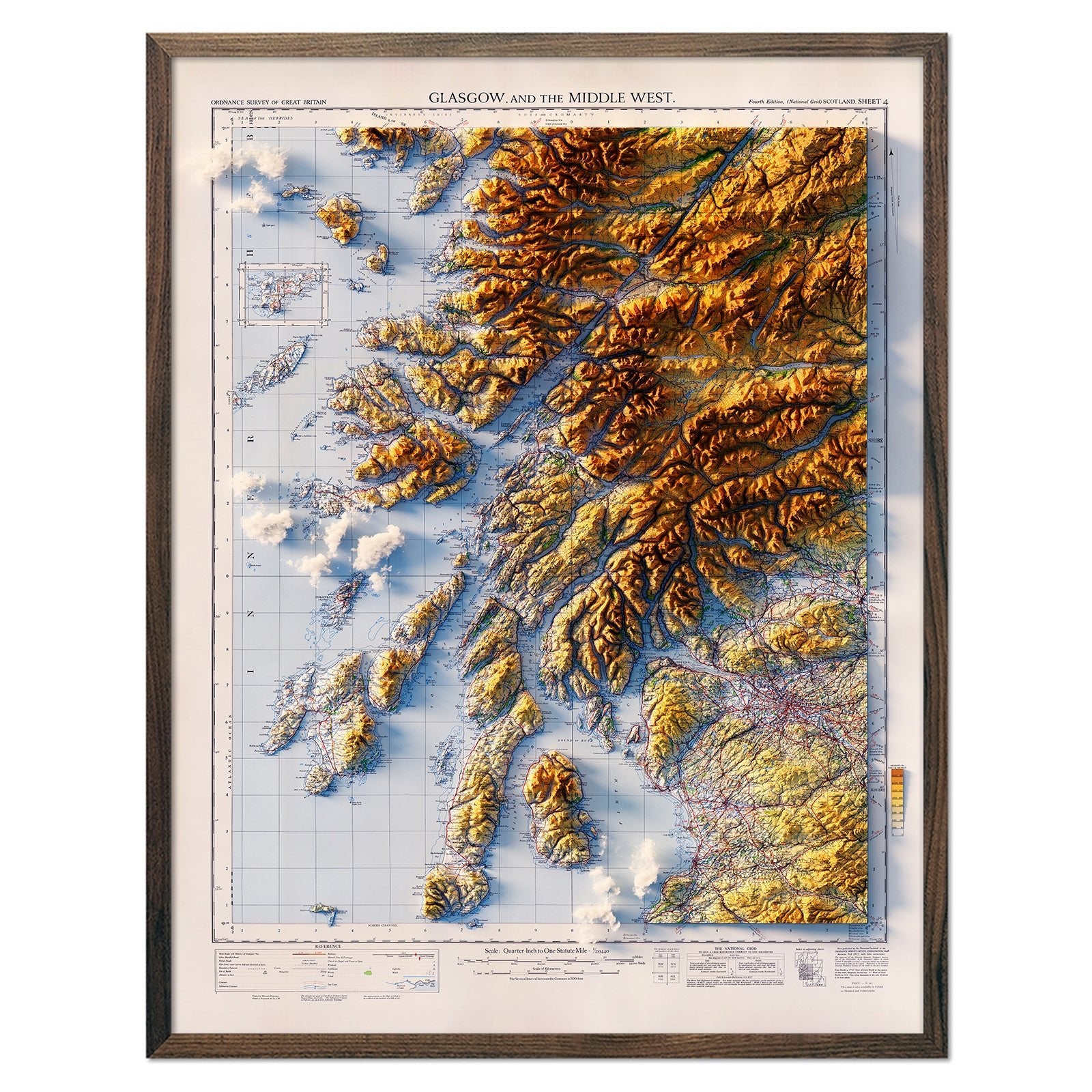
Glasgow and the Middle West 1957 Shaded Relief Map
Regular price
From
$ 79.00 USD
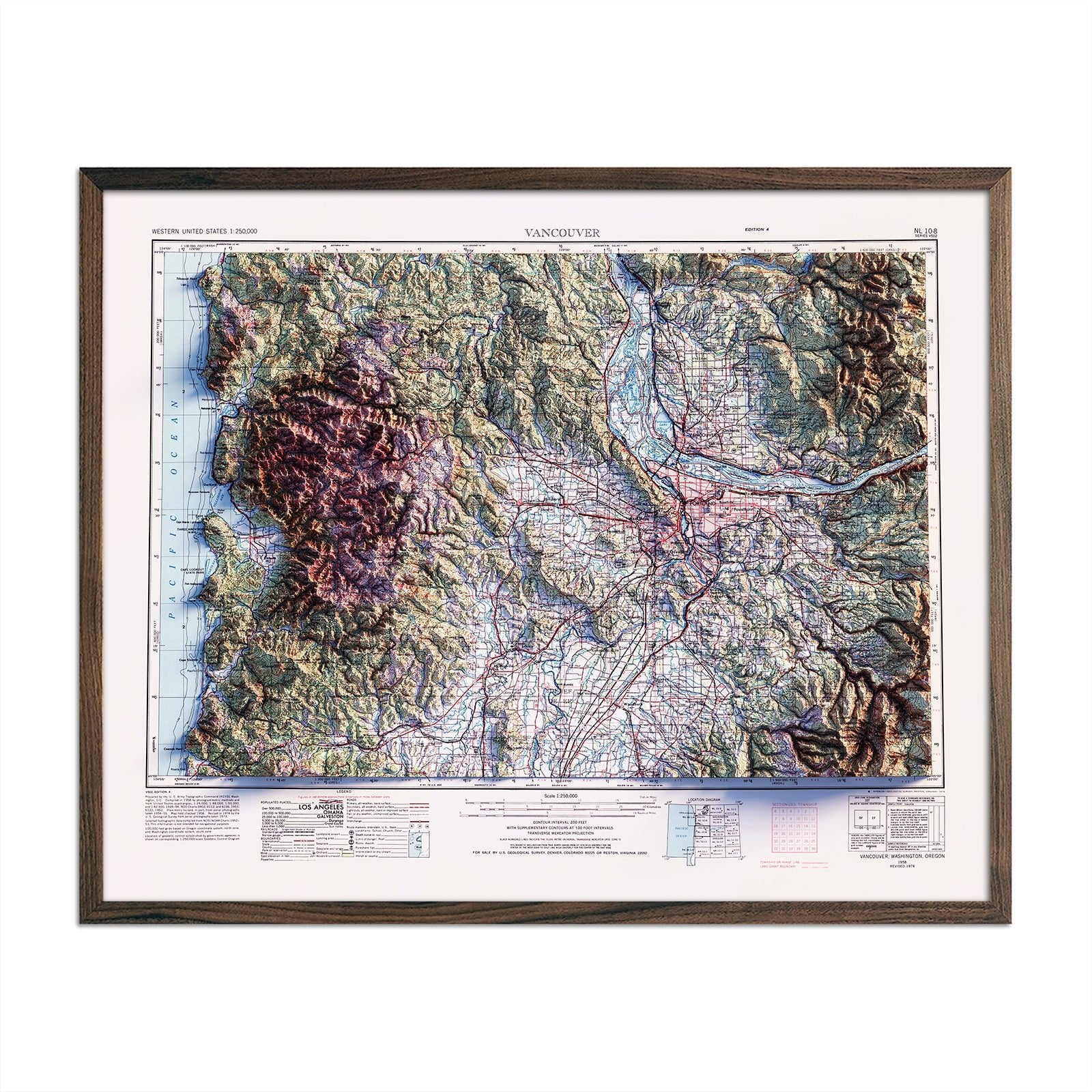
Vancouver, Washington 1958 Shaded Relief Map
Regular price
From
$ 64.00 USD
5.0 / 5.0
1 review
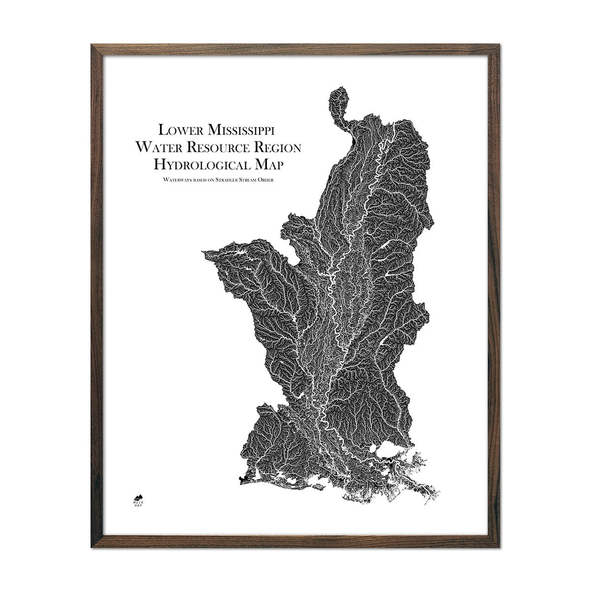
Lower Mississippi Regional Hydrological Map
Regular price
From
$ 79.00 USD
5.0 / 5.0
1680 reviews
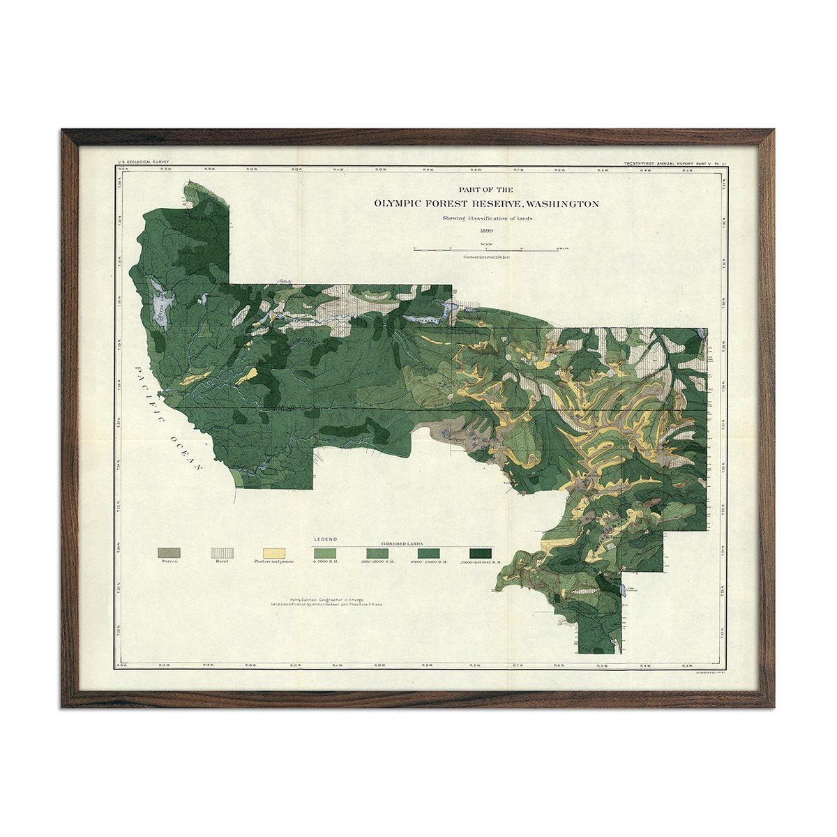
Olympic Forest Reserve Map 1899
Regular price
From
$ 64.00 USD
5.0 / 5.0
112 reviews
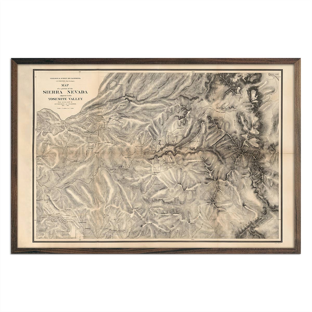
Map of Sierra Nevada, Yosemite 1868
Regular price
From
$ 69.00 USD
4.7 / 5.0
19 reviews
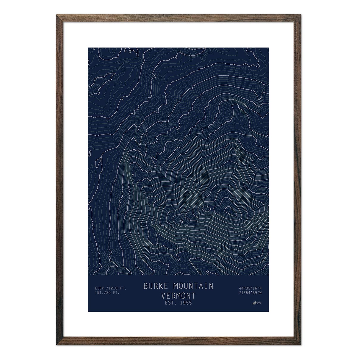
Burke Mountain, Vermont
Regular price
From
$ 49.00 USD
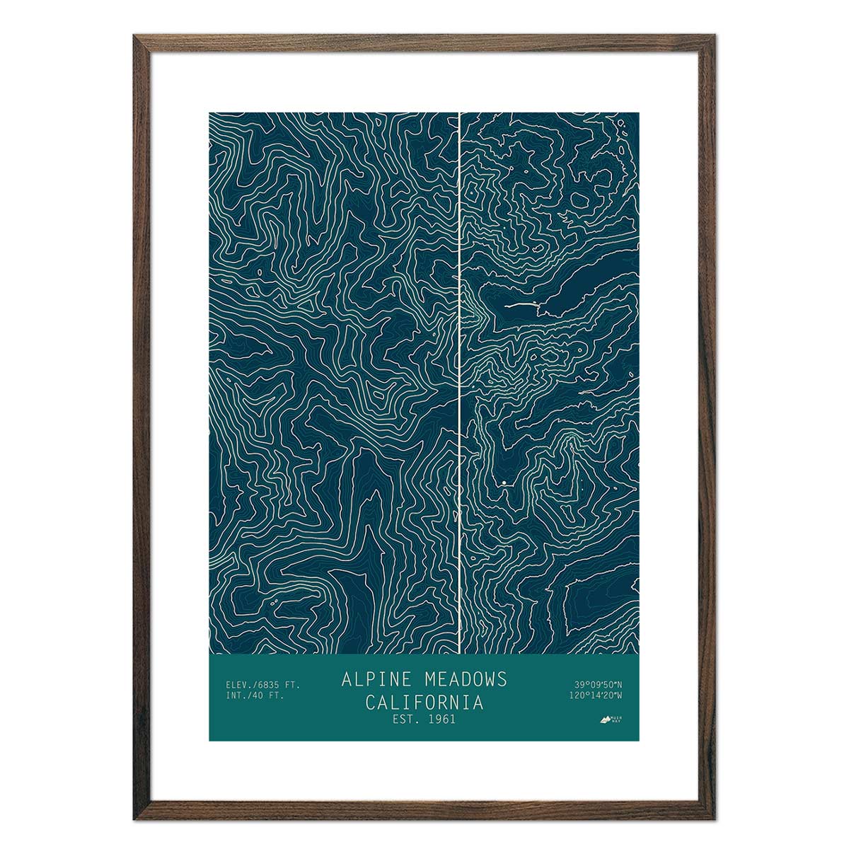
Alpine Meadows, California
Regular price
From
$ 49.00 USD
5.0 / 5.0
1 review
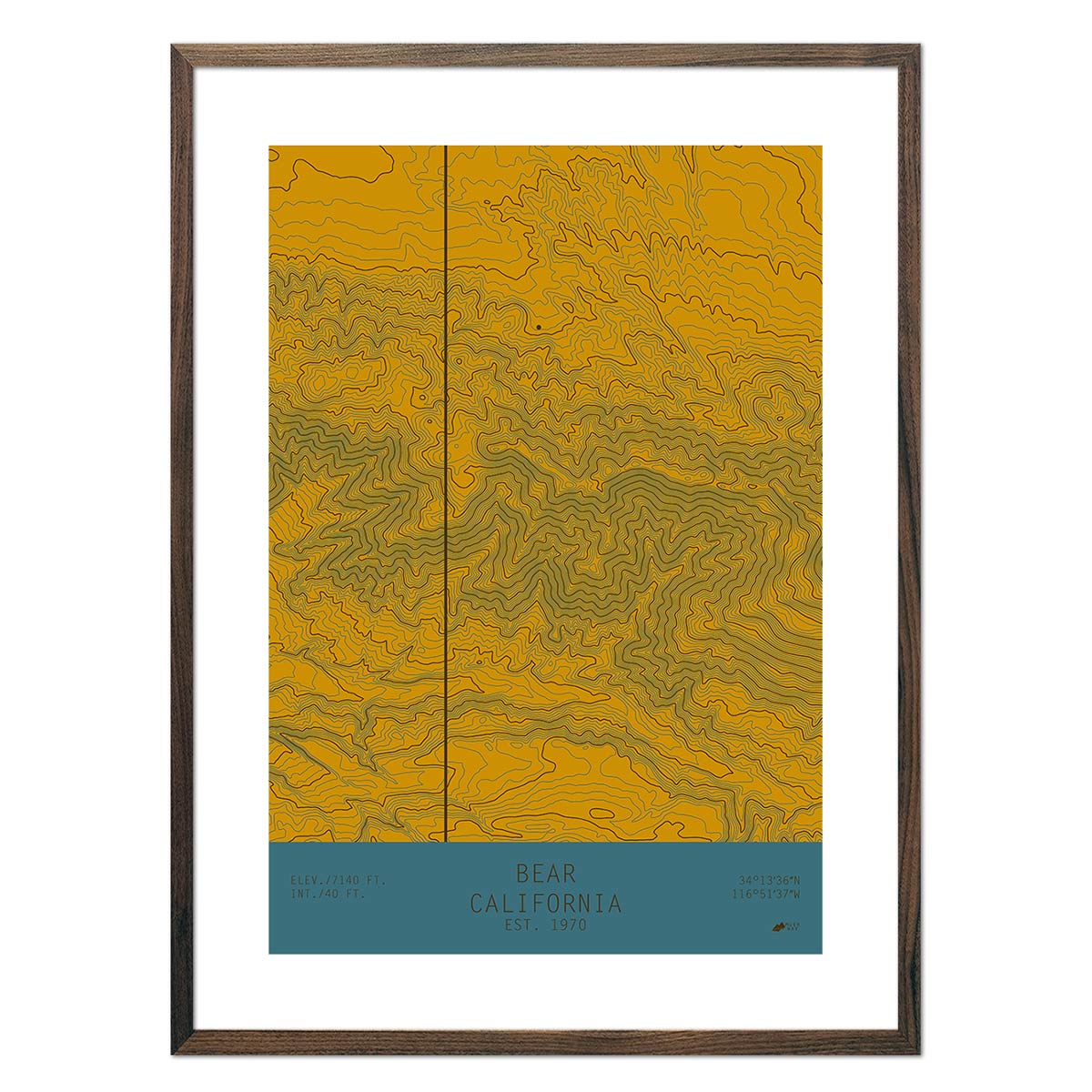
Bear, California
Regular price
From
$ 49.00 USD
5.0 / 5.0
2 reviews
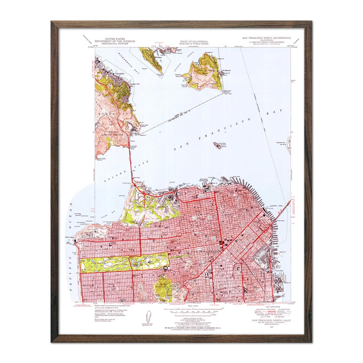
San Francisco, CA 1955 USGS Map
Regular price
From
$ 64.00 USD
4.9 / 5.0
144 reviews
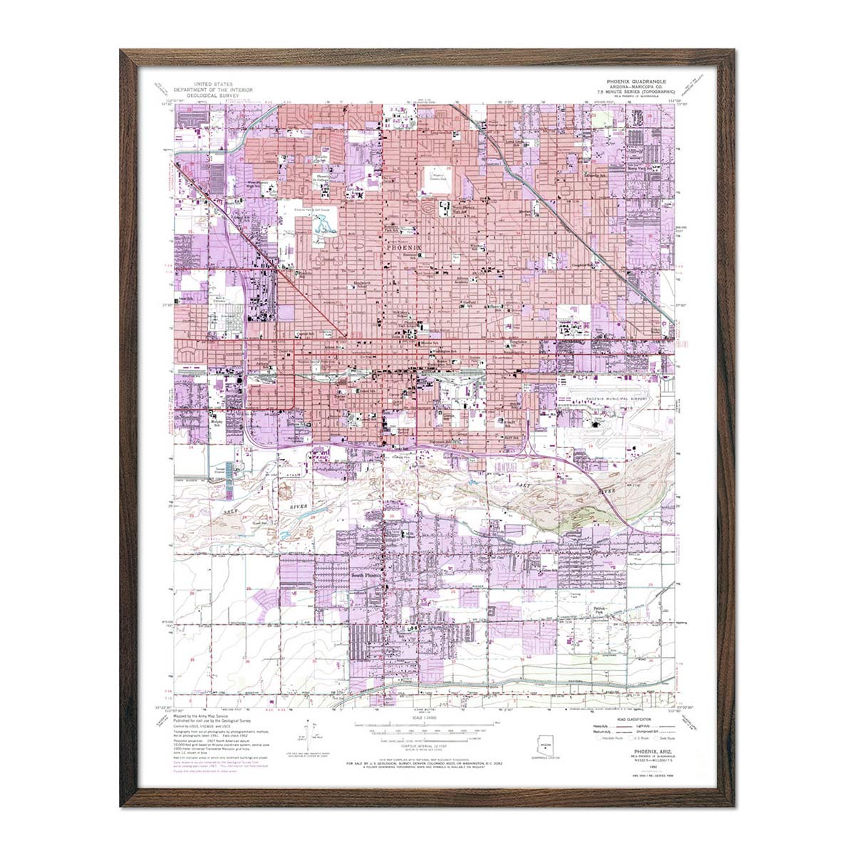
Phoenix, AZ 1952 USGS Map
Regular price
From
$ 64.00 USD
4.9 / 5.0
144 reviews
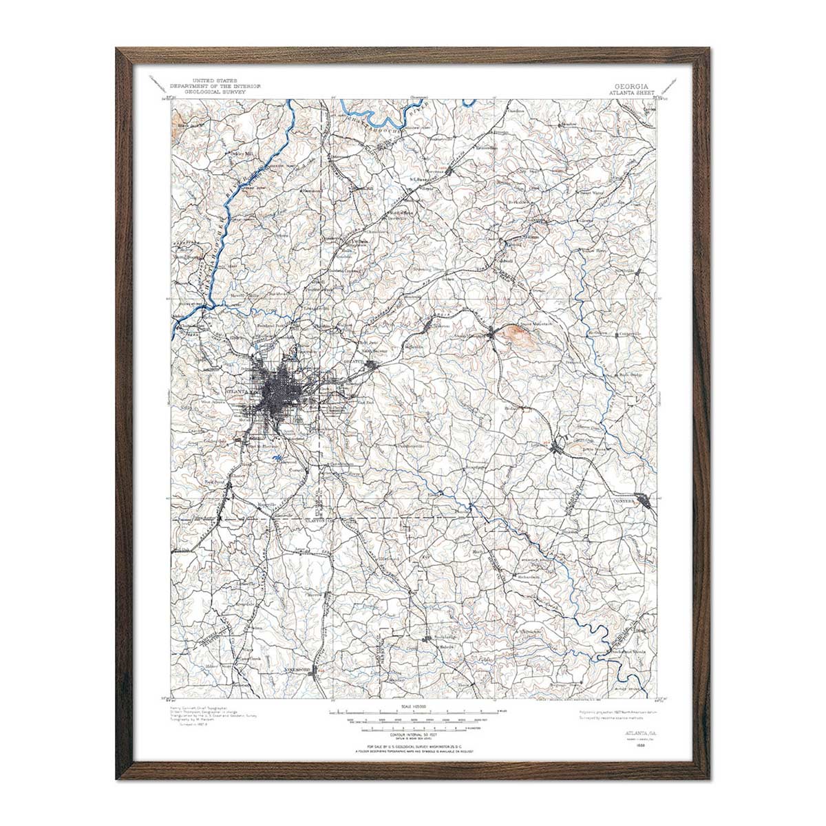
Vintage USGS Map of Atlanta, GA - 1888
Regular price
From
$ 64.00 USD
4.9 / 5.0
144 reviews
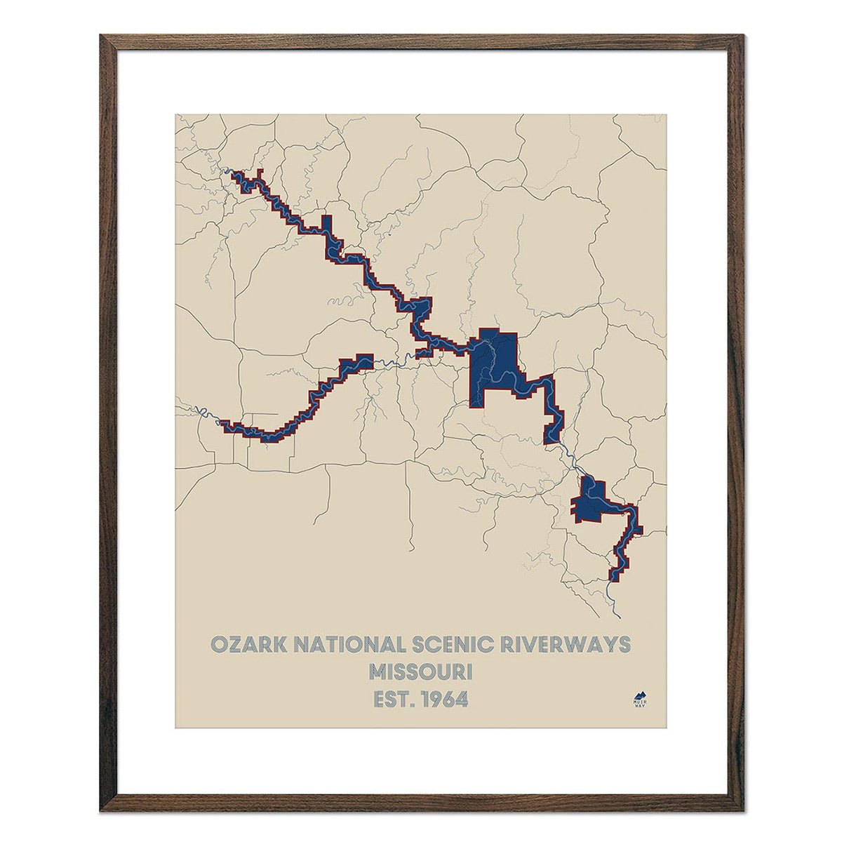
Ozark National Scenic Riverways Map
Regular price
From
$ 49.00 USD
5.0 / 5.0
288 reviews
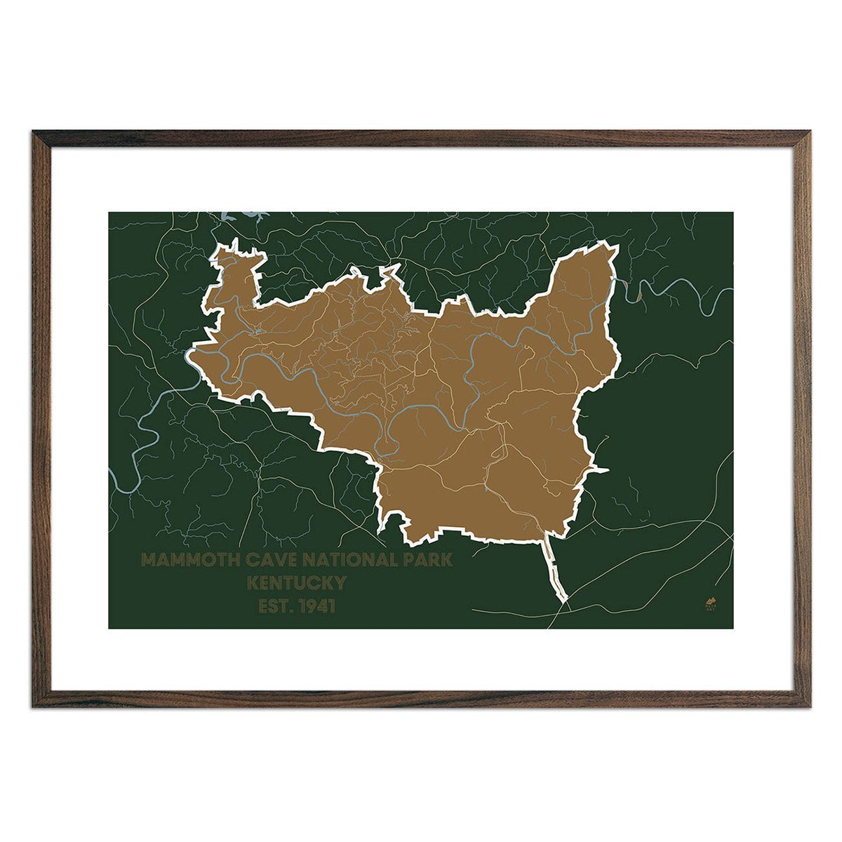
Mammoth Cave National Park Map
Regular price
From
$ 49.00 USD
5.0 / 5.0
288 reviews
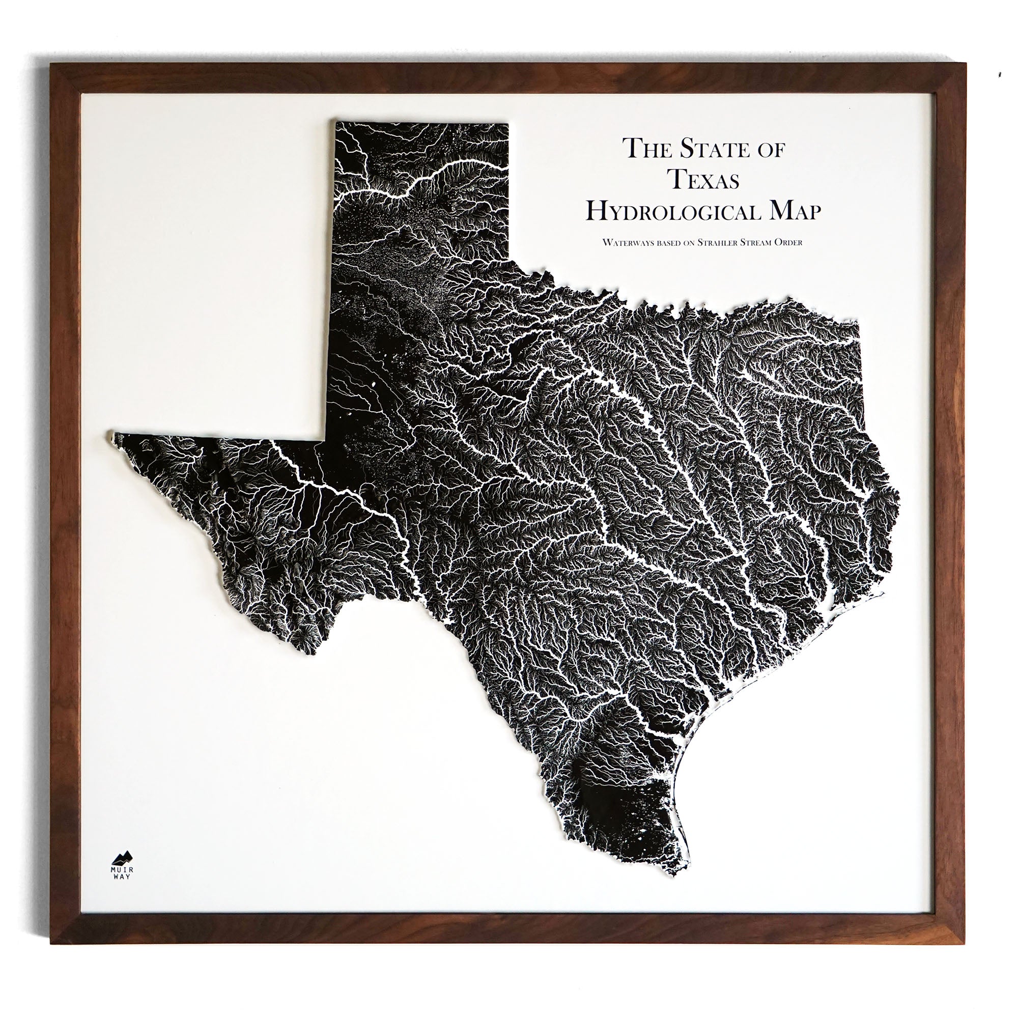
Texas Hydrological - 3D Raised Relief Map
Regular price
From
$ 175.00 USD
Core Tee Vintage White
Regular price
$ 34.00 USD
5.0 / 5.0
1 review
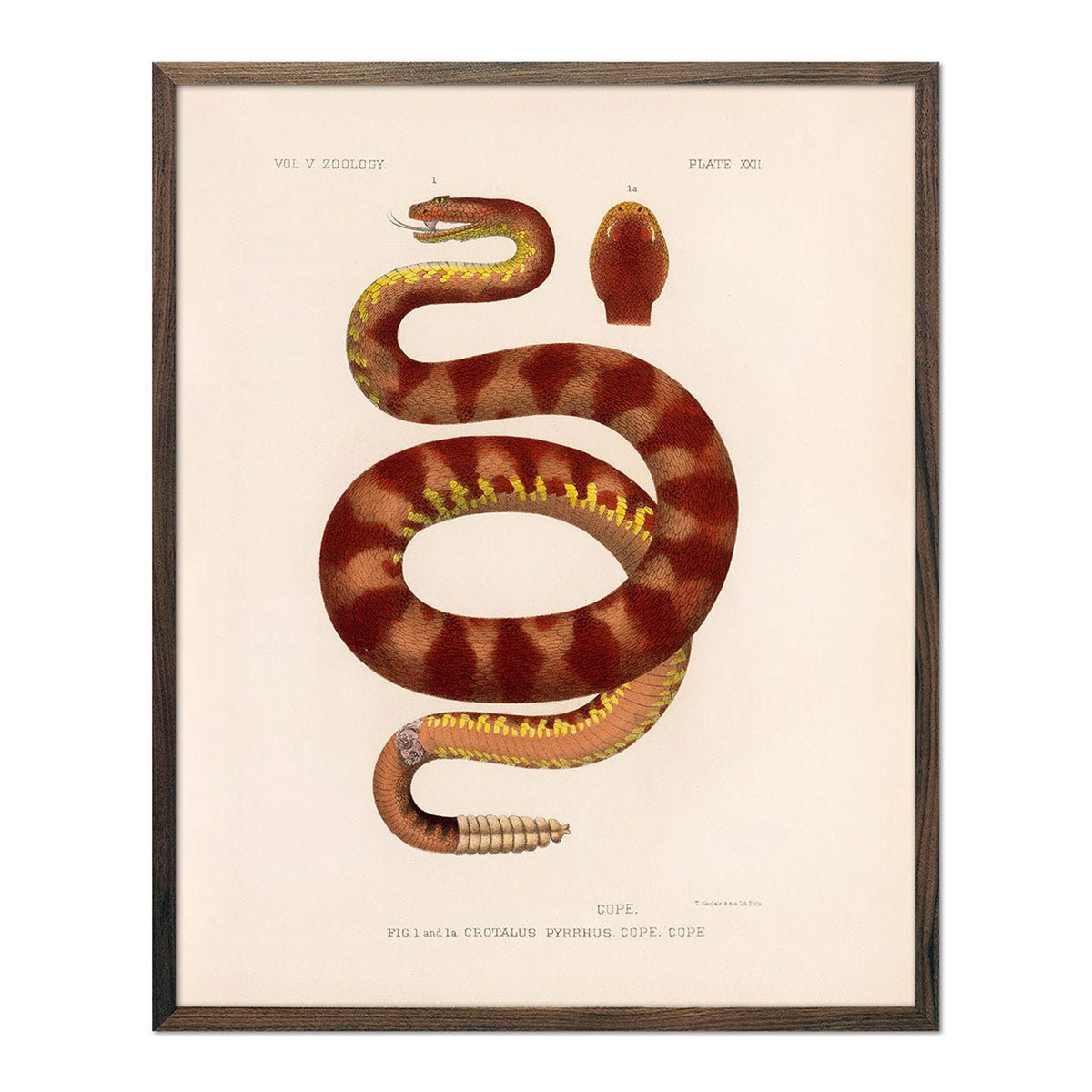
Rattlesnake Art Print
Regular price
From
$ 35.00 USD
5.0 / 5.0
1 review
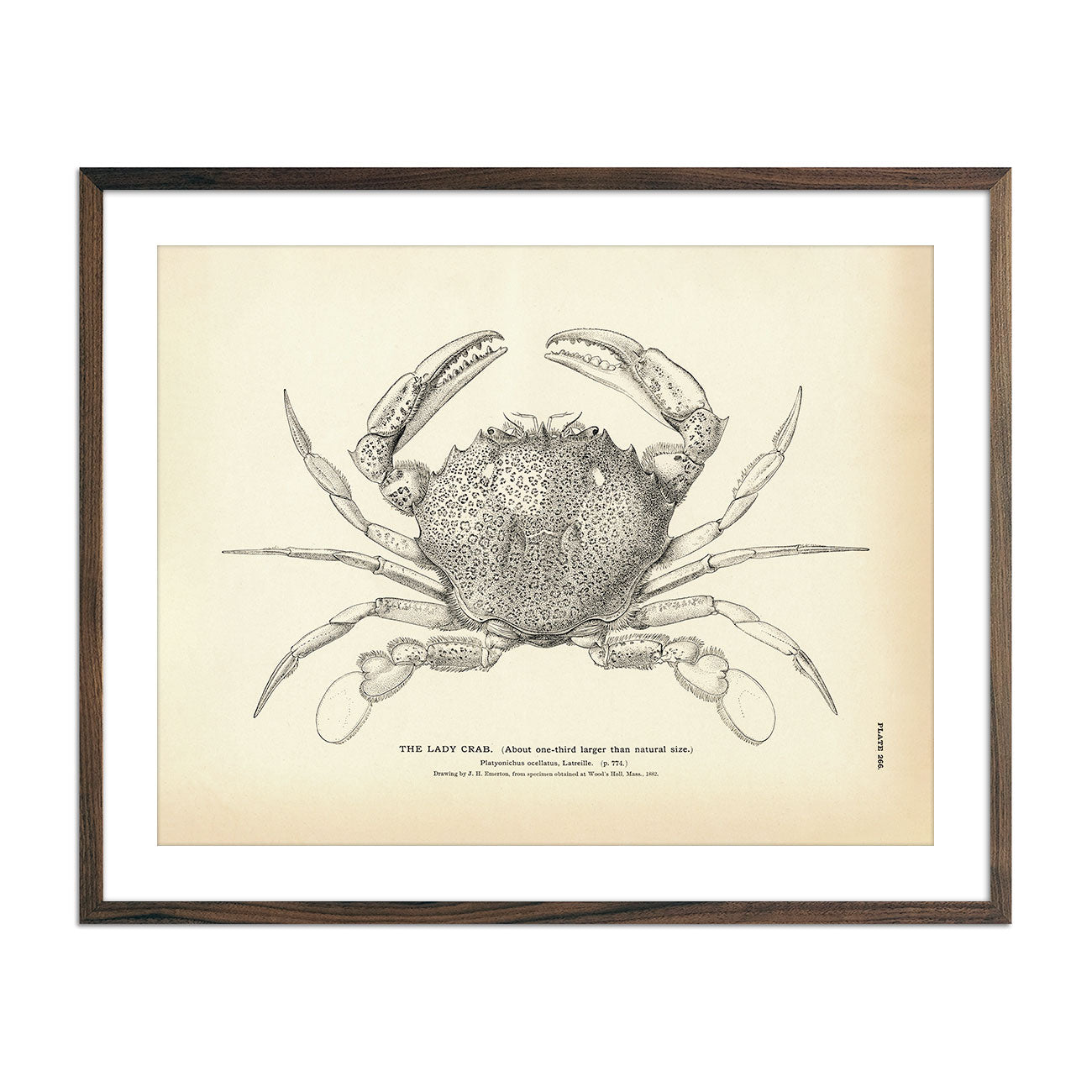
Lady Crab Art Print
Regular price
From
$ 35.00 USD
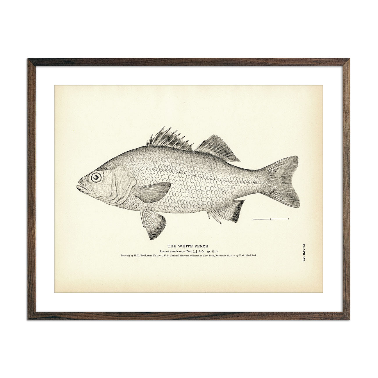
White Perch Art Print
Regular price
From
$ 35.00 USD
5.0 / 5.0
1 review
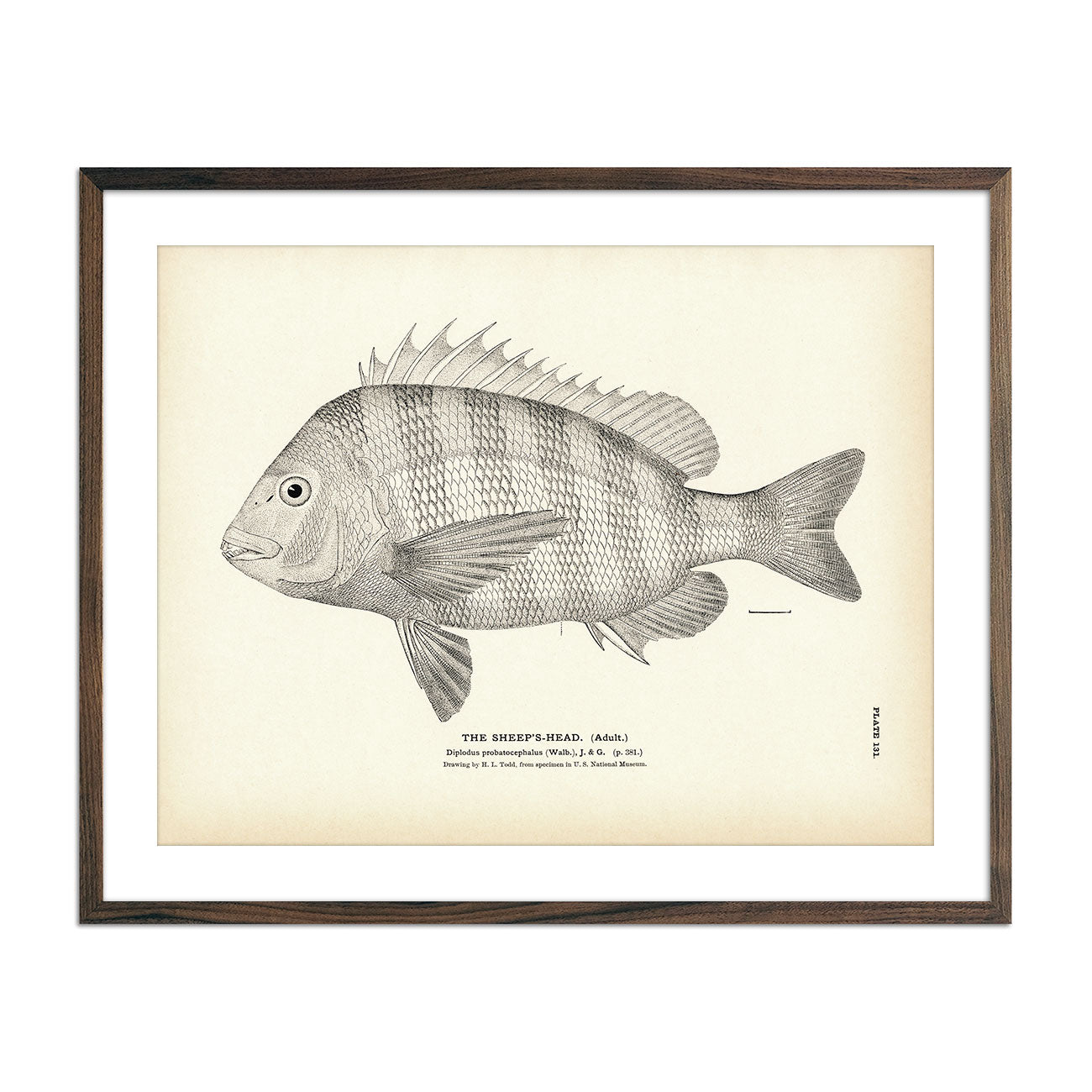
Sheep's-Head (Adult) Art Print
Regular price
From
$ 35.00 USD
5.0 / 5.0
2 reviews
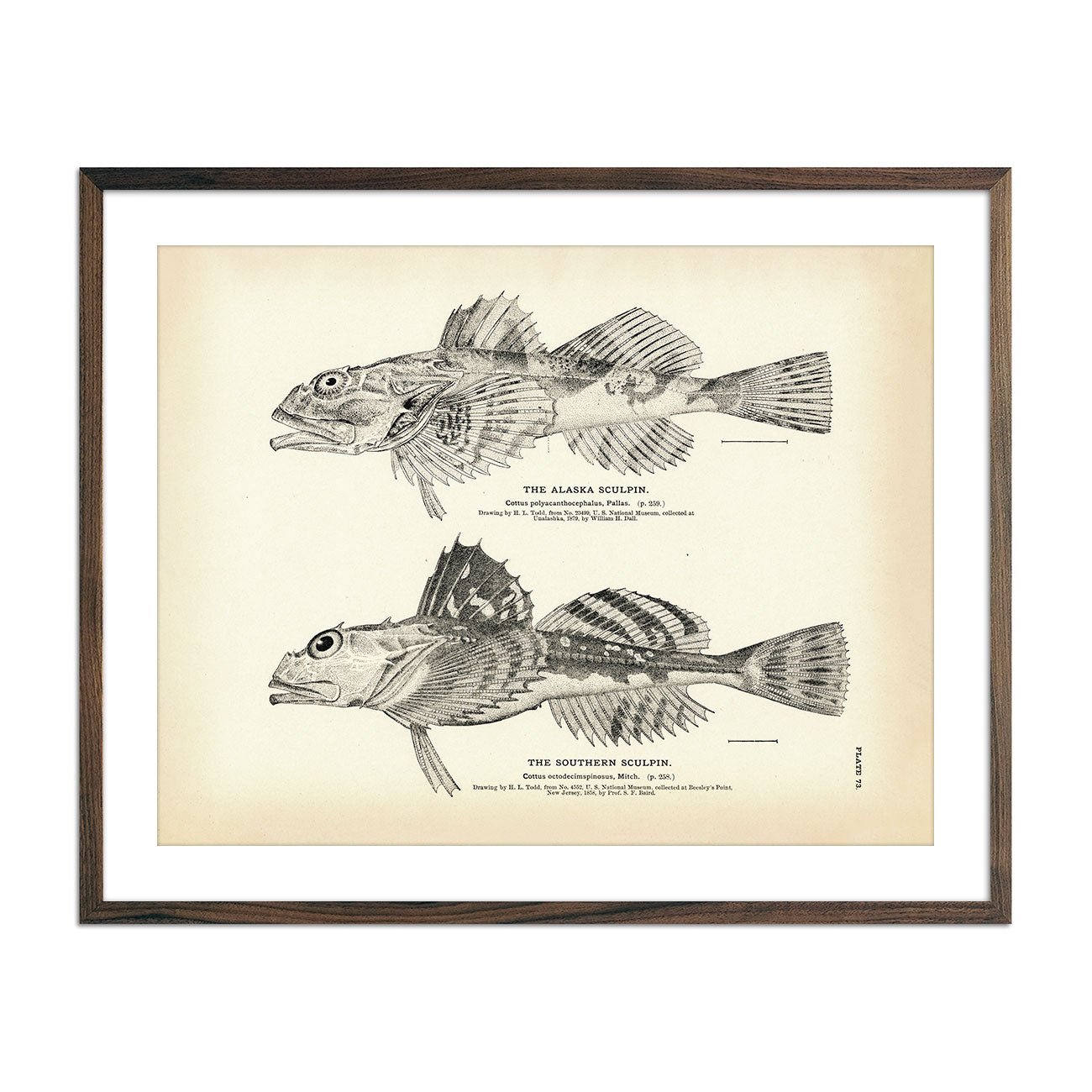
Alaska Sculpin and Southern Sculpin Art Print
Regular price
From
$ 35.00 USD
5.0 / 5.0
1 review
« Previous
·
1
…
14
15
16
17
18
…
31
·
Next »
Your cart
Close
Spend
$ 49.00 USD
more for
free shipping
!
Your order is eligible for free shipping!
You may also like
Previous
Next
The Lake Tahoe Tumbler
Regular price
$ 59.00 USD
Add to cart
Close
Your cart is empty
Start shopping