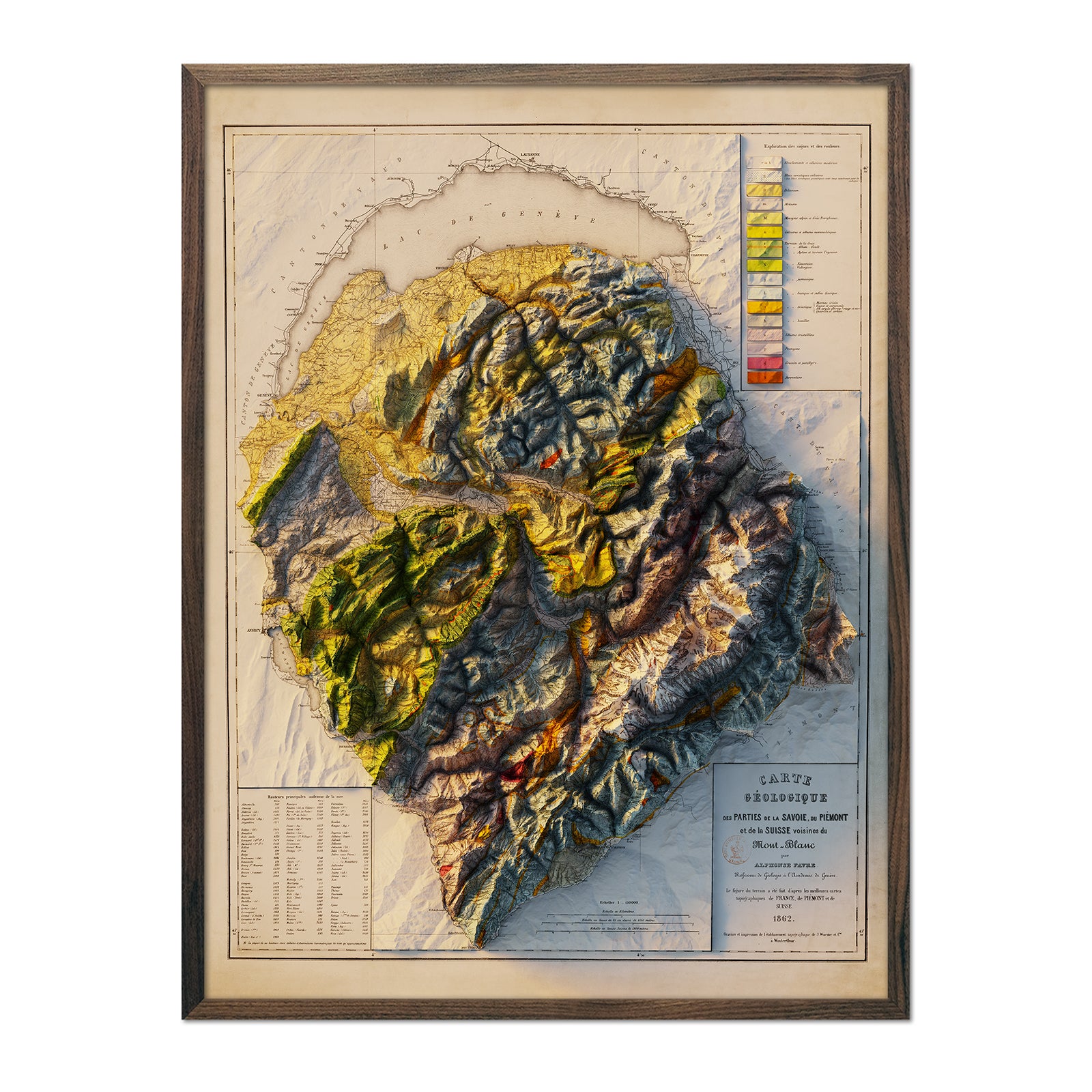
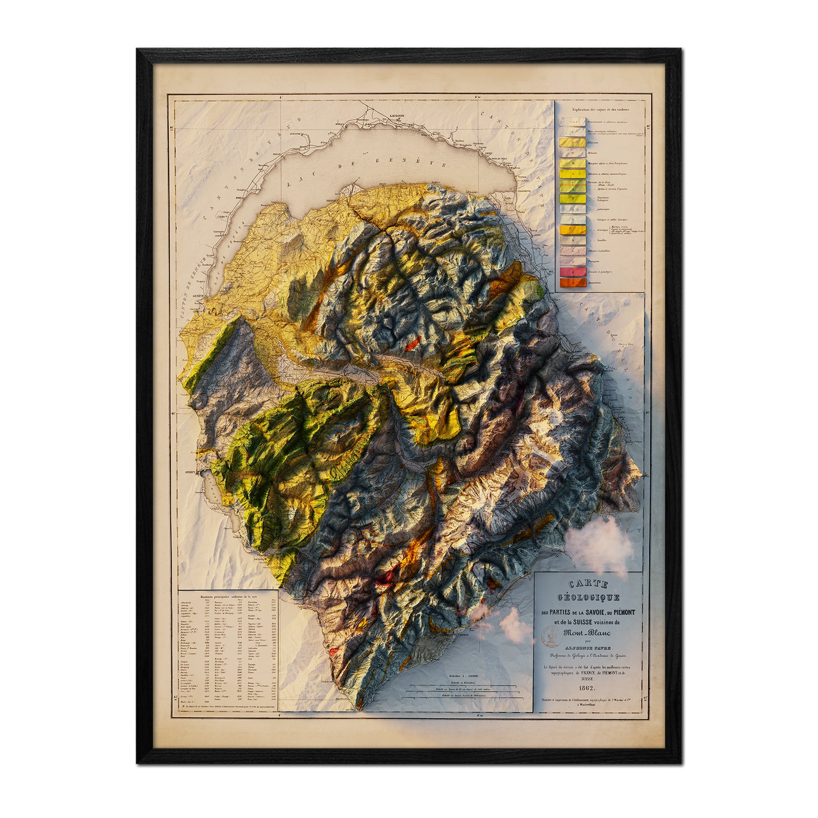
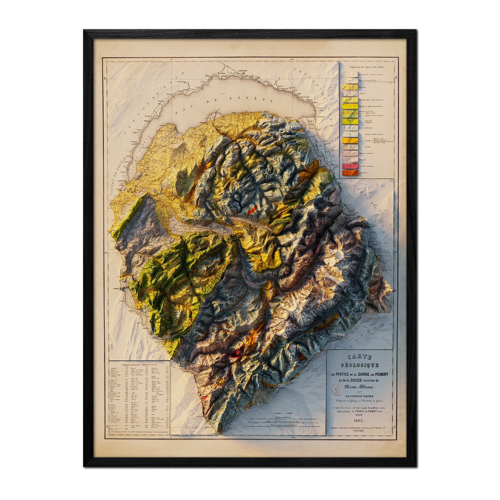
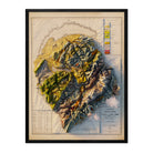
This map arrived at a pivotal moment for the Mont Blanc massif. The region had been part of the Kingdom of Sardinia for centuries, but under the Treaty of Turin, signed March 24, 1860, and ratified by a popular plebiscite, Savoy was formally united with France that June. Published just two years later, in 1862, this map captures the massif as newly French territory — its labels still rendered in French, a language the region had long shared with its Italian-speaking neighbors across the mountains. Mont Blanc itself, the highest peak in the Alps and in Western Europe, had first been summited three-quarters of a century earlier, in 1786, by Jacques Balmat and Michel-Gabriel Paccard.
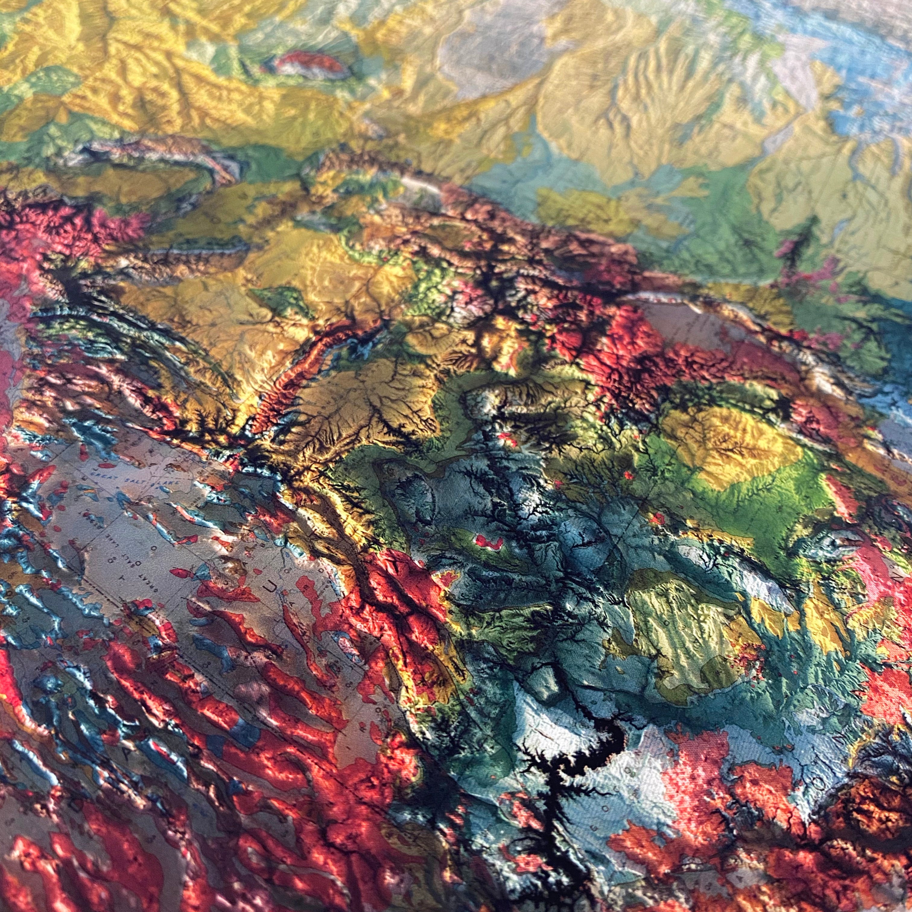
We georeferenced the original 1862 survey and applied modern digital elevation data to add true shaded relief to the Mont Blanc massif. The shading is printed flat on the paper — not raised or textured — so it frames and hangs like any fine art print.
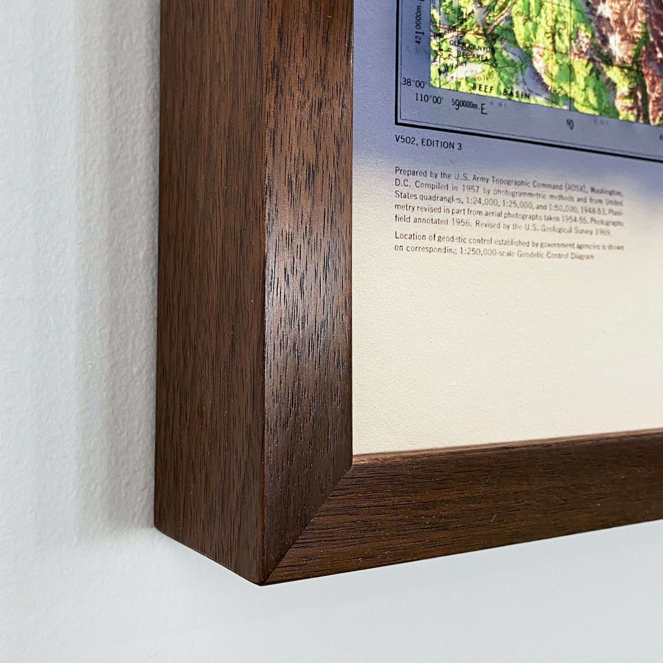
Available with or without our signature cloud overlay for a more atmospheric effect, and in your choice of black frame, walnut frame, or unframed.
Note on legibility: text on the map is in French and can be difficult to read due to the small font size and the age of the map. In areas where the relief shading is darkest, the underlying labels are not legible. We recommend the largest available size for the best detail.