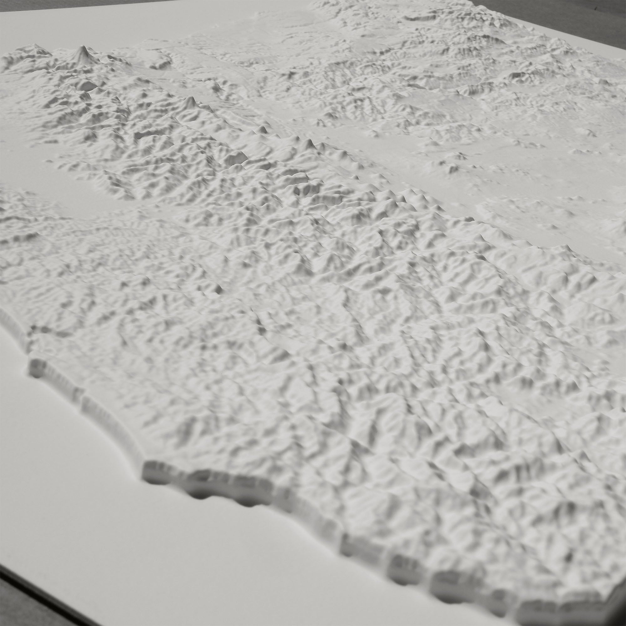
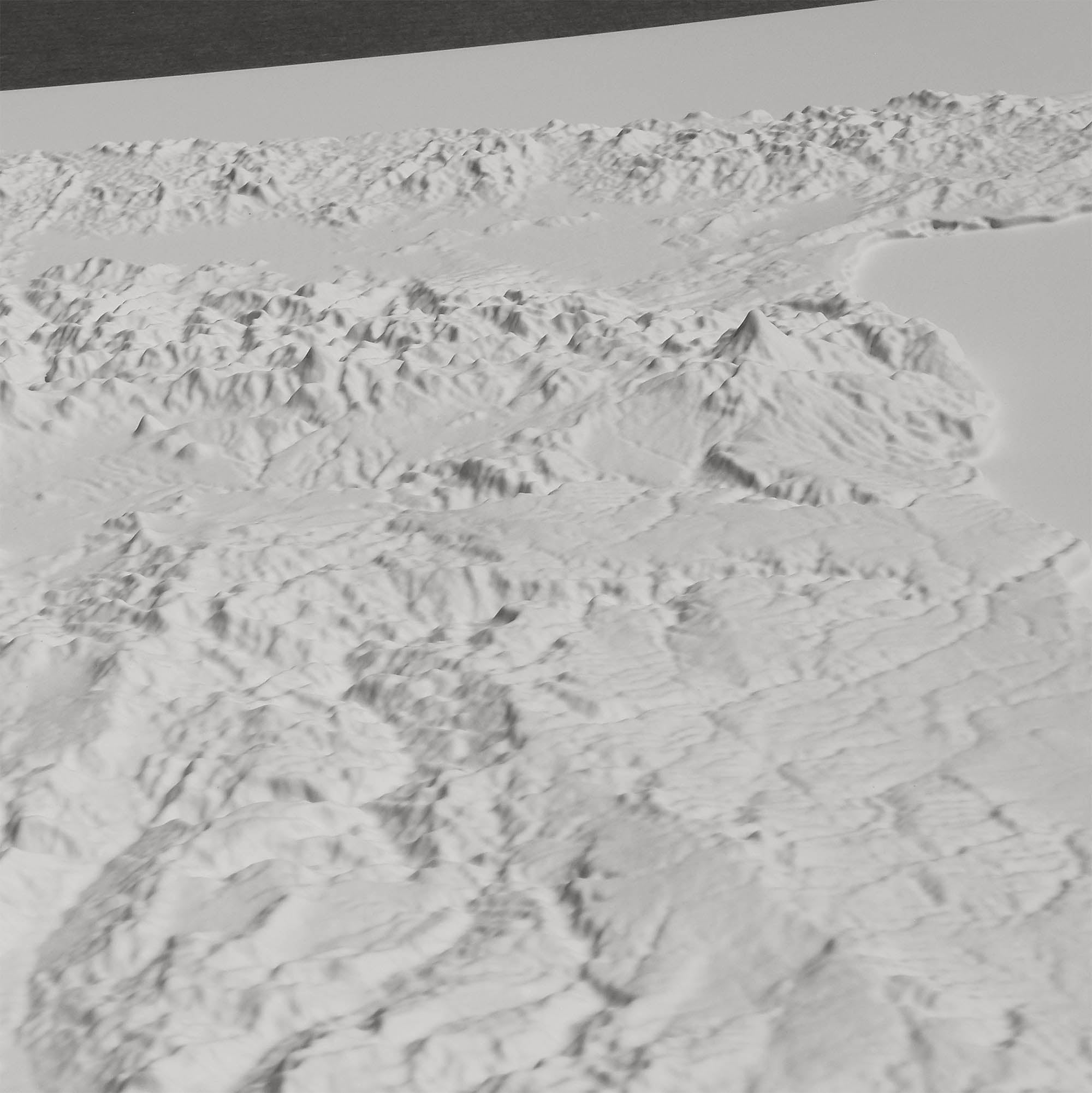
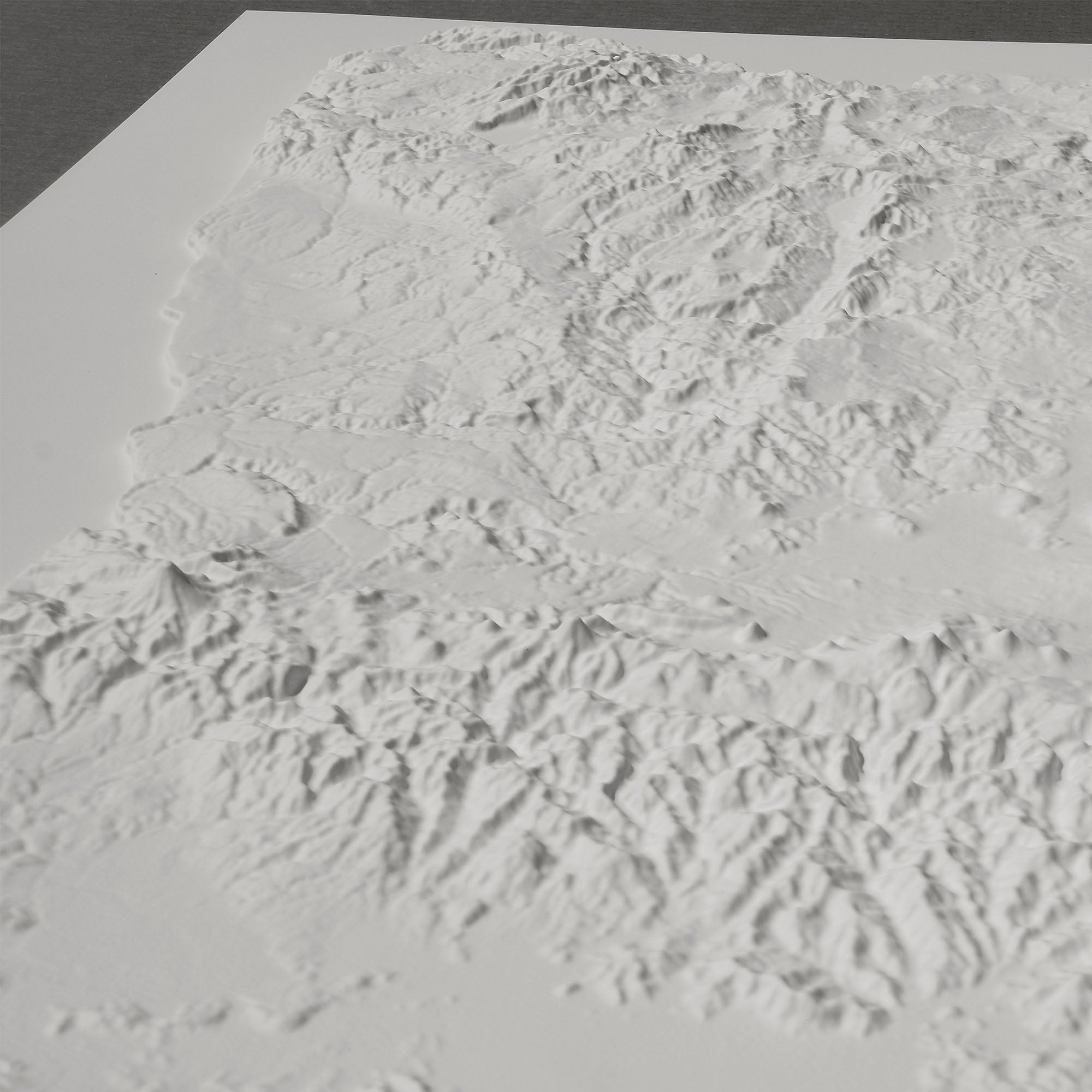
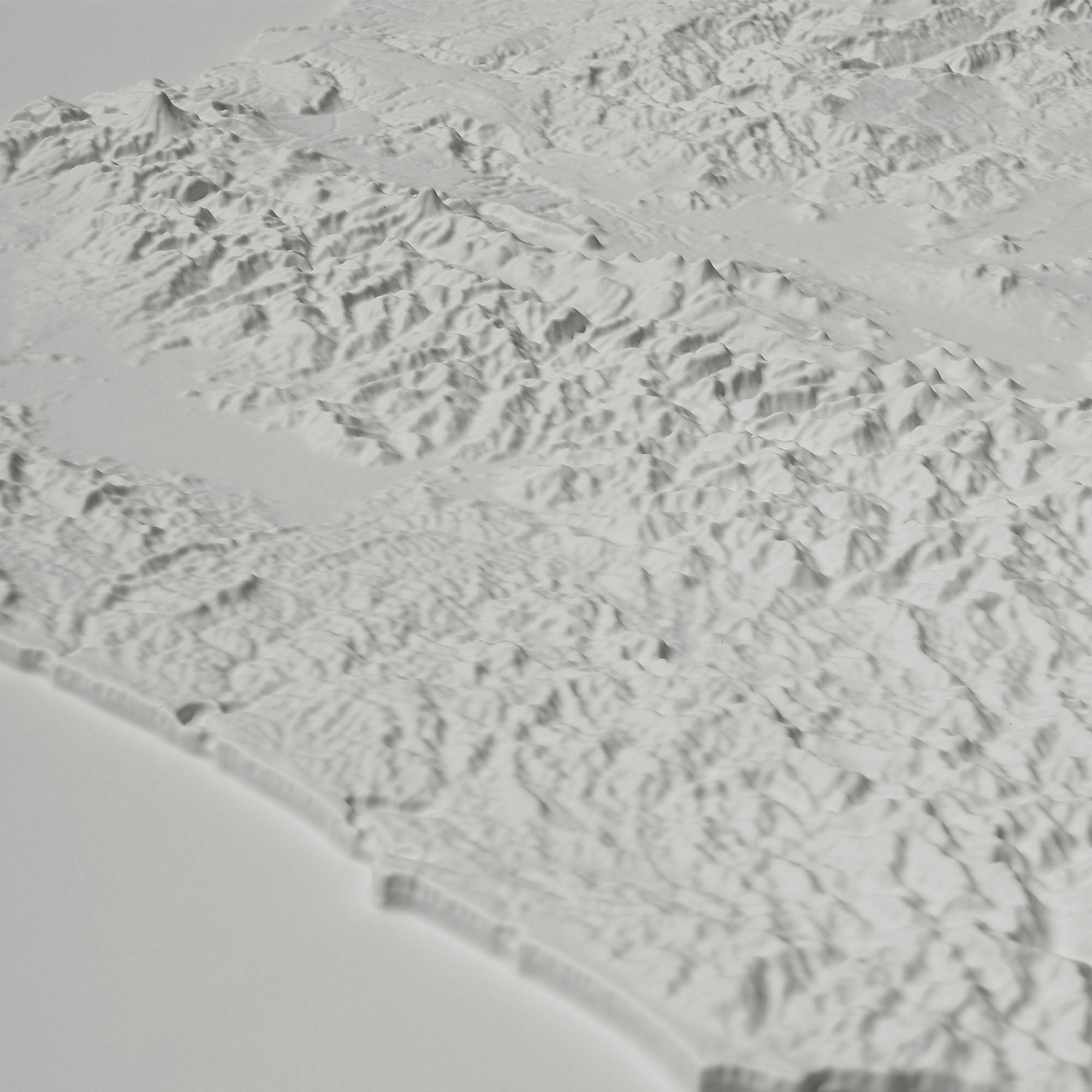
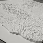
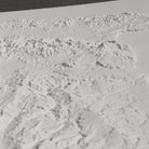
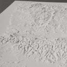
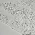
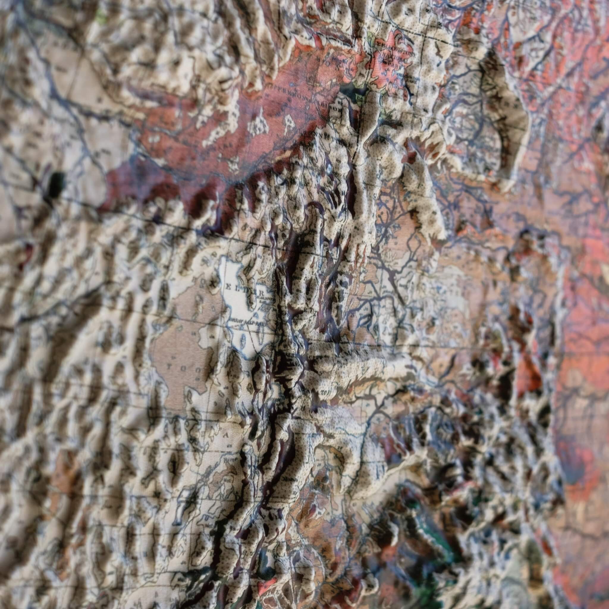
This Oregon 3D Raised Relief Map is a Muir Way original, heated and formed over a precisely sculpted 3D mold that captures the state's standout terrain — from 11,249-foot Mount Hood, the highest point in Oregon, to Crater Lake, formed in the collapsed caldera of ancient Mount Mazama and, at 1,949 feet, the deepest lake in the entire United States, out to the Columbia River Gorge and the Pacific coastline.
Each piece starts as a flat sheet of durable plastic, heated until pliable and vacuum-formed over a mold sculpted from modern digital elevation data. The result is a genuinely three-dimensional relief, with every peak, gorge, and caldera rendered in real, touchable height — not a flat print, but true raised topography.
There's no printed map here and no text — just bright white terrain, left unpainted so the landscape itself is the entire design. Set it near a window or lamp and angle it so the light rakes across the surface; the low-angle shadows are what bring out Mount Hood's slopes and the depth of the Crater Lake caldera.
Framed versions are built without glass or acrylic, so nothing comes between you and the terrain. Run your hand across the surface and you can actually feel Mount Hood's summit, the Columbia Gorge, and the rim of Crater Lake — real topography you can touch, not just look at.
- Size - unframed 33x25 inches
- Size - framed 34x26 inches
- White plastic mounted on foamboard
- Handmade real Walnut frame available
- Individually made in our San Diego, CA shop