










Reviewed by Blake S.
Verified Buyer
I recommend this product
Age Range
65+
I bought this
As a gift
Beautifully detailed
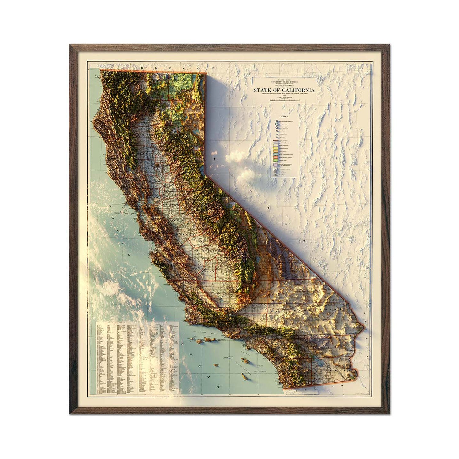
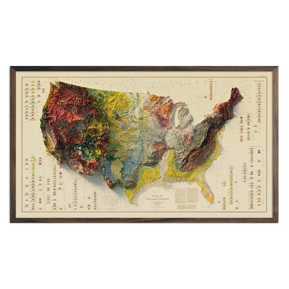
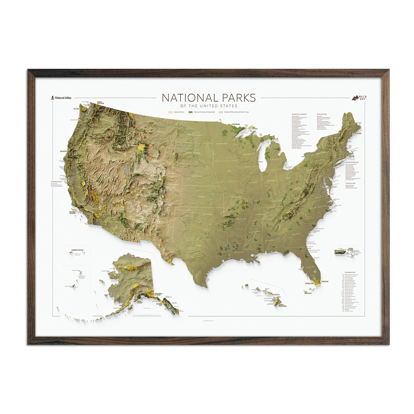
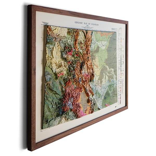
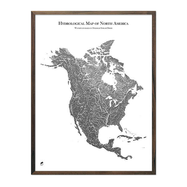
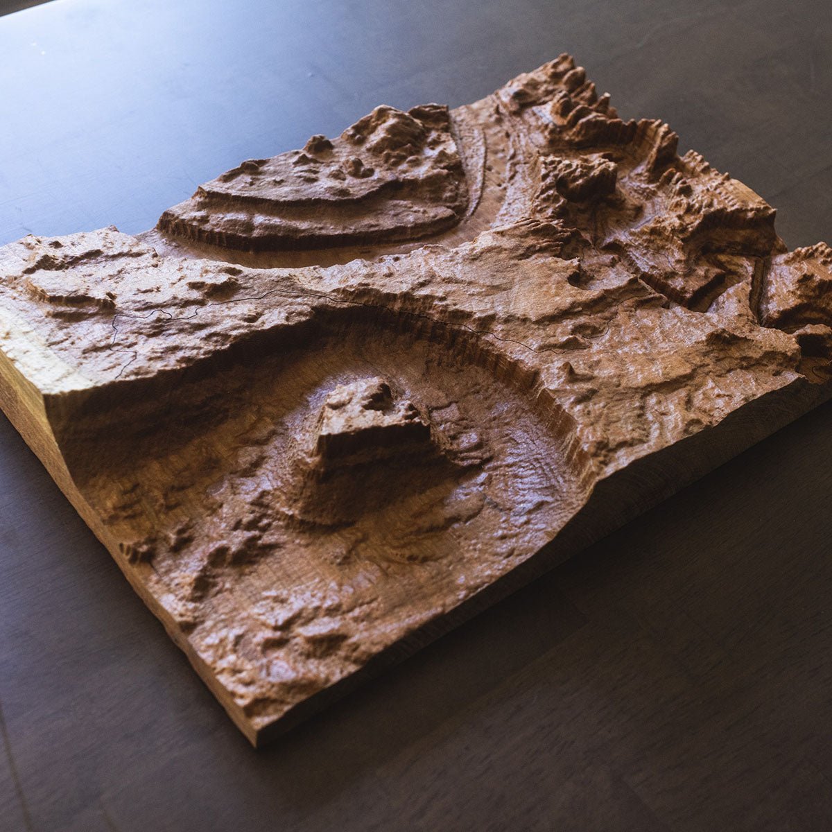
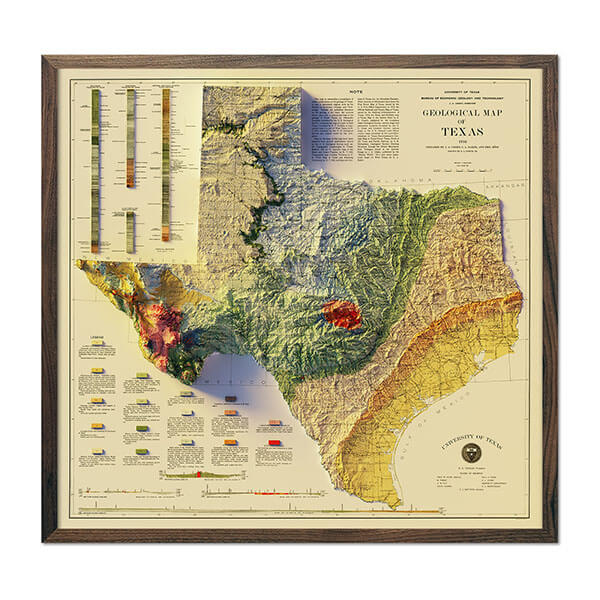
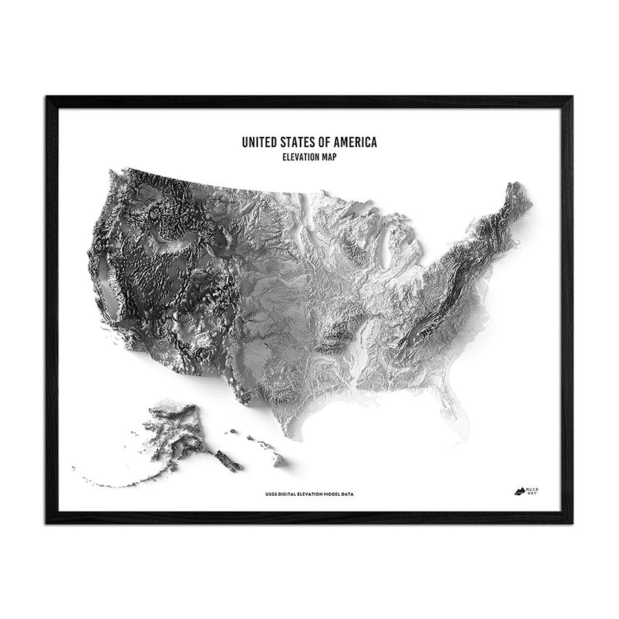
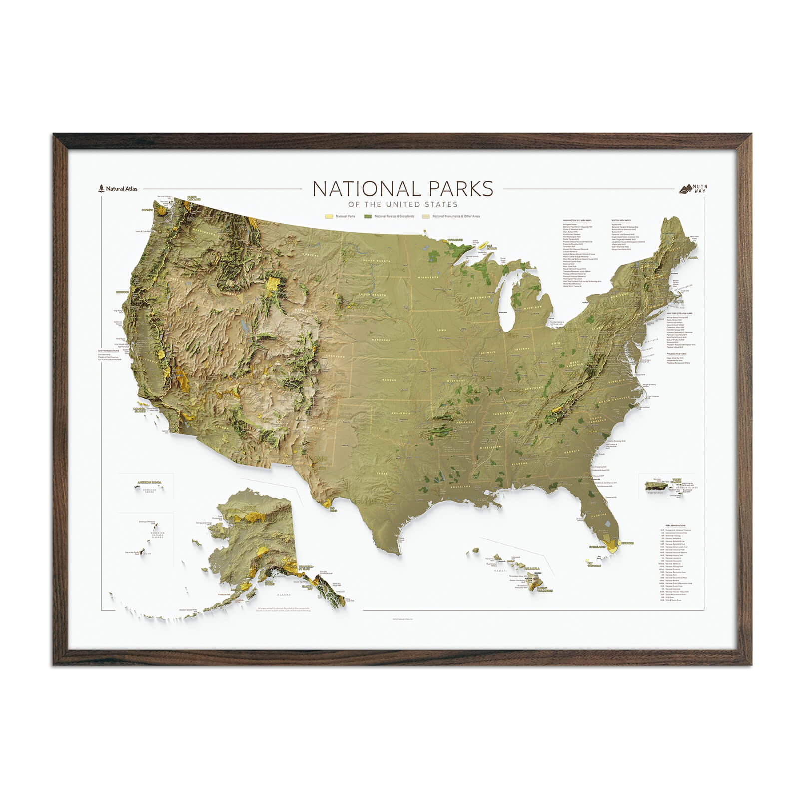
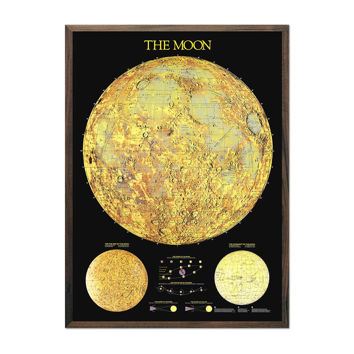
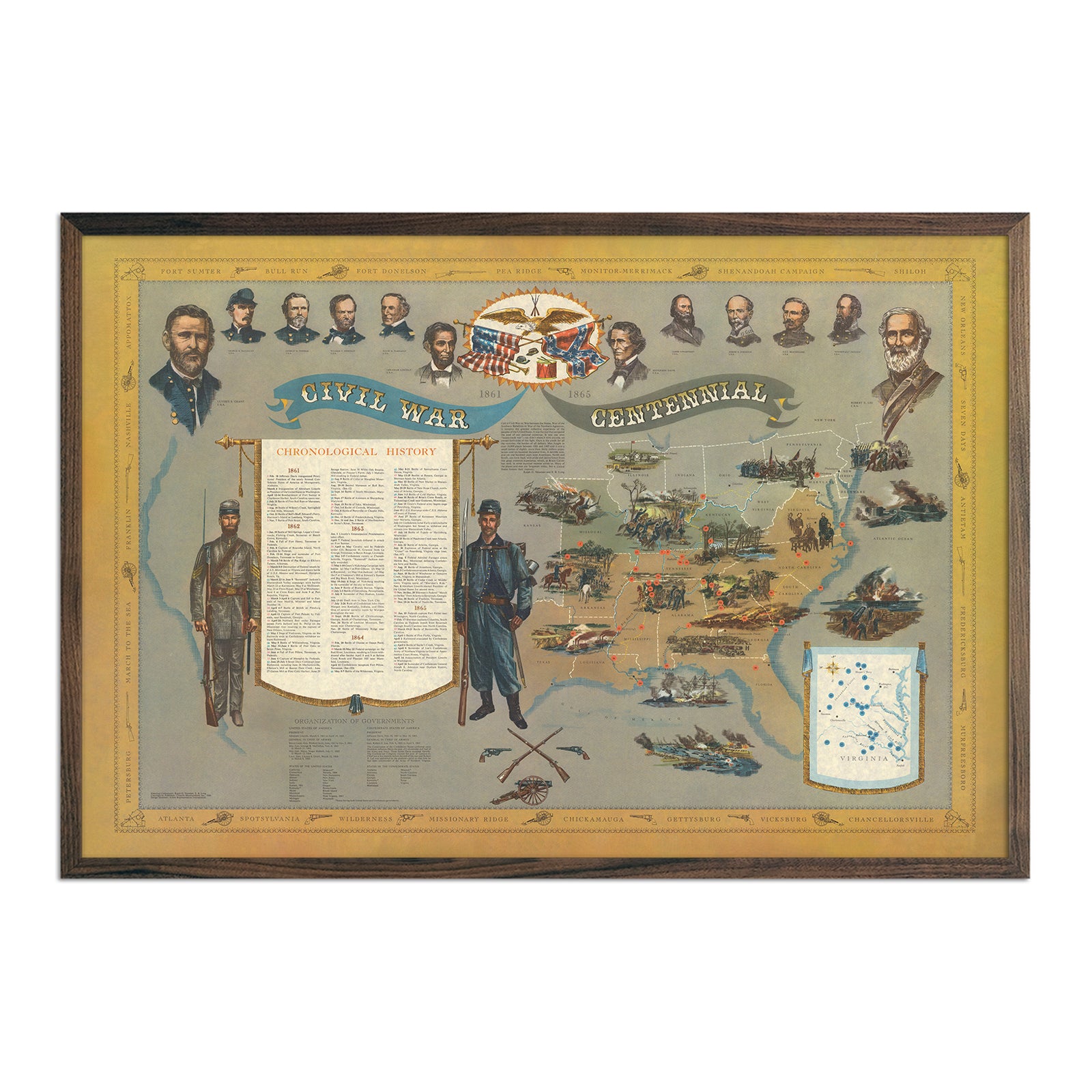
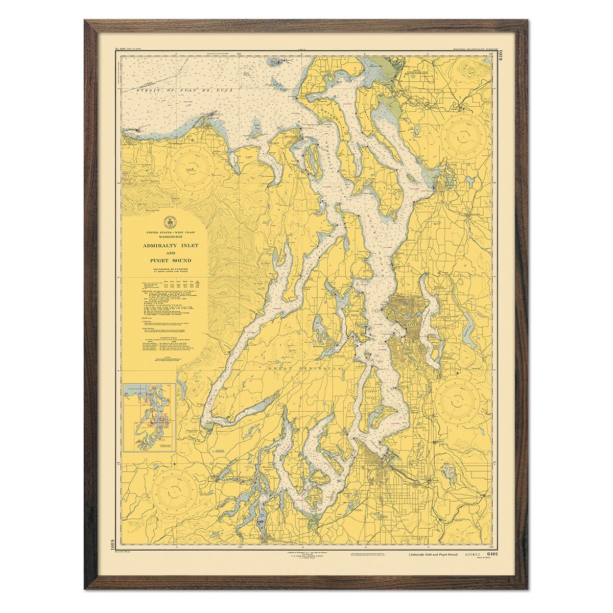
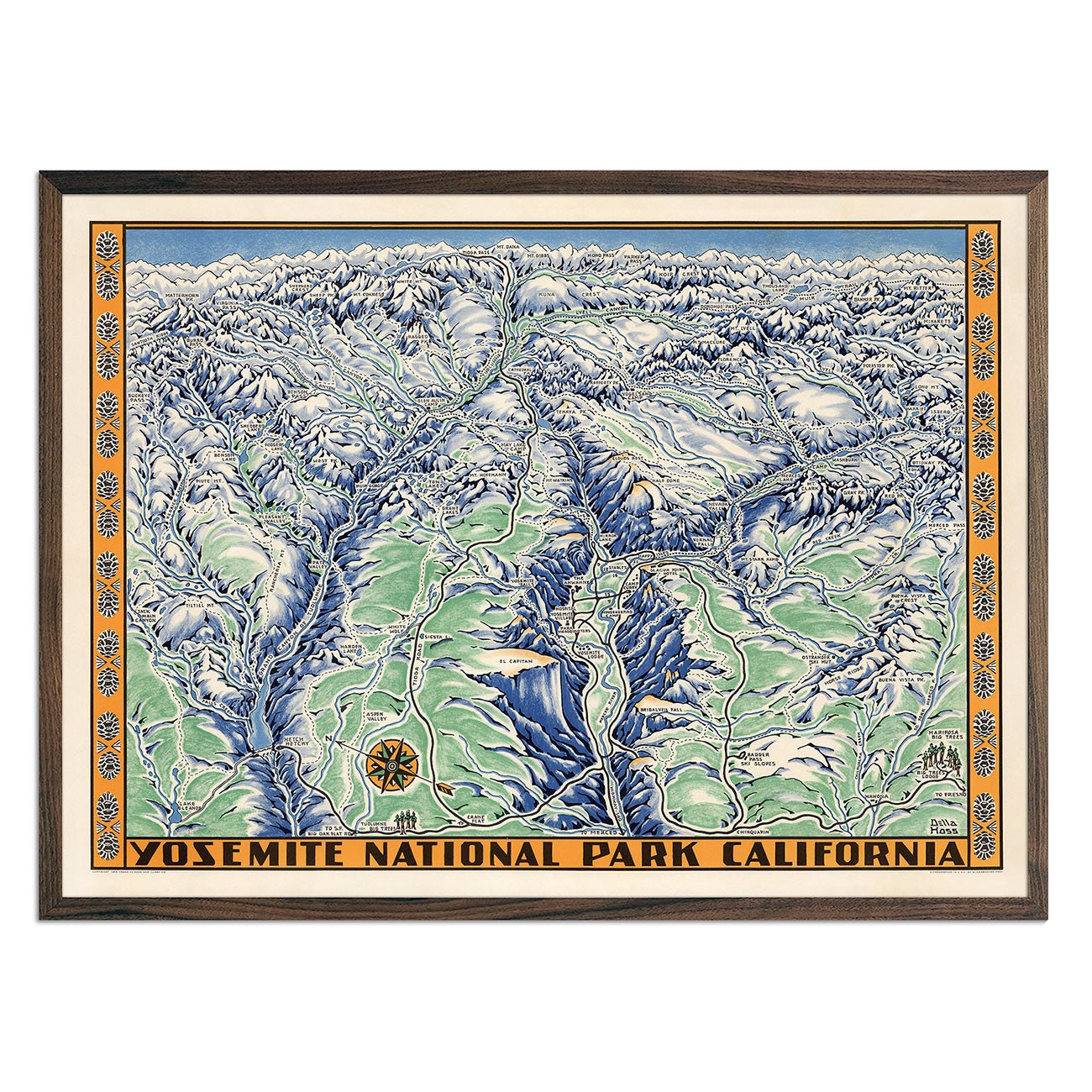
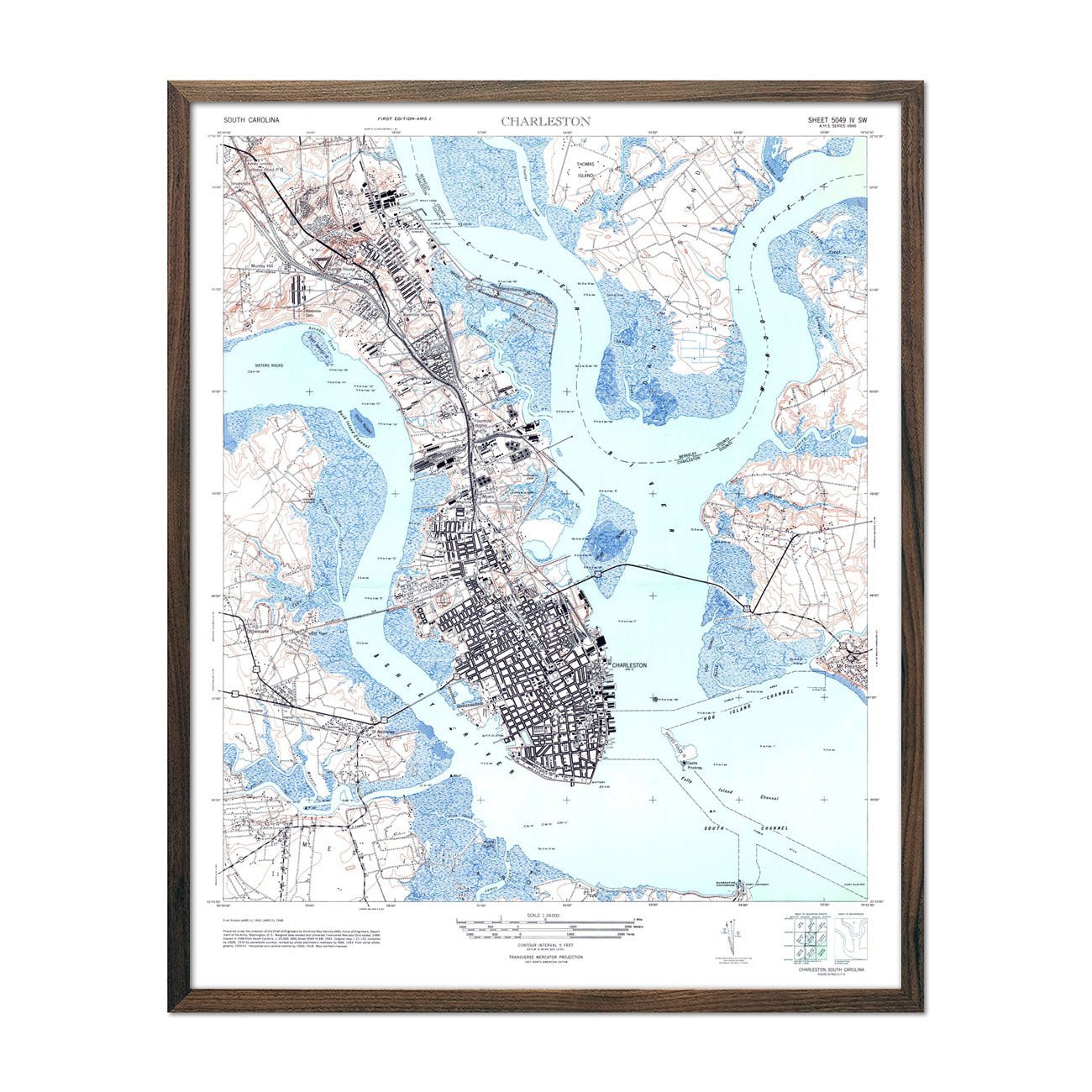
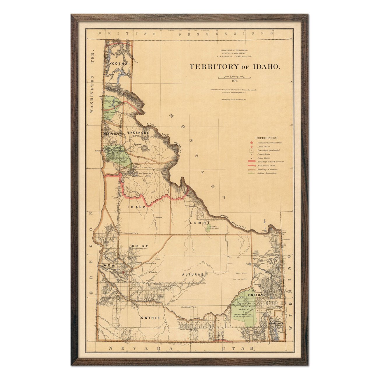
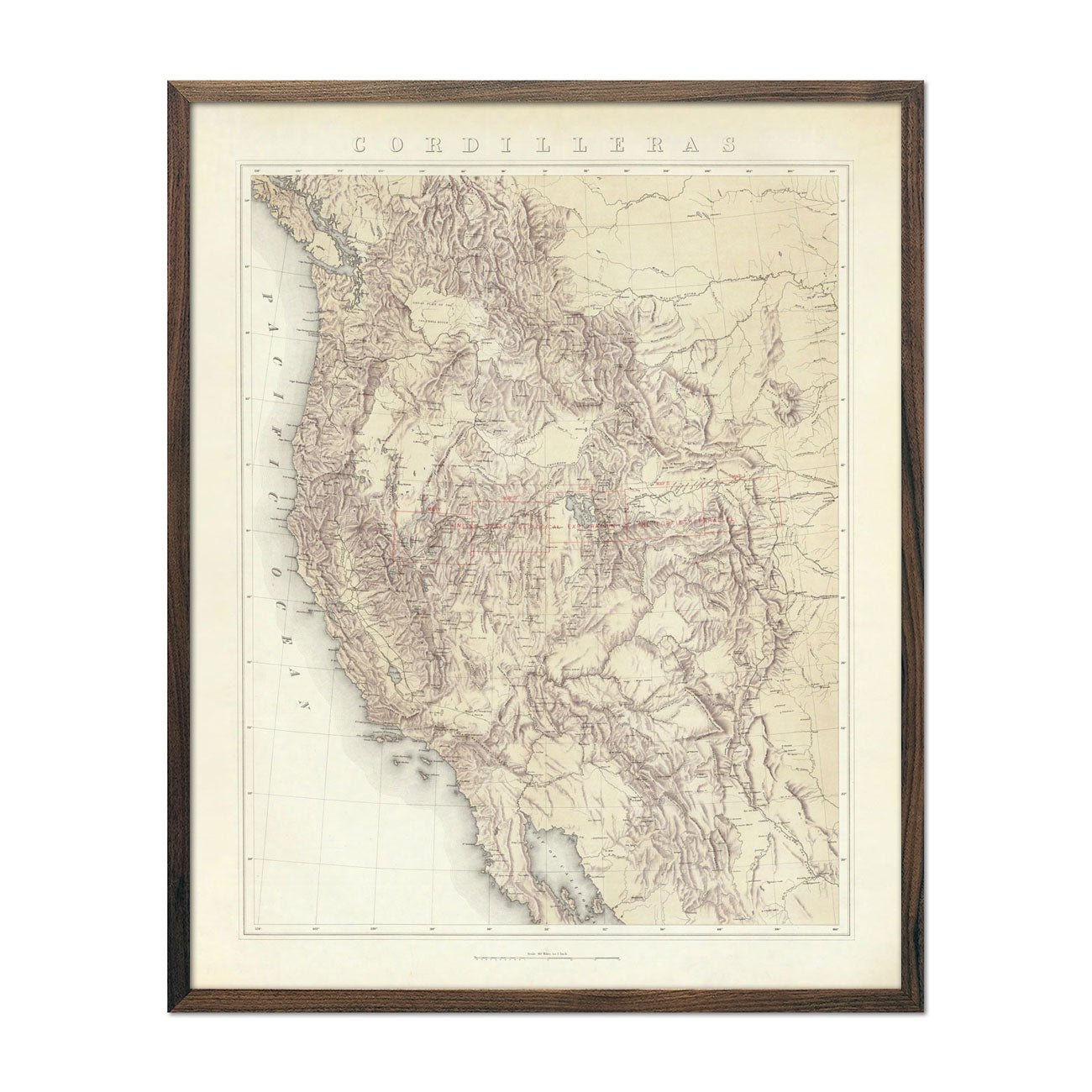
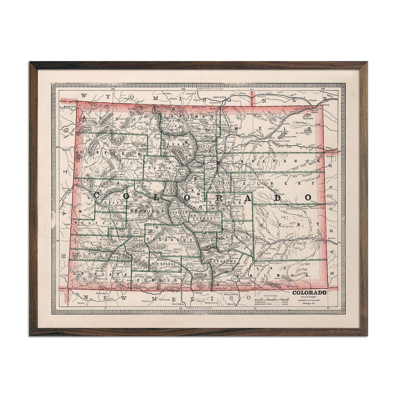
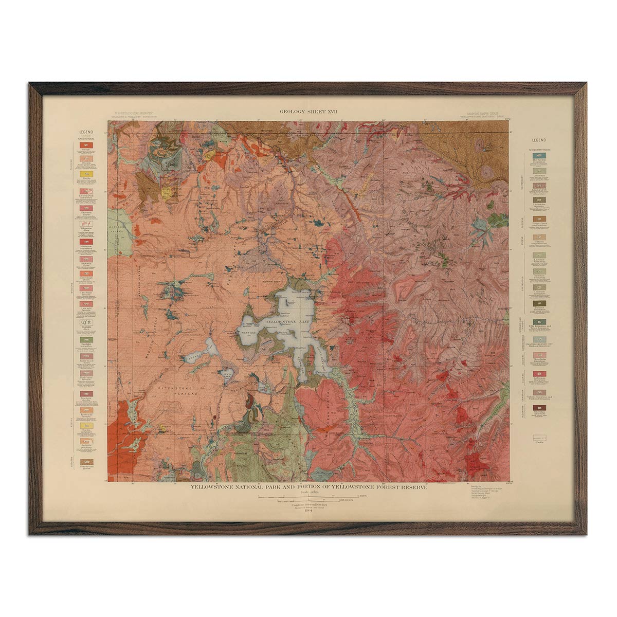
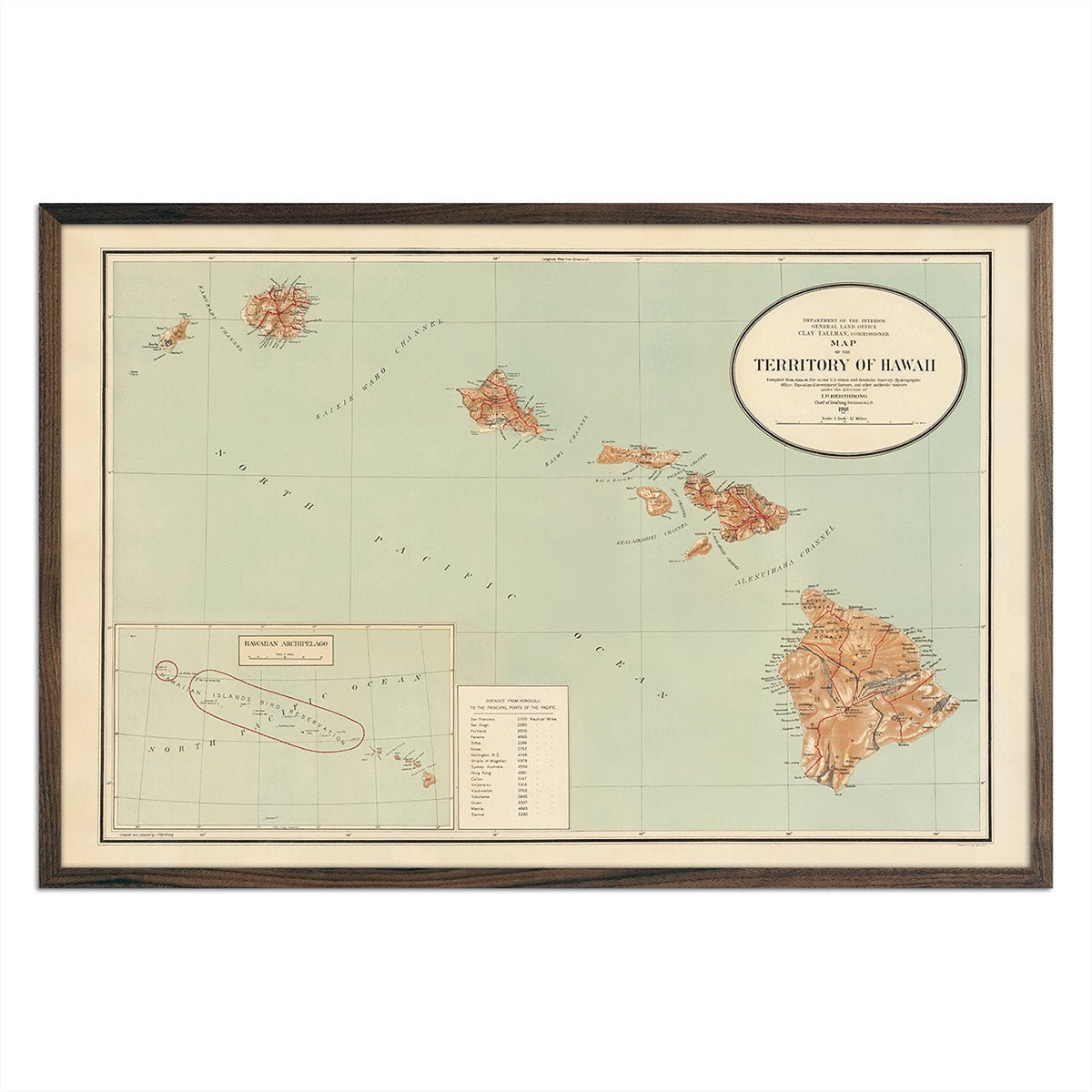
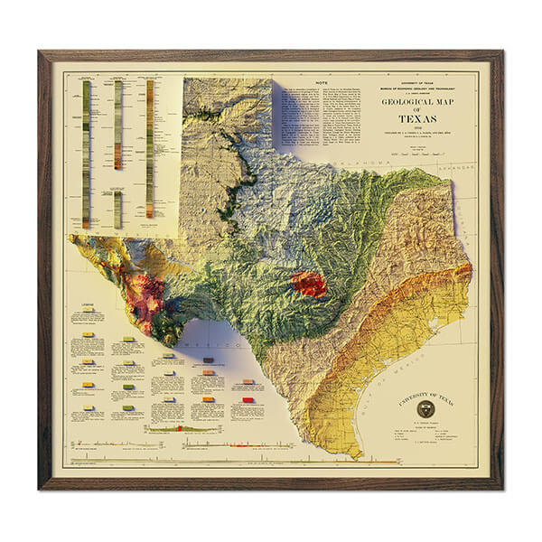
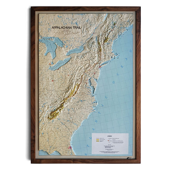
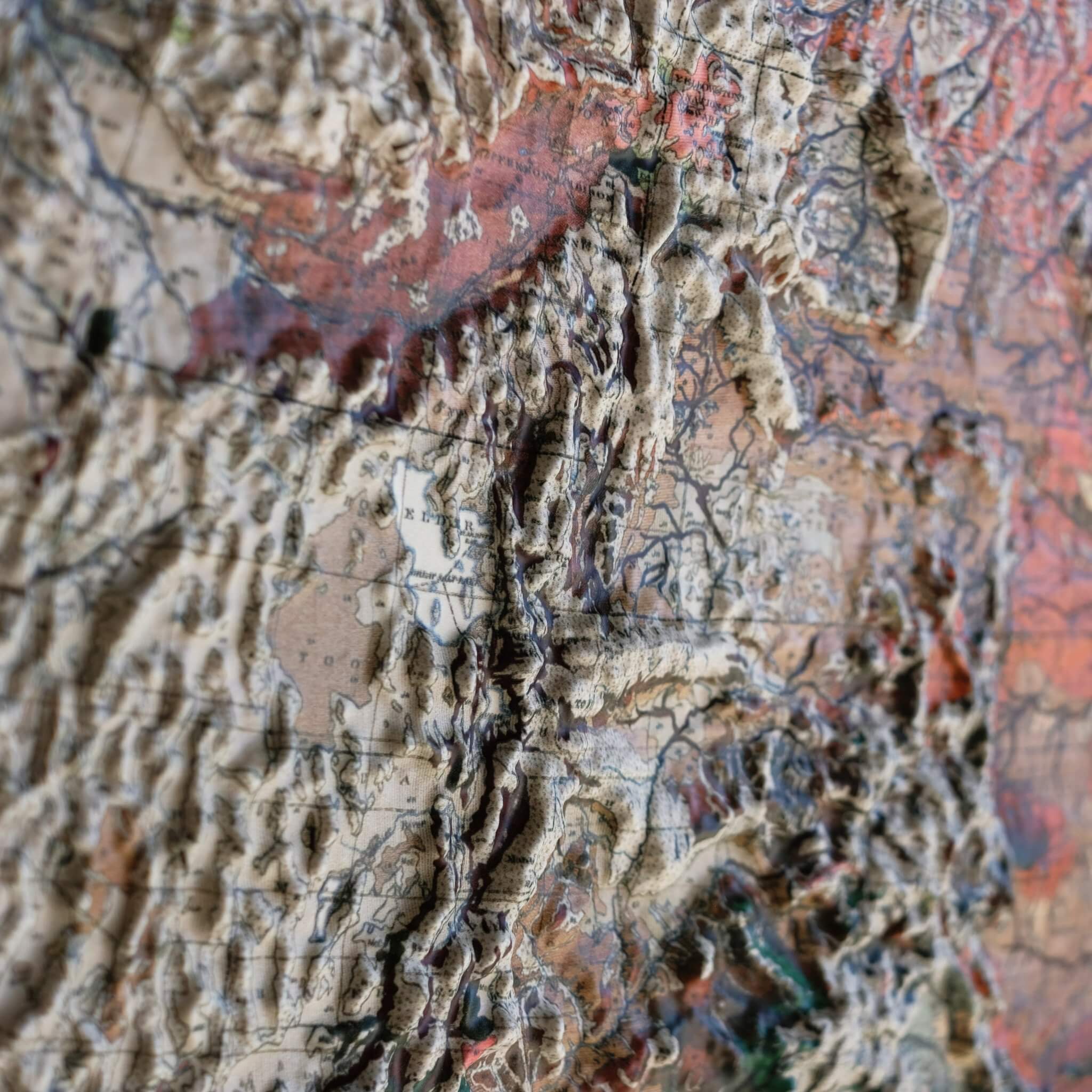
This map is magnificently detailed - so minute, however, that a very strong magnifying glass will be necessary to find all of the places we know and love so much in the state of North Carolina. The key information is nearly unreadable due to the tiny size of the lettering. The mountains and piedmont are richly detailed and the colors add to the overall beauty of the entire layout.
Loading...
| Map Quality & Detail |
Rated 5 out of 5
|
|---|---|
| Shipping & Customer Service |
Rated 5 out of 5
|
Was this helpful?

