
























































Reviewed by Kerry H.
Verified Buyer
I recommend this product
Age Range
65+
I bought this
As a gift
A Great Gift for my friends
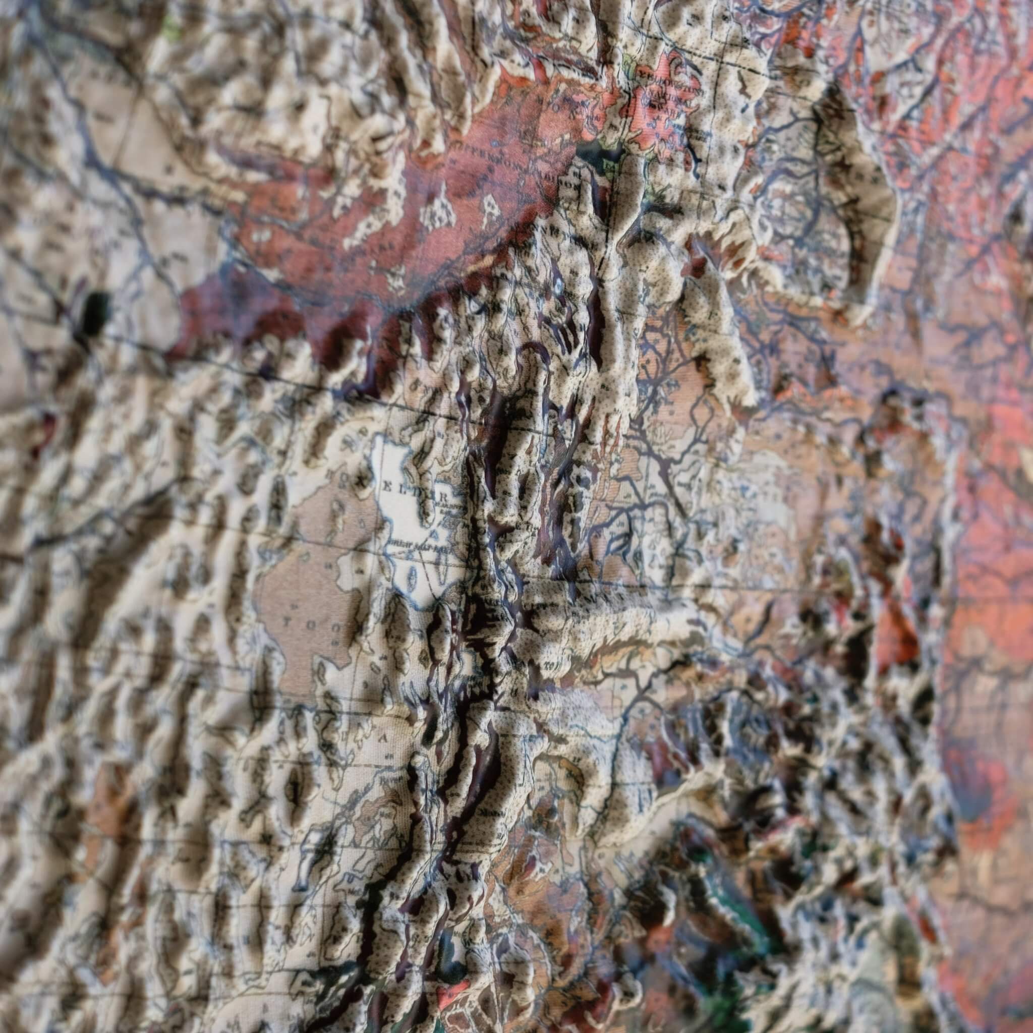
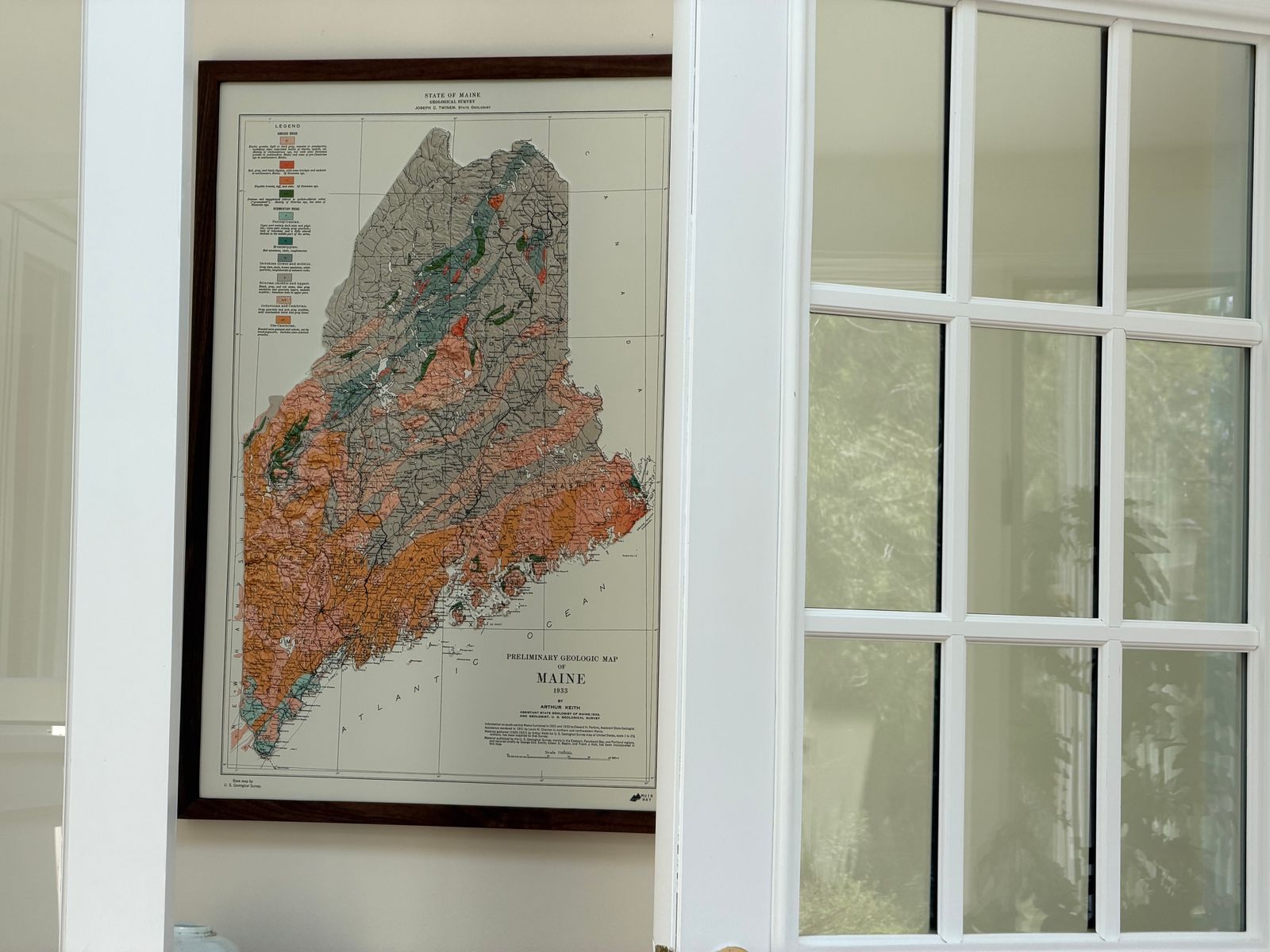
I bought this map with frame as a housewarming gift for my friends who live in Maine. It arrived a day before I got there for my visit with them. I have to thank Muir-way for accommodating my request to speed up the making and shipping of the map. My friends love the gift and I appreciate how good the map and frame looks. Thank you very much.
Loading...
| Map Quality & Detail |
Rated 5 out of 5
|
|---|---|
| Shipping & Customer Service |
Rated 5 out of 5
|
Was this helpful?