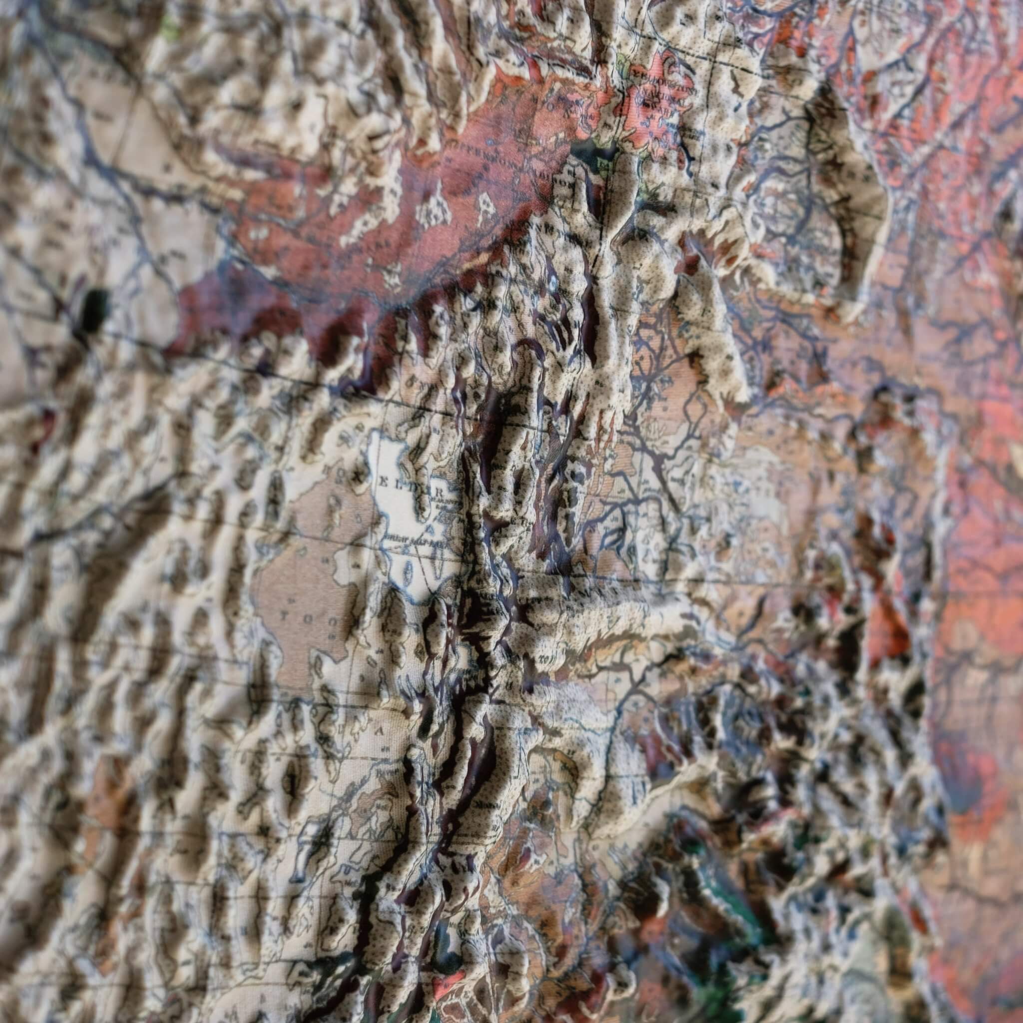
Real raised relief to explore through touch and feel.
- Size - unframed 22x32 inches
- Size - framed 23x33 inches
- Material - plastic mounted on foam board
- Handmade real Walnut frame available
- Individually made in our San Diego, CA shop
Iceland has long been called the land of fire and ice, and few places capture that better than Þingvellir, where the Alþingi — one of the world's oldest parliaments — first convened in 930 AD on a plain where two tectonic plates meet. This 1928 topographical map traces that same volcanic landscape, from massive glaciers to the lava flows that still shape the island today. Explore the terrain of Iceland in stunning 3D Raised Relief, an original creation from Muir Way. This unique map undergoes a meticulous process where it is georeferenced, printed, heated, and vacuum-formed over an intricately detailed 3D mold, so you can trace its glaciers and volcanoes by touch as well as by sight.
Framed maps do not have glass or acrylic over them, so you can touch the map and explore its intricacies.
PLEASE NOTE
You will love this map if you embrace its anomalies. When the plastic is heated and stretched over the 3D mold, the image may be altered, causing warped lines and text around higher elevations. The fine print on plastic is not as sharp as on paper, sometimes rendering very small text illegible.