


TOPO Series
Topographic Maps
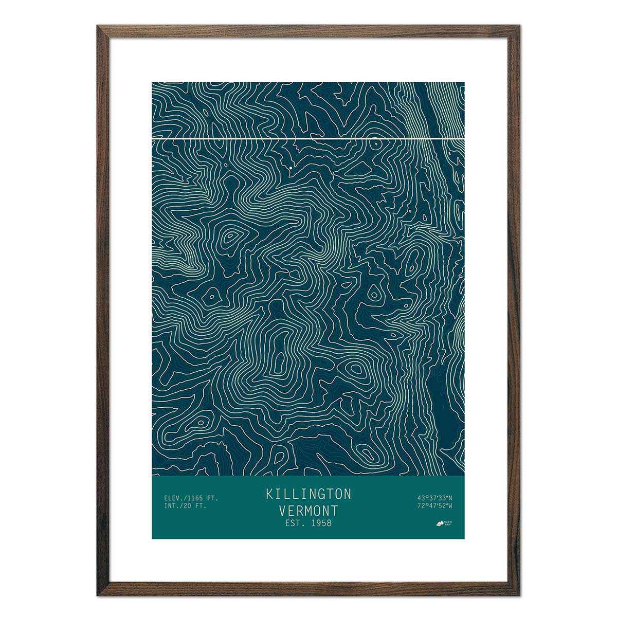
Our TOPO series was the second round of maps to be created at Muir Way. They are inspired by our founder’s love of winter skiing and the beautiful landscapes of our winter sports areas. This is a map series for ski and mountain enthusiasts, and cartography purists who love the clean beauty of contours on topographic maps and how they display landforms and mountain heights. This series has some of our best palette diversity, with a range of nine to choose from, making this true topographic map art. We use the gold standard of mapping data, the US Geological Survey (USGS), to create our map series collection.
What is a Topographic Map?
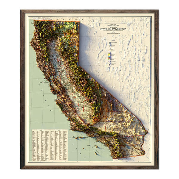
Webster defines a topographic map as being intermediate between a general map and a plan on a scale large enough to show roads, plans of towns, and contour lines. In other words, it is often viewed as the most detailed, all-purpose map that is detailed enough to discern small geographic features and visualize slopes, summits, streams, and buildings, but it is also general enough to cover larger areas and compact enough to be of daily use. Our topographic maps take this all to another level of map artwork, by streamlining design elements, deemphasizing text, and creating a compelling color palate.
What is Topography Art?
Topographic map art is the accurate, yet stylized interpretation of real, US Geological Survey (USGS) mapping data - particularly data pertaining to elevation and landforms. Our topographic maps, or TOPO Series, streamlines design elements, deemphasizes text, and uses an attractive color palette. We offer an array of contour maps or our most beloved ski areas and areas of natural beauty to create a classy work of map art.
What are the 6 Rules of Topographic Maps?
- Contour lines are areas of equal elevation and the closer they are, the steeper the slope.
- Contour lines never cross or split; they may however touch in the case of a vertical cliff.
- Contour lines forming a downslope “V” indicate a river-cut valley with the v-shape pointing upstream; an inverse “V” indicates a ridge.
- Contour lines can form a “U” shape, this indicates glacial-cut landforms.
- Depression contours depict a closed basin of inward drainage using hachure marks.
- Given a large enough map, contours will always form a closed shape.
How do you Read Topographic Maps?
Topographic Map Legend and Symbols - TopoZone
Reading a topographic map is knowing your colors.
- Brown lines – contours (note that intervals vary and indicate height above sea level)
- Black lines – roads, railroads, trails, and boundaries
- Red lines – arterial (major) roads & survey lines (township, range, and section lines)
- Blue areas – streams and solid is for larger bodies of water
- Green areas – vegetation, typically trees or dense foliage
- Pink or light gray areas – cities and dense buildings (“built-up areas”)
What Type of Map Would you Use to Find the Elevation of Mountain Ranges?
Topographic maps are ideal for determining the elevation of any point on the earth’s surface to within a level of accuracy indicated by the contour interval. Precise ppot heights, or the elevations of points on a map, are also indicated; these are verified by land surveys and sometimes satellite. The highest points or peaks in any given area are accurately annotated on a topographic map to within feet or fractions of a foot (meter or fractions of a meter).
What Are the Most Popular Topographic Maps?
- Jackson Hole, Wyoming
The topographic maps we create for our TOPO Series are forms of topographic art. They stylishly immortalize the memory of your favorite Teton mountain slopes and Wyoming winter sport getaways. We use US Geological Survey (USGS) data to create these elegantly streamlined contour maps in various color palettes. - Steamboat, Colorado
The topographic maps we create for our TOPO Series are forms of topographic art. They stylishly immortalize the memory of your favorite Rocky Mountain slopes and Colorado winter sport getaways. We use US Geological Survey (USGS) data to create these elegantly streamlined contour maps in various color palettes. -
Breckenridge, Colorado
The topographic maps we create for our TOPO Series are forms of topographic art. They stylishly immortalize the memory of your favorite central Rocky Mountain slopes and Colorado winter sport getaways. We use US Geological Survey (USGS) data to create these elegantly streamlined contour maps in various color palettes.
- Alta, Utah
The topographic maps we create for our TOPO Series are forms of topographic art. They stylishly immortalize the memory of your favorite Wasatch Mountain slopes and Utah winter sport getaways. We use US Geological Survey (USGS) data to create these elegantly streamlined contour maps in various color palettes.


