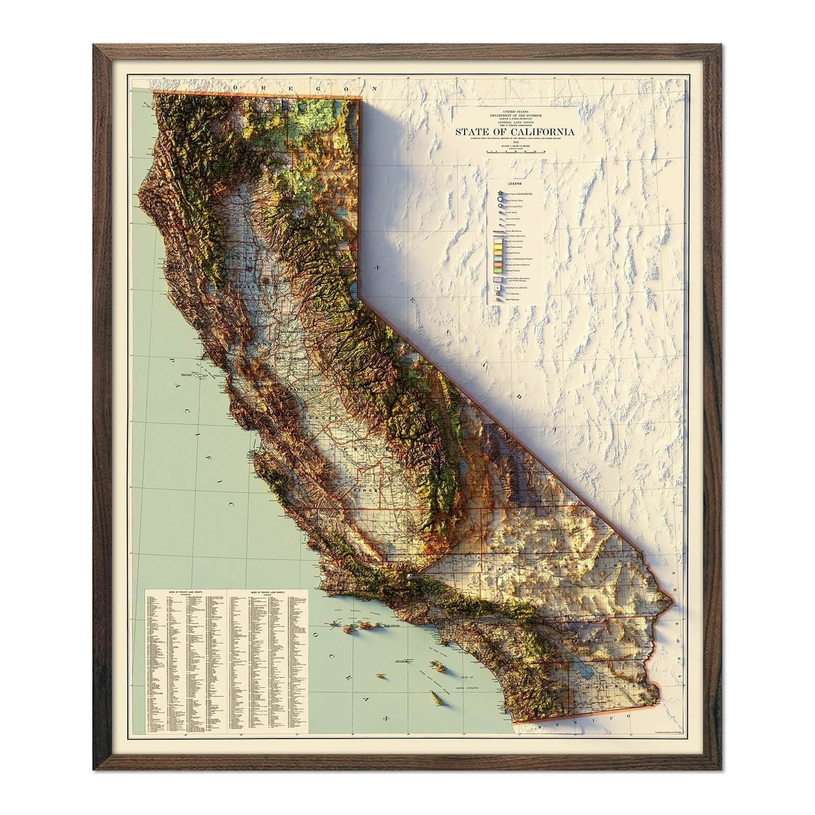
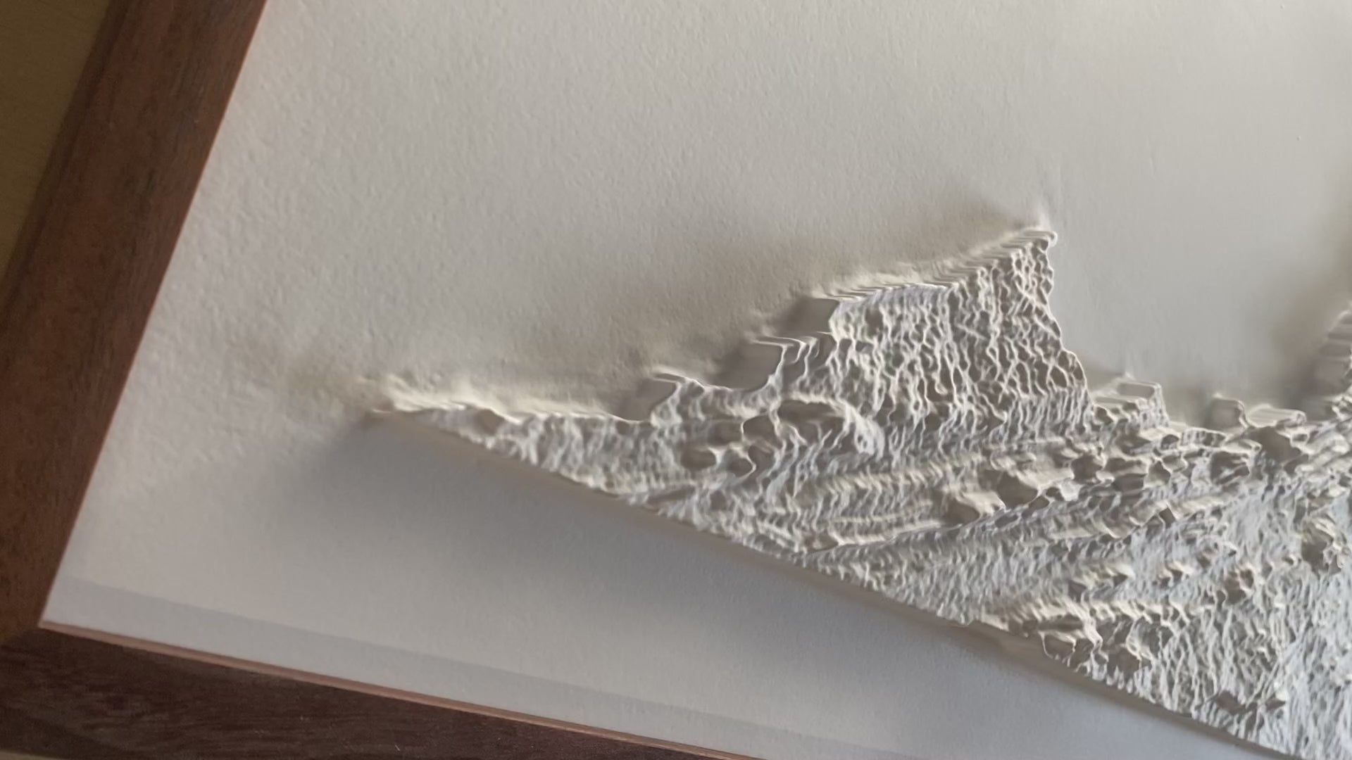
A Muir Way original, our 3D Raised Relief Map of Virginia shows with intricate detail the topography of the state. Formed by heating highly formable plastic over a 3D mold, you can see and feel the terrain of the state from the Coastal Plains in the east to the Appalachians in the west. Using cutting-edge techniques, we believe our 3D plastic raised relief maps are by far, the highest quality and most finely detailed of their kind ever created.
Simplicity at its finest, the map is completely white with no print or text on it to enhance the visibility of the complex terrain. It is best observed near a light or window to increase the shadows. The angle and brightness of the light will determine the intensity of shadows produced on the map.
Framed maps do not have glass or acrylic over them so you can touch the map and explore its intricacies.
- Size - unframed 34x16 inches
- Size - framed 35x17 inches
- White plastic mounted on foamboard
- Handmade real Walnut frame available
- Individually made in our San Diego, CA shop


