FREE SHIPPING on orders to the contiguous US over $49 with UPS ground or USPS to PO Boxes.
Holiday Fulfillment & Shipping
- During the holiday season, production and carrier networks experience delays.
- Orders may take a few days longer to ship and arrive than our standard estimates.
- Need it by a specific date? Please order early and let us know at info@muir-way.com.
- We’ll send tracking as soon as your order ships.
Order cutoff dates for Christmas delivery:

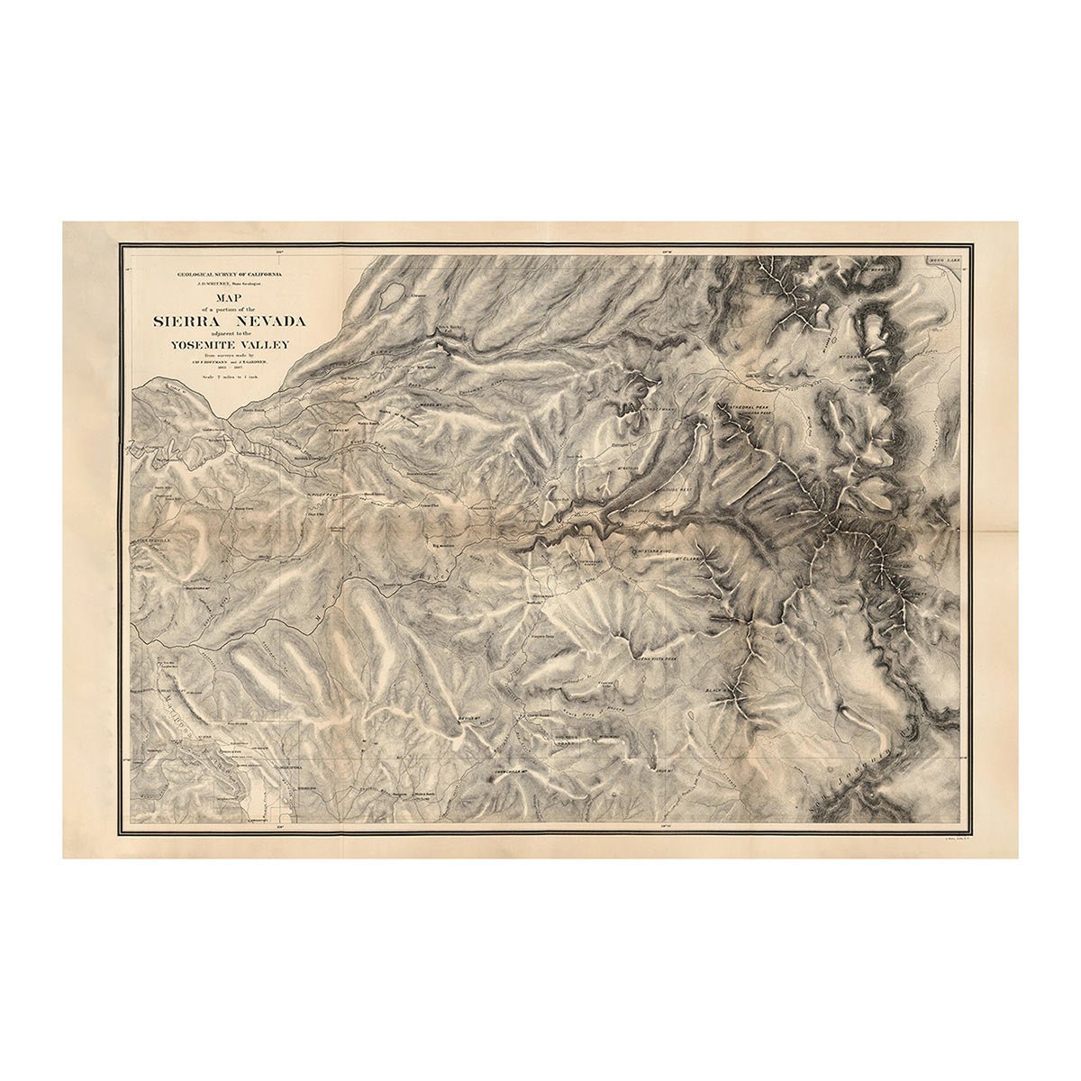
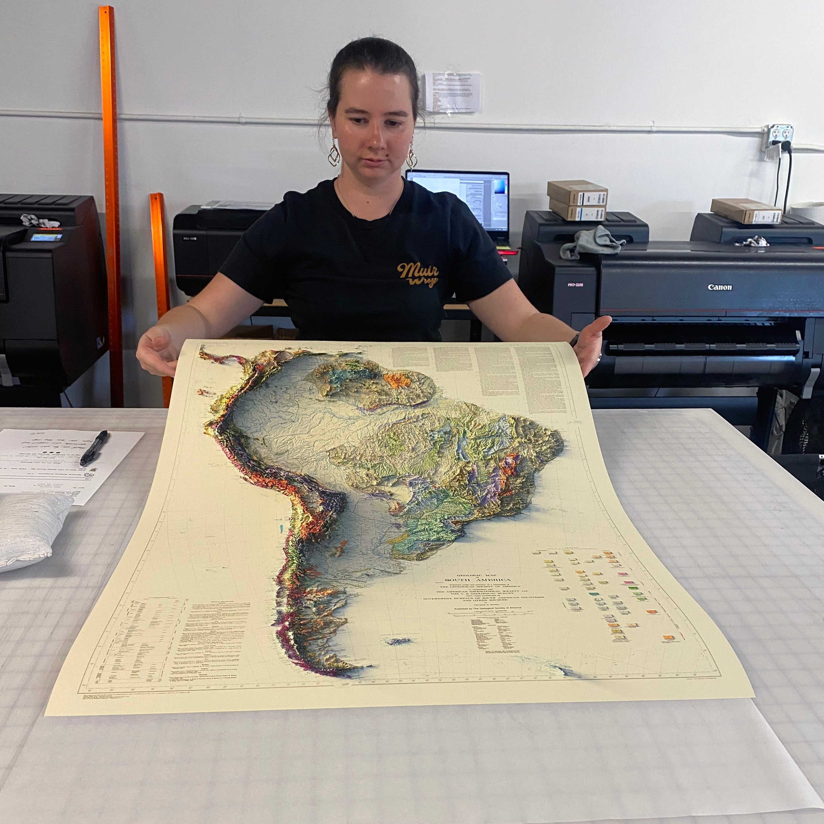
Unframed prints - Printed to order and shipped within 5-7 business days
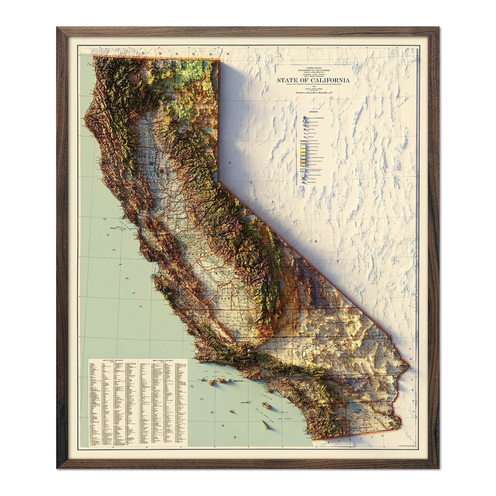
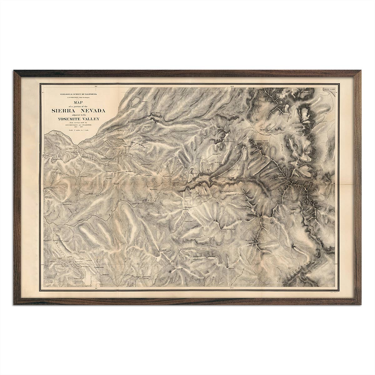
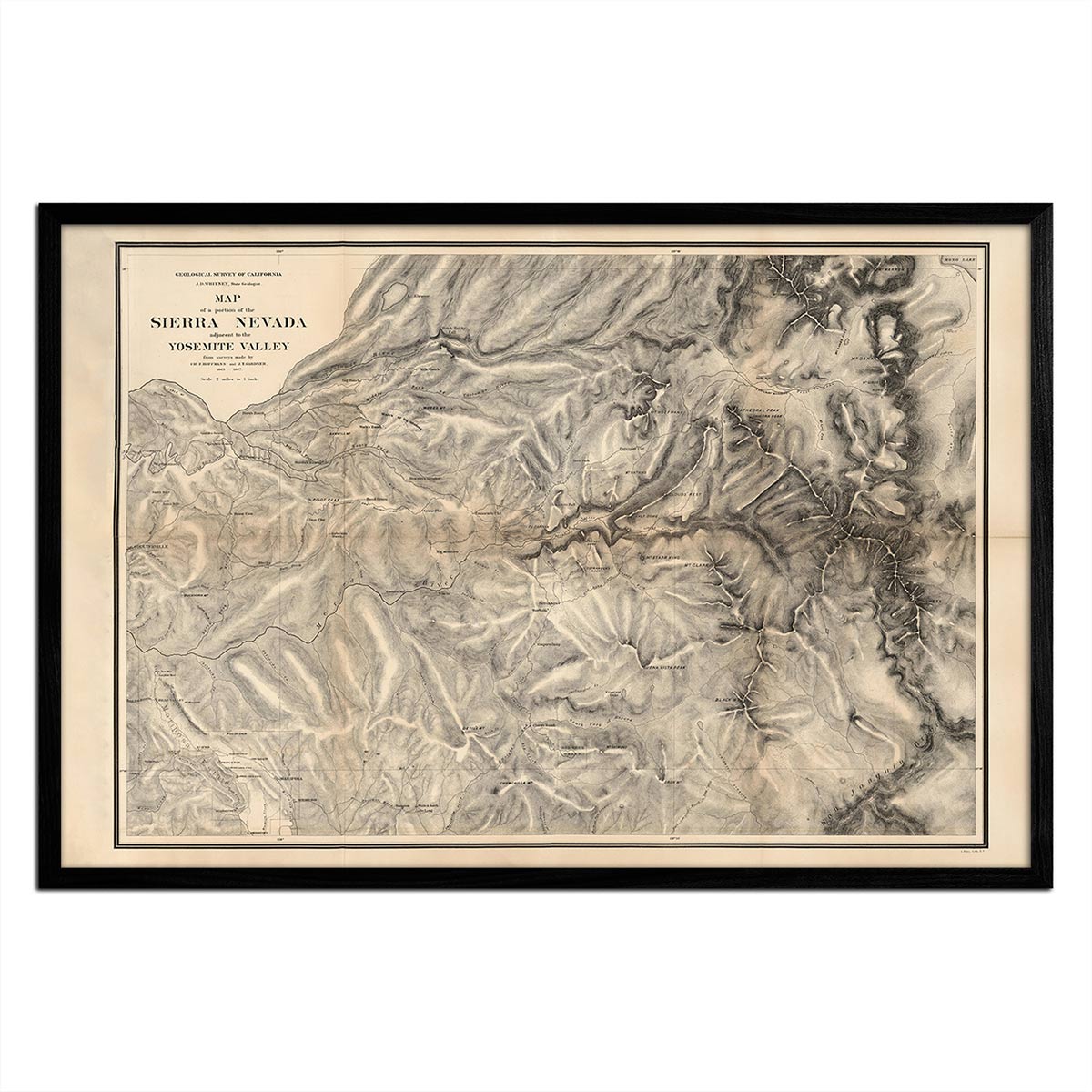
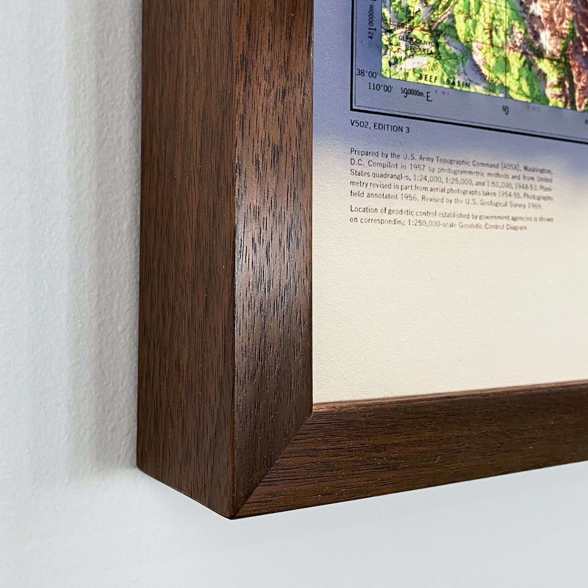
Framed prints - Custom framed and will ship in 3-4 weeks
Full refund on returns of unframed paper prints within 30 days of purchase. Prints must be returned in NEW condition without creases or damage. Please email us at info@muir-way.com for instructions.
If prints are shipped back to us and are not in new condition, we offer a store credit or can return them to you.
We do NOT ACCEPT returns or exchanges on framed prints or canvas wraps because they are made to order.
Click HERE for more information on shipping and returns.


