


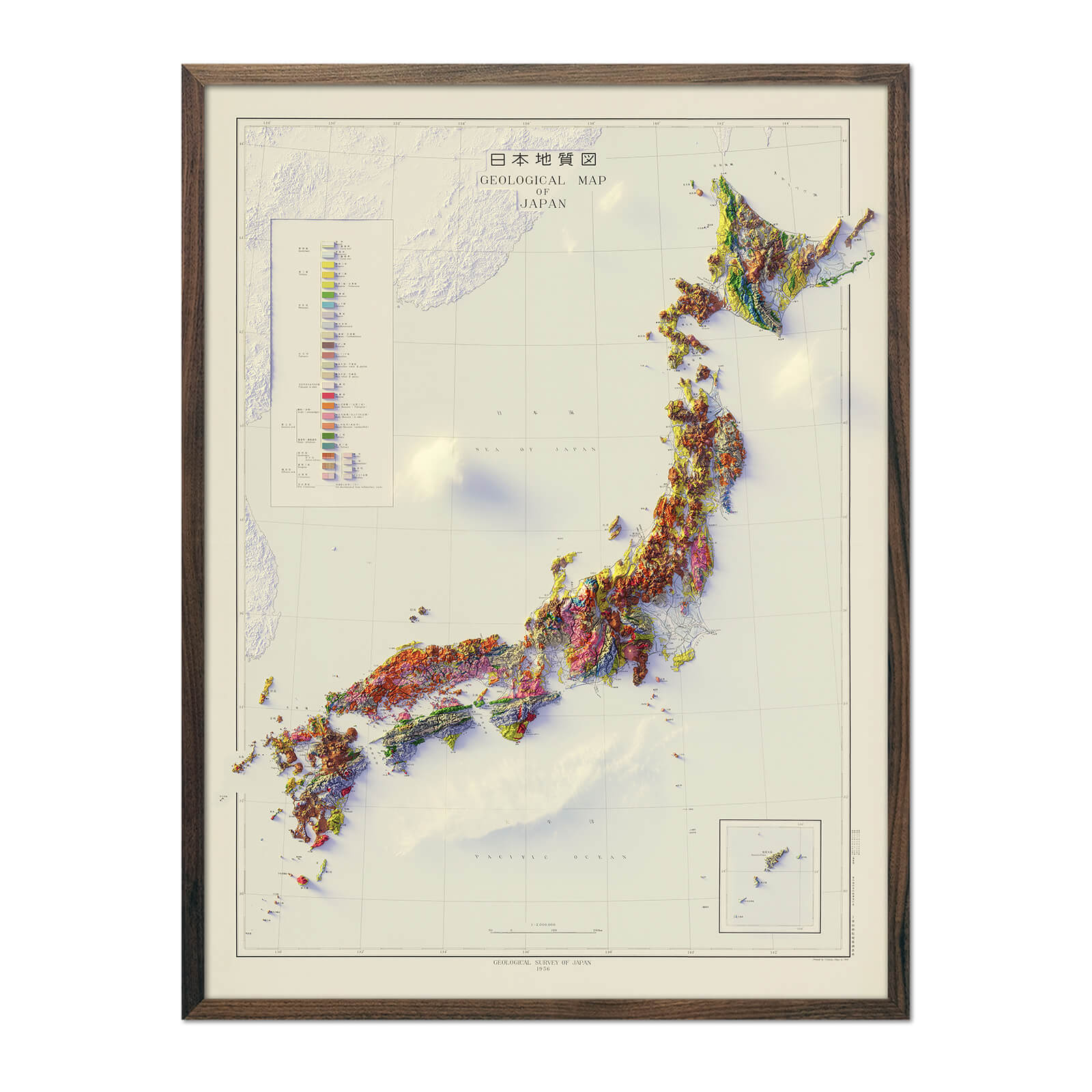
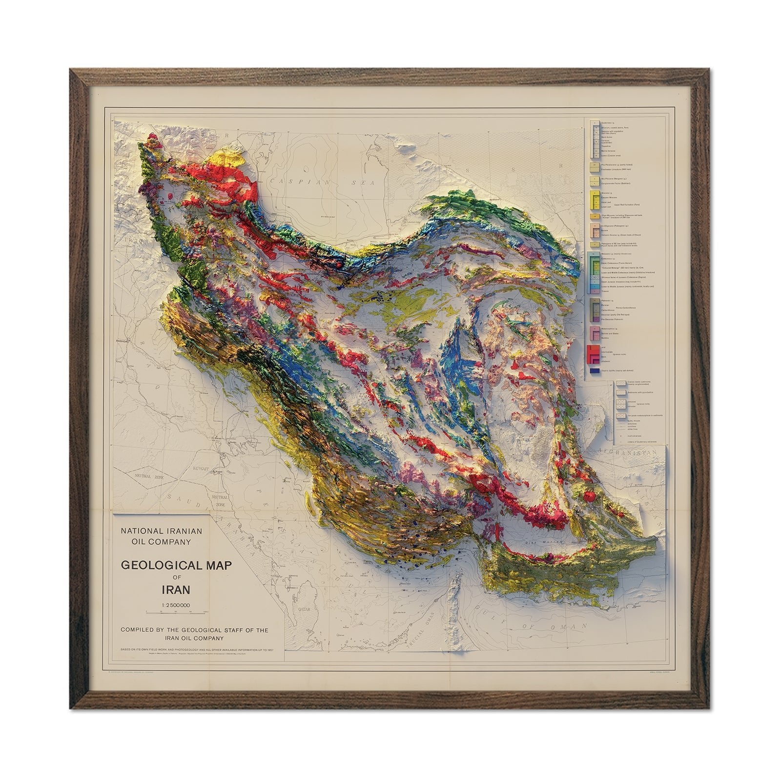
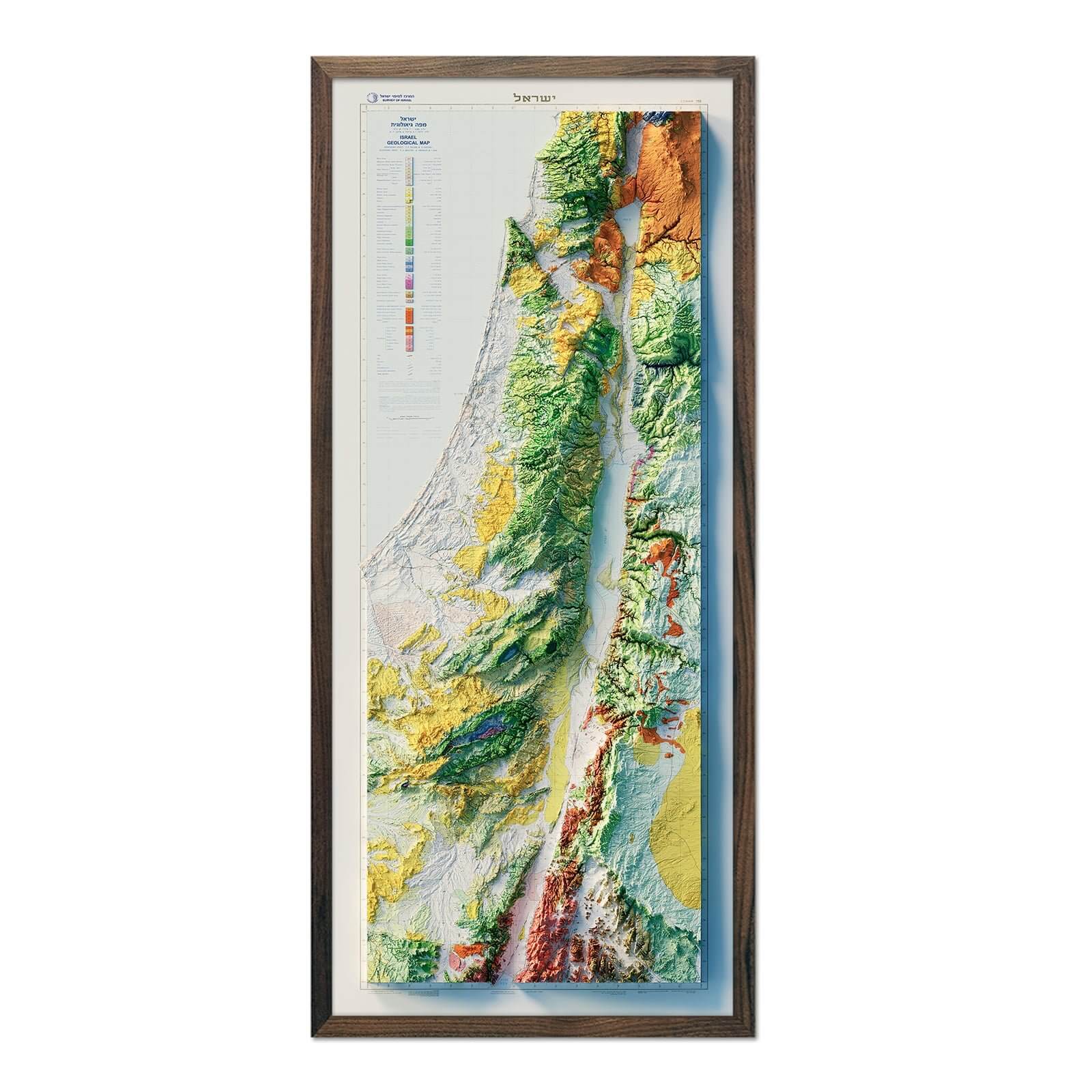
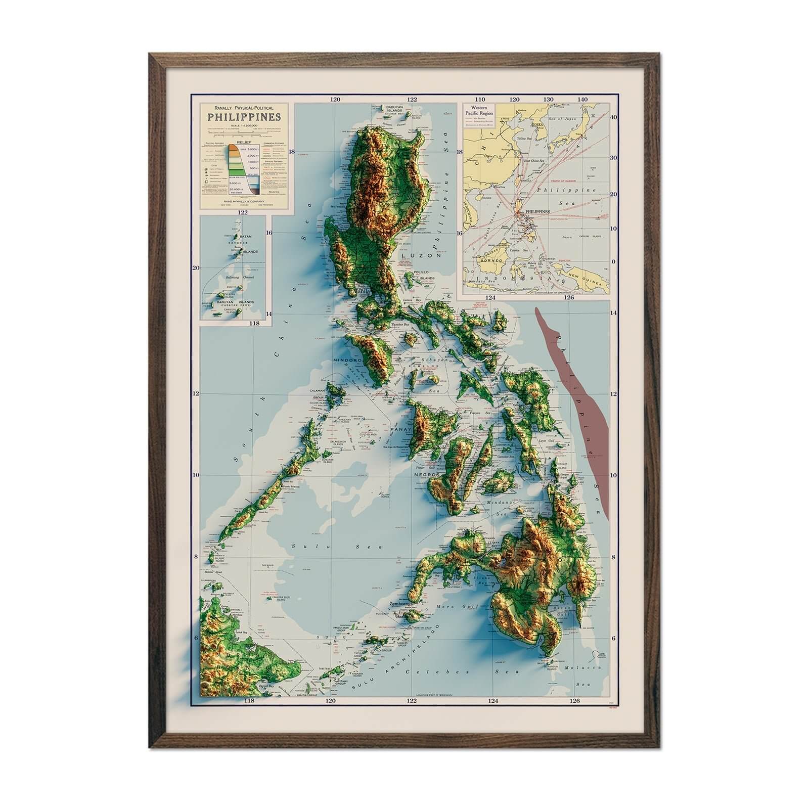
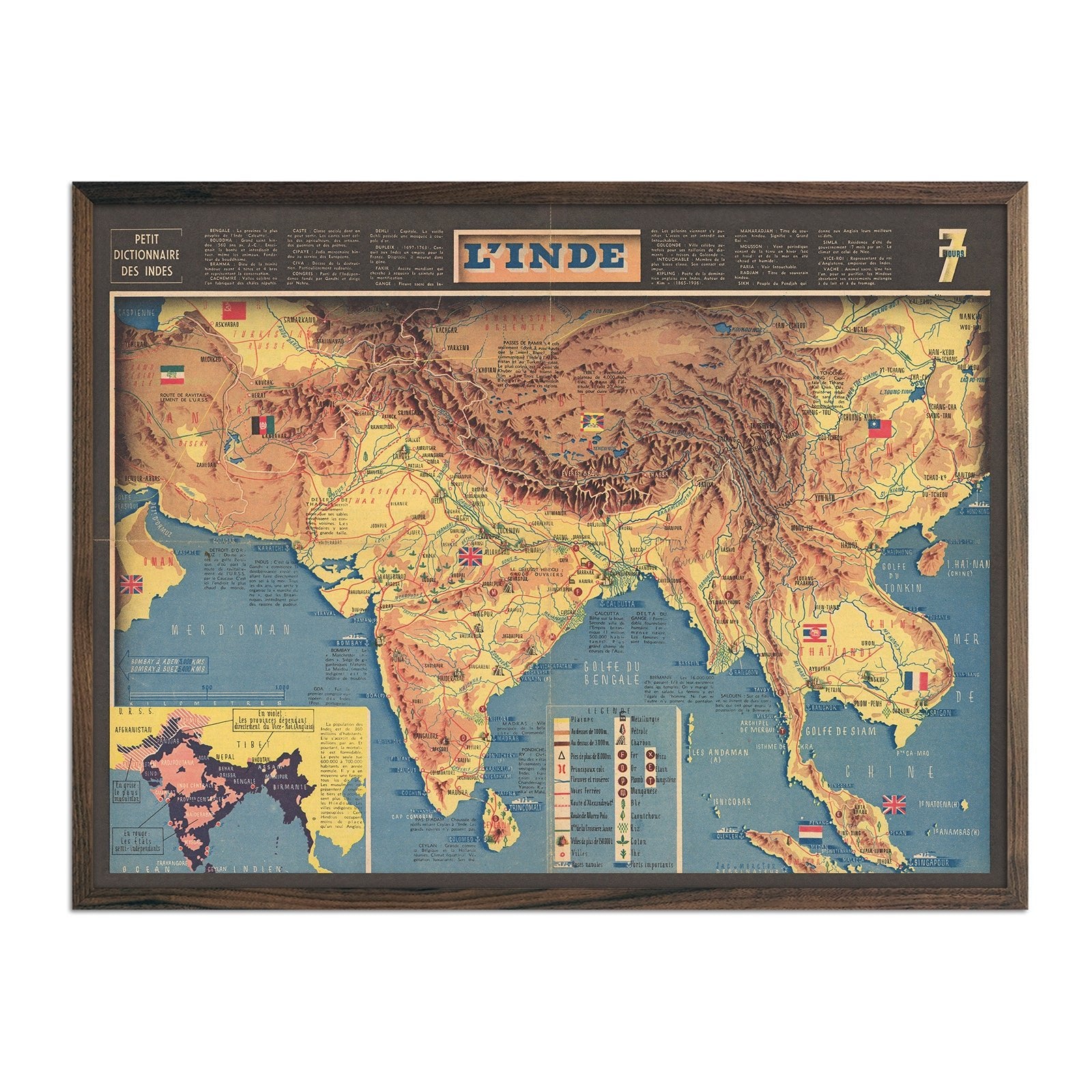
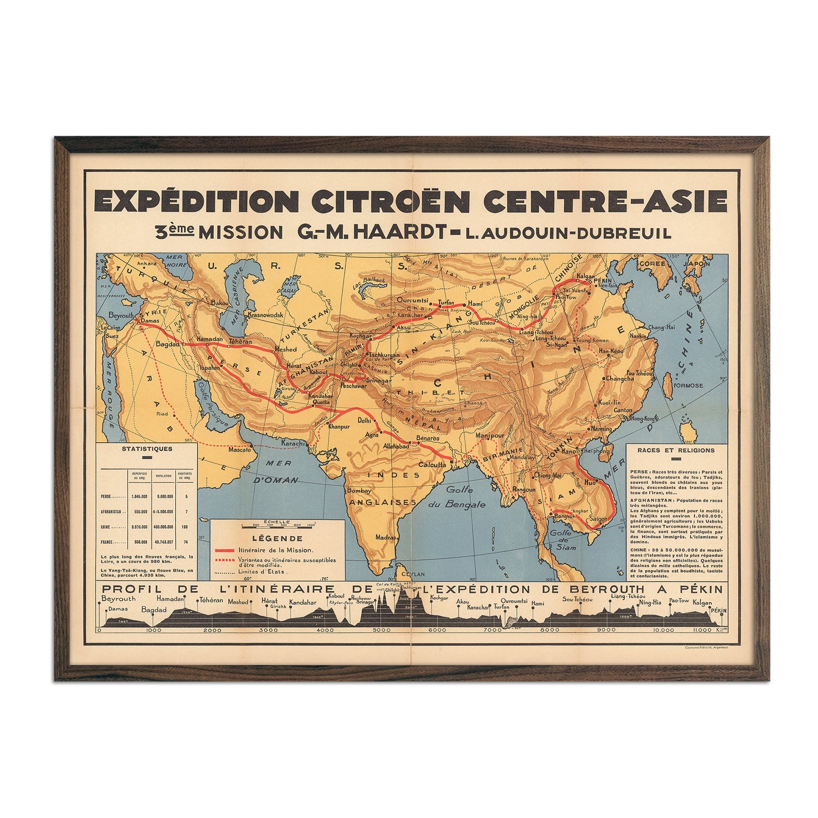
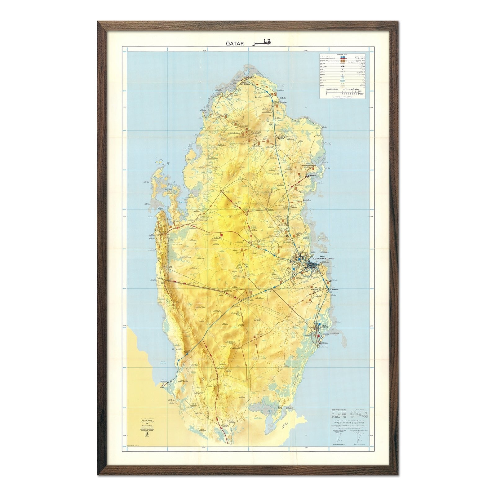
ASIA MAP PRINTS, SHADED RELIEF MAPS OF CHINA, JAPAN, KOREA, & MORE
Asia's topography is a vast and varied tapestry, reflecting the continent's immense size and geographical diversity. Towering over its landscape is the formidable Himalayan mountain range, which includes the world's highest peak, Mount Everest. To the north lie the expansive Siberian plains and the cold deserts of the Gobi and Taklamakan. The verdant plateaus of Anatolia and Iran transition to the steppes of Central Asia, while the south boasts dense rainforests of Southeast Asia and the archipelagos of the Philippines and Indonesia.
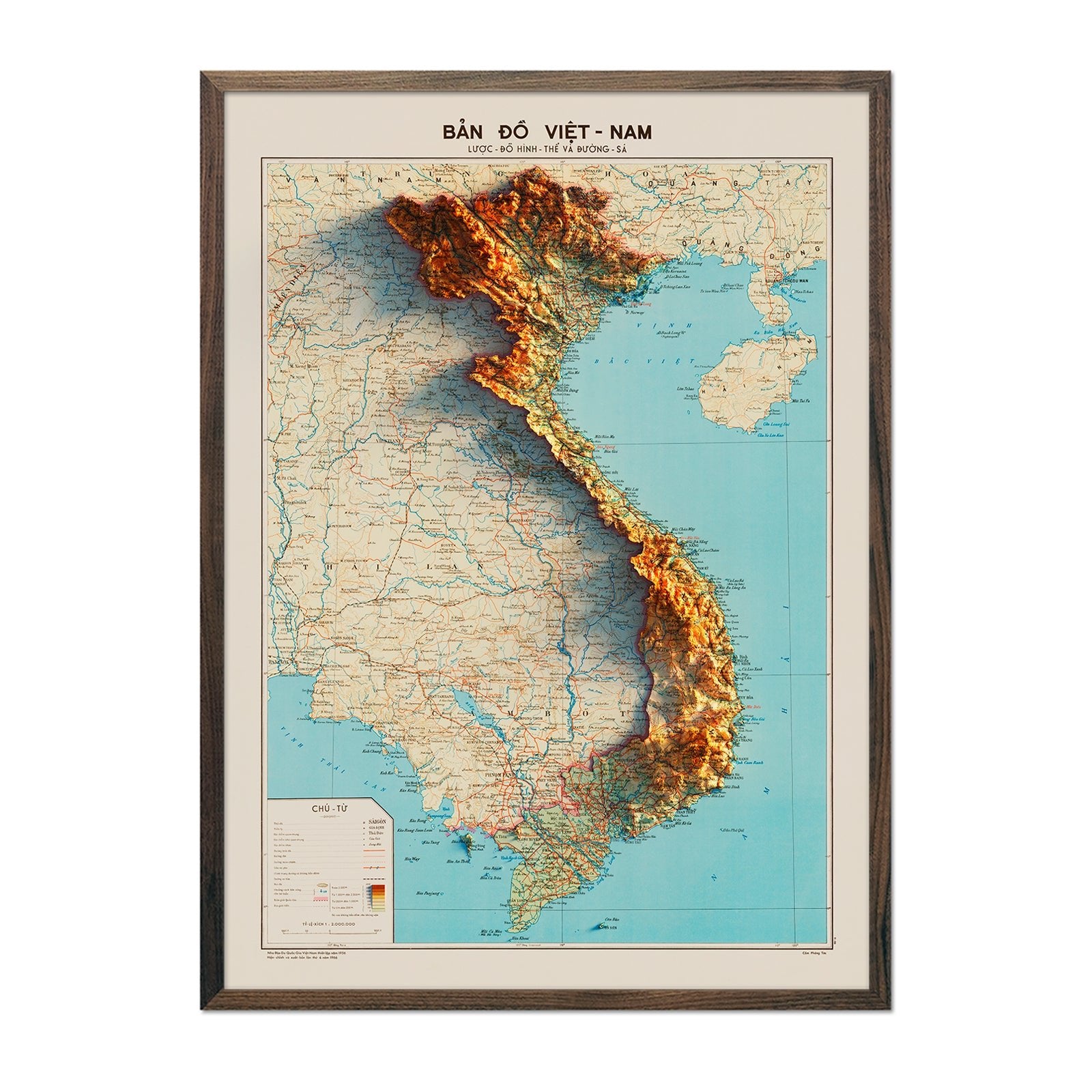
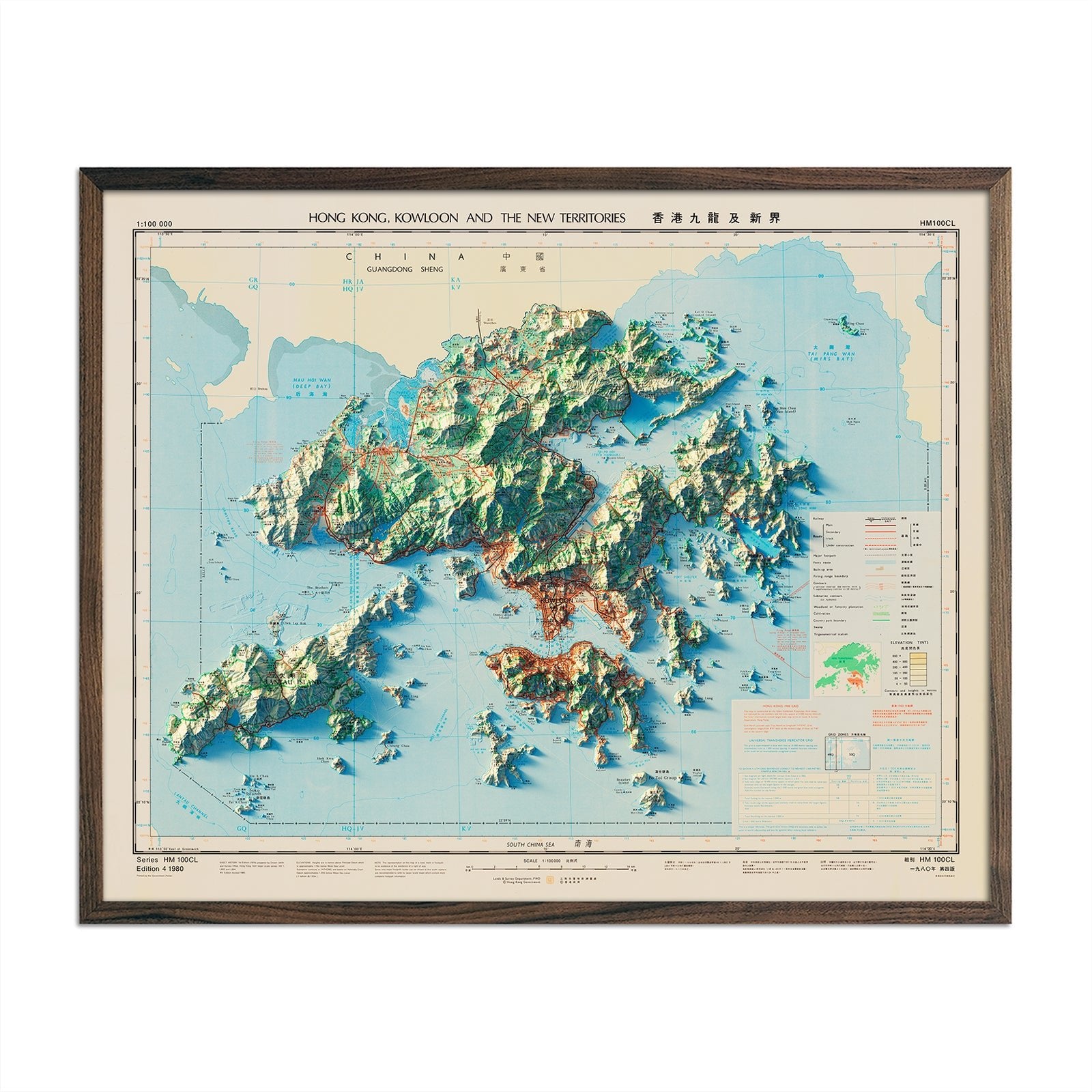
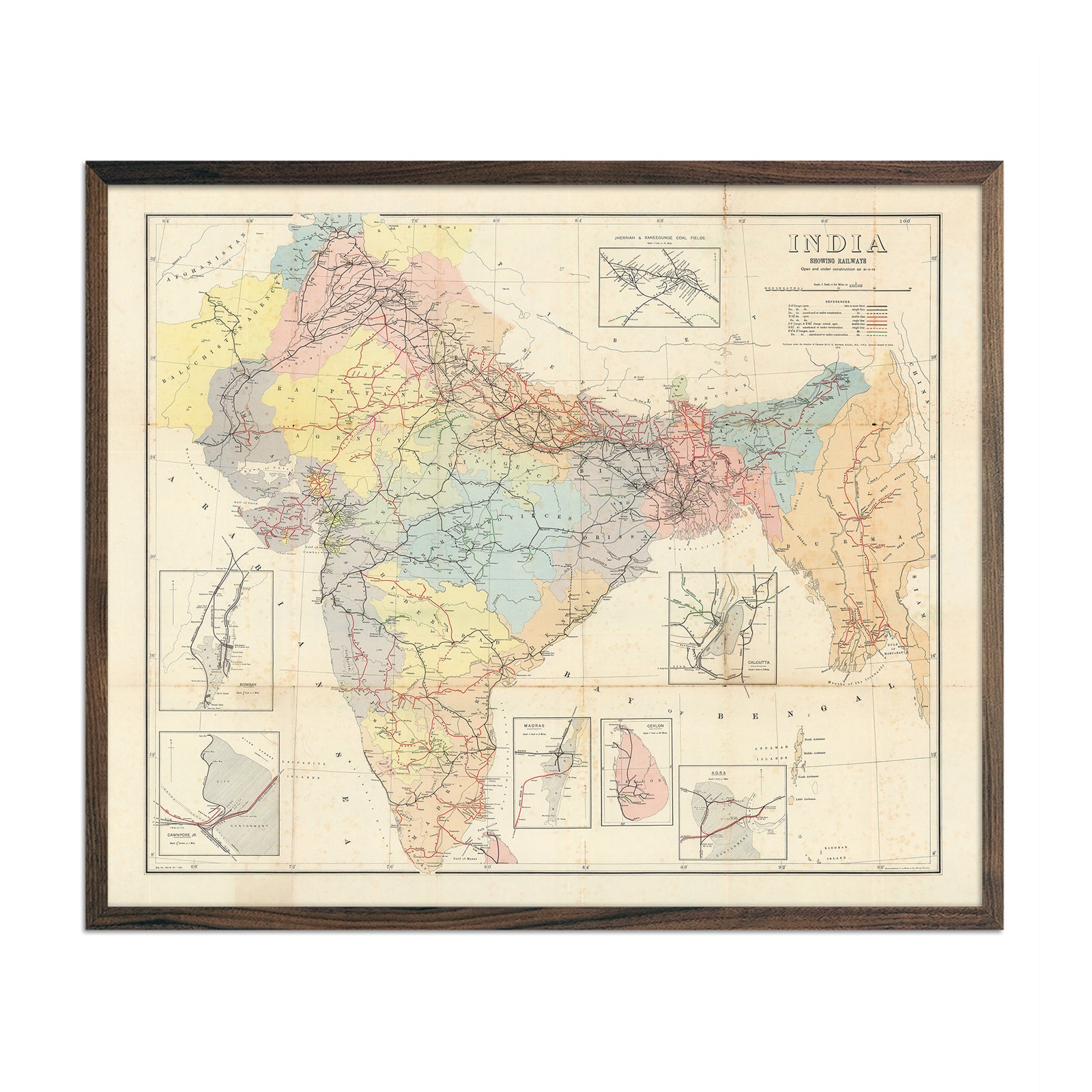
Muir Way map prints intricately depict Asia's topography by showcasing the continent's varying elevations and depths in a visually intuitive manner. Many of Asia’s most prominent countries are represented in this map collection. Click the links below to view our maps in detail.
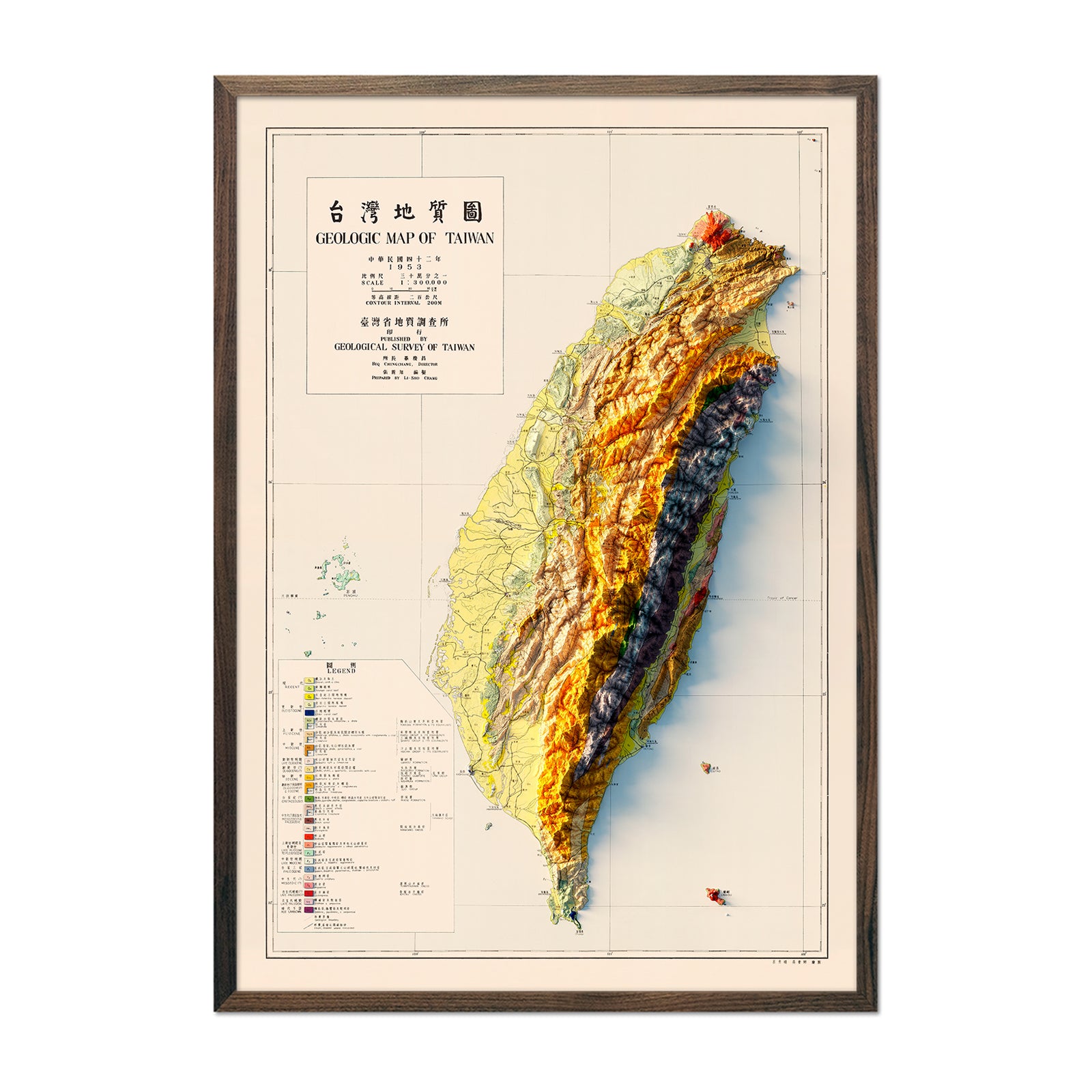
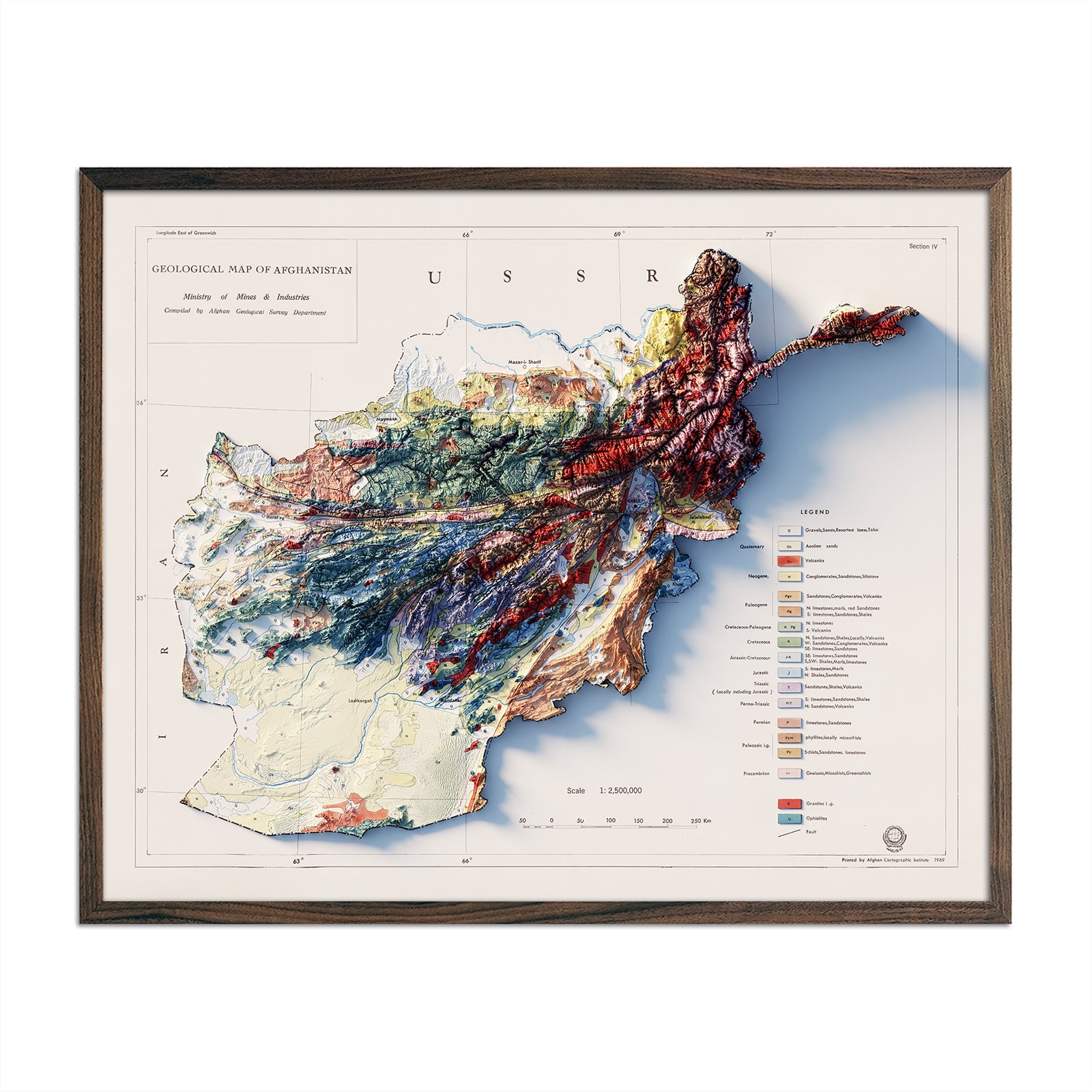
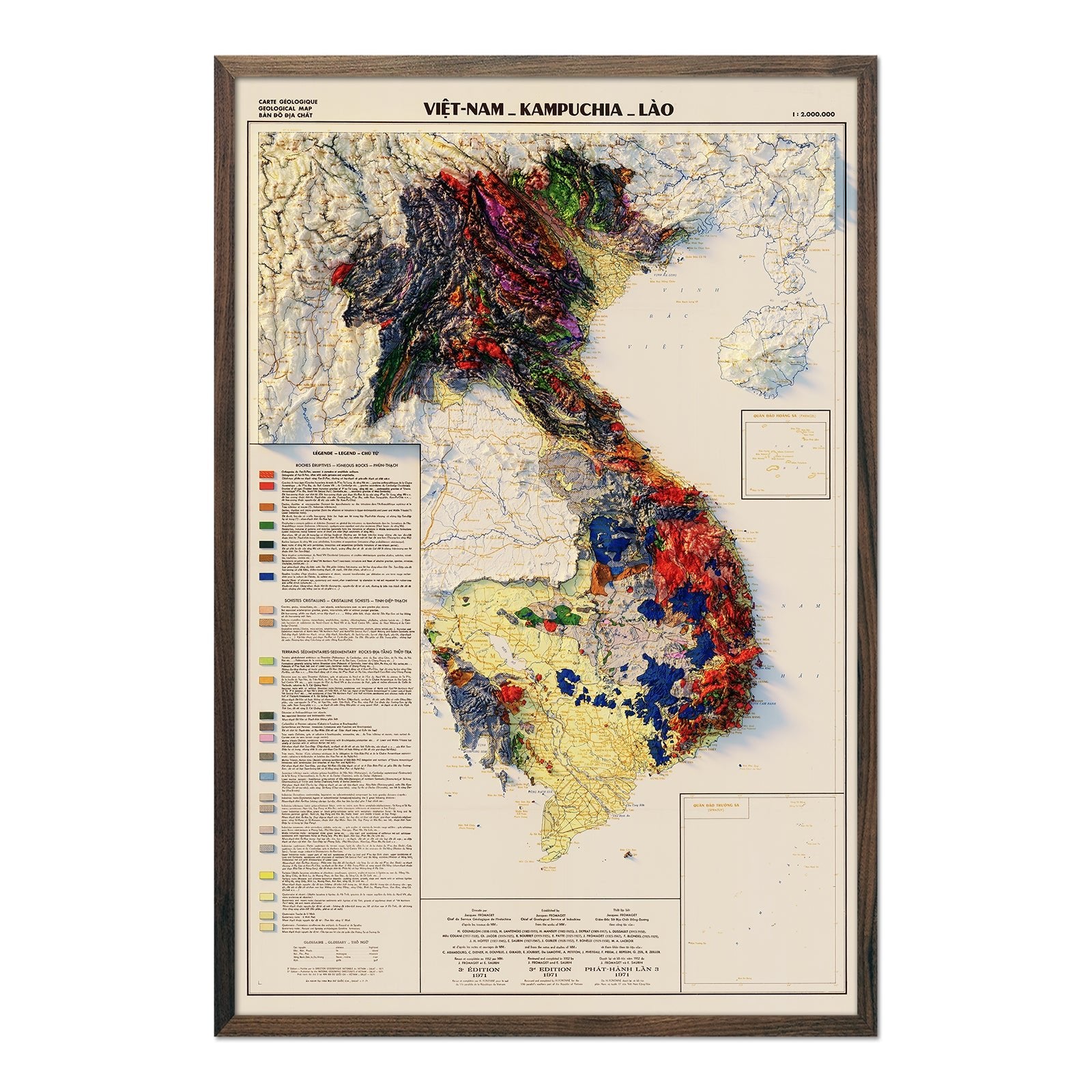
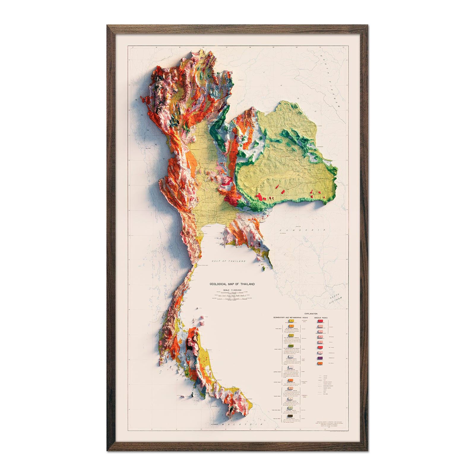
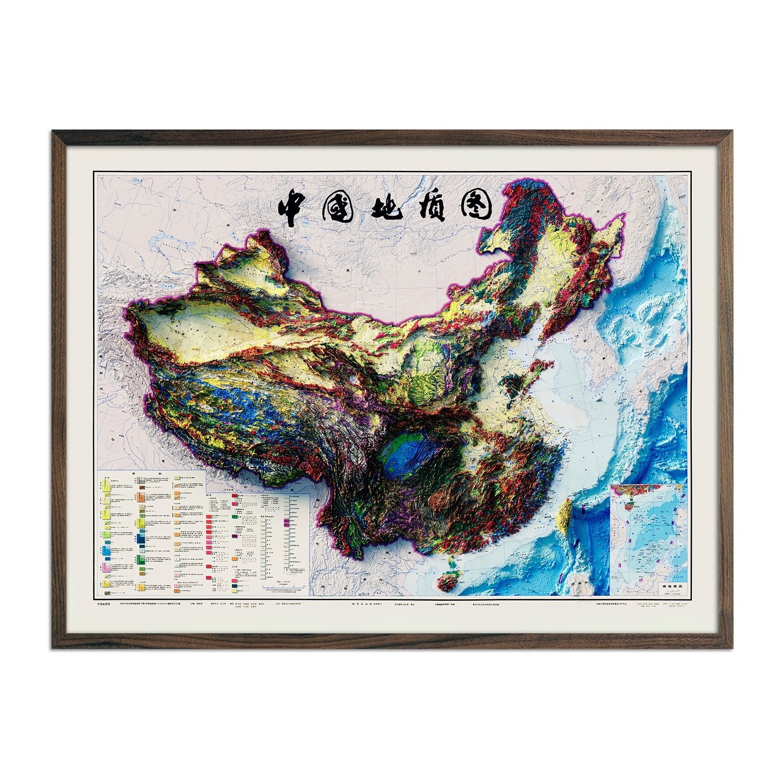
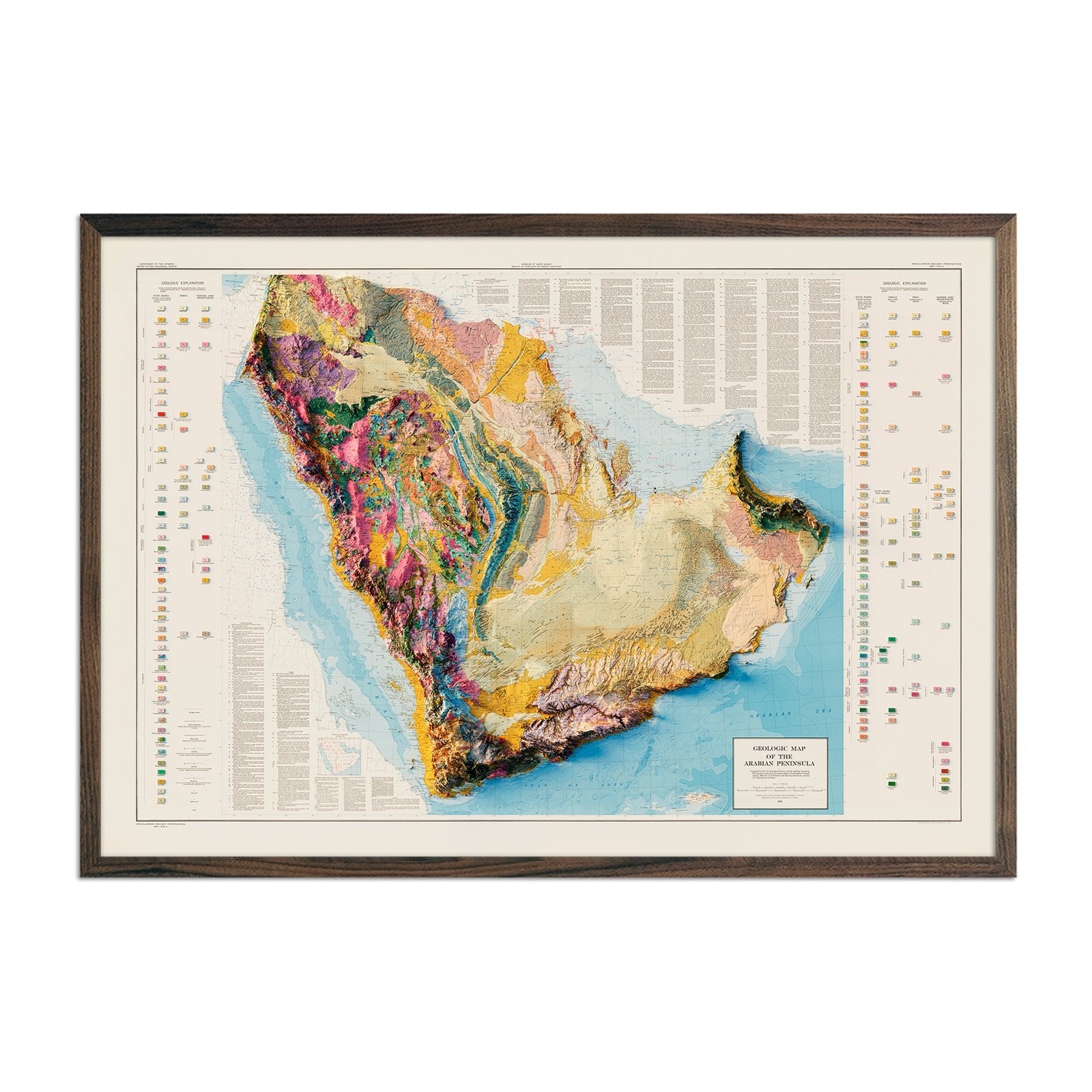
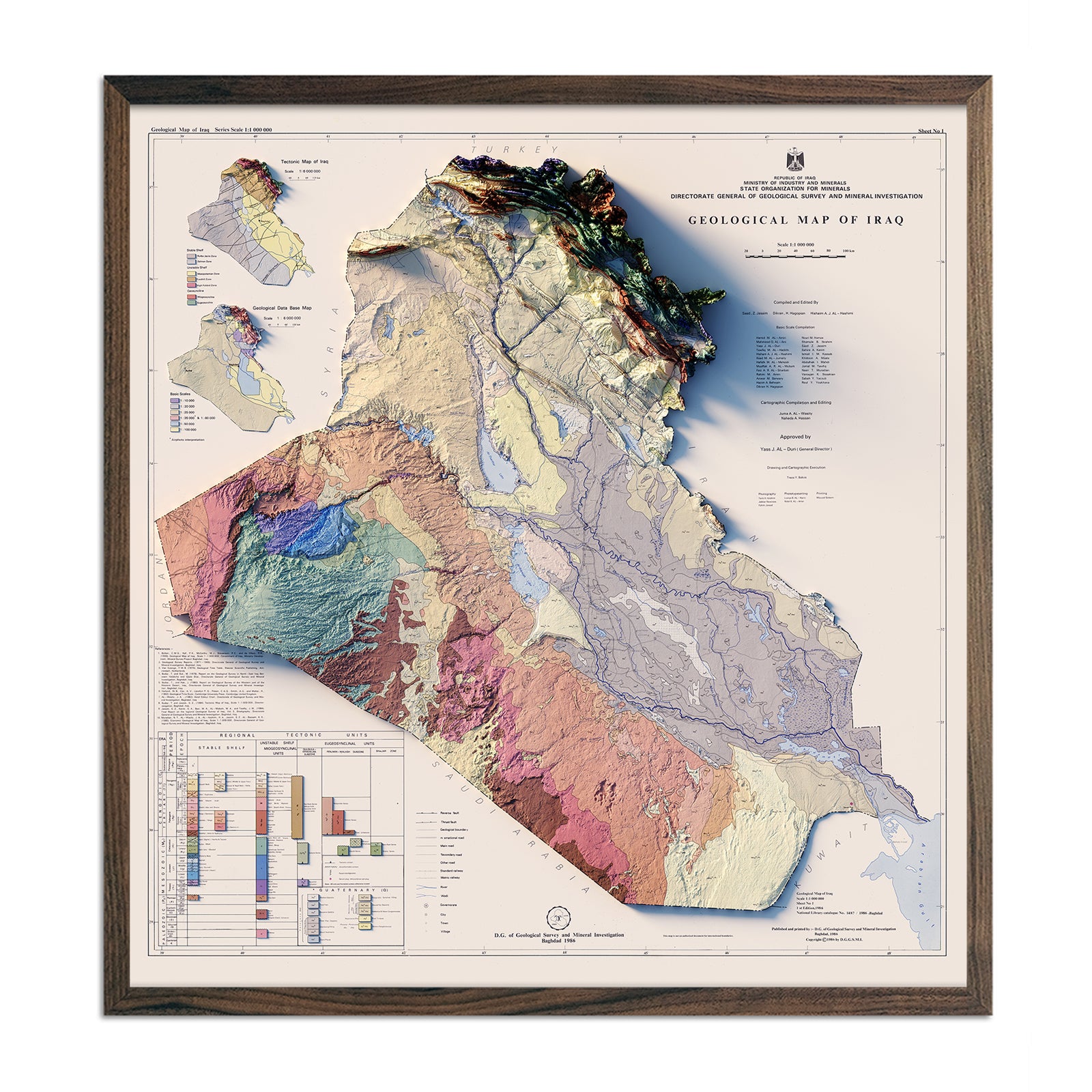
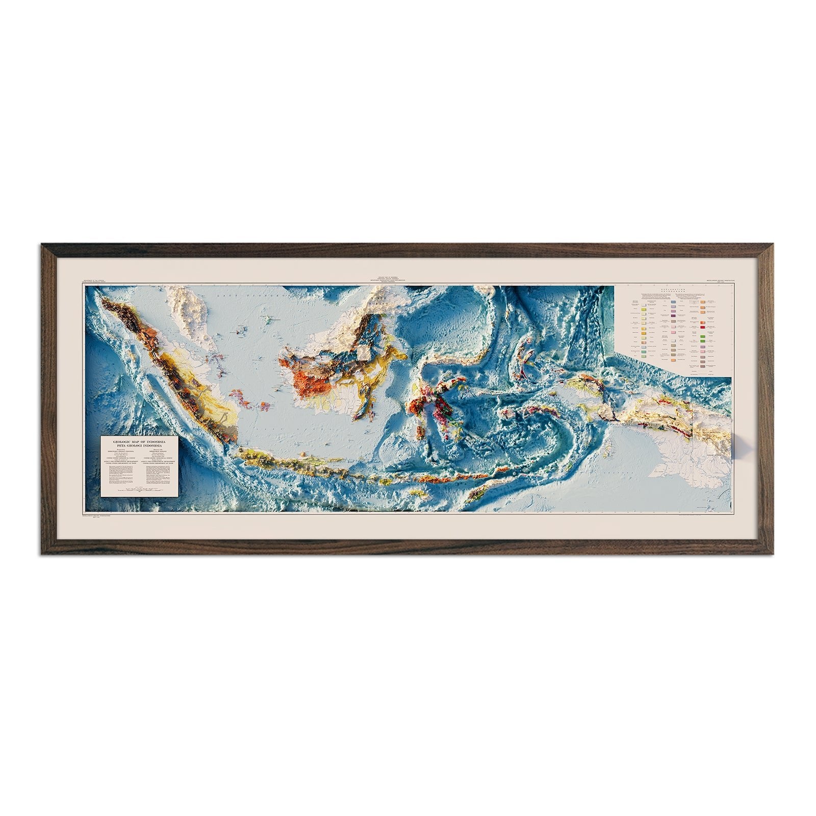
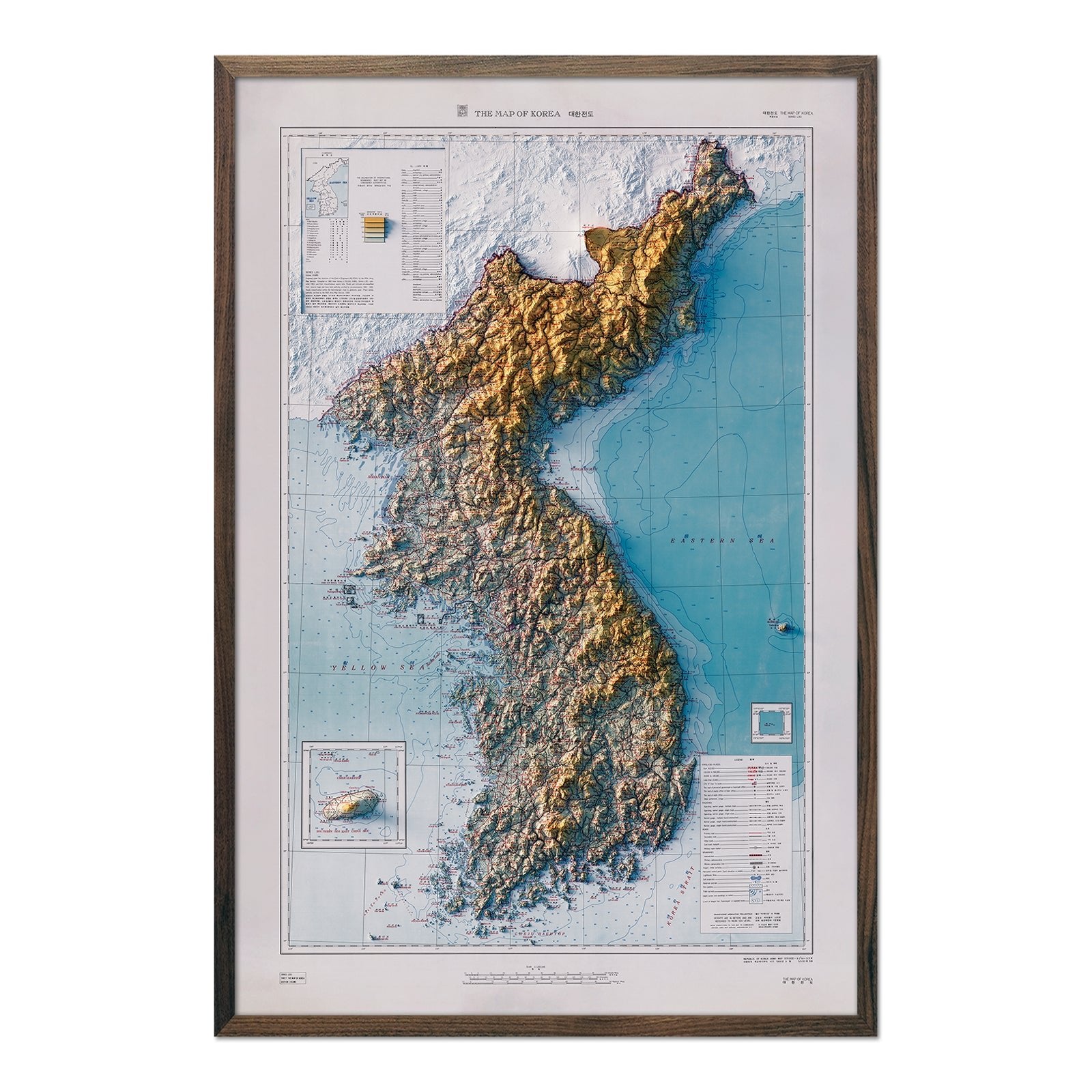
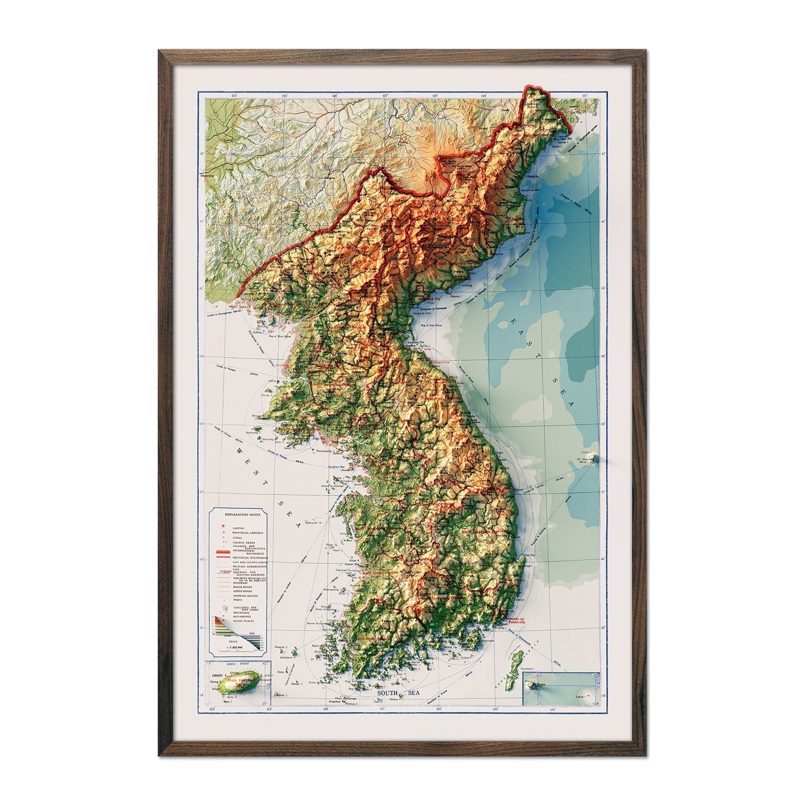
By accurately applying shaded relief to historical maps creating the illusion of 3D, we vividly illustrate the soaring heights of the Himalayas, the geologic features of the Arabian Peninsula, and the unique topography of Korea.
The distinction between the arid deserts like the Gobi and lush river deltas such as the Mekong becomes readily apparent. In capturing the diverse terrains, from the steppes of Central Asia to the island clusters of the archipelagos, our map prints offer a tangible sense of the physical geography and varied landscapes that make up Asia's vastness.
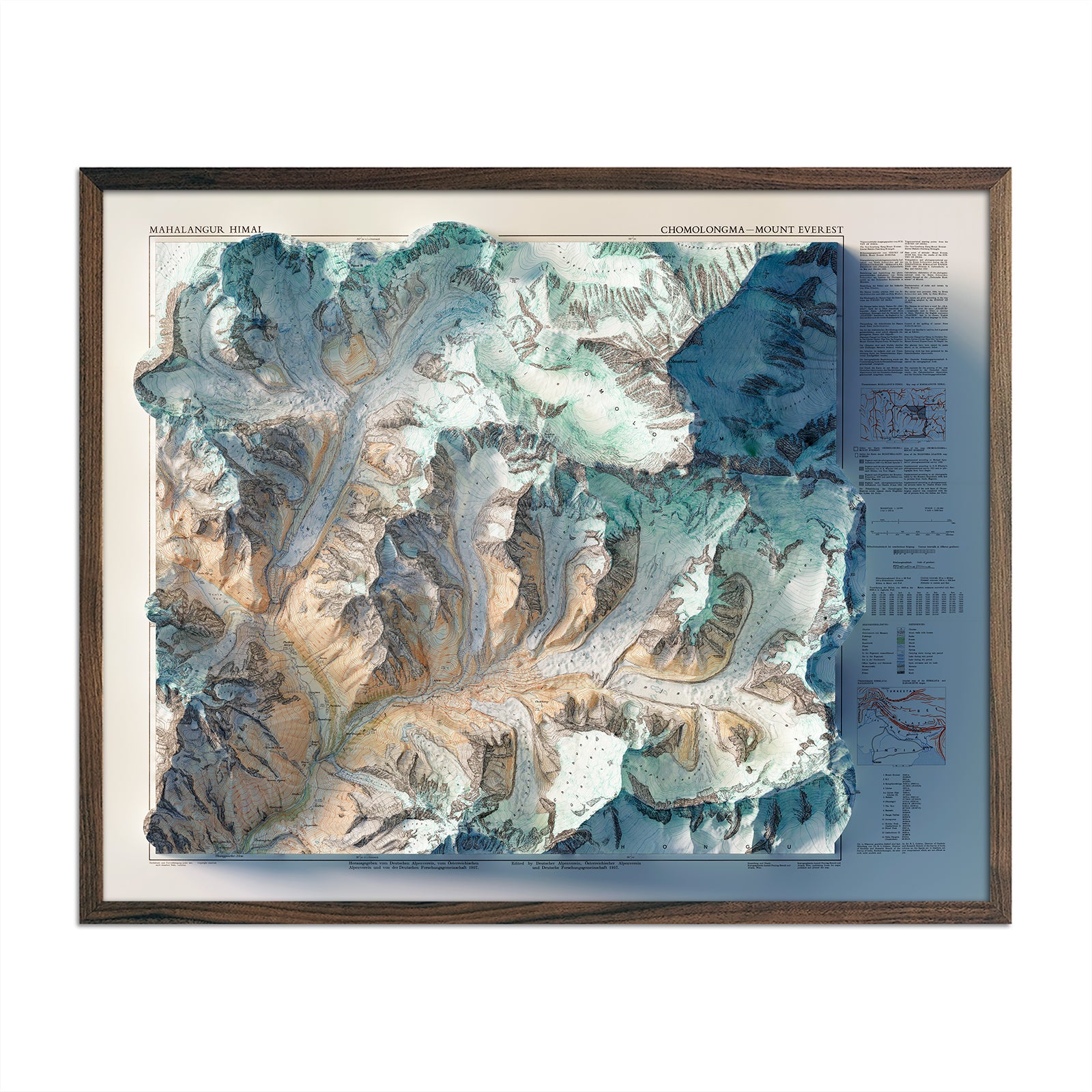
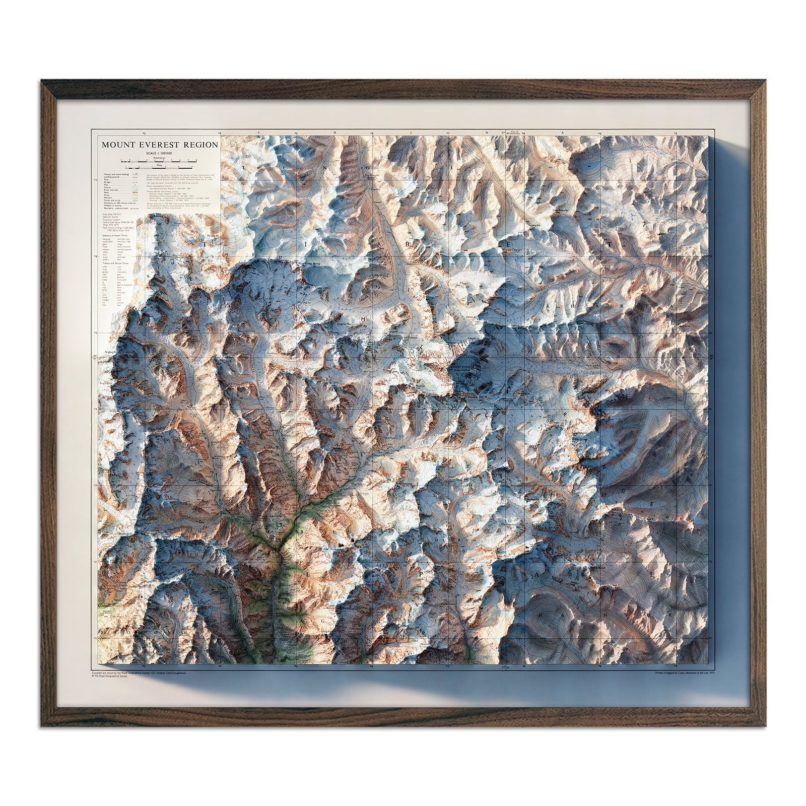
Standing tall at 29,031.7 feet, Mount Everest is the Earth's highest point above sea level and the jewel of the Himalayas. This colossal peak, locally known as "Sagarmatha" in Nepal and "Chomolungma" in Tibet, straddles the border between Nepal and the Tibet Autonomous Region of China. The mountain's formidable stature has long attracted climbers from around the world, with Sir Edmund Hillary and Tenzing Norgay becoming the first confirmed climbers to reach its summit in 1953.
Our Mt. Everest Region 1957 Shaded Relief Map captures the majestic grandeur of Mount Everest by artistically representing the mountain's elevation and contour through gradients of light and shadow. Using a hypothetical light source from the northwest, the map simulates the way sunlight would cast shadows on the mountain's slopes, ridges, and valleys.
The Muir Way Mt. Everest Region 1975 Shaded Relief Map creates a visually intuitive and three-dimensional depiction of Everest, highlighting its towering prominence and the intricate terrains surrounding it. Through varying intensities of shading, a shaded relief map allows you to grasp the sheer verticality and the nuanced topography of the world's highest peak.
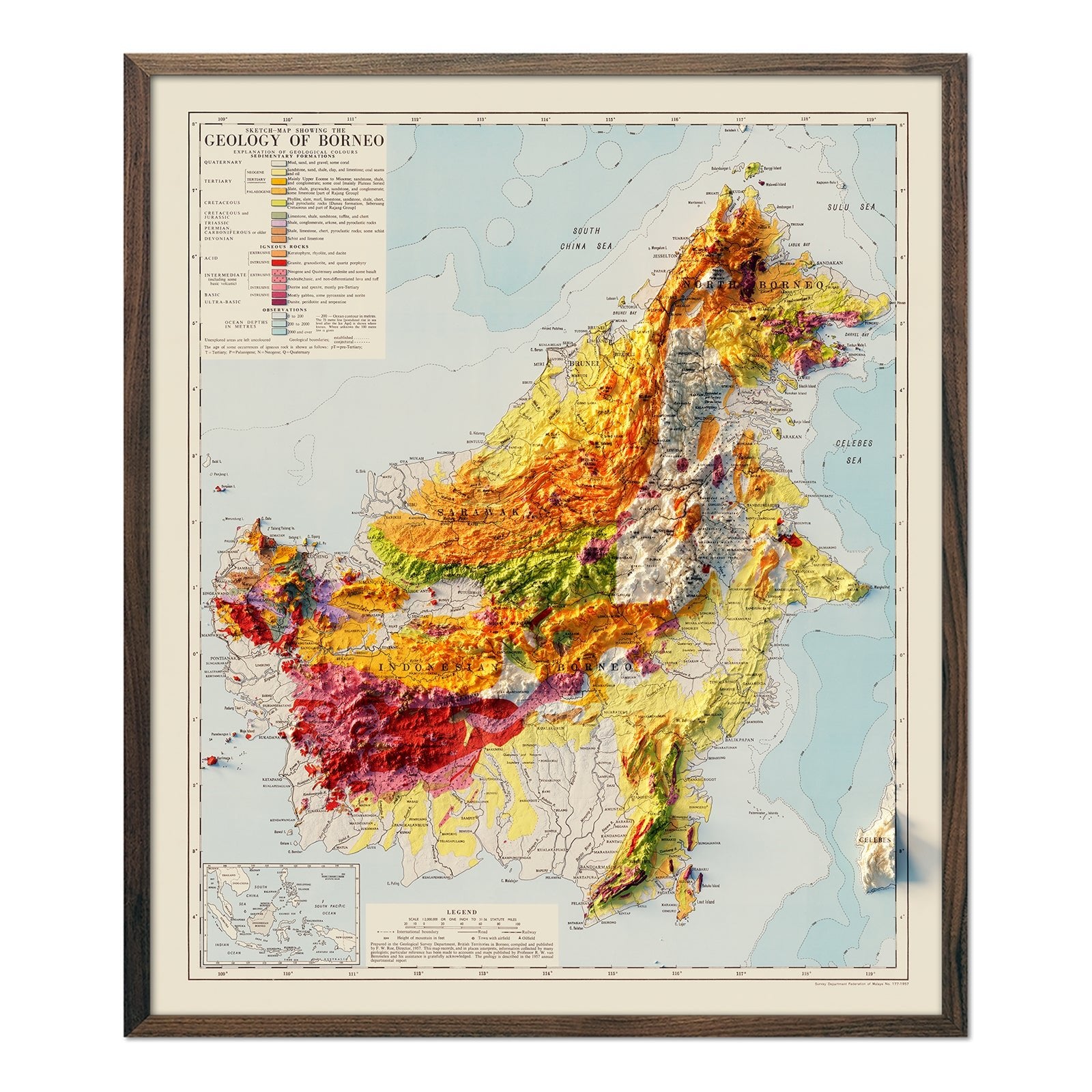
If you’re interested in learning more about Asia’s unique landscape features, we recommend viewing the Arabian Peninsula 1963 Shaded Relief Map, Borneo 1957 Shaded Relief Map, and the Korea Topographic 1966 Shaded Relief Map.
If you like our collection of Asia maps, you may also be interested in some of our other maps from around the world. Click below to browse:
