Skip to content
Facebook
Instagram
Pinterest
FREE SHIPPING on orders over $50 within US*
Country/Region
United States (USD $)
United States (USD $)
Search
Account
Search
Cart
Popular Collections
3D Raised Relief Maps
Vintage Shaded Relief Maps
Hydrological Maps
Apparel
Best Sellers
Shop by Region
USA Maps
State Maps
International Maps
National Park Maps
Shop by Type
Collections
3D Raised Relief
Hydrology Series
2D Vintage Shaded Relief
2D Elevation Relief
Natural Atlas Maps
TOPO Series
National Park Series
2D Shaded Relief
Mountain Range
Gift Cards
3D Raised Relief Maps
Shaded Relief Maps
Hydrological Maps
Historical Prints
Illustrations and Photographs
1884 Fish Drawings
1875 Zoology Drawings
1868 Yosemite Photos
1873 Yellowstone Photos
1874 Moon Photos
Historical Maps
Astronomy
Civil War Maps
Assorted Vintage
USGS Quadrant Maps
1876 State Maps
1876 Geologic/Topographic
1883 State Maps
1904 Yellowstone Maps
1906 Hawaii Maps
1884 Fish Drawings
Astronomy
Civil War Maps
Apparel/Home Goods
Mountain Glasses
Books
Tees
Hats
Topo Blankets
Walnut Frames
Mountain Glasses
Tees
Books
About Us
Our Story
Reviews
FAQs
Shipping and Returns
Contact Us
All Muir Way Maps
Filter
Sort by
Best selling
Best selling
Alphabetically, A-Z
Alphabetically, Z-A
Date, old to new
Date, new to old
Filters
US States
Alaska
29
National Parks
Denali
7
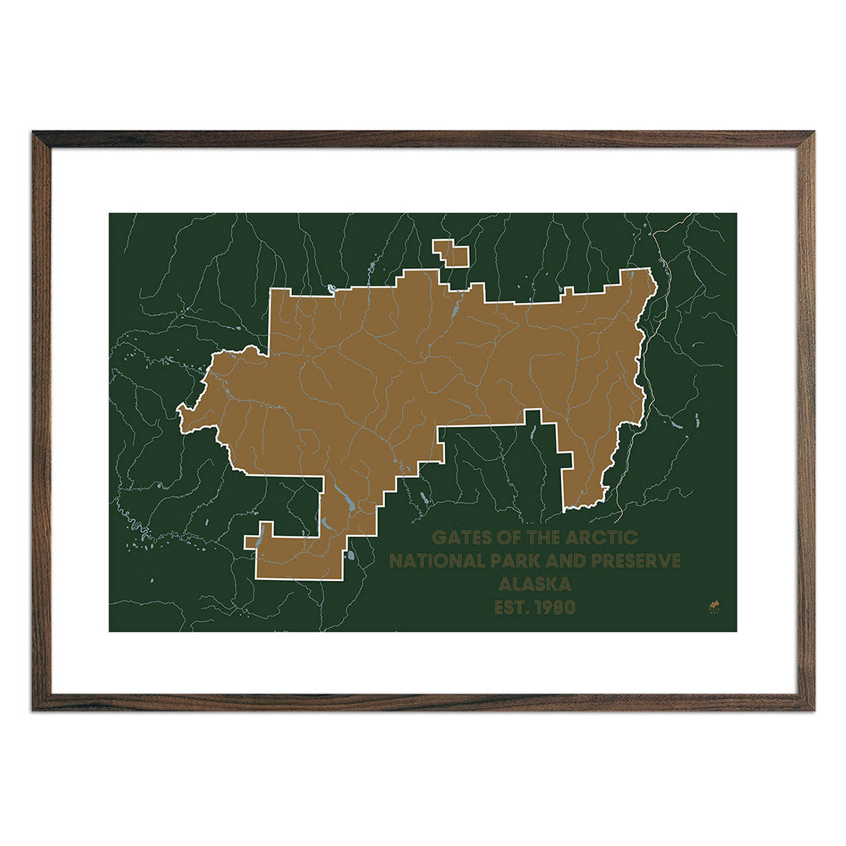
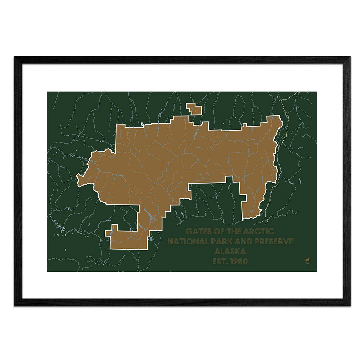
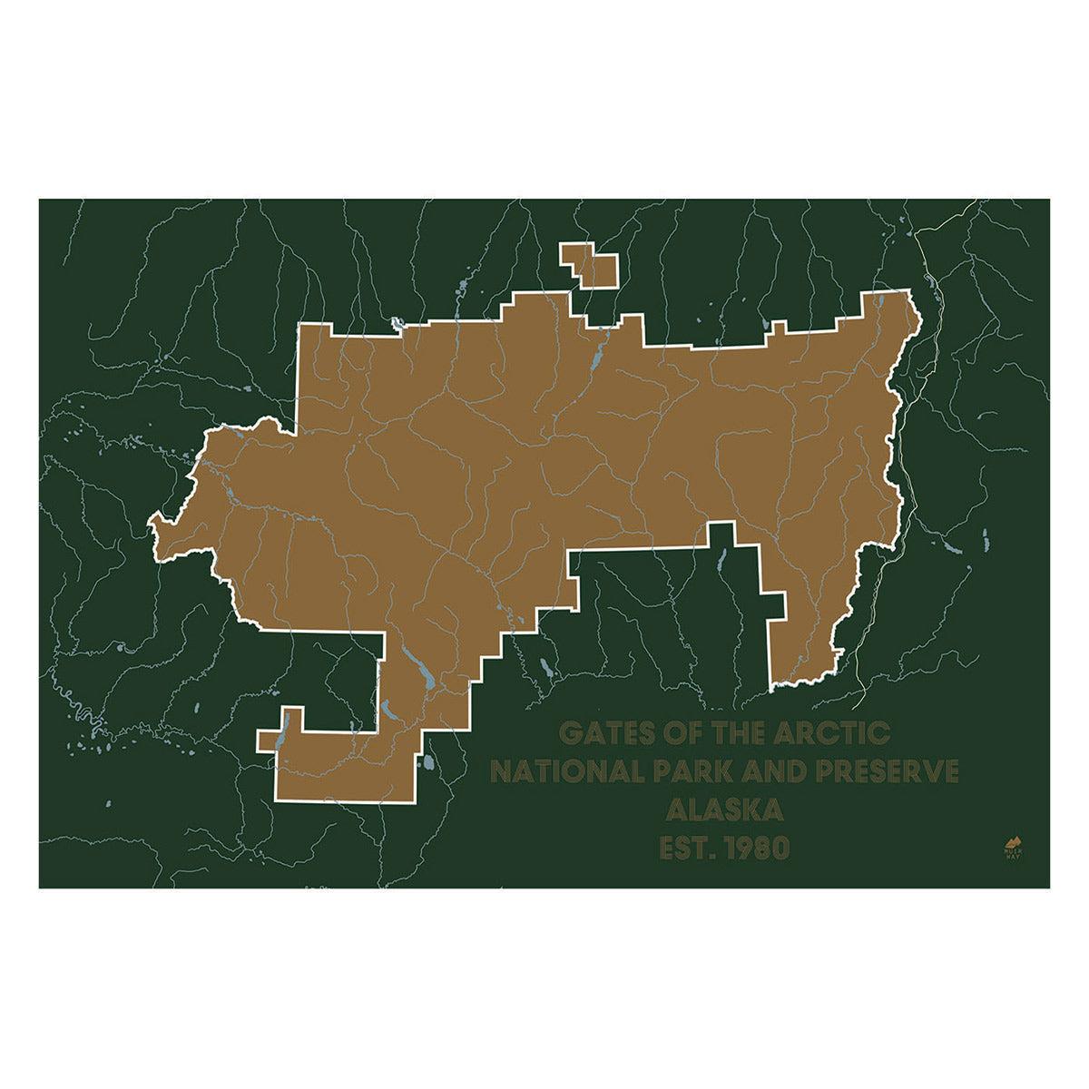
Gates of the Arctic
1
Katmai
1
Lake Clark
1
St Elias
2
Wrangell
2
Sort by
Best selling
Alphabetically, A-Z
Alphabetically, Z-A
Date, old to new
Date, new to old
Apply
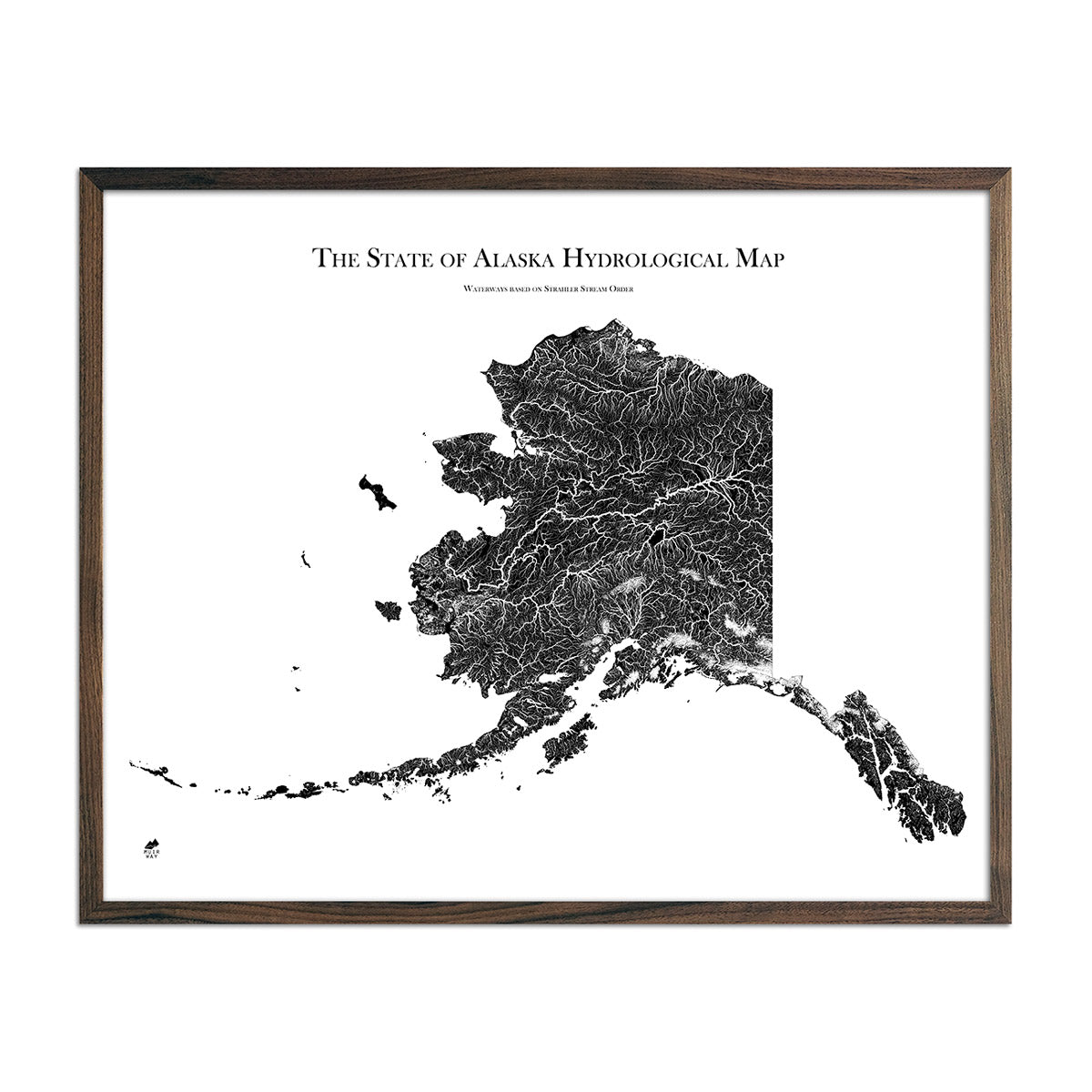
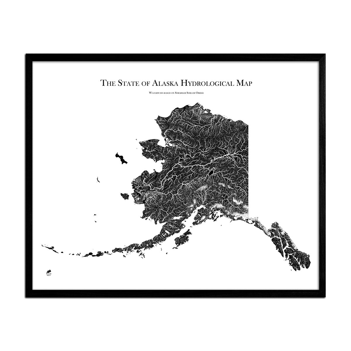
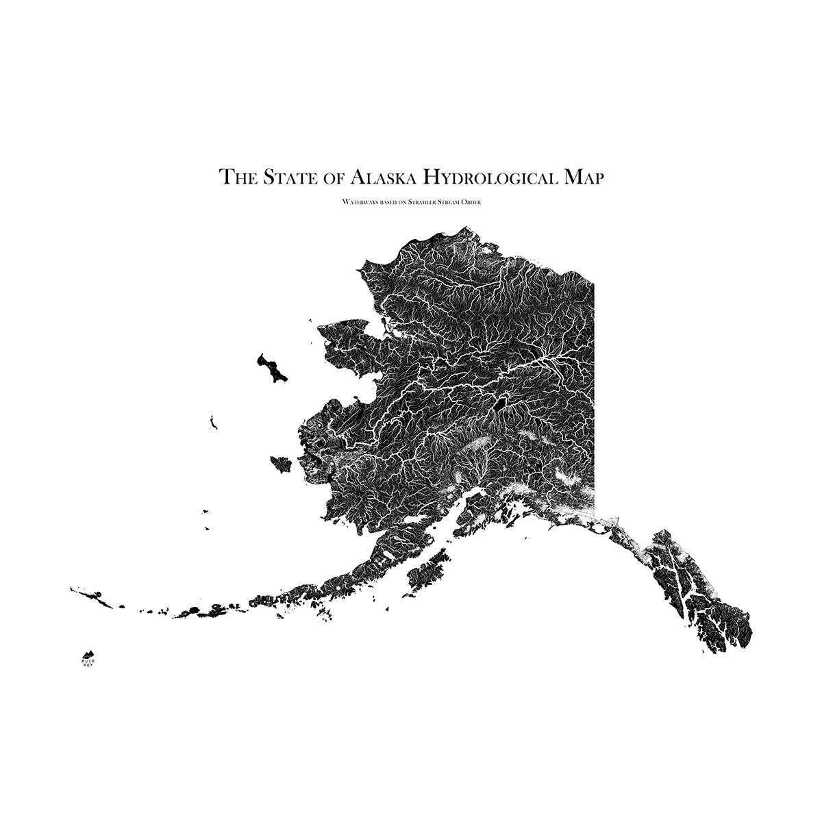
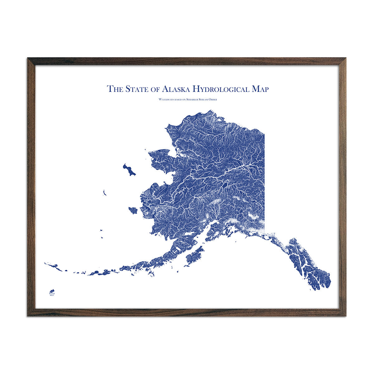
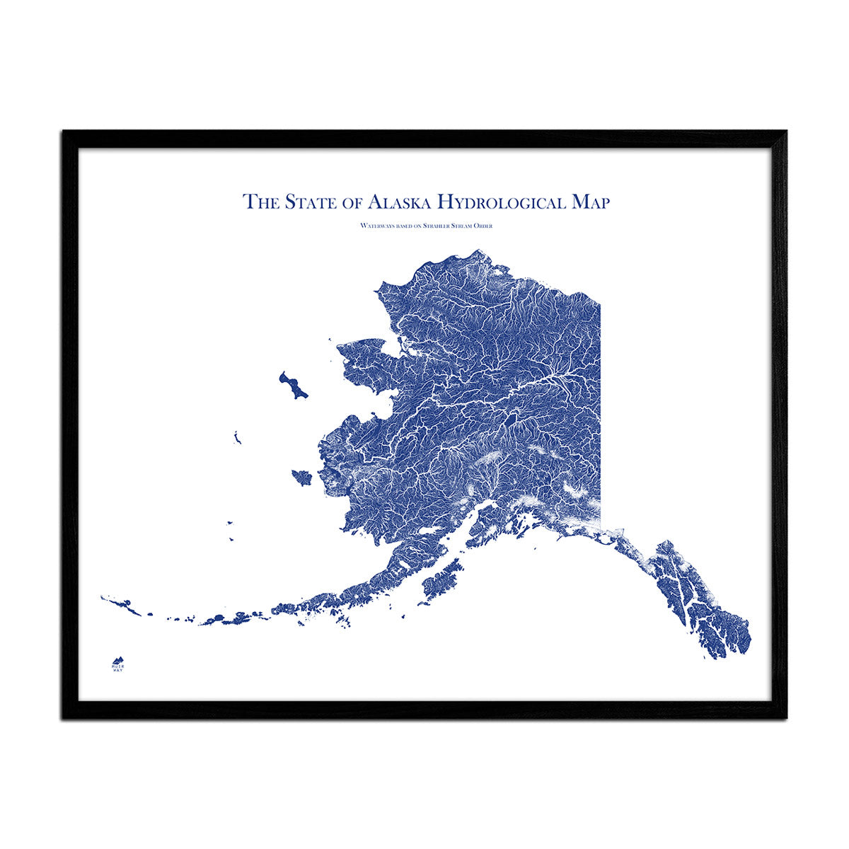
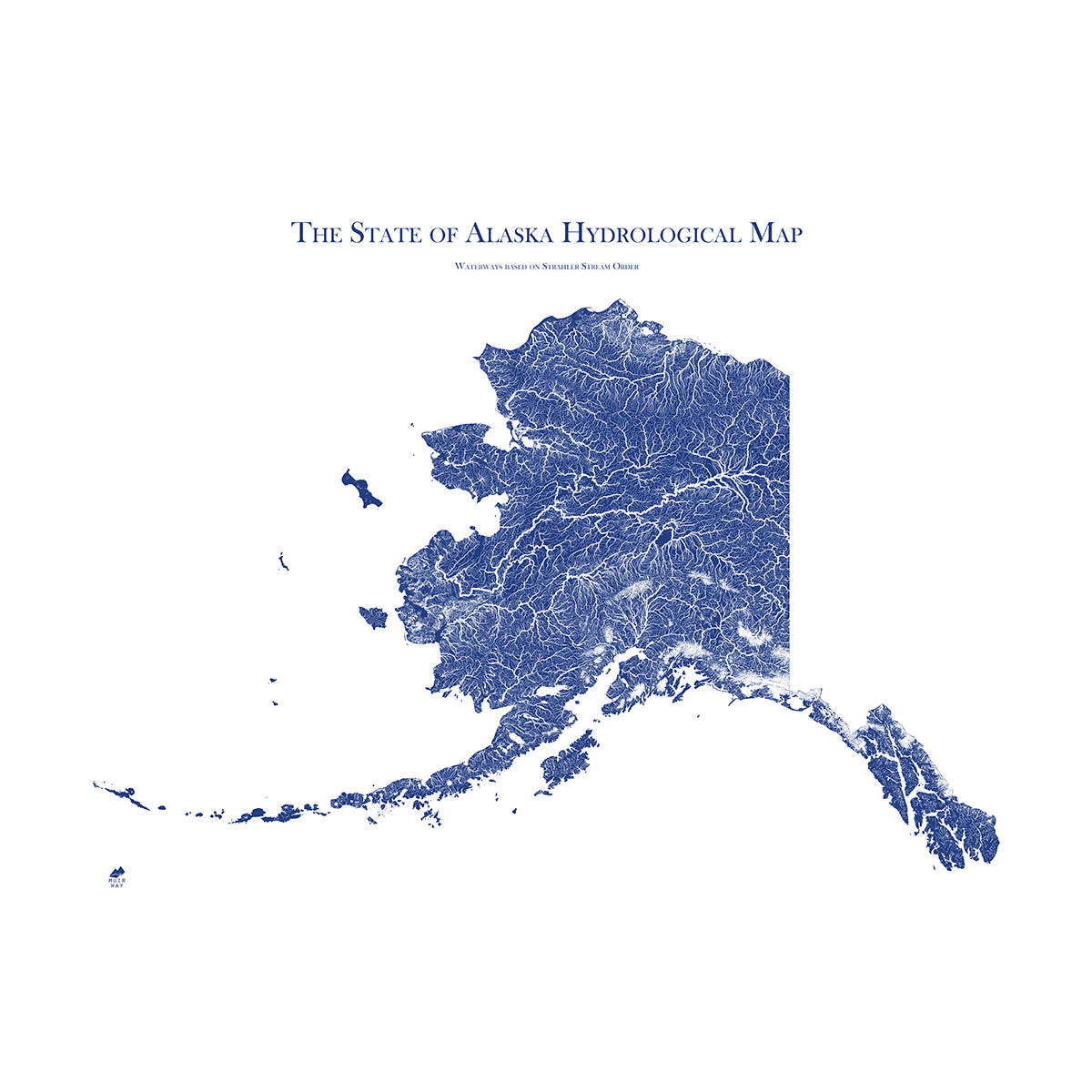
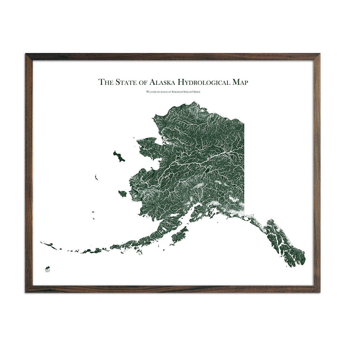
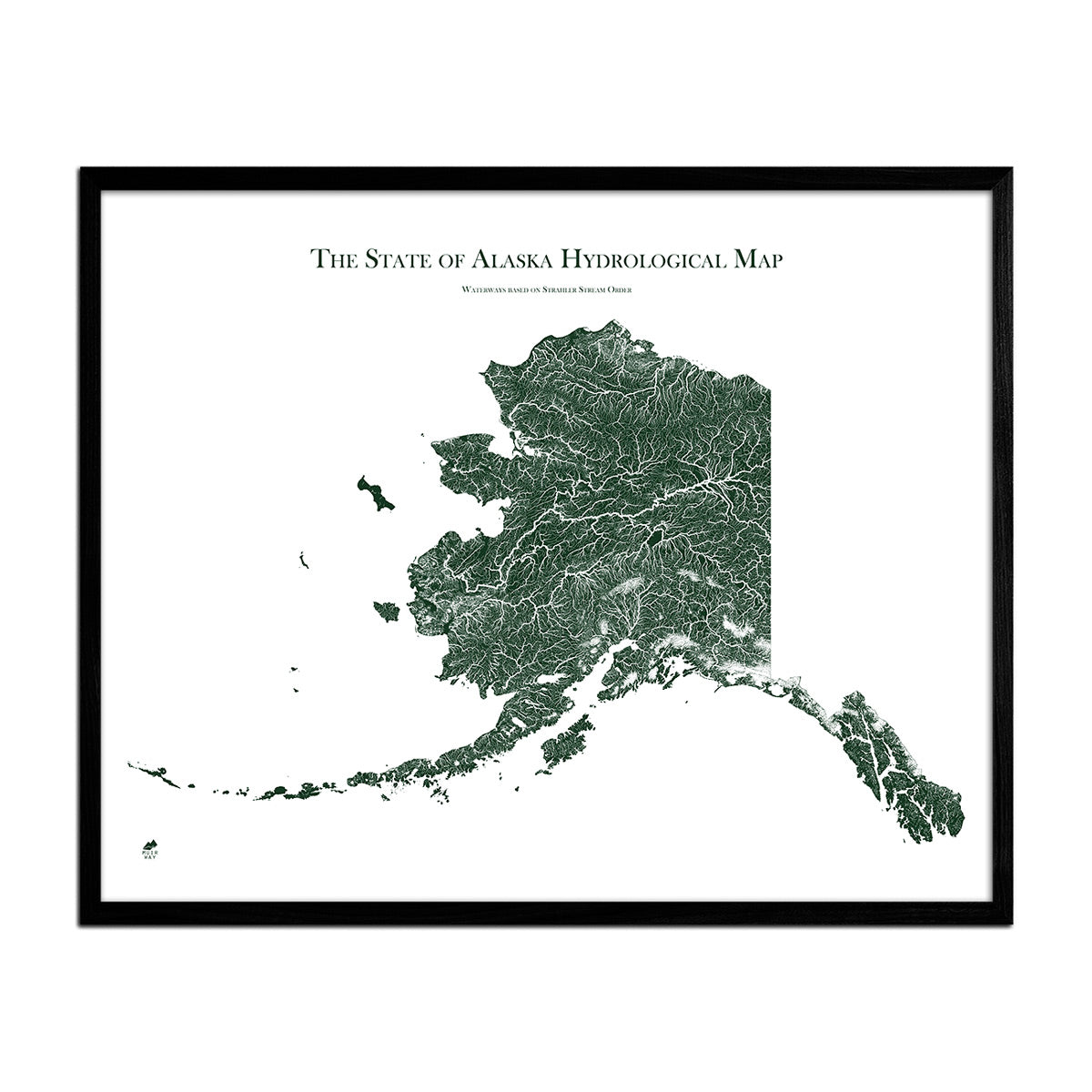
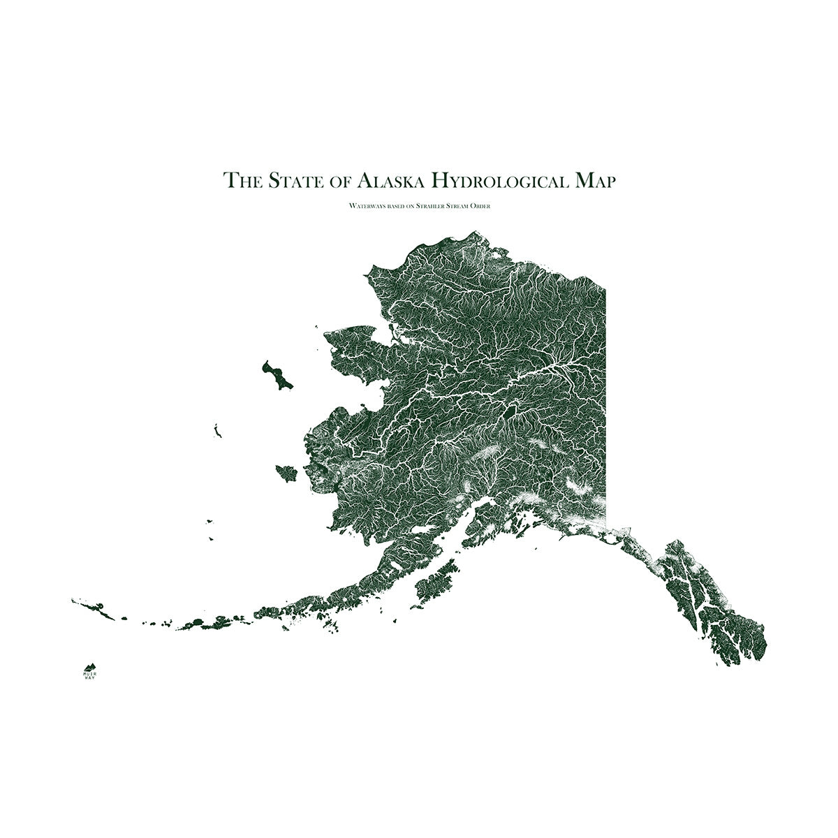
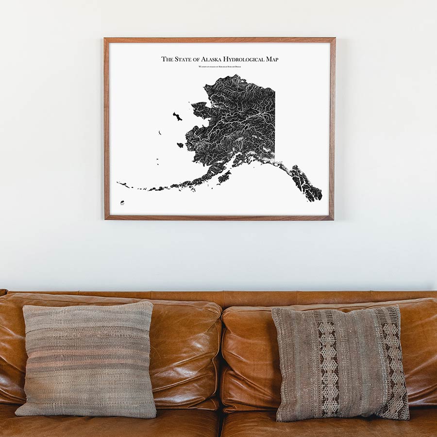
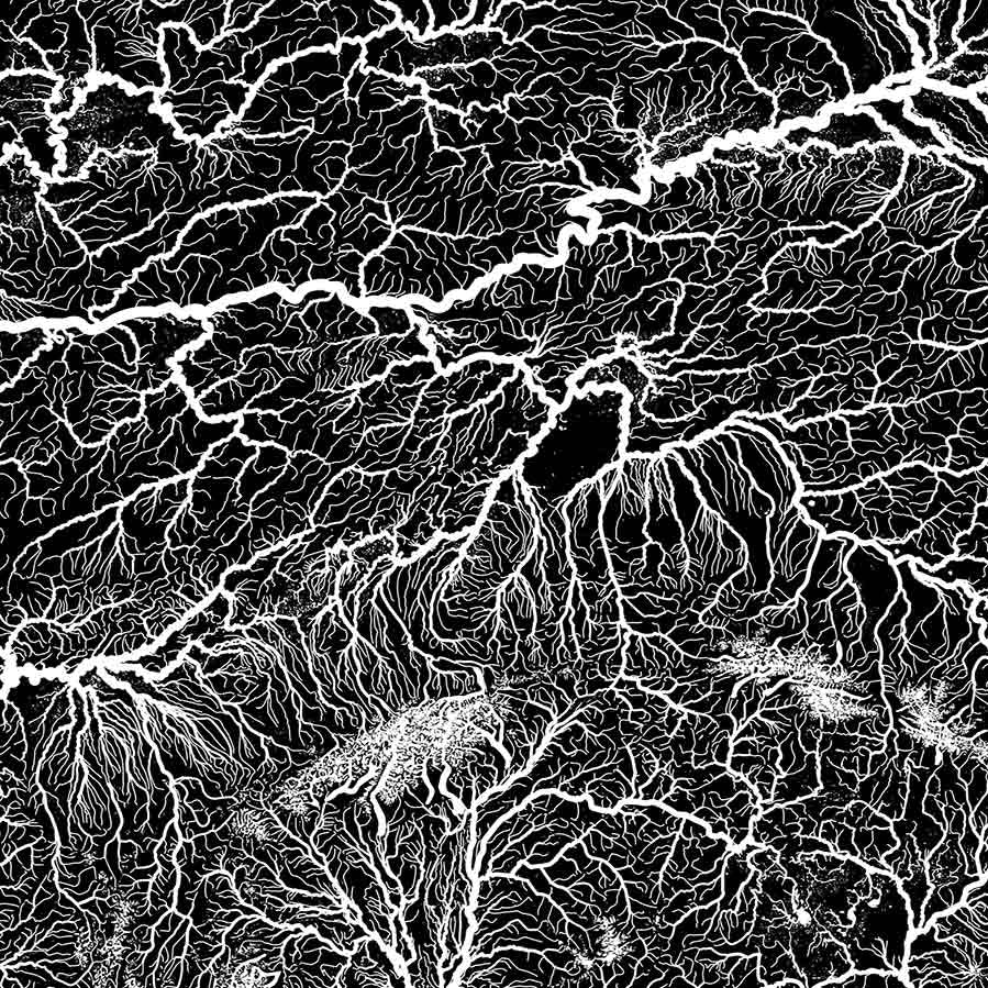
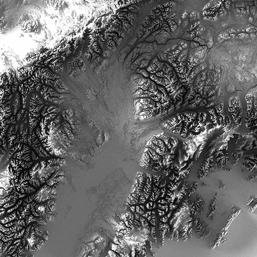
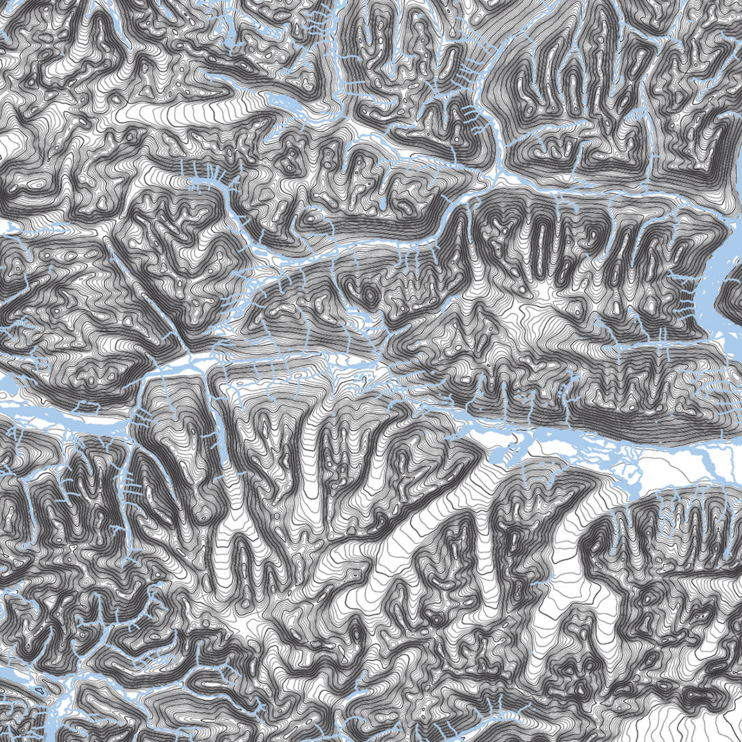
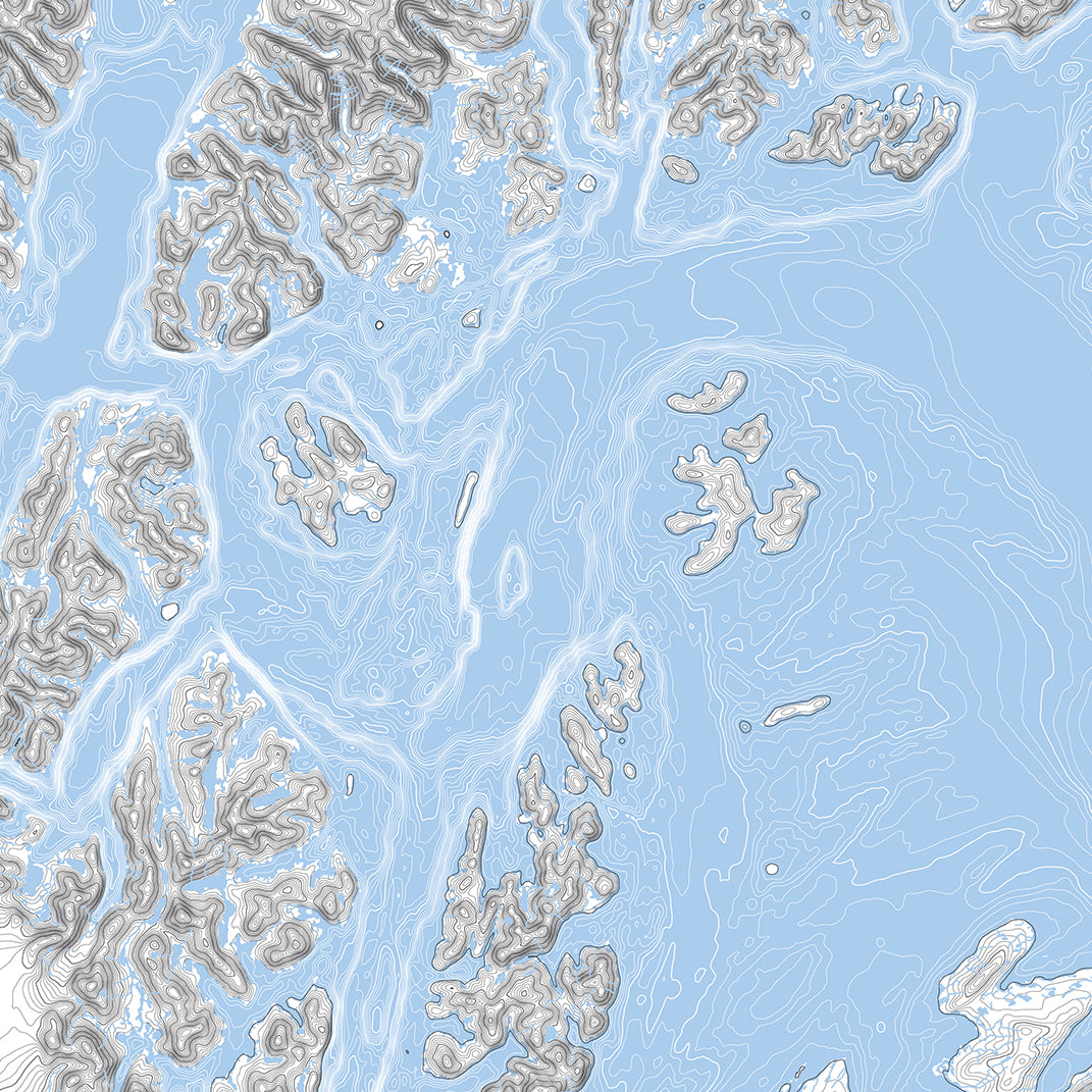
Alaska Hydrological Map
From
$ 79.00 USD
5.0 / 5.0
1655 reviews
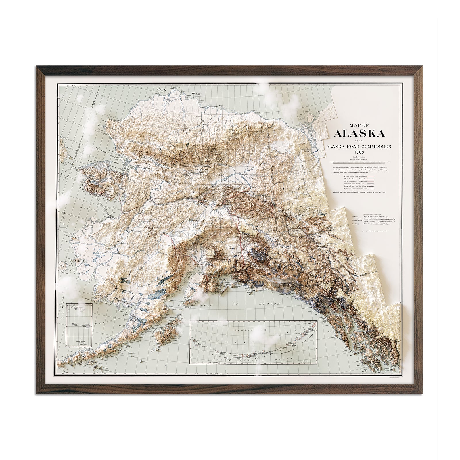
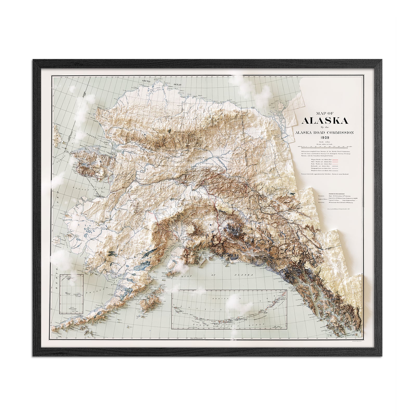
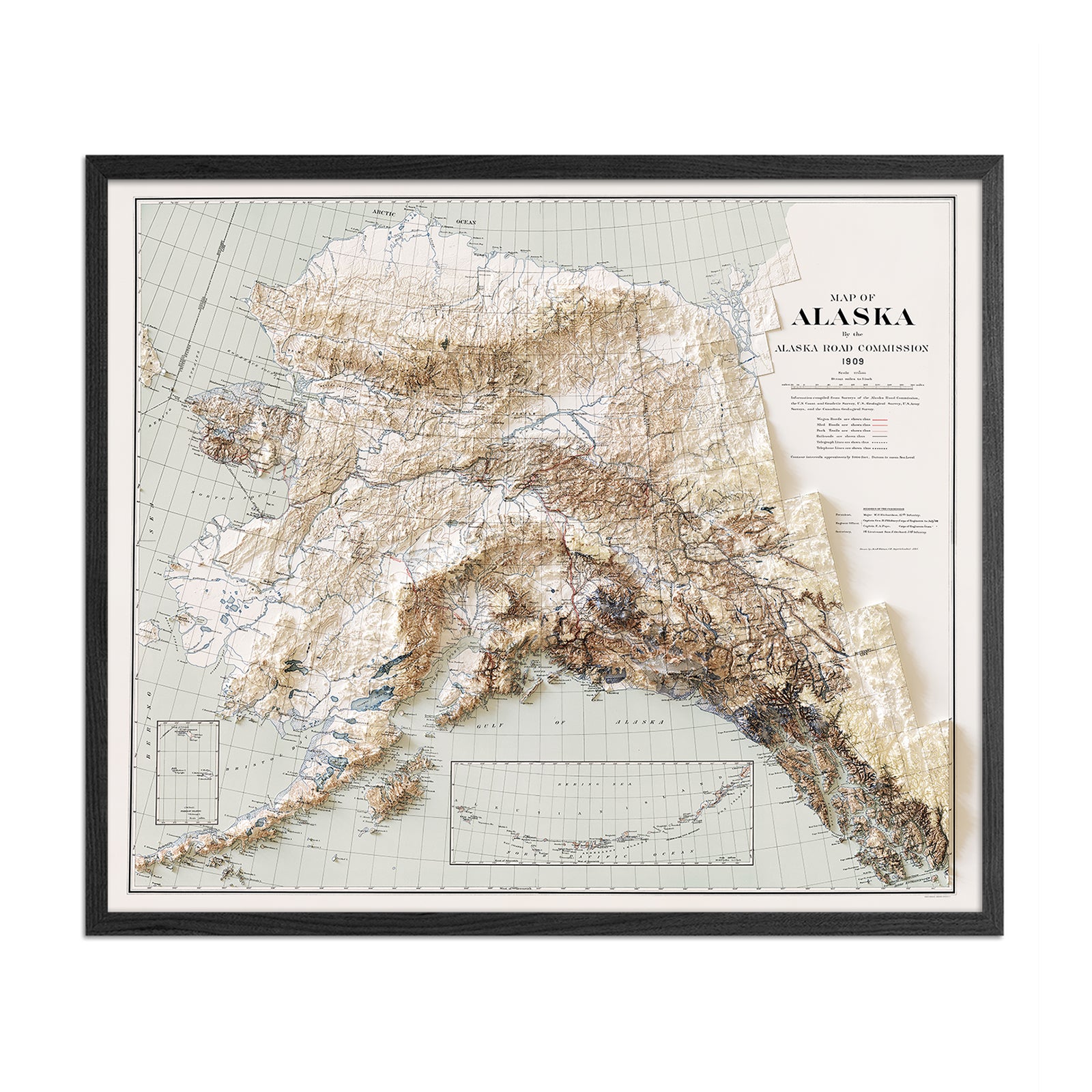
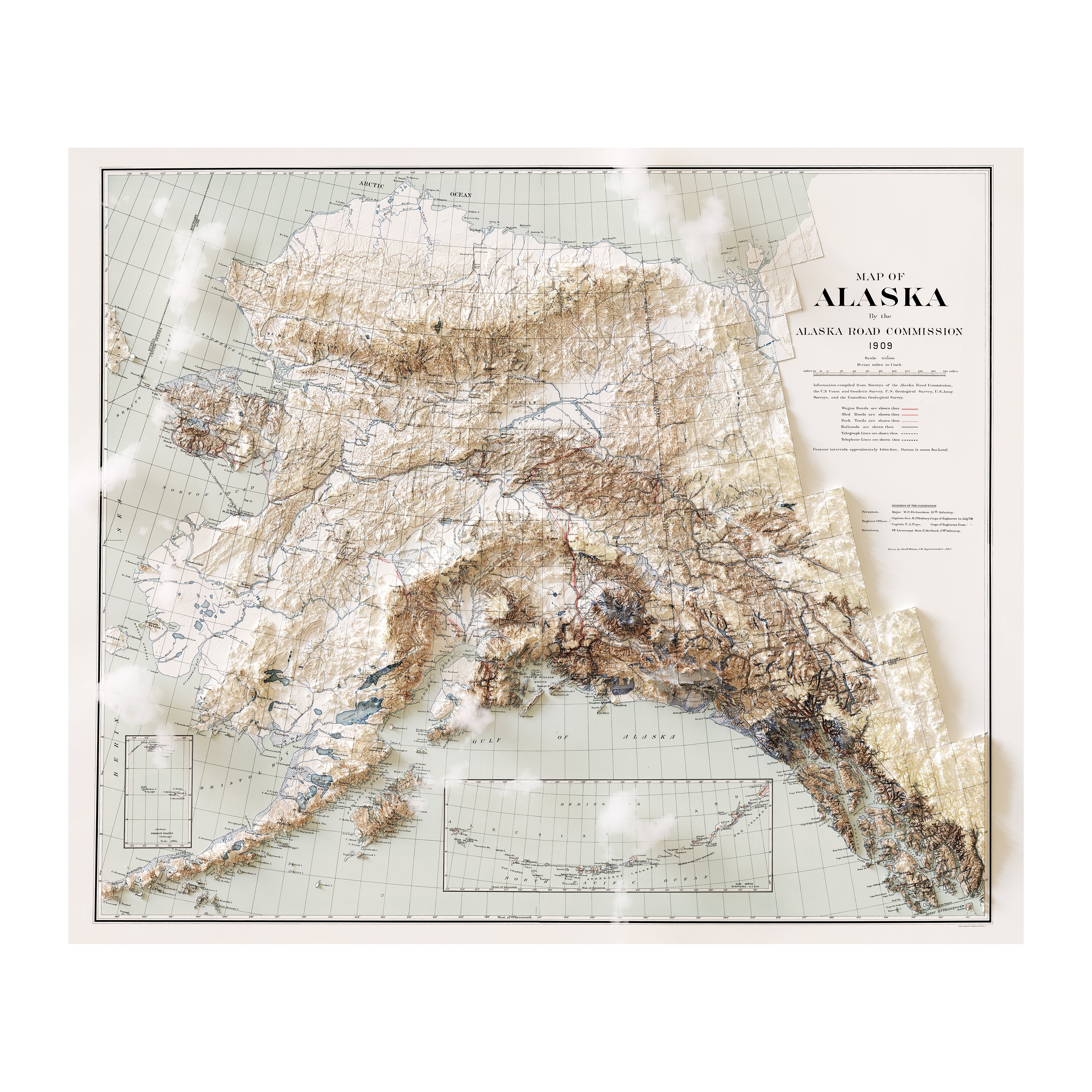
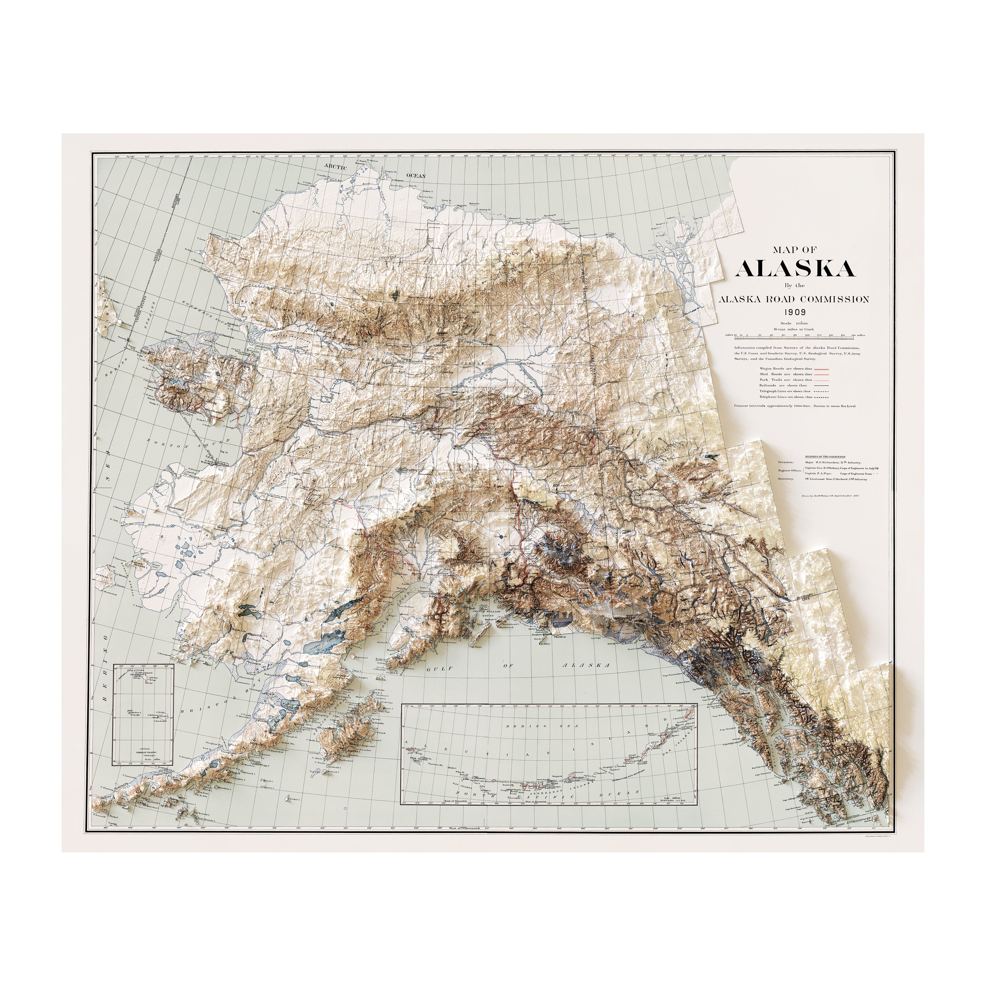
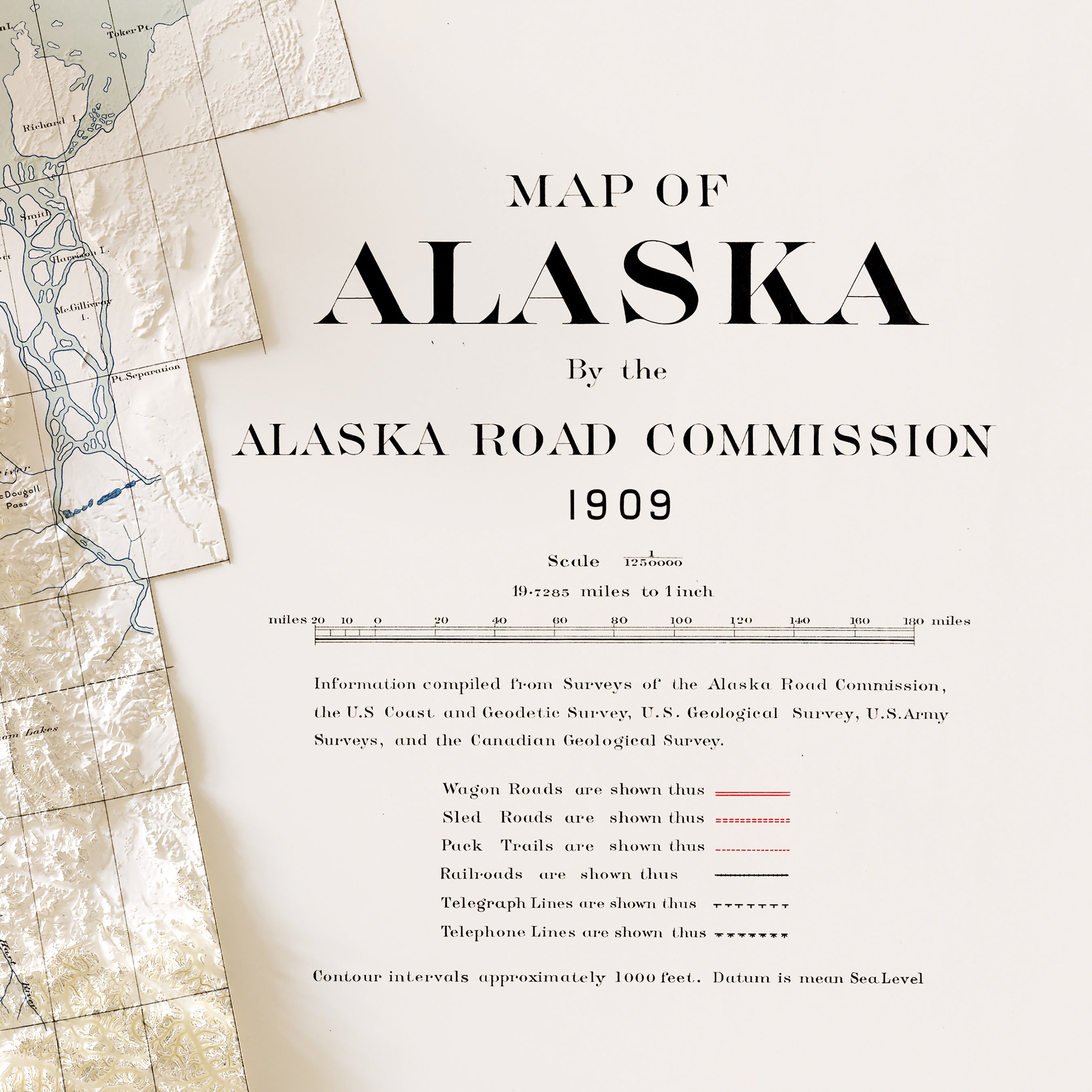
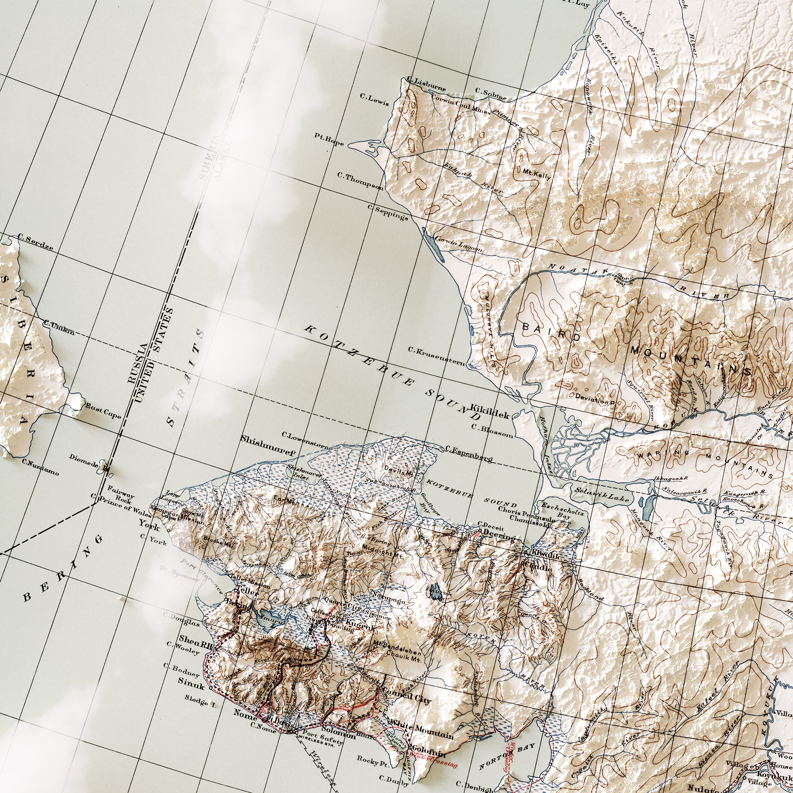
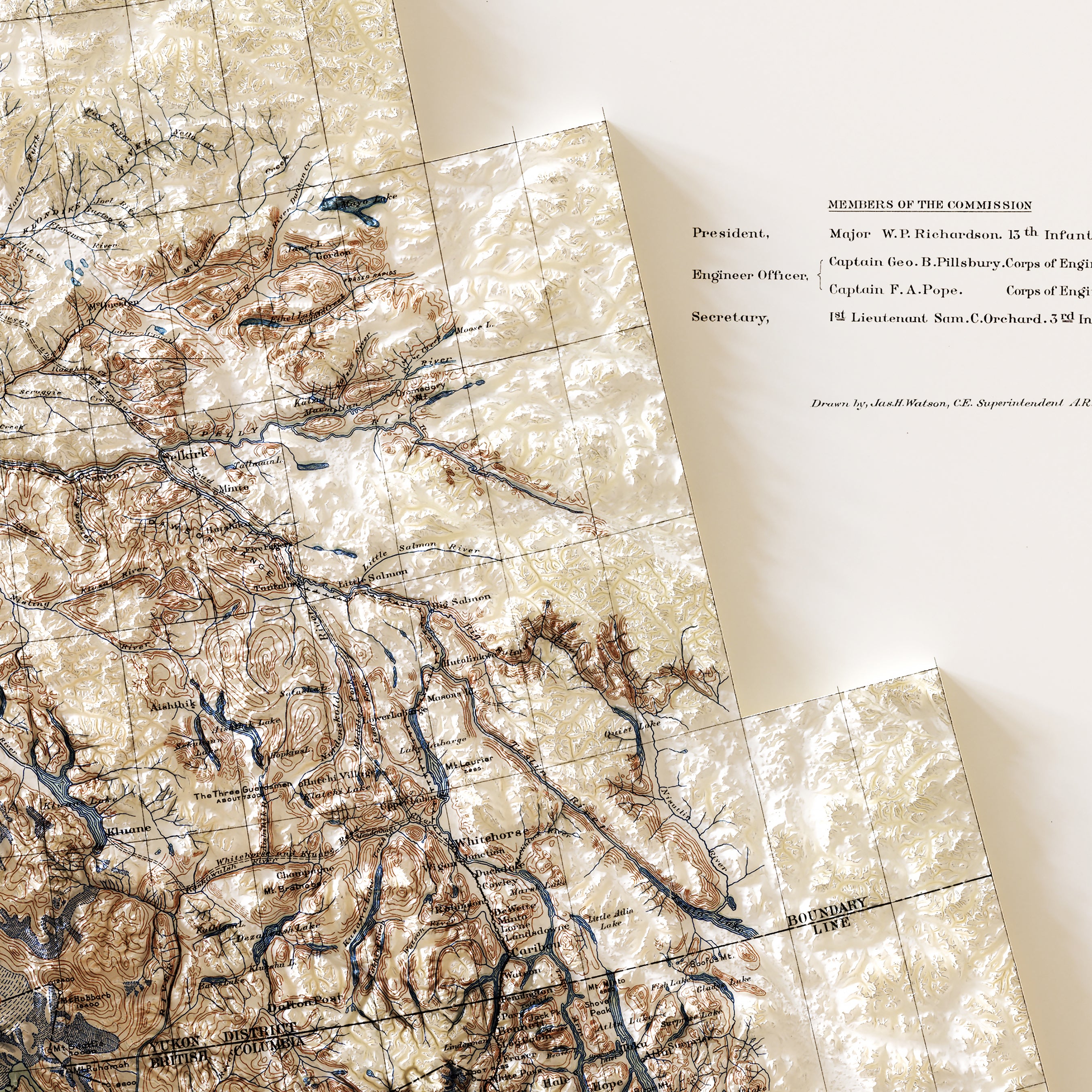
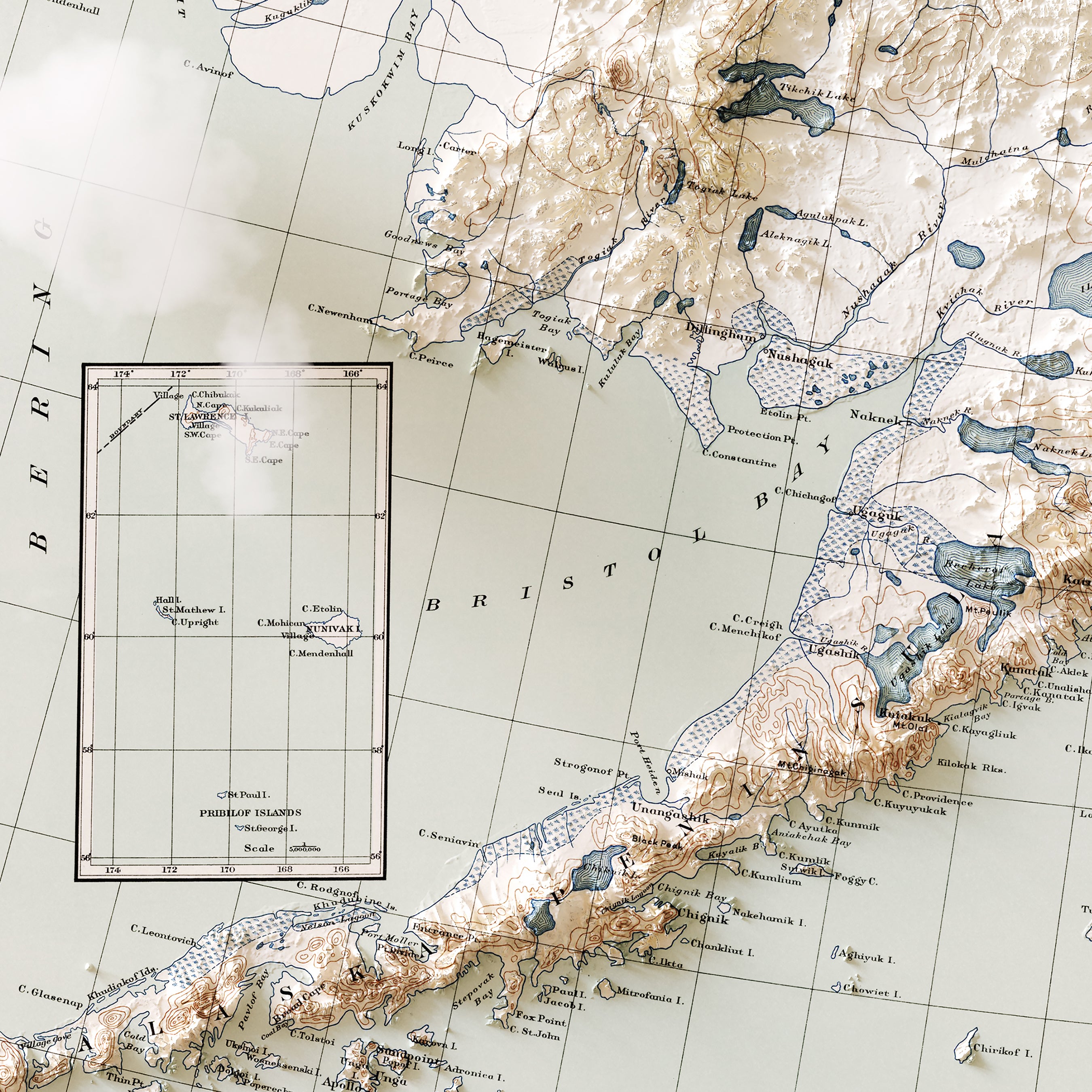
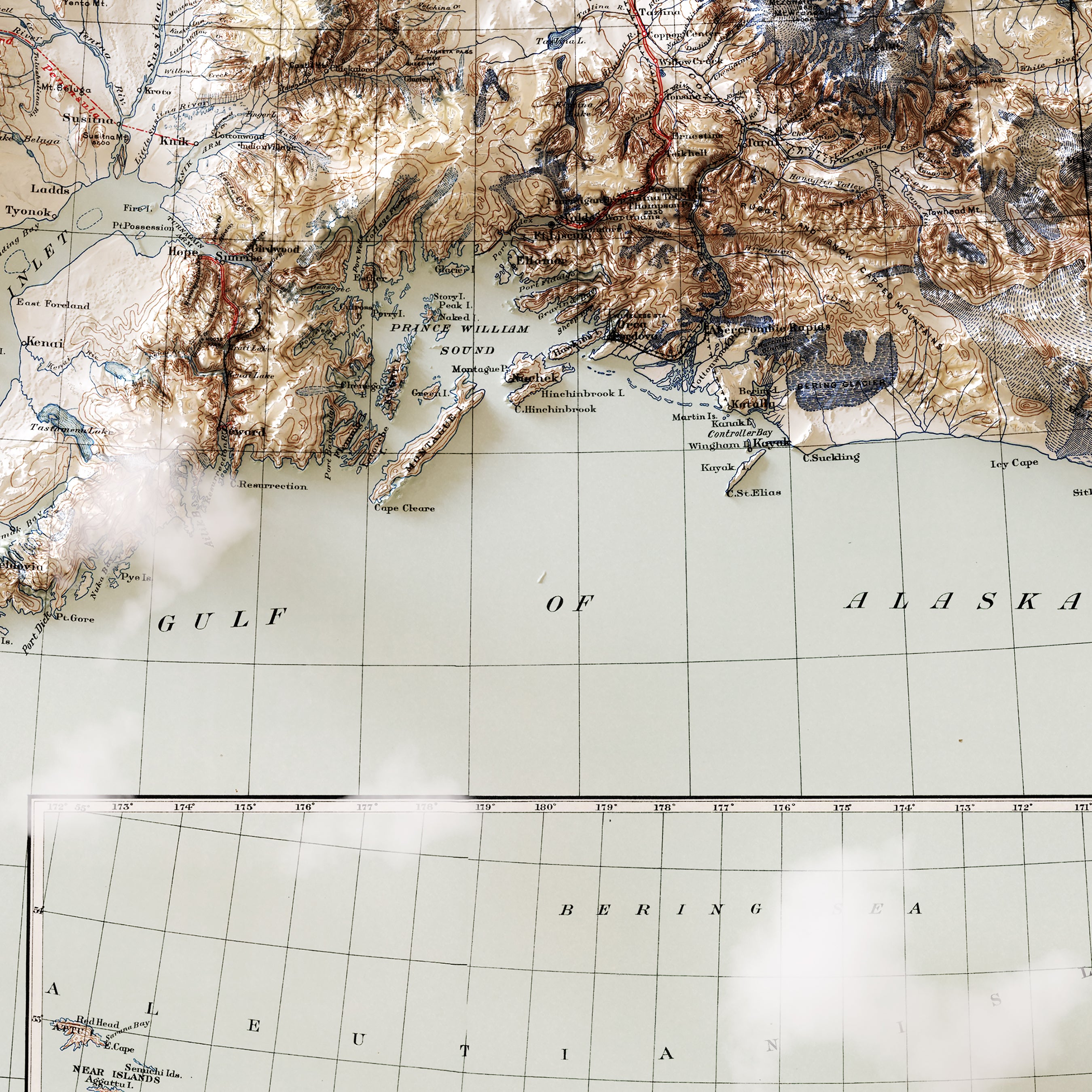
Alaska 1909 Shaded Relief Map
From
$ 99.00 USD
4.5 / 5.0
2 reviews
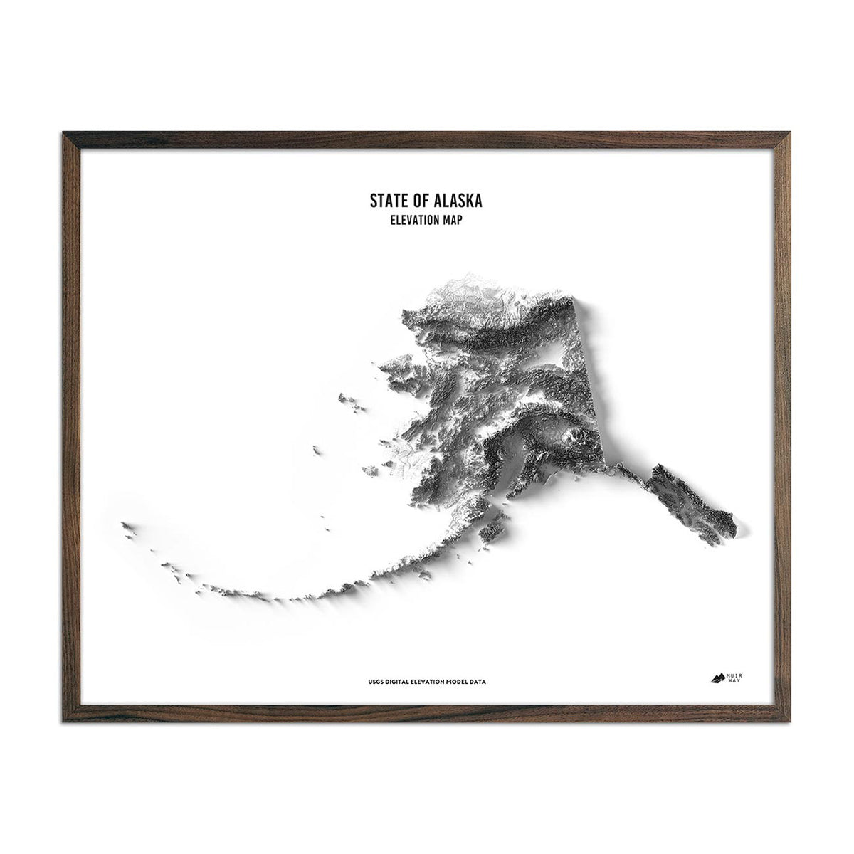
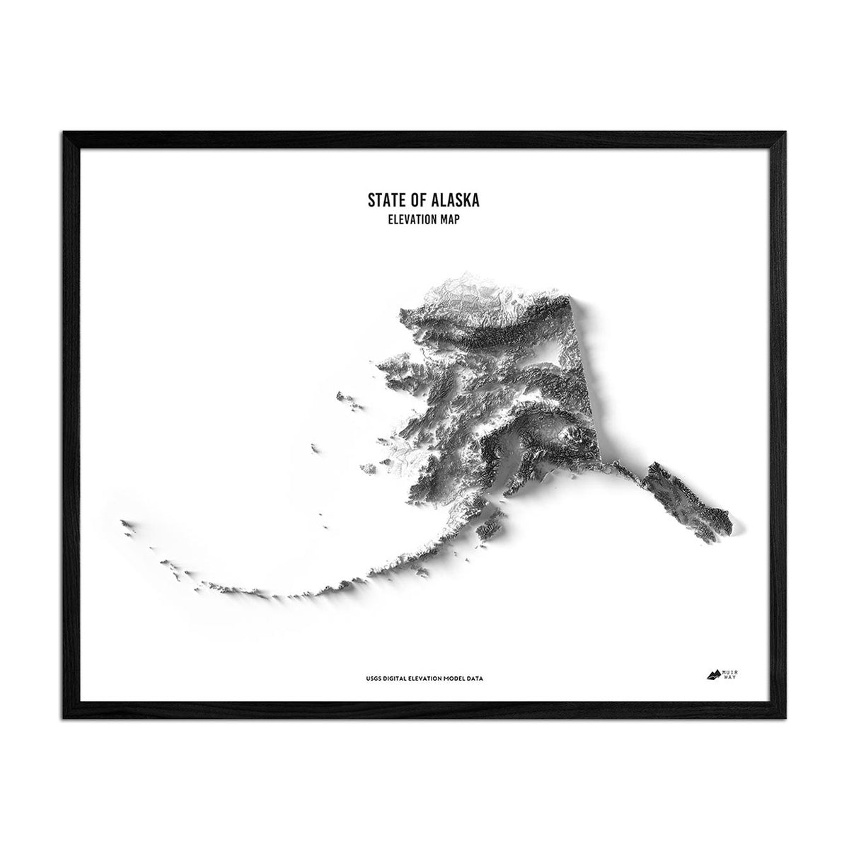
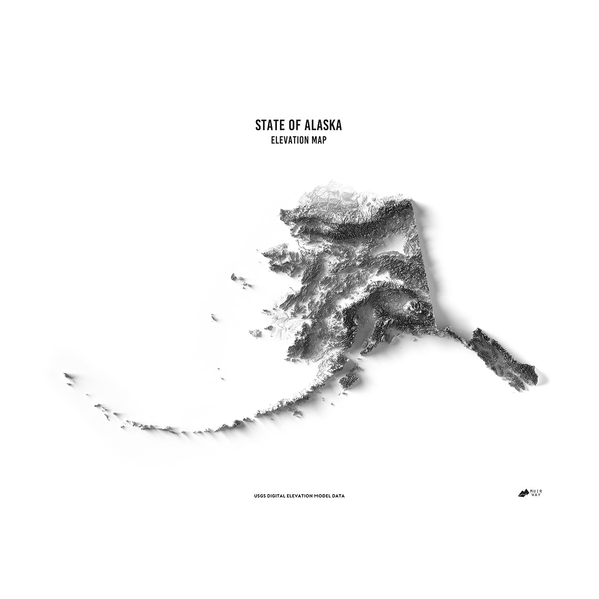
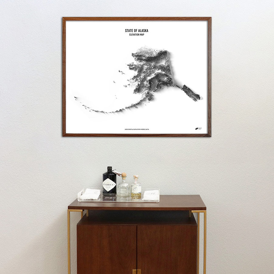
Alaska Elevation Map
From
$ 79.00 USD
4.9 / 5.0
264 reviews
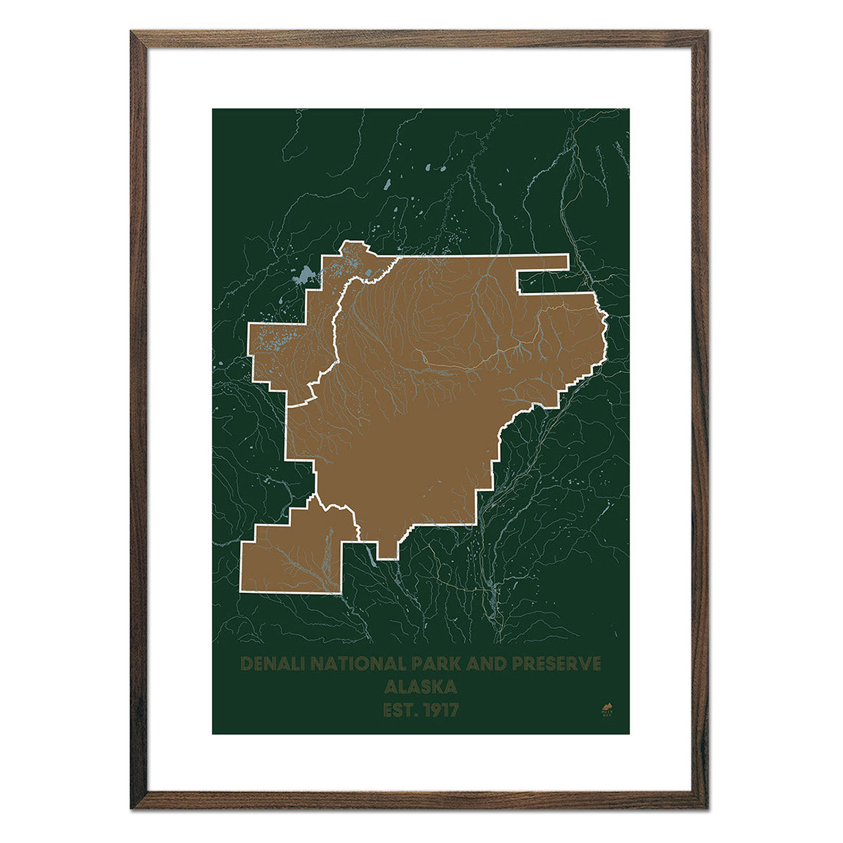
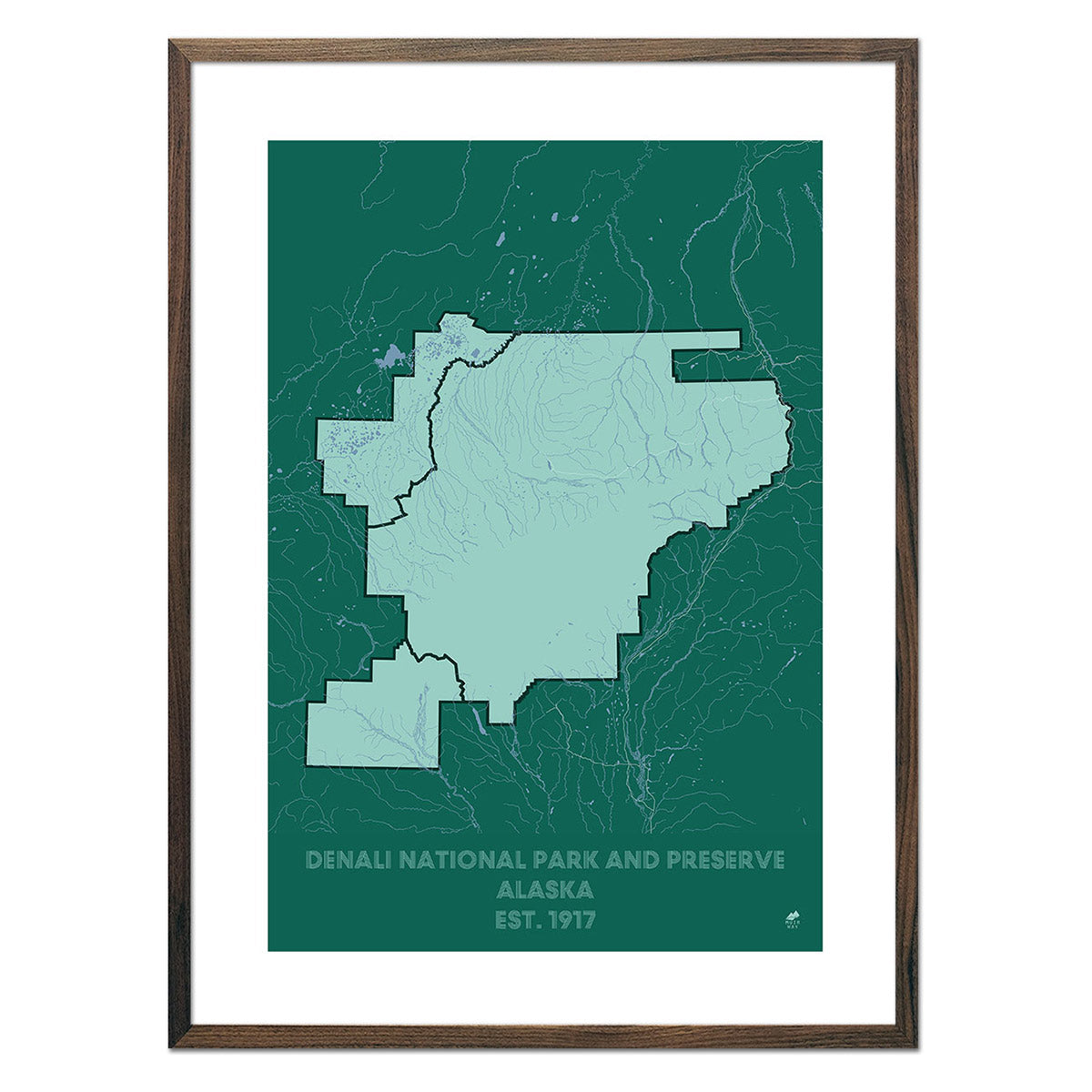
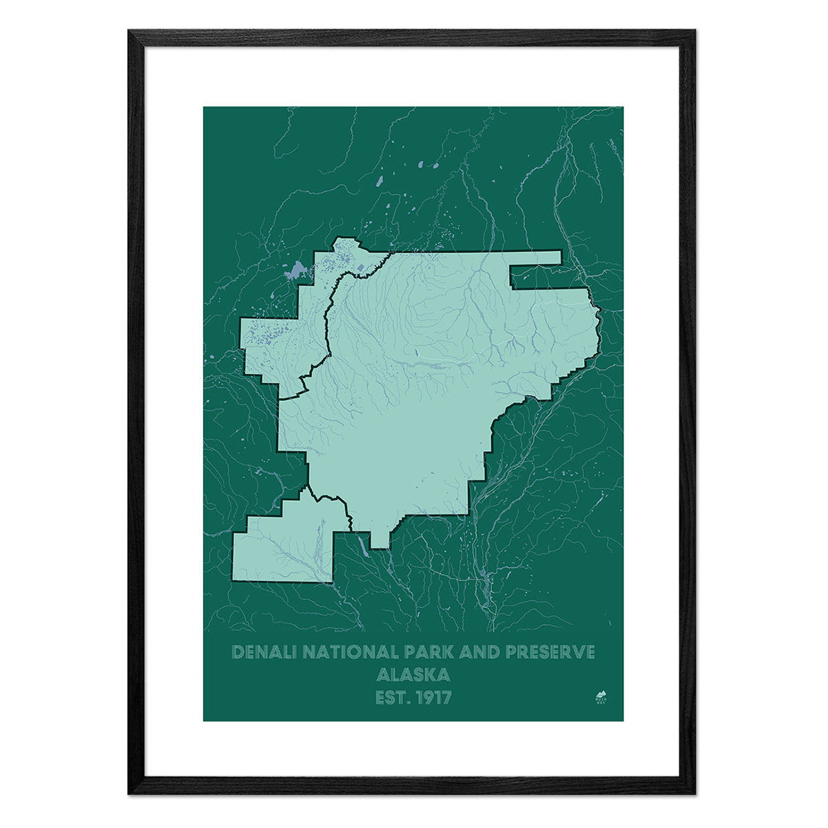
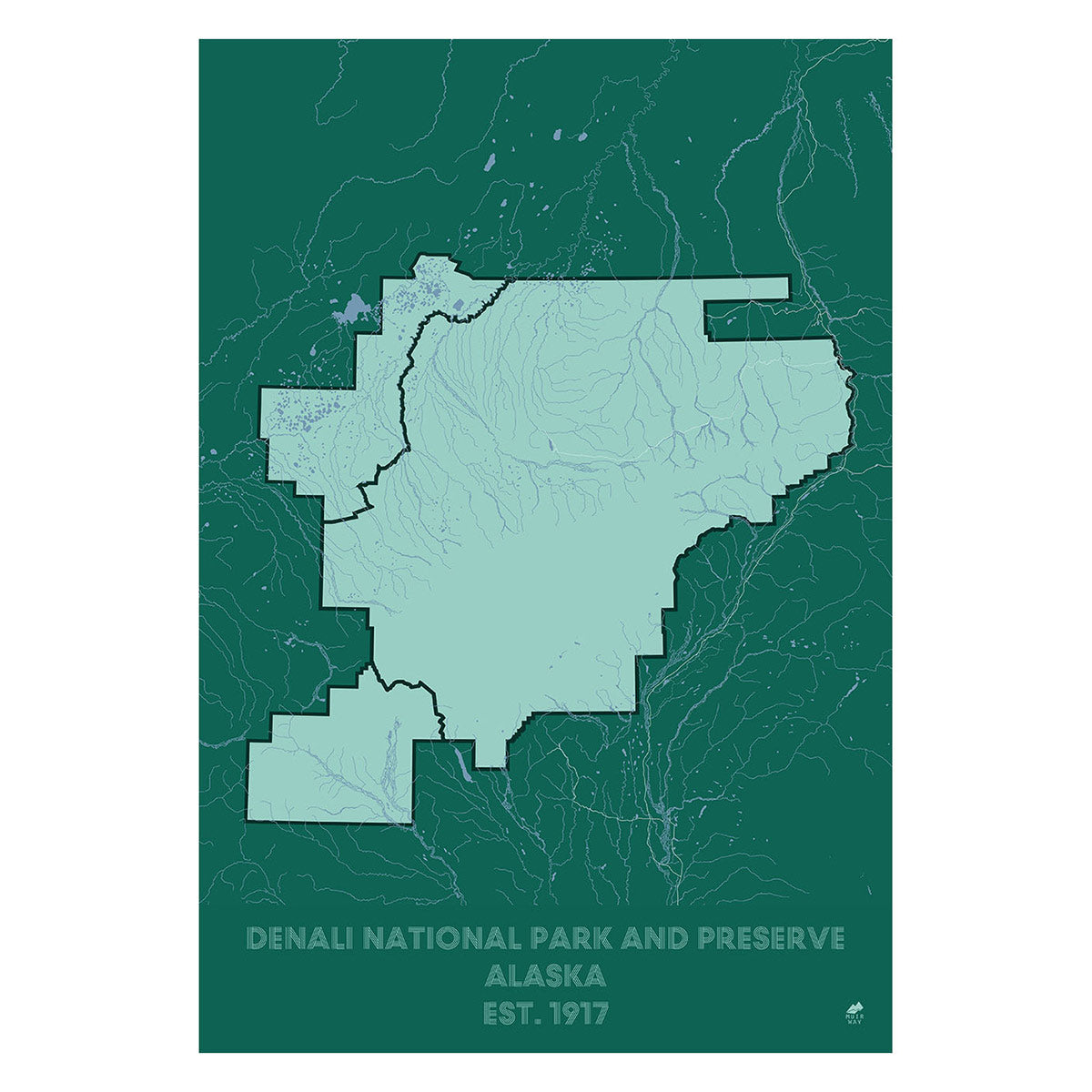
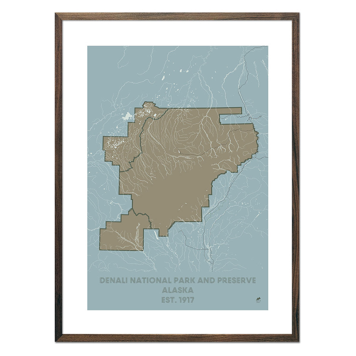
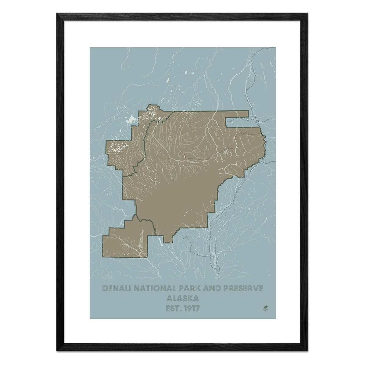
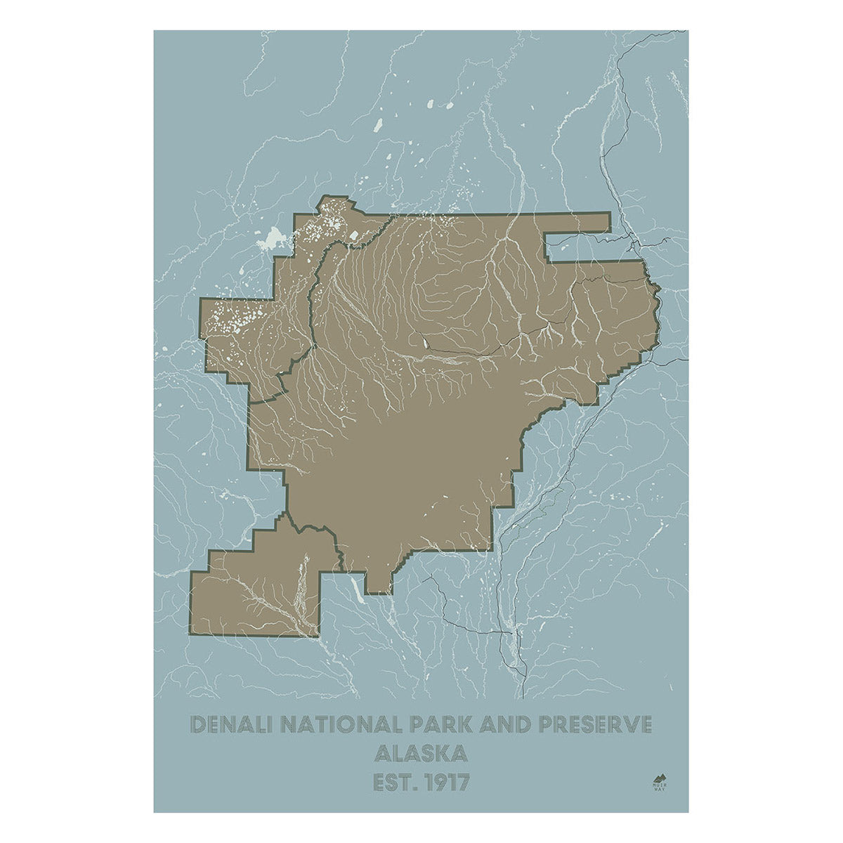
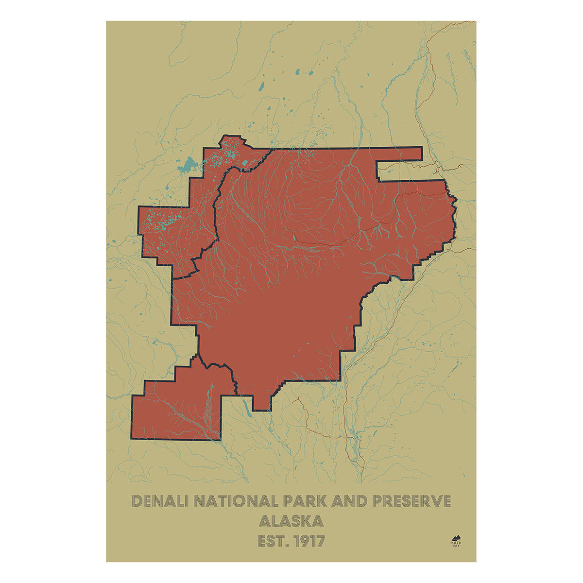
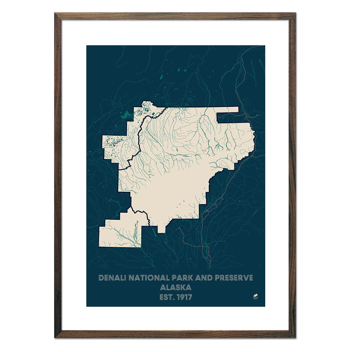
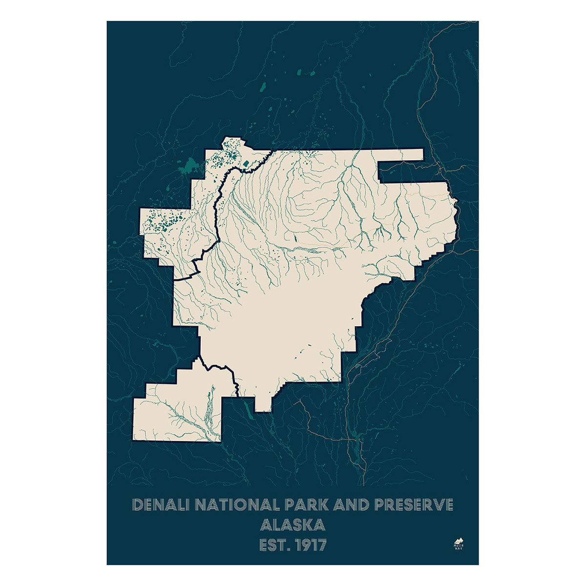
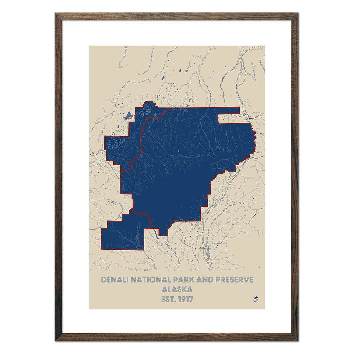
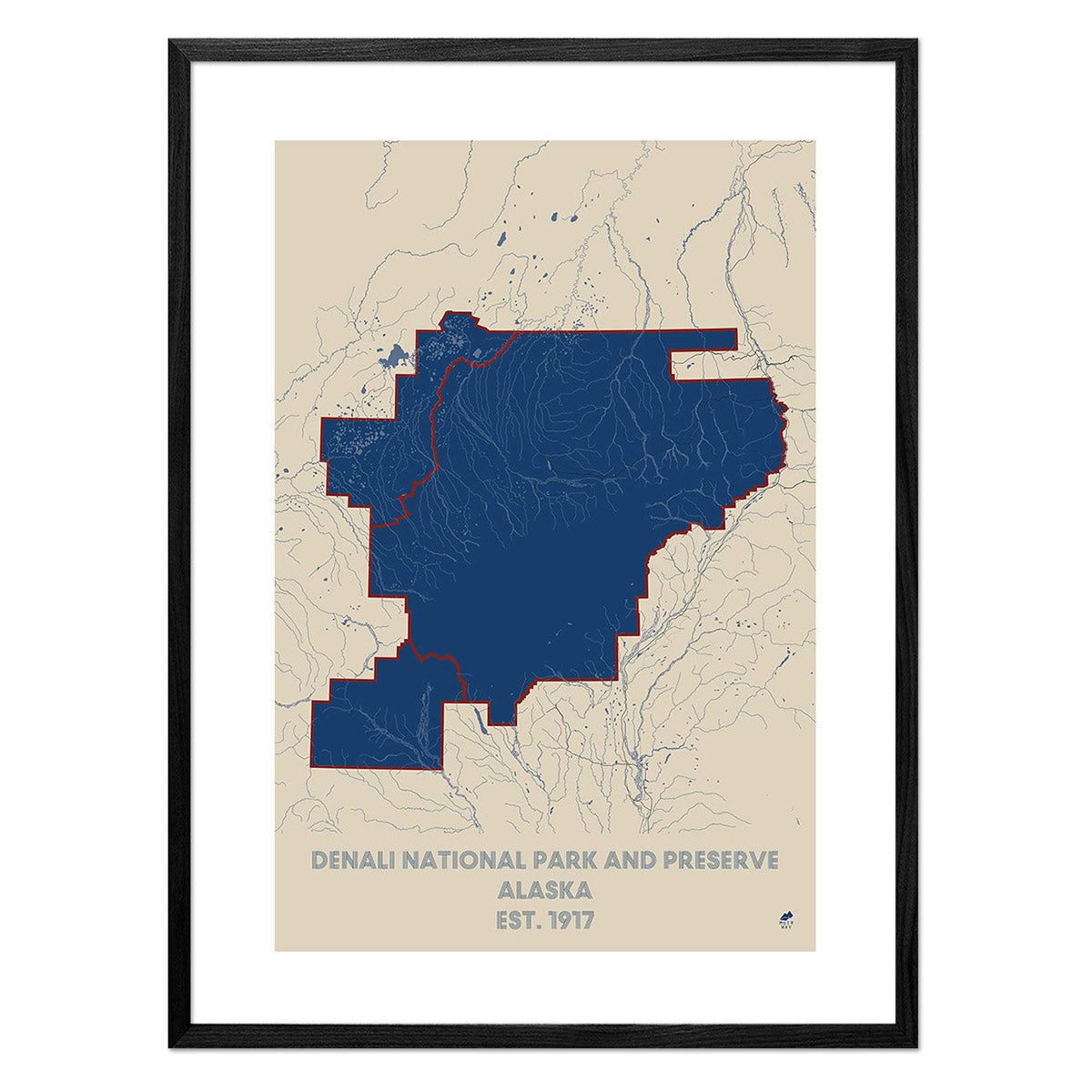
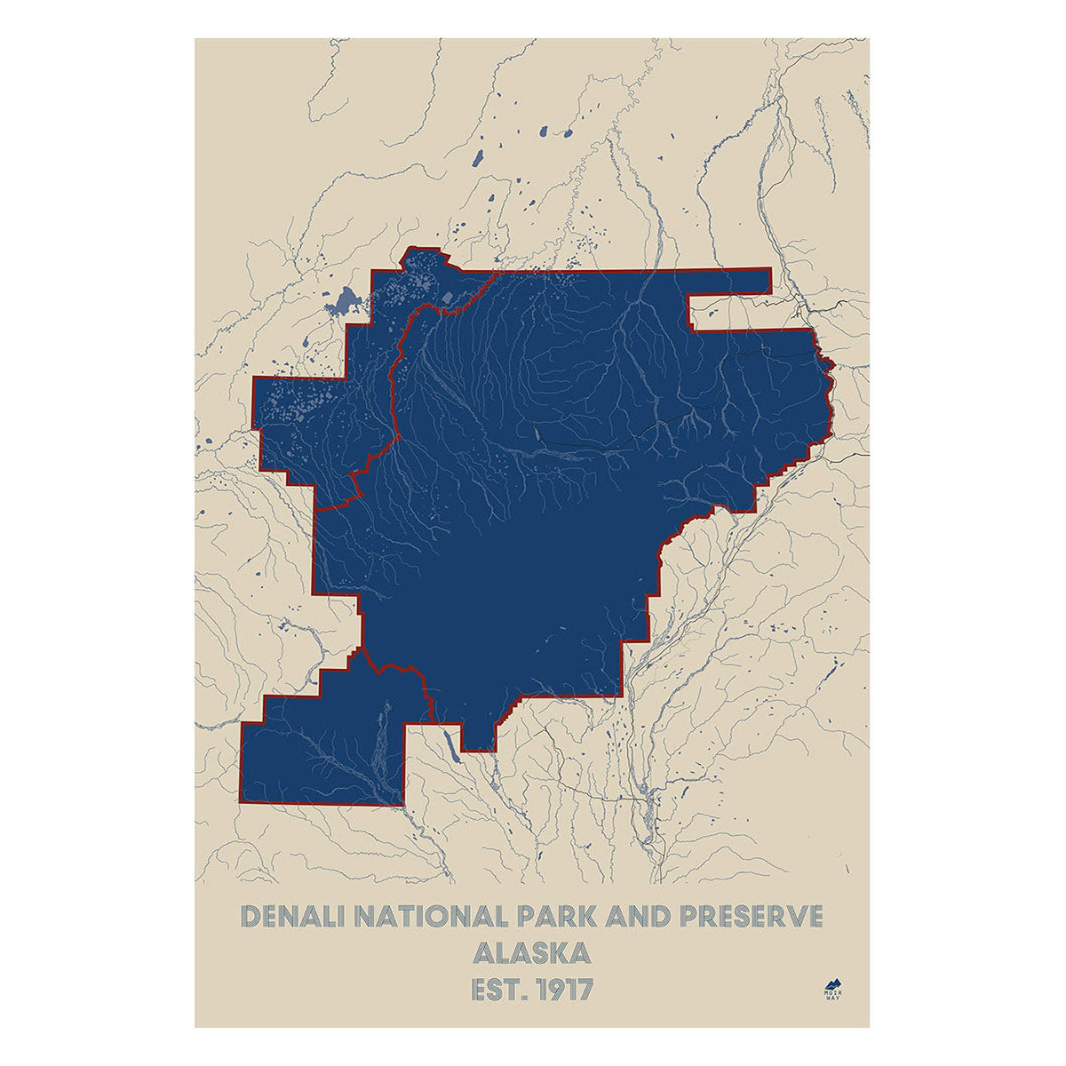
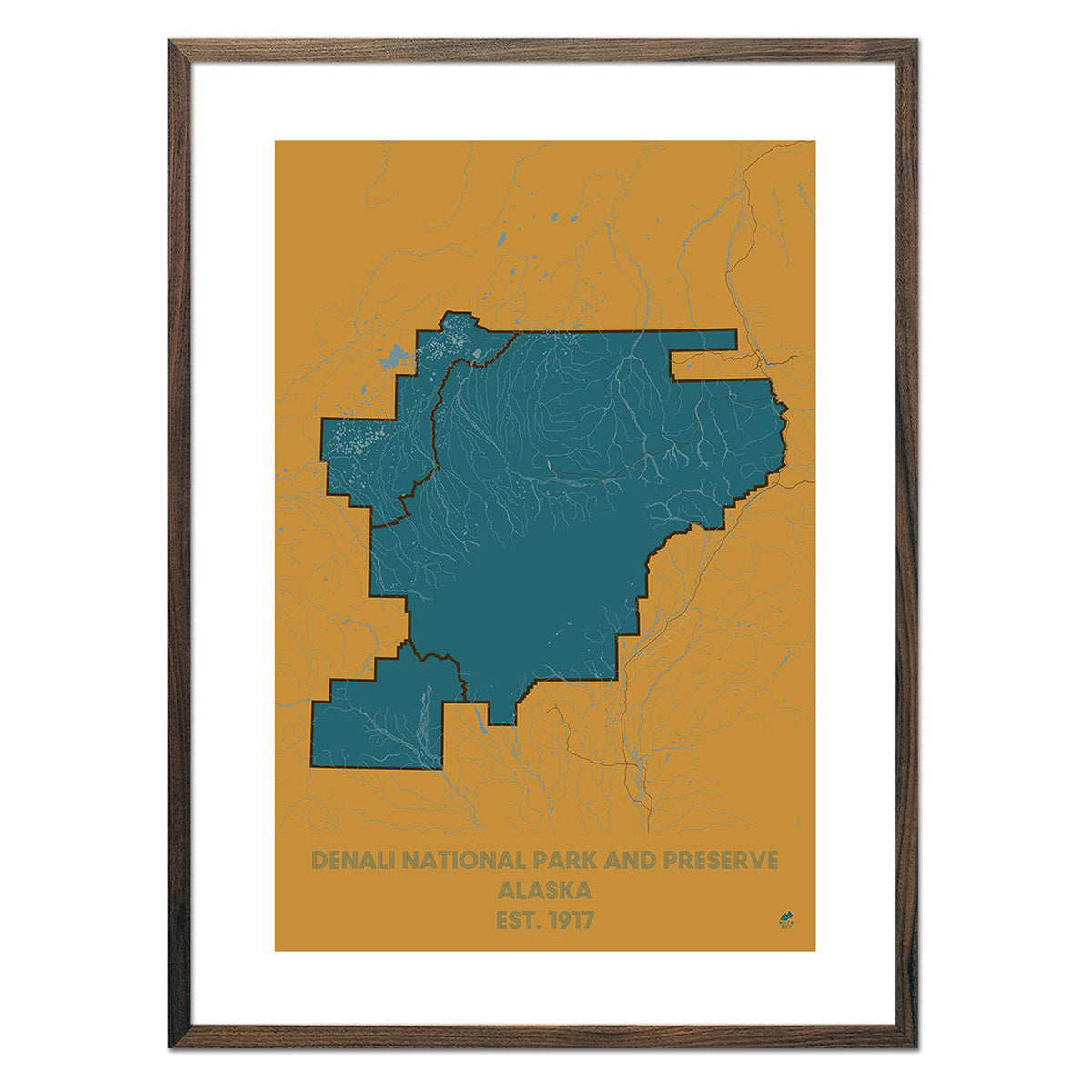
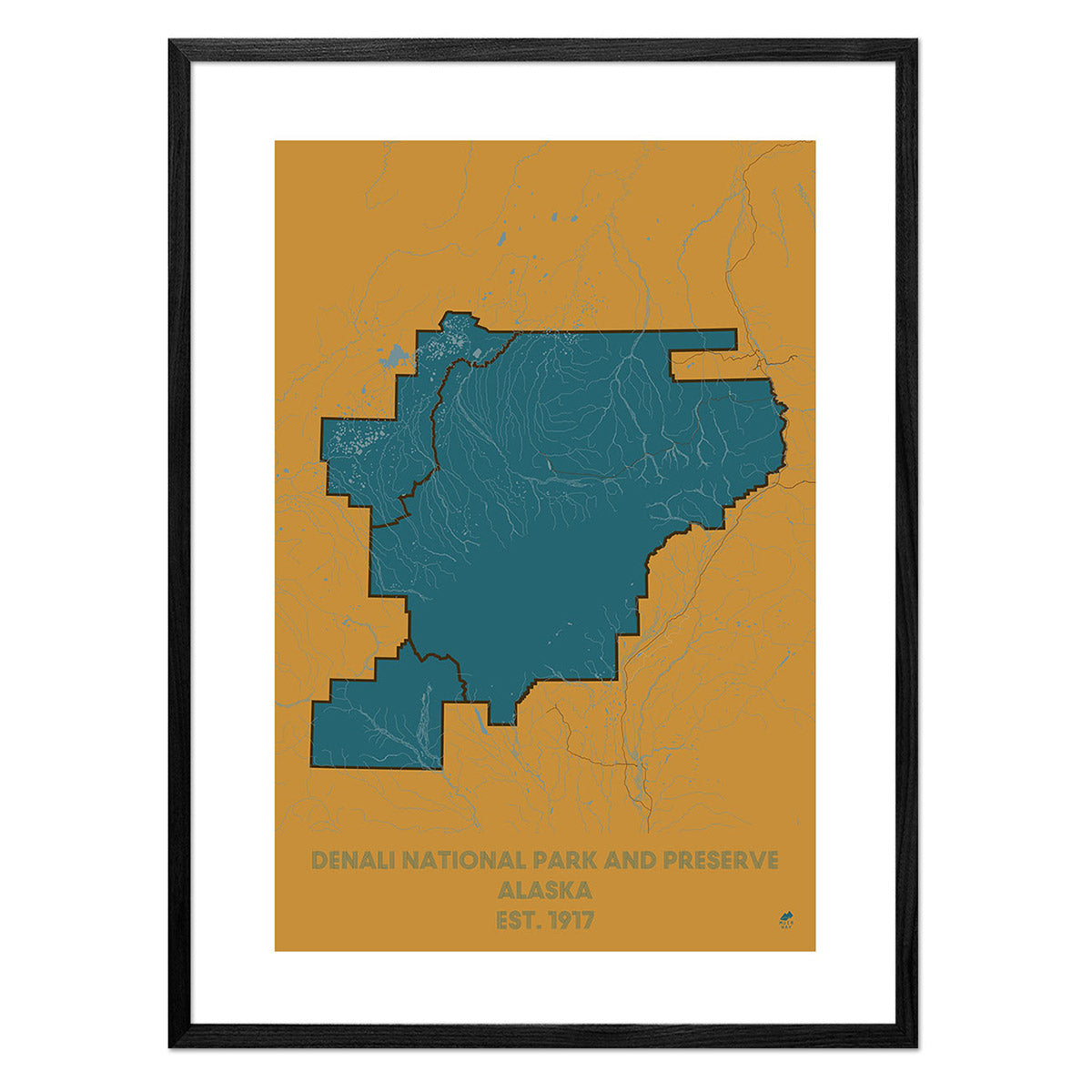
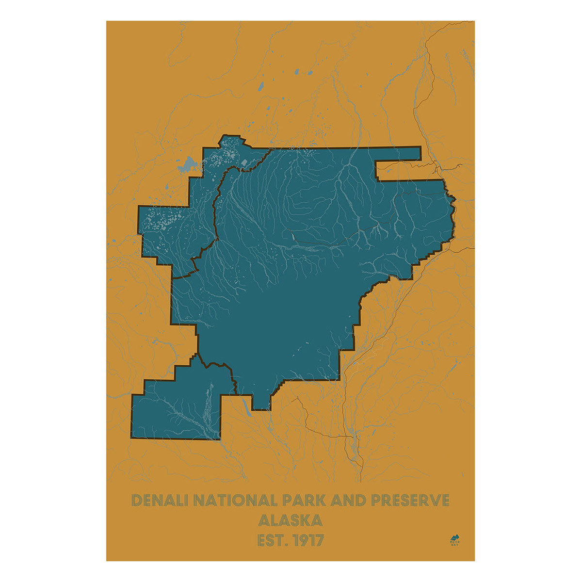
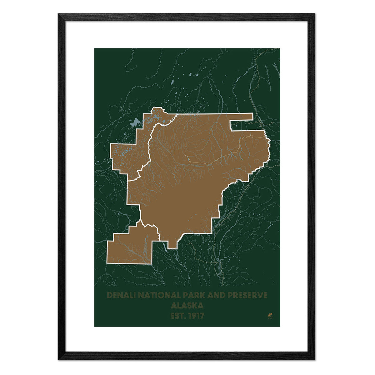
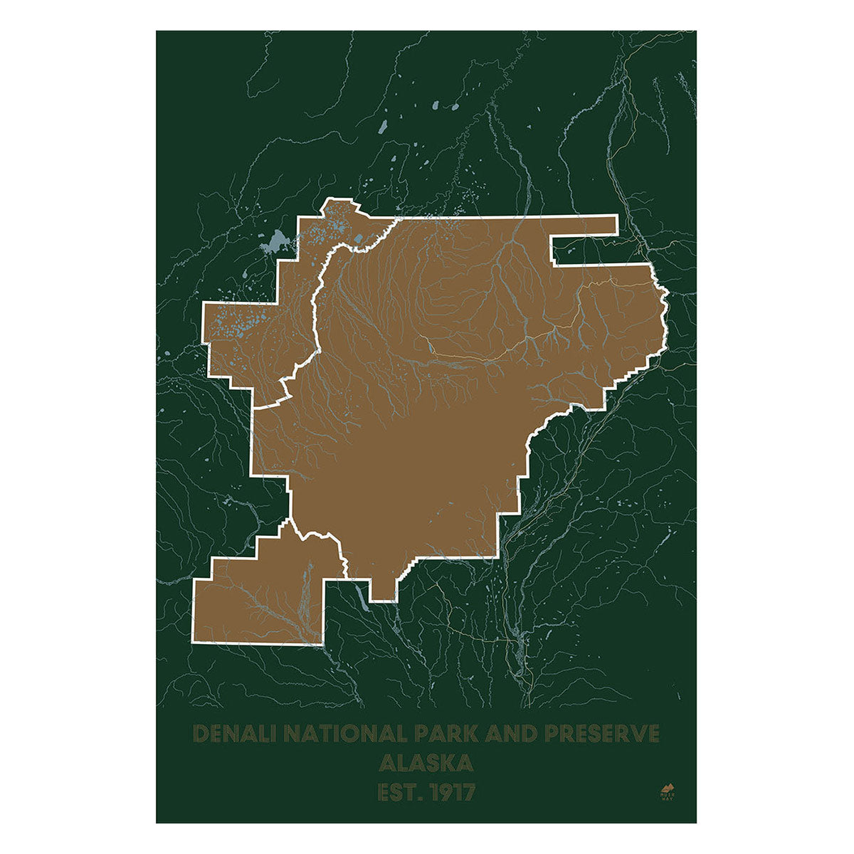
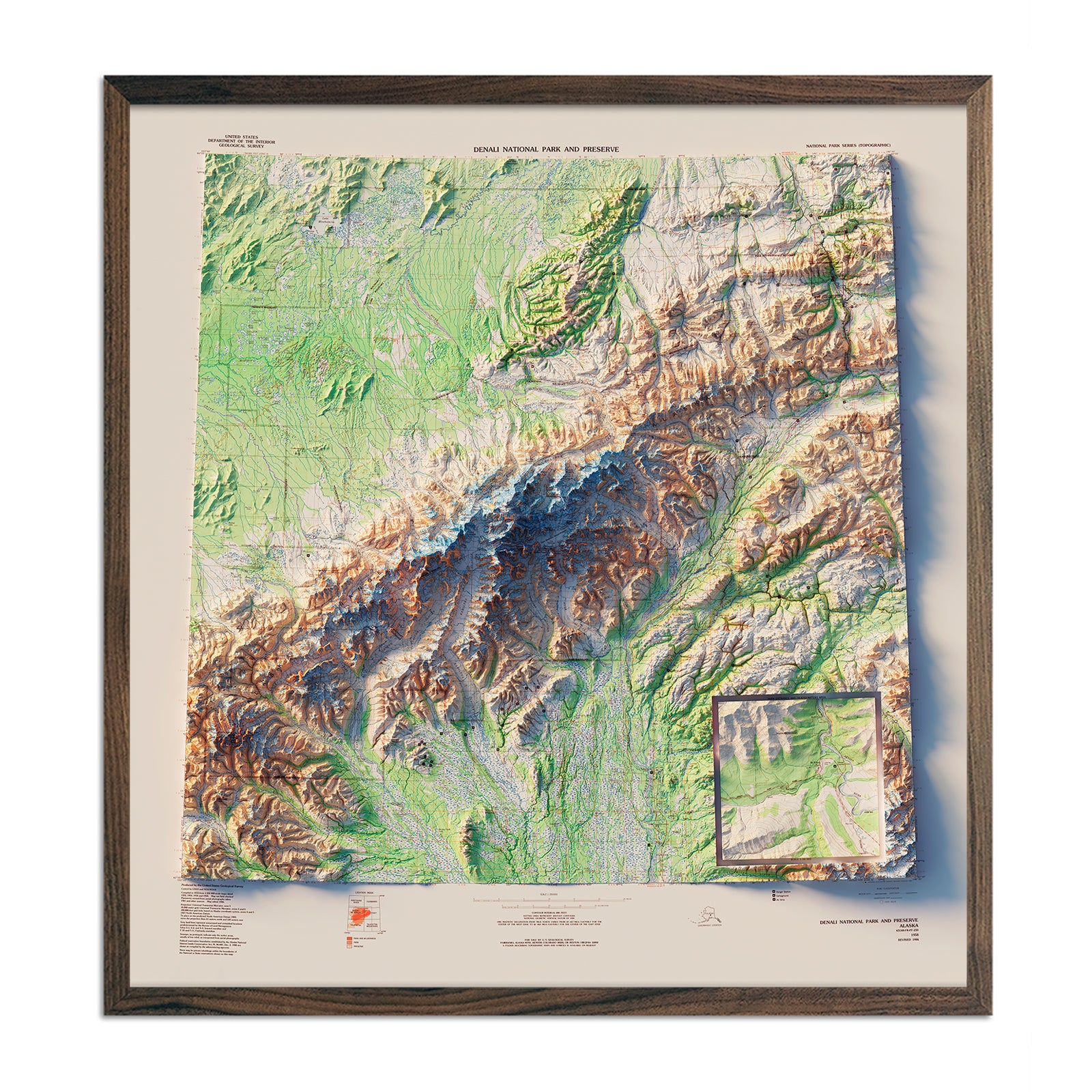
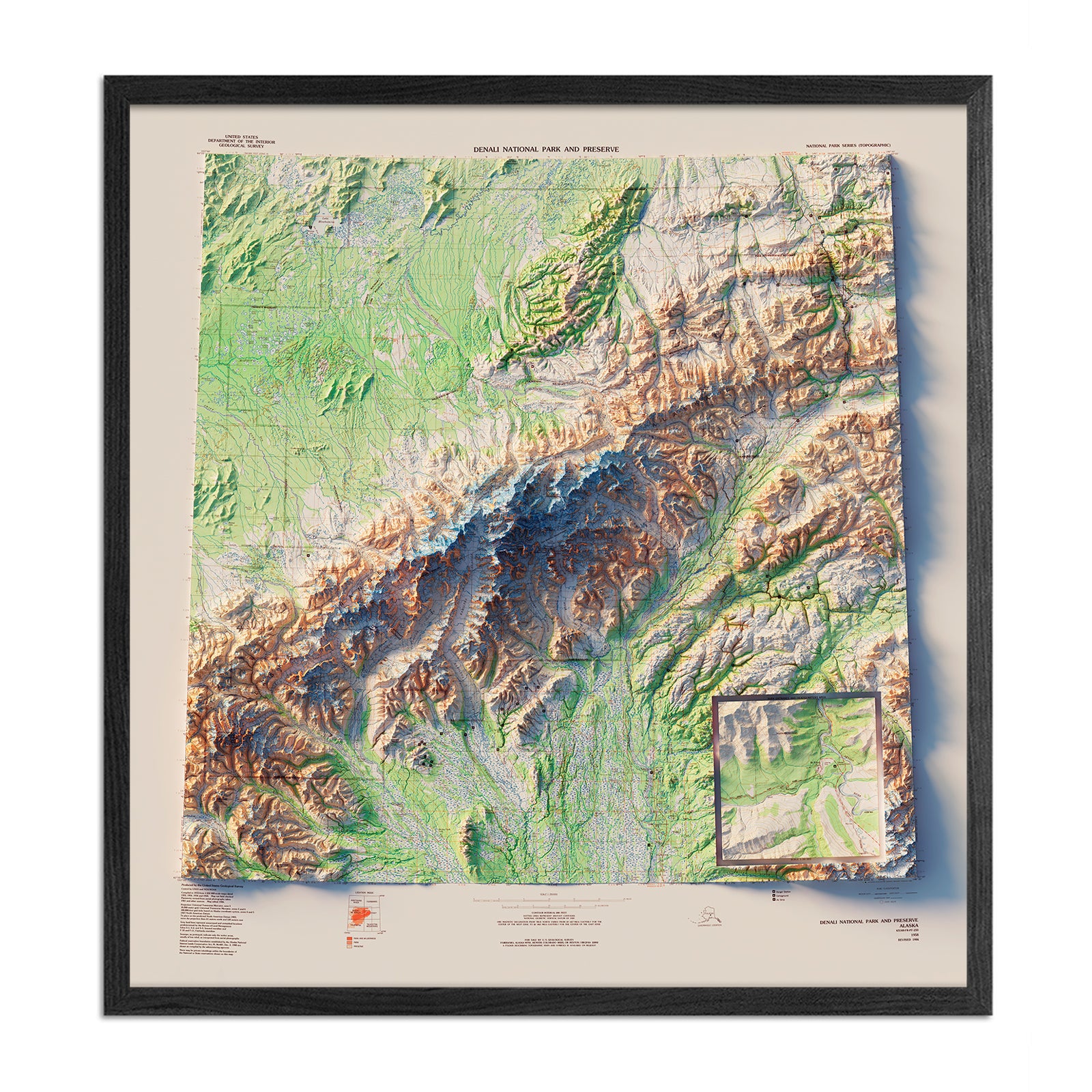
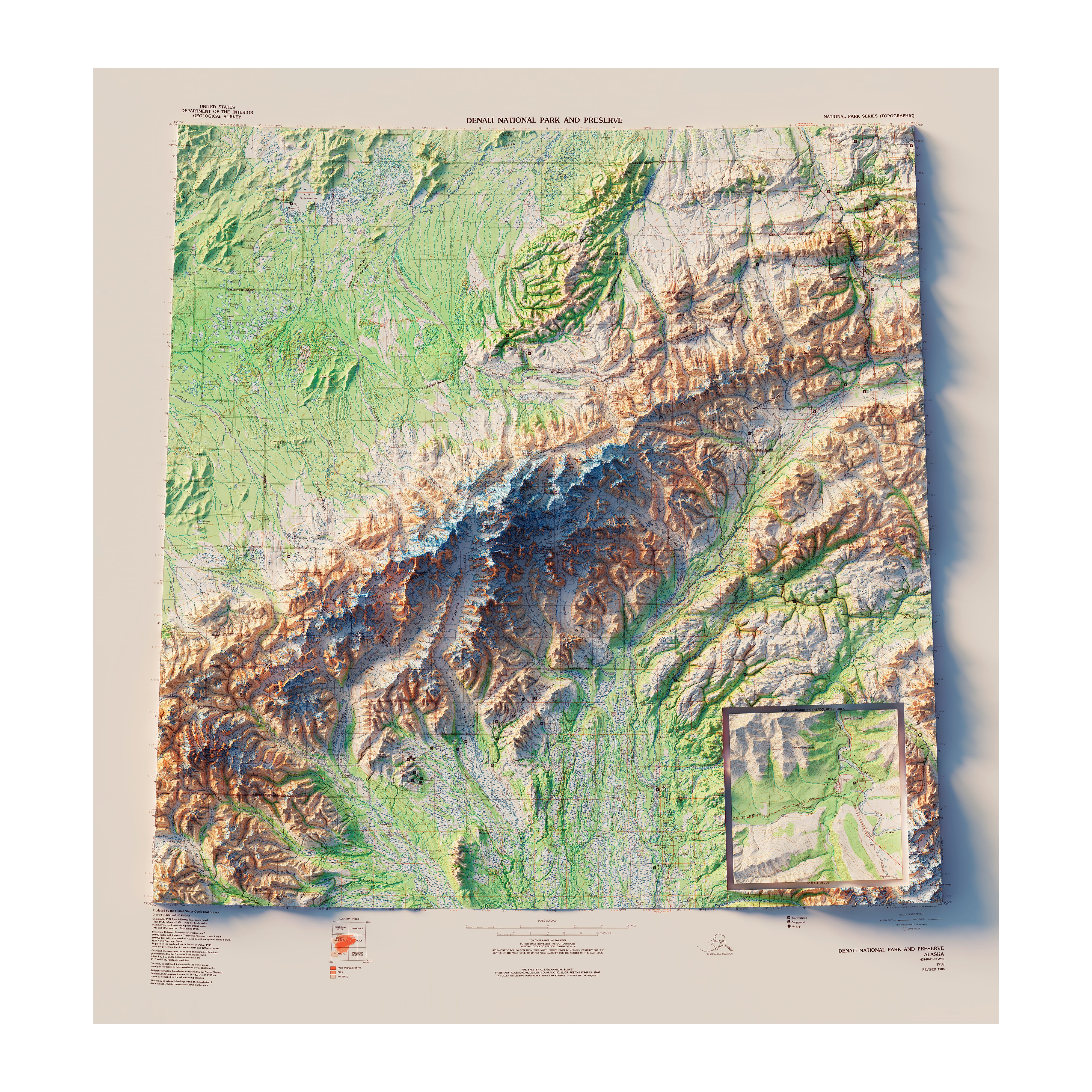
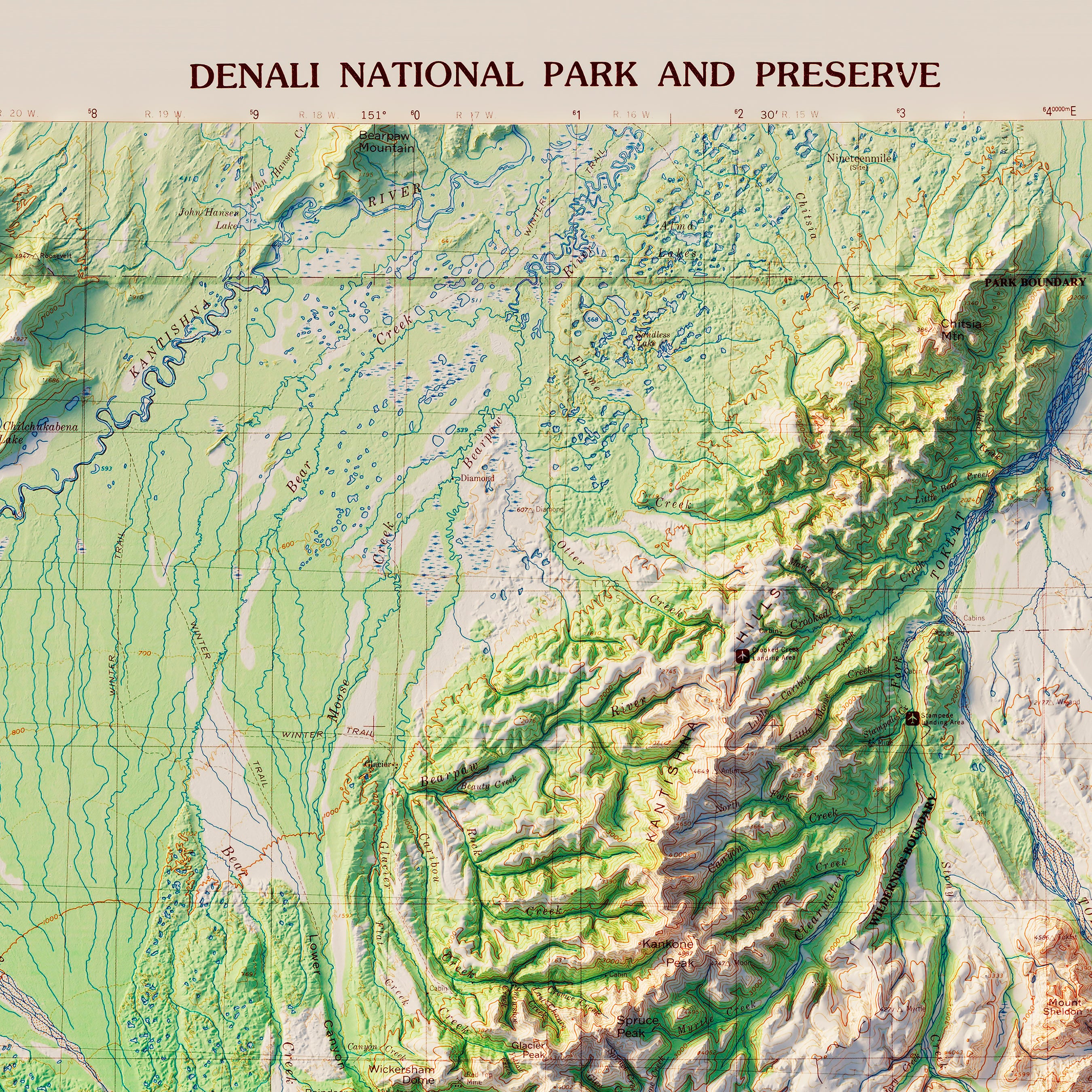
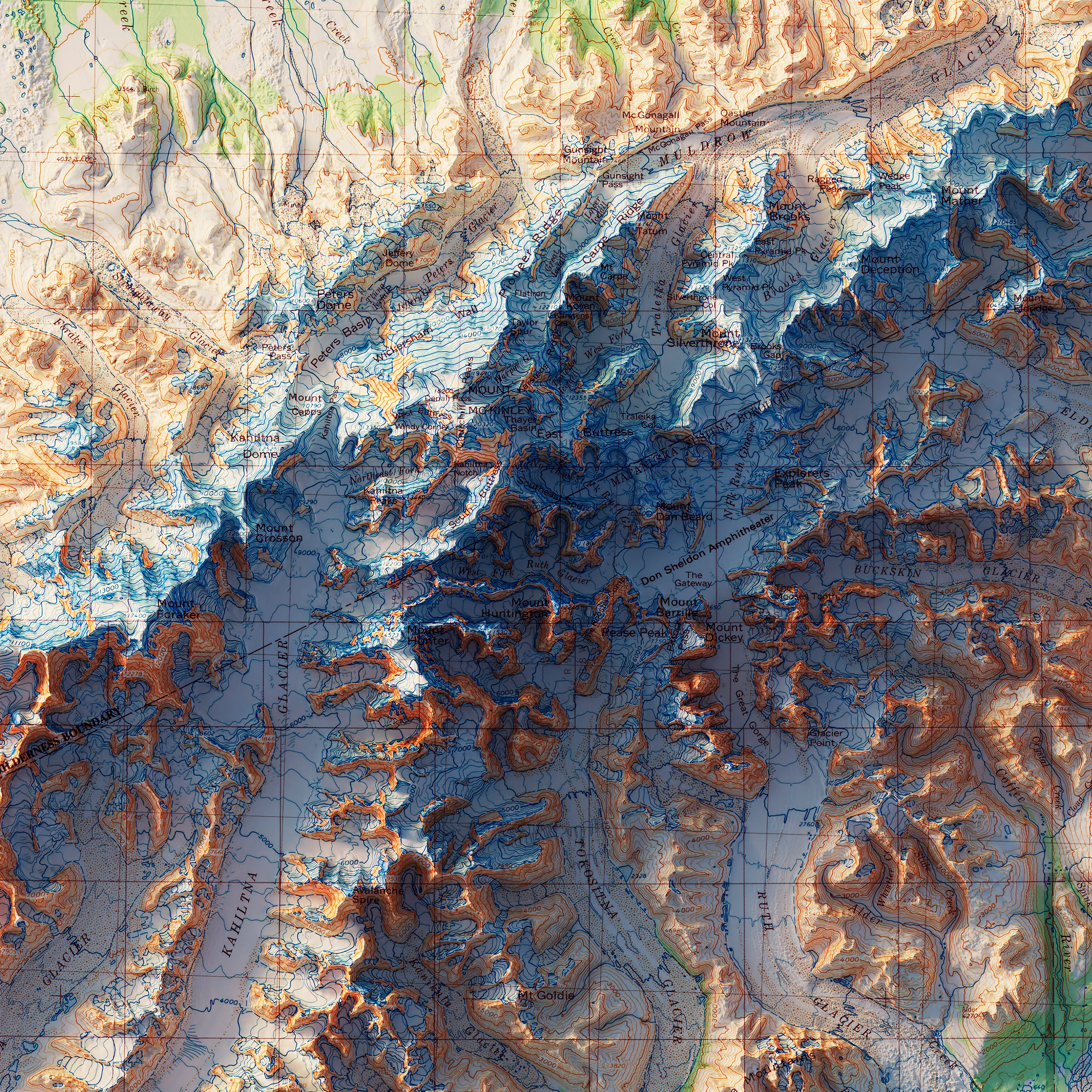
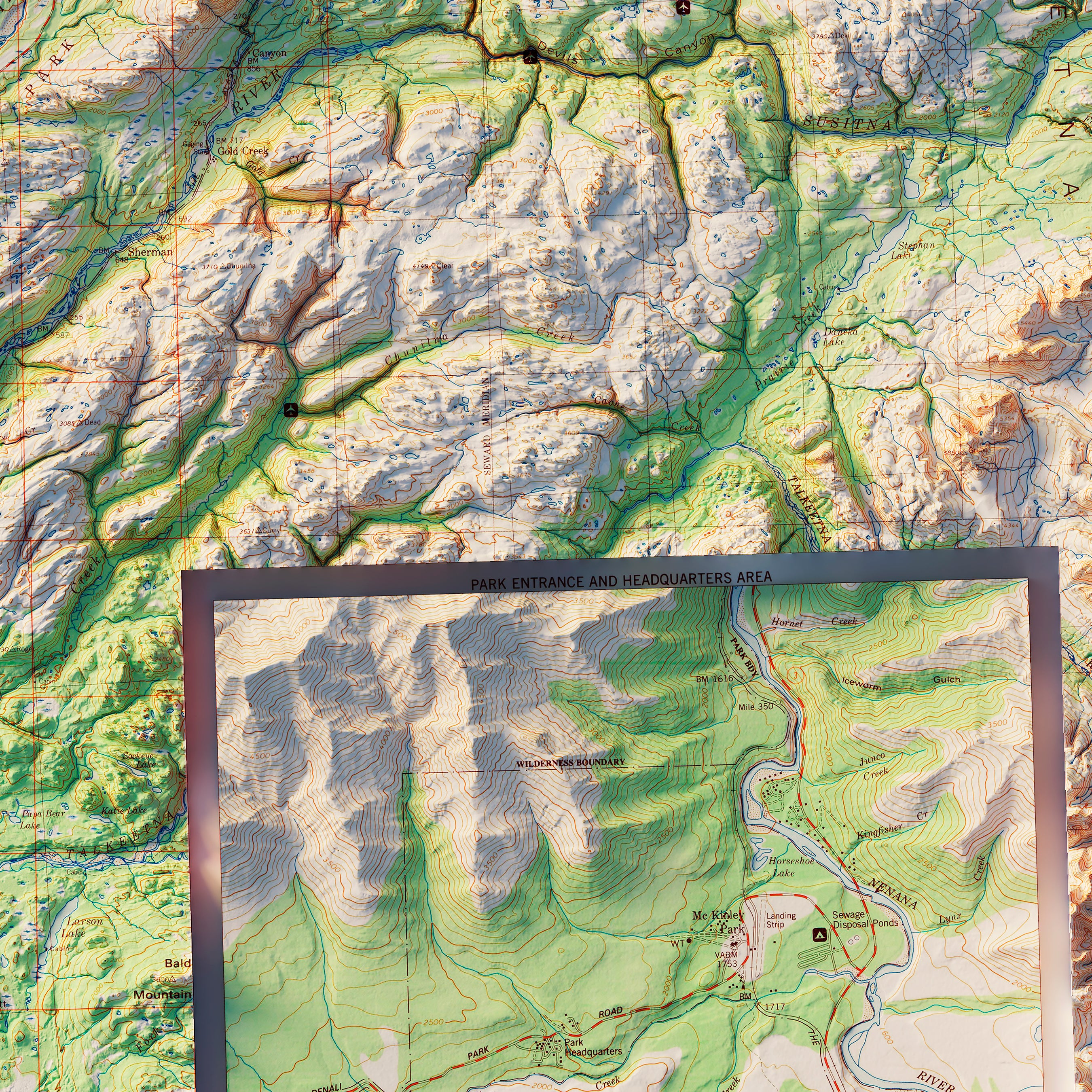
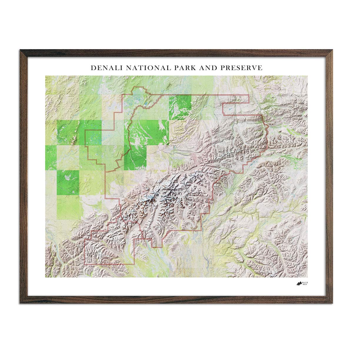
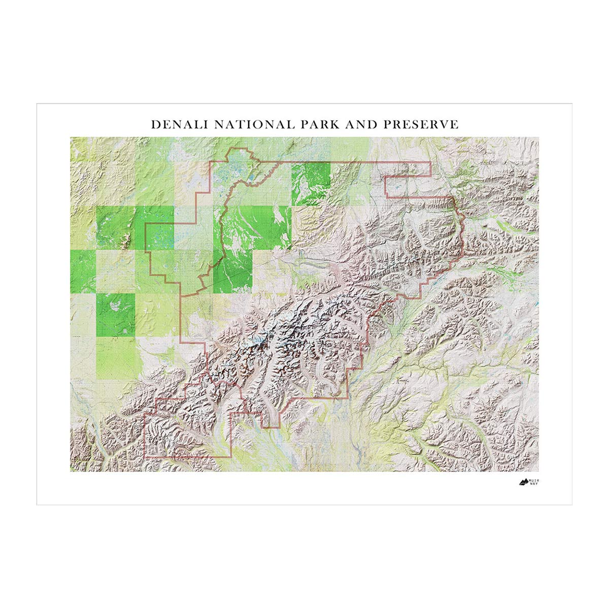
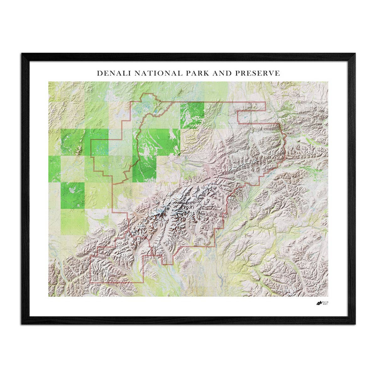
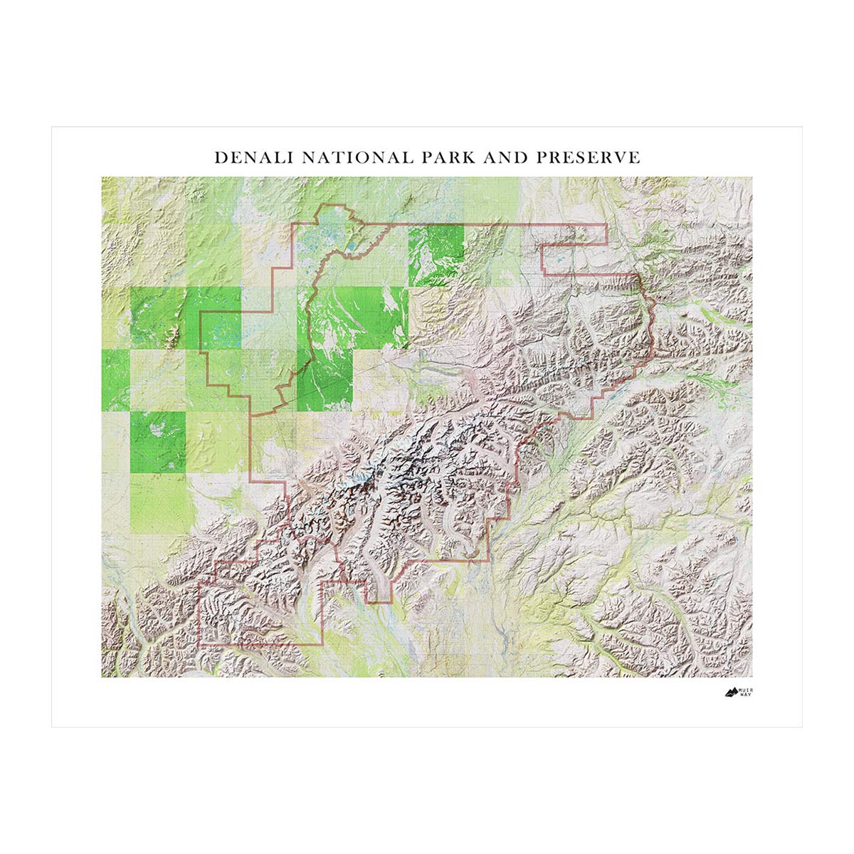
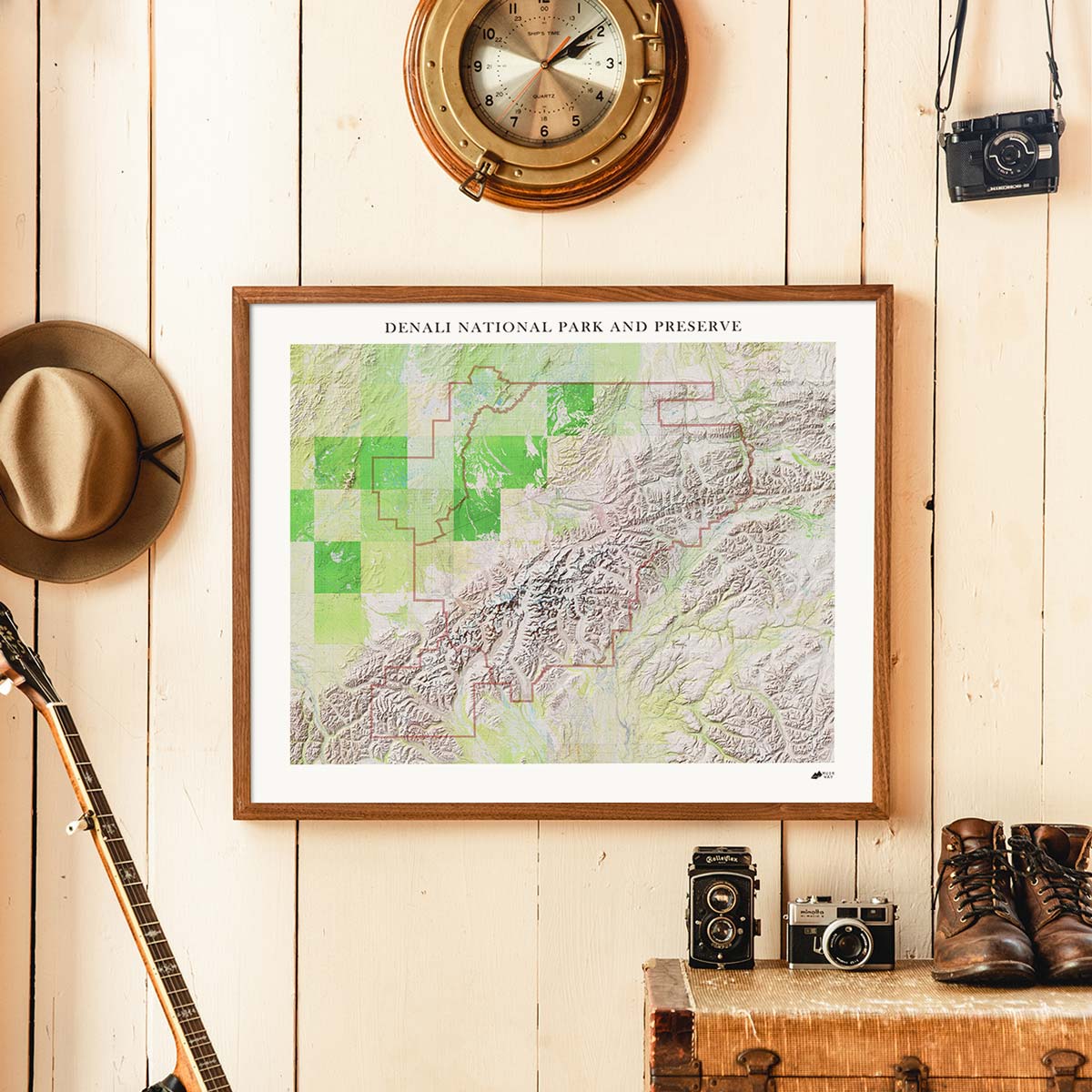
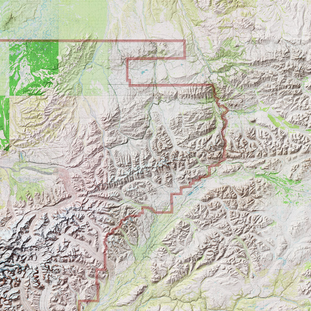
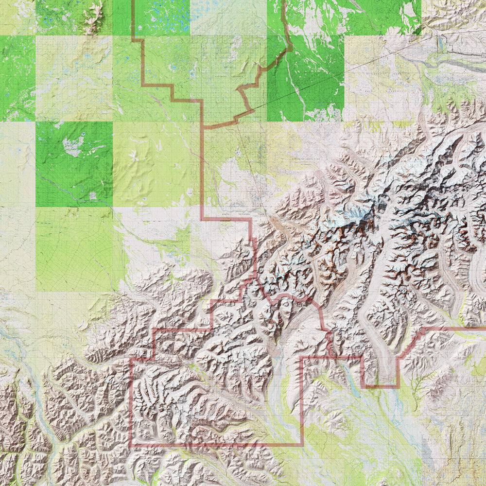
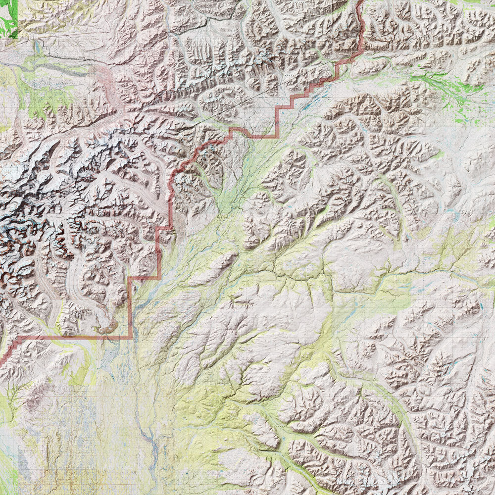
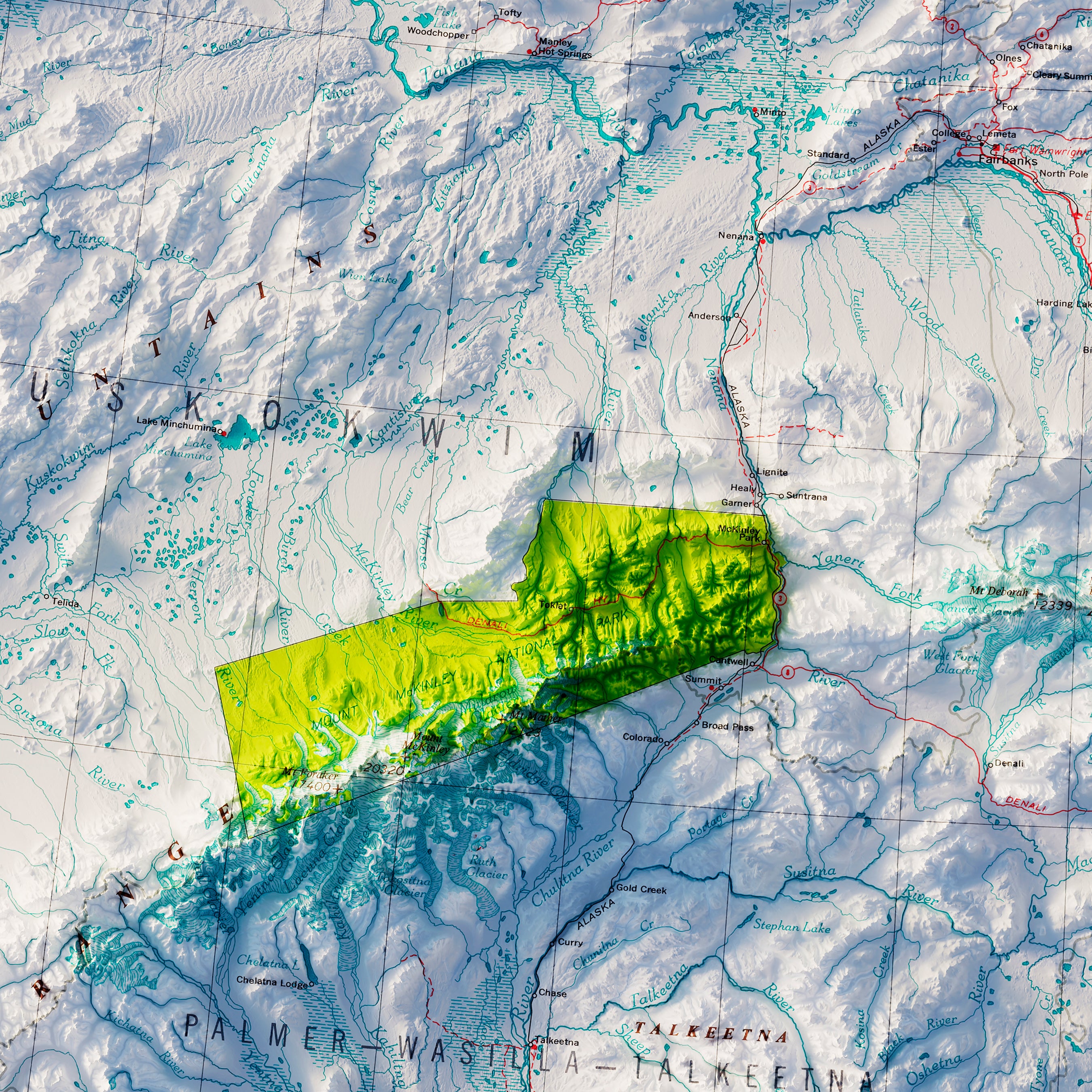
Denali National Park and Preserve Map
From
$ 49.00 USD
5.0 / 5.0
287 reviews
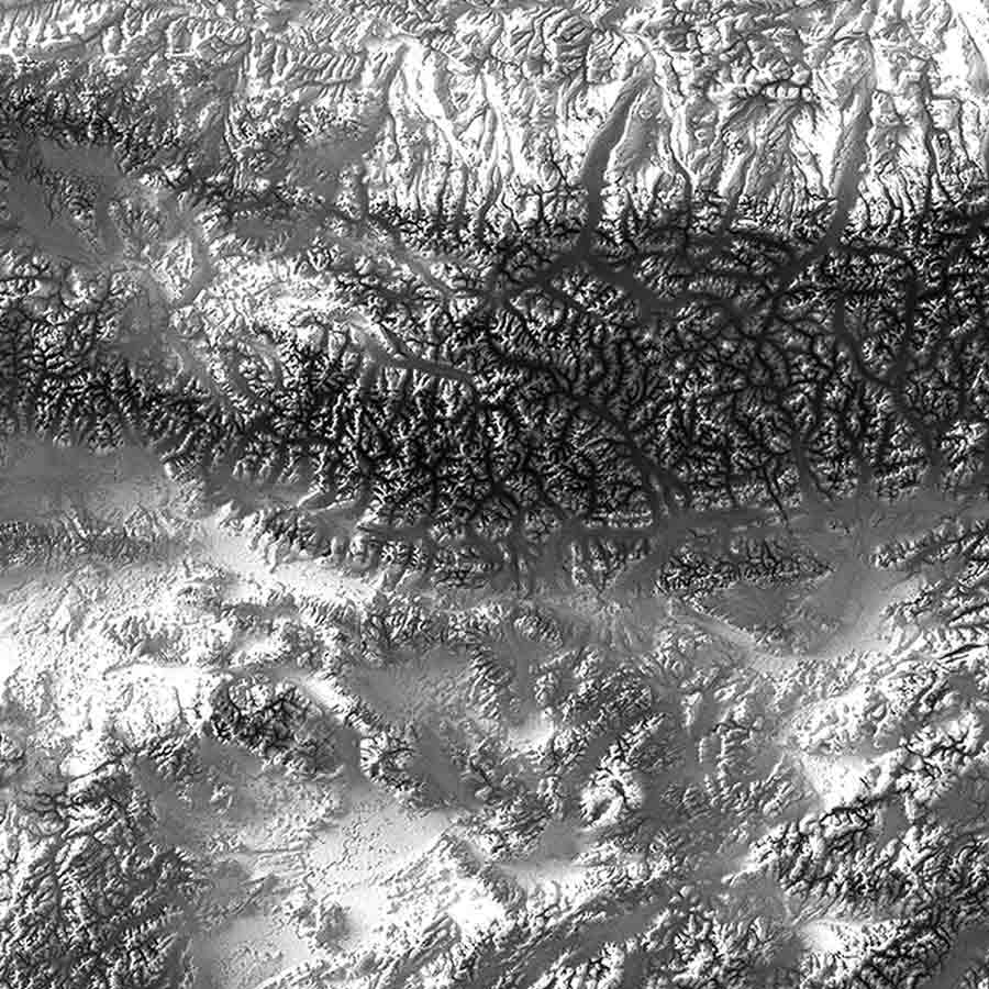
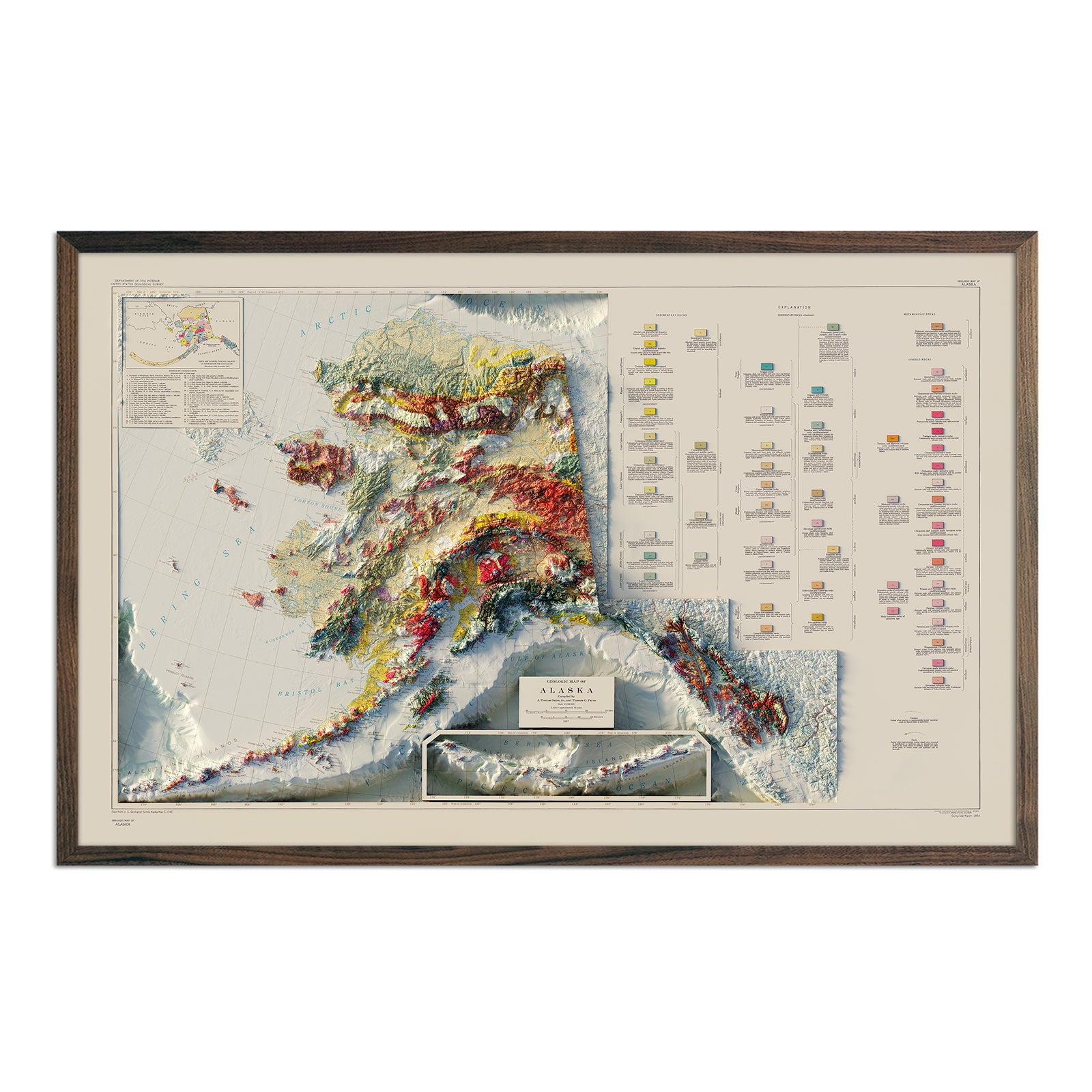
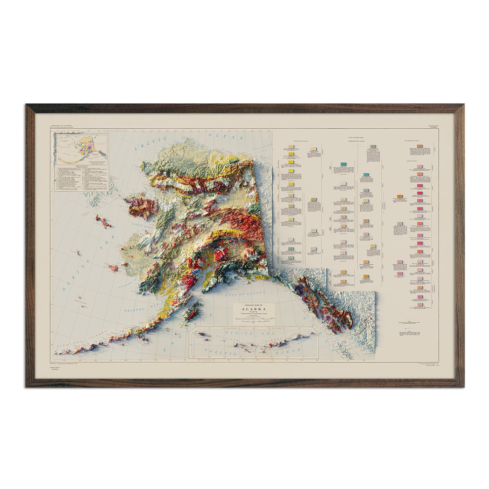
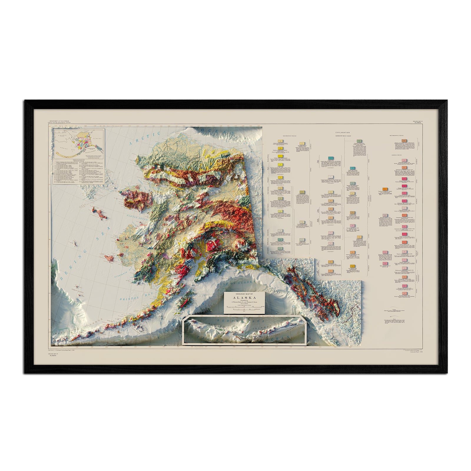
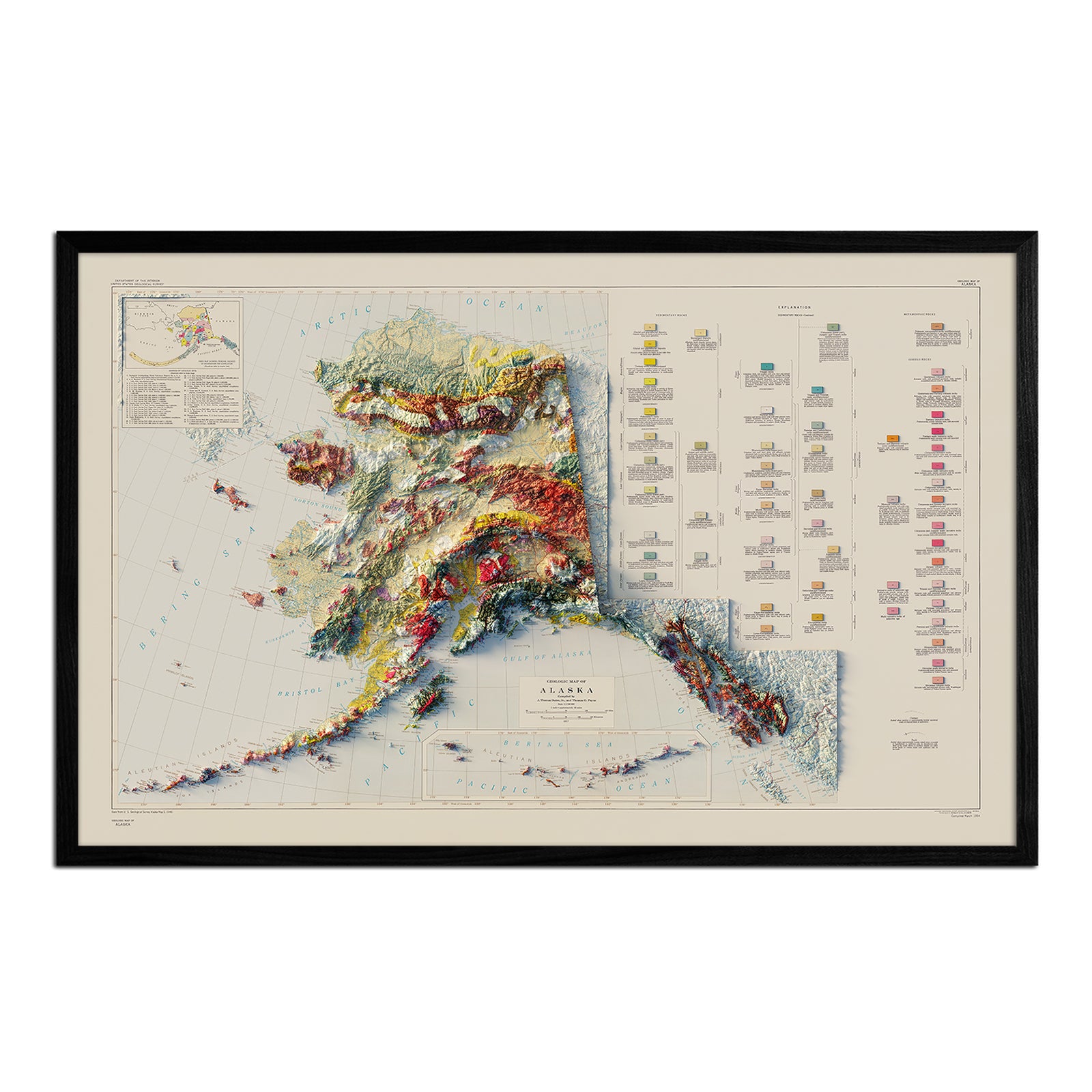
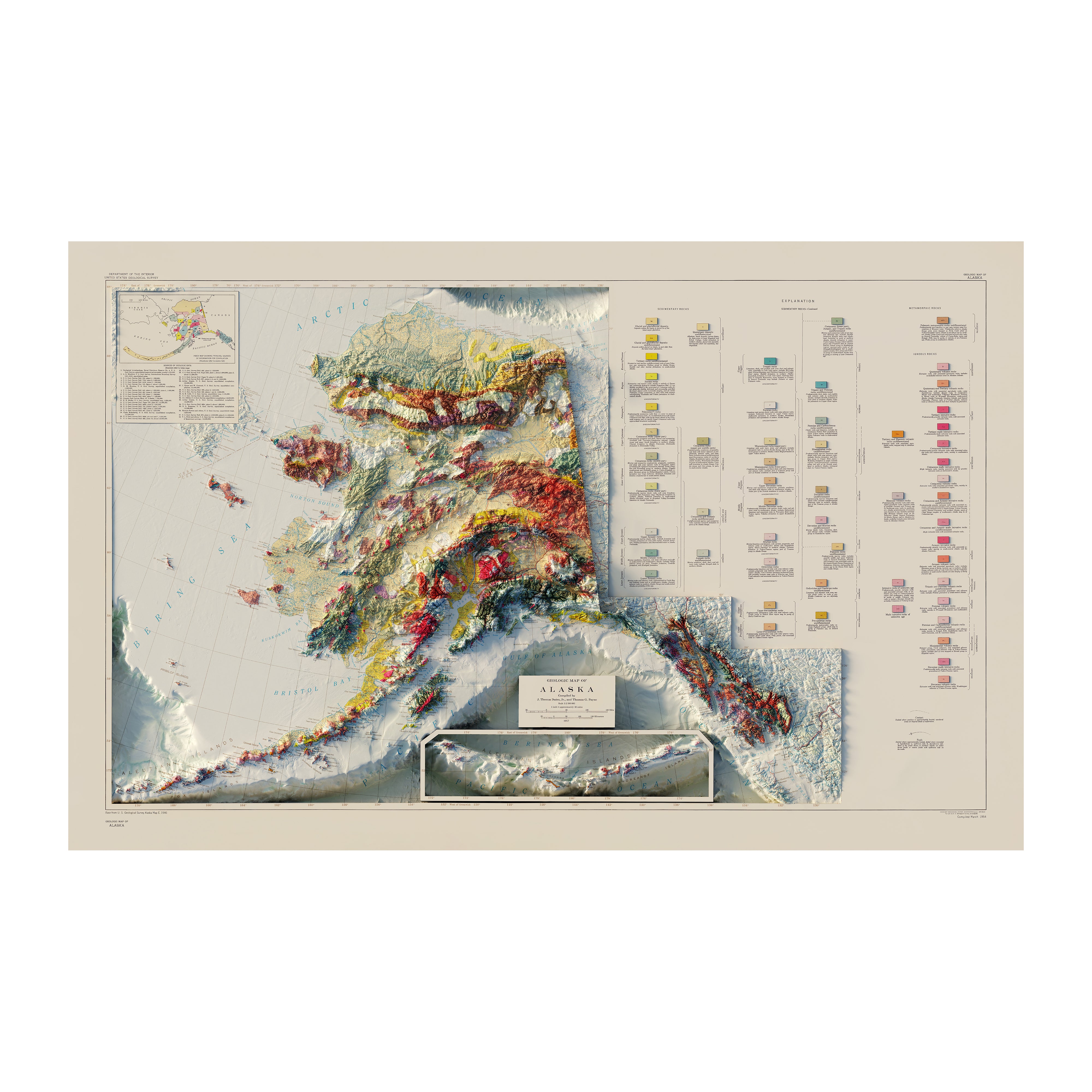
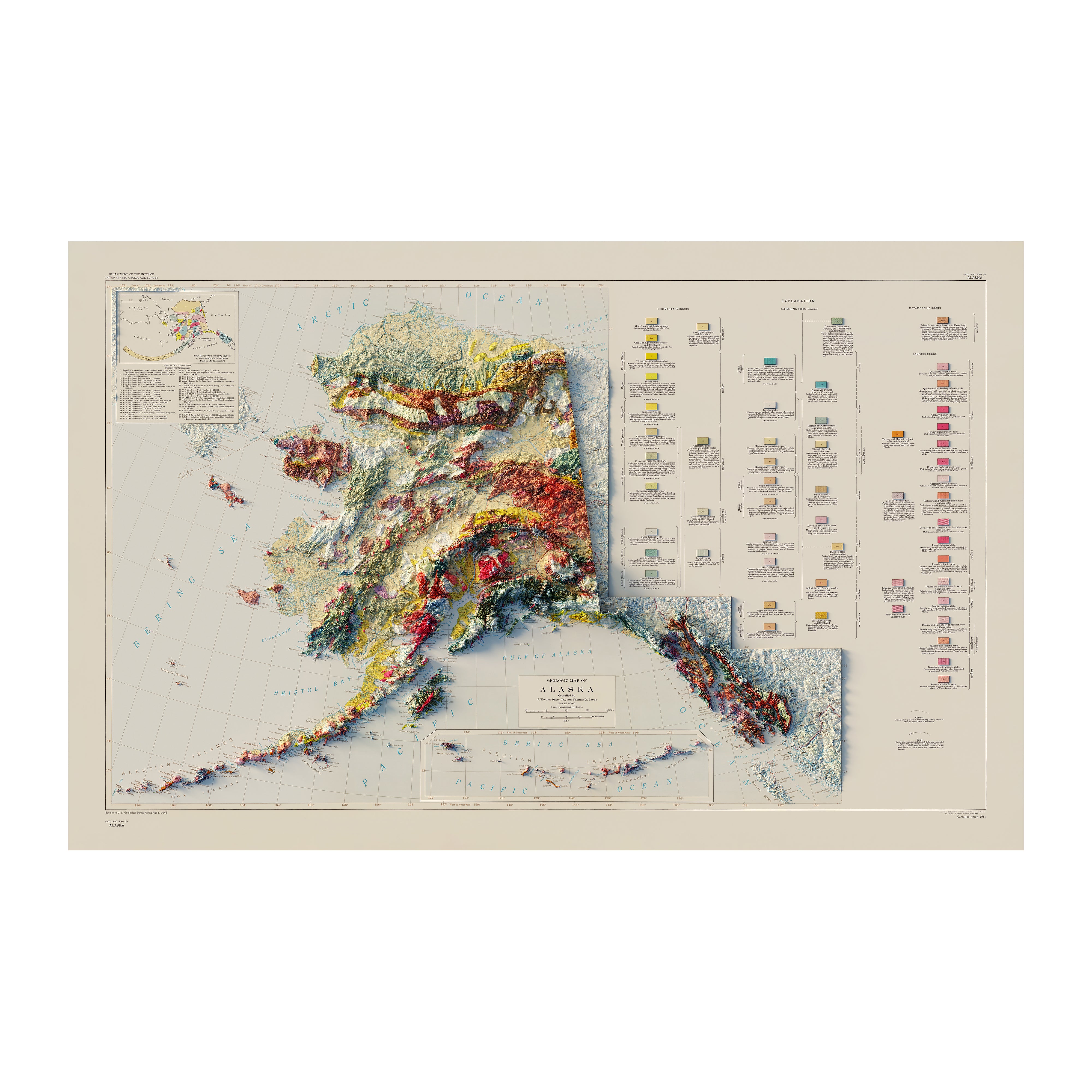
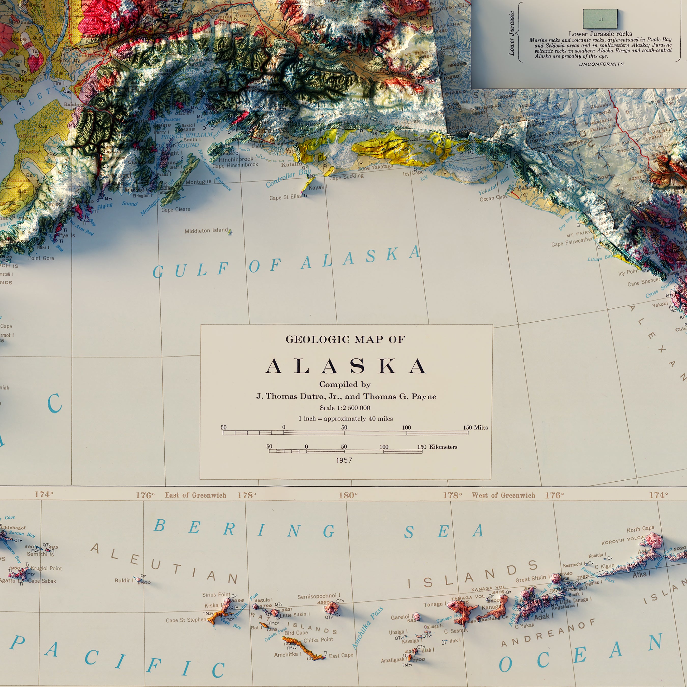
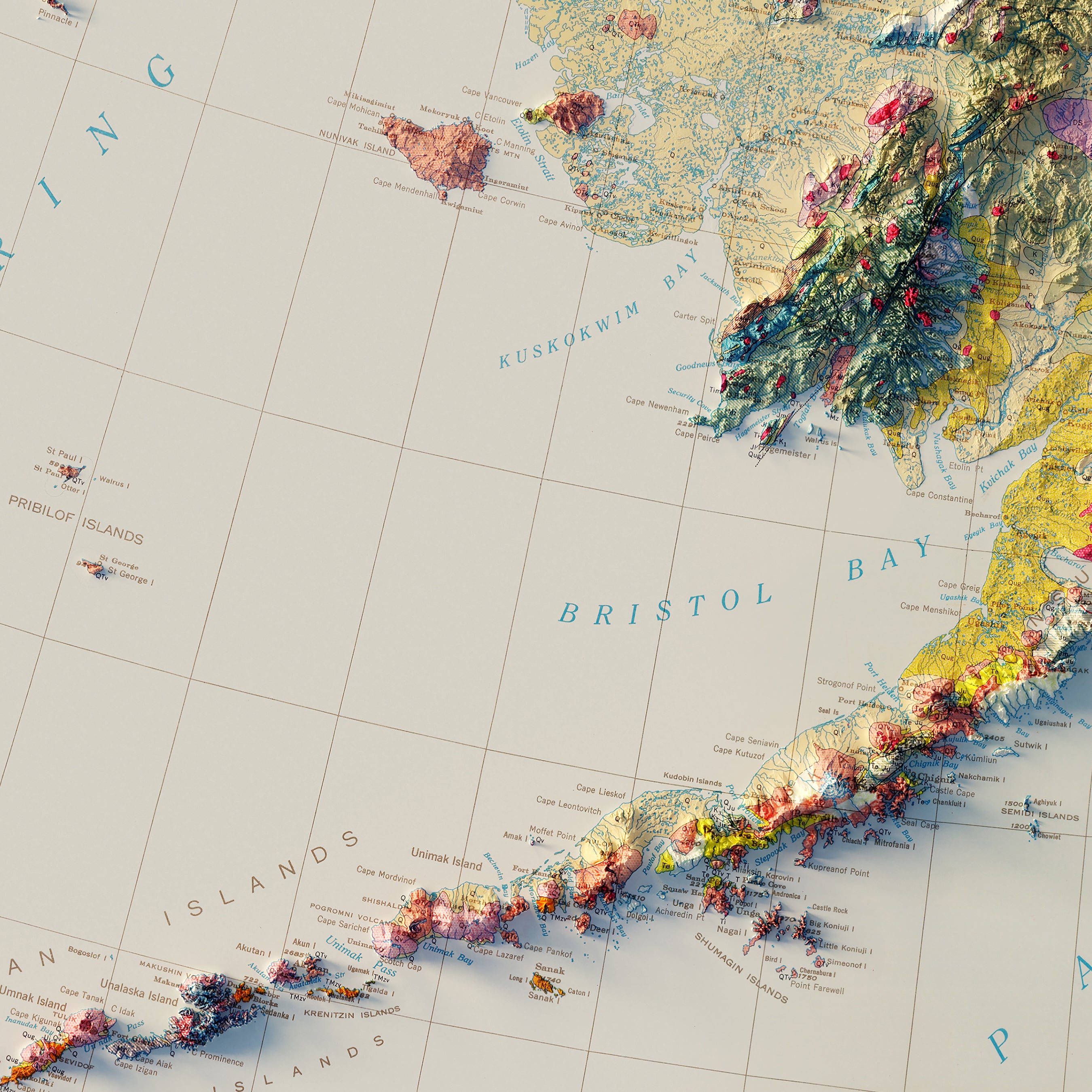
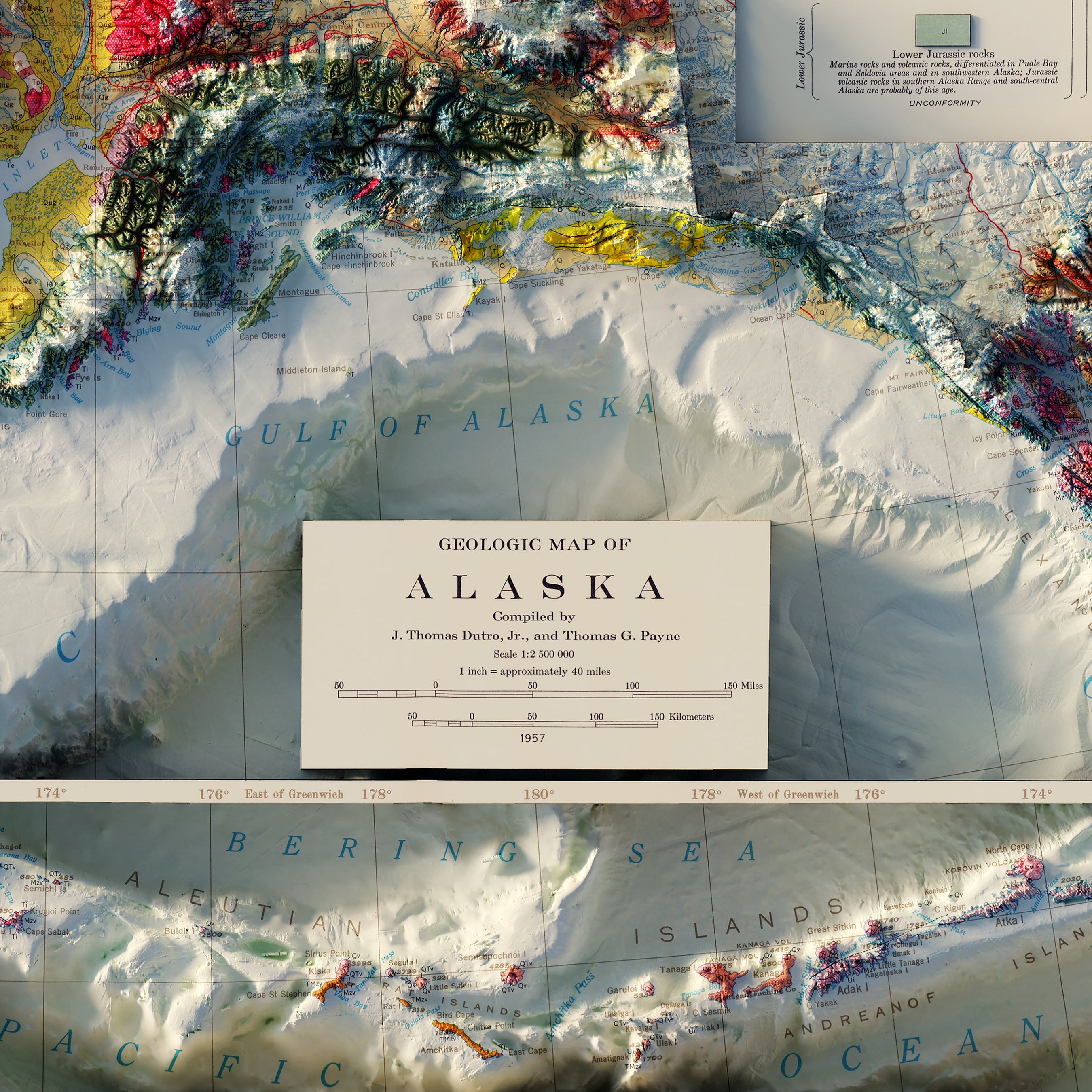
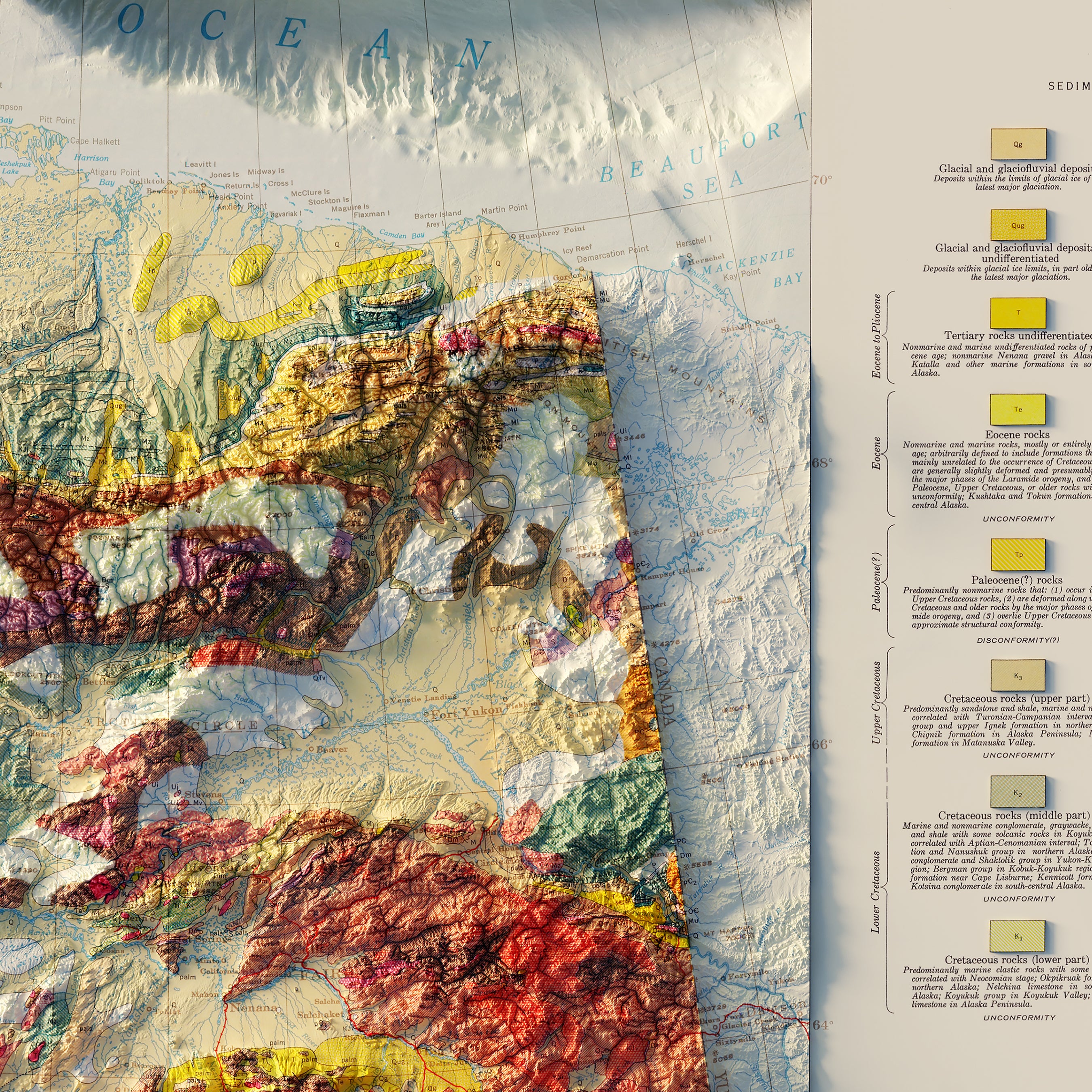
Alaska Geological 1957 Shaded Relief Map
From
$ 99.00 USD
4.7 / 5.0
3 reviews
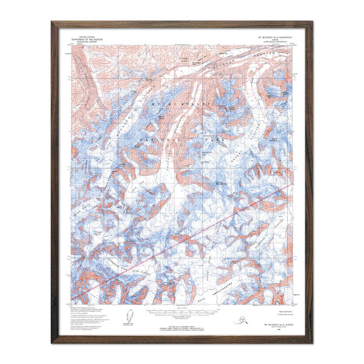
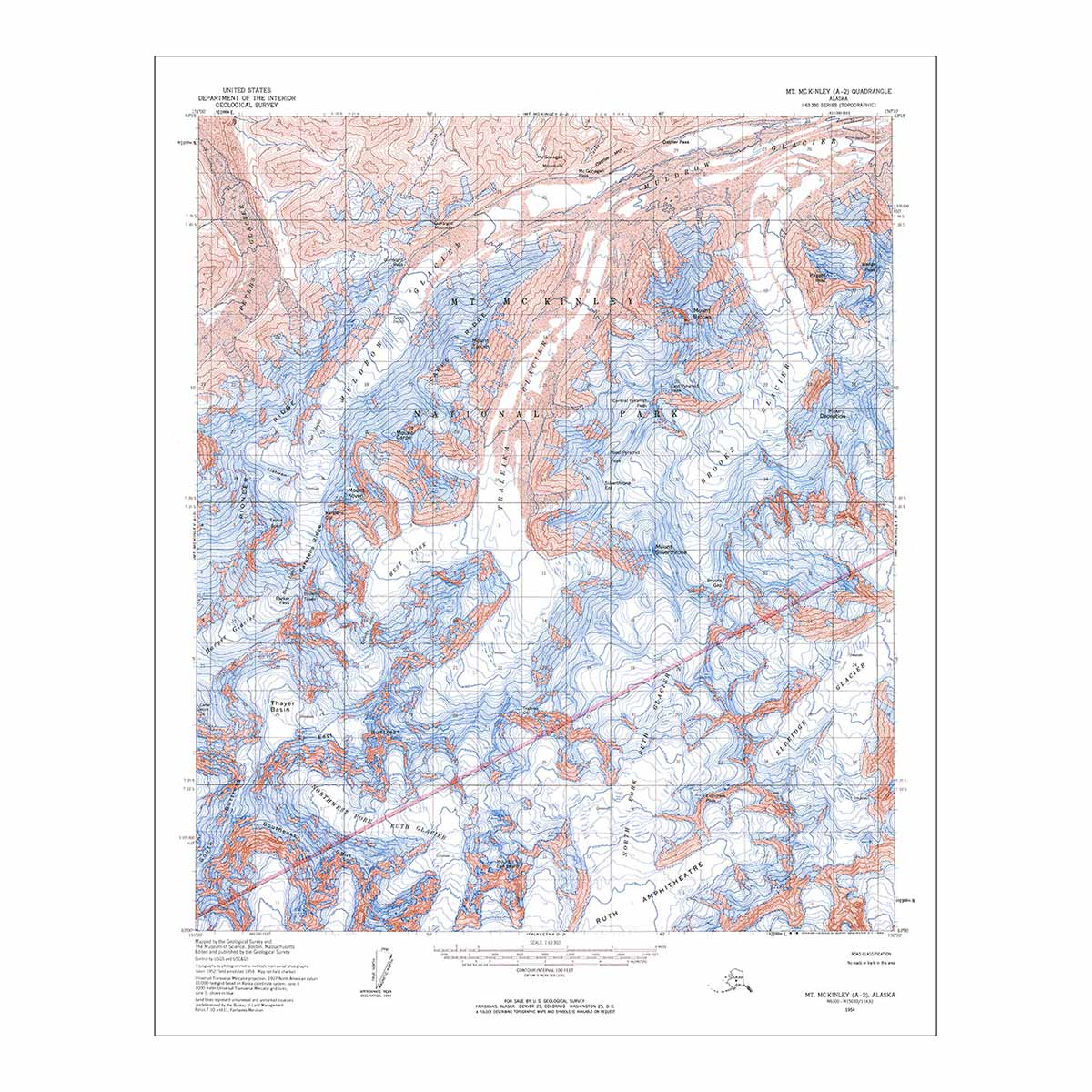
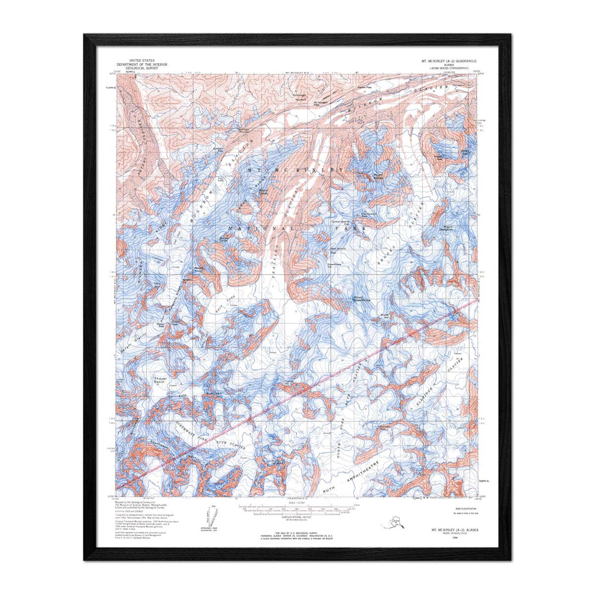
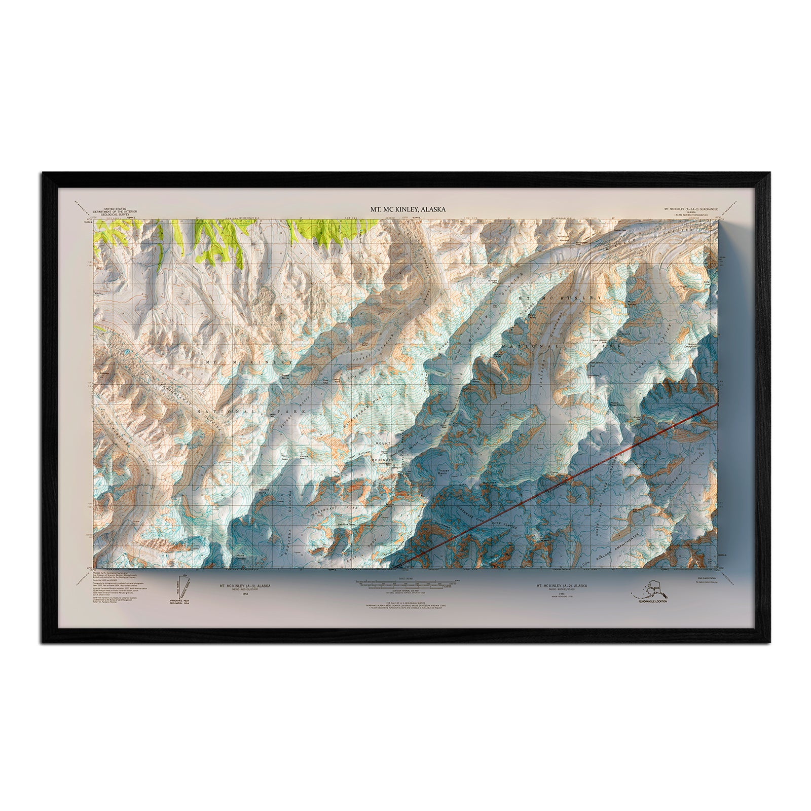
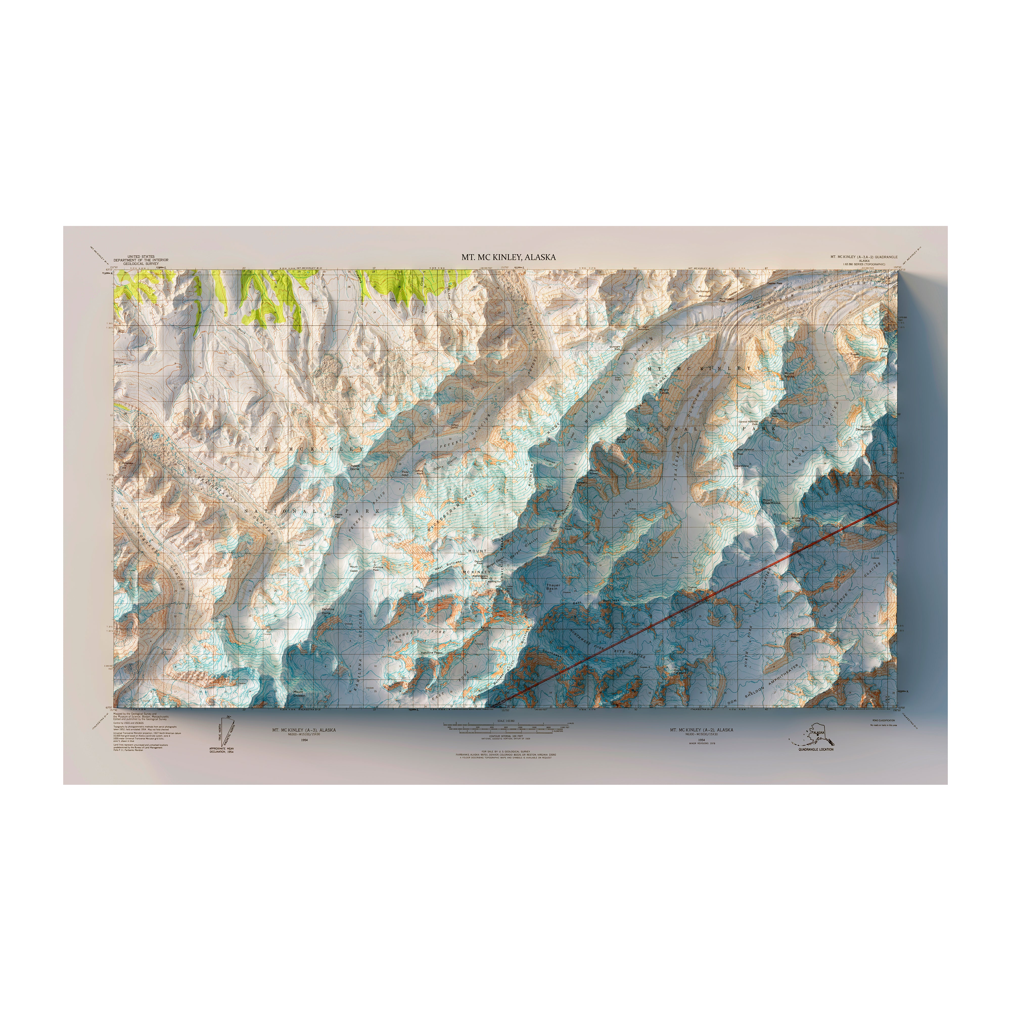
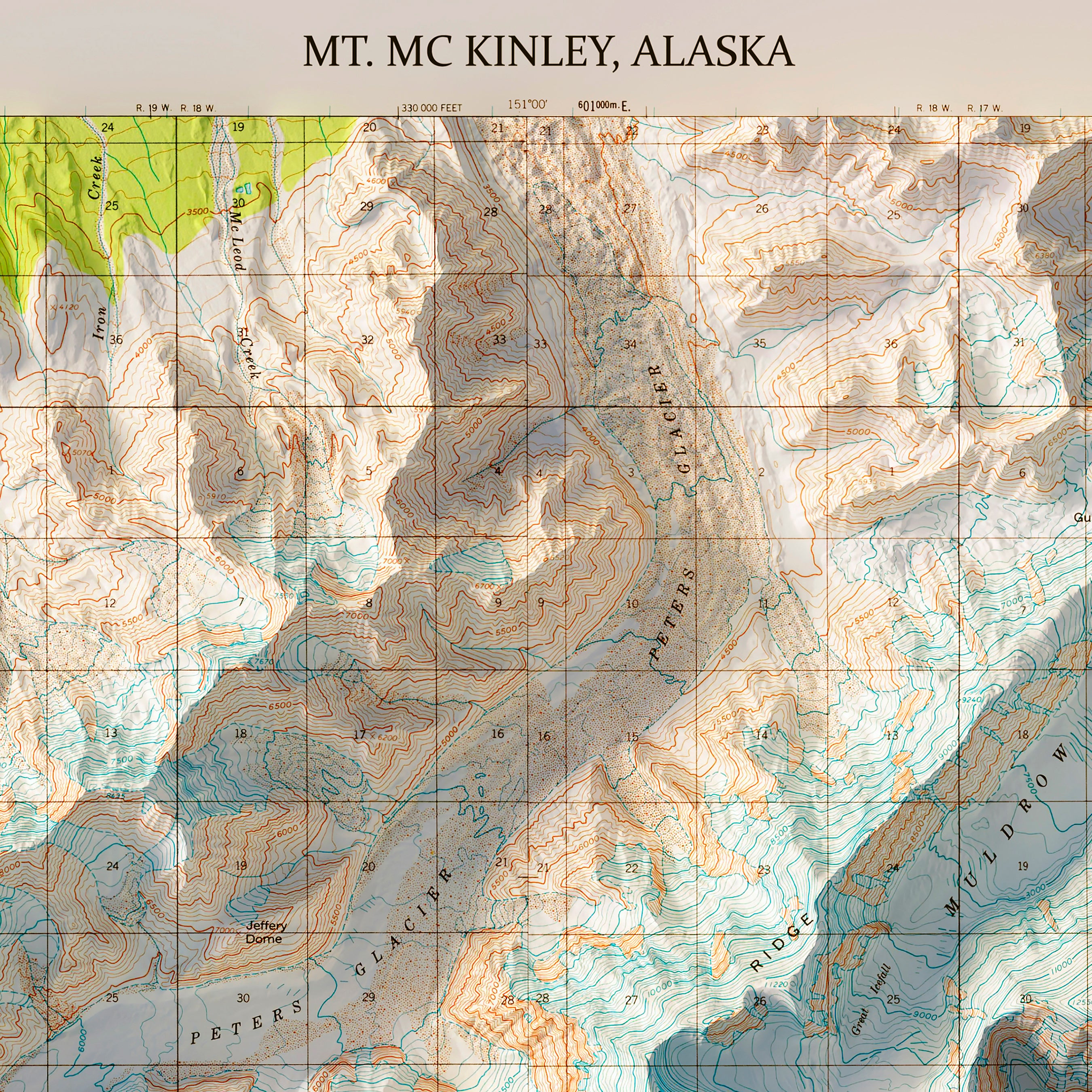
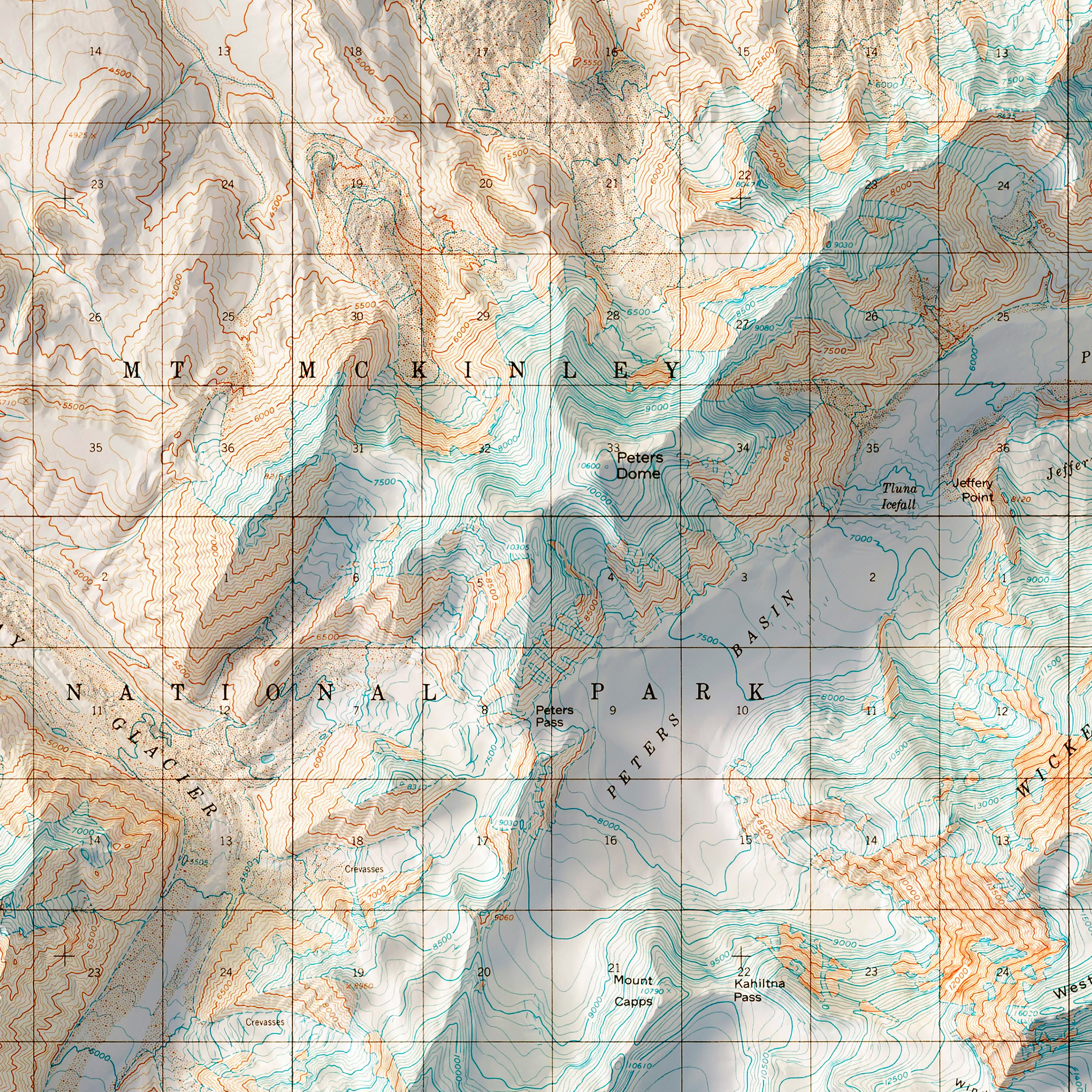
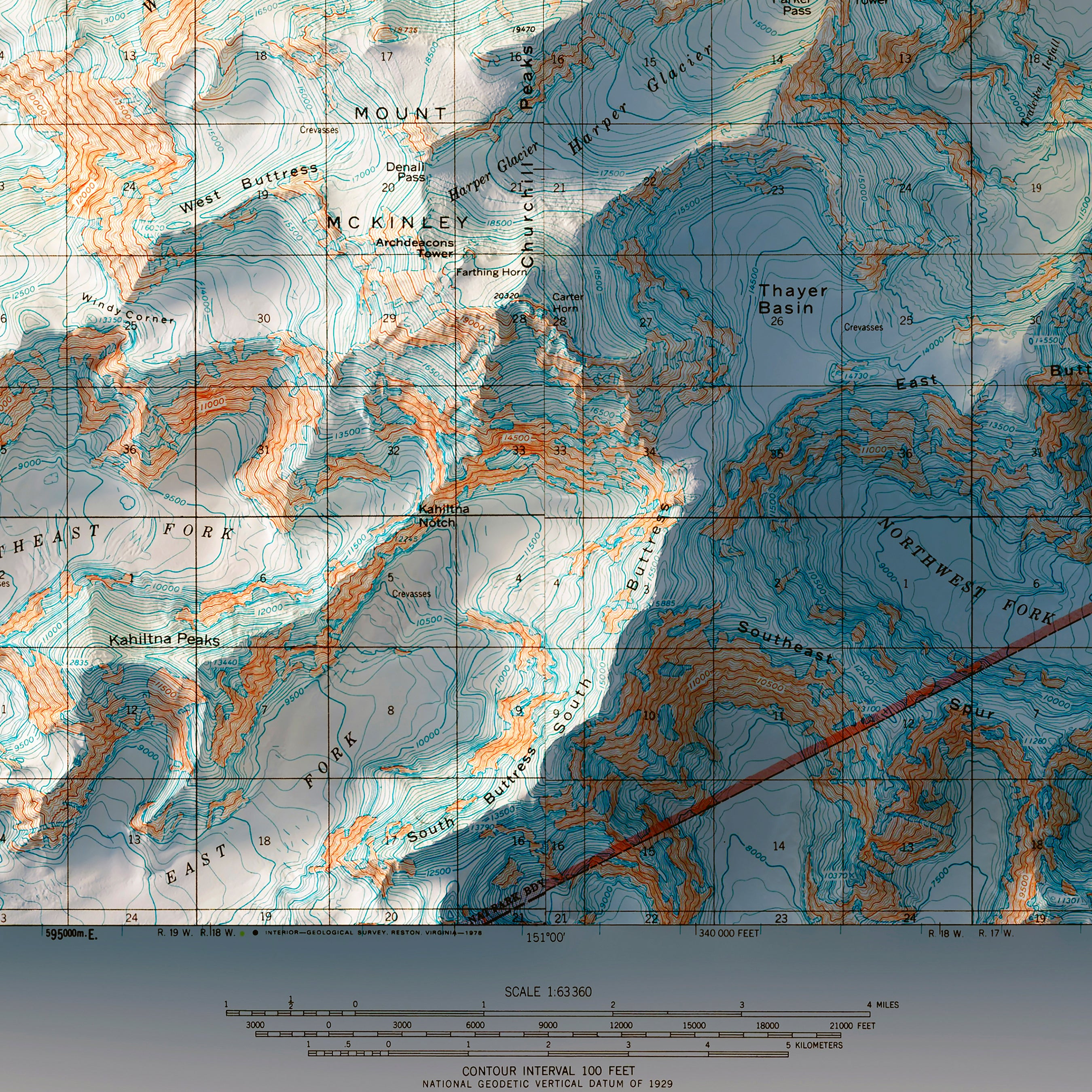
Denali National Park 1954 USGS Map
From
$ 64.00 USD
4.9 / 5.0
144 reviews
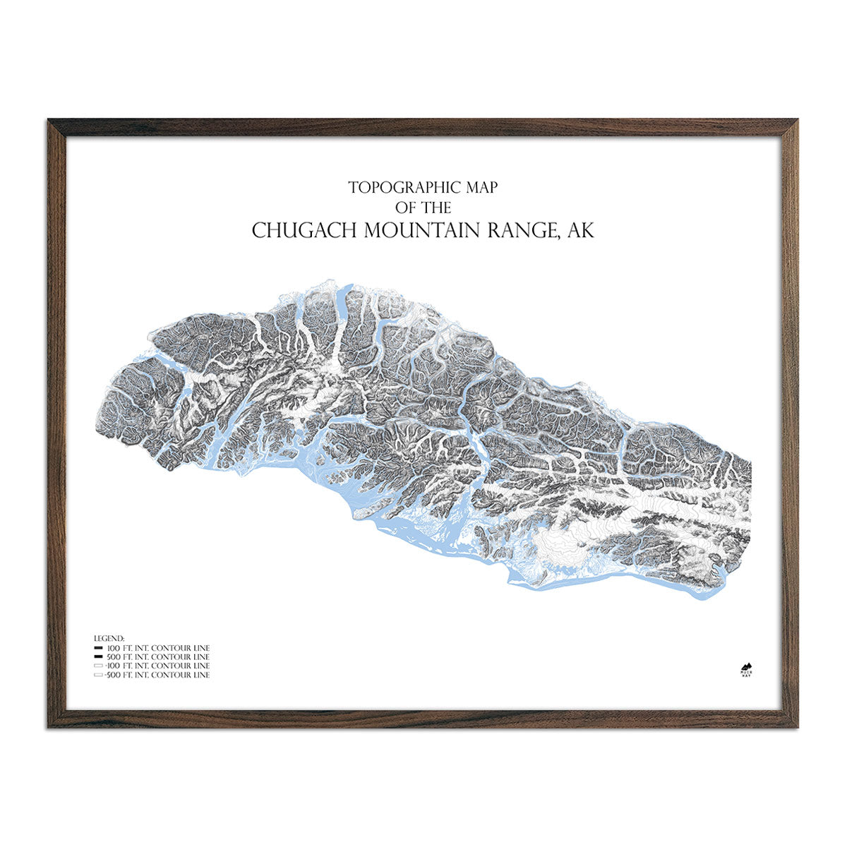
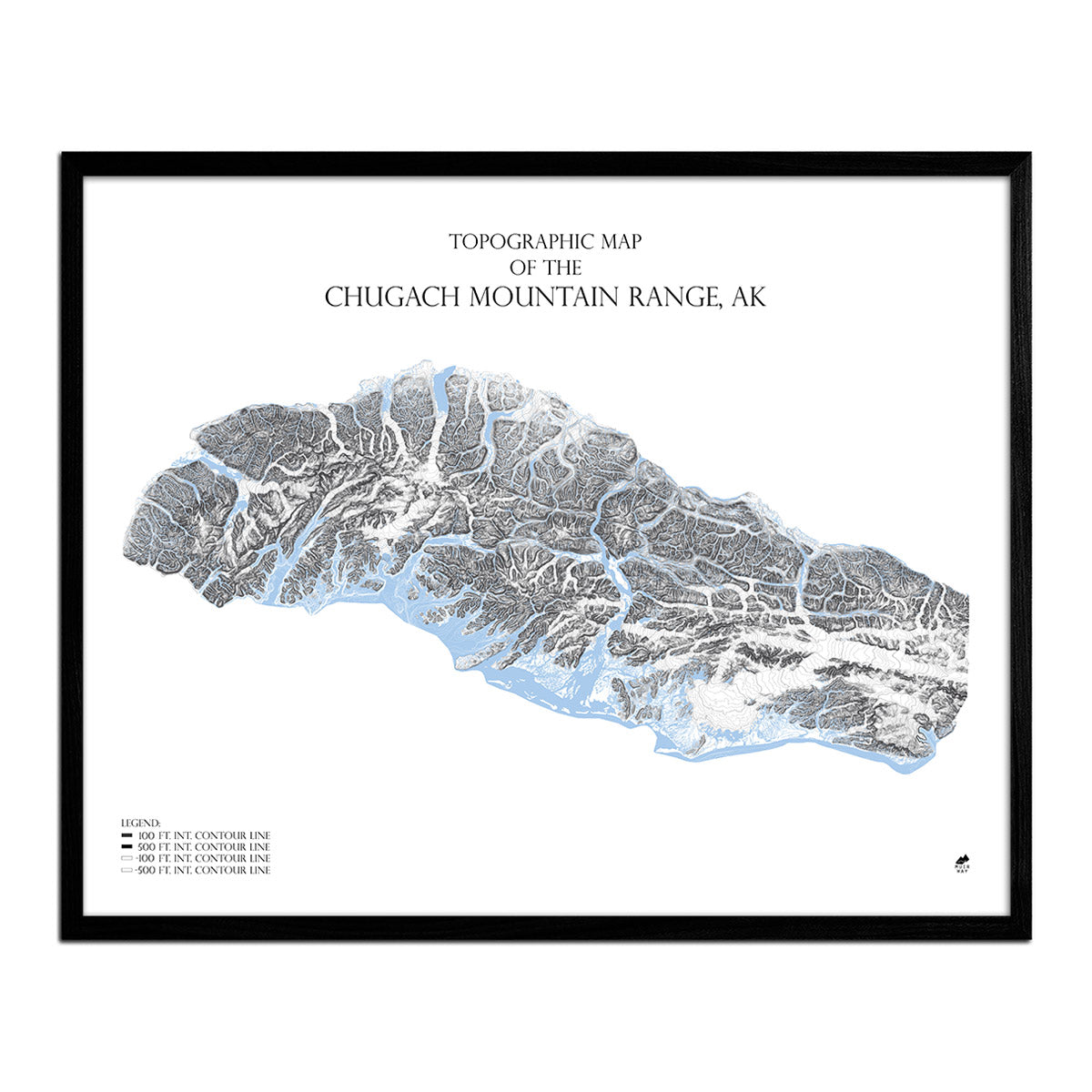
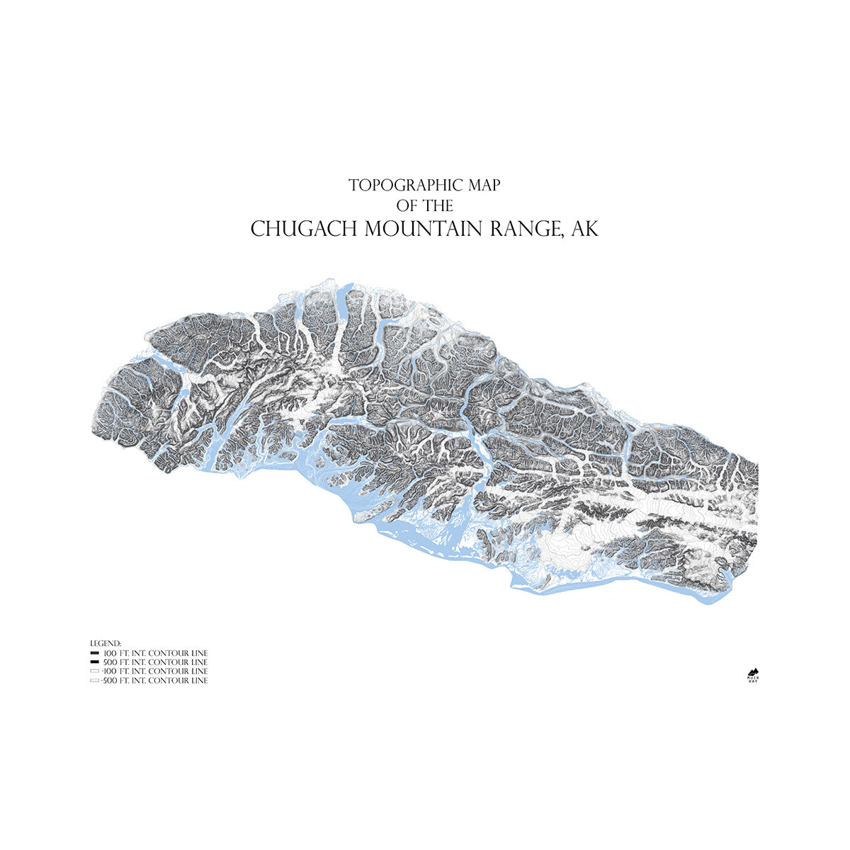
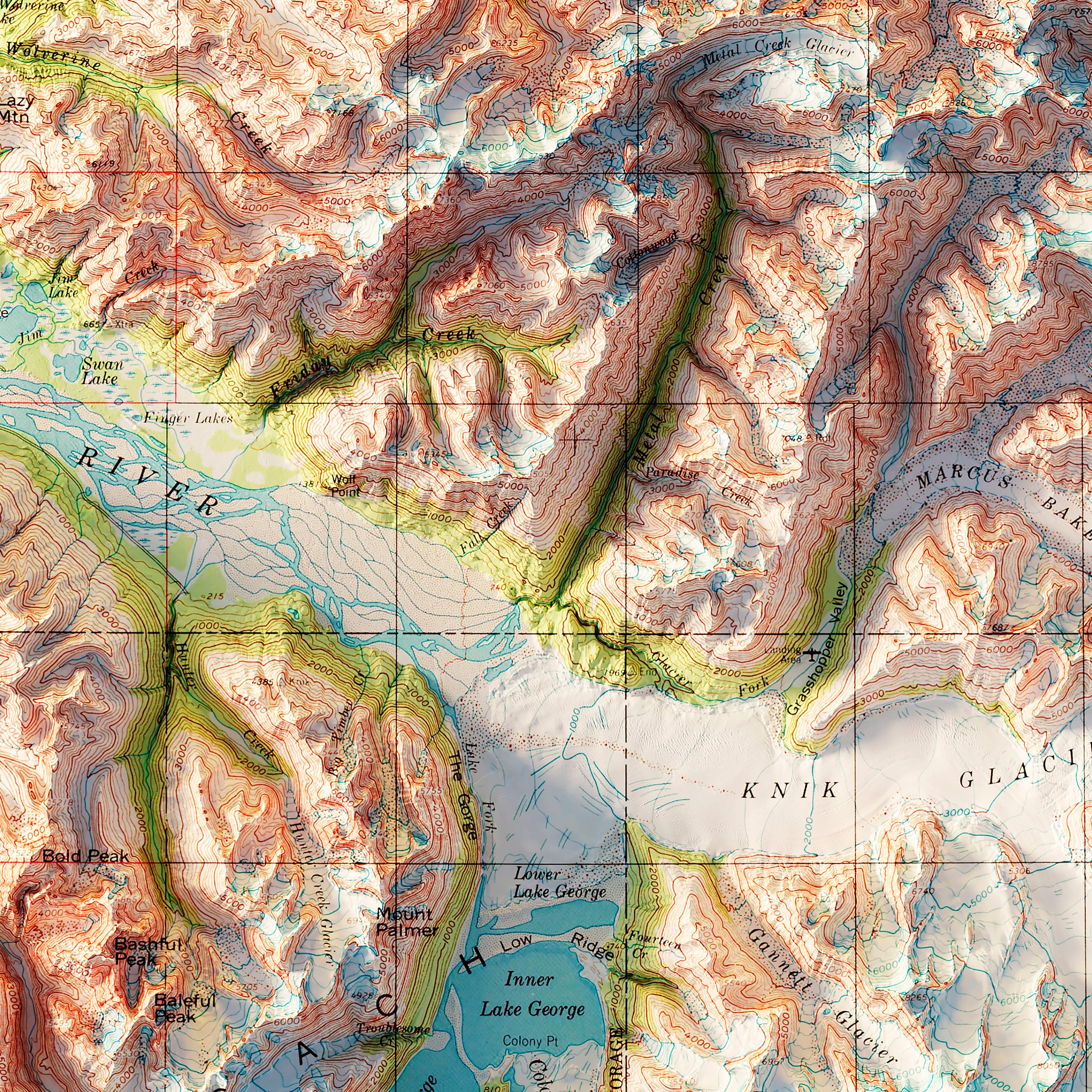
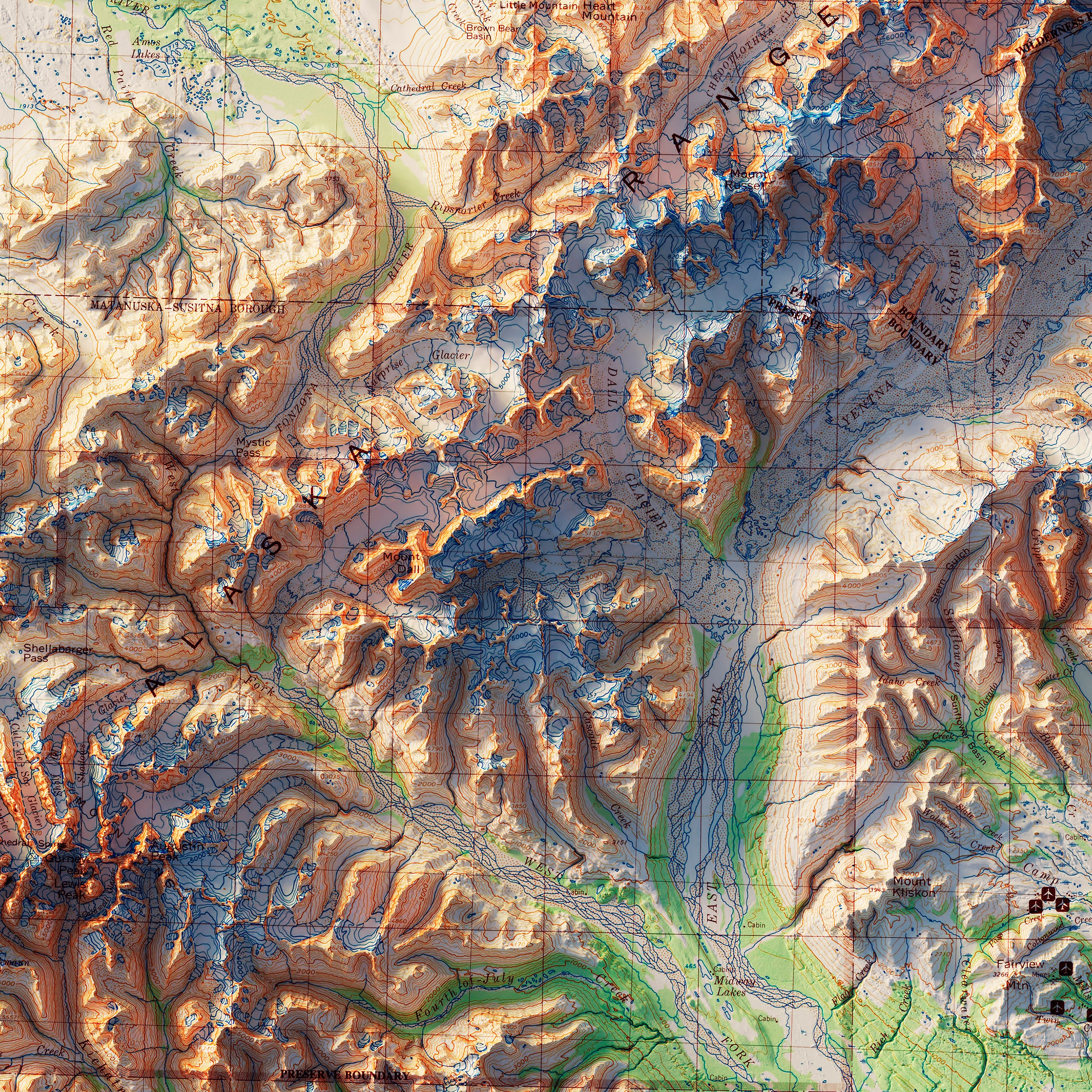
Chugach Mountain Range, AK Map
From
$ 99.00 USD
5.0 / 5.0
2 reviews
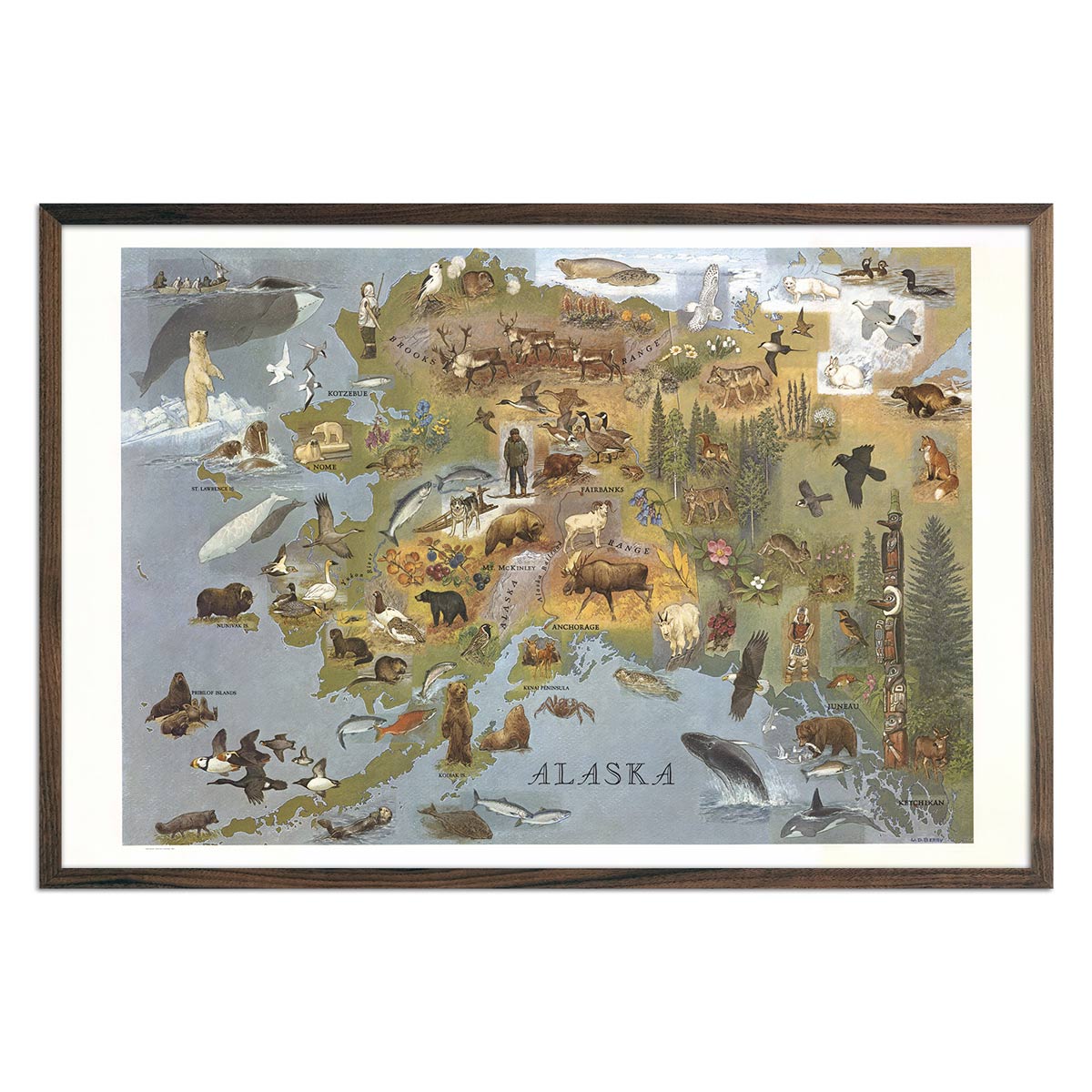
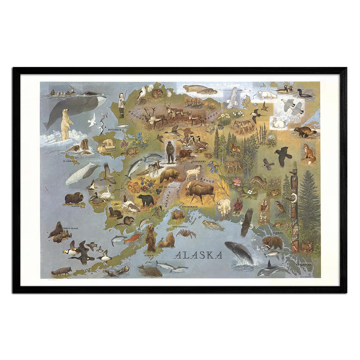
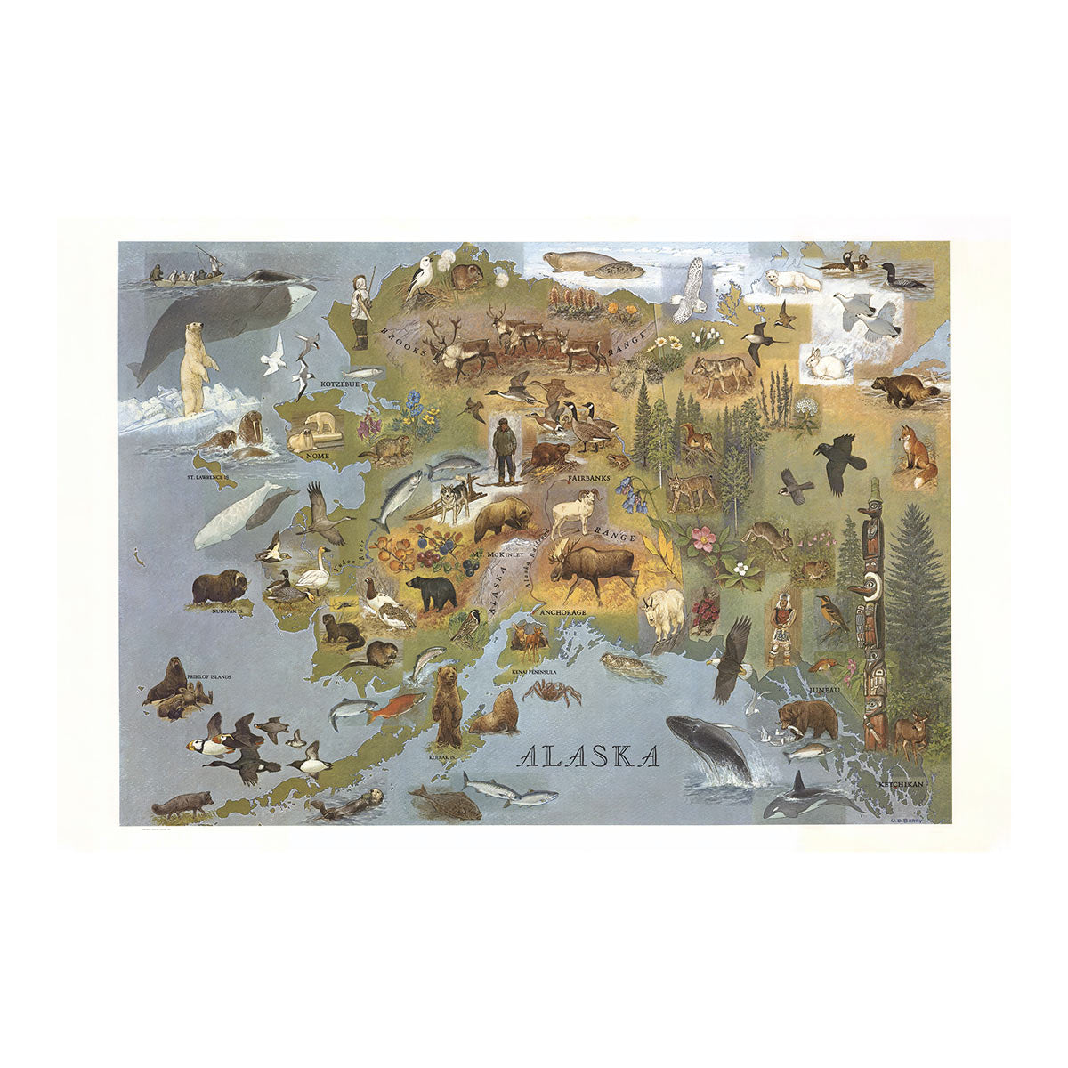
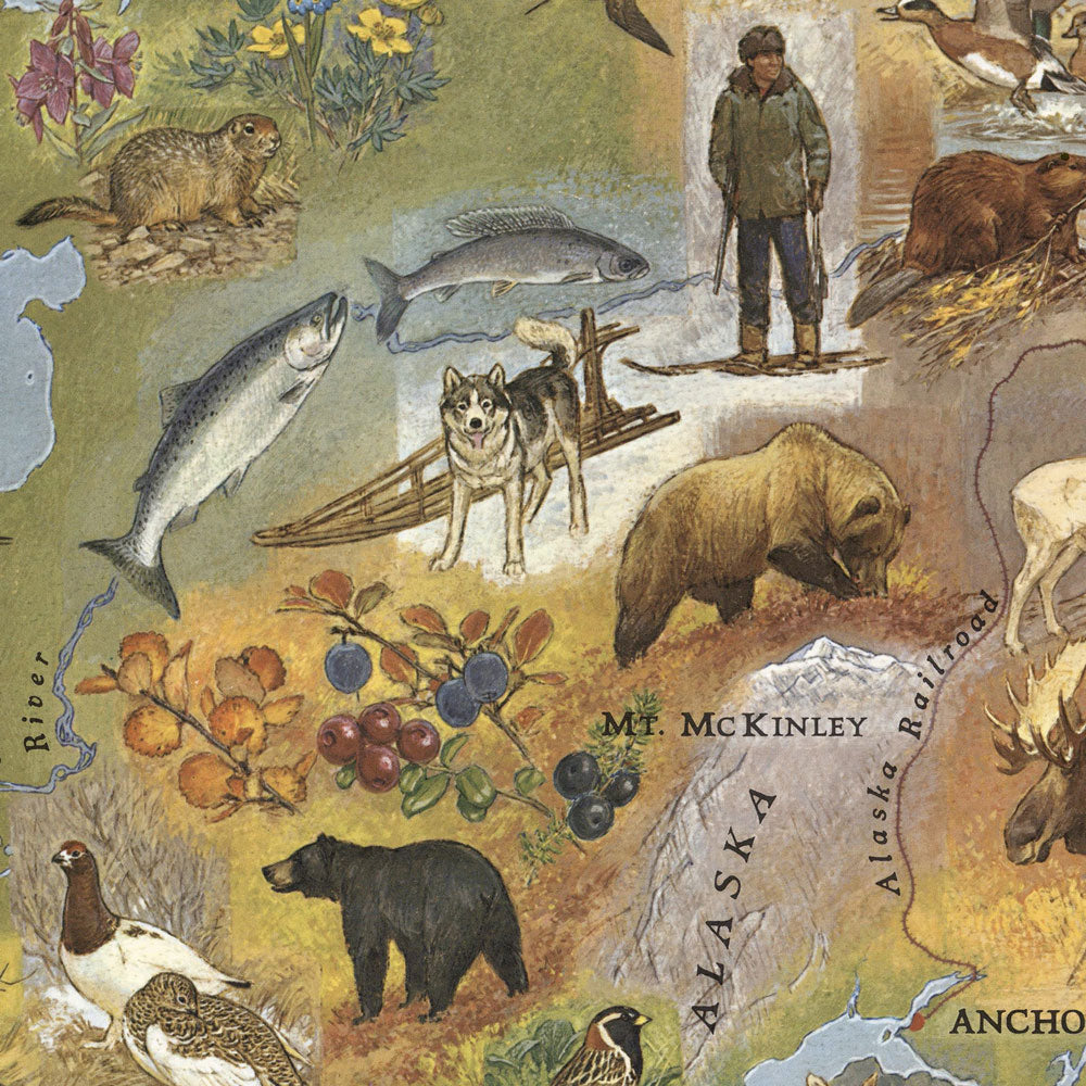
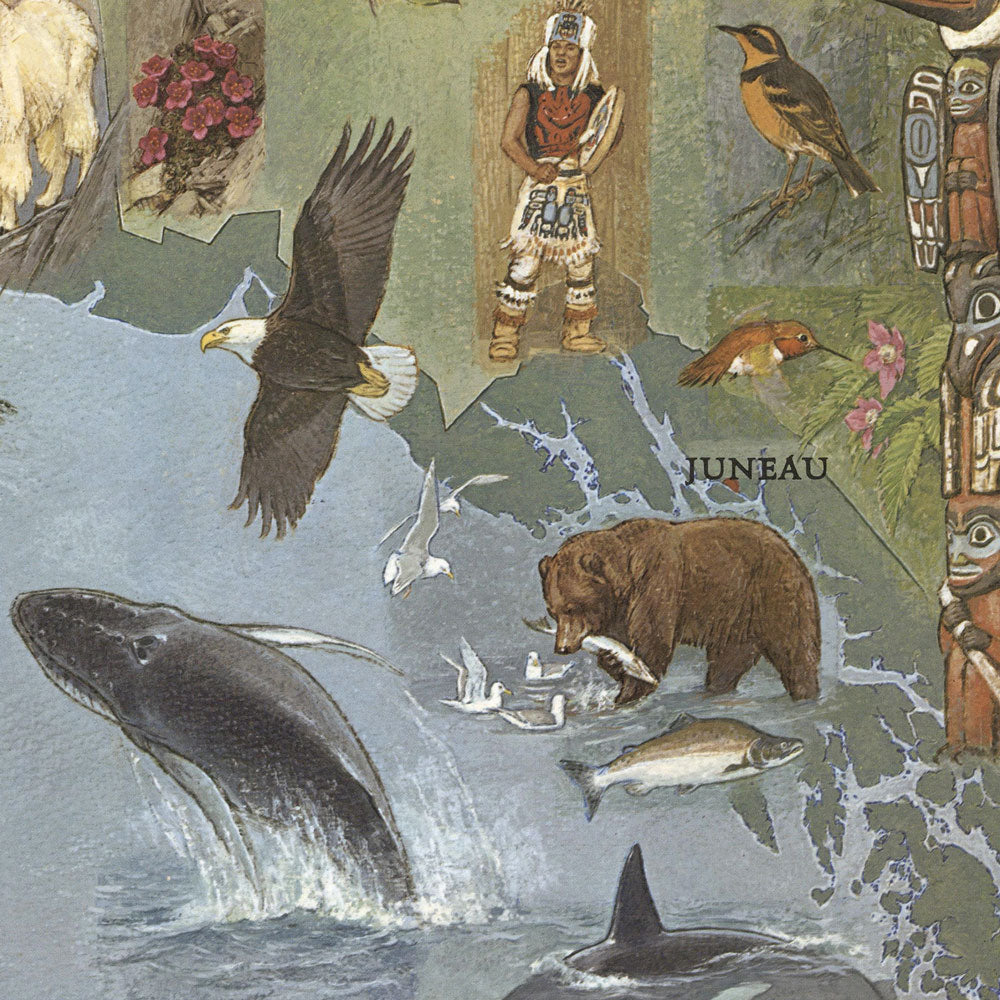
Alaska 1967 Pictorial Map
From
$ 69.00 USD
5.0 / 5.0
107 reviews
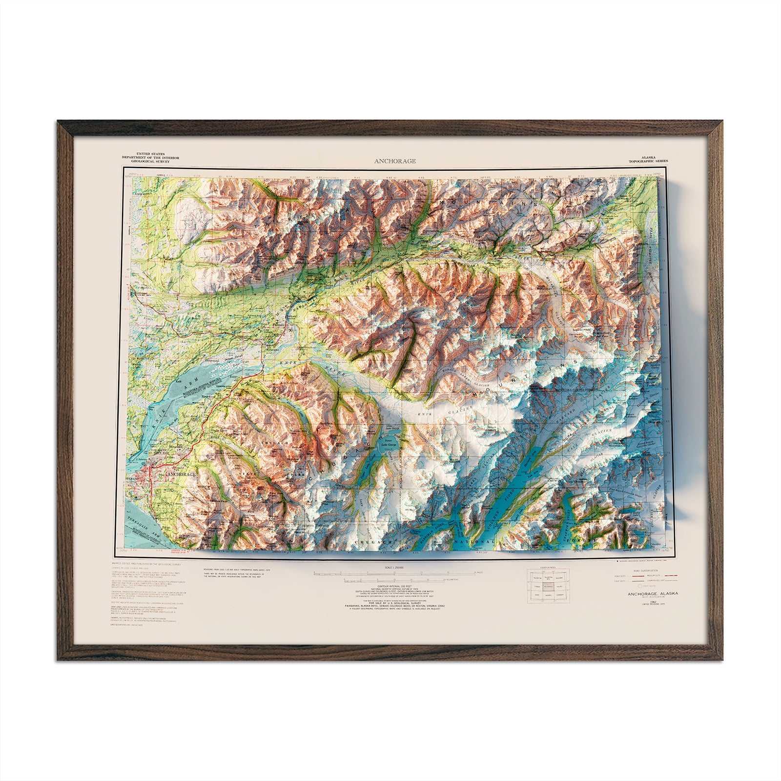
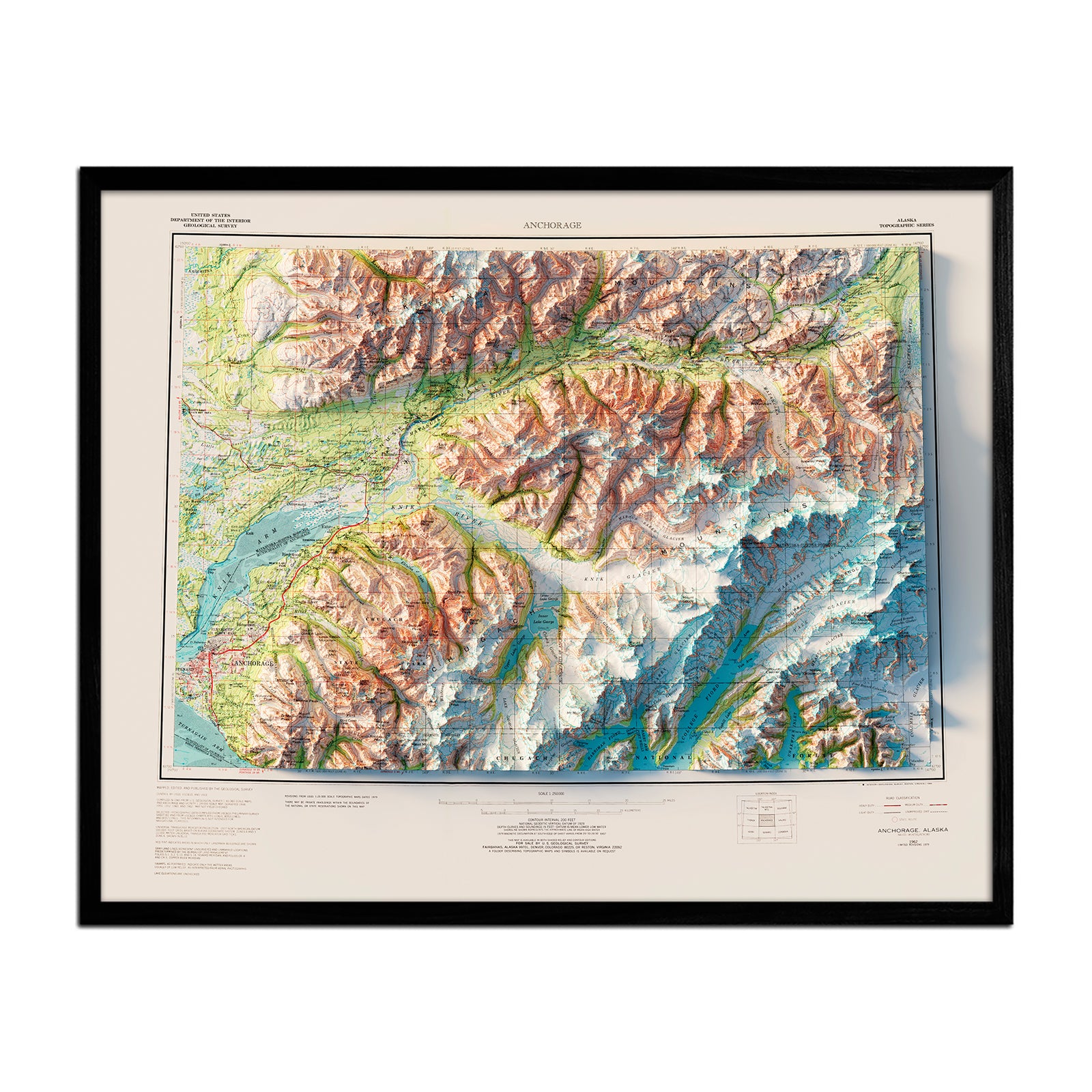
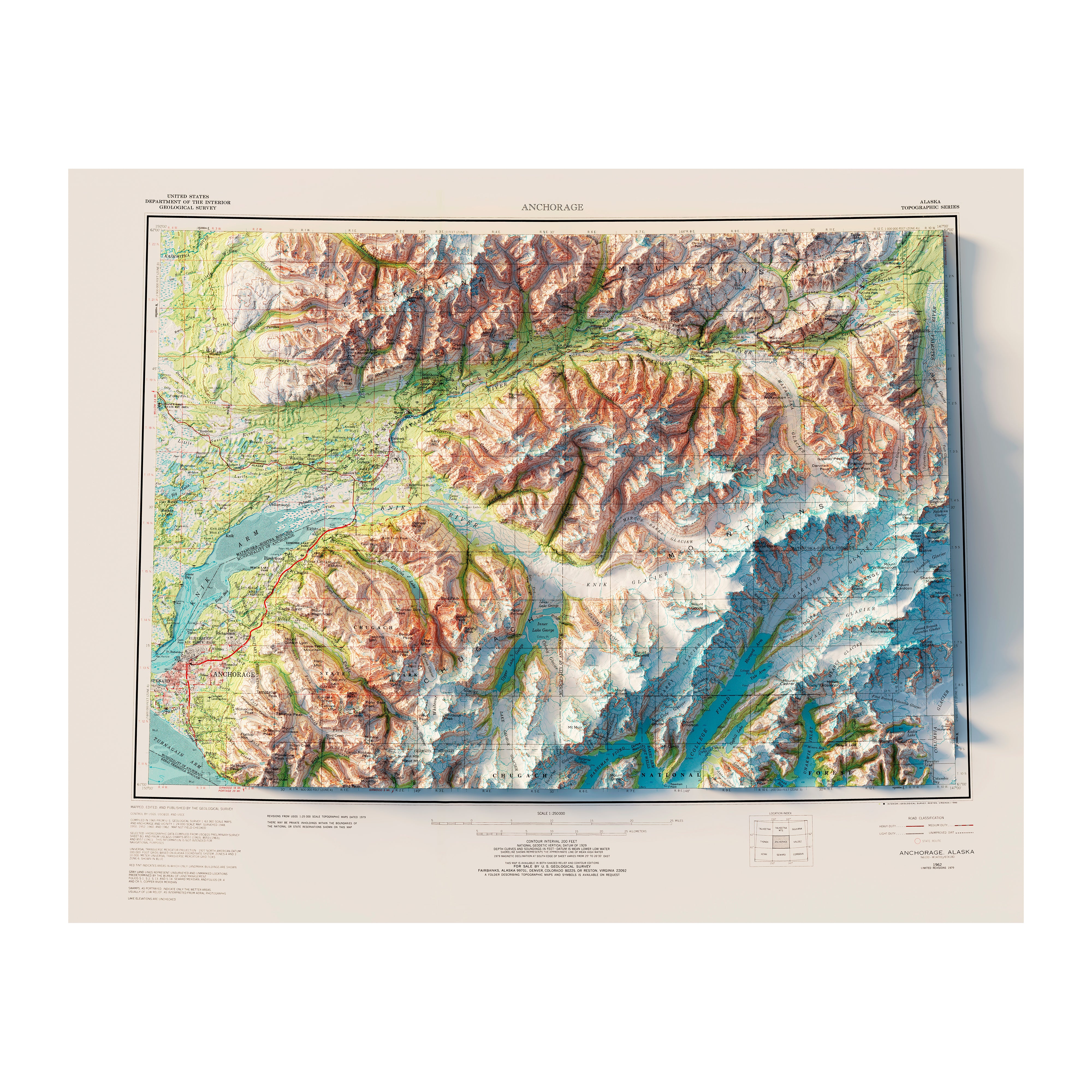
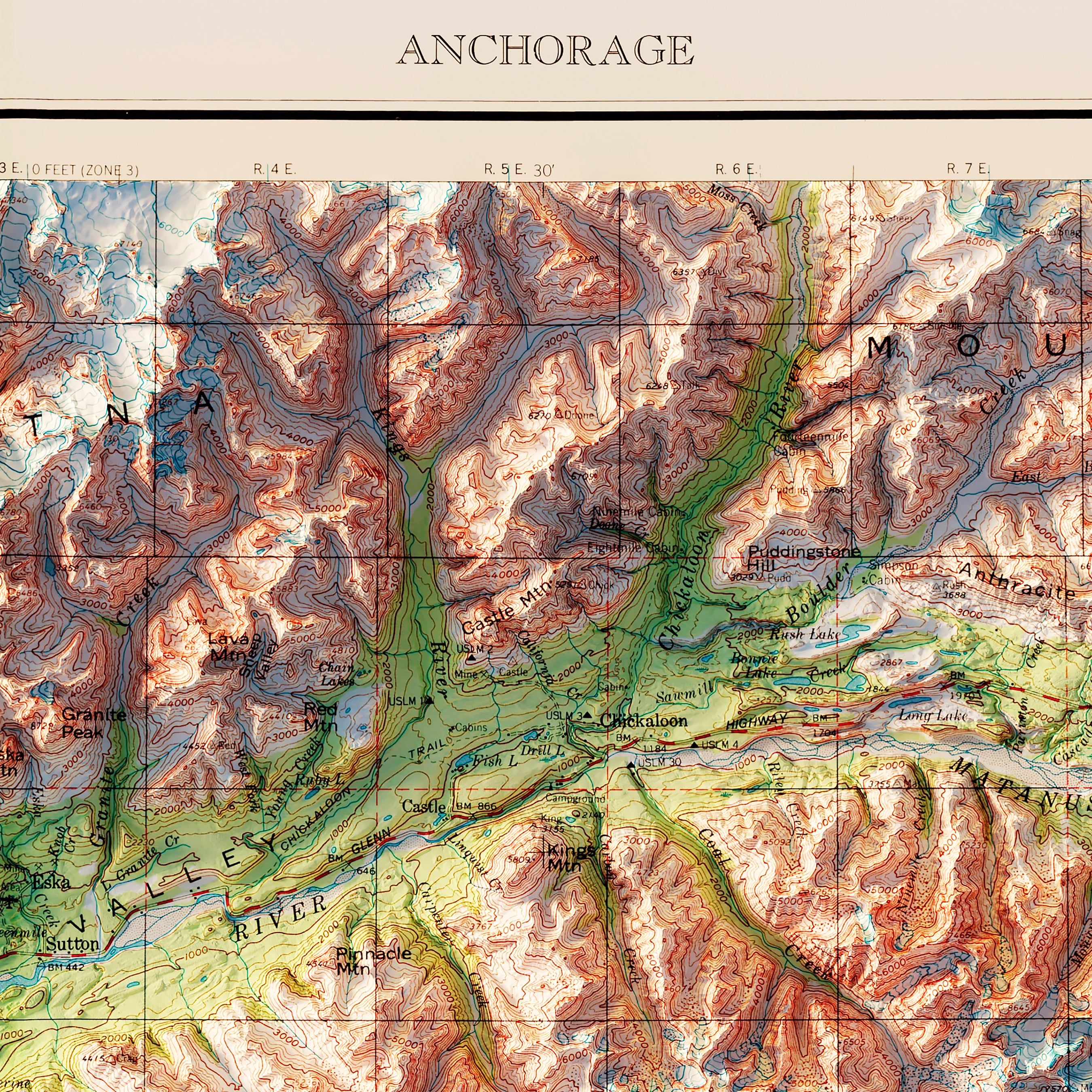
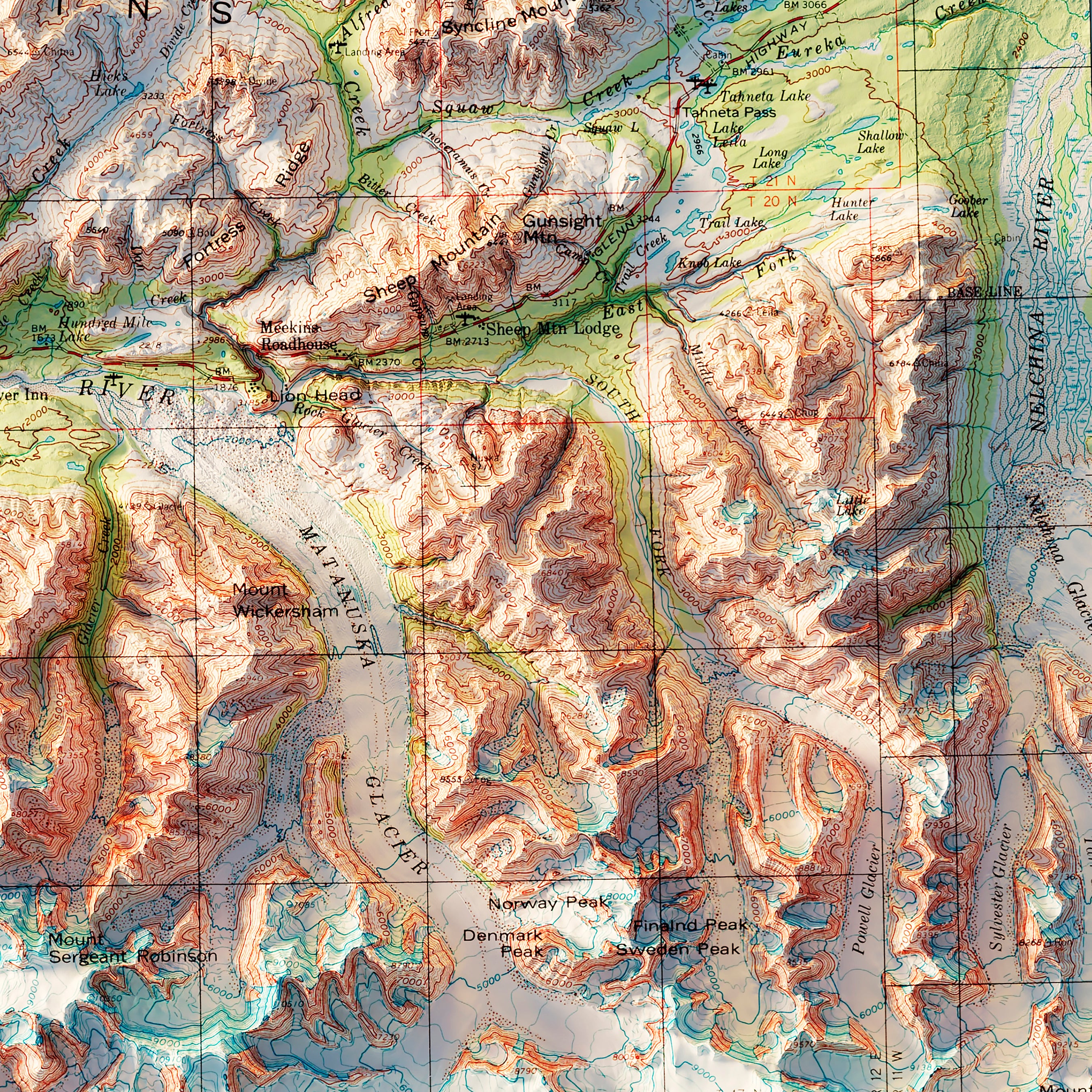
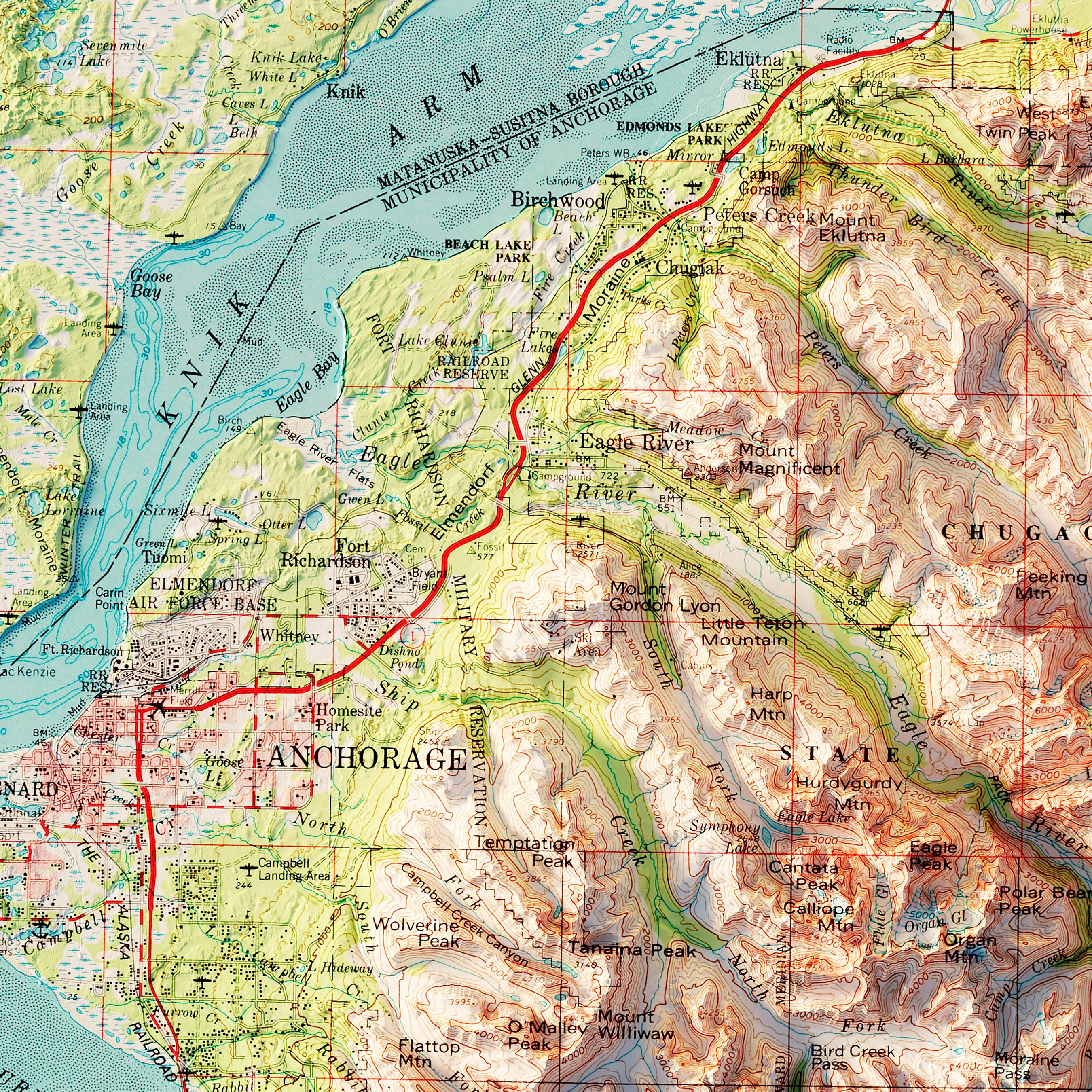
Anchorage, Alaska 1979 Shaded Relief Map
From
$ 64.00 USD
Denali National Park 1986 Shaded Relief Map
From
$ 89.00 USD
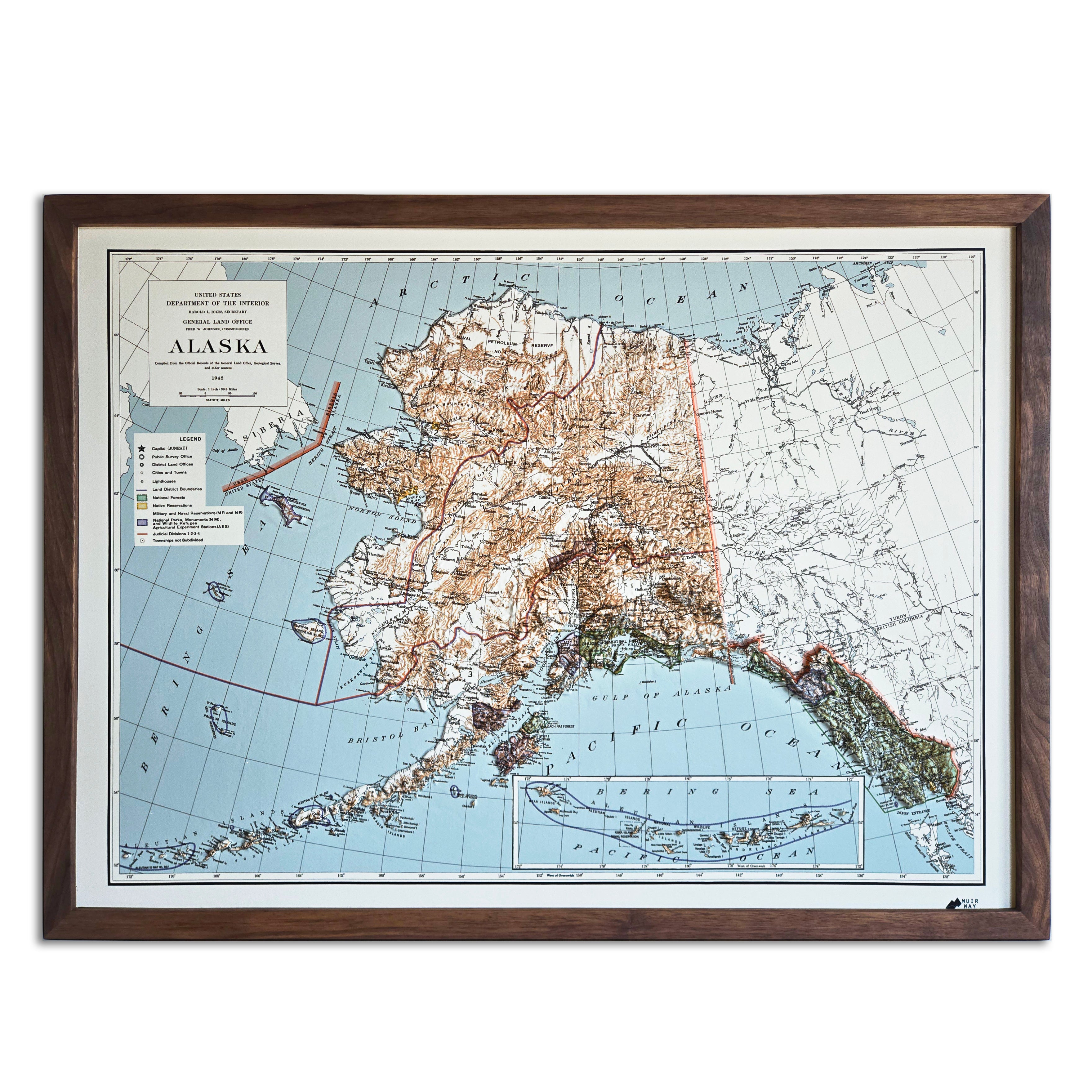
Alaska 1942 3D Raised Relief Map
From
$ 175.00 USD
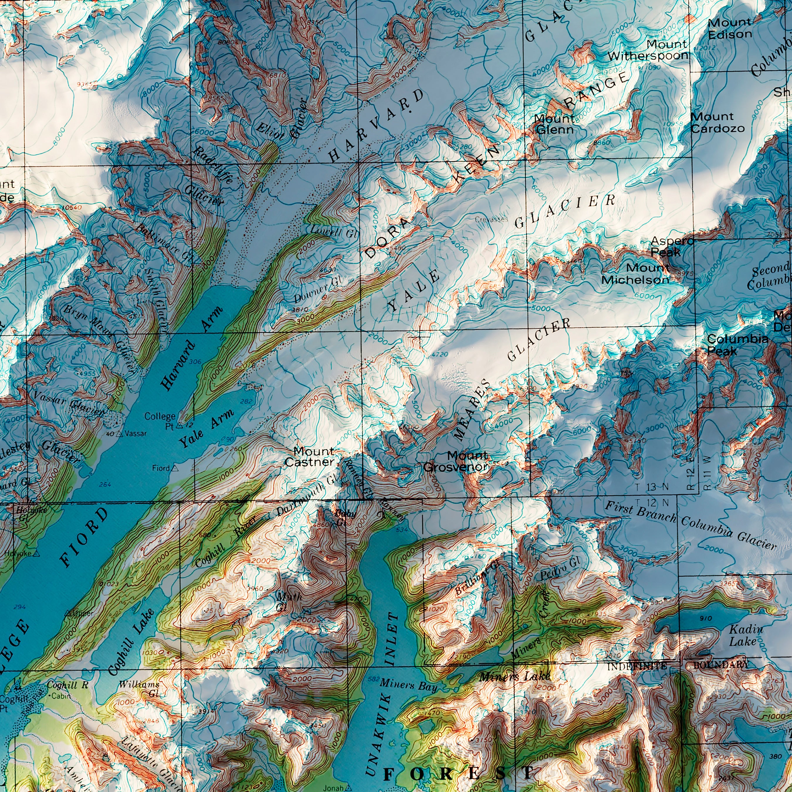
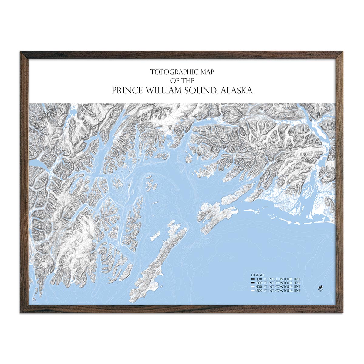
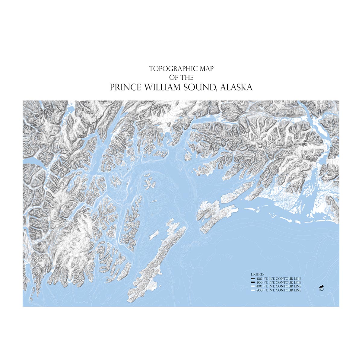
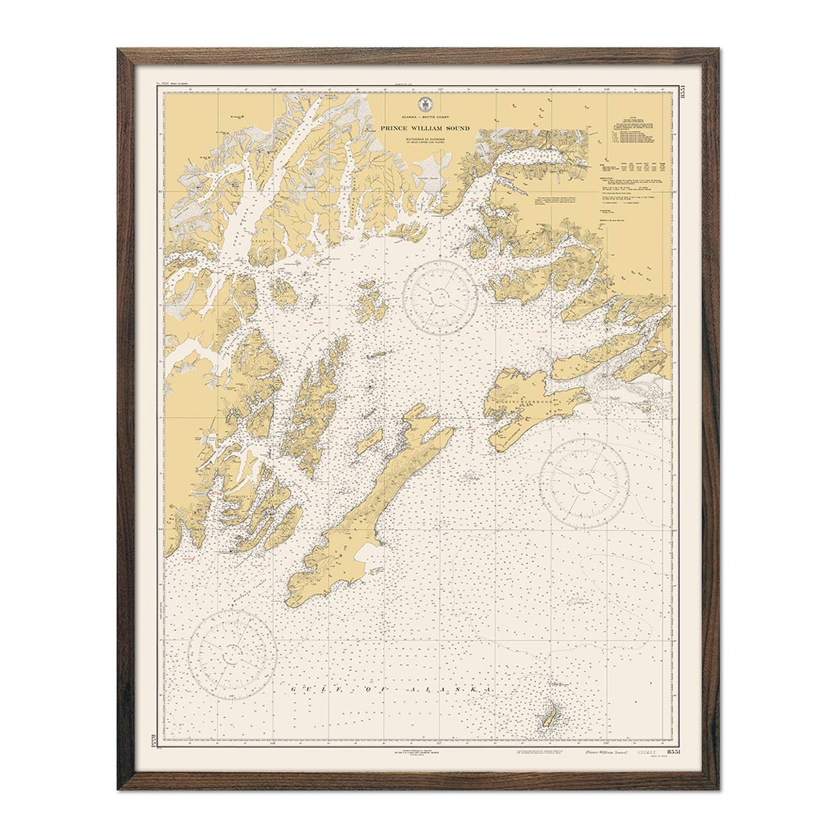
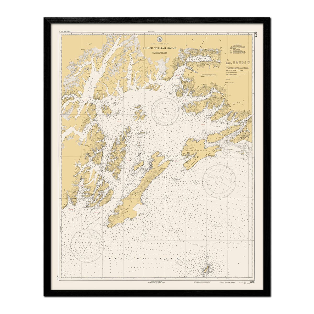
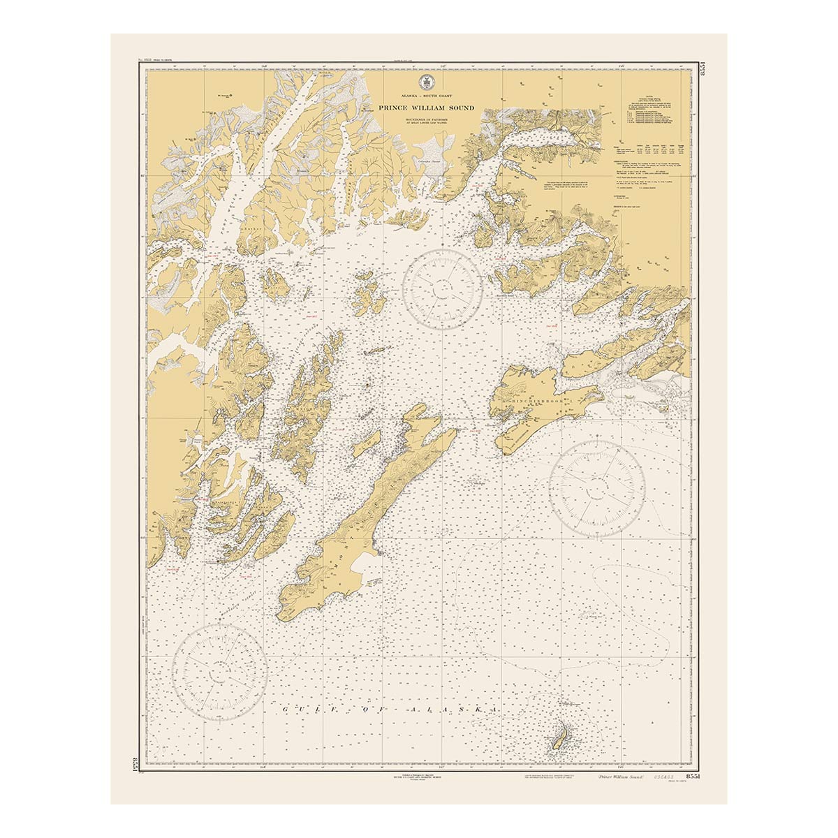
Prince William Sound, AK Map
From
$ 99.00 USD
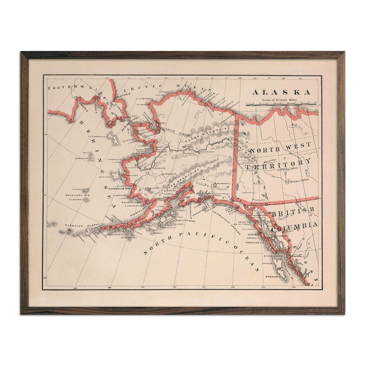
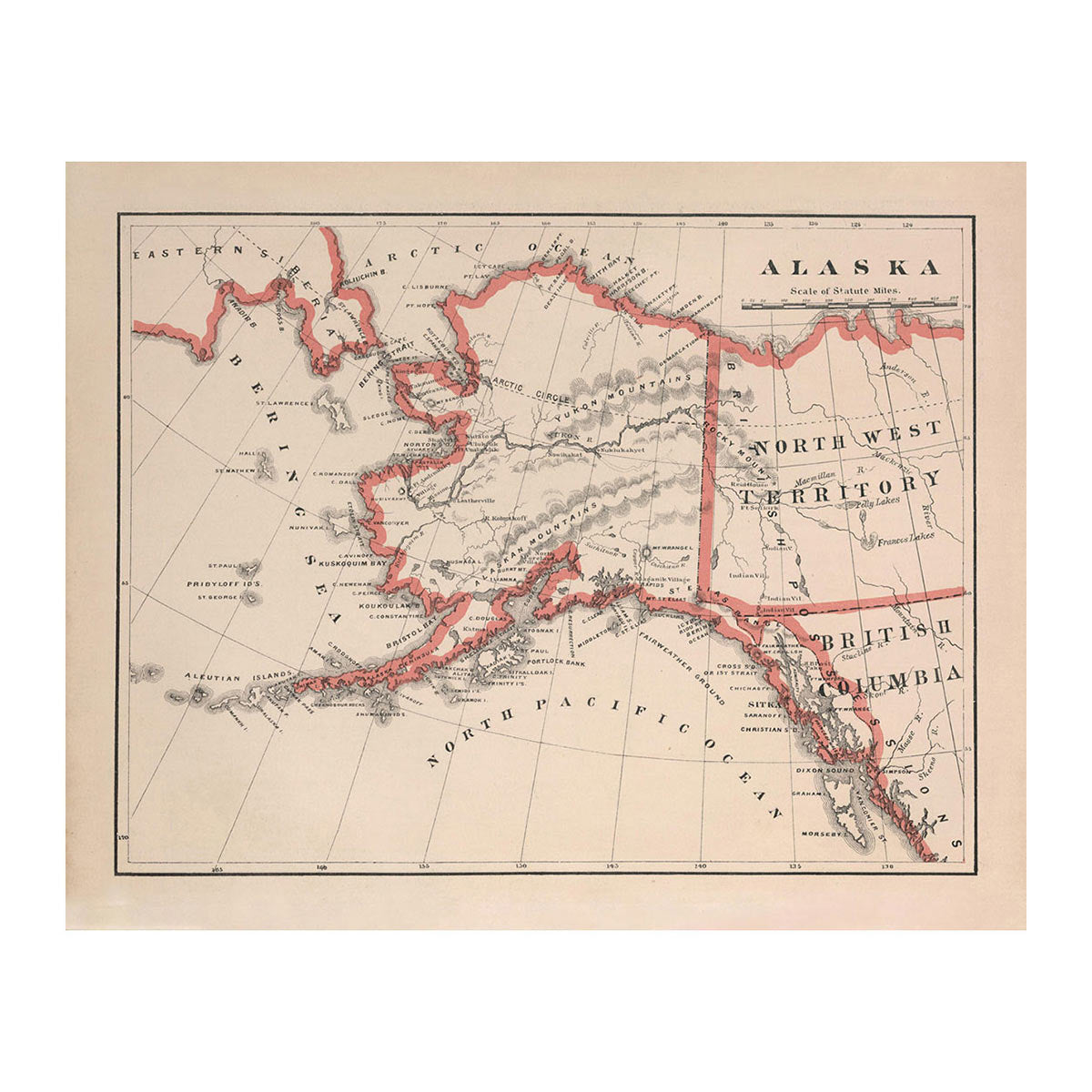
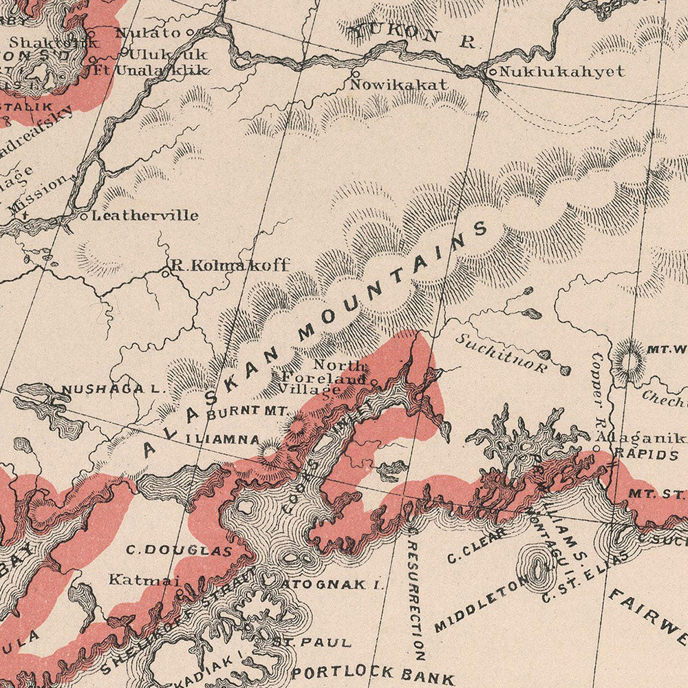
Alaska 1883 Map
From
$ 64.00 USD
4.0 / 5.0
1 review
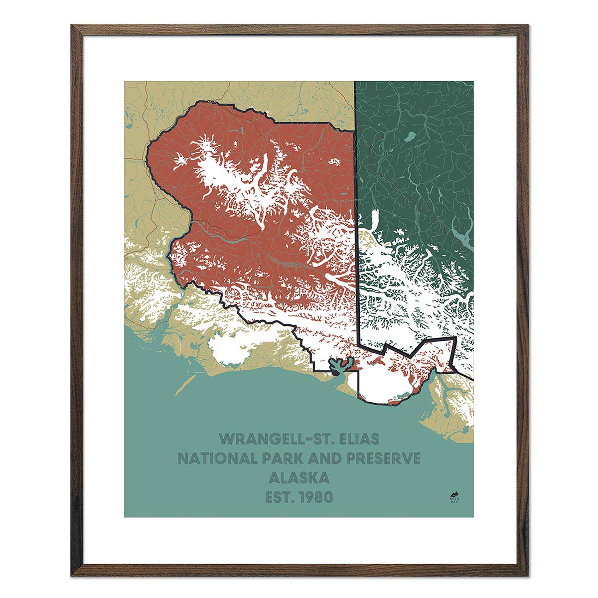
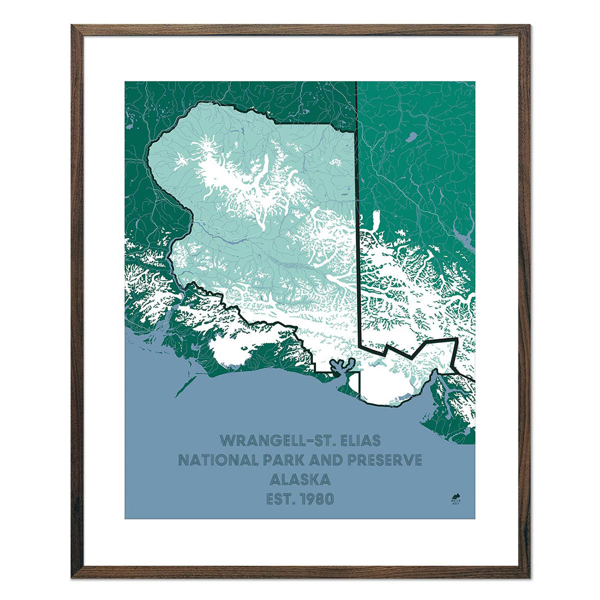
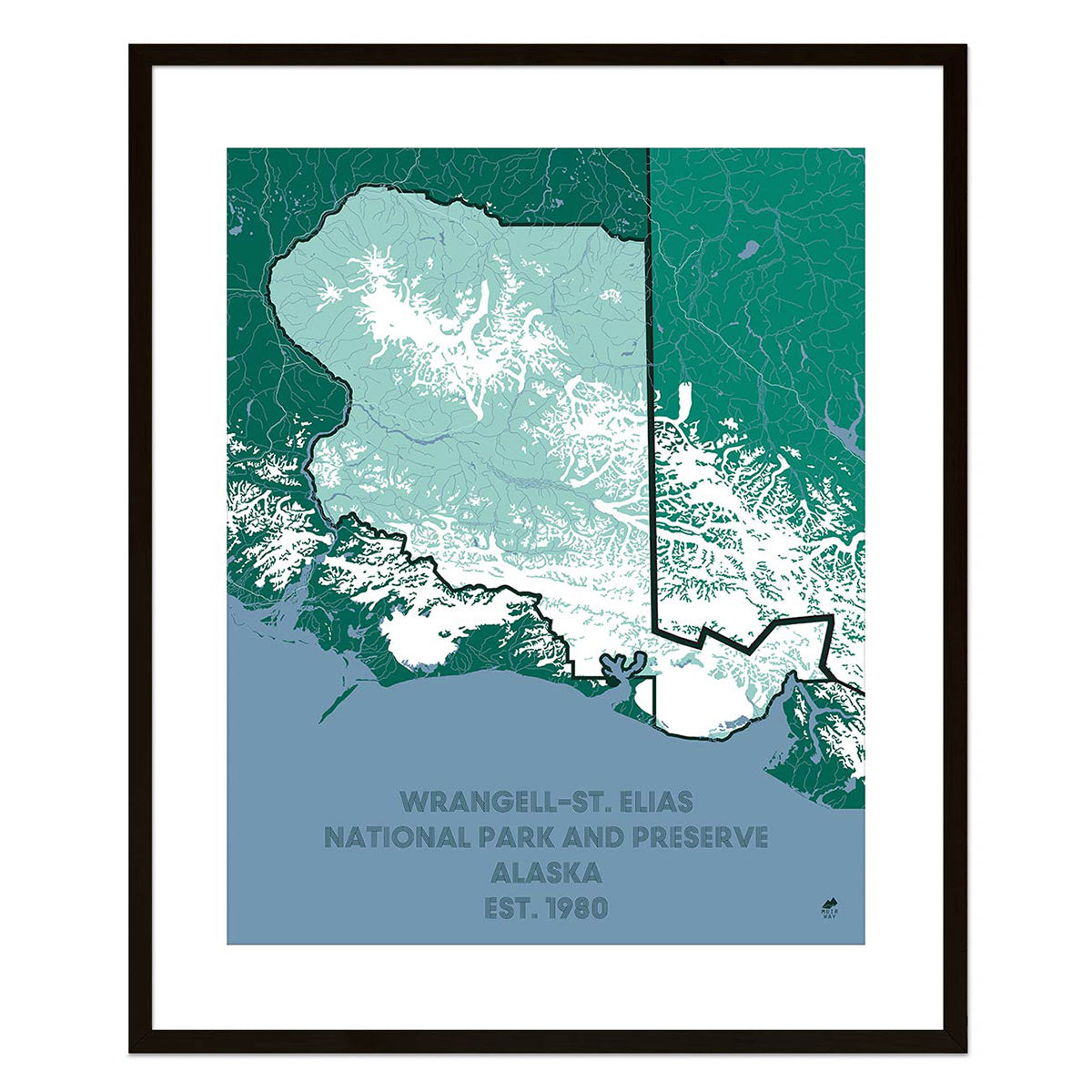
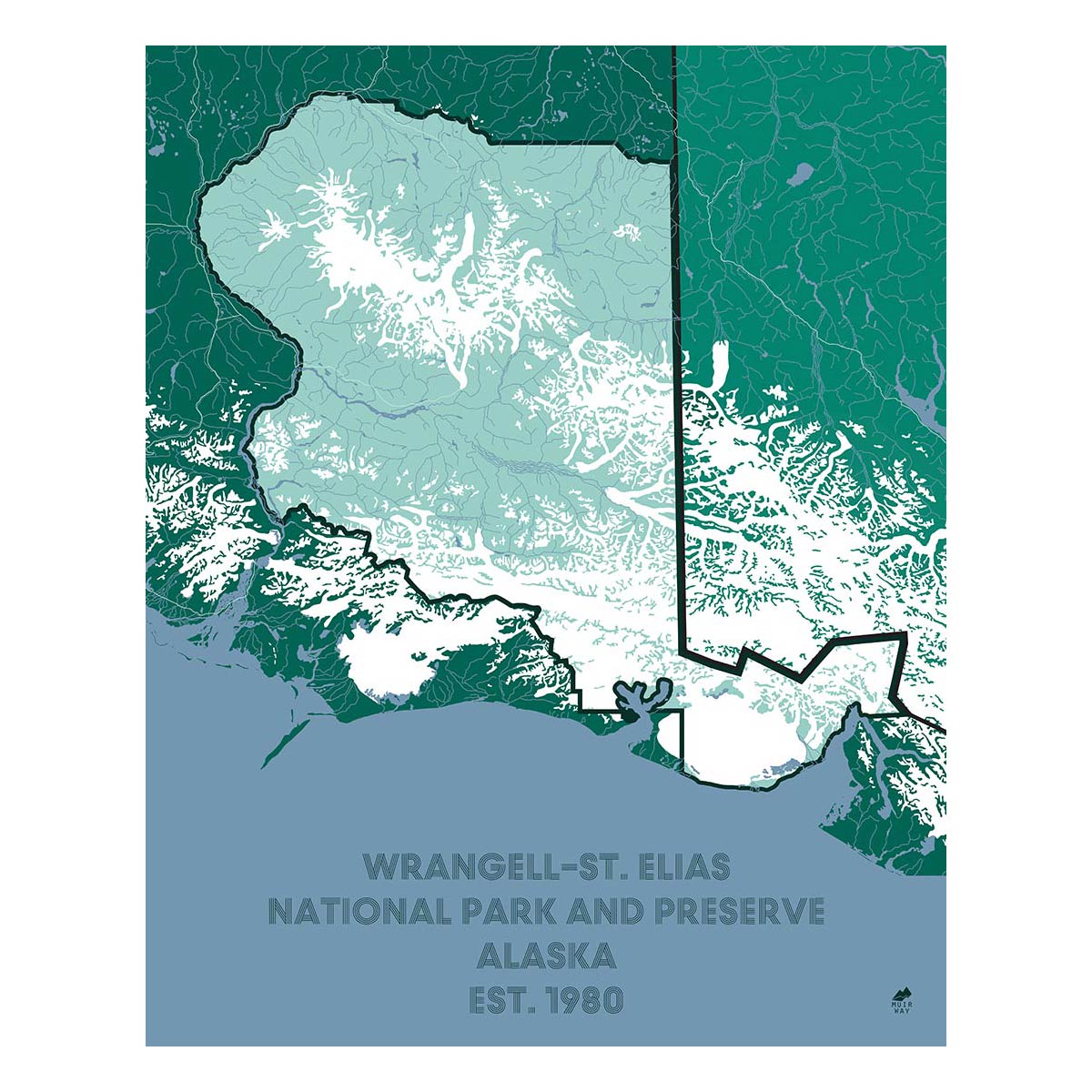
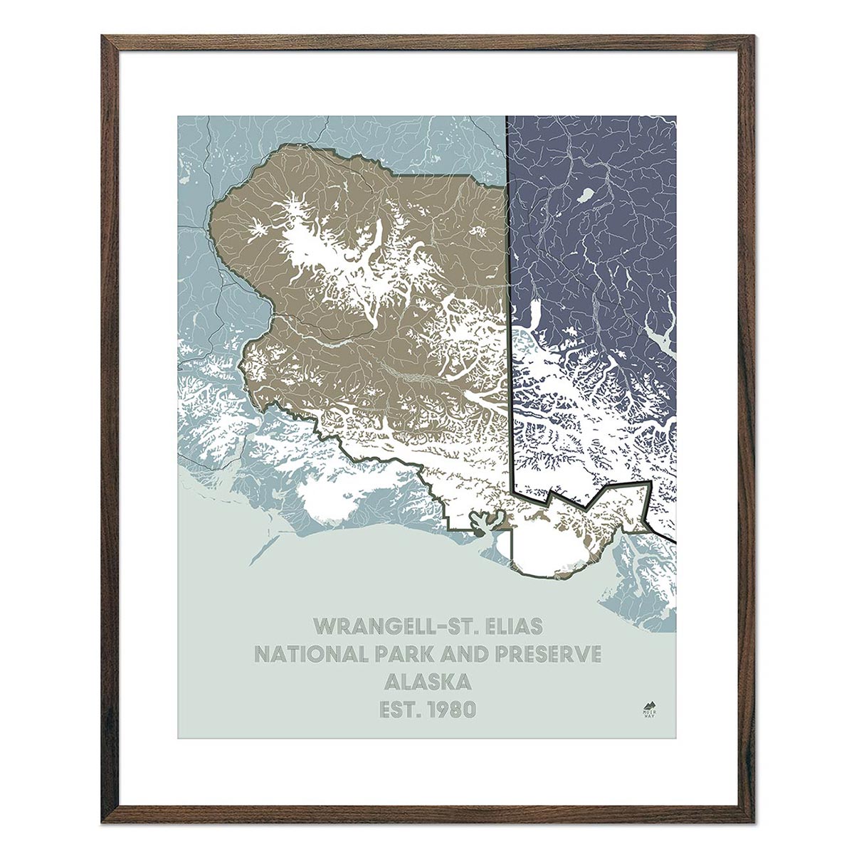
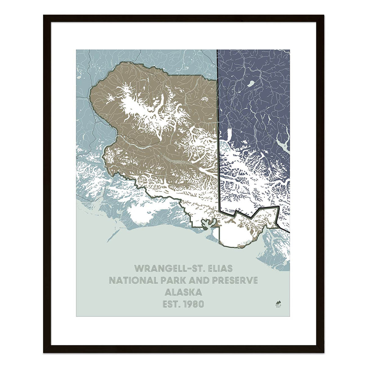
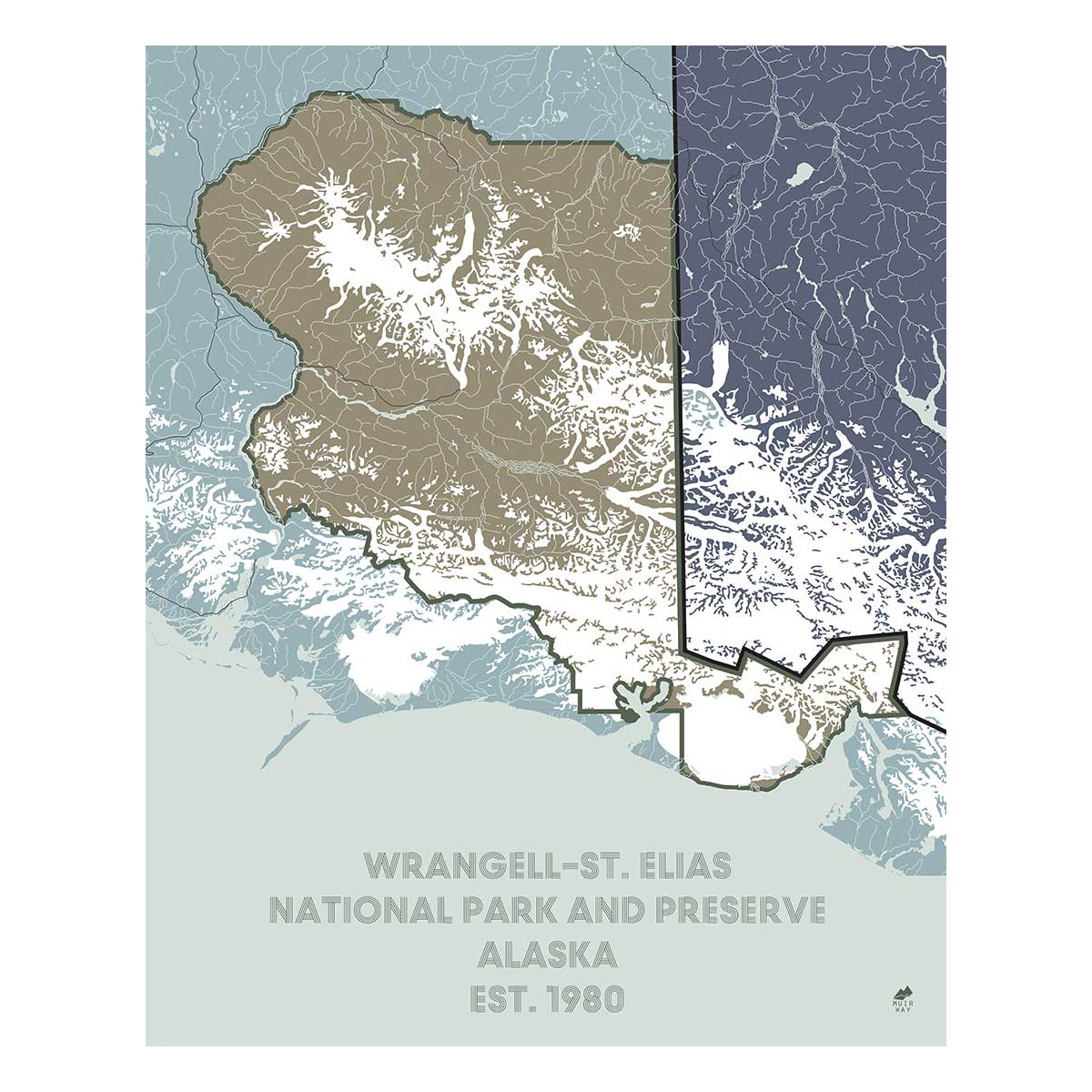
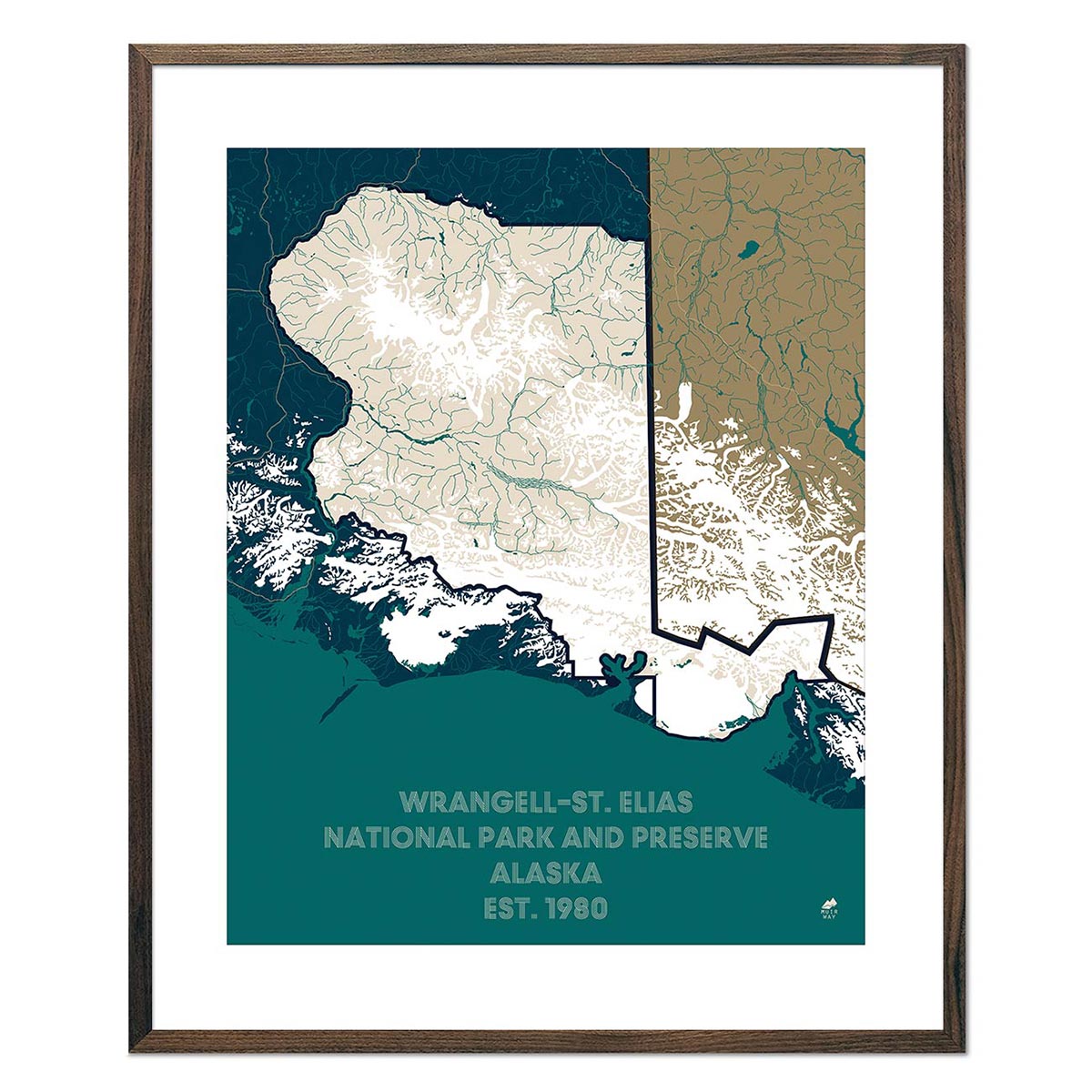
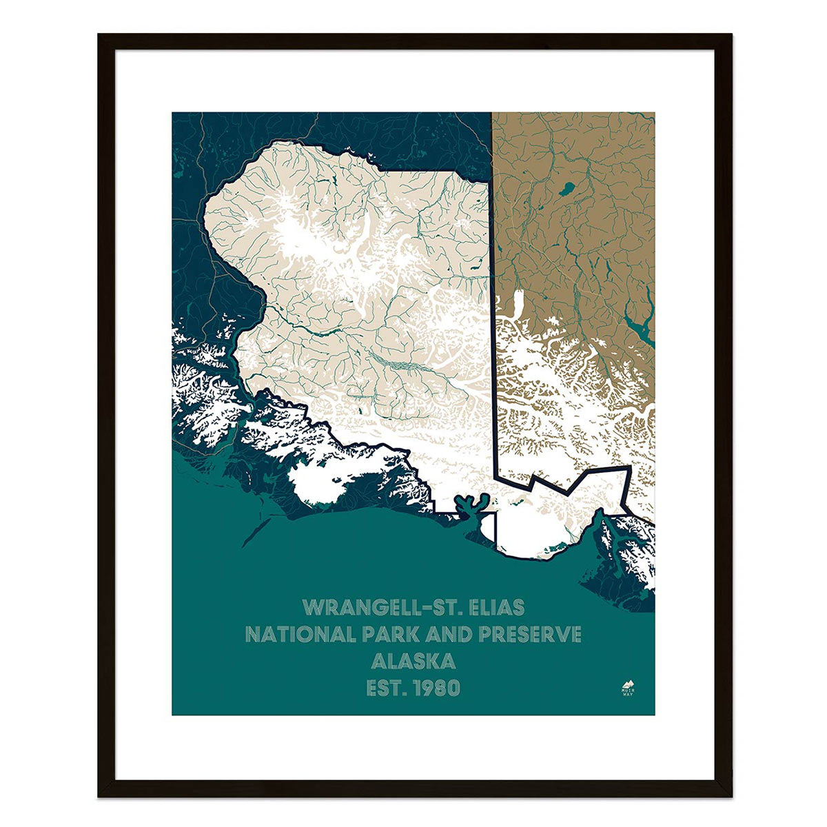
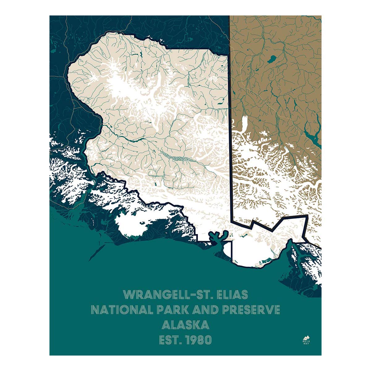
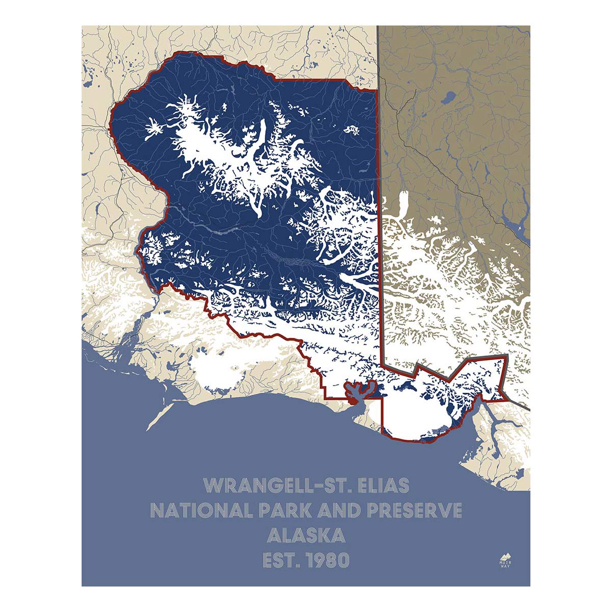
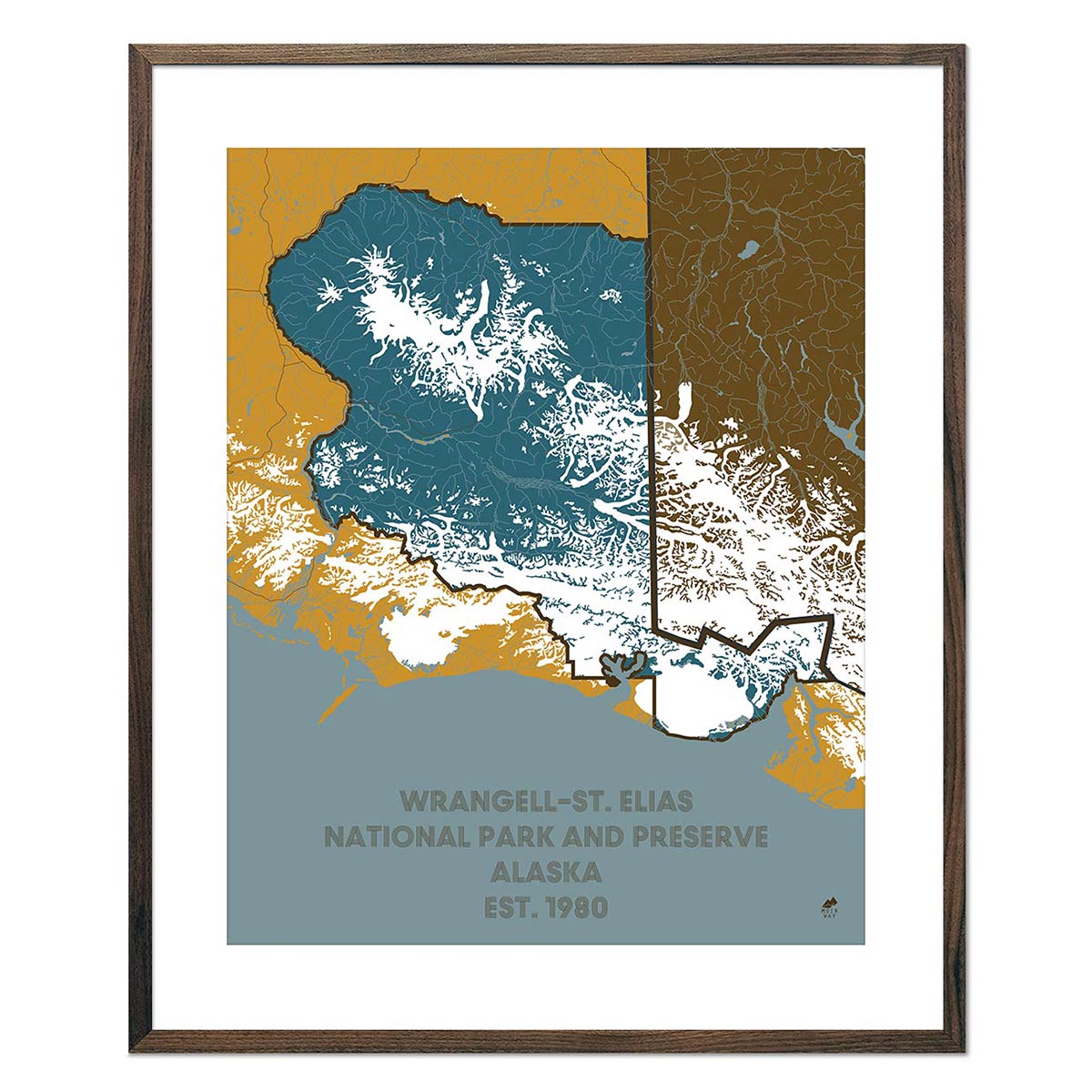
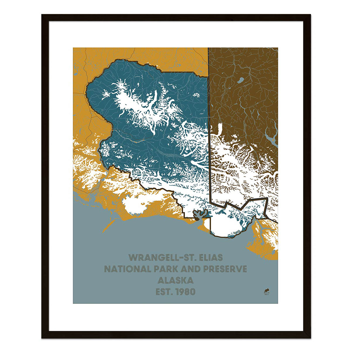
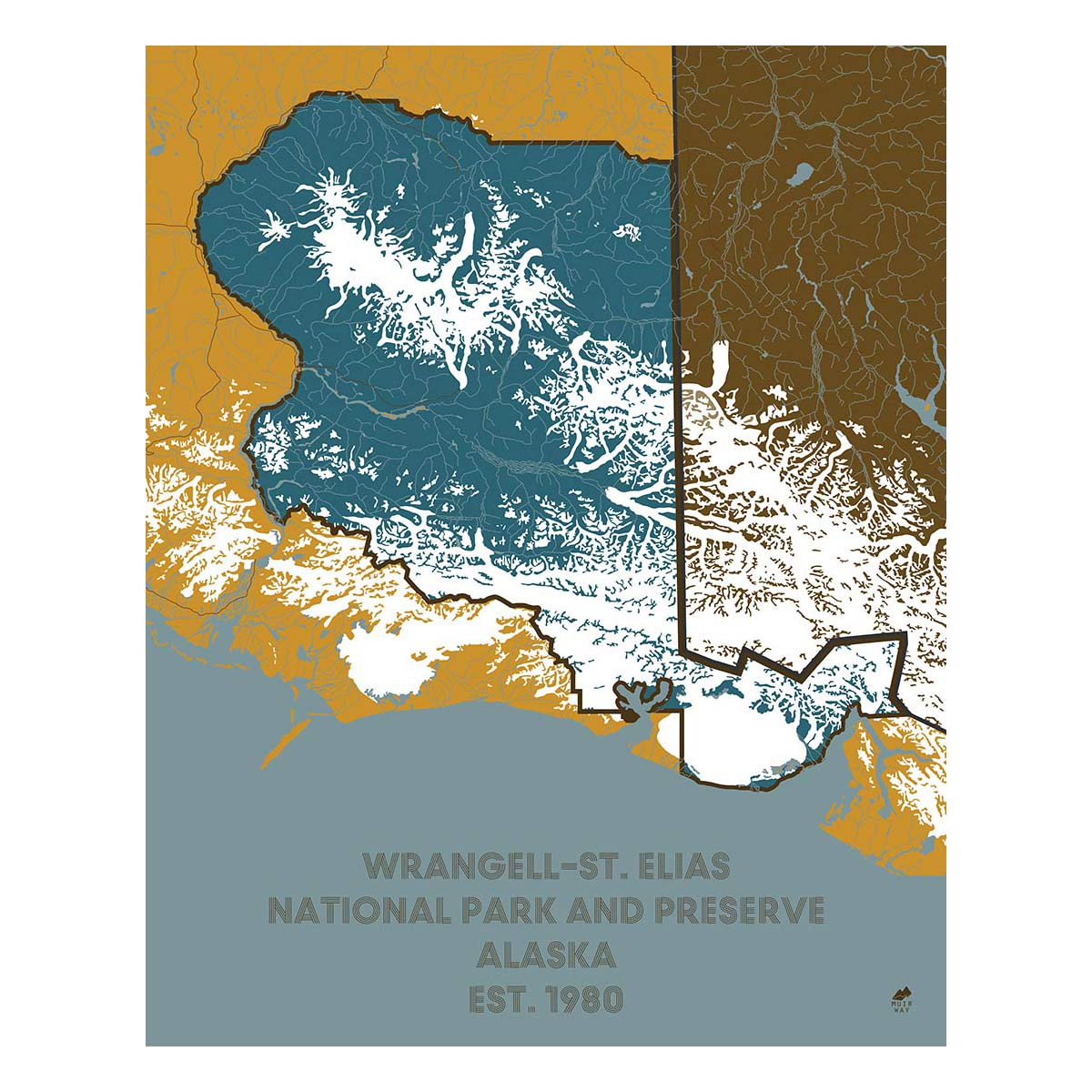
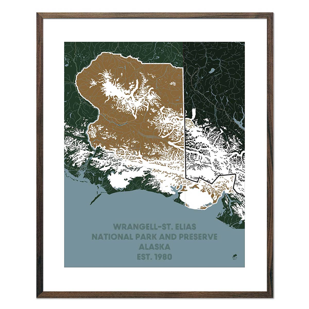
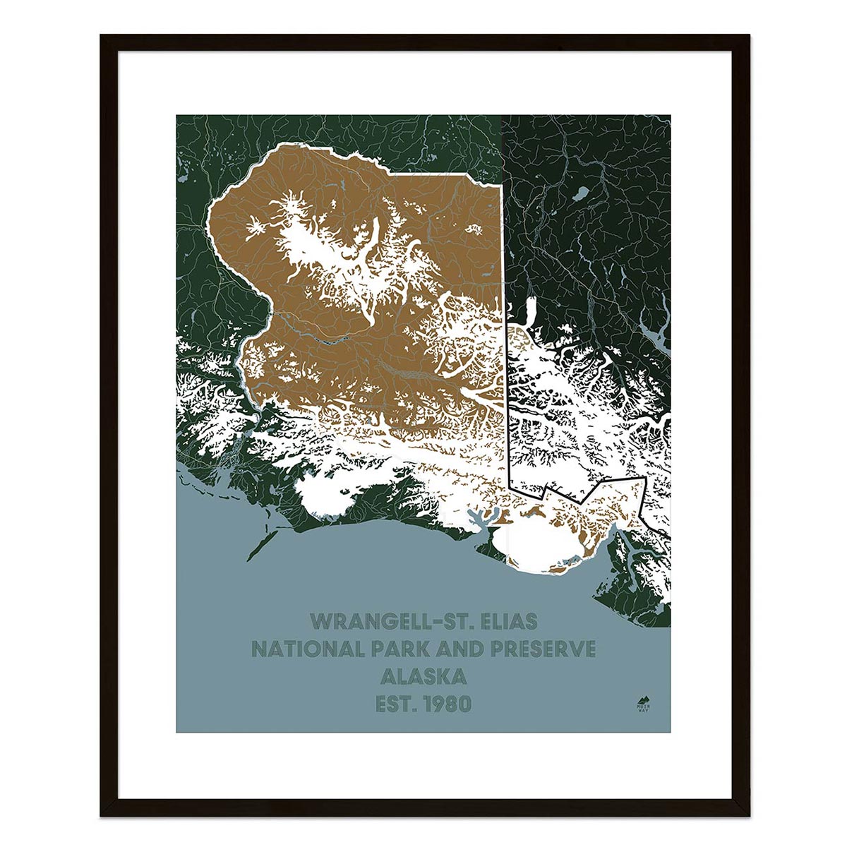
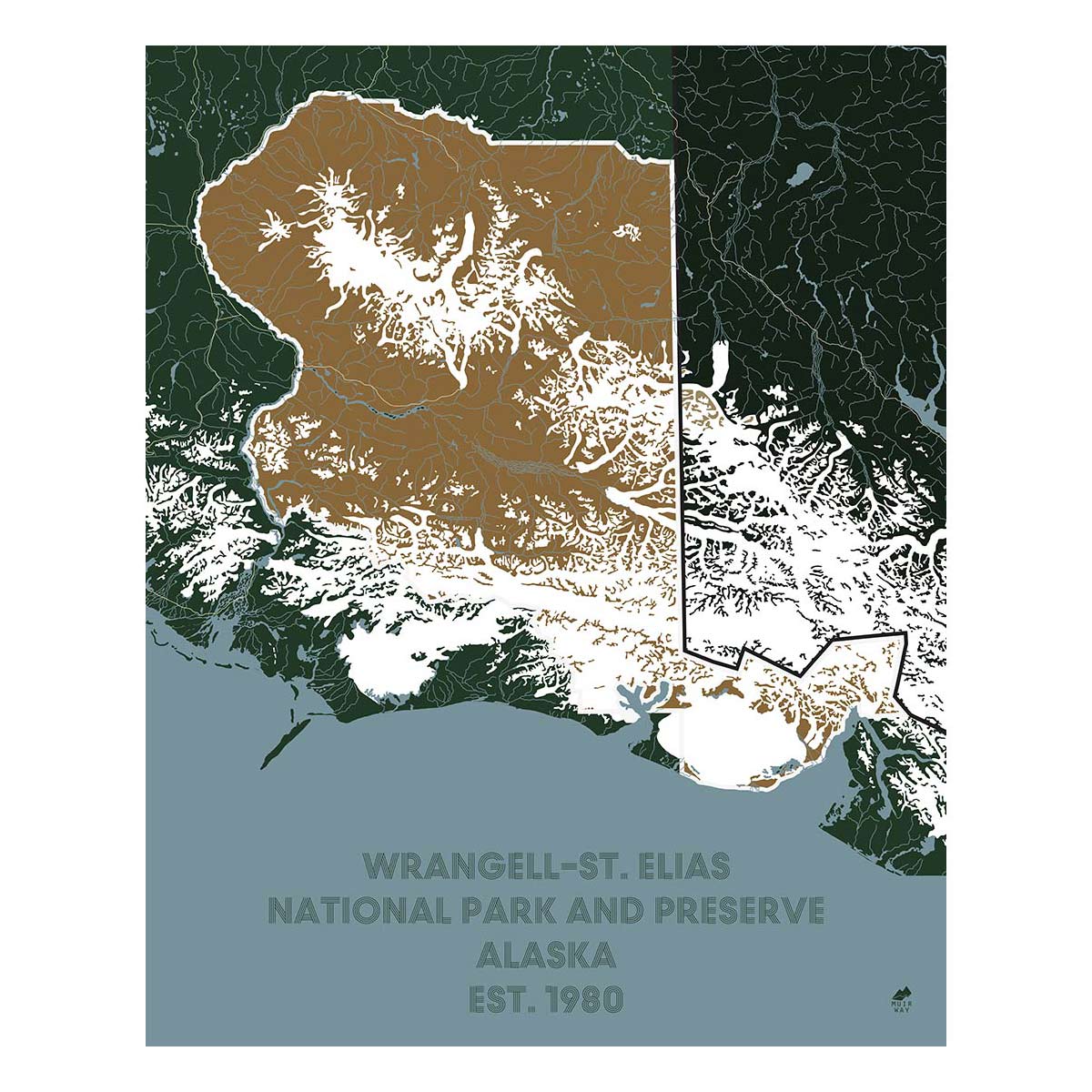
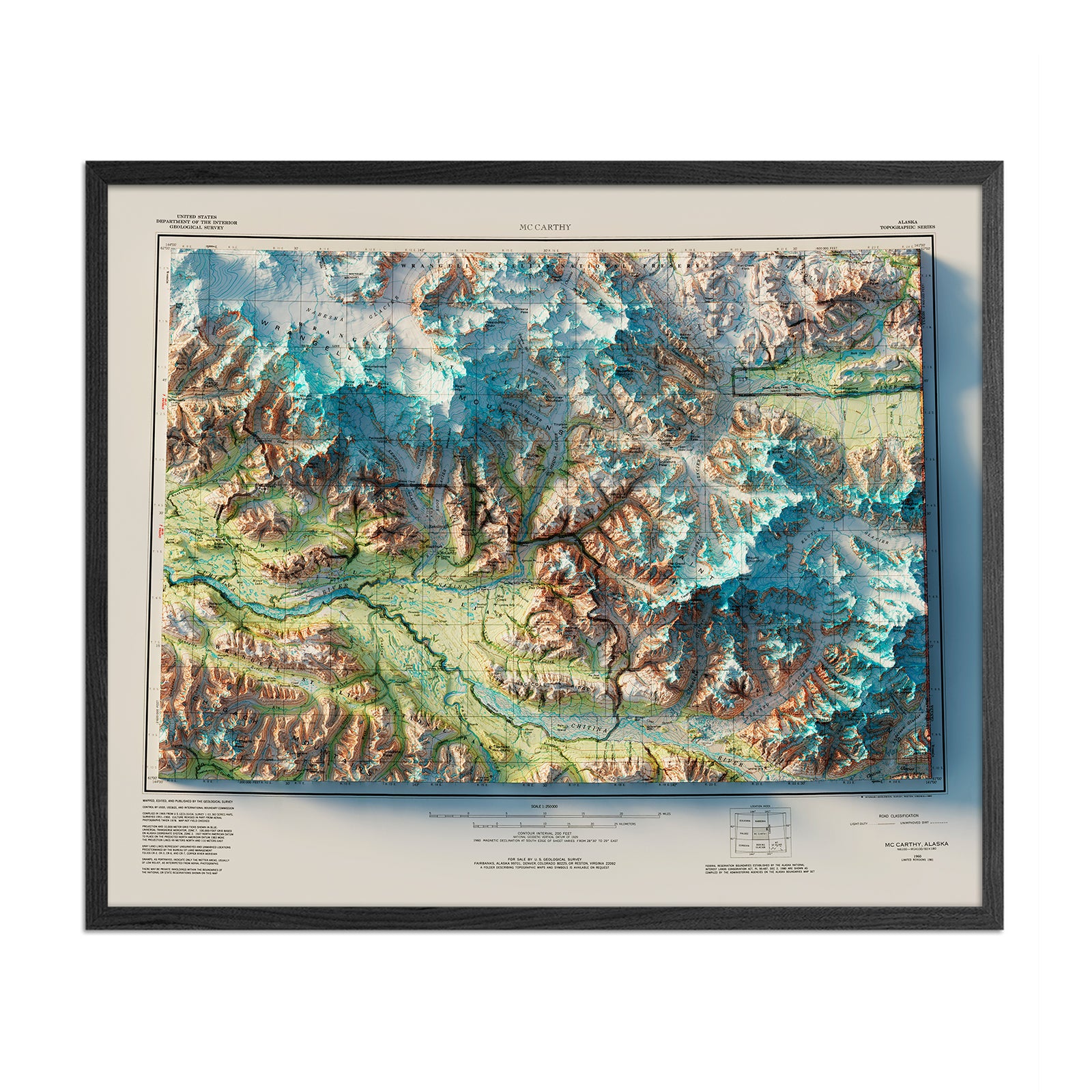
Wrangell-St. Elias National Park and Preserve Map
From
$ 49.00 USD
5.0 / 5.0
287 reviews
Denali, AK 1954 Shaded Relief Map
From
$ 99.00 USD
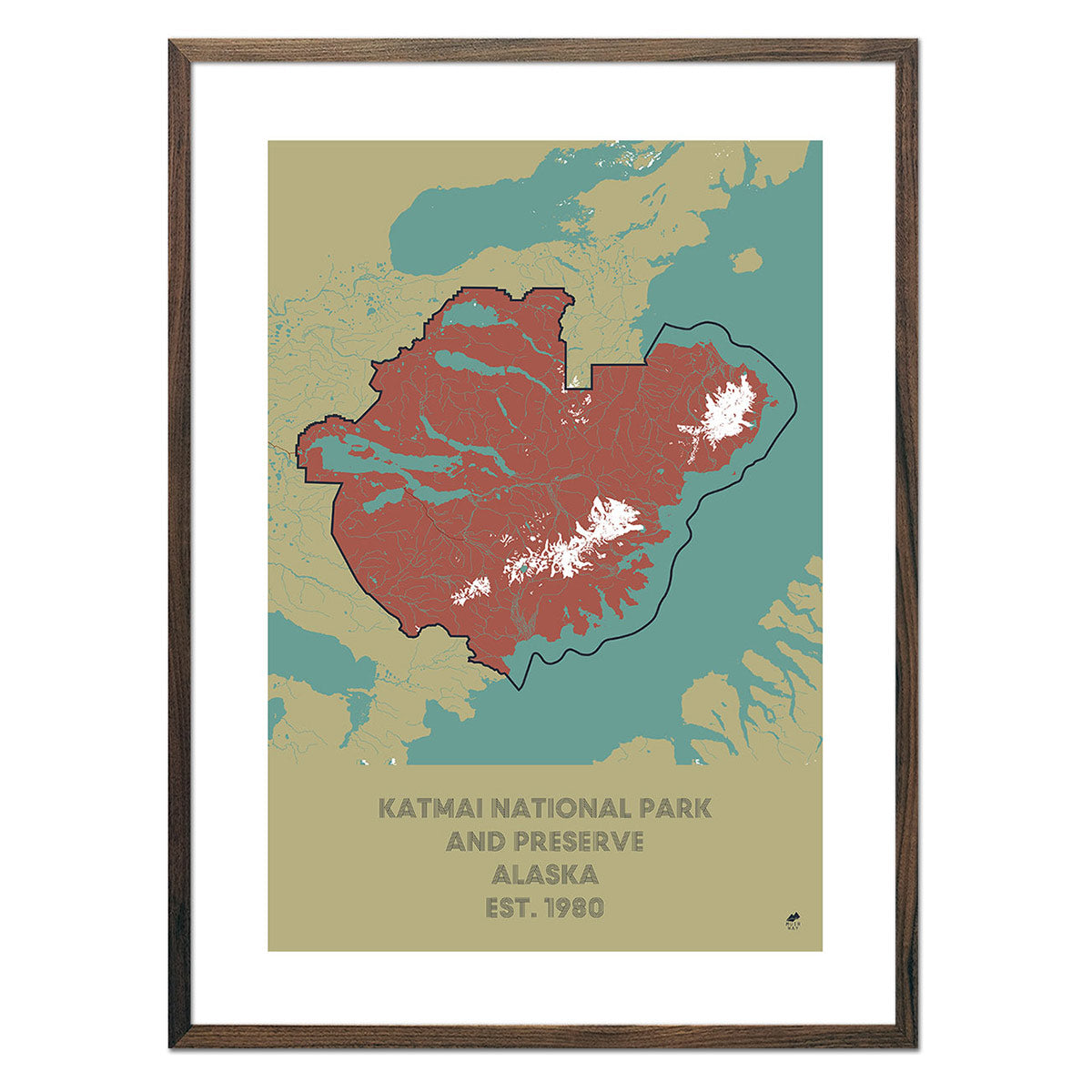
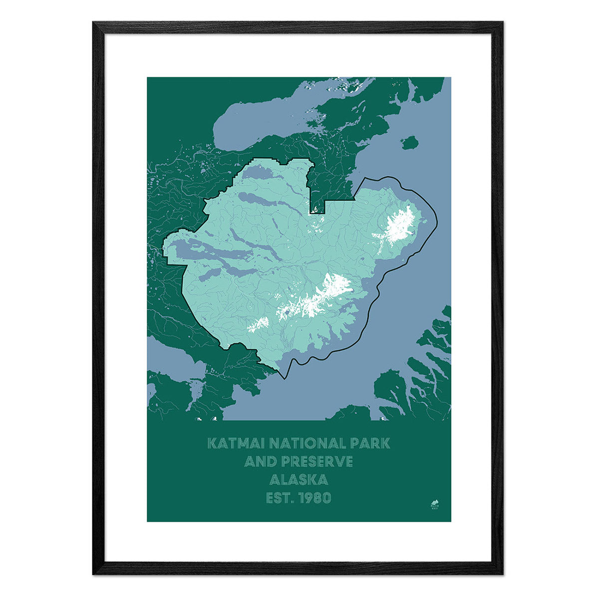
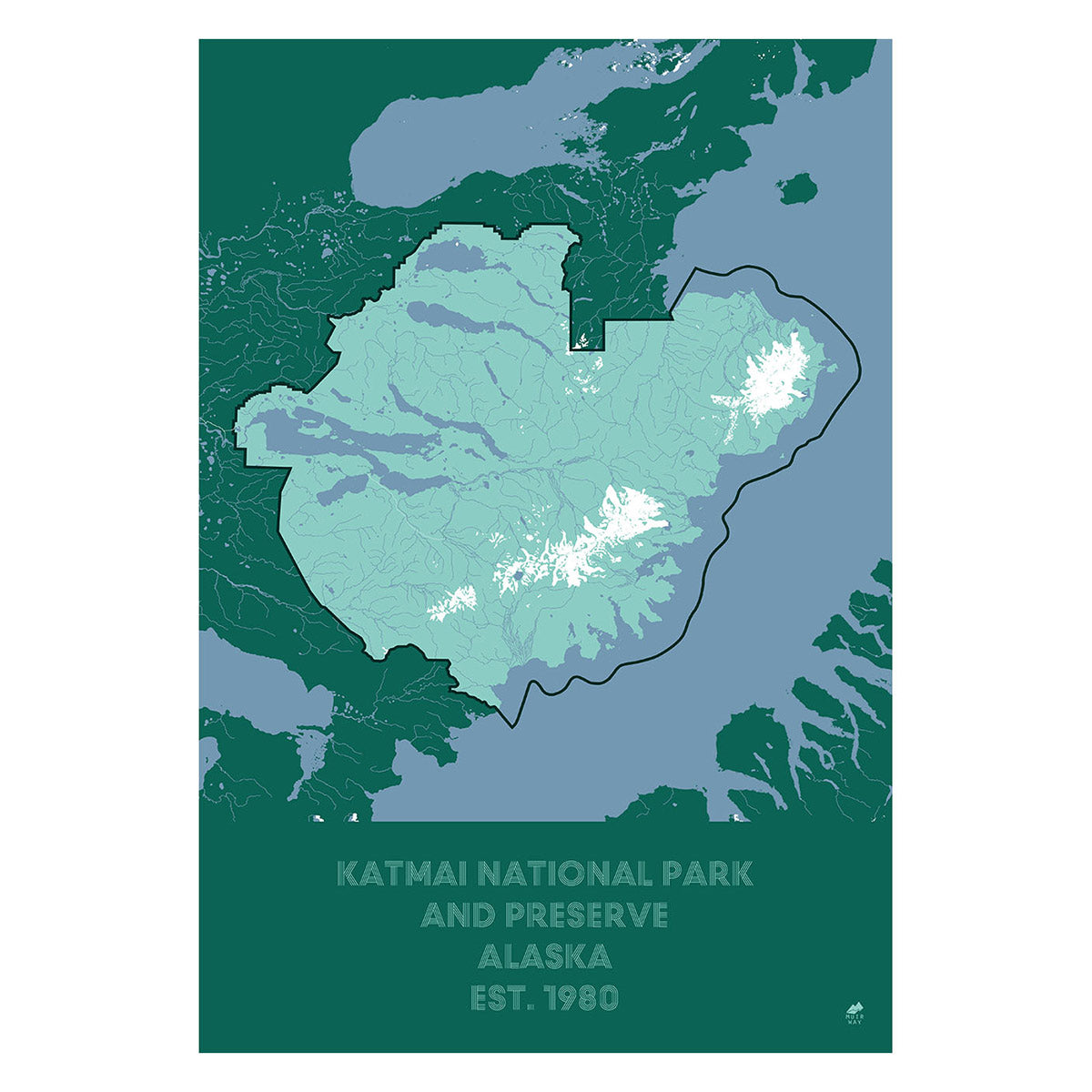
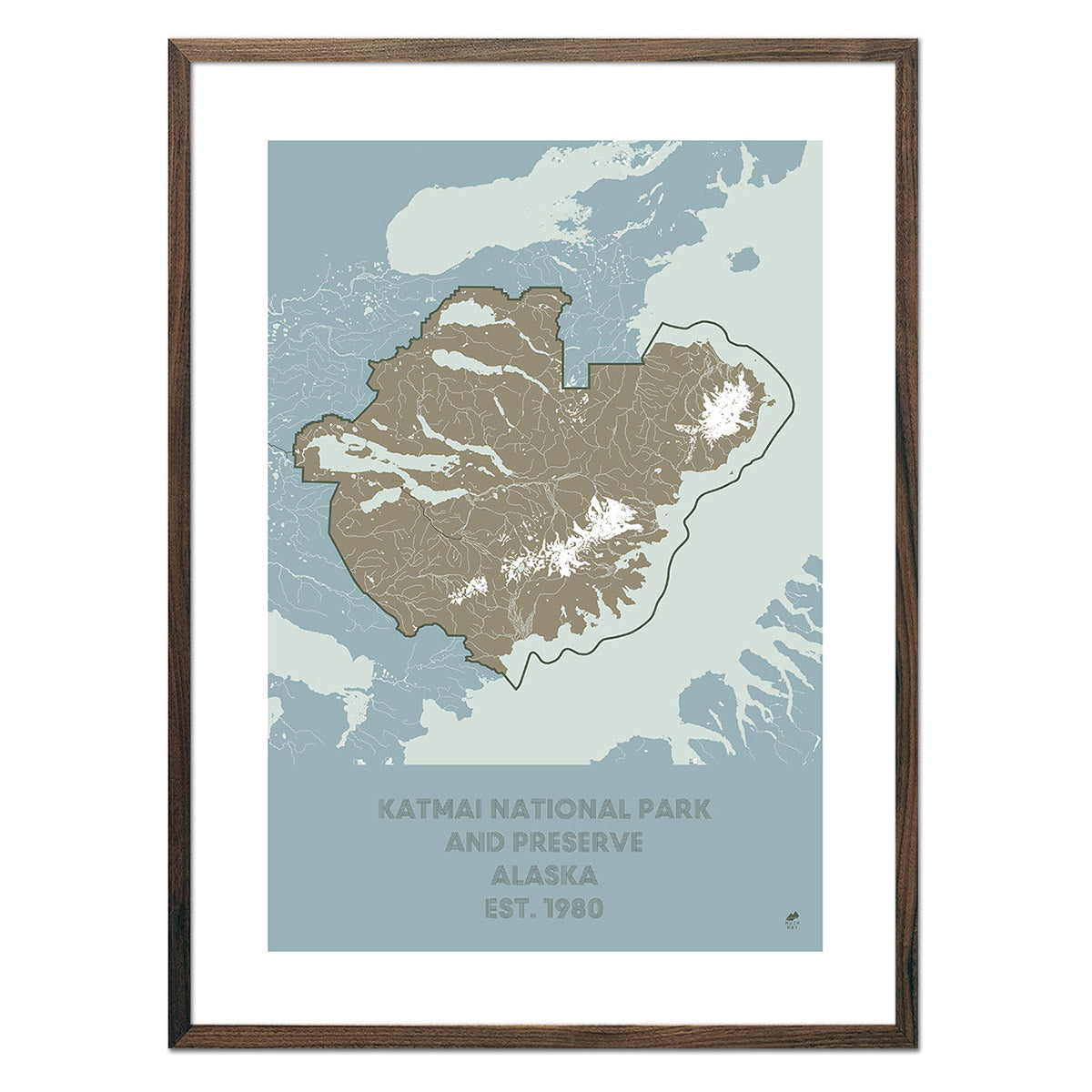
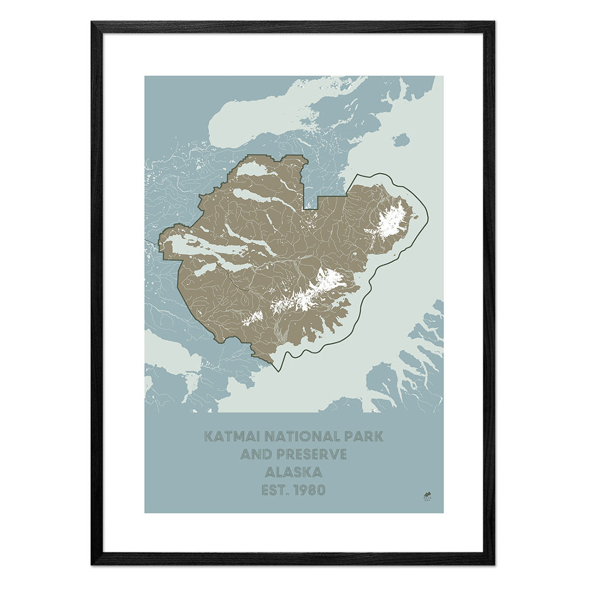
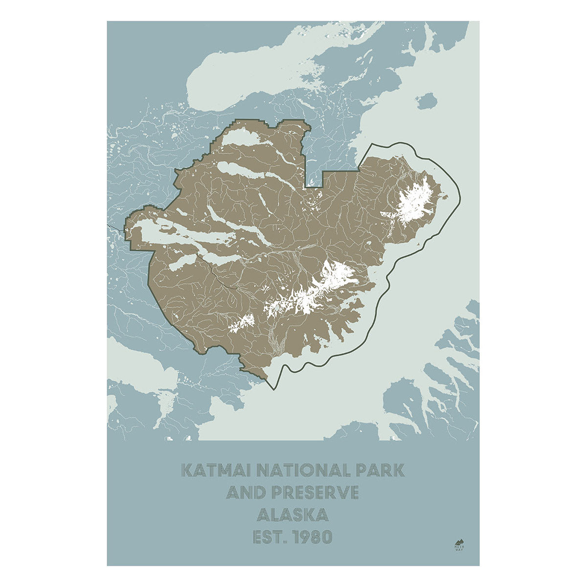
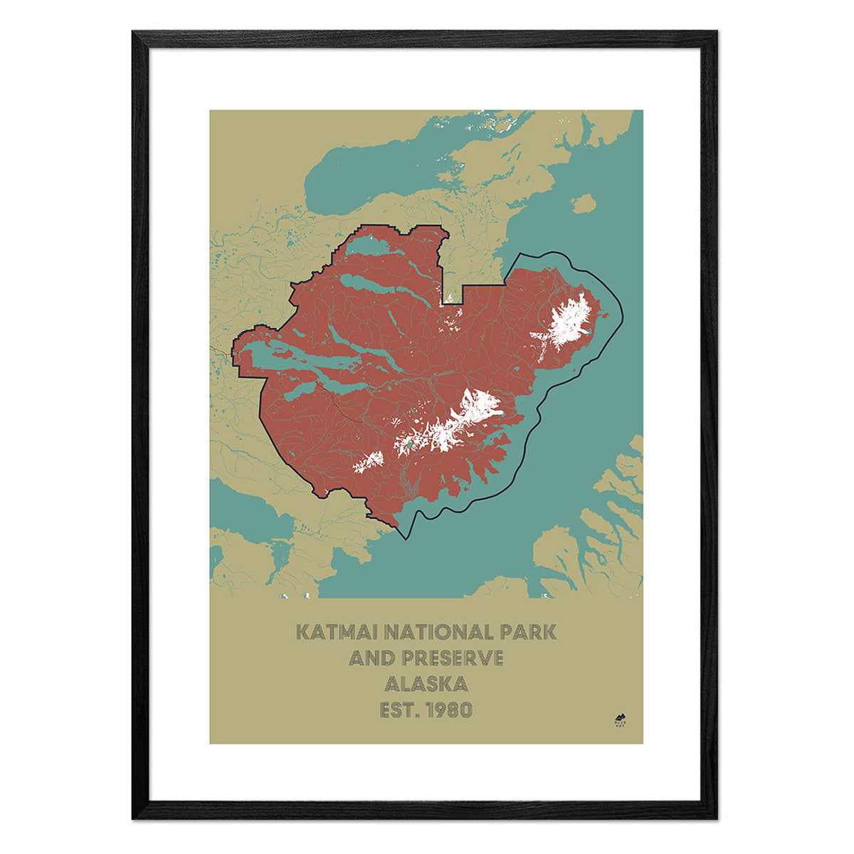
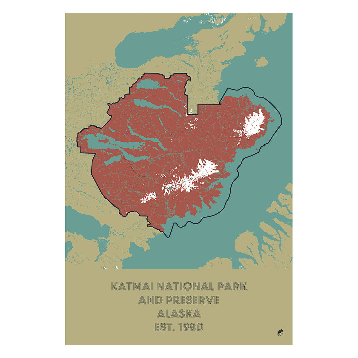
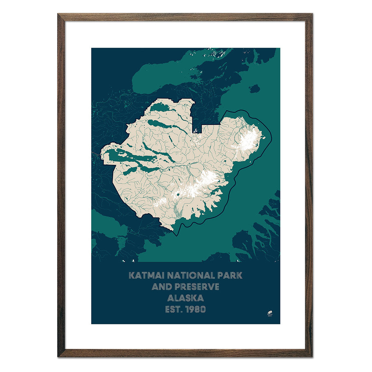
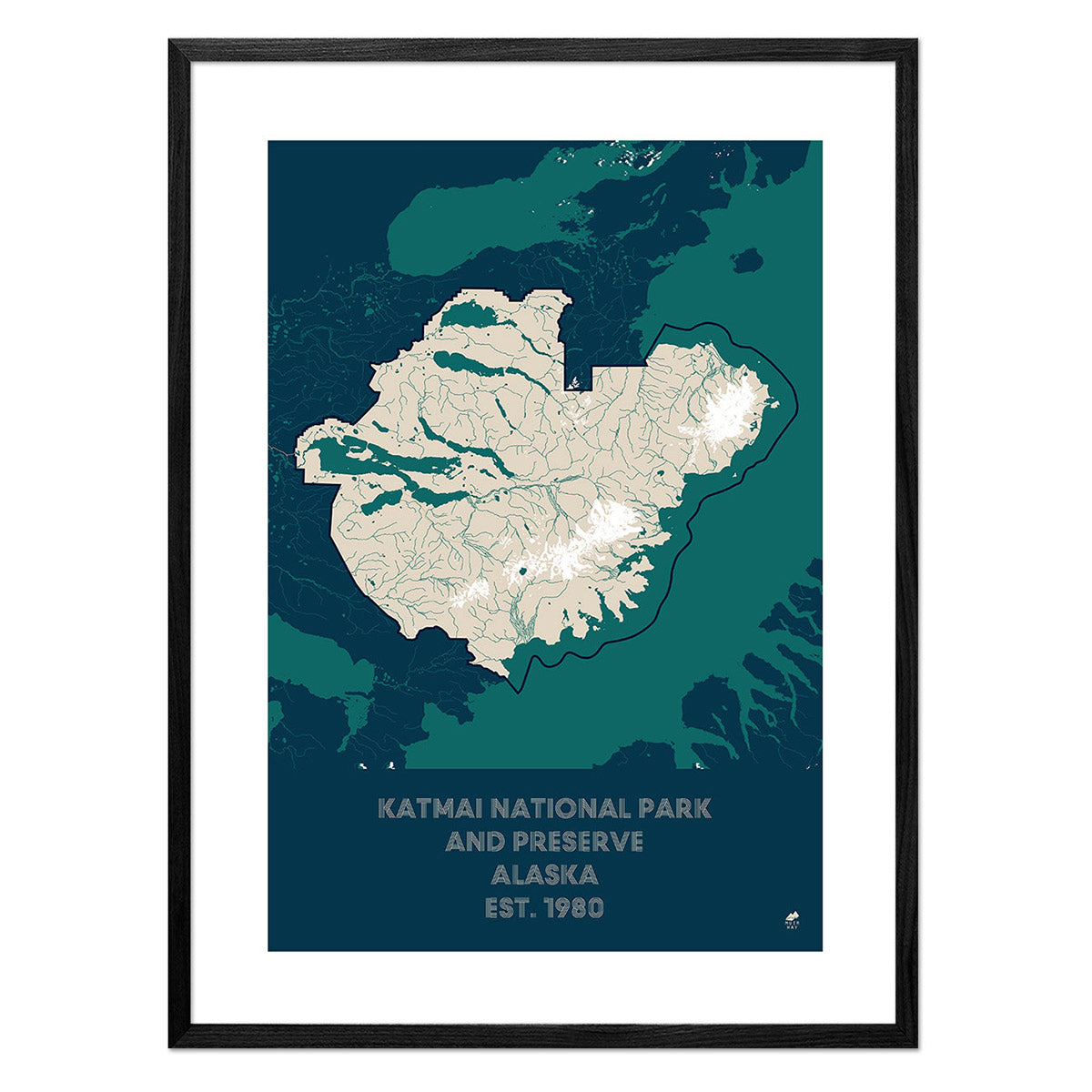
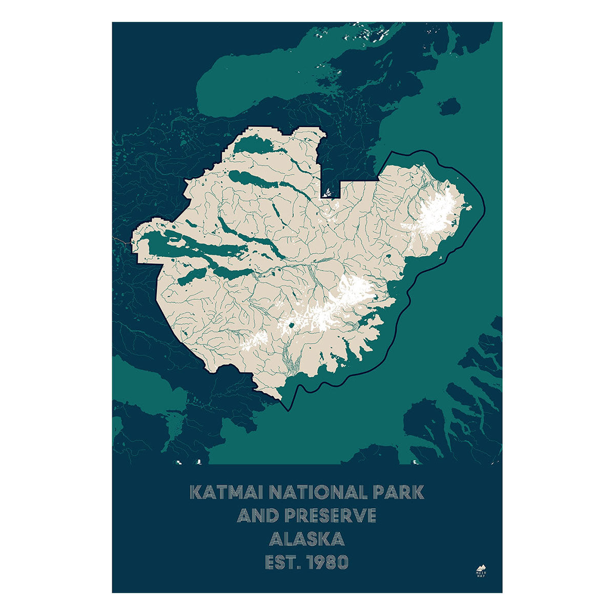
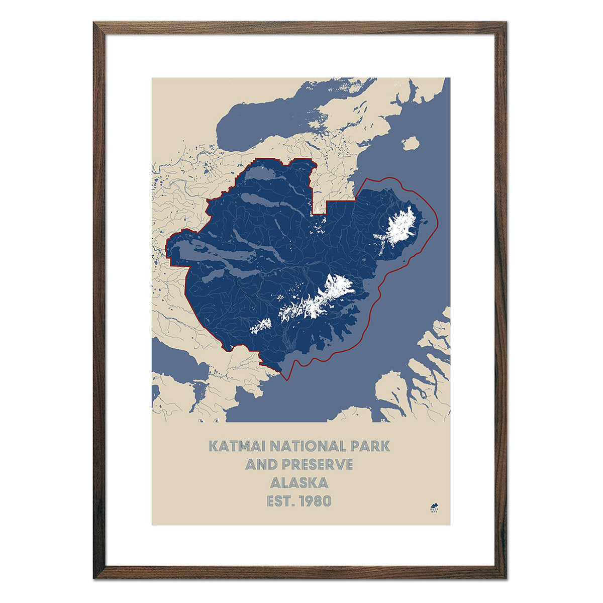
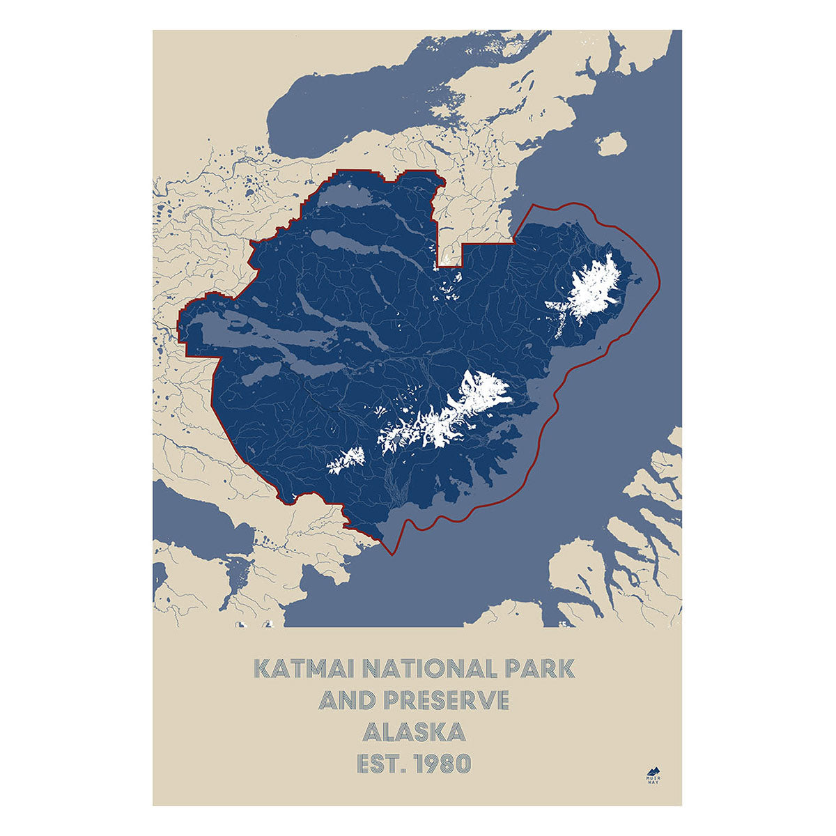
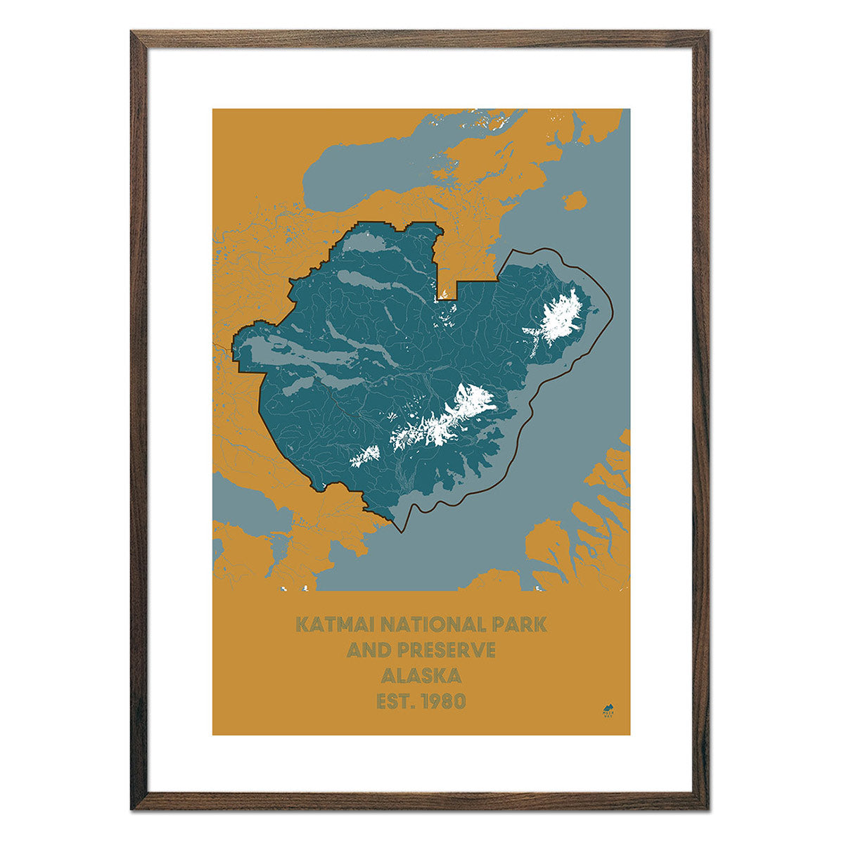
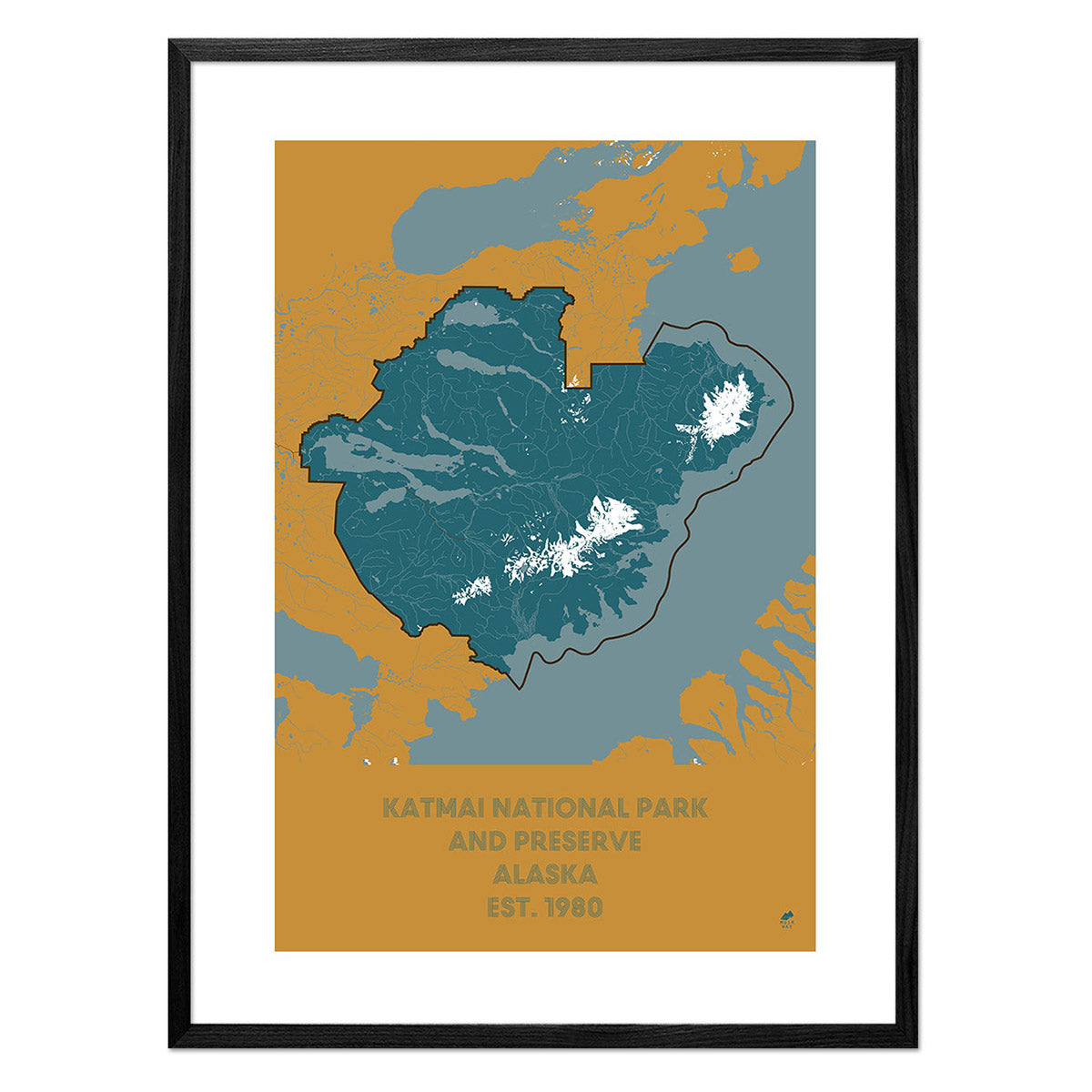
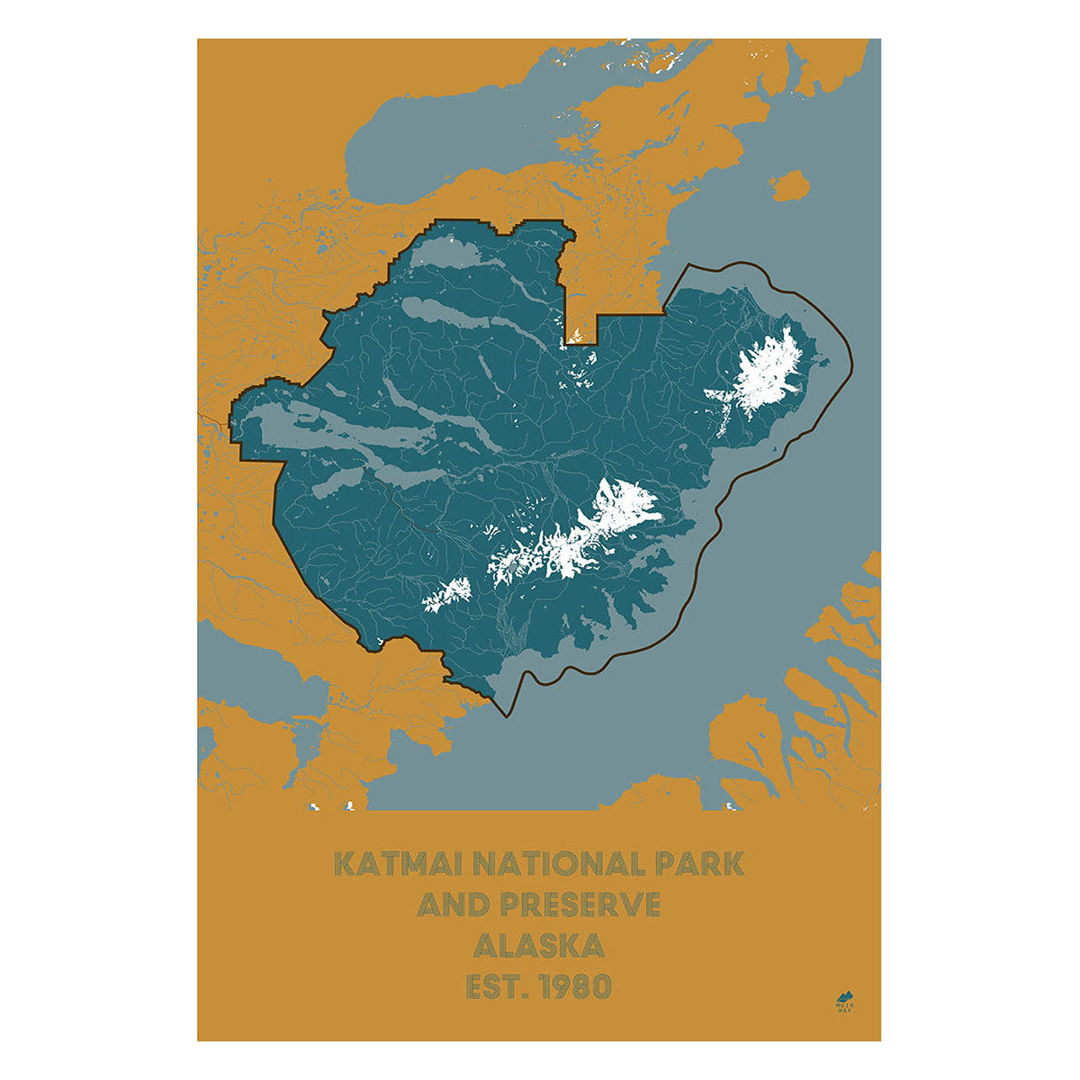
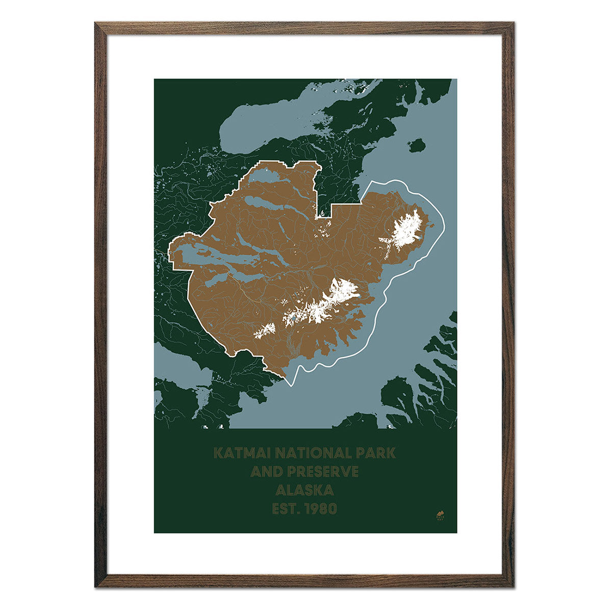
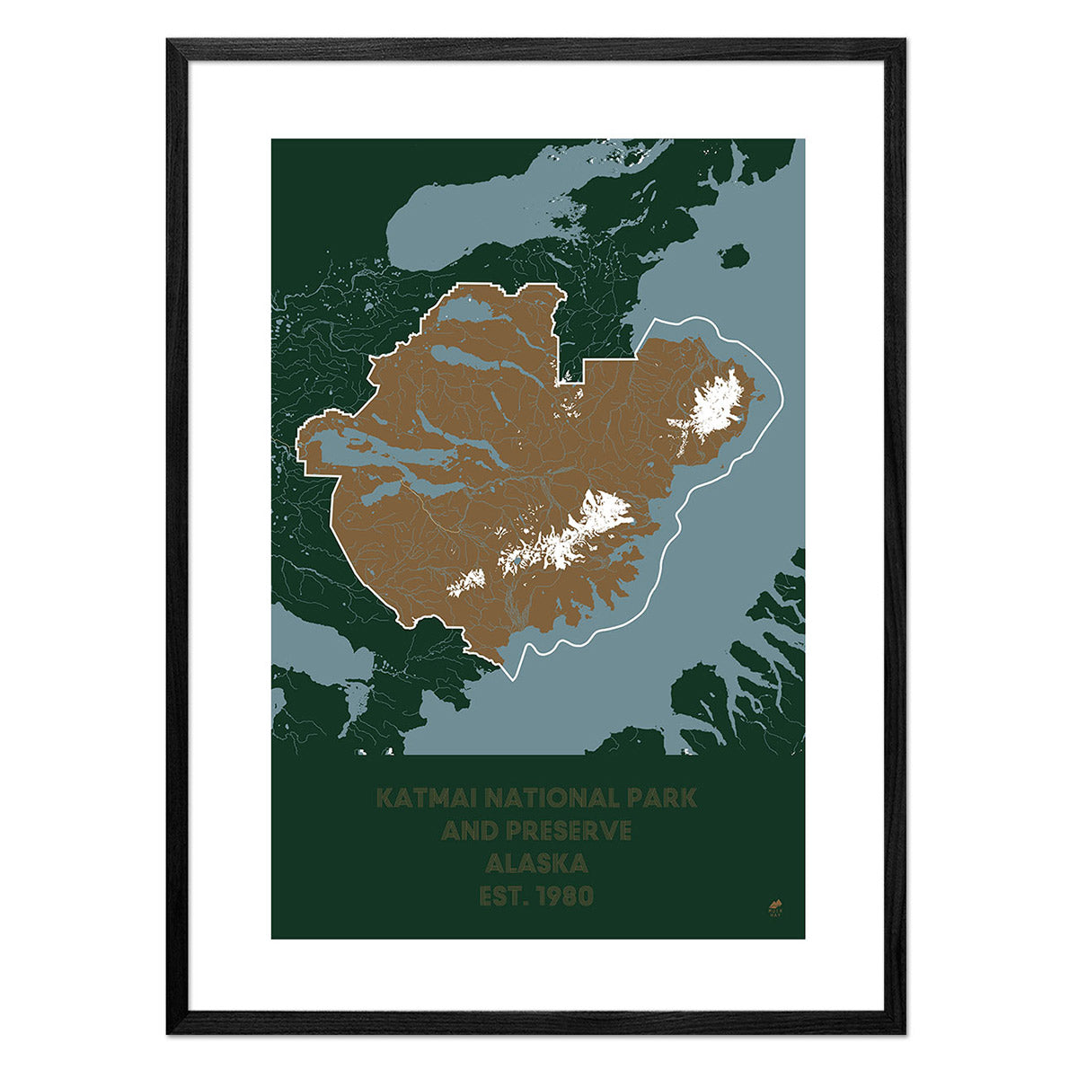
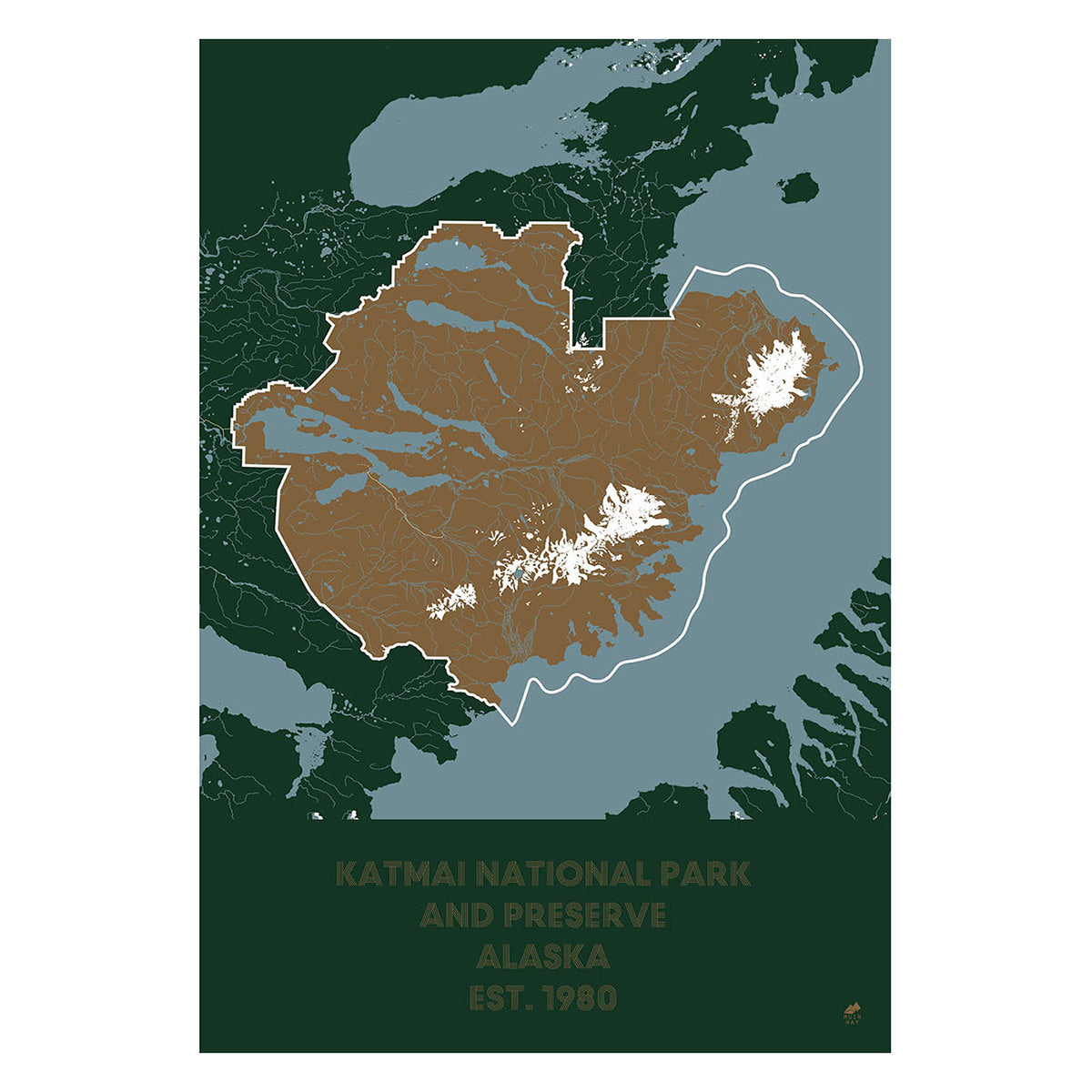
Katmai National Park and Preserve Map
From
$ 49.00 USD
5.0 / 5.0
287 reviews
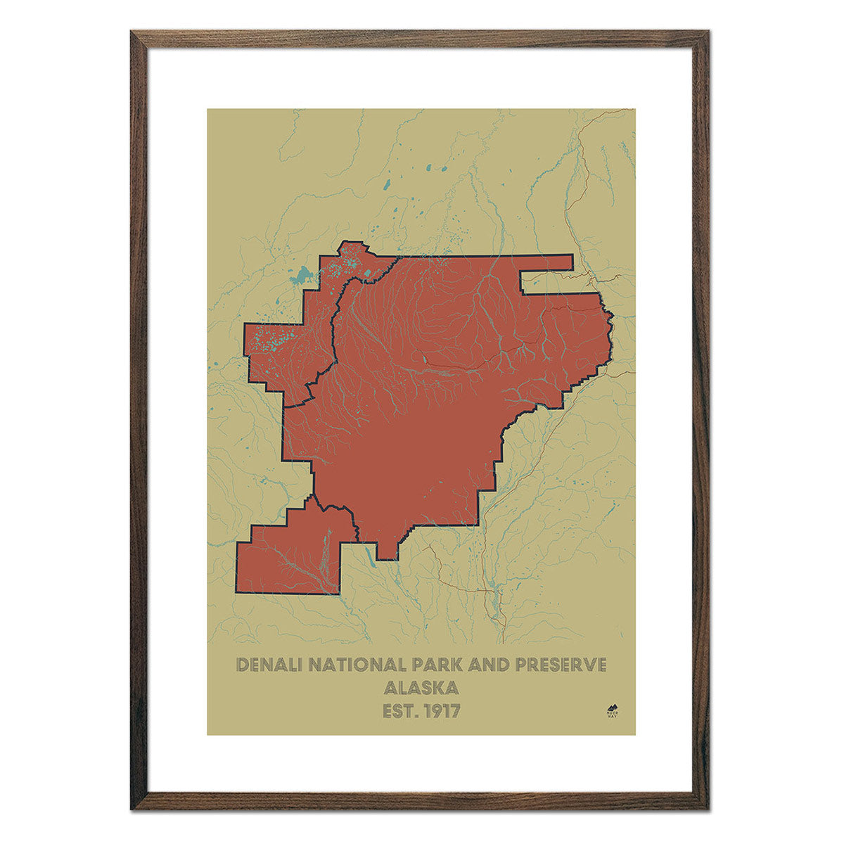
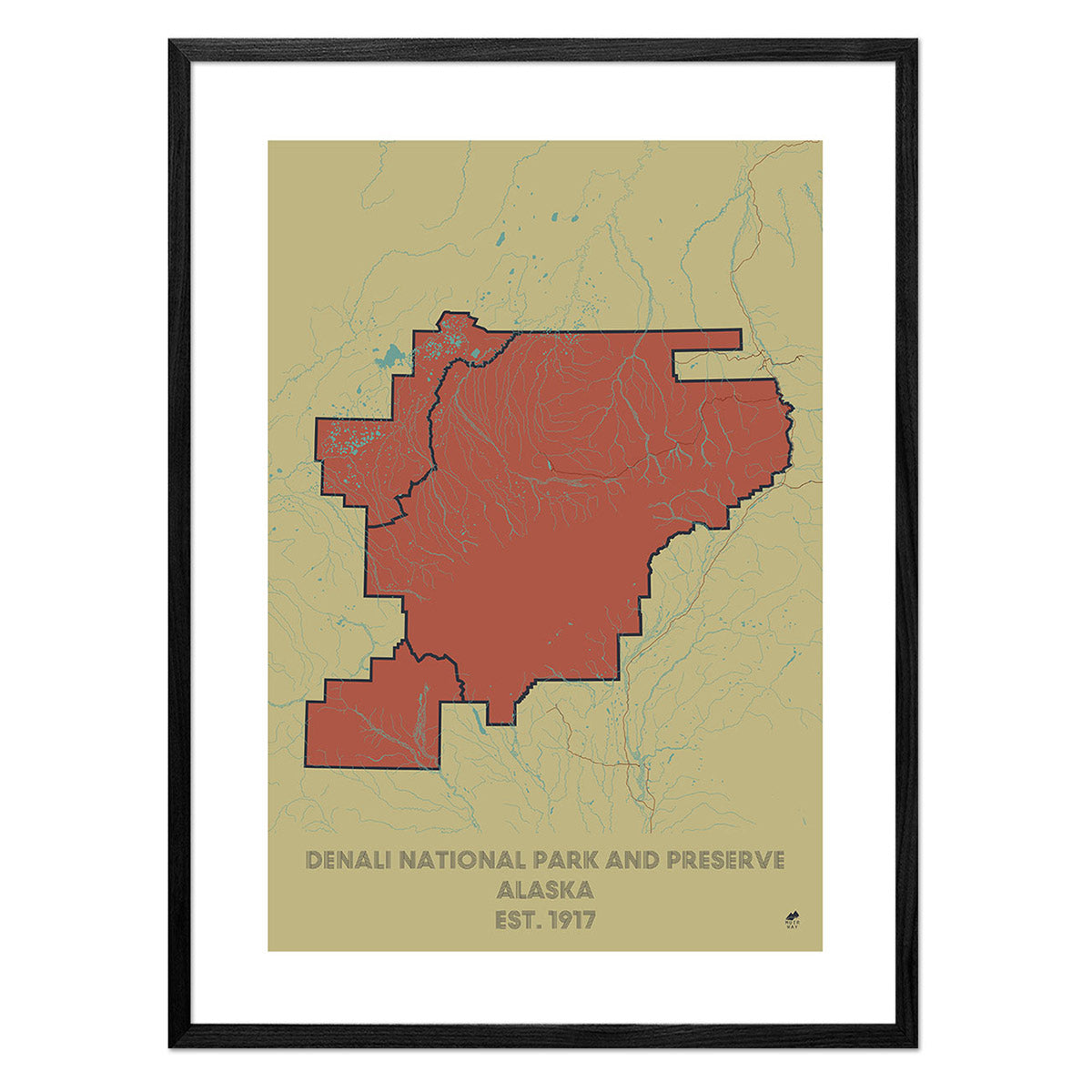
Denali Shaded Relief Map
From
$ 79.00 USD
5.0 / 5.0
1 review
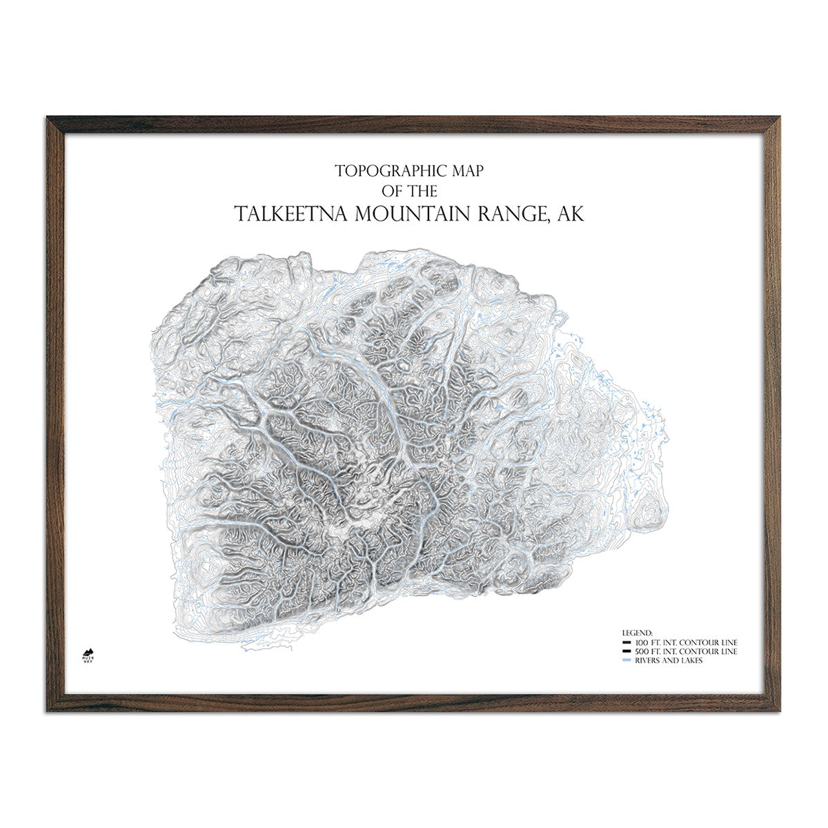
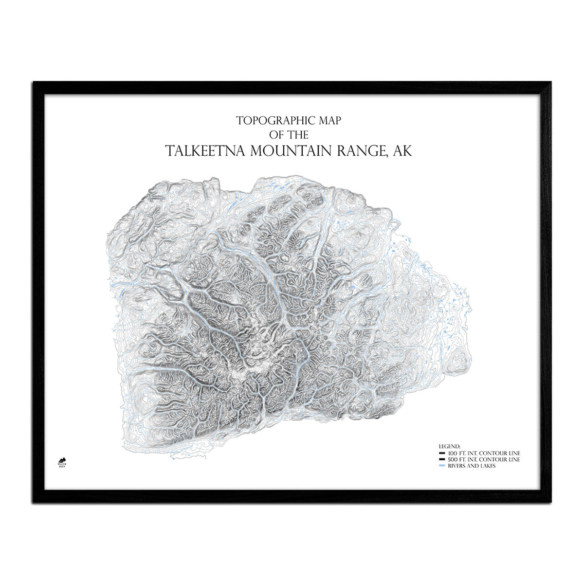
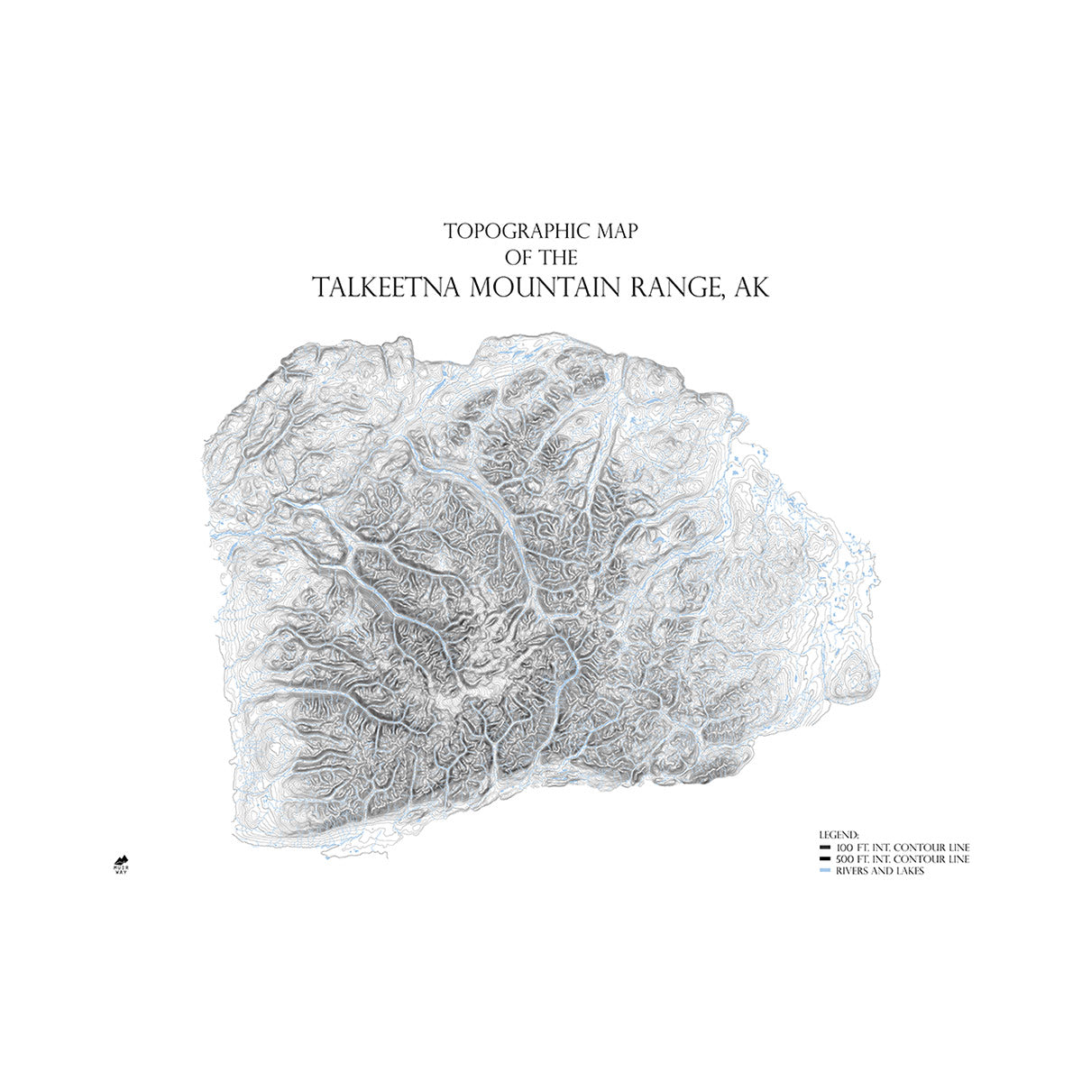
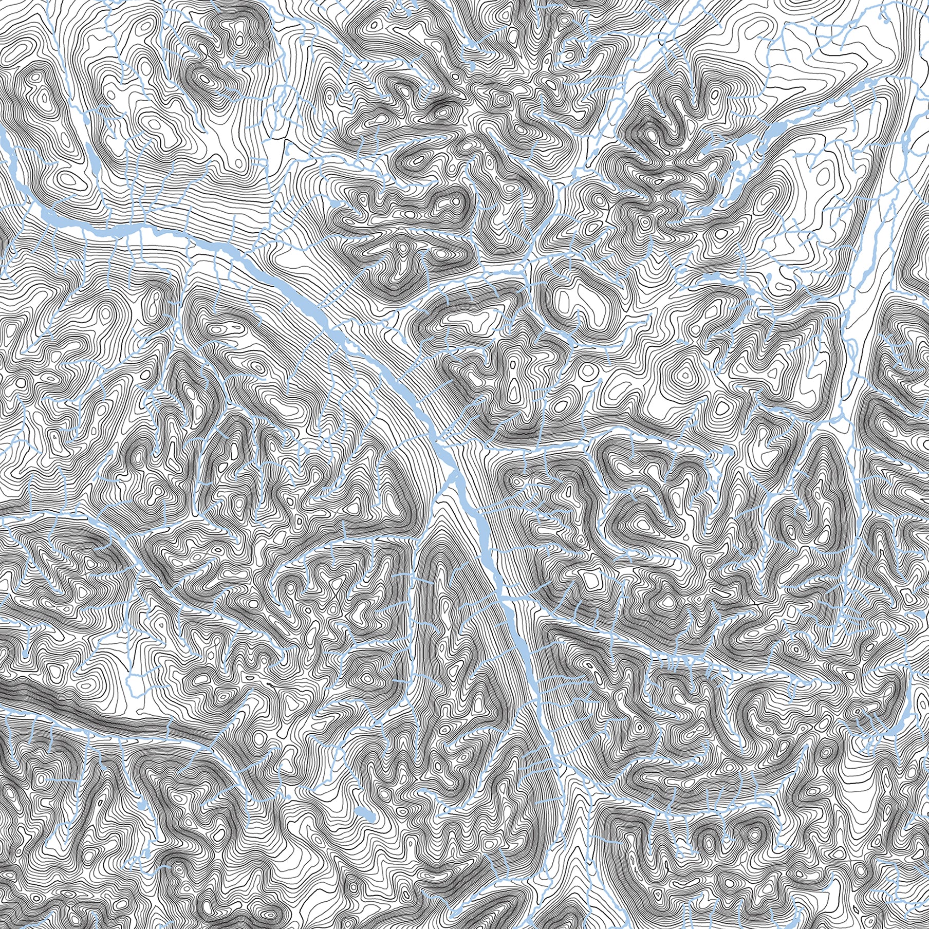
Talkeetna Mountain Range, AK Map
From
$ 99.00 USD
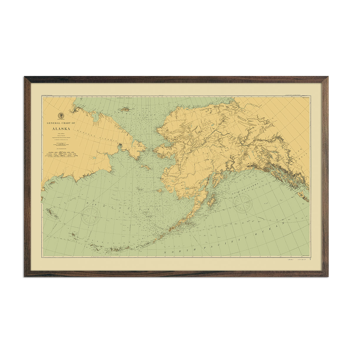
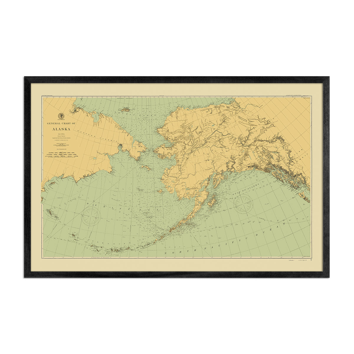
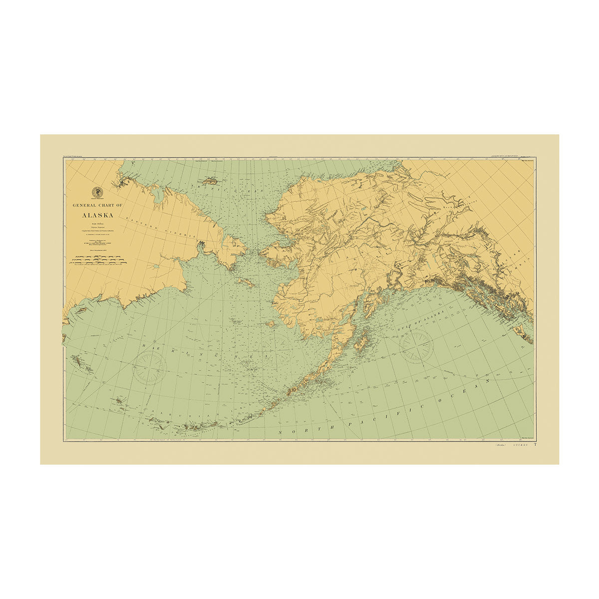
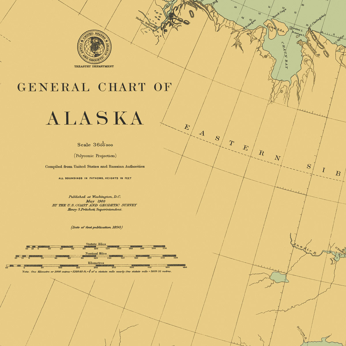
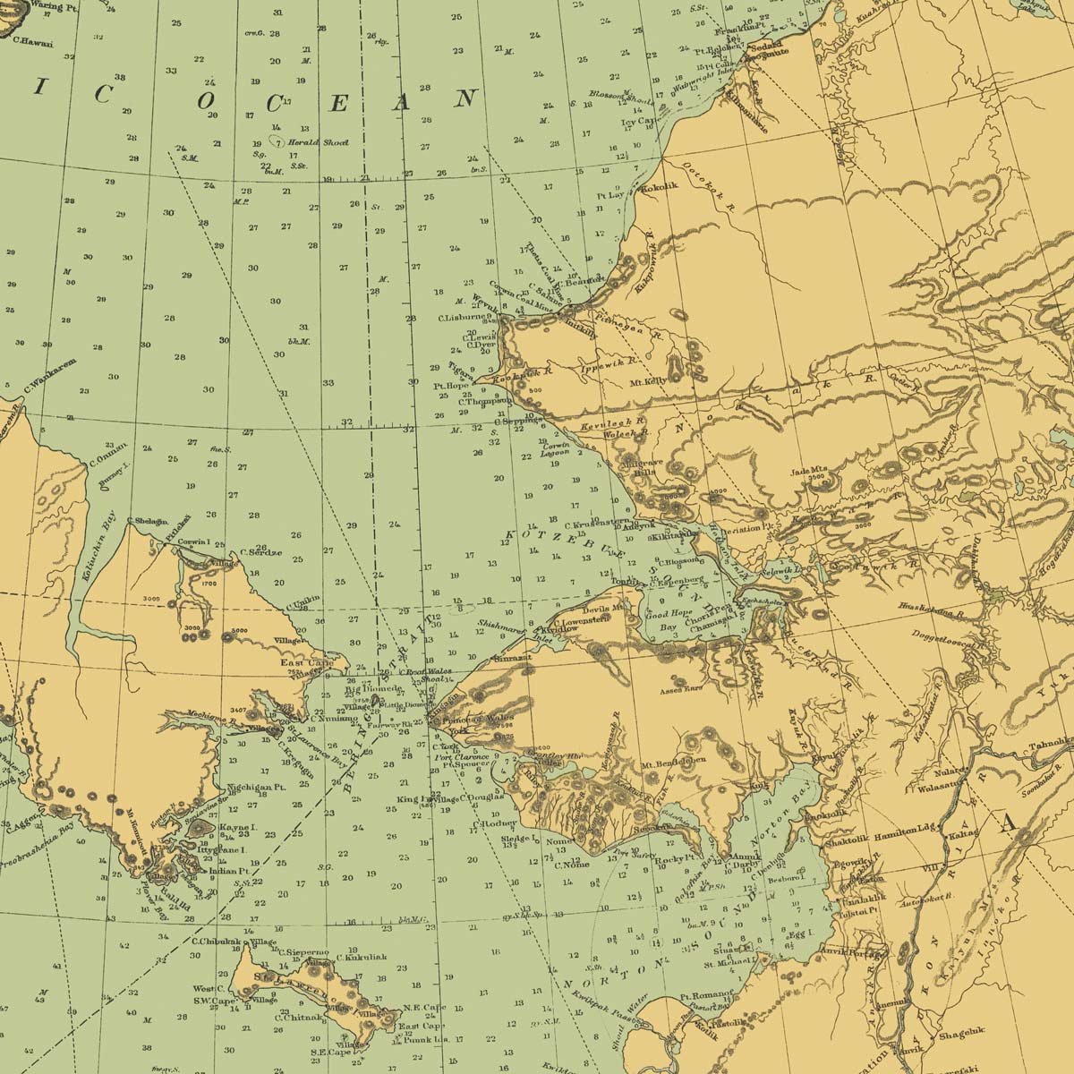
Alaska Nautical Chart 1900
From
$ 89.00 USD
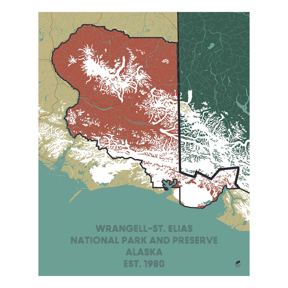
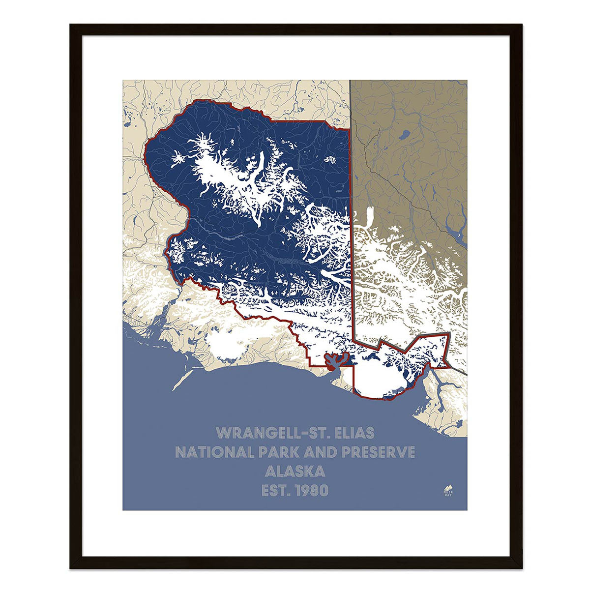
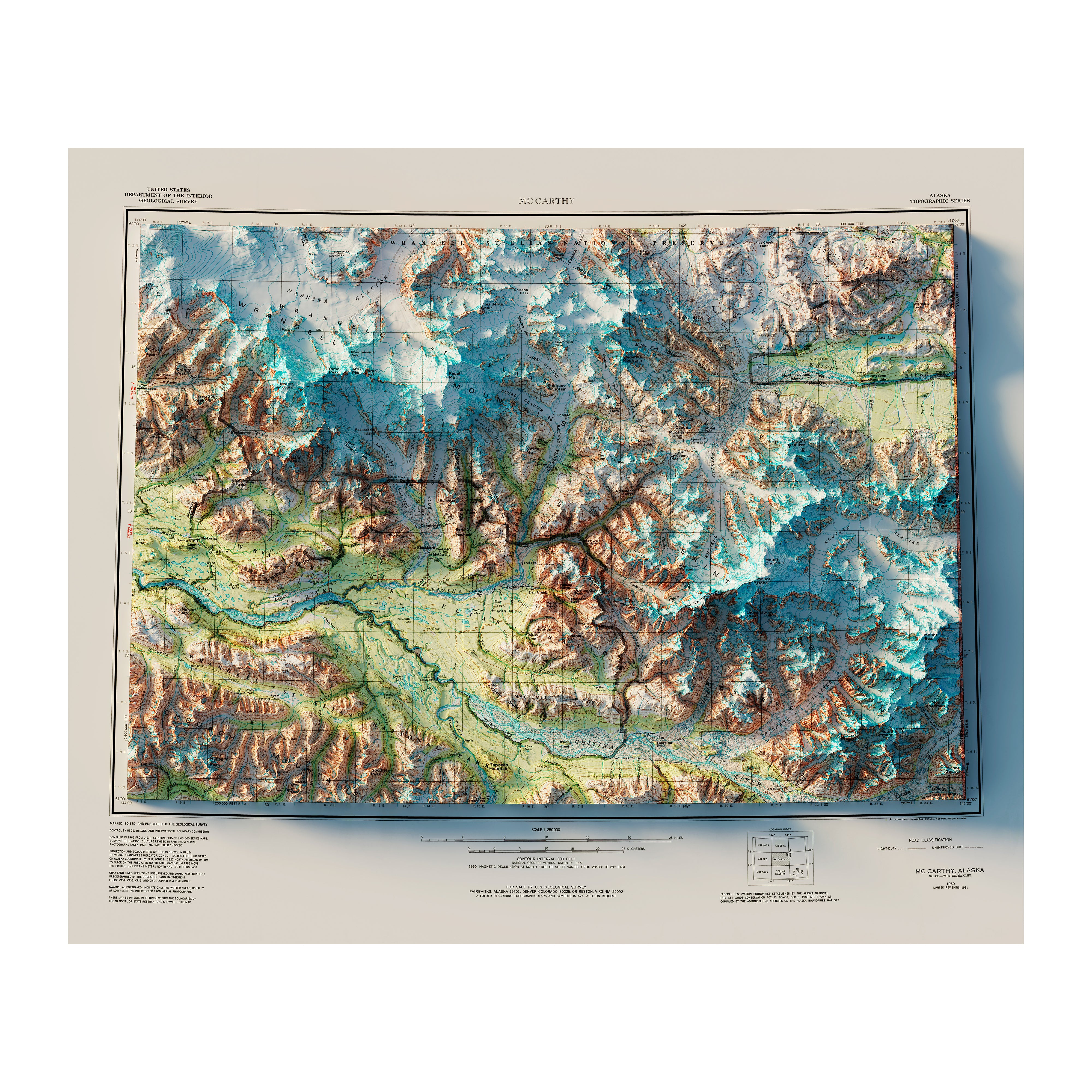
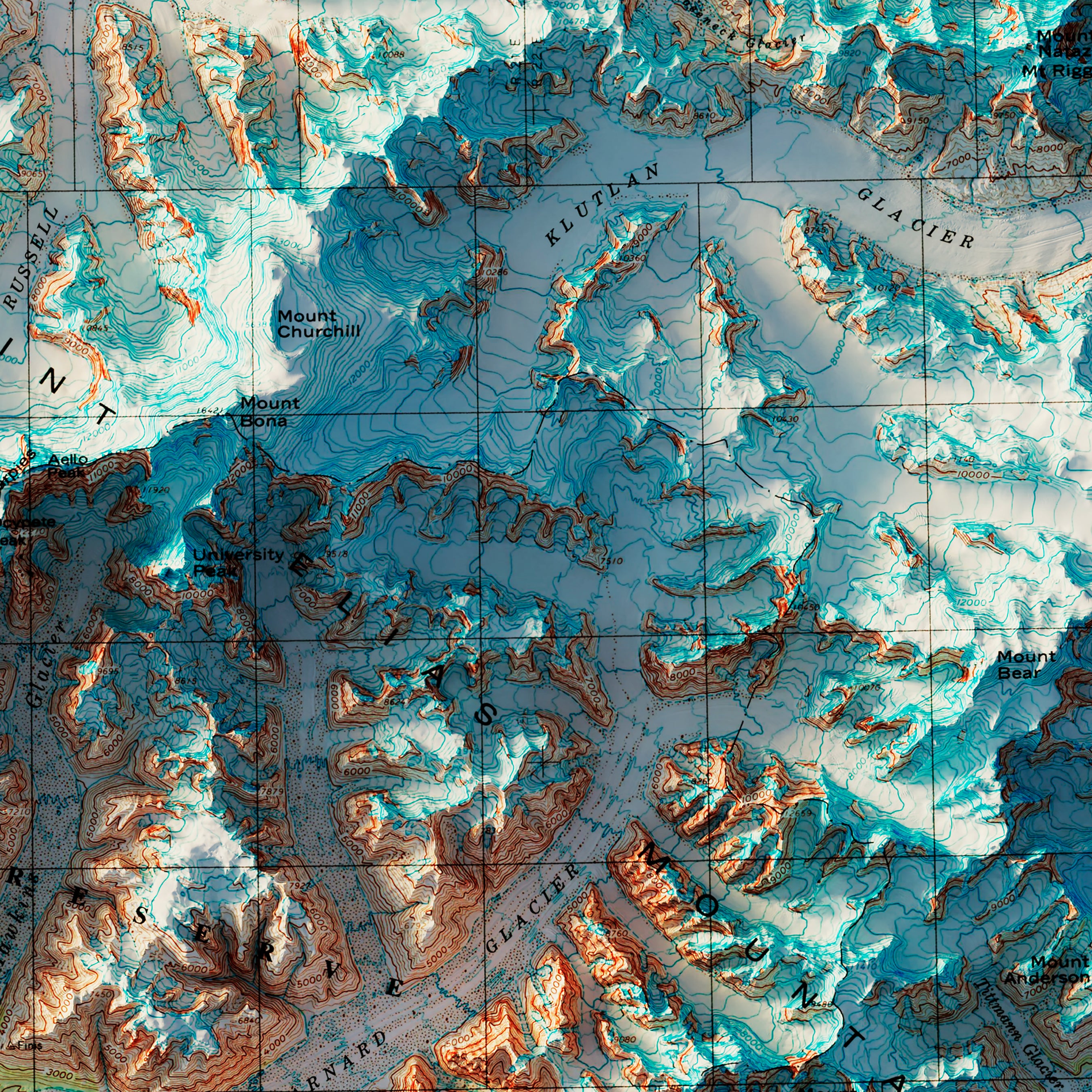
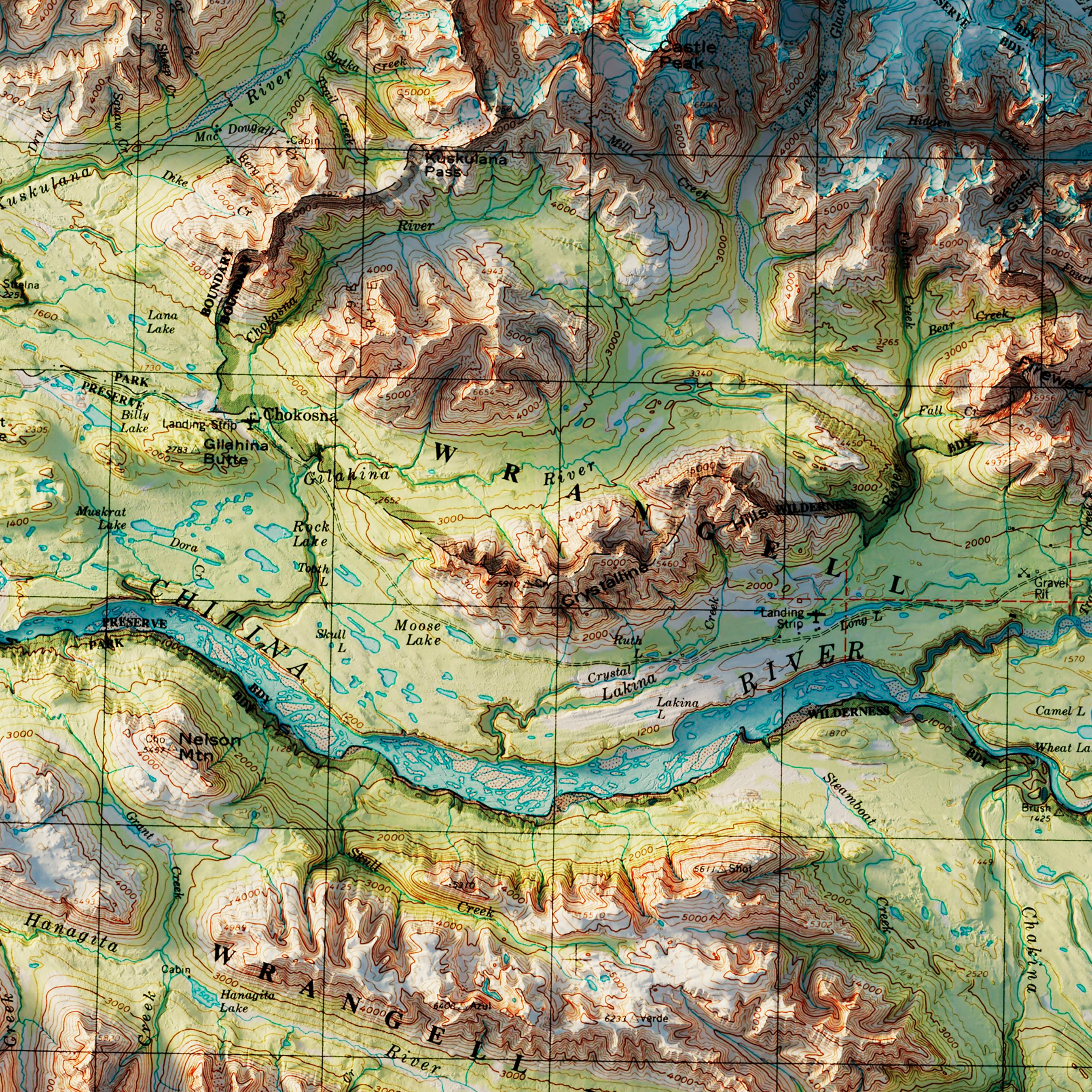
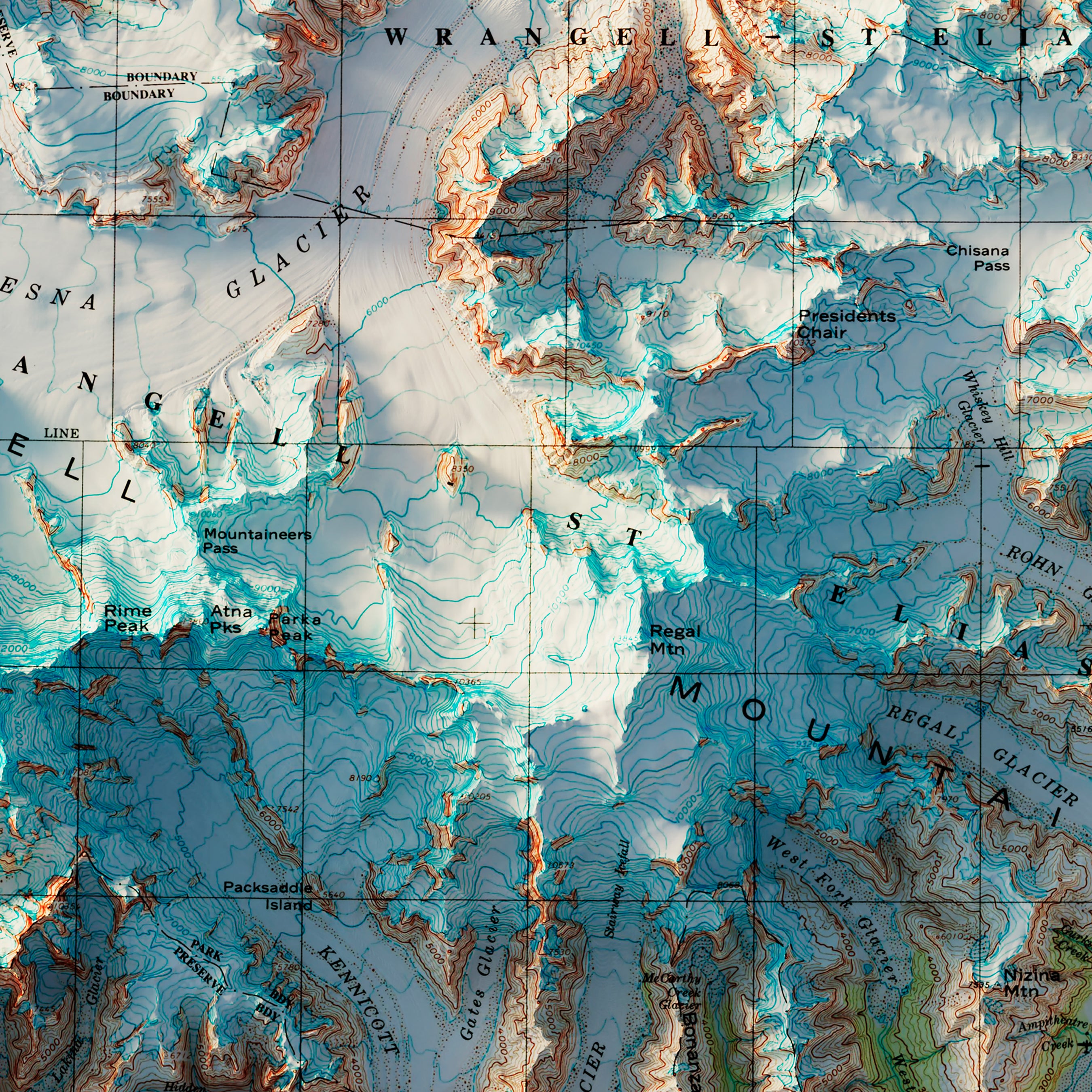
Wrangell-St. Elias, Alaska 1960 Shaded Relief Map
From
$ 99.00 USD
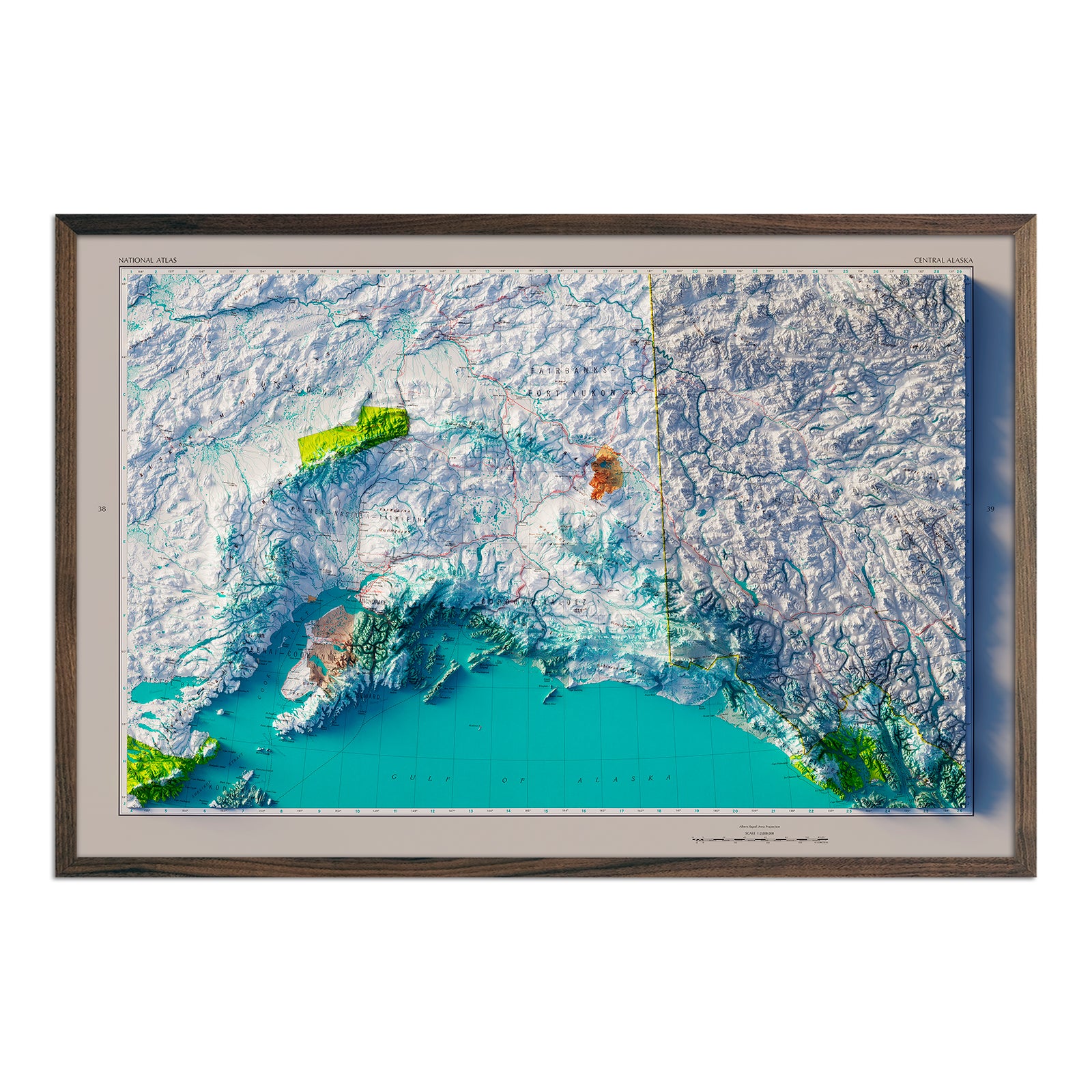
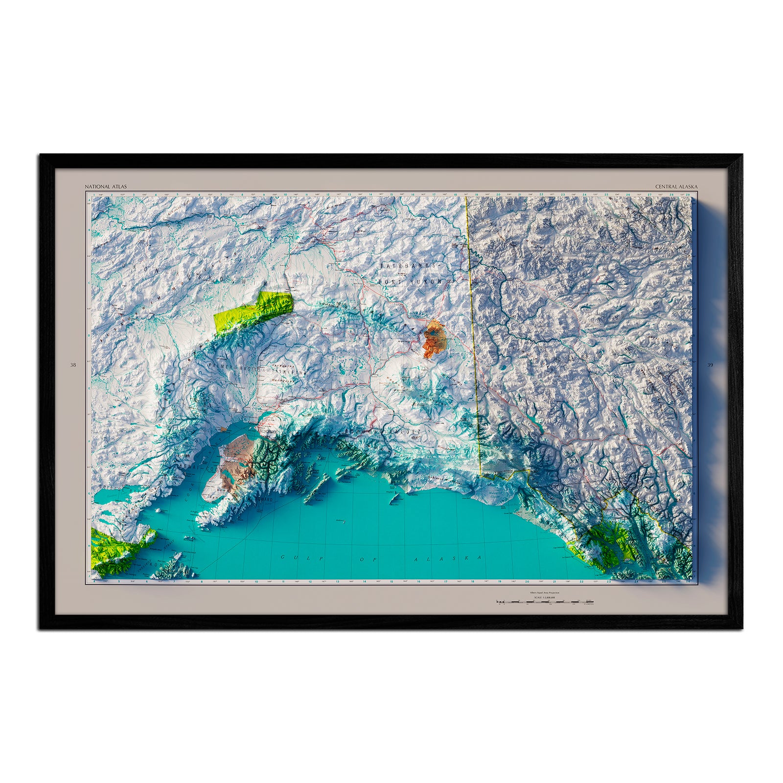
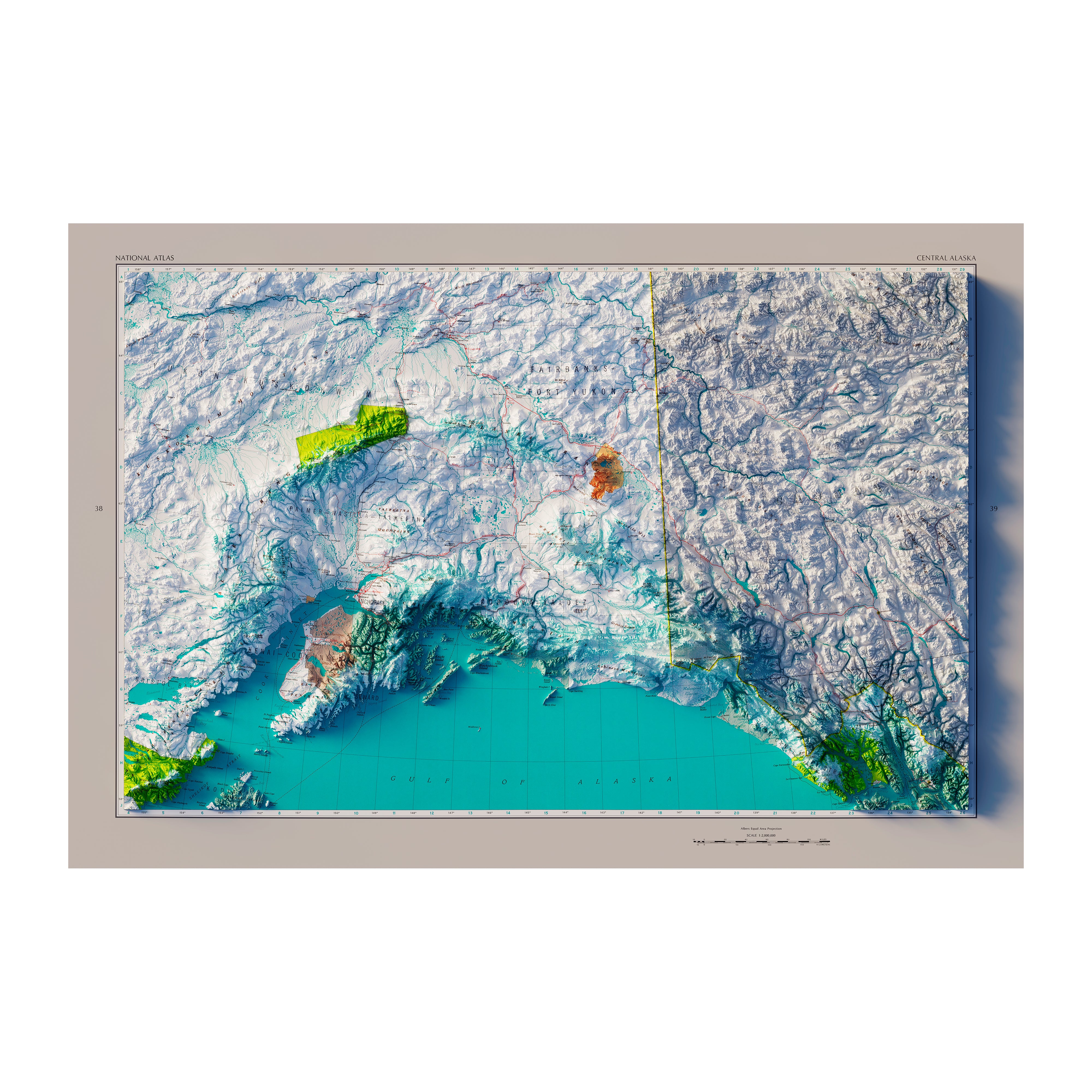
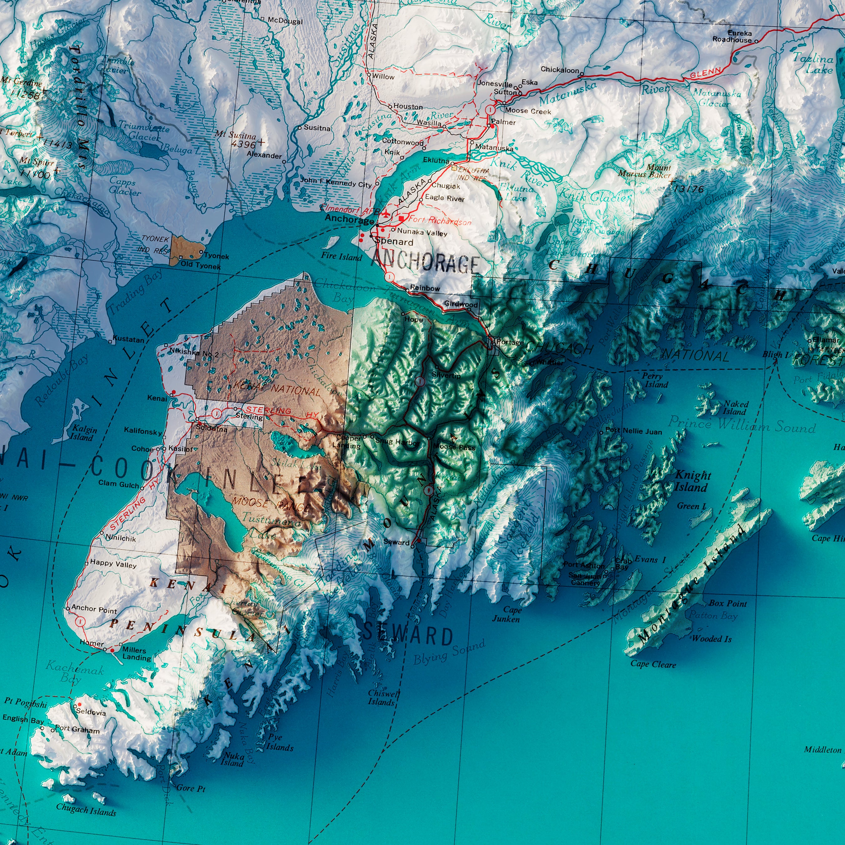
Central Alaska 1970 Shaded Relief Map
From
$ 79.00 USD
4.0 / 5.0
1 review
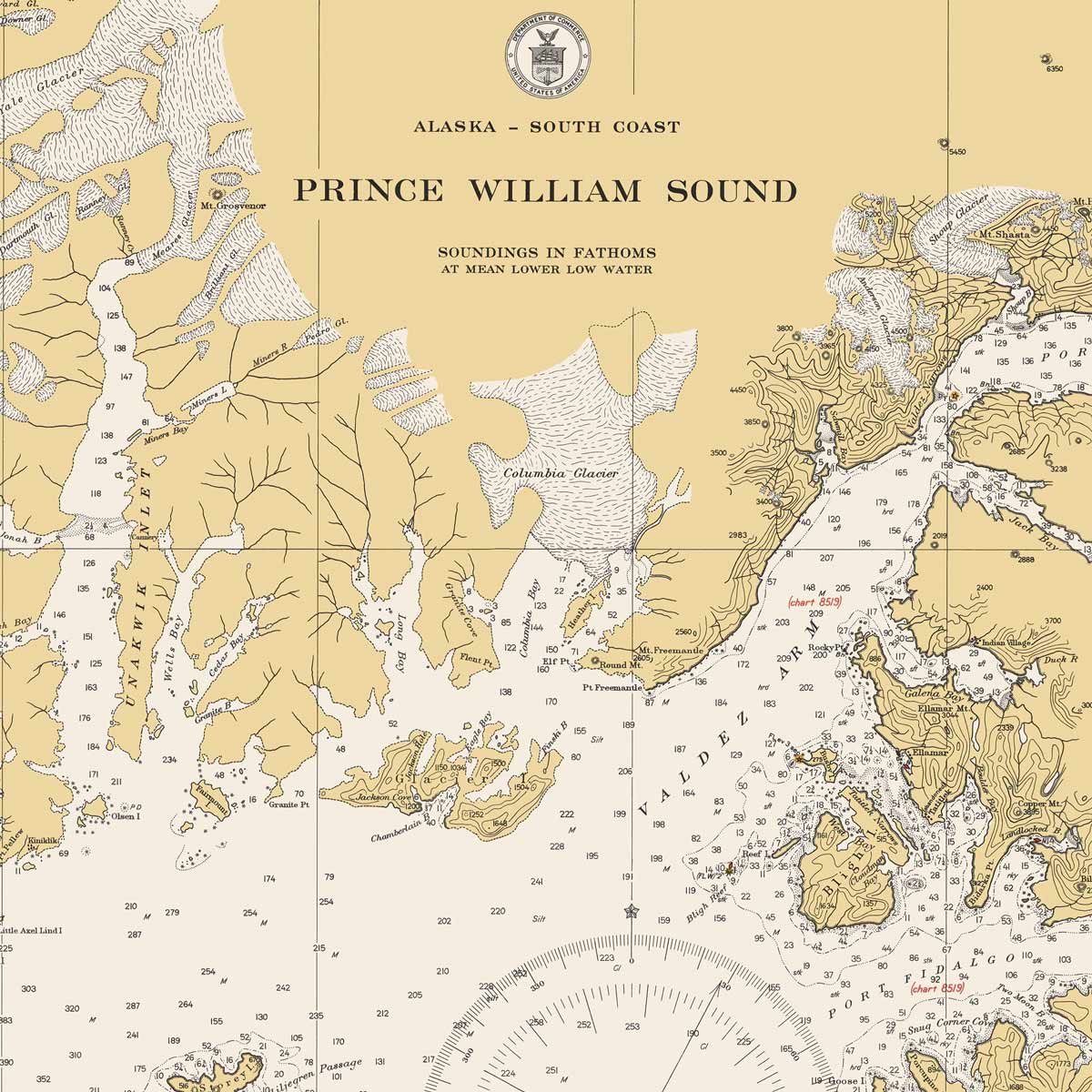
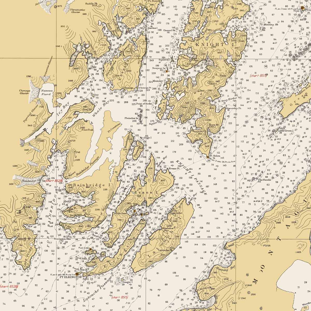
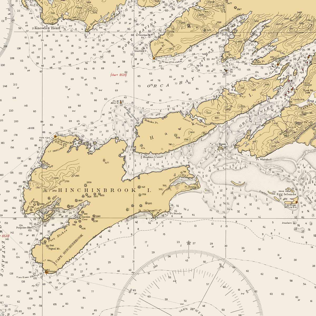
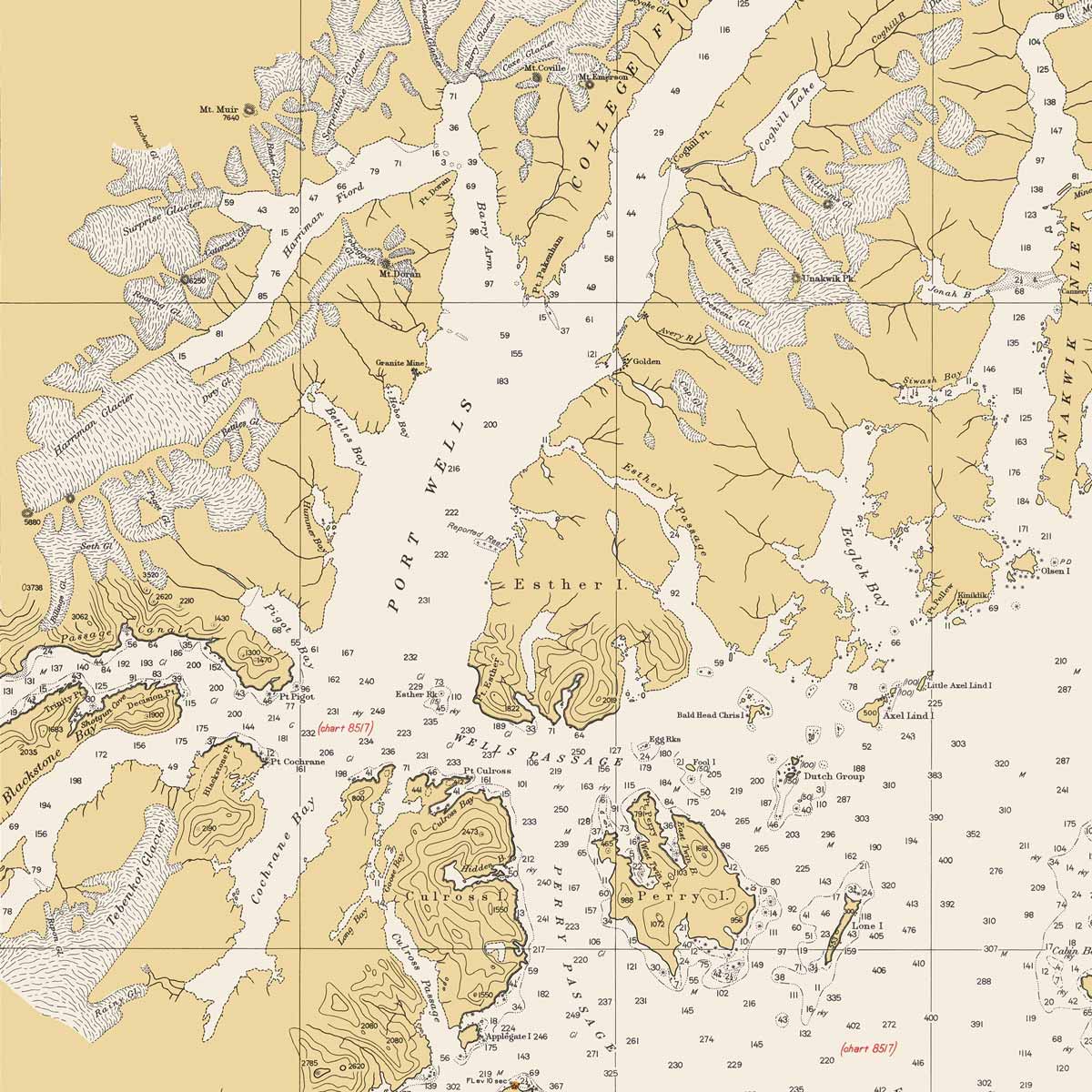
Prince William Sound Nautical Chart 1935
From
$ 64.00 USD
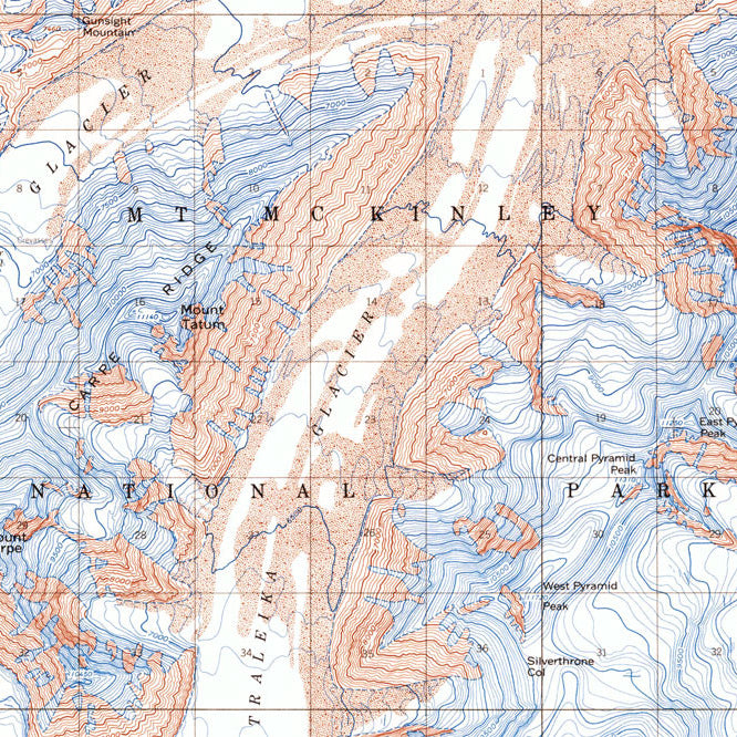
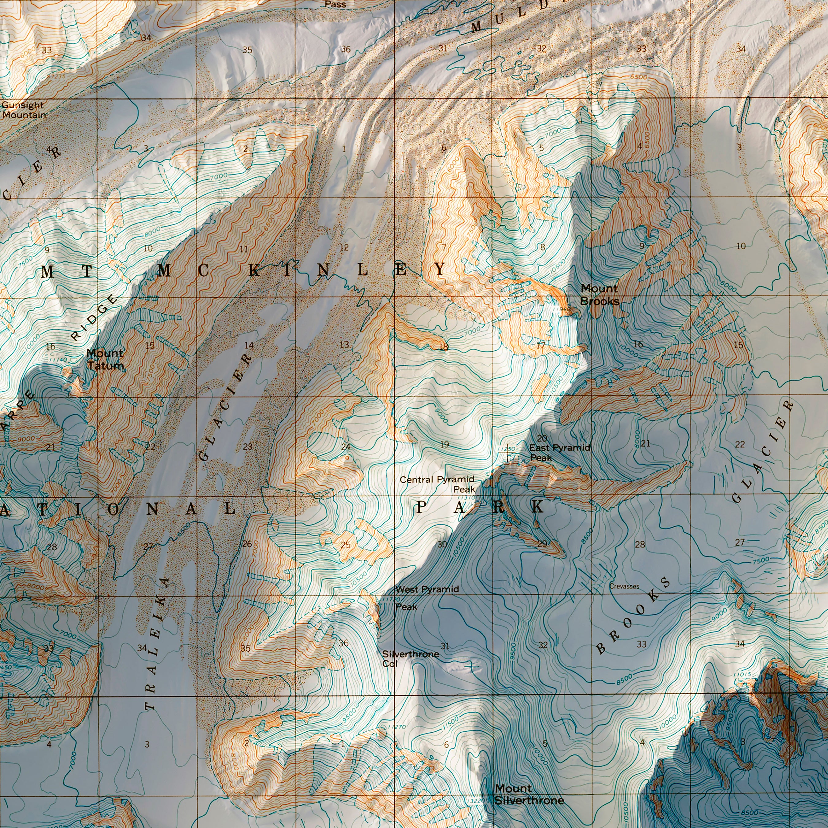
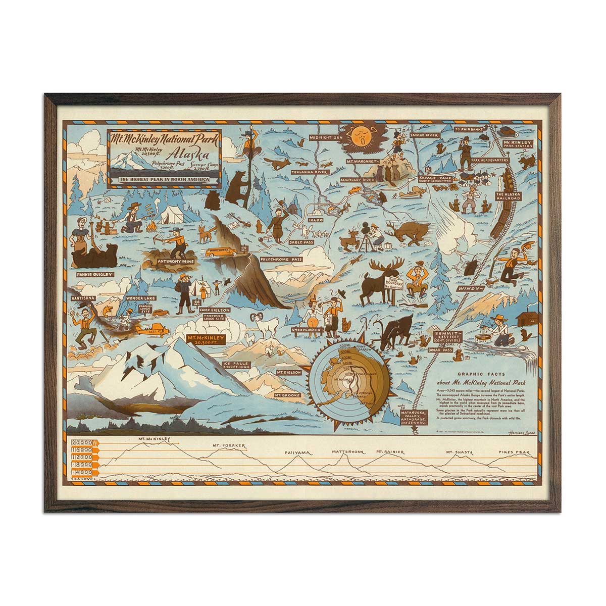
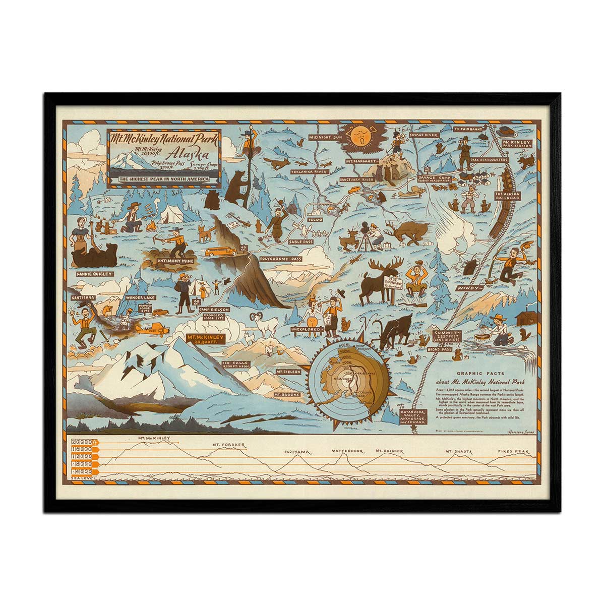
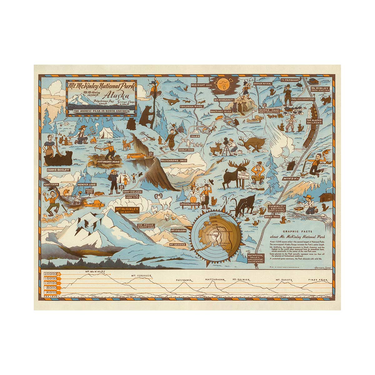
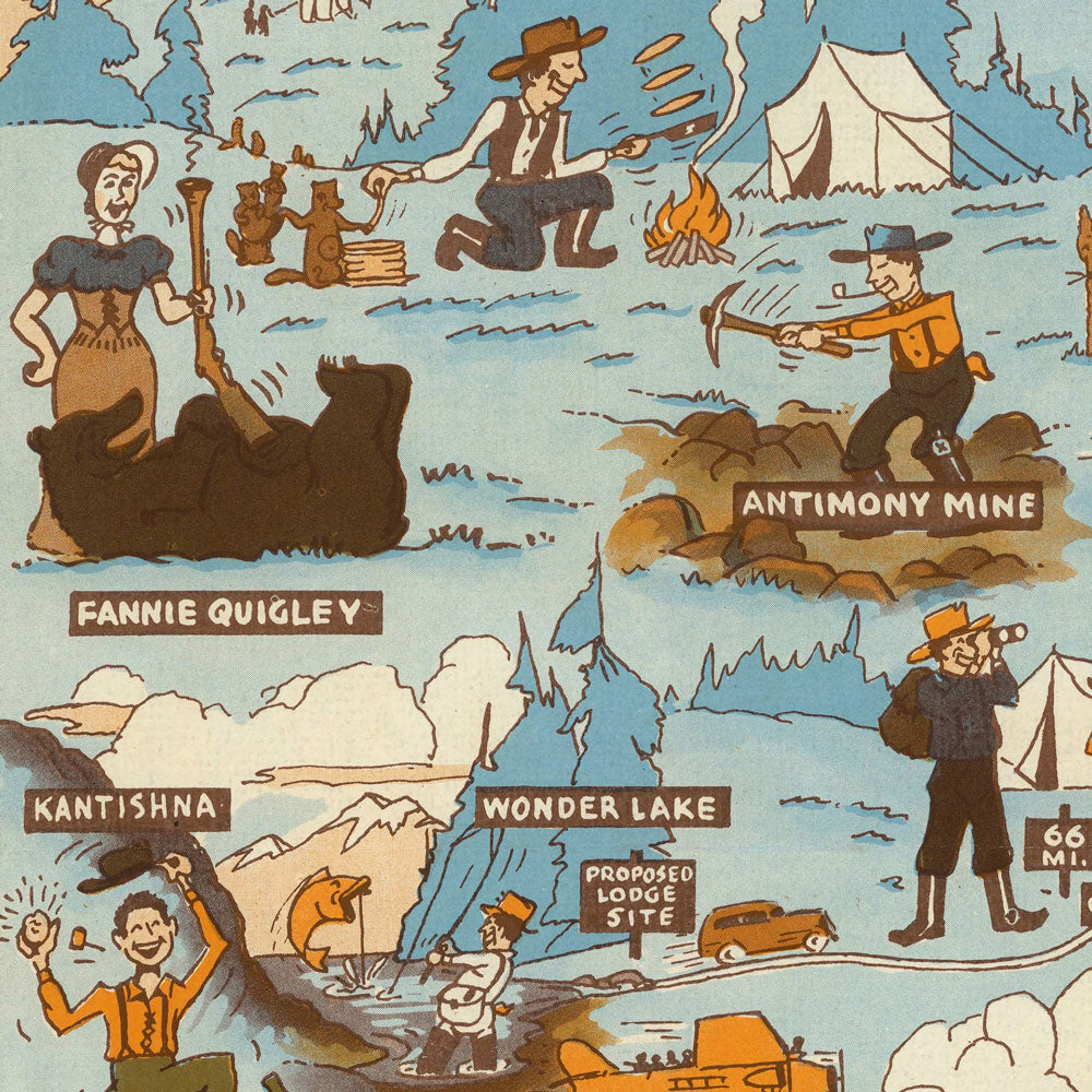
Mt. McKinley National Park Map 1937
From
$ 64.00 USD
5.0 / 5.0
107 reviews
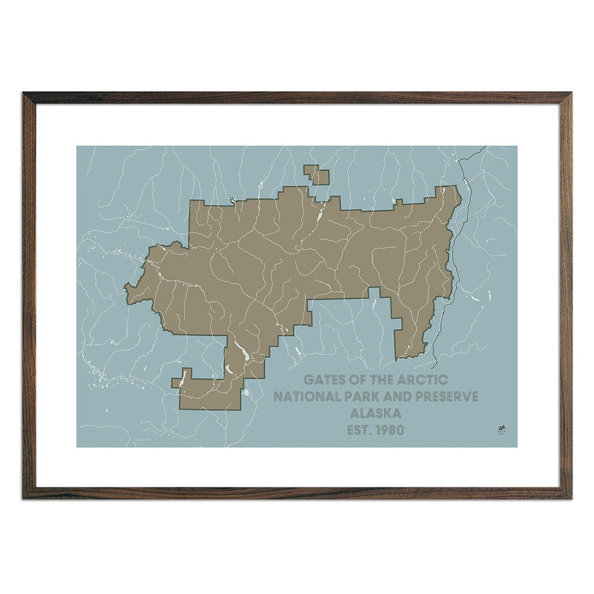
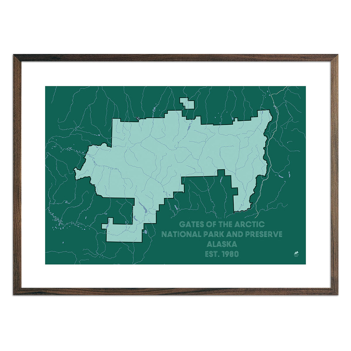
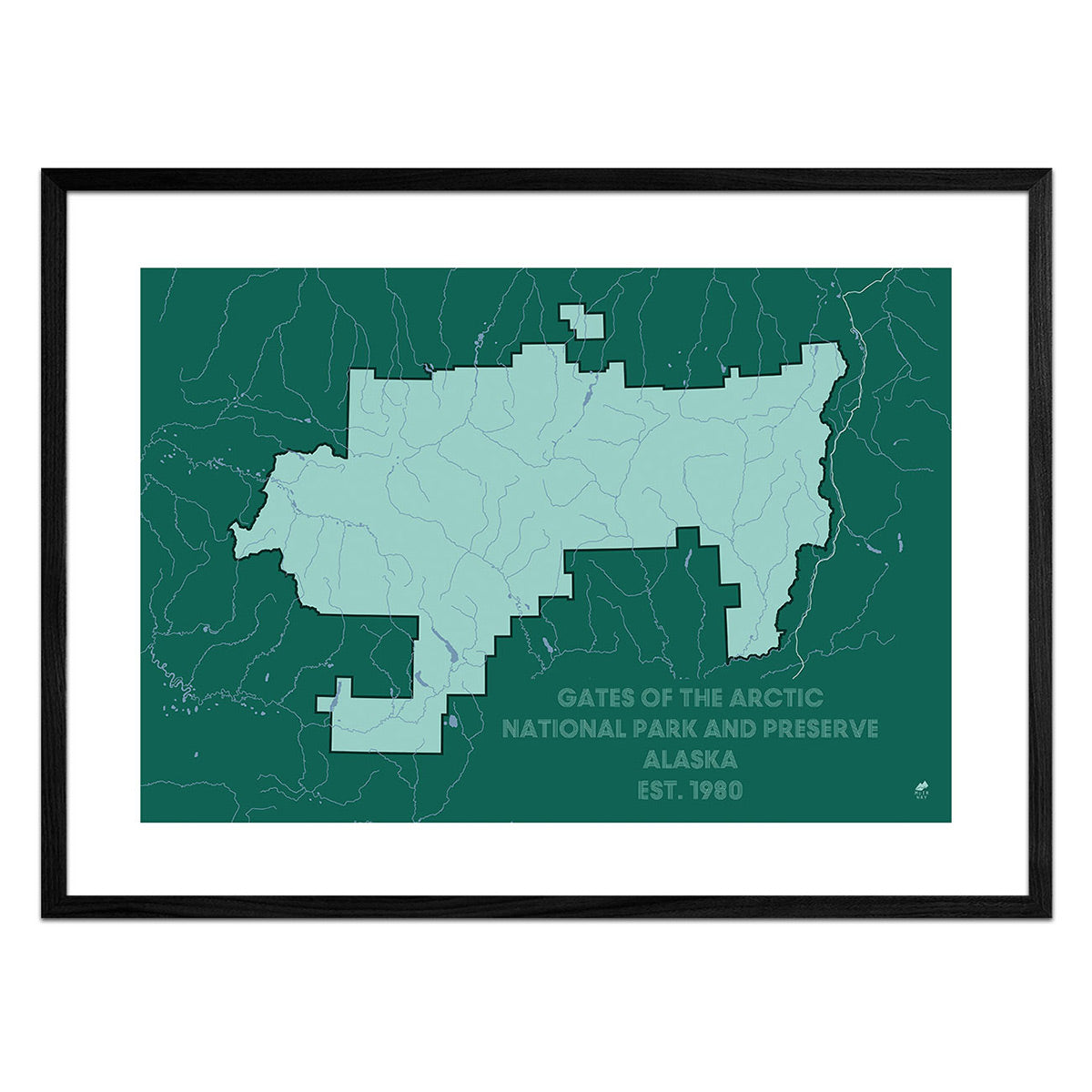
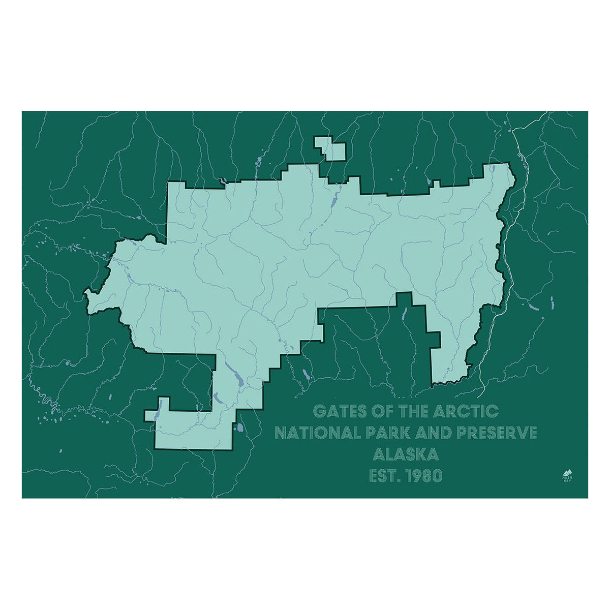
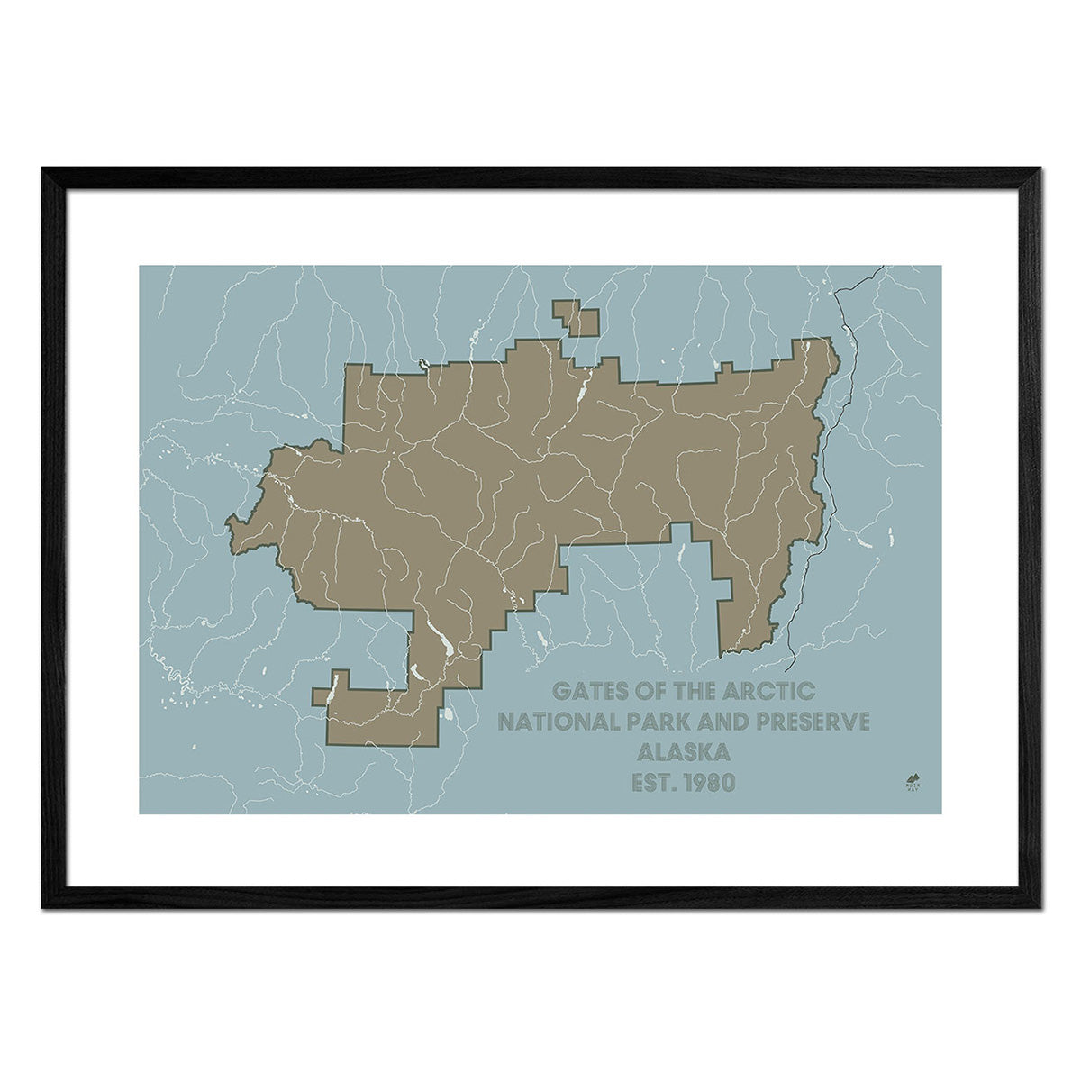
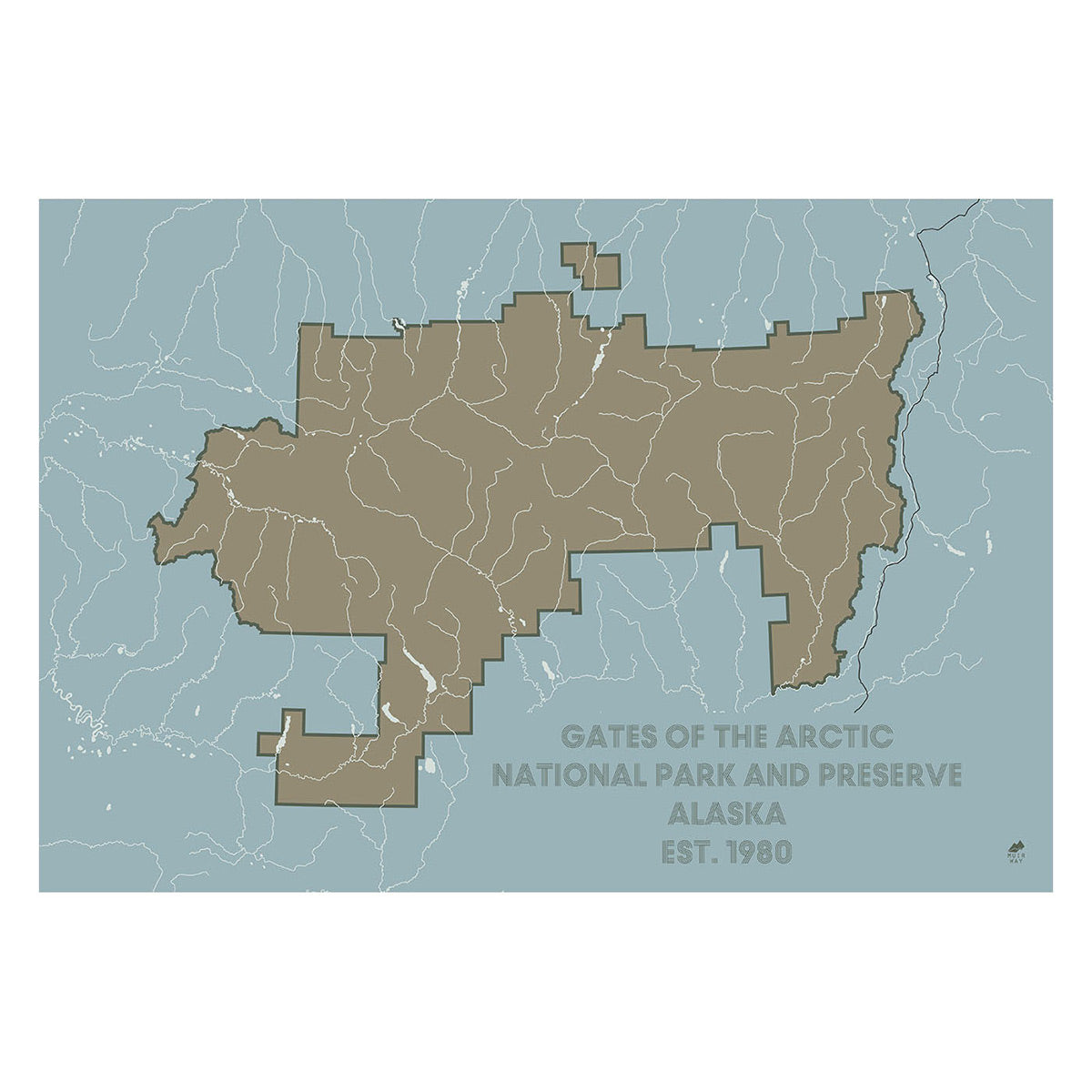
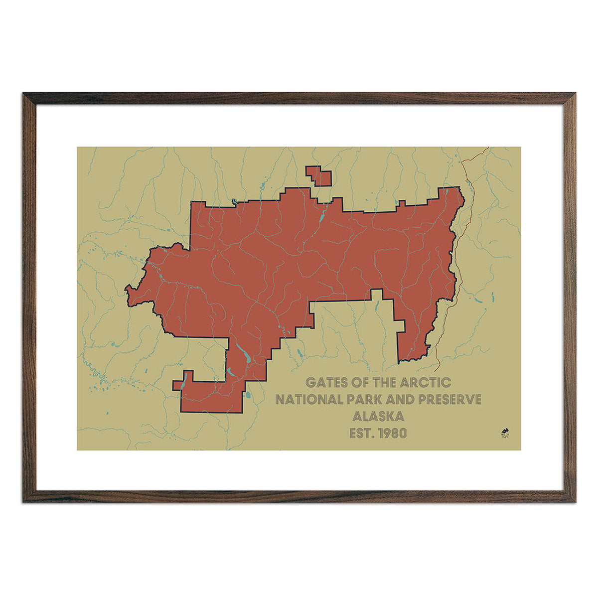
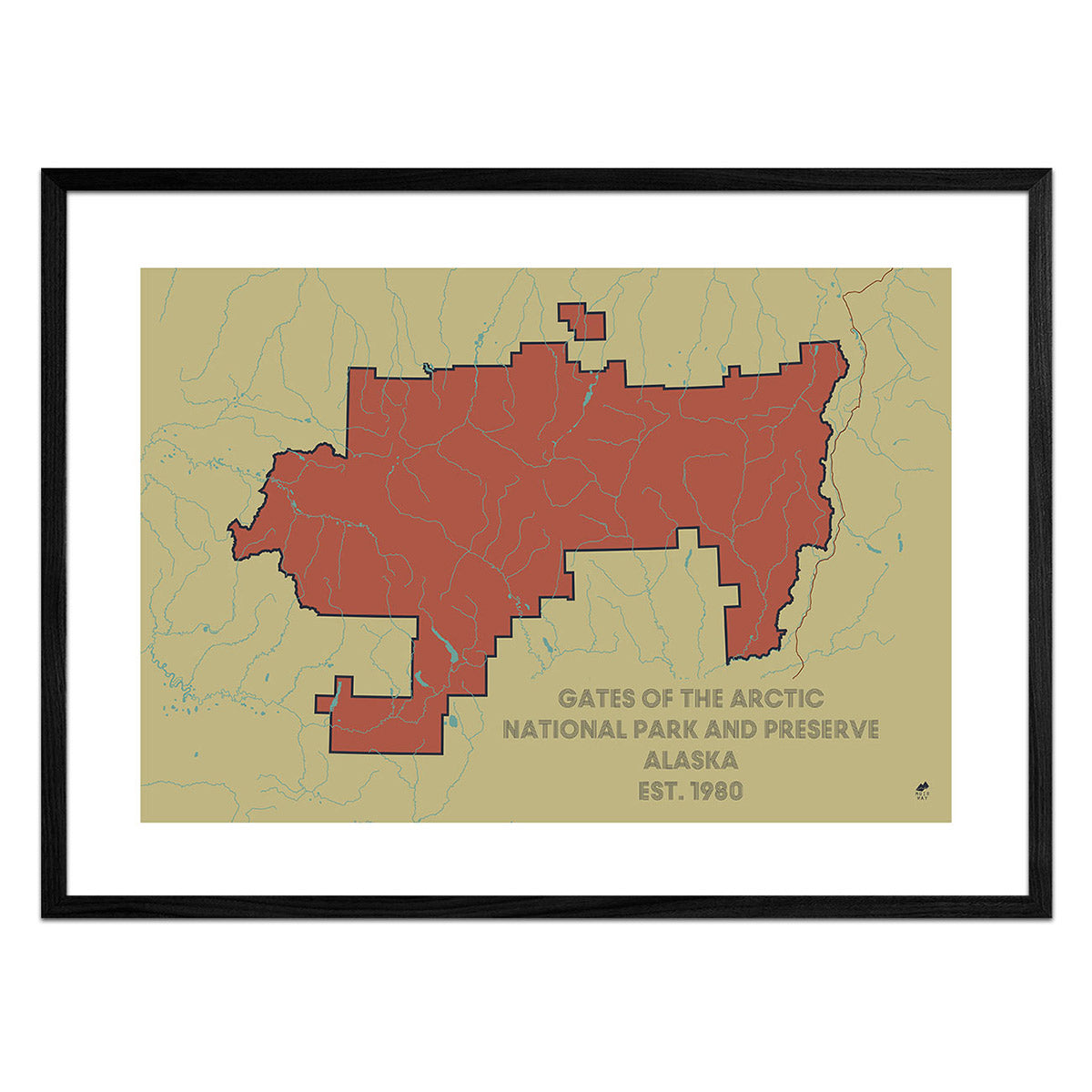
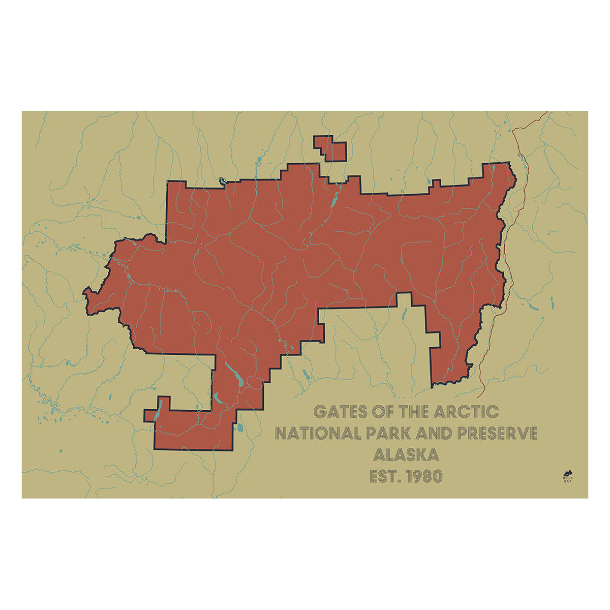
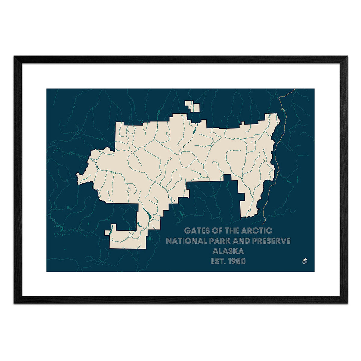
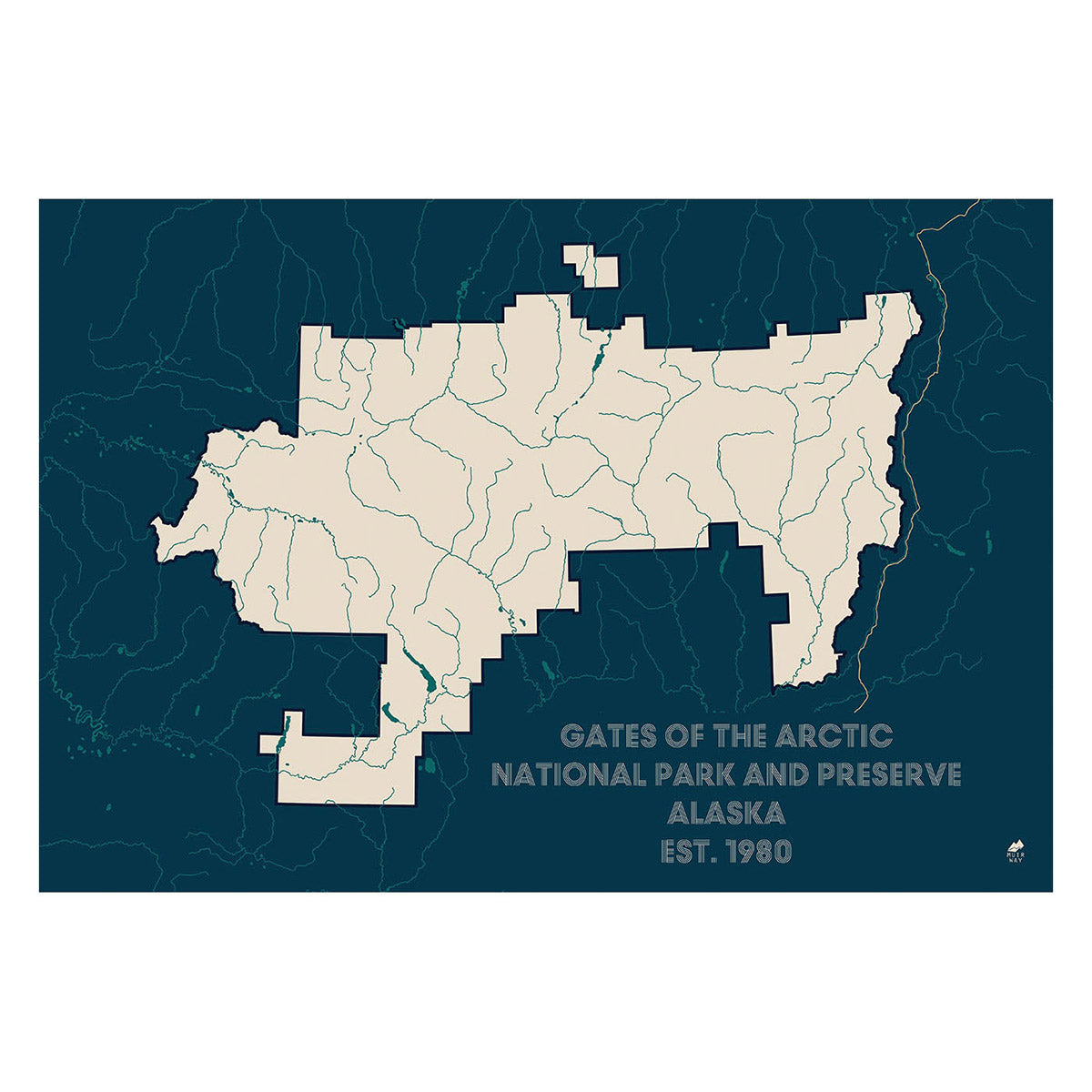
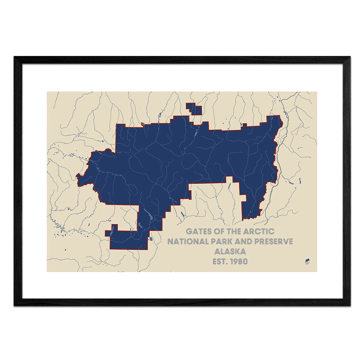
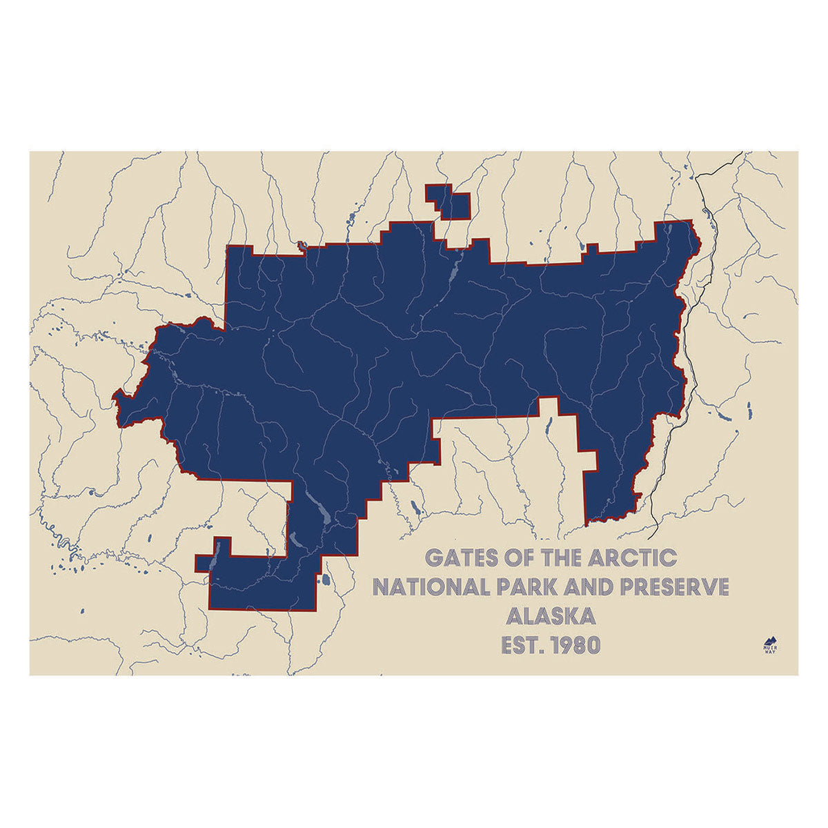
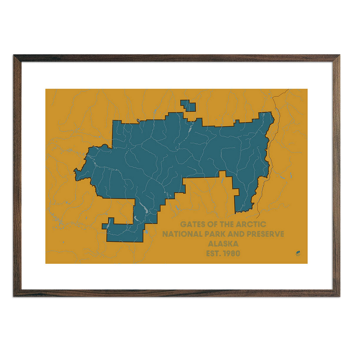
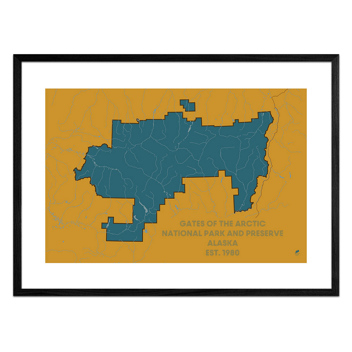
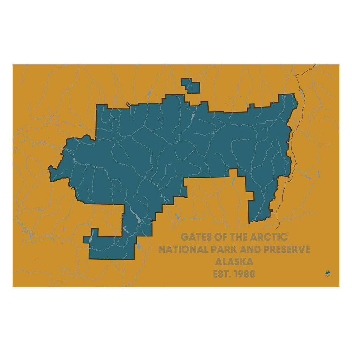
Gates of the Arctic National Park and Preserve Map
From
$ 49.00 USD
5.0 / 5.0
287 reviews
The Denali Tumbler
$ 56.00 USD
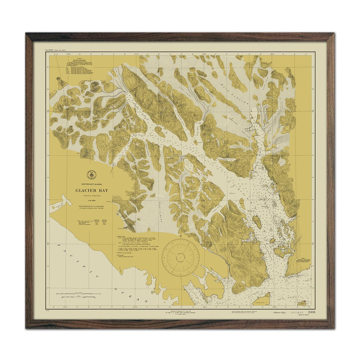
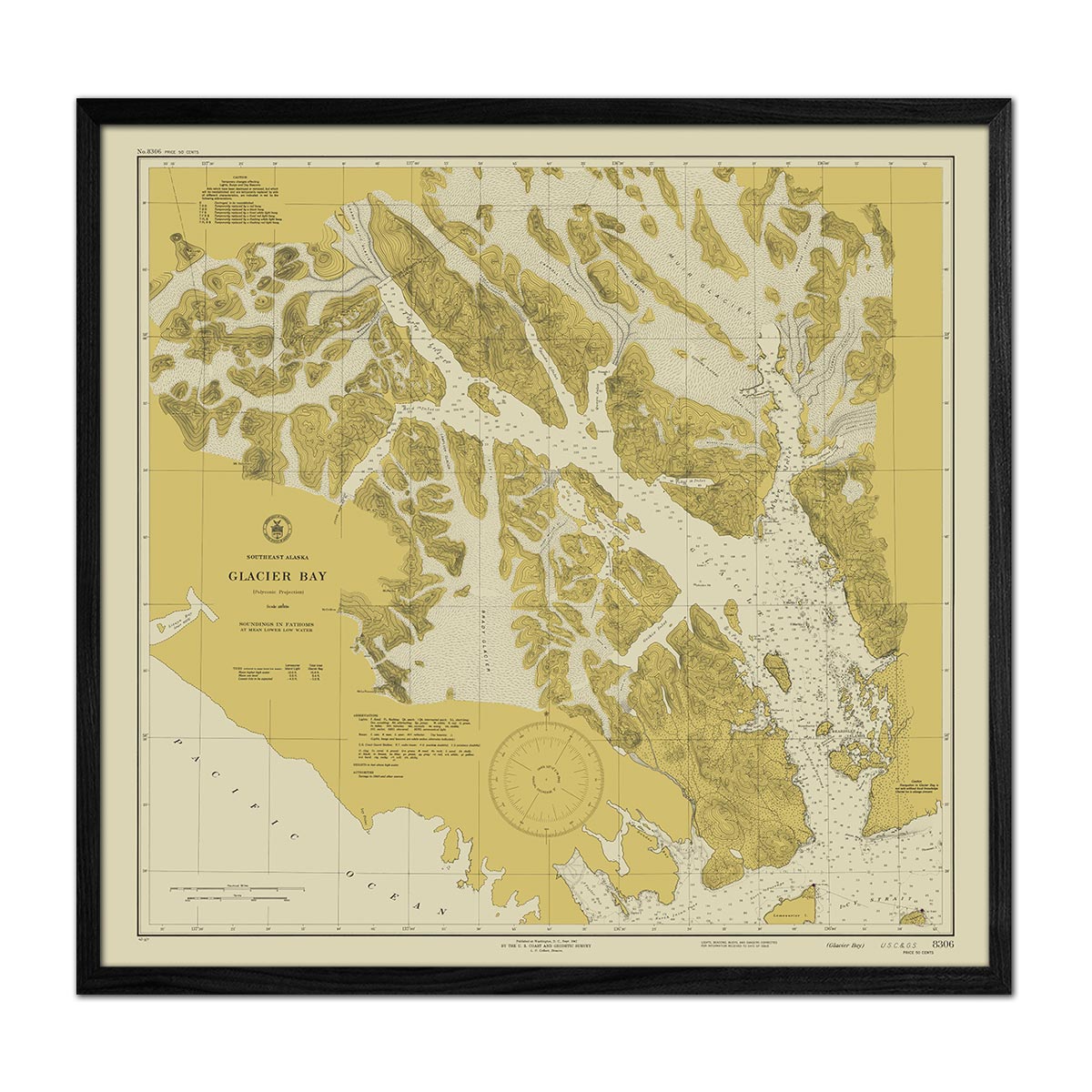
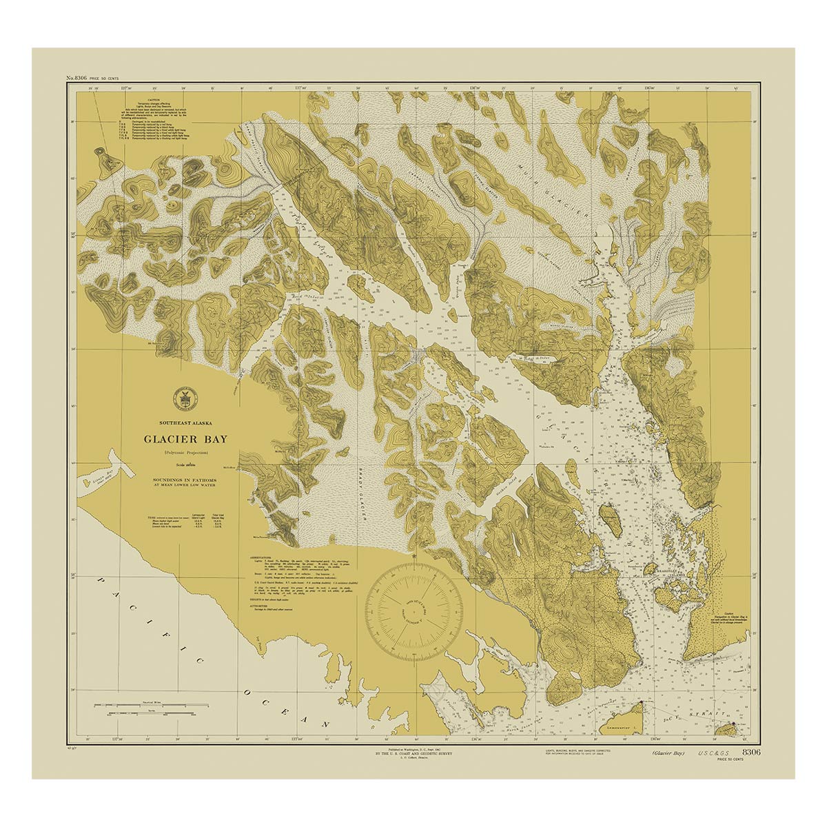
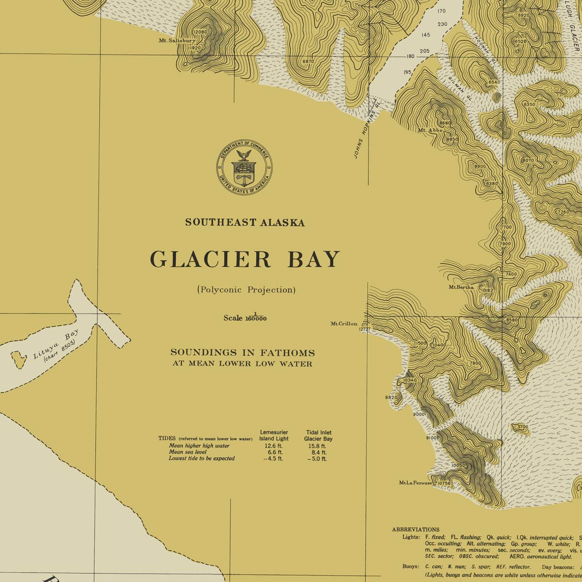
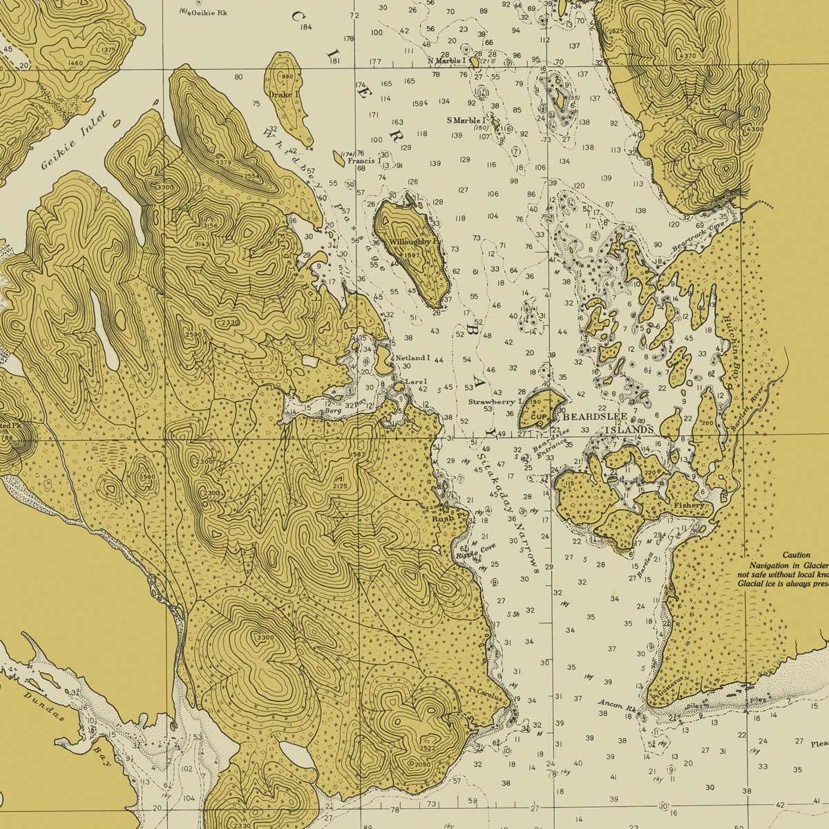
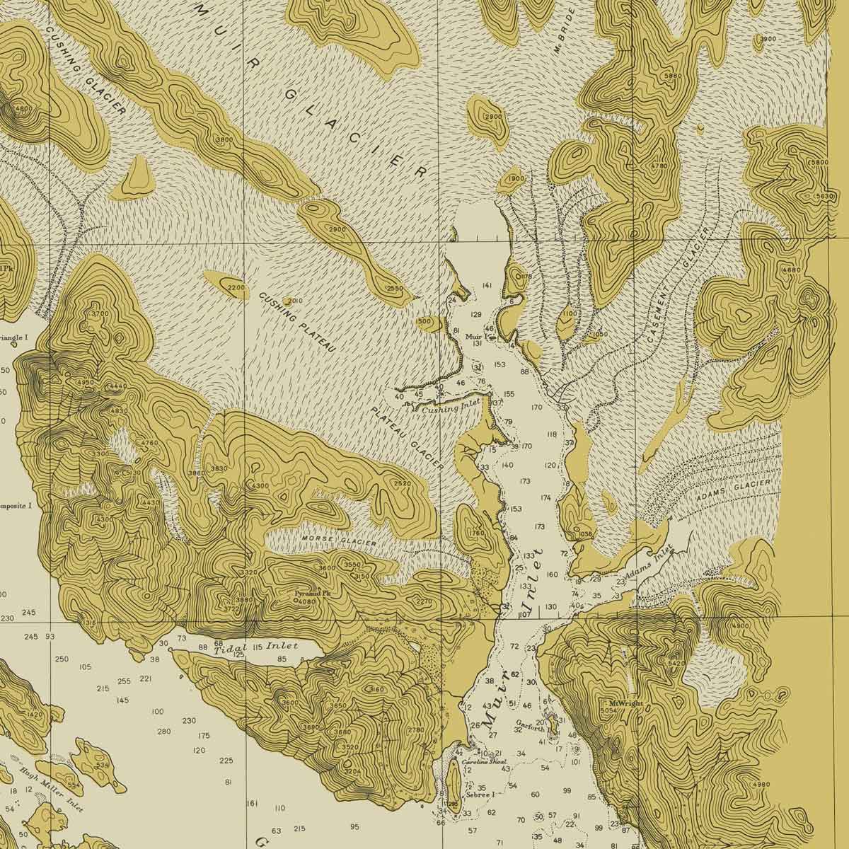
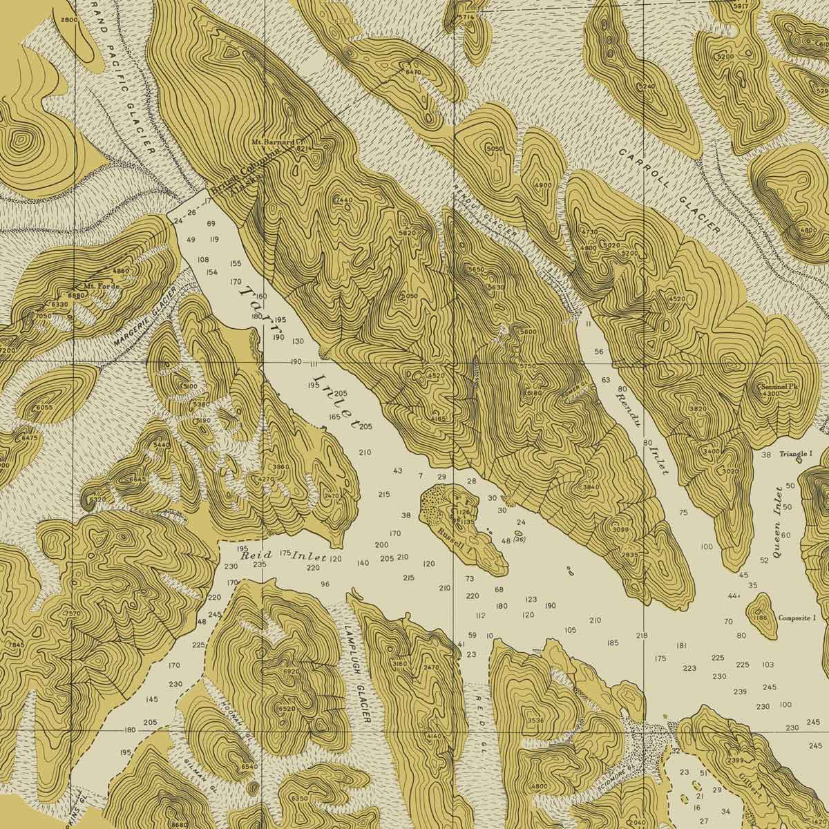
Glacier Bay, AK Nautical Chart 1942
From
$ 89.00 USD
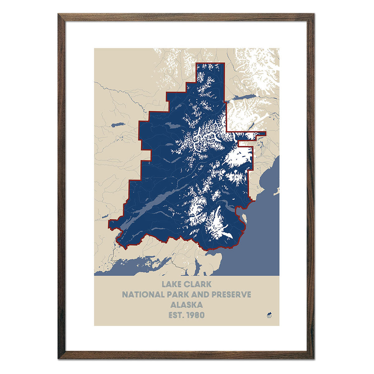
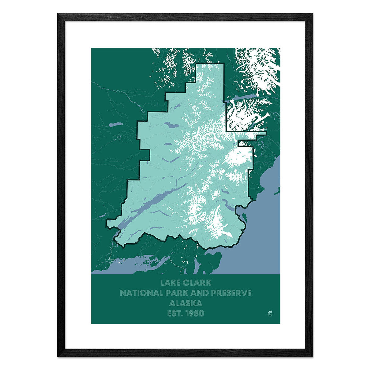
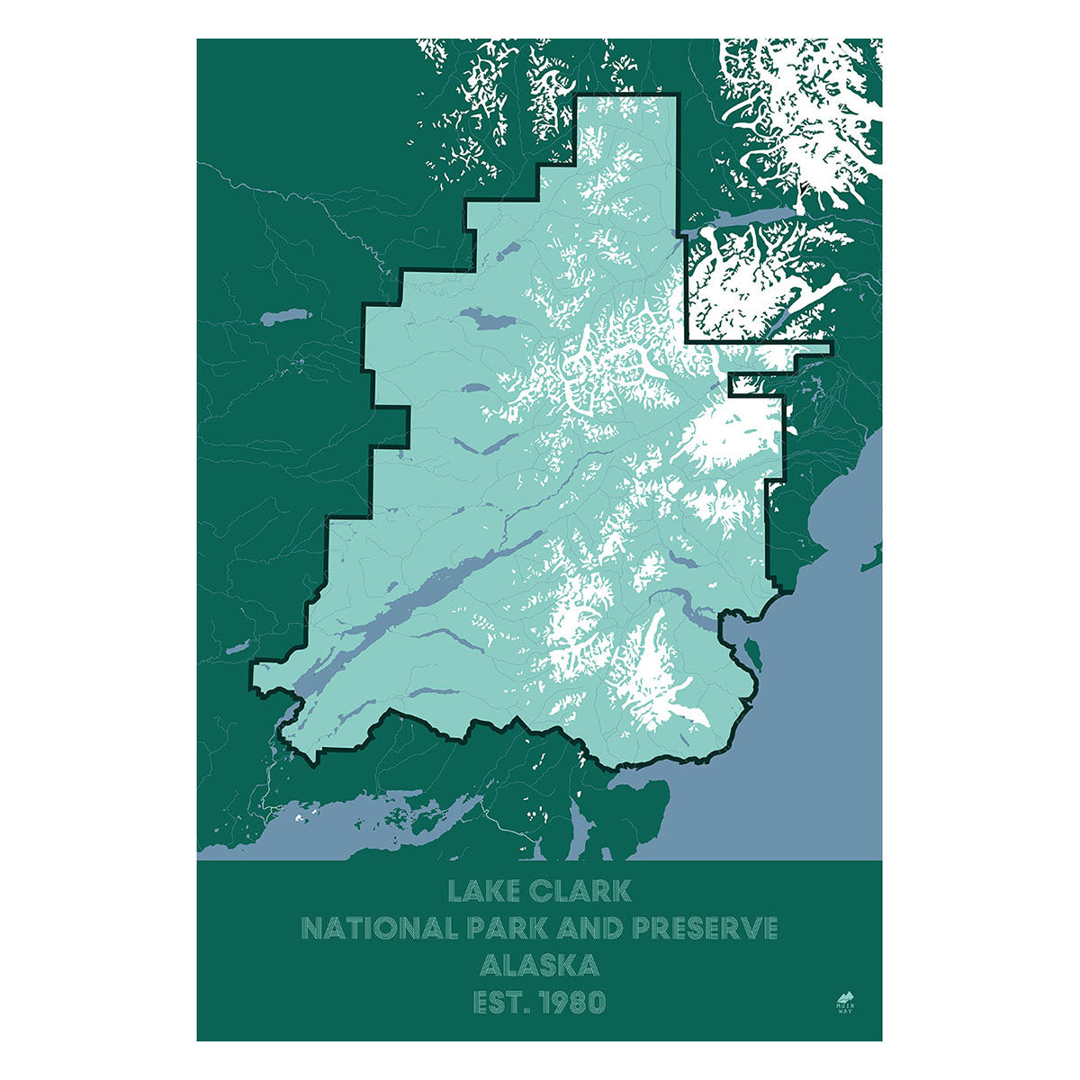
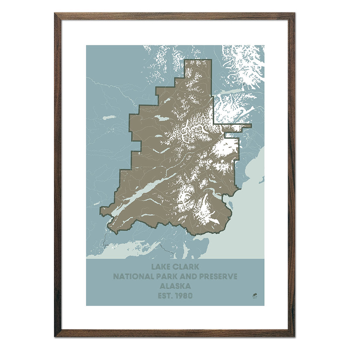
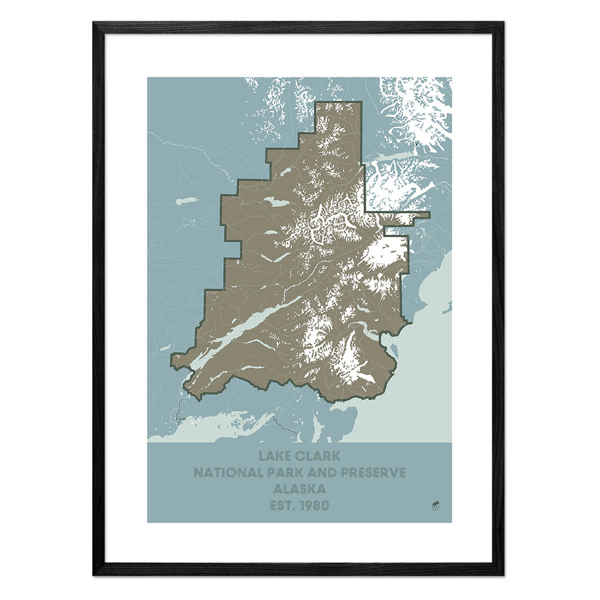
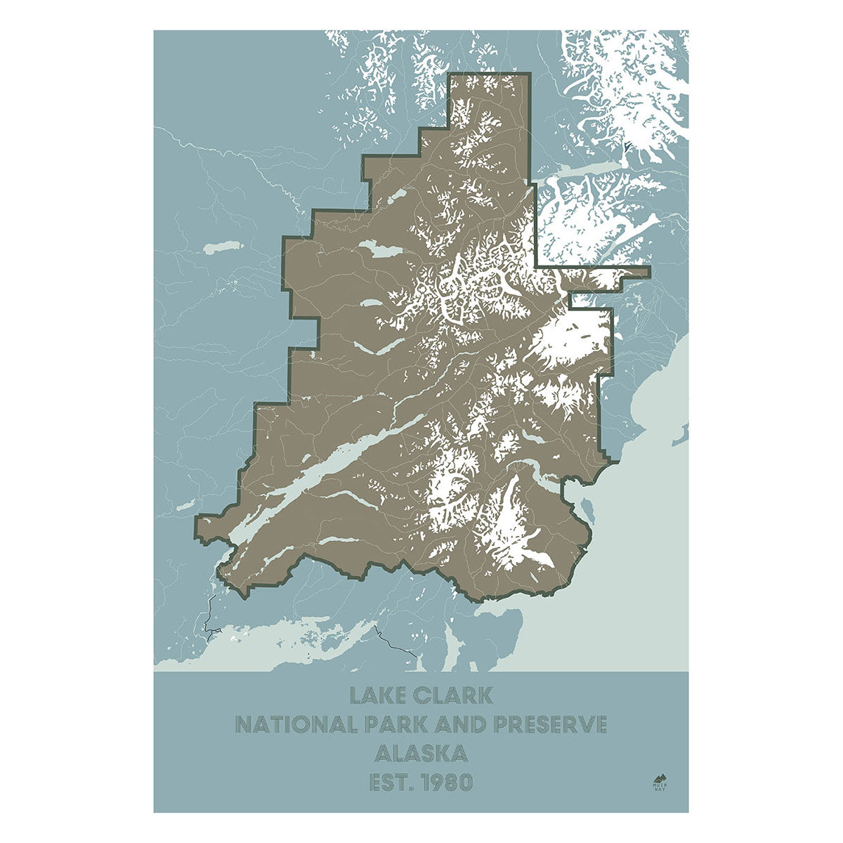
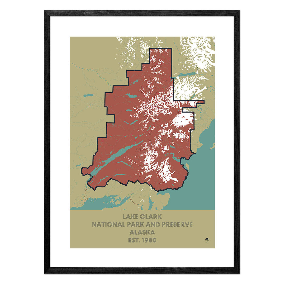
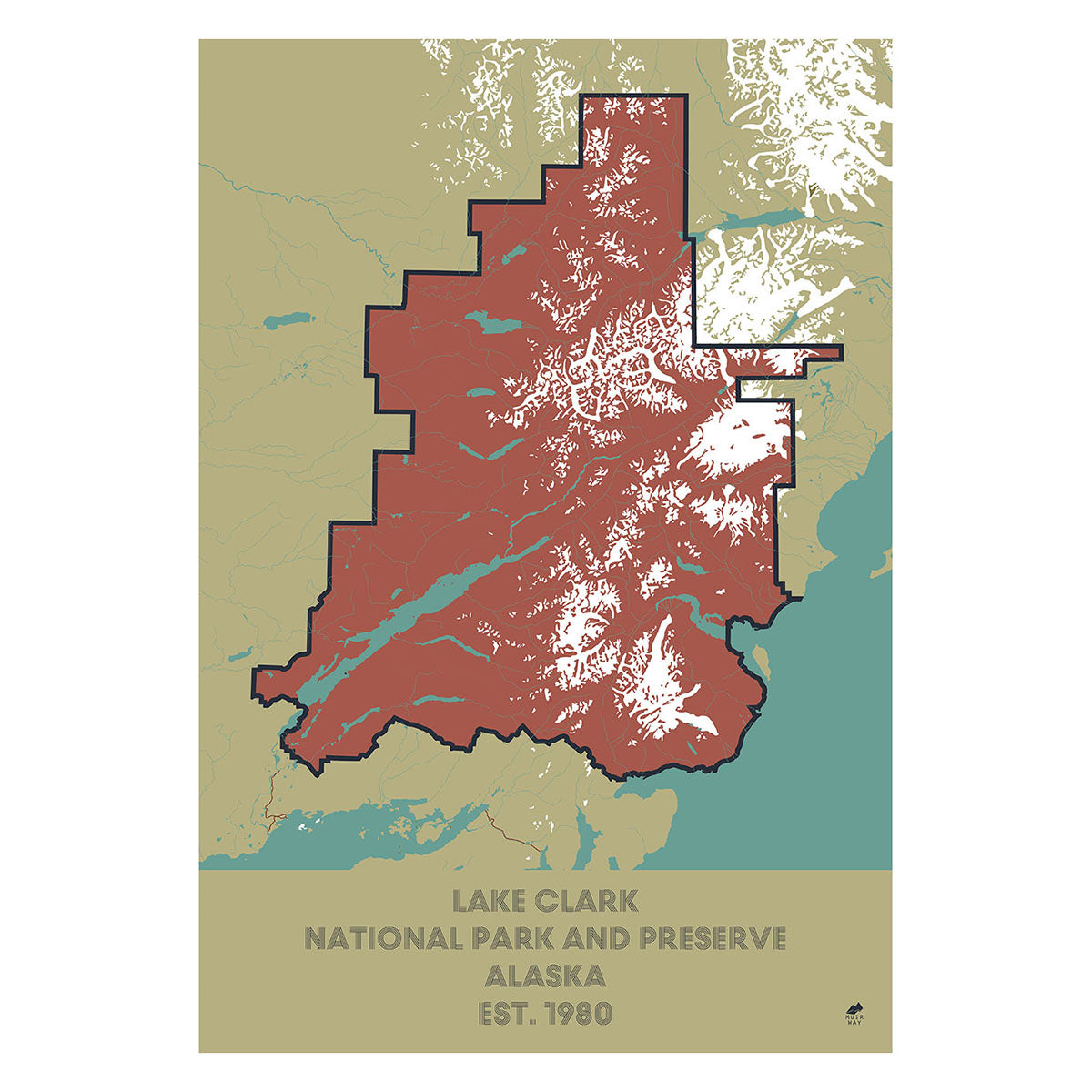
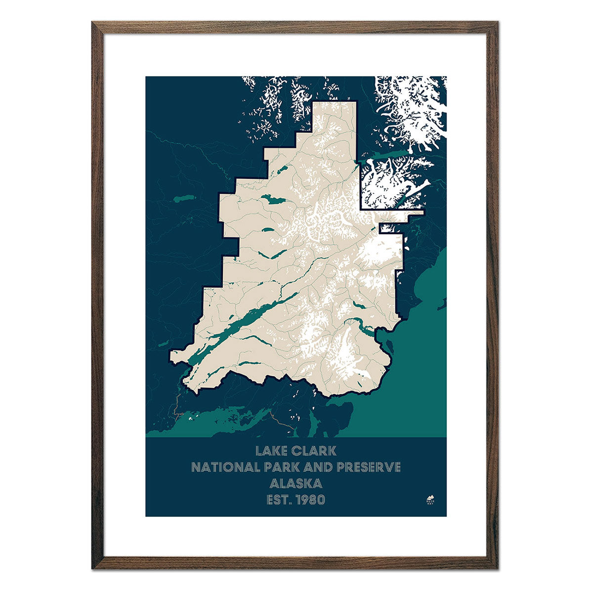
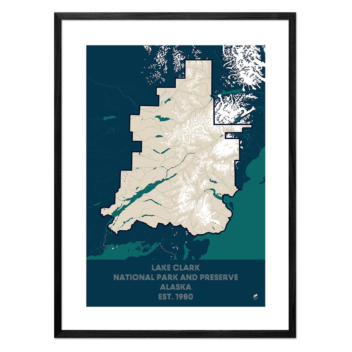
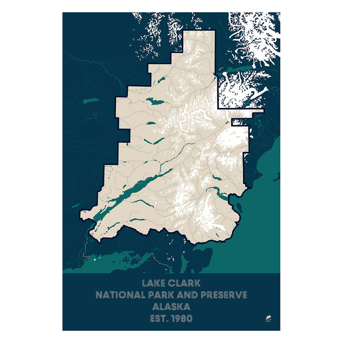
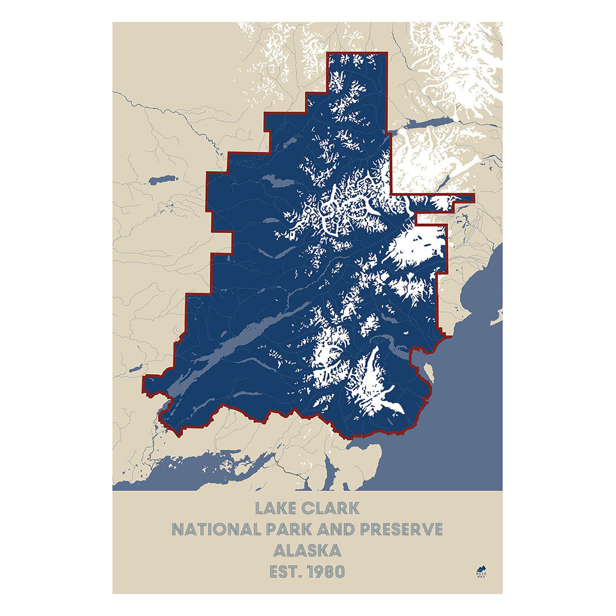
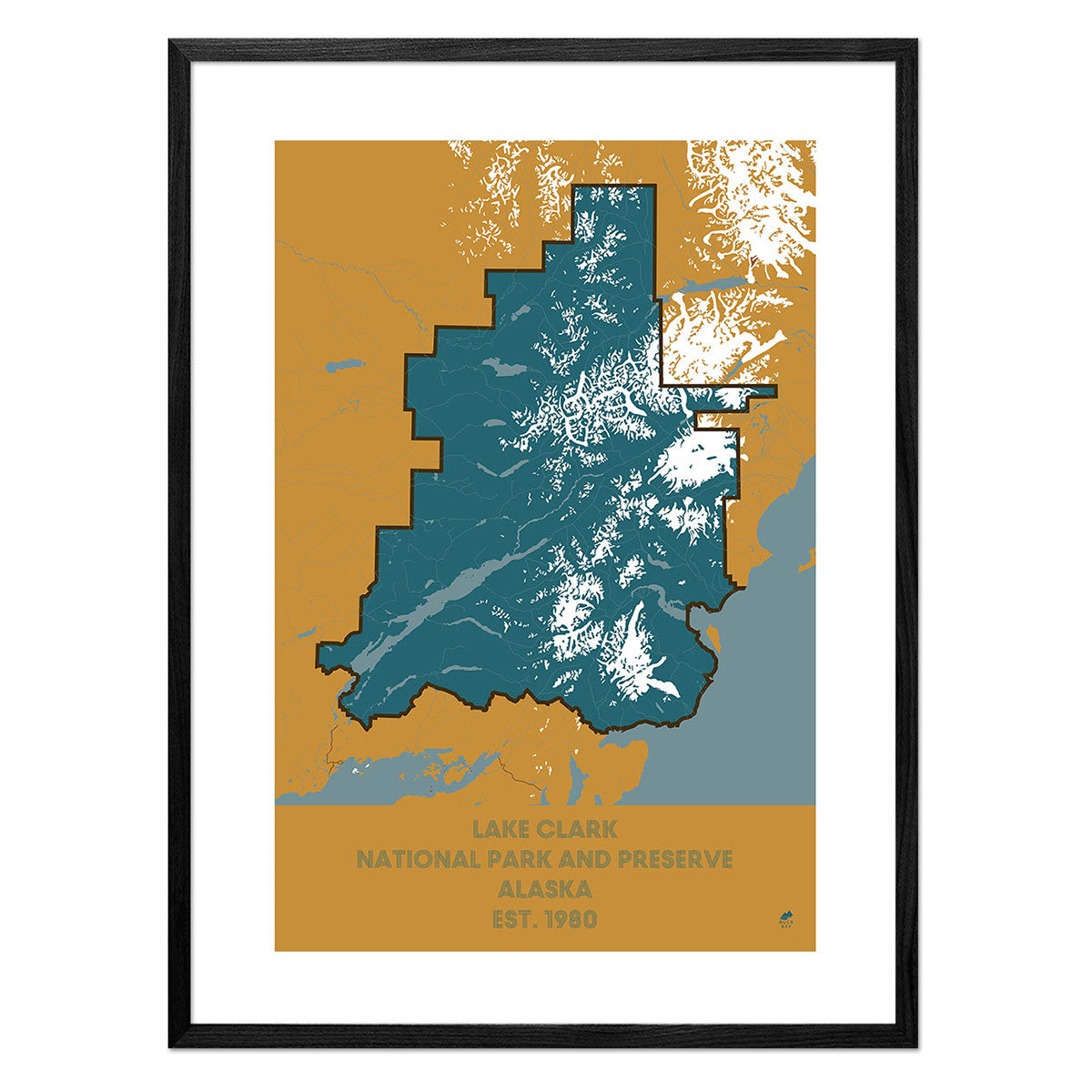
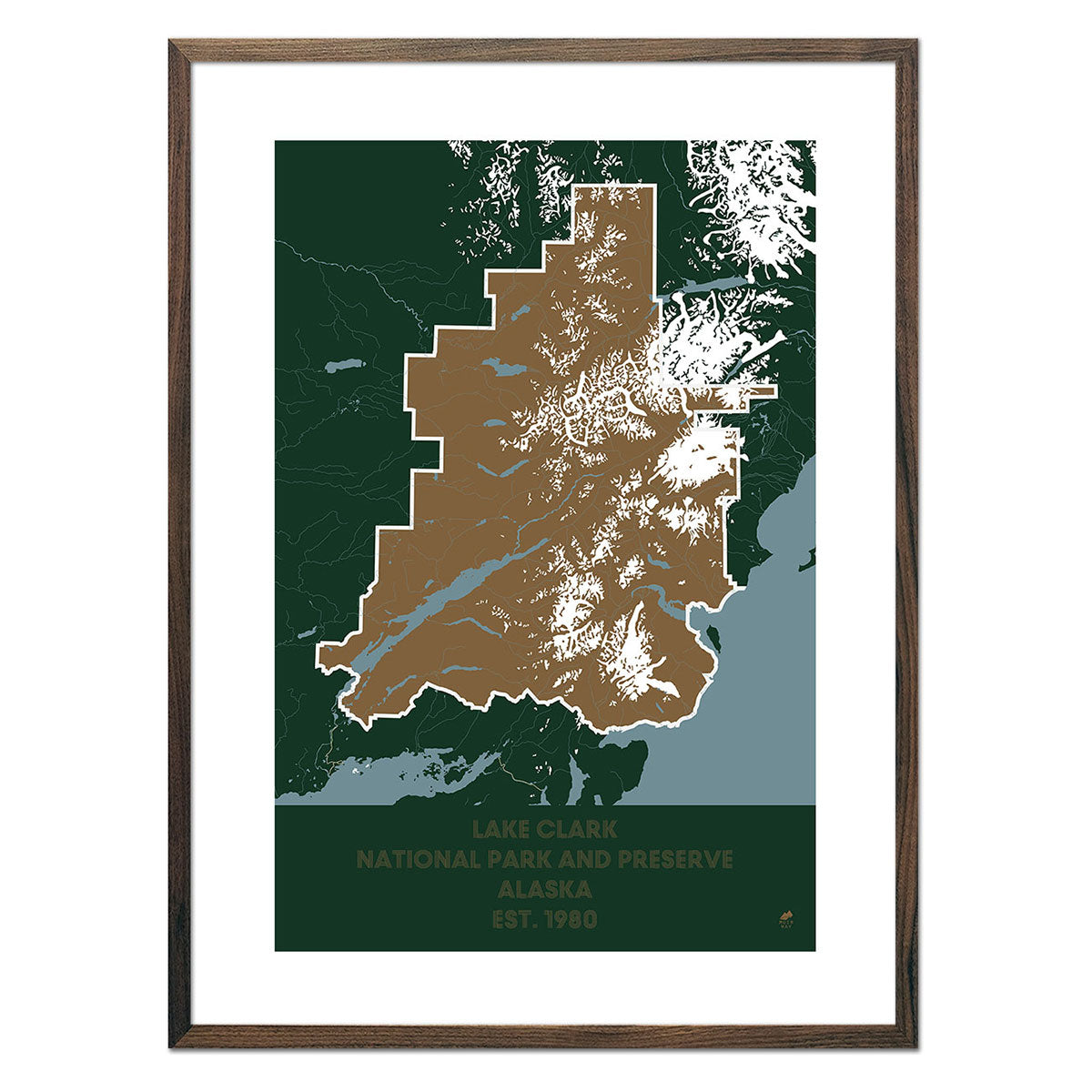
Lake Clark National Park and Preserve Map
From
$ 49.00 USD
5.0 / 5.0
287 reviews
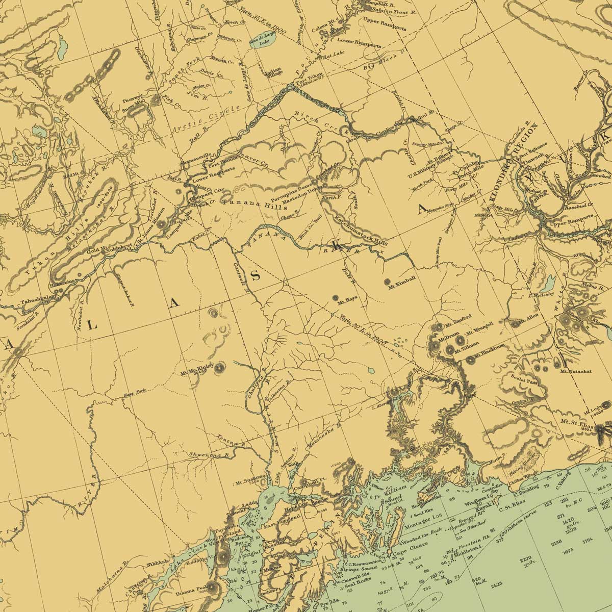
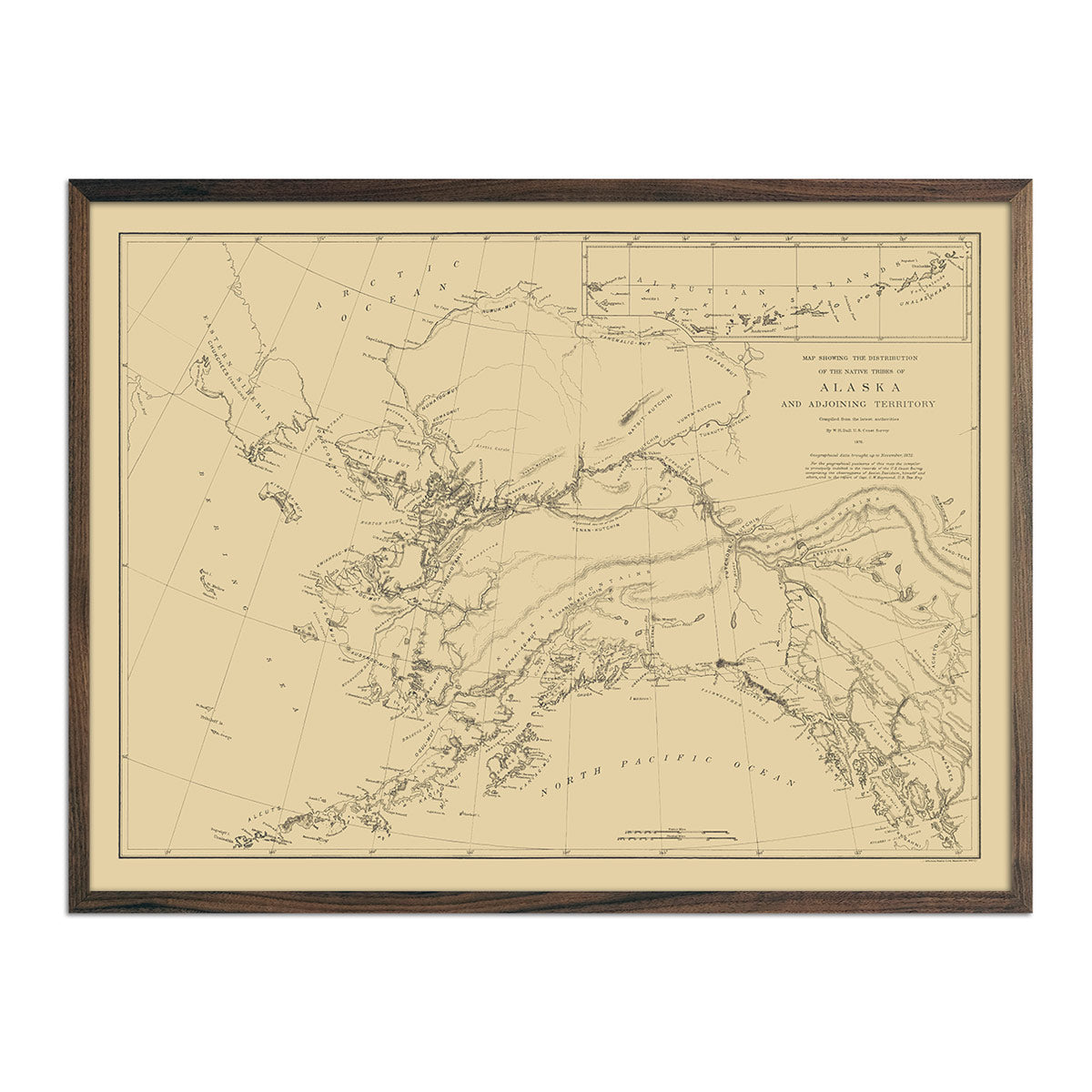
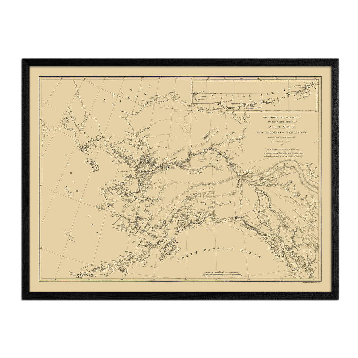
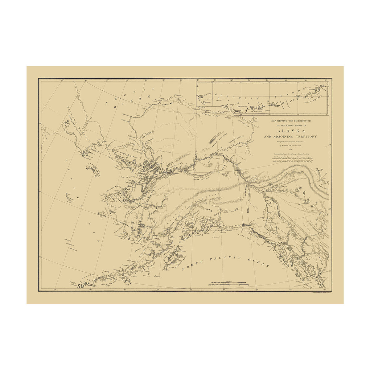
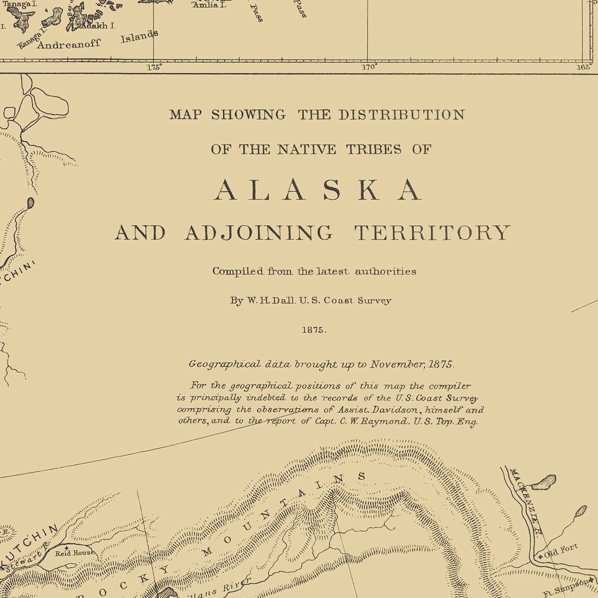
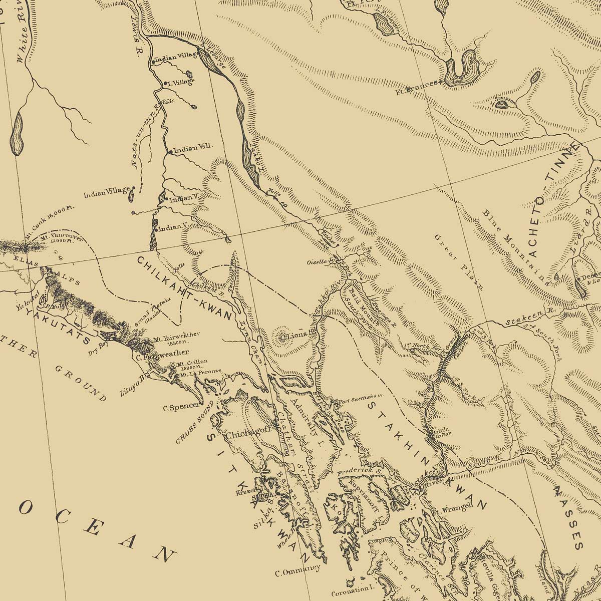
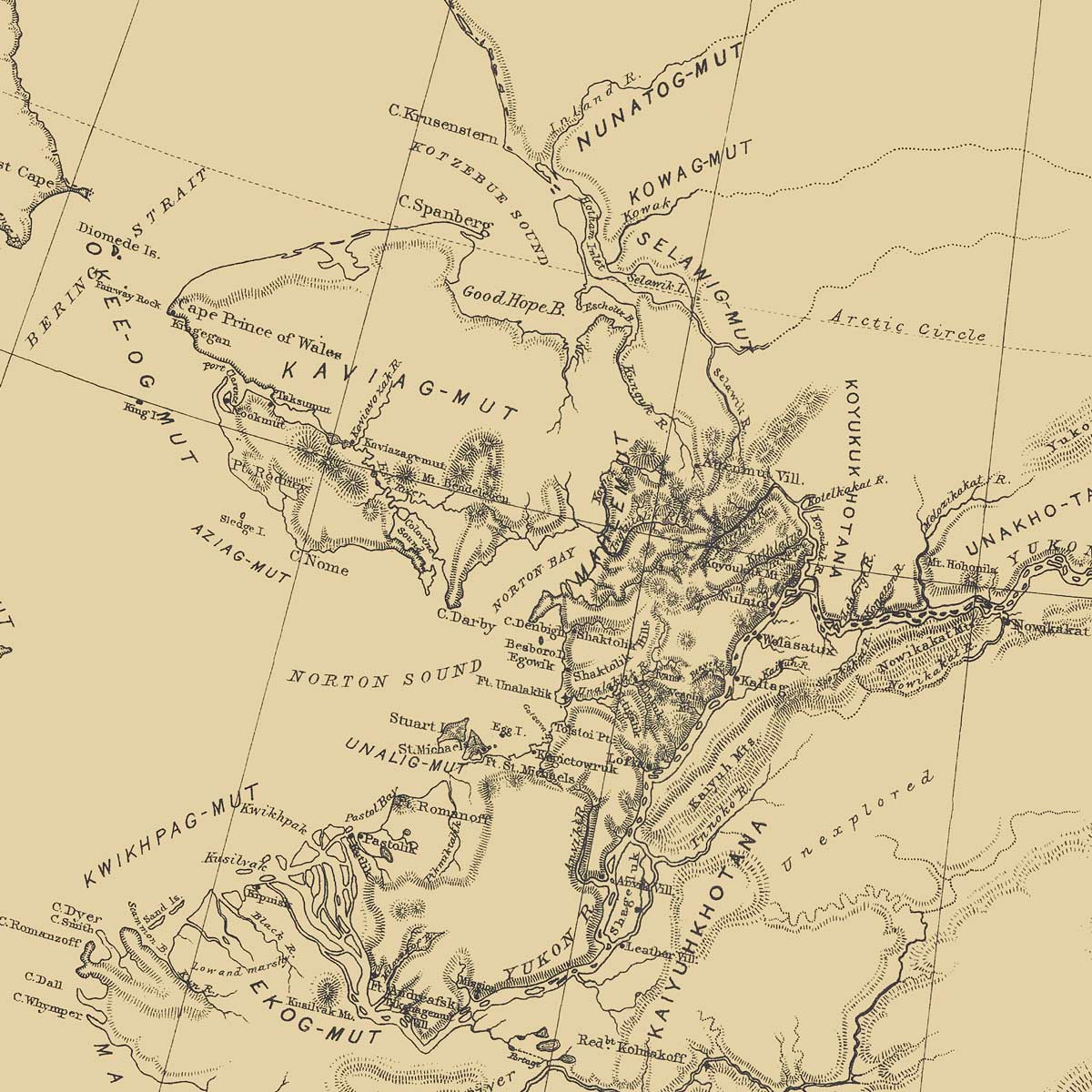
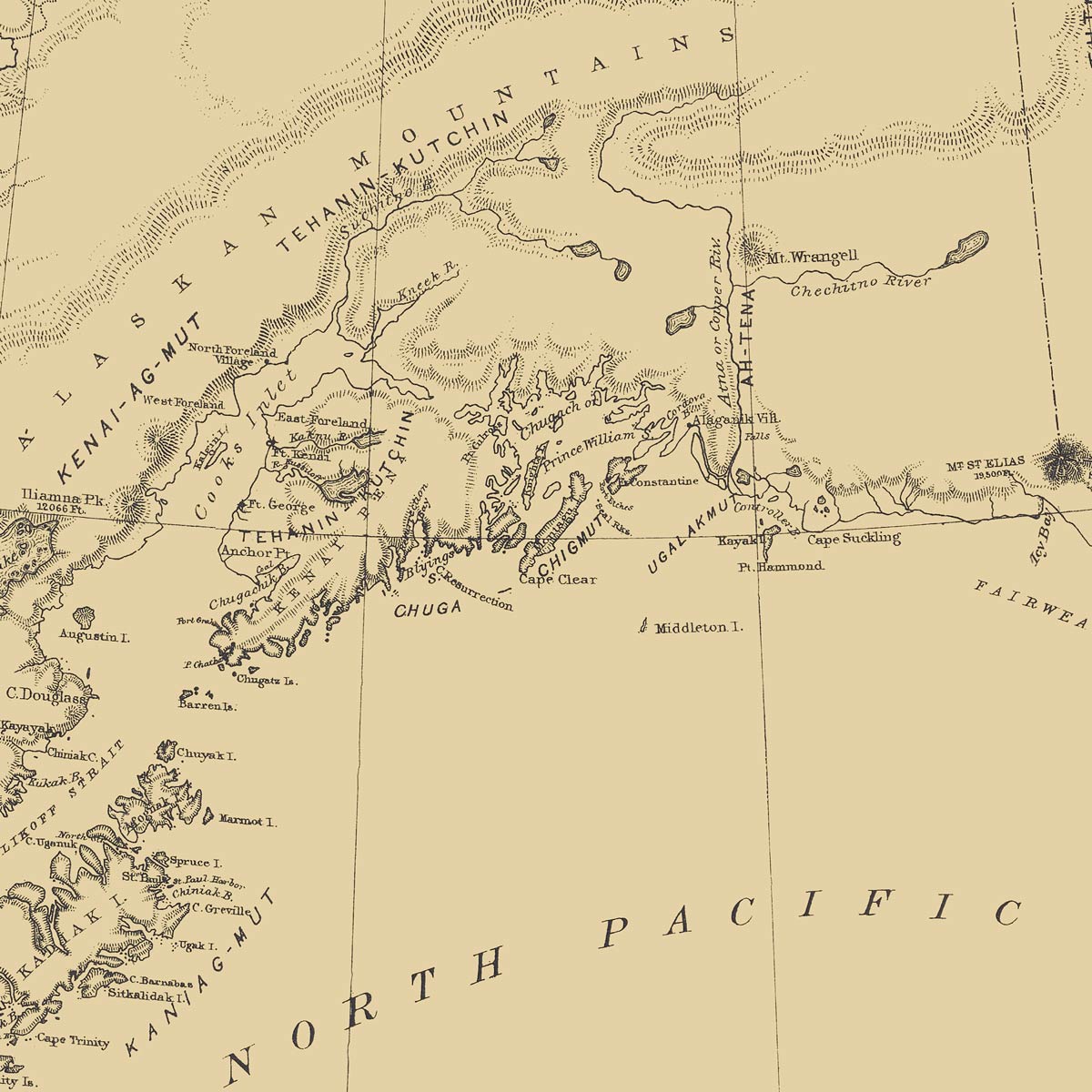
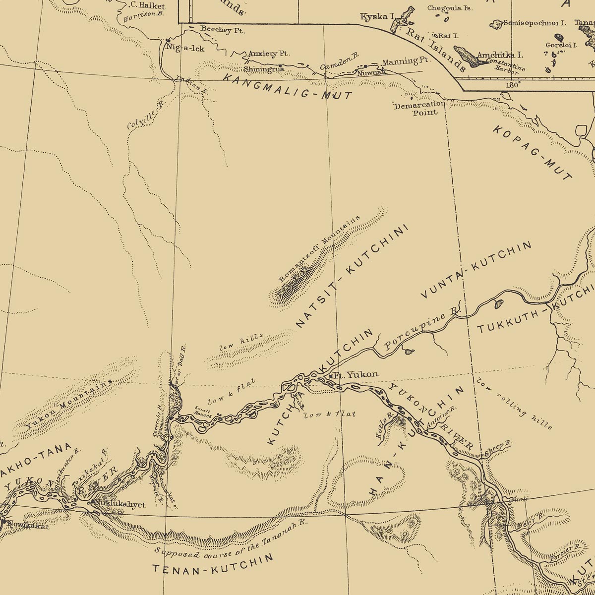
Map of the Distribution of the Native Tribes of Alaska and Adjoining Territory 1875
From
$ 79.00 USD
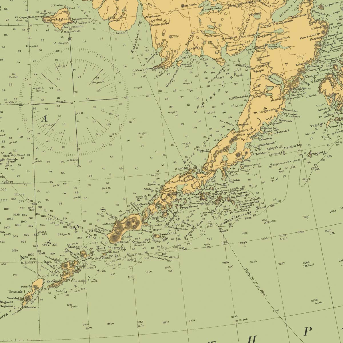
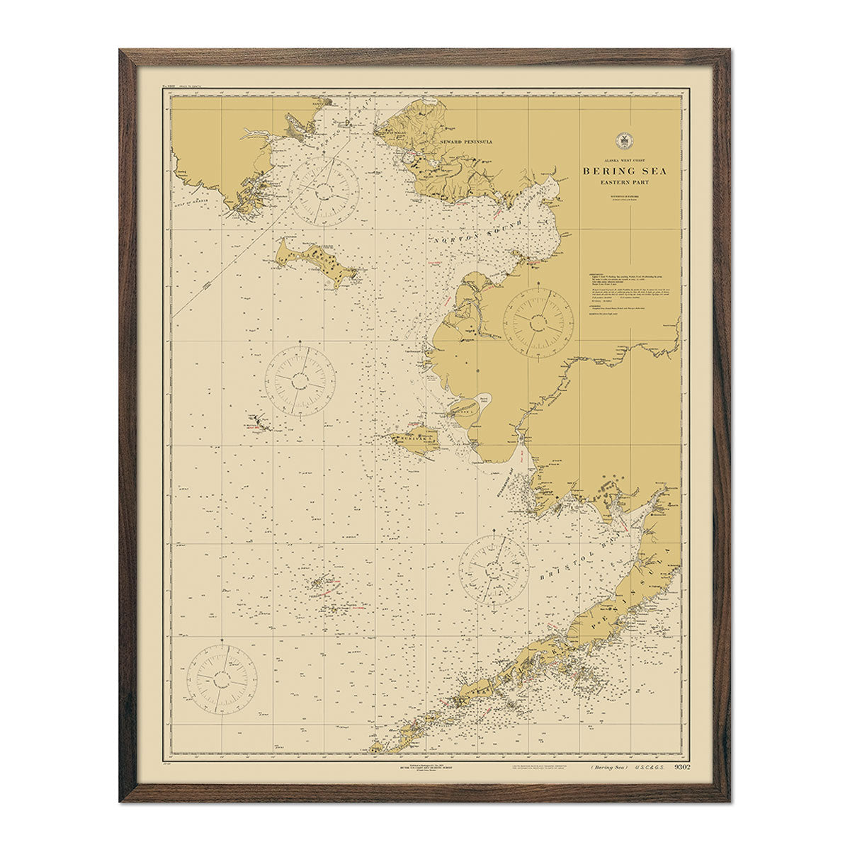
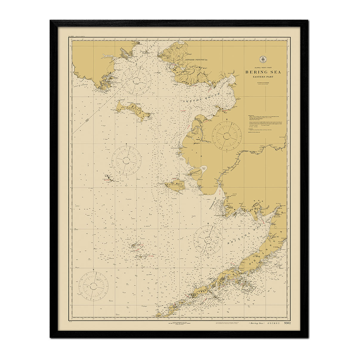
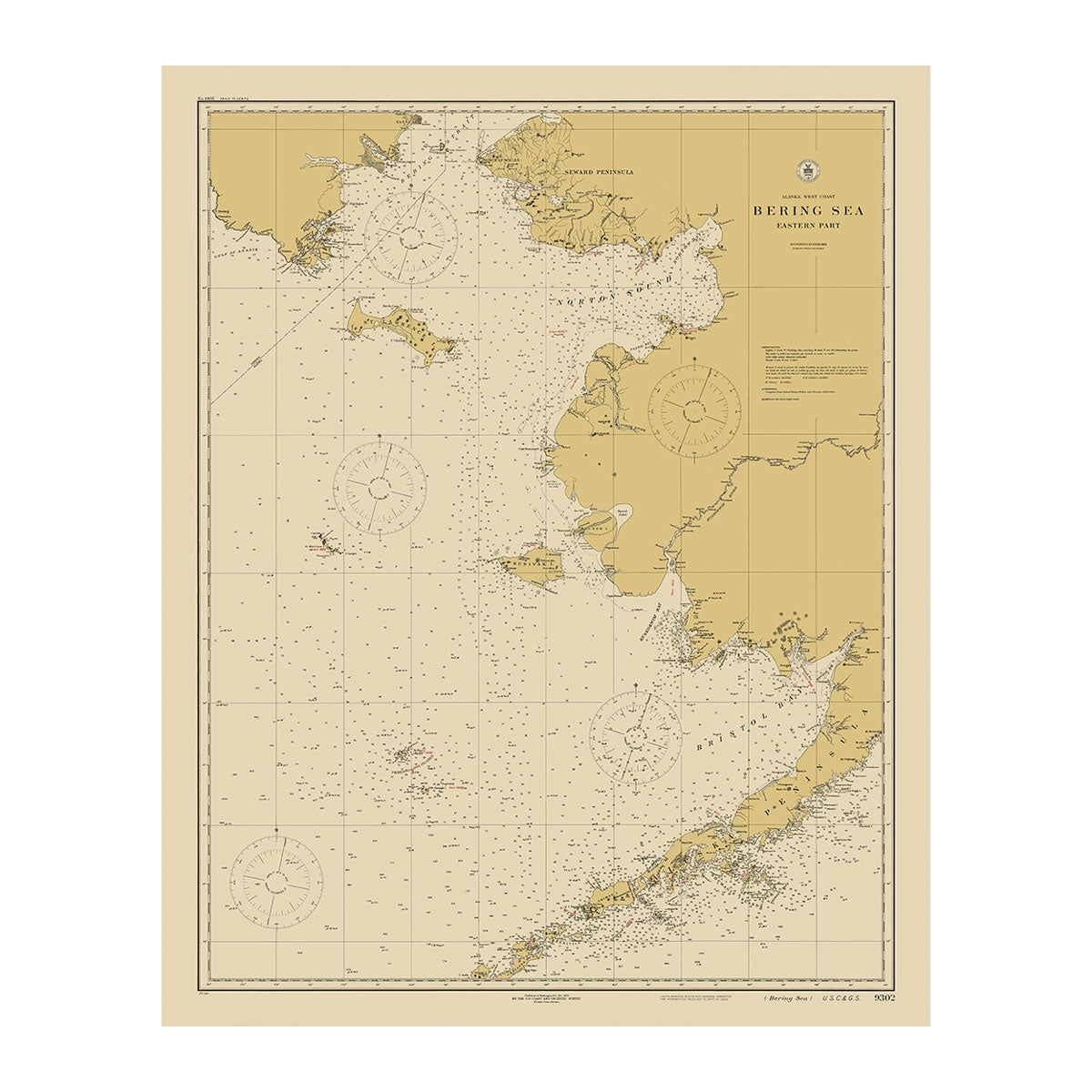
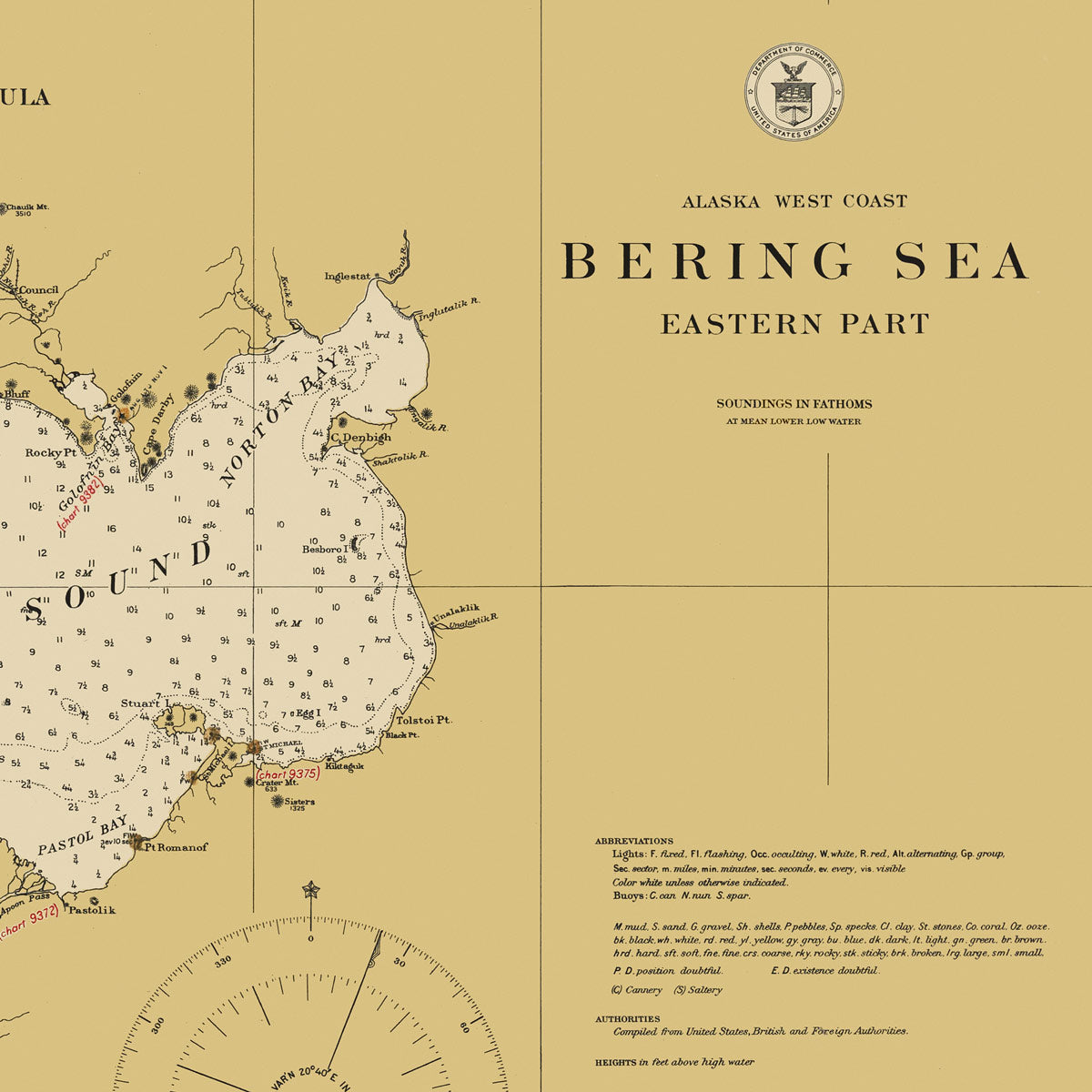
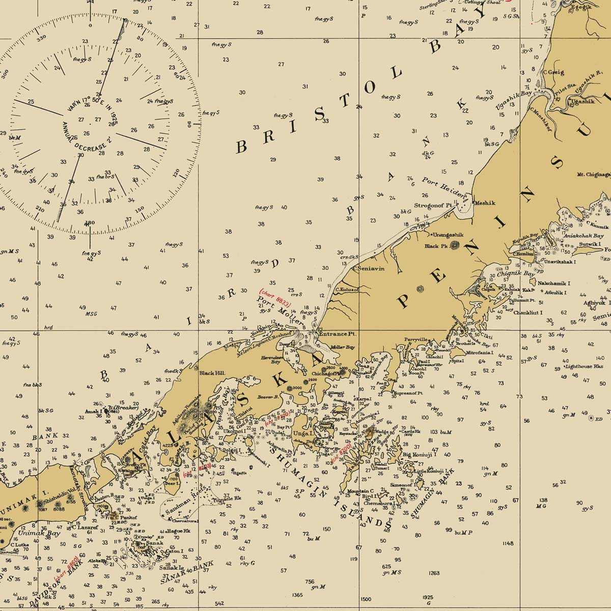
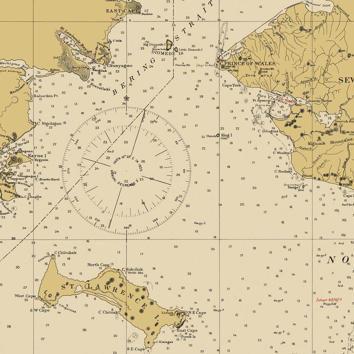
Bering Sea - Eastern Part Nautical Chart 1923
From
$ 64.00 USD
Your cart
Close
Close
Your cart is empty
Start shopping
Added to your
Cart