


South Dakota Maps


South Dakota Map Art, Shaded Relief & Hydrological Maps
Whether you are from South Dakota, like to visit, or hope to see Mt. Rushmore someday, our custom printed South Dakota wall maps will bring The Sunshine State to life. Our maps are beautifully rendered from a combination of historical data, modern technology, and hand design. From our eye-catching elevation maps and geological relief maps to our meticulously restored historical maps, every map of South Dakota we offer reflects the high quality and attention to detail our customers have come to love and expect from Muir Way. See why a map of South Dakota from Muir Way is more than your typical wall map.
What makes Muir Way maps of South Dakota unique?
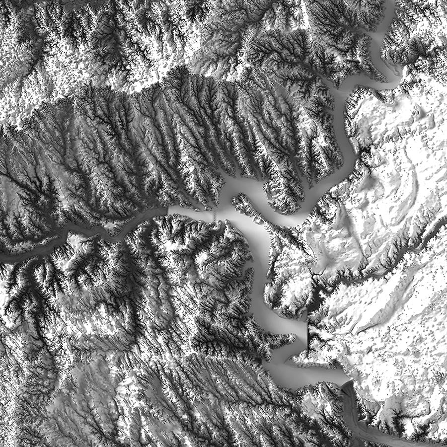
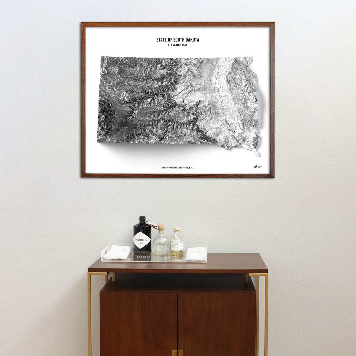
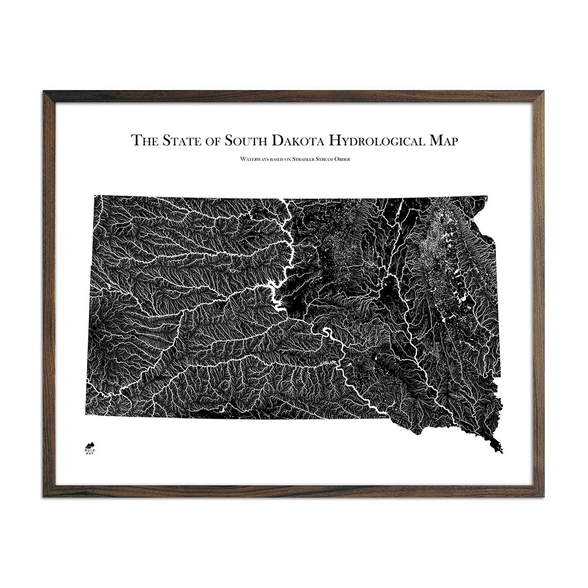
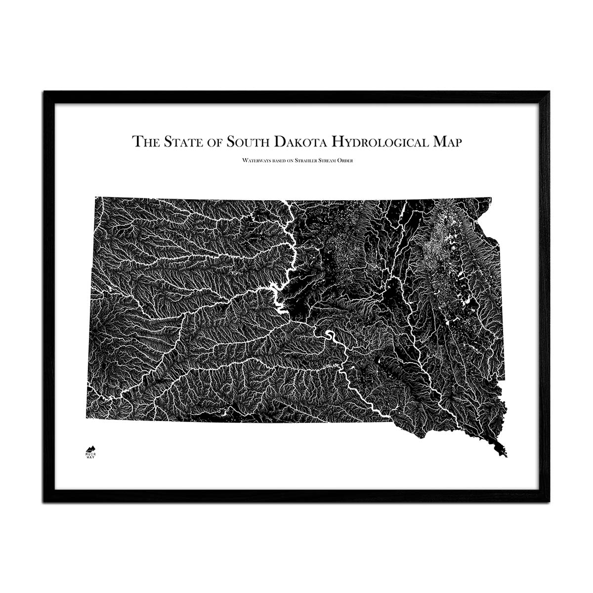
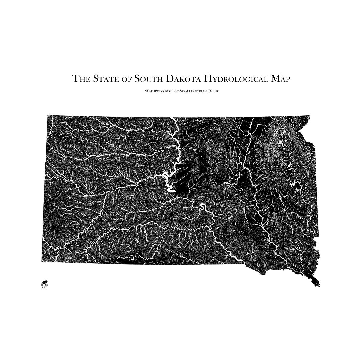
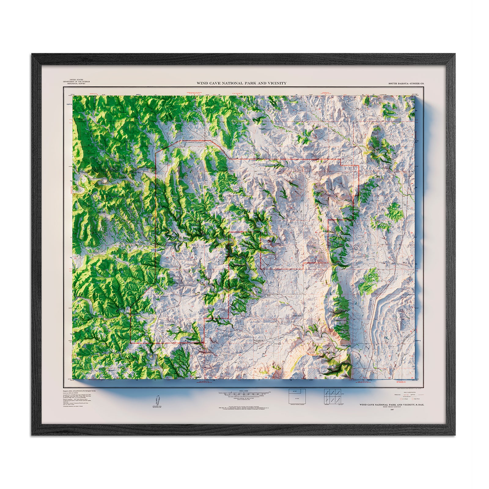
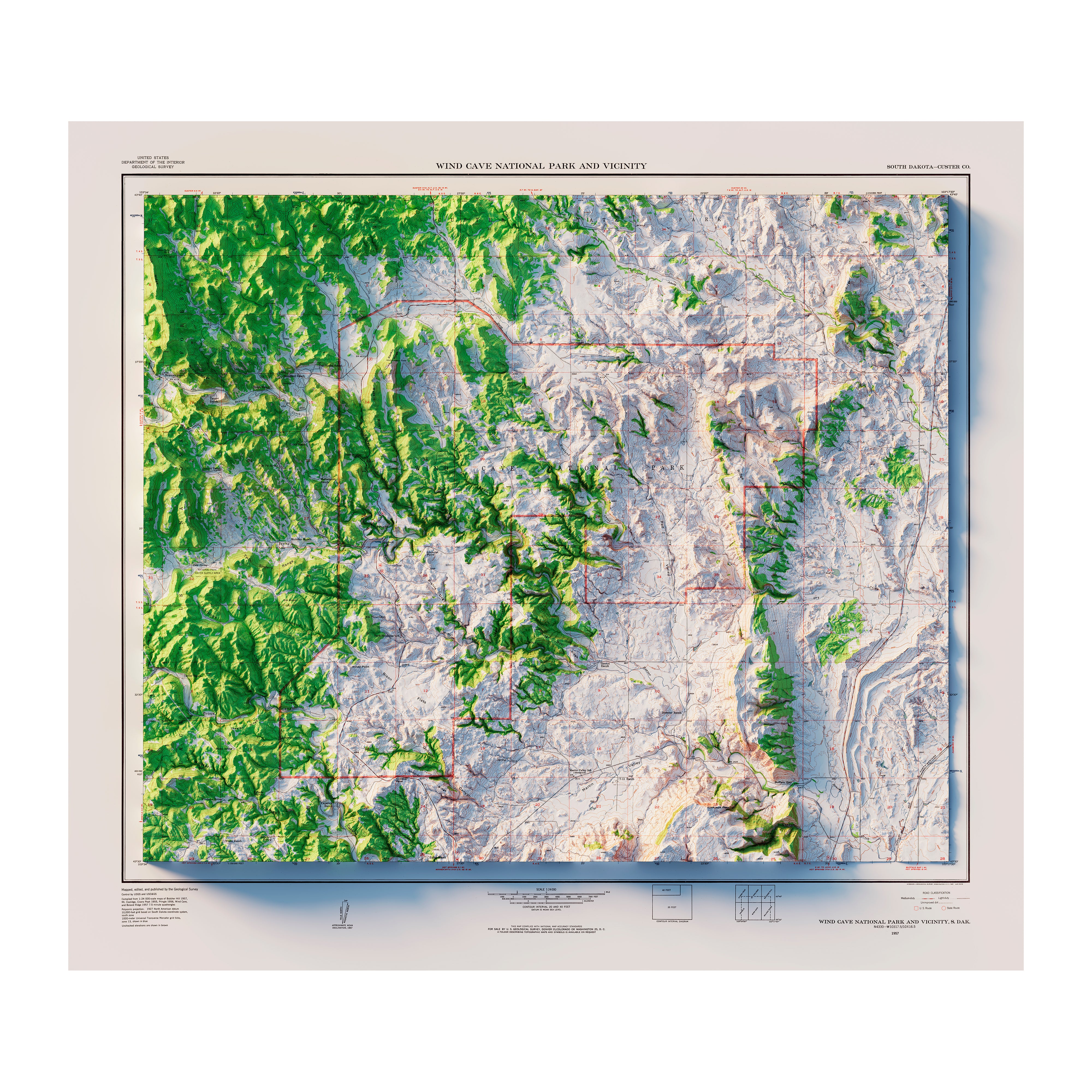
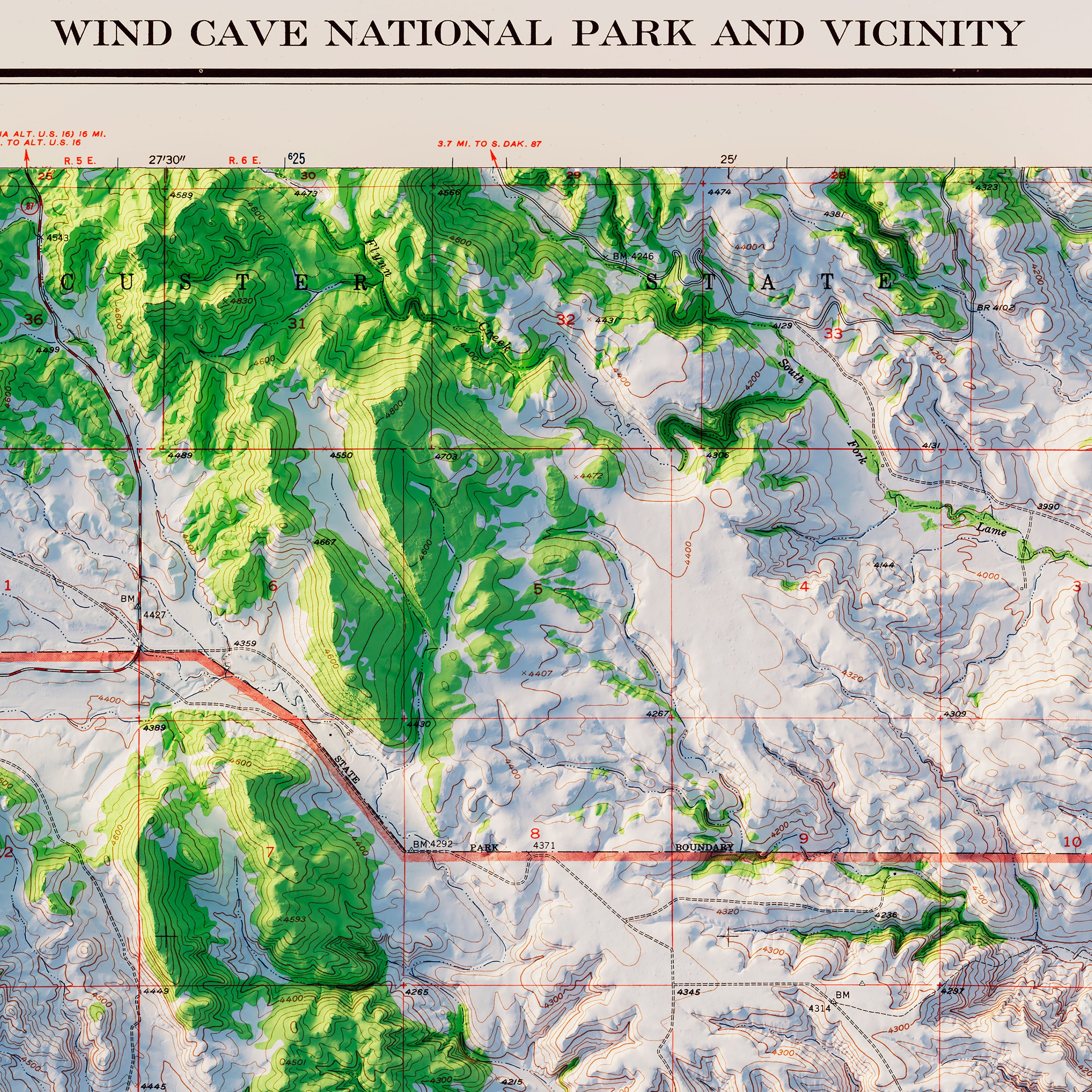
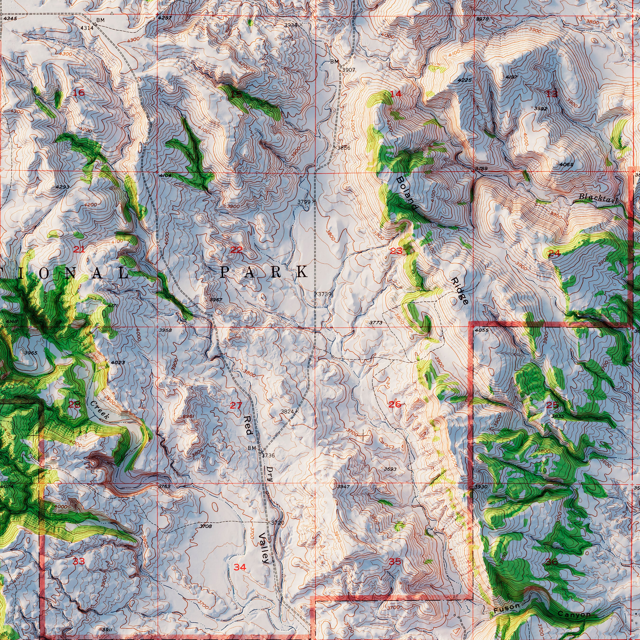
When you purchase a map of South Dakota from Muir Way, you are not purchasing a mass-produced poster or generic print. We custom print every South Dakota map using archival inks and fine art paper certified to last 100 years. And the artwork of our maps themselves is designed to bring new light to the beautiful terrain they feature. For example, our elevation maps incorporate hand-shaded relief and Digital Elevation Data with historical map terrain for a unique 3D effect on a flat surface, and our hydrological maps depict every river in the state--even intermittent streams--and every body of water over 0.2 miles in diameter in crisp detail. We create beautiful, heirloom-quality maps meant to last for generations.
Does my South Dakota map come framed?
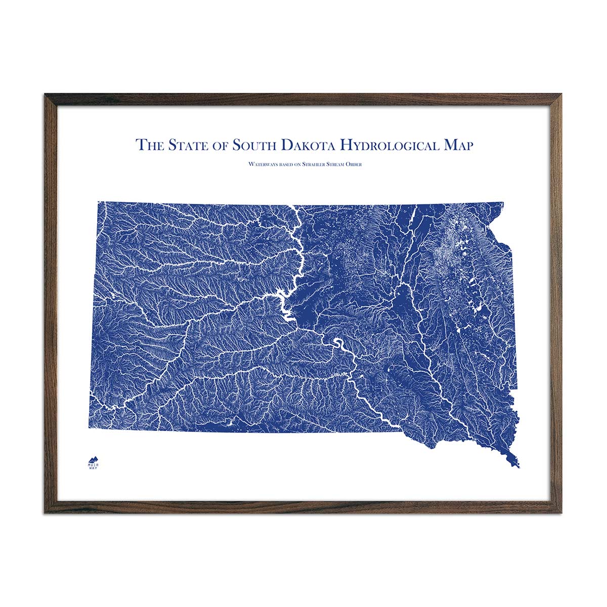
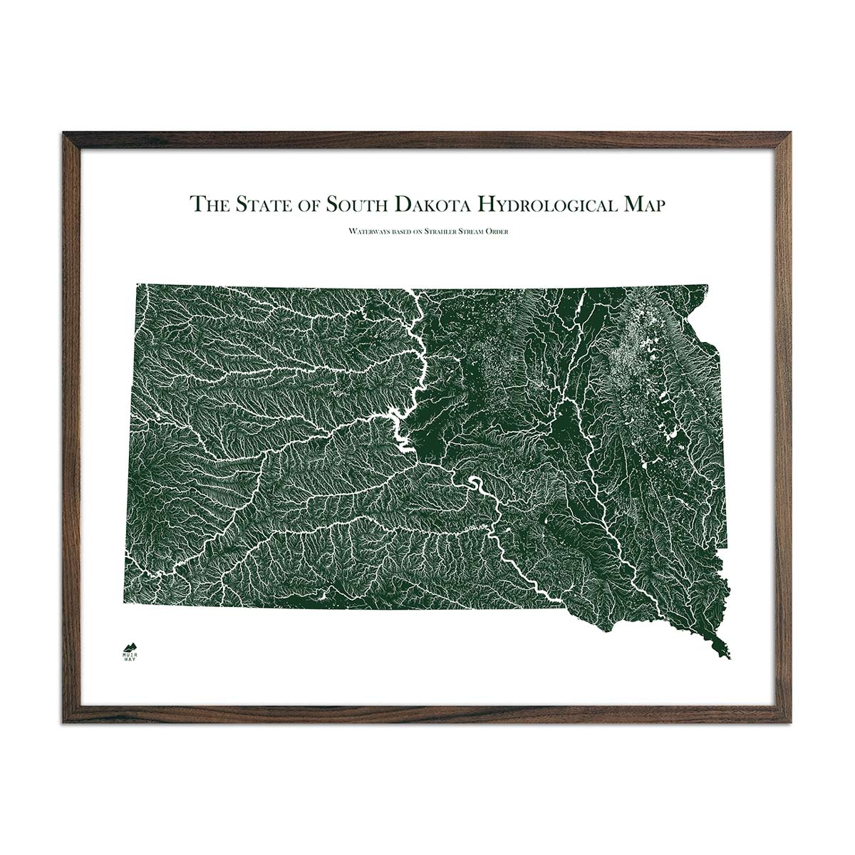
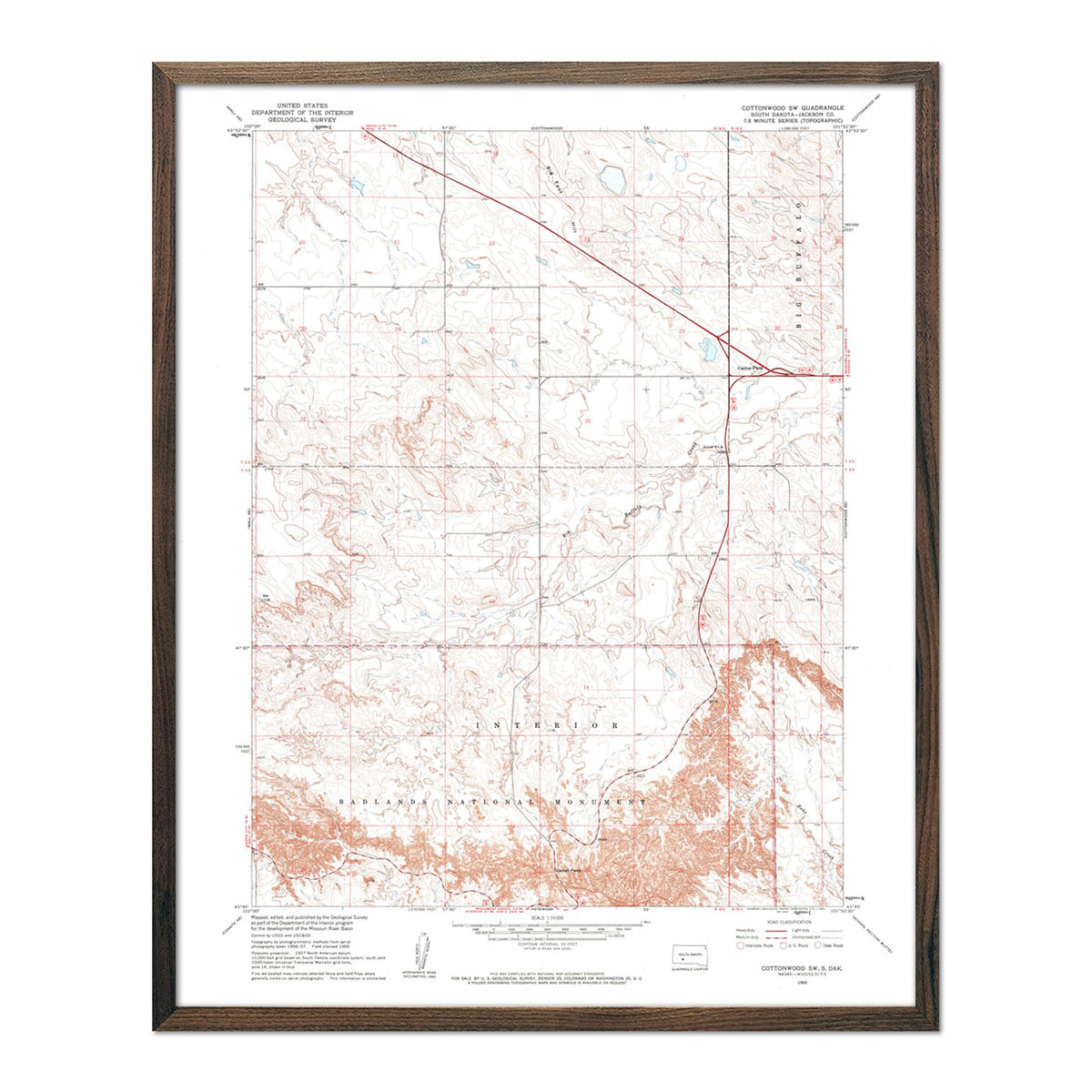
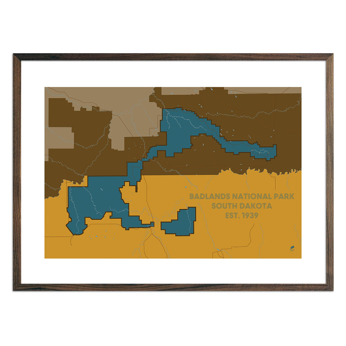
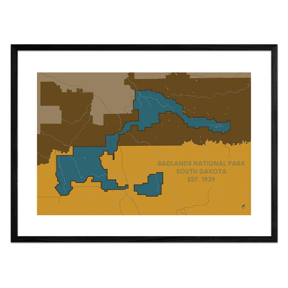
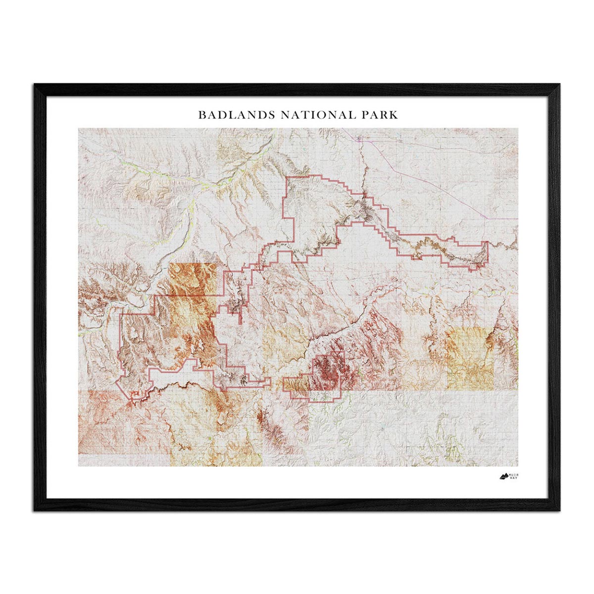
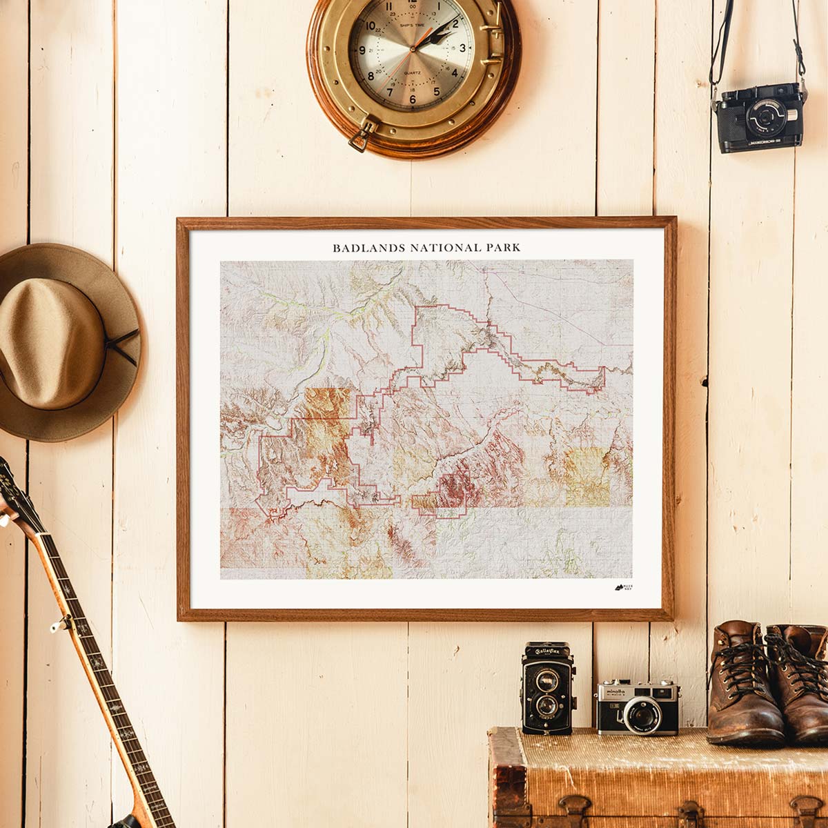
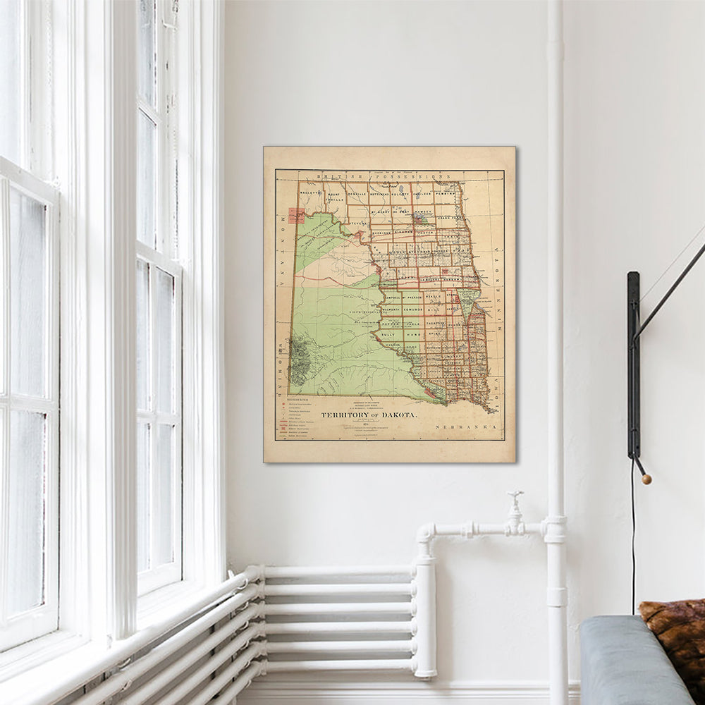
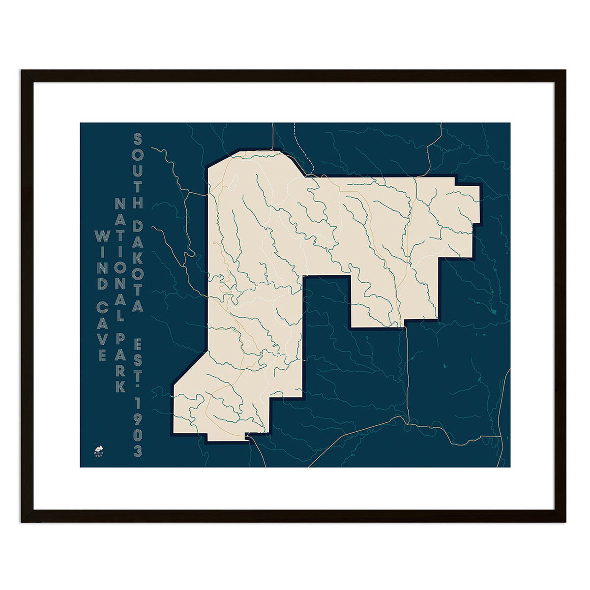
It can! You can purchase your South Dakota map professionally custom-framed with real wood, or unframed if you prefer to use your own. If you’d like to purchase a framed South Dakota wall map, there are several different wood finishes to choose from. If you’d prefer to use your own frame, all of our maps come in standard sizes for easy gift giving.
Does a Muir Way map of South Dakota make a good gift?
Yes! Our custom-printed maps of South Dakota make the perfect gift for outdoor enthusiasts, to commemorate special occasions, or as a thank-you gift for someone special. Memorialize the experience of a special holiday to The Black Hills, the Badlands, or any of the other amazing South Dakota landscapes. One of our state relief maps can be a perfect graduation gift for a student about to leave home for the first time, or a reminder of home for someone from South Dakota but who no longer lives there. Our maps also make beautiful corporate gifts that will remind your clients or colleagues of you every time they see it.
Where should I display my South Dakota map?
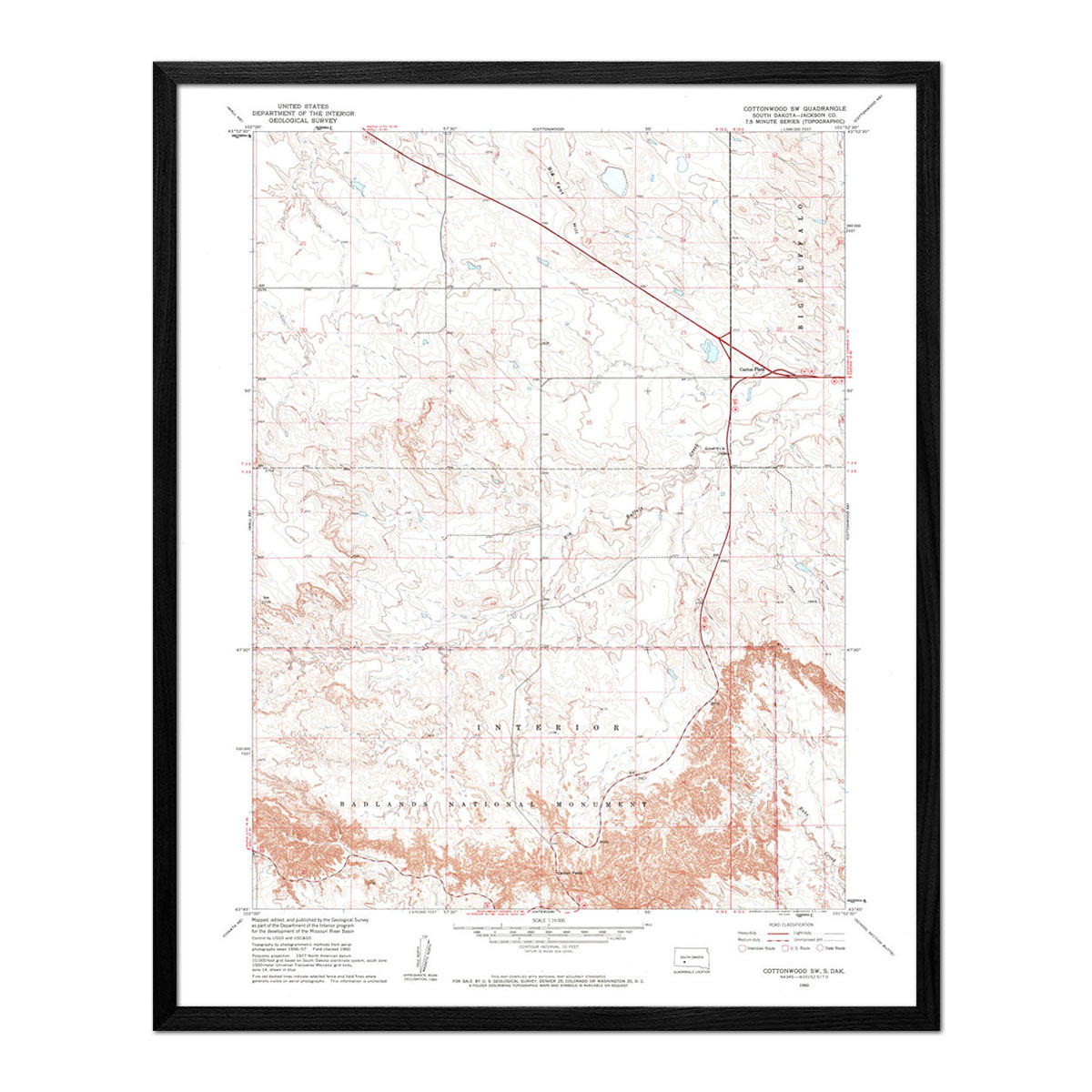
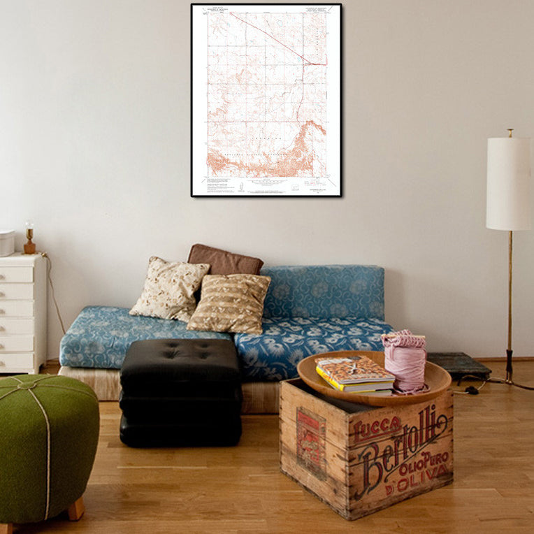
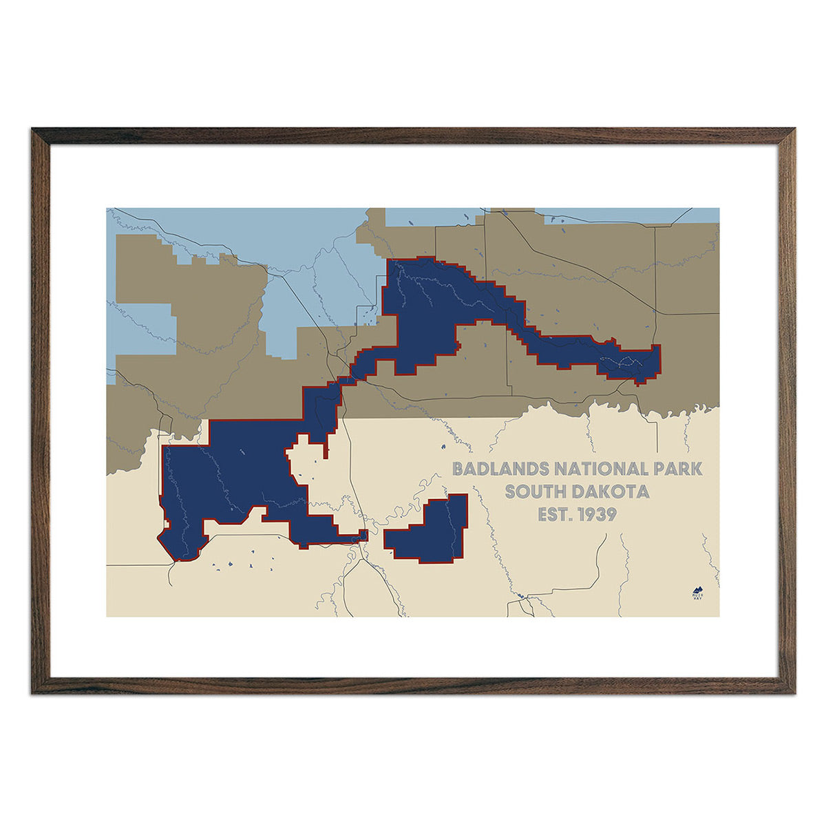
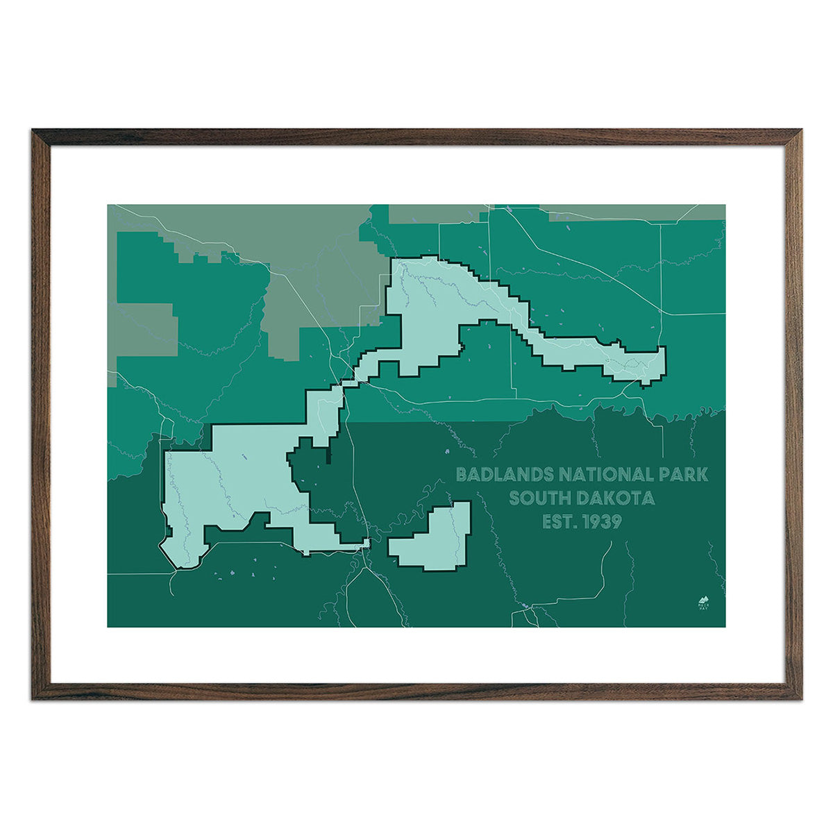
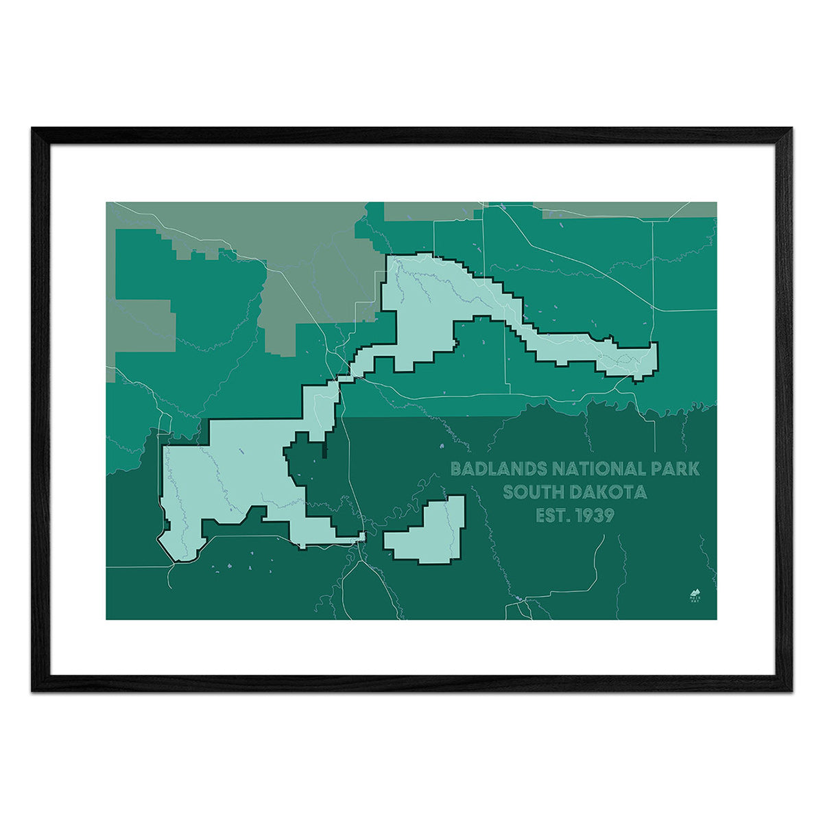
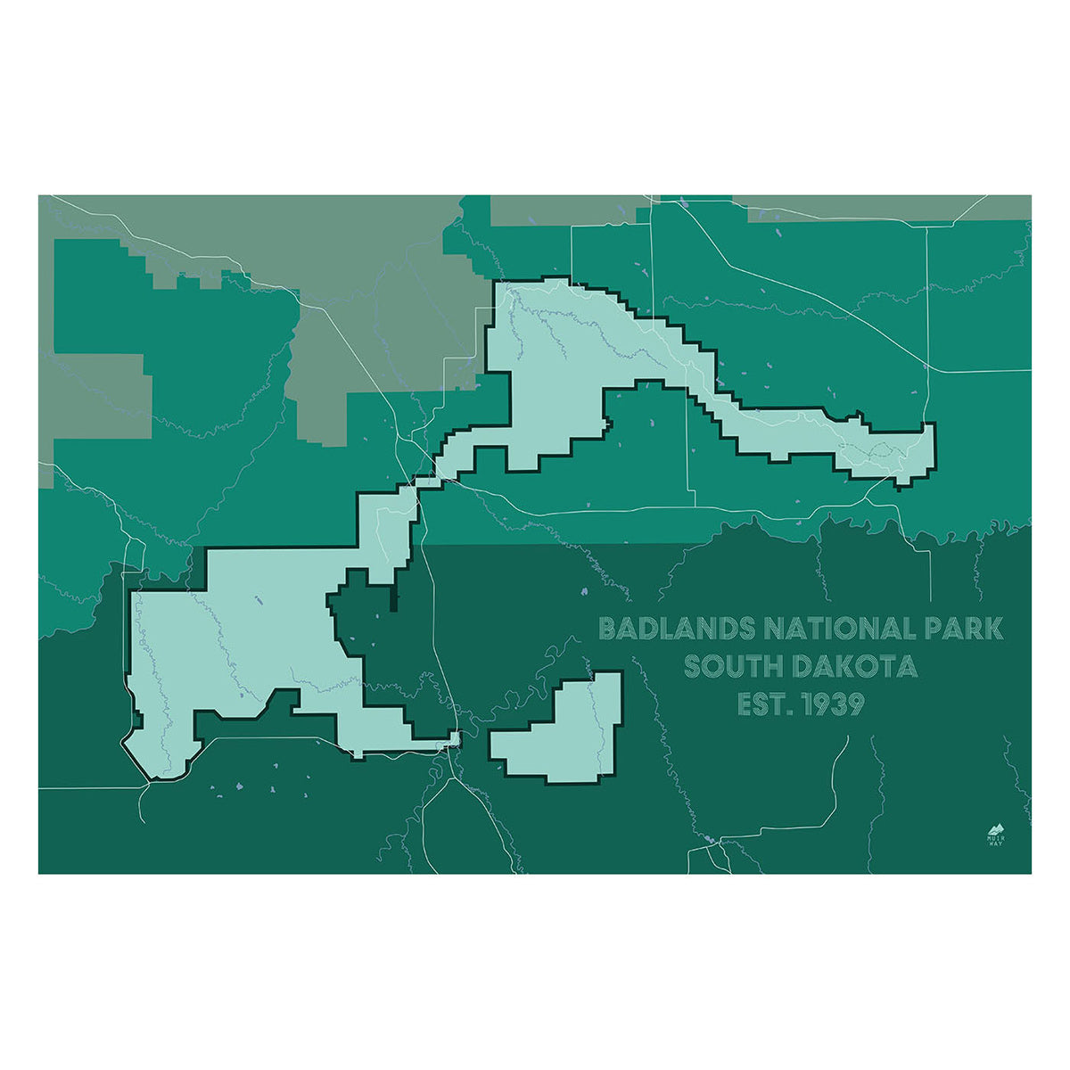
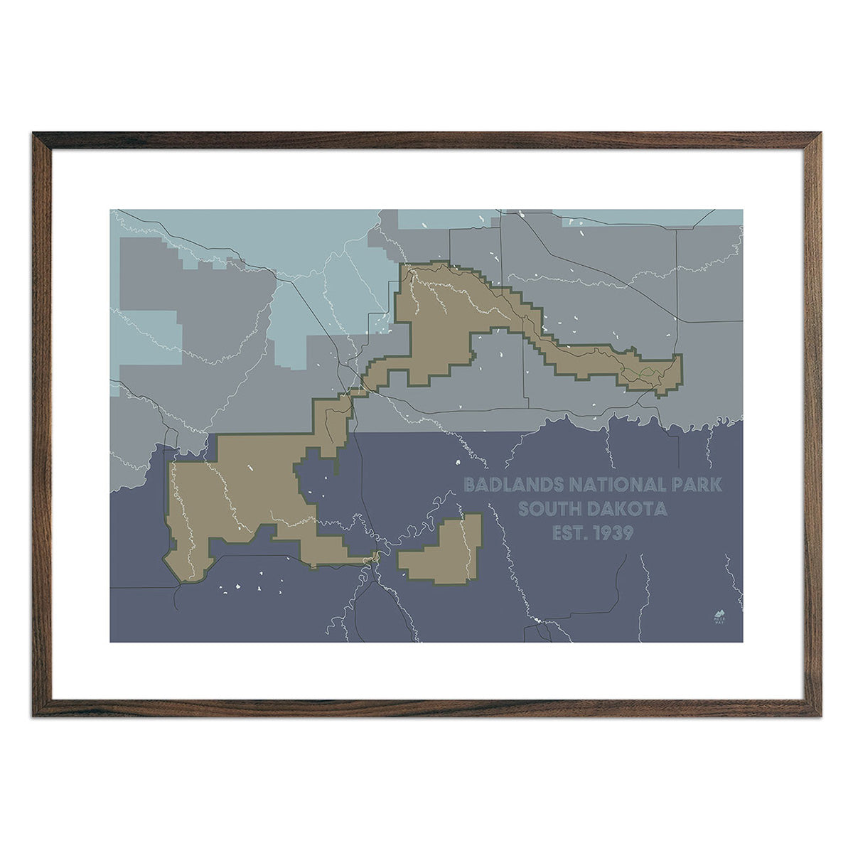
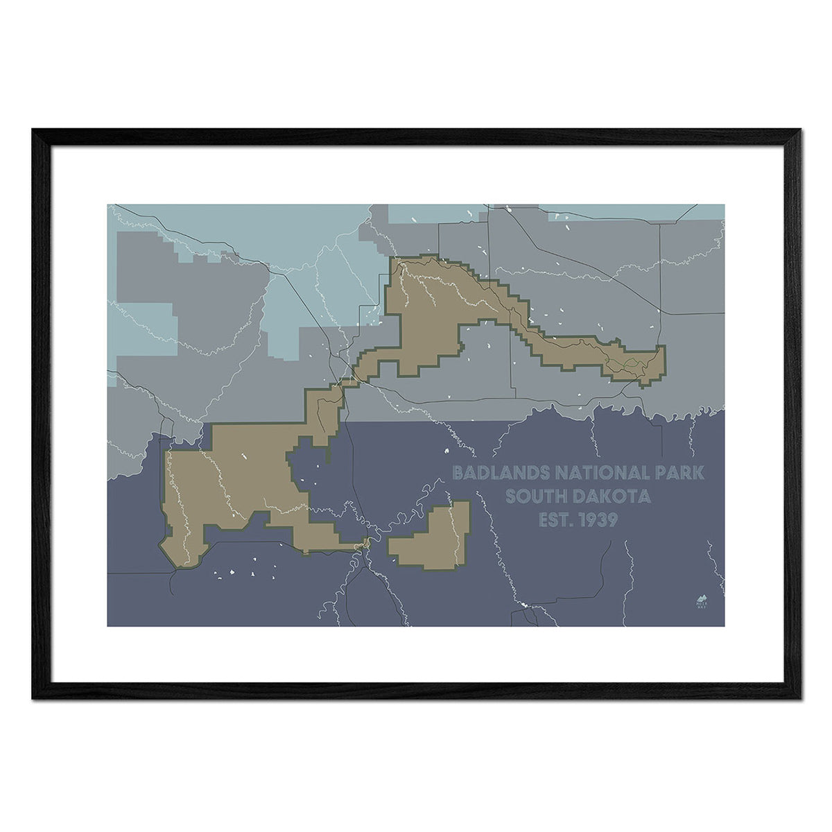
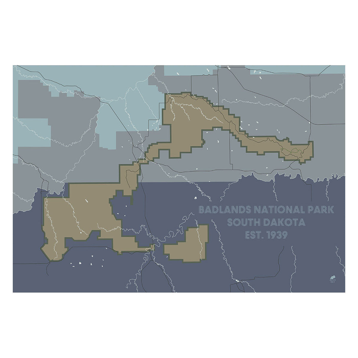
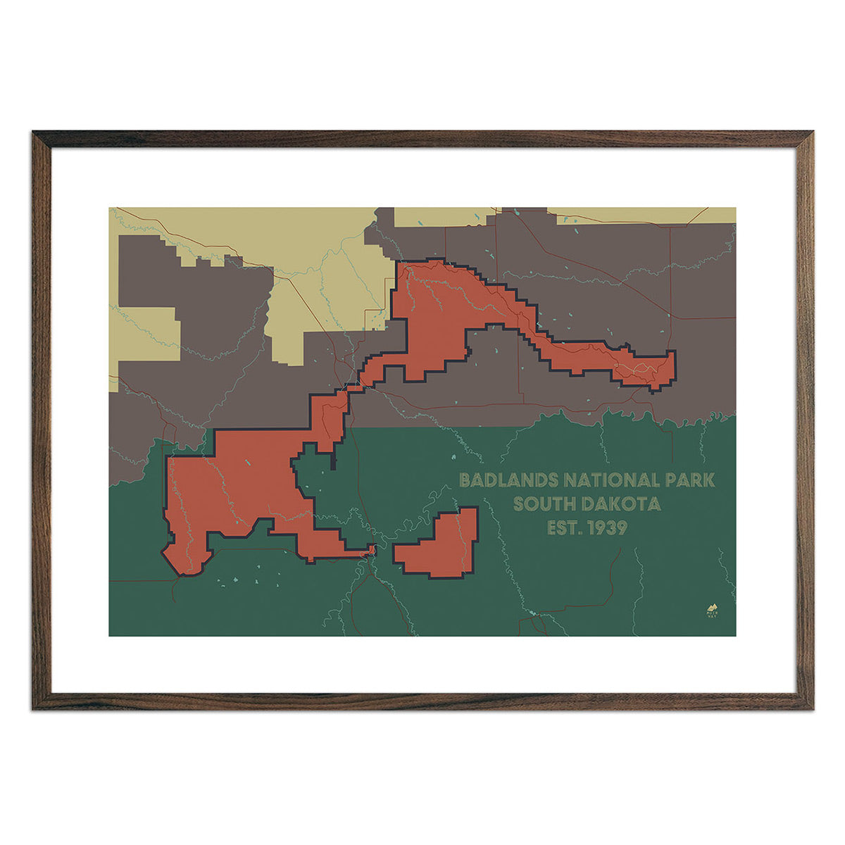
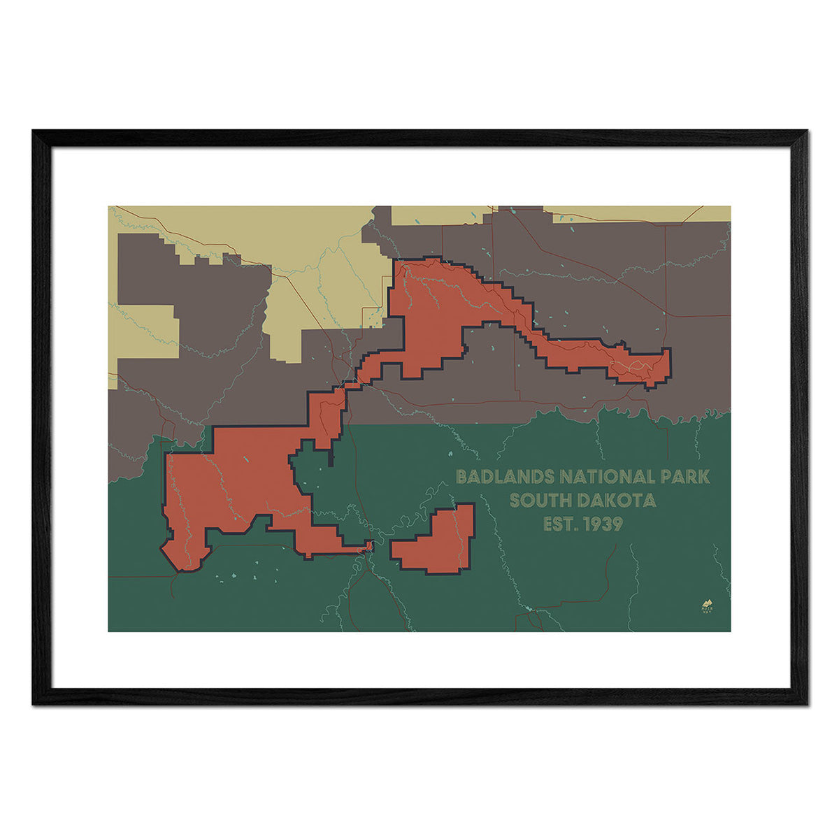
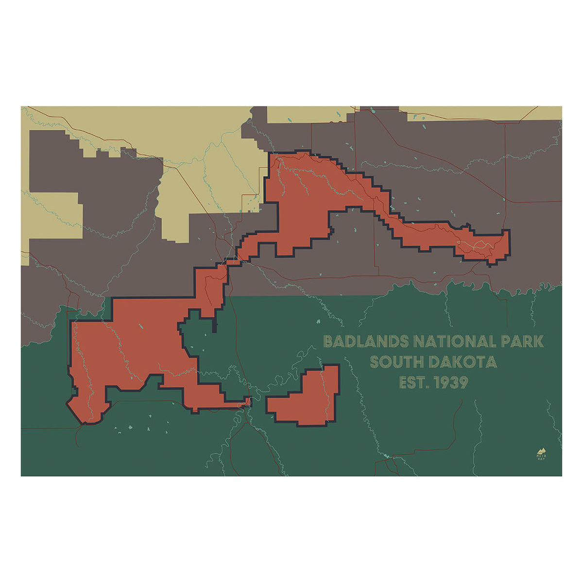
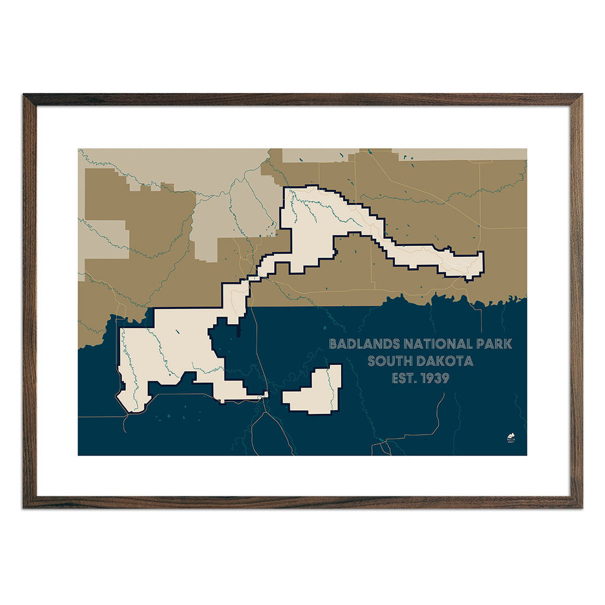
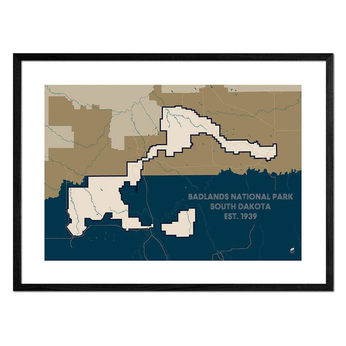
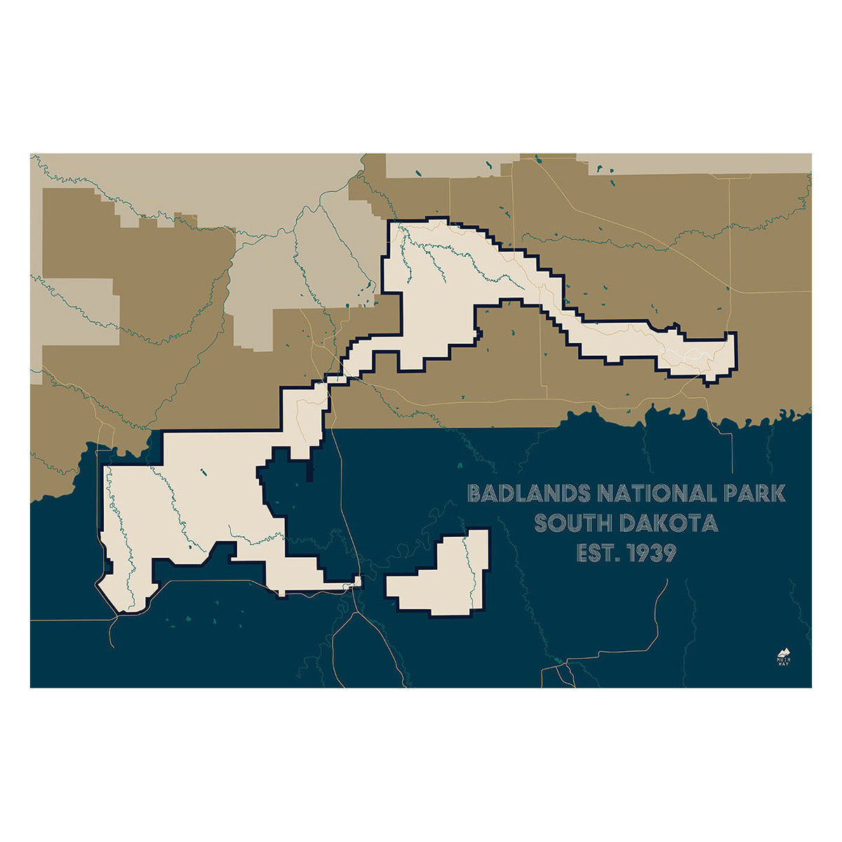
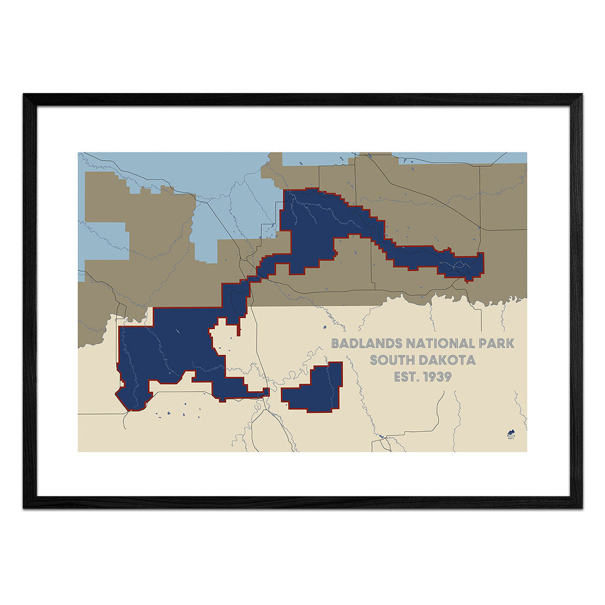
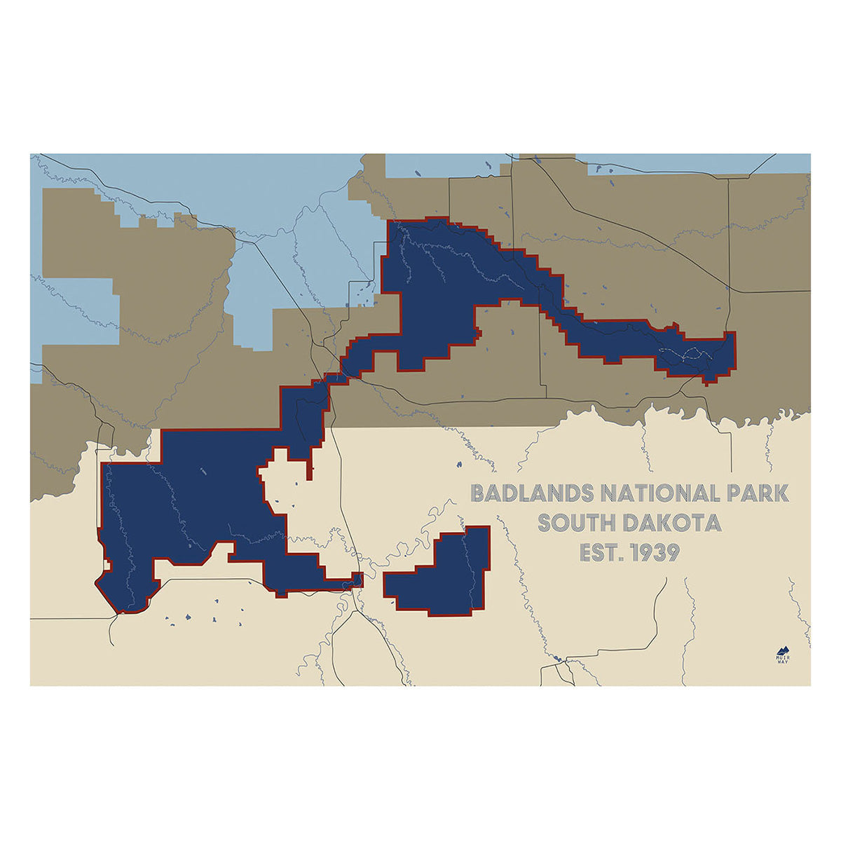
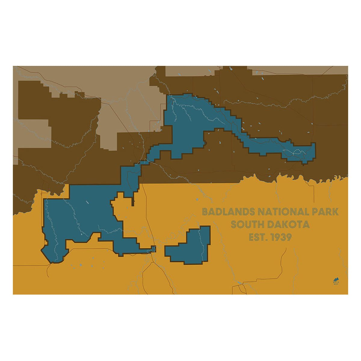
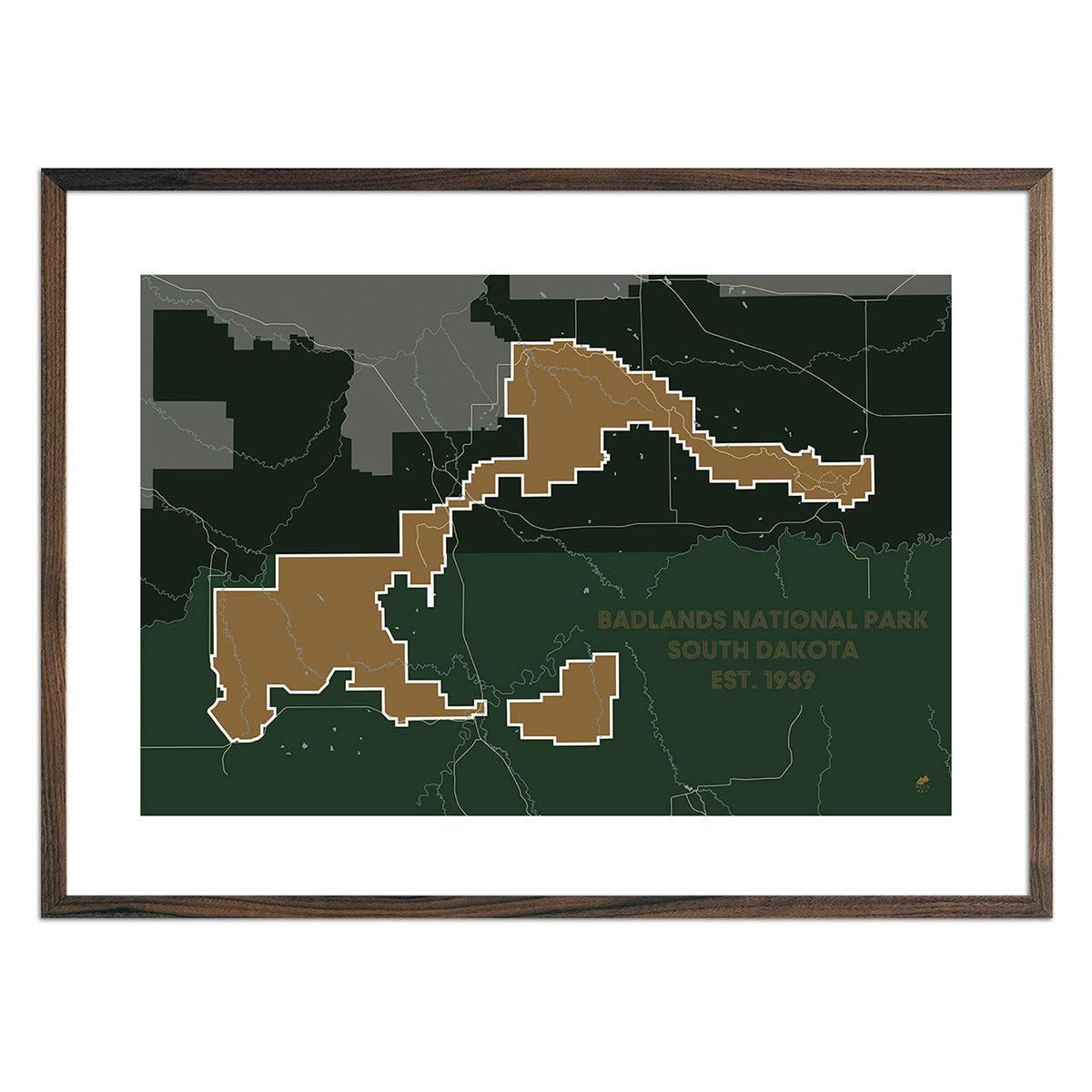
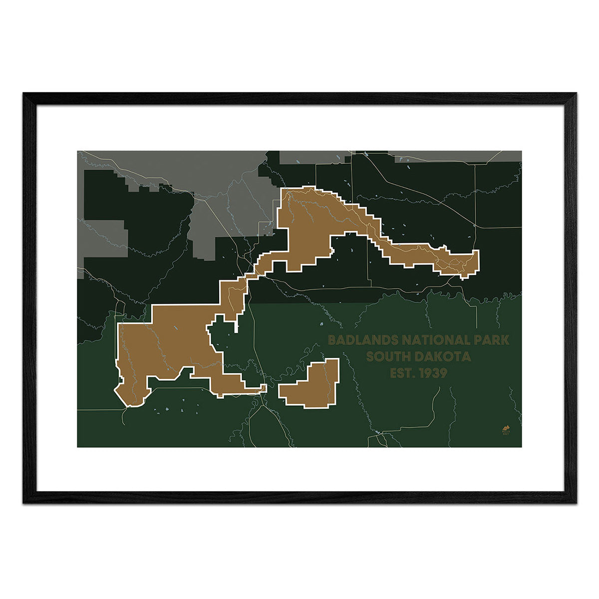
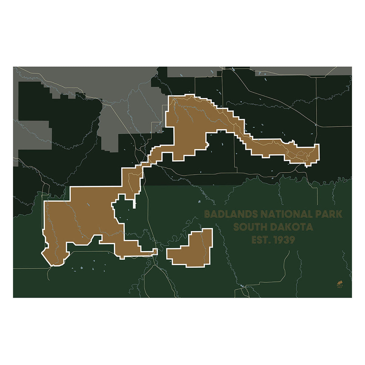
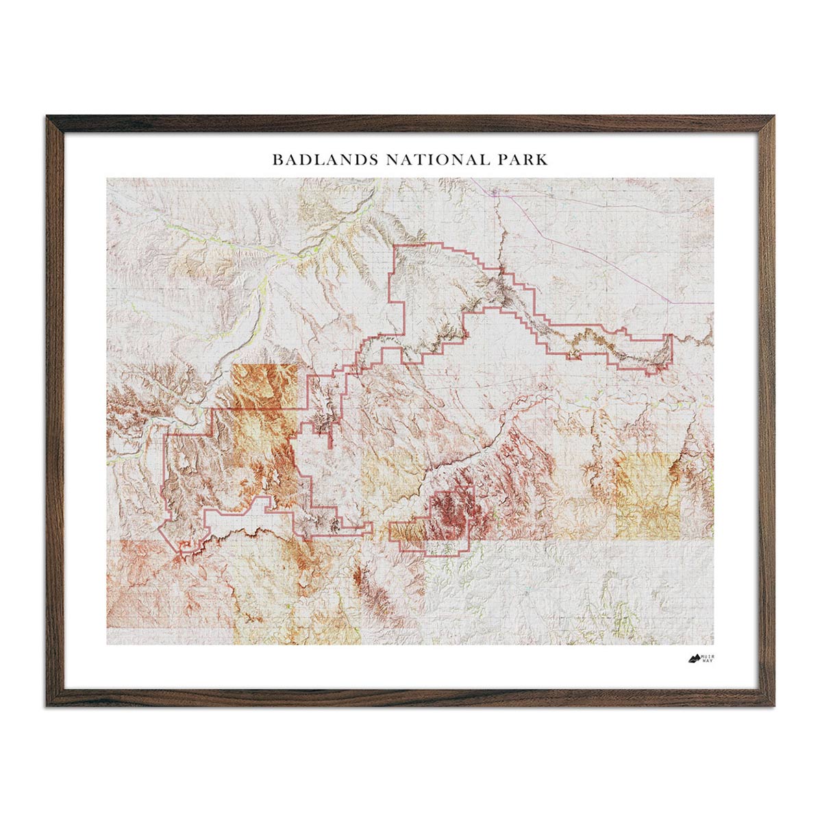
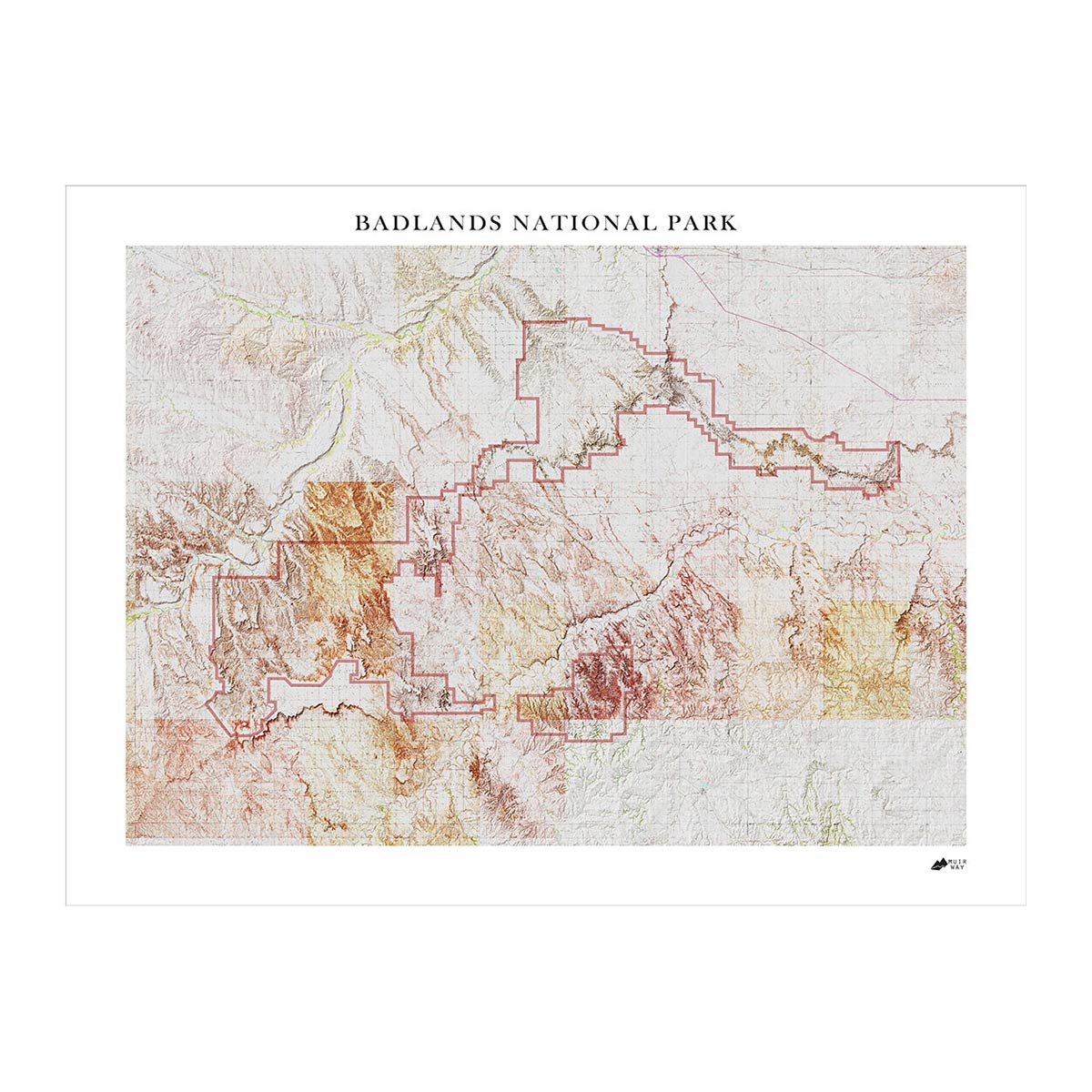
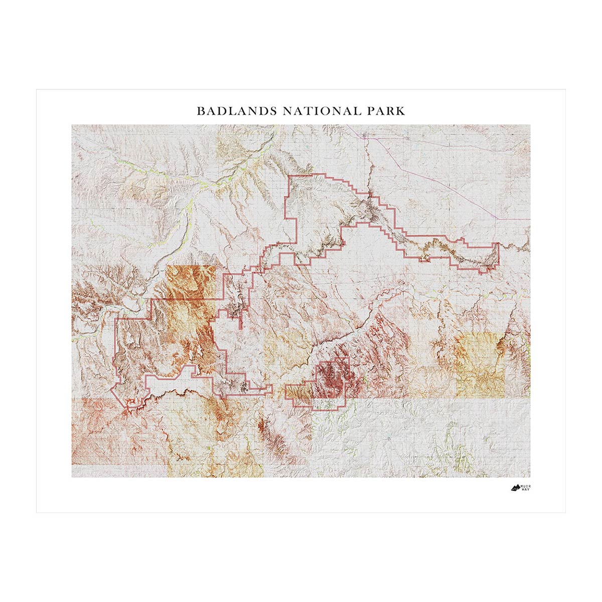
Our maps are eye-catching from across the room and up close. Hang a framed wall map as a central focus or purchase several maps in a similar style or from a particular region and arrange them near each other for a complementary series. Make a Badlands series with our Badlands National Park 1960 USGS map and Badlands National Park map. Our hydrological maps come in several colors or the classic black and white, and our geological relief maps feature vibrant colors. No matter which you choose, you’re sure to find a South Dakota map that will look right at home.
What are the different types of maps of South Dakota available on Muir Way?
Our South Dakota maps are available in several different styles, including:
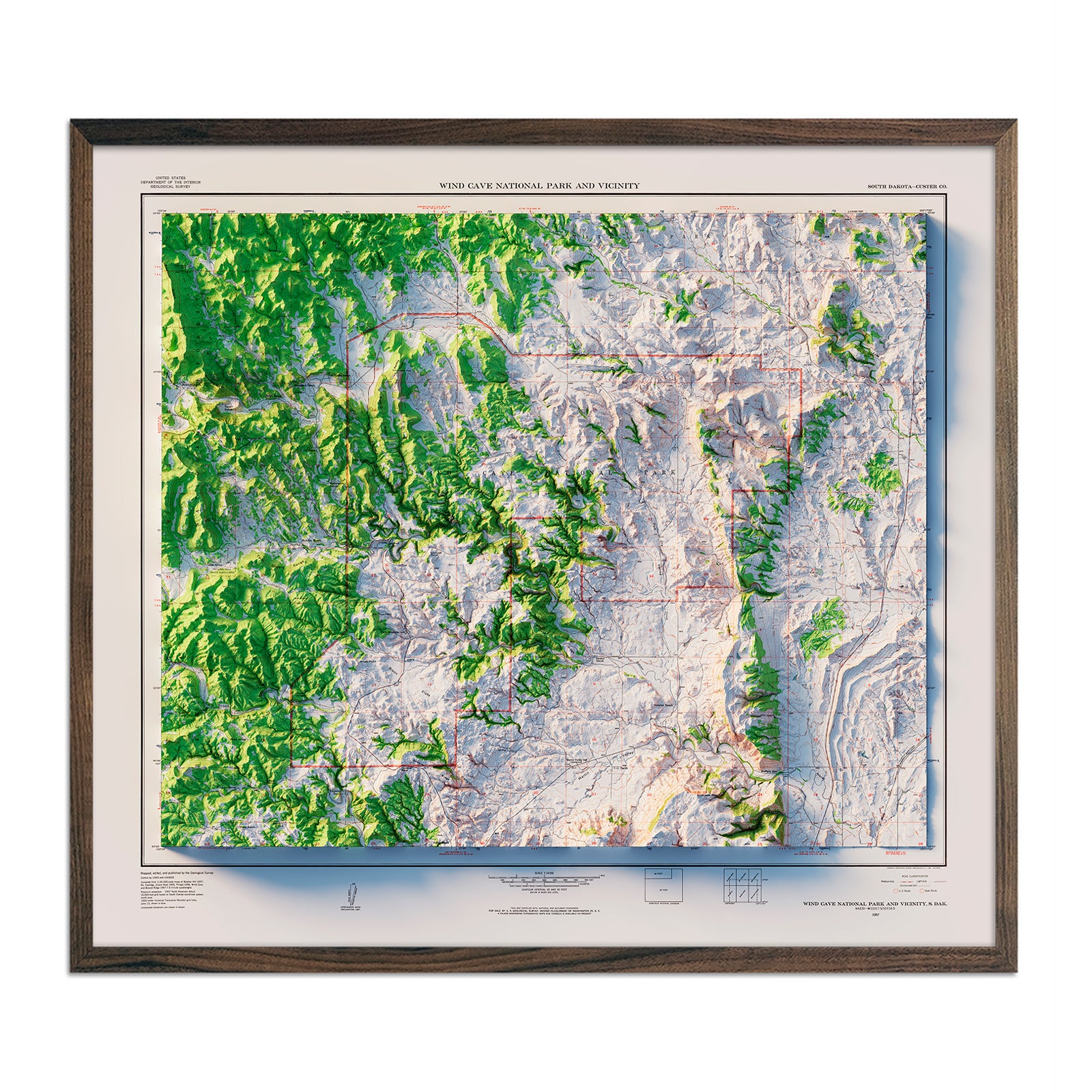
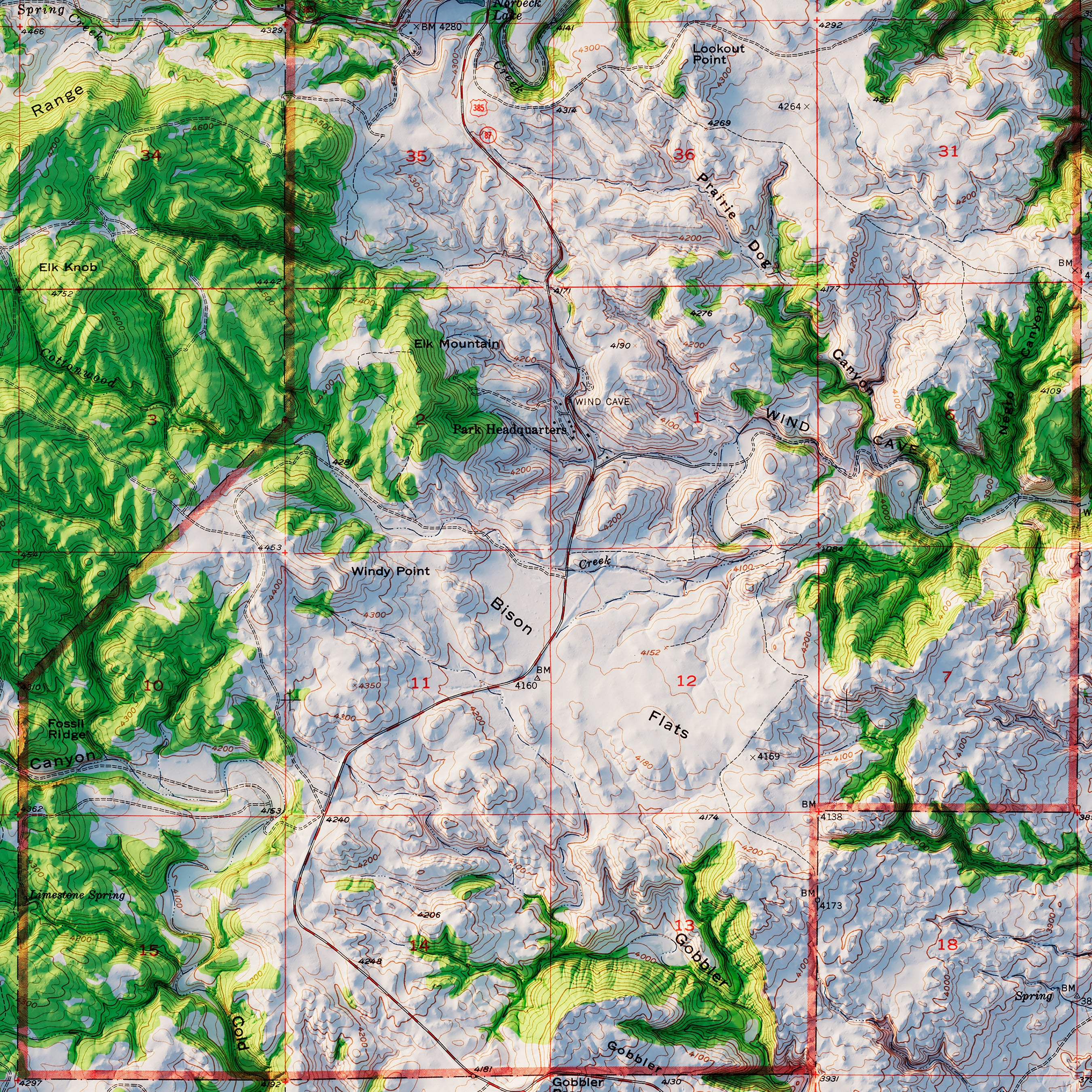
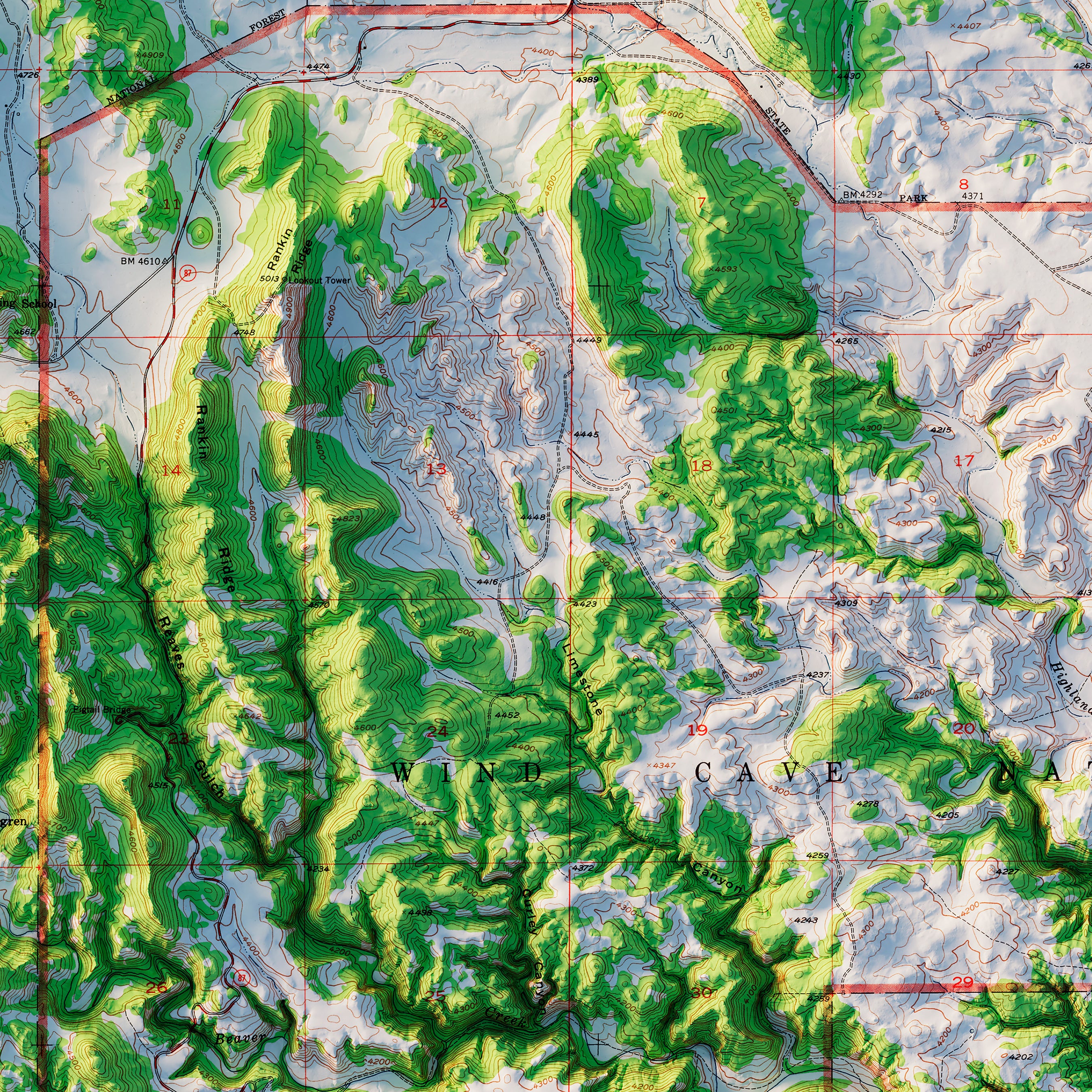
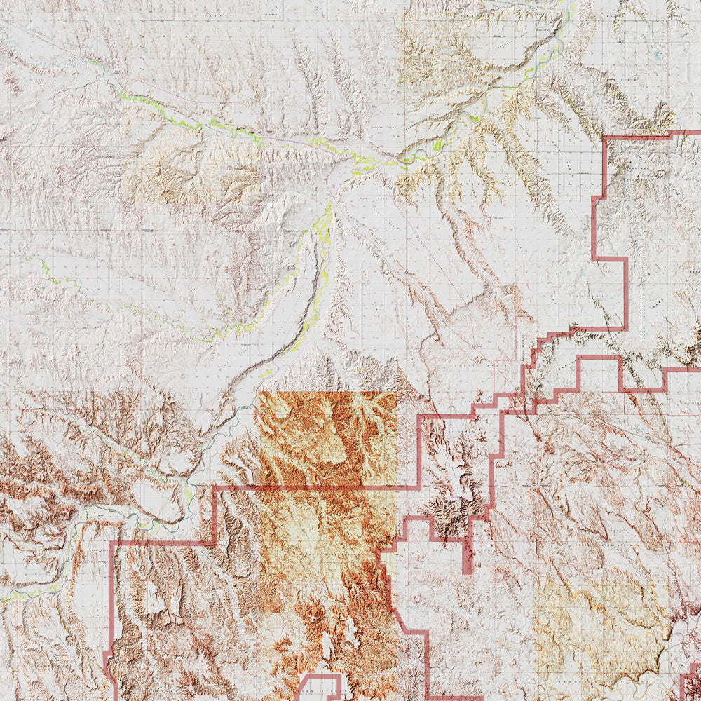
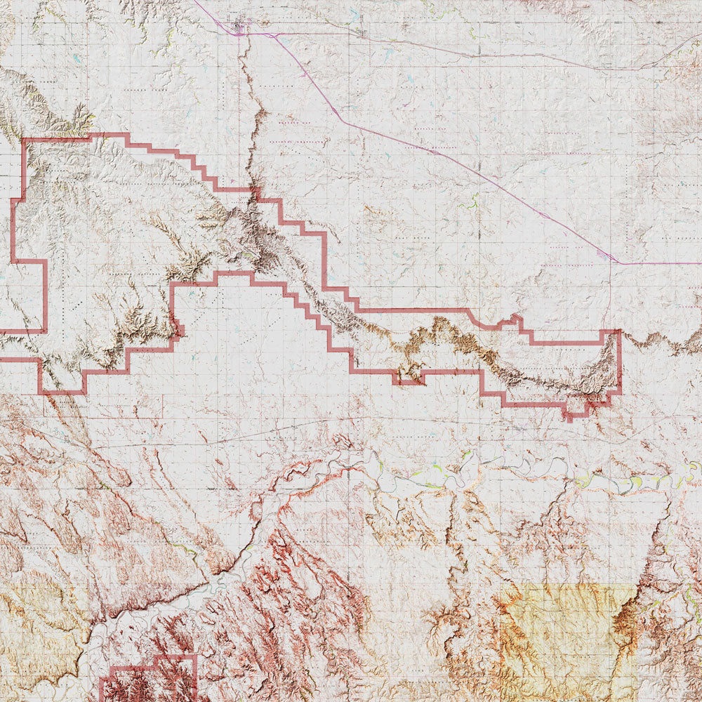
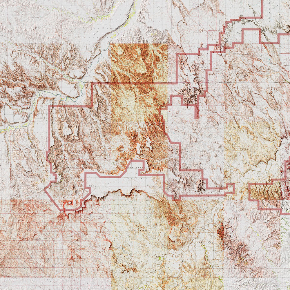
South Dakota Relief maps - Our relief maps of South Dakota bring historical map landscapes together with modern technology to show Virginia’s landscapes in a new way. Using Digital Elevation Data and hand-shaded relief, we custom enhance vintage maps to create a 3D effect on a 2D surface. See South Dakota’s spectacular terrain in vibrant colors on our Badlands relief map.
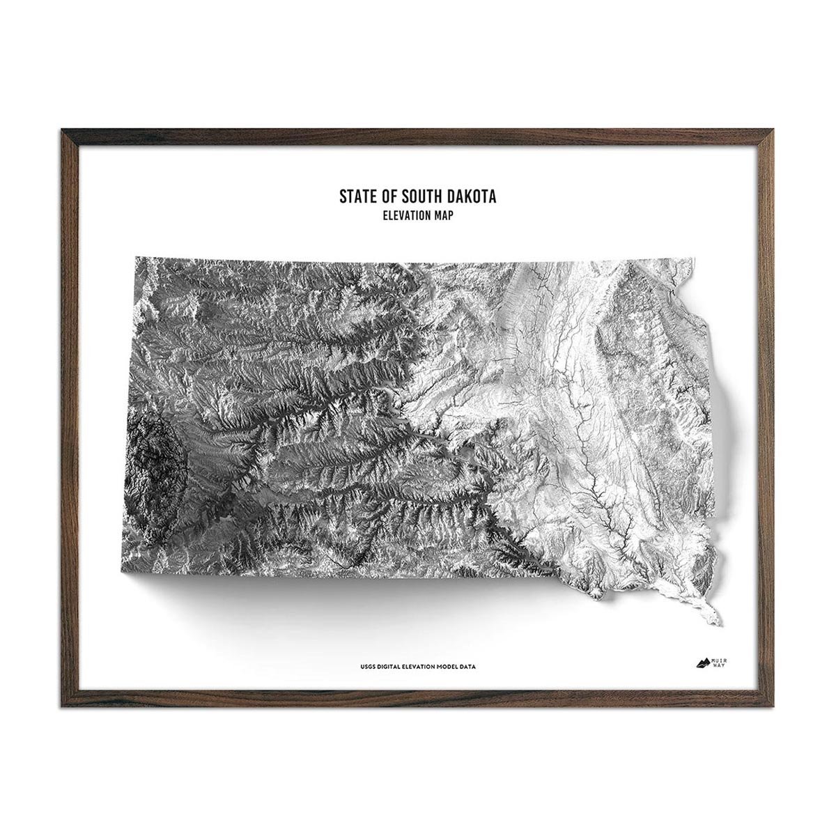
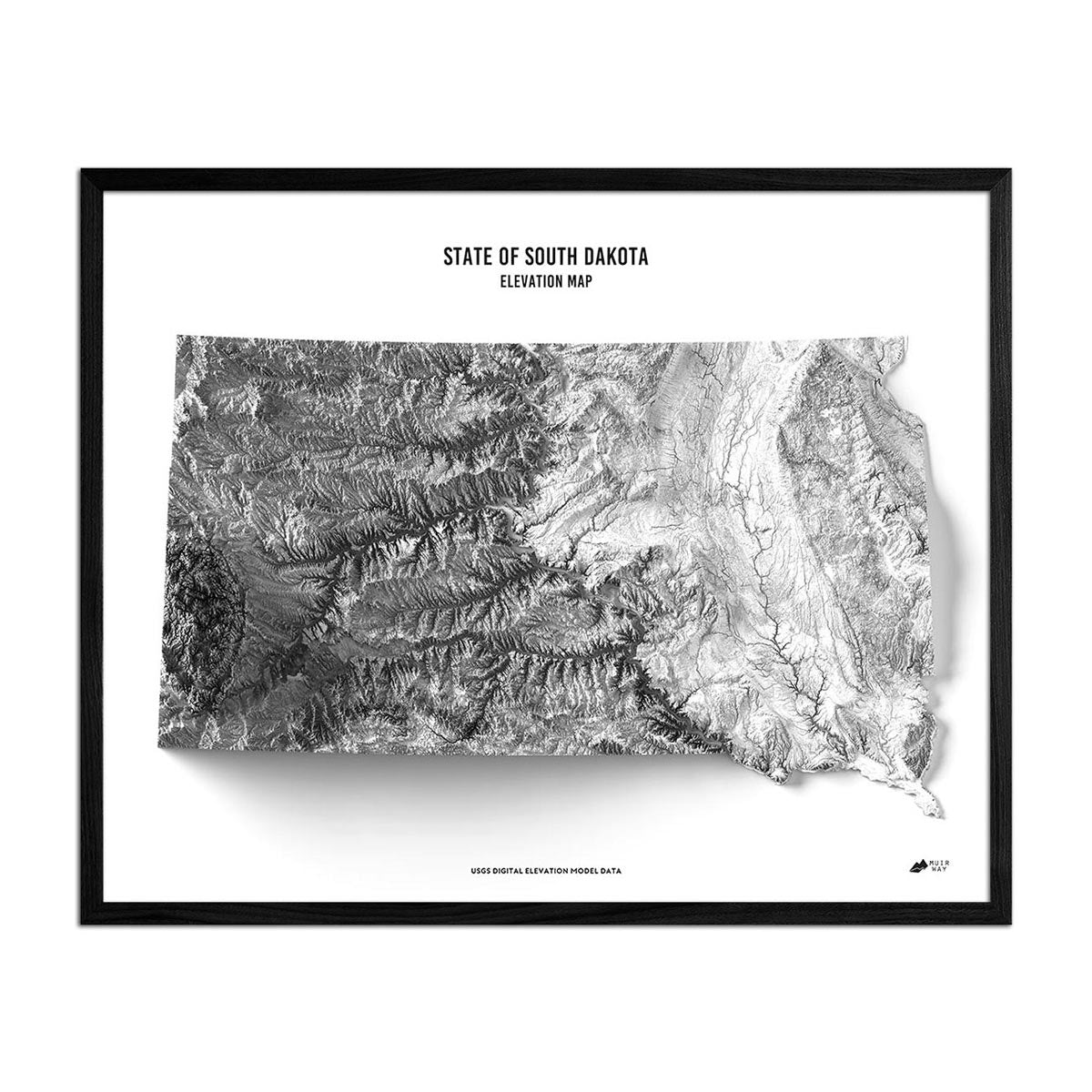
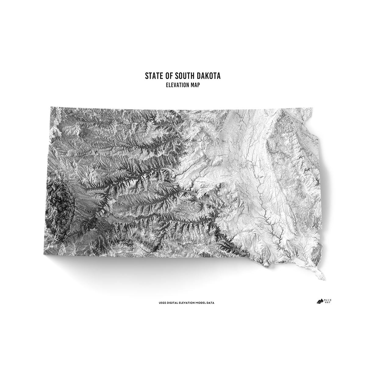
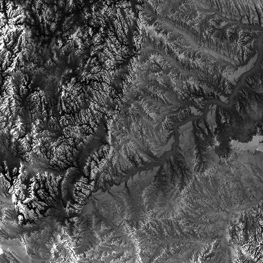
South Dakota elevation maps - Our South Dakota elevation map uses Digital Elevation Data from the USGS and hand-shaded relief just like our relief maps to create a high-contrast 3-dimensional effect in stunning black and white.
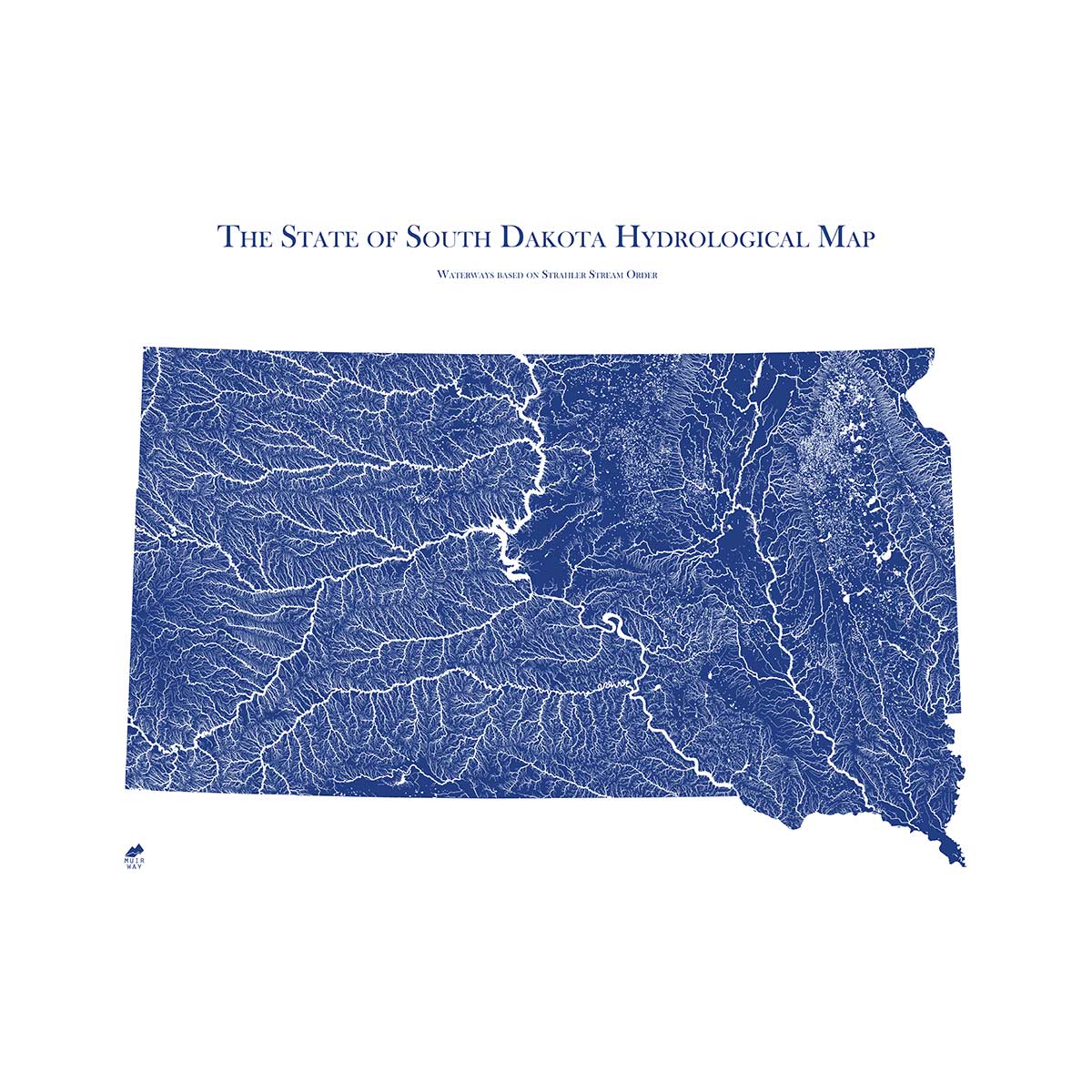
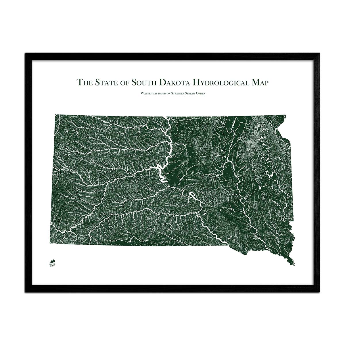
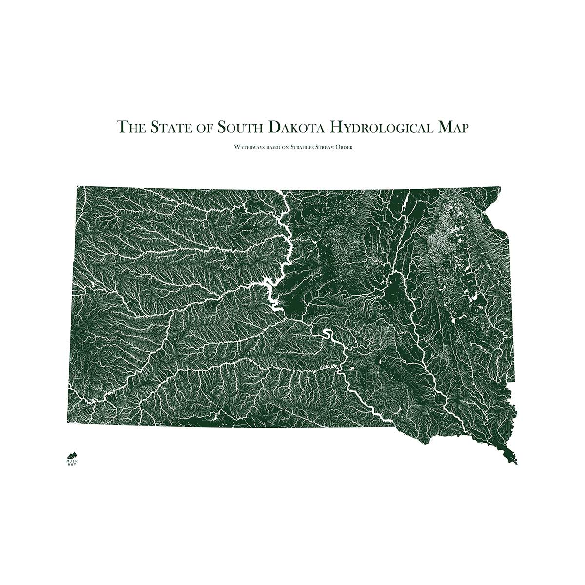
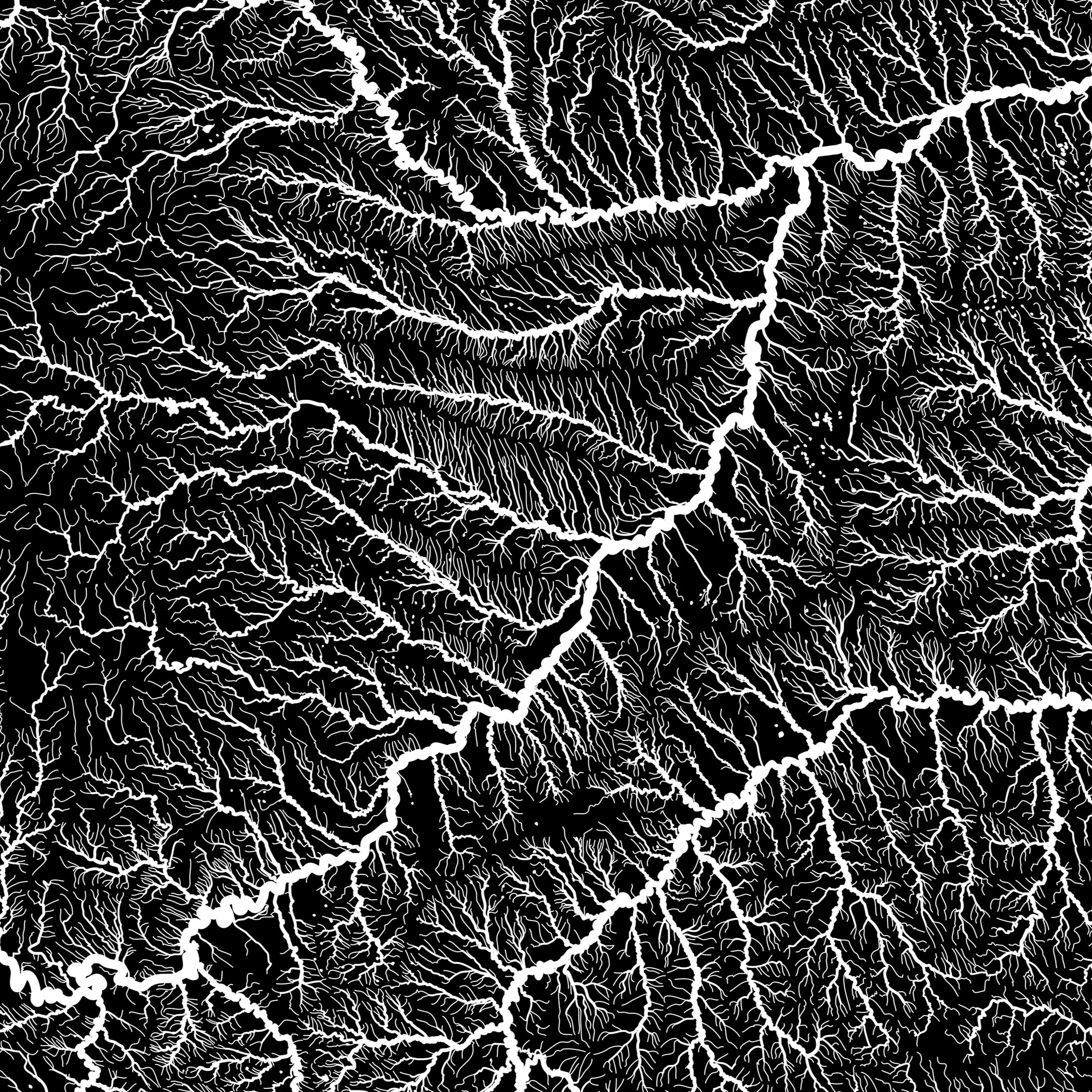
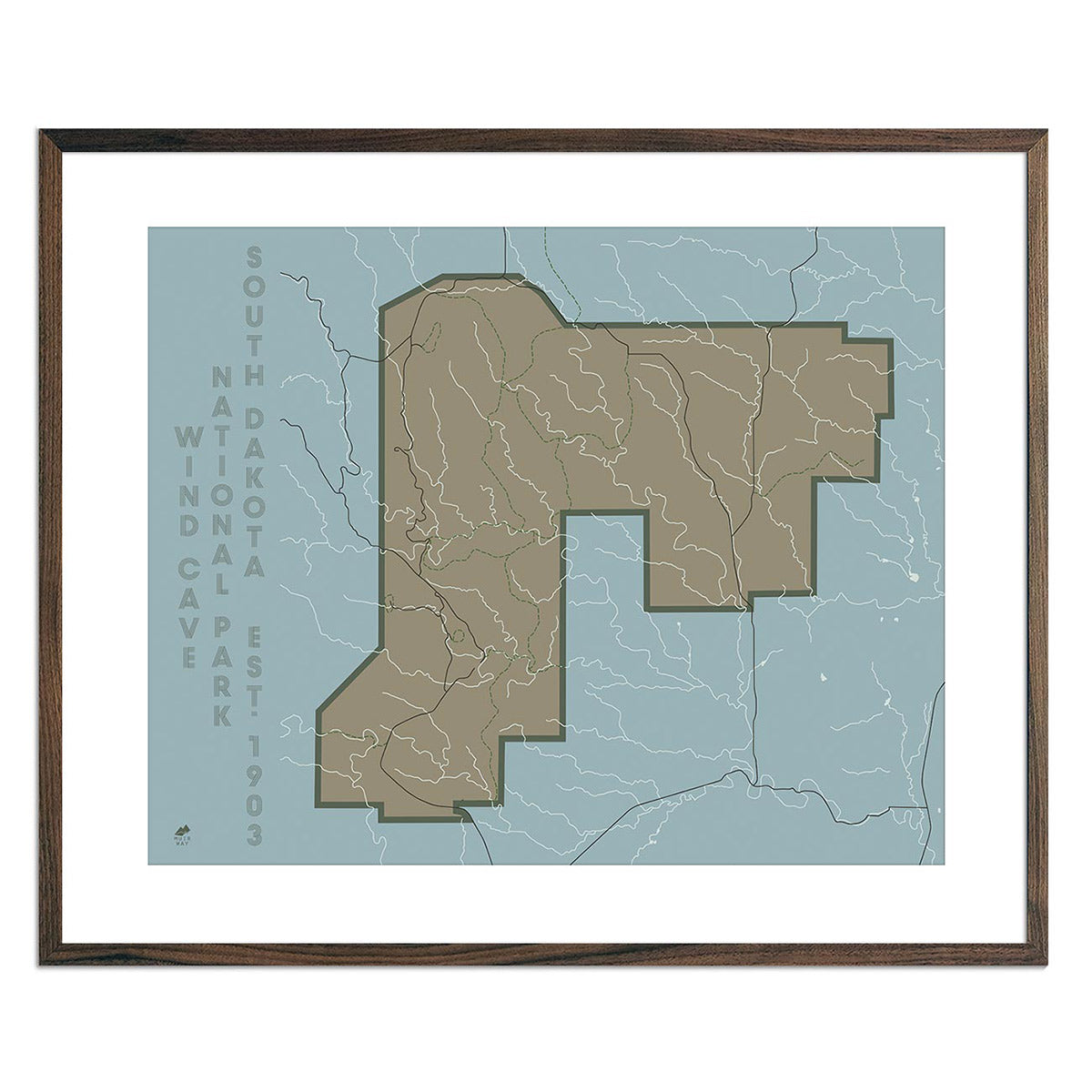
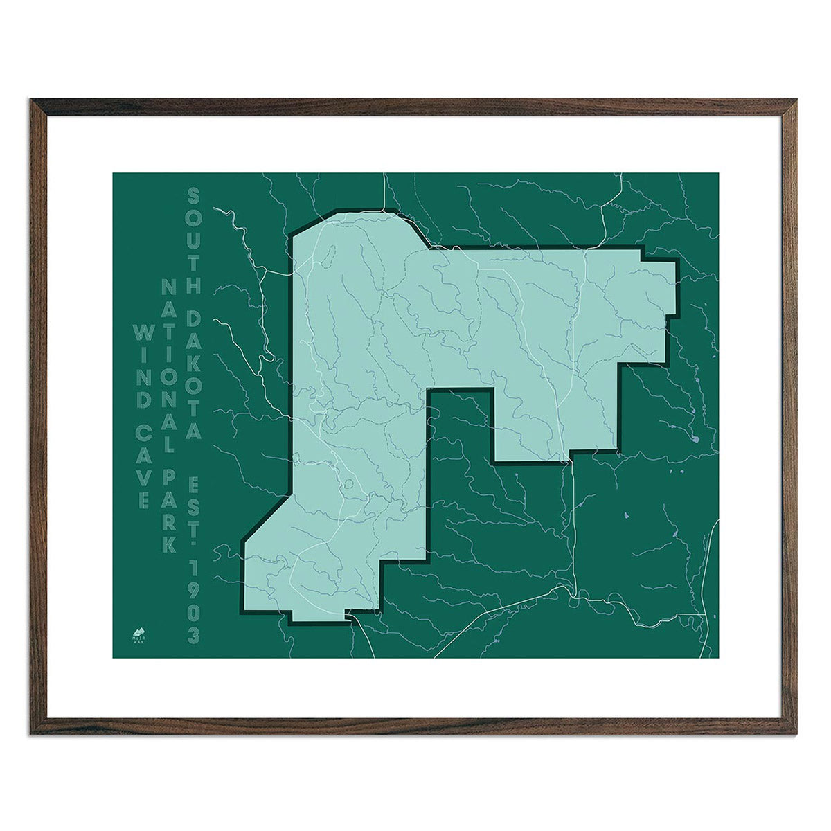
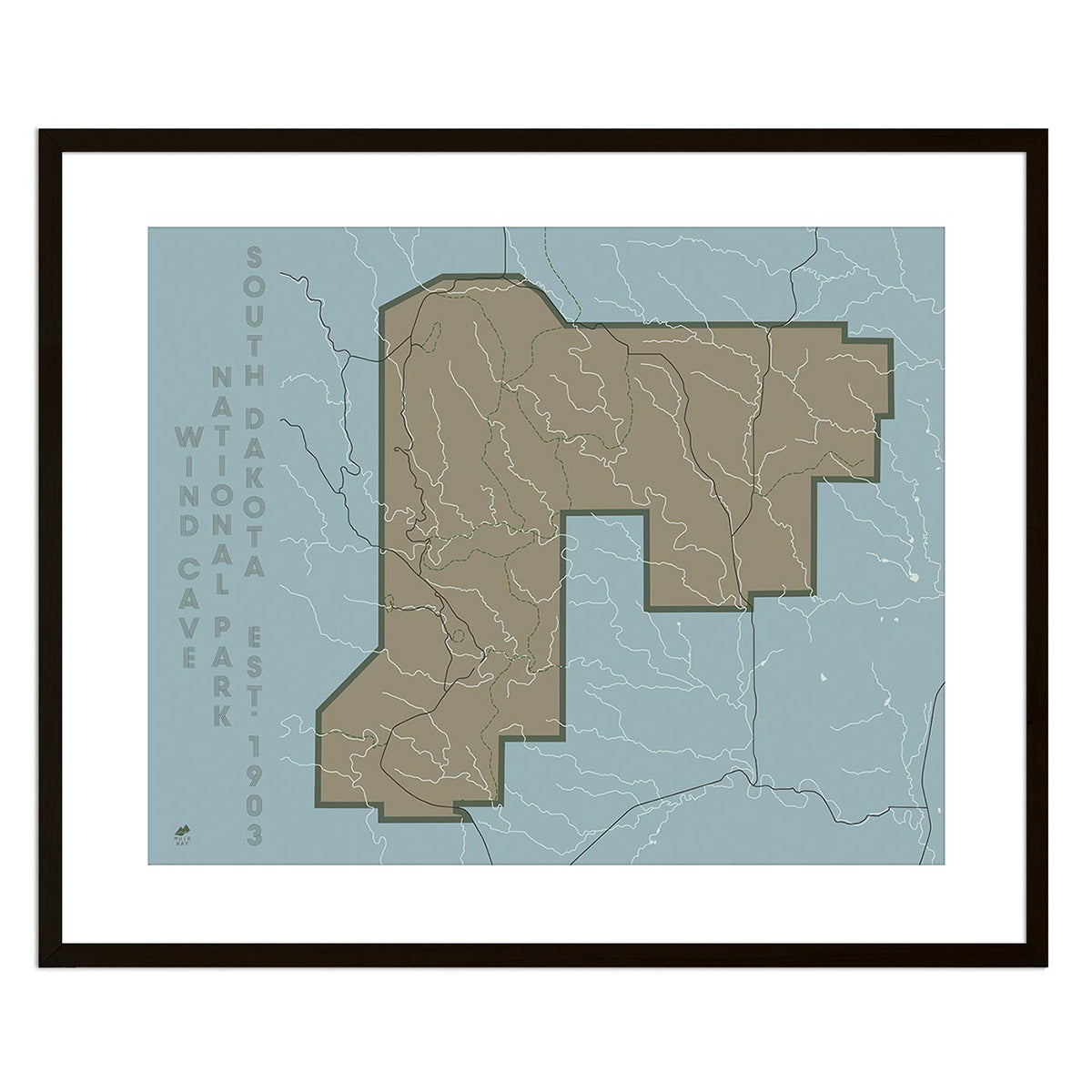
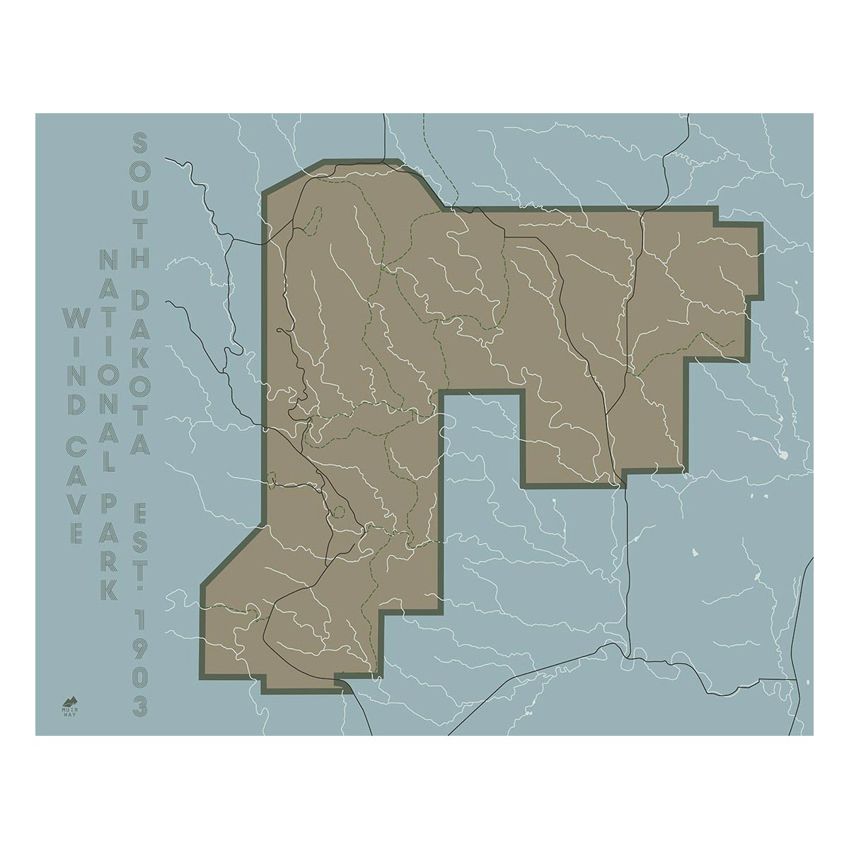
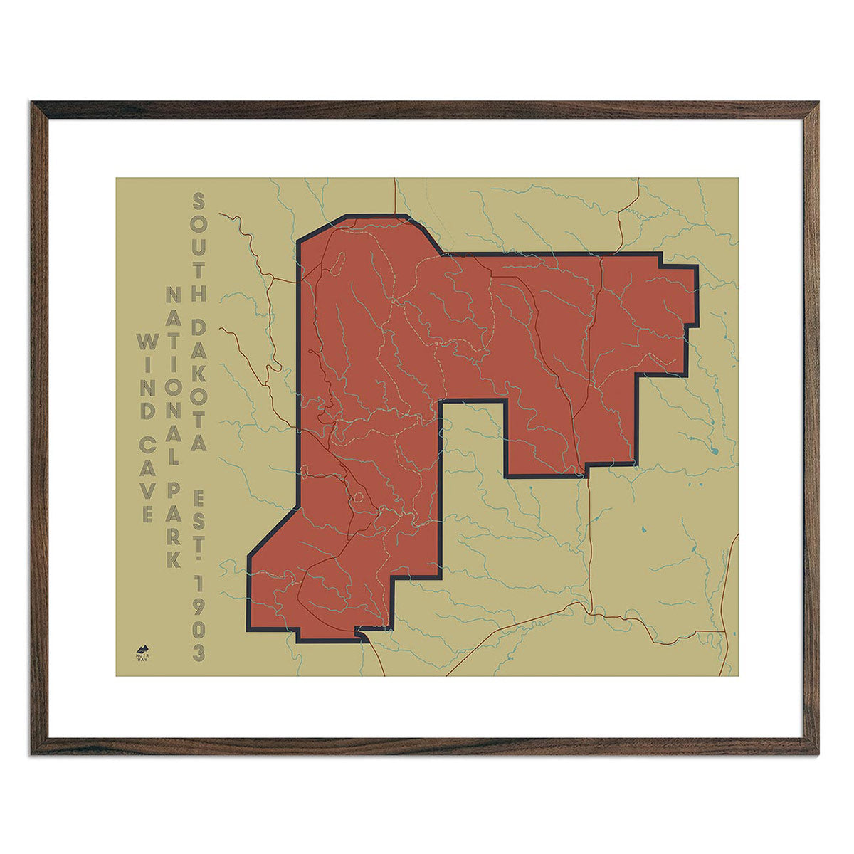
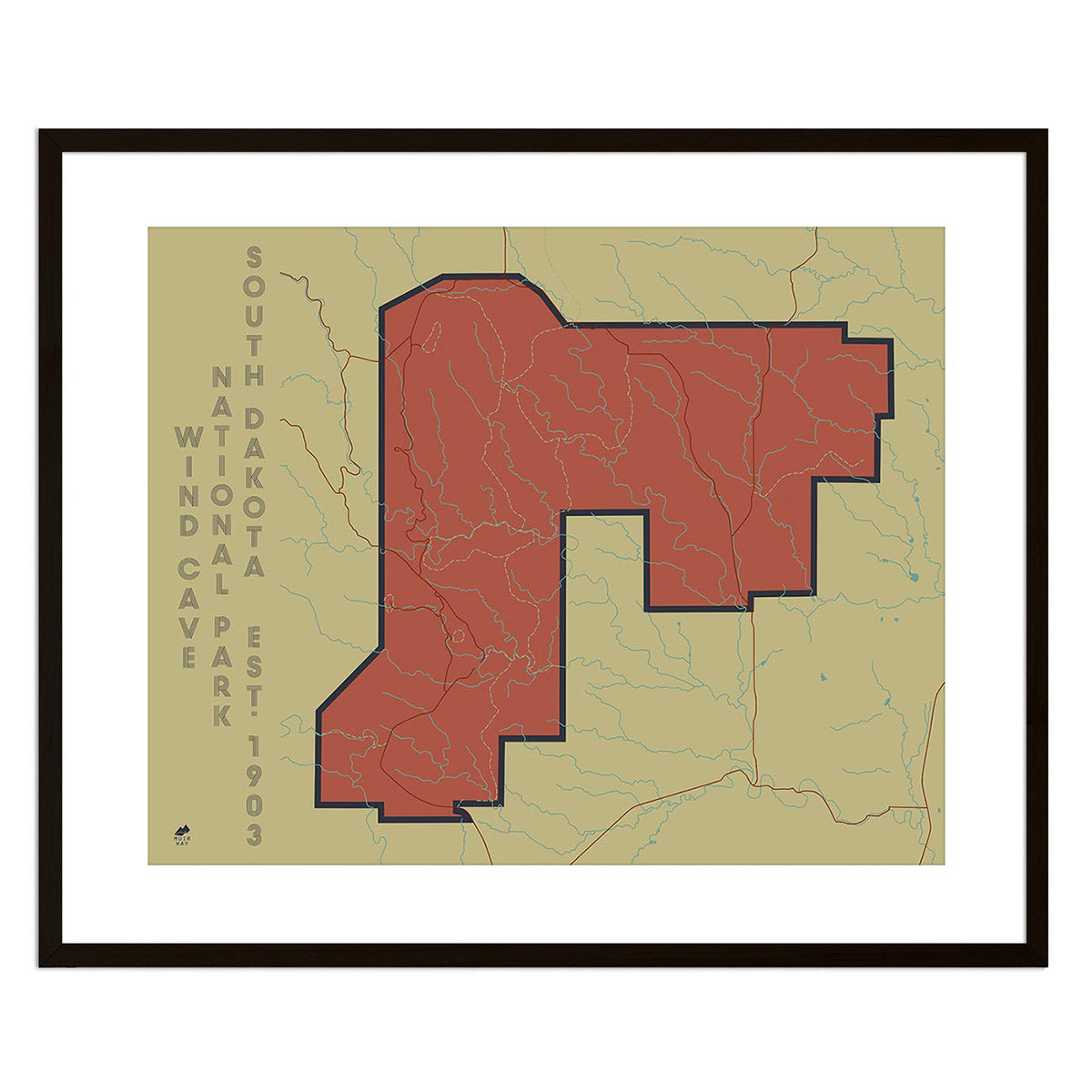
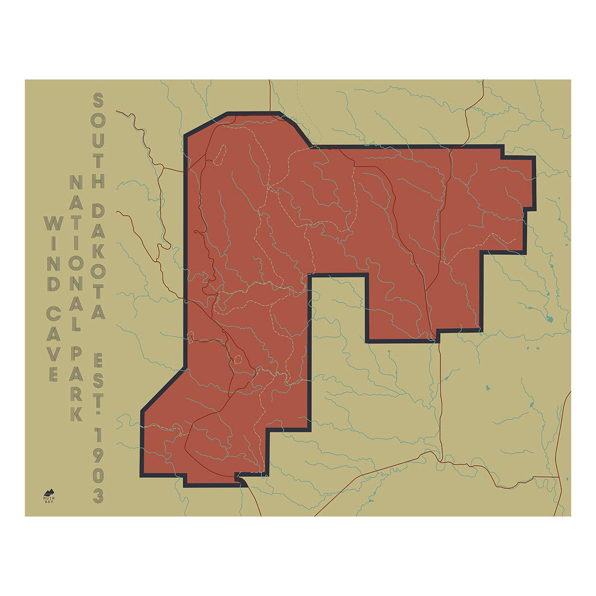
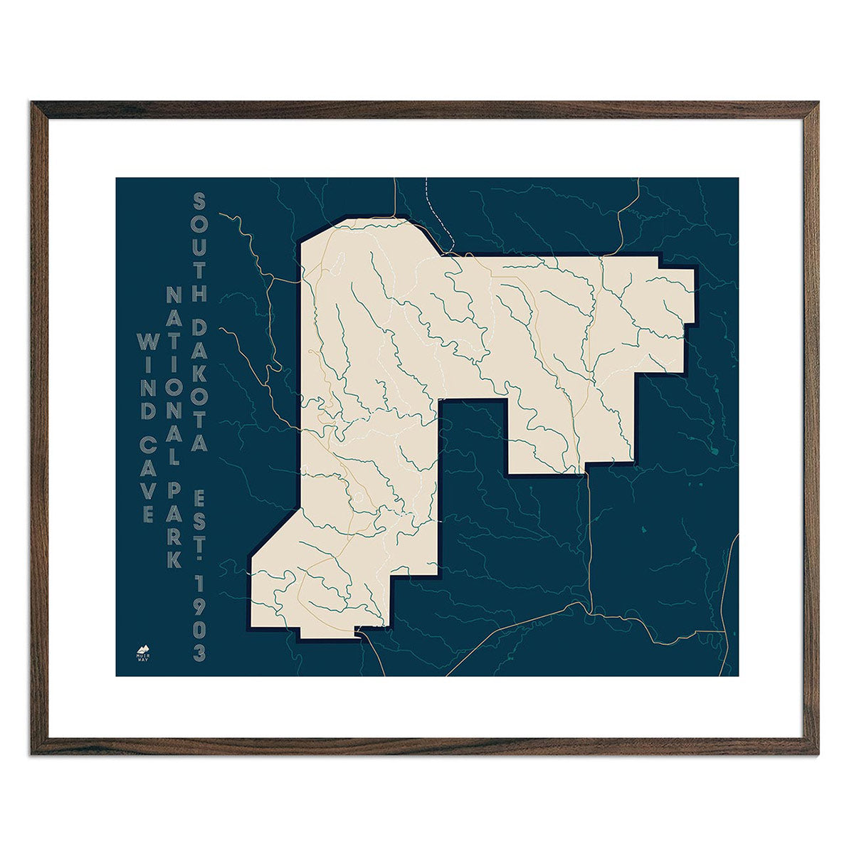
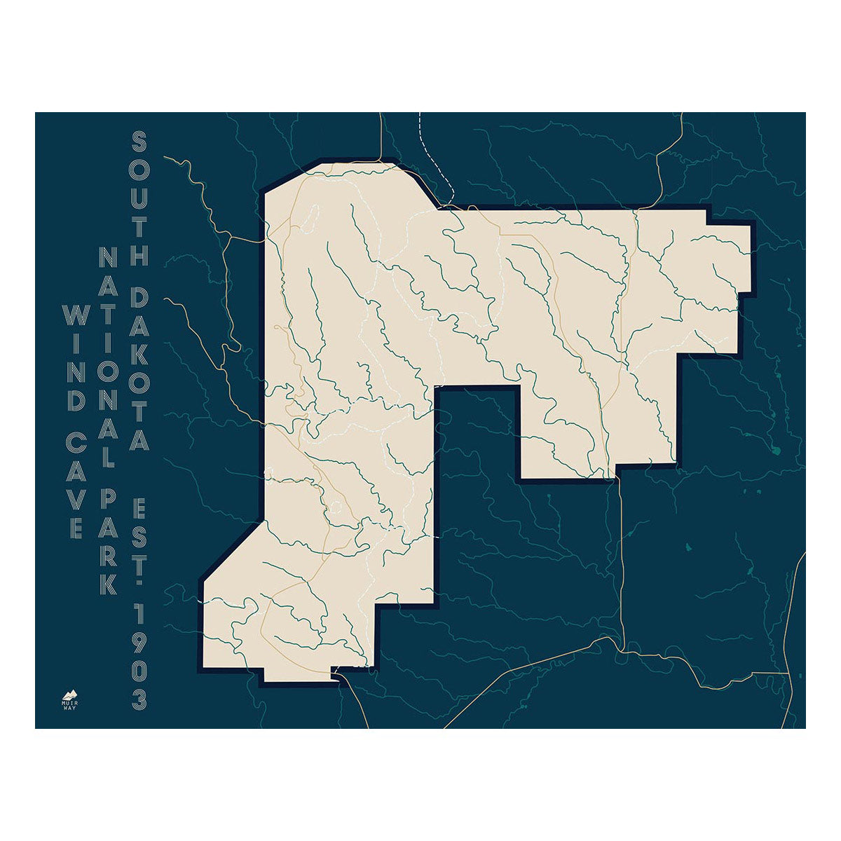
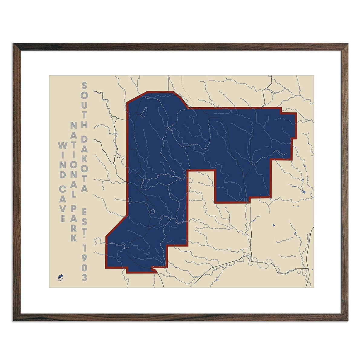
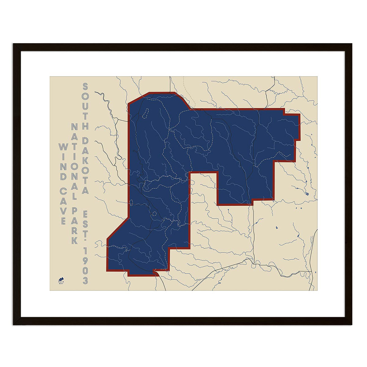
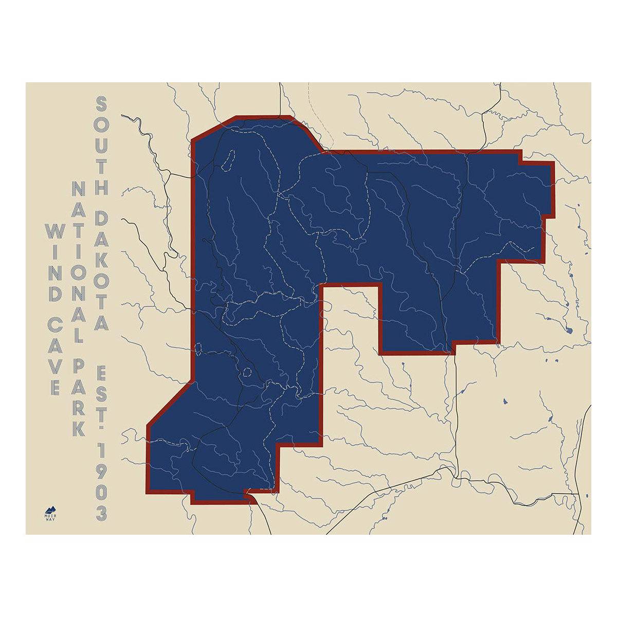
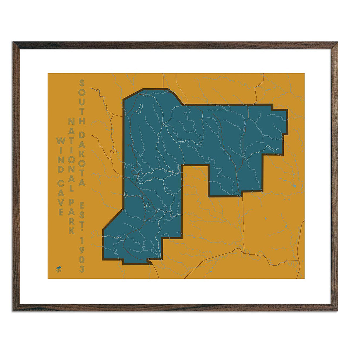
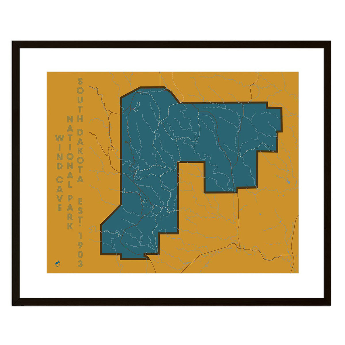
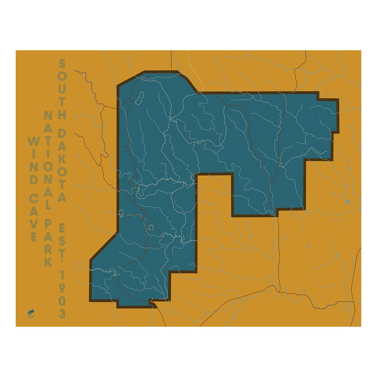
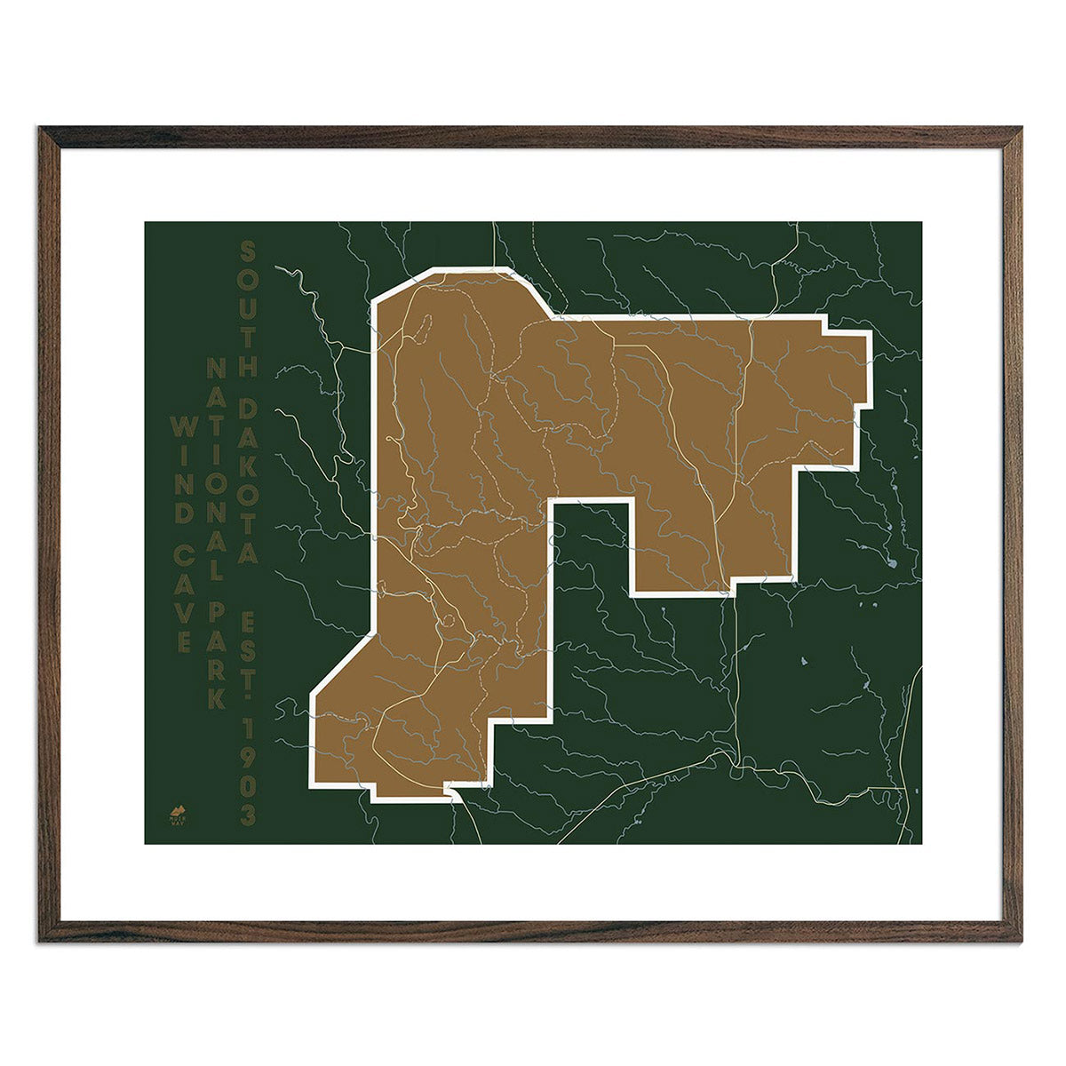
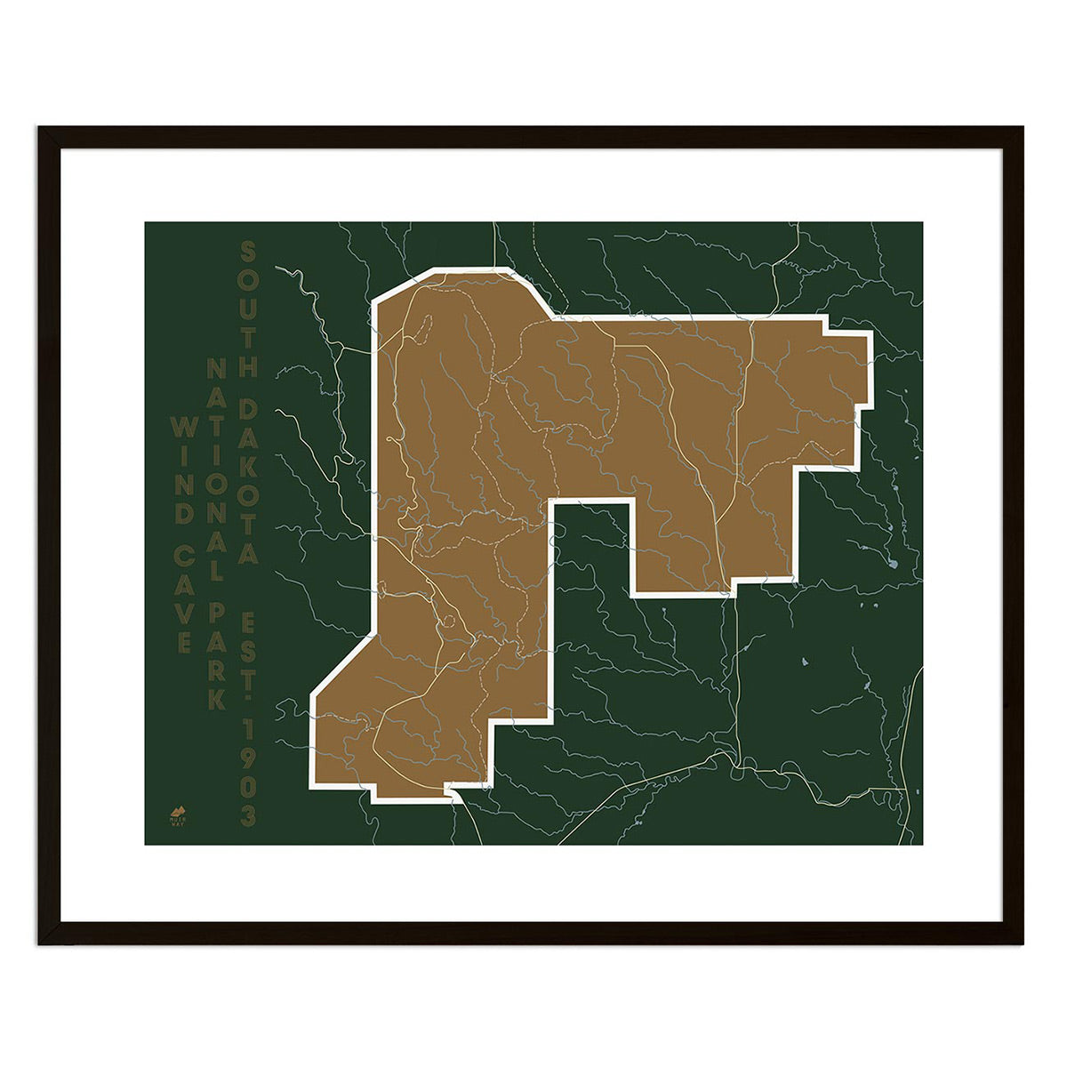
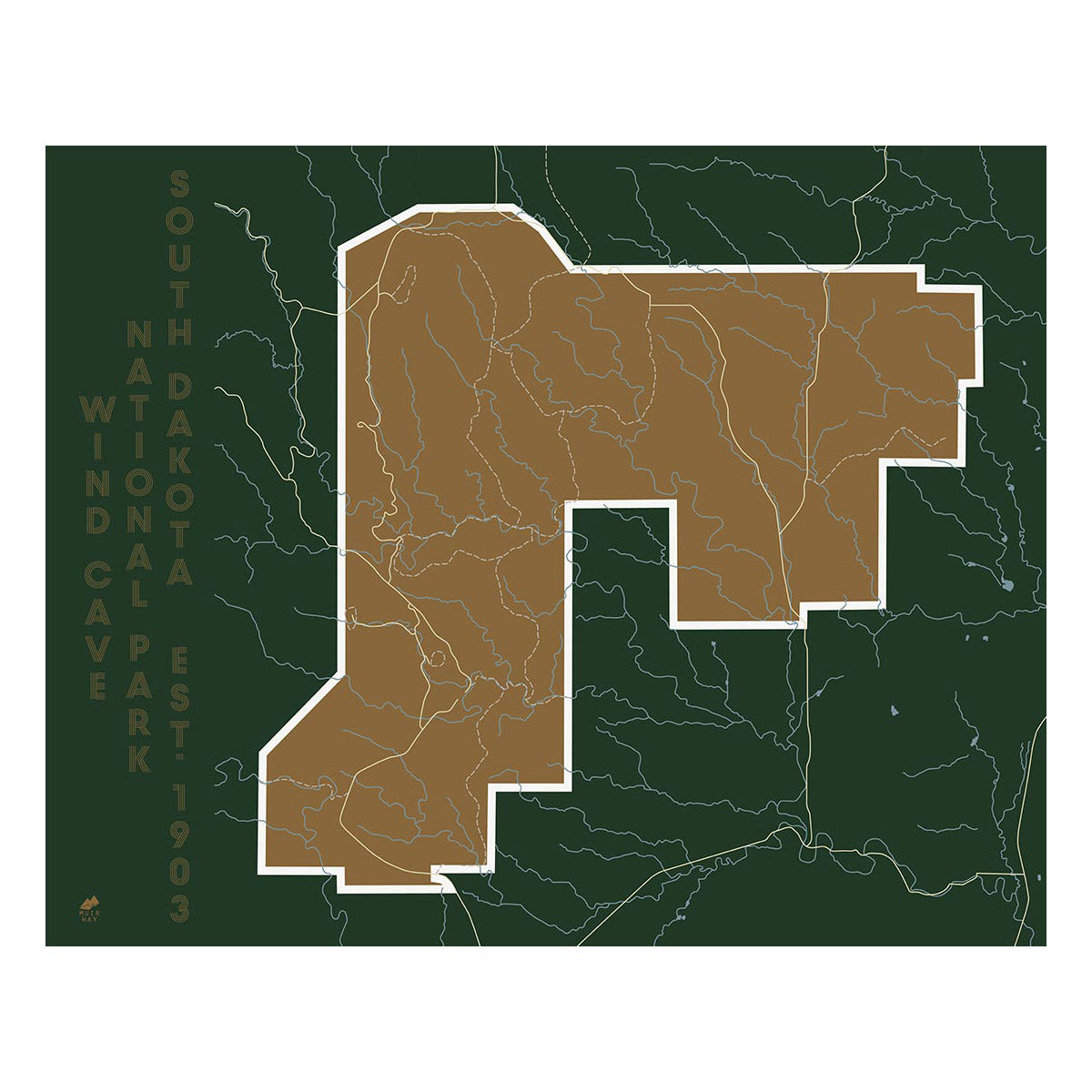
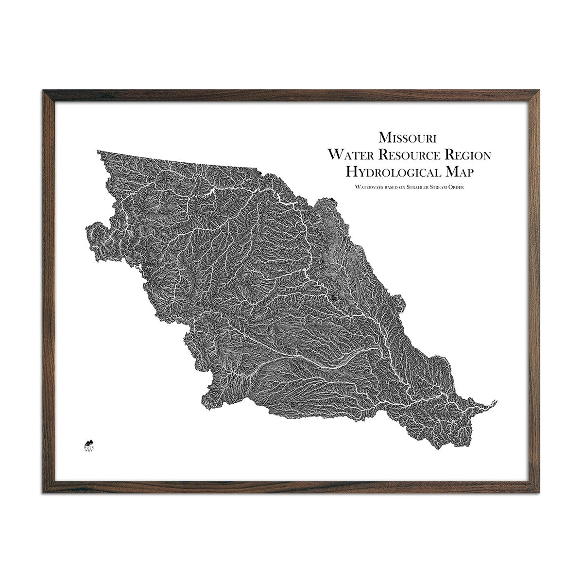
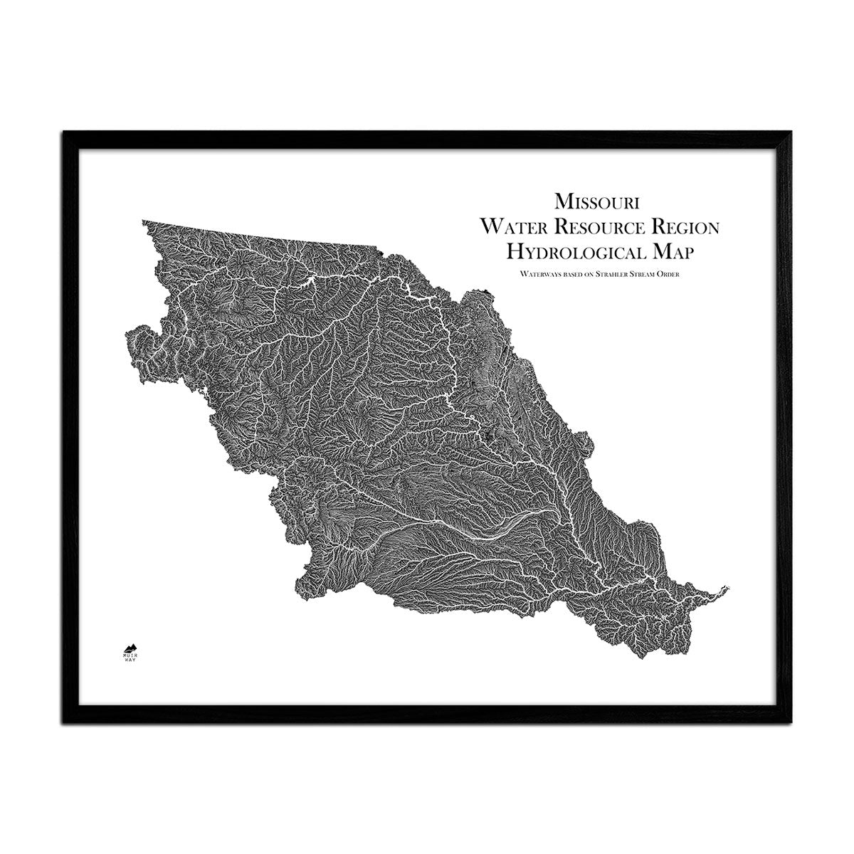
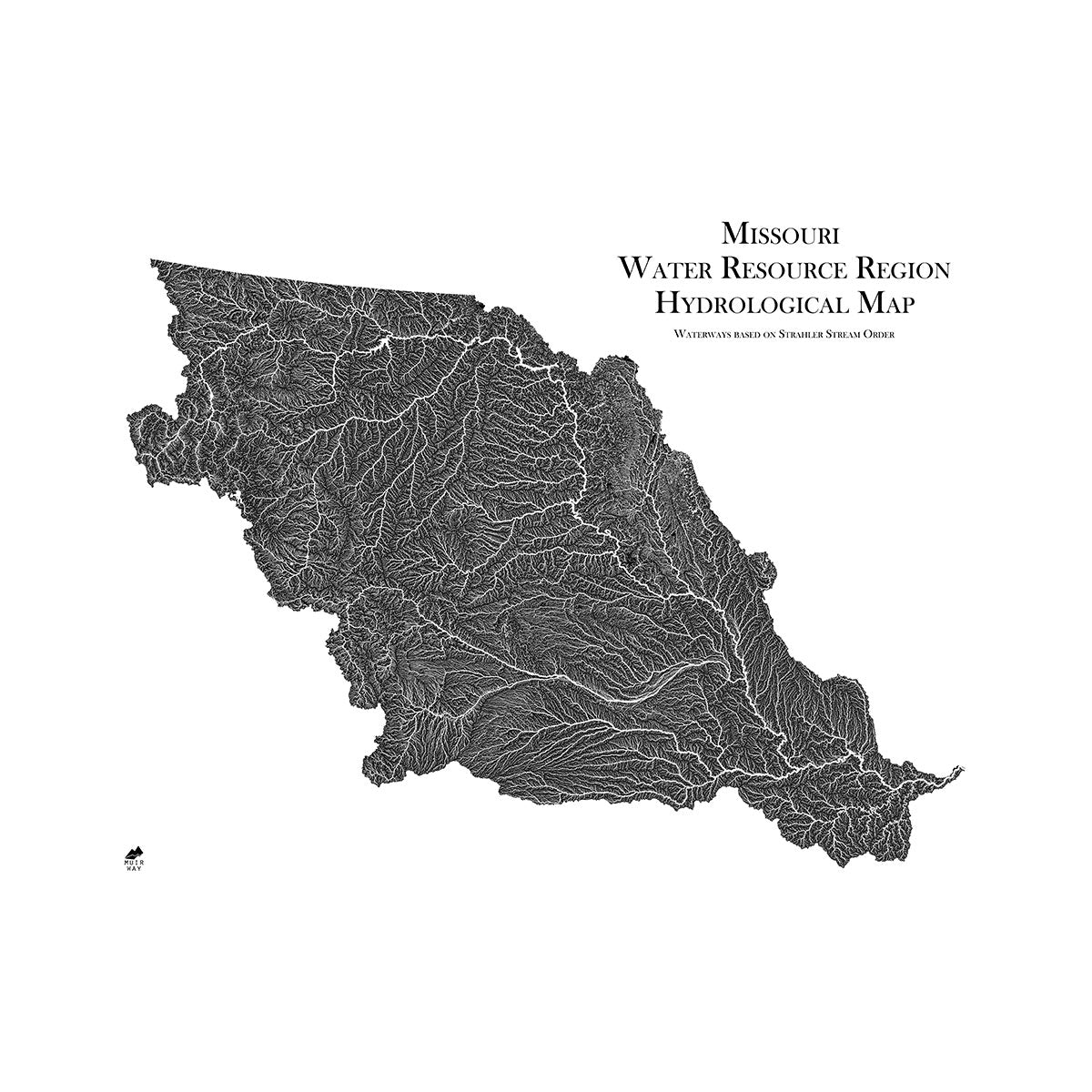
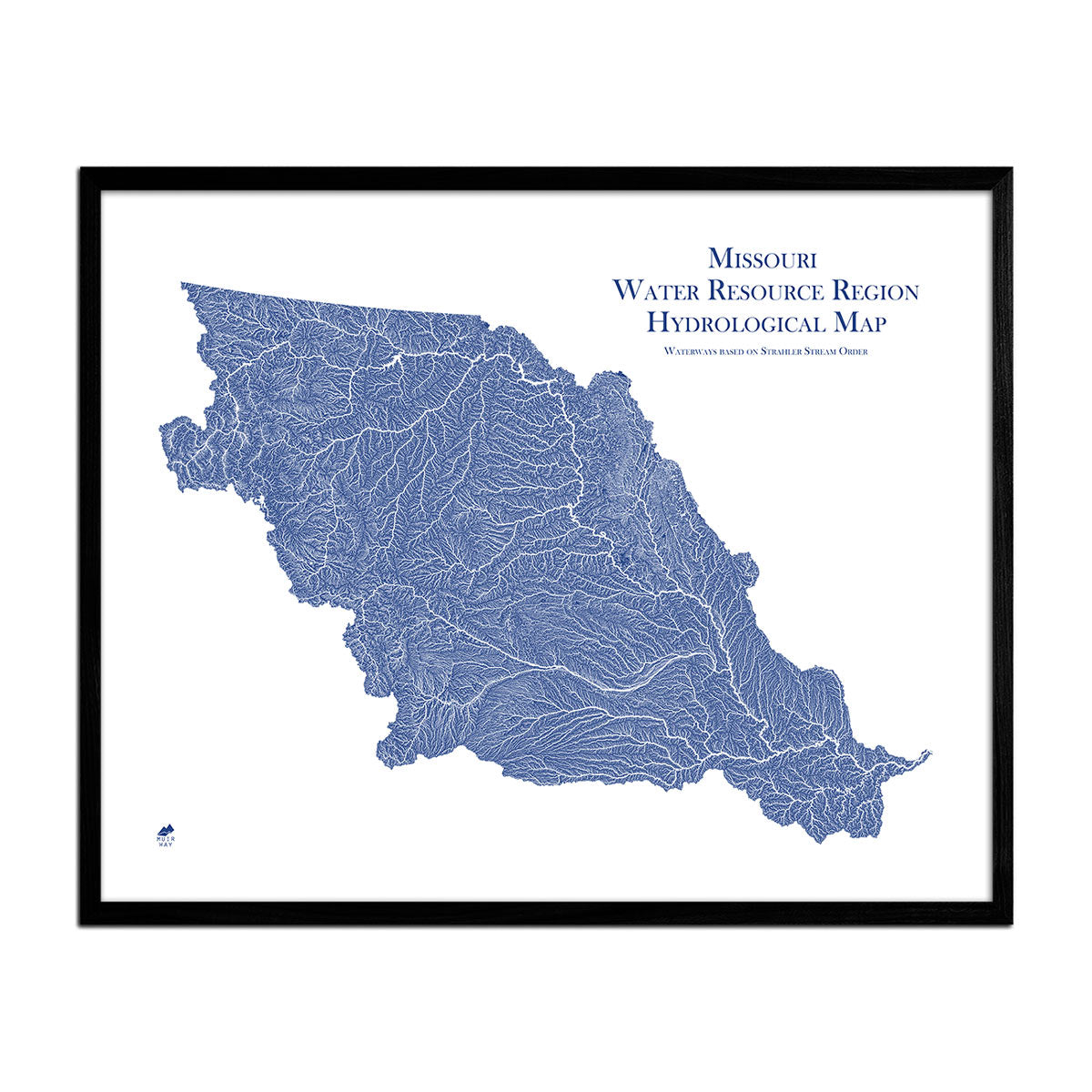
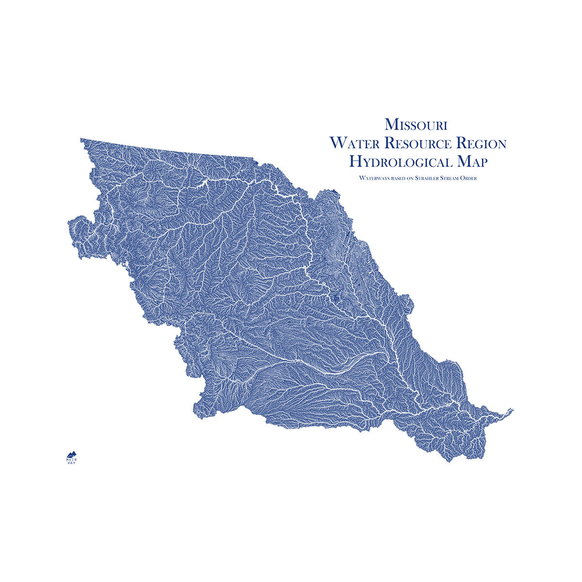
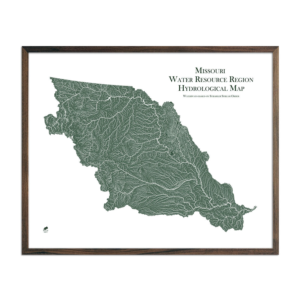
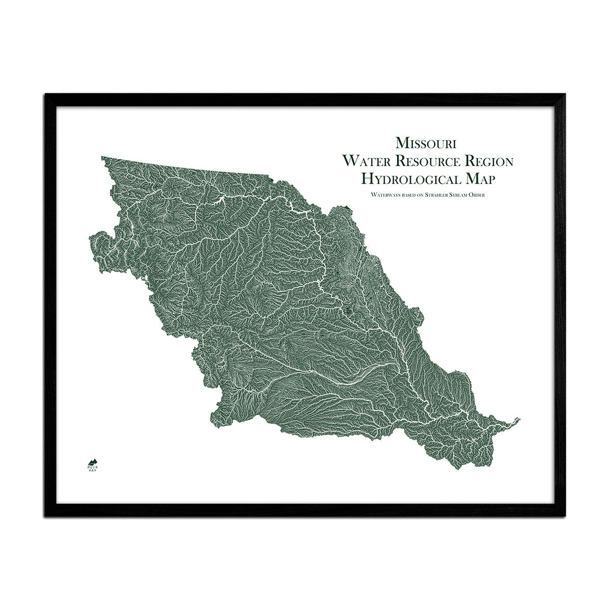
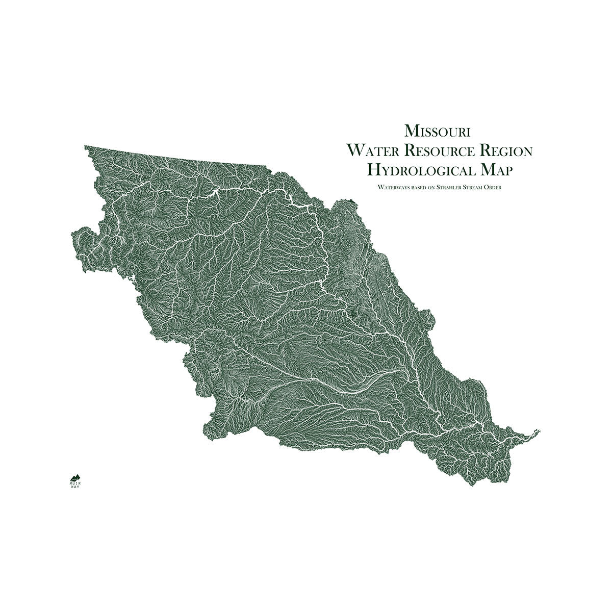
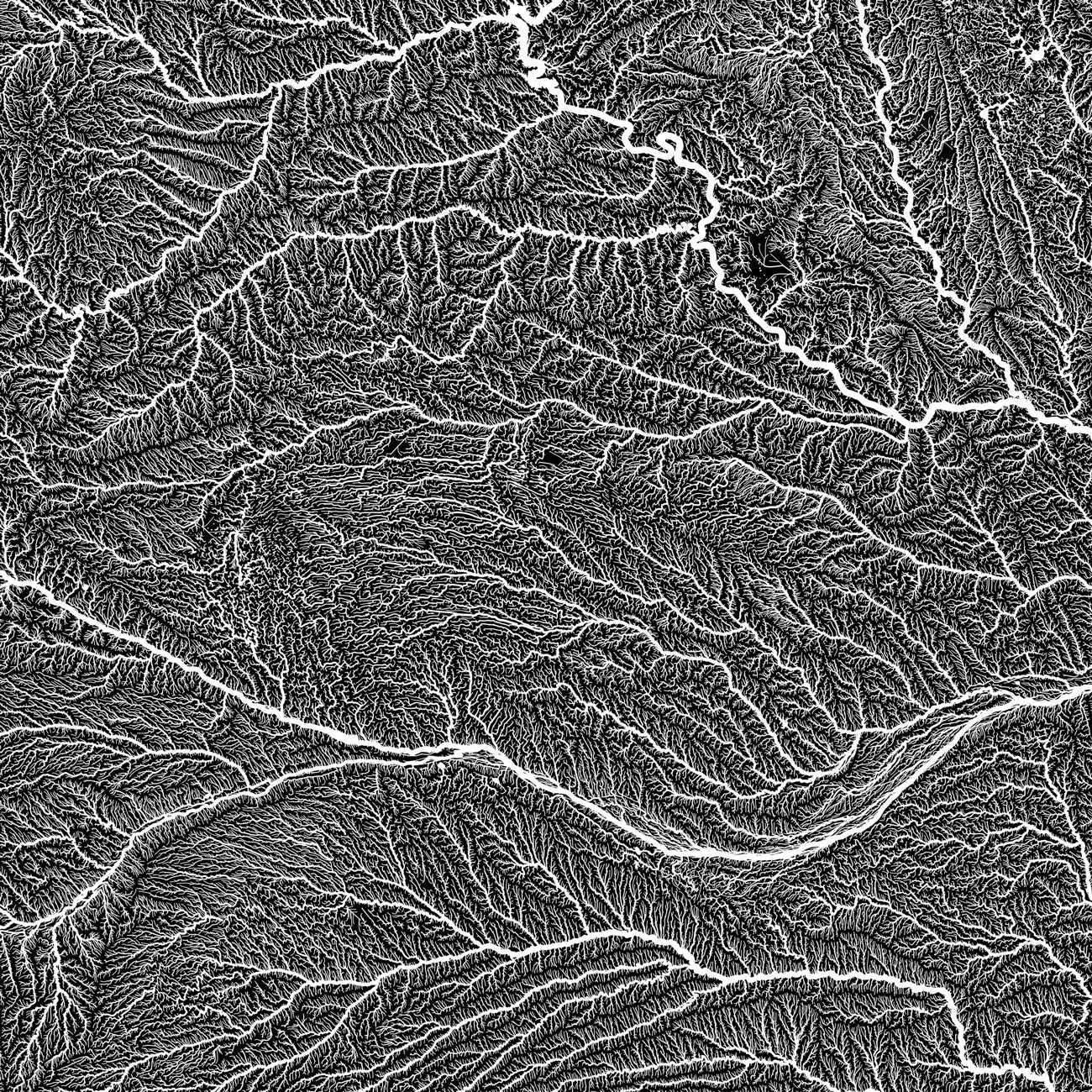
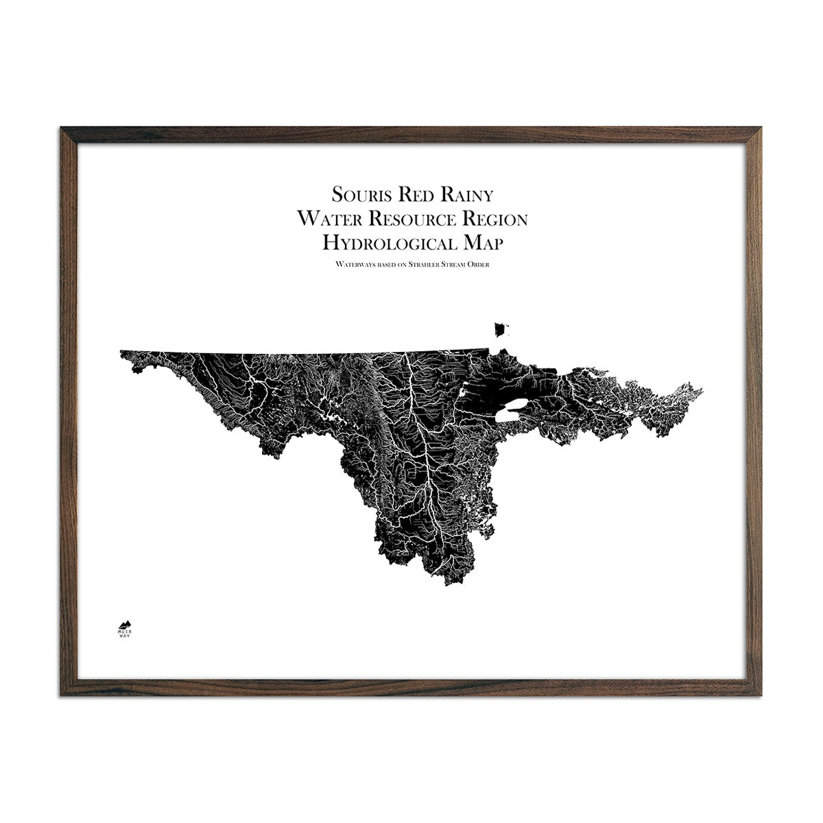
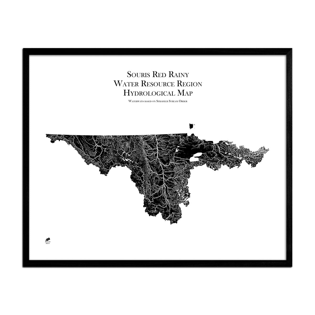
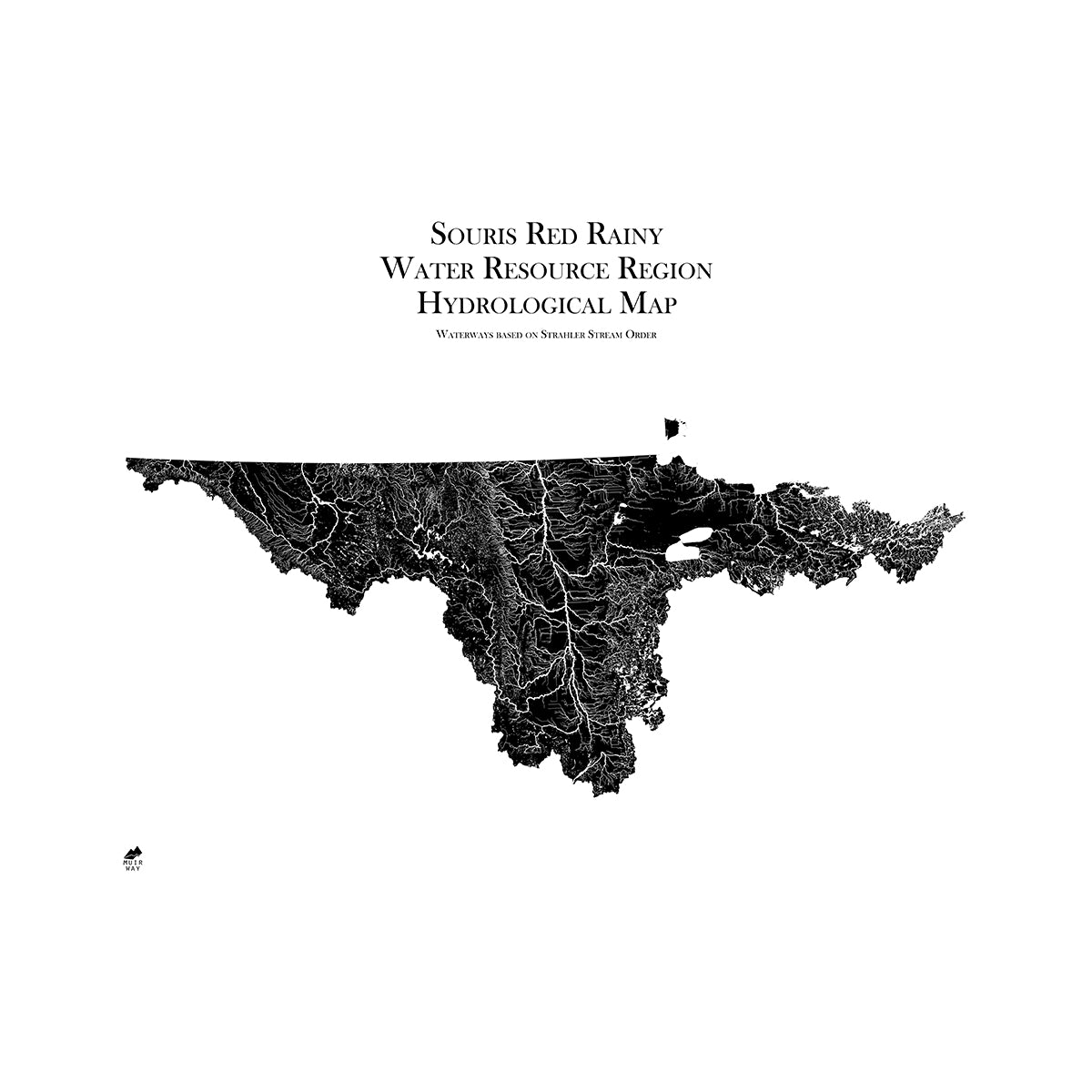
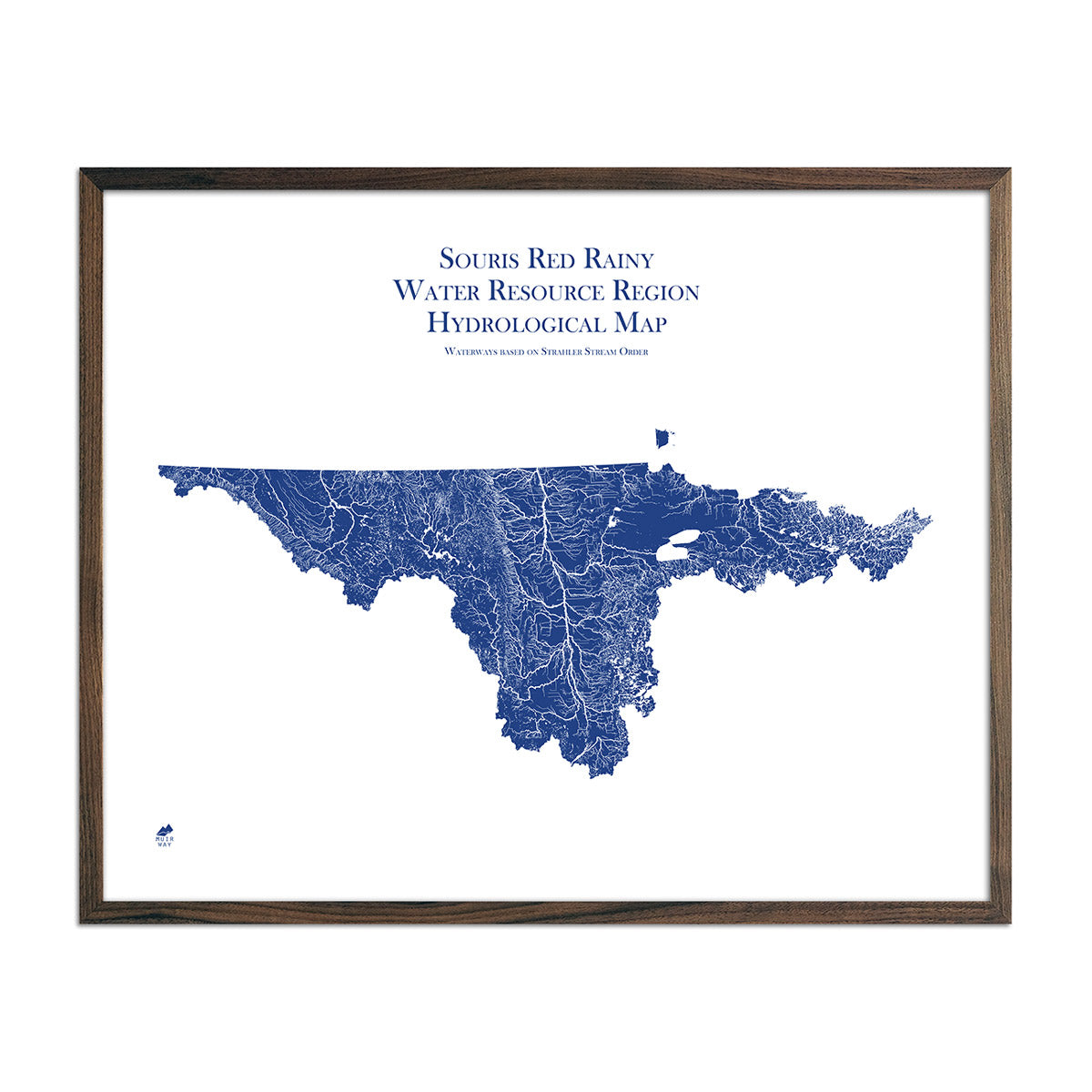
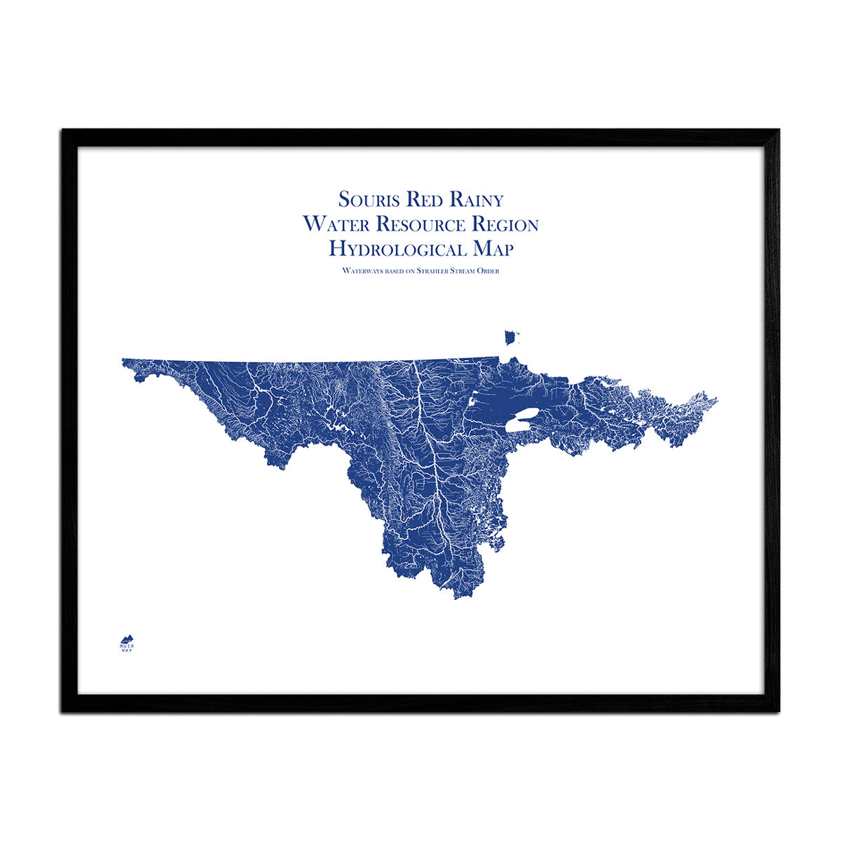
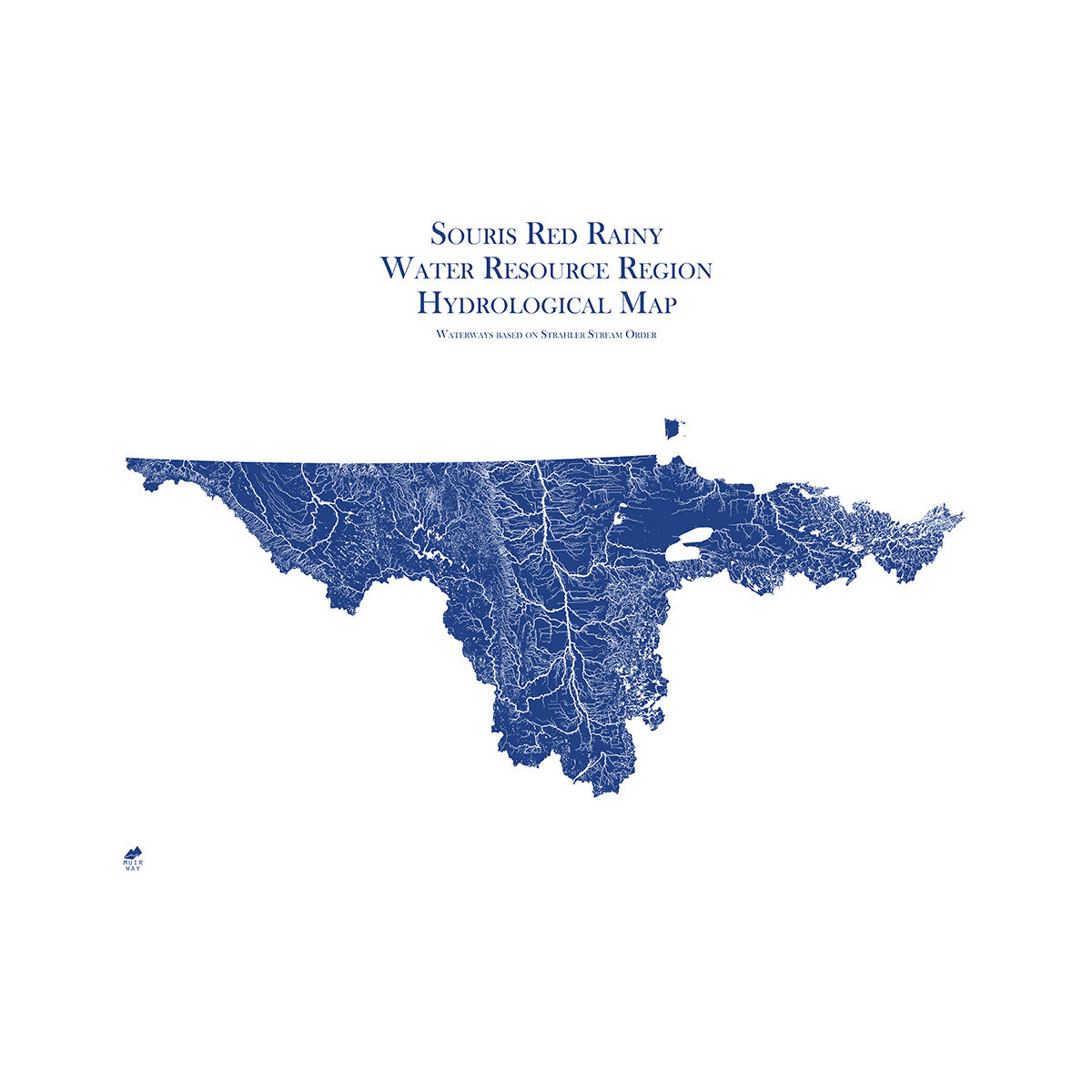
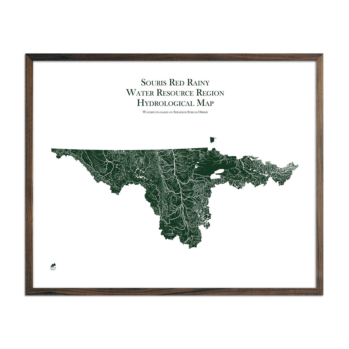
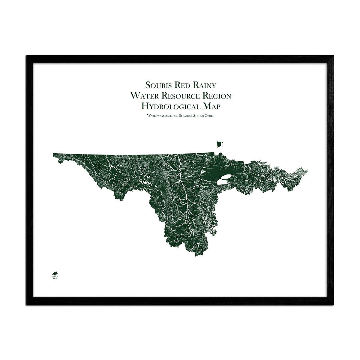
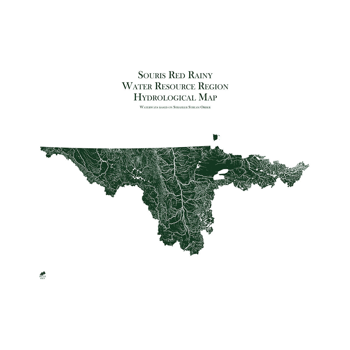
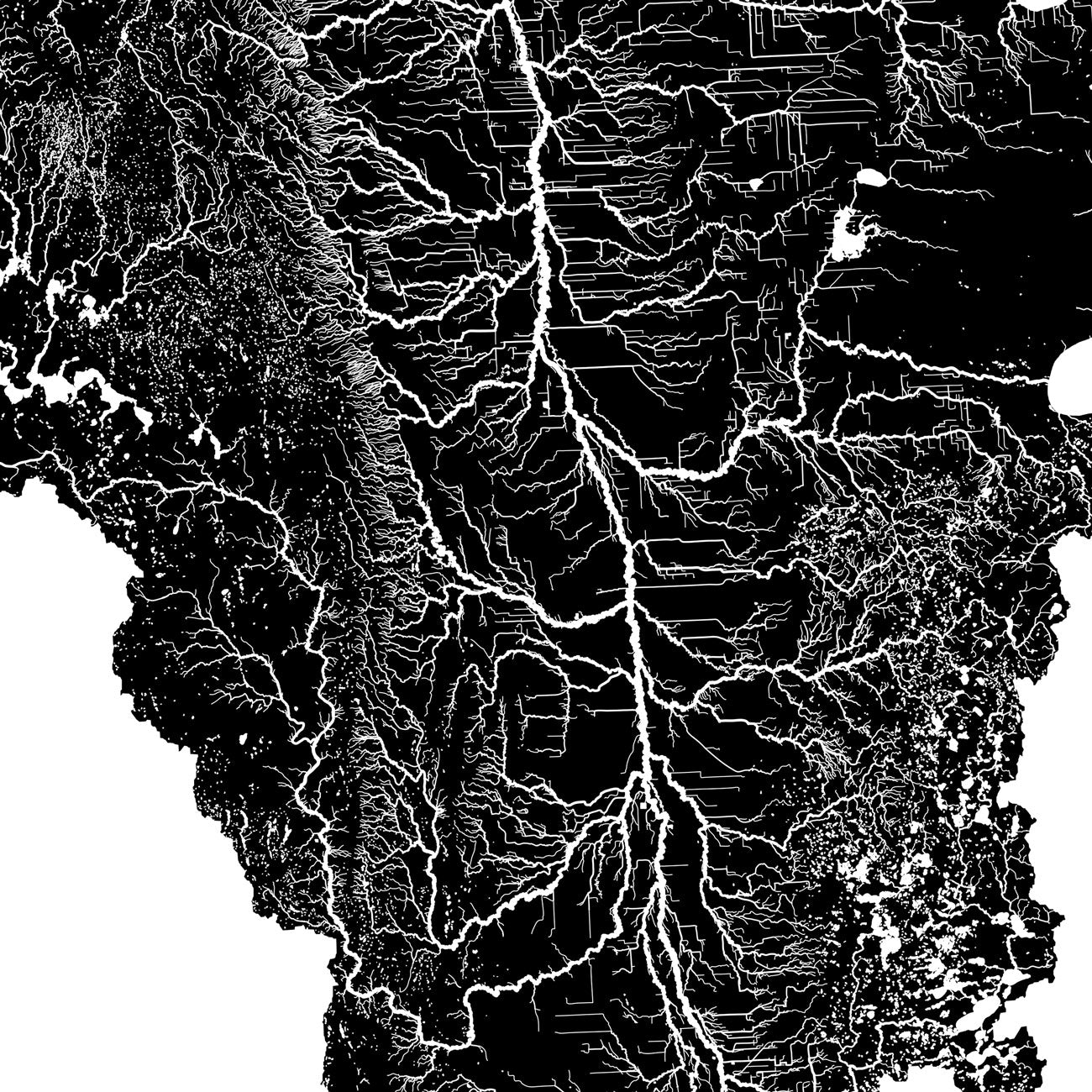
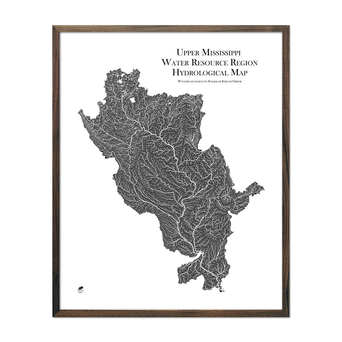
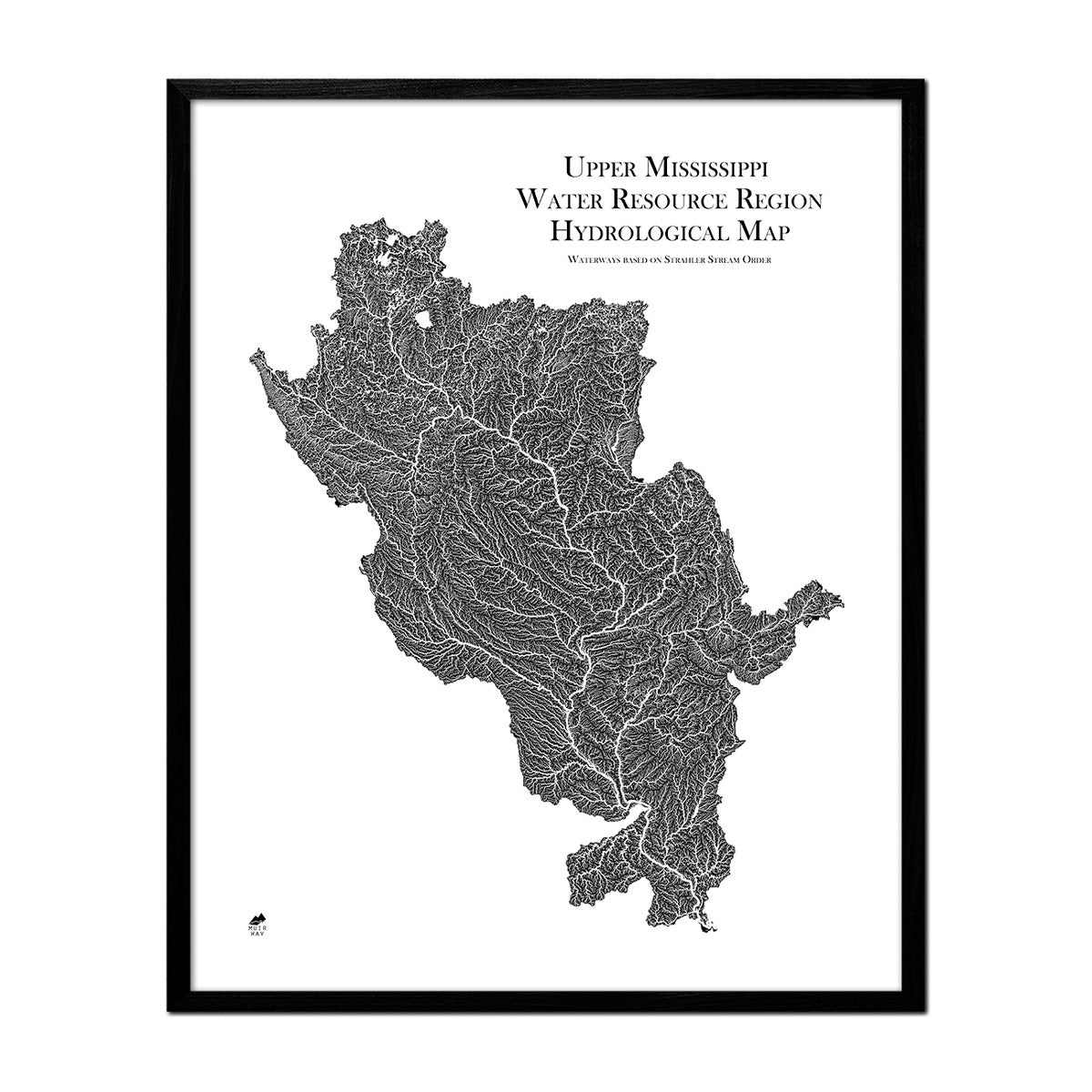
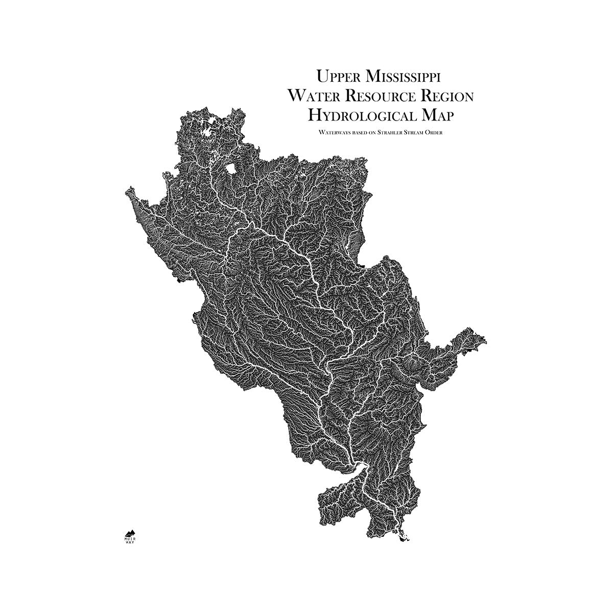
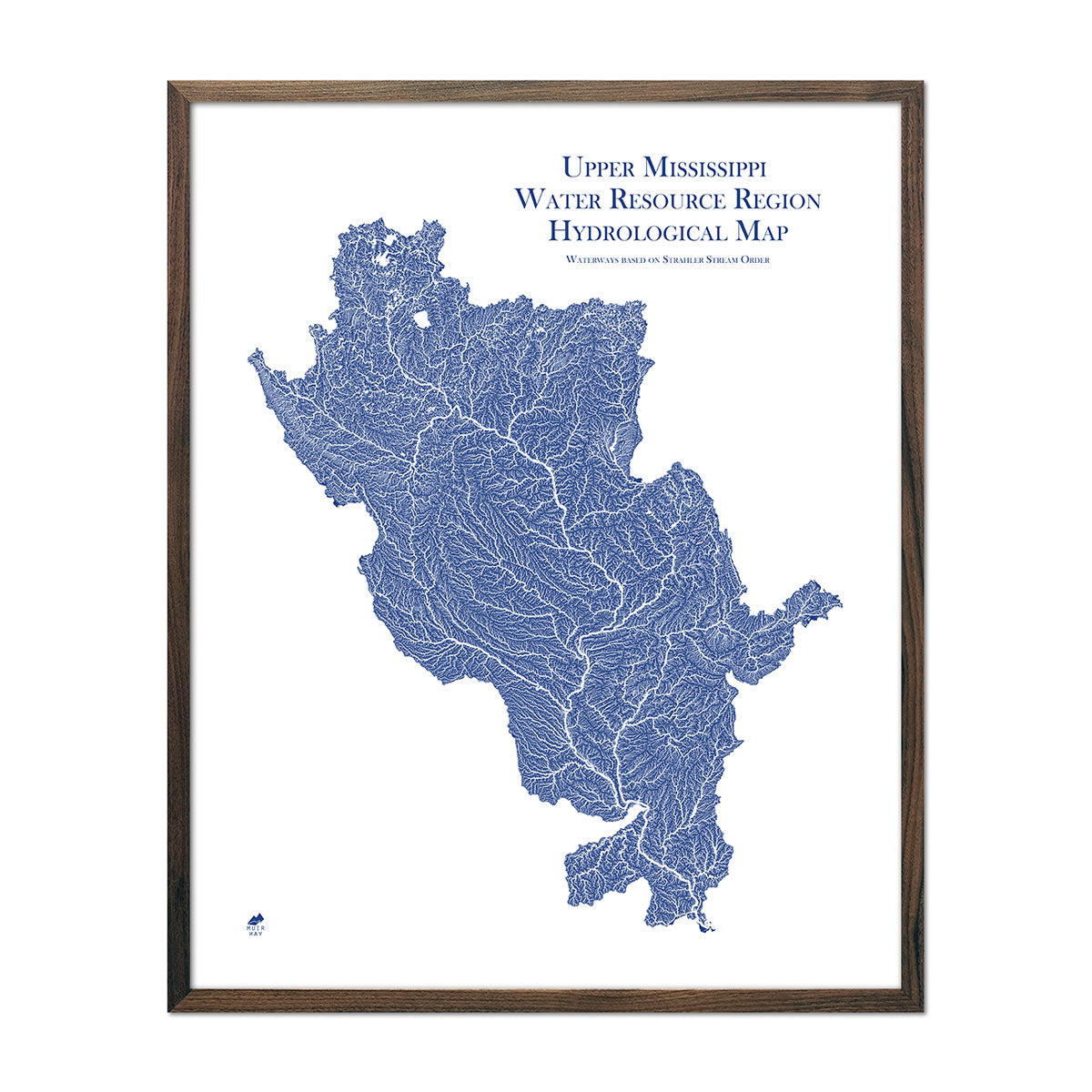
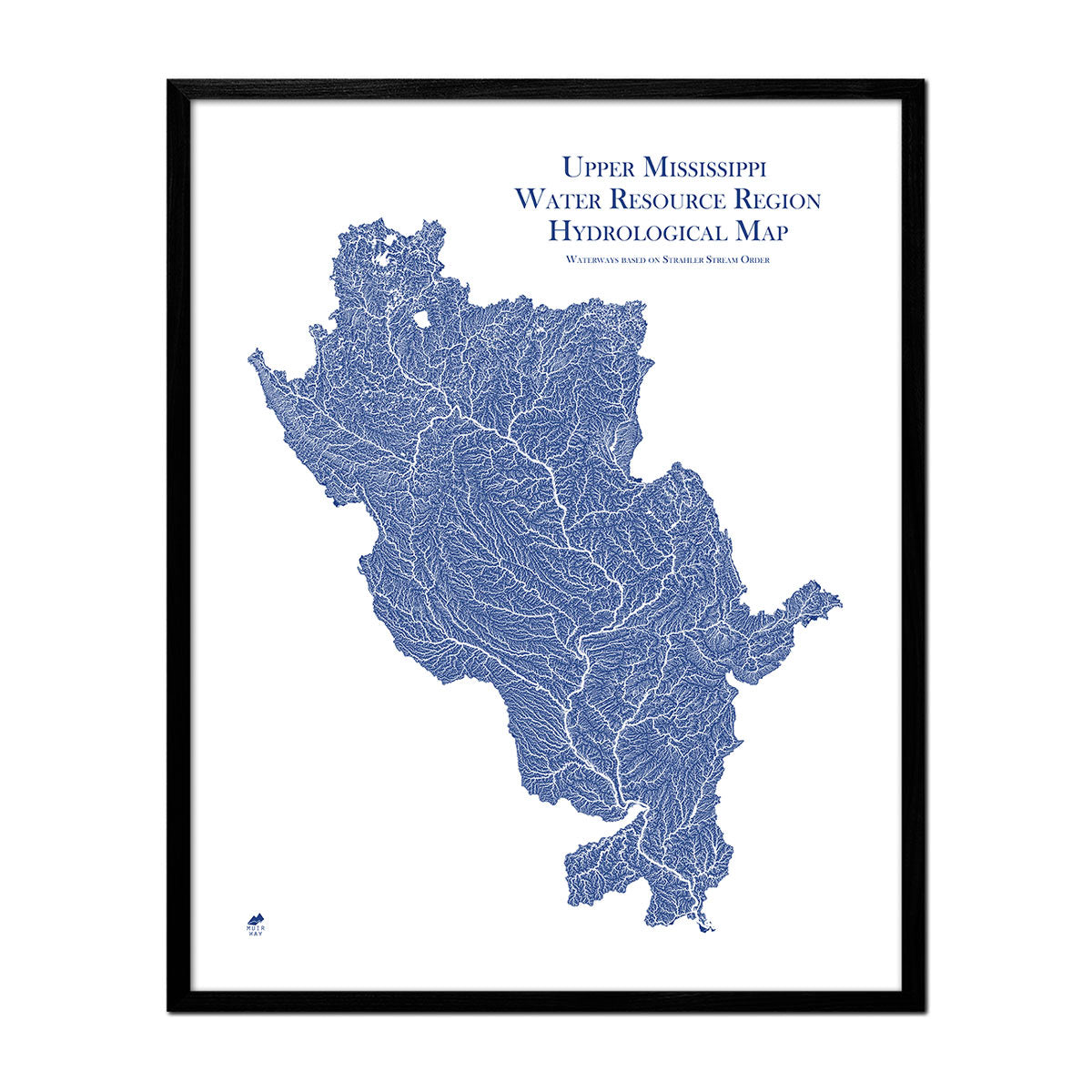
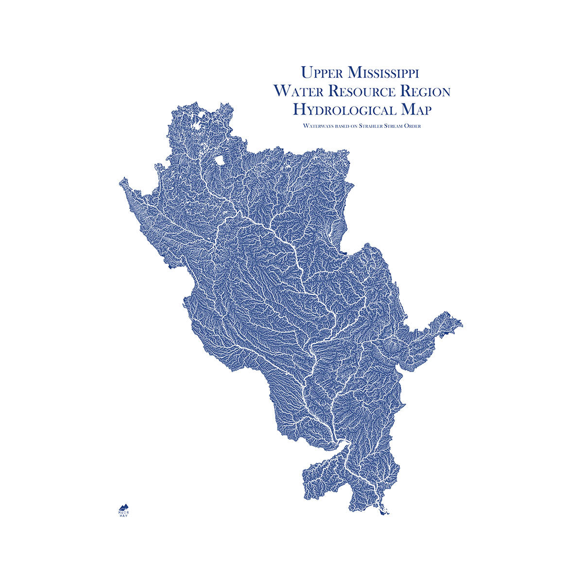
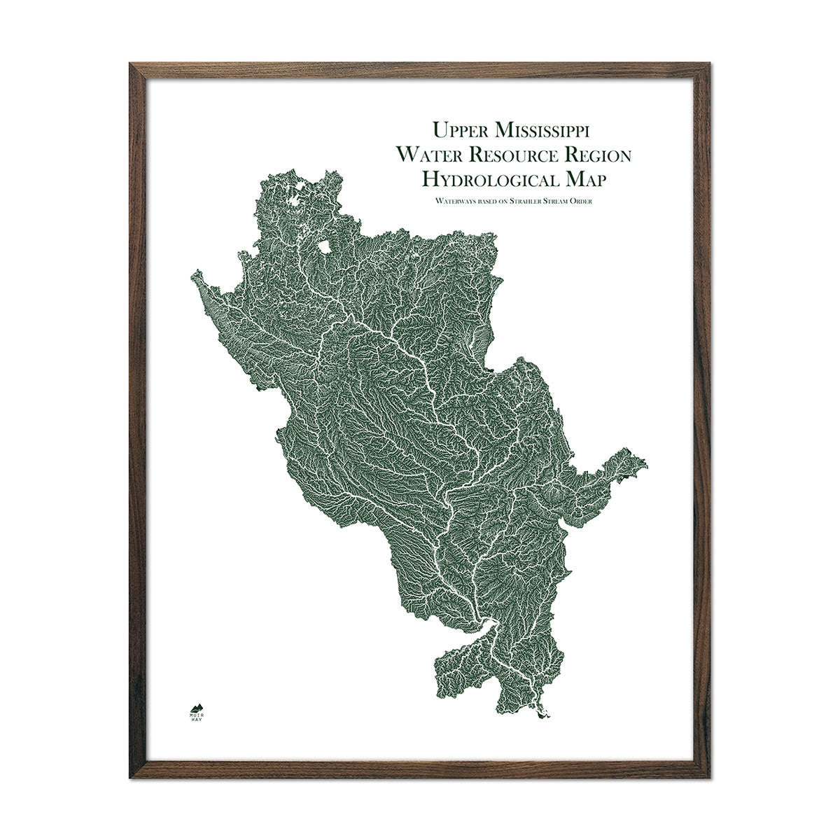
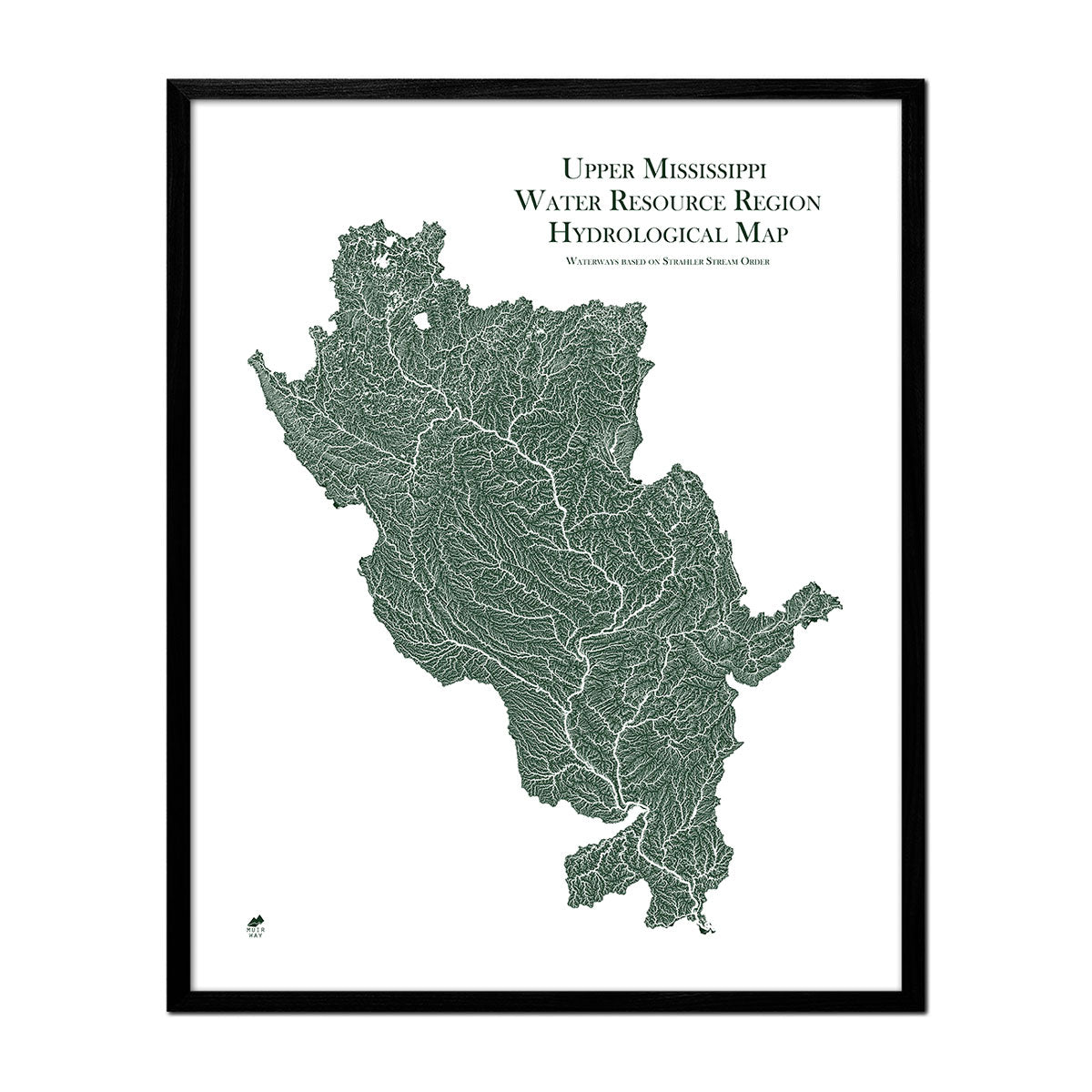
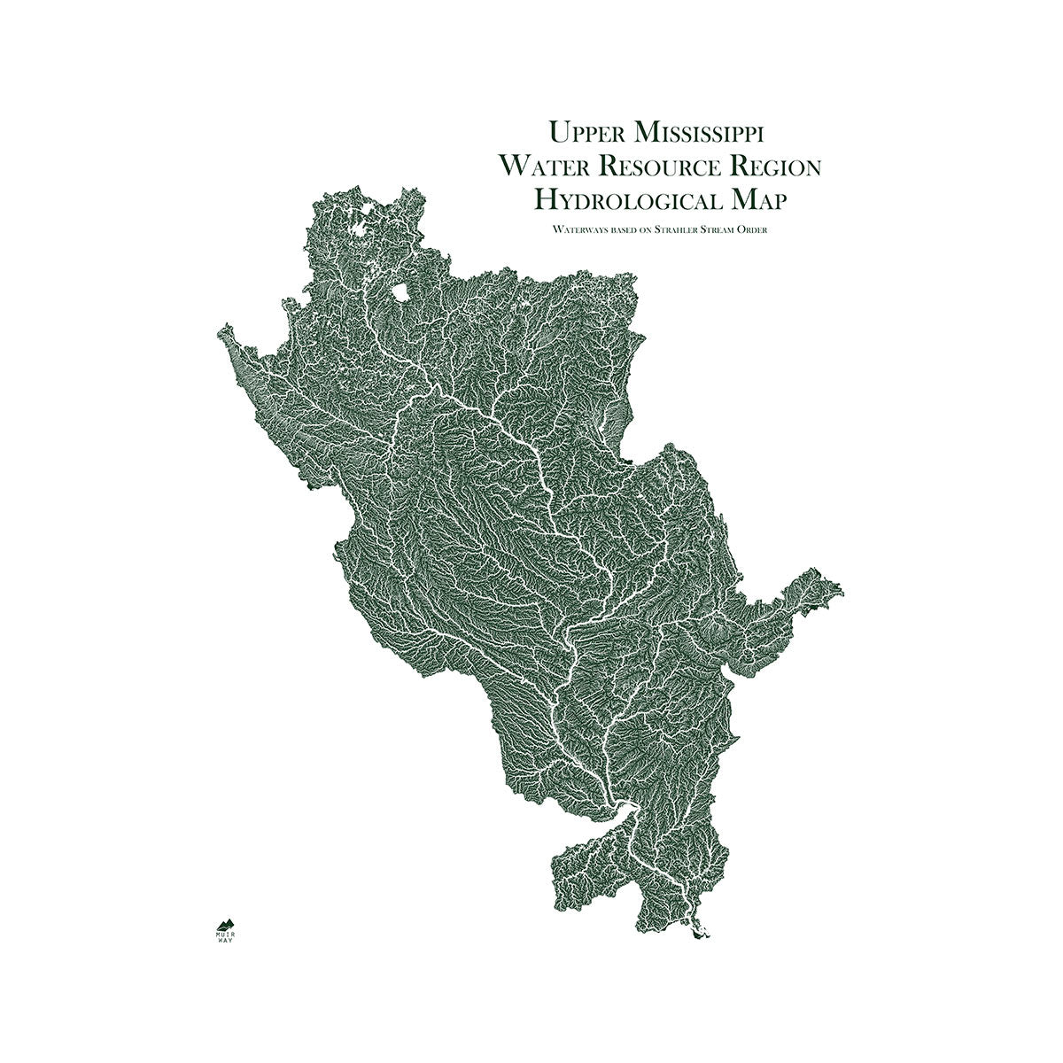
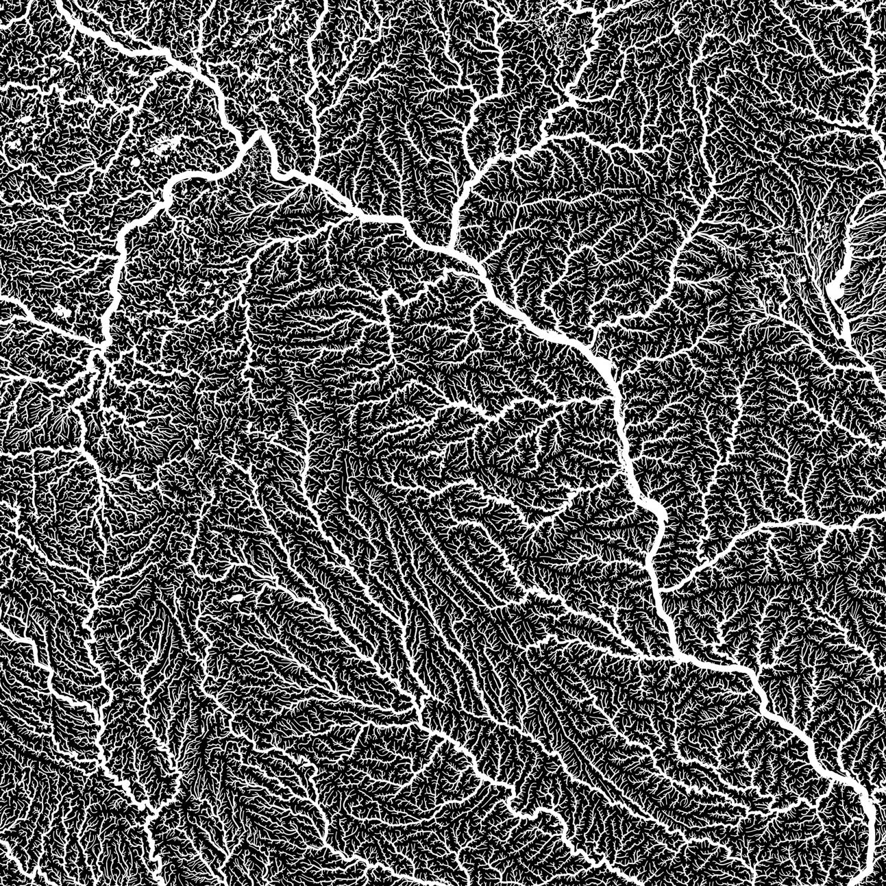
South Dakota hydrological maps - Our hydrological maps showcase the intricate network of waterways, from sprawling lakes to narrow tributaries that flow into larger rivers. Trace South Dakota’s waterways on our South Dakota hydrological map and you’ll see every body of water greater than 0.2 mi in diameter. What makes our hydrological maps unique? We apply a method called the Strahler Stream Order to show the hierarchy of streams as they flow from their source, with rivers shown thicker as they acquire the flow of tributaries. Map available in black, blue, or green. Want to see the ‘big picture?’ See our Souris-Red-Rainy regional hydrological map and our Missouri regional hydrological map.
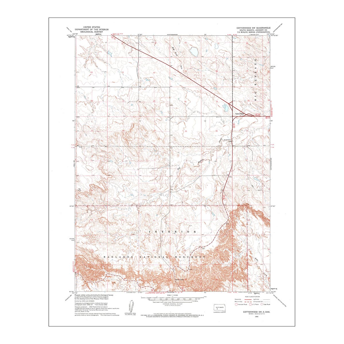
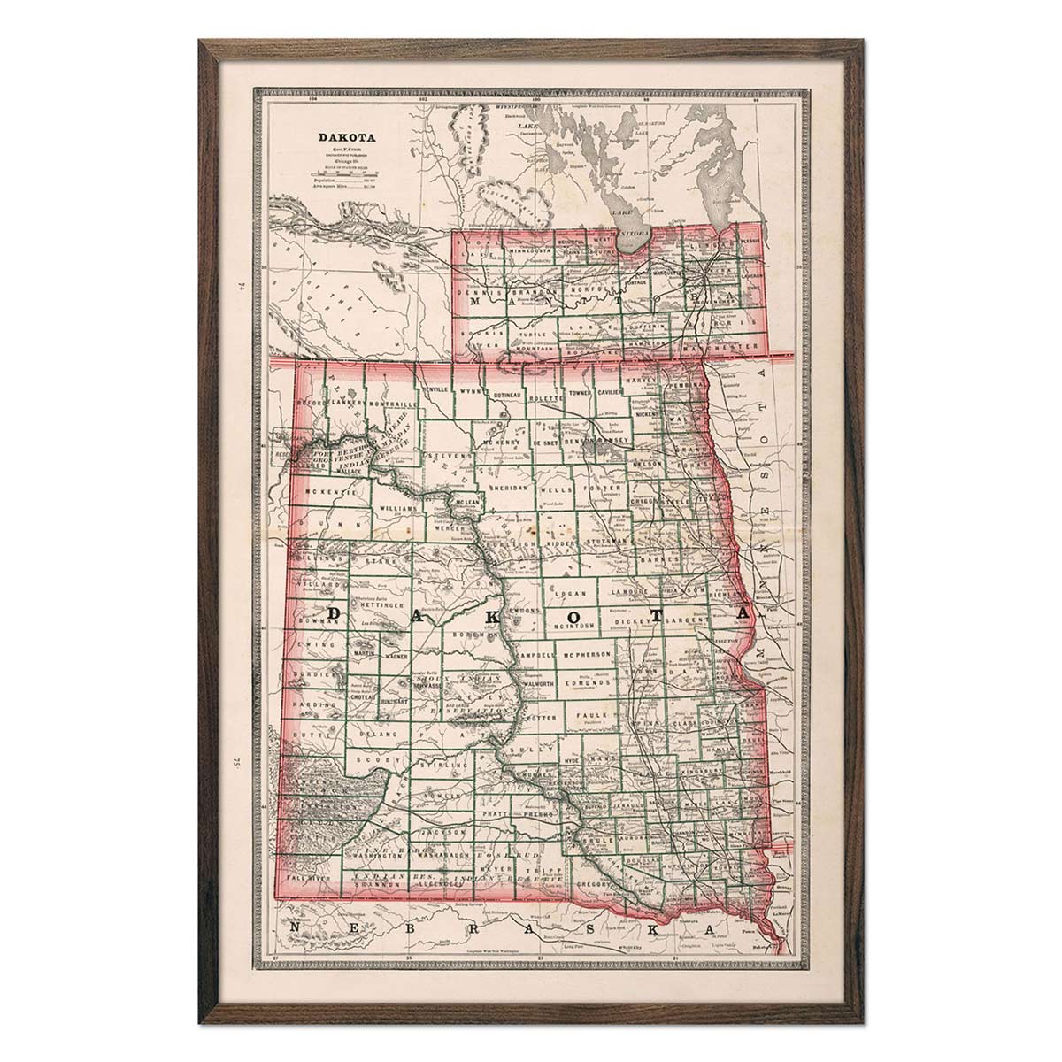
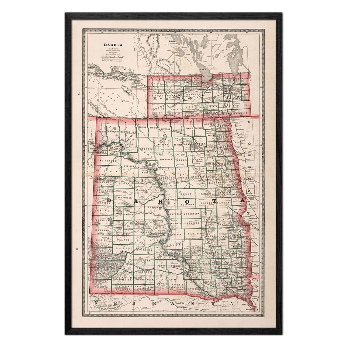
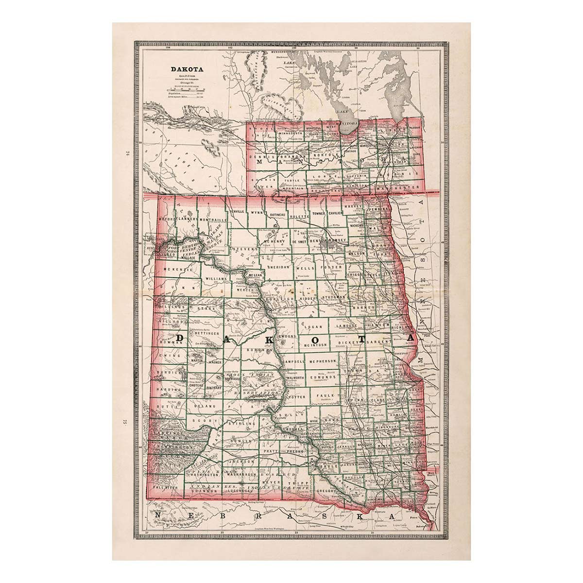
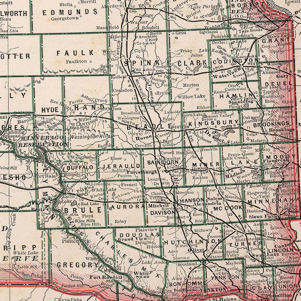
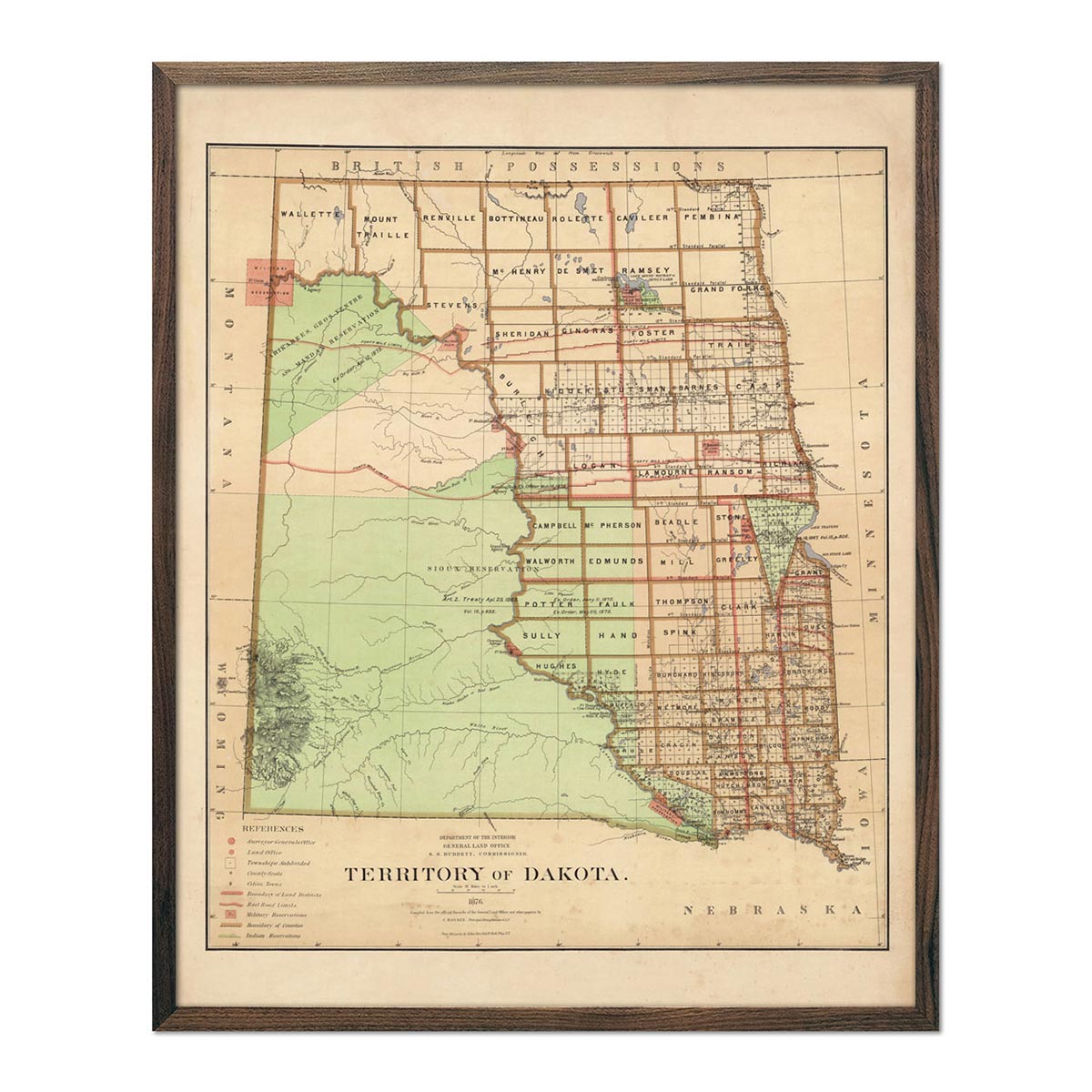
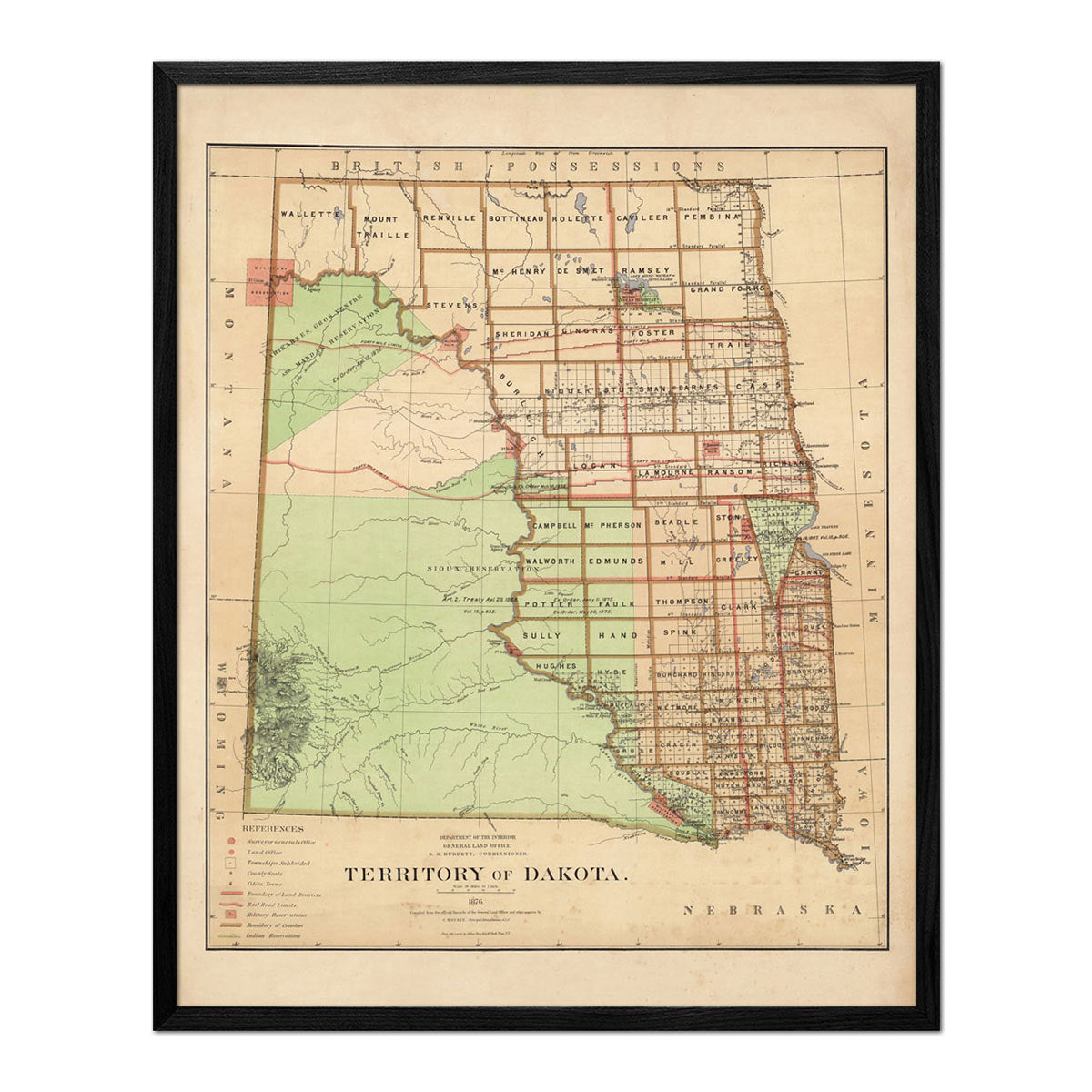
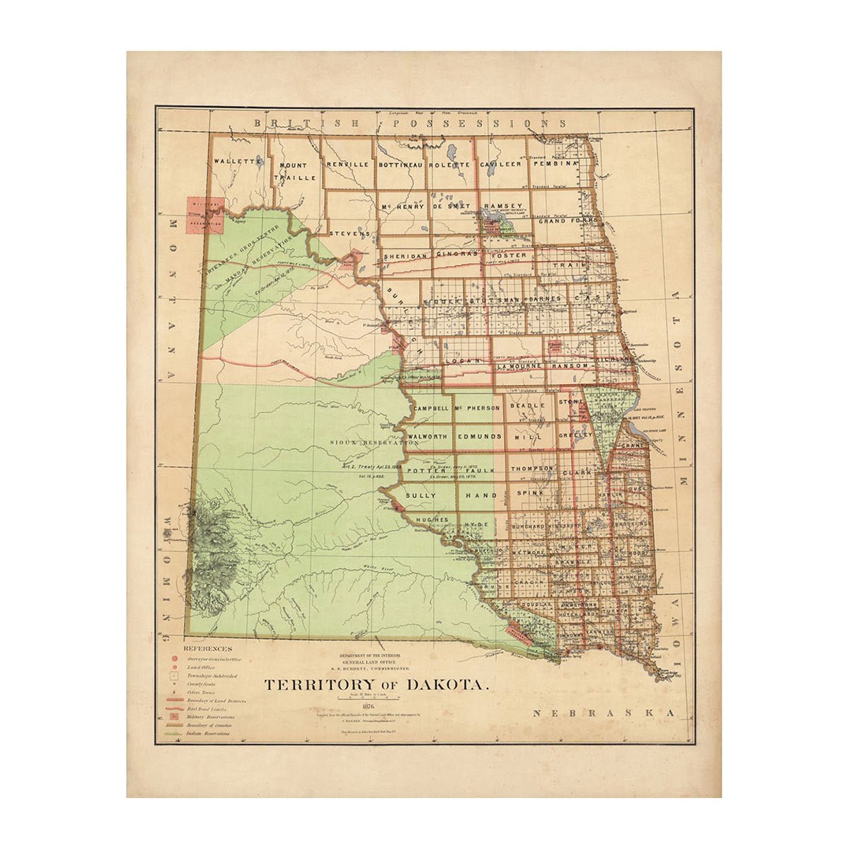
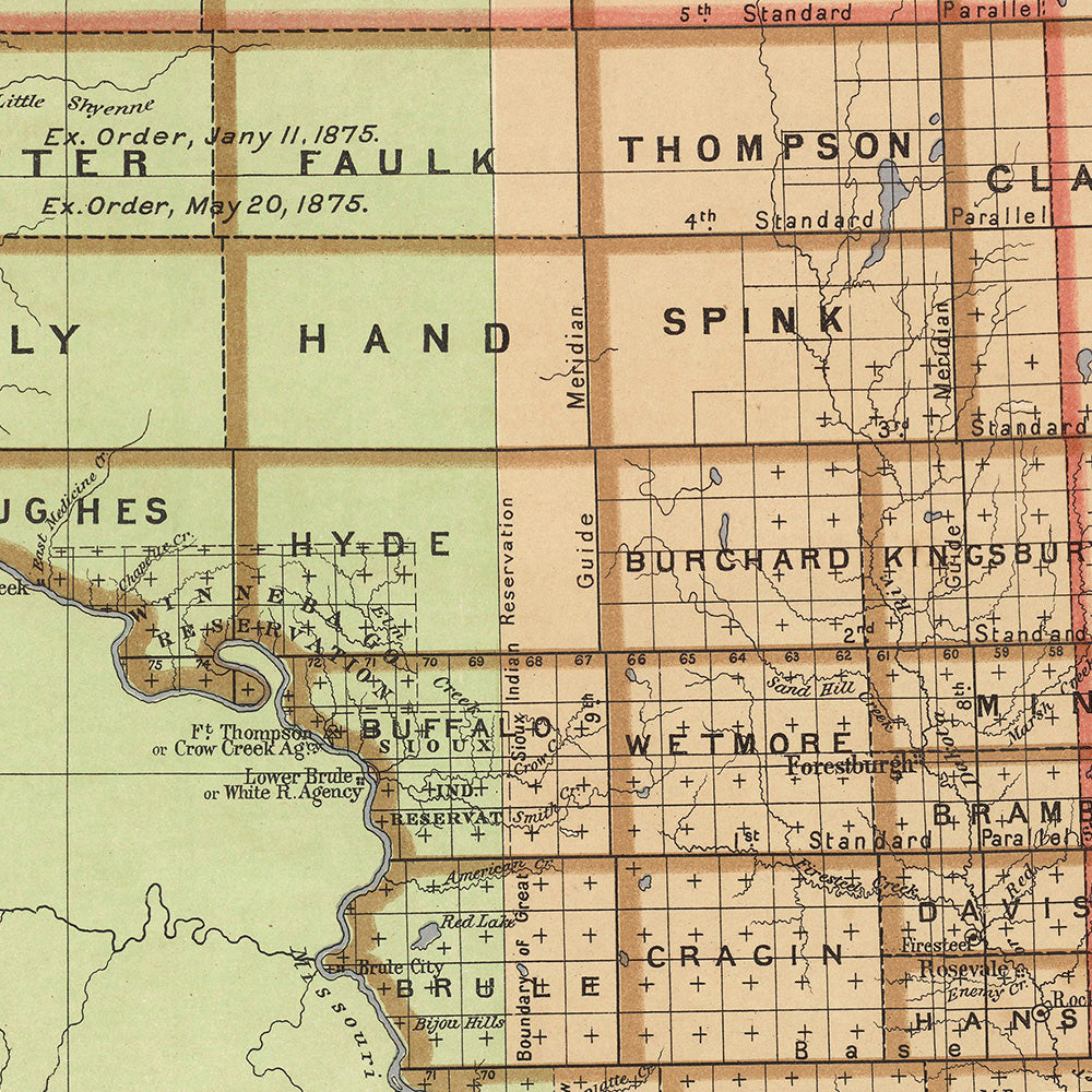
Enhanced vintage South Dakota maps - Enjoy the history and charm of vintage maps in a new way with our Dakota 1883 map or our Dakota Territory 1876 map. Unlike our elevation maps, Muir Way historical maps don’t feature enhanced elevation effects, but they do feature a record of history beautifully restored to retain its vintage charm without the wear & tear. Our vintage South Dakota maps are also custom printed using archival materials.
What are some prominent features on the map of South Dakota?
One of the most prominent features of South Dakota is Mt. Rushmore. The colossal sculpture carved into the side of the mountain depicts the heads of four presidents: George Washington, Thomas Jefferson, Theodore Roosevelt, and Abraham Lincoln. The monument is located in the Black Hills, a small, isolated mountain range rising out of the great plains.
The Black Hills are called that because of the dark spruce woods that cover the slopes. The spruce trees make the mountains look black from a distance. Large, open grassland is interspersed among the mountains. The Needles are part of the Black Hills. Breathtakingly eroded granite formations, the Needles are surrounded by pine and spruce forests, meadows, and hardwoods.
The Badlands in South Dakota display amazing rock color variations where wind and water have eroded the softer sedimentary rocks to expose the layered rock formations underneath. Canyons, buttes, and gullies are common in the Badlands.
What are the regions in South Dakota?
South Dakota has four main geographical regions:
- Drift Prairie - This area covers most of eastern South Dakota. The Drift Prairie area is covered by low hills and glacial lakes. It is bordered on the east by the Minnesota River Valley and on the west by the James River Basin.
- Dissected Till Plains - This region lies in the southeastern corner of South Dakota. Formed by glaciers, this area of rolling hills is crisscrossed by many streams.
- Great Plains - Covering much of the western 2/3 of South Dakota, this is a broad expanse of flat grassland. To the west, the landscape becomes more rugged and is covered with rolling hills, canyons, buttes, and plains. Badlands National Park is located here.
- Black Hills - This region is found in the southwestern part of the state. The Black Hills are rich in mineral ore such as gold, copper, silver, and lead. Here too are Mt. Rushmore, the Crazy Horse Memorial, and Wind Cave and Custer National Parks.
If you like our collection of South Dakota maps, you may also be interested in maps of other Midwest states. Click below to browse:


