


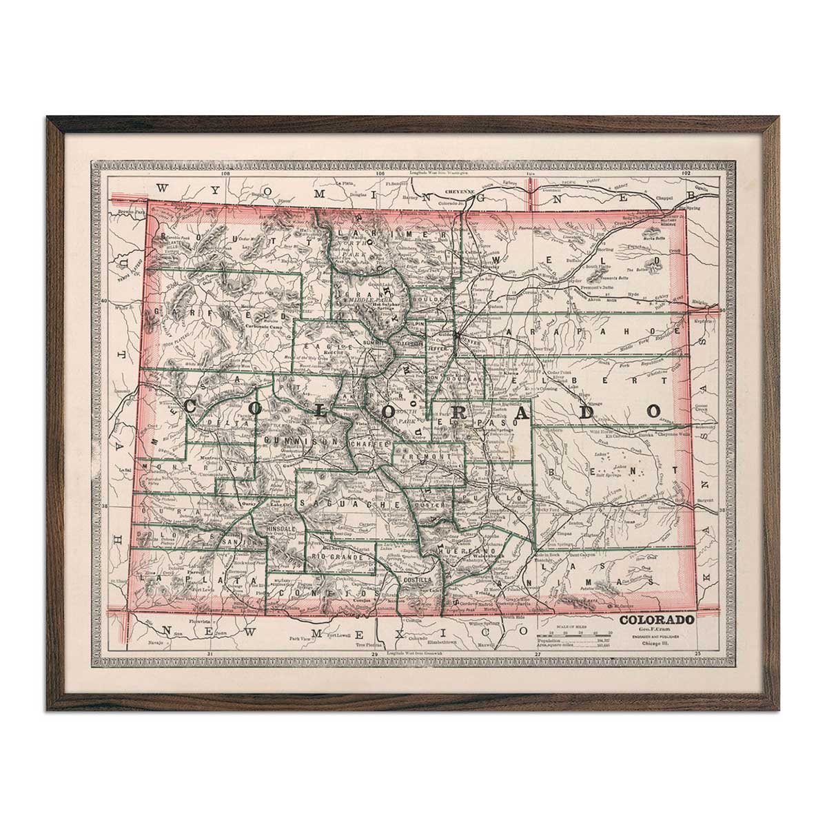
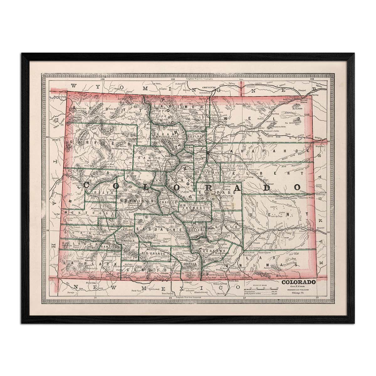
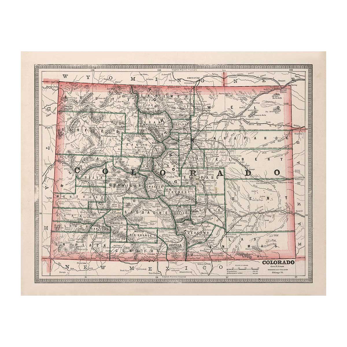
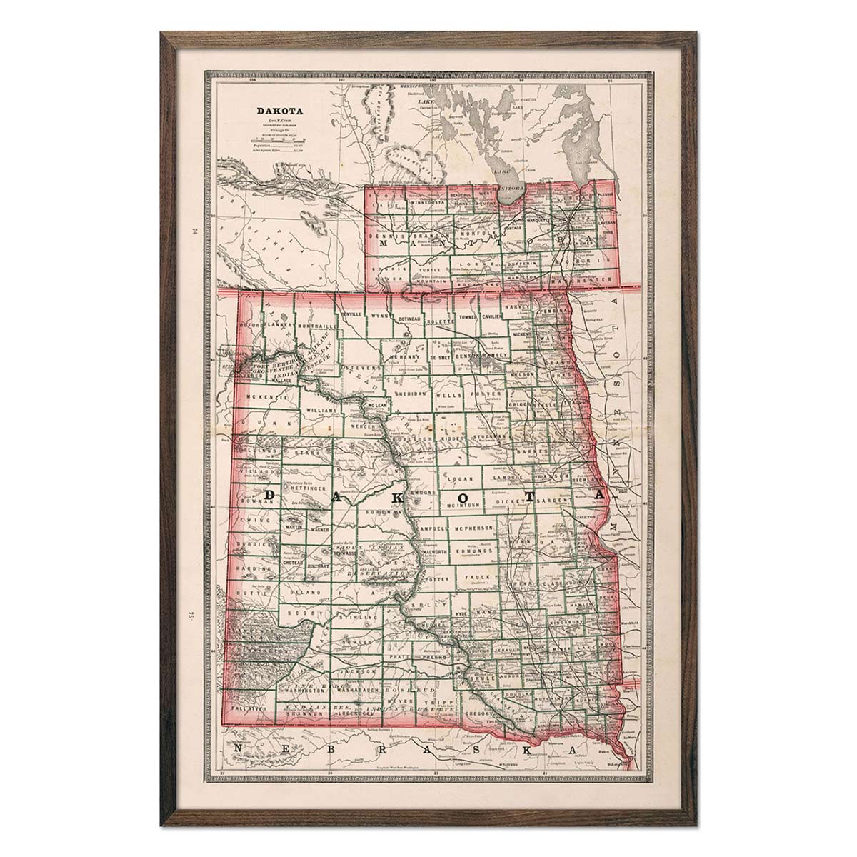
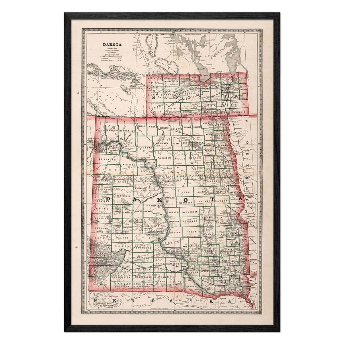
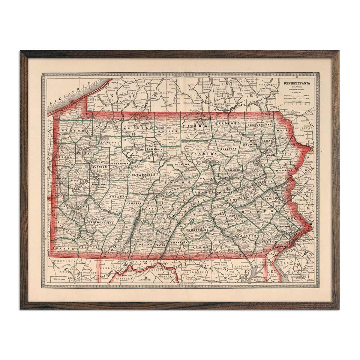
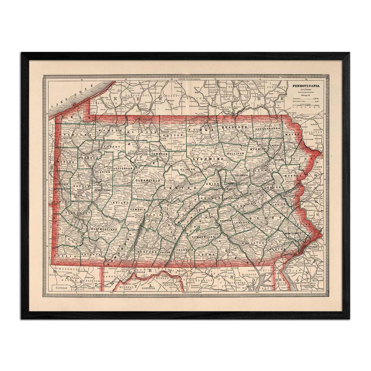
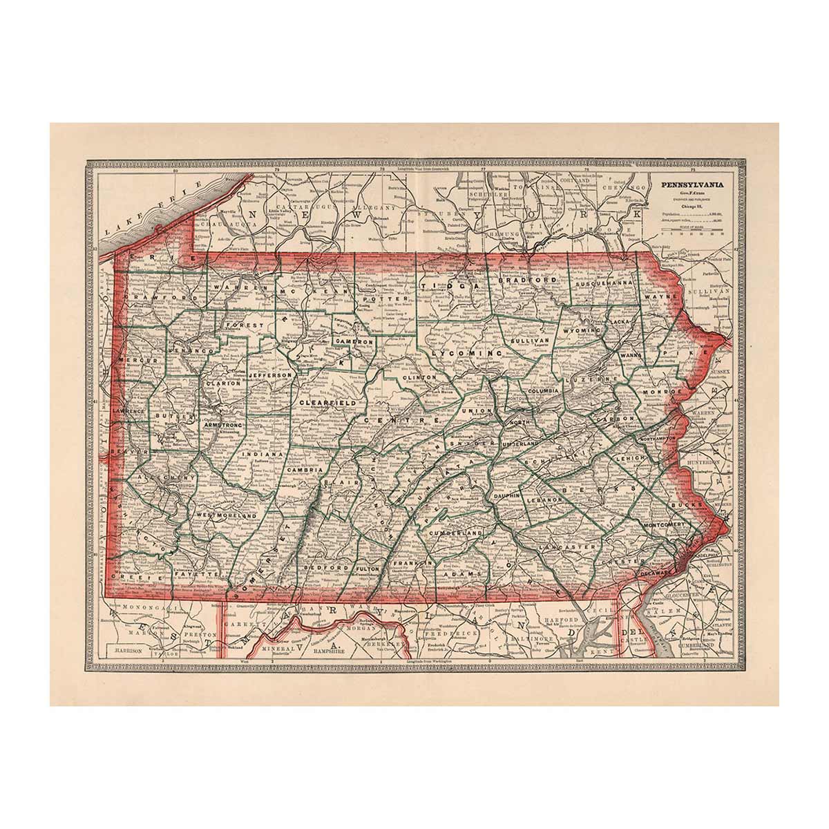
1883 US State Maps


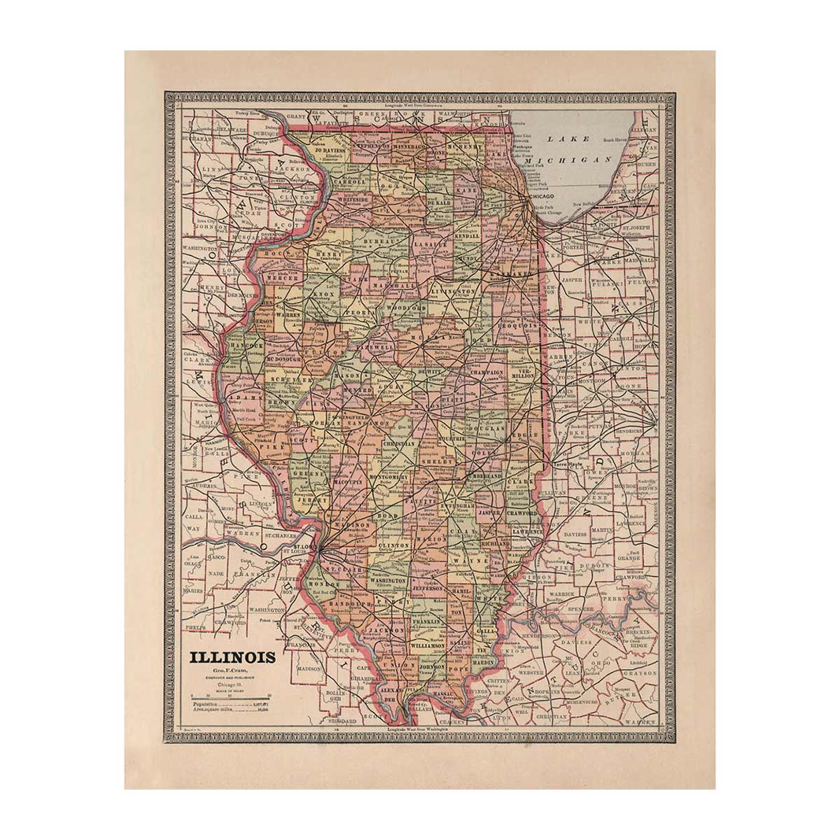
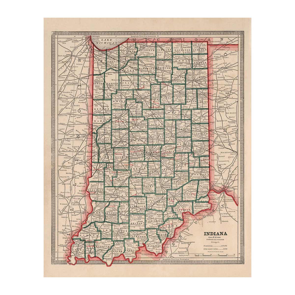
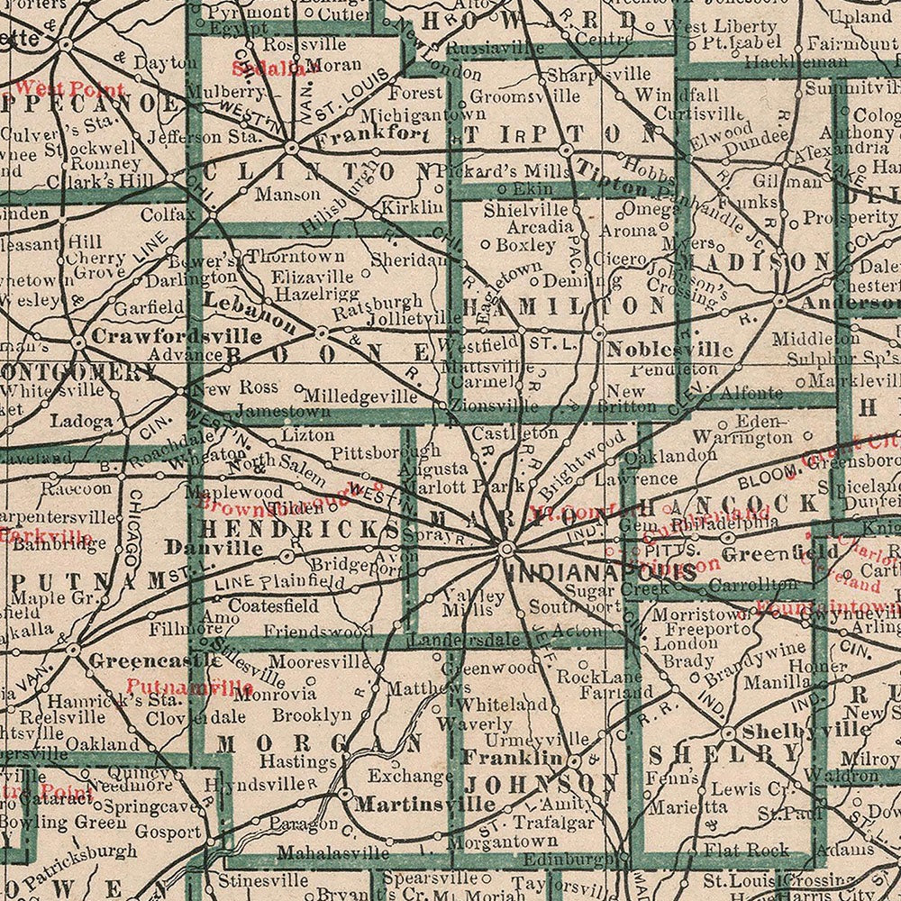
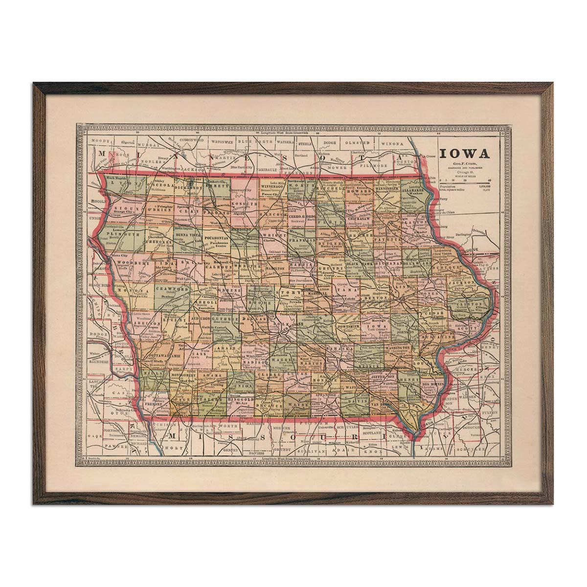
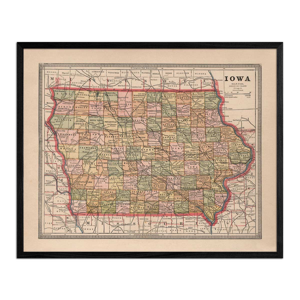
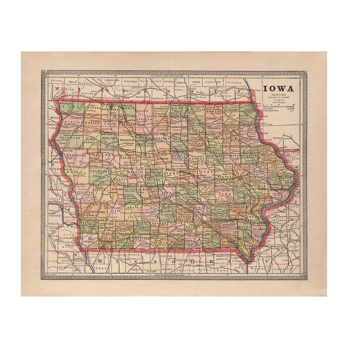
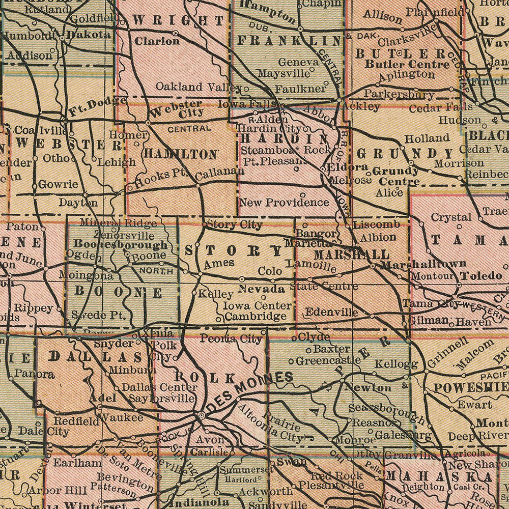
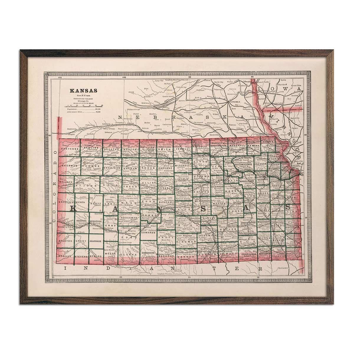
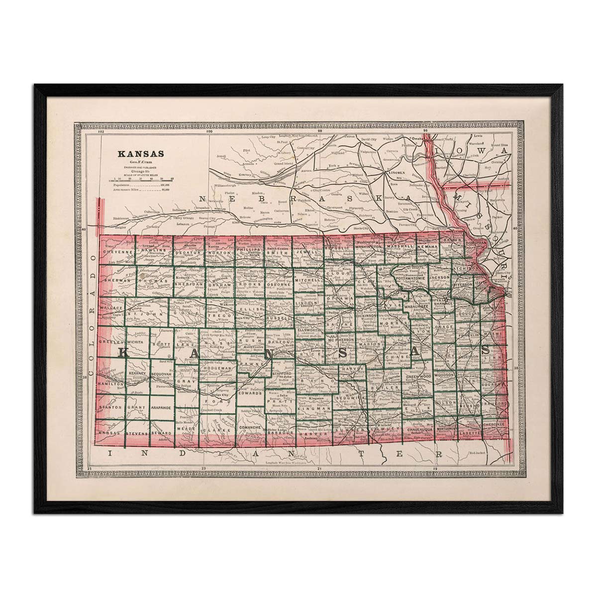
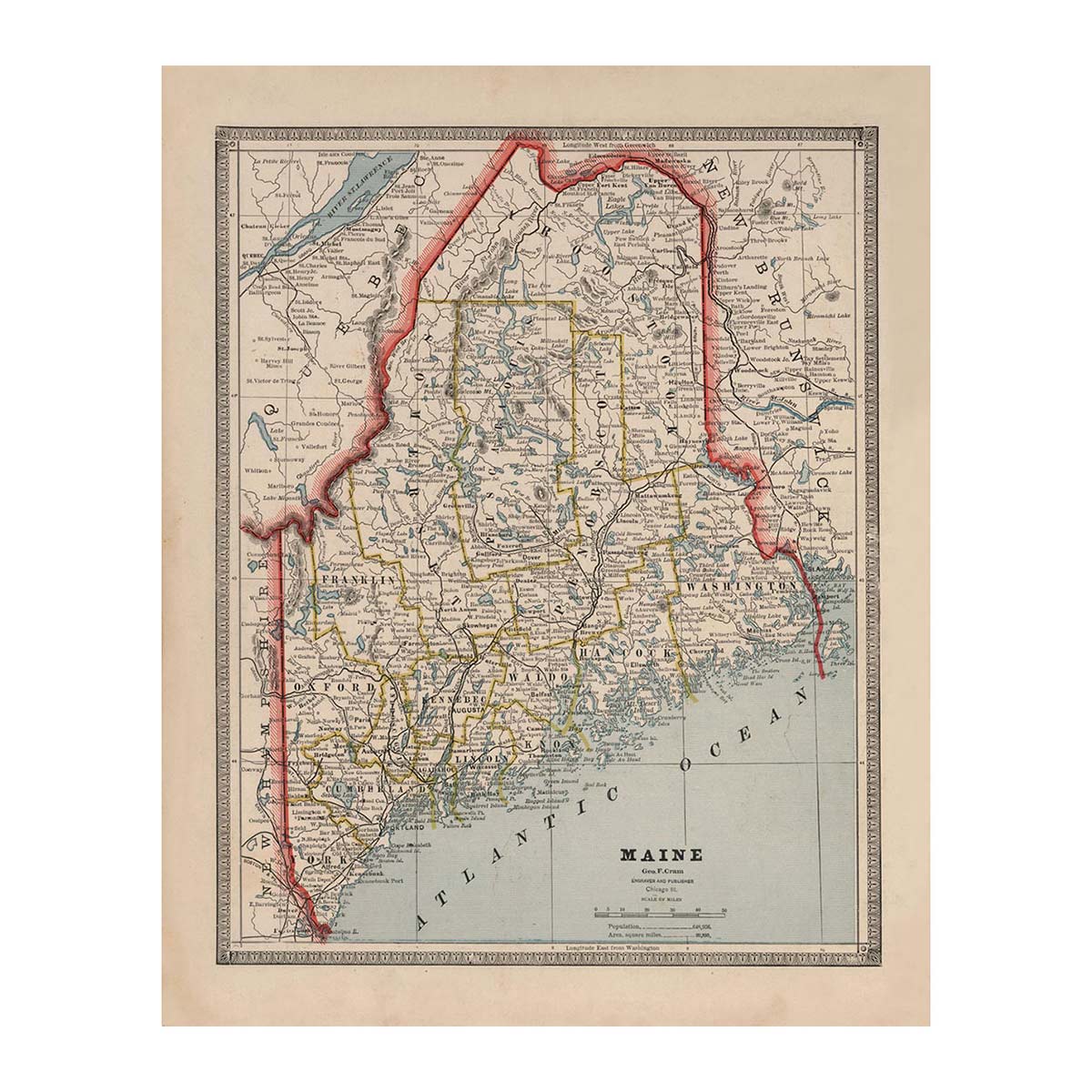
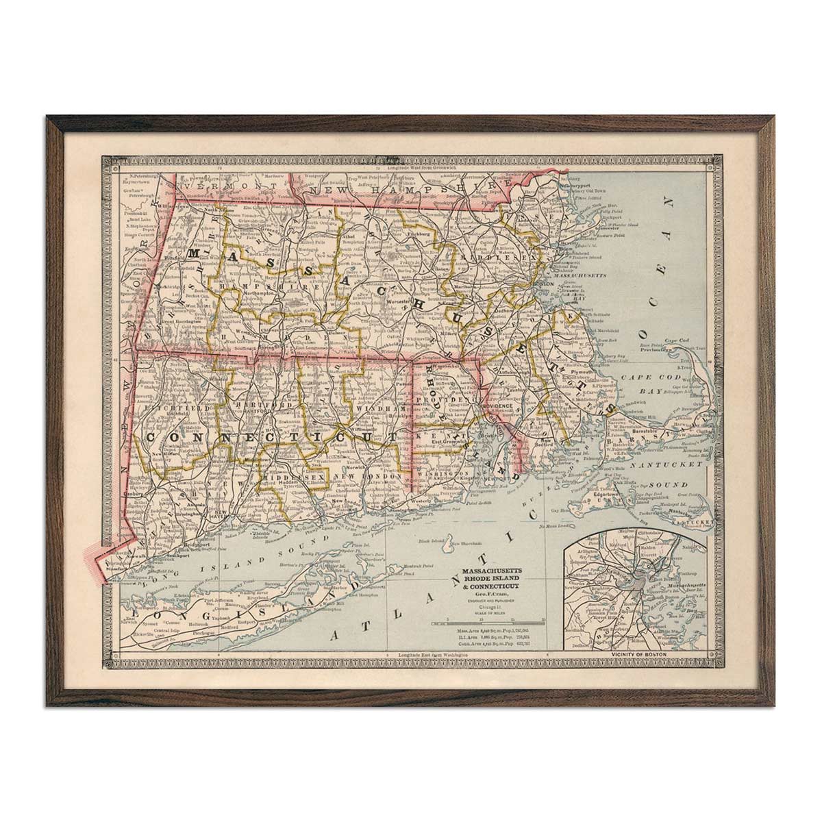
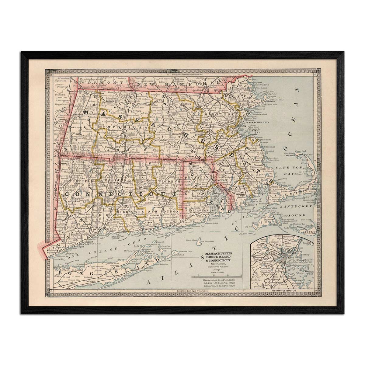
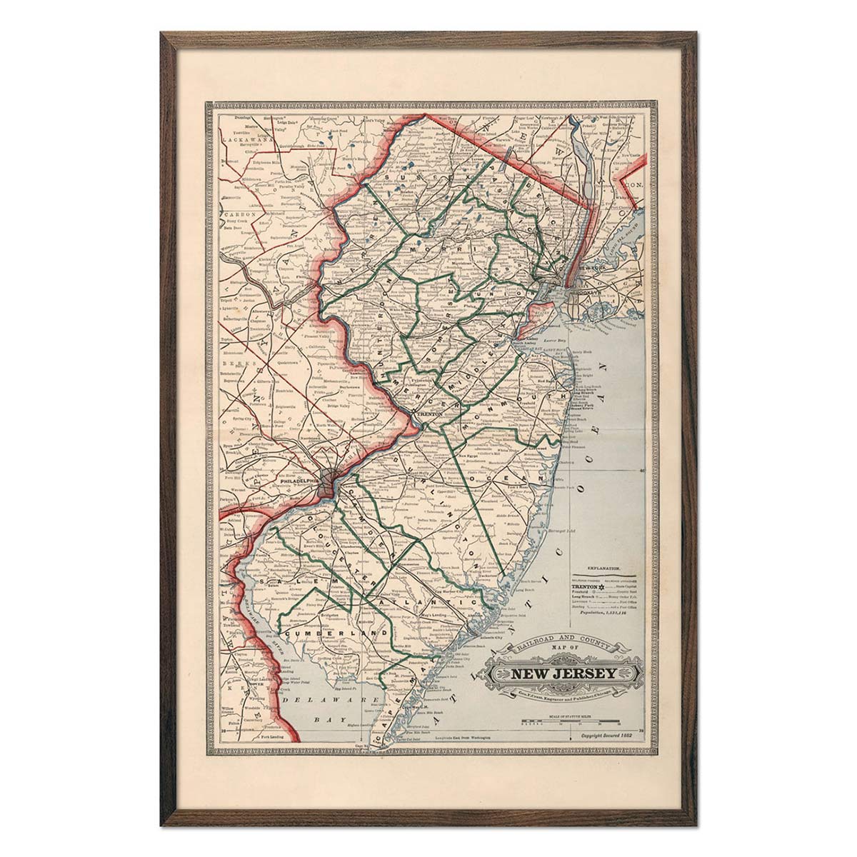
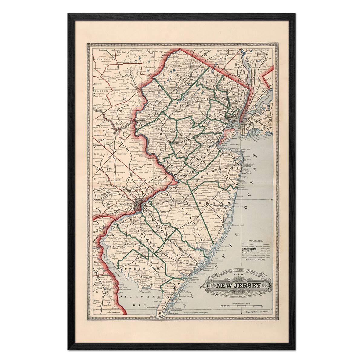
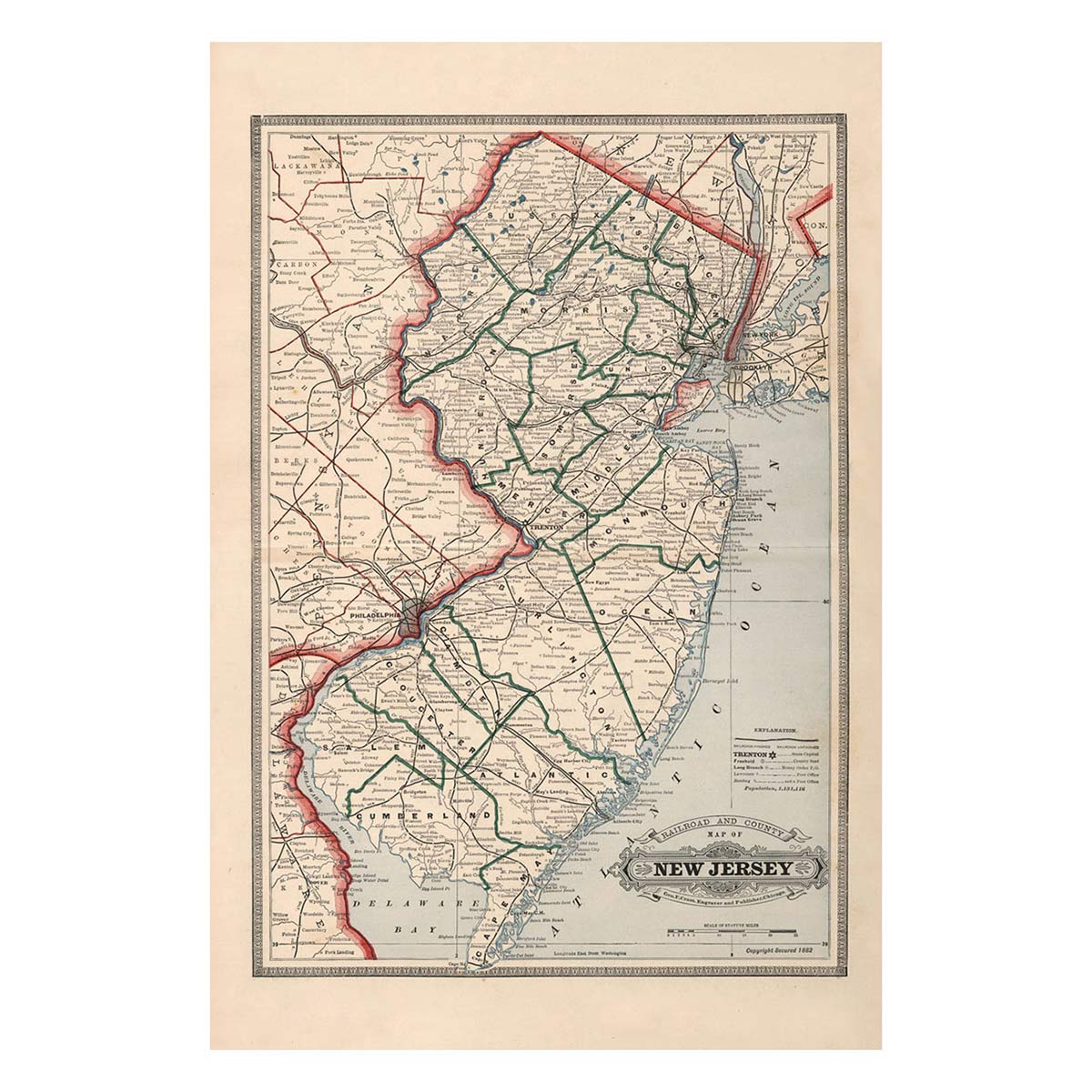
Travel Back in Time with Our 1883 US State Map Series!
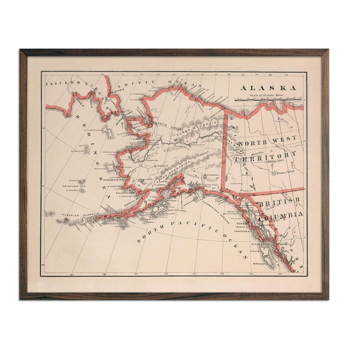
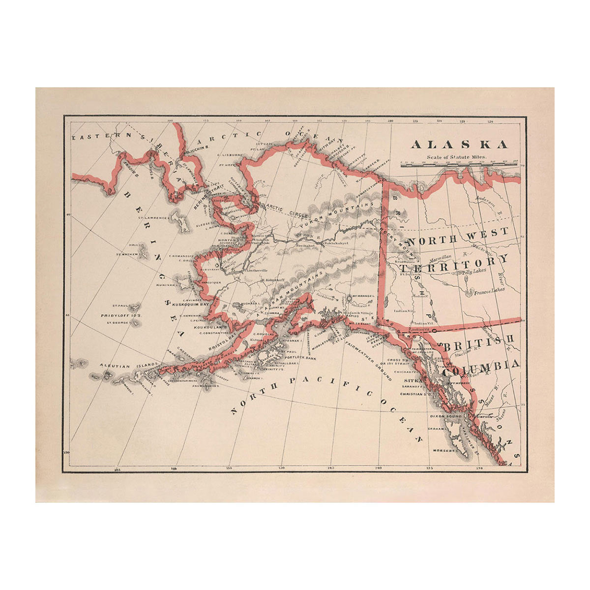
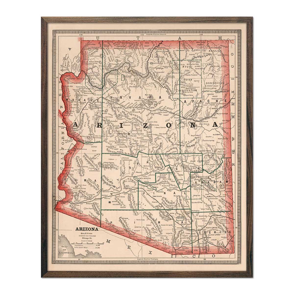
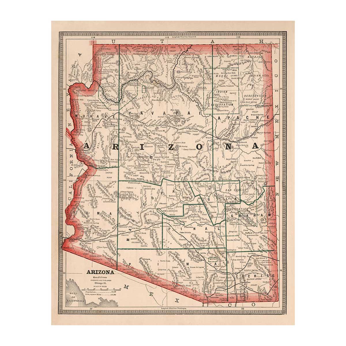
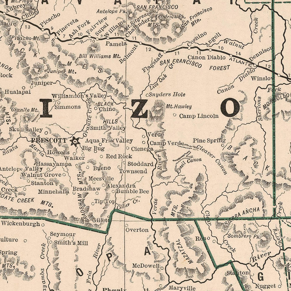
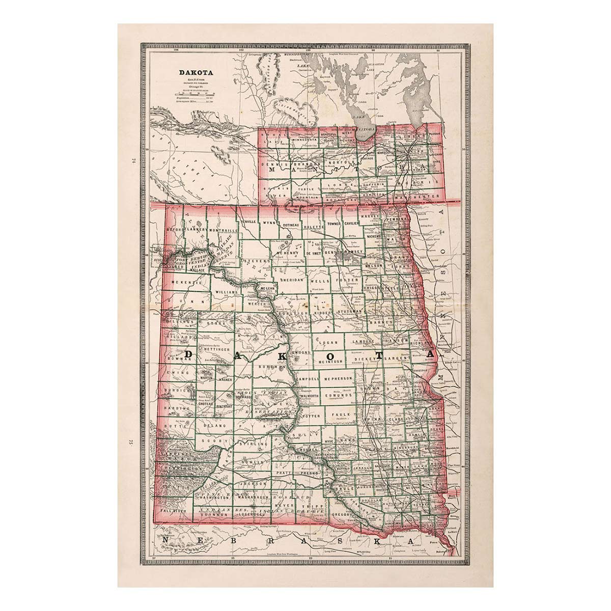
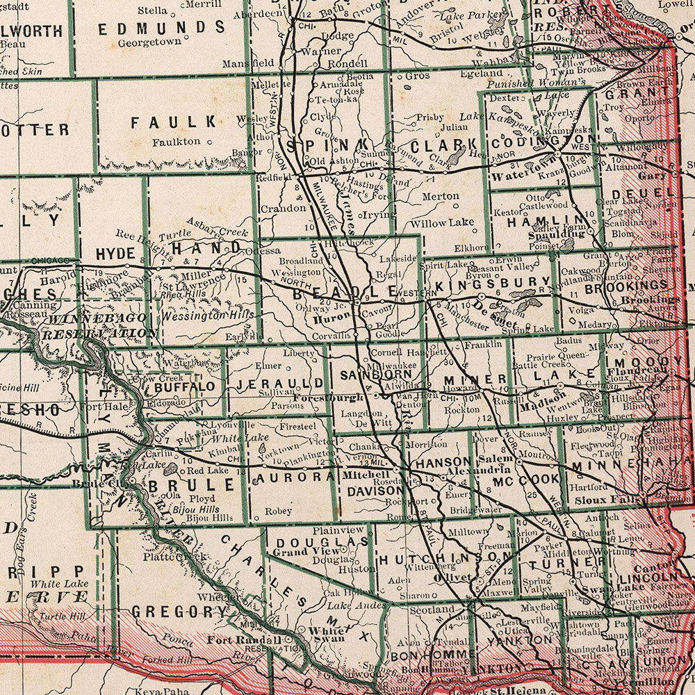
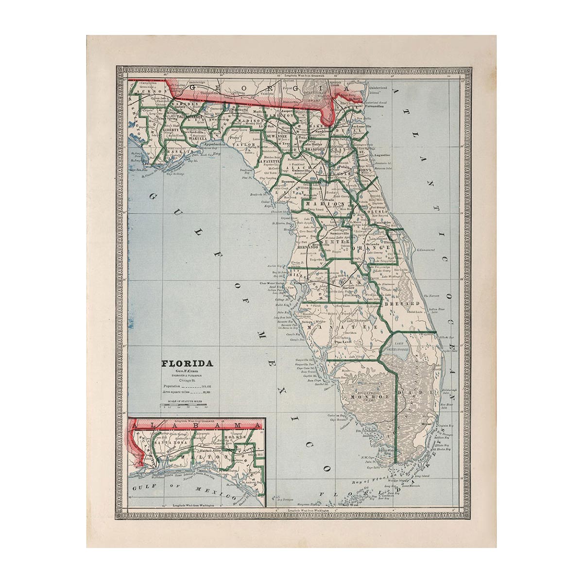
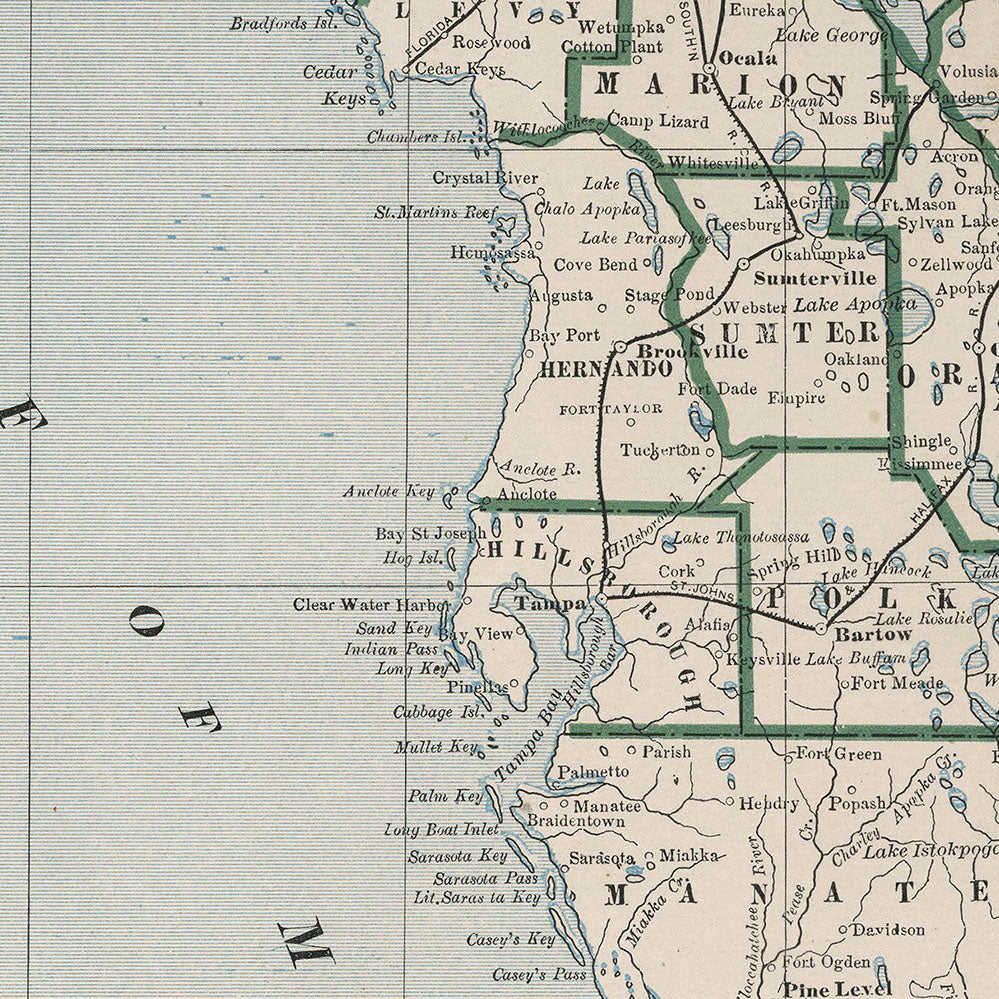
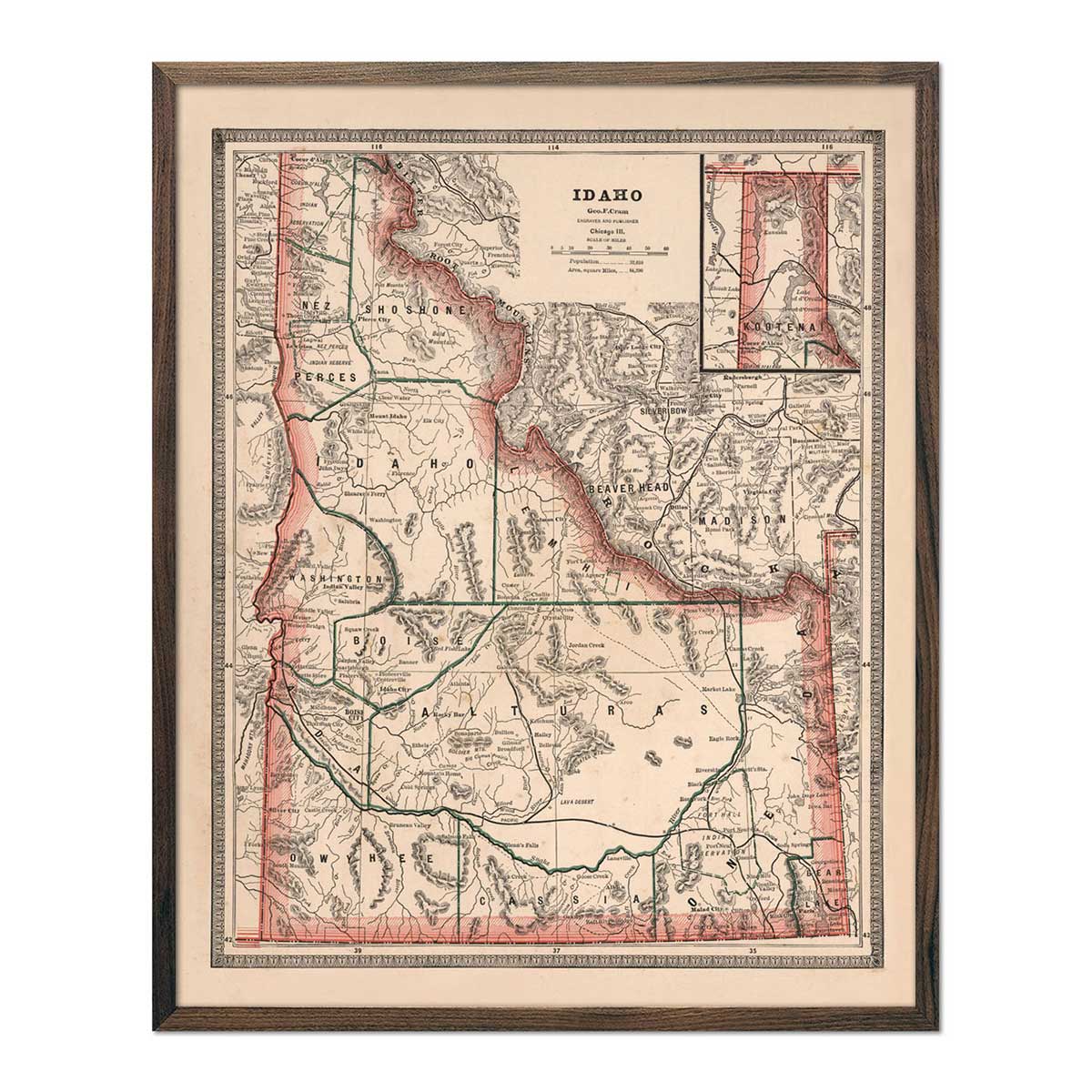
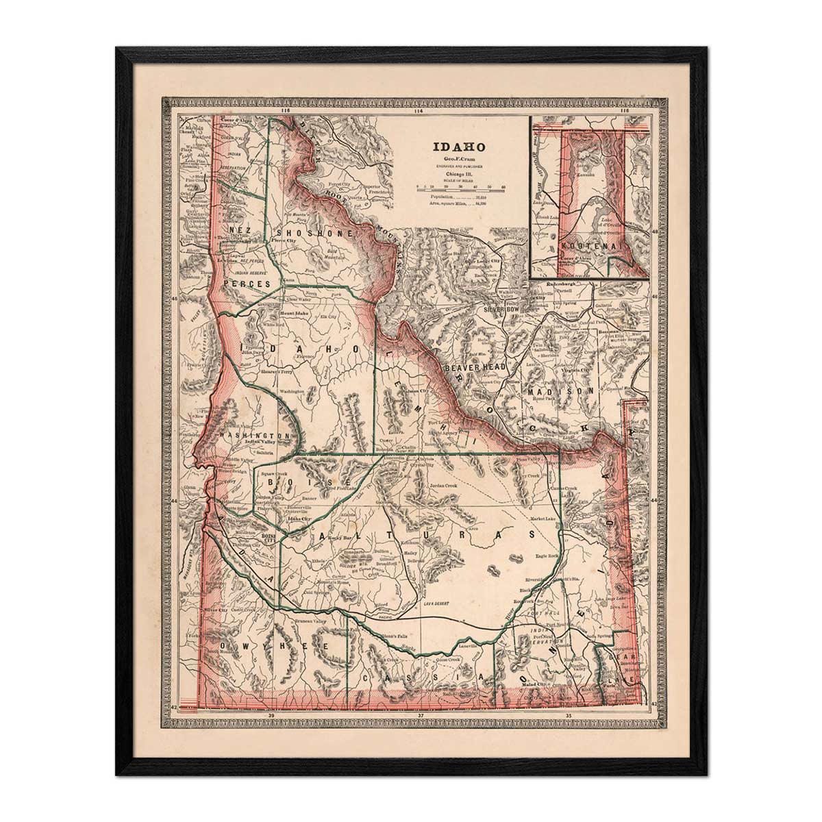
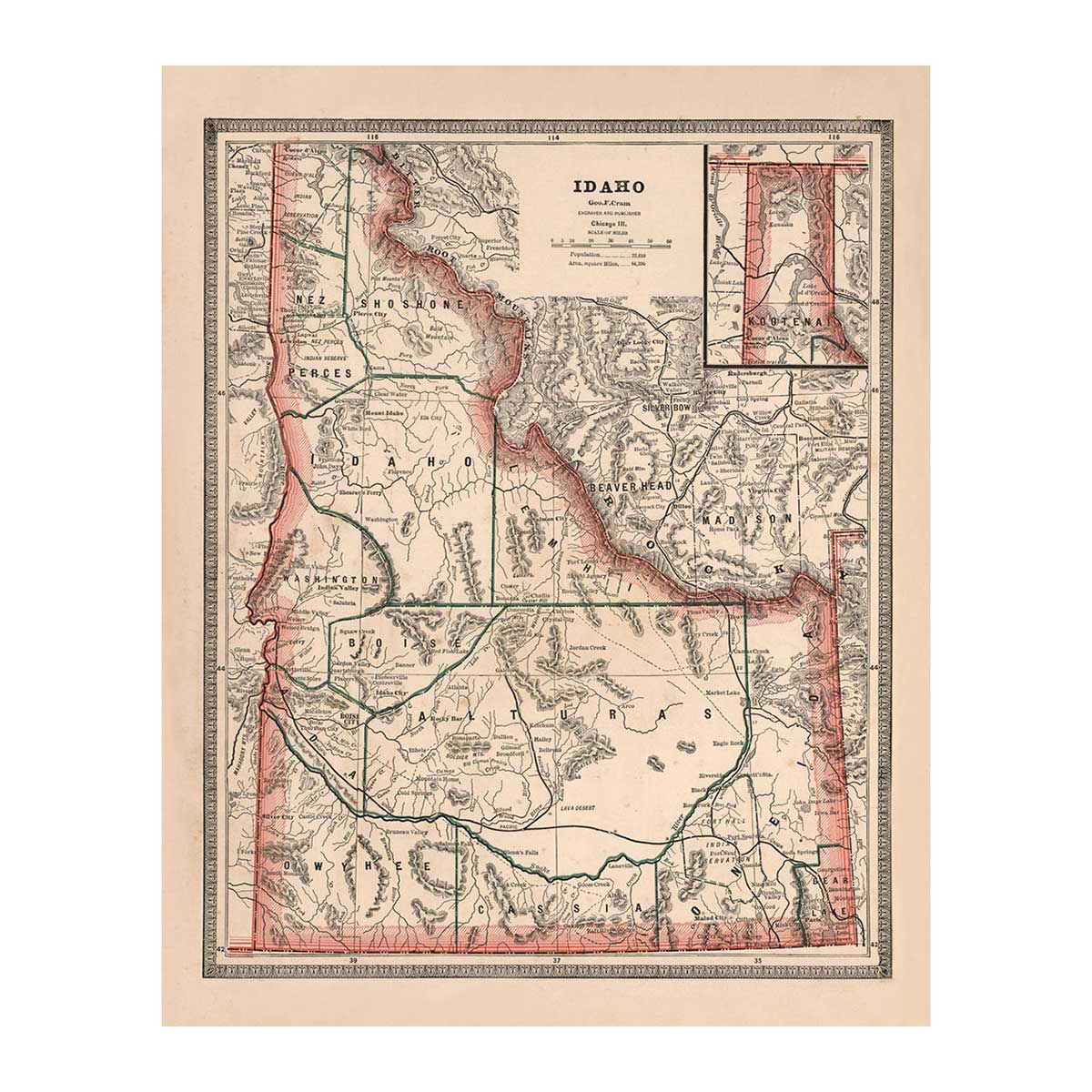
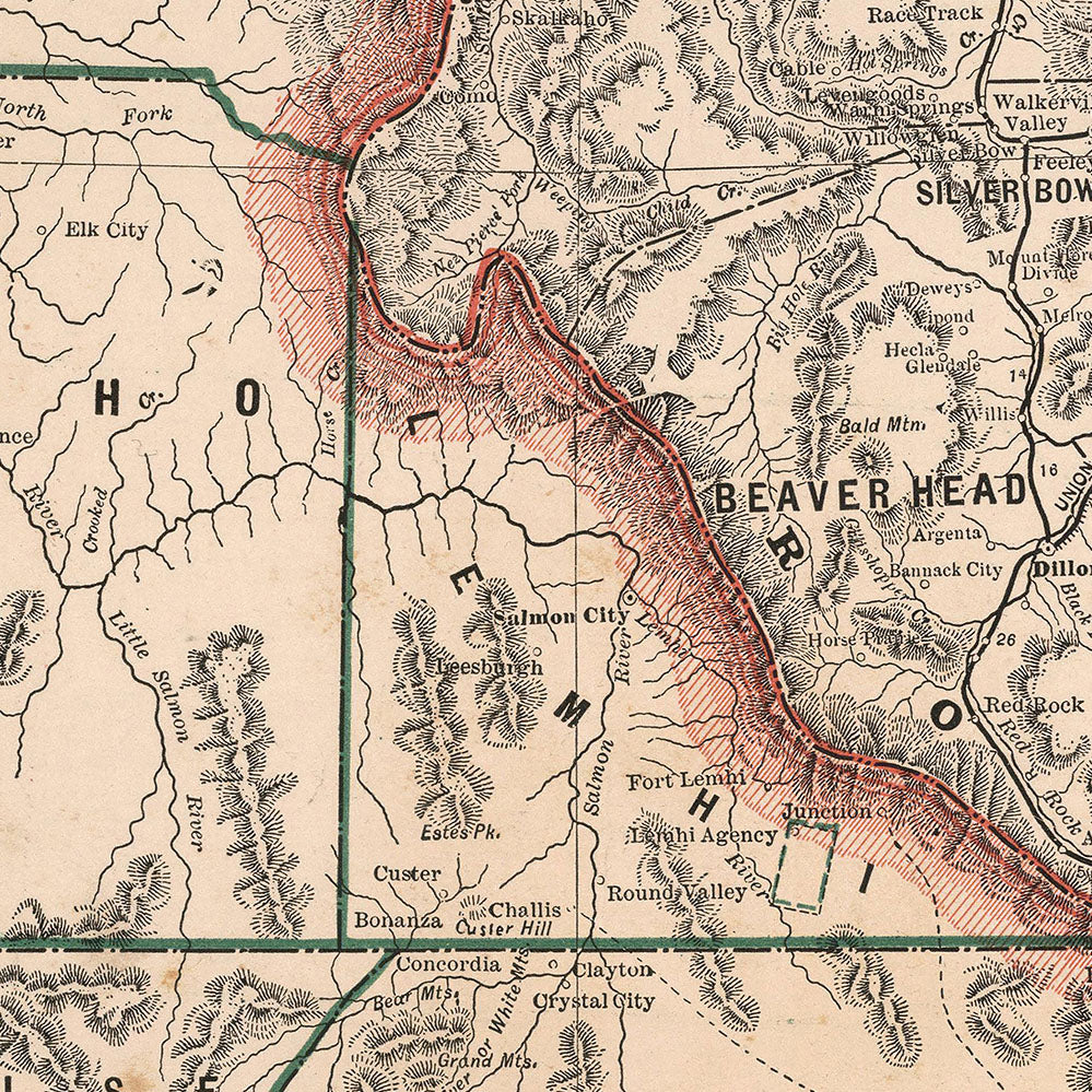
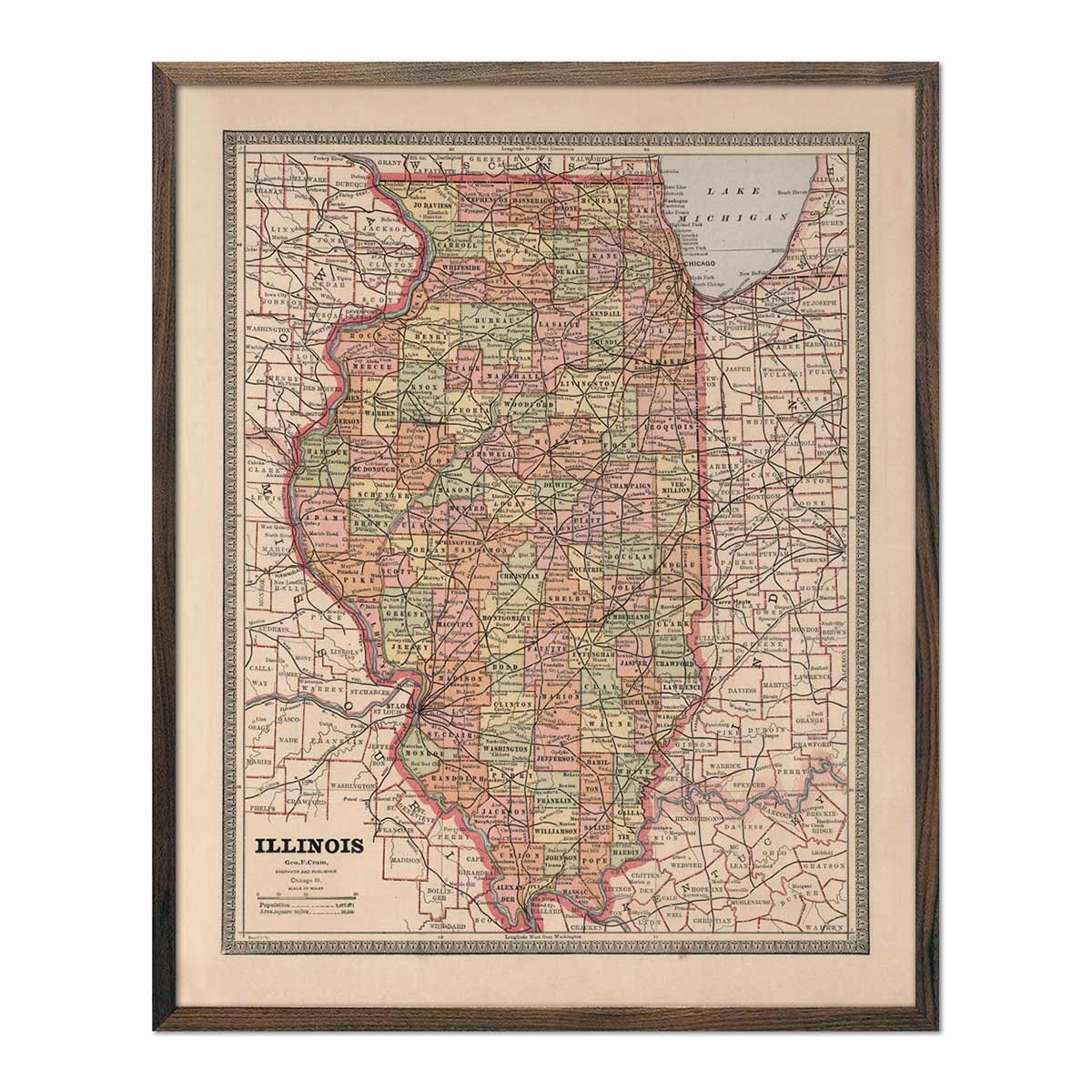
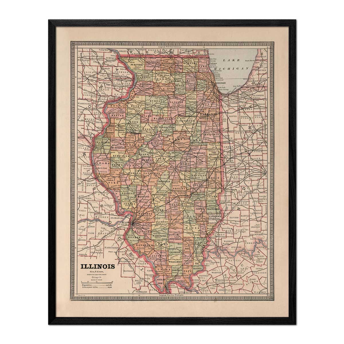
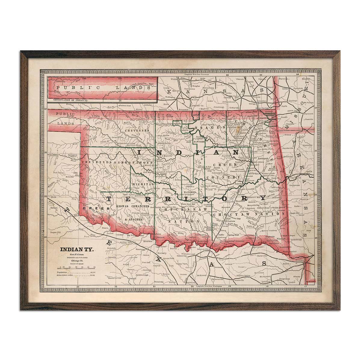
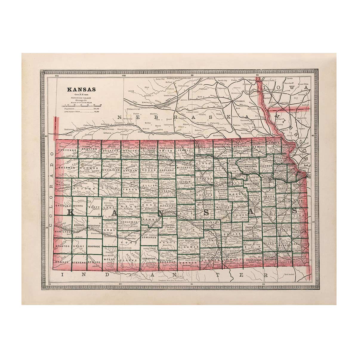
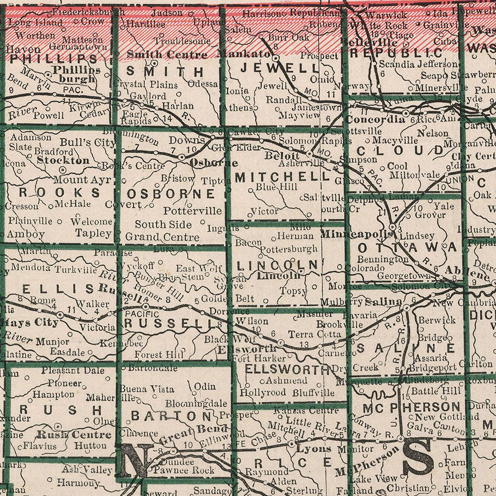
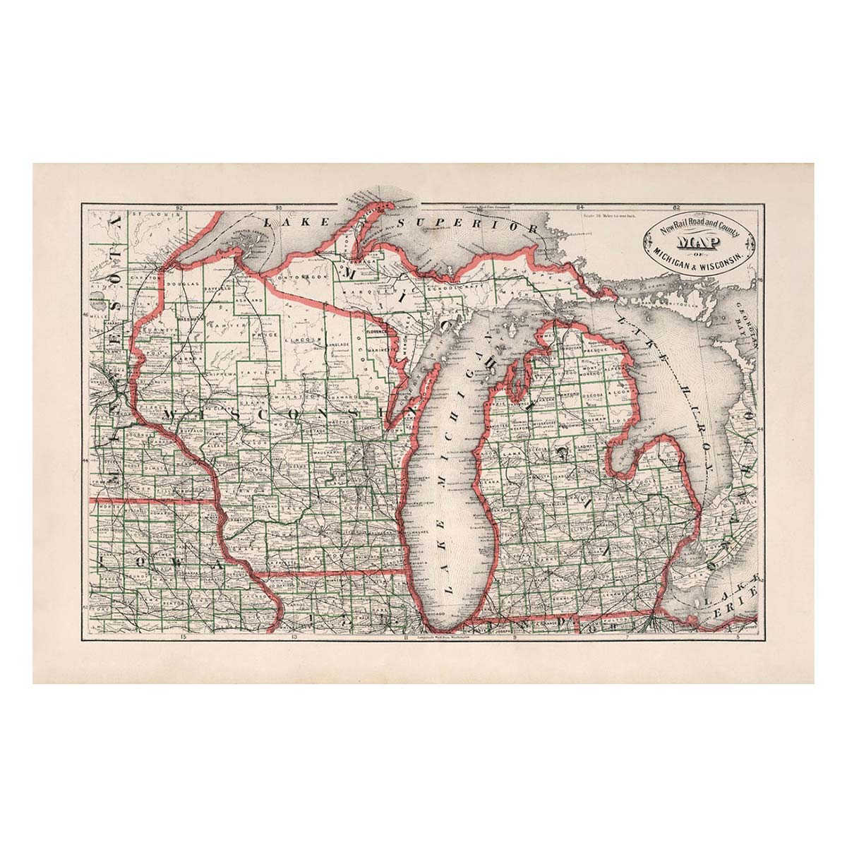
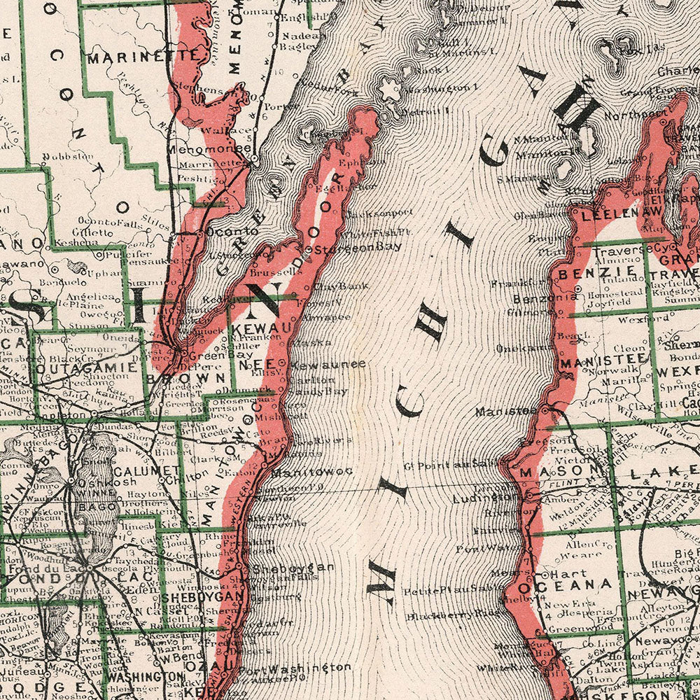
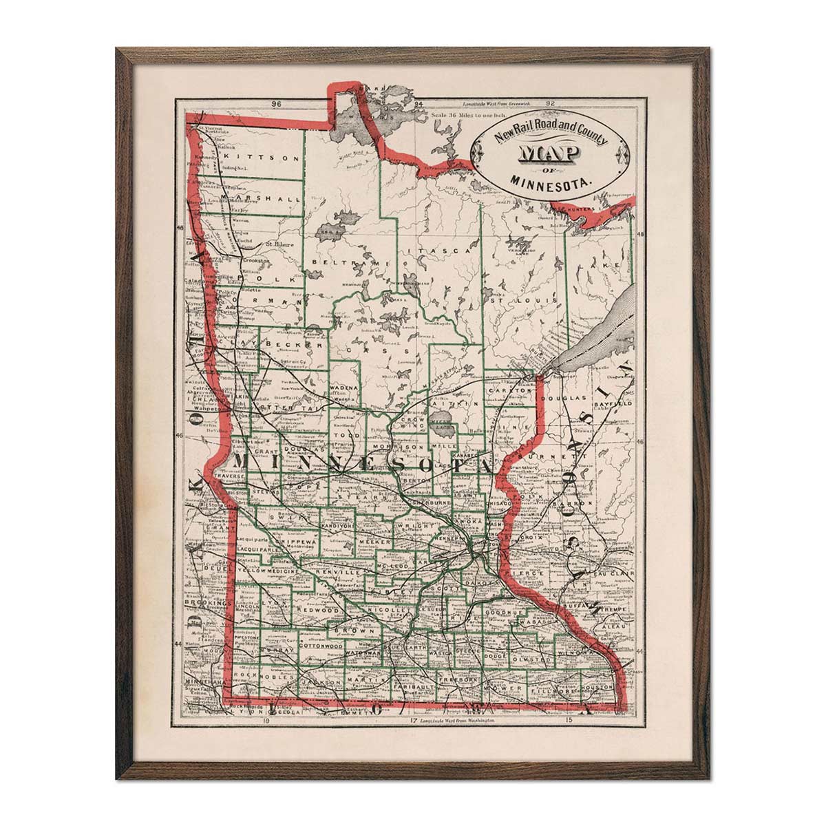
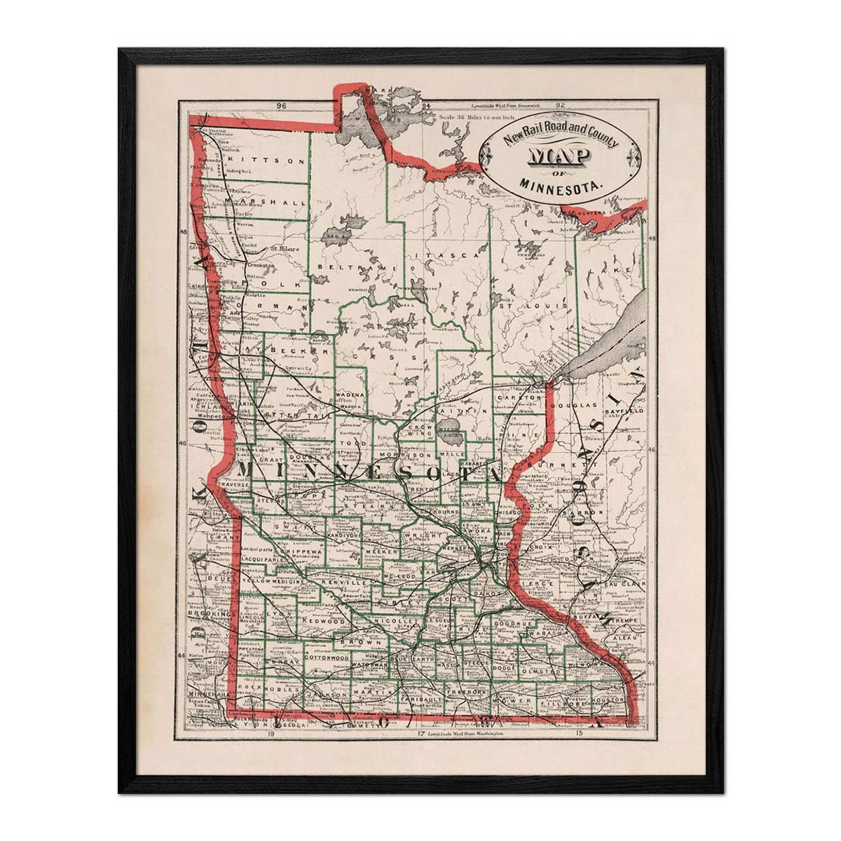
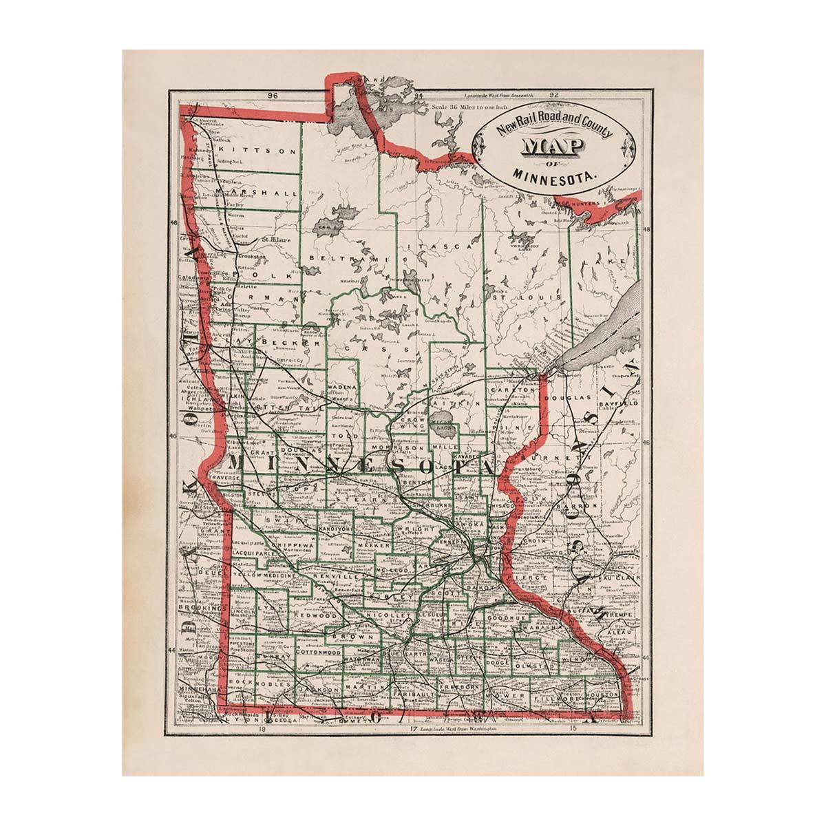
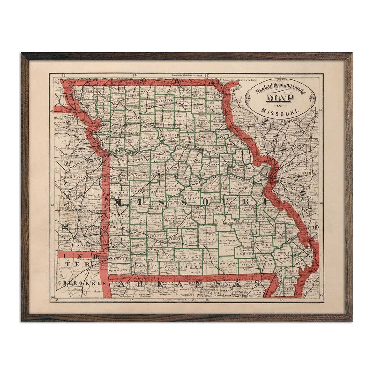
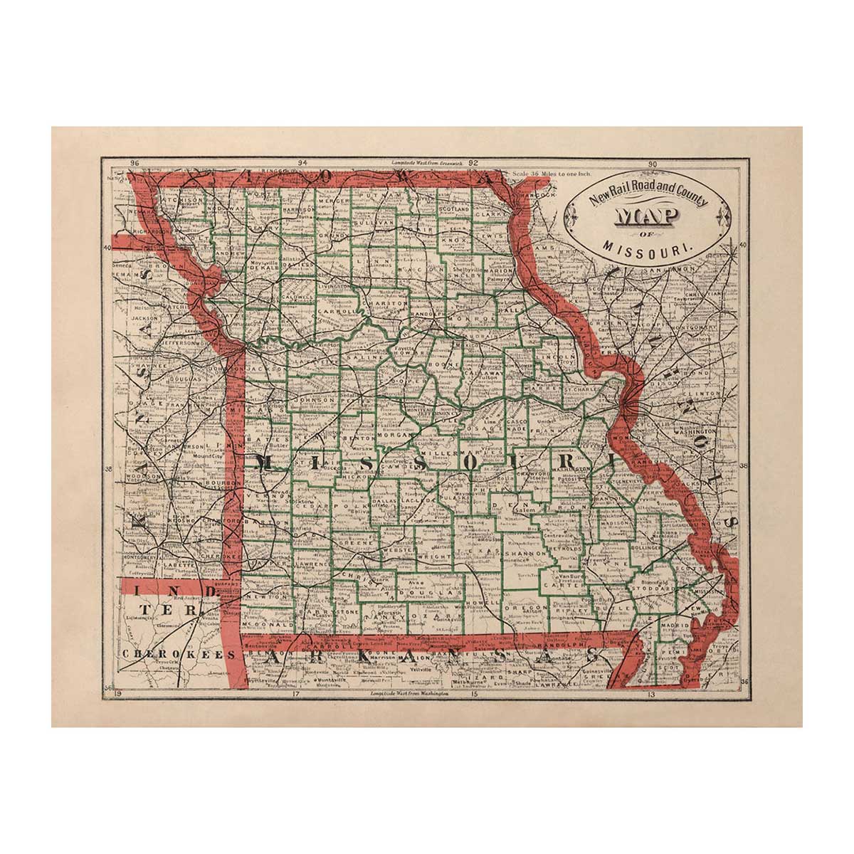
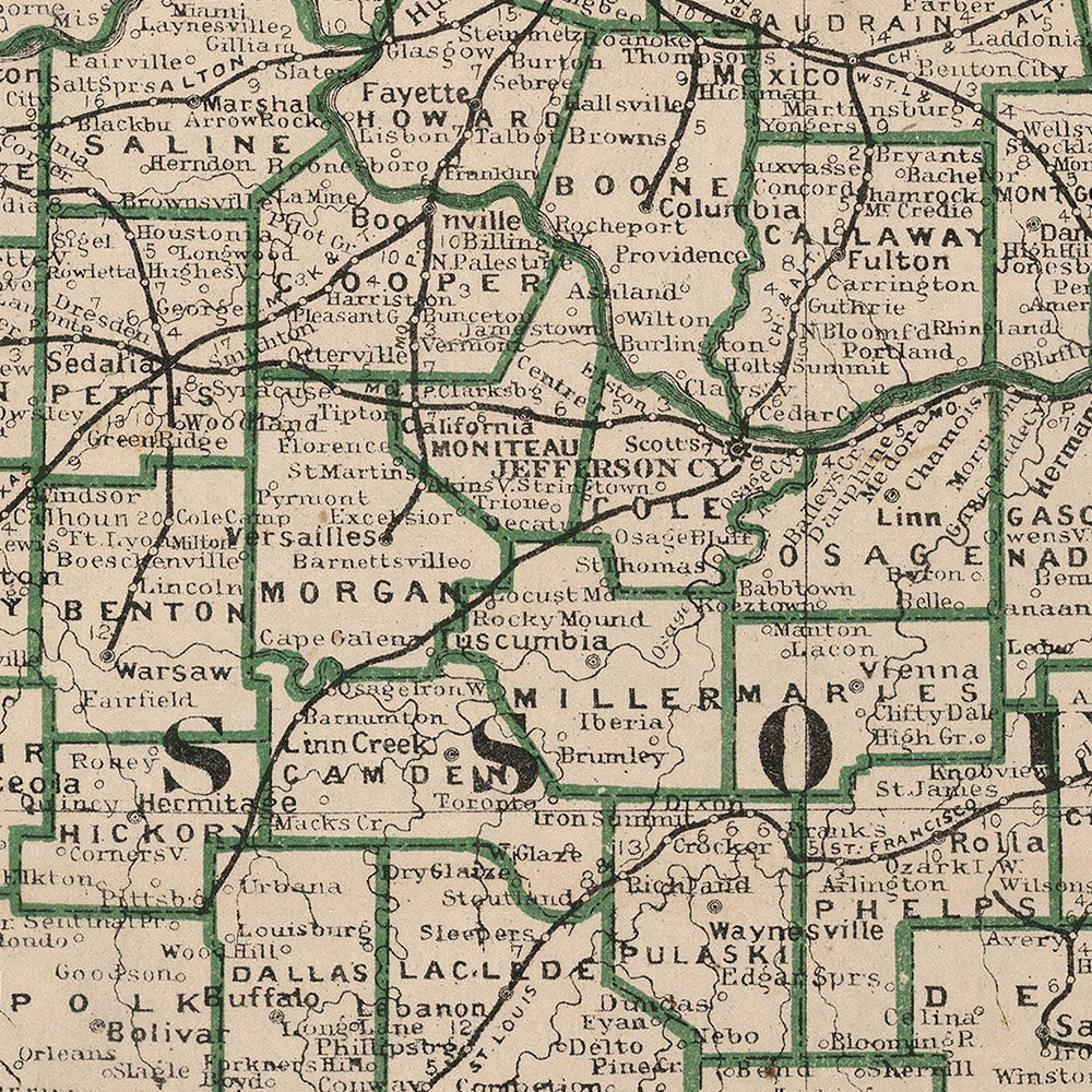
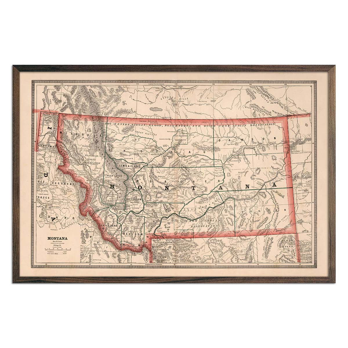
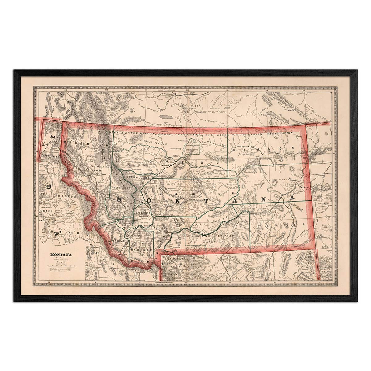
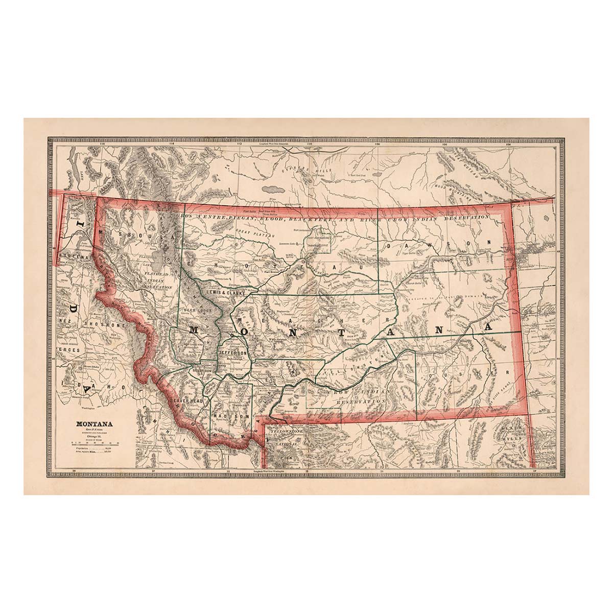
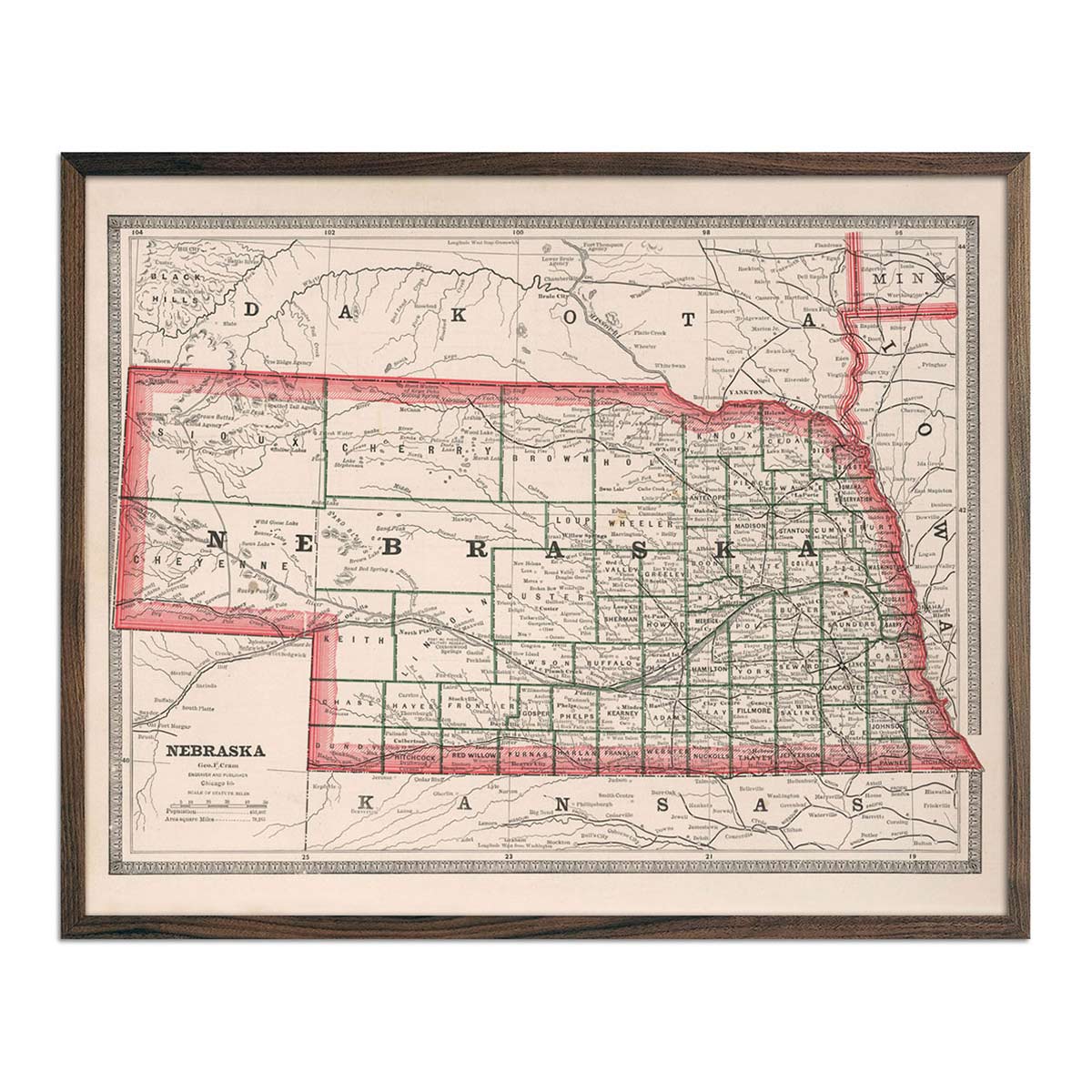
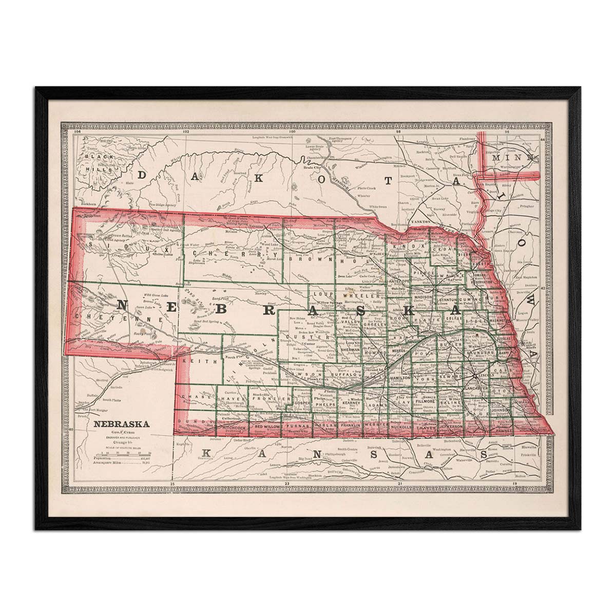
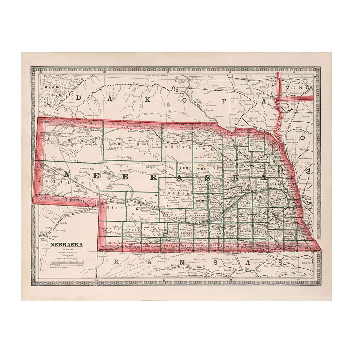
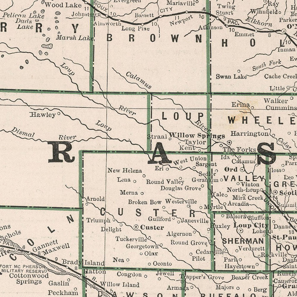
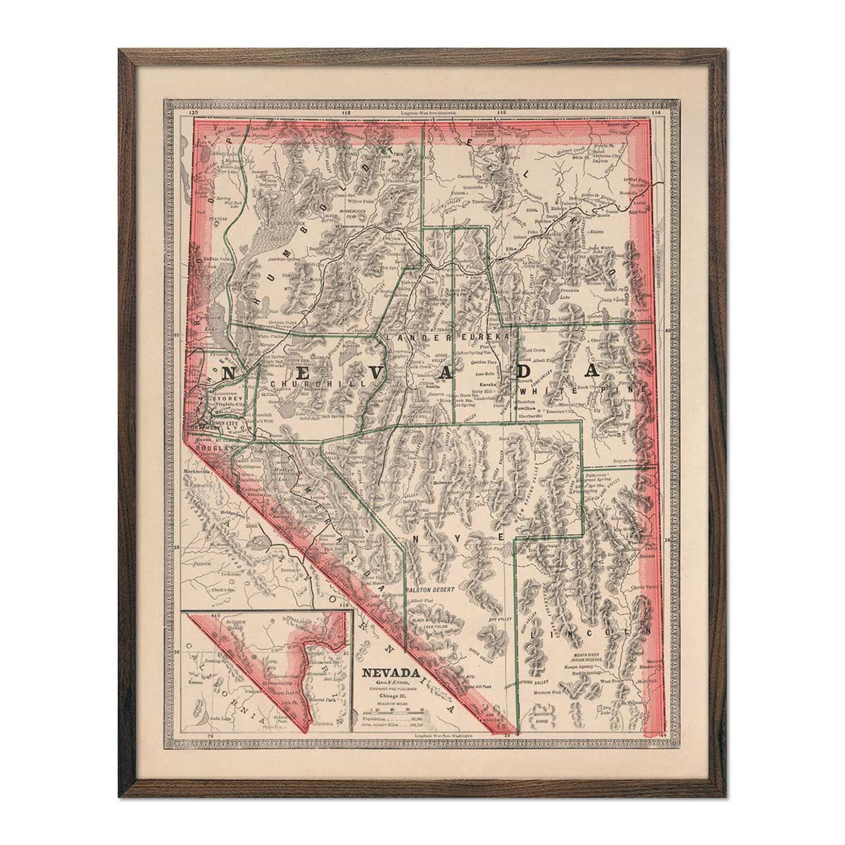
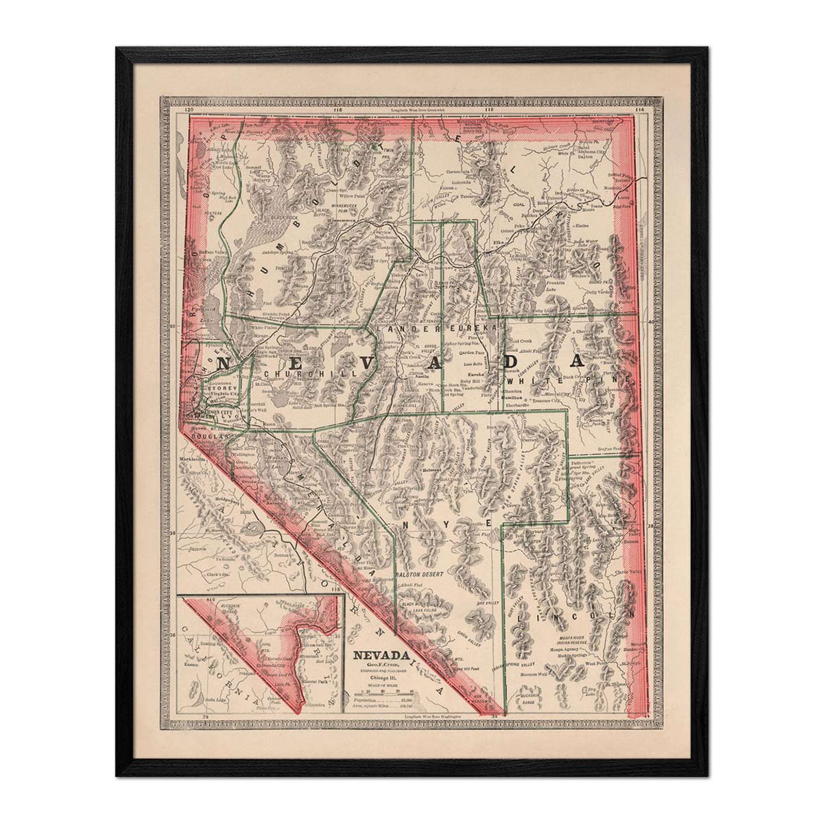
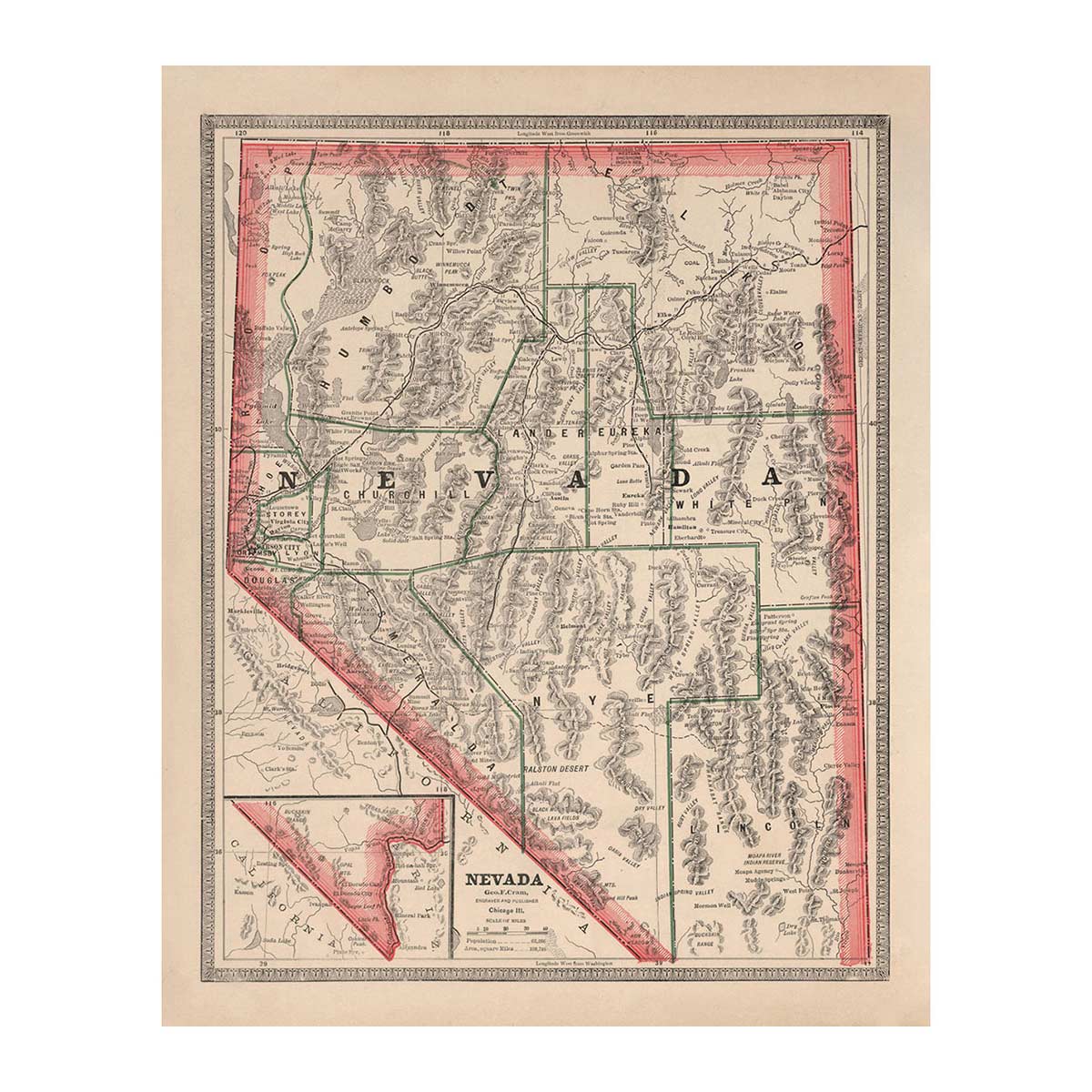
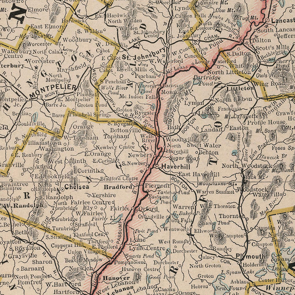
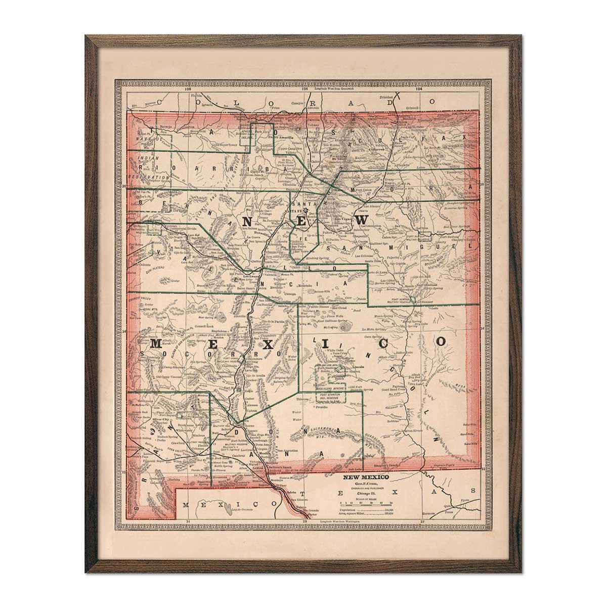
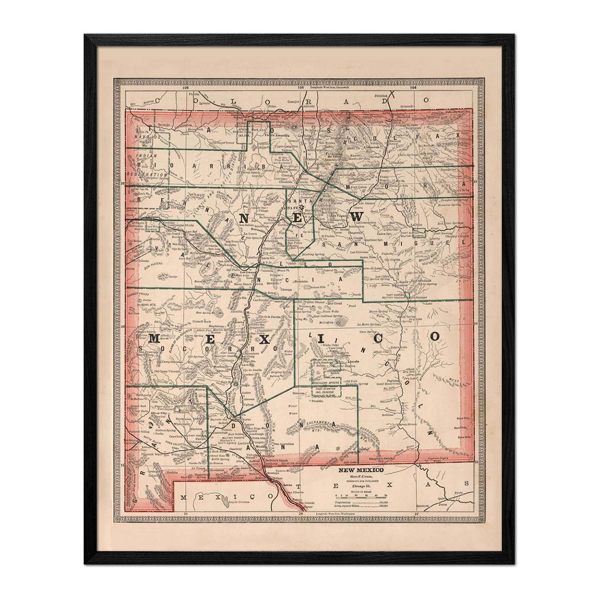
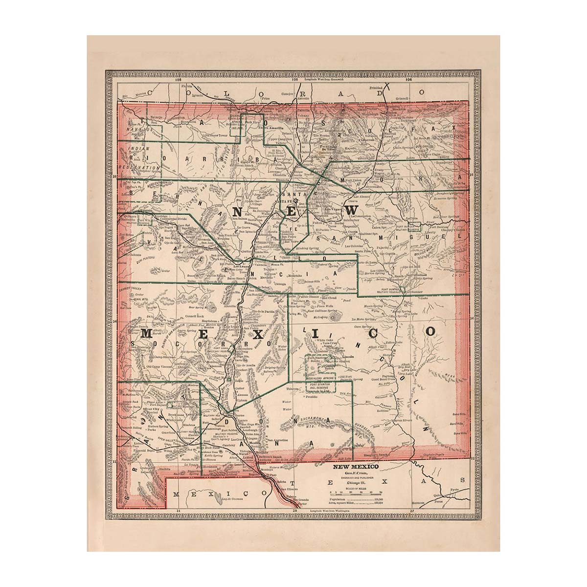
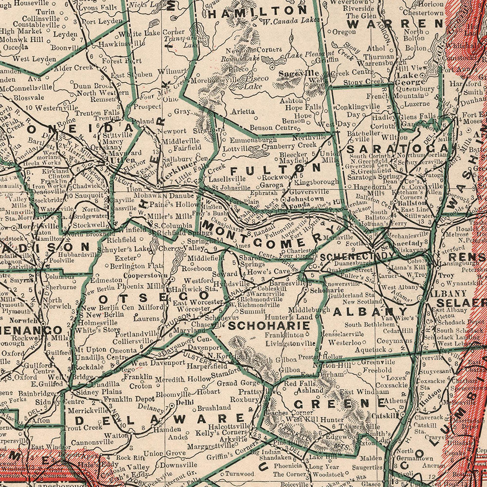
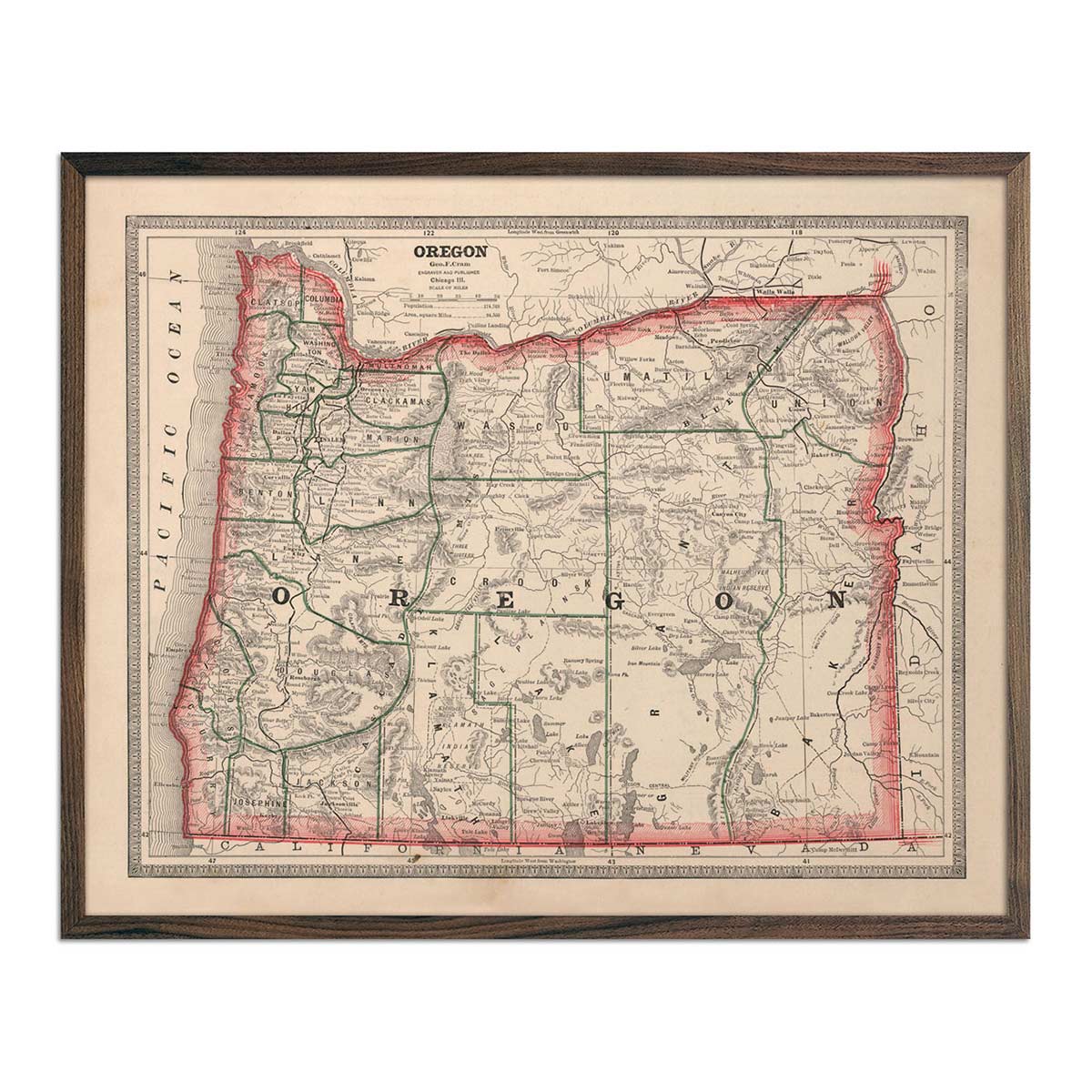
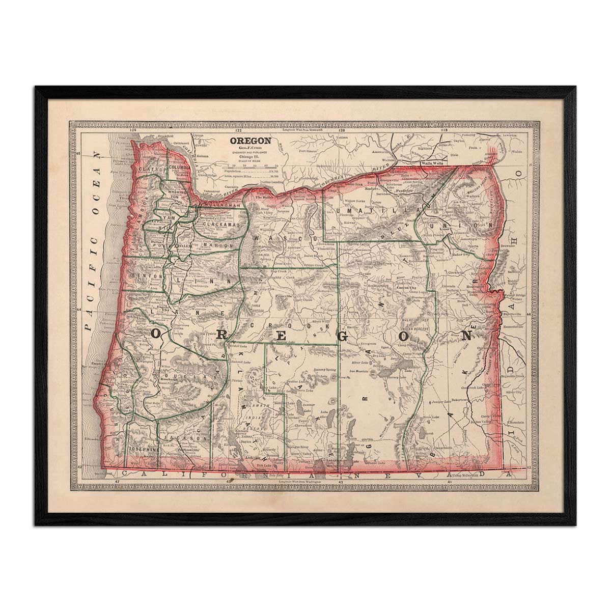
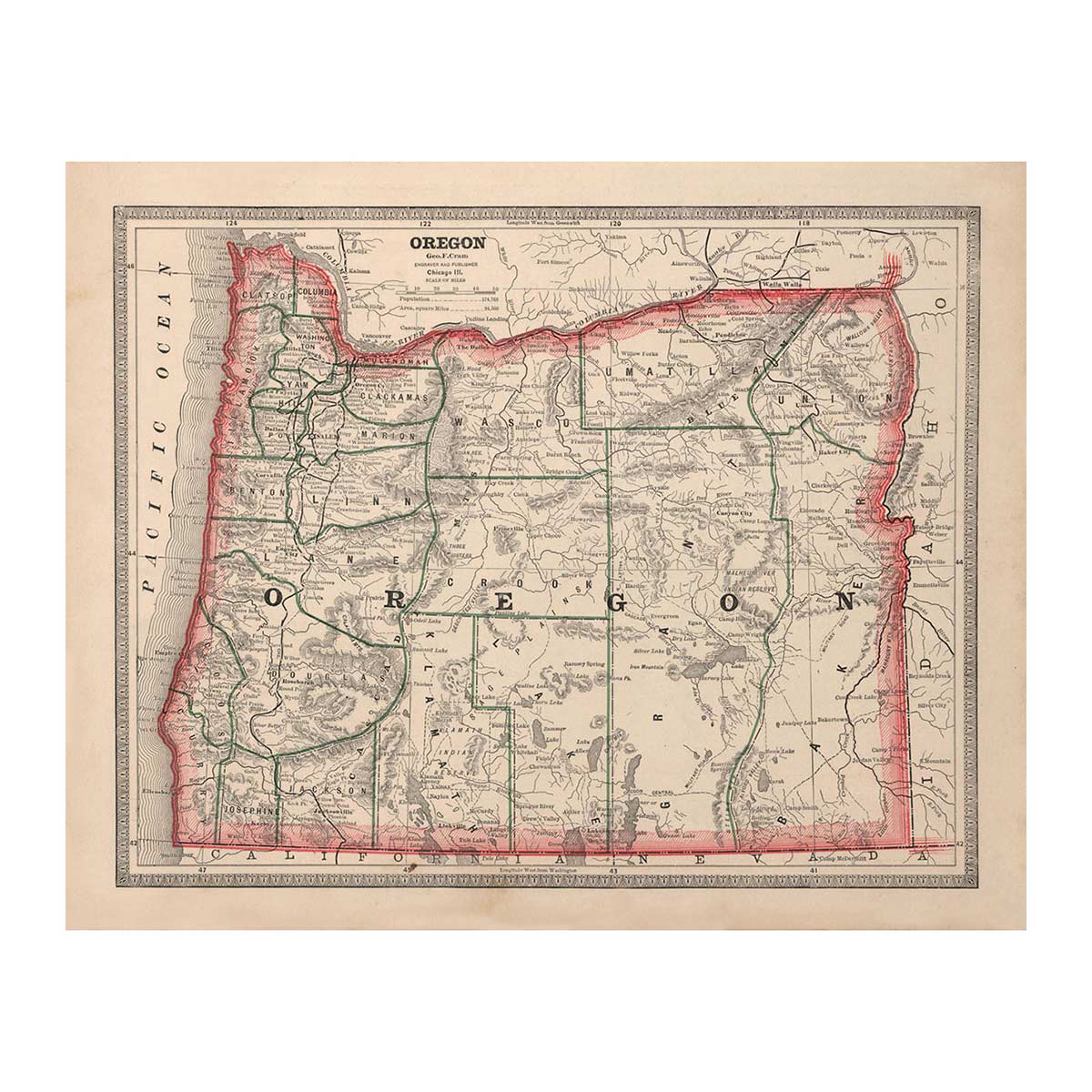
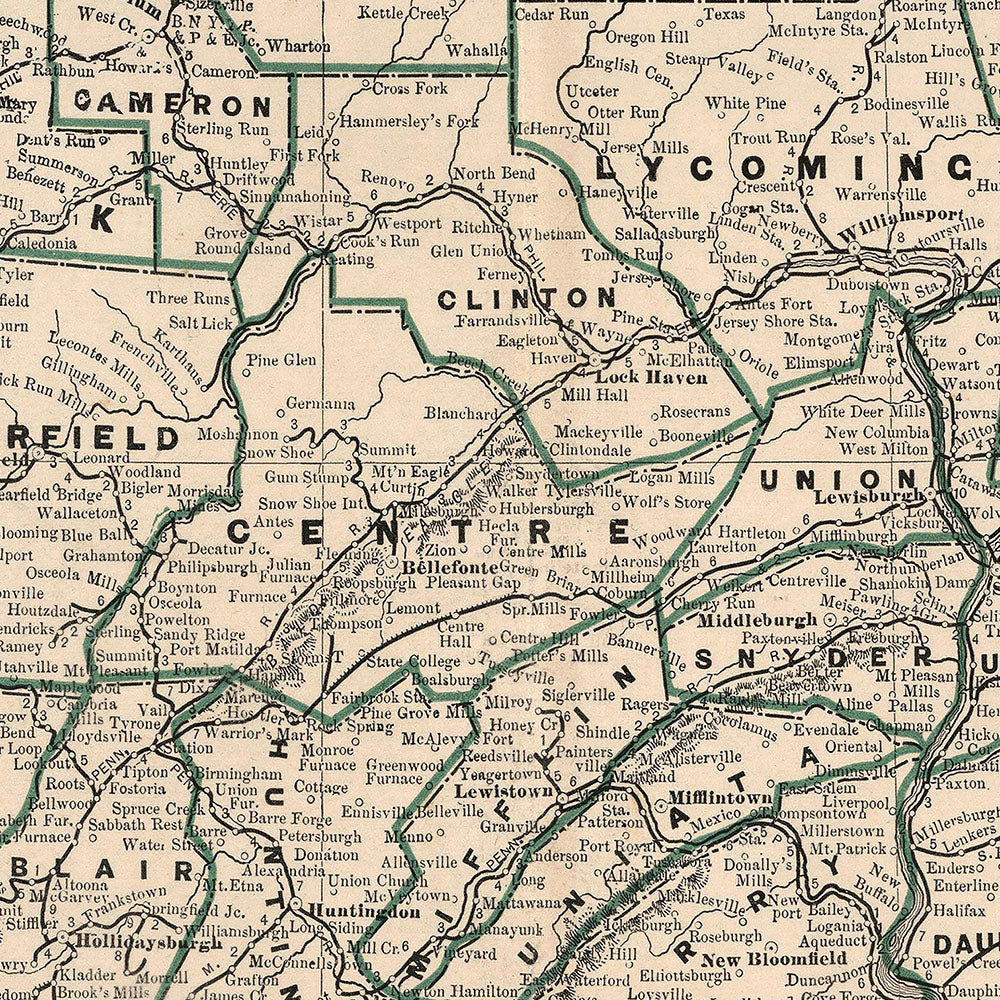
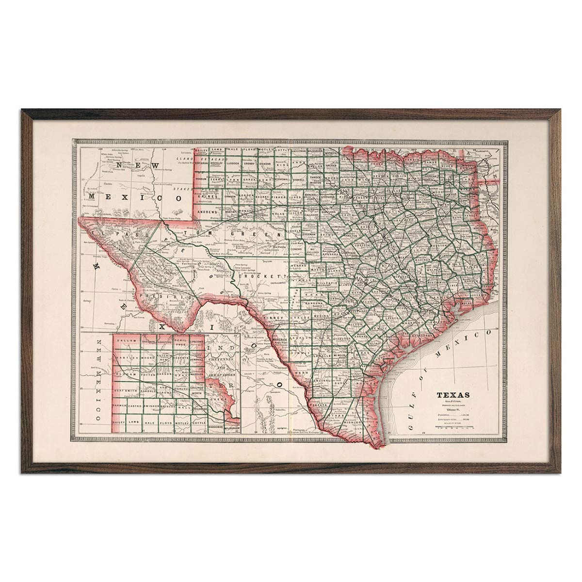
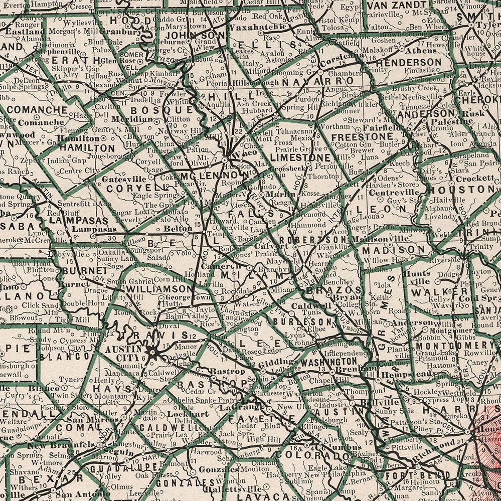
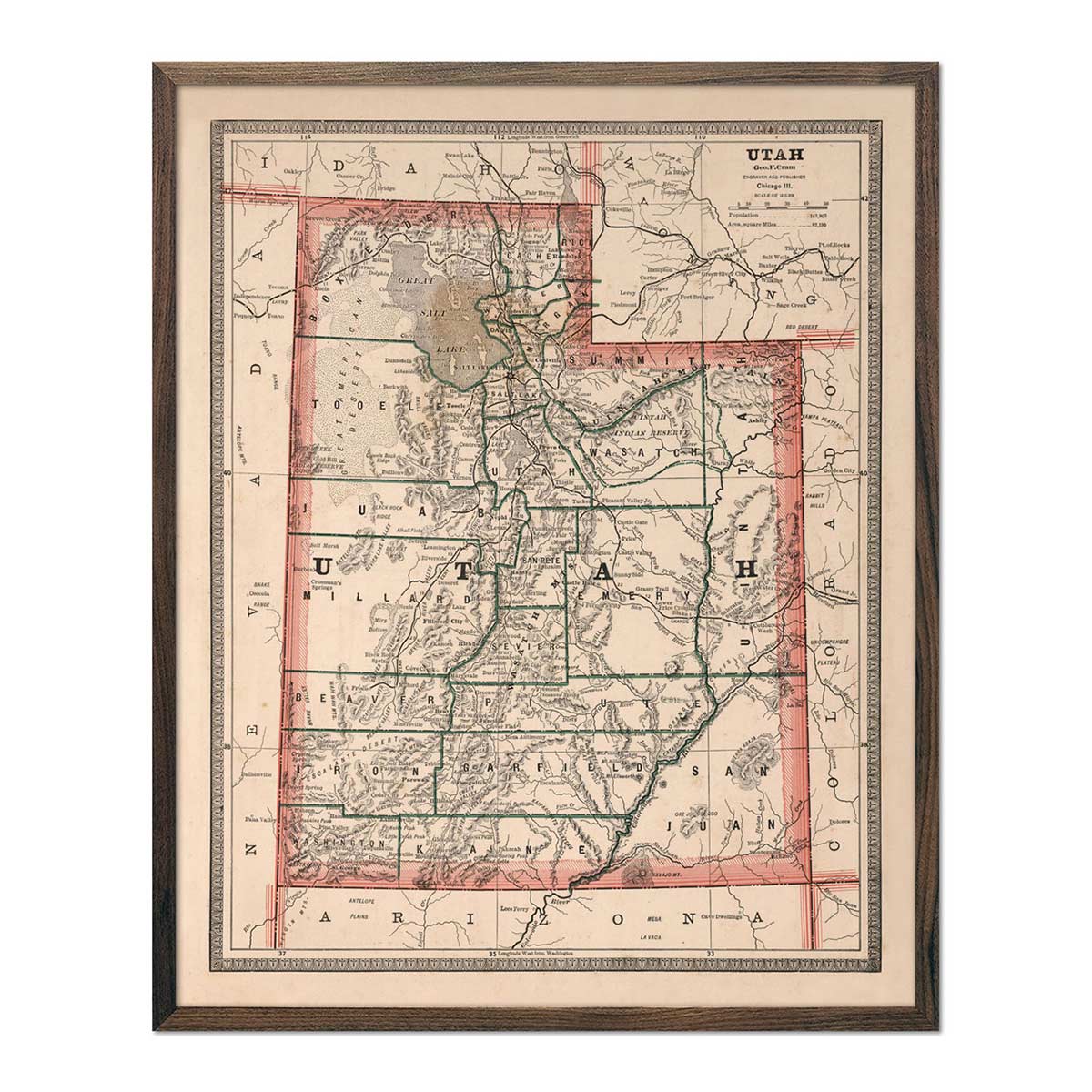
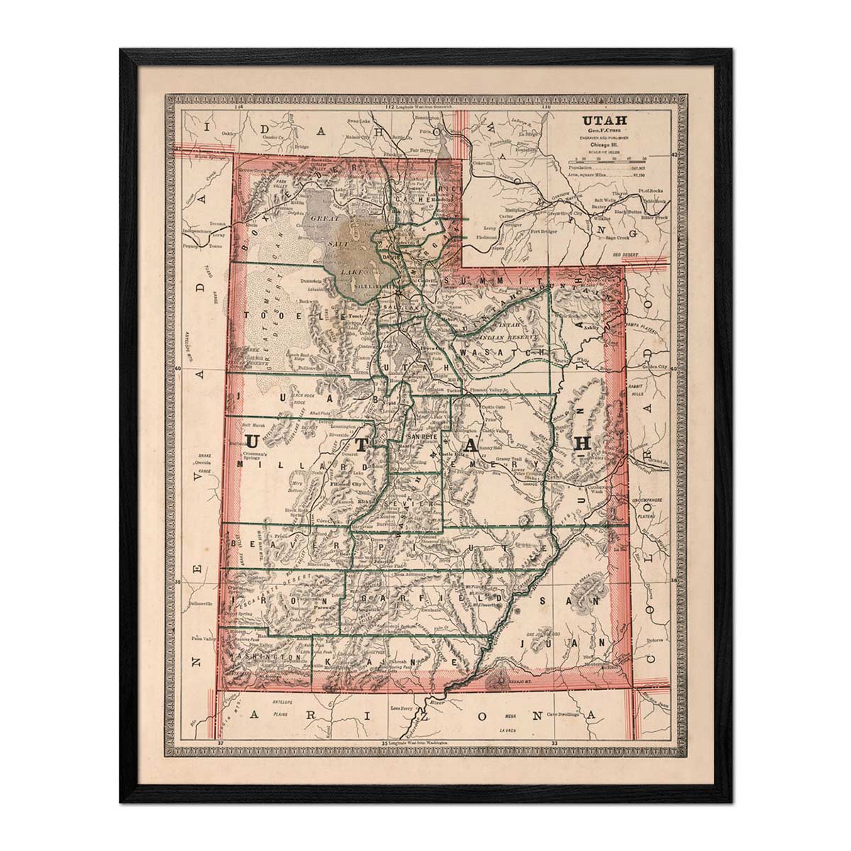
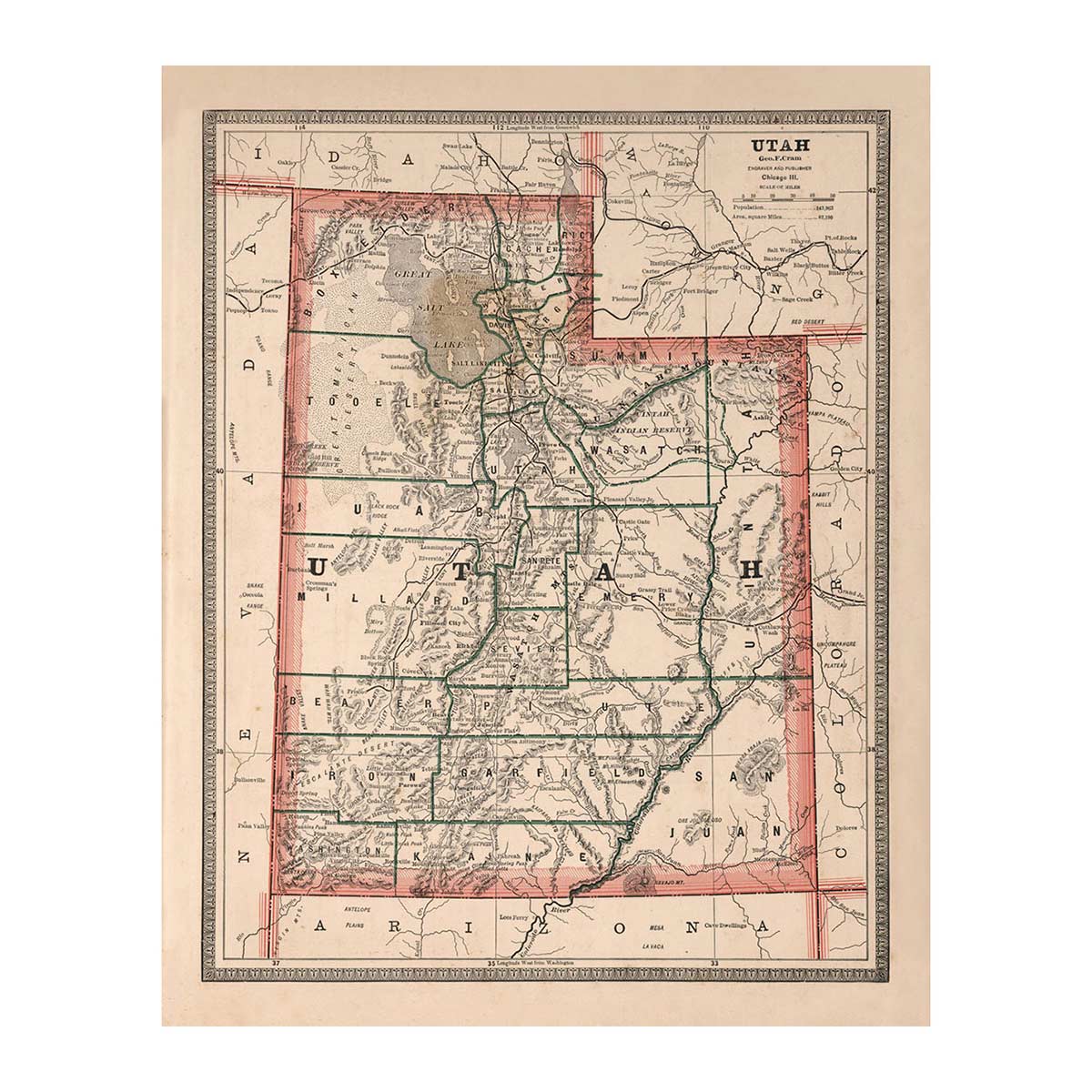
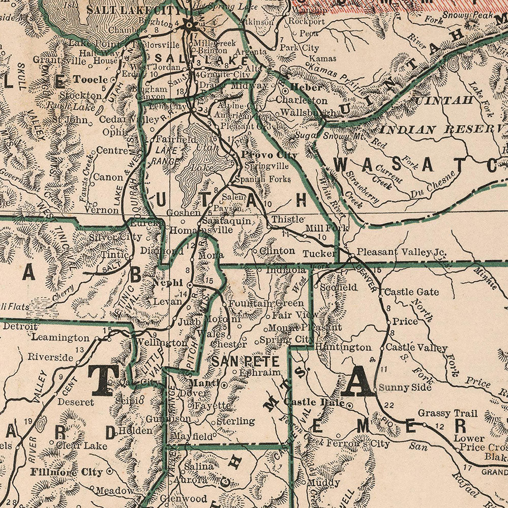
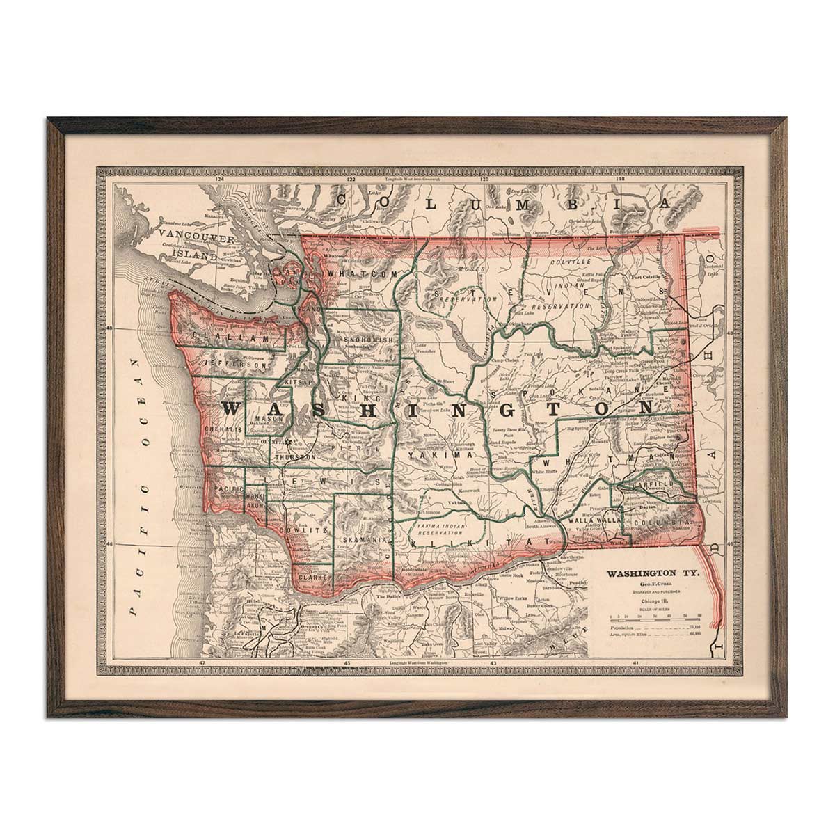
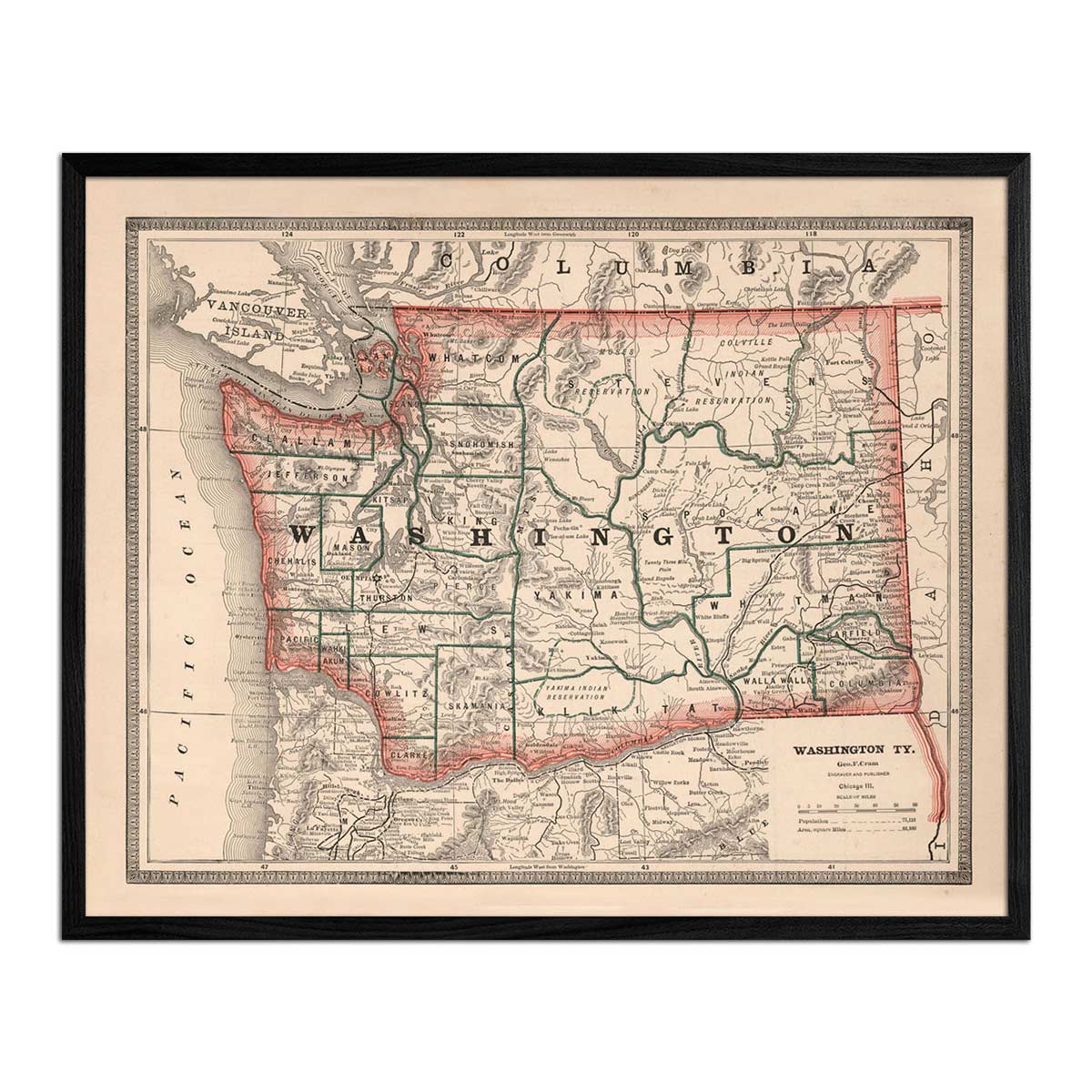
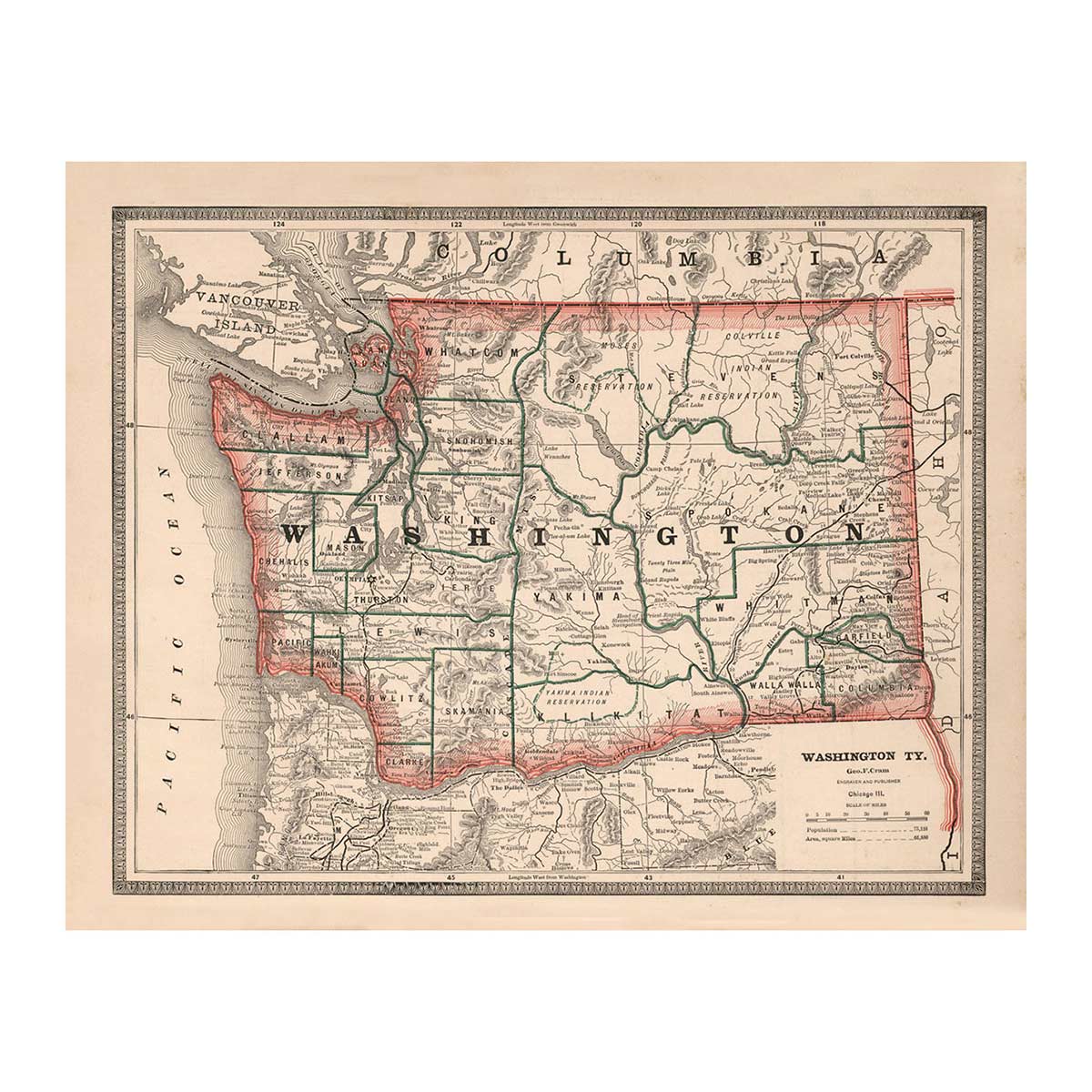
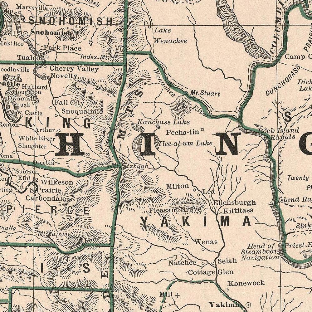
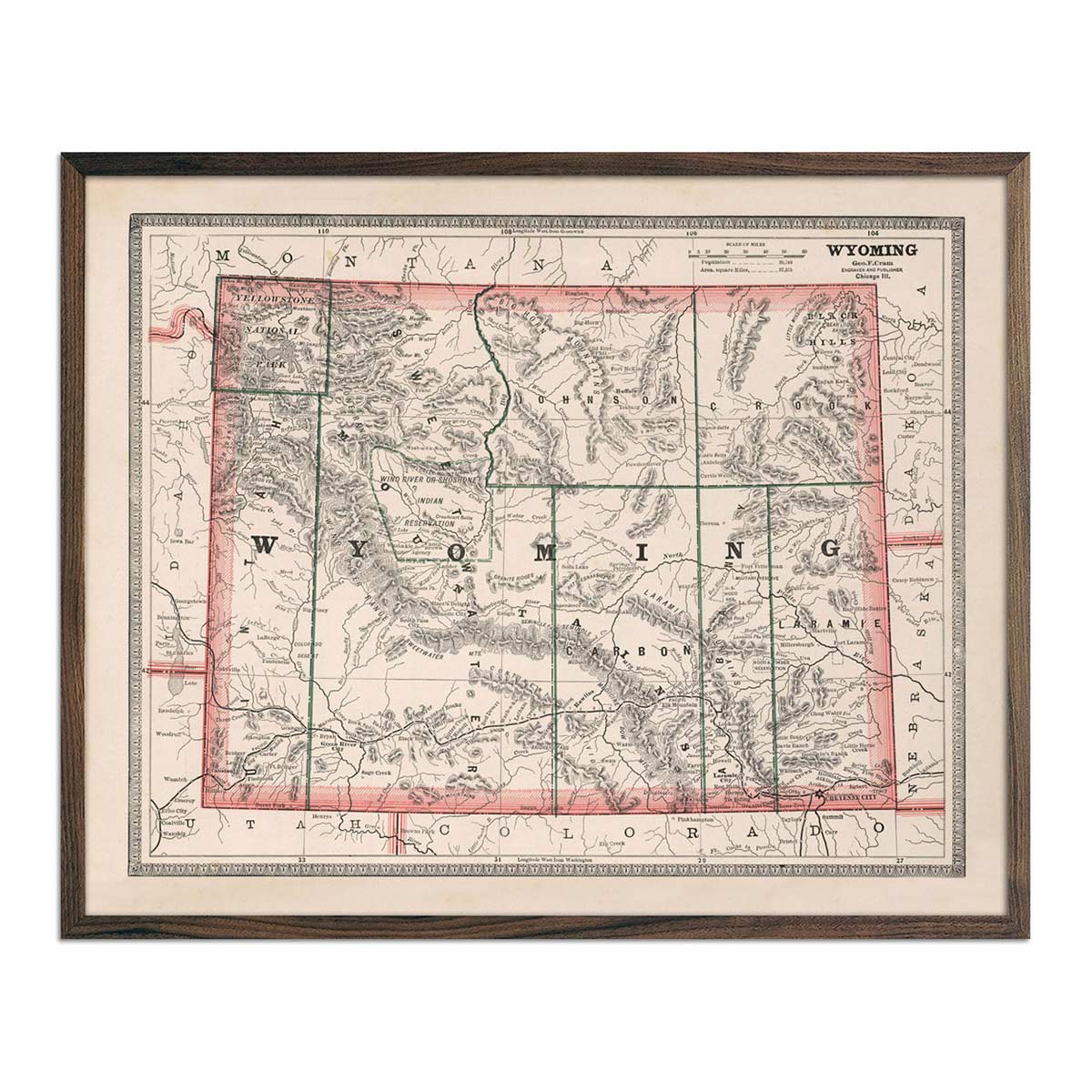
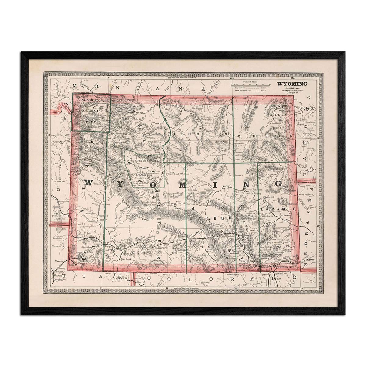
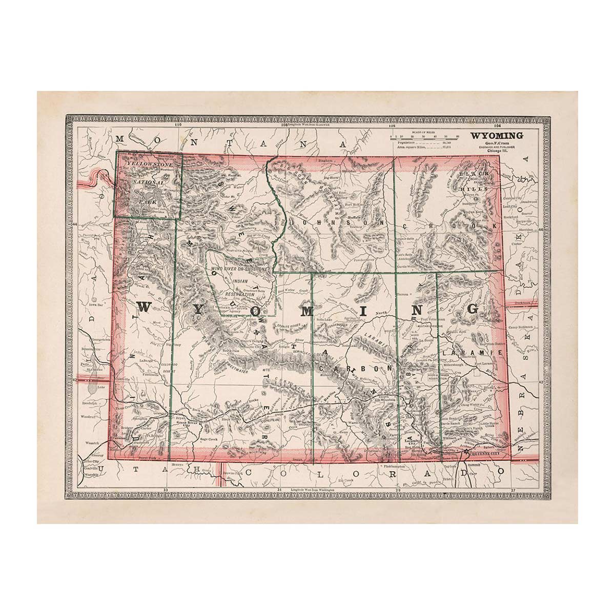
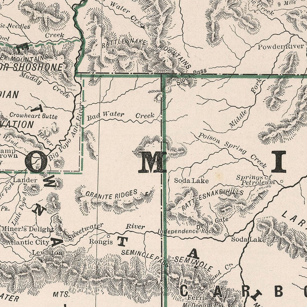
Our 1883 US State Map collection gives you the ability to step back into history and get a glimpse of the past. In 1883 the United States had only 38 states, with North Dakota, South Dakota, Montana, Washington, Idaho, Wyoming, Utah, Oklahoma, New Mexico, Arizona, Alaska, and Hawaii having not yet joined the Union.
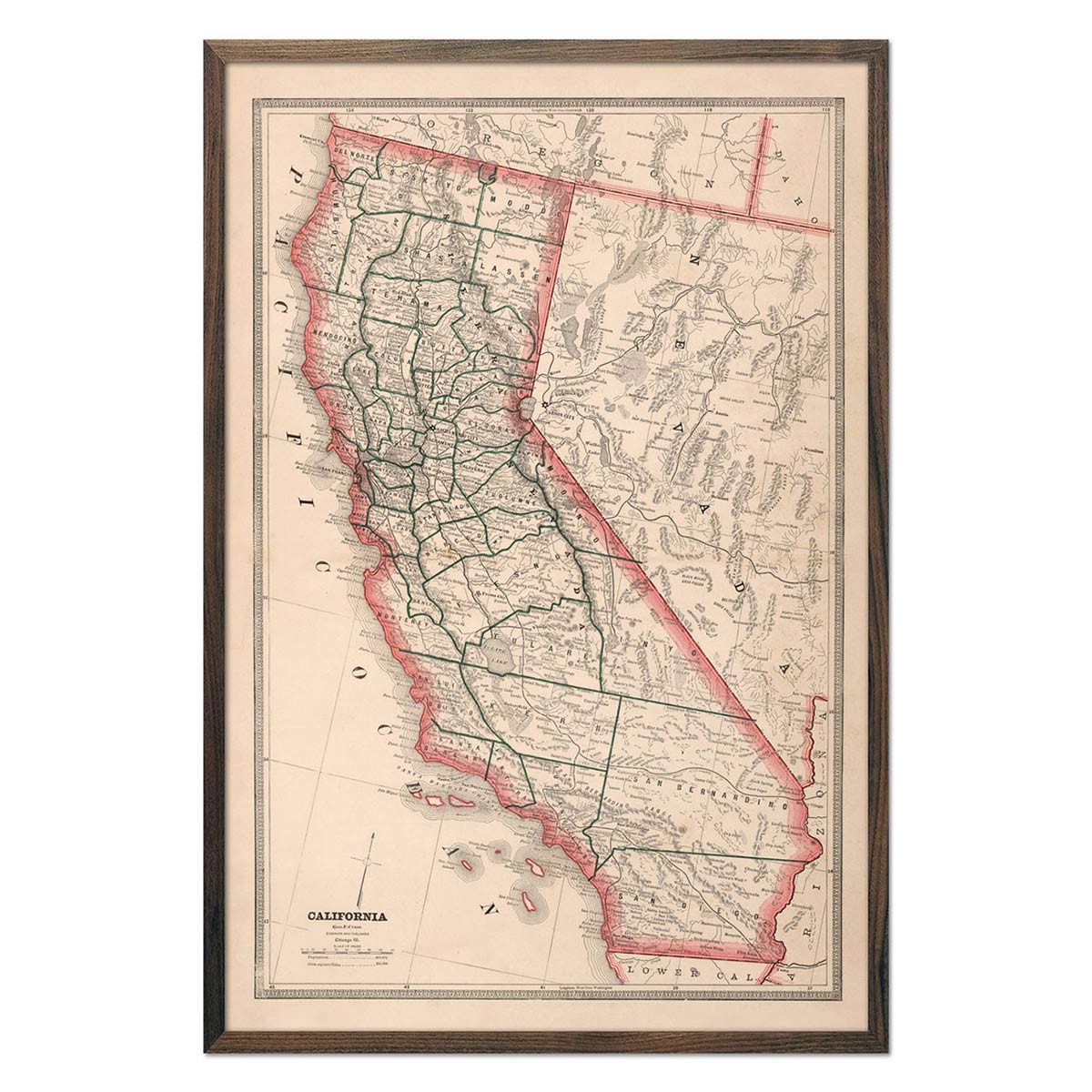
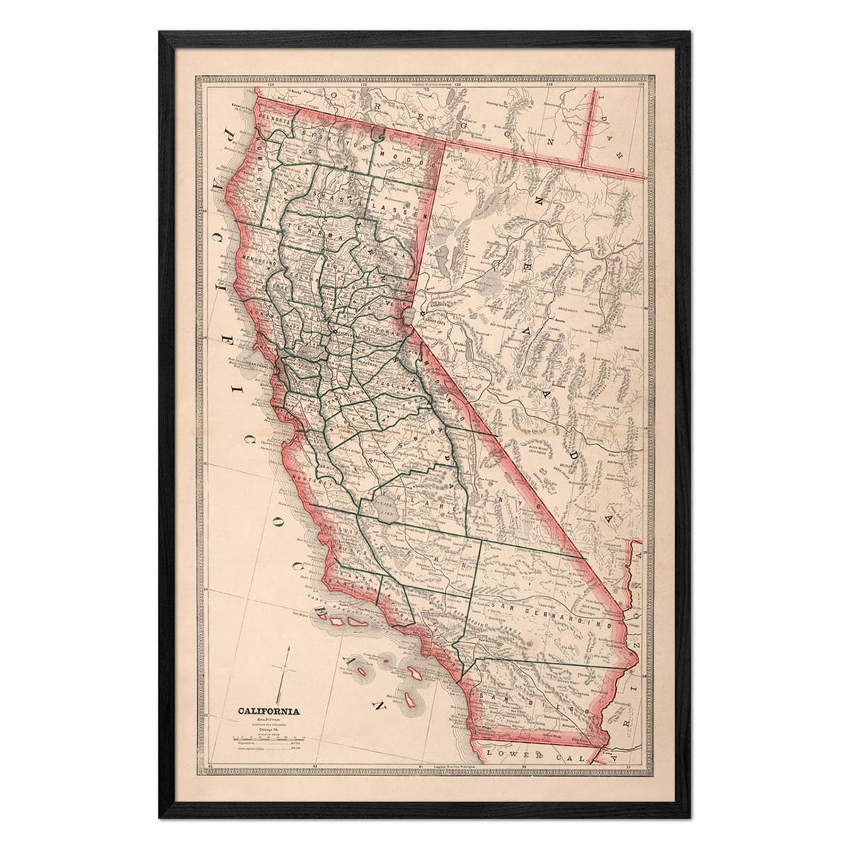
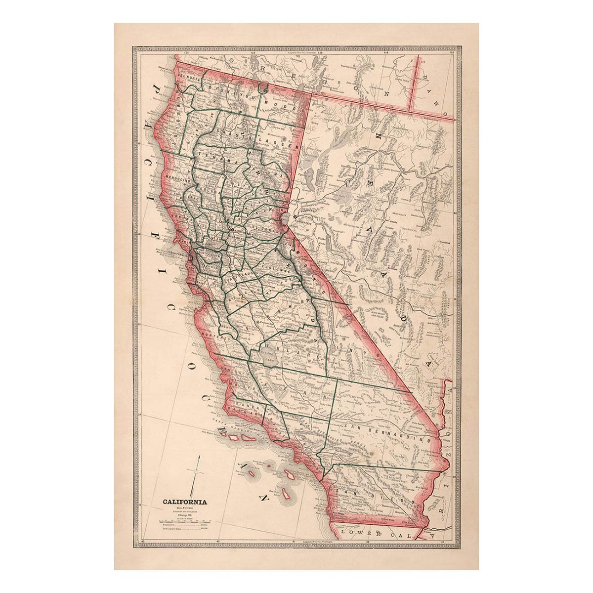
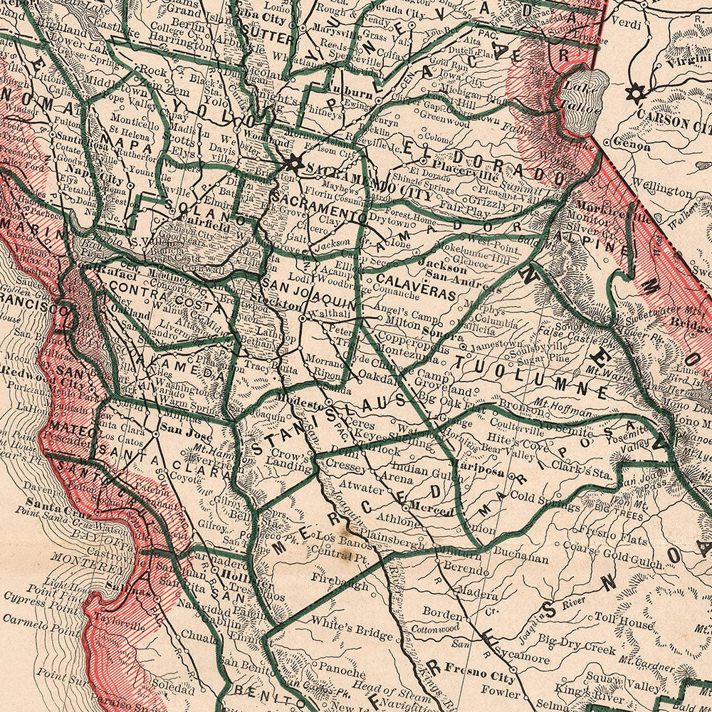
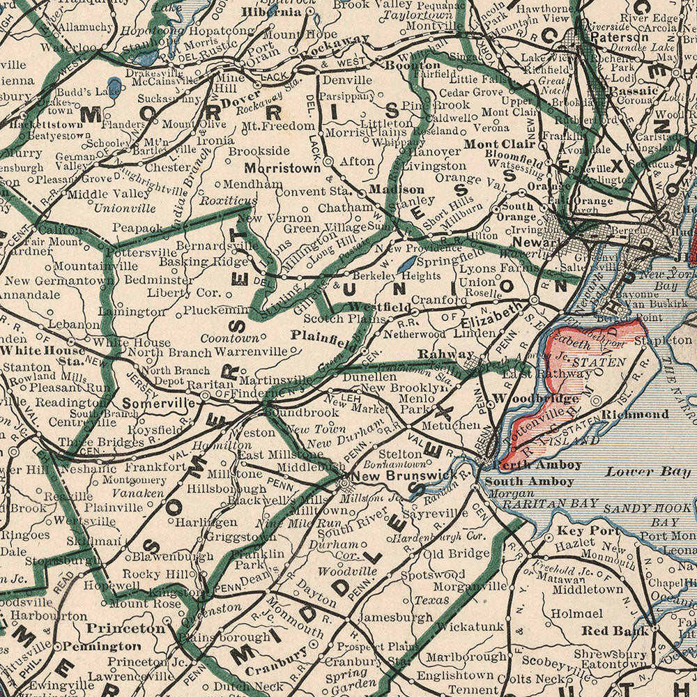
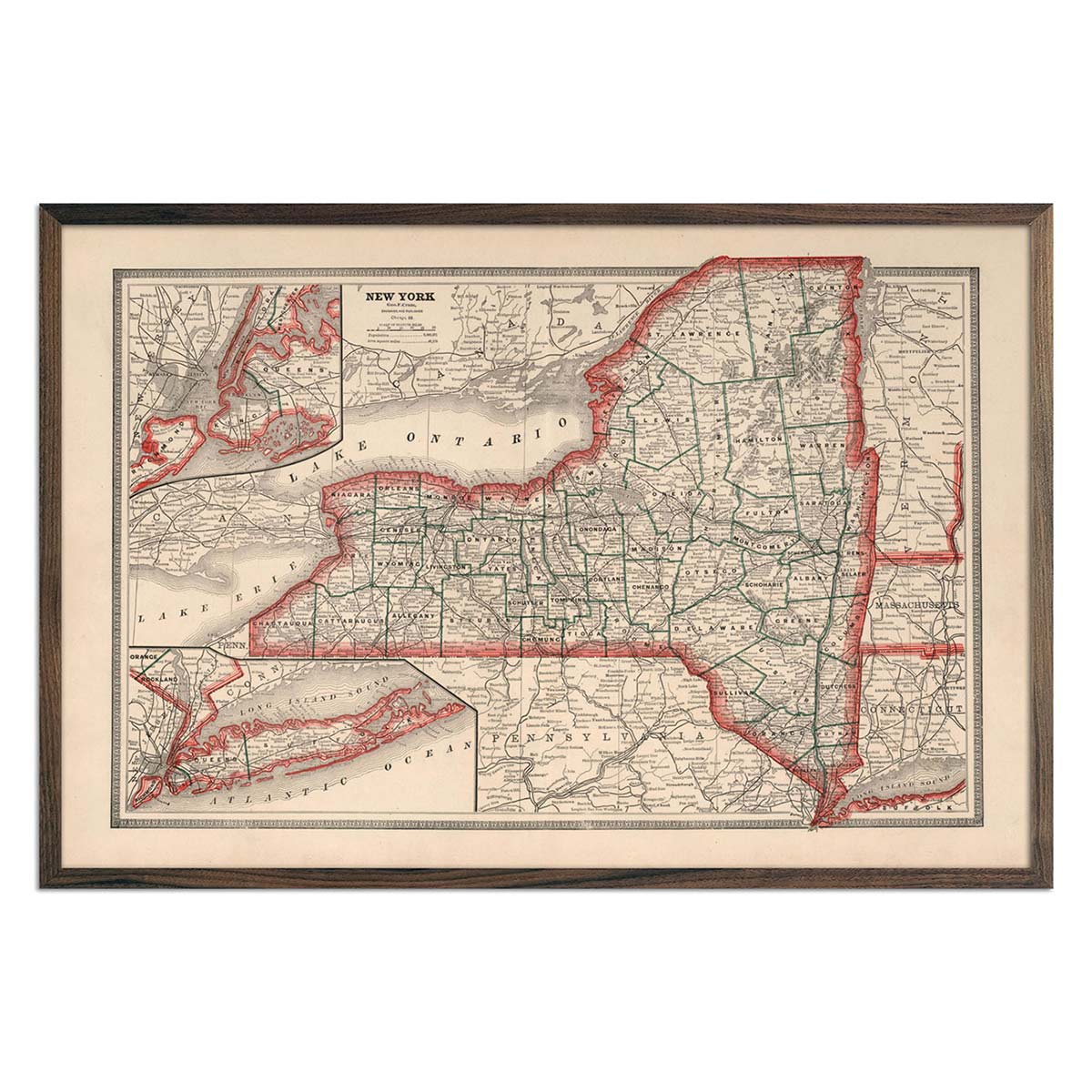
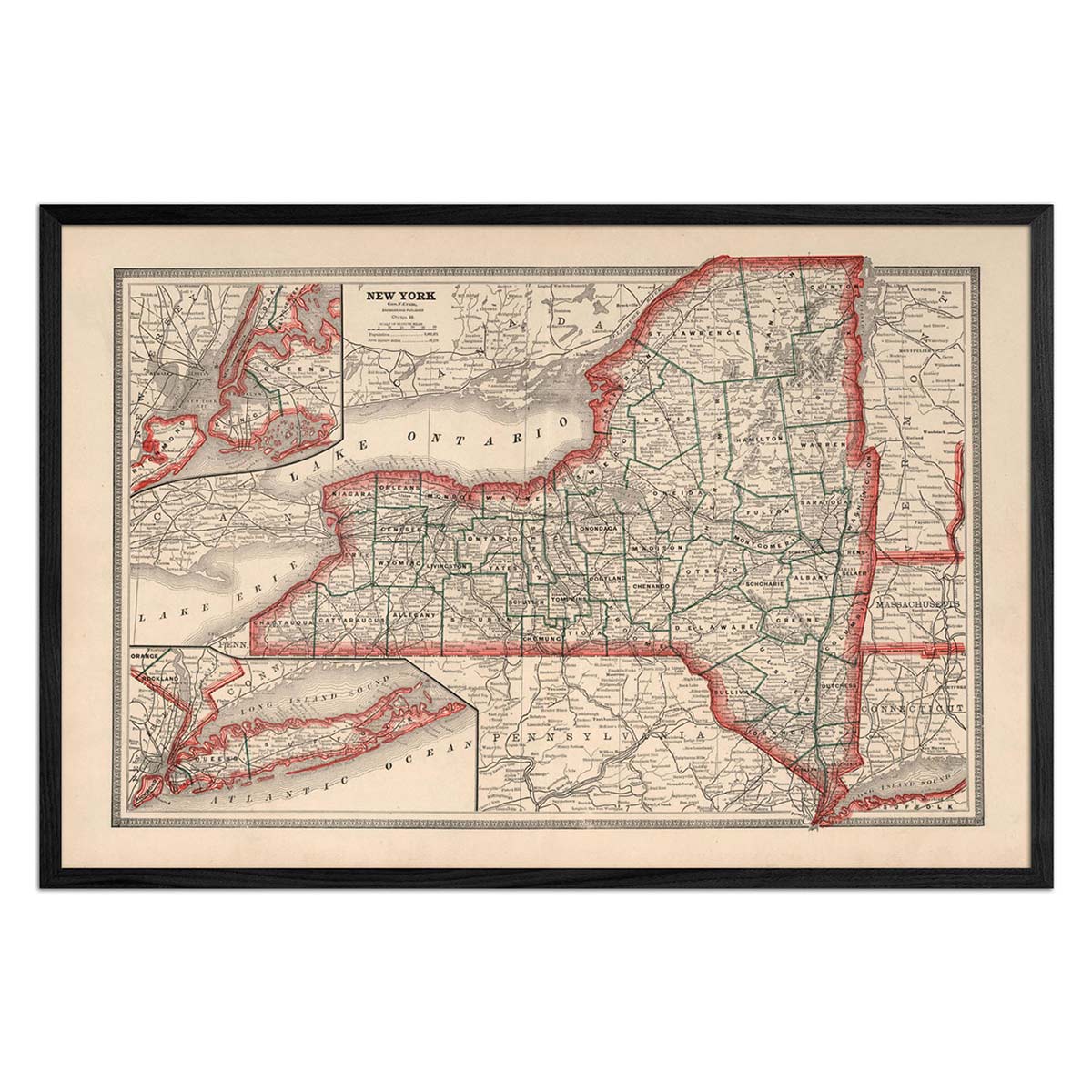
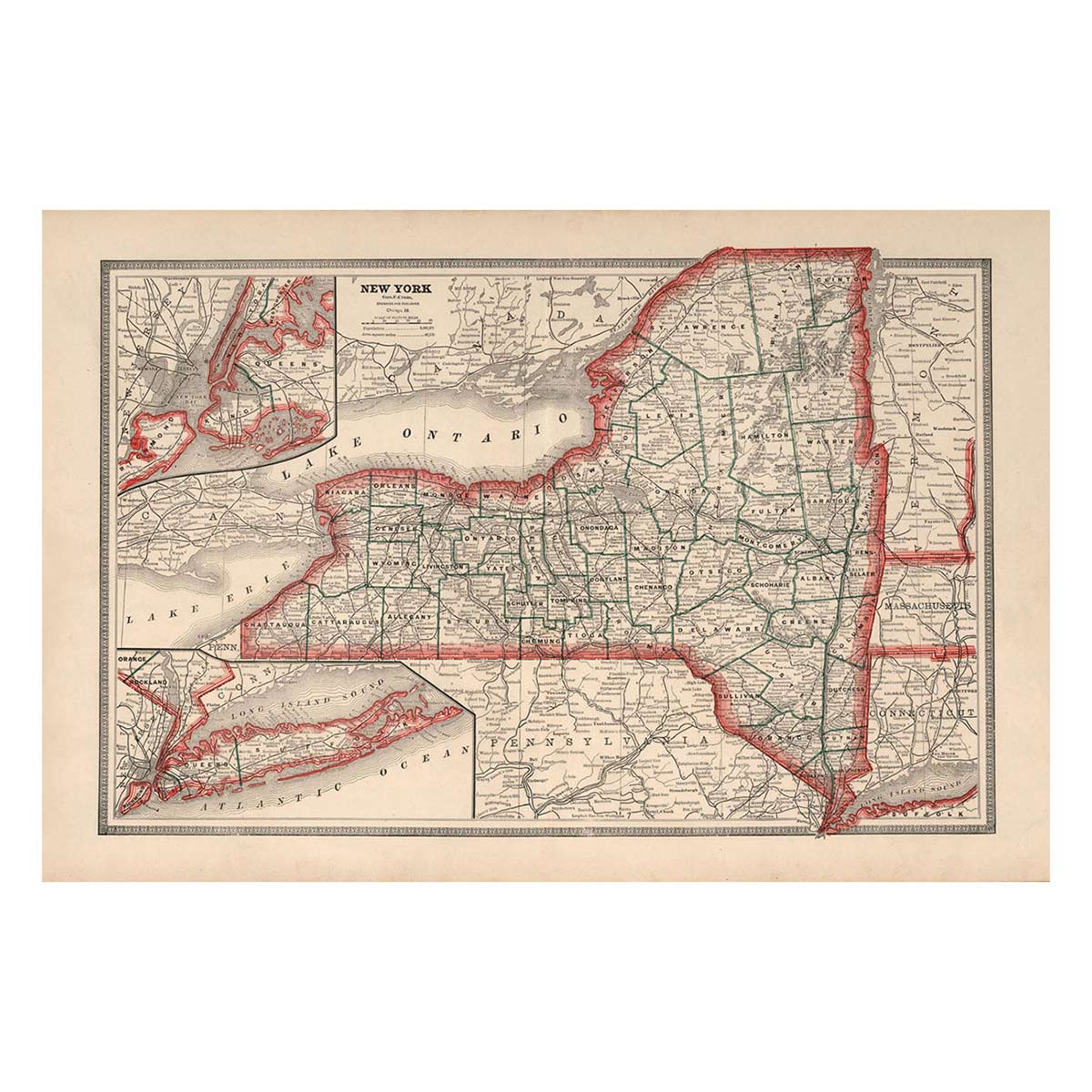
In addition to these maps representing America in a pre-50-state era, other parts of the States were changing rapidly. The Brooklyn Bridge first opened, which you can investigate in the detailed view of New York City's boroughs featured on the 1883 New York State Map. And on the other side of the country, you can explore our 1883 California Map to get a look at our most populous state when it had under a million residents.
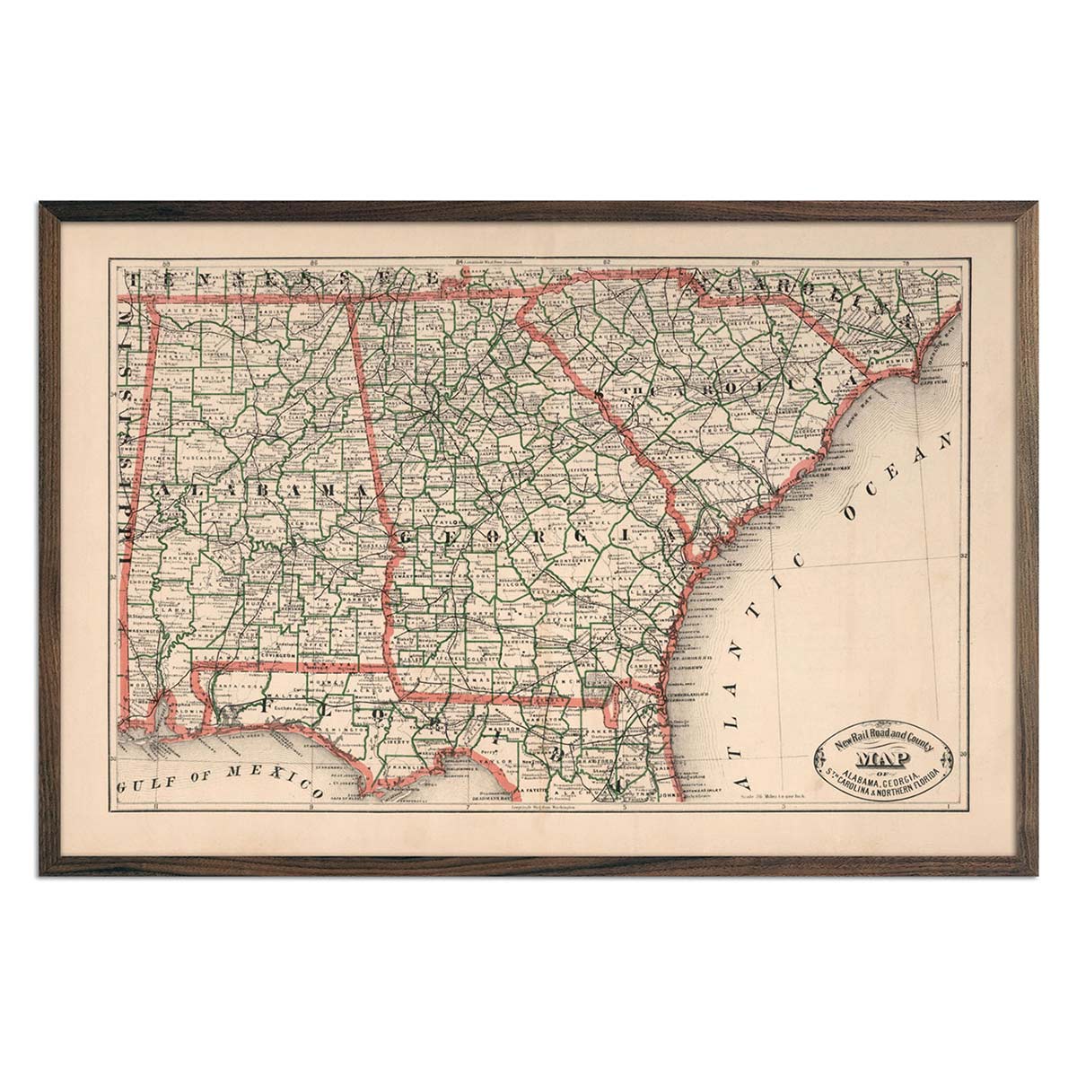
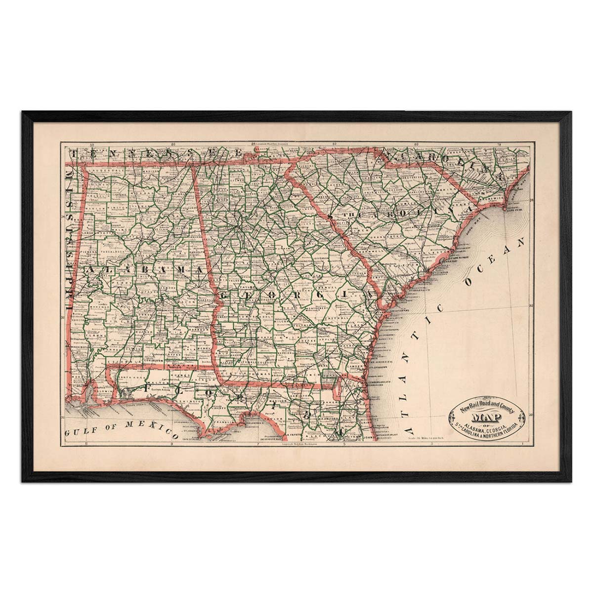
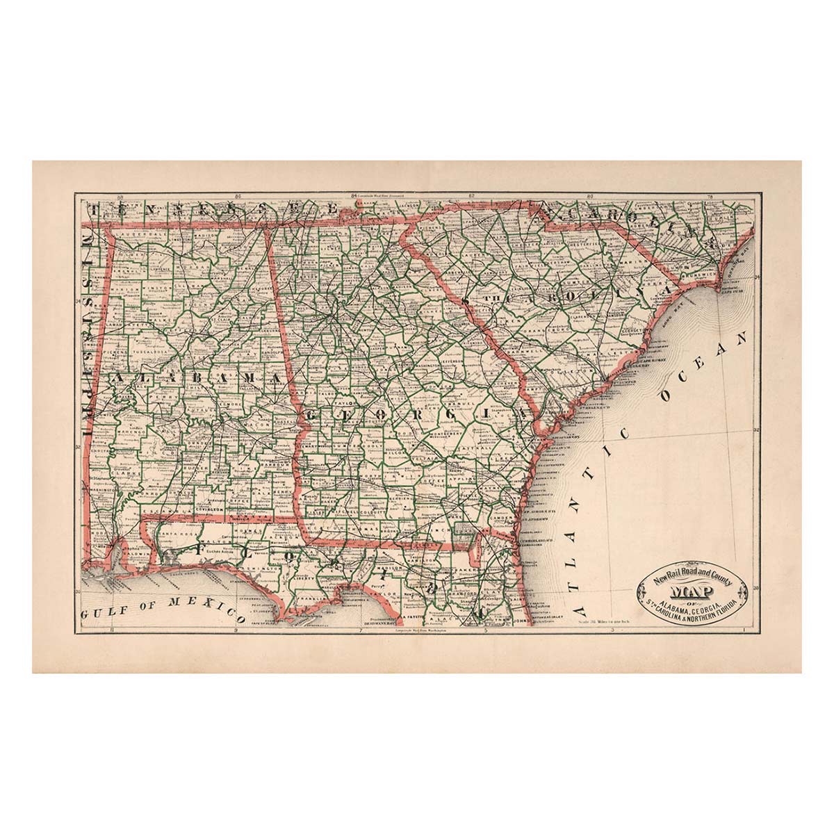
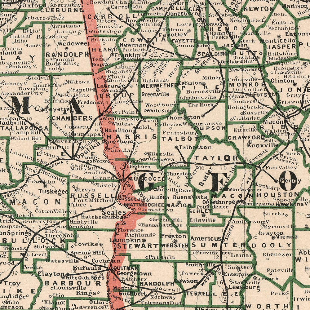
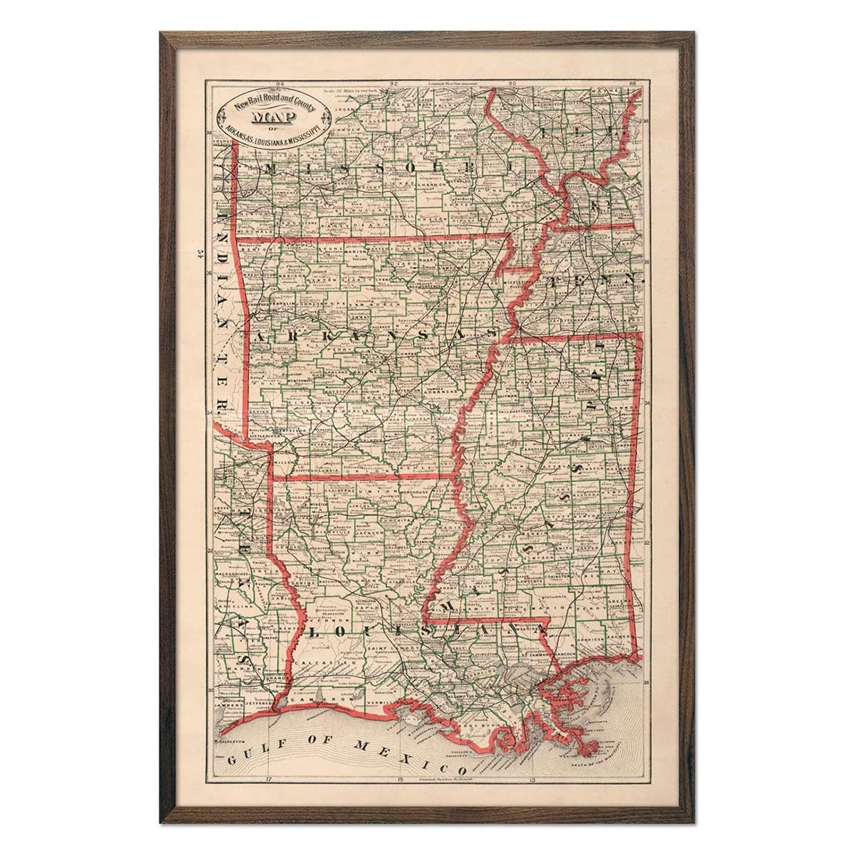
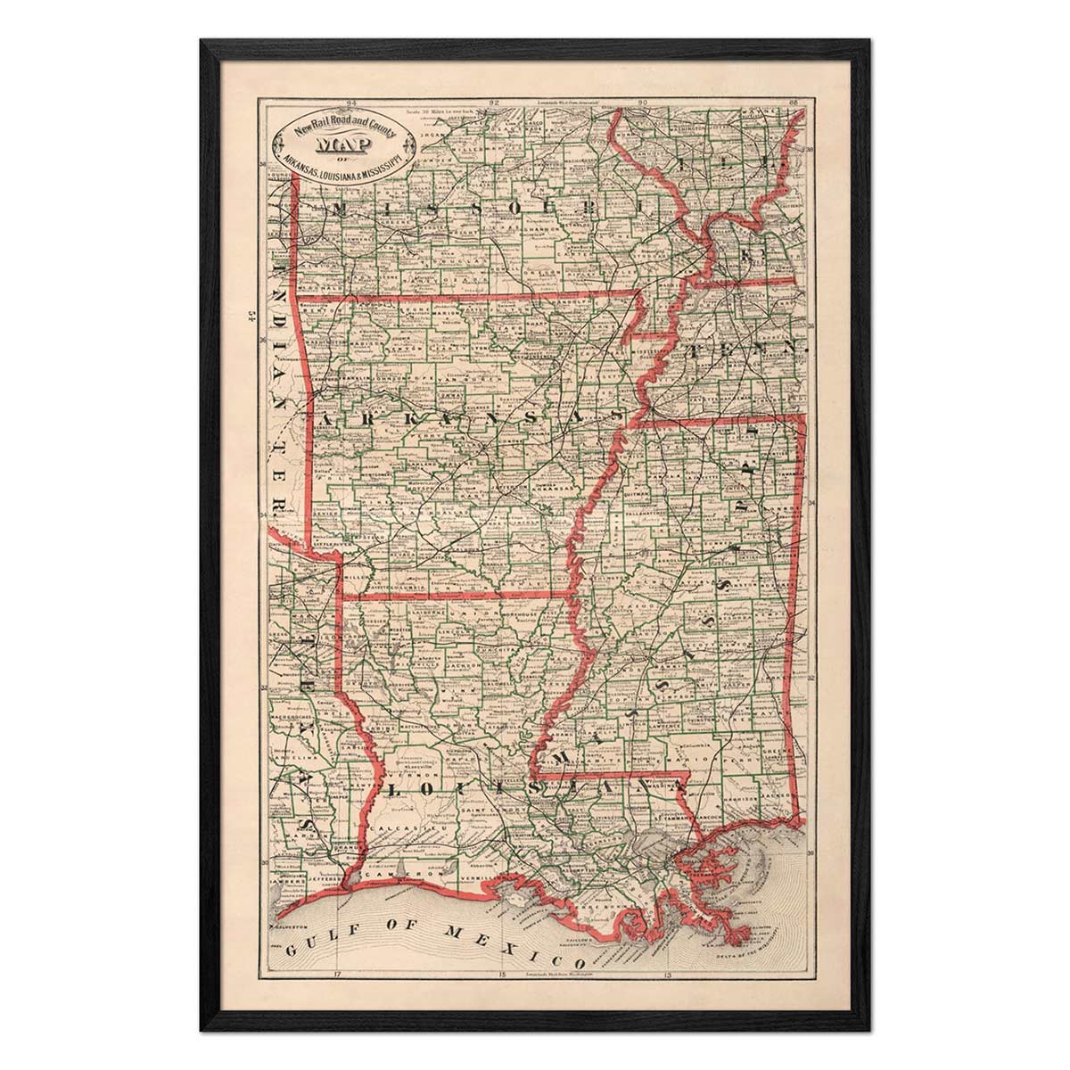
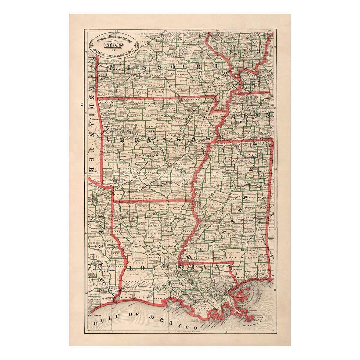
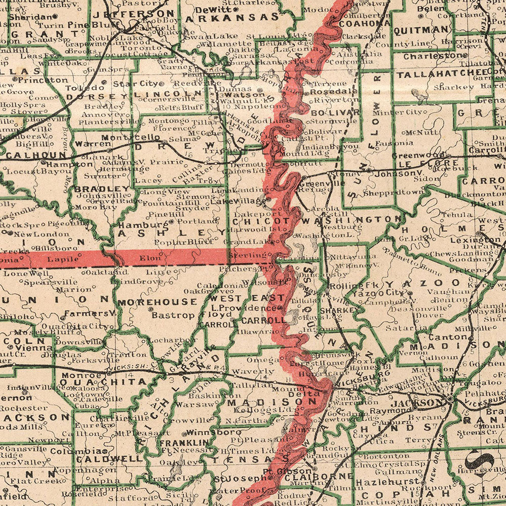
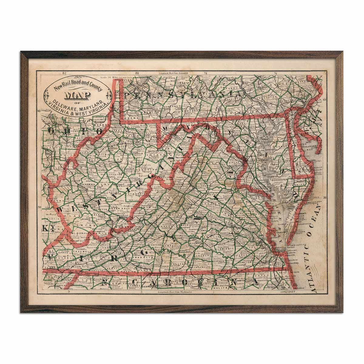
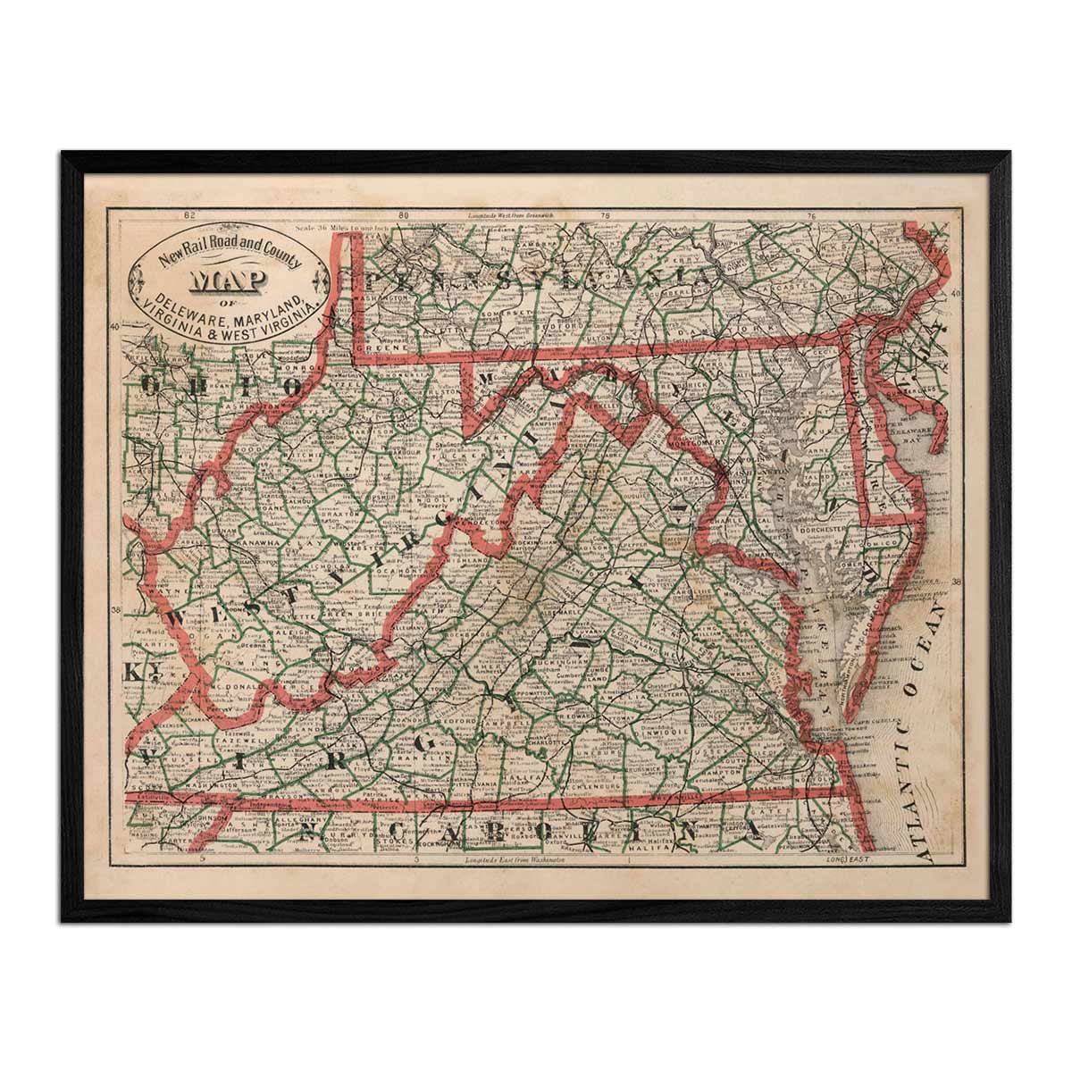
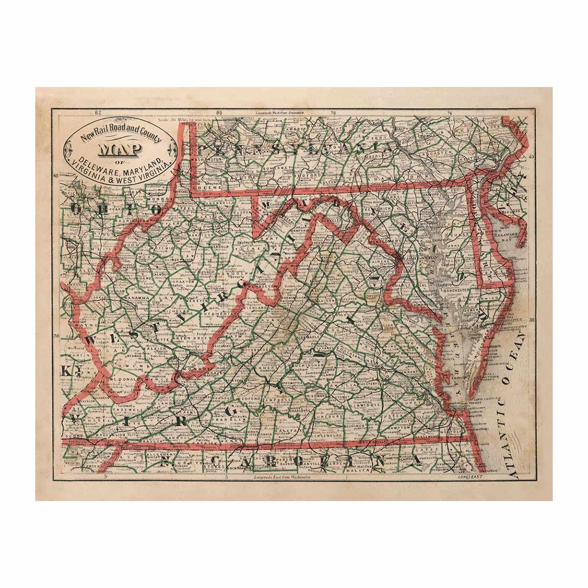
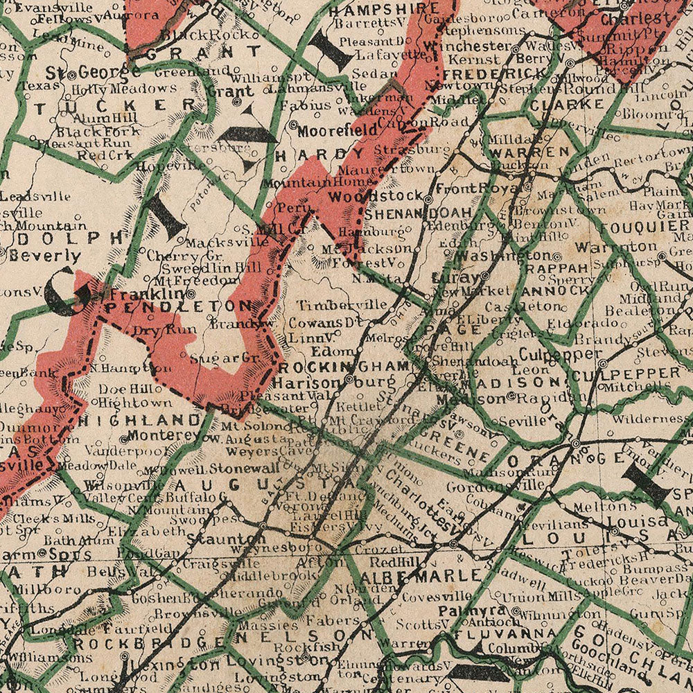
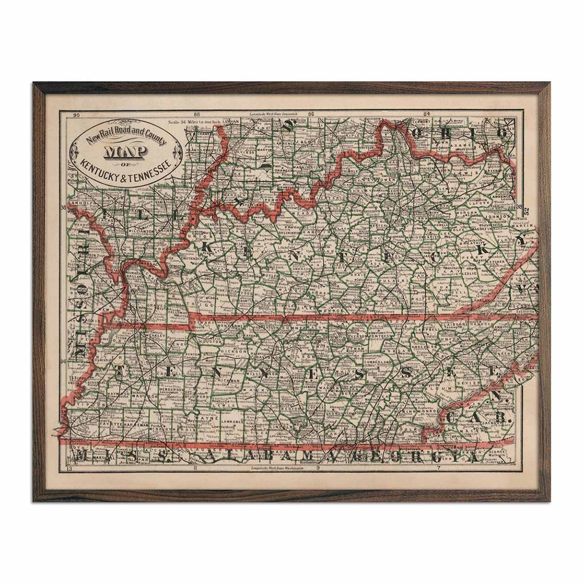
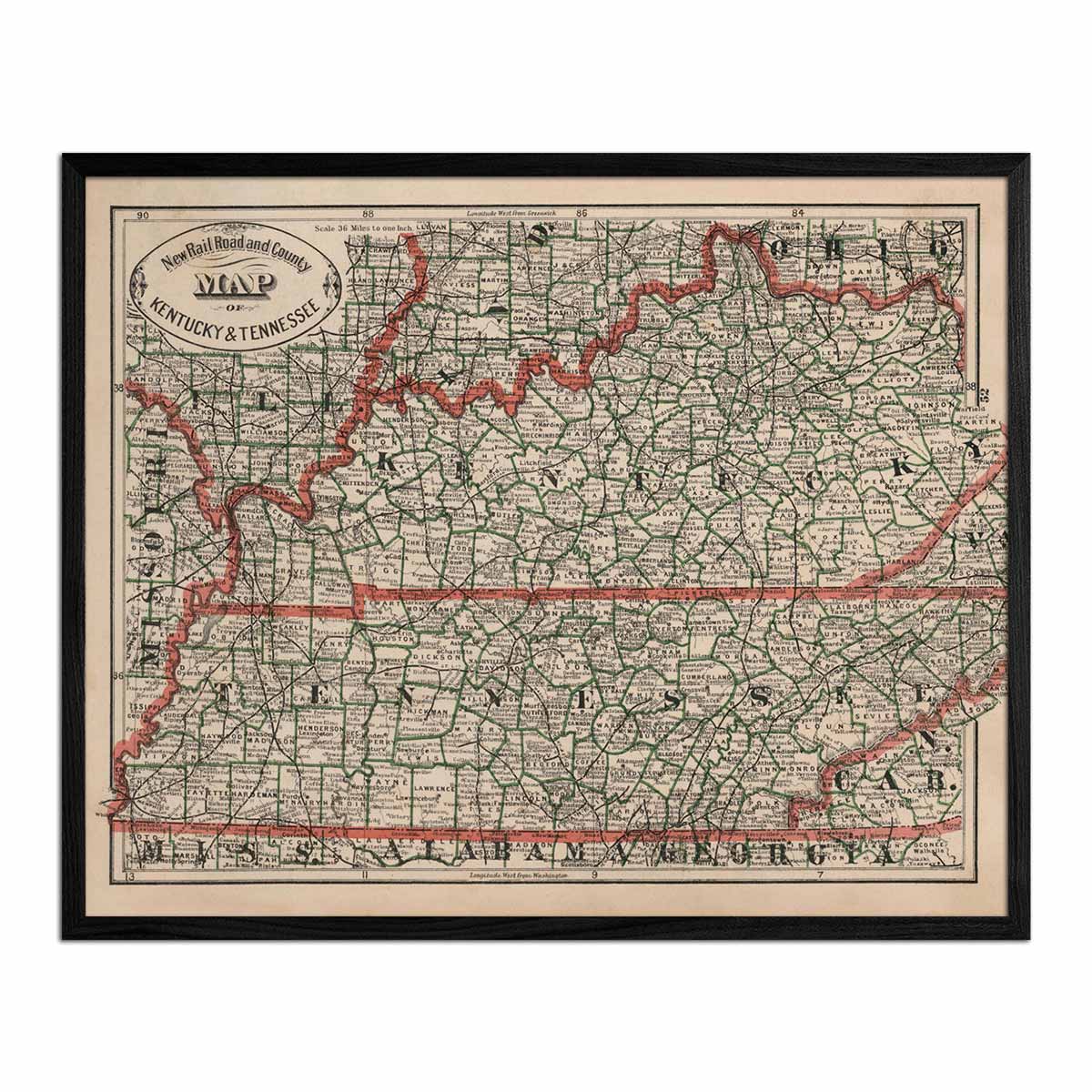
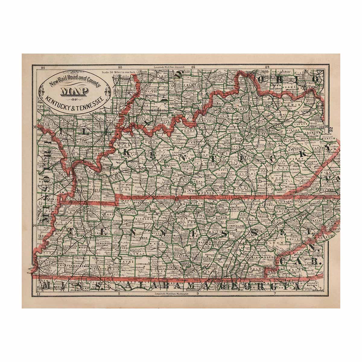
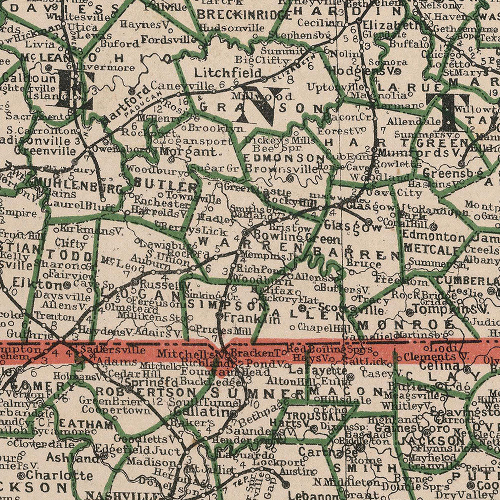
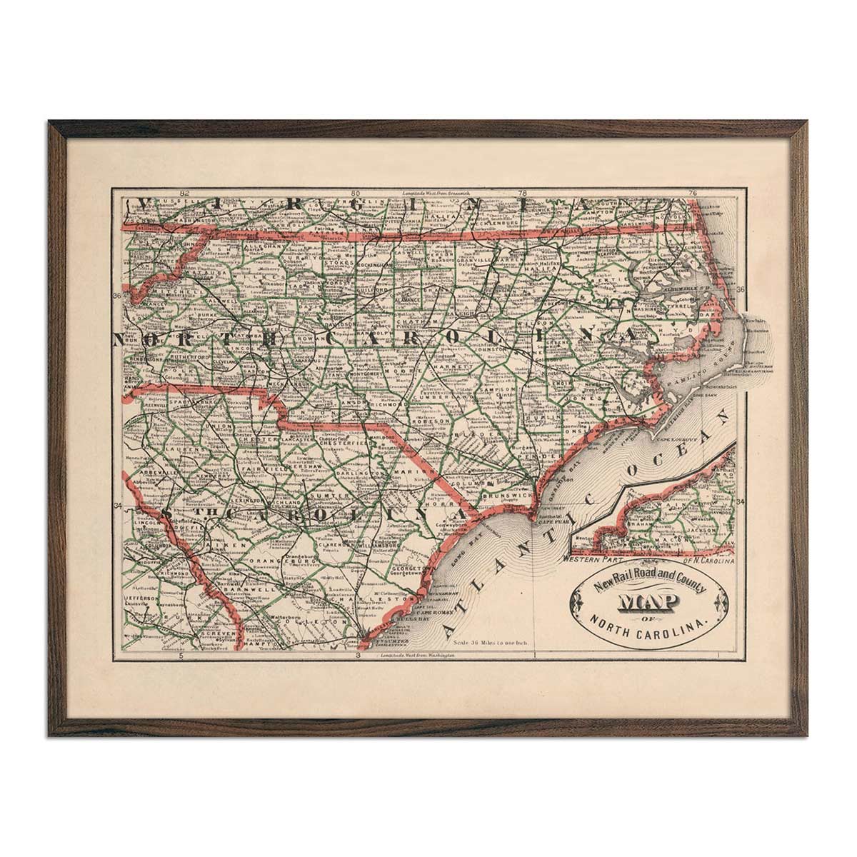
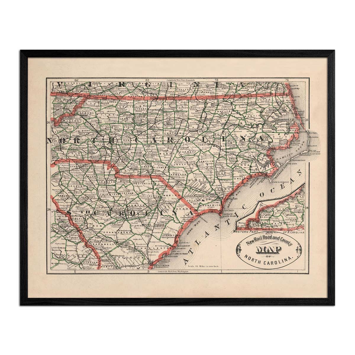
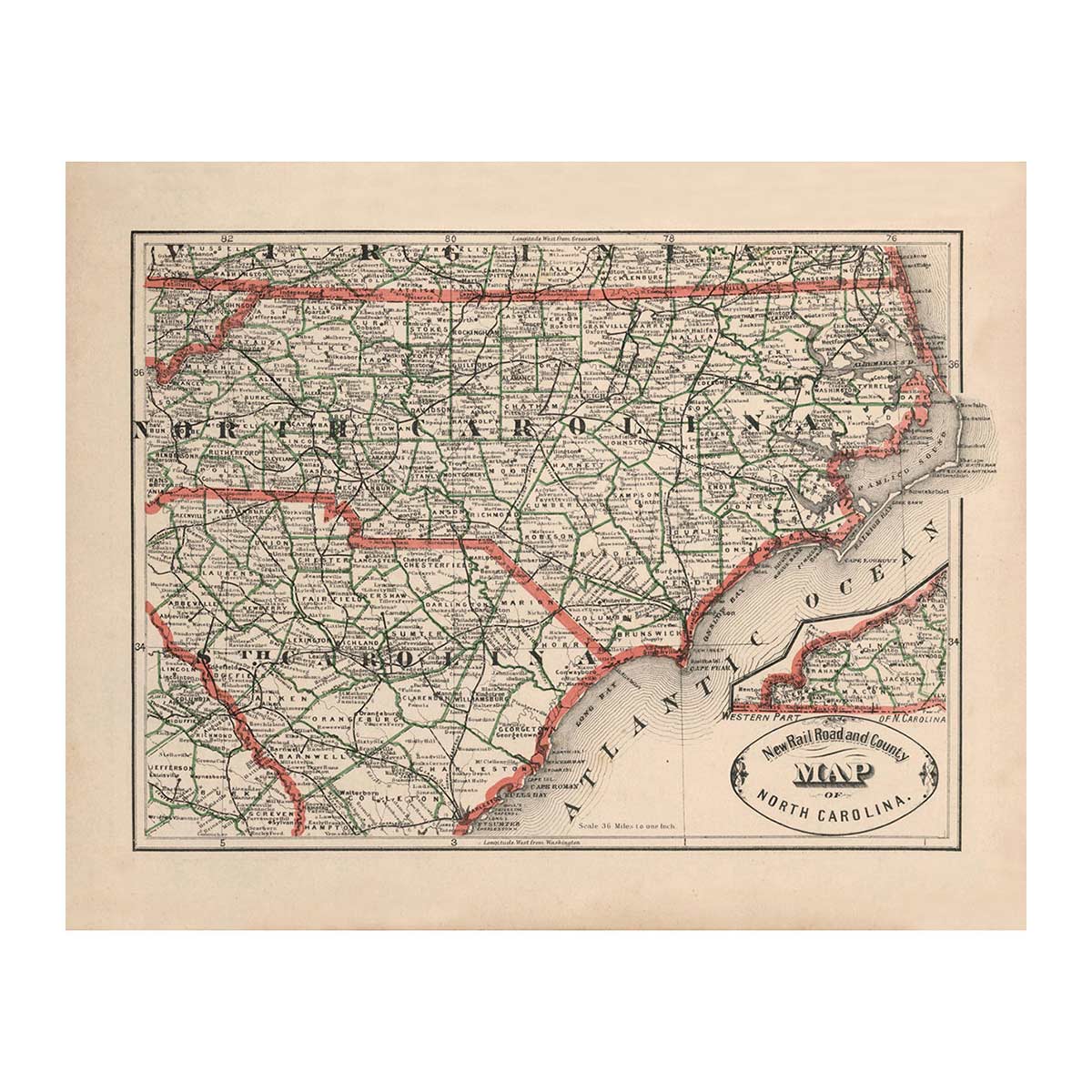
Several of our maps showcase entire regions including our 1883 Map of Alabama, Georgia, South Carolina, and Northern Florida, the 1883 Map of Arkansas, Louisiana, and Mississippi, the 1883 Map of Delaware, Maryland, Virginia, and West Virginia, and our 1883 Map of Kentucky and Tennessee.
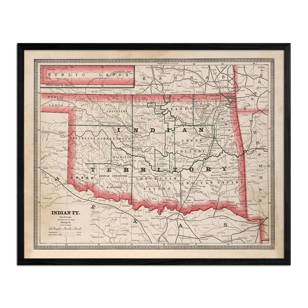
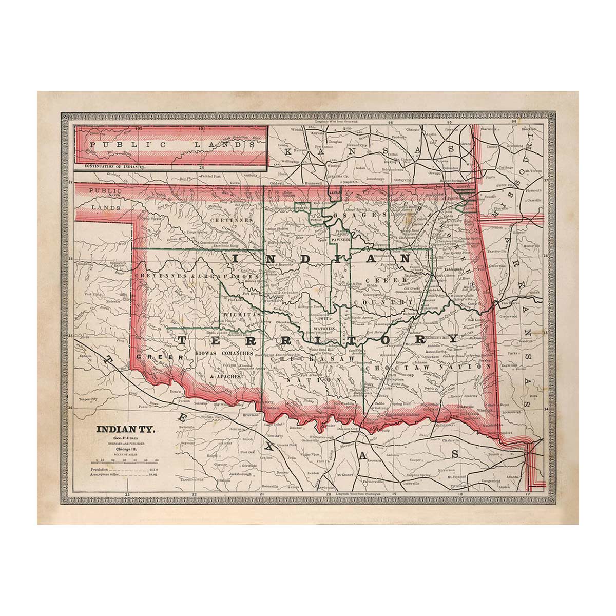
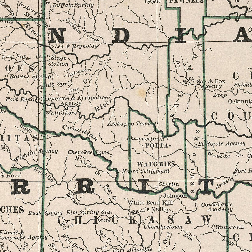
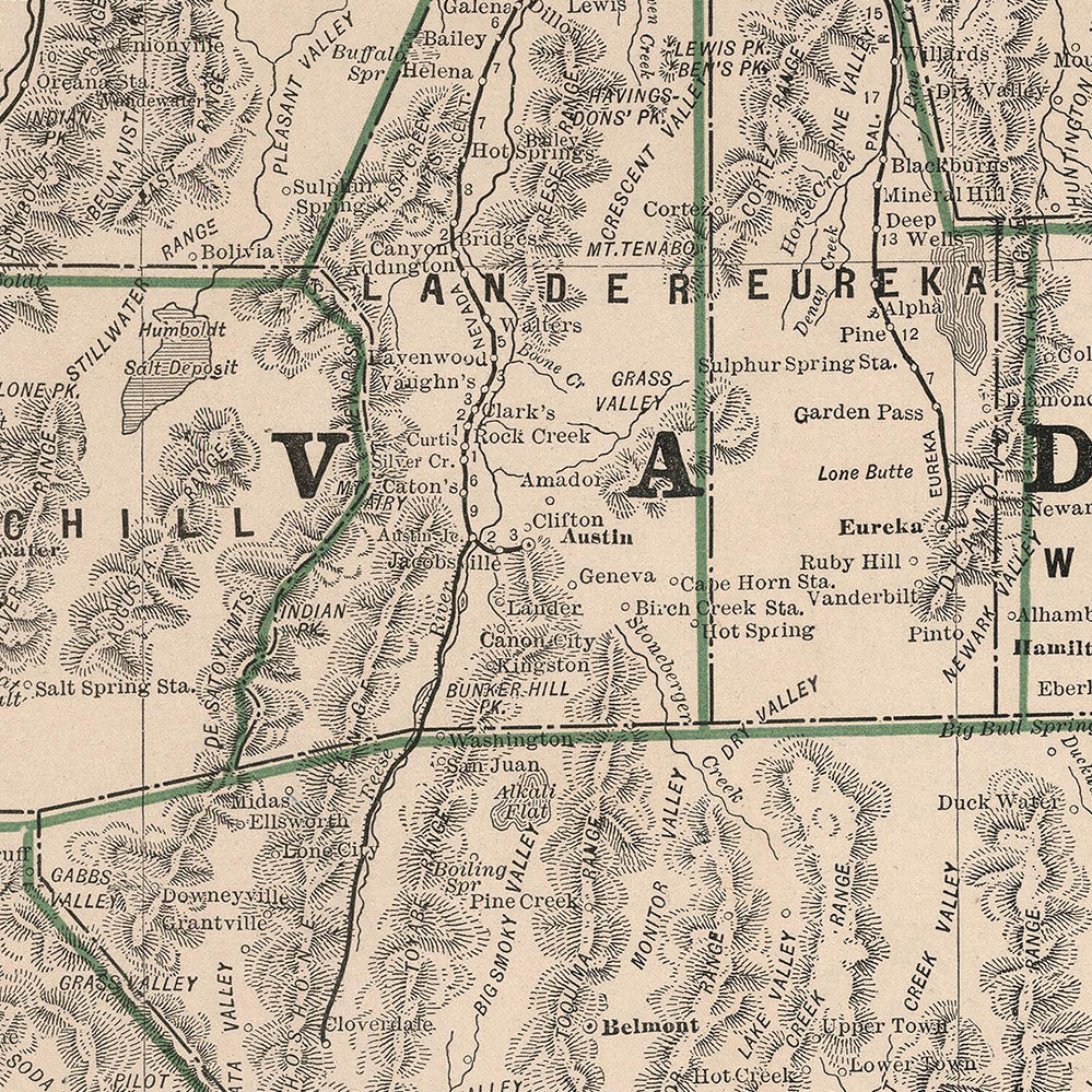
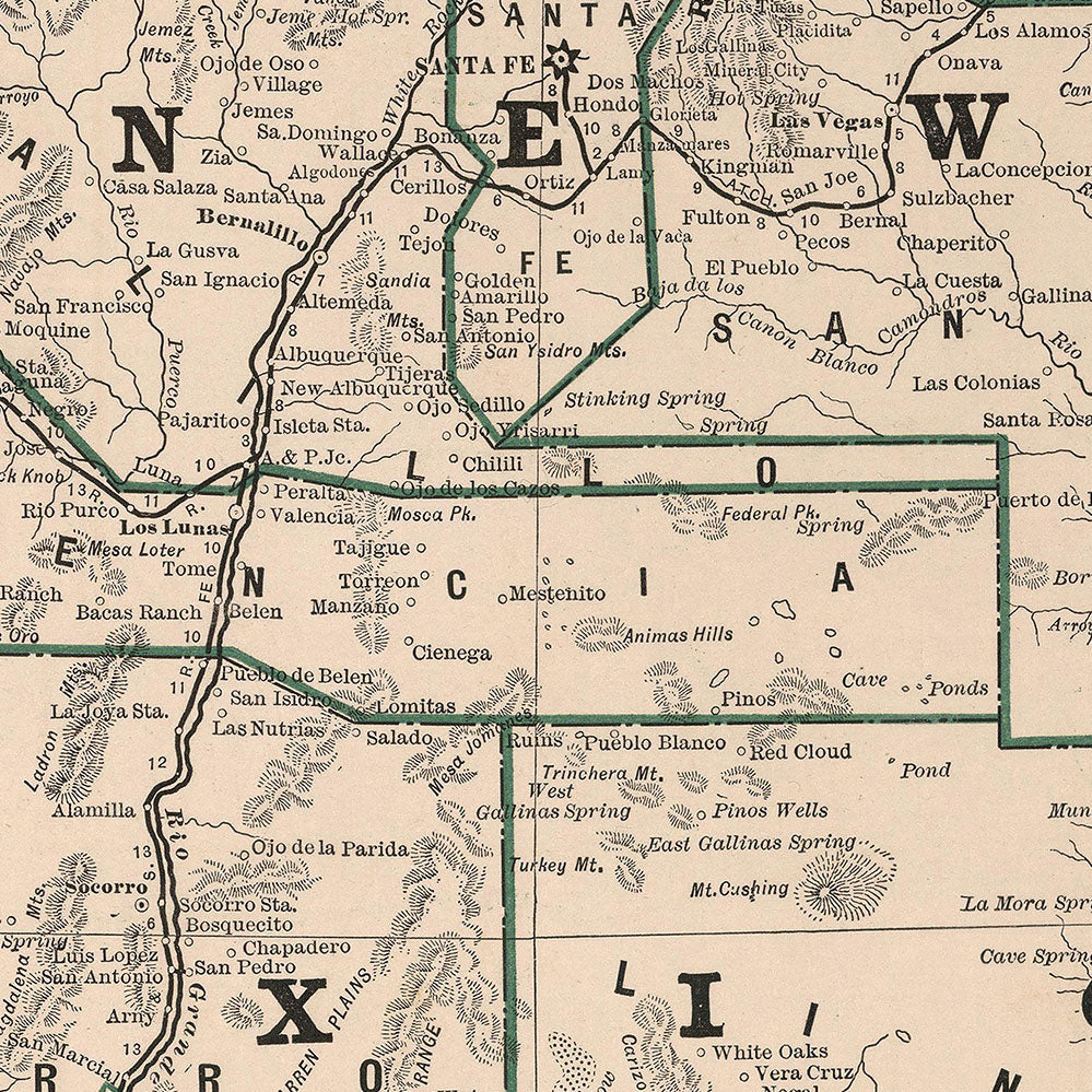
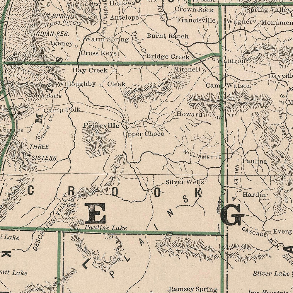
These maps take you so far back in our nation's history that the 1883 Map of Oklahoma showcases what was known at the time as "Indian Territory."
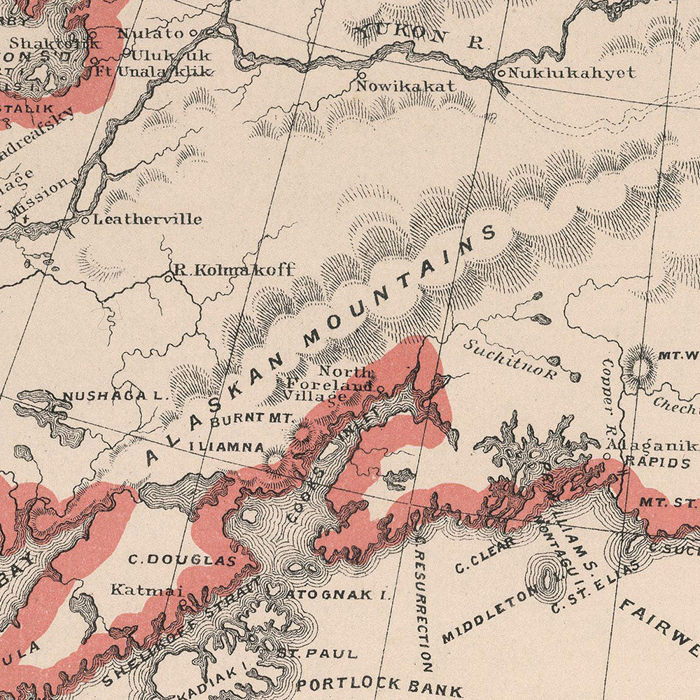
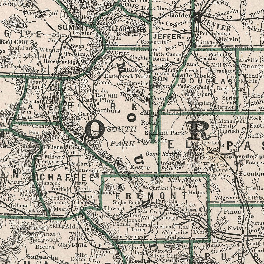
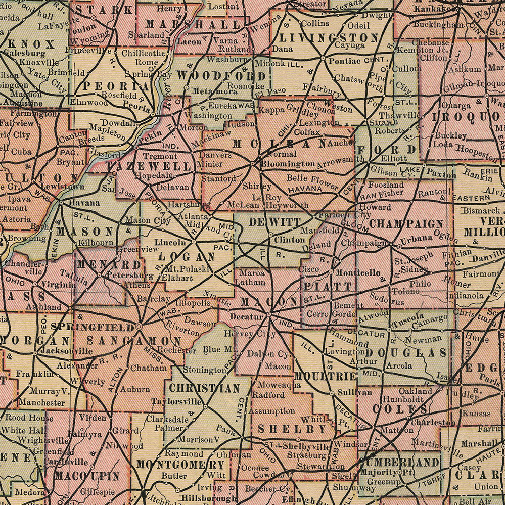
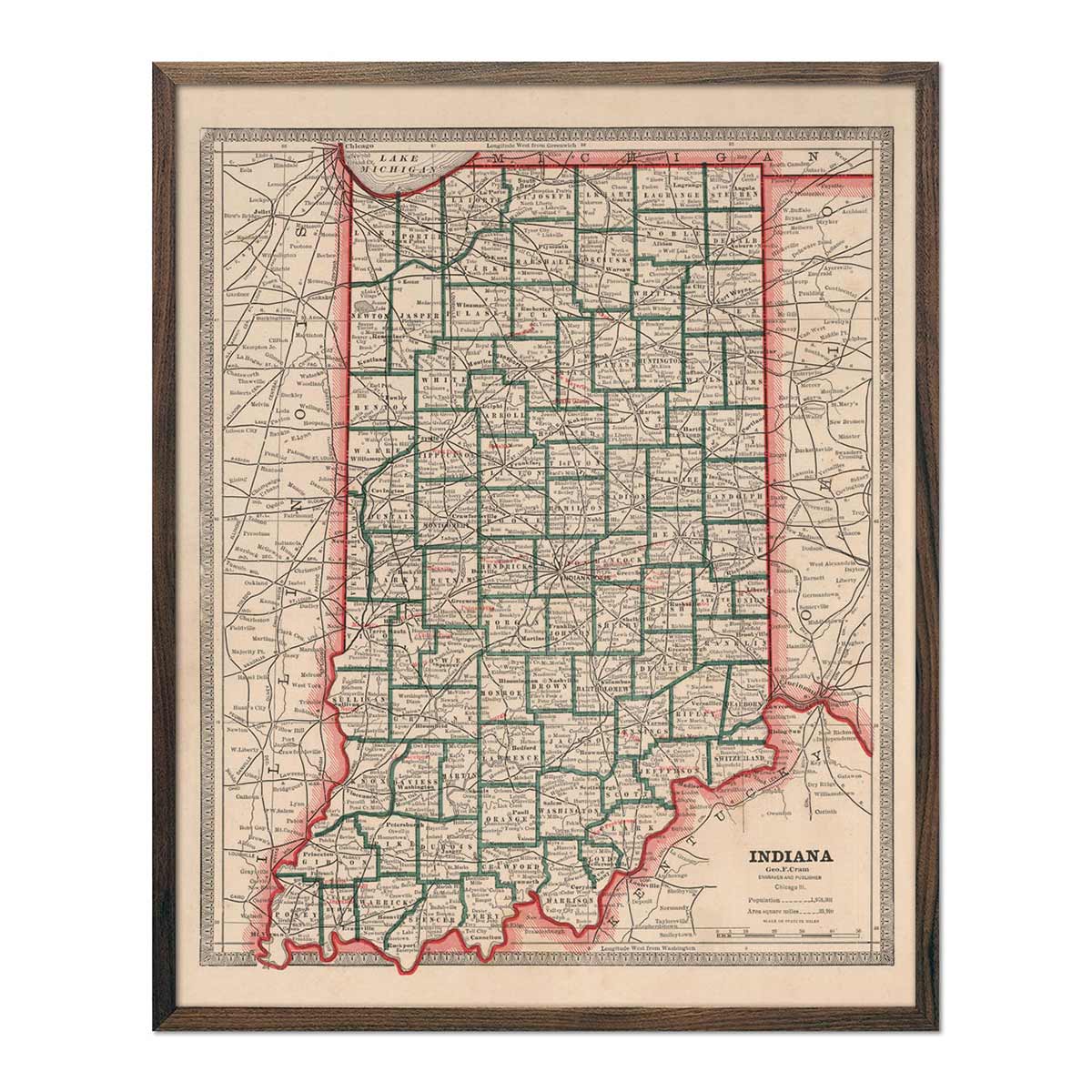
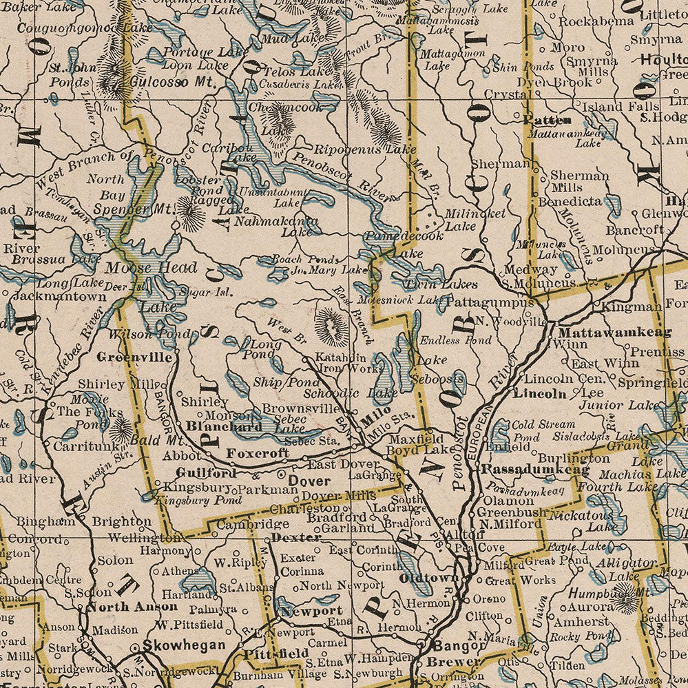
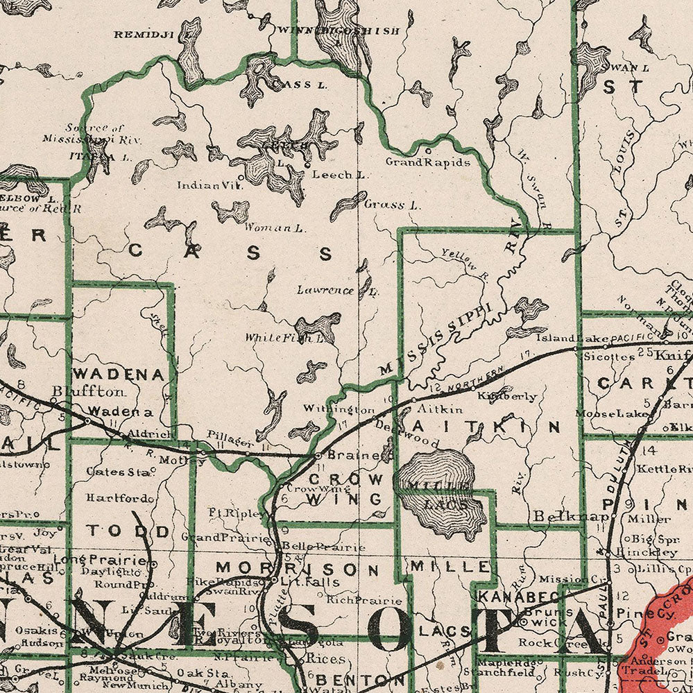
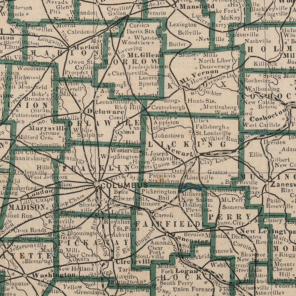
As you explore this collection, you'll notice that each state is at a different stage of being developed into the states as we know them today. If you compare the names of different towns and geographical features, you'll likely find many places and landmarks have outdated names or may not even exist yet!
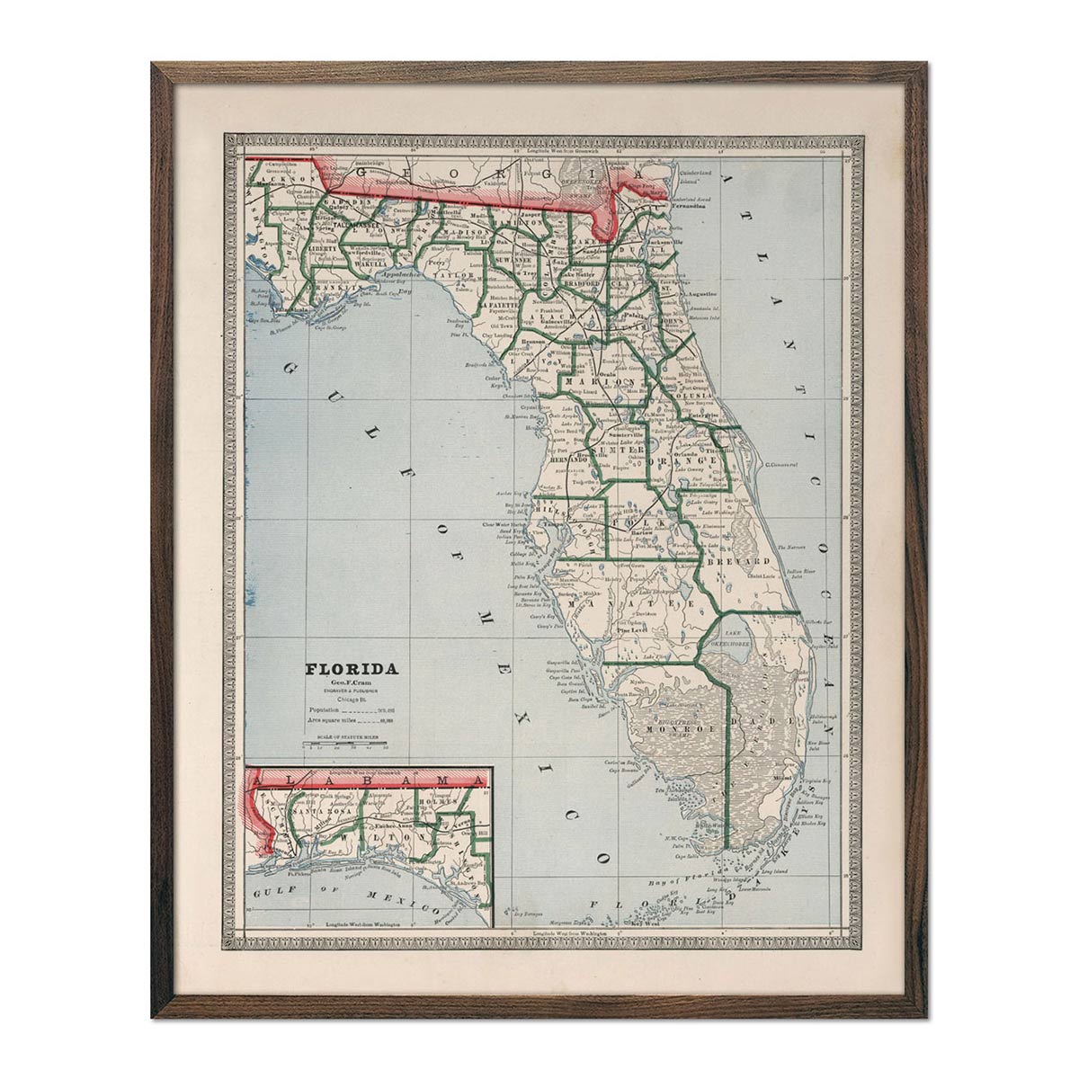
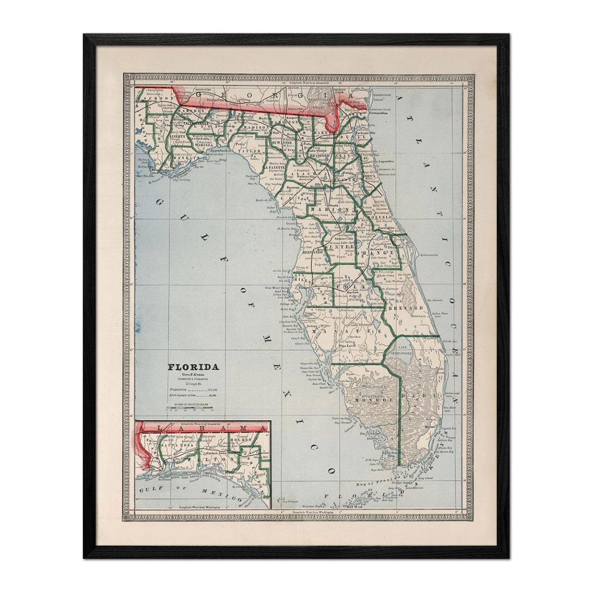
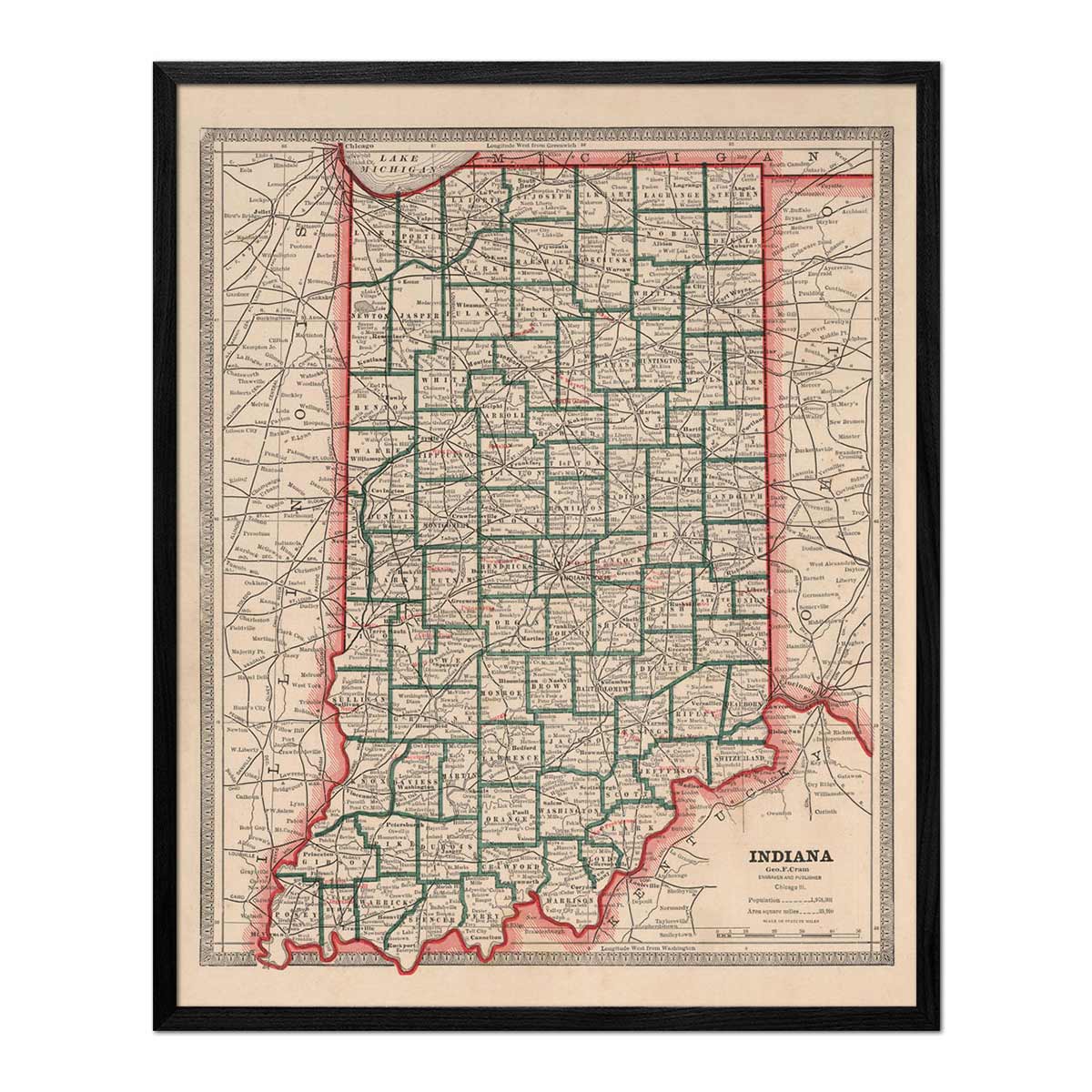
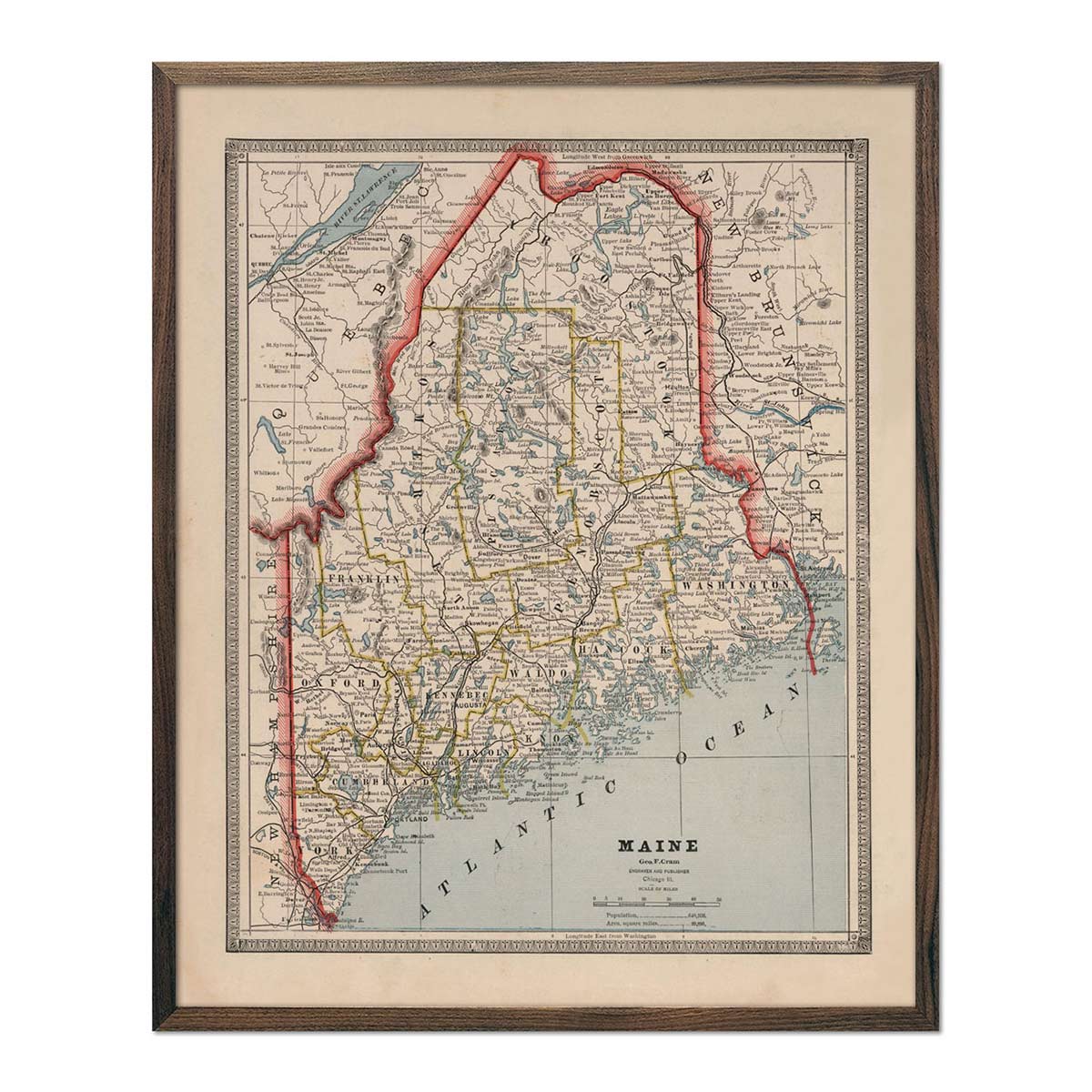
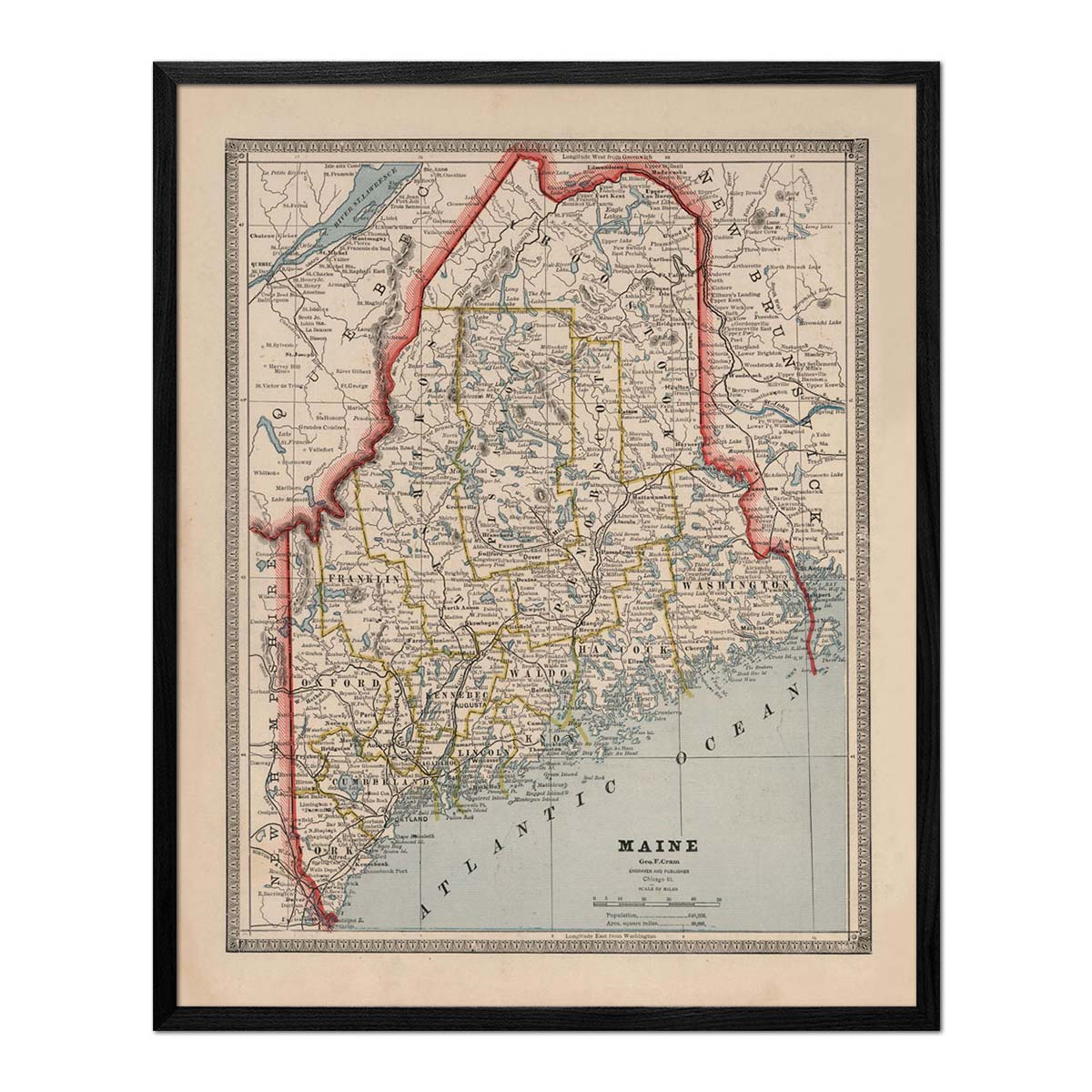
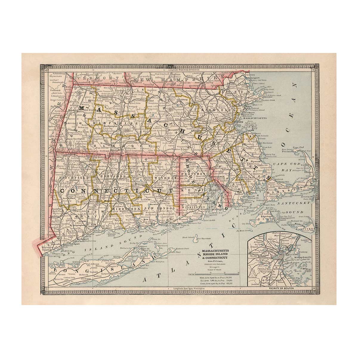
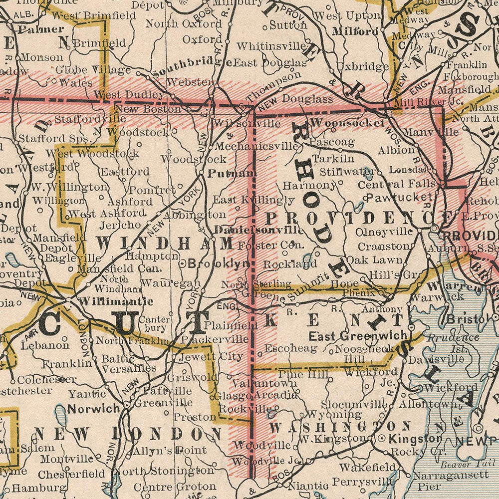
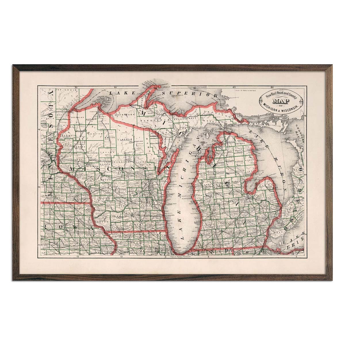
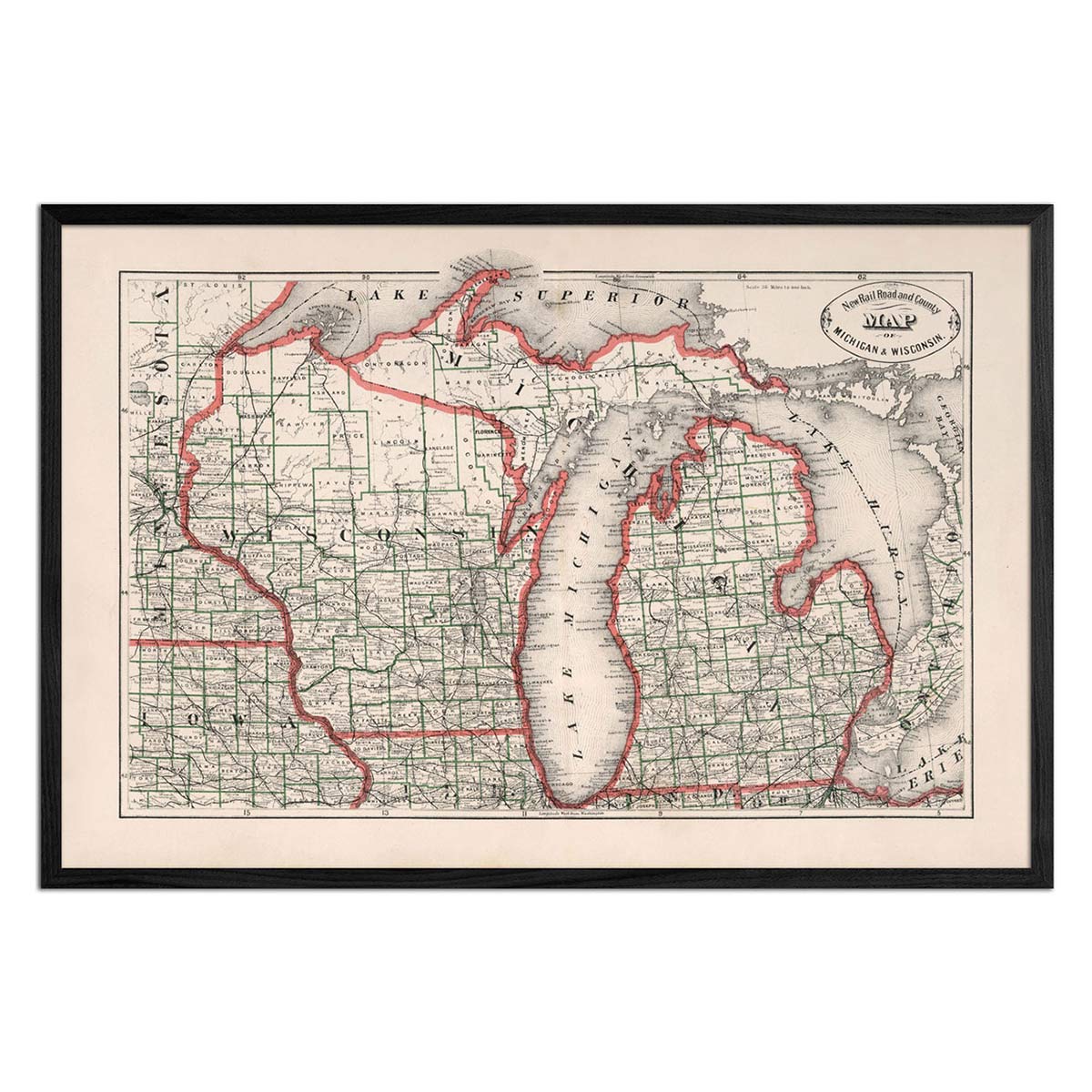
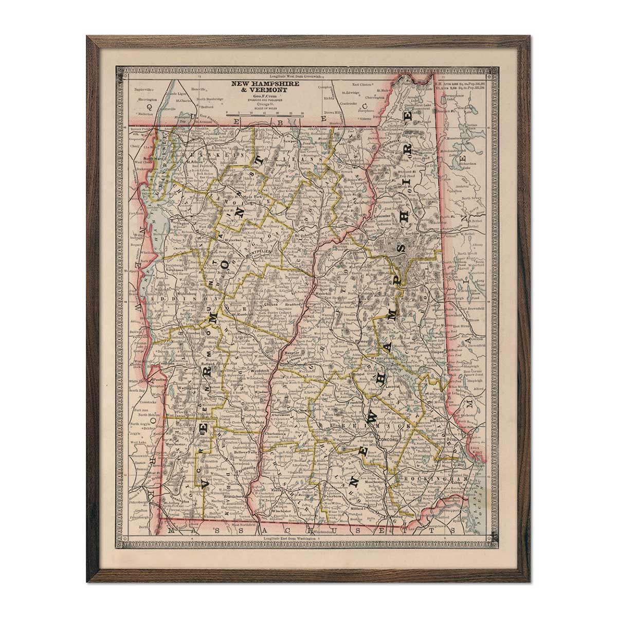
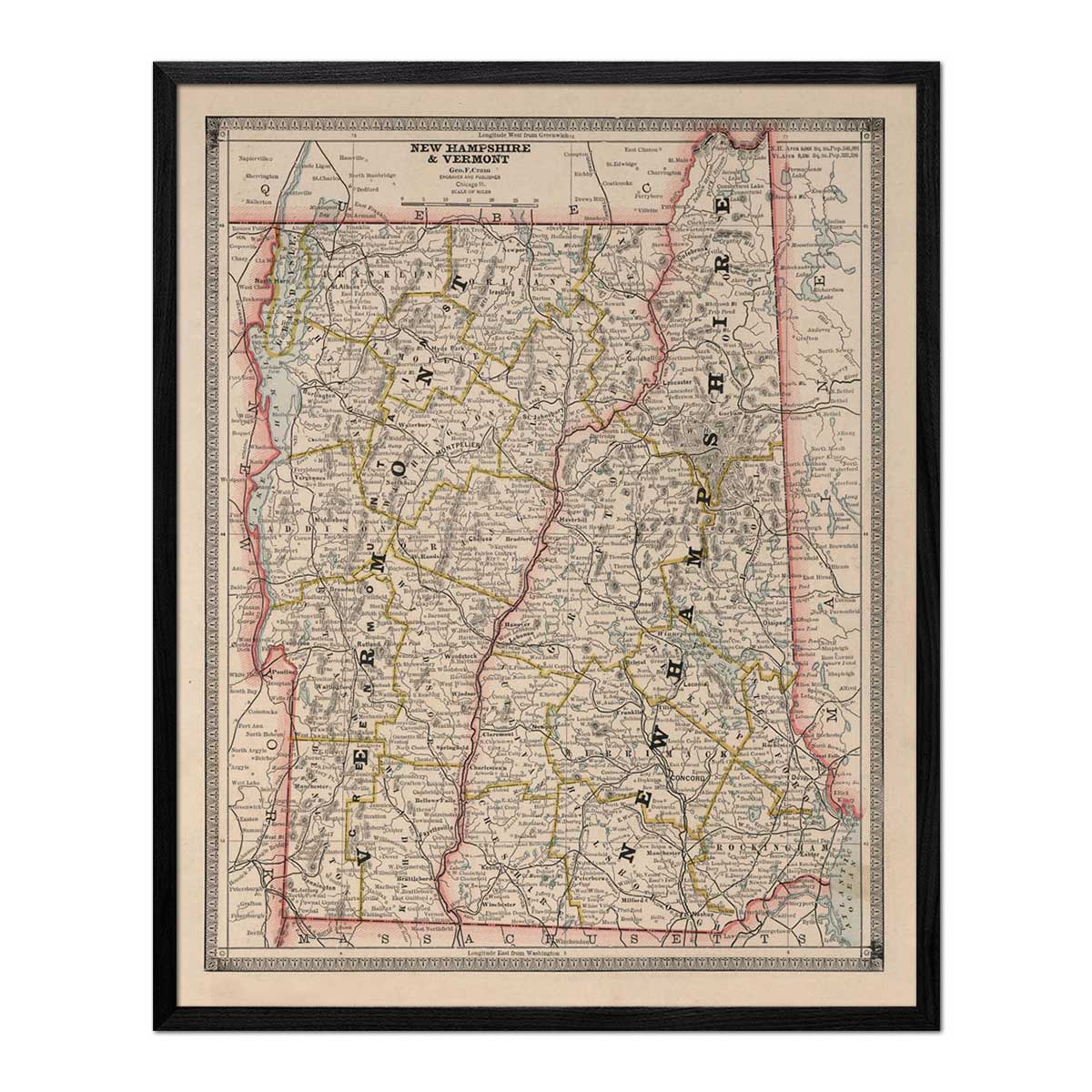
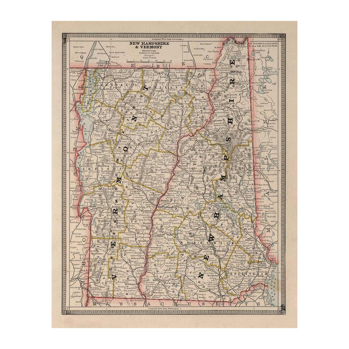
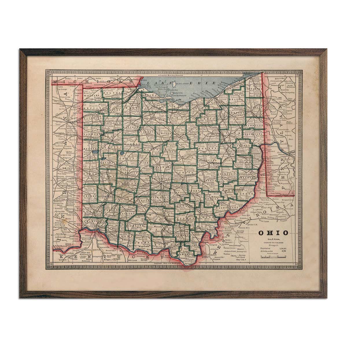
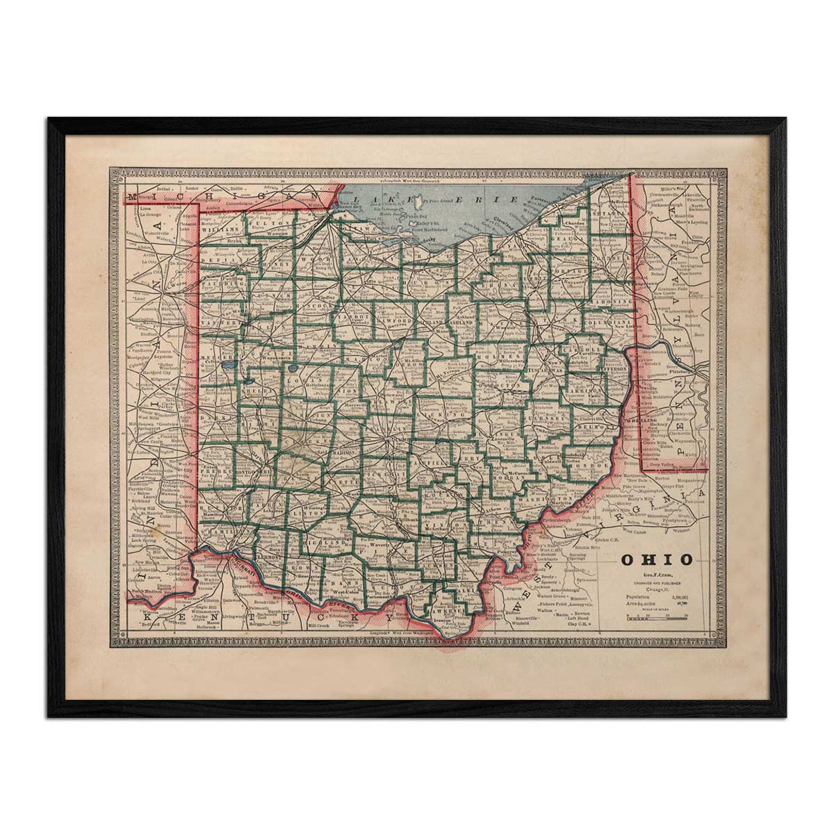
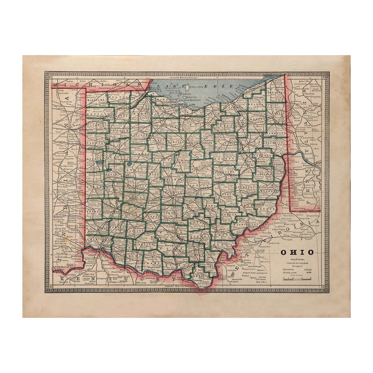
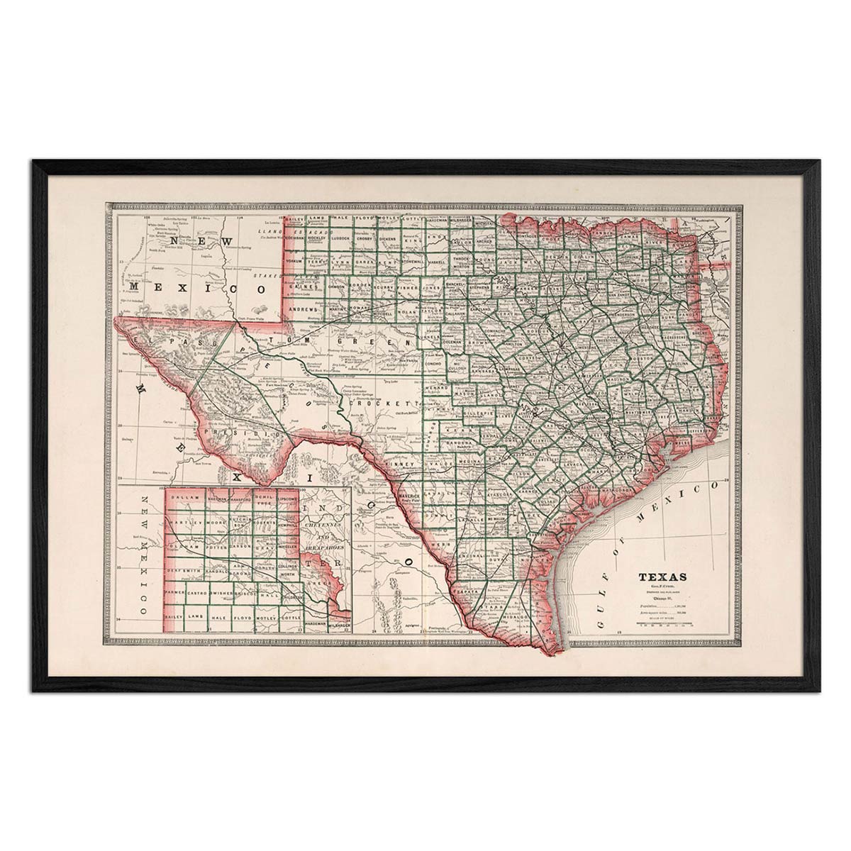
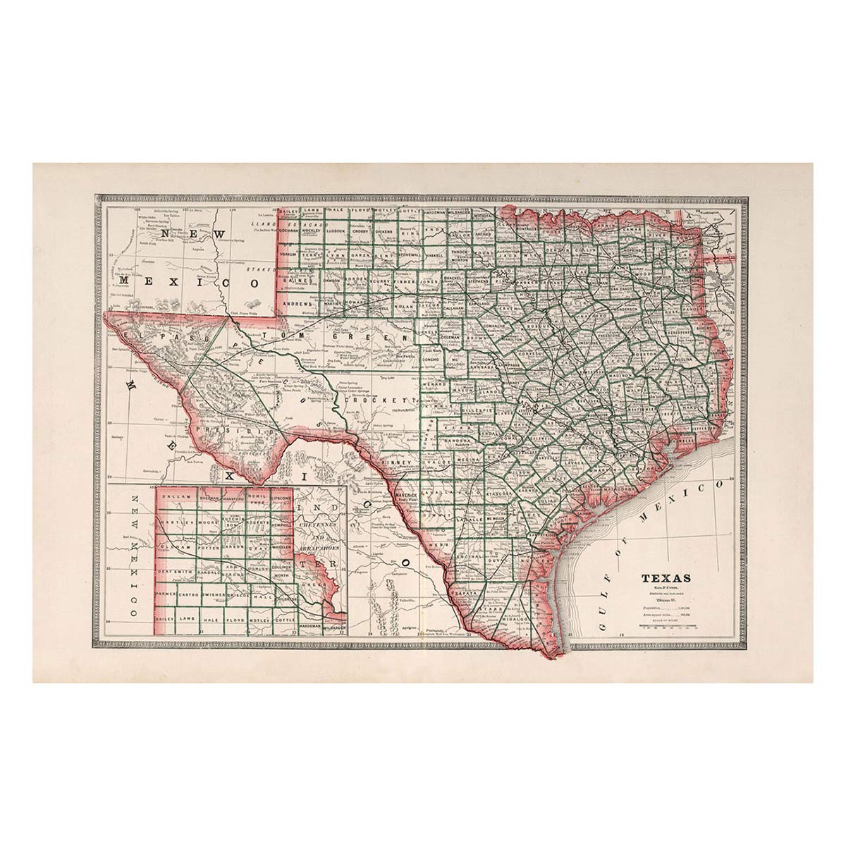
This particular collection of maps was made by George Cram and originally published in Cram's Unrivaled Family Atlas of the World in 1883. We're able to bring these maps back to life using a meticulous process that makes them stunning pieces of decor for the home or office.
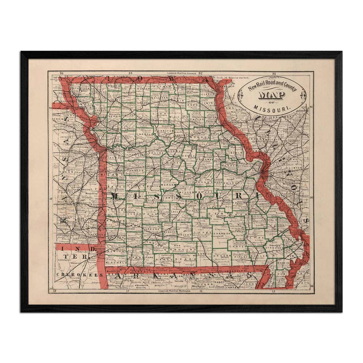
Our map reproductions are printed using top-quality archival inks on 100% cotton, OBA-Free, Acid-Free heavyweight paper. You also have the option of adding a genuine hardwood walnut frame, which can make your map a distinctive work of art and an engaging conversation piece.
This combination of top-quality archival inks, authentic hardwood frames, and fine art paper makes our map prints museum-quality and designed to endure for decades to come.
But, beyond our 1883 US State Map collection itself, you can feel good about shopping here at Muir Way. Your purchase empowers us to give back to organizations that protect our land, water, and air from human impact.
Whether you're a history buff, a map enthusiast, or simply someone who appreciates art with a story, you'll find a map print in our 1883 US State Map collection that resonates with you.
Other Vintage Maps at Muir Way
In addition to our 1883 US State Map Series, we carry the following vintage map print collections:


