


Michigan Maps


MICHIGAN MAP PRINTS, ELEVATION & SHADED RELIEF MAPS
Explore the Great Lake State with a wide variety of maps from Muir Way. We highlight the best that Michigan has to offer with our extensive collection of relief maps, elevation maps, hydrological maps, and vintage map prints.
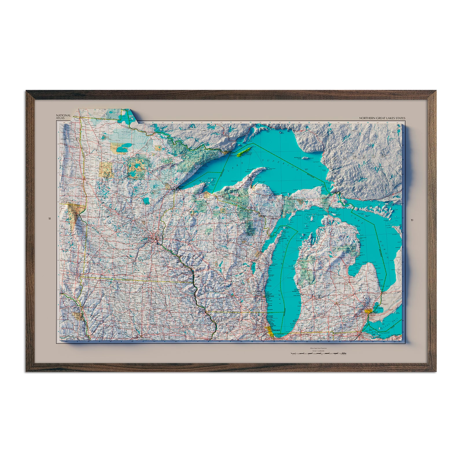
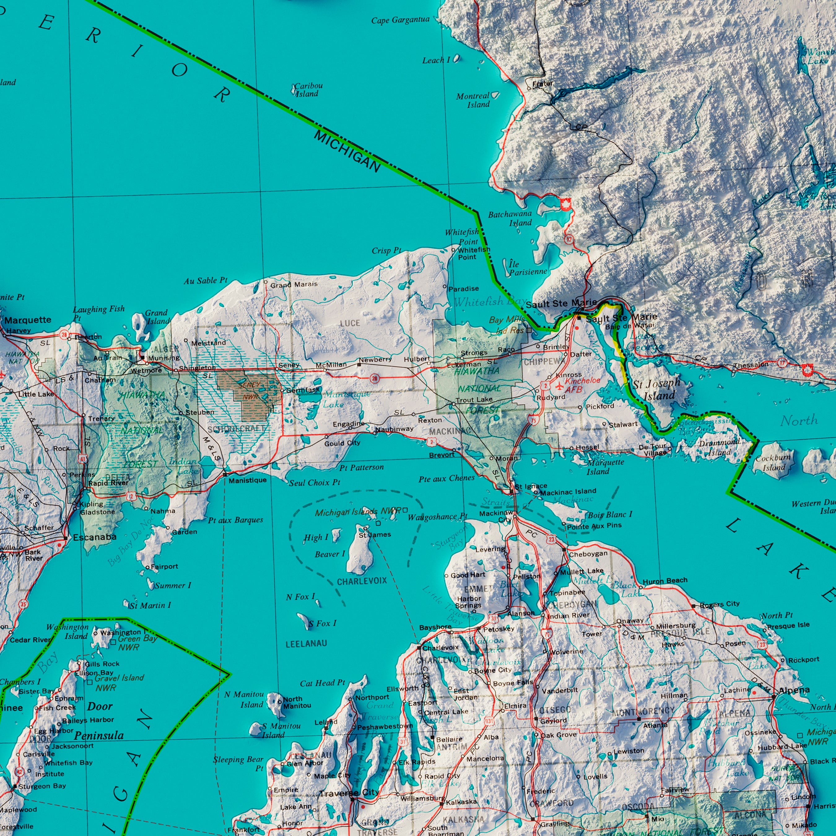
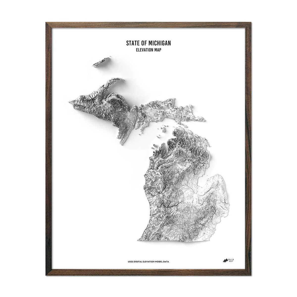
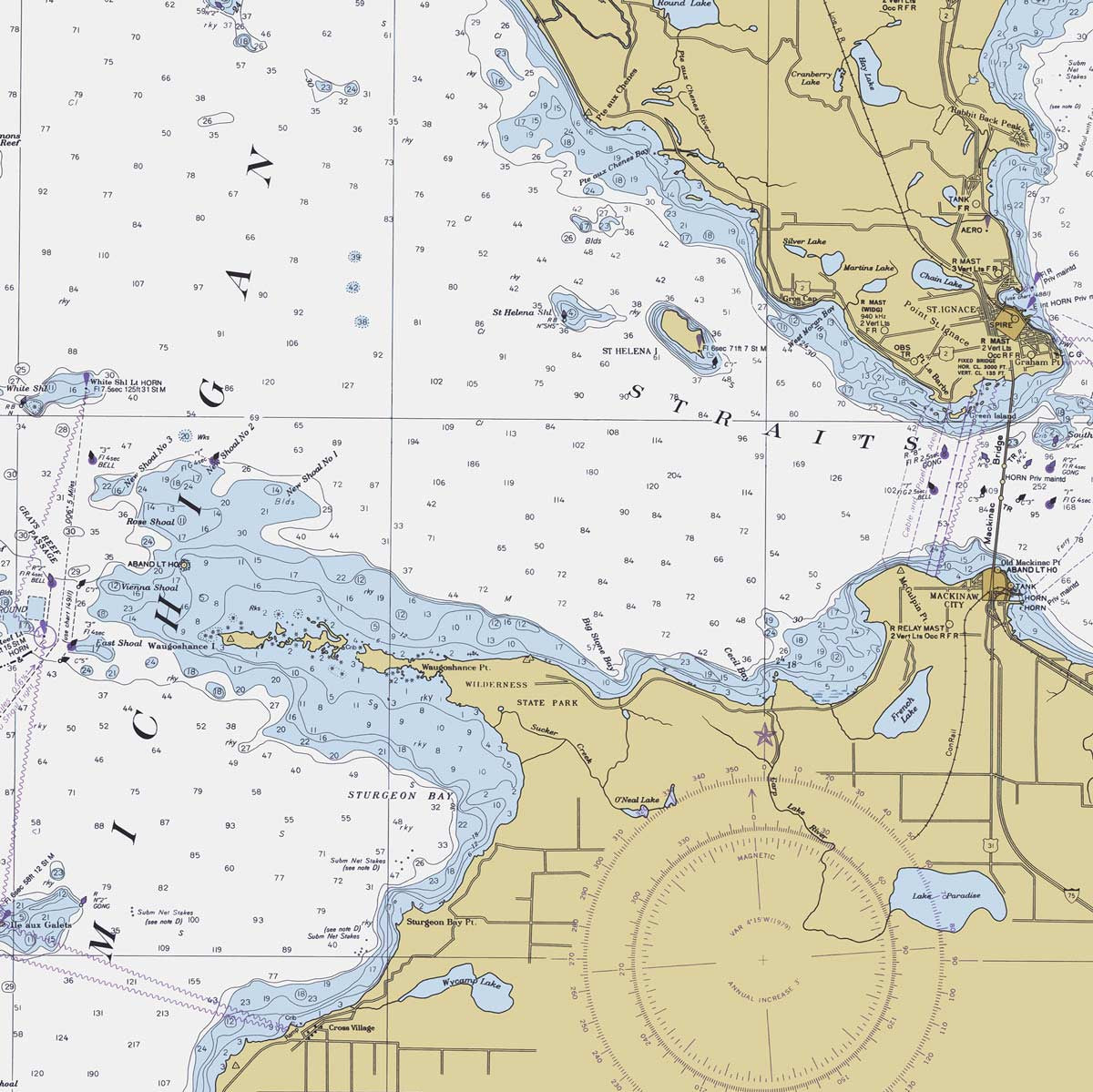
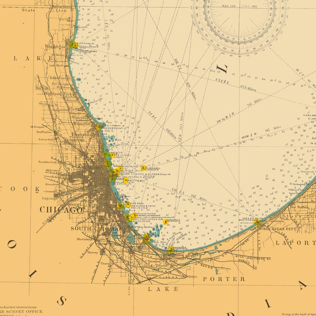
Our maps display Michigan’s rich topography, including inland waterways, wetlands, rocky hills, mountains, forests, rolling plains, peninsulas, and of course the coastline that borders four out of five of the Great Lakes, with stunning detail and accuracy.
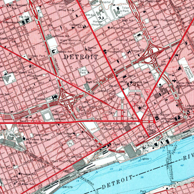
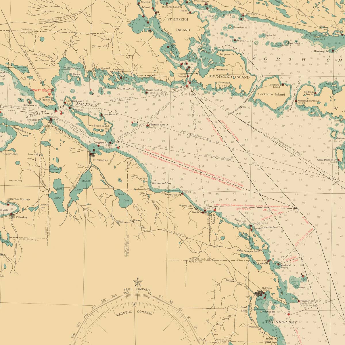
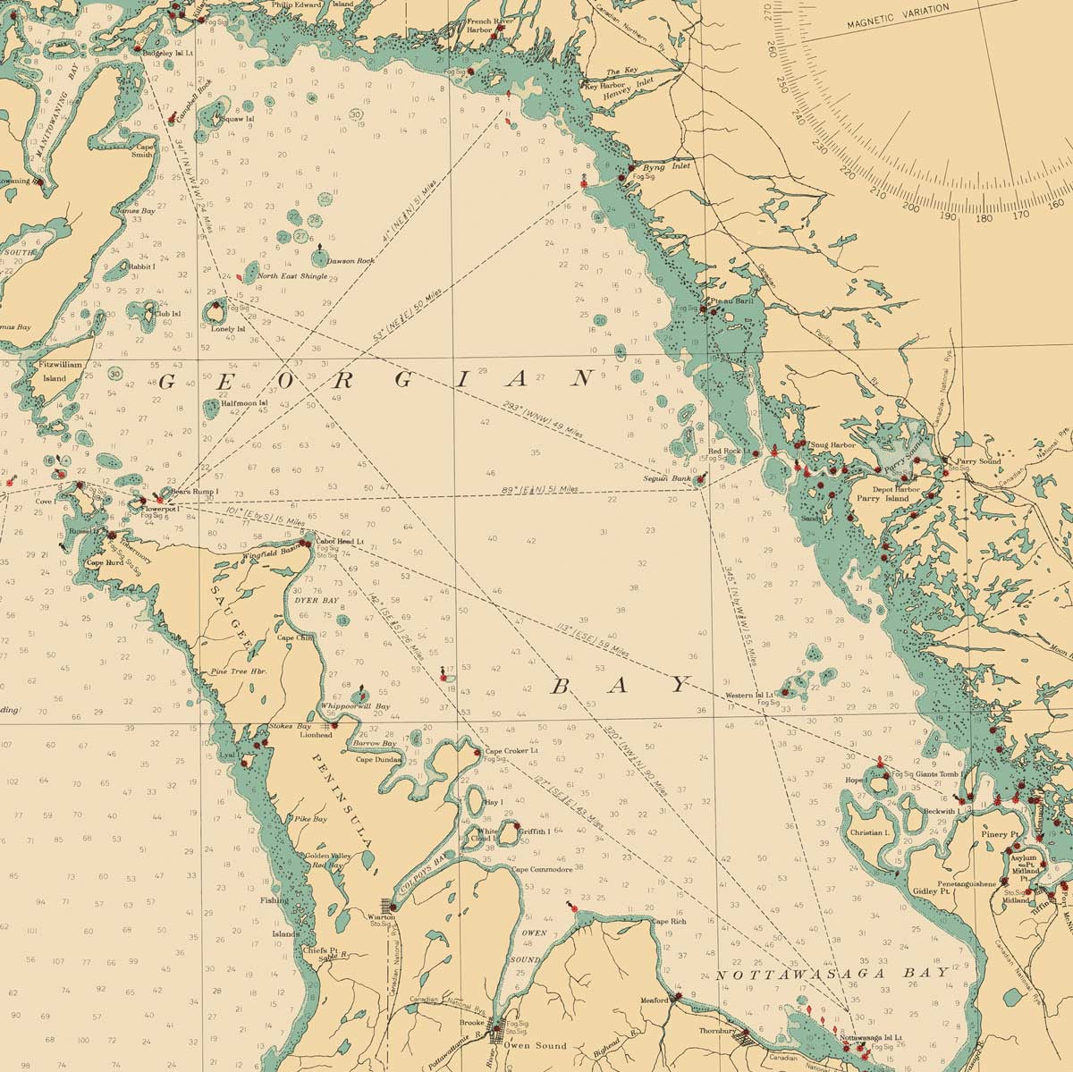
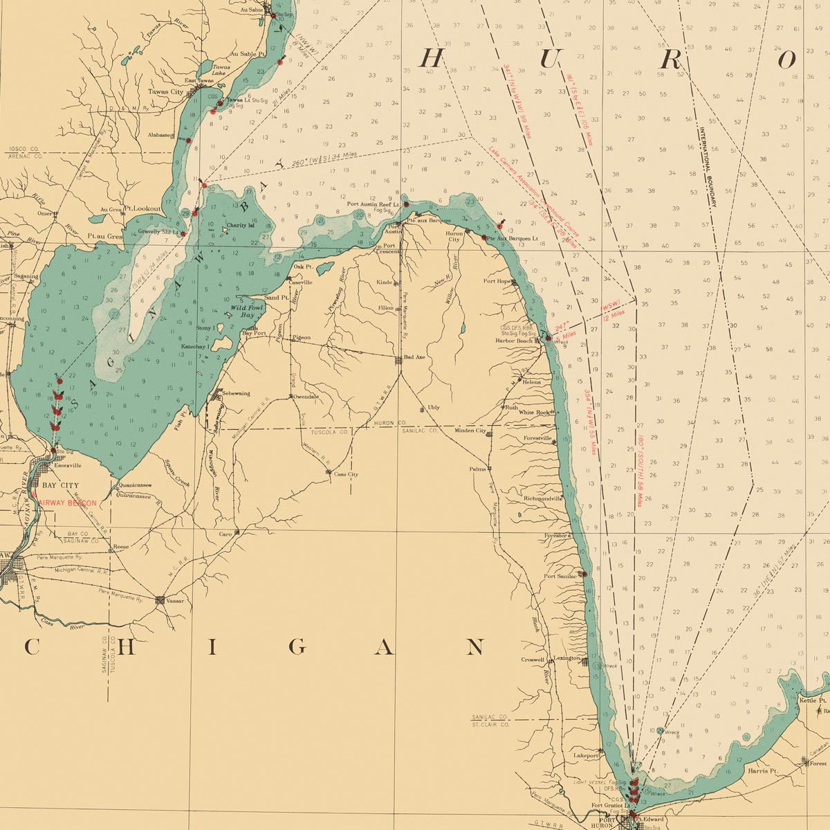
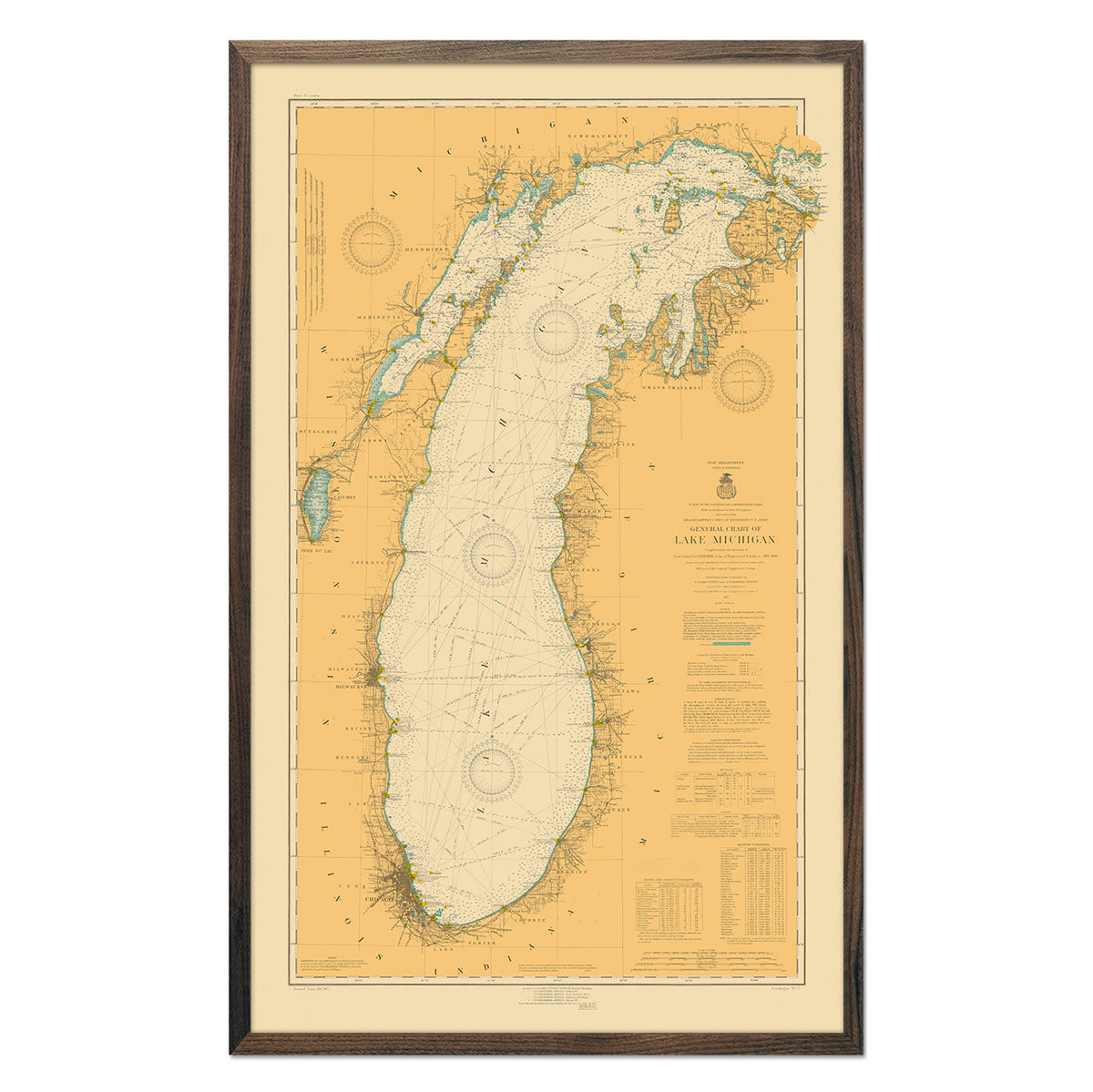
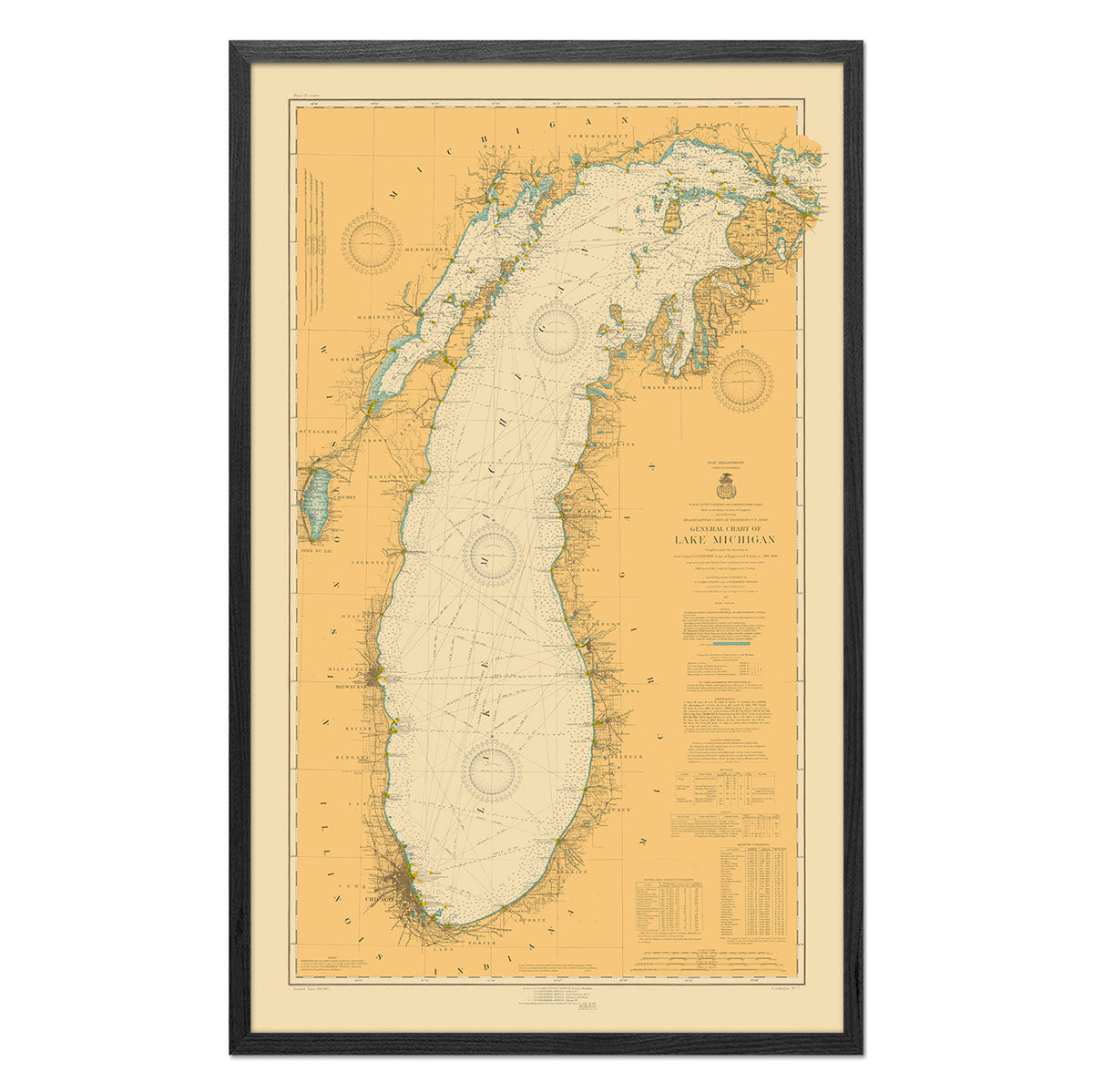
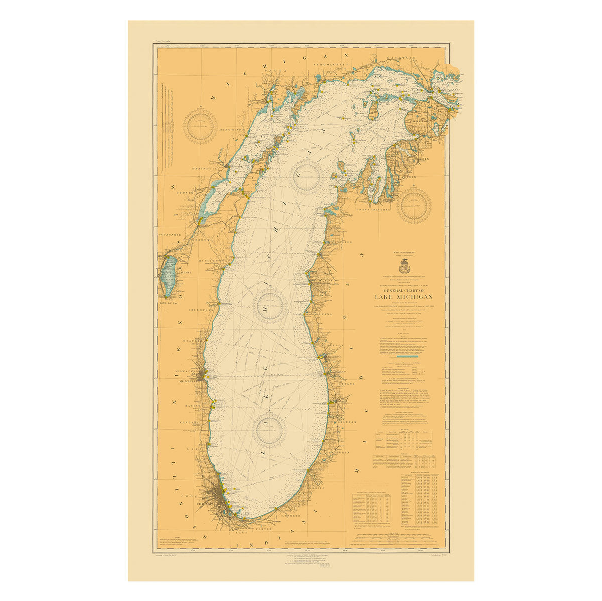
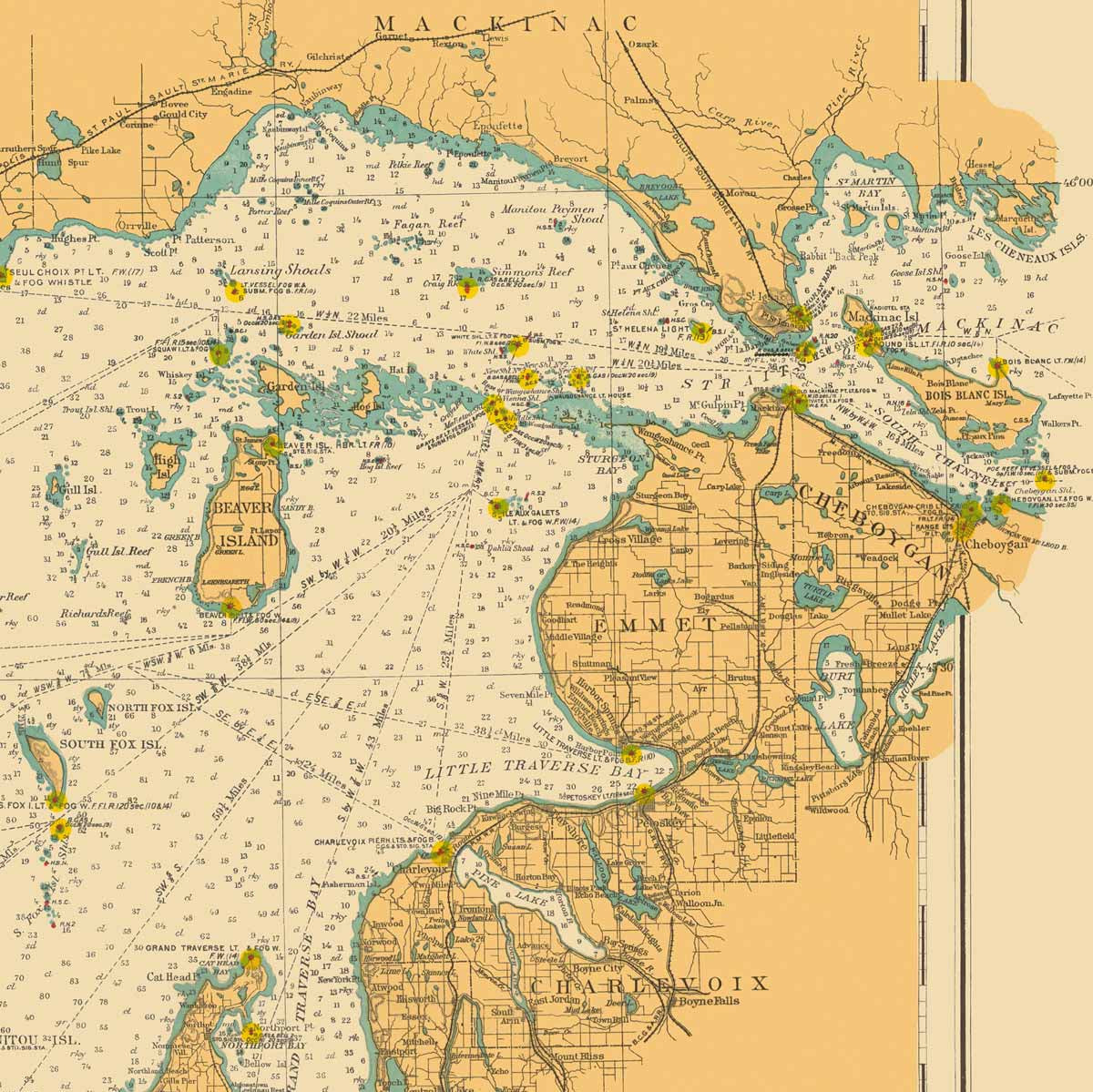
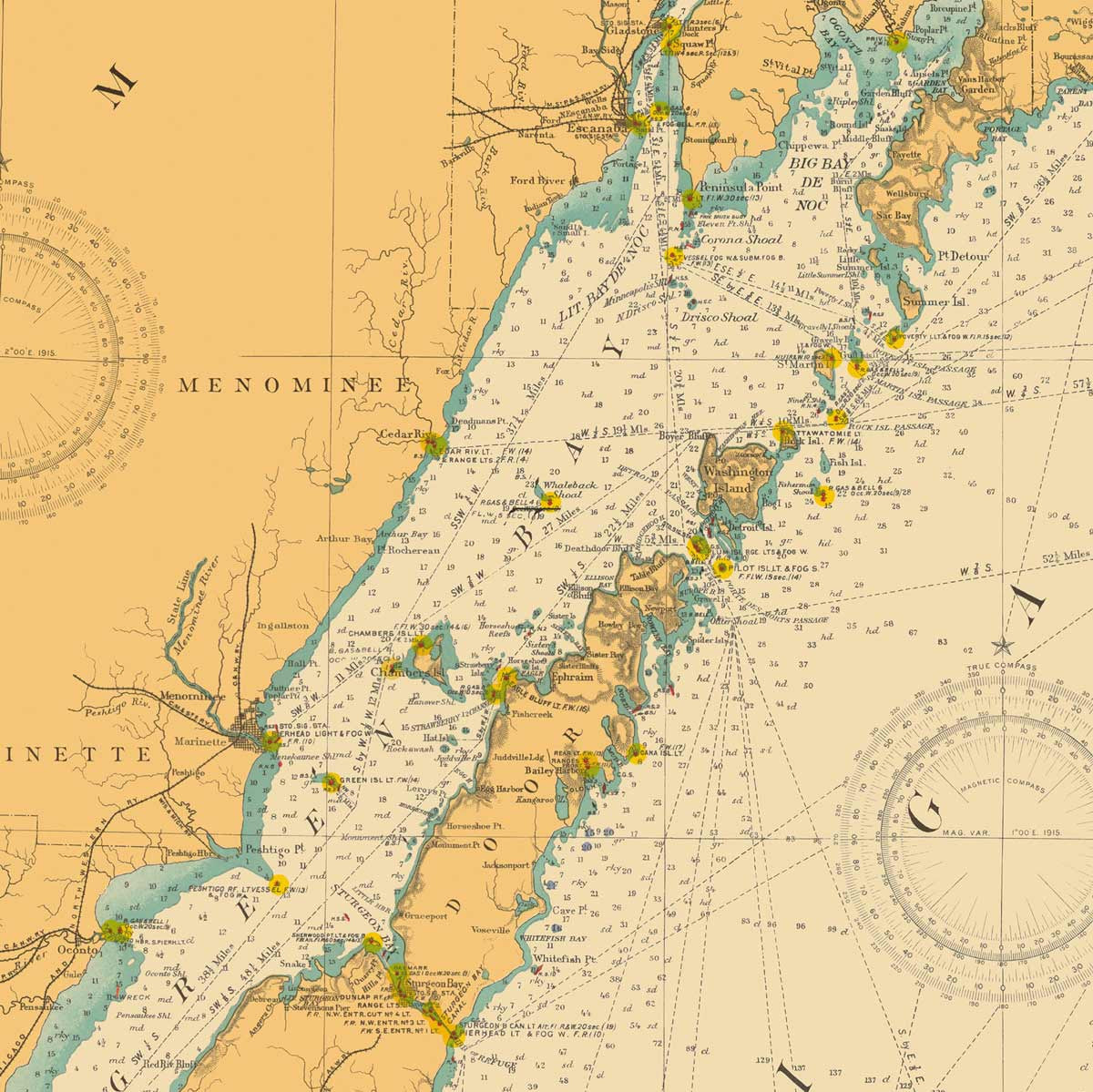
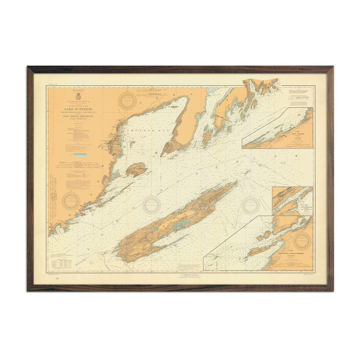
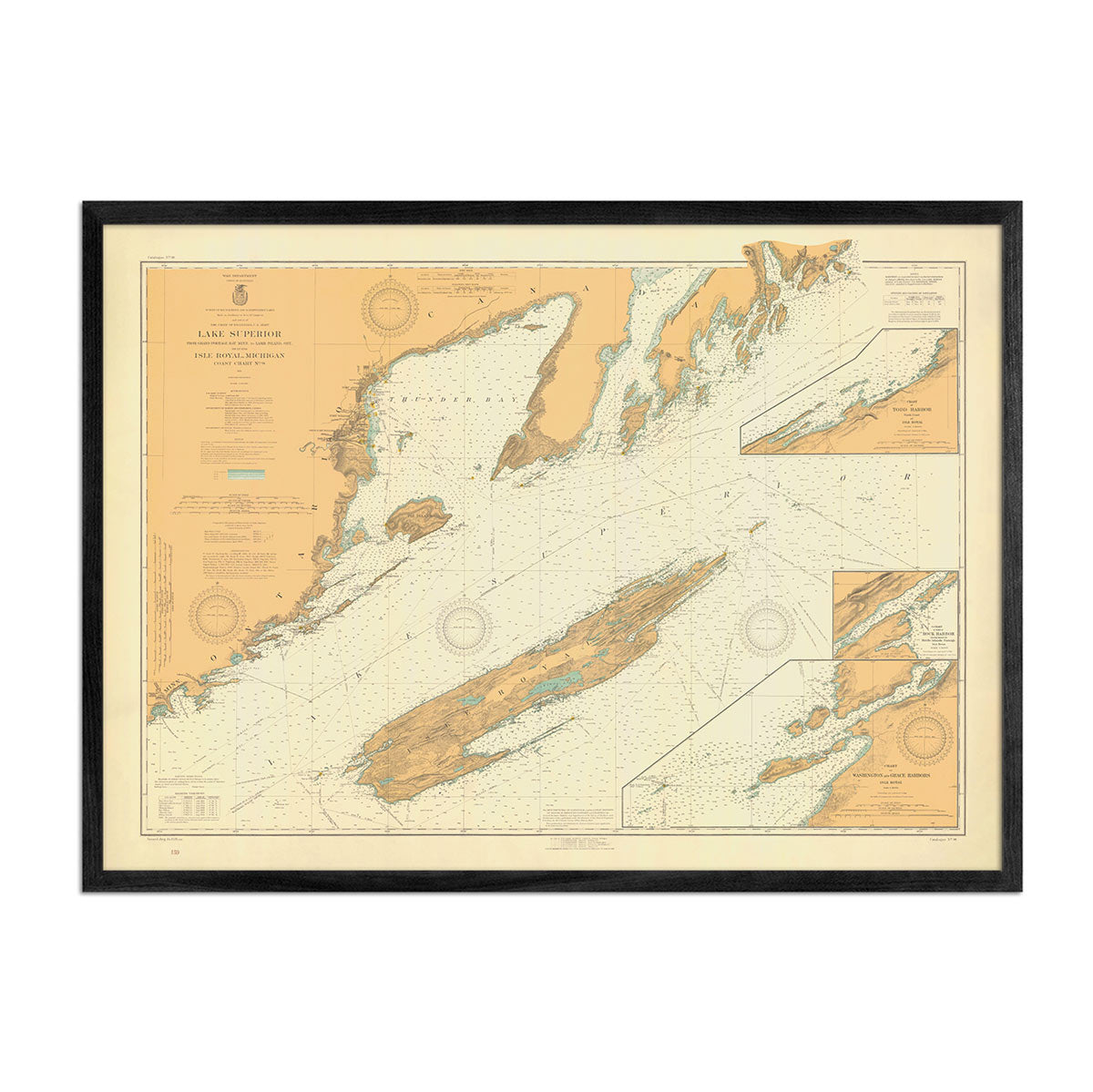
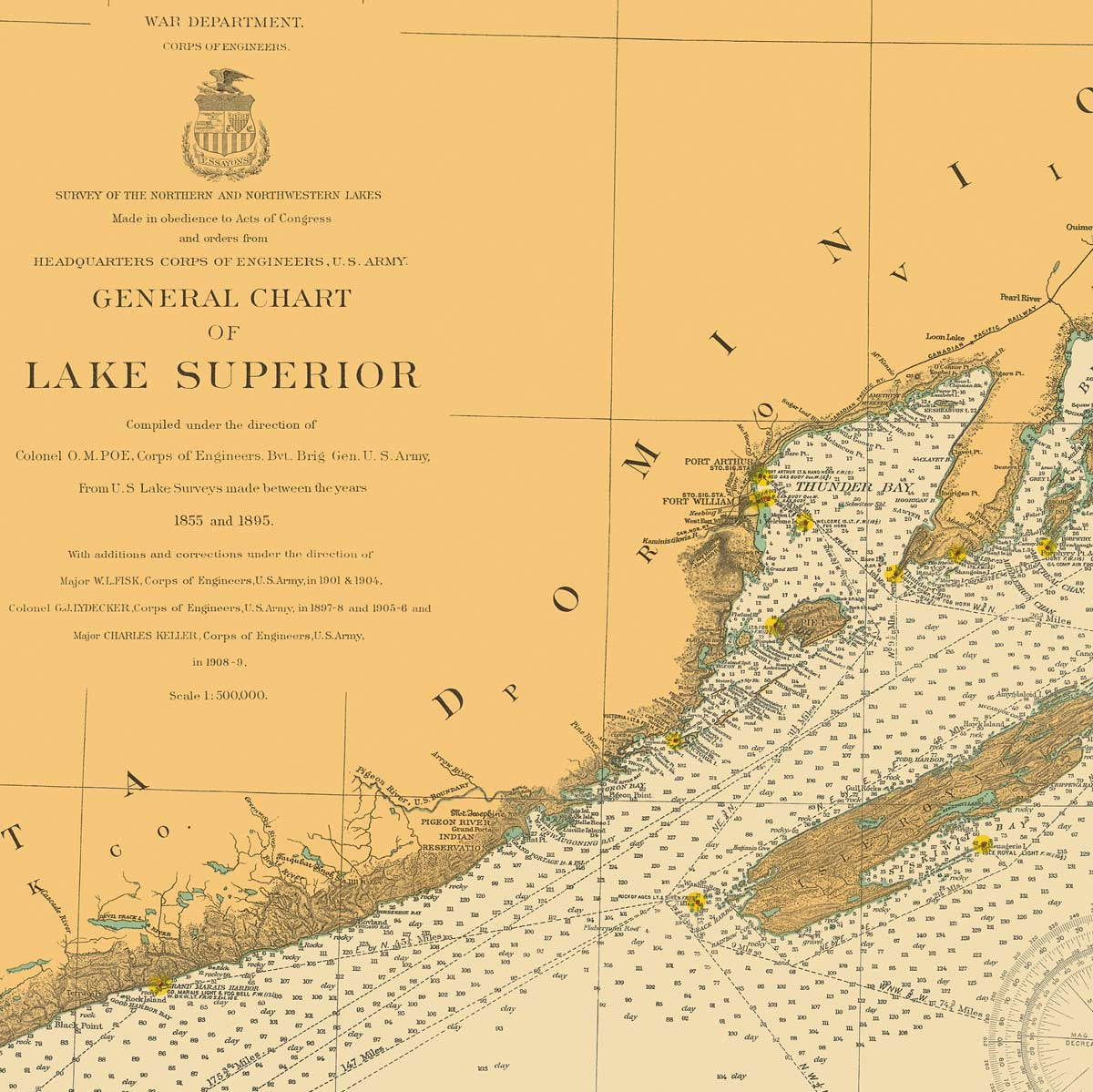
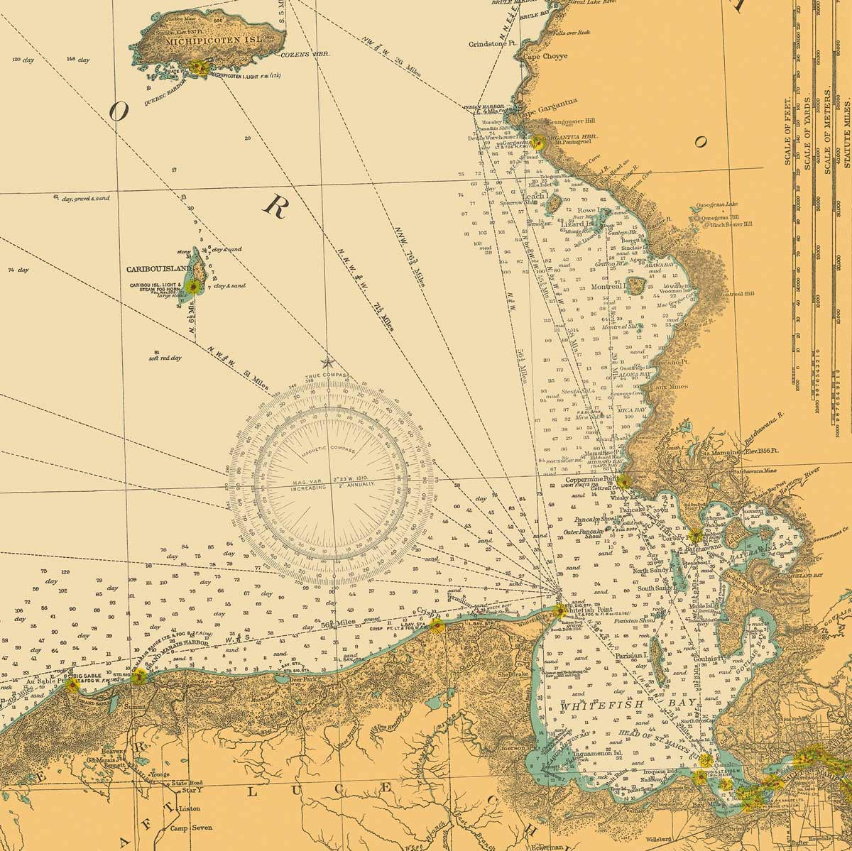
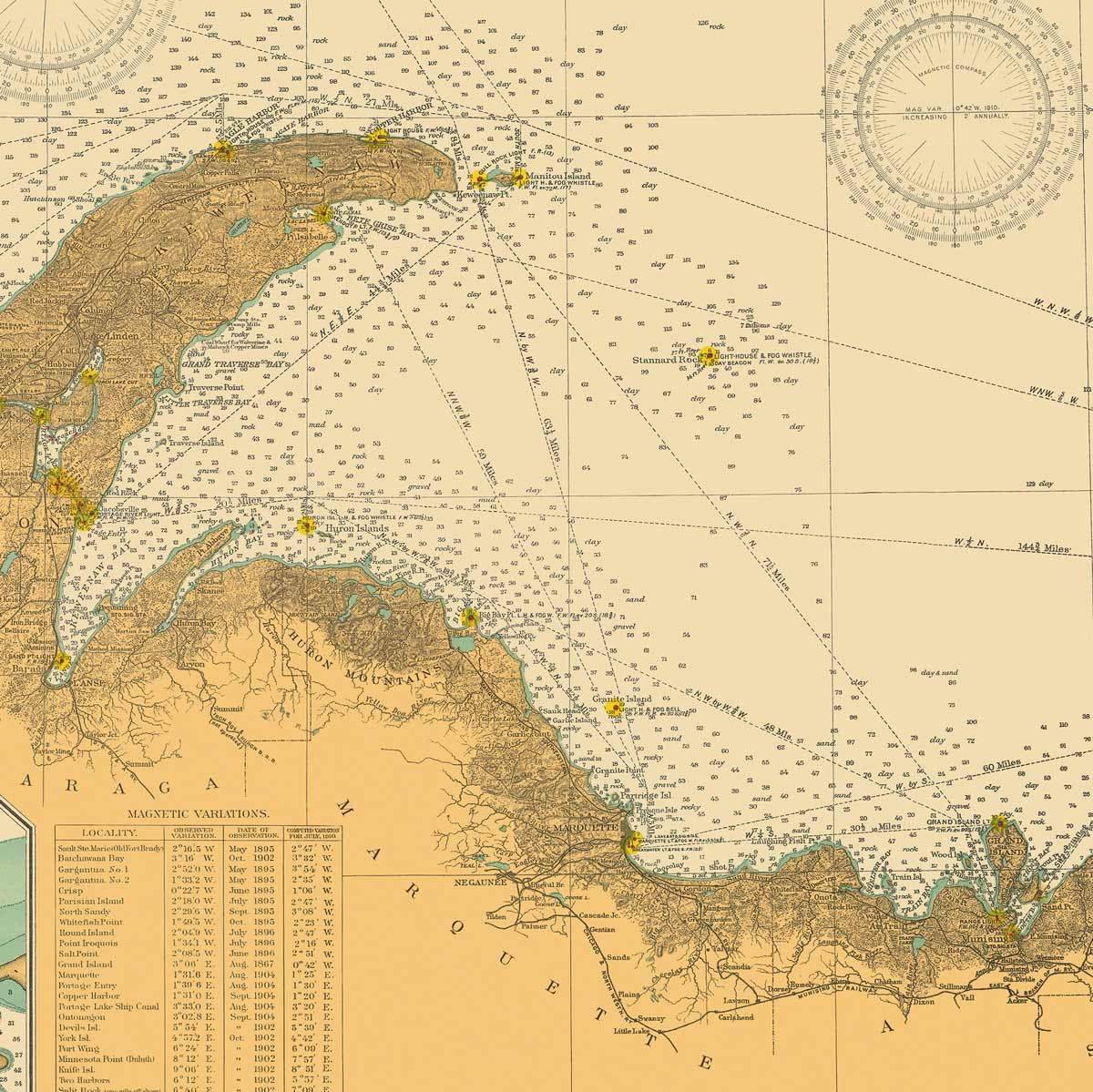
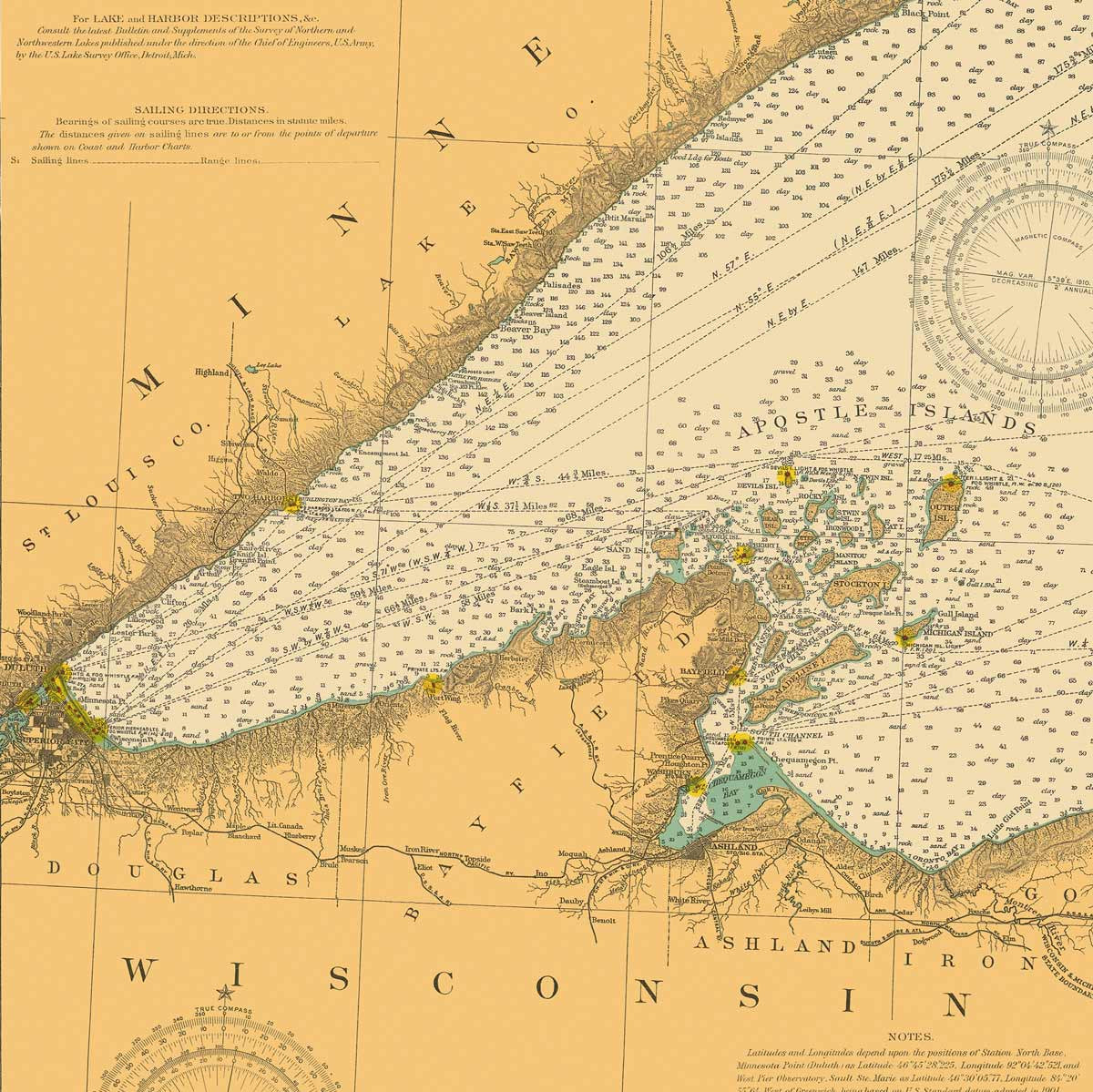
Map Prints that Capture the History of the Great Lakes State
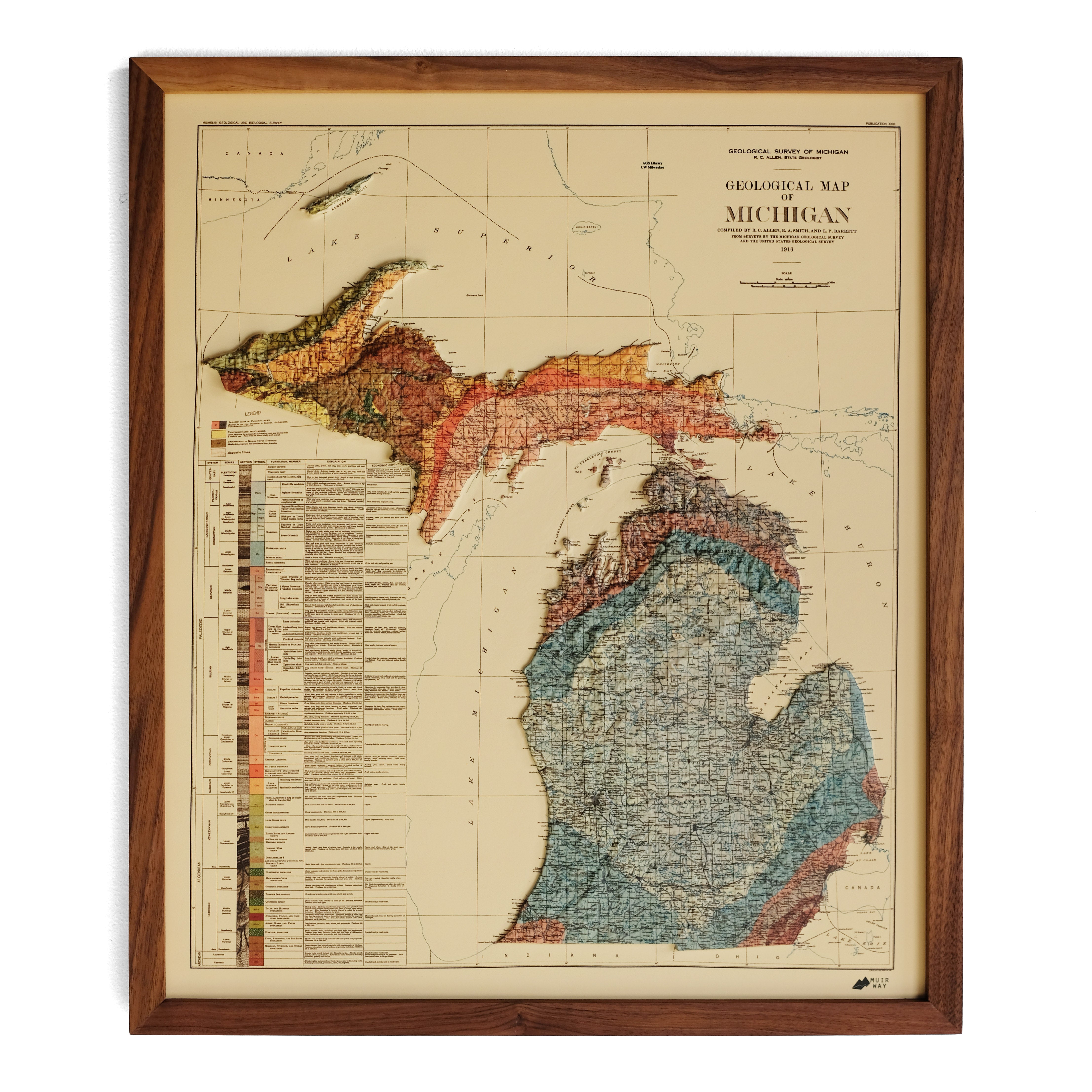
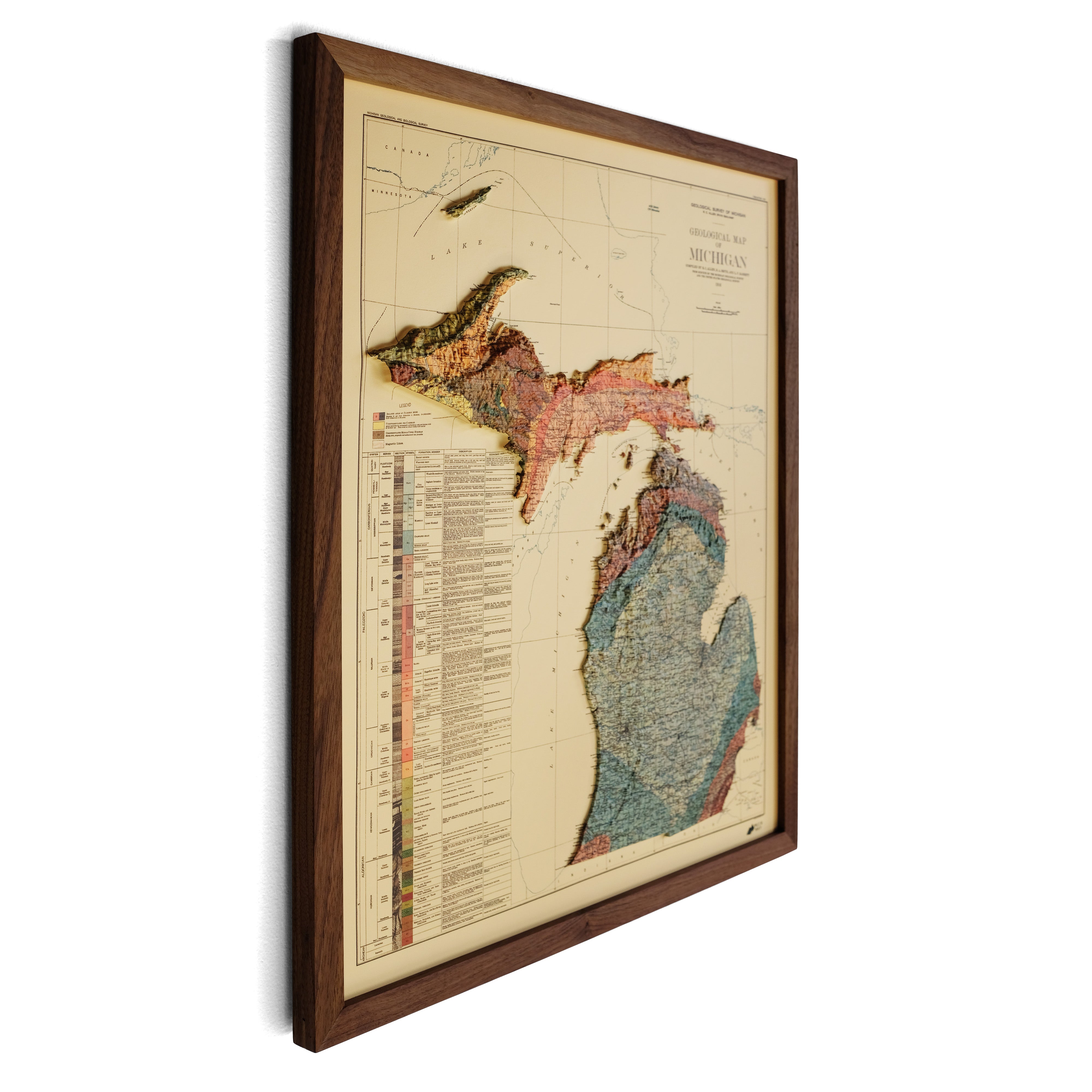
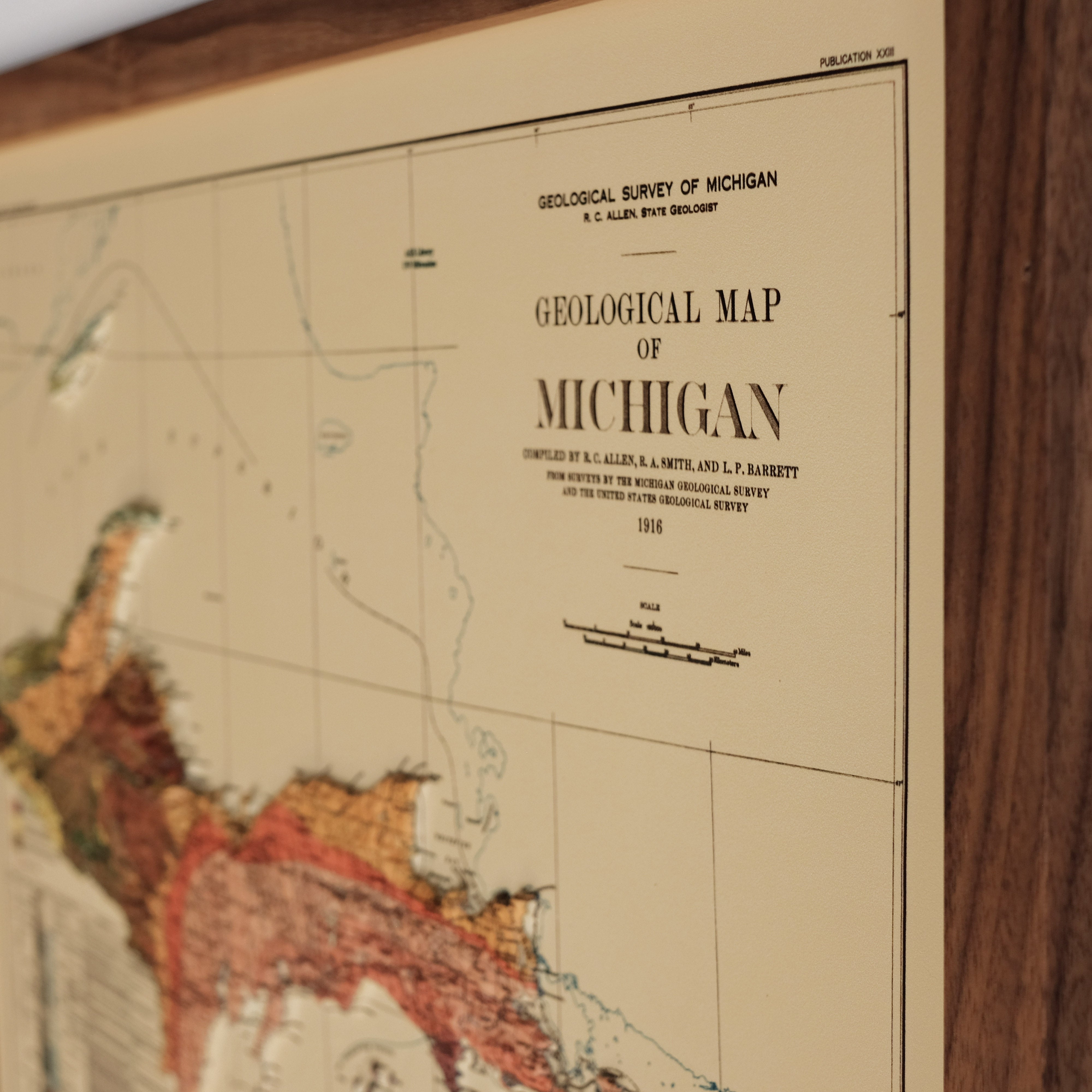
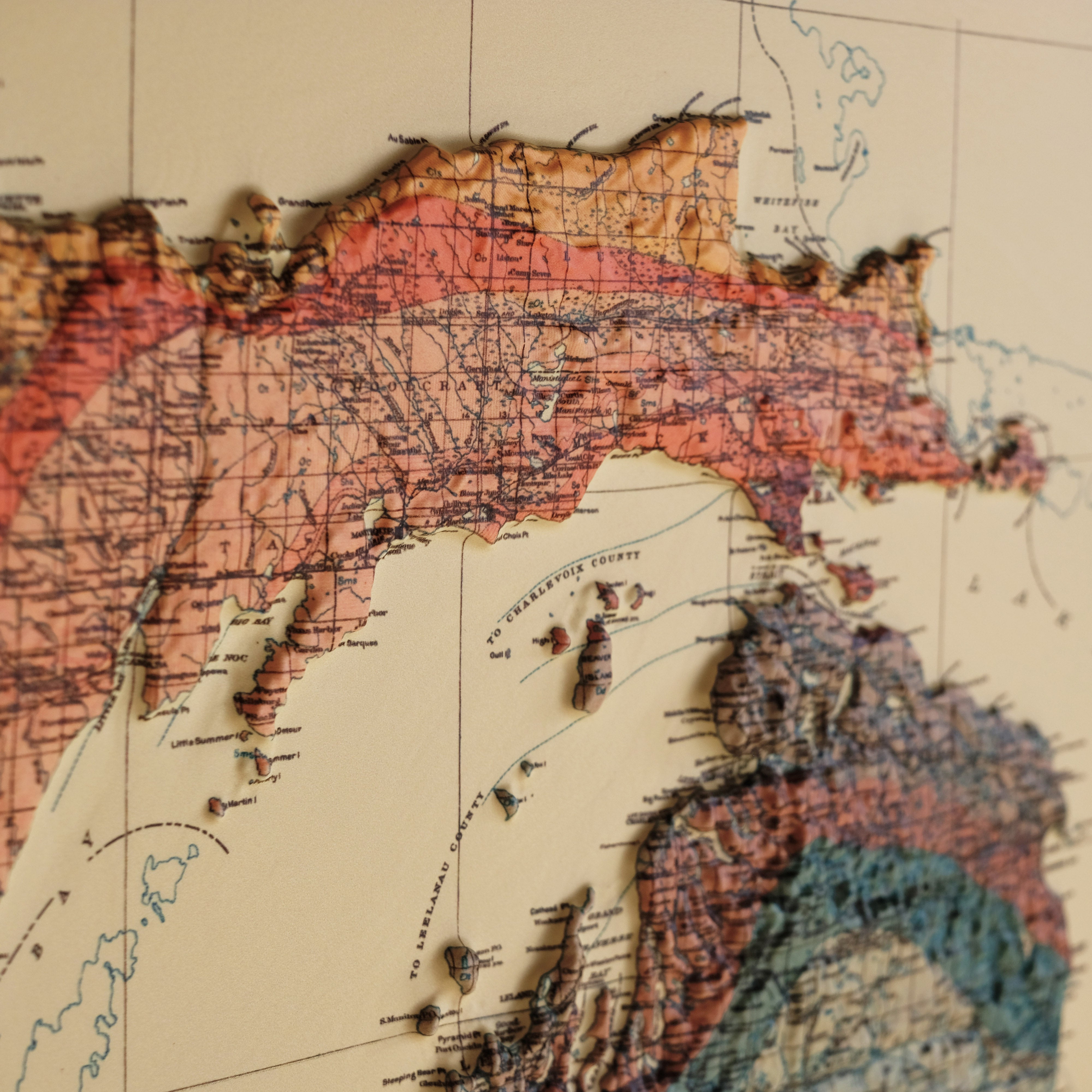
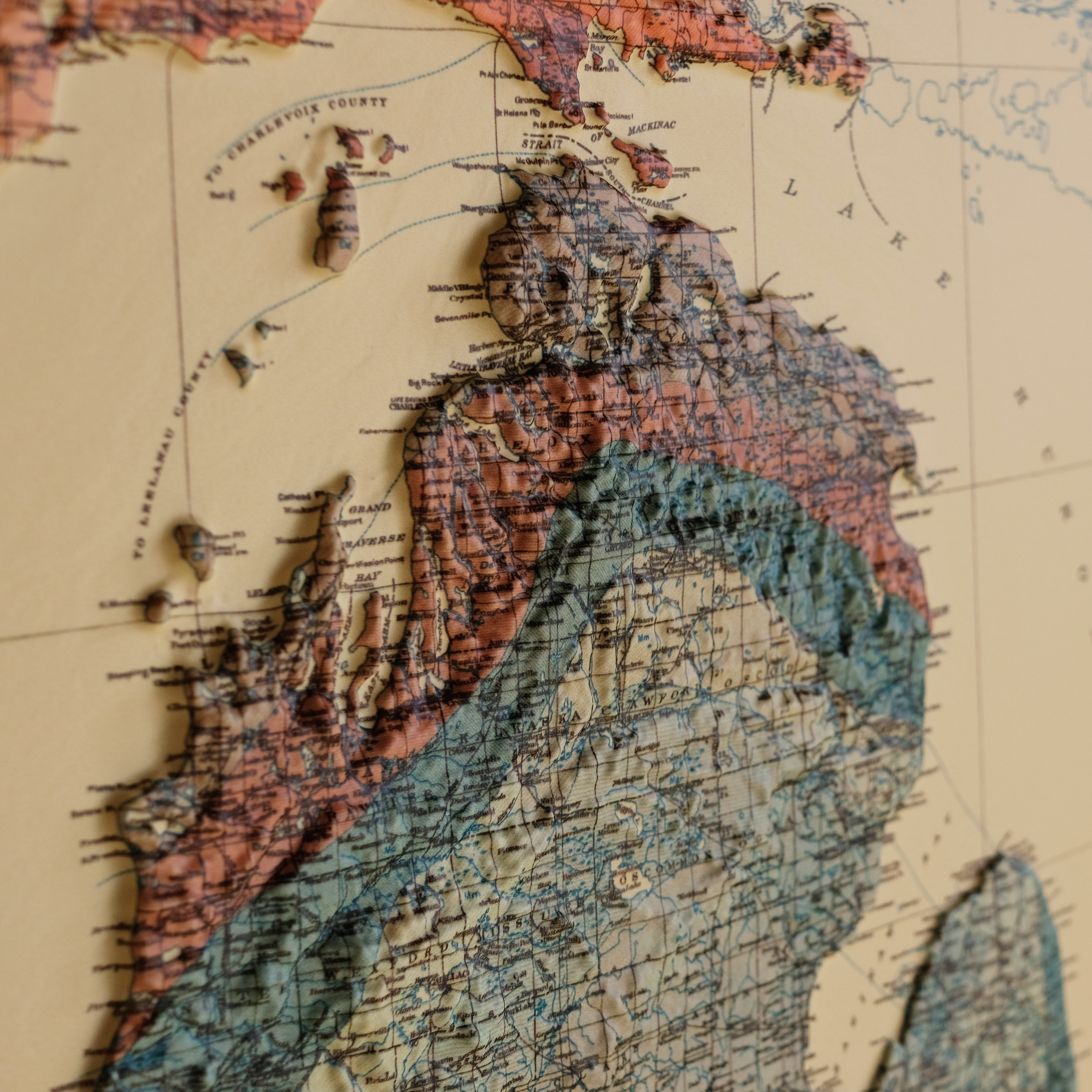
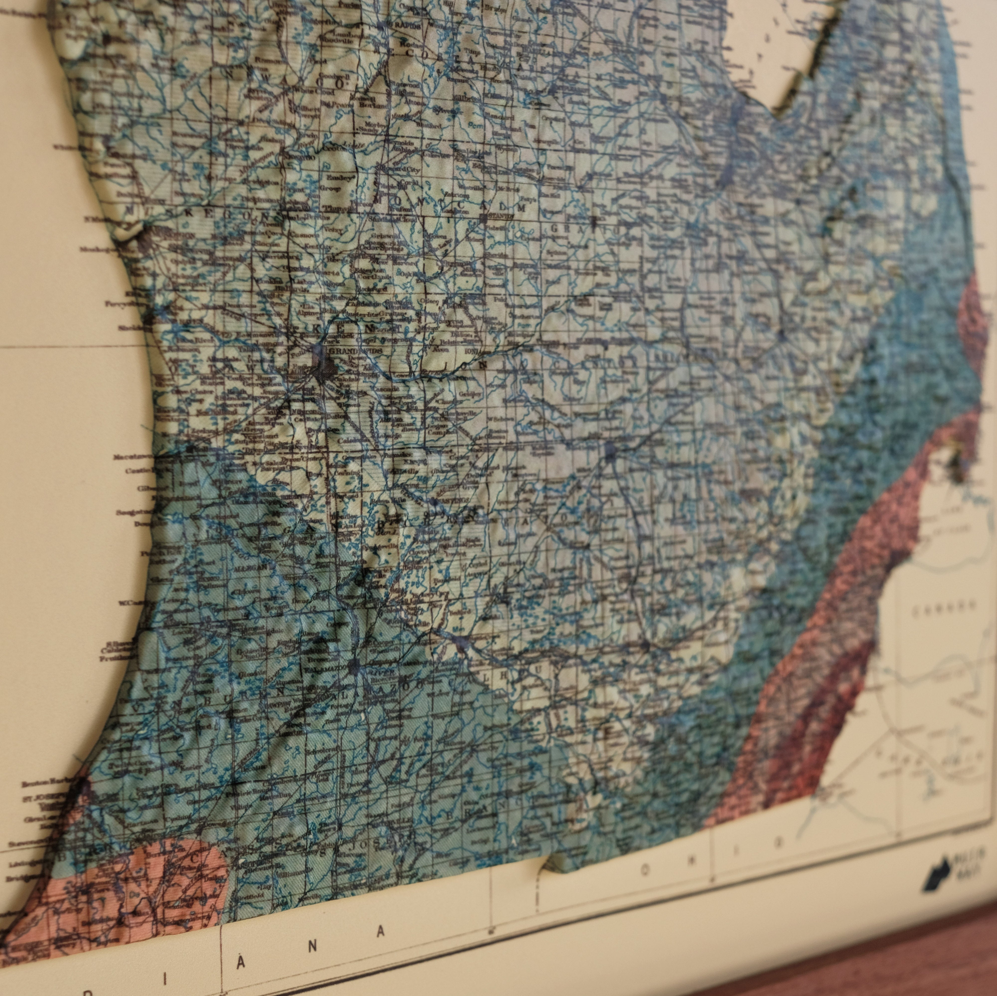
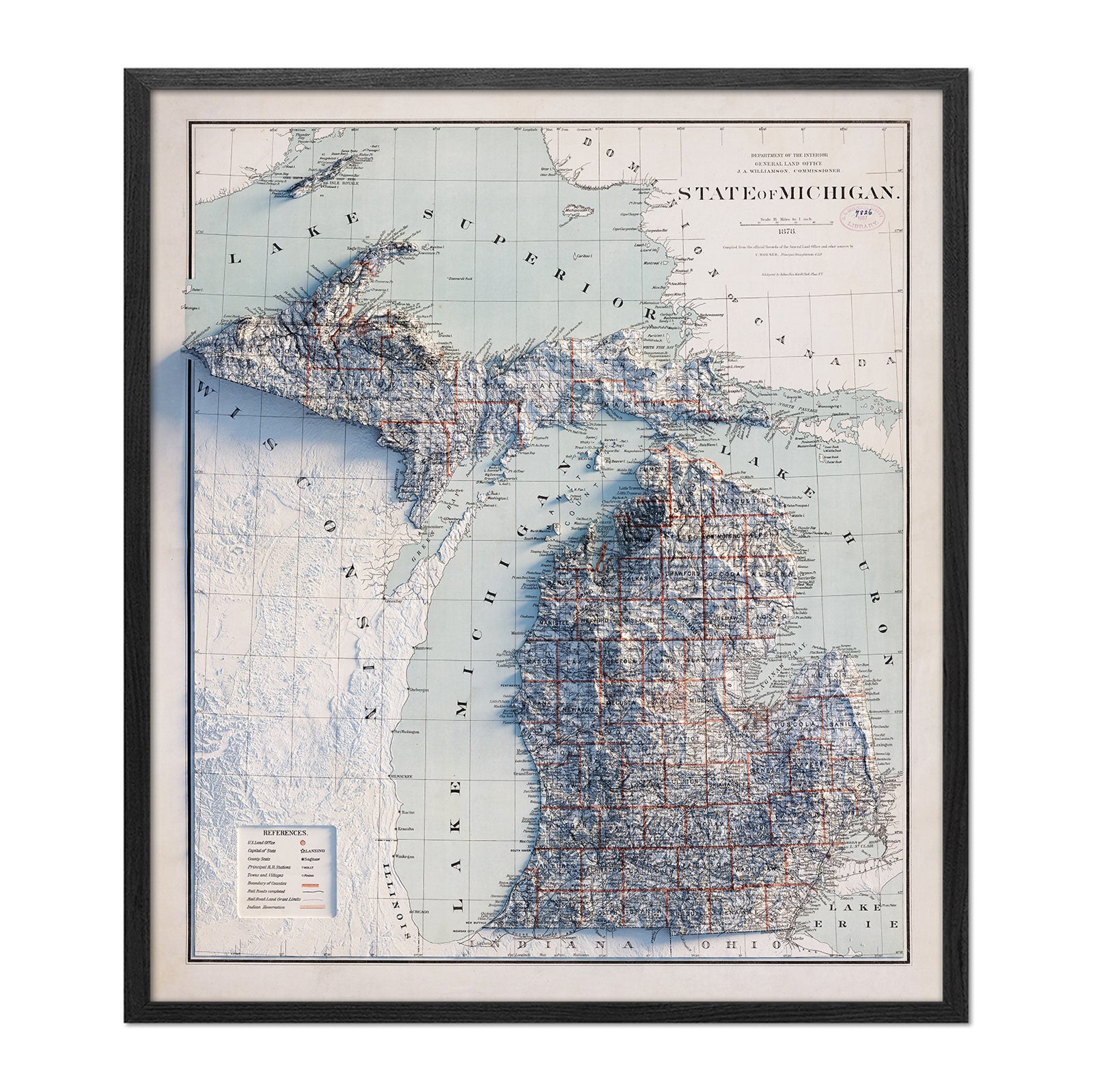
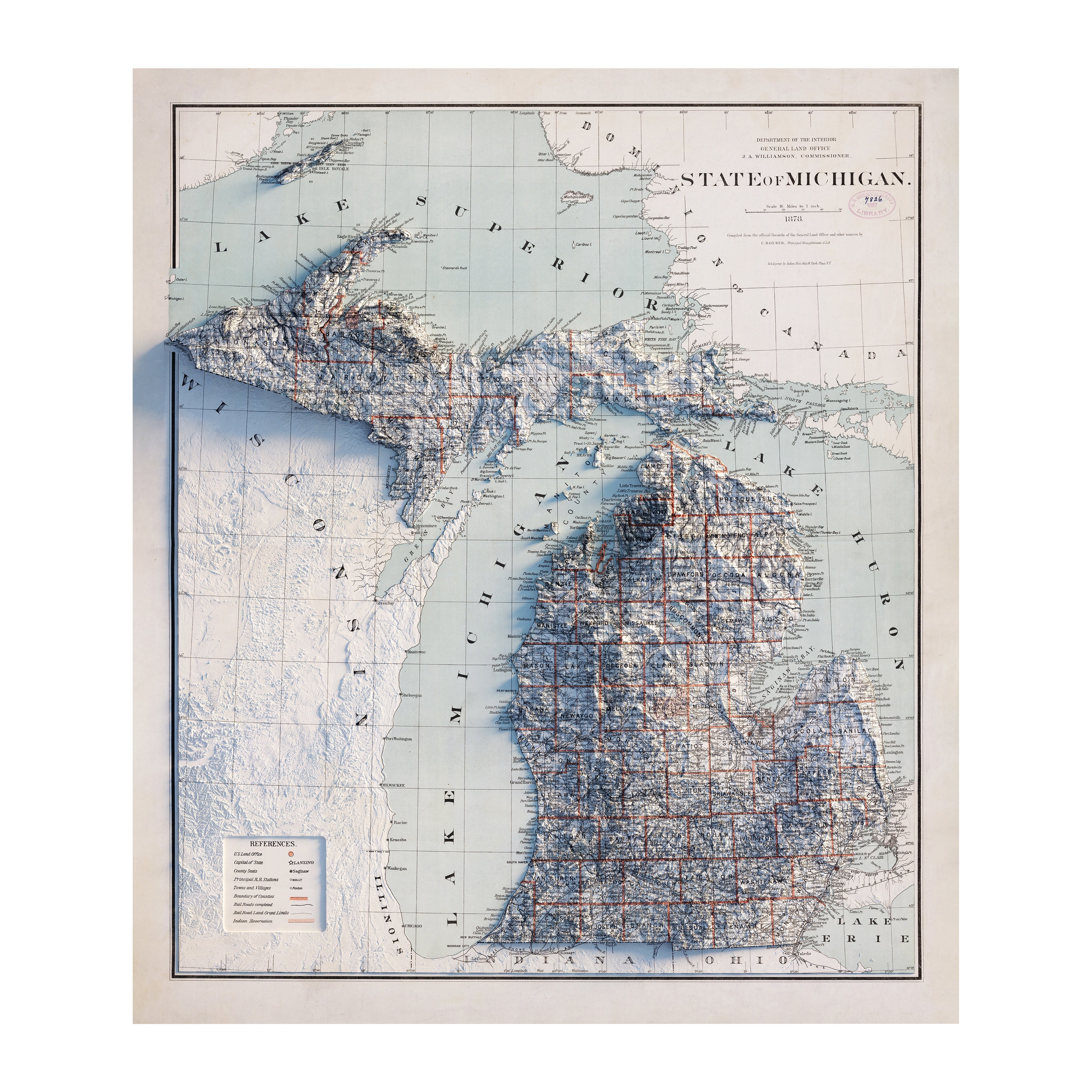
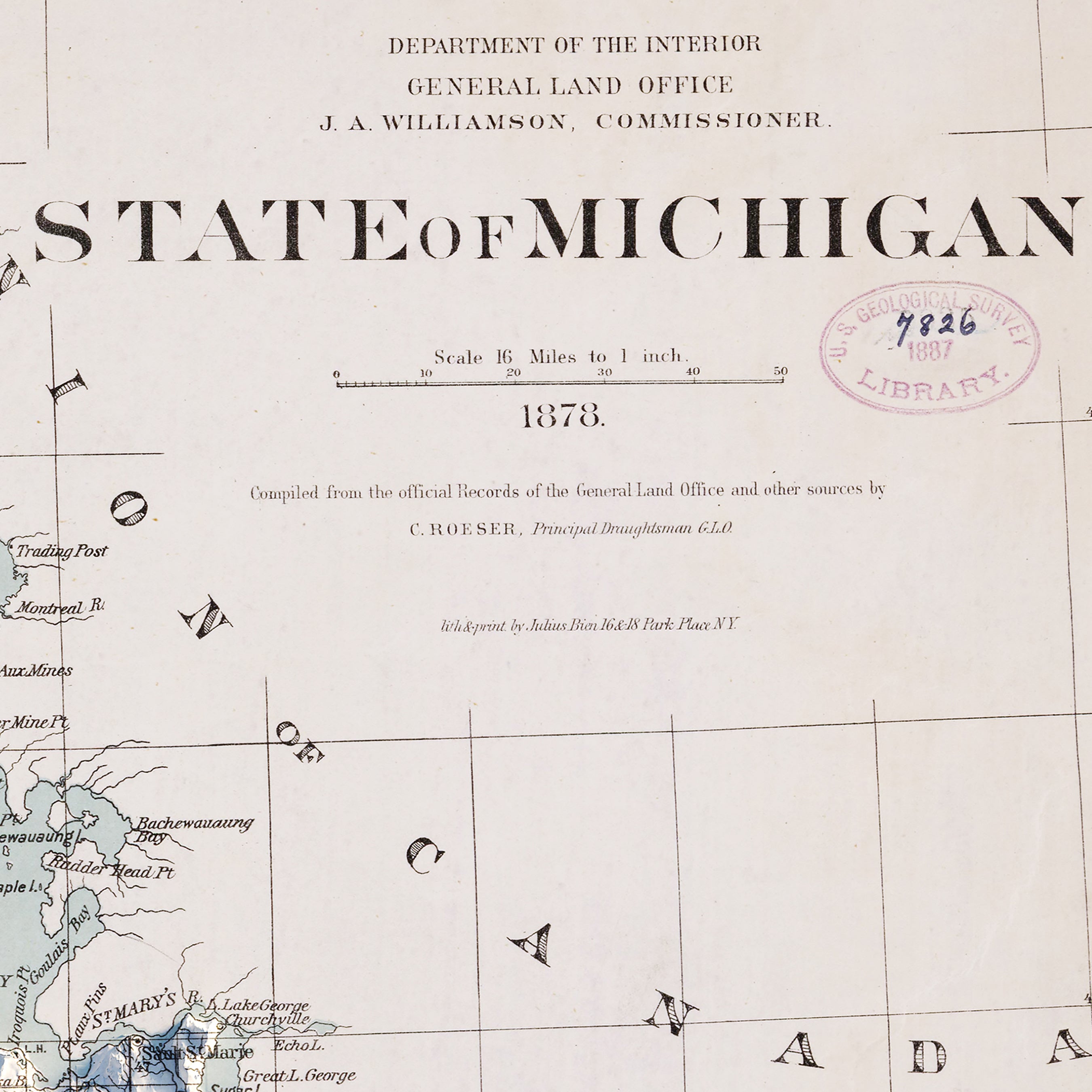
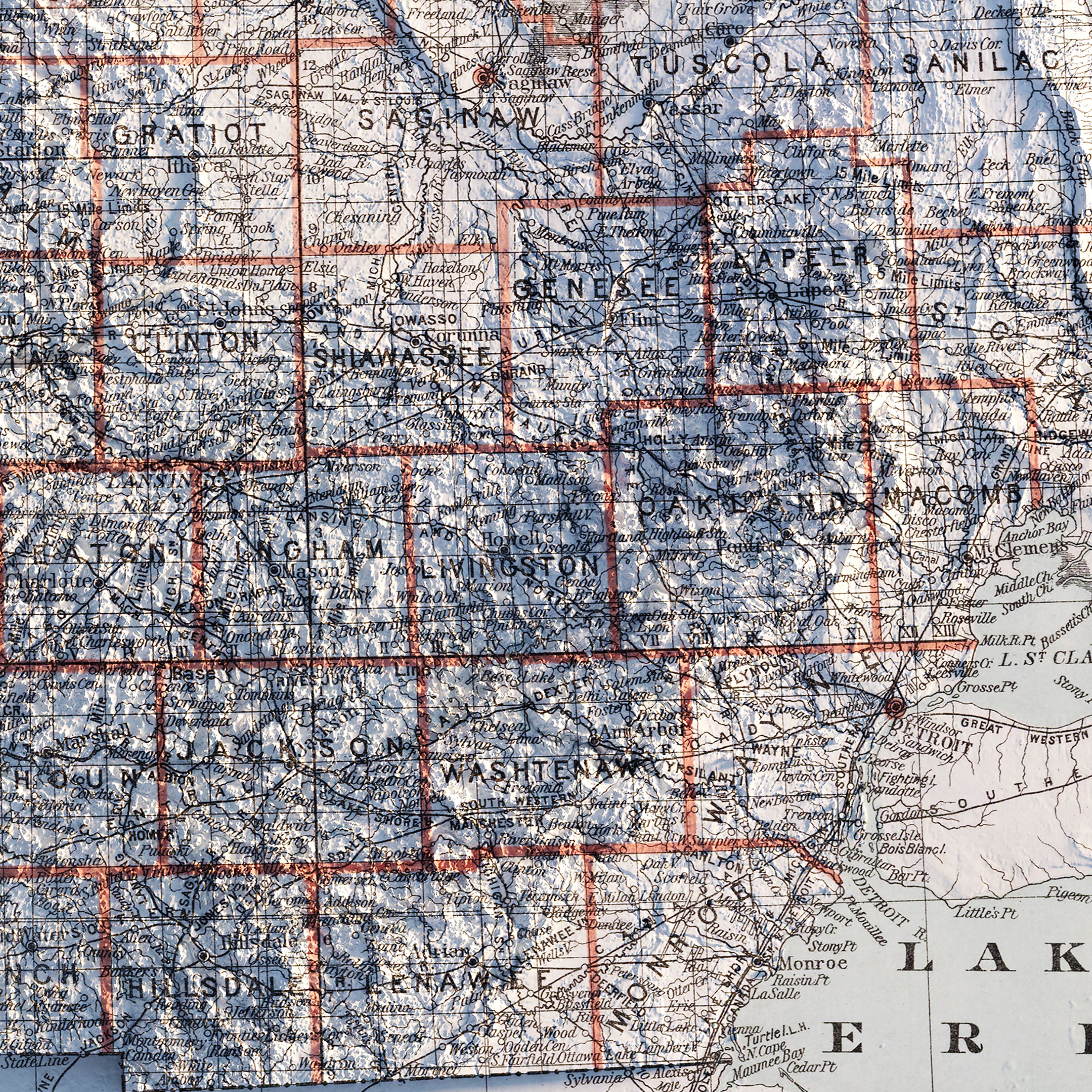
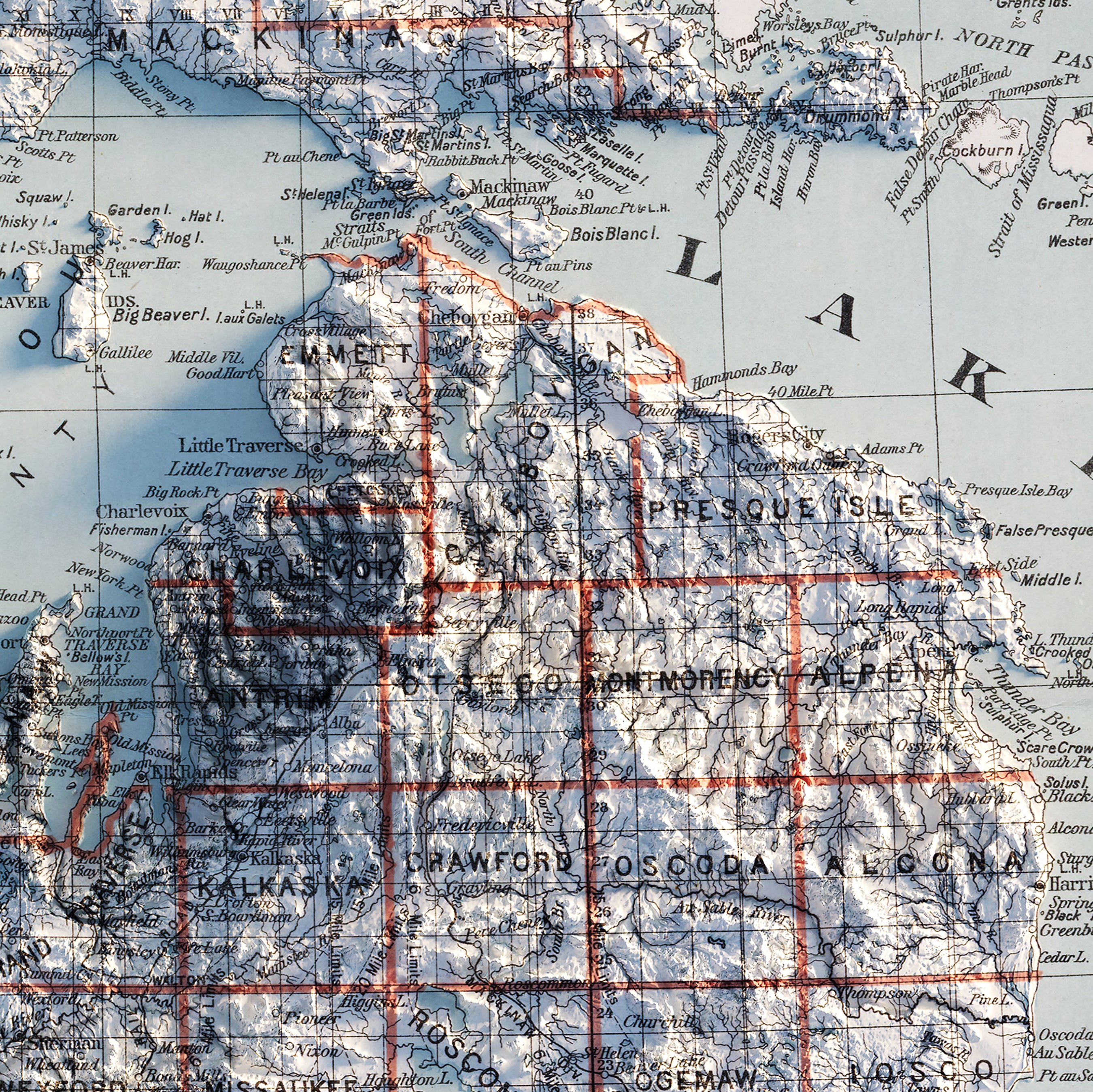
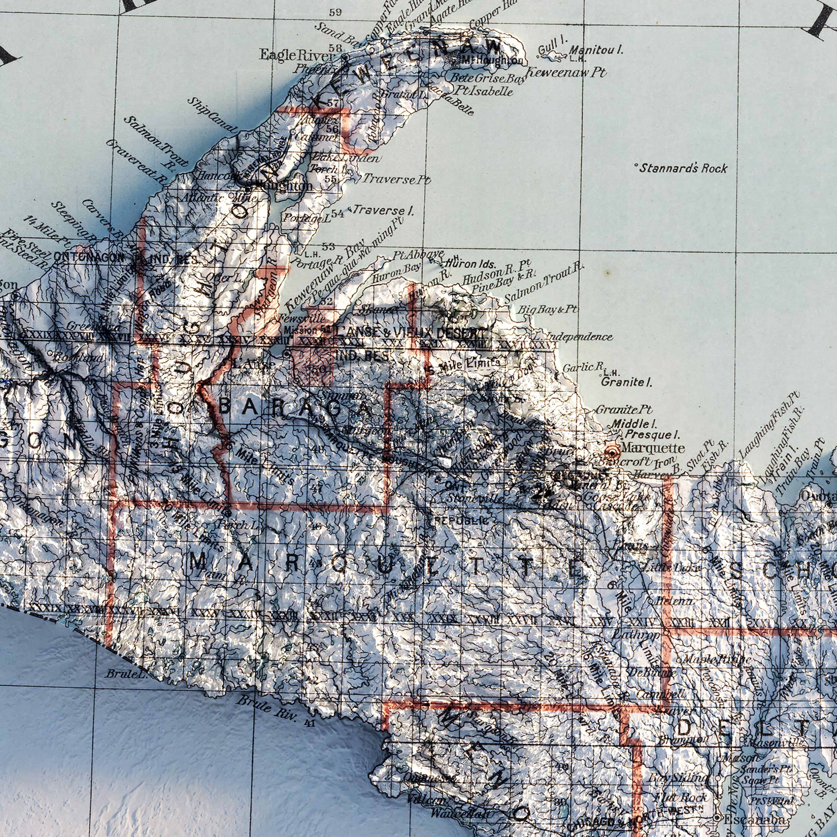
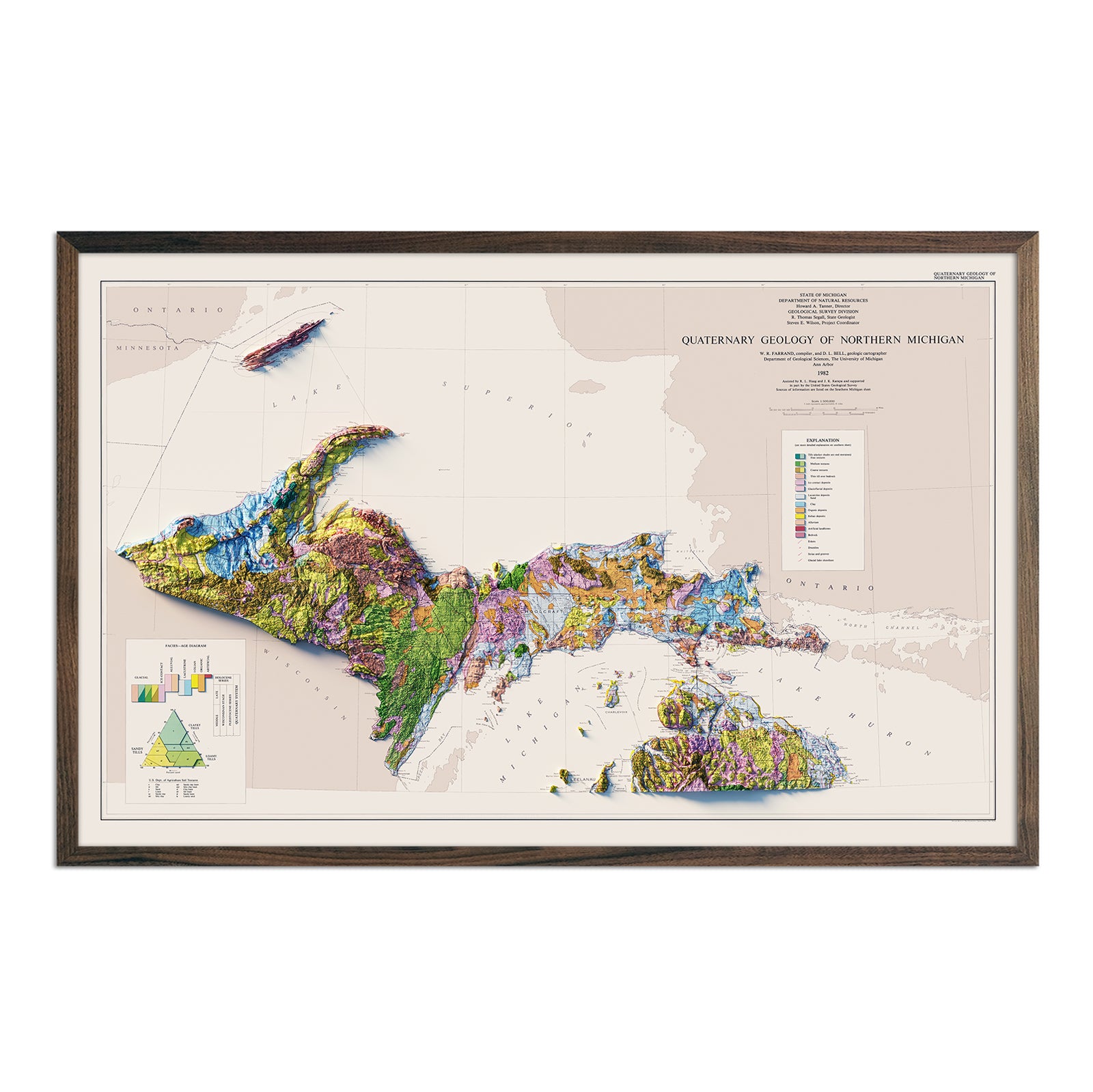
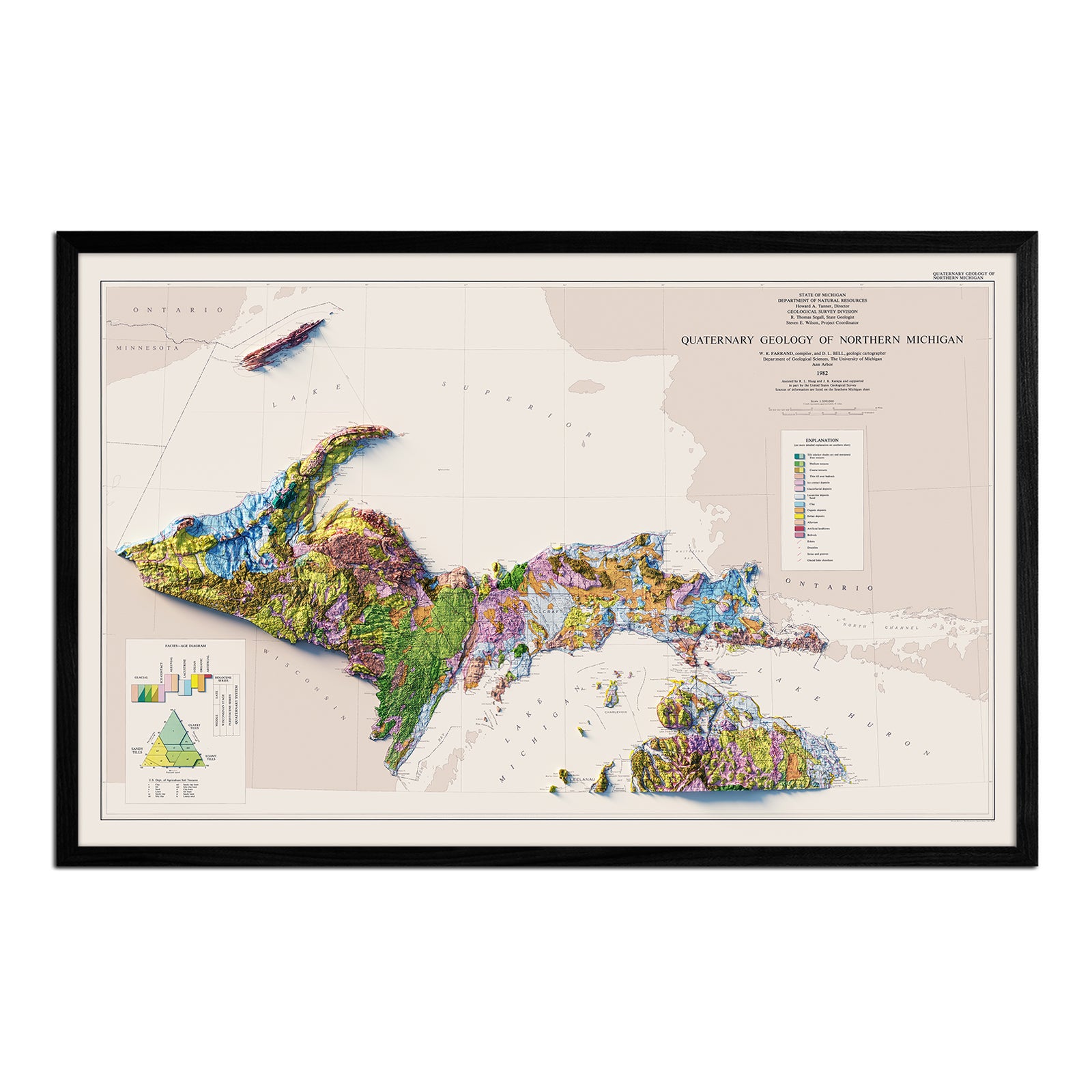
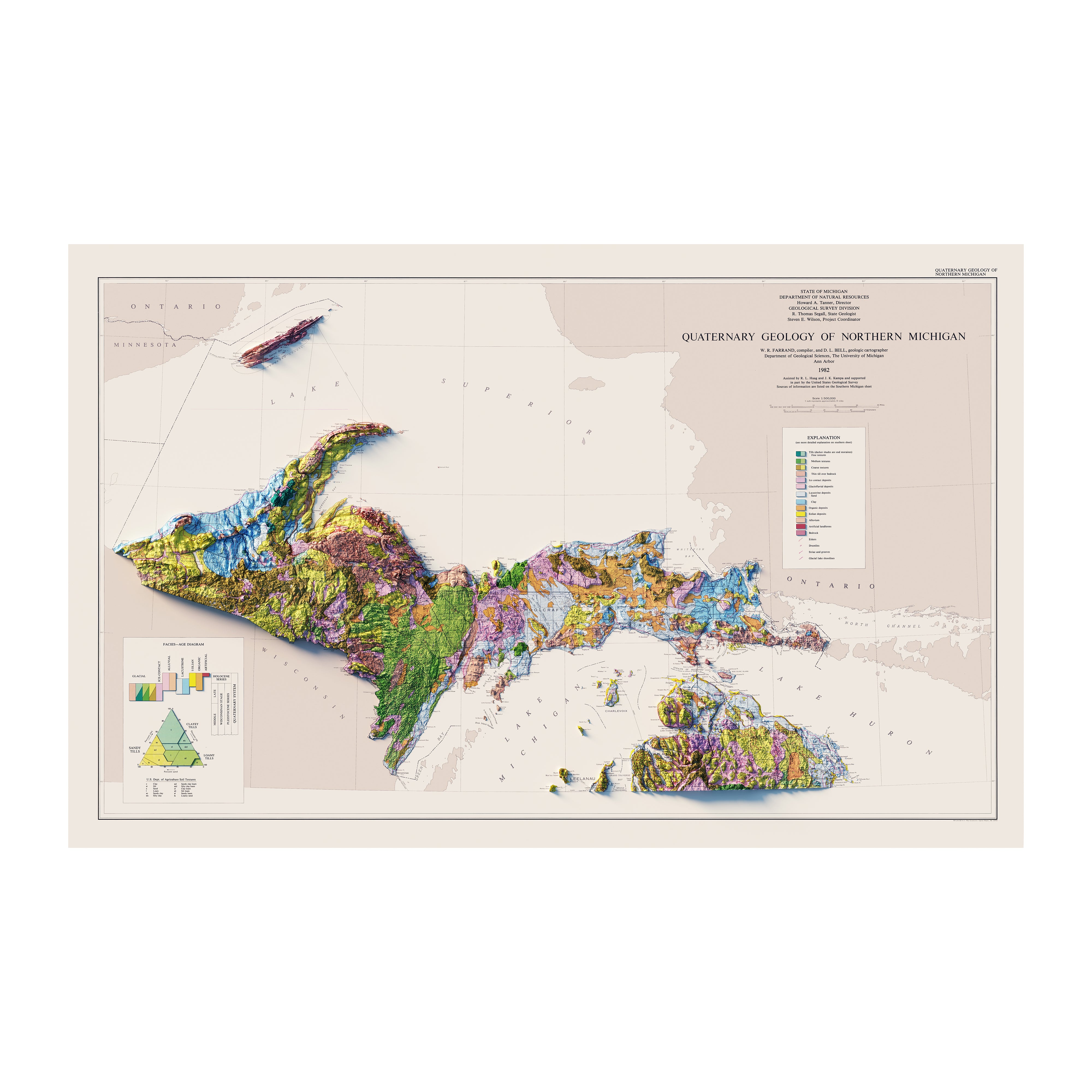
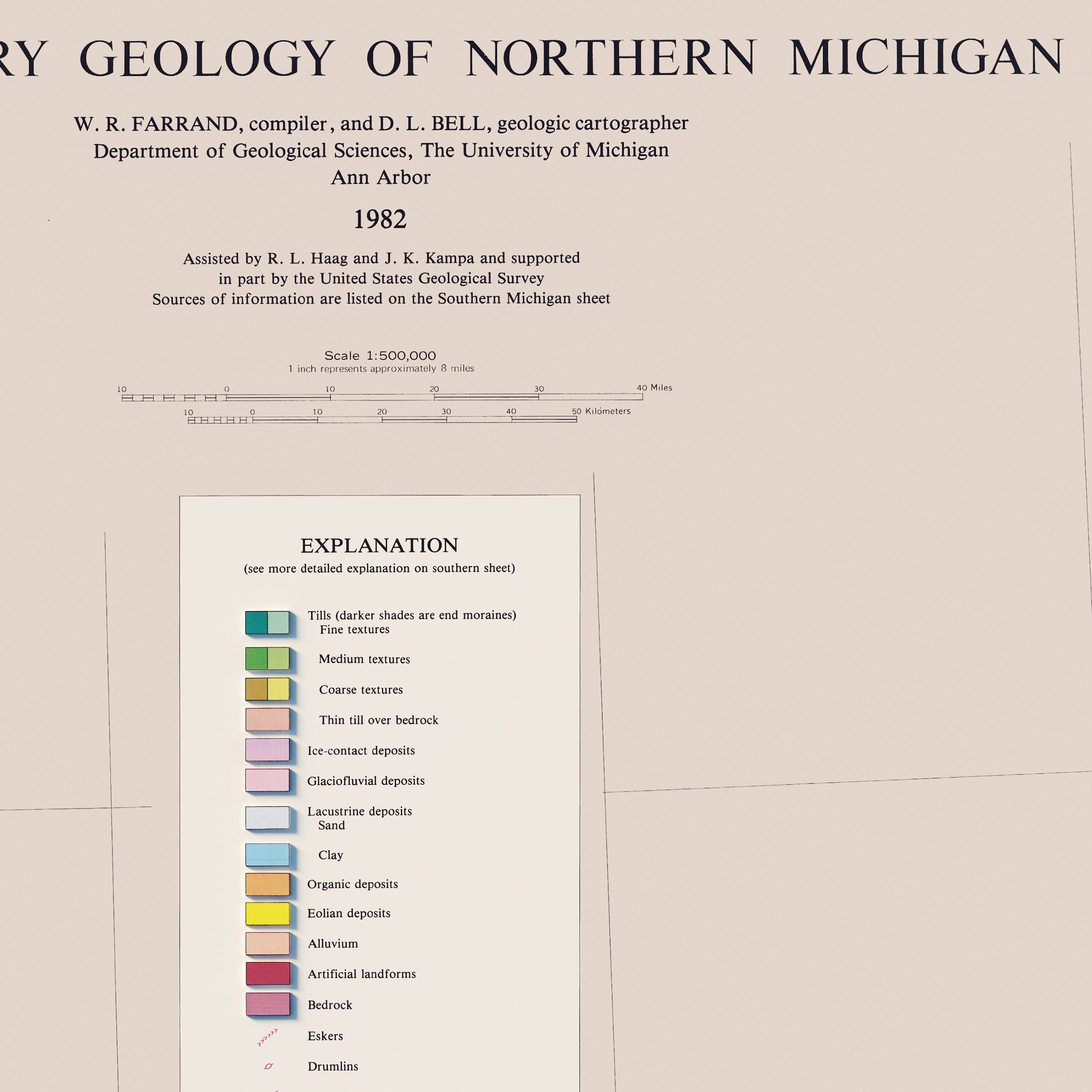
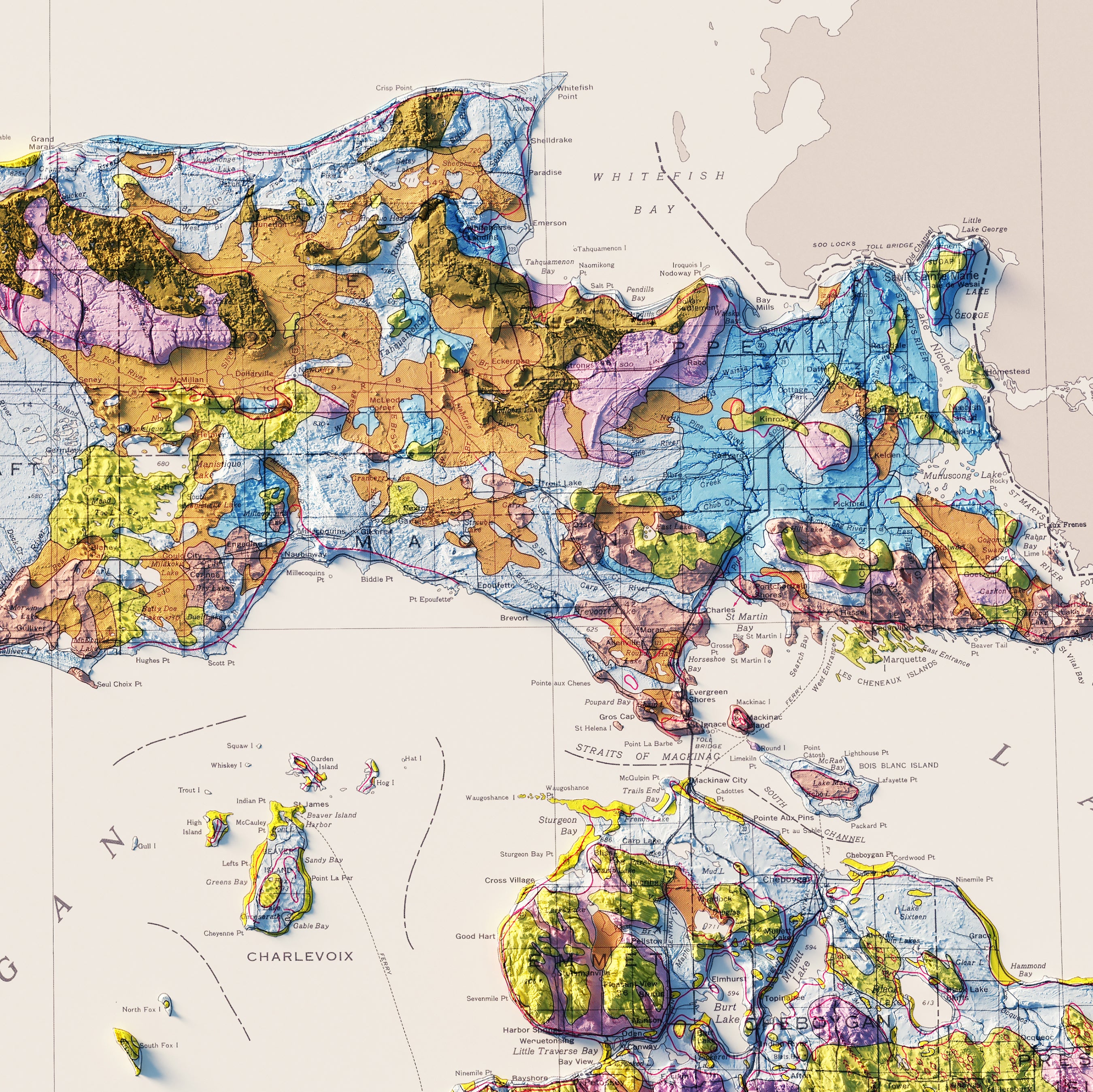
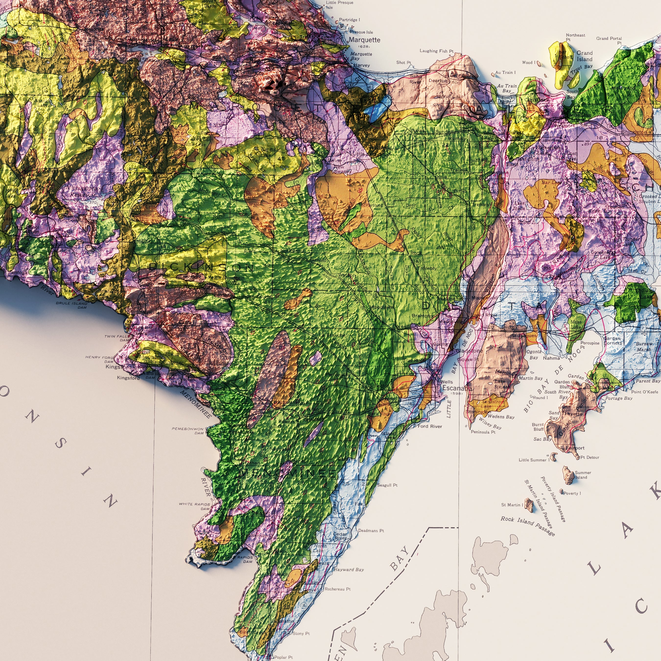
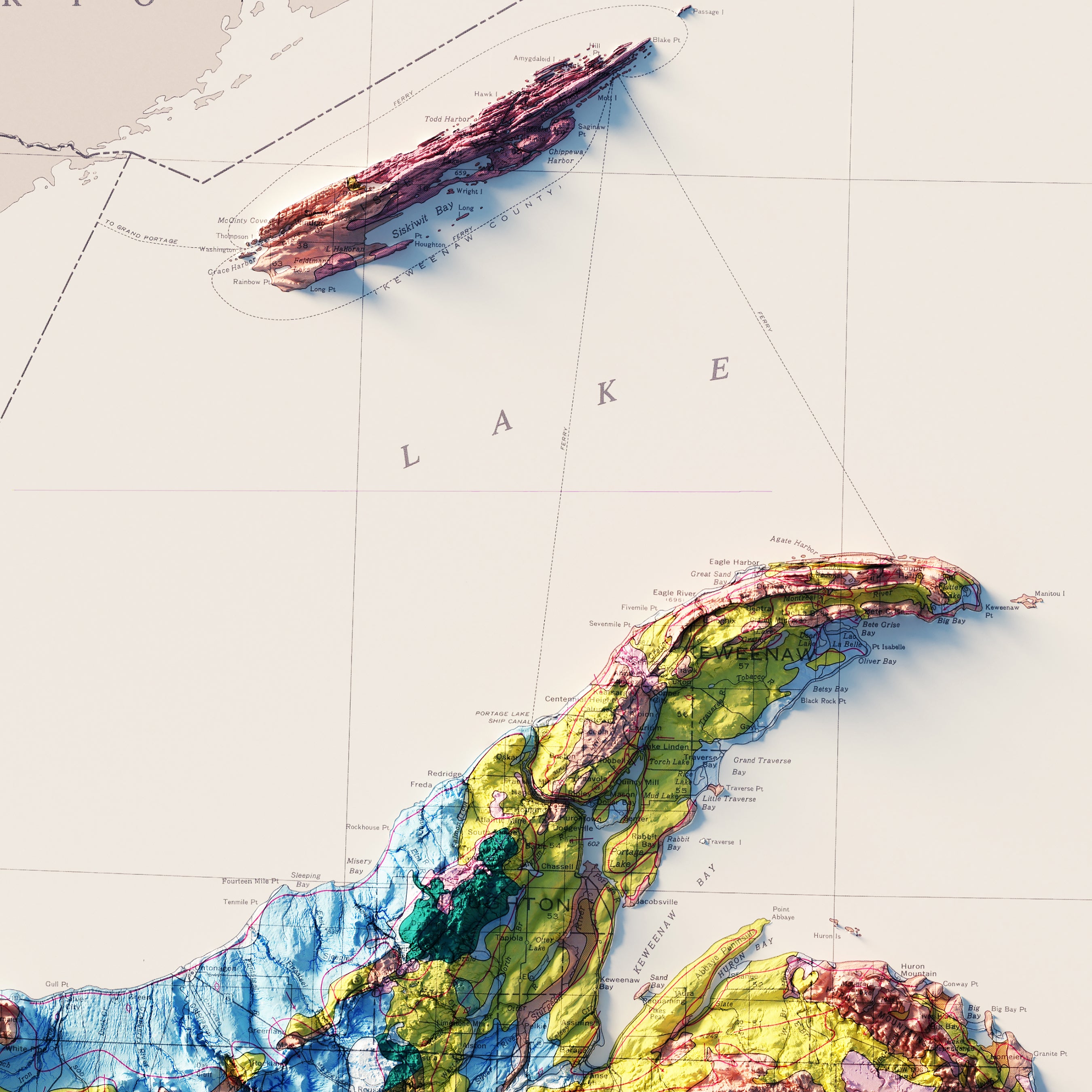
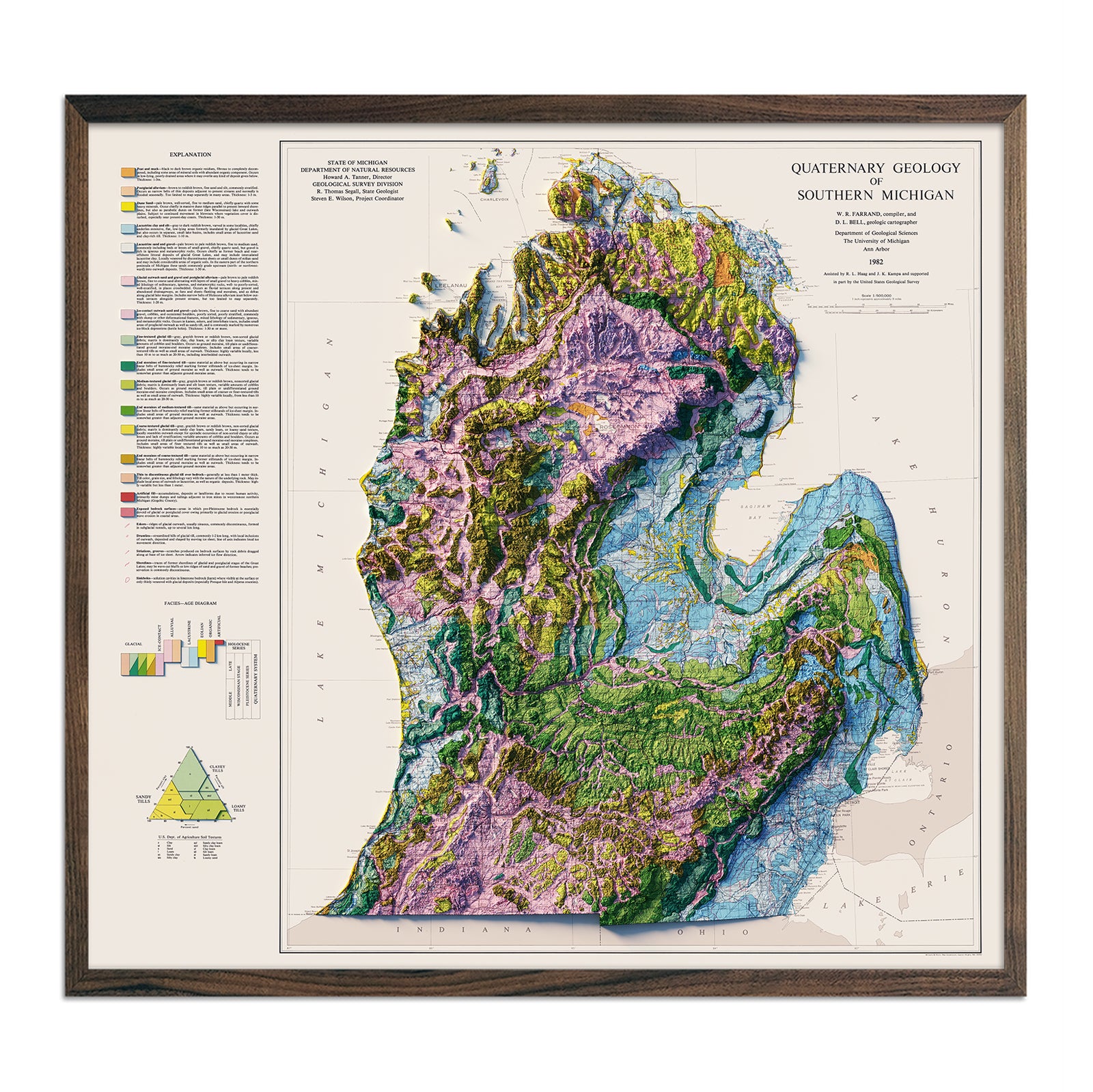
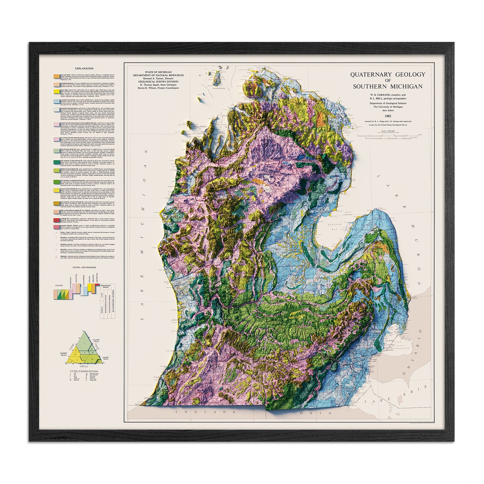
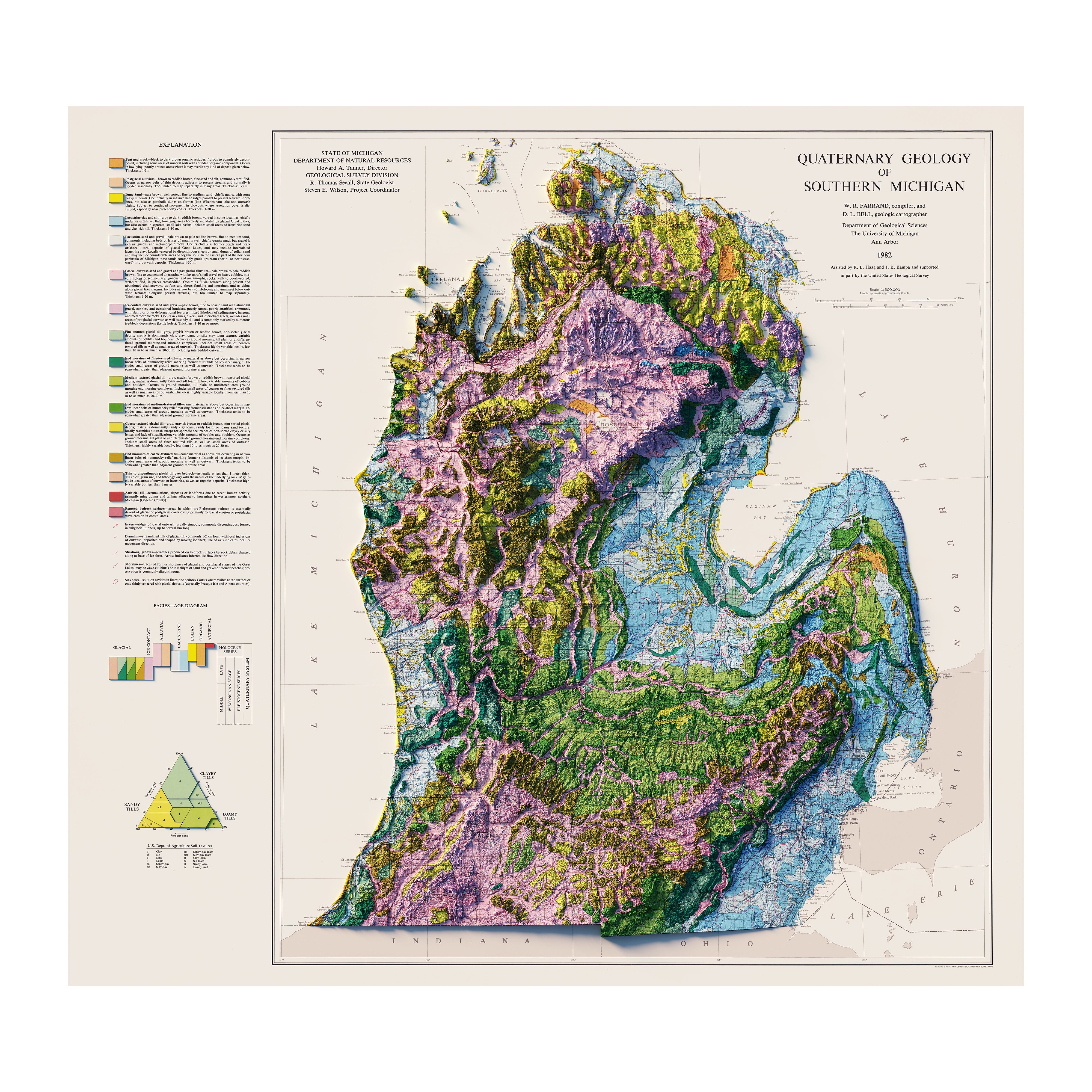
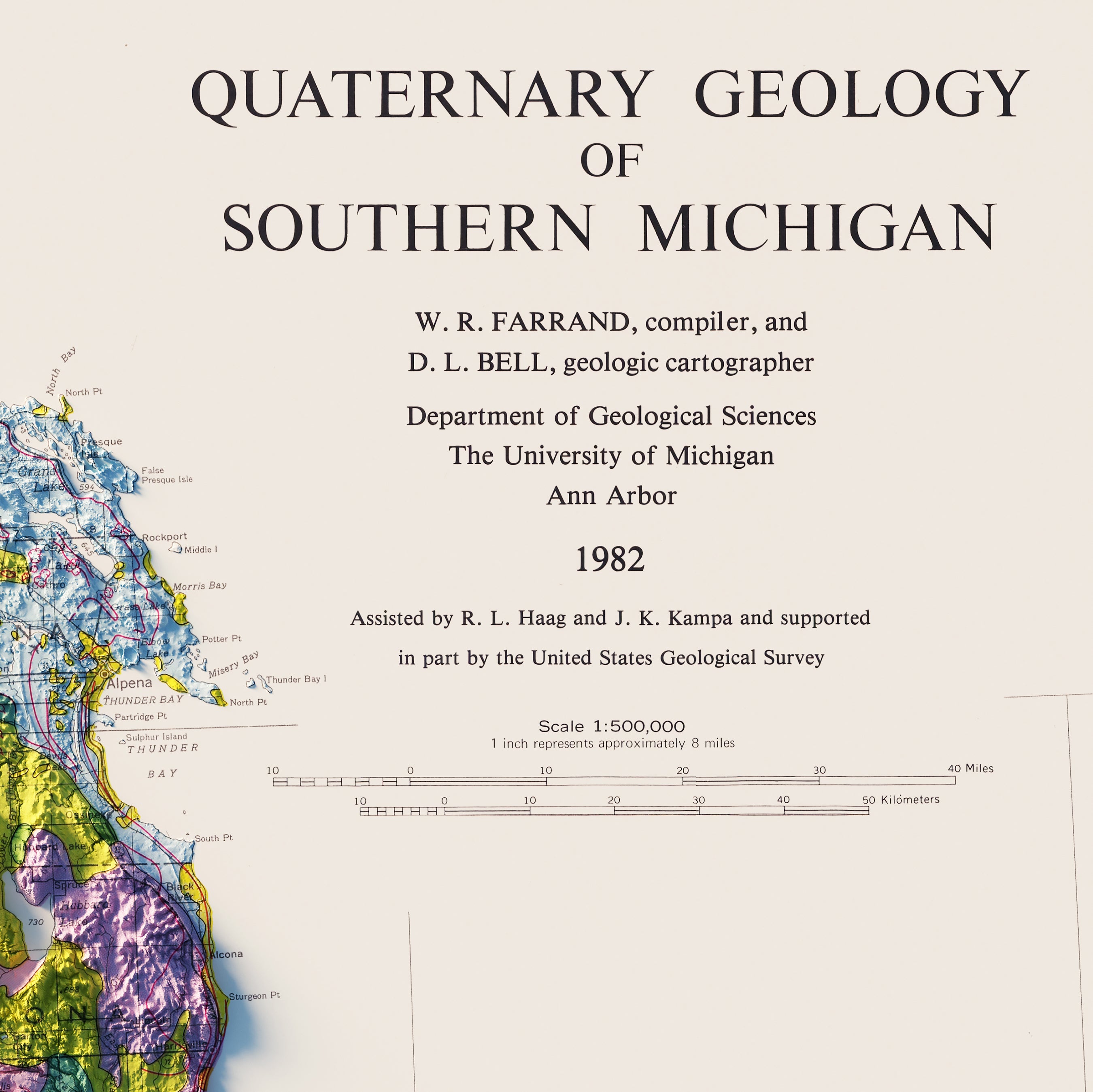
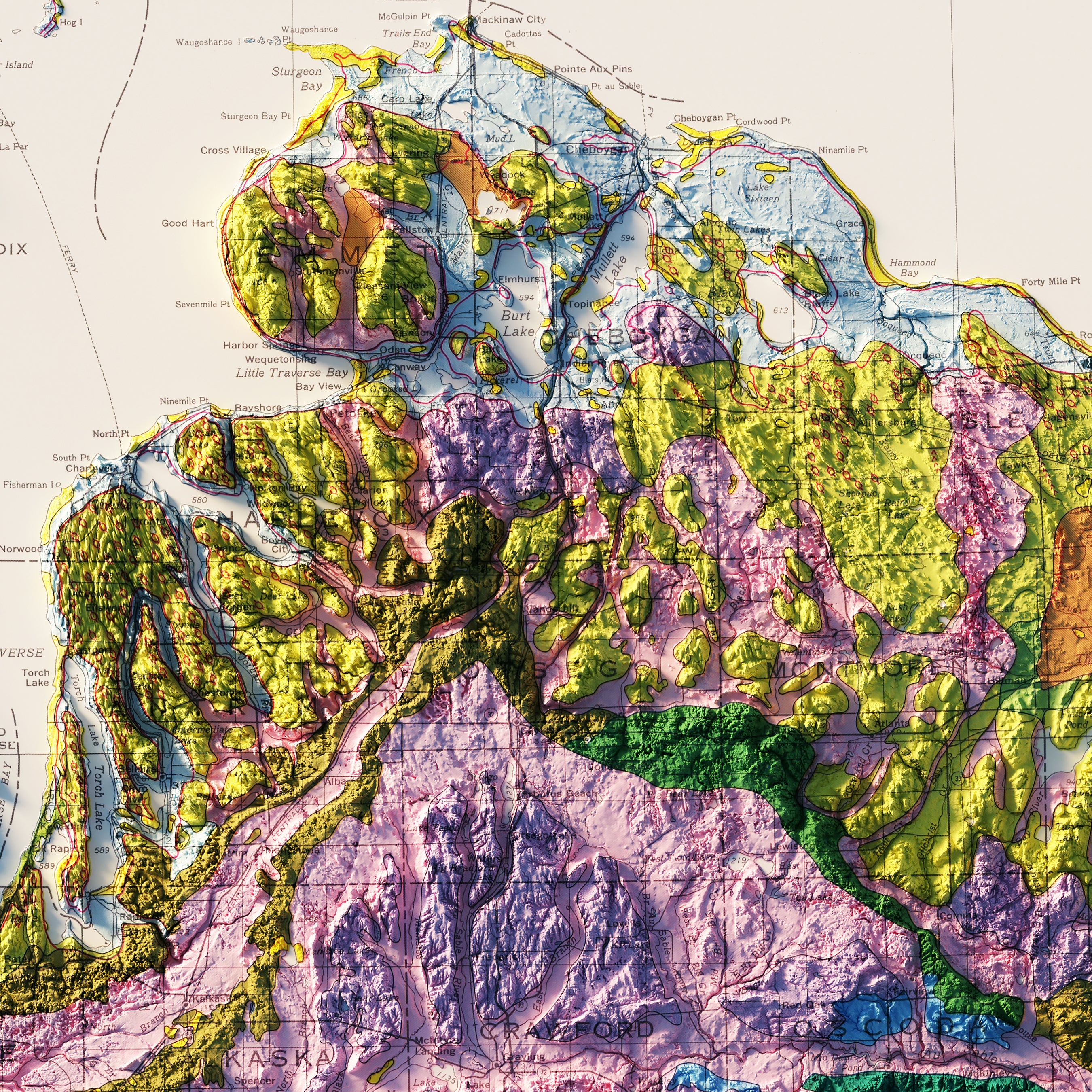
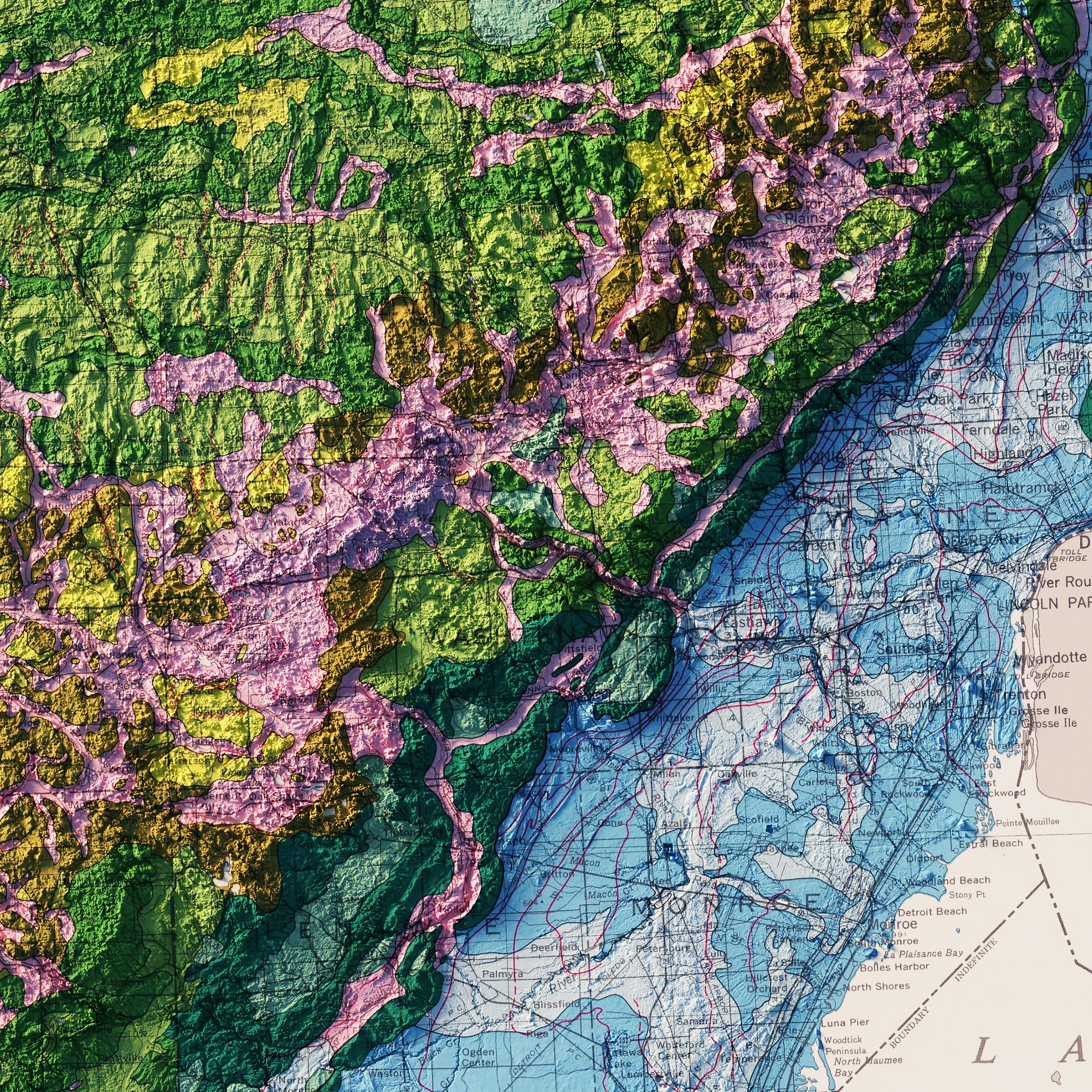
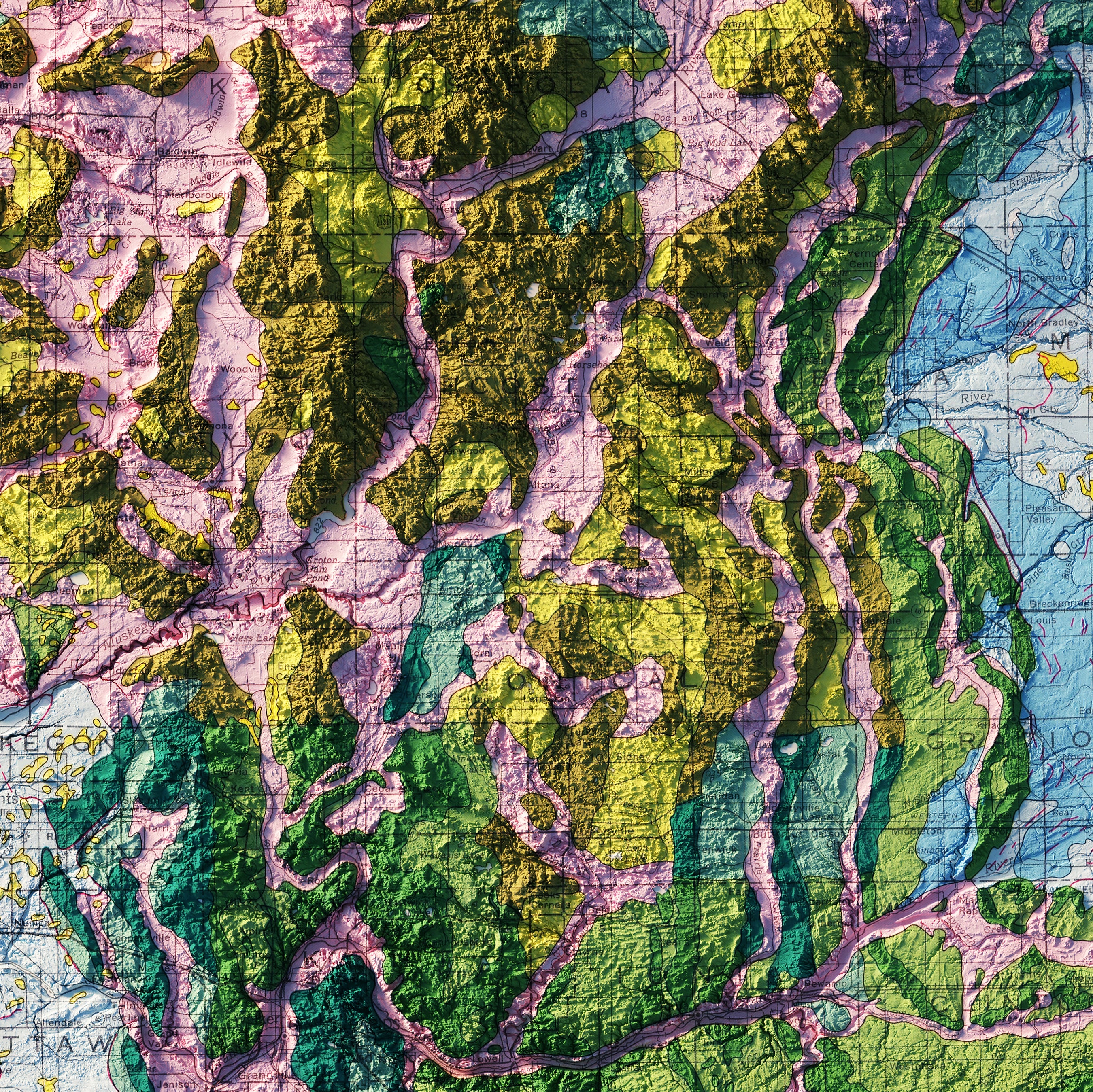
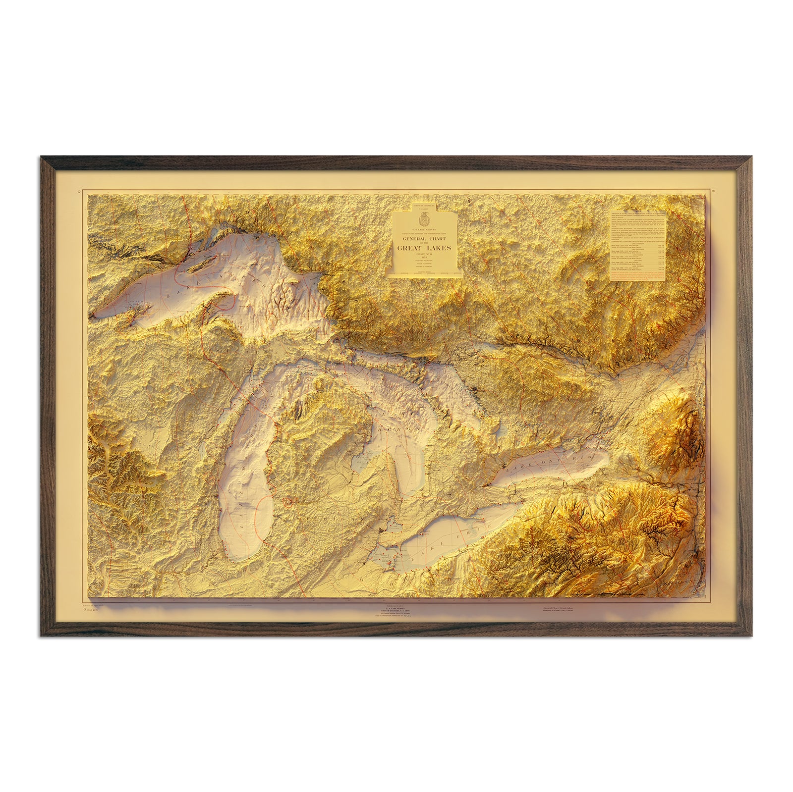
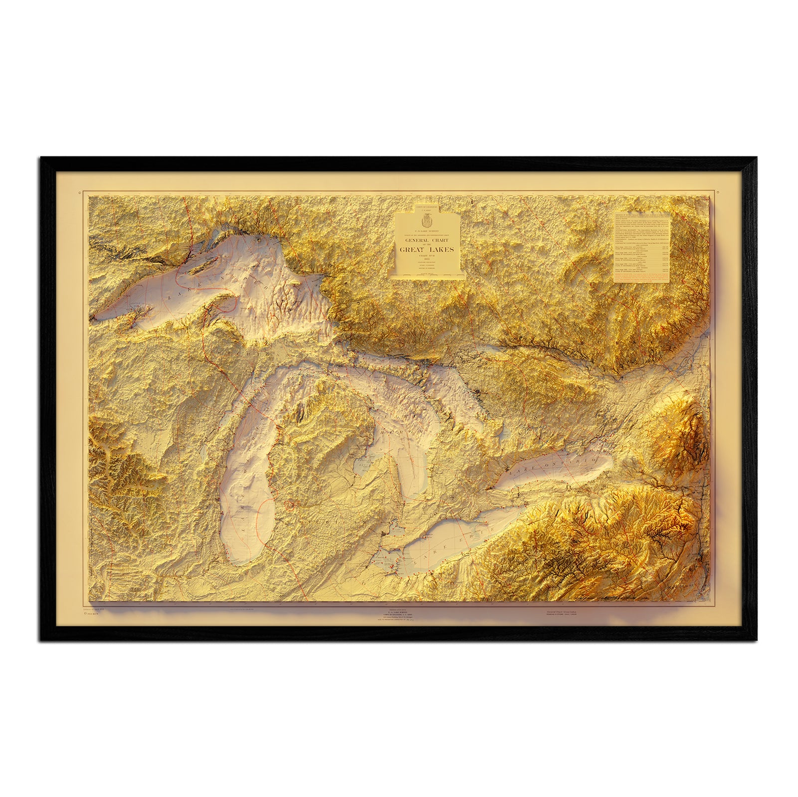
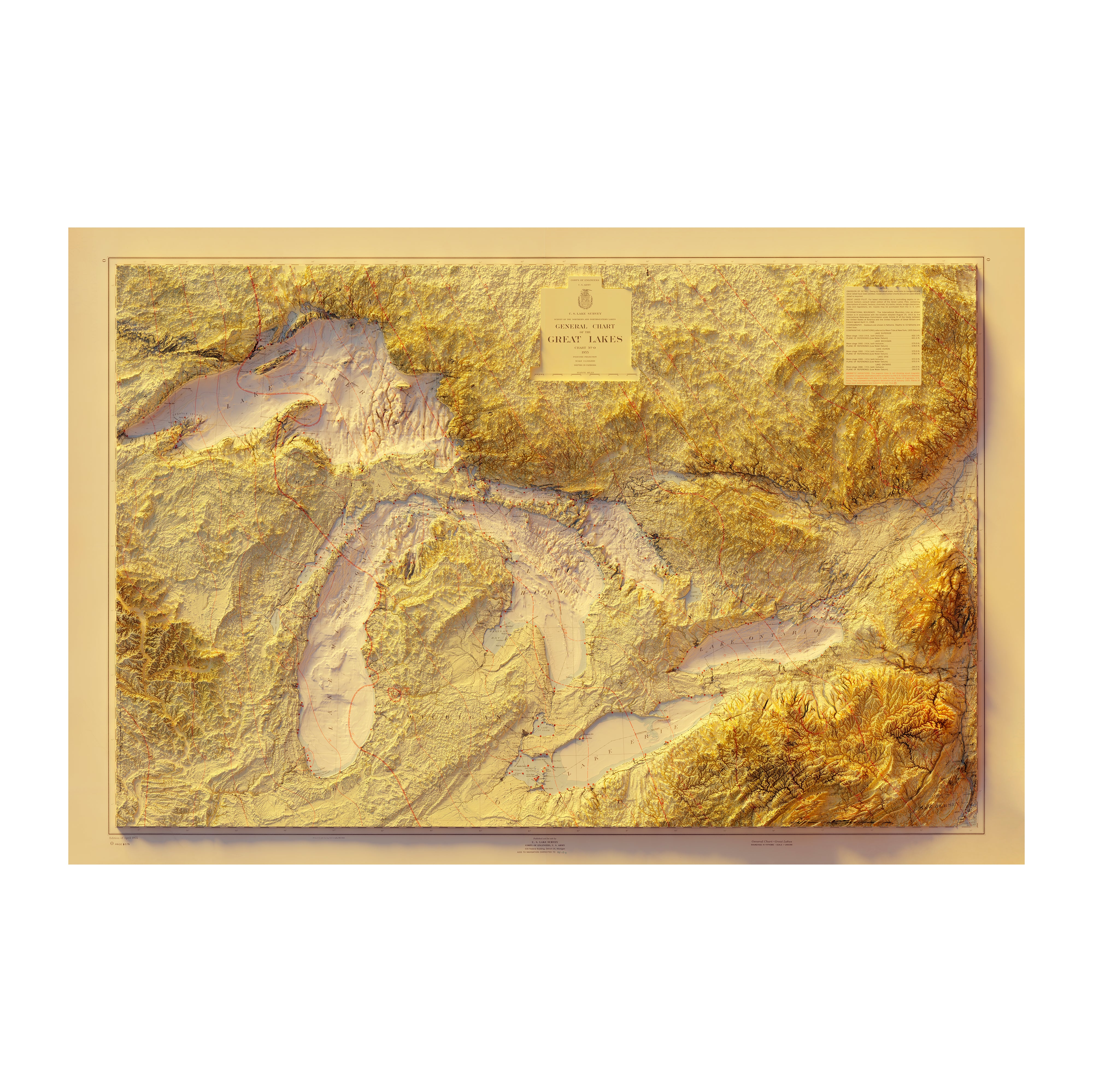
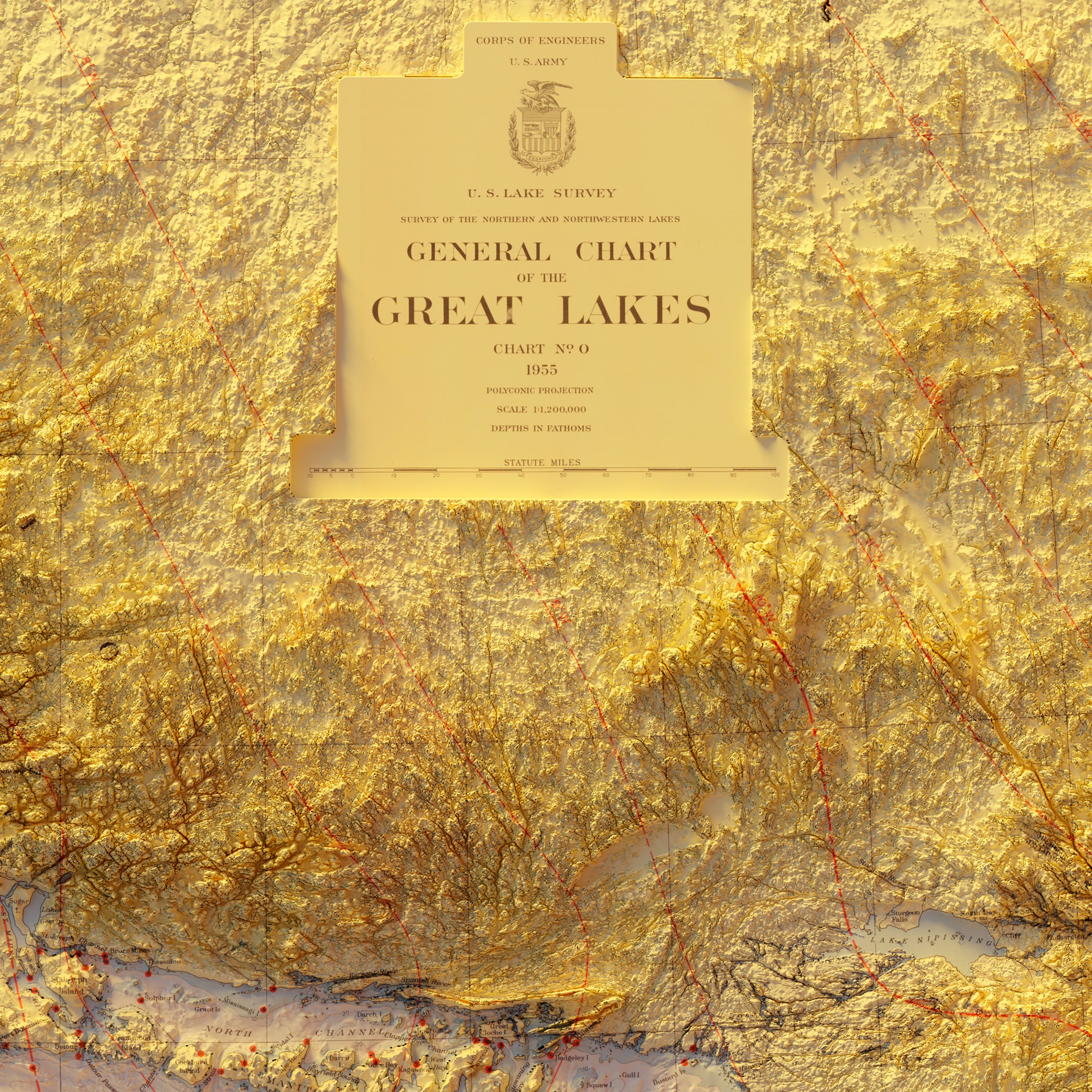
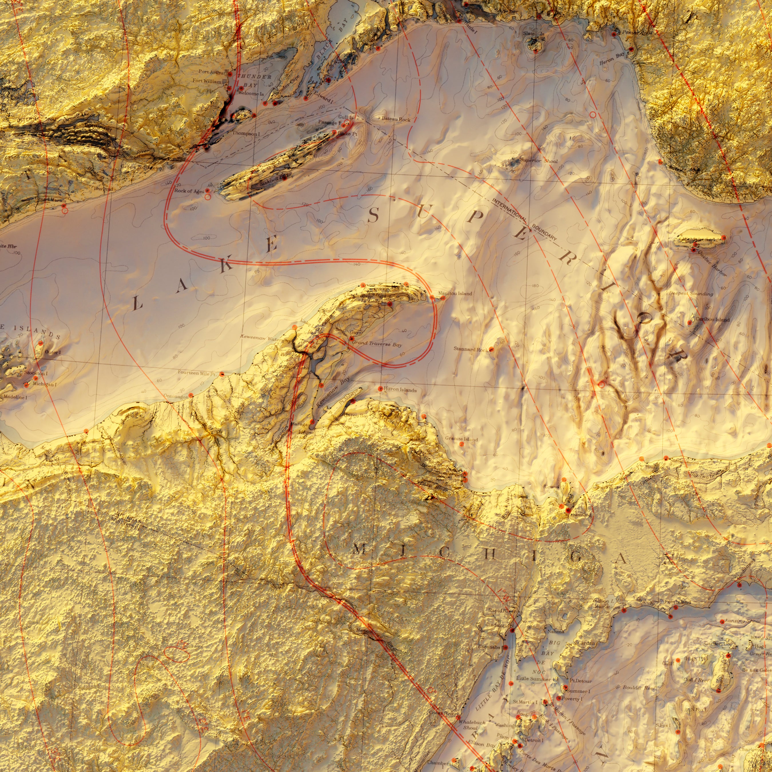
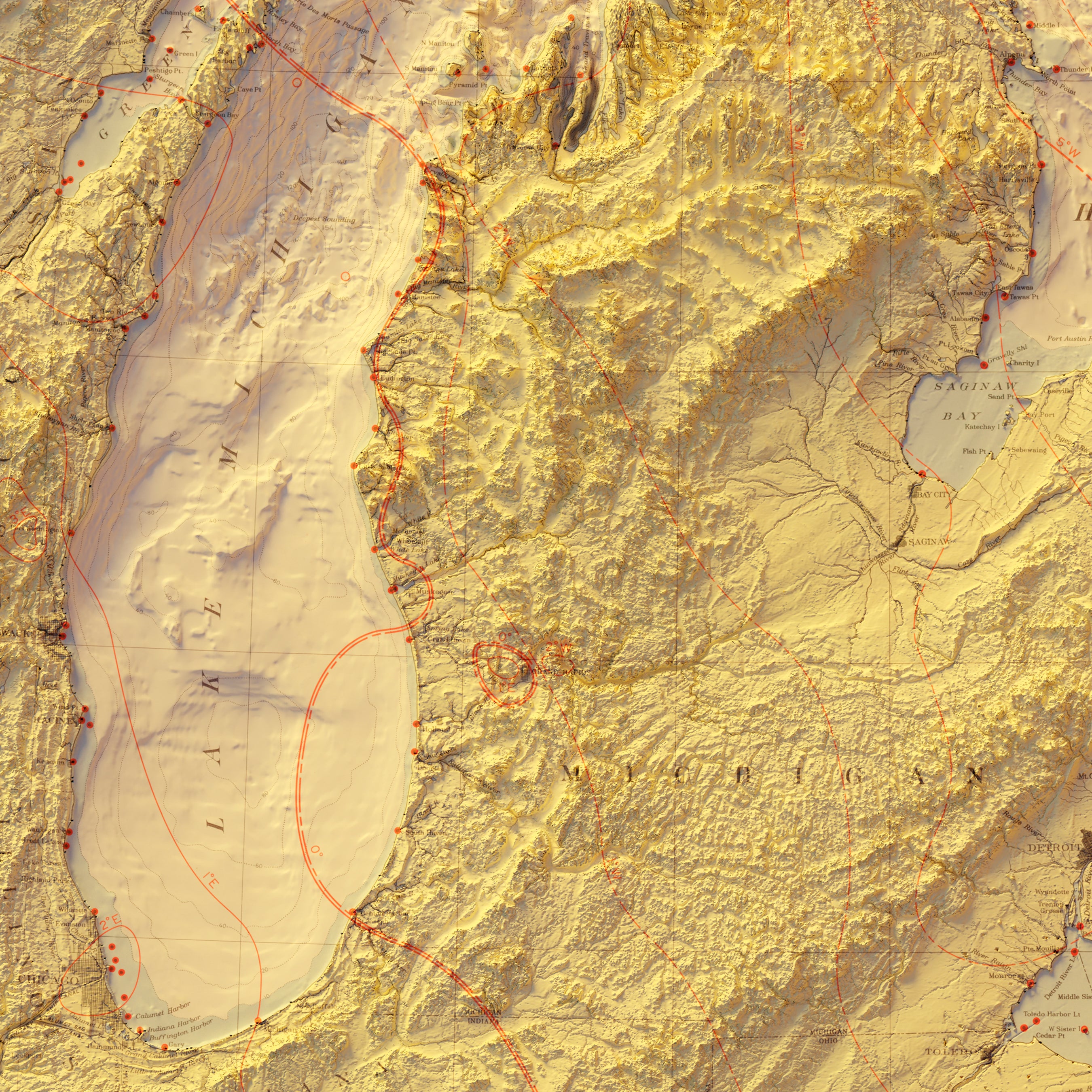
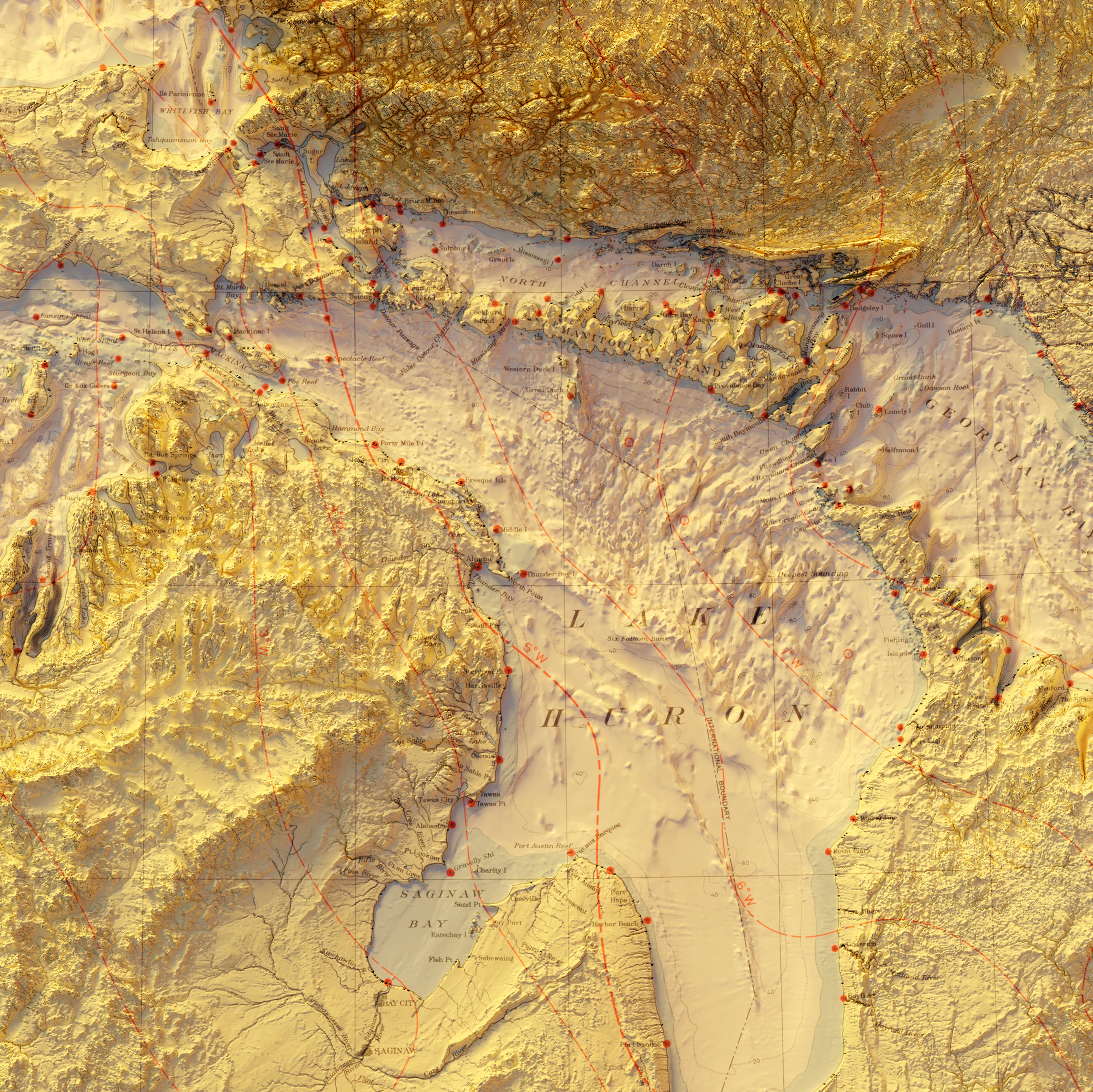
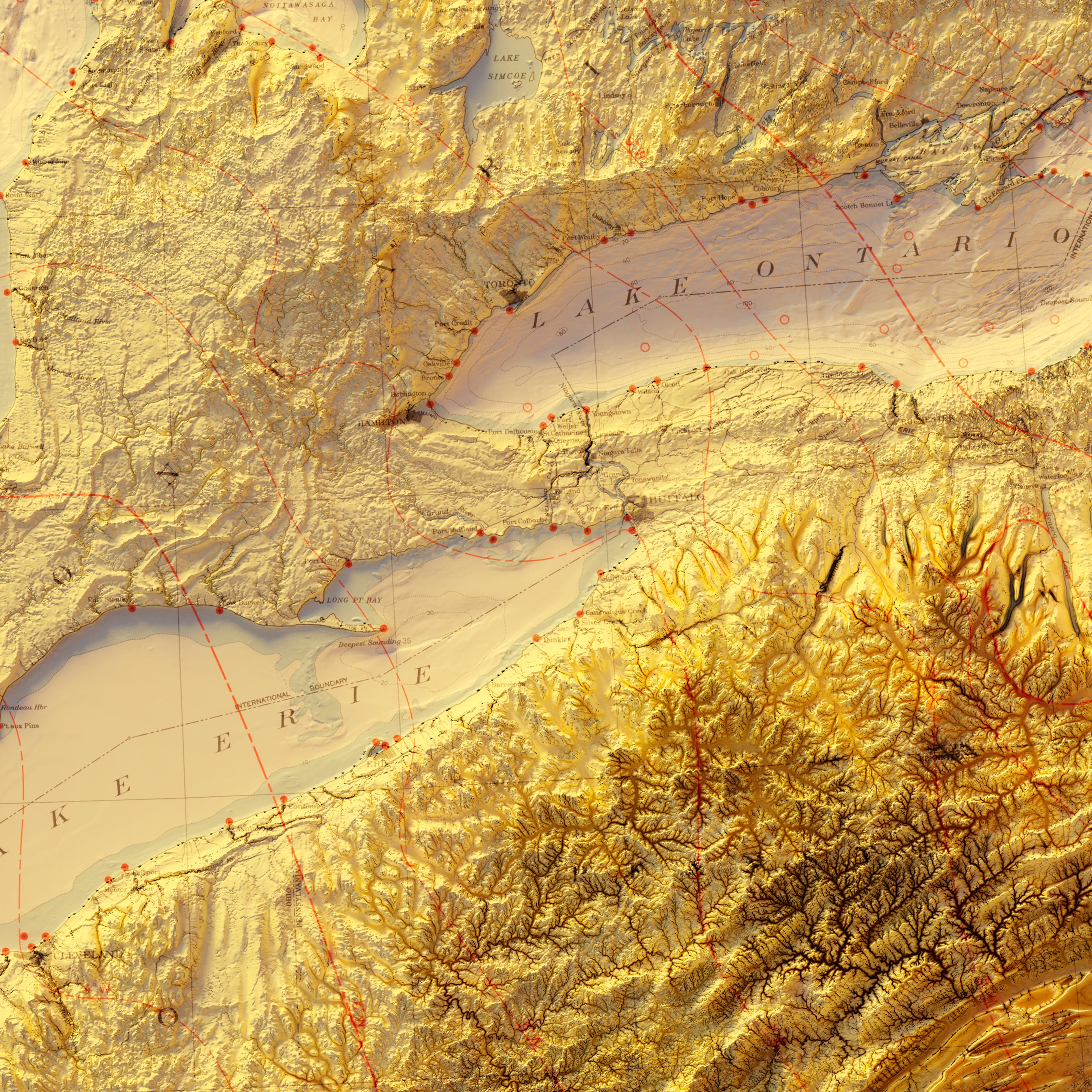
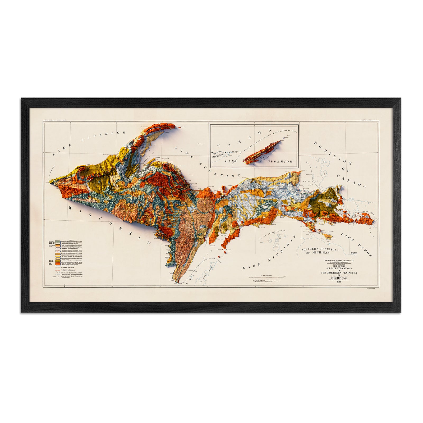
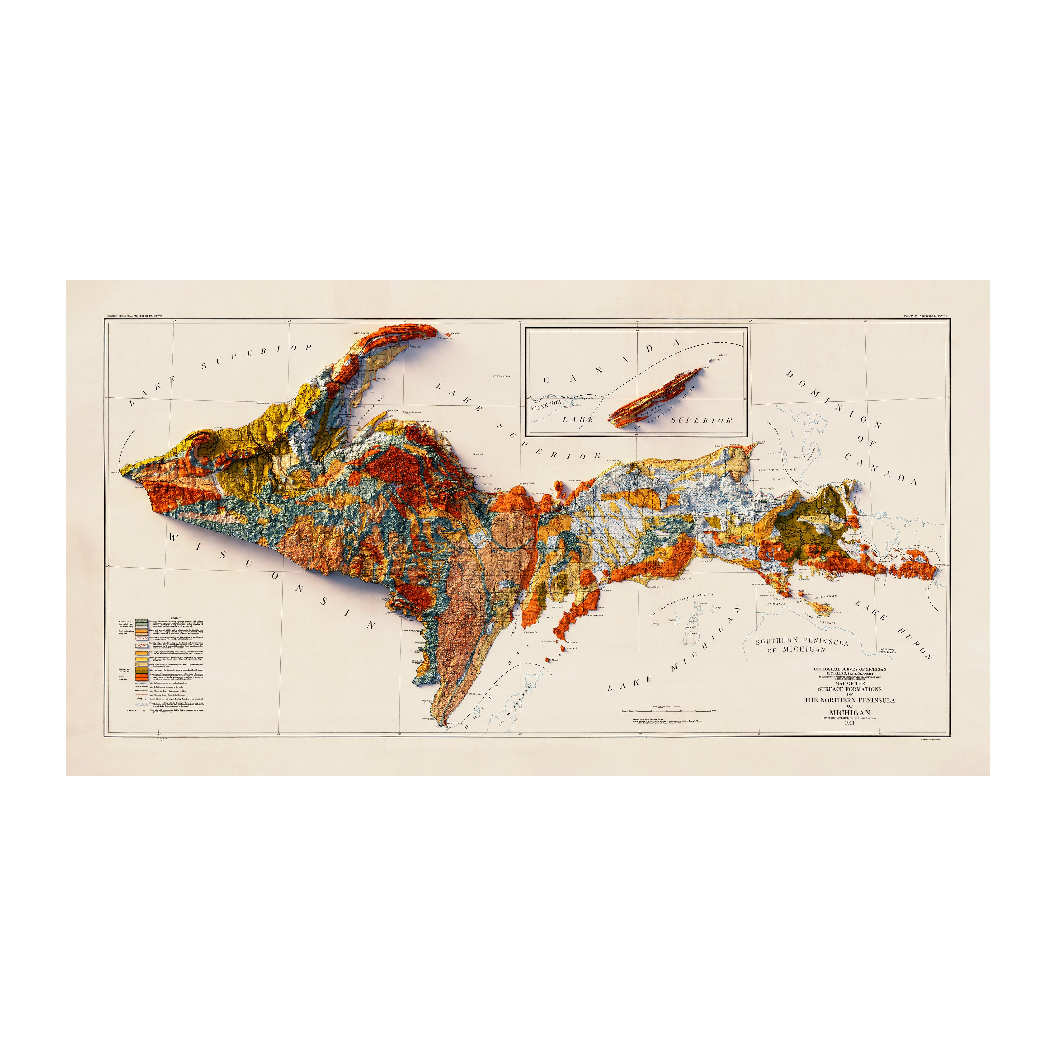
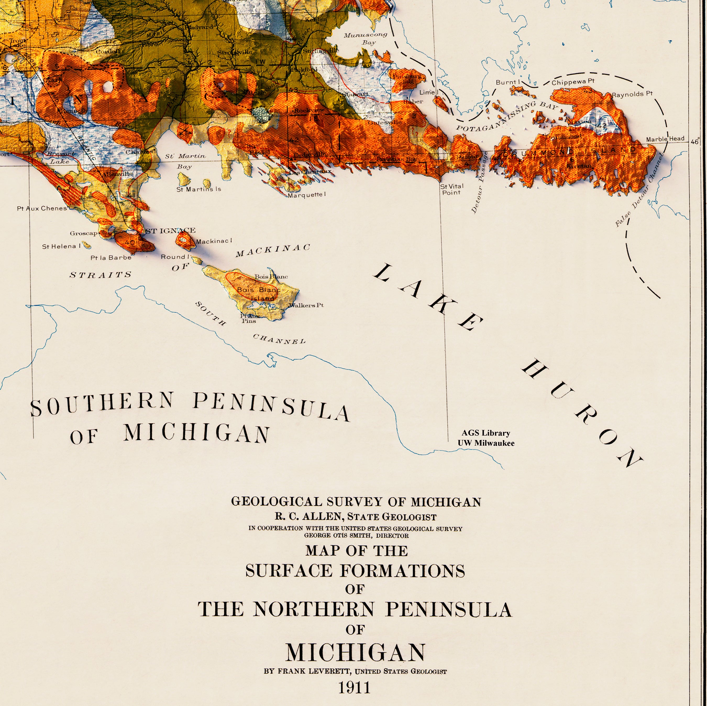
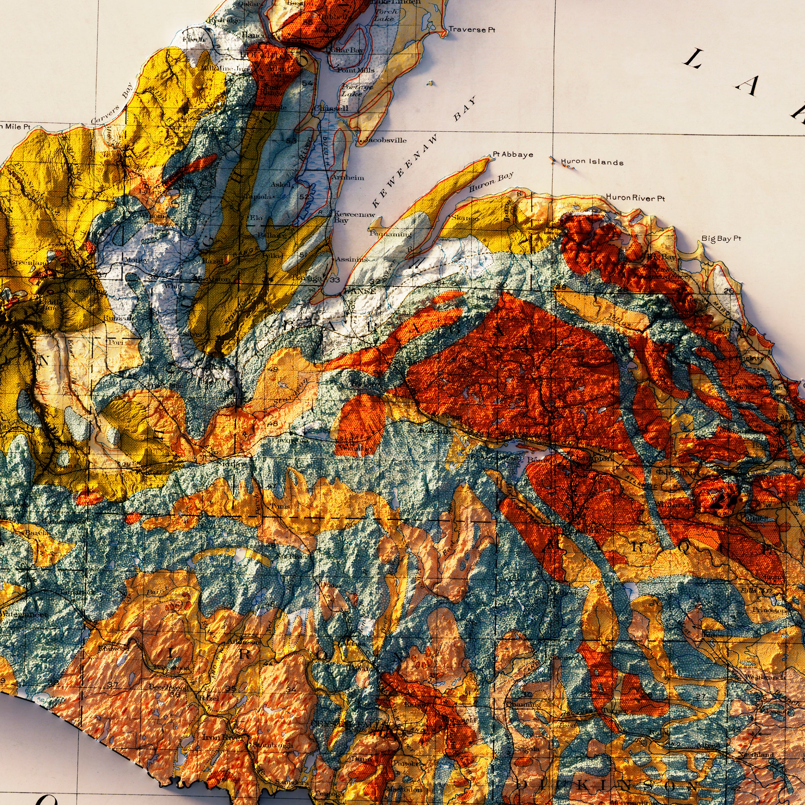
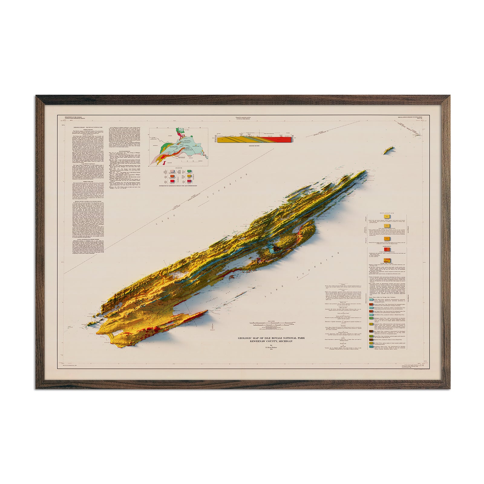
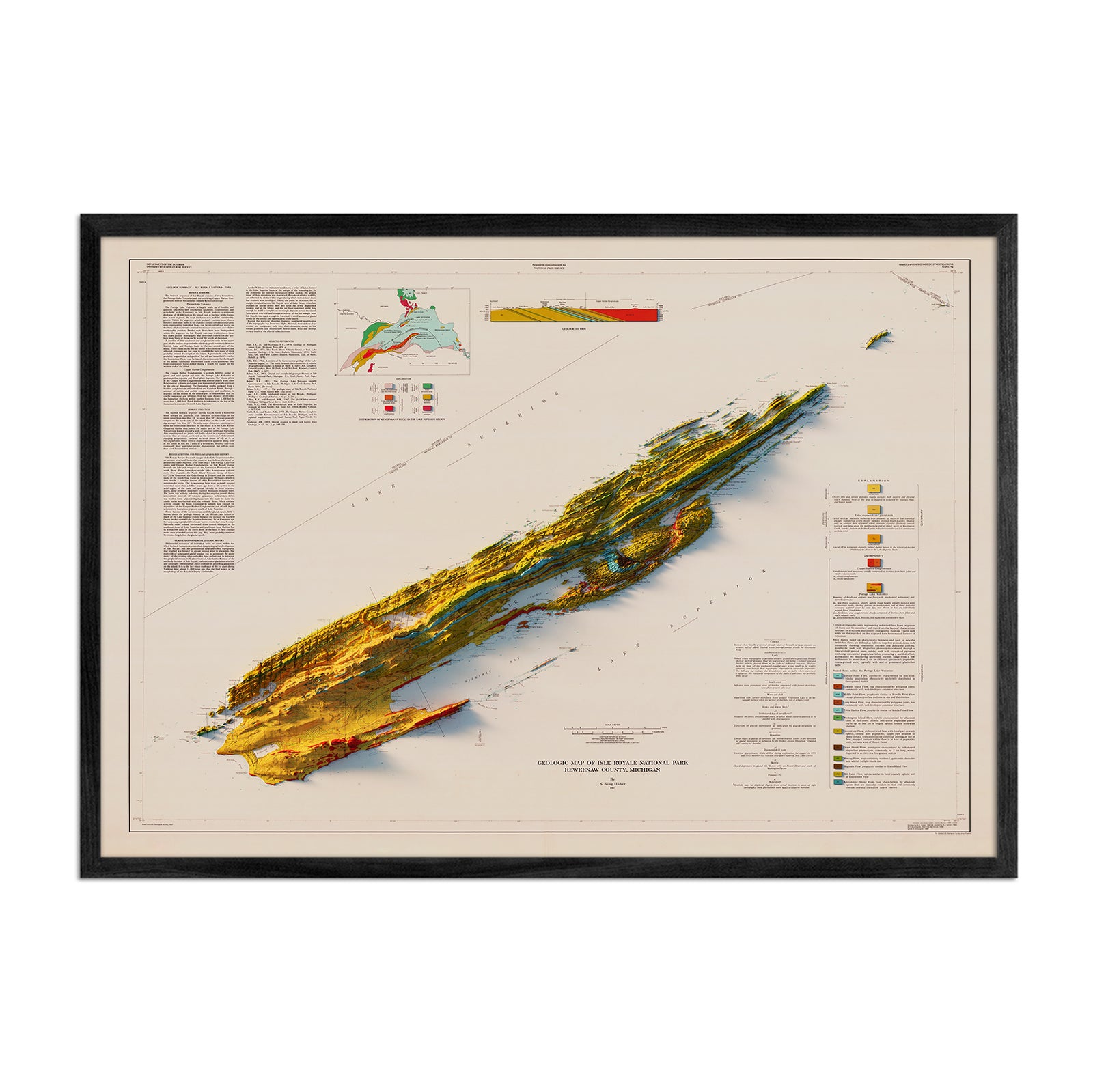
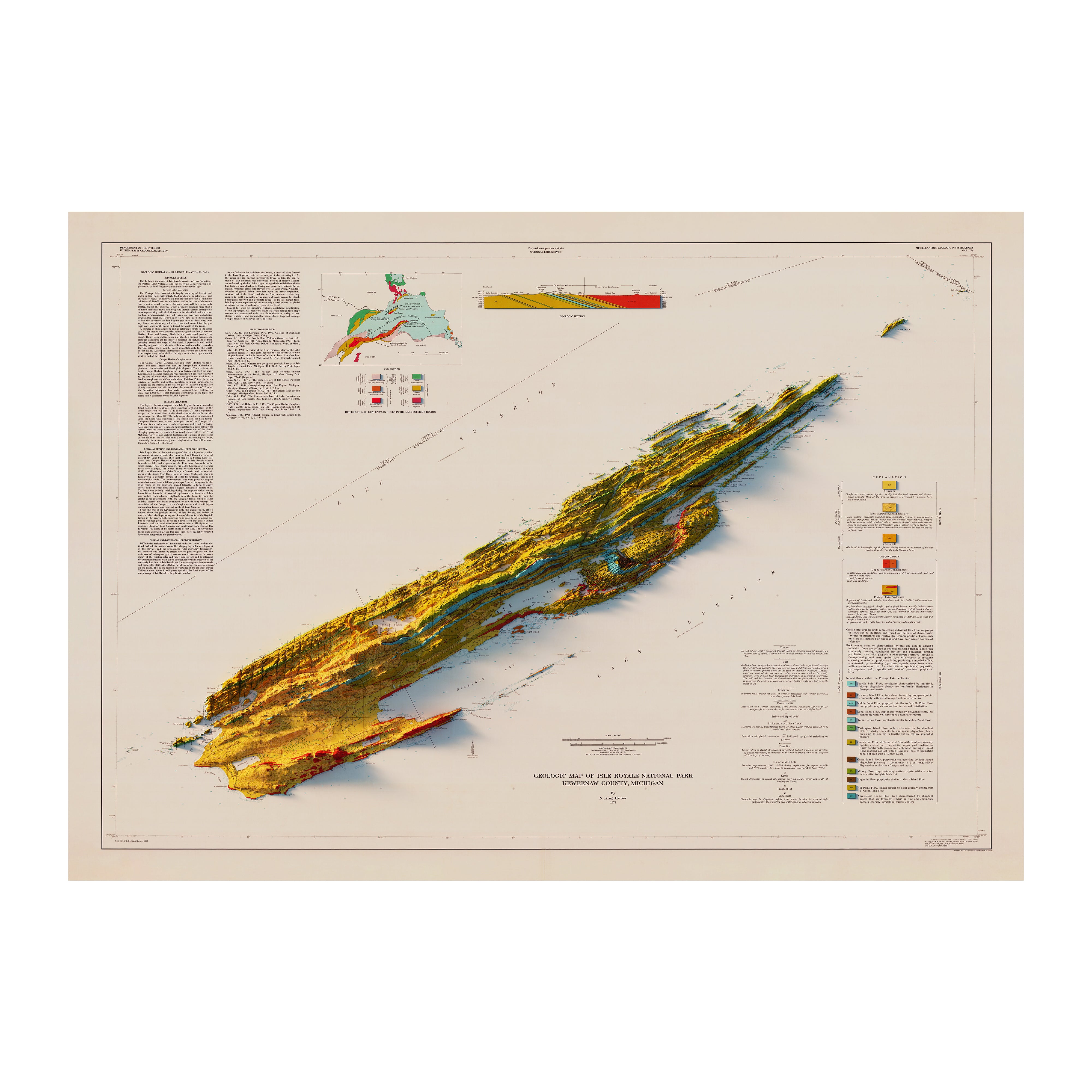
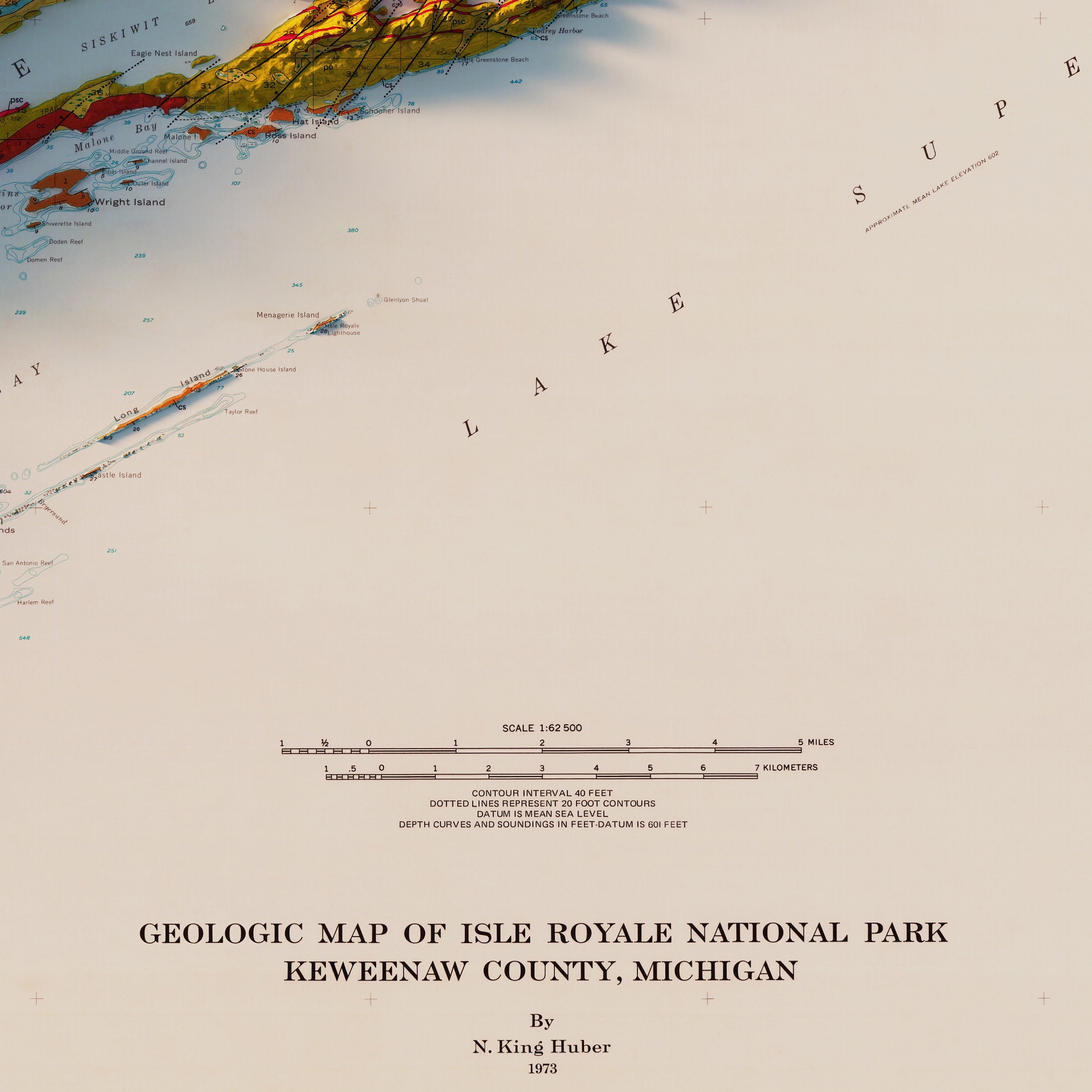
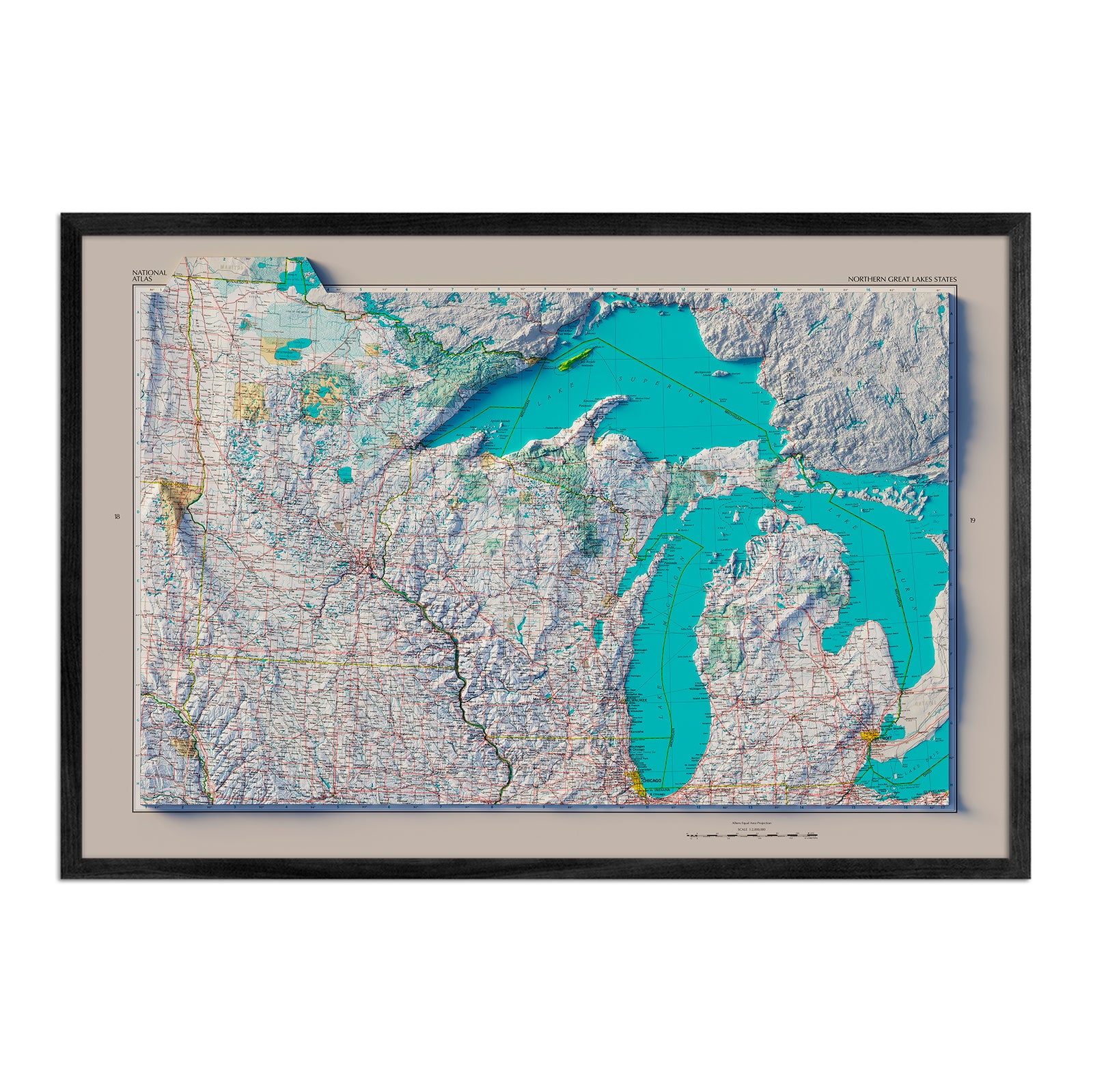
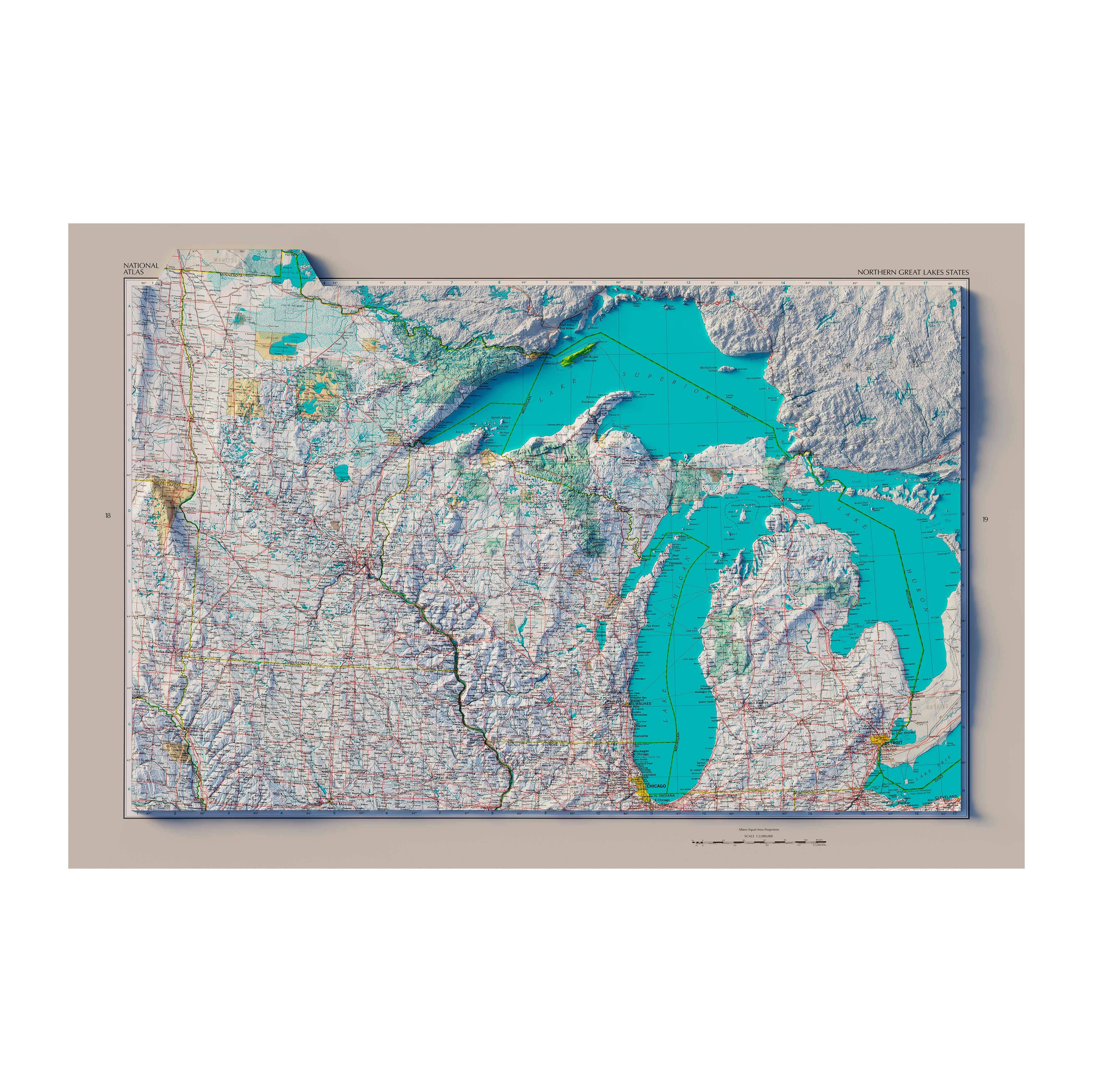
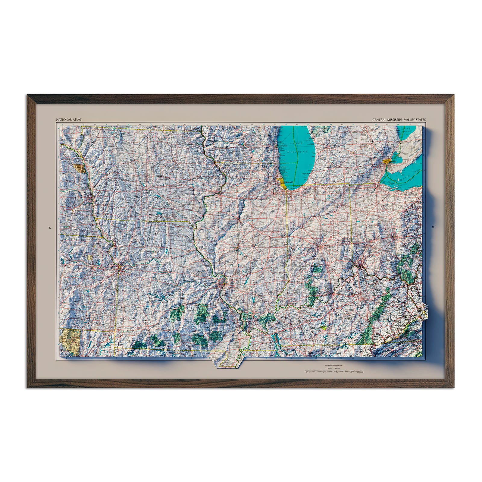
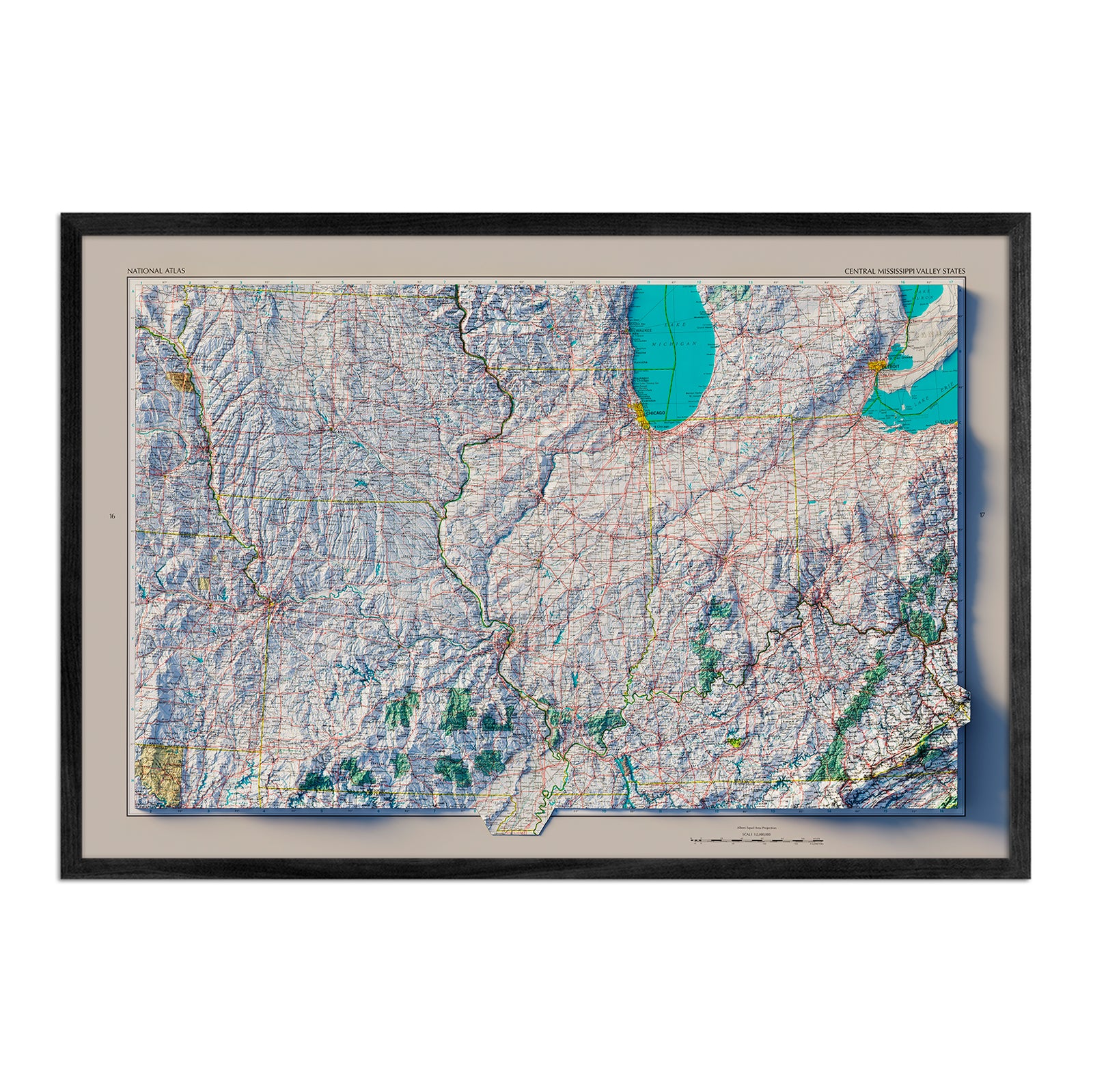
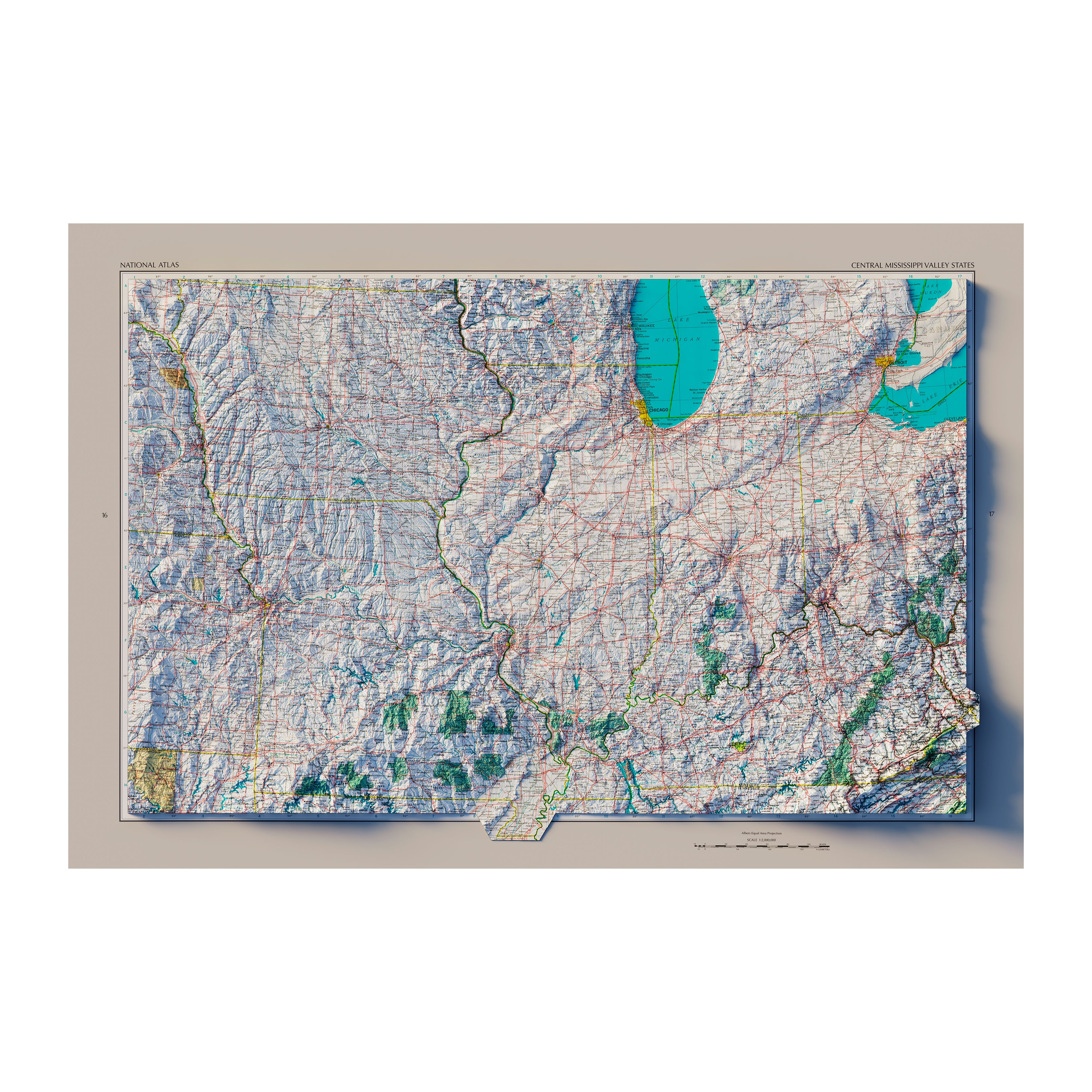
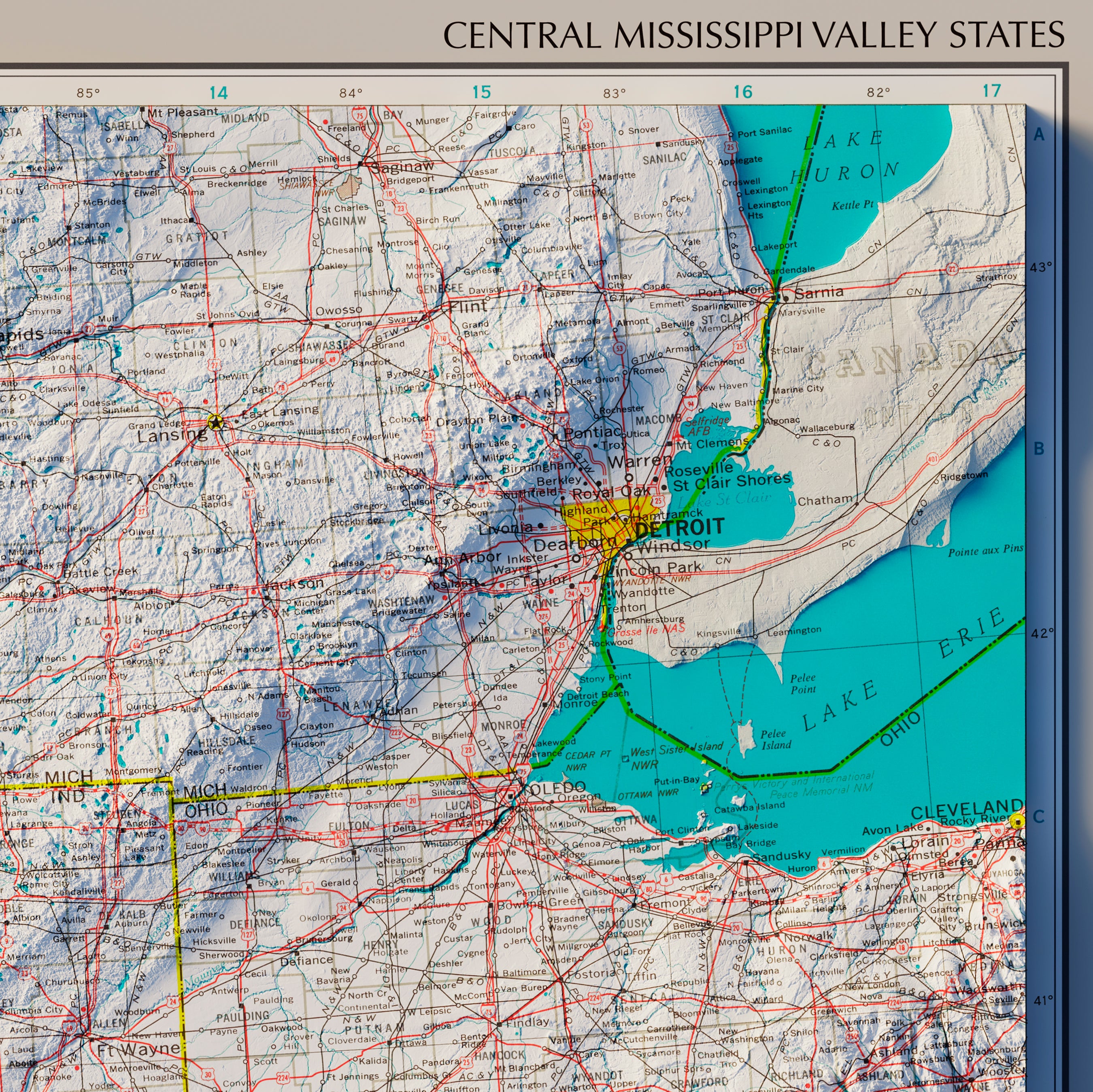
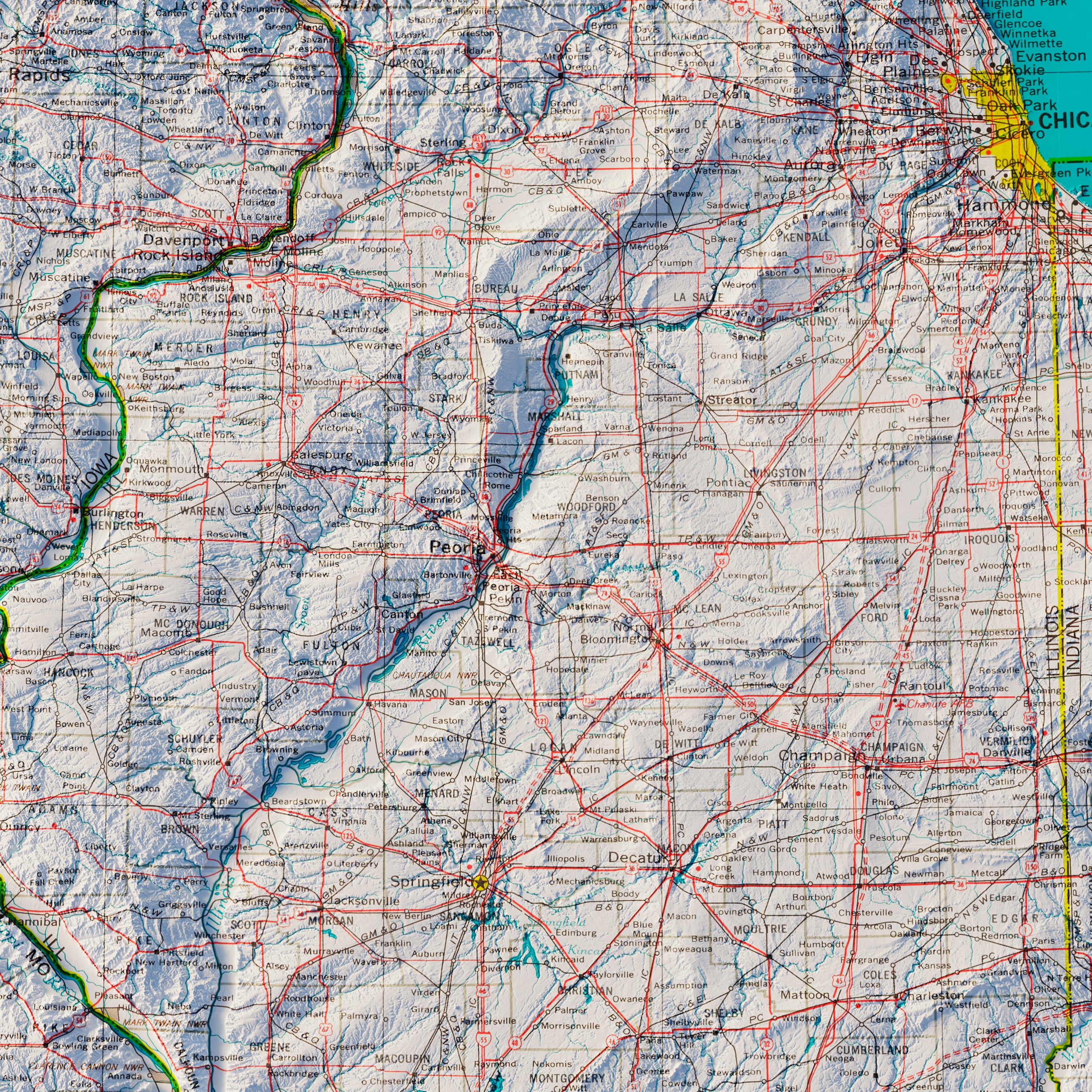
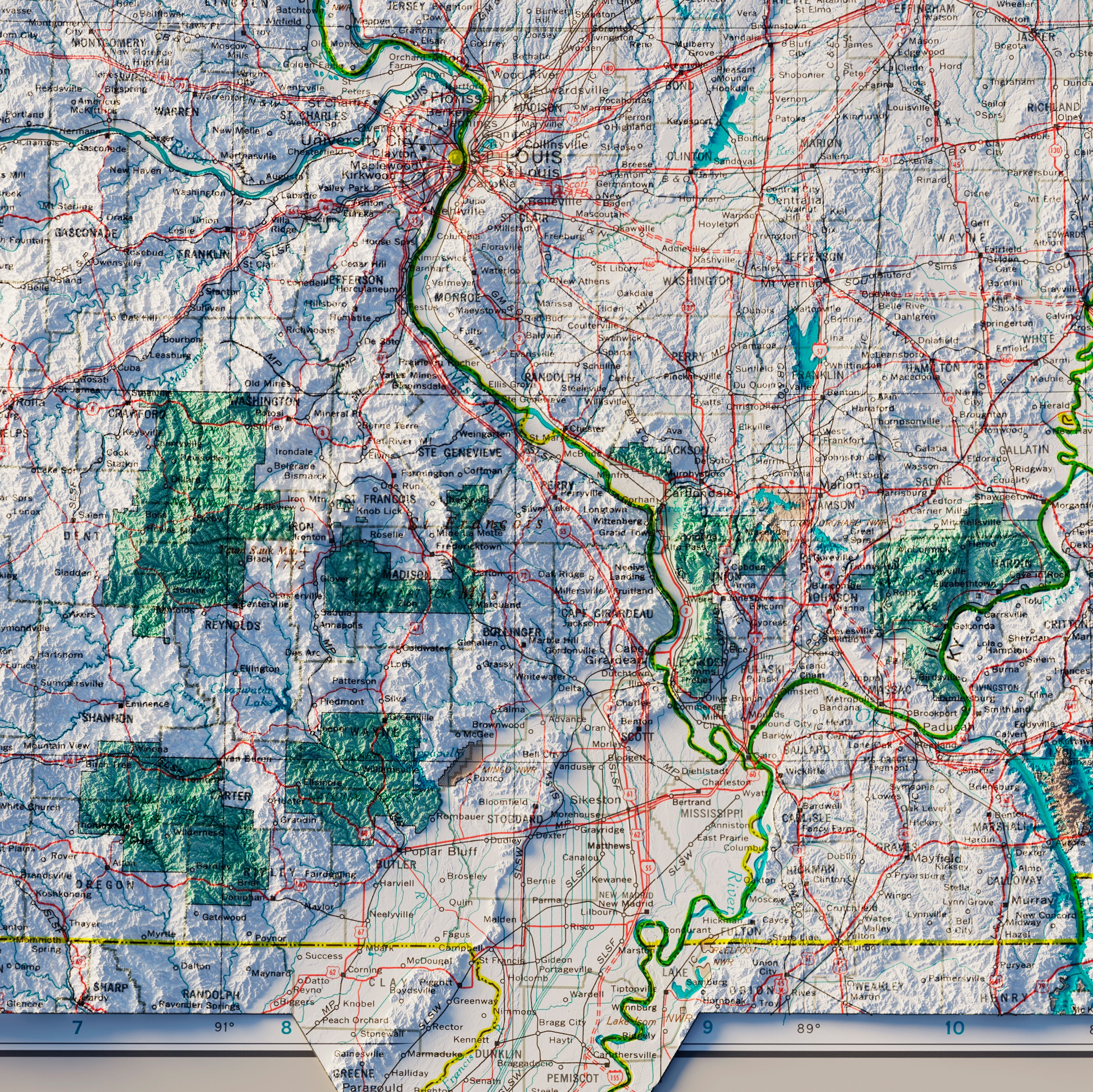
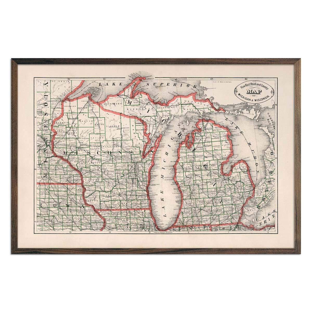
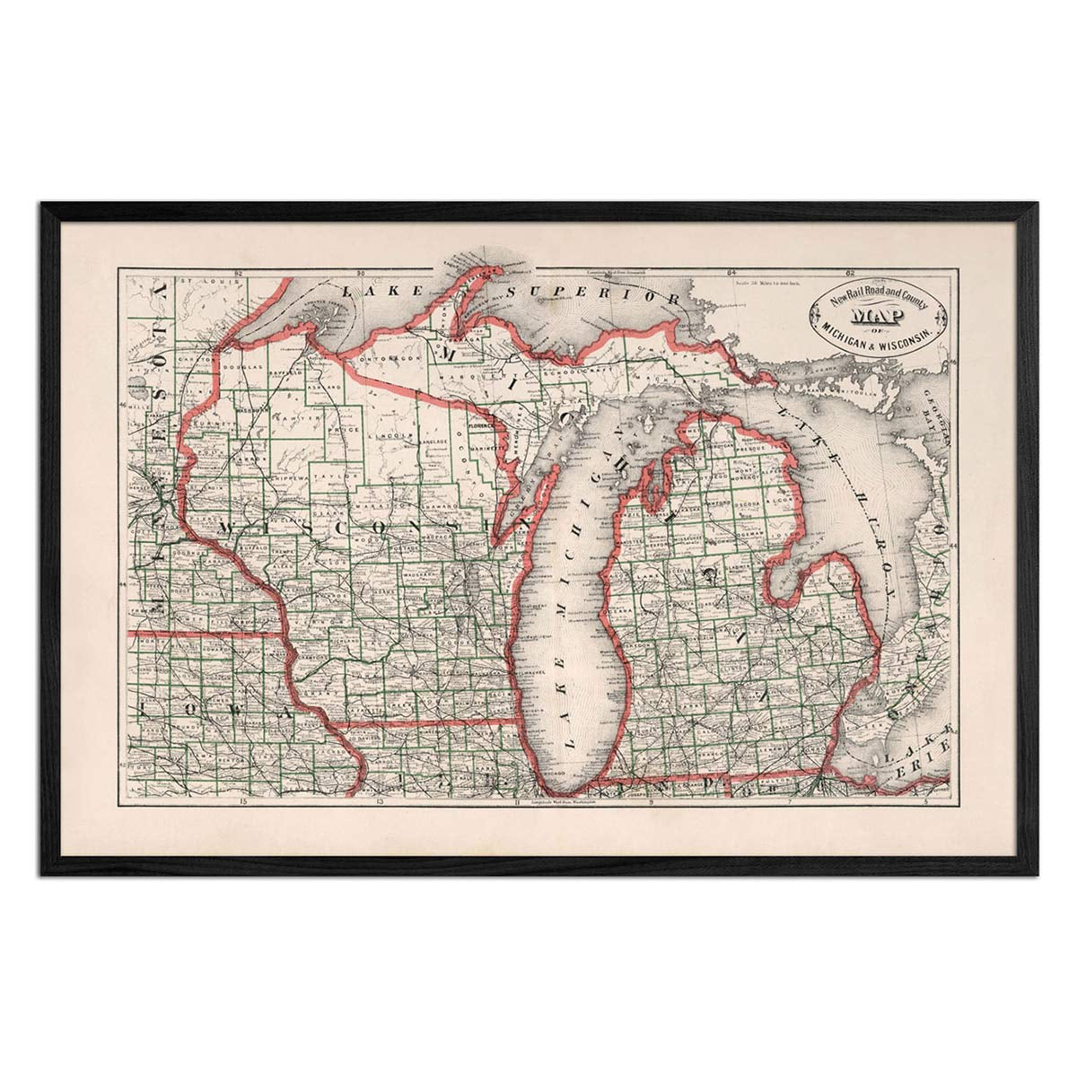
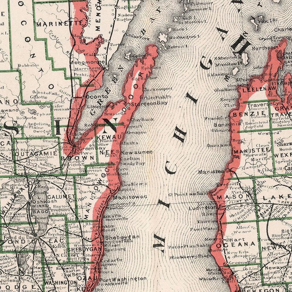
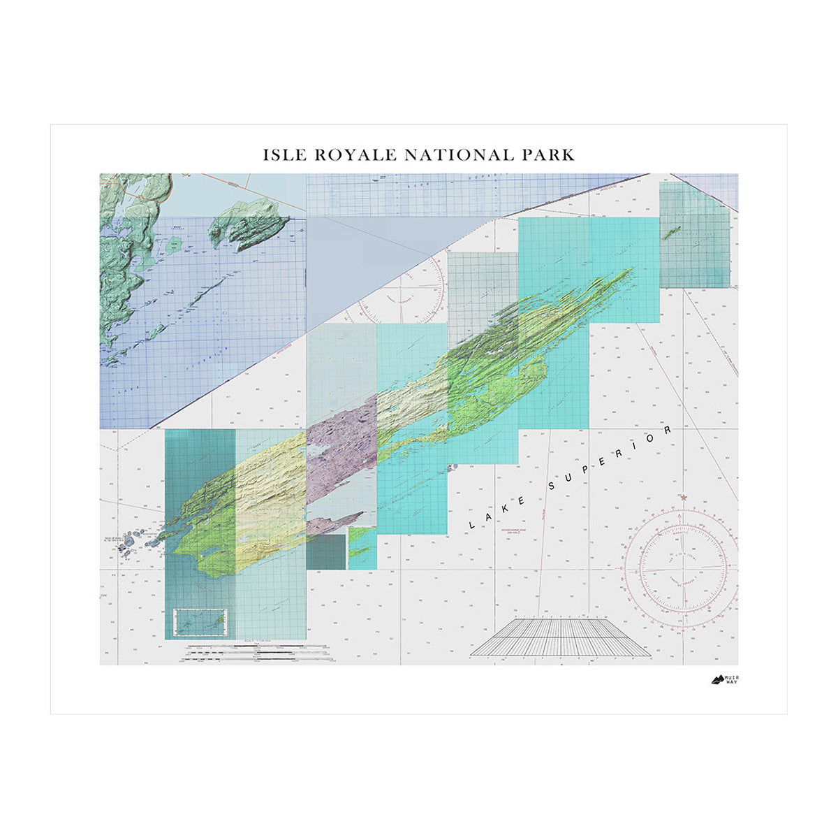
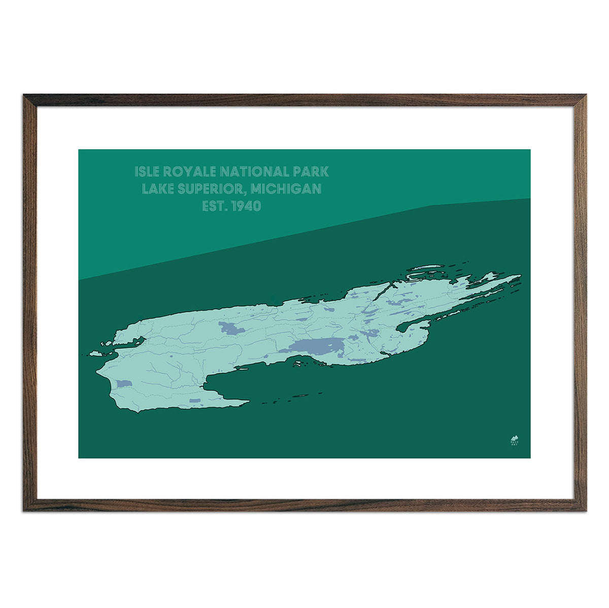
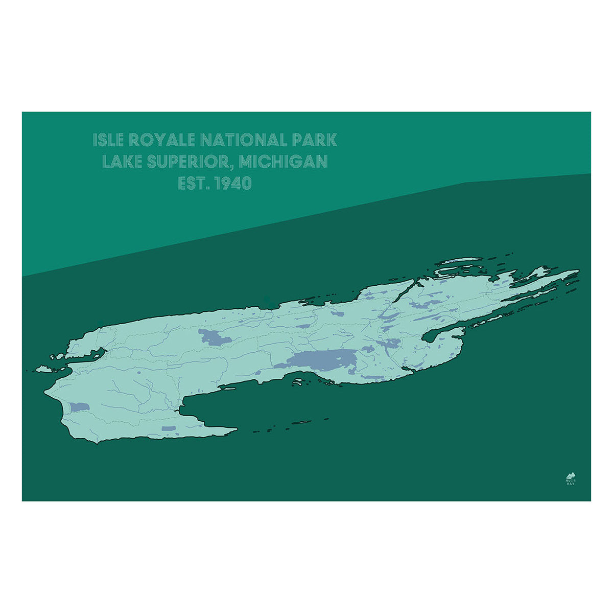
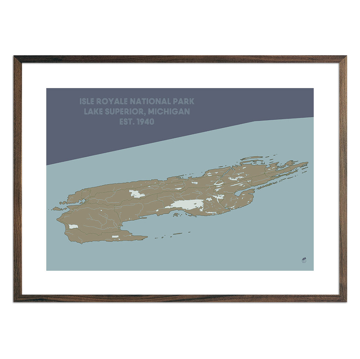
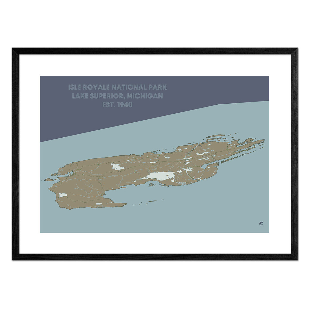
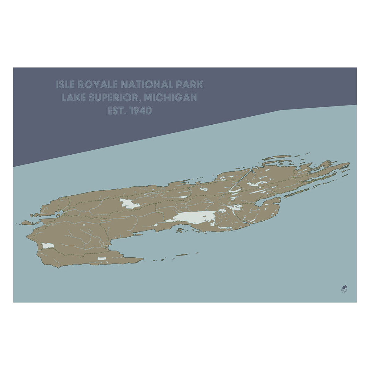
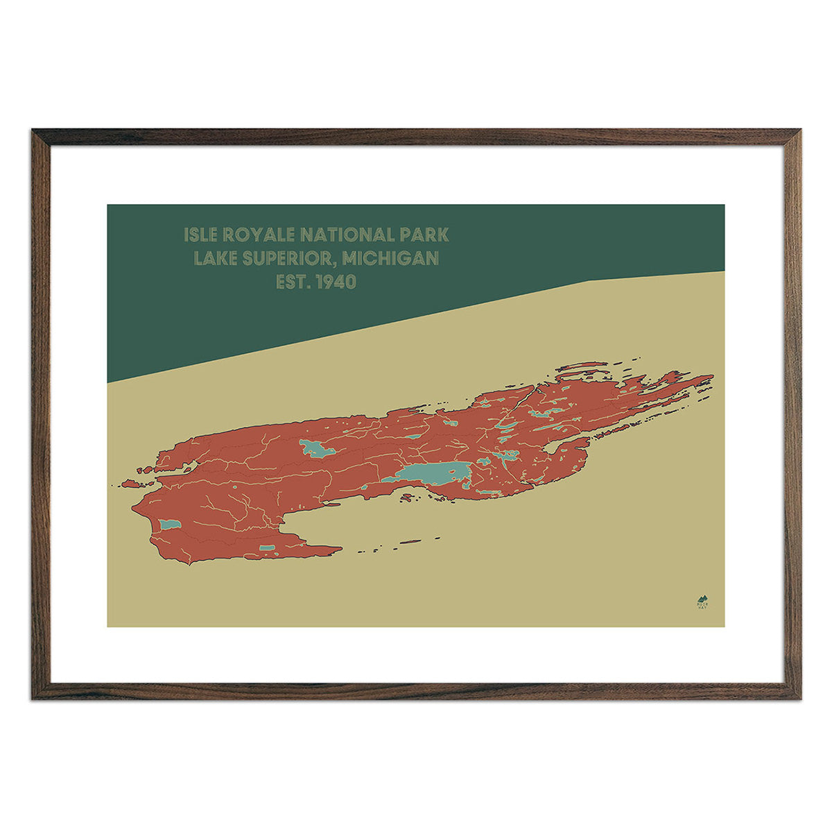
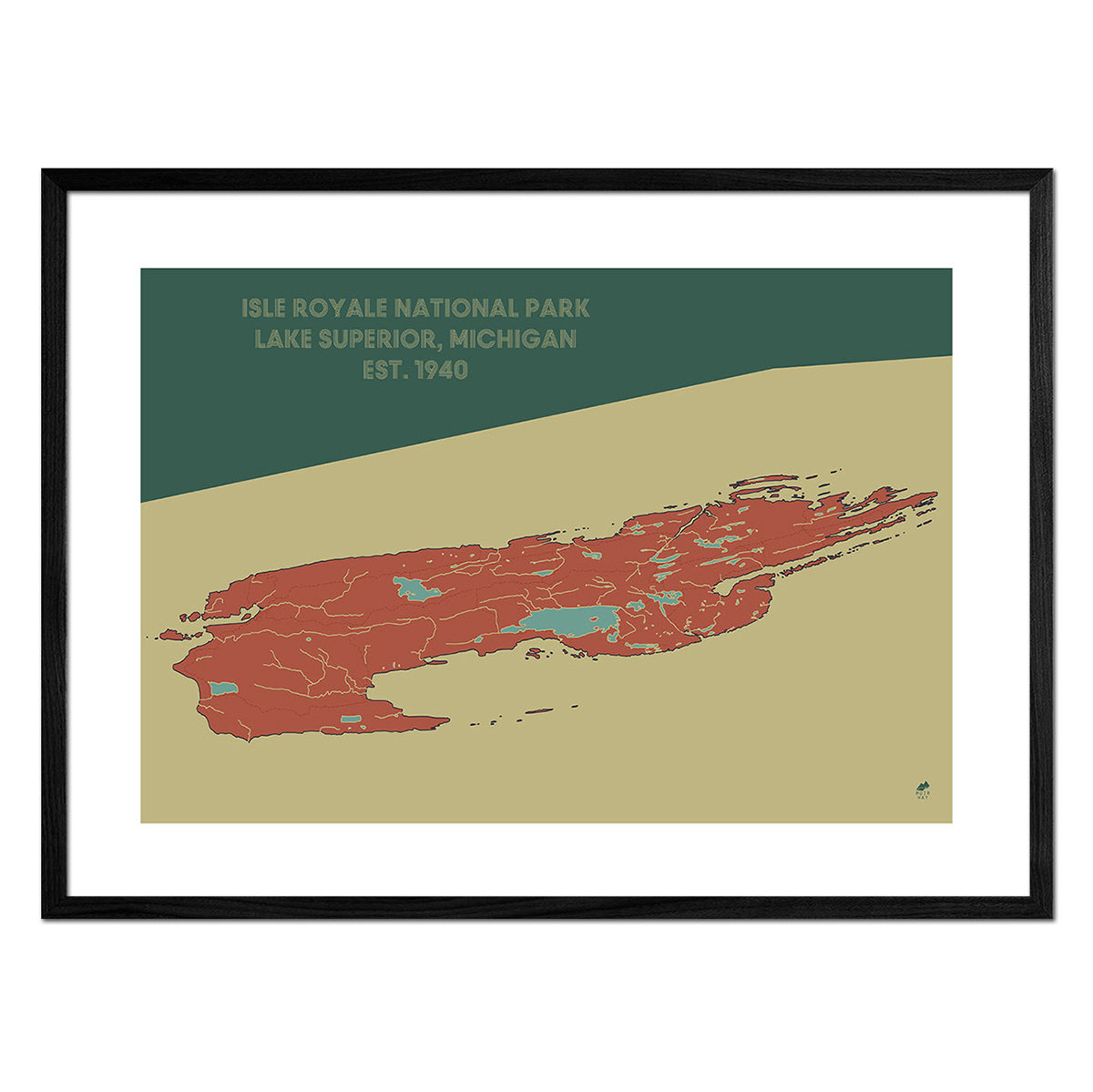
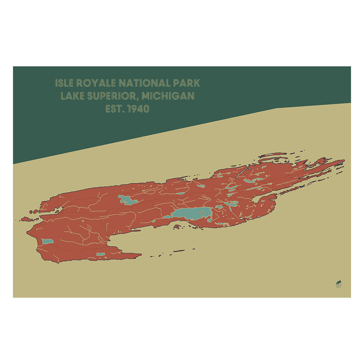
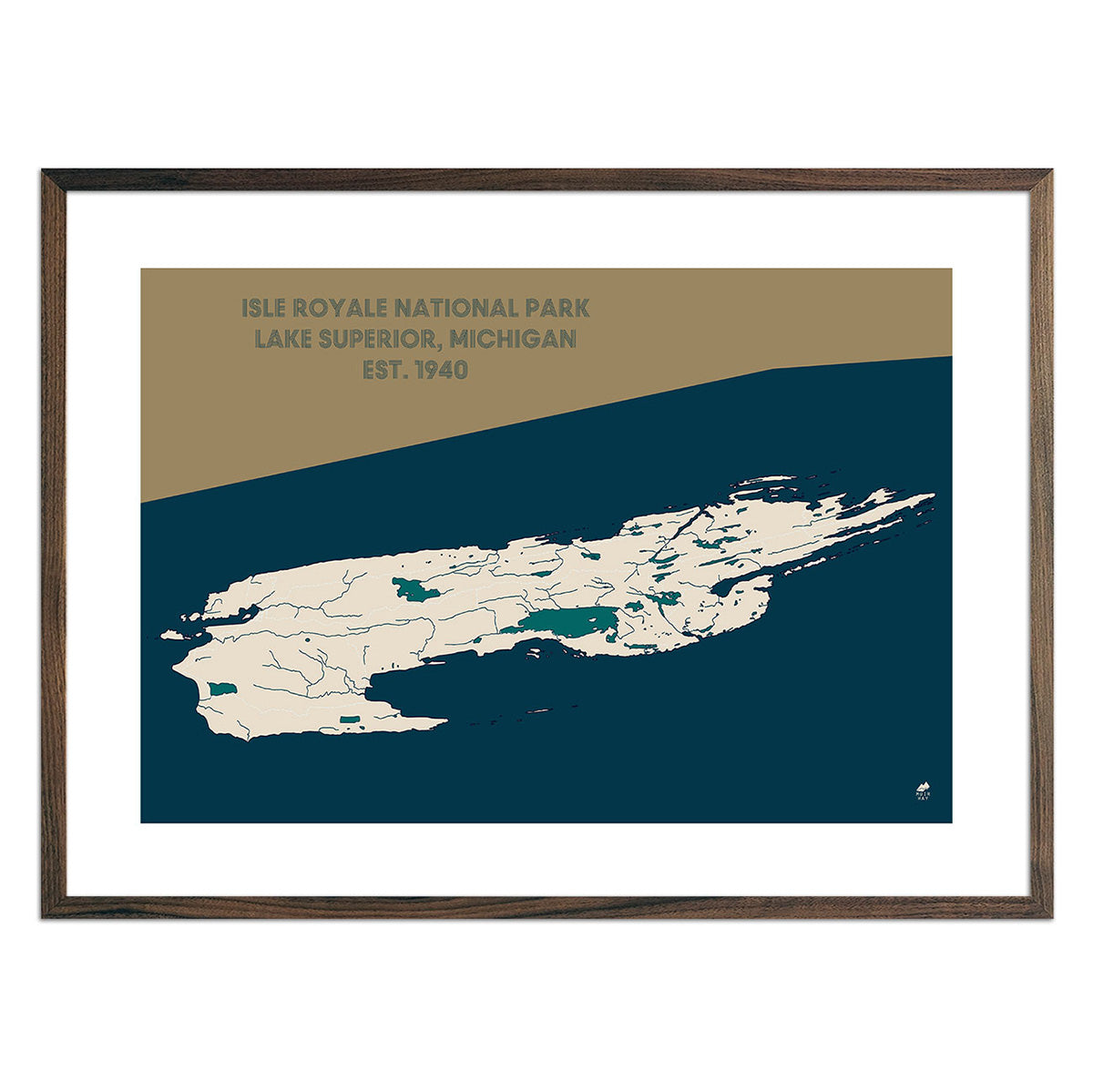
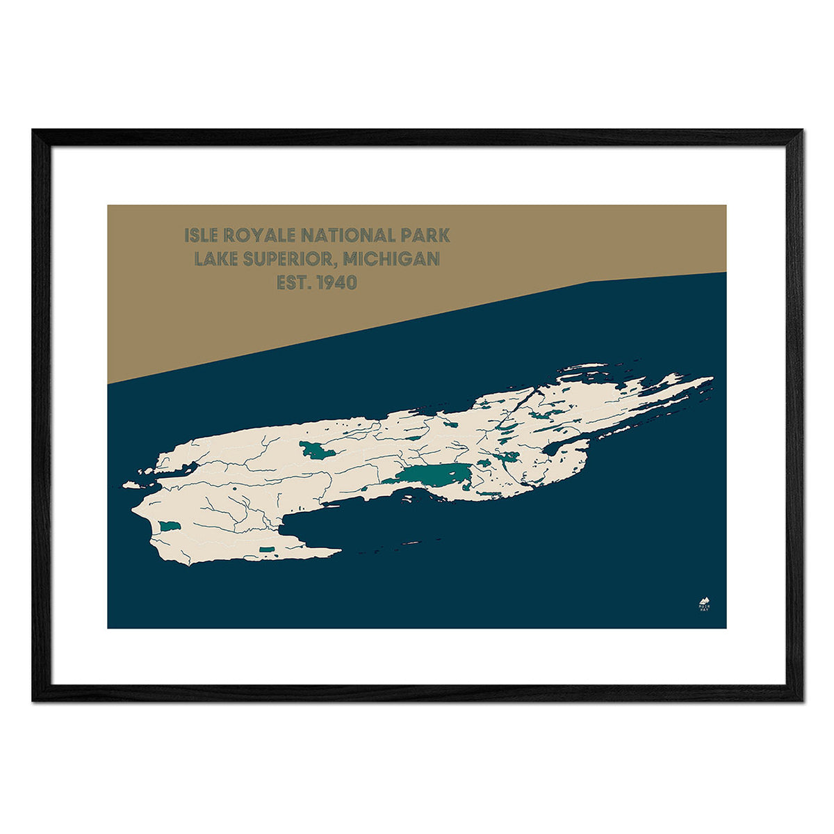
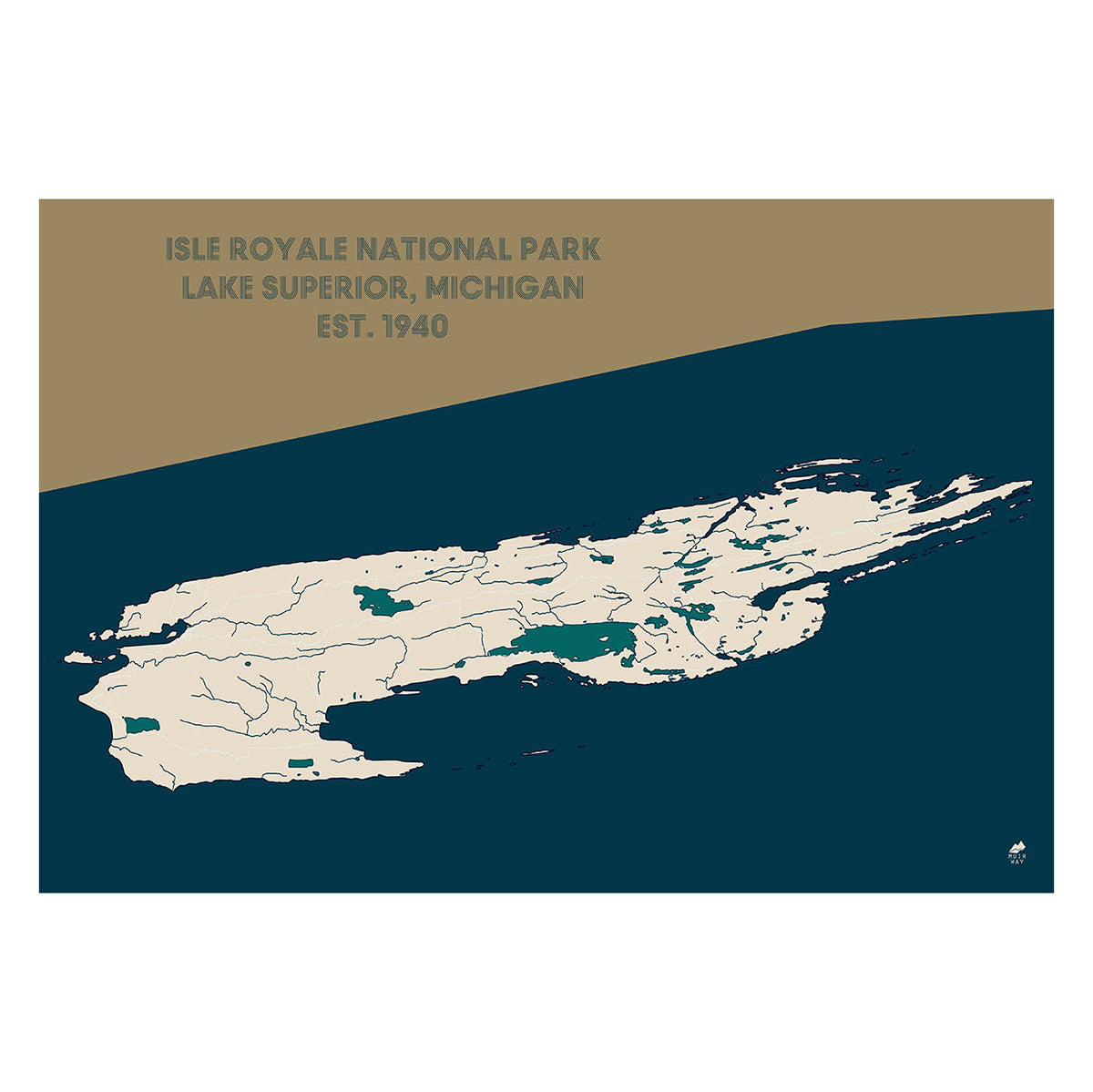
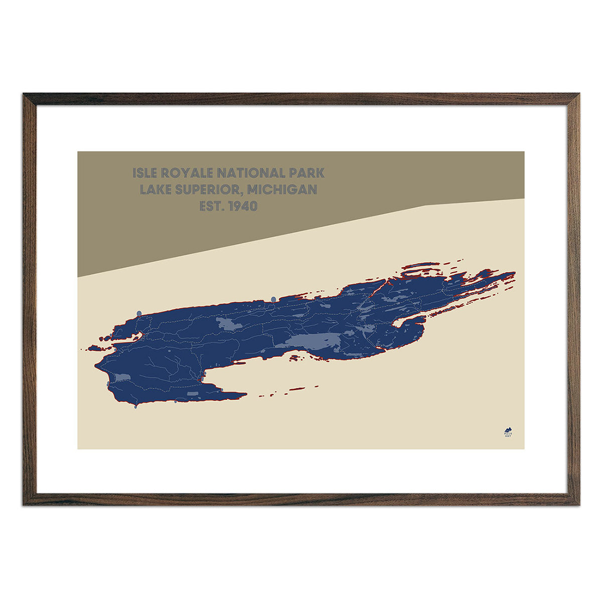
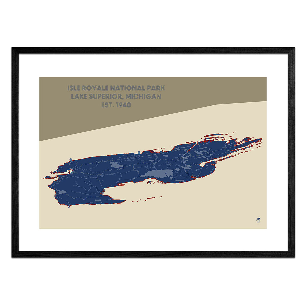
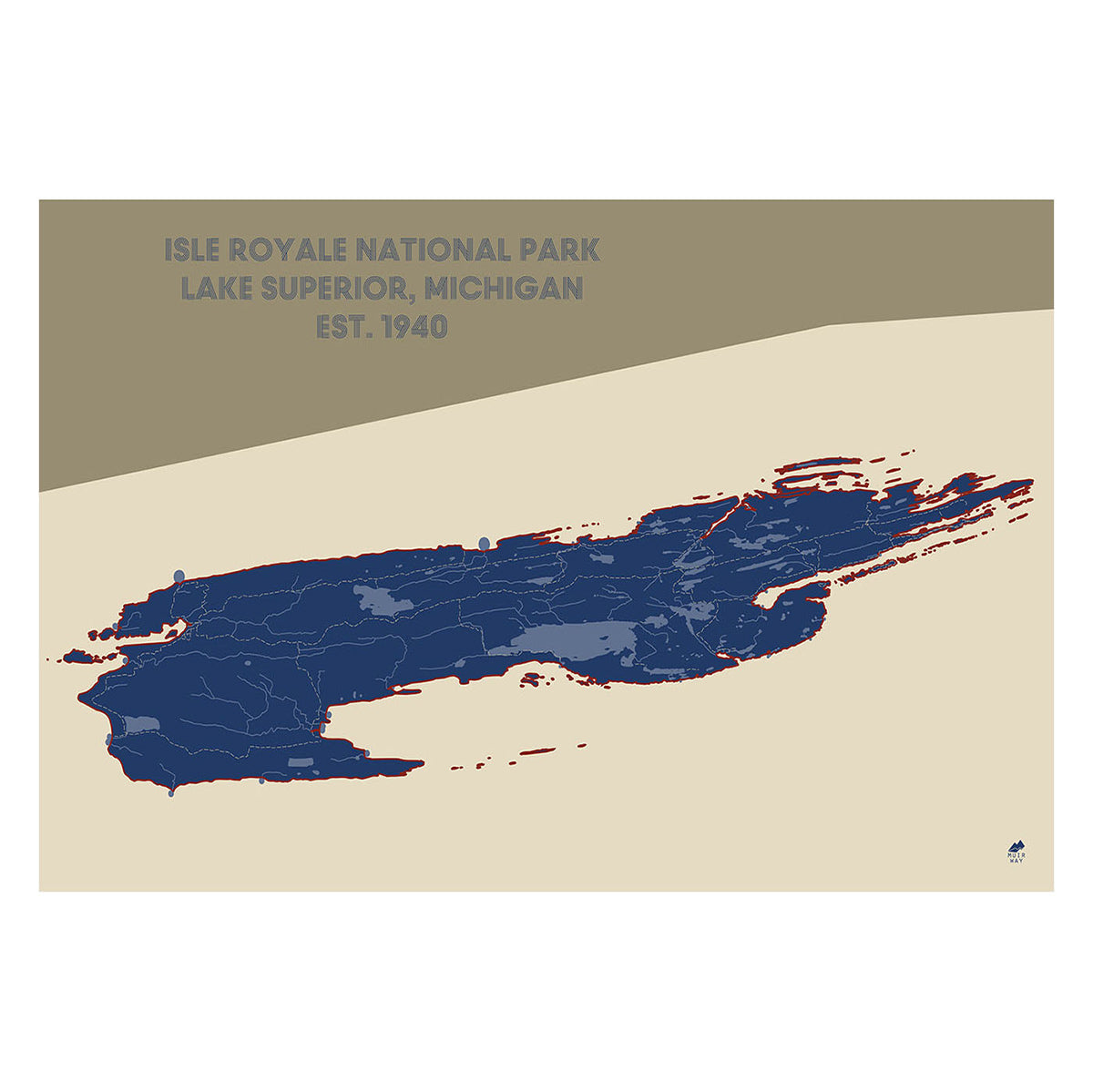
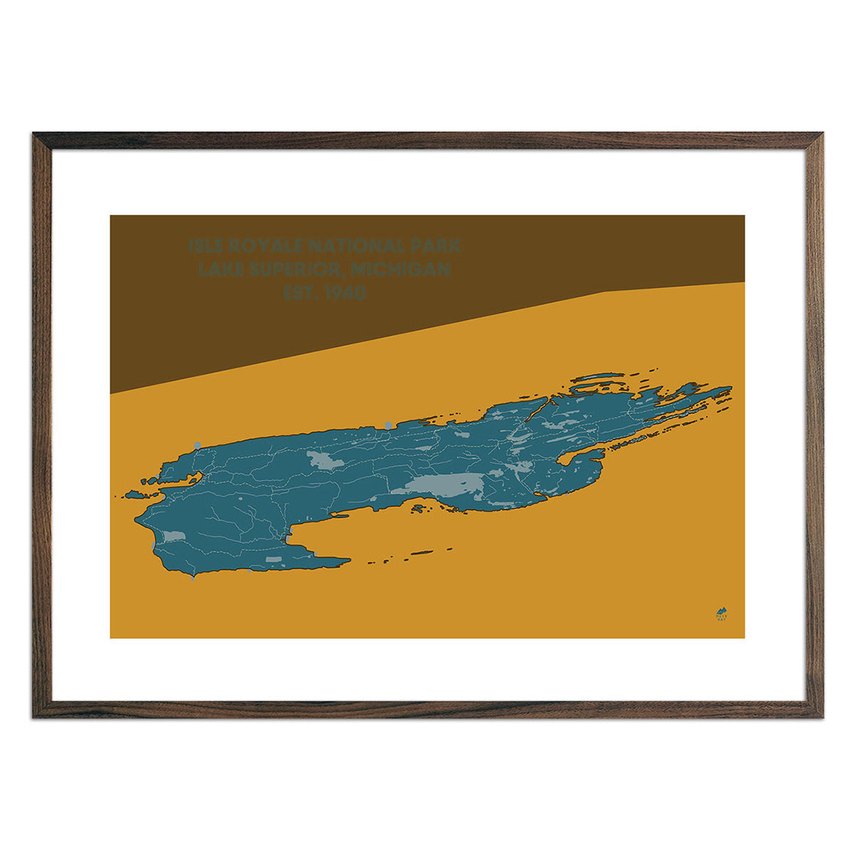
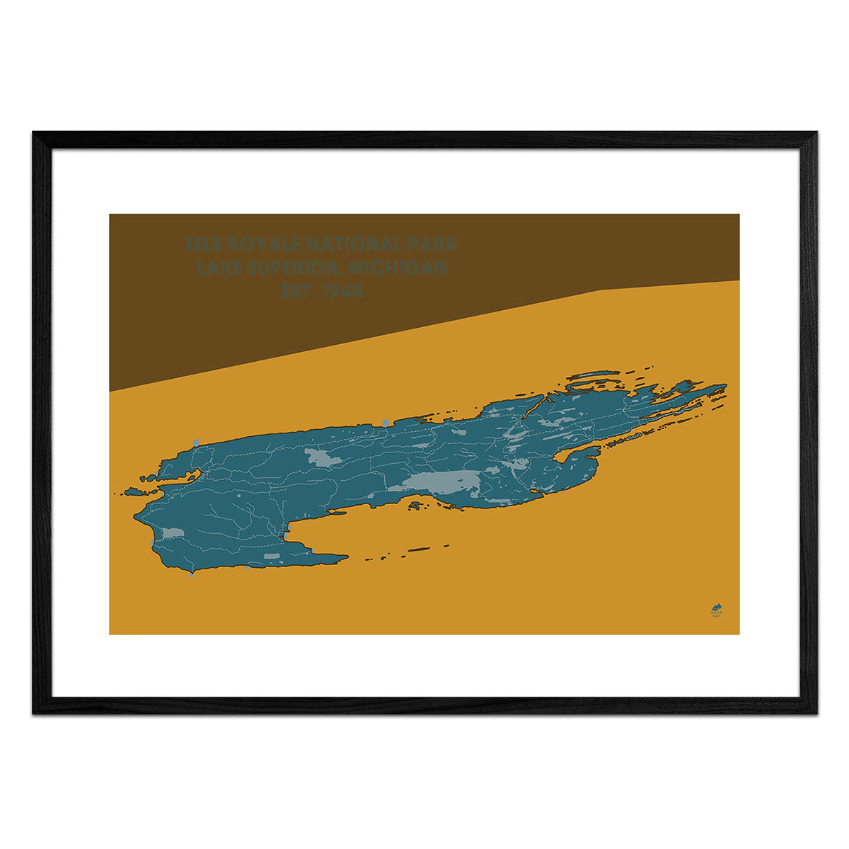
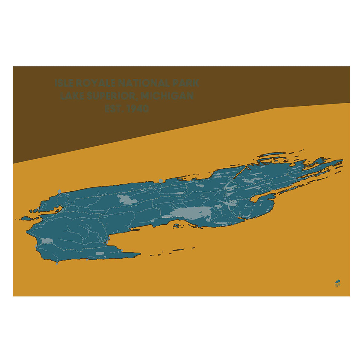
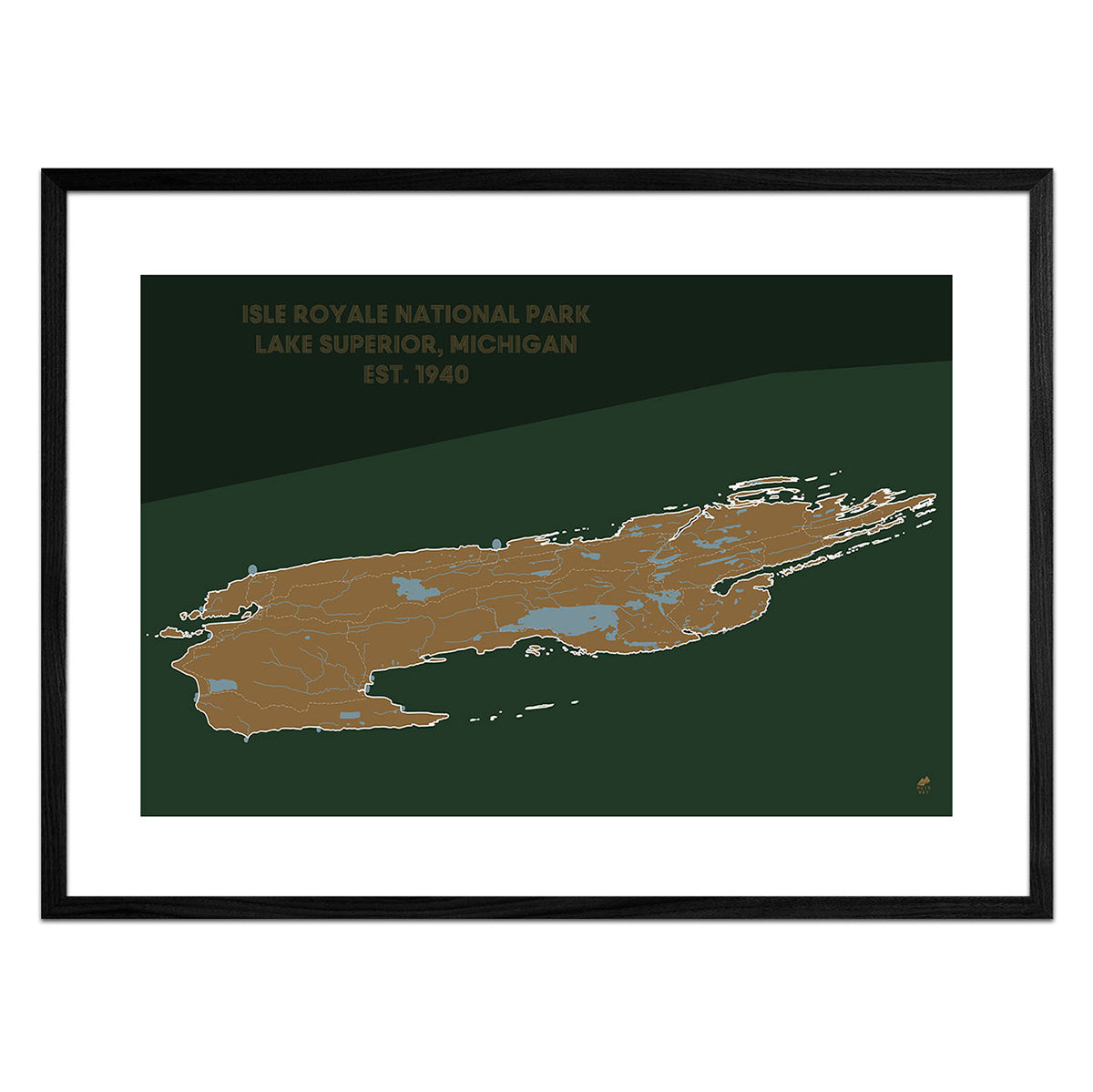
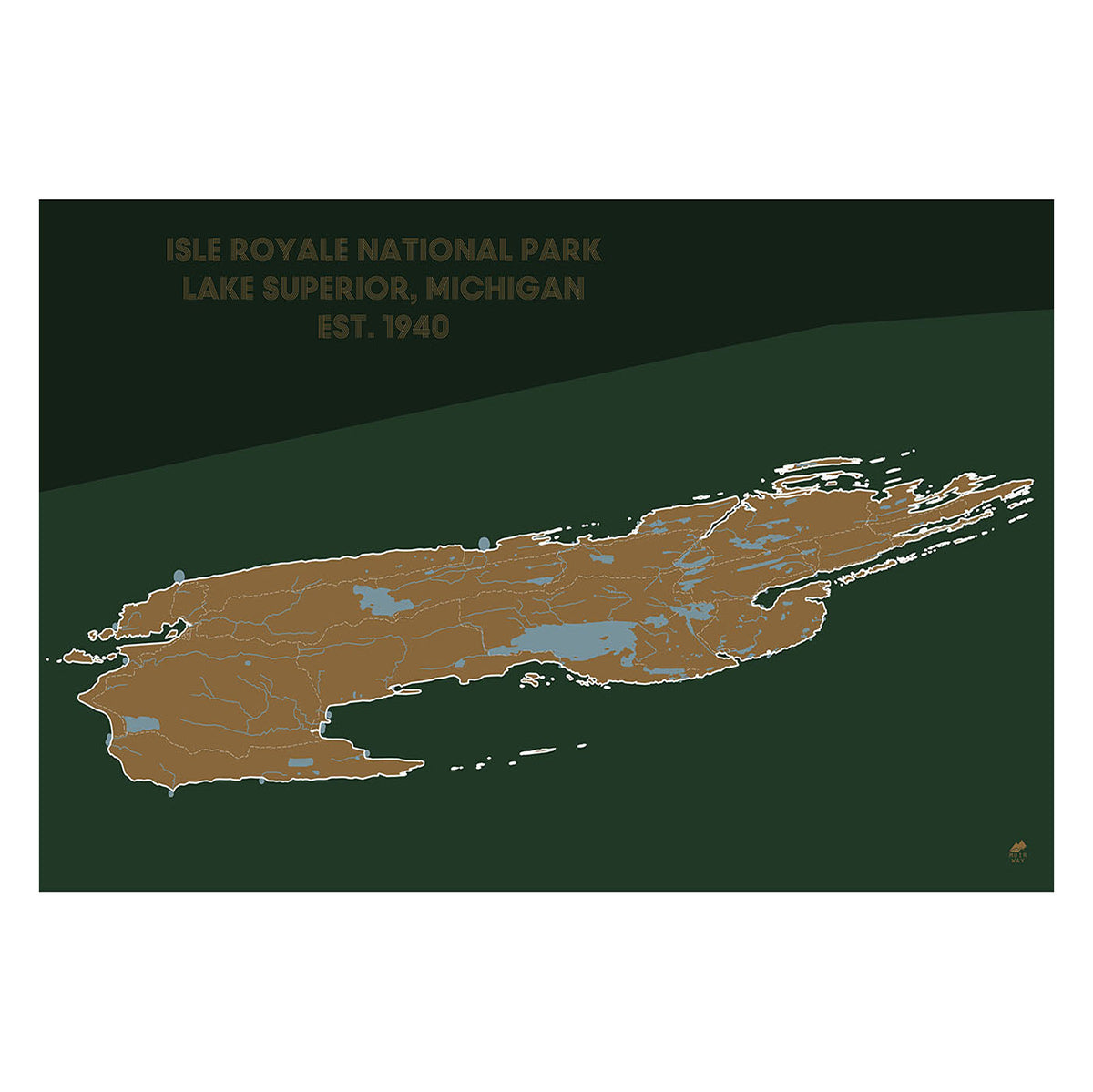
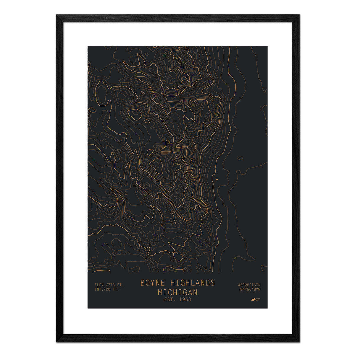
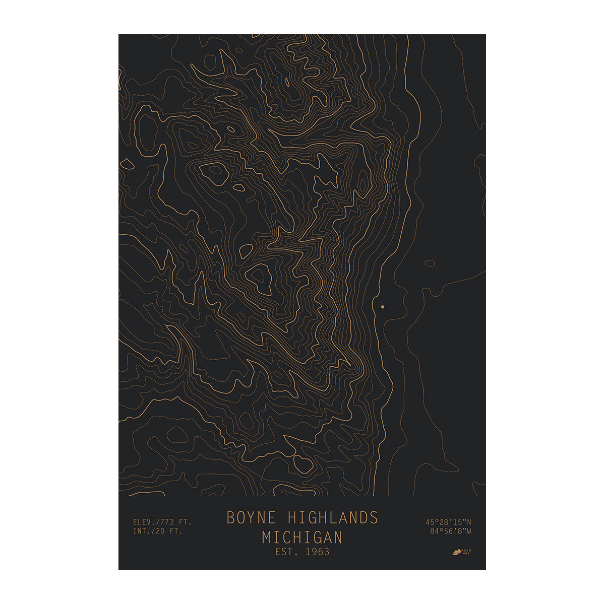
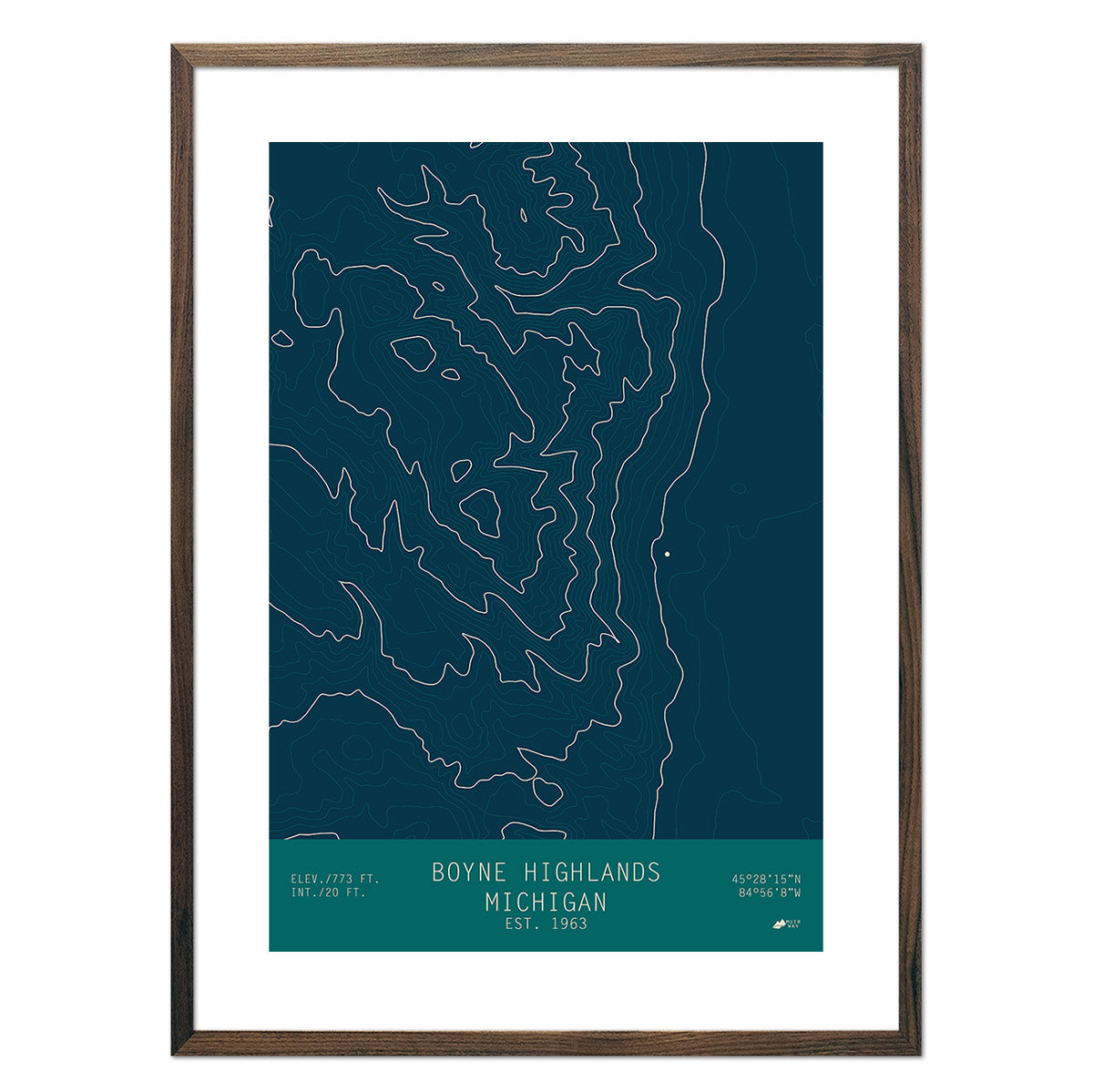
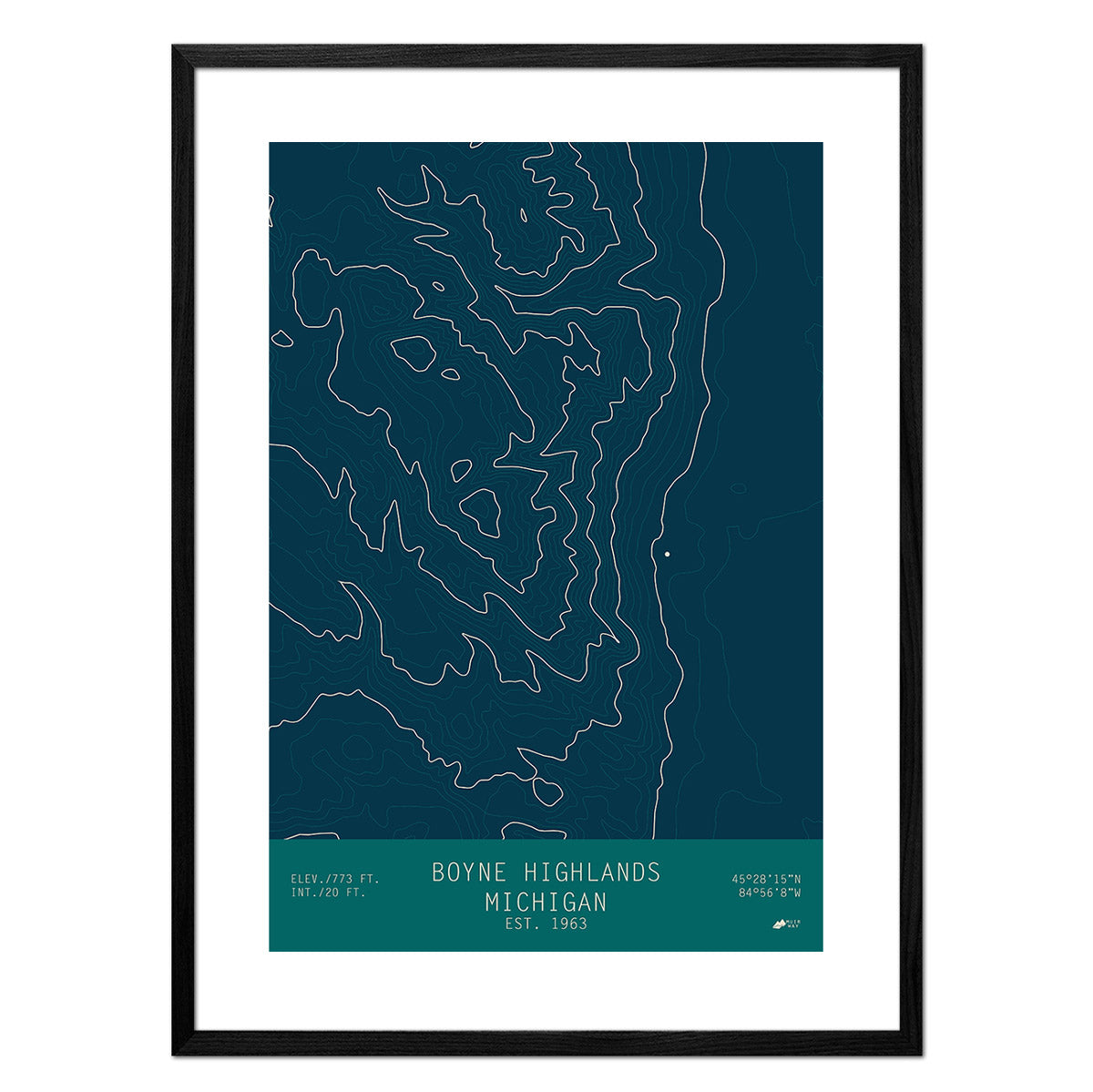
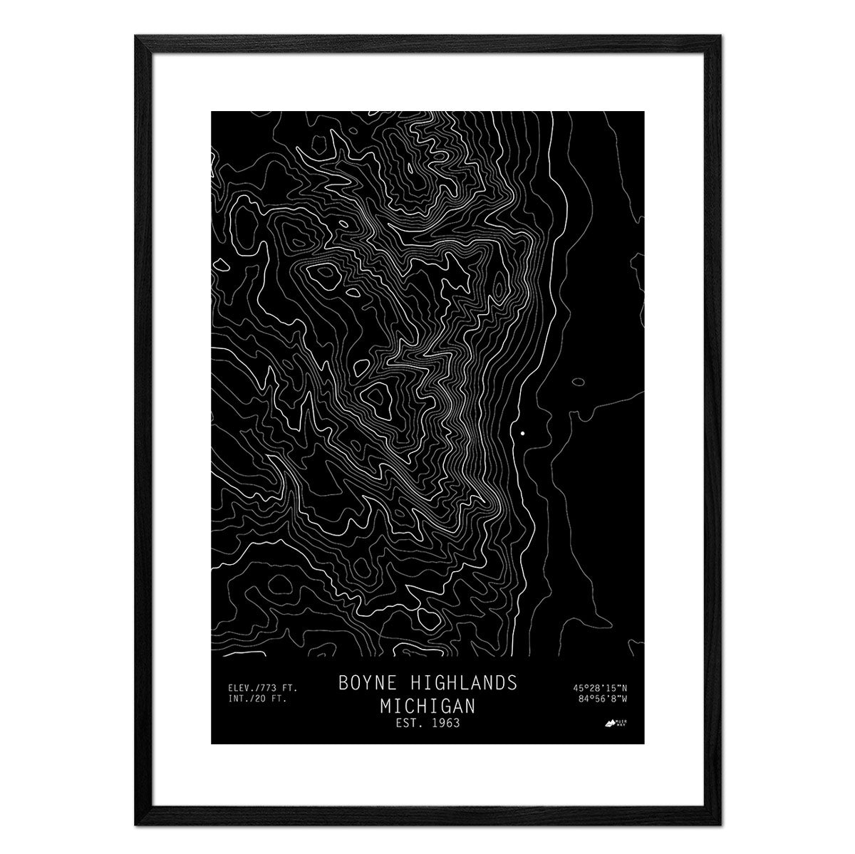
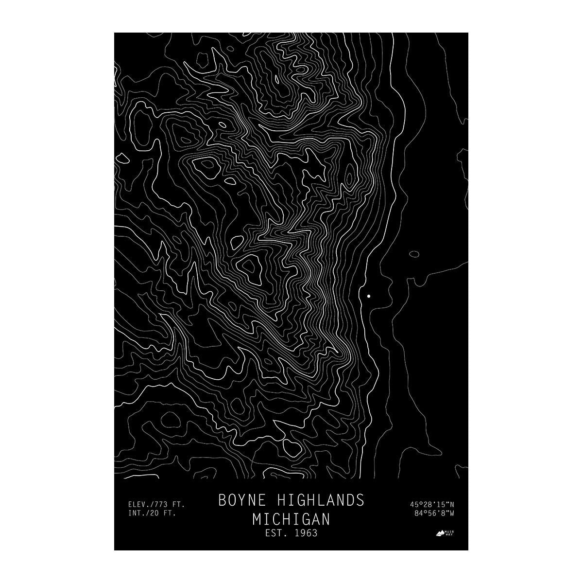
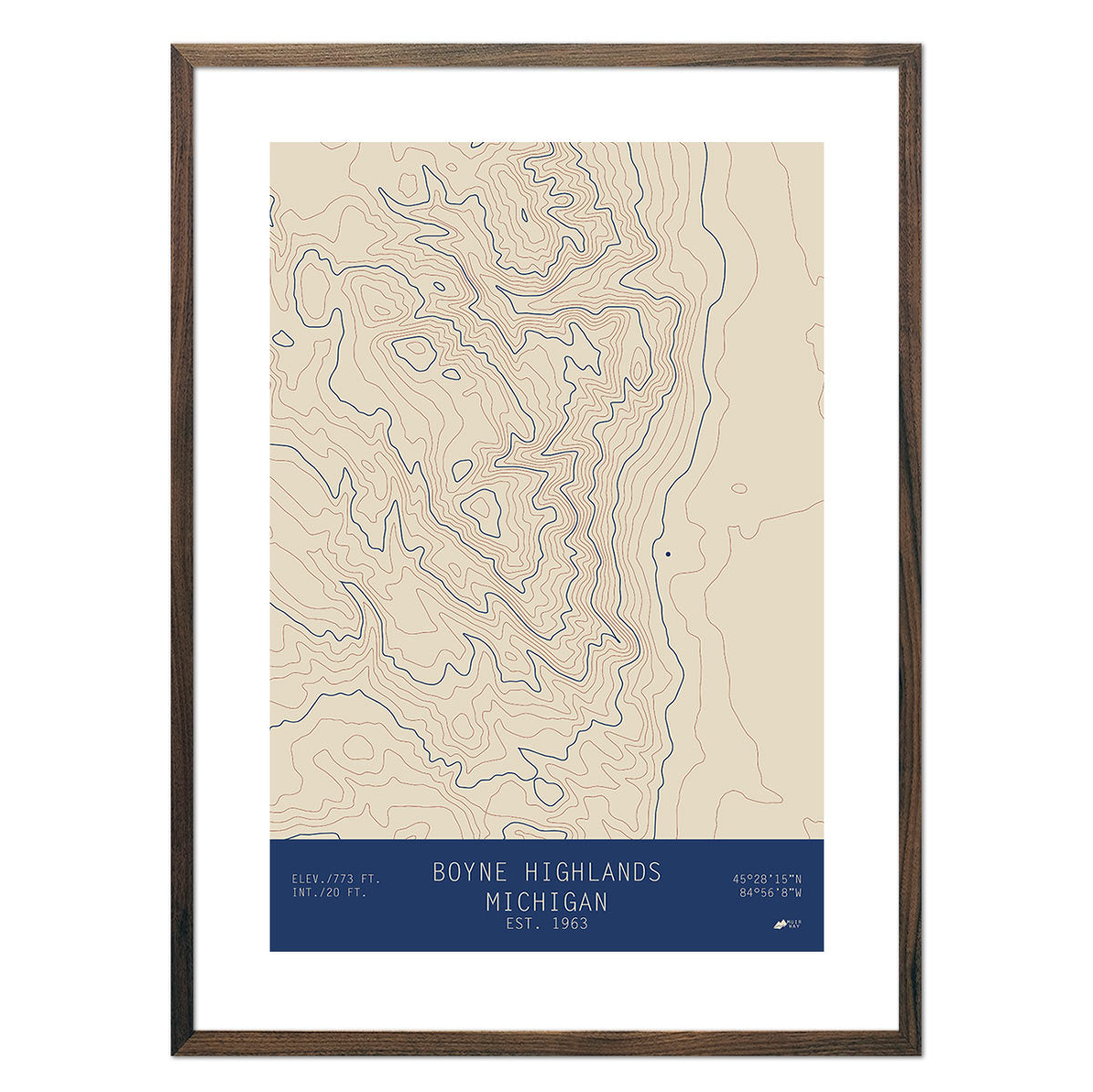
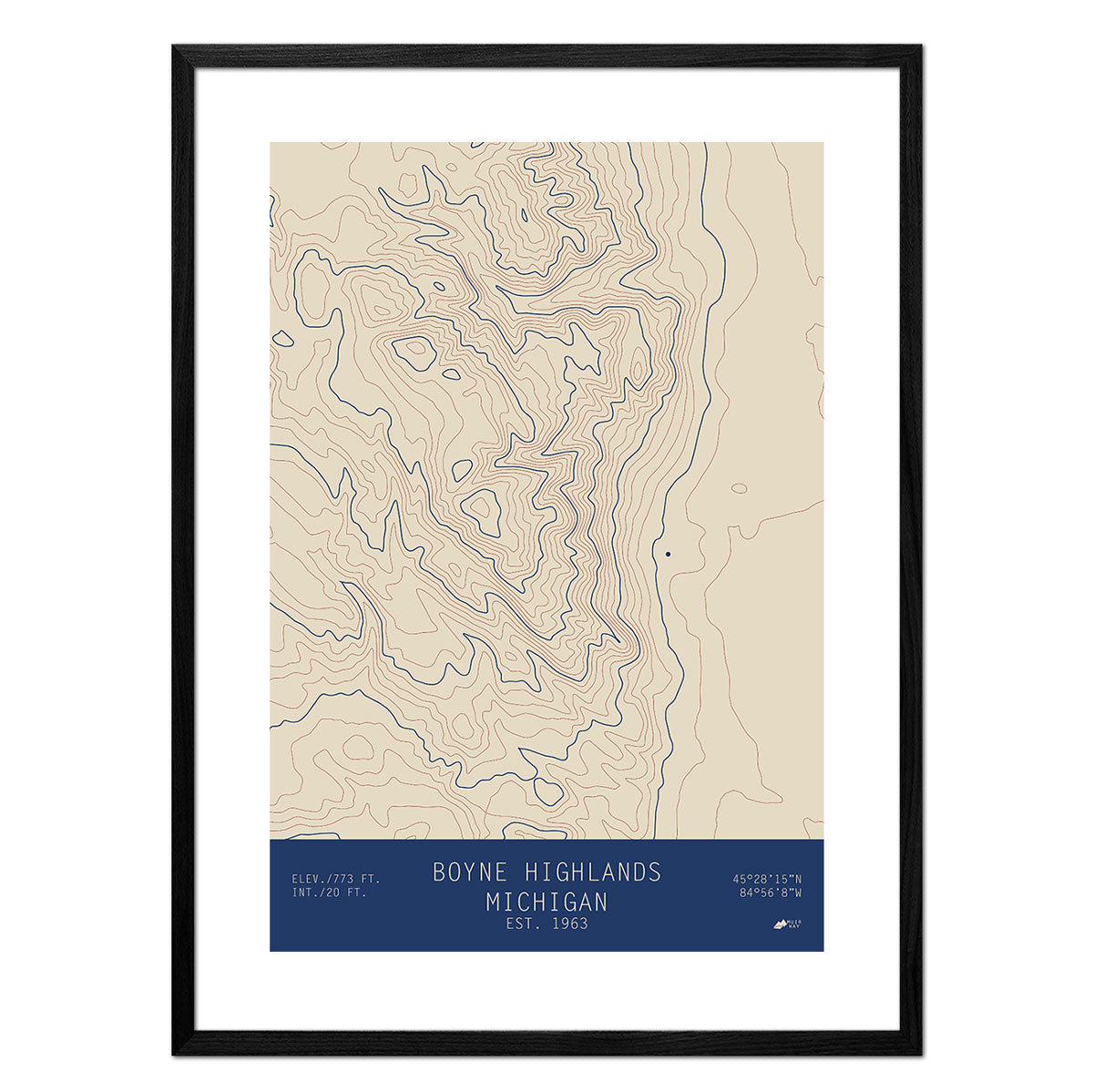
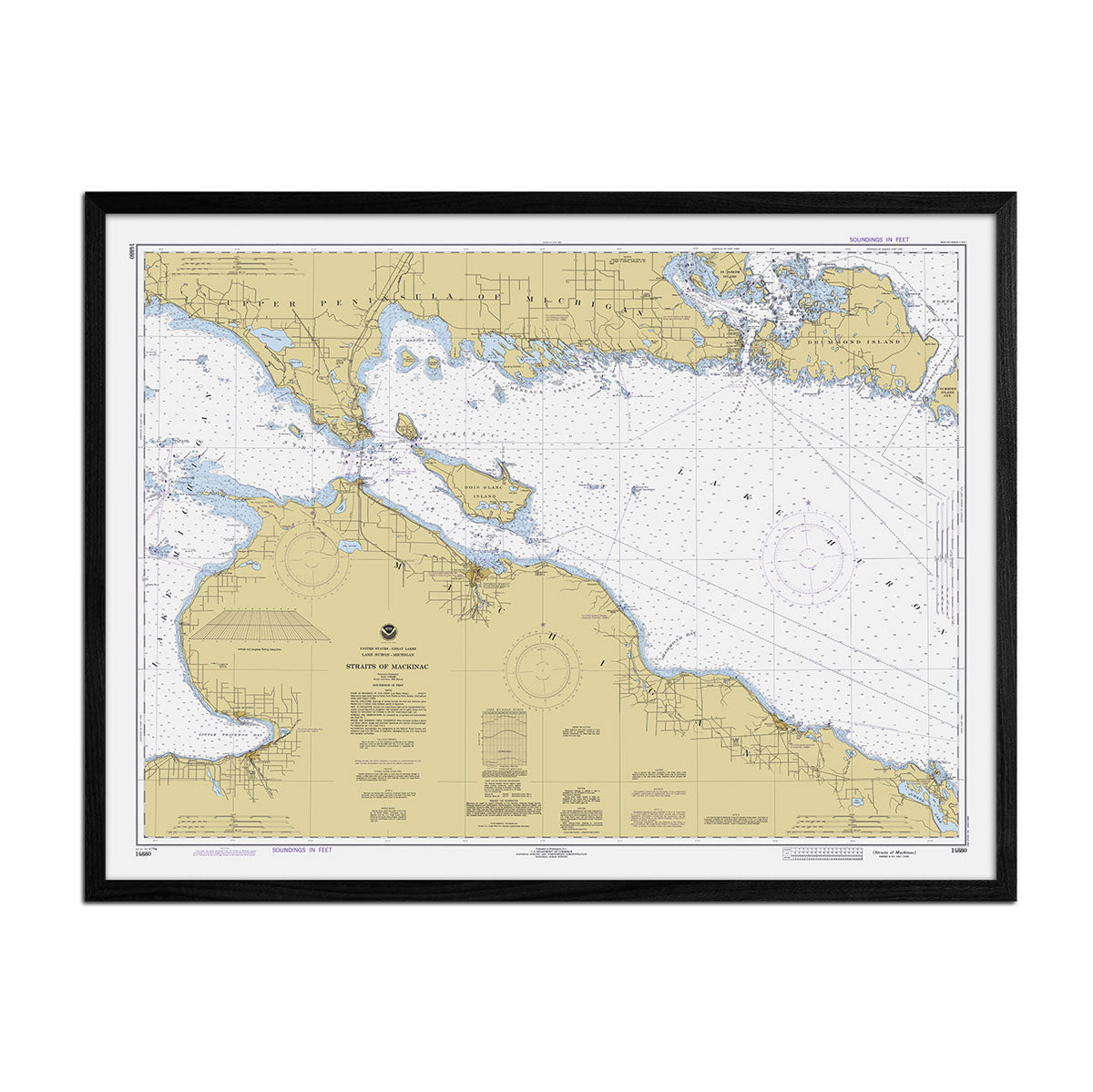
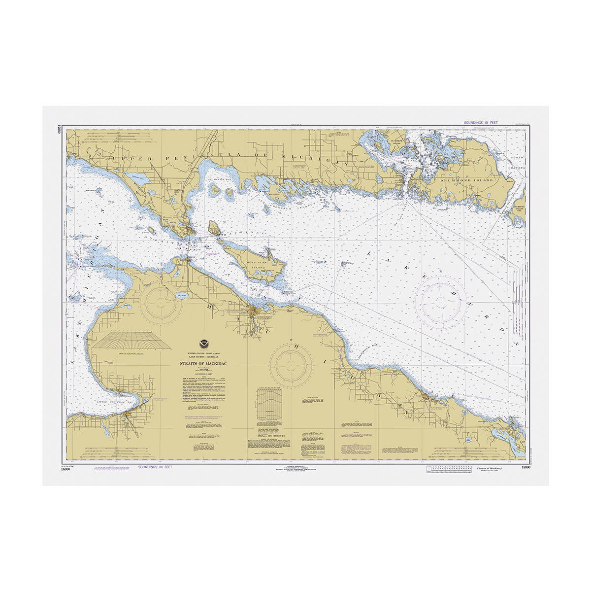
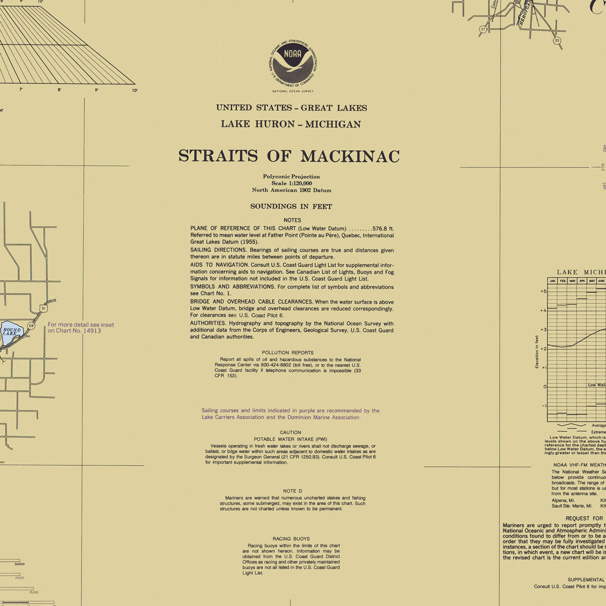
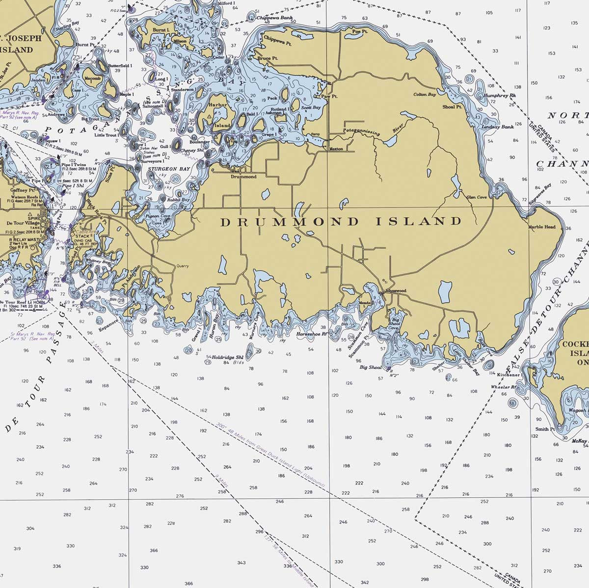
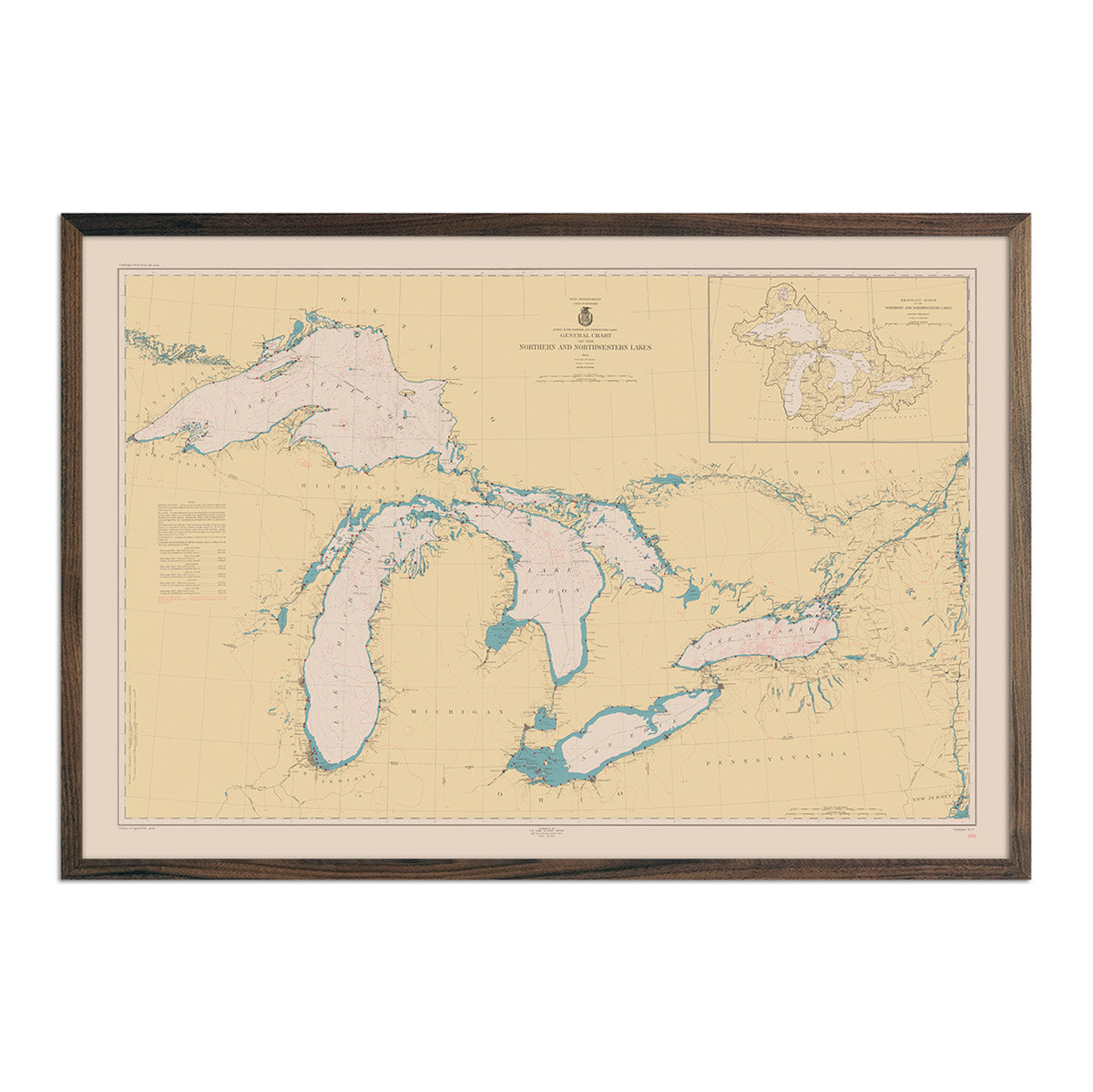
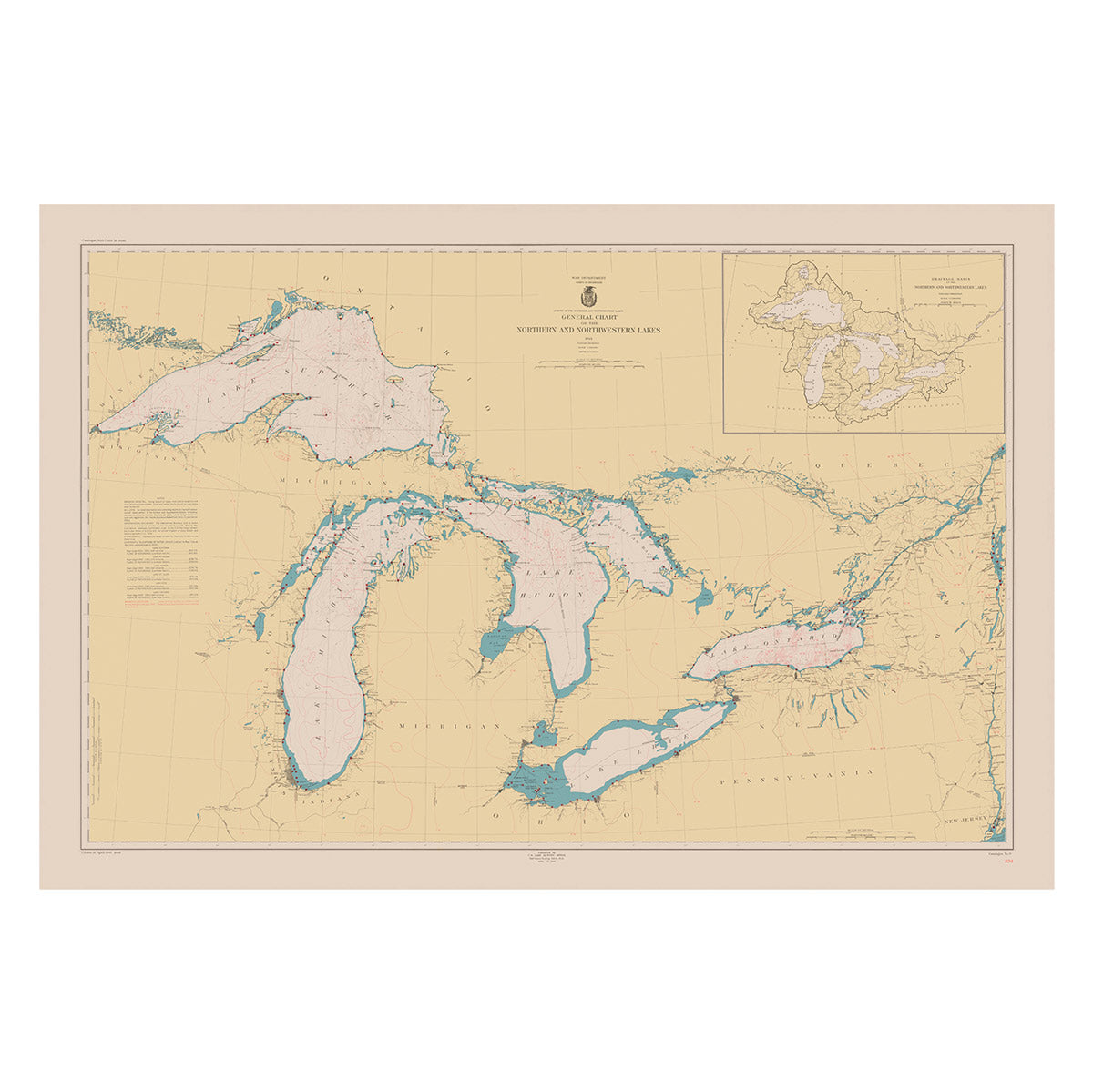
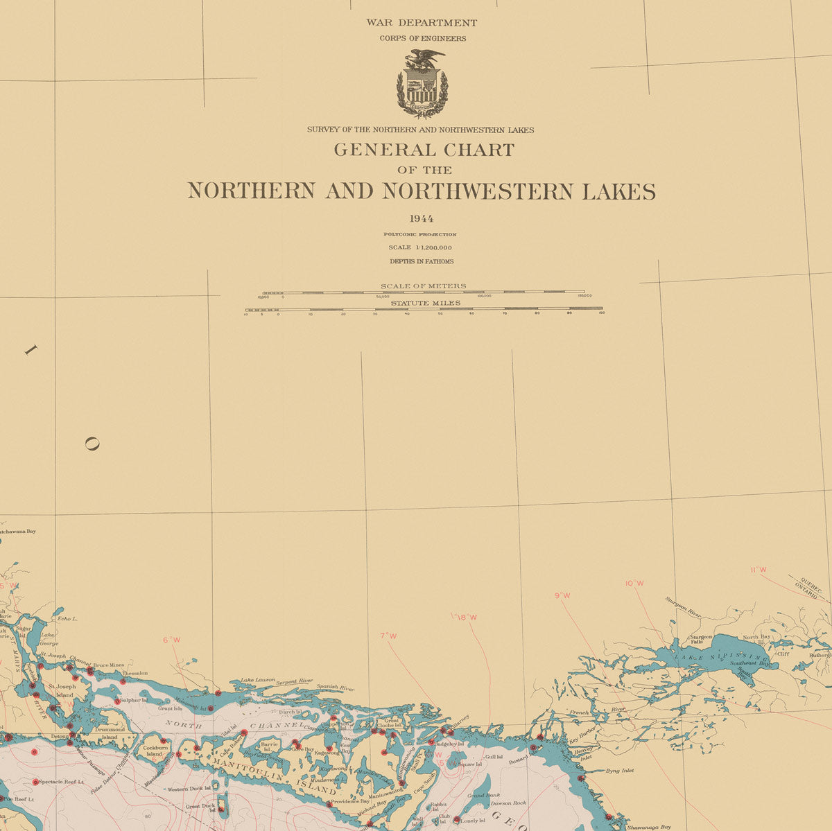
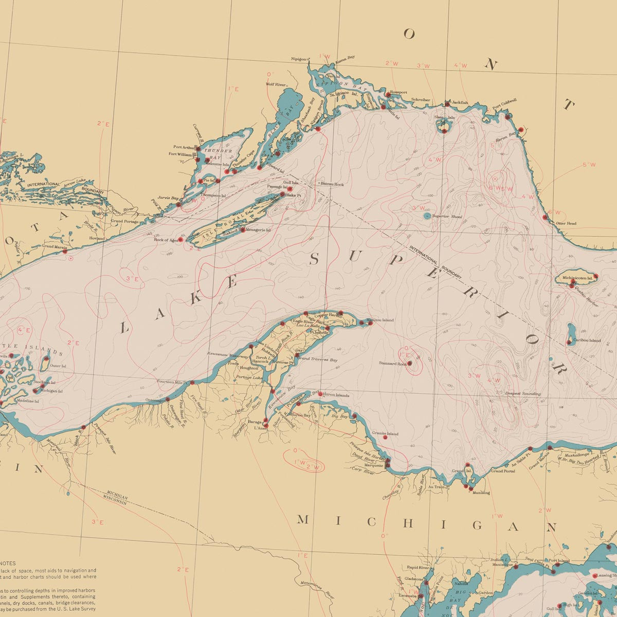
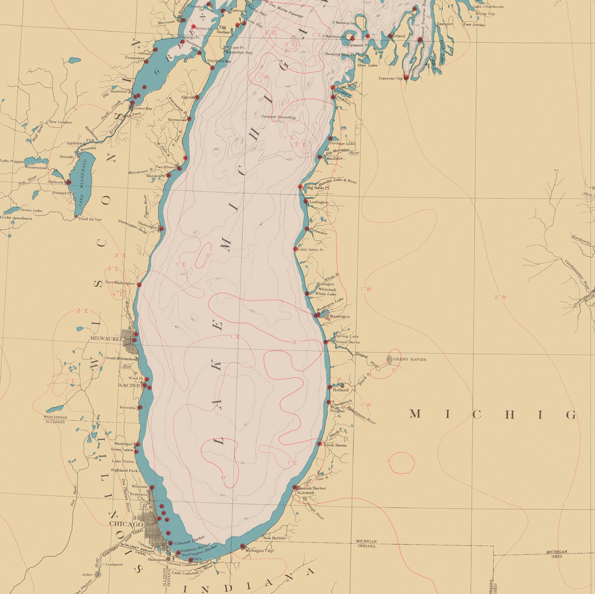
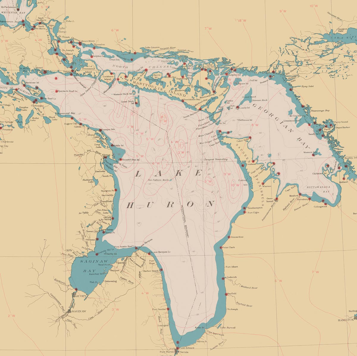
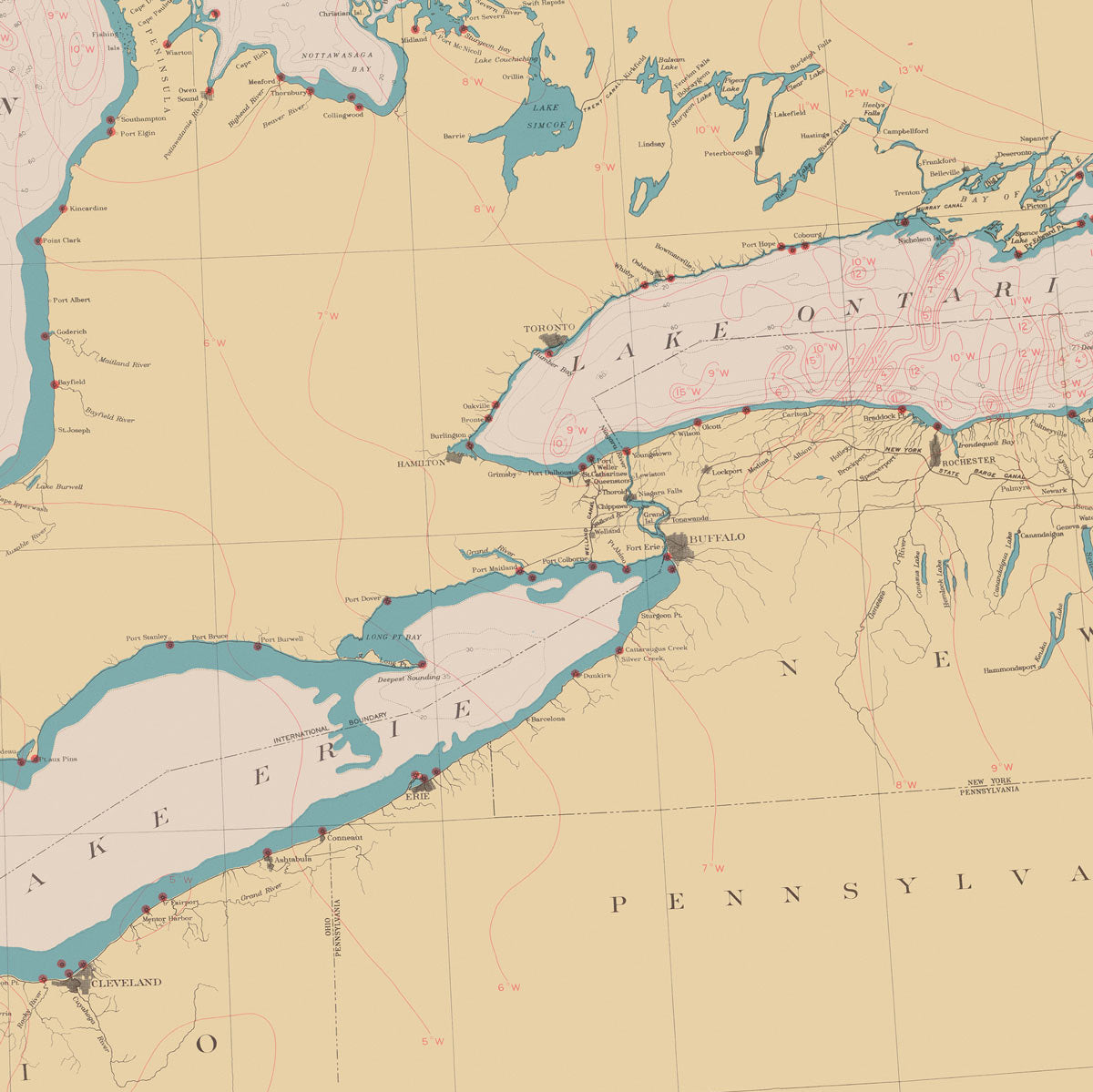
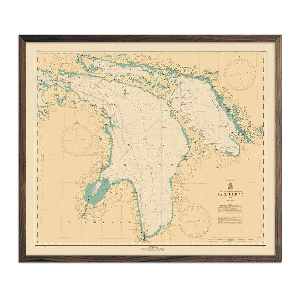
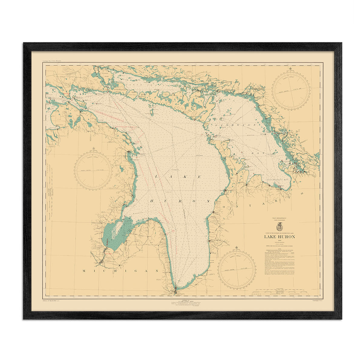
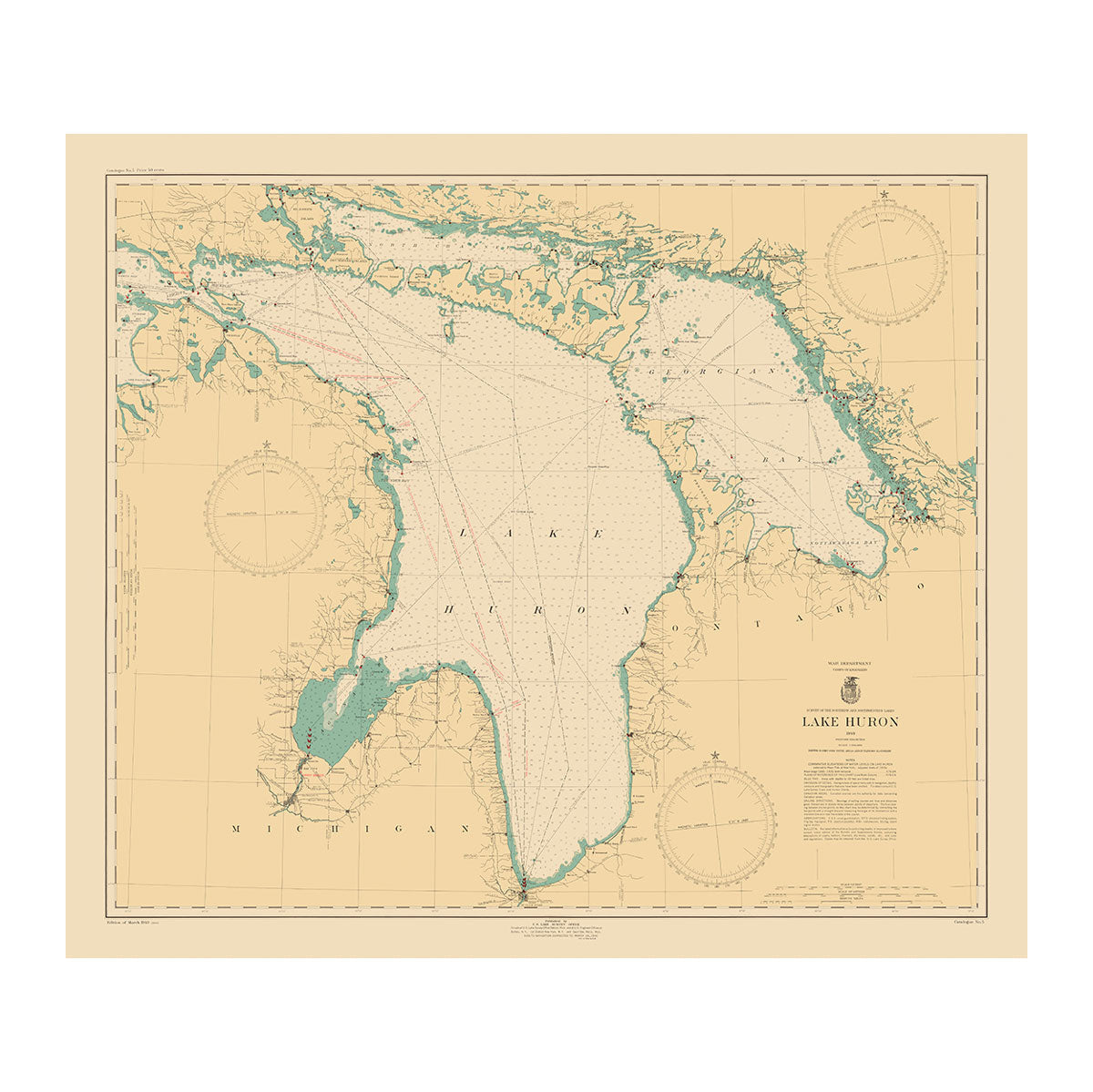
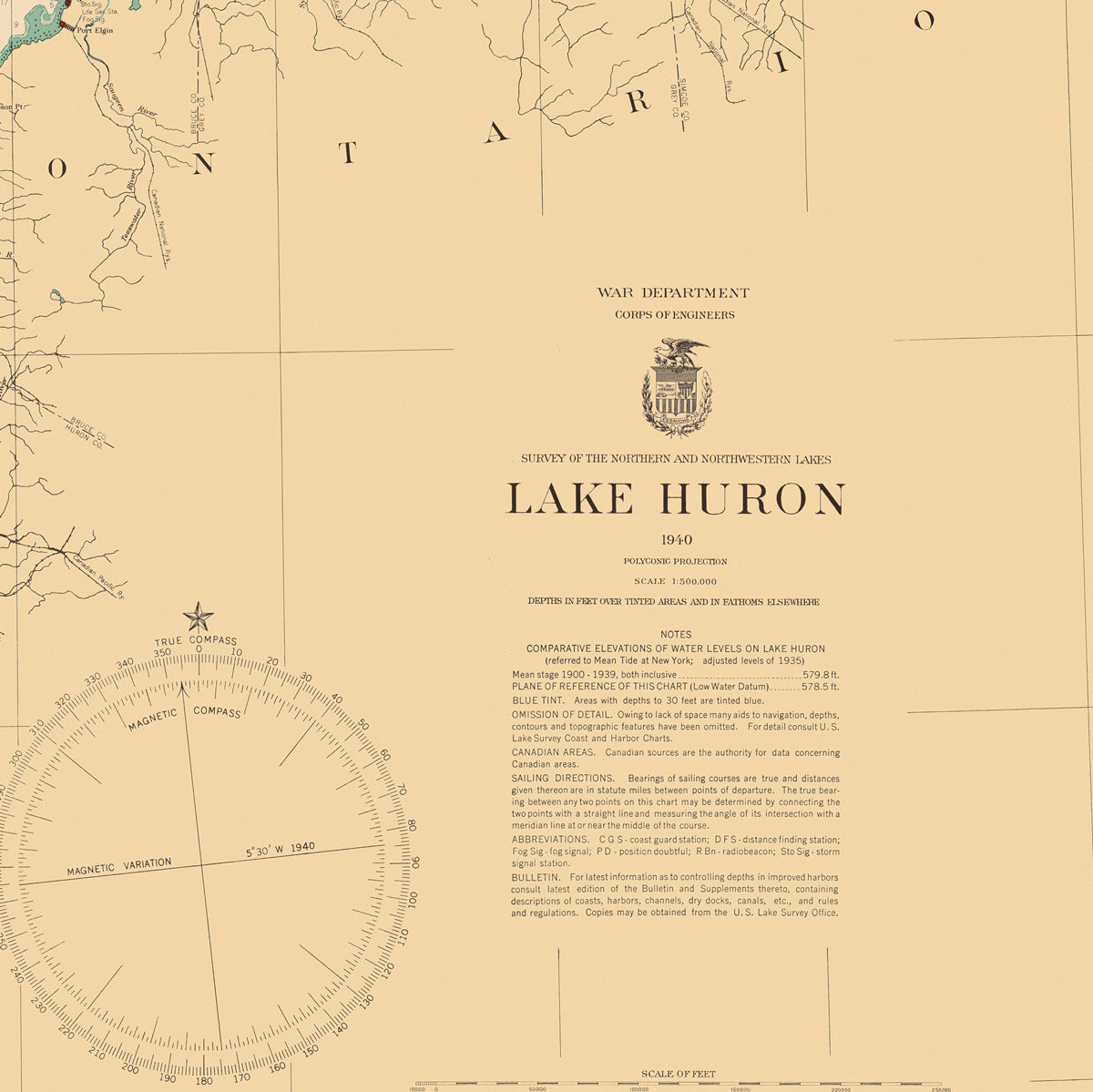
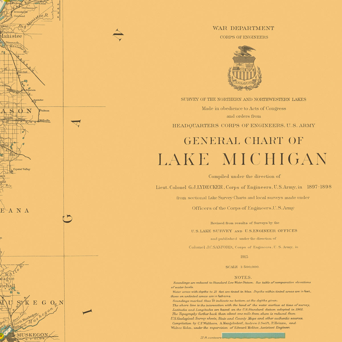
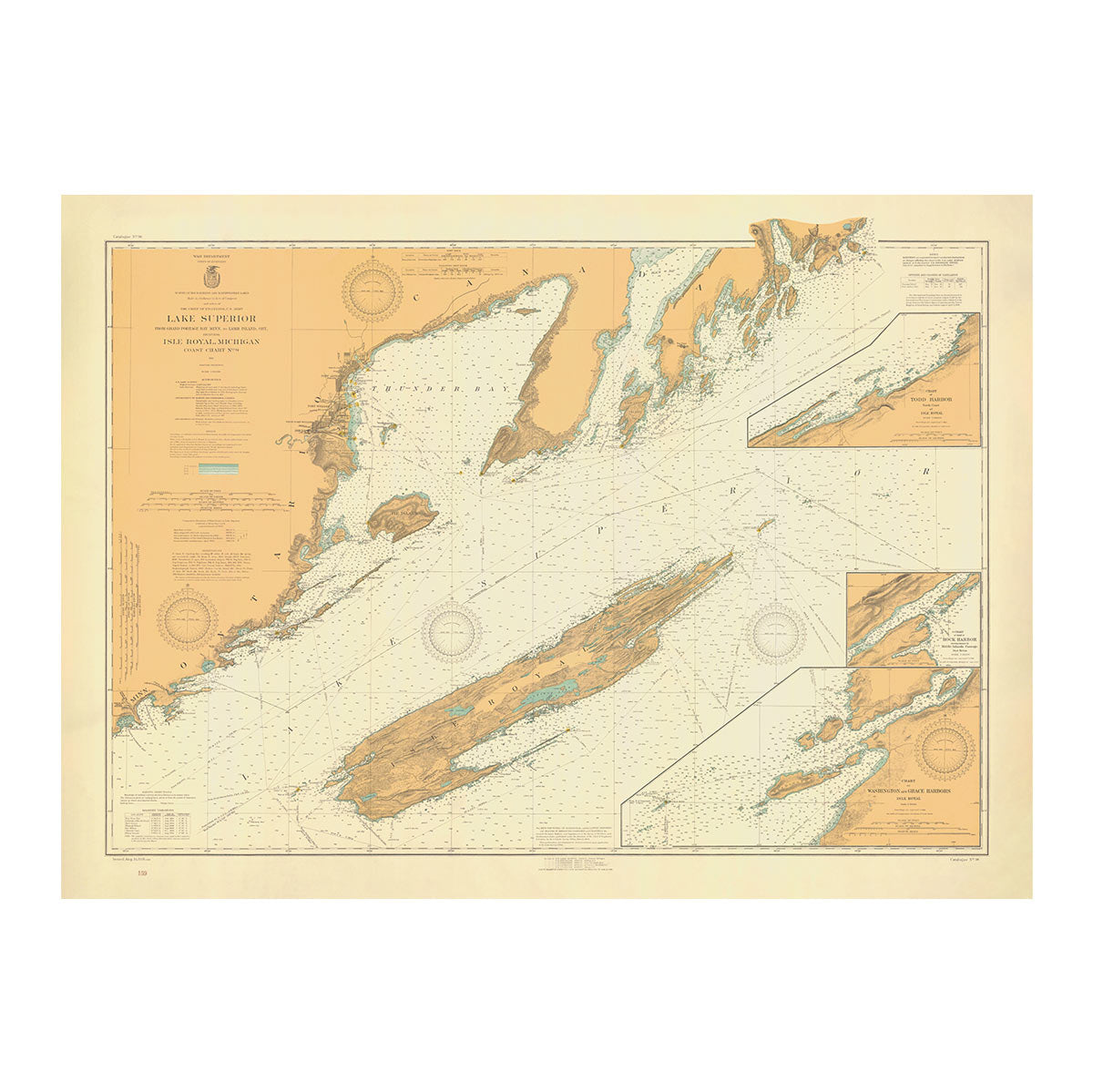
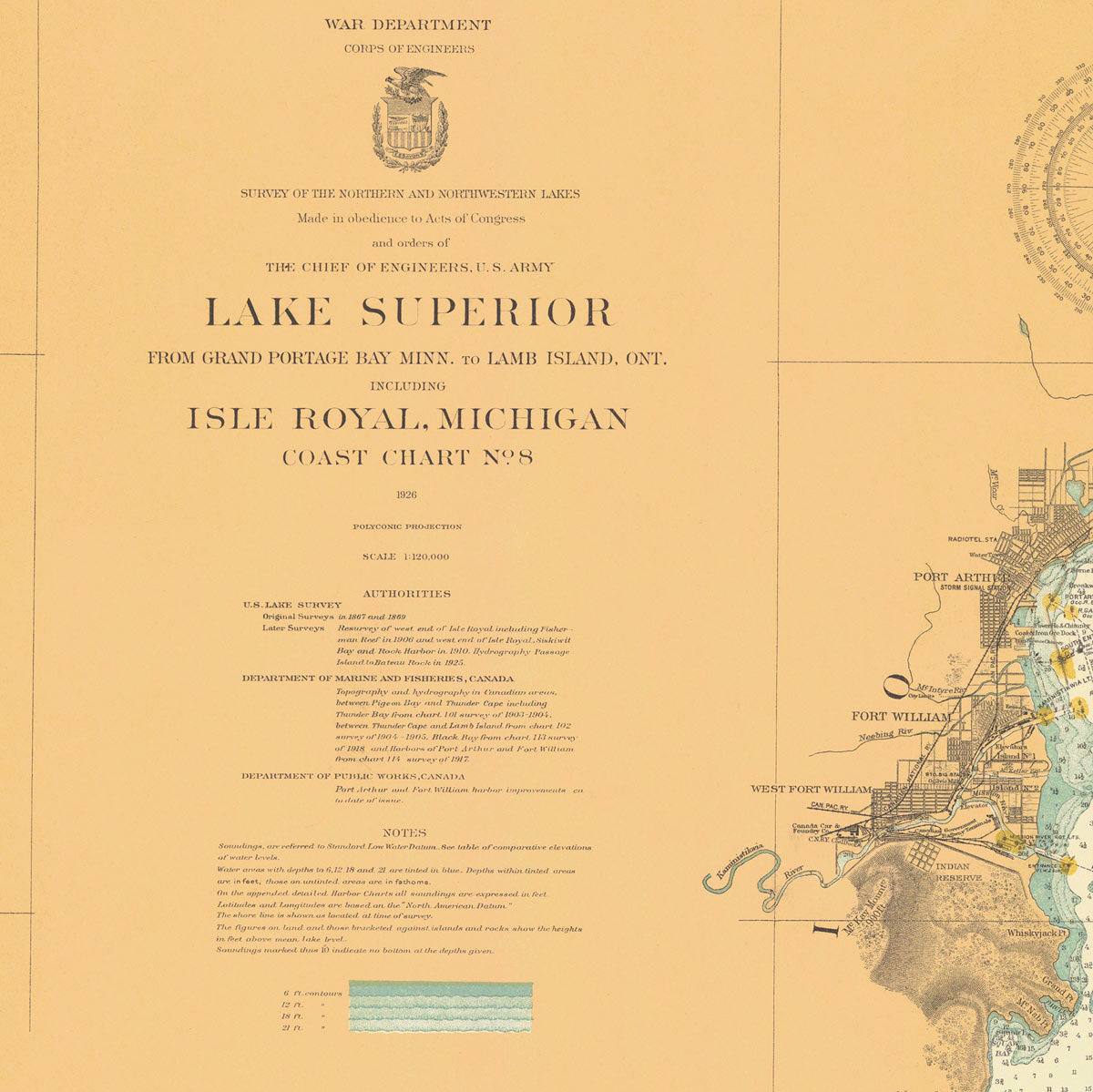
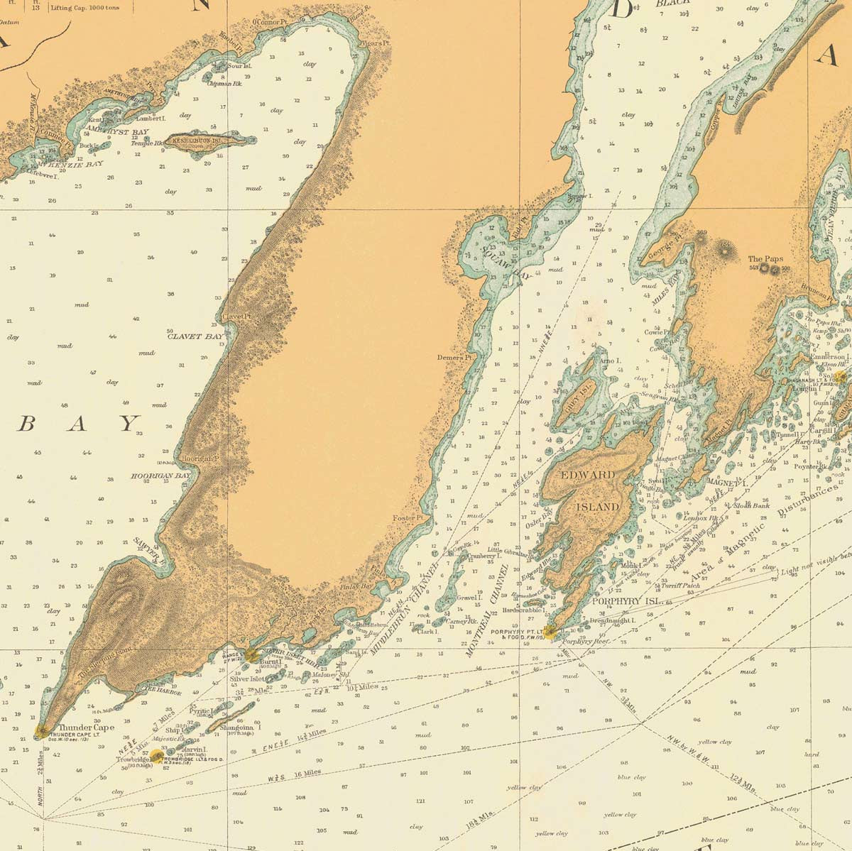
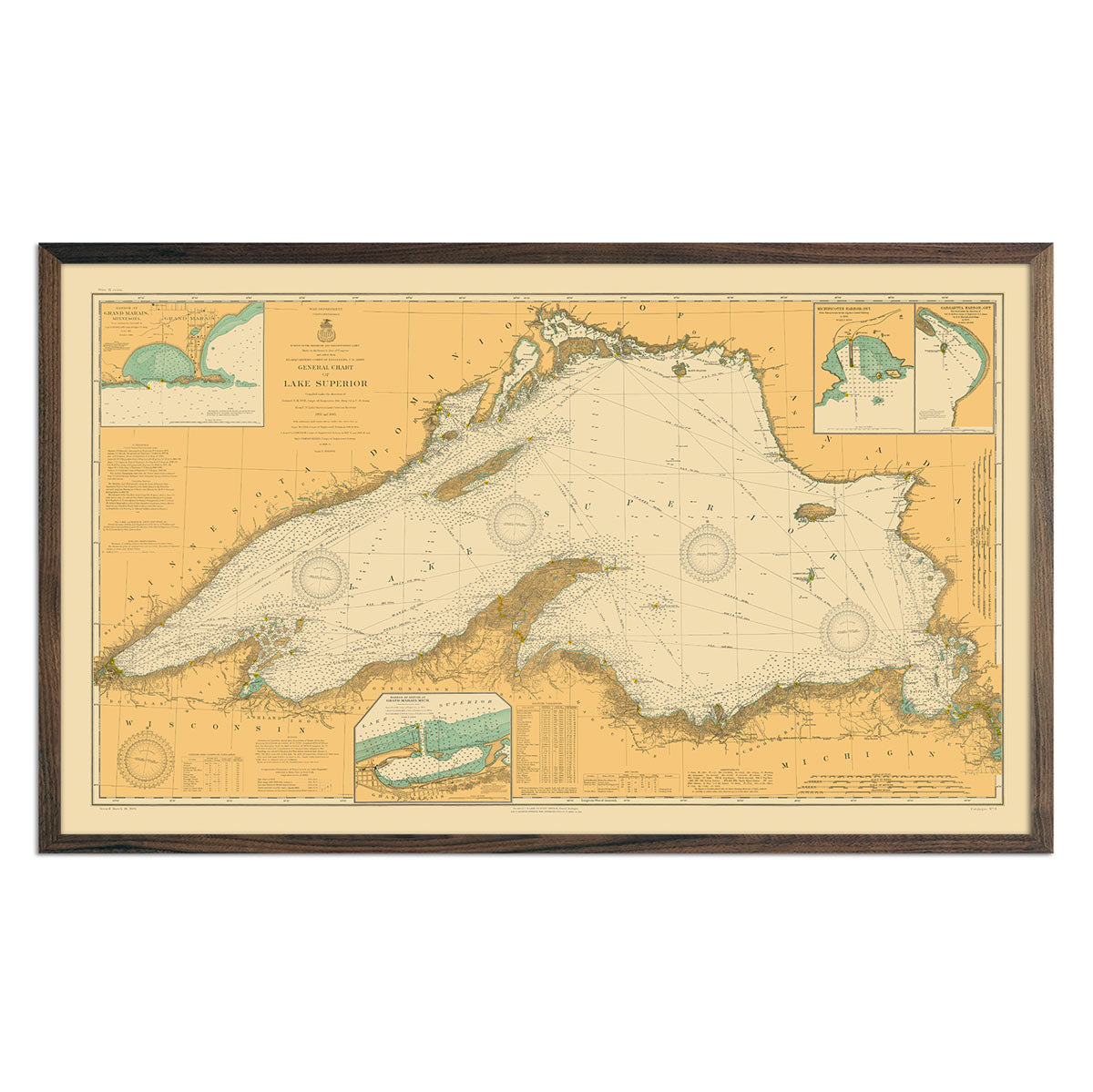
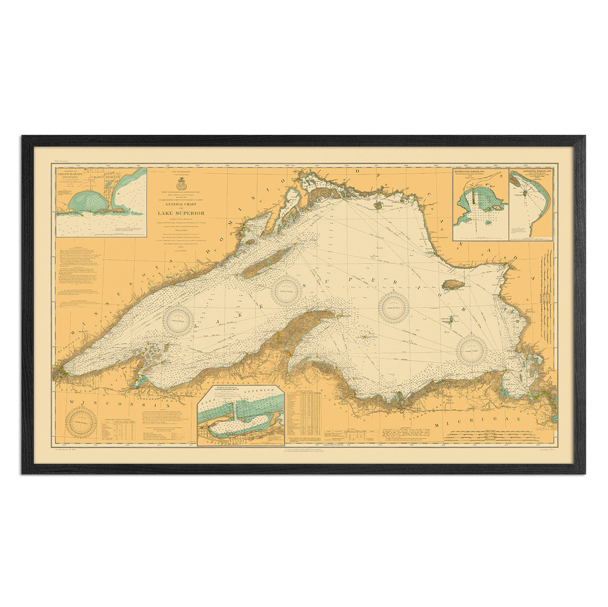
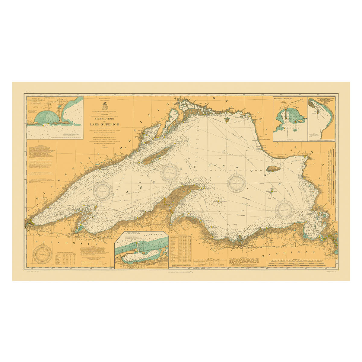
Michigan’s statehood was established in 1837, making it the 26th state. Since then, the state’s topography has been documented in historical maps that we have faithfully restored and updated. Some of our most popular map prints include the 1878 shaded relief map, the Michigan Upper Peninsula and Lower Peninsula shaded relief maps of 1982, and the Great Lakes 1955 shaded relief map.
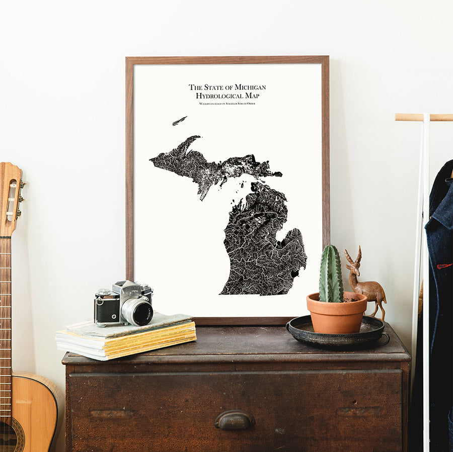
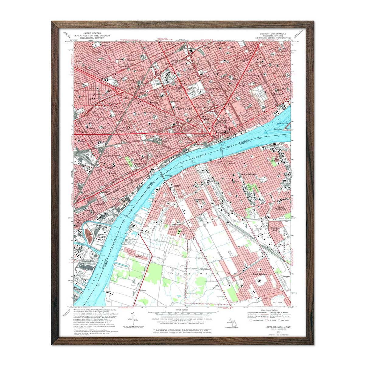
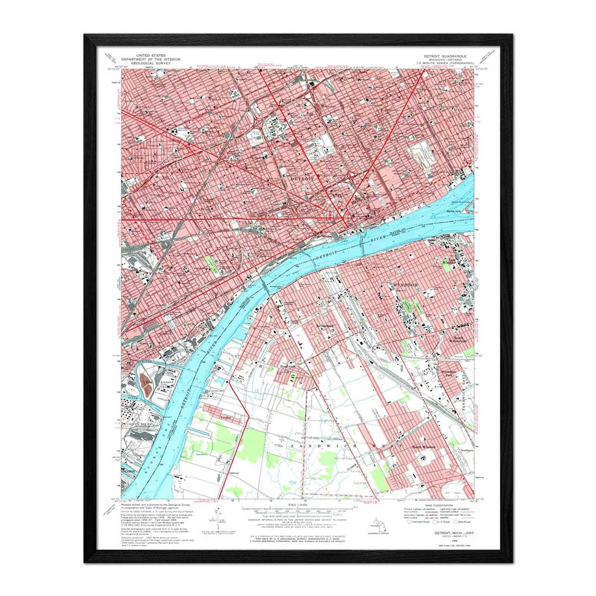
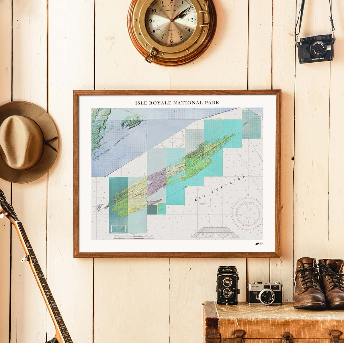
Unlike common rolled maps or posters, our map art is custom printed using archival inks and fine art paper certified to last 100 years. Our original designs provide a unique viewing experience, highlighting interesting features in Michigan’s distinct terrain.
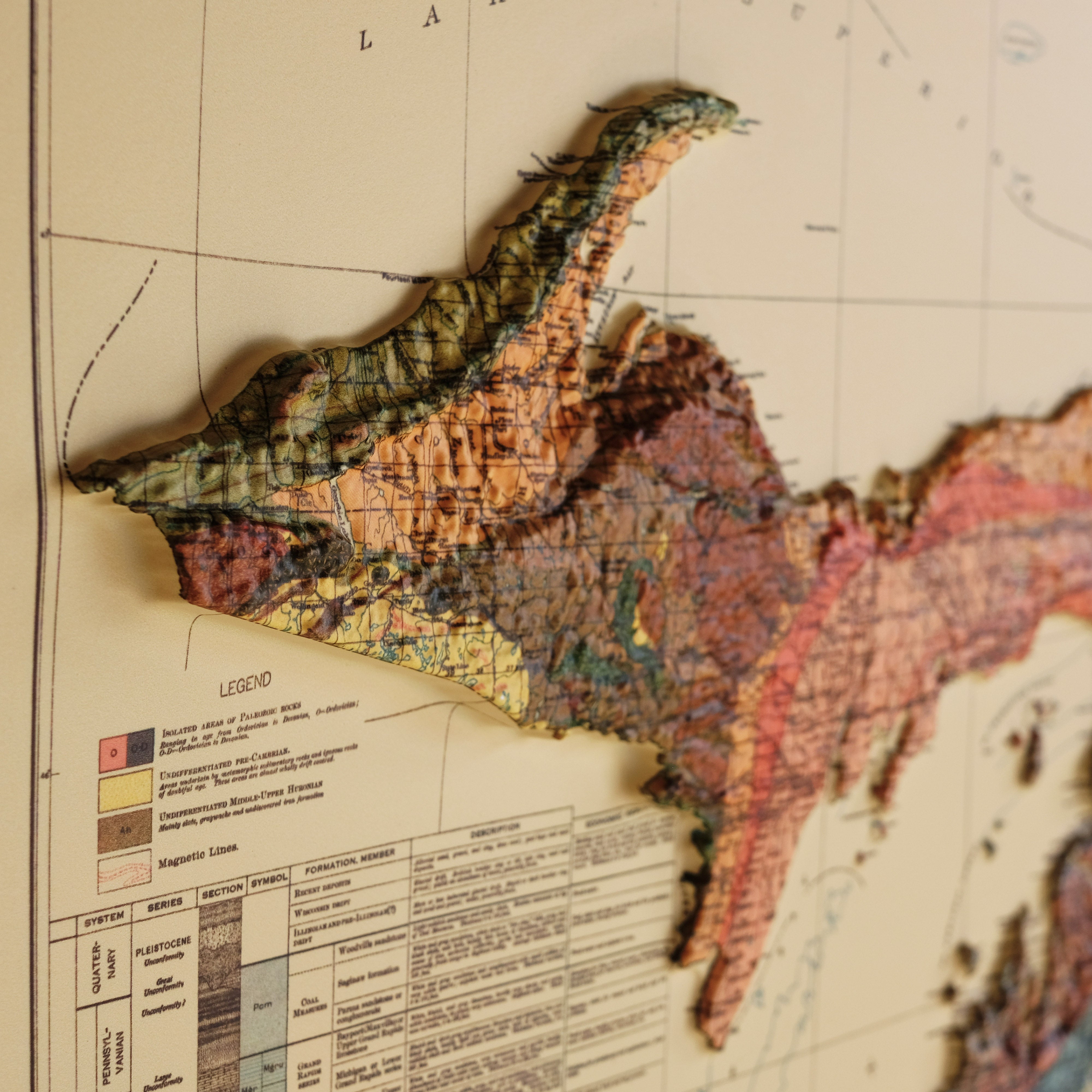
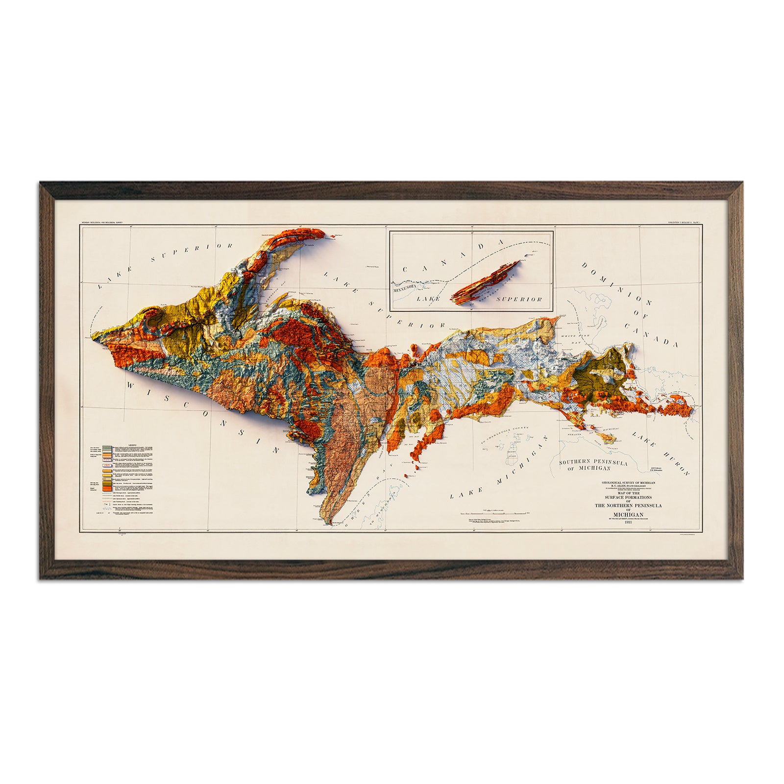
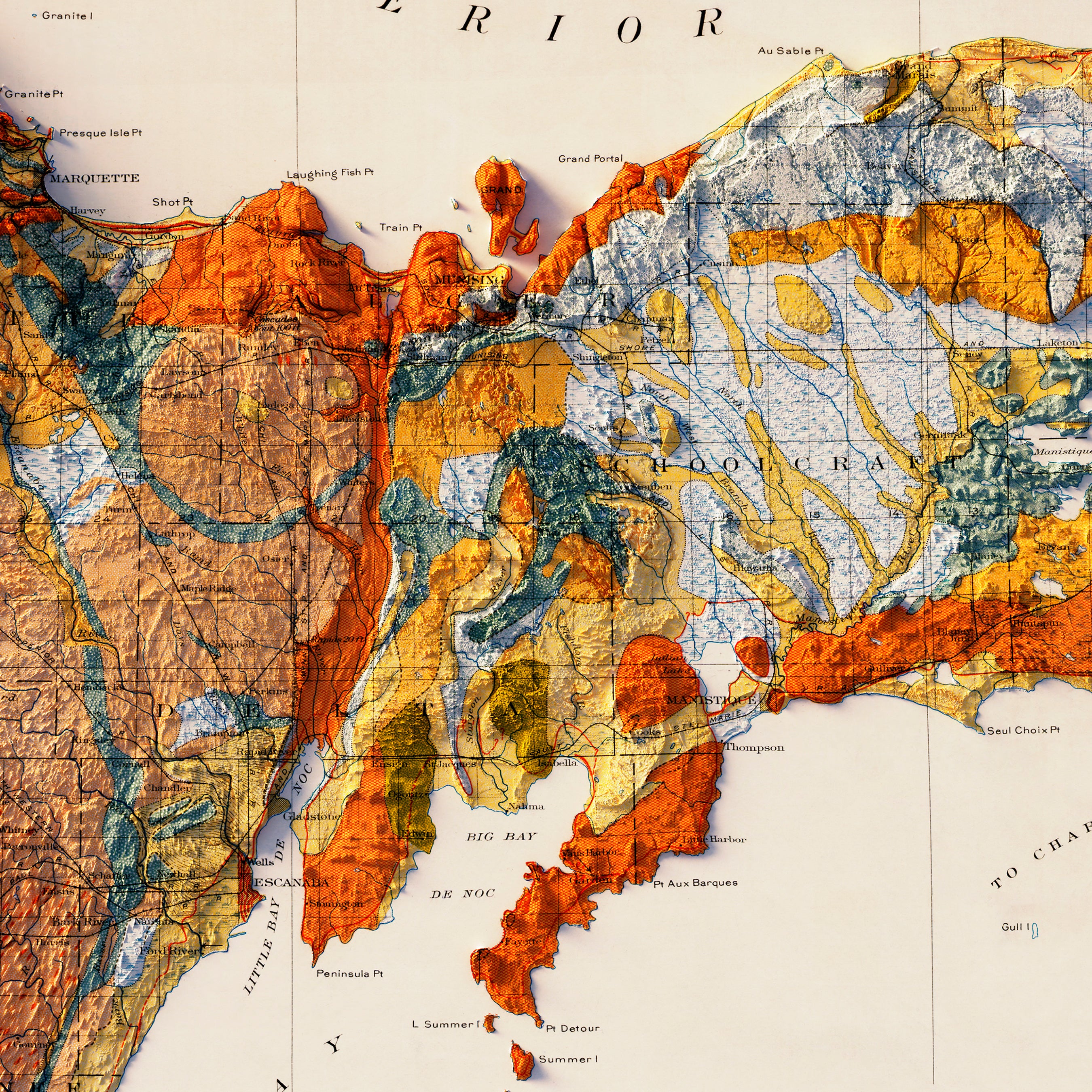
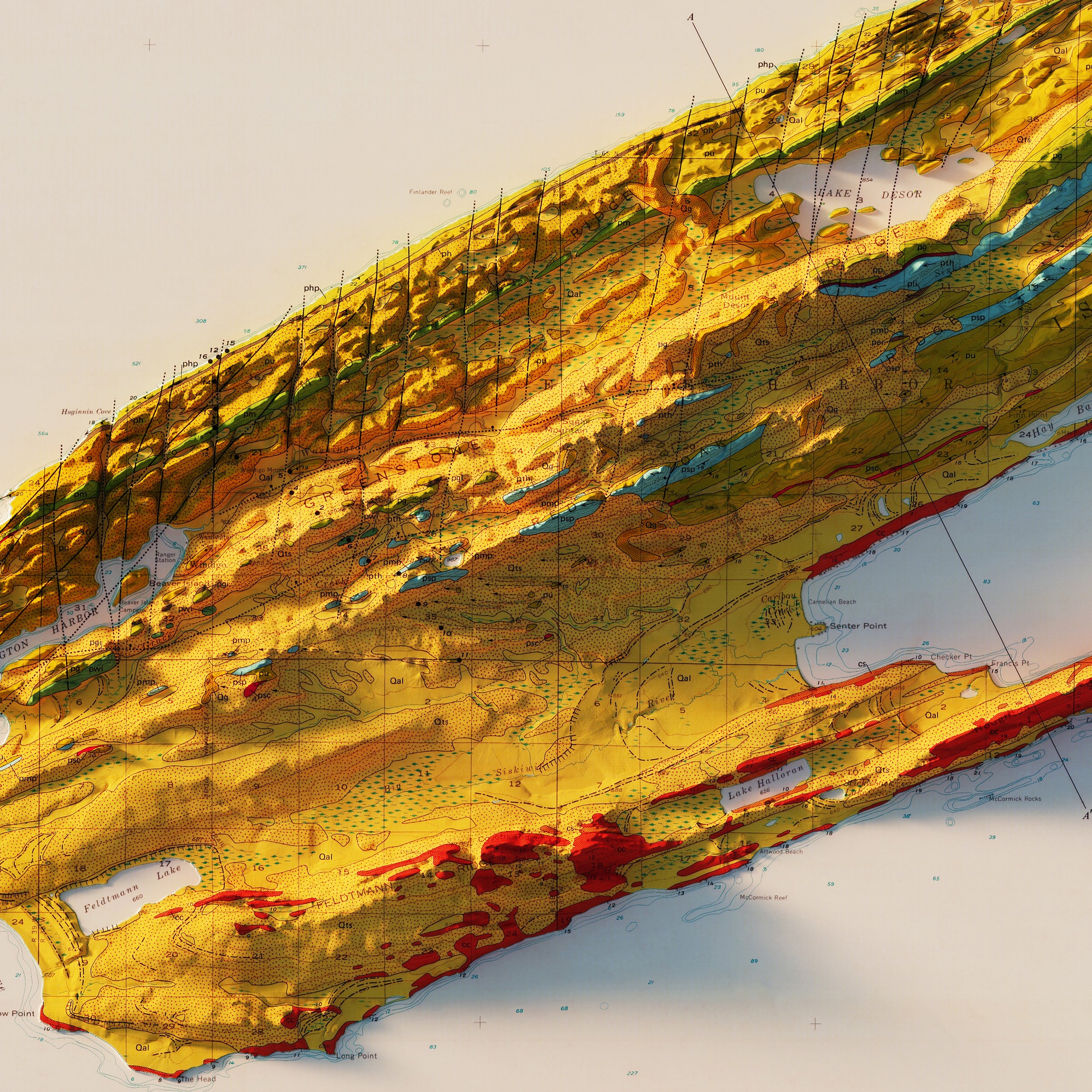
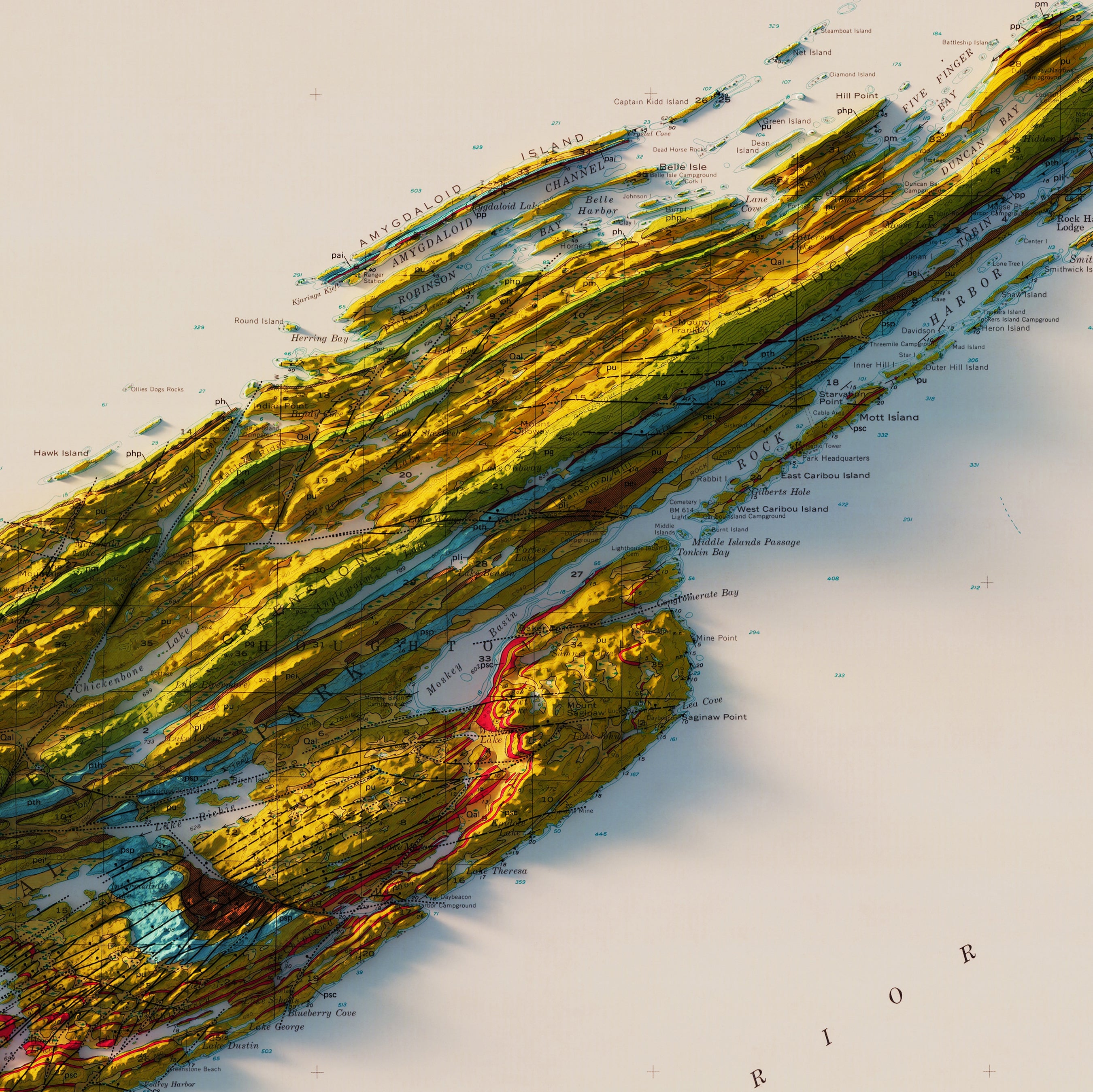
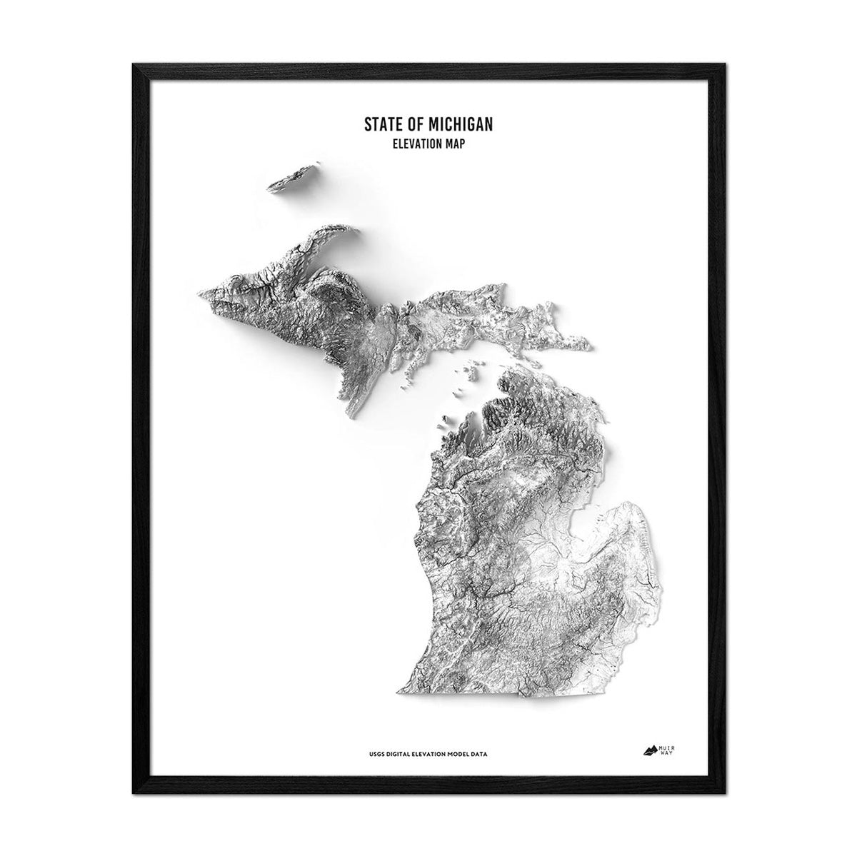
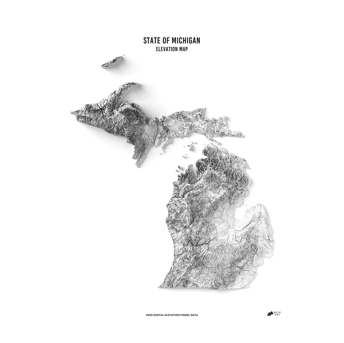
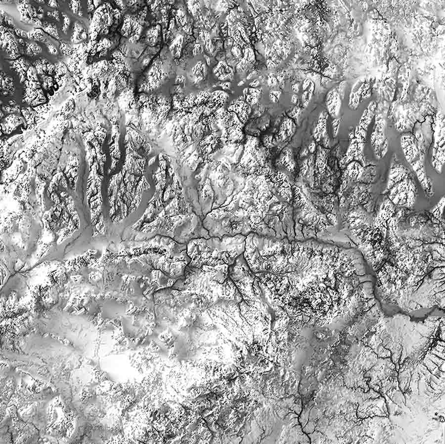
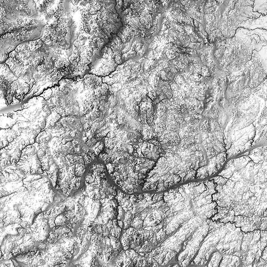
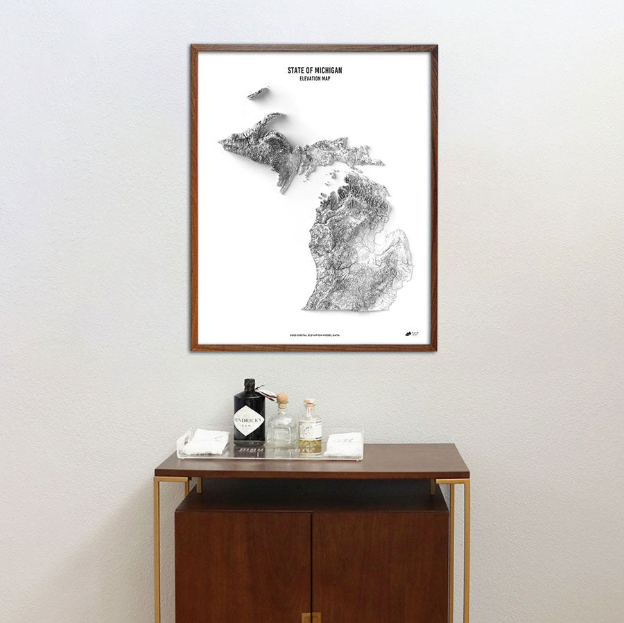
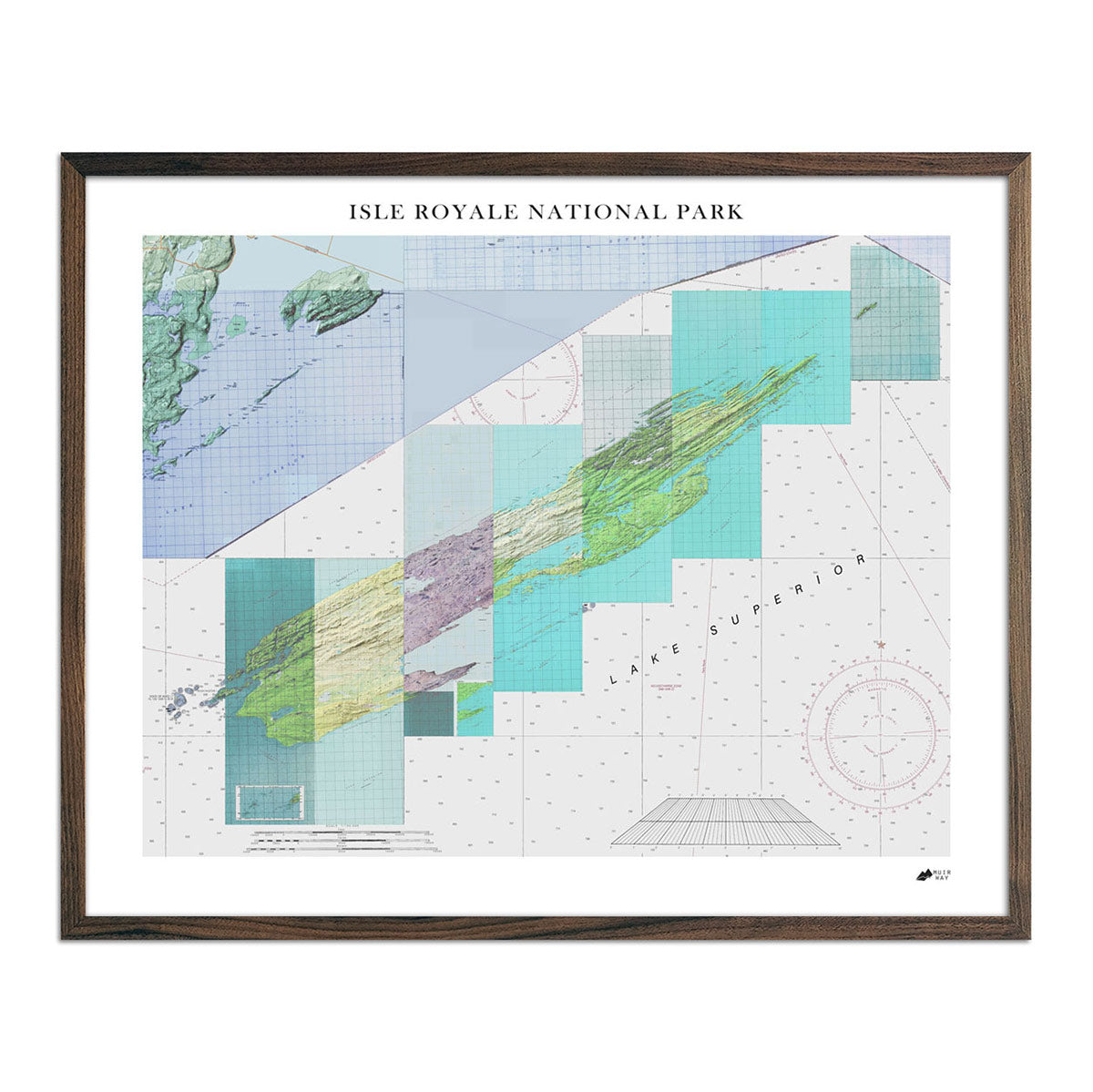
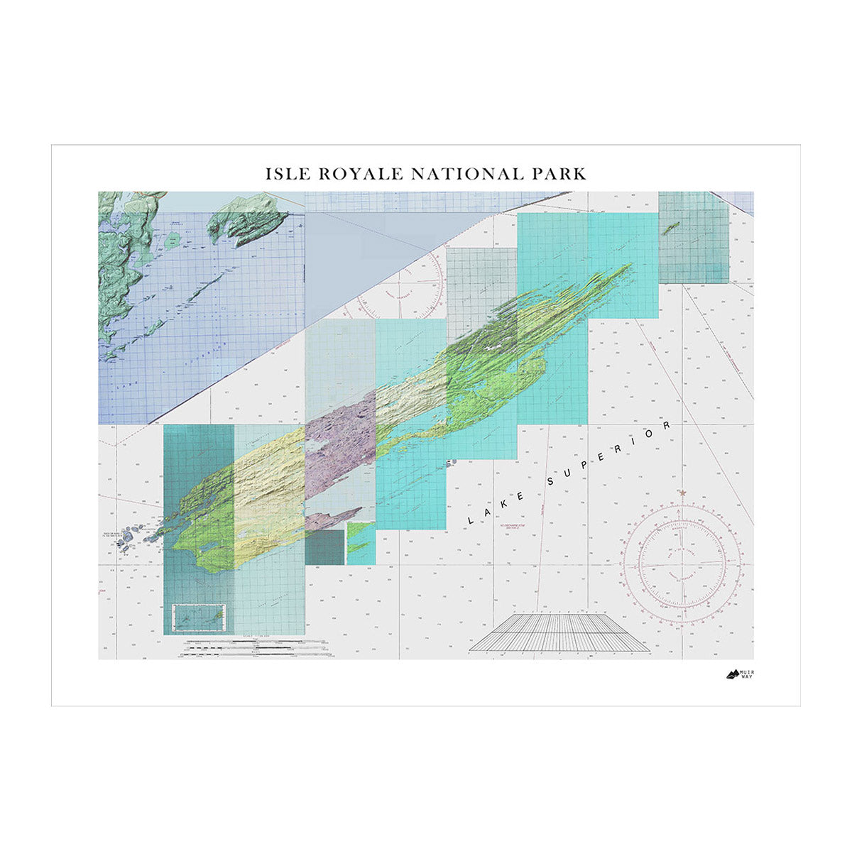
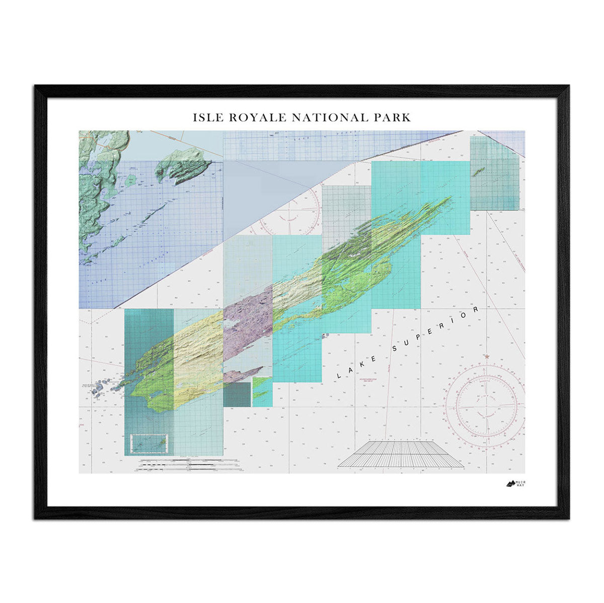
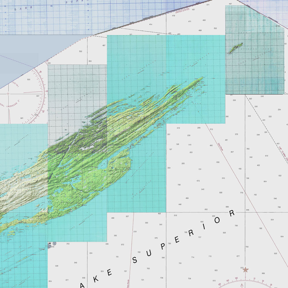
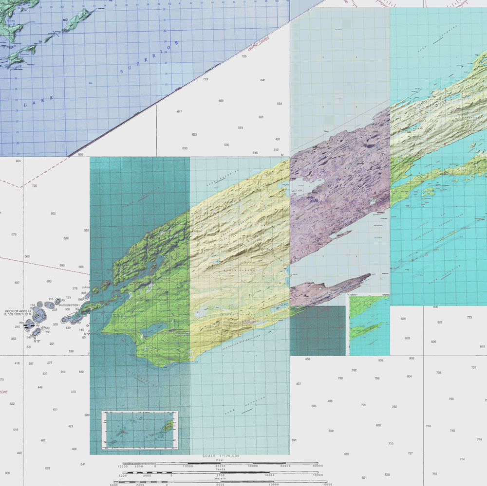
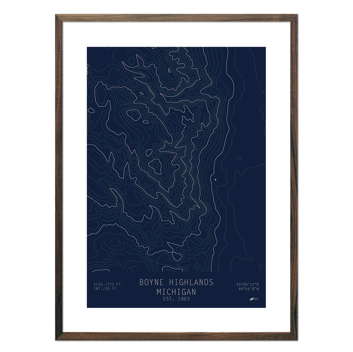
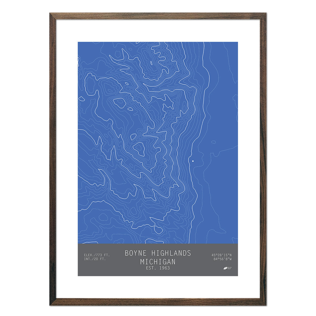
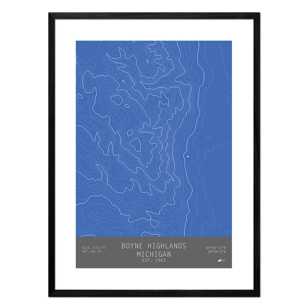
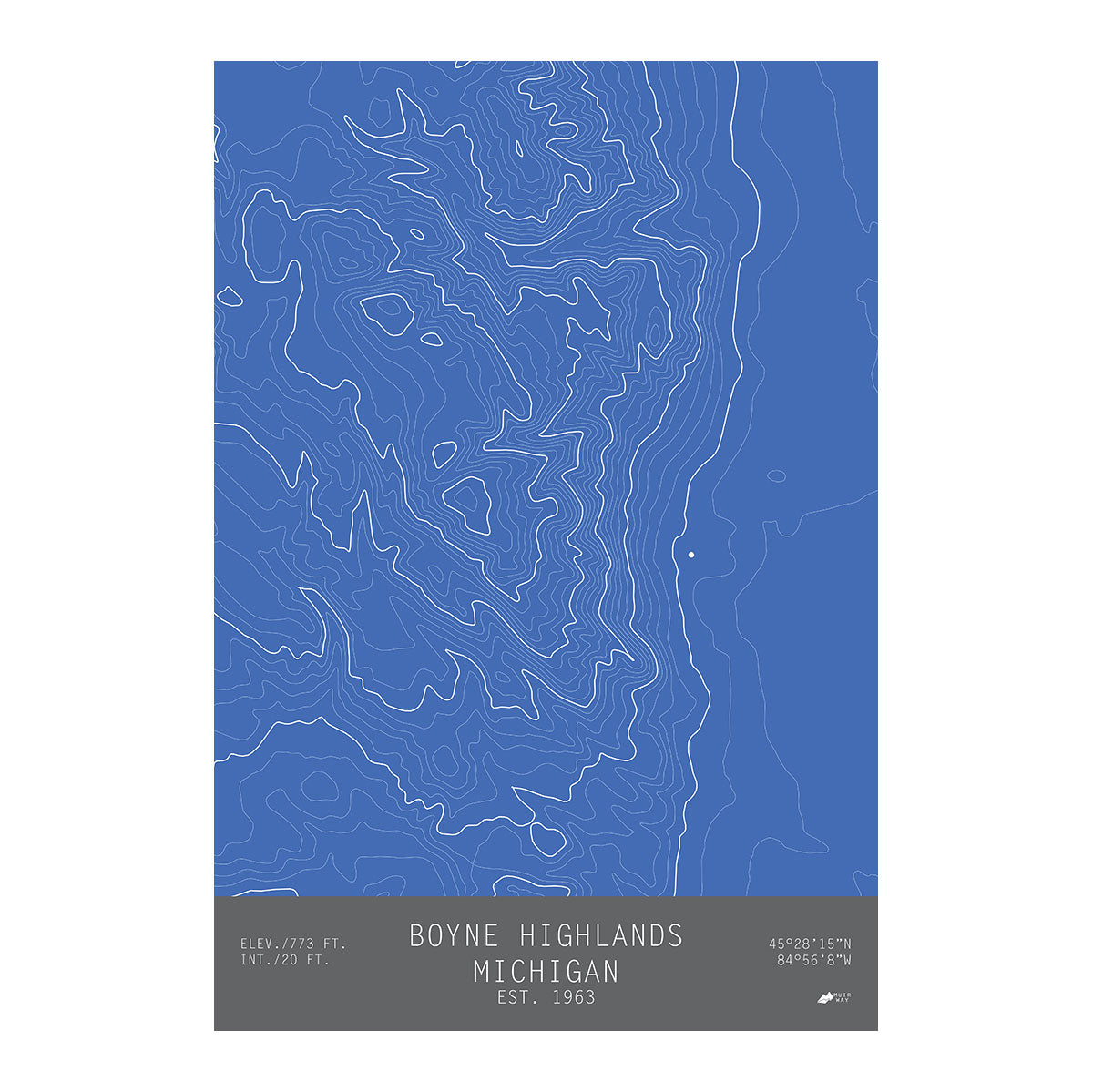
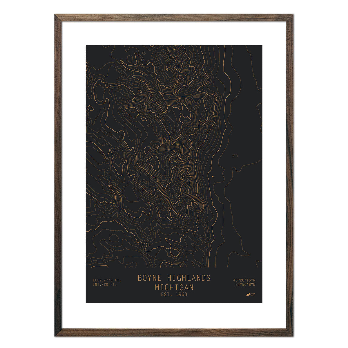
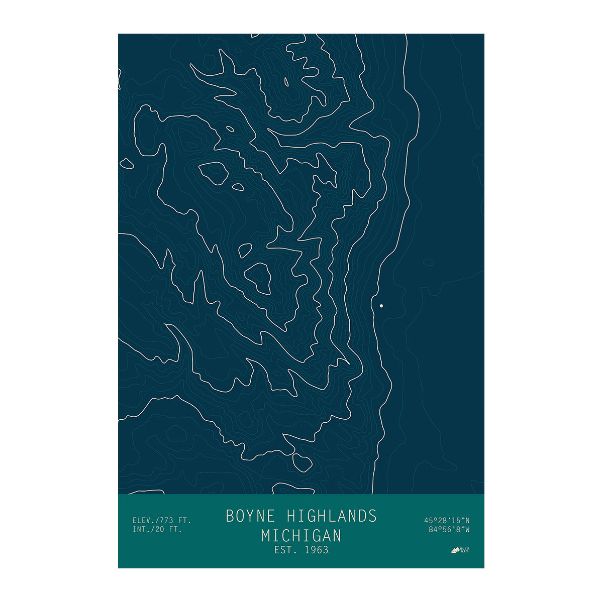
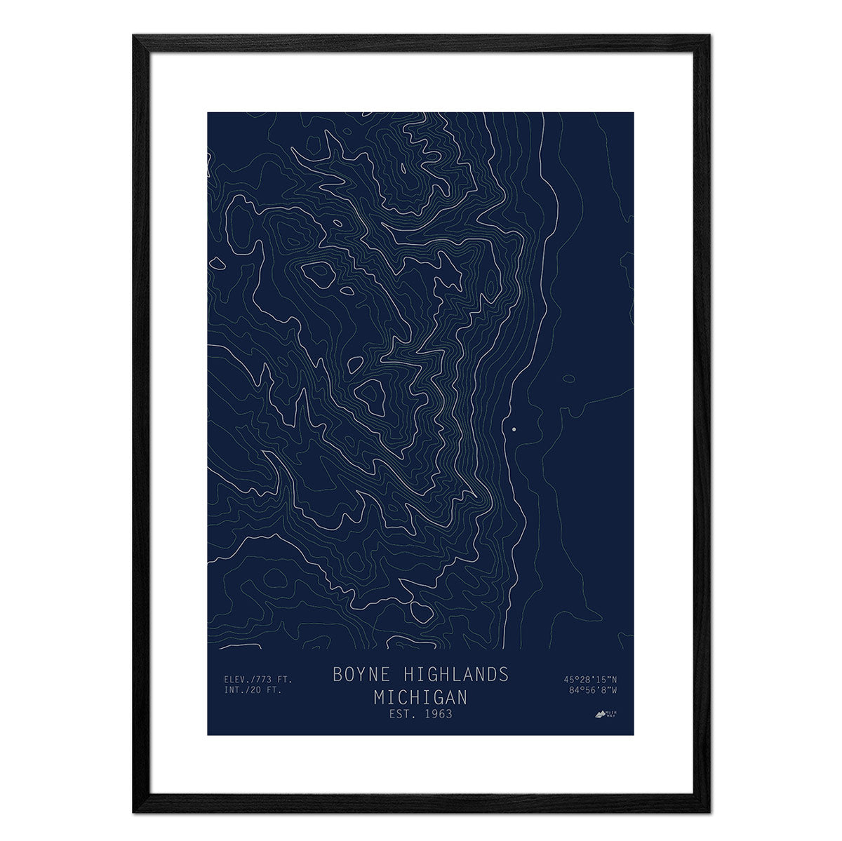
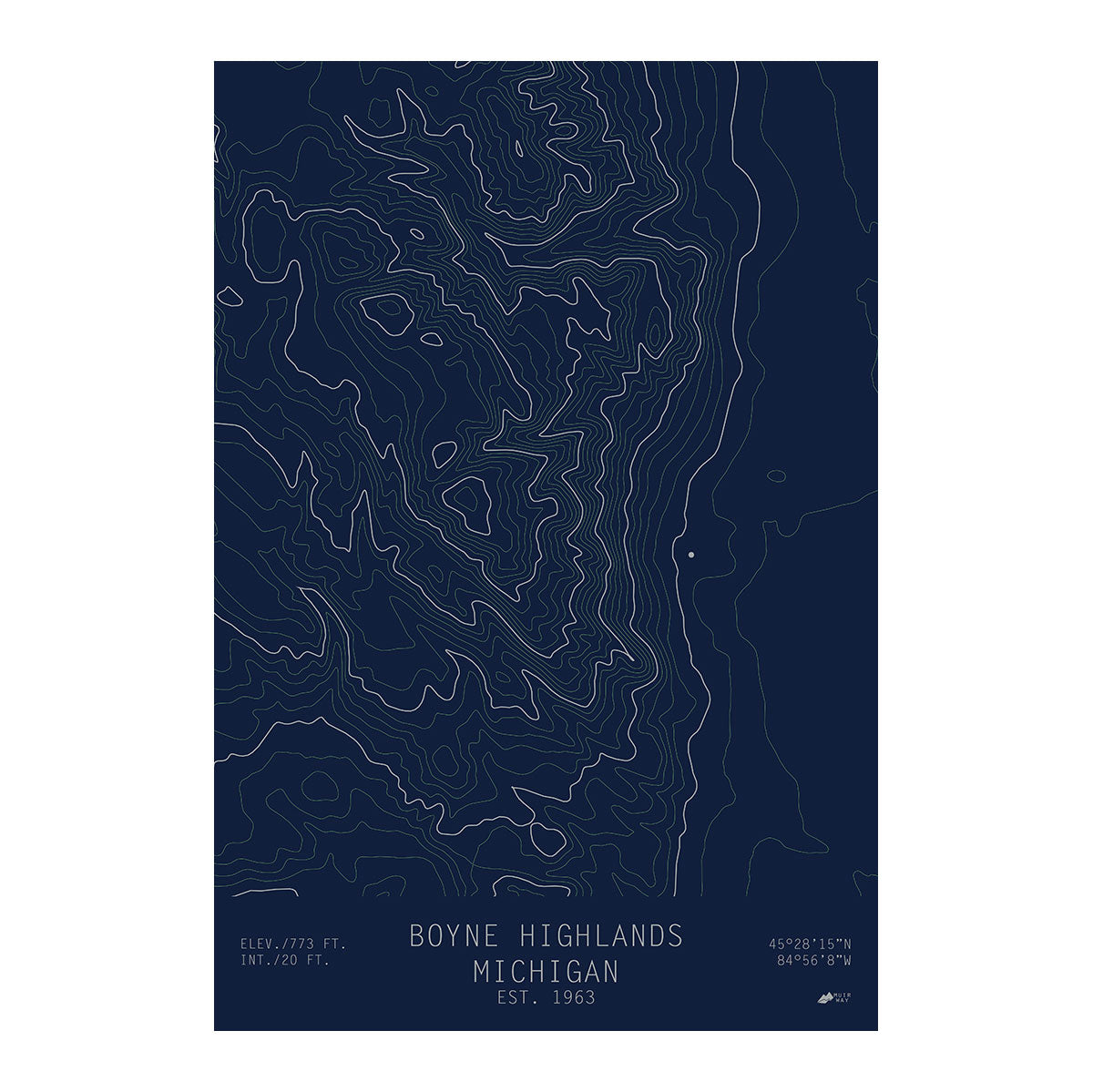
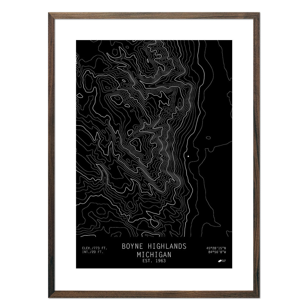
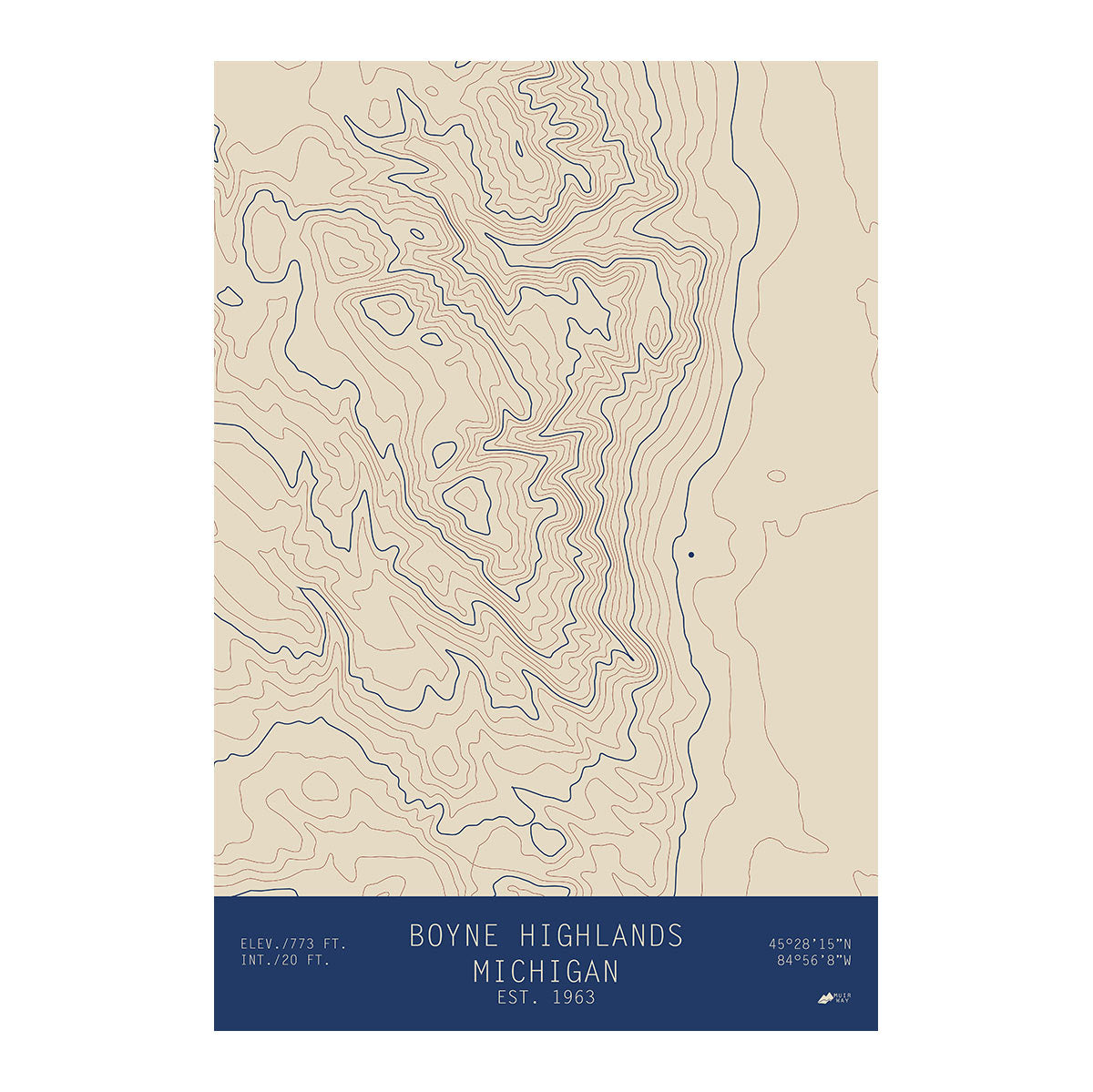
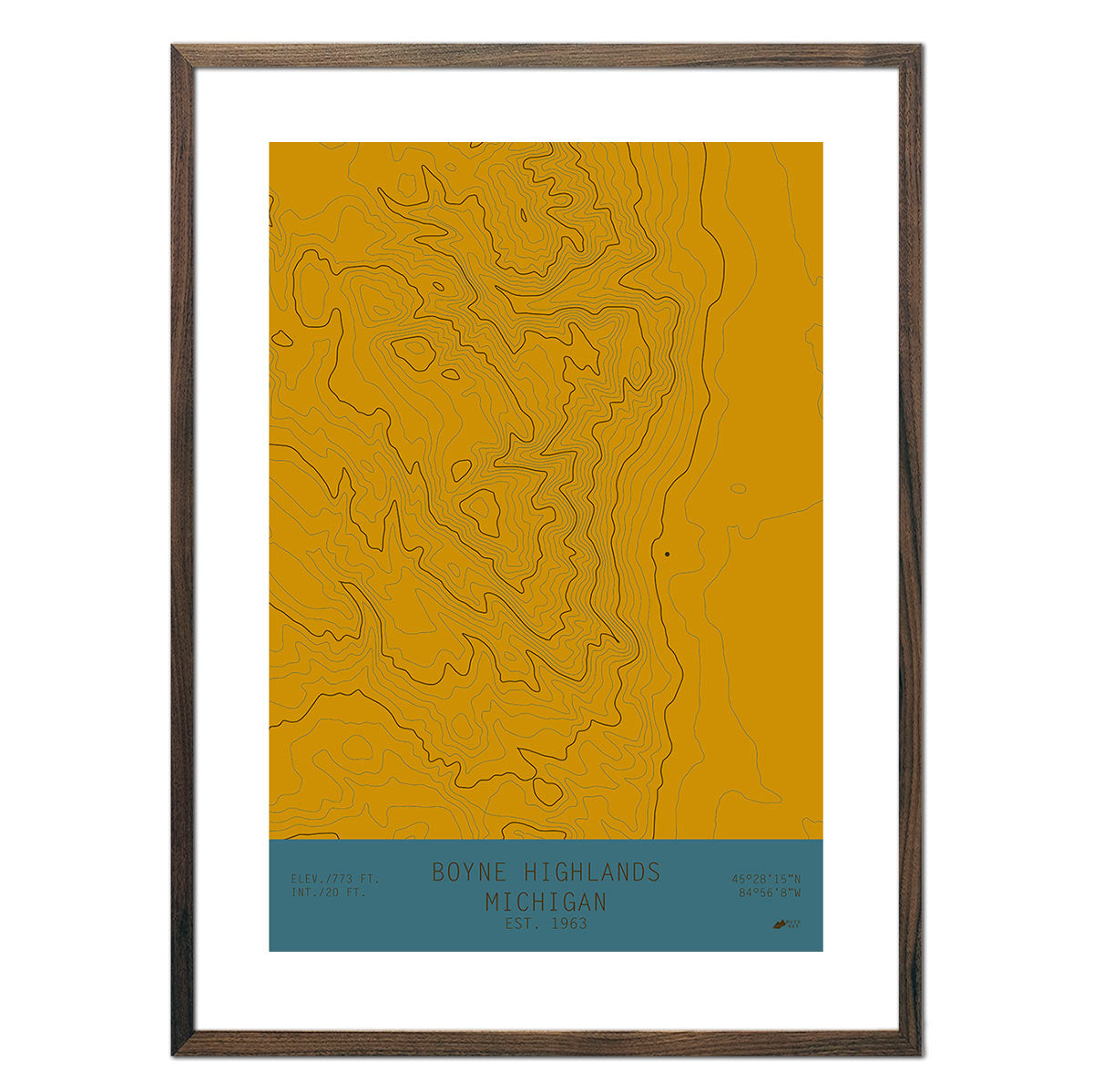
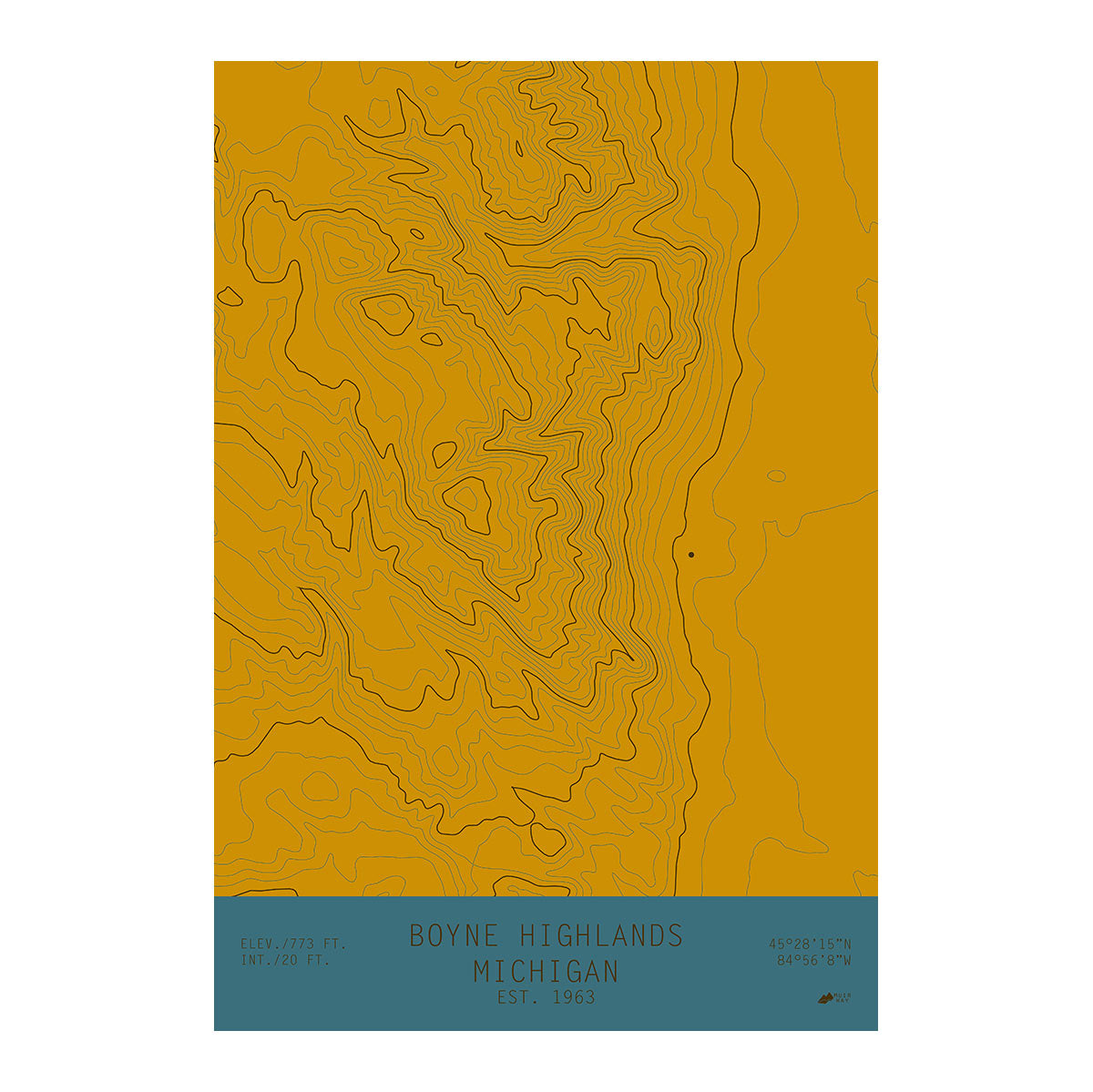
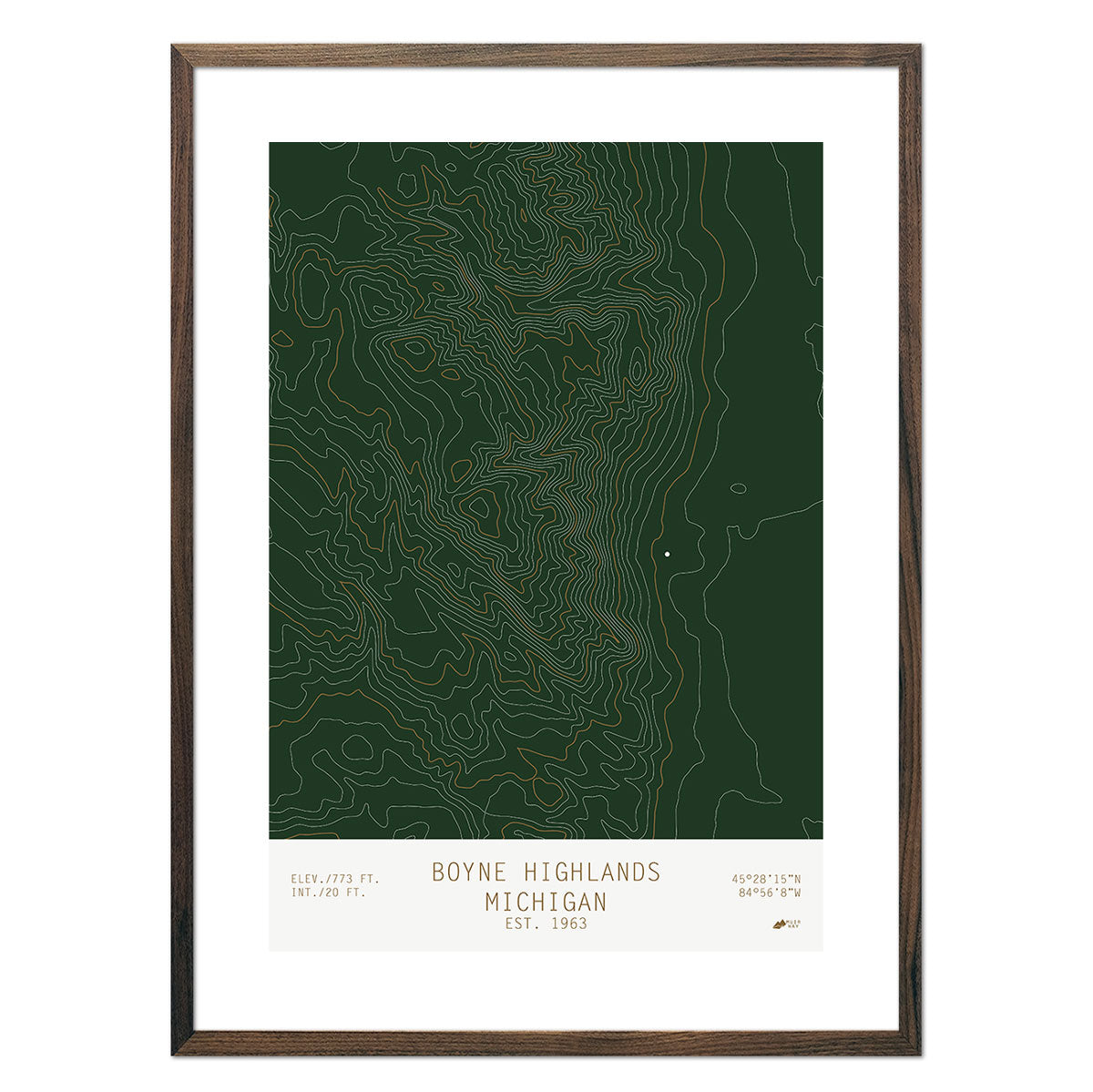
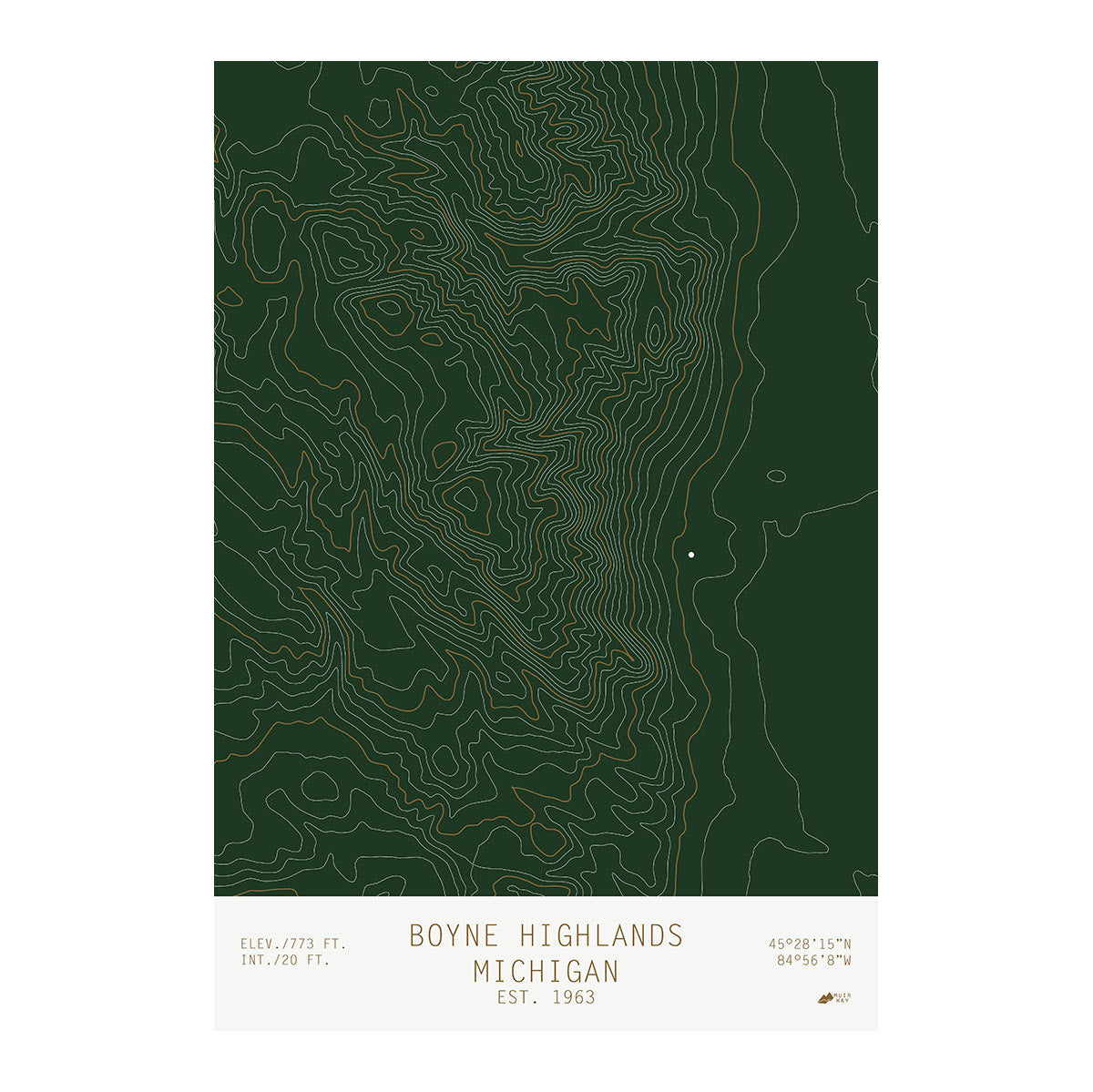
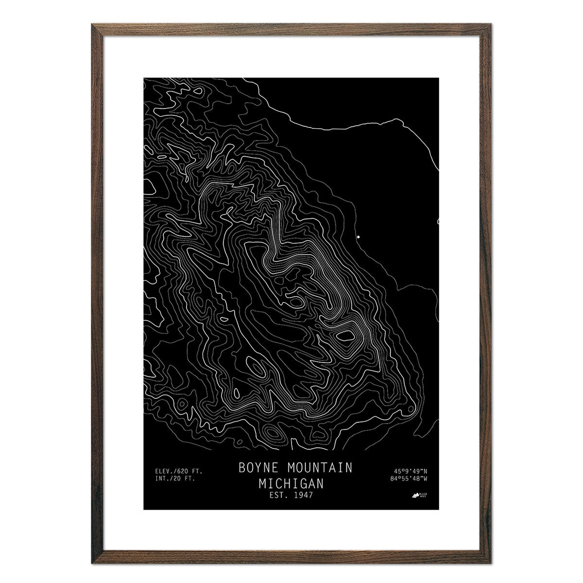
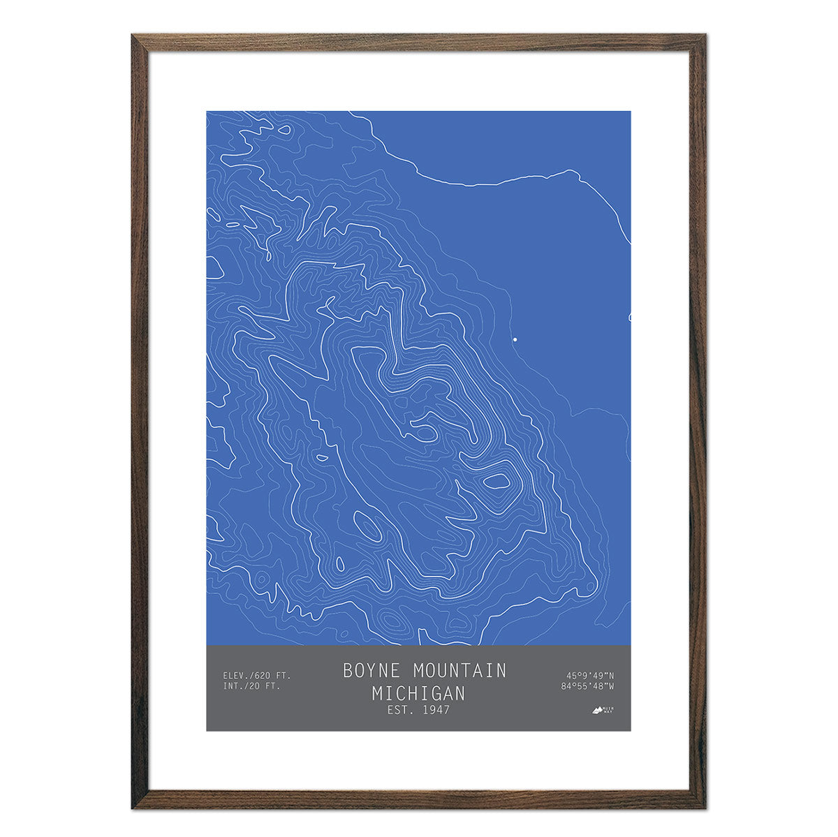
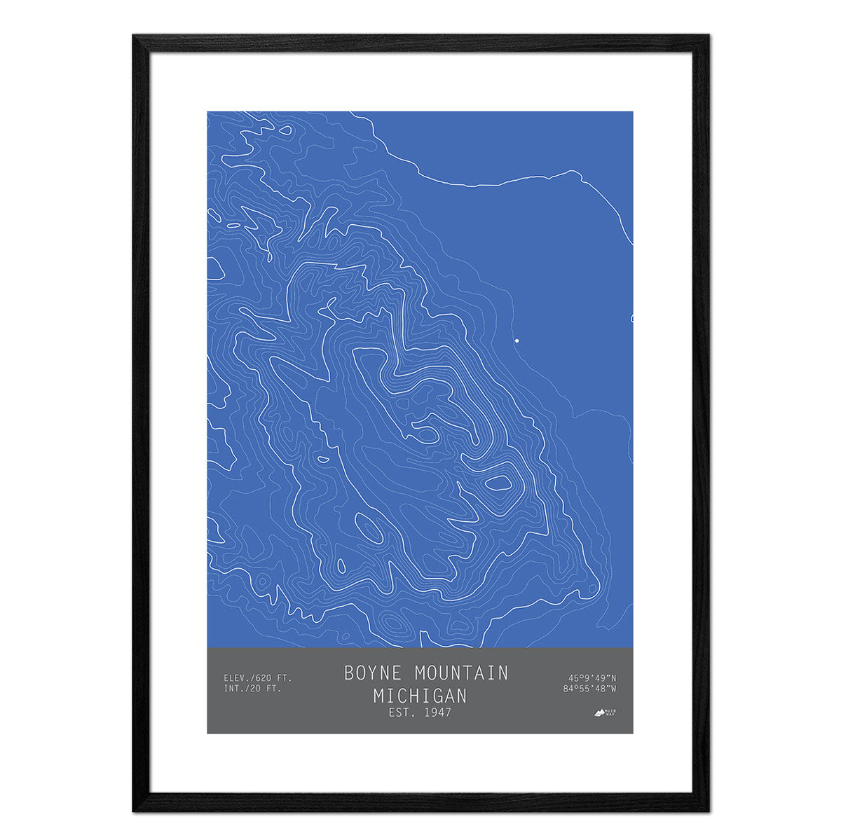
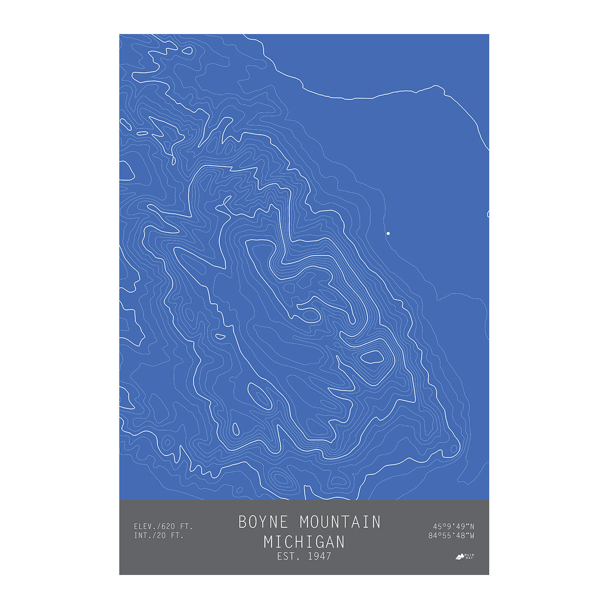
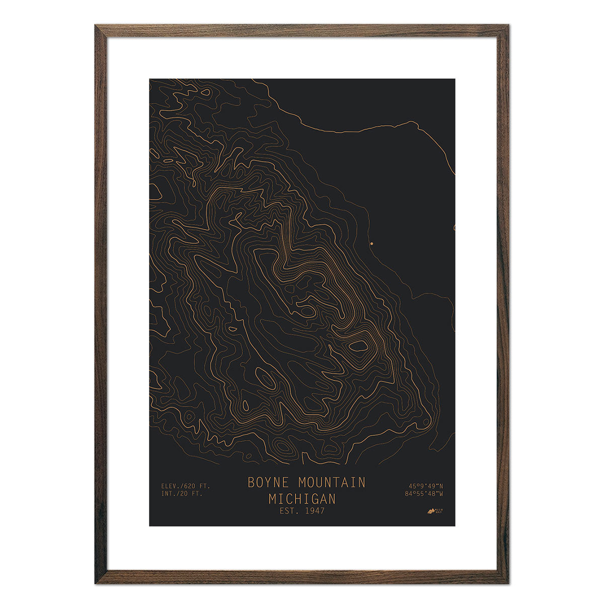
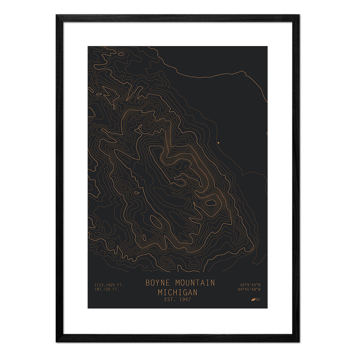
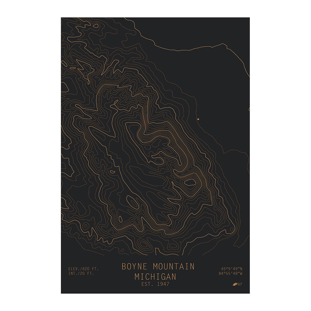
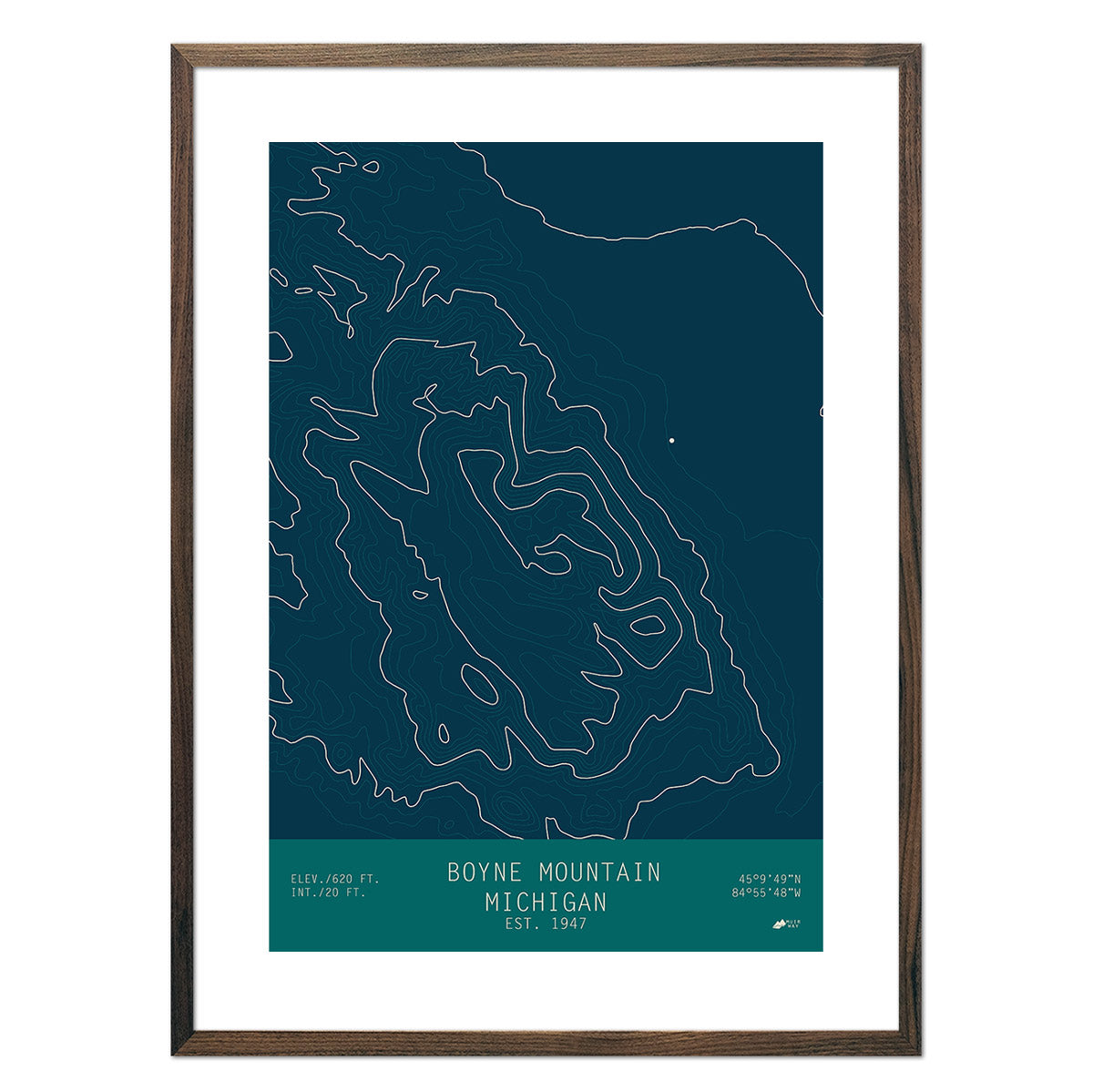
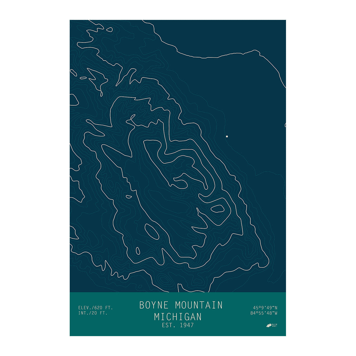
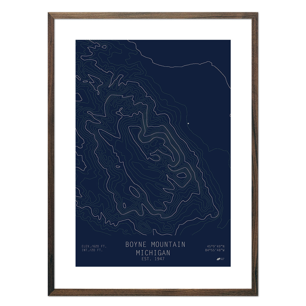
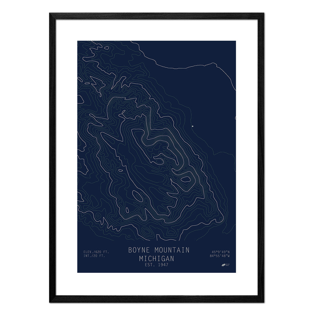
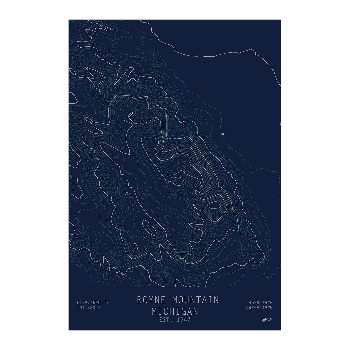
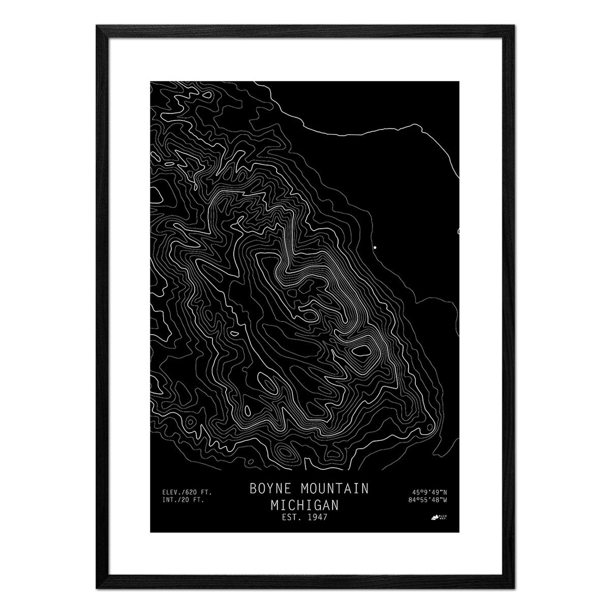
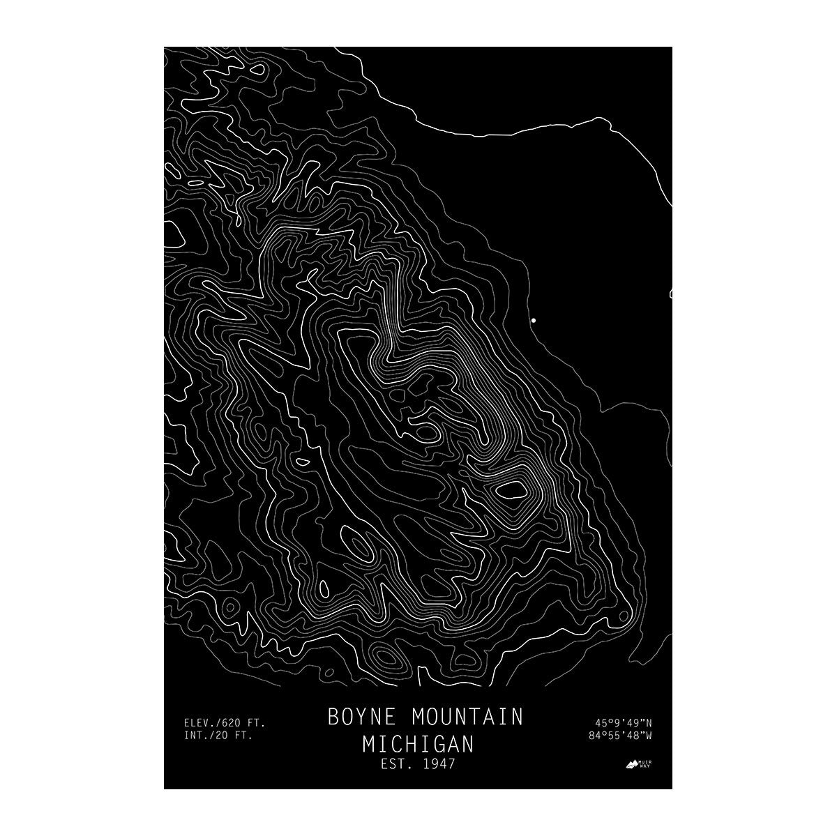
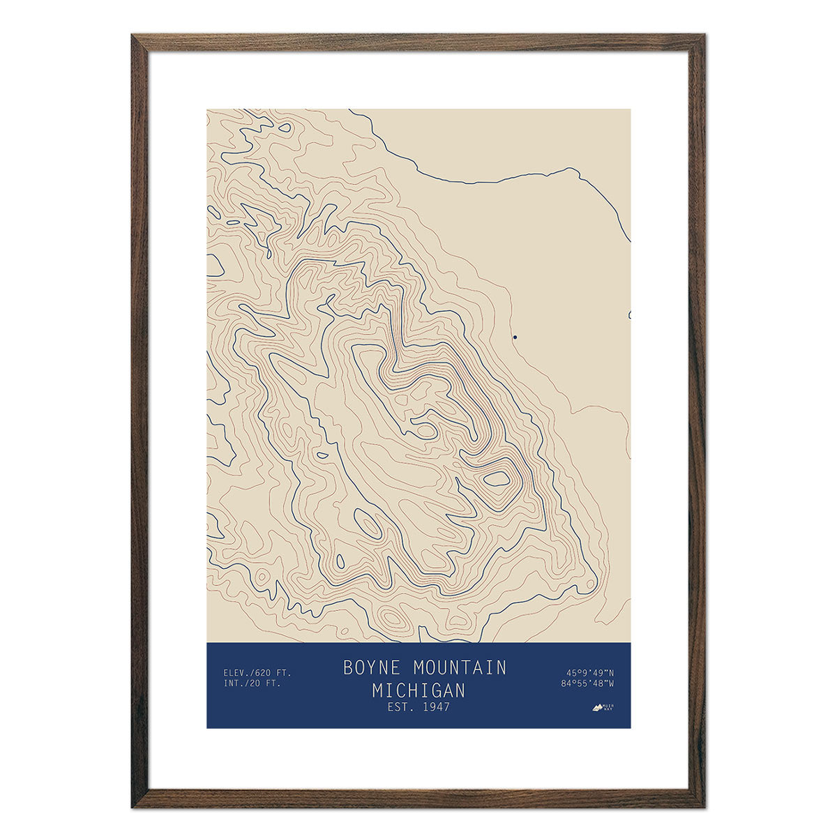
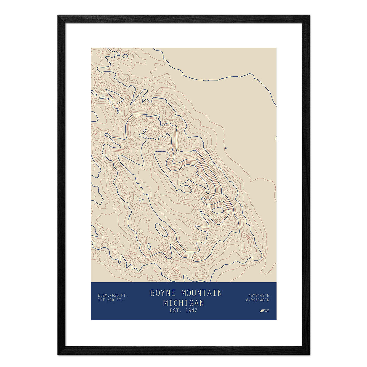
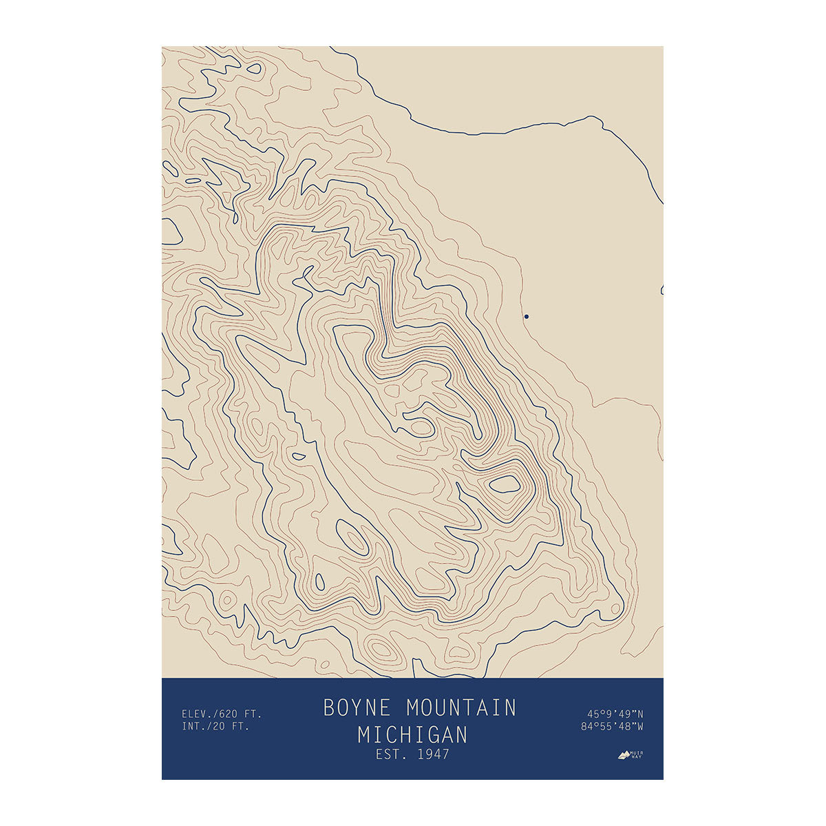
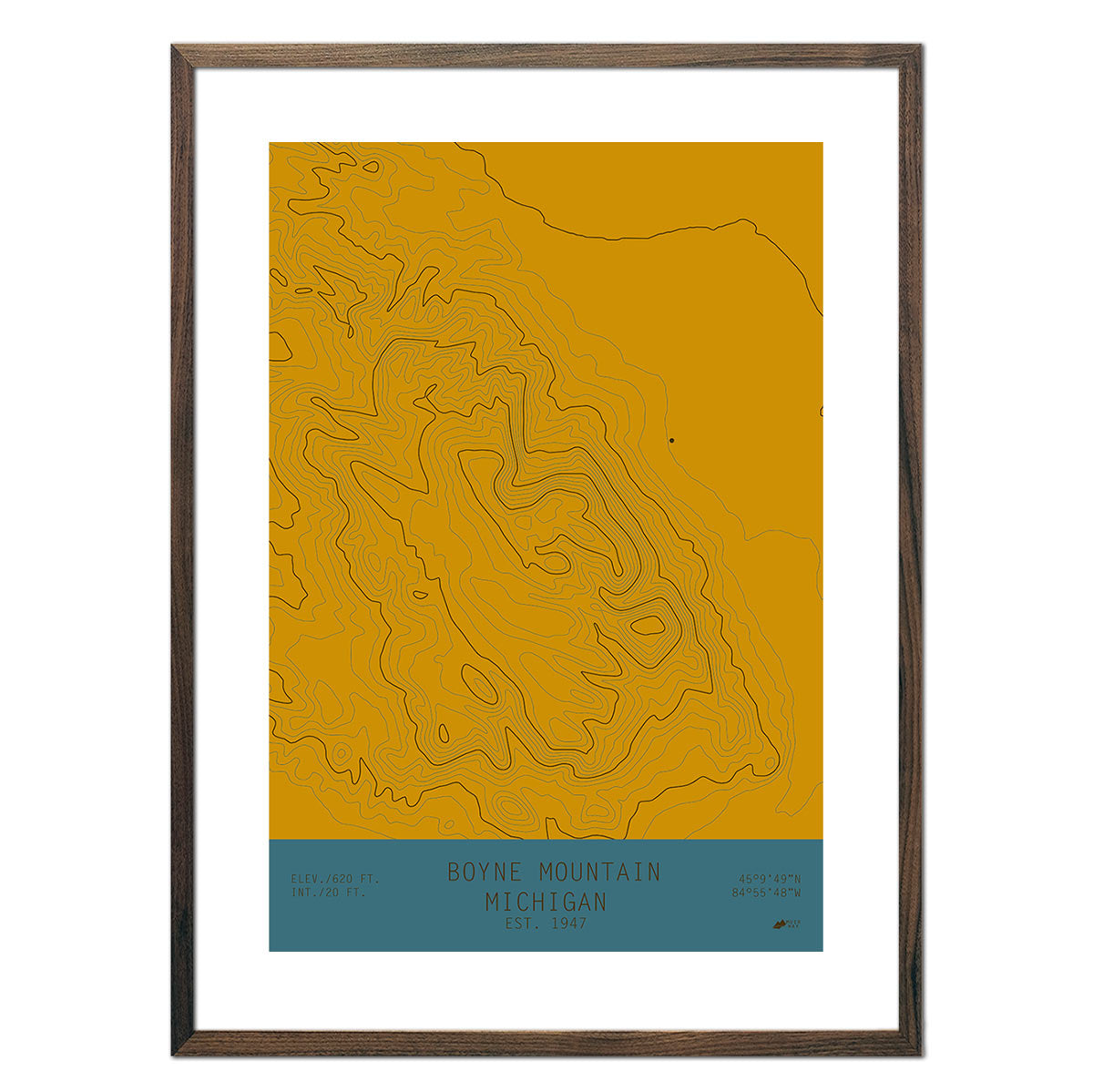
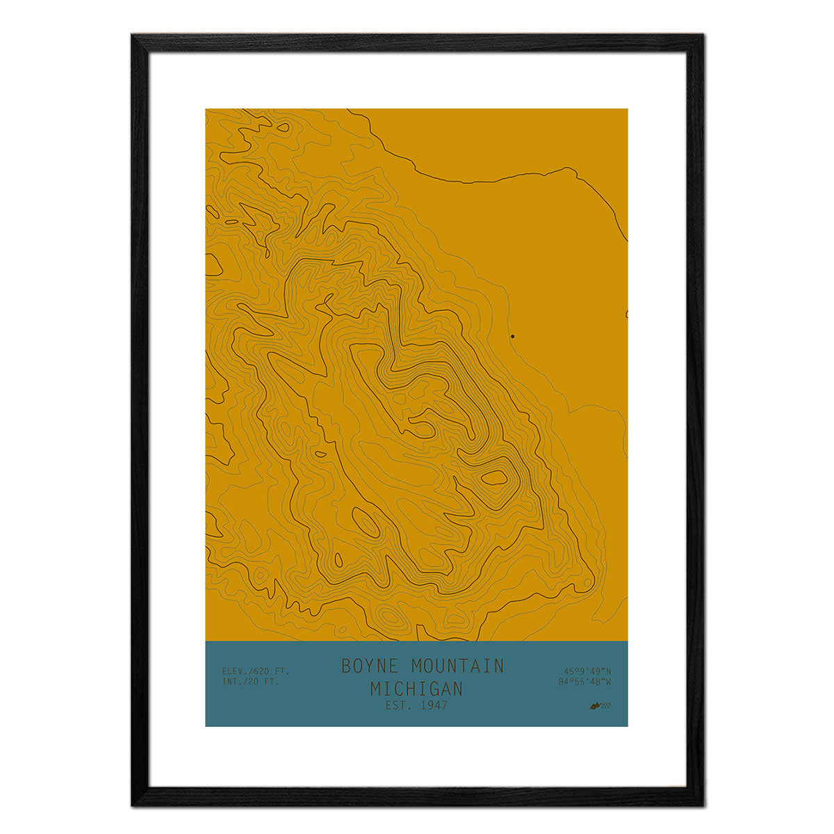
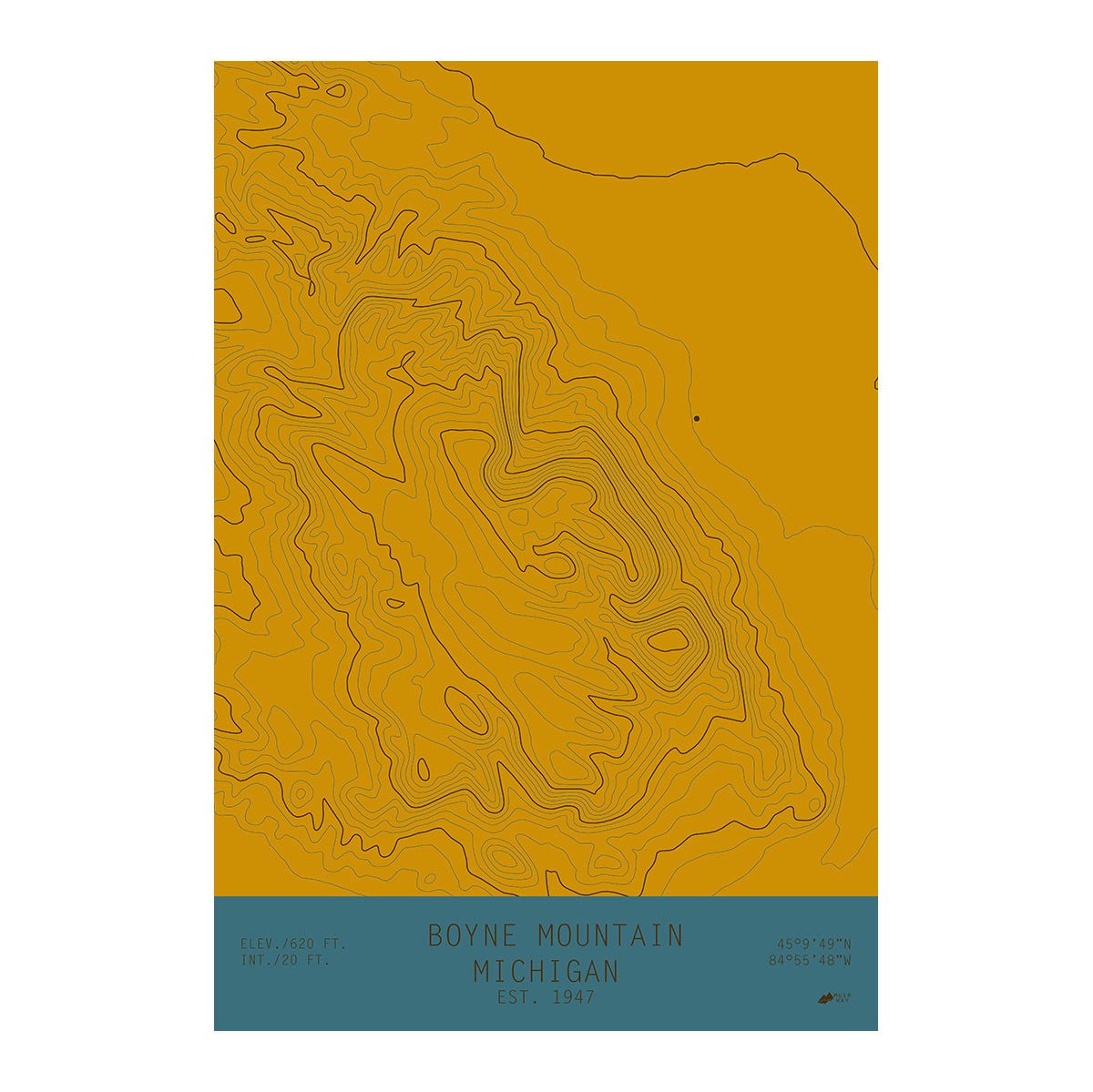
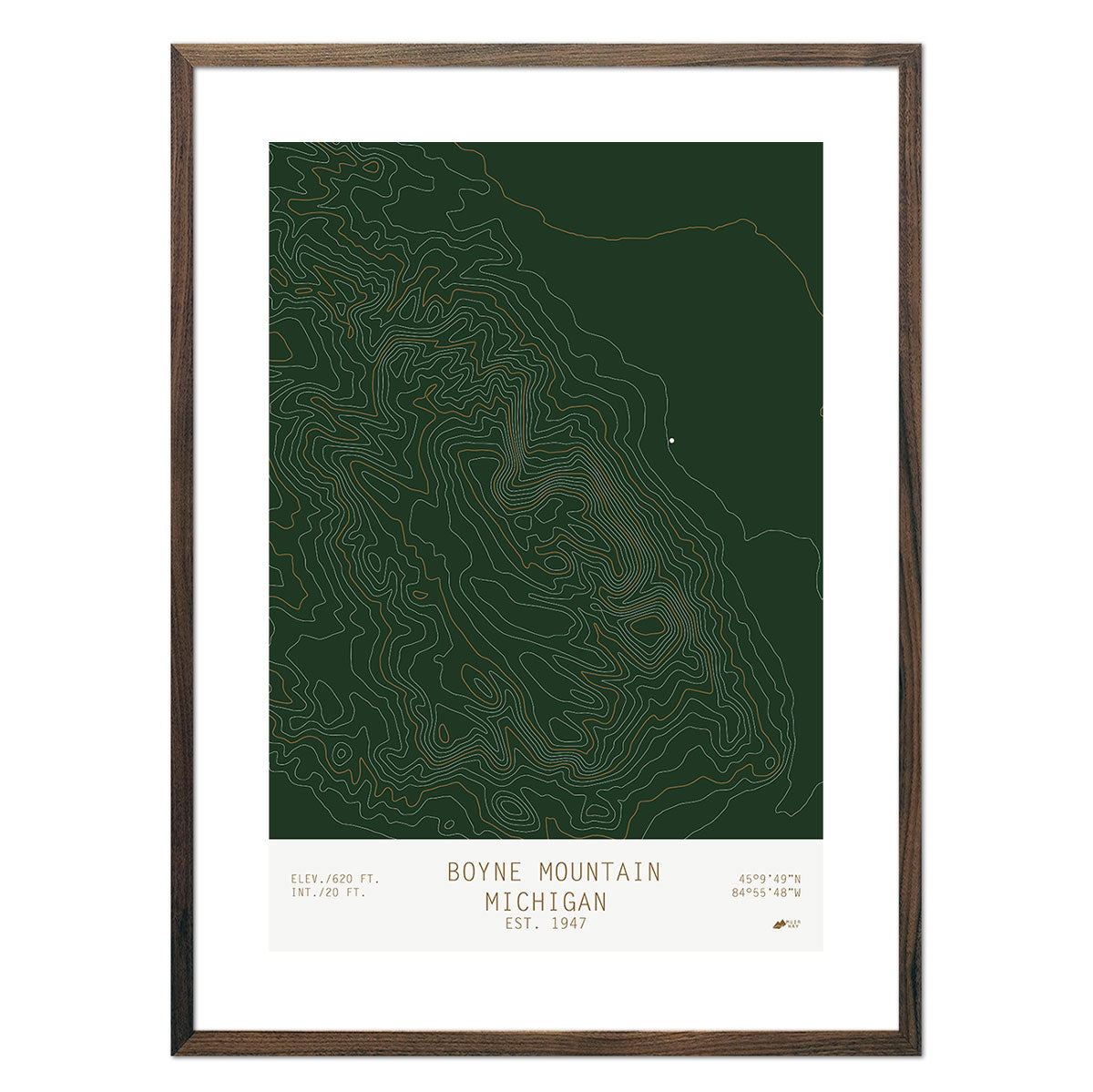
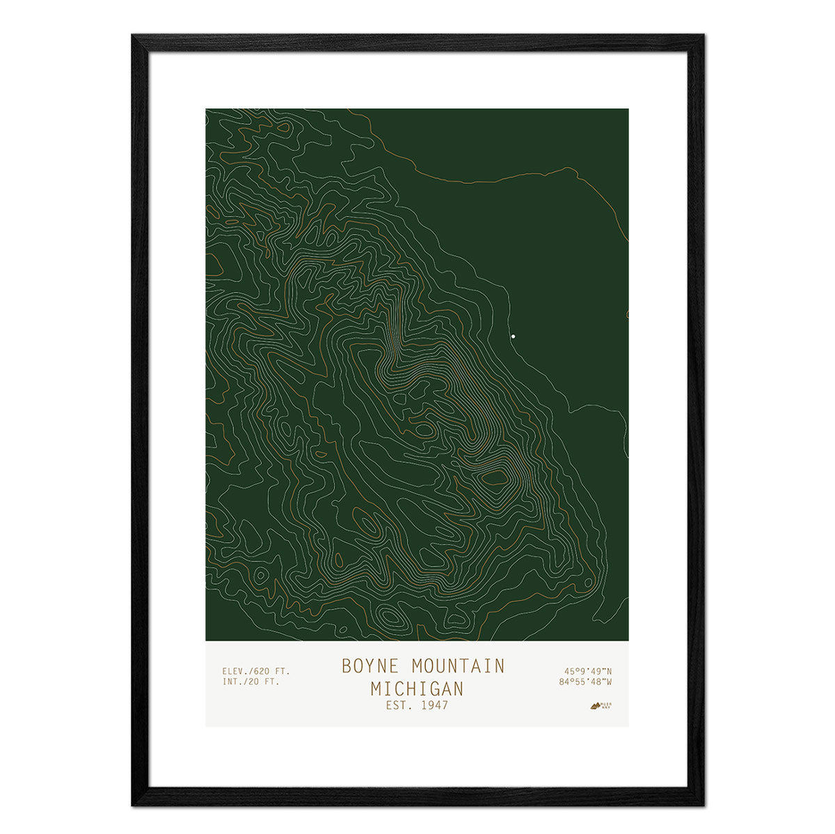
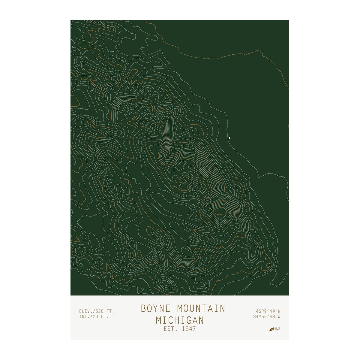
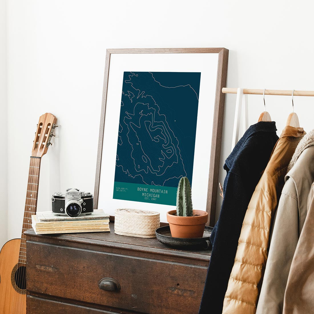
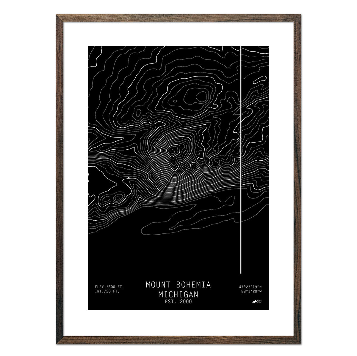
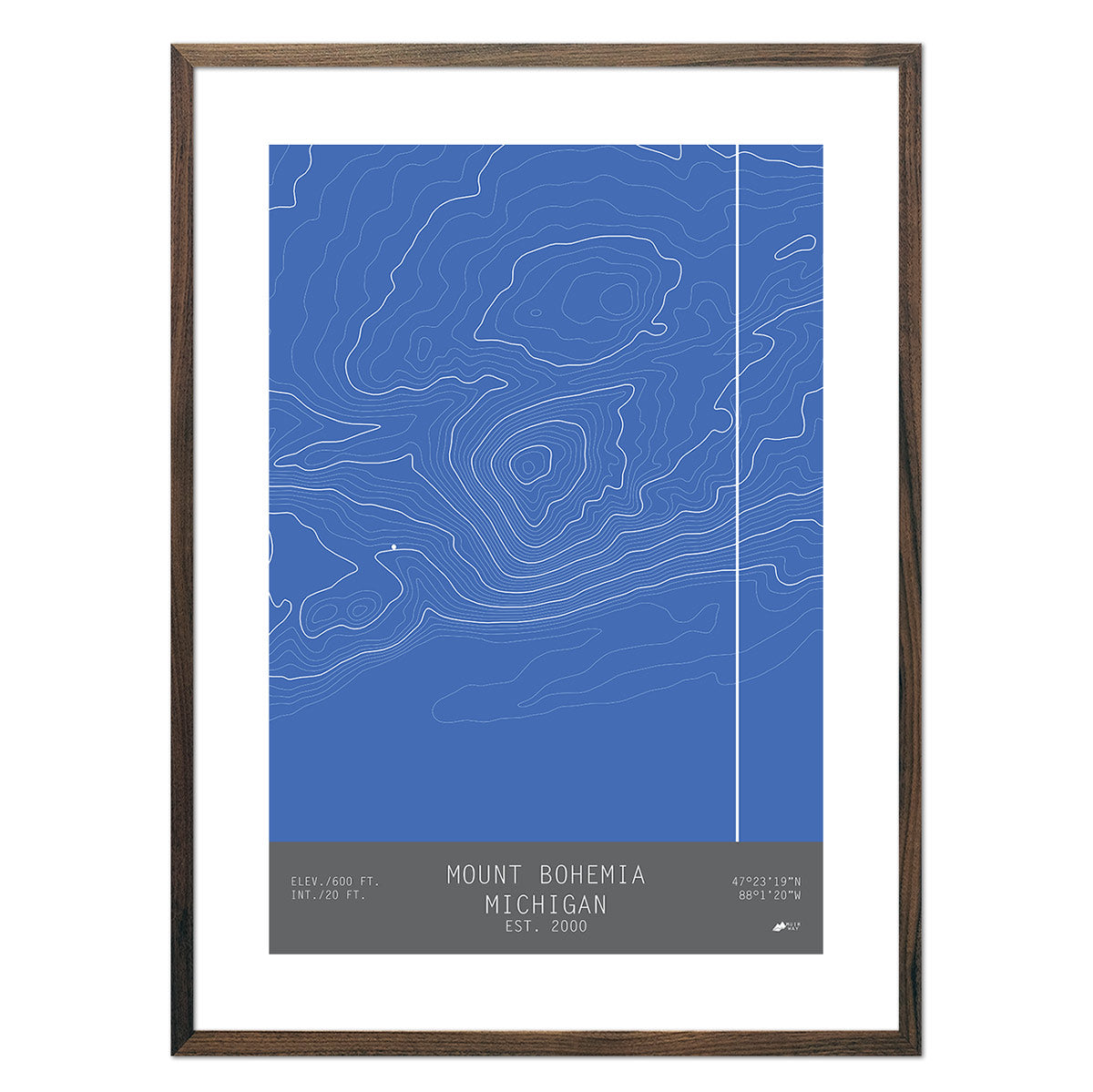
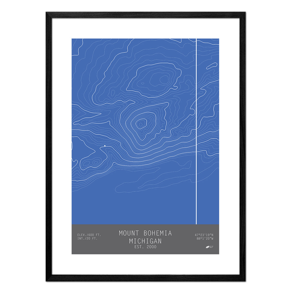
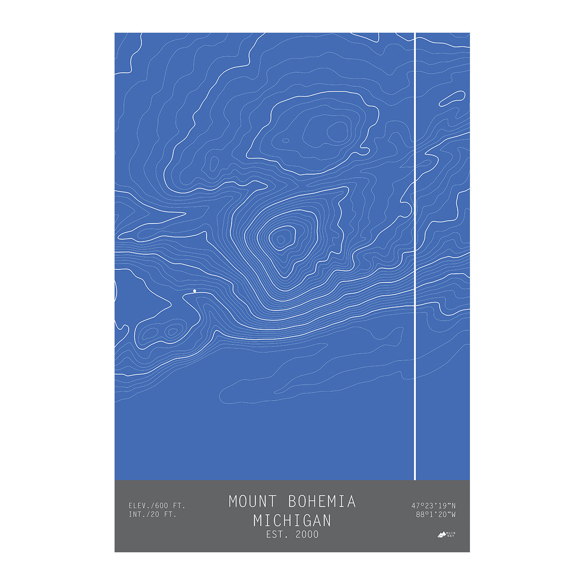
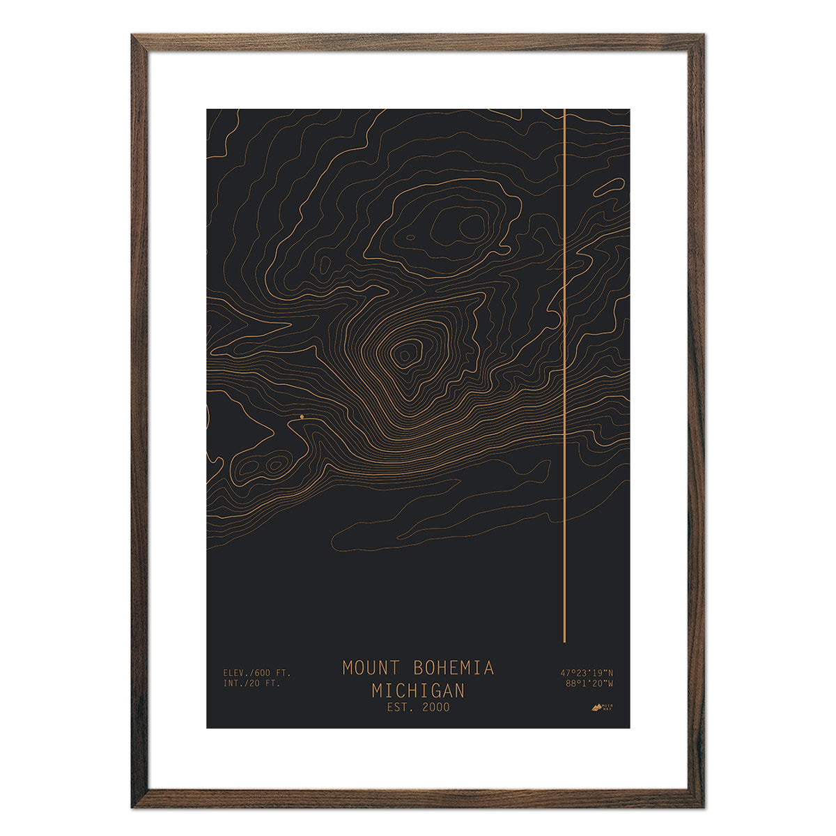
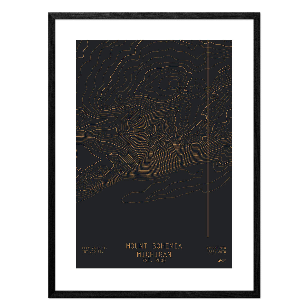
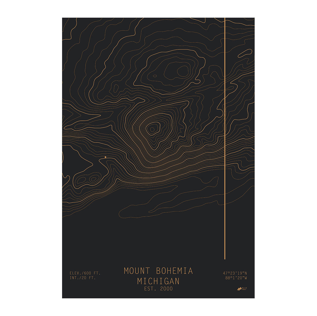
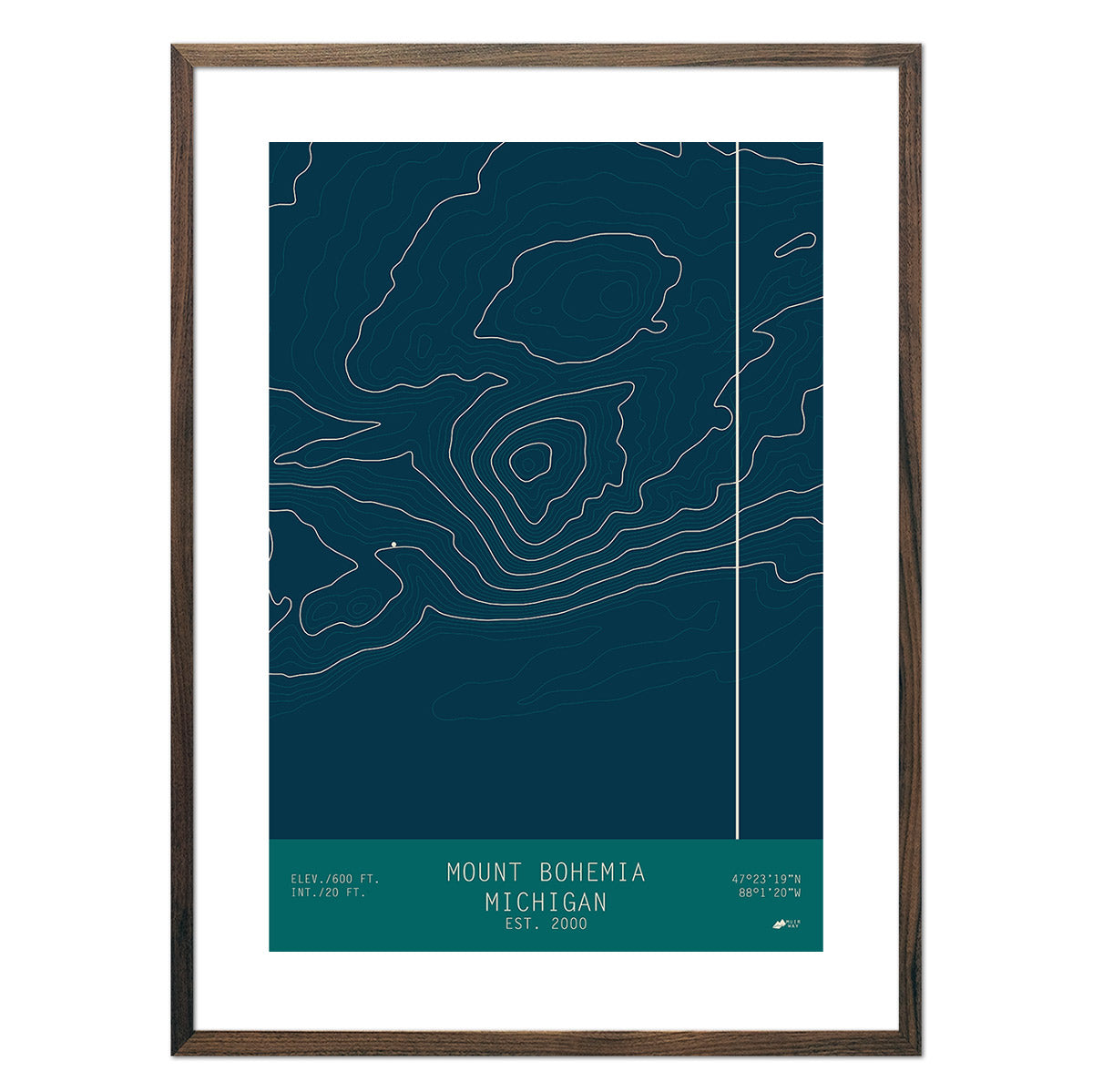
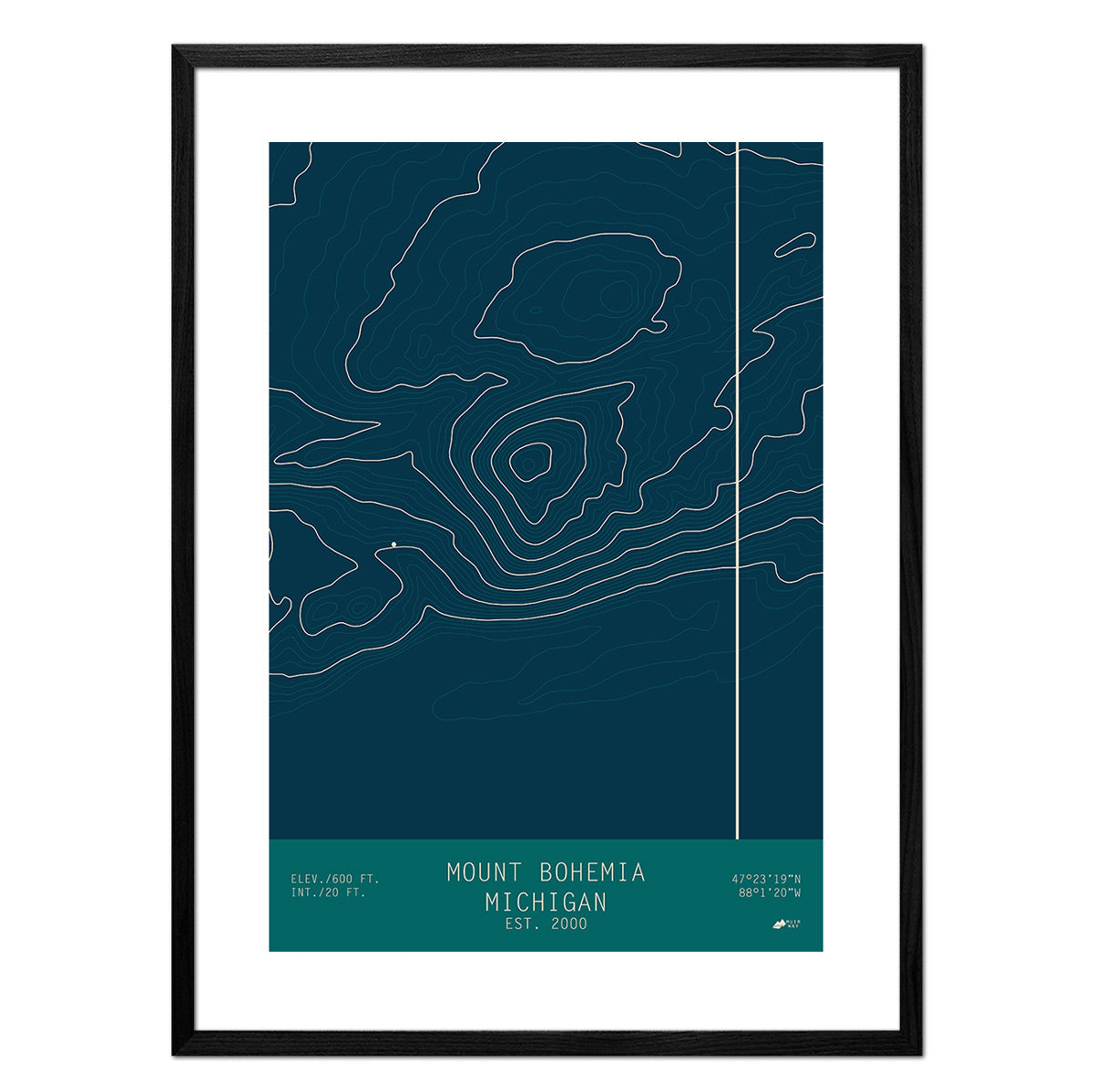
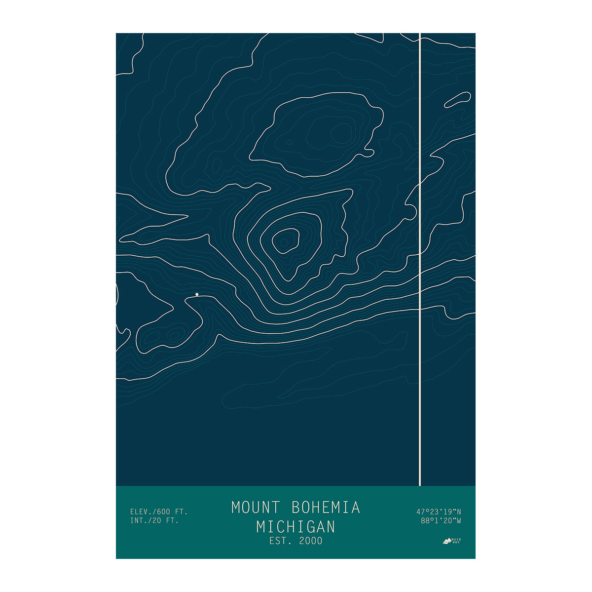
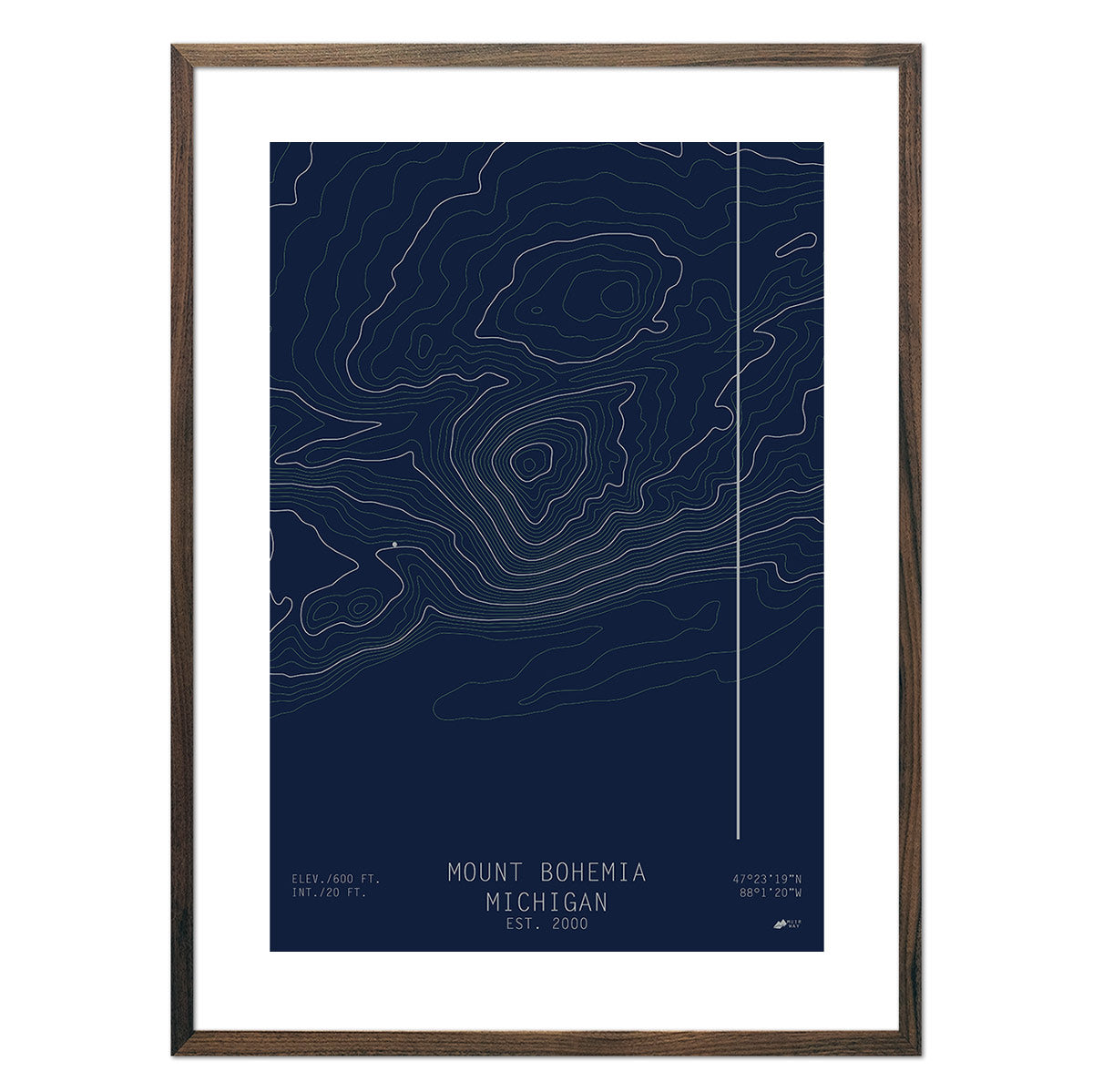
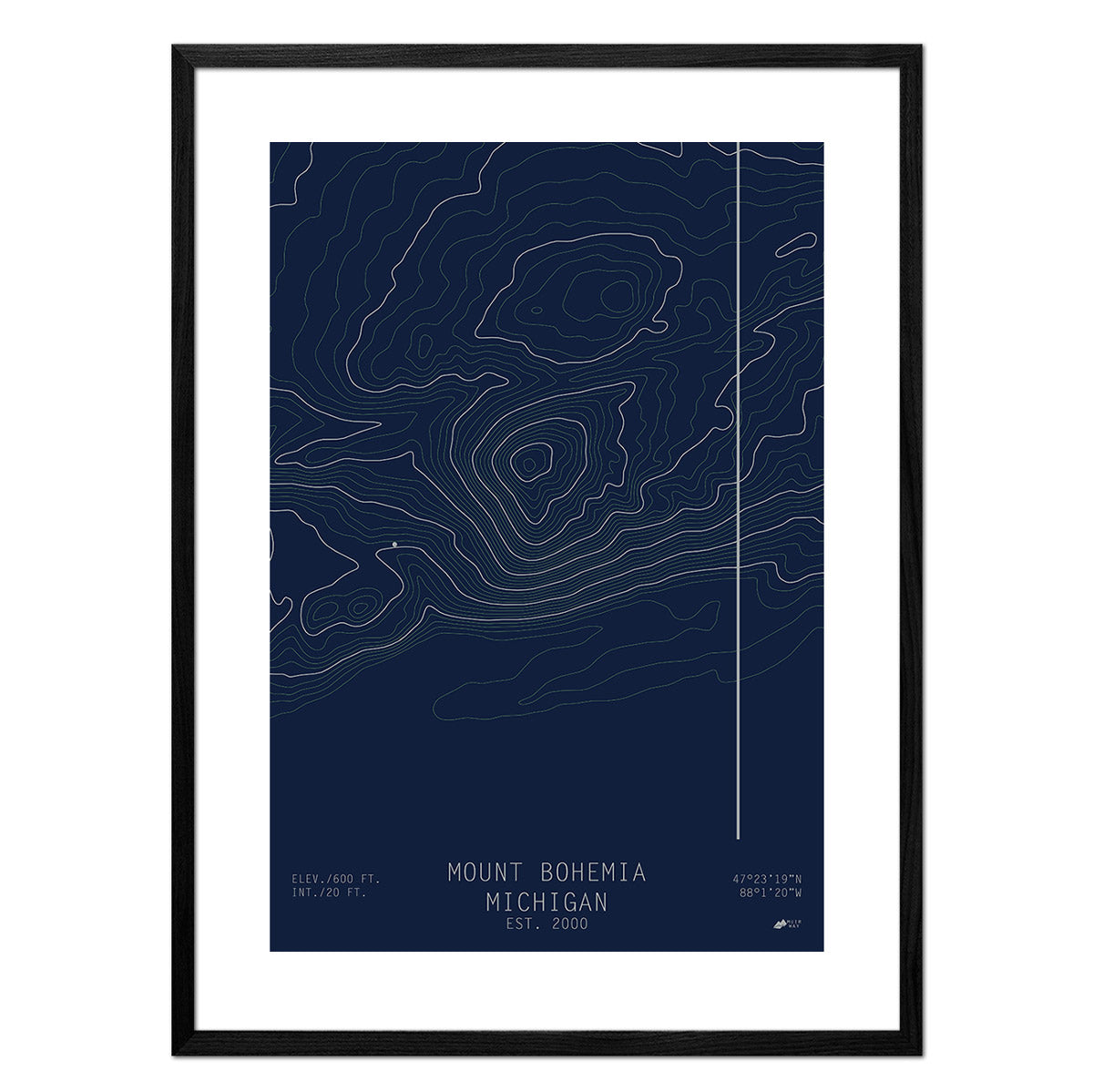
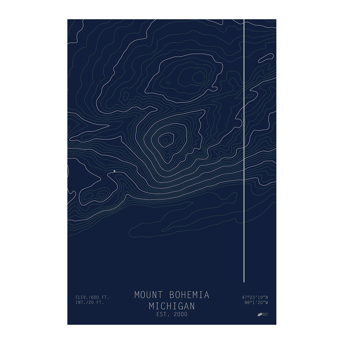
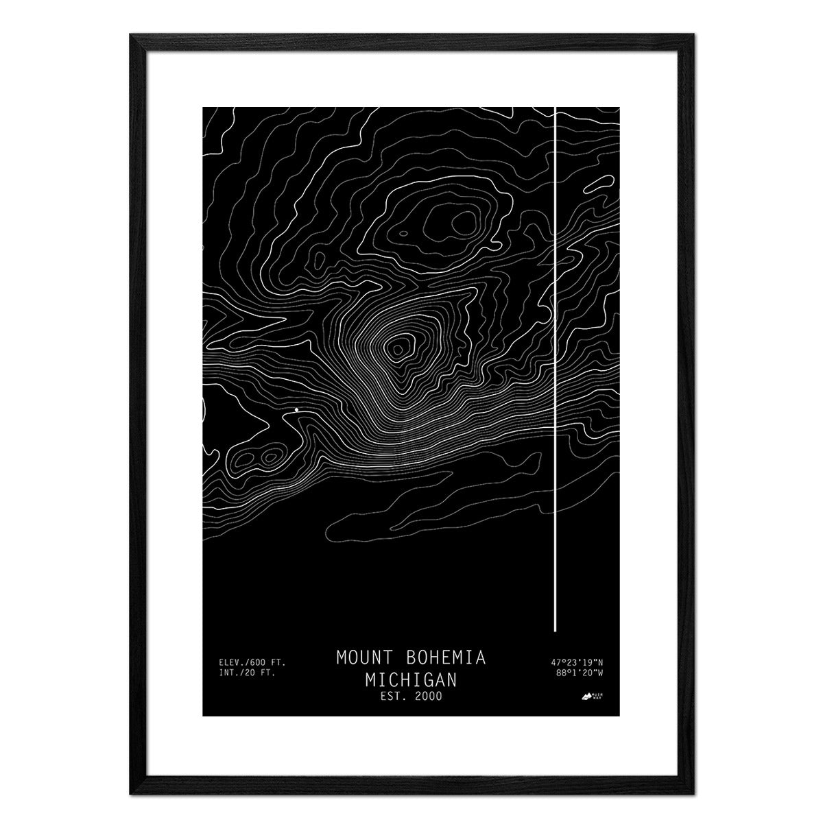
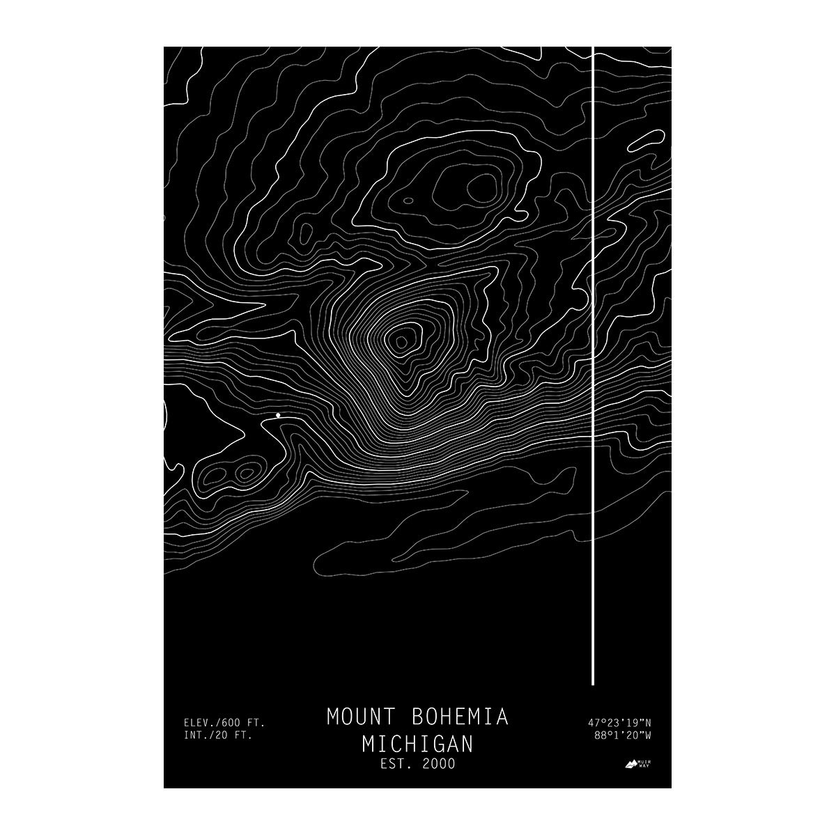
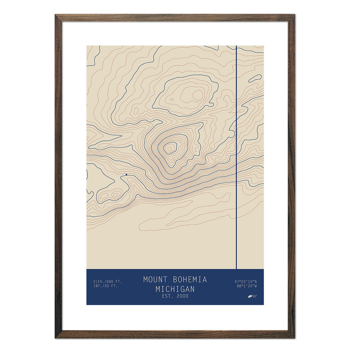
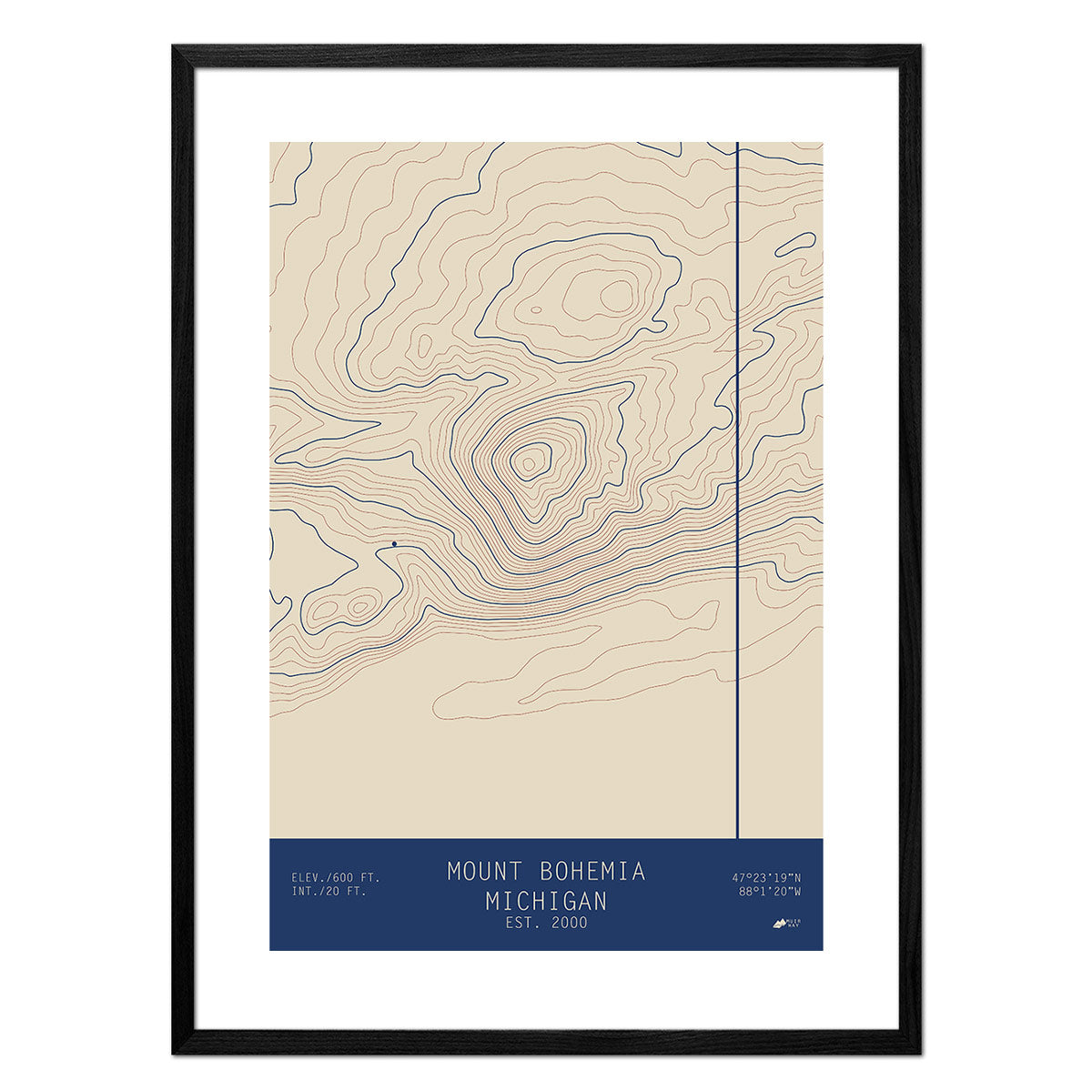
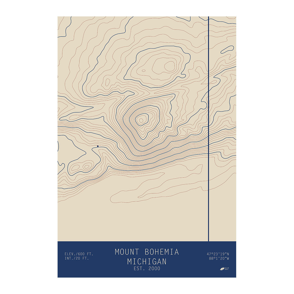
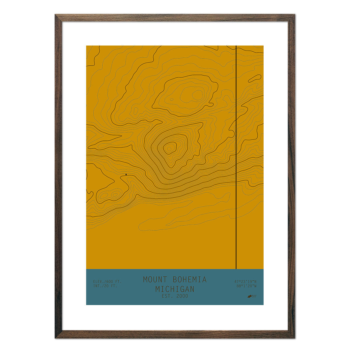
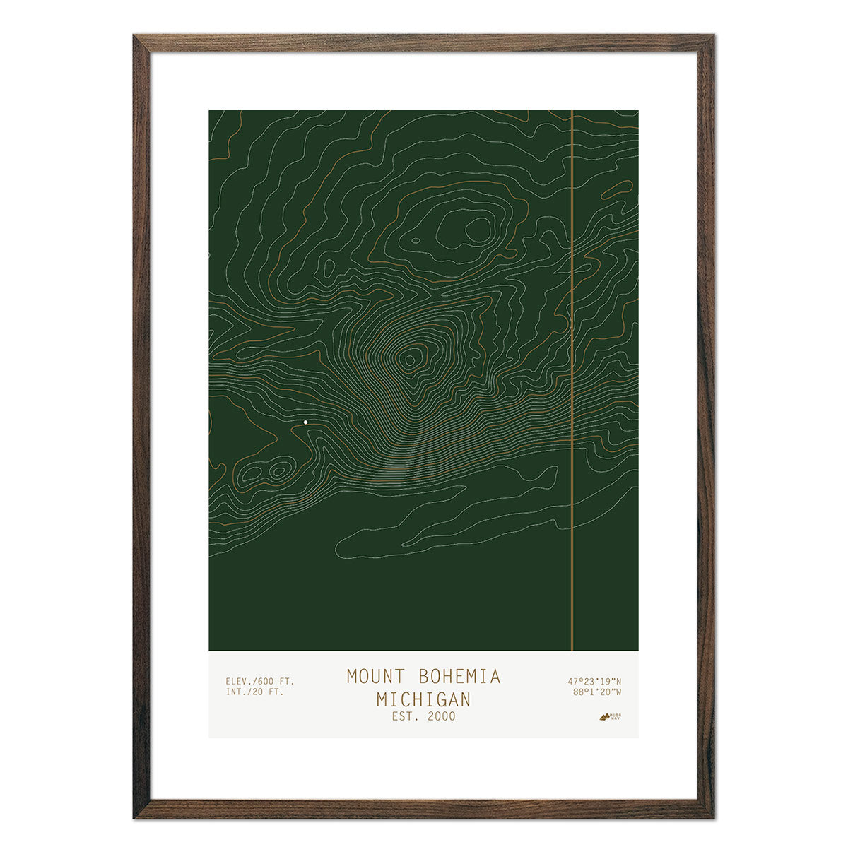
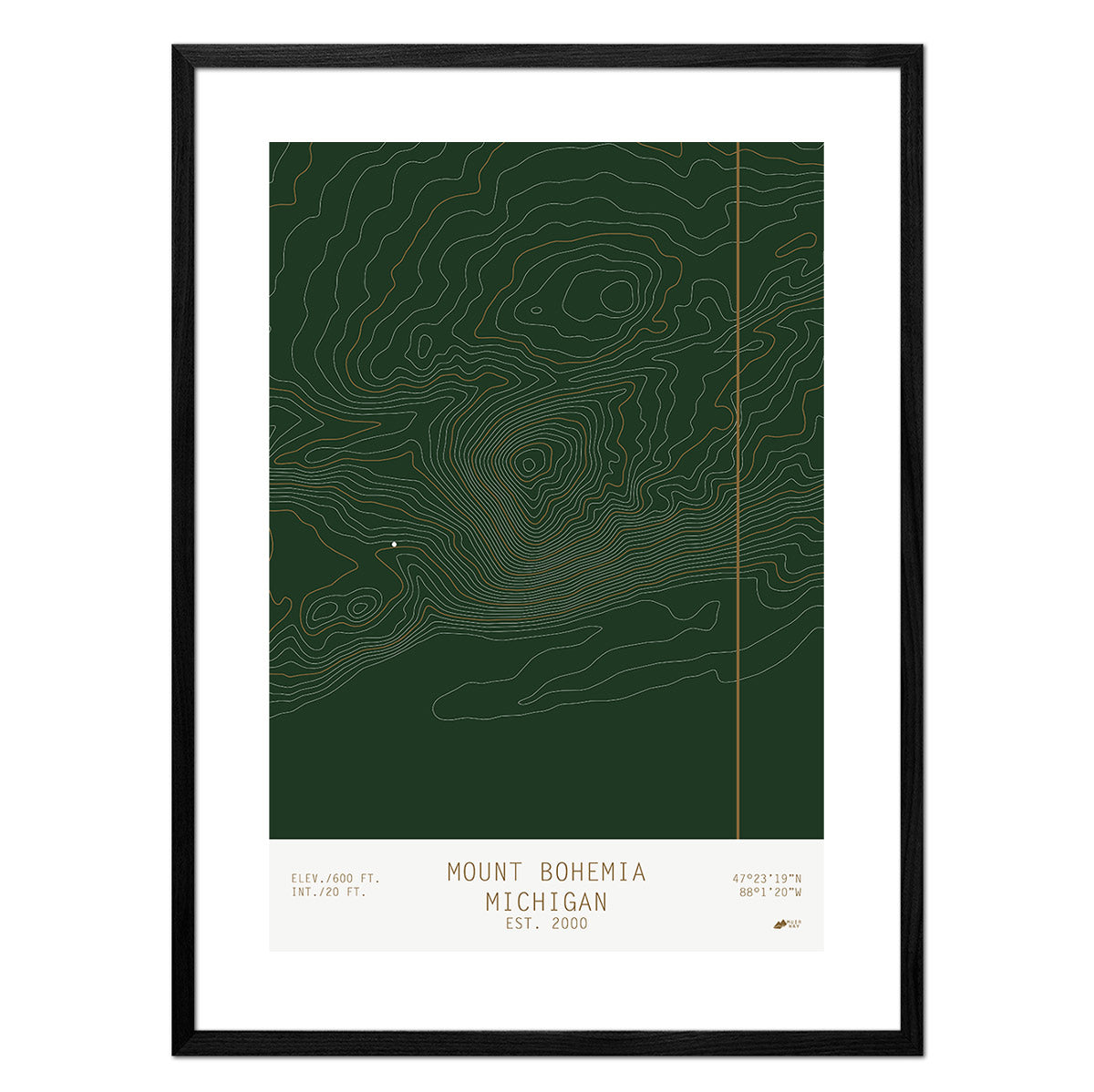
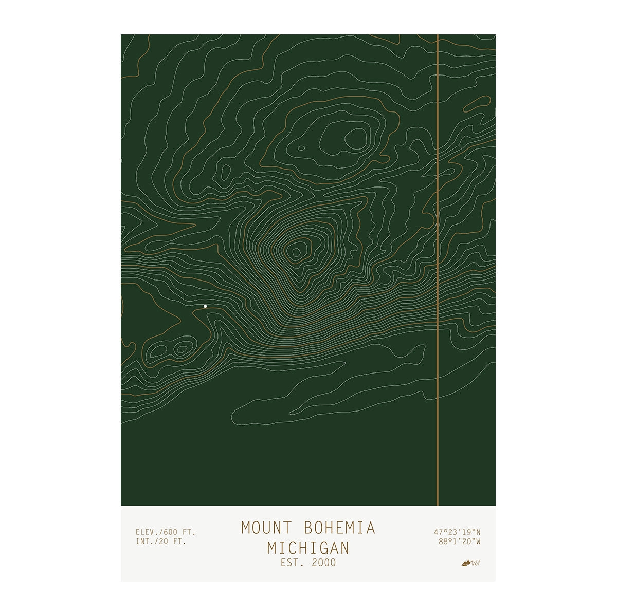
Although many people associate Michigan with its vast lakes and waterways, the state also features rolling hills, prominent peaks, and notable summits. Our Michigan elevation map projects key attractions such as Mount Arvon, Summit Peak, and Mt. Christie, as well as plateaus, valleys, and other terrain with clarity using DEM data from the US Geological Survey (USGS).
We magnified features of Michigan’s landscape by exaggerating elevations and applying hillshade. The effect provides endless opportunities to explore Michigan’s rich topography in its natural setting. We integrate Digital Elevation Data for a stunning 3D effect that appears to leap off the page.
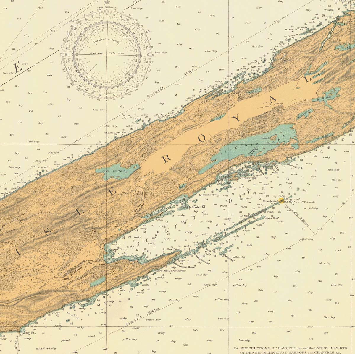
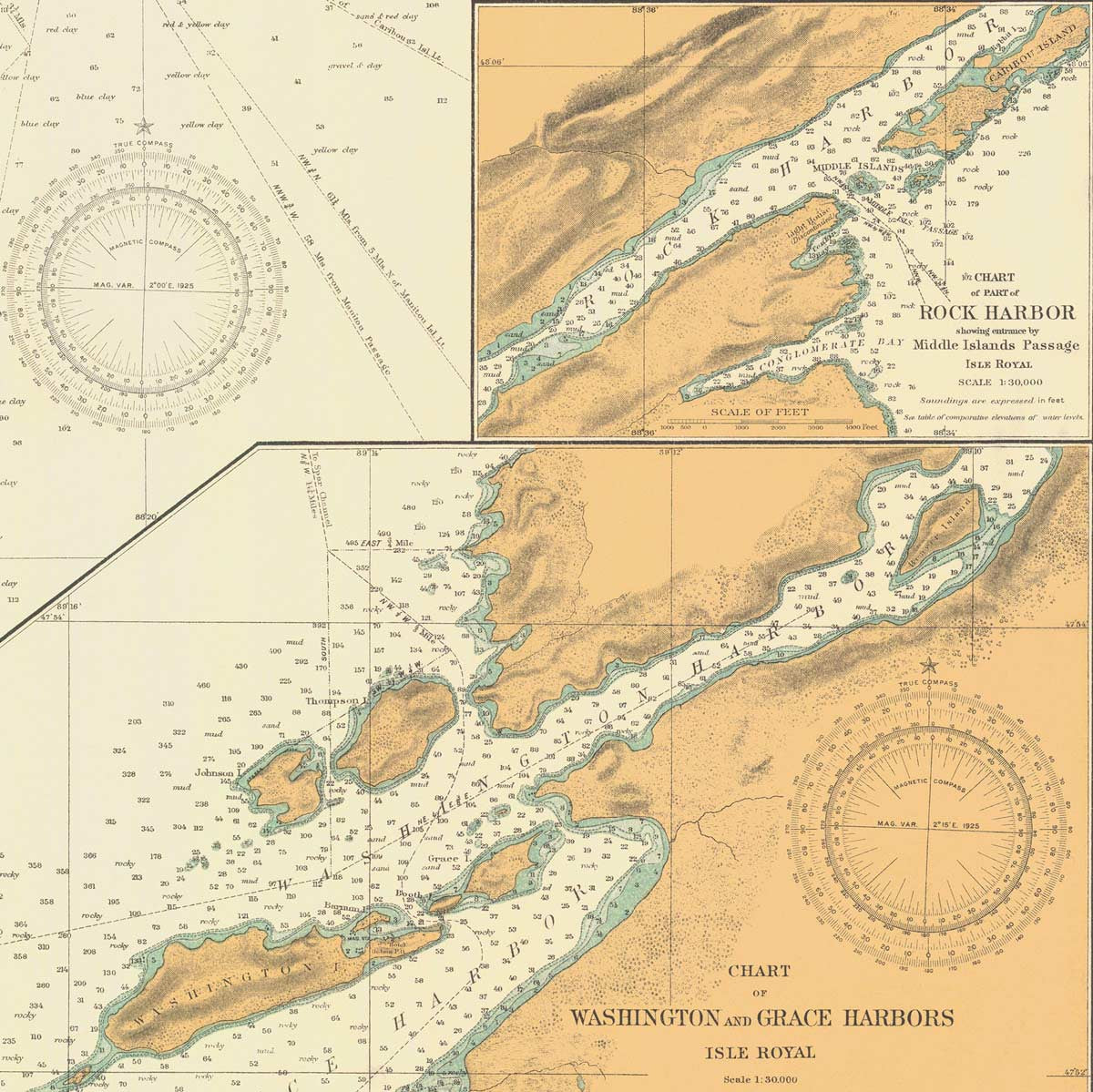
Although Michigan is often called the ‘Wolverine State’, its more common nickname is the ‘Great Lakes State’. It’s the only state with a coastline that borders four out of the five Great Lakes - Superior, Michigan, Huron, and Erie.
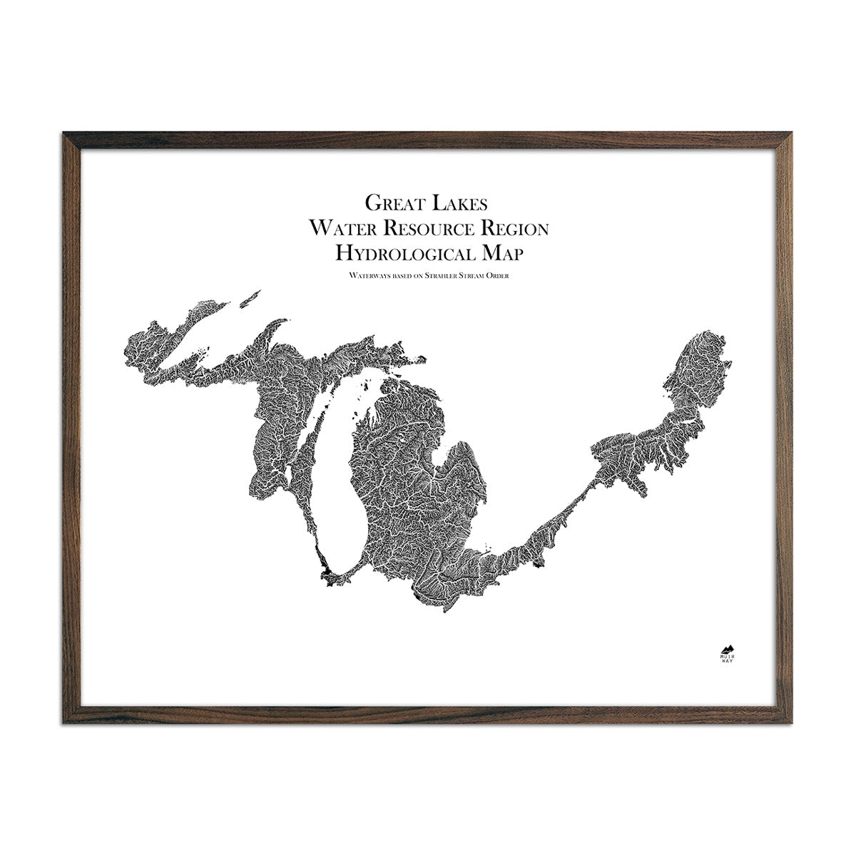
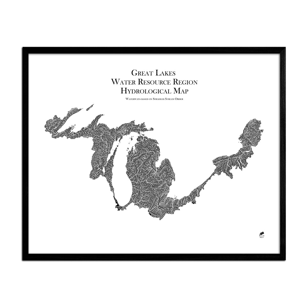
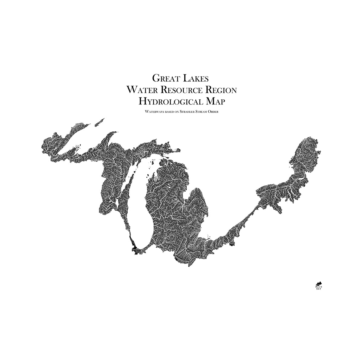
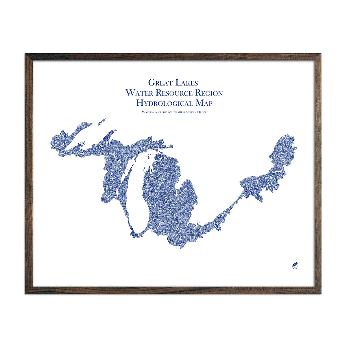
A New Way to Explore Michigan’s Waterways
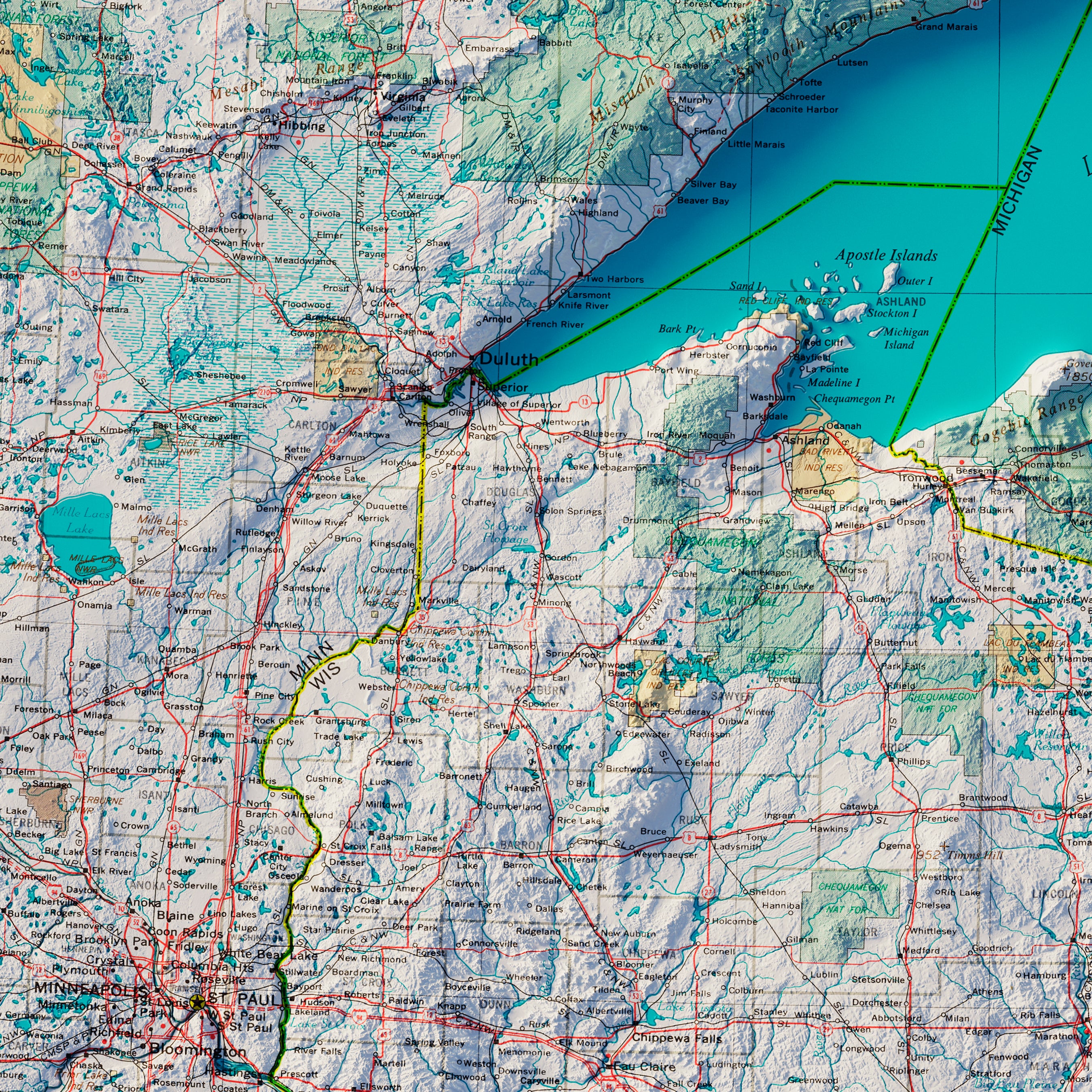
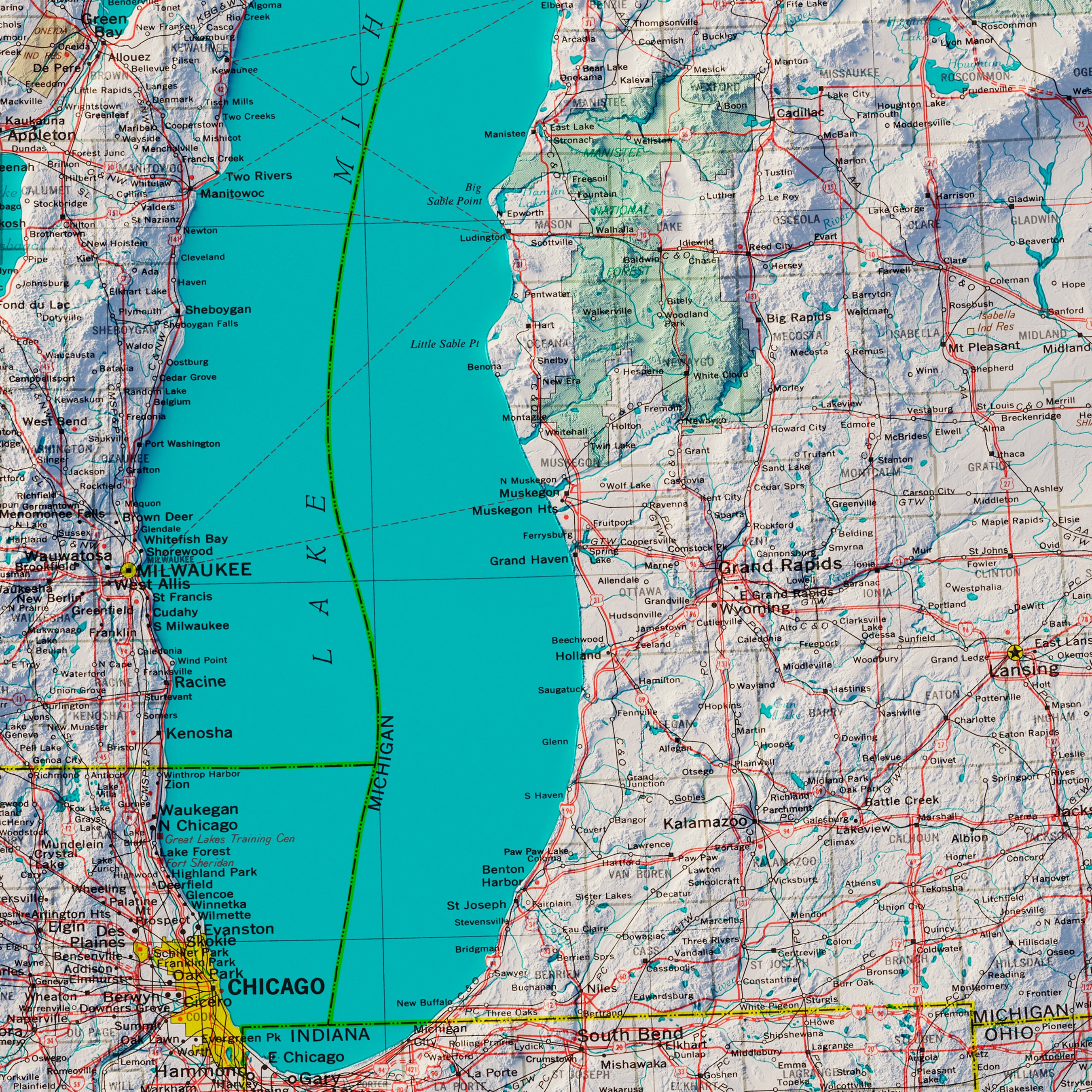
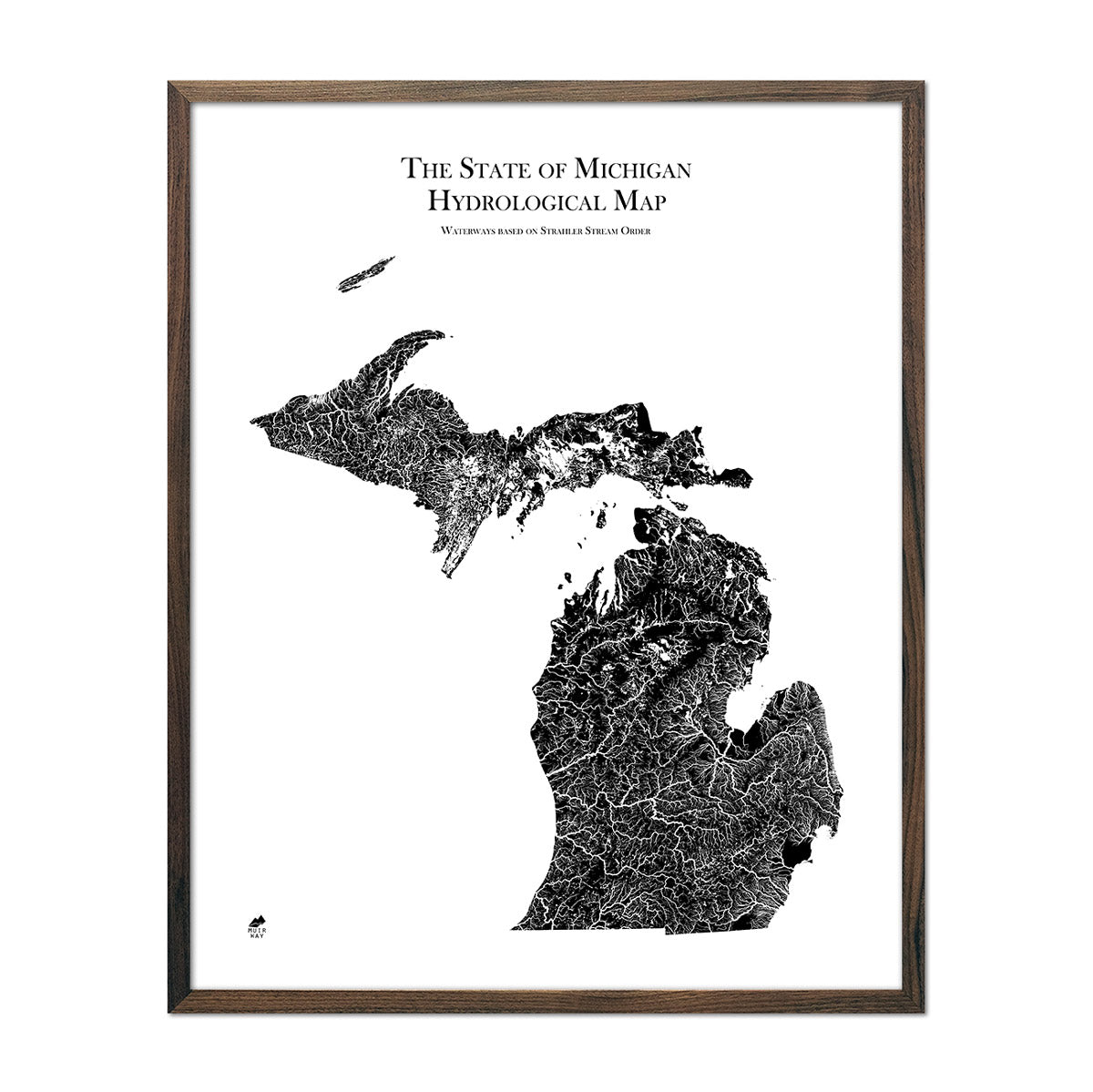
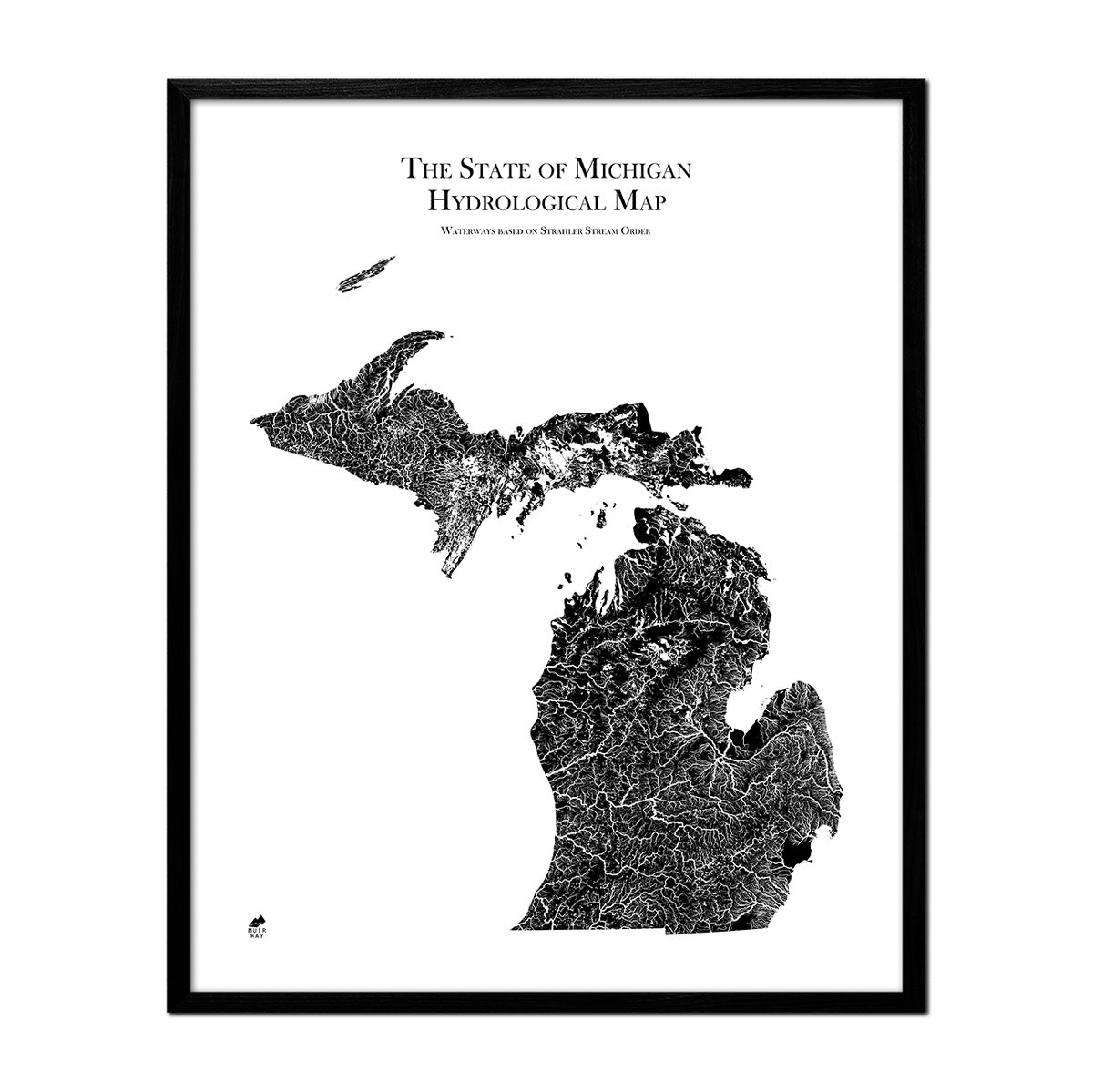
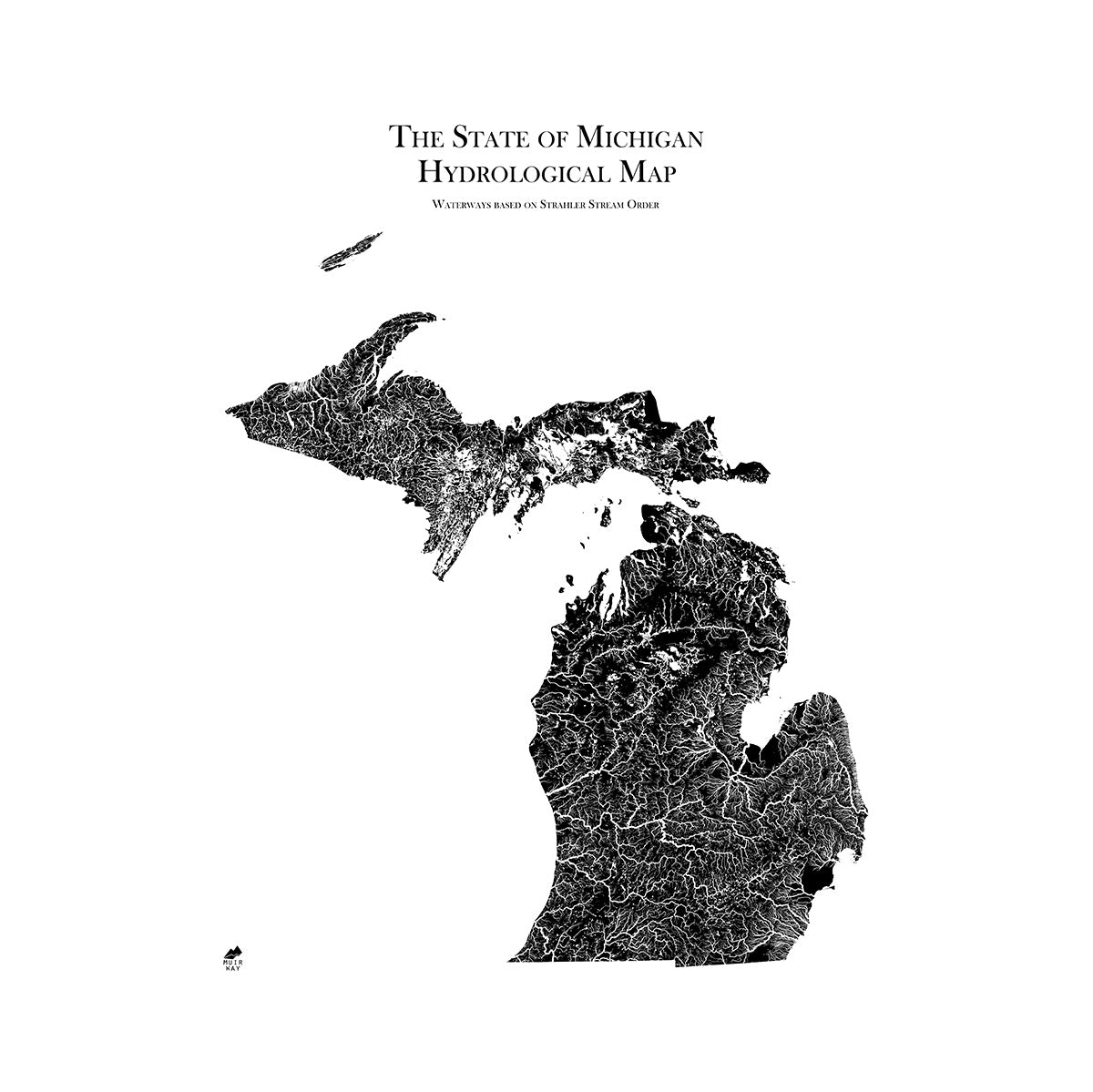
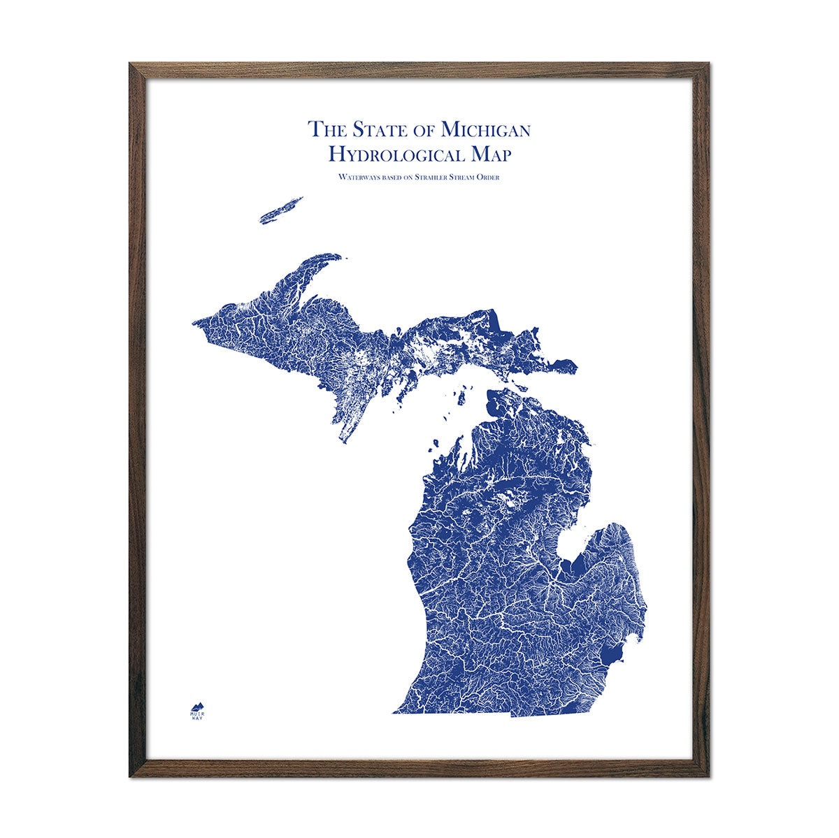
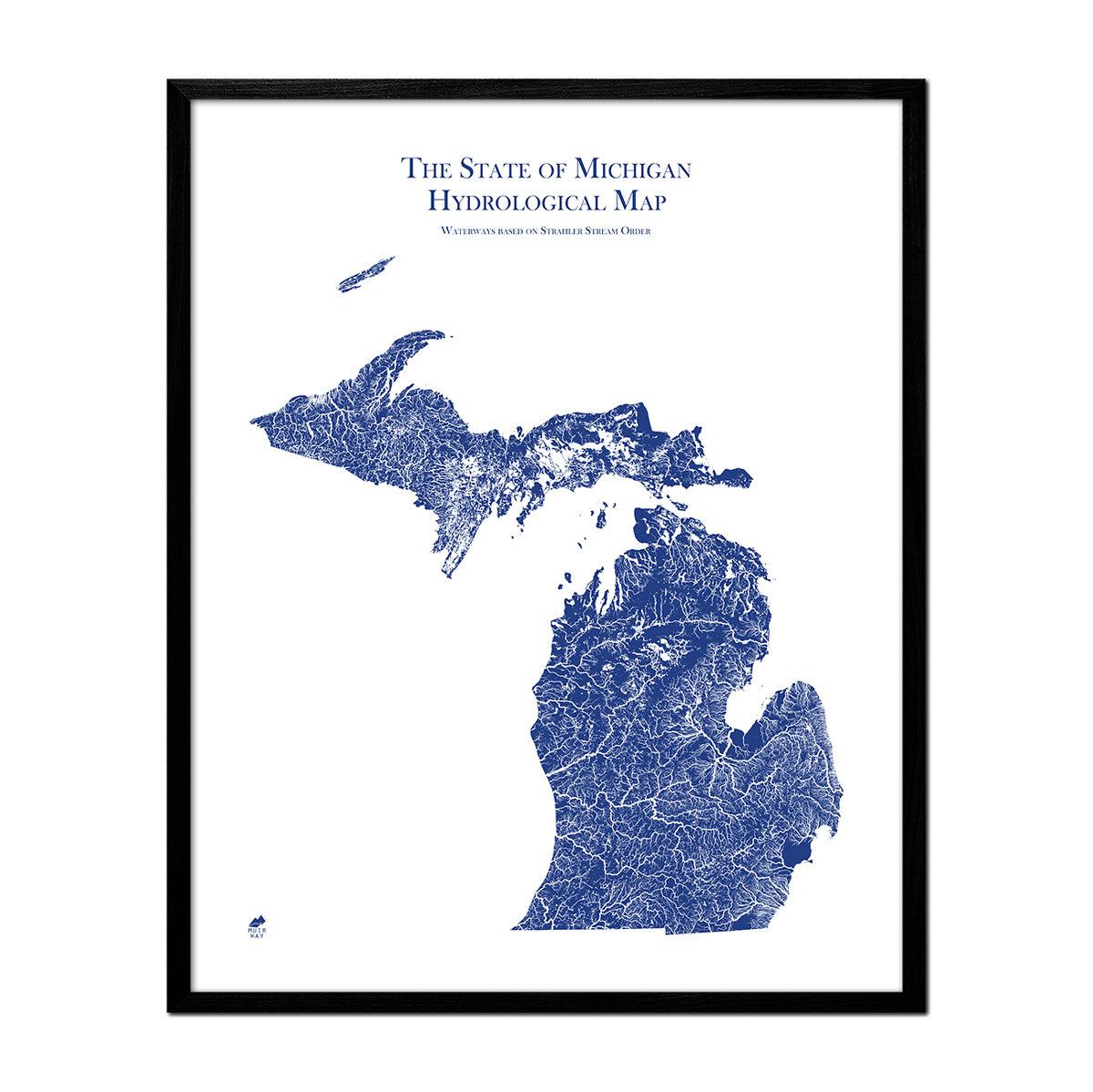
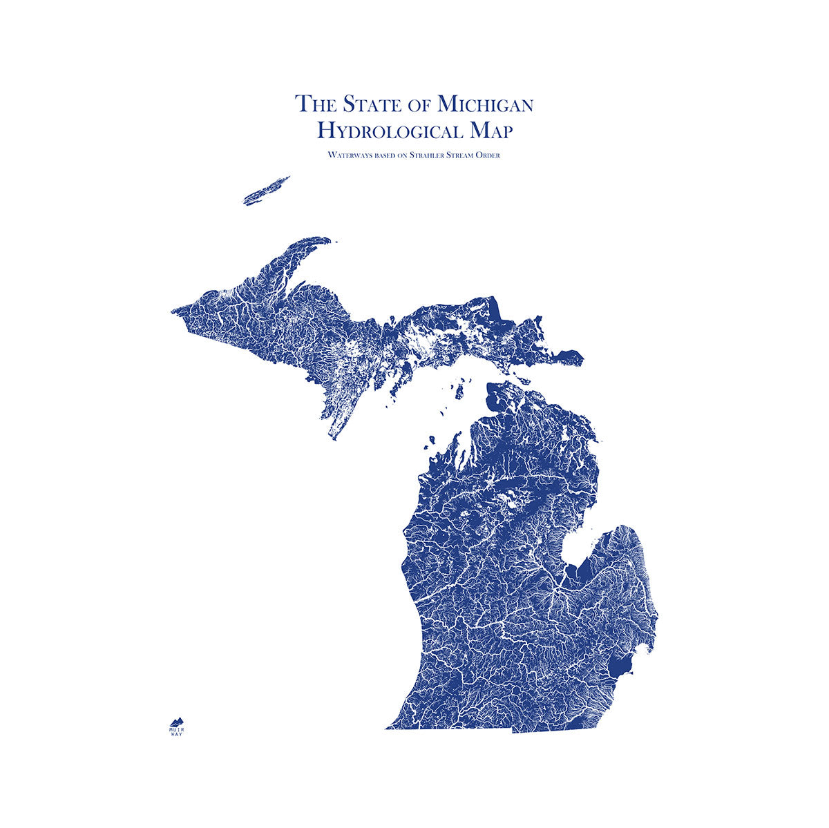
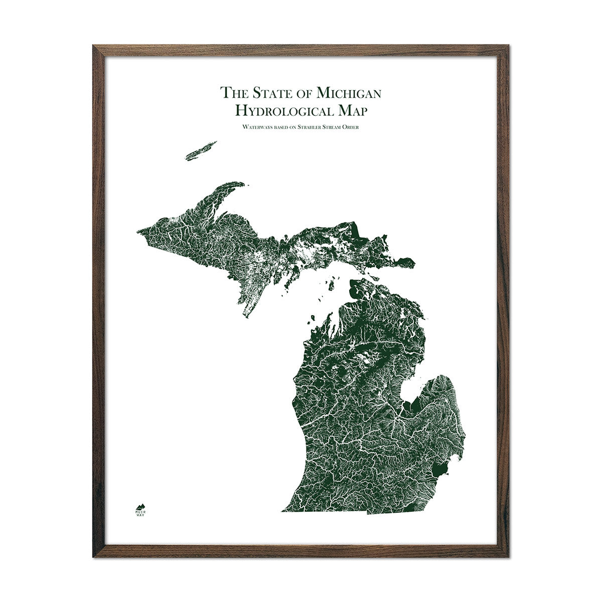
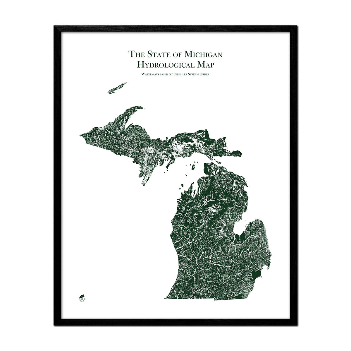
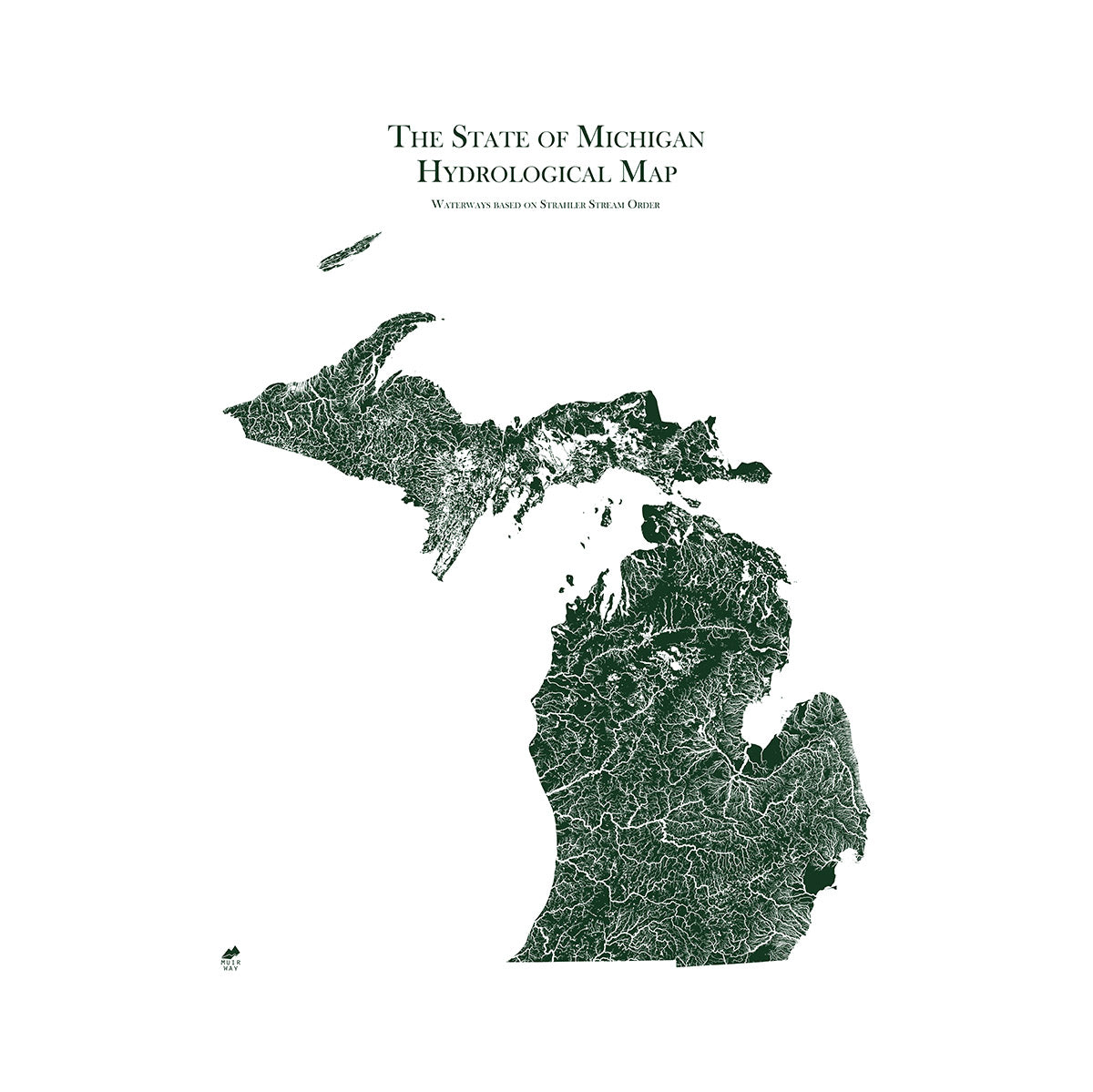
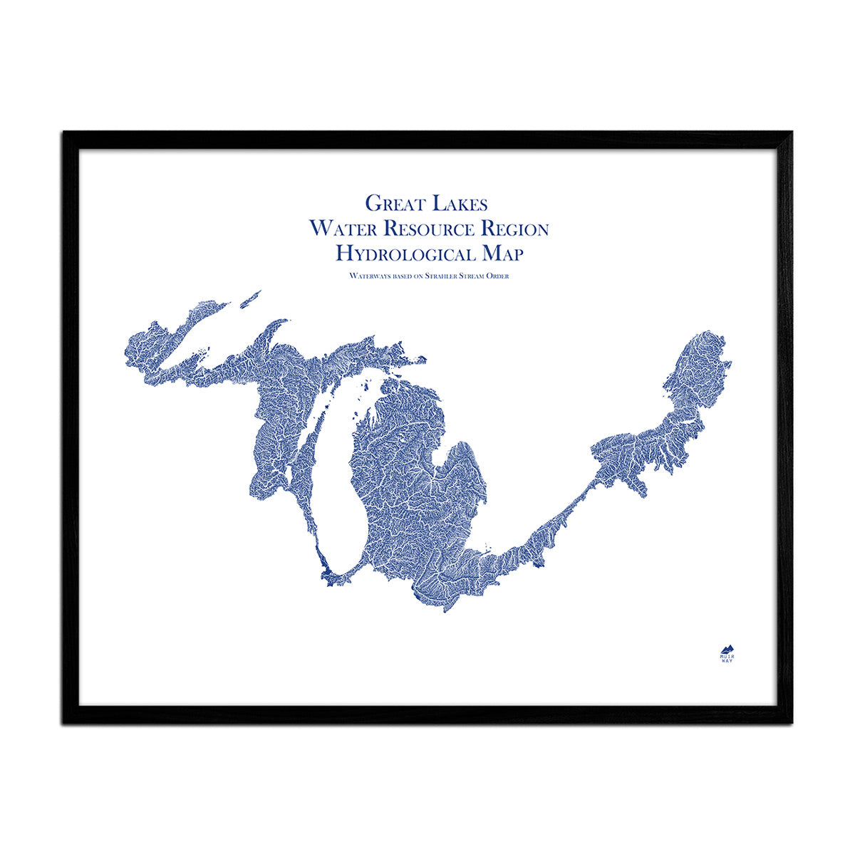
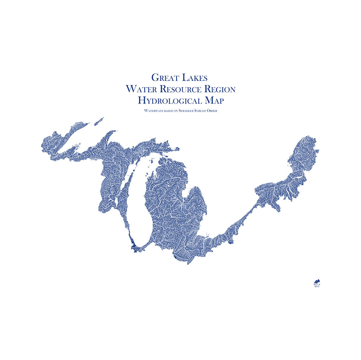
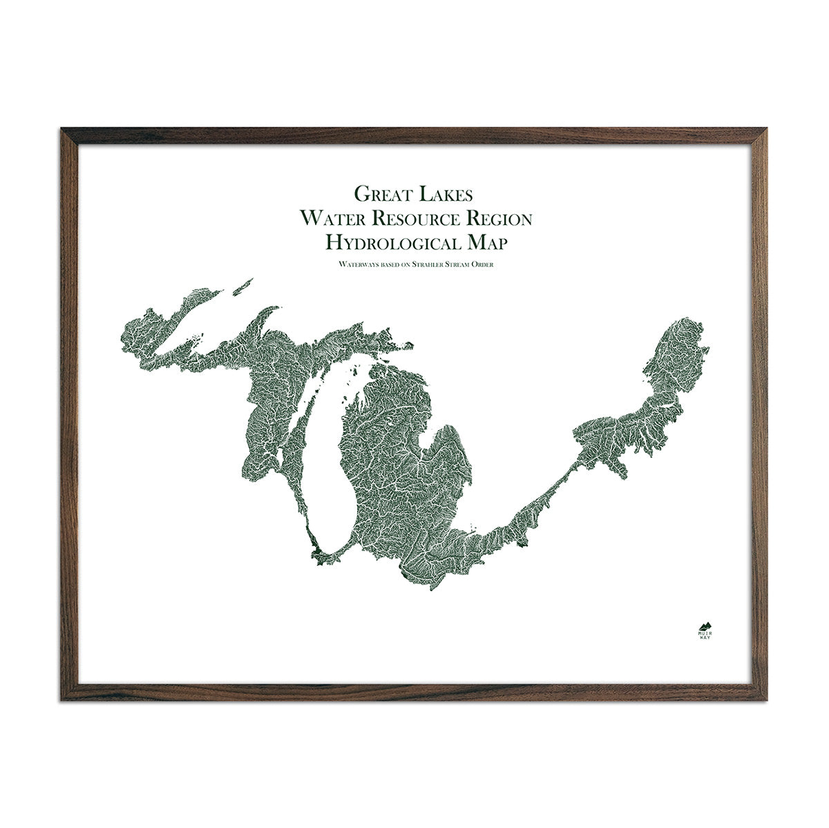
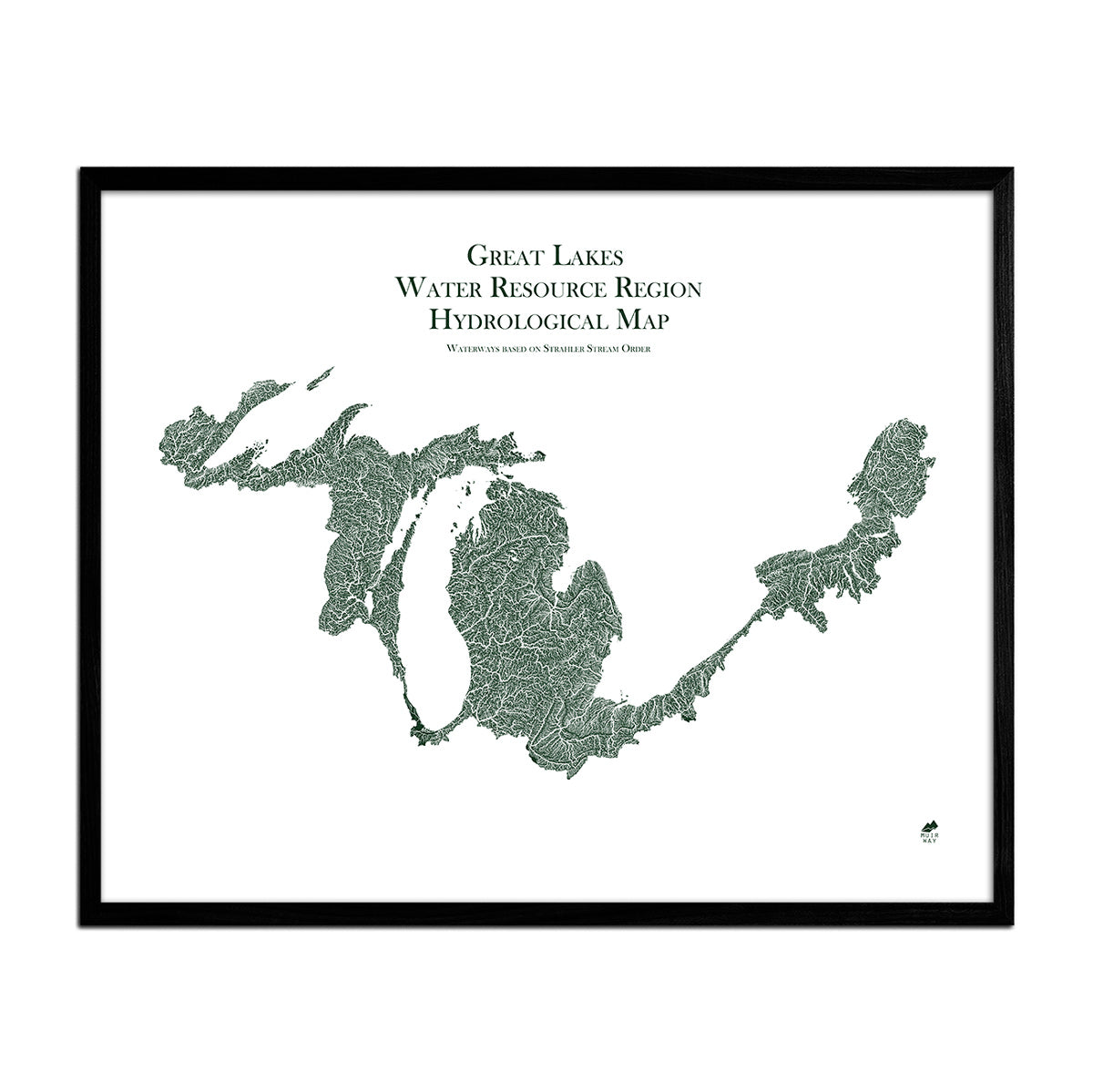
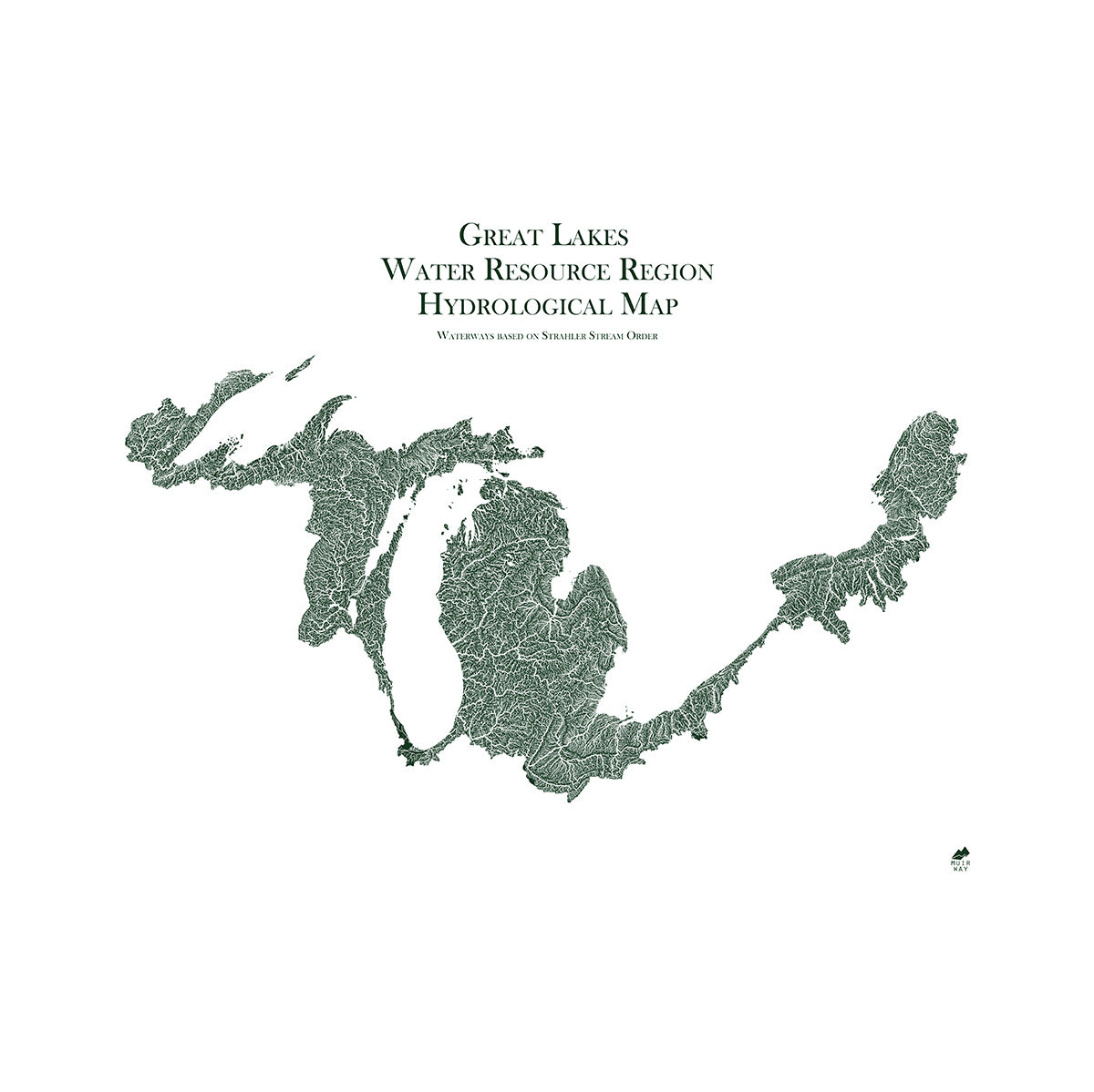
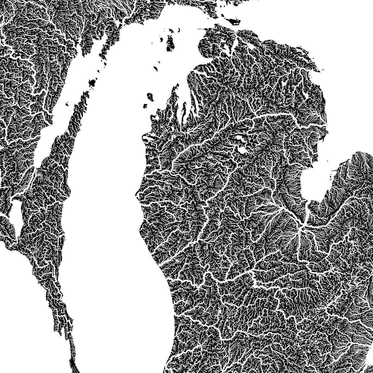
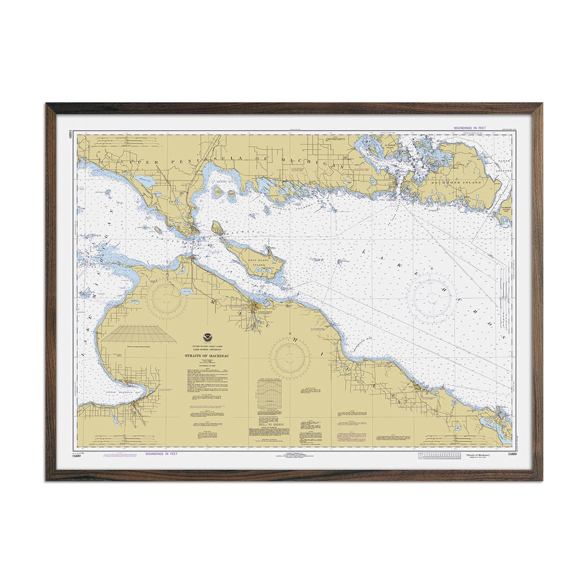
Our hydrological maps, such as the Michigan Hydrological Map and the Great Lakes Regional Hydrological Map, depict the waterways throughout the state. These maps showcase how the state’s rivers and streams flow and interconnect in detail.
Every body of water greater than .2 miles is represented. Take in all 5,572 square miles of the Grand River, as well as major tributaries such as the Red Cedar, Look Glass, Maple, Flat, and Rogue Rivers.
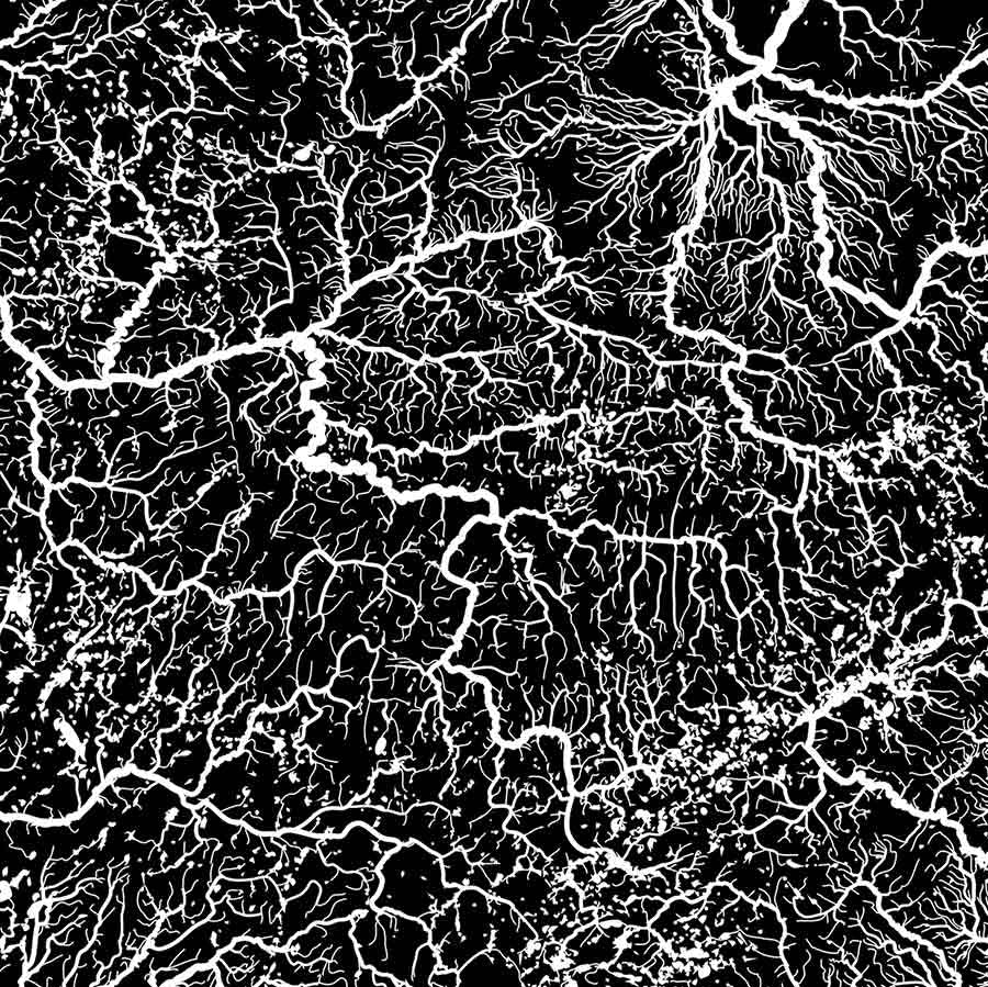
We apply a method called the Strahler Stream Order to emphasize the hierarchy of streams as they flow from their source and interconnect with other rivers. In our Hydrology Series, you'll find your favorite rivers and lakes and trace their origins and outflow.
Shop for Michigan Map Art Prints Online at Muir Way
Our Michigan maps are available in fine art paper with an option to frame in black or walnut. Enjoy free shipping on all orders over $49.
If you like our collection of Michigan maps, you may also be interested in maps of other Midwest states. Click below to browse:


