


Kansas Maps


Kansas Map Prints, Elevation & Shaded Relief Maps
Whether you like to visit Kansas or call the Sunflower State your home, our custom printed Kansas wall maps bring the beauty of the American Frontier to any home or office. From our stunning elevation maps and geological relief maps to our meticulously restored historical maps, our selection of Kansas maps reflects the high quality and handcrafted attention to detail our customers have come to expect from Muir Way.
What makes Muir Way maps of Kansas unique?
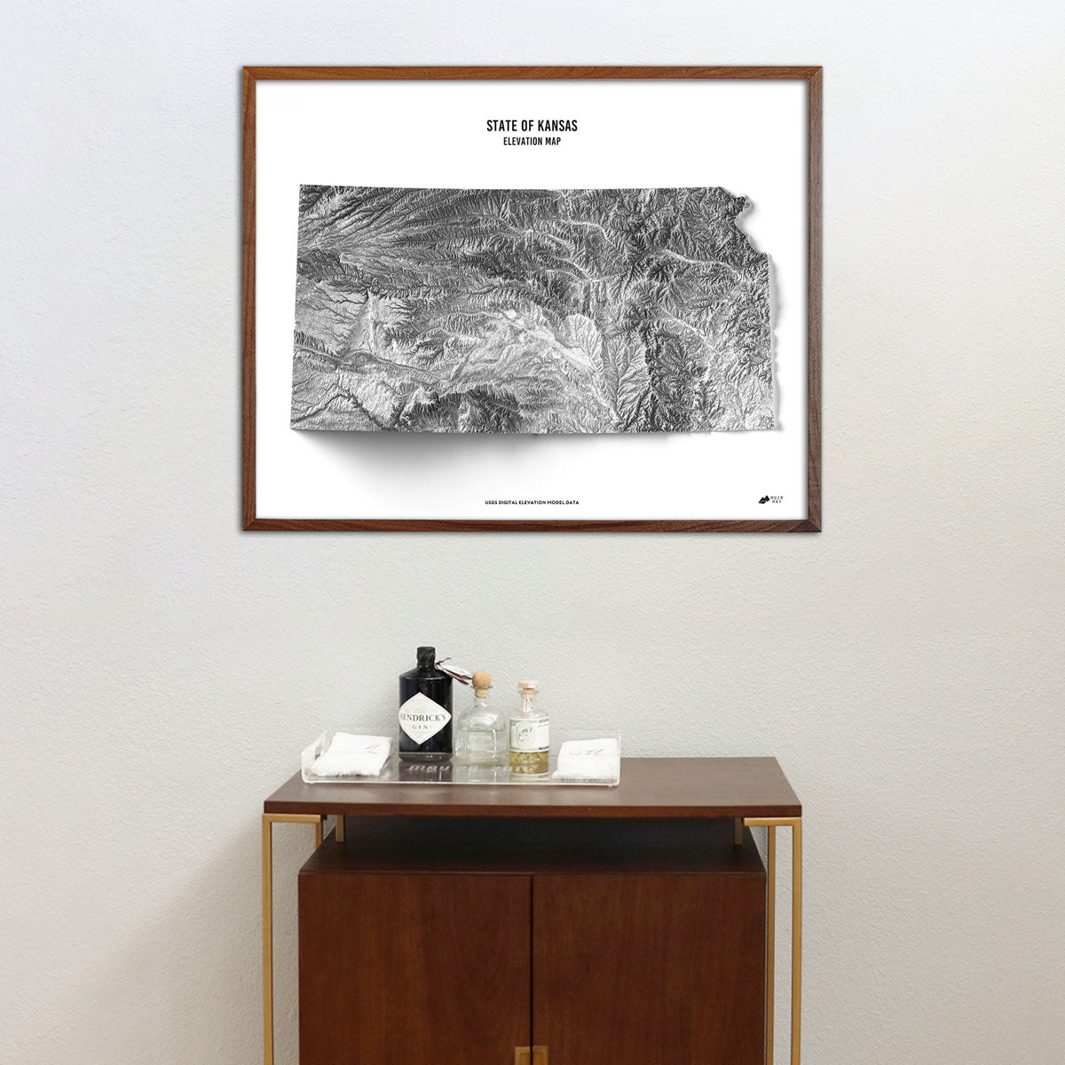
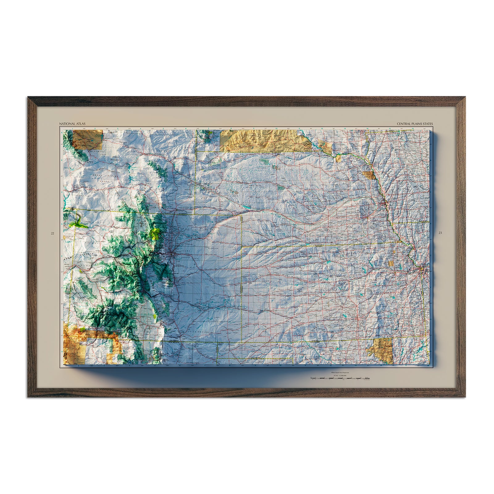
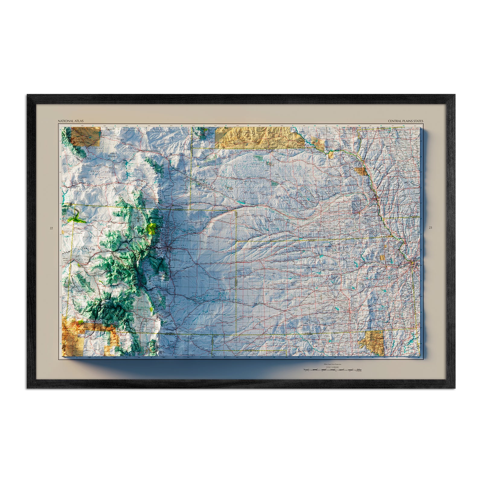
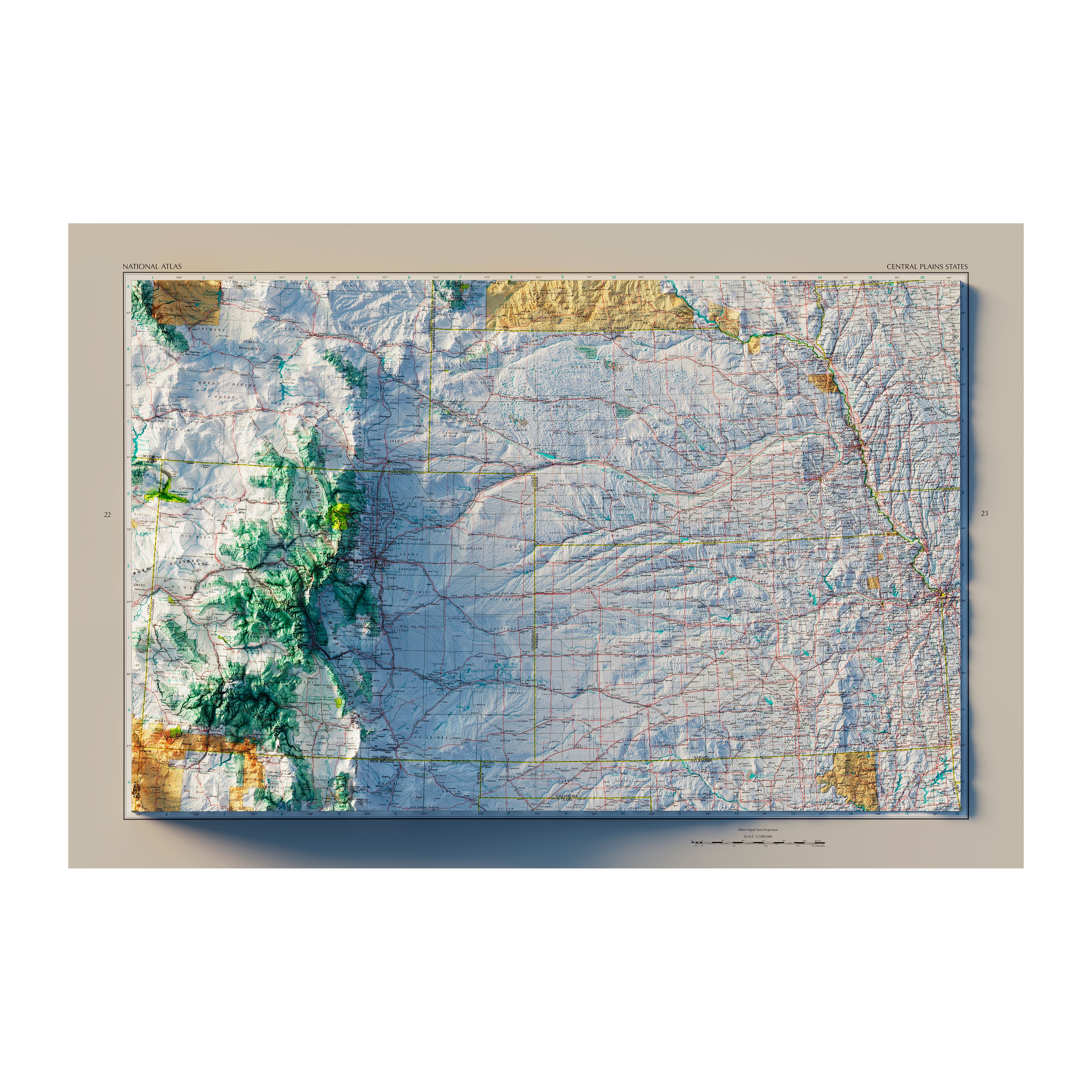
When you purchase a Kansas wall map from Muir Way, you’re investing in an heirloom-quality piece of artwork. In addition to custom printing every map using archival inks and fine art paper, the artwork of our maps breathes new life into their terrain. Our elevation maps use hand-shaded relief and Digital Elevation Data to create the illusion of a 3D image on a flat surface. Our hydrological maps showcase every river, stream and body of water over 0.2 miles in diameter in crisp detail.
Can I get my Kansas map framed?
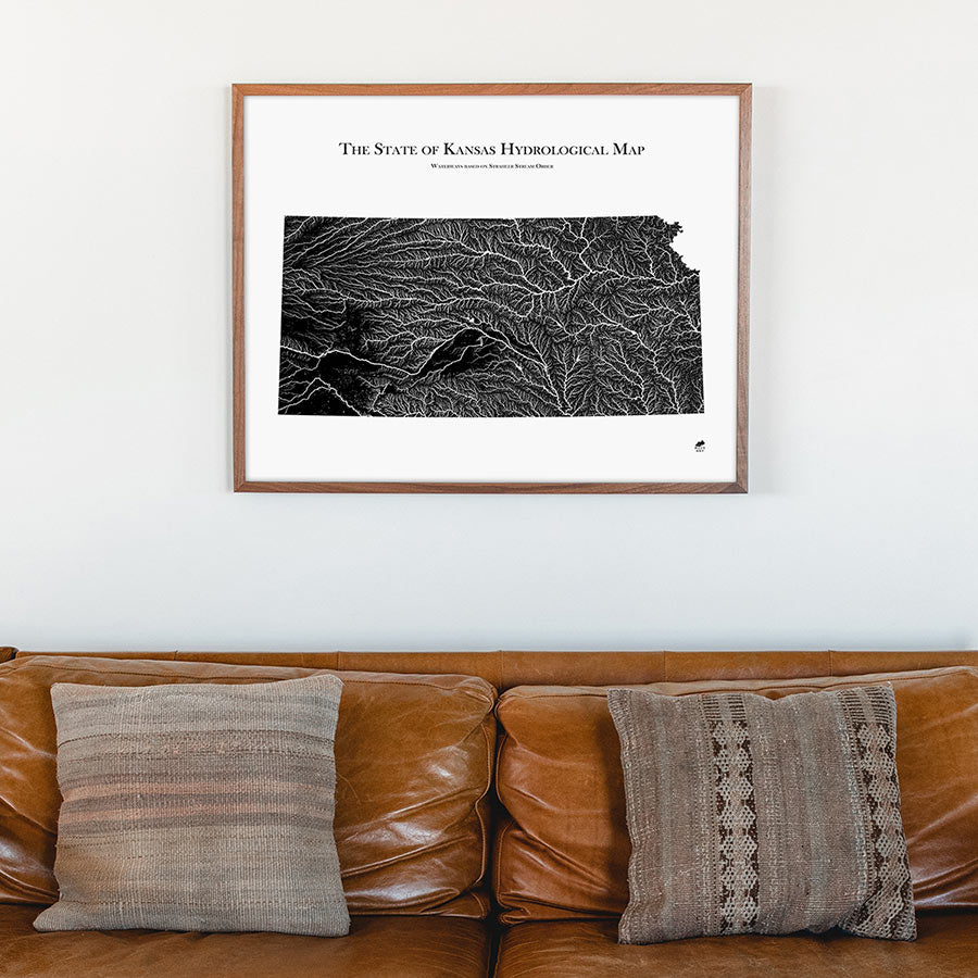
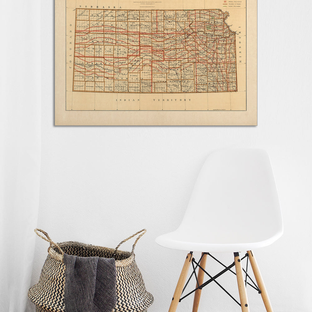
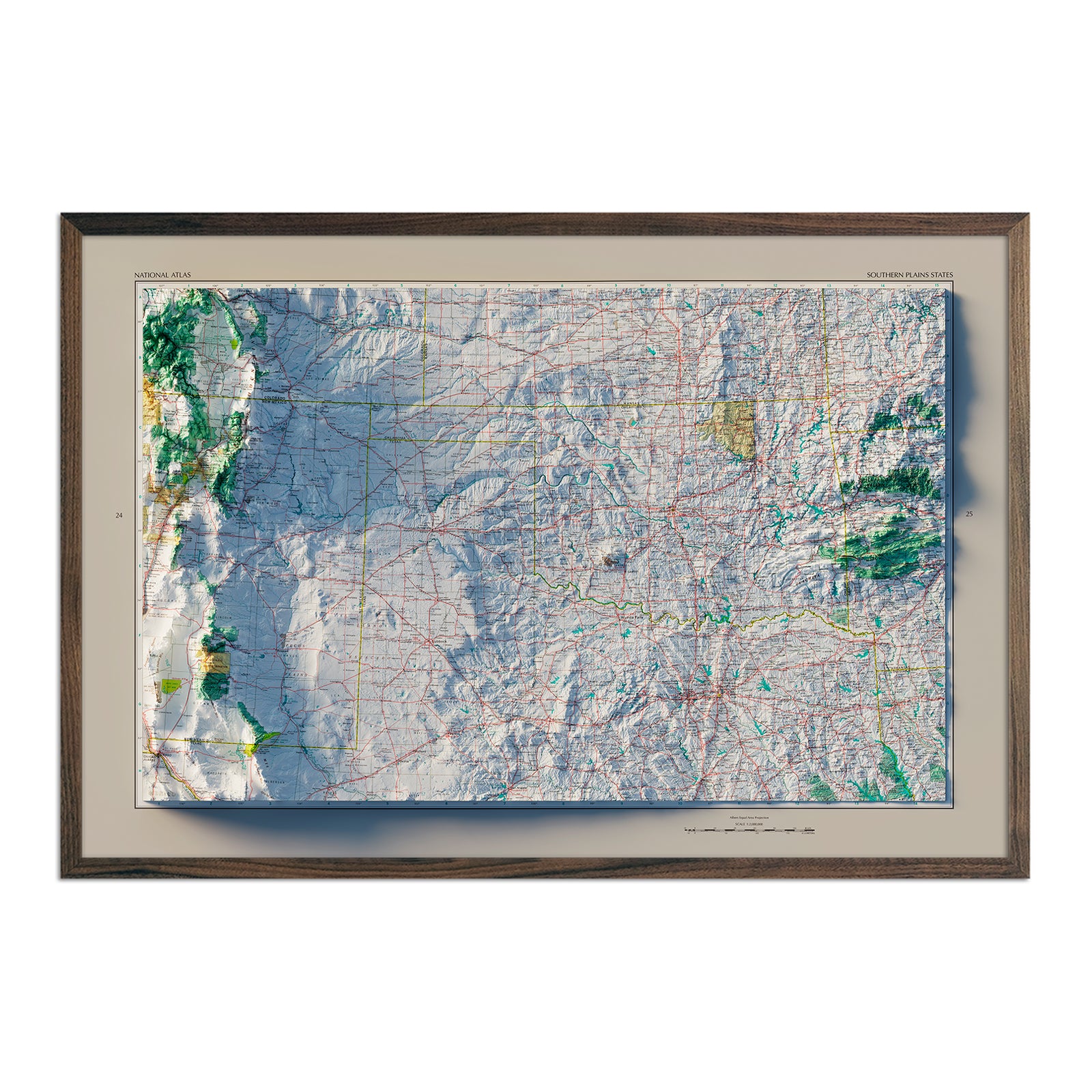
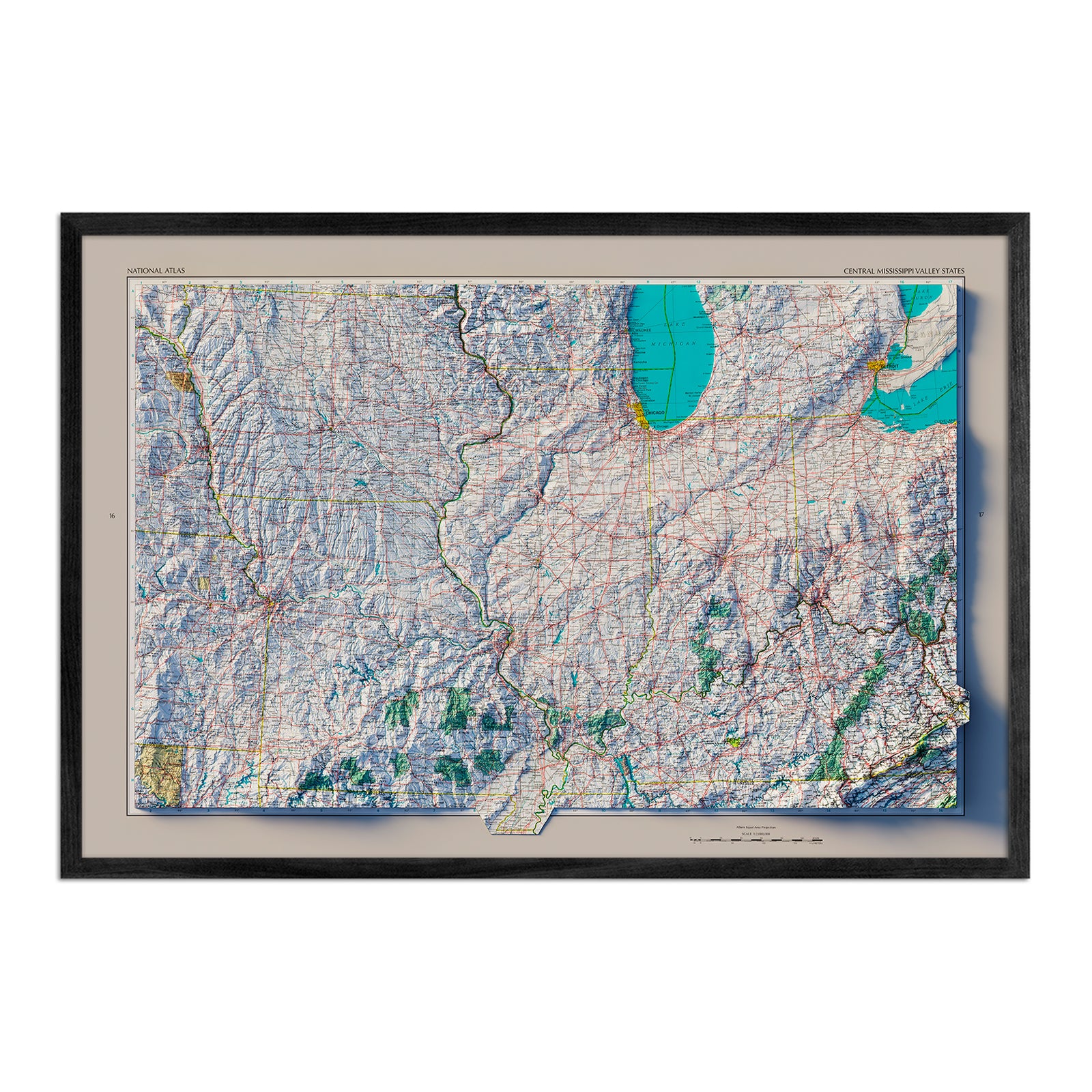
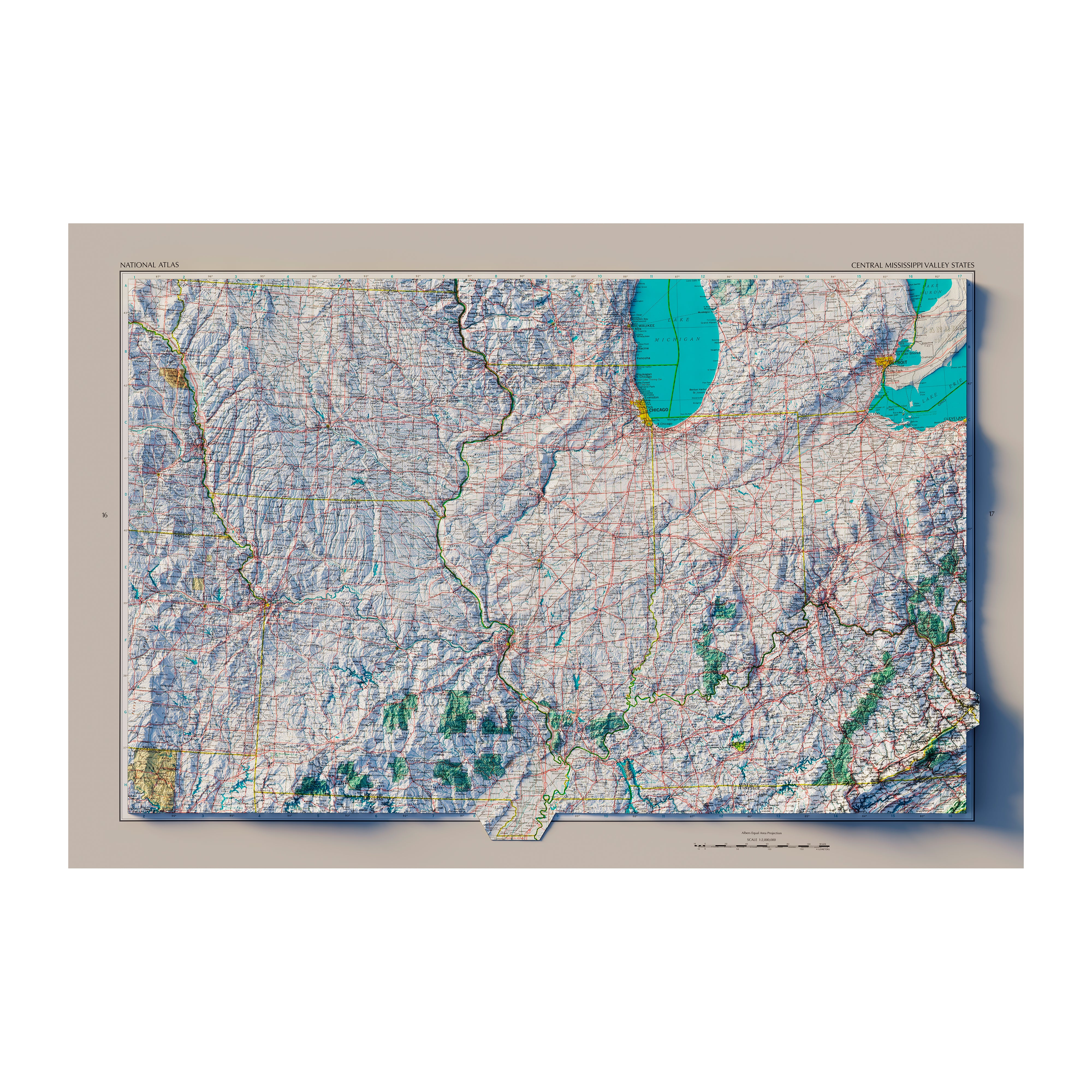
Yes! Our Kansas state maps are printed on fine art paper and some are also available on beautiful gallery-wrapped canvas, and all are available professionally custom-framed with real wood frames. Choose from several different colors and wood finishes or, if you’d prefer to use your own frame, all of our maps are also available for purchase unframed and come in standard sizes for easy gift giving.
Is a Muir Way map of Kansas a good gift idea?
Muir Way maps make excellent gifts! Our custom-printed maps are a perfect choice for anniversaries, Christmas gifts, wedding presents, or as a thank-you gift for someone special. Our thousands of positive reviews are a testament to the quality we stand by when you purchase one of our maps as a gift. A Kansas wall map from Muir Way can also be a perfect graduation gift for a student about to leave home for the first time, or a reminder of home for someone whose home state is Kansas. Looking for something to make a lasting impression with a new client or business partner? Our maps make thoughtful corporate gifts that last well beyond a gift basket.
How should I display my Kansas map?
Hang a framed wall map as a central focus, or purchase several related maps and arrange them near each other for a complementary series. Designed to be appreciated both up close and from across the room, our collection of Kansas maps offer many different options to match your style. From black and white to full color to monochrome, no matter which map you choose, you’re sure to find a Kansas illustration to suit your décor.
What are the different types of maps of Kansas available on Muir Way?
Our Kansas maps are available in several different styles, including:
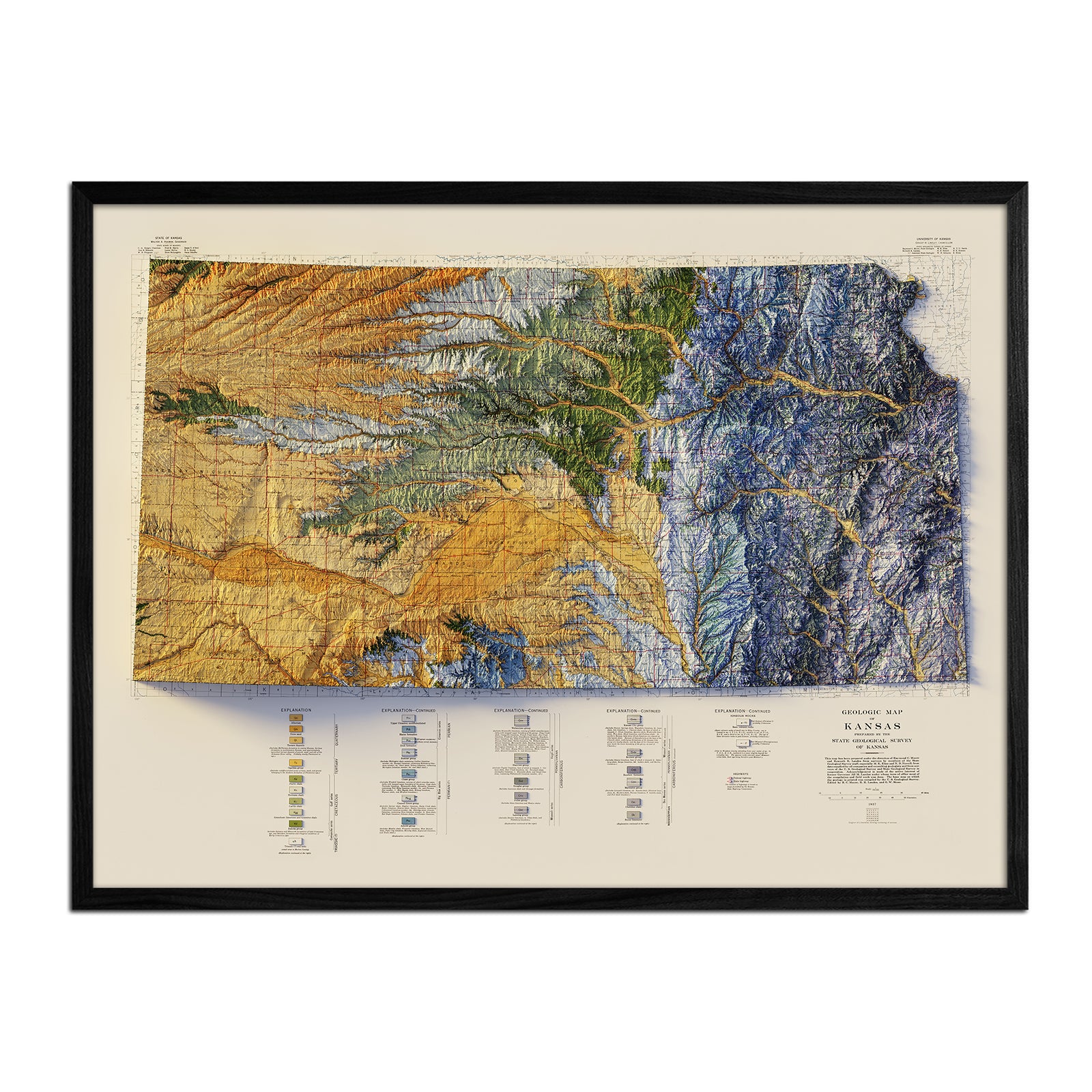
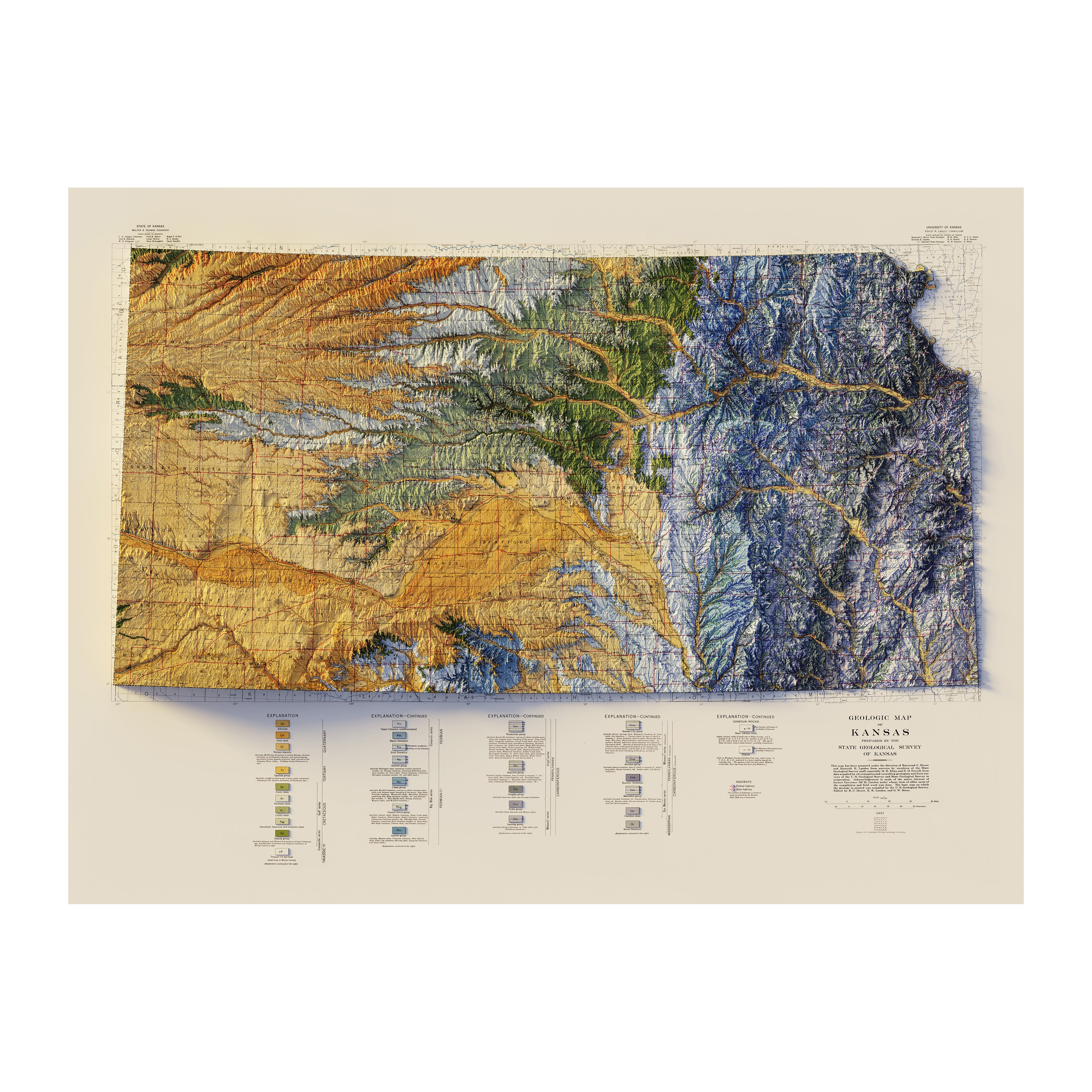
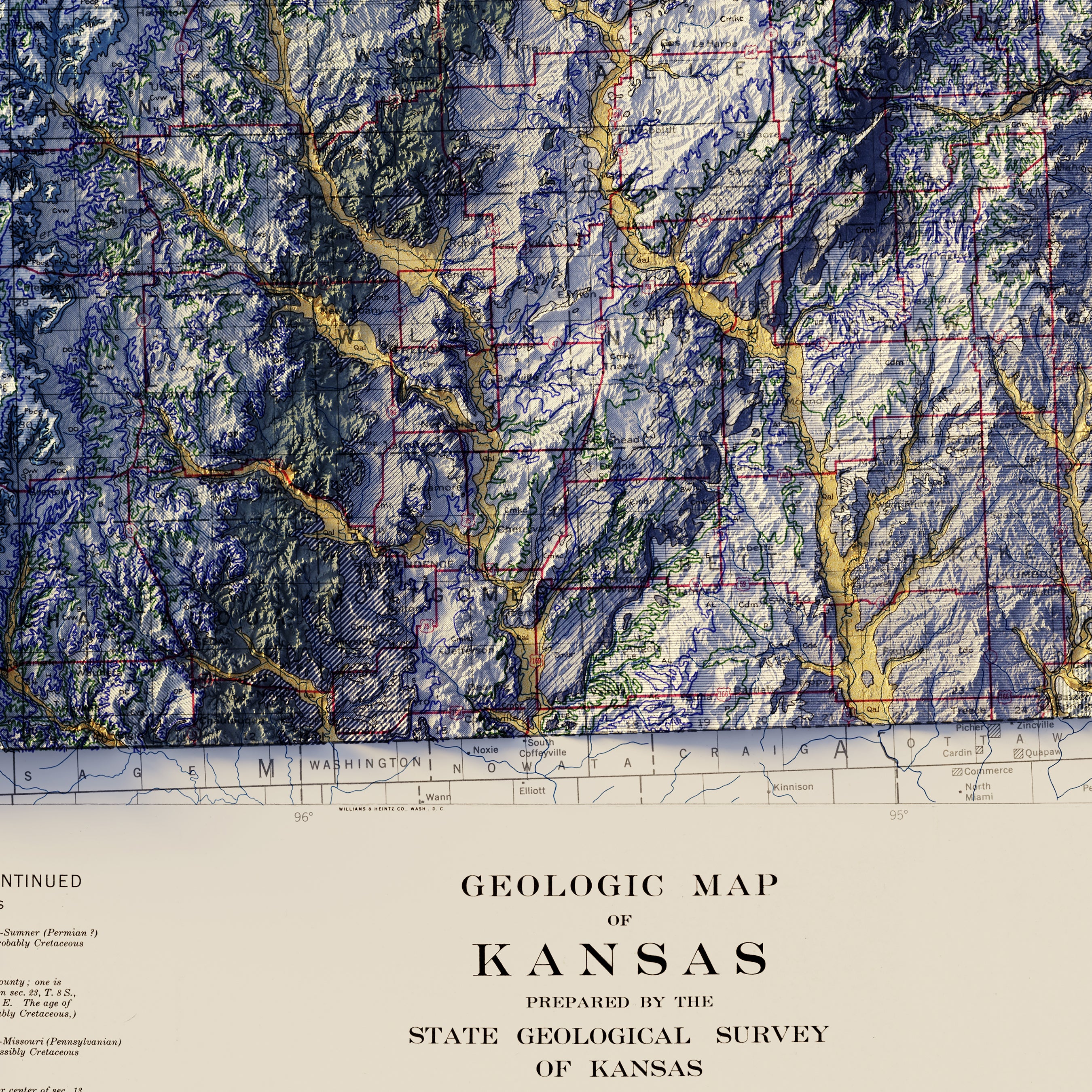
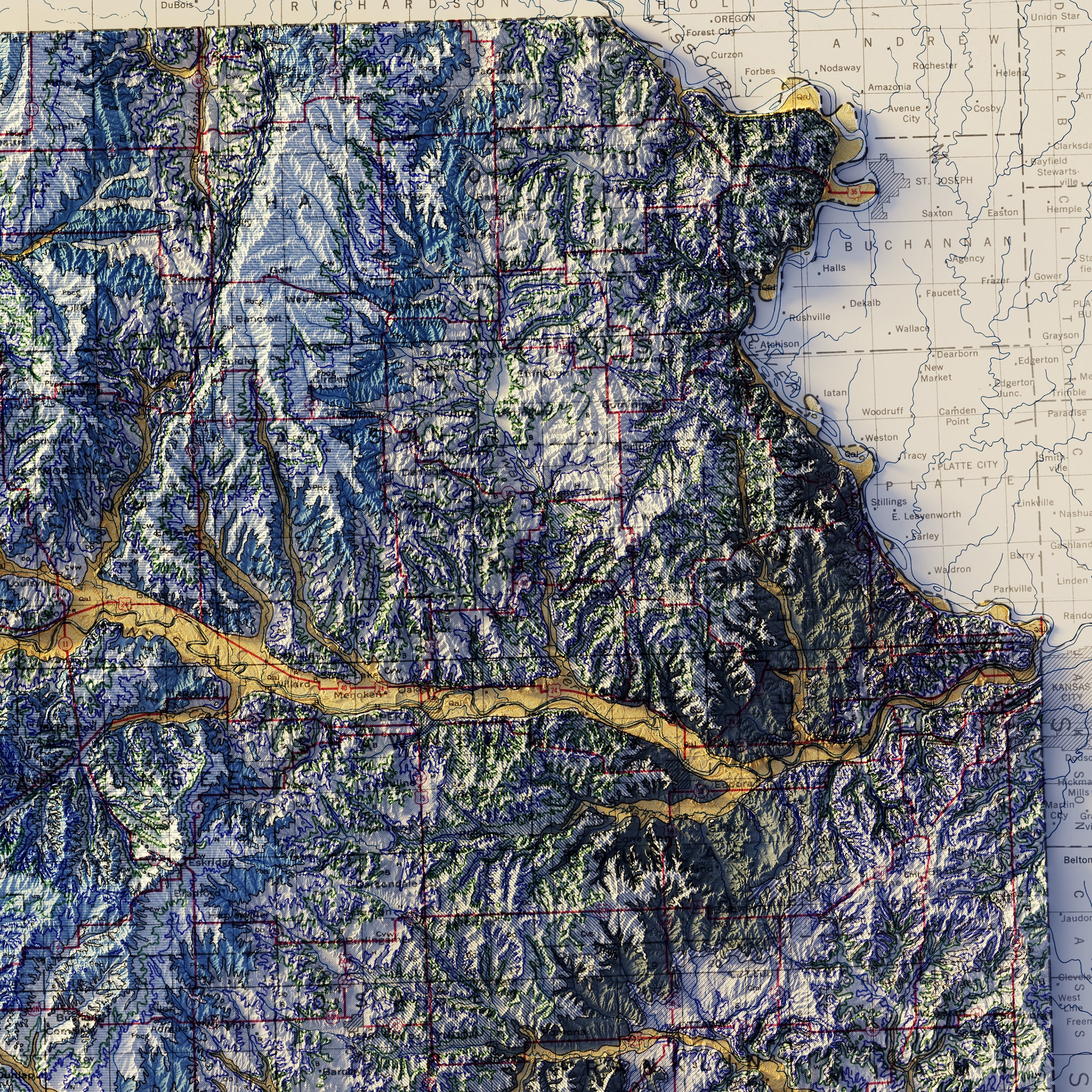
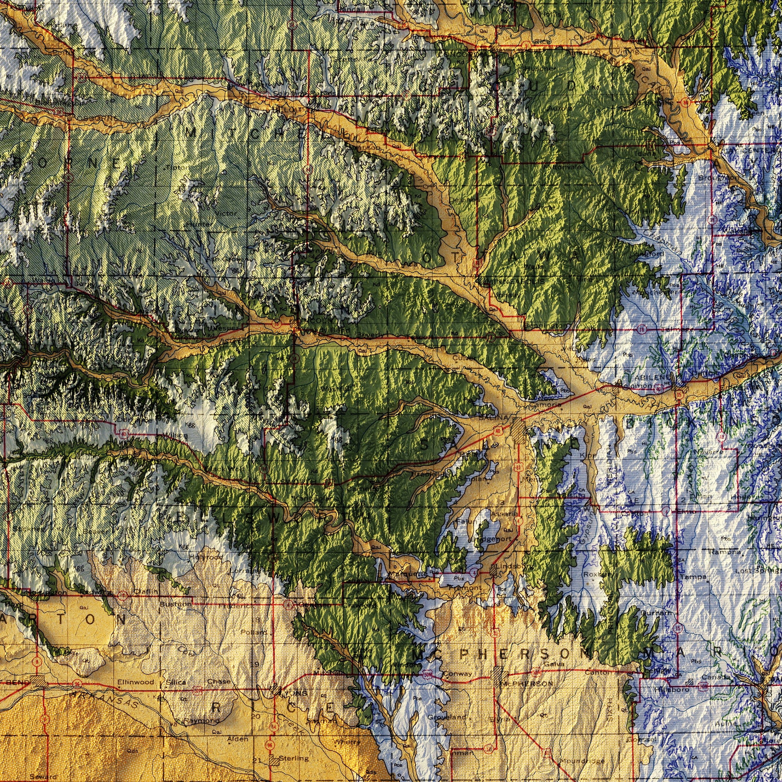
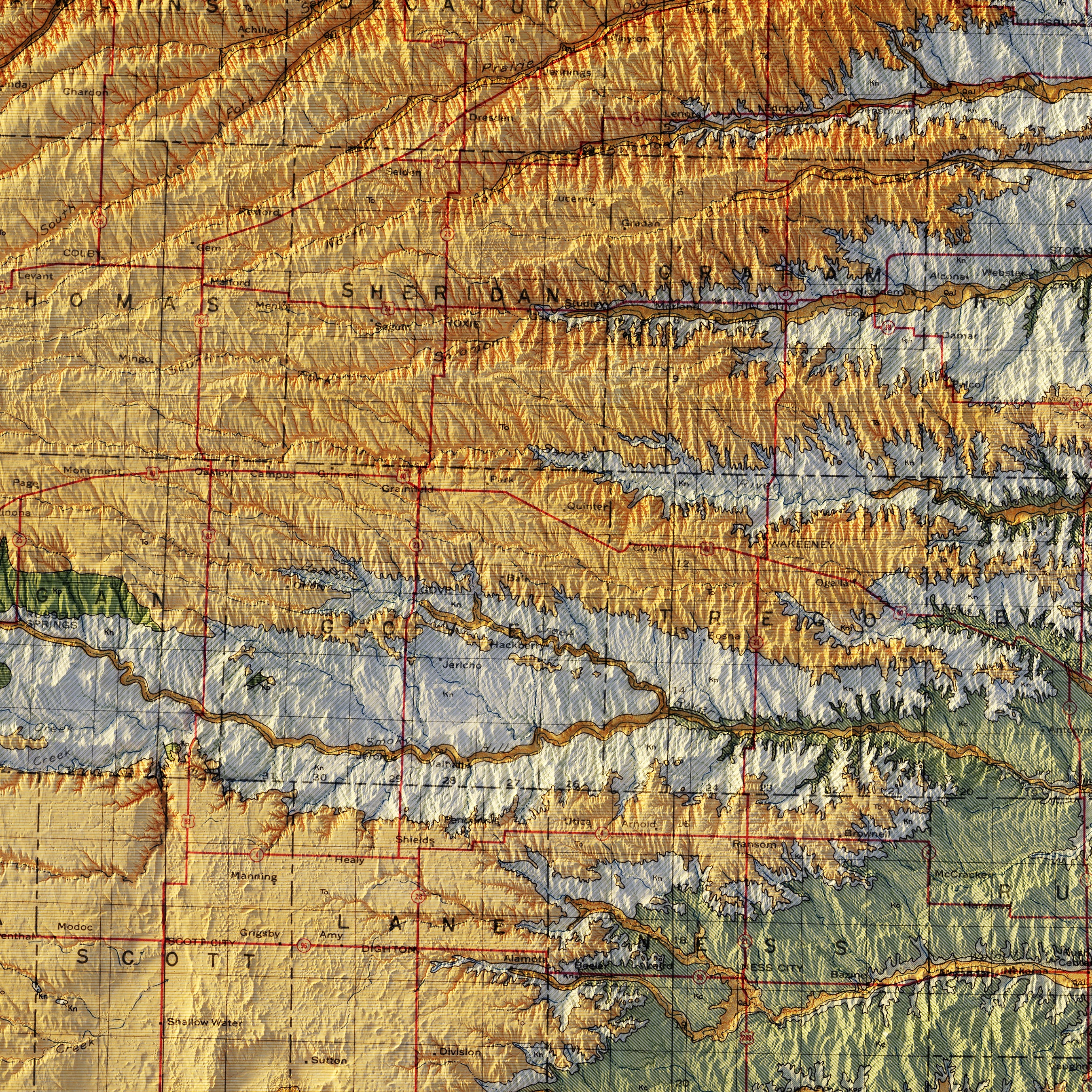
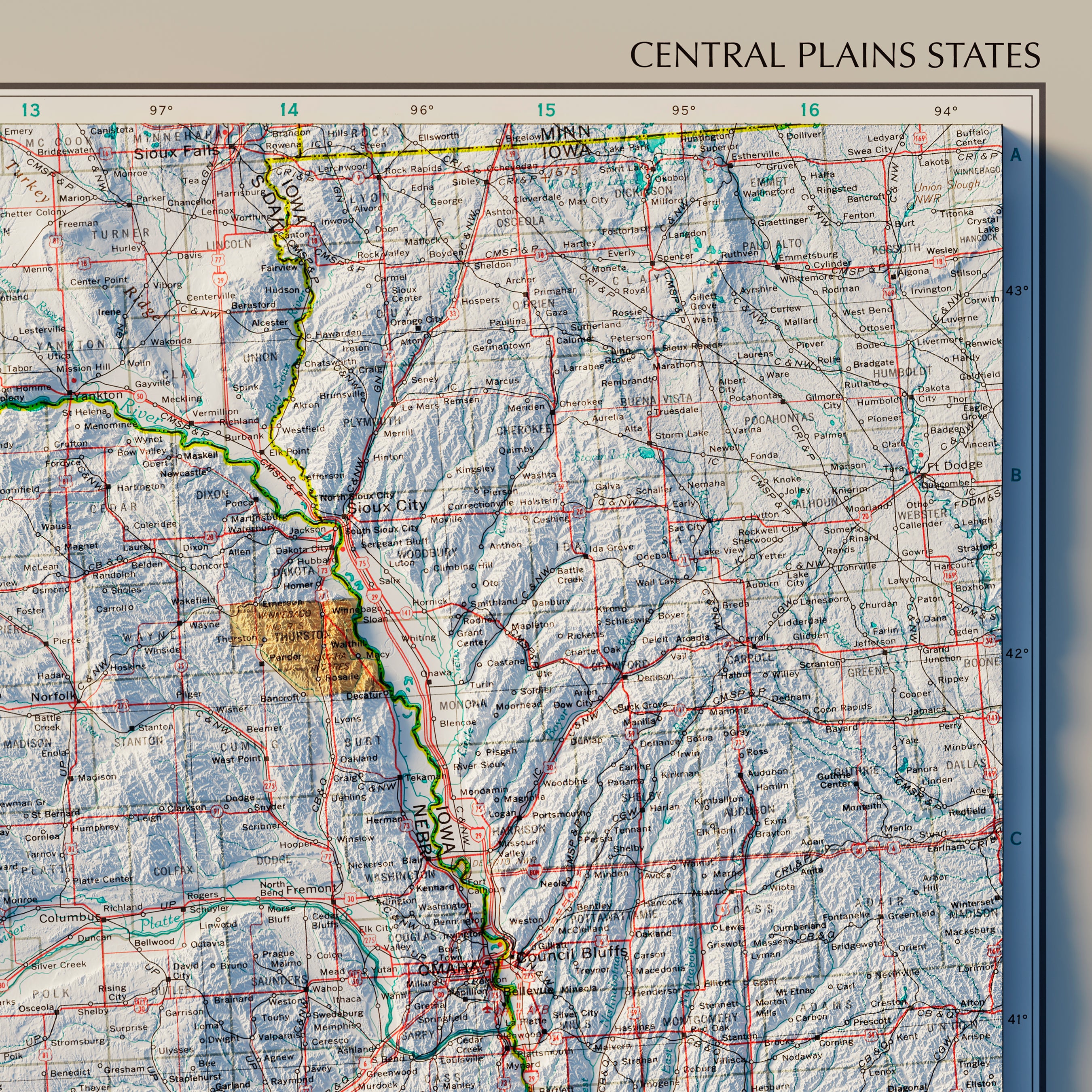
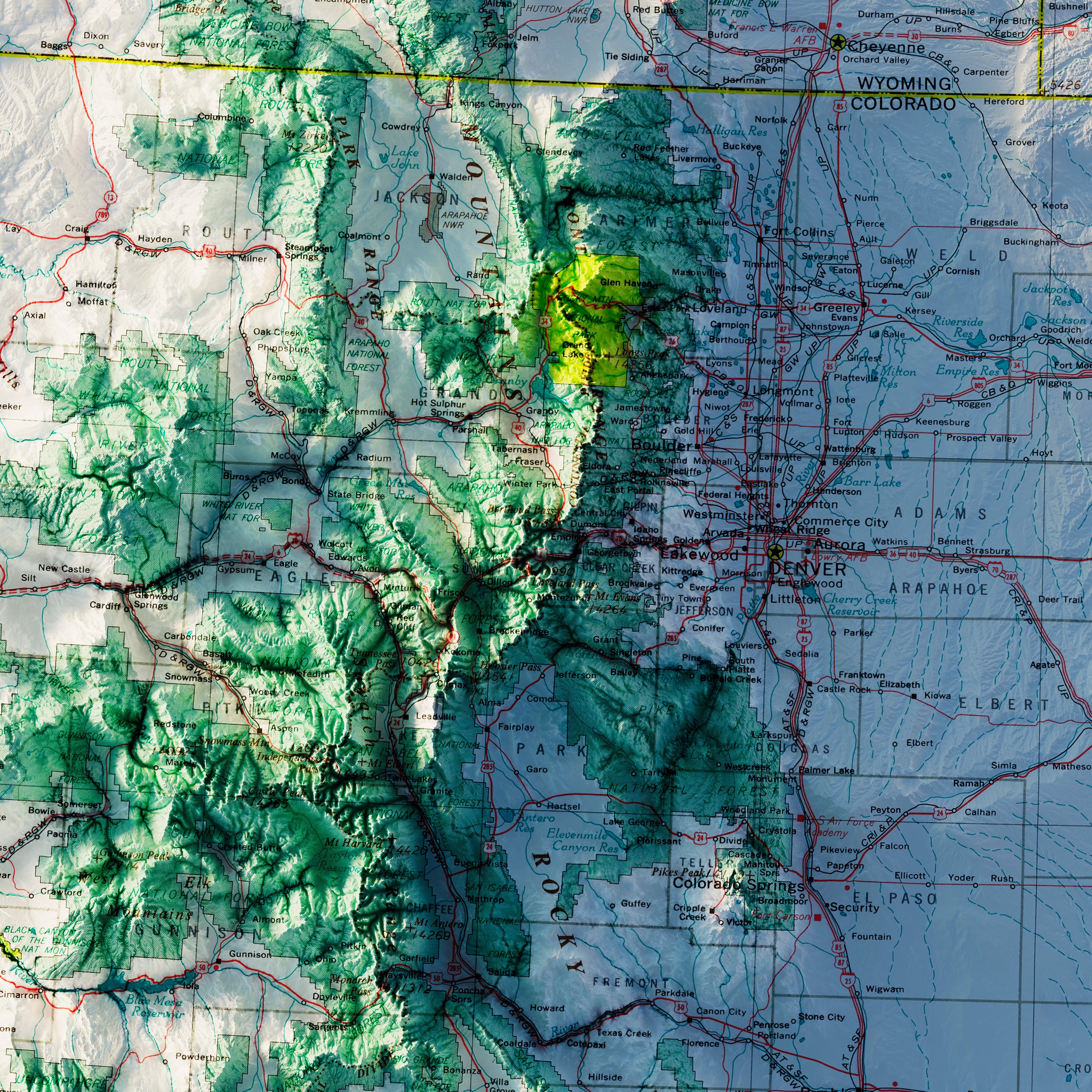
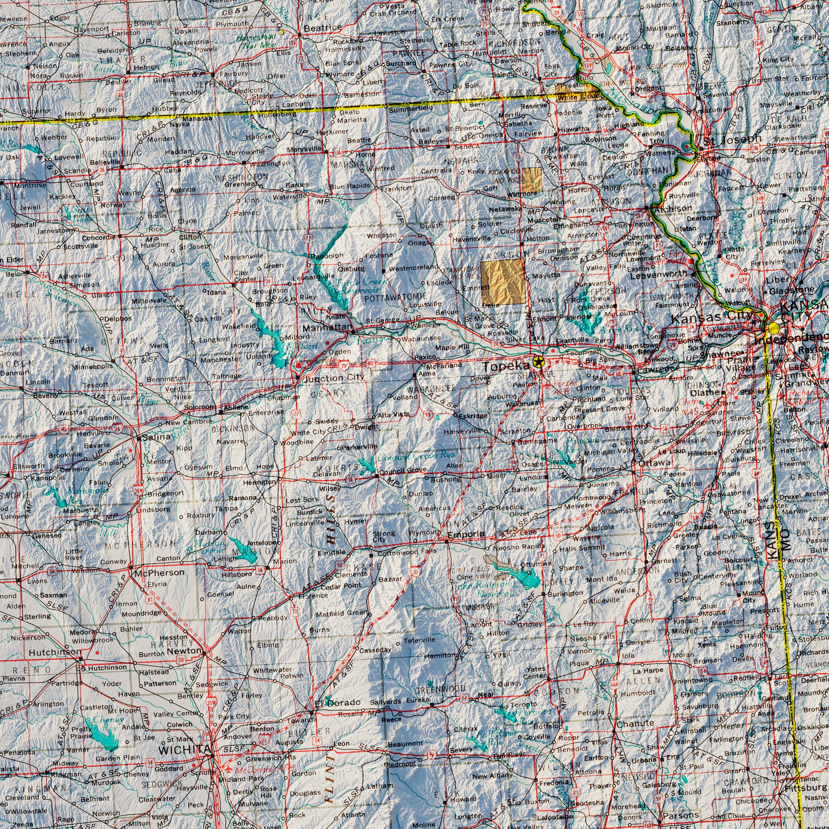
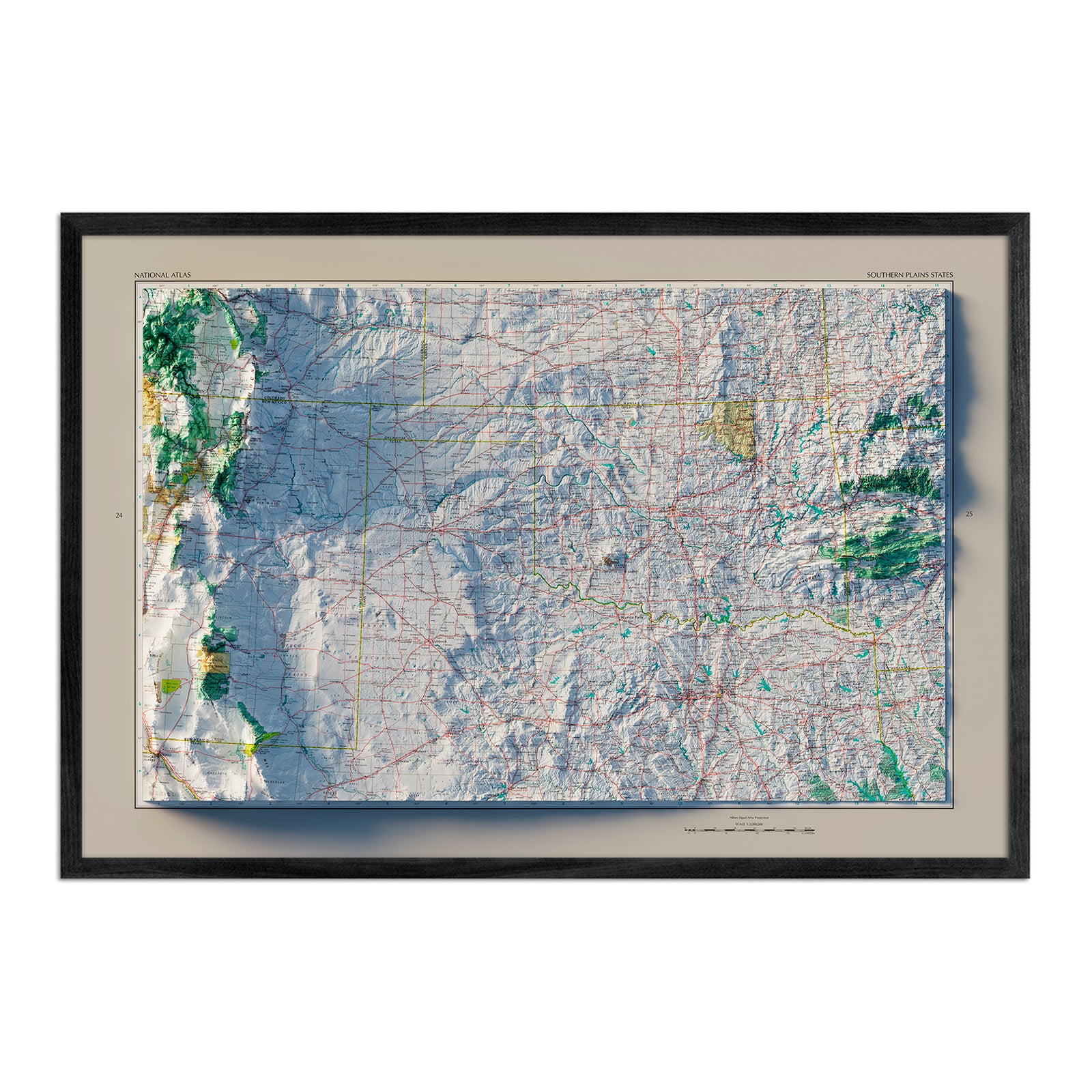
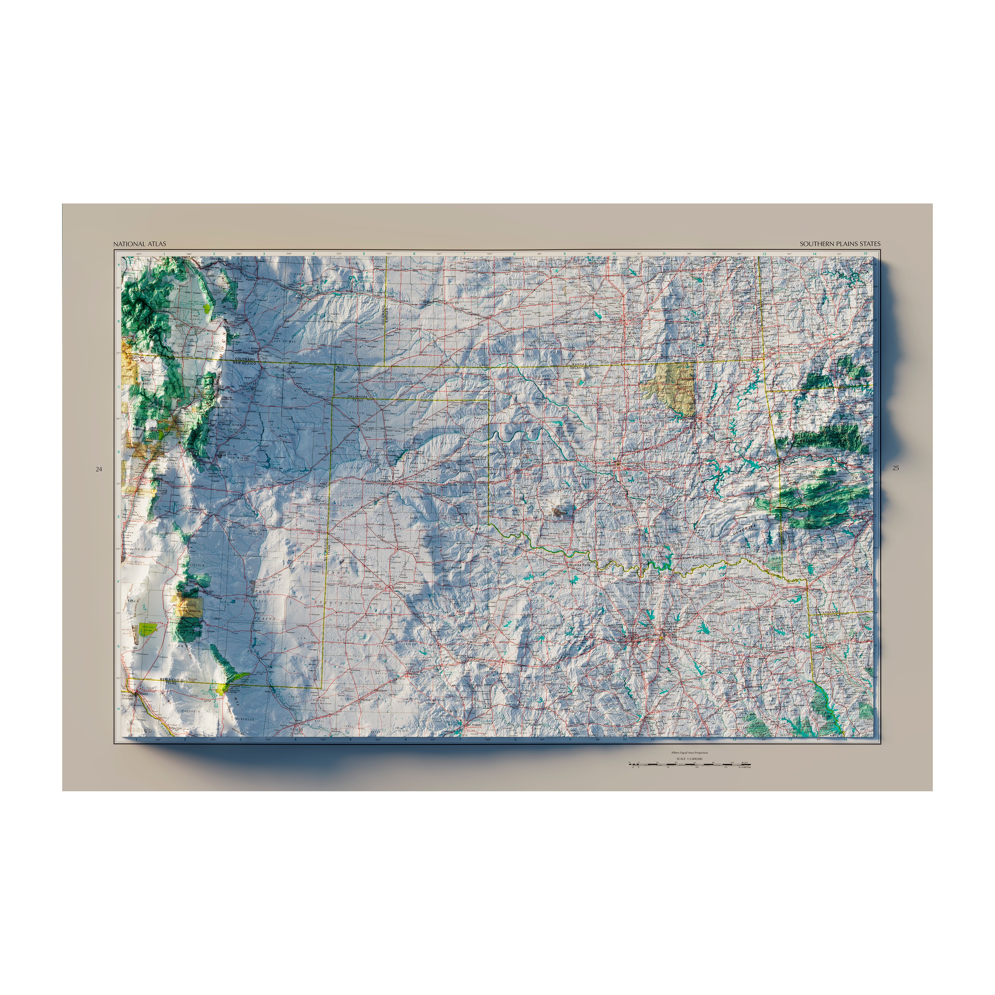
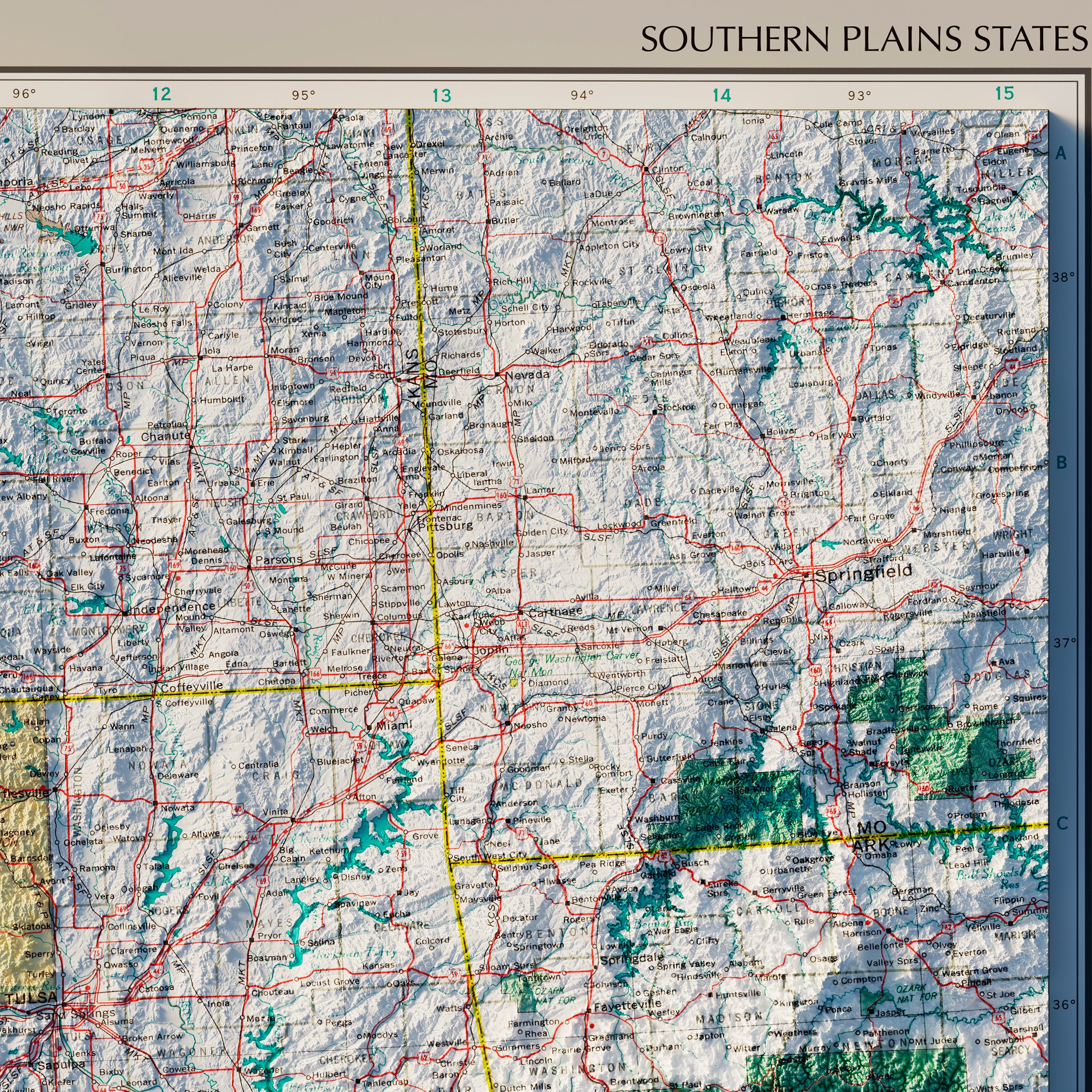
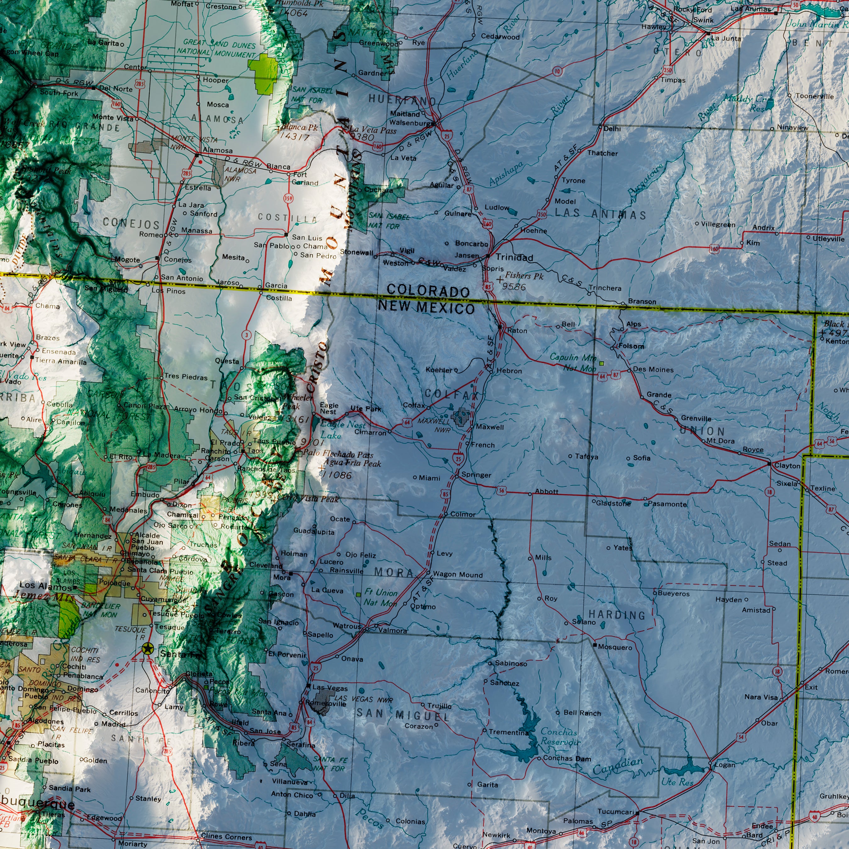
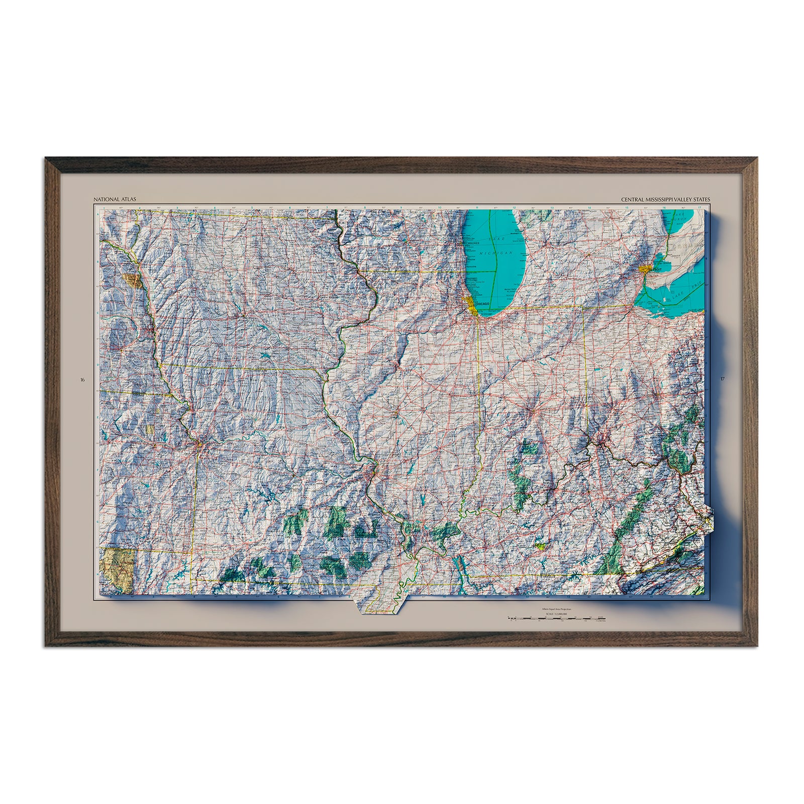
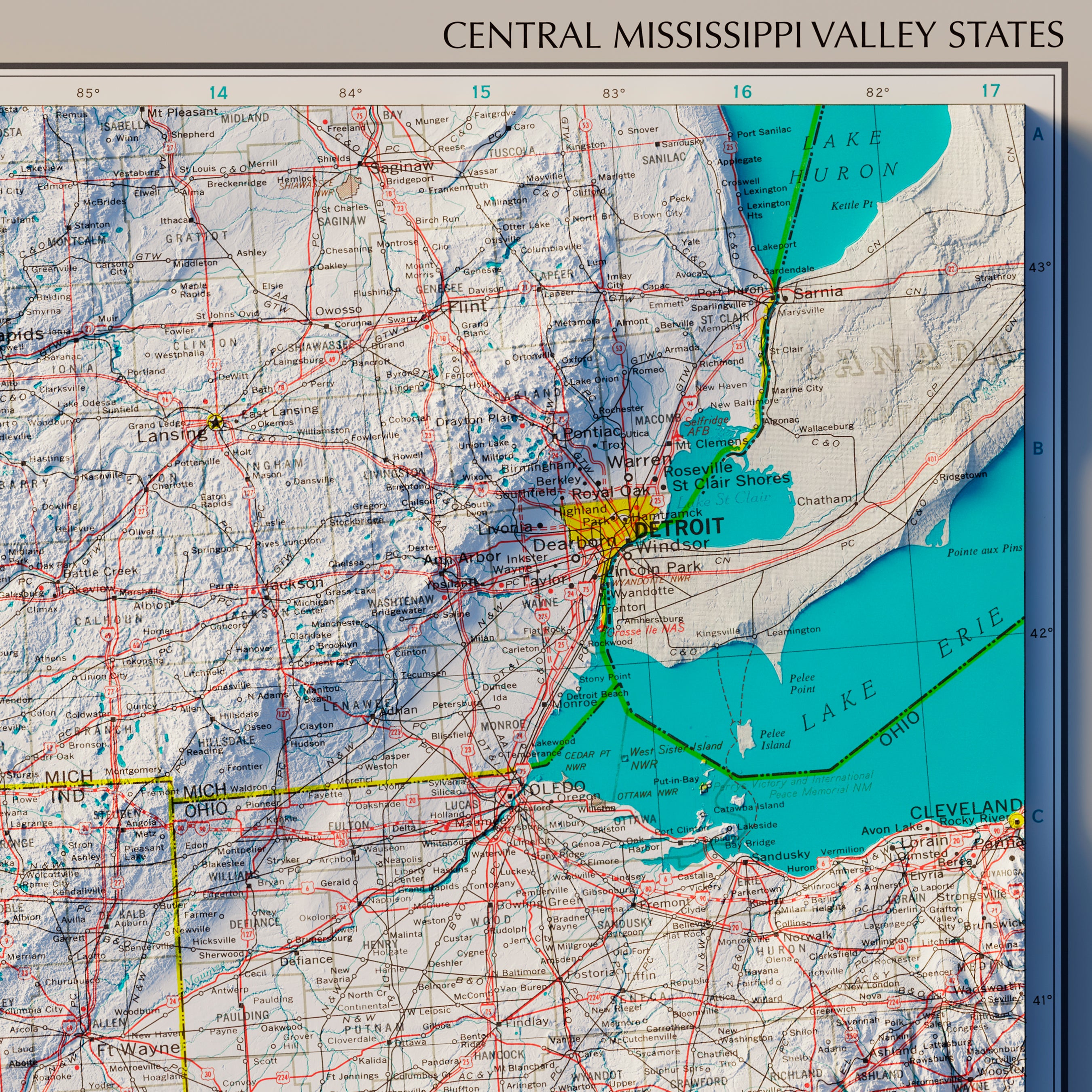
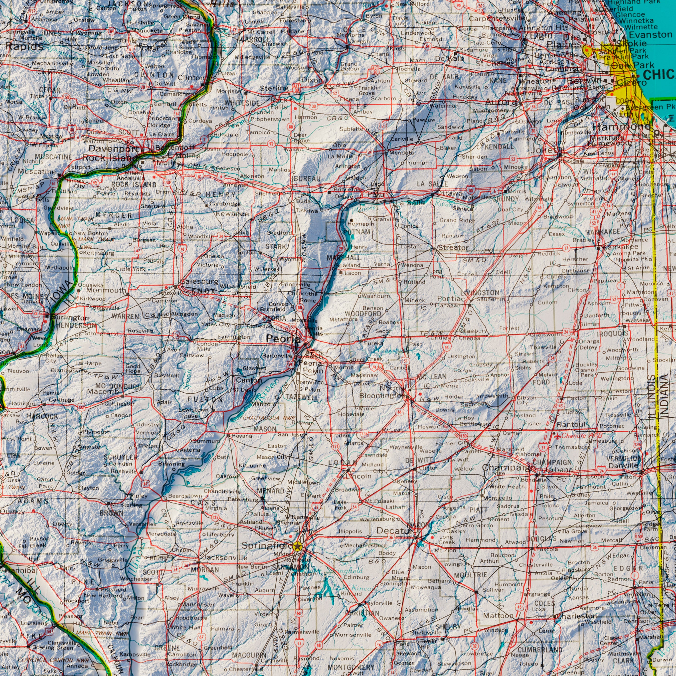
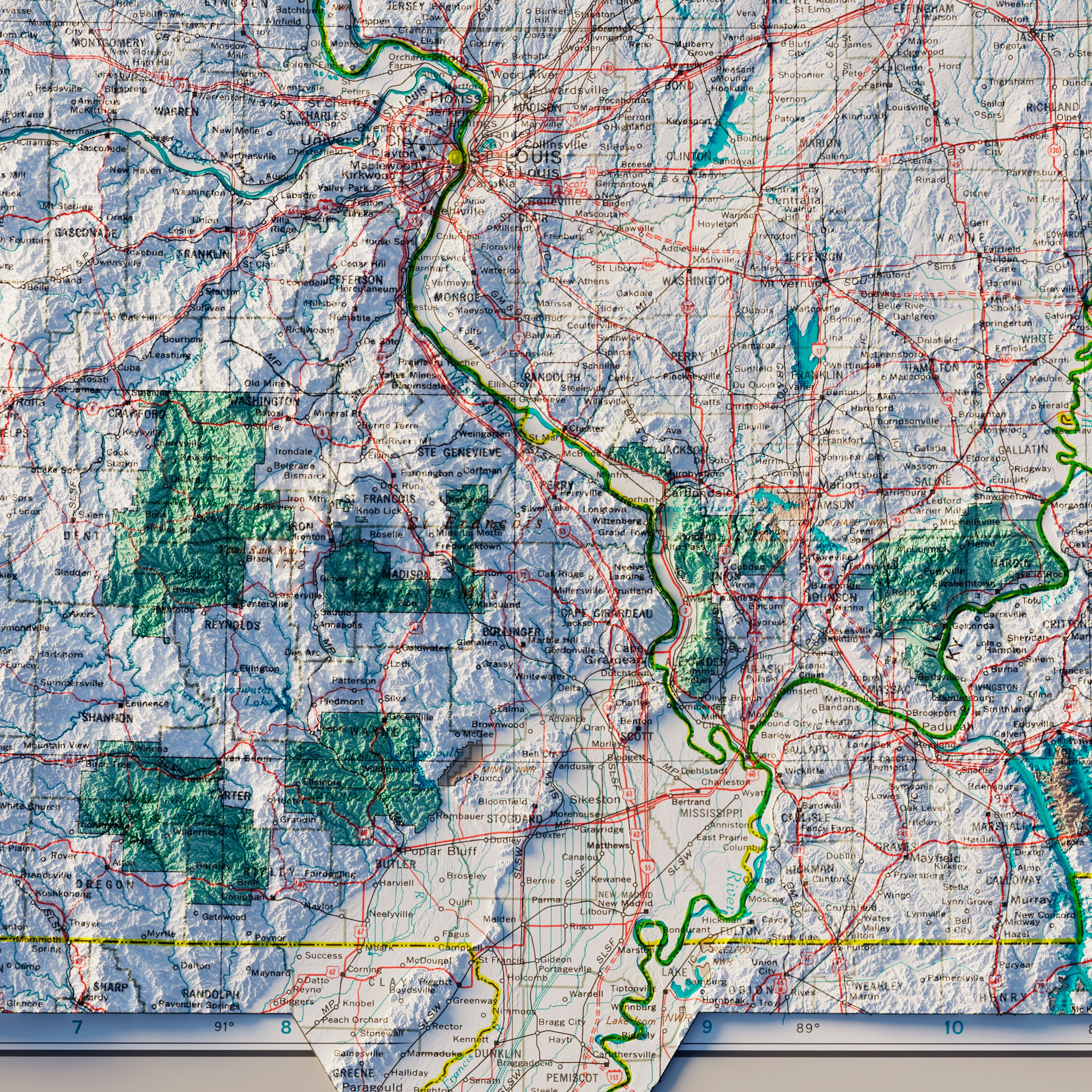
Kansas relief maps - Our relief map of Kansas combines 1937 historical map imagery with modern technology to showcase Kansas’s beautiful topography in an exciting new way. Using Digital Elevation Data and hand-shaded relief, we’ve custom enhanced a vintage map of Kansas to create a surreal 3D effect that remains two-dimensional.
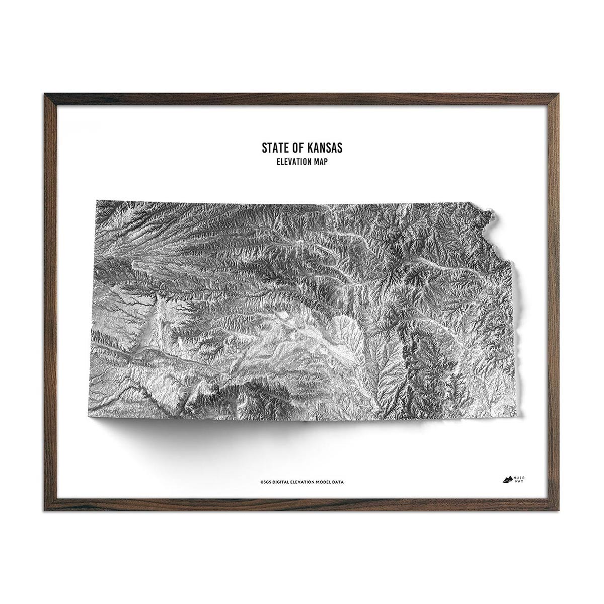
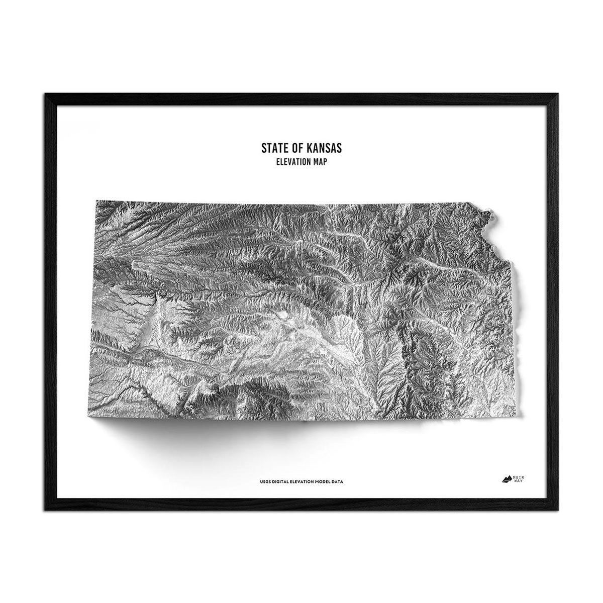
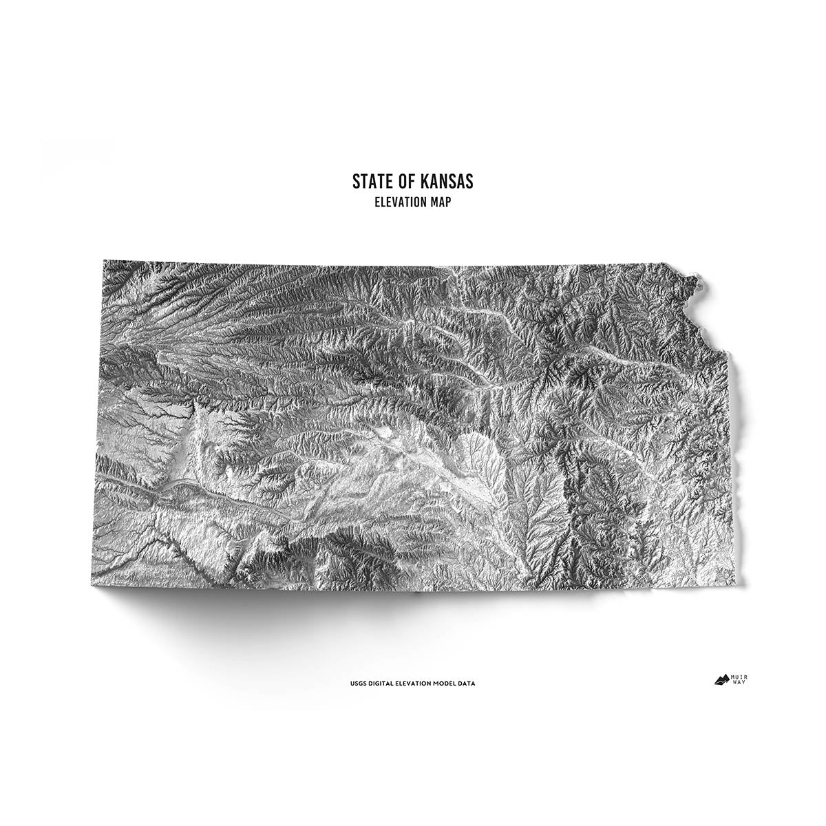
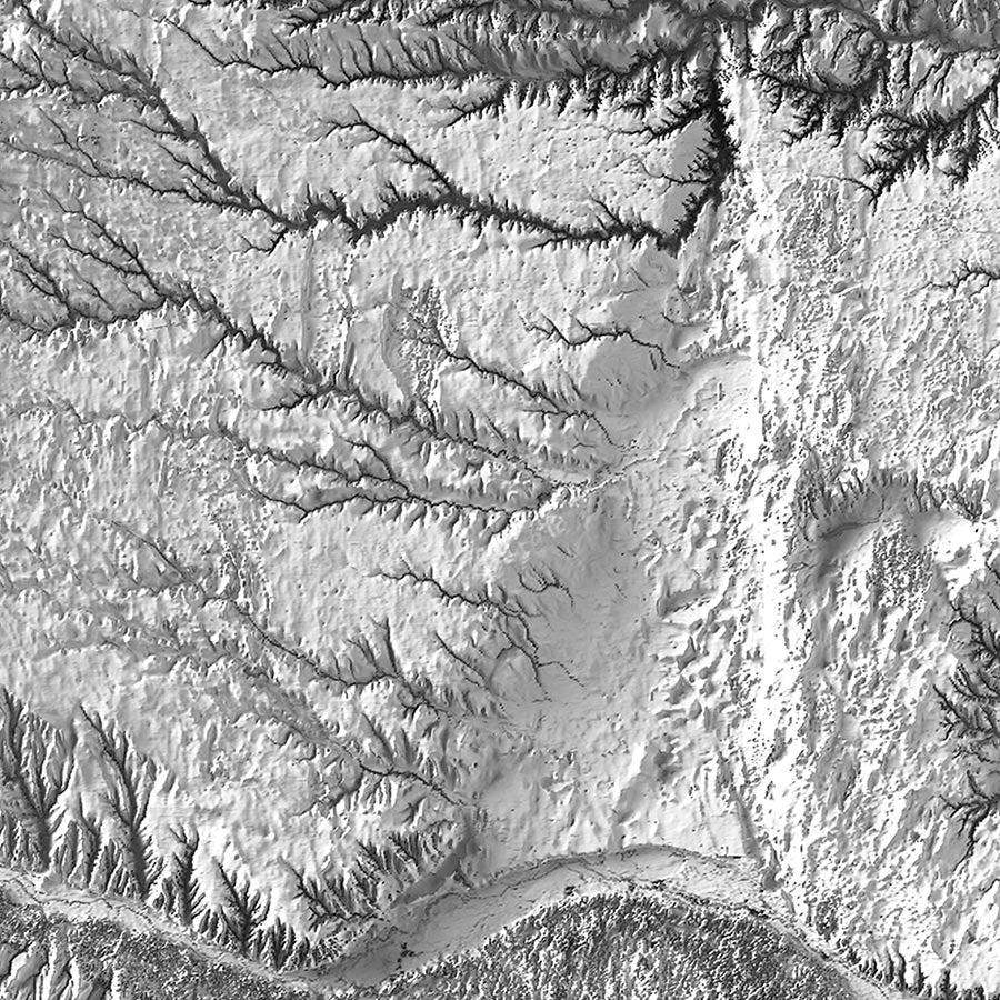
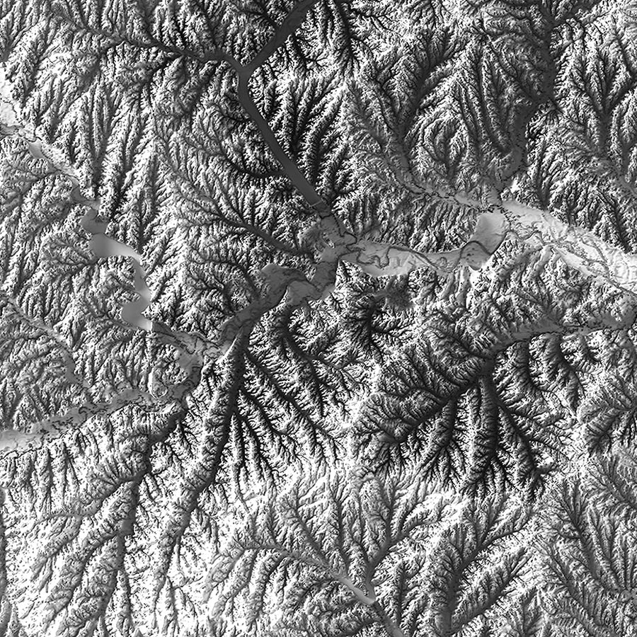
Kansas elevation maps - Our stunning black and white Kansas elevation map also uses Digital Elevation Data from the USGS to create a high-contrast 3-dimensional effect, providing crisp detail and a refreshing view of Kansas’s native landscape without the color-coded key.
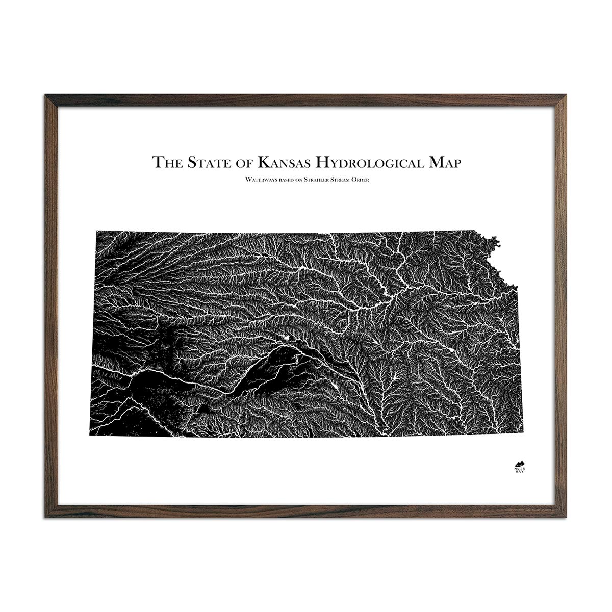
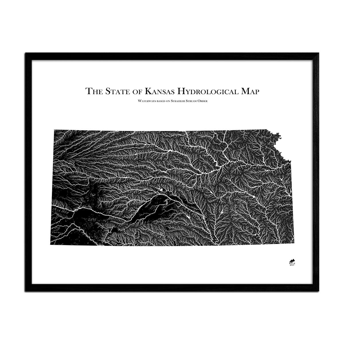
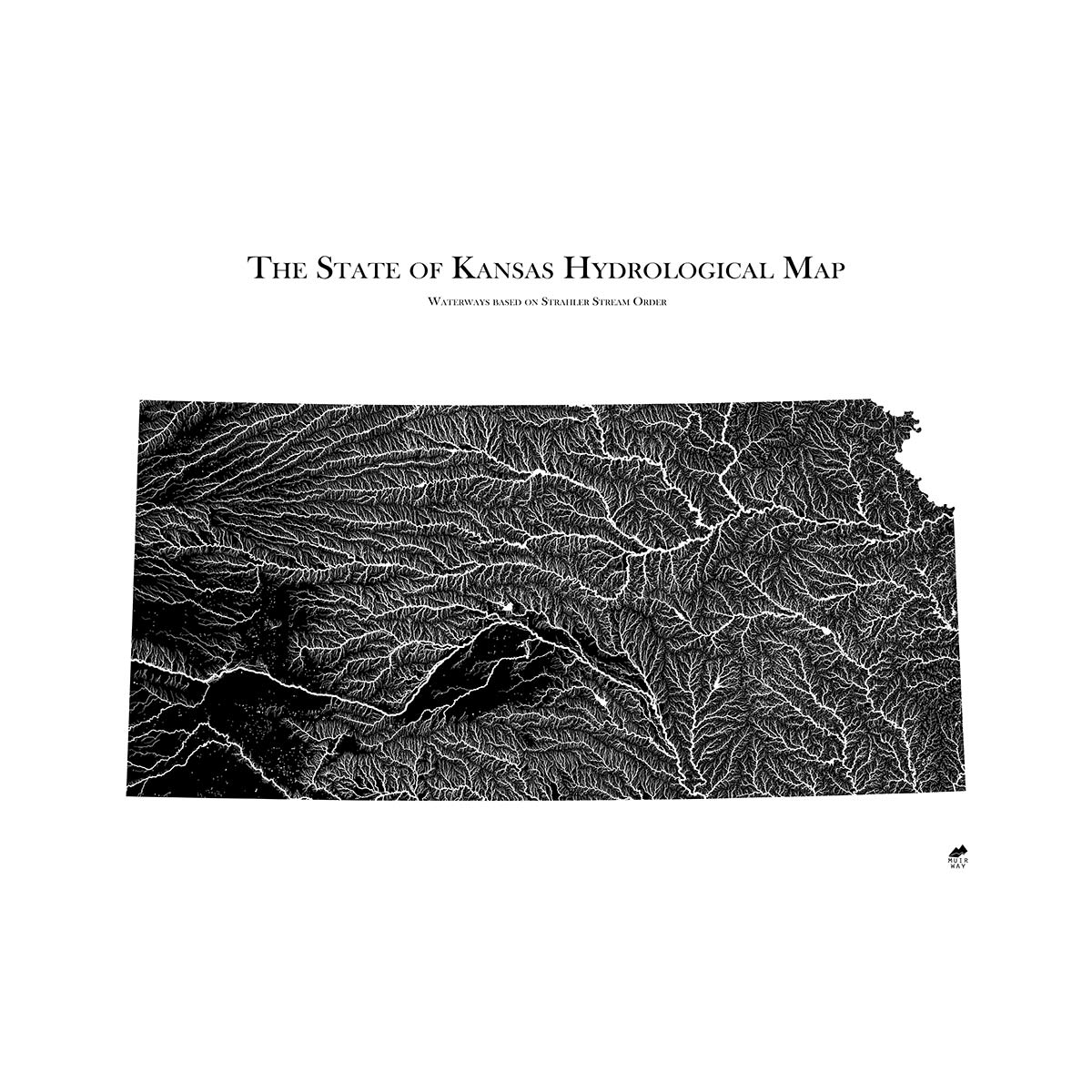
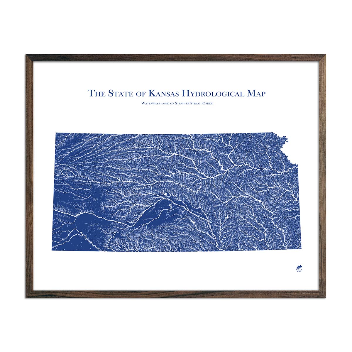
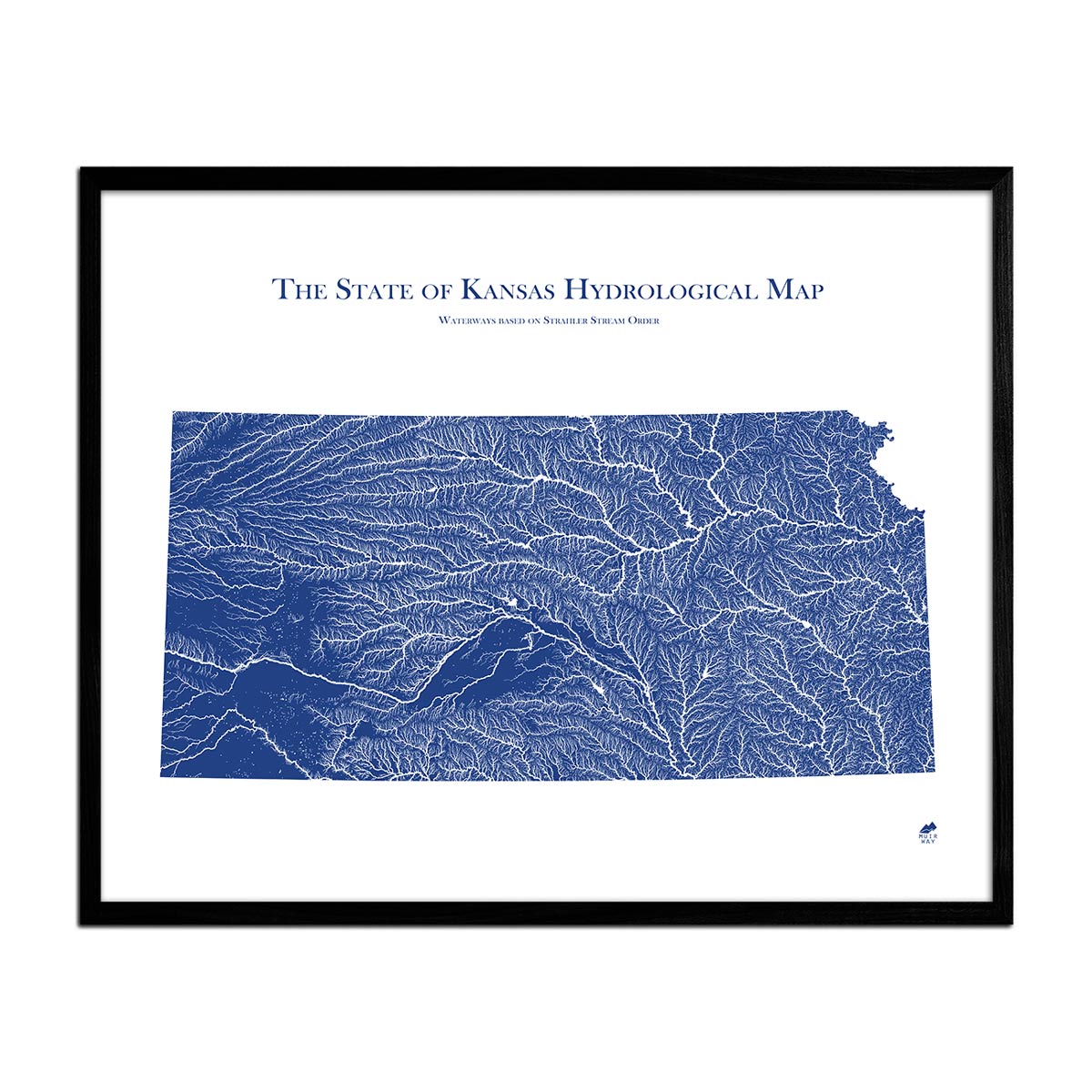
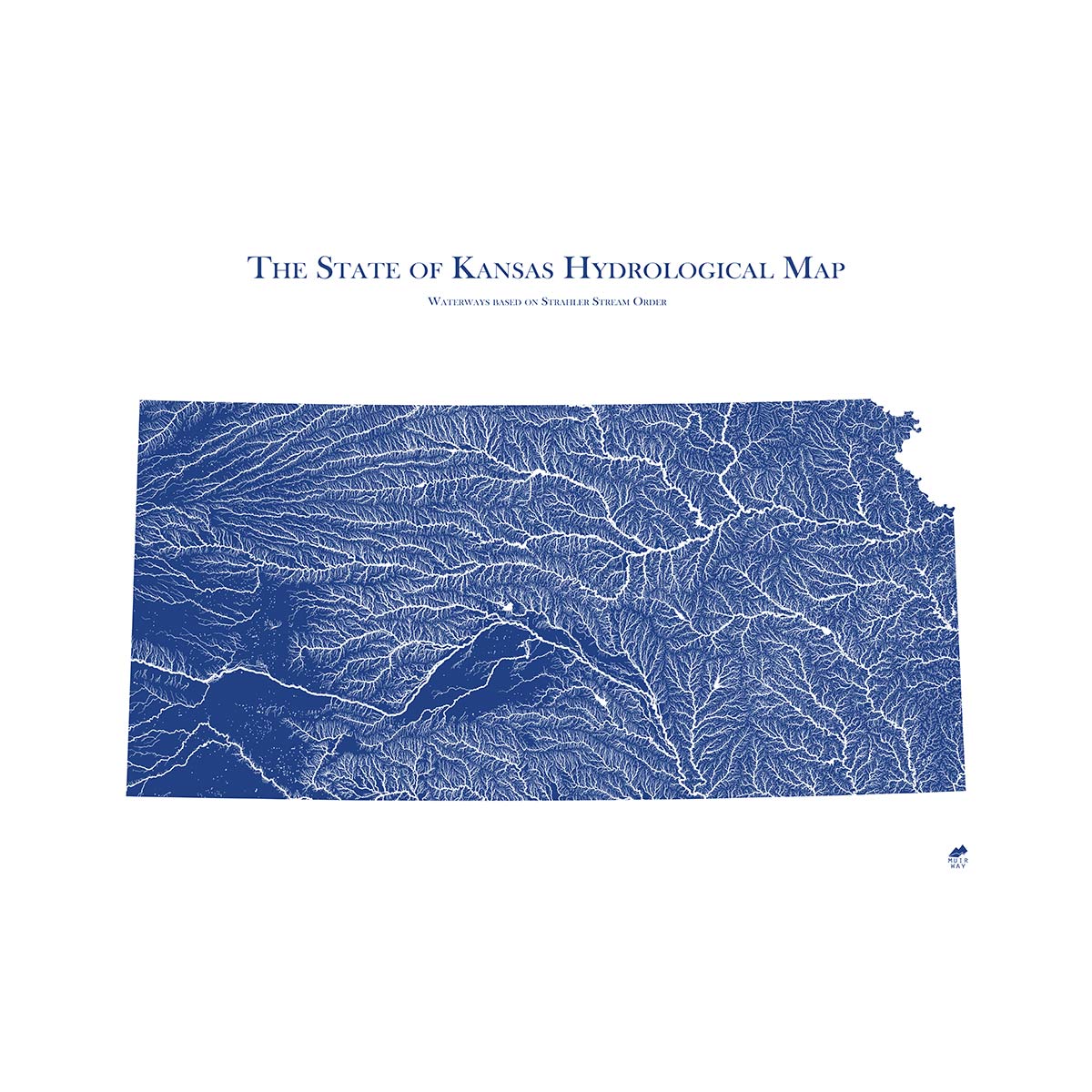
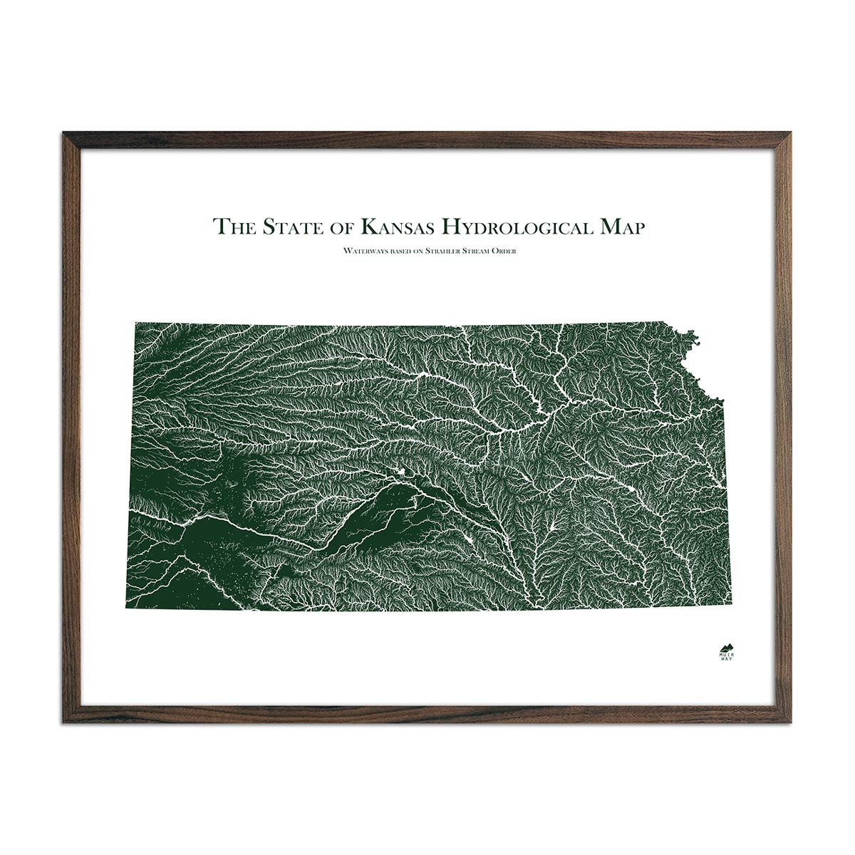
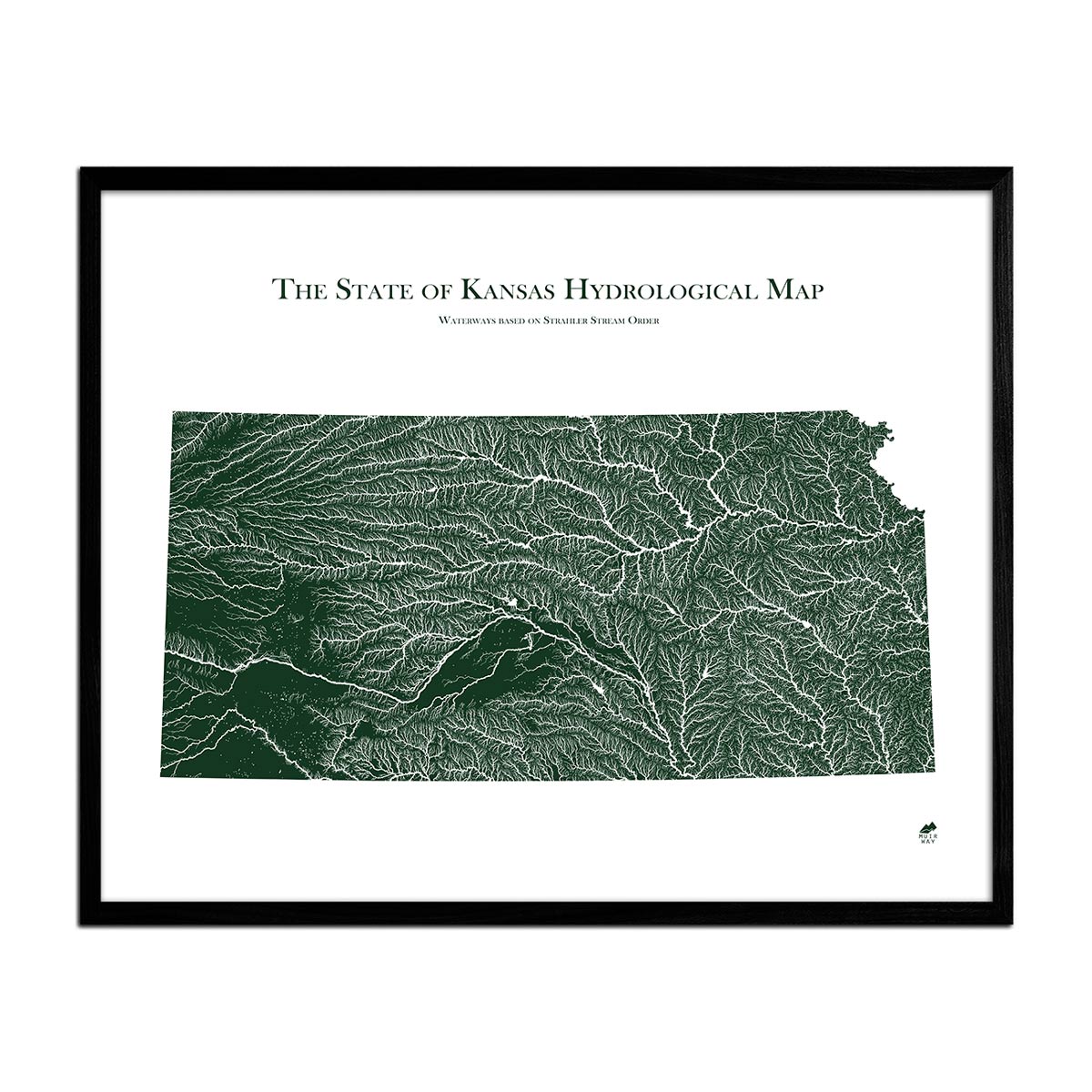
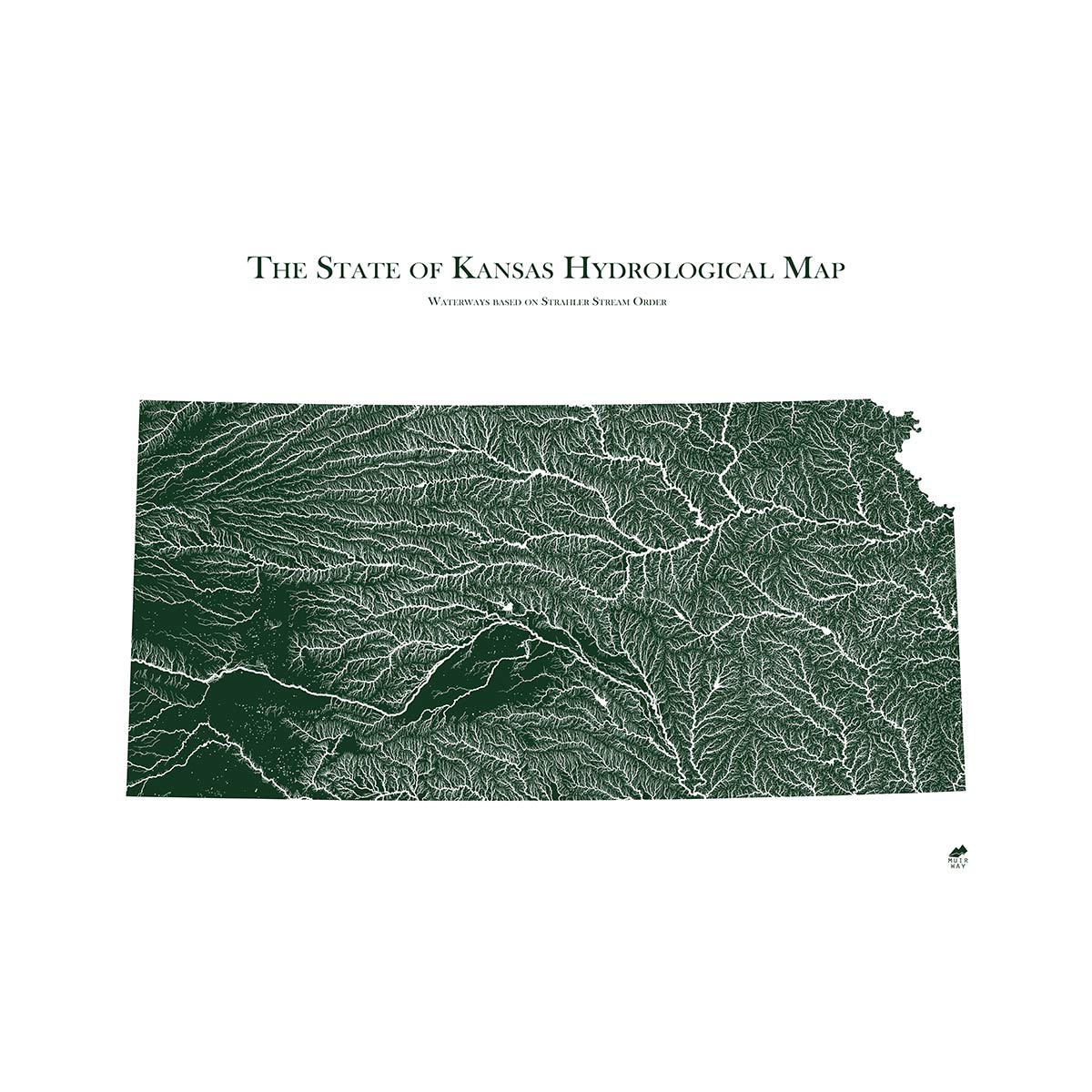
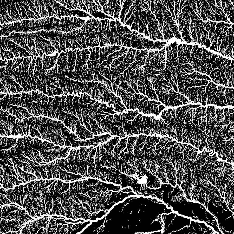
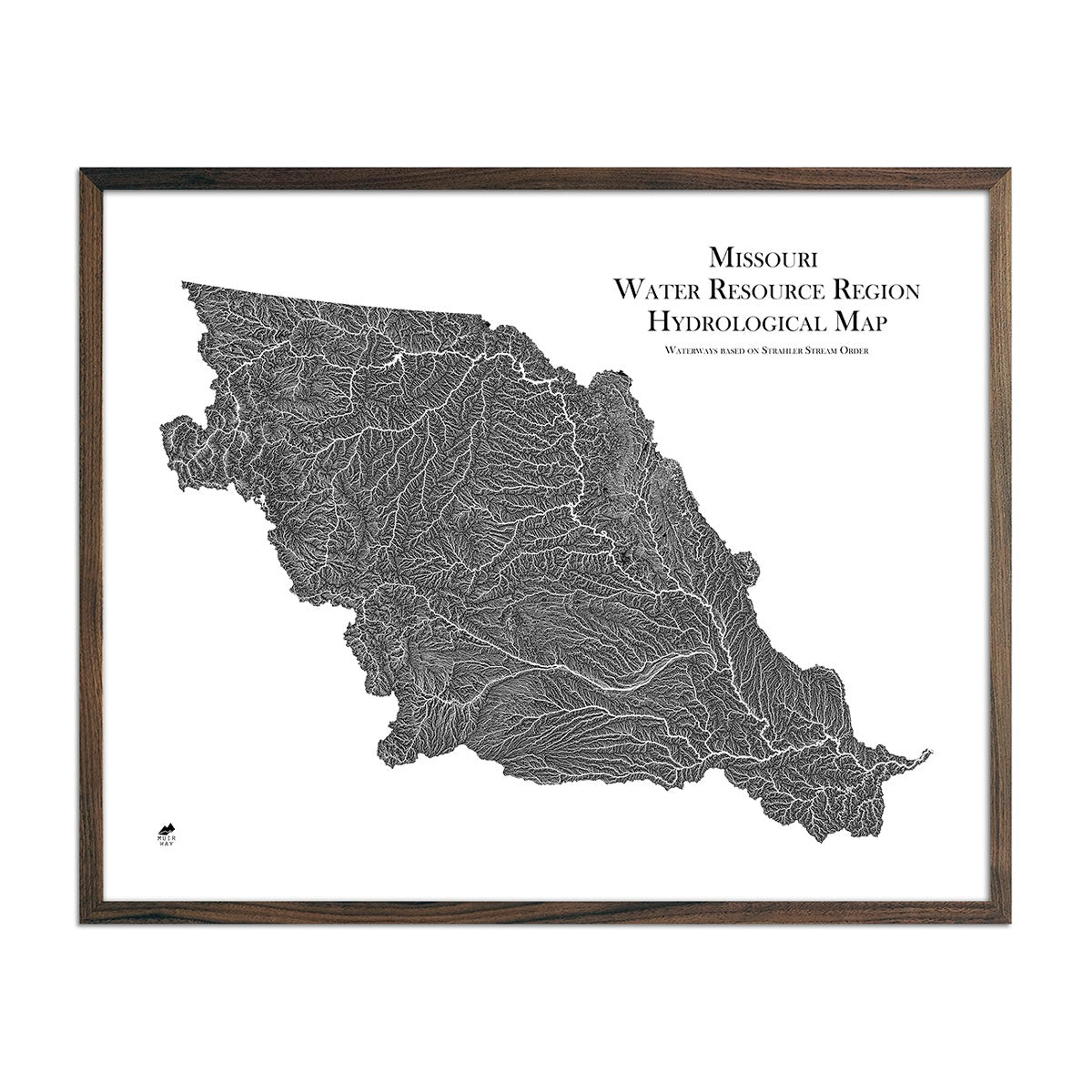
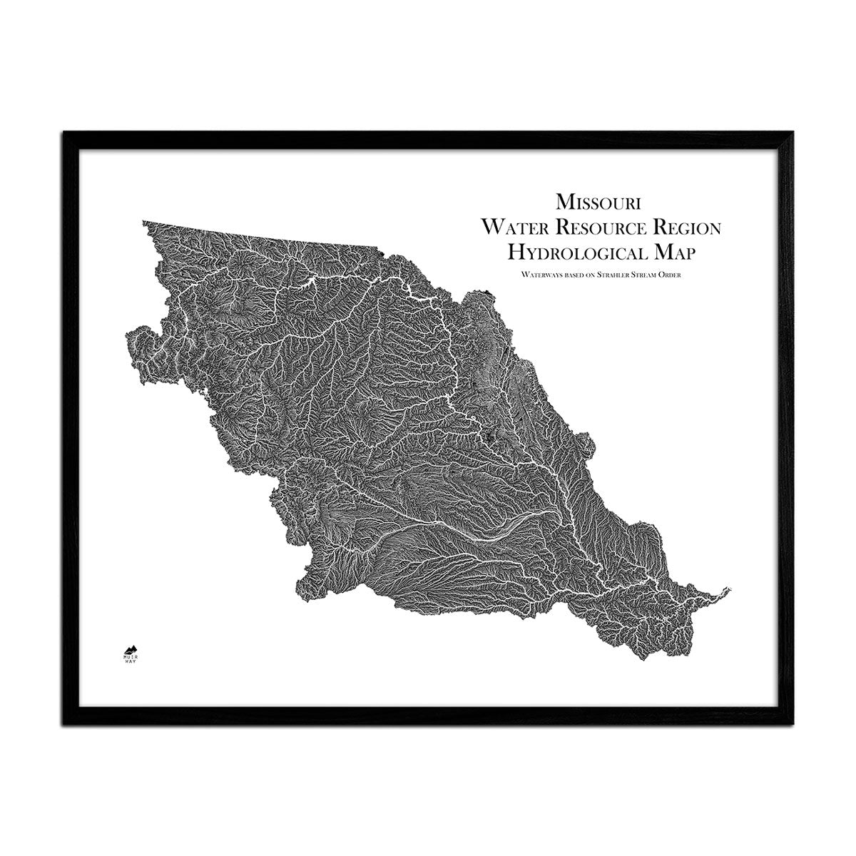
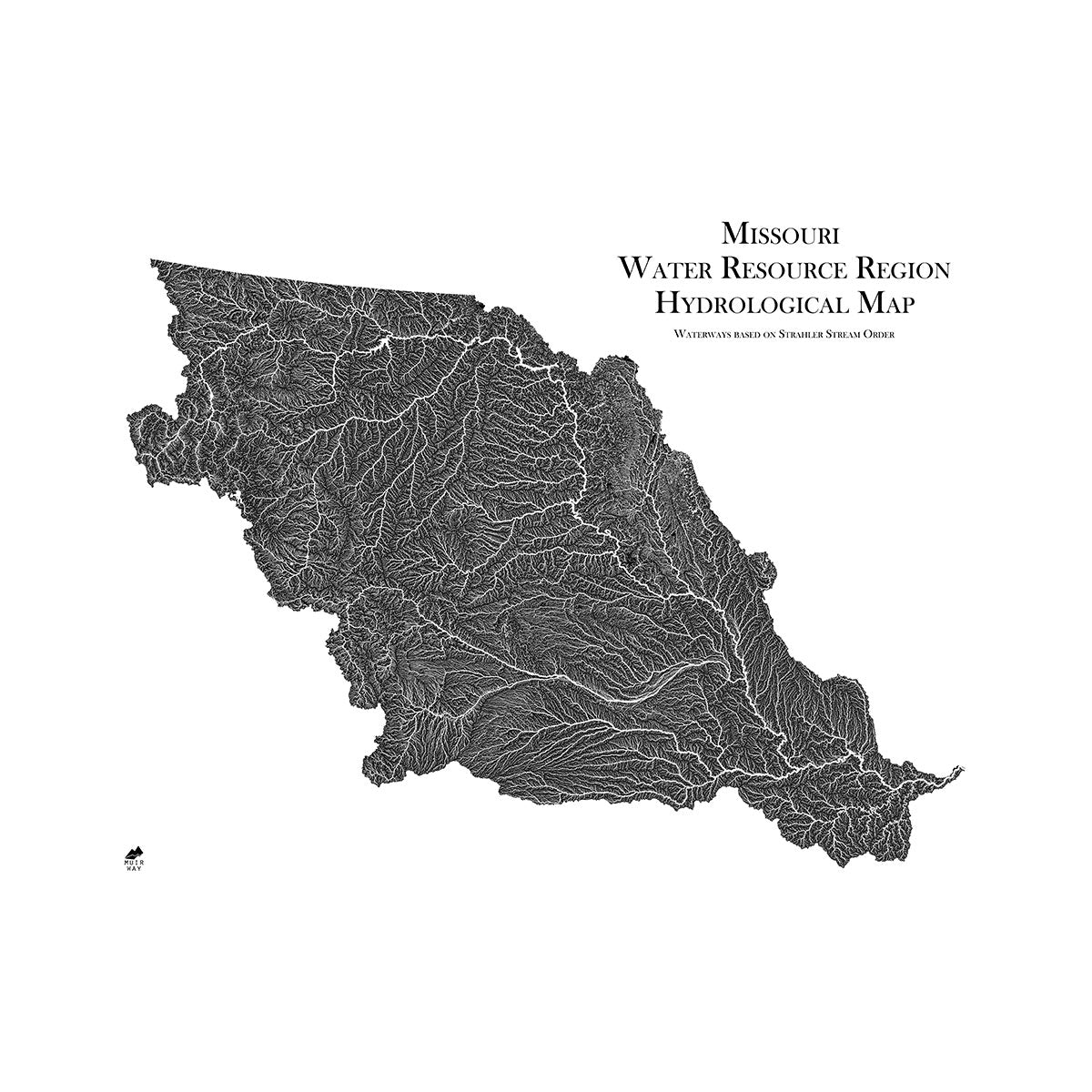
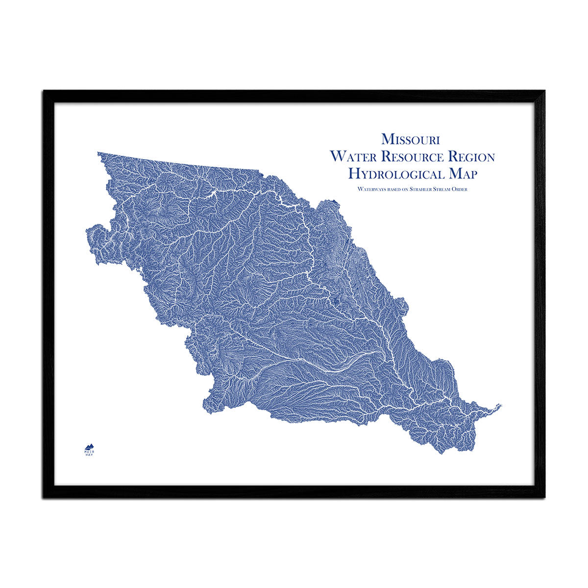
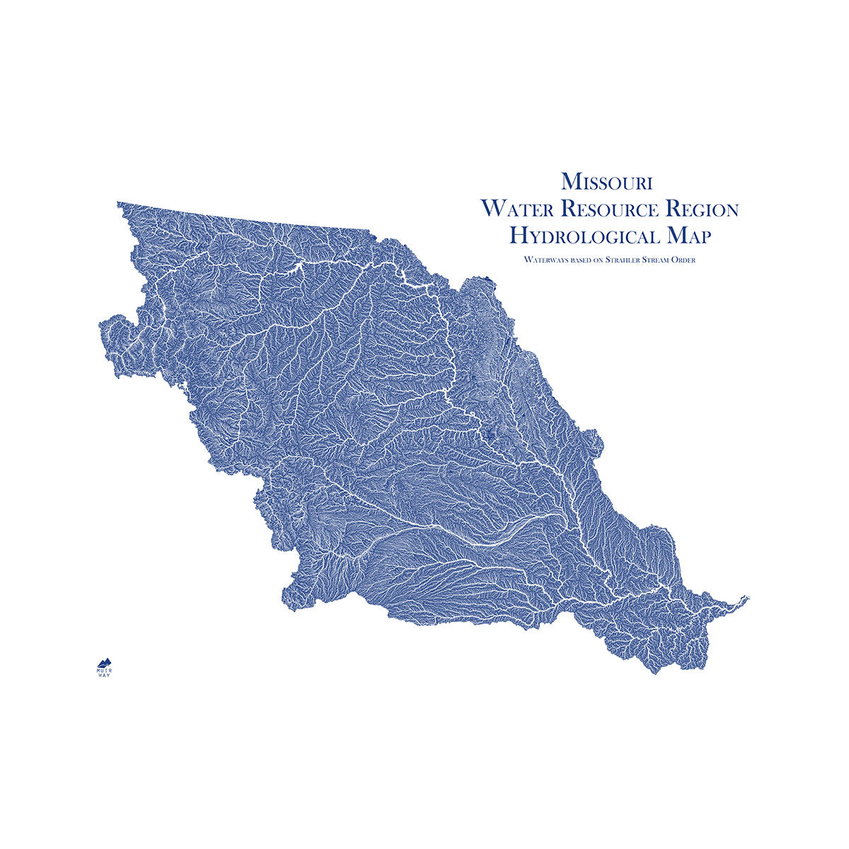
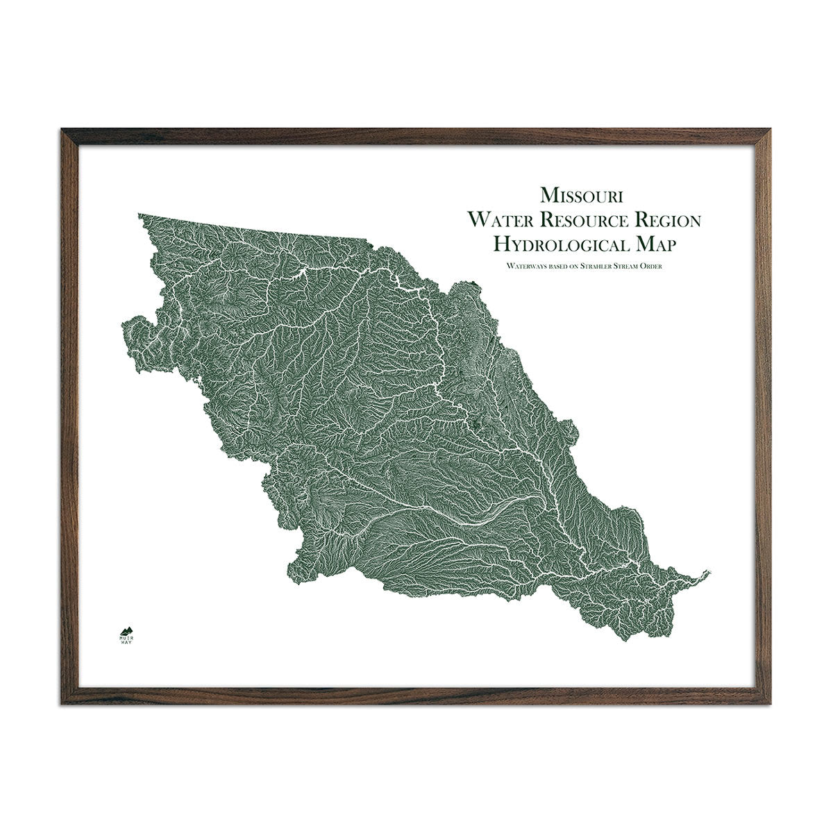
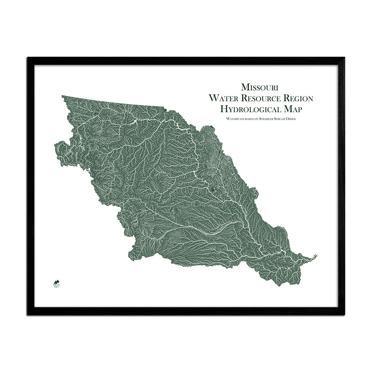
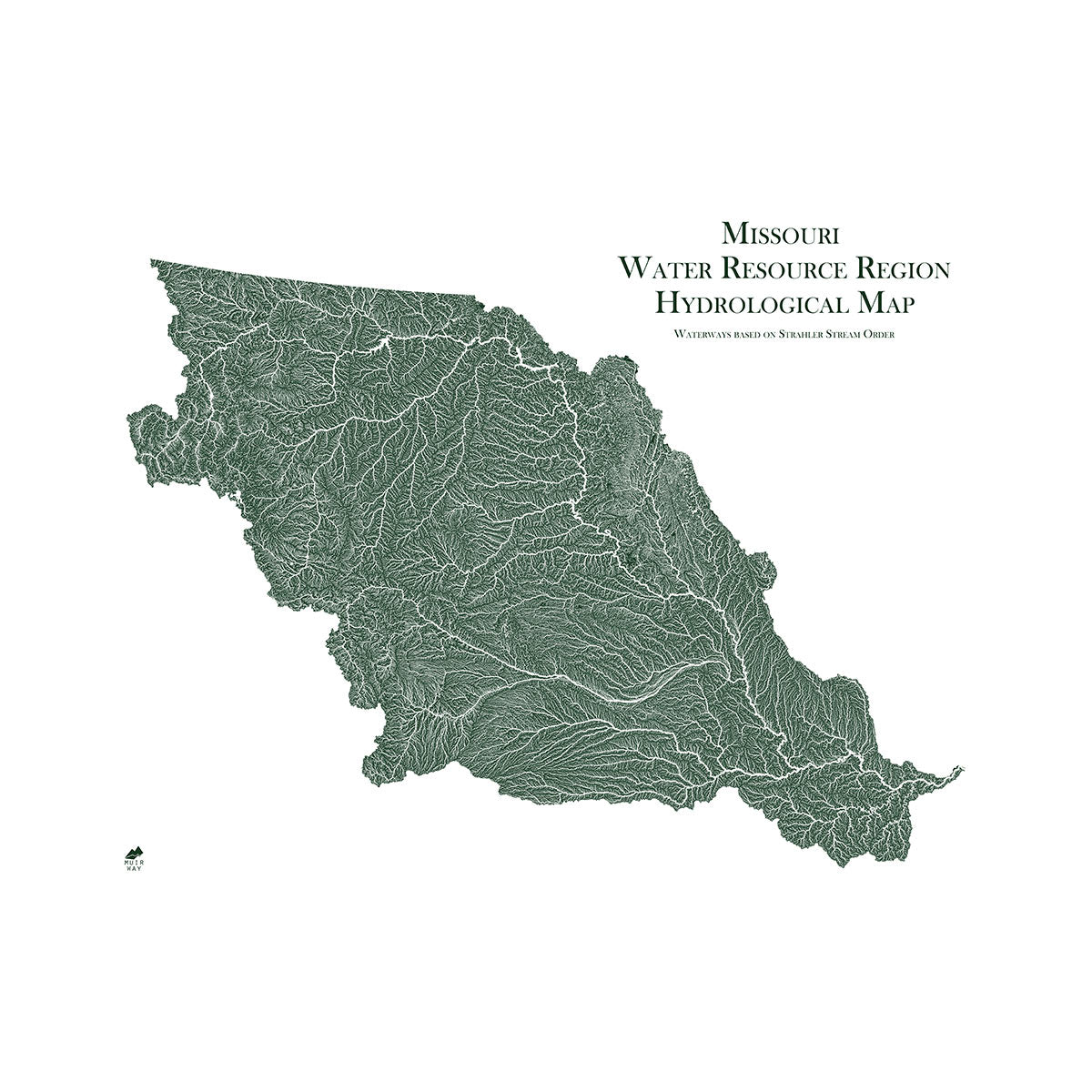
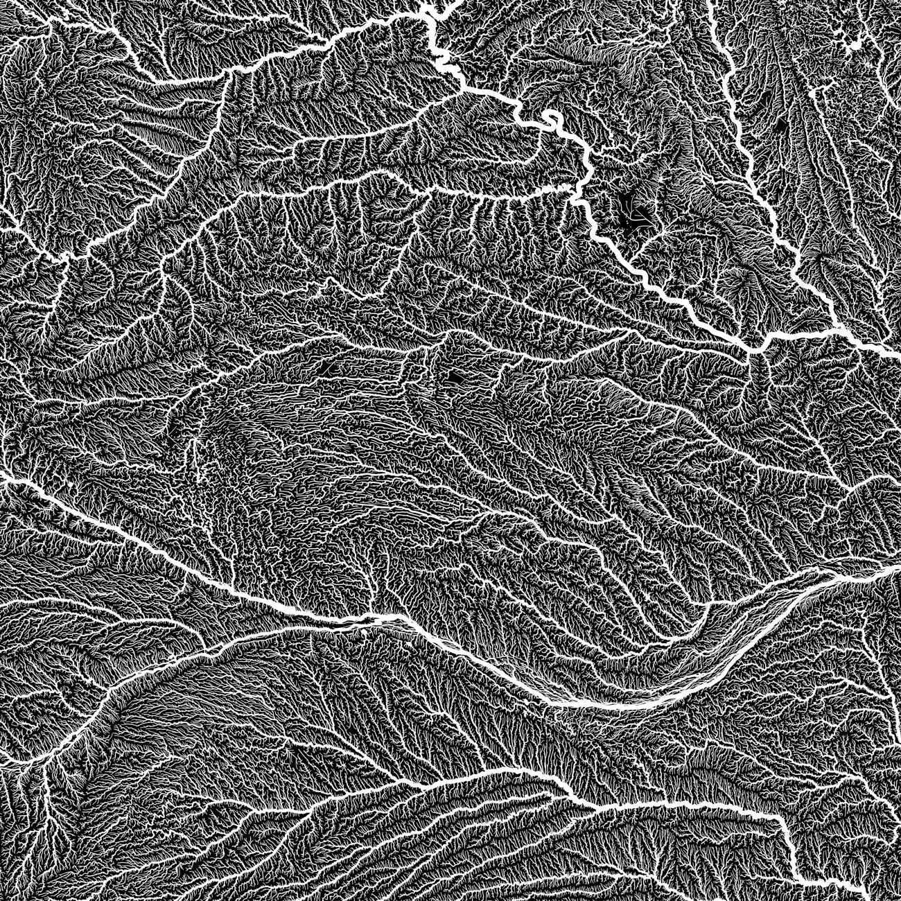
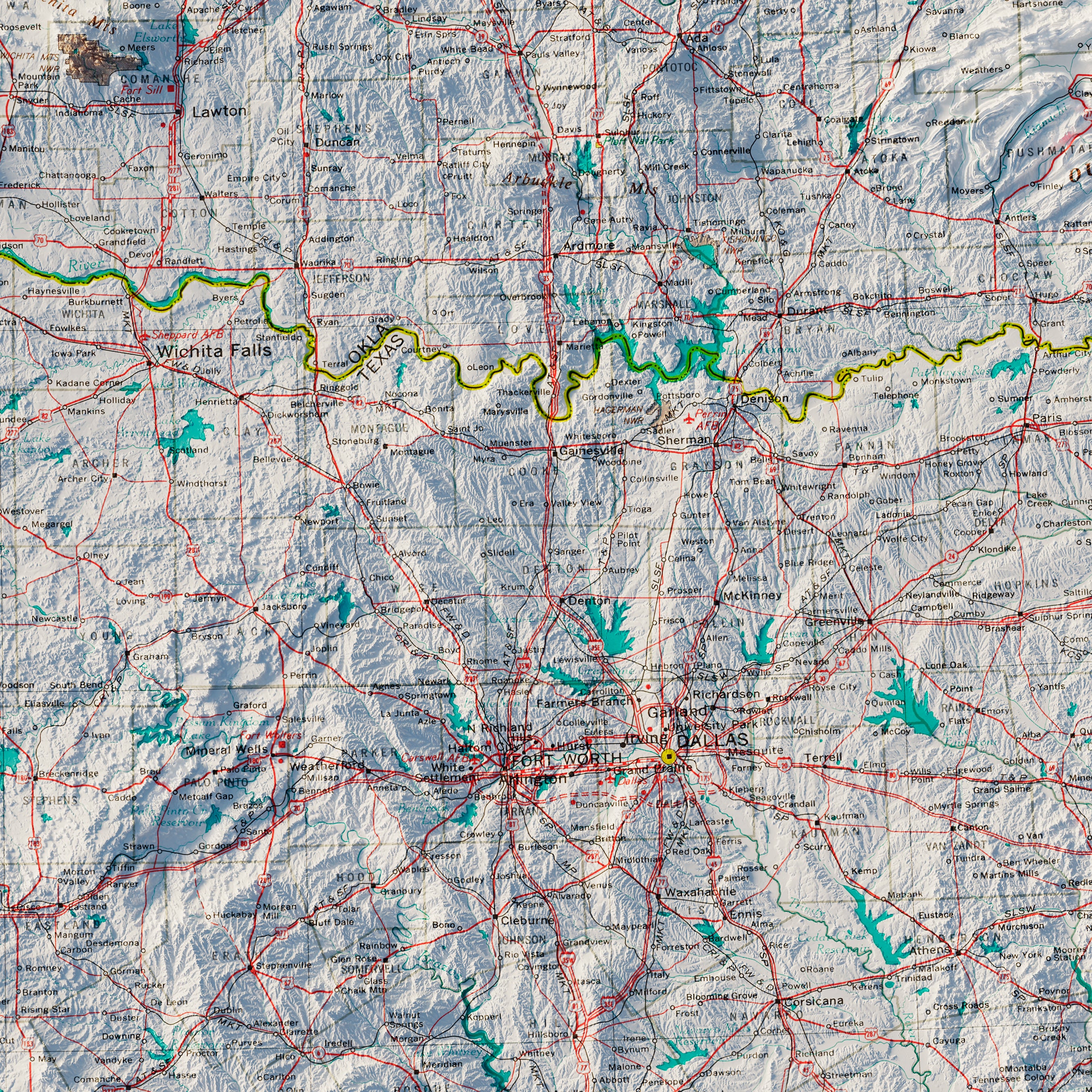
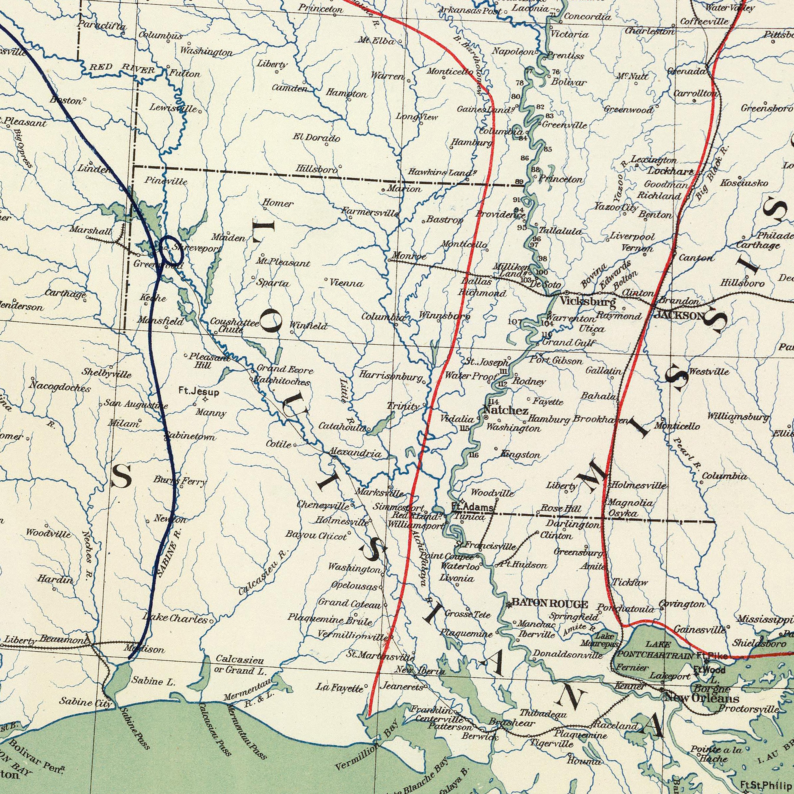
Kansas hydrological maps - Every state’s waterways tell a different story. Available in multiple colors, our Kansas hydrology maps showcase the networks of Kansas’ river systems and lakes in minute detail. On our full Kansas state hydrological map, you can follow the path of every single river and intermittent stream. For an extra aesthetic touch, we apply a method called the Strahler Stream Order to show the hierarchy of streams as they flow from their source, with rivers shown thicker as they acquire the flow of tributaries. We also offer a Missouri regional hydrological map featuring certain rivers and their surrounding land areas in Kansas.
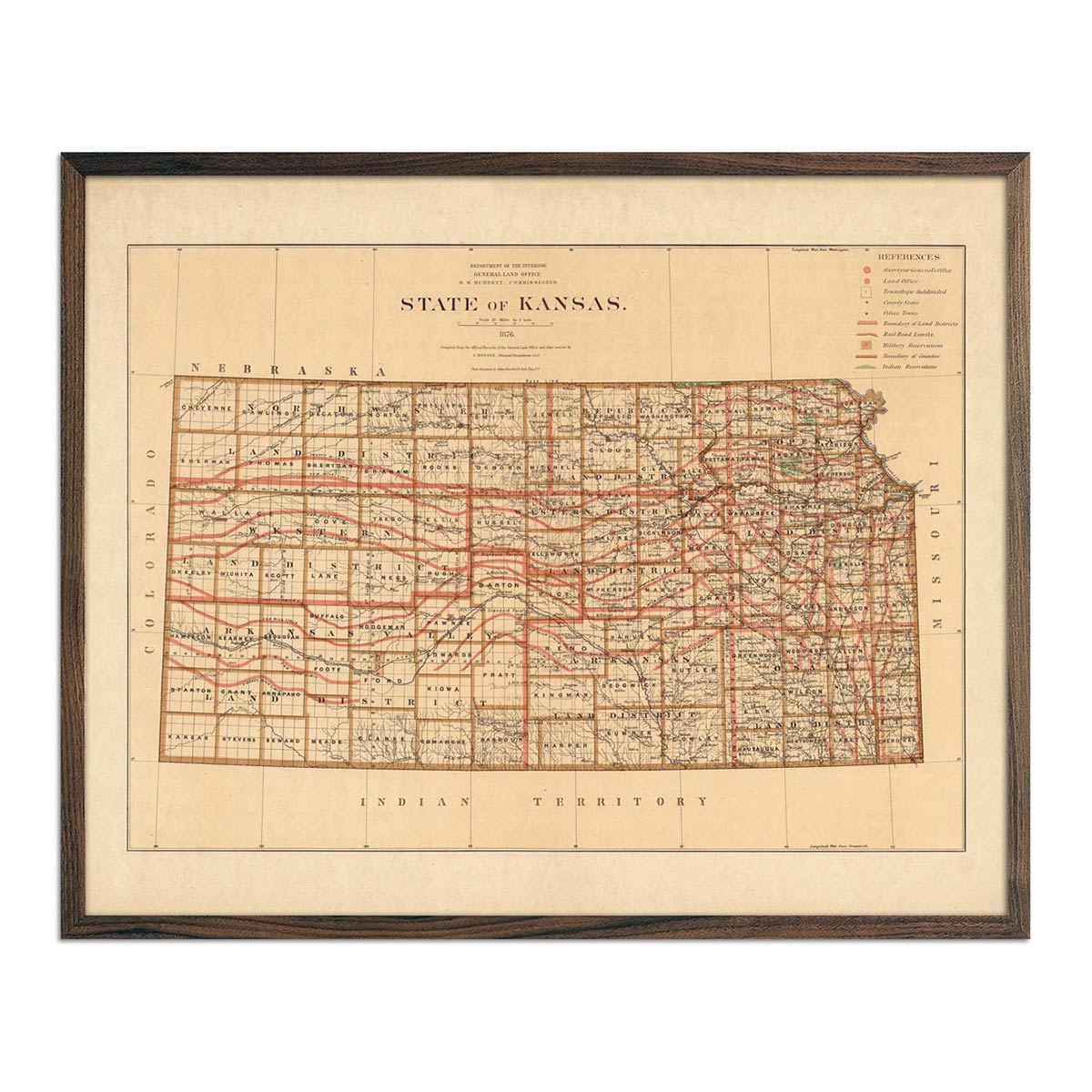
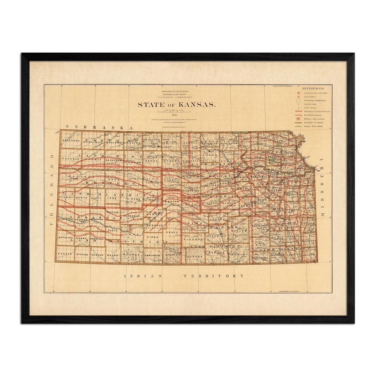
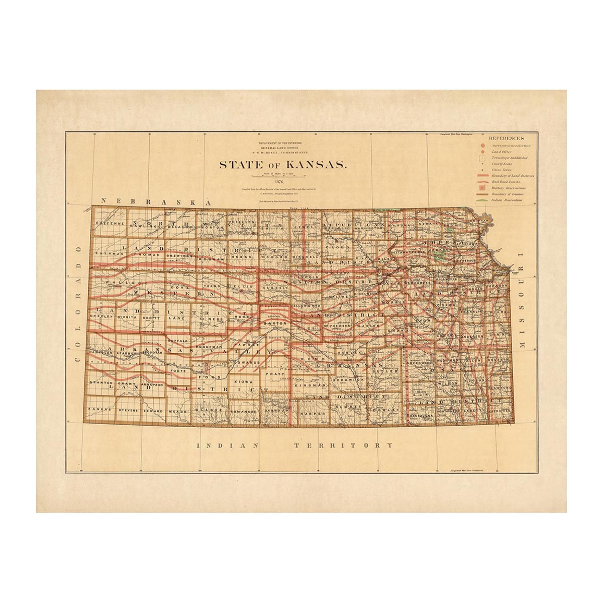
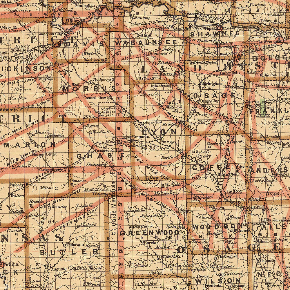
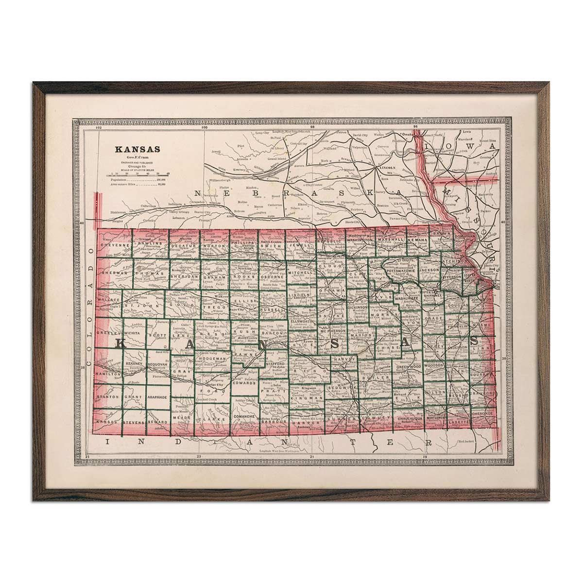
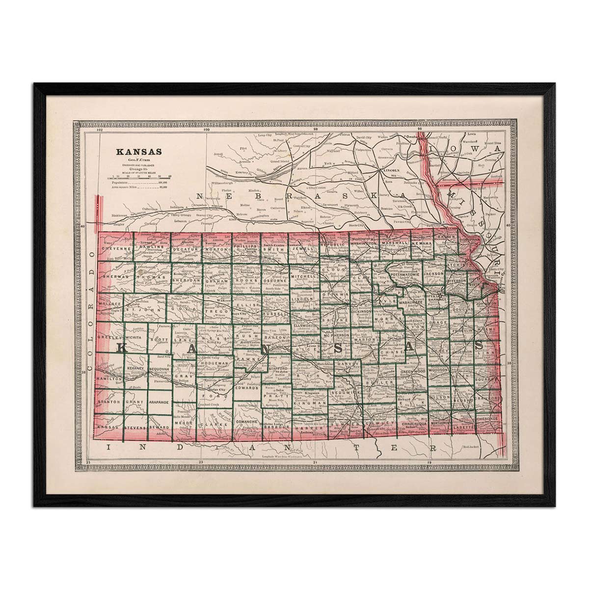
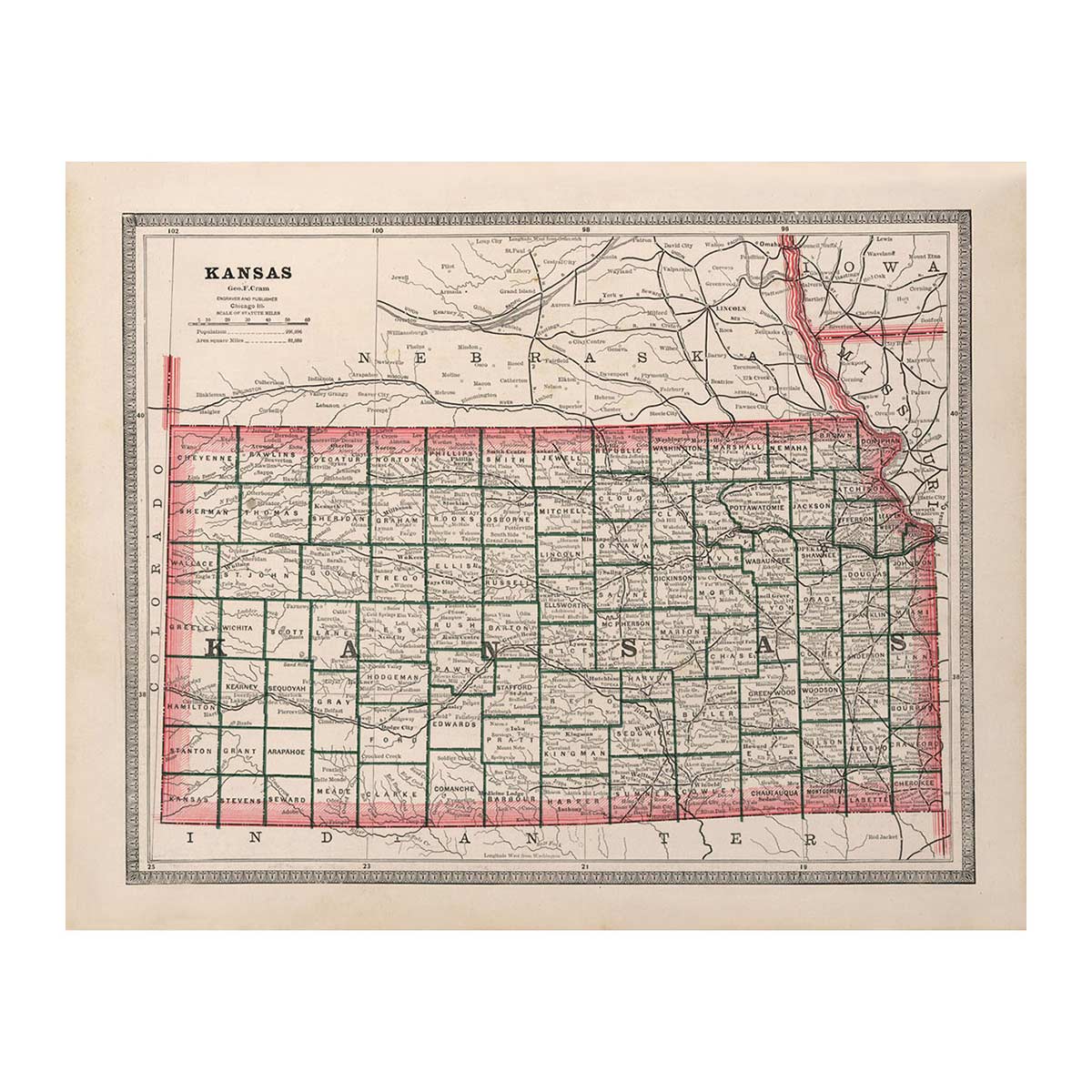
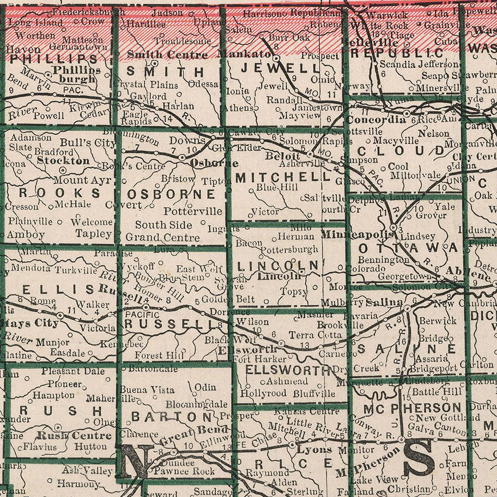
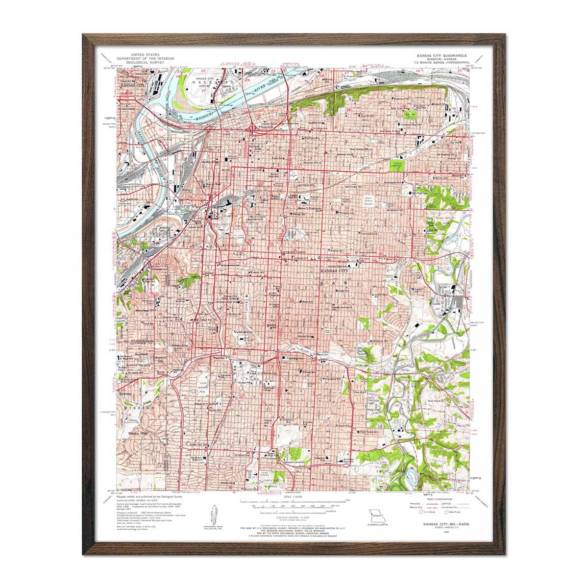
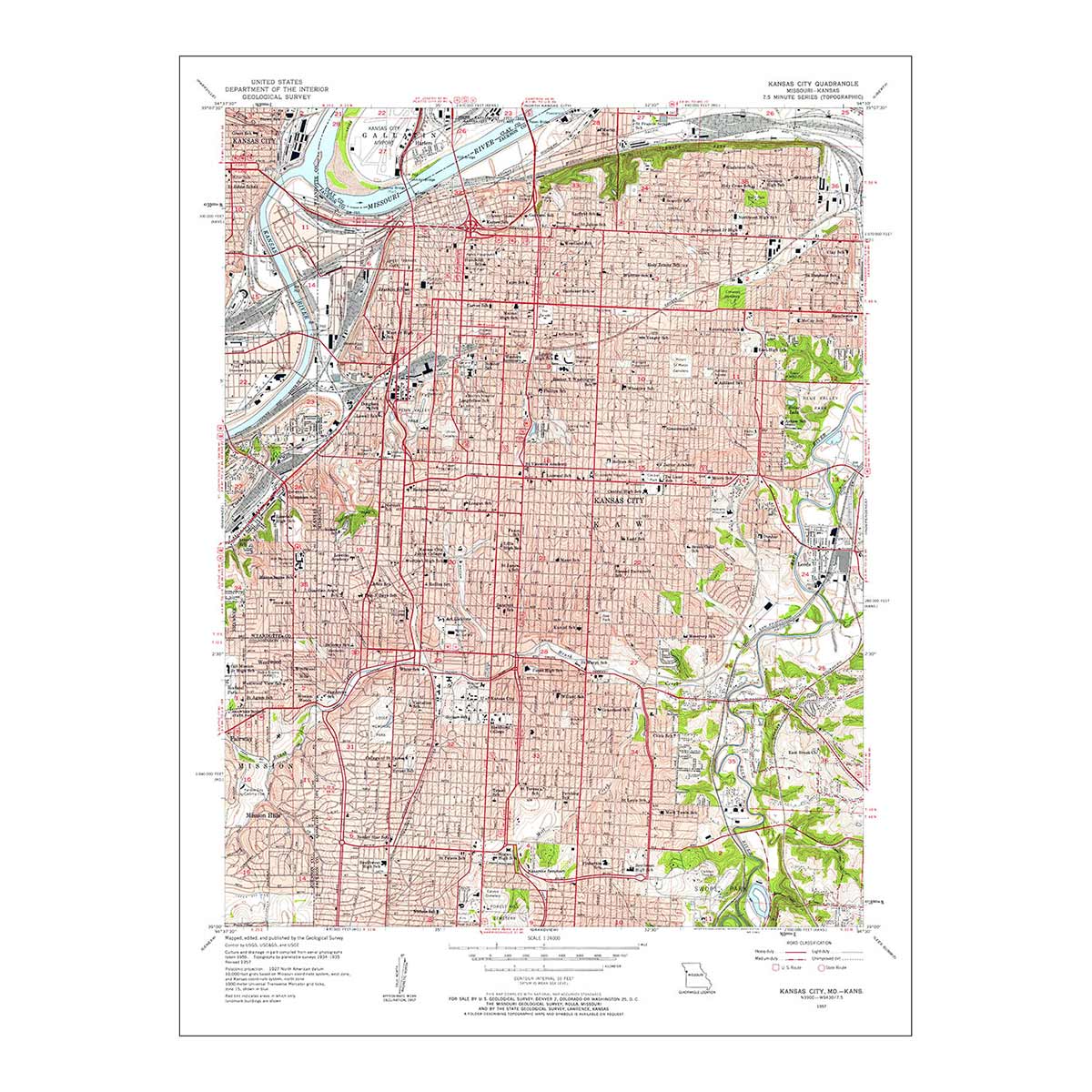
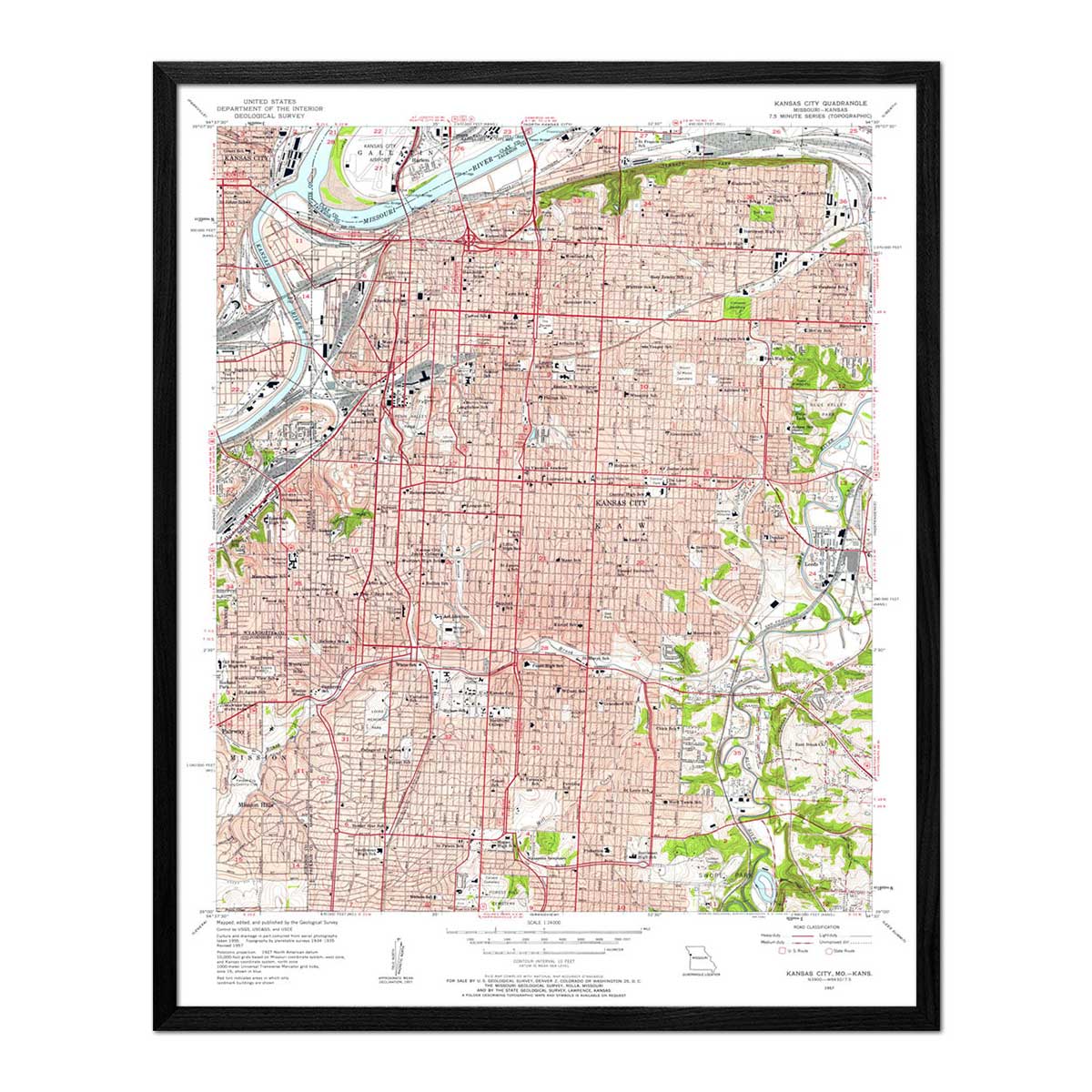
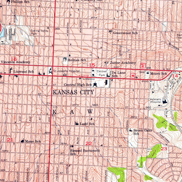
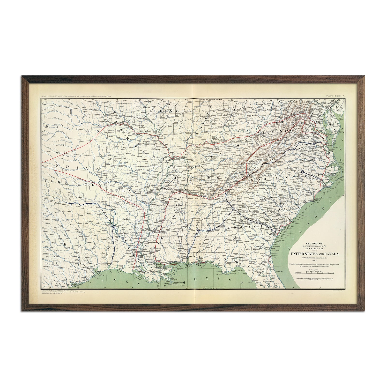
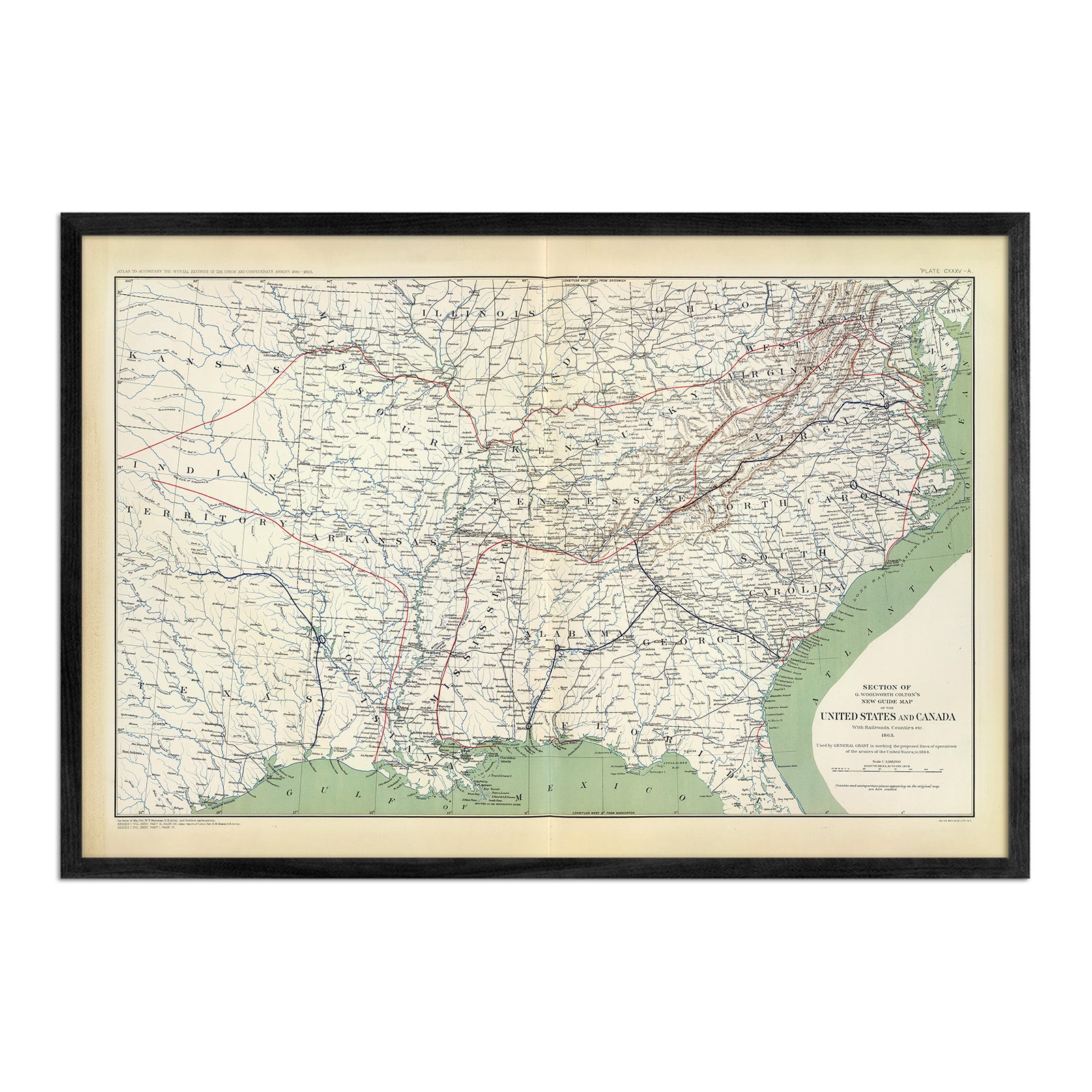
Kansas vintage maps - Unlike our relief map series, our historical maps don’t feature elevation, but they do feature a snapshot of history beautifully restored and ready to display. Our vintage maps are reproduction prints, carefully enhanced to maintain their vintage charm without the wear & tear. View our vintage map of Kansas from 1883, 1876, and our 1957 Kansas City, MO/KS map.
What are some prominent features on the map of Kansas?
Our elevation and relief maps of Kansas show Kansas’ low, rolling plains and highest peak of Mount Sunflower in vibrant detail.
Trace the Arkansas, Kansas and Missouri Rivers on our Kansas hydrological map.
If you want a closer look at Kansas’s cities and counties as they were in the past, take a look at our restored vintage 1833 Kansas state map or our Kansas City MO and Kansas map from 1957.
No matter which Kansas state map you choose, you’ll enjoy an up-close look at a state known for its famous barbecue, wild tornadoes, and of course, the setting for Dorothy’s home in the Wizard of Oz.
What are the regions in Kansas?
Kansas is divided into three geographical regions:
- The Dissected Till Plains - North of the Kansas River and east of the Big Blue River, this region of Kansas is marked by bluffs and has rich soil for agriculture. The Dissected Till Plains stretch across several states in the US.
- The Southeastern Plains - This region also covers several states. Embodying the southeastern third of Kansas, the Southeastern Plains region is divided into the Osage Plains in the east, and the rocky terrain of the Flint Hills in the west.
- The Great Plains - Spanning the western half of Kansas, the Great Plains region slopes upward from 1,500 to 4,000 feet above sea level as it approaches the Colorado border. This region contains Kansas’ highest point, Mount Sunflower.
If you like our collection of Kansas maps, you may also be interested in maps of other Midwest states. Click below to browse:


