


What is bathymetry?
Bathymetry is the study of submarine topography or geological features beneath the ocean’s surface. Similar to how topographic maps represent the three-dimensional landforms of the earth’s surface, bathymetric maps visualize underwater and ocean floor terrain.
How does bathymetry work?
Bathymetric data today is most commonly gathered by sonar, but the history of bathymetry long predates modern marine technology, going as far back as ancient Egypt.
Ancient bathymetry techniques
Ancient uses of bathymetry can be traced back to the Egyptians who used long, thin poles to determine the depth of the Nile River. Written recordings of similar measuring techniques were discovered in ancient Greek and Roman texts.
Depth Sounding for bathymetric measurement
The earliest technique used to conduct bathymetric measurements was known as depth sounding; the act of measuring depth. This typically involved throwing a weight attached to a measured rope over the side of a ship and recording the rope's length once it touched the seafloor. This primitive method was inaccurate and flawed due to shifting ocean currents and the inability to keep the rope taught and immovable. It was also labor and time intensive, and could only measure spot-depths.
The first realistic bathymetric map was developed by the U.S. Coast and Geodetic Survey between 1873 and 1875. It took 3,000 soundings to generate a bathymetric map of the Gulf of Mexico.
Hydrosurveying via the wire-drag method
In the early 20th century, the new technique of wire-dragging was used to reveal the depth and position of submerged obstructions. The wire-dragging method involved attaching a wire to two sea vessels, set at a certain depth by weights and buoys, and dragging it between two points. The wire-dragging method was effective in identifying hazardous objects and was used until the early 1990s.
Bathymetric measurement today - Sonar
Today, bathymetric data is most commonly obtained by using the sonar mapping method, employing an echosounder mounted to a boat. The echosounder sends out a beam of sound that travels from the equipment on the boat, to the ocean floor, then back. The time it takes for the beam to travel is directly related to the depth of the ocean floor. Multibeam echosounders are typically made of 256 beams and create a fan that produces highly accurate data in a short amount of time while maintaining full coverage of the marine floor.
How is bathymetric data used and why is it important?
In the United States, bathymetric data has been surveyed, analyzed, and made public for research and commercial use. The United States Army Corps of Engineers has conducted bathymetric surveys on most inland waterways and the National Oceanic and Atmospheric Administration (NOAA) on ocean waters. Bathymetry remains one of the most important tools for aquatic science, navigation, and sustainability. This data has a range of uses including navigation, geographical studies, environmental research, safety, and economics.
Bathymetry and marine transportation
Nautical charts use bathymetric data to guide marine transportation efficiently and make ships aware of underwater hazards. Updated, accurate navigational information helps to minimize risk during expeditions and negate damage to coastal environments, while aiding maritime commerce and economy.
Bathymetry for environmental science
Scientists can use bathymetric data to monitor a constantly evolving coastal landscape, such as erosion, rising sea levels, subsidence (sinking land), shoreline development, oceanic drilling or mining, and other marine or aquatic changes. These changes are important to track, as they affect the condition of coastal communities, economies, and ecosystems.
Bathymetry for coastal prediction models
Hydrodynamic models, or “coastal and ocean prediction models,” are created from data derived from bathymetry. These models can be used to calculate currents, tides, salinity, and other factors that support transportation, coastal resilience, and sustainable use of marine resources.
Using bathymetric data for marine conservation
Another use for this underwater data is to study benthic (waterbody floor) habitats and pelagic (water column) marine life. Benthic habitats refer to bottom-dwelling communities consisting of a wide range of complex organisms from all levels of the food web including fish, plants, corals, crustaceans, and bacteria. These habitats play a vital role in maintaining ecosystem health, filtering pollutants, preventing erosion, and sustaining marine economies. Using bathymetric data to monitor these ecosystems assists in conservation and sustainability.
With the majority of Earth’s surface covered in water (about 71 percent) studying our underwater terrain using bathymetry is essential to maintaining our environment, sustaining our resources, and ensuring safe transport.
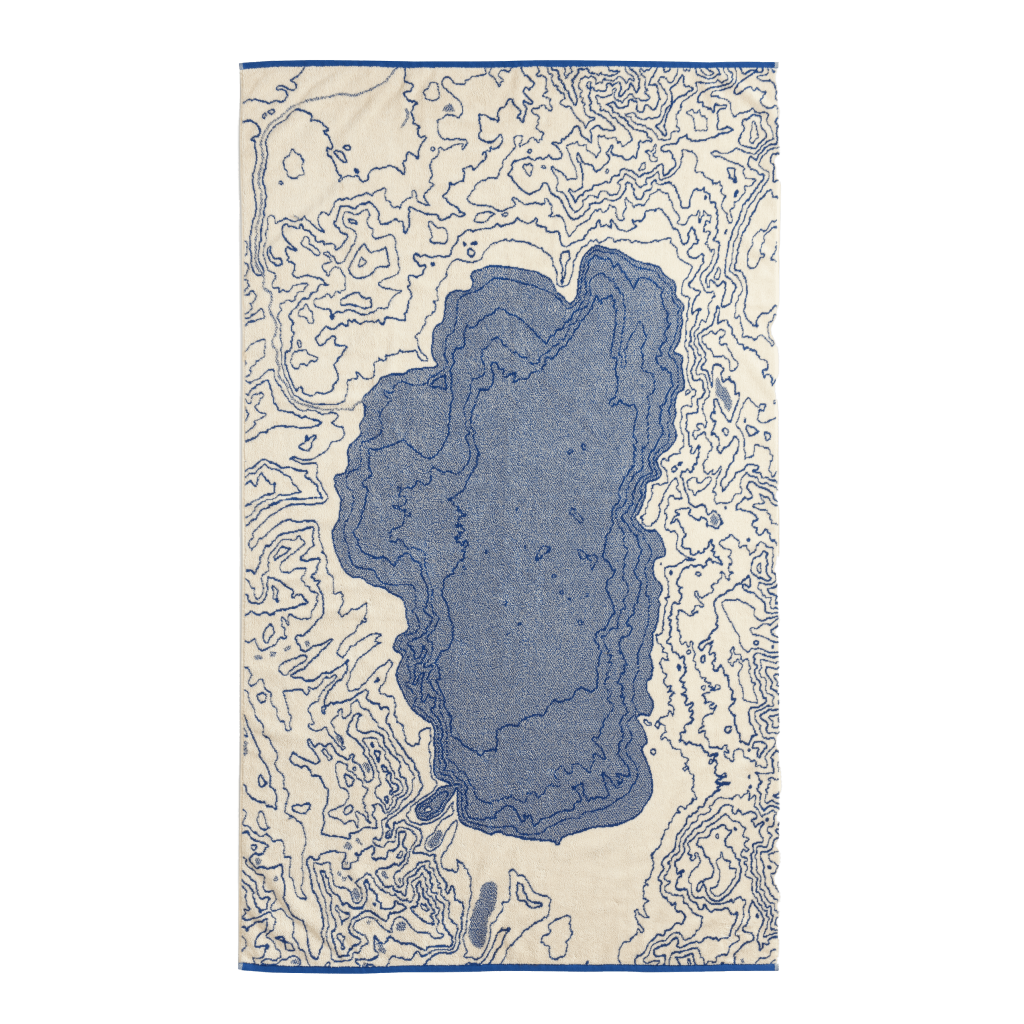
If you’re as fascinated by marine and aquatic maps as we are, check out our collection of Hydrology Maps for a closer look at intricate waterways in a way you haven’t seen them before. A selection of our regional and continental maps may also include beautifully rendered bathymetry, like the Europe Relief Map, Great Lakes Map, and our map of the Hawaii Islands (see images below).


Sources:
https://oceanservice.noaa.gov/observations/monitoring/
https://oceanservice.noaa.gov/facts/bathyuses.html
https://www.arcgis.com/apps/MapJournal/index.html?appid=4718c81ade5e4fada01797fc175c796e