


Wyoming Maps
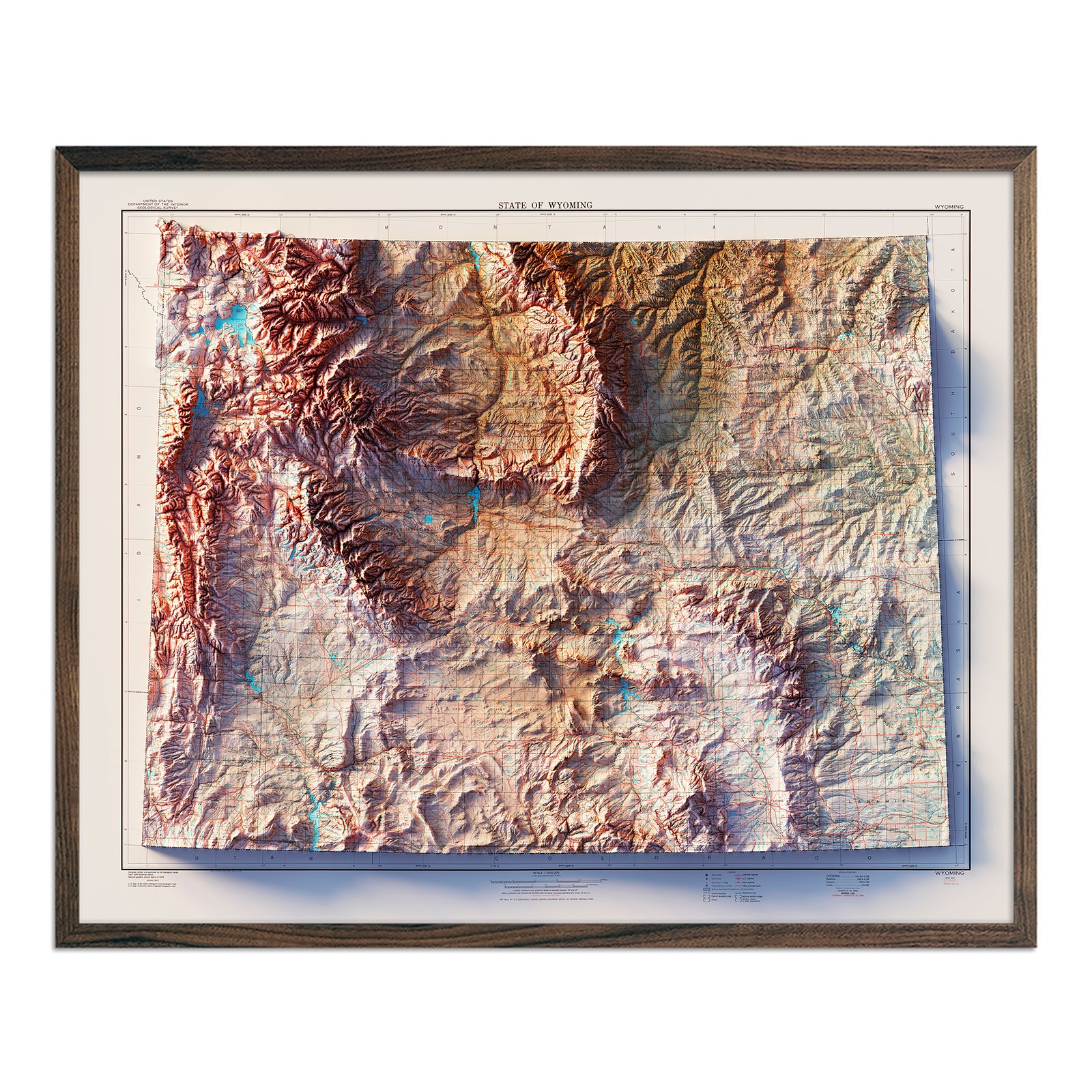
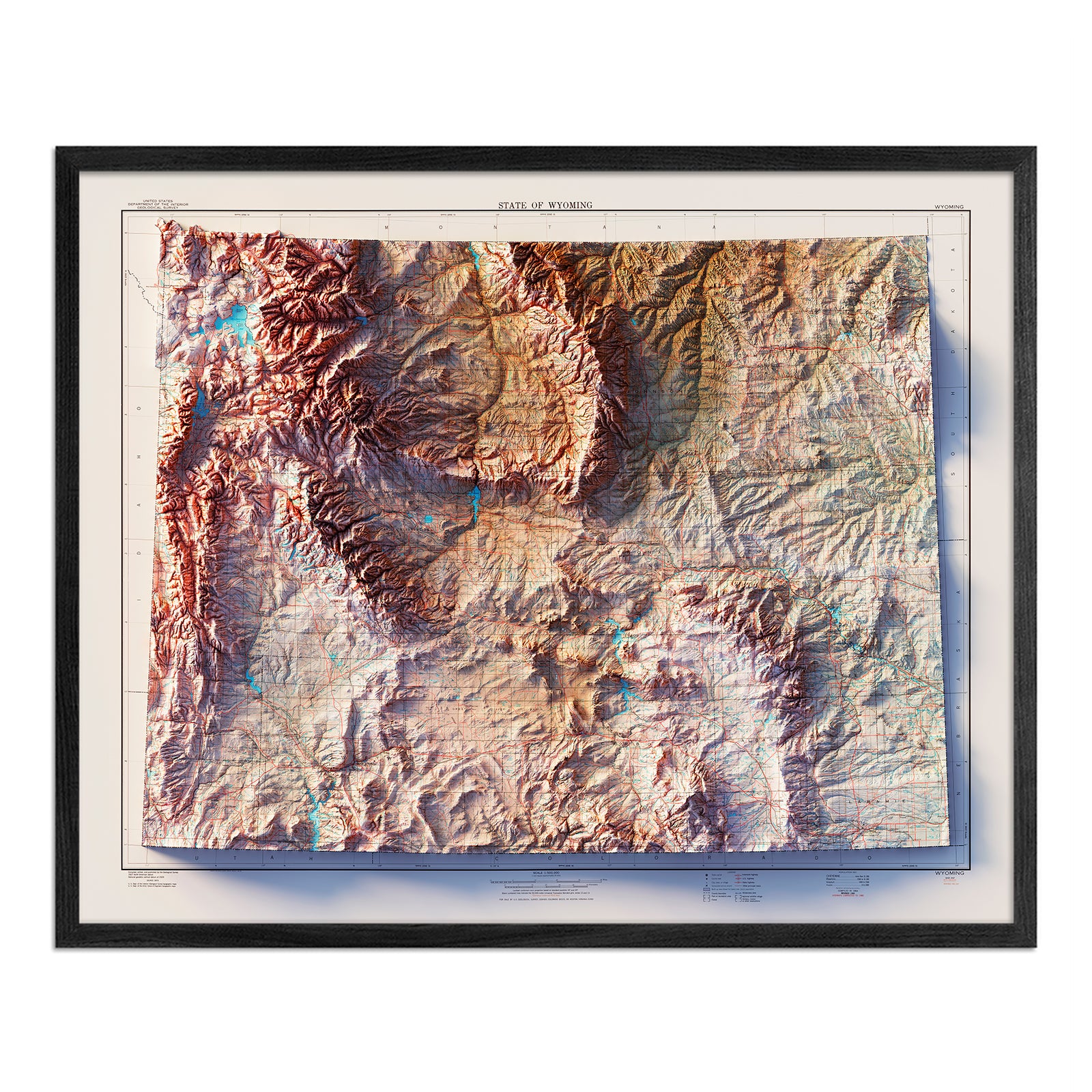


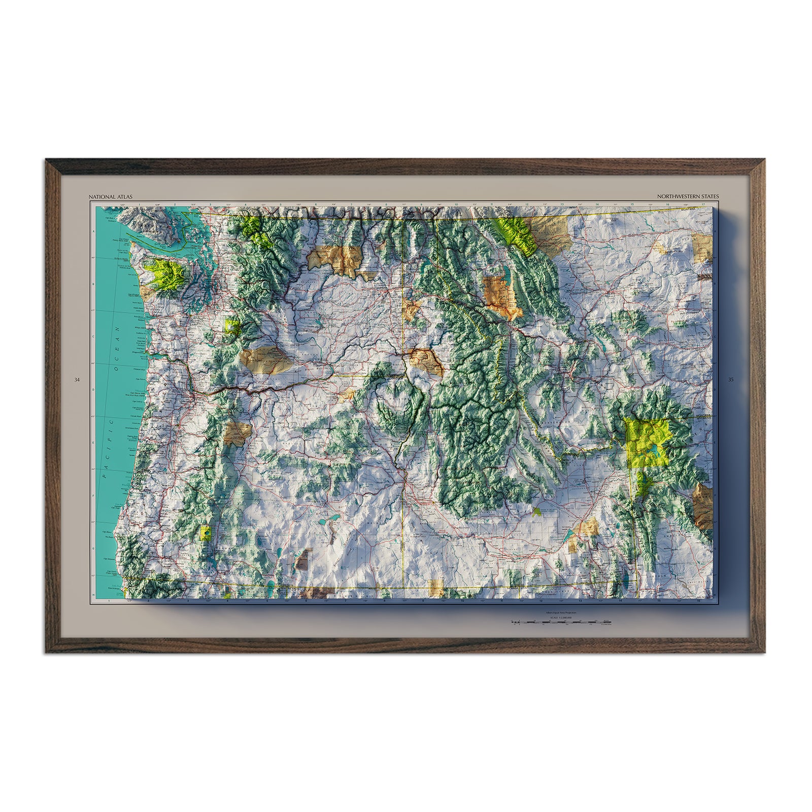


Wyoming Map Prints, Relief & Topographic Maps
Let the spirit of the Old West inspire you with our diverse collection of Wyoming State Map Prints. Whether you hail from the Equality State, are planning a Yellowstone trip, or wish to capture the enchanting landscapes of Wyoming, our meticulously crafted maps are great pieces to add to your home or office.
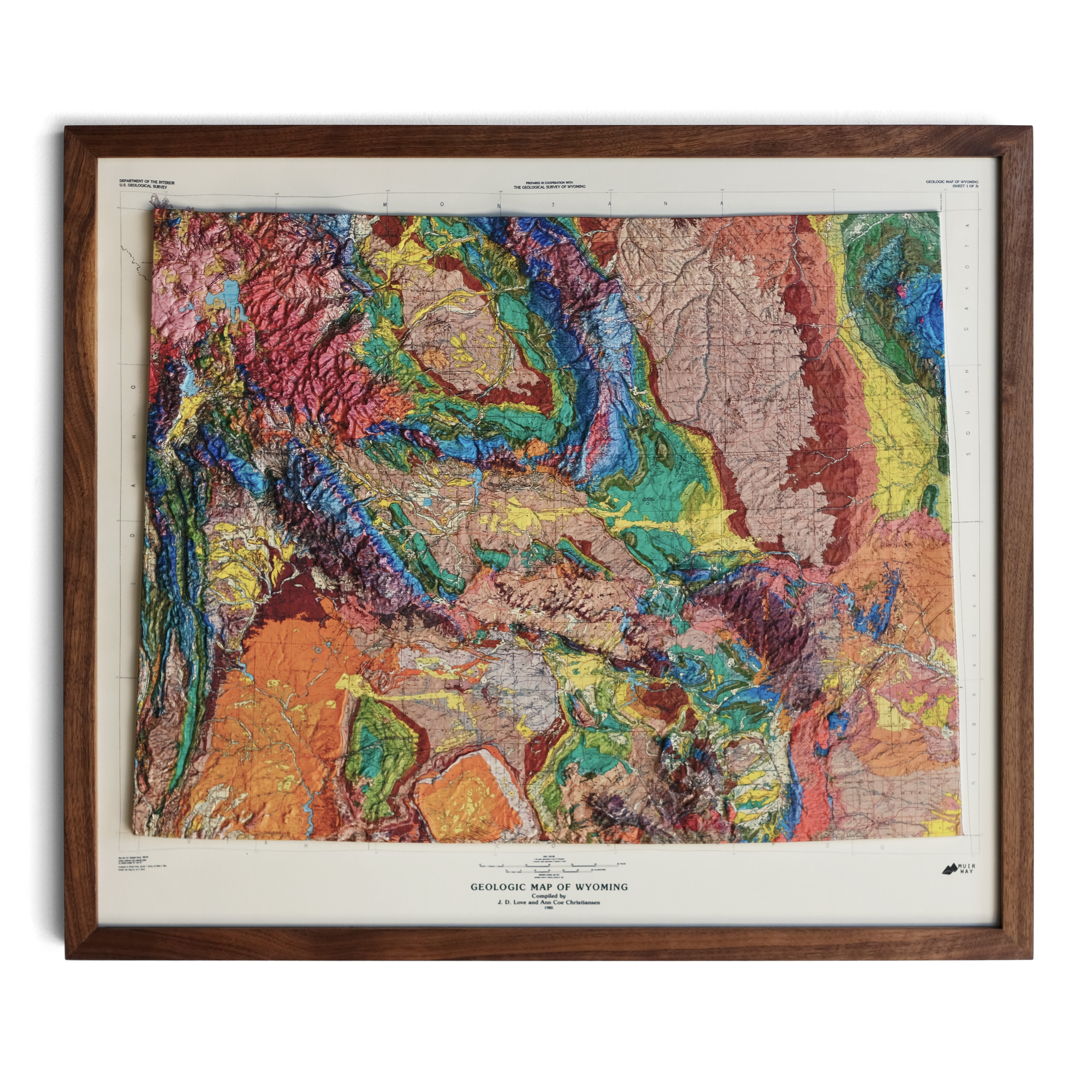
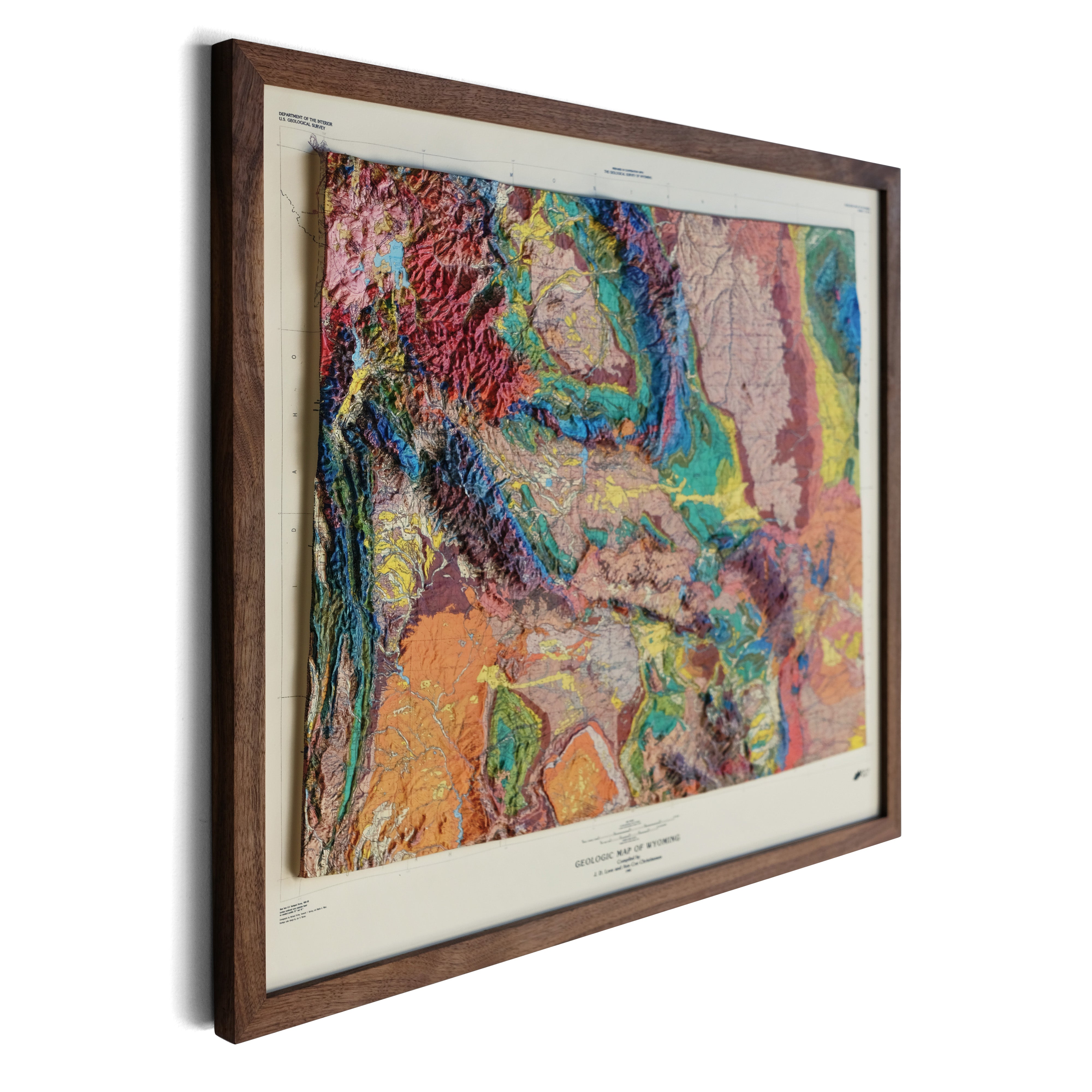
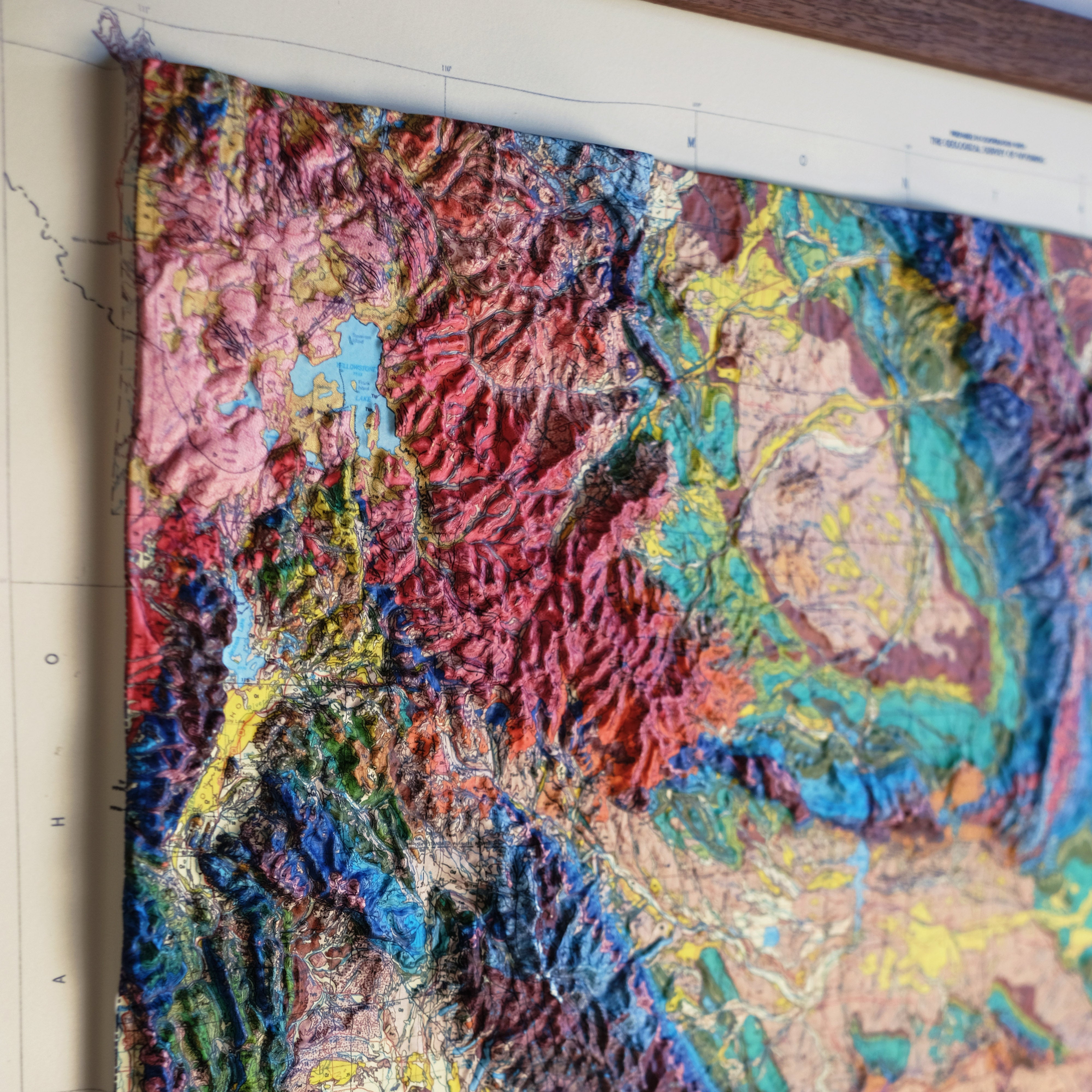
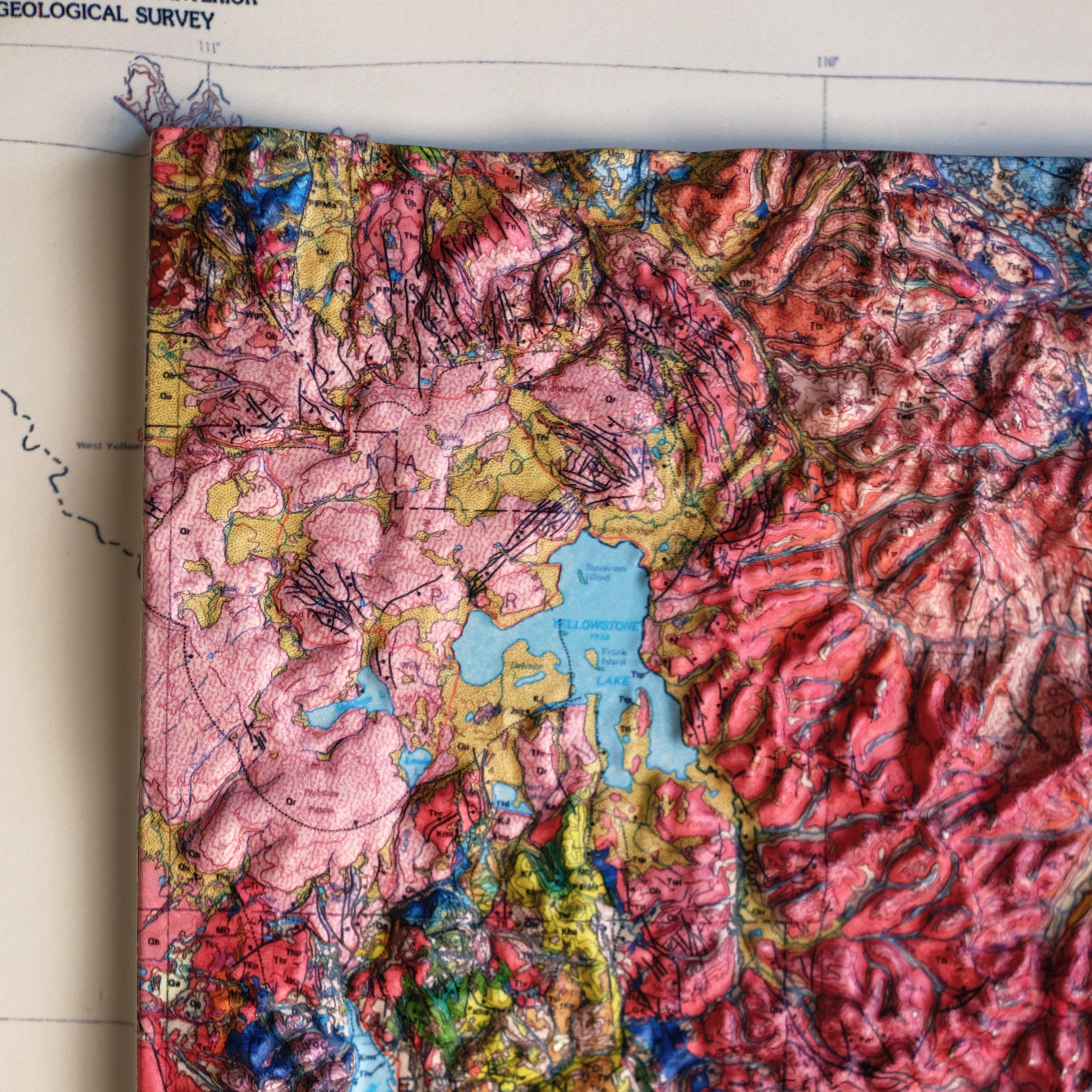
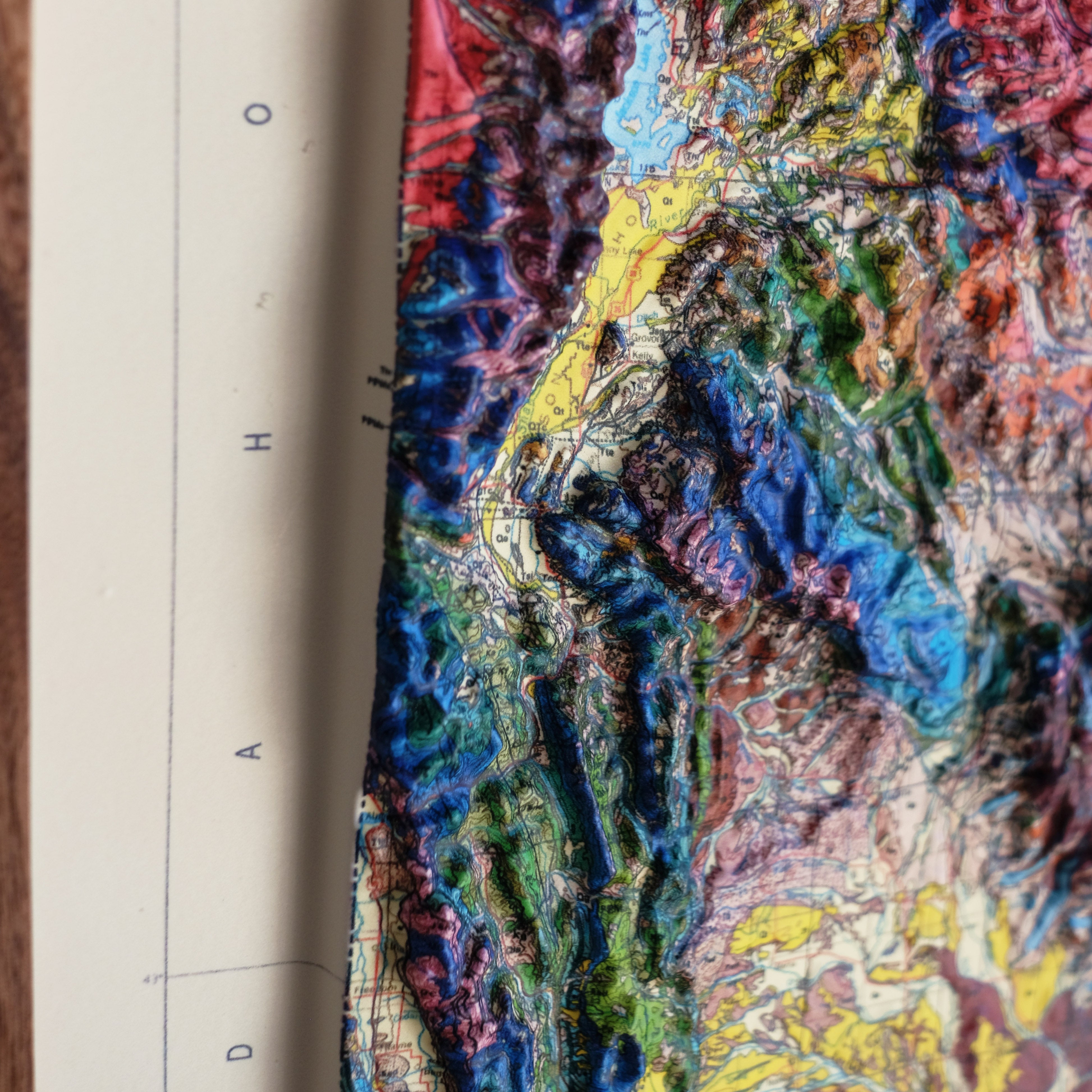
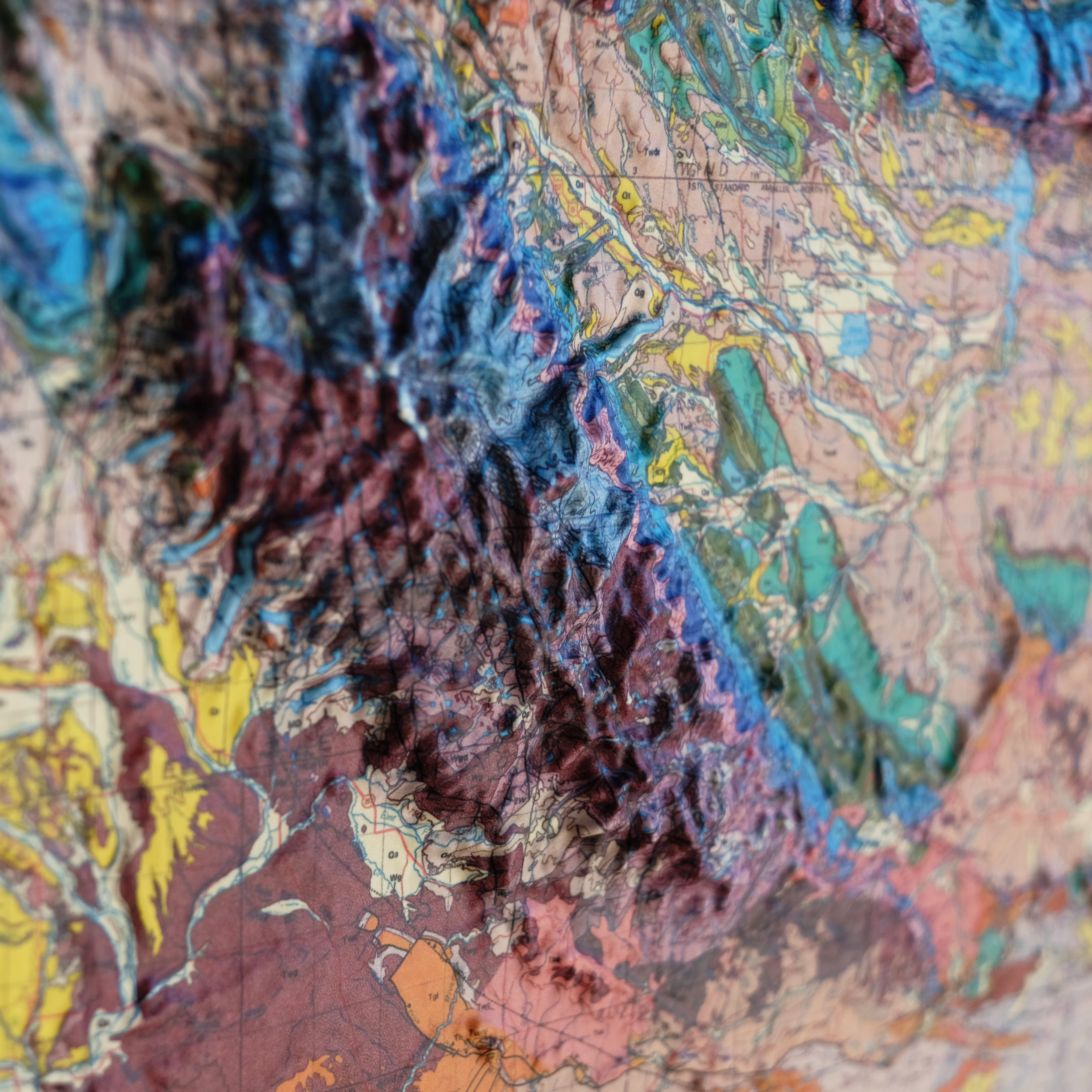
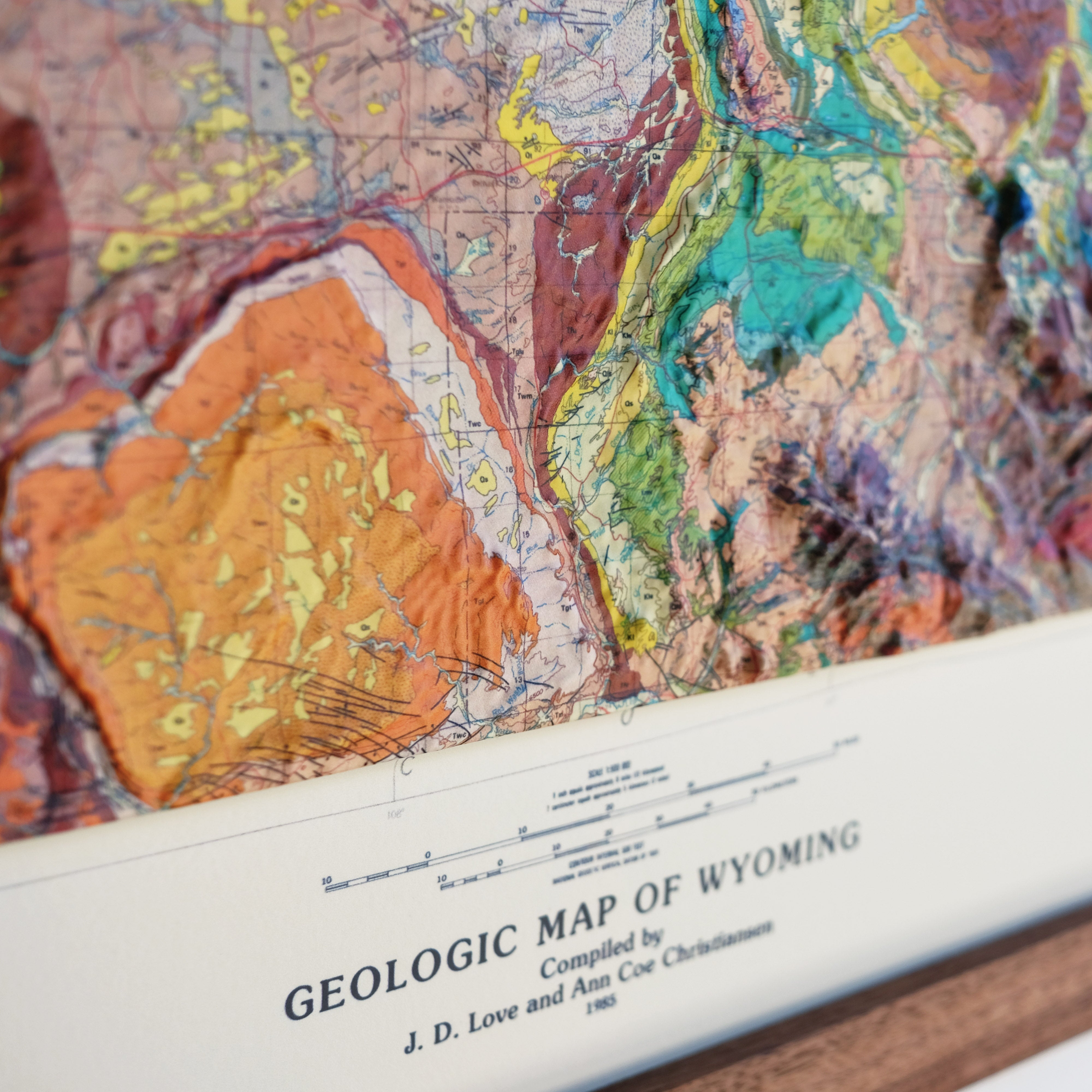
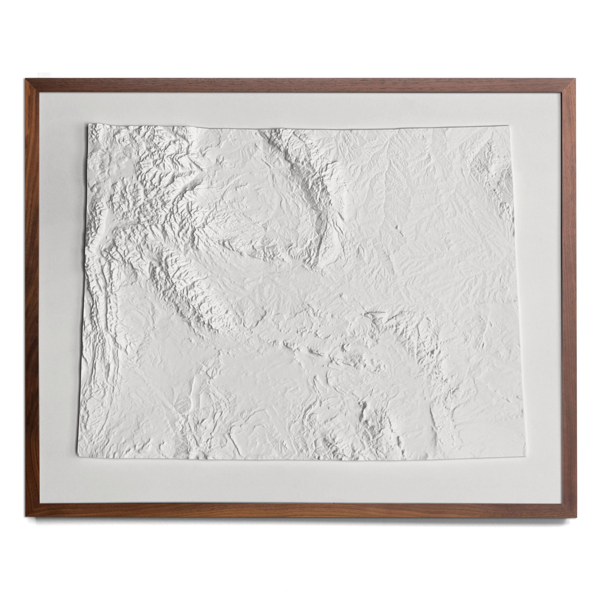
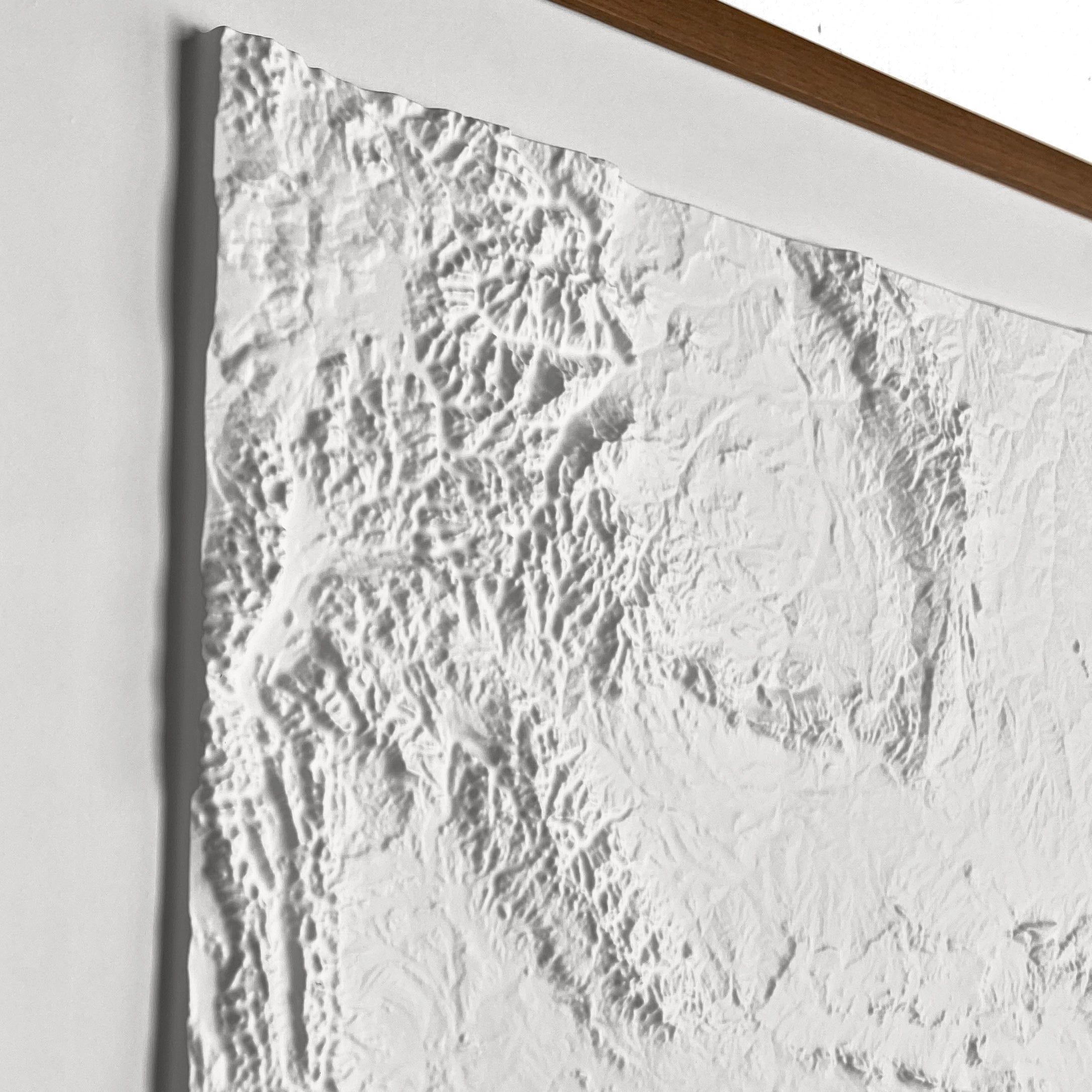
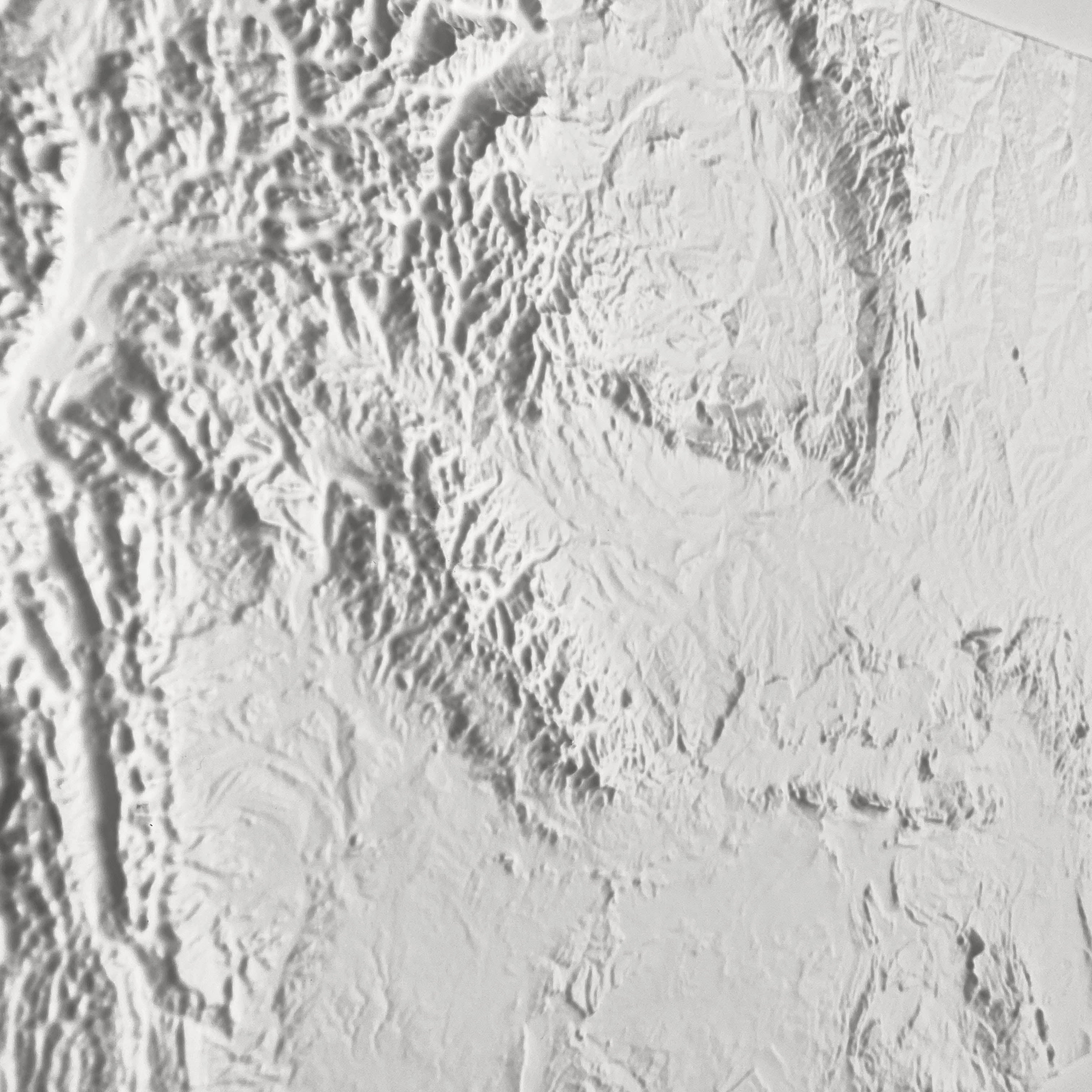
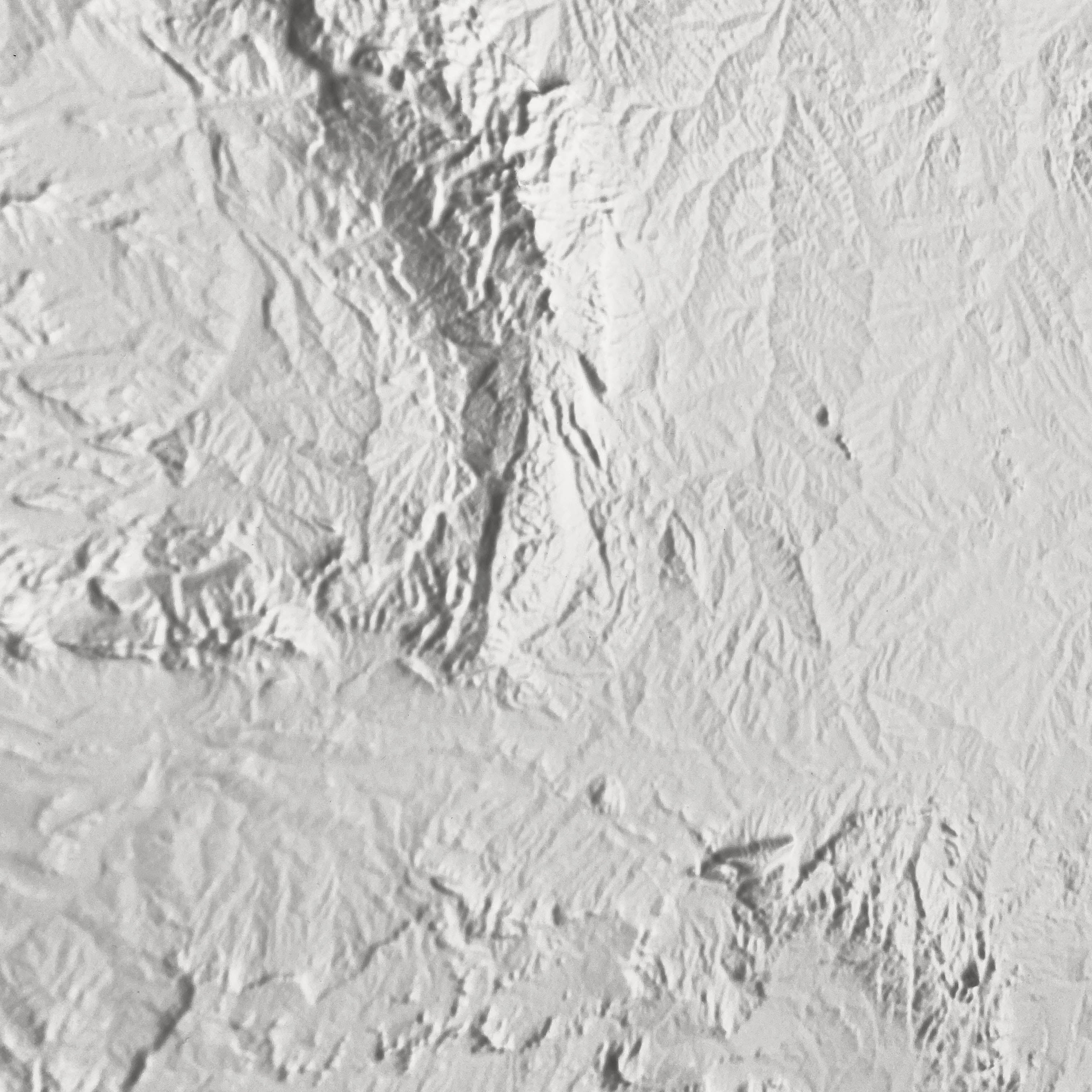
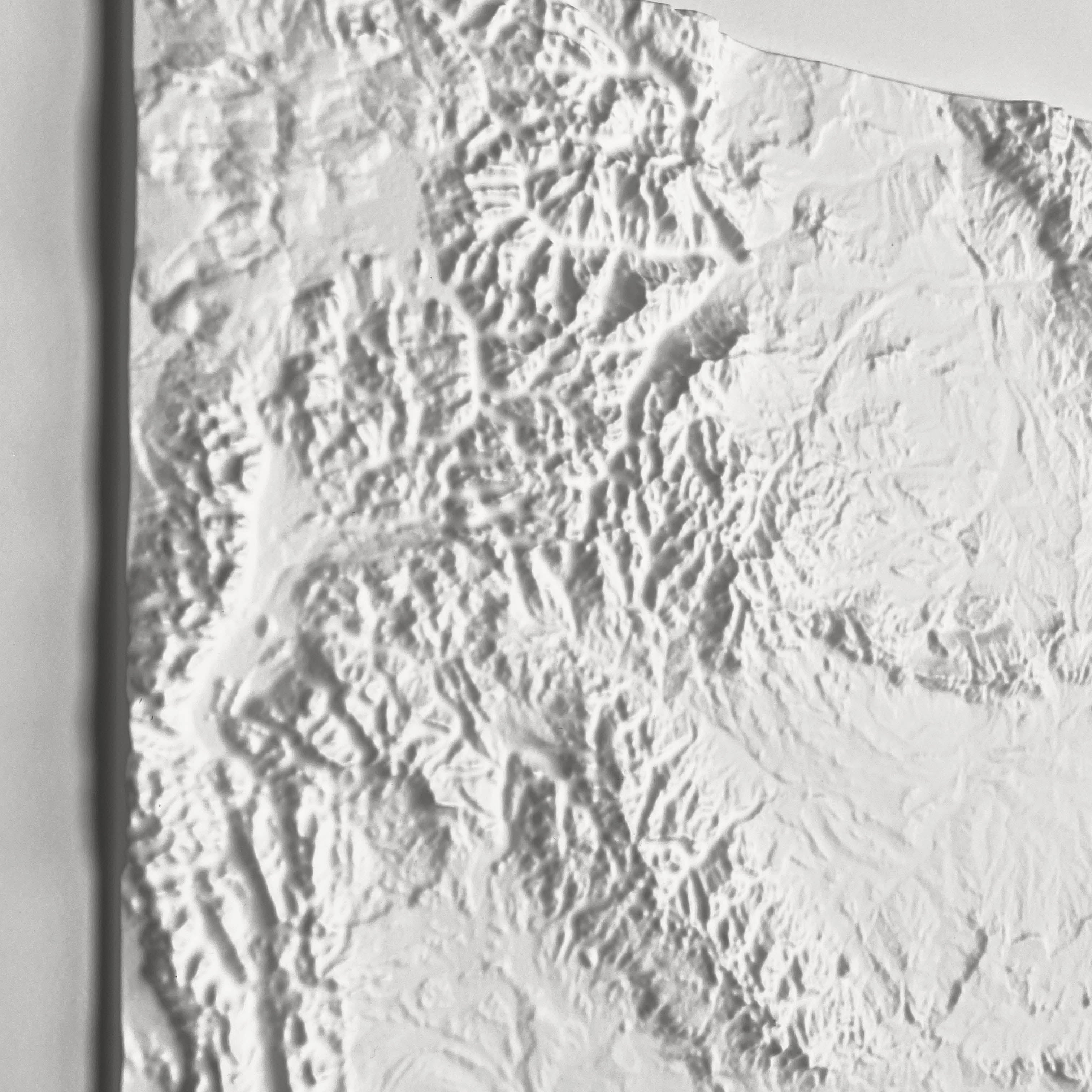
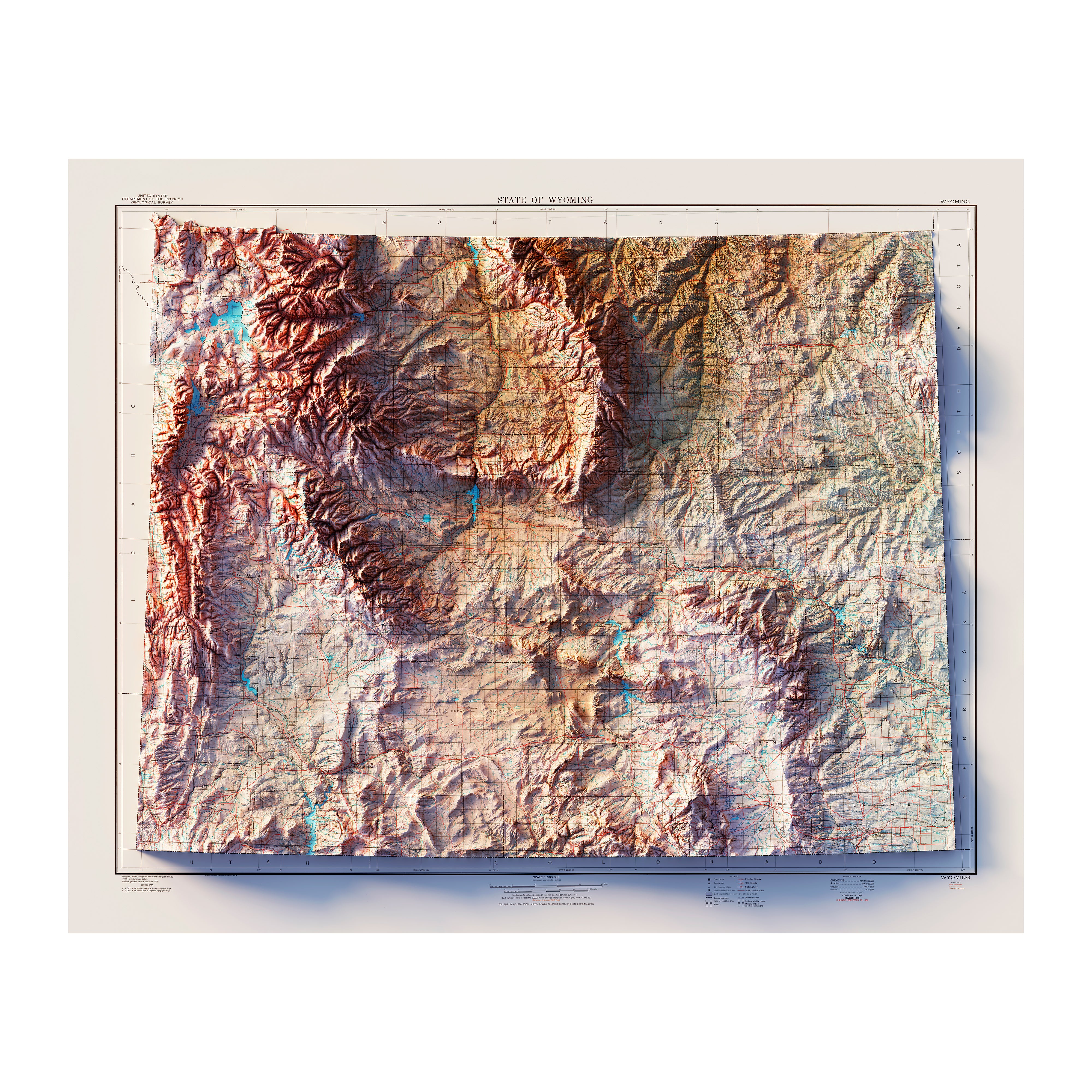
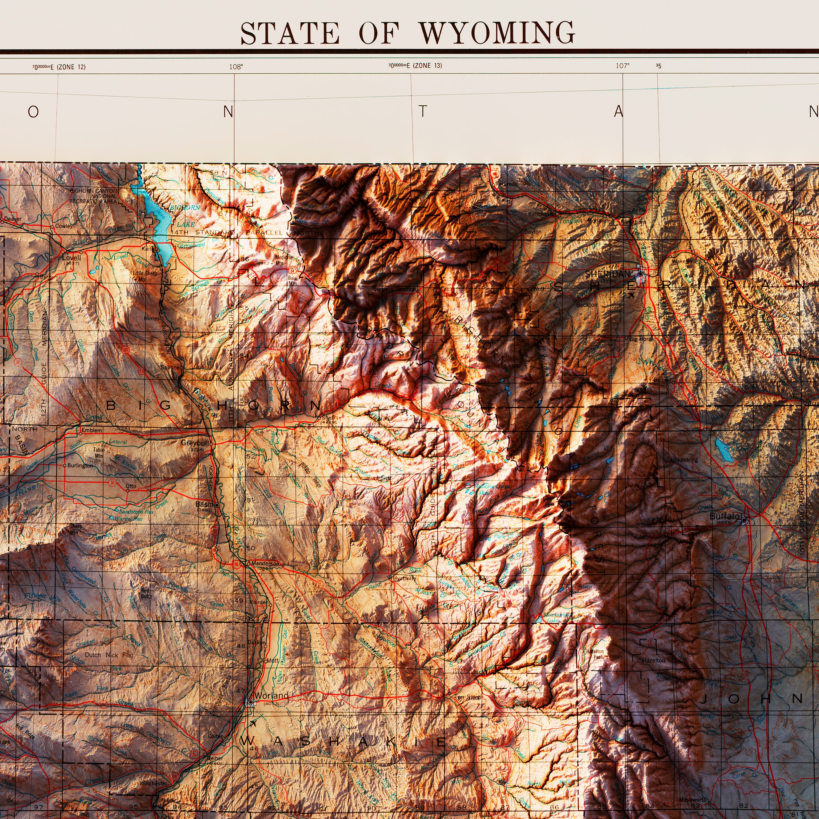
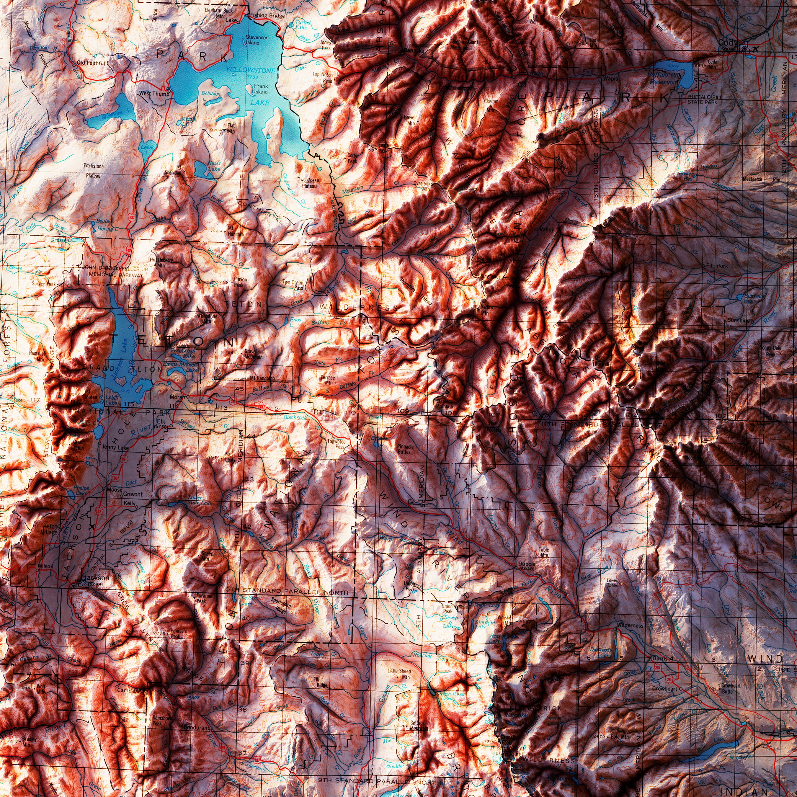
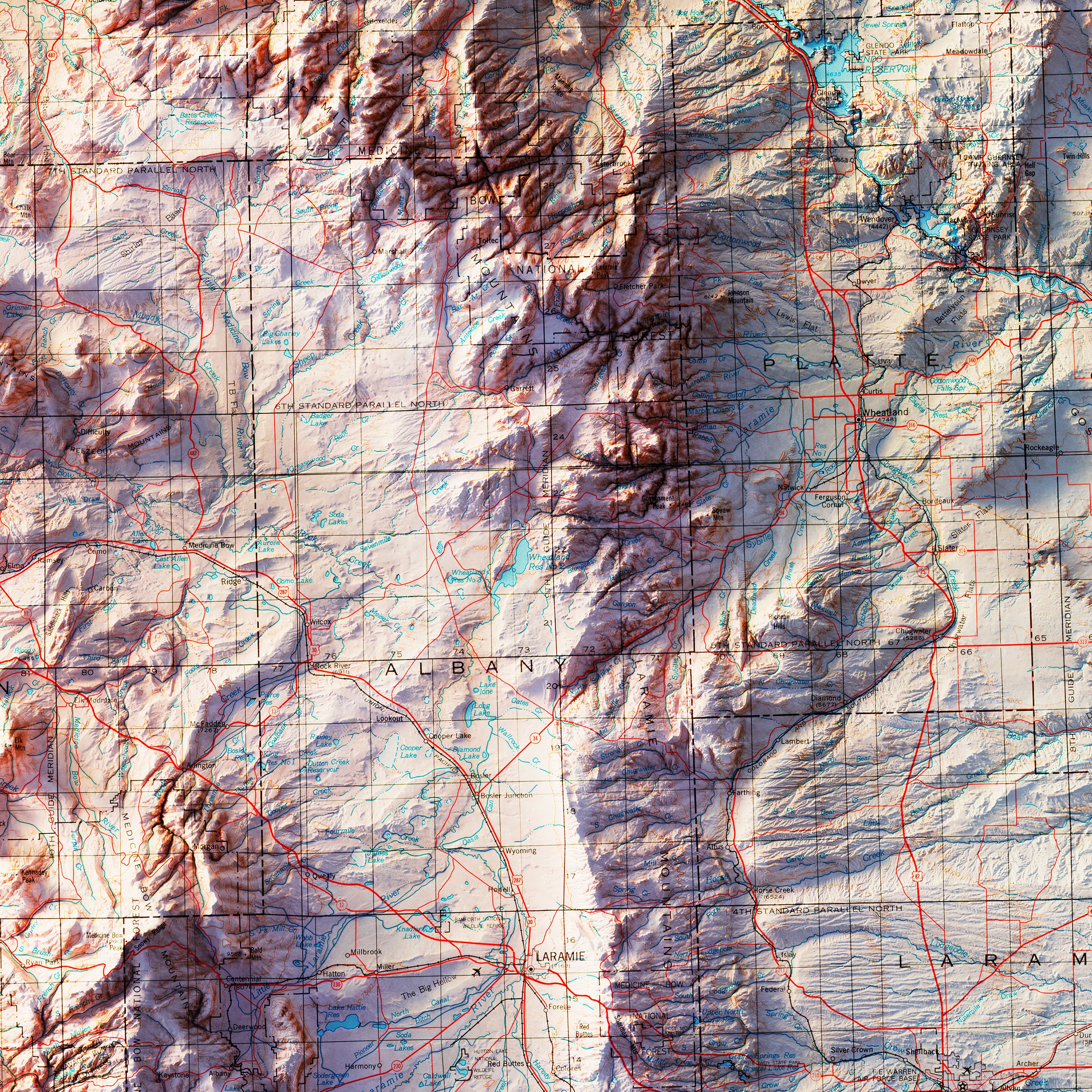
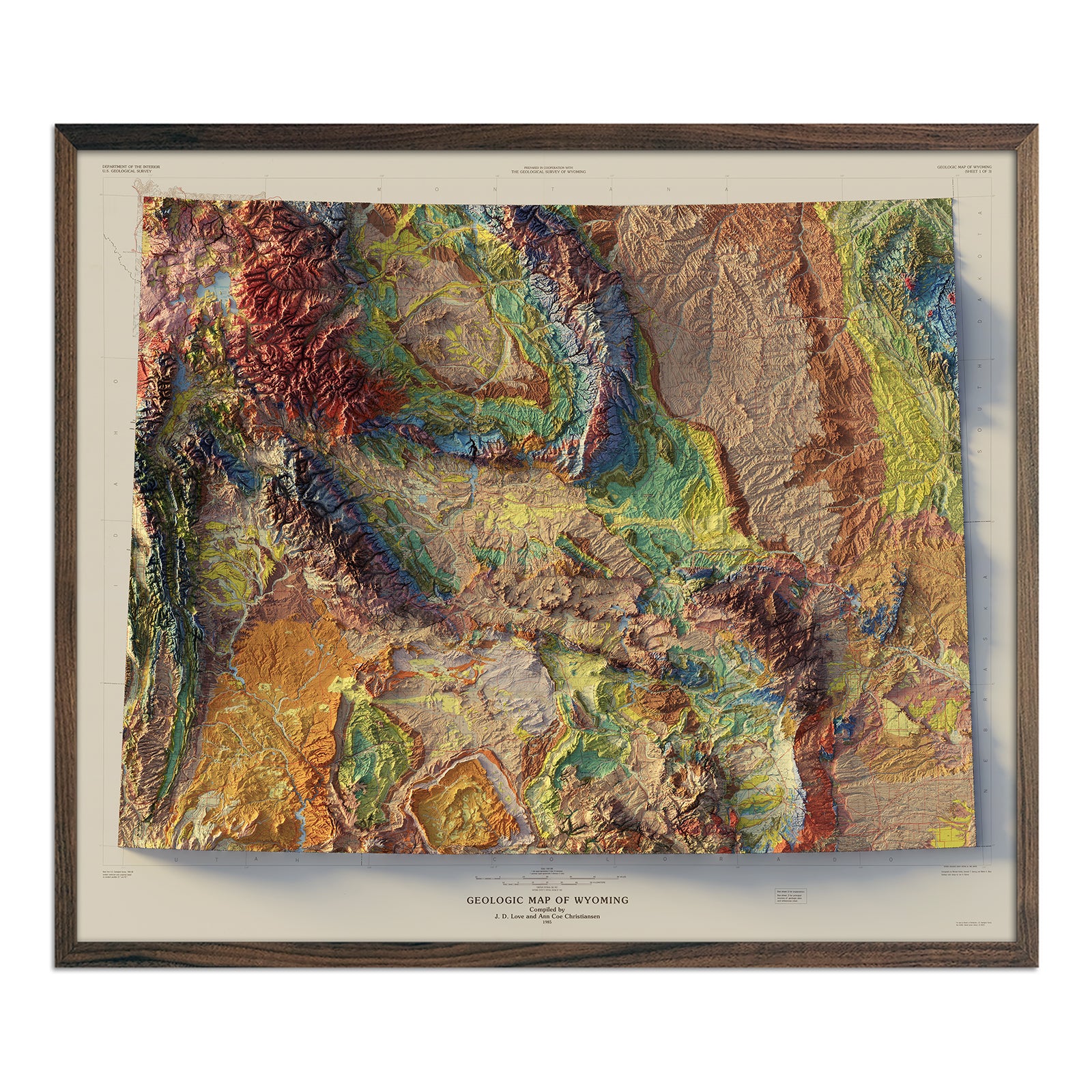
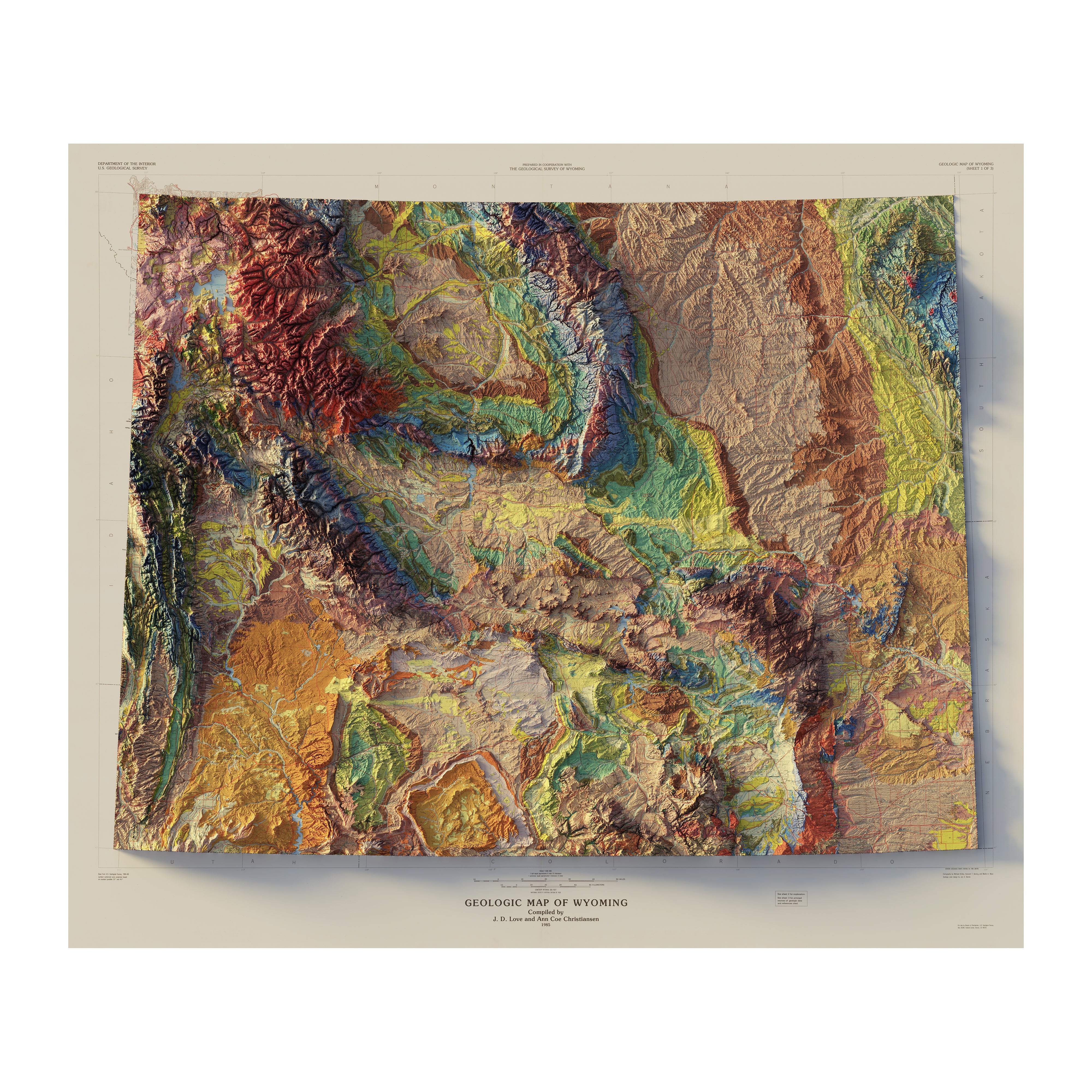
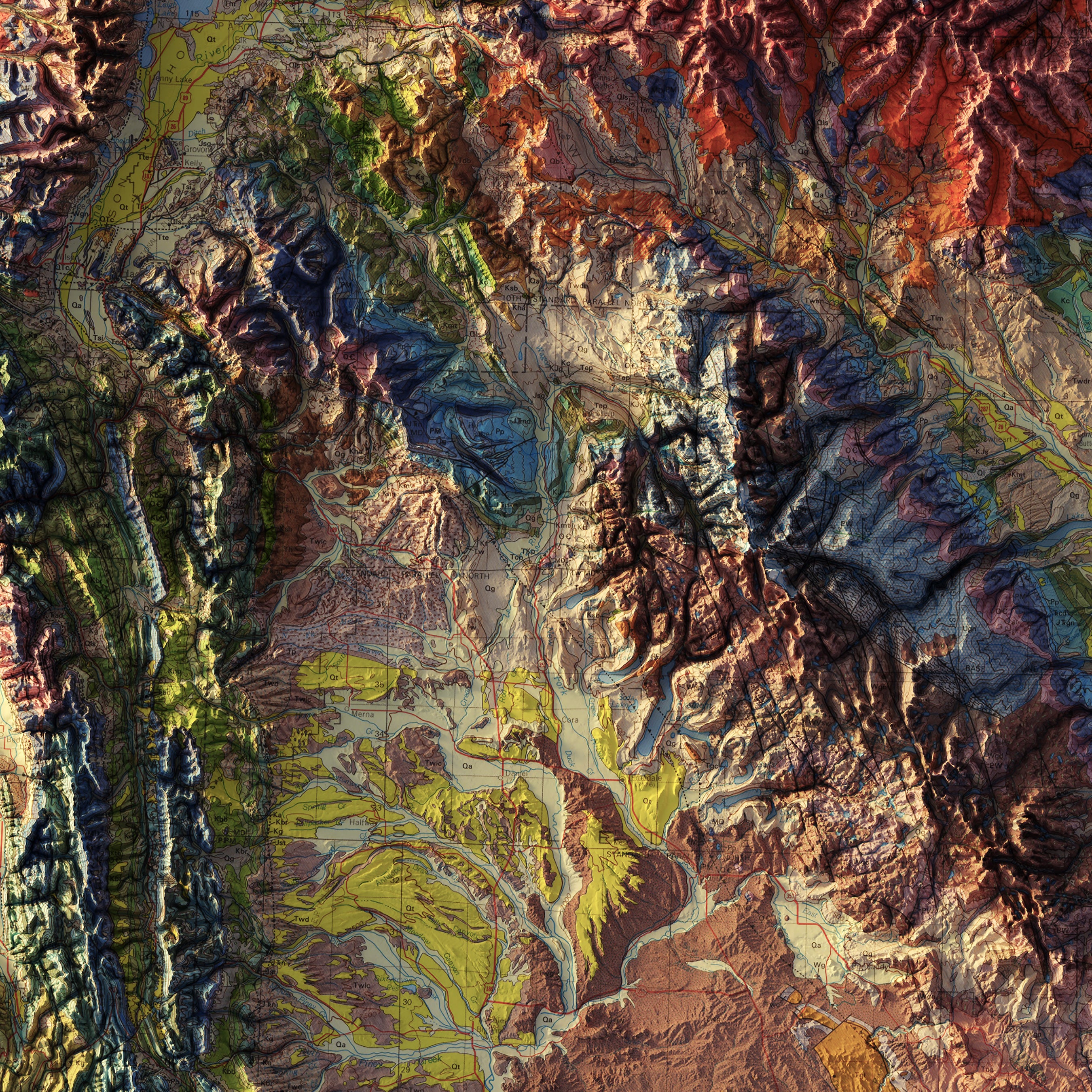
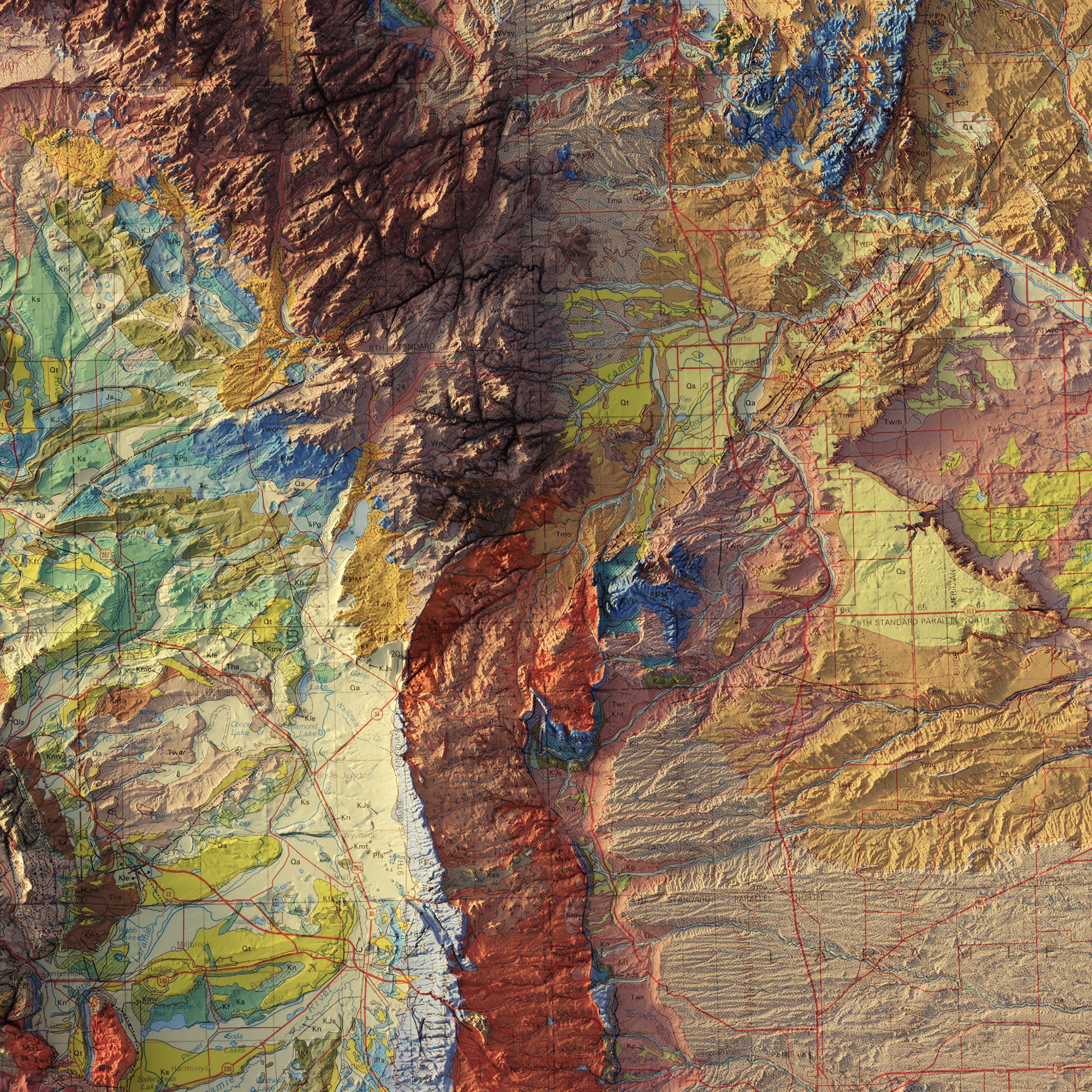
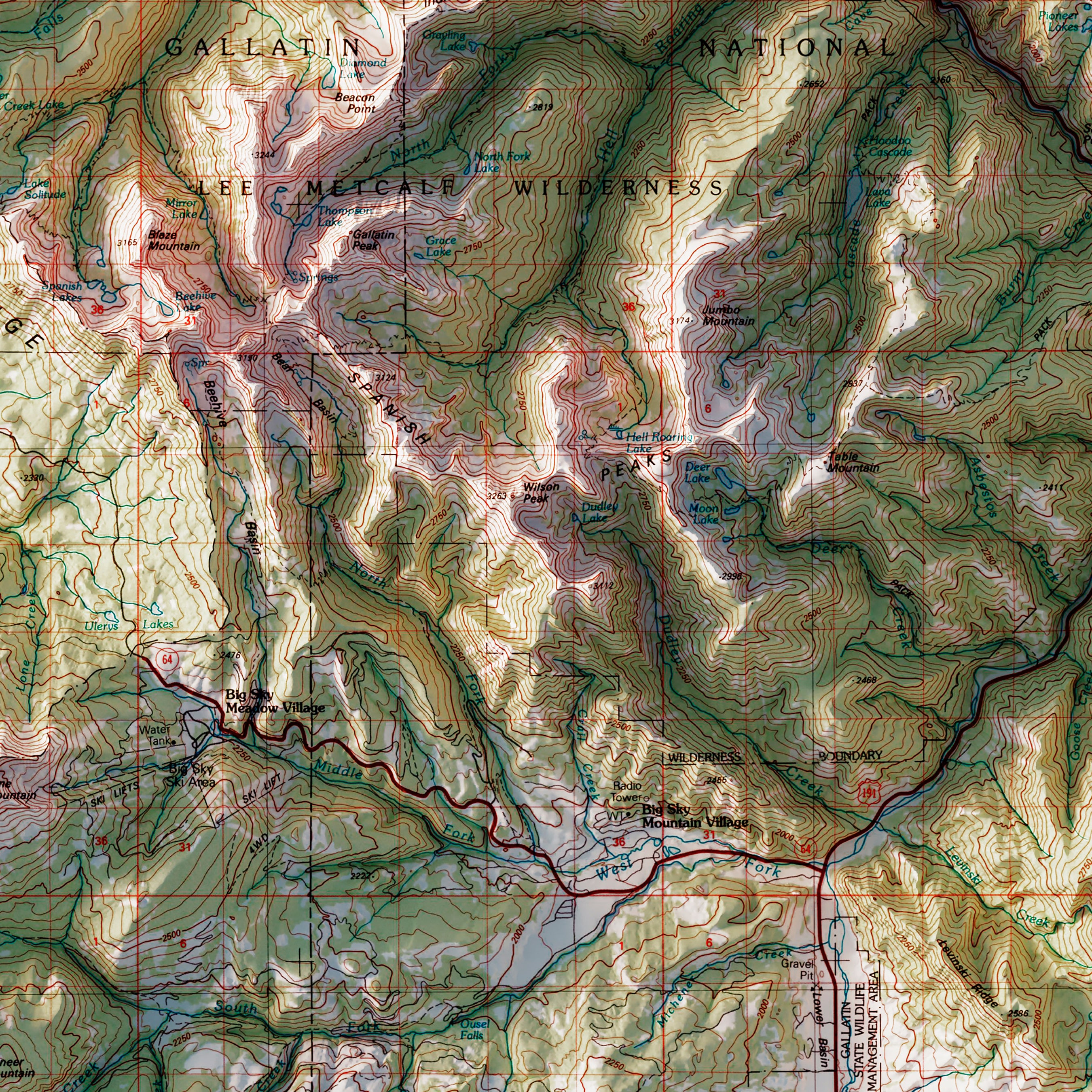
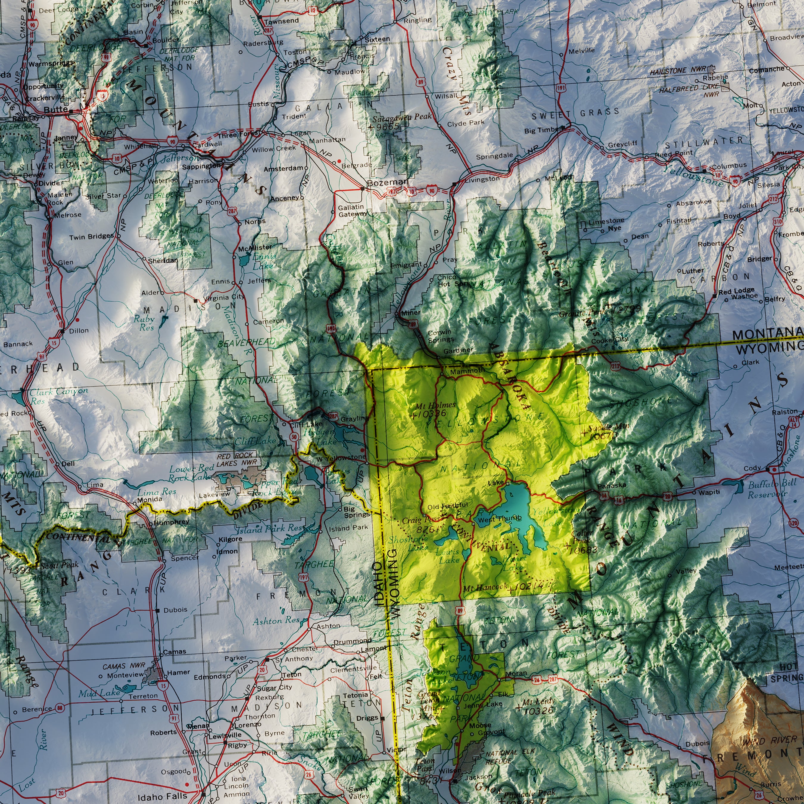
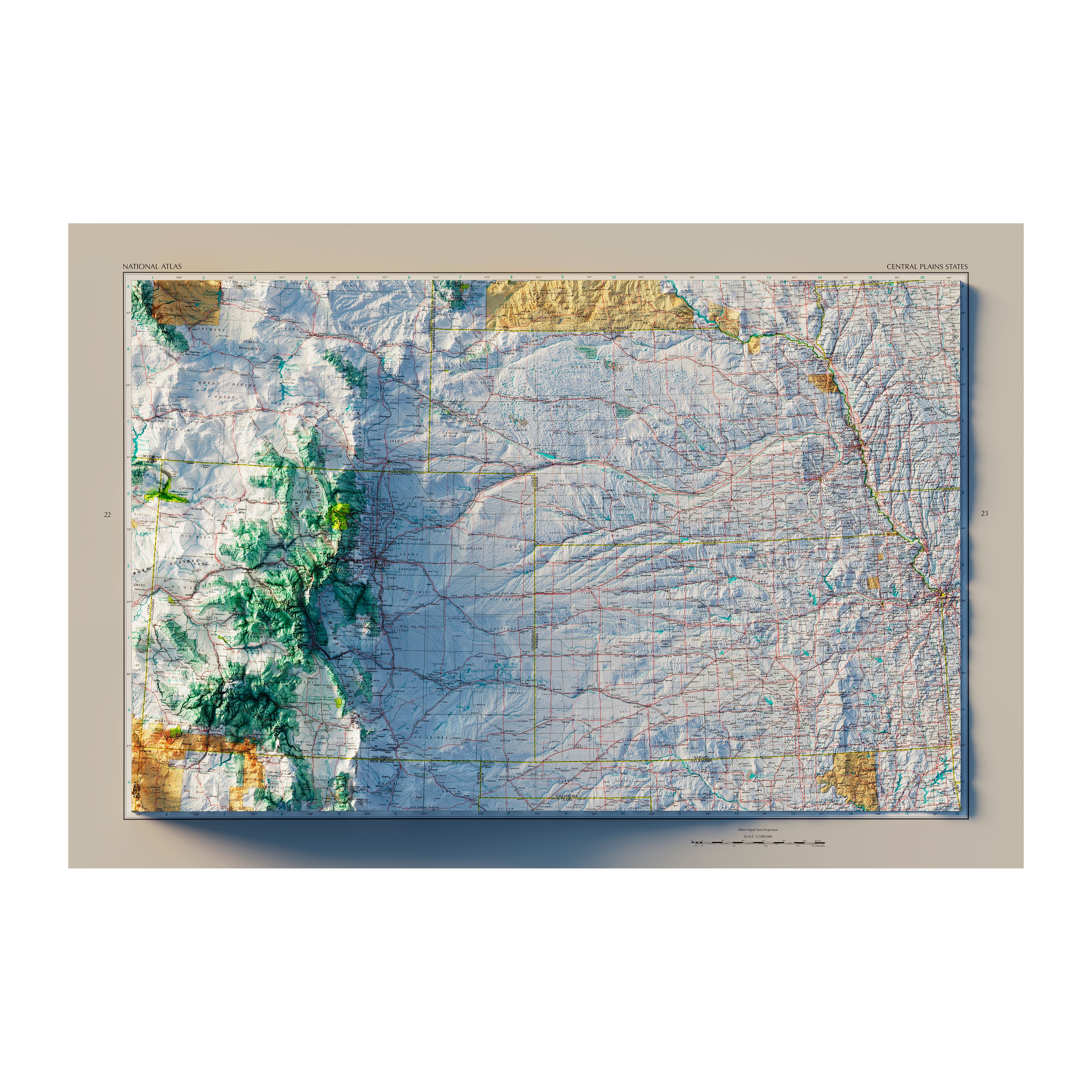
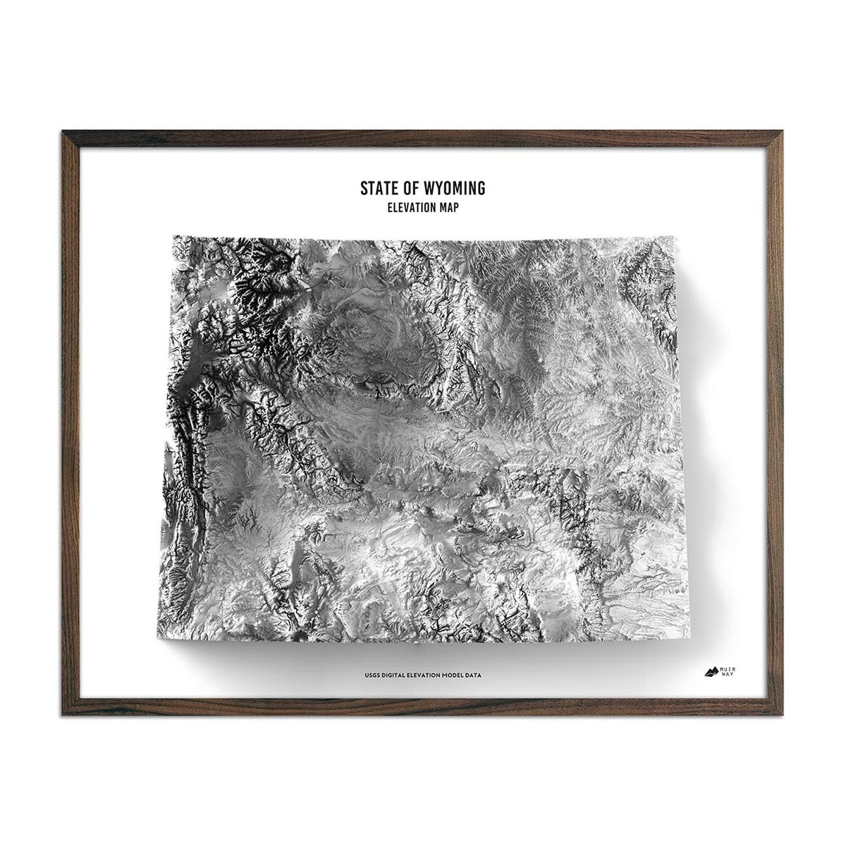
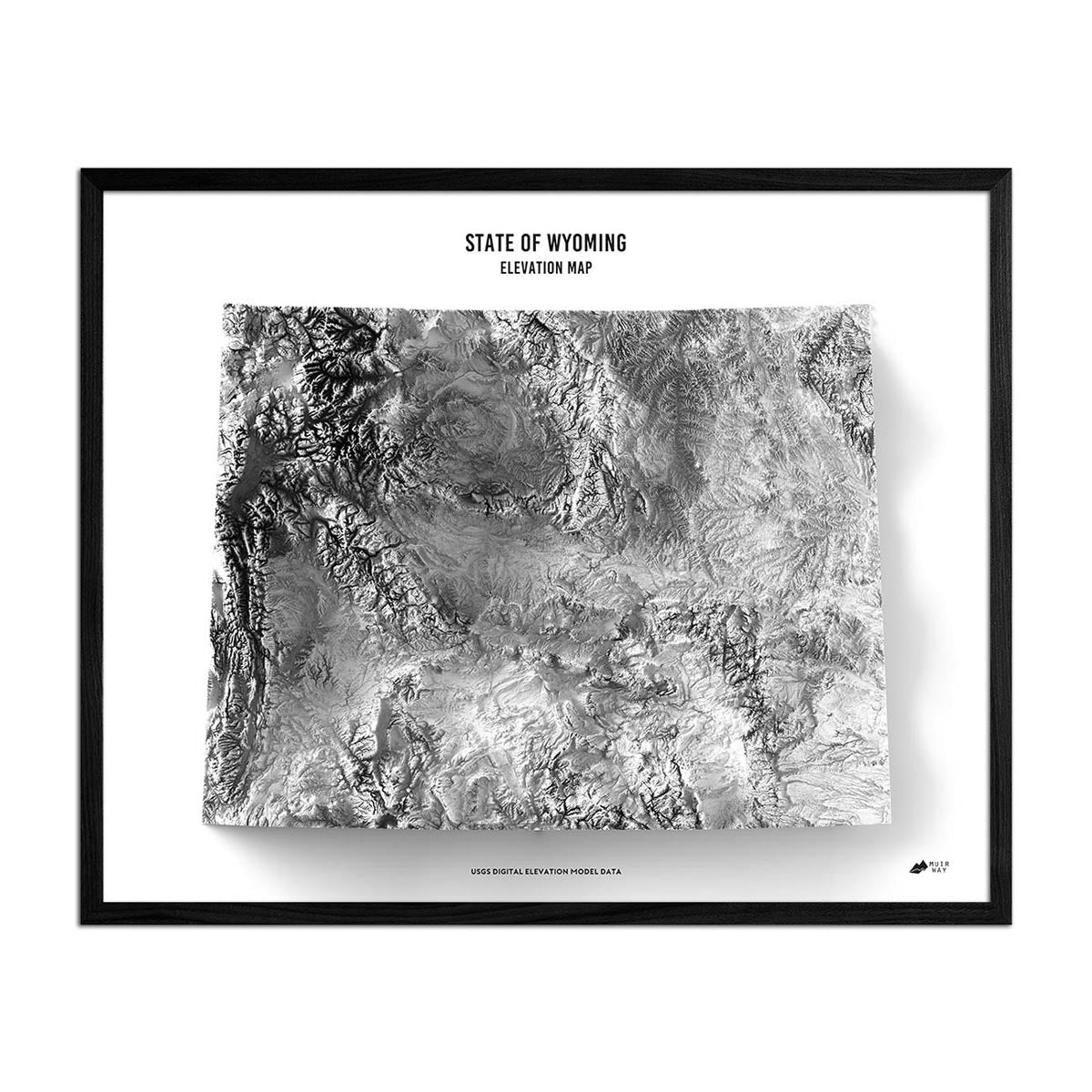
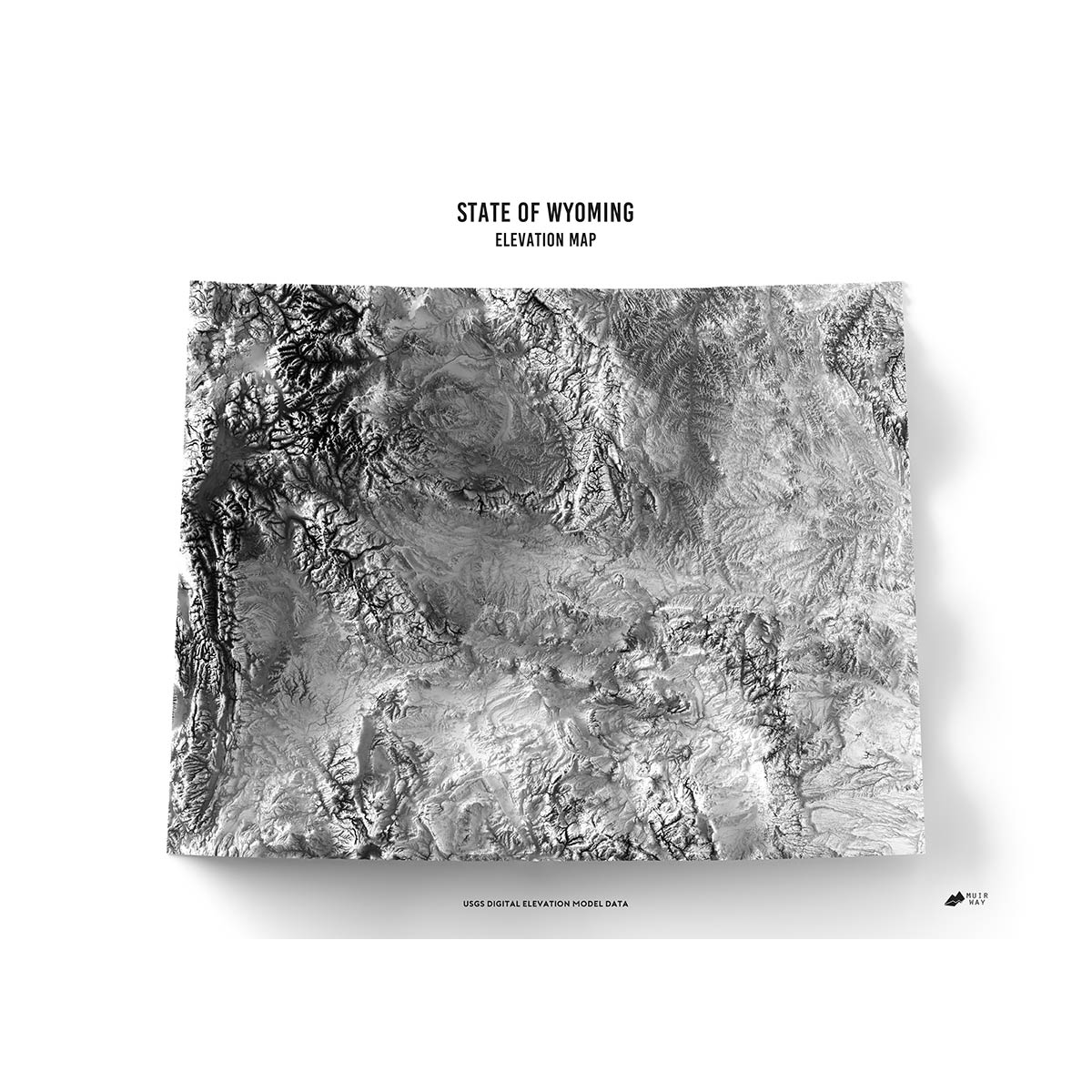
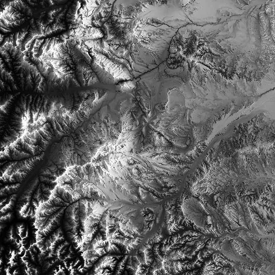
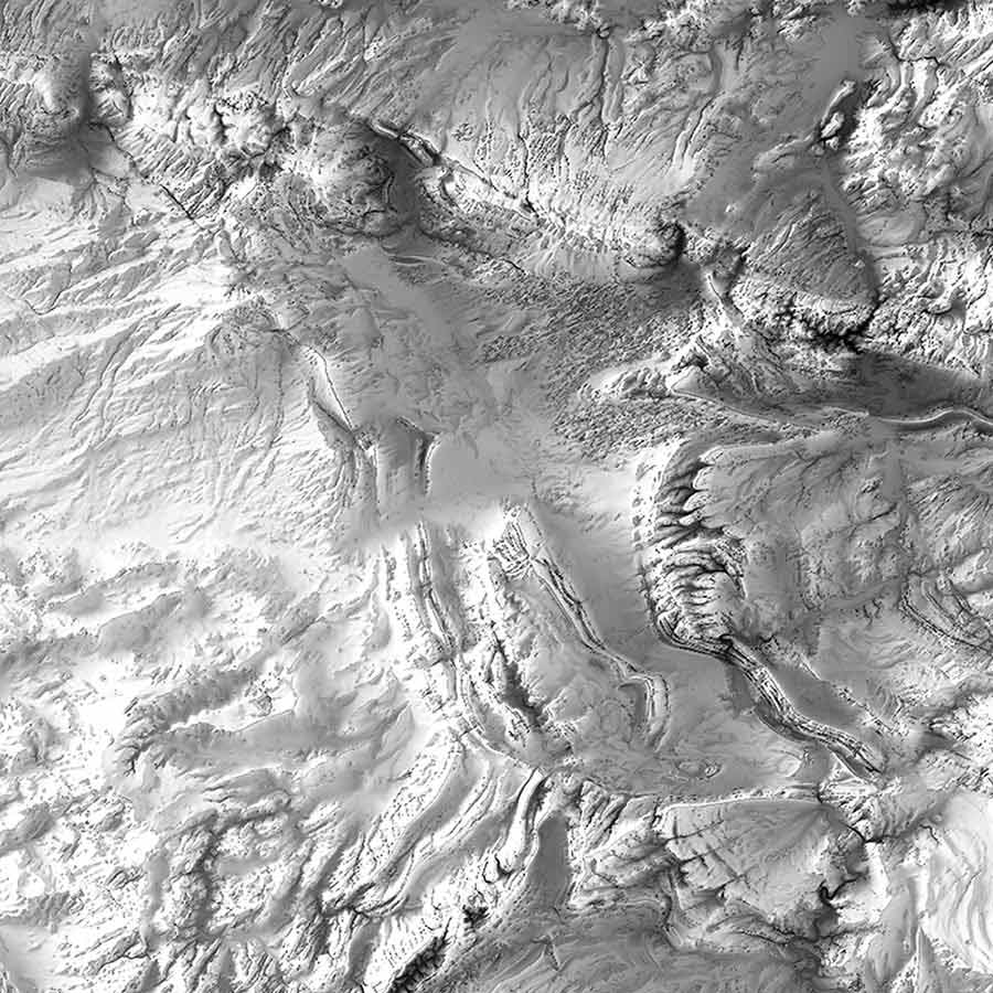
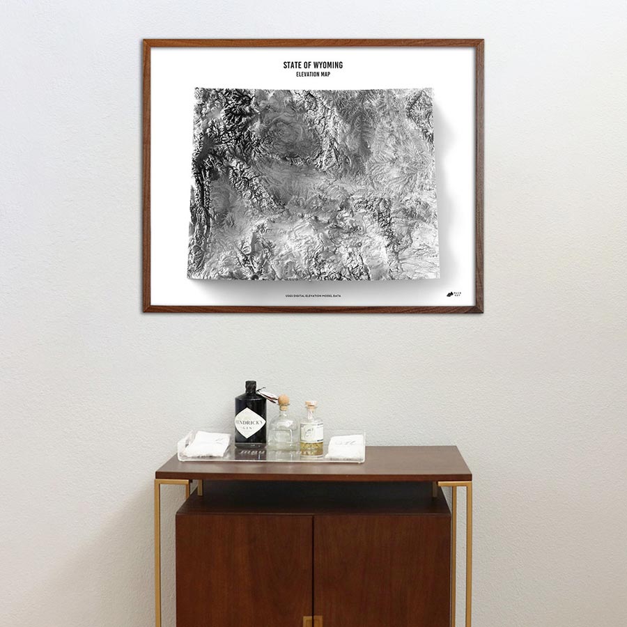
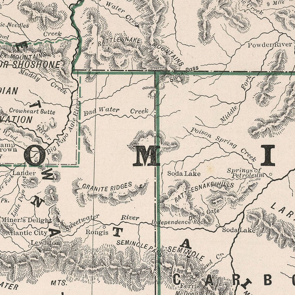
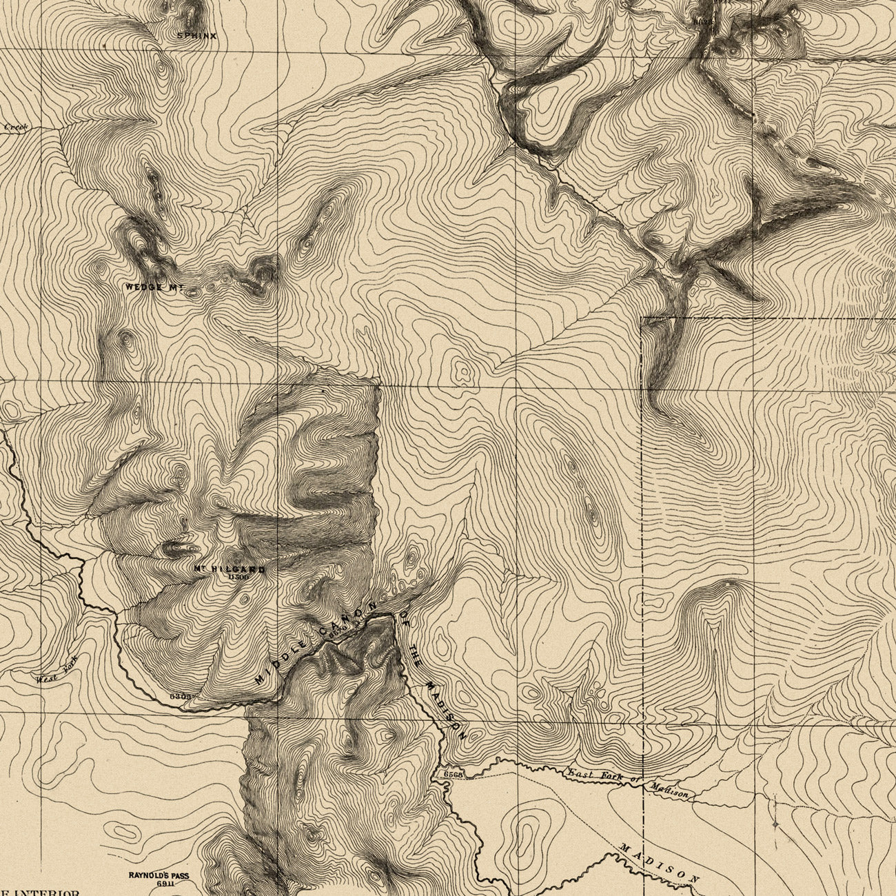
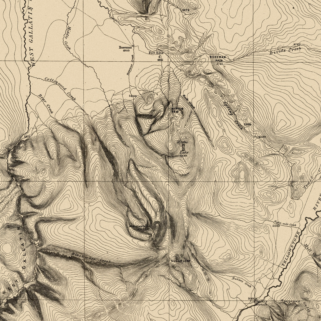
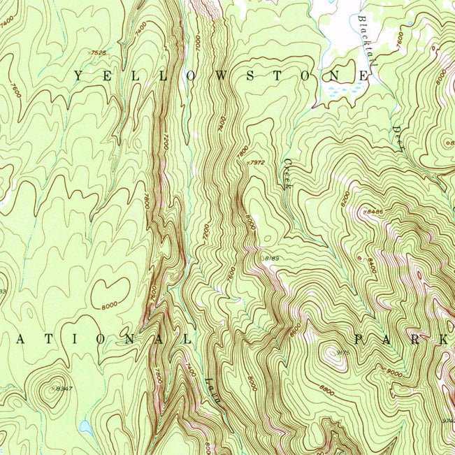
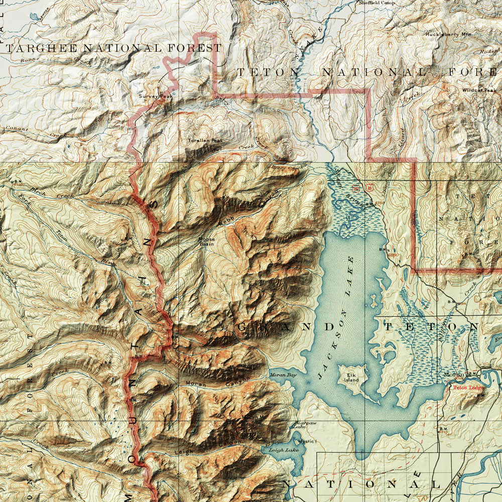
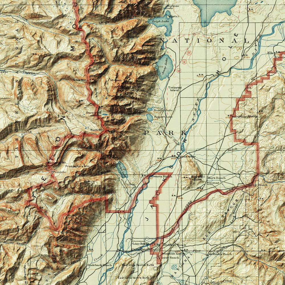
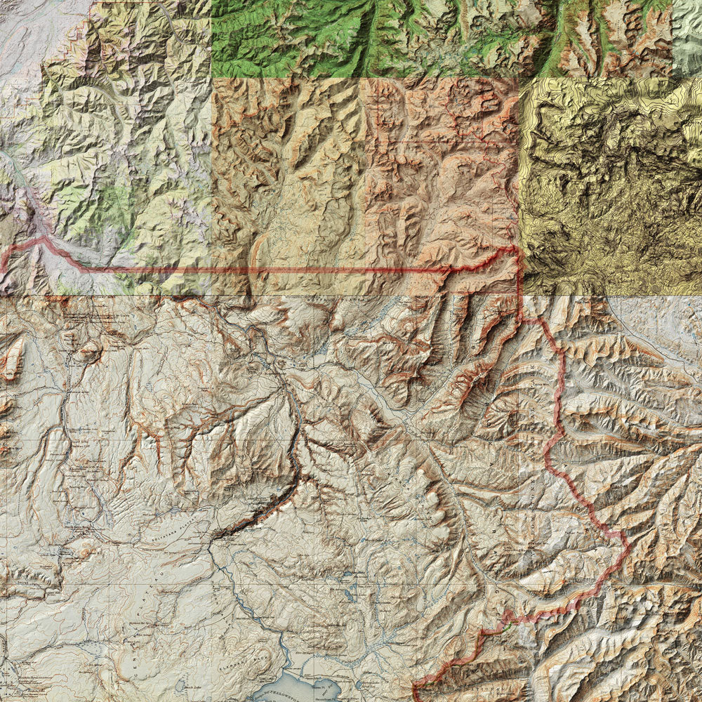
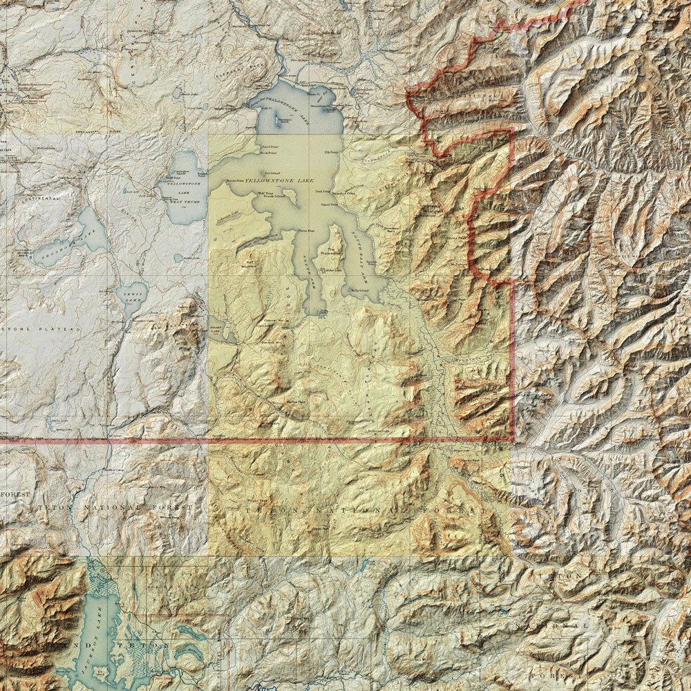
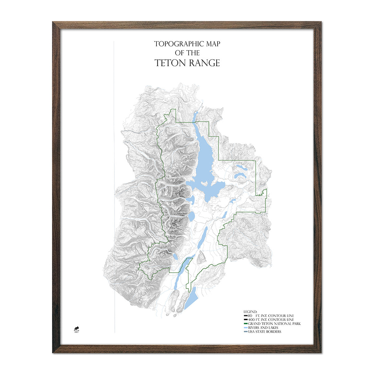
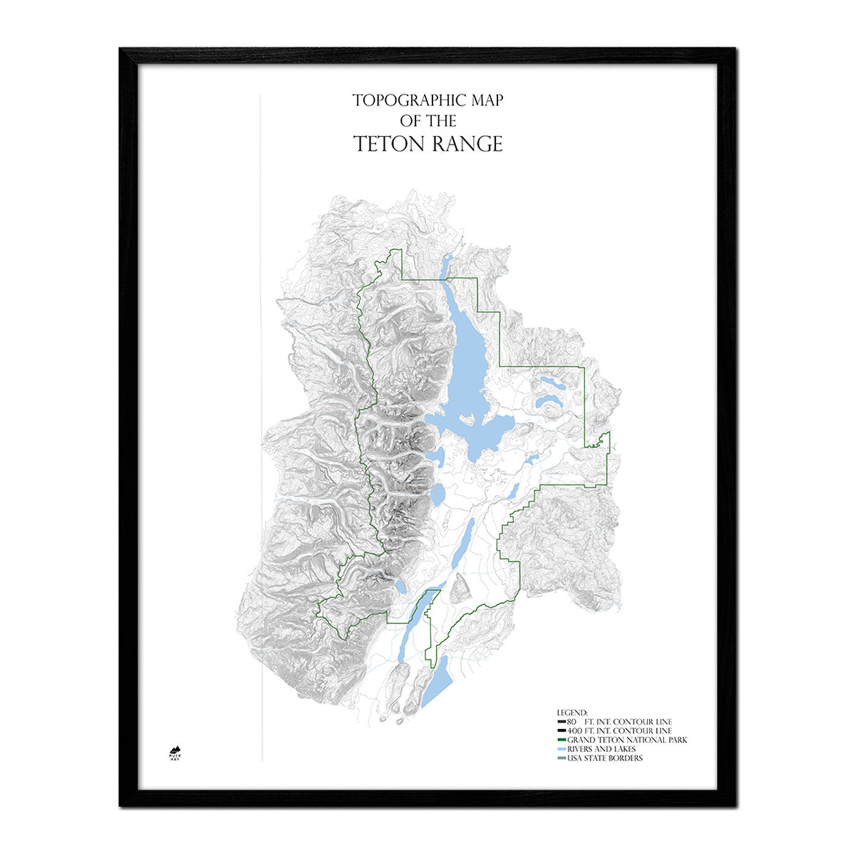
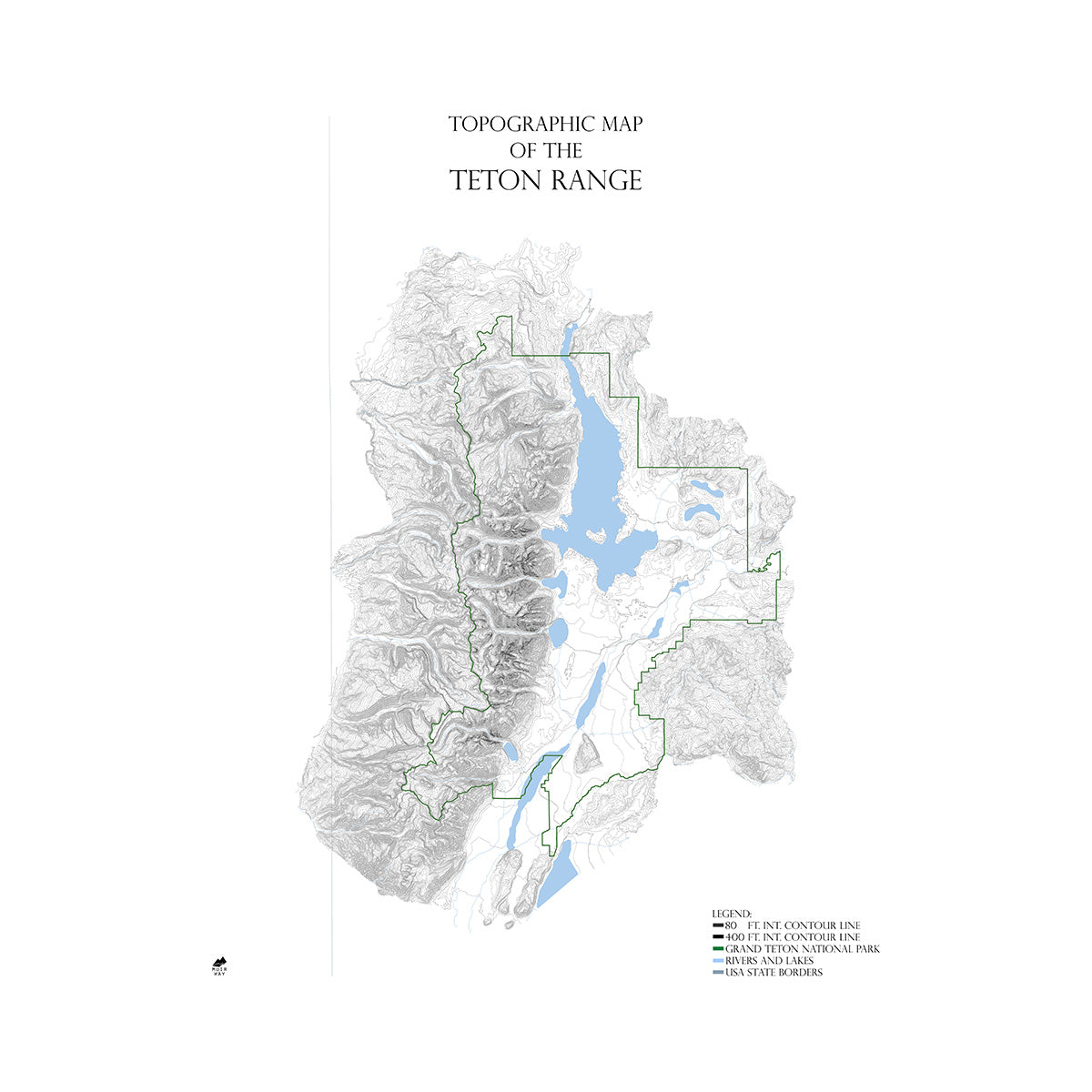
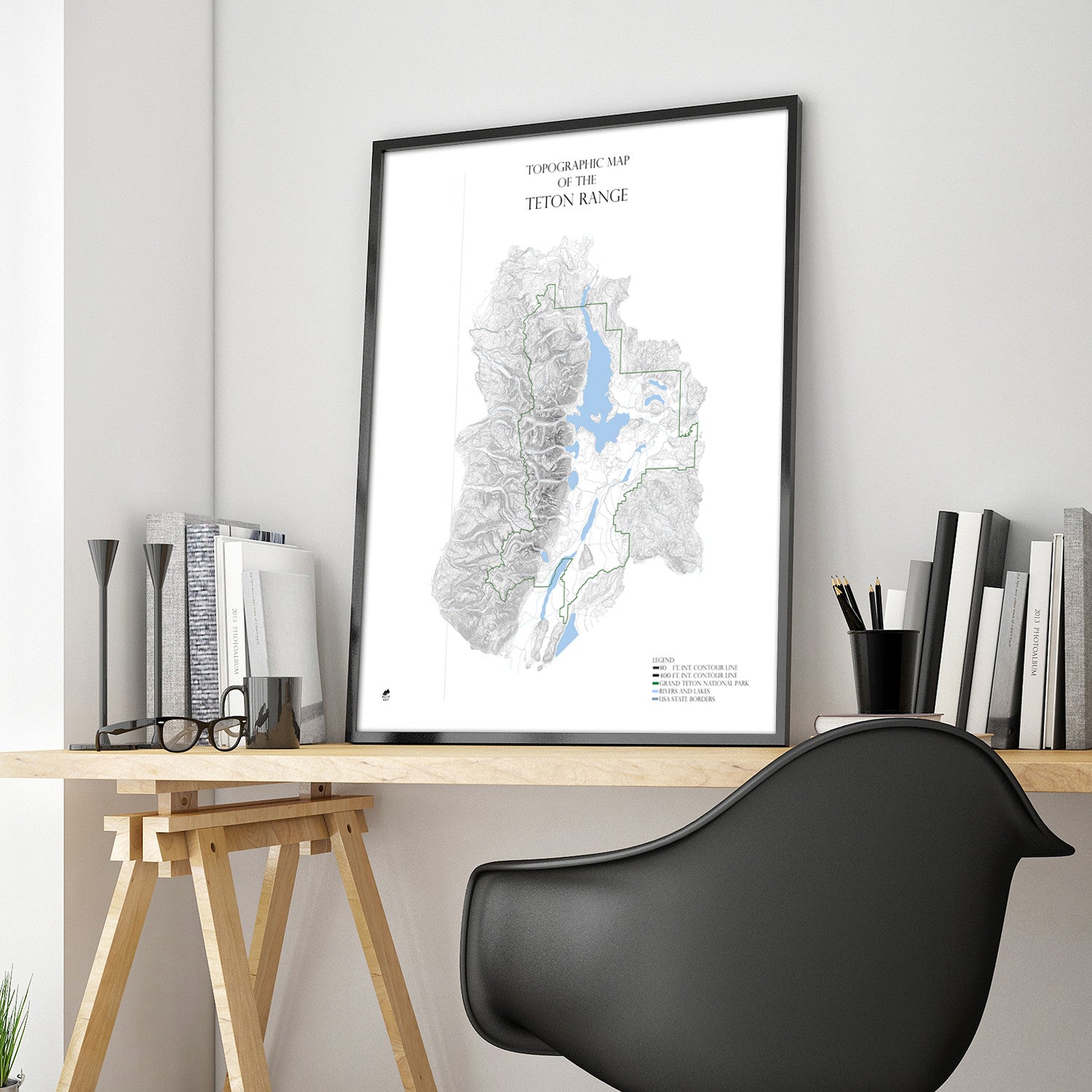
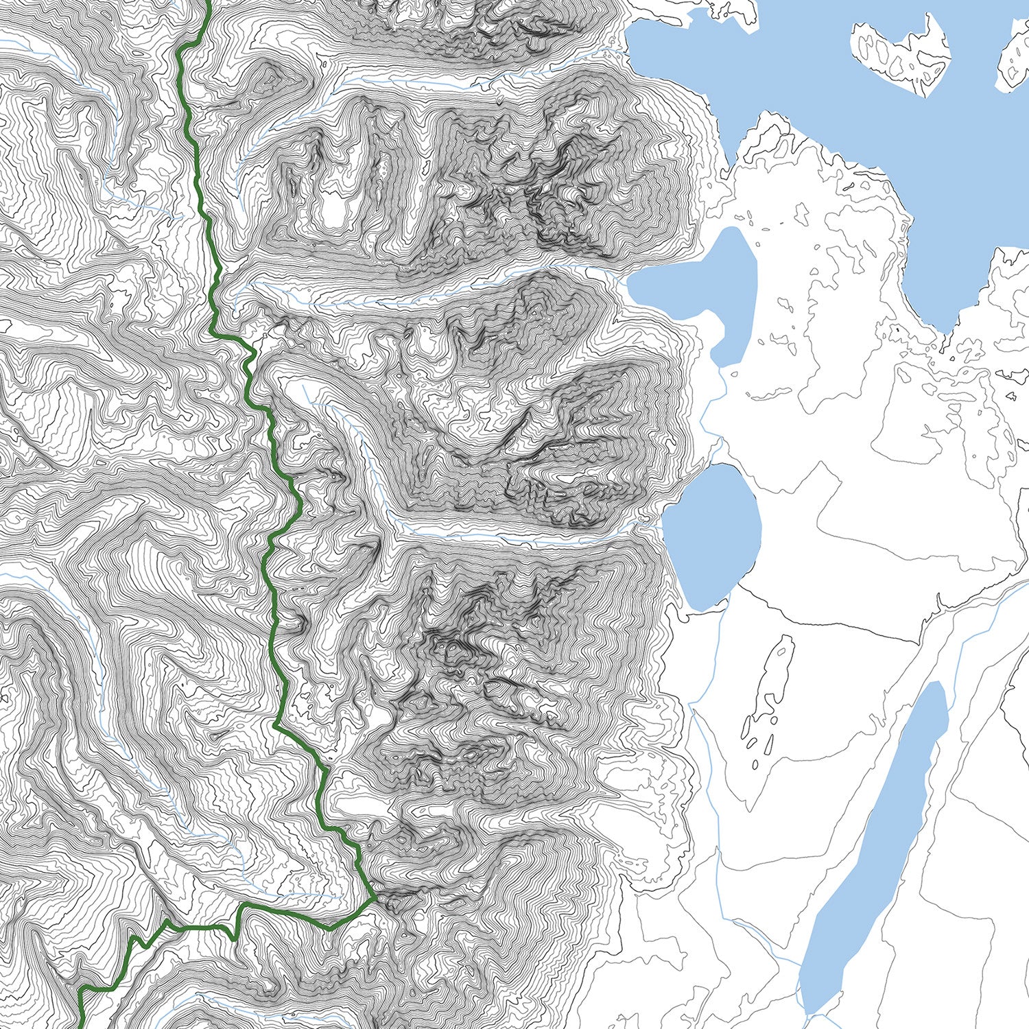
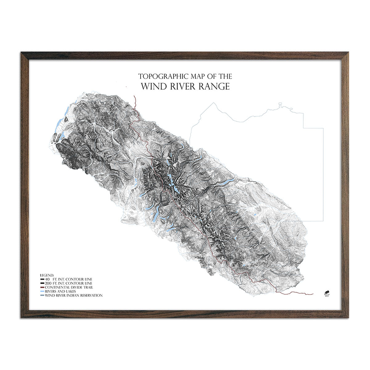
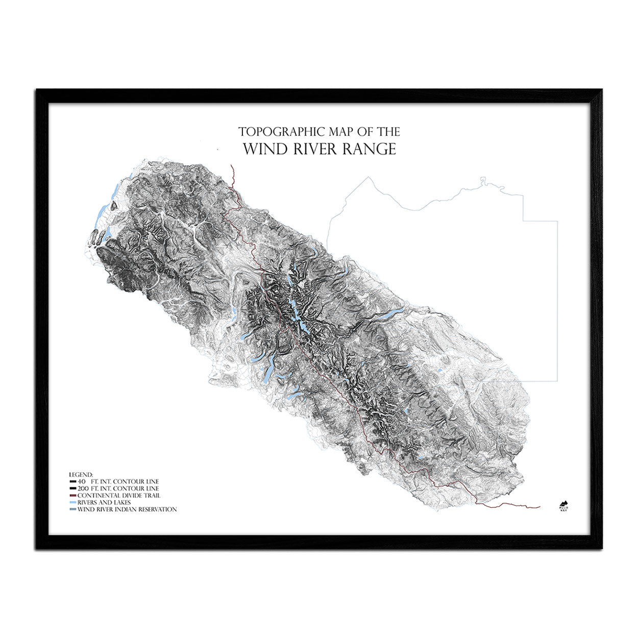
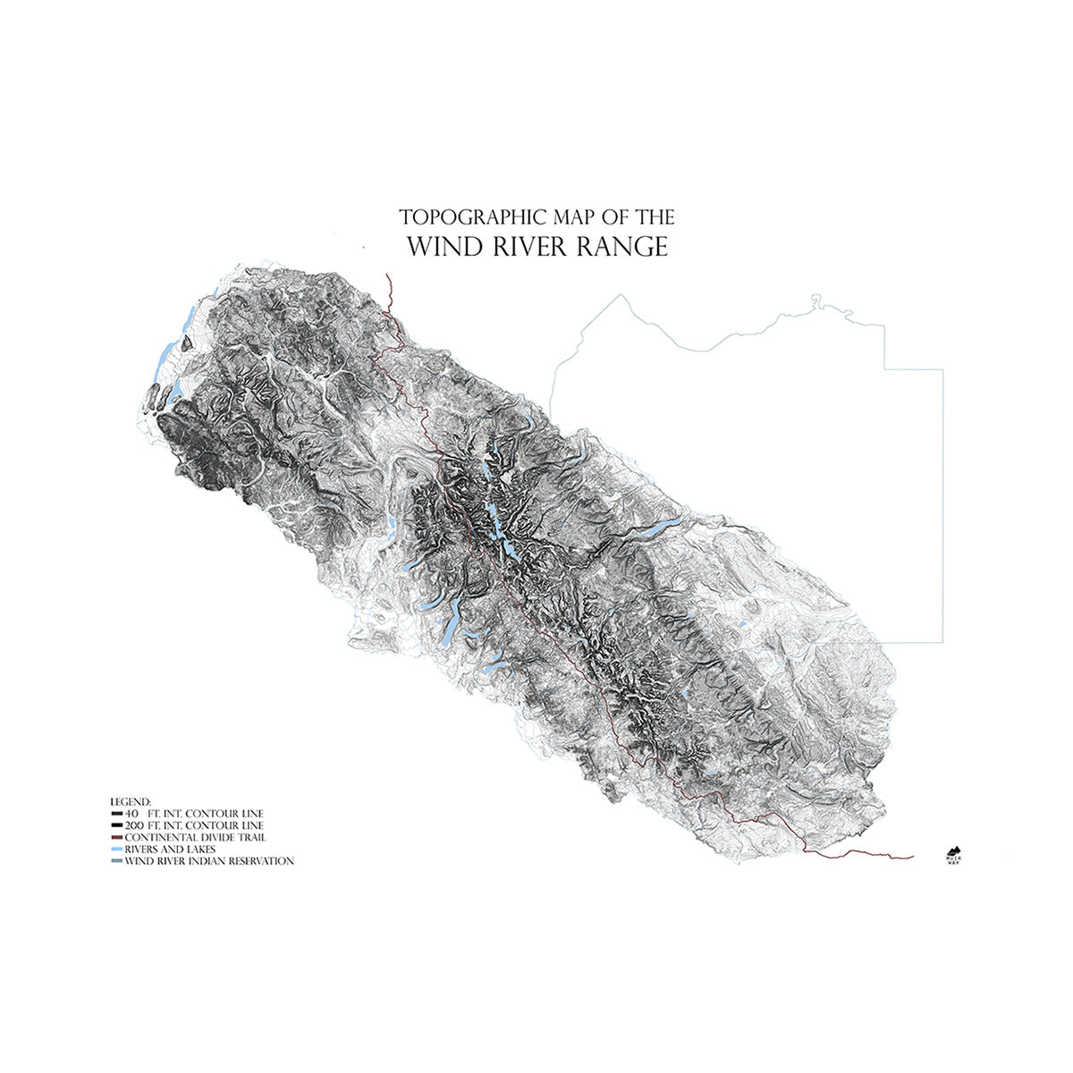
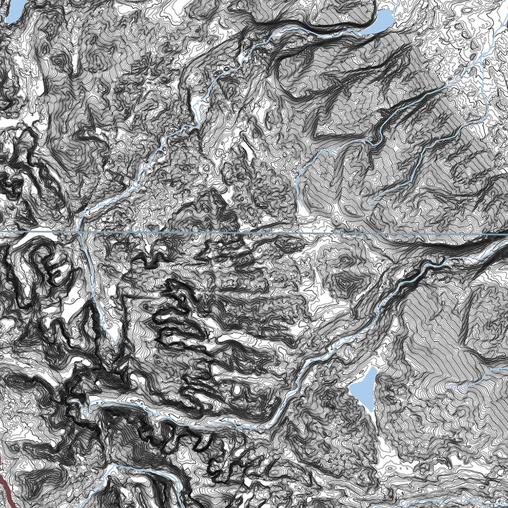
Wyoming’s geographical terrain features a variety of environments, from the peaks of mountains to grasslands, pine forests, imposing rivers, and pristine lakes. Composed of a series of plateaus broken up by mountains, Wyoming is home to part of the Rocky Mountains, which sweep across much of the state, the Big Horn Mountains, the Laramie Range, the Black Hills, the Teton Mountains, and the Absaroka Range.
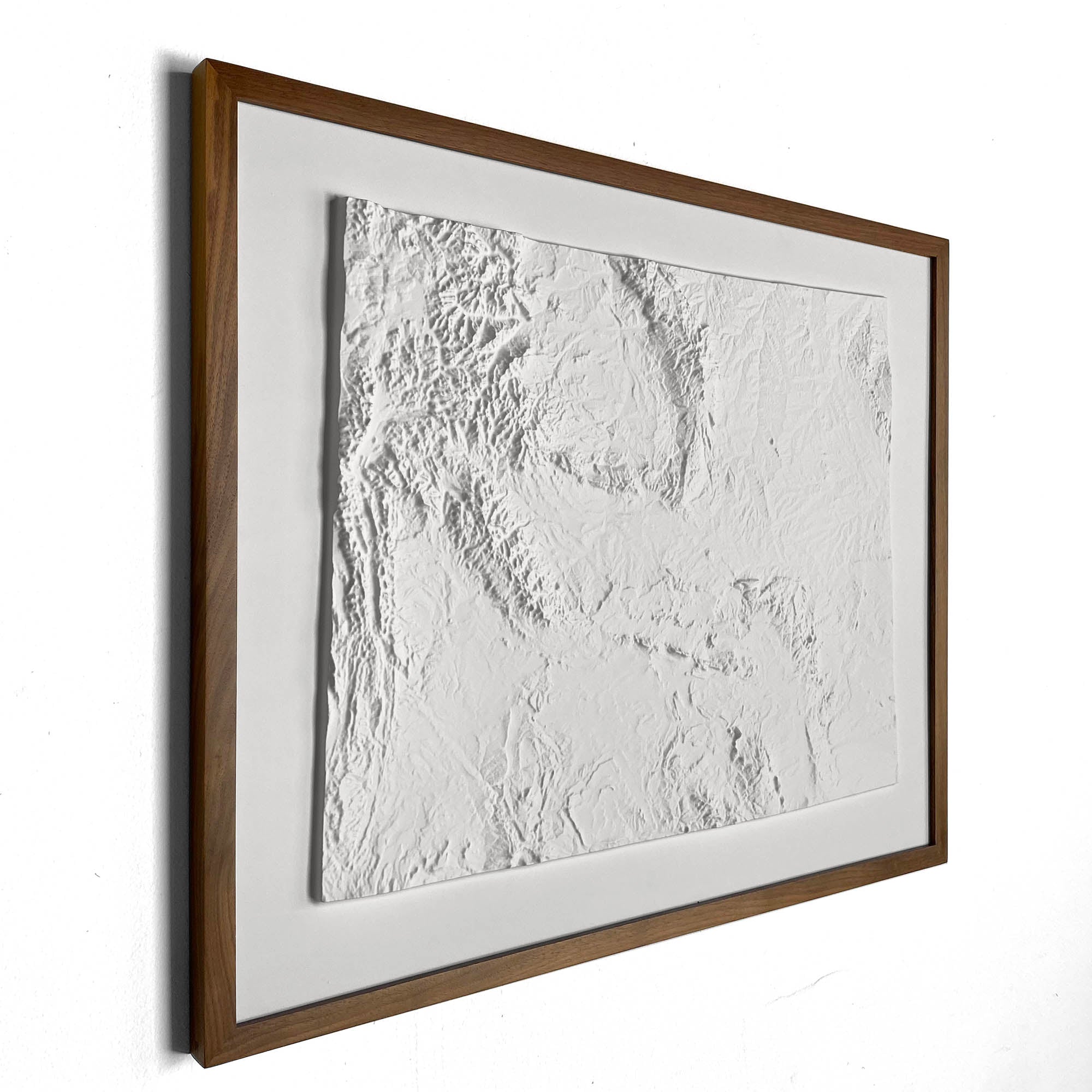
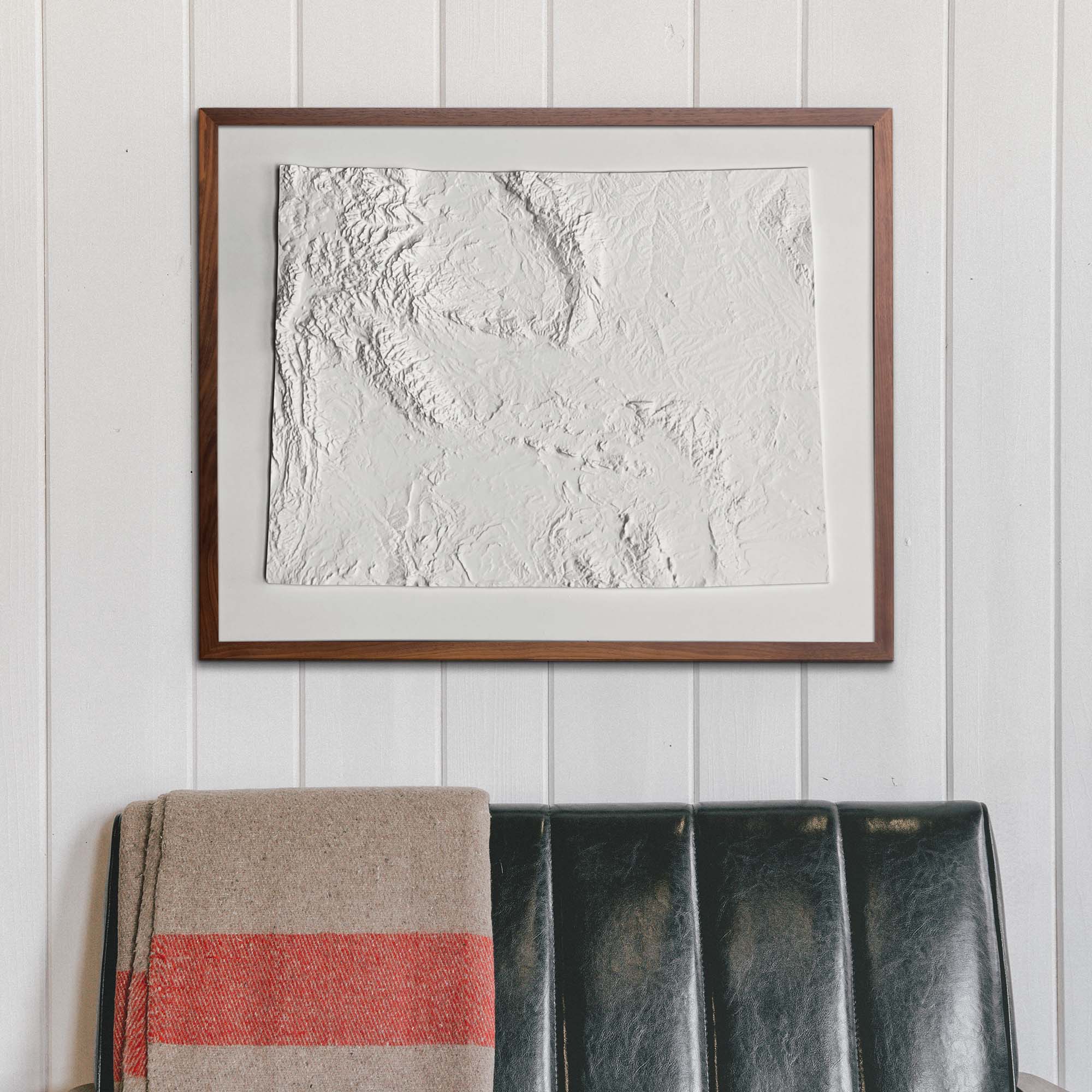
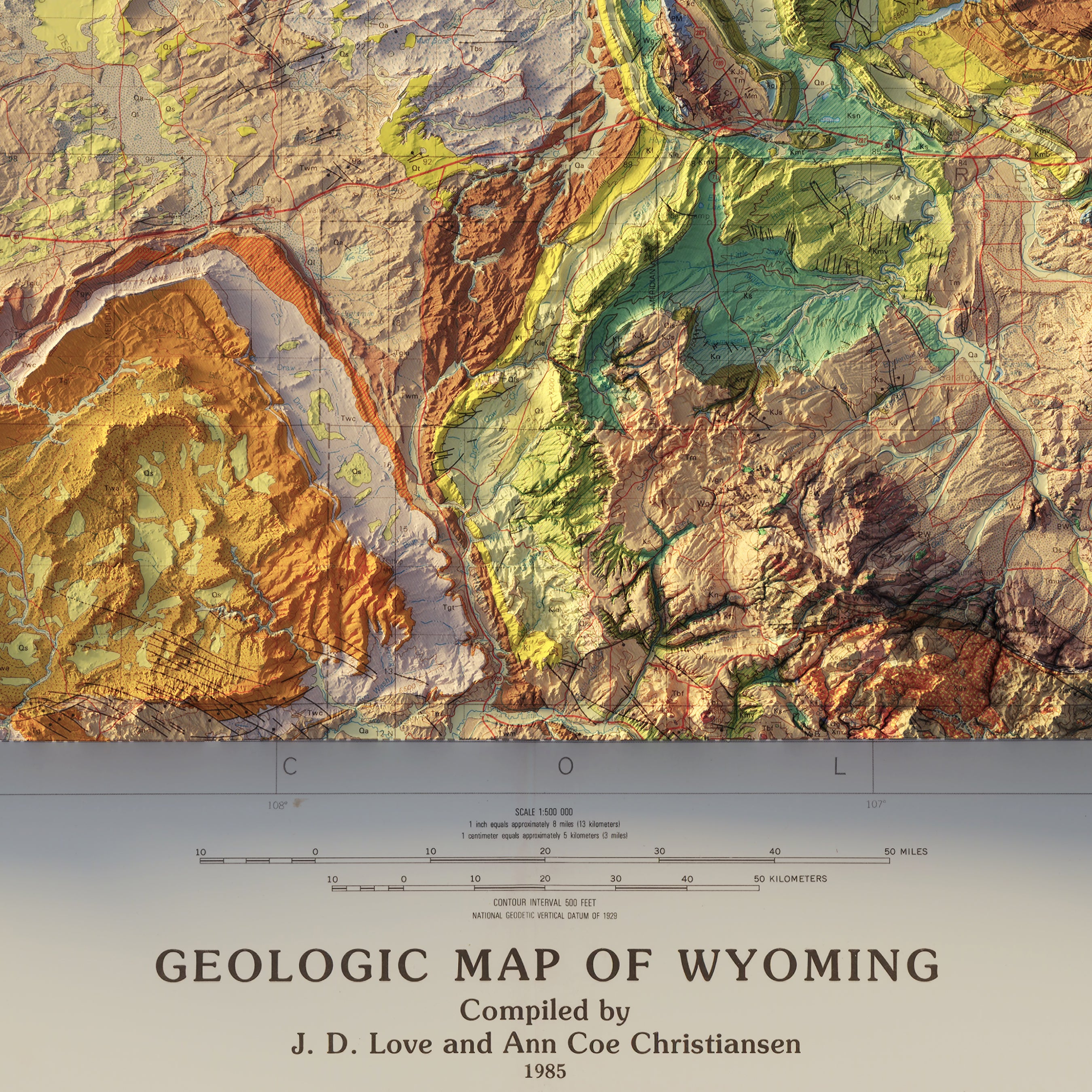
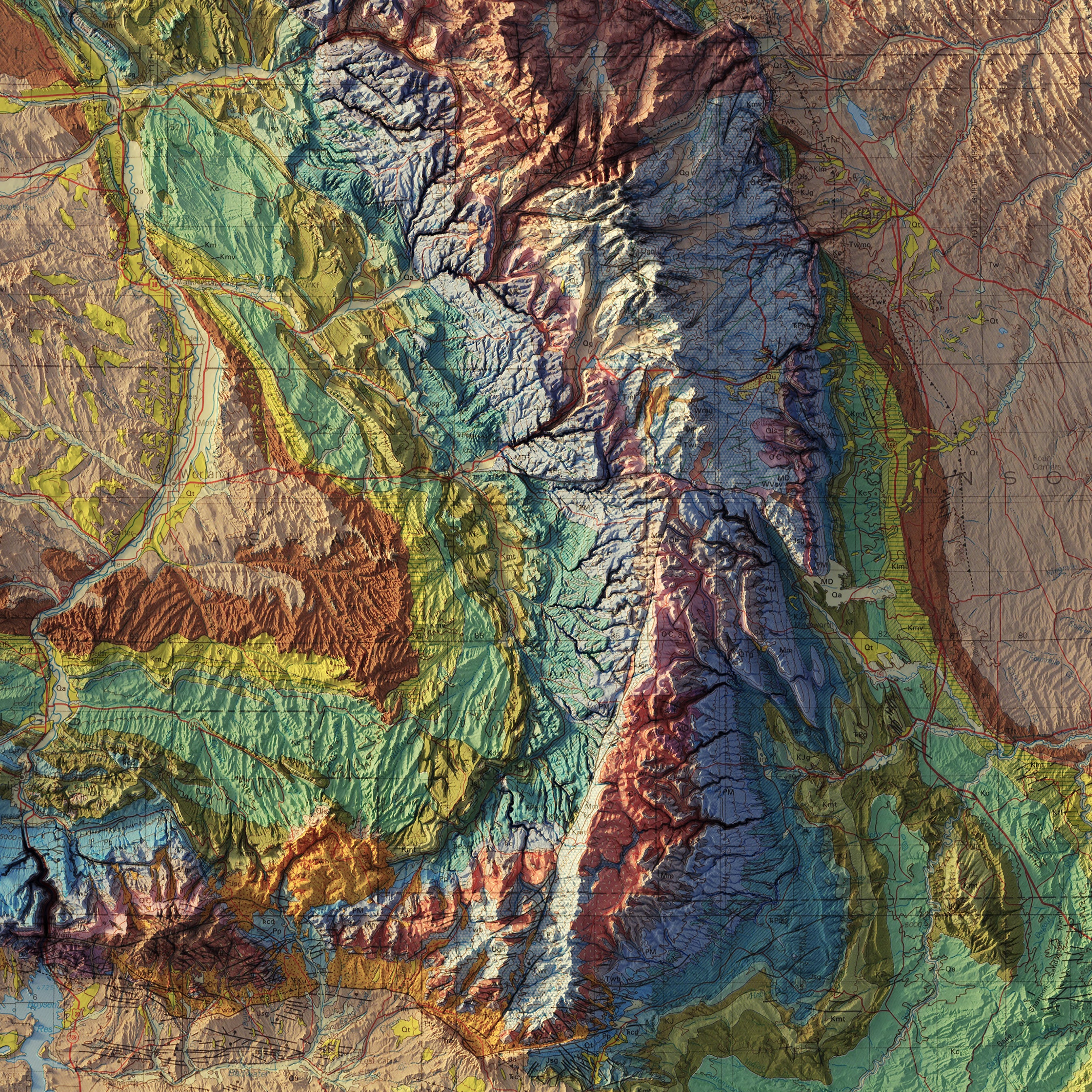
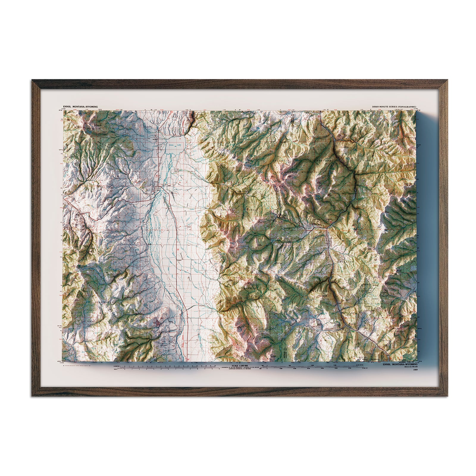
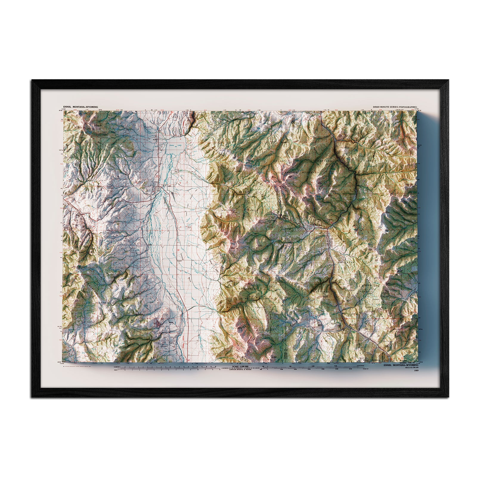
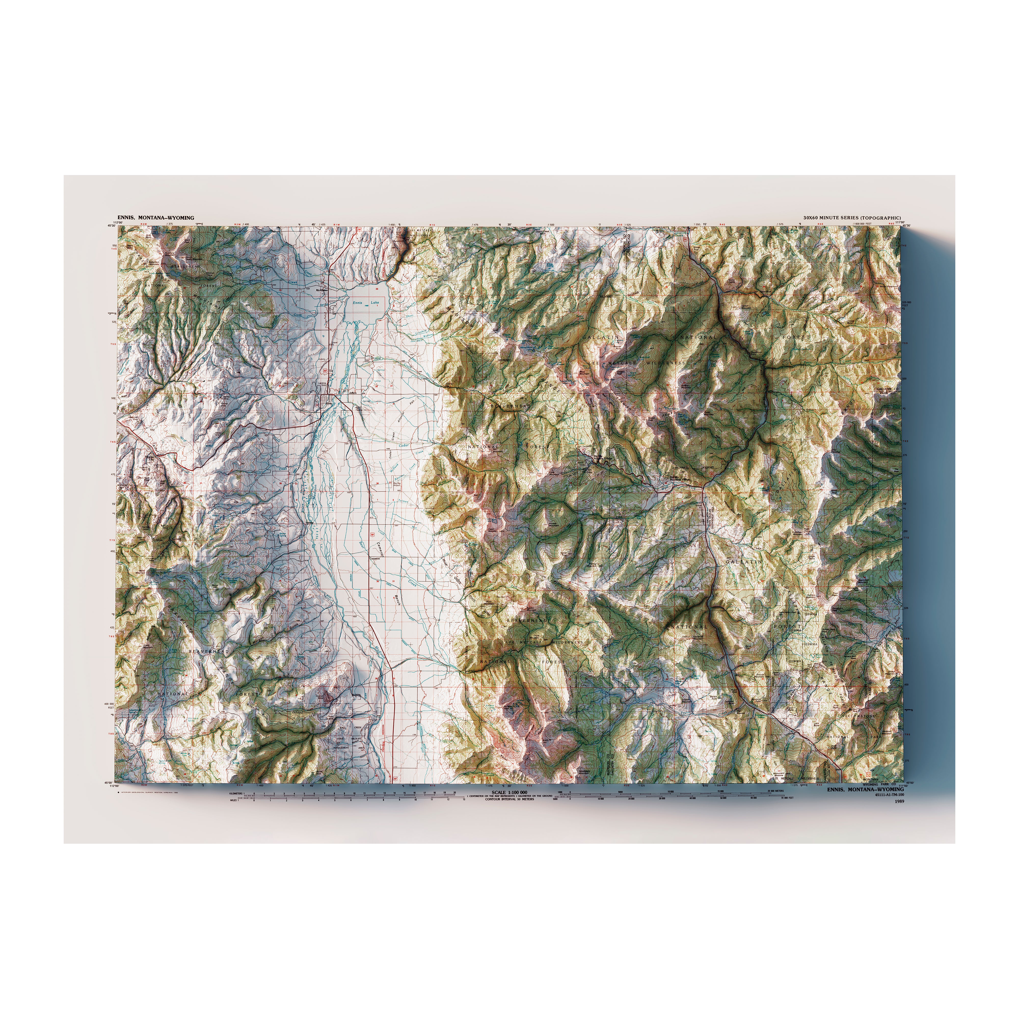
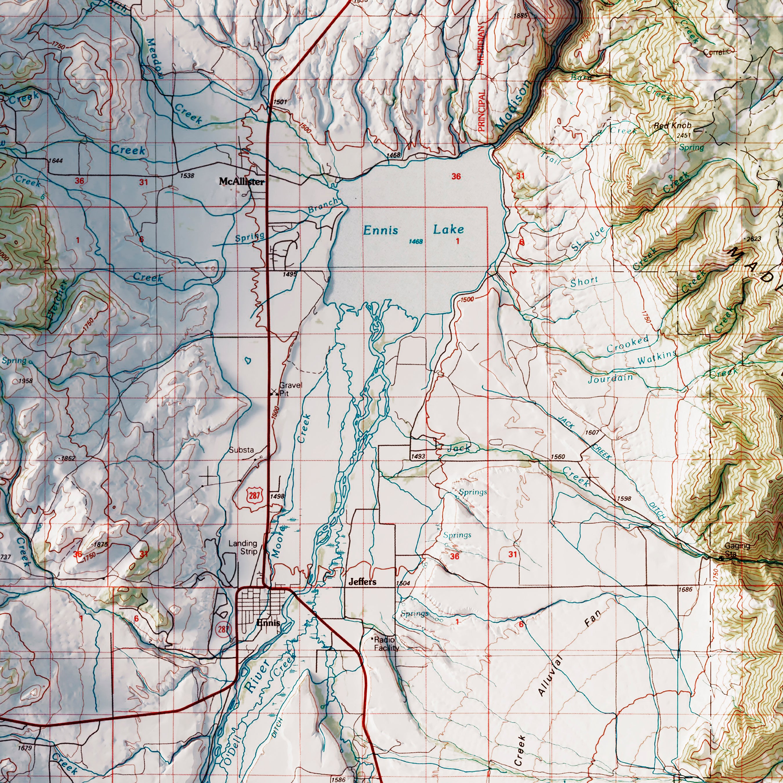
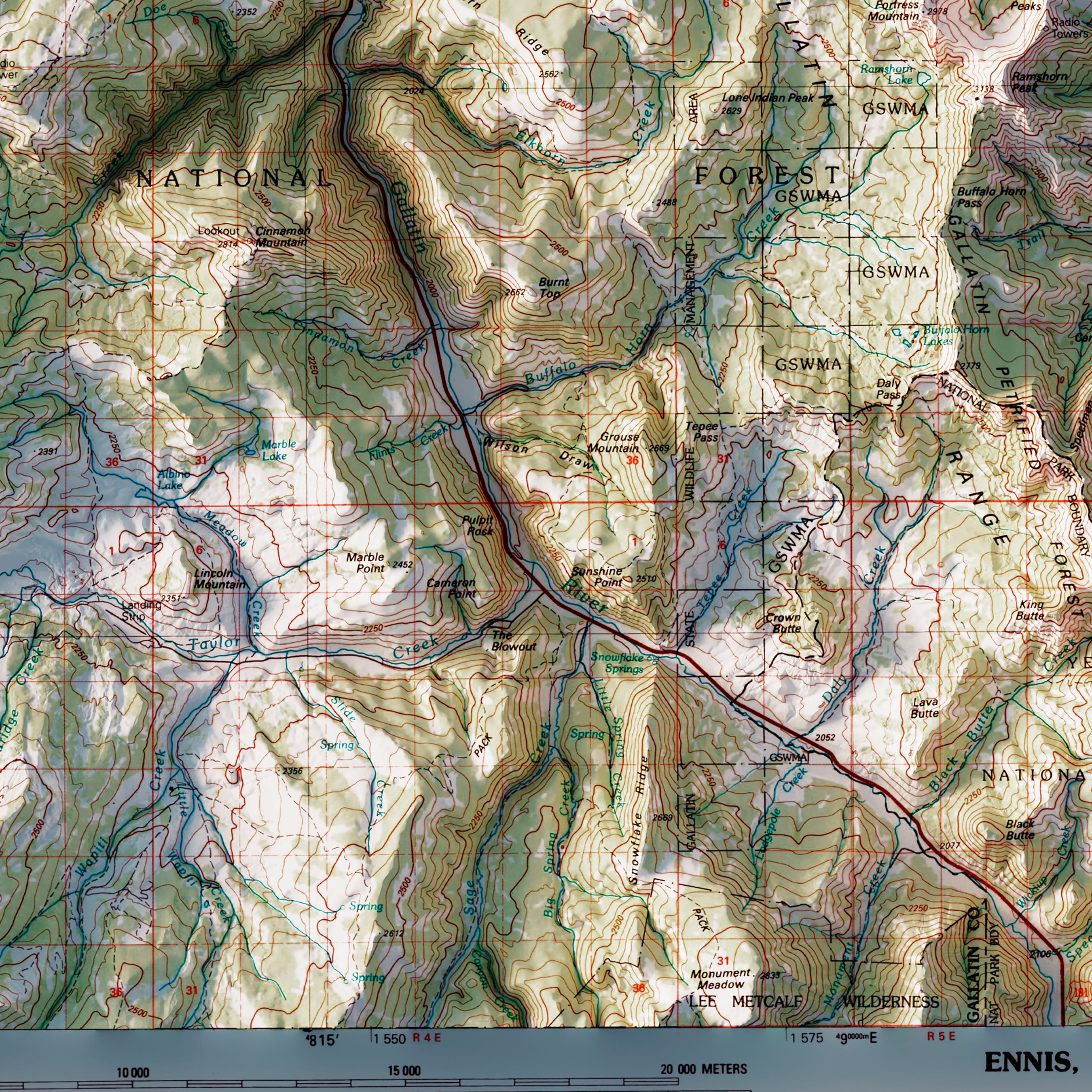
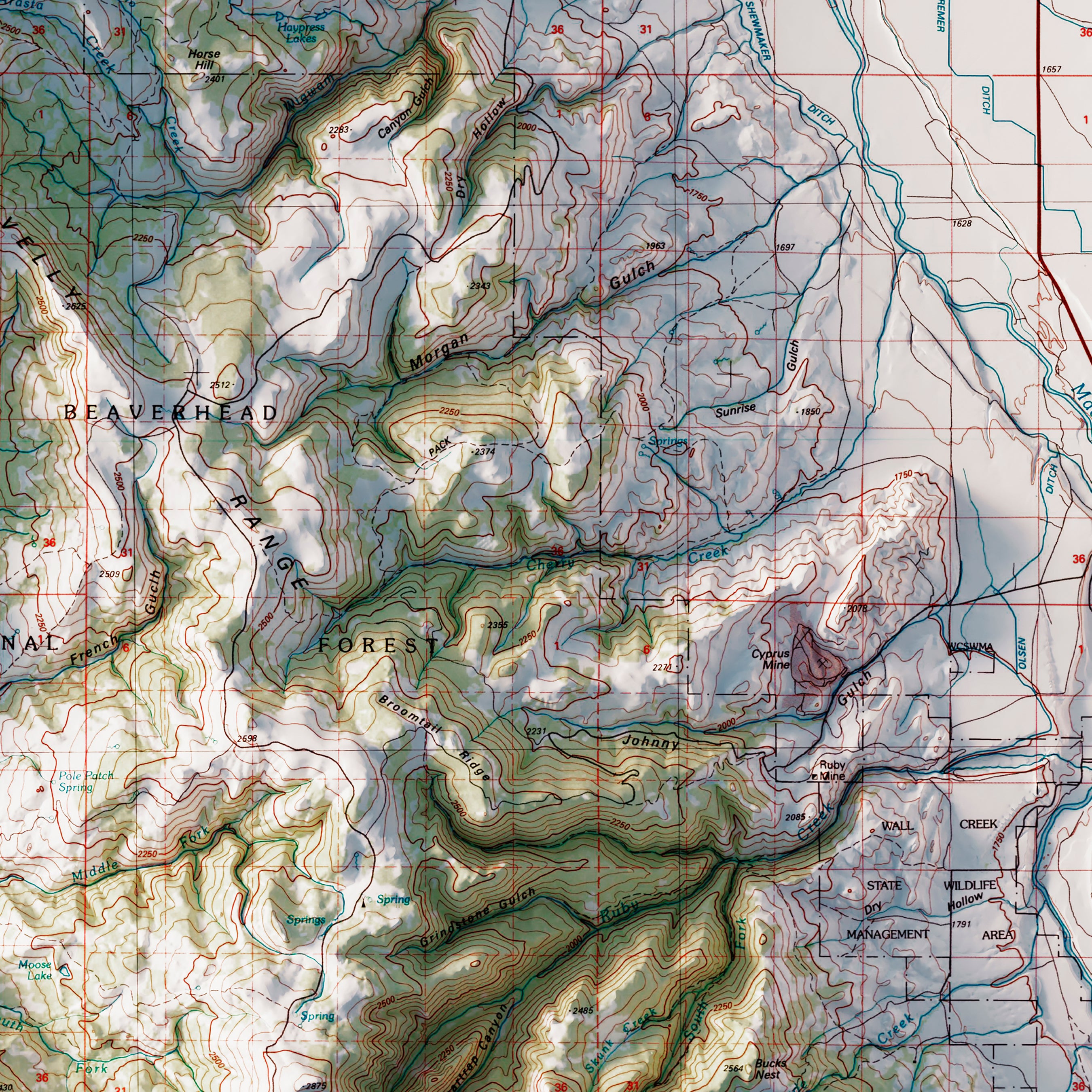
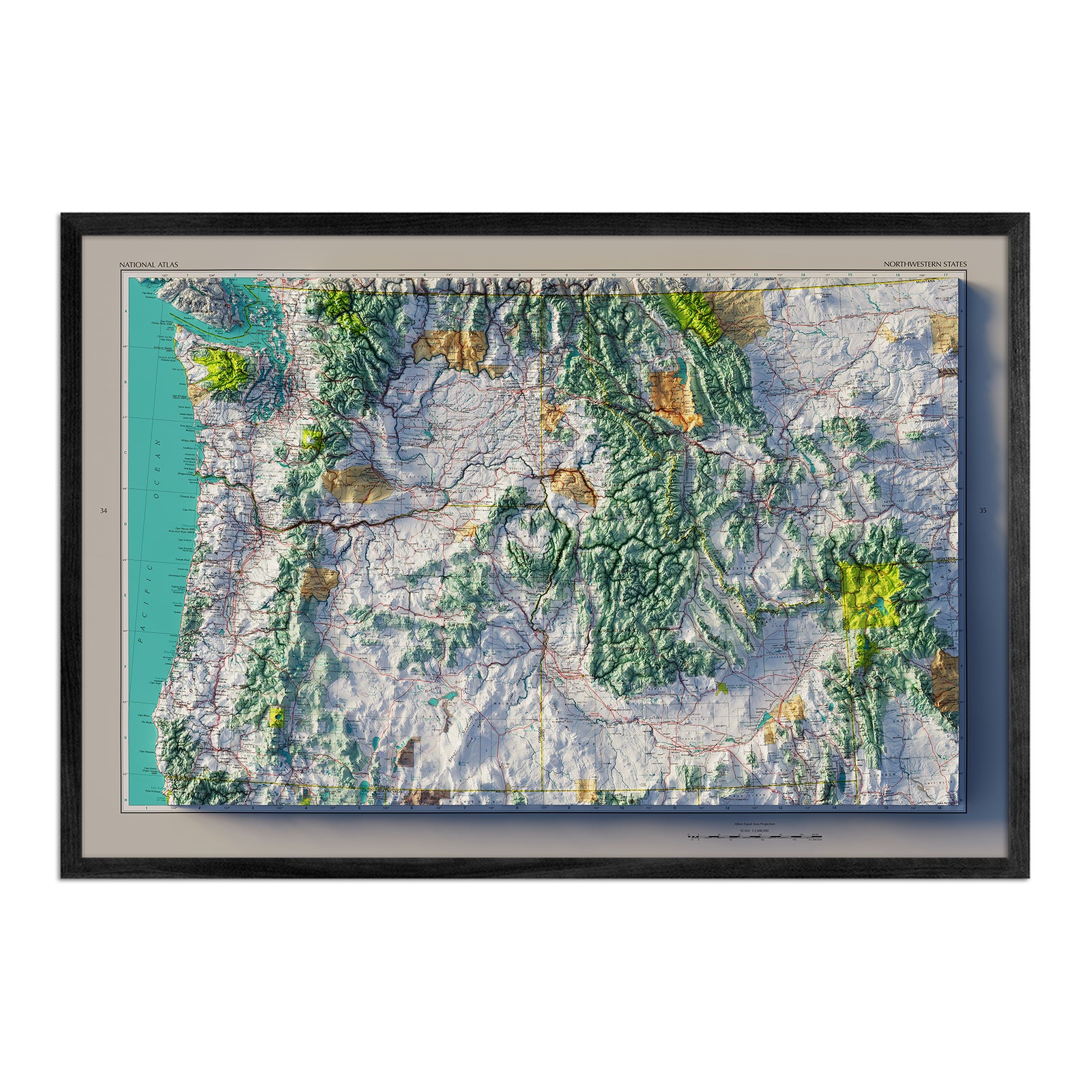
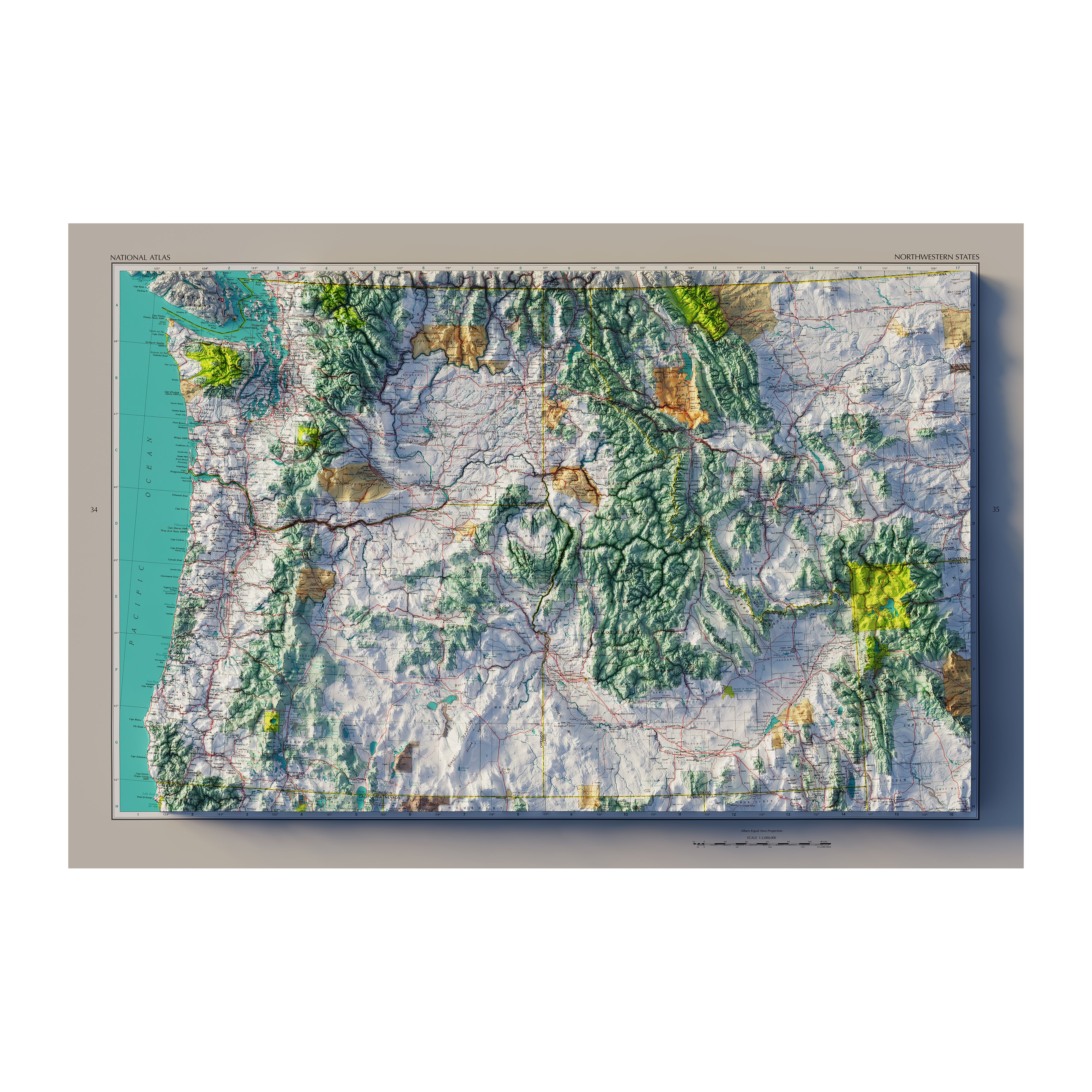
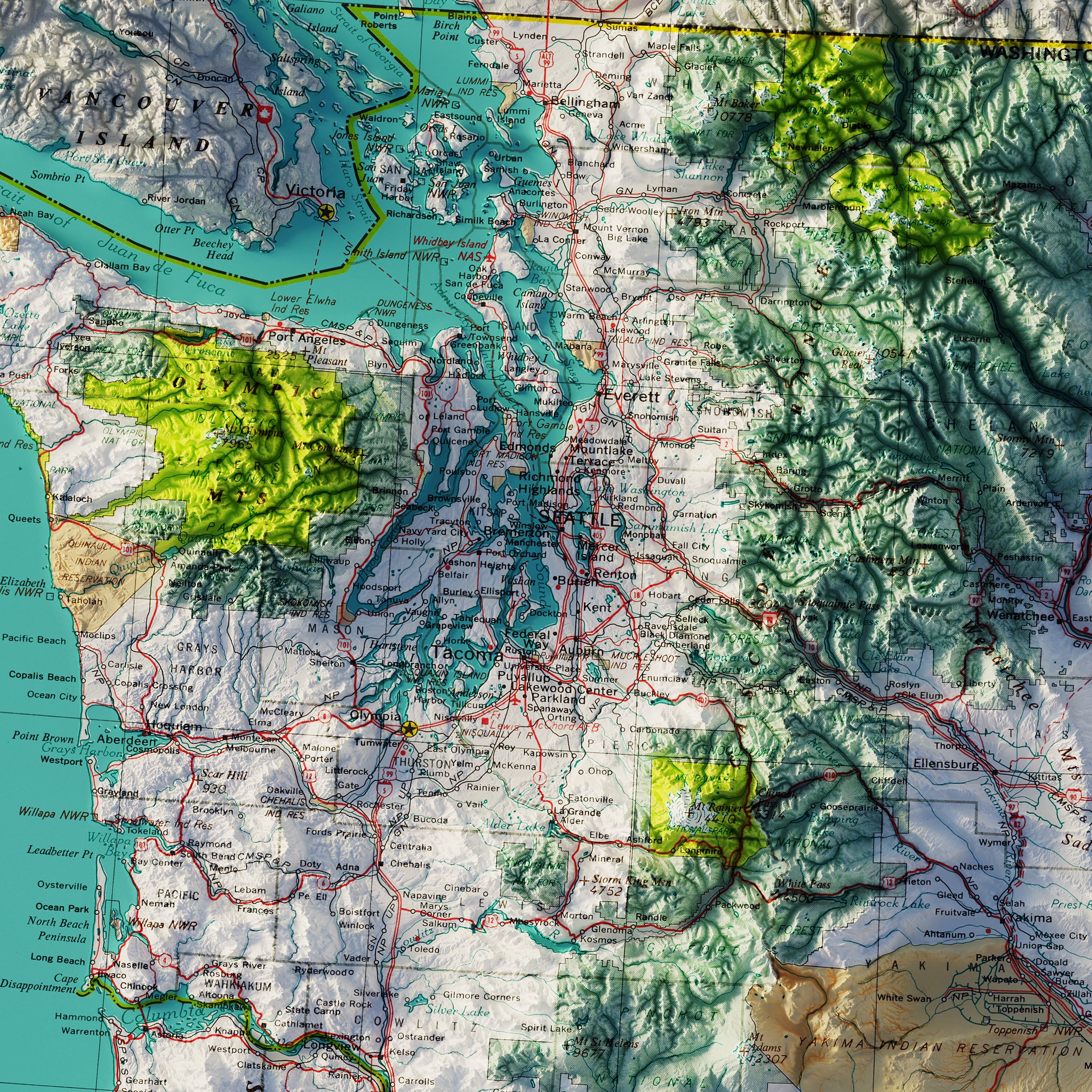
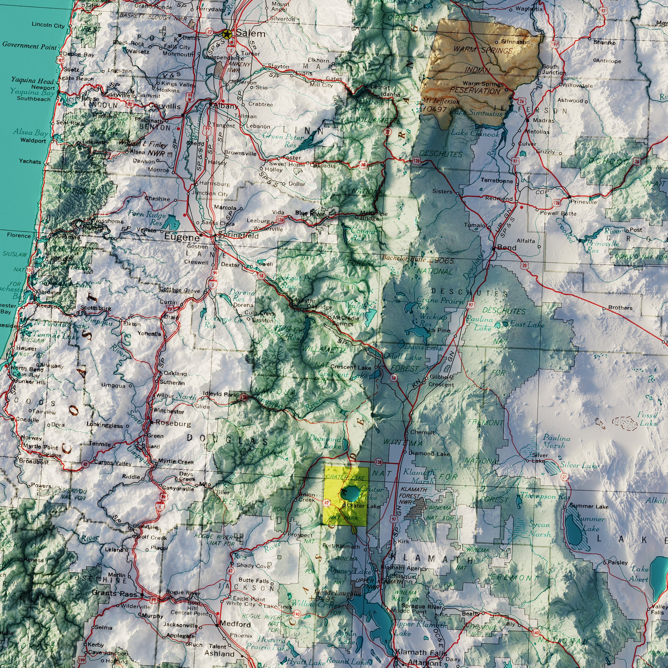
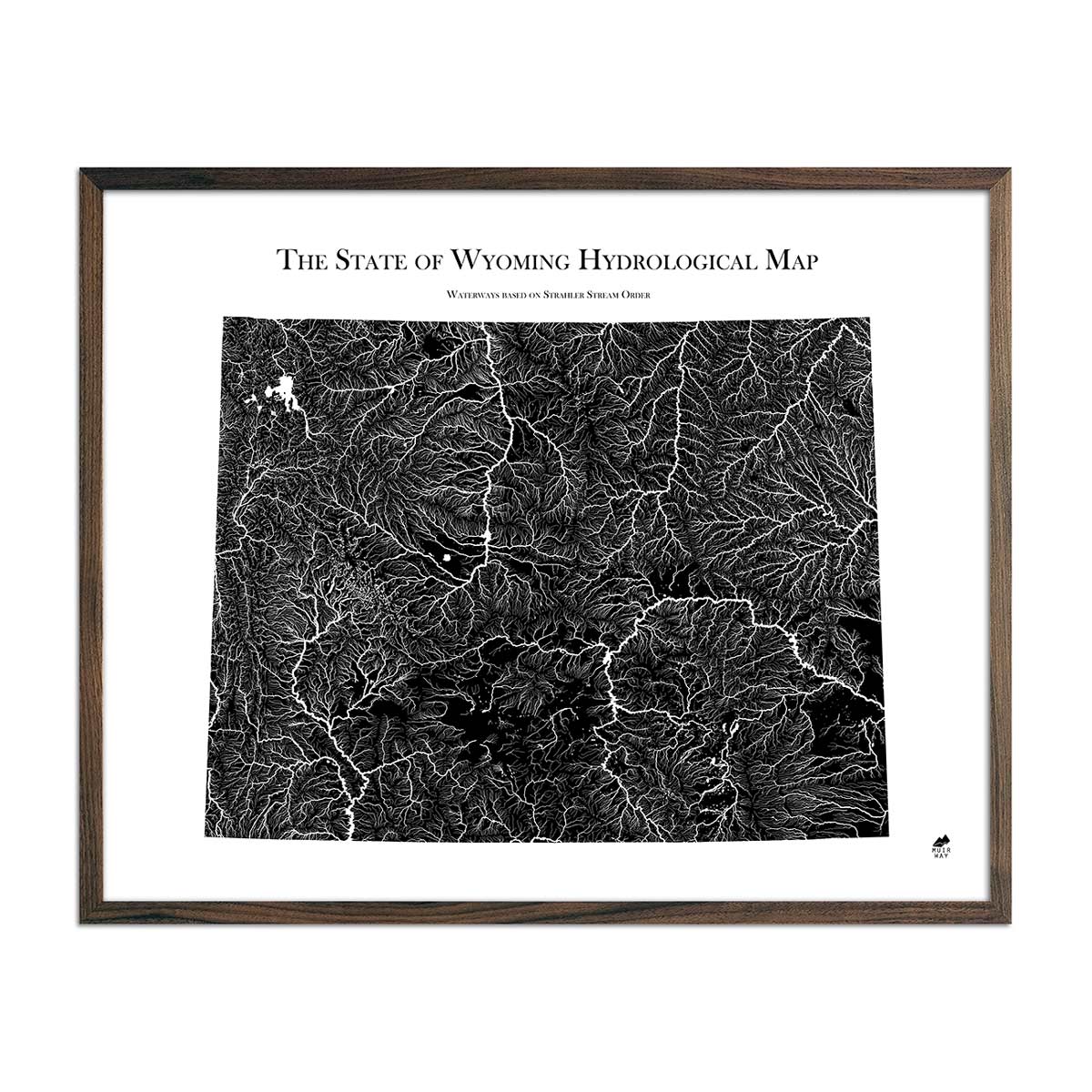
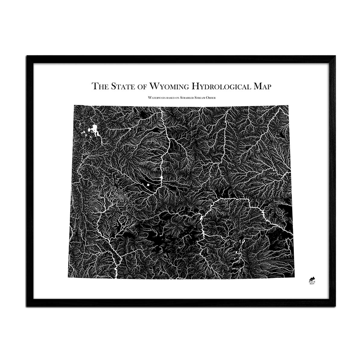
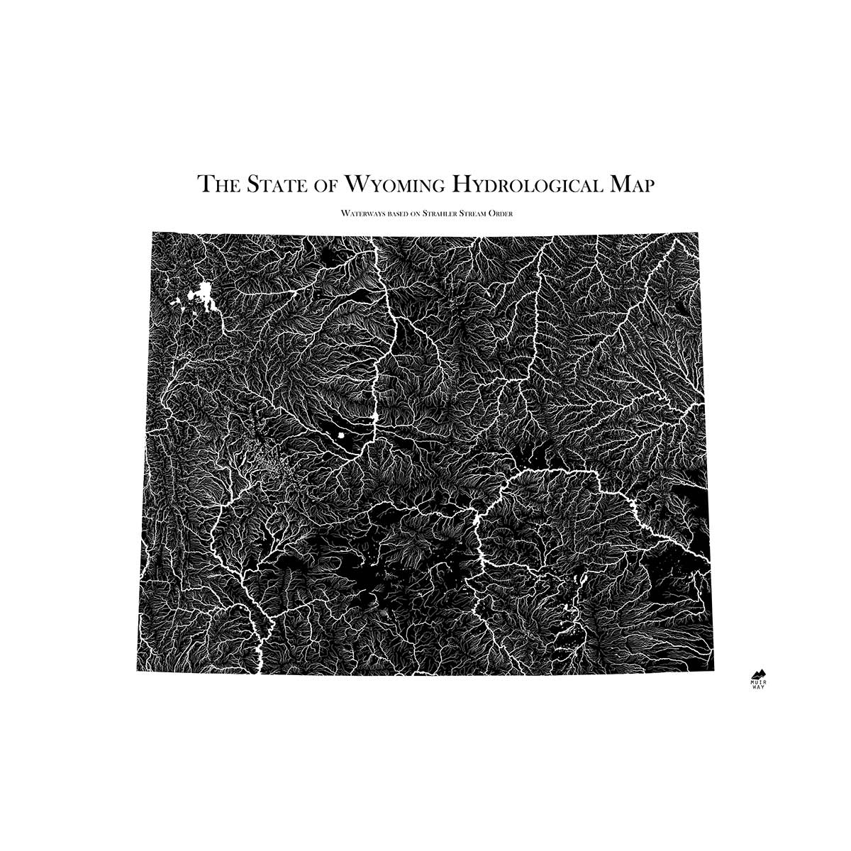
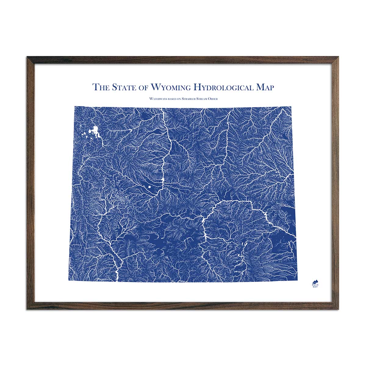
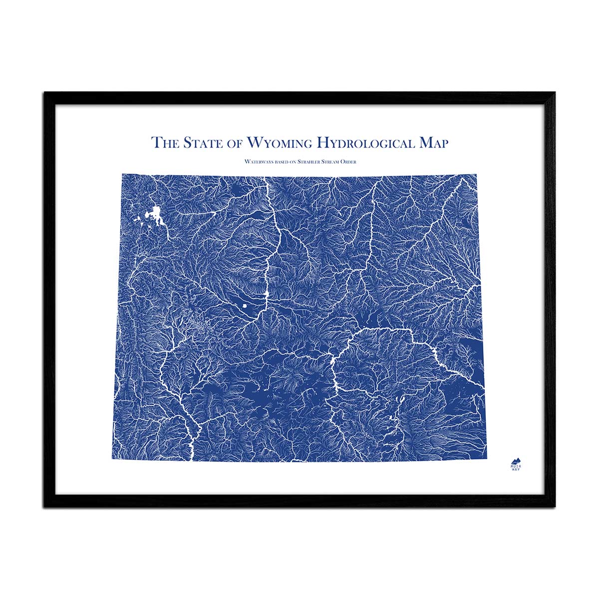
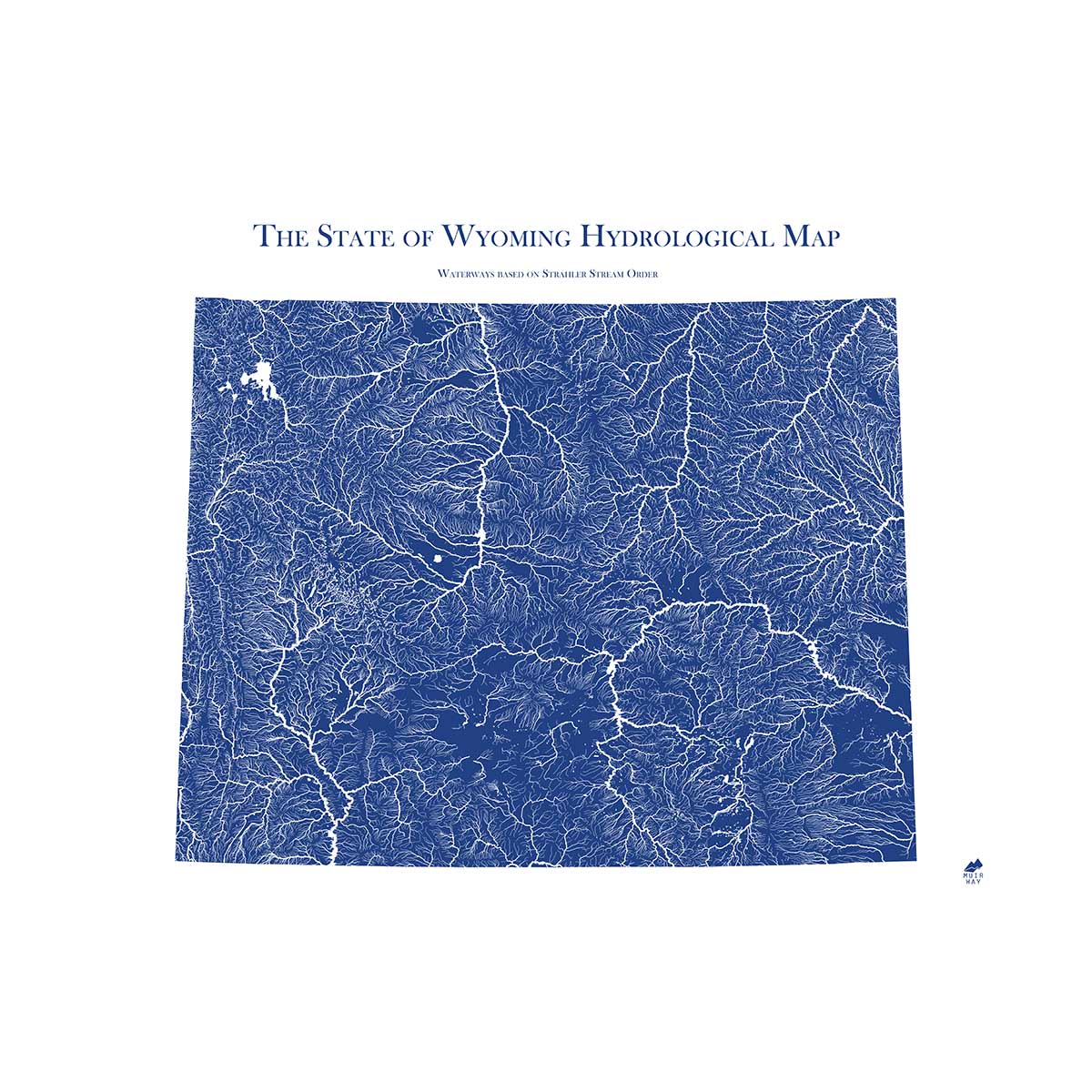
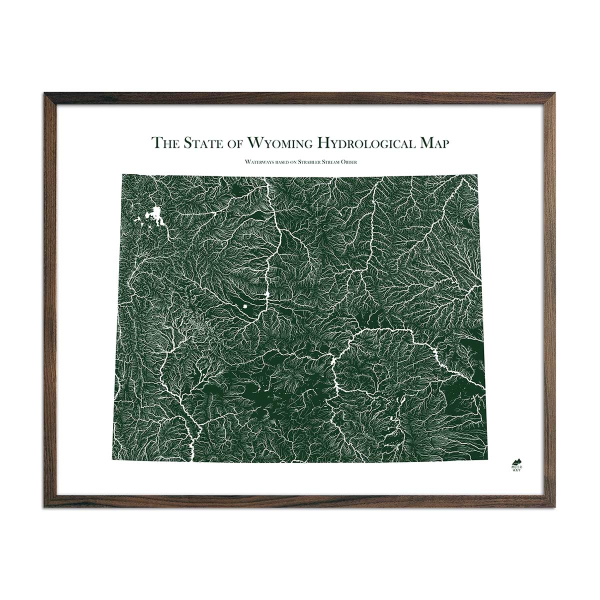
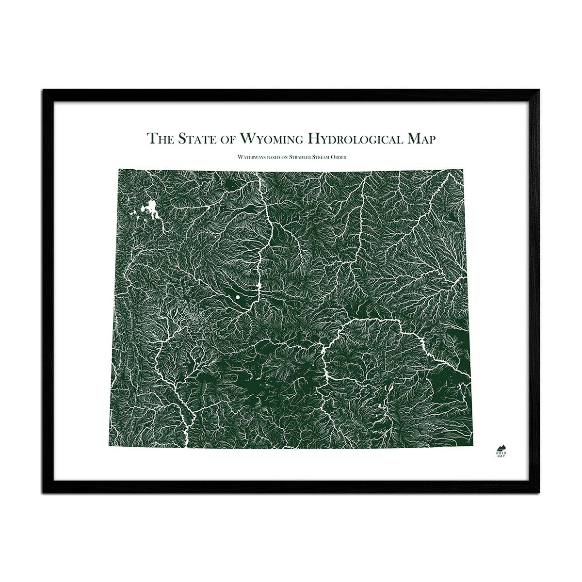
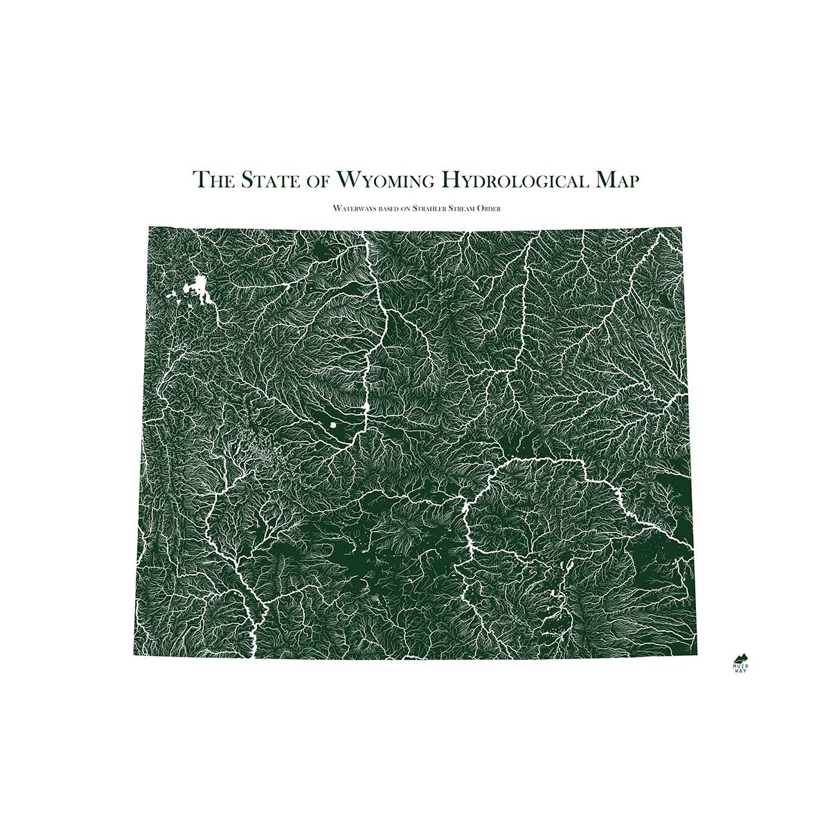
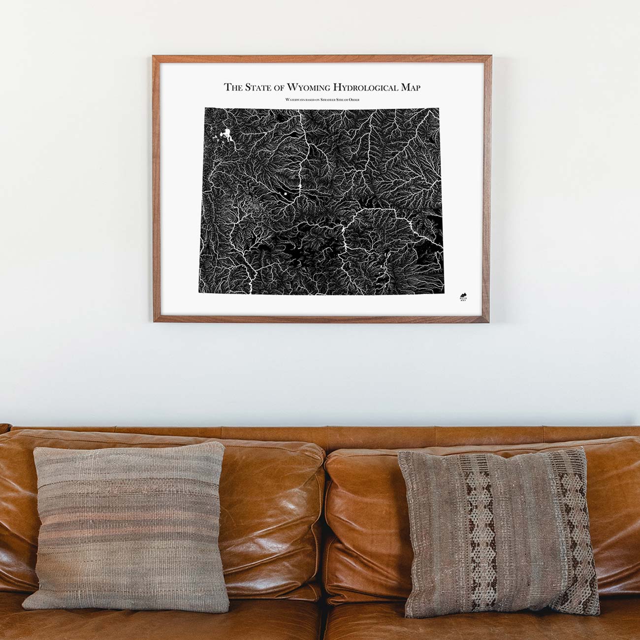
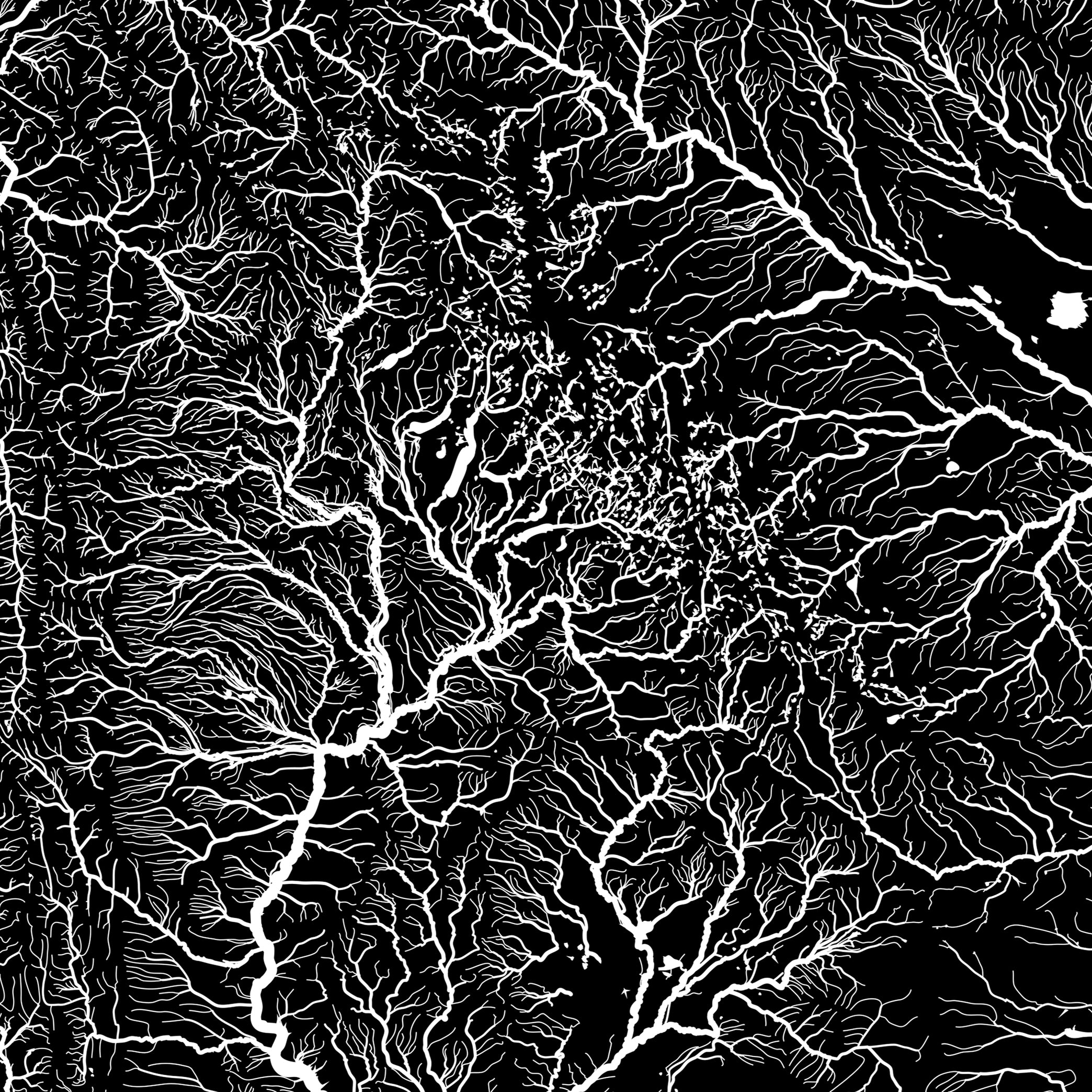
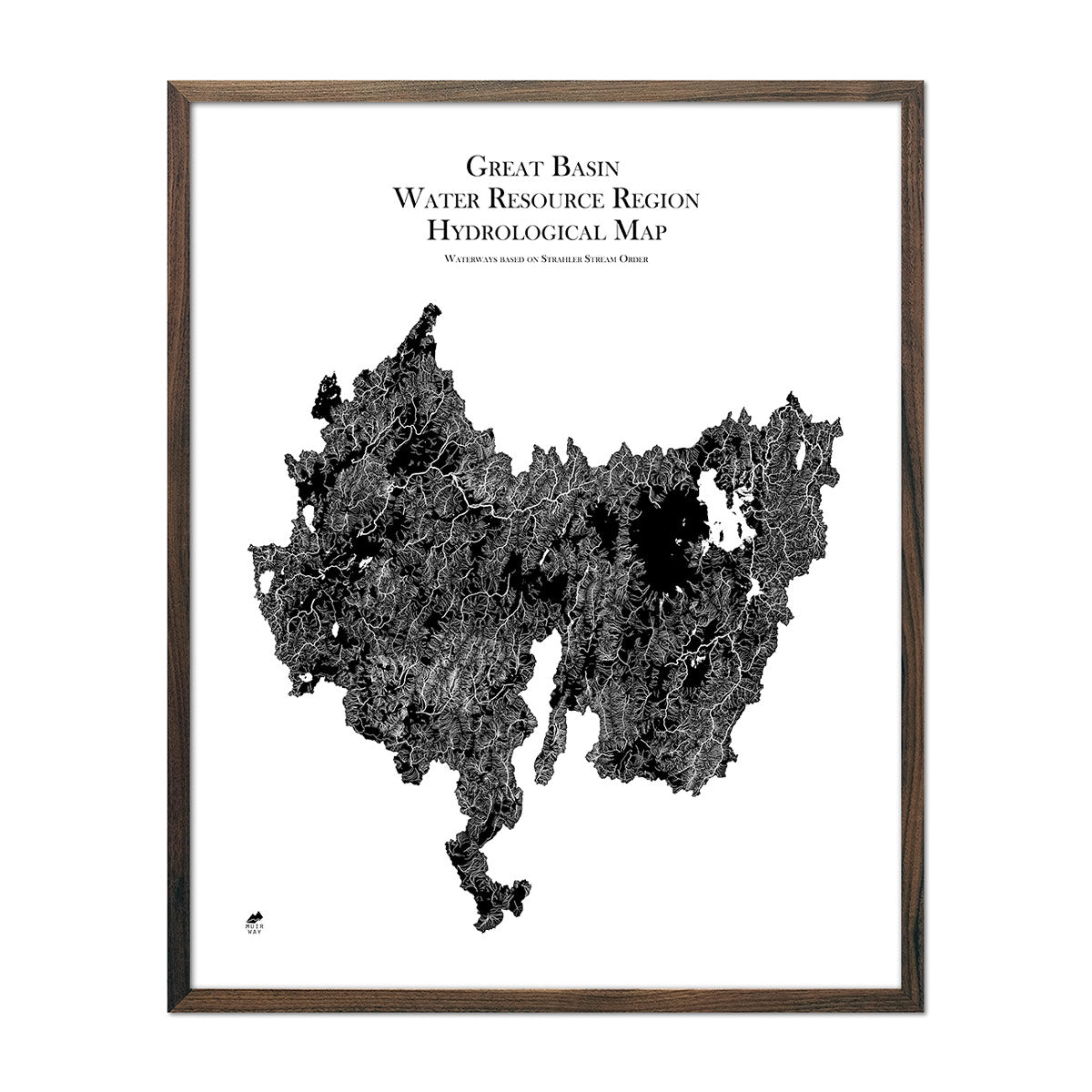
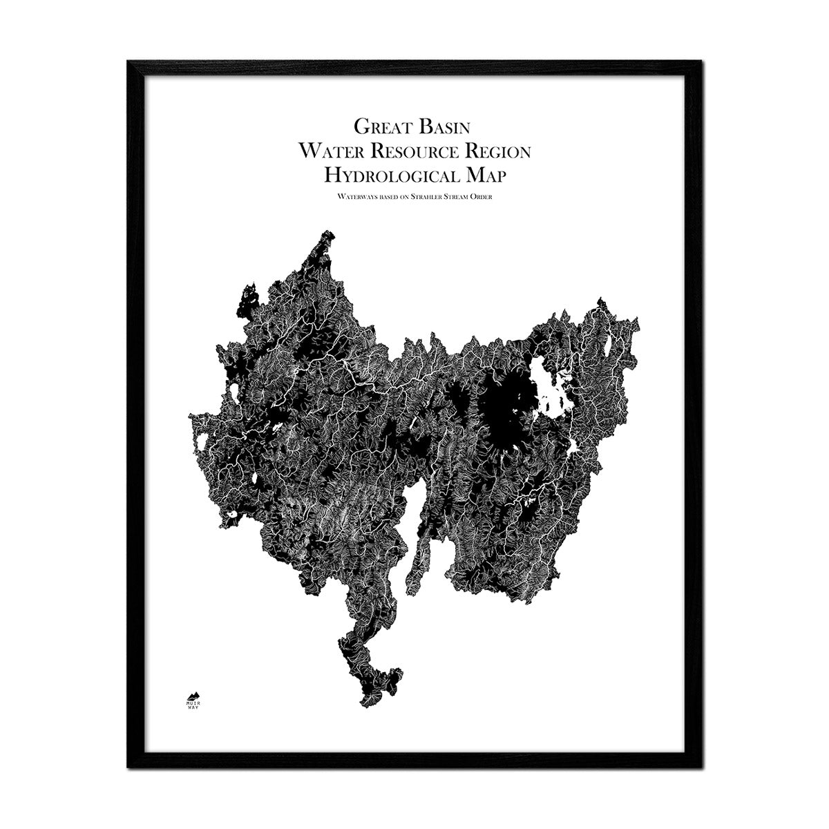
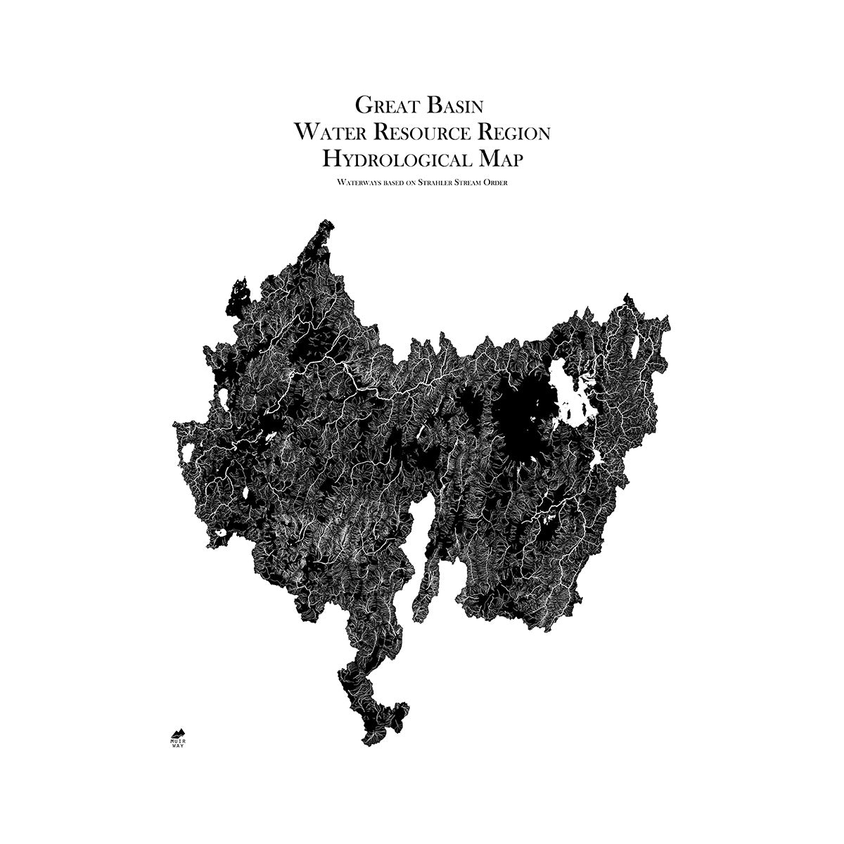
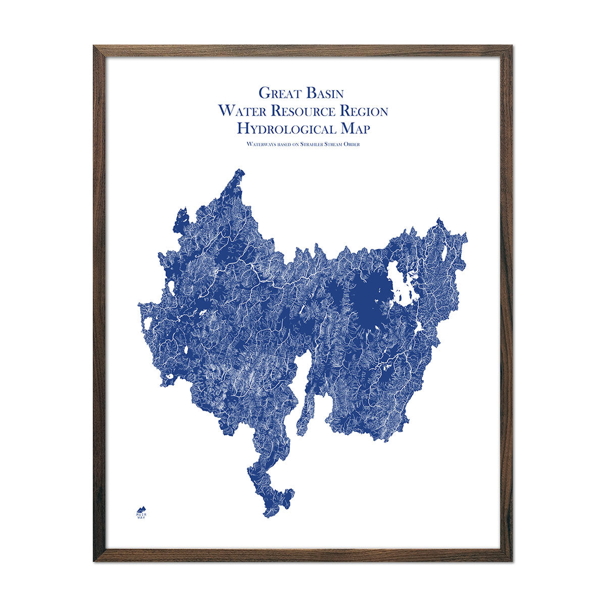
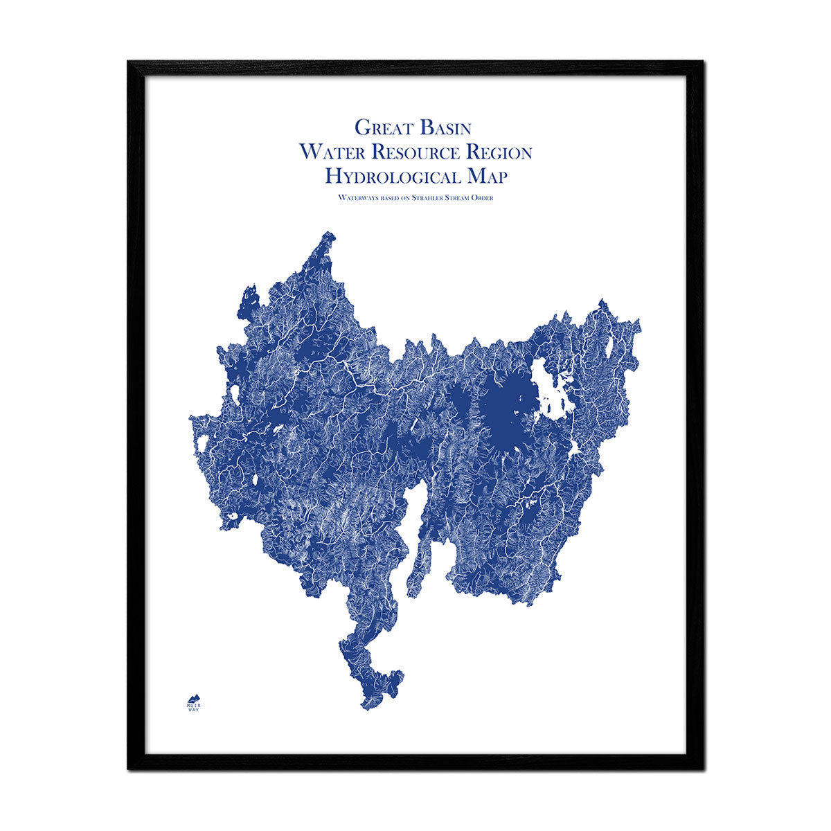
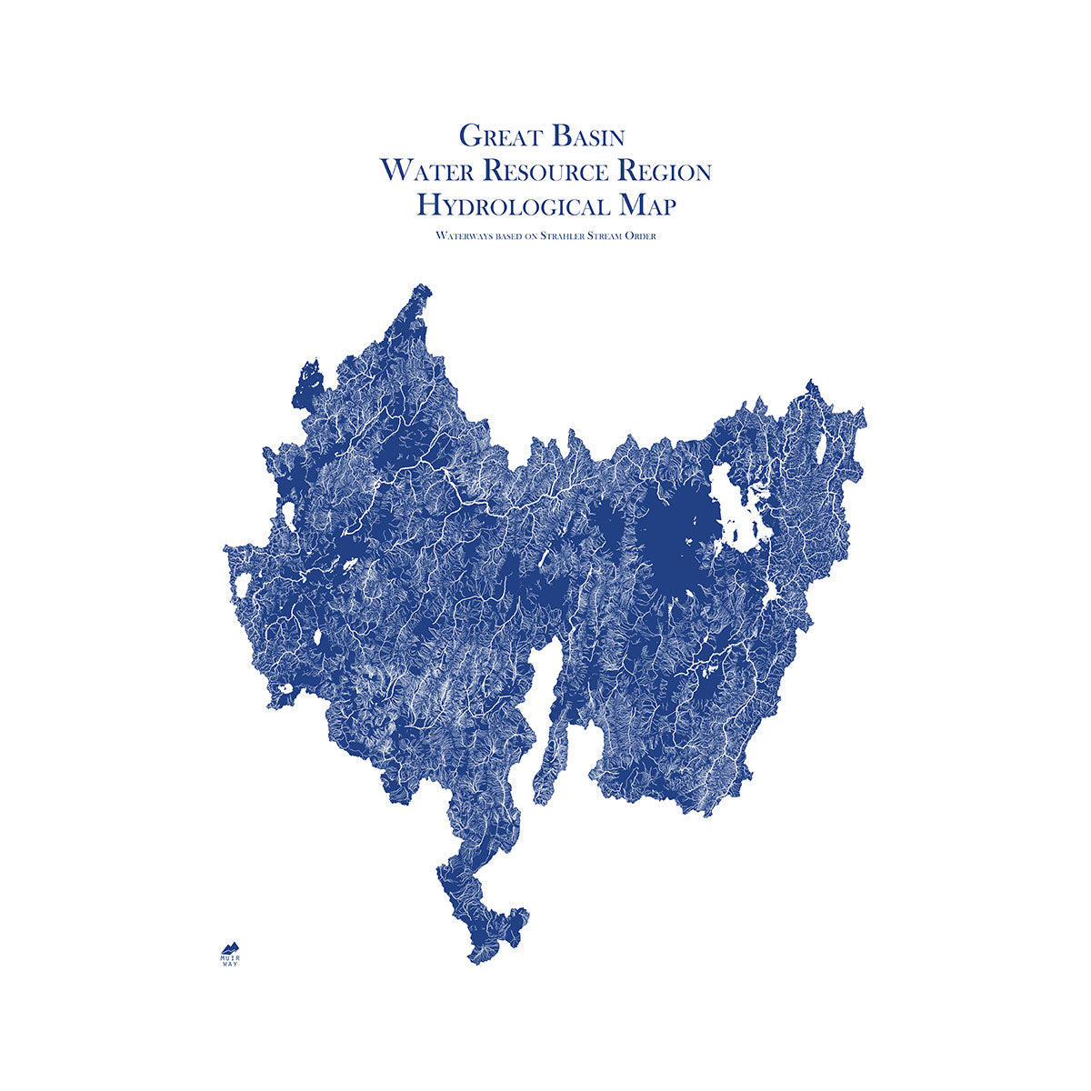
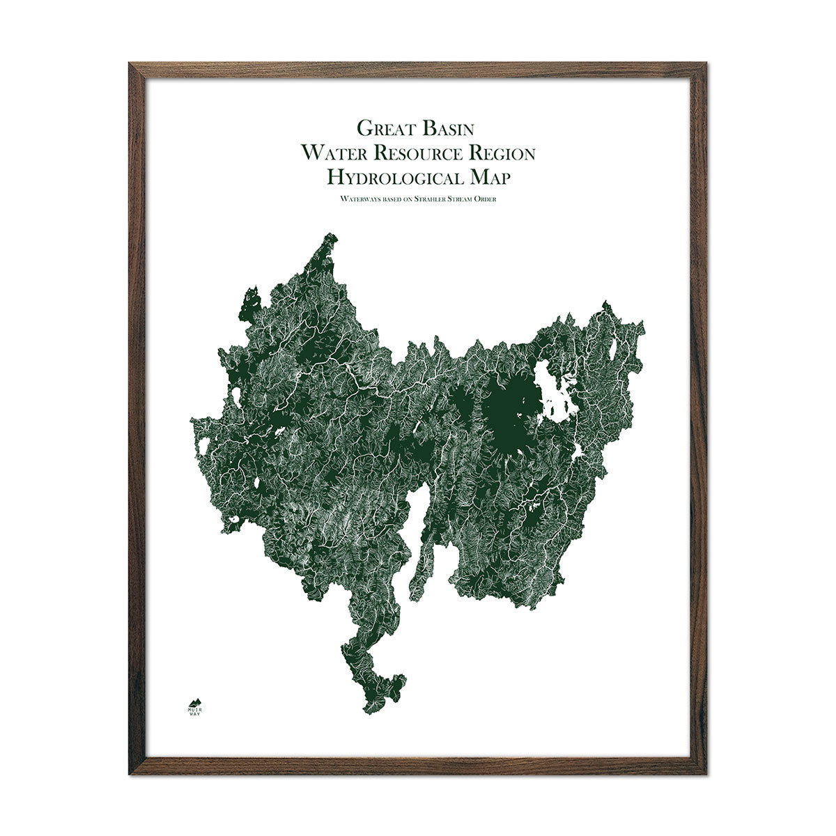
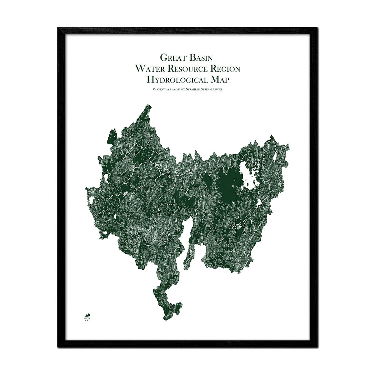
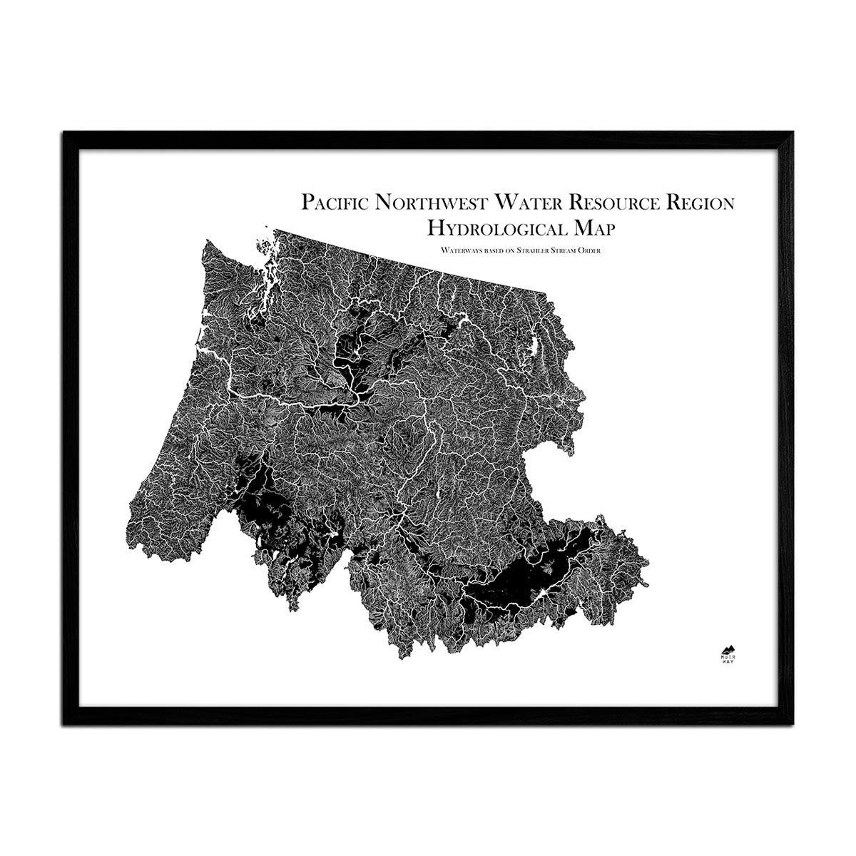
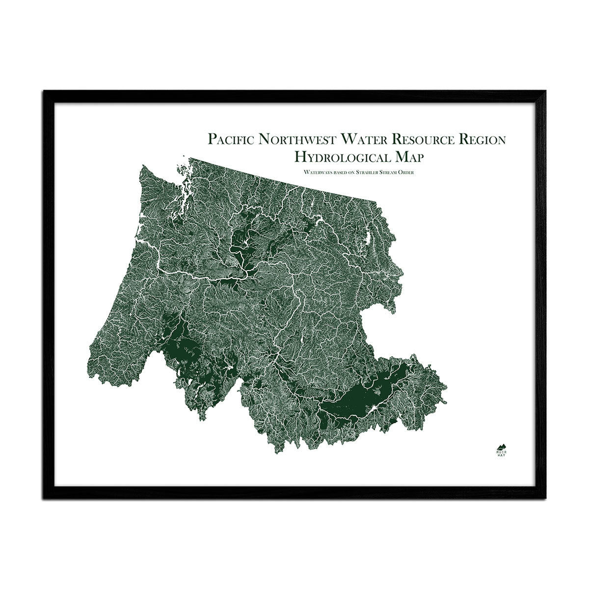
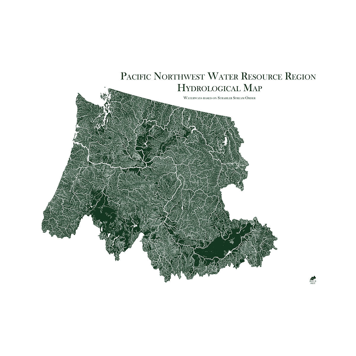
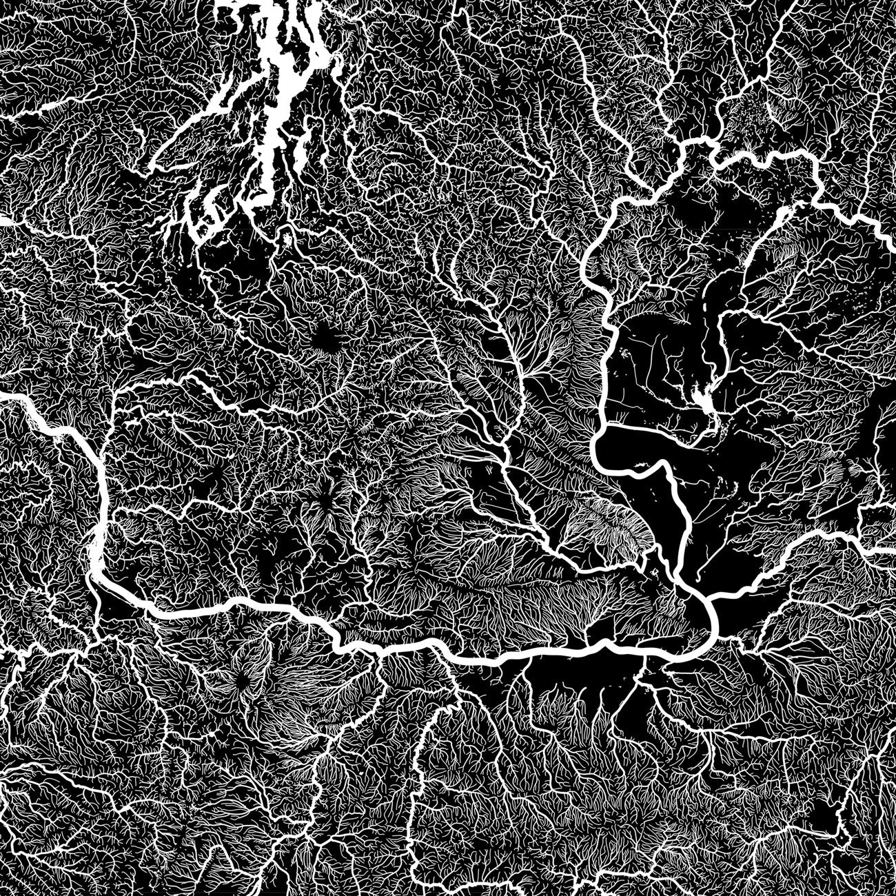
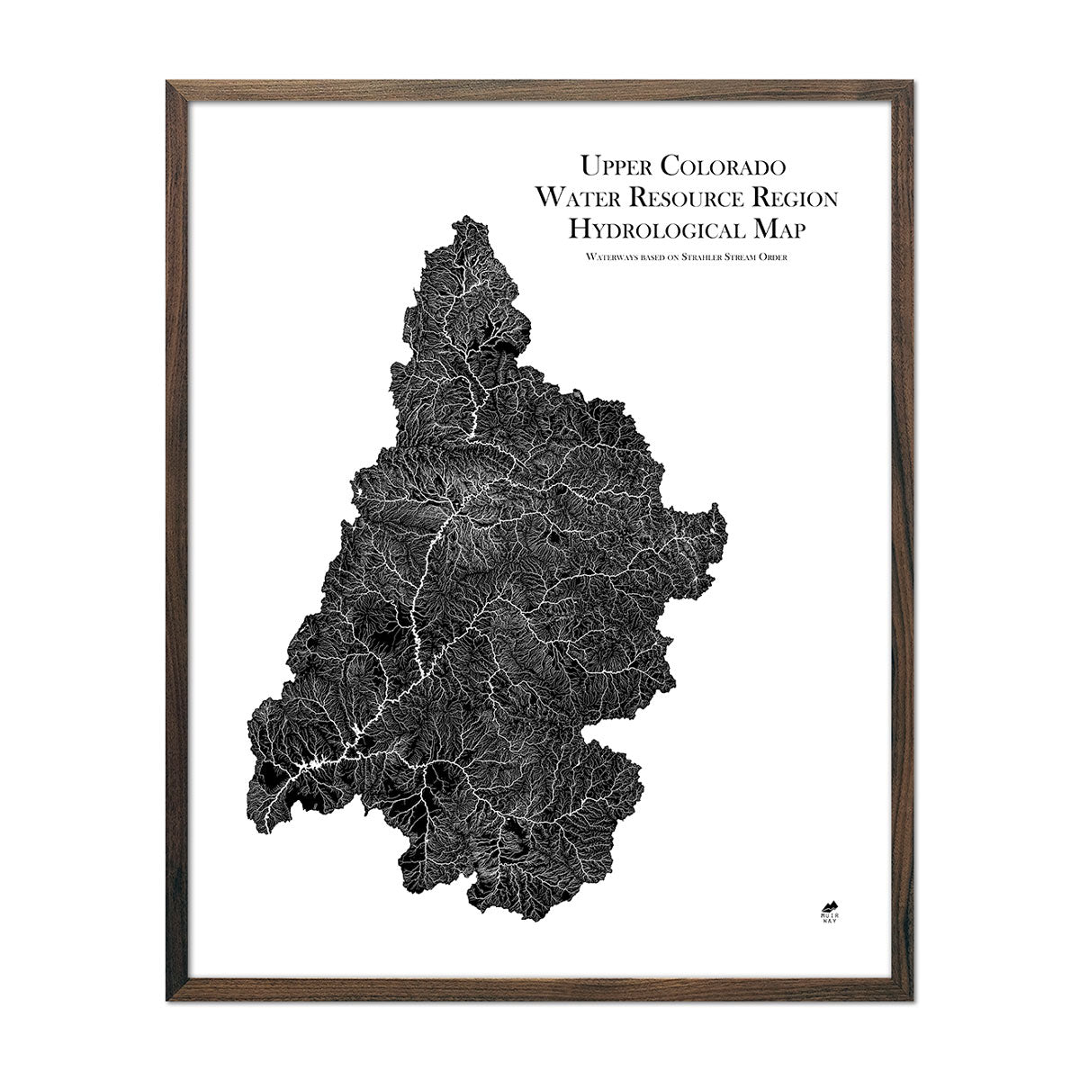
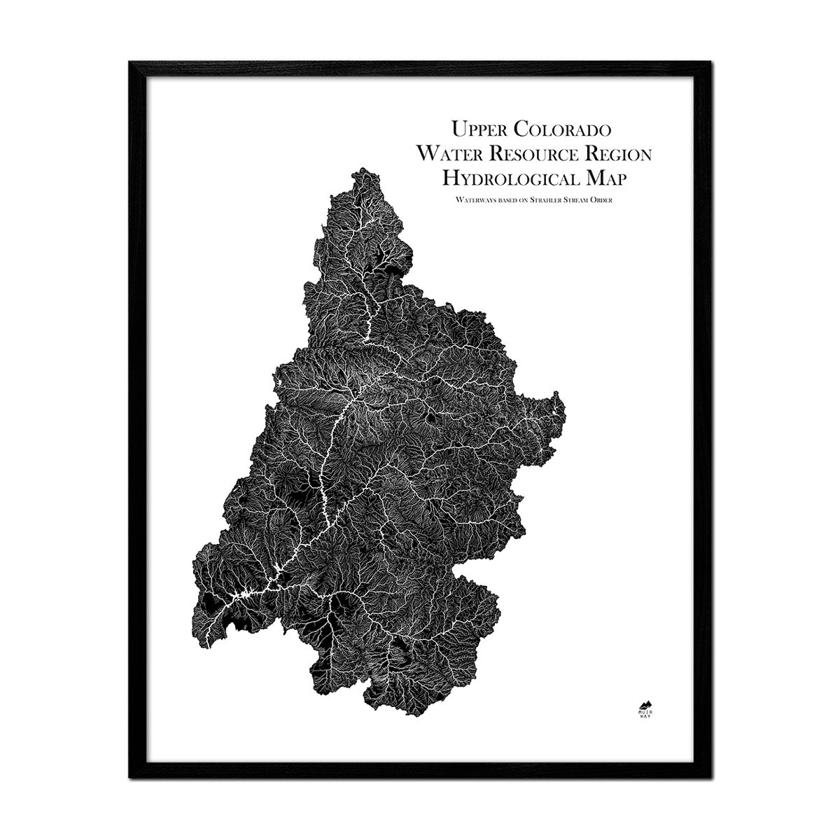
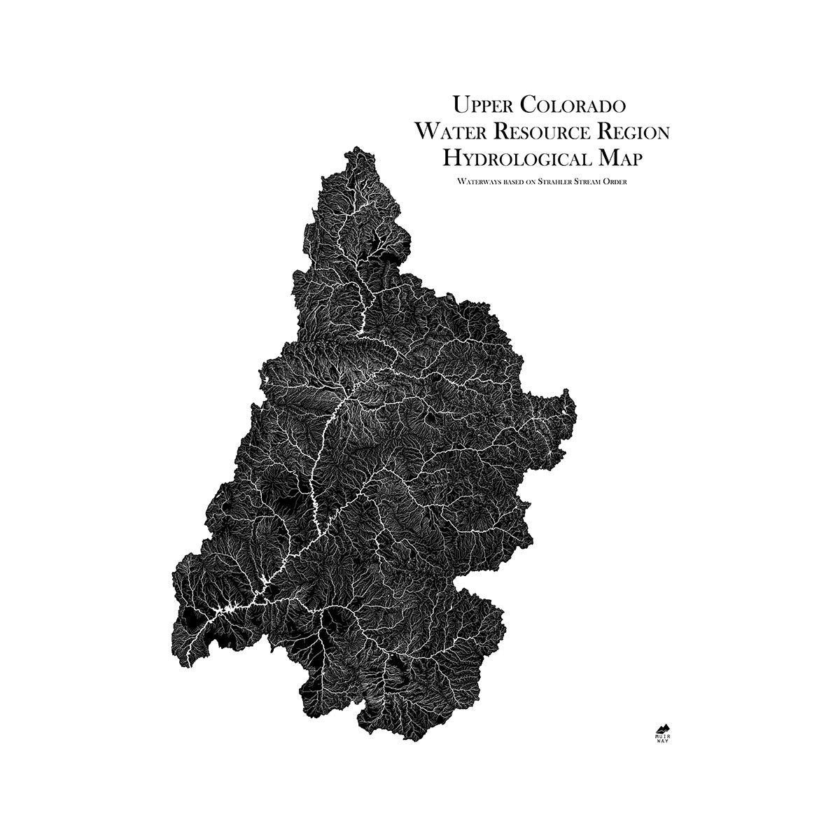
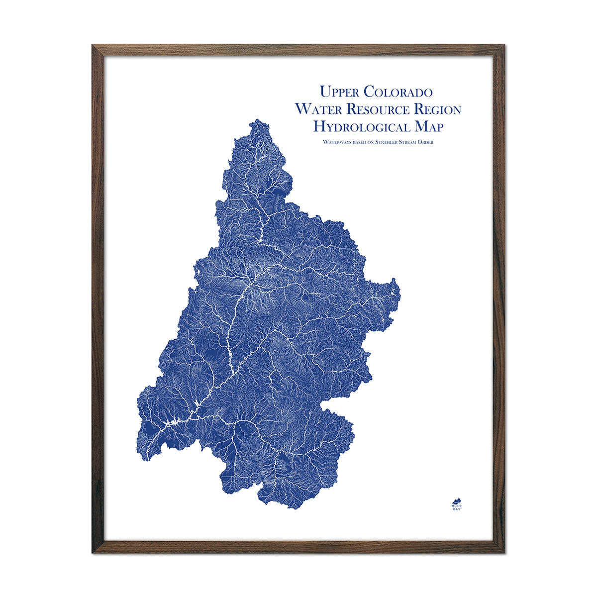
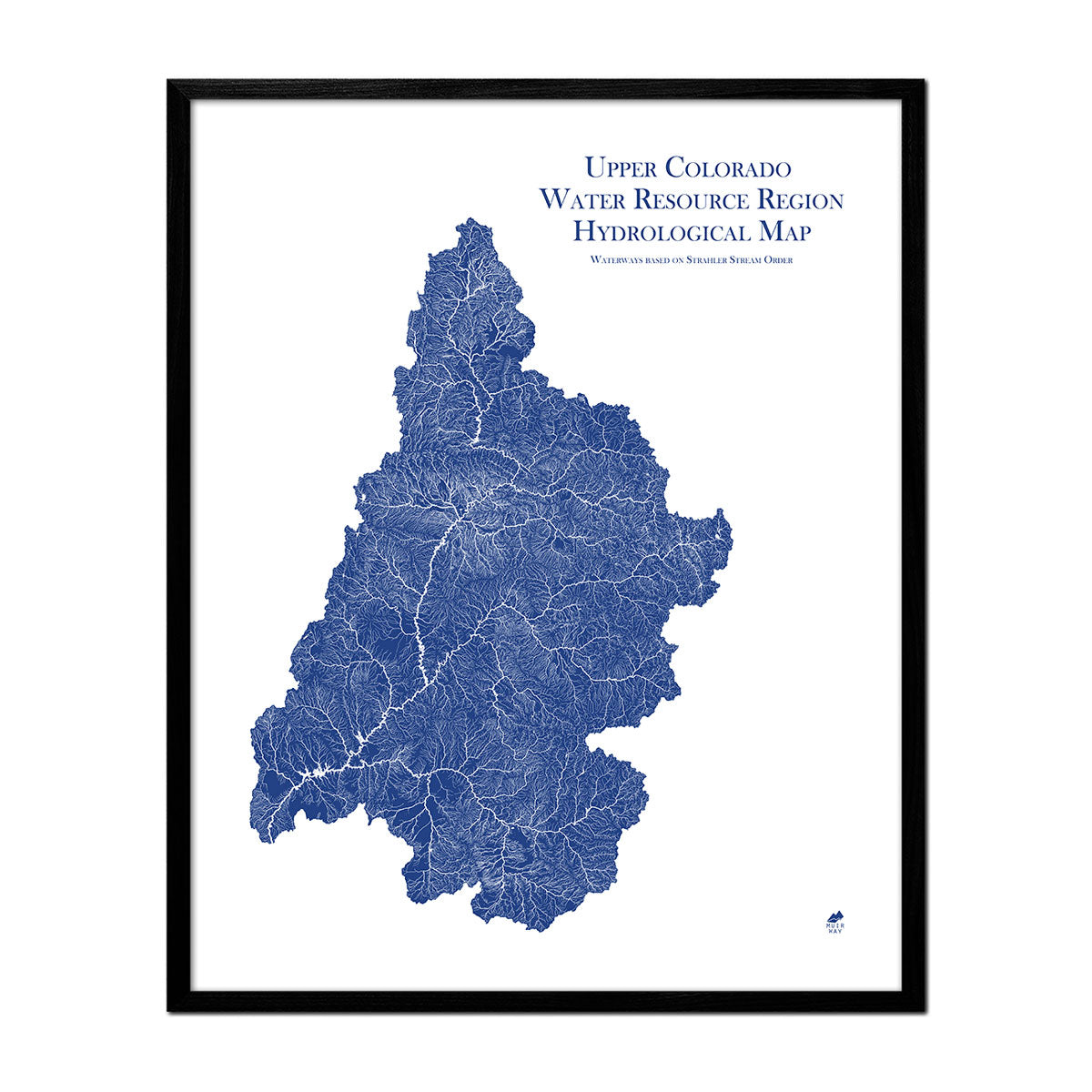
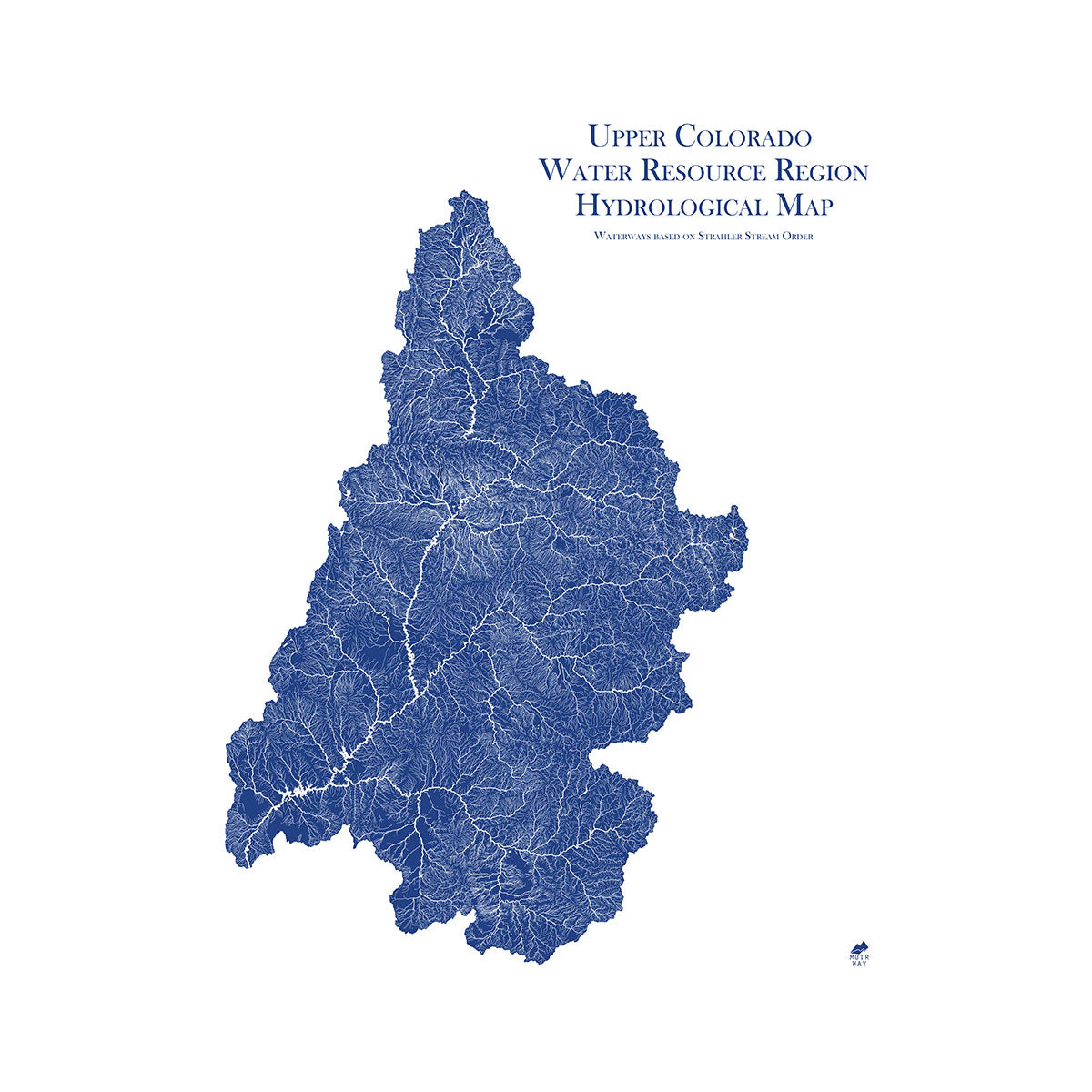
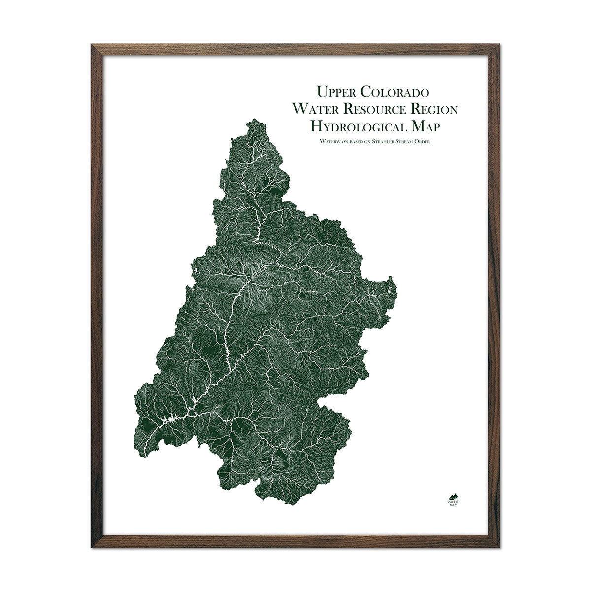
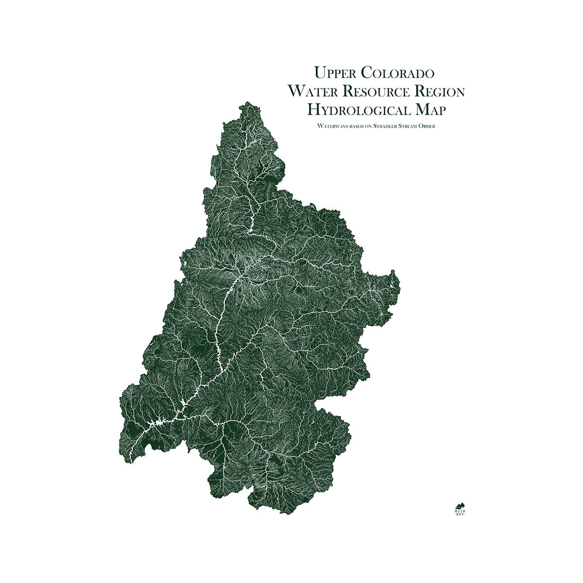
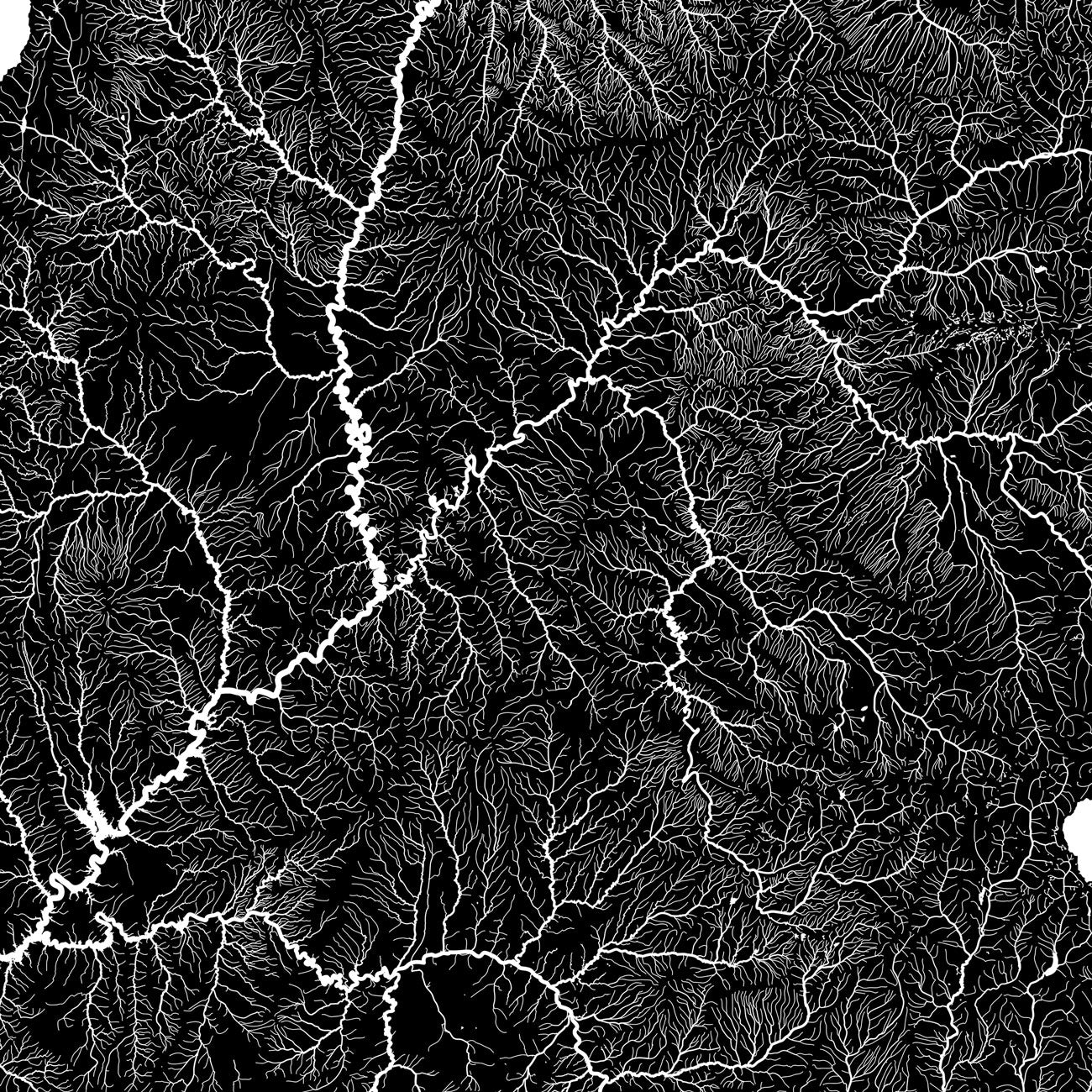
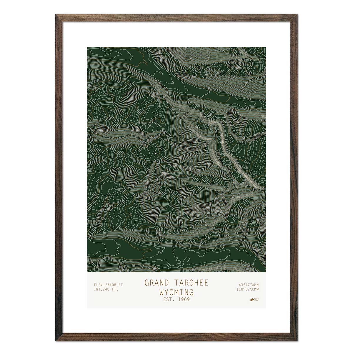
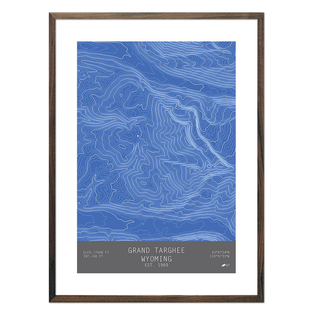
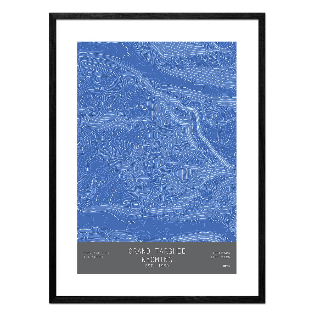
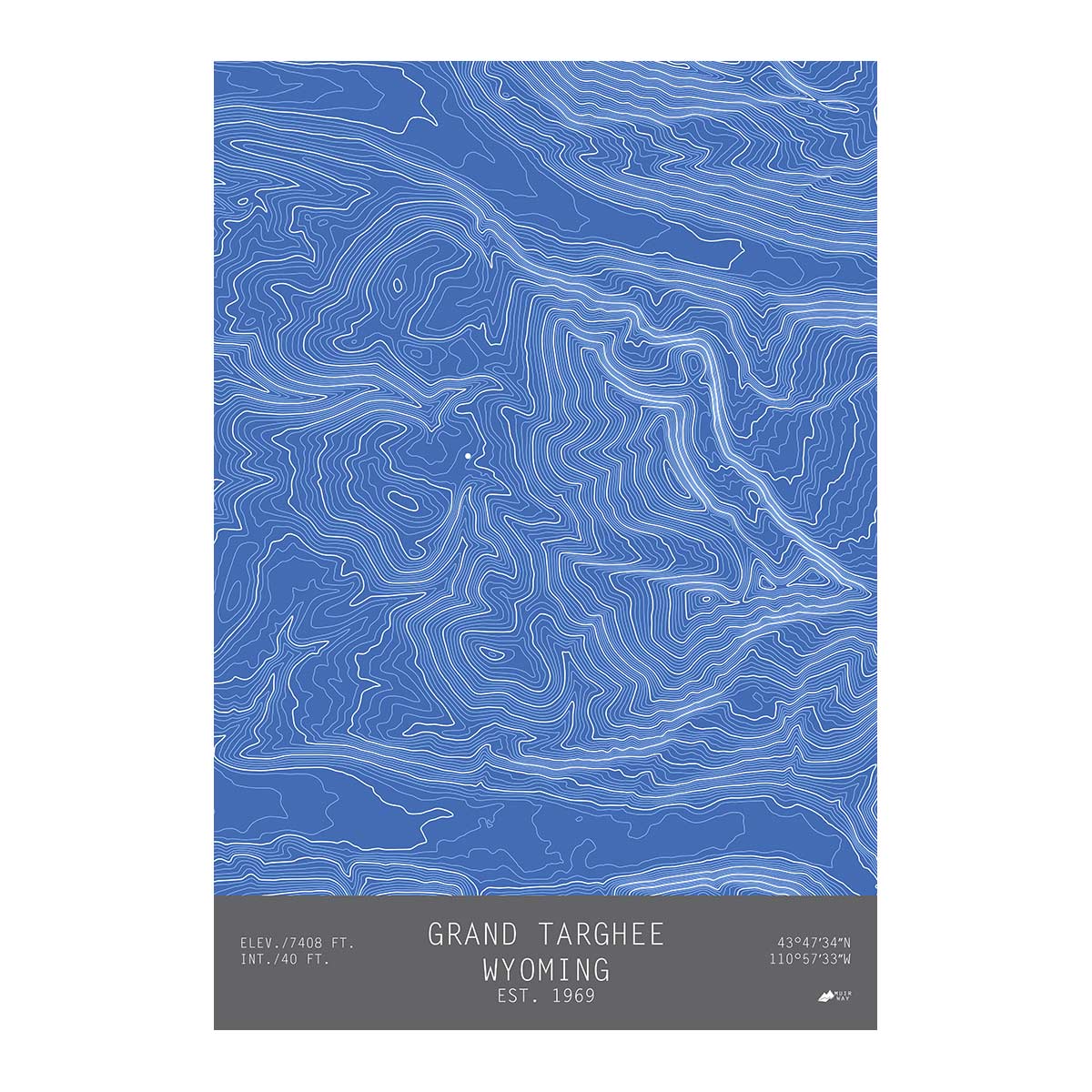
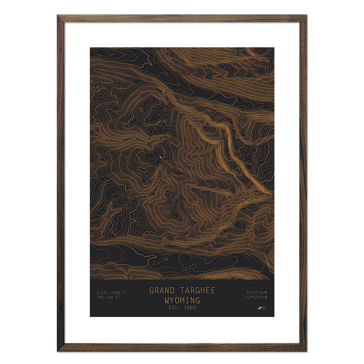
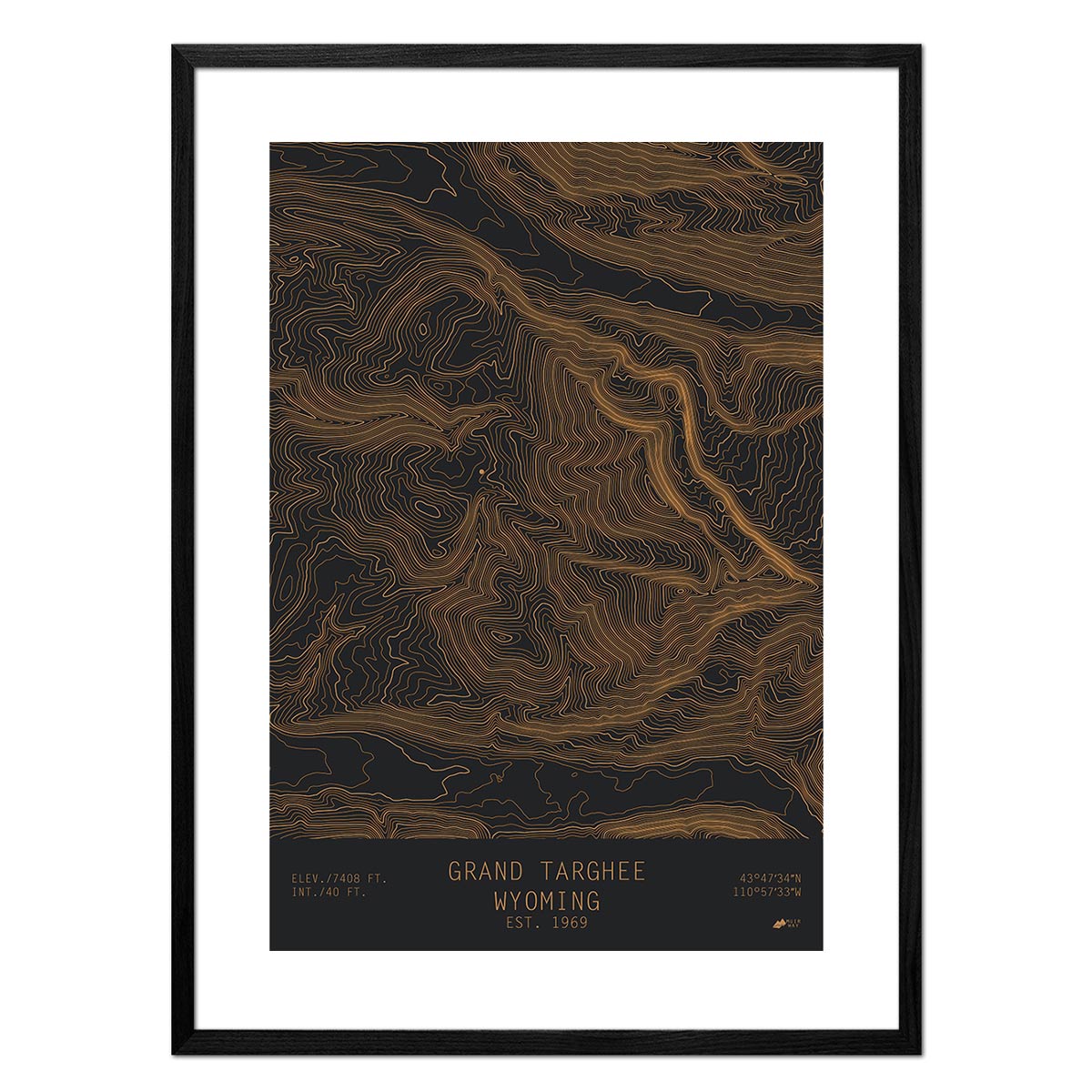
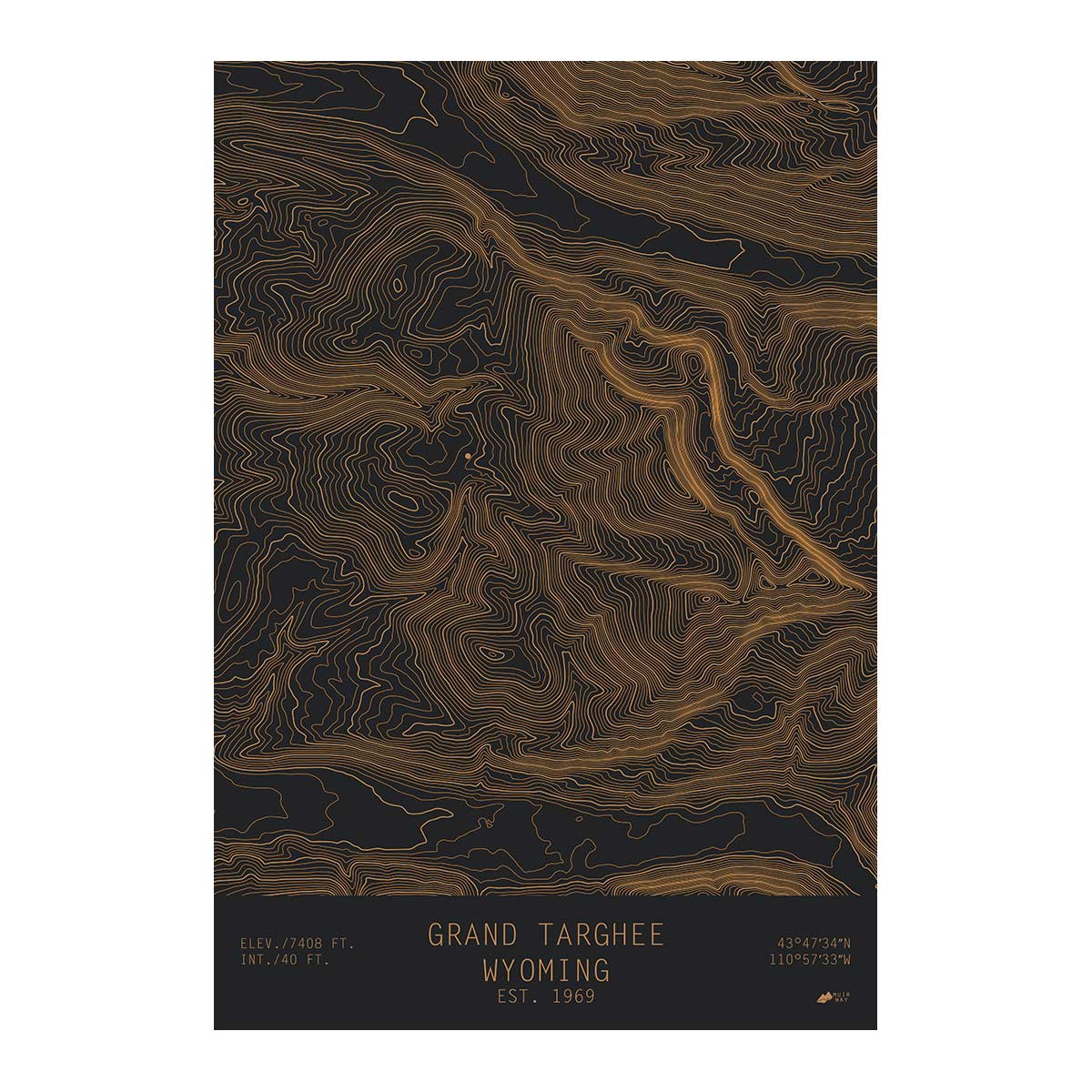
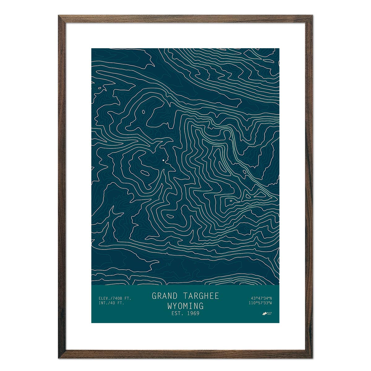
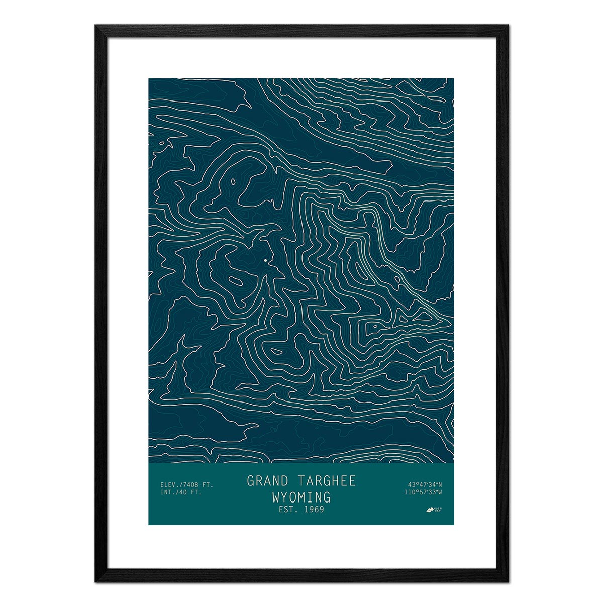
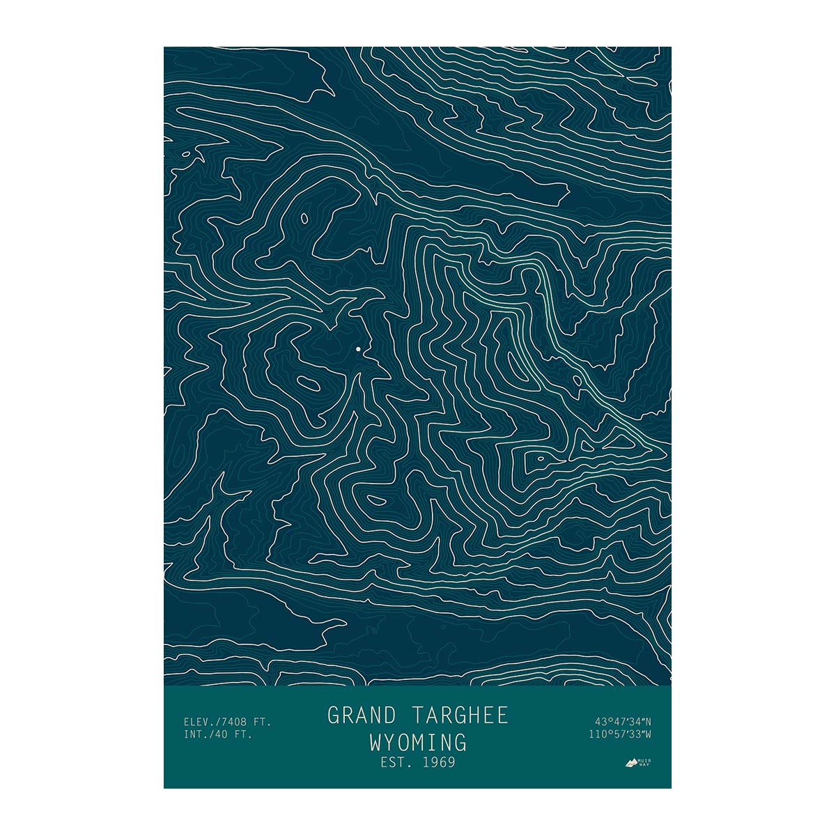
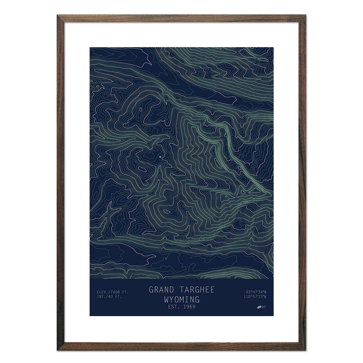
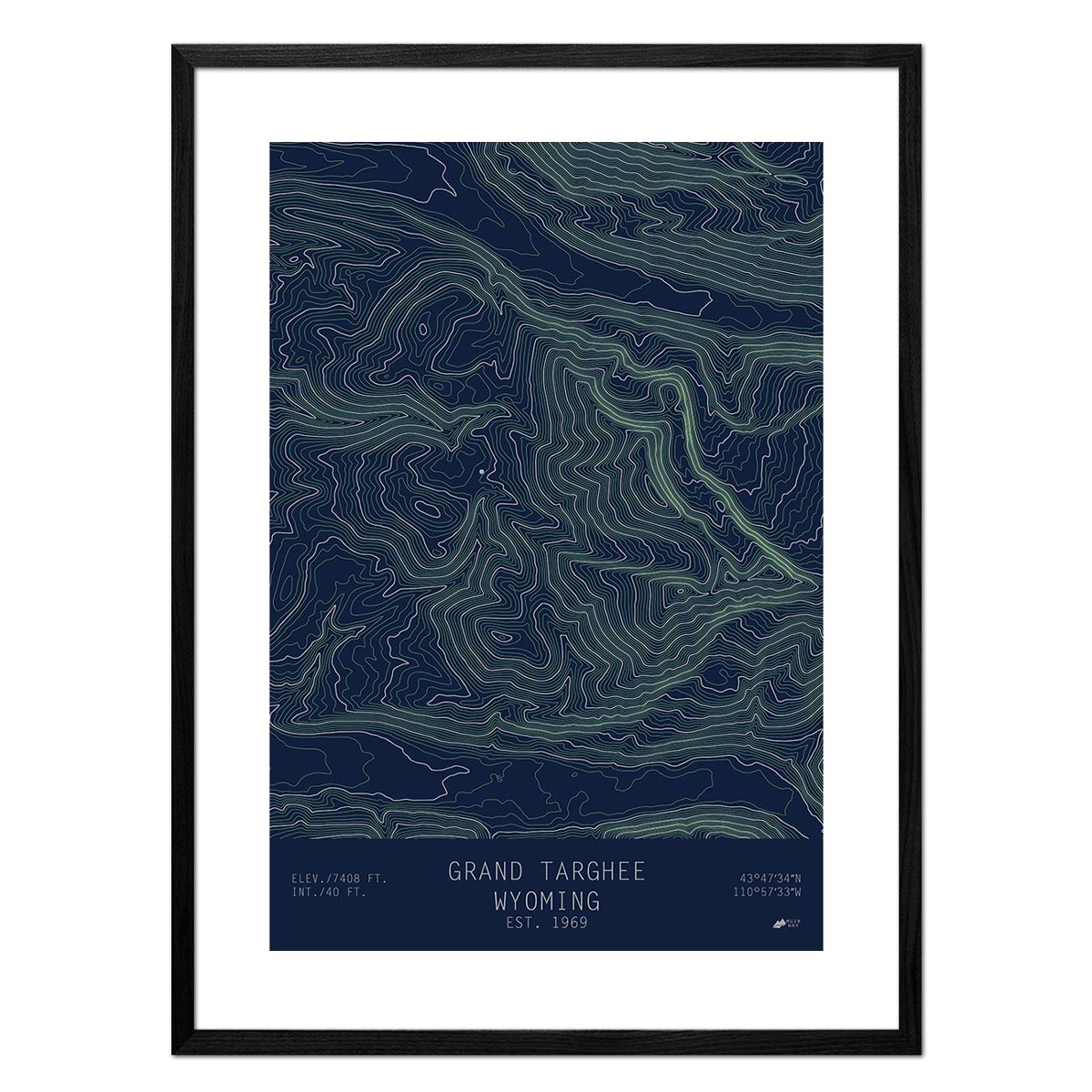
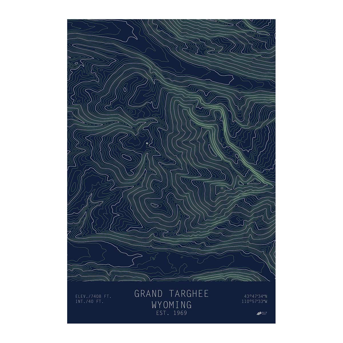
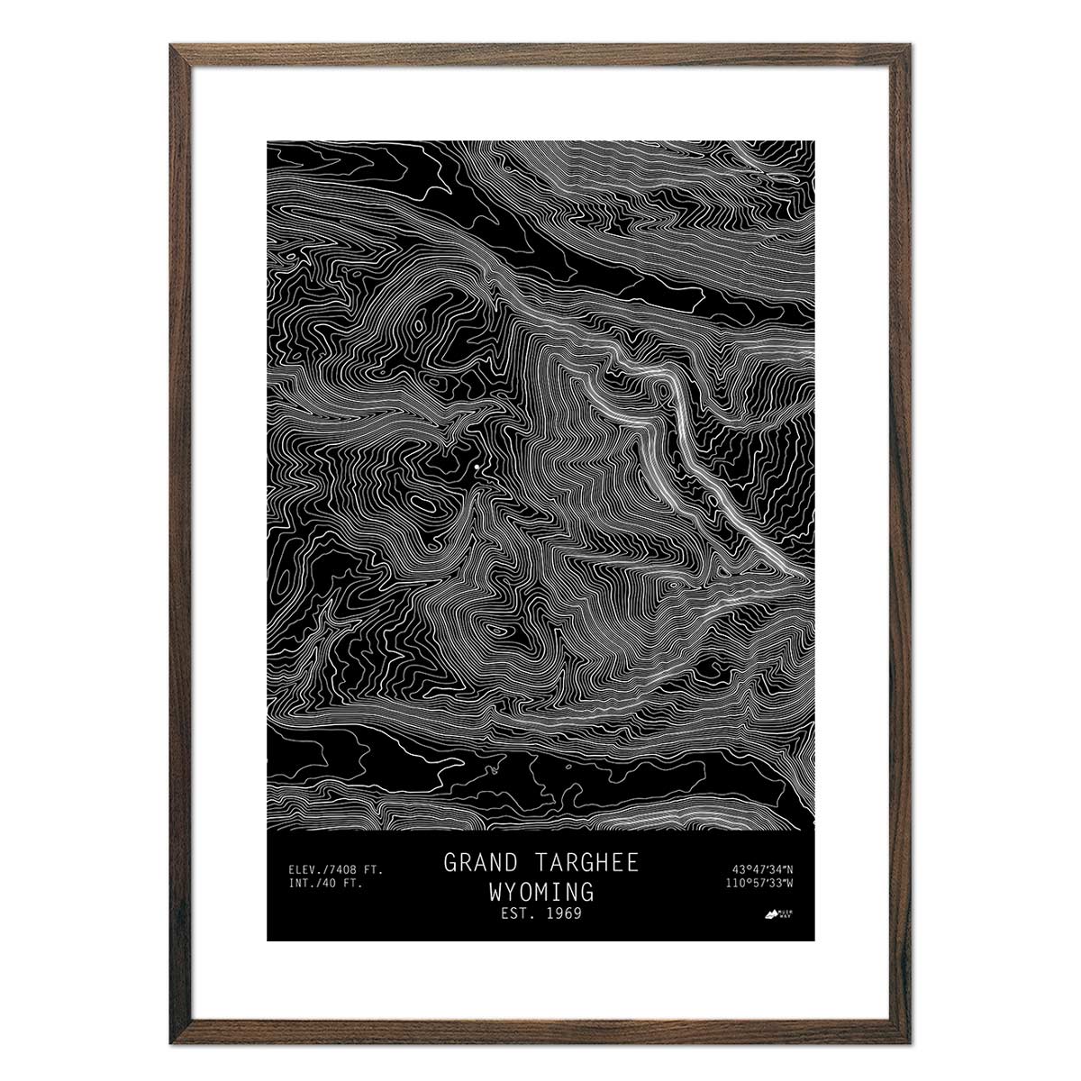
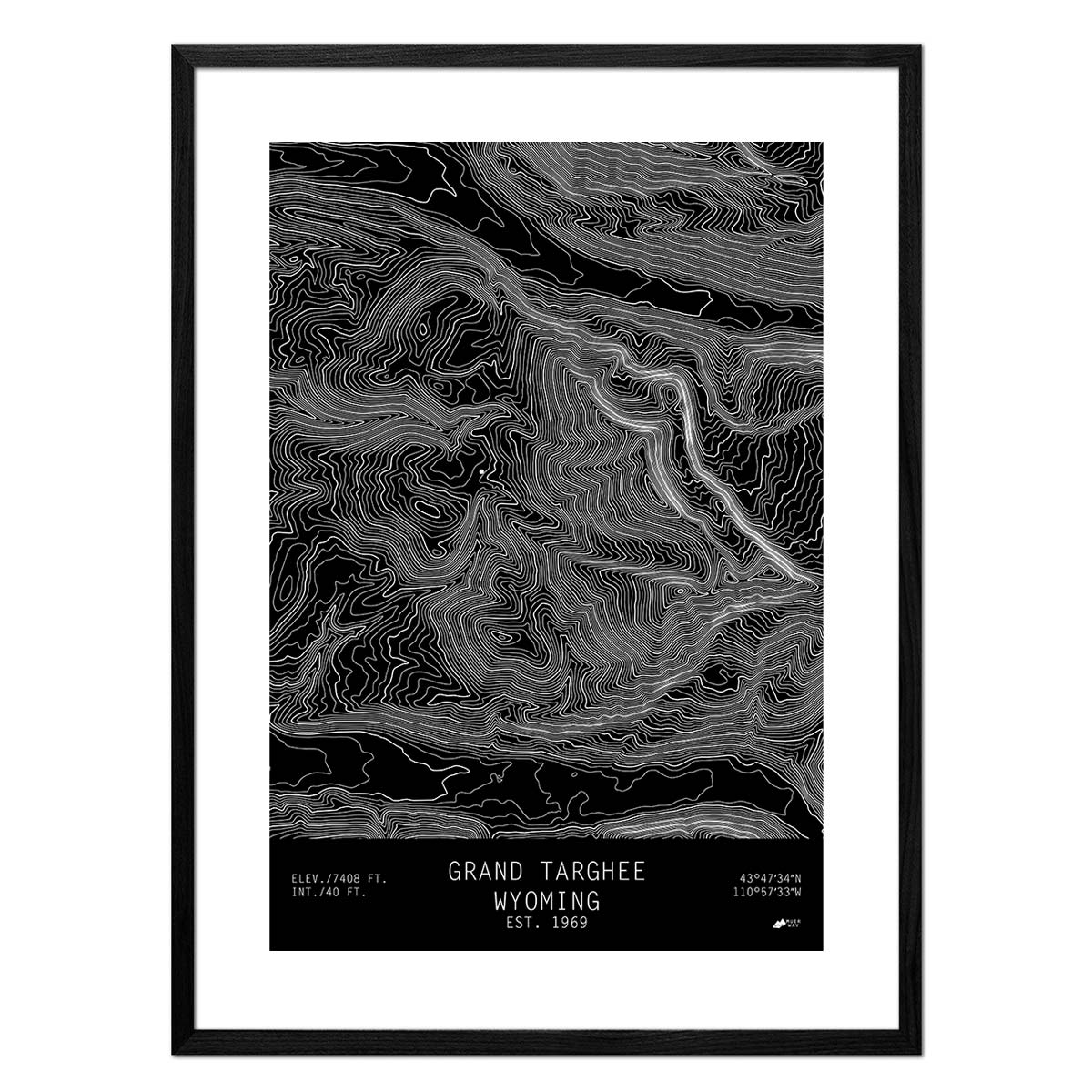
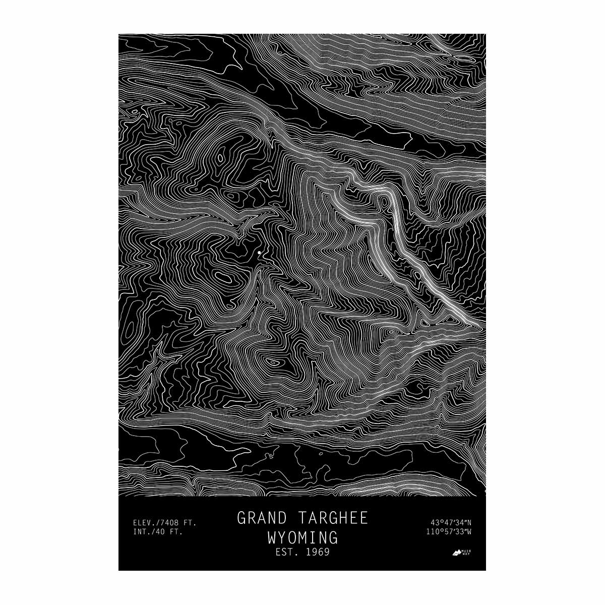
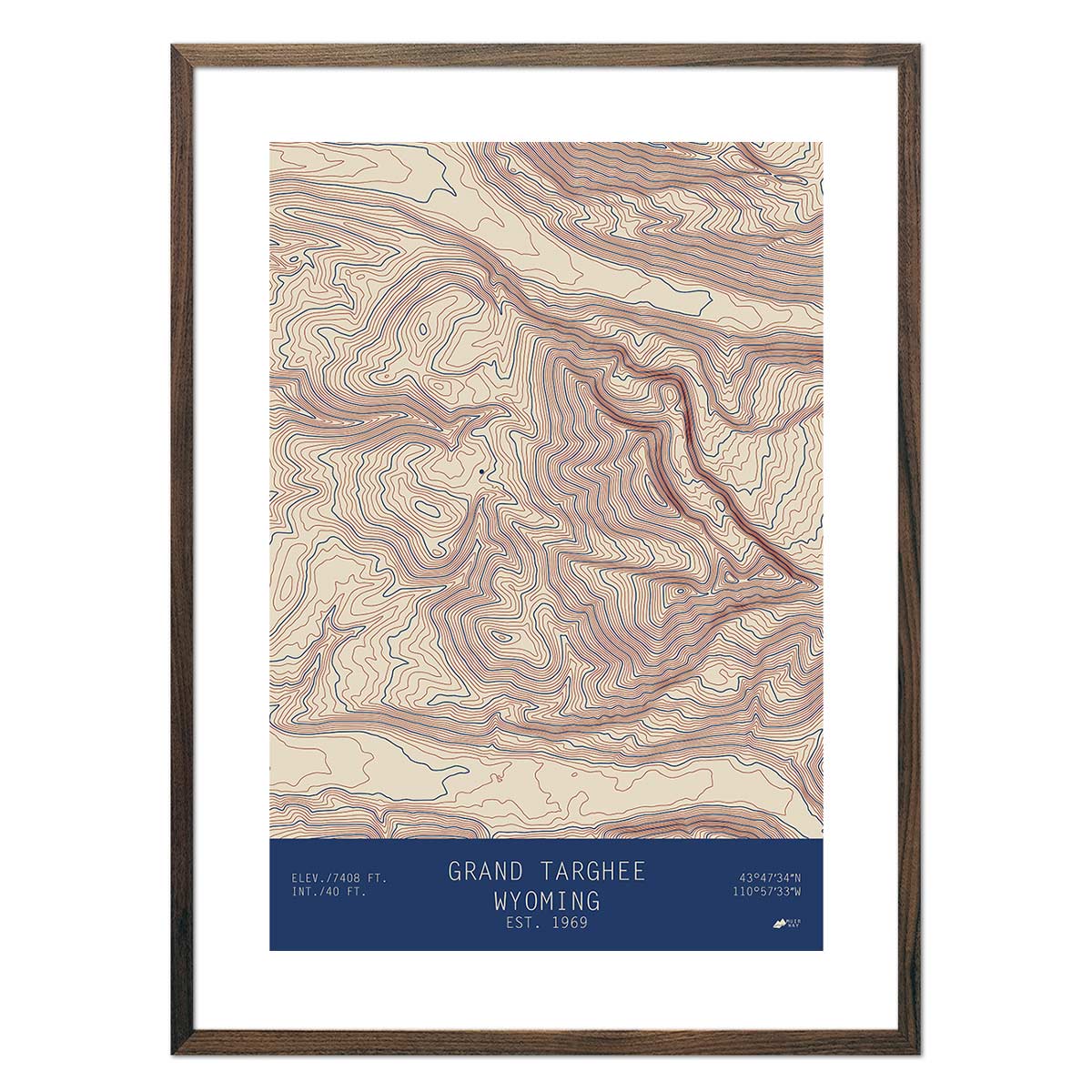
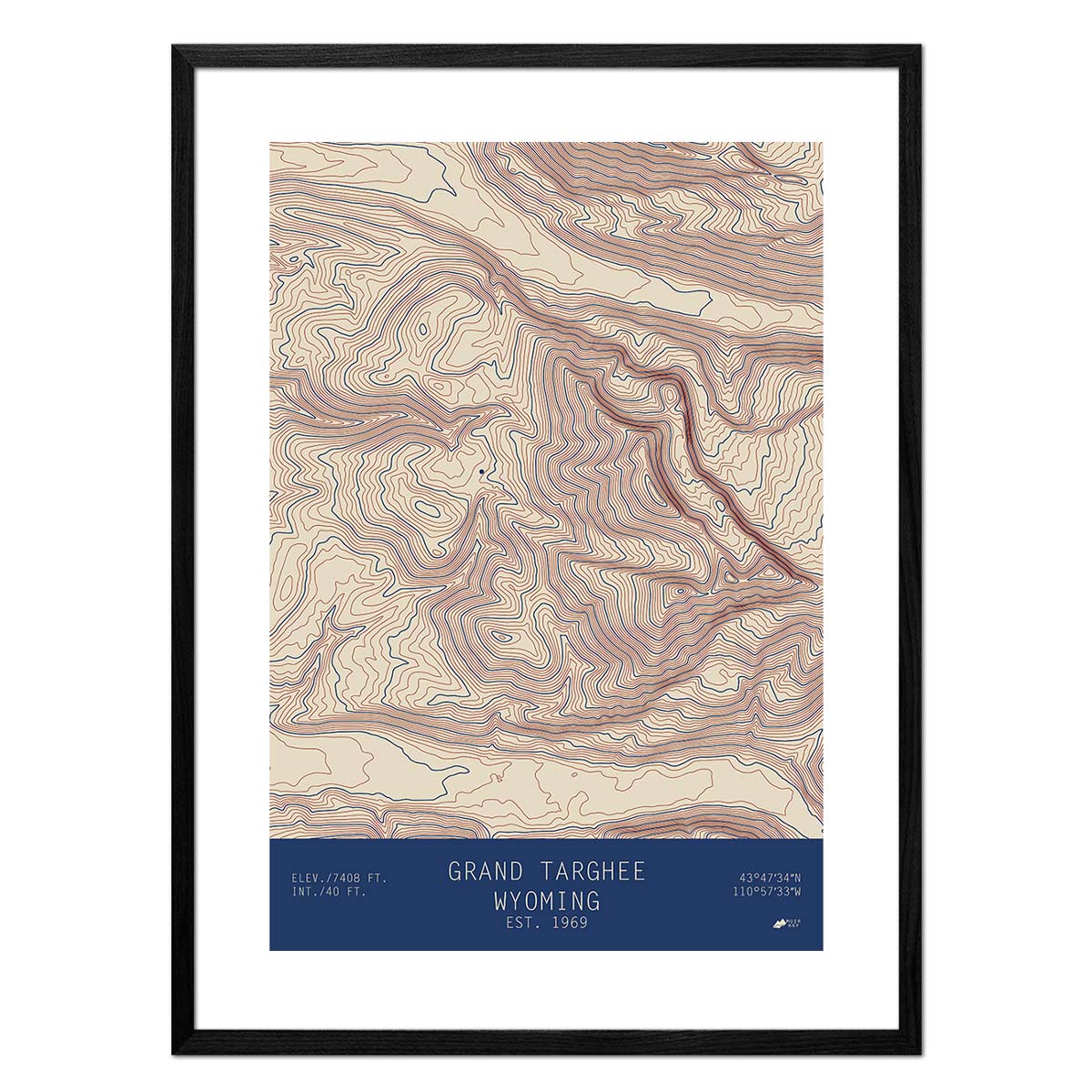
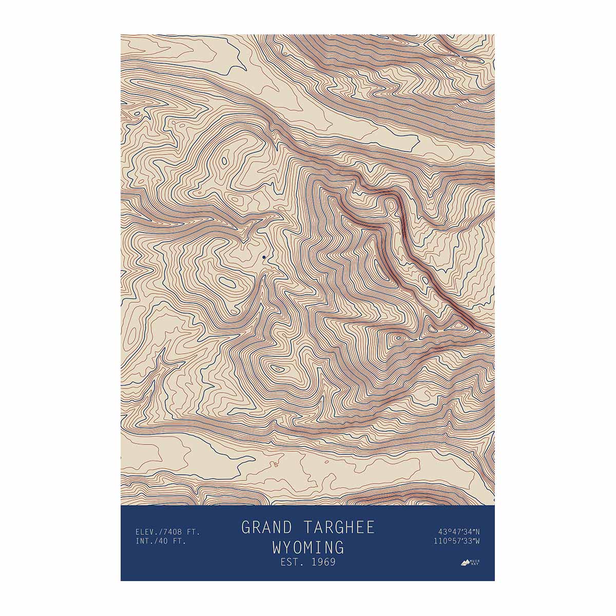
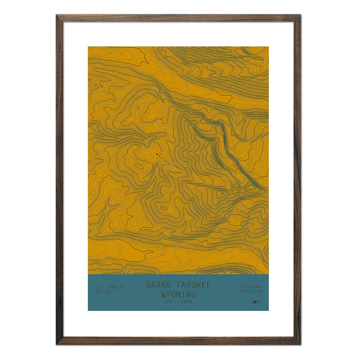
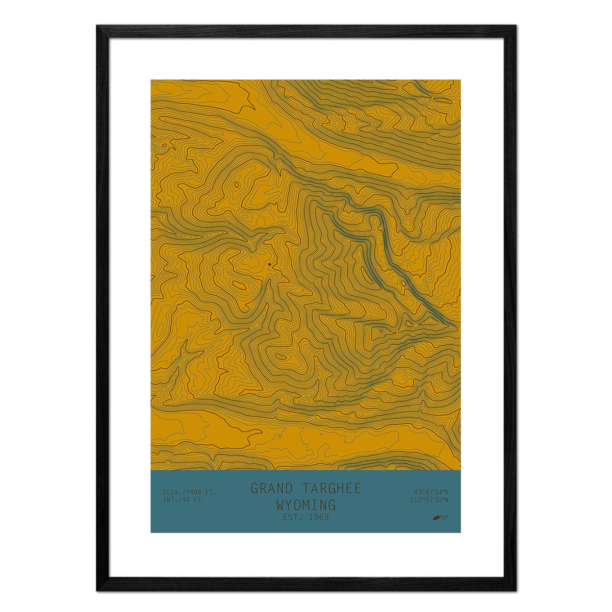
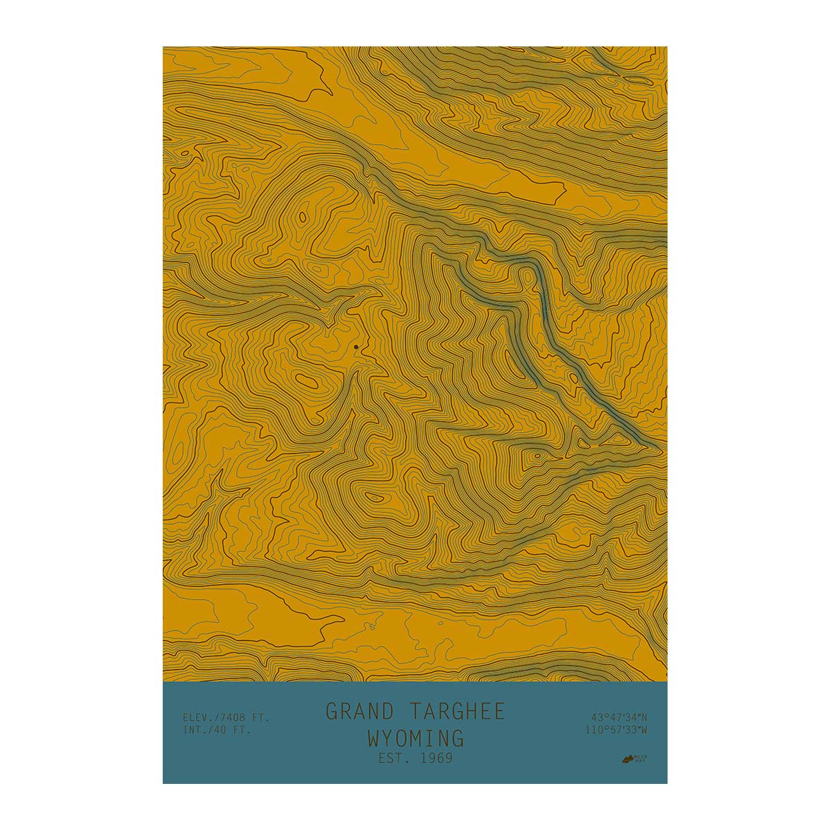
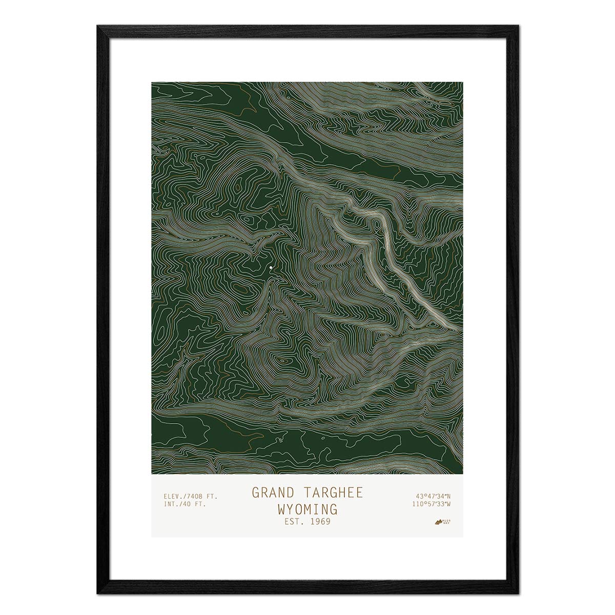
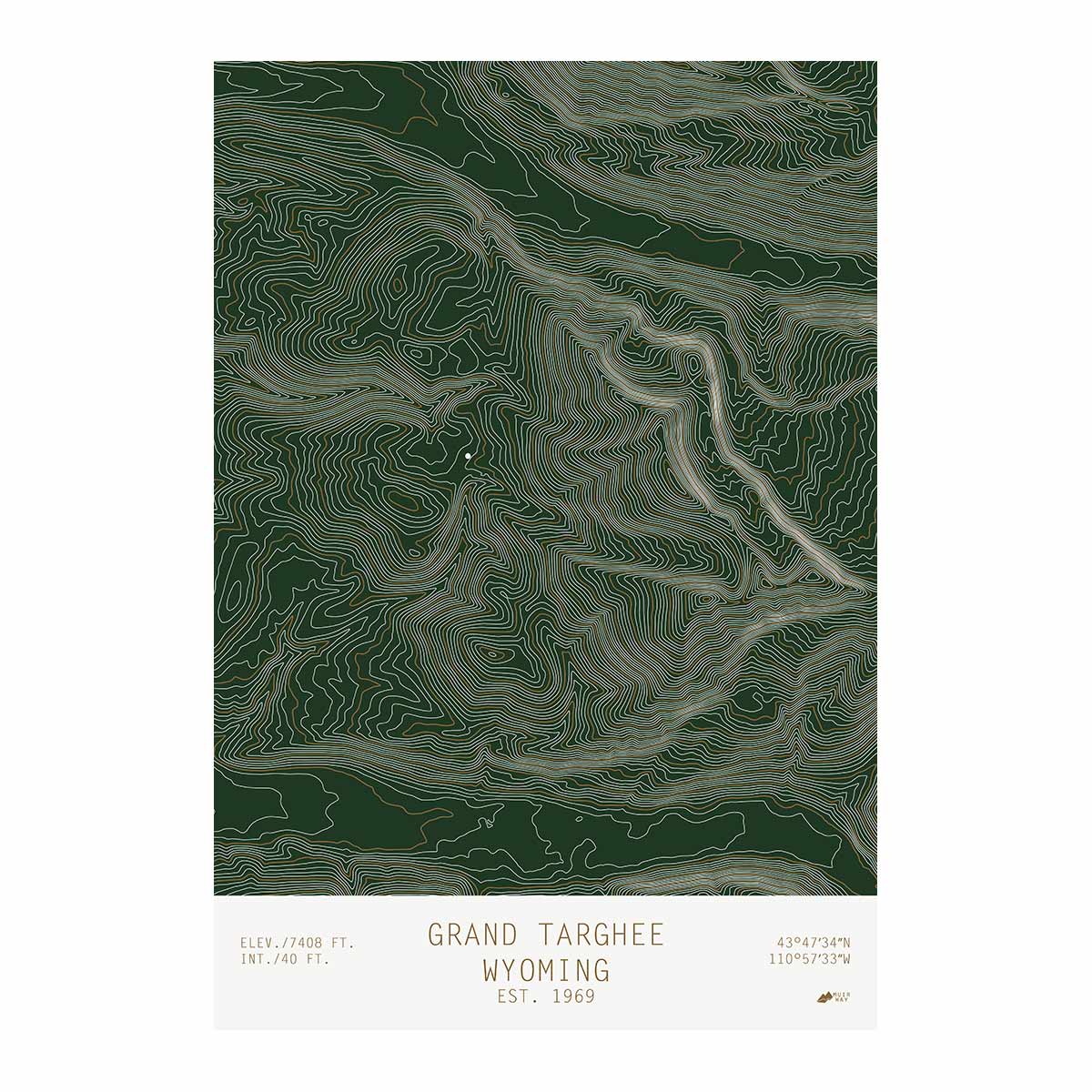
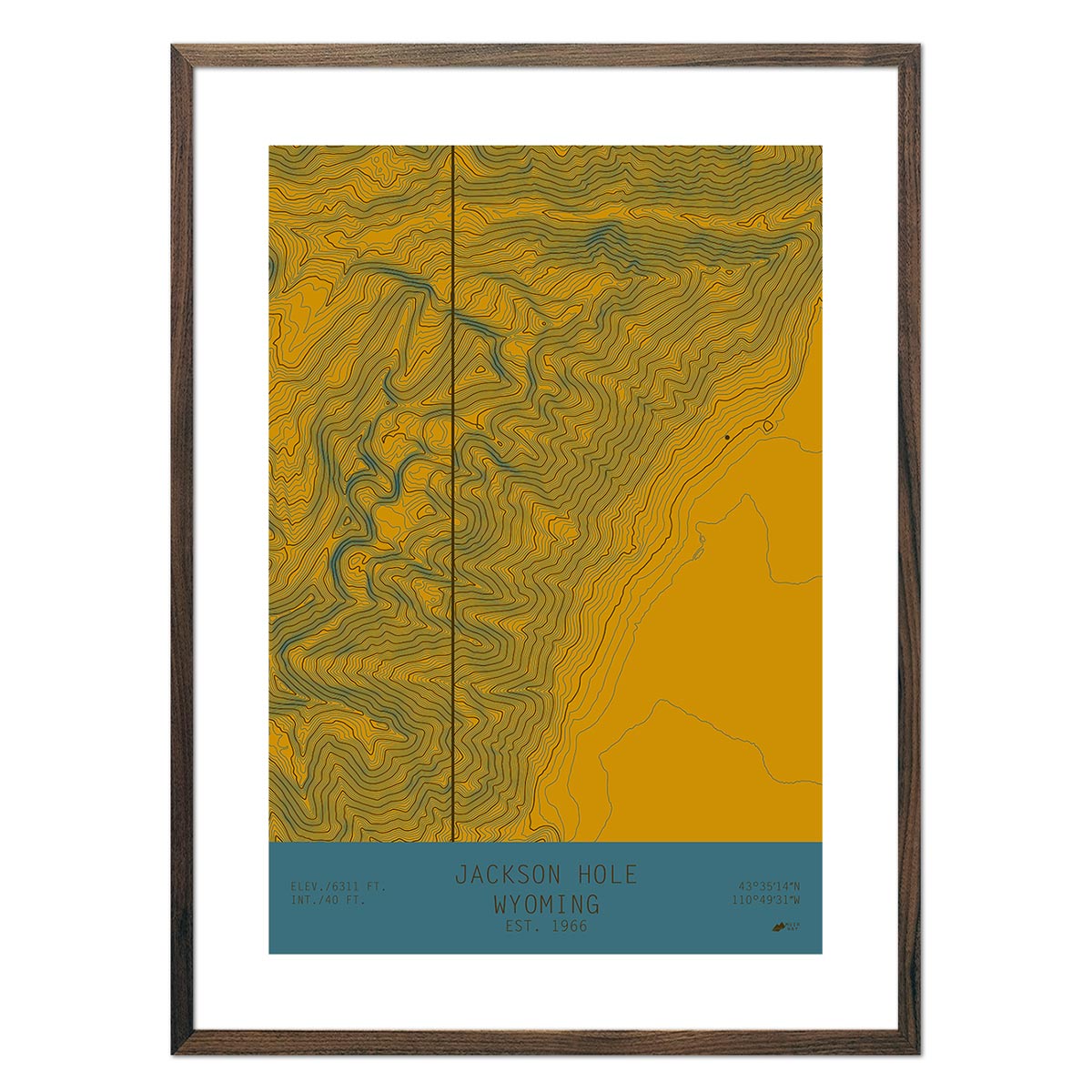
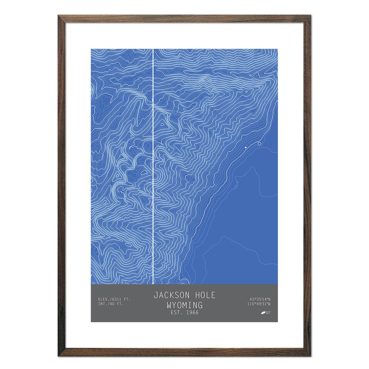
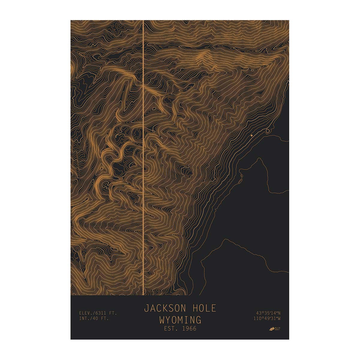
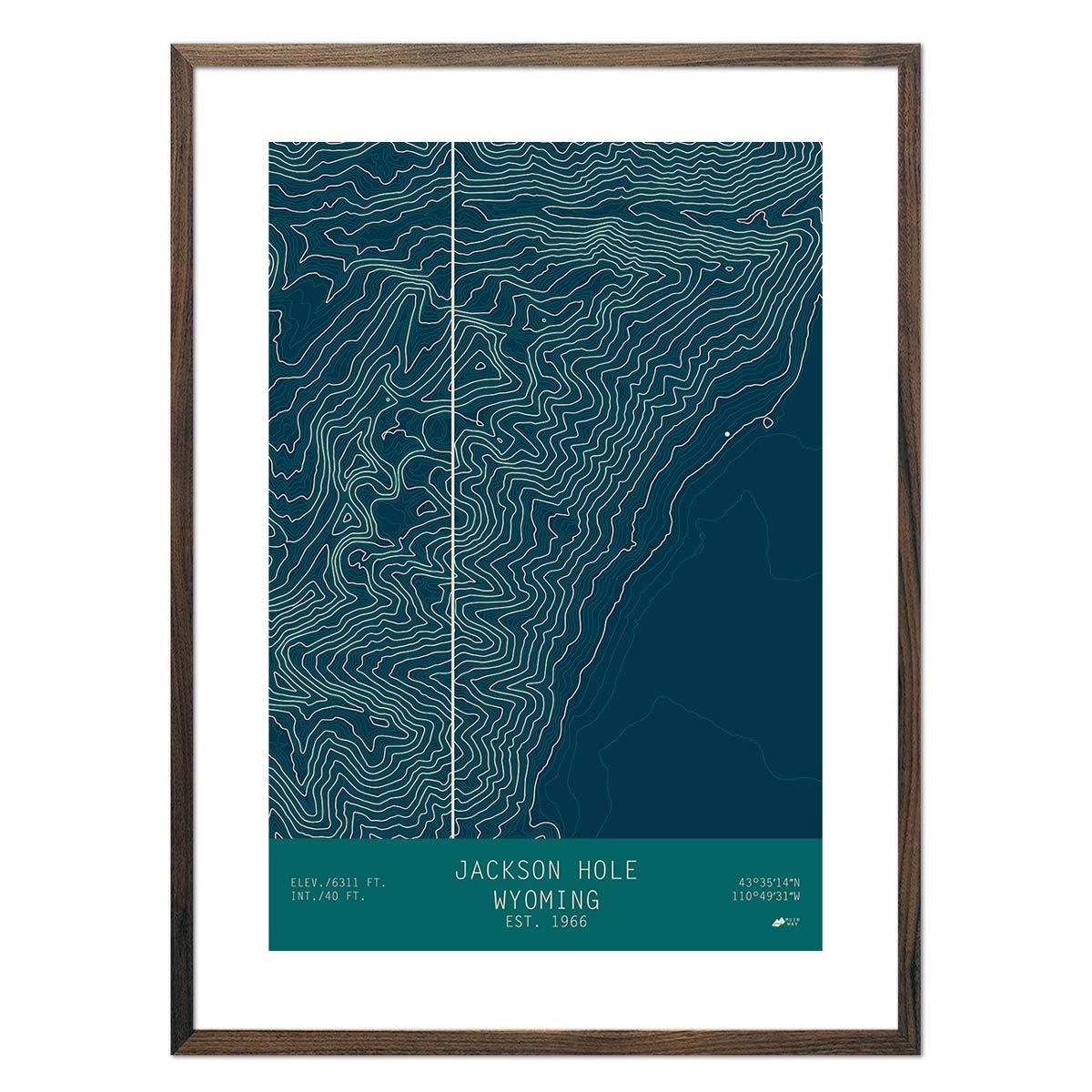
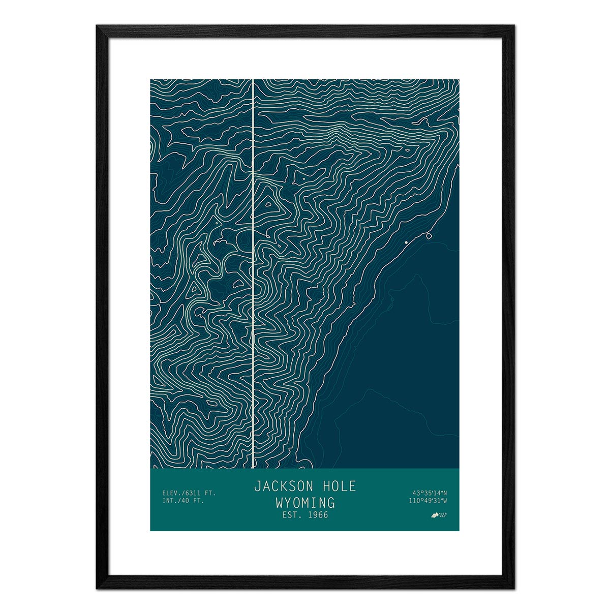
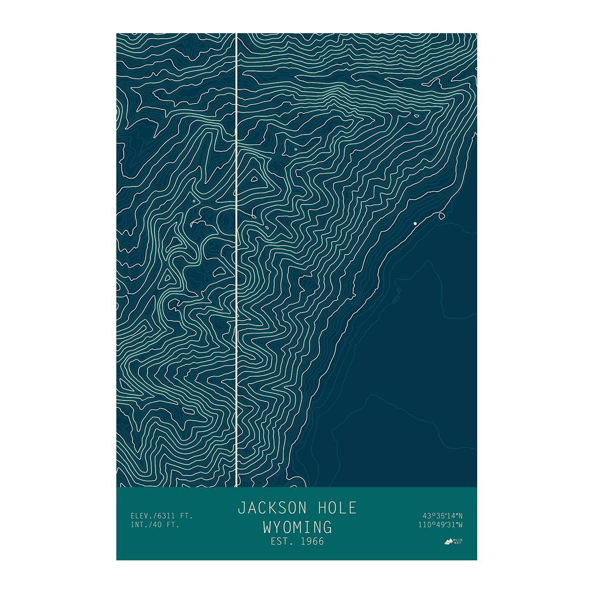
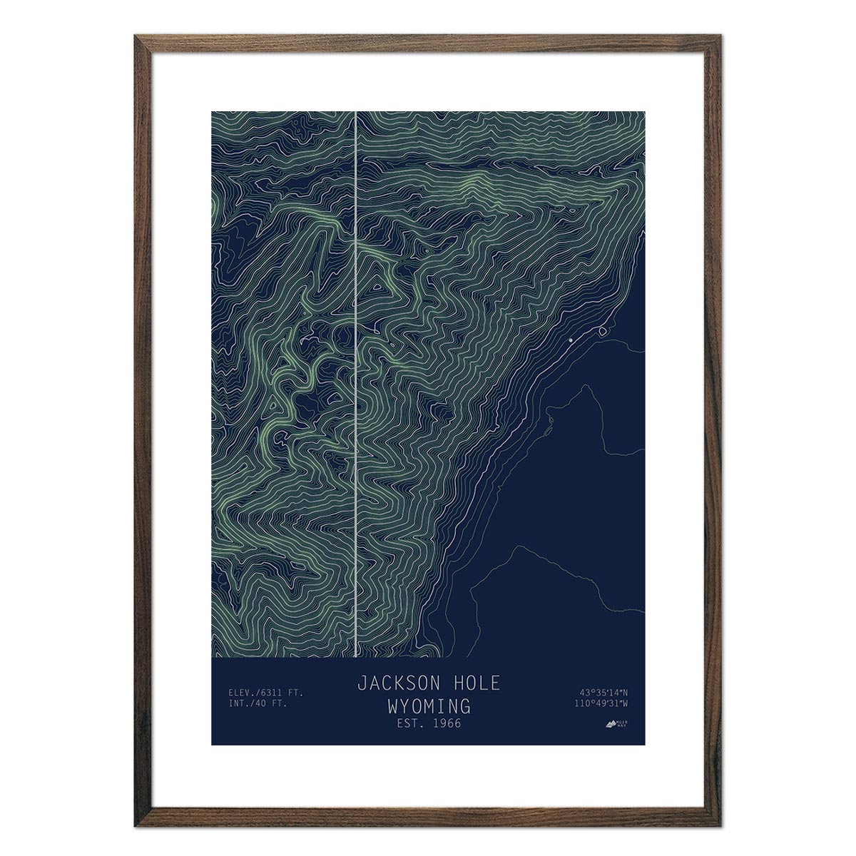
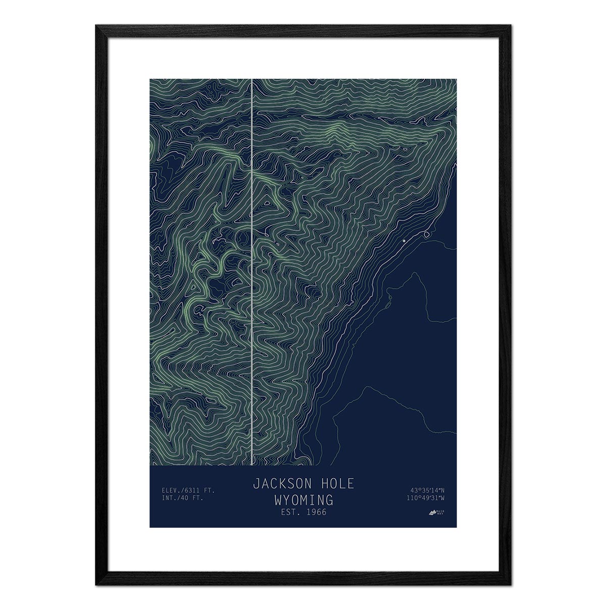
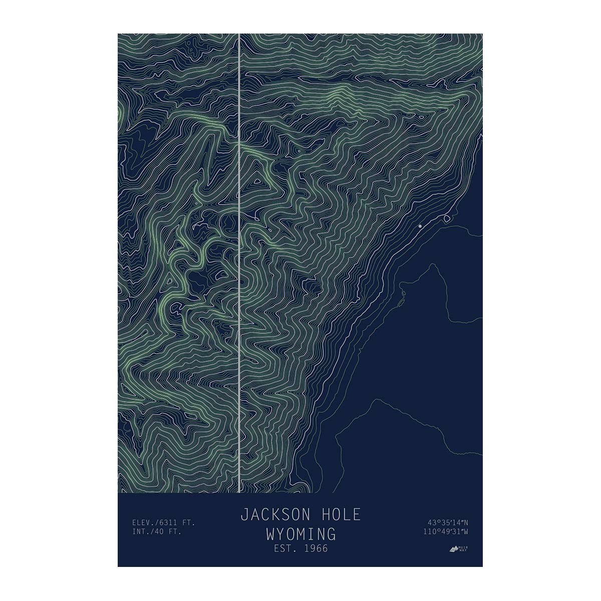
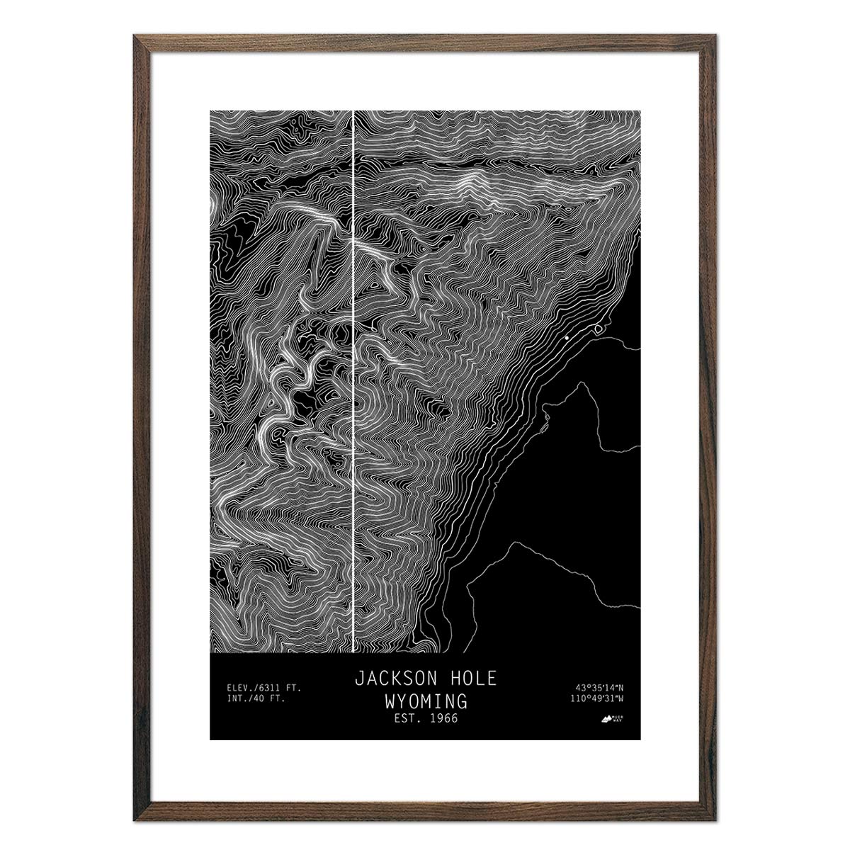
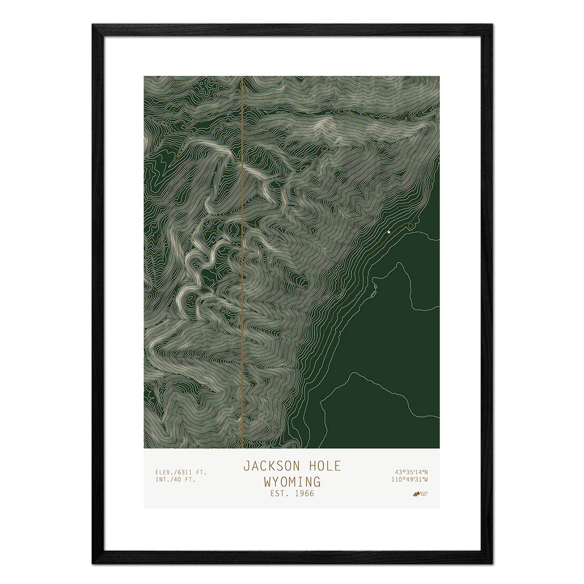
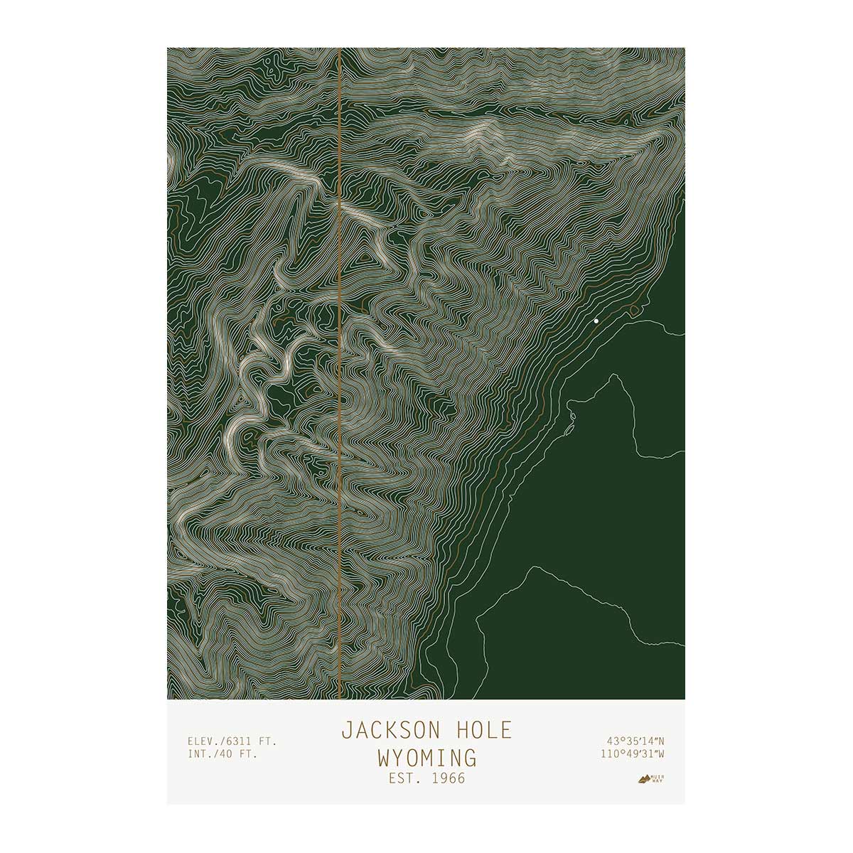
Our collection of Wyoming Maps allows you to explore the state through its waterways with one of our hydrological maps or through the state's unique terrain with an elevation or shaded relief map.
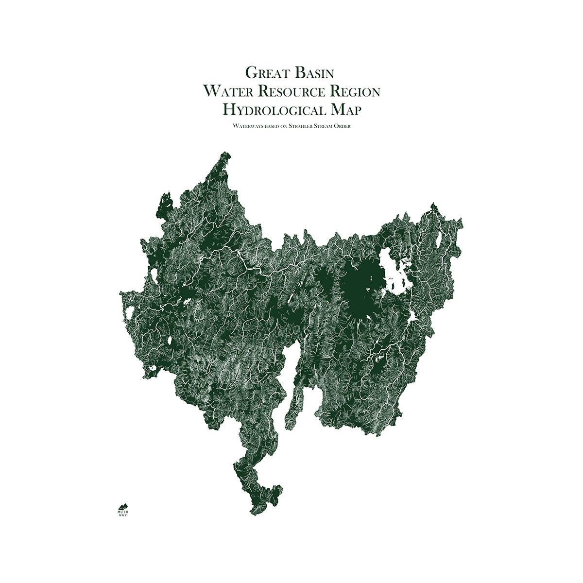
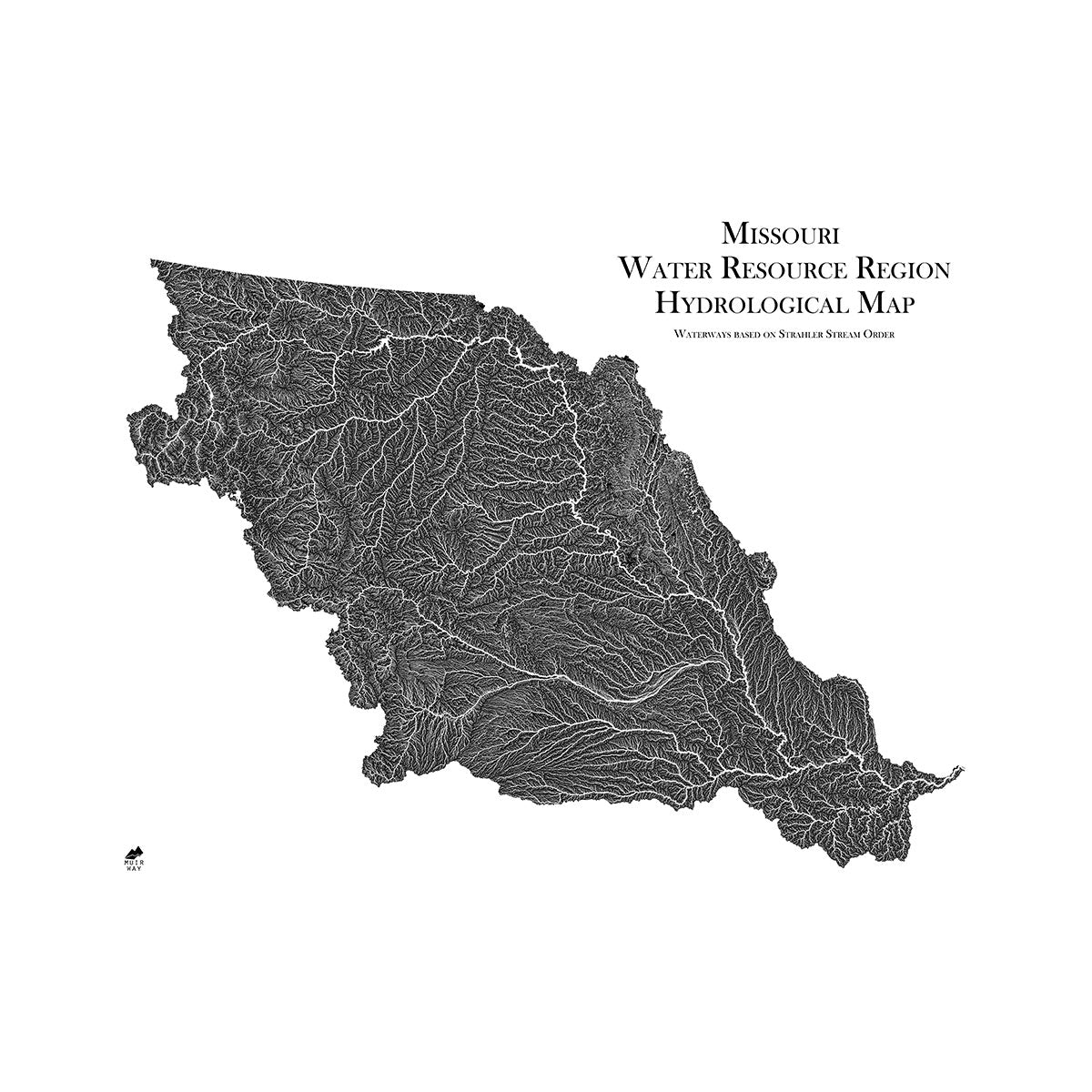
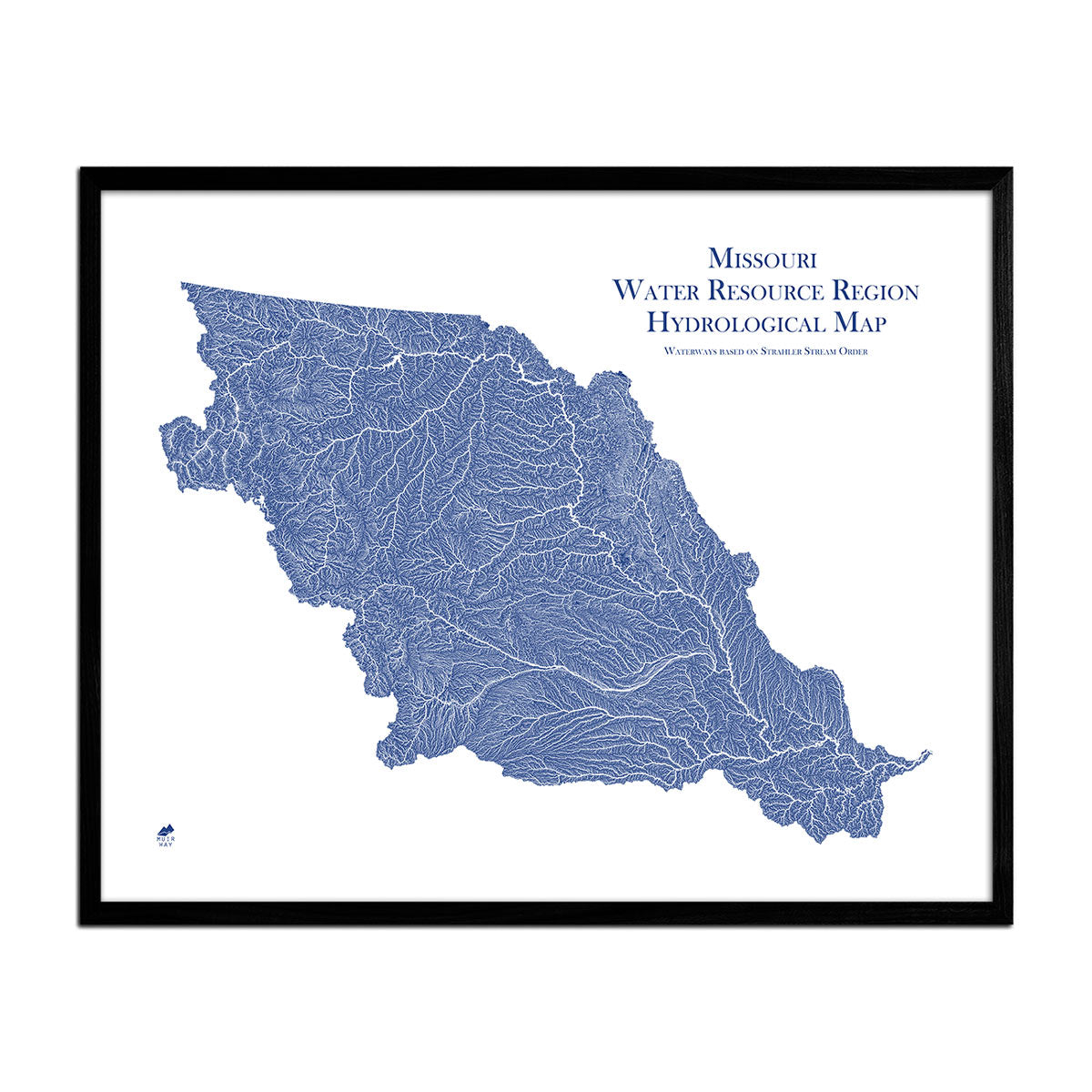
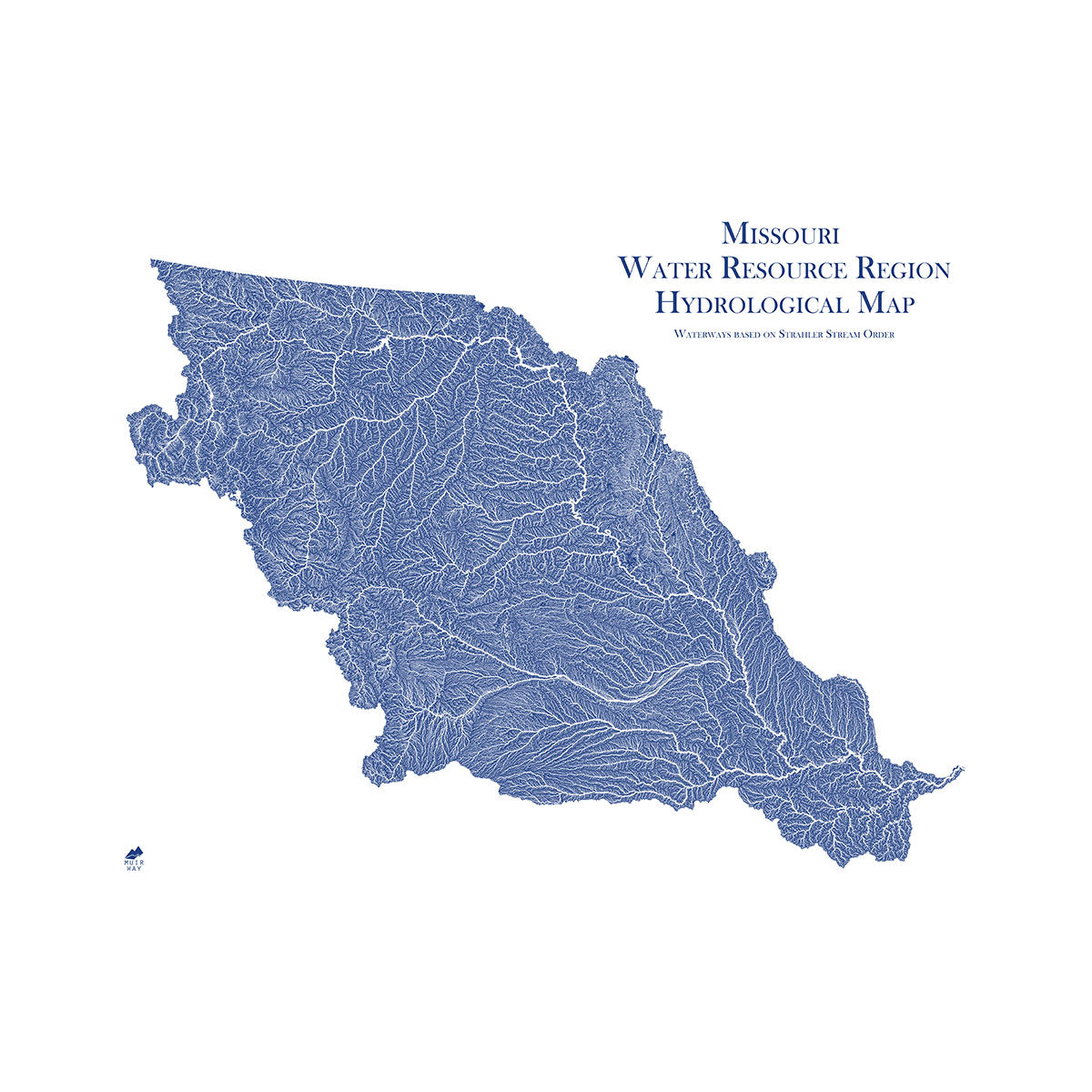
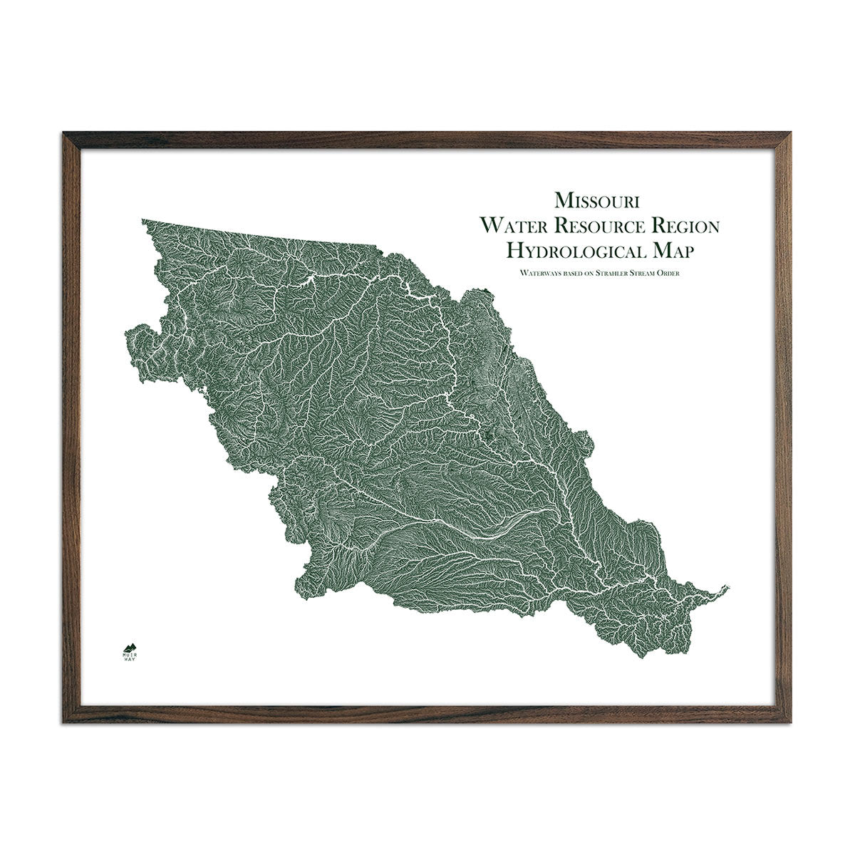
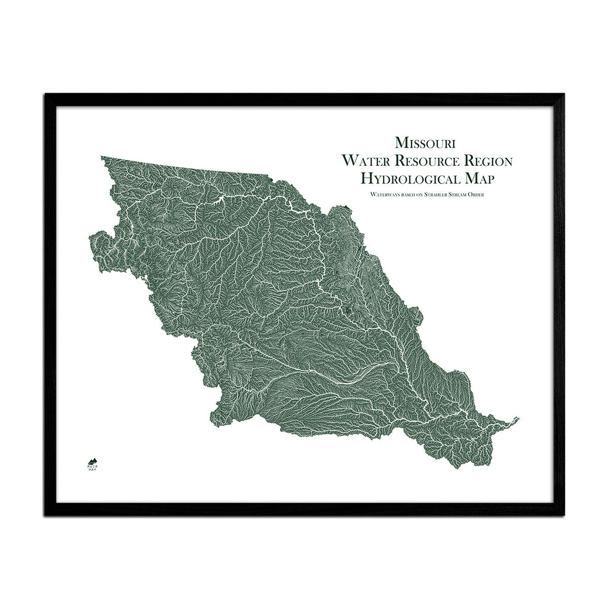
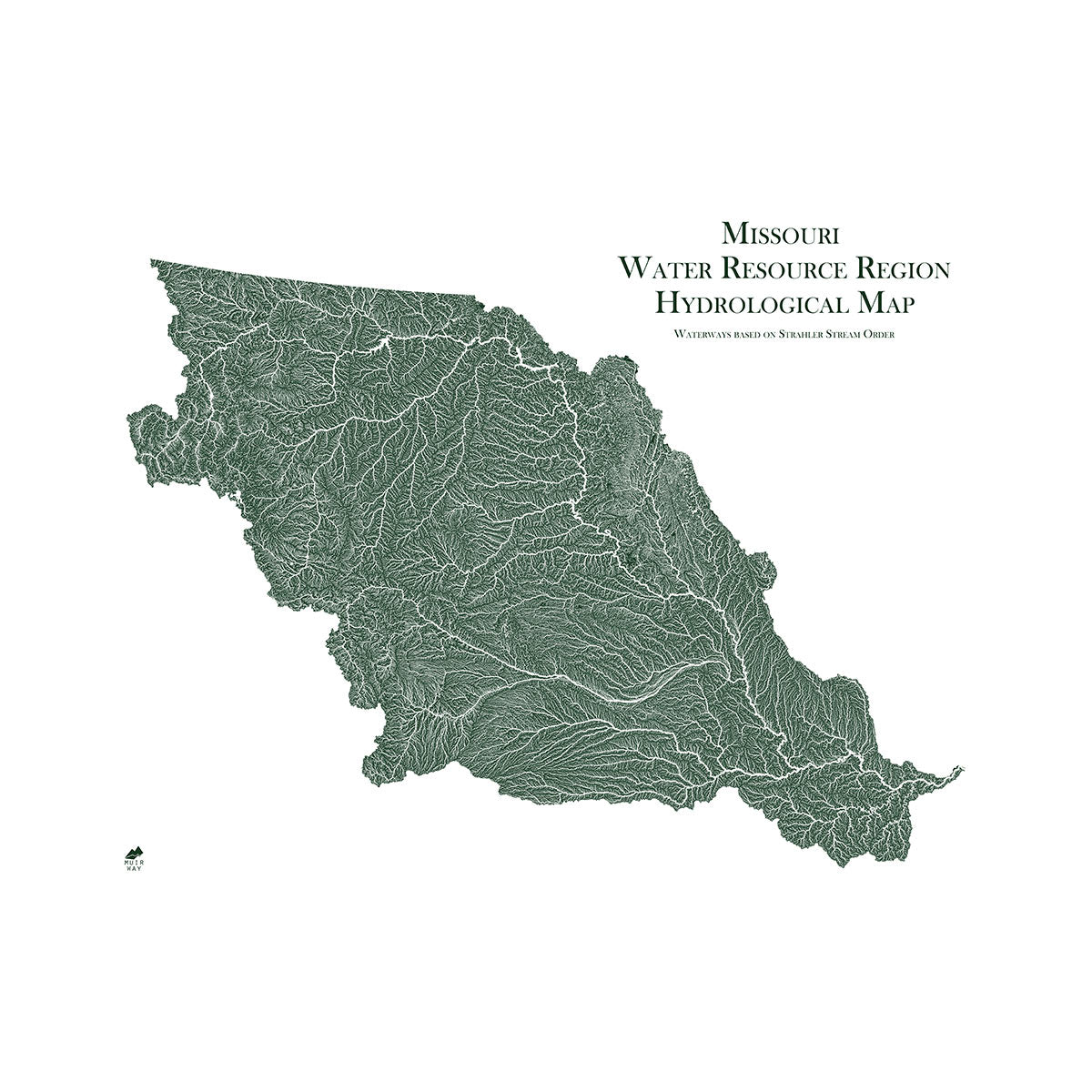
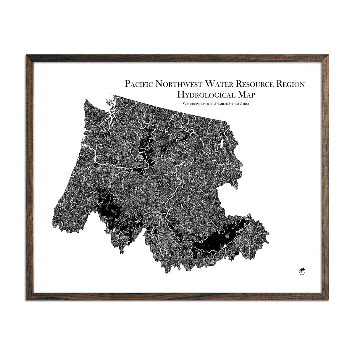
The Continental Divide spans north–south across the central portion of the state. Rivers east of the divide drain into the Missouri River Basin and eventually the Gulf of Mexico. On the west side of the Continental Divide, rivers eventually drain into the Columbia River and the Pacific Ocean.
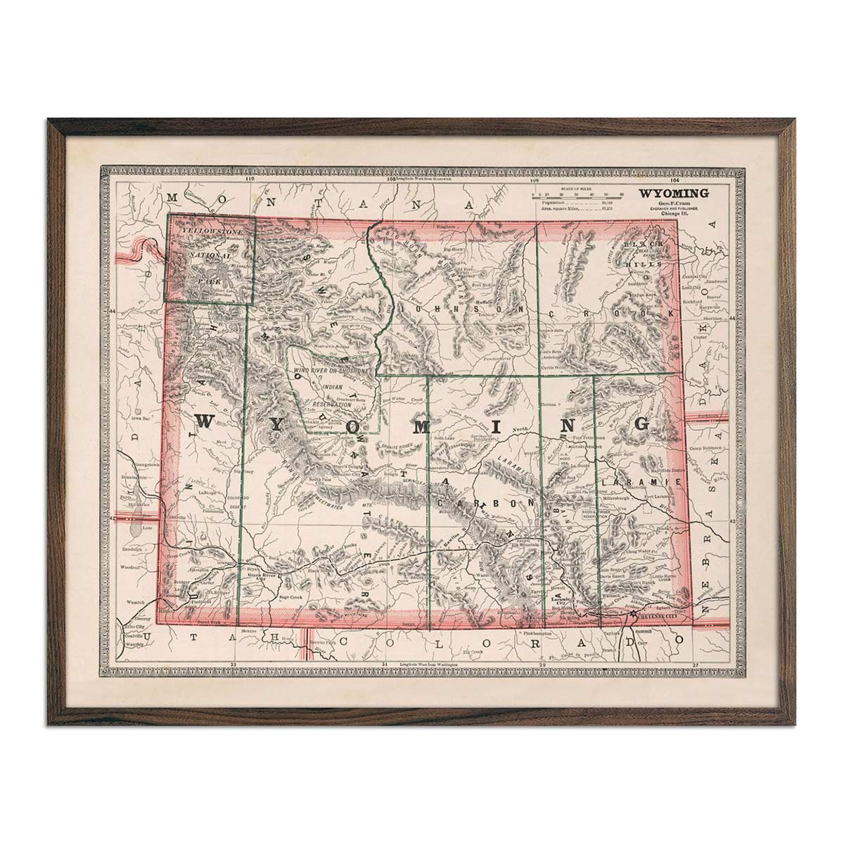
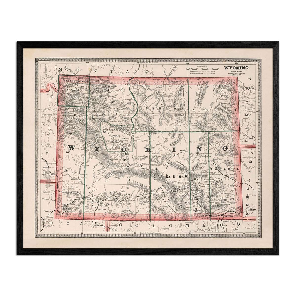
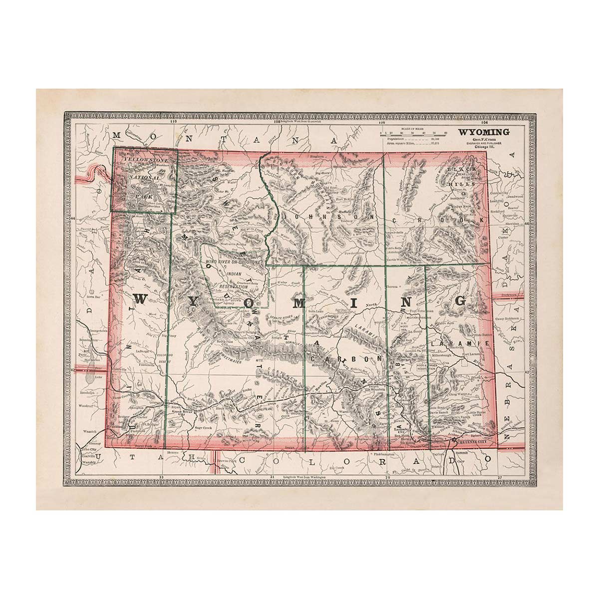
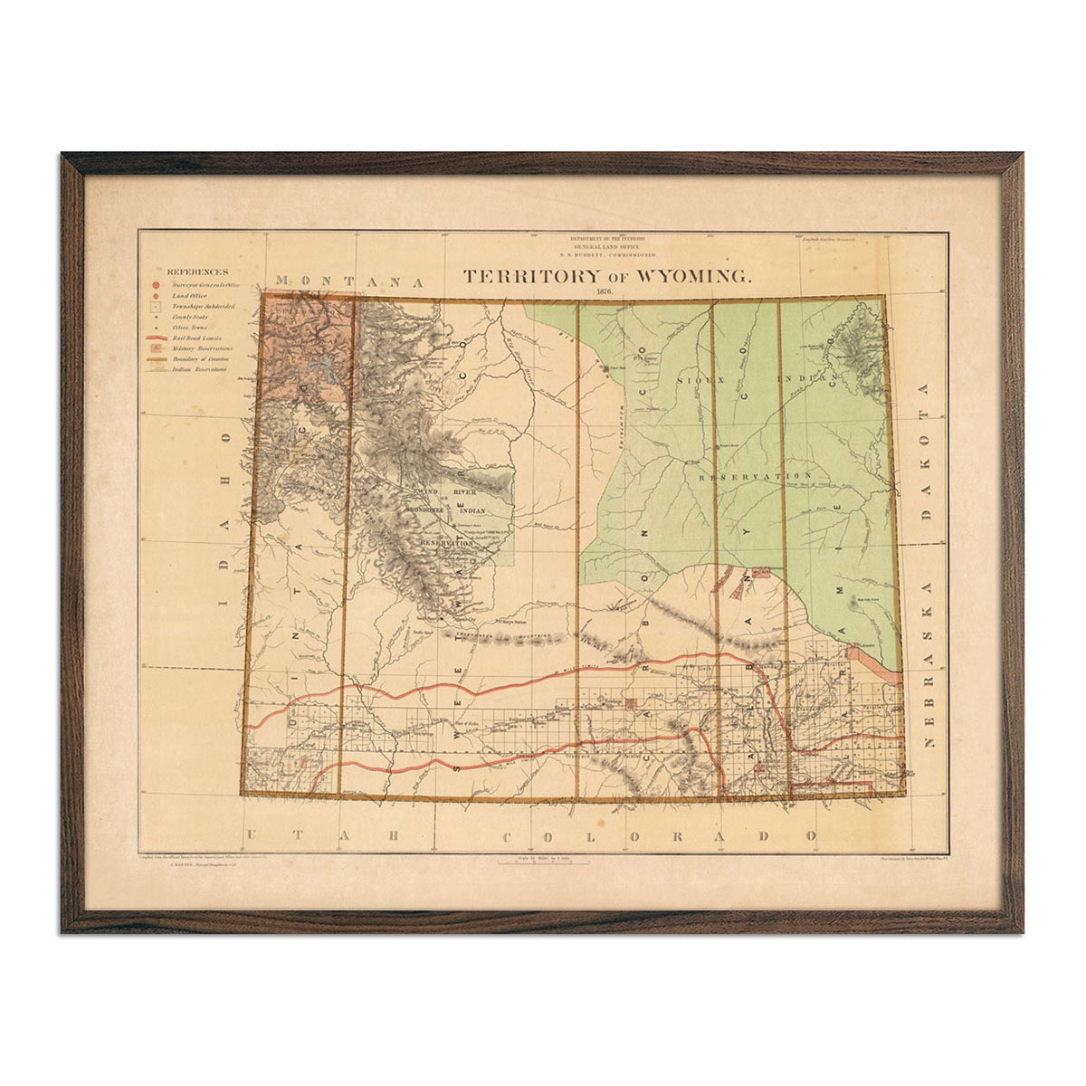
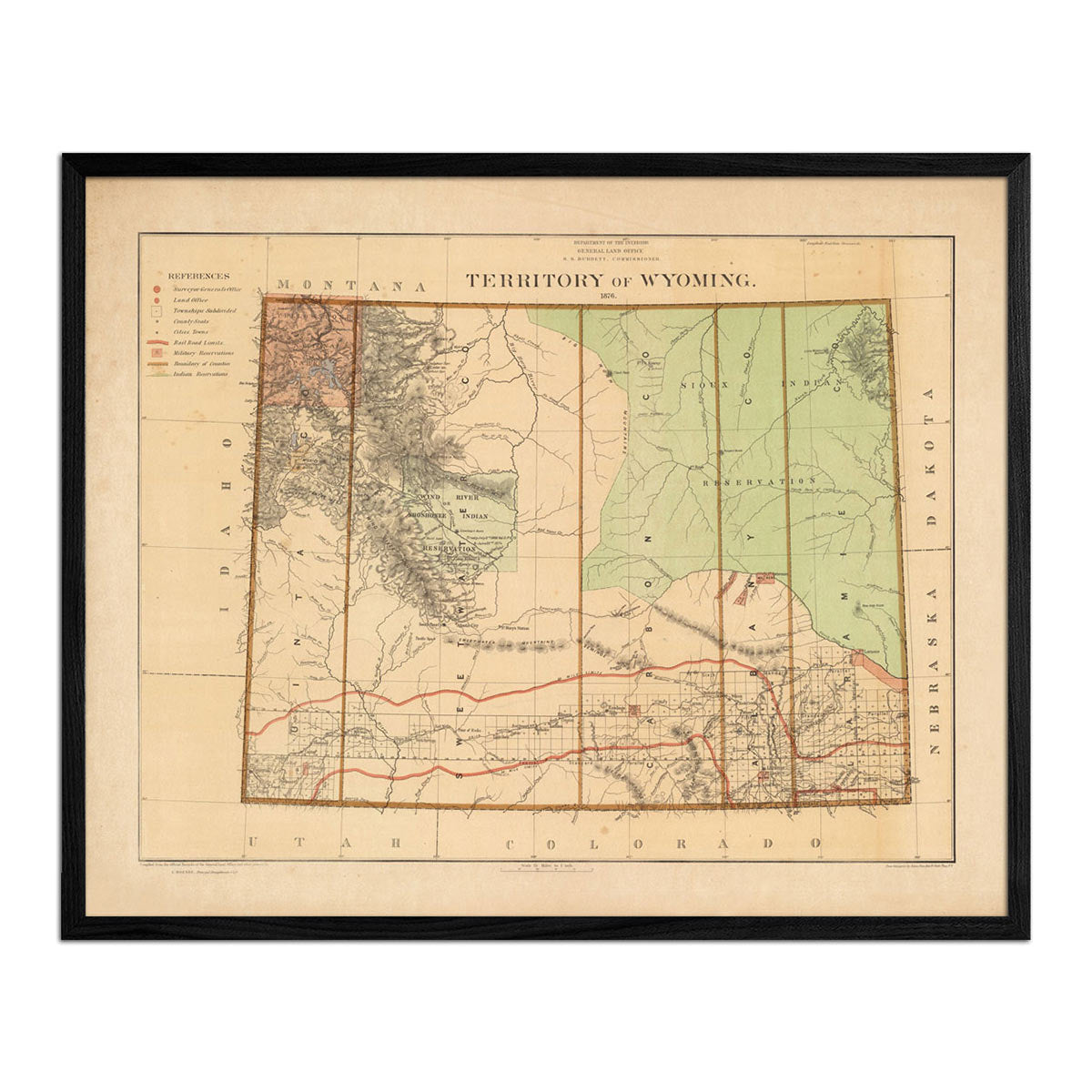
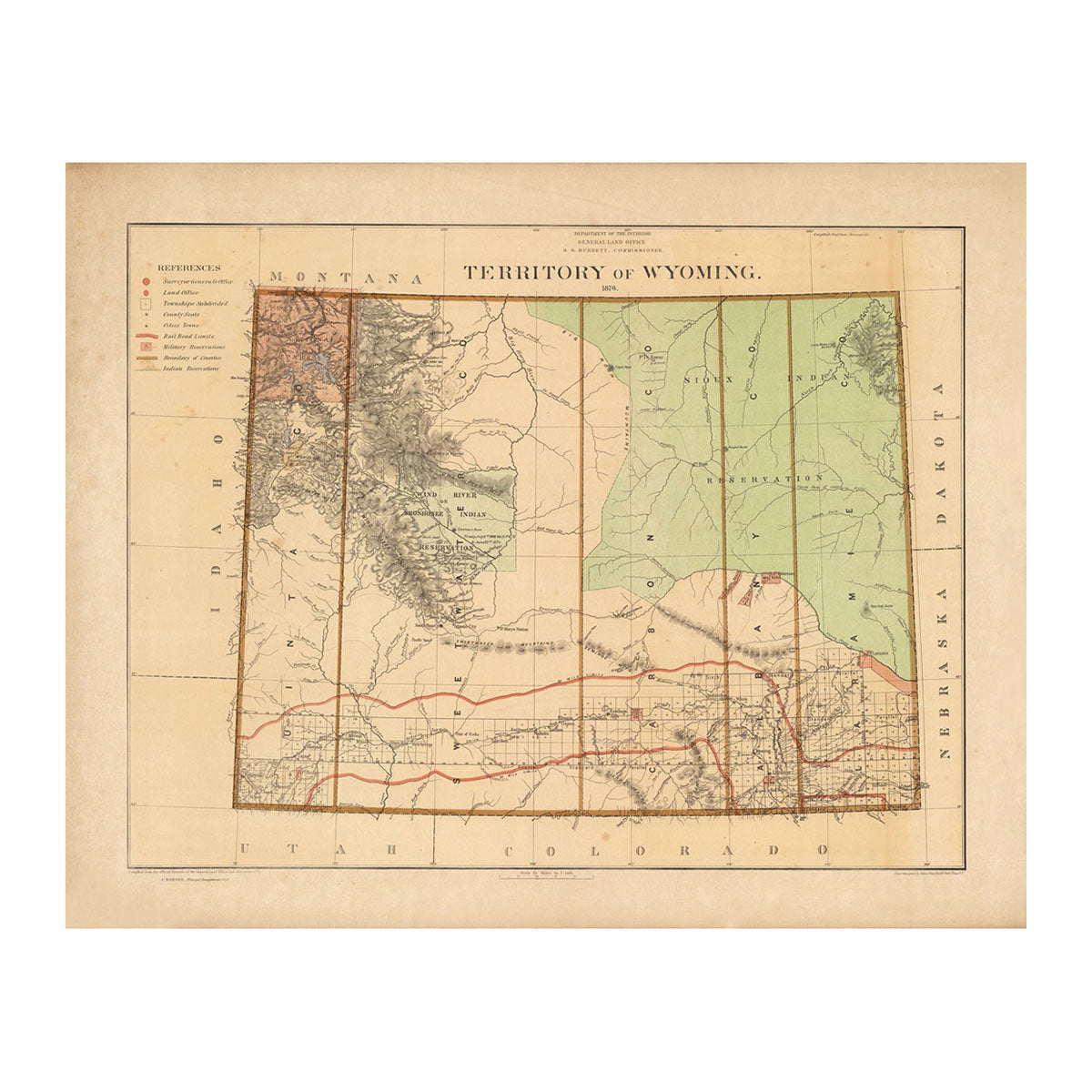
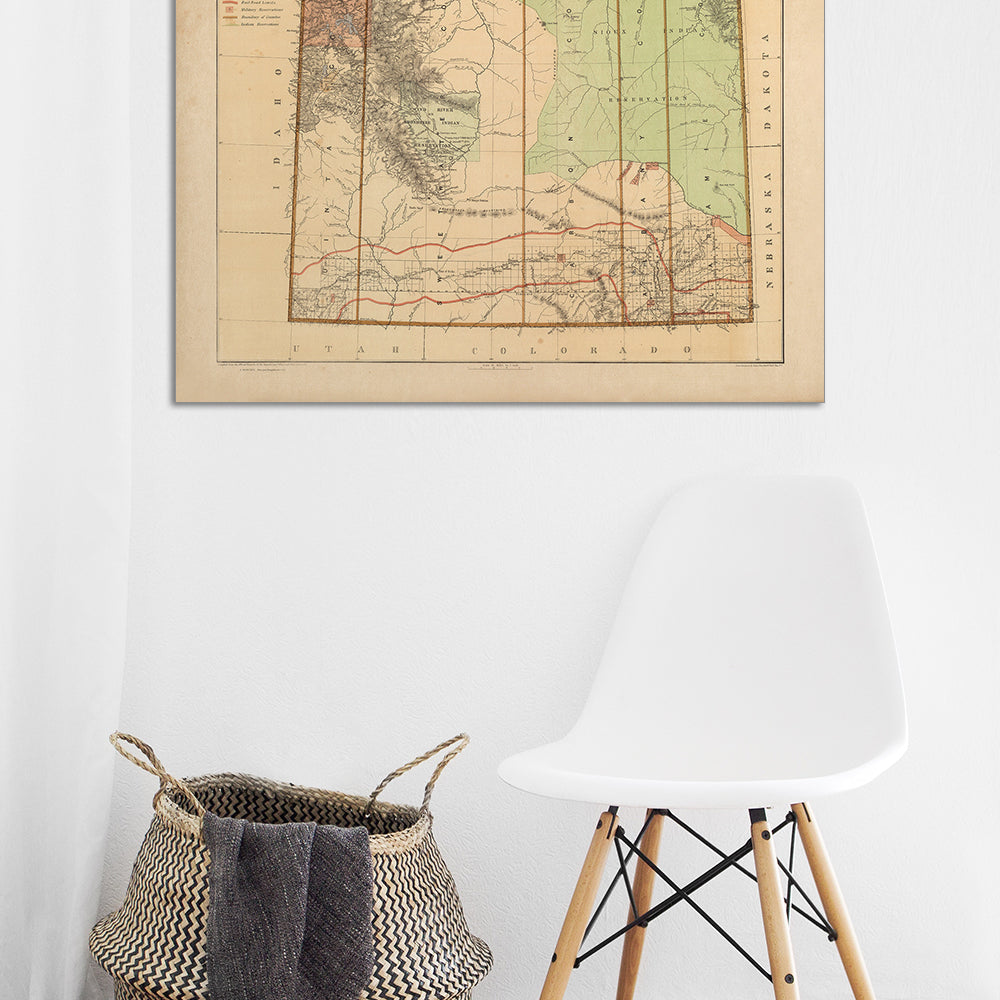
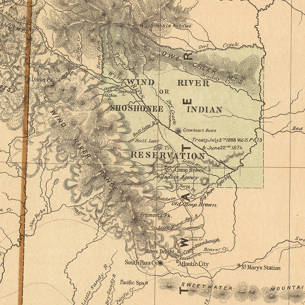
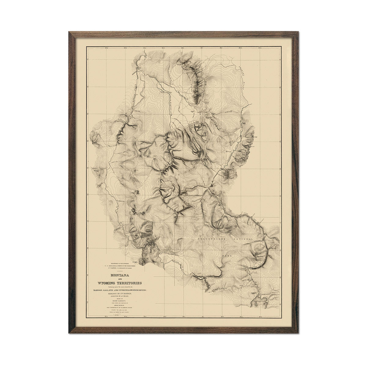
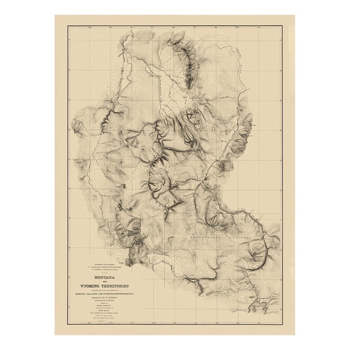
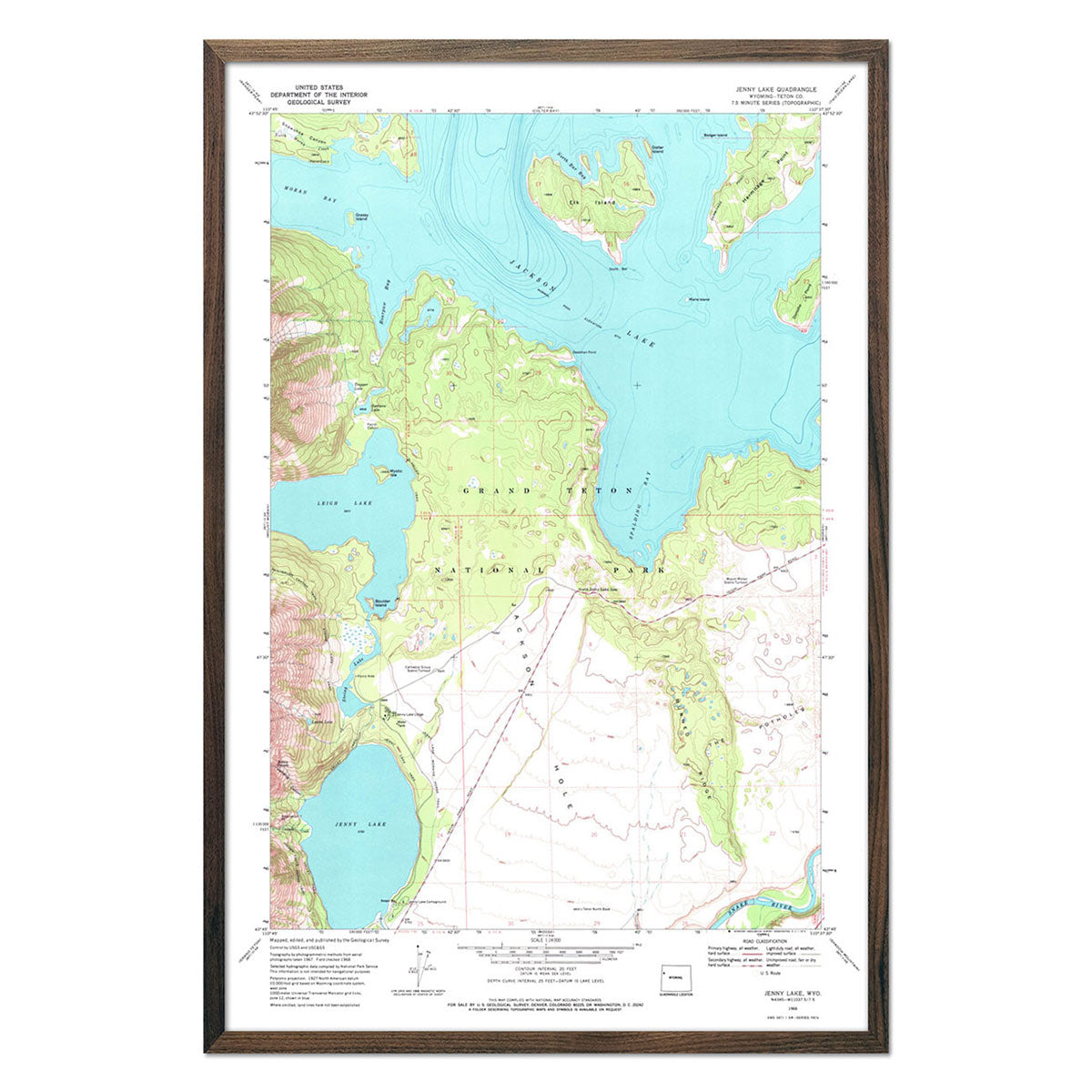
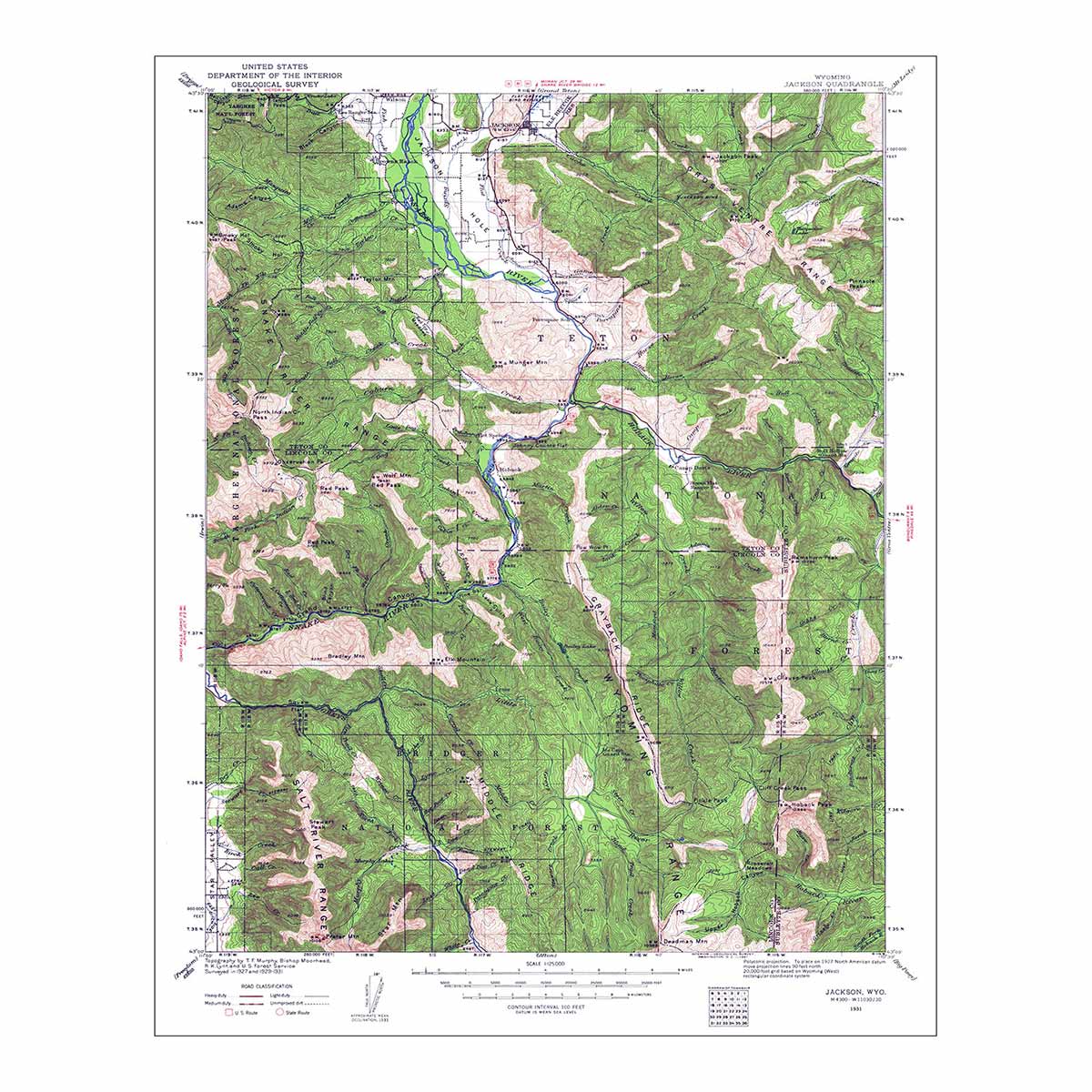
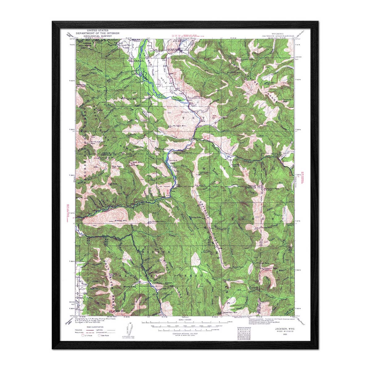
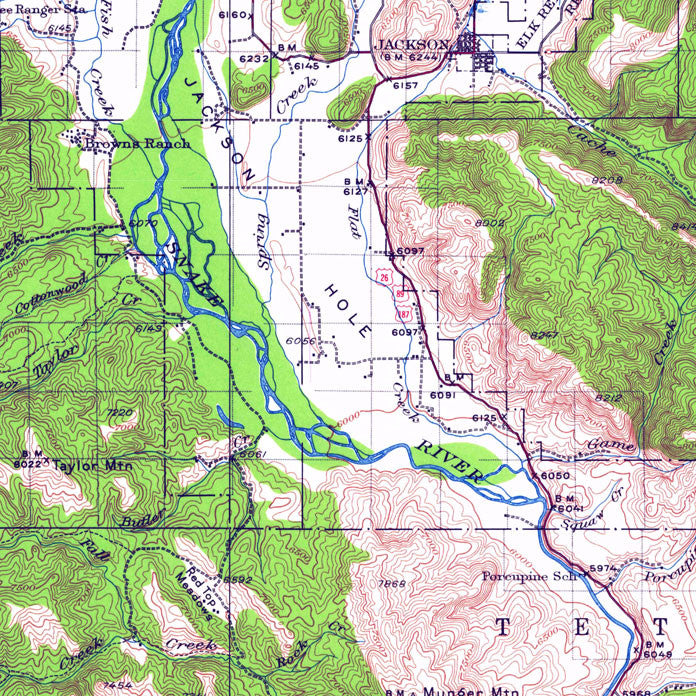
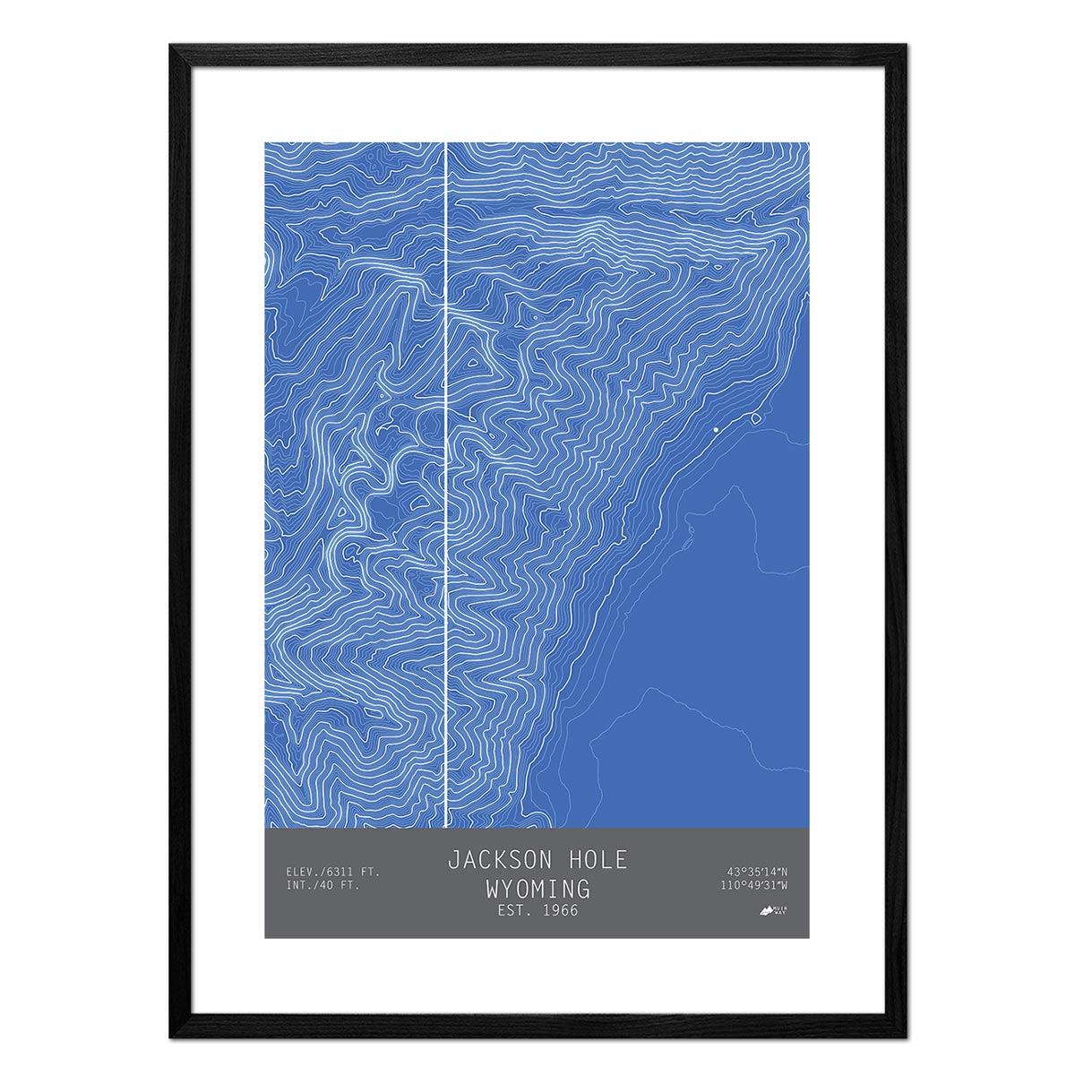
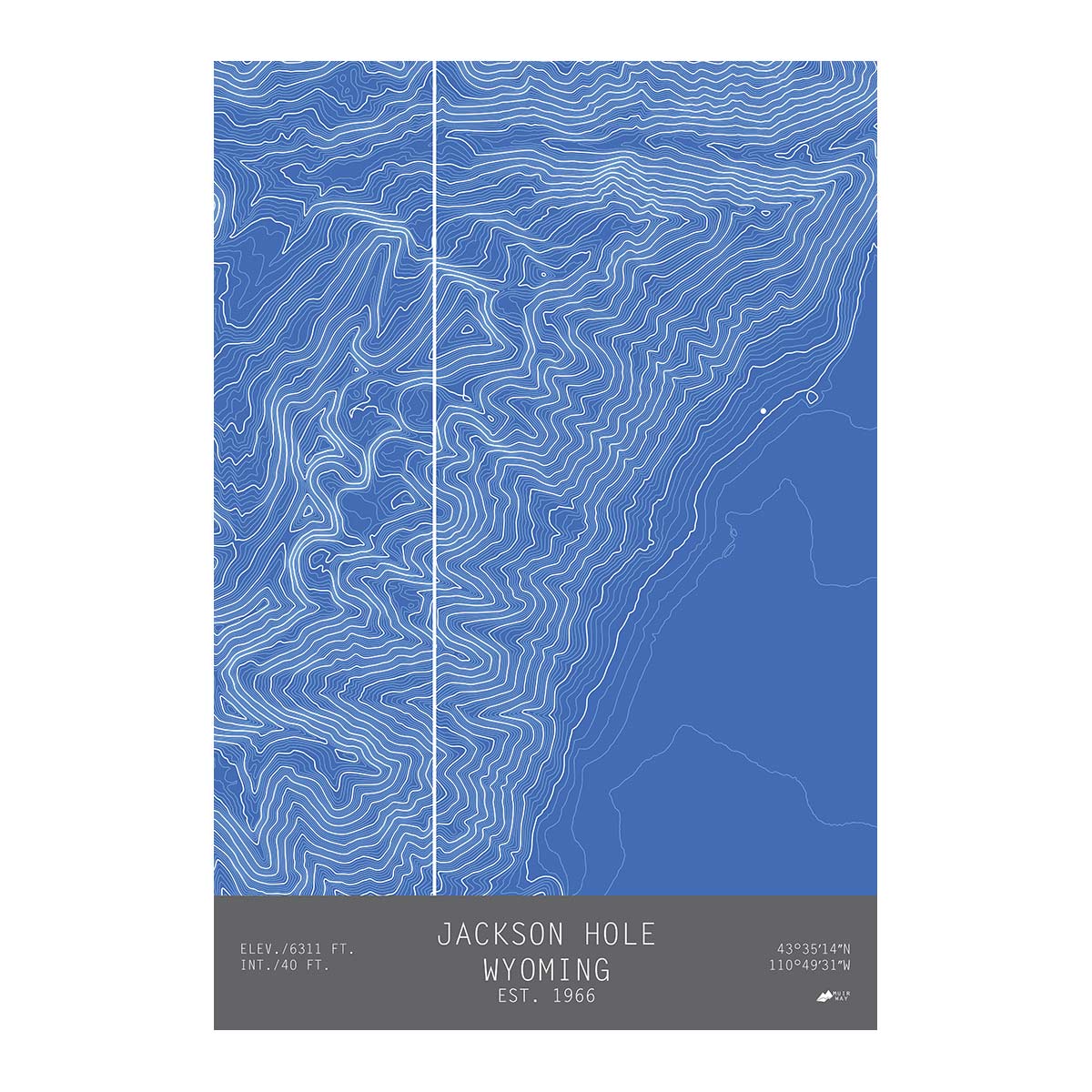
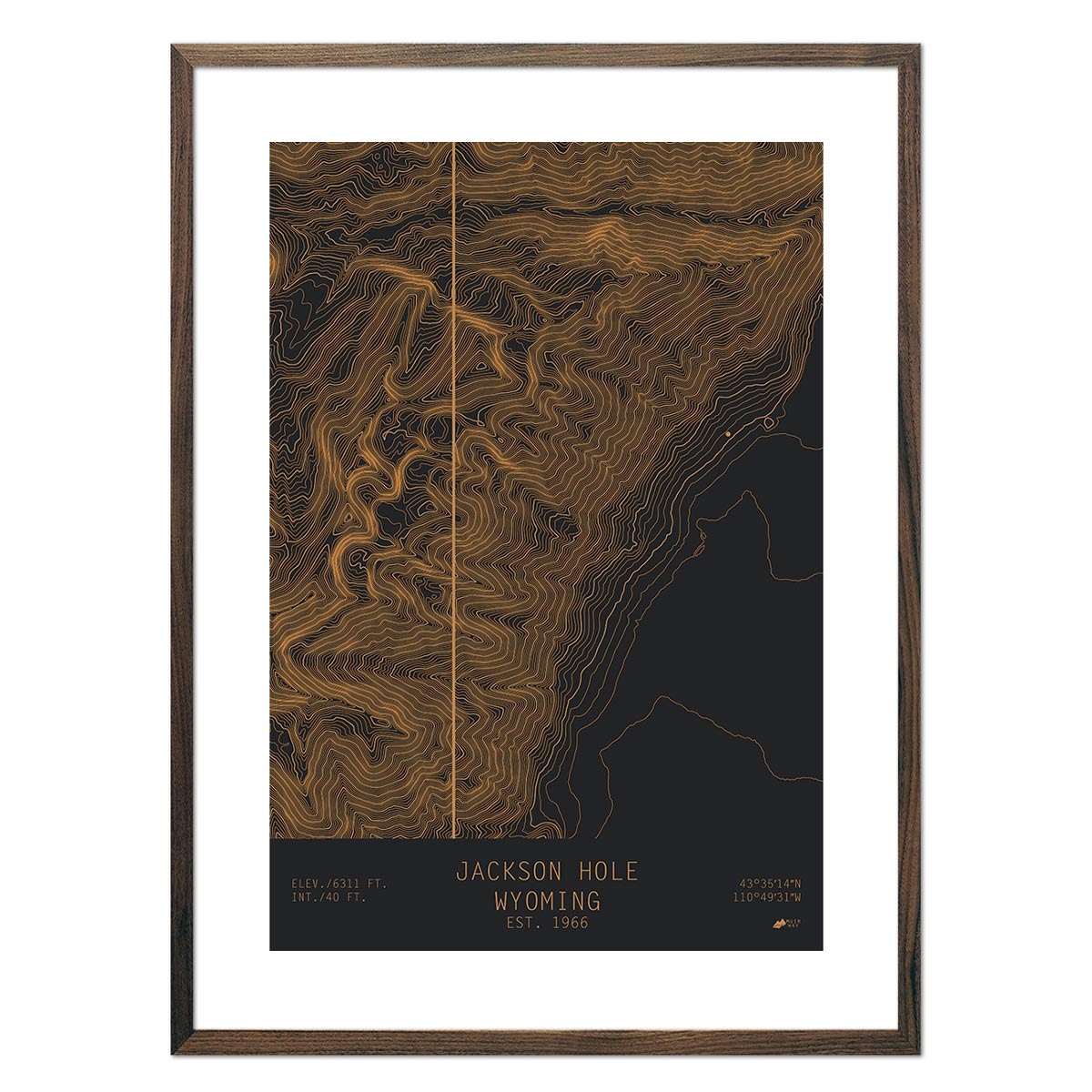
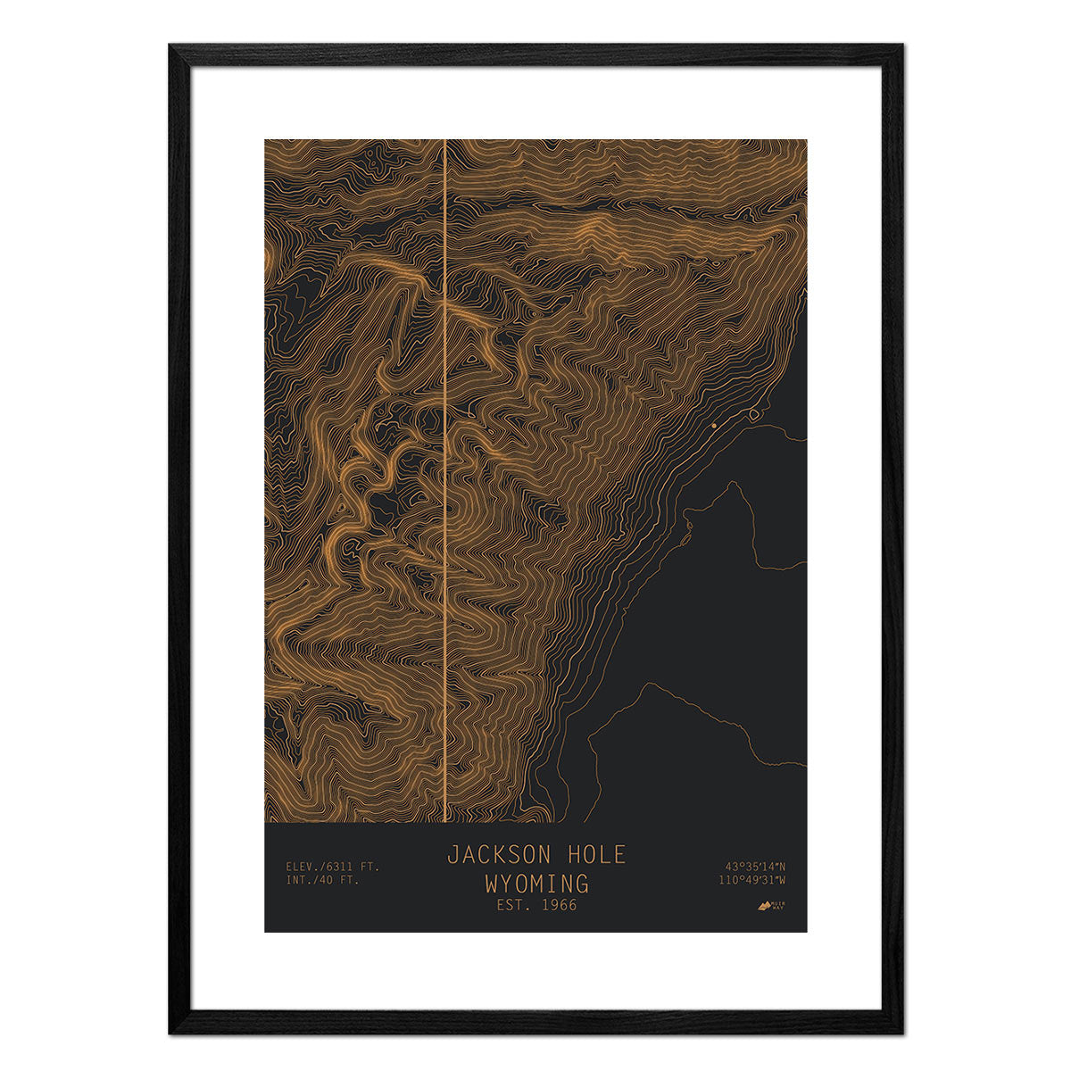
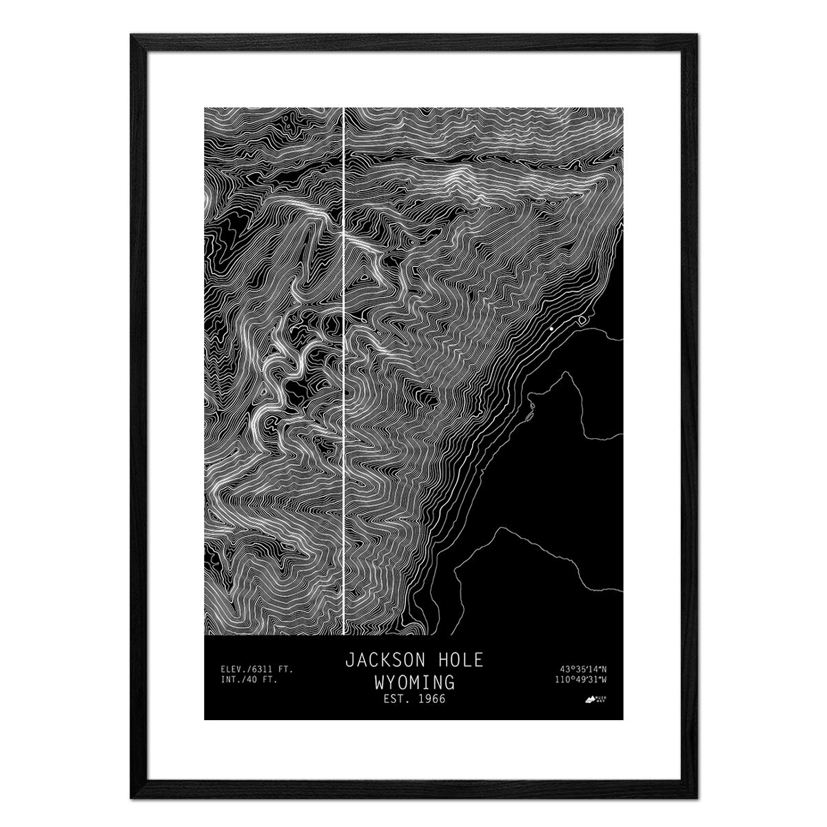
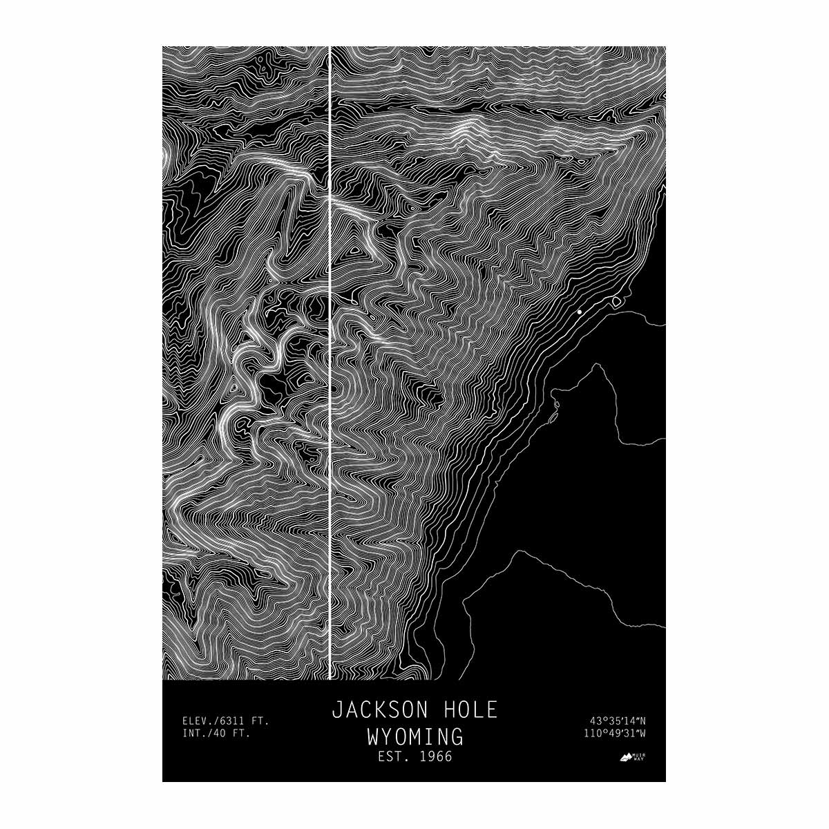
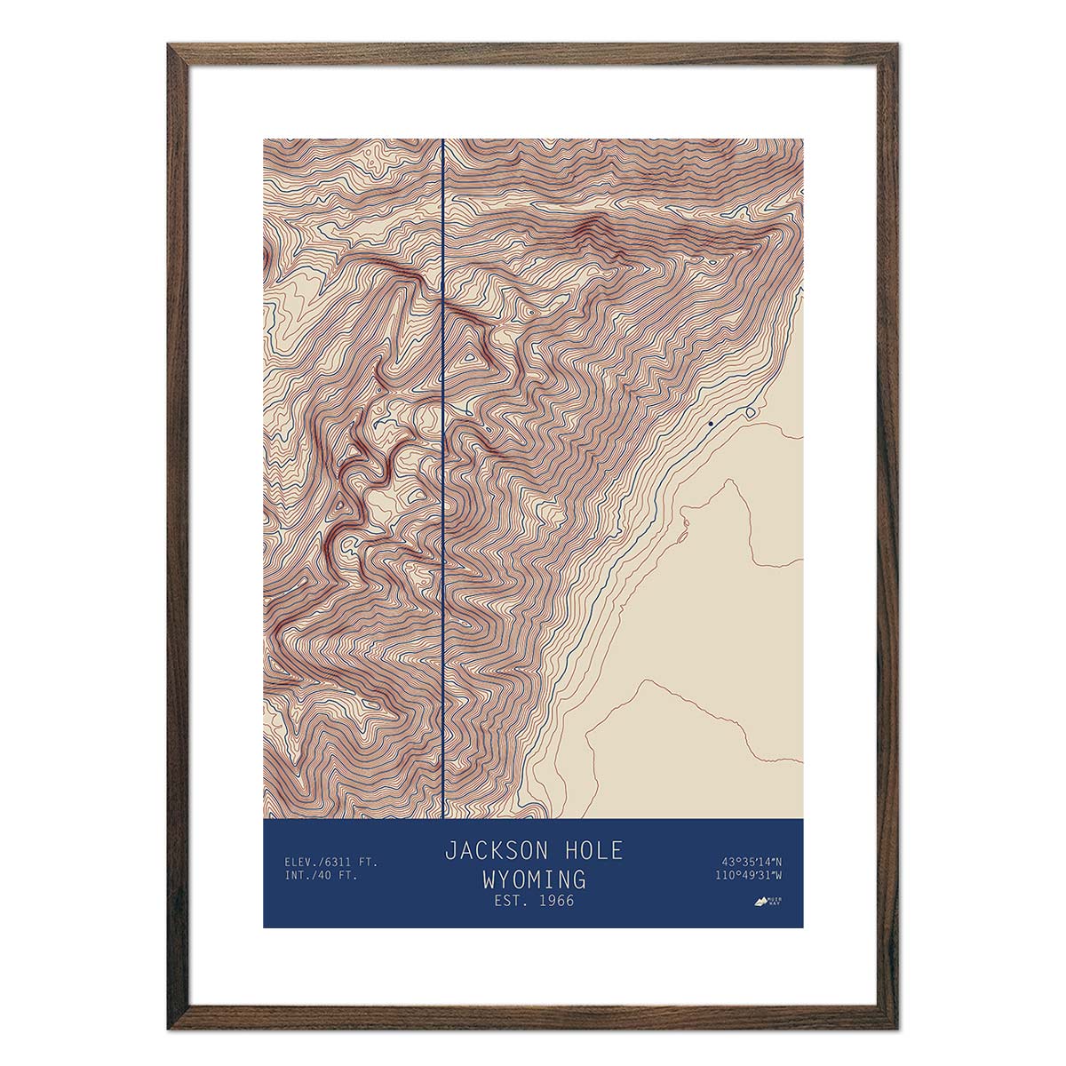
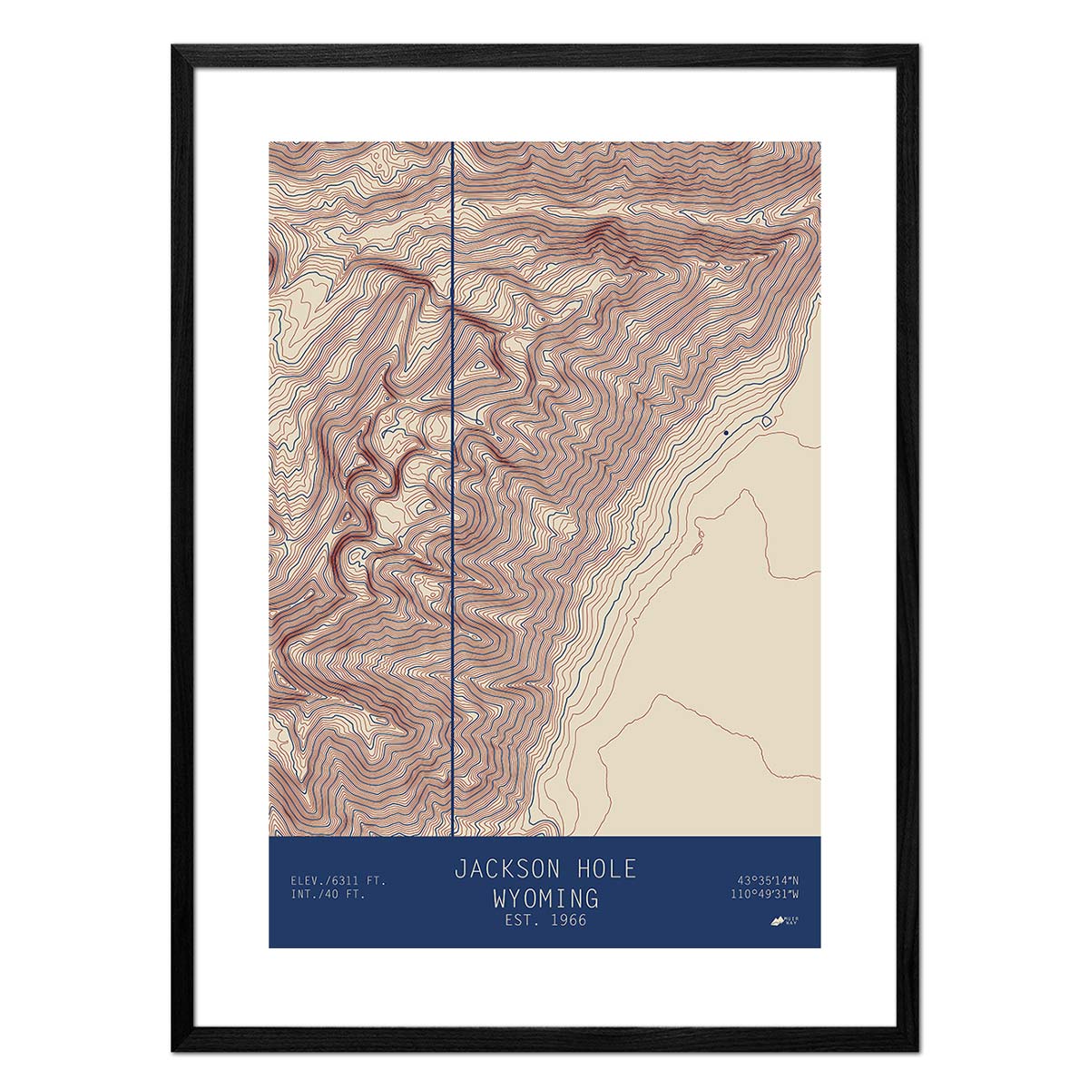
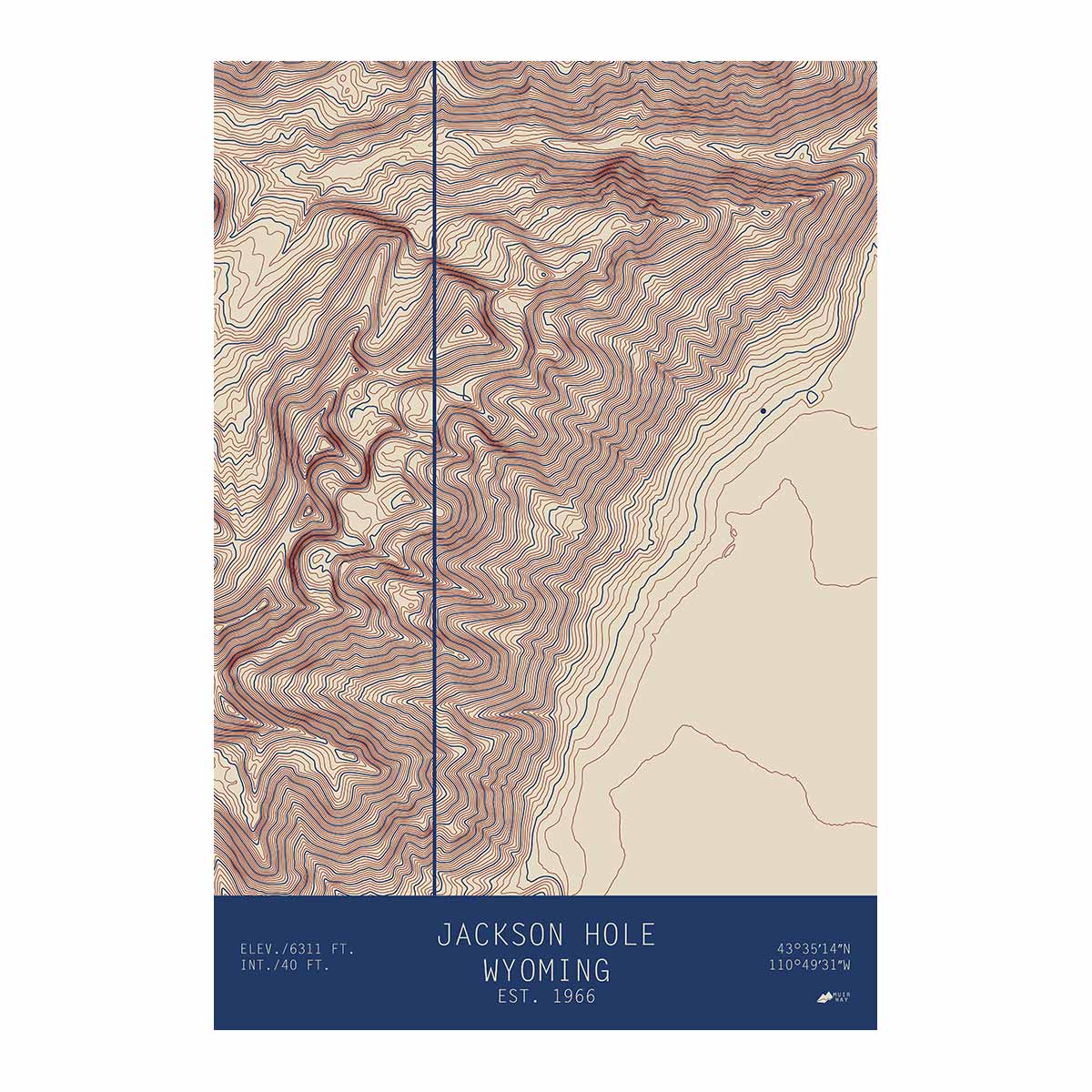
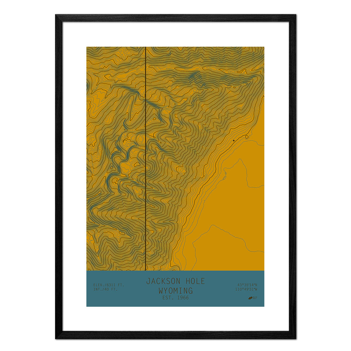
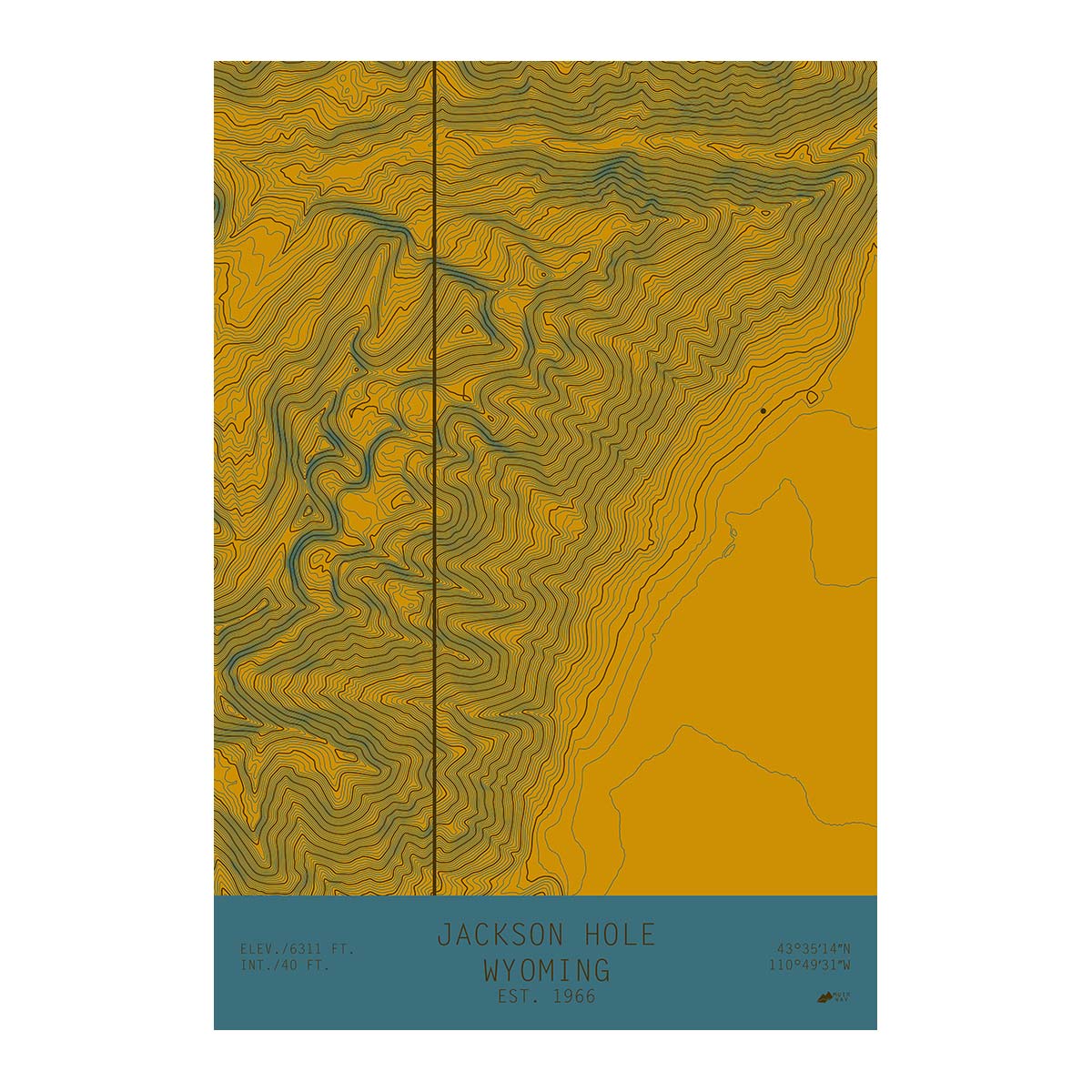
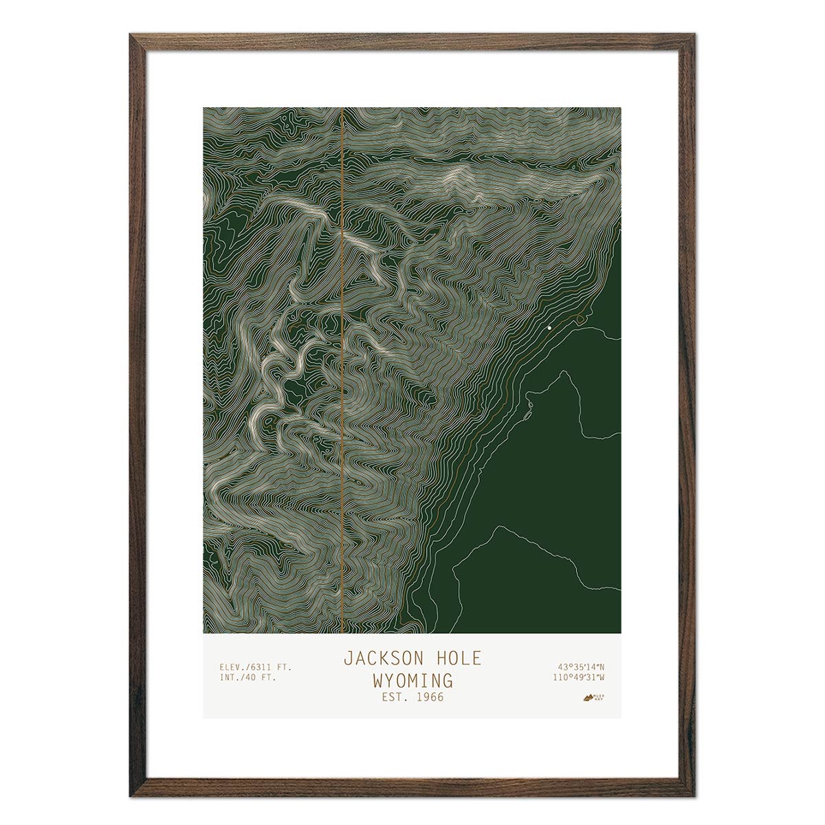
One unique aspect of our Wyoming Map collection is that we have map reproductions of before and after Wyoming became a state in 1890. The Wyoming Territory Map of 1876 and Wyoming 1883 Maps can give you a glimpse of Wyoming prior to becoming a state. And then our more modern maps, such as the Jackson Hole 1931 USGS Map can help tell the story of how Wyoming has transformed over time.
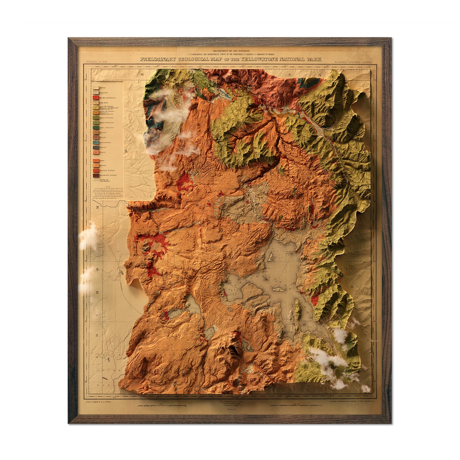
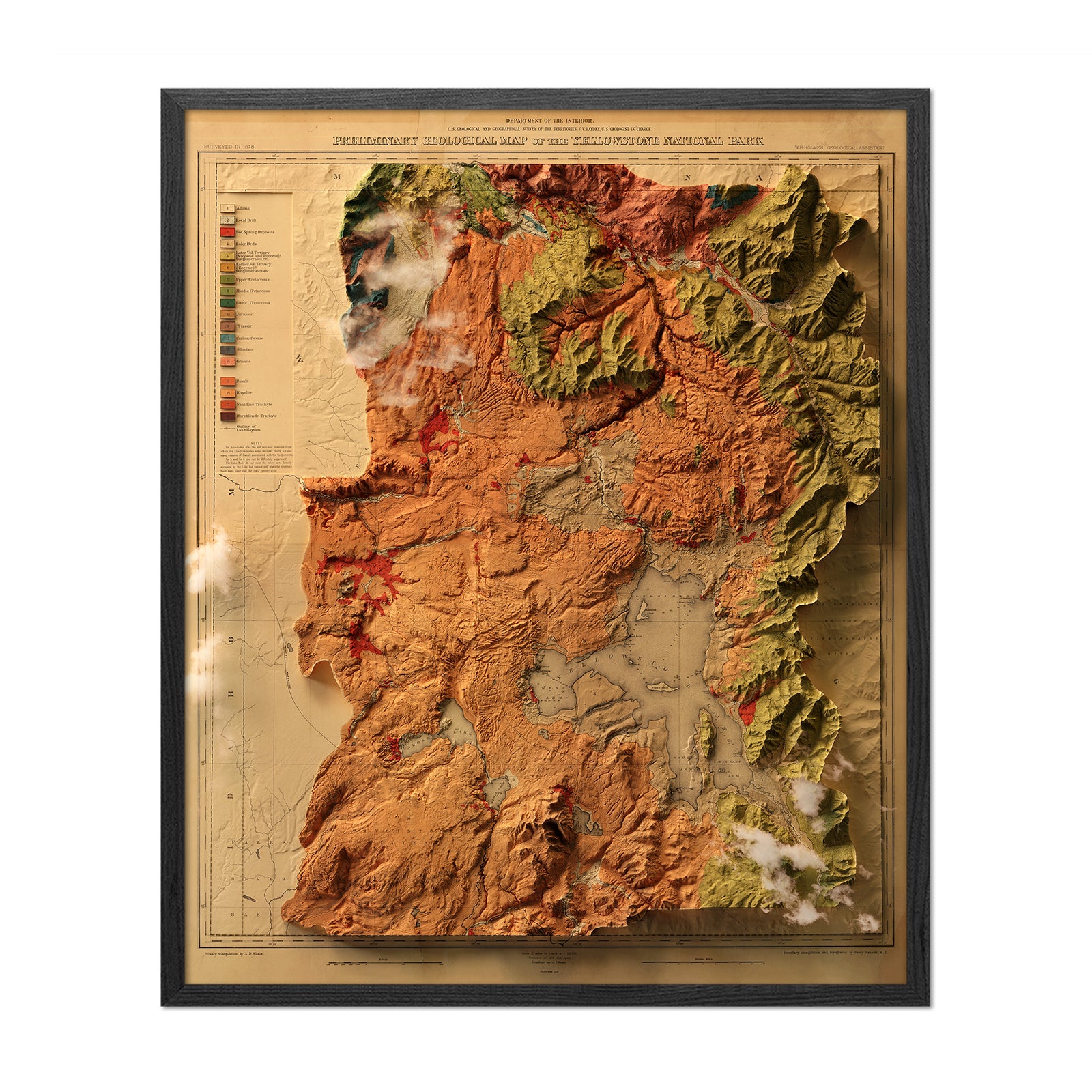
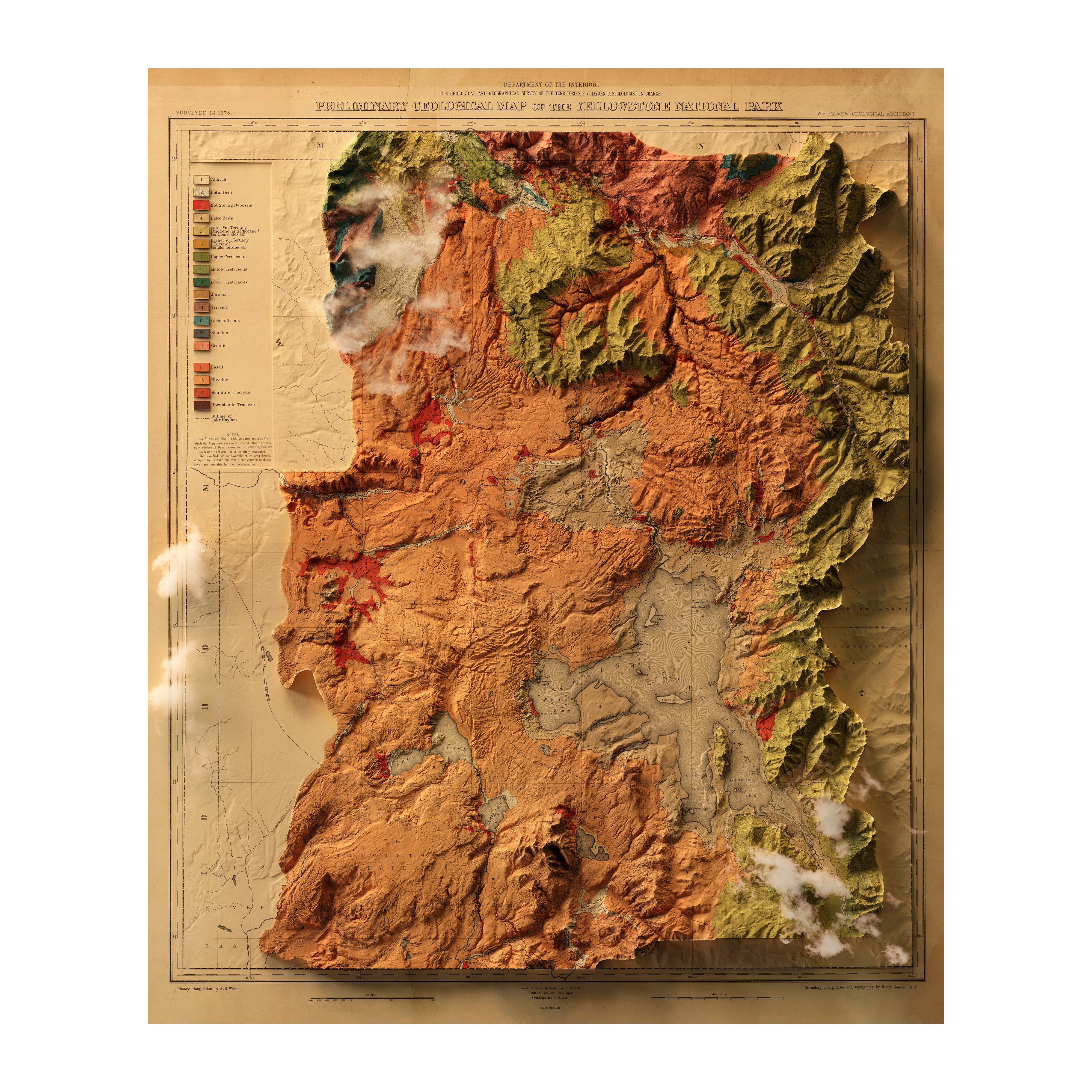
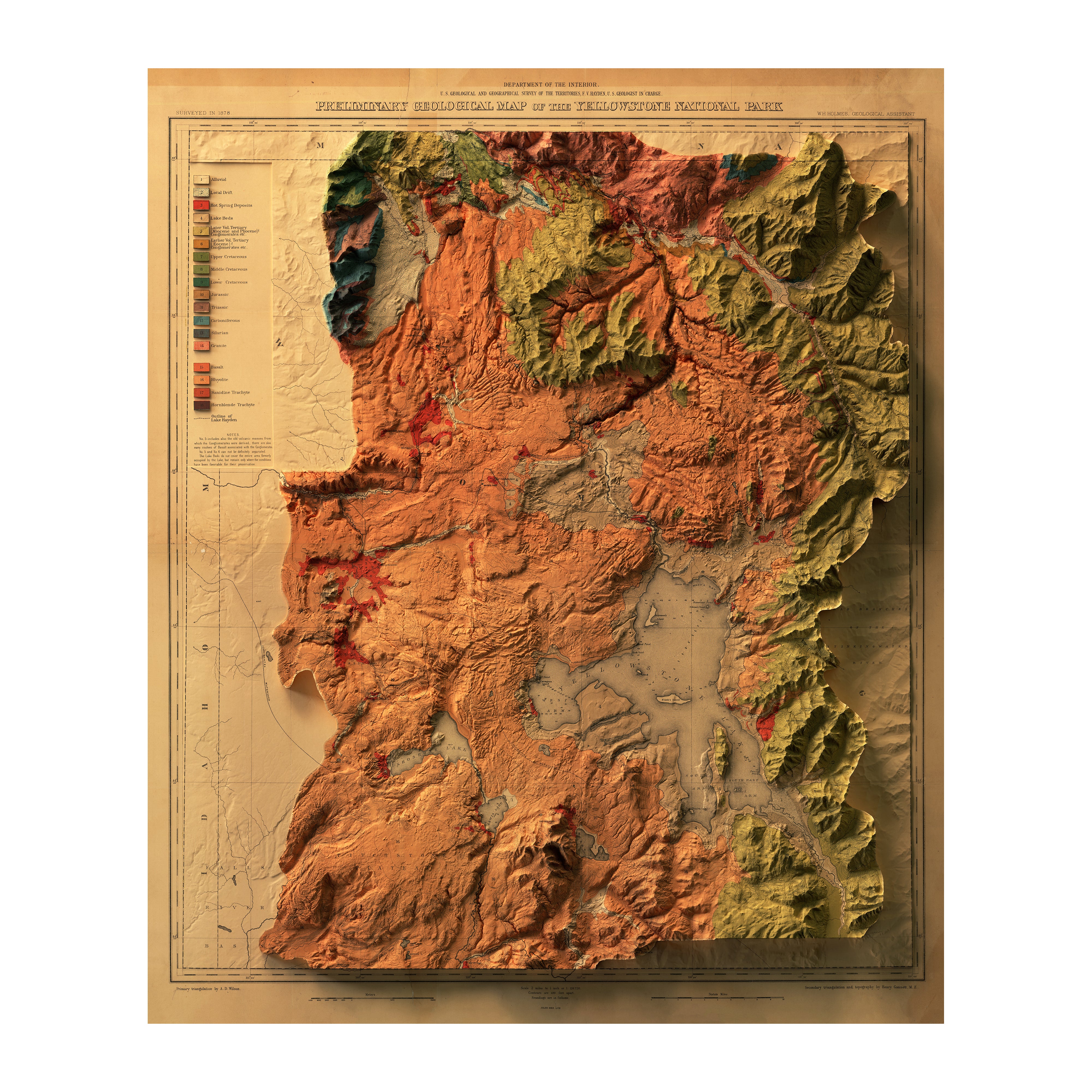
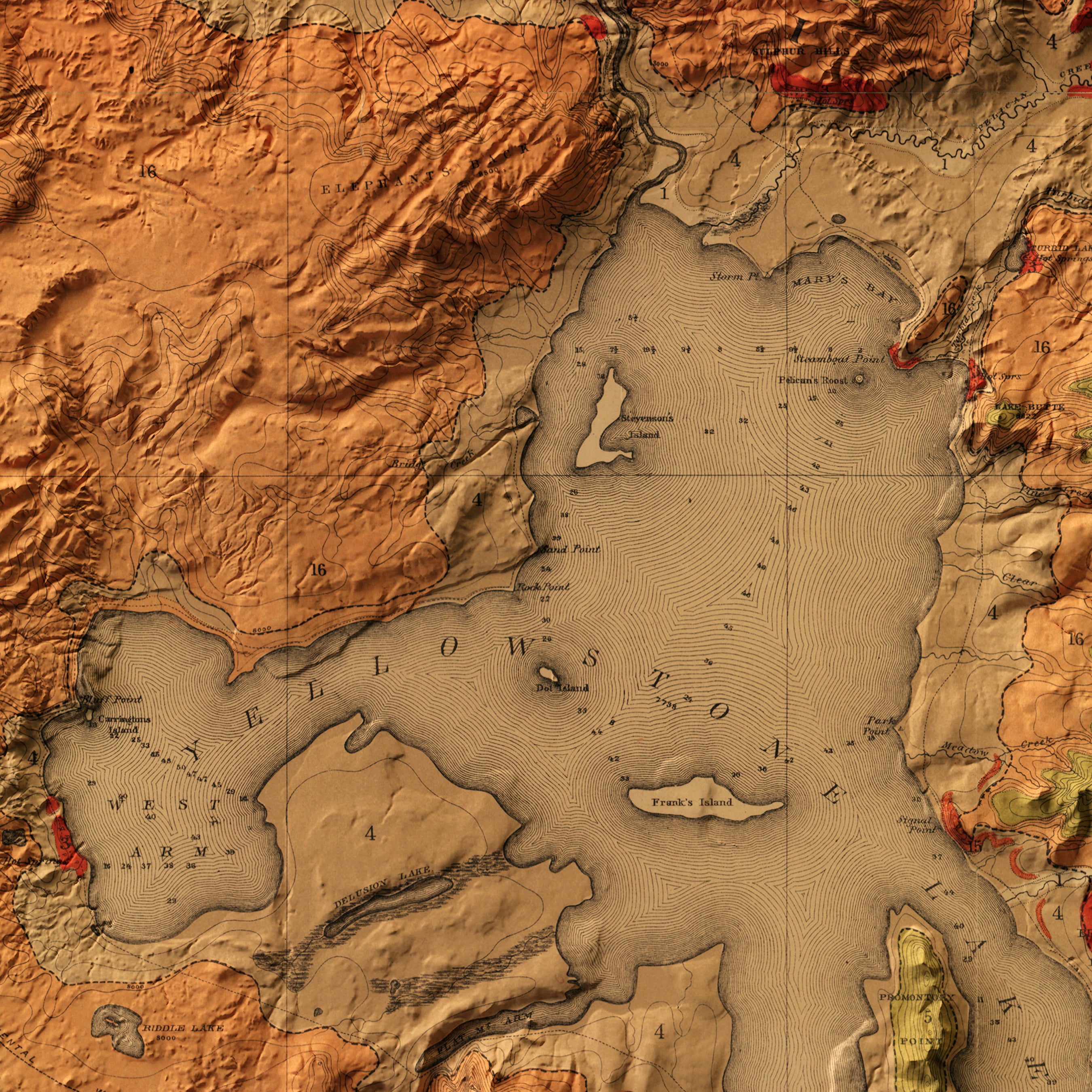
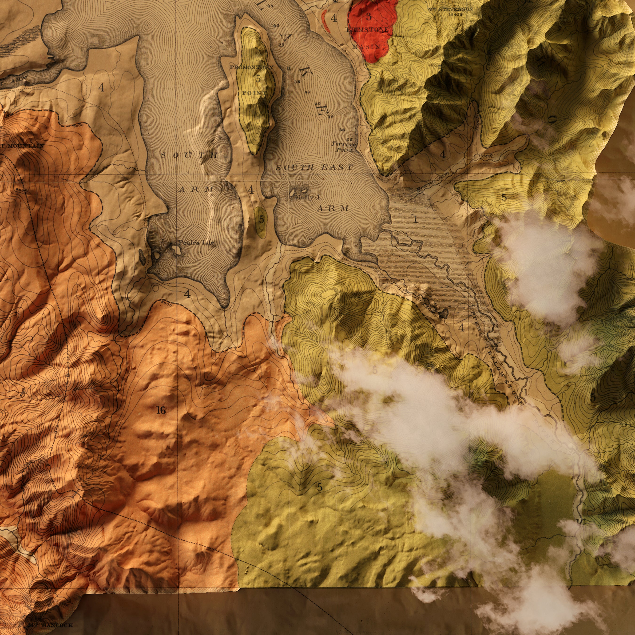
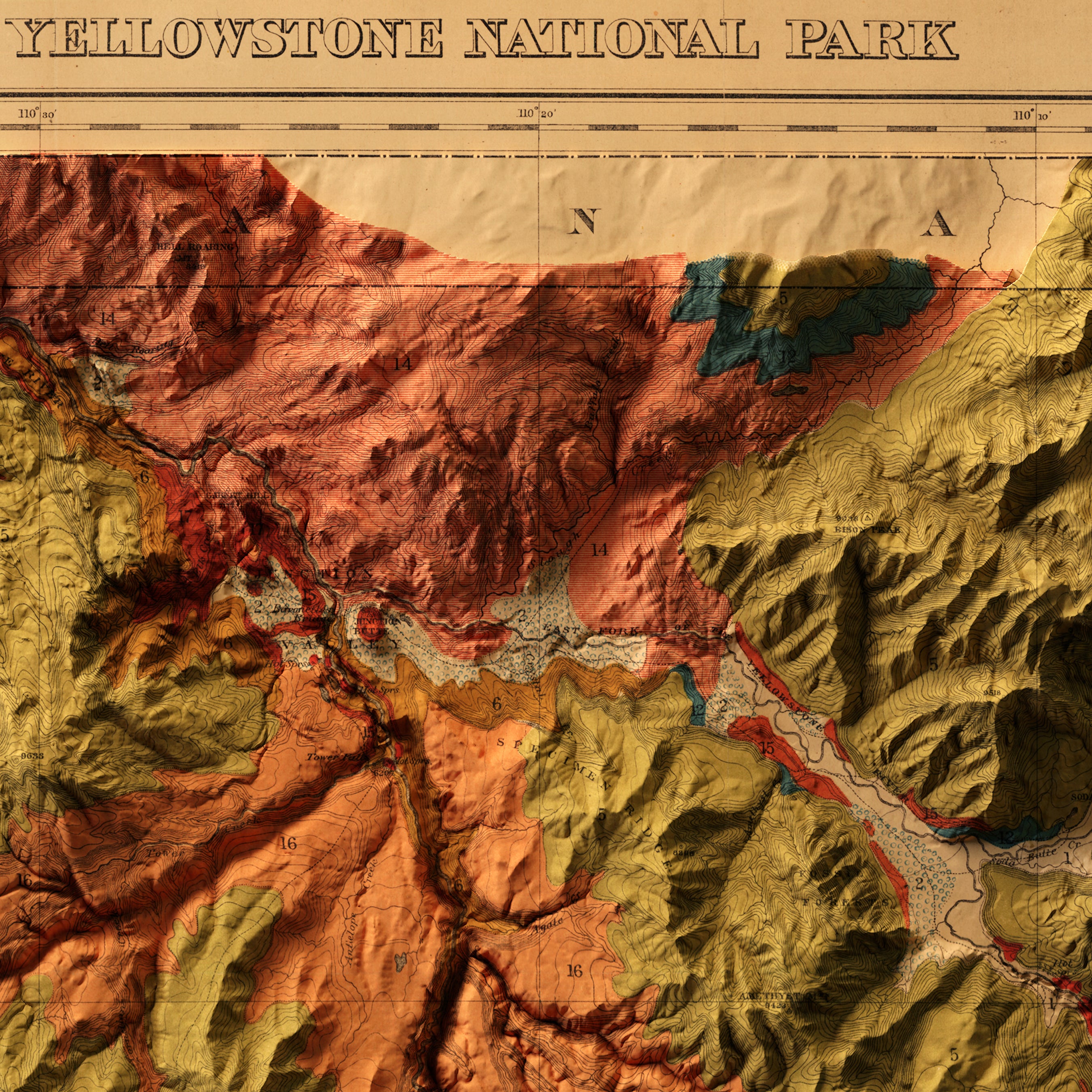
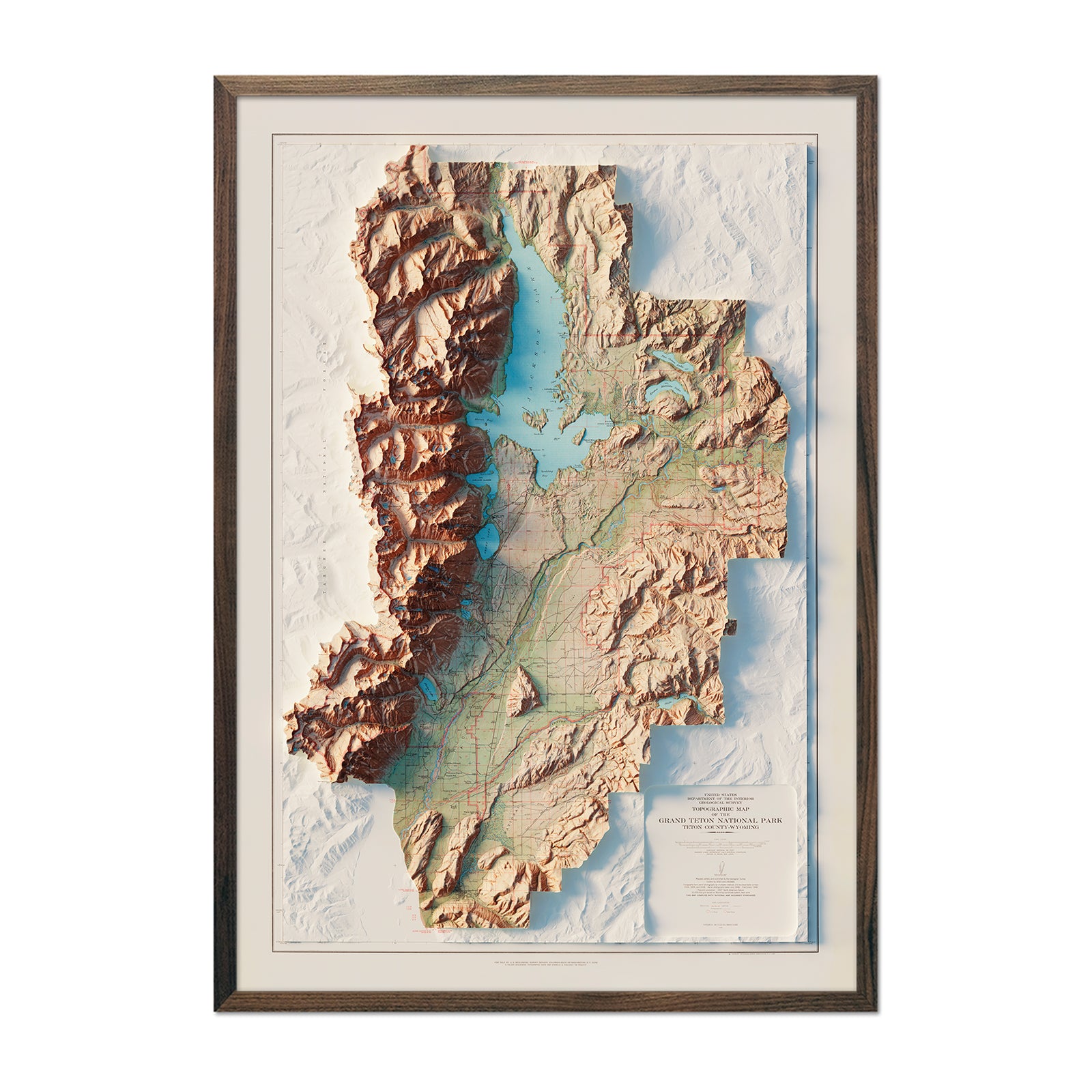
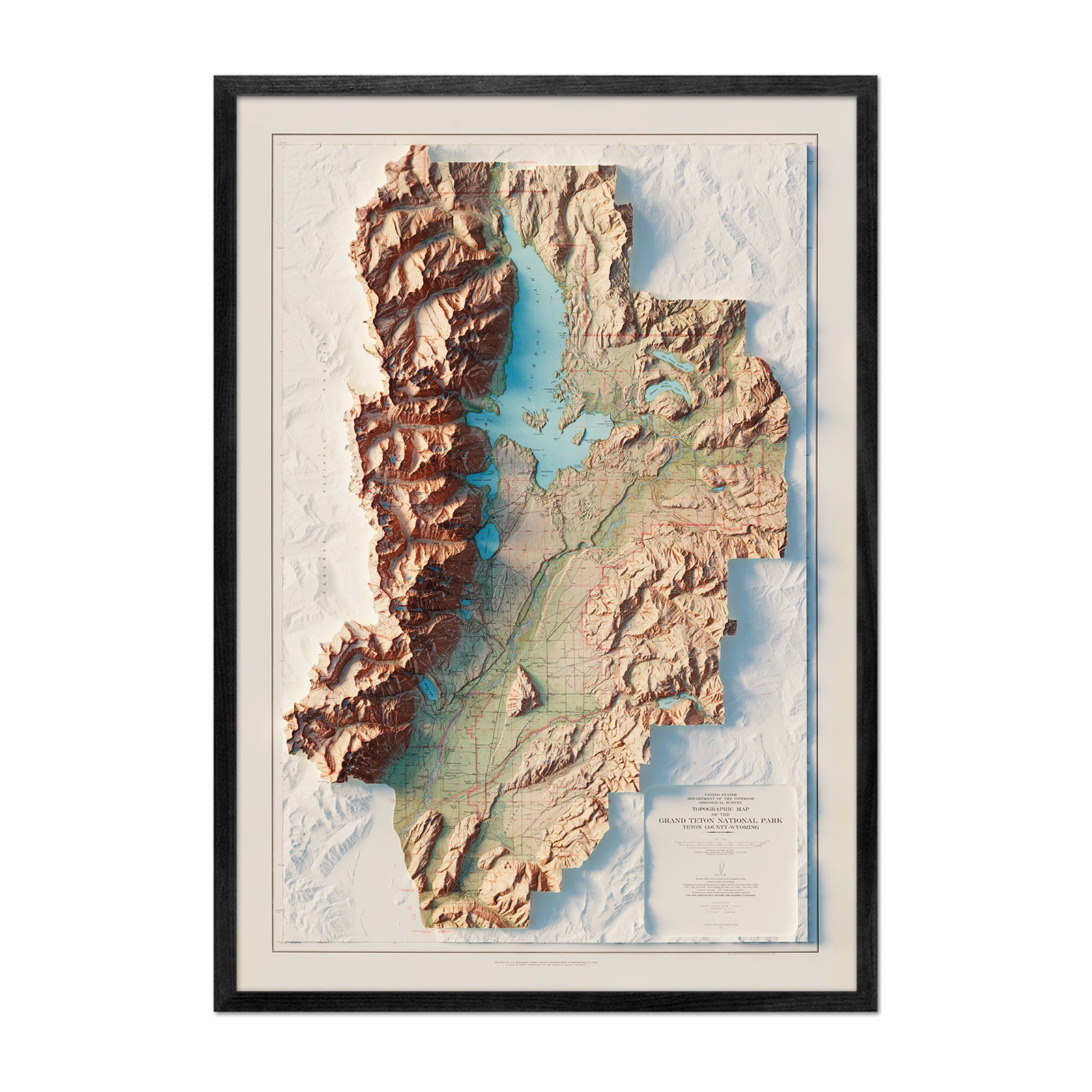
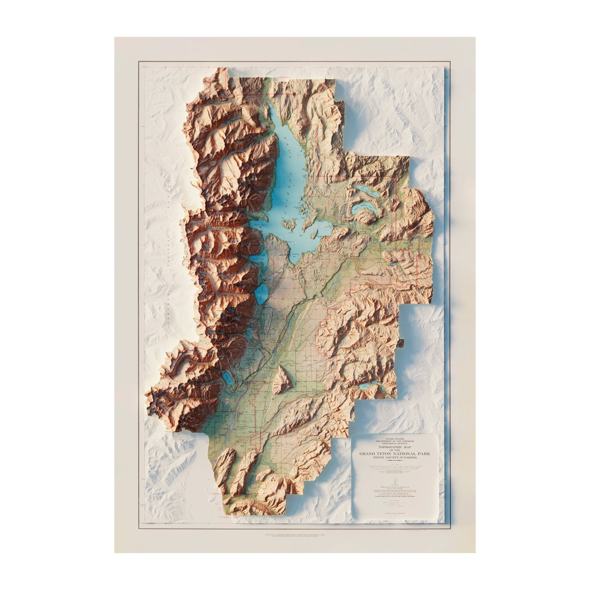
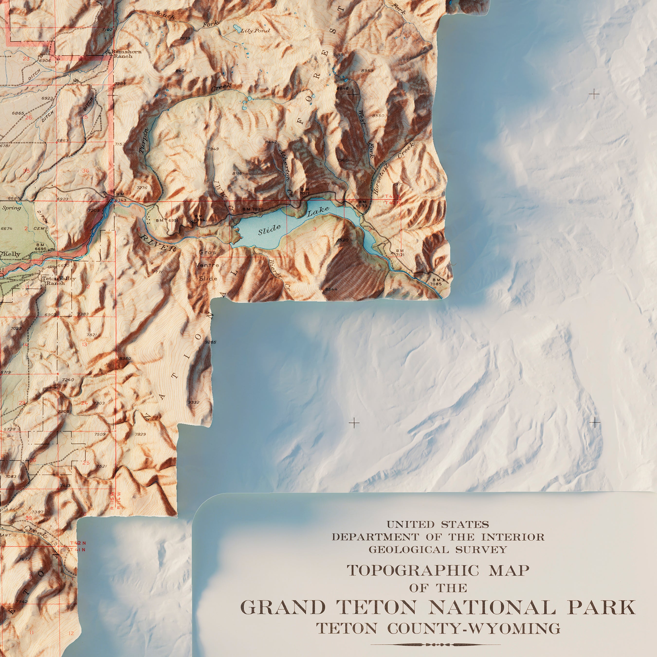
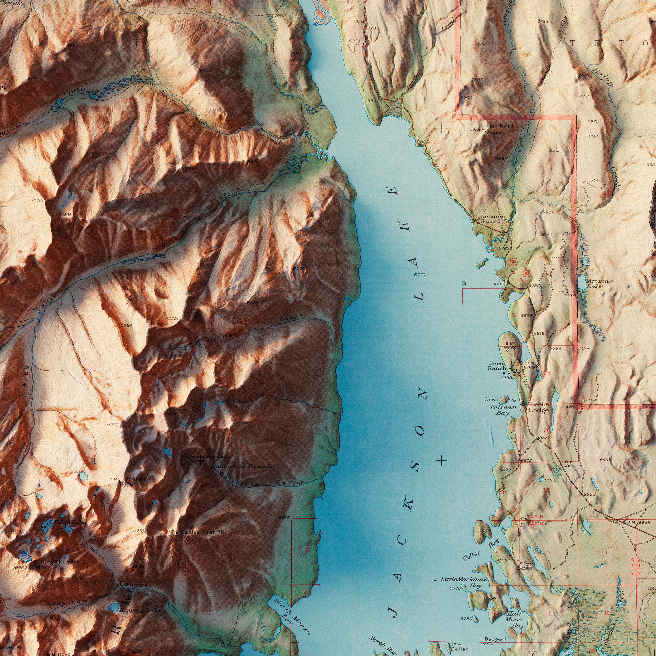
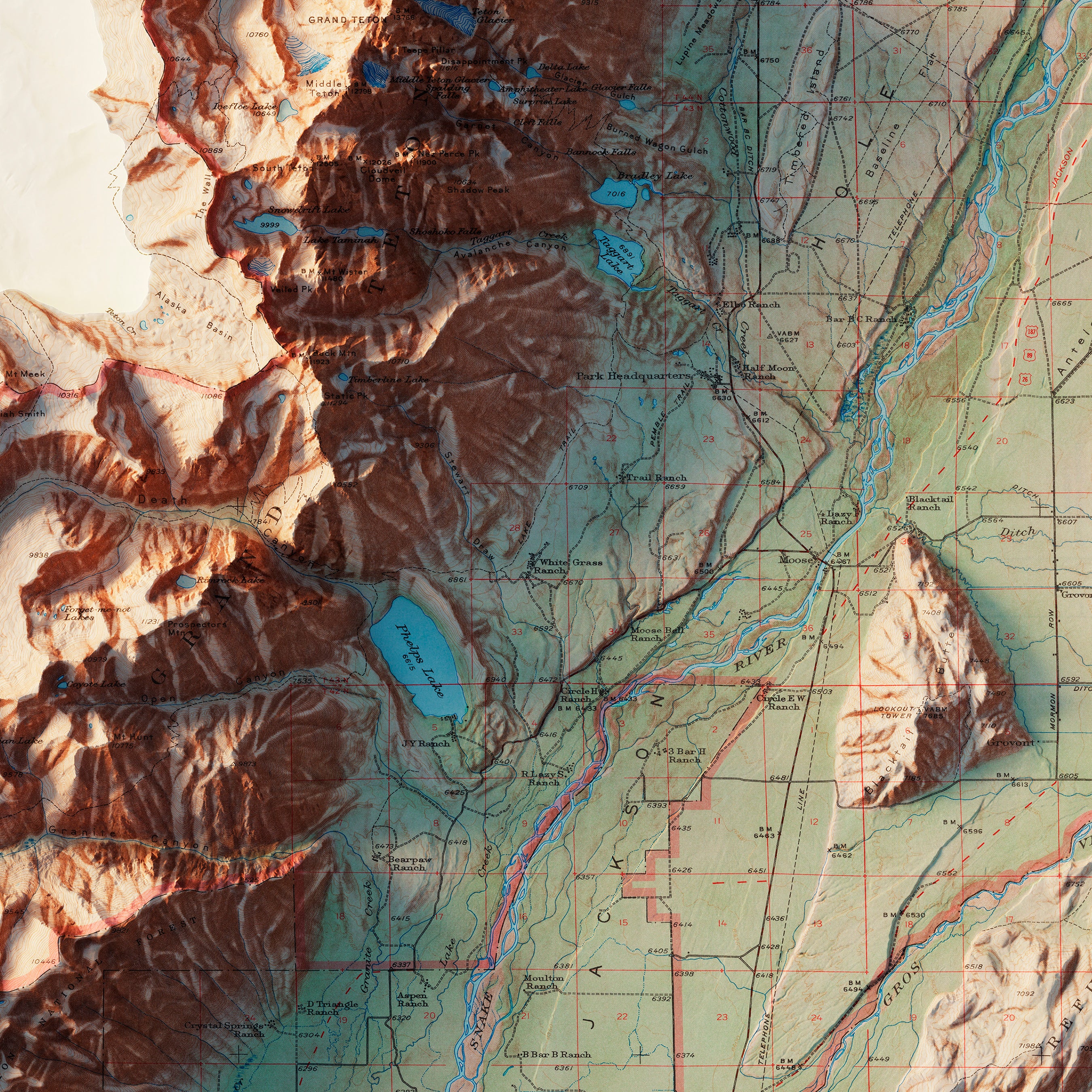
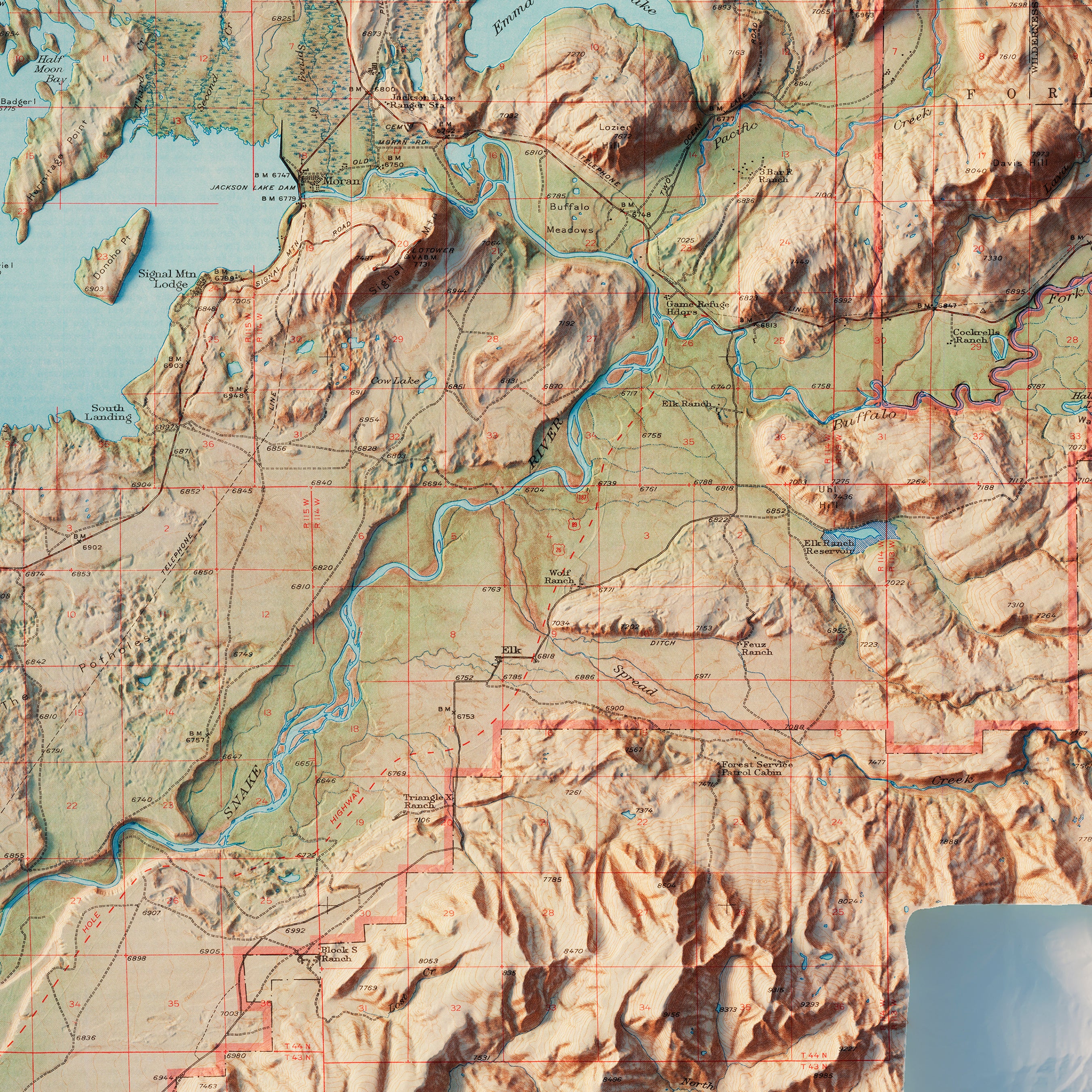
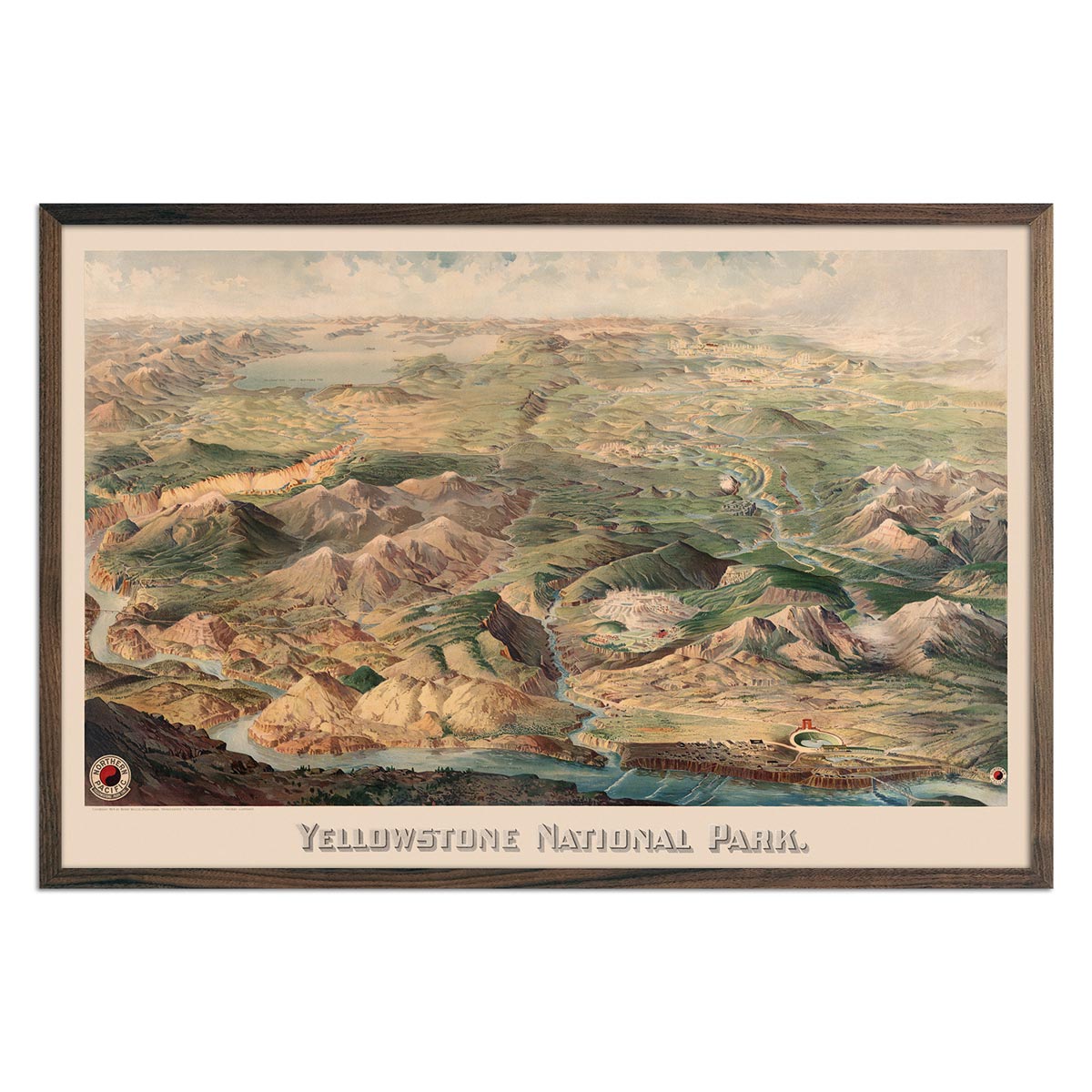
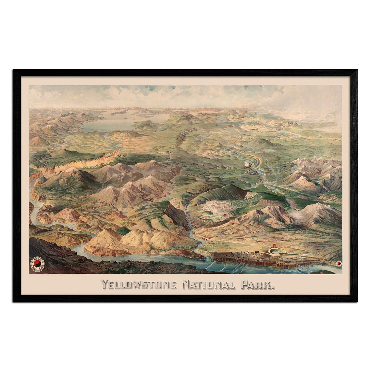
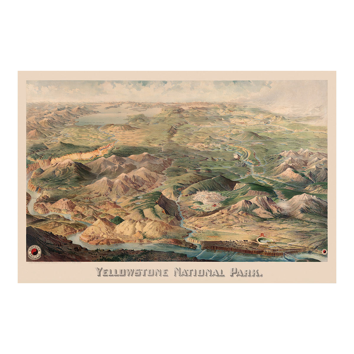
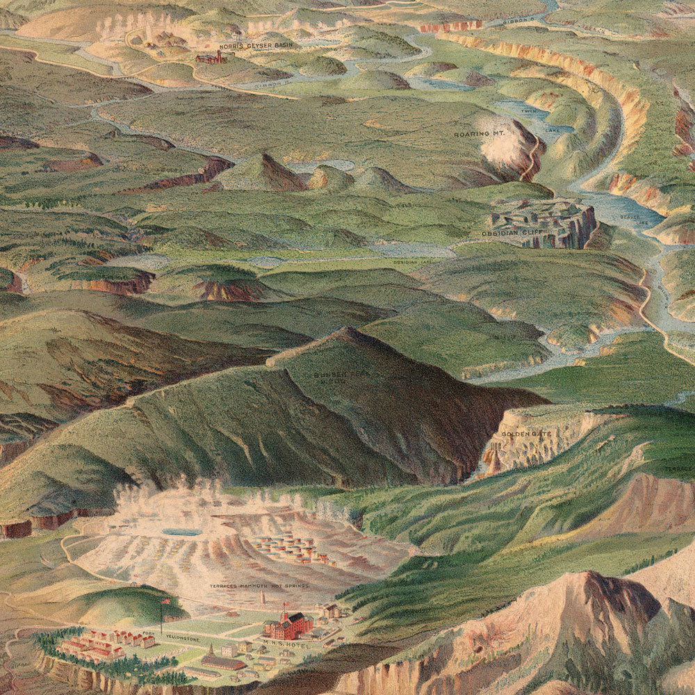
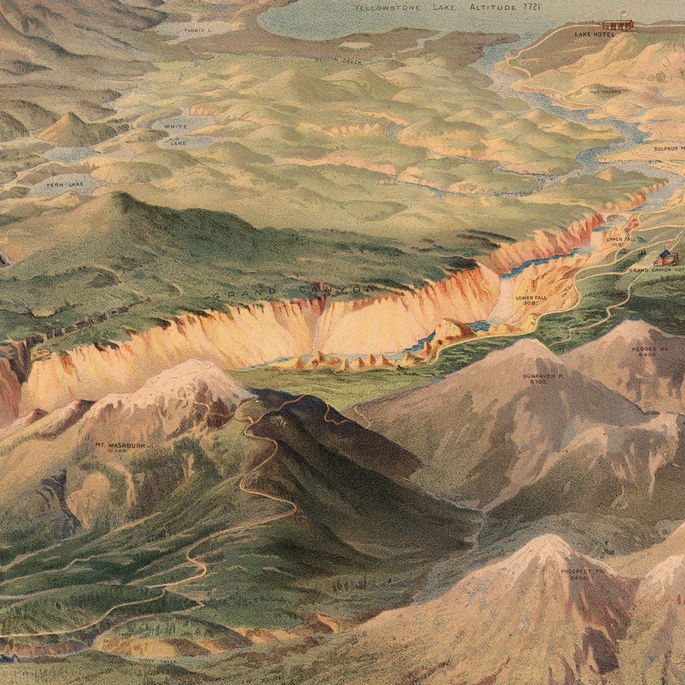
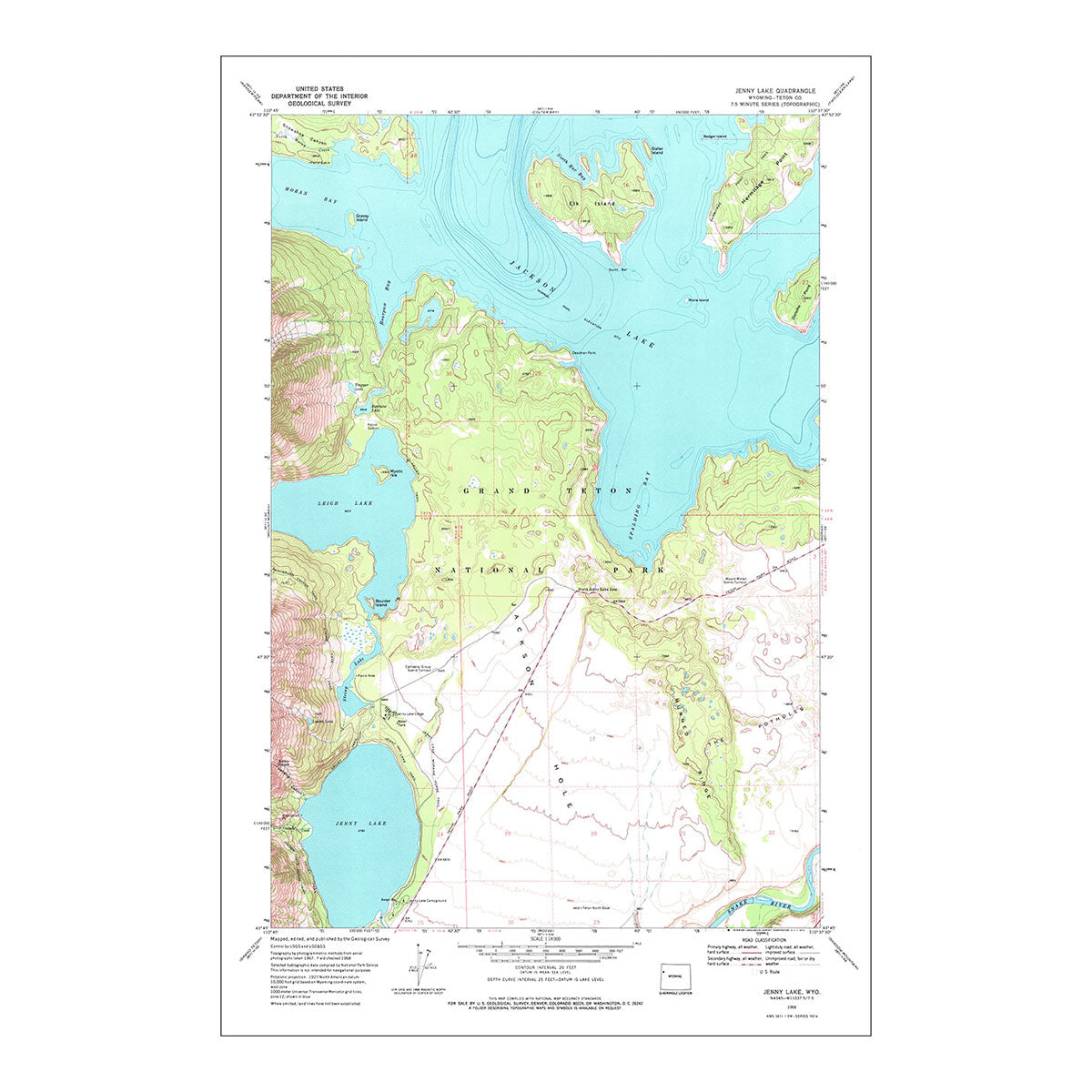
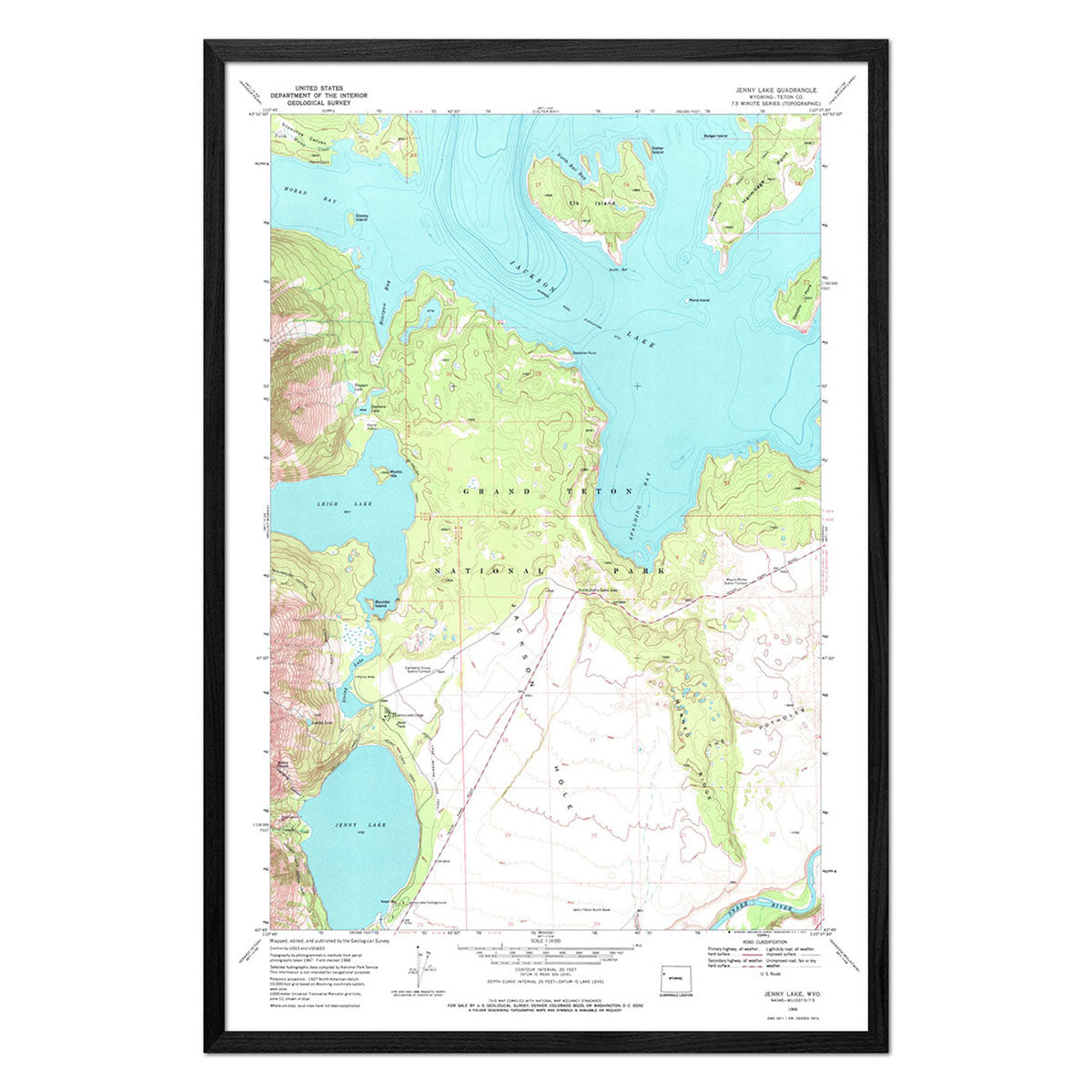
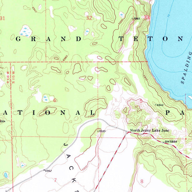
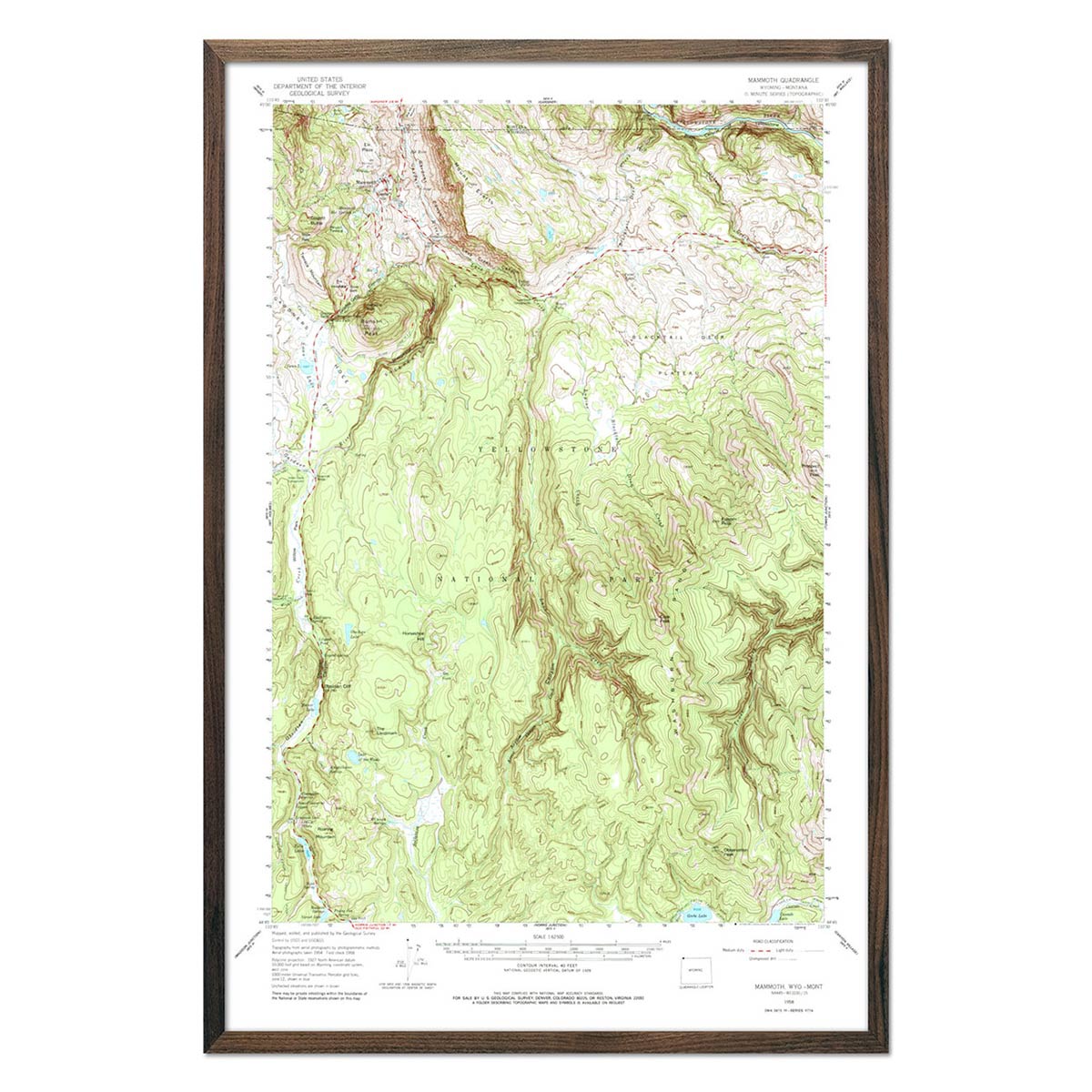
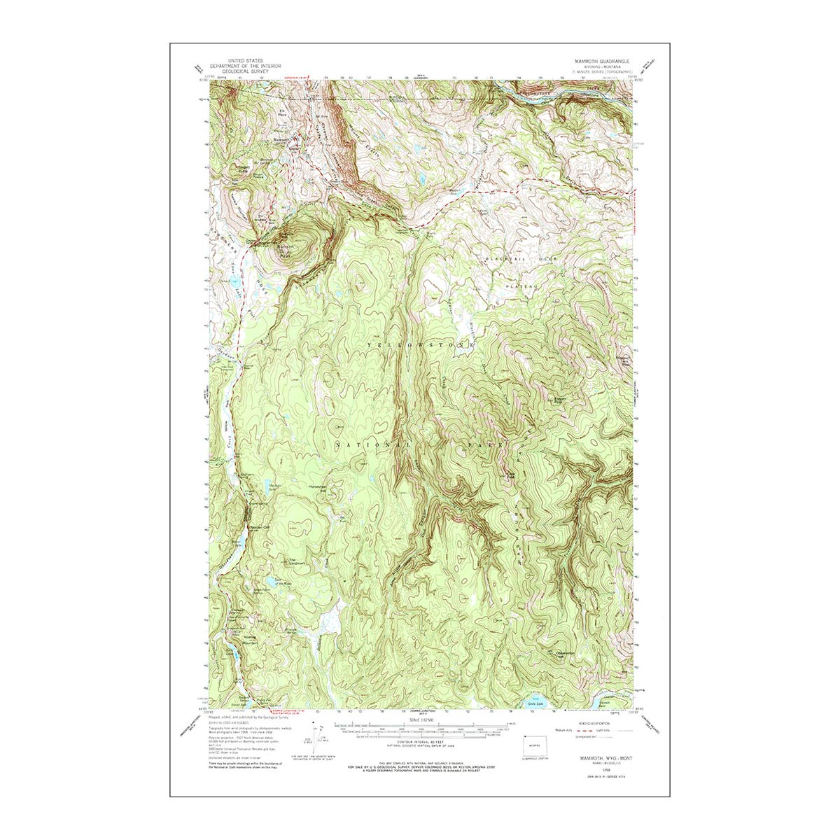
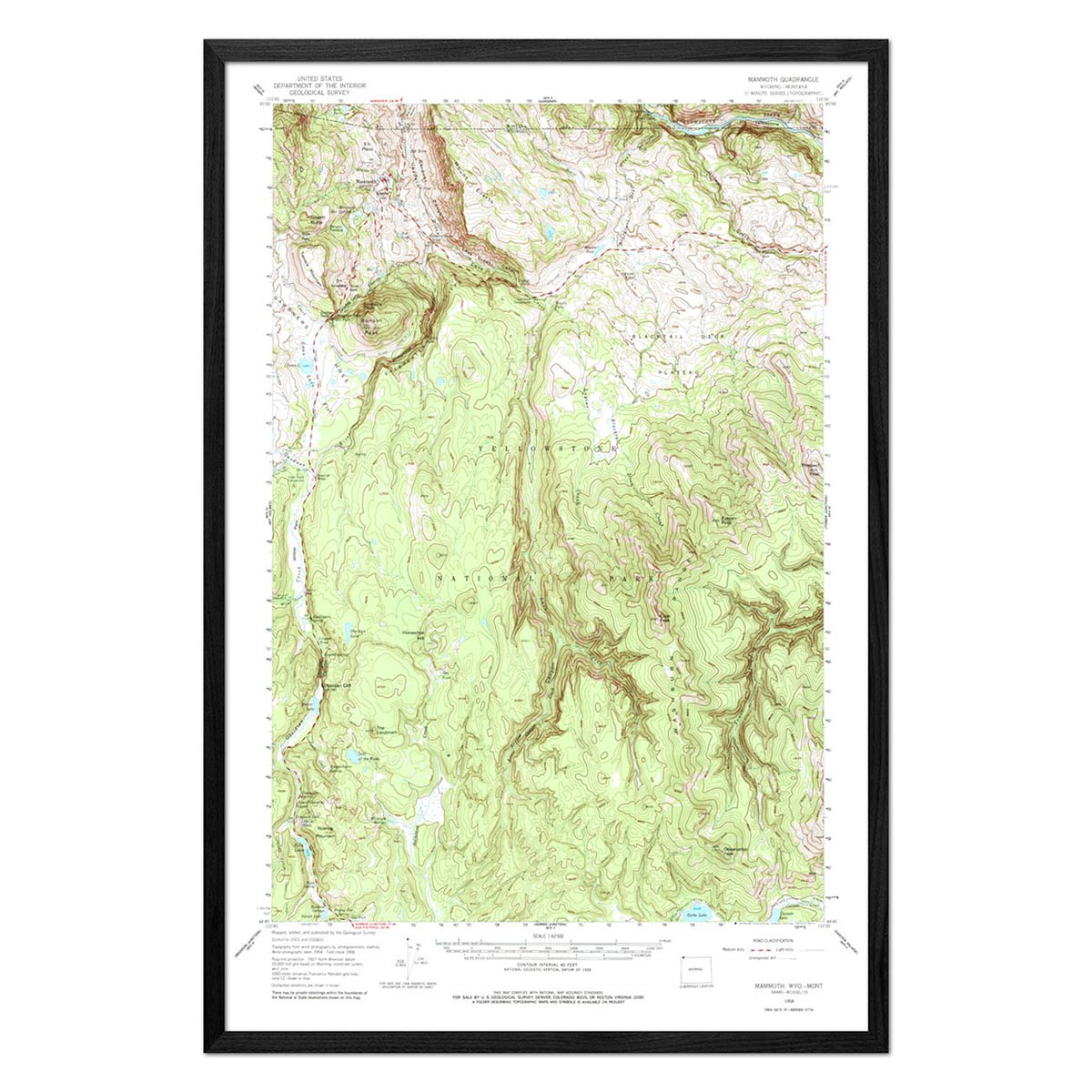
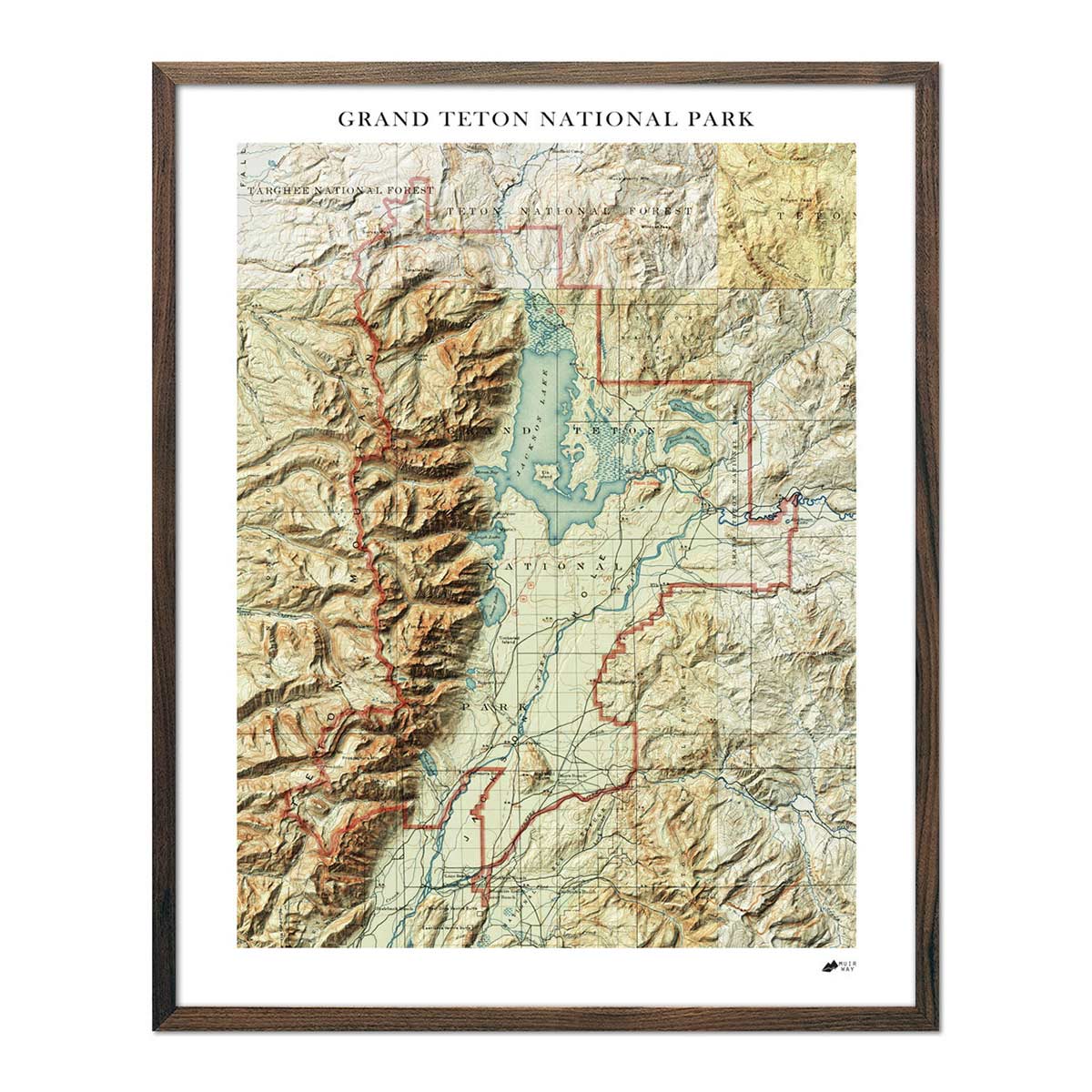
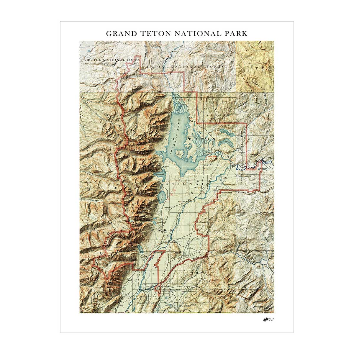
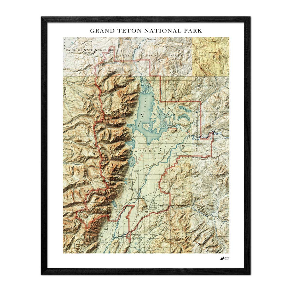
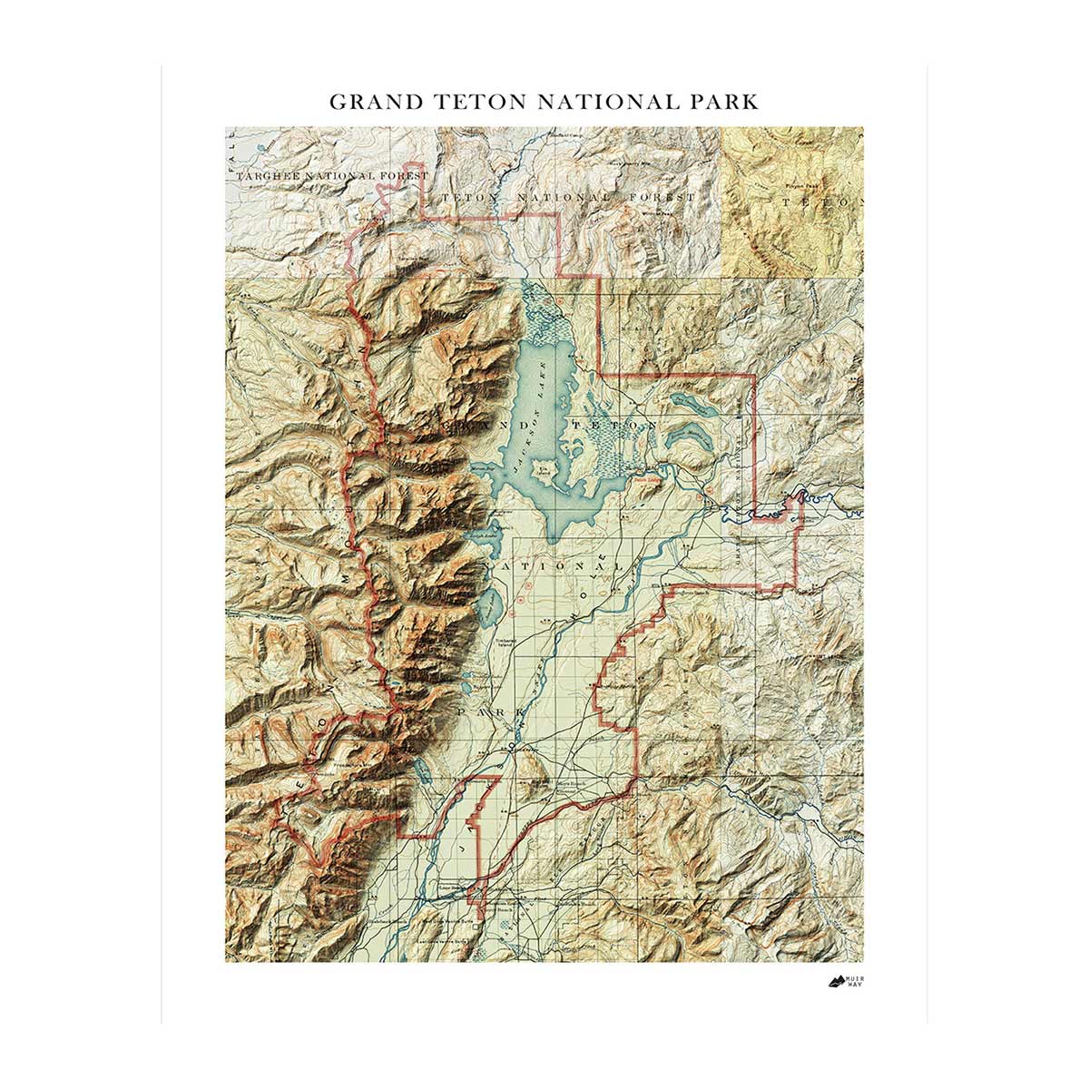
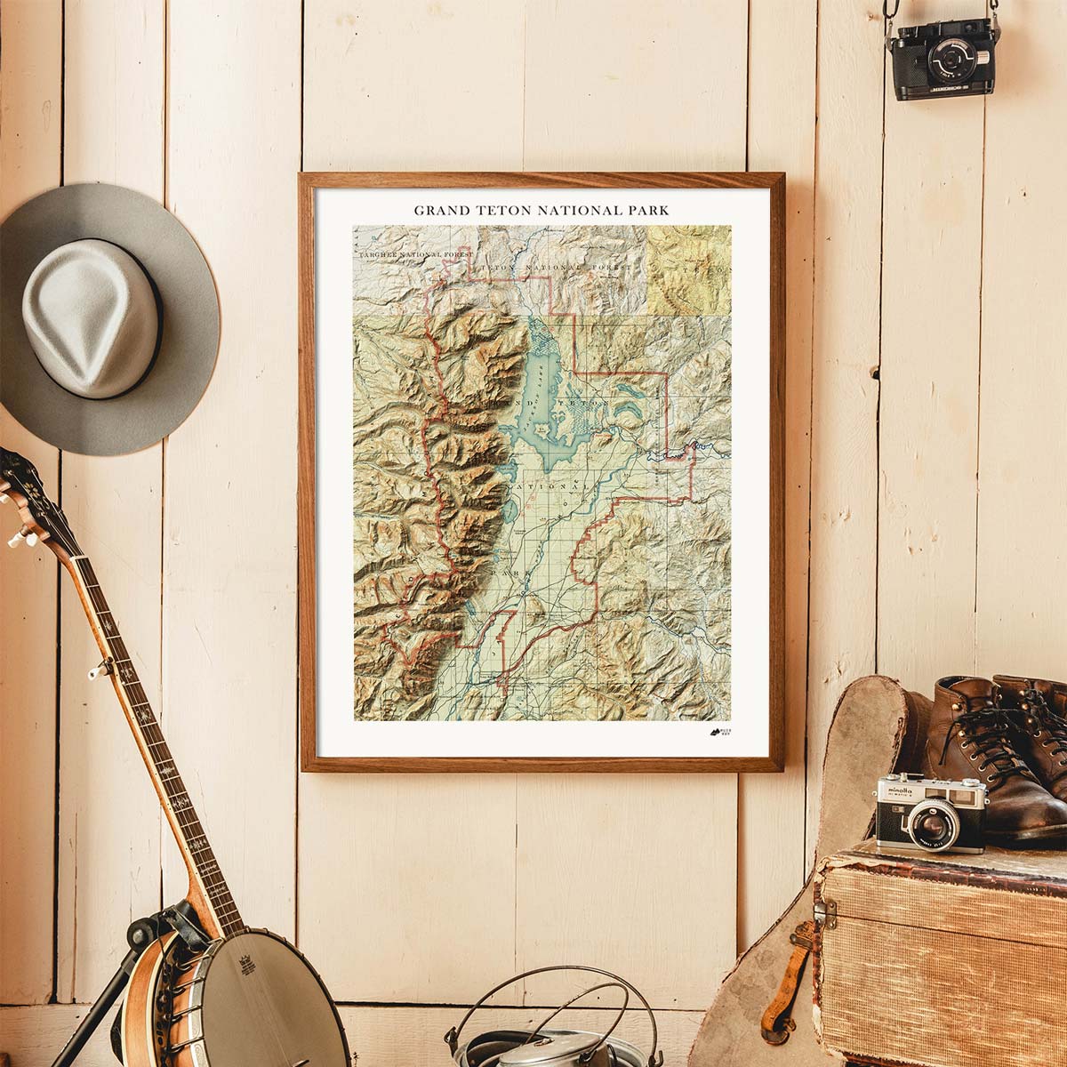
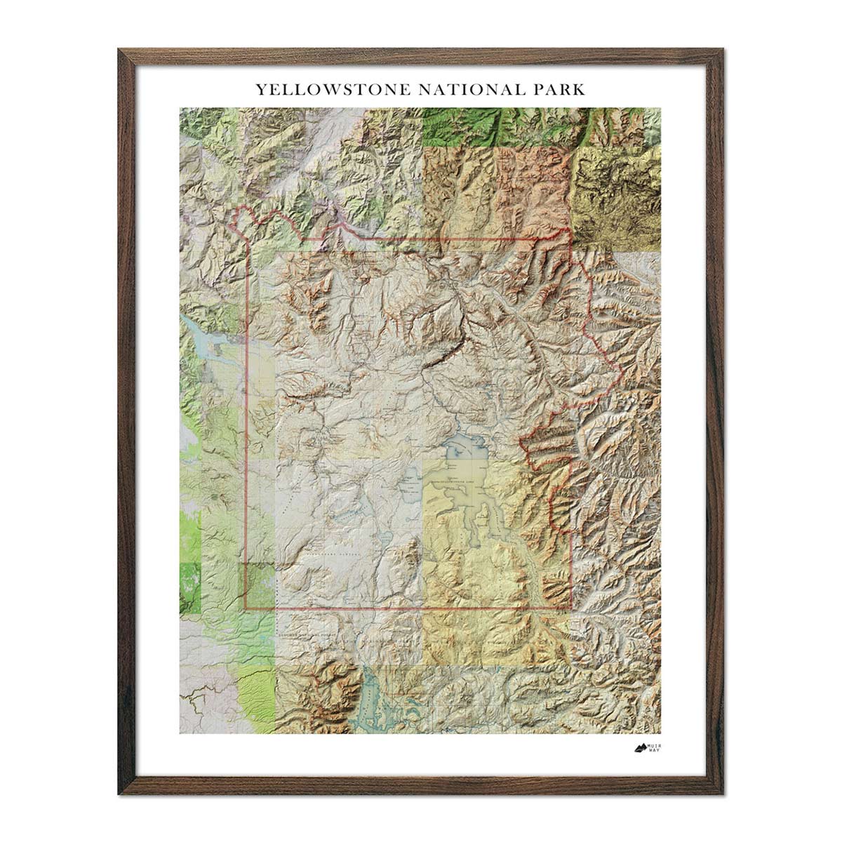
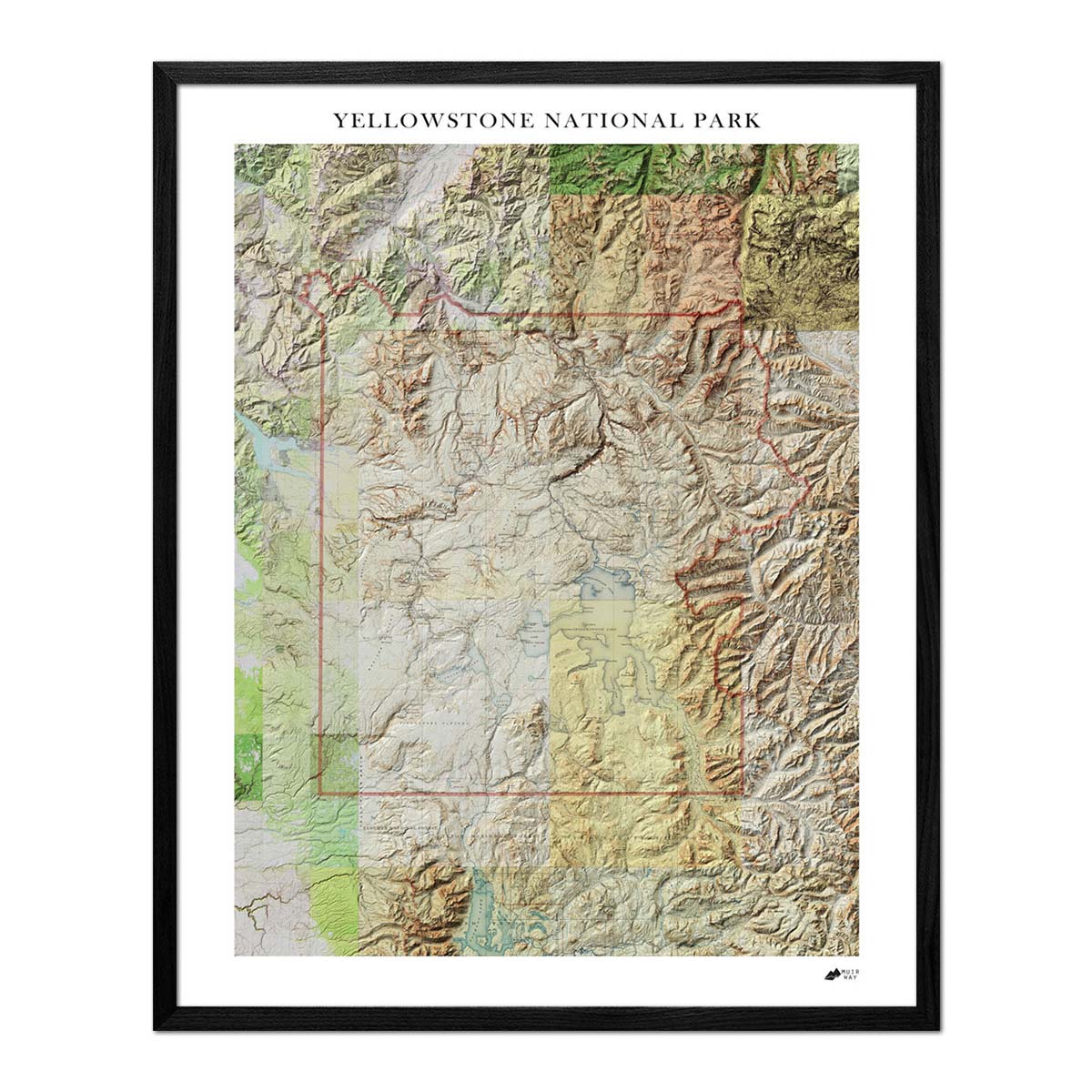
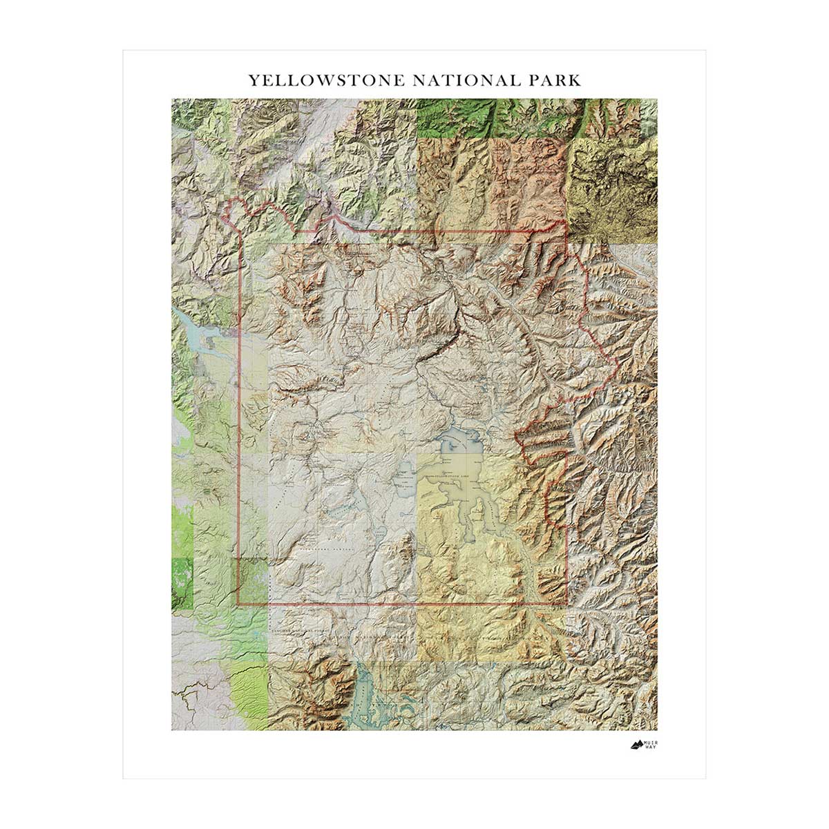
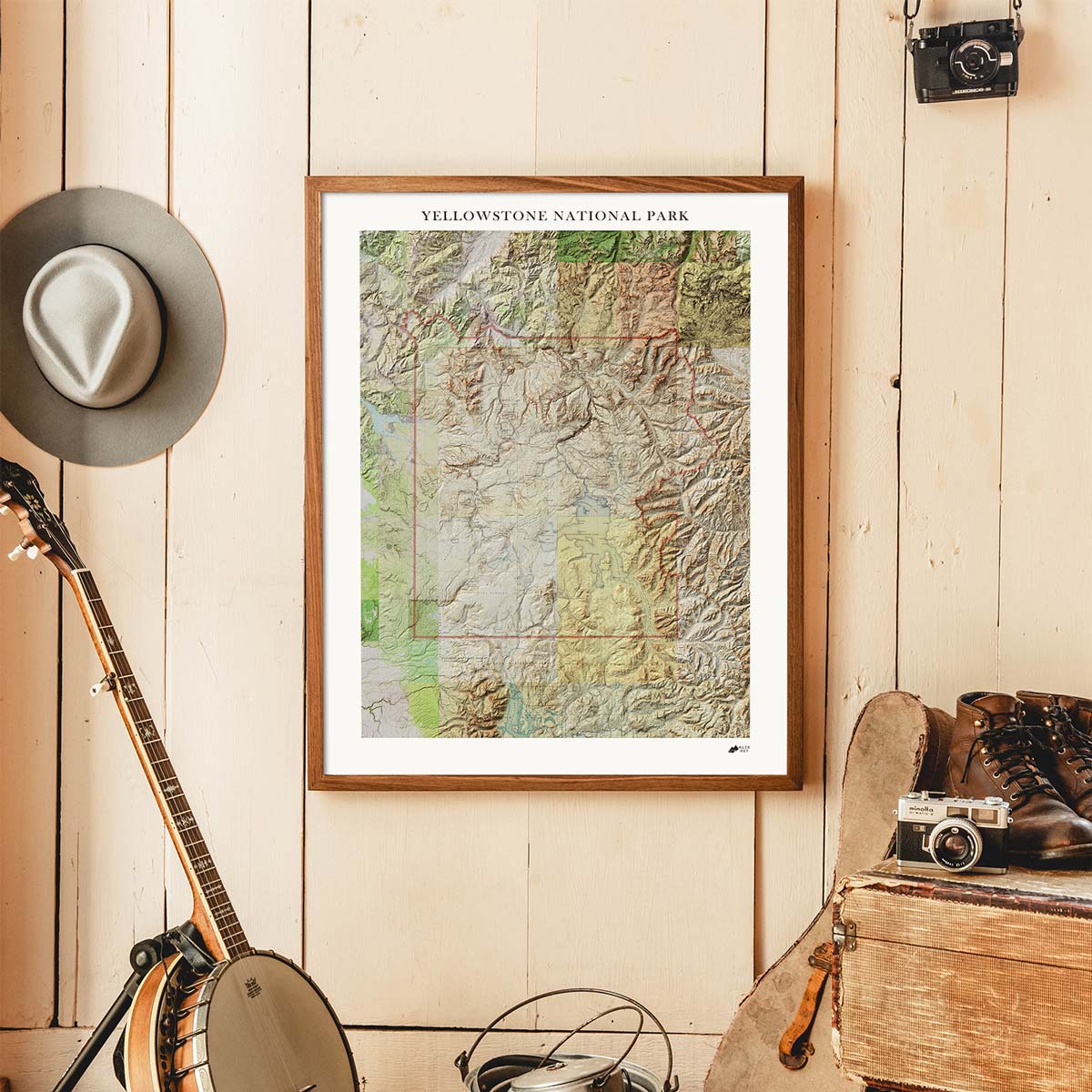
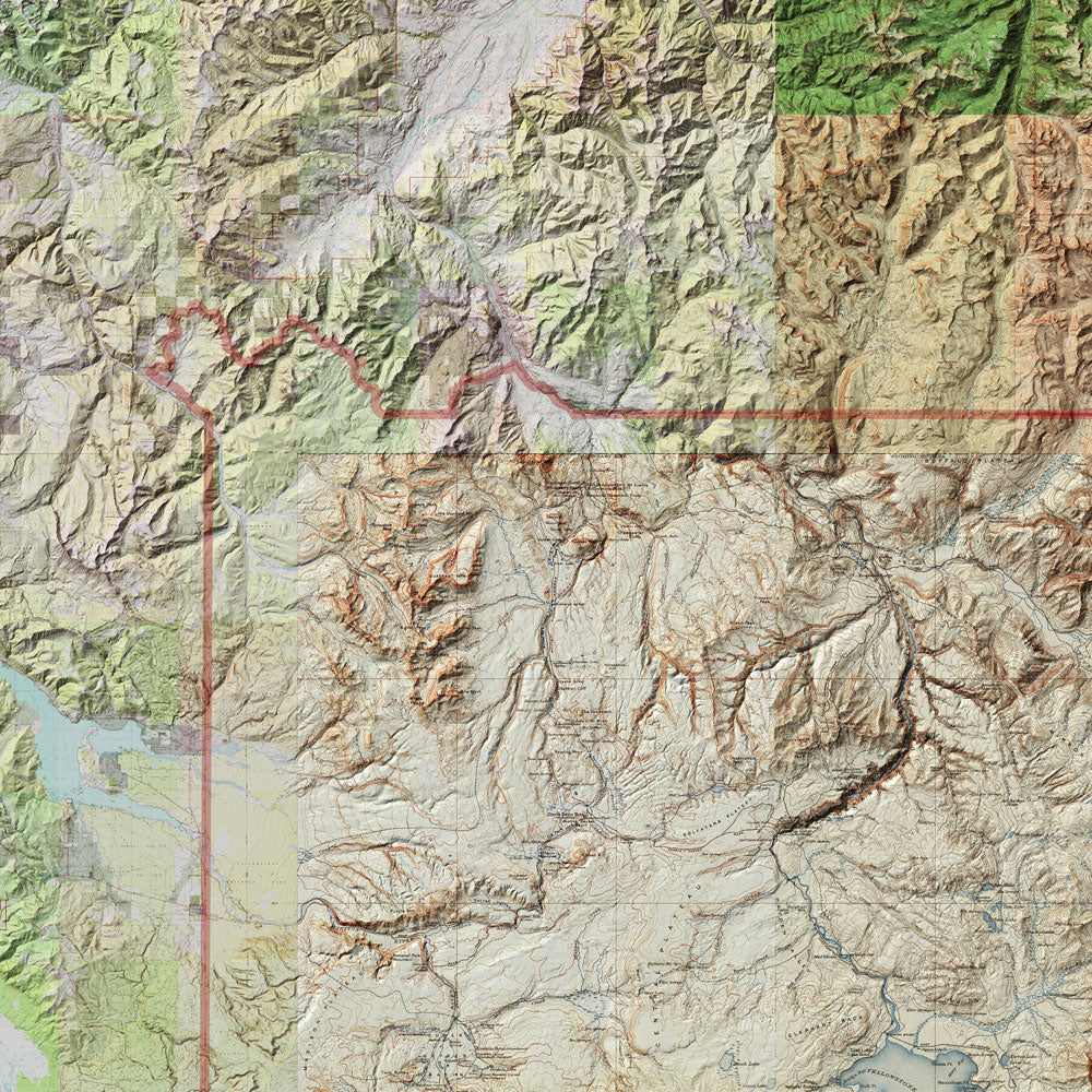
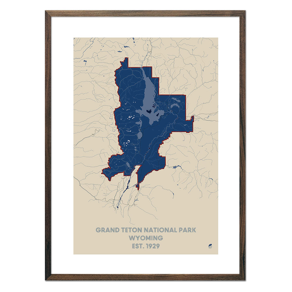
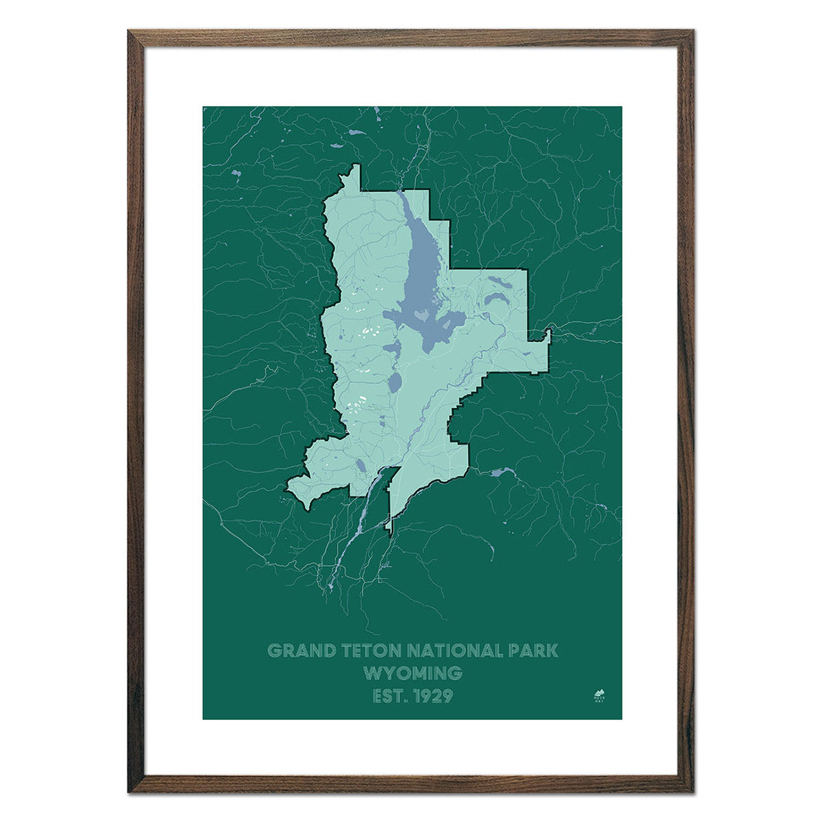
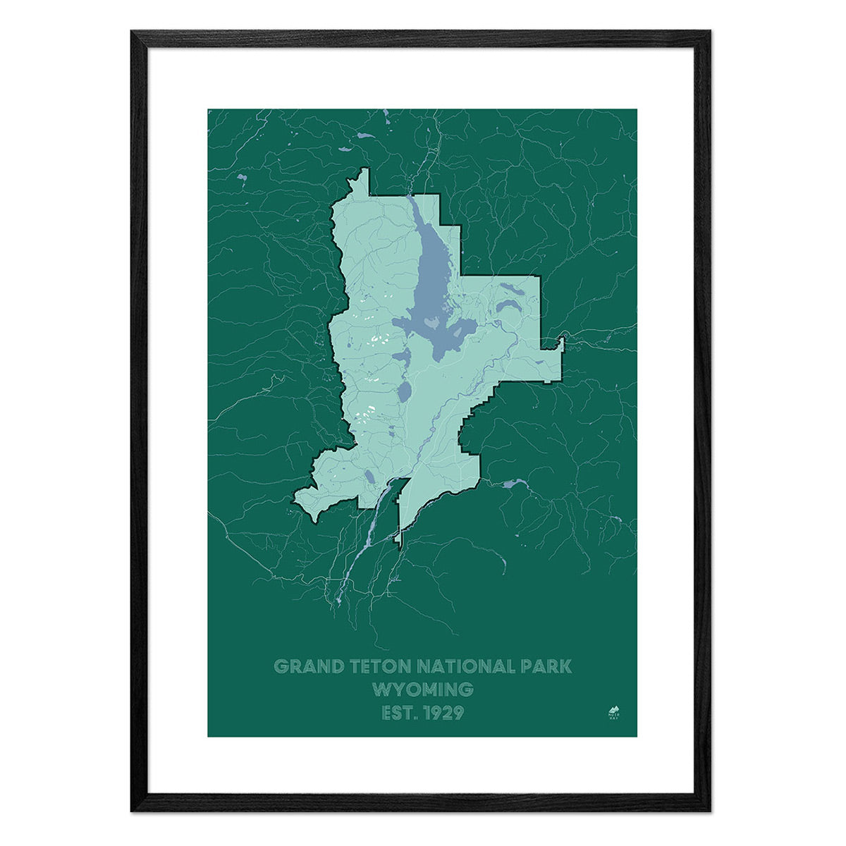
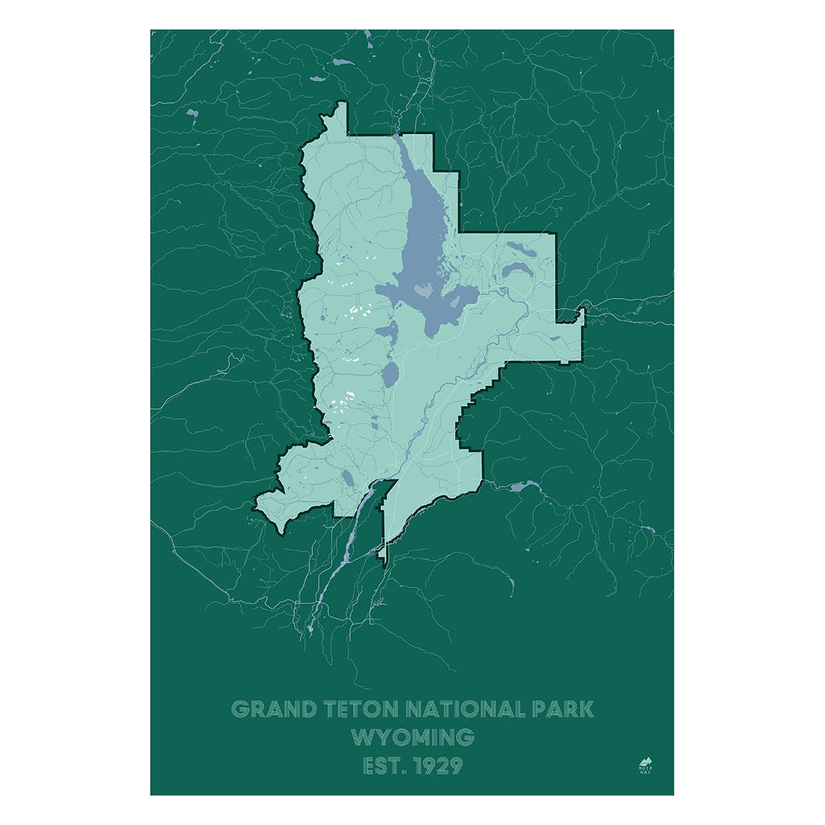
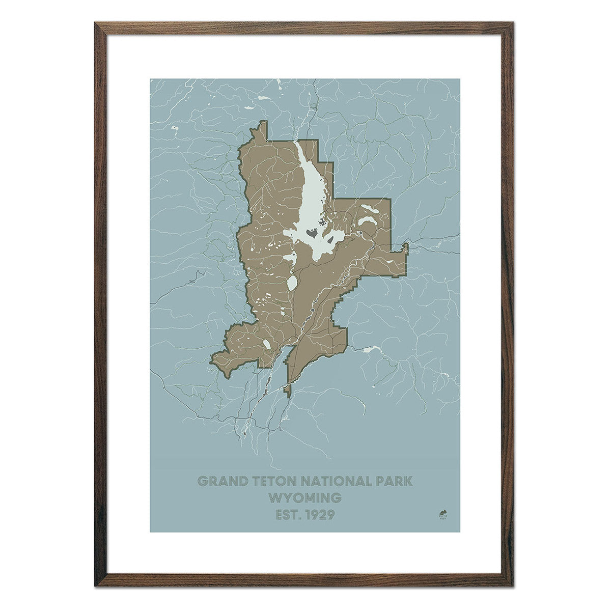
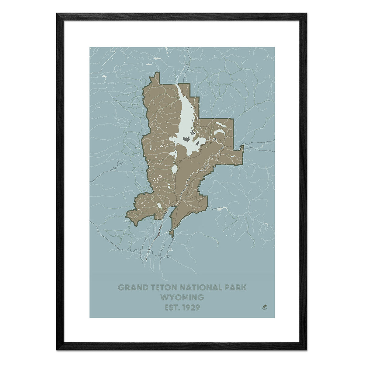
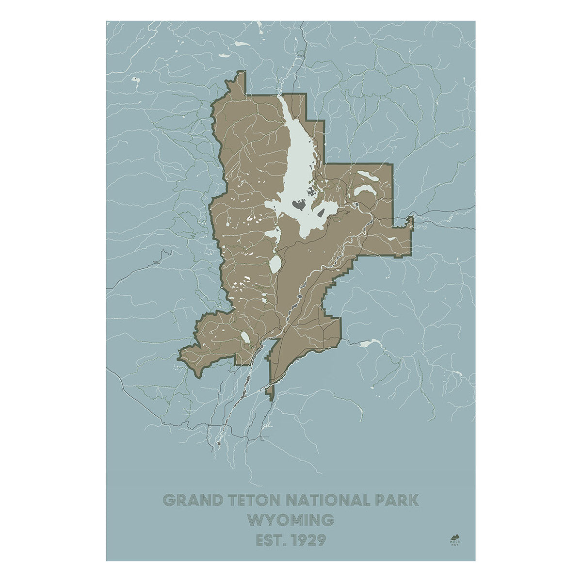
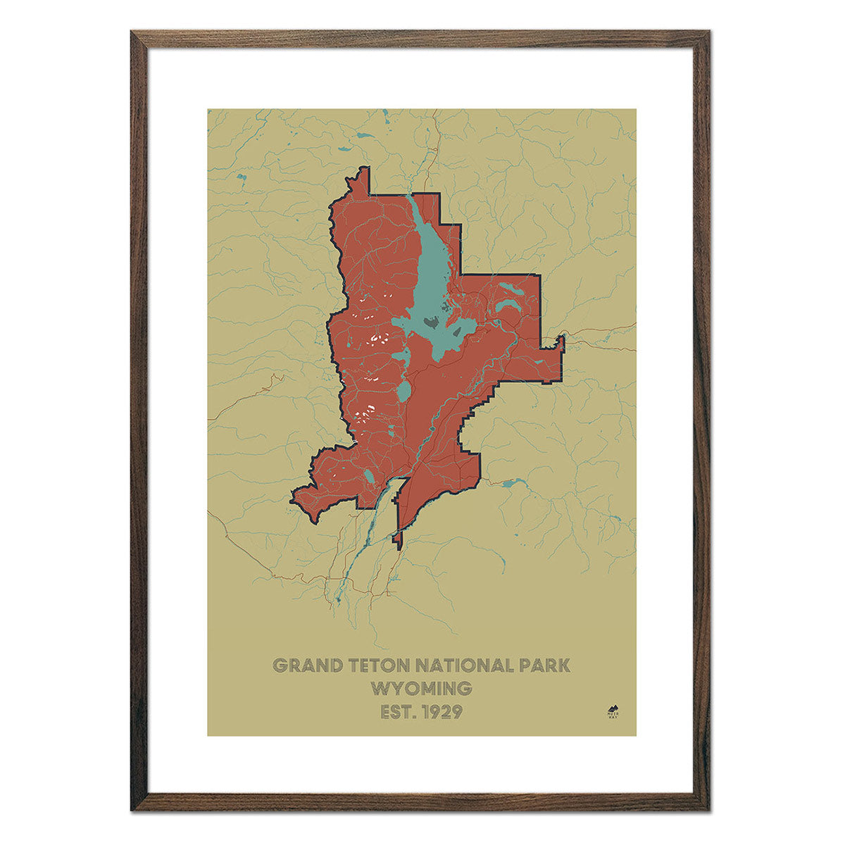
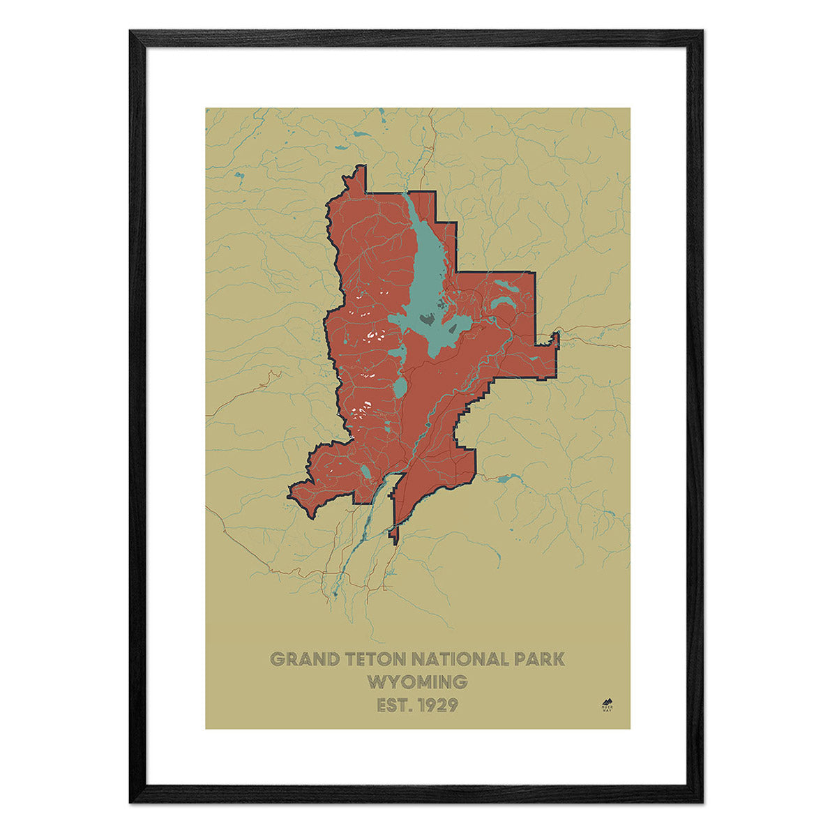
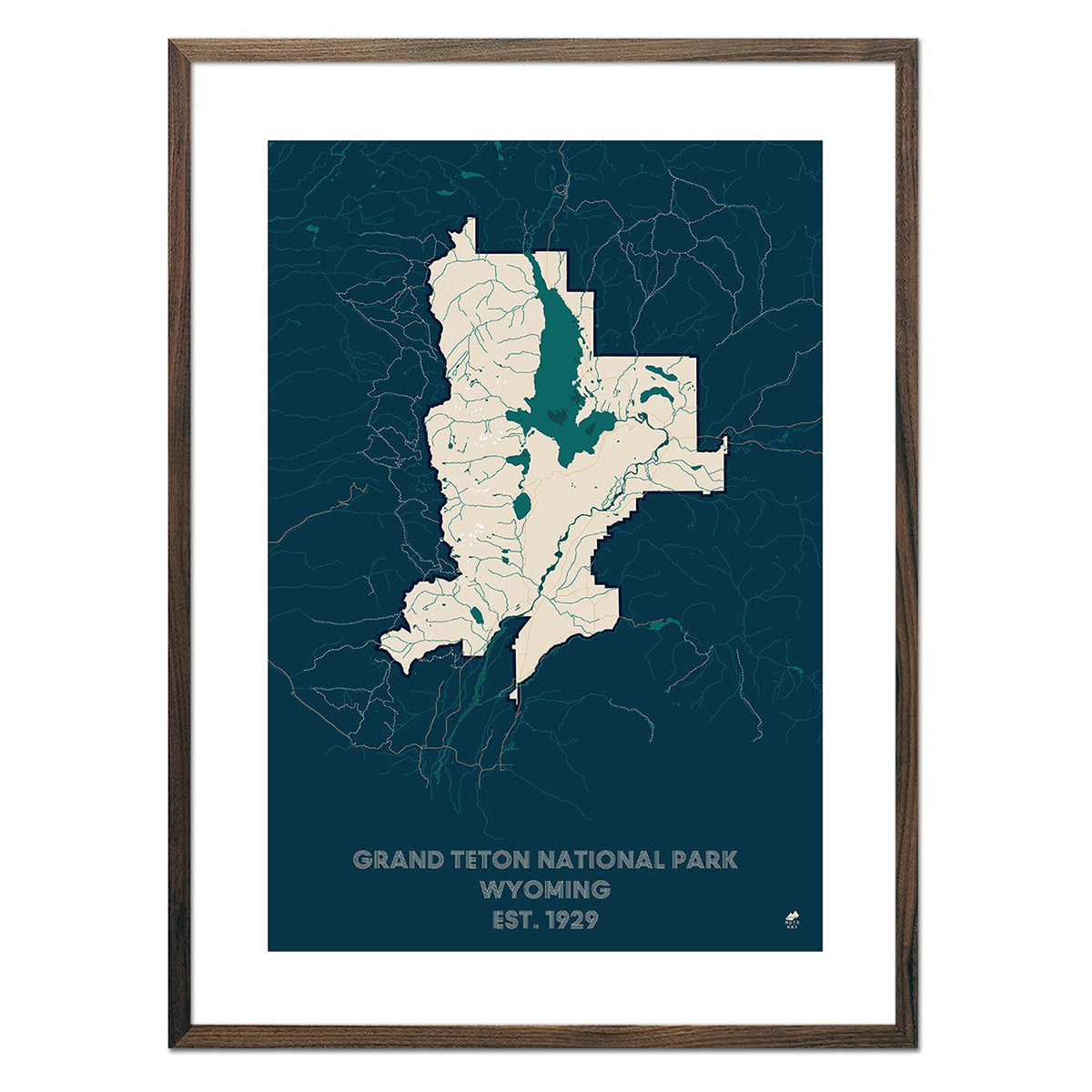
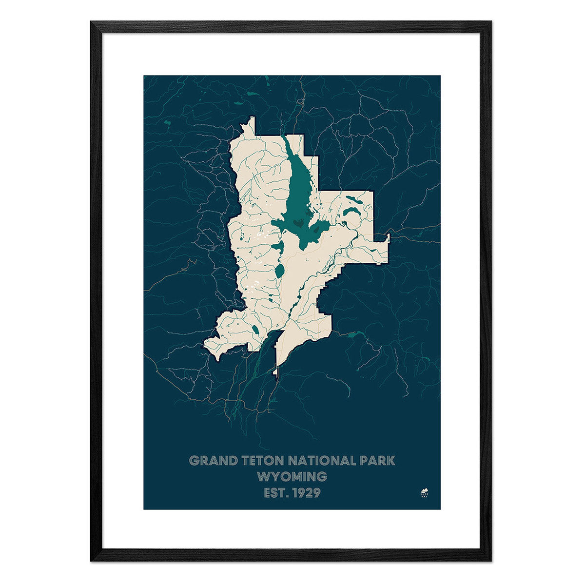
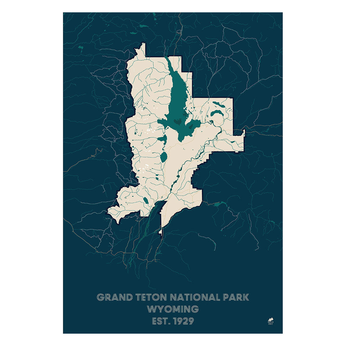
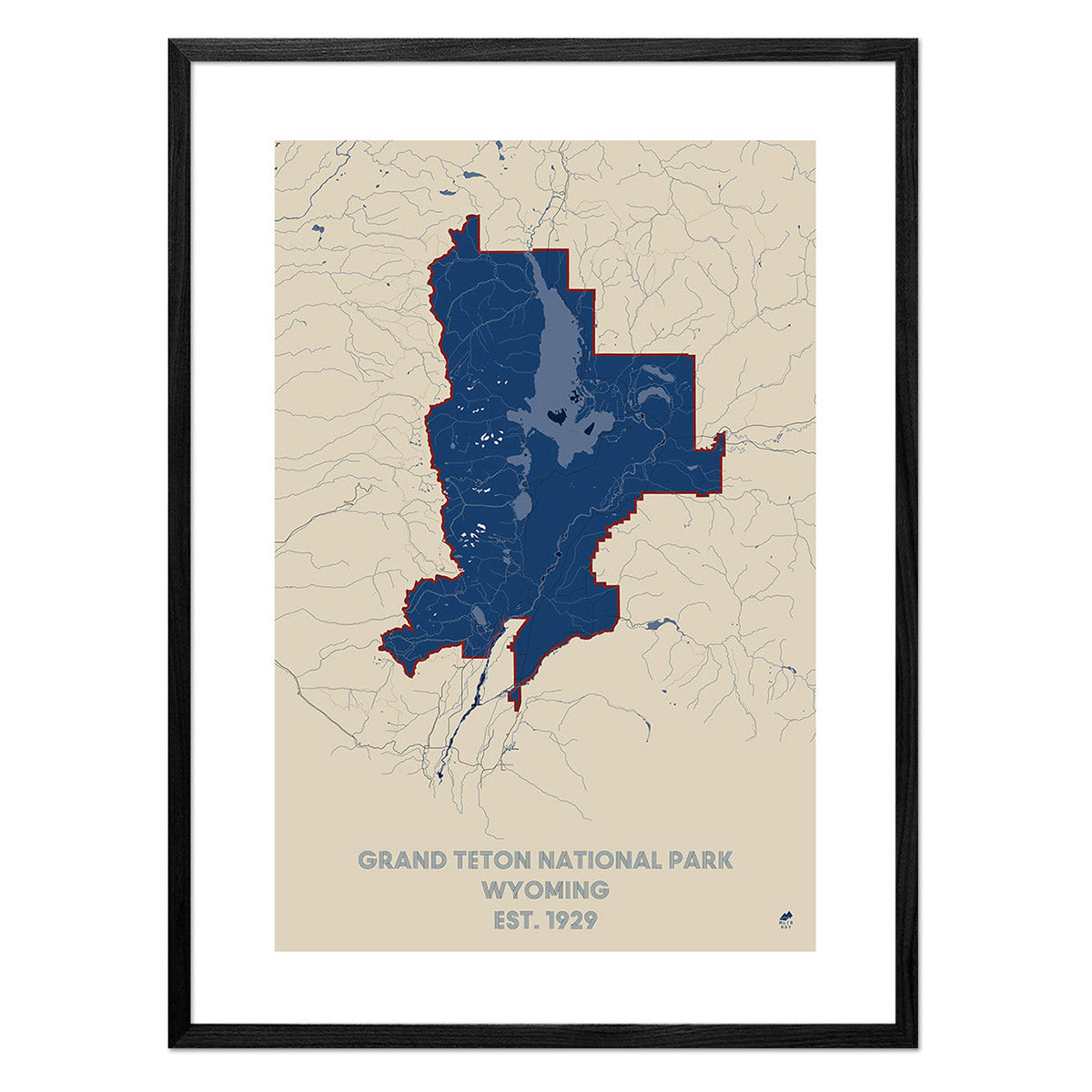
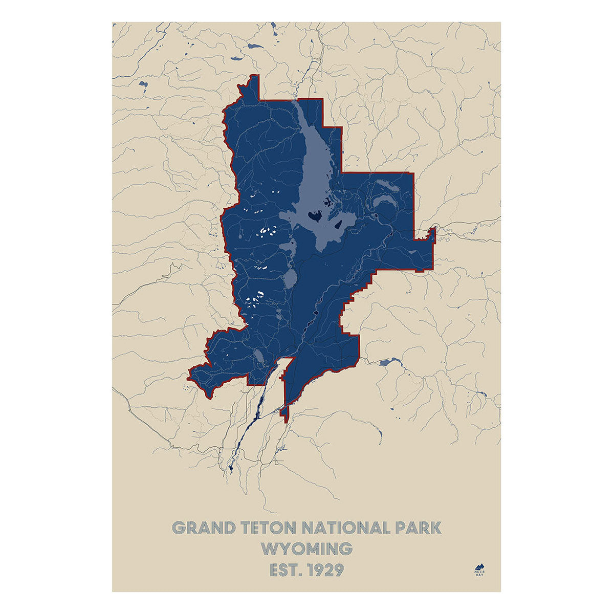
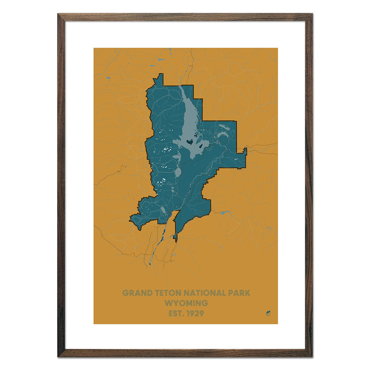
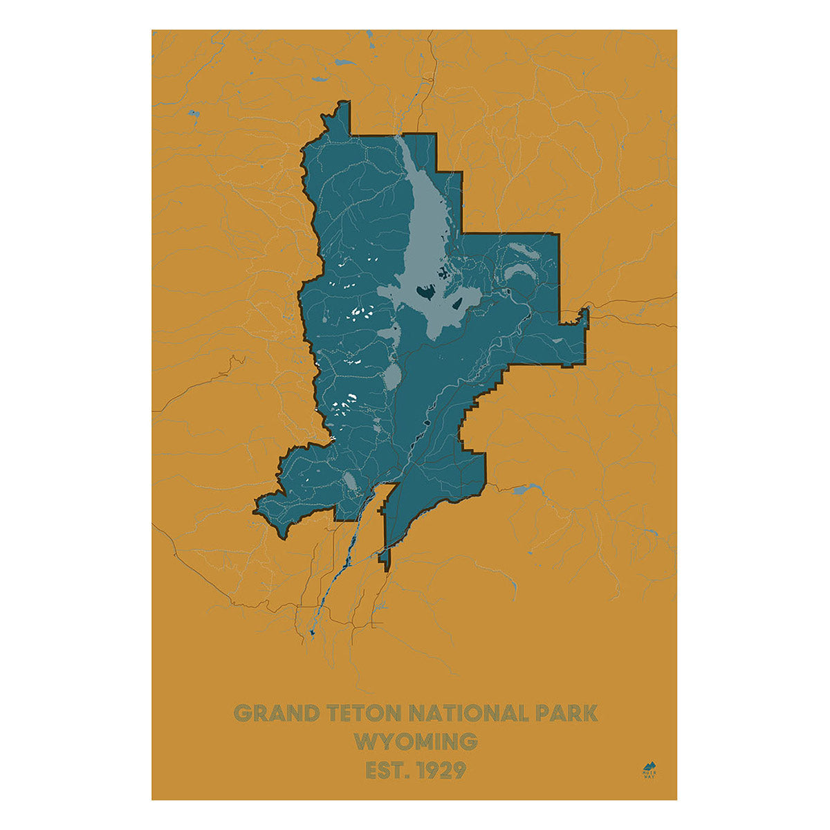
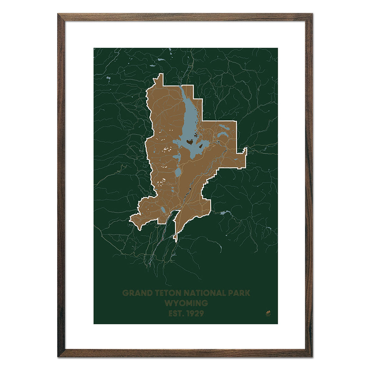
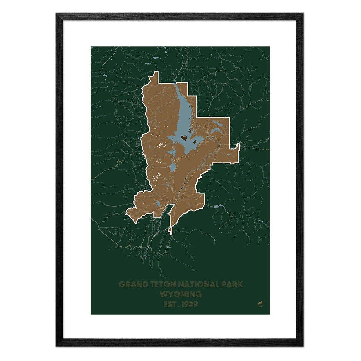
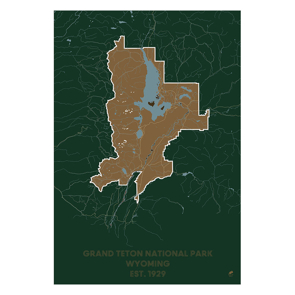
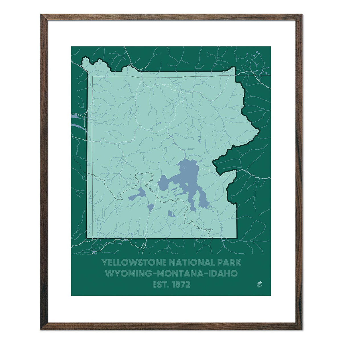
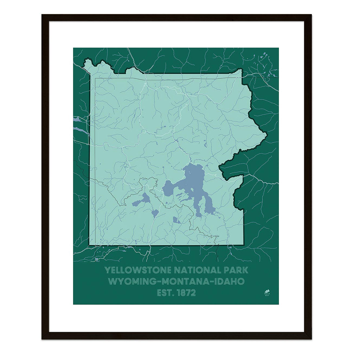
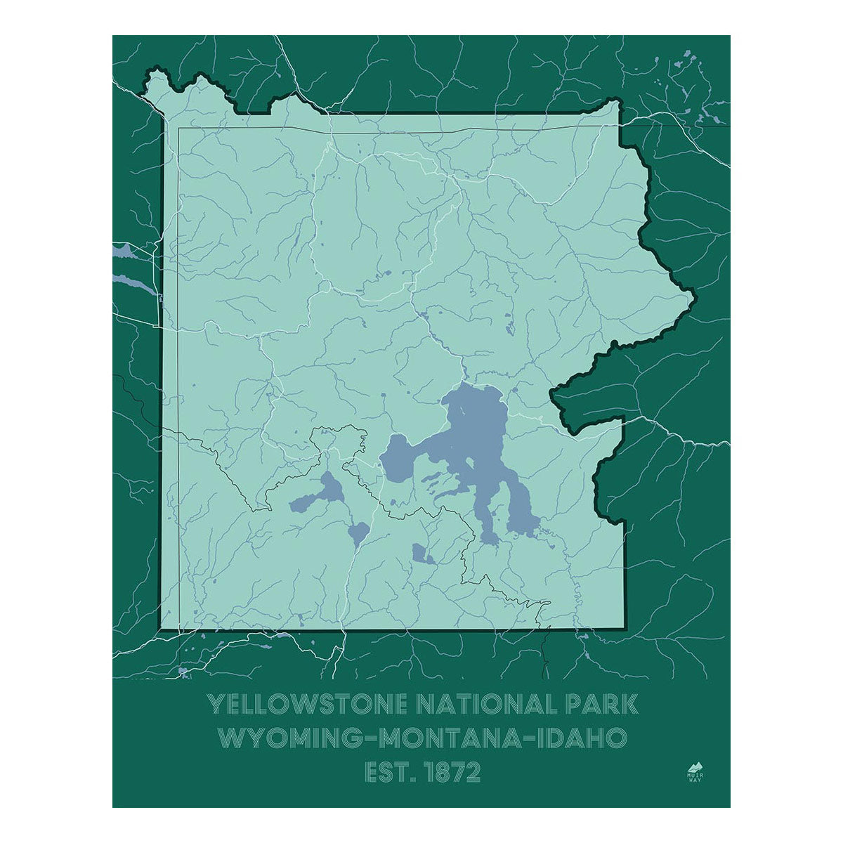
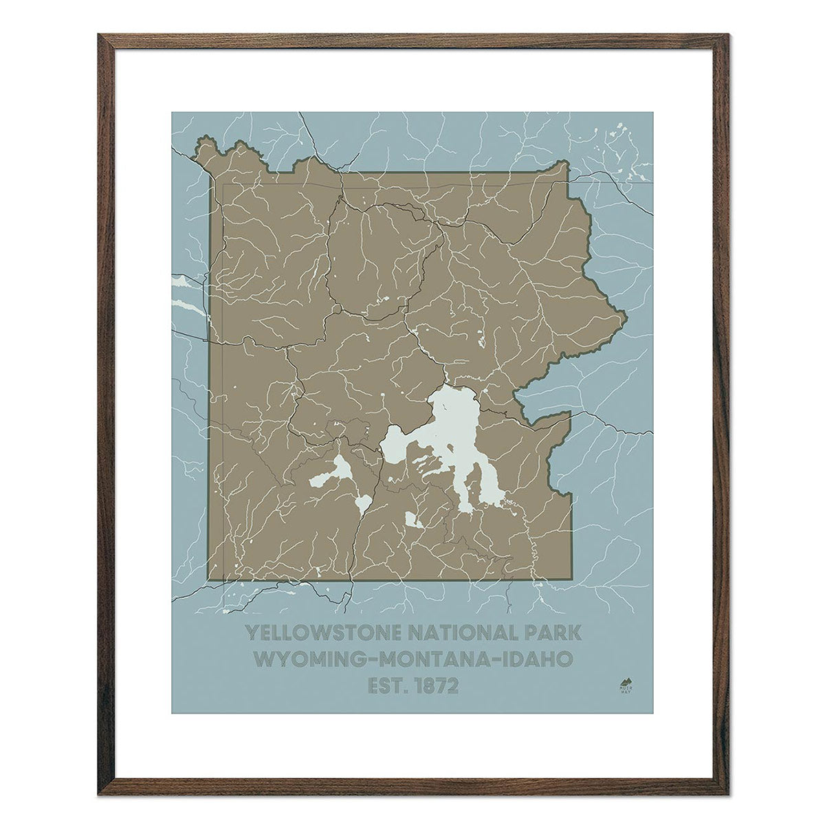
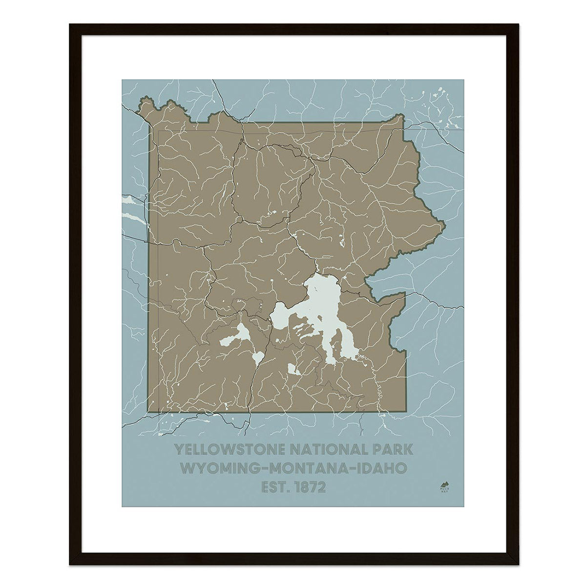
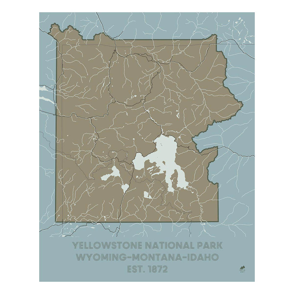
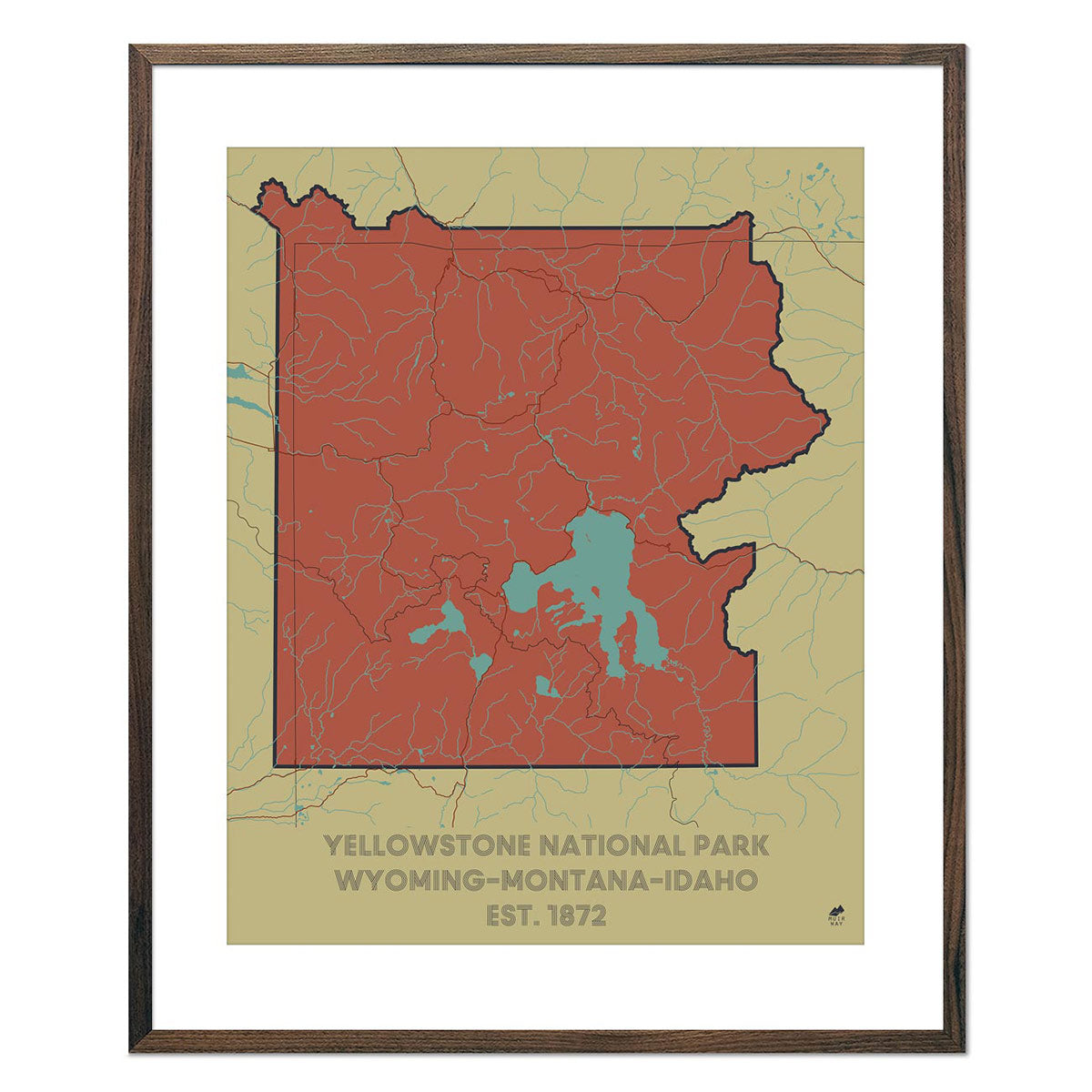
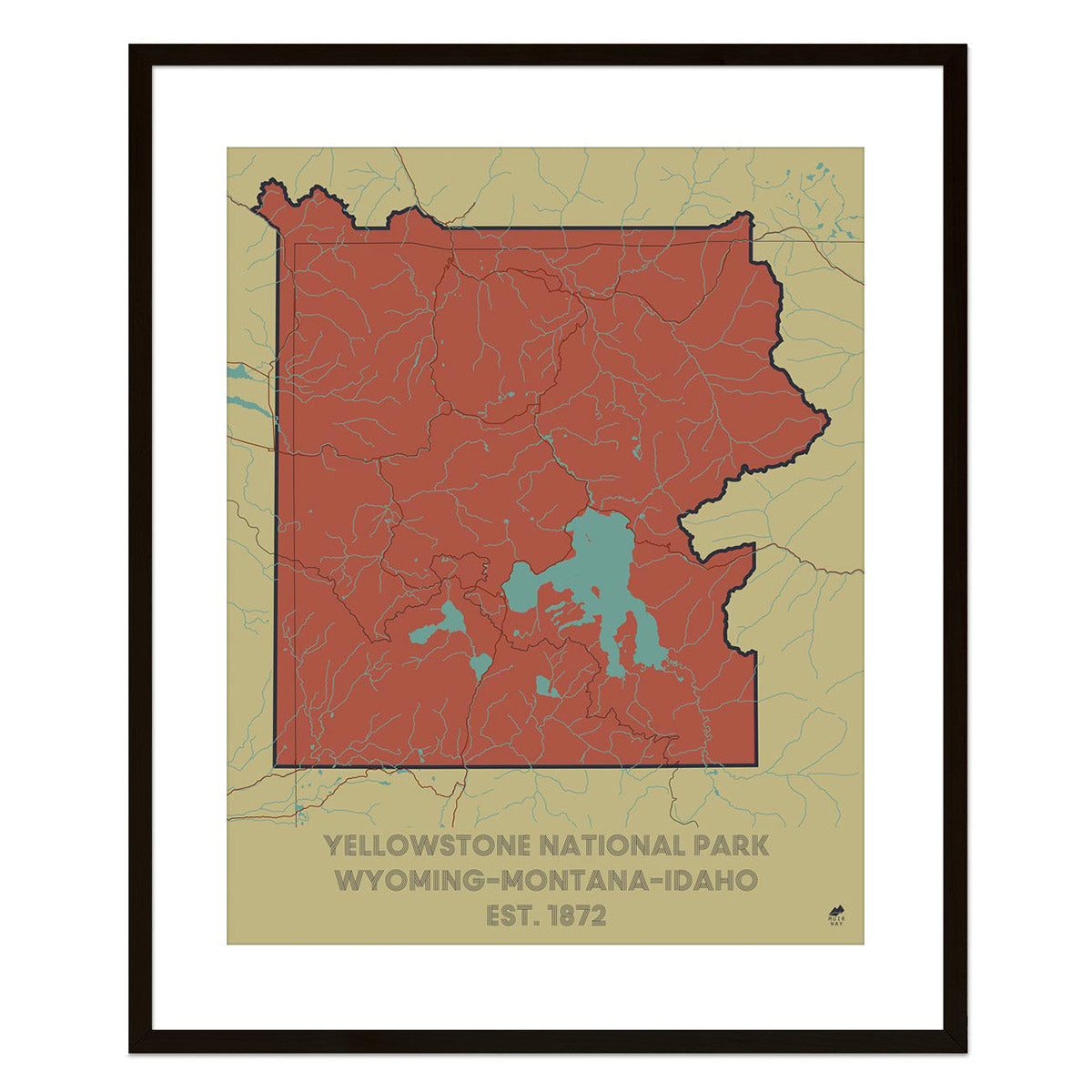
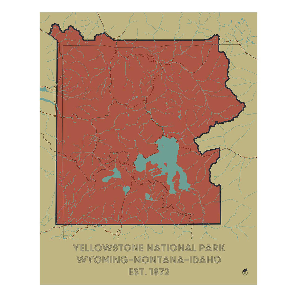
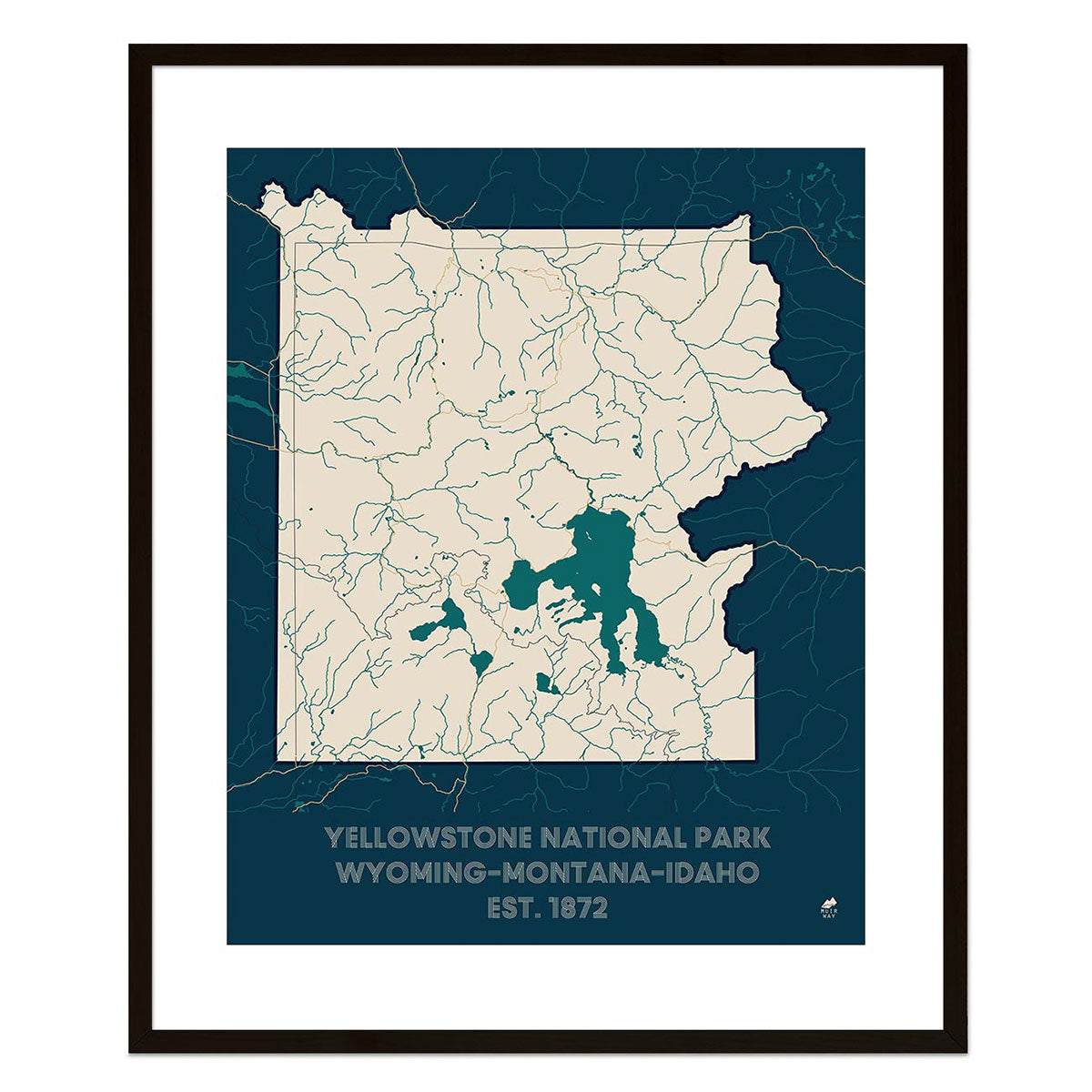
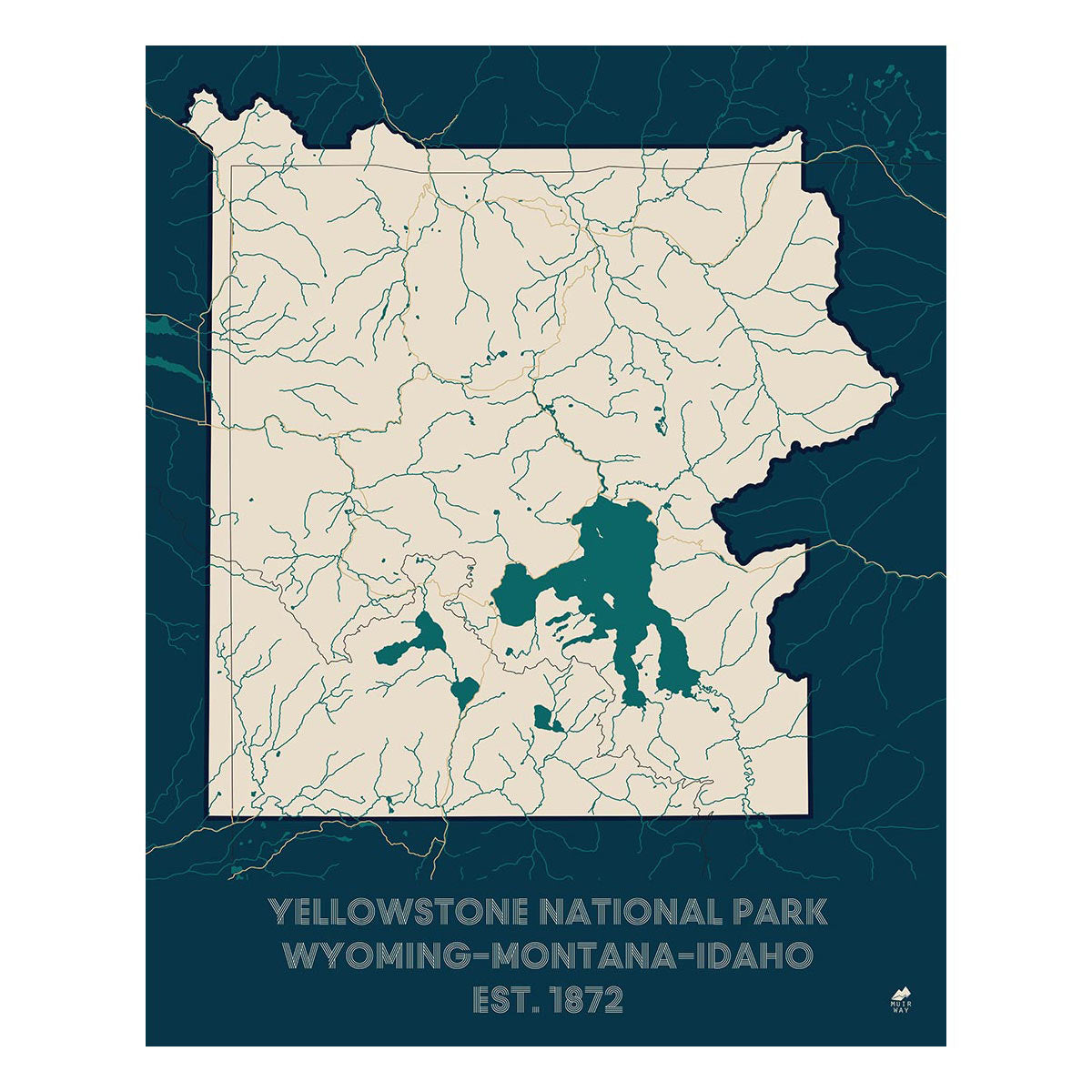
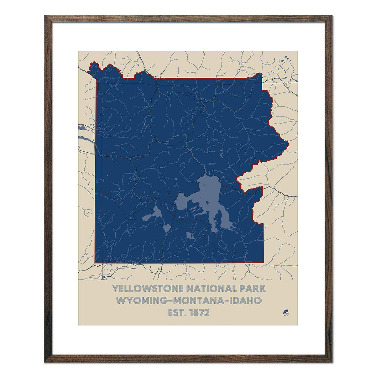
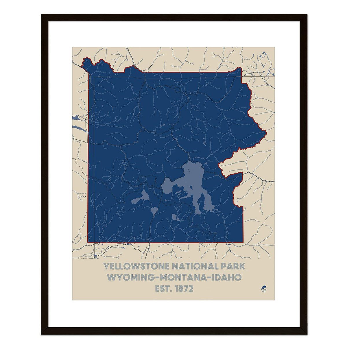
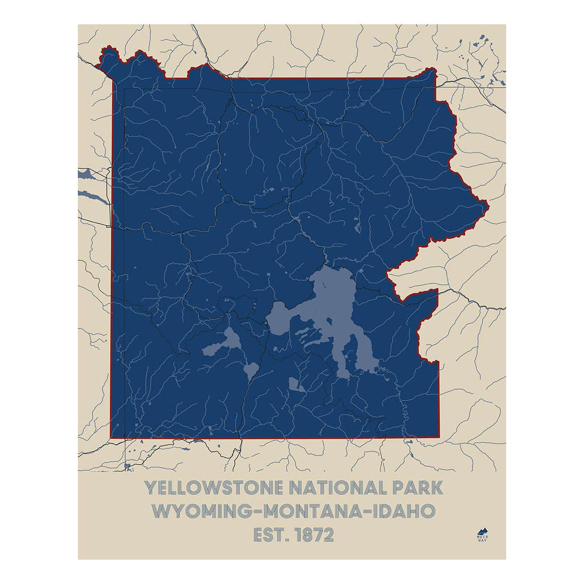
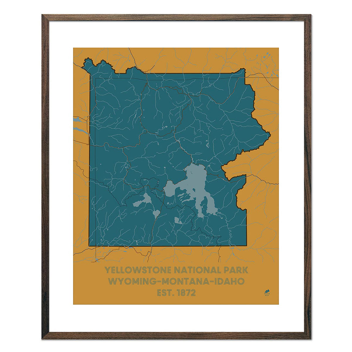
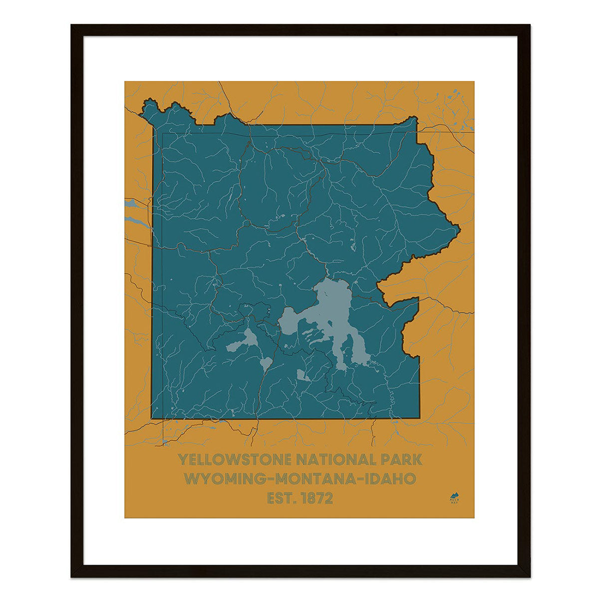
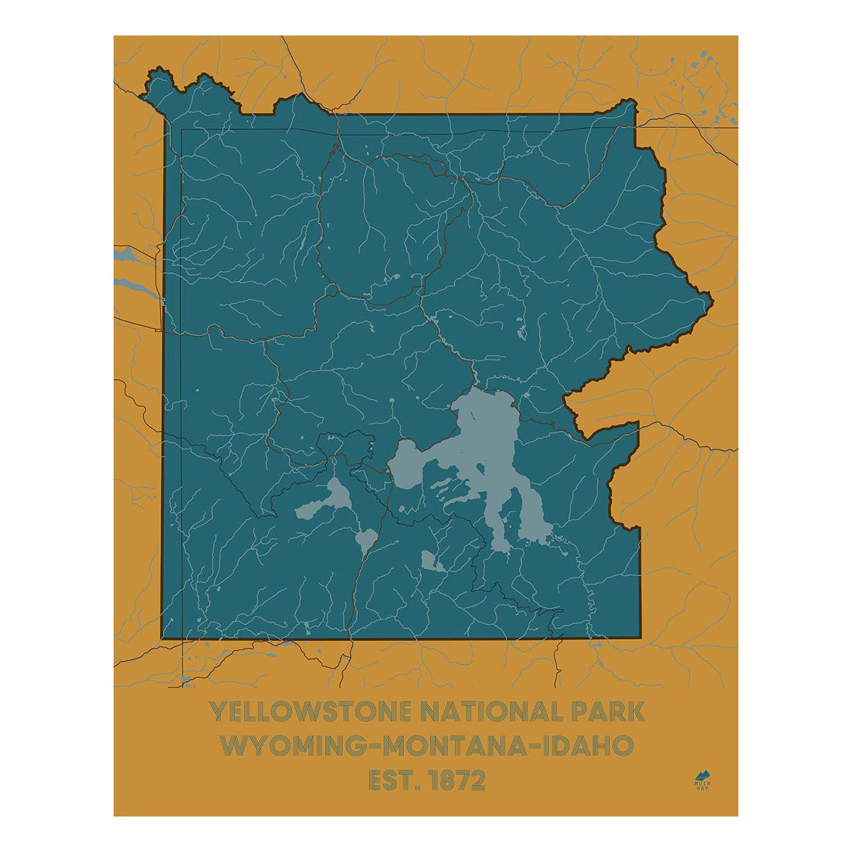
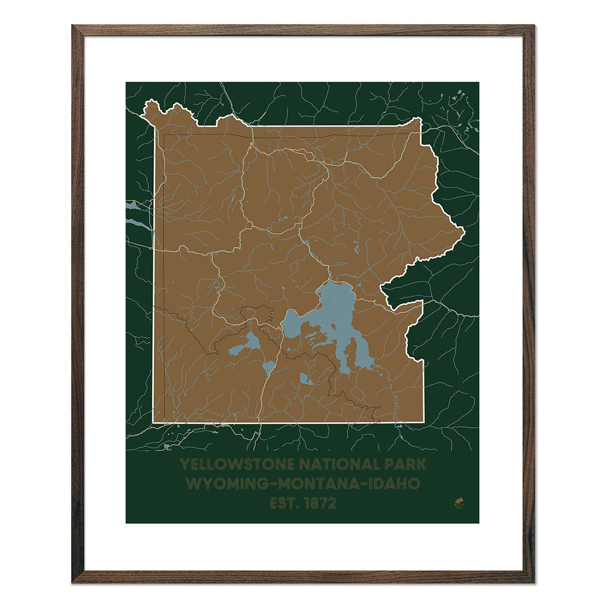
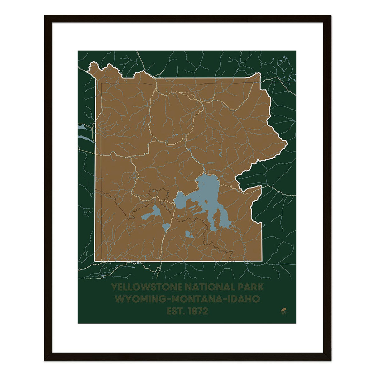
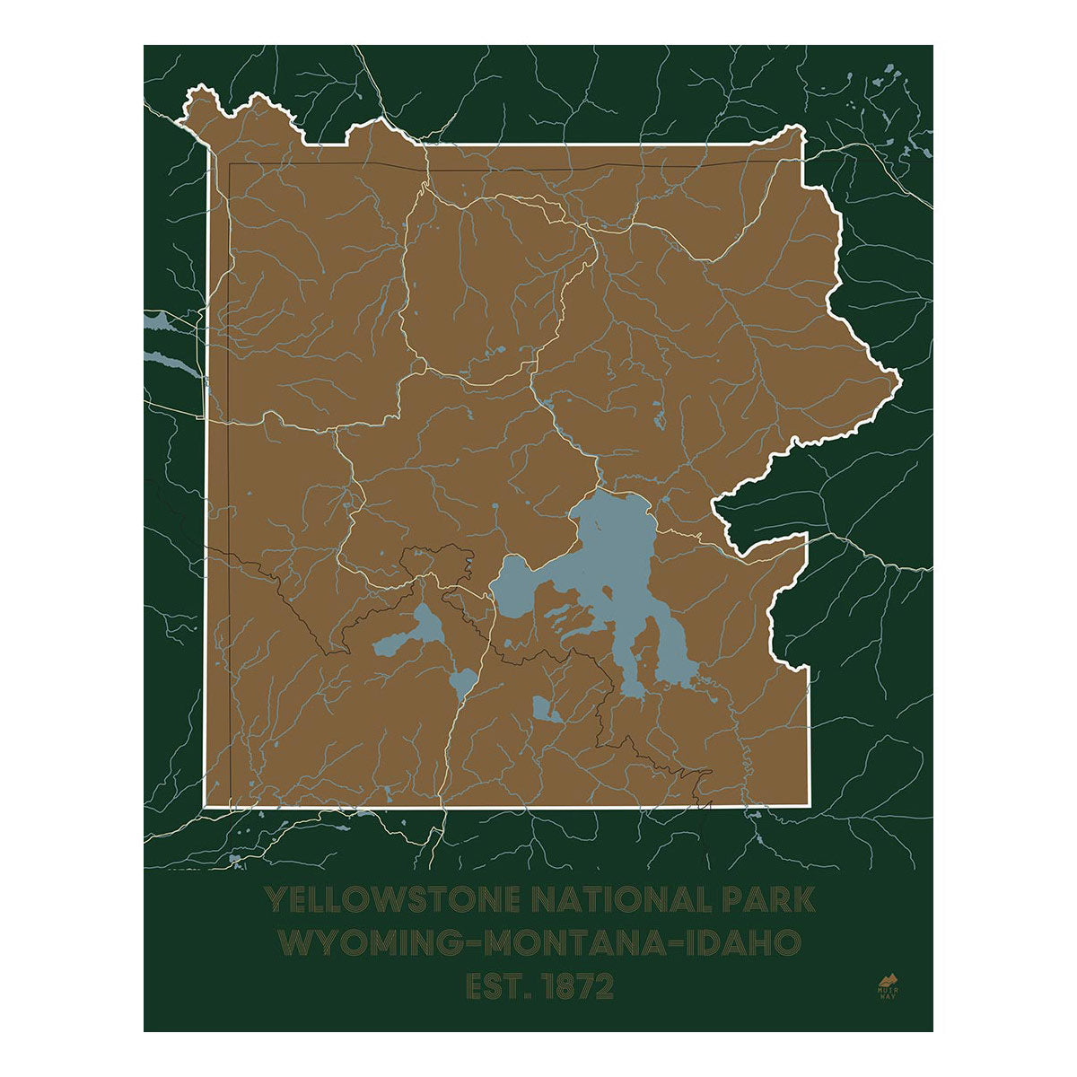
Wyoming is also home to two of our country's most beautiful National Parks. We're fortunate enough to offer vintage maps of Yellowstone from 1878, 1904, and 1958, as well as 1965 and 1972 maps of Grand Teton National Park.
While many people have heard of or visited Yellowstone National Park, many do not know that it was the country's first national park. On March 1, 1872, President Ulysses S. Grant signed the Yellowstone National Park Protection Act into law. This law ensured that the park's geothermal features like the Old Faithful geyser and its unique wildlife would be protected for generations to come.
The topographic relief maps of Wyoming, the hydrological maps, and the vintage Wyoming maps, each bring Wyoming’s unique landscapes to life. You’ll find yourself constantly inspired by the beauty and detail on these maps - and you’ll earn compliments anytime you have guests by.
But the real kicker is that you can treat yourself to a stunning state map of Wyoming today knowing you’re doing your part to leave this world a better place. Your purchase allows us to donate to organizations helping to protect our land, water, and air from human impact.
Need a perfect gift for an outdoor enthusiast, a conservationist, or to commemorate a family vacation? Our map prints could be a perfect fit.
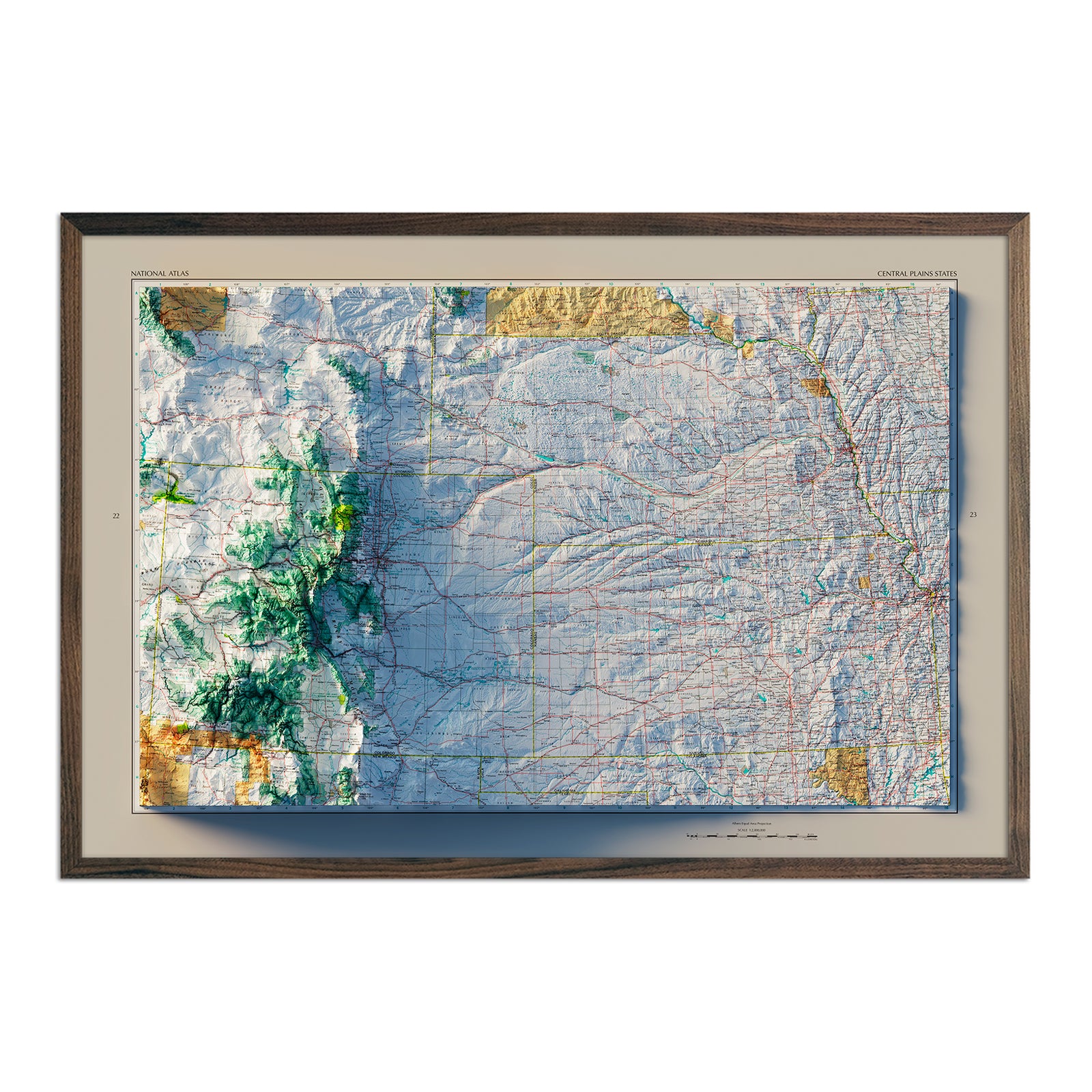
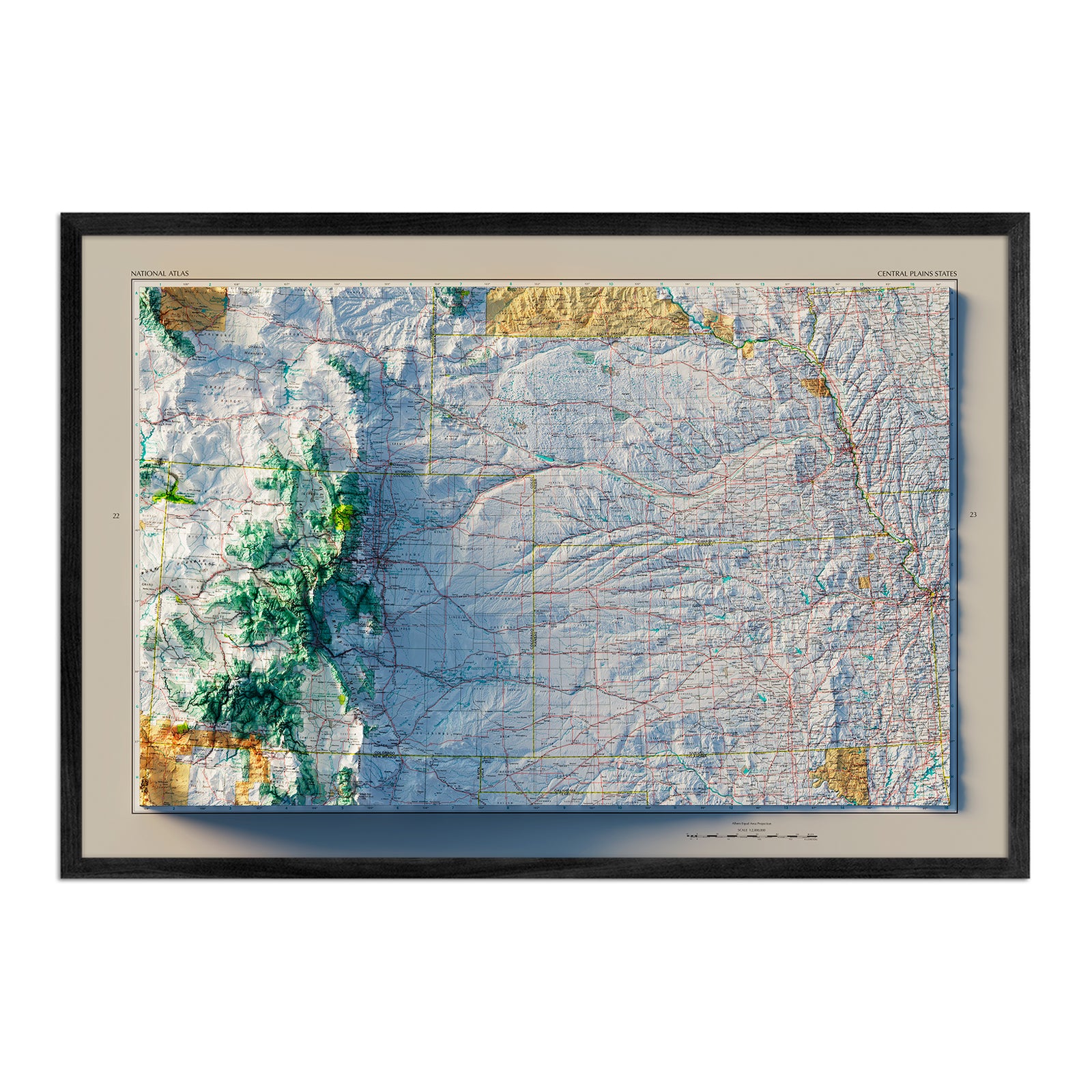
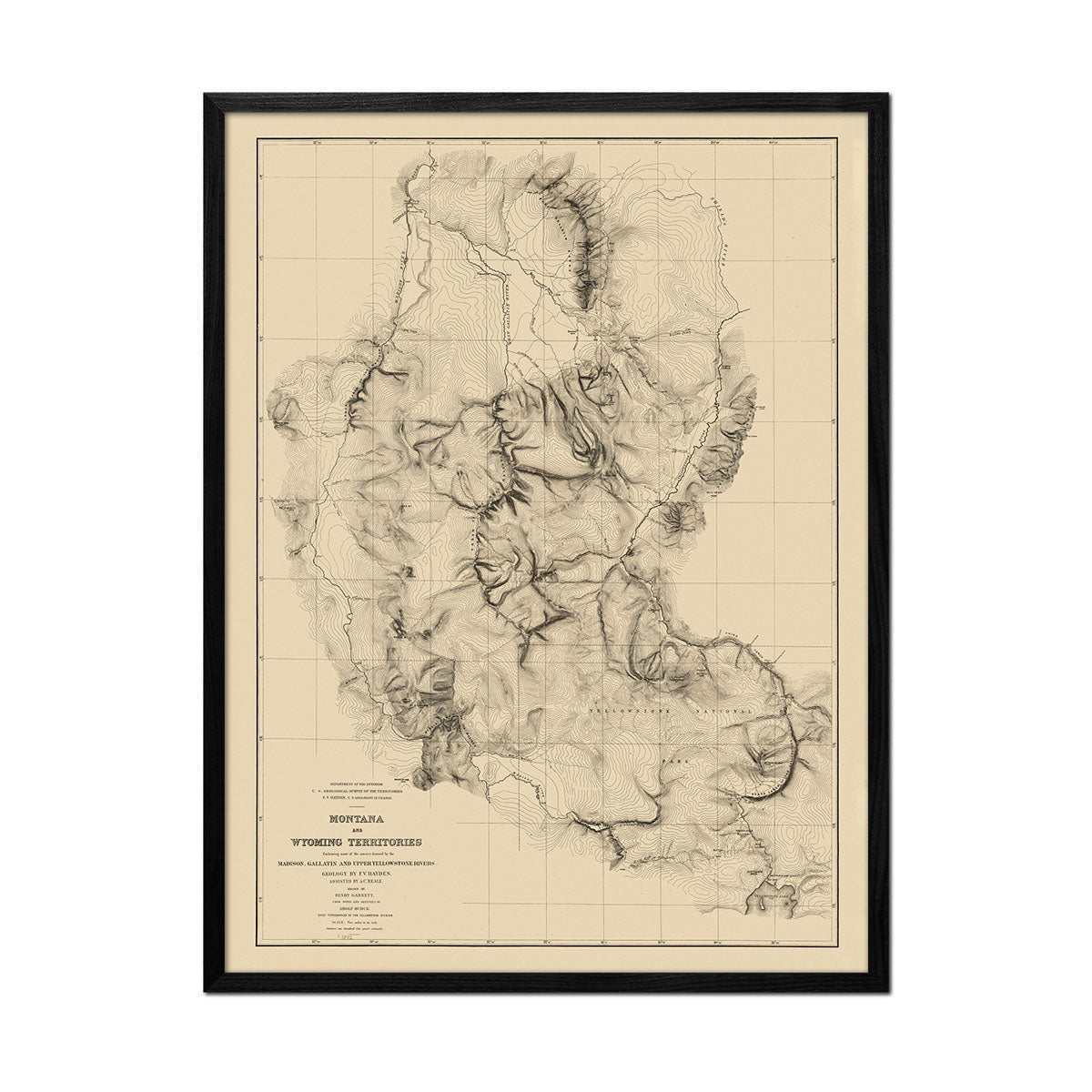
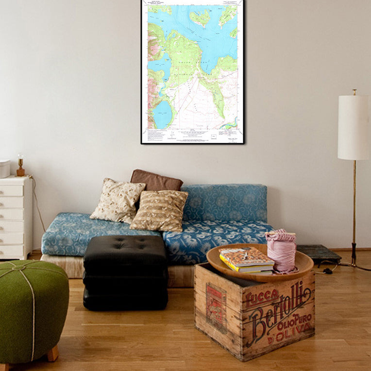
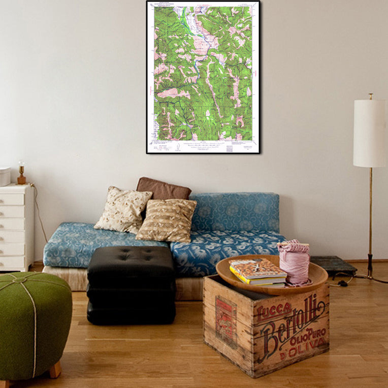
We use premium materials and processes for our map prints including archival fine art paper and high-quality archival inks that make our prints museum-quality. You can also choose to have your print mounted in a frame of your choosing - from authentic walnut to a black stained frame made of real American hardwood. Or, go frameless for a unique look on your wall.
Make sure to explore other collections we have to celebrate our love for mountain states, including map prints of Montana, Colorado, Idaho, and Utah. We also have a series specifically featuring US mountain ranges maps, along with a series of 1883 US State maps.


