


Alaska Maps


ALASKA MAP PRINTS, ELEVATION & SHADED RELIEF MAPS
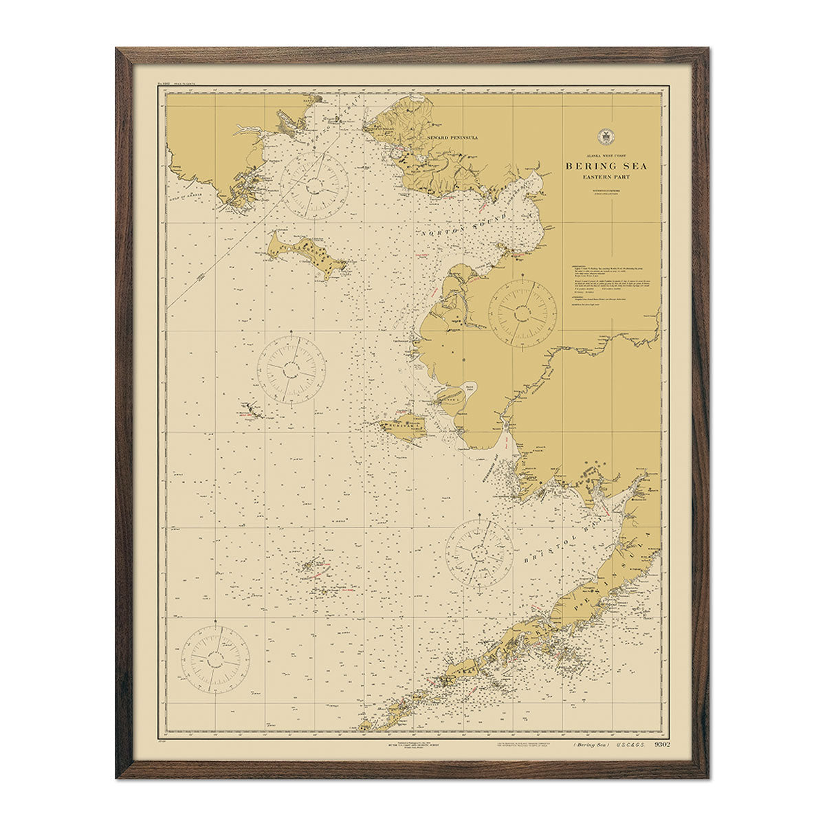
Discover America’s last frontier with a rich collection of Alaska map prints, including shaded relief maps, elevation maps, hydrological maps, vintage maps, and more. With over 20 maps to choose from, you can explore Alaska’s more popular topographical features, including the Gulf of Alaska, the Alaska Range, dense forests, Arctic tundra, Aleutian Islands, the Yukon River, and, of course, miles and miles of majestic glaciers.
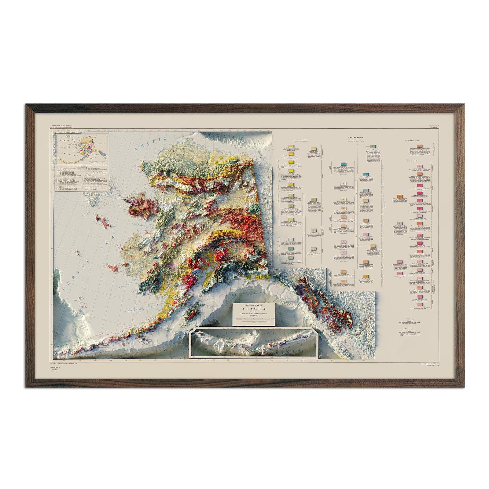
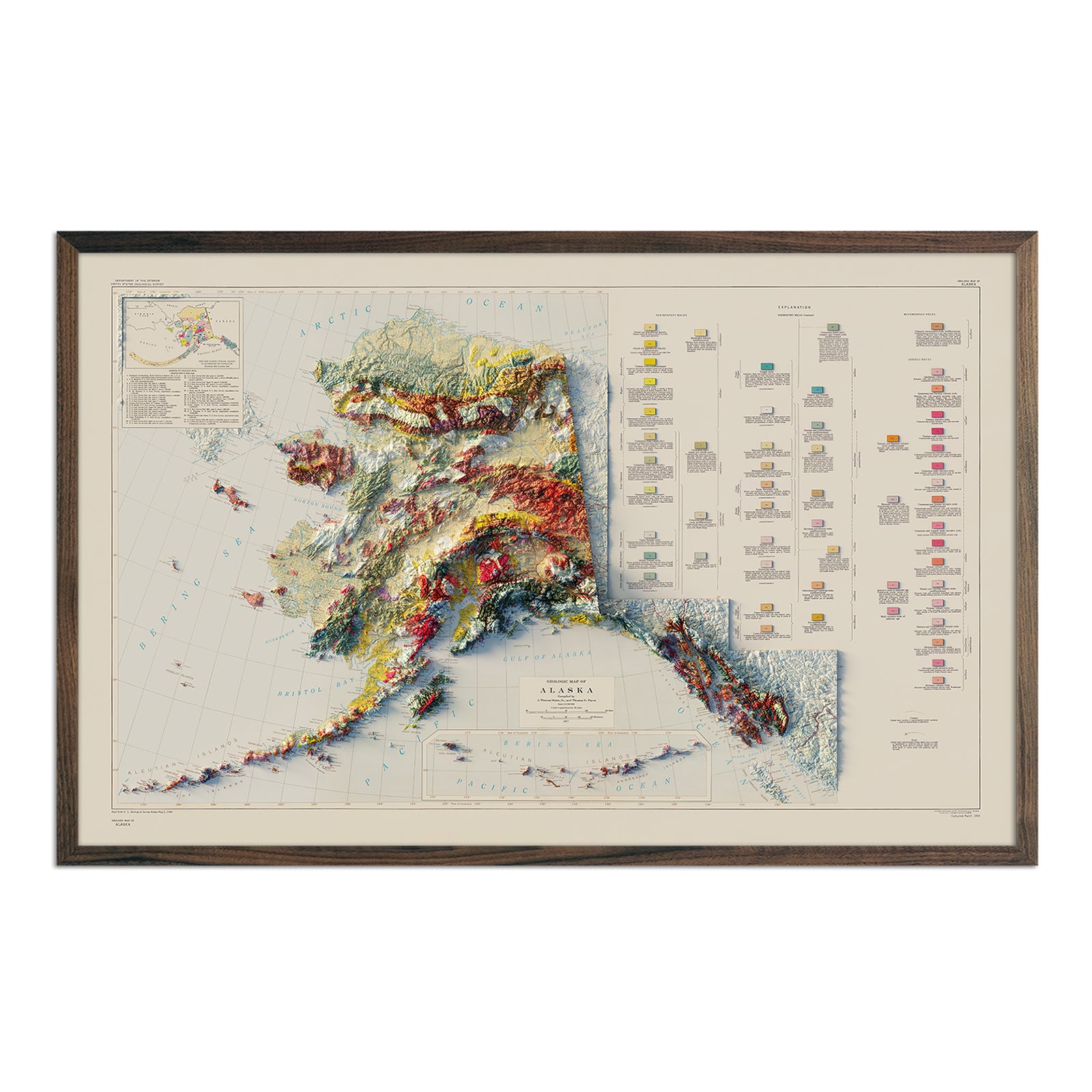
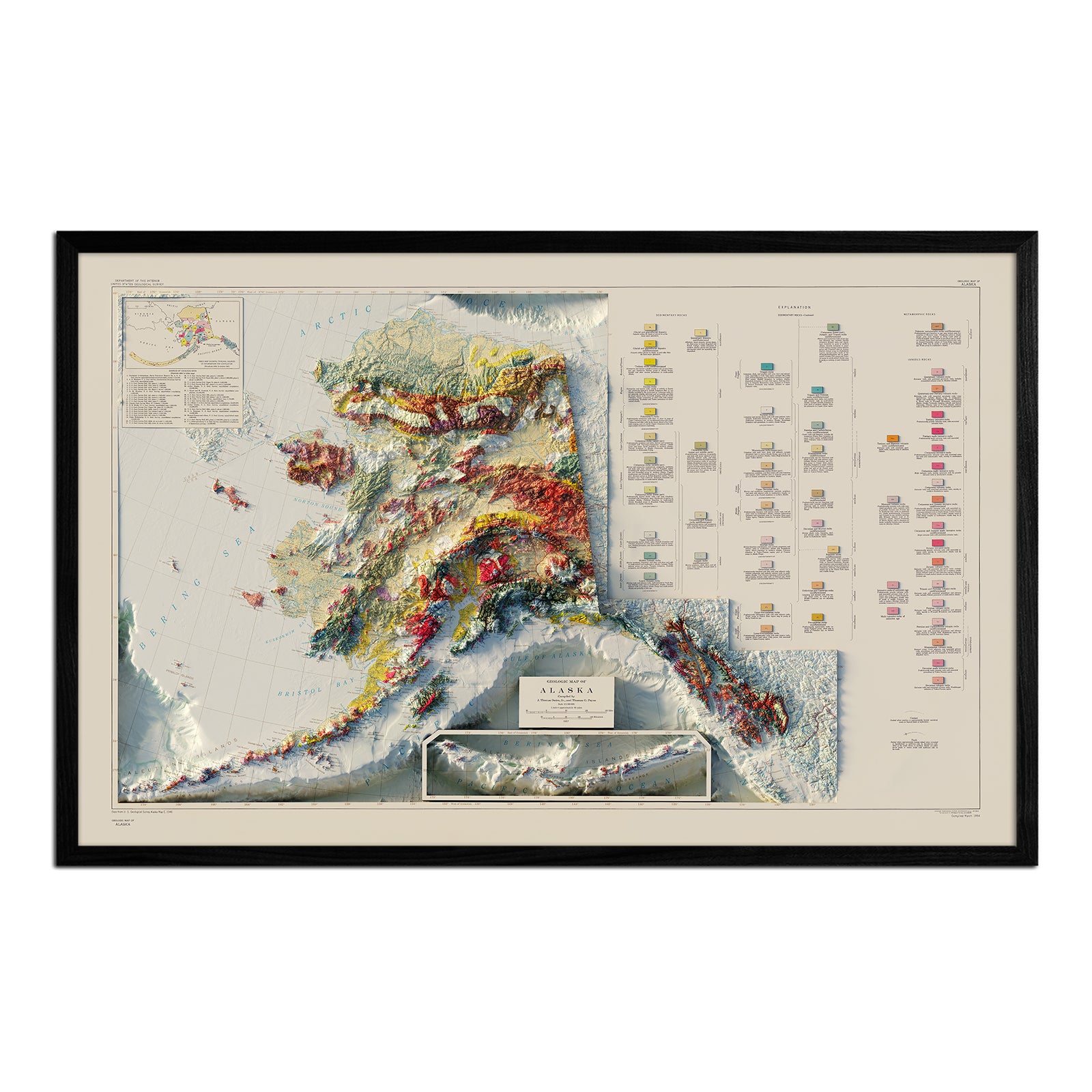
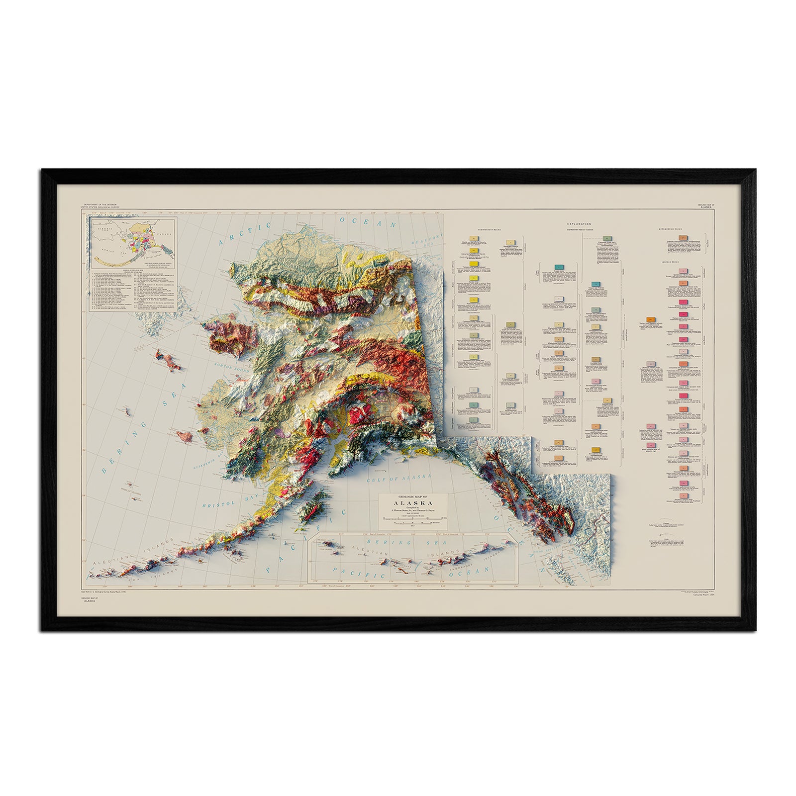
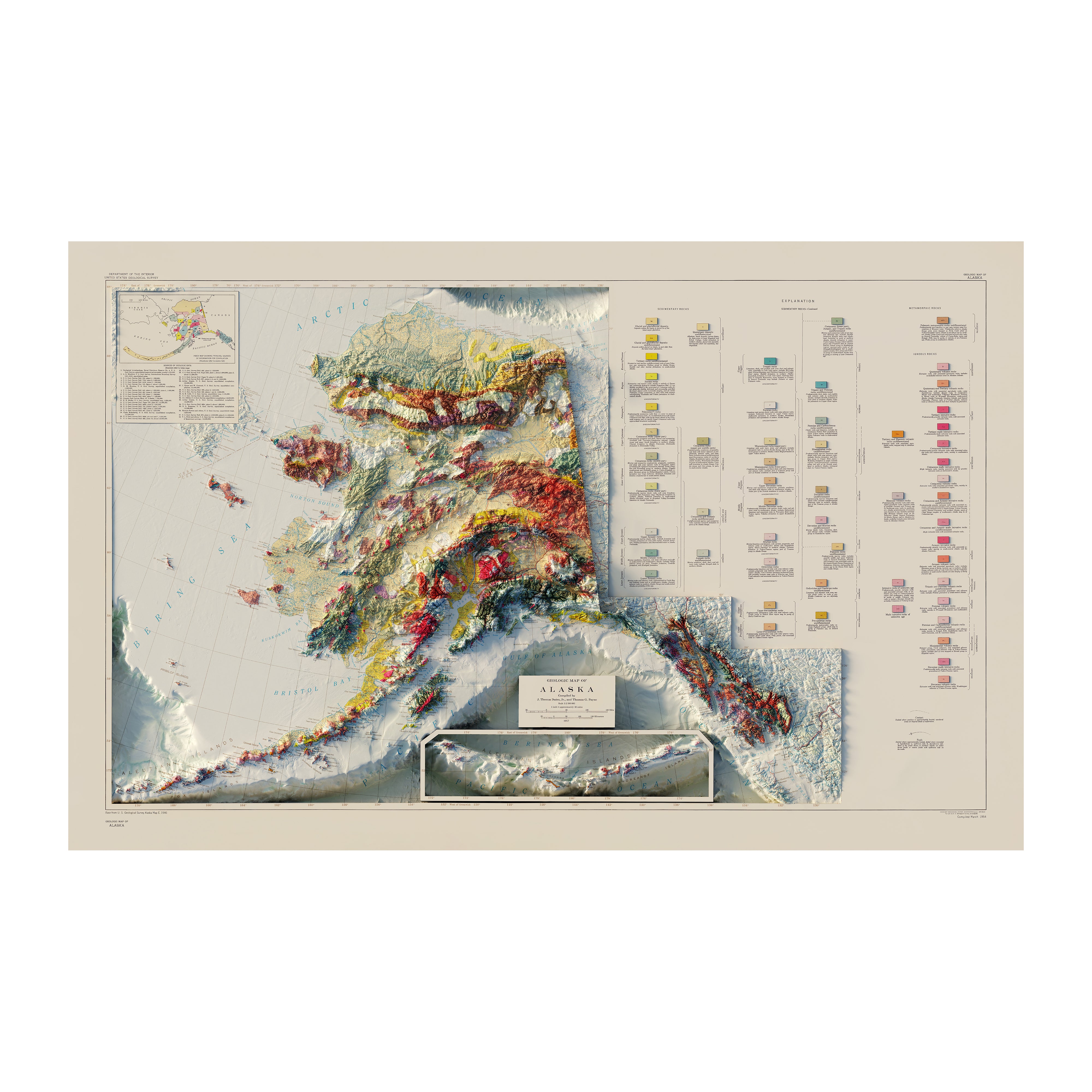
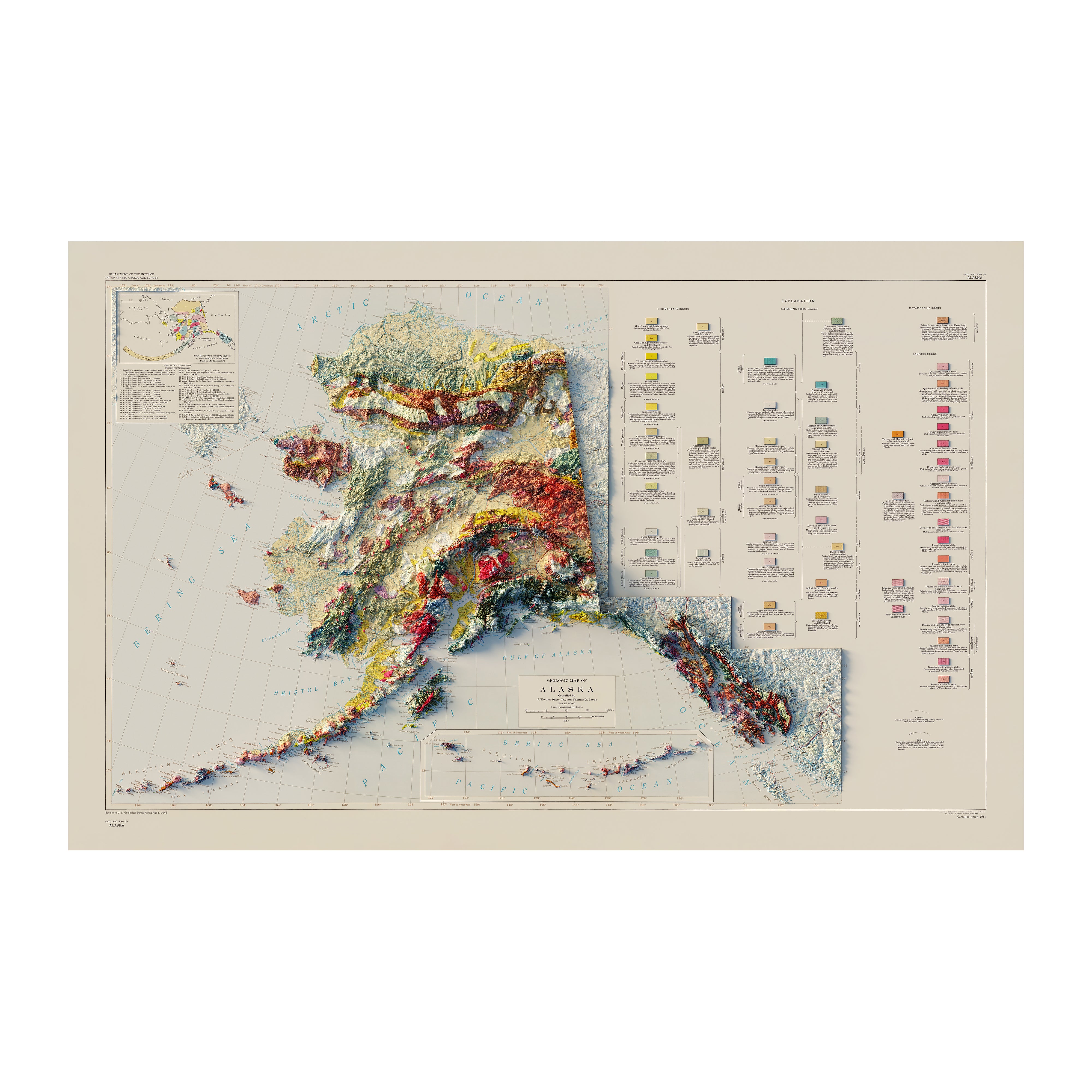
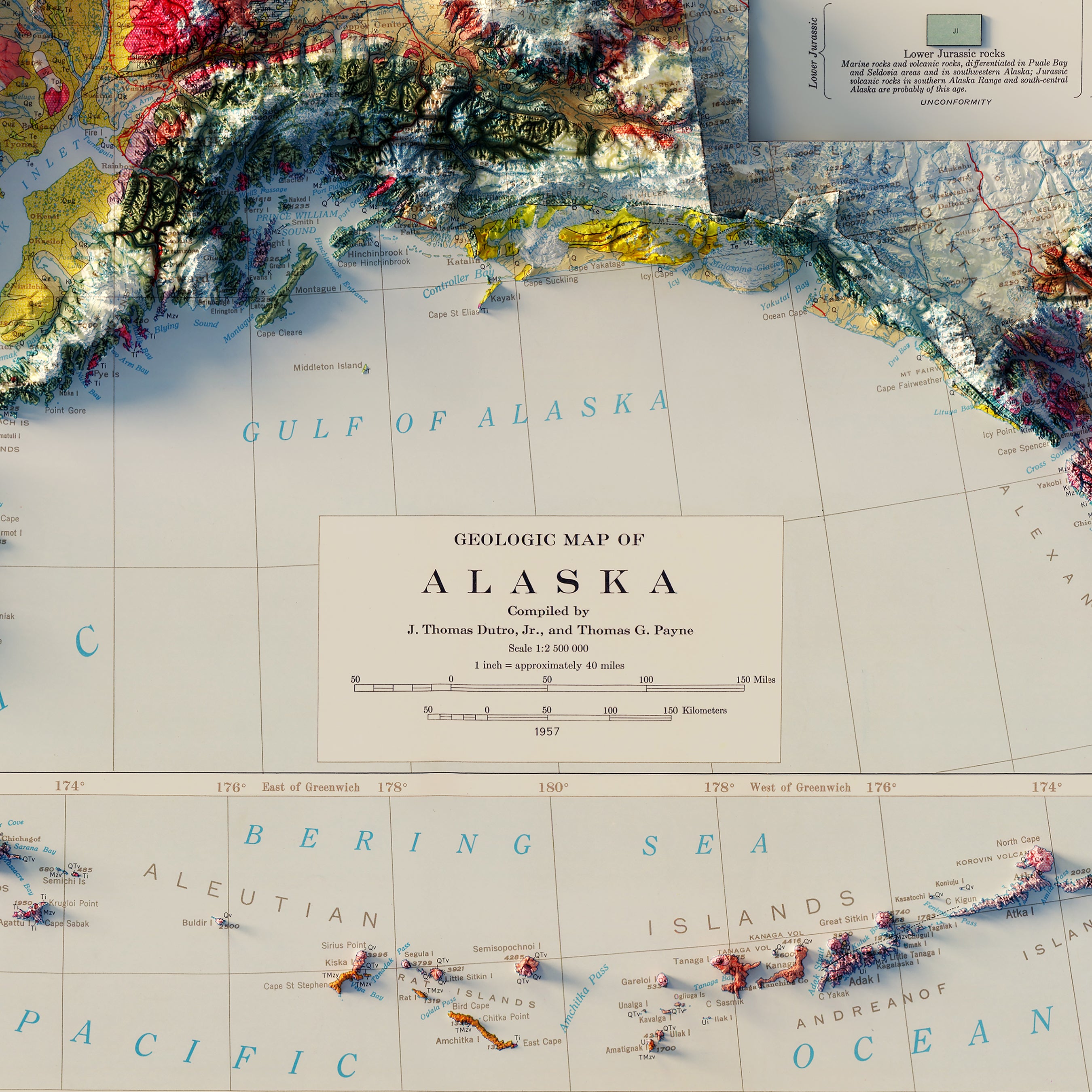
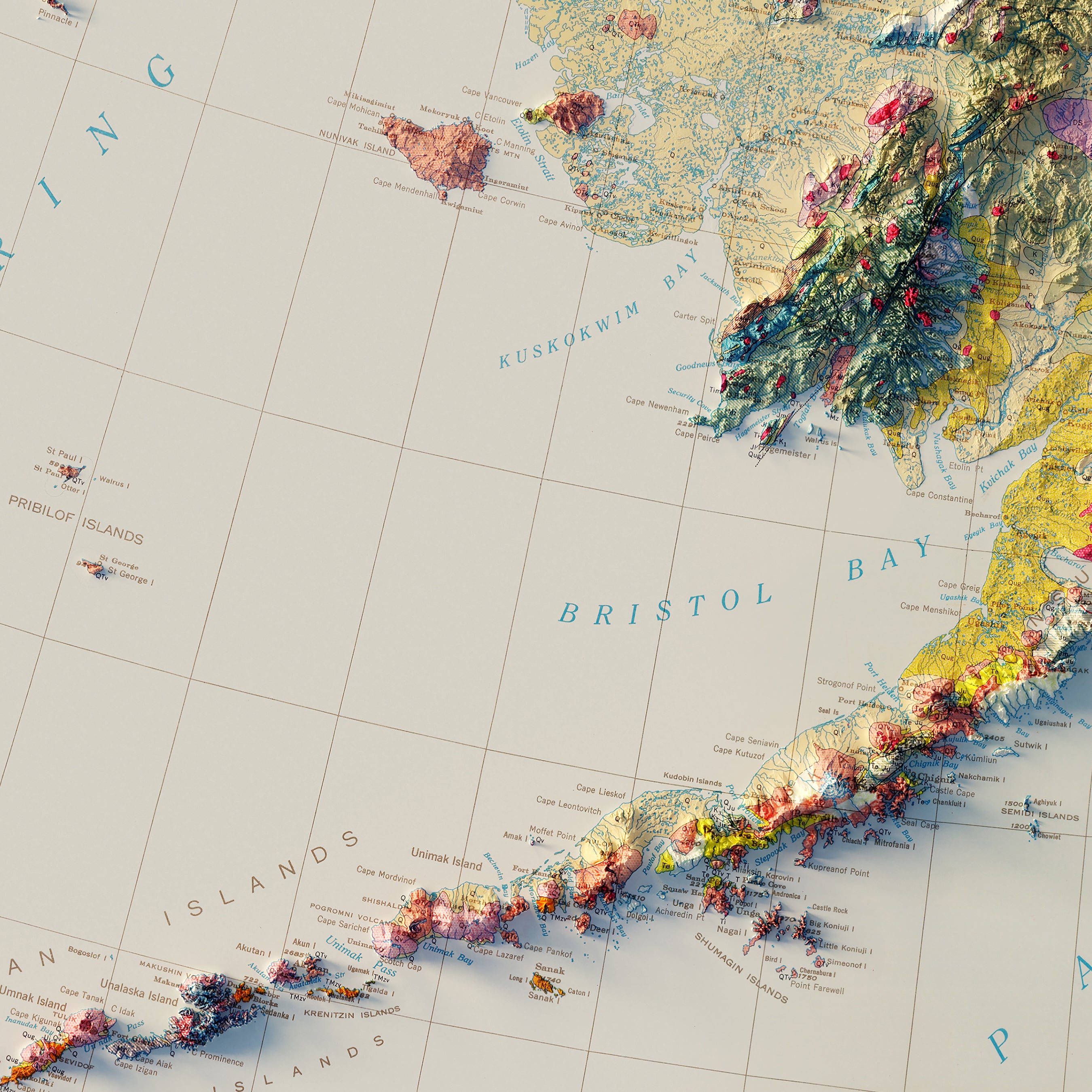
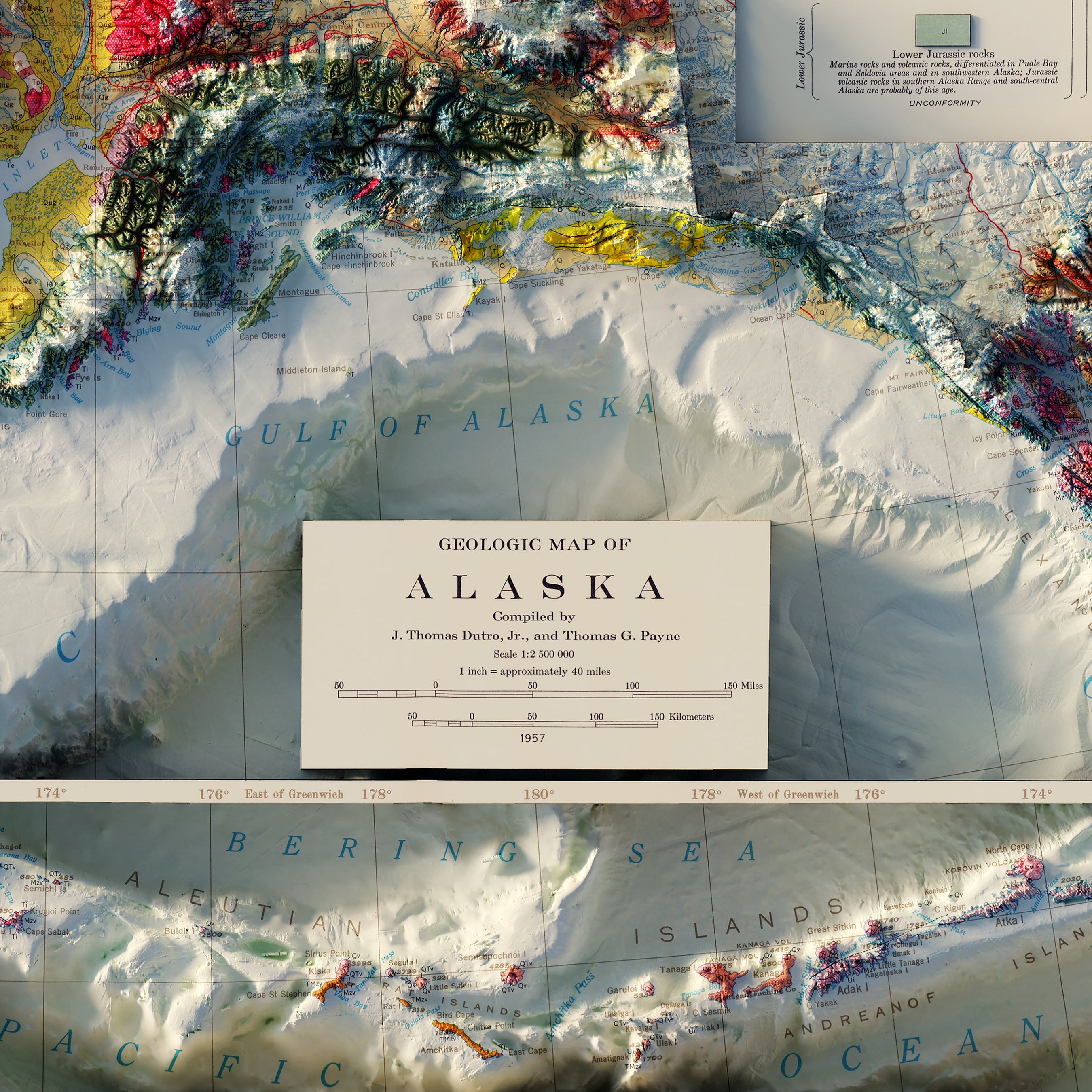
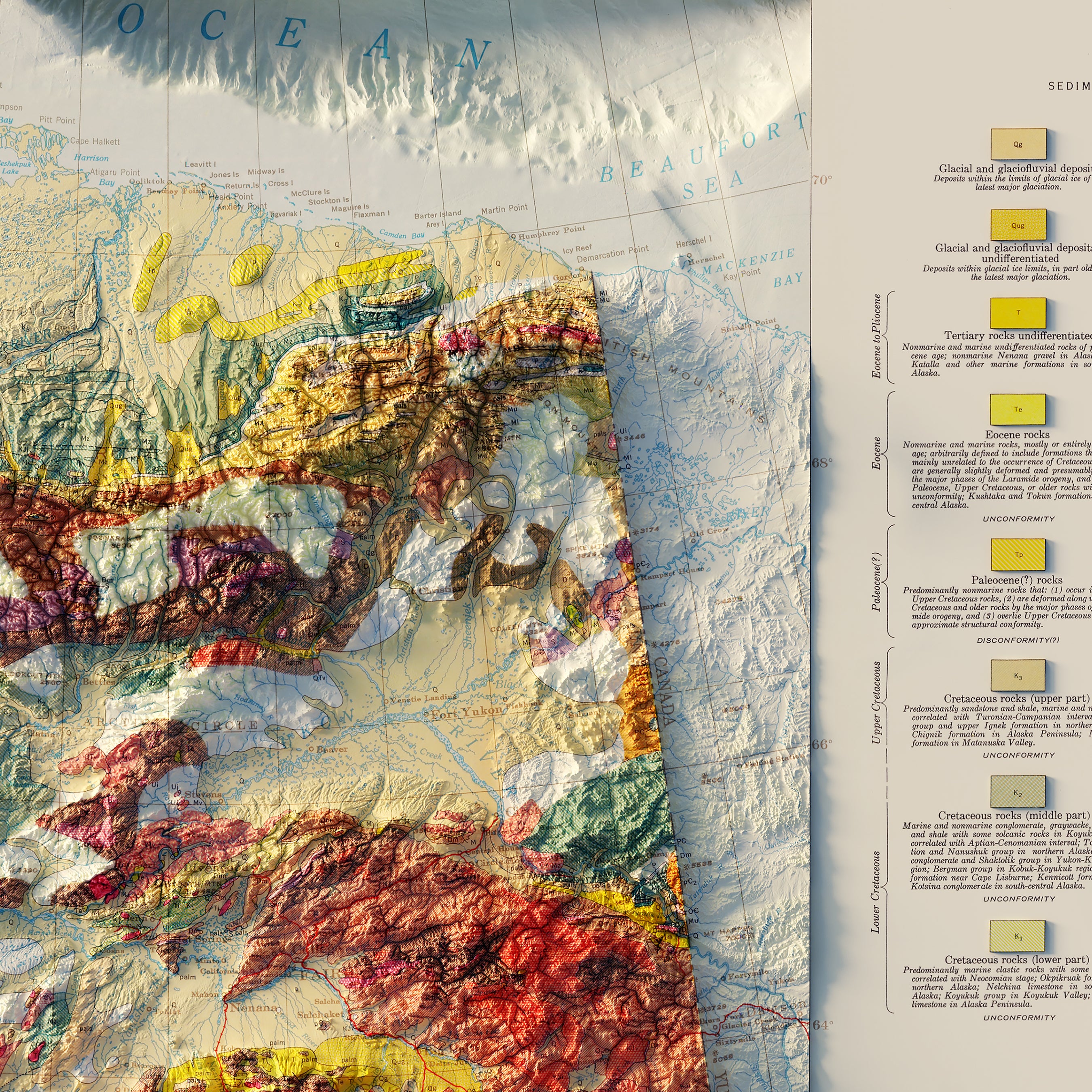
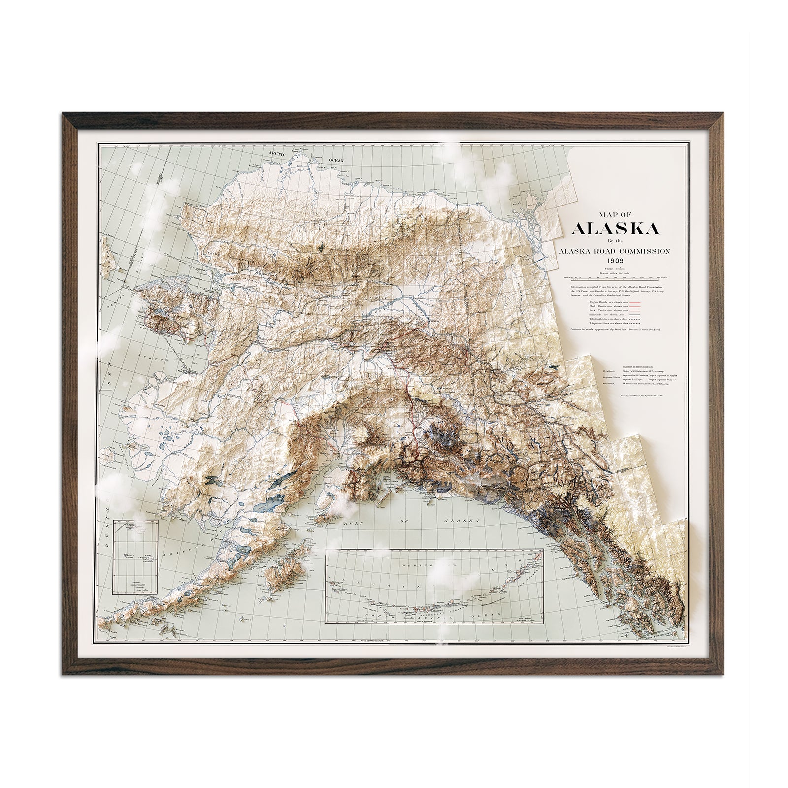
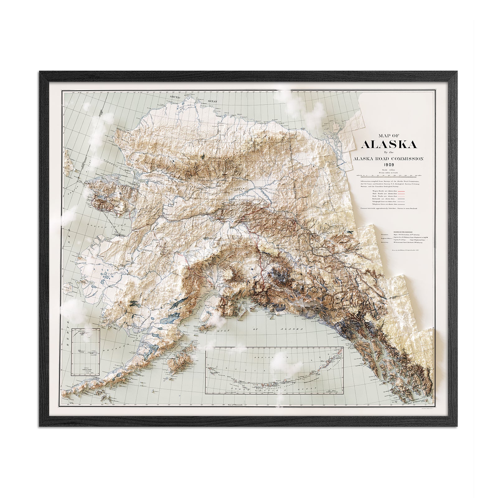
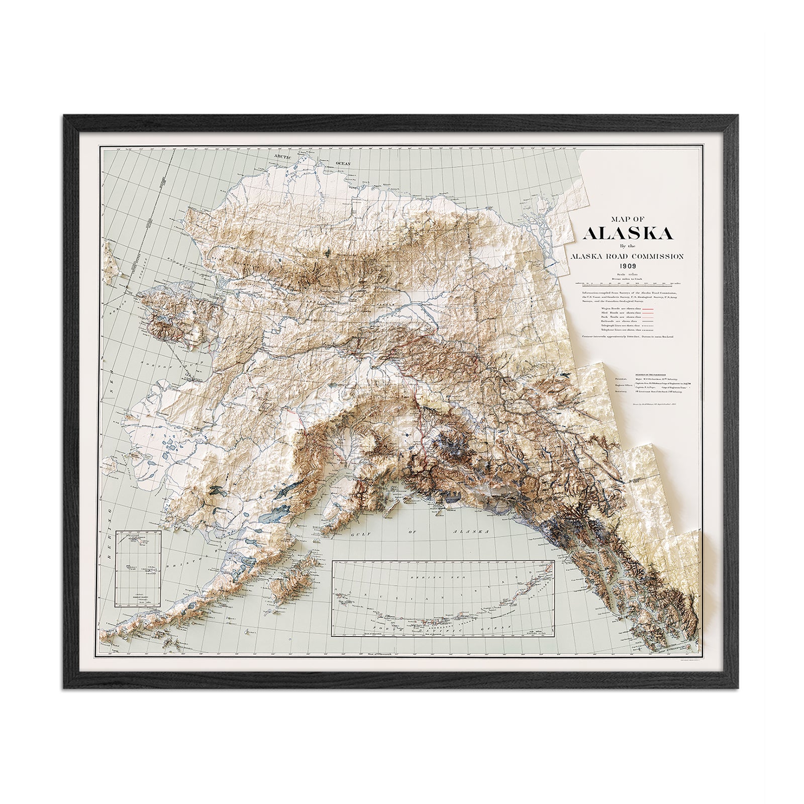
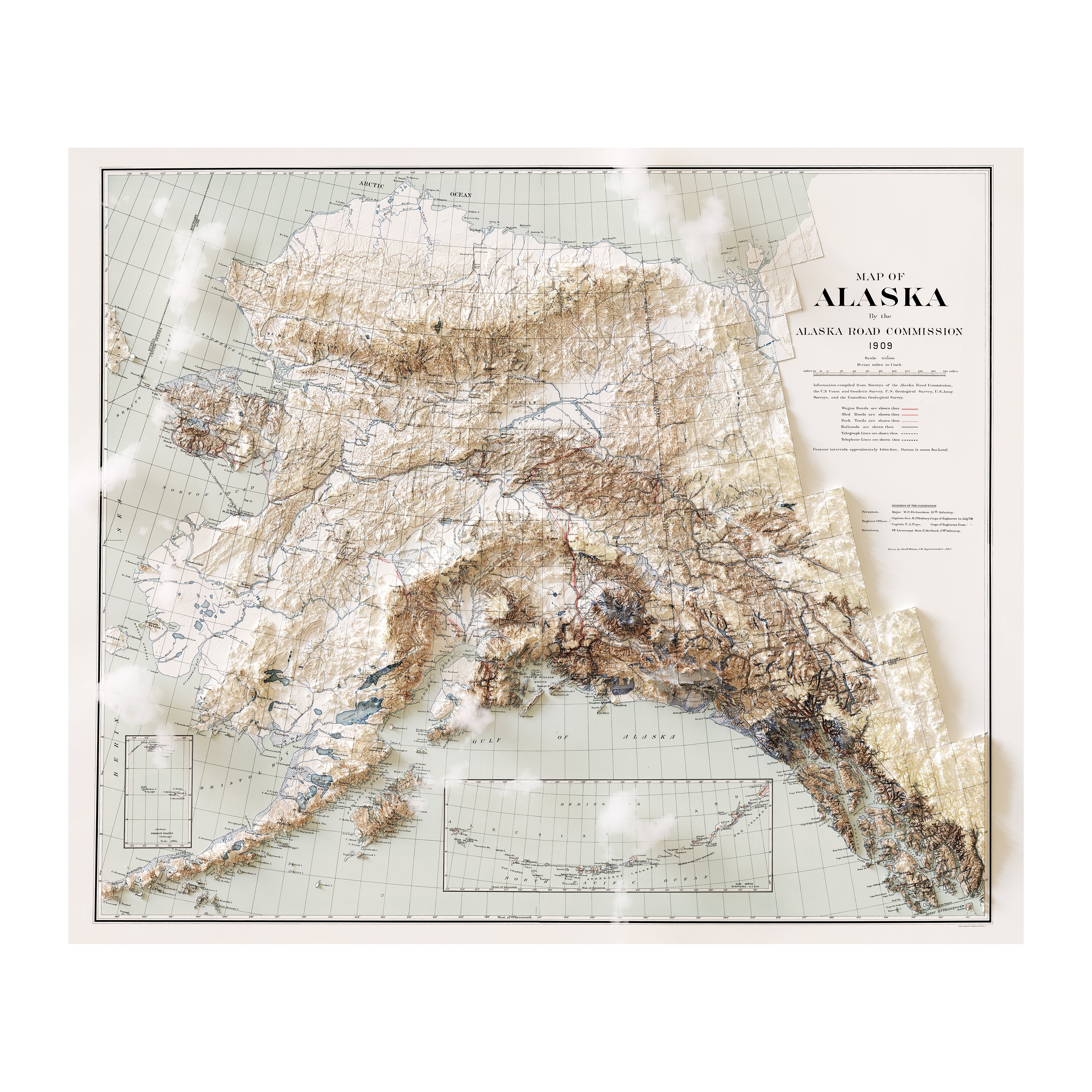
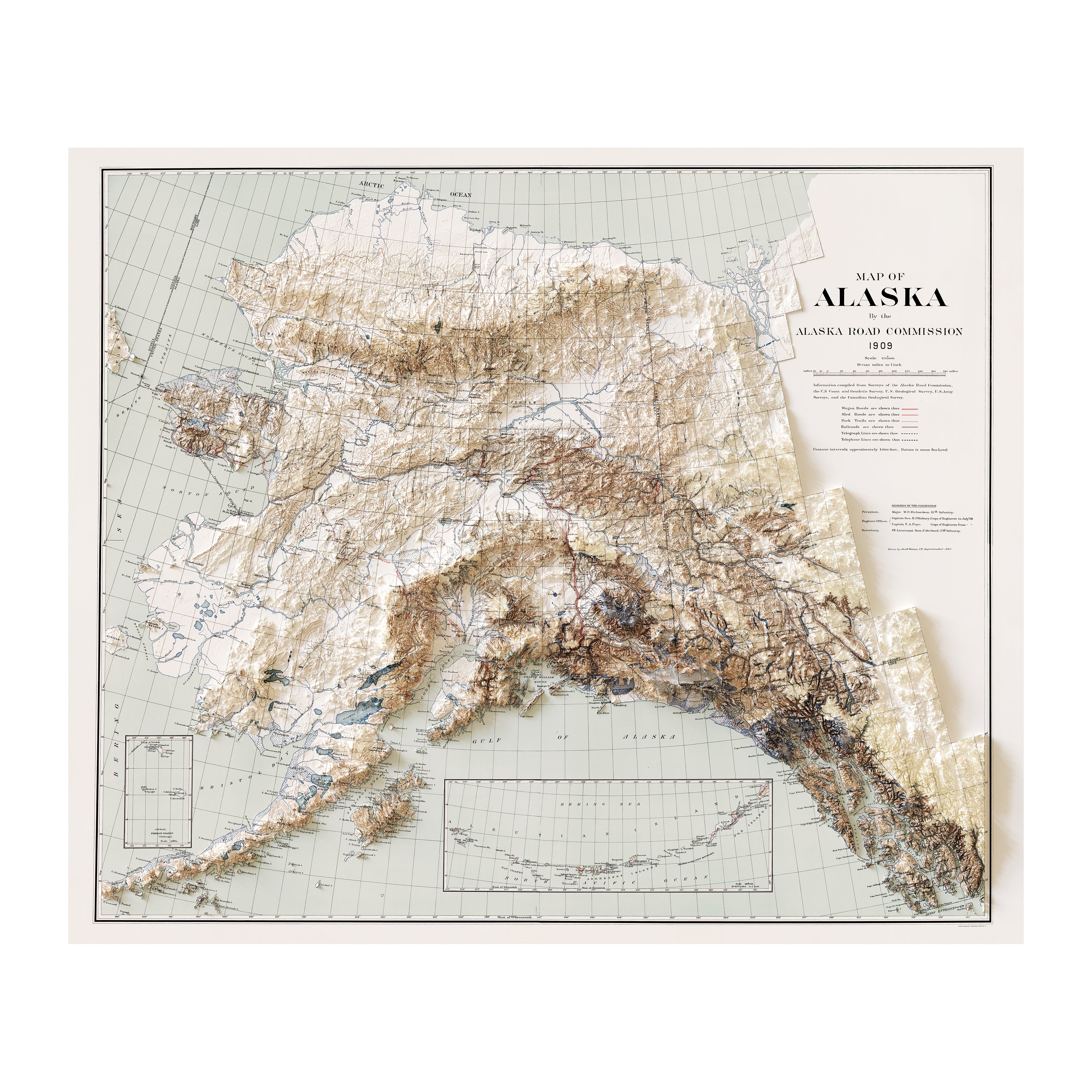
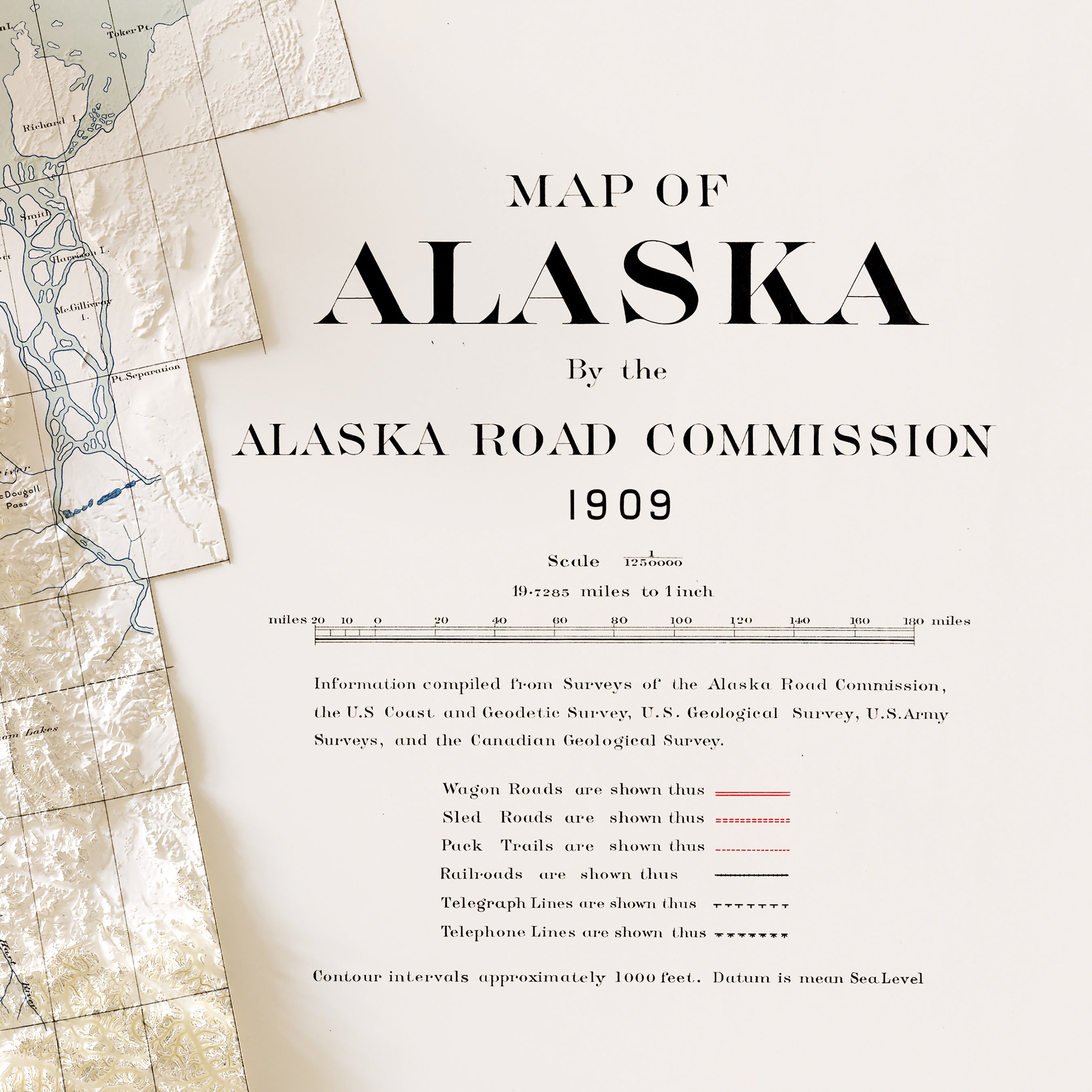
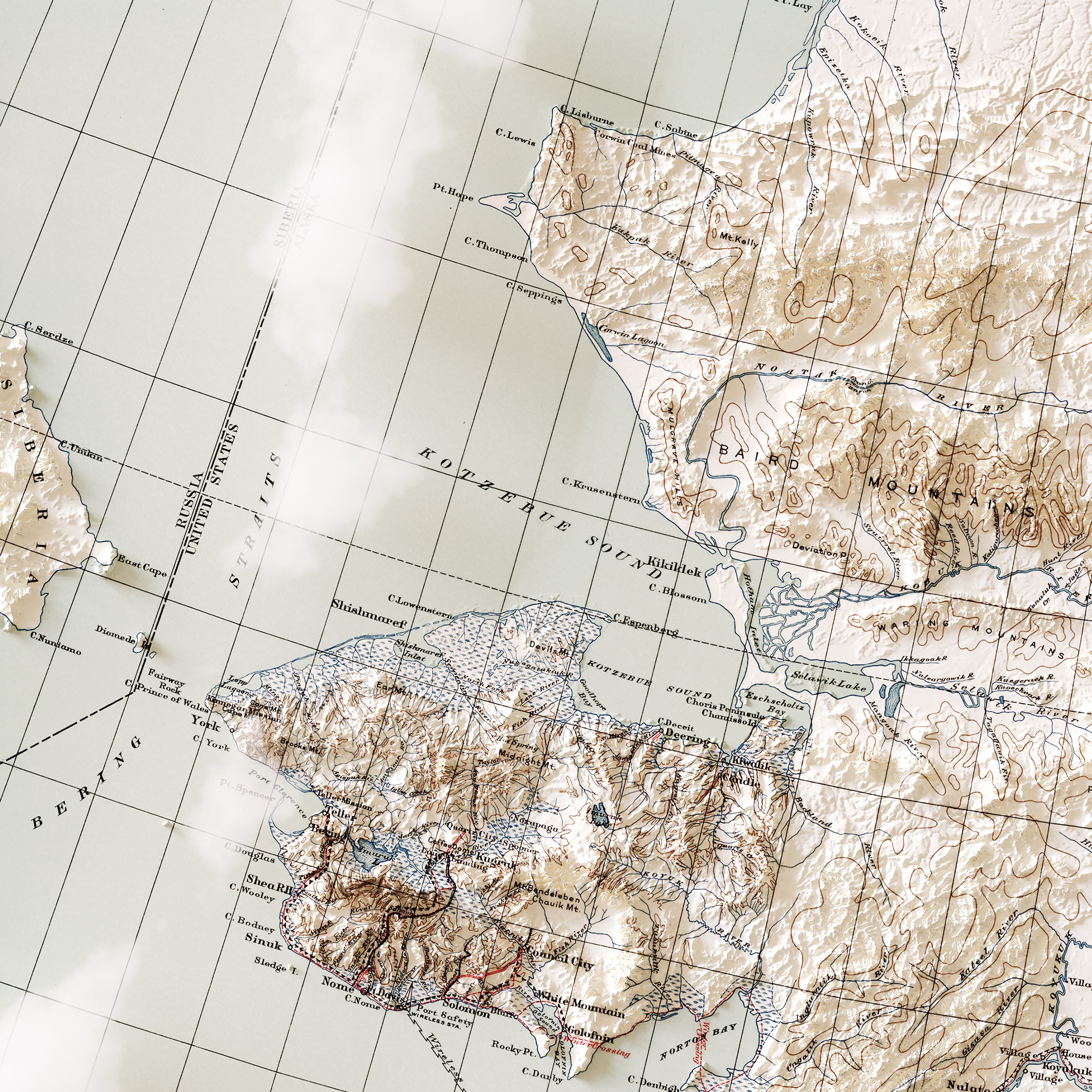
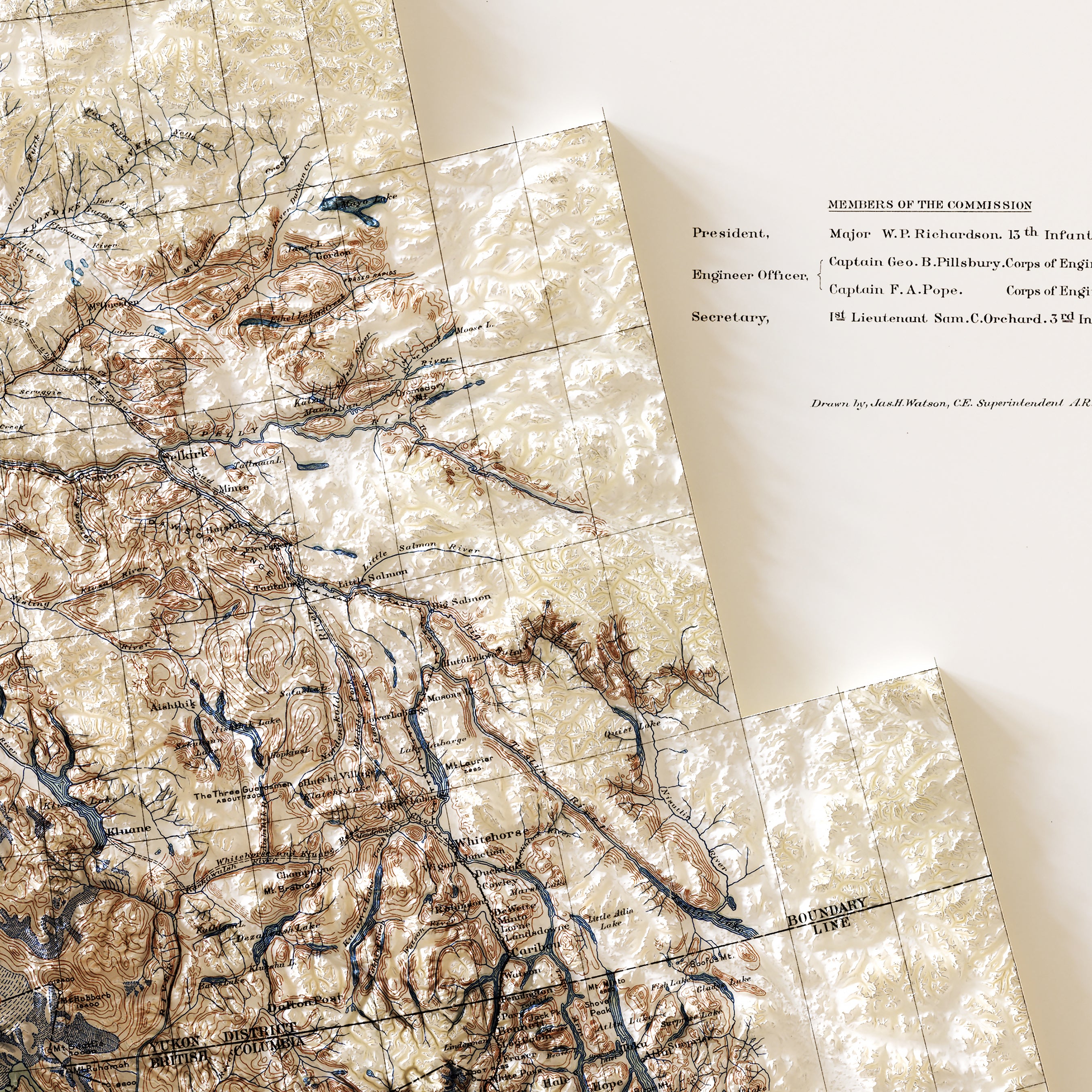
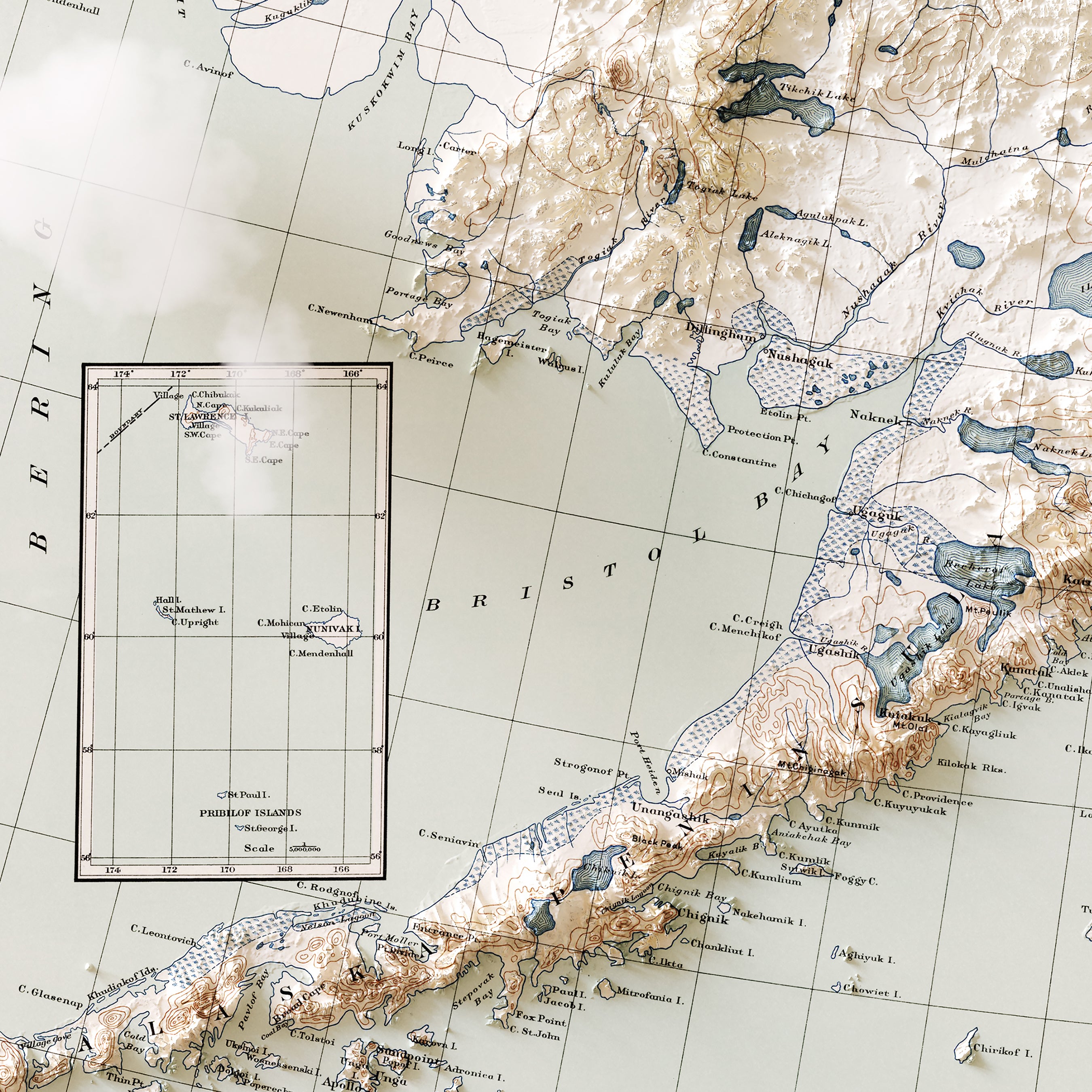
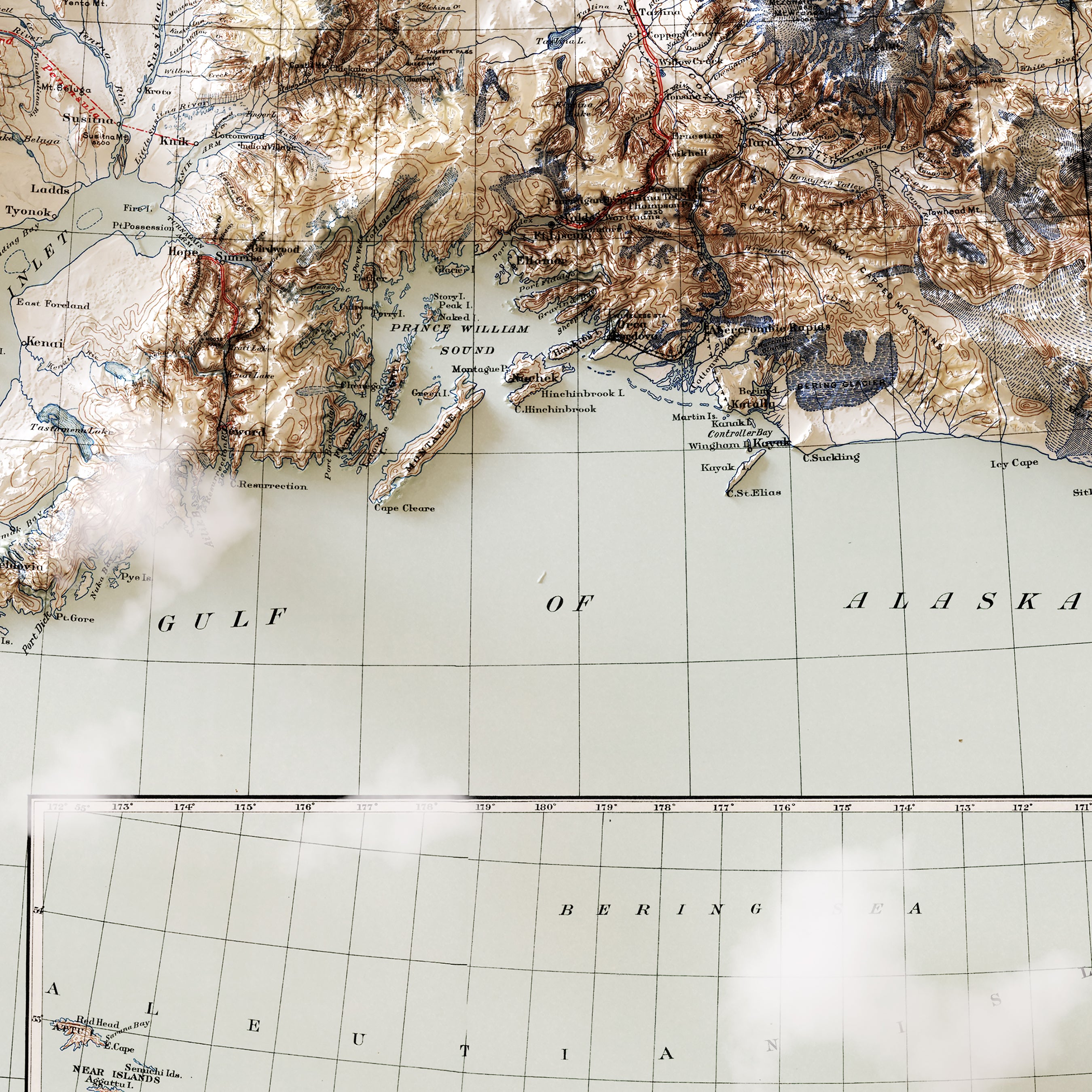
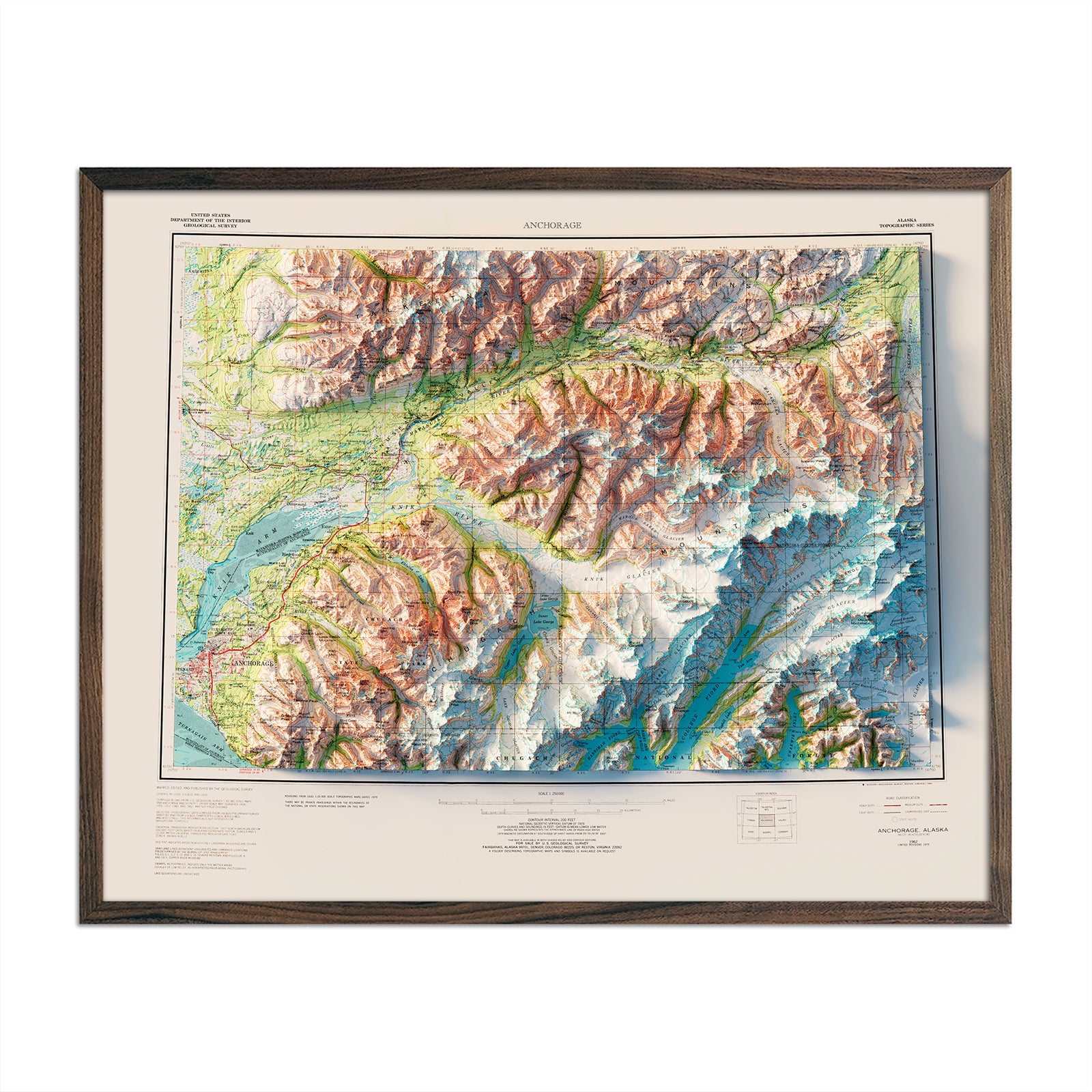
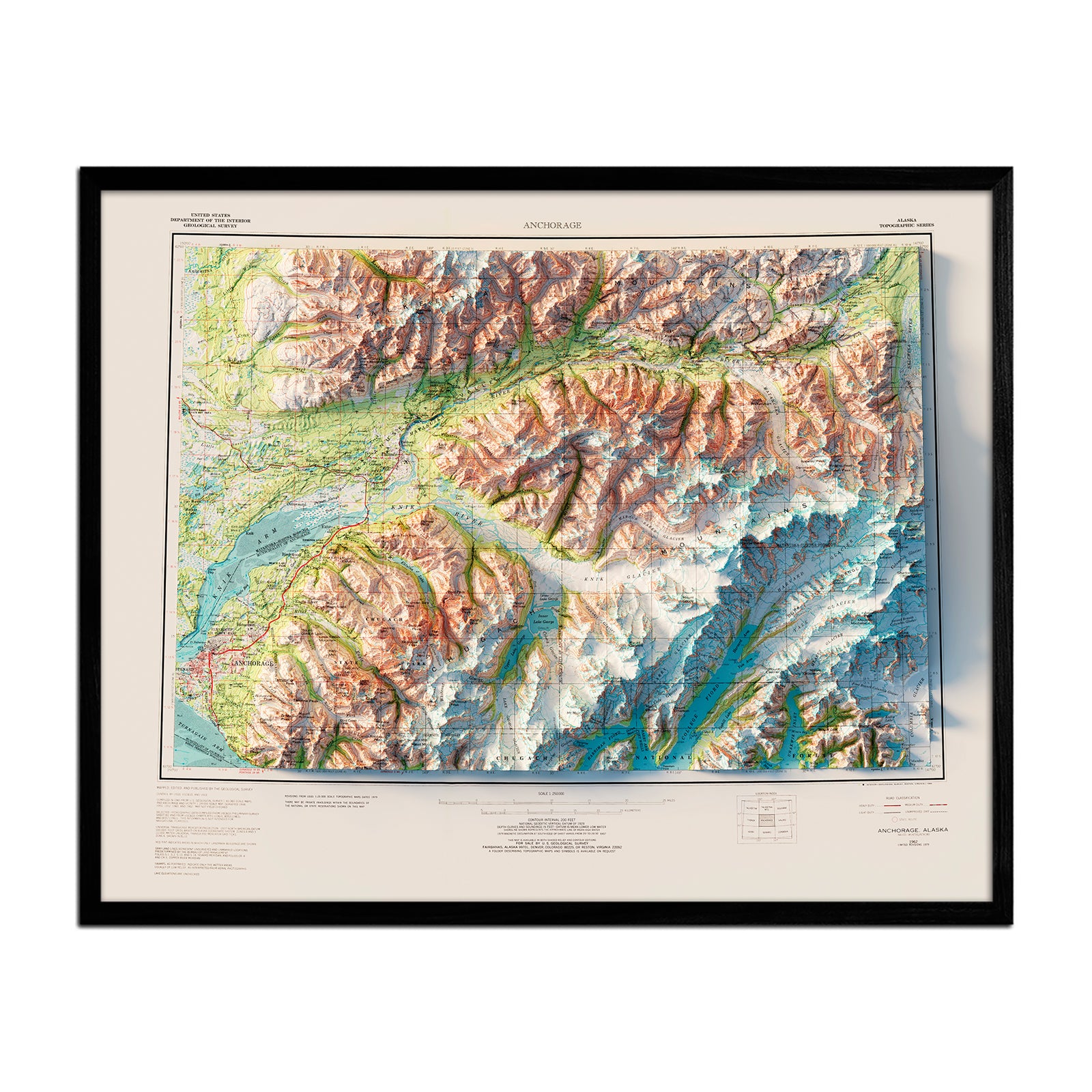
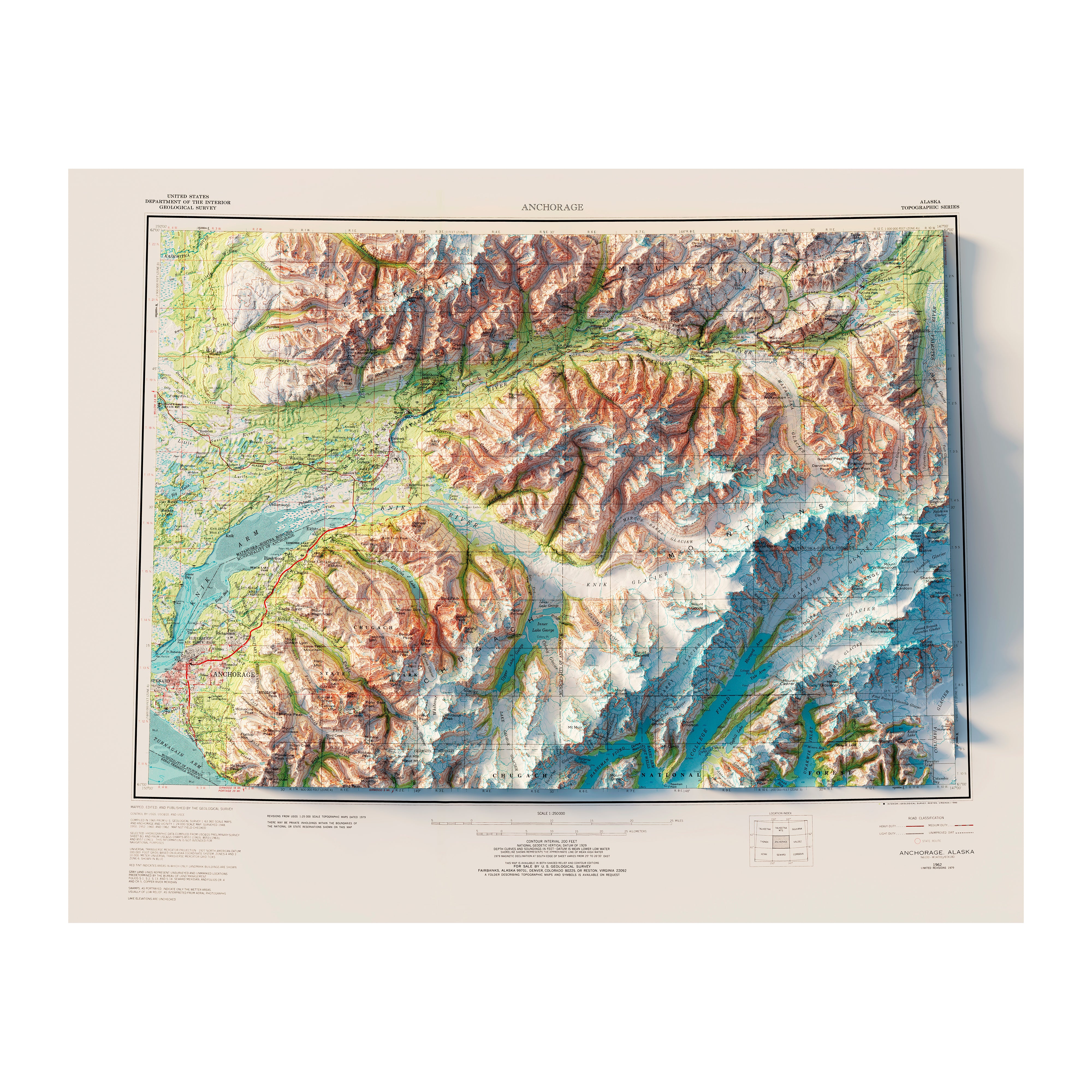
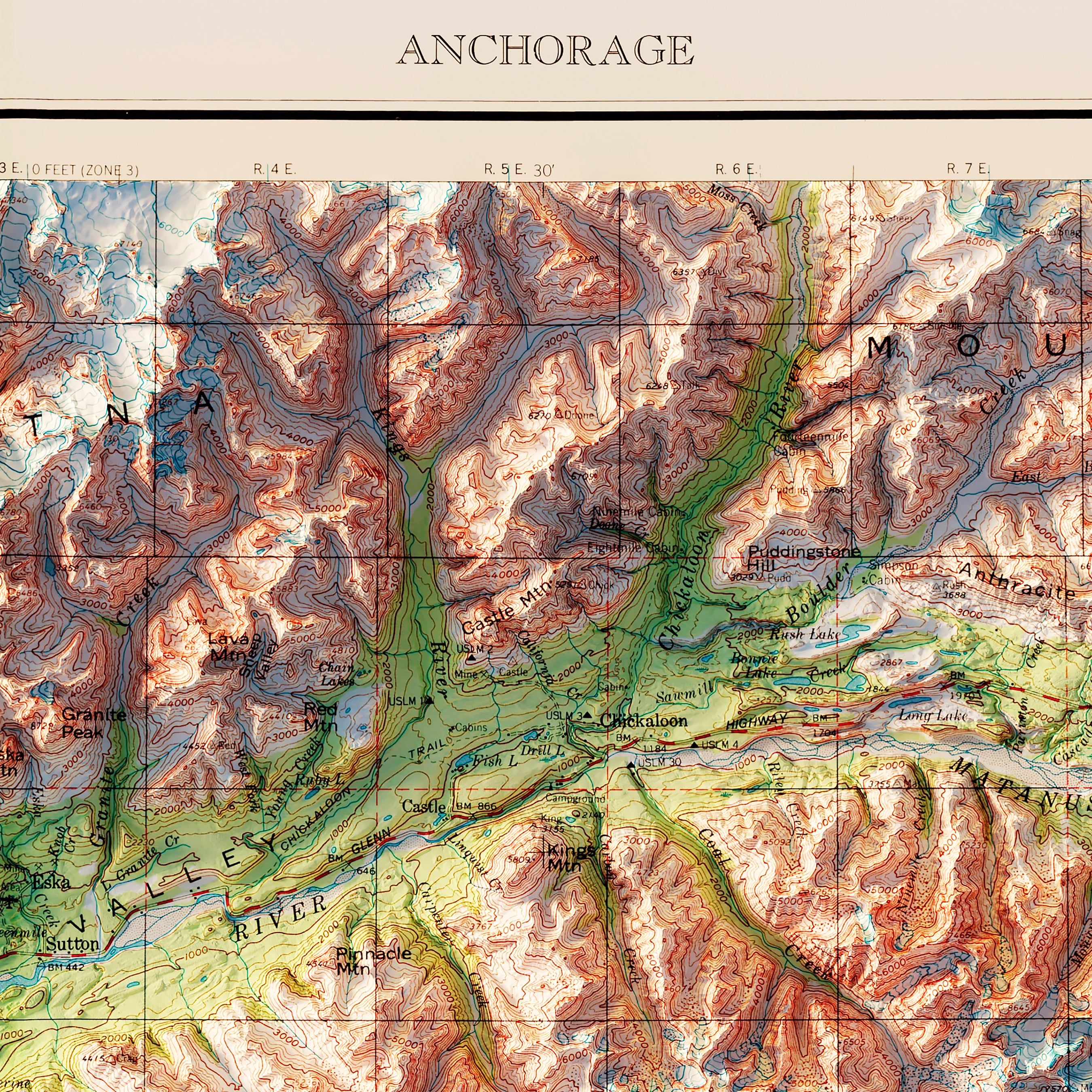
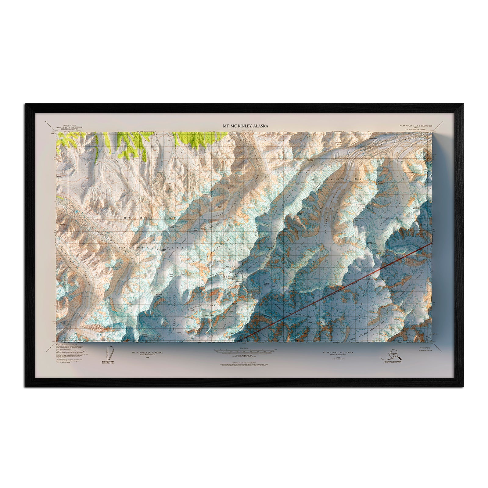
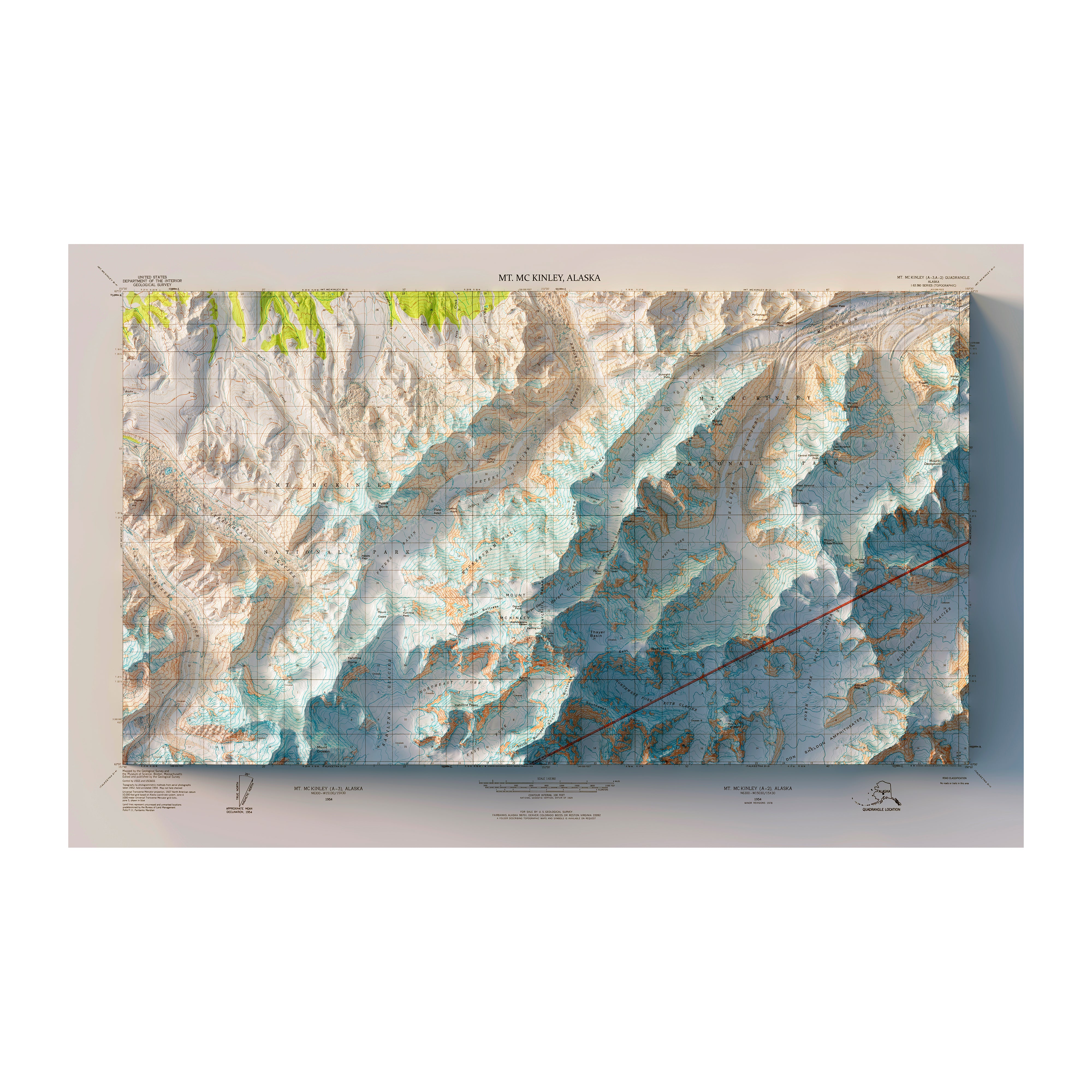
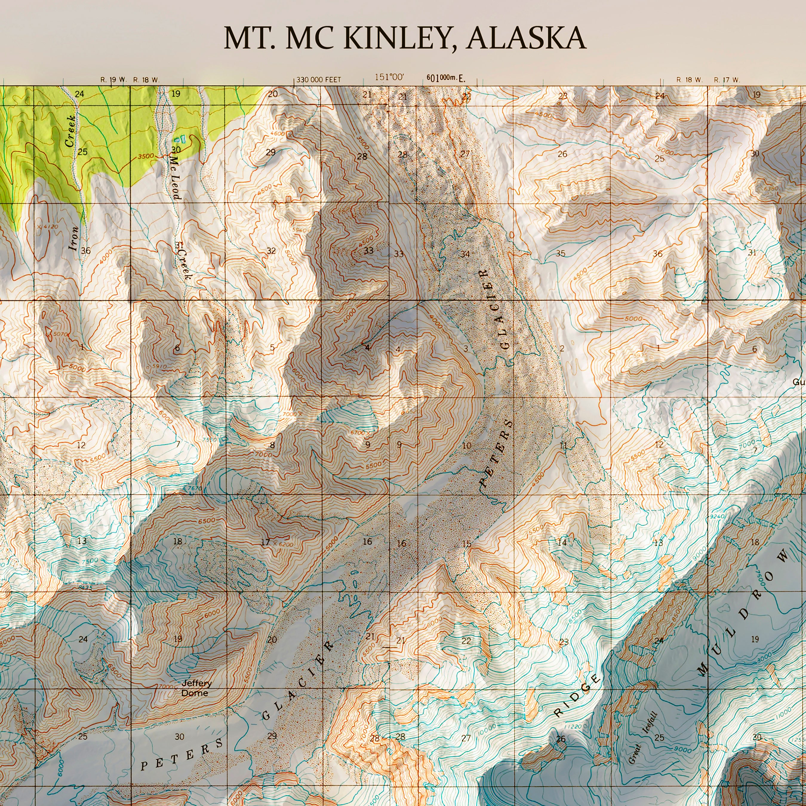
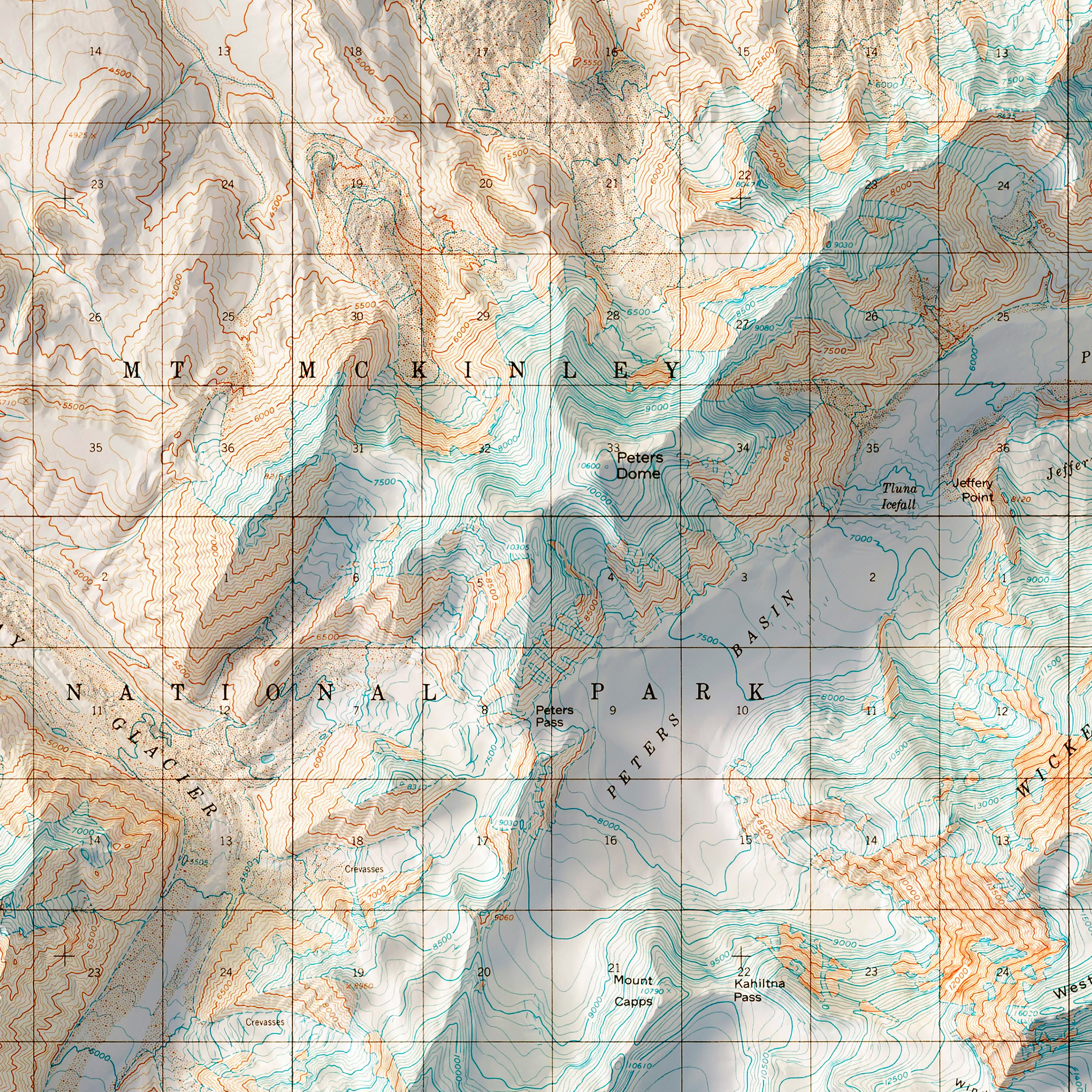
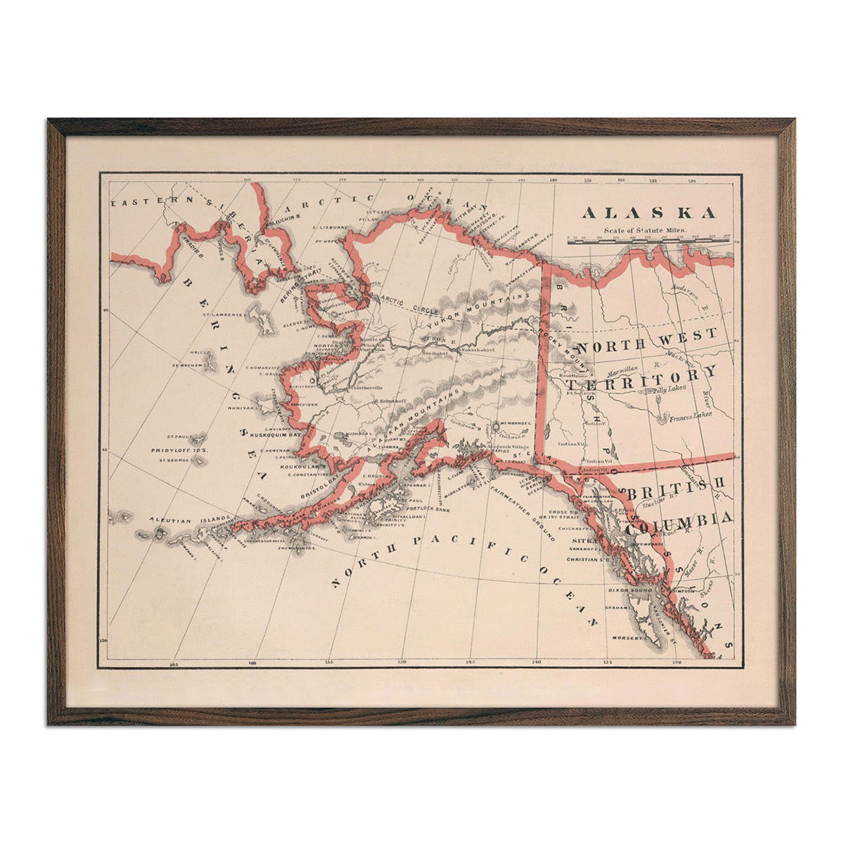
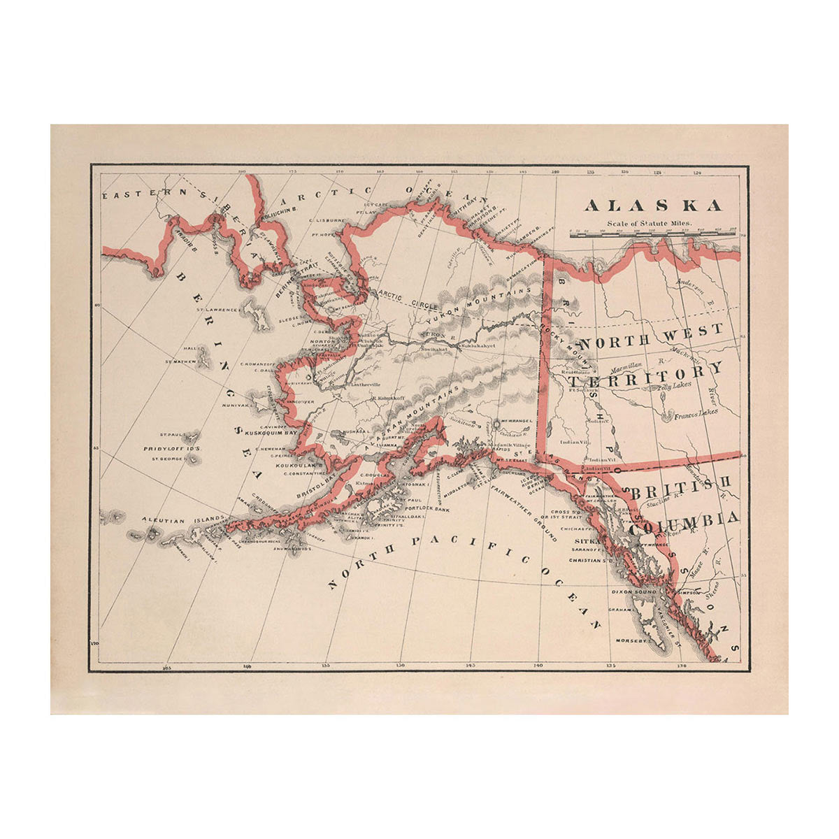
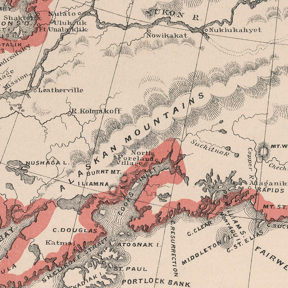
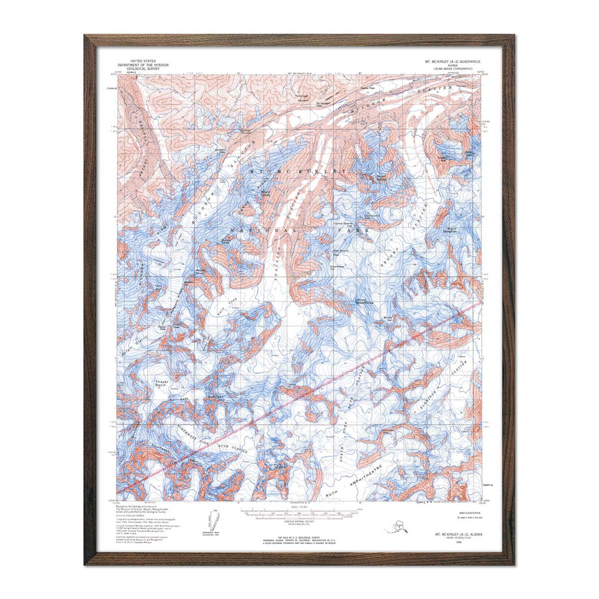
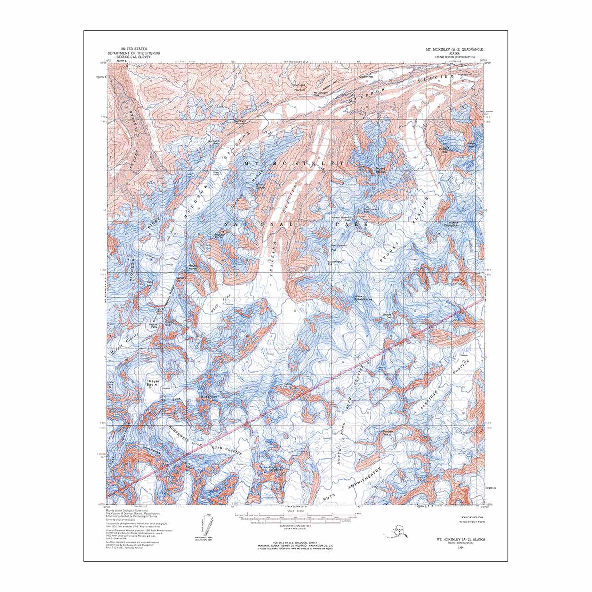
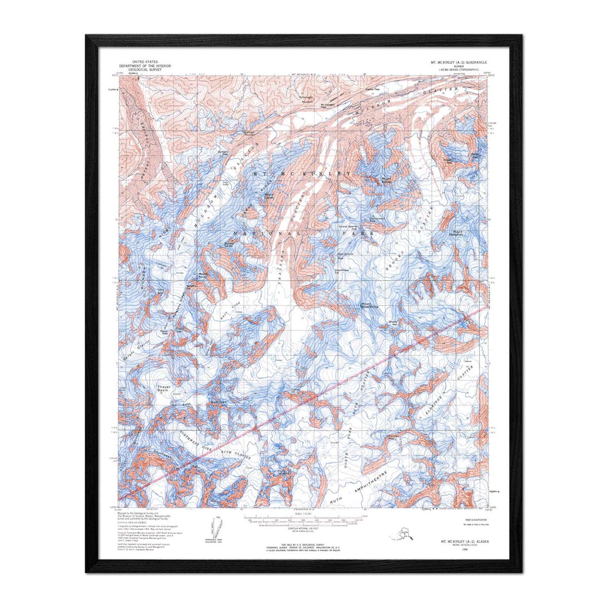
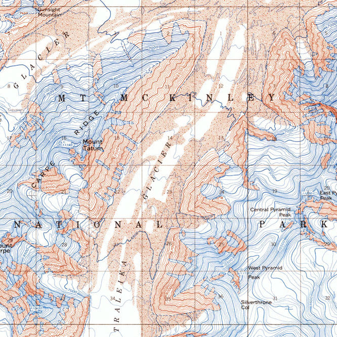
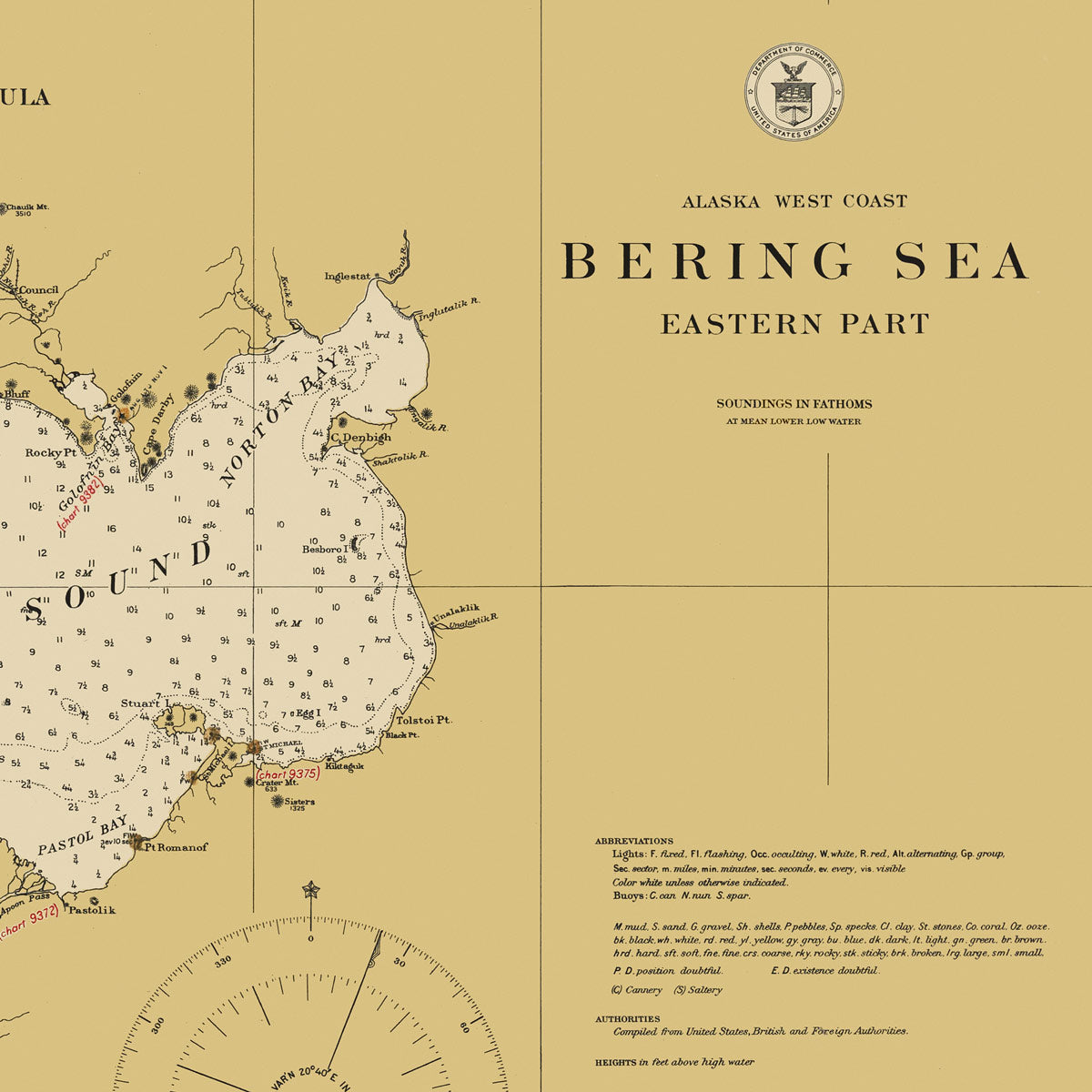
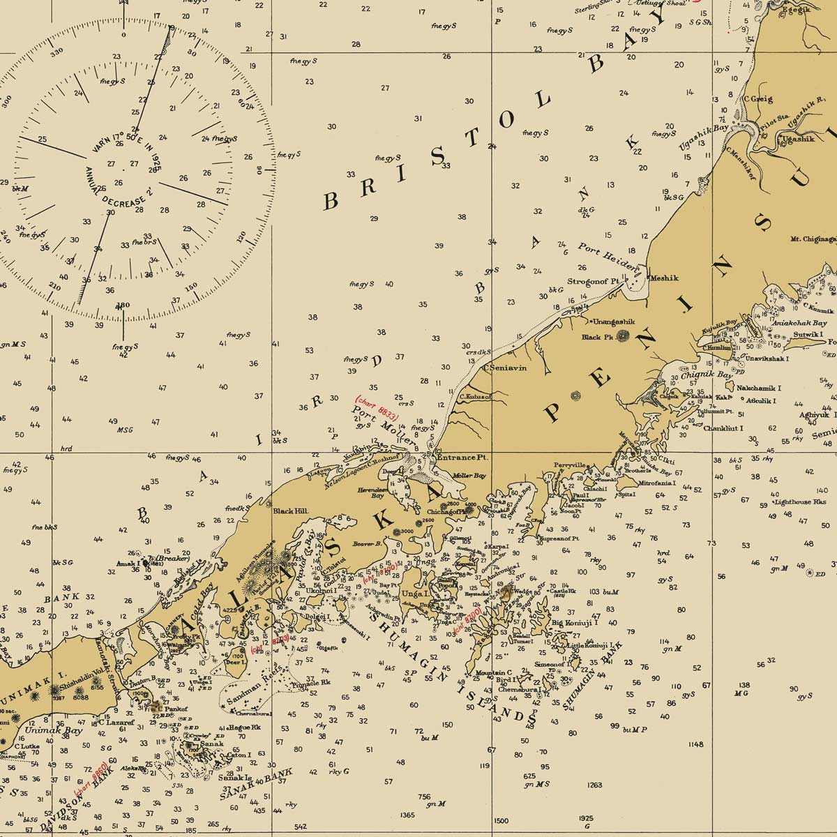
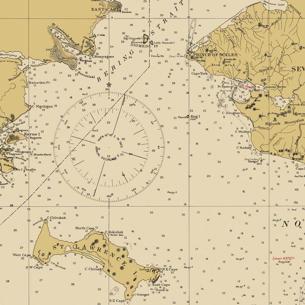
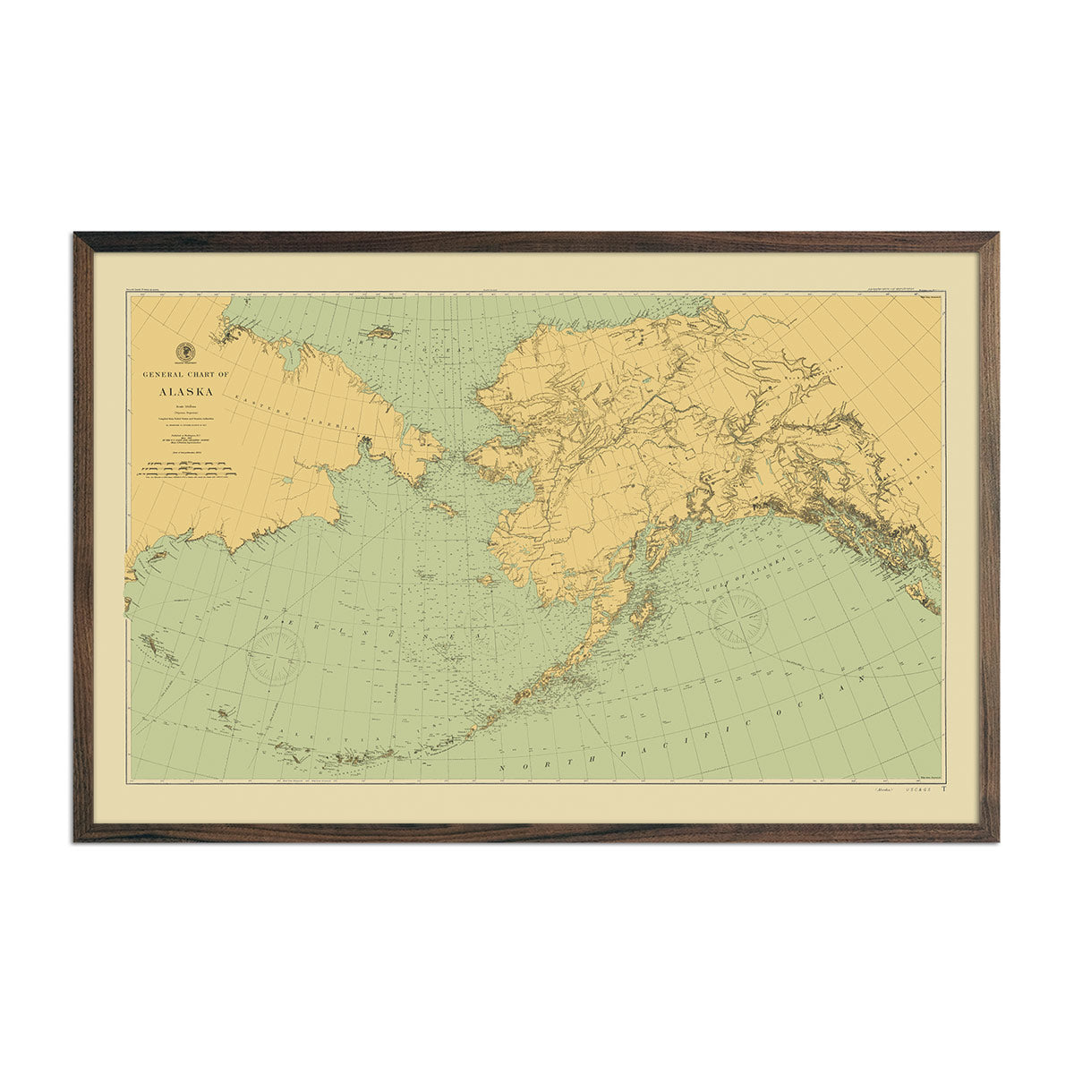
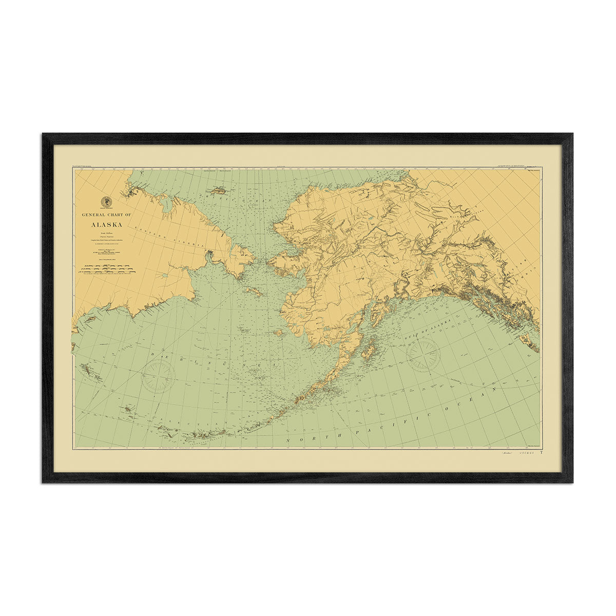
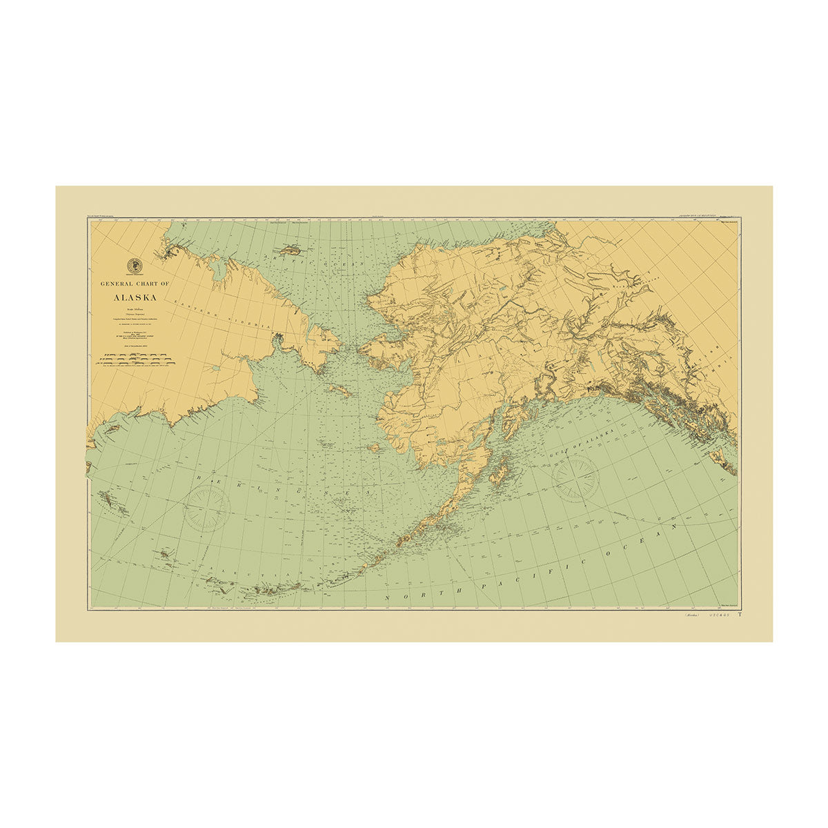
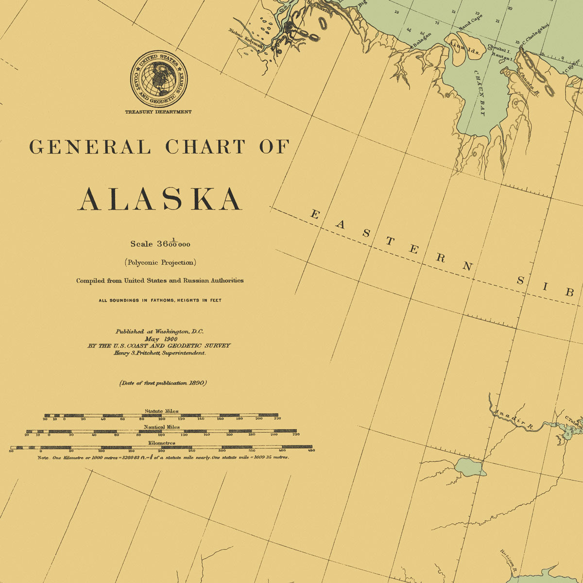
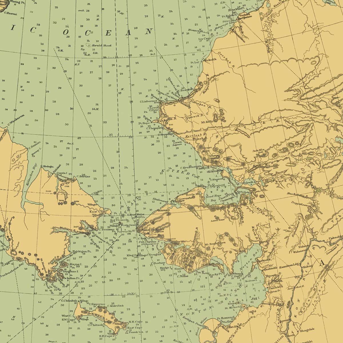
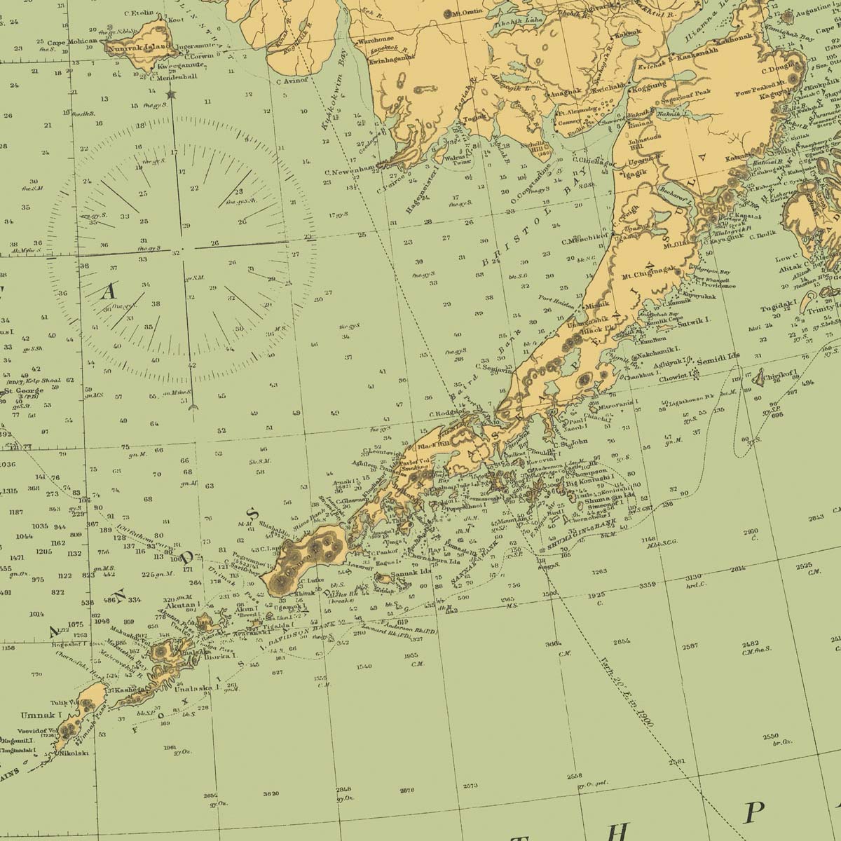
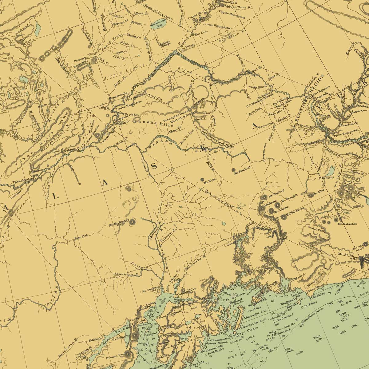
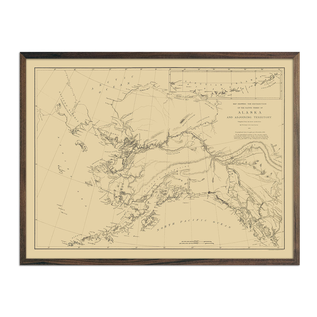
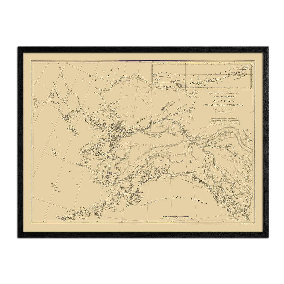
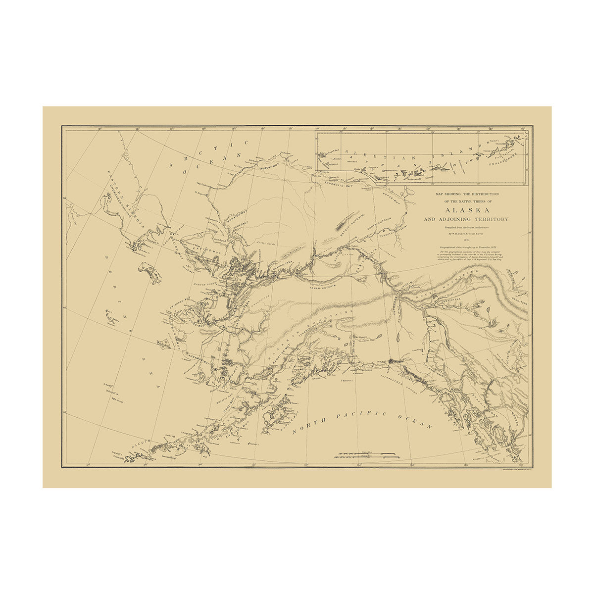
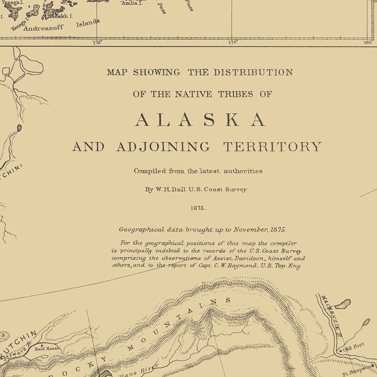
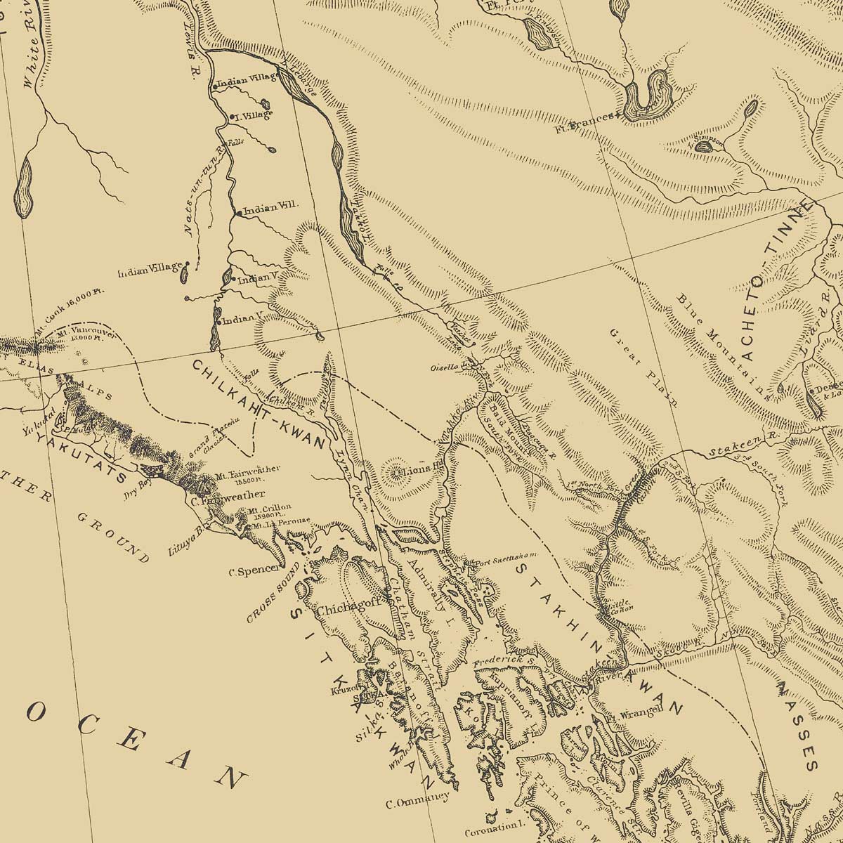
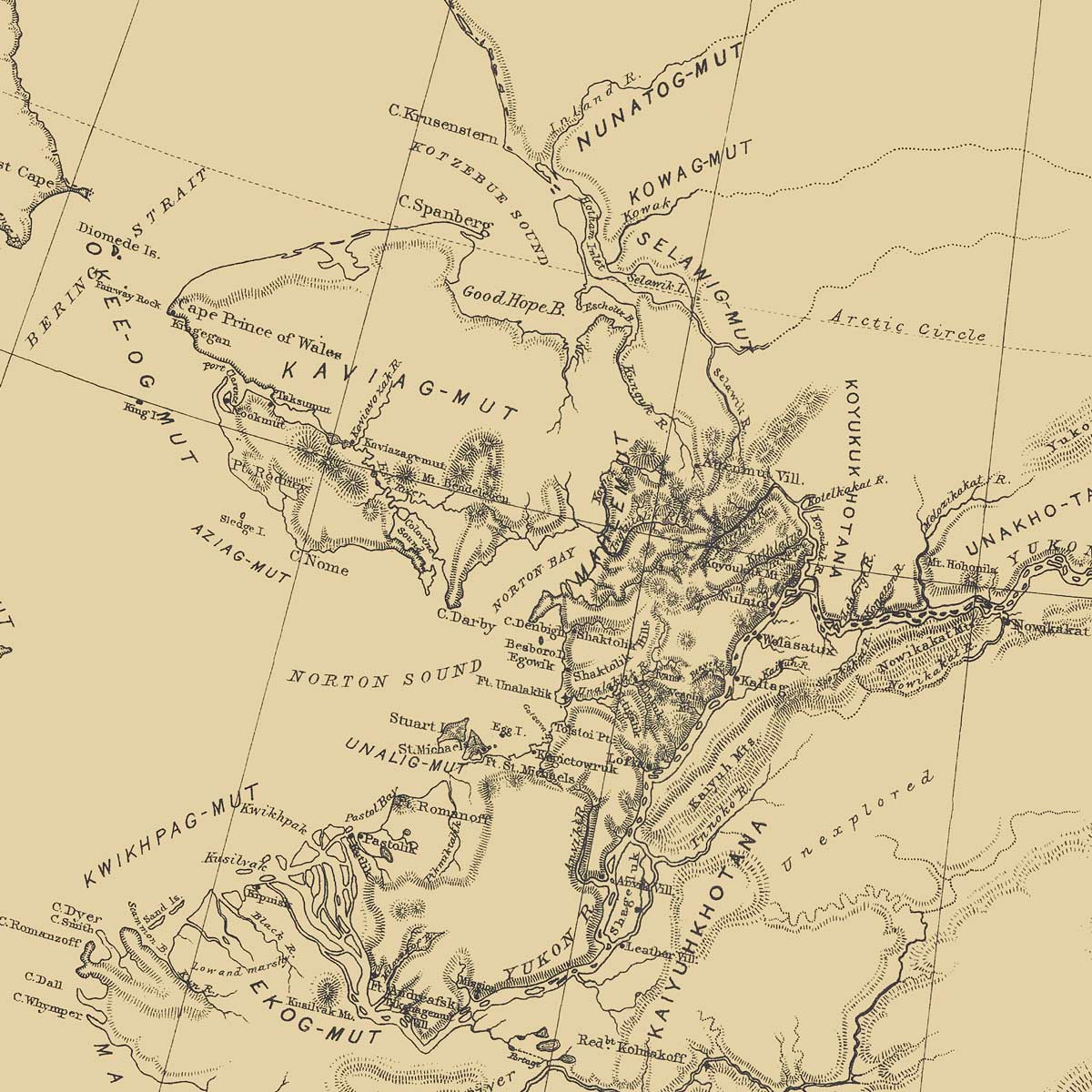
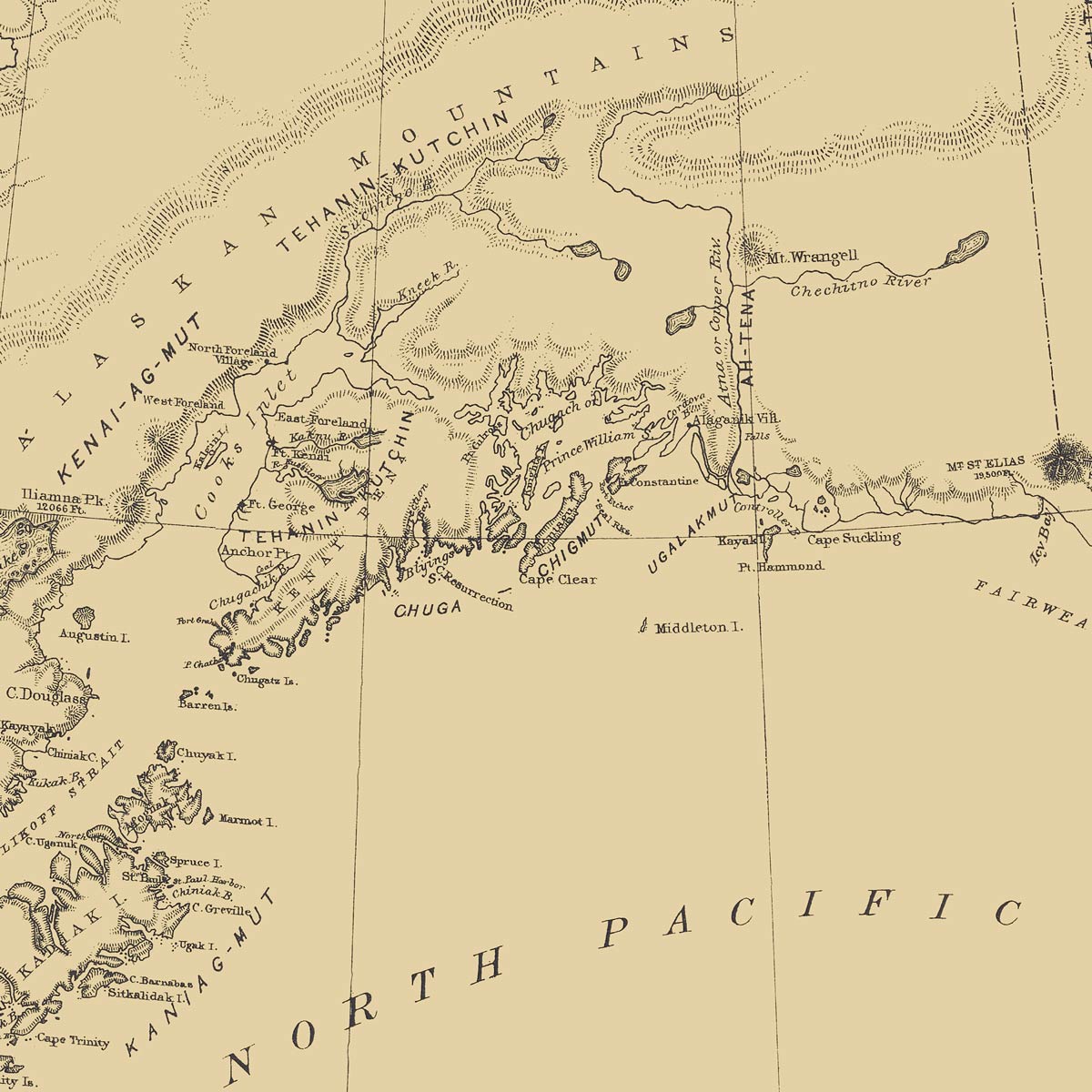
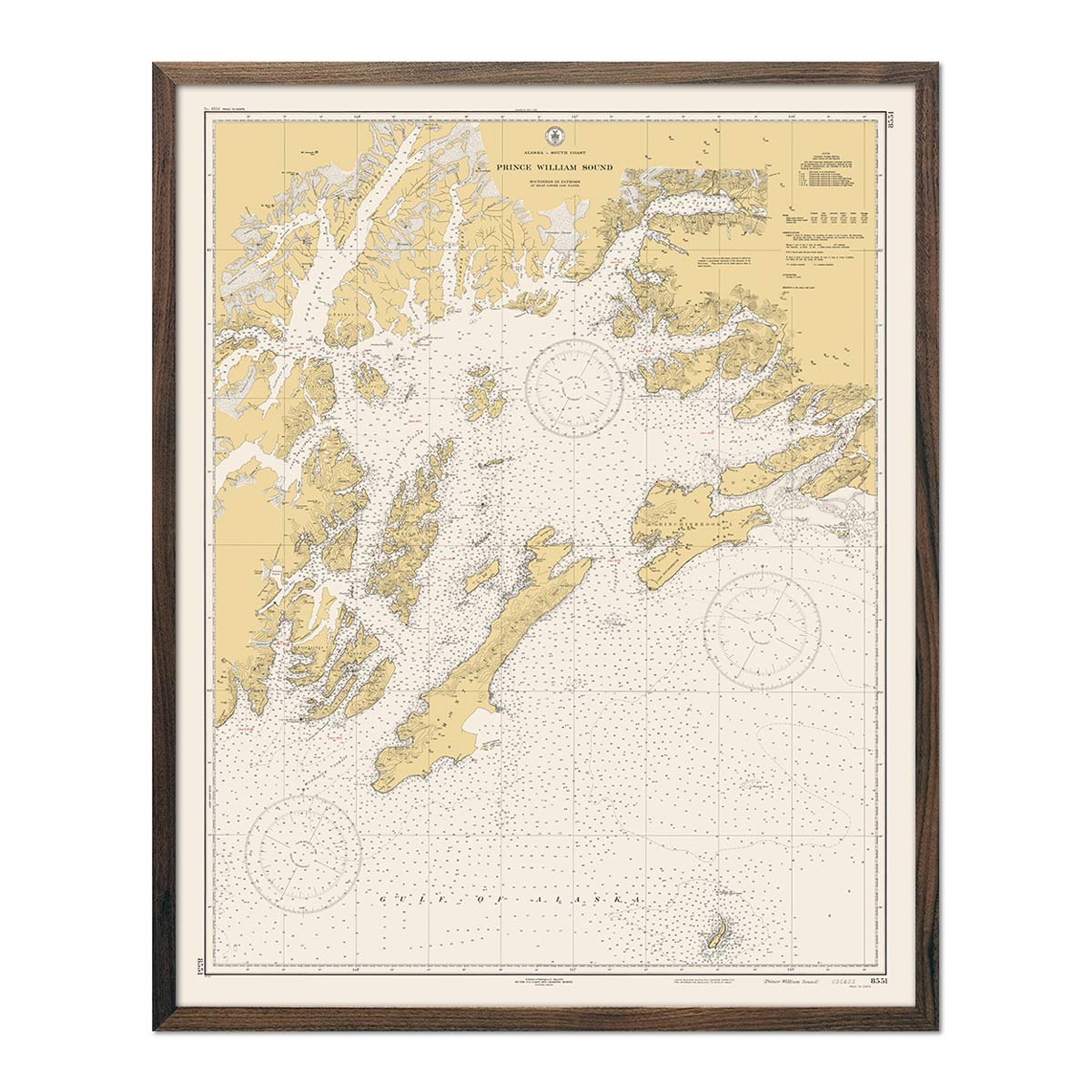
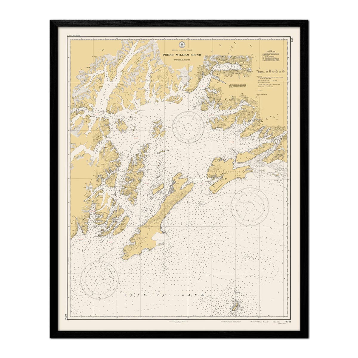
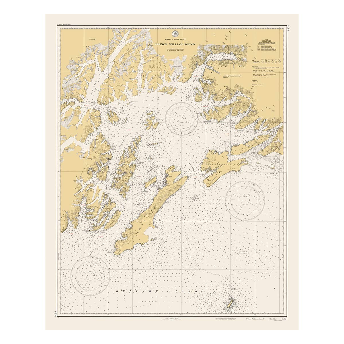
Alaska officially became a state in 1959, making Alaska the 49th state. Some of the earliest maps in our collection were drafted in the late 1800s, including the Alaska 1883 Map. A faithful reproduction of a popular George Cram published map from Cram's Unrivaled Family Atlas of the World. We add shaded relief to historical maps in our Vintage Relief Series creating an illusion of 3D. We use this technique with the Geological 1957 Shaded Relief Map, 1909 Alaska Shaded Relief Map, and the 1954 Denali, AK Shaded Relief Map.
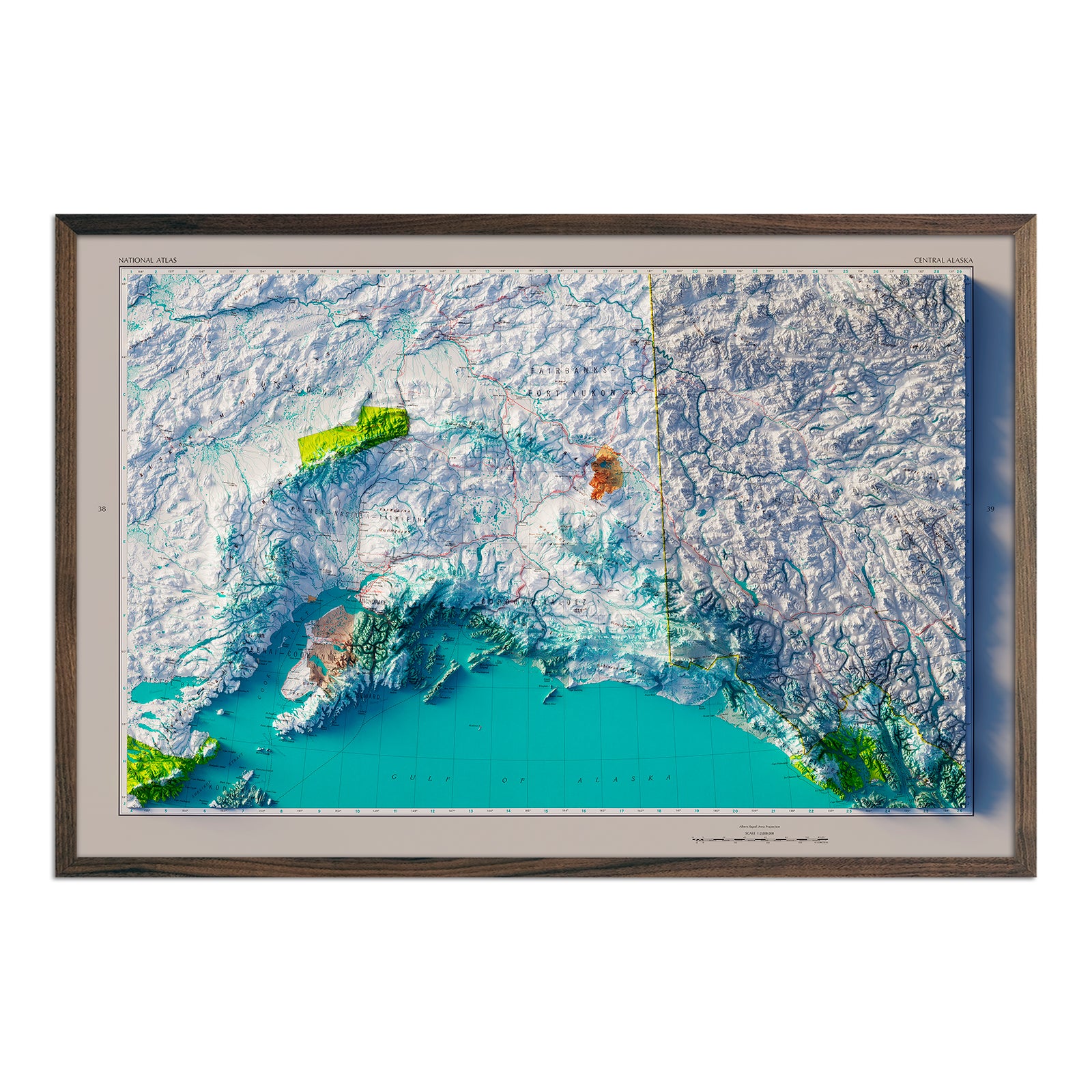
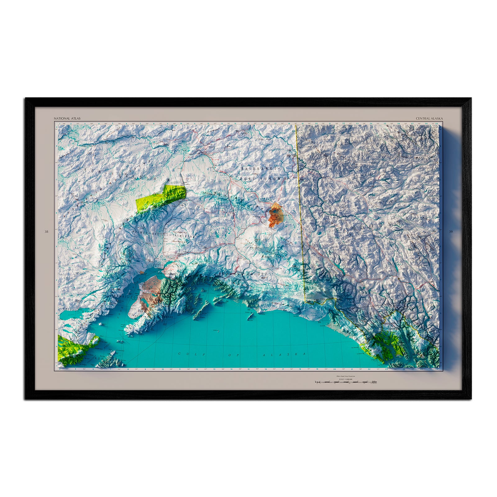
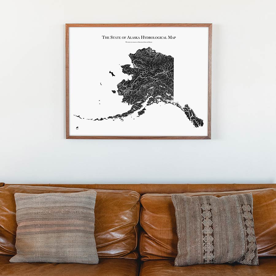
When you purchase an Alaska map print from Muir Way, you get far more than just a poster or mass-produced print. Our Alaska maps are printed with archival inks on fine art paper certified to last 100 years. Our map artwork is designed to bring new light to the beautiful terrain it features.
Muir Way historical maps feature a record of history reproduced to maintain vintage charm without wear & tear. All shaded relief maps are custom-printed using archival materials to preserve a snapshot of history for years.
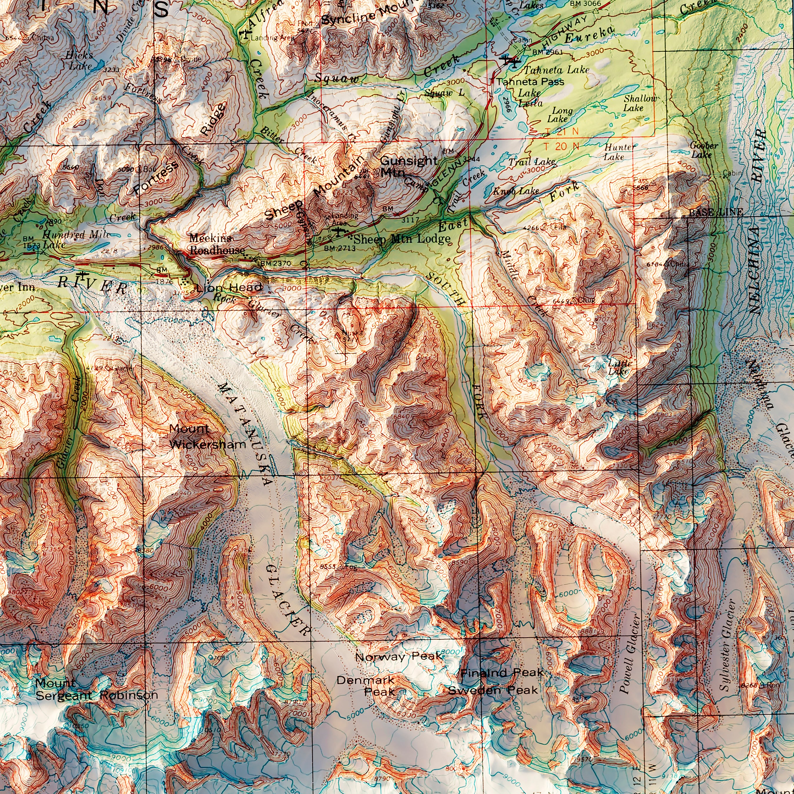
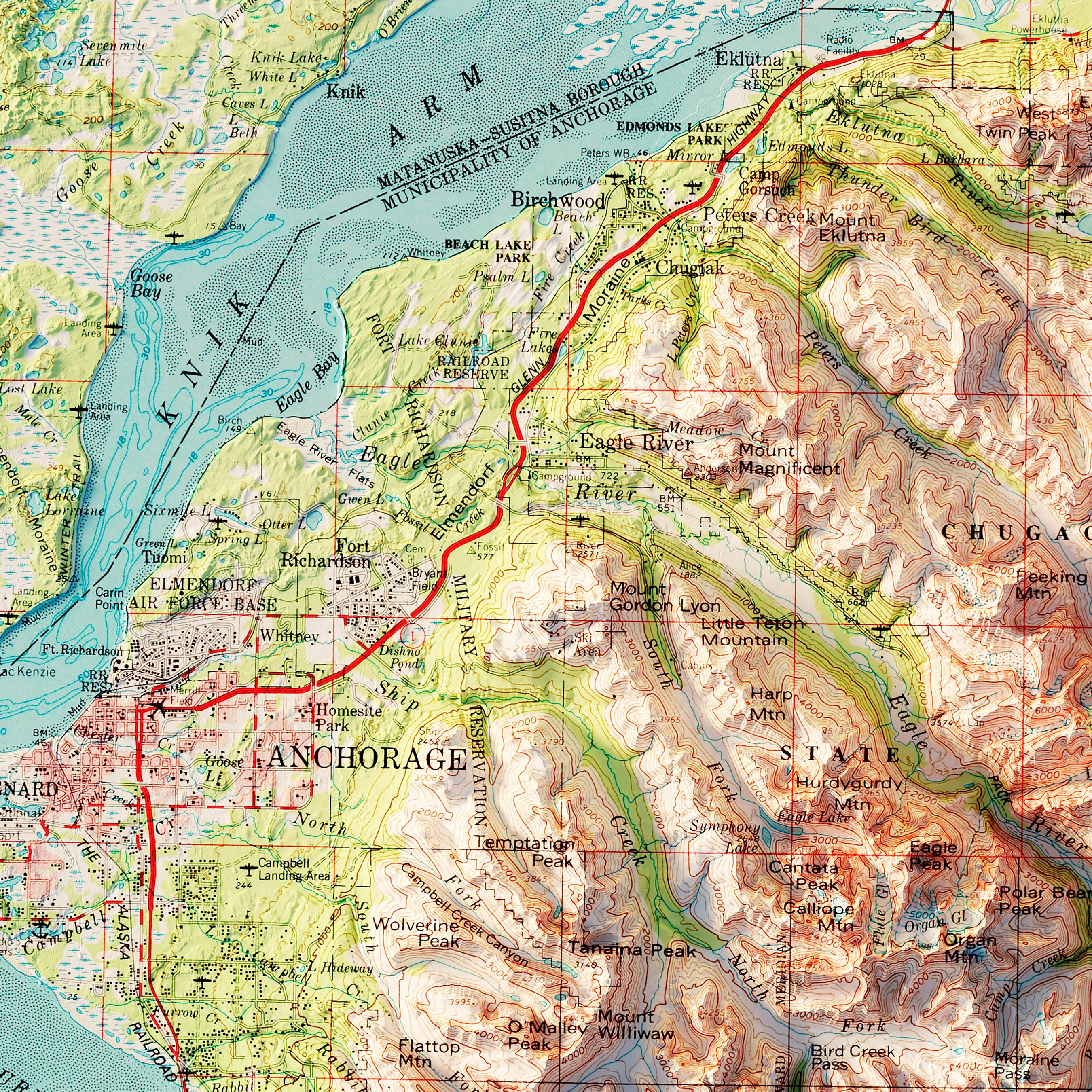
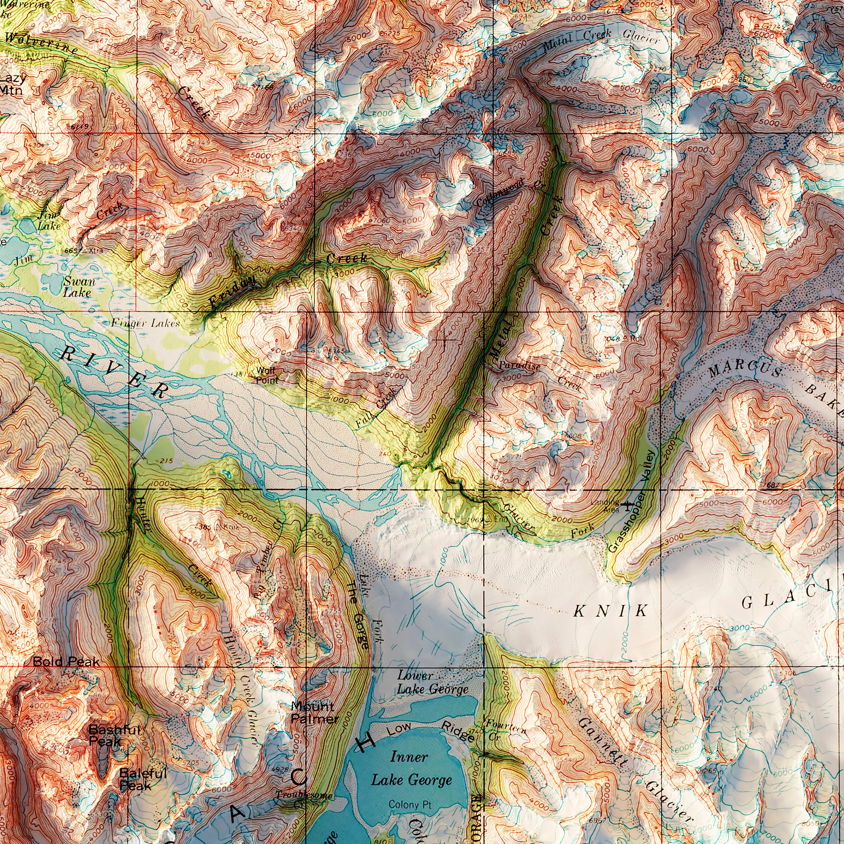
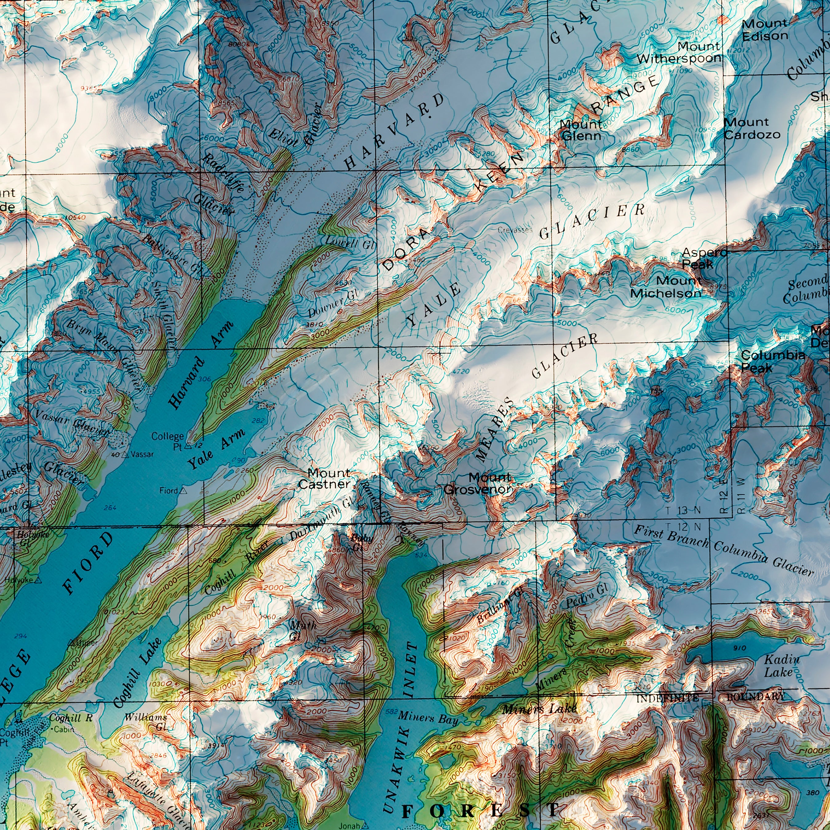
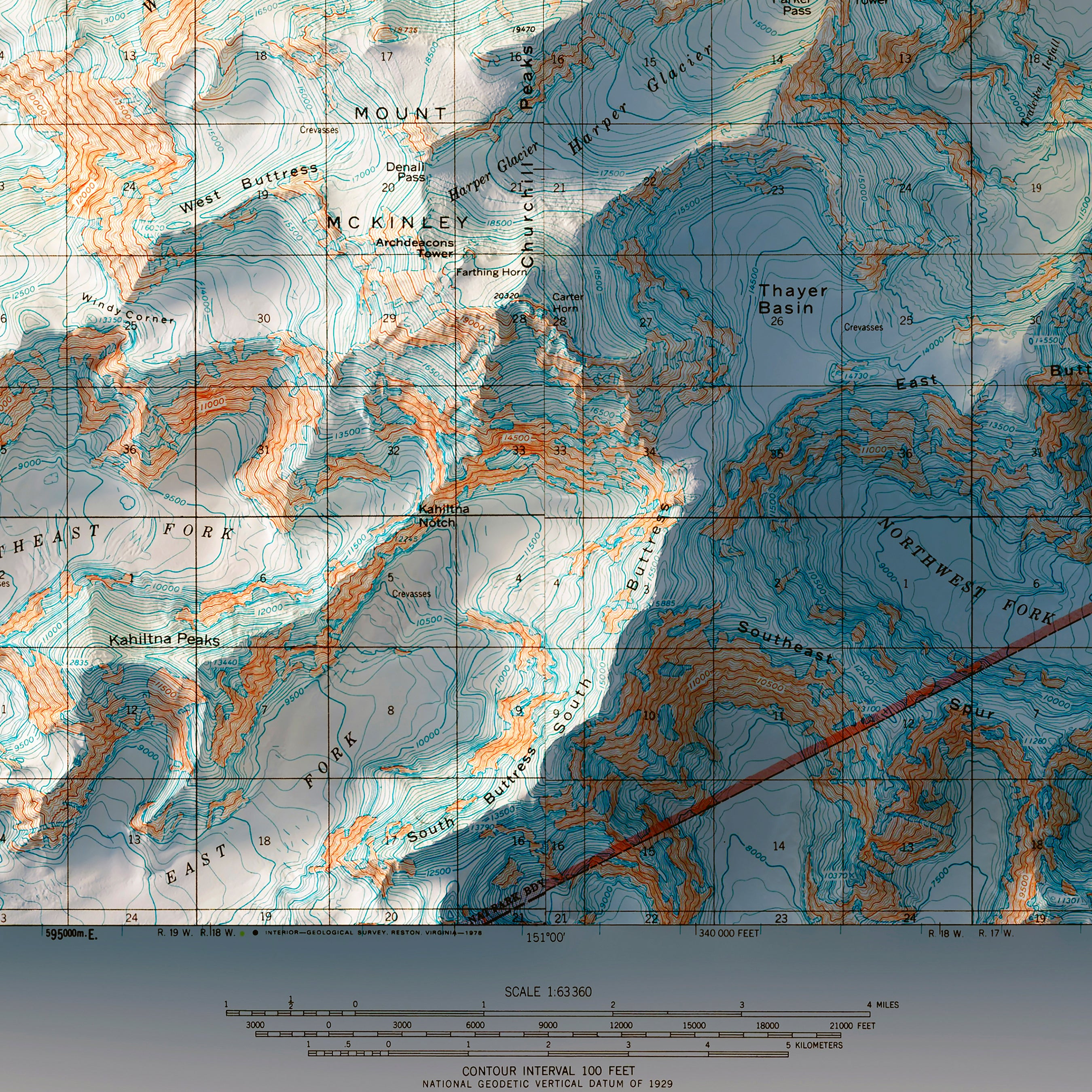
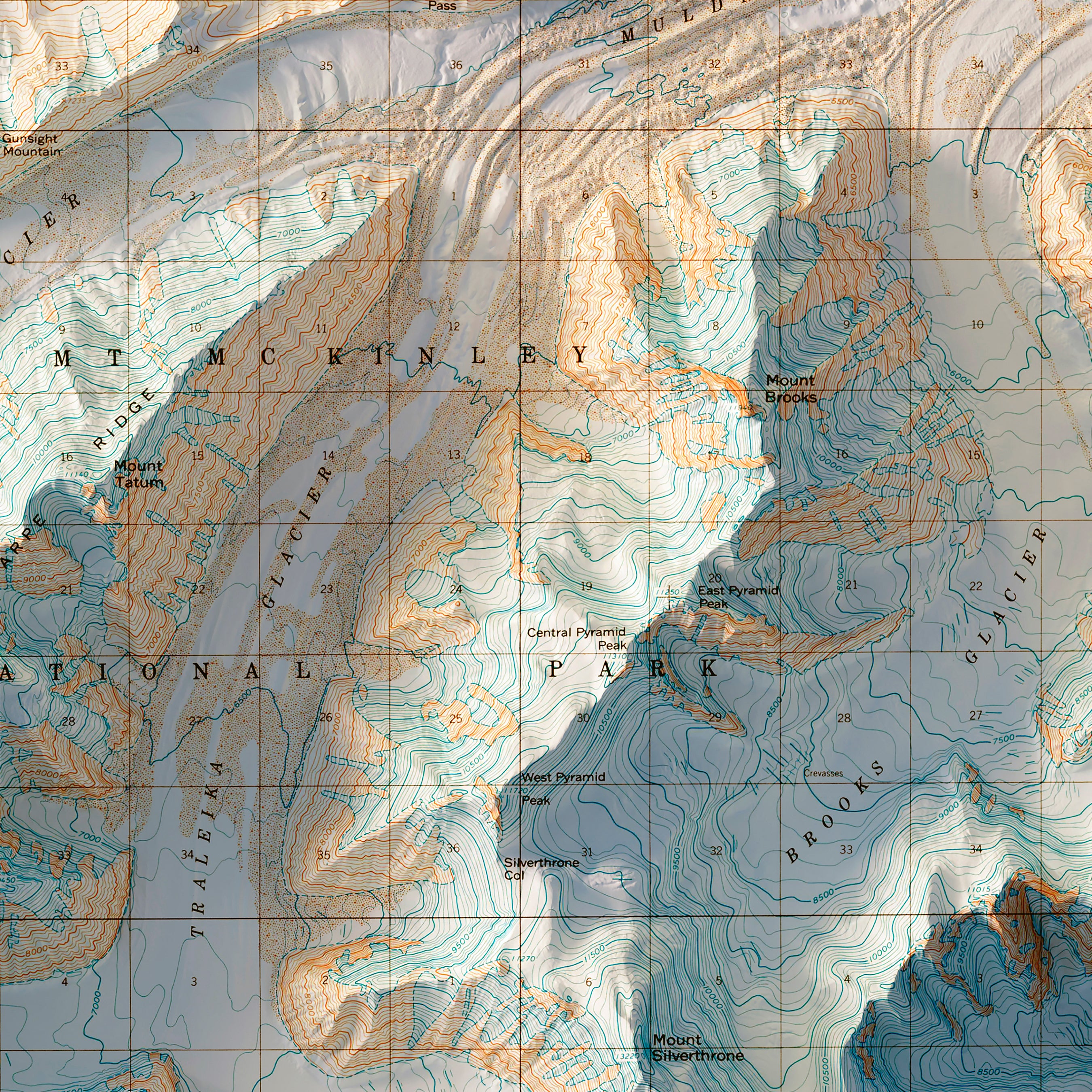
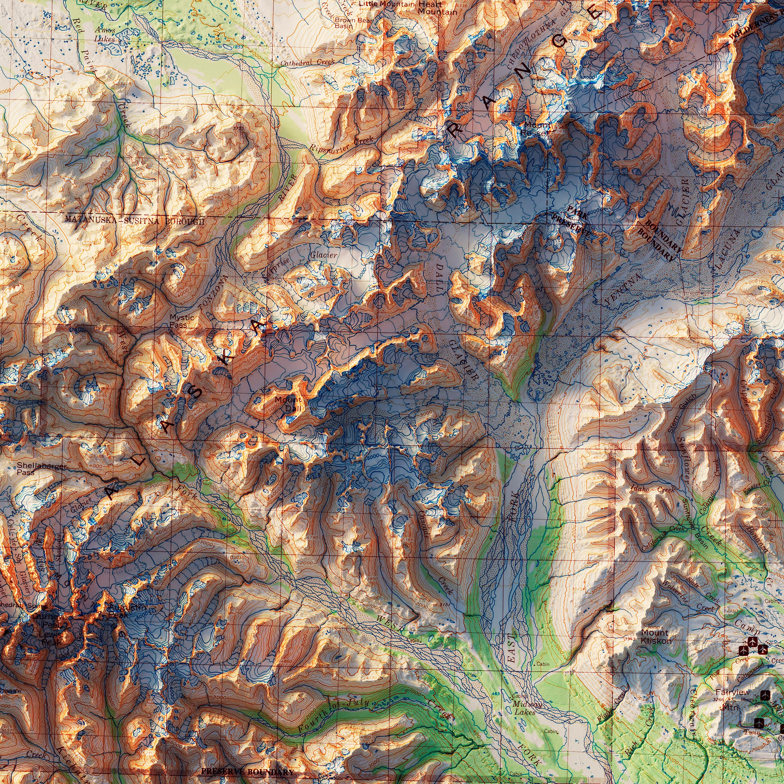
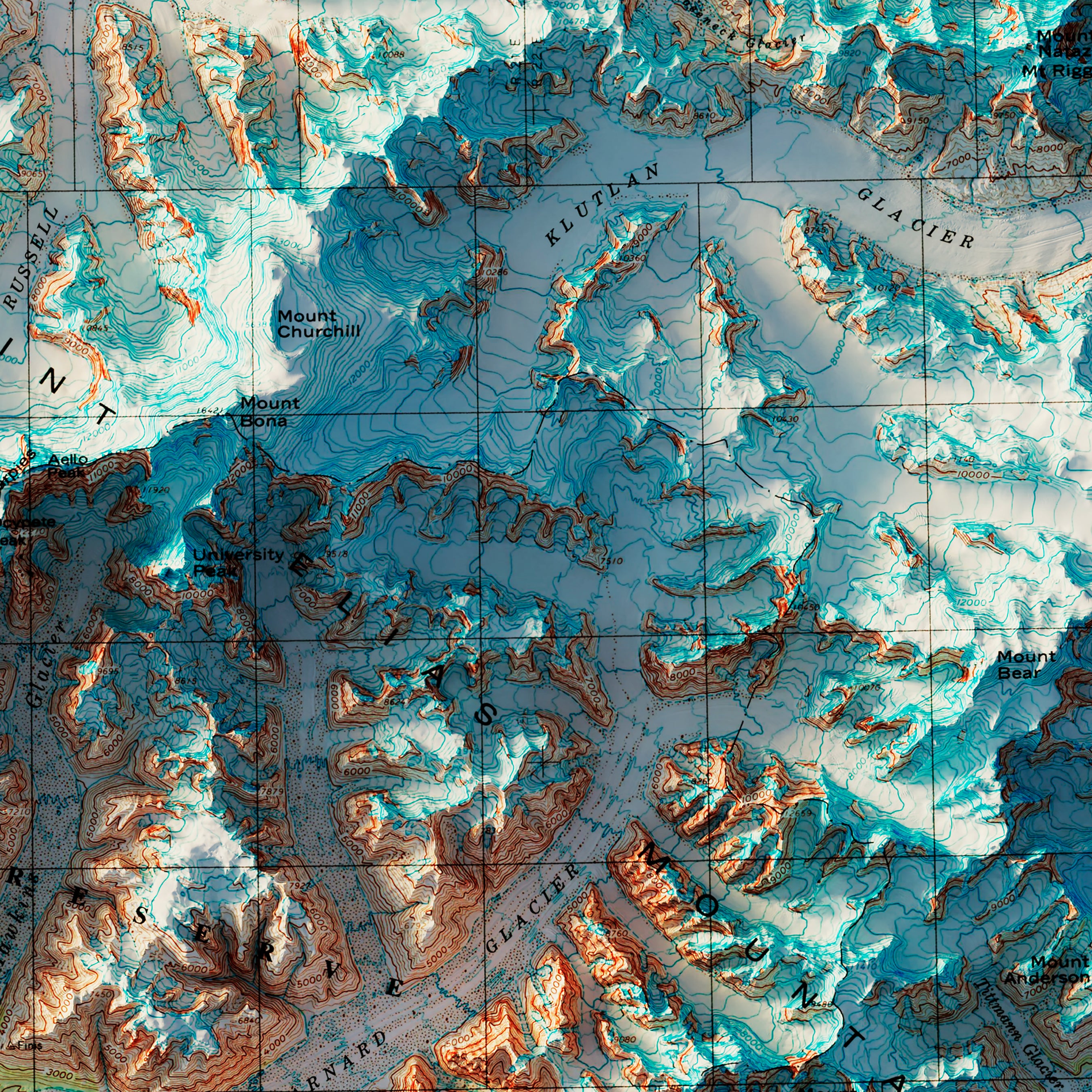
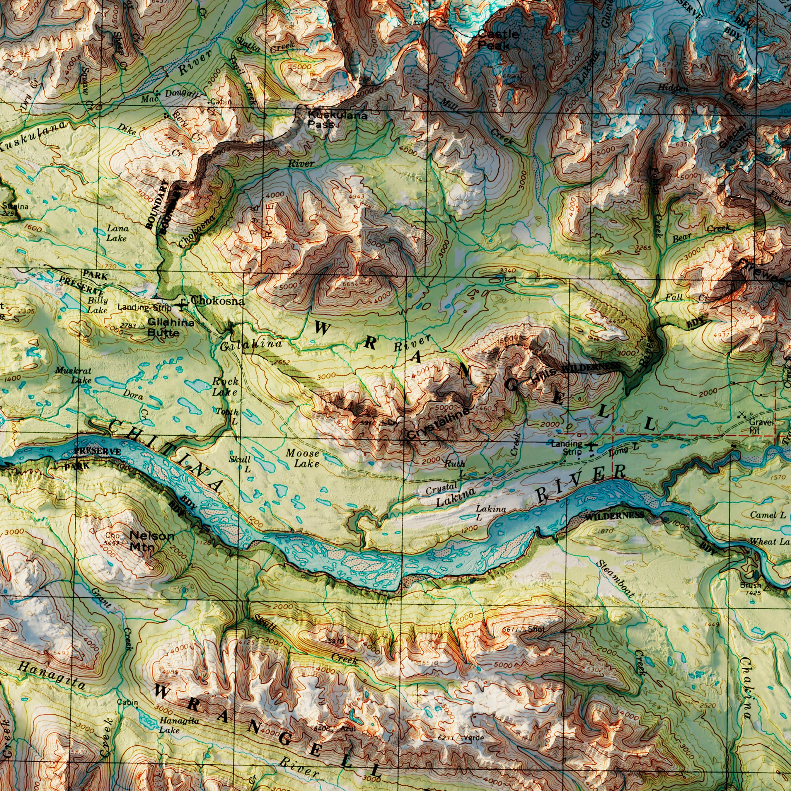
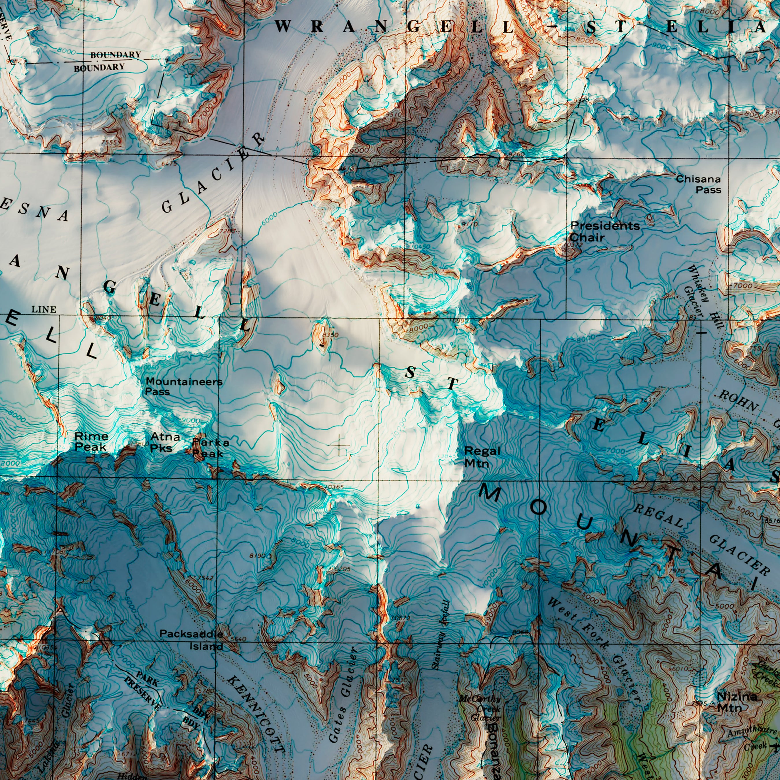
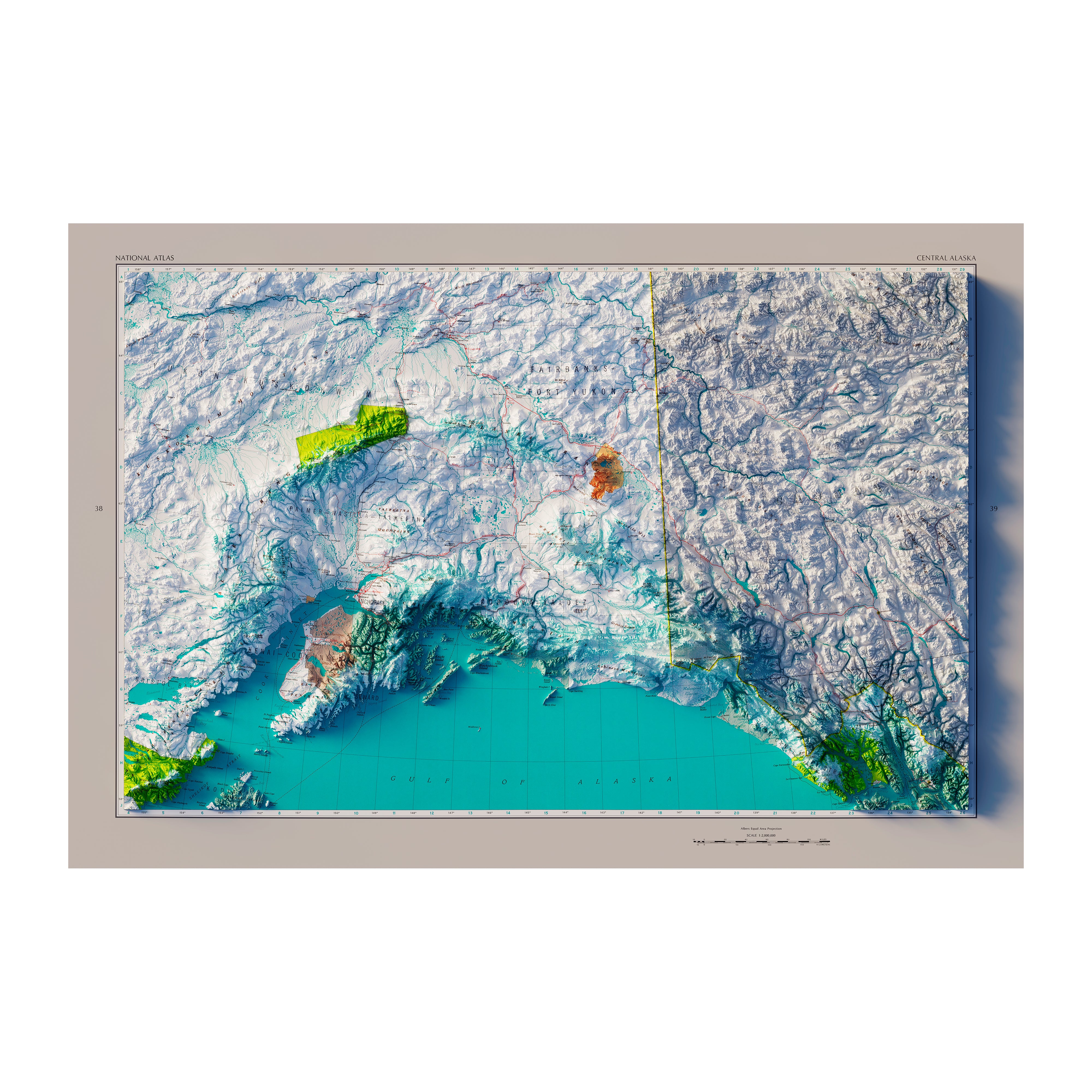
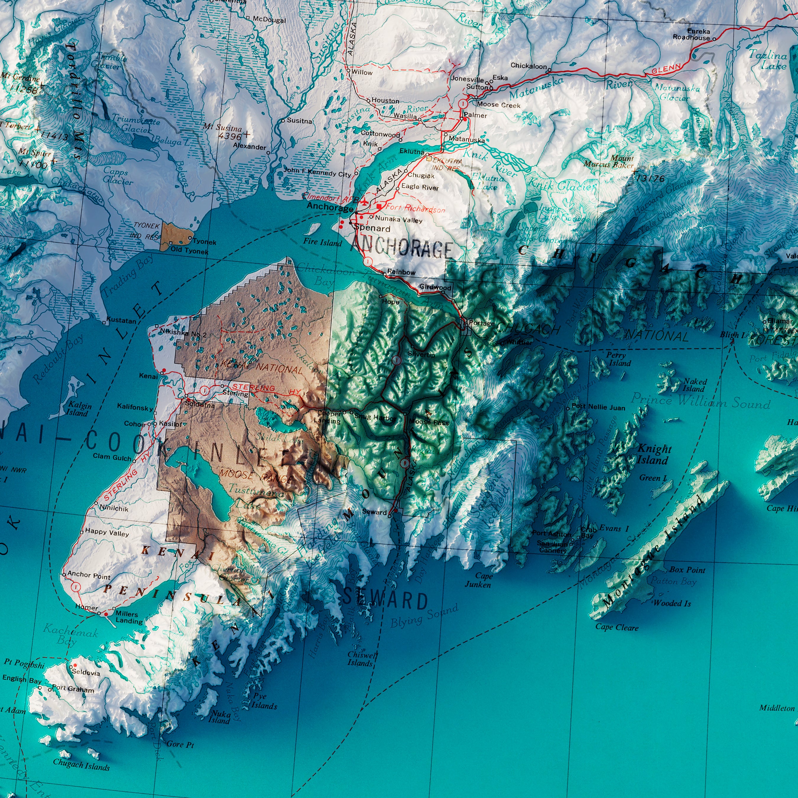
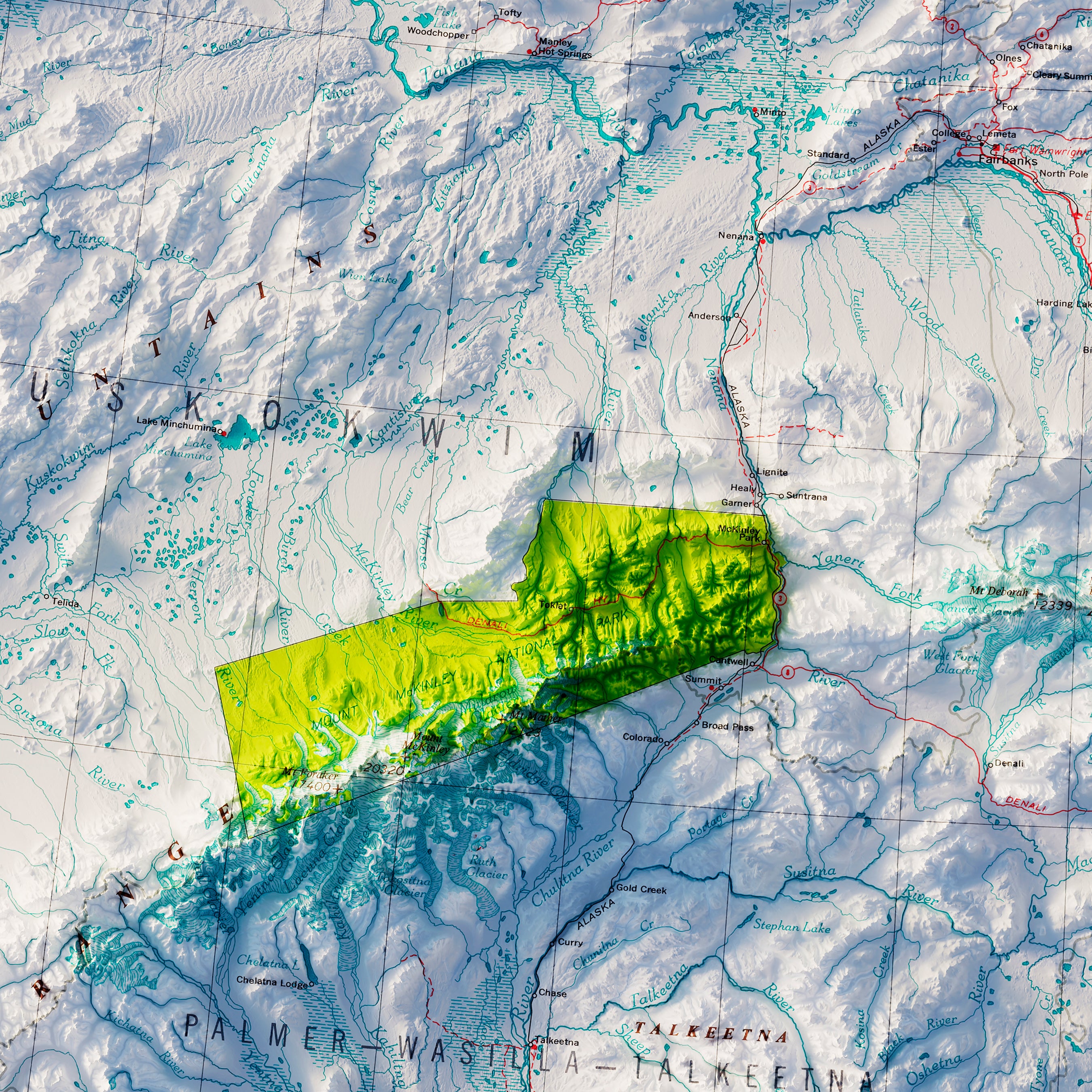
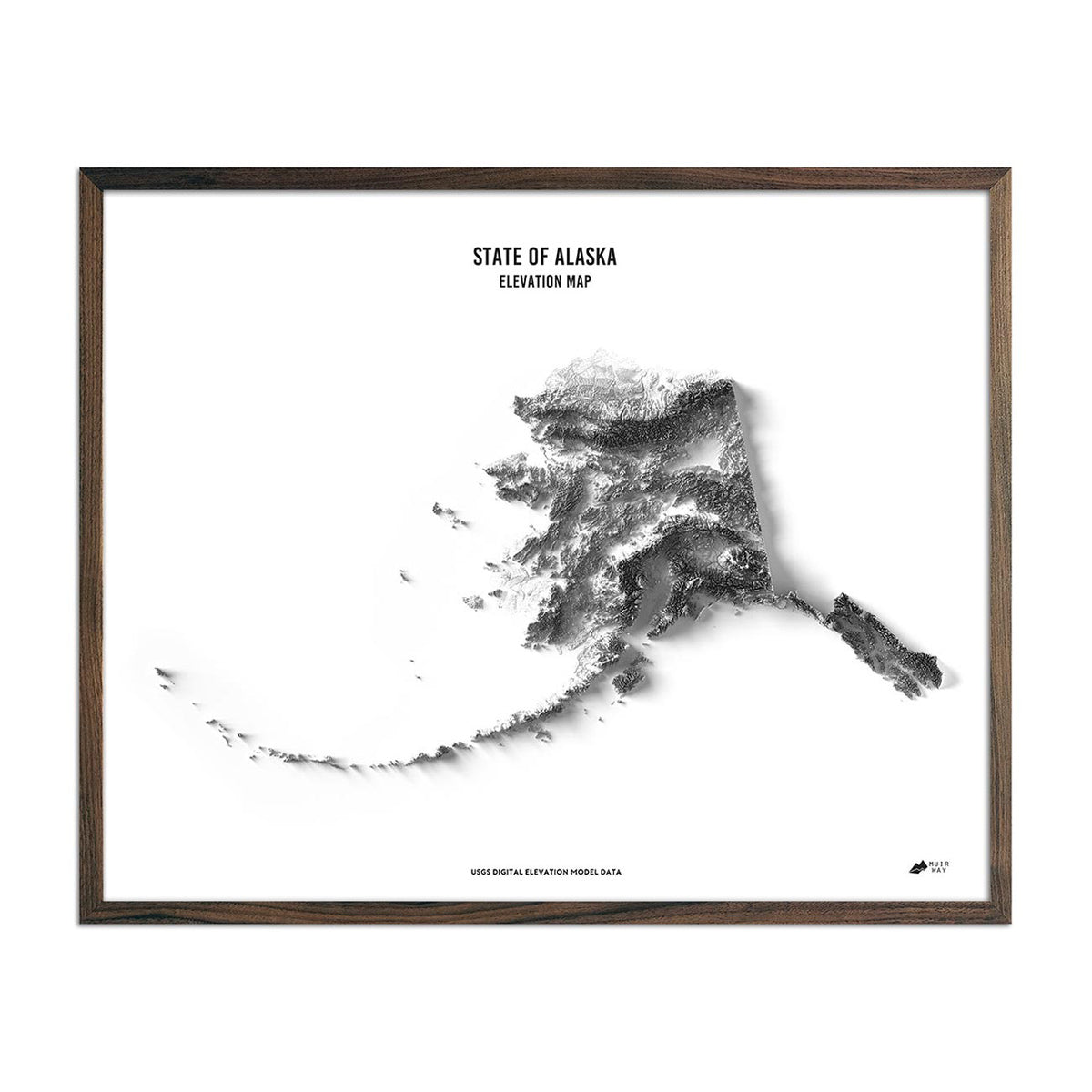
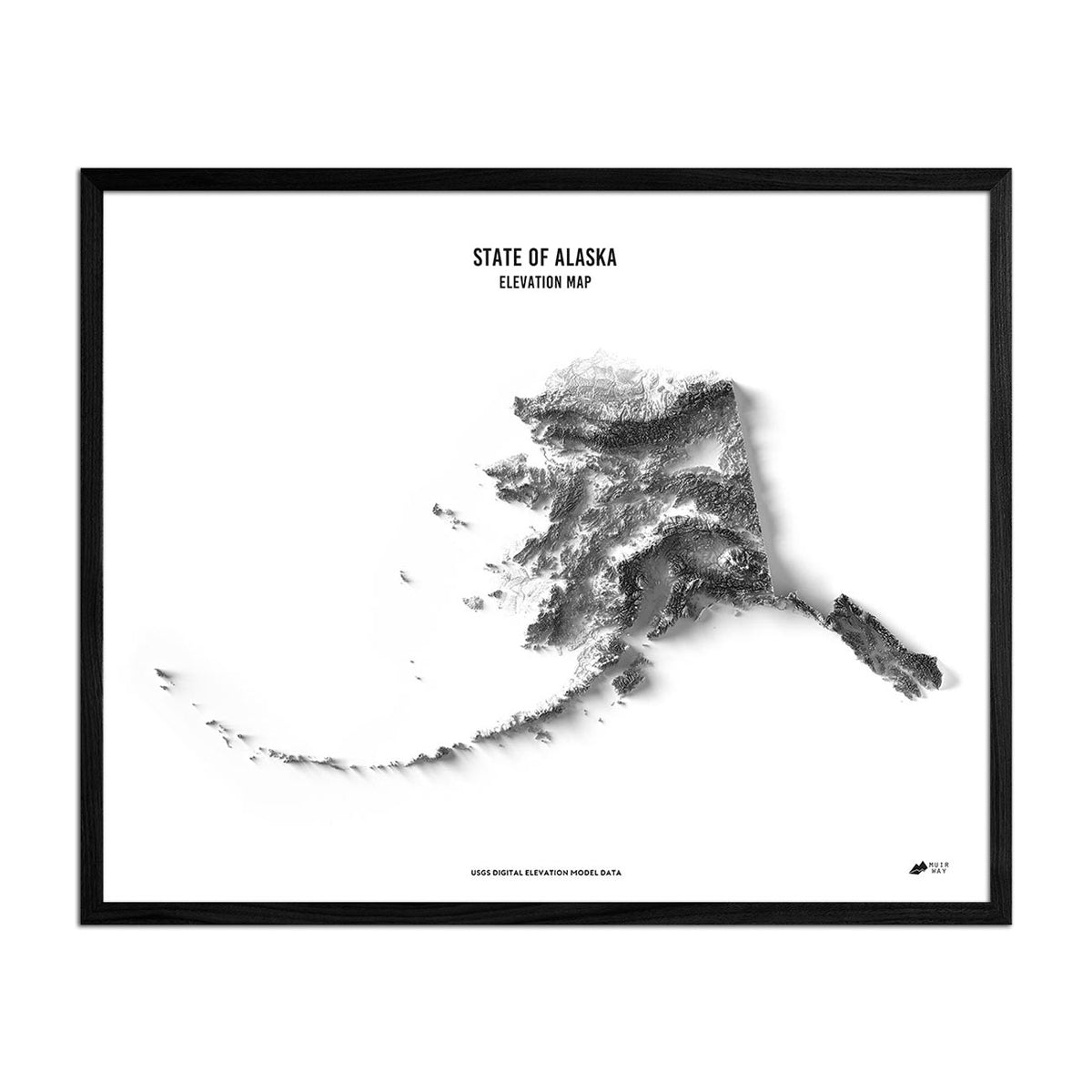
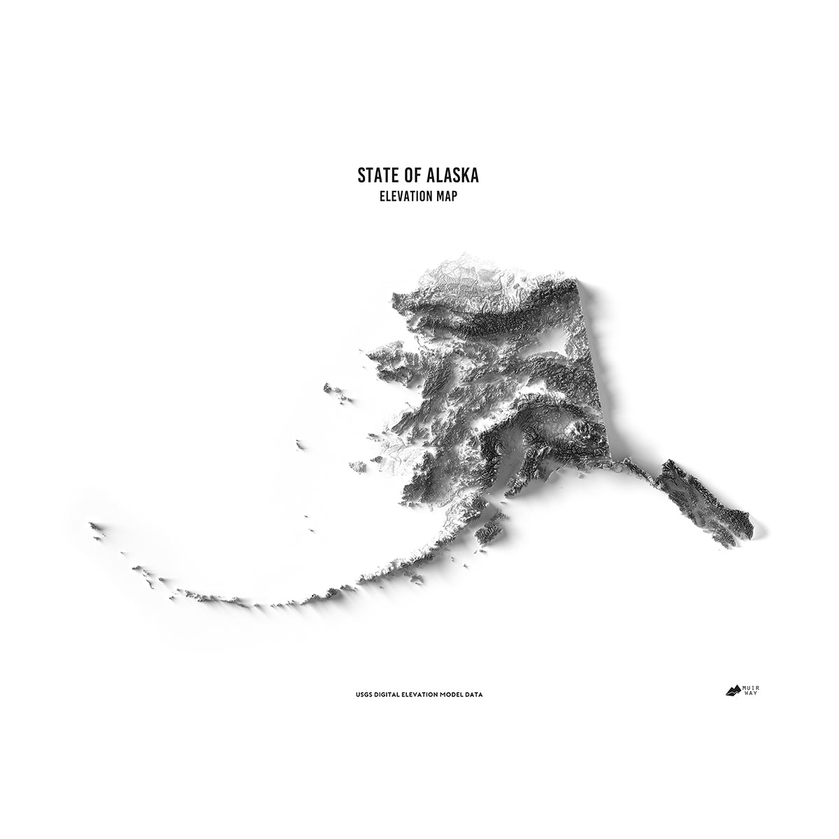
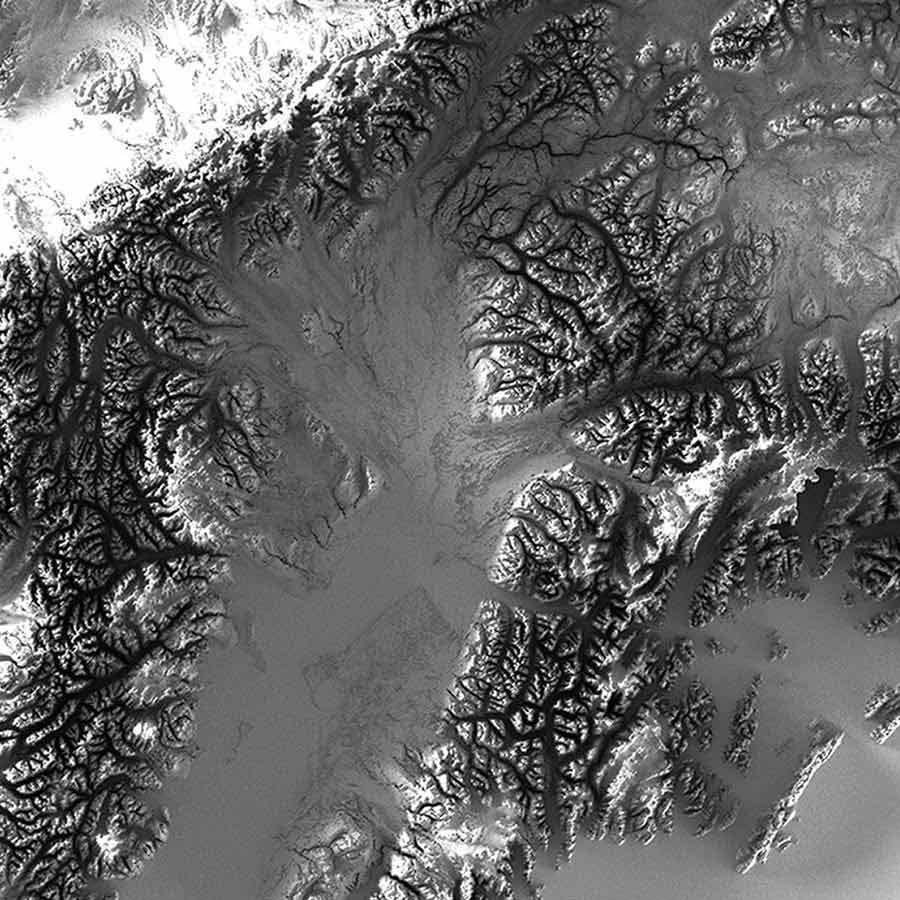
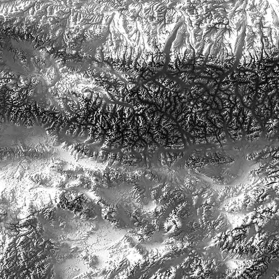
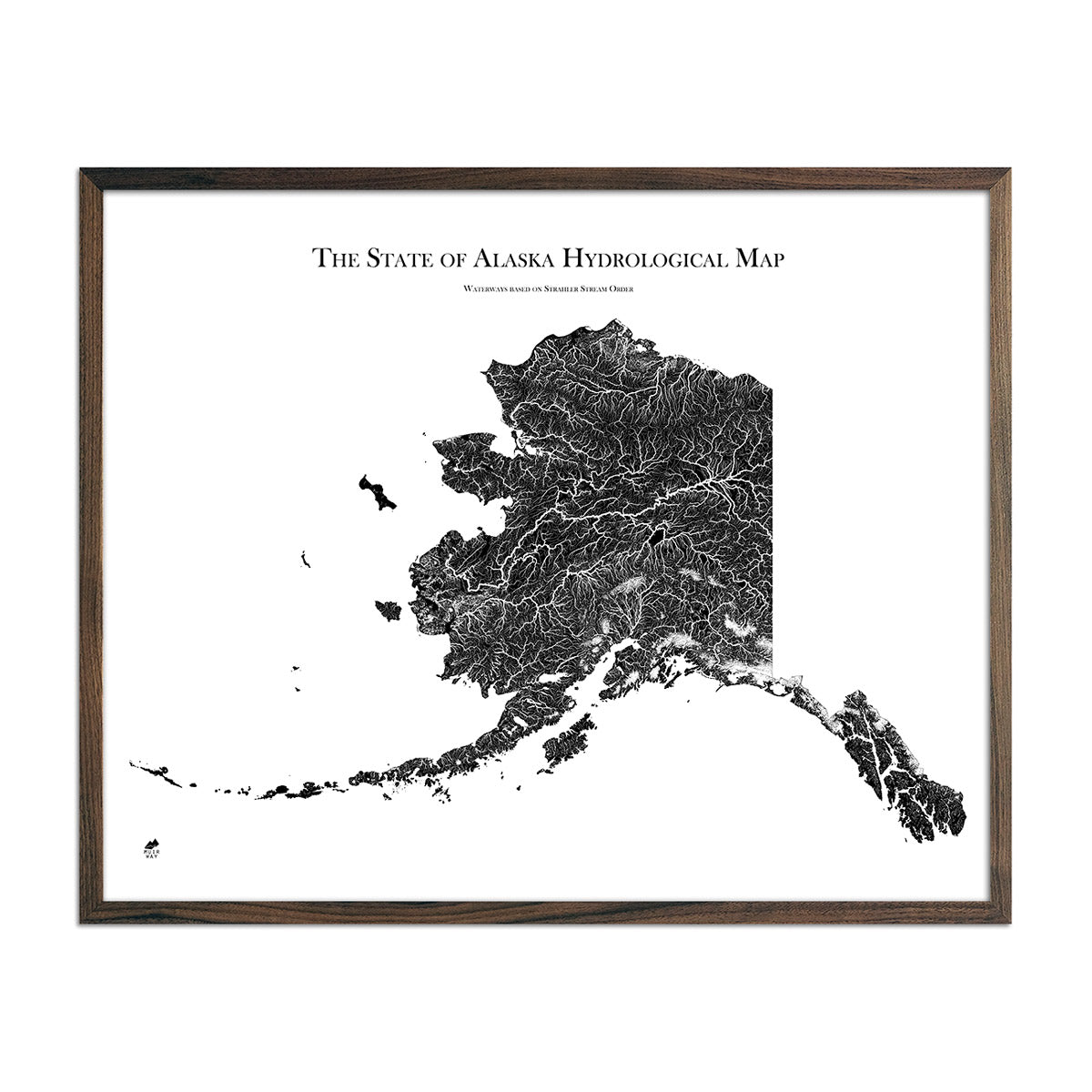
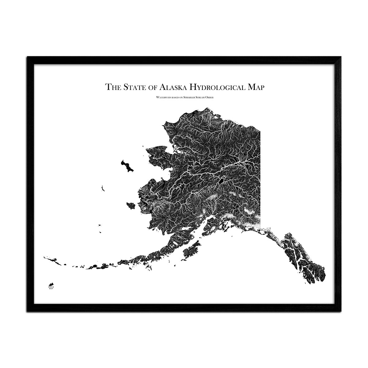
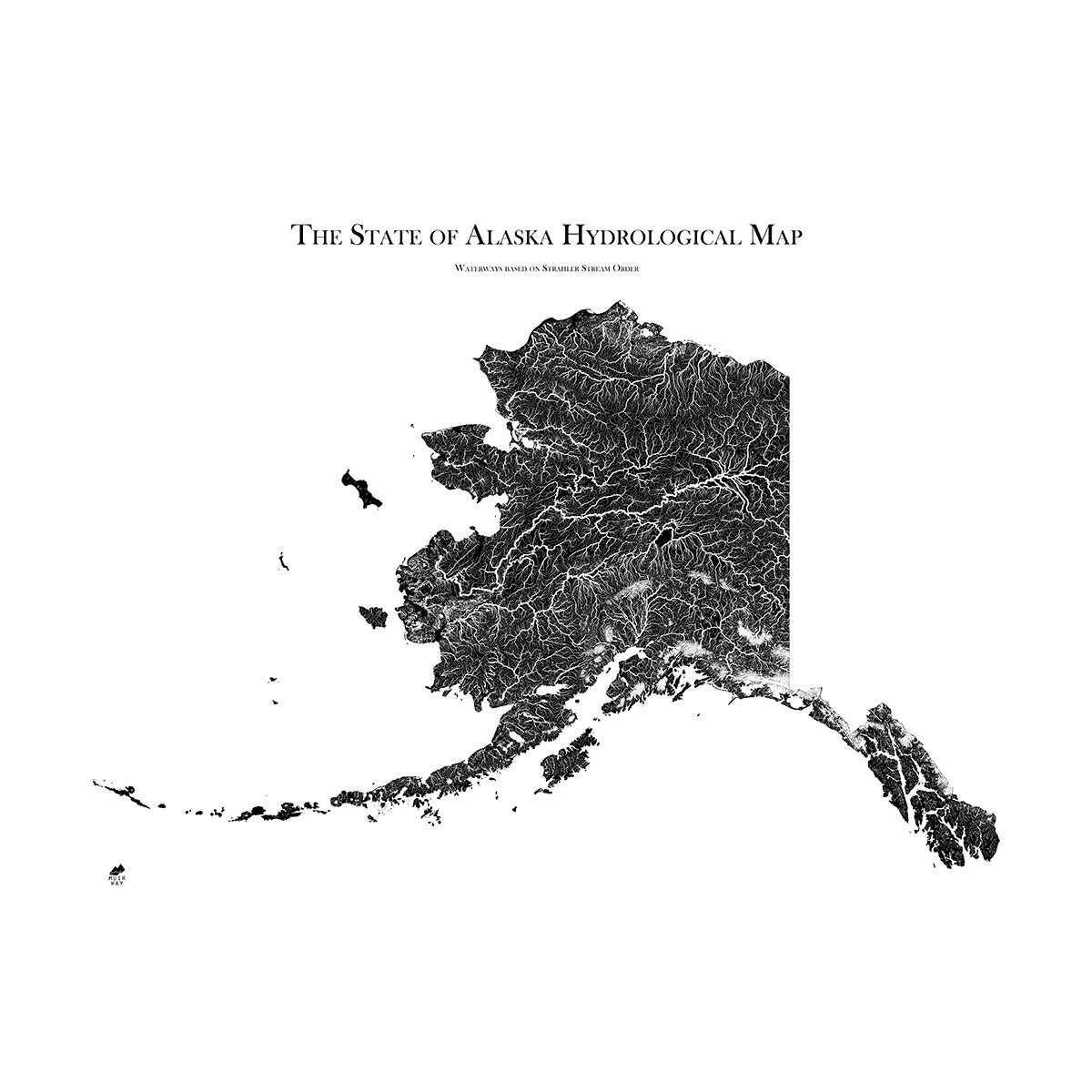
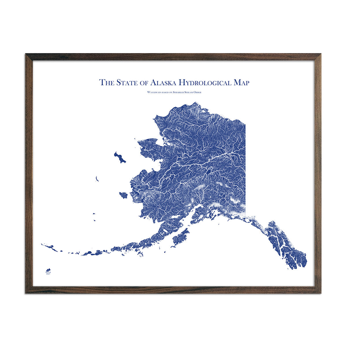
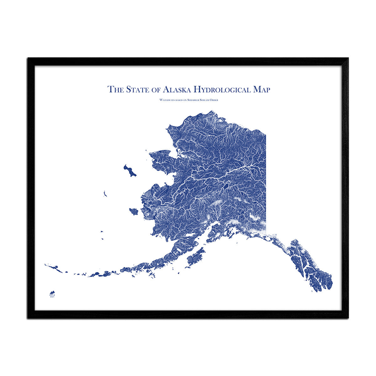
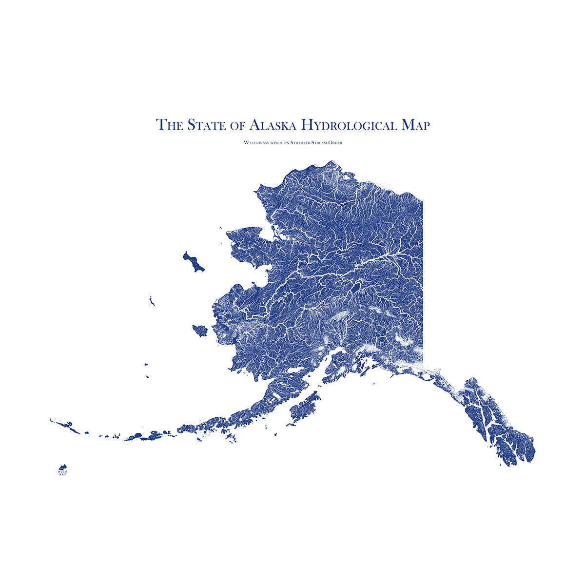
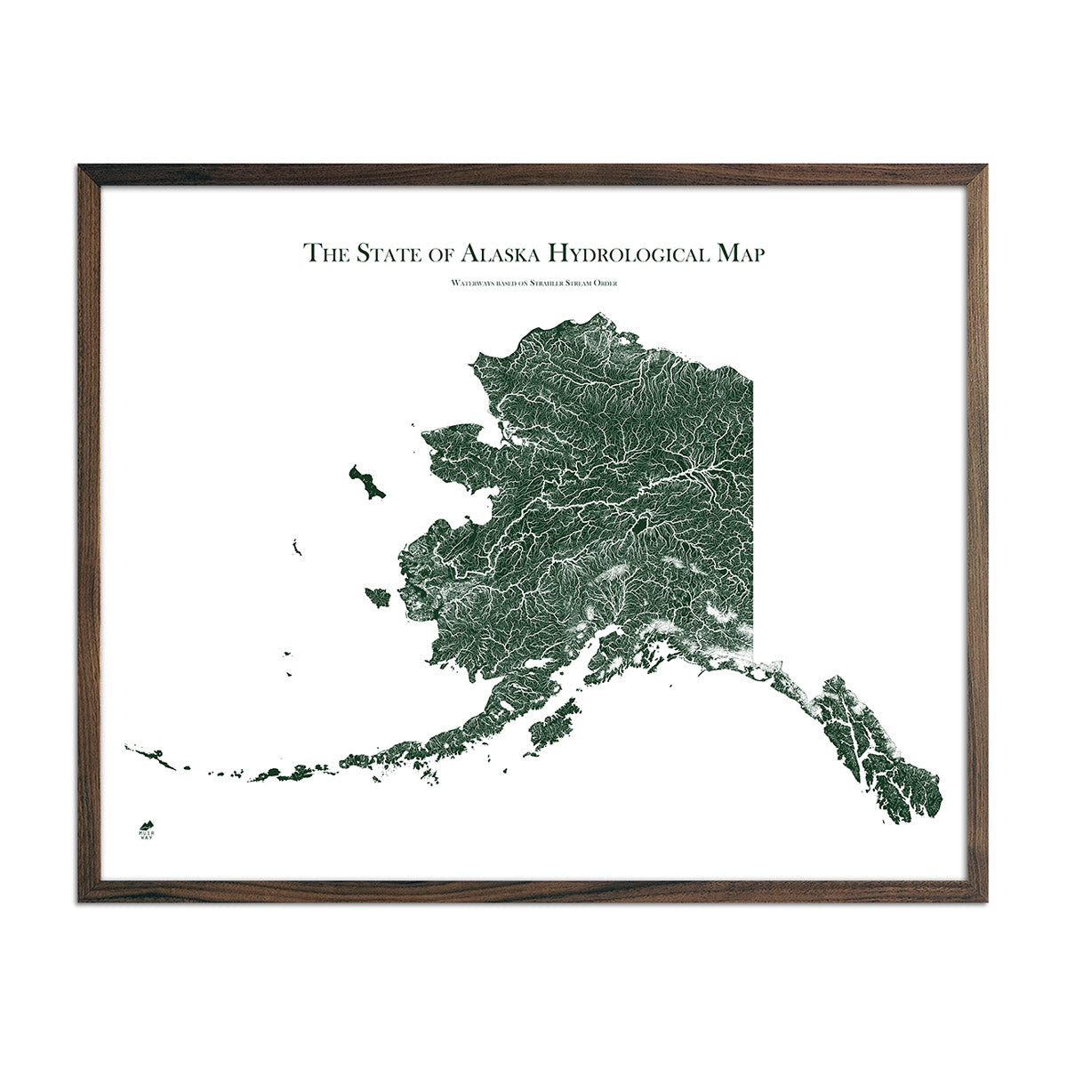
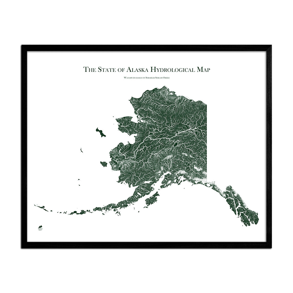
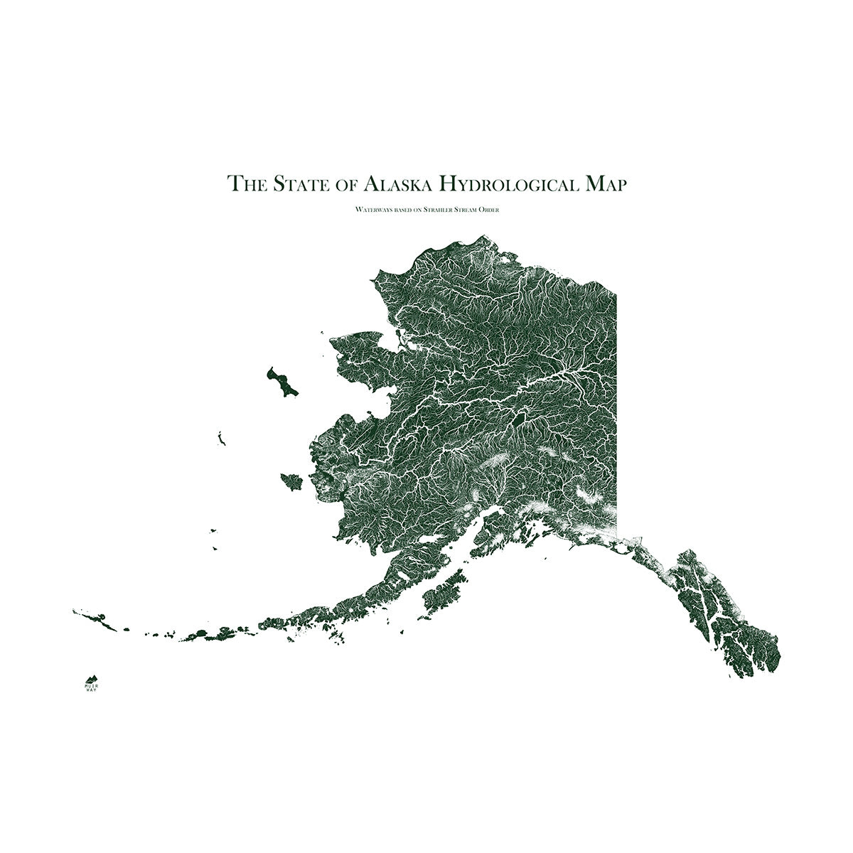
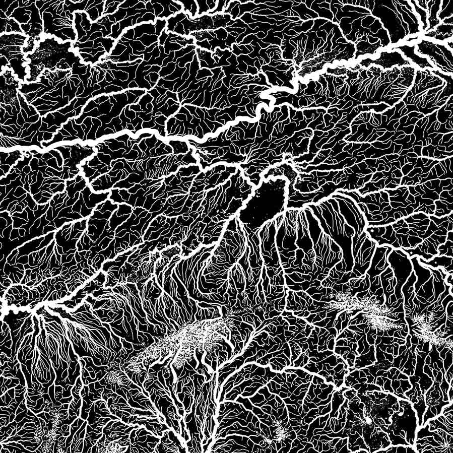
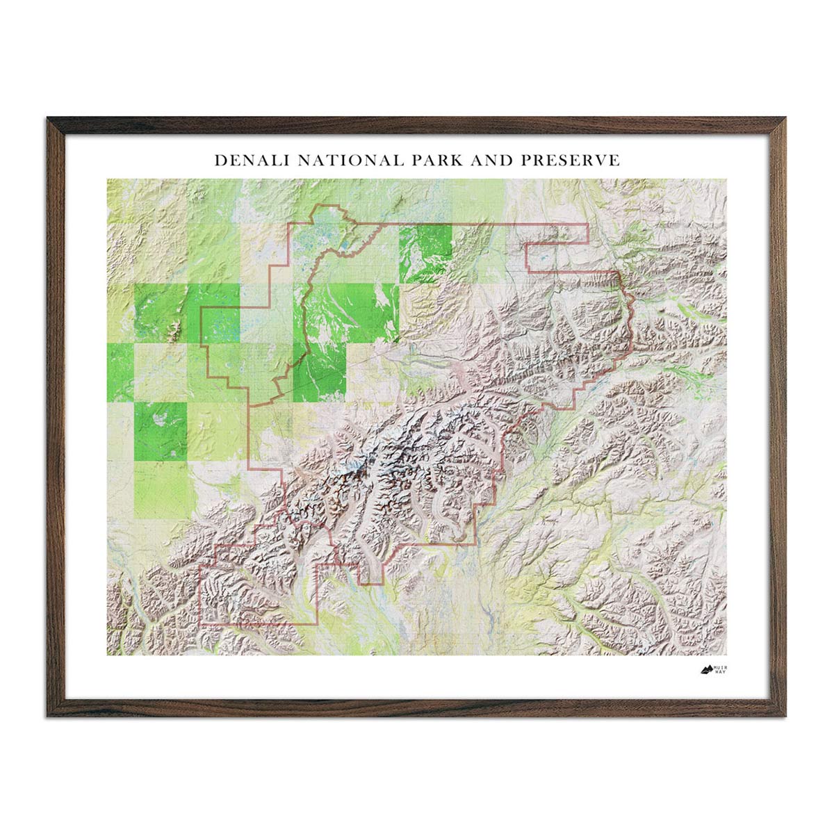
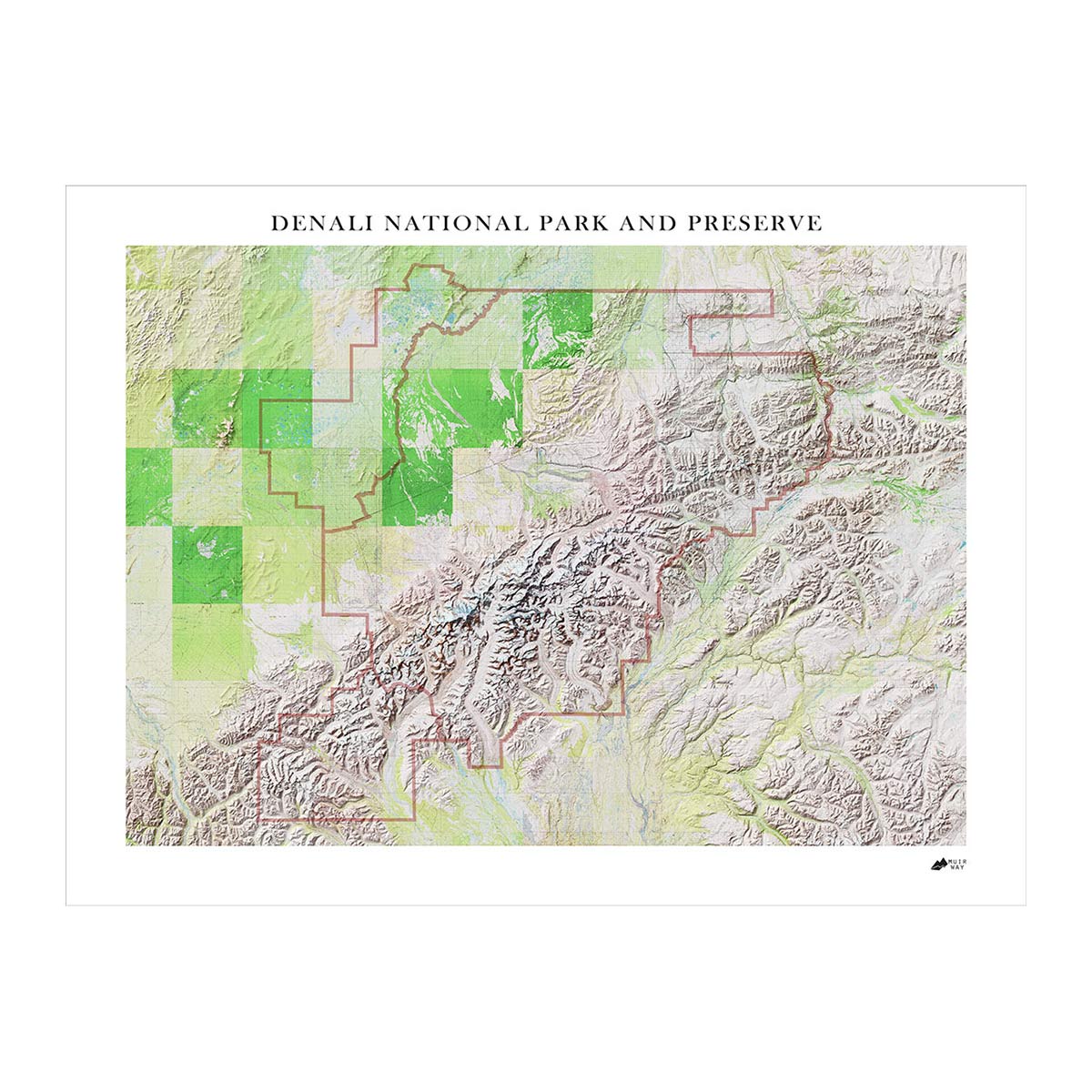
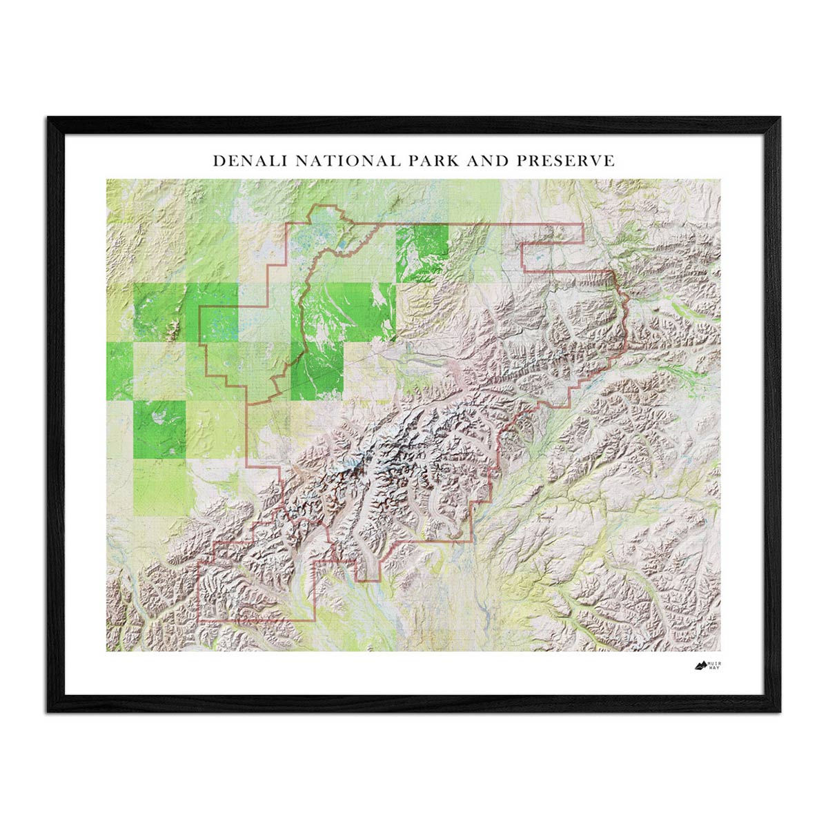
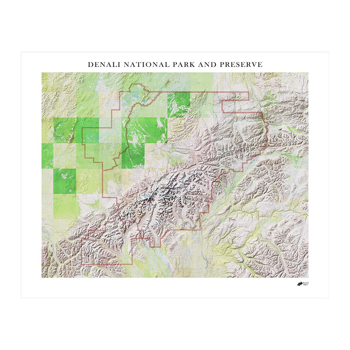
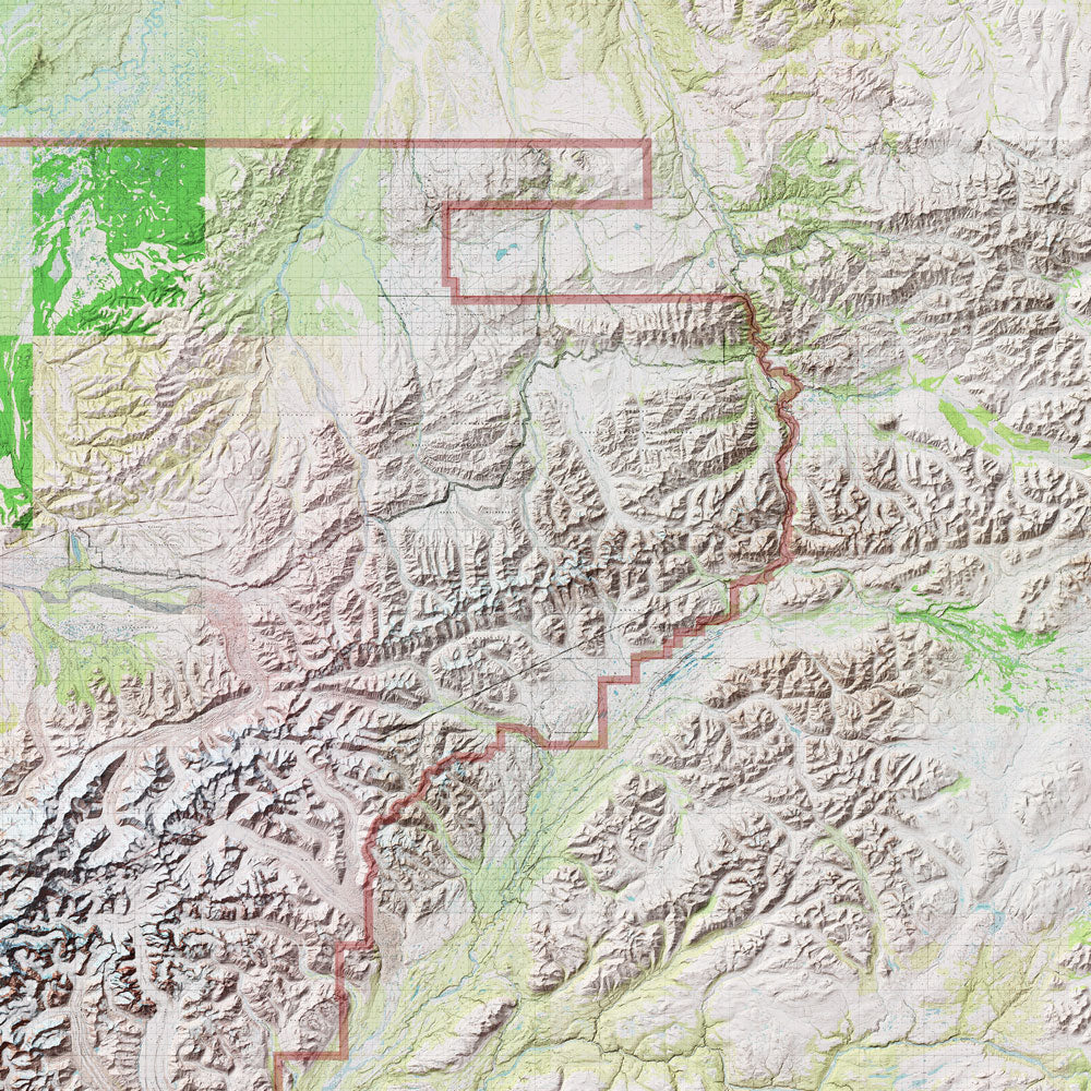
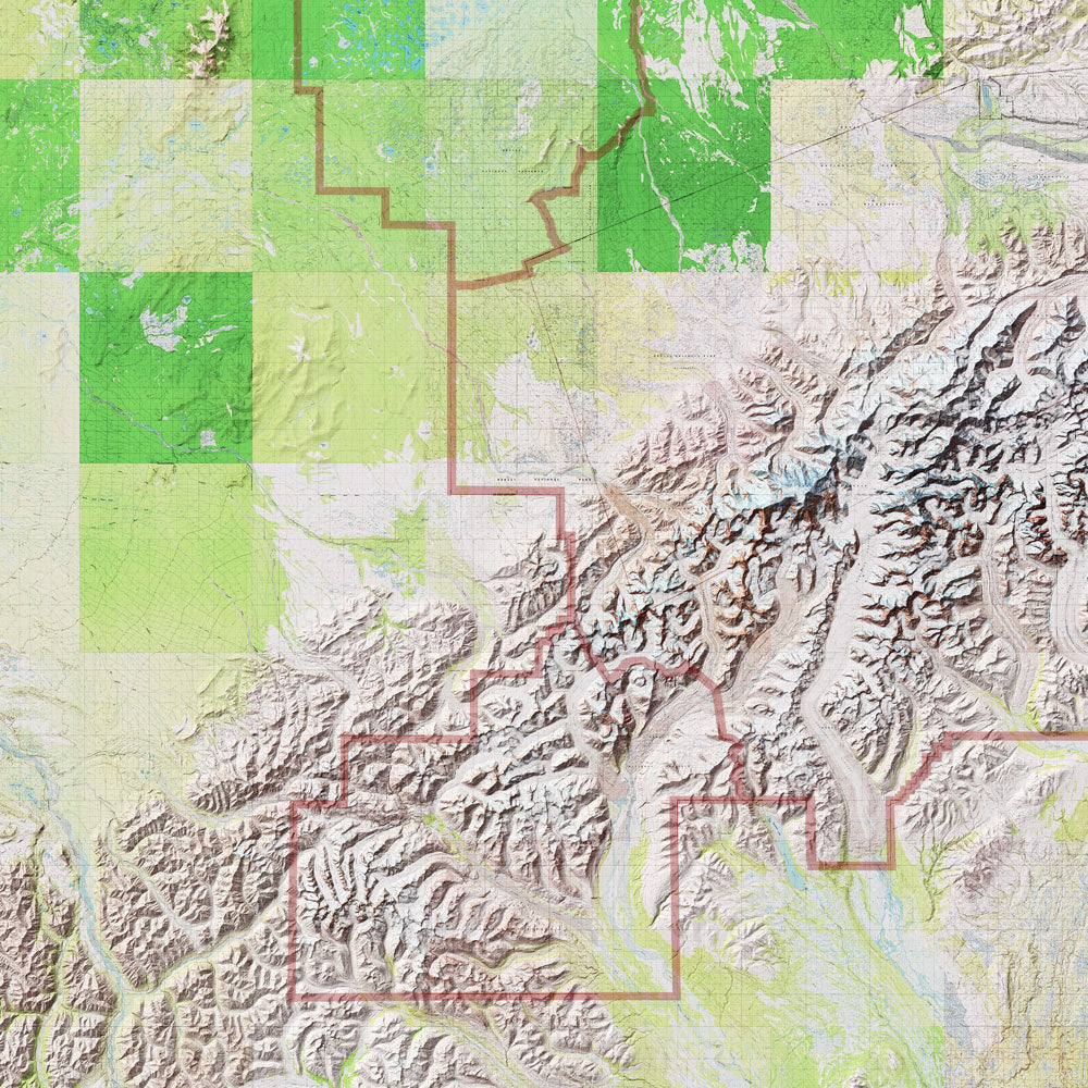
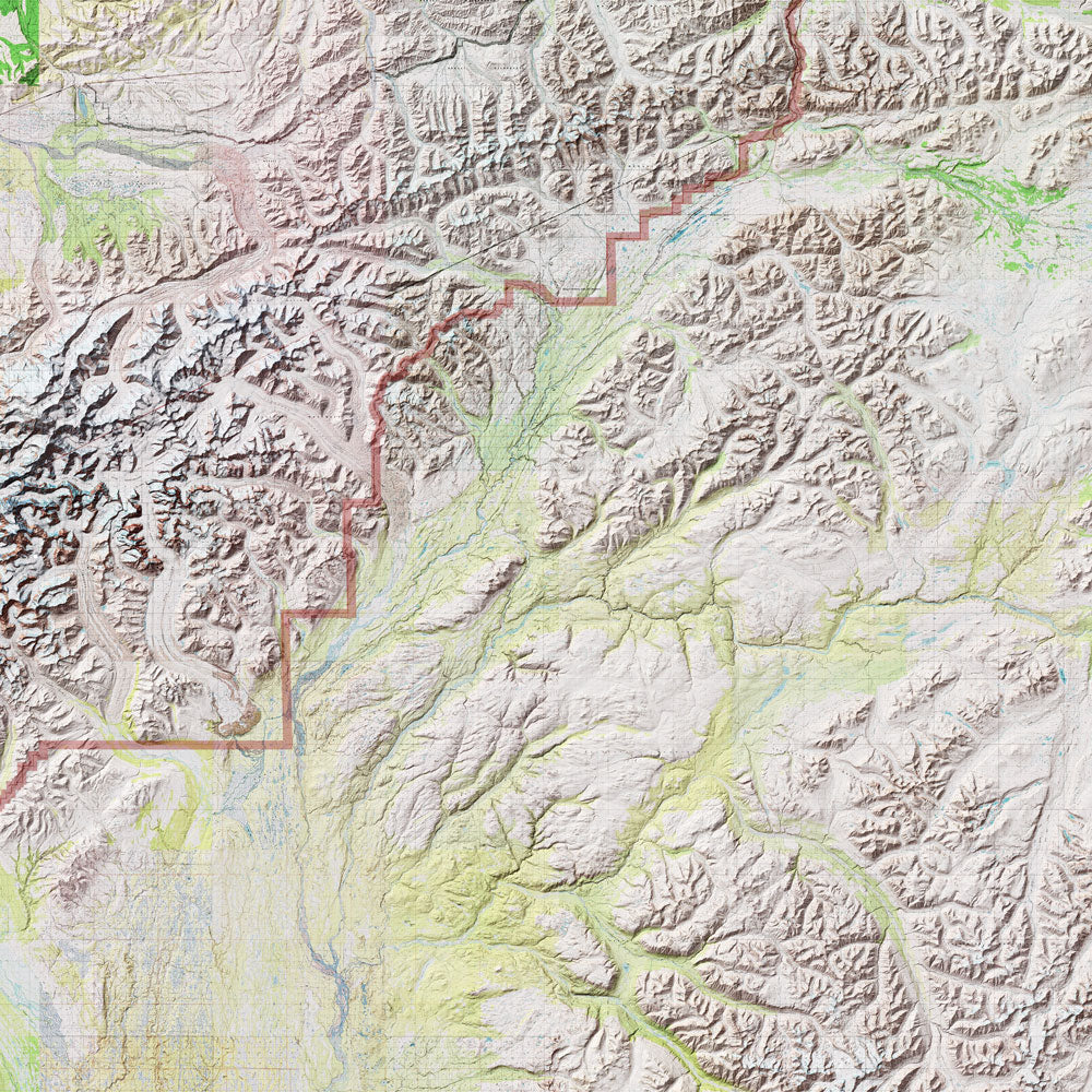
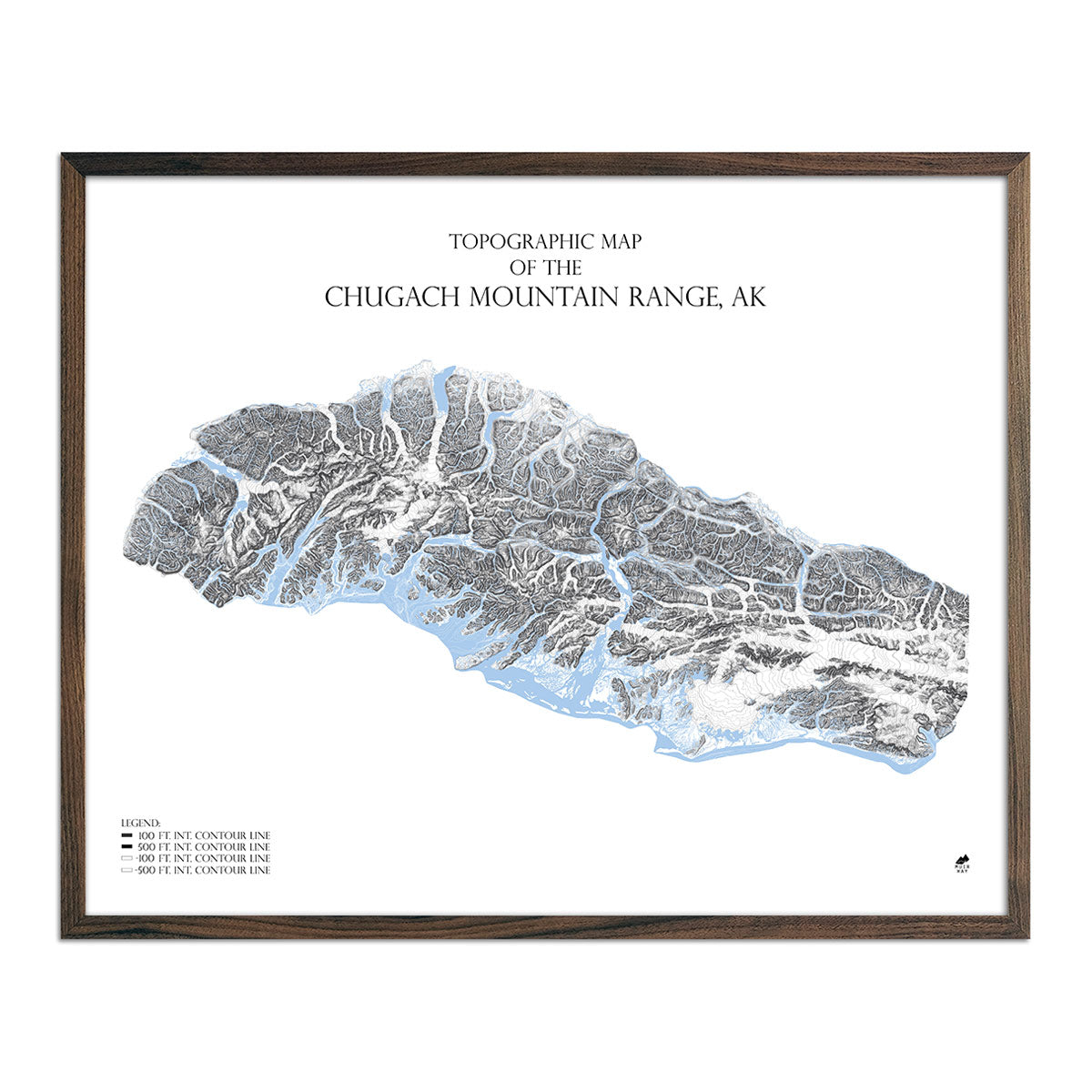
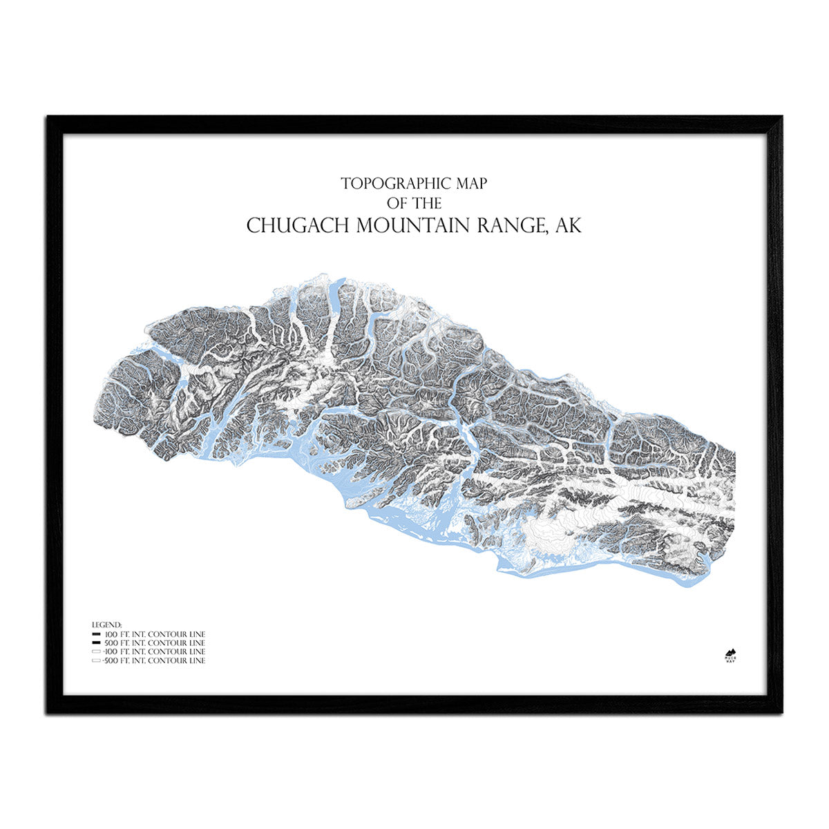
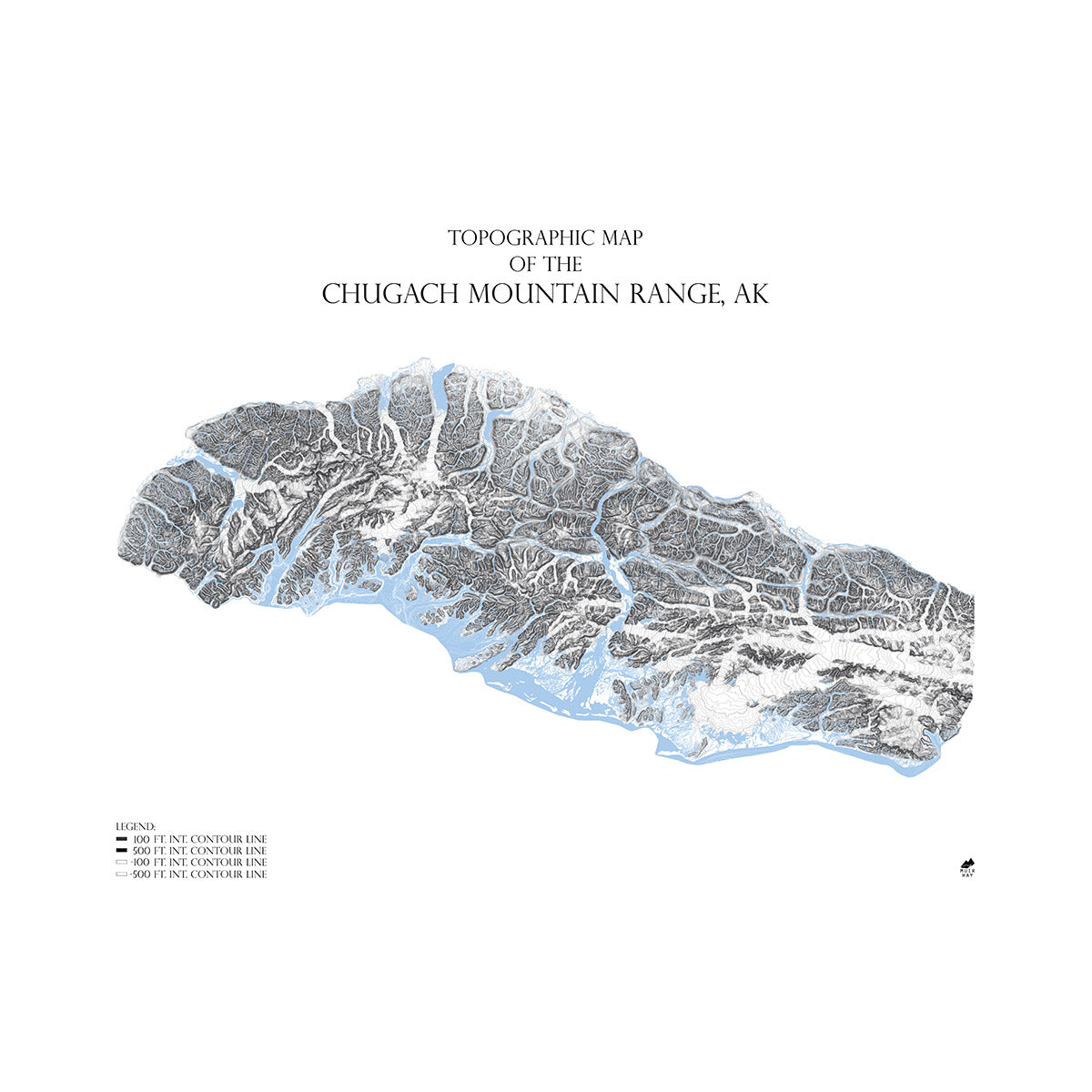
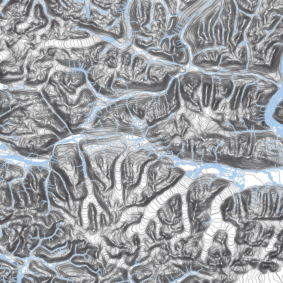
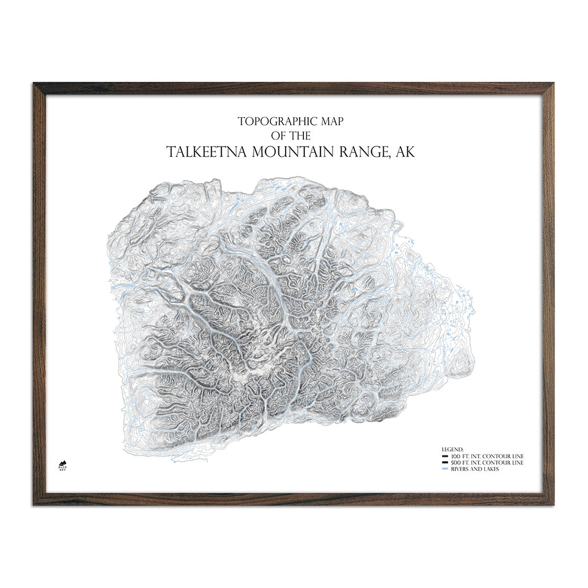
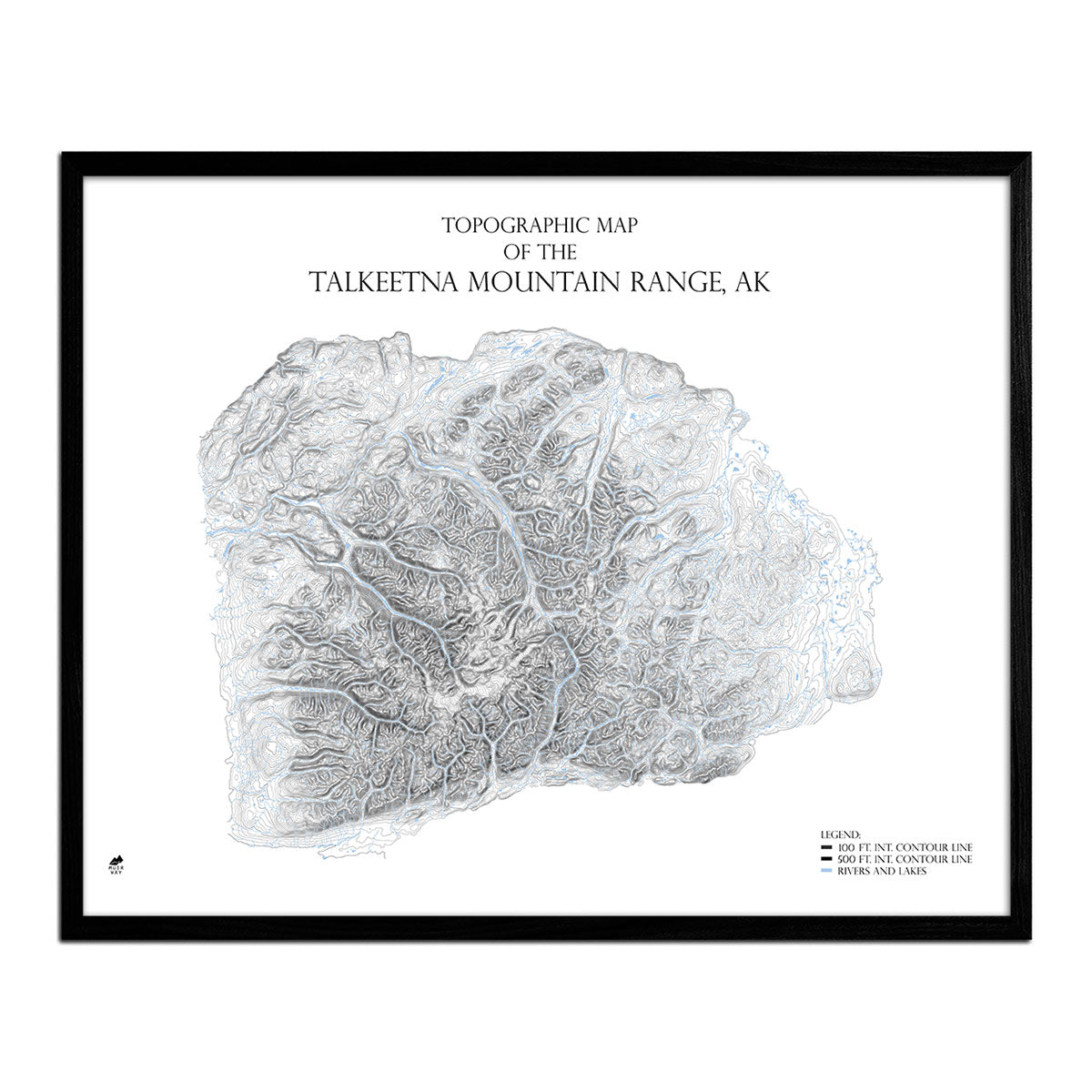
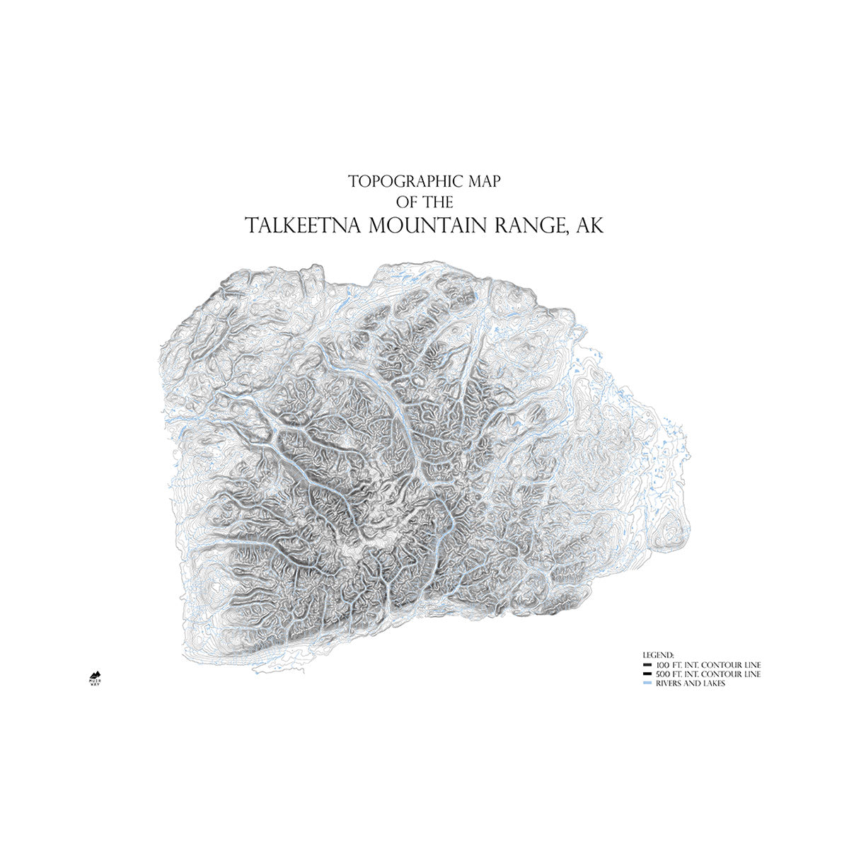
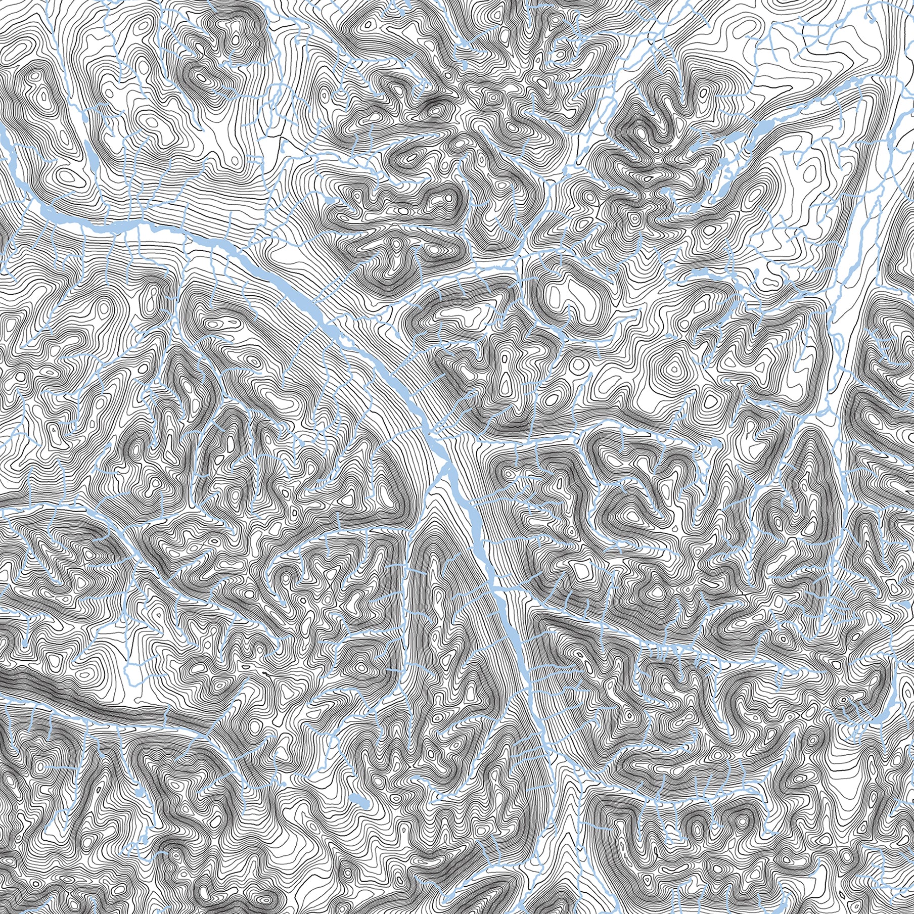
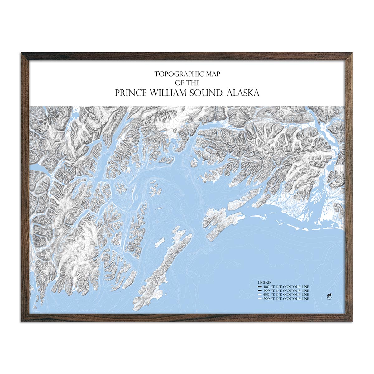
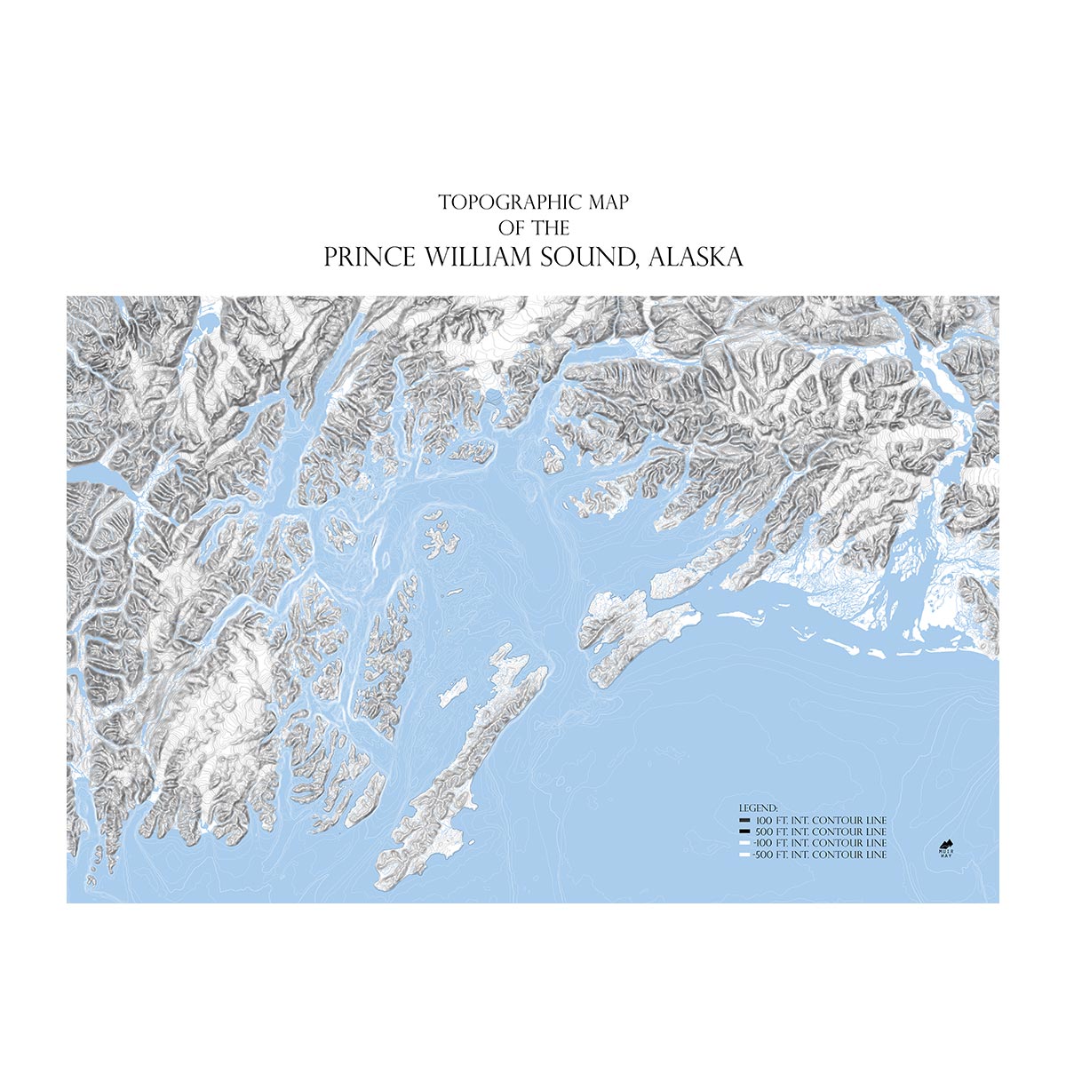
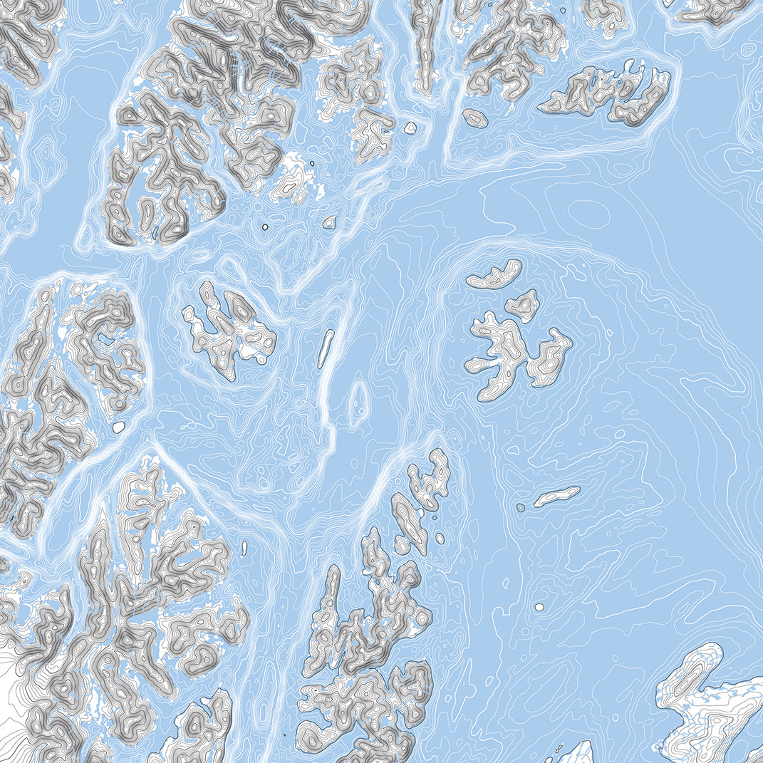
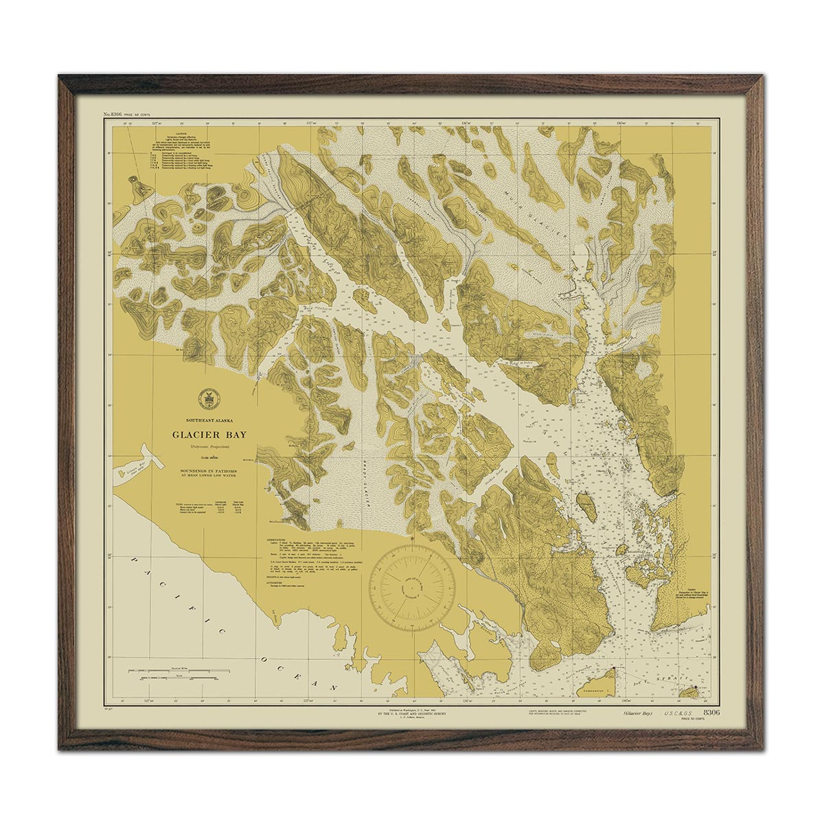
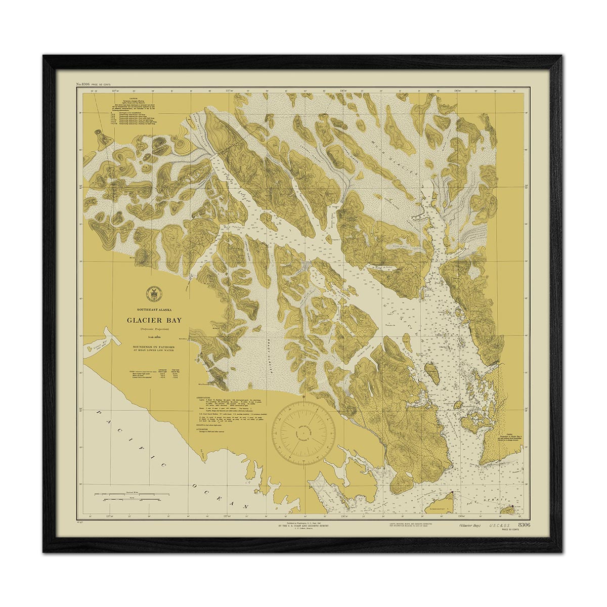
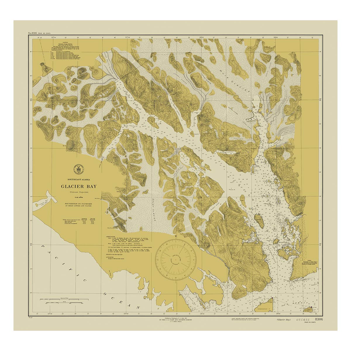
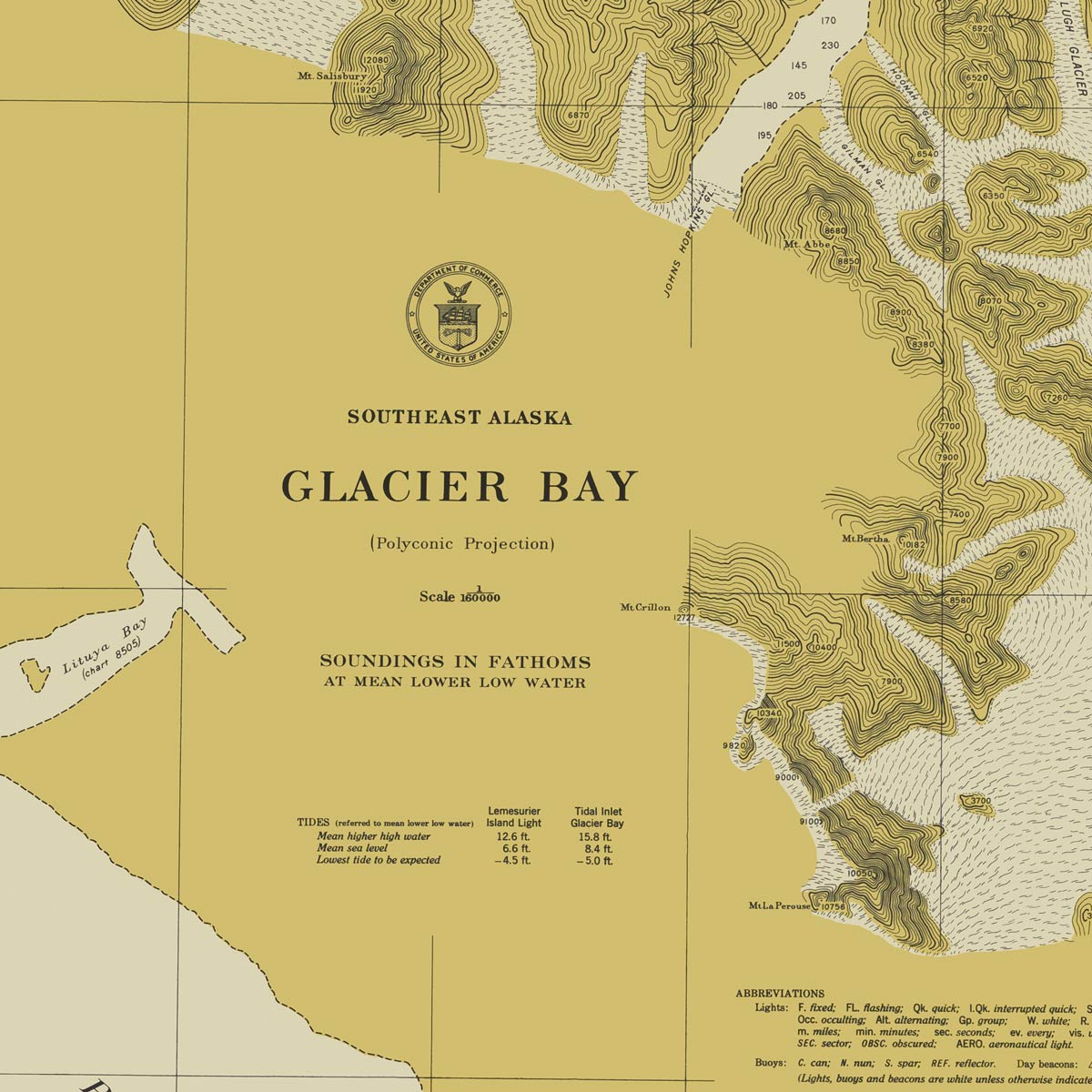
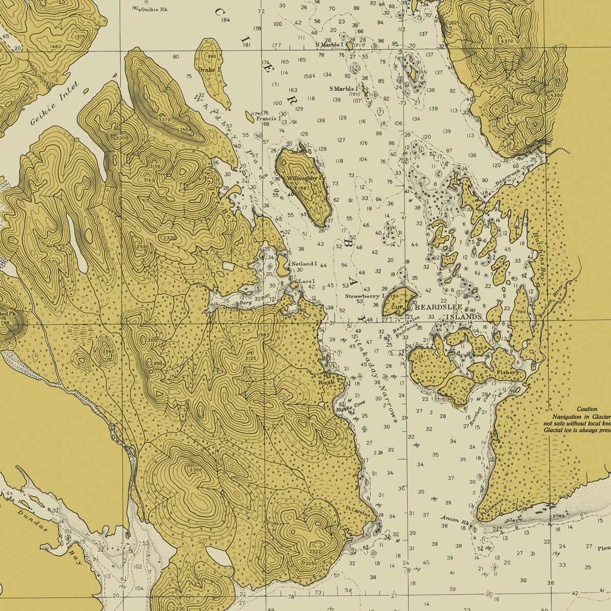
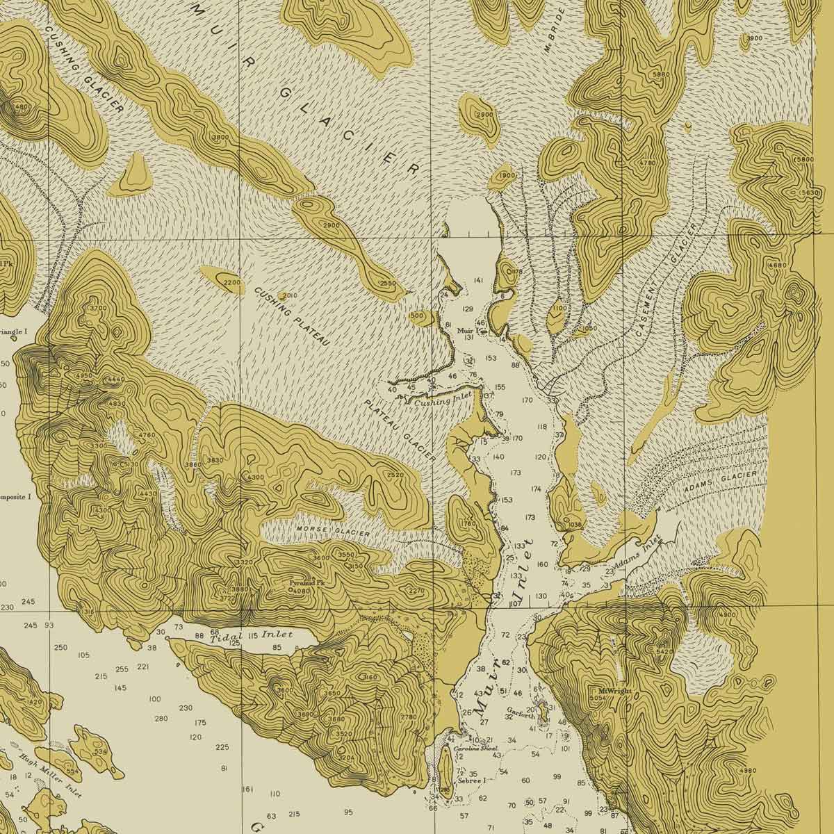
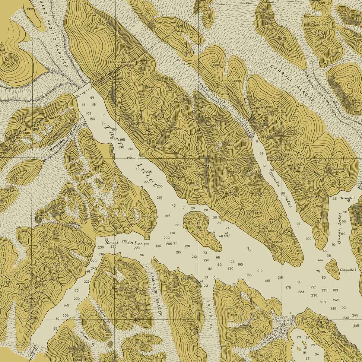
Alaska is known for its topographical wonders. The landscape is characterized by other-worldly attractions, such as Mount Denali, Kenai Fjords, Glacier Bay, Tongass National Forest, Yukon River, and the Inland Passage. Muir Way accurately depicts these highlights in our Alaska Elevation Map. Using DEM data from the USGS, we magnified the features of Alaska’s terrain by exaggerating their elevations and applying hillshade. The effect provides endless opportunities to investigate the compelling landscape of Alaska. Our Alaska Hydrological Map allows you to trace Alaska’s waterways in detail. Every river and stream in the state is illustrated using the Strahler Stream Order which shows the hierarchy of streams as they flow from their source—rivers are shown thicker as they acquire the flow of tributaries.
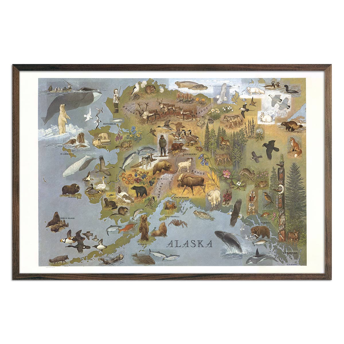
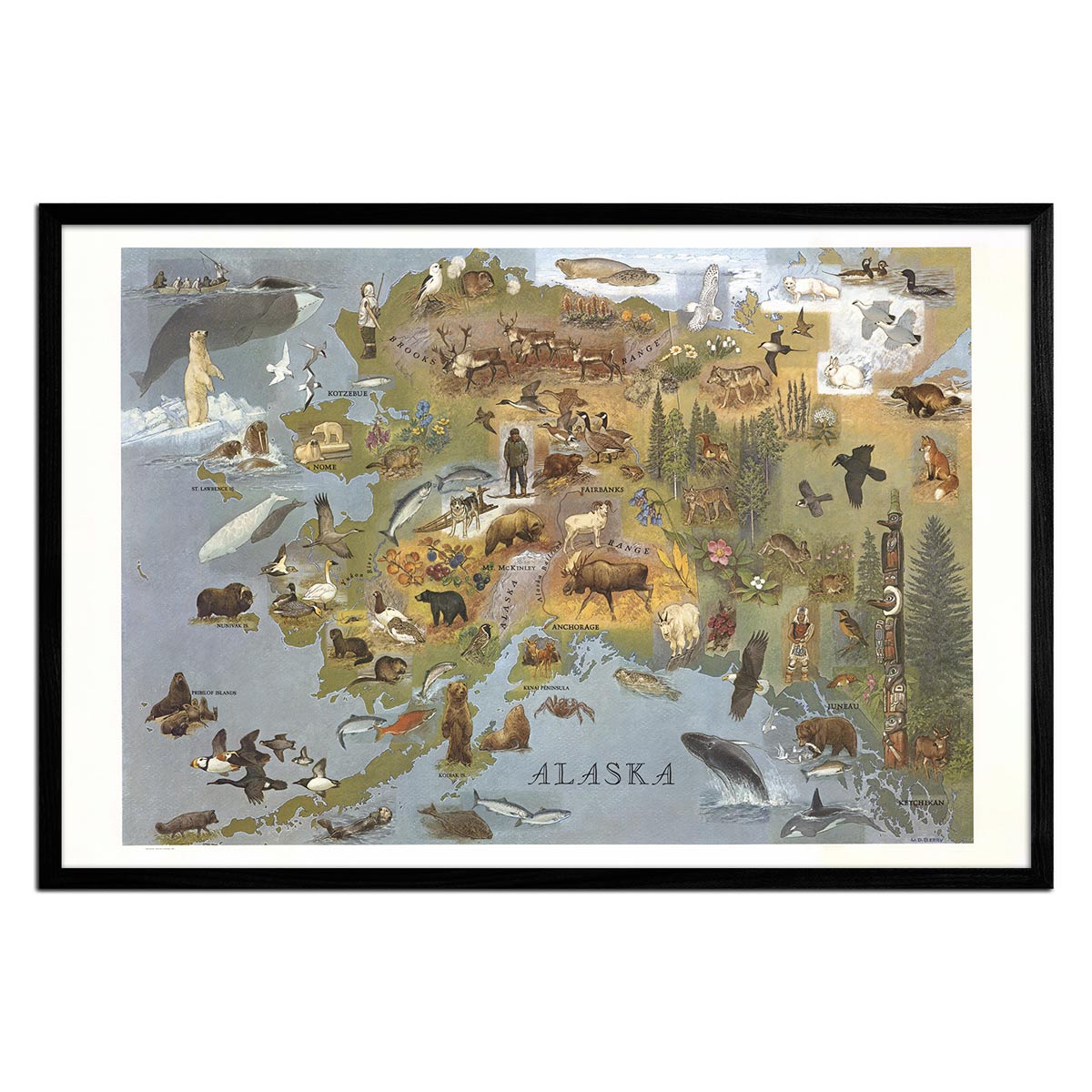
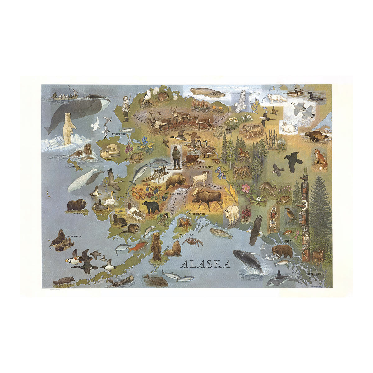
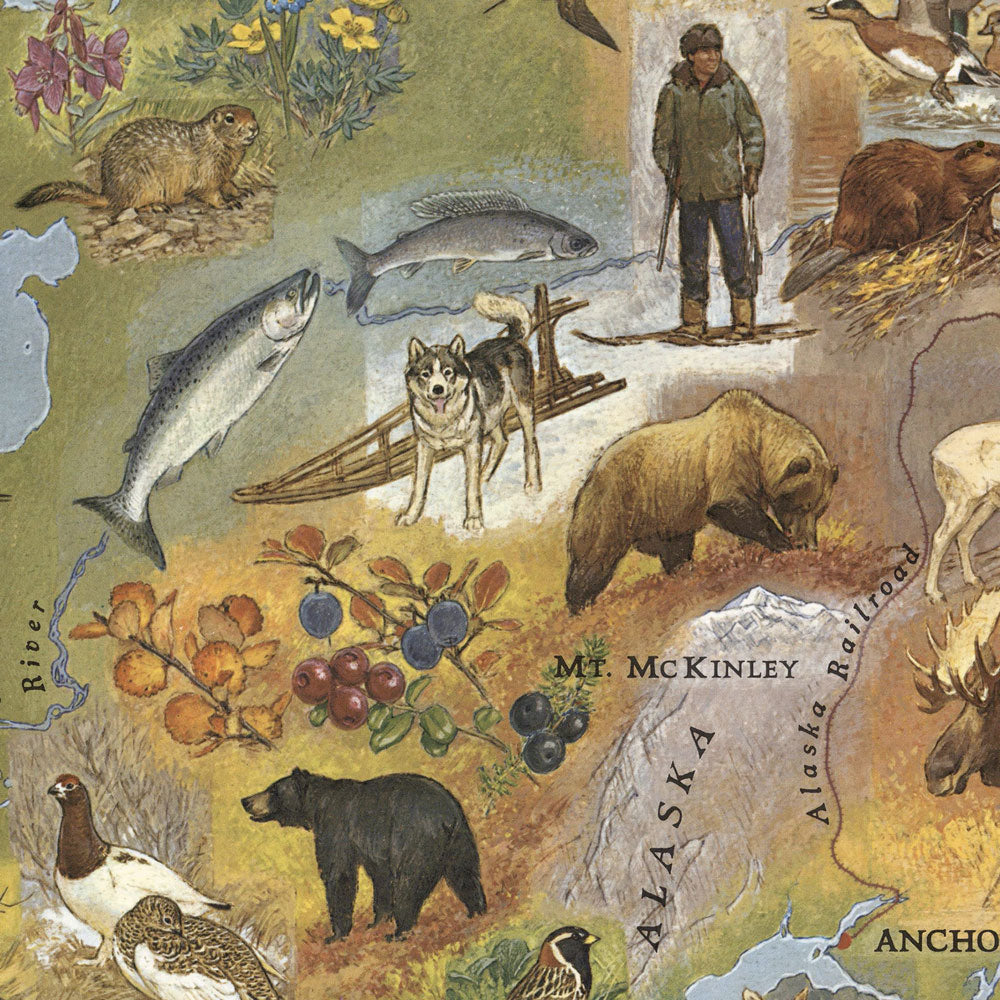
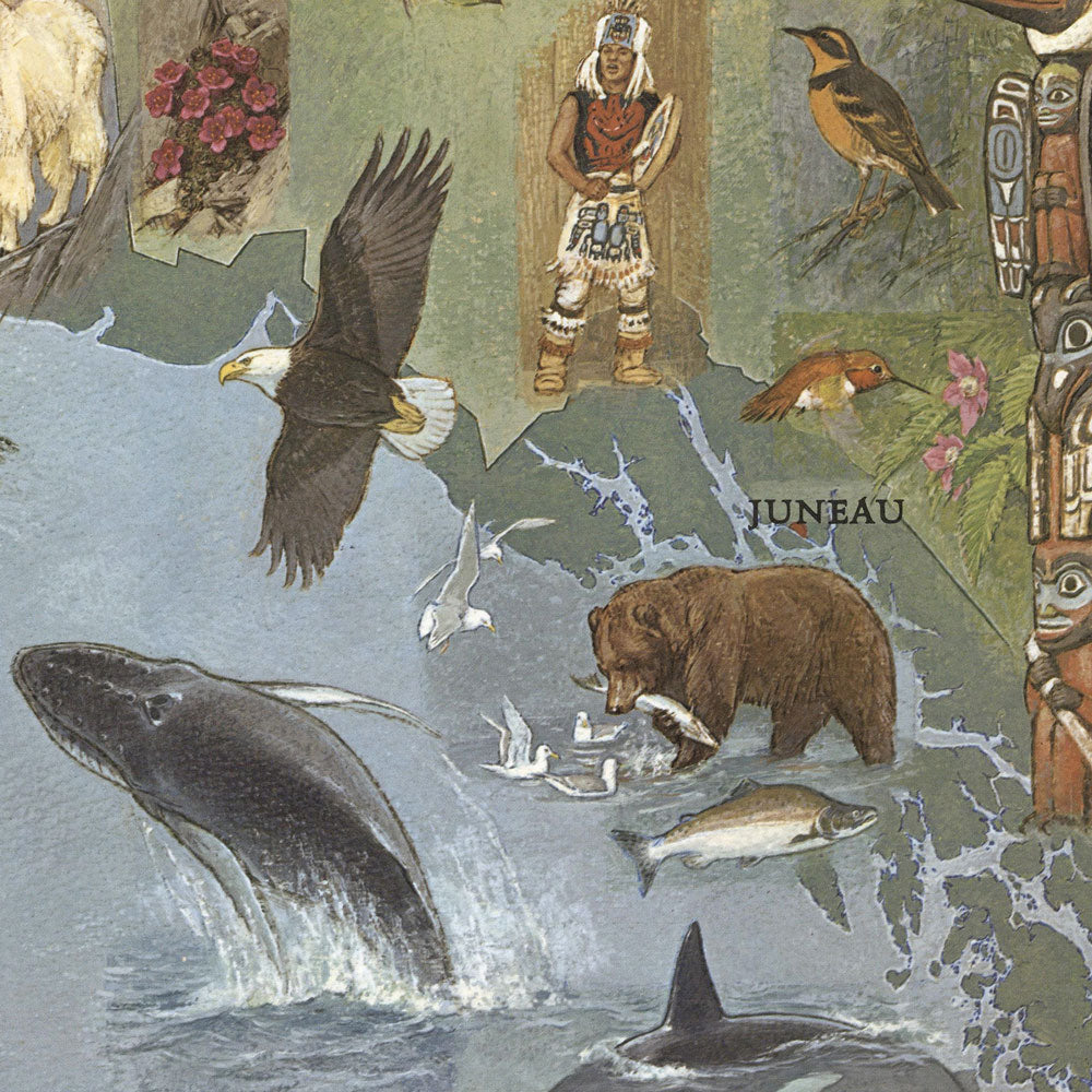
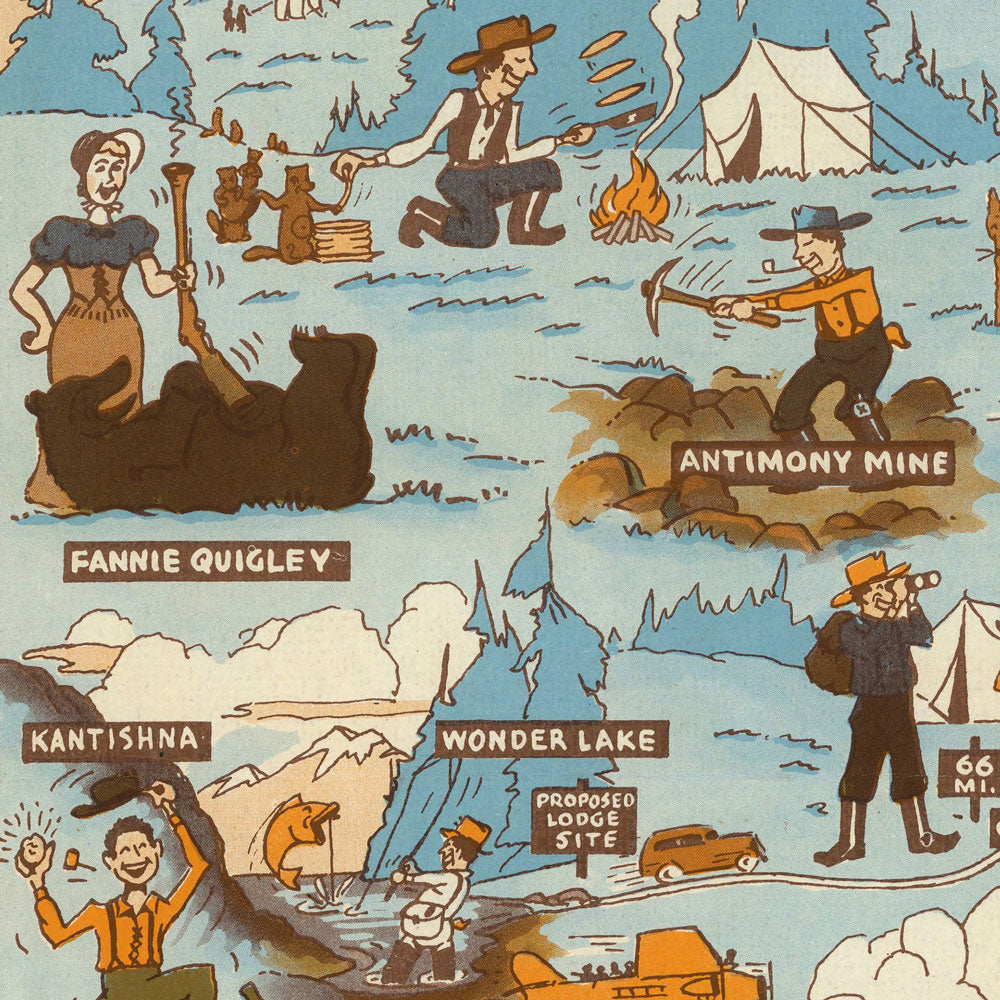
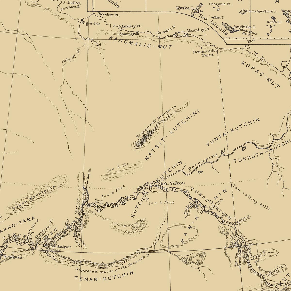
Vintage pictorial maps show Alaska in a unique and artistic way using design elements that emphasize human-made and natural landmarks. We carefully remaster digital scans of these historical maps to make beautiful reproduction prints.
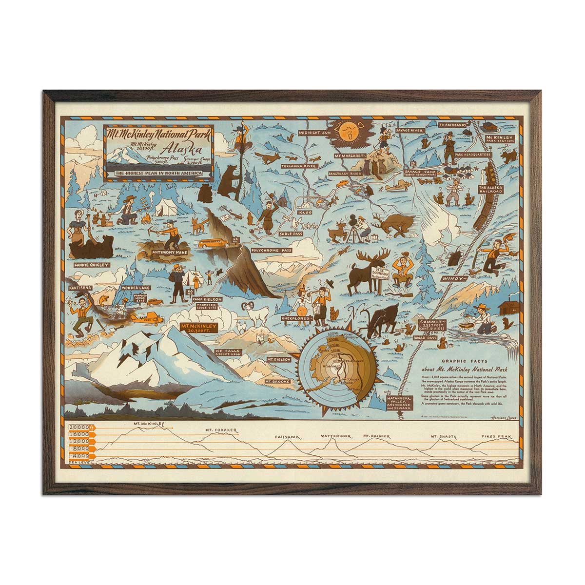
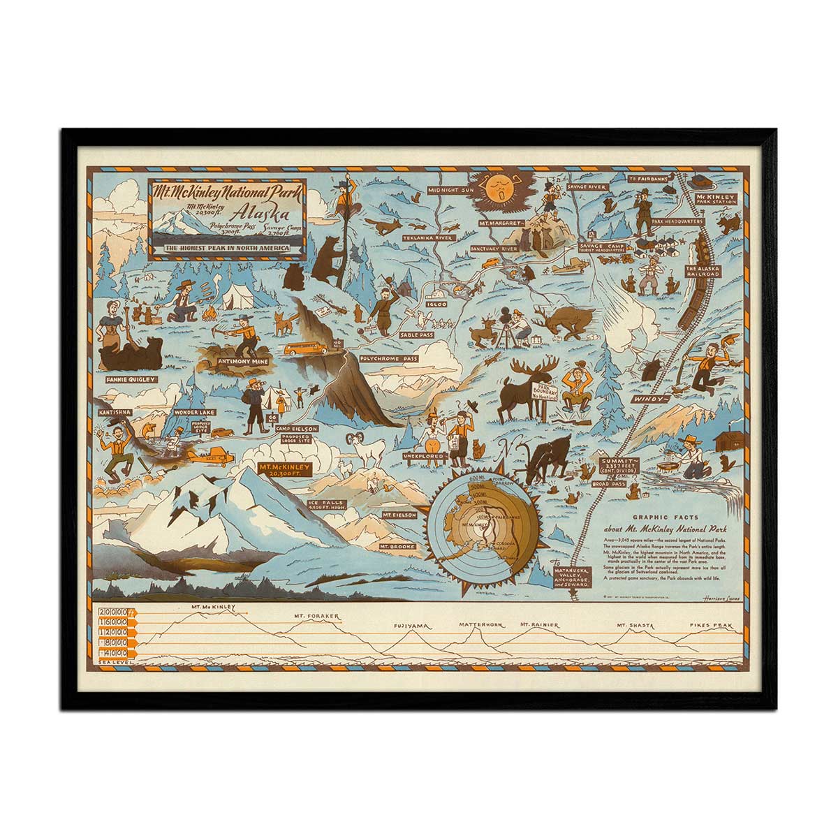
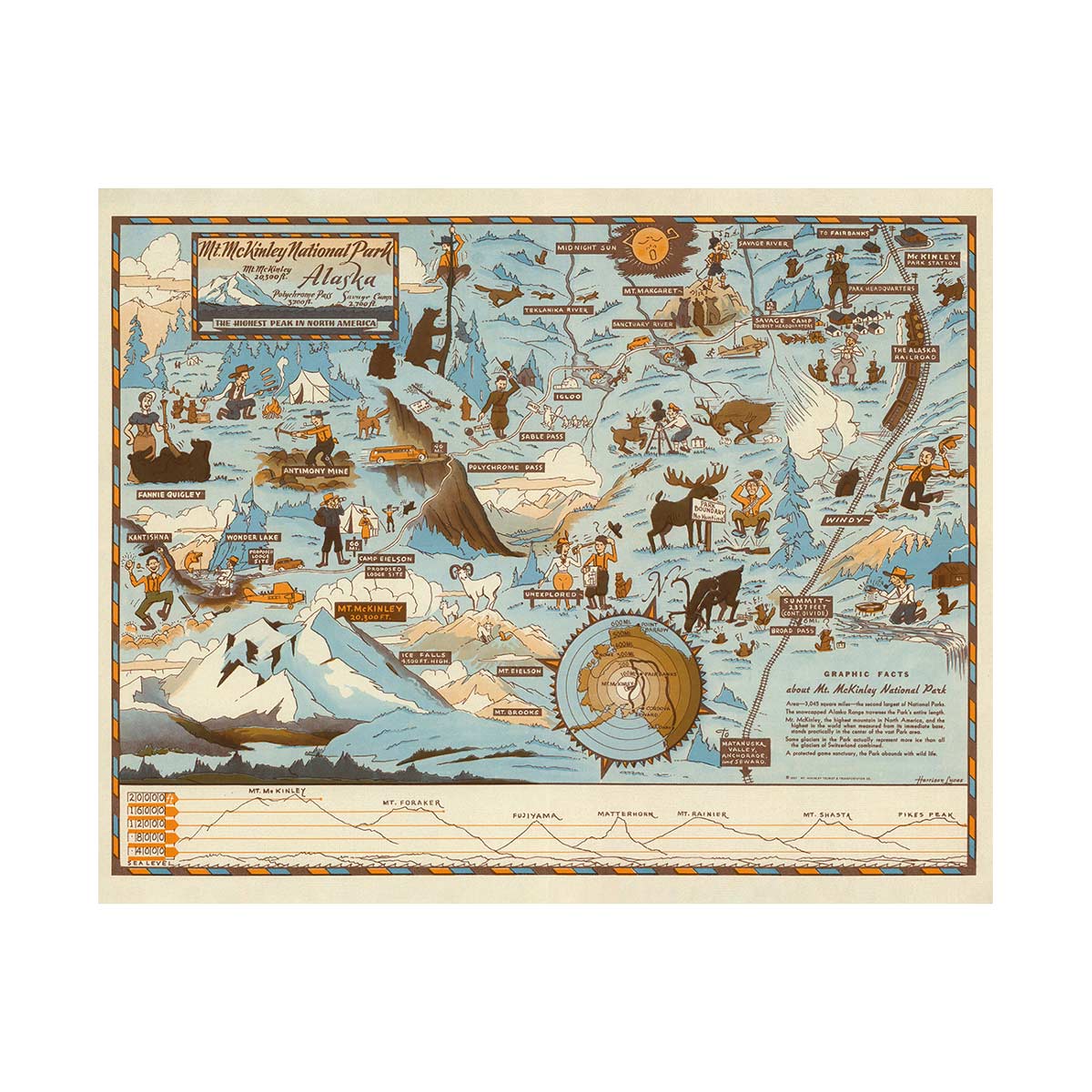
The Alaska 1967 Pictorial Map offers a decorative representation of Alaskan wildlife, fisheries, landmarks, and Inuit hunters. The 1937 Mt. Mckinley National Park Map conveys people, animals, landmarks, roads, and trails from that time period. These historical maps present the state’s unique features and attractions in a captivating manner.
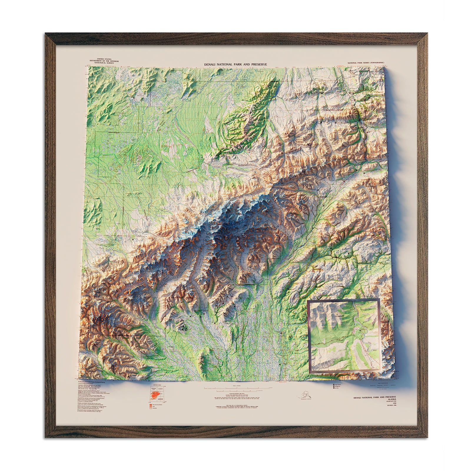
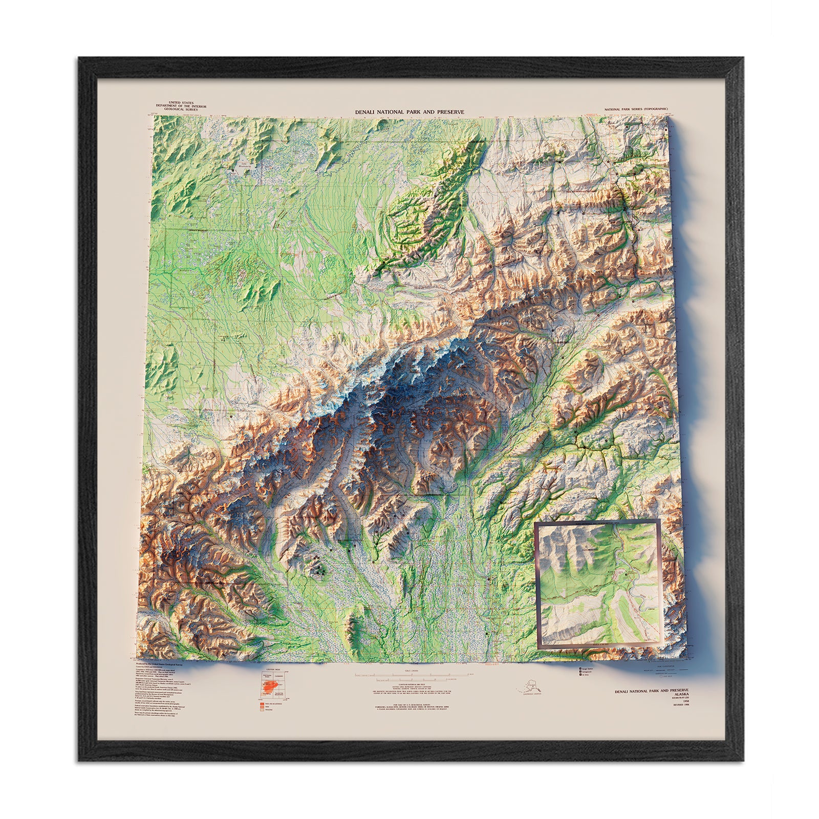
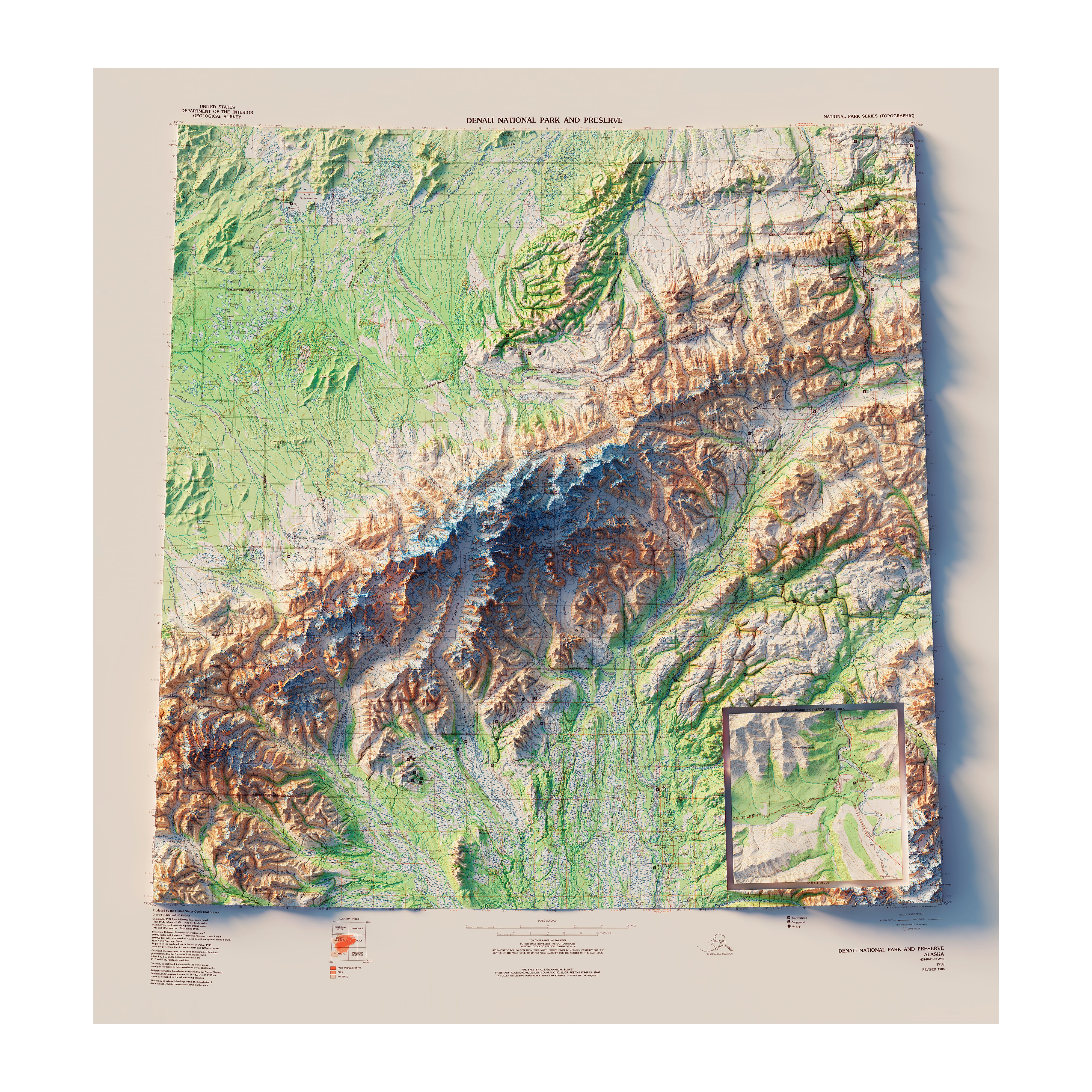
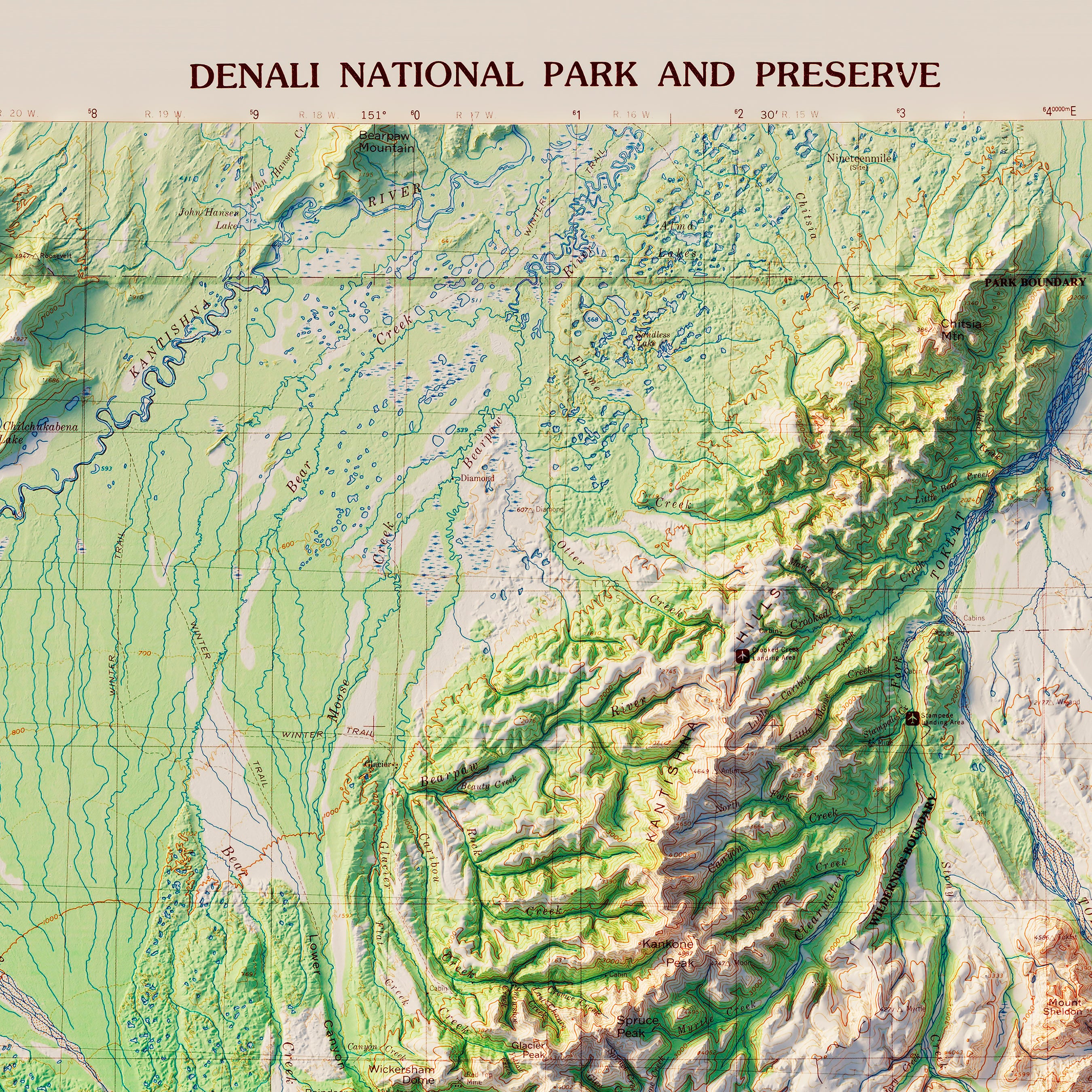
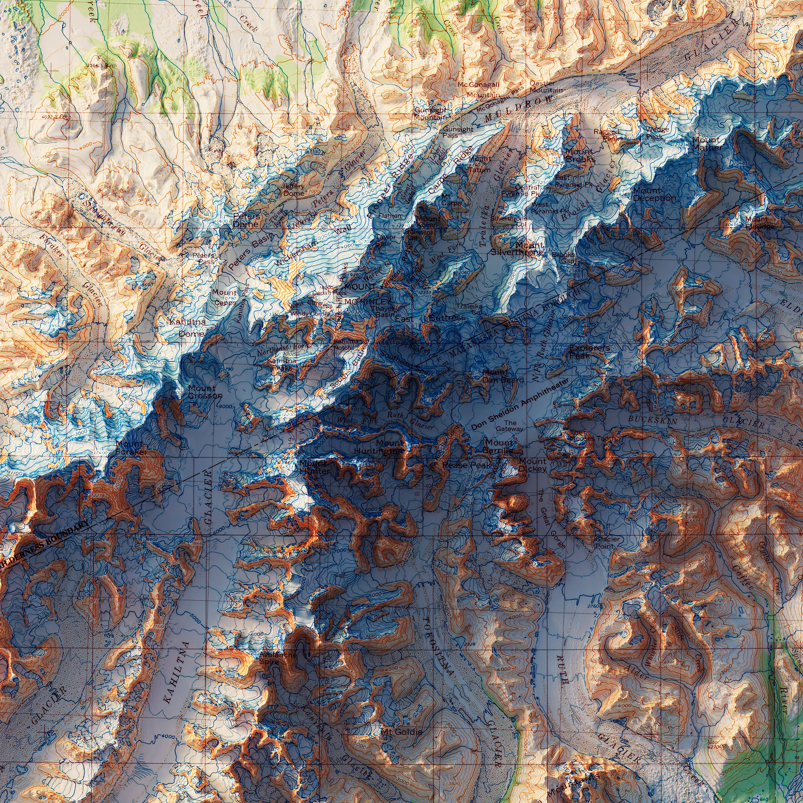
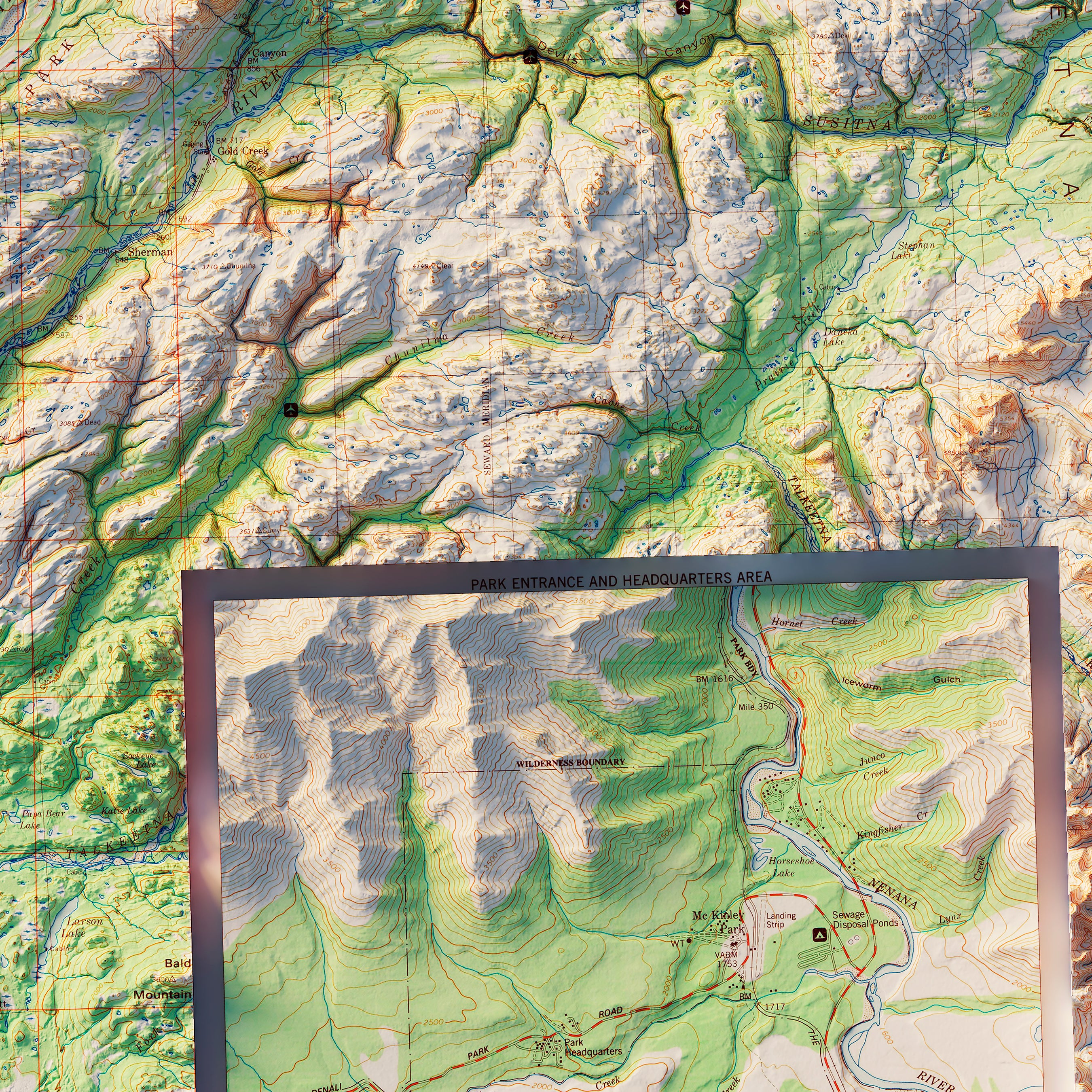
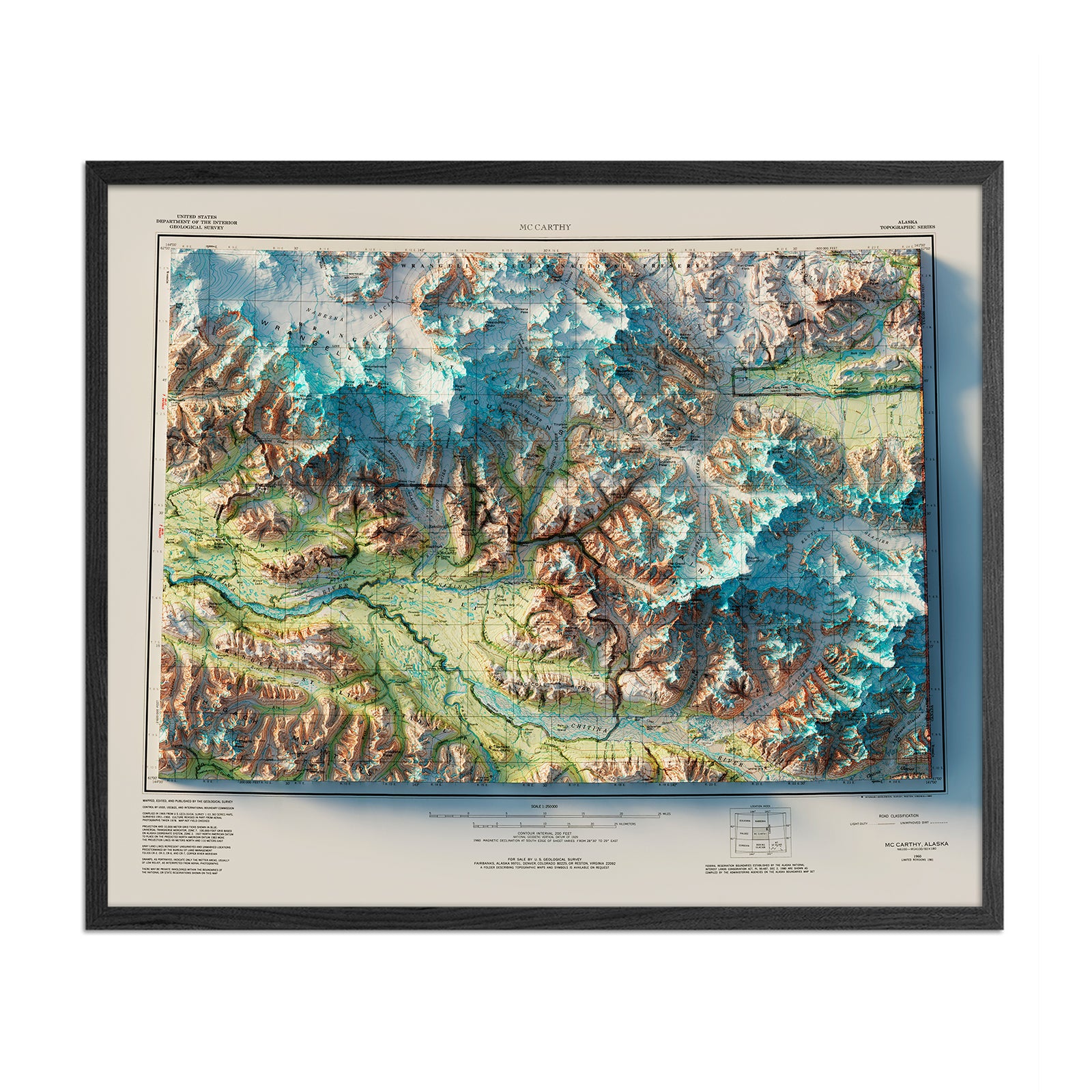
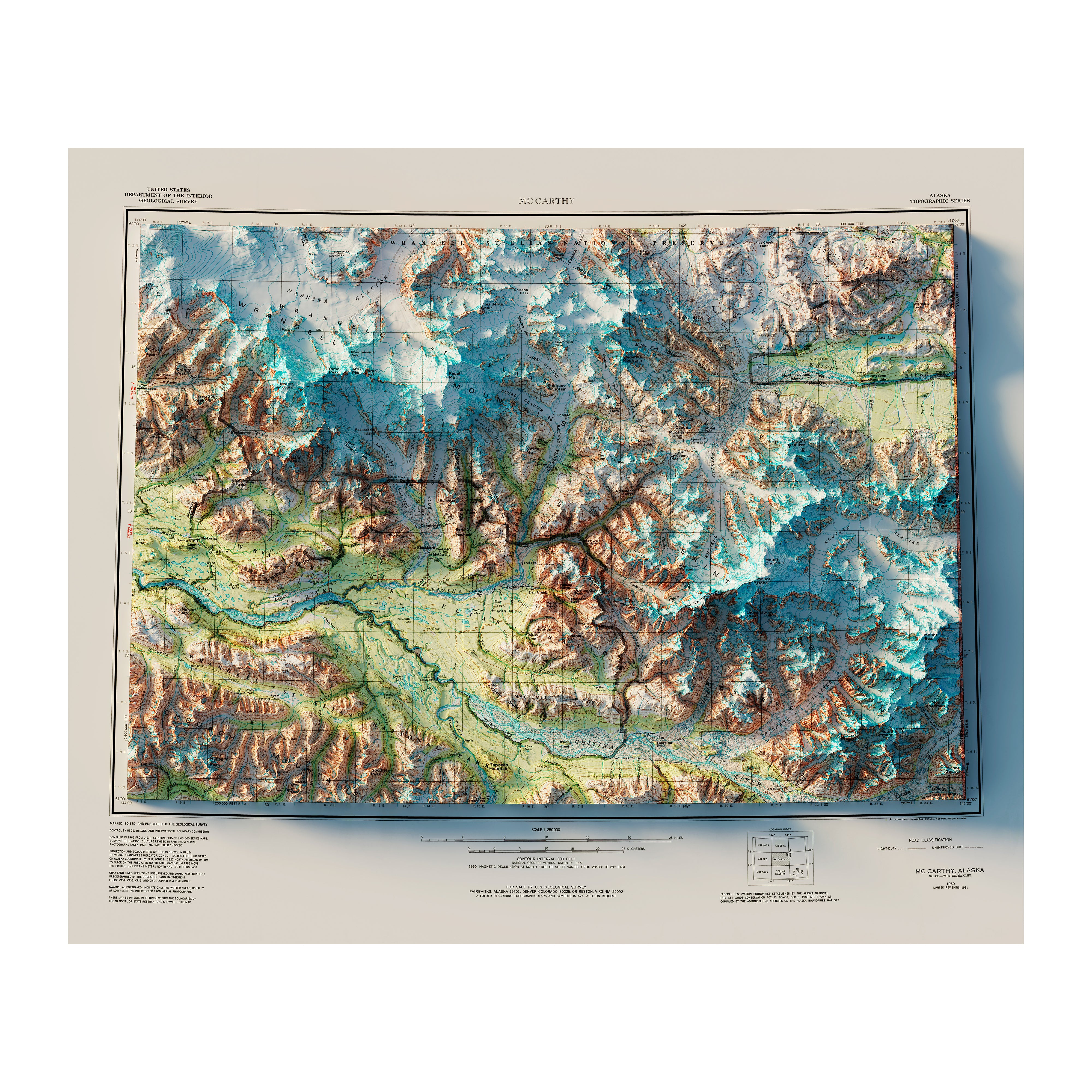
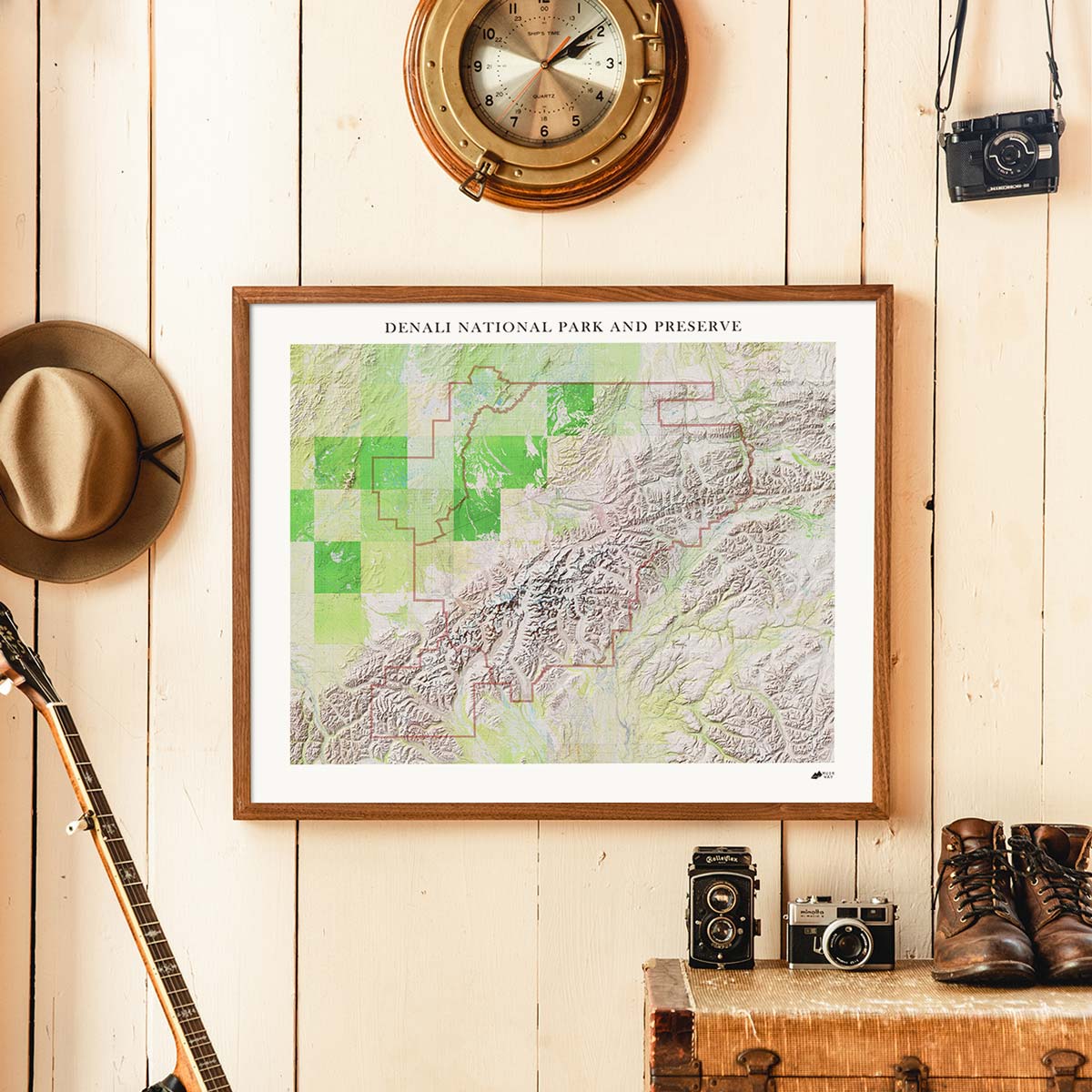
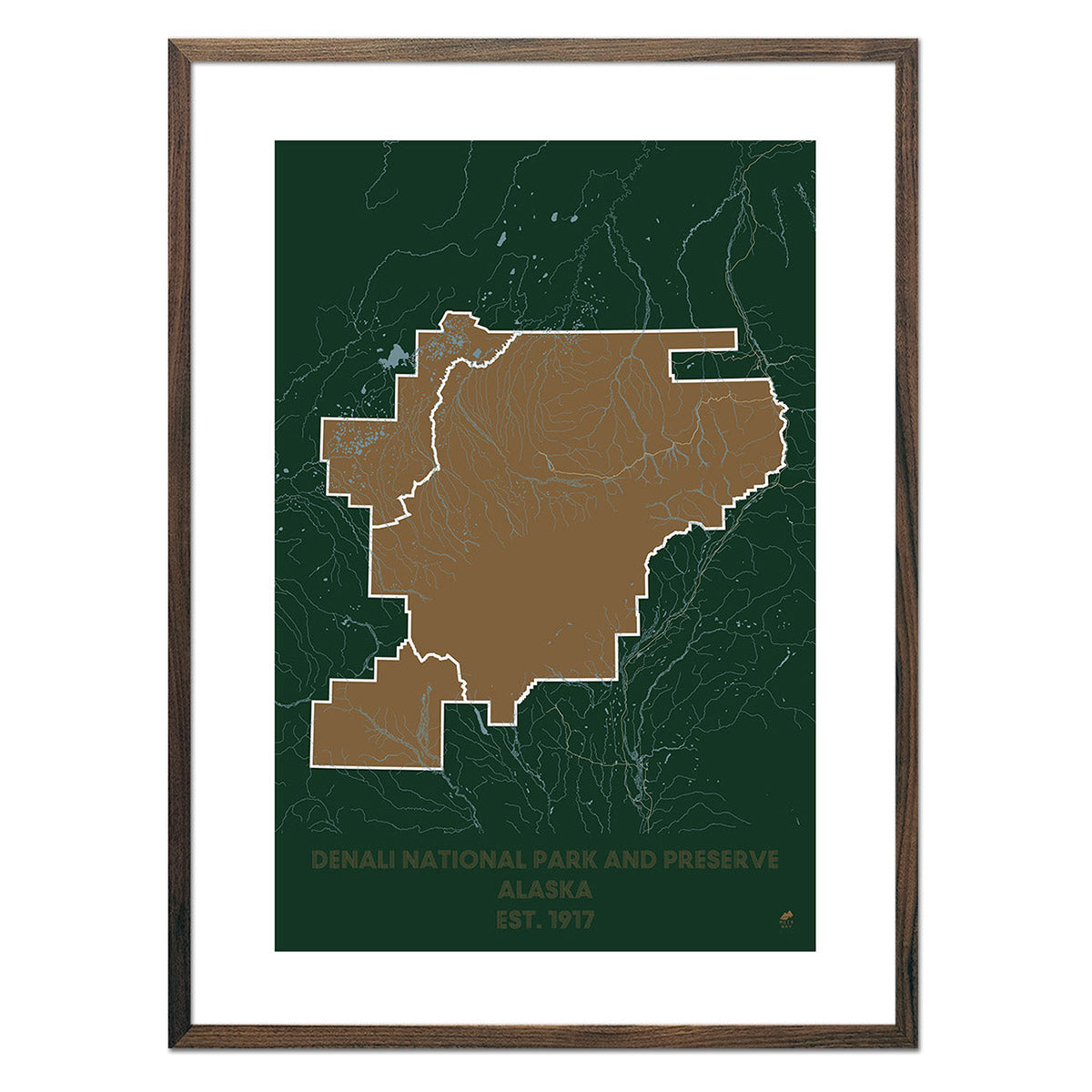
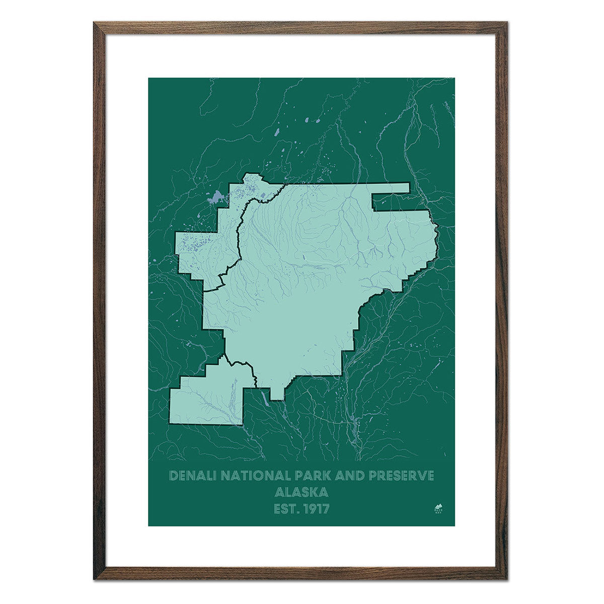
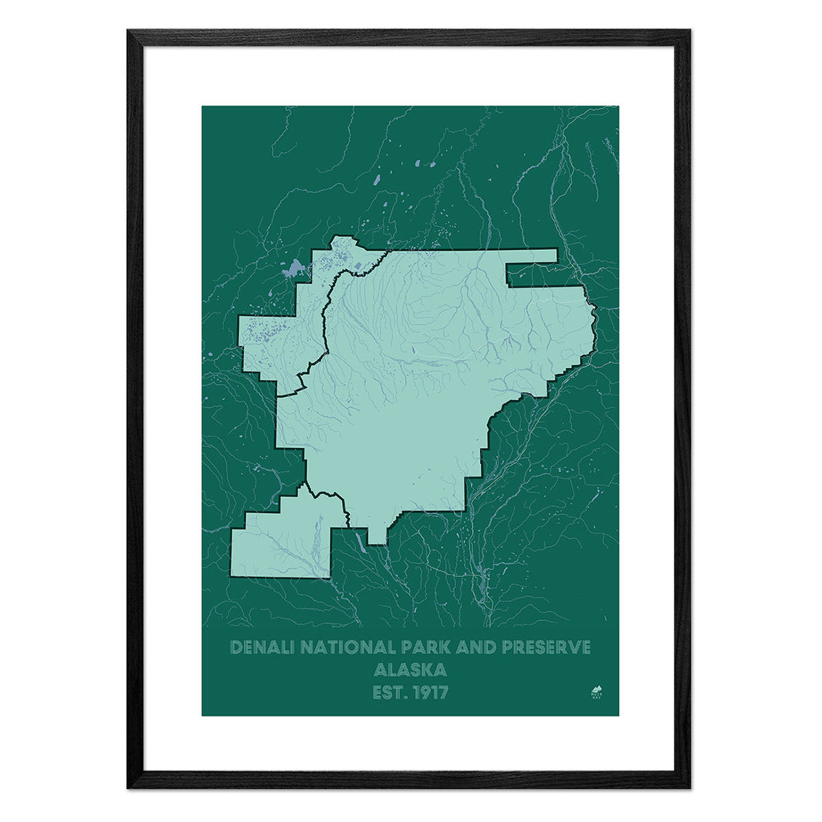
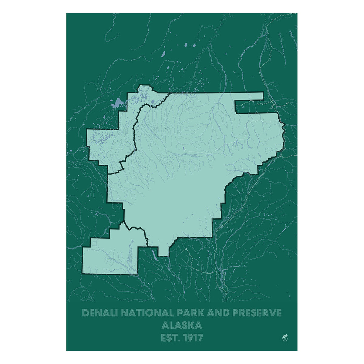
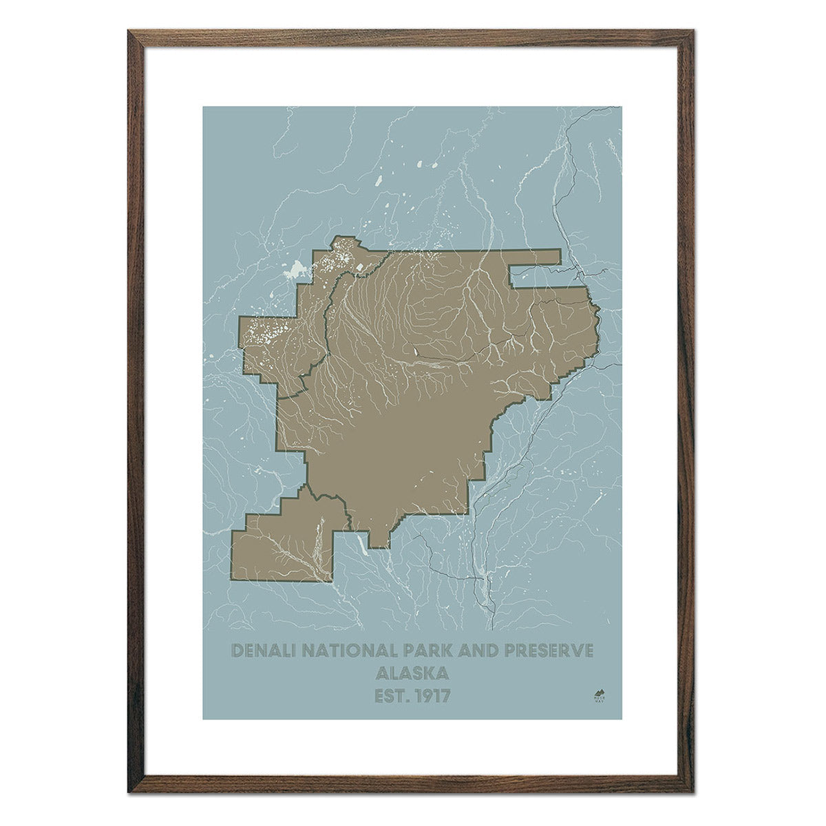
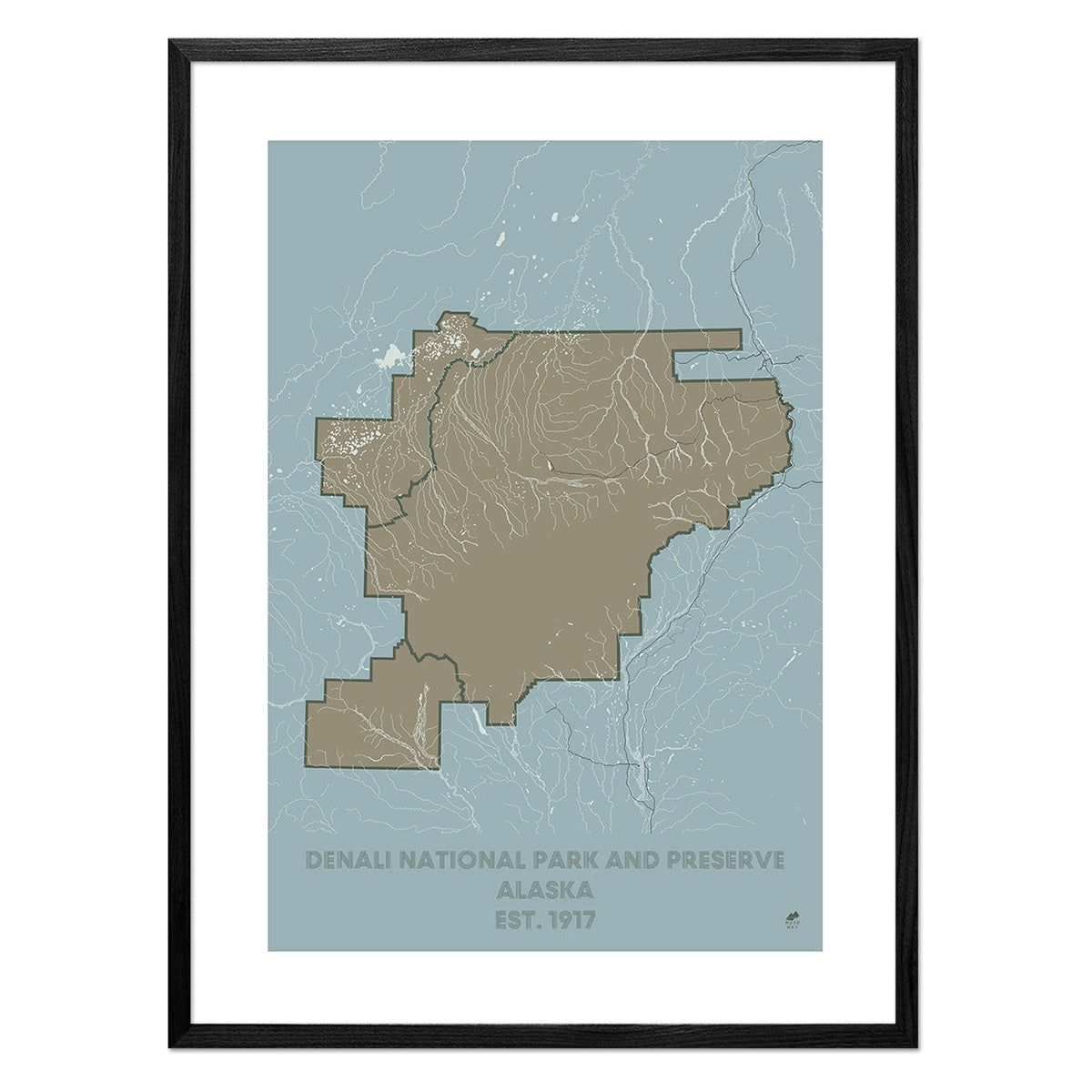
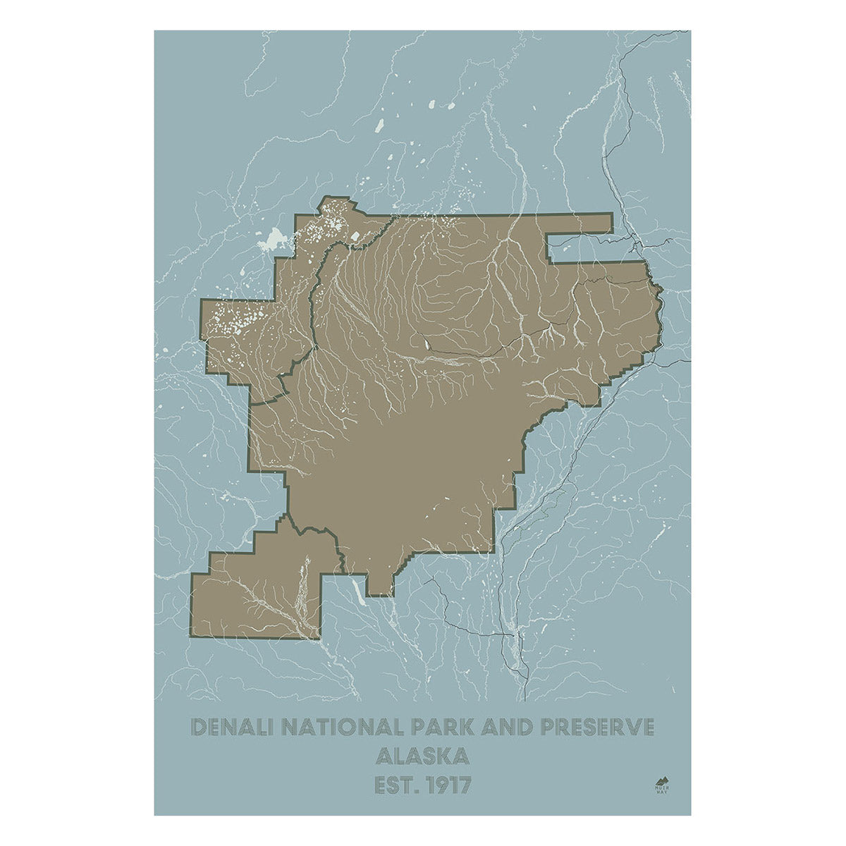
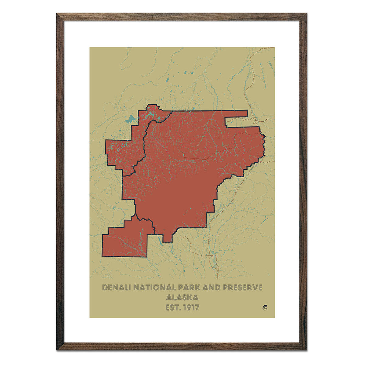
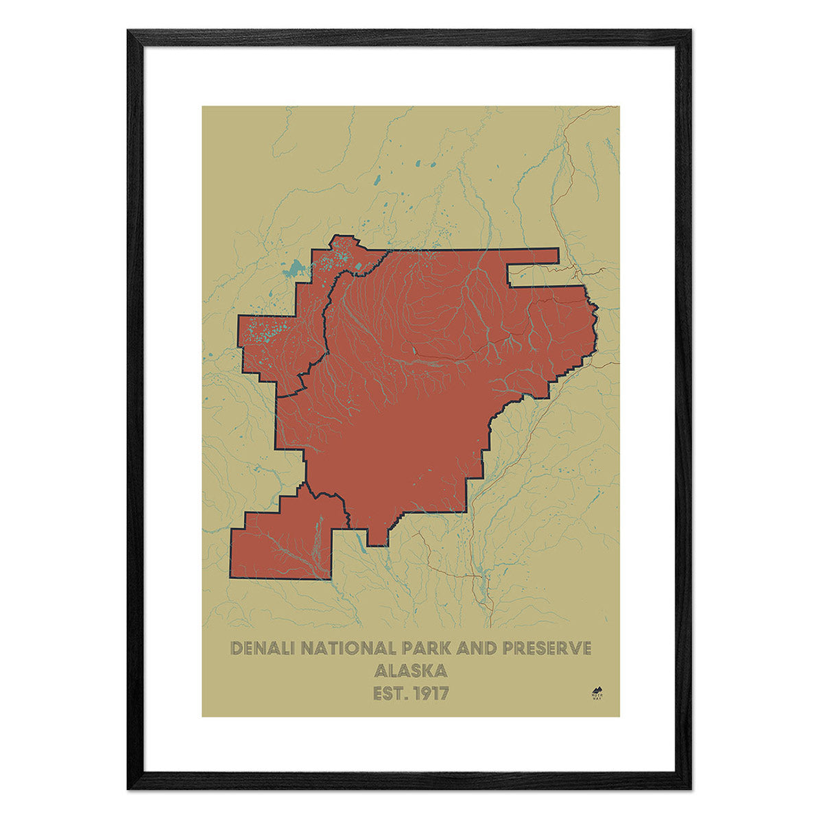
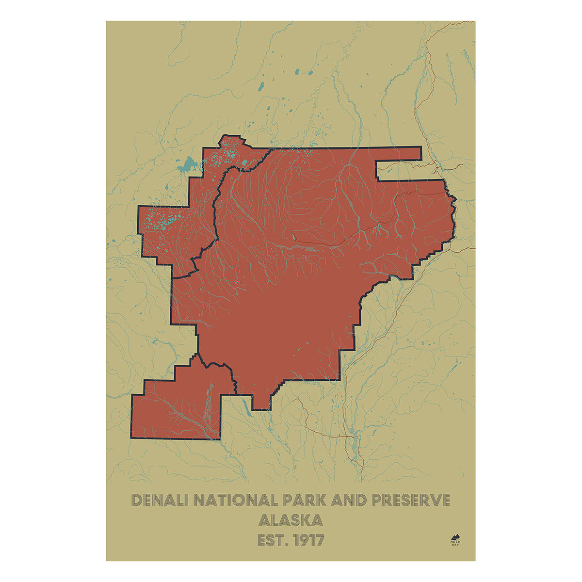
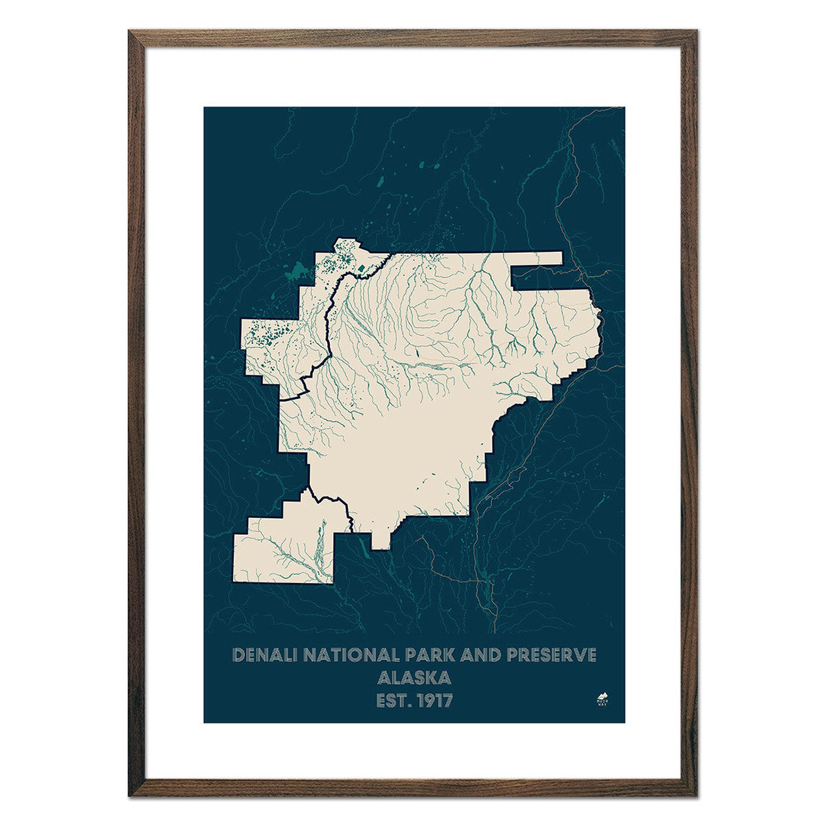
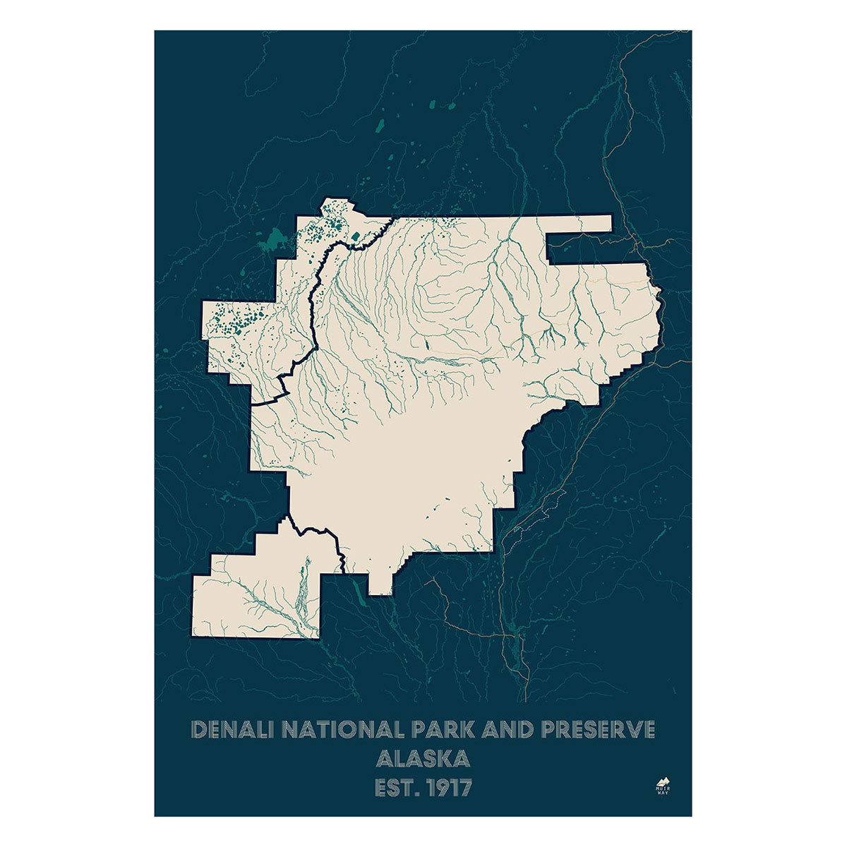
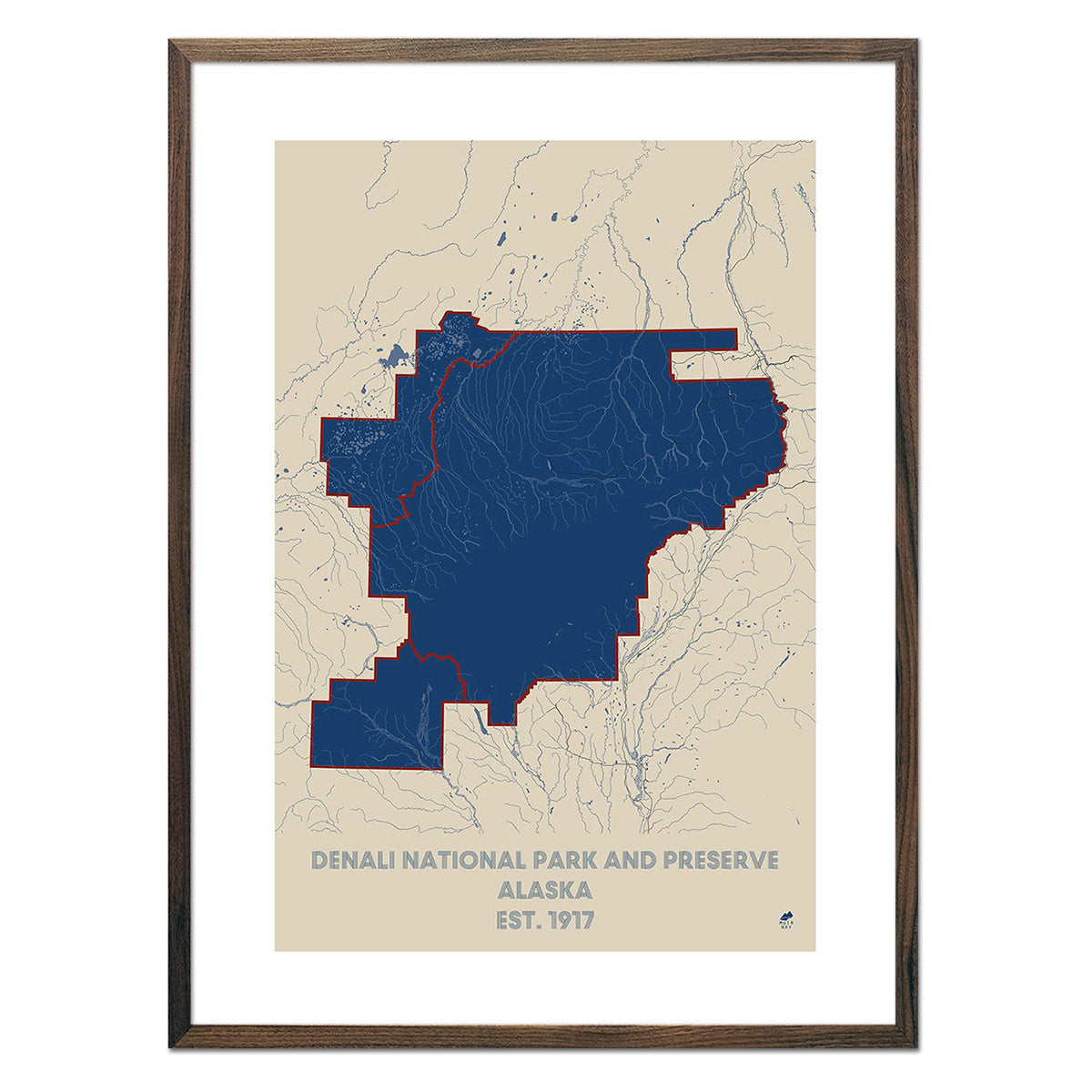
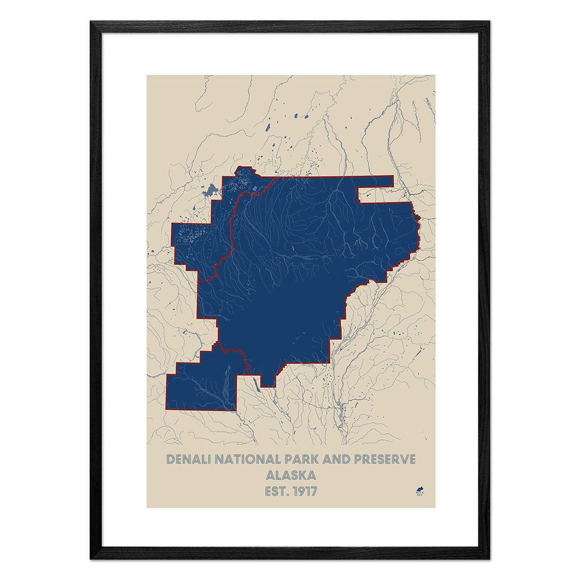
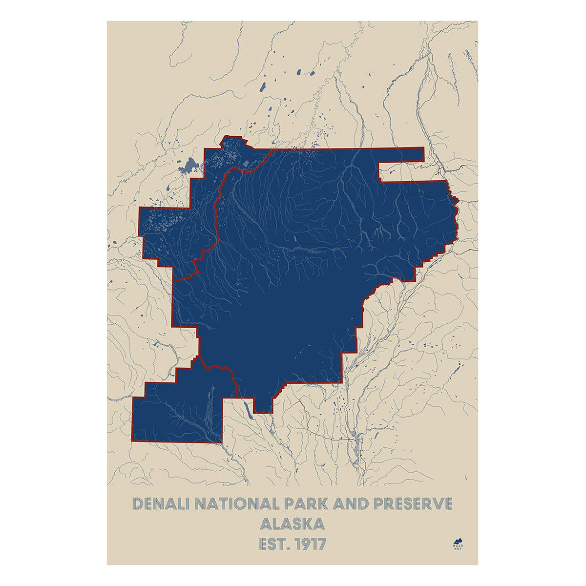
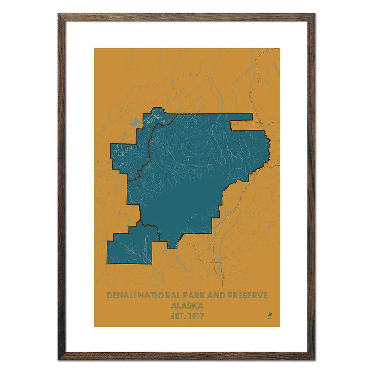
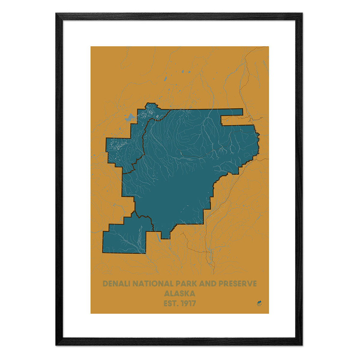
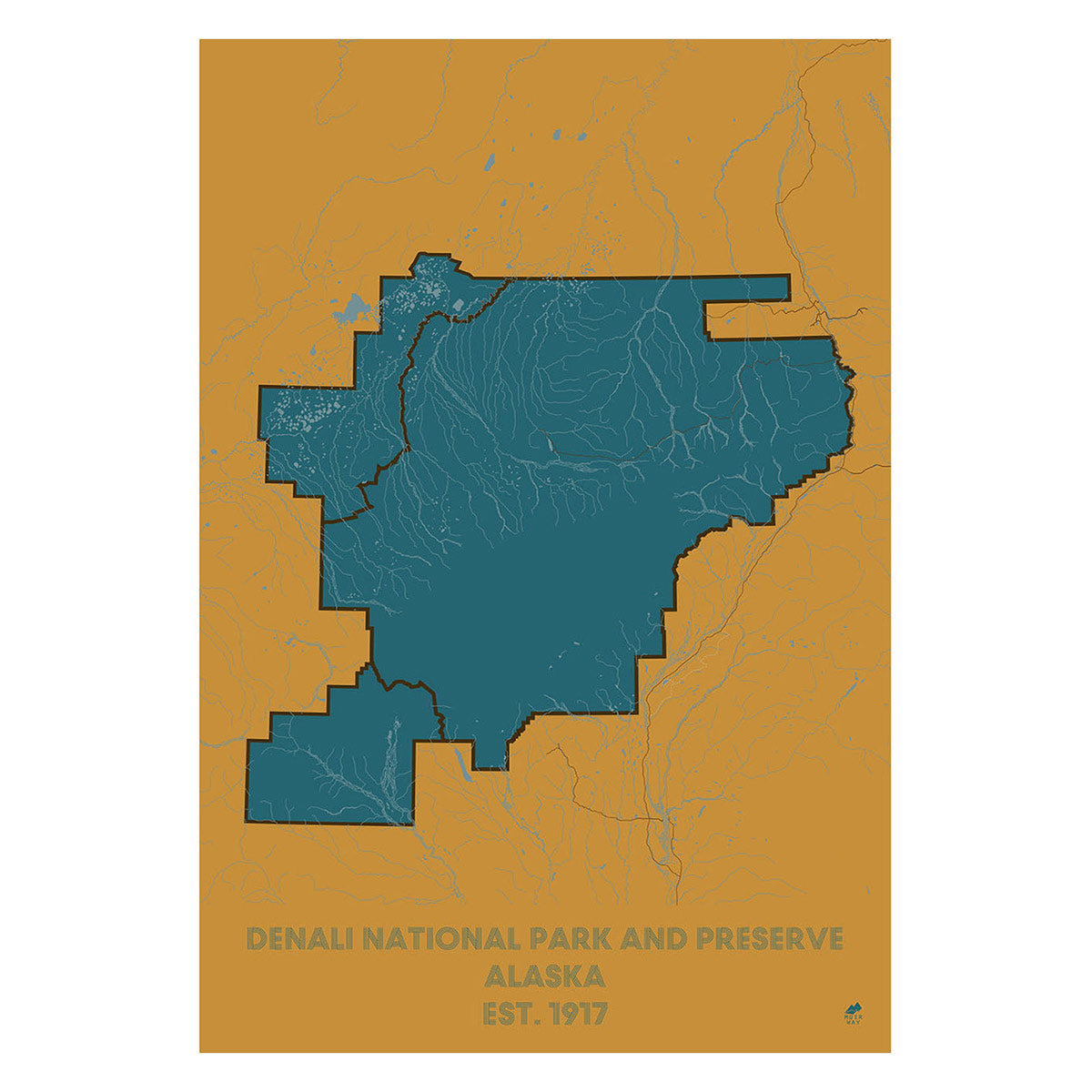
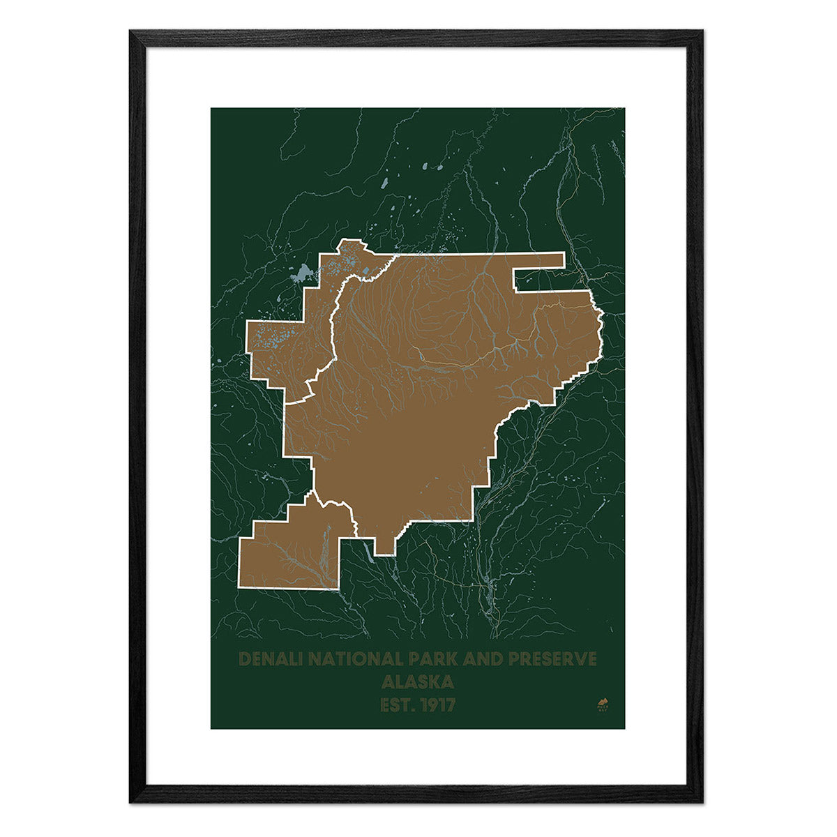
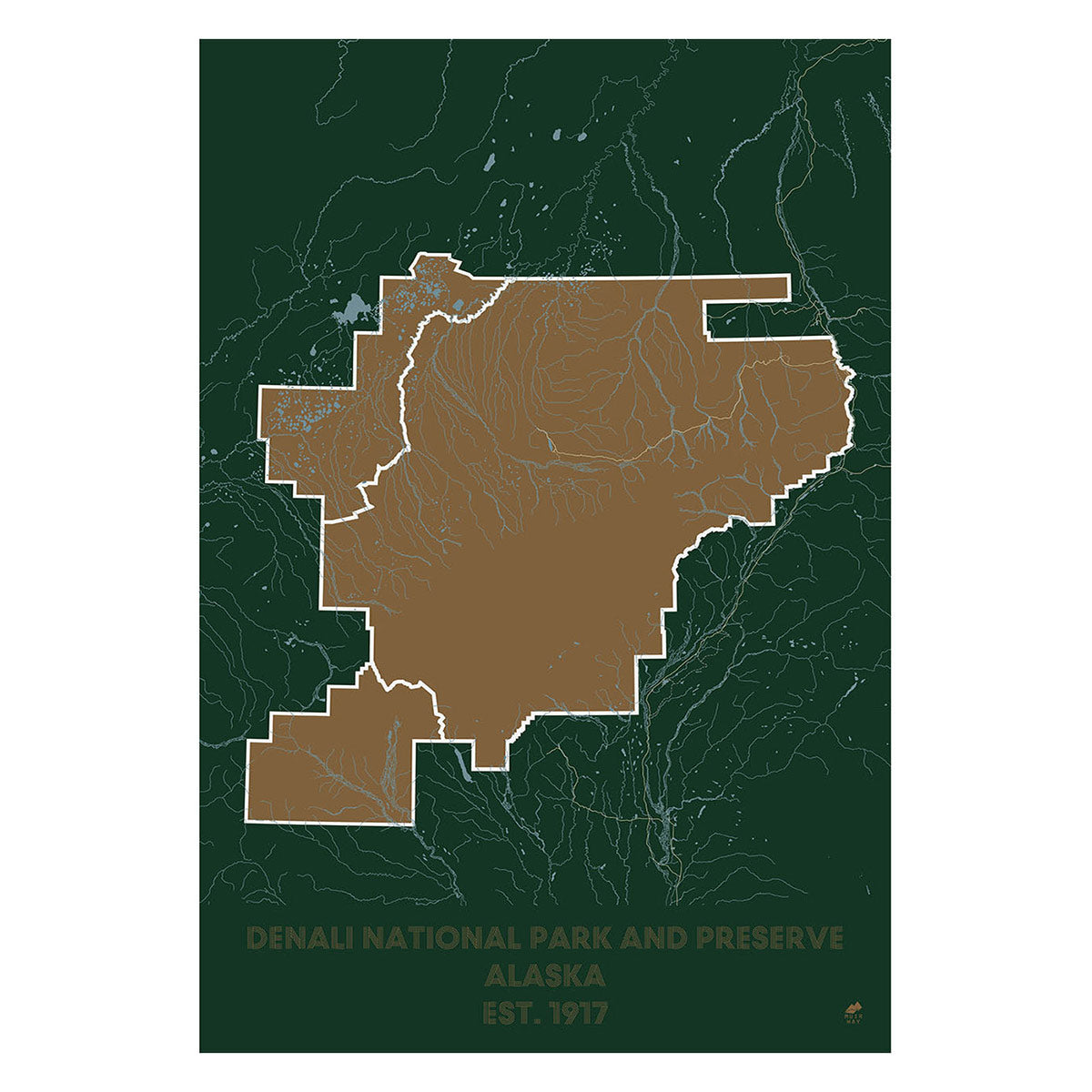
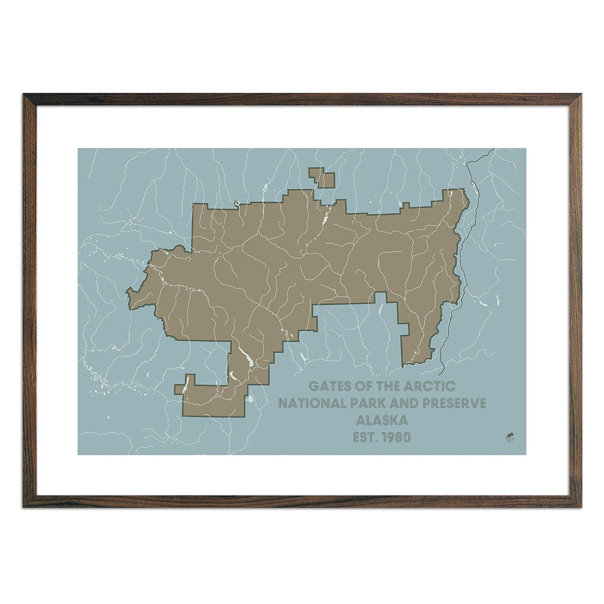
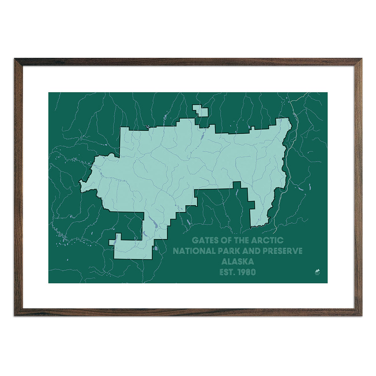
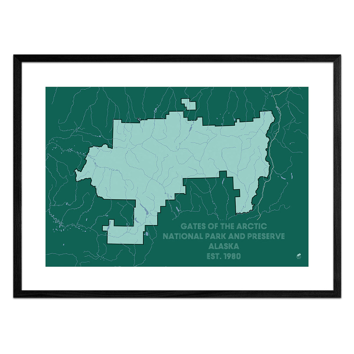
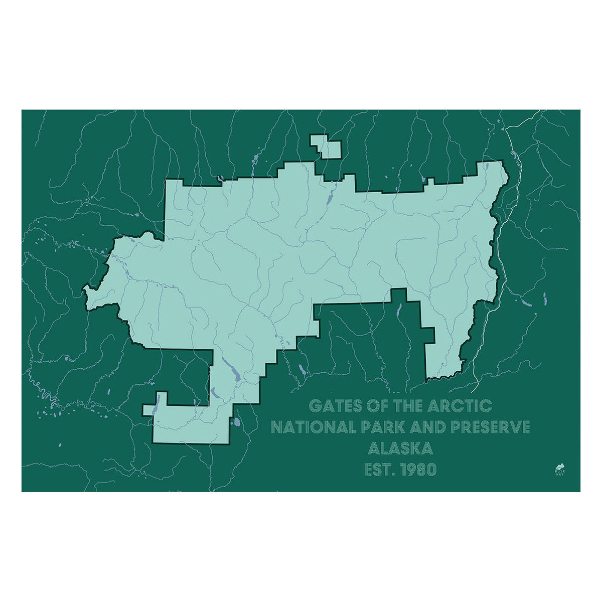
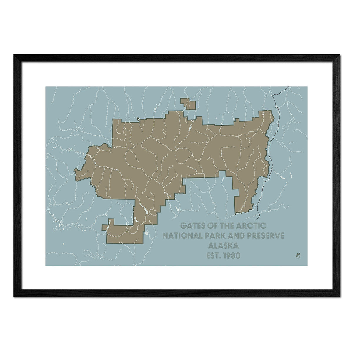
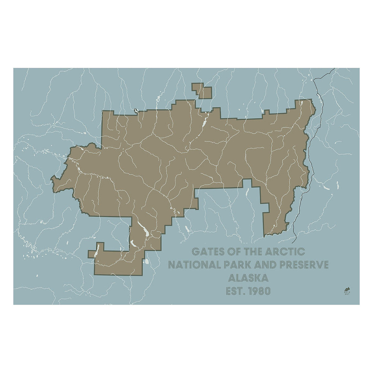
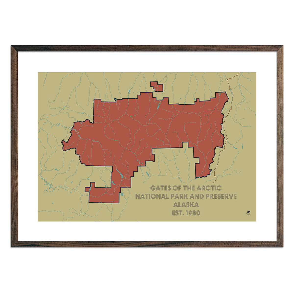
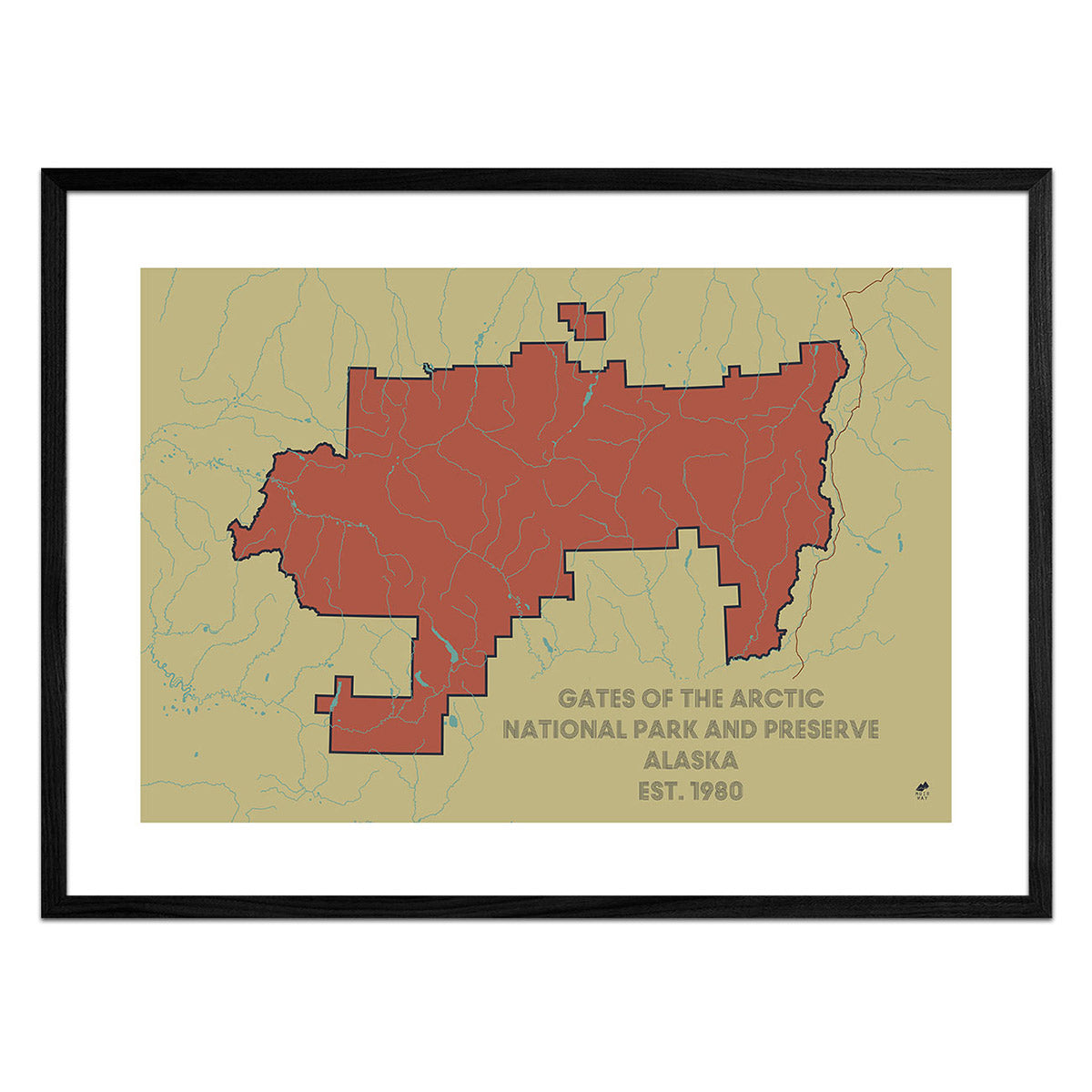
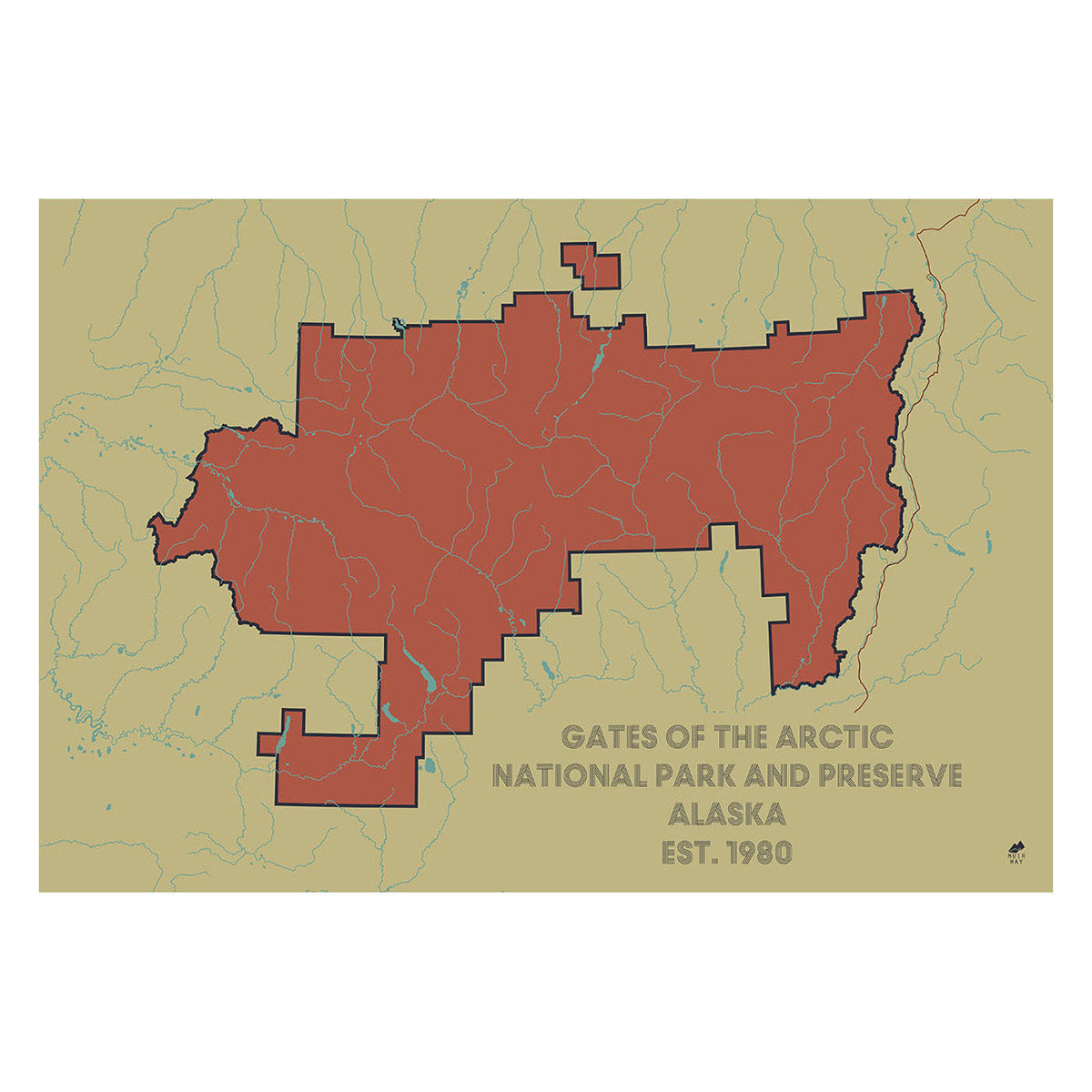
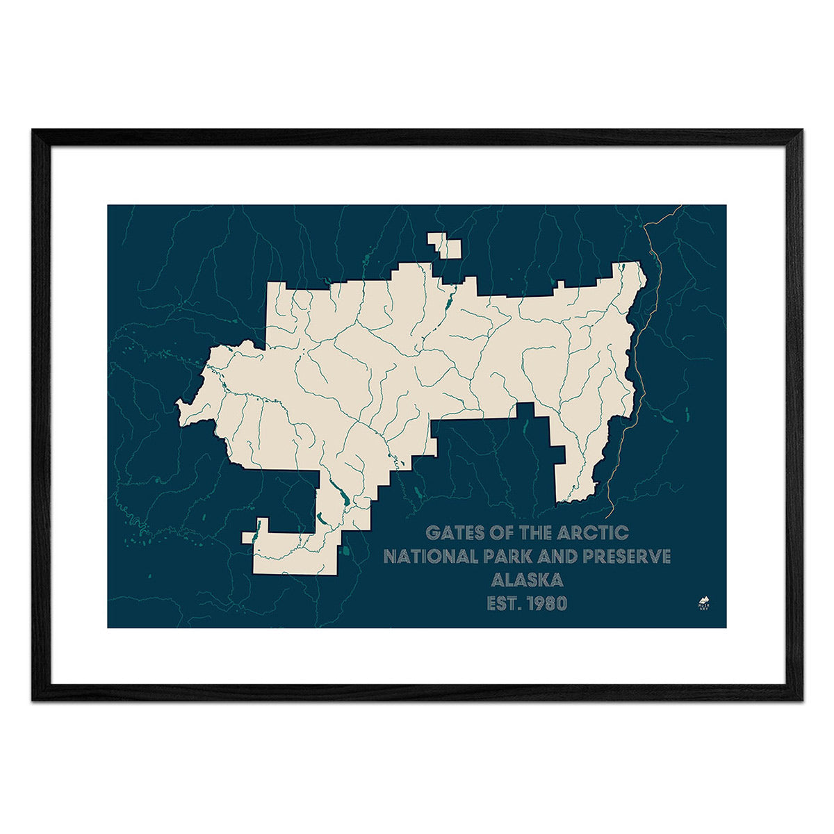
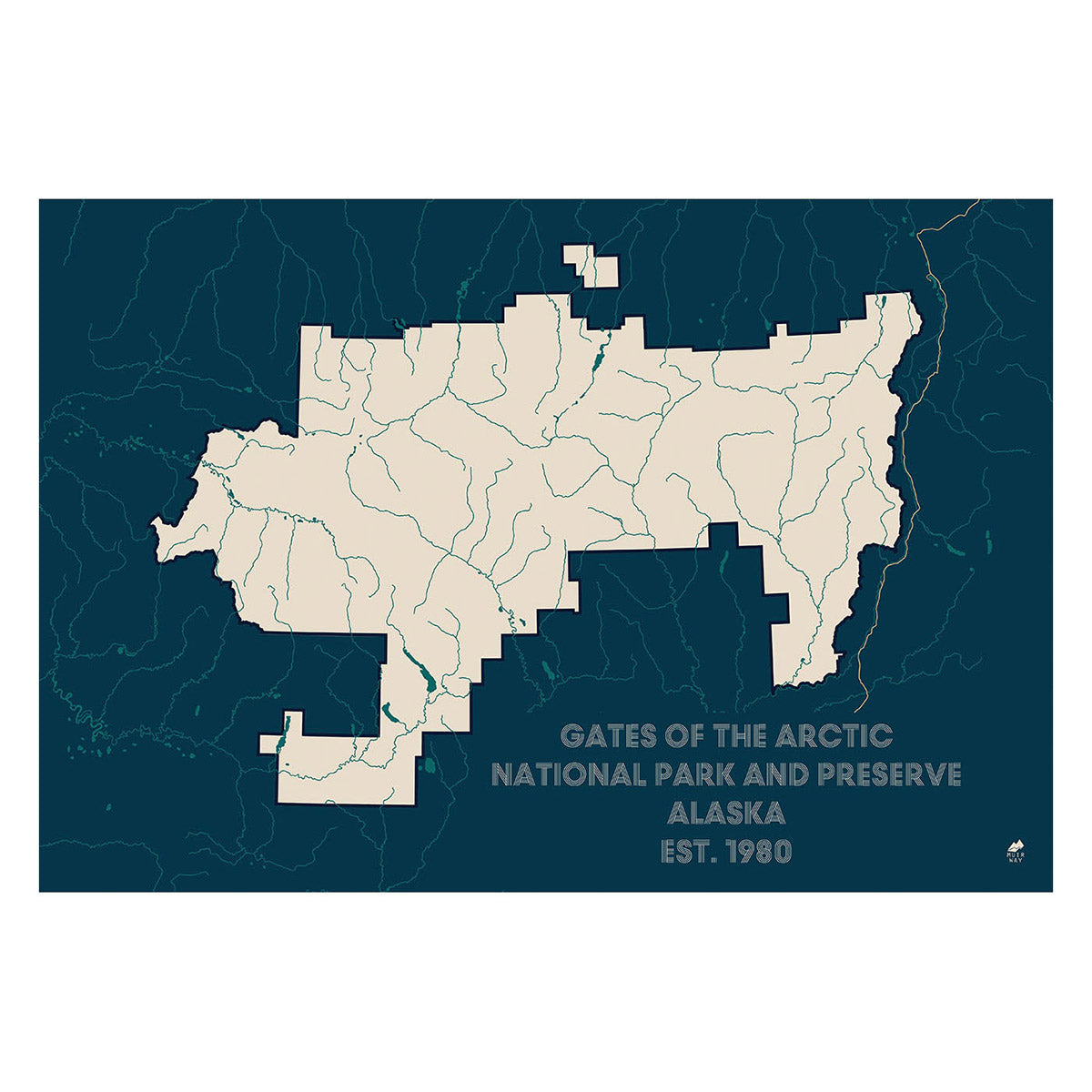
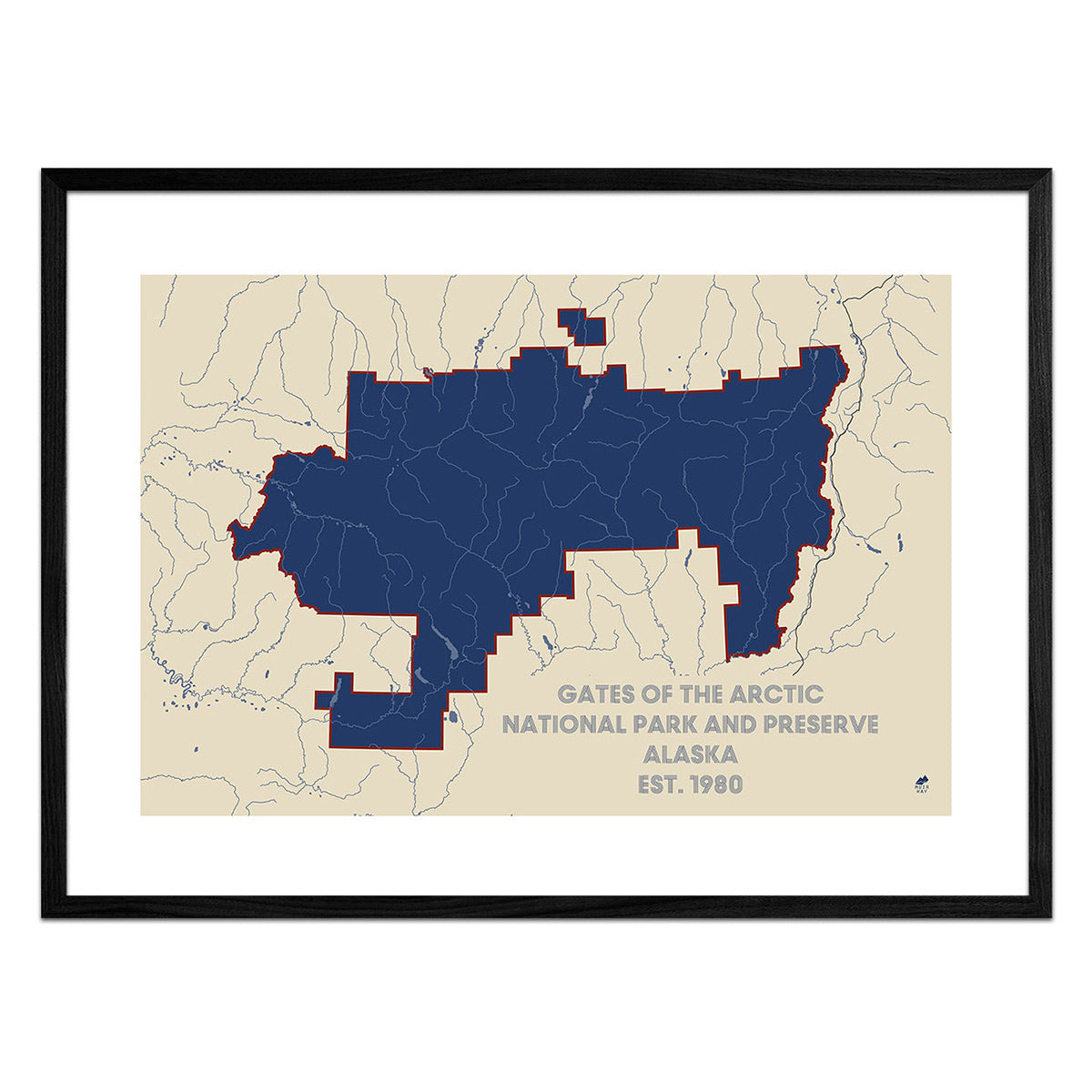
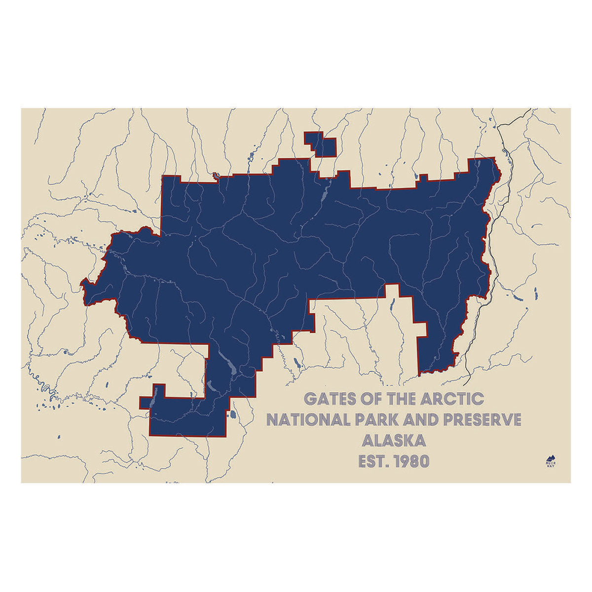
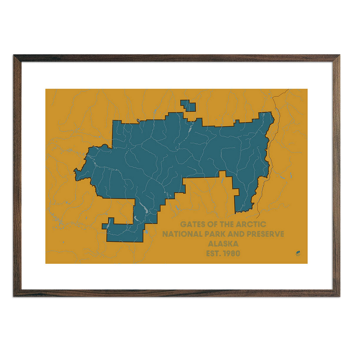
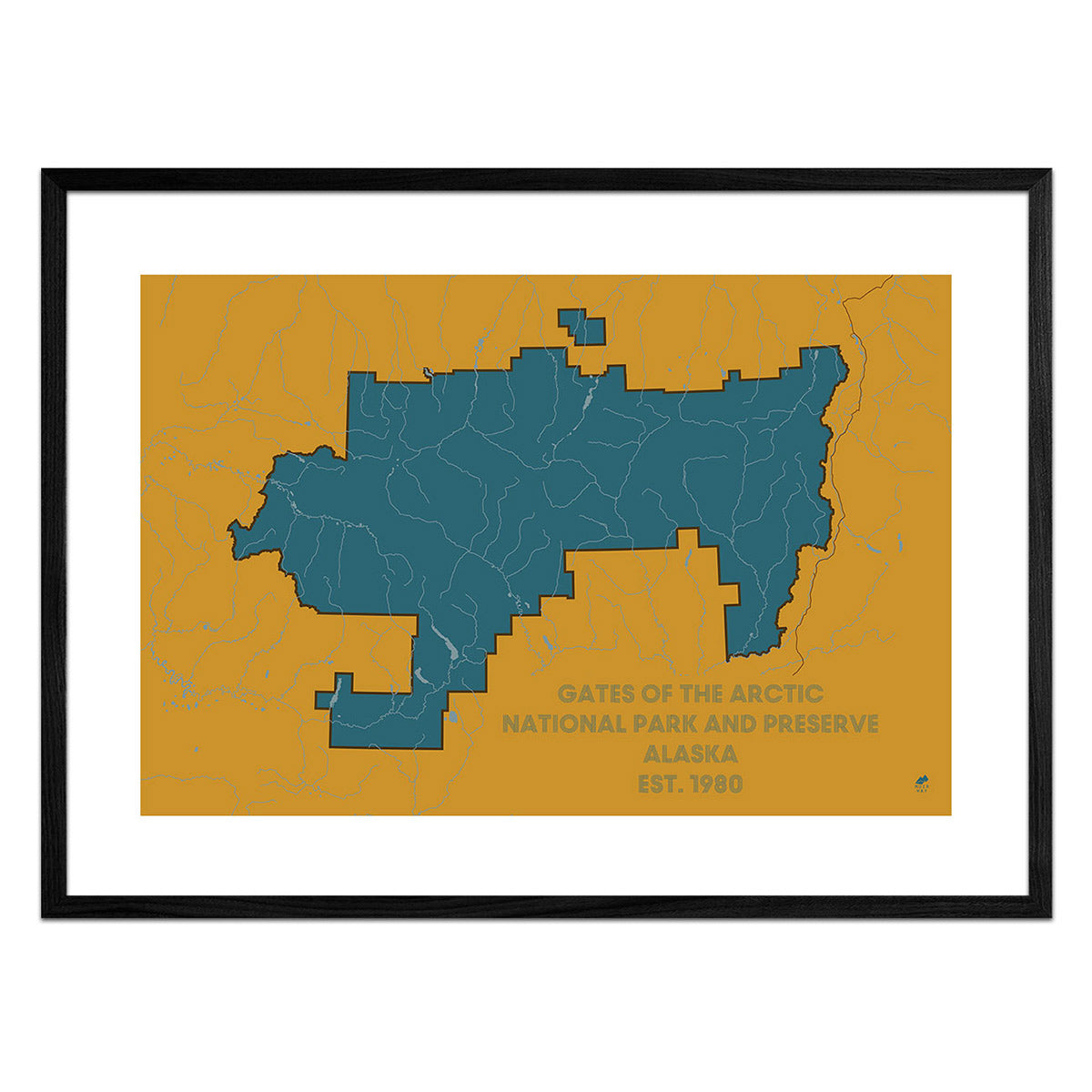
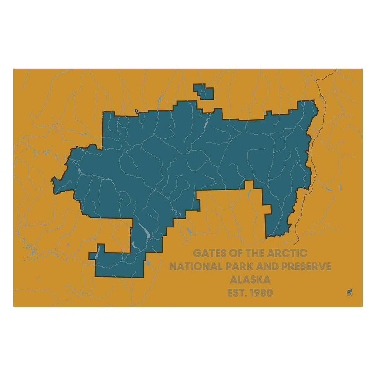
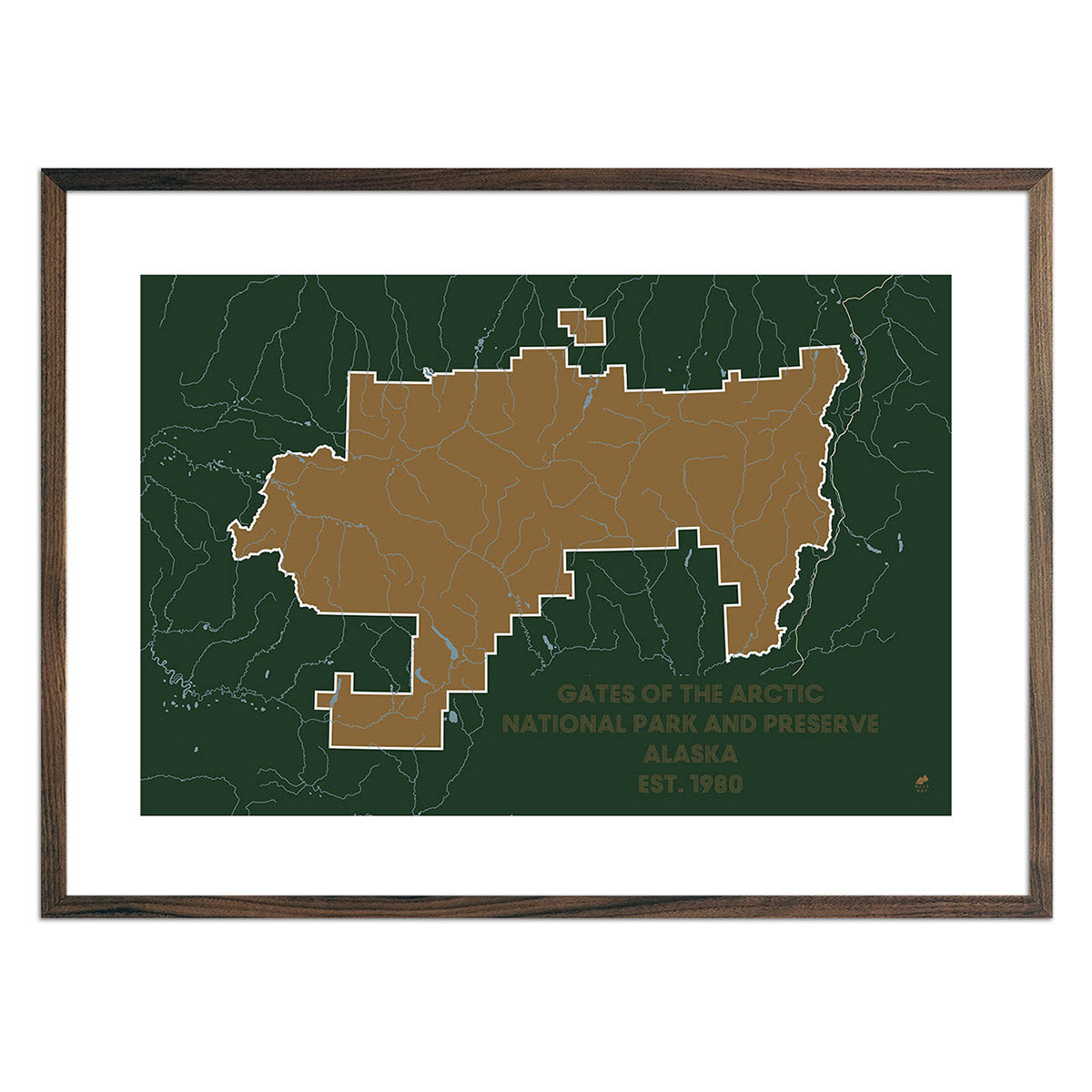
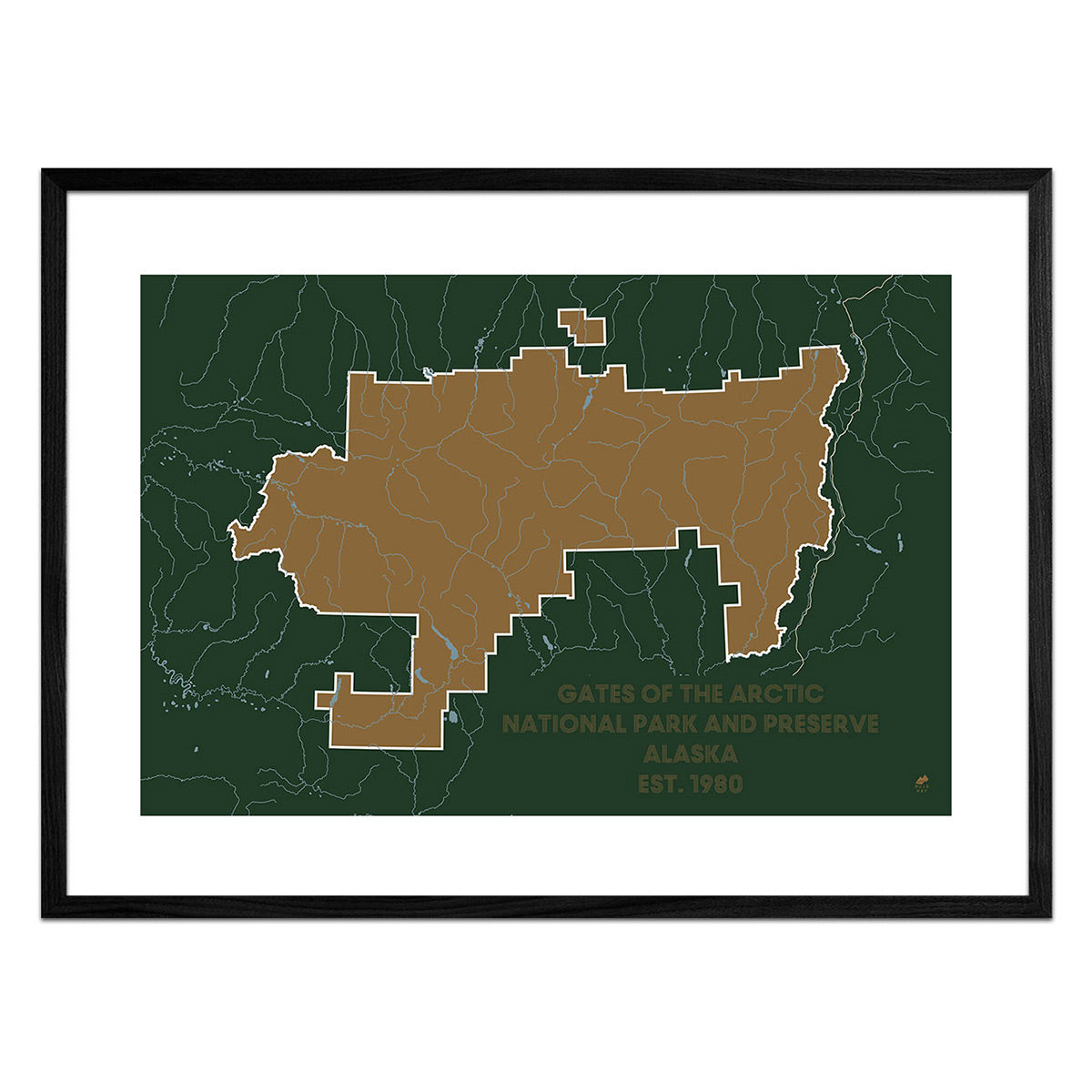
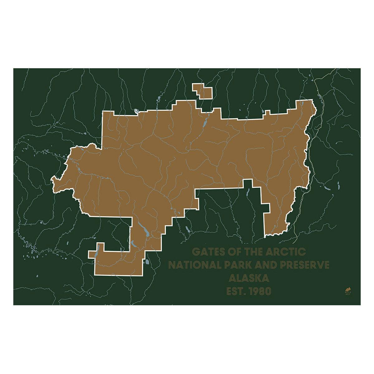
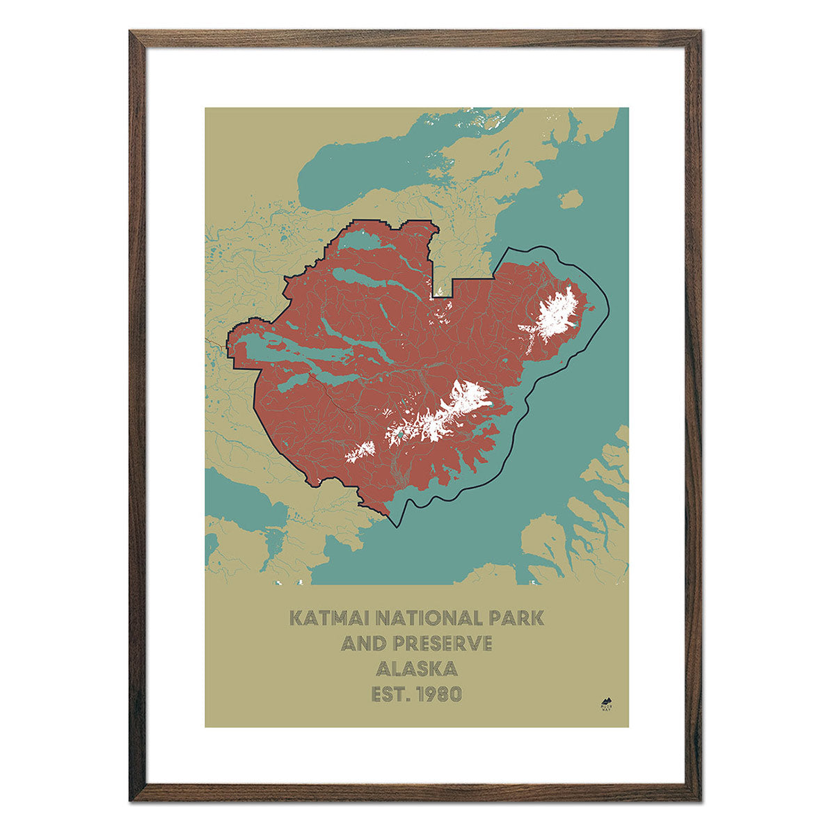
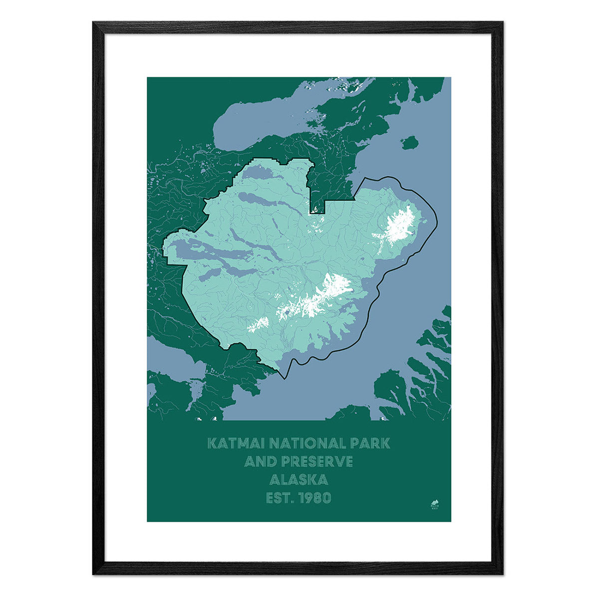
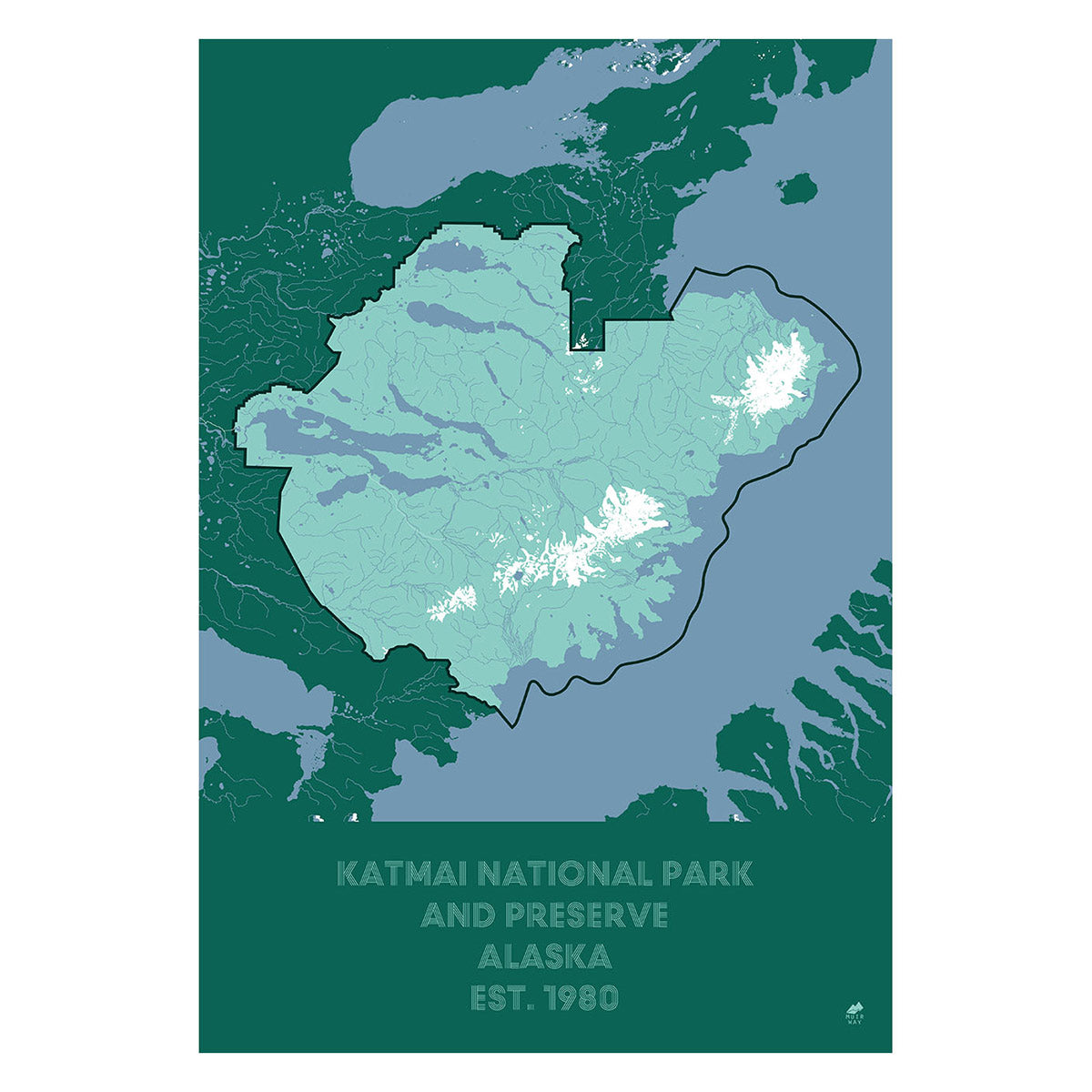
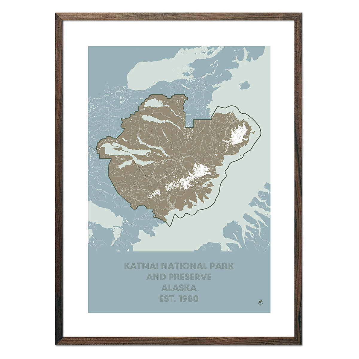
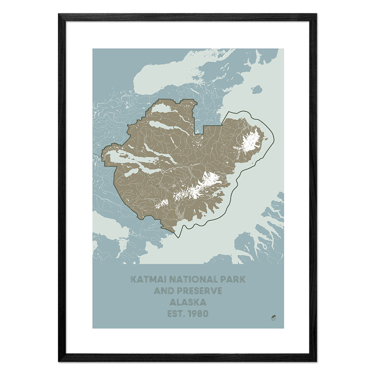
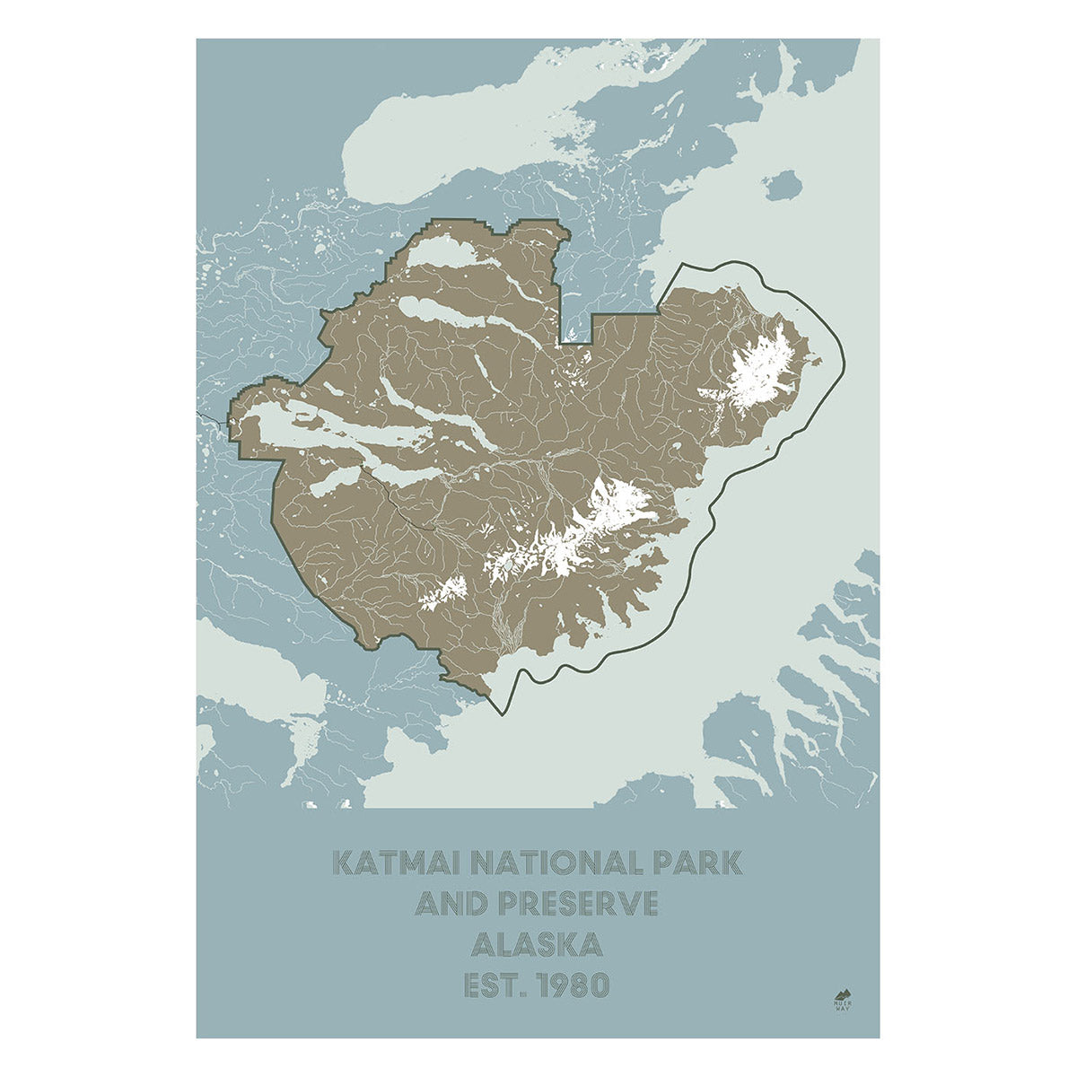
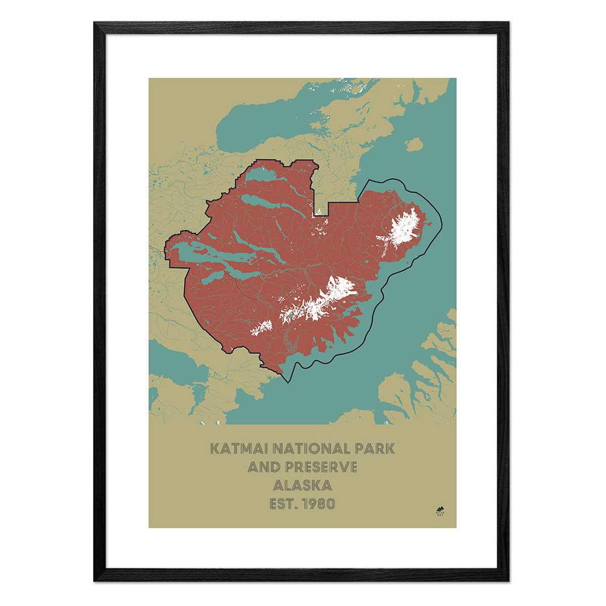
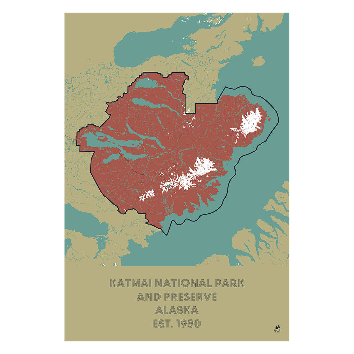
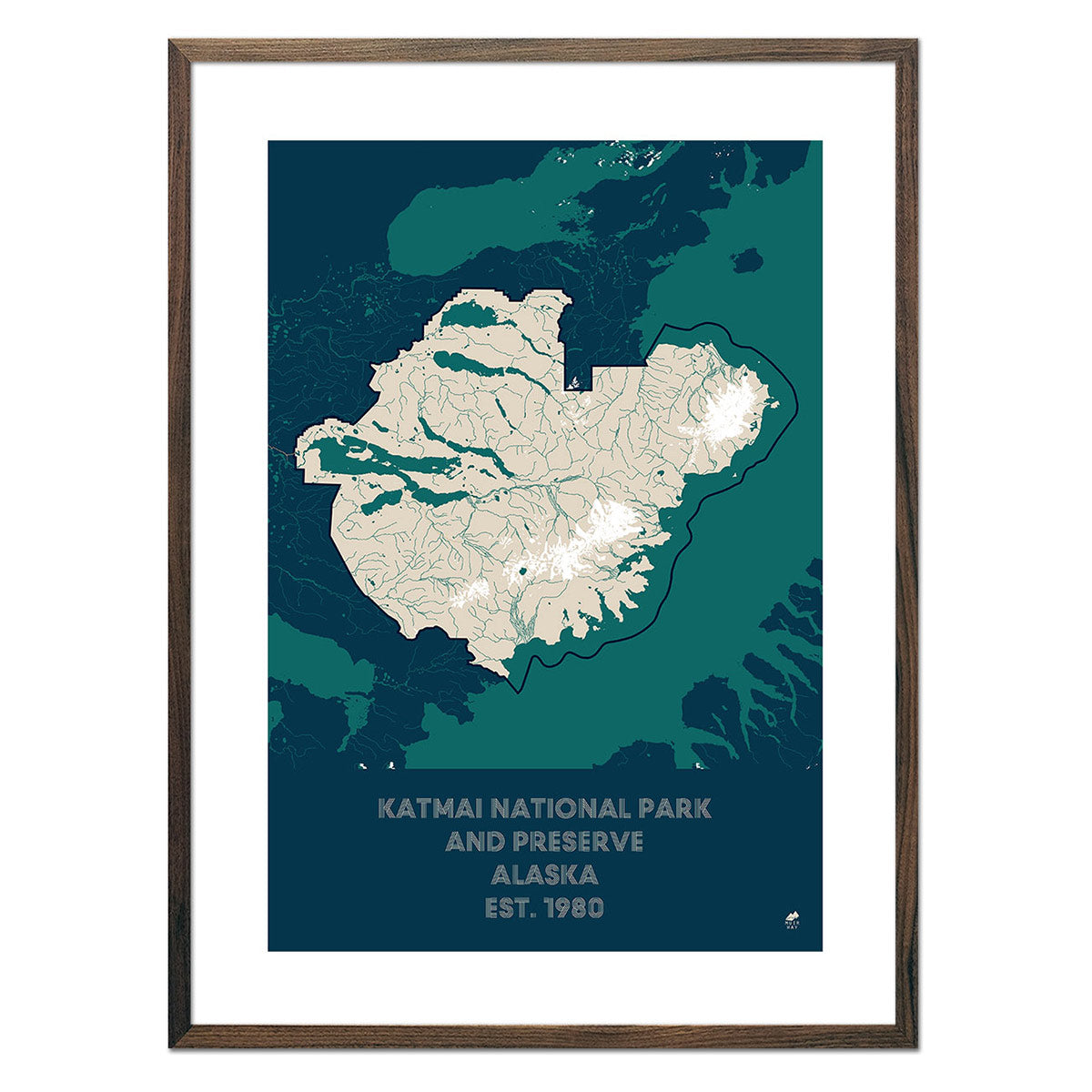
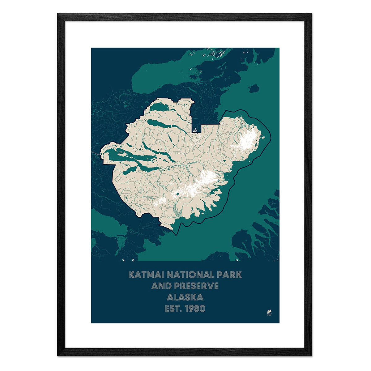
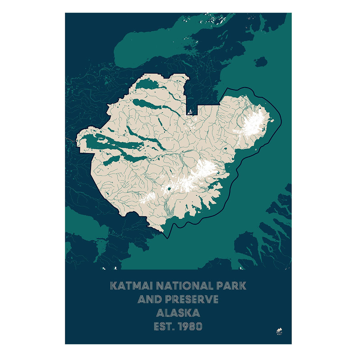
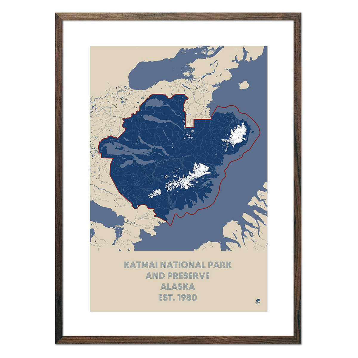
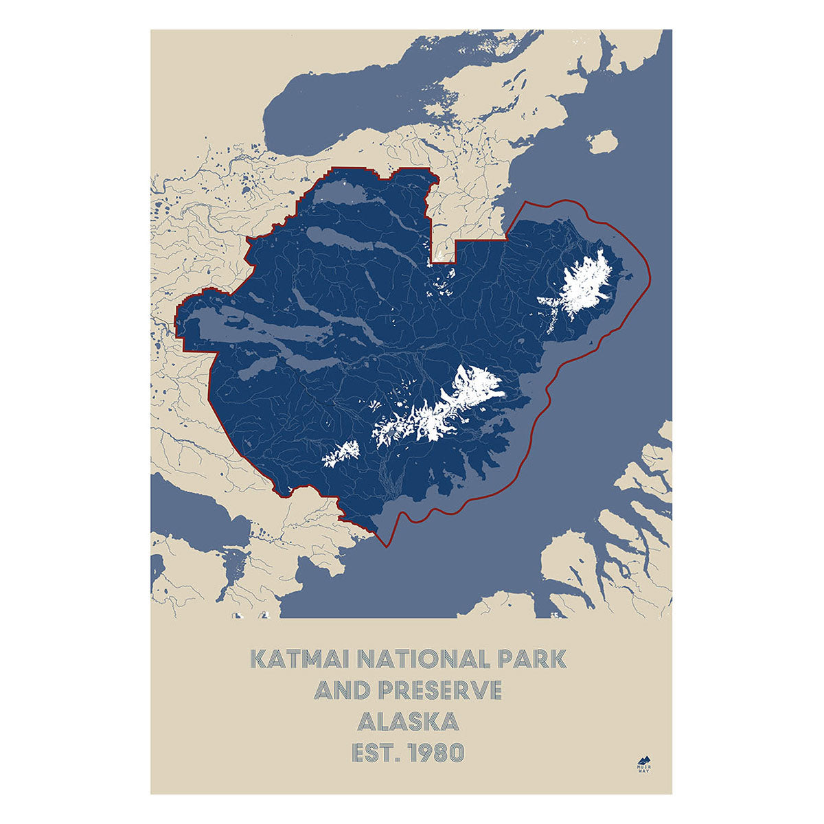
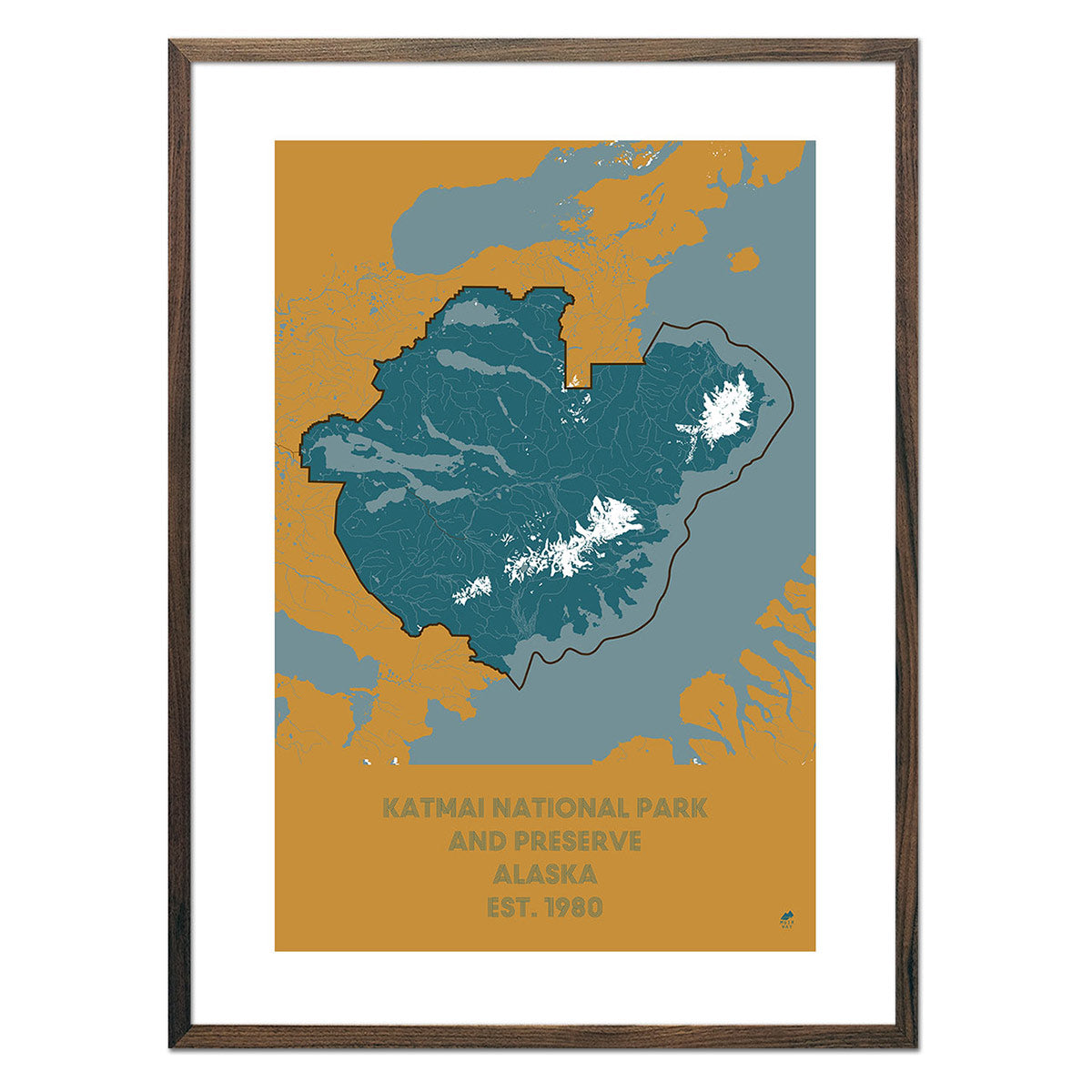
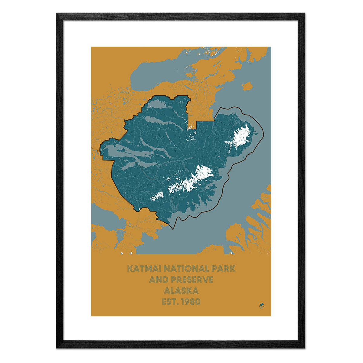
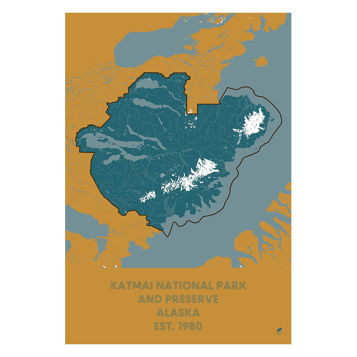
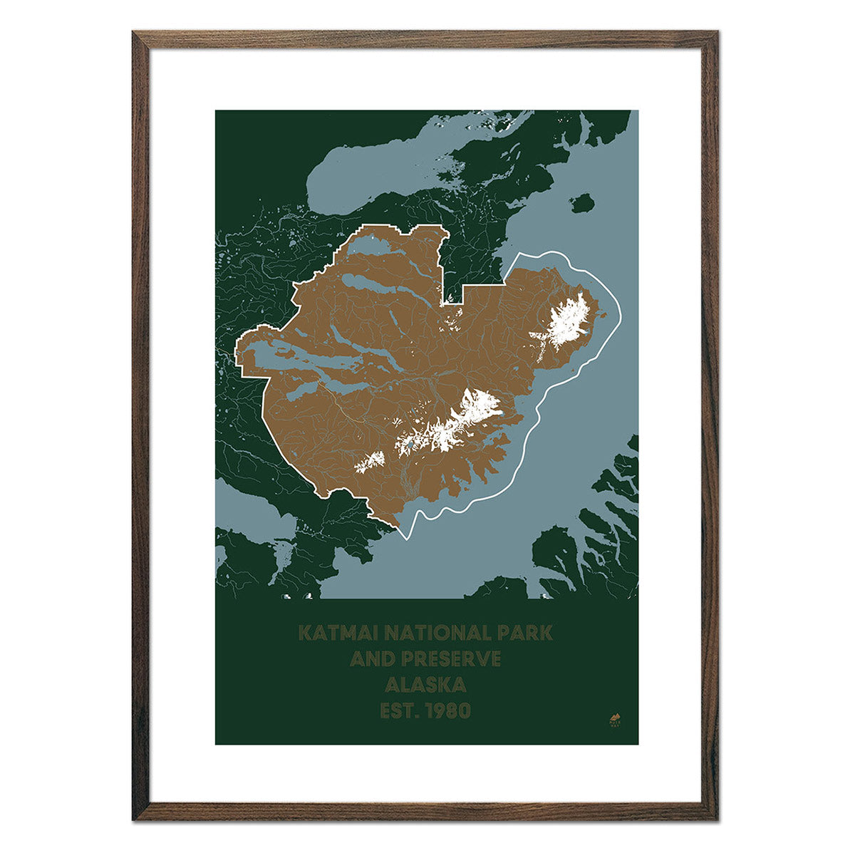
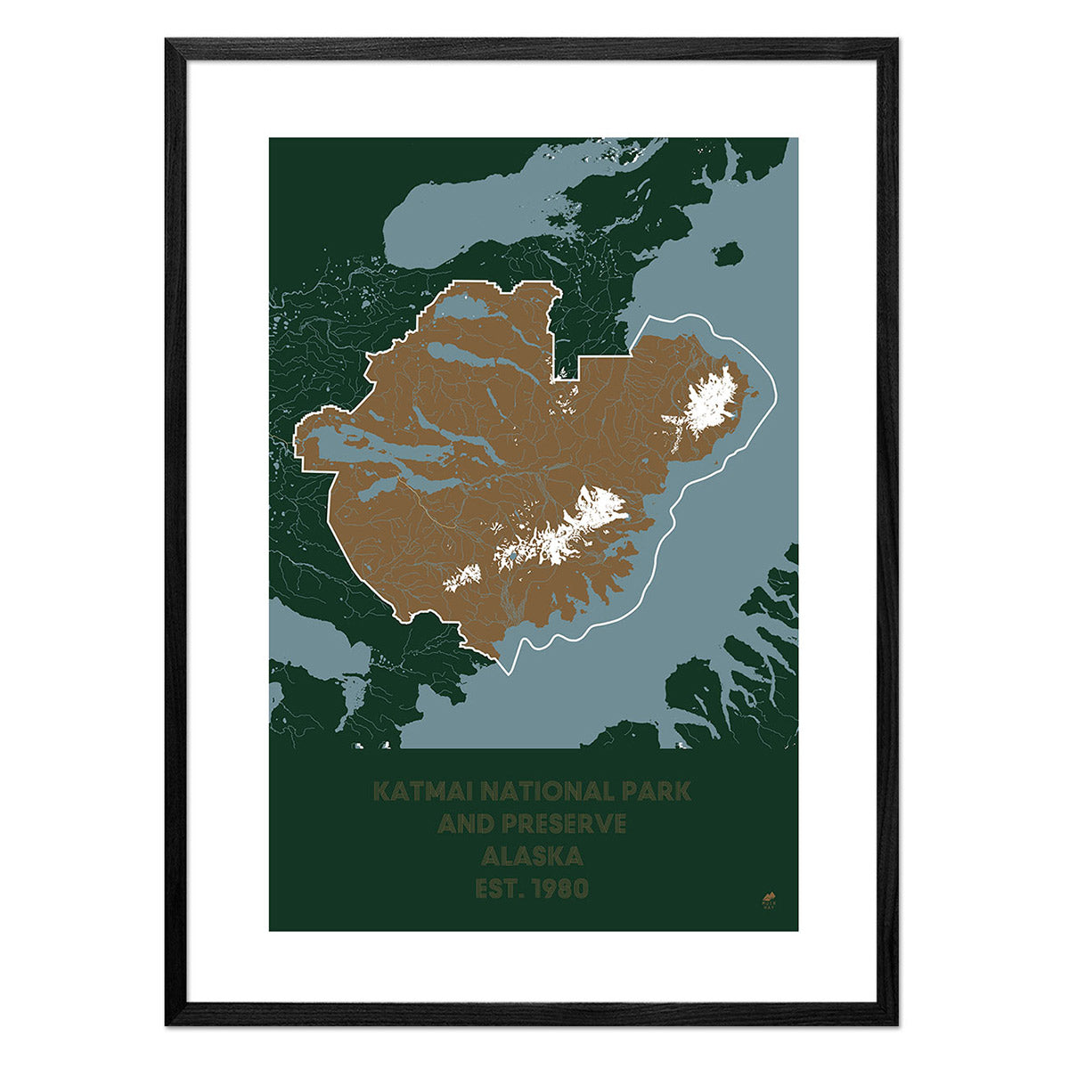
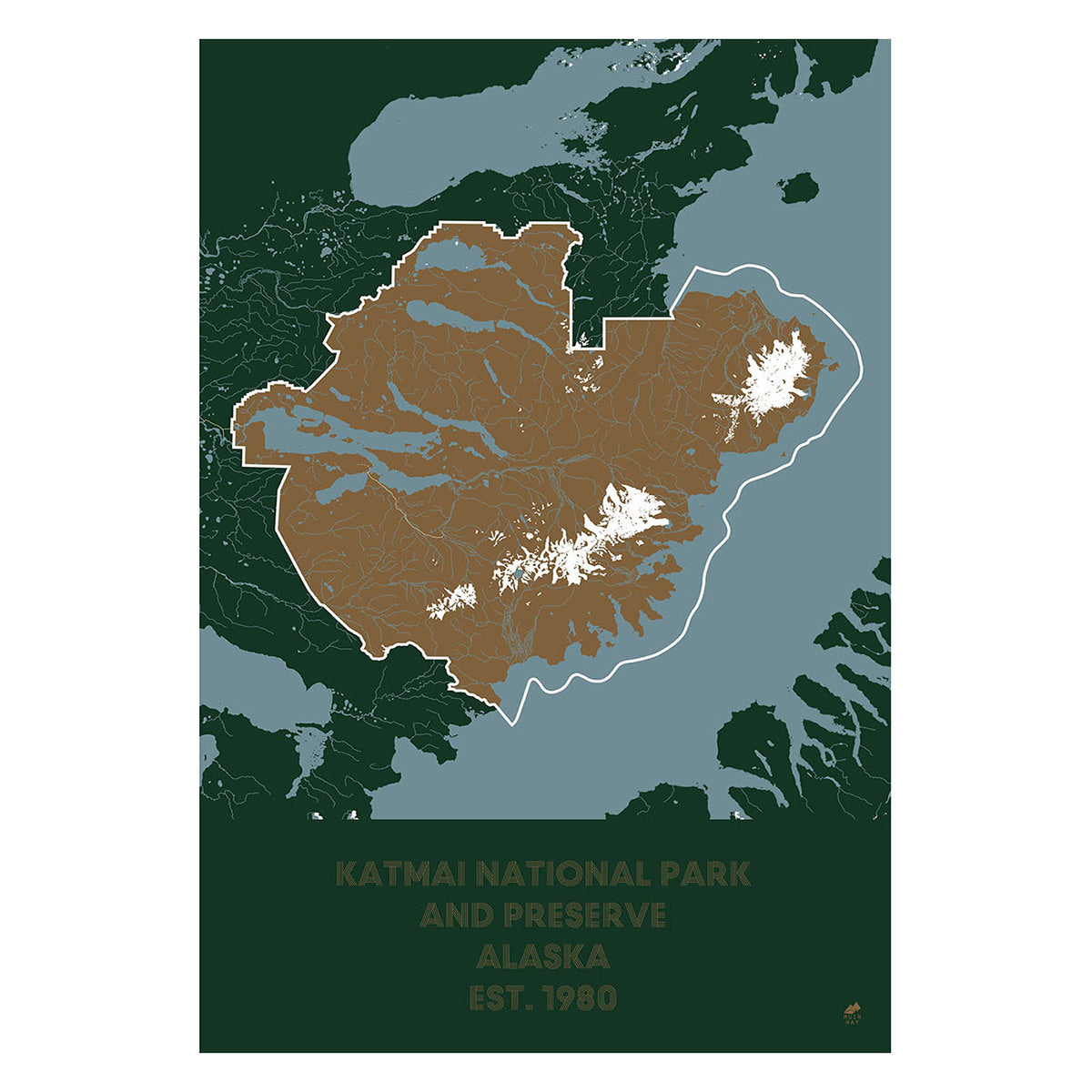
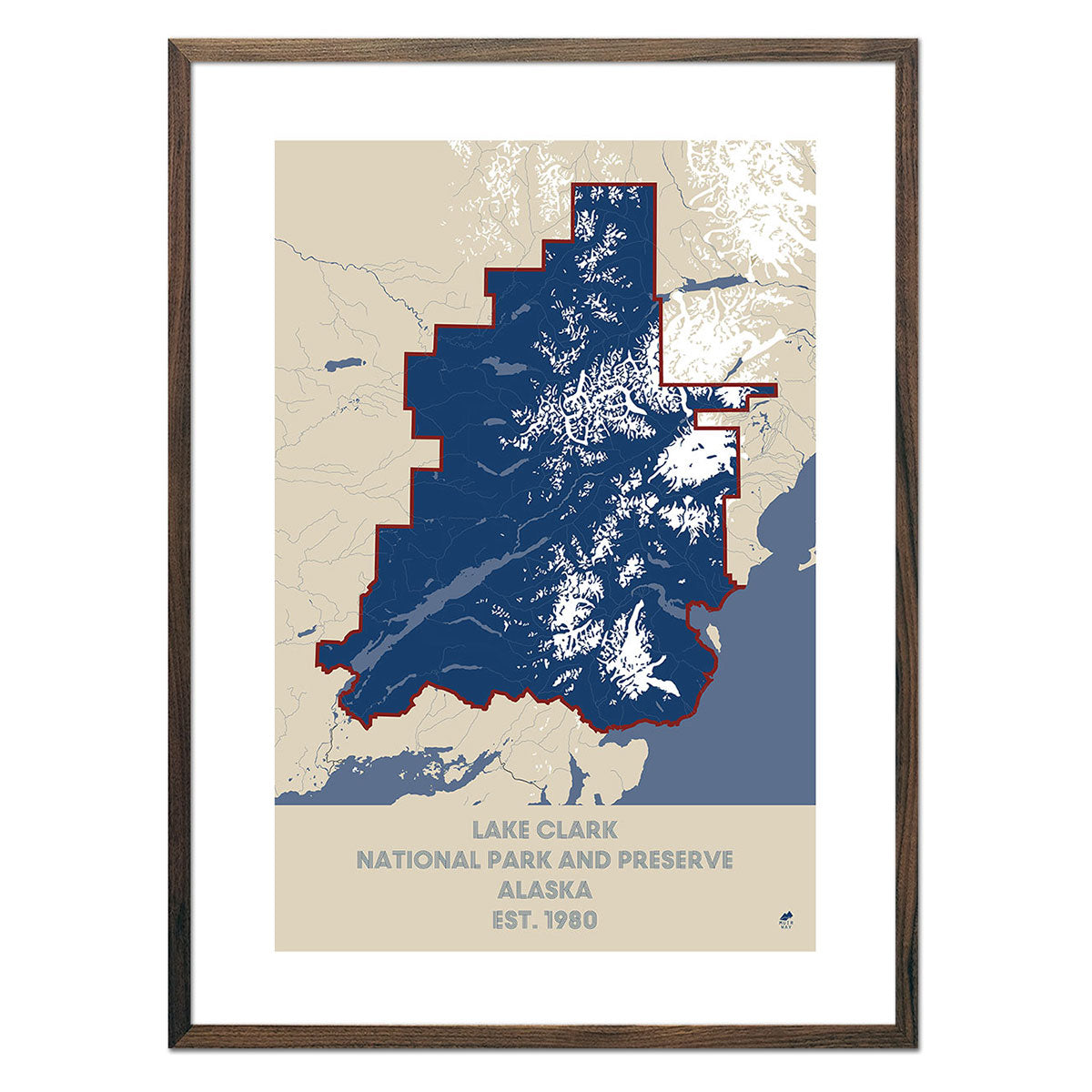
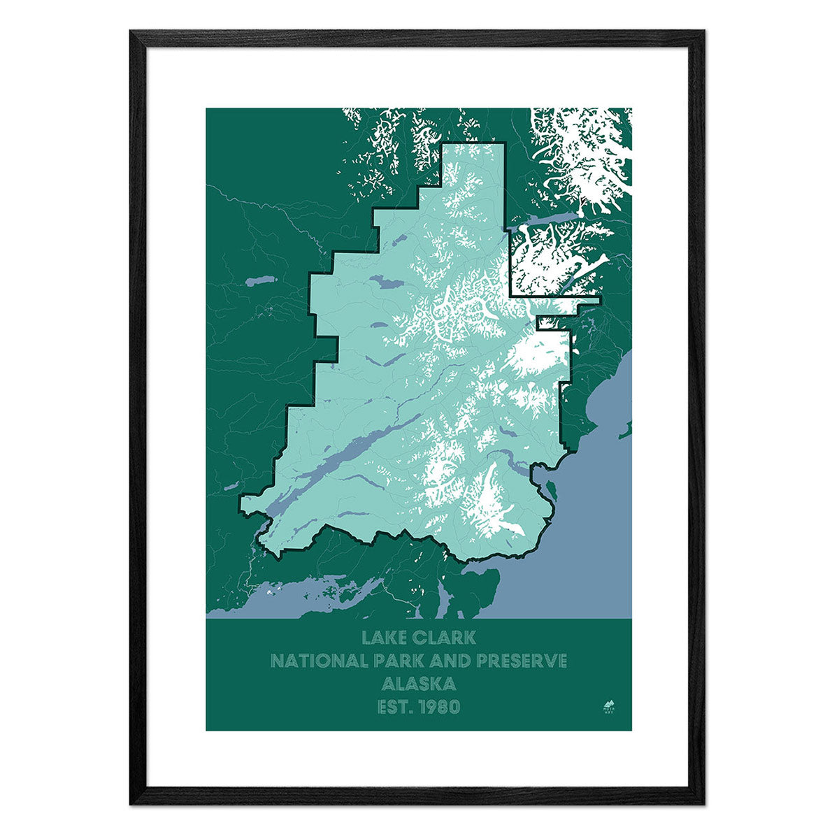
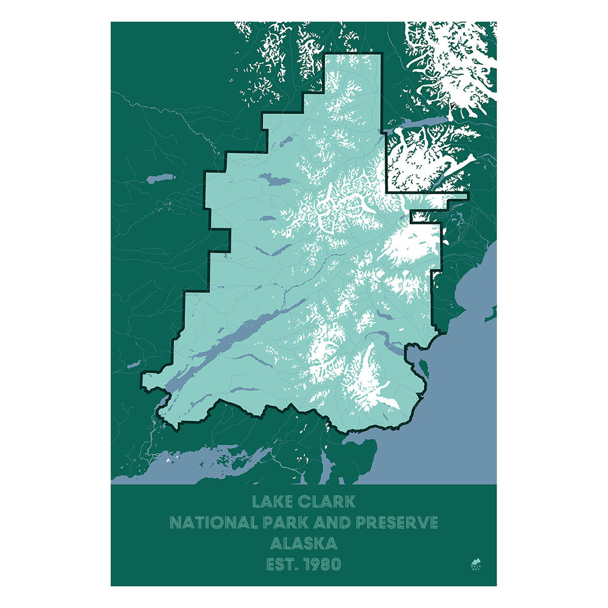
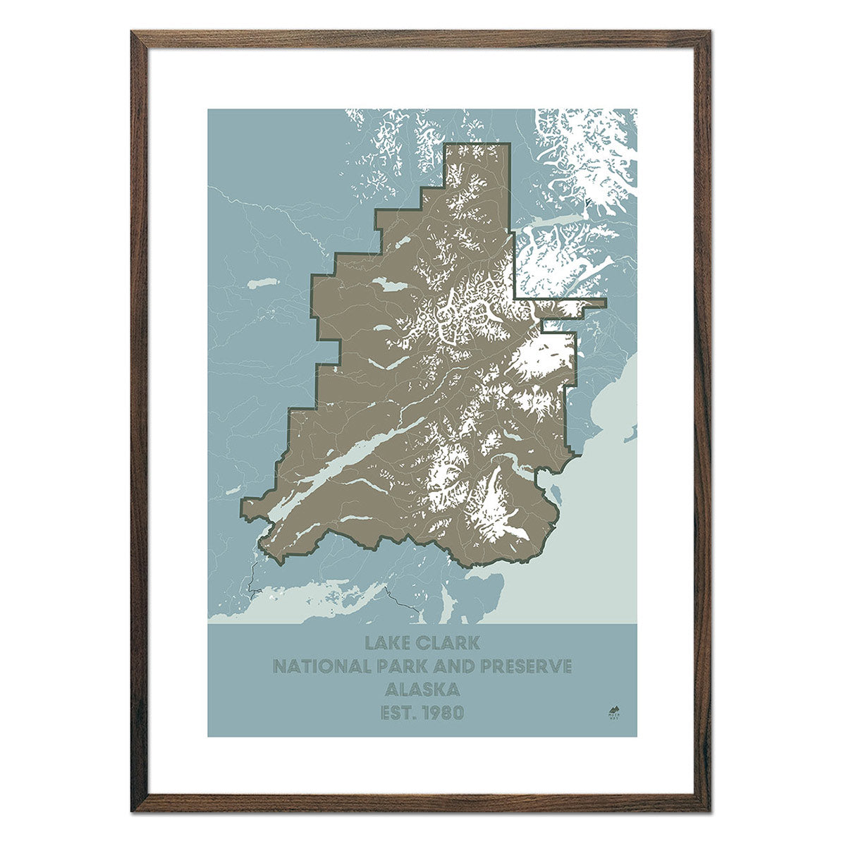
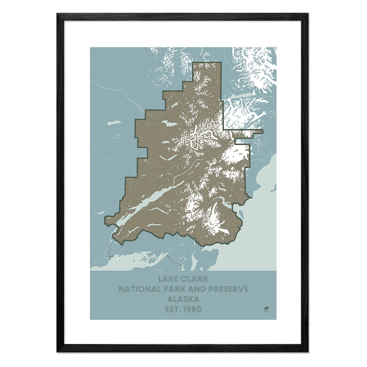
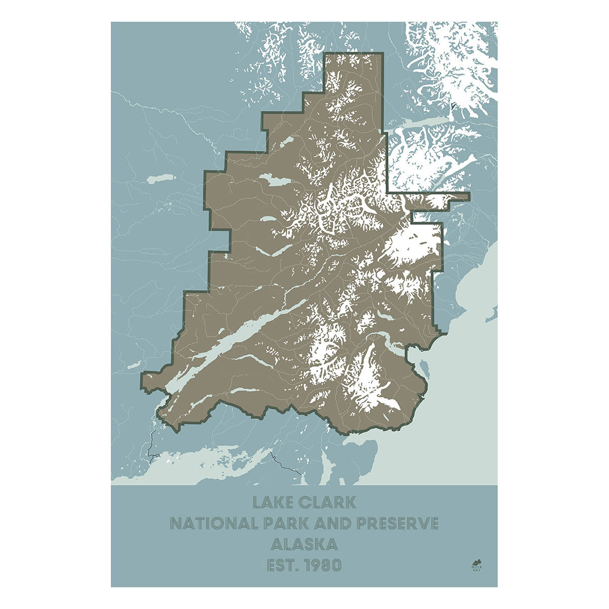
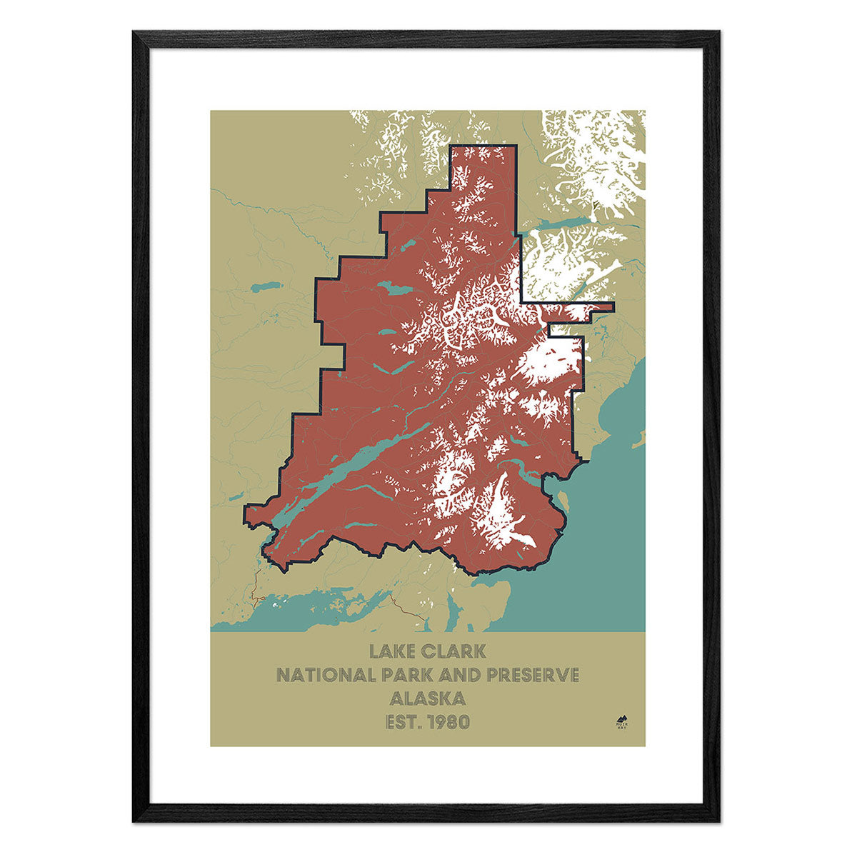
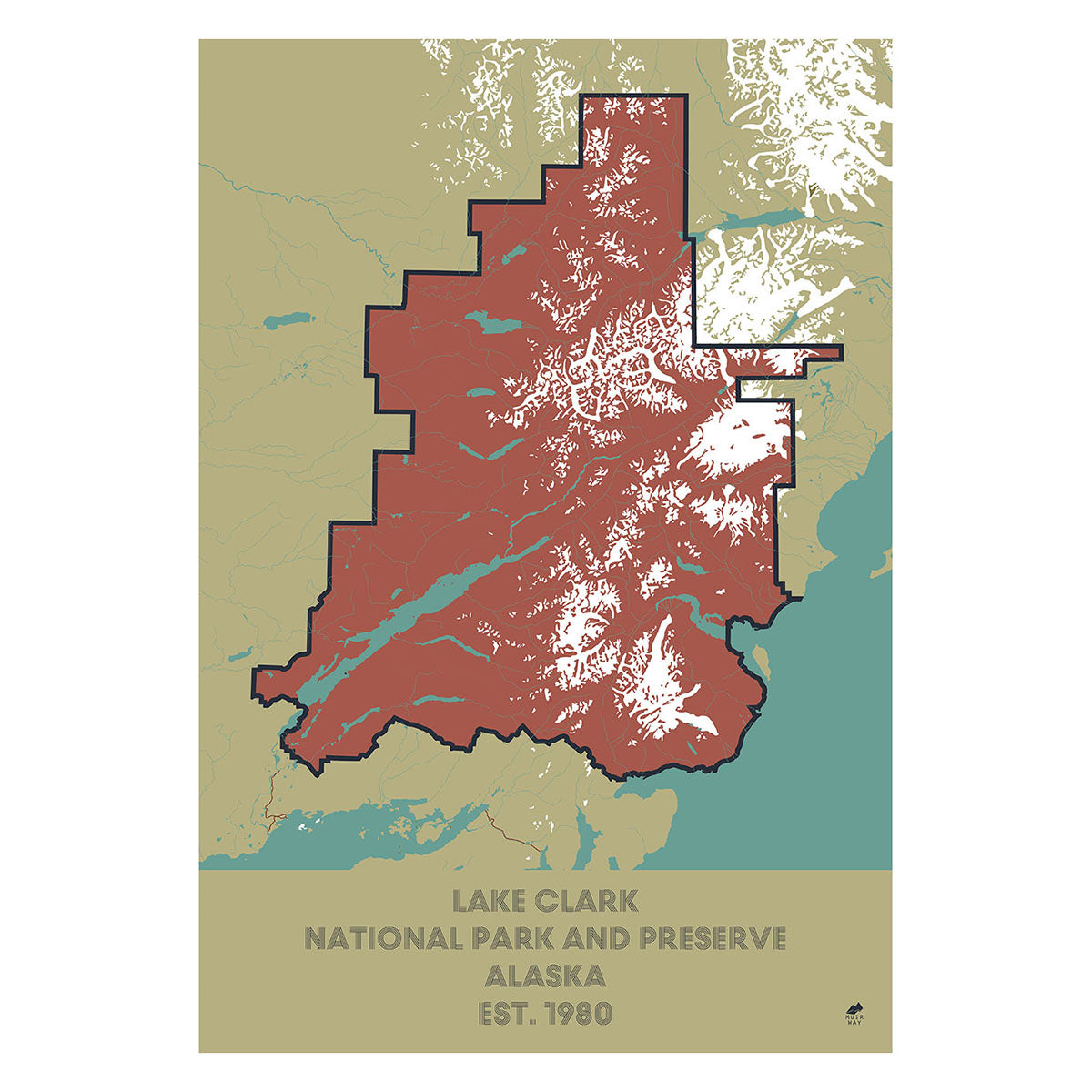
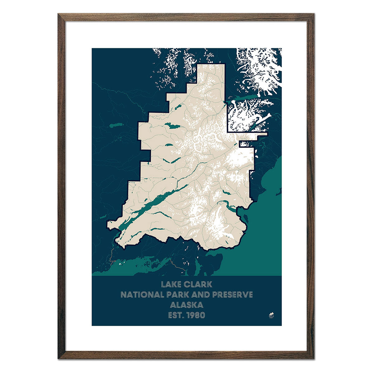
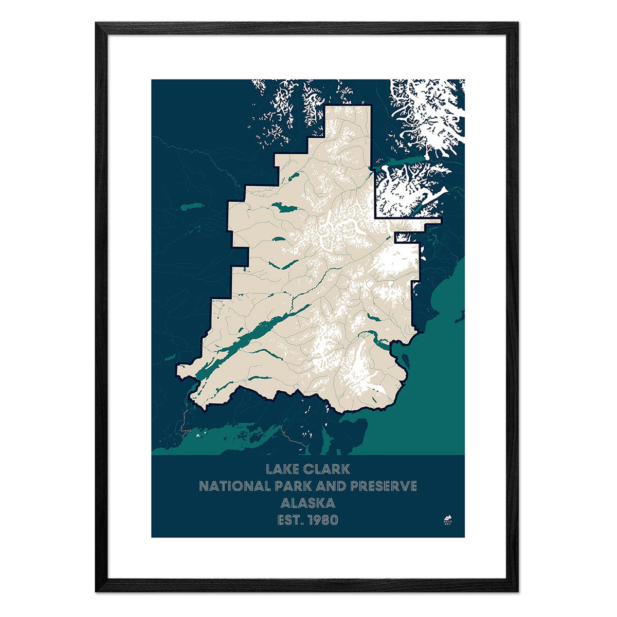
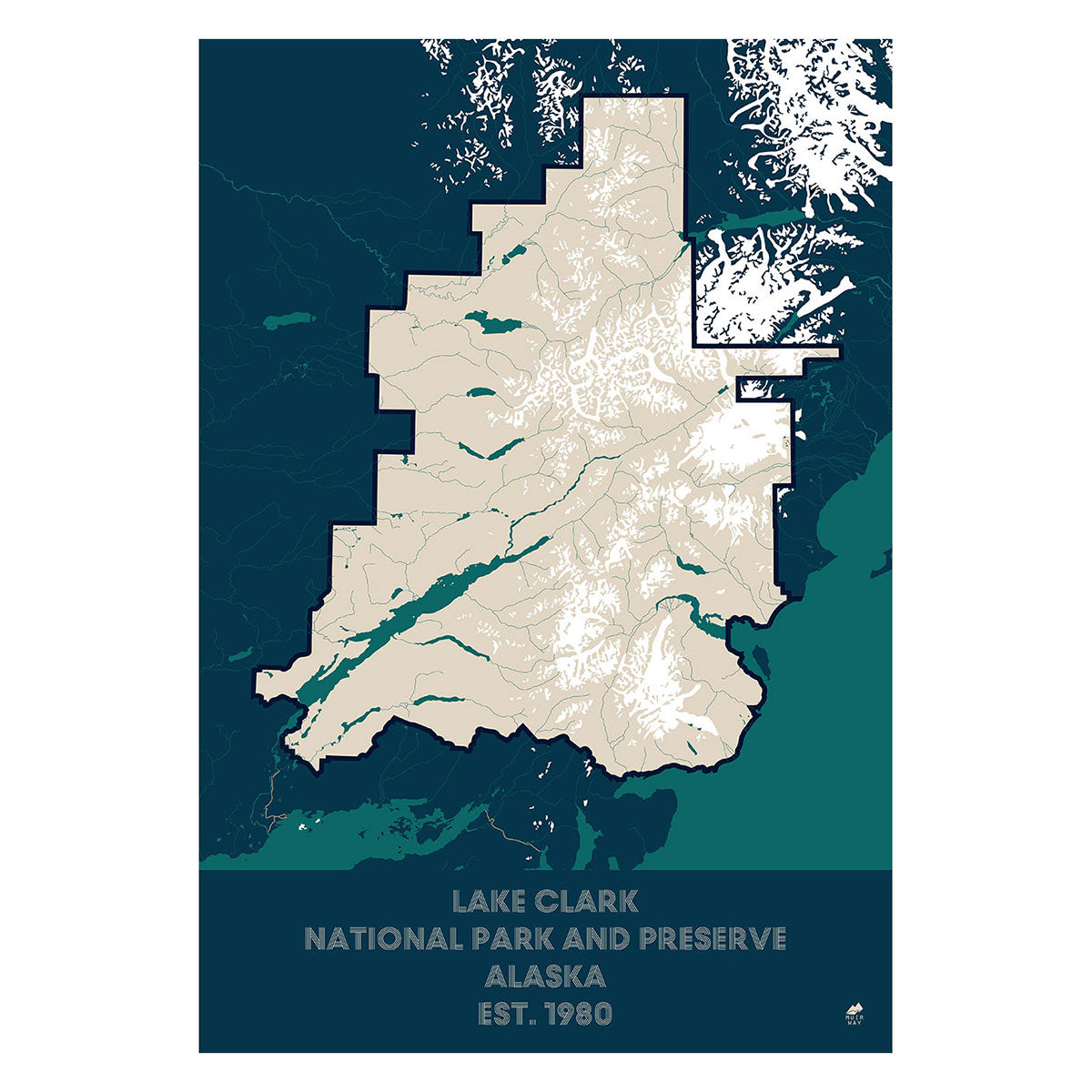
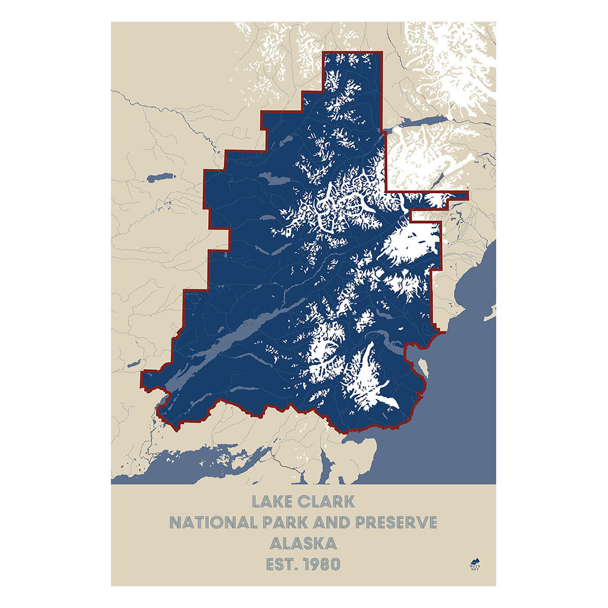
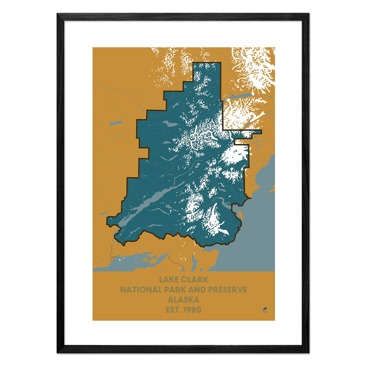
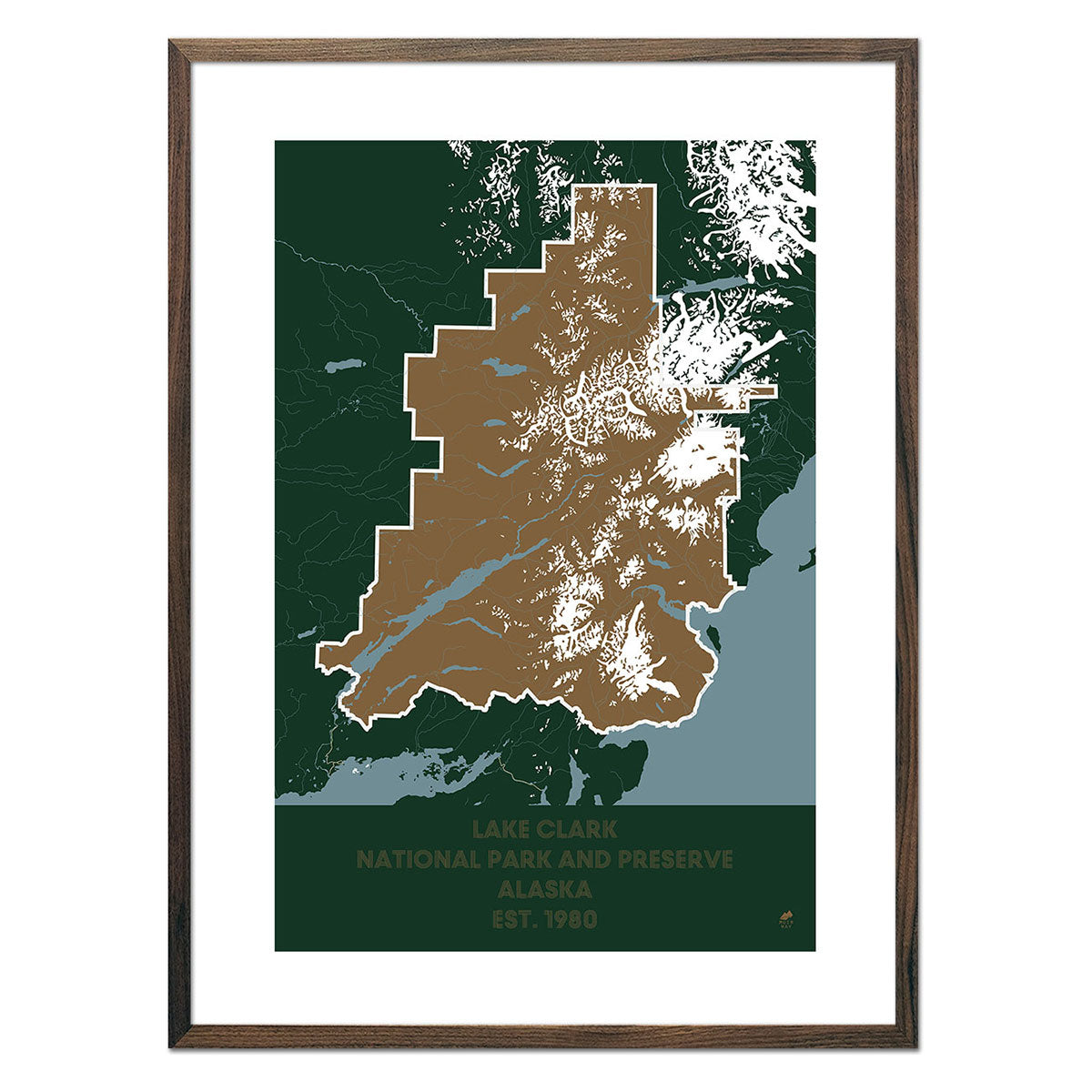
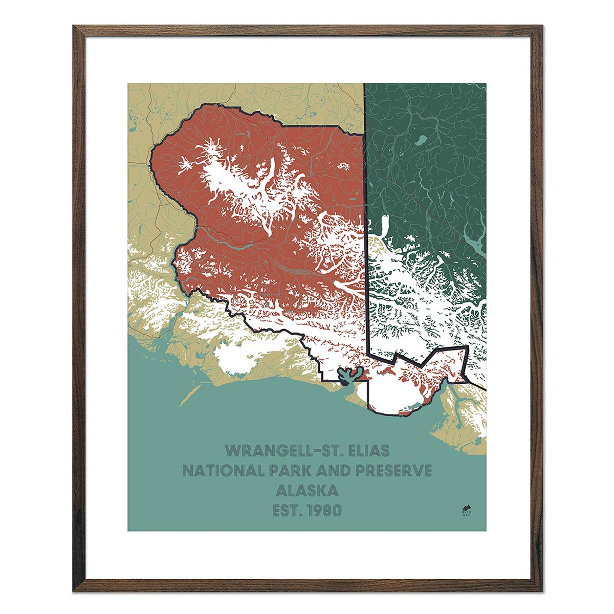
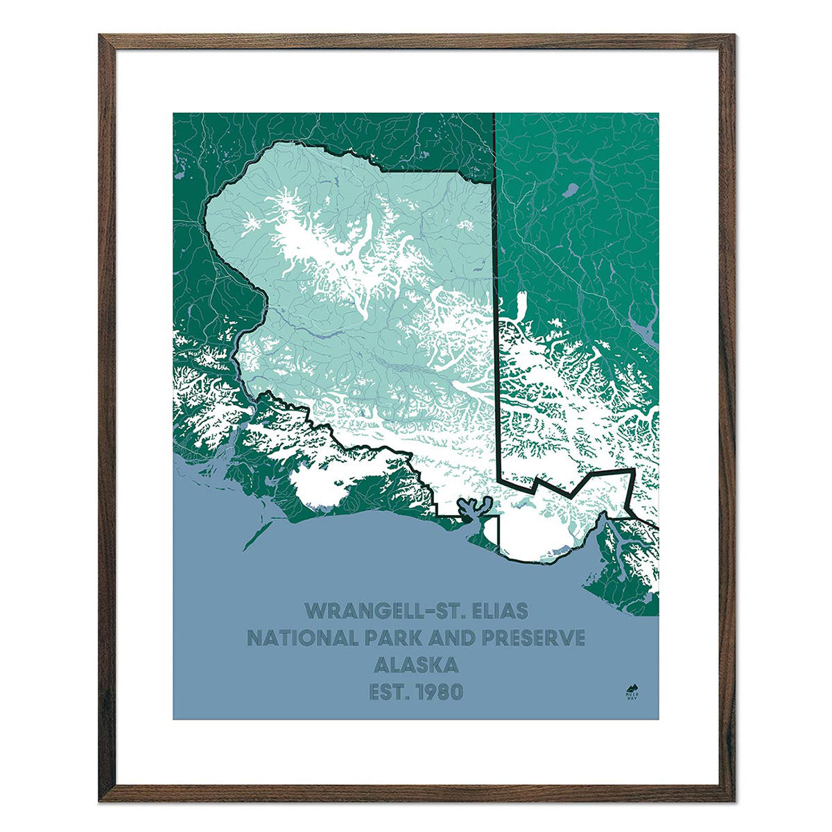
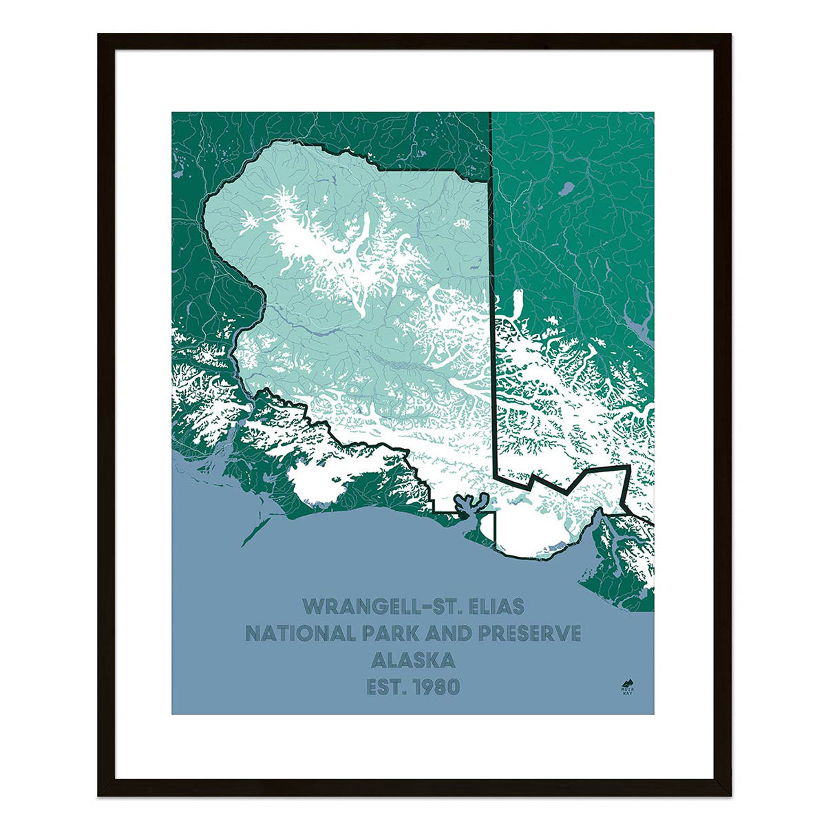
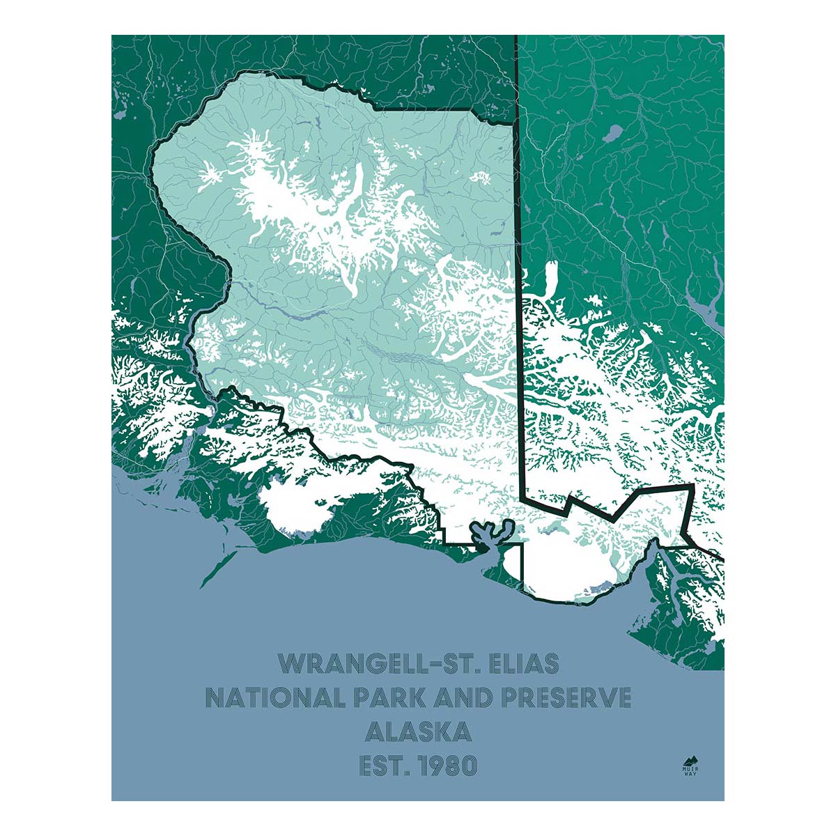
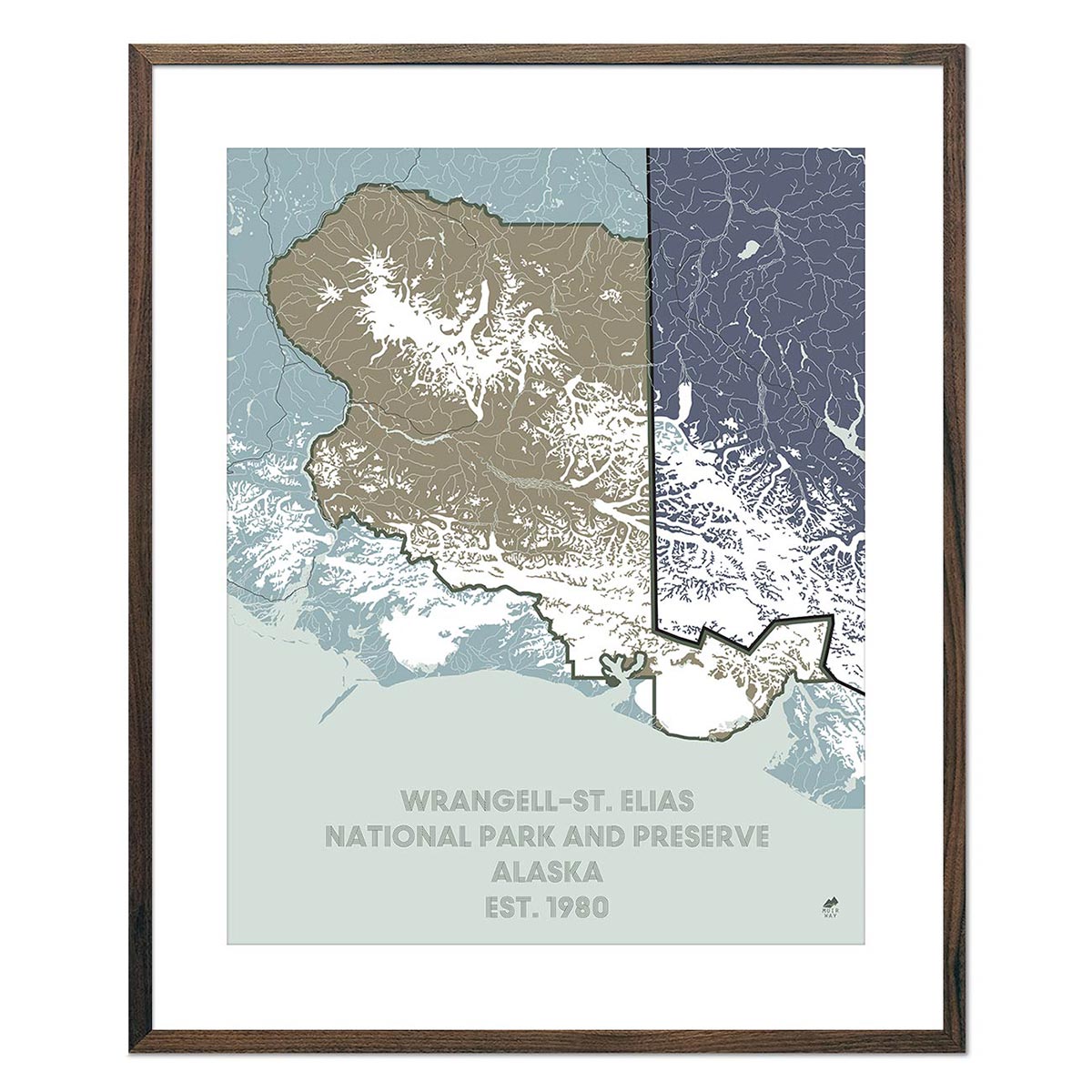
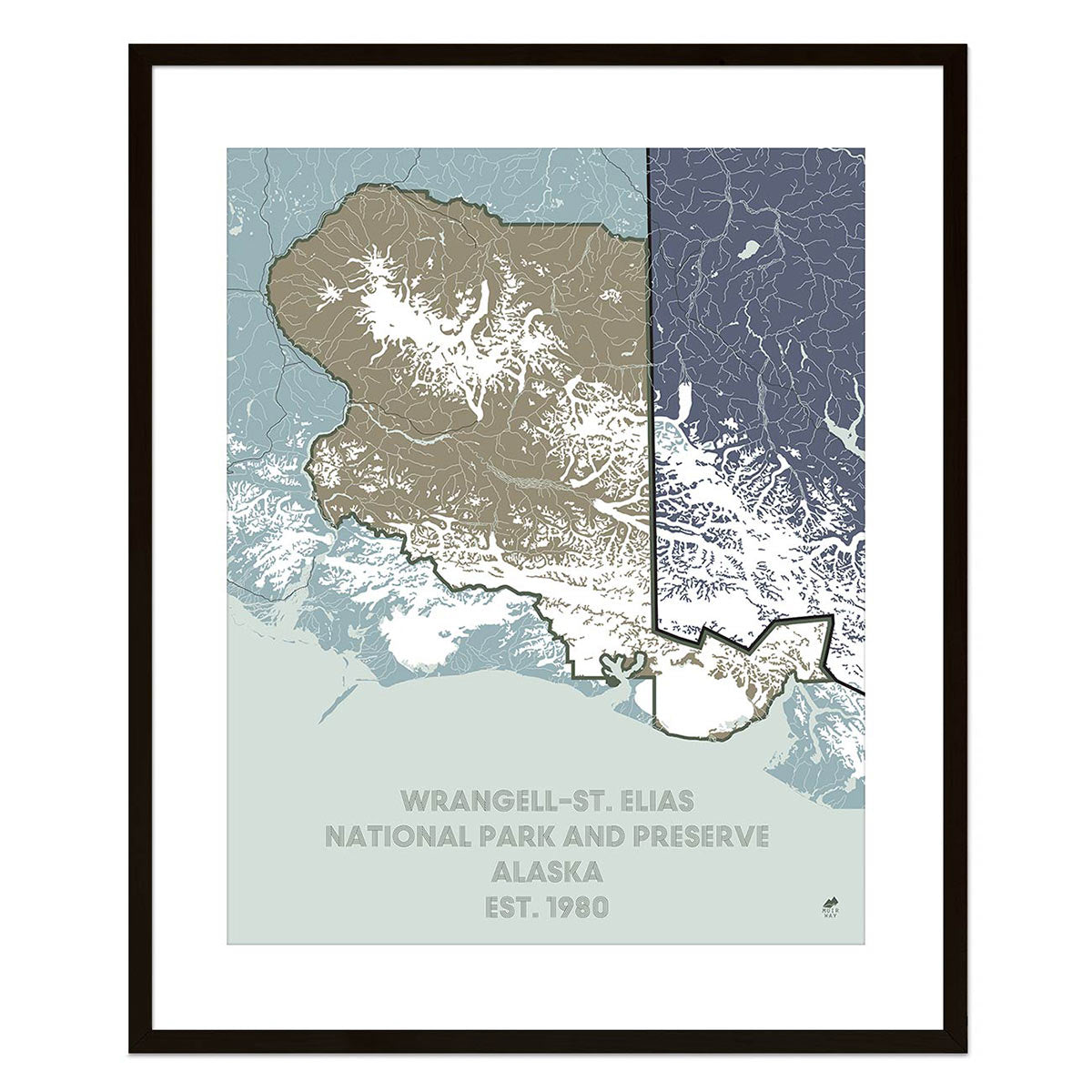
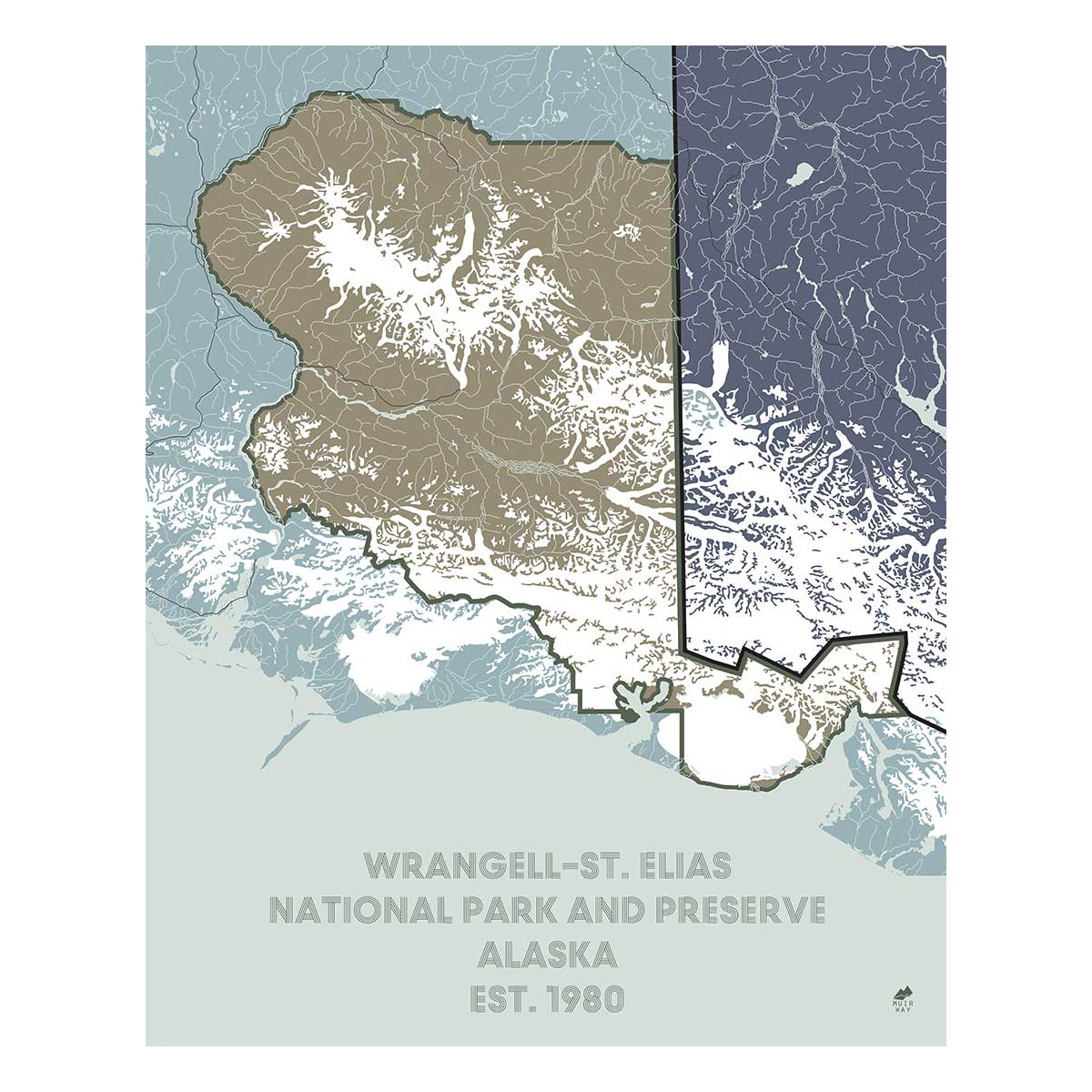
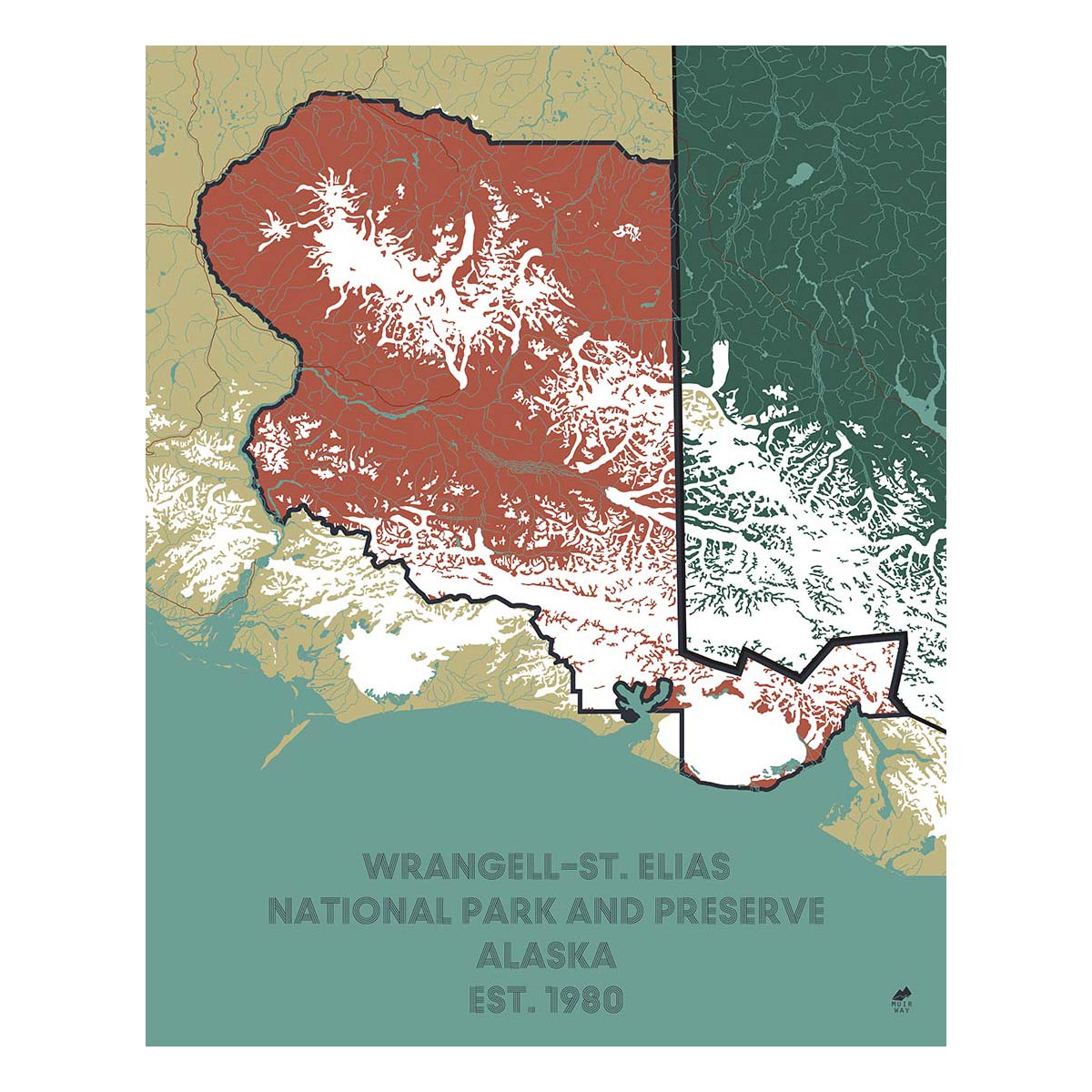
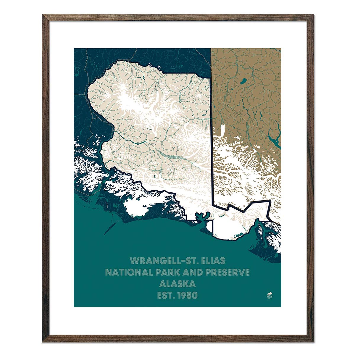
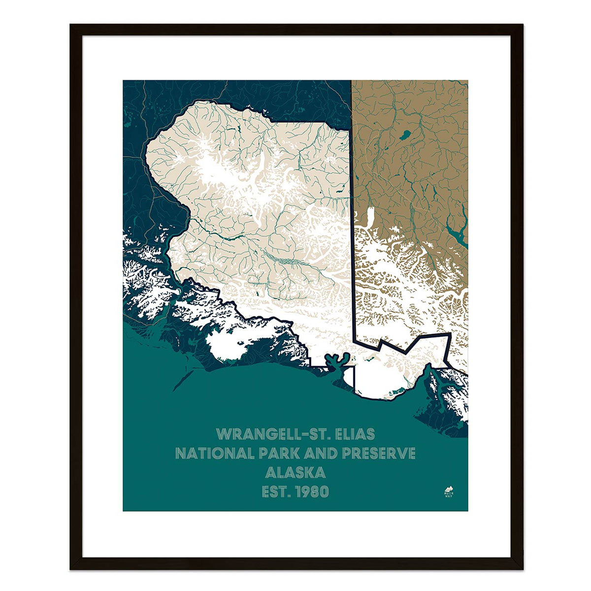
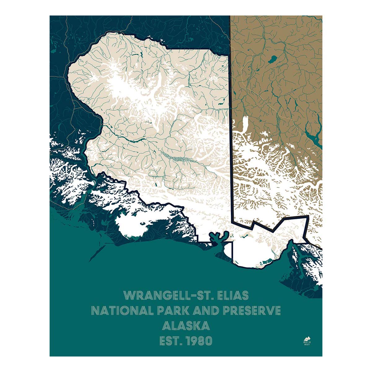
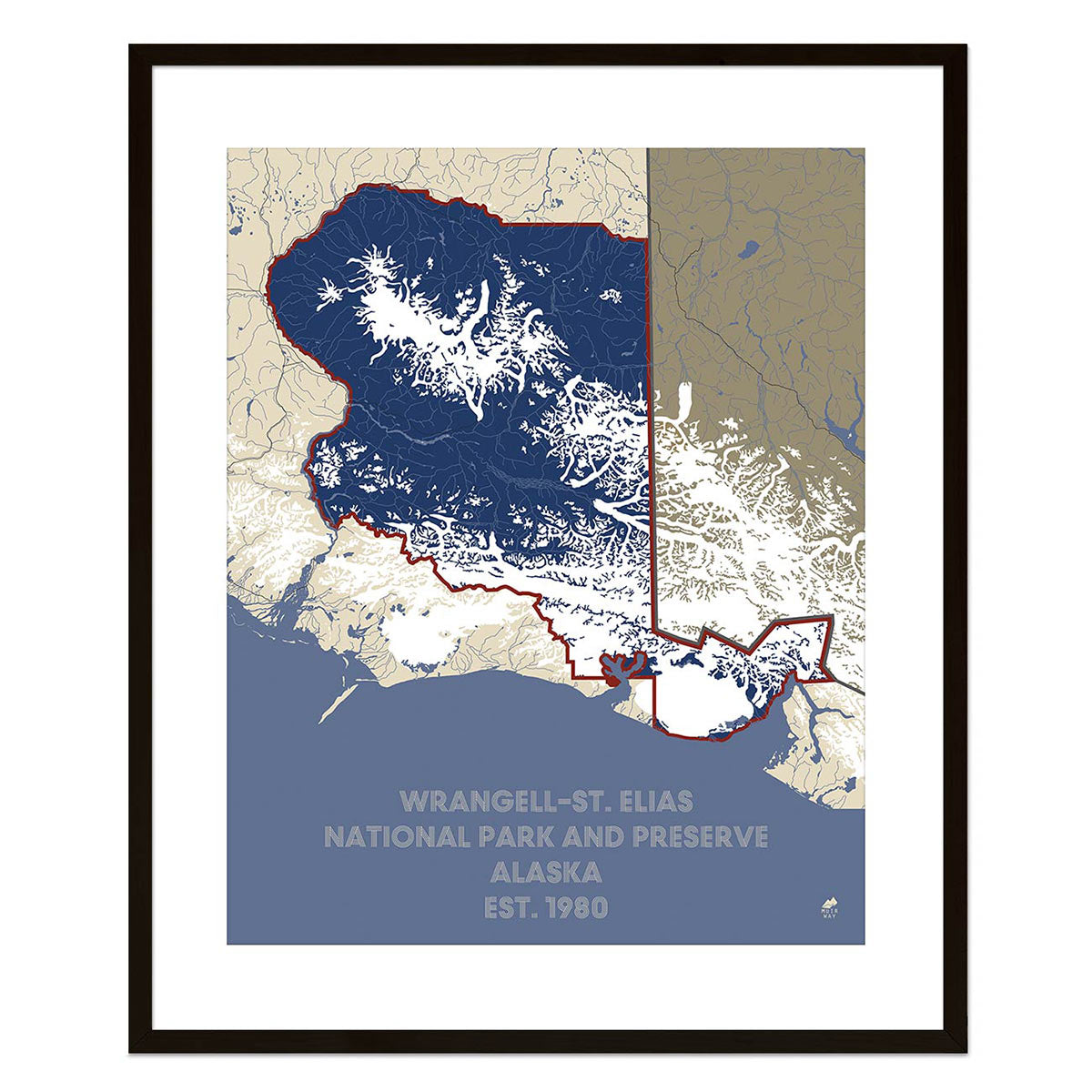
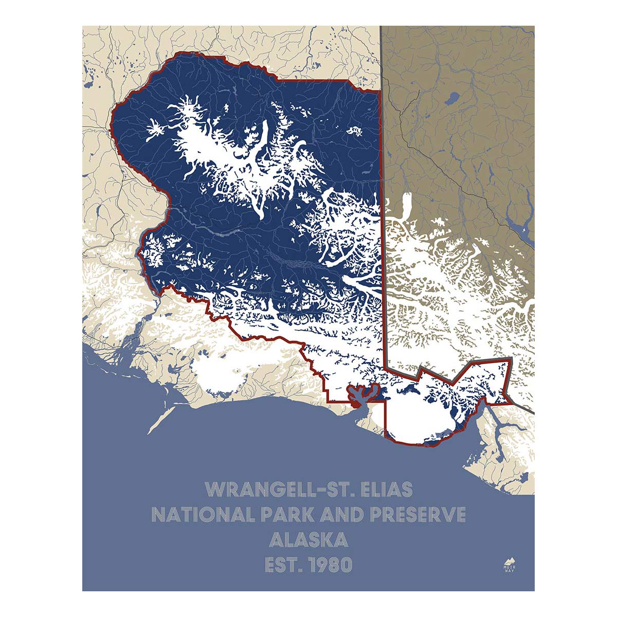
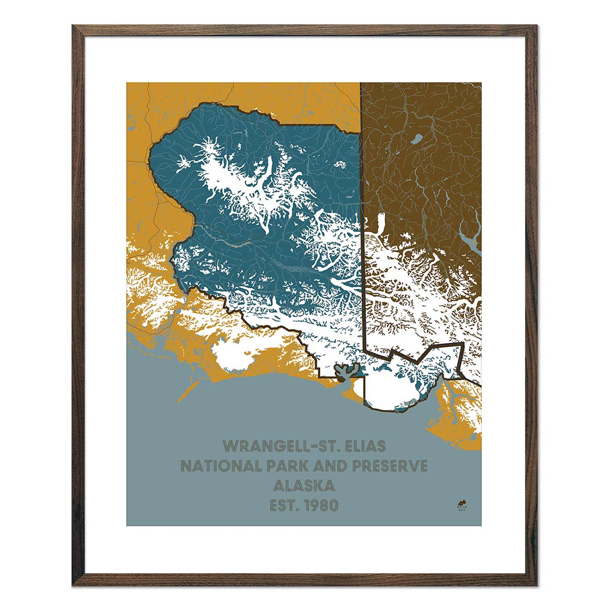
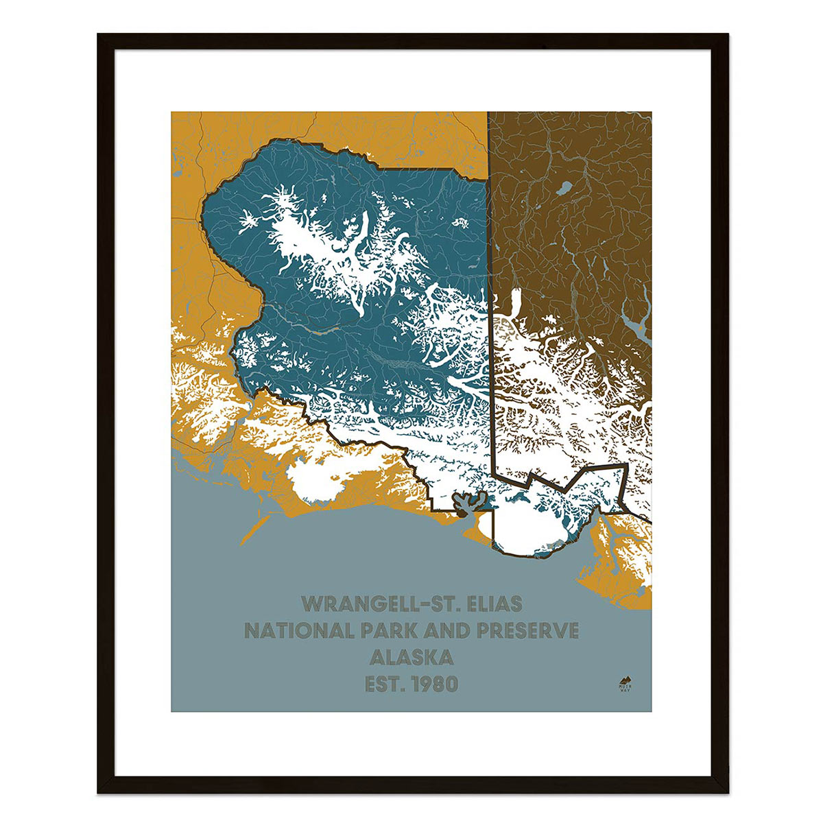
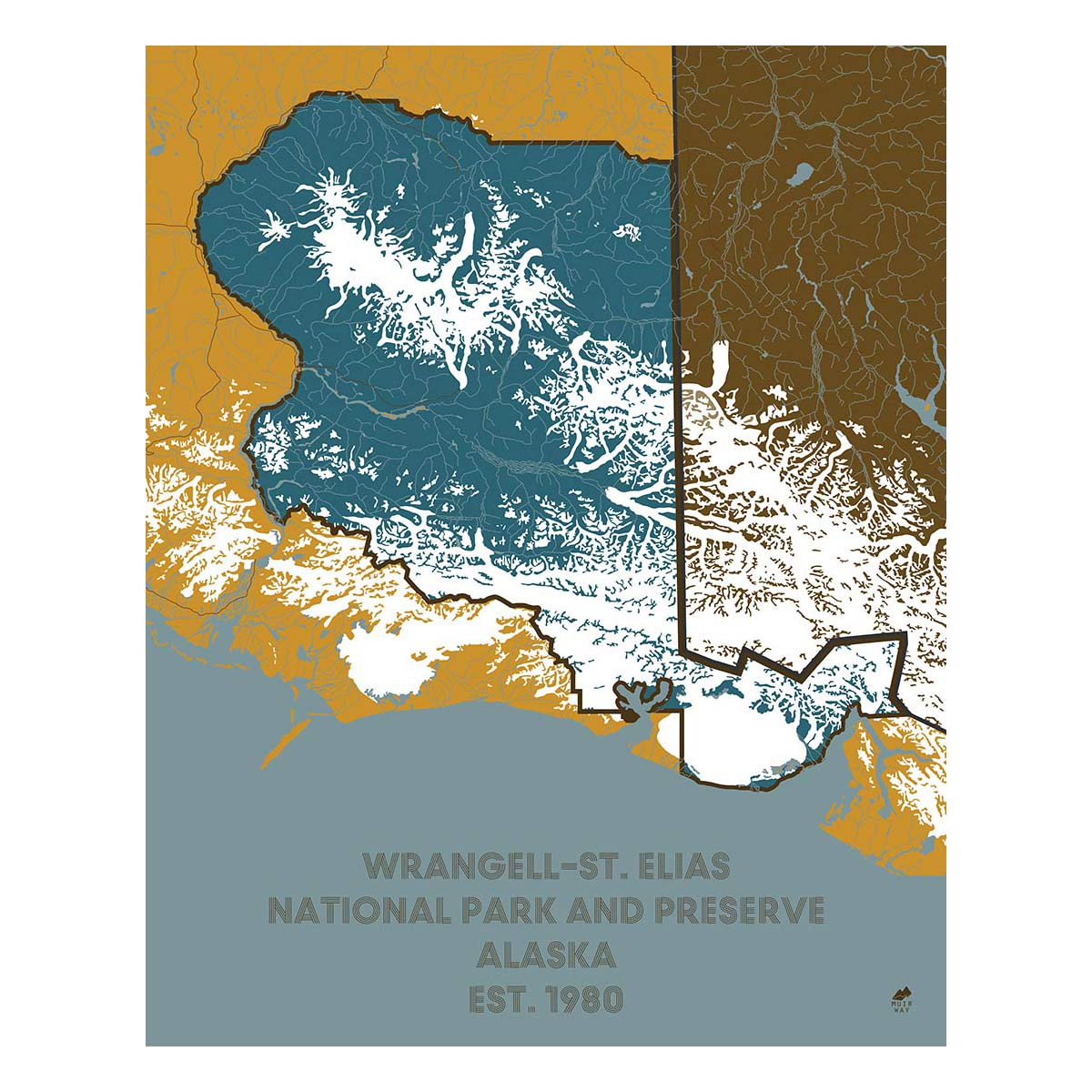
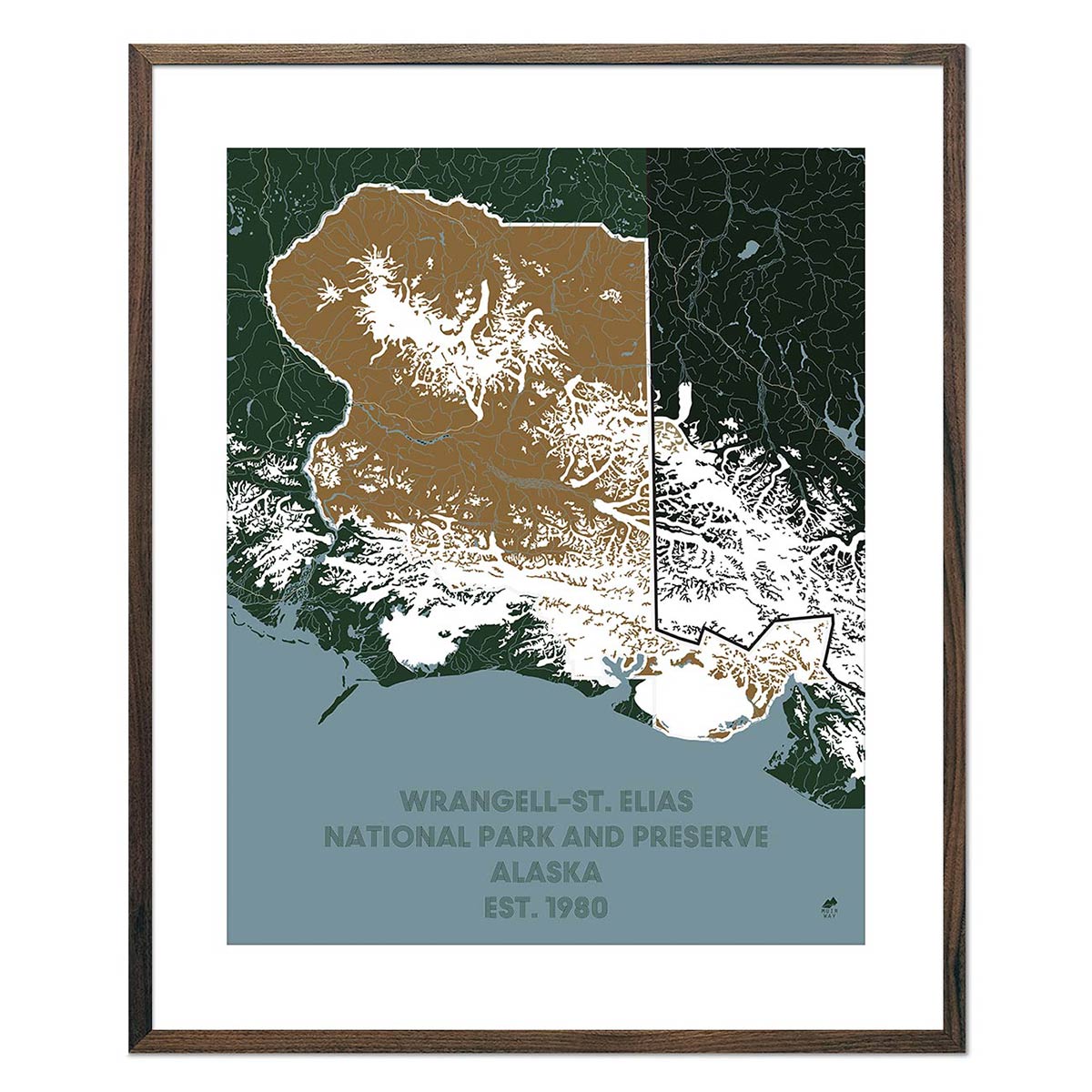
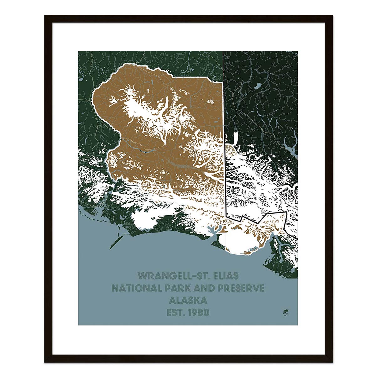
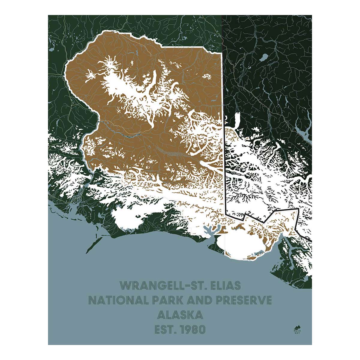
Despite its remote location, over three million people visit Alaska’s picturesque and historic national parks yearly. Our national park maps collection includes the Denali National Park and Preserve Map, as well as preserve maps for Gates of the Artic, Katmai, Lake Clark, and Wrangell-St. Elias national parks.
Our Alaska maps are available on fine art paper and beautiful gallery-wrapped canvas, and with your choice to select a real wood frame or unframed print if you prefer to use your own.
If you like our collection of Alaska maps, you may also be interested in maps of other Pacific Region states. Click below to browse:


