


South Carolina Maps


South Carolina Map Prints, Elevation & Hydrological Maps
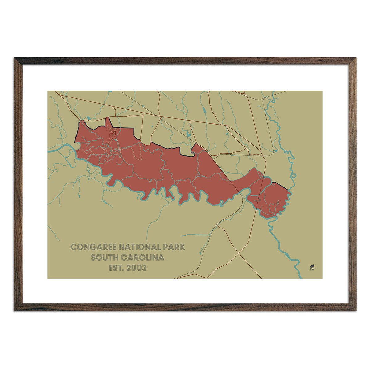
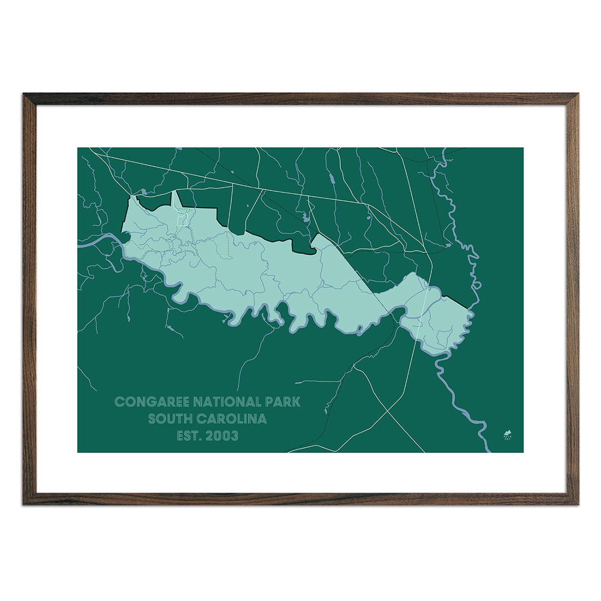
Whether you are from South Carolina, like to visit, or hope to see Congaree National Park someday, our custom printed South Carolina wall maps will bring the Palmetto State to life. Our maps are beautifully rendered from a combination of historical data, modern technology, and hand design. From our eye-catching elevation maps and geological relief maps to our meticulously restored historical maps, every map of South Carolina we offer reflects the high quality and attention to detail our customers have come to love and expect from Muir Way. See why a map of South Carolina from Muir Way is more than your typical wall map.
What makes Muir Way maps of South Carolina unique?
When you purchase a map of South Carolina from Muir Way, you are not purchasing a mass-produced poster or generic print. We custom print every South Carolina map using archival inks and fine art paper certified to last 100 years. The artwork of our maps themselves is designed to bring new light to the beautiful terrain they feature. For example, our elevation maps incorporate hand-shaded relief and Digital Elevation Data with historical map terrain for a unique 3D effect on a flat surface, and our hydrological maps depict every river in the state--even intermittent streams--and every body of water over 0.2 miles in diameter in crisp detail. We create beautiful, heirloom-quality maps meant to last for generations.
Does my South Carolina map come framed?
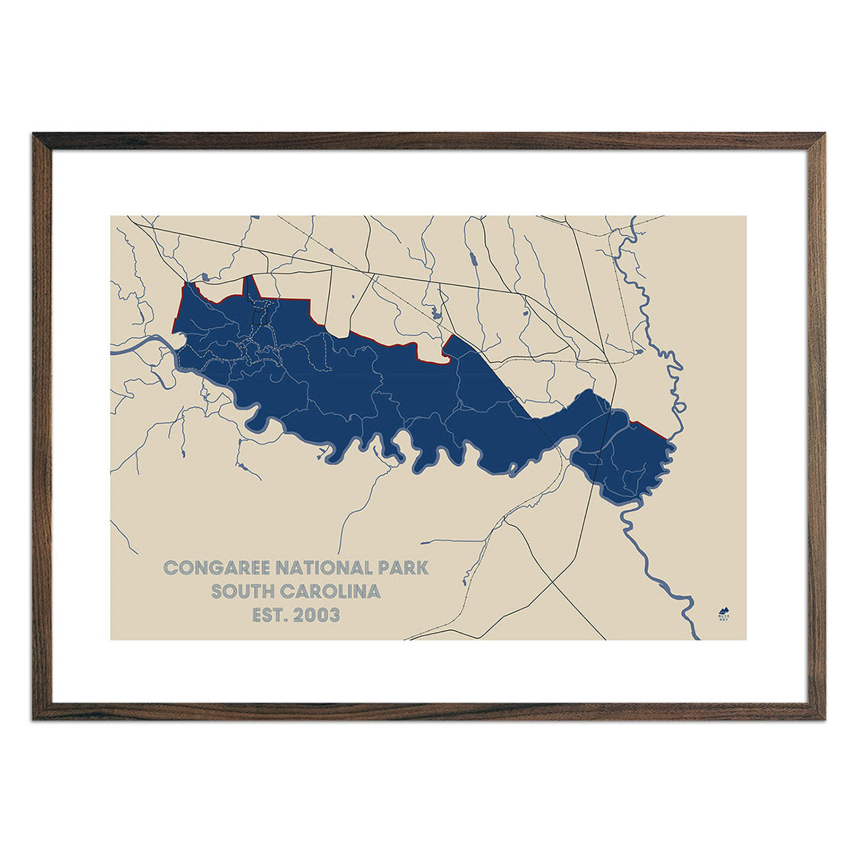
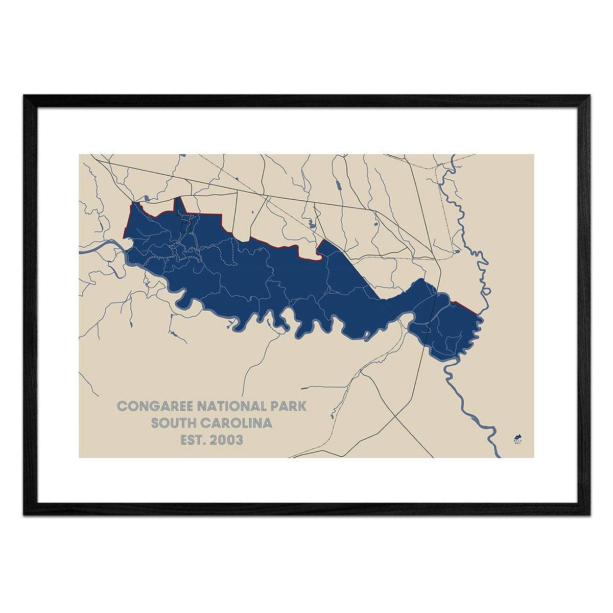
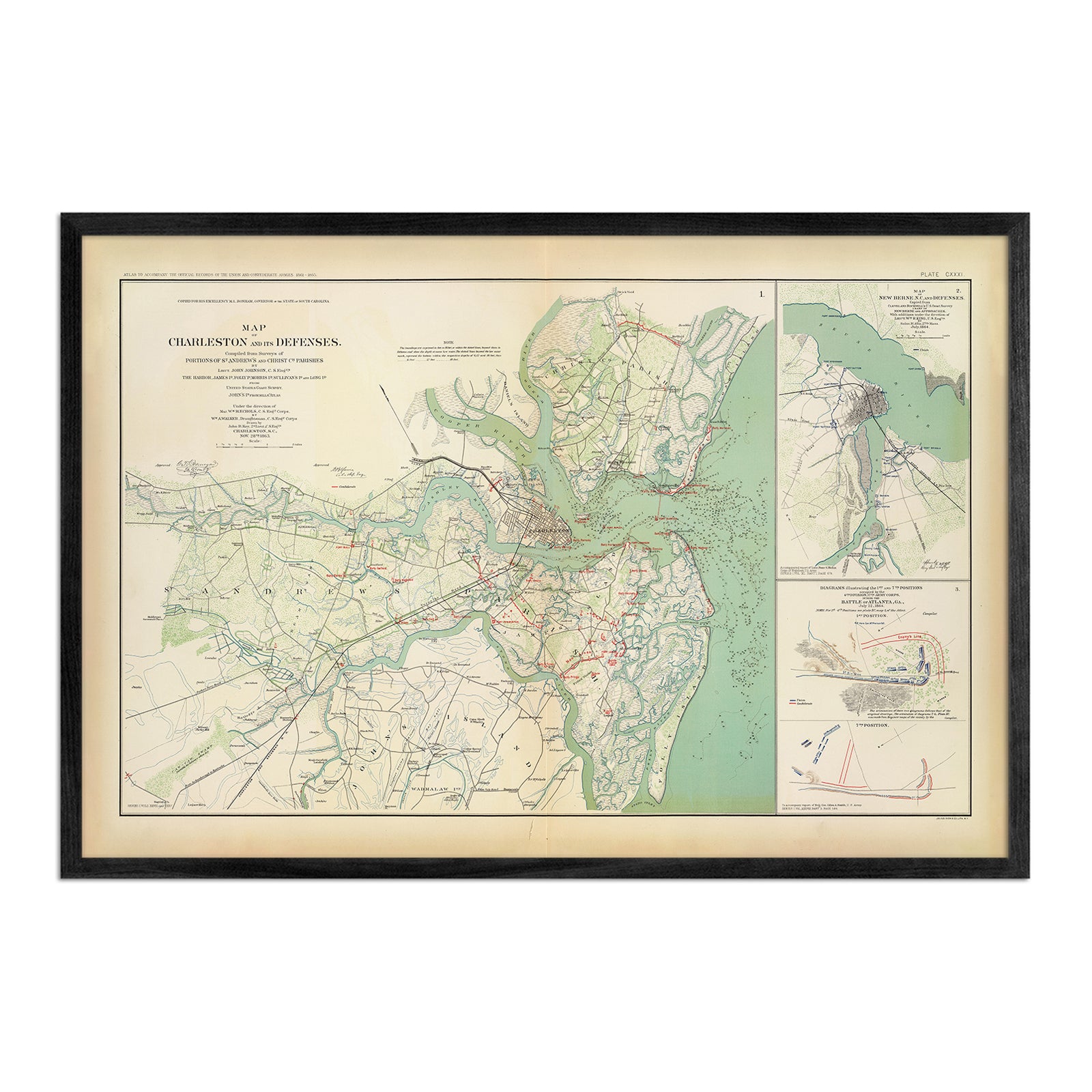
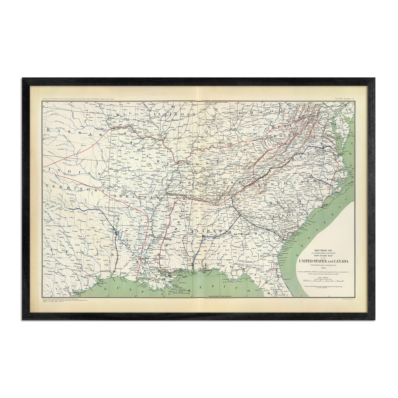
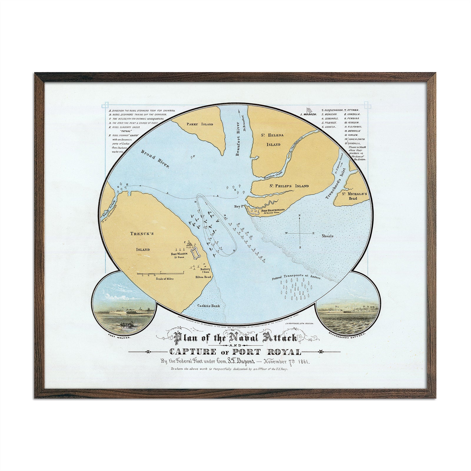
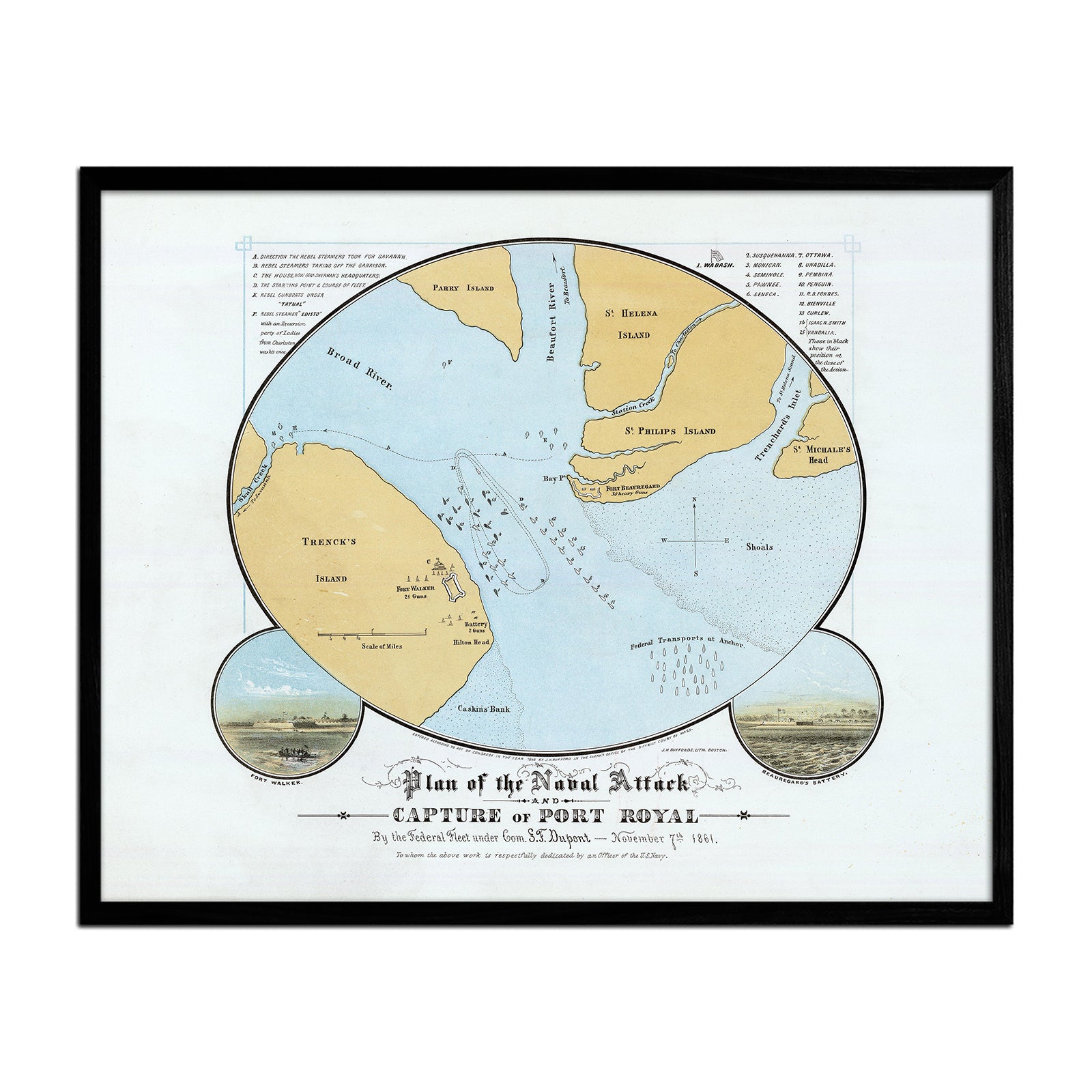
It can! You can purchase your South Carolina map professionally custom-framed with real wood, or unframed if you prefer to use your own. If you’d like to purchase a framed South Carolina wall map, there are several different wood finishes to choose from. If you’d prefer to use your own frame, all of our maps come in standard sizes for easy gift giving.
Does a Muir Way map of South Carolina make a good gift?
Yes! Our custom-printed maps of South Carolina make the perfect gift for outdoor enthusiasts, to commemorate special occasions, or as a thank-you gift for someone special. Memorialize the experience of a special holiday to Myrtle Beach, Hilton Head Island, or any of the other amazing South Carolina landscapes. One of our state relief maps can be a perfect graduation gift for a student about to leave home for the first time, or a reminder of home for someone from South Carolina but who no longer lives there. Our maps also make beautiful corporate gifts that will remind your clients or colleagues of you every time they see it.
Where should I display my South Carolina map?
Our maps are eye-catching from across the room and up close. Hang a framed wall map as a central focus or purchase several maps in a similar style or from a particular region and arrange them near each other for a complementary series. Our hydrological maps come in several colors or the classic black and white, and our geological relief maps feature vibrant colors. No matter which you choose, you’re sure to find a South Carolina map that will look right at home.
What are the different types of maps of South Carolina available on Muir Way?
Our South Carolina maps are available in several different styles, including:
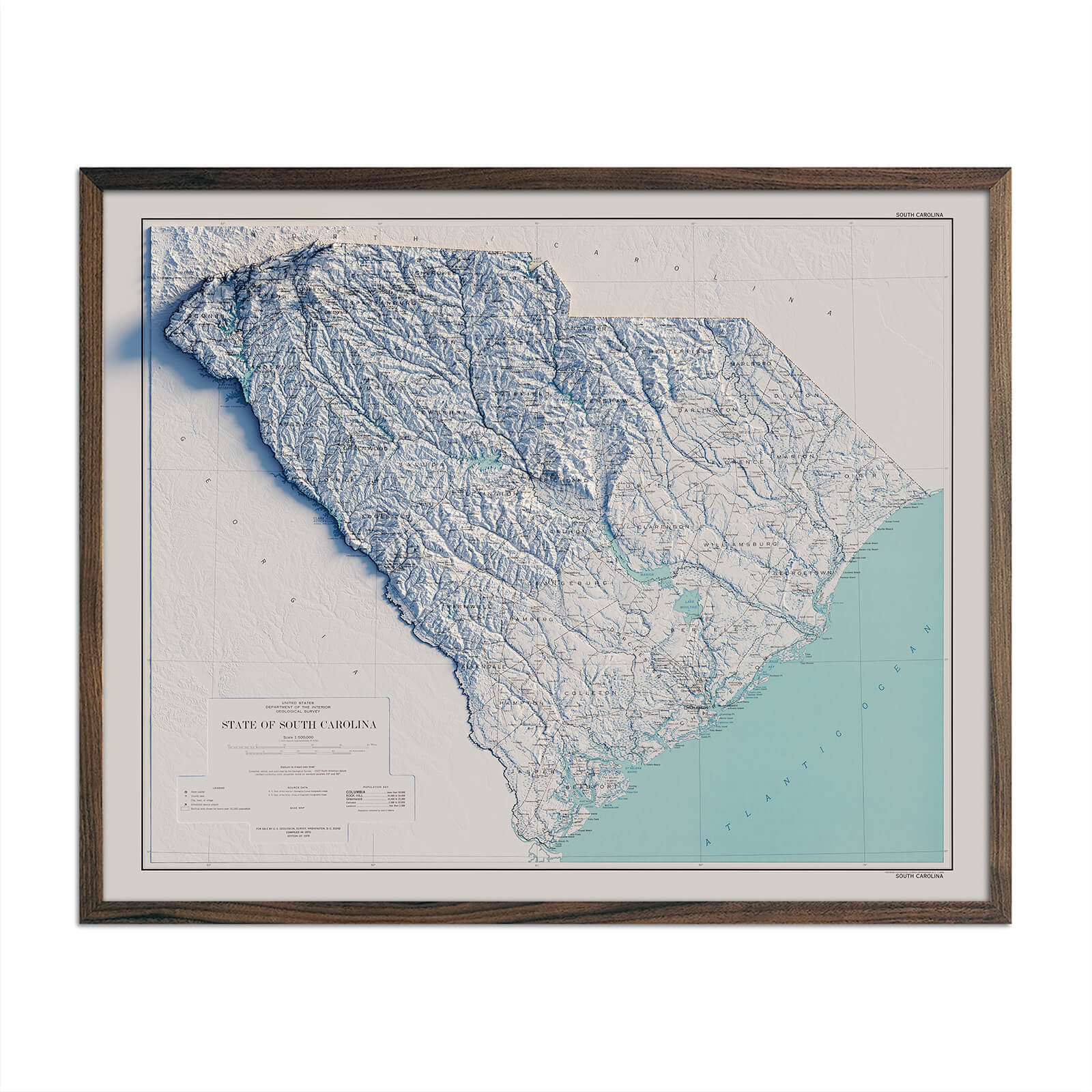
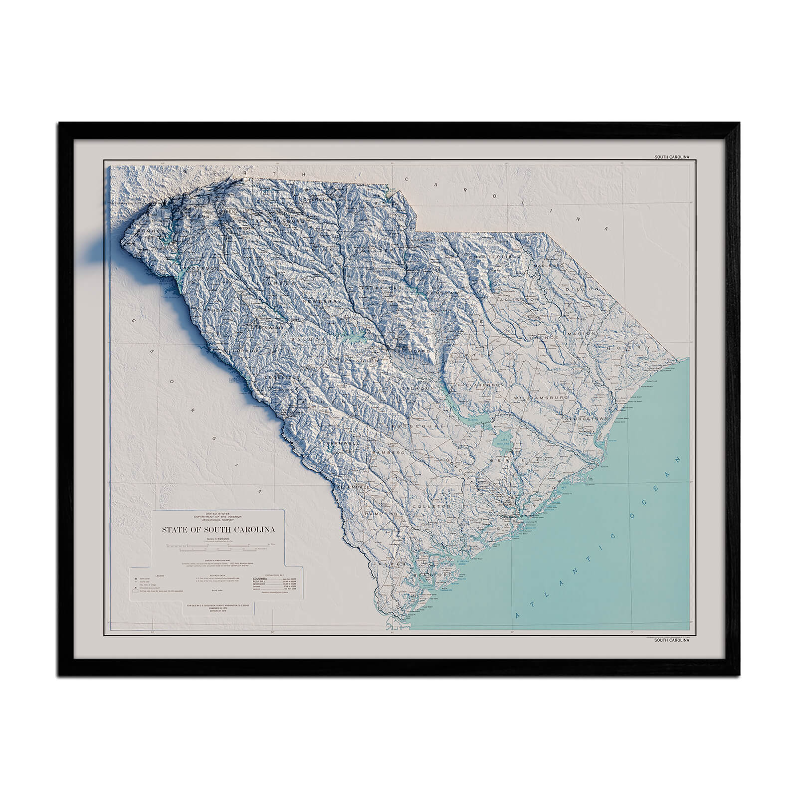
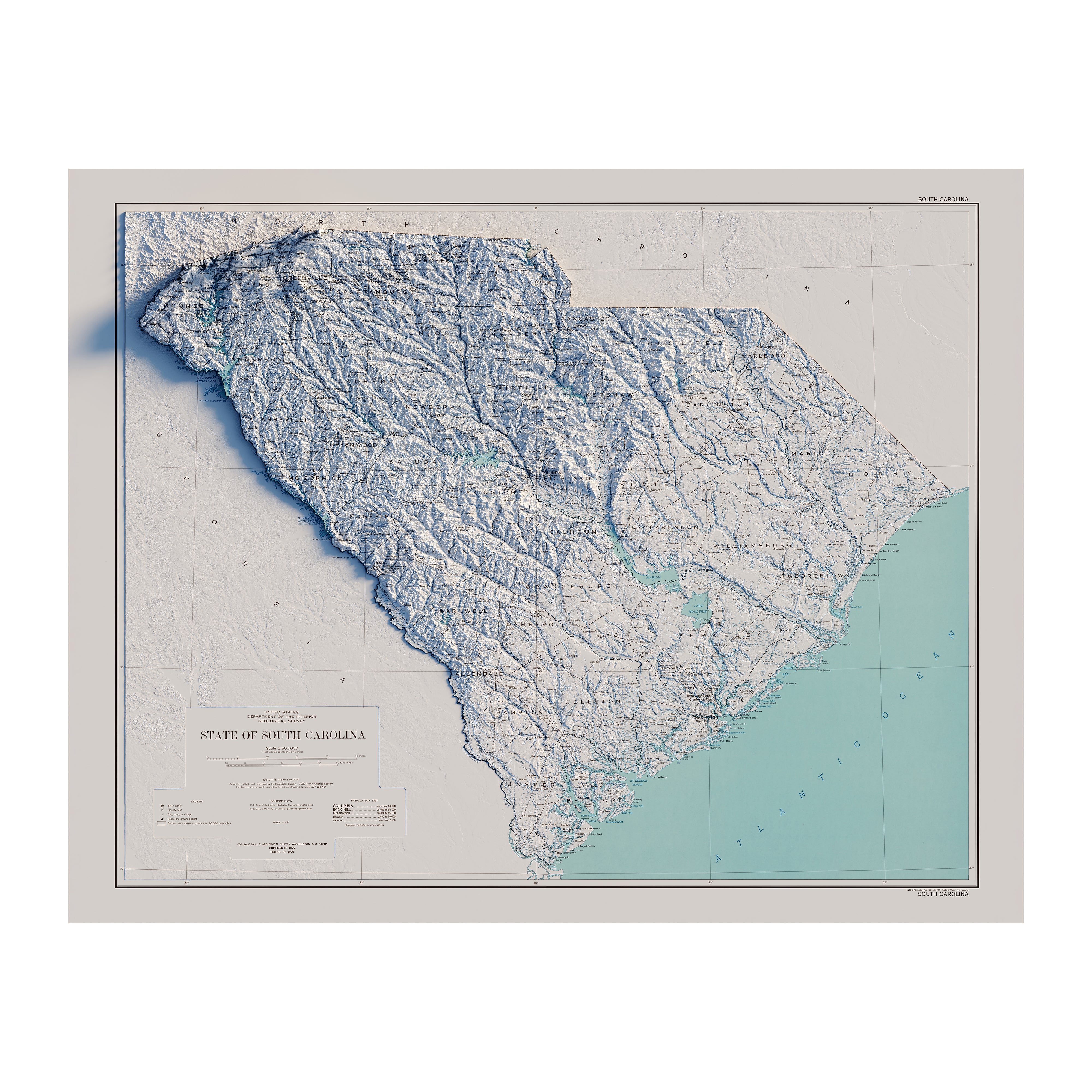
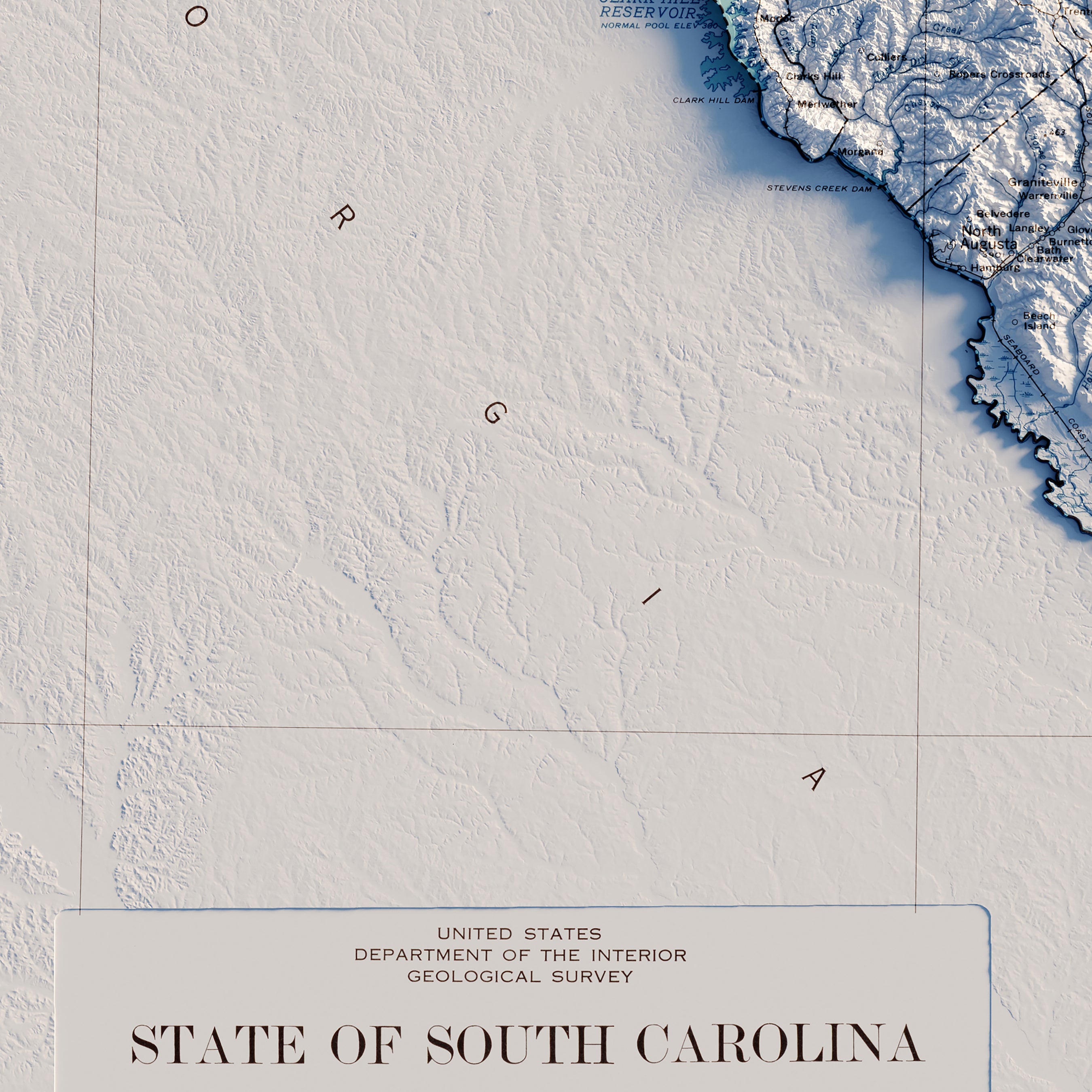
South Carolina relief maps - Our relief maps of South Carolina bring historical map landscapes together with modern technology to show the state’s landscapes in a new way. Using Digital Elevation Data and hand-shaded relief, we custom enhance vintage maps to create a 3D effect on a 2D surface. See South Carolina’s spectacular terrain in color on our South Carolina 1970 Relief map.
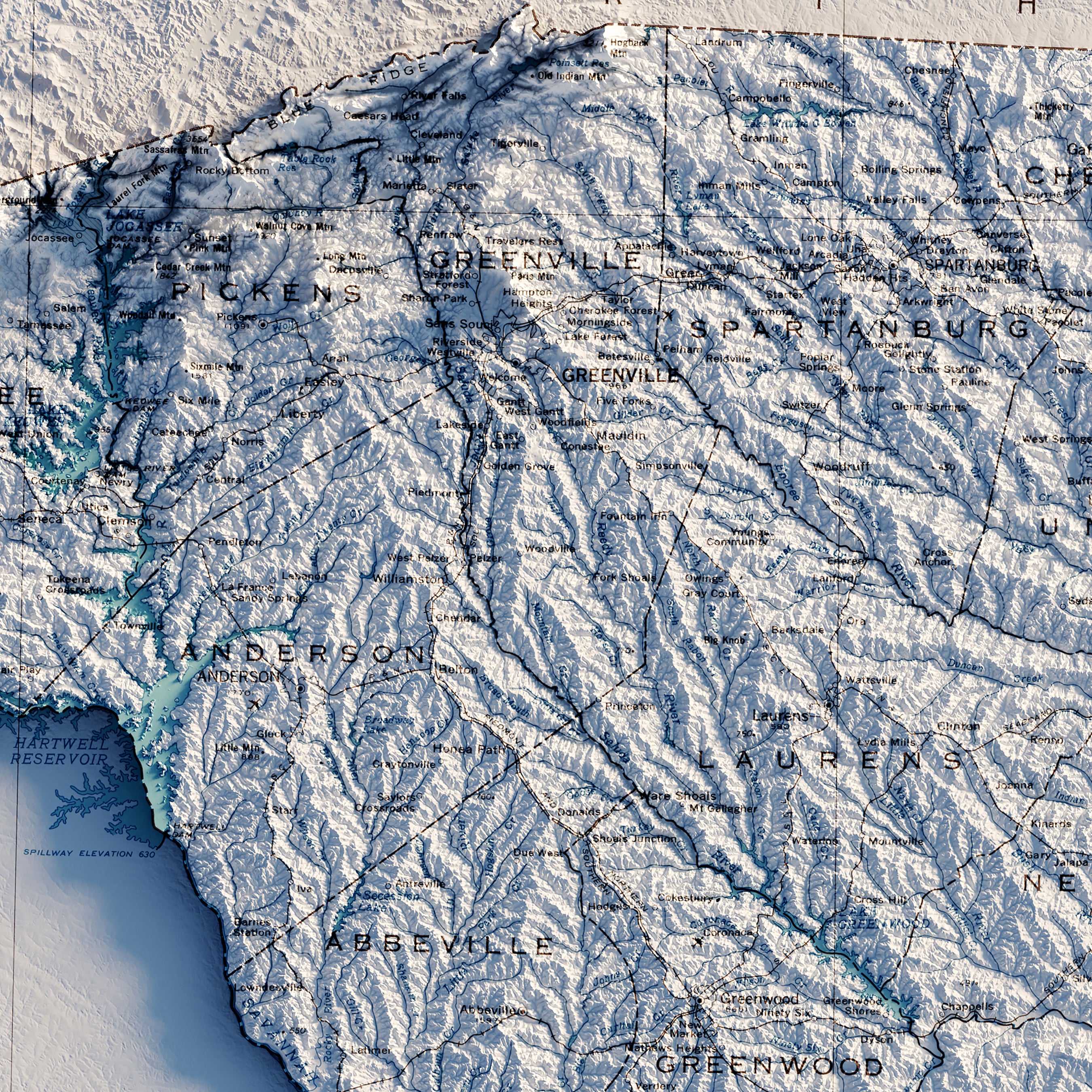
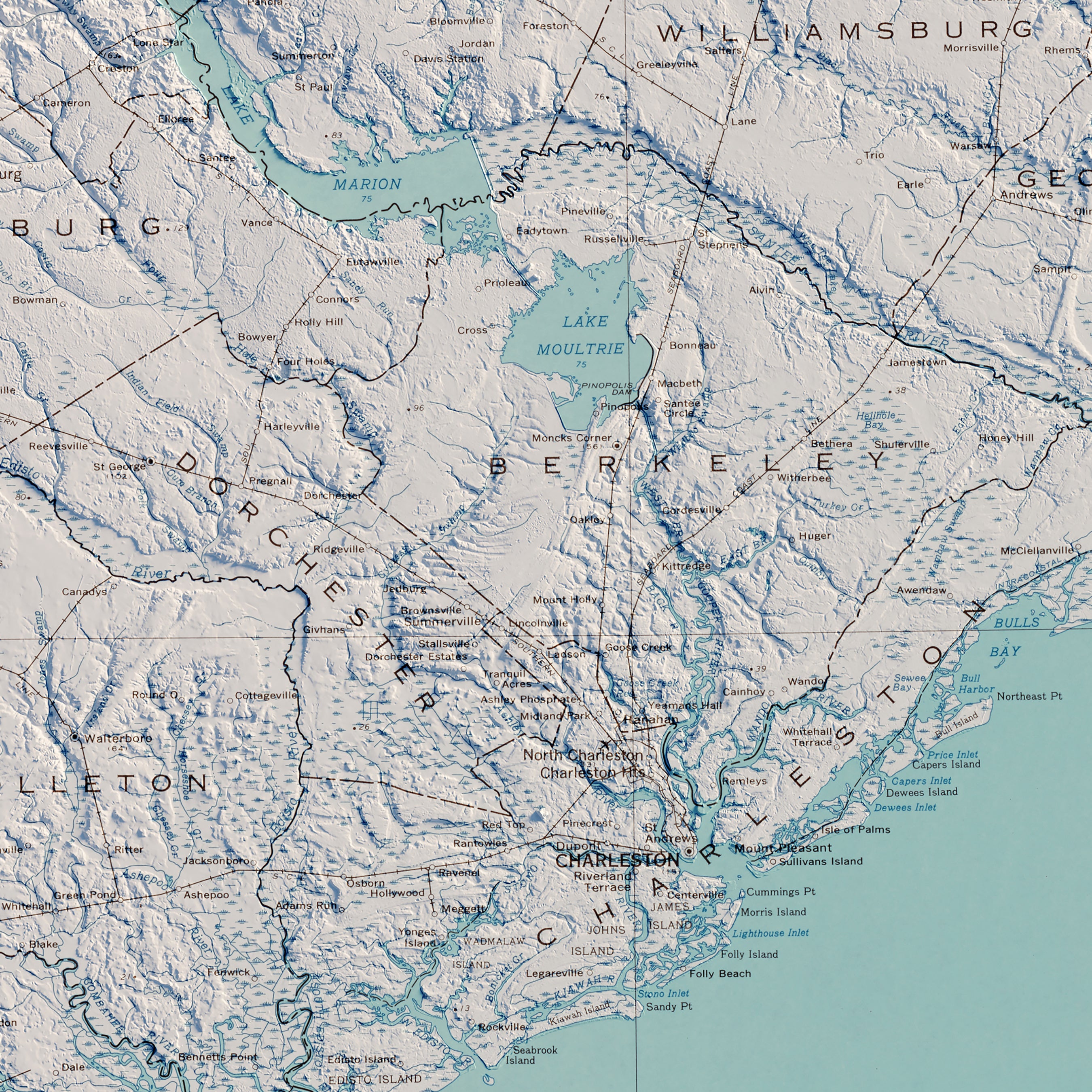
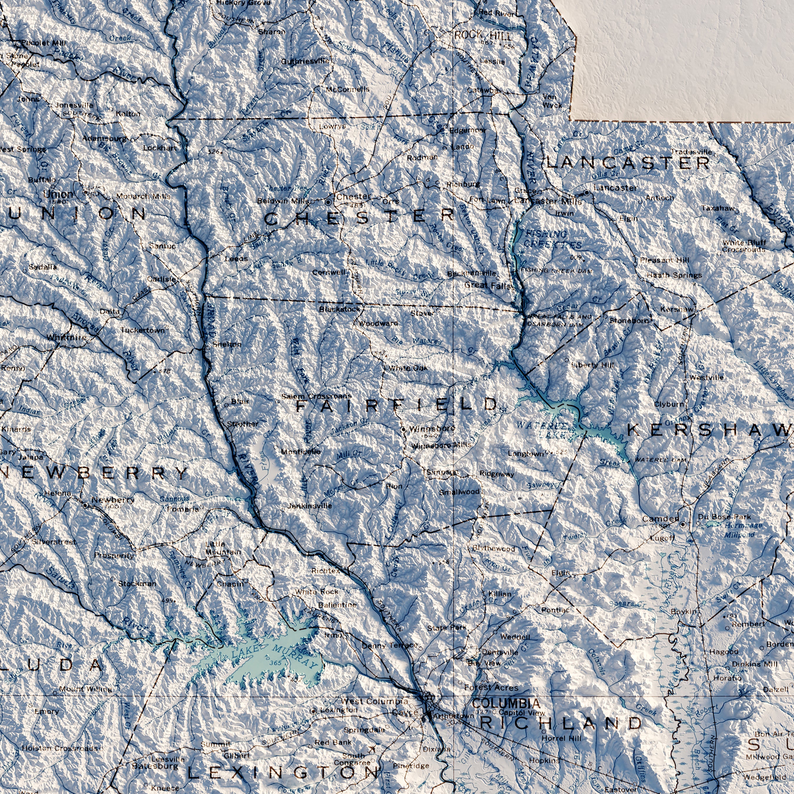
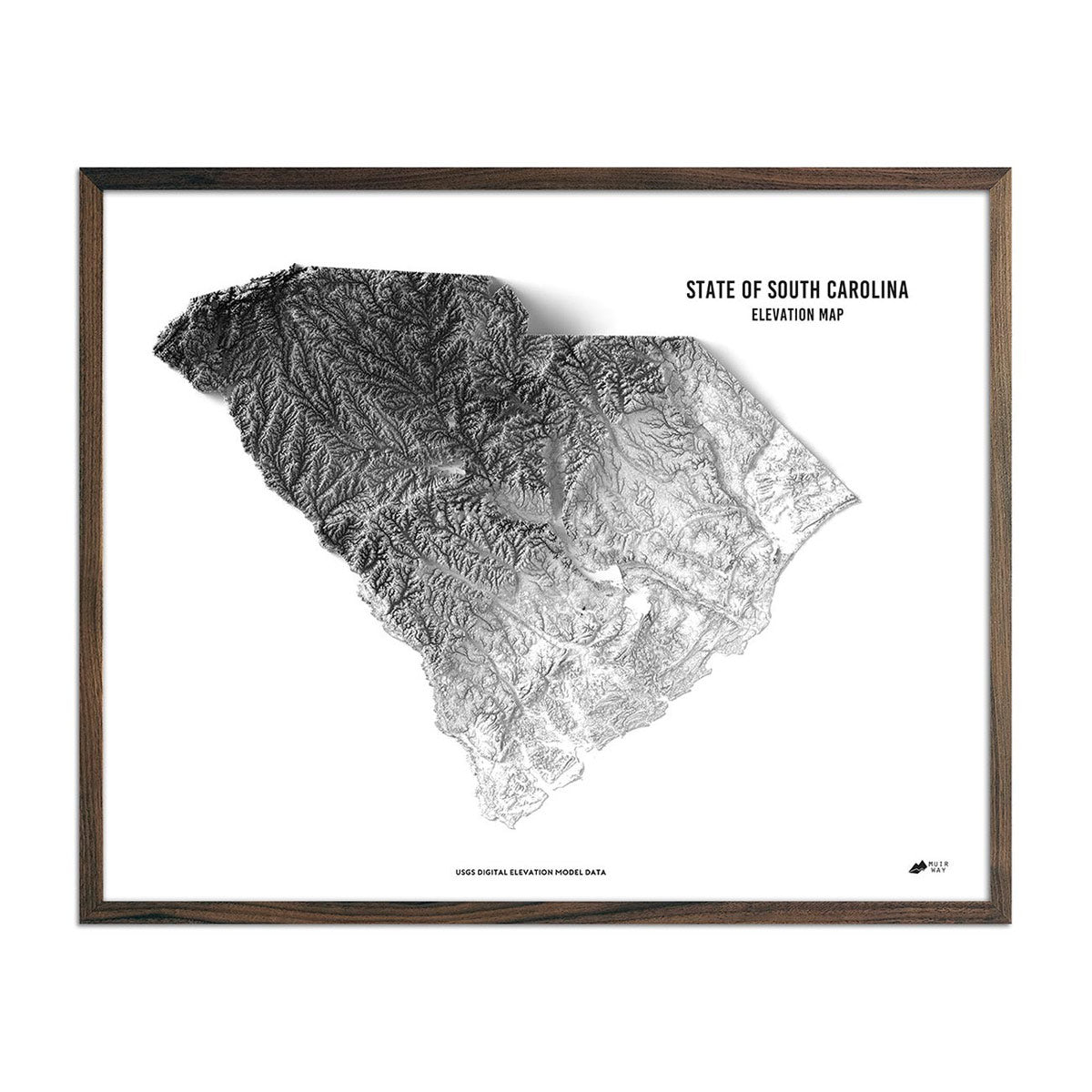
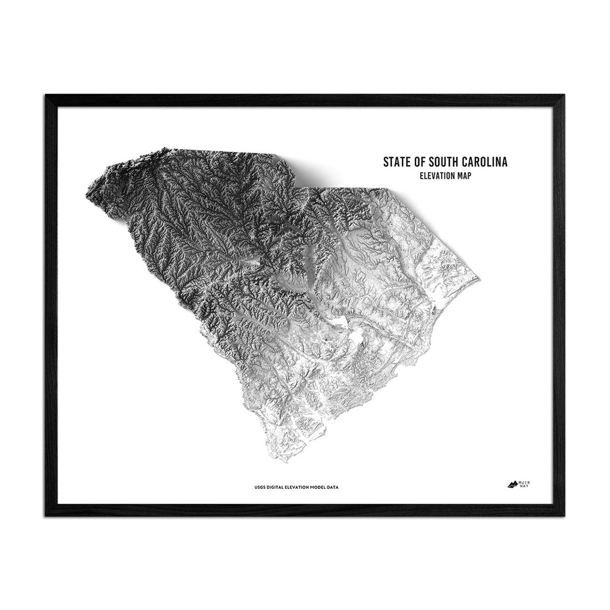
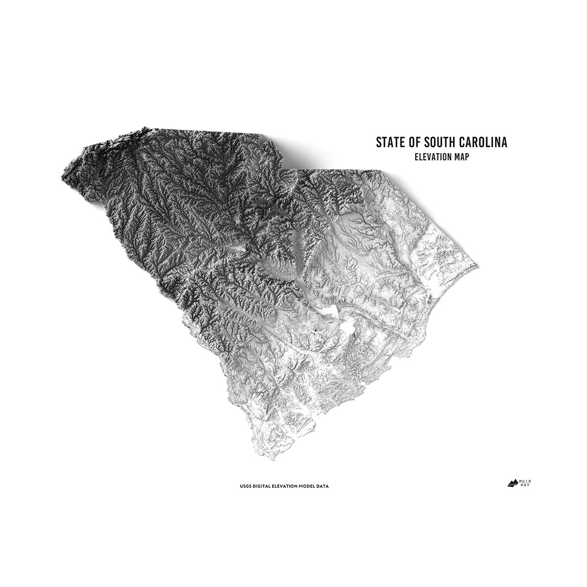
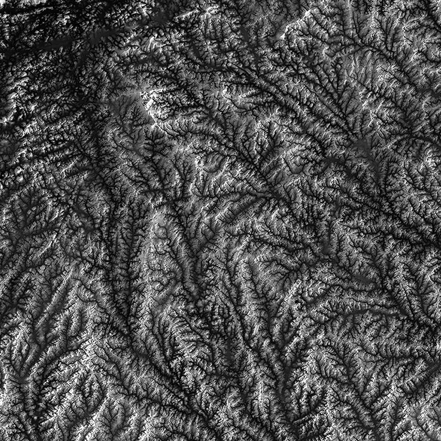
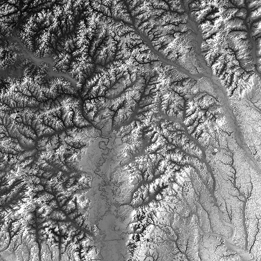
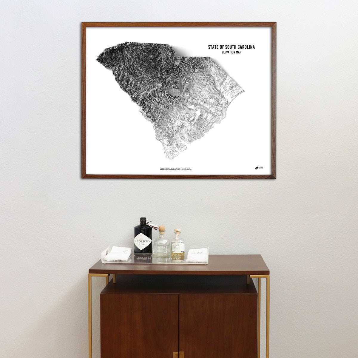
South Carolina elevation maps - Our South Carolina elevation map uses Digital Elevation Data from the USGS and hand-shaded relief just like our relief maps to create a high-contrast 3-dimensional effect in stunning black and white.
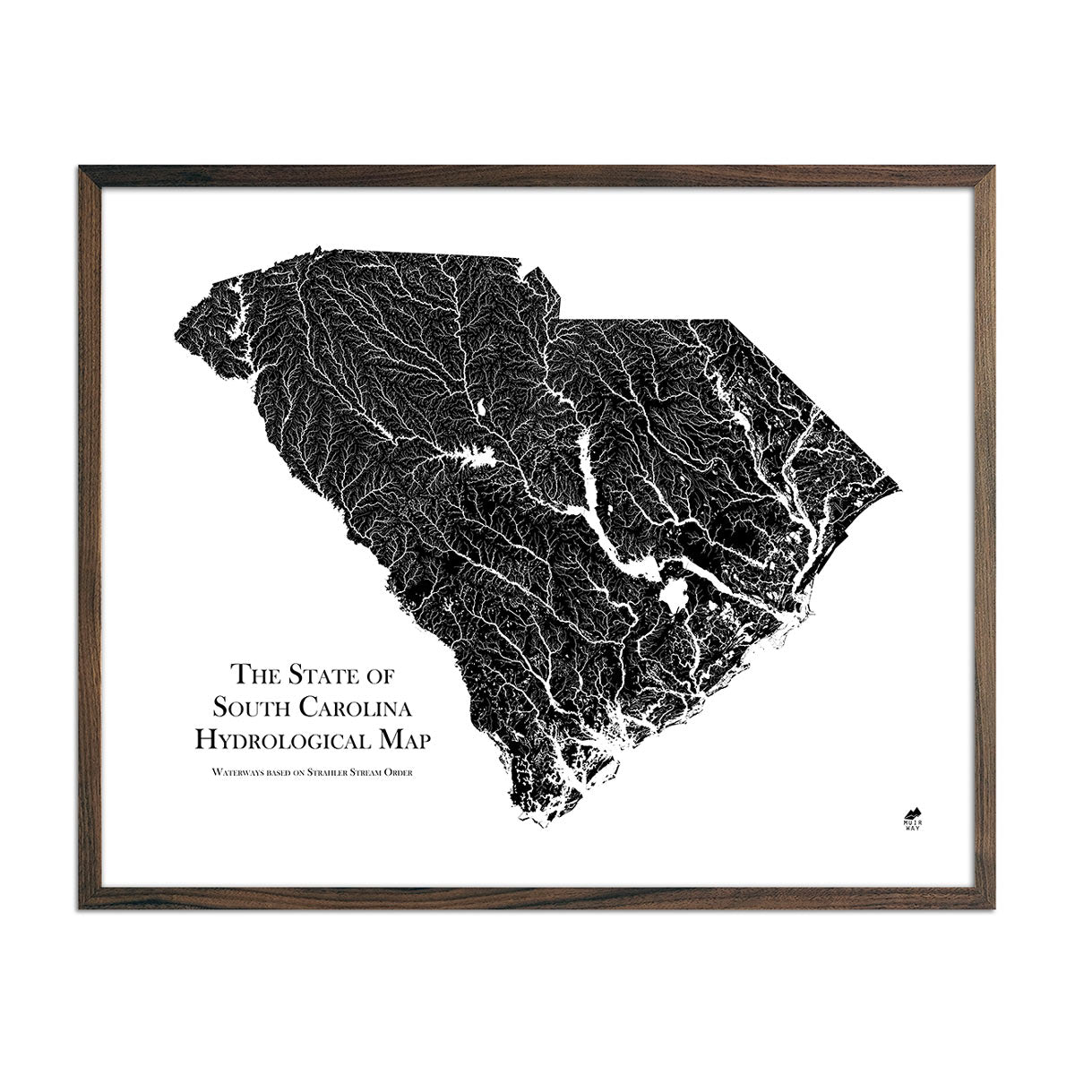
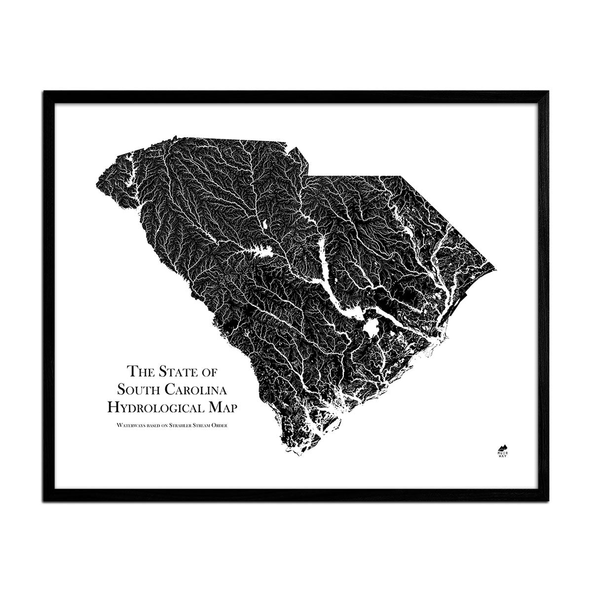
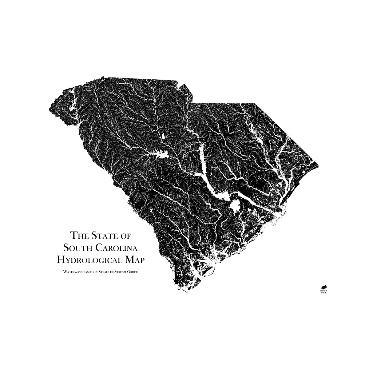
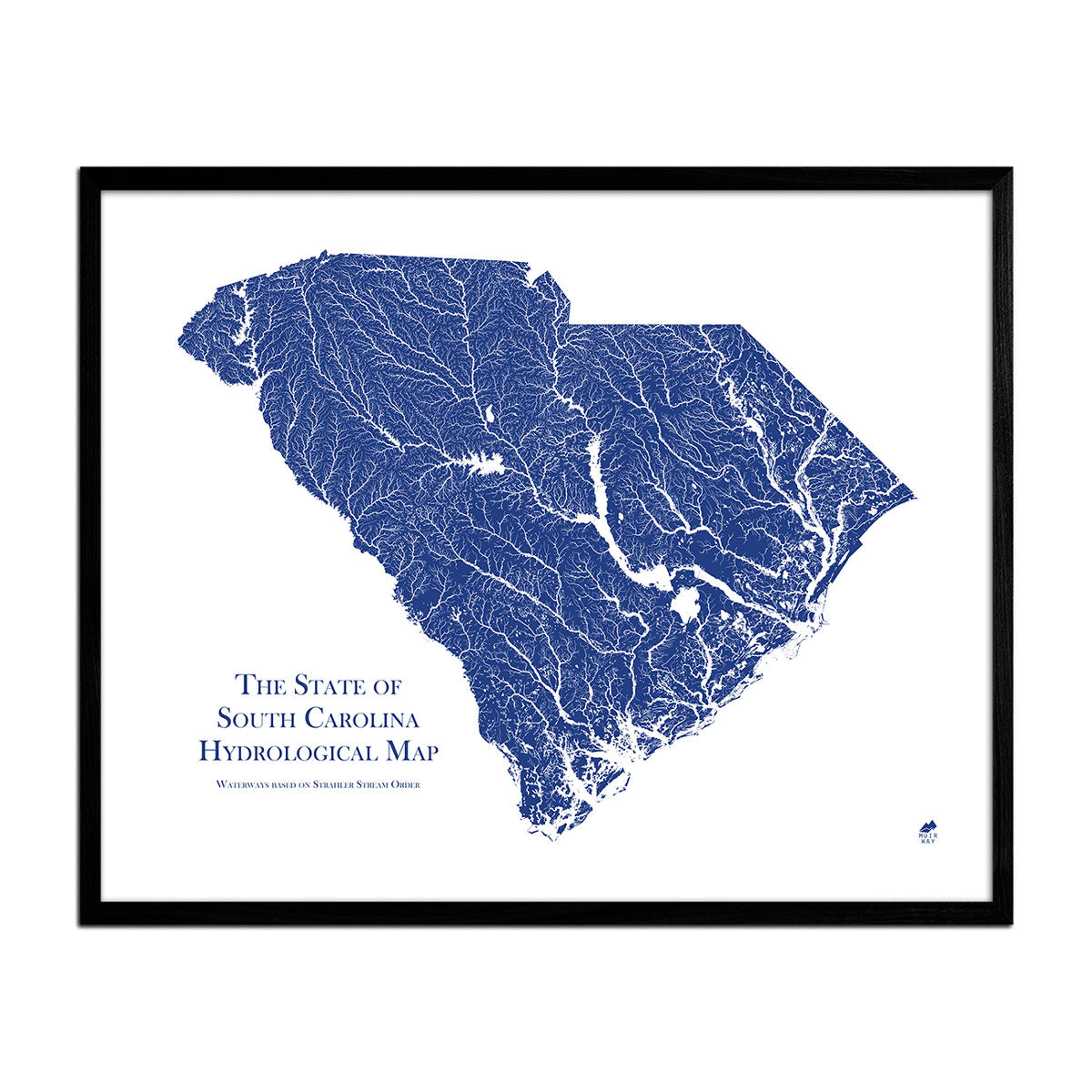
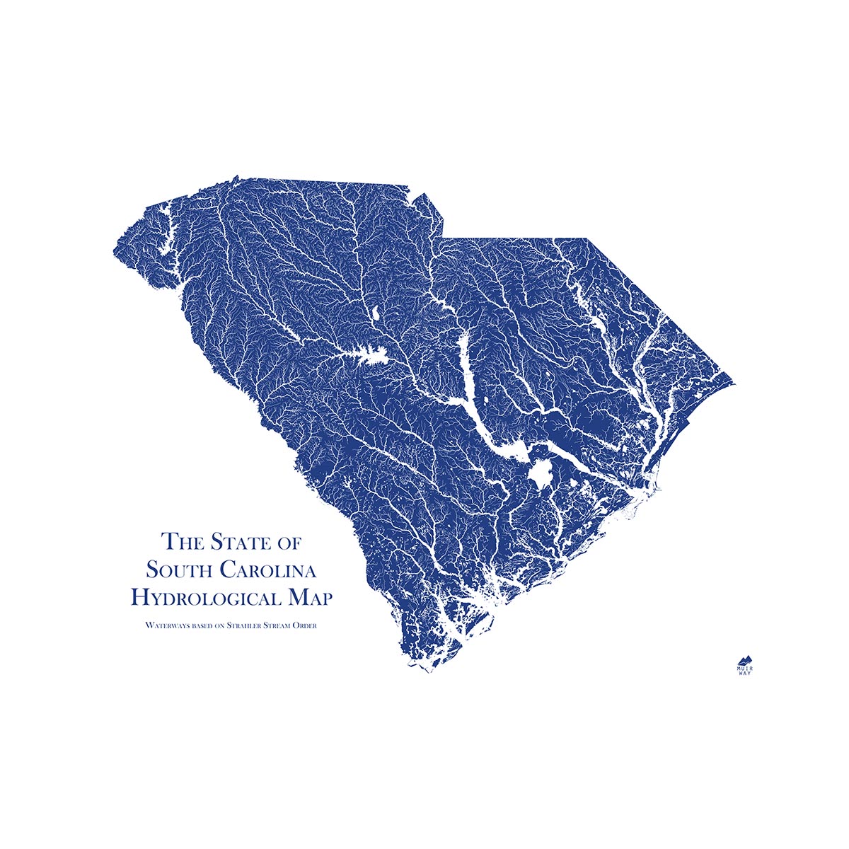
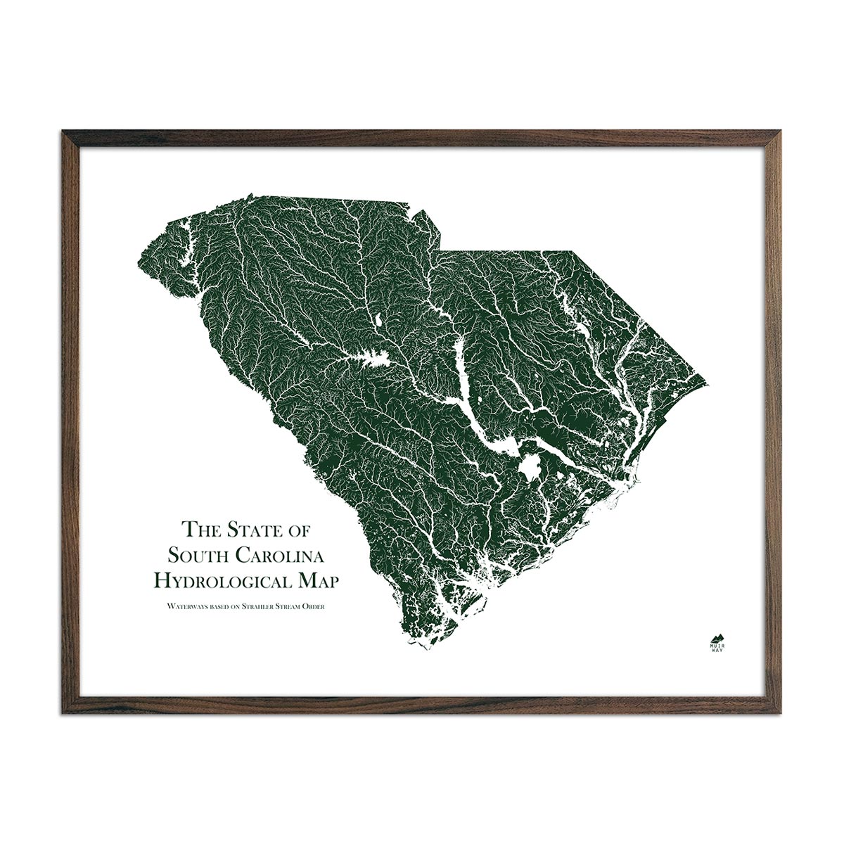
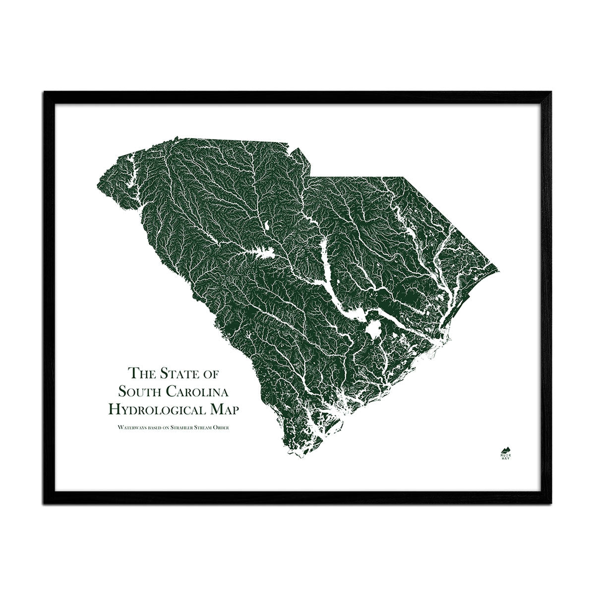
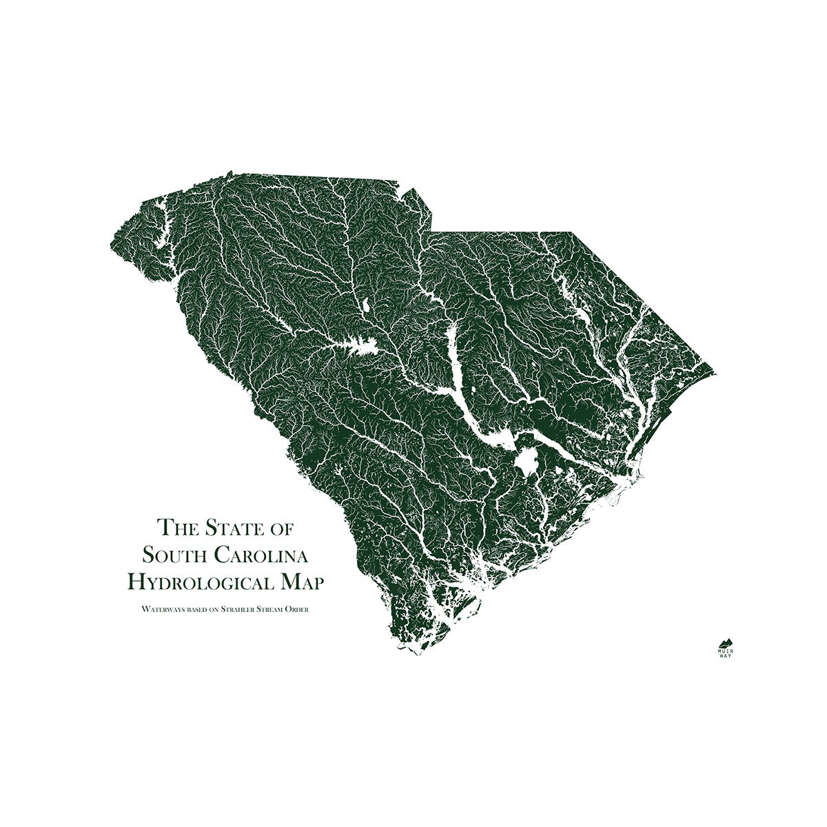
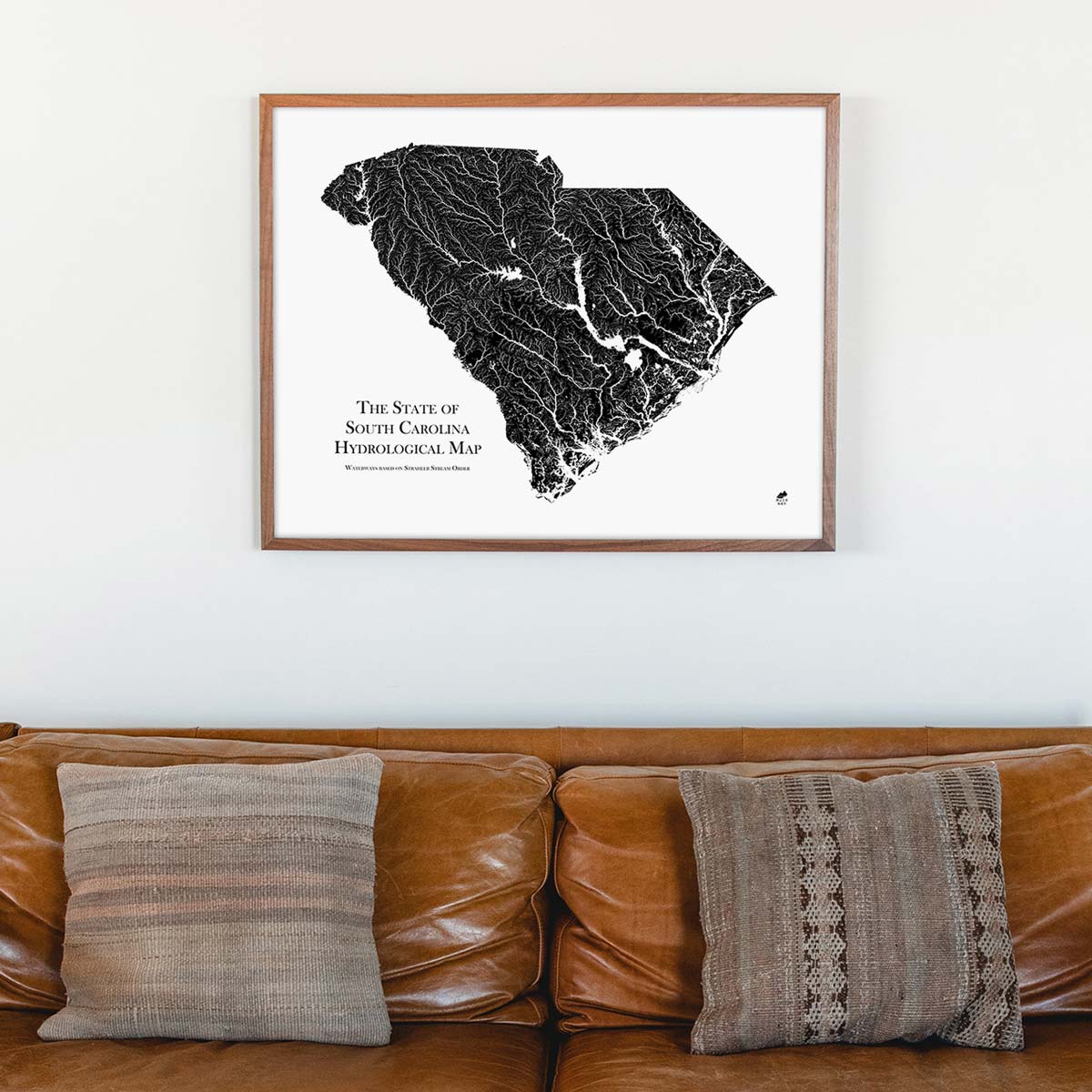
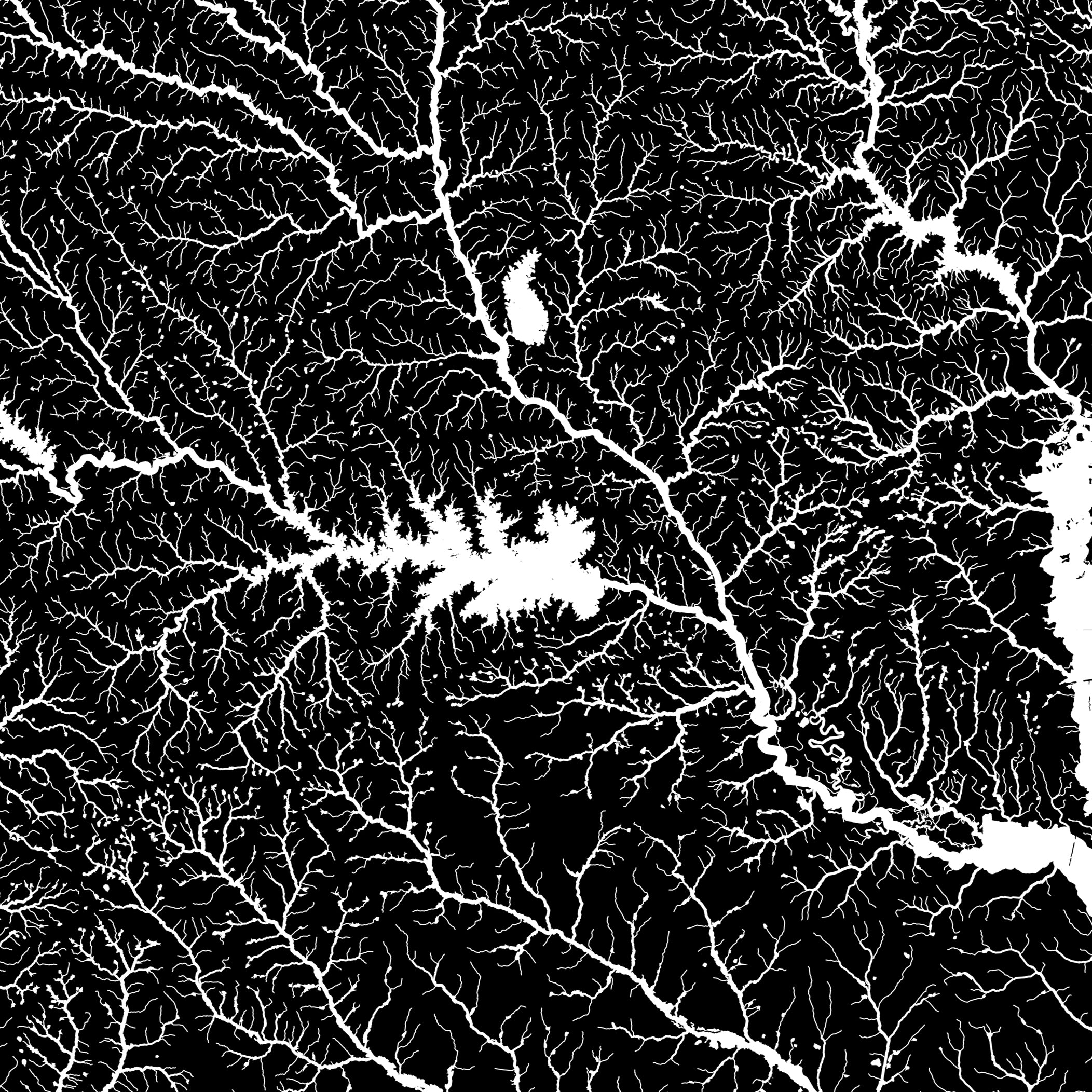
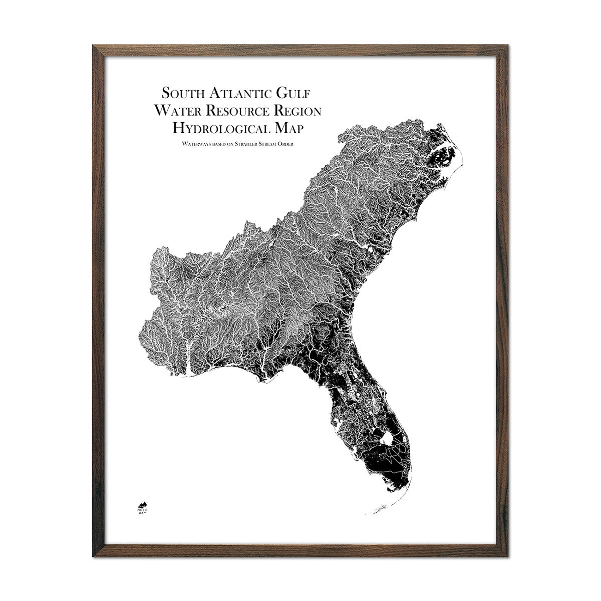
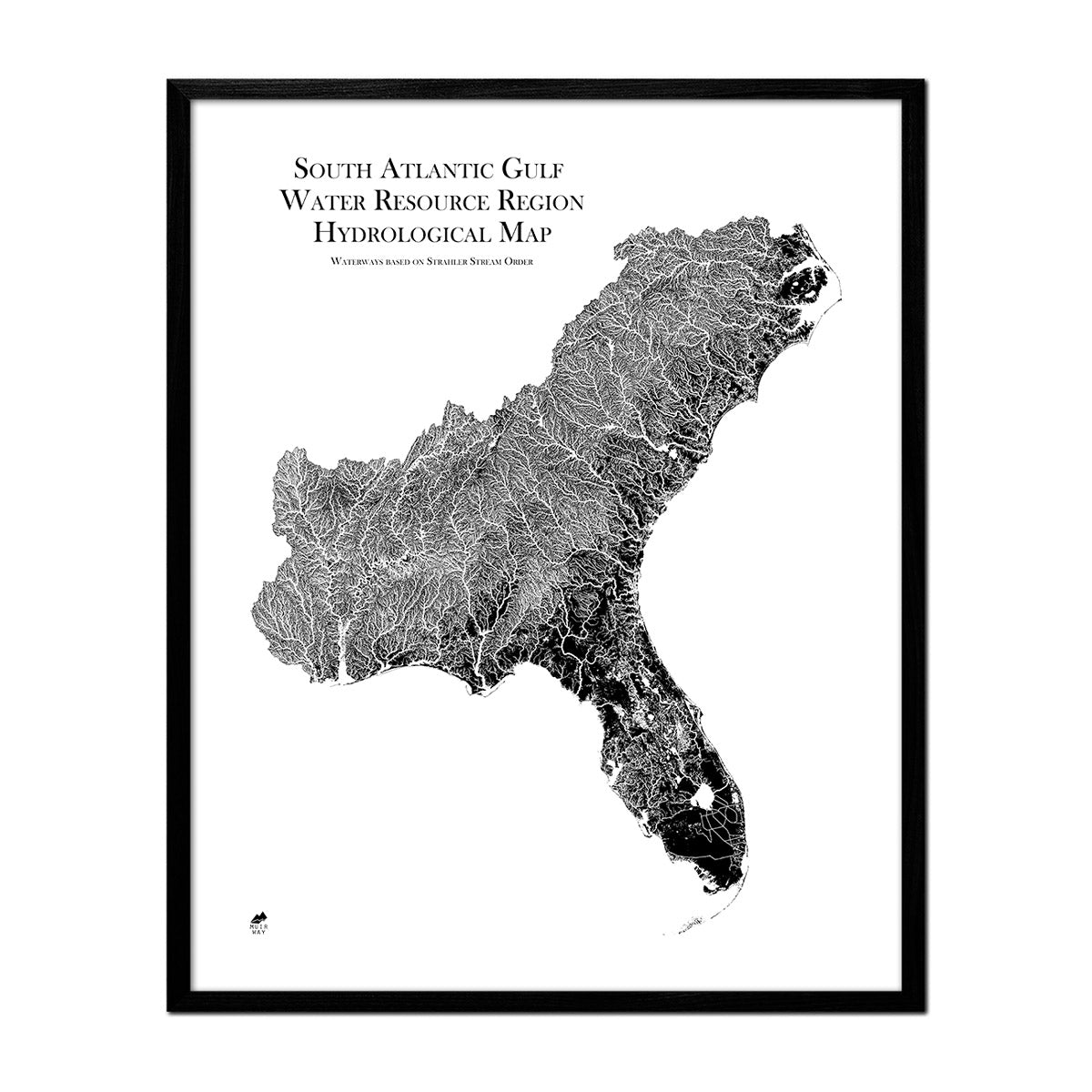
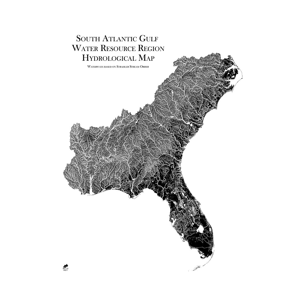
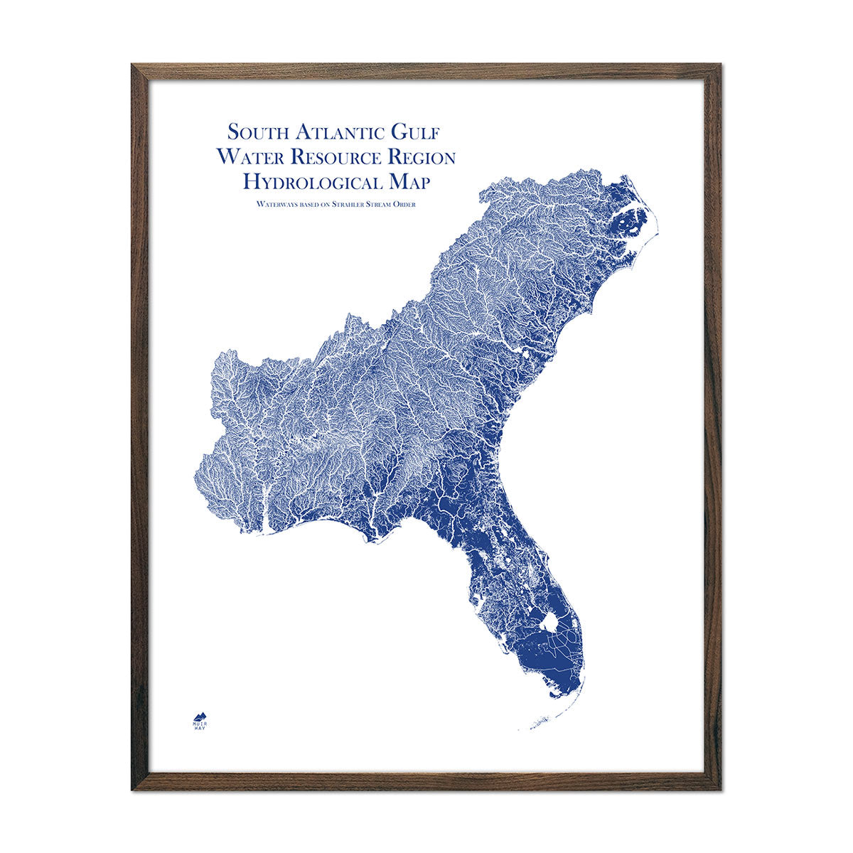
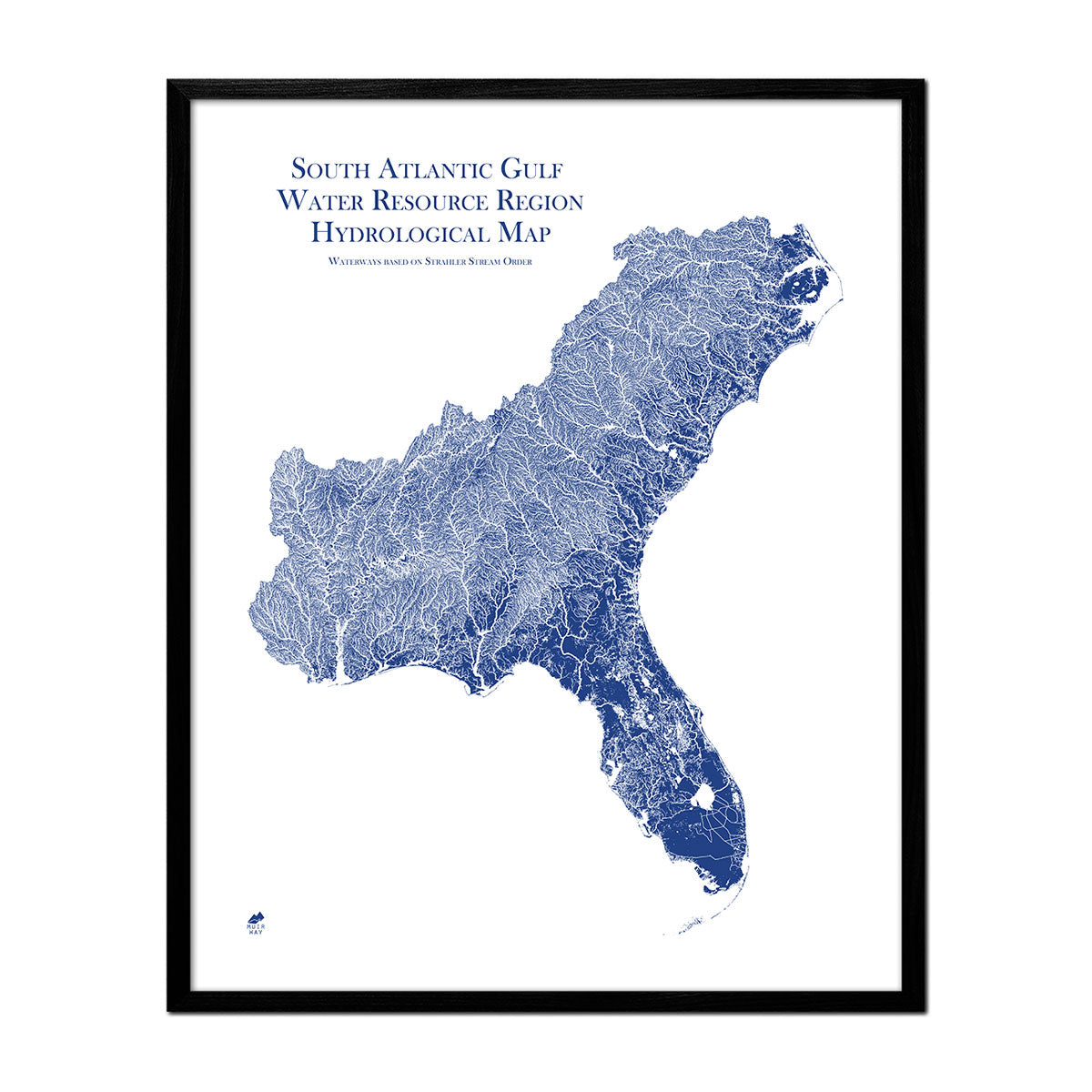
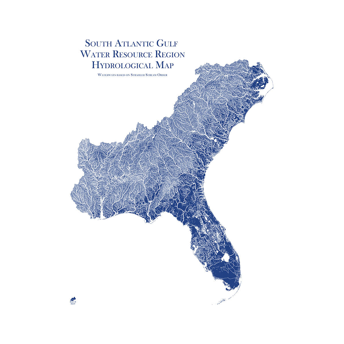
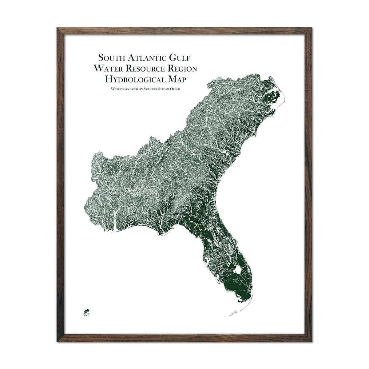
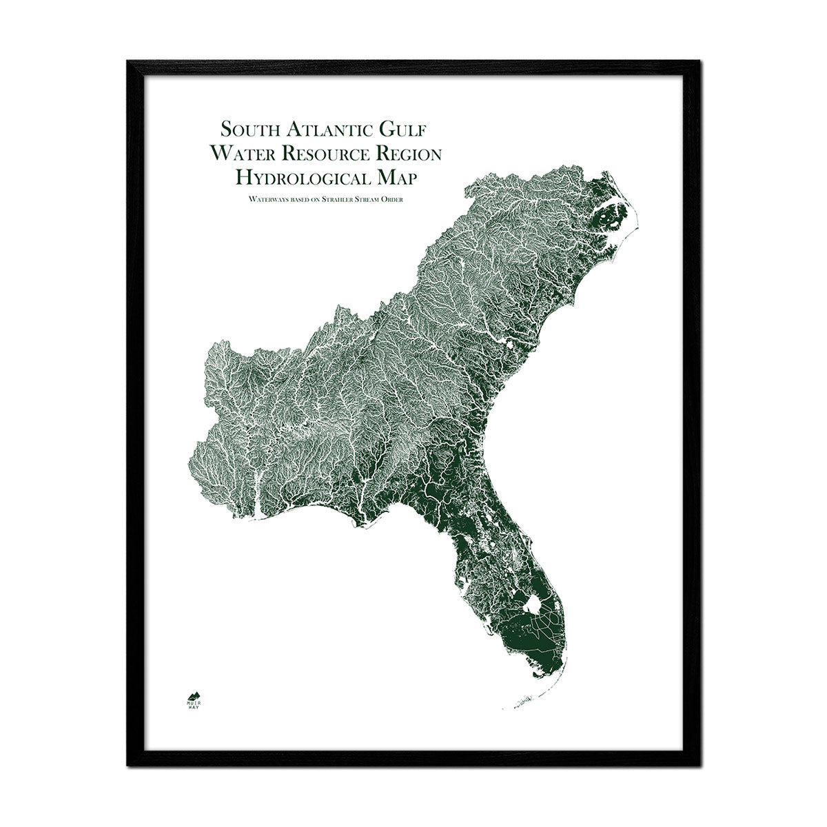
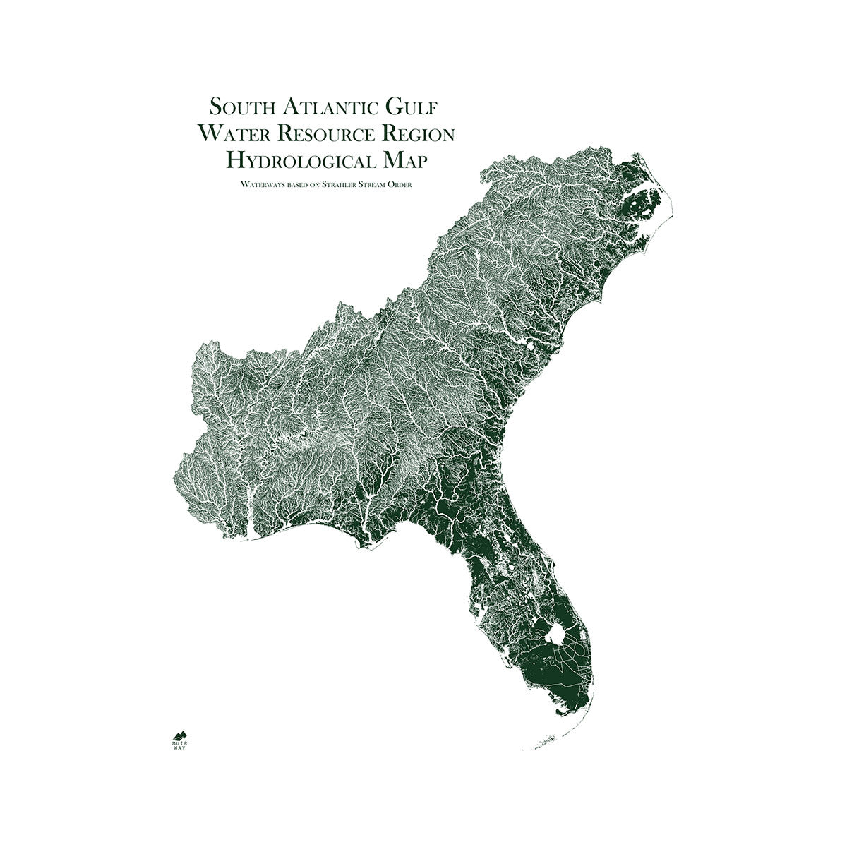
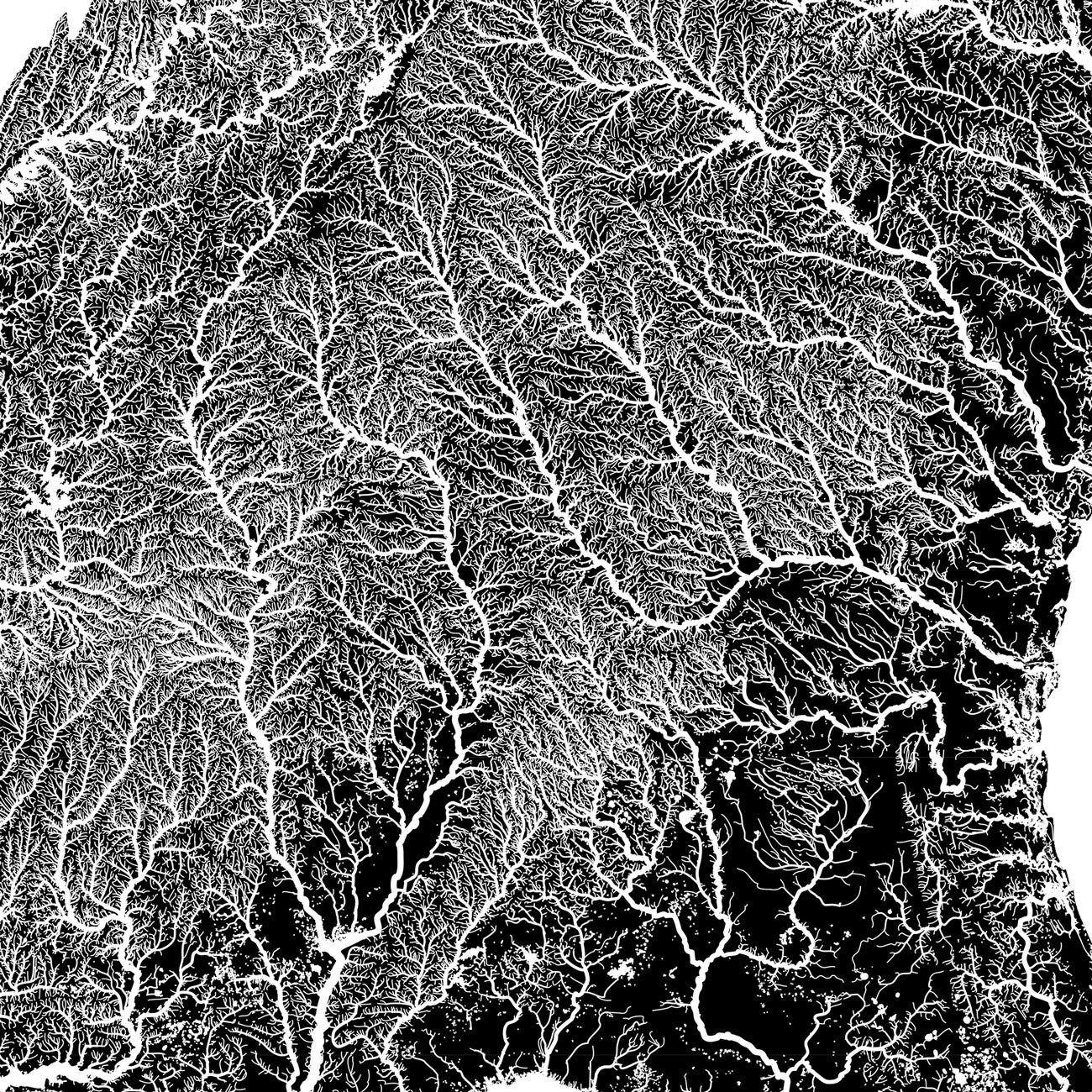
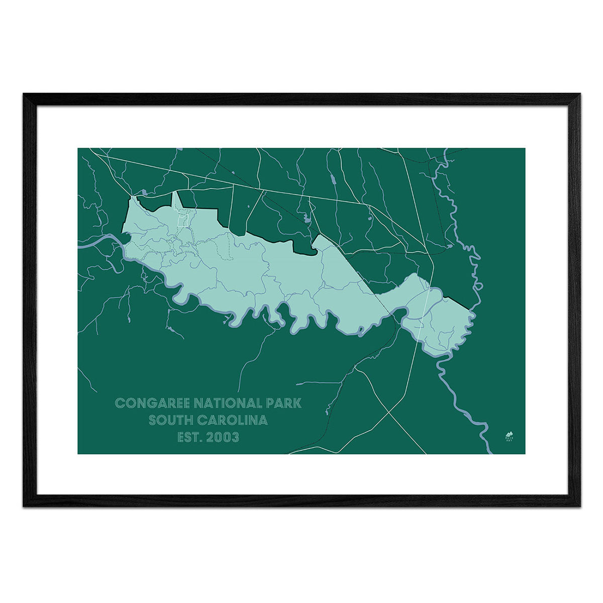
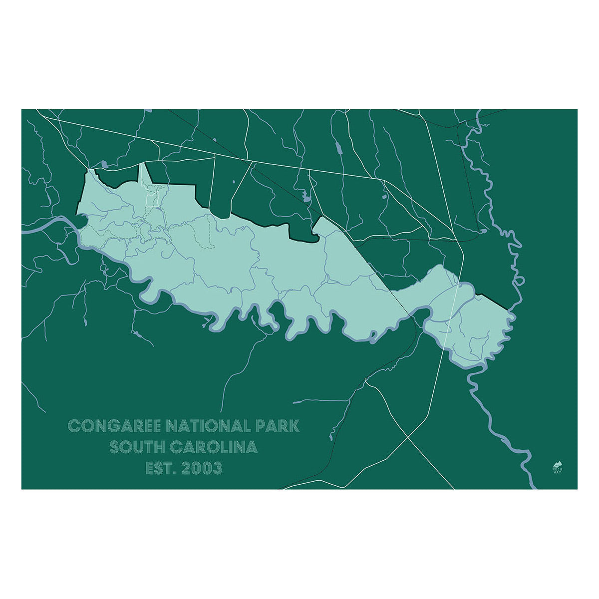
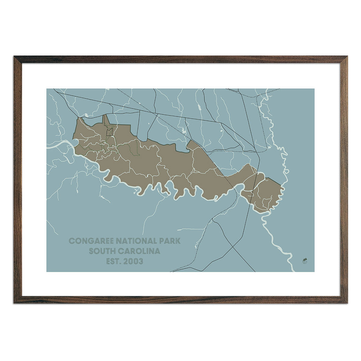
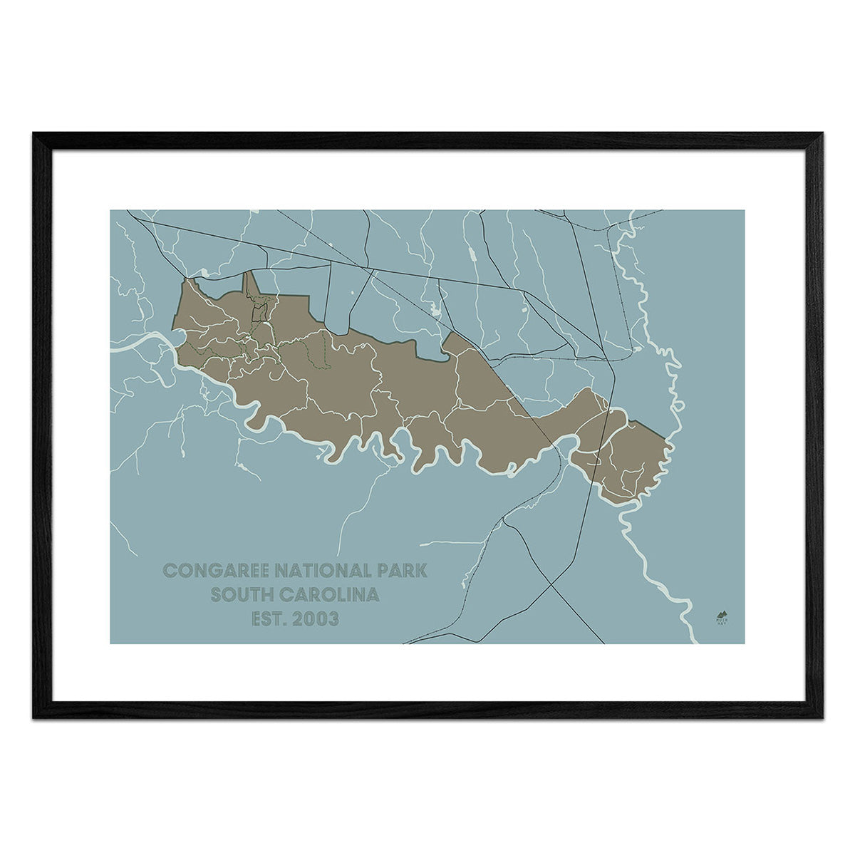
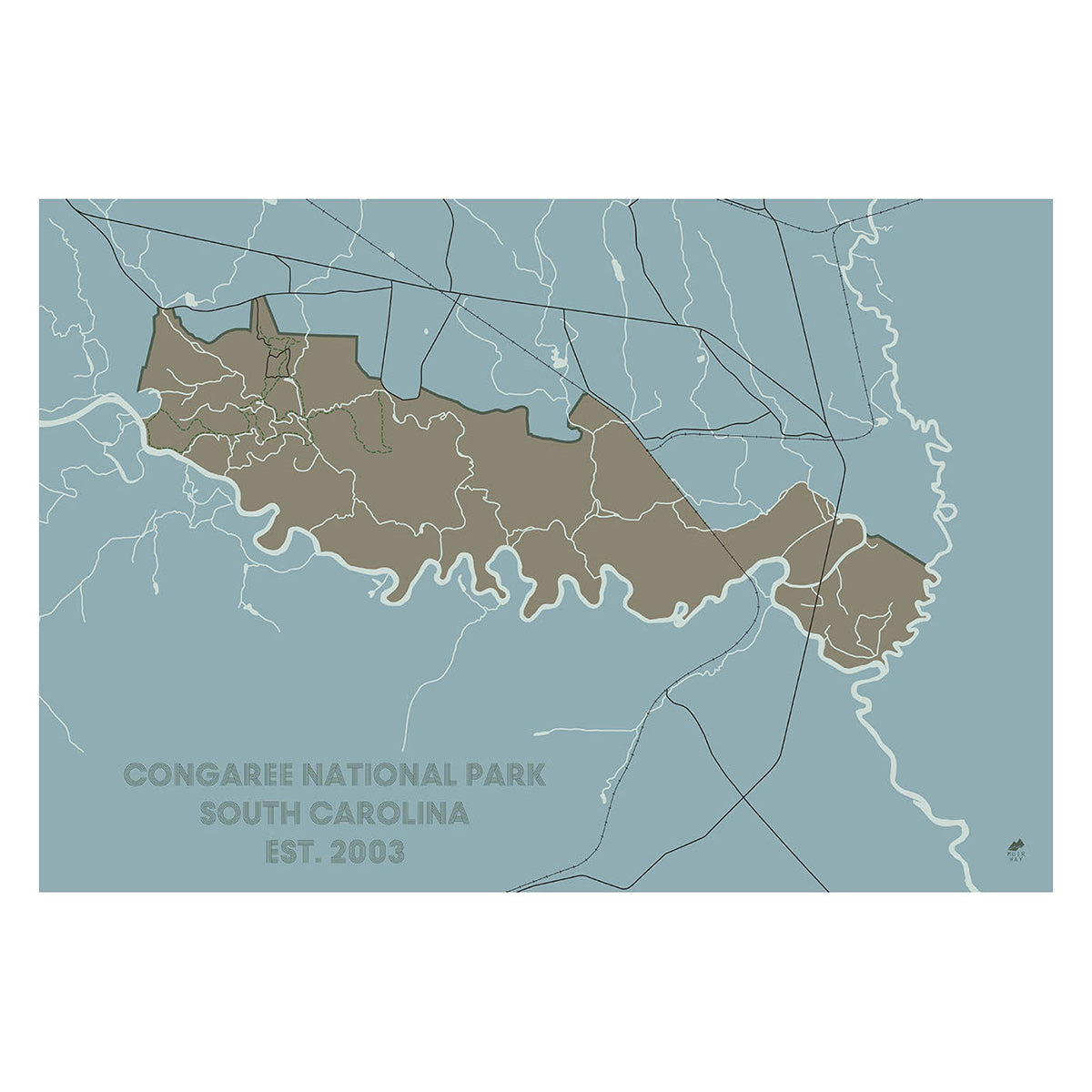
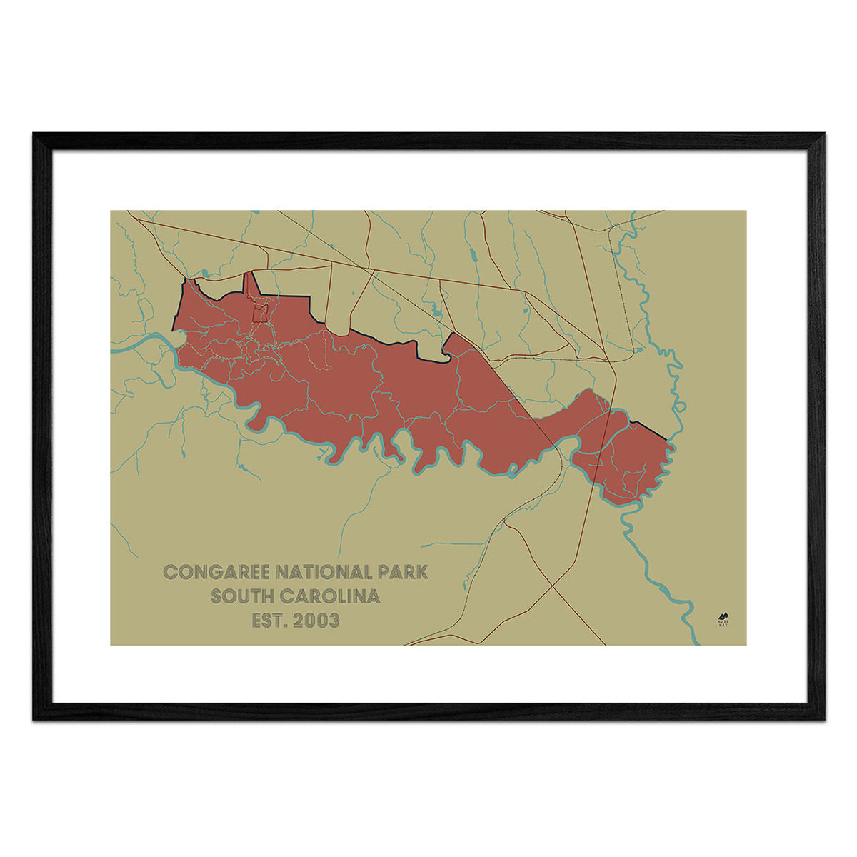
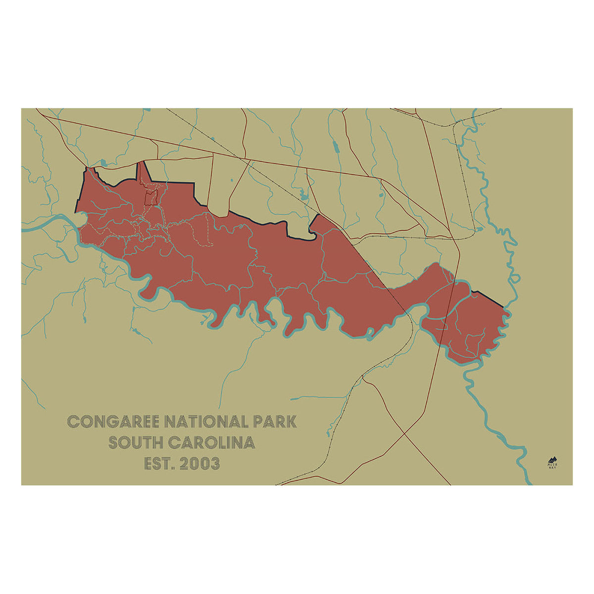
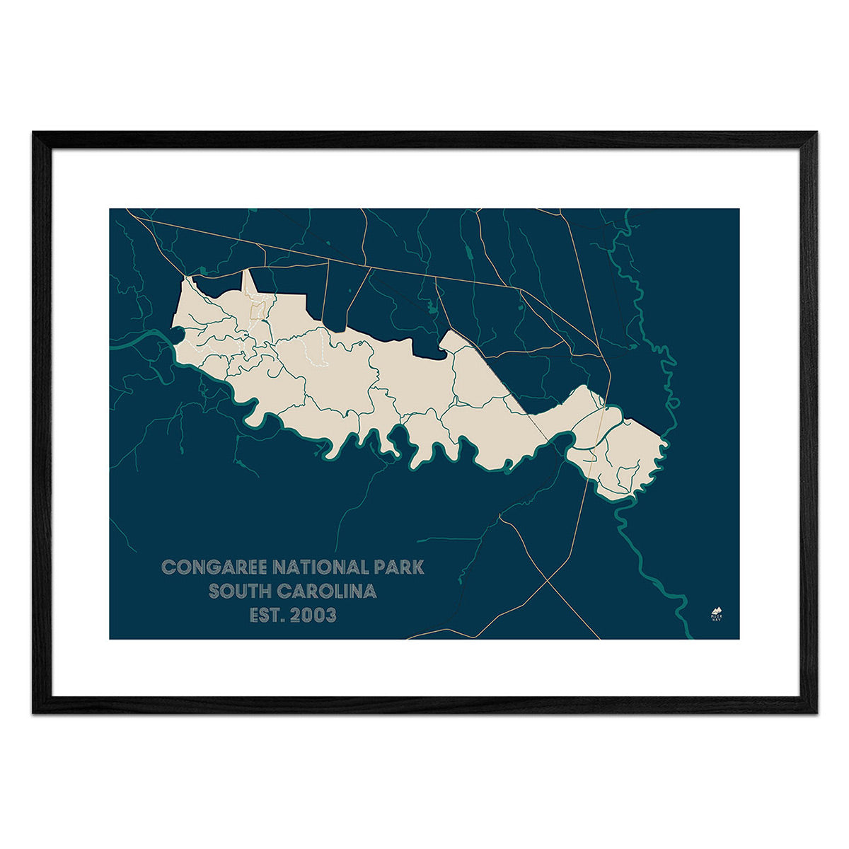
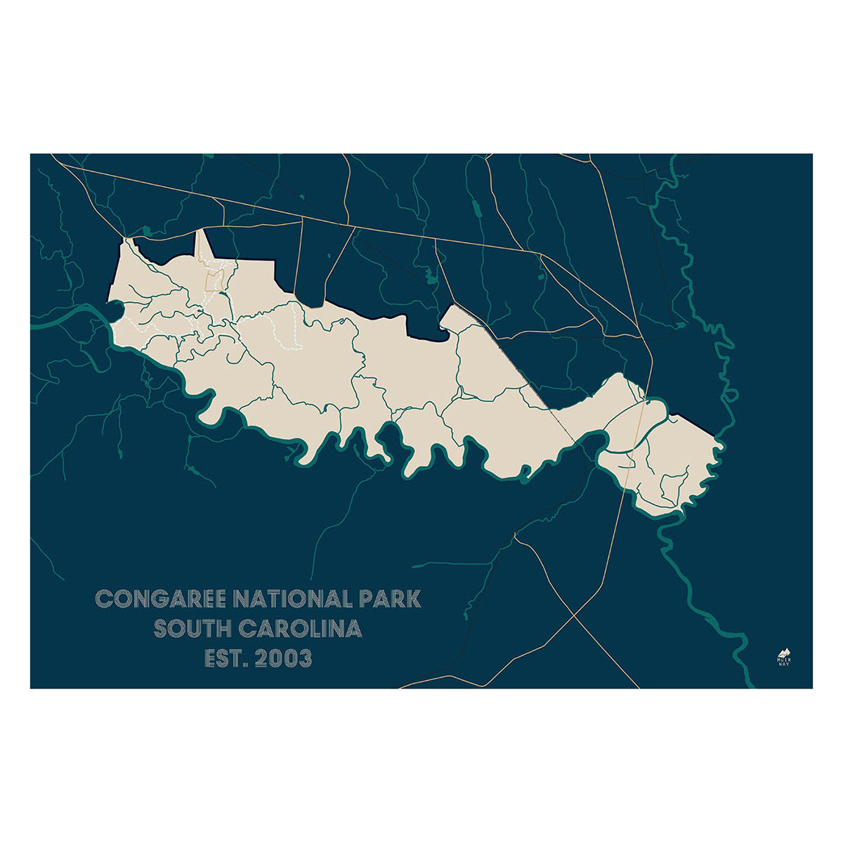
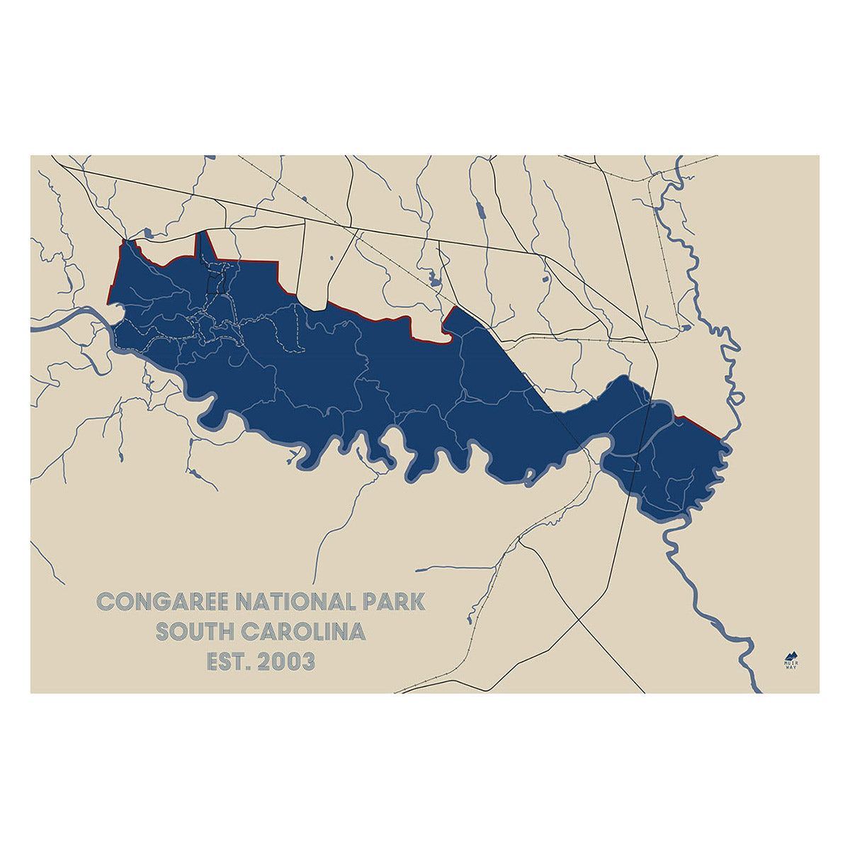
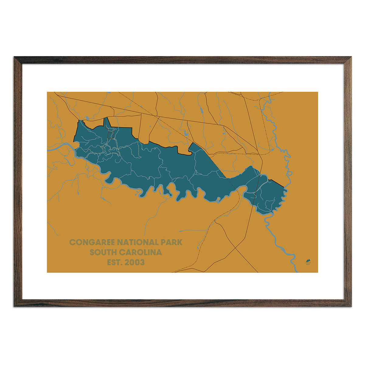
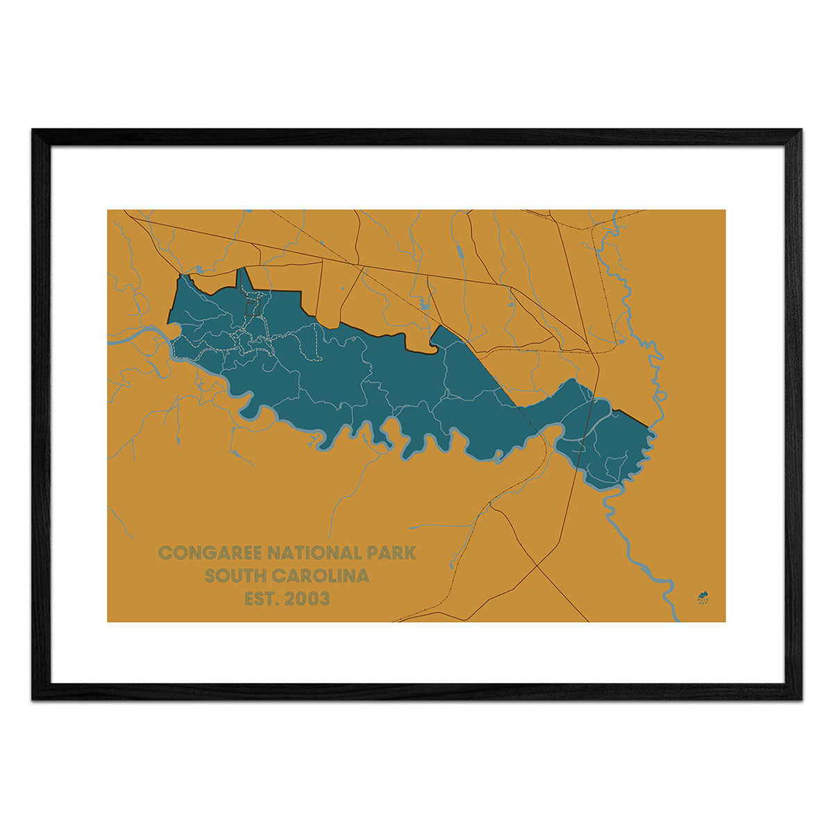
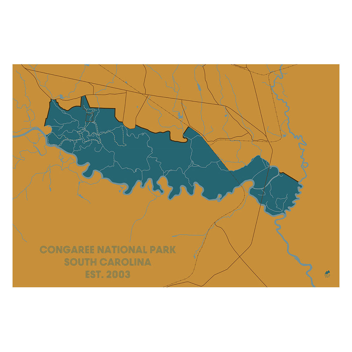
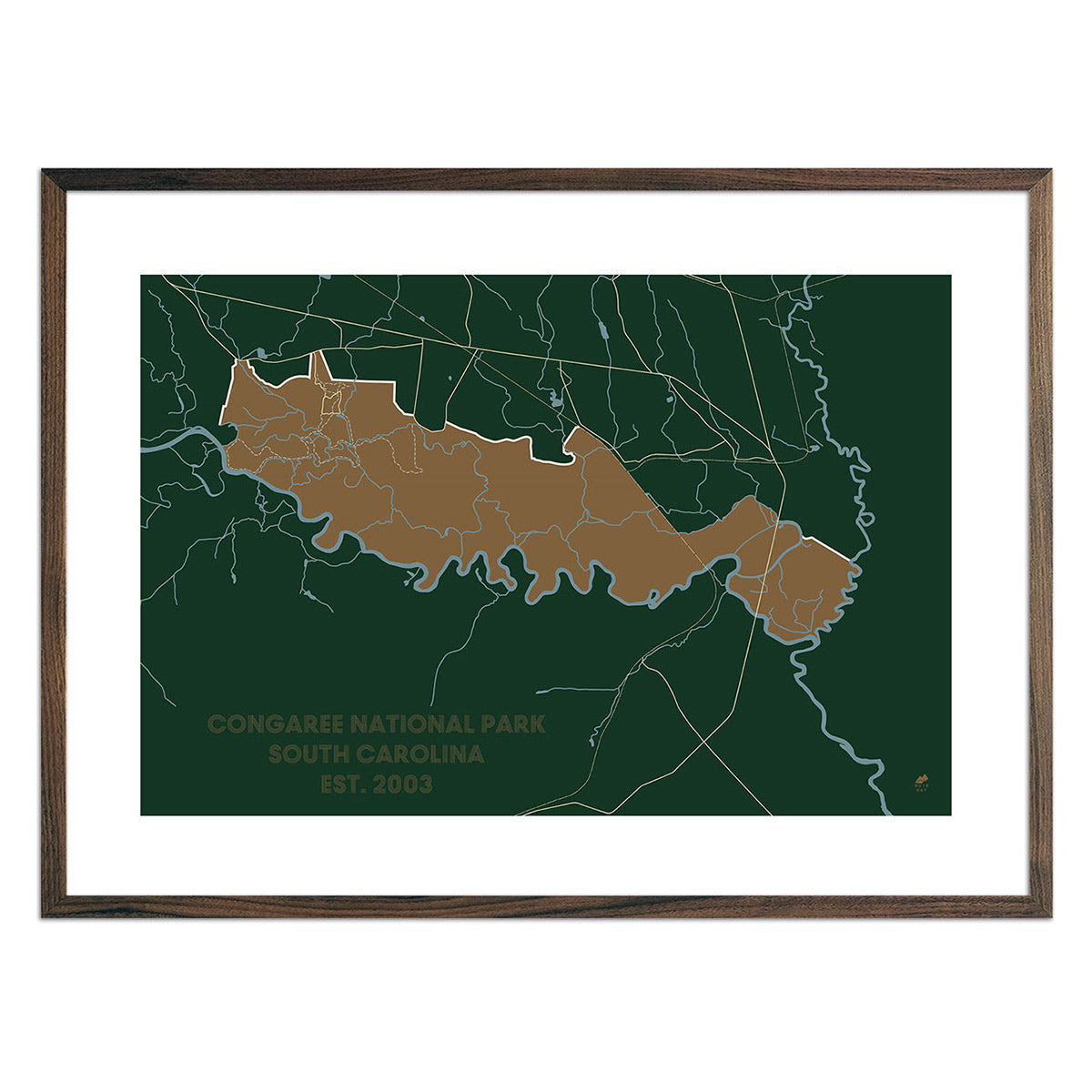
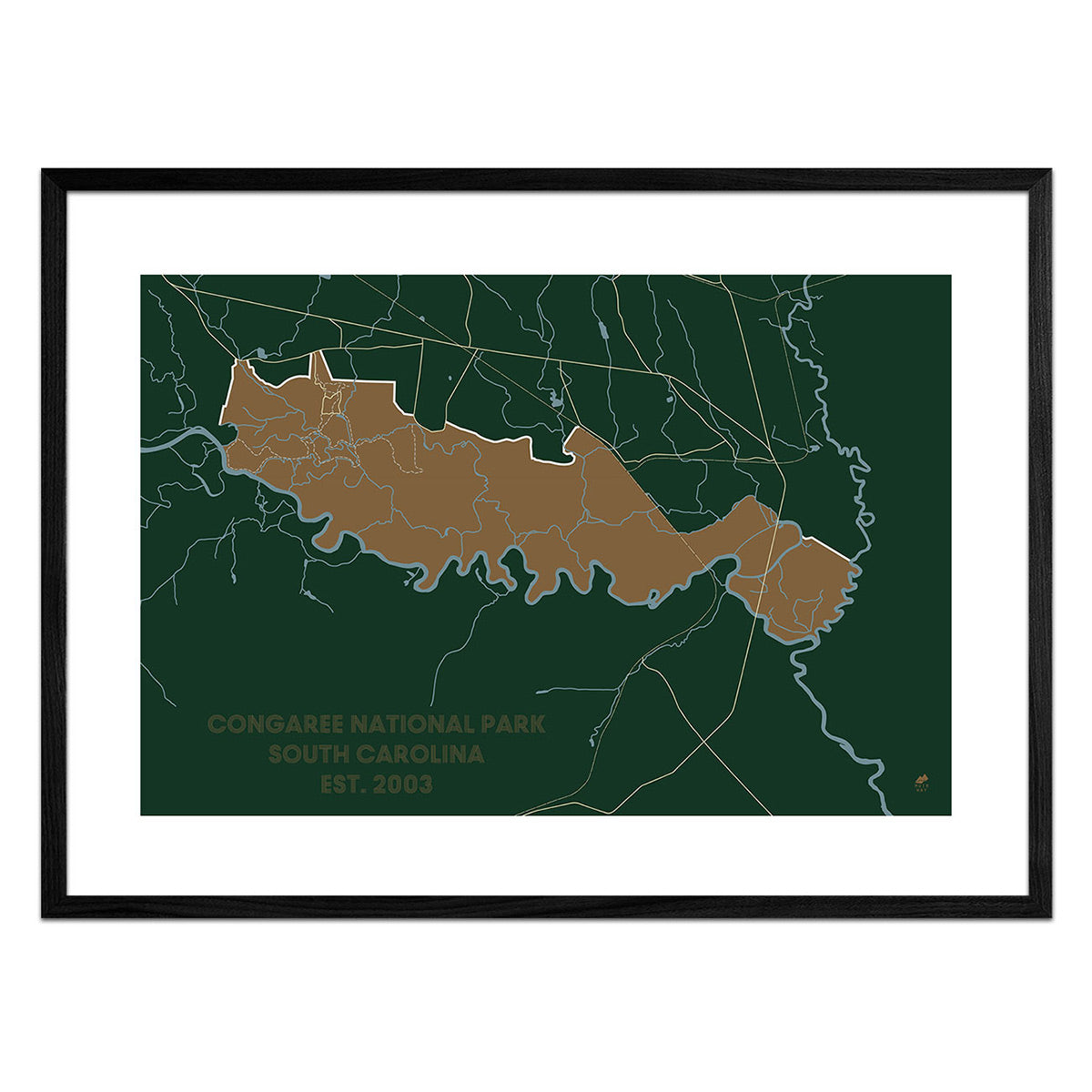
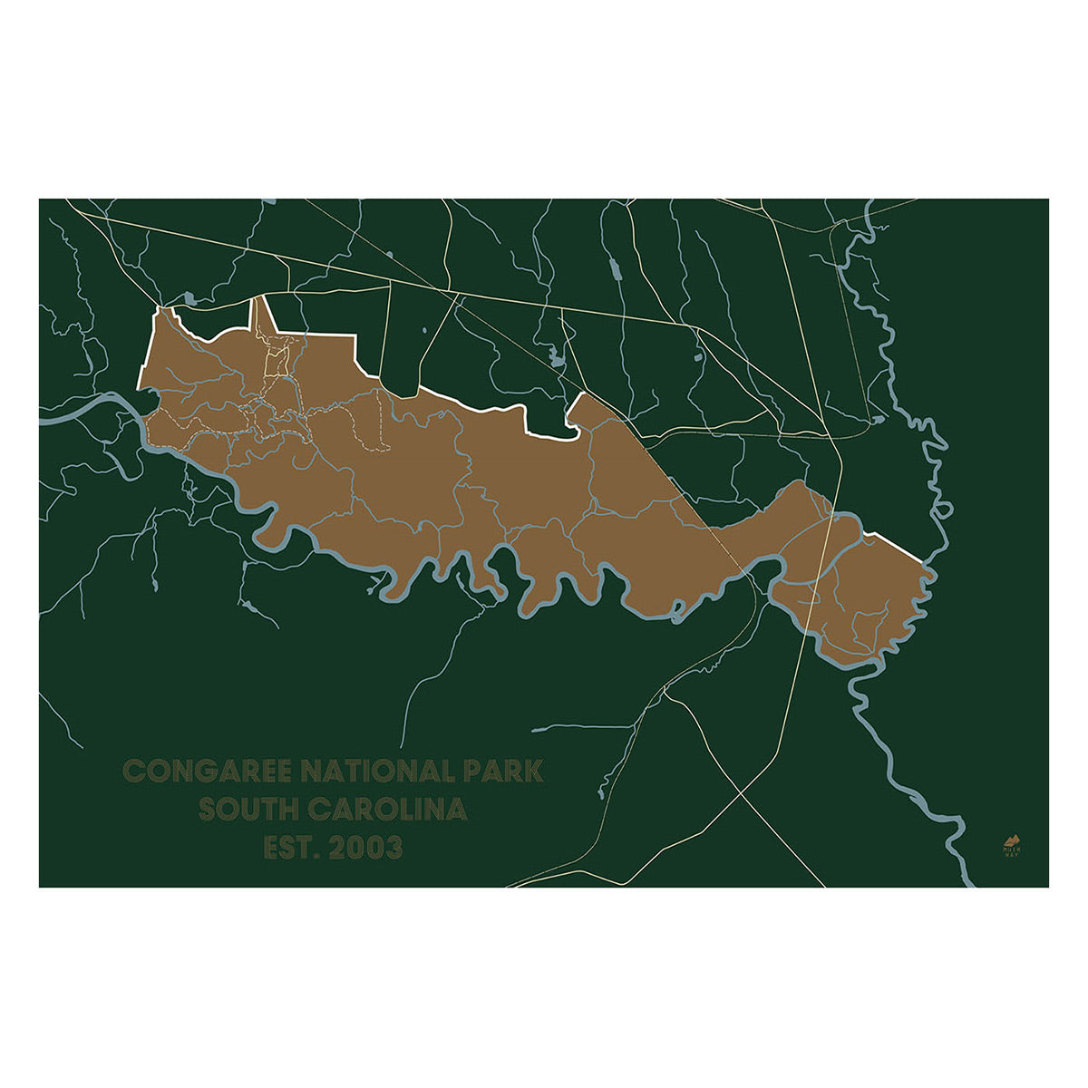
South Carolina hydrological maps - Our hydrological maps showcase the intricate network of waterways, from sprawling lakes to narrow tributaries that flow into larger rivers. Trace South Carolina’s waterways on our South Carolina hydrological map and you’ll see every body of water greater than 0.2 mi in diameter. What makes our hydrological maps unique? We apply a method called the Strahler Stream Order to show the hierarchy of streams as they flow from their source, with rivers shown thicker as they acquire the flow of tributaries. Map available in black, blue, or green. Want to see the ‘big picture?’ See our South Atlantic-Gulf Regional Hydrological map.
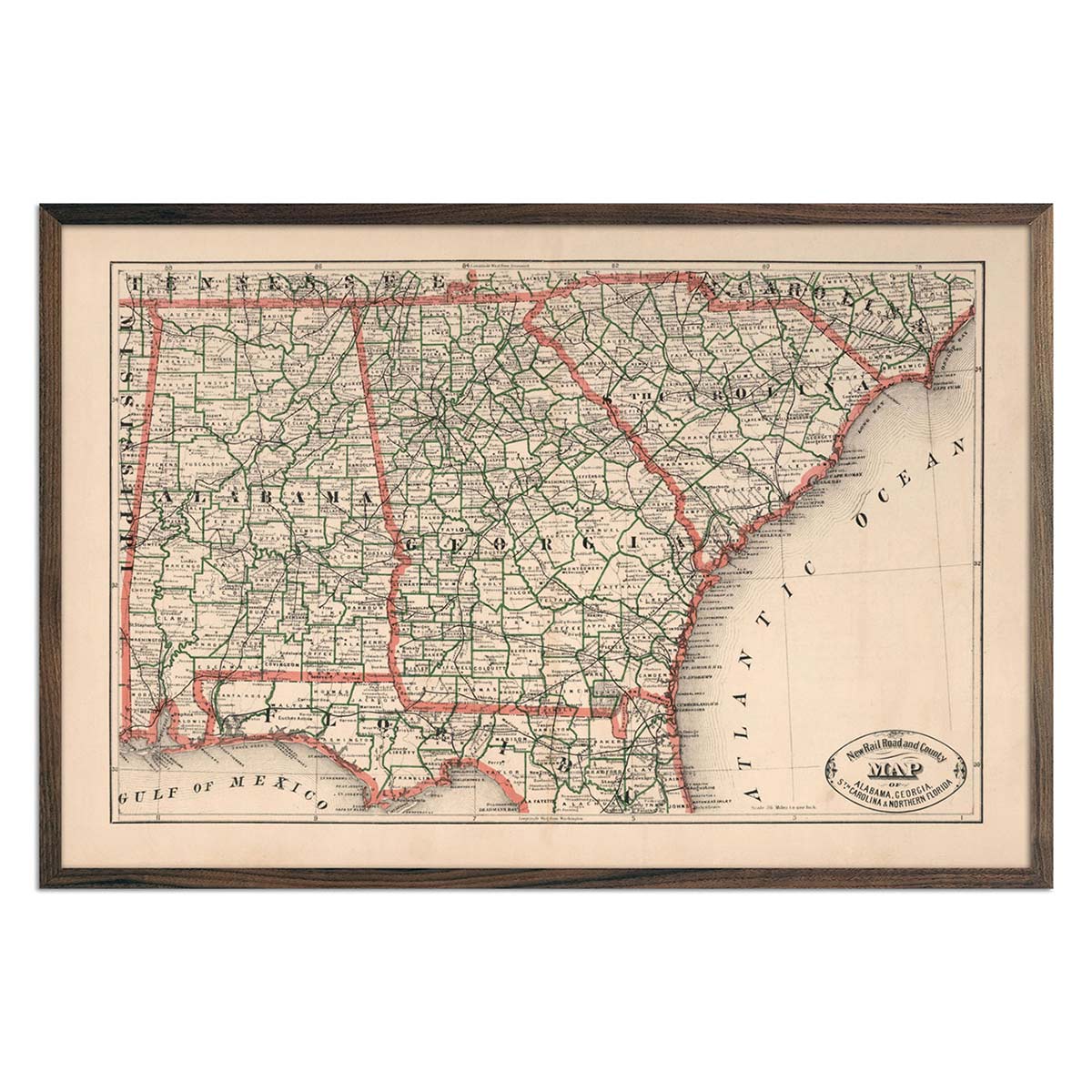
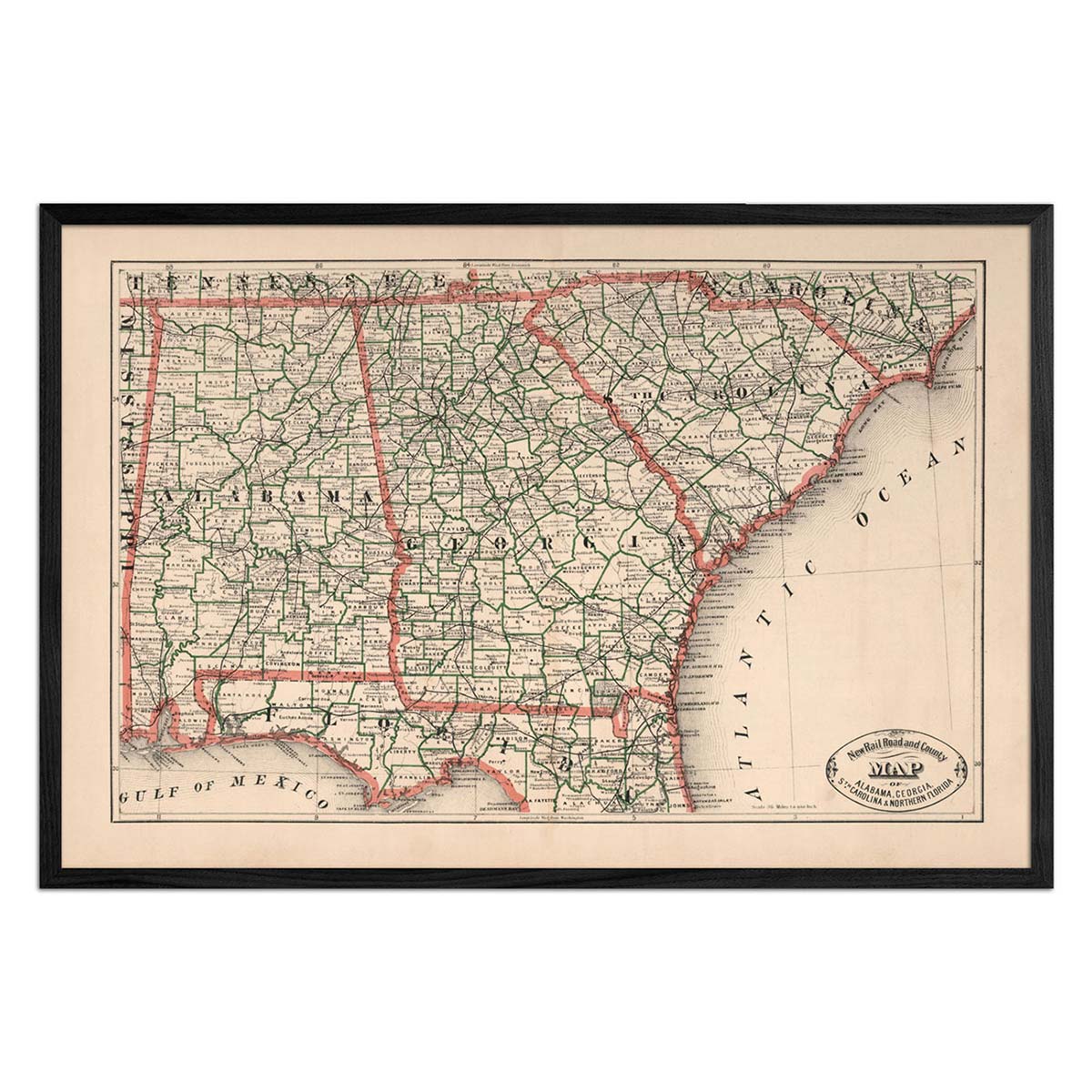
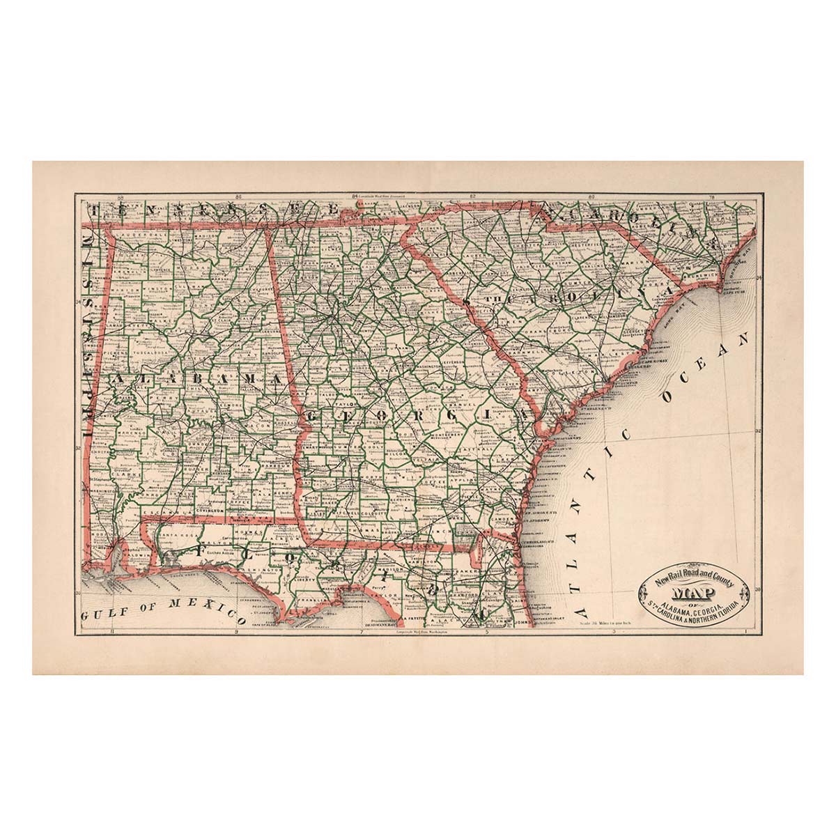
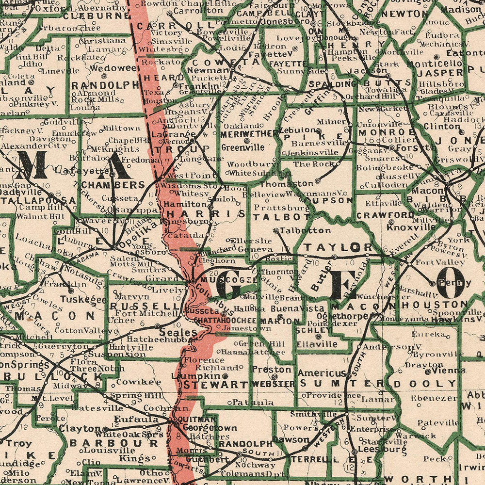
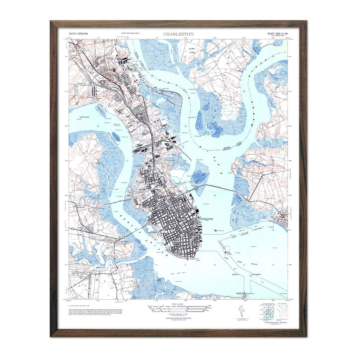
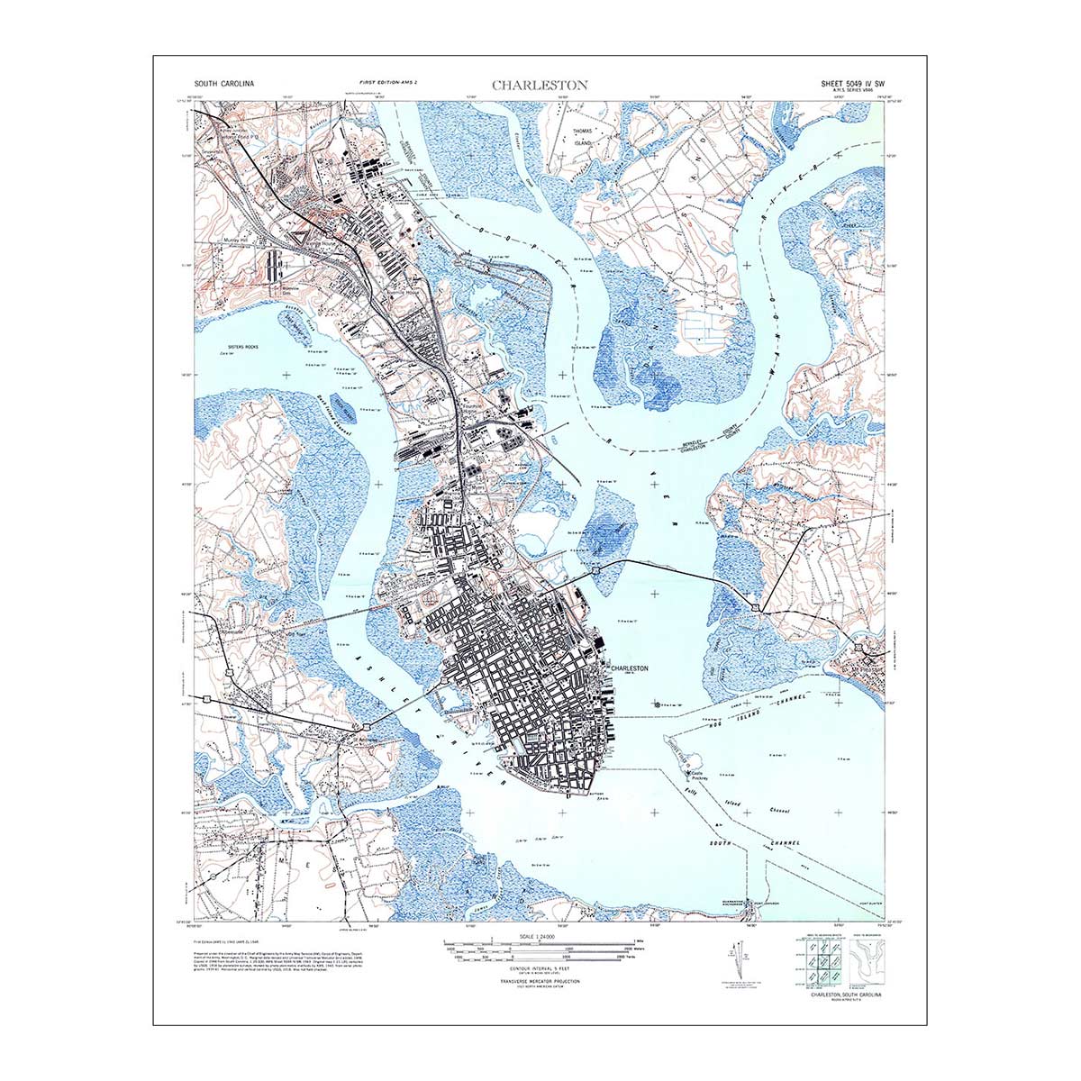
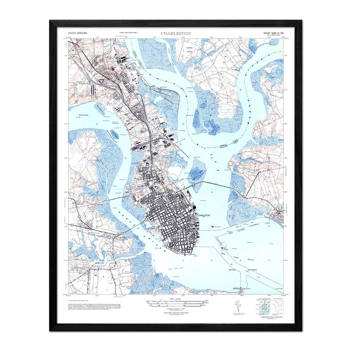
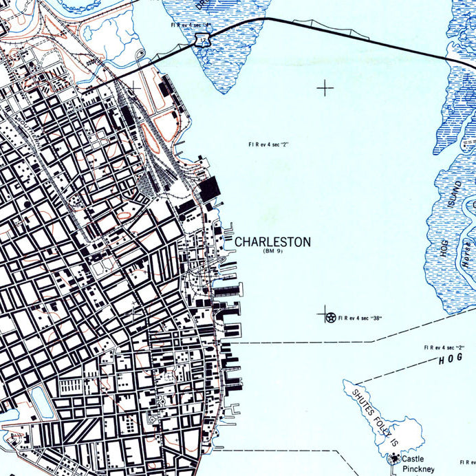
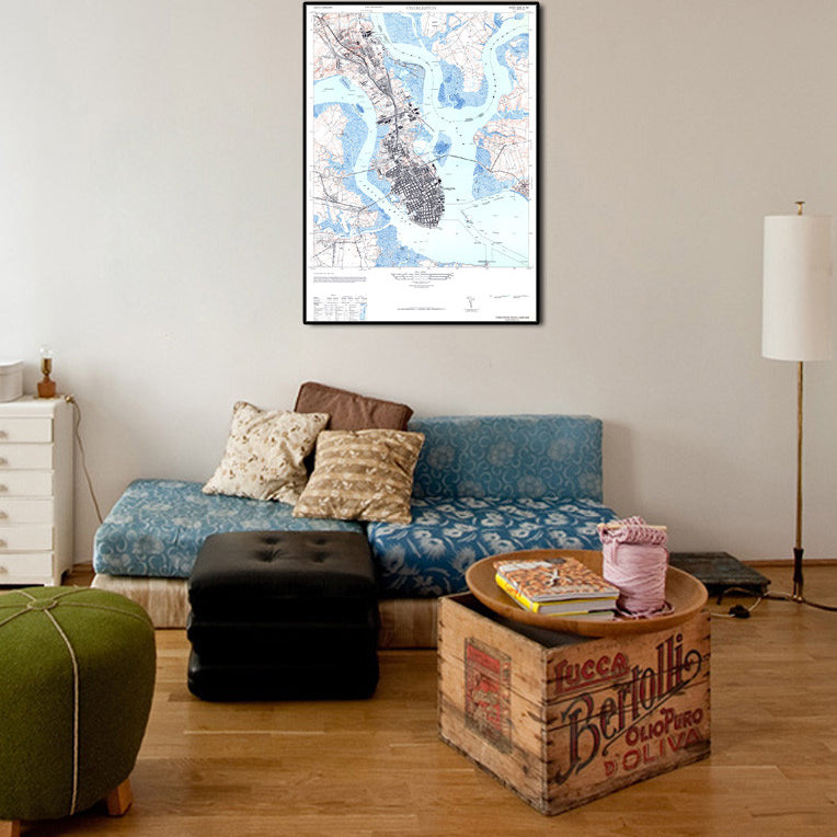
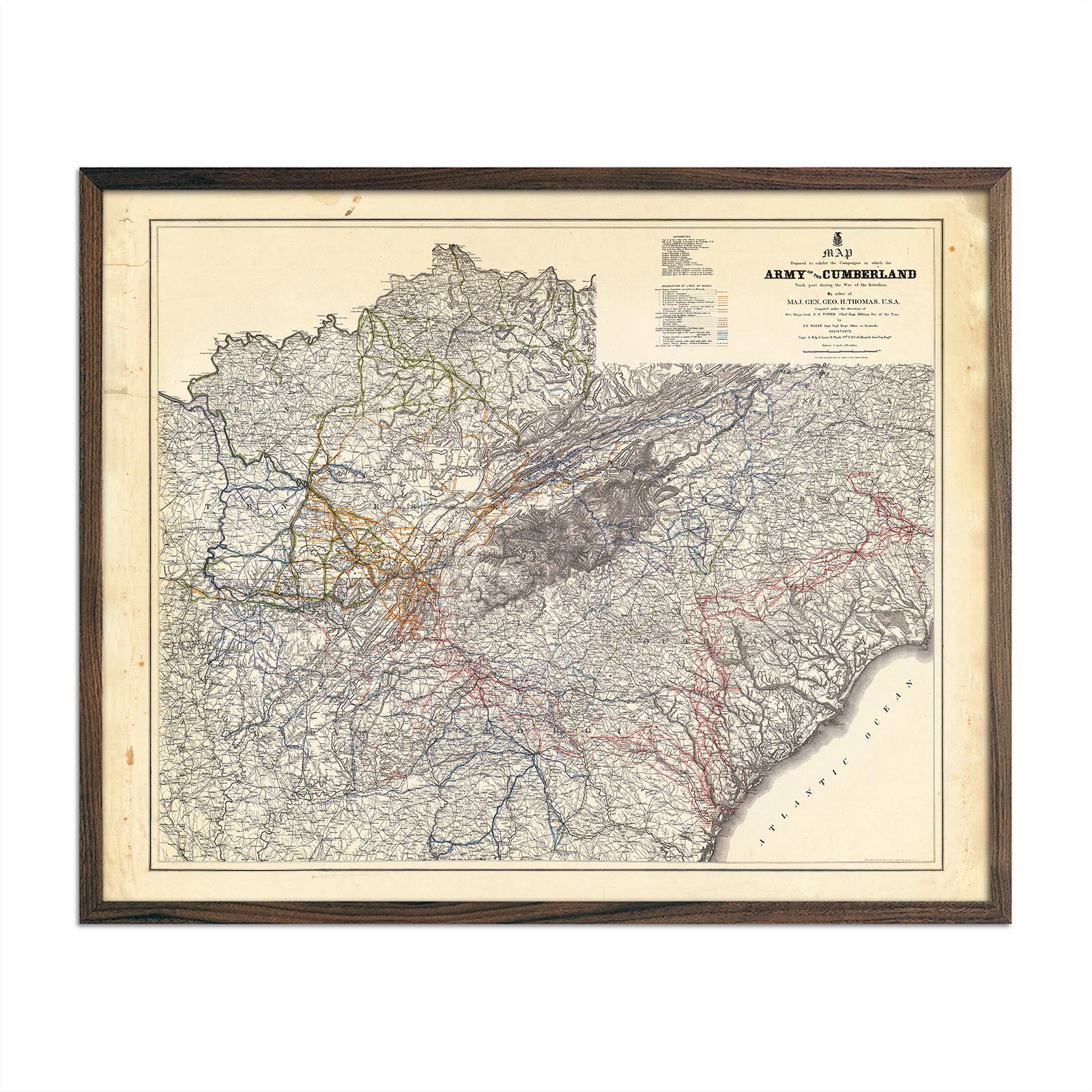
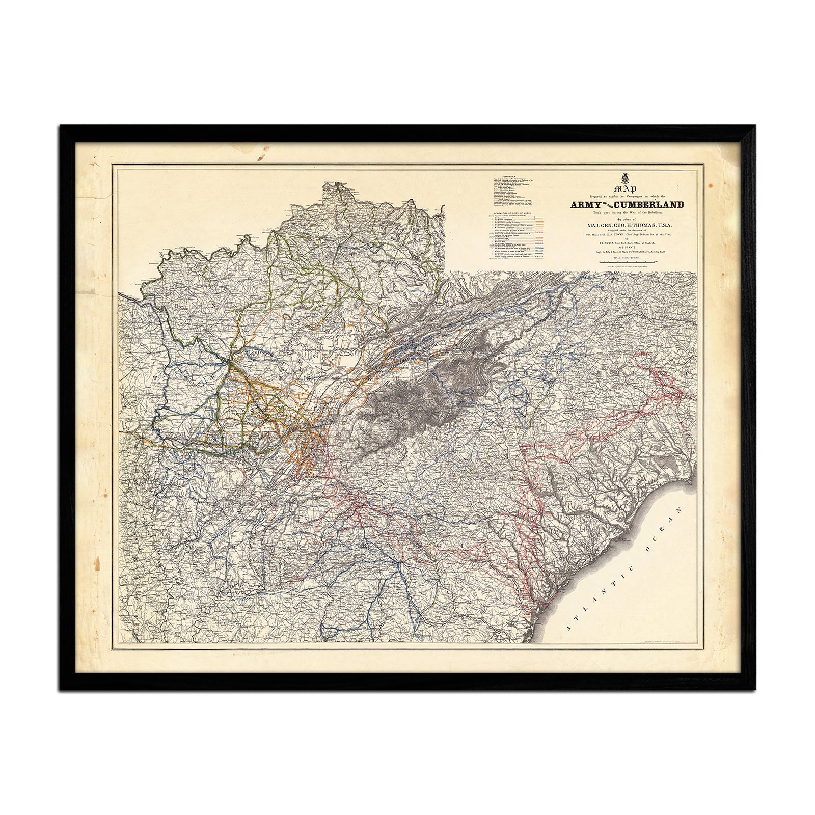
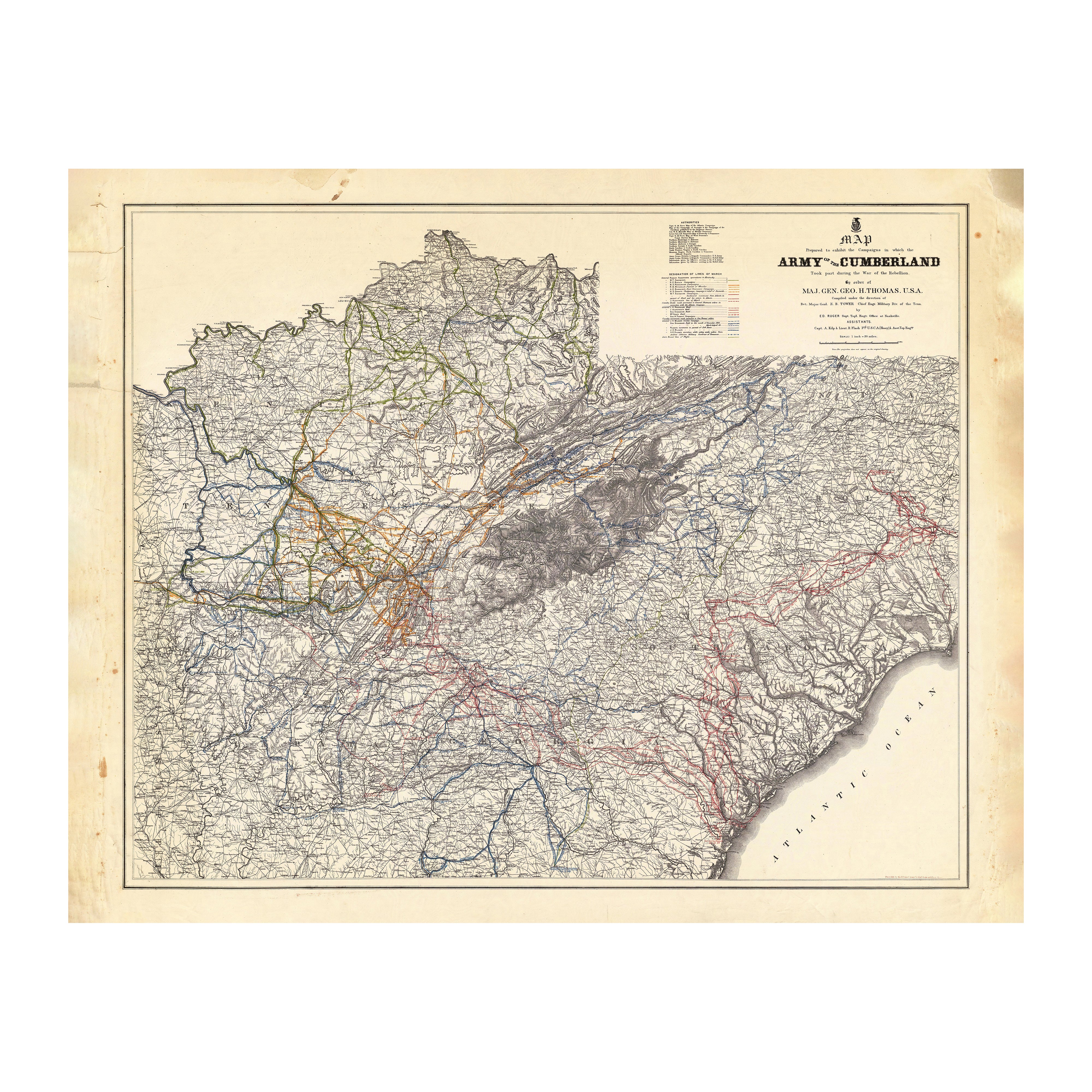
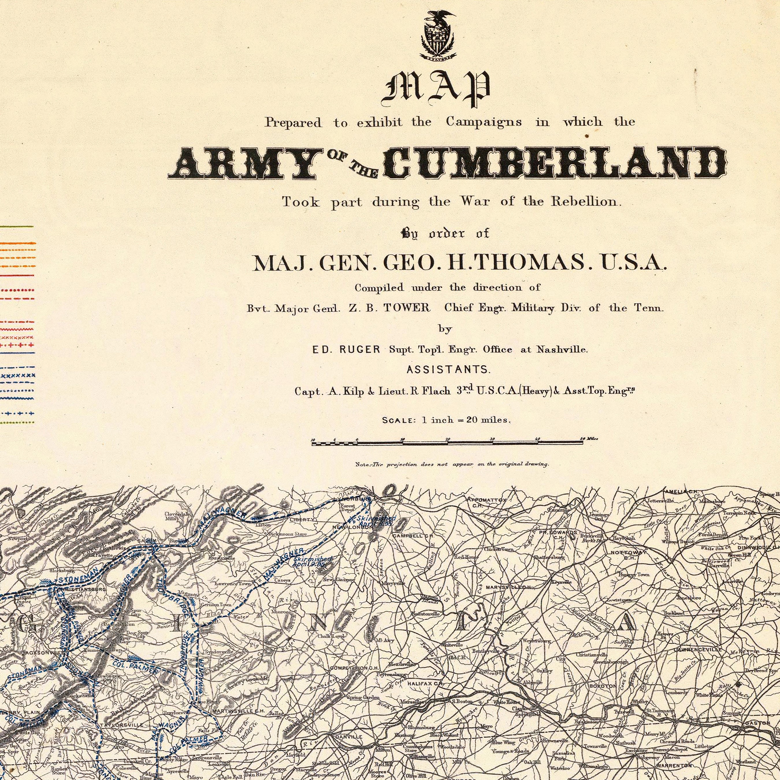
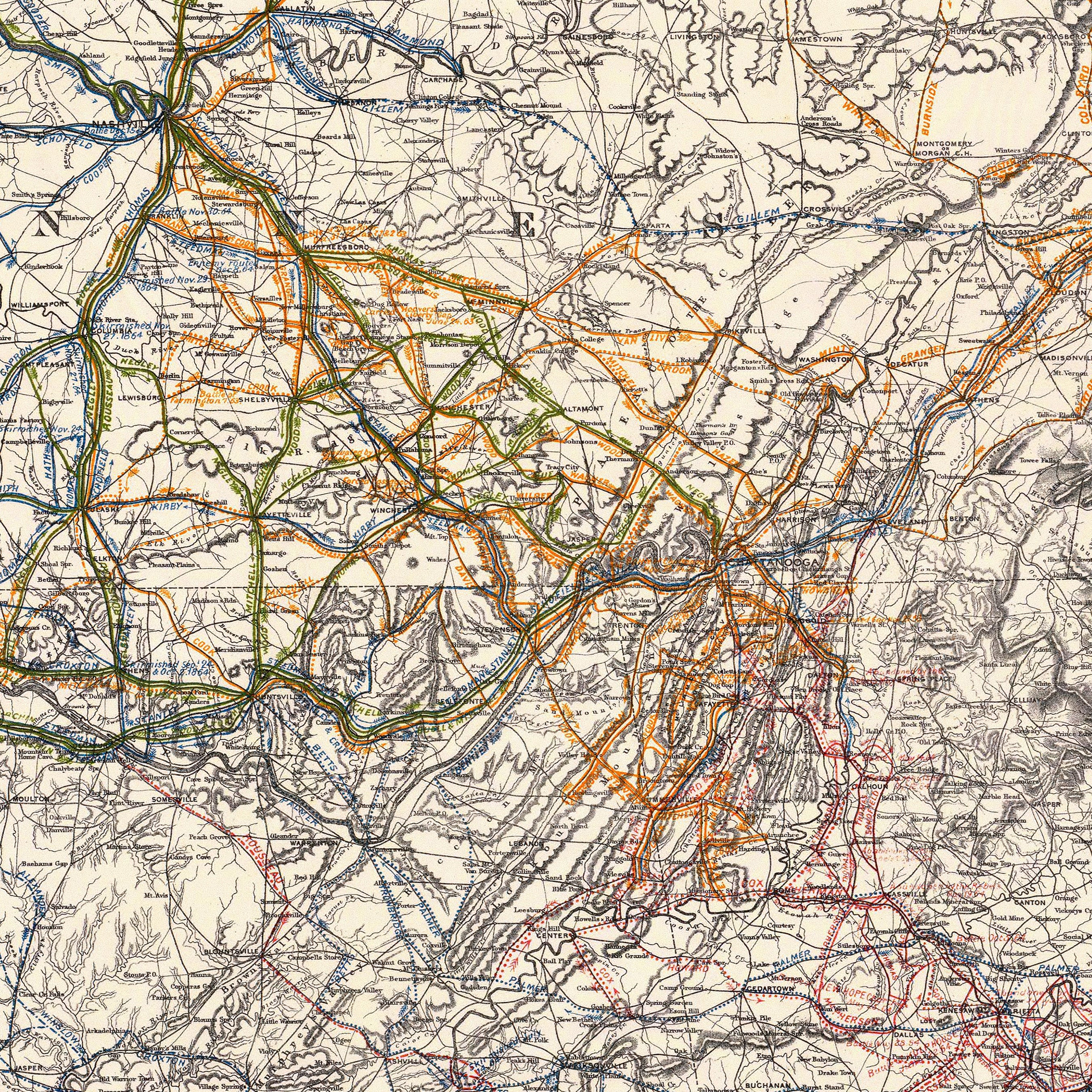
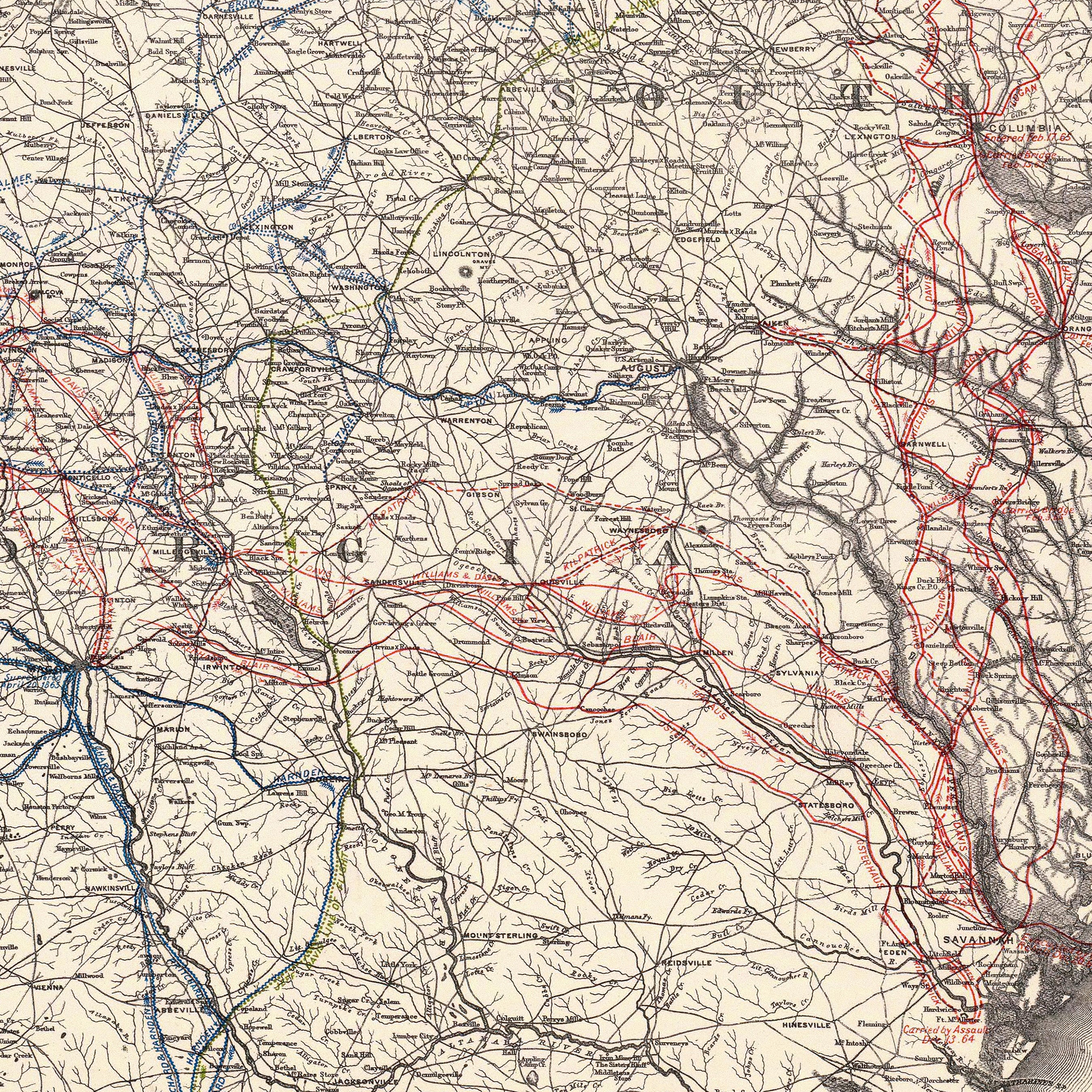
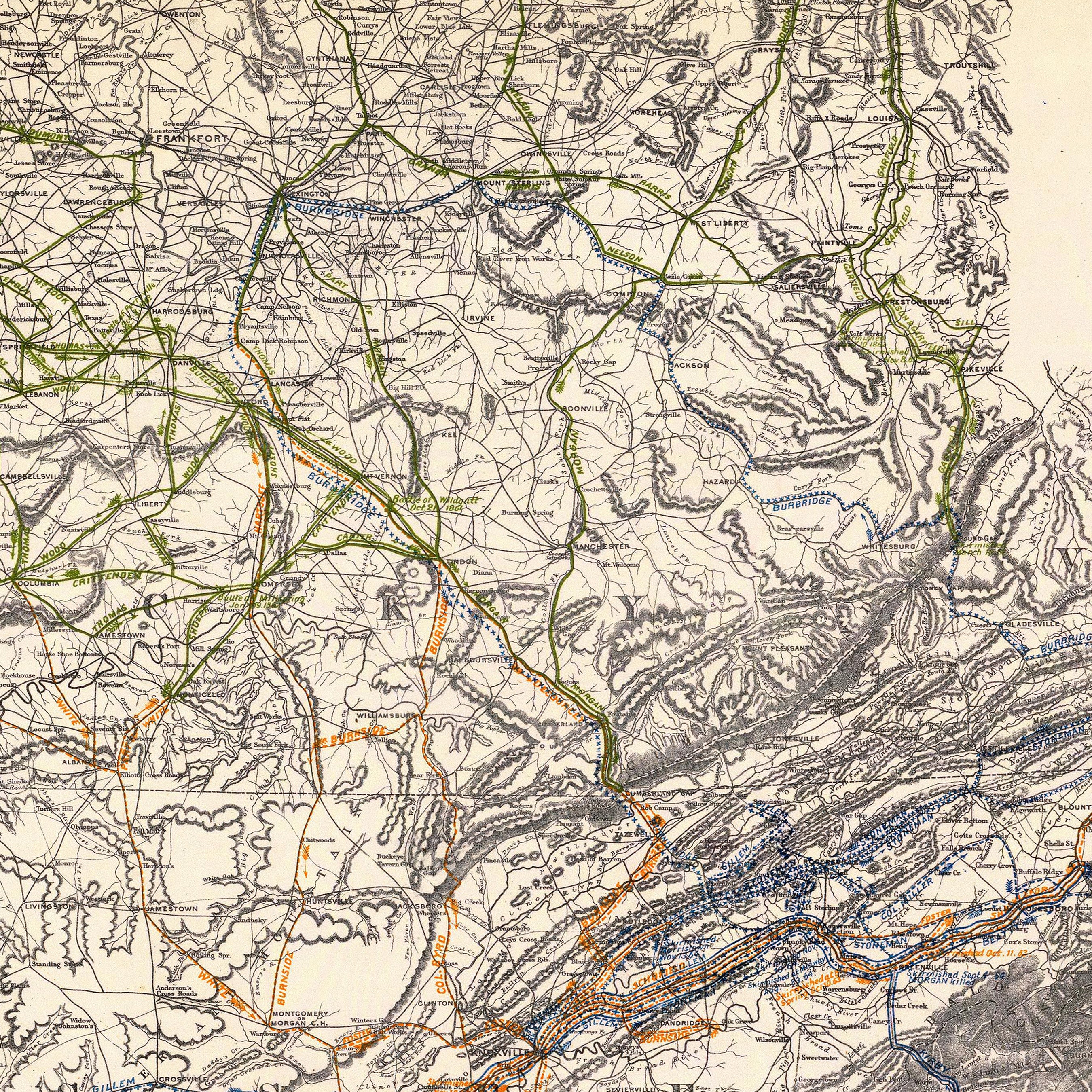
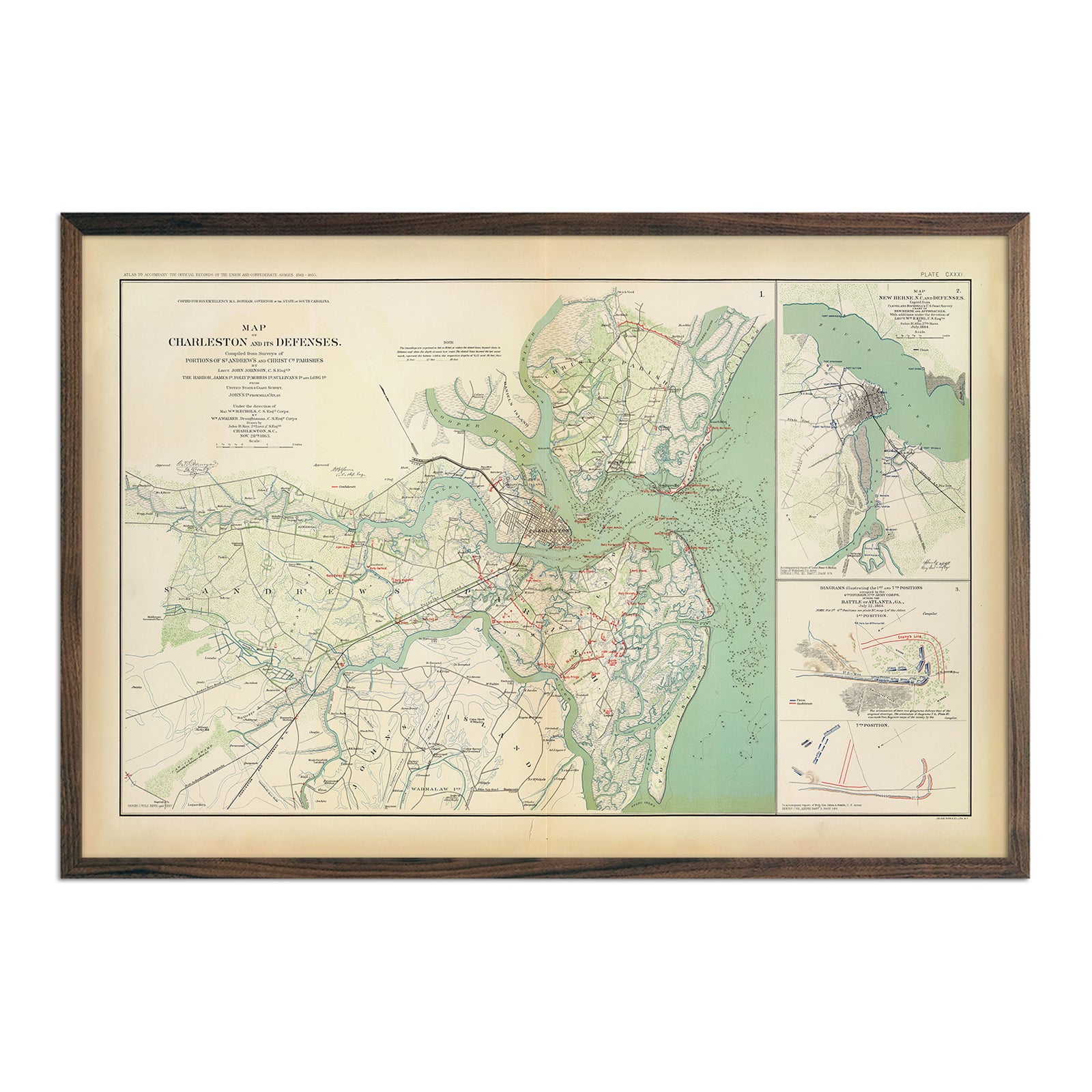
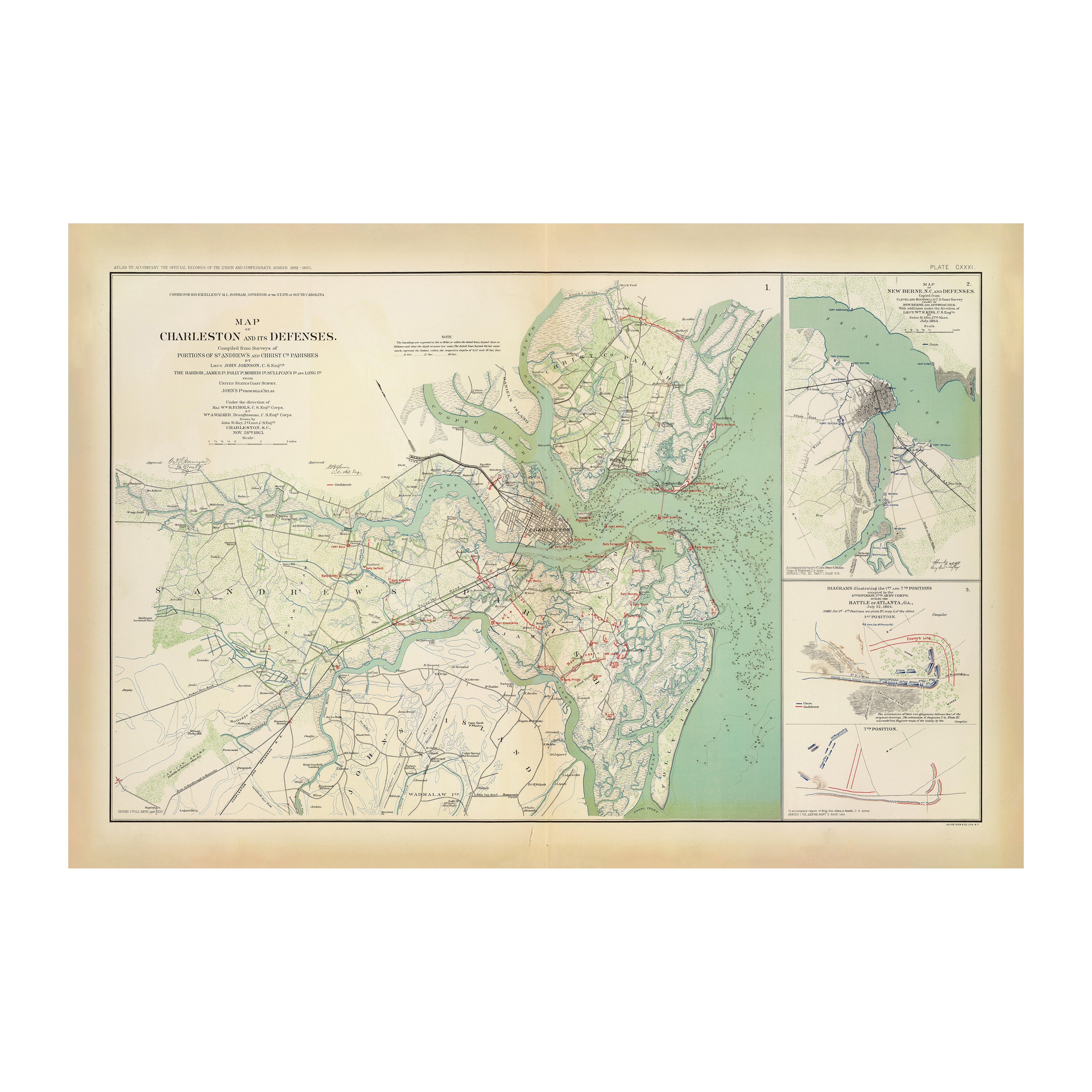
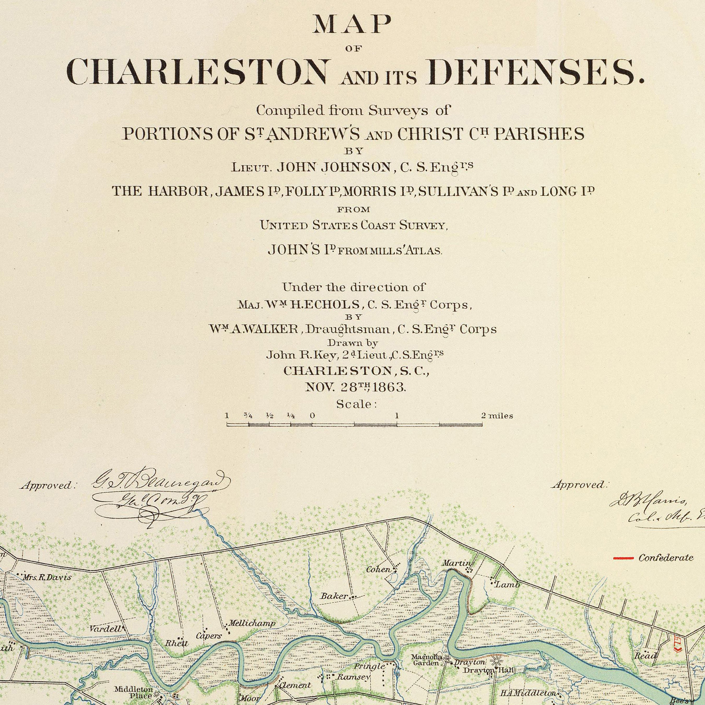
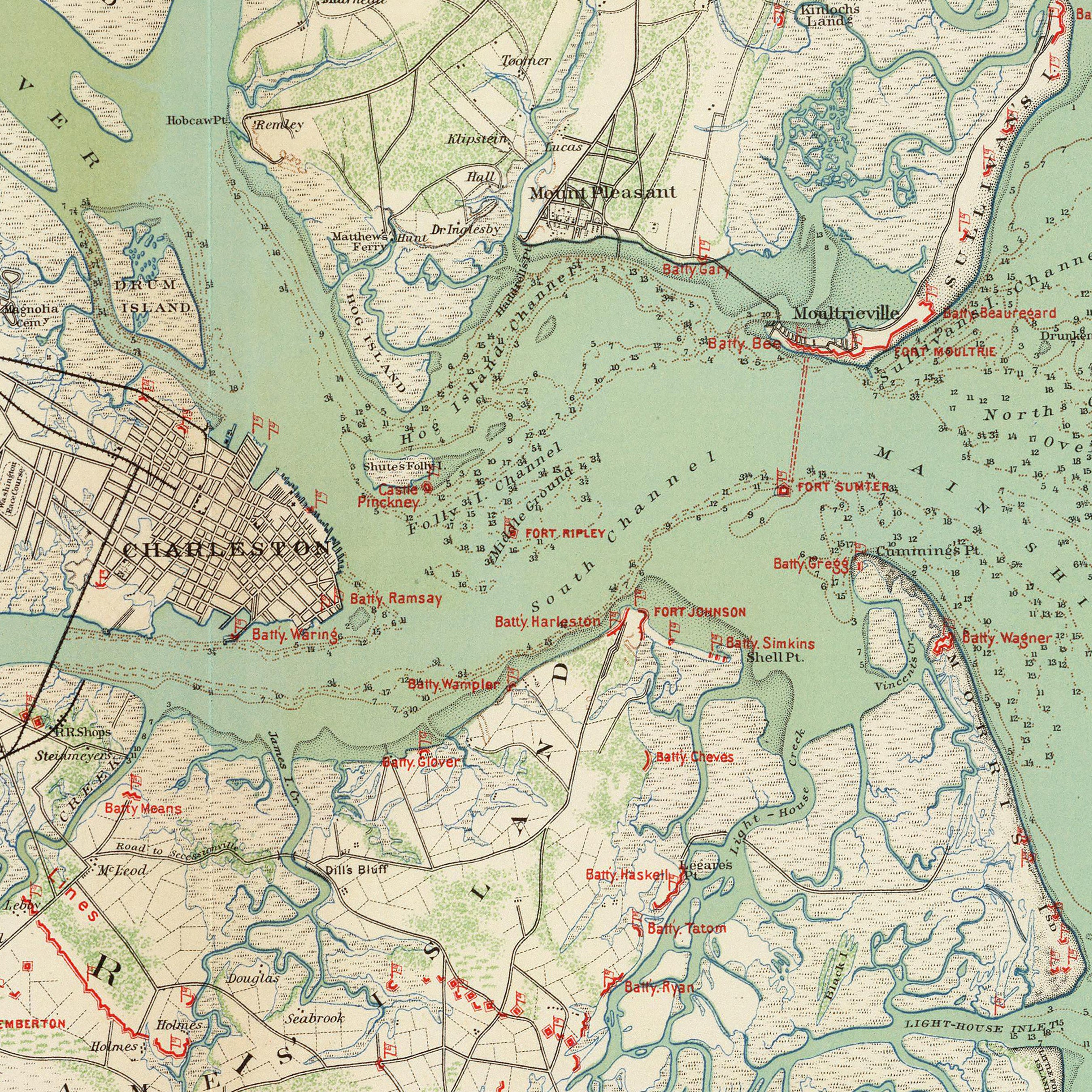
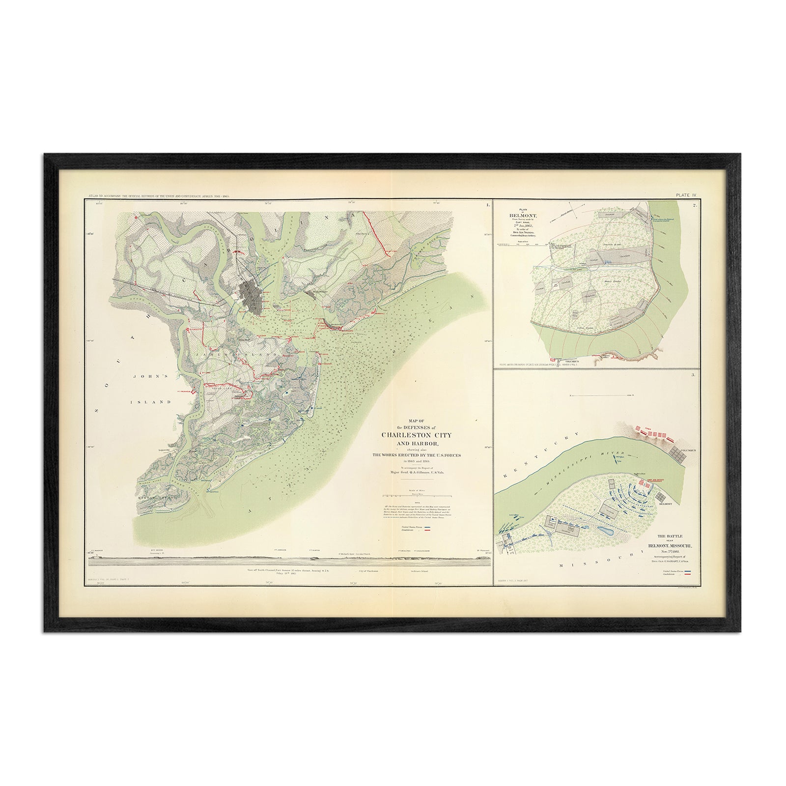
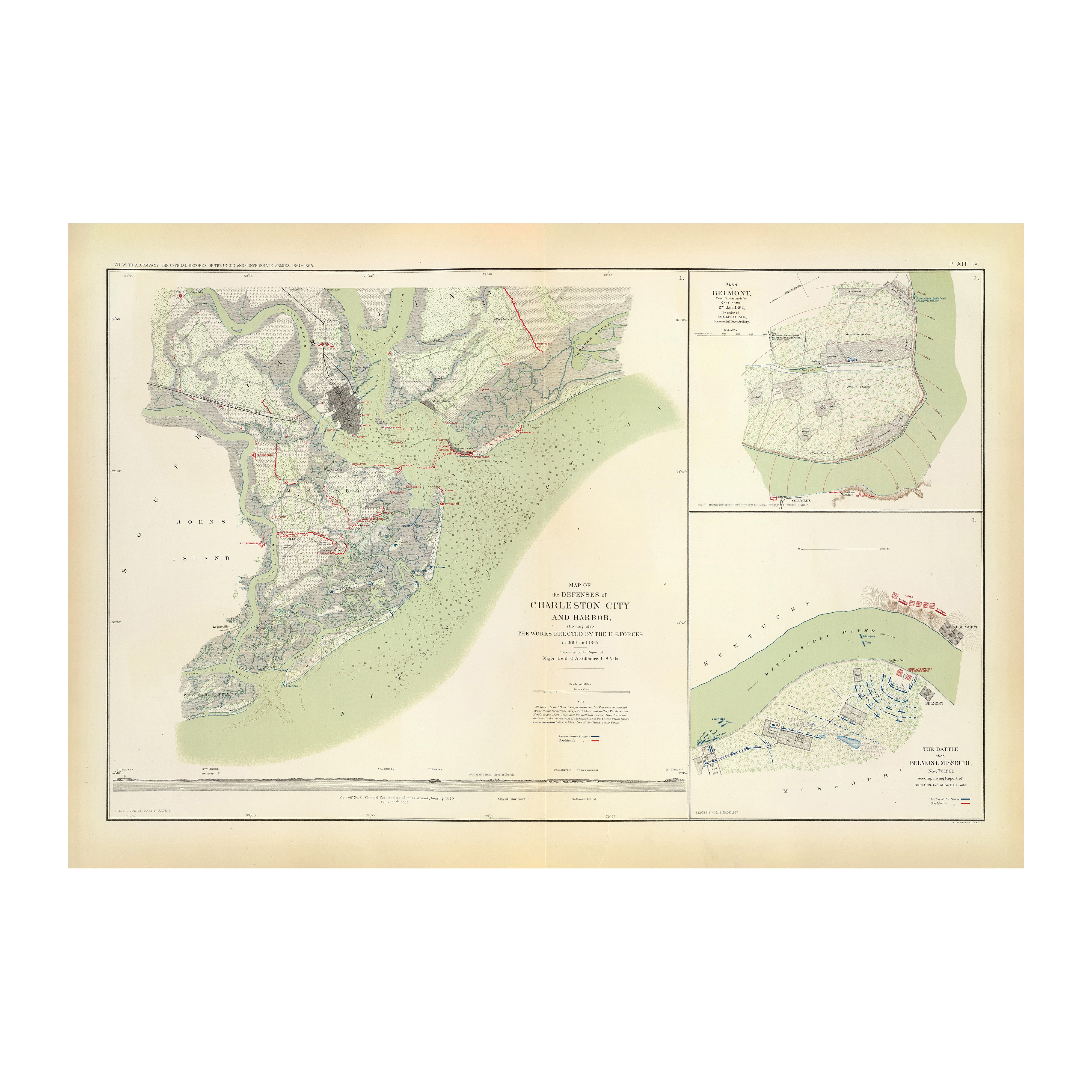
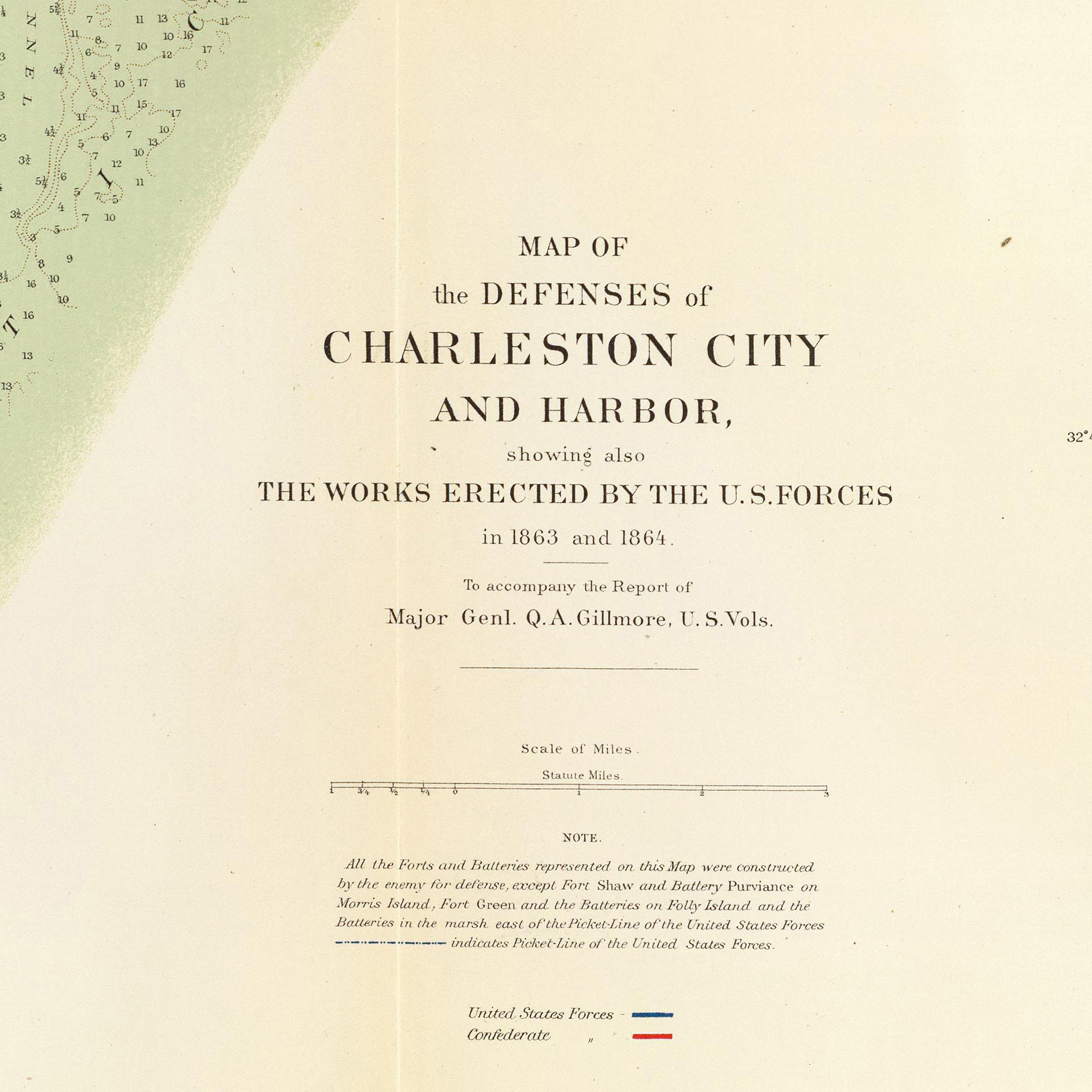
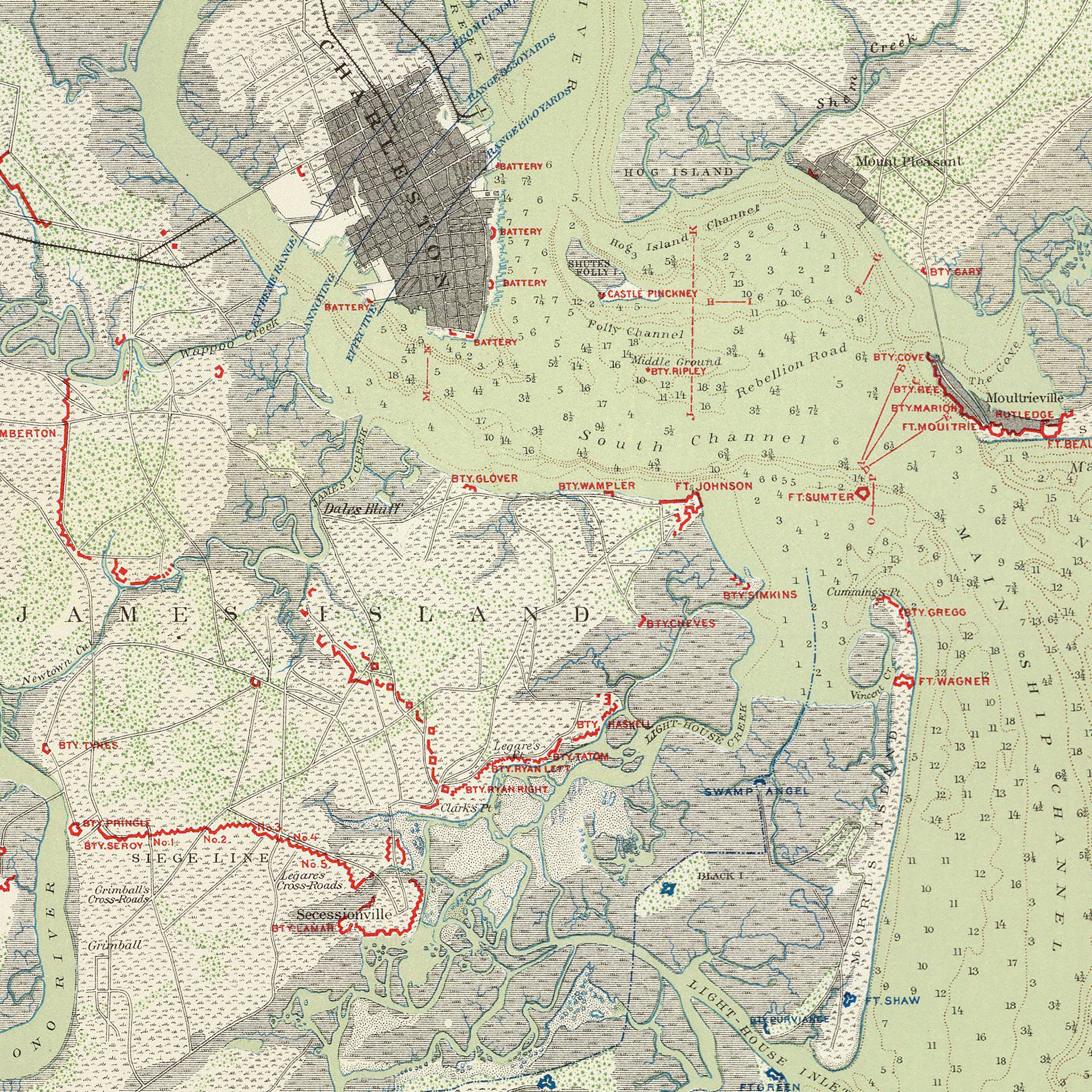
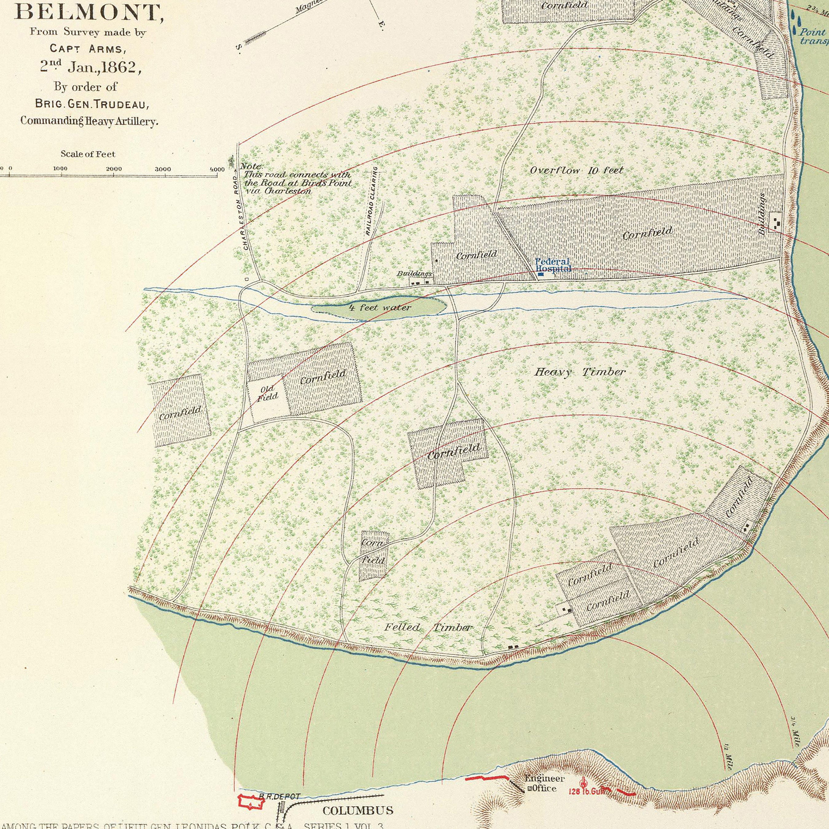
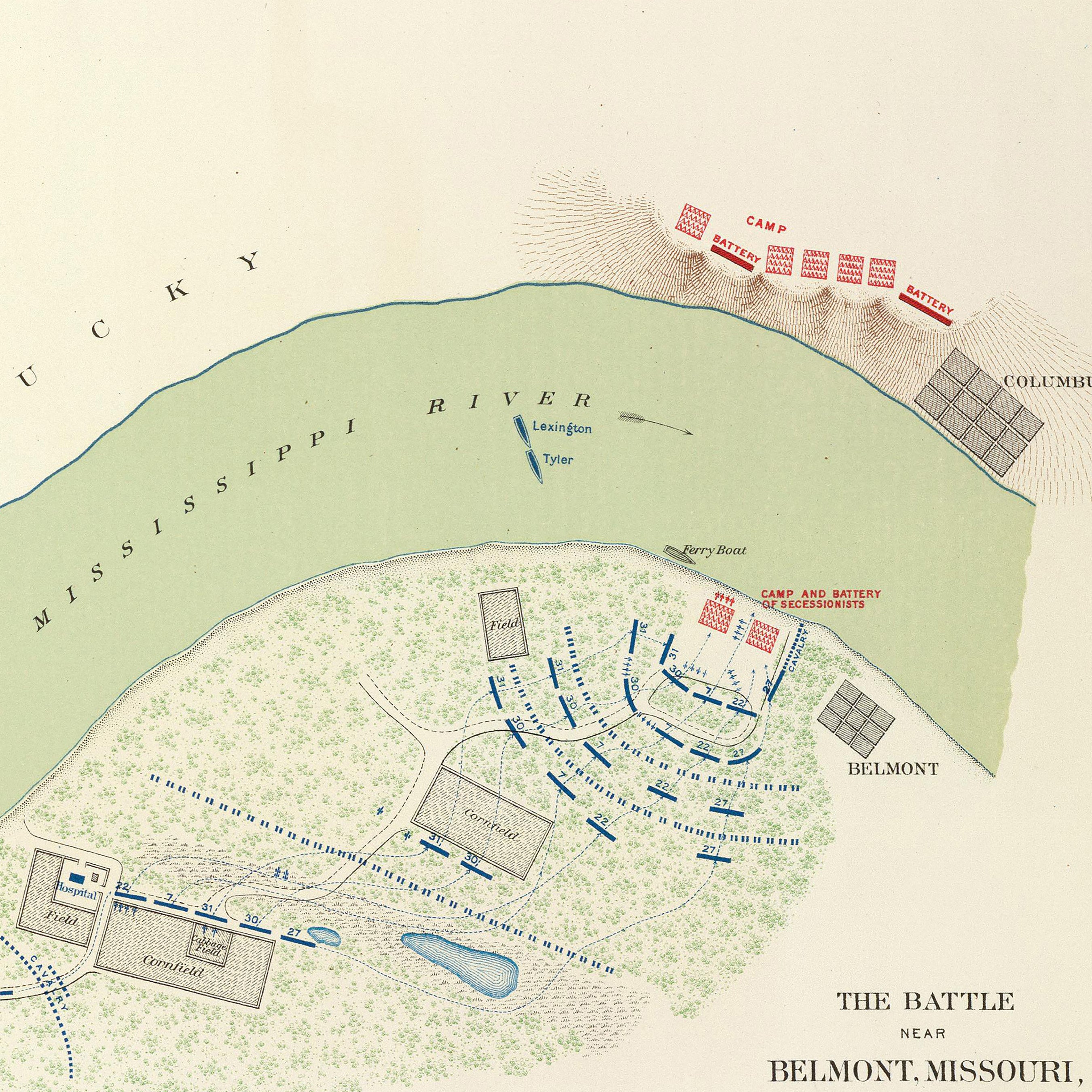
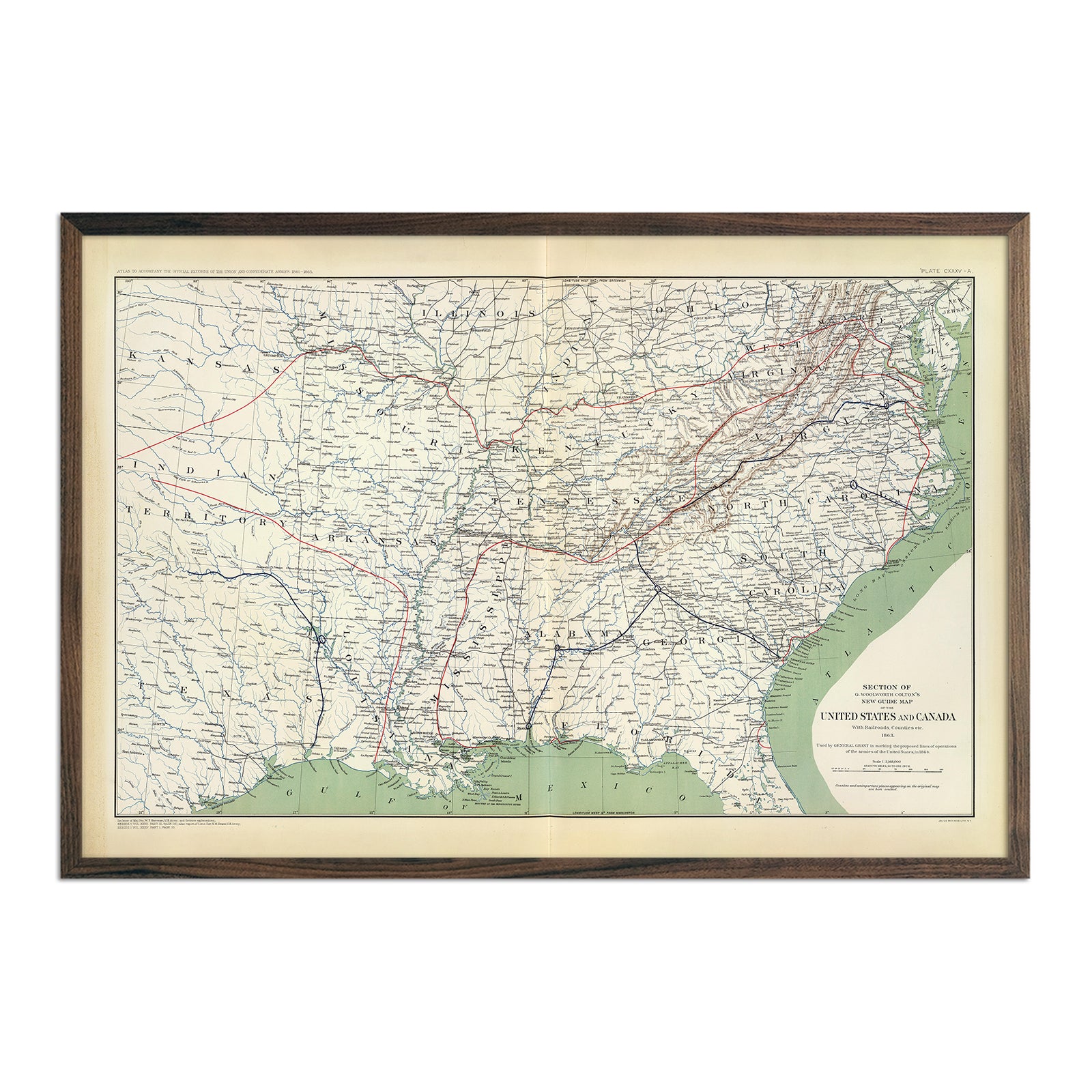
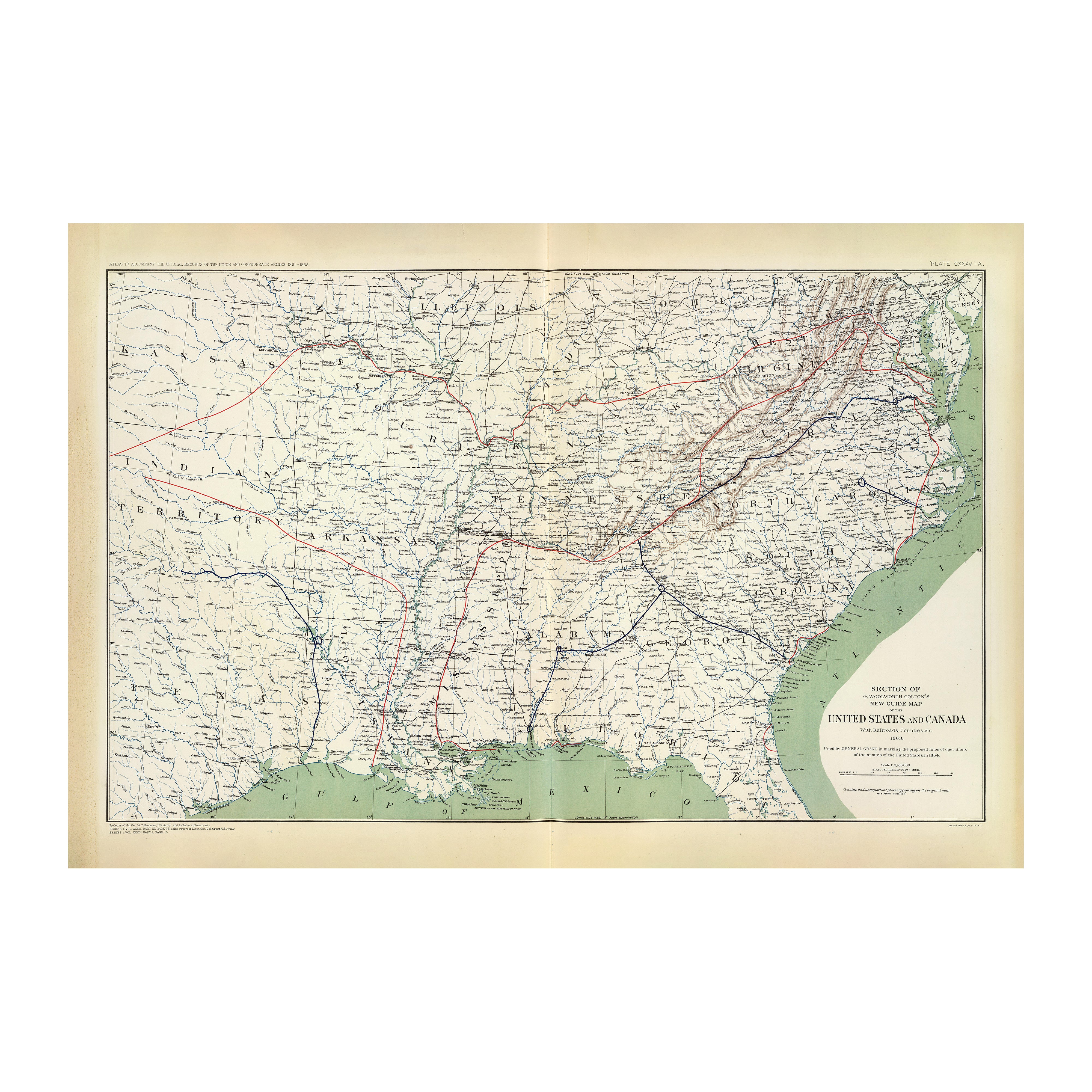
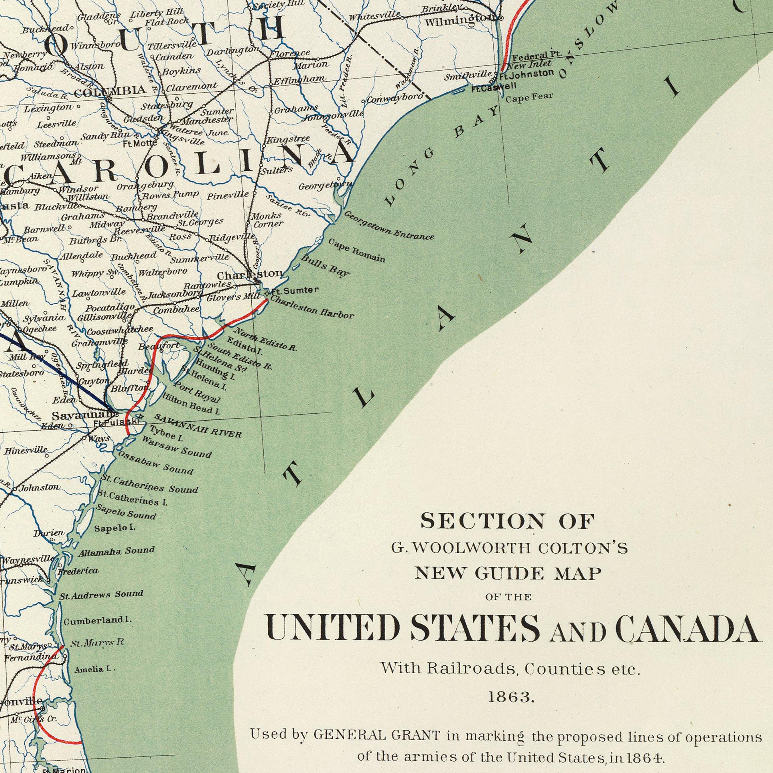
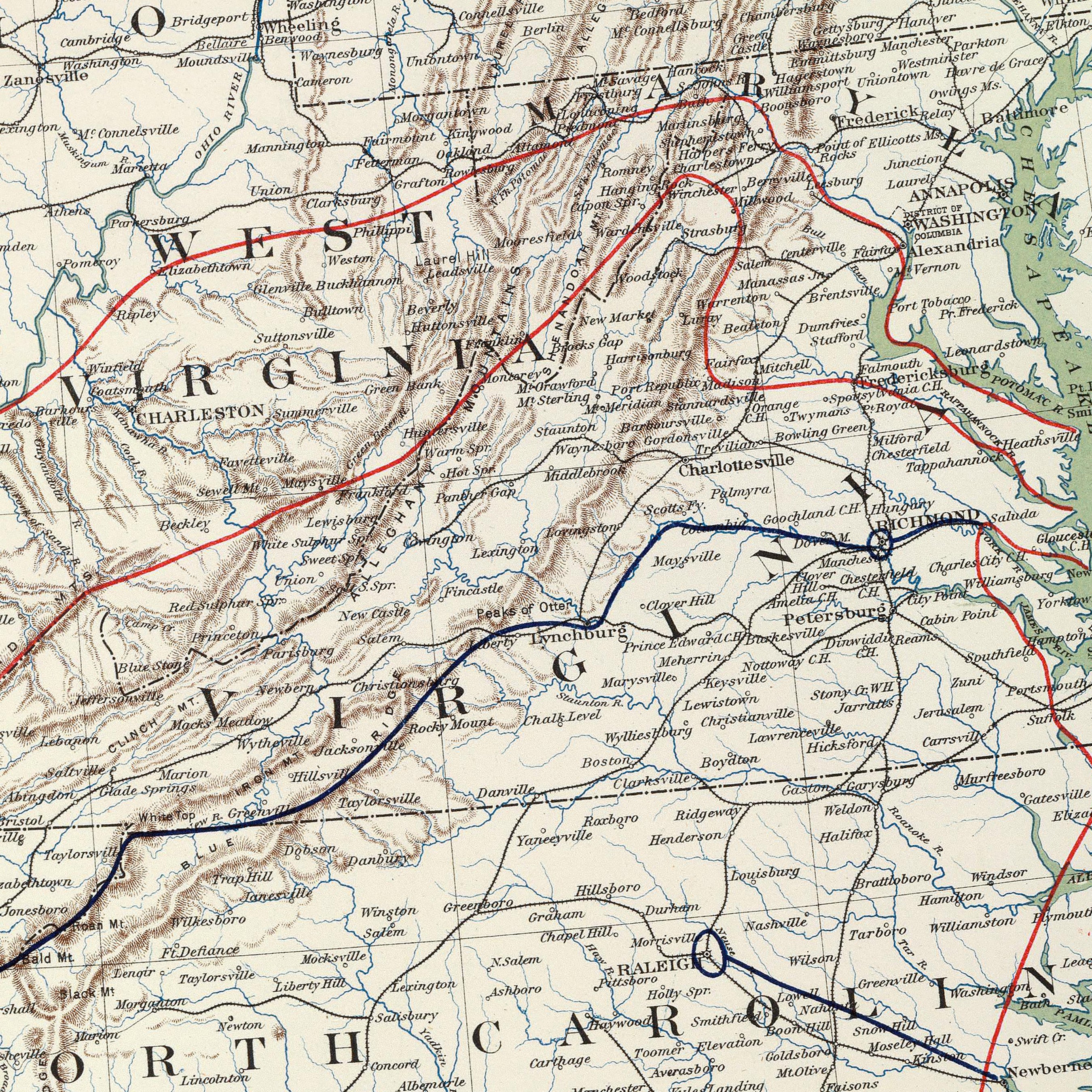
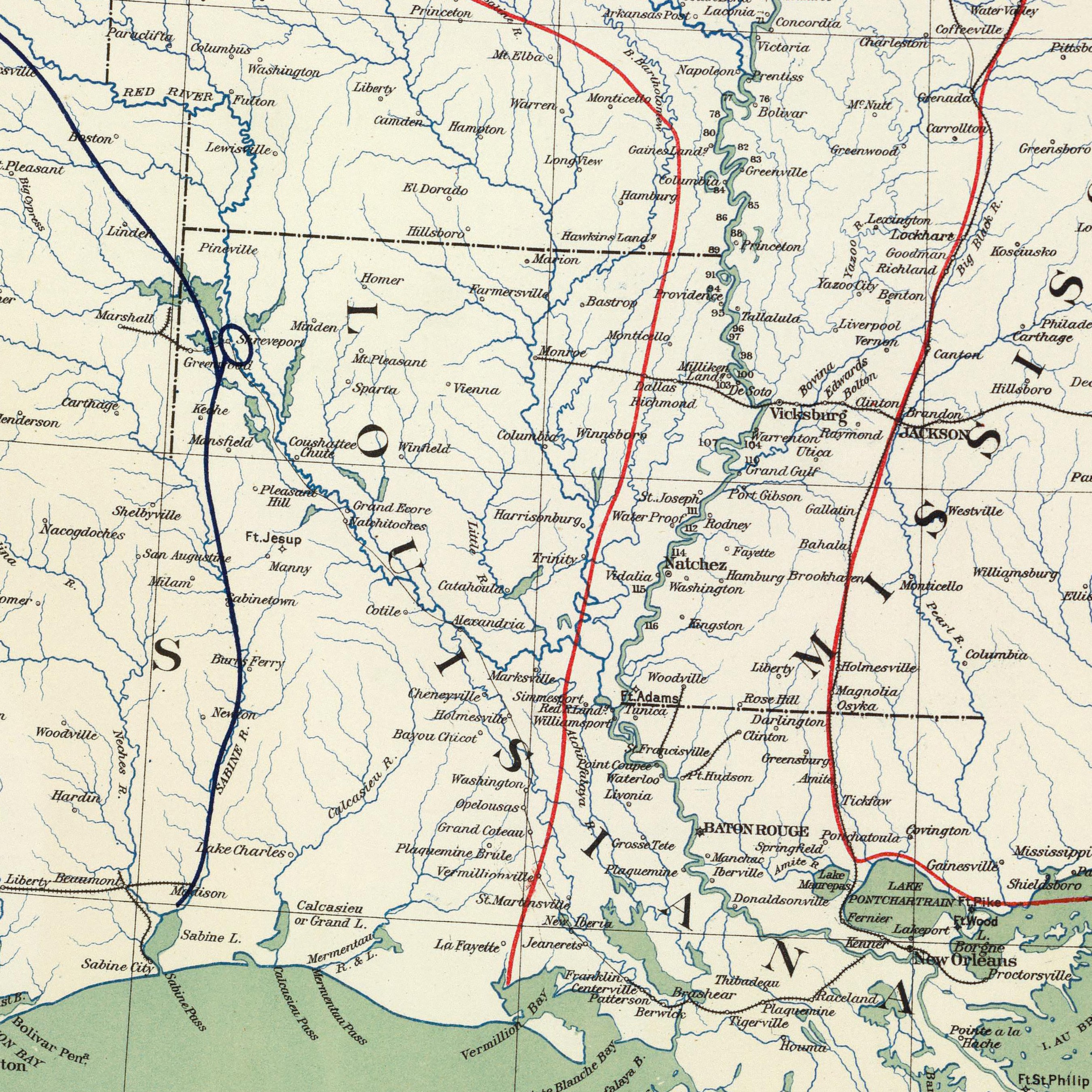
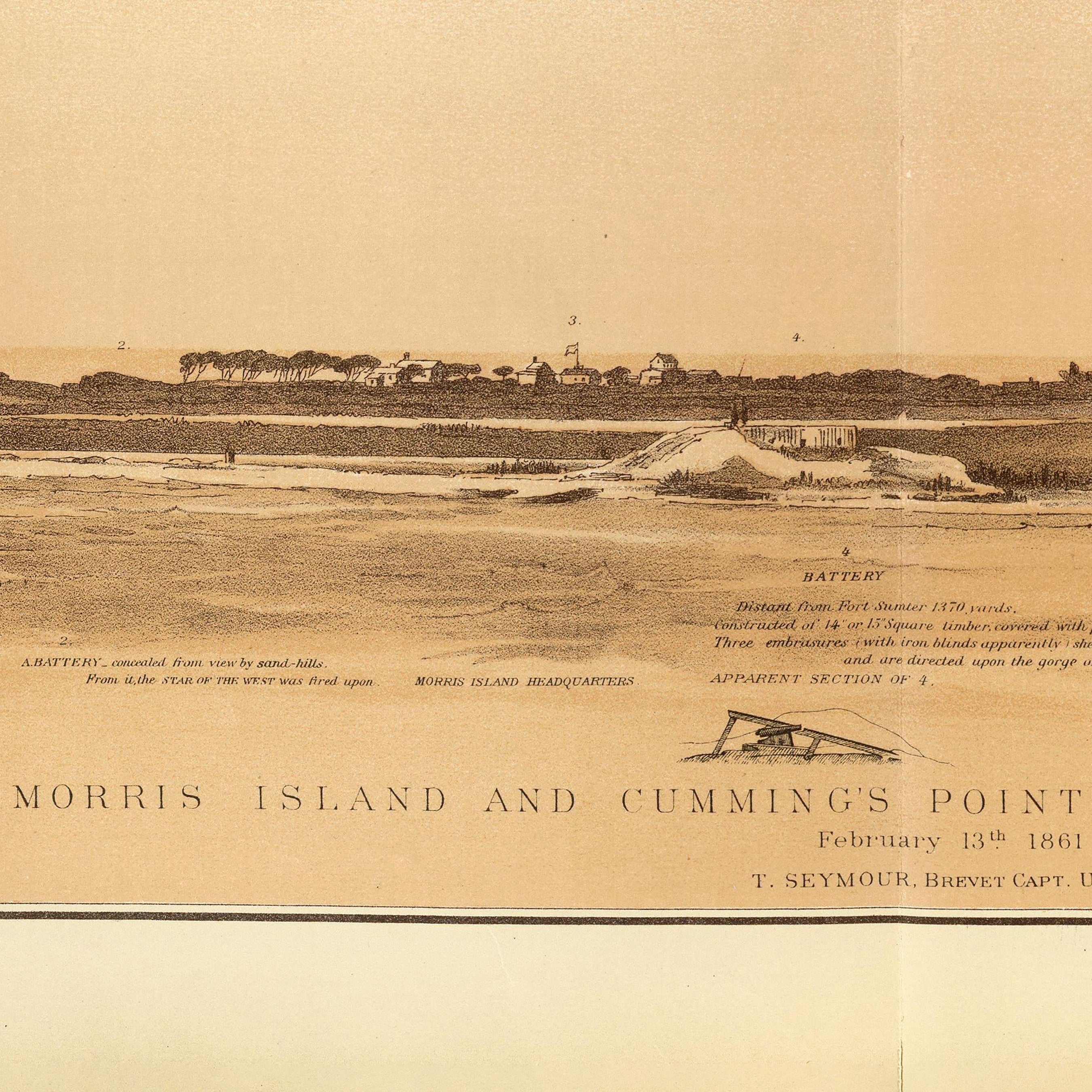
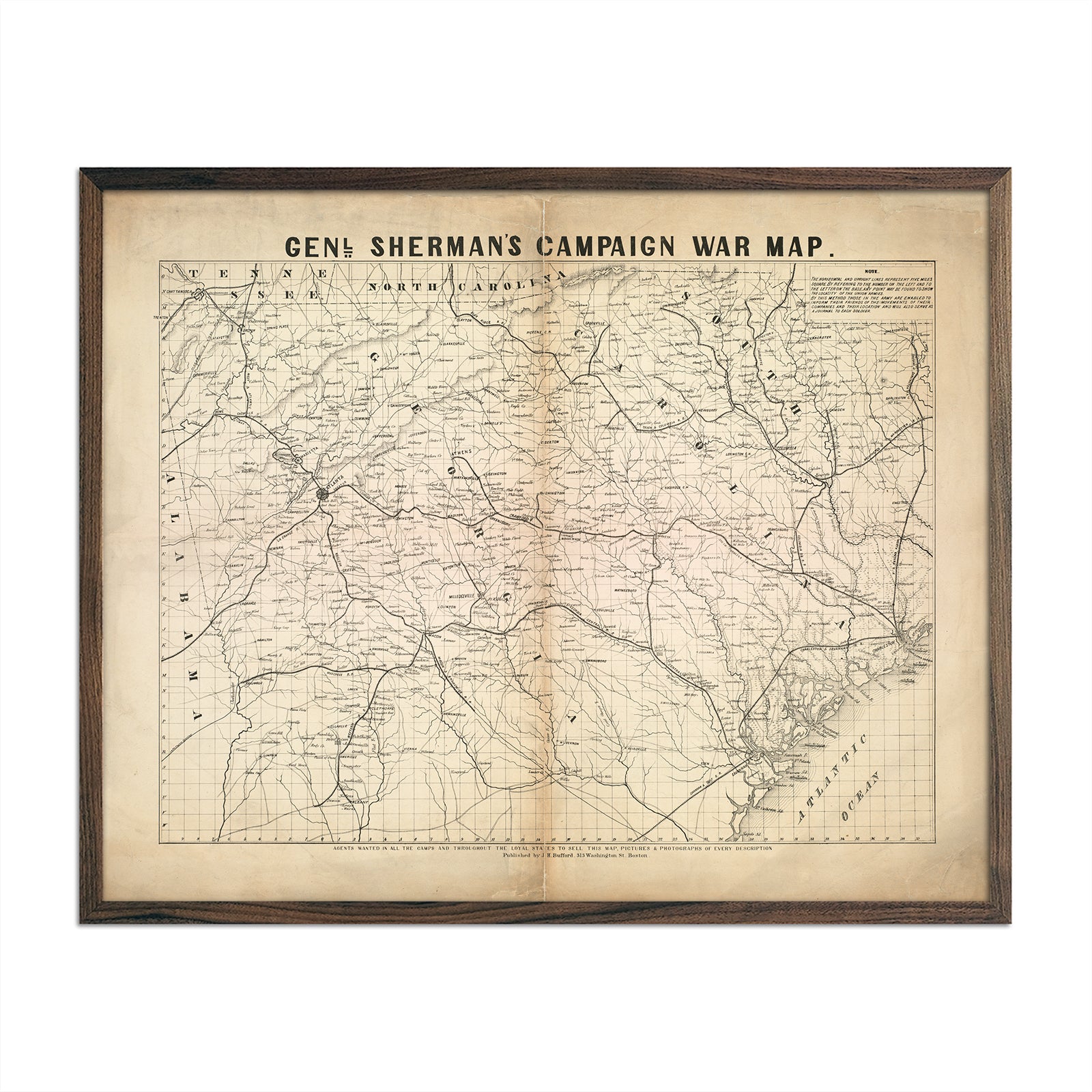
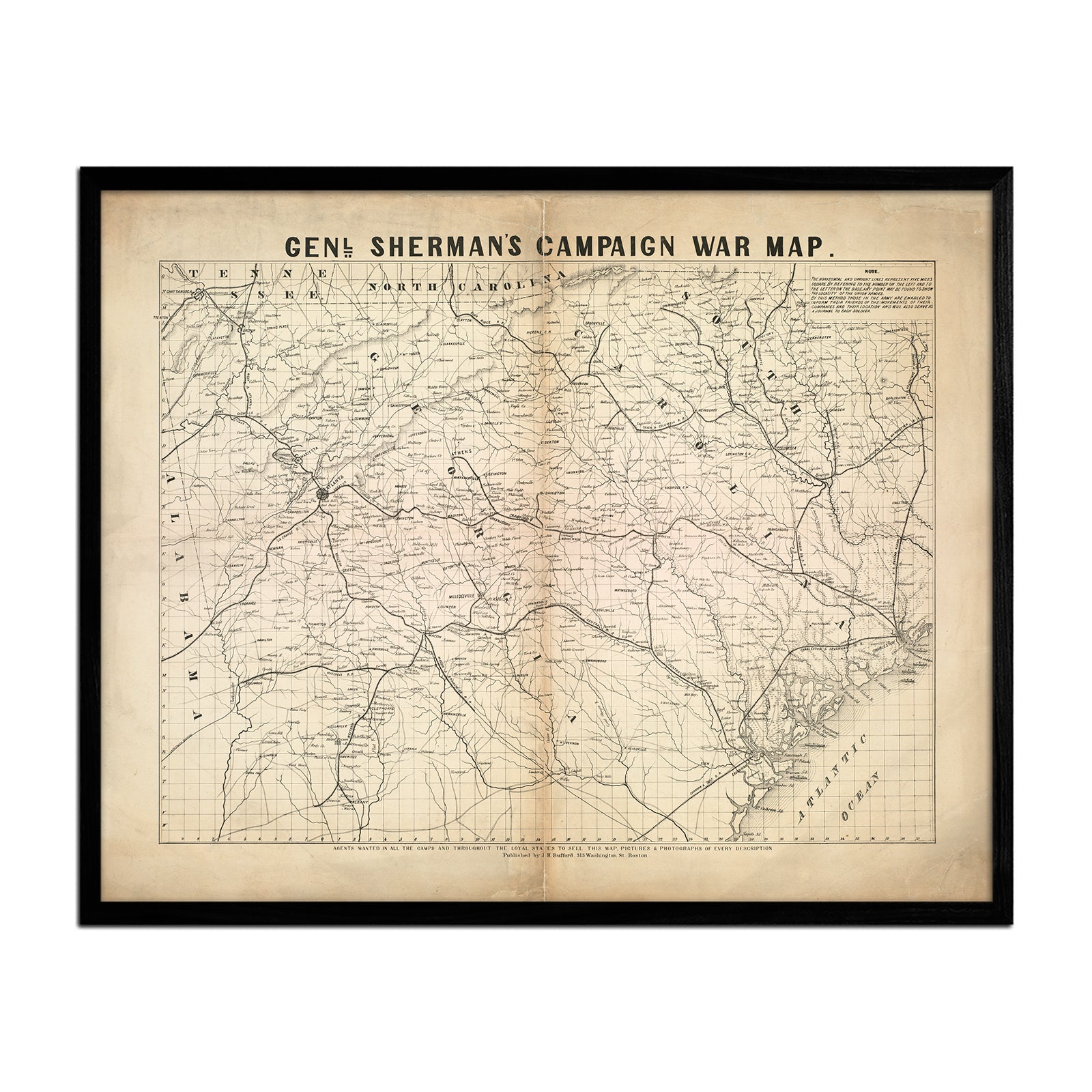
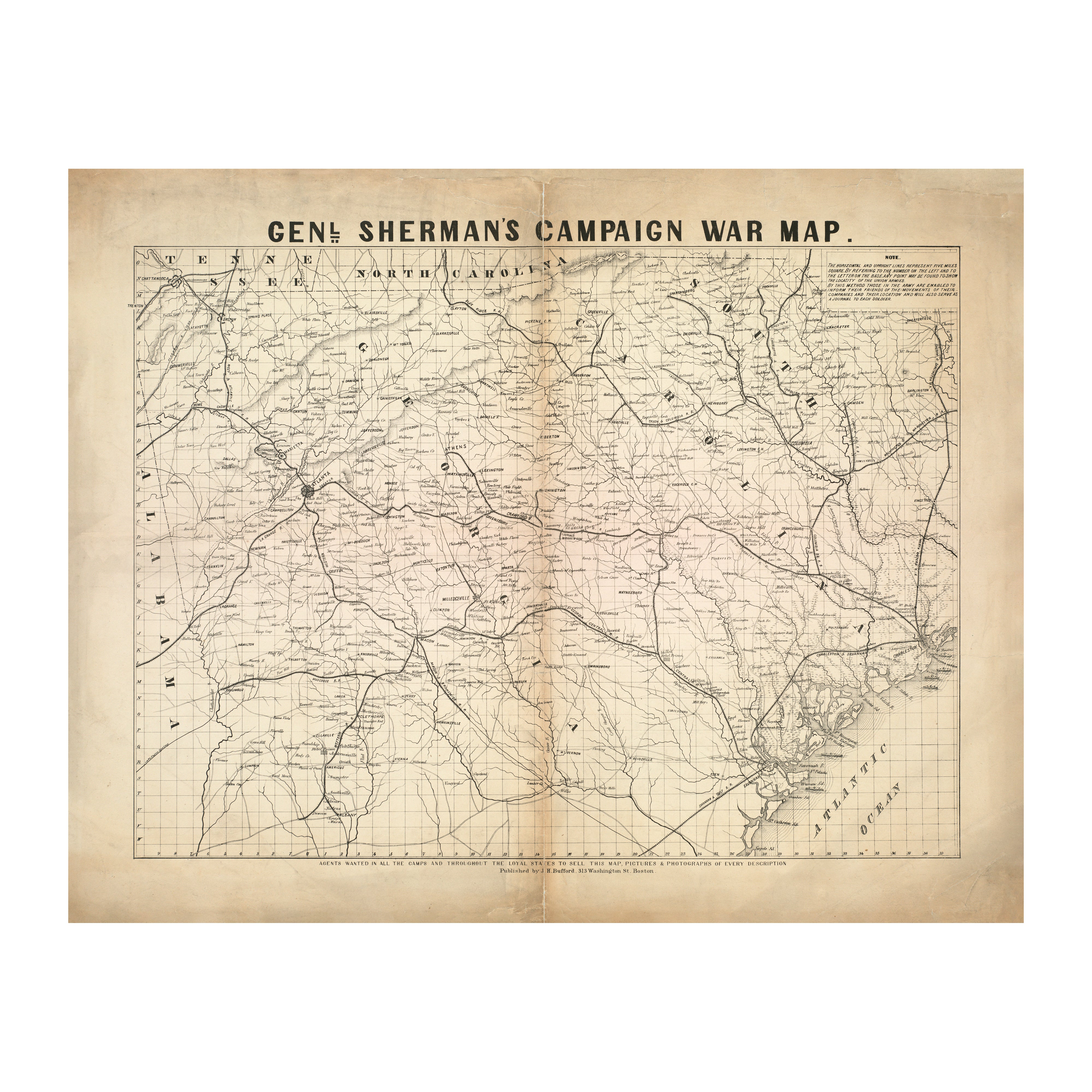
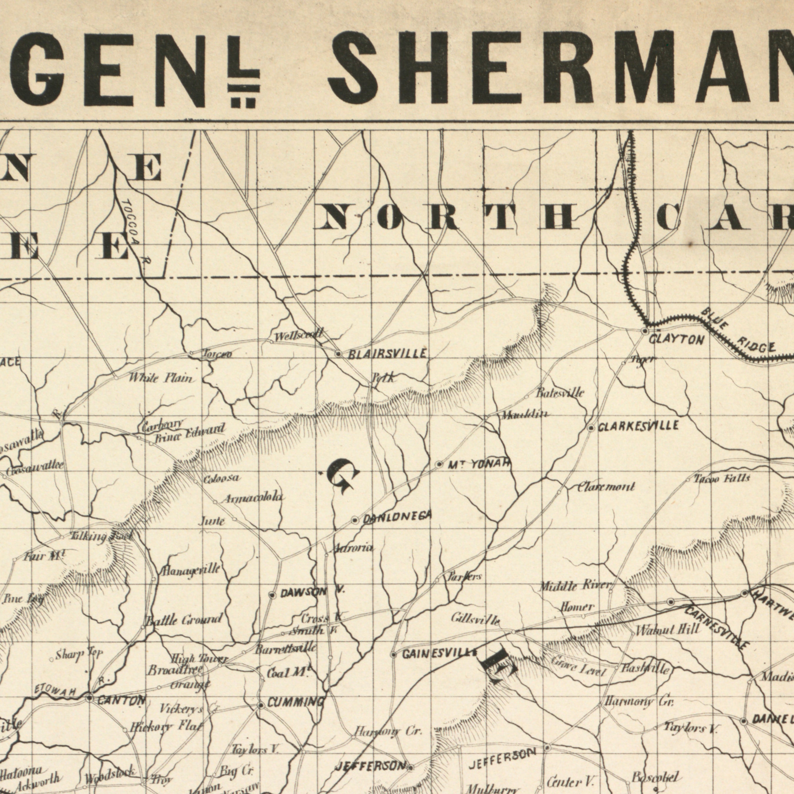
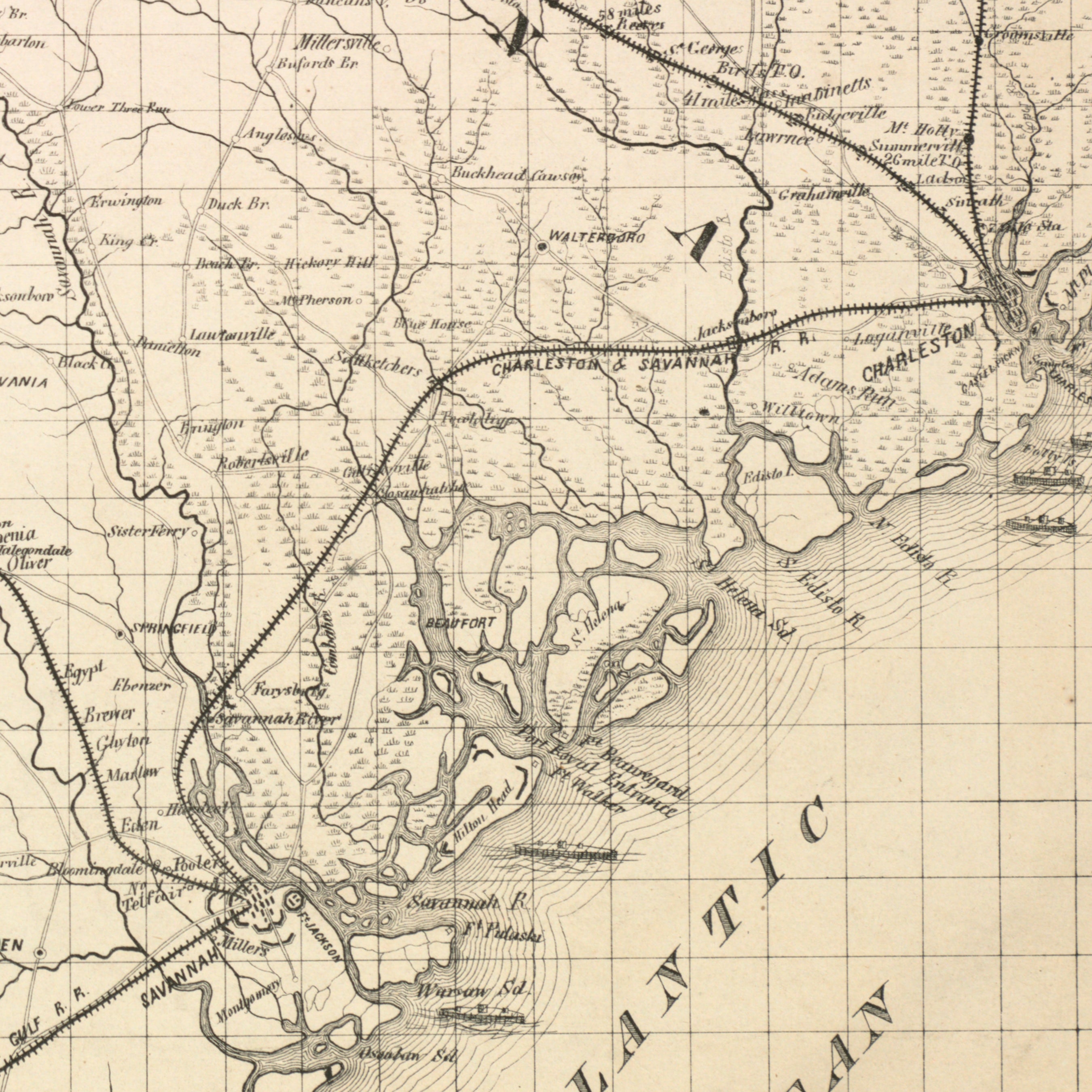
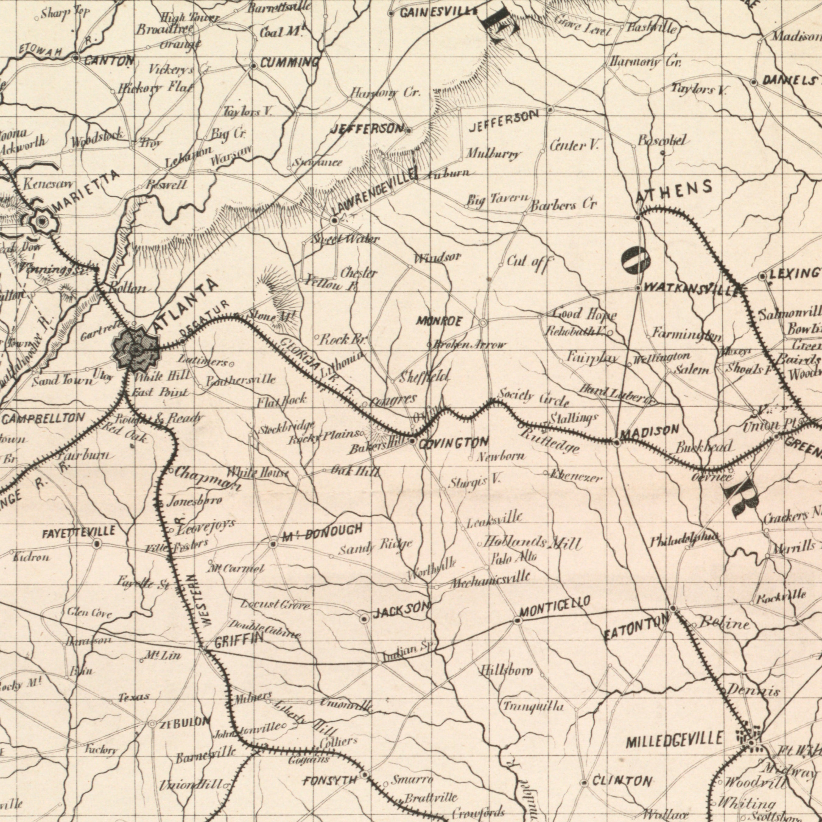
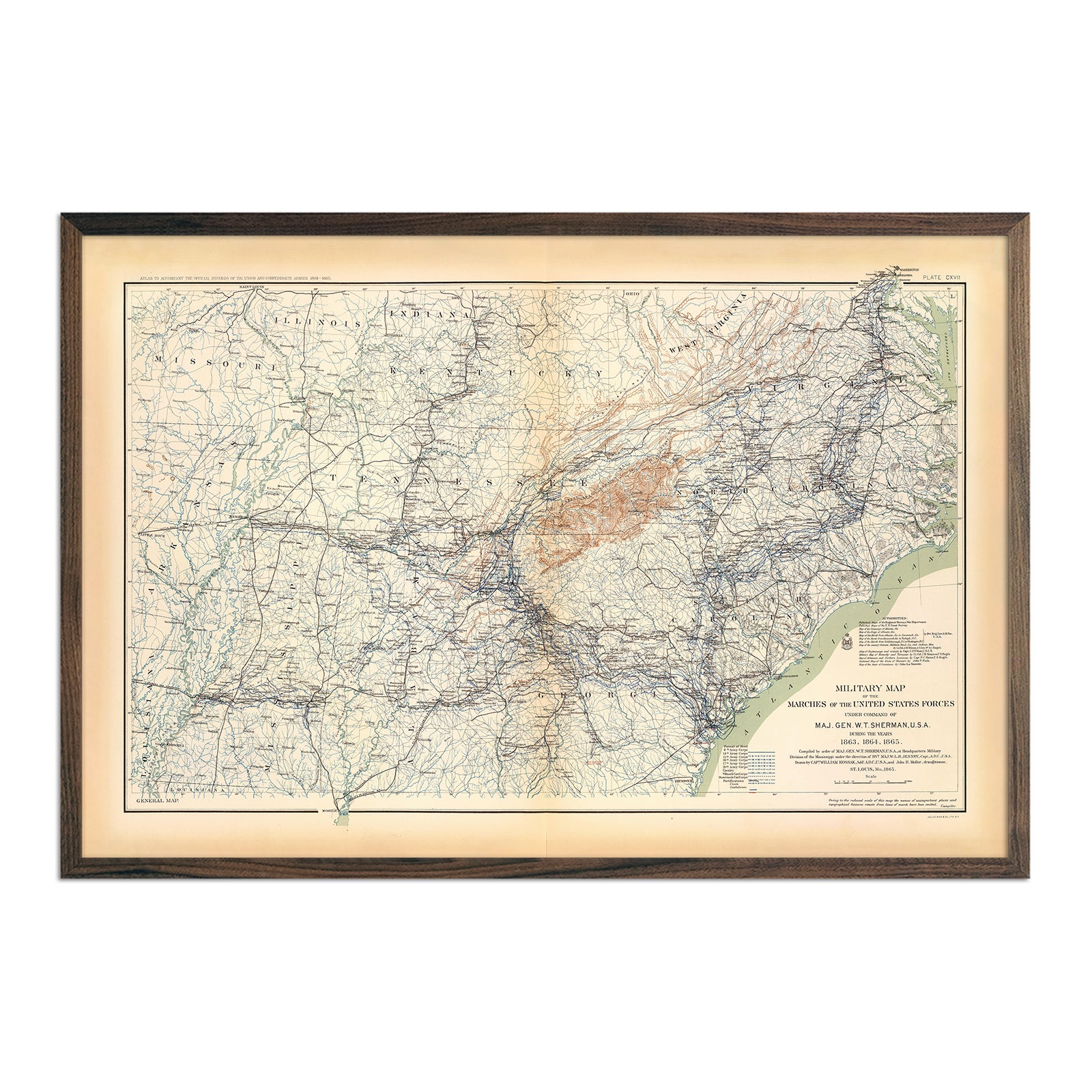
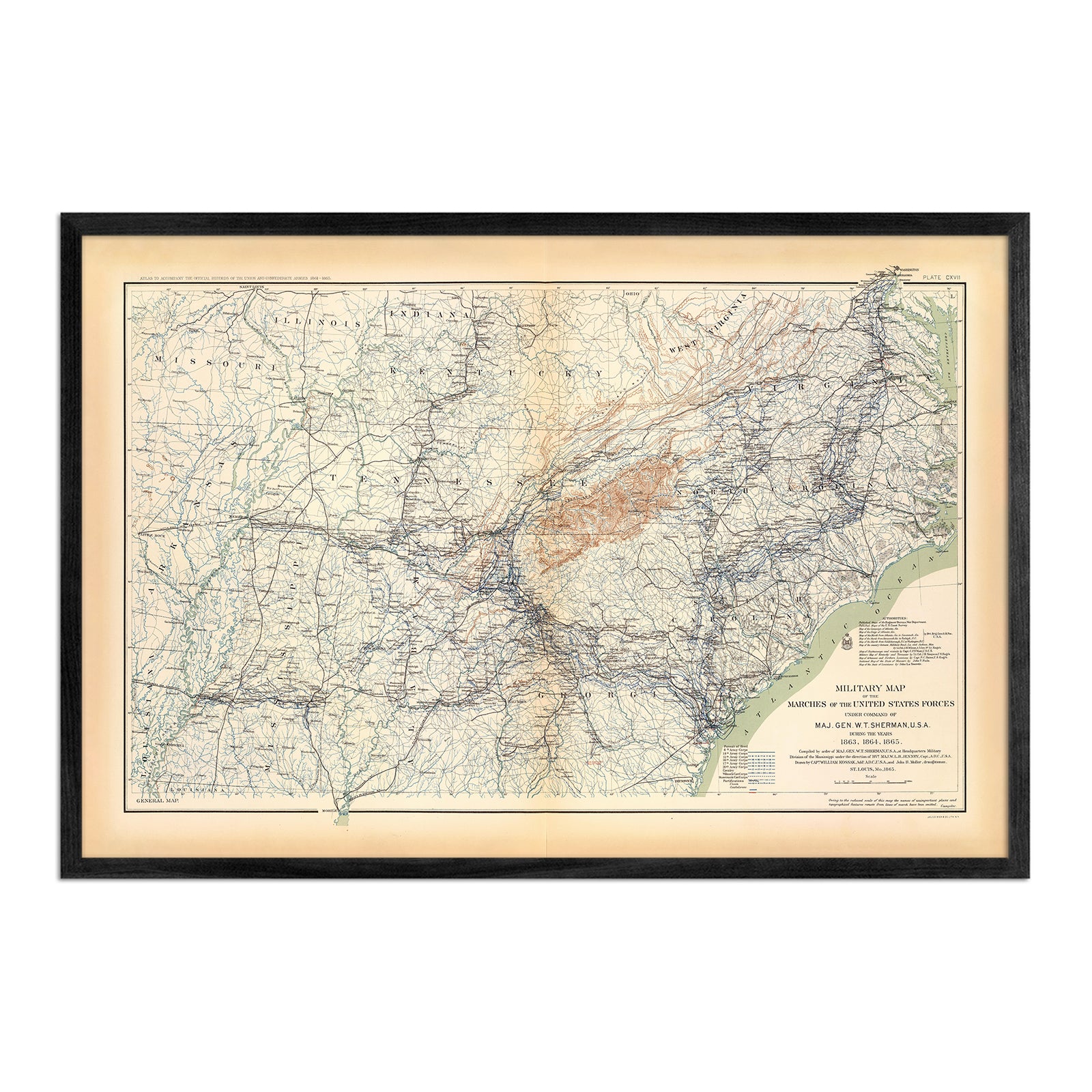
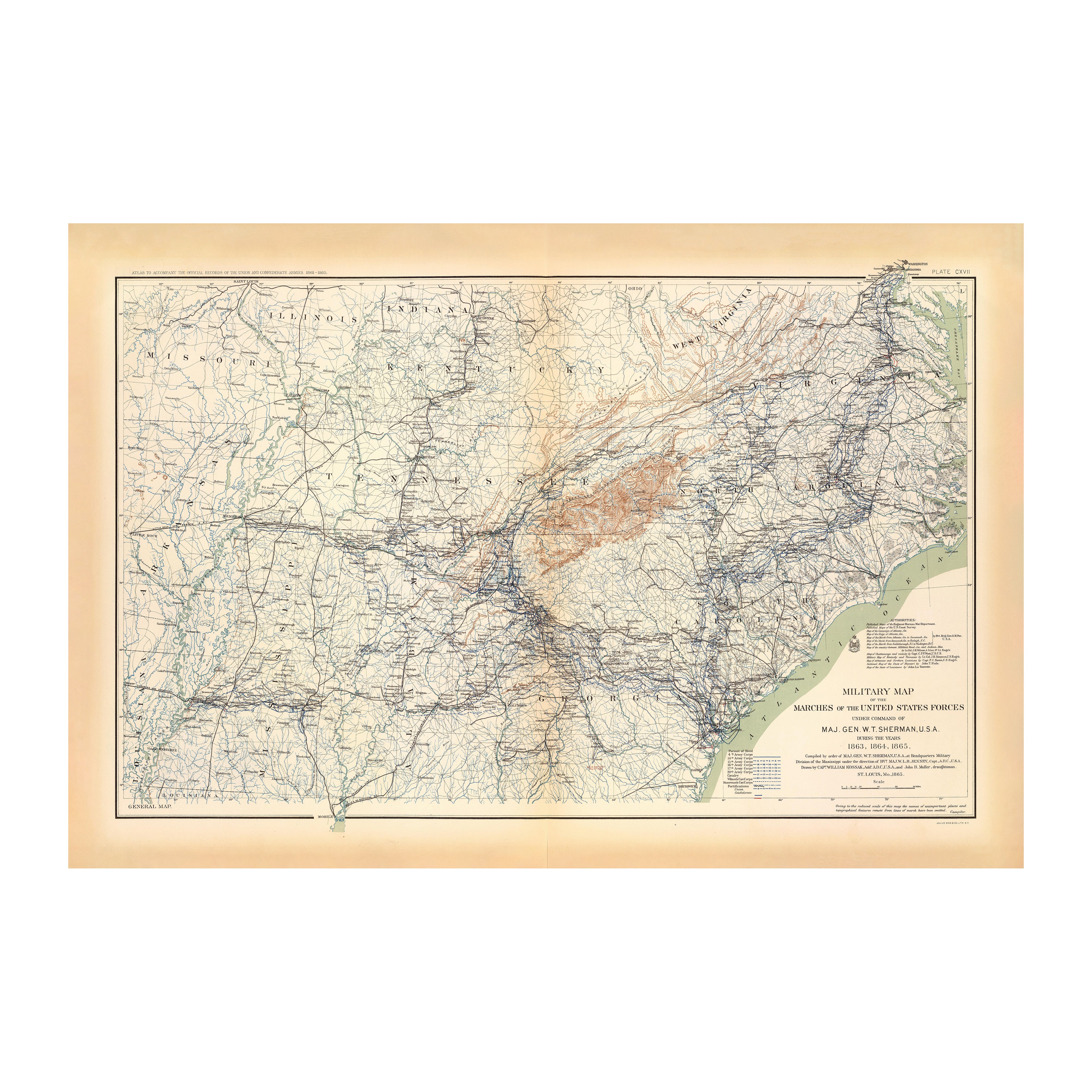
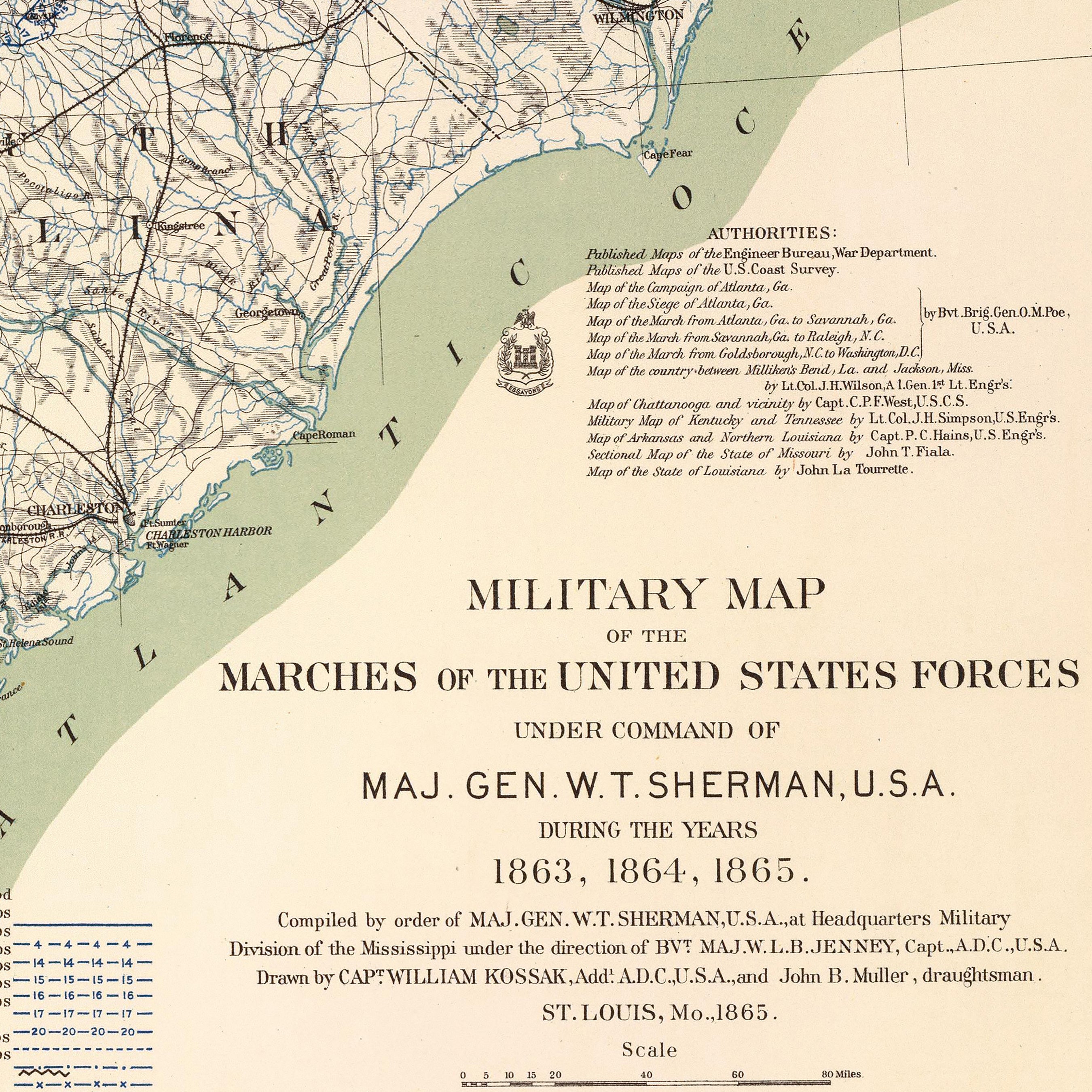
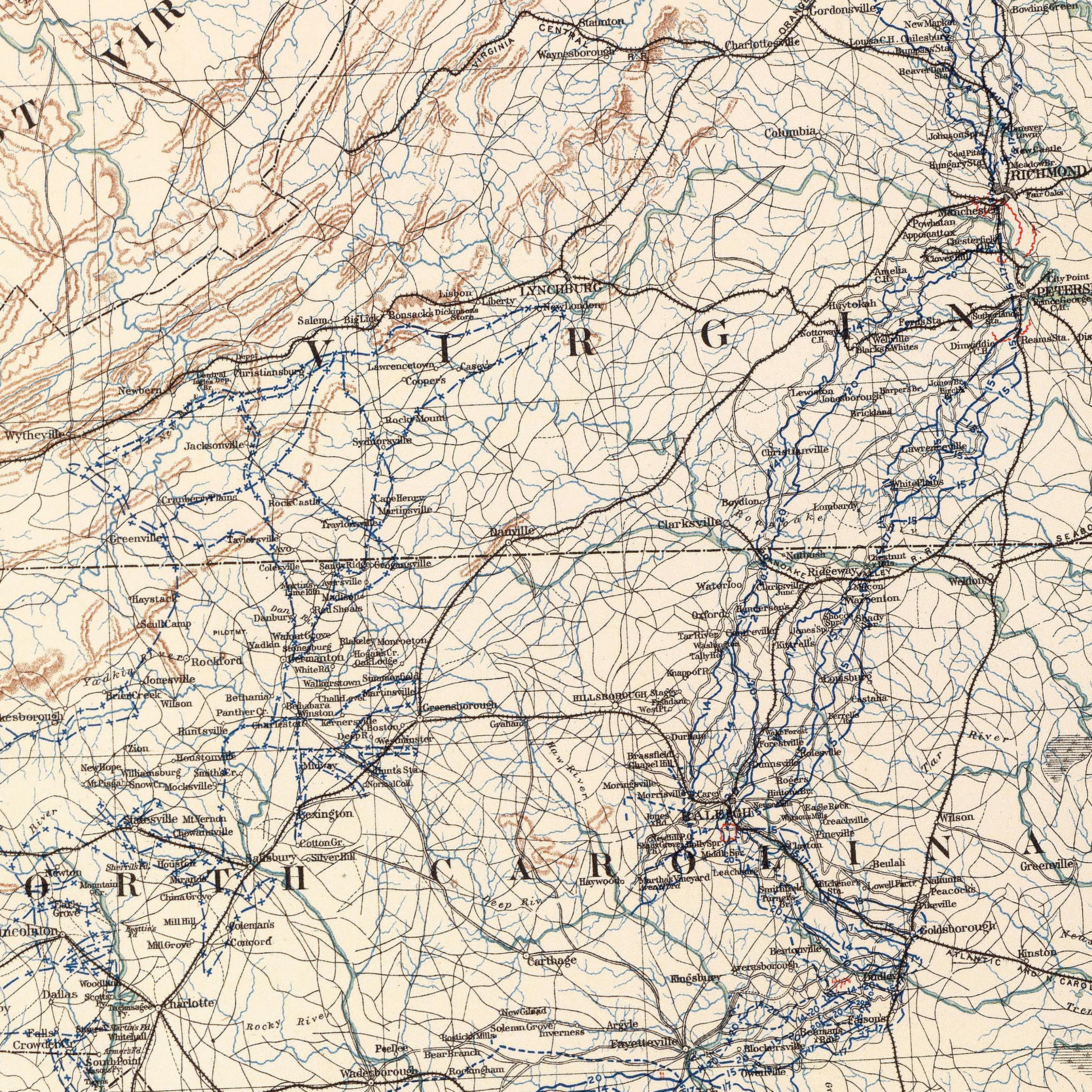
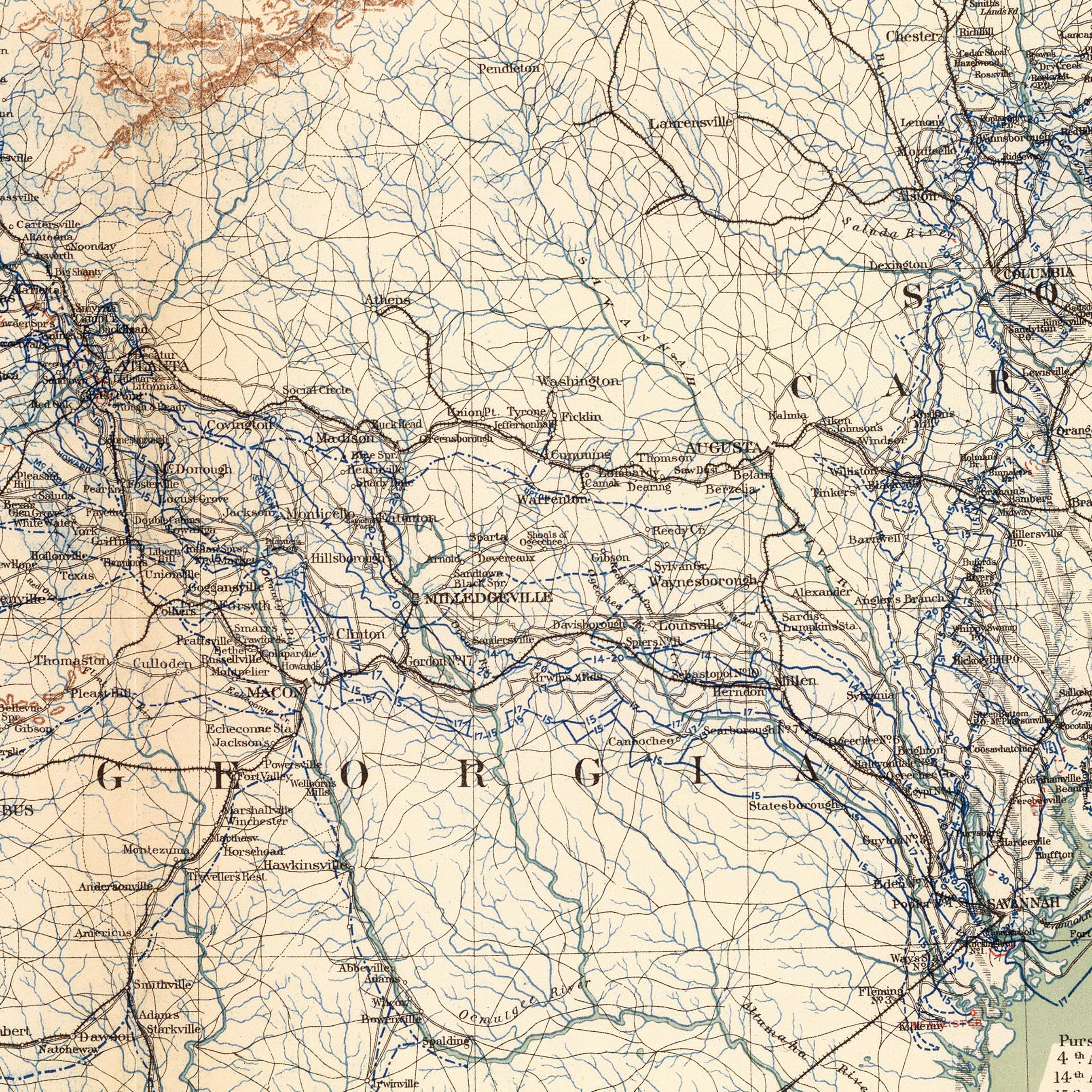
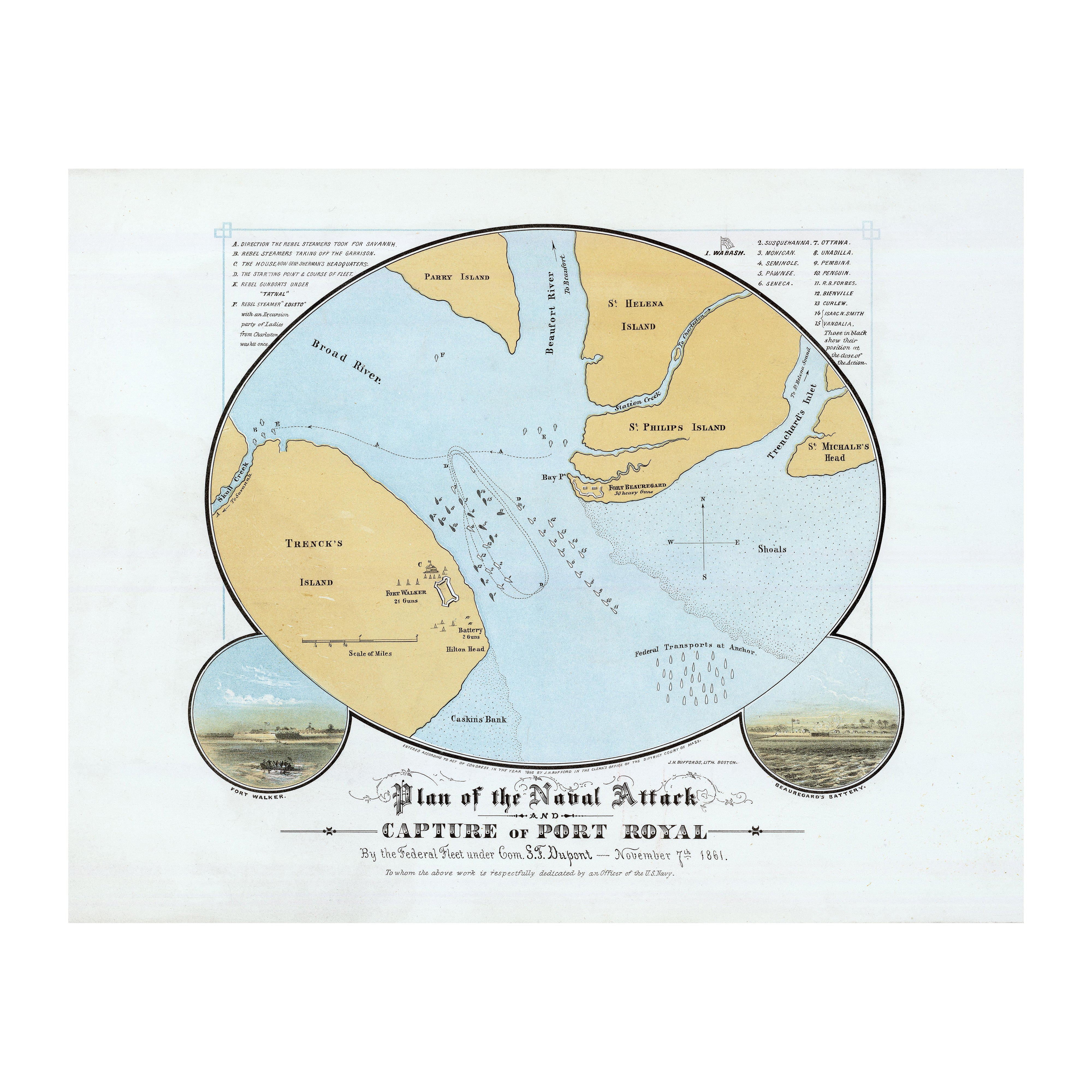
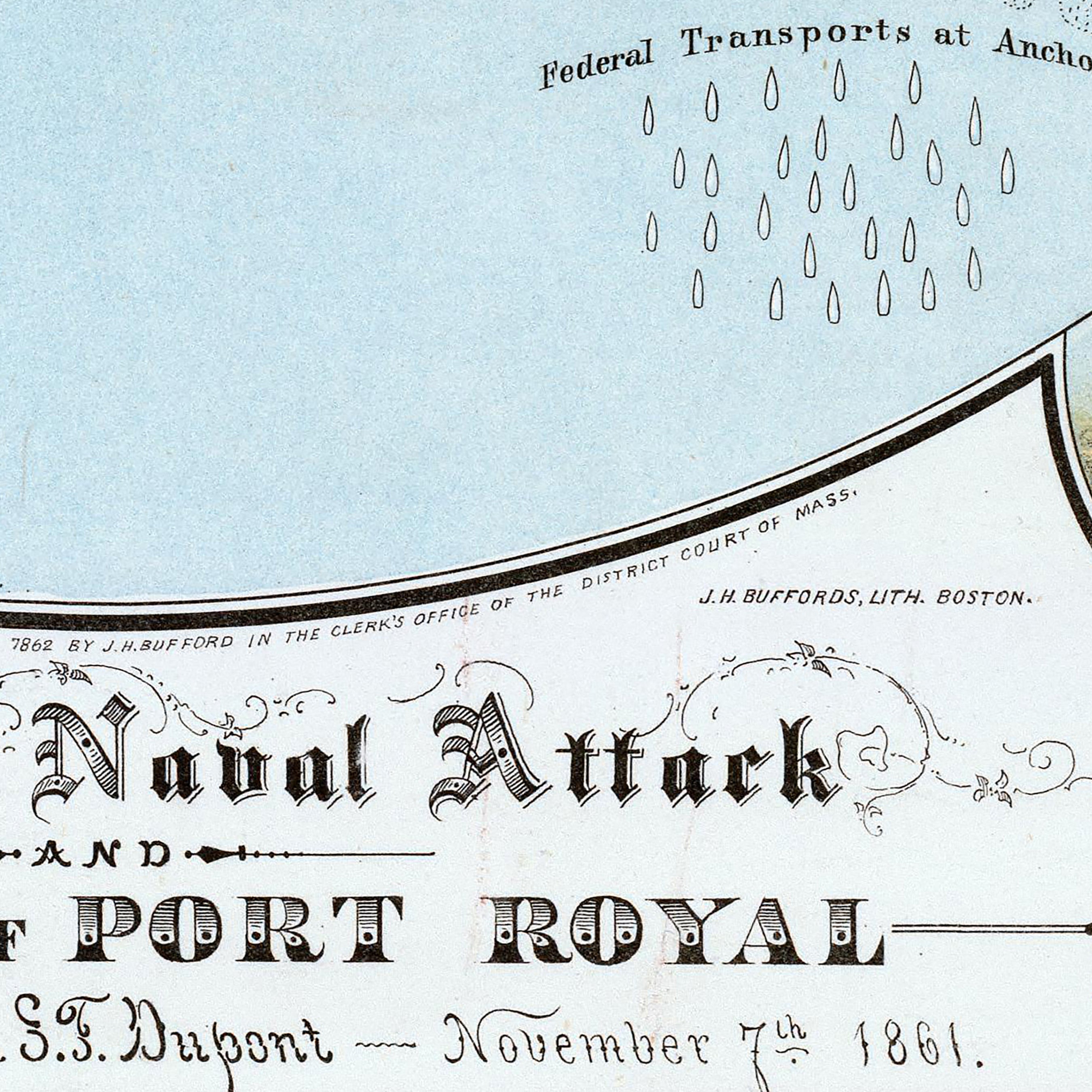
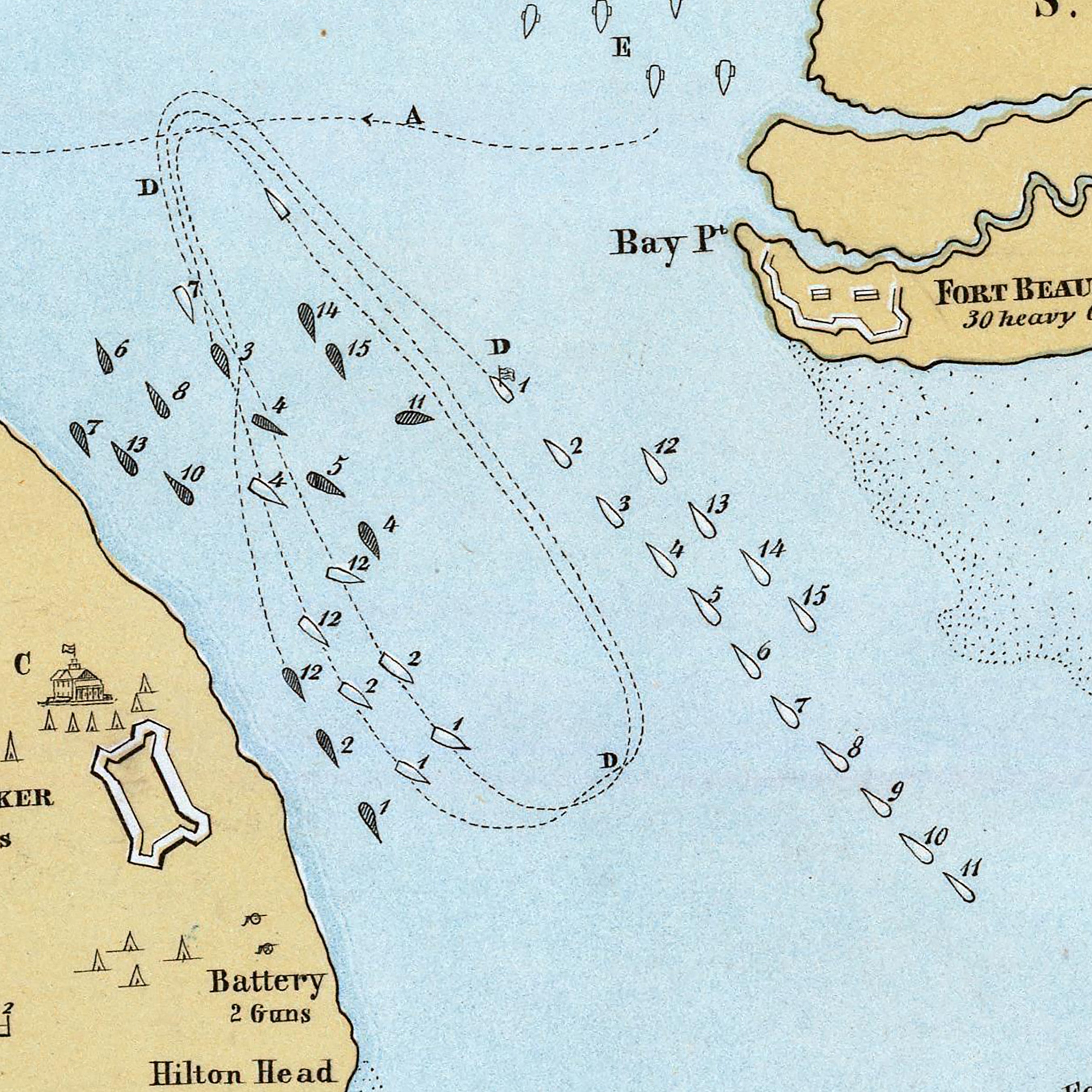
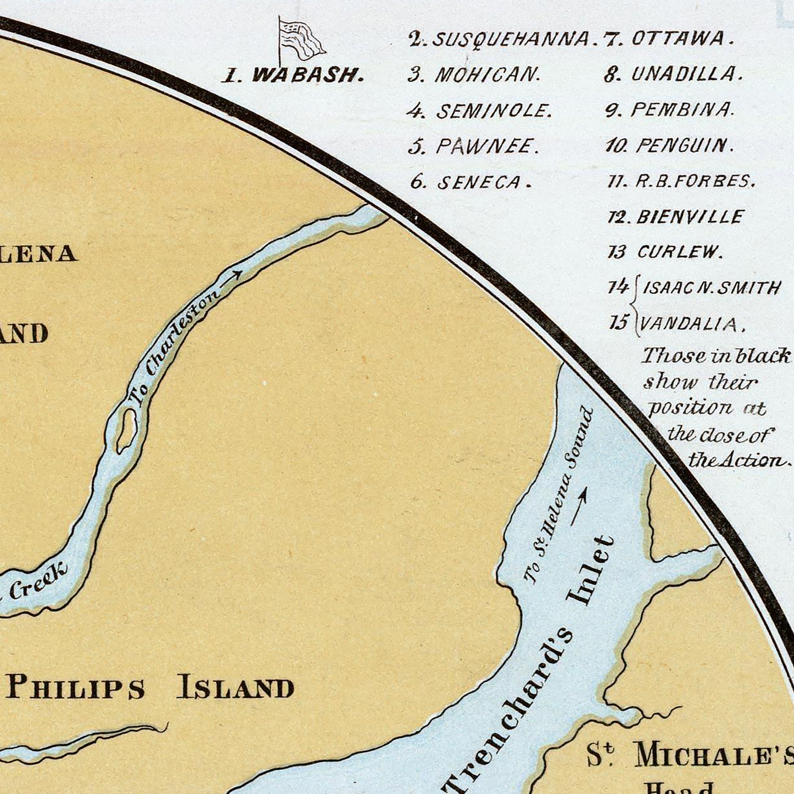
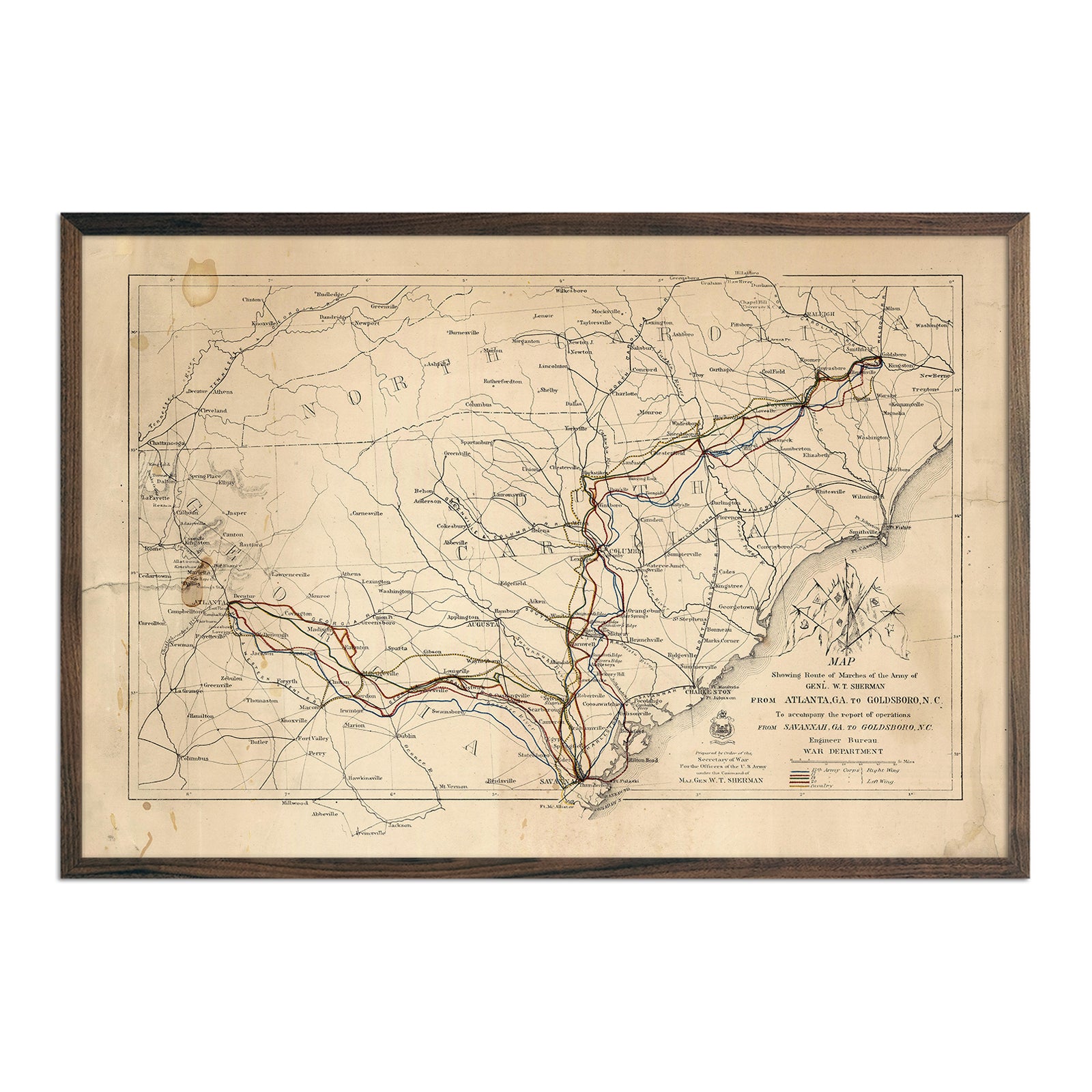
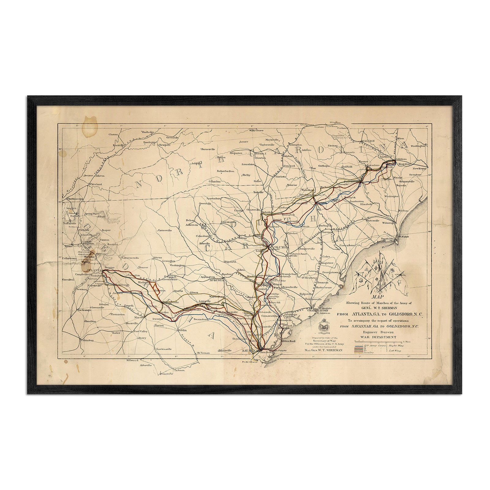
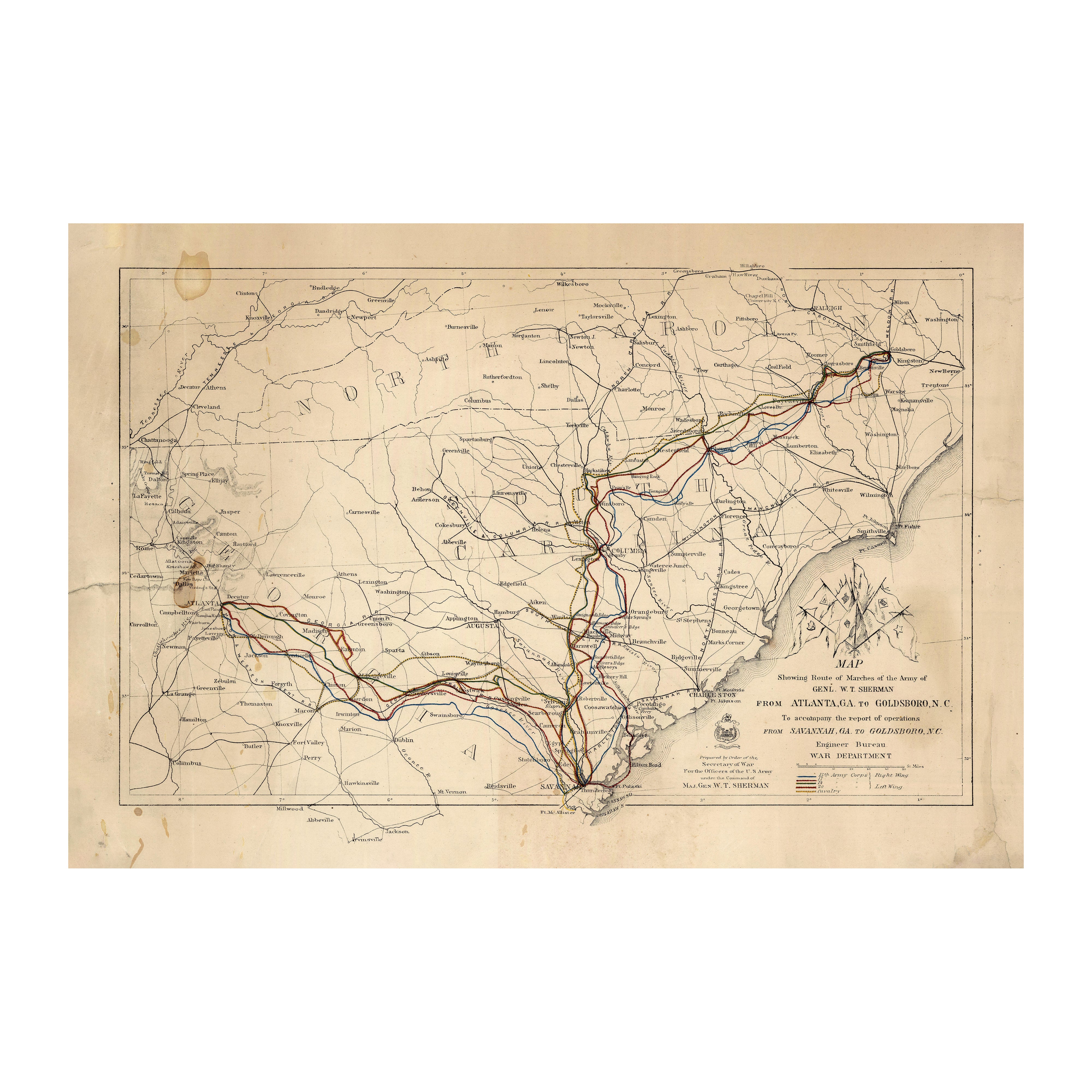
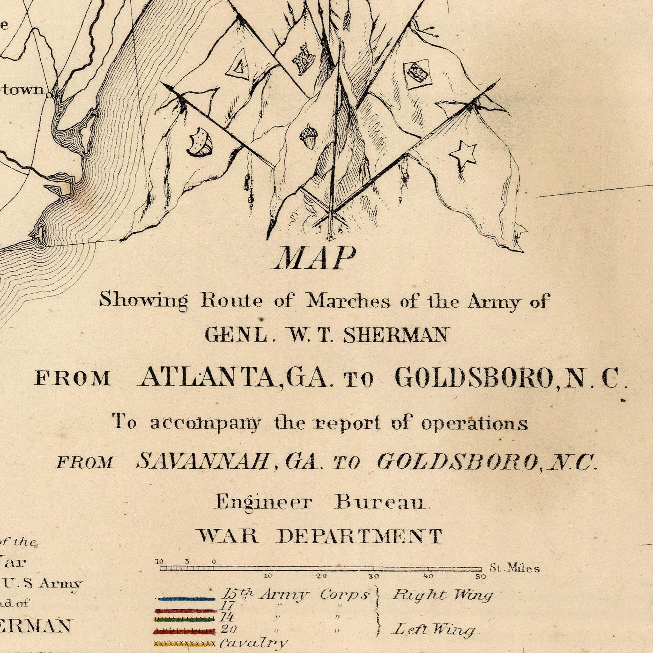
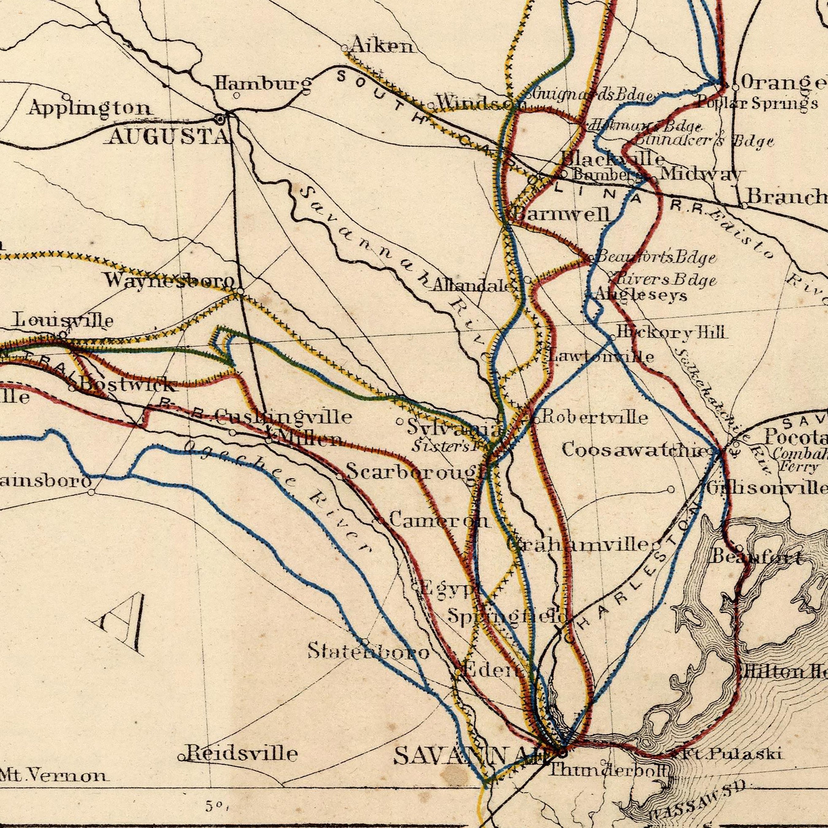
Enhanced vintage South Carolina maps - Enjoy the history and charm of vintage maps in a new way with our Alabama, Georgia, South Carolina and Northern Florida 1883 map or our Charleston, SC 1948 USGS map. Unlike our elevation maps, Muir Way historical maps don’t feature enhanced elevation effects, but they do feature a record of history beautifully restored to retain its vintage charm without the wear and tear. Our vintage South Carolina maps are also custom printed using archival materials.
What are some prominent features on the map of South Carolina?
One of the prominent features on the map of South Carolina is the Jocassee Gorges. Located in the northwest of the state, clear streams and rivers flow down the steep, half-mooned shaped escarpment that forms the base of the Blue Ridge mountains. These rivers carved deep gashes in the rock that rises up from the piedmont to form the gorges. Filled with dozens of waterfalls, the area receives enough rainfall to be categorized as a rainforest, the only temperate rainforest in the eastern US.
Also along the Blue Ridge Mountains is Table Rock Mountain. Part of Pisgah National Forest, it features a distinctive rock formation and is one of the most iconic views in the state.
In the south, the Chattooga River makes the boundary with Georgia. Designated a Wild and Scenic River, the river is protected with little to no development along the river.
What are the regions in South Carolina?
South Carolina has three main geographical regions:
- The Atlantic Coastal Plain - Two thirds of South Carolina is covered by this region. The land here rises gradually from the southeast to the northwest. Along the coast, the land is flat with swamps extending inland along the many rivers that can be found here. Further away from the shore is an area of rolling hills with fertile soil. There are also vast pine forests in the central part of the Atlantic Coastal Plain. A line of sand hills runs along the southwest to the northeast. These sand hills may have once marked the eastern coast of South Carolina.
- The Piedmont - The landscape here consists of rolling hills, gradually getting steeper in the west and northwest. The border between the Piedmont and the Atlantic Coastal Plain is called the Fall Line. It marks the line where the upland rivers fall to the lower Atlantic Coastal Plain.
- The Blue Ridge - This area covers the northwestern corner of South Carolina. It is part of the larger Blue Ridge that covers southern Pennsylvania south to Georgia. In South Carolina, the Blue Ridge Mountains are less rugged than the mountains elsewhere. They are also lower in elevation. The mountains in South Carolina are covered in dense, beautiful forests.
If you like our collection of South Carolina maps, you may also be interested in maps of other Southeast states. Click below to browse:


