


New Mexico Maps


New Mexico Map Art, Geologic & Shaded Relief Maps
Whether you are from New Mexico, like to visit, or hope to see the Four Corners someday, our custom printed New Mexico wall maps will bring the Land of Enchantment’s scenic beauty to life. Our maps are beautifully rendered from a combination of historical data, modern technology, and hand design. From our eye-catching elevation maps and geological relief maps to our meticulously restored historical maps, every map of New Mexico we offer reflects the high quality and attention to detail our customers have come to love and expect from Muir Way. See why a map of New Mexico from Muir Way is more than your typical wall map.
What makes Muir Way maps of New Mexico unique?
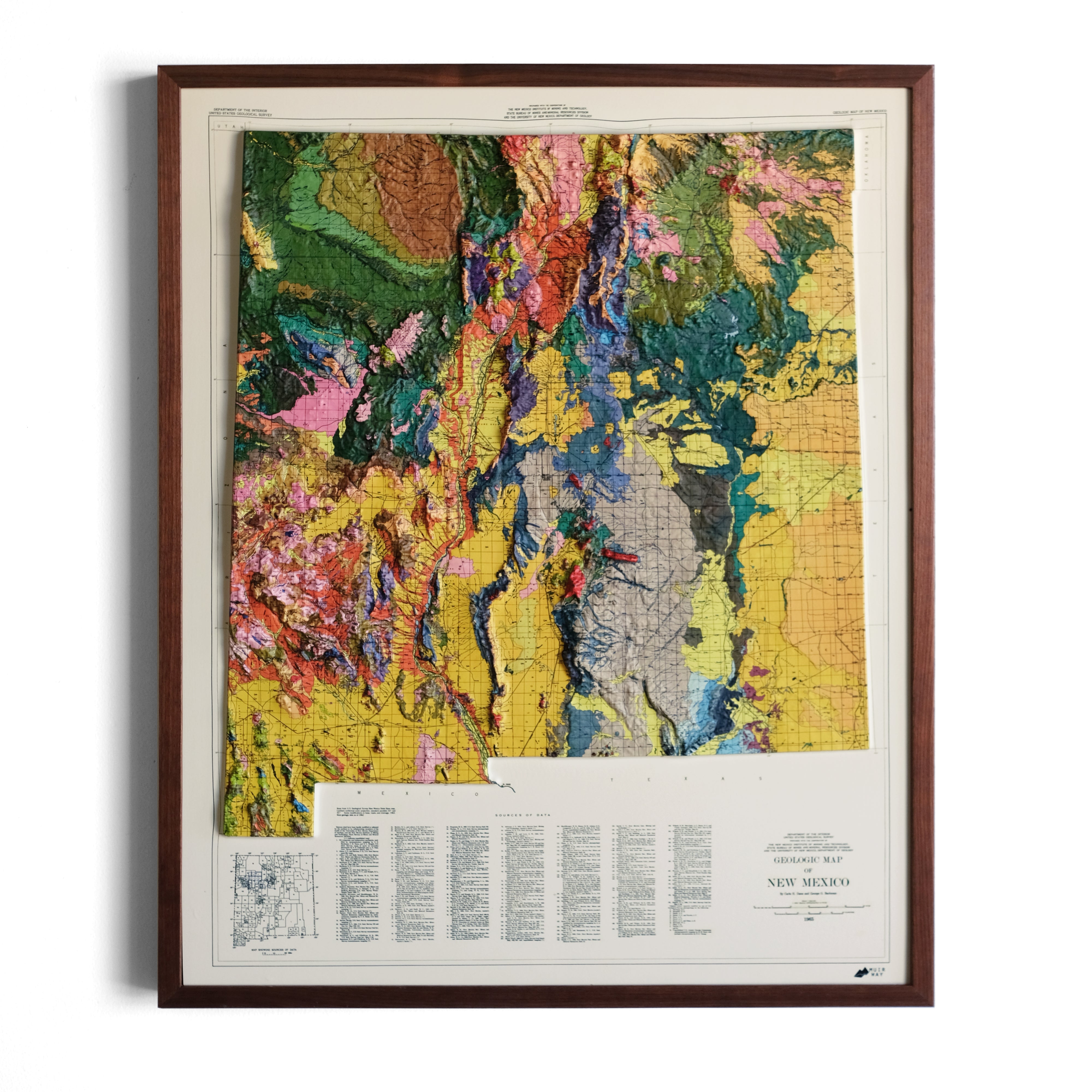
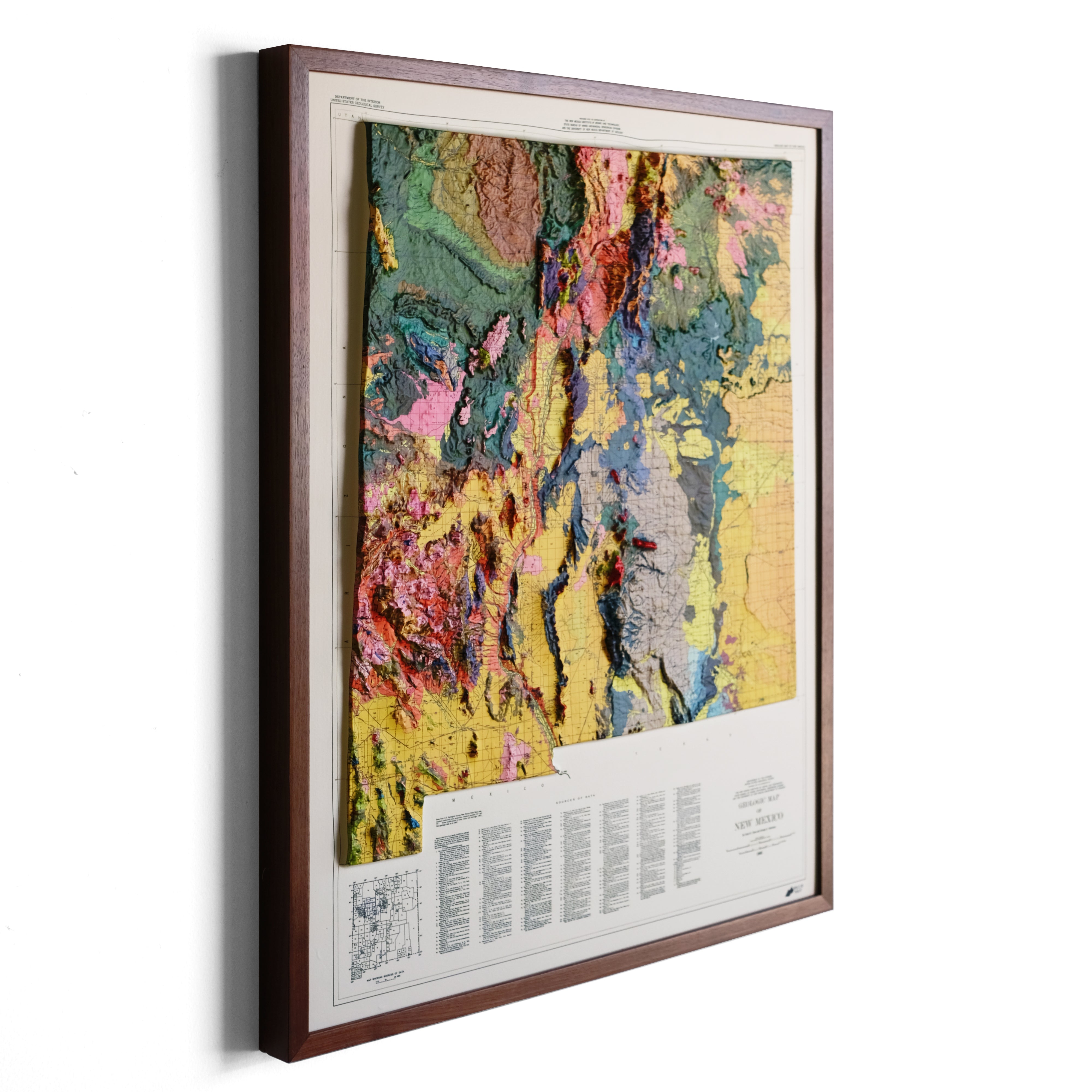
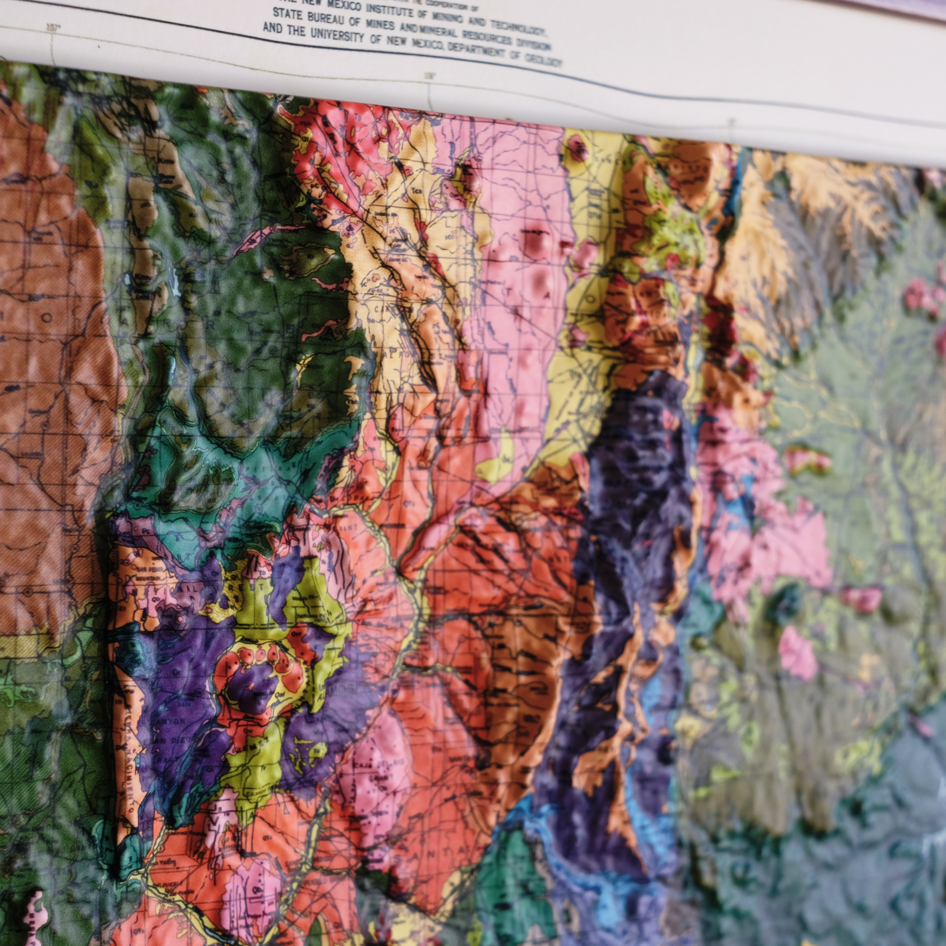
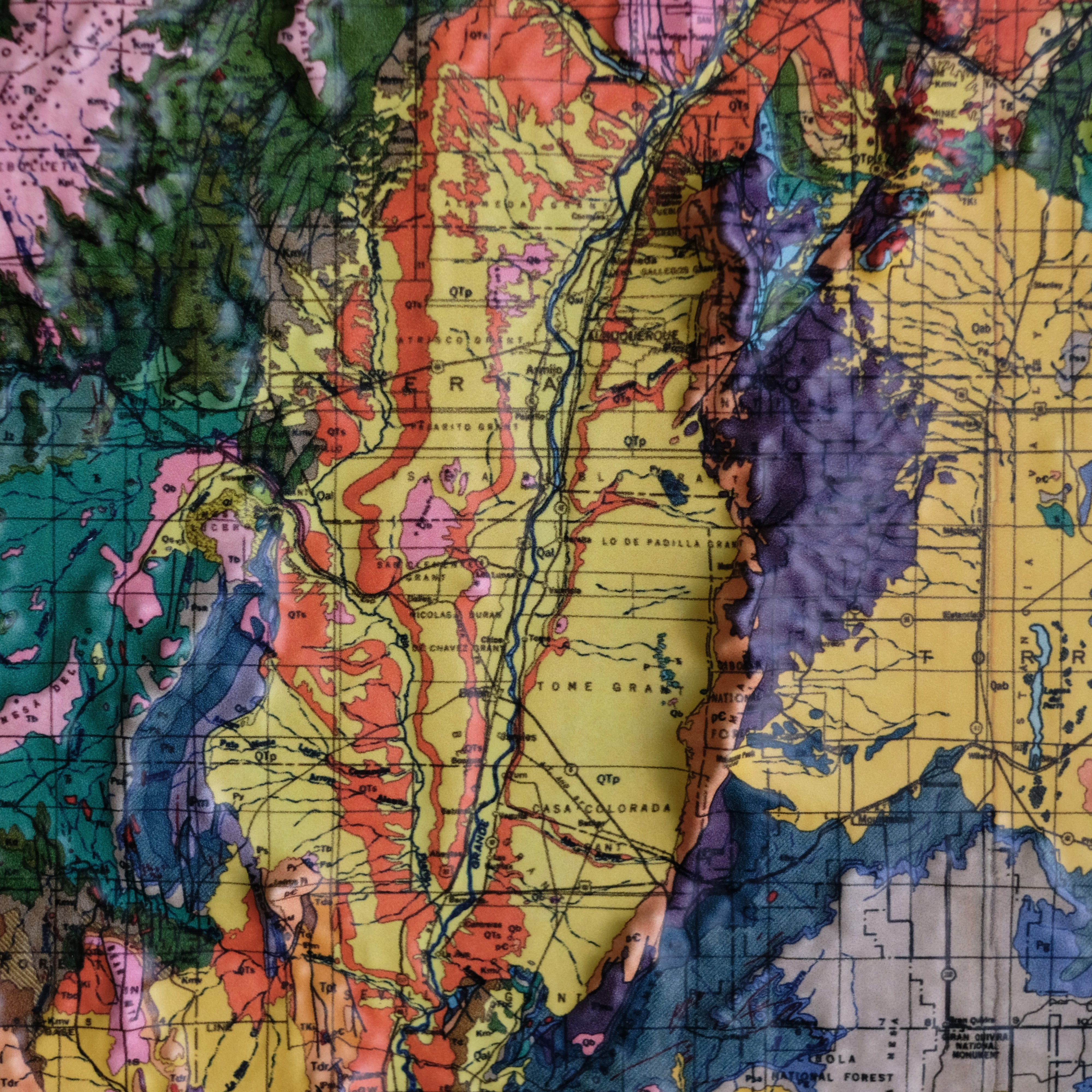
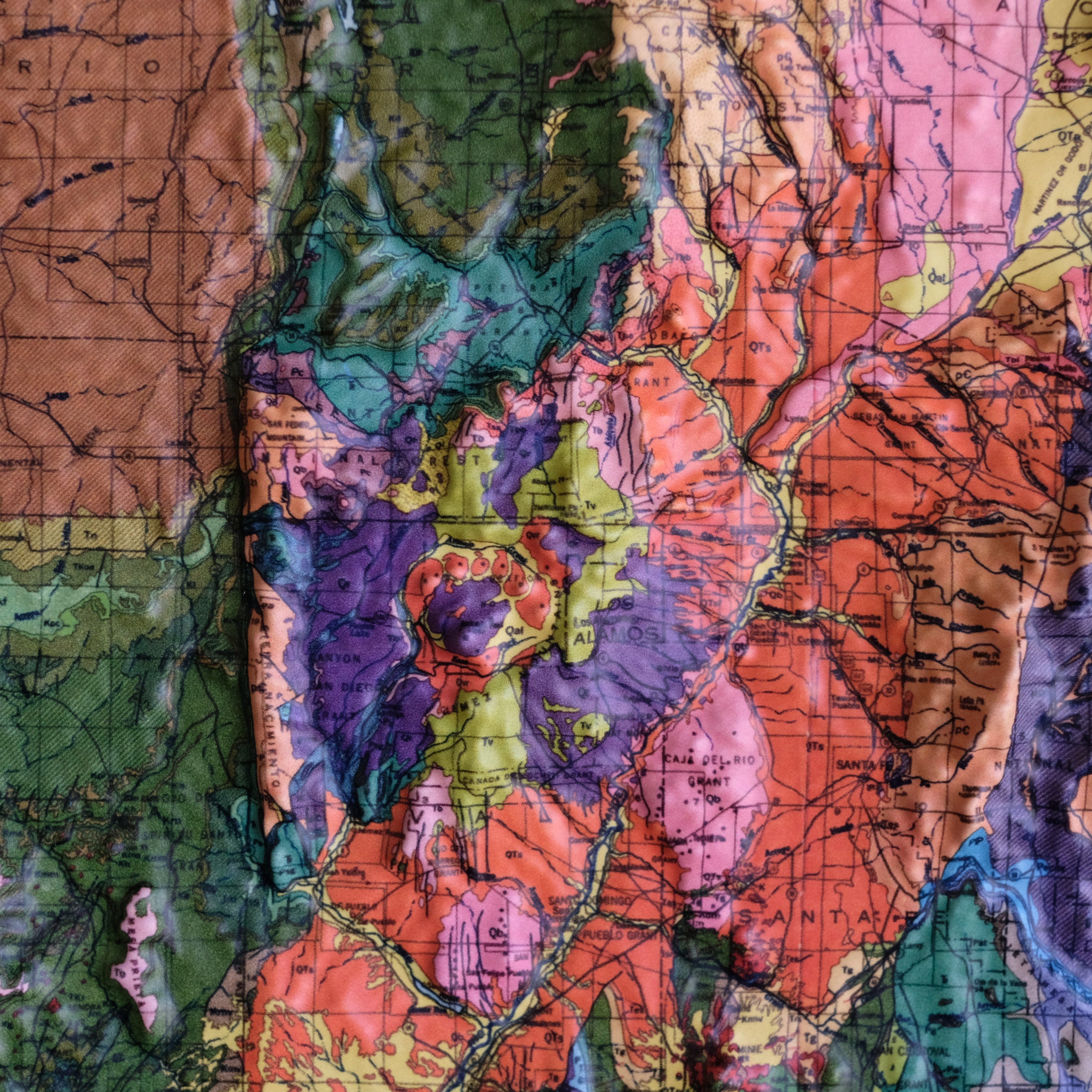
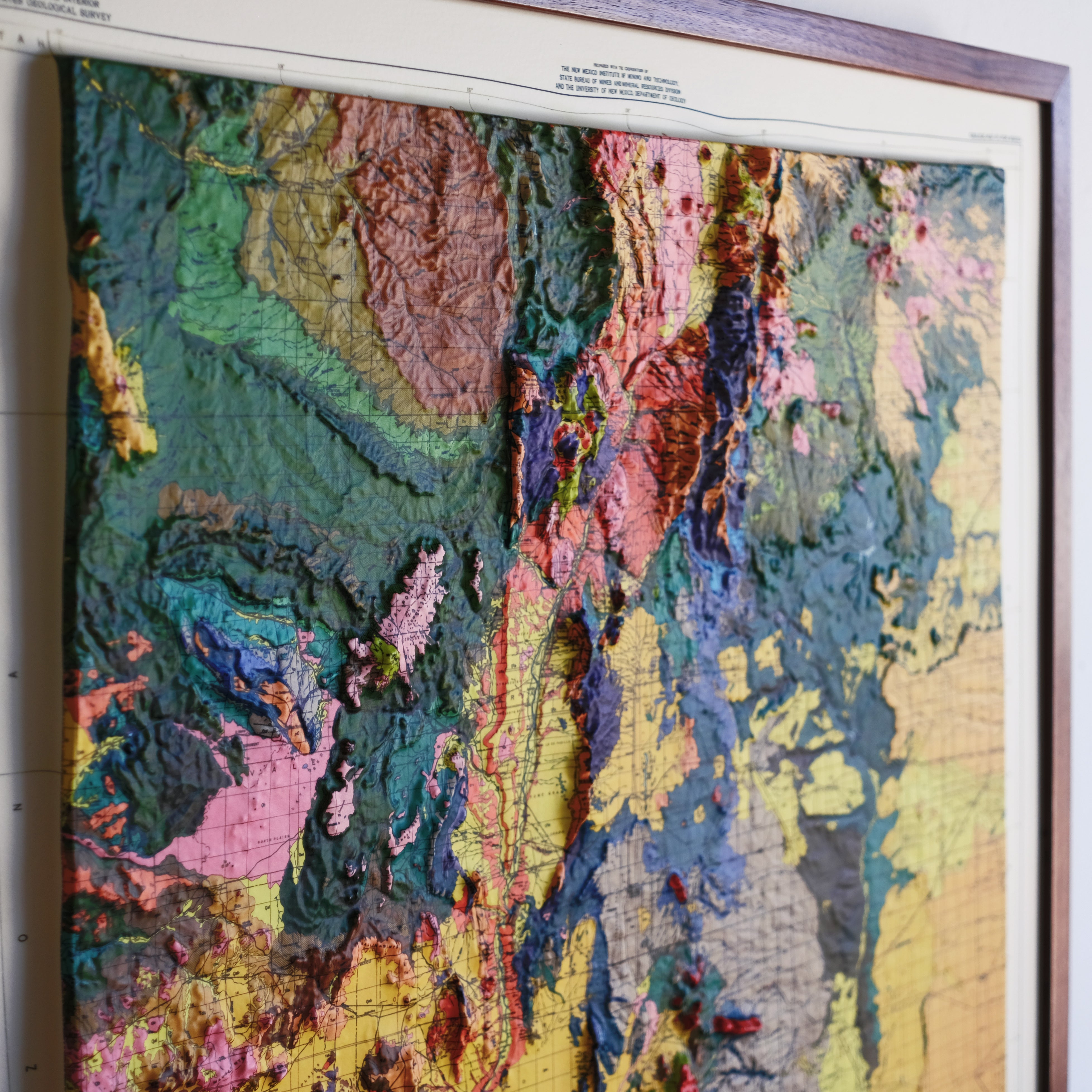
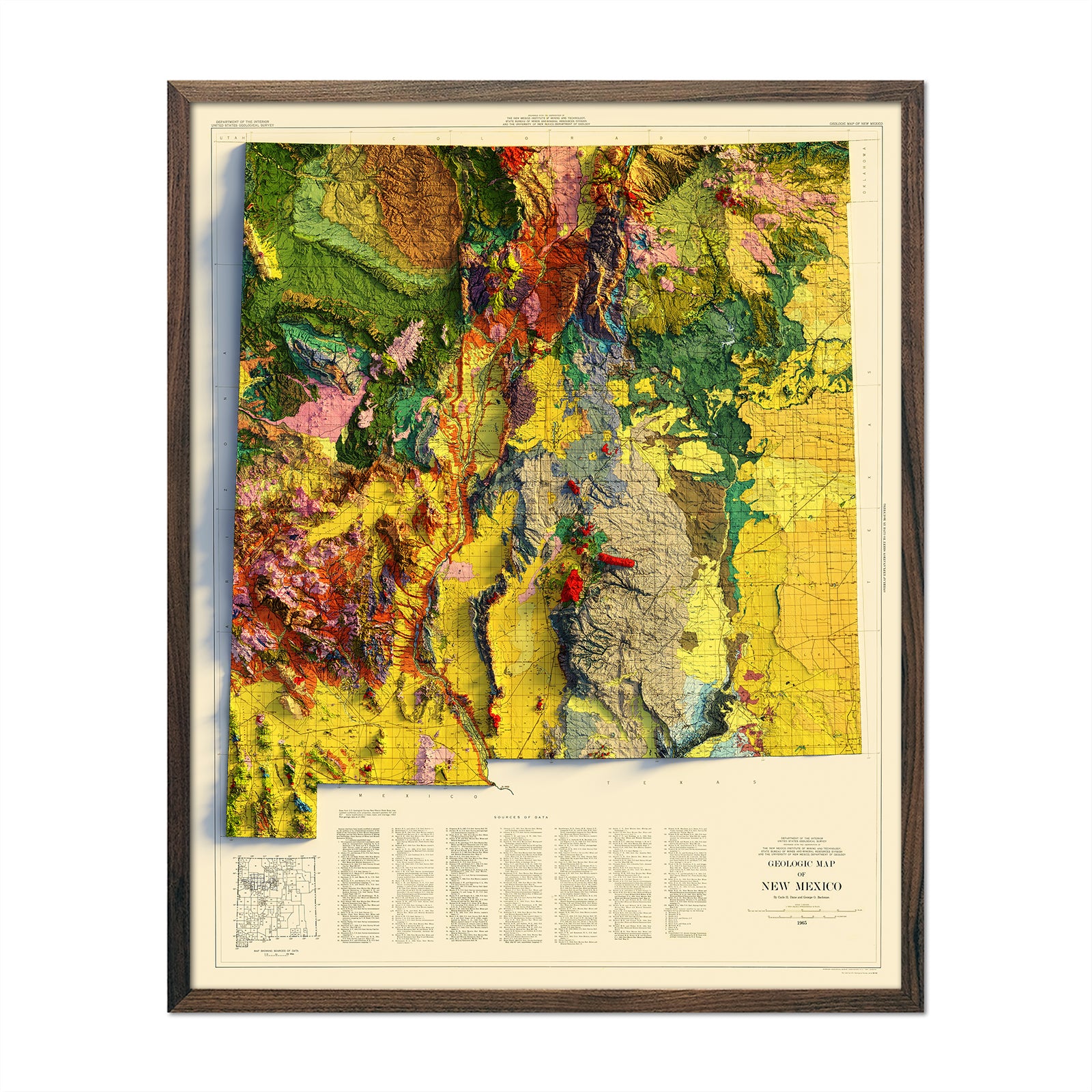
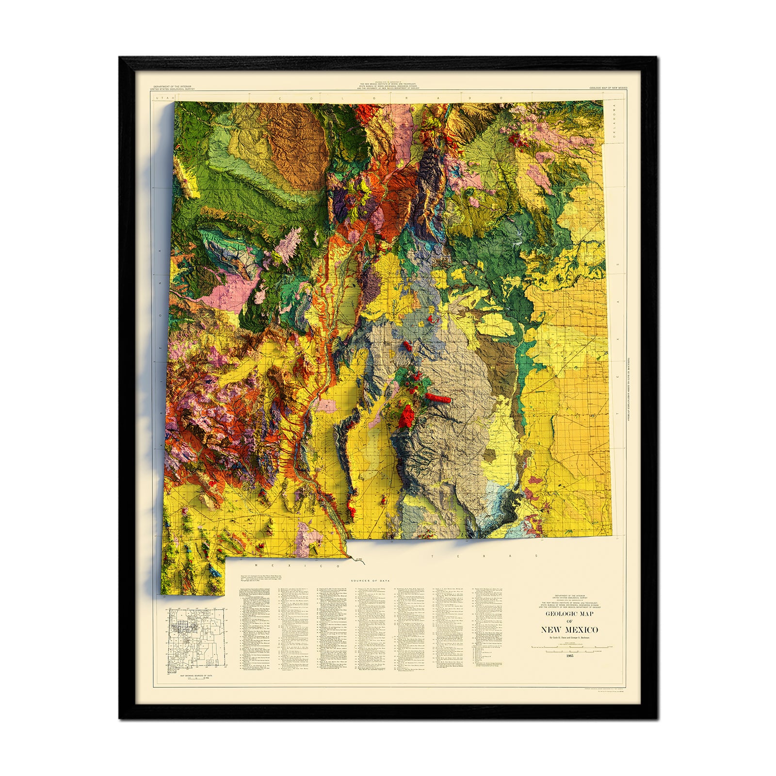
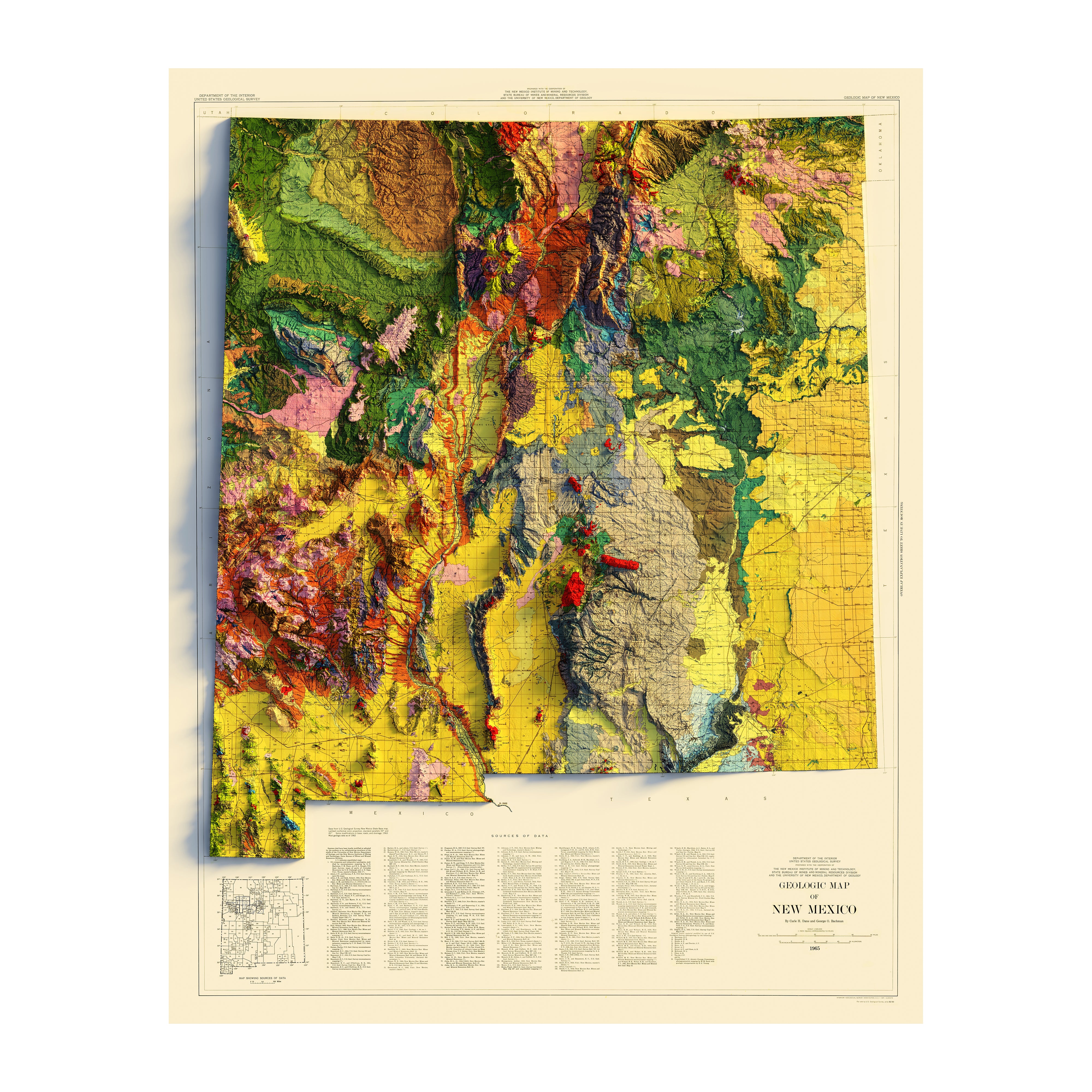
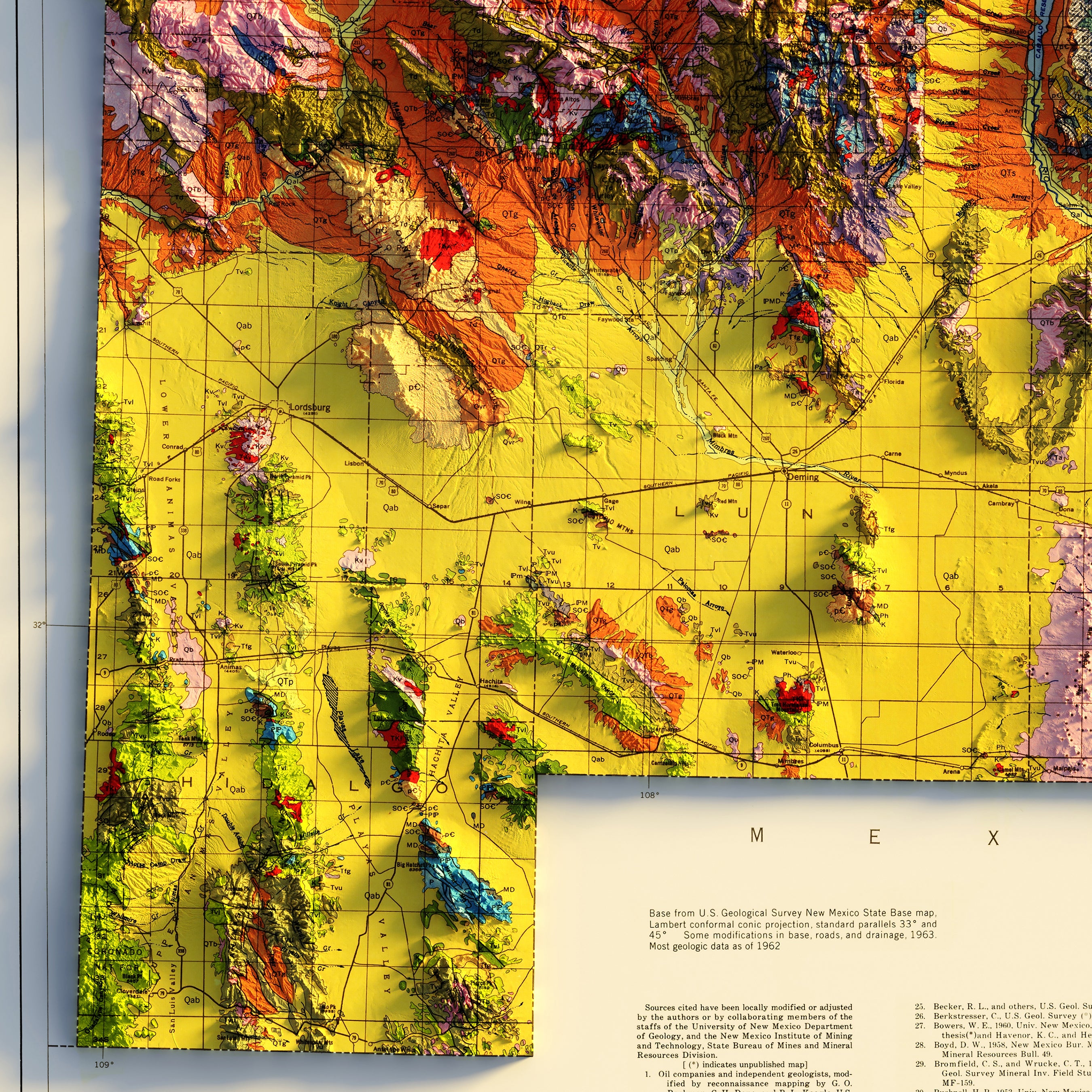
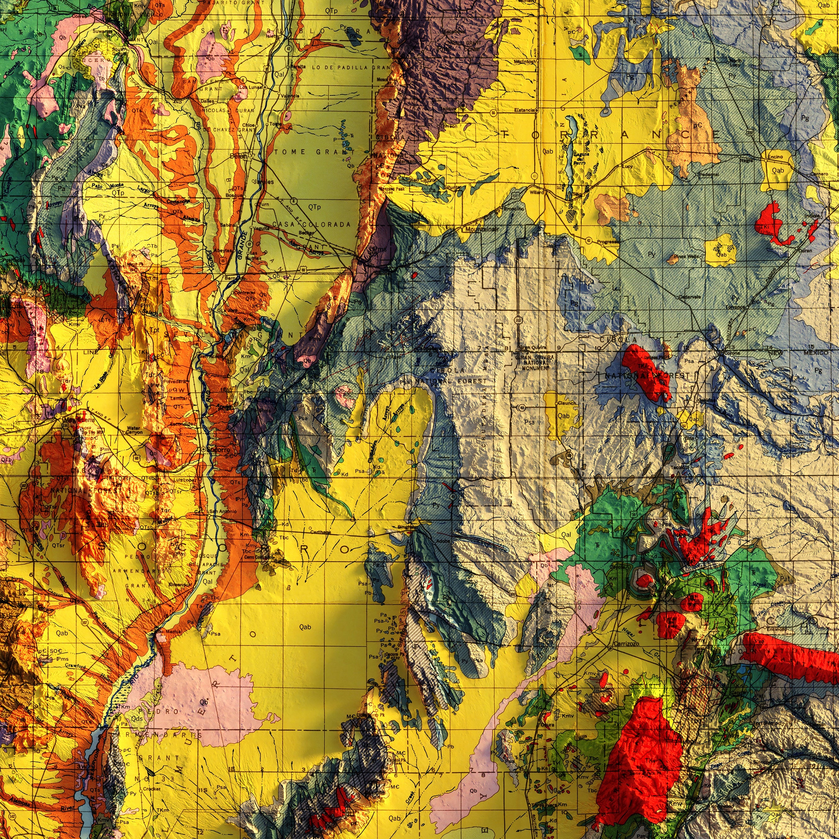
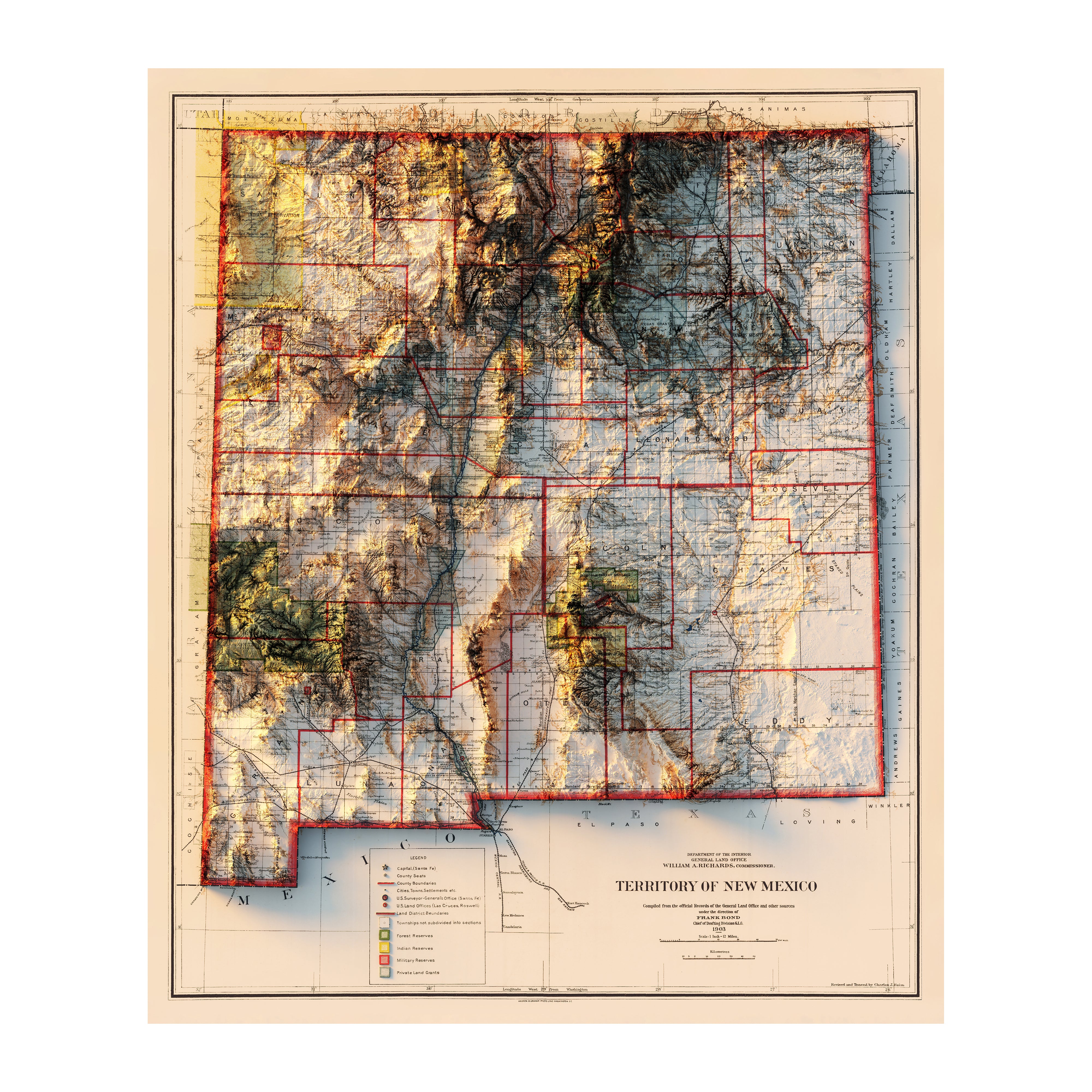
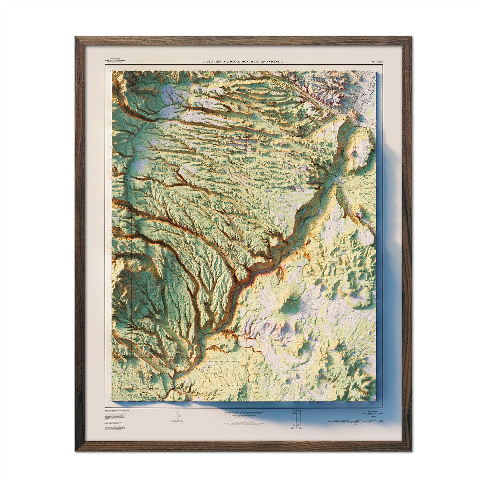
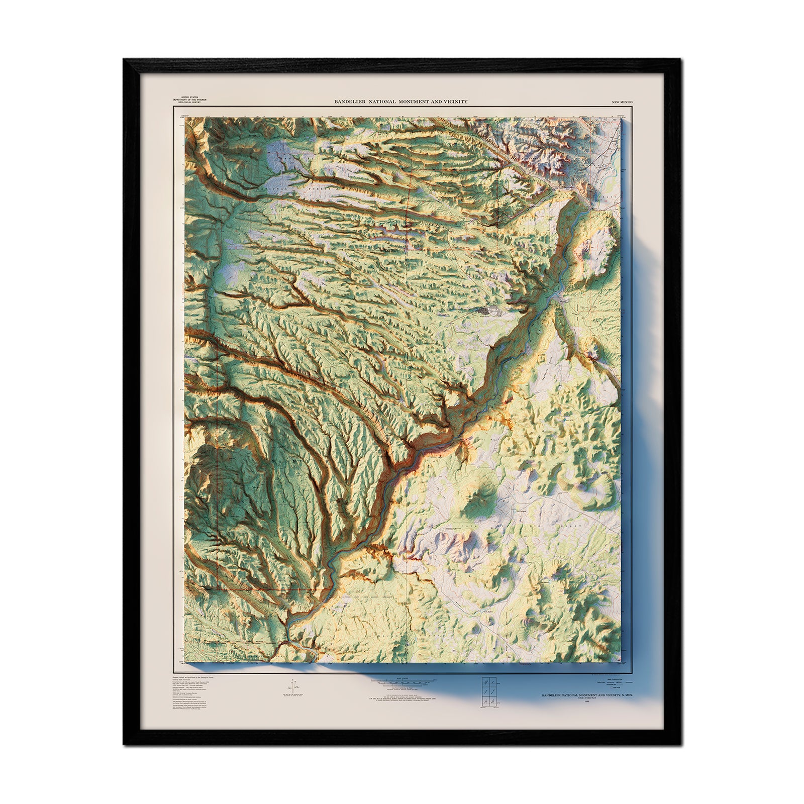
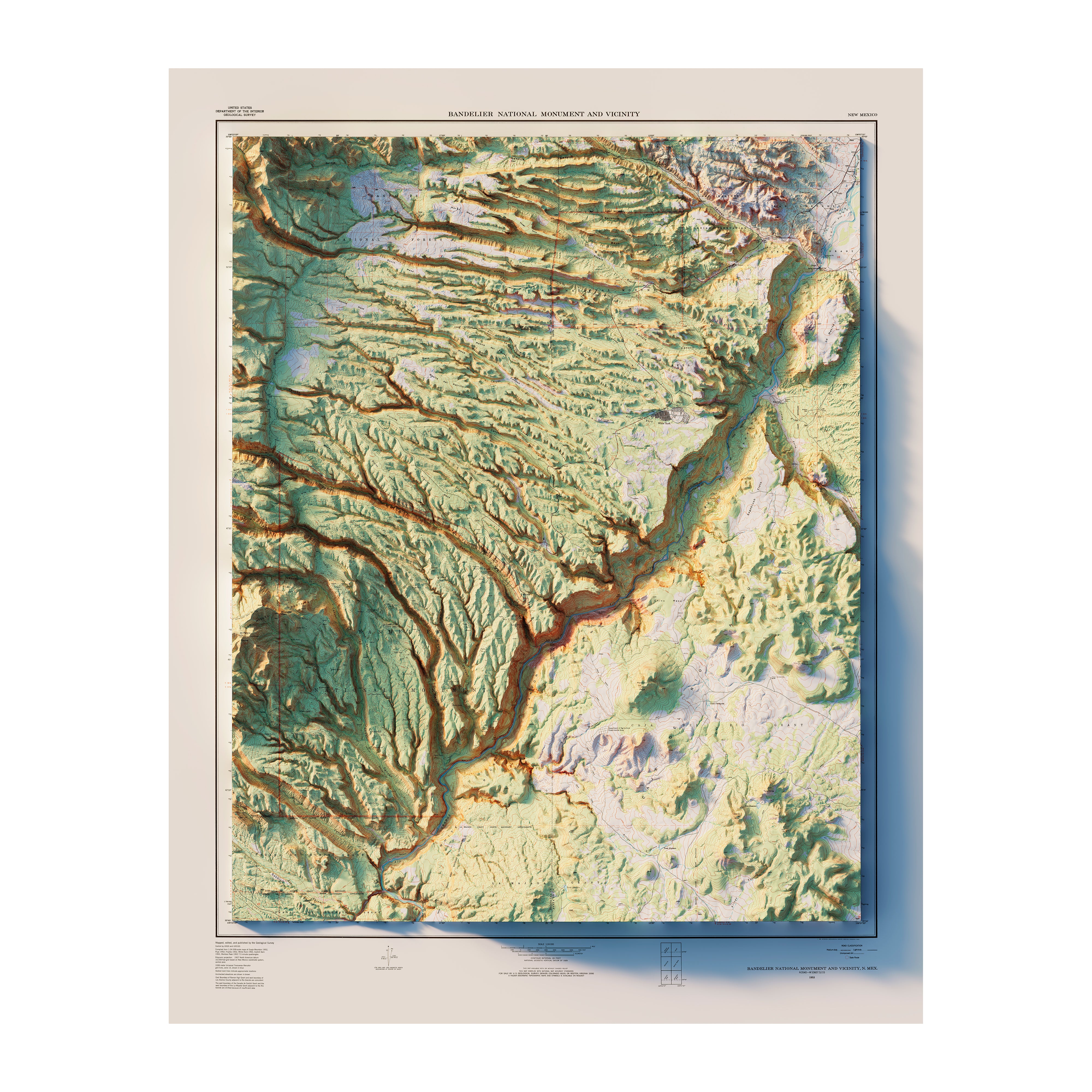
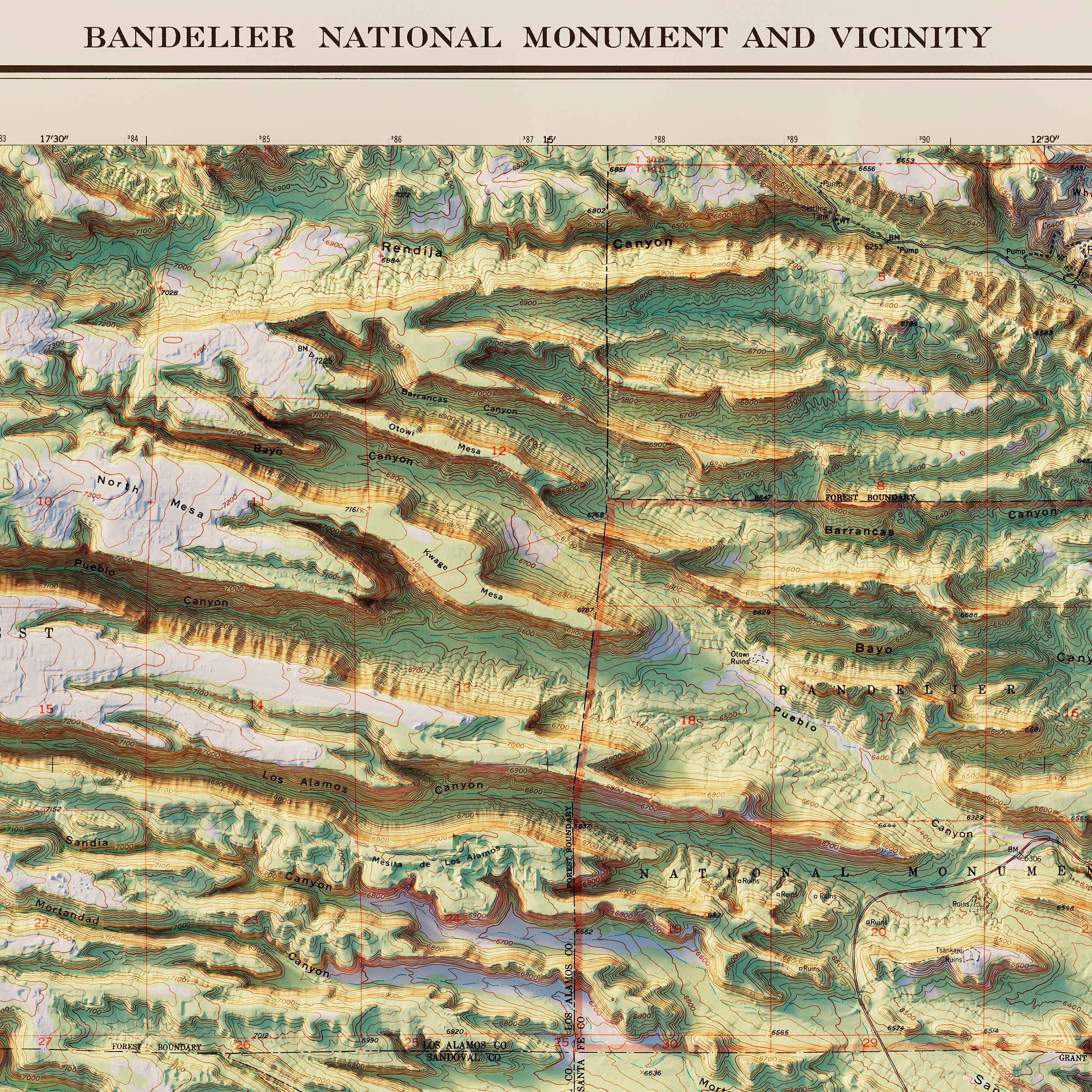
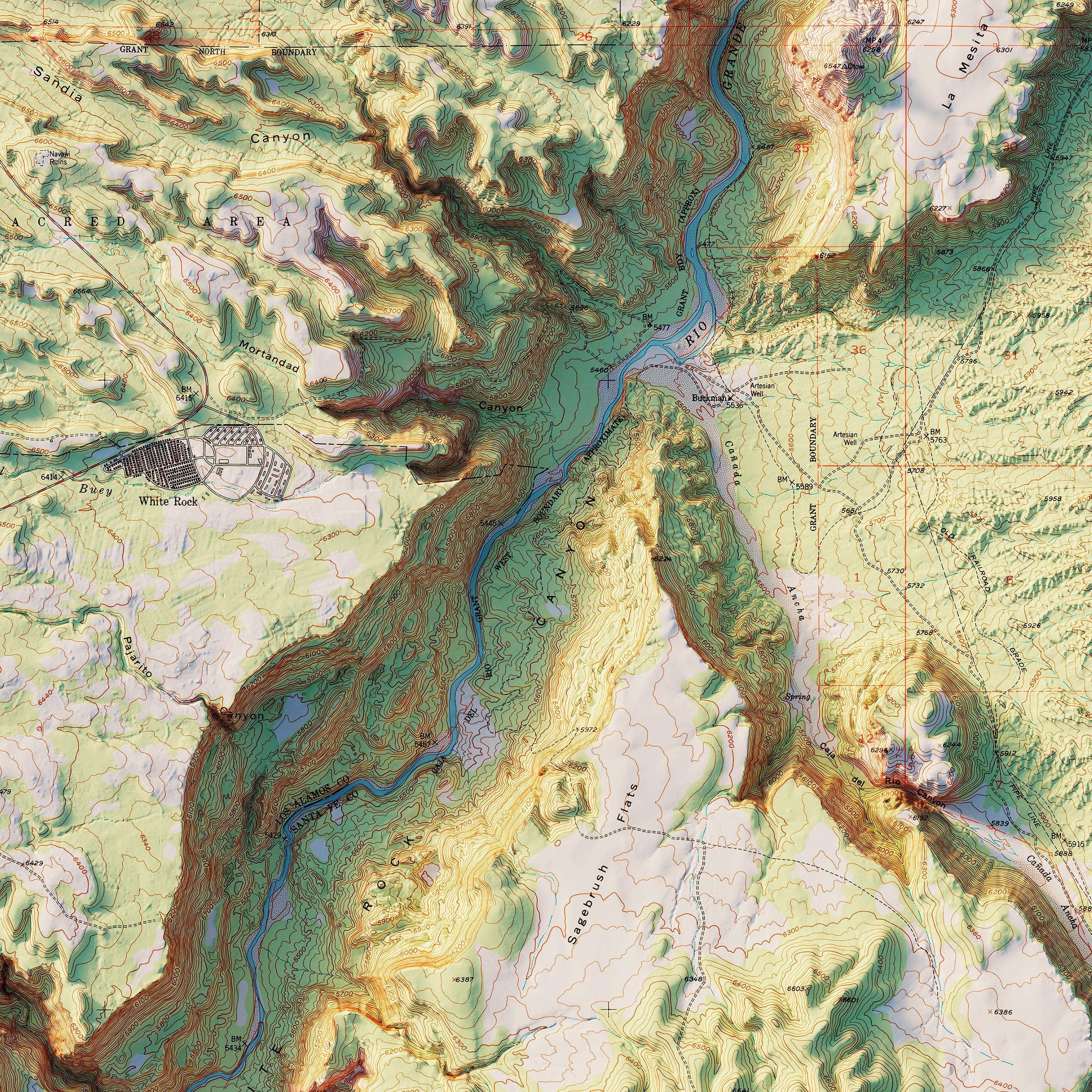
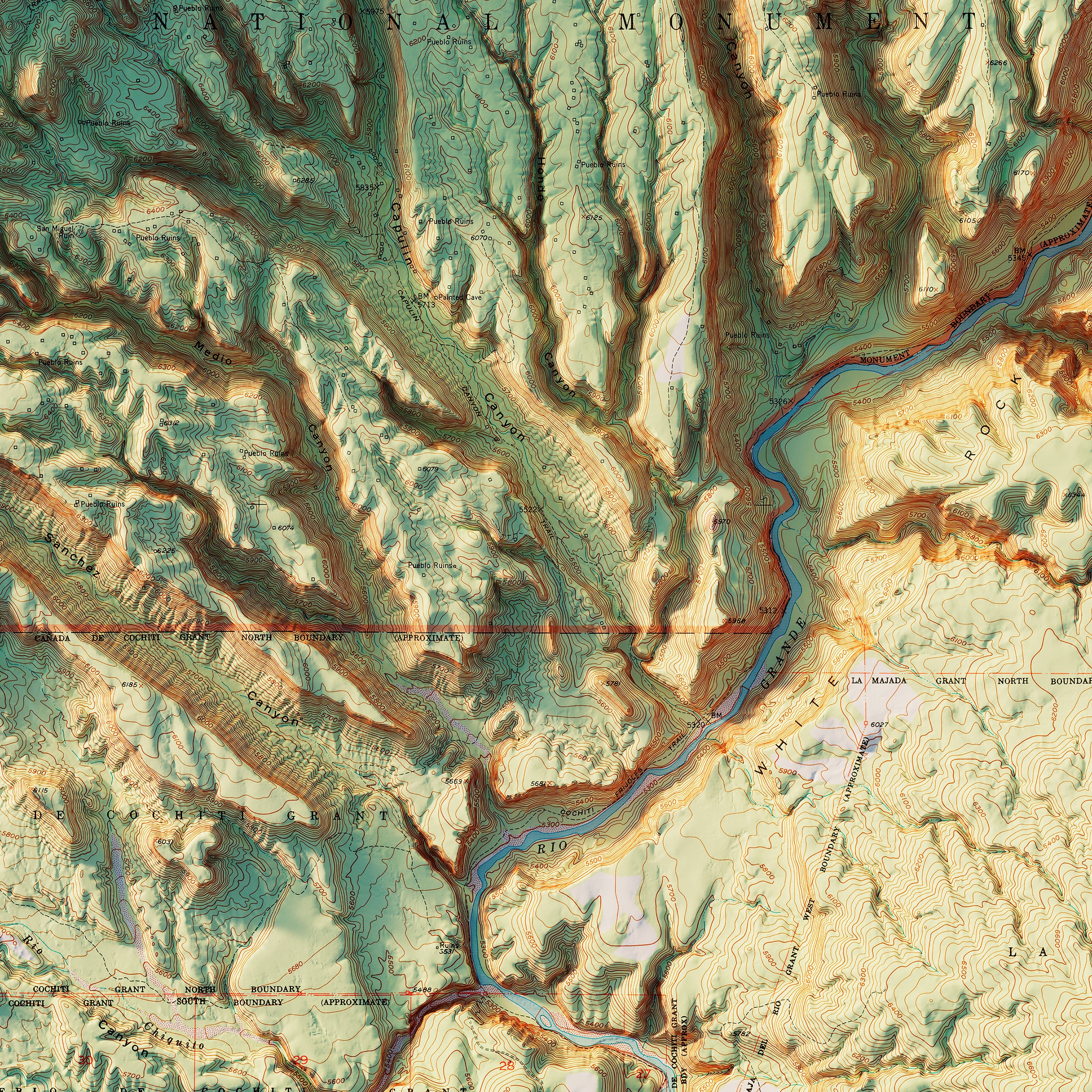
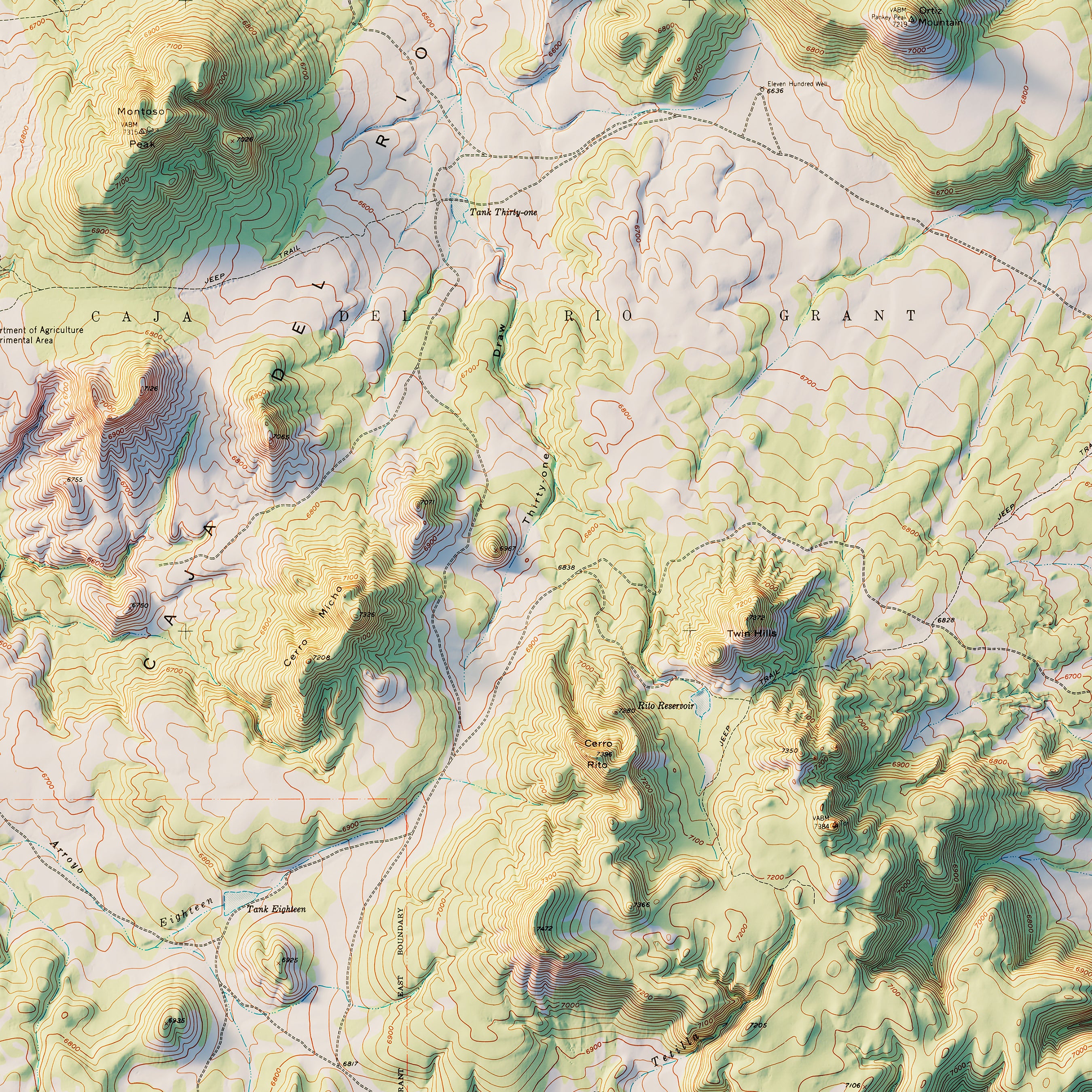
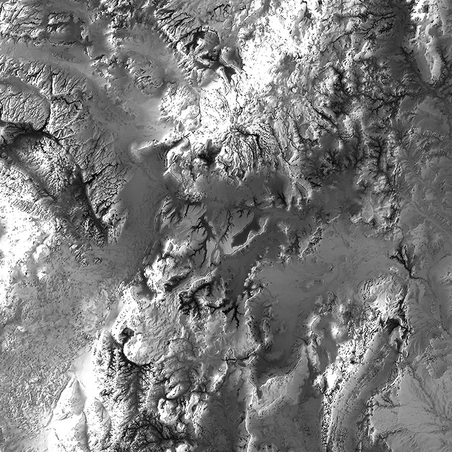
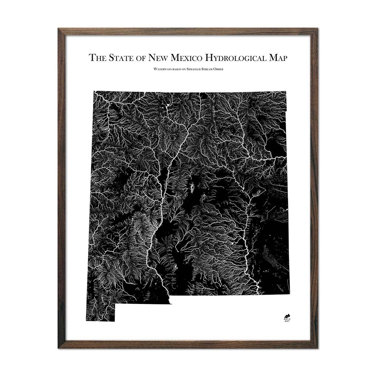
When you purchase a map of New Mexico from Muir Way, you are not purchasing just a glossy print. We custom print every New Mexico map using archival inks and fine art paper certified to last 100 years. The artwork of our maps themselves is designed to bring new light to the beautiful terrain they feature. For example, our elevation maps incorporate hand-shaded relief and Digital Elevation Data with historical map terrain for a unique 3D effect on a flat surface, and our hydrological maps depict every river in the state--even intermittent streams--and every body of water over 0.2 miles in diameter in crisp detail. We create beautiful, heirloom-quality maps meant to last for generations.
Does my New Mexico map come framed?
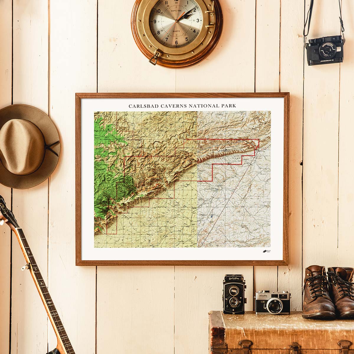
It can! You can purchase your New Mexico map professionally custom-framed with real wood, or unframed if you prefer to use your own. If you’d like to purchase a framed New Mexico wall map, there are several different wood finishes to choose from. If you’d prefer to use your own frame, all of our maps come in standard sizes for easy gift giving.
Does a Muir Way map of New Mexico make a good gift?
Yes! Our custom-printed maps of New Mexico make the perfect gift to commemorate a special vacation, for outdoor enthusiasts, or as a thank-you gift for someone special. Memorialize the experience of a special holiday to Boca Negra Canyon to see the petroglyphs, or any of New Mexico’s amazing features. One of our state relief maps can be a perfect graduation gift for a student about to leave home for the first time, or a reminder of home for someone from New Mexico but who no longer lives there. Our maps also make beautiful corporate gifts that will remind your clients or colleagues of you every time they see it.
Where should I display my New Mexico map?
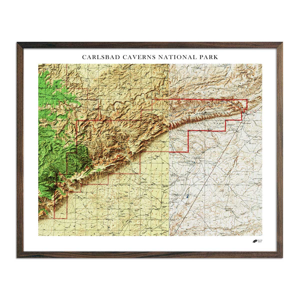
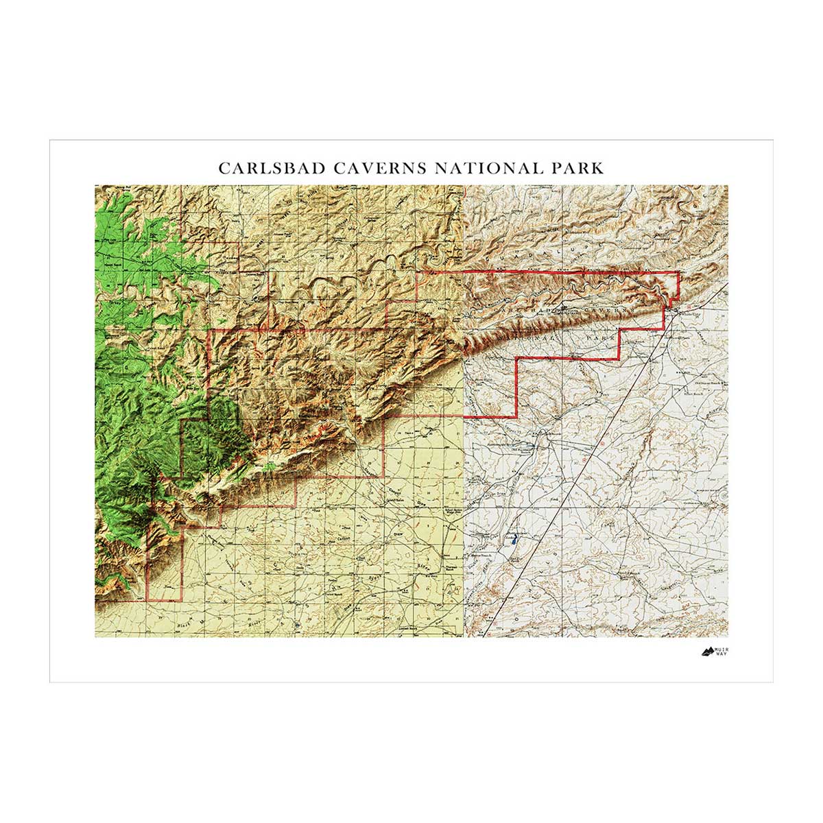
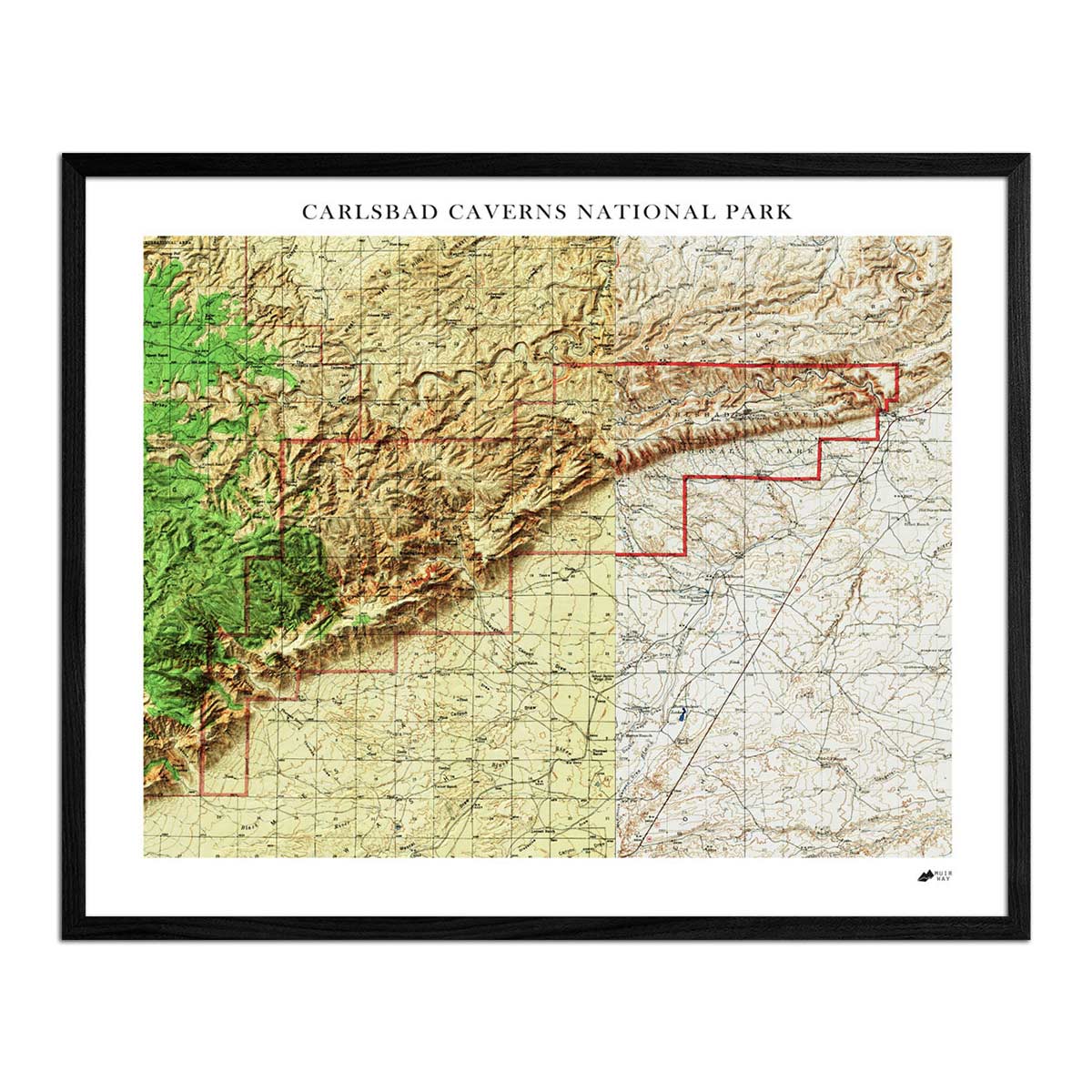
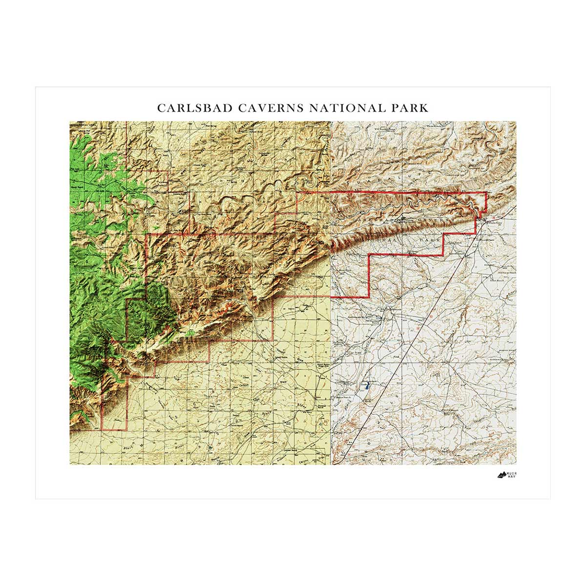
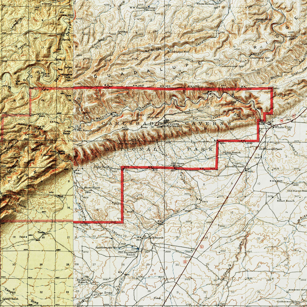
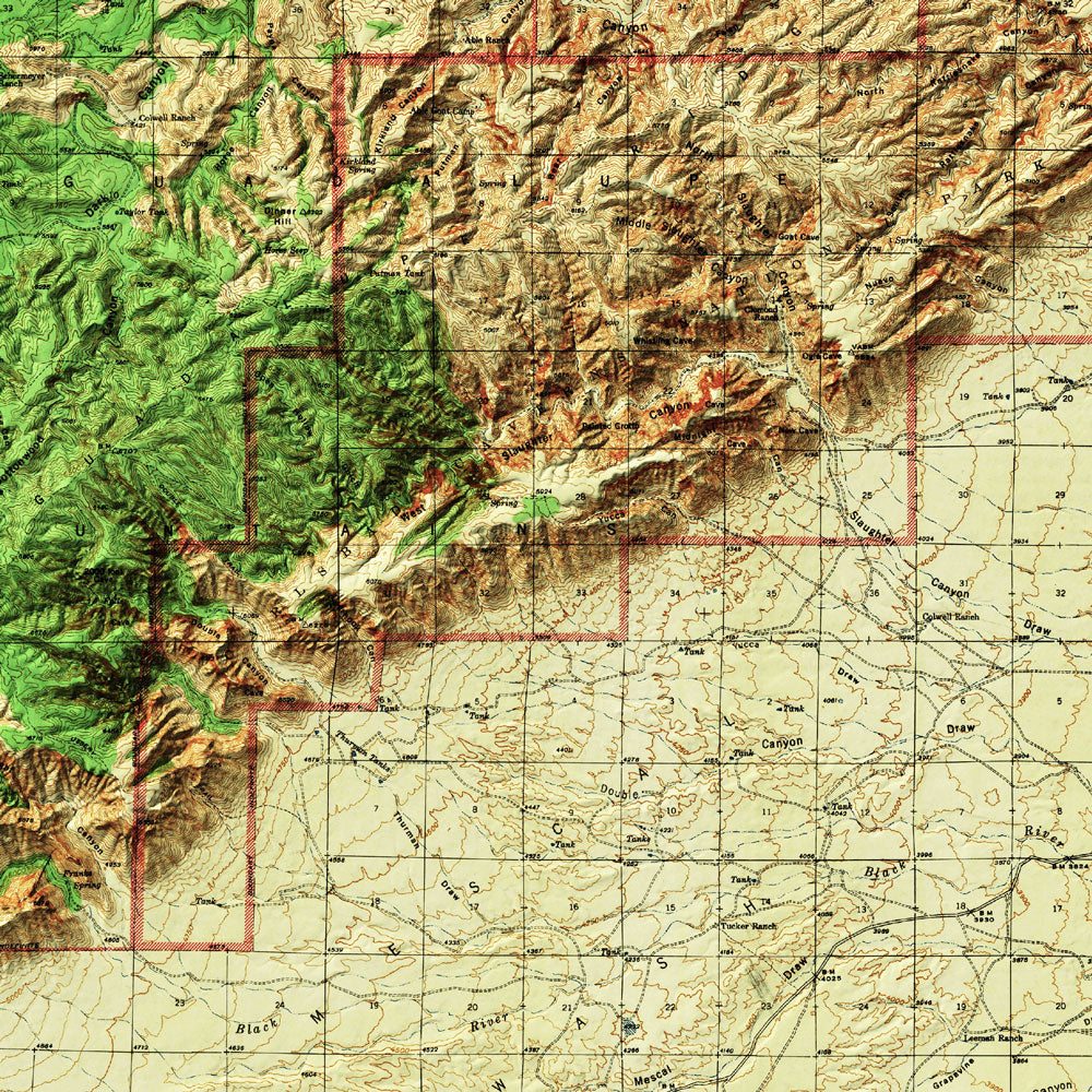
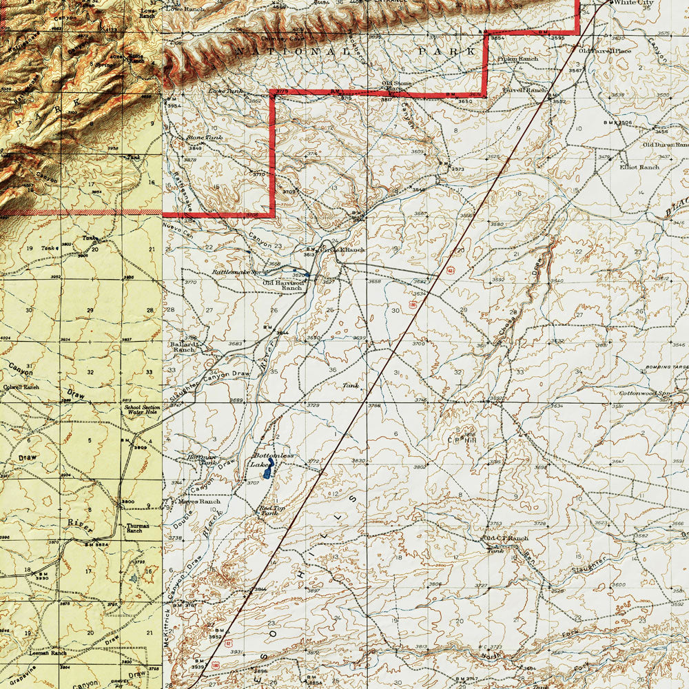
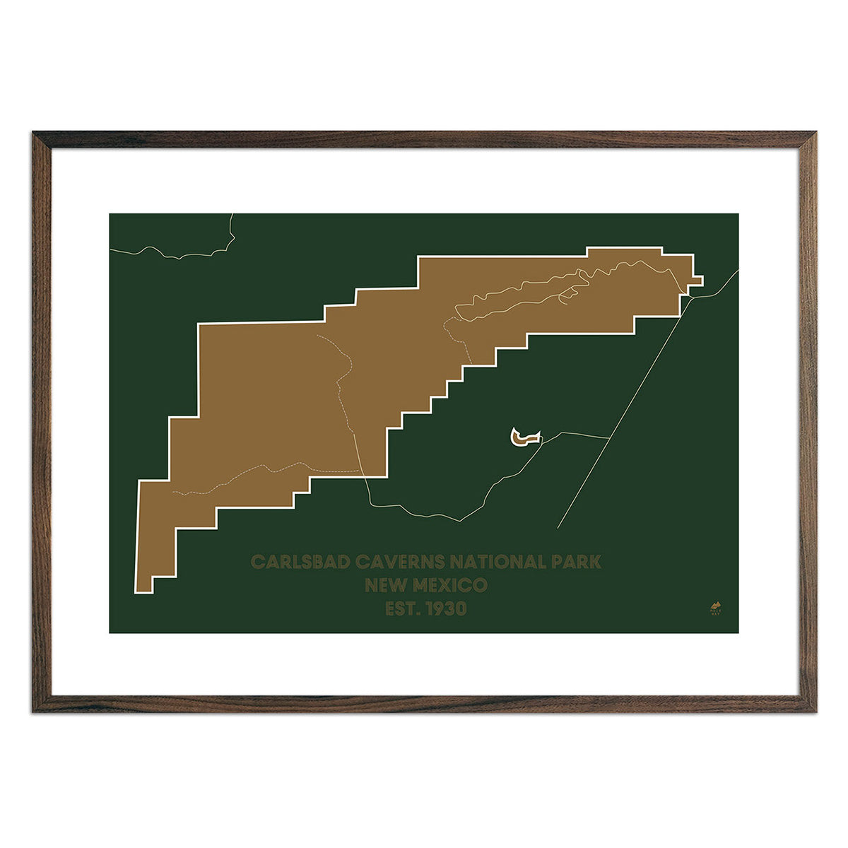
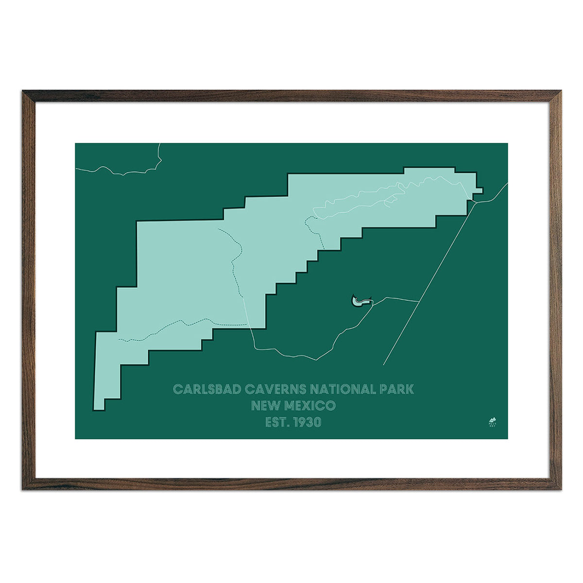
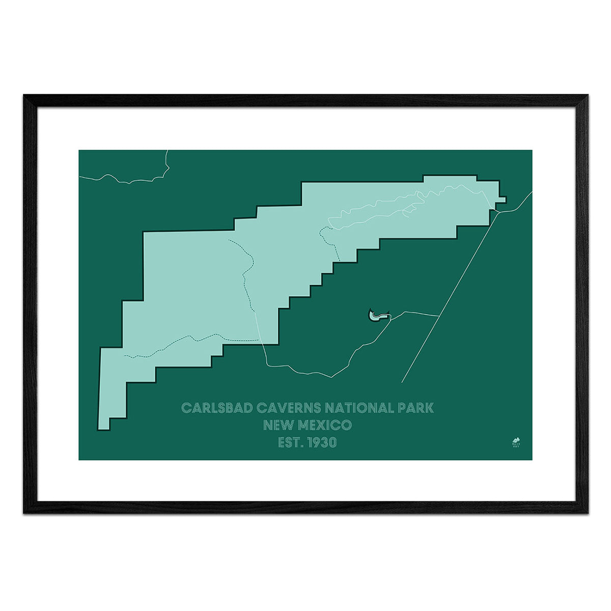
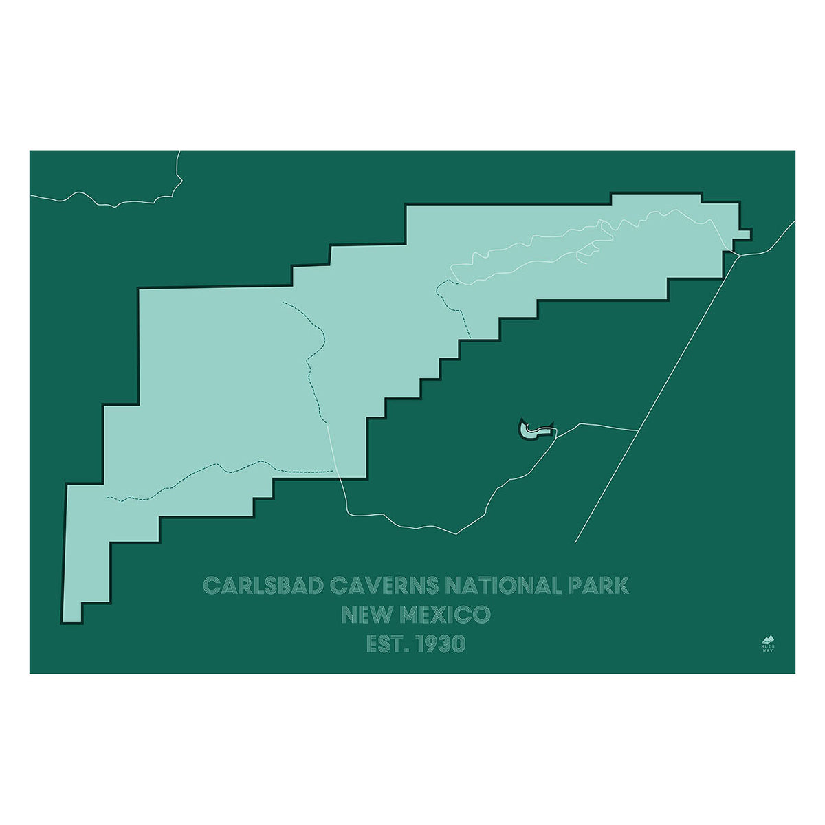
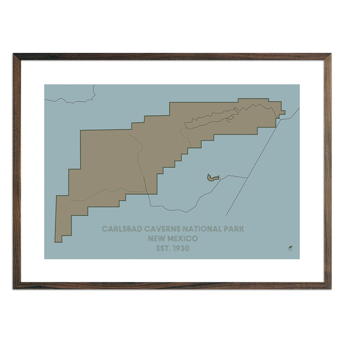
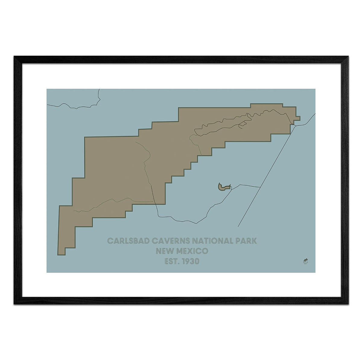
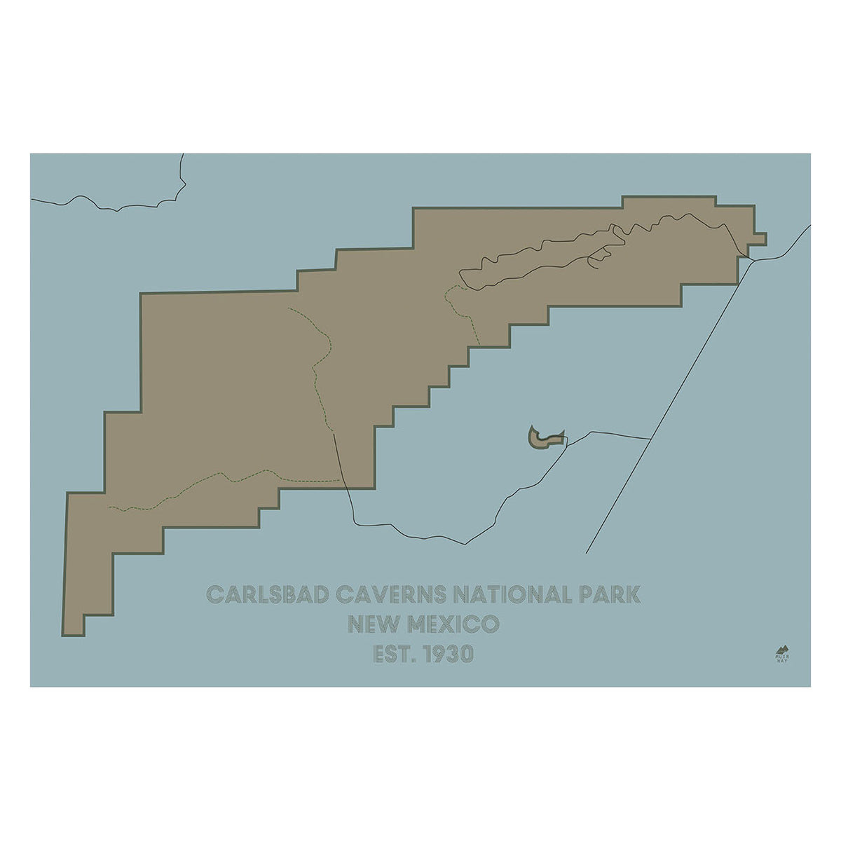
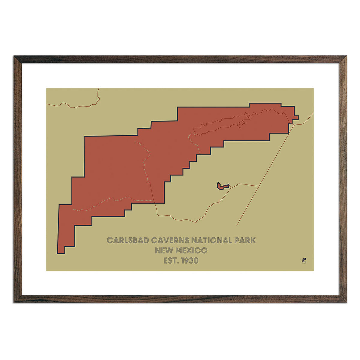
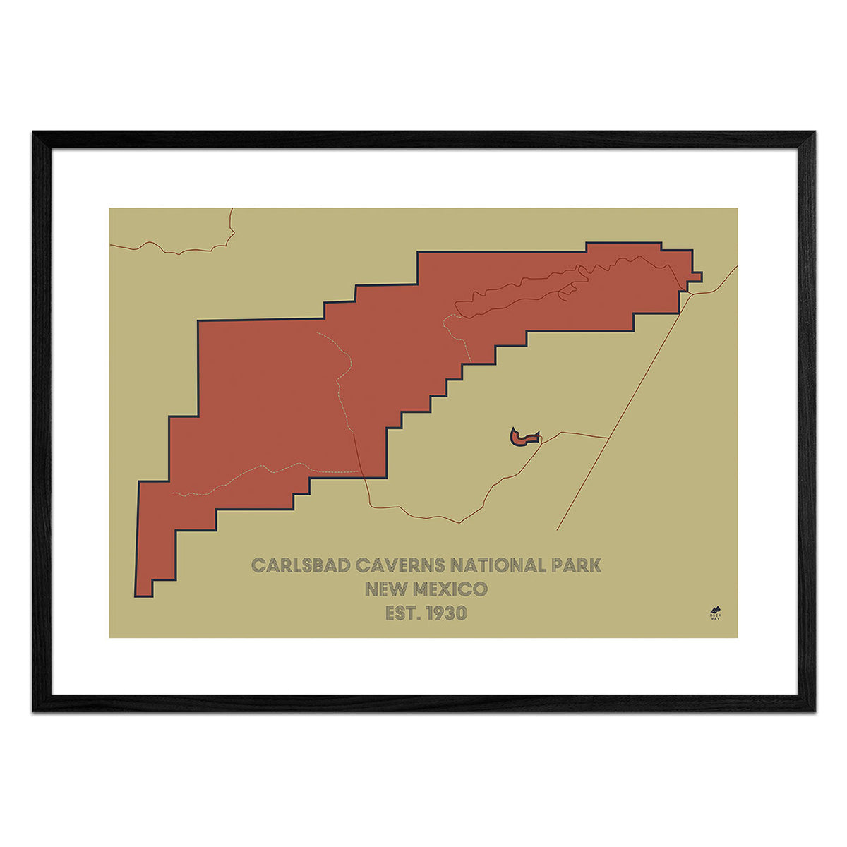
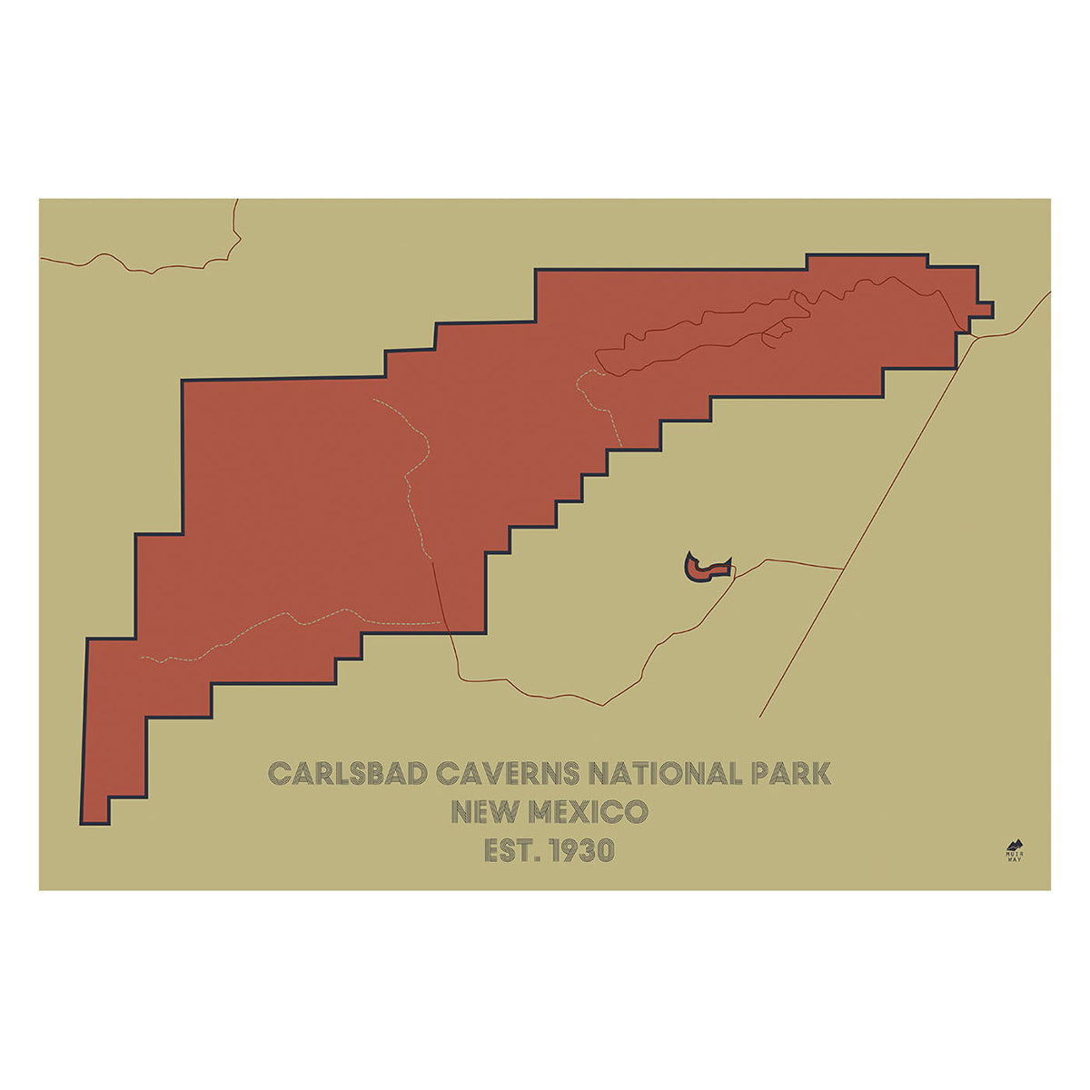
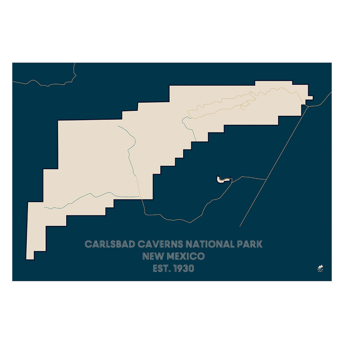
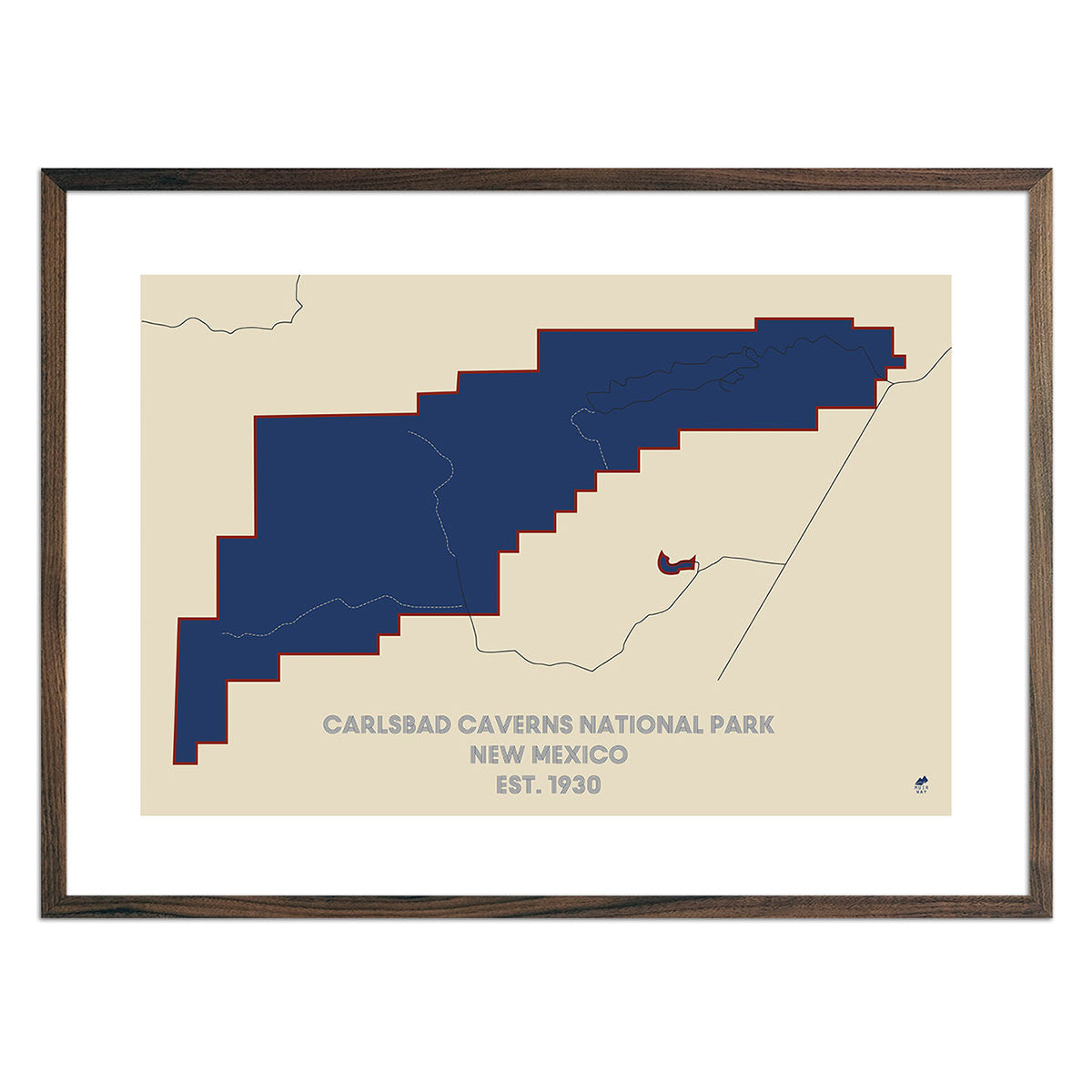
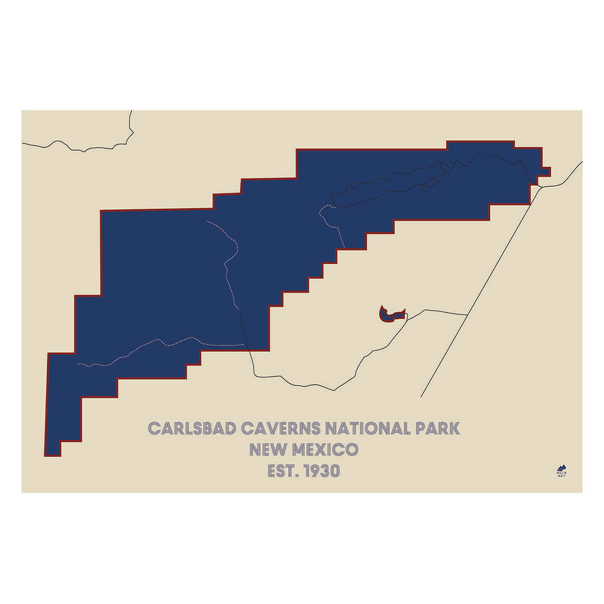
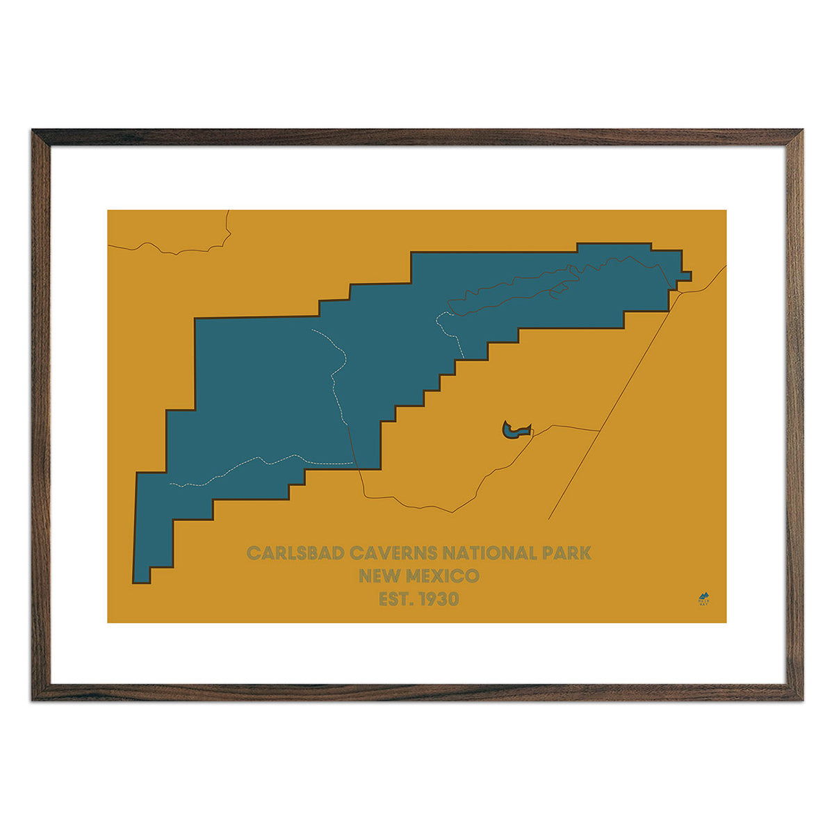
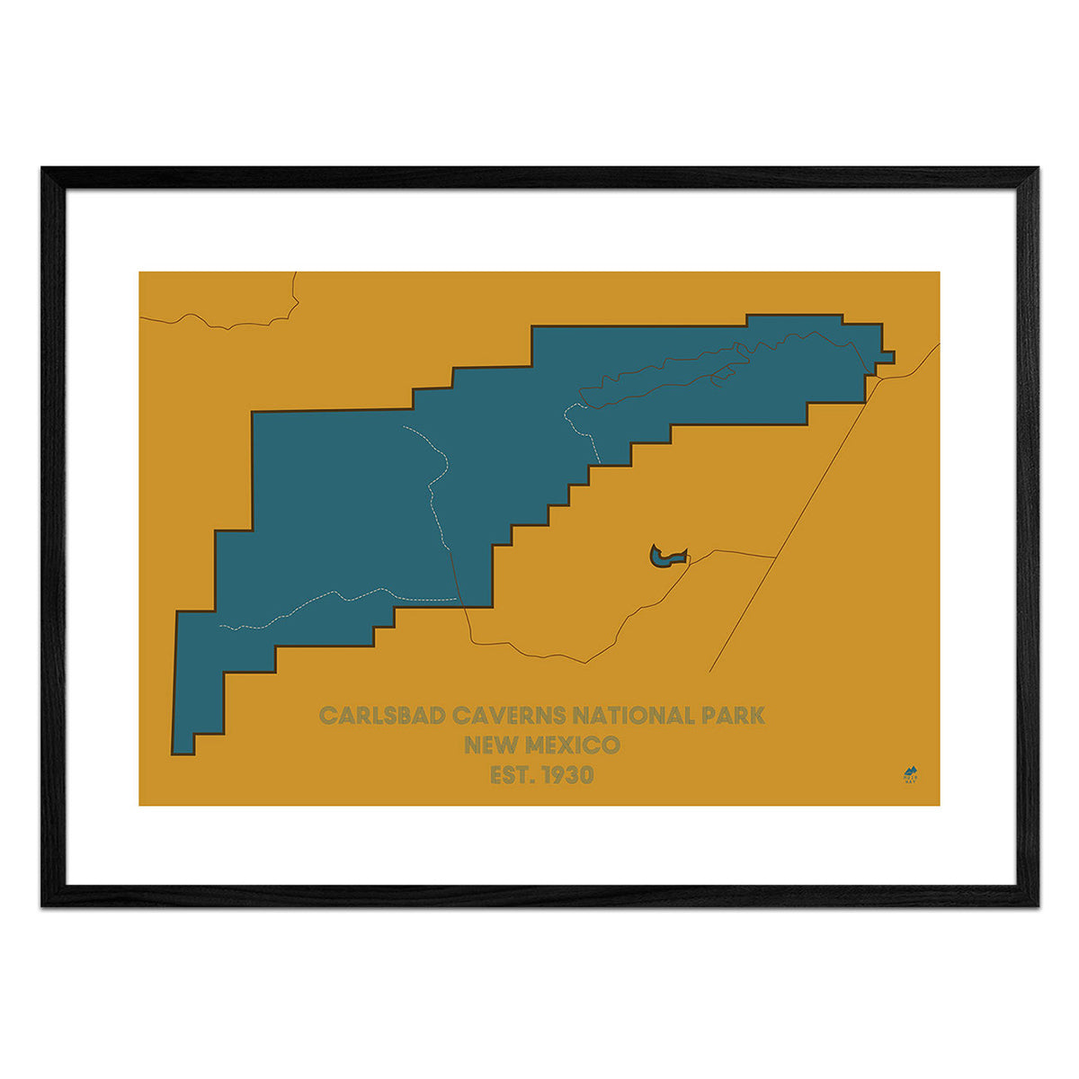
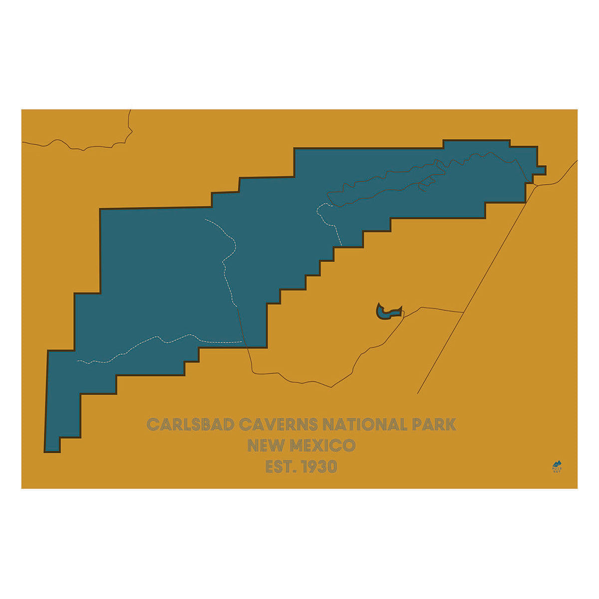
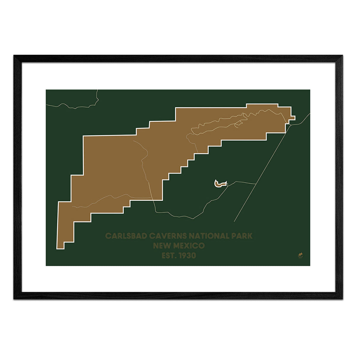
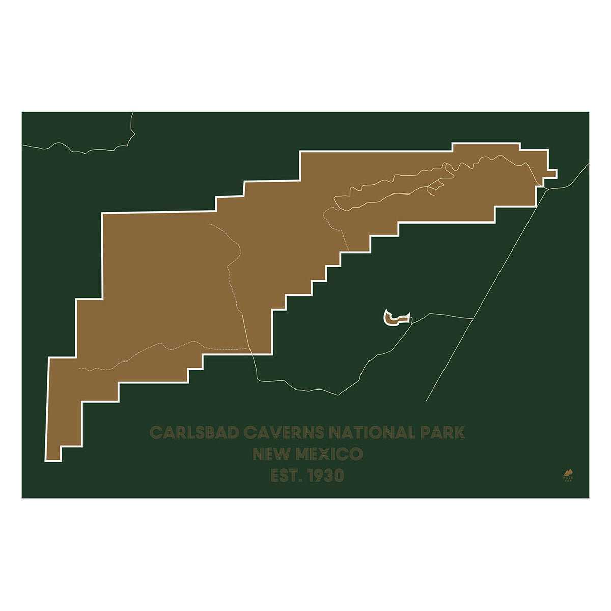
Our maps are designed to be eye-catching from across the room and up close. Hang a framed wall map as a central focus or purchase several maps in a similar style or from a particular region and arrange them near each other for a complementary series. Make a Carlsbad Caverns series with our Carlsbad Caverns National Park map and our Carlsbad Caverns Relief map. Our hydrological maps come in several colors or classic black and white, and our geological relief maps feature vibrant colors. No matter which you choose, you’re sure to find a New Mexico map that will look right at home.
What are the different types of maps of New Mexico available on Muir Way?
Our New Mexico maps are available in several different styles, including:
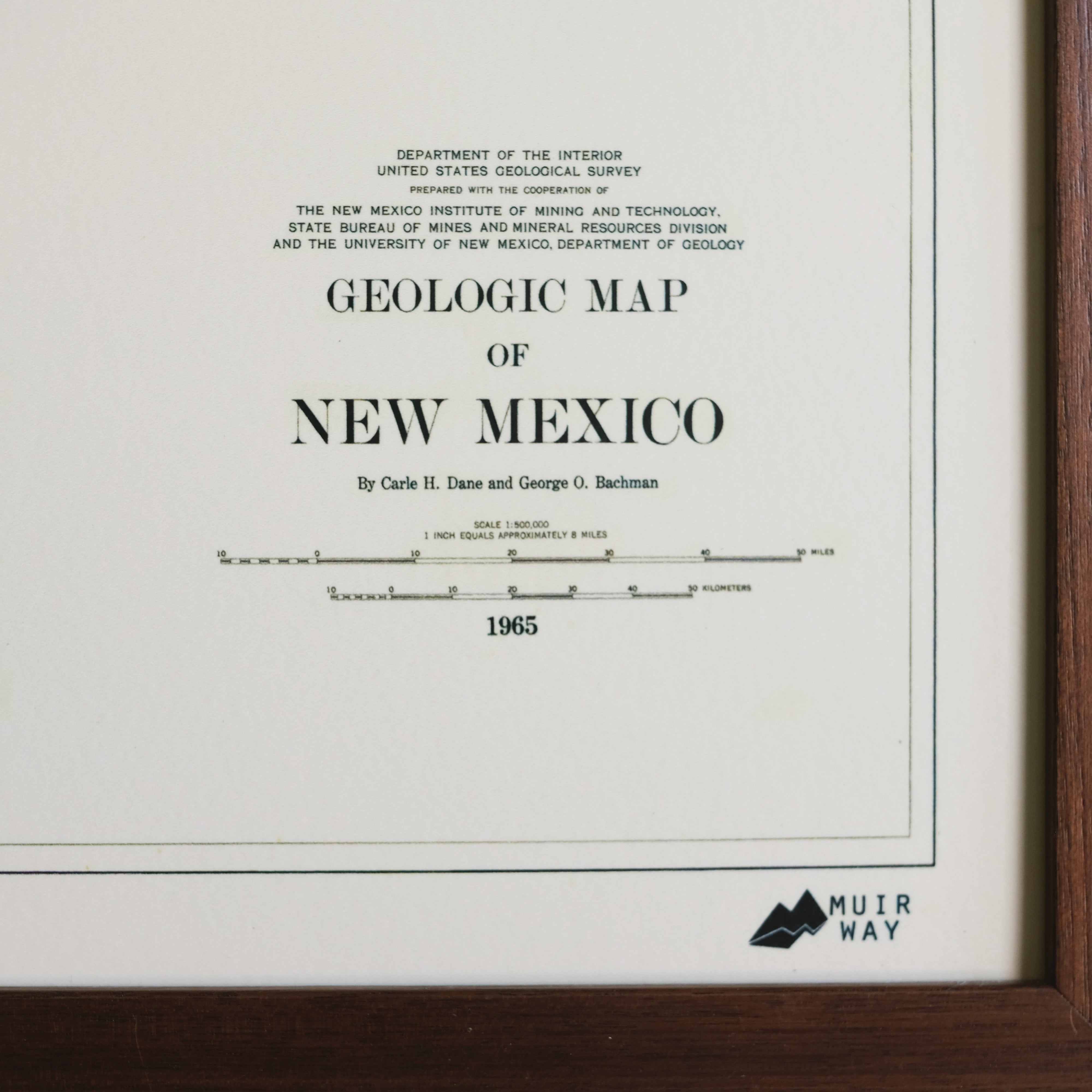
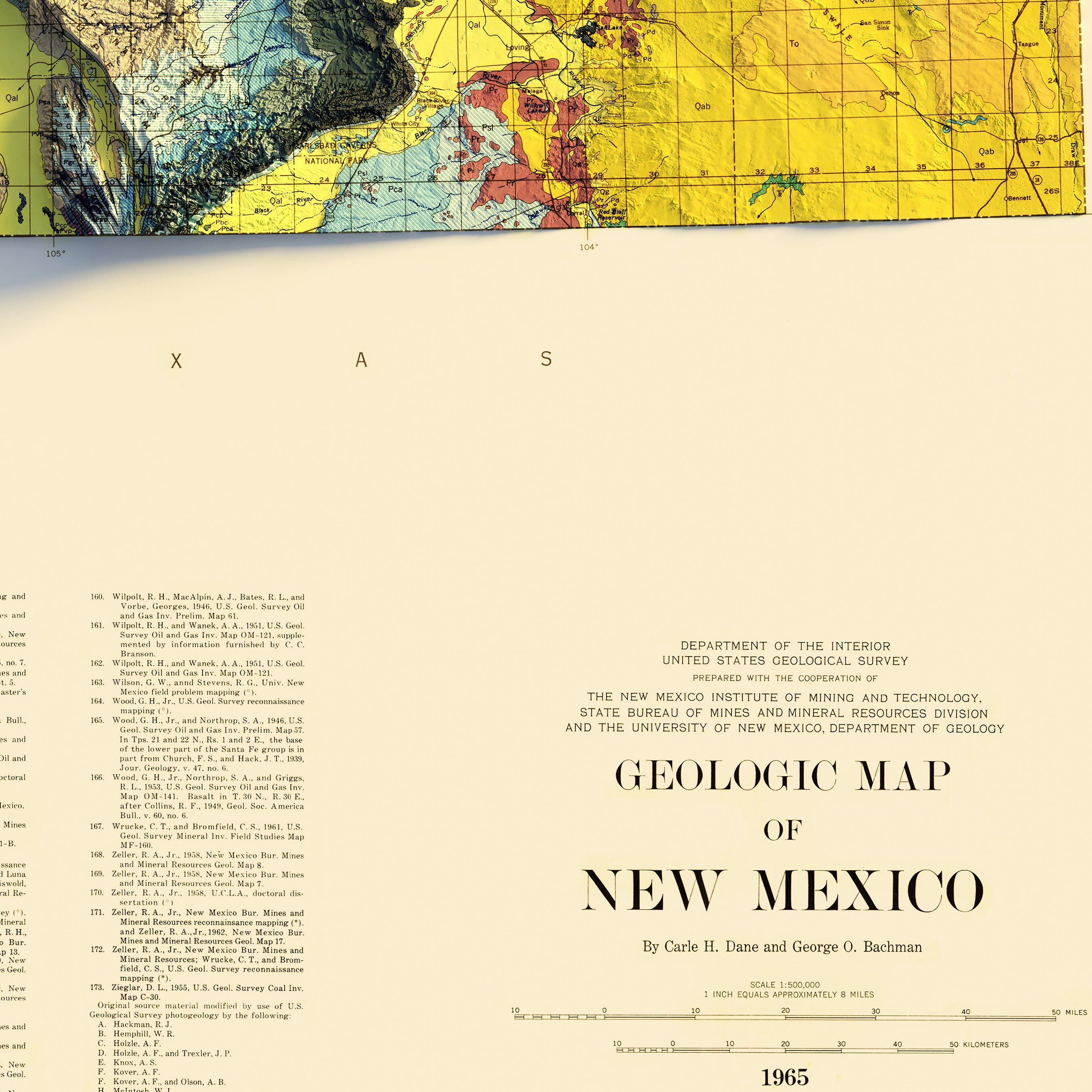
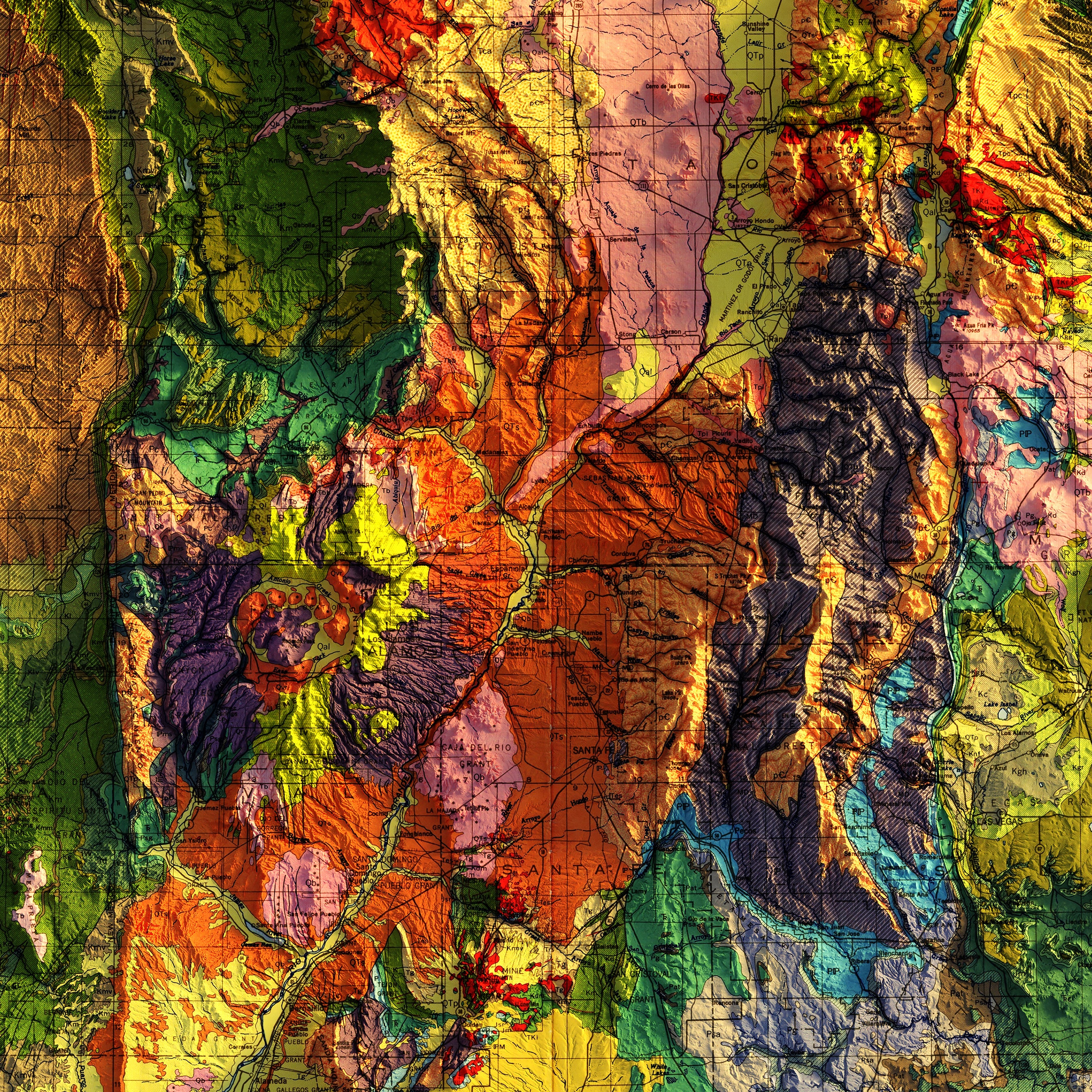
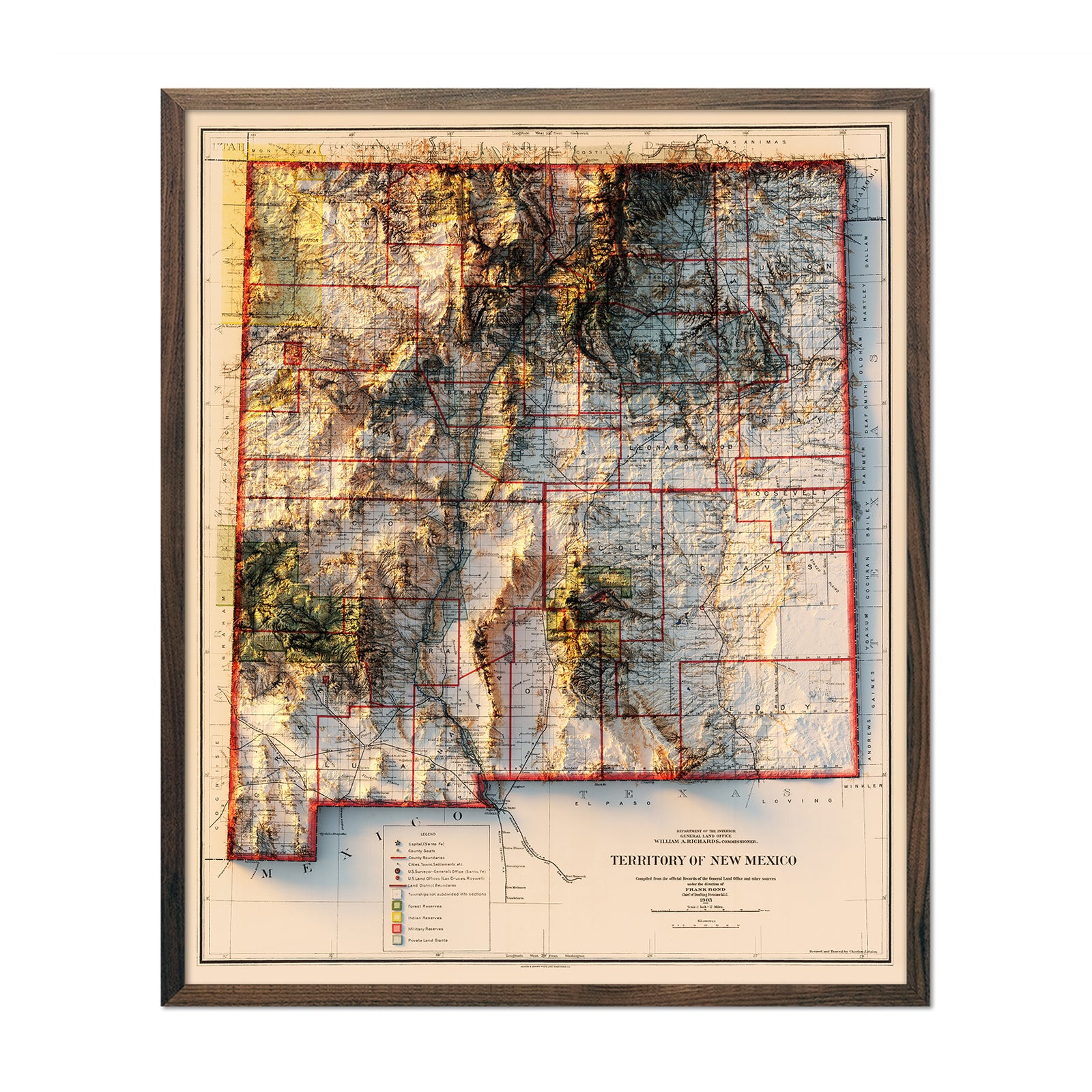
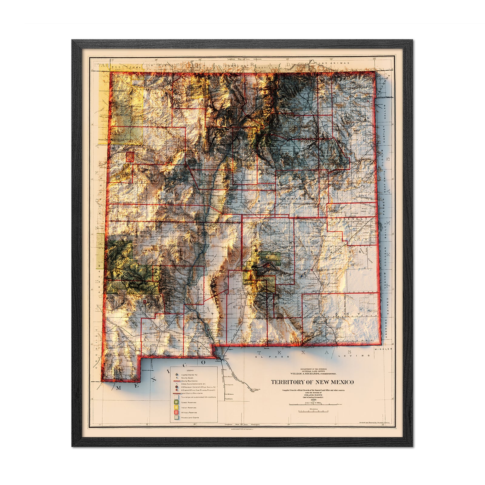
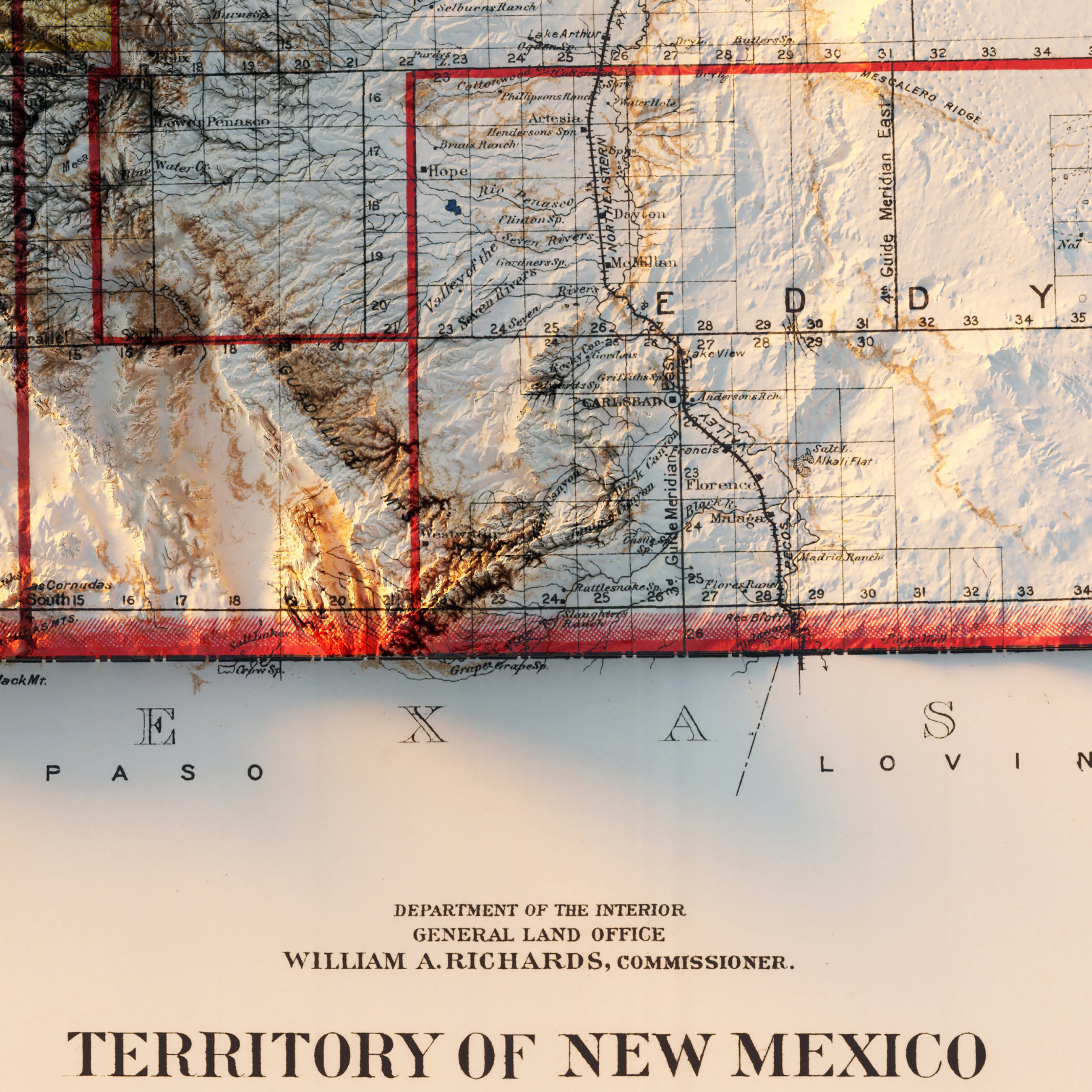
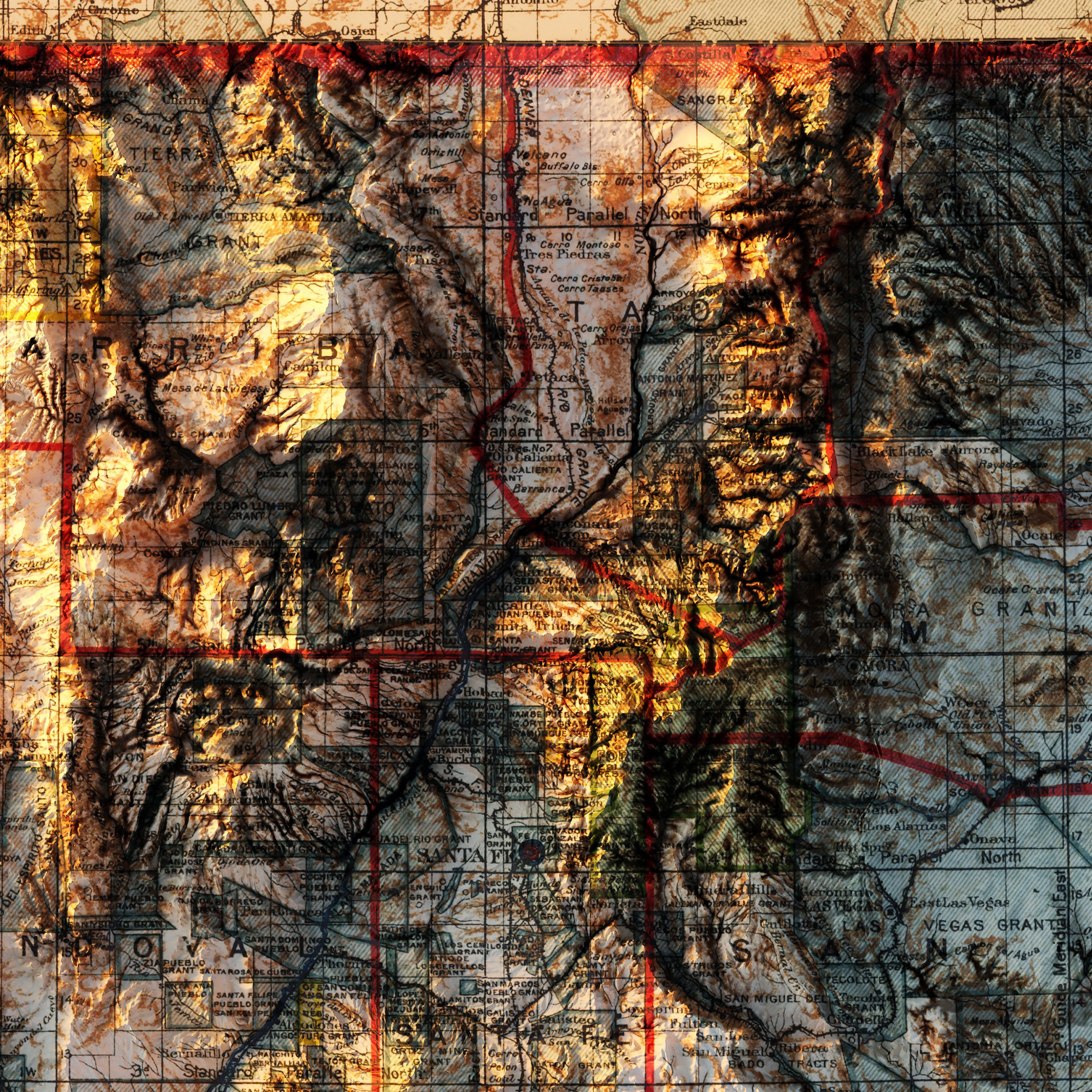
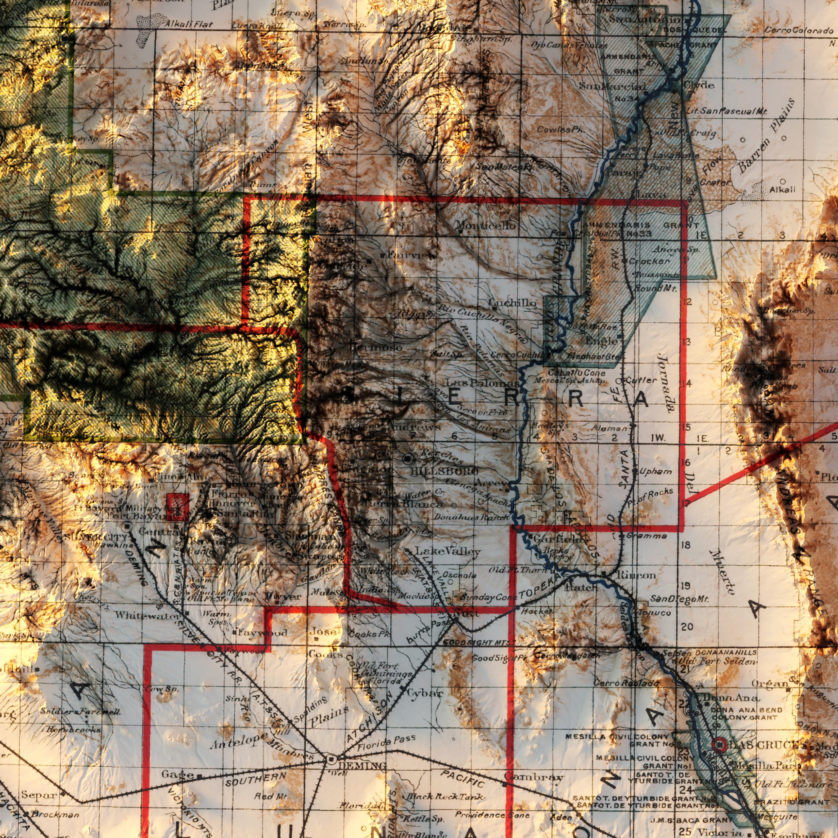
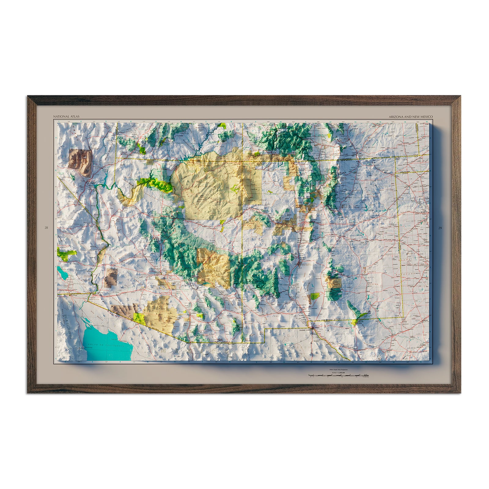
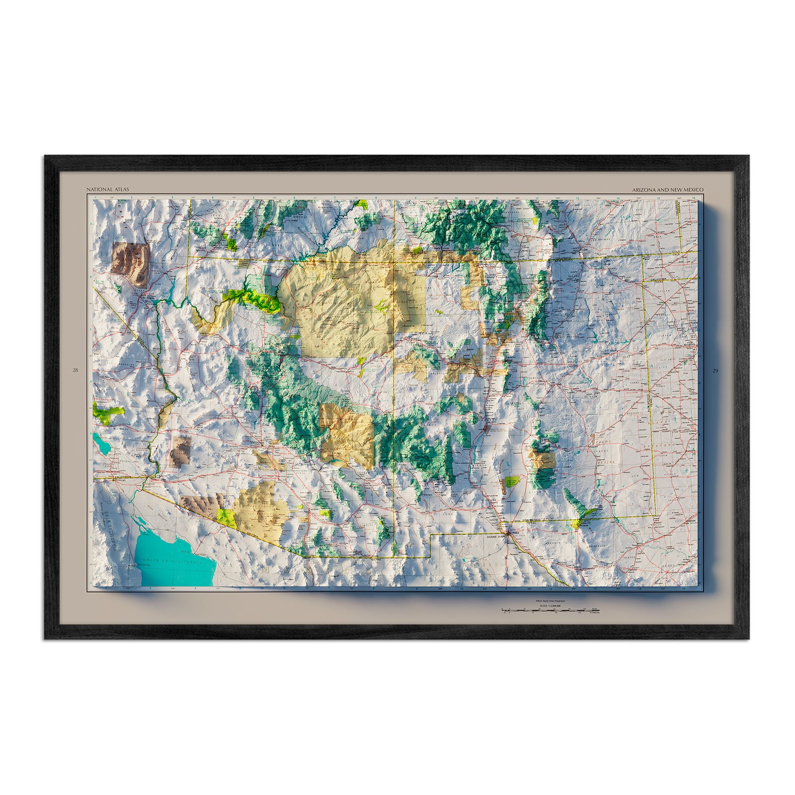
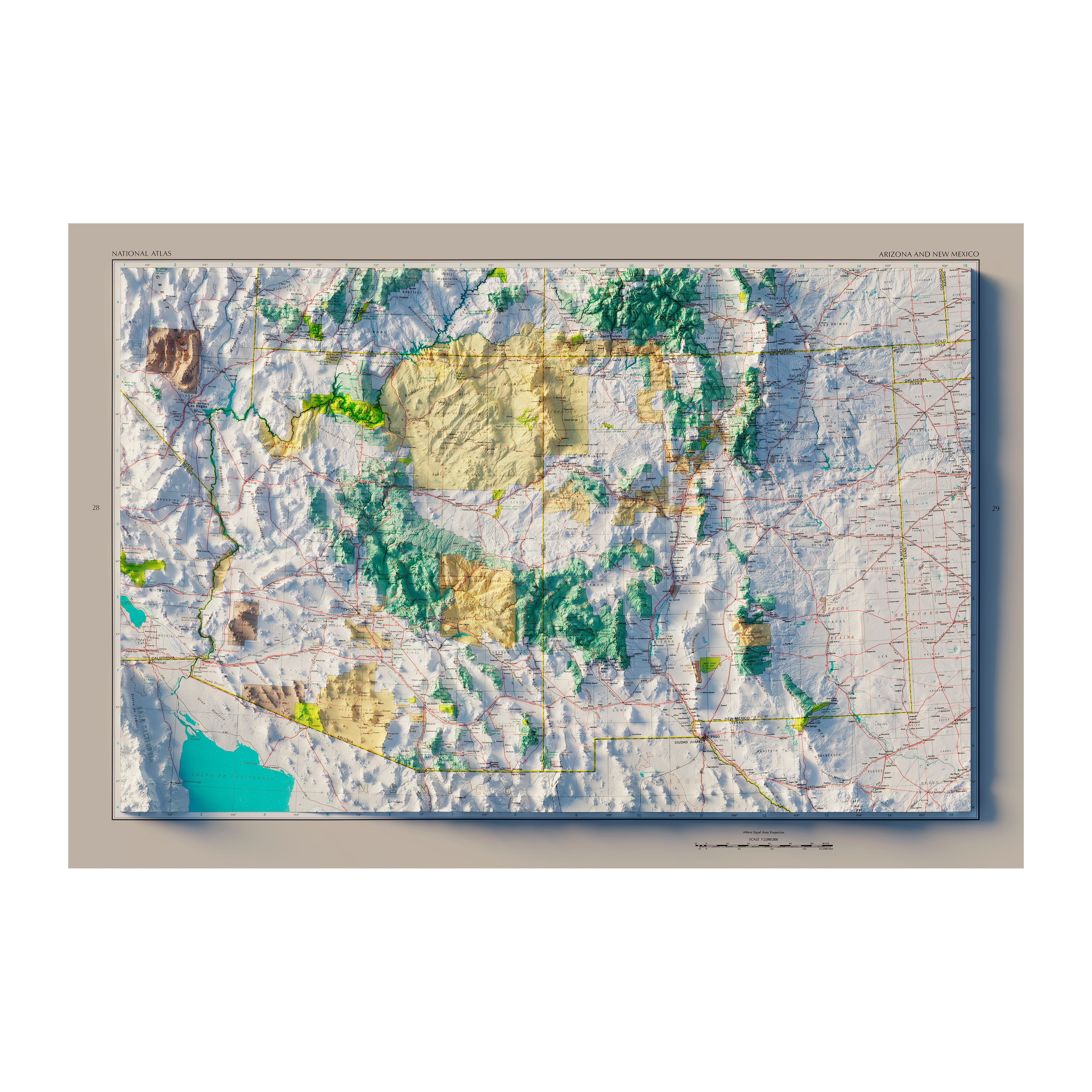
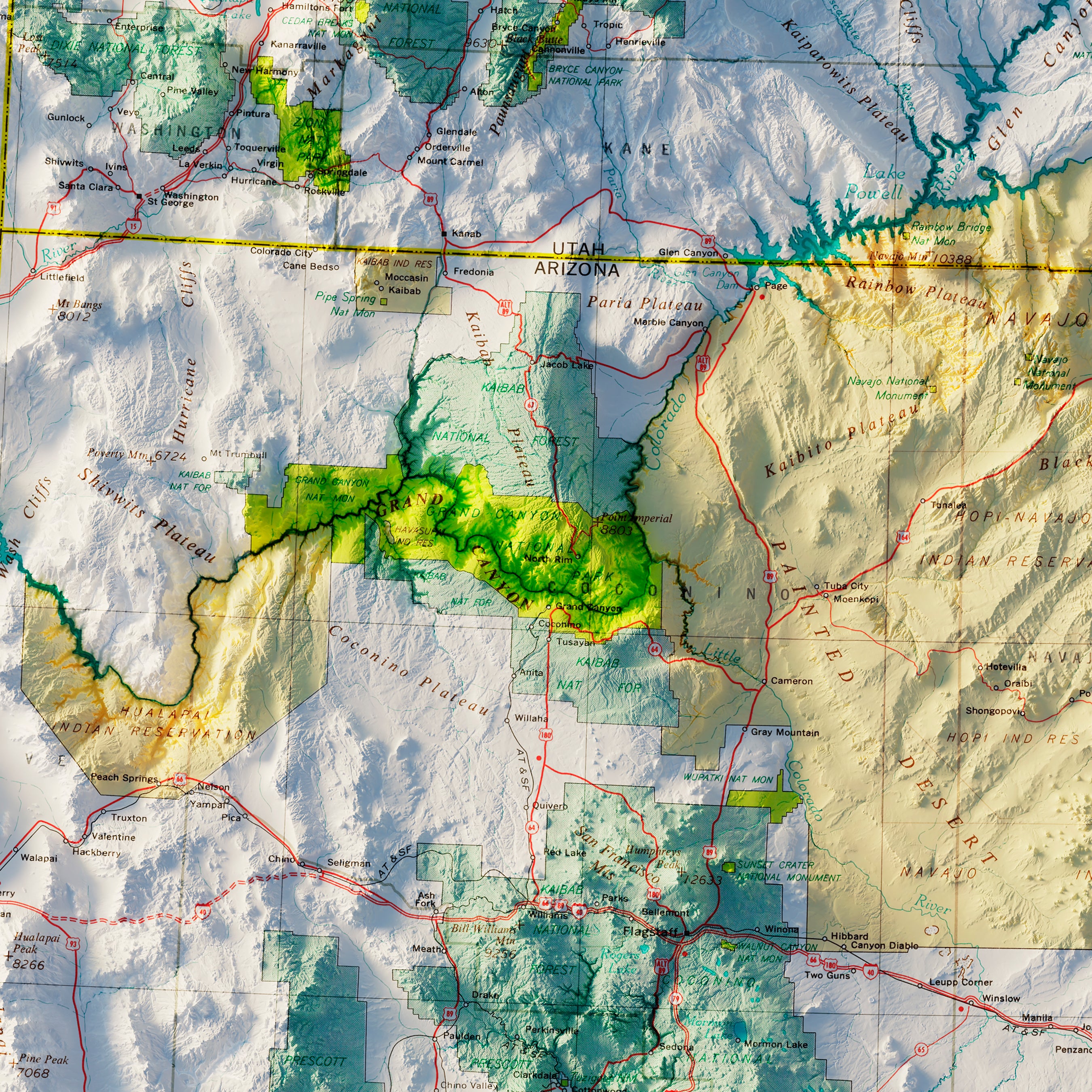
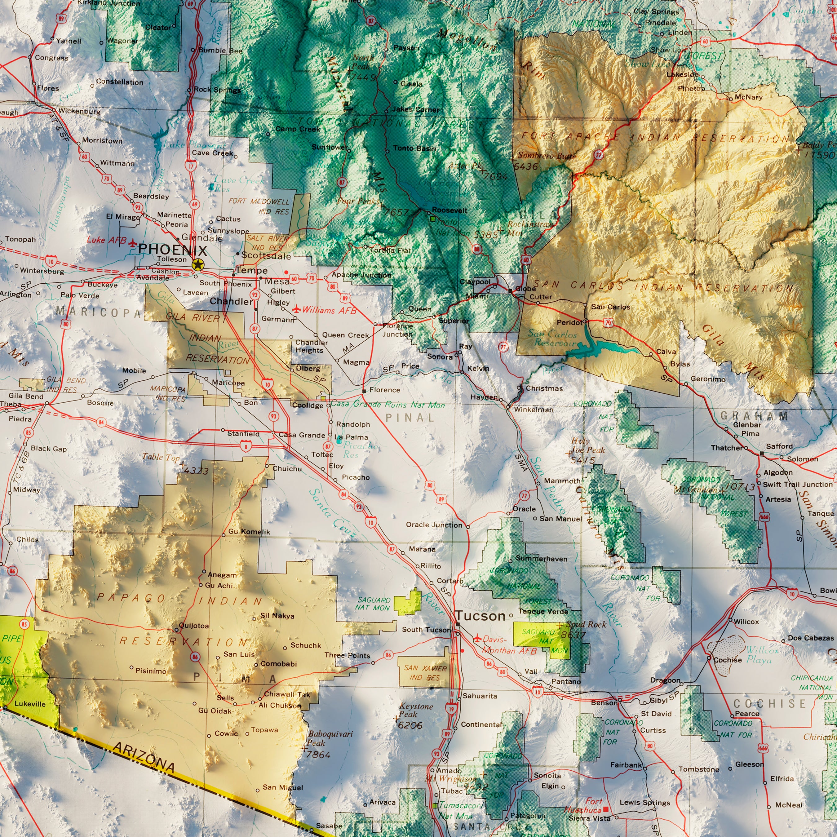
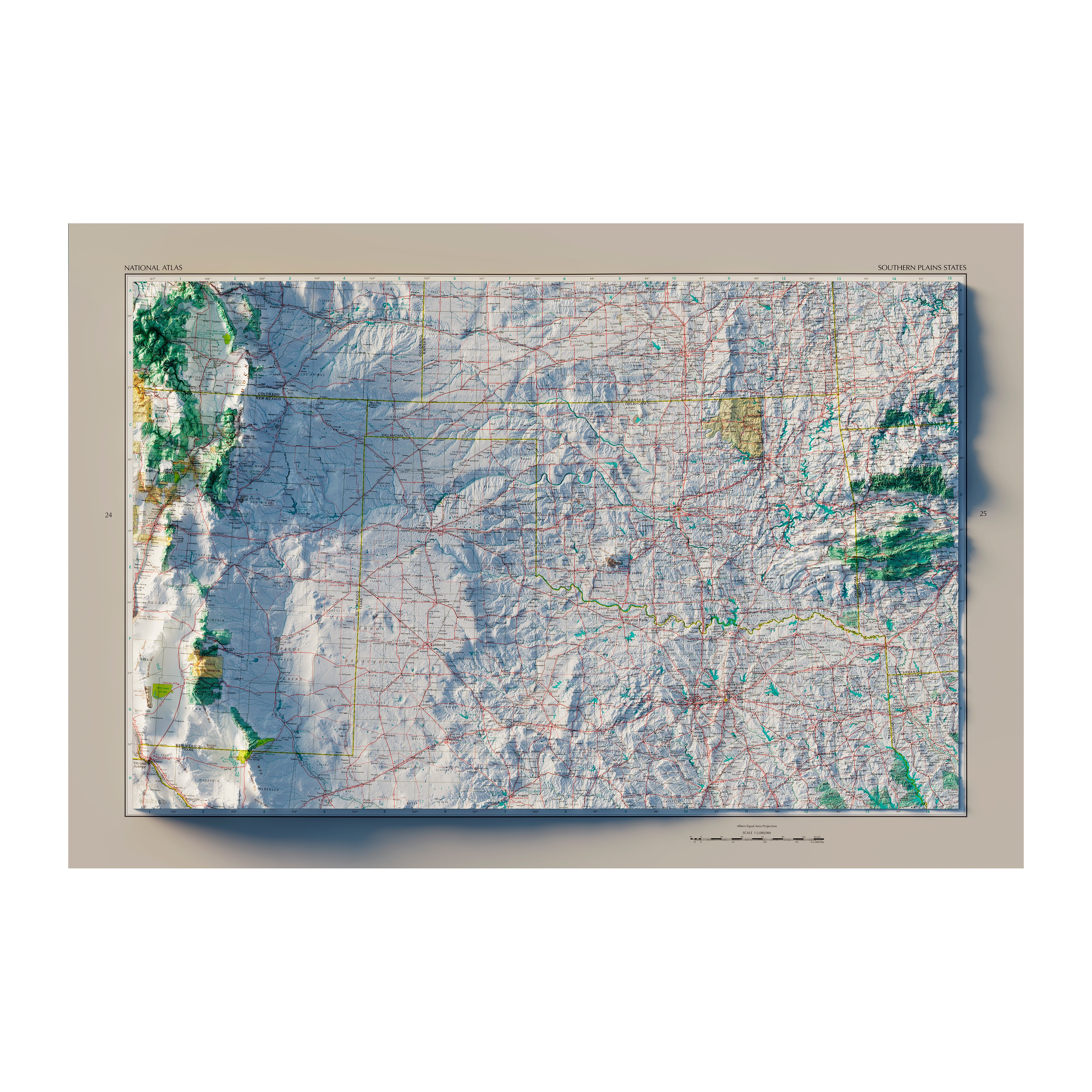
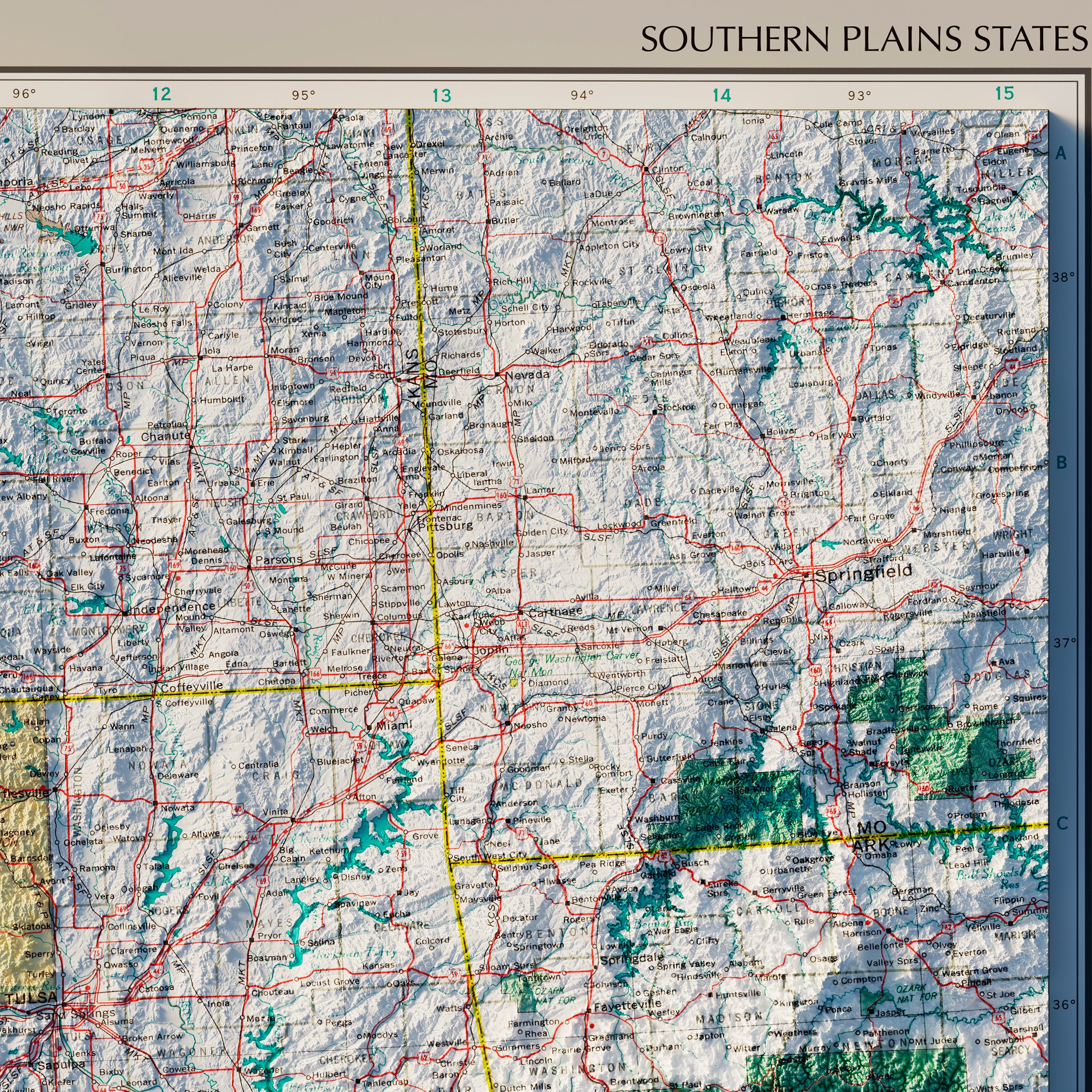
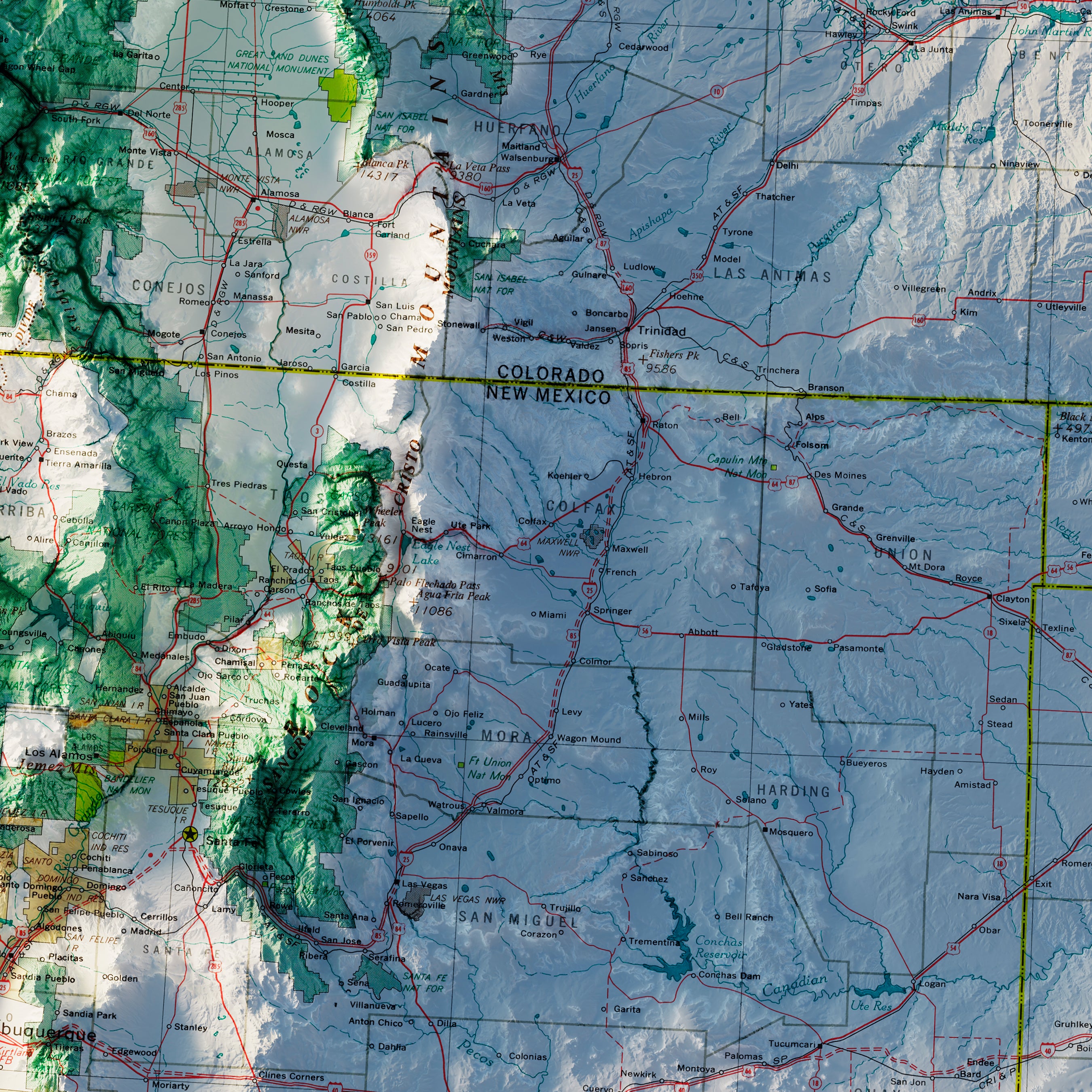
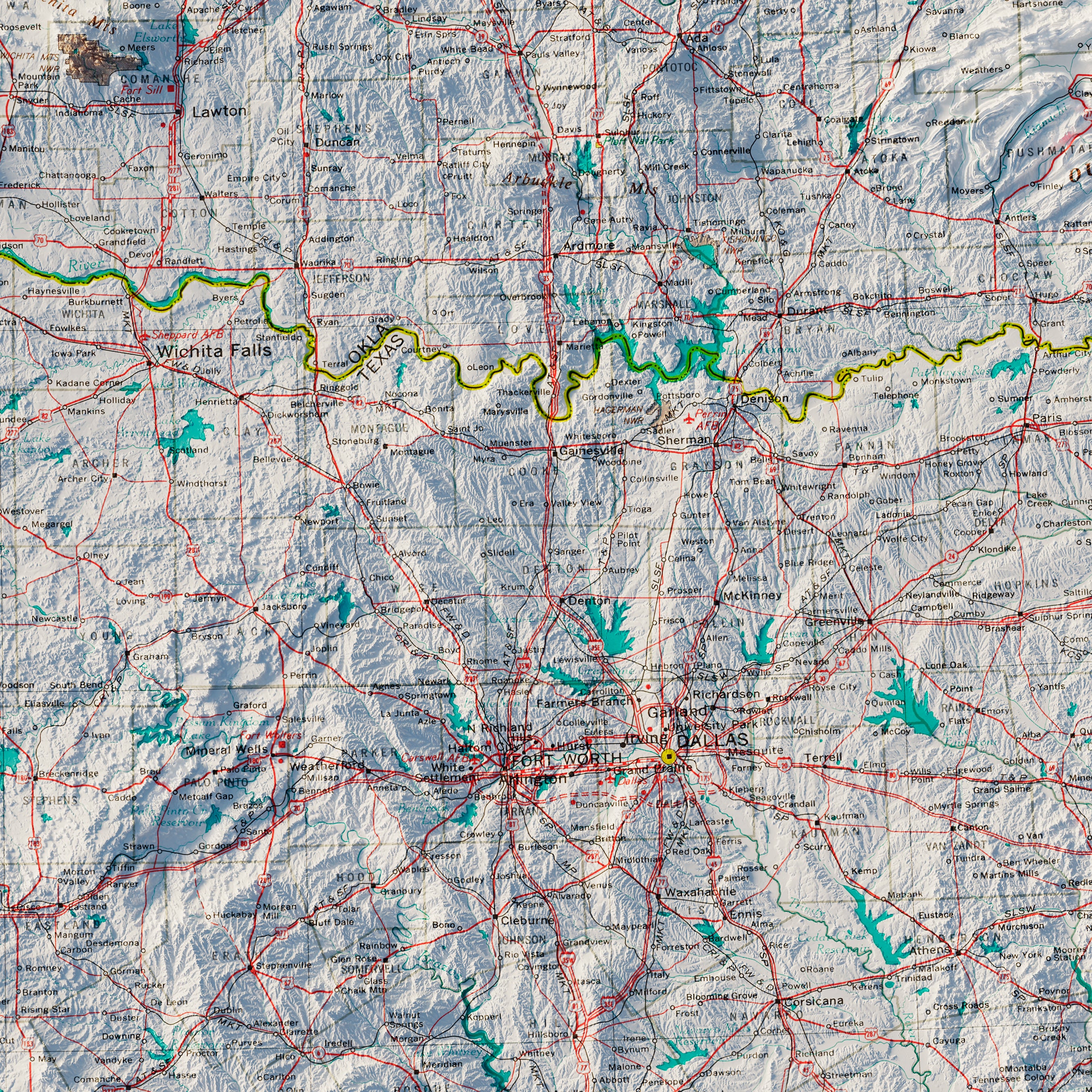
New Mexico relief maps - Our relief maps of New Mexico bring historical map landscapes together with modern technology to show the state’s landscapes in a new way. Using Digital Elevation Data and hand-shaded relief, we custom enhance vintage maps to create a 3D effect on a 2D surface. See New Mexico’s spectacular terrain in vibrant colors on our New Mexico 1903 Relief map or our New Mexico 1965 Relief map.
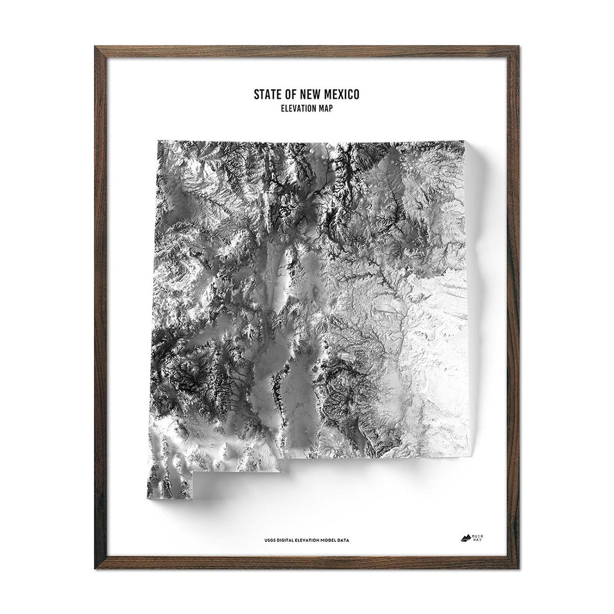
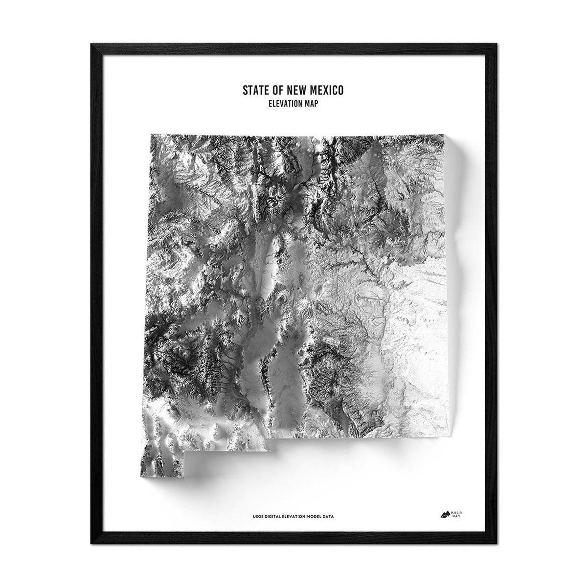
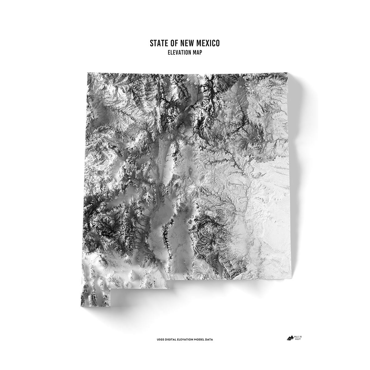
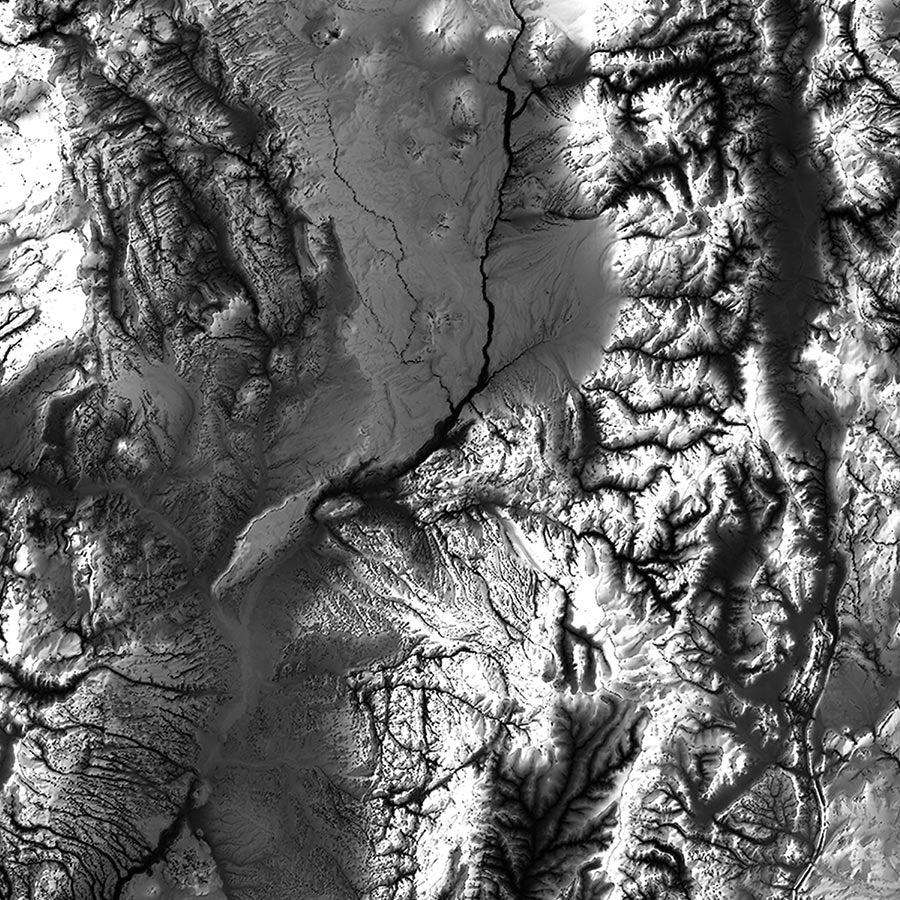
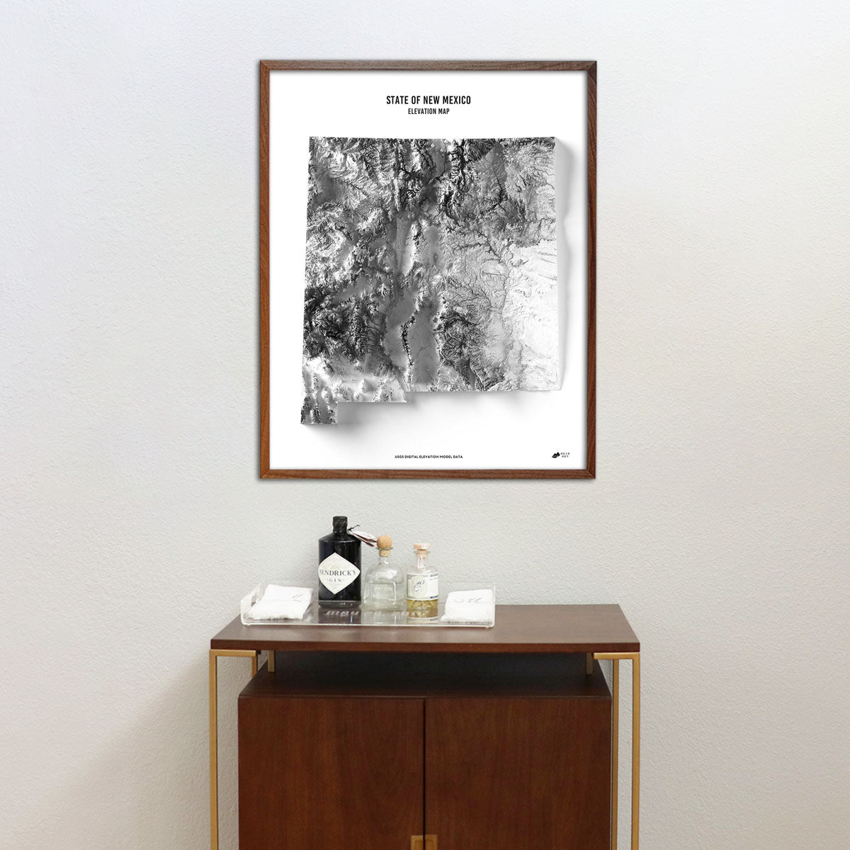
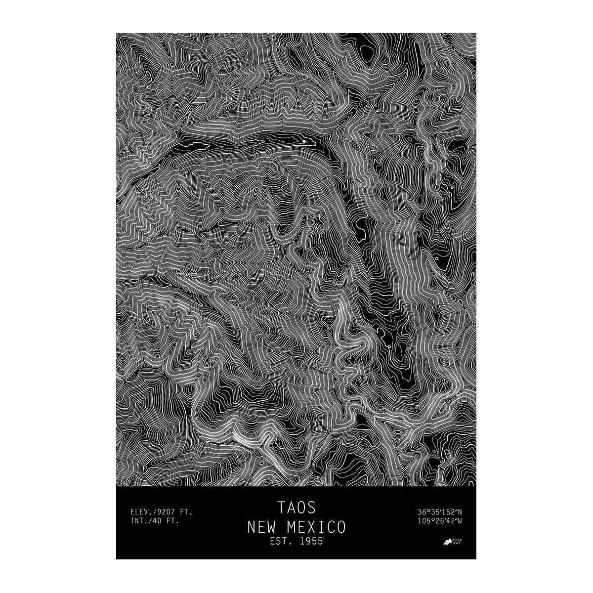
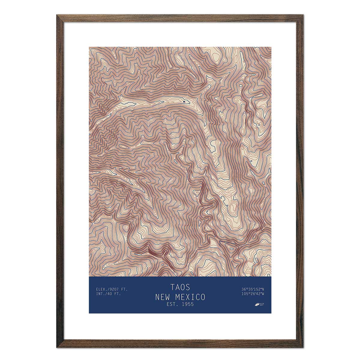
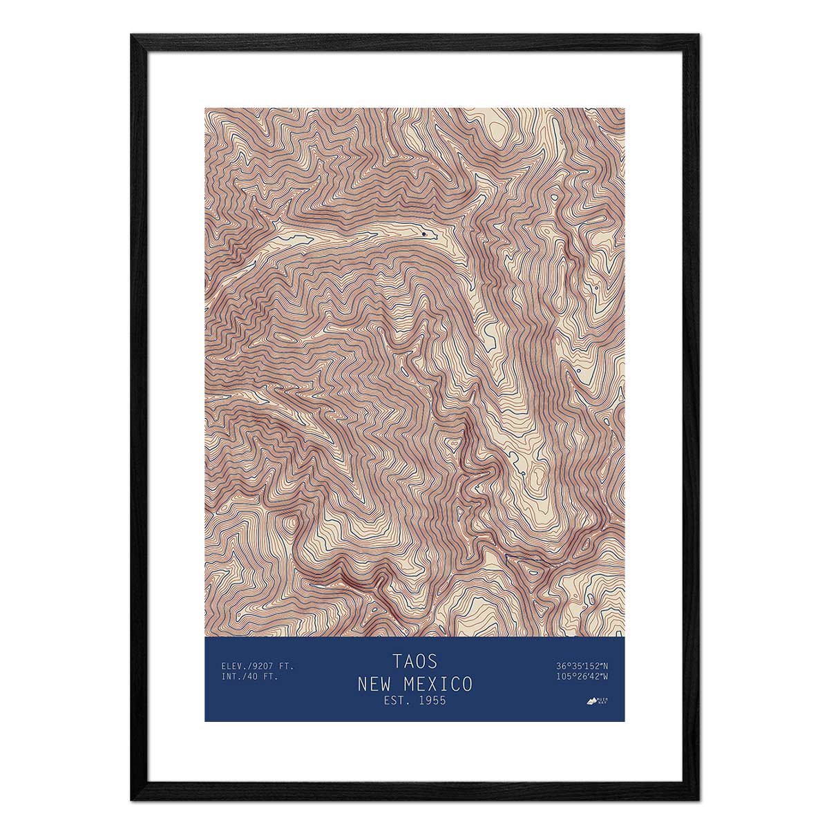
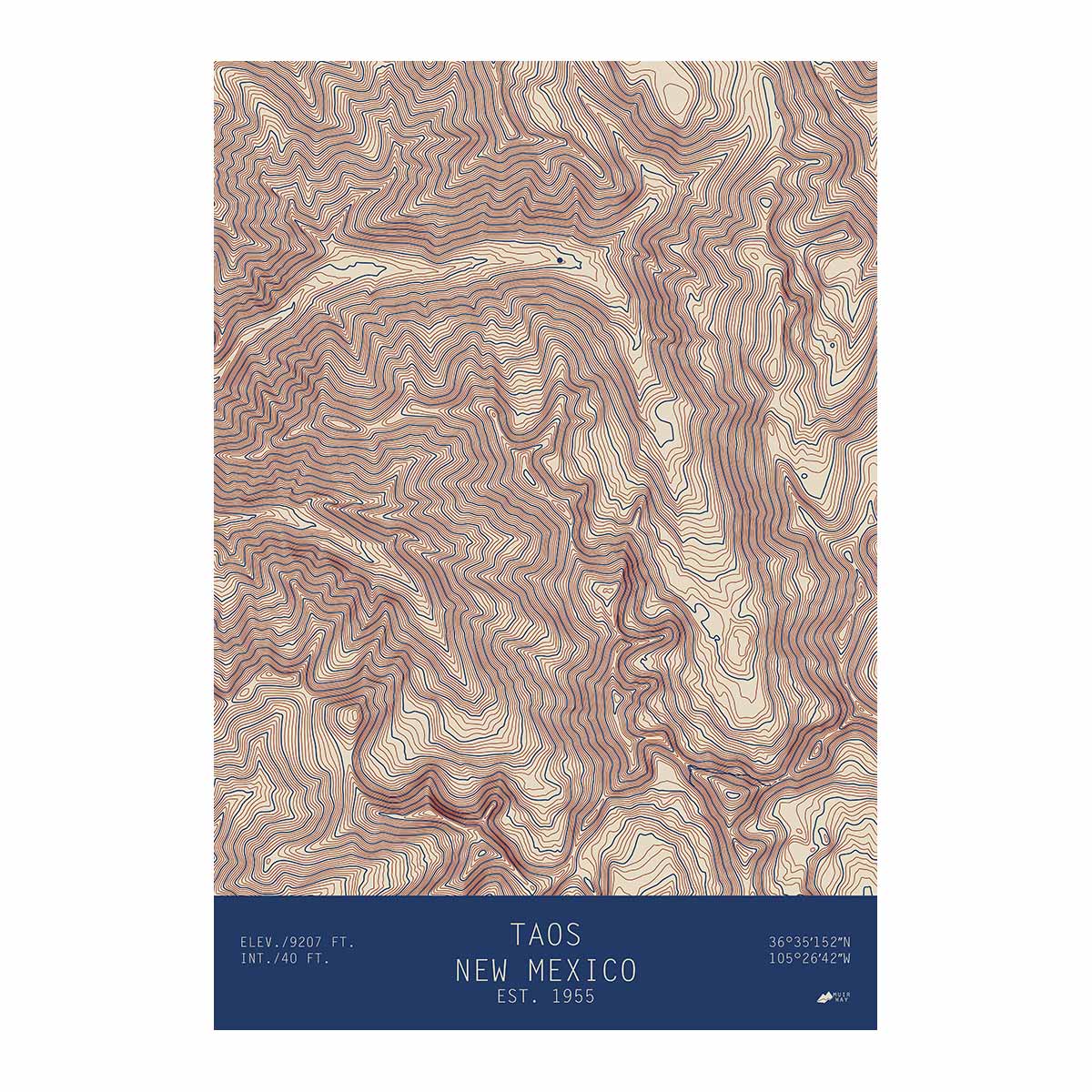
New Mexico elevation maps - Our New Mexico elevation map uses Digital Elevation Data from the USGS and hand-shaded relief just like our relief maps to create a high-contrast 3-dimensional effect in stunning black and white.
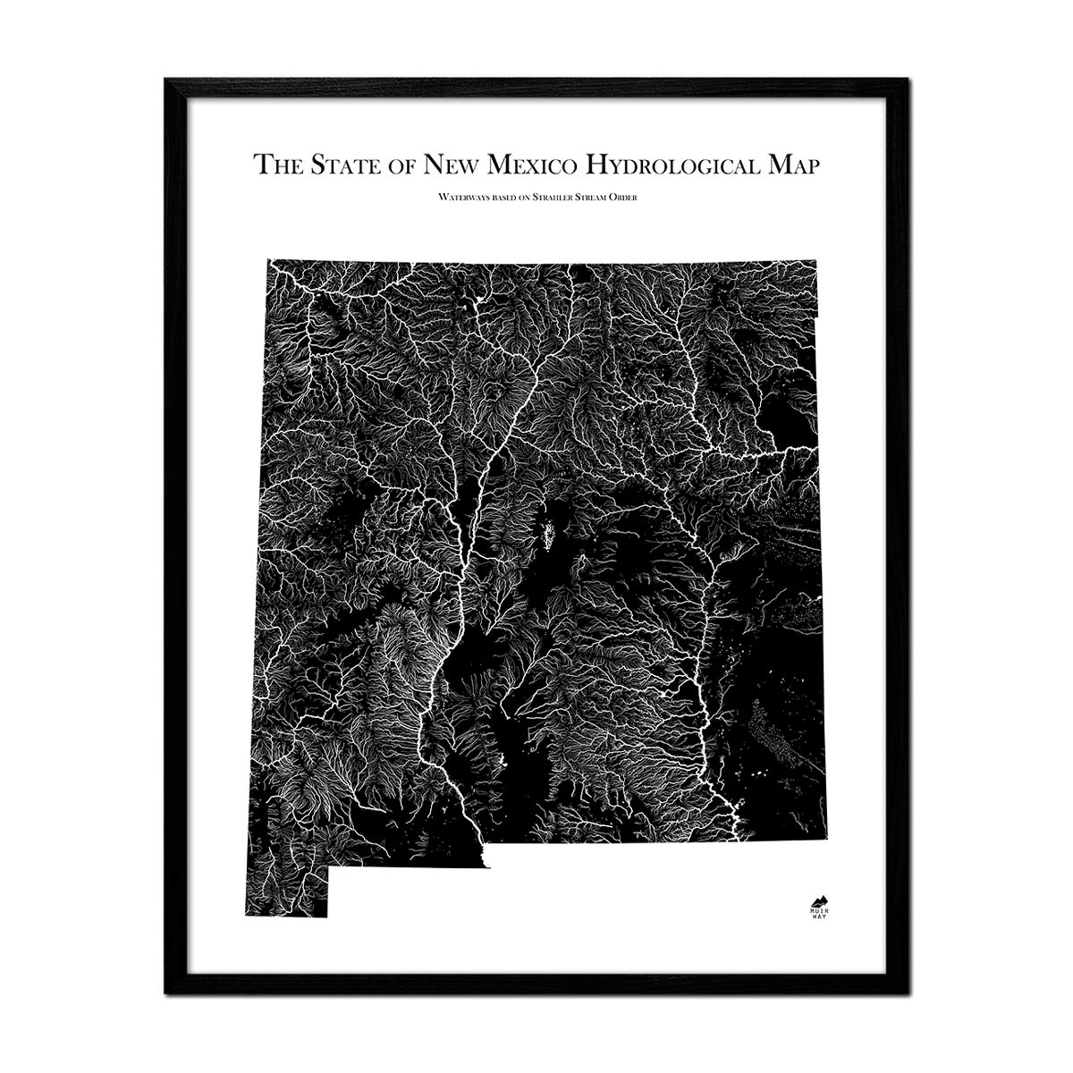
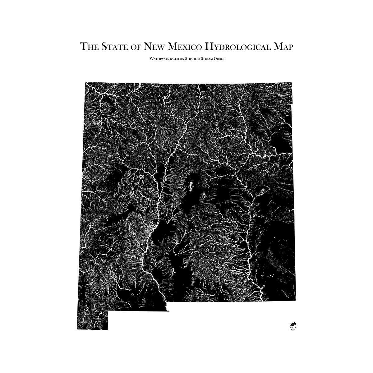
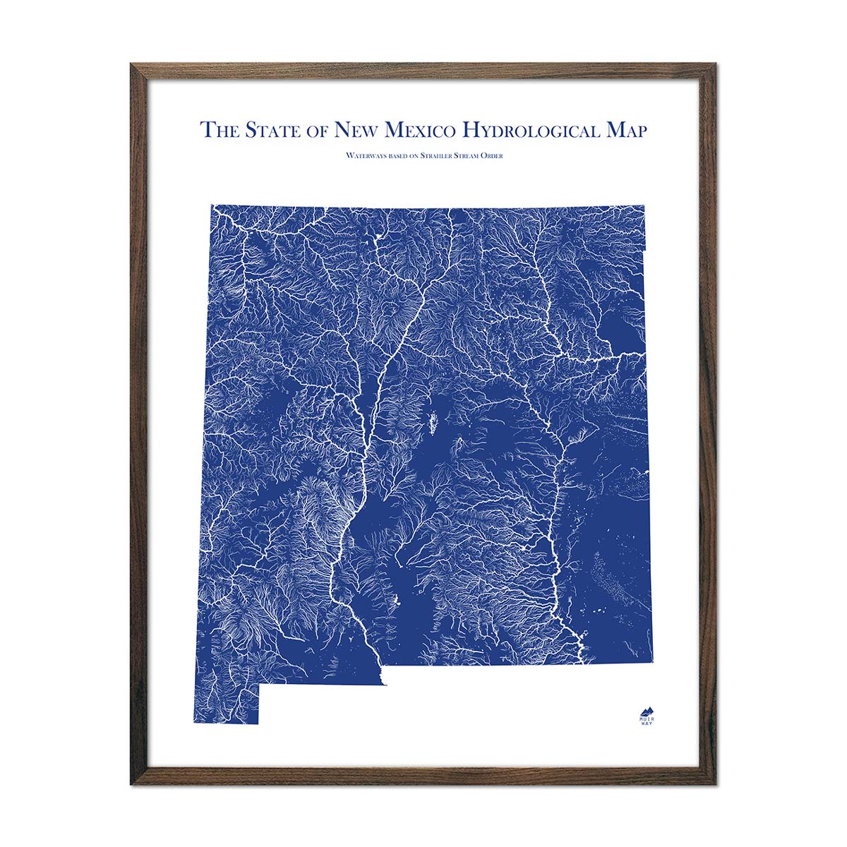
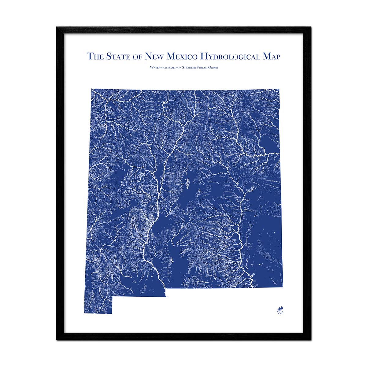
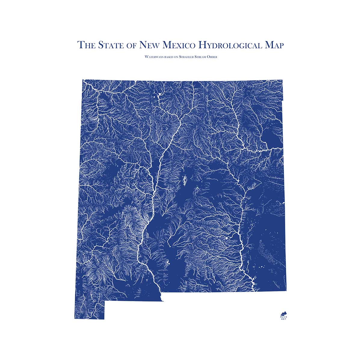
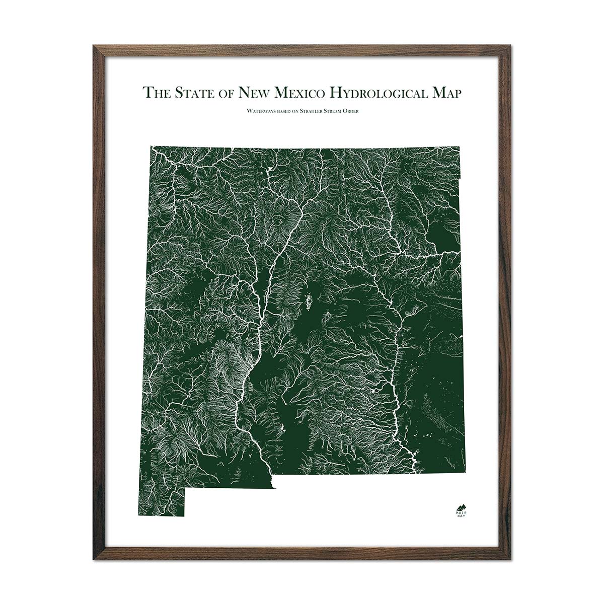
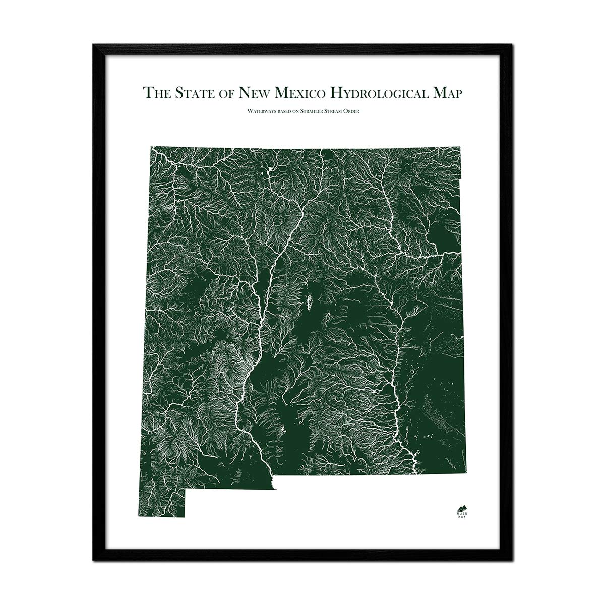
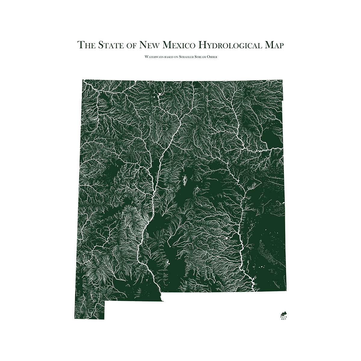
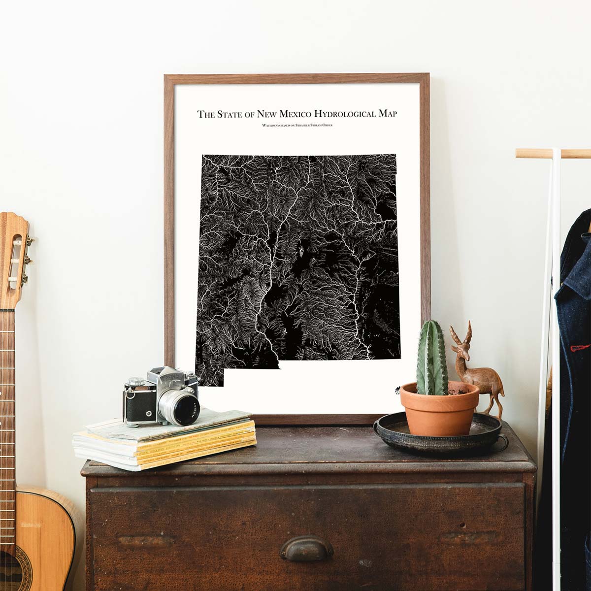
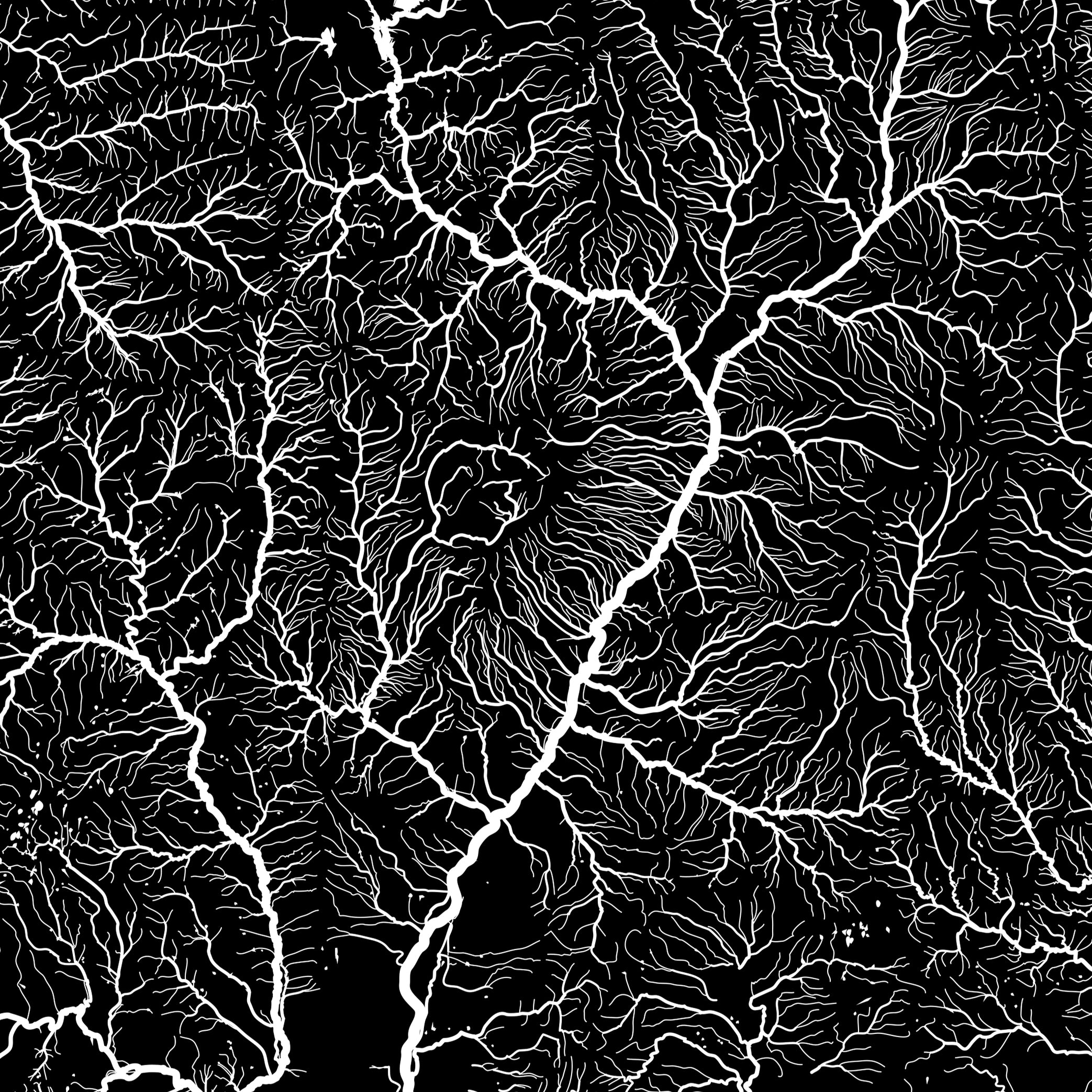
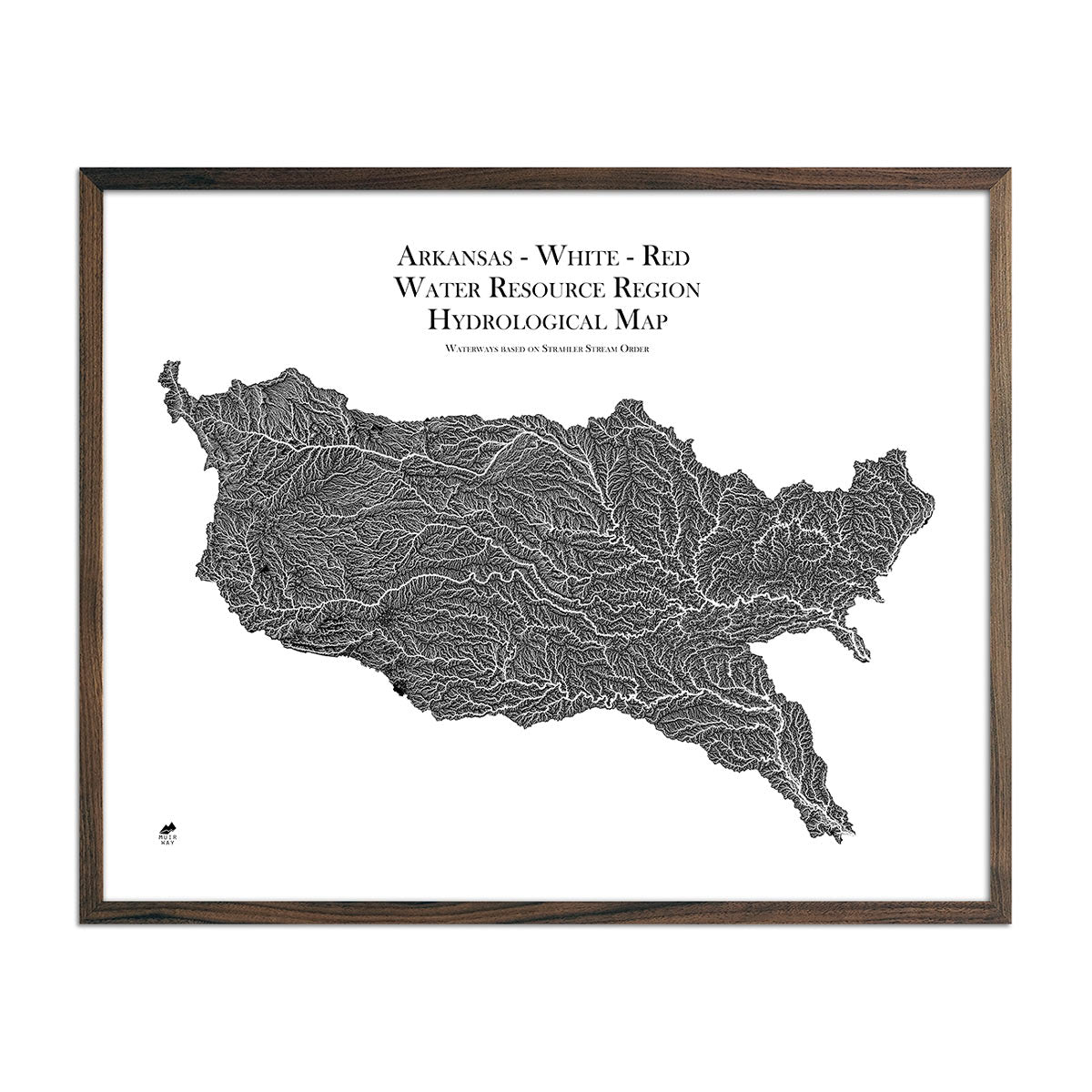
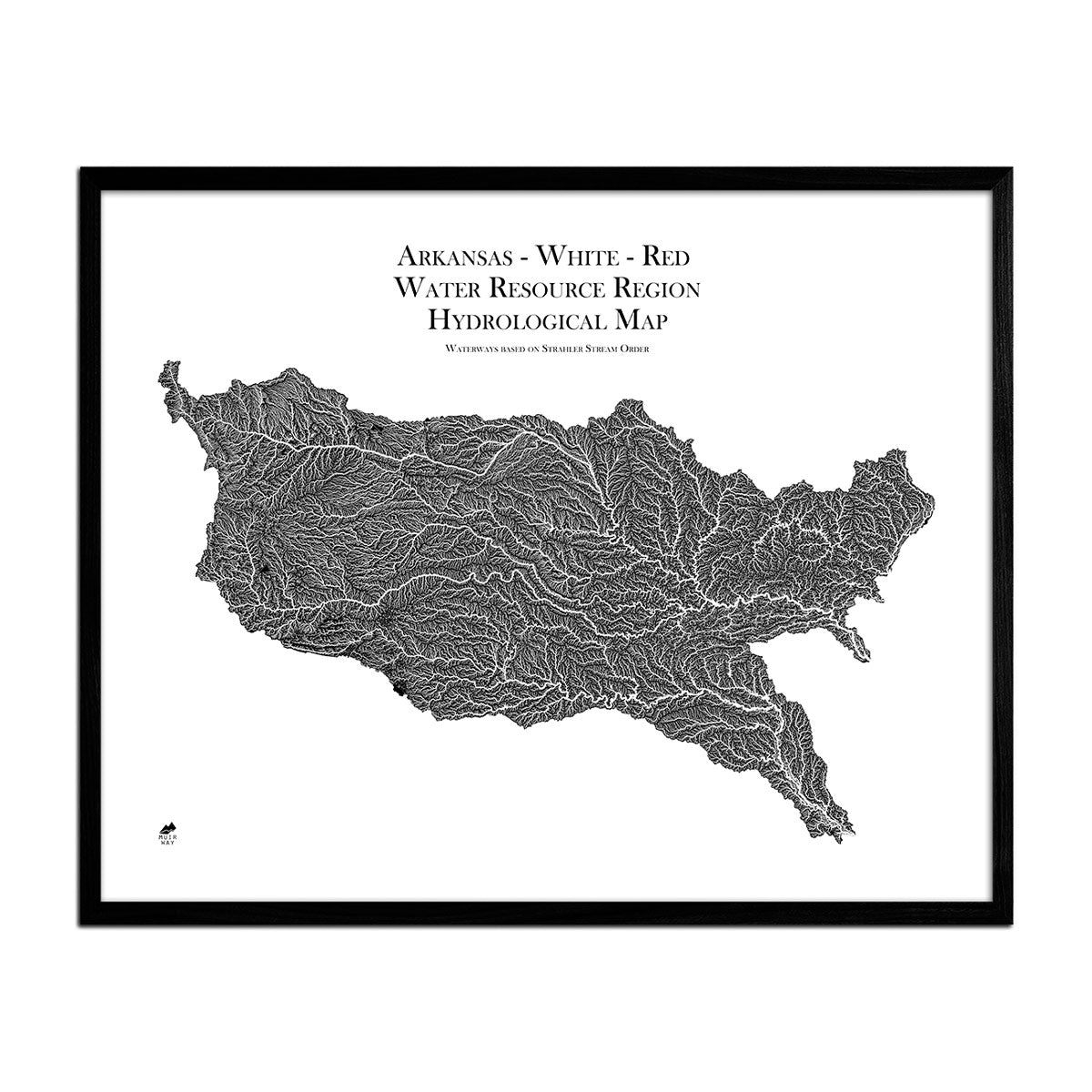
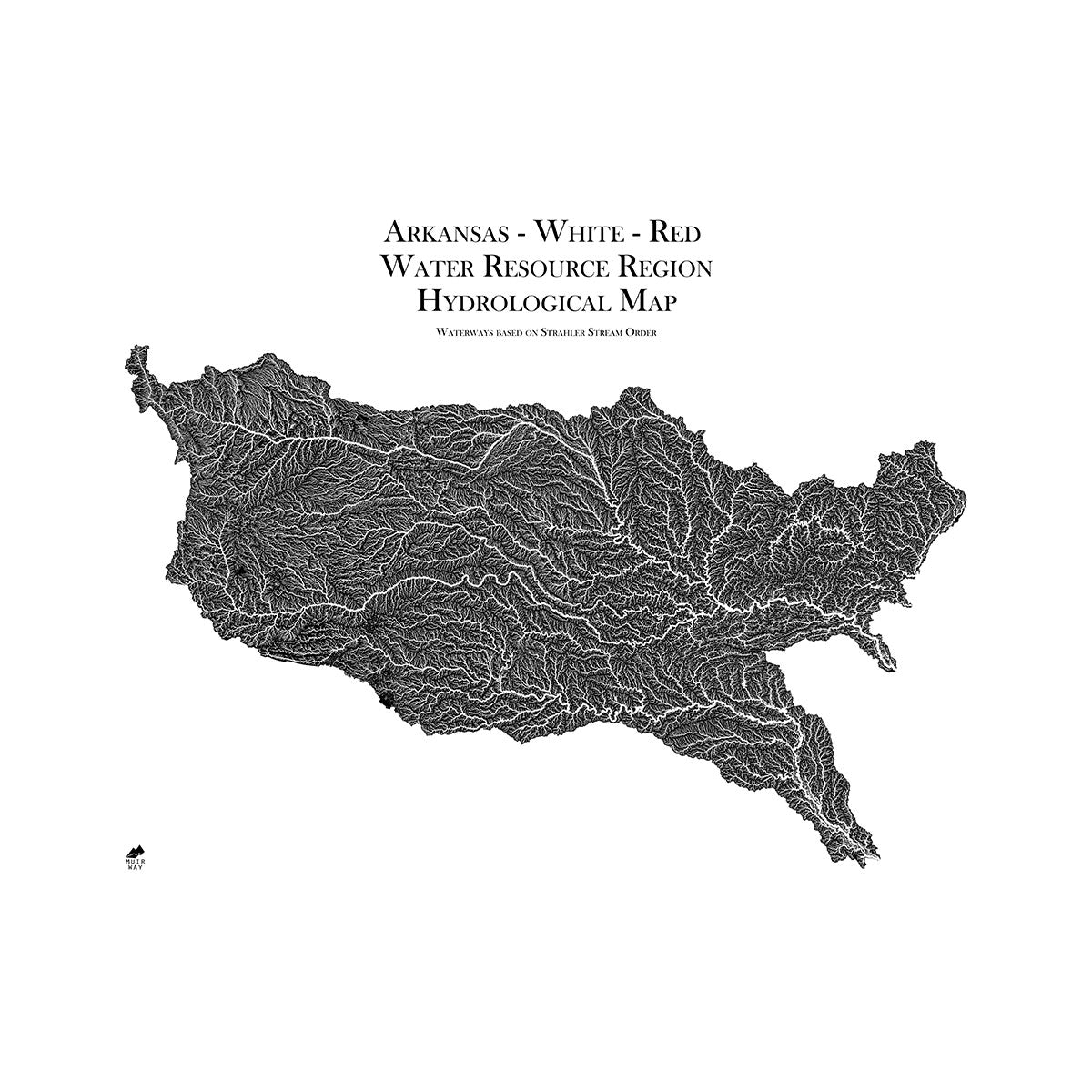
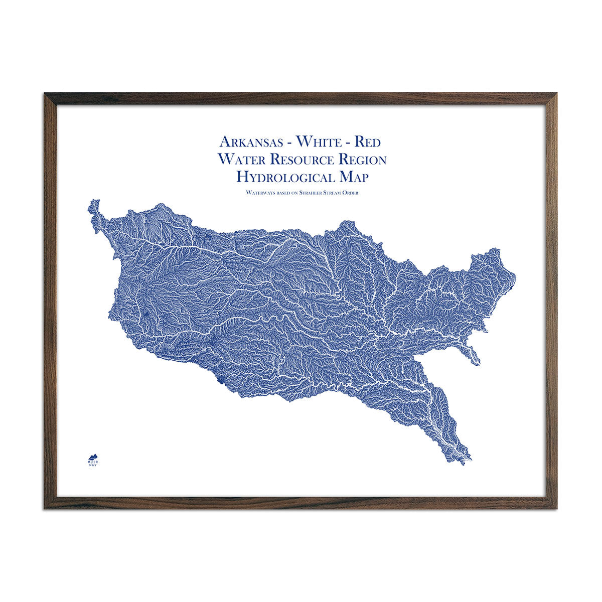
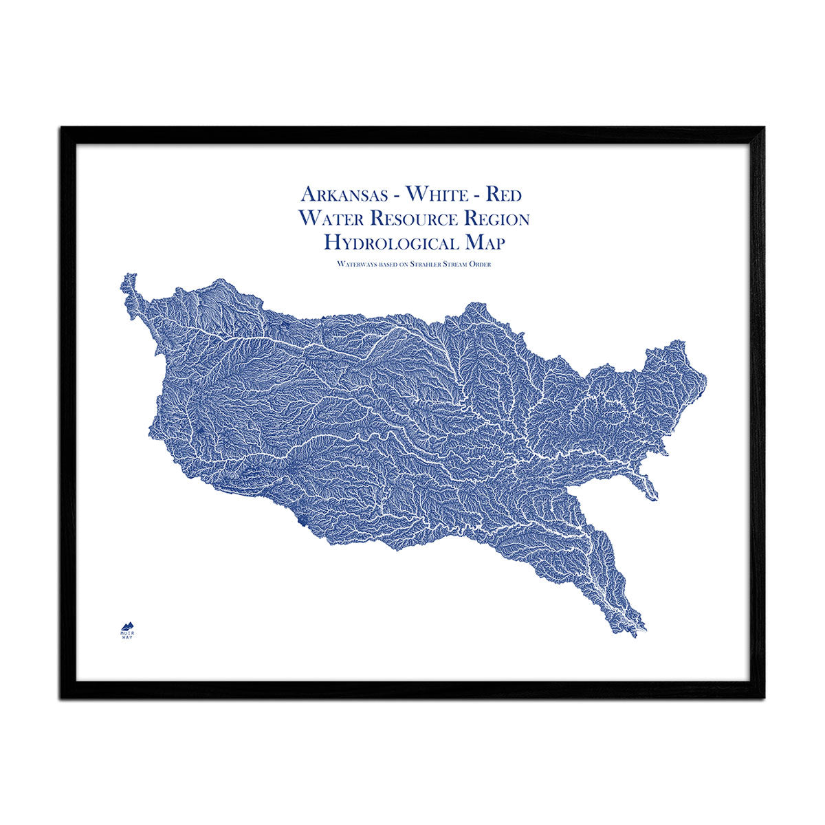
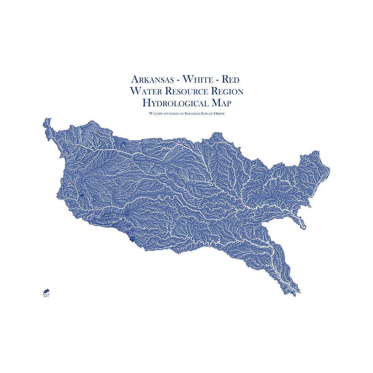
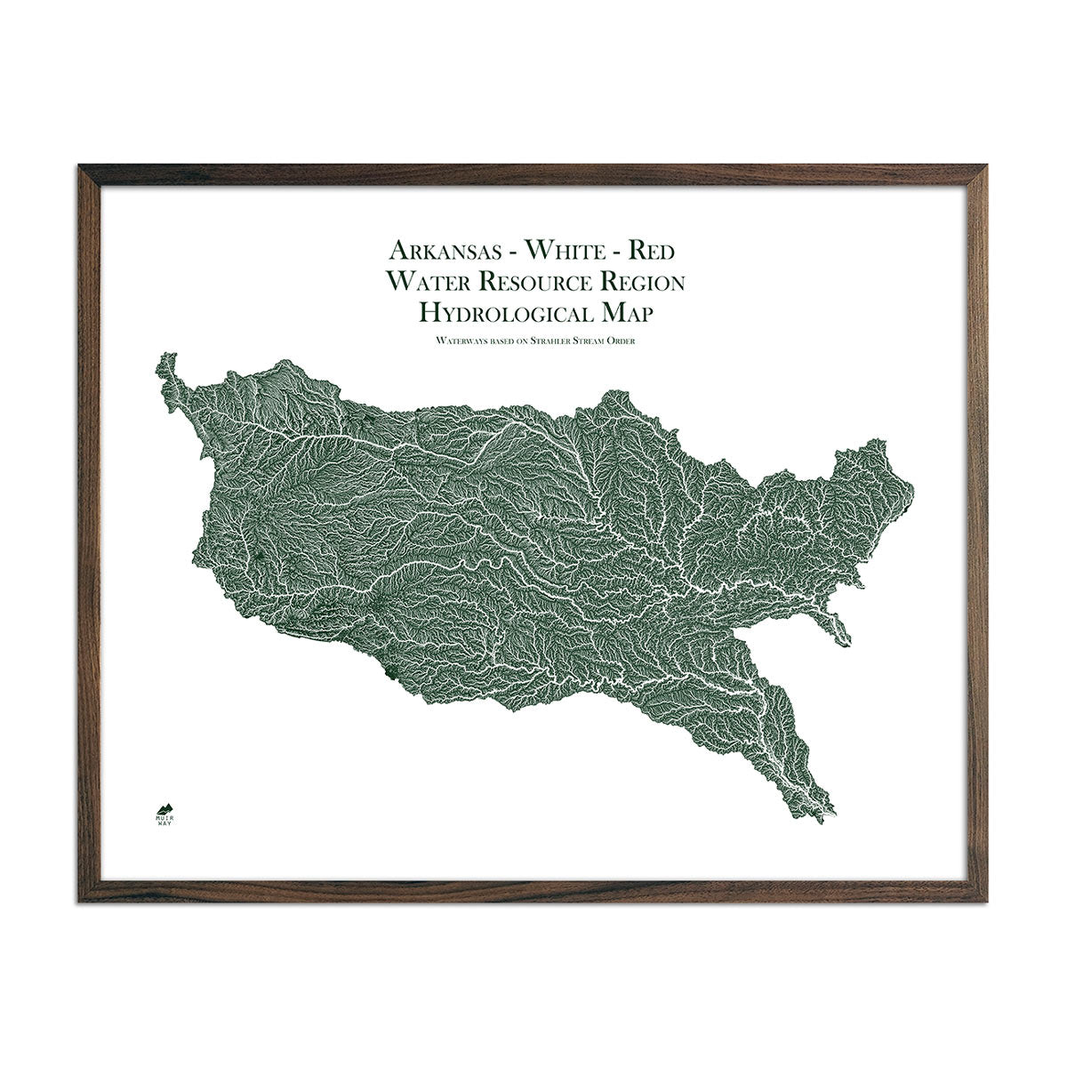
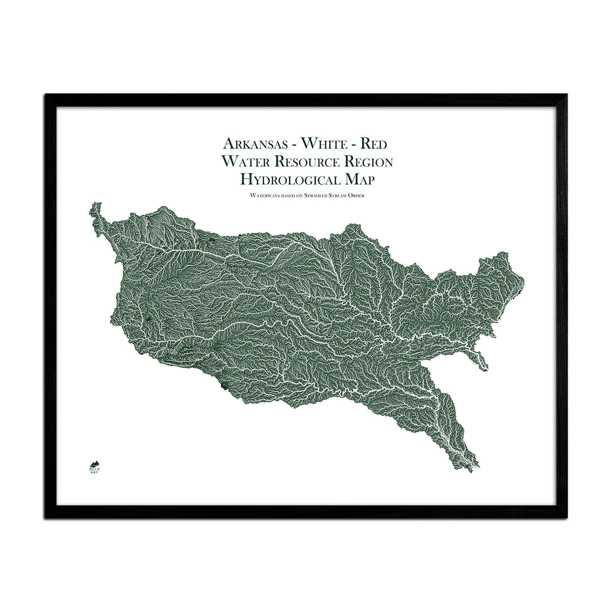
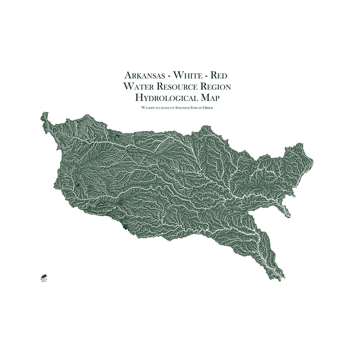
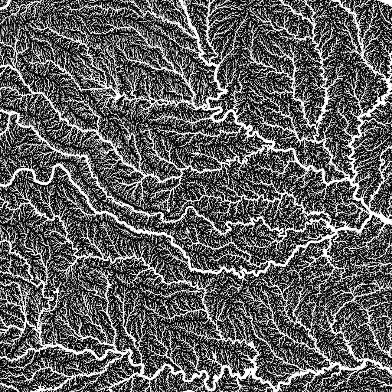
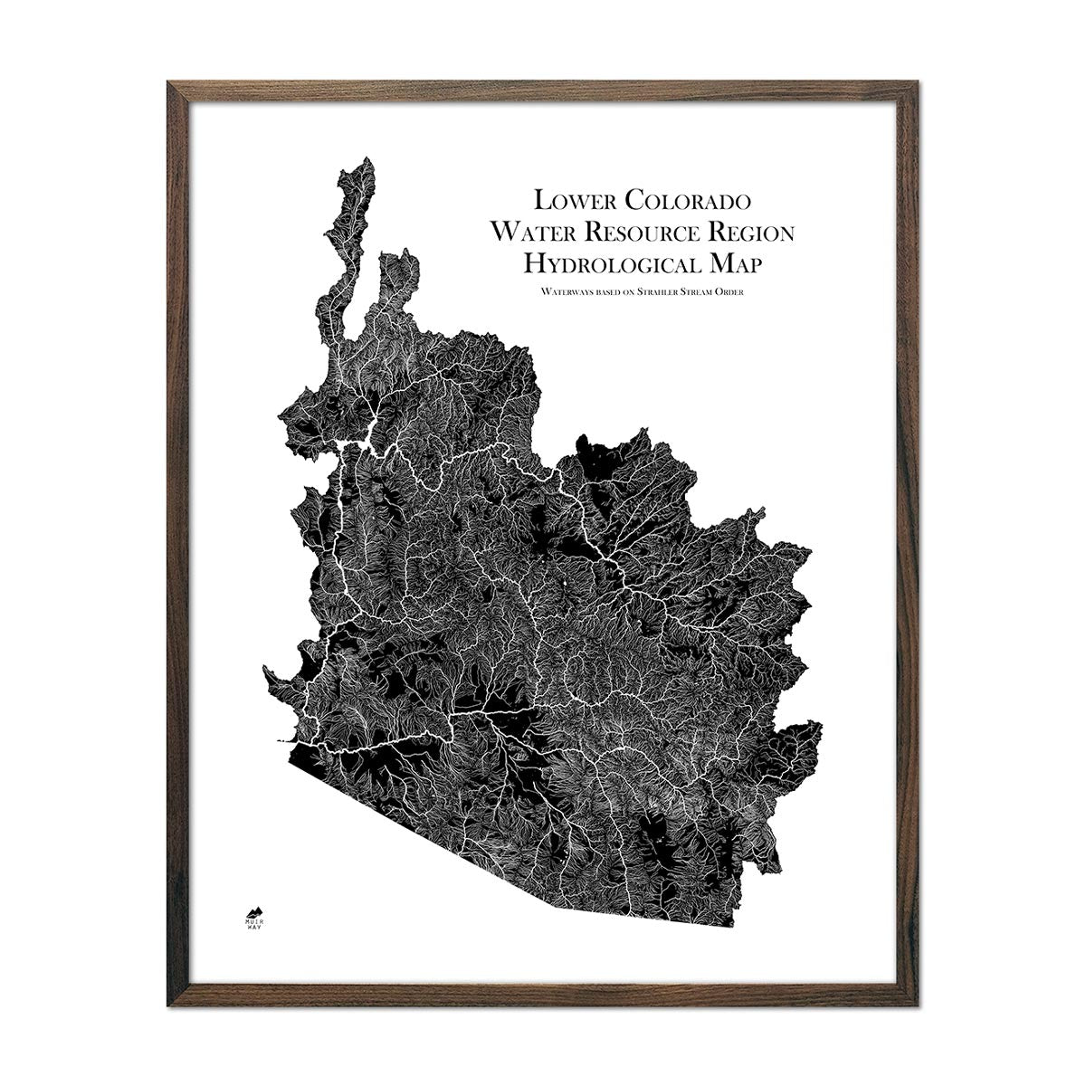
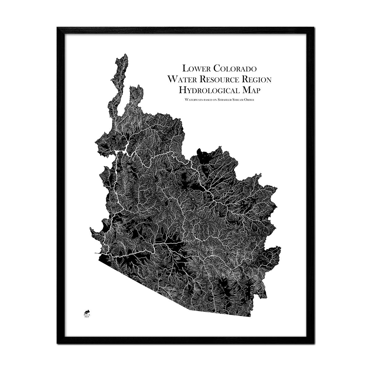
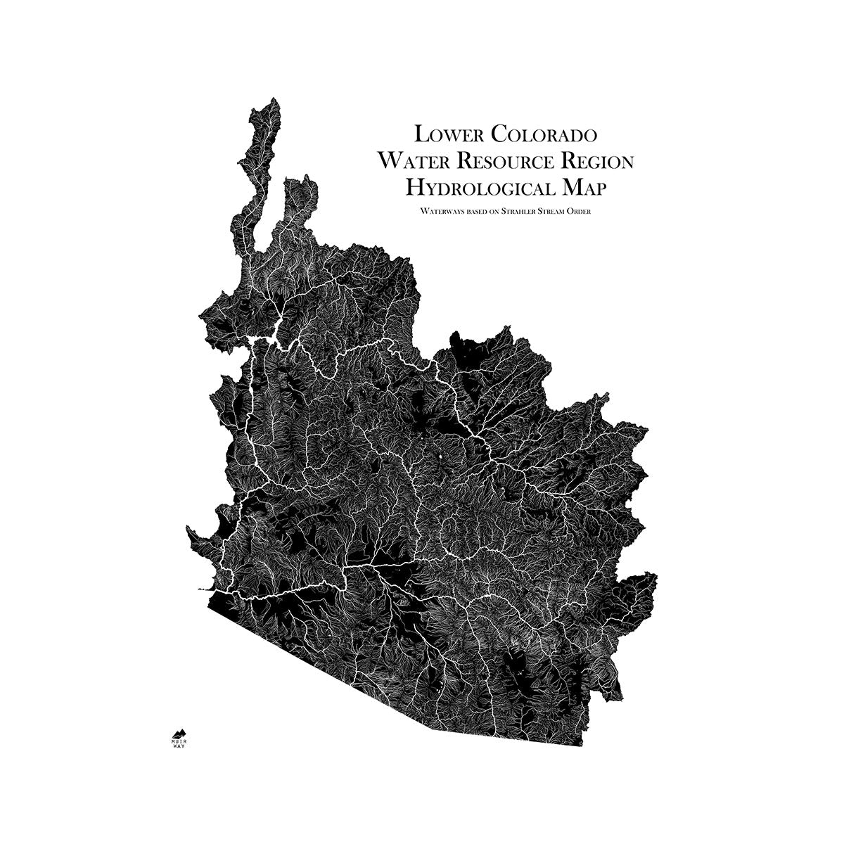
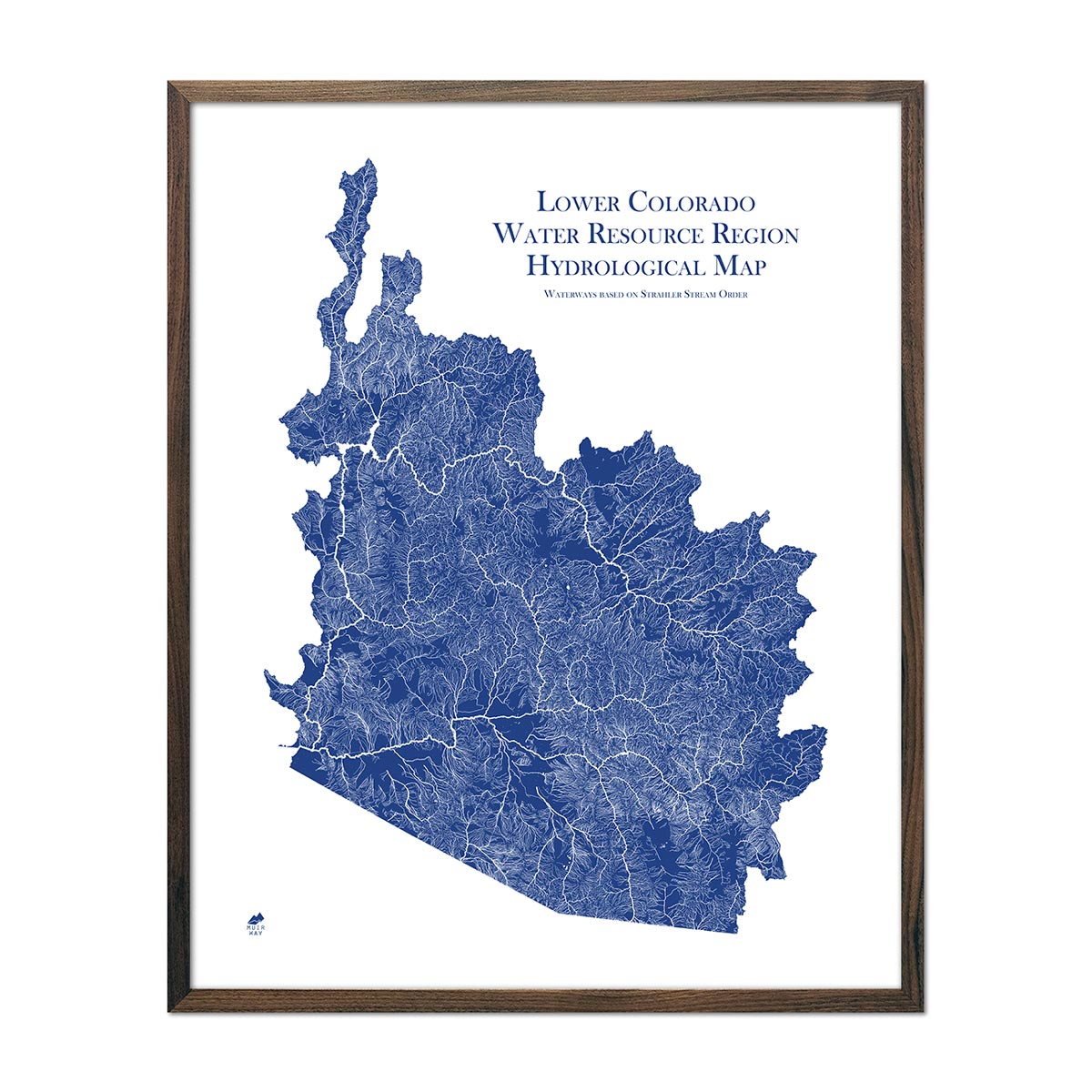
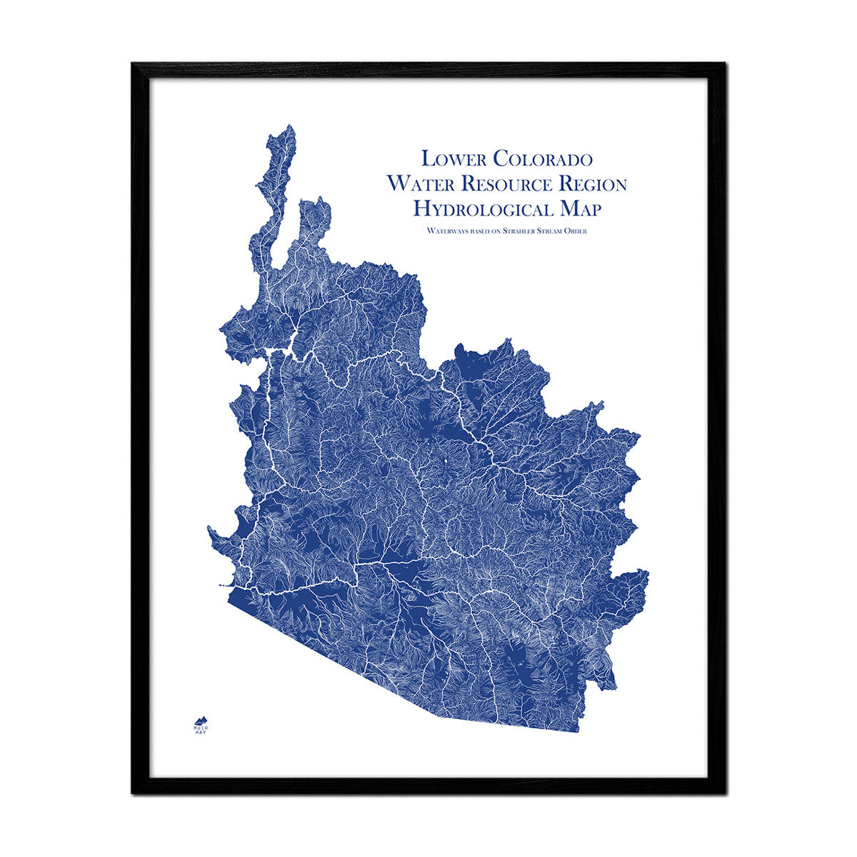
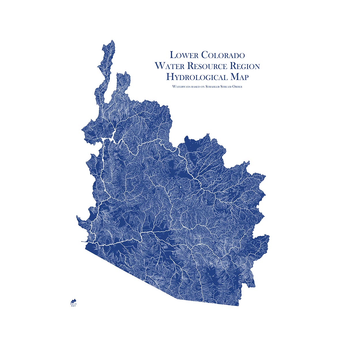
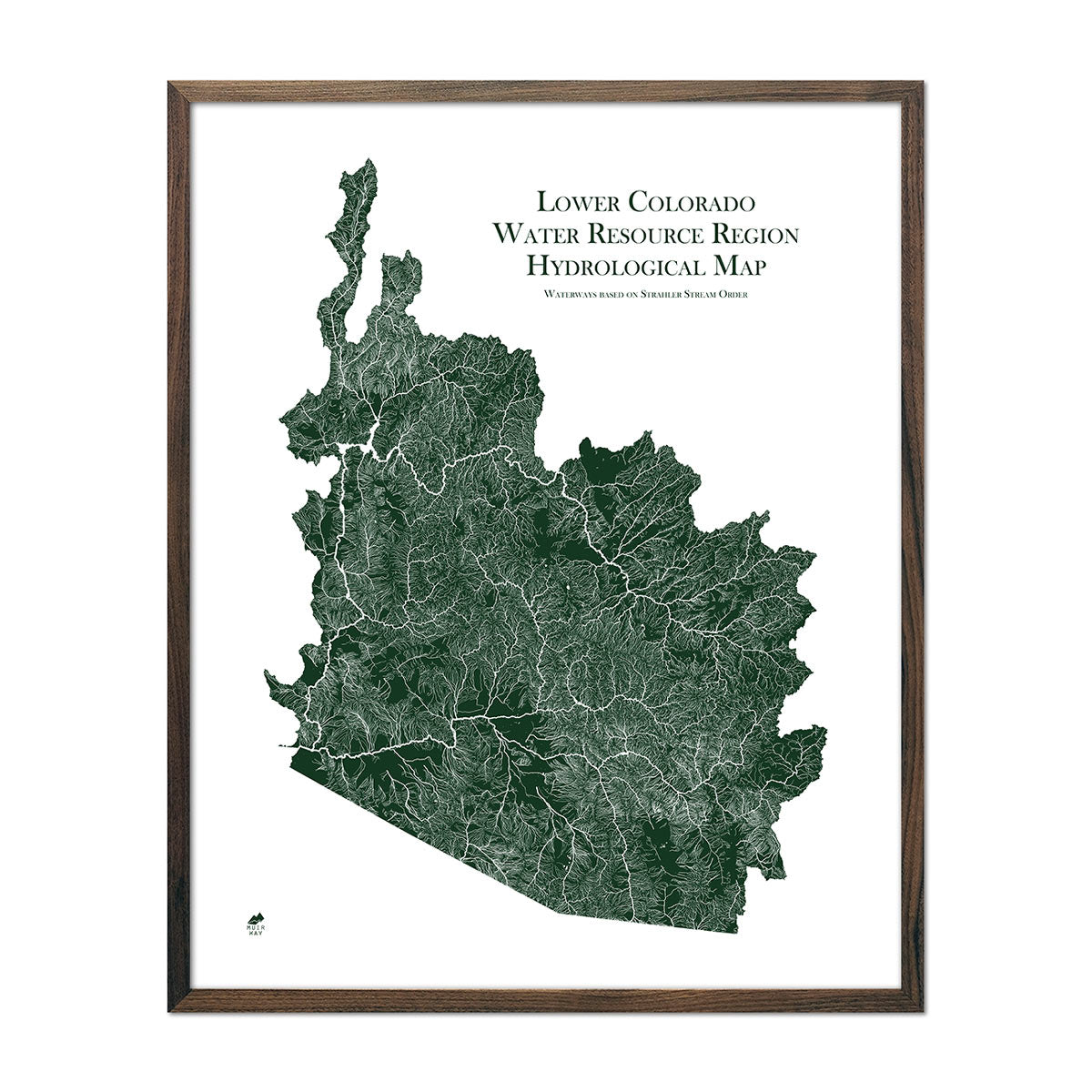
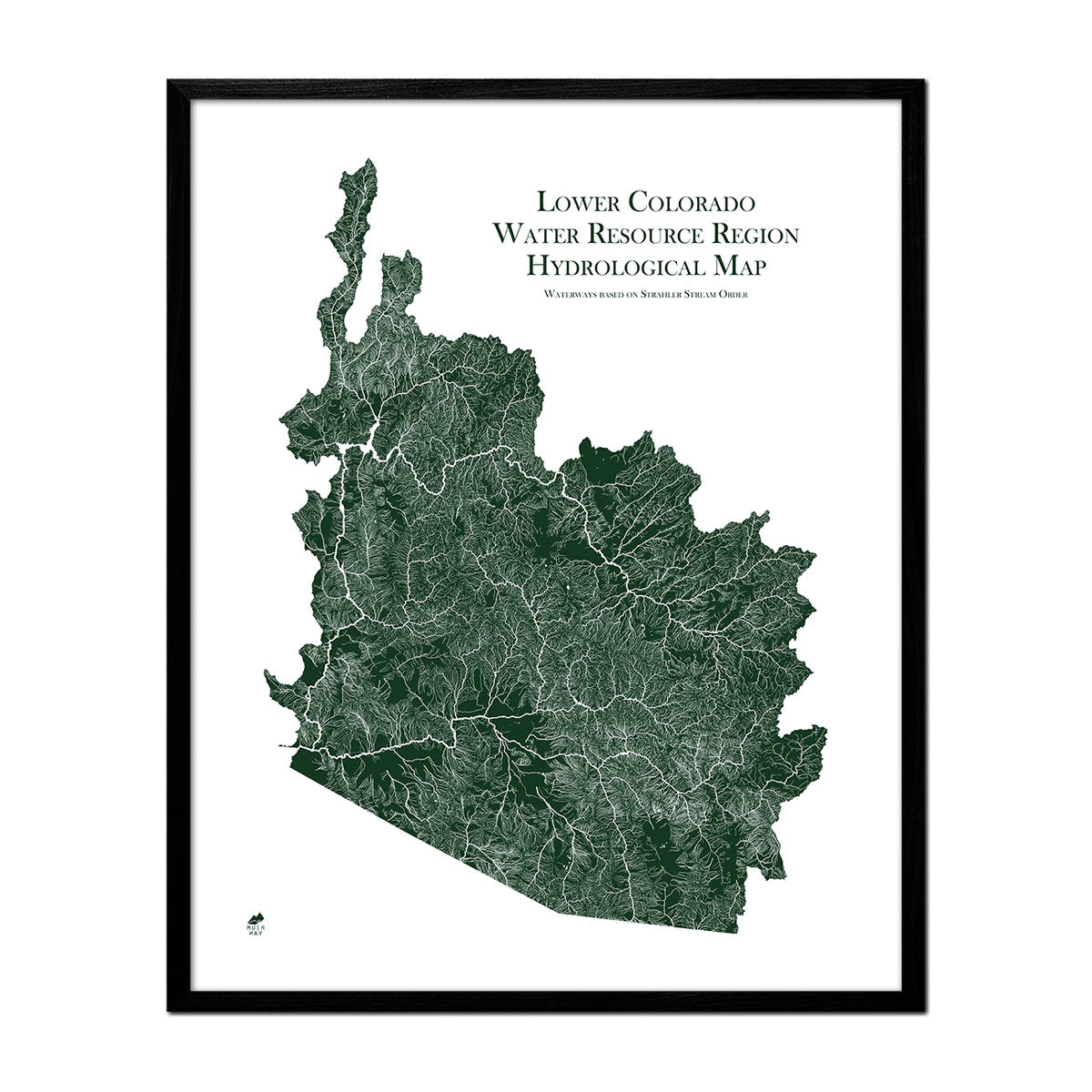
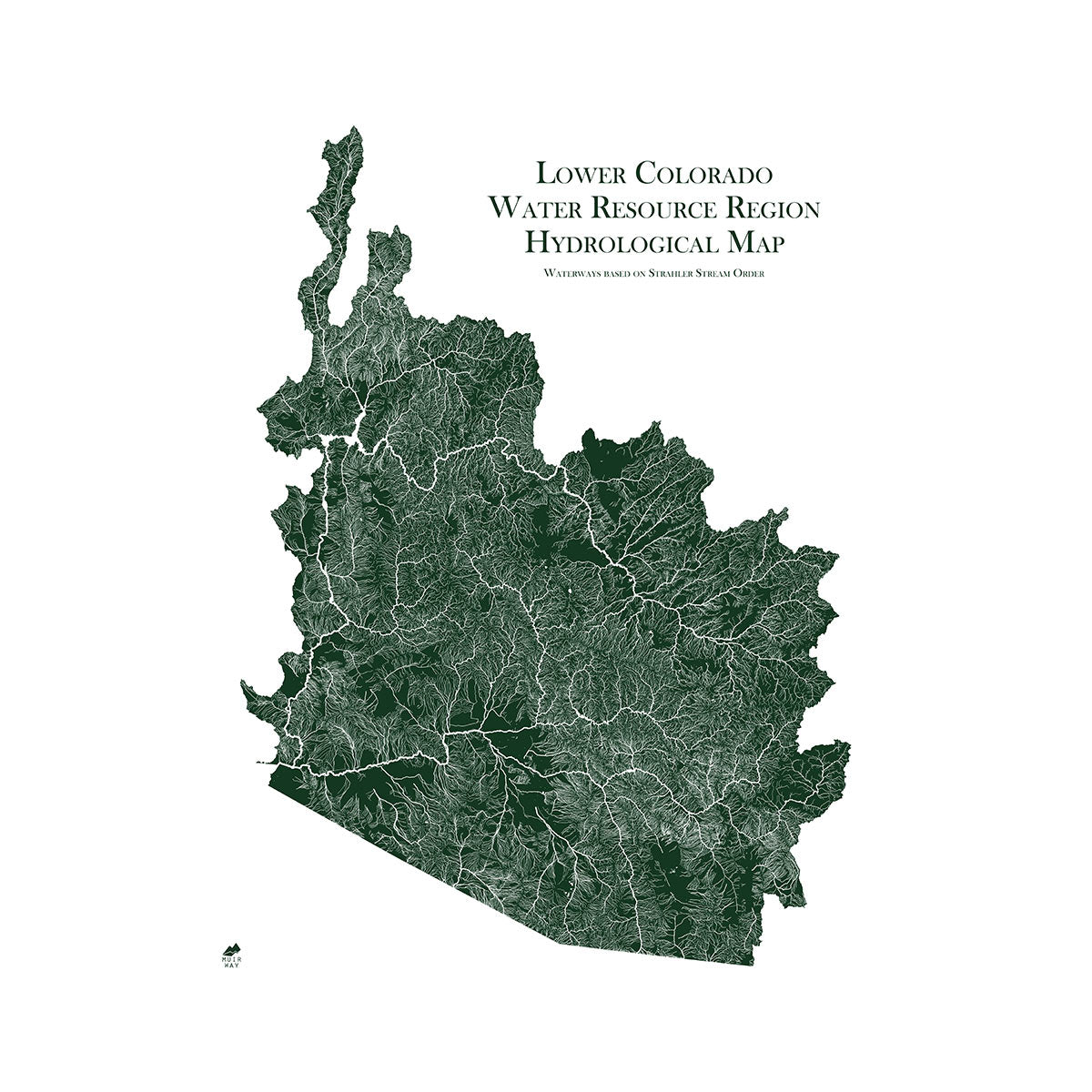
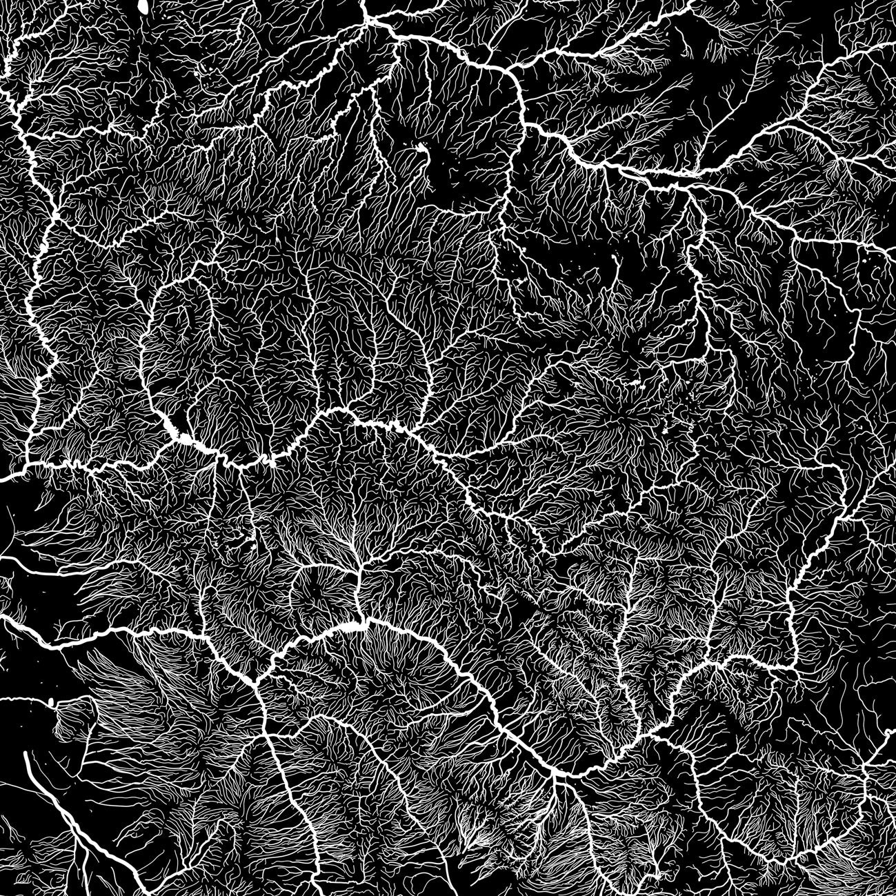
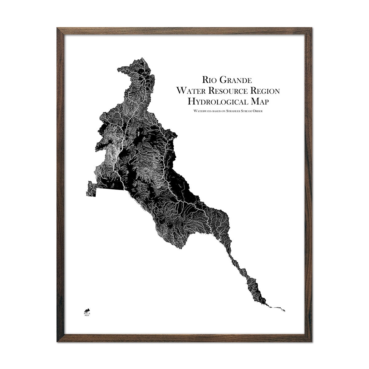
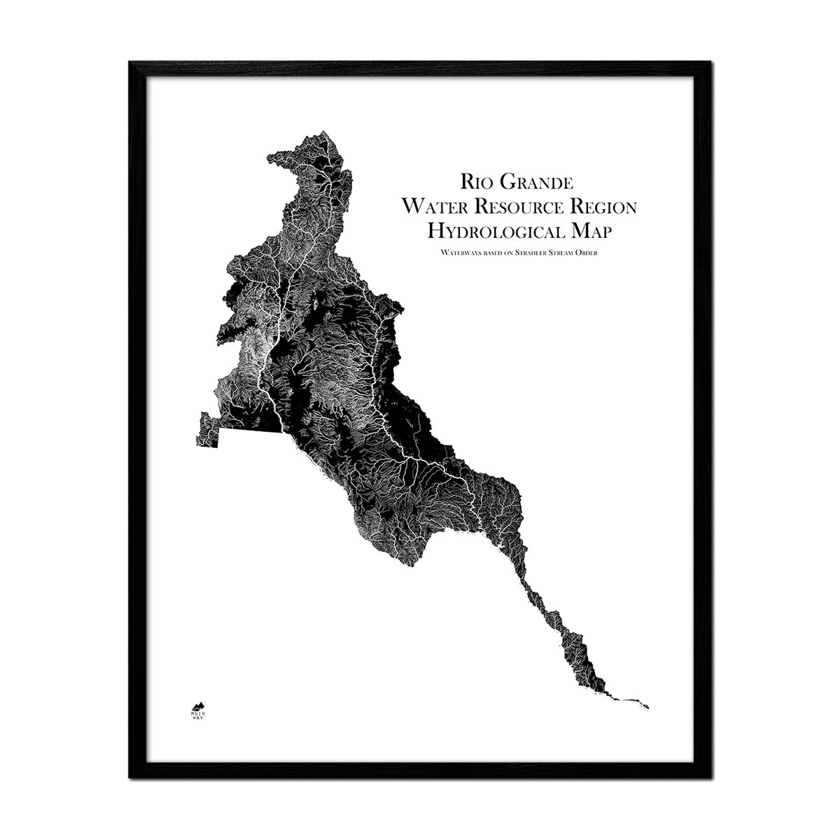
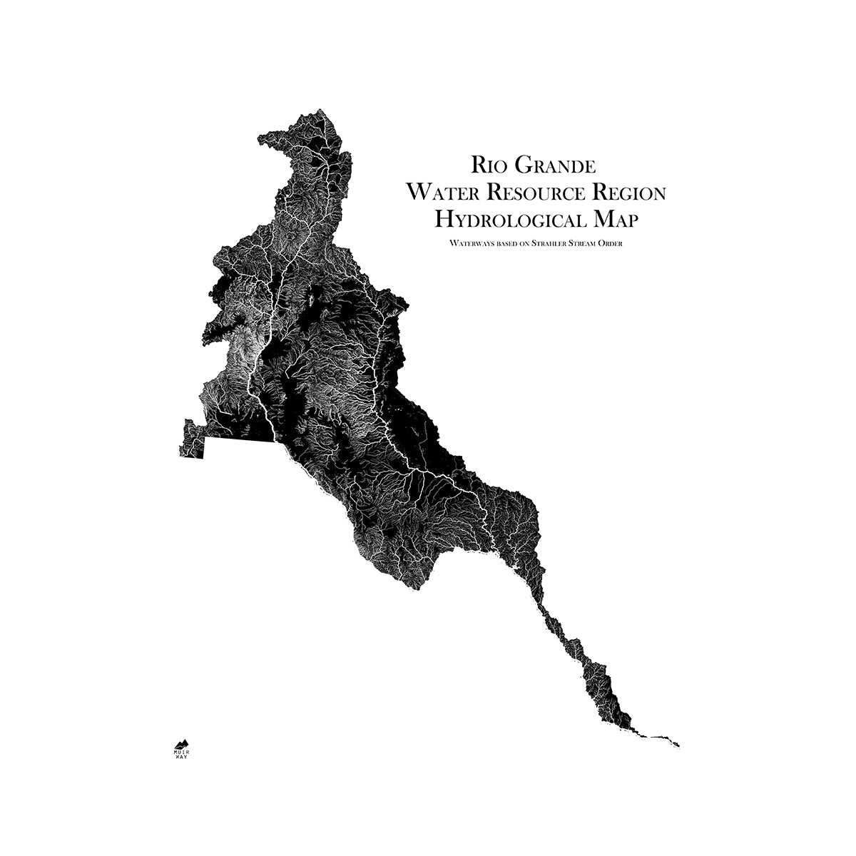
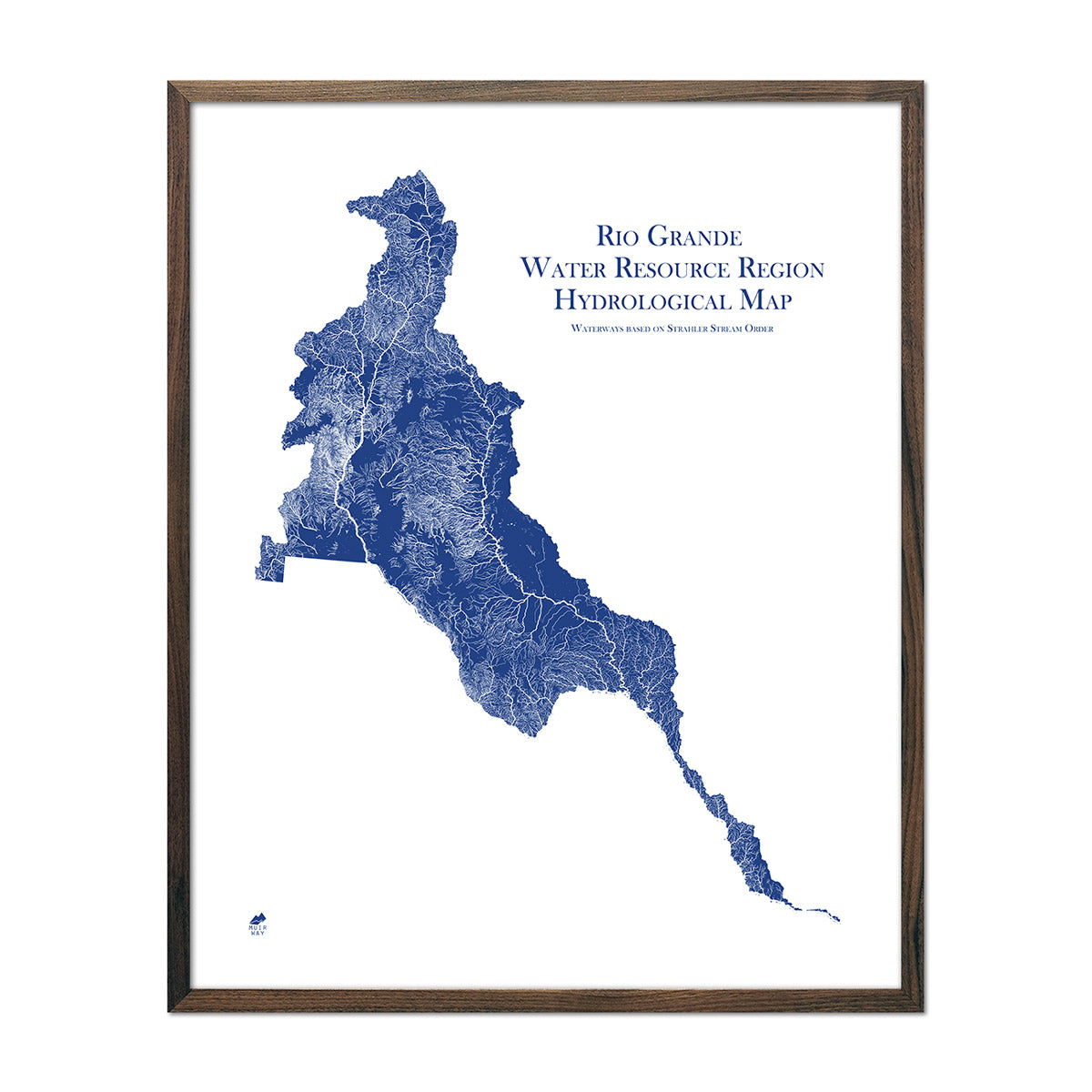
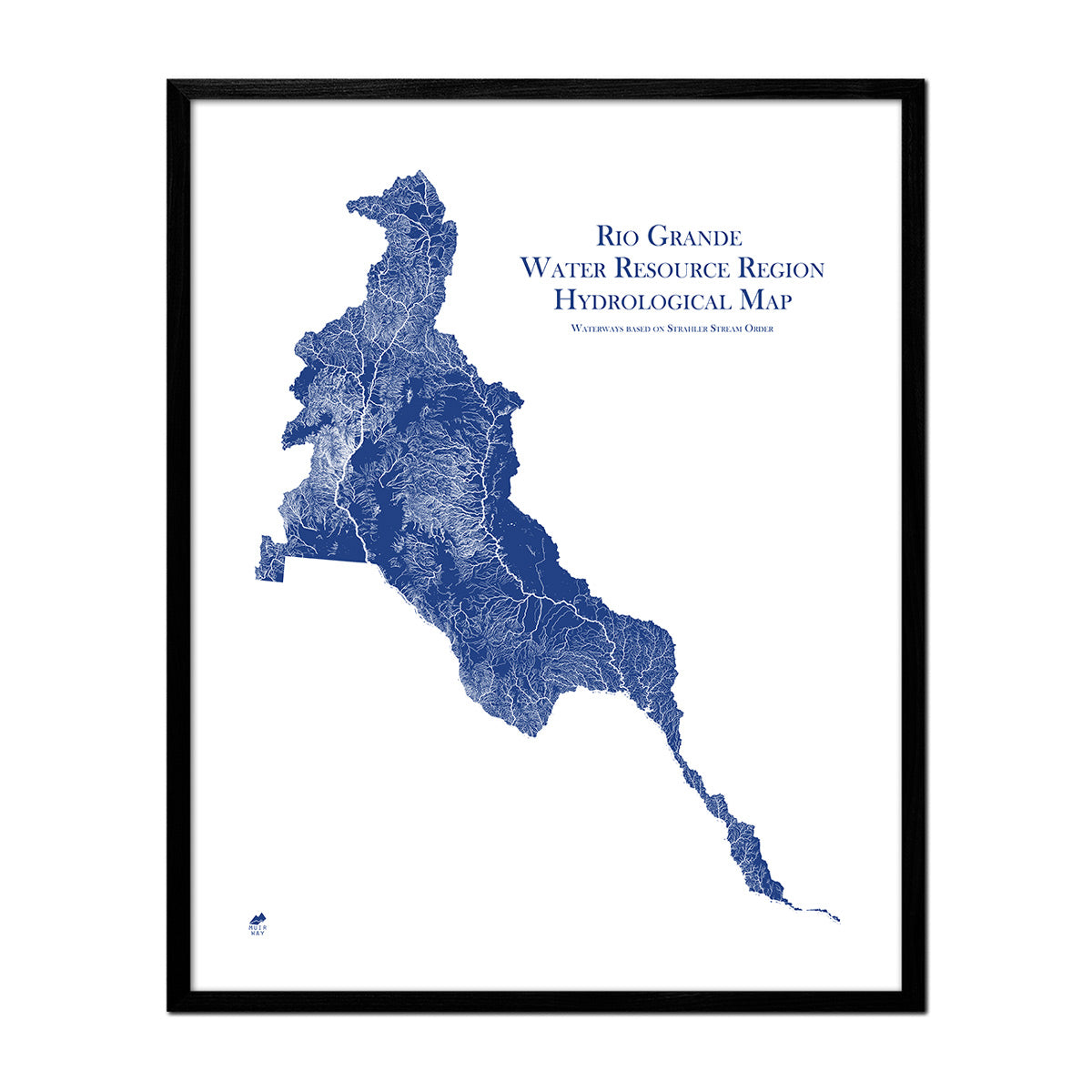
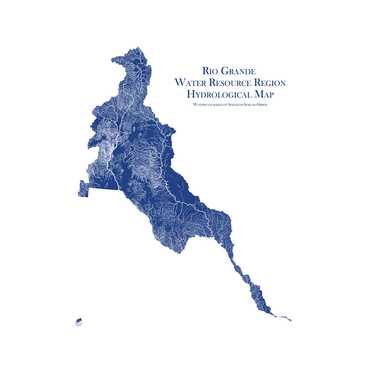
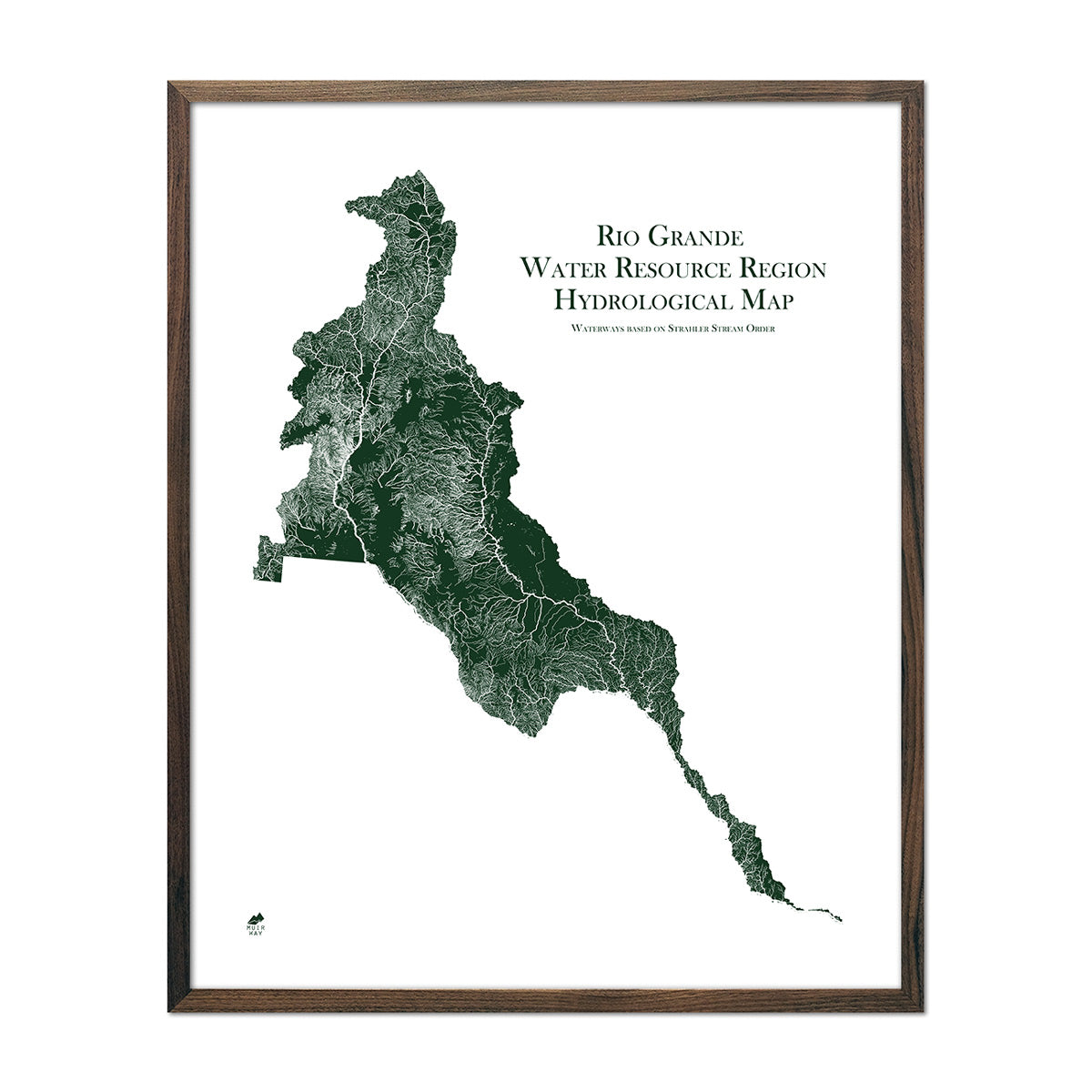
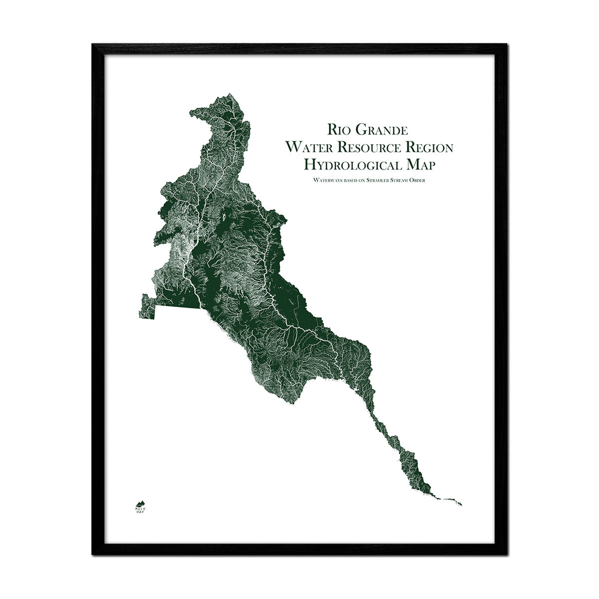
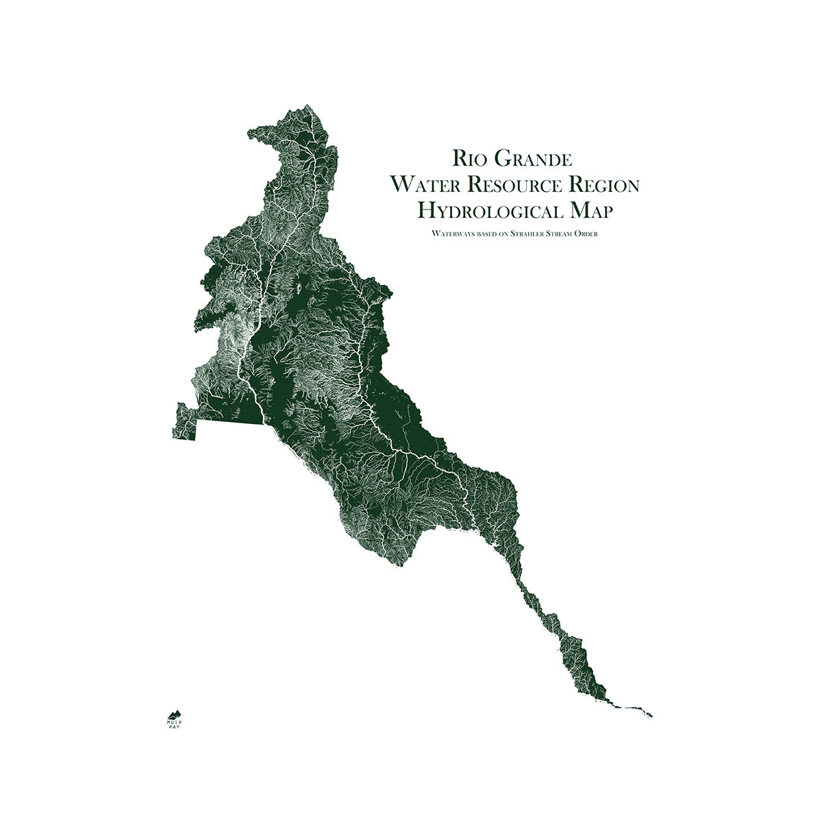
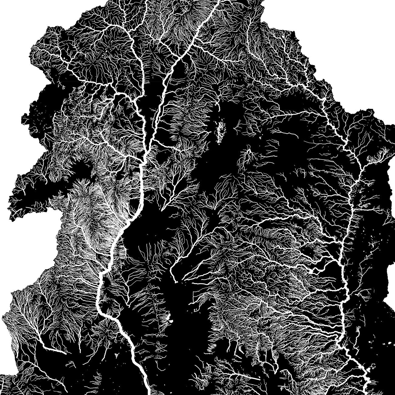
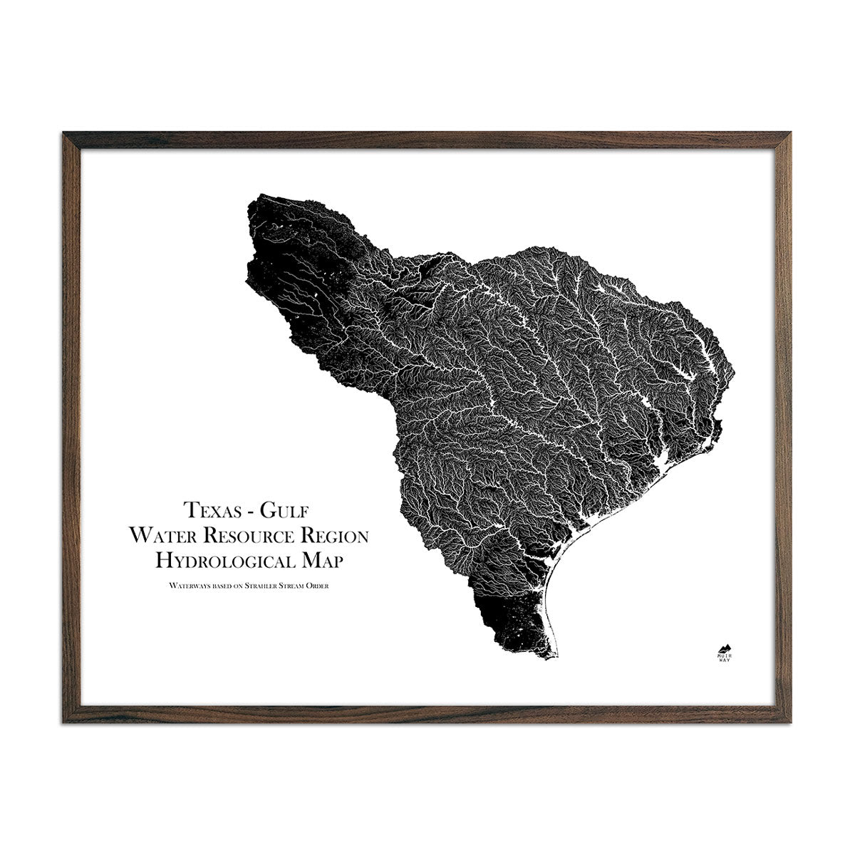
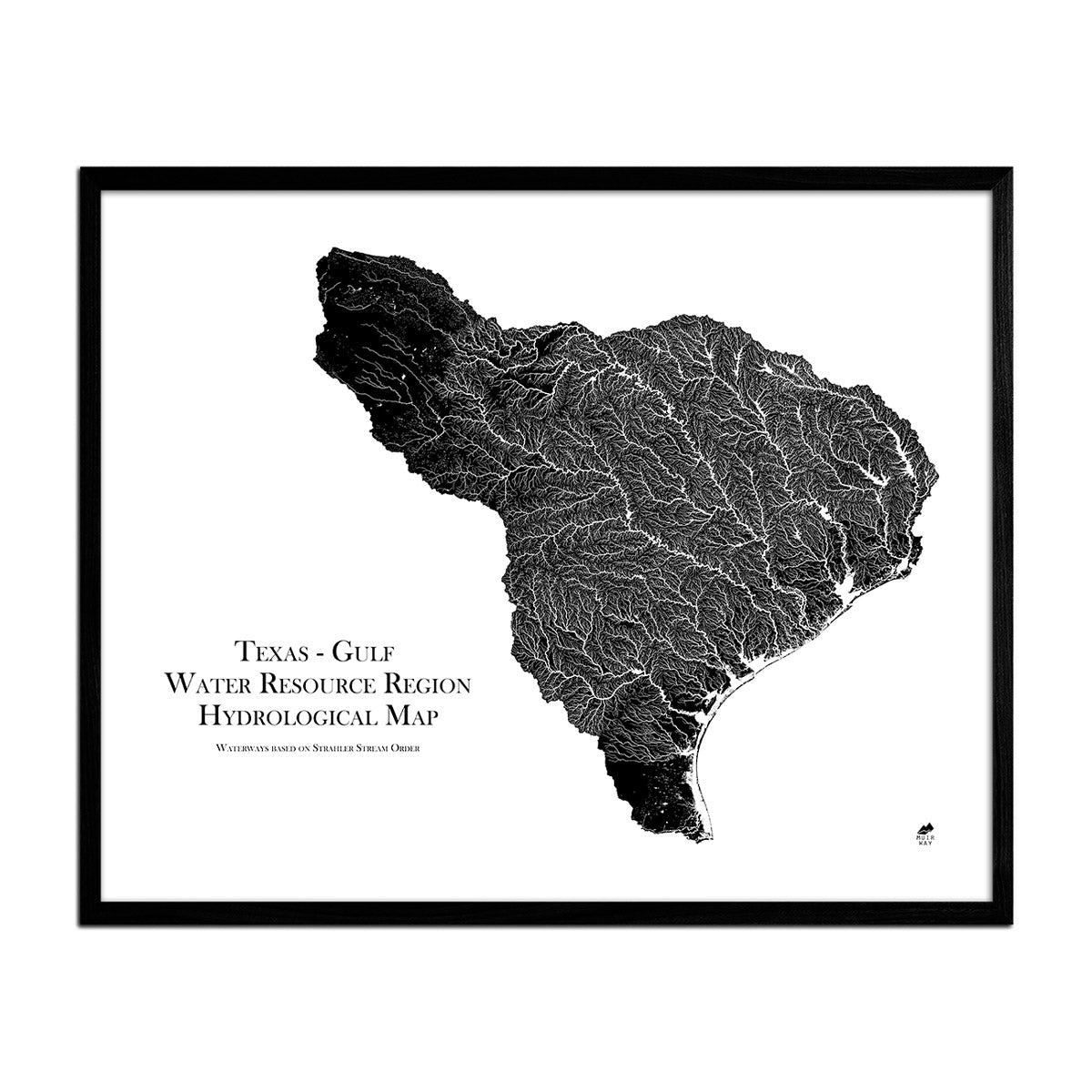
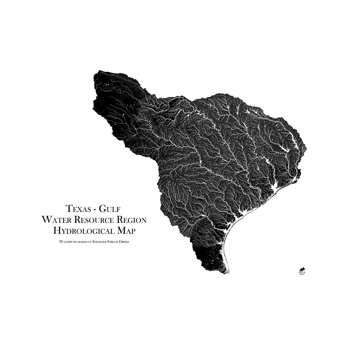
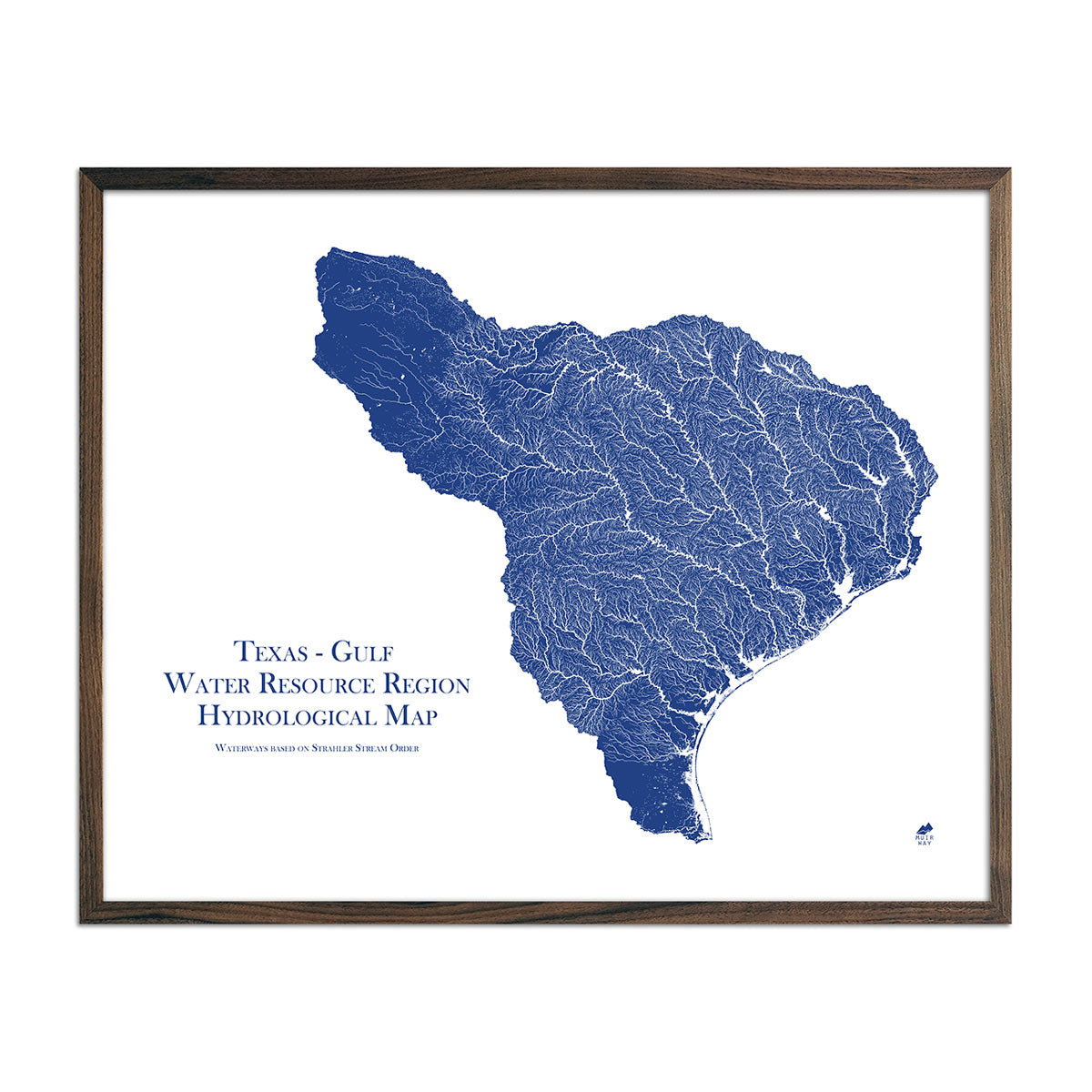
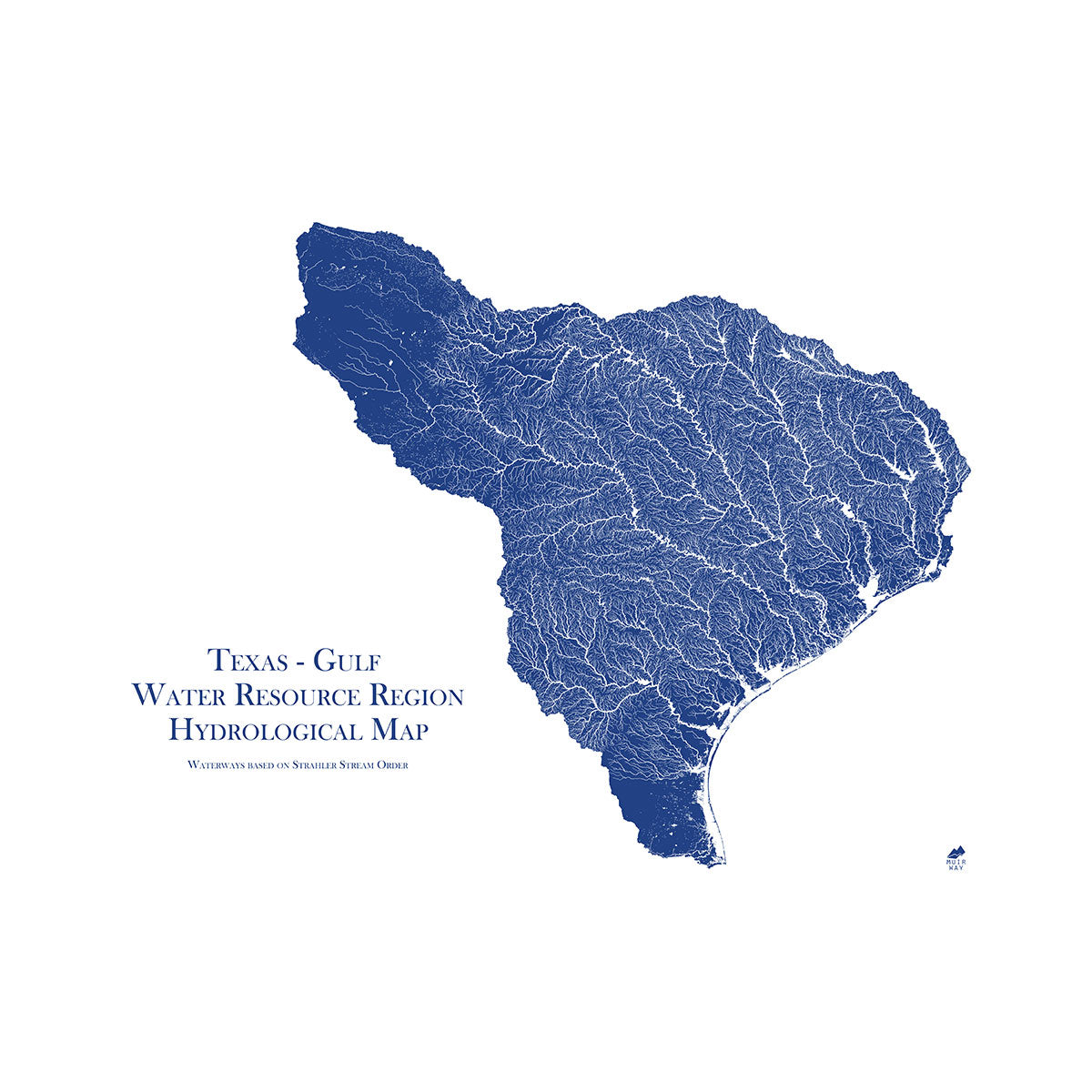
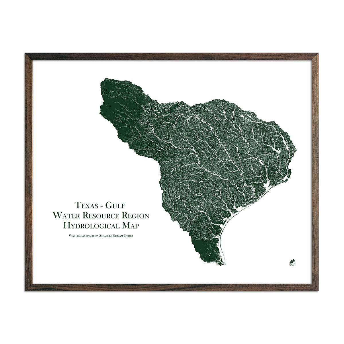
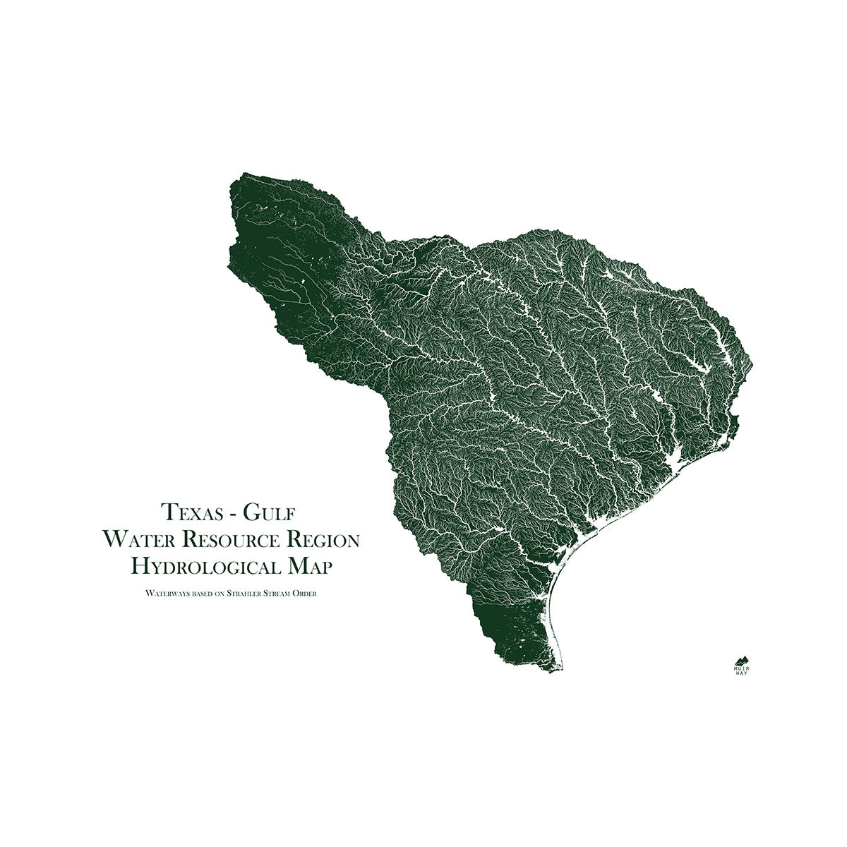
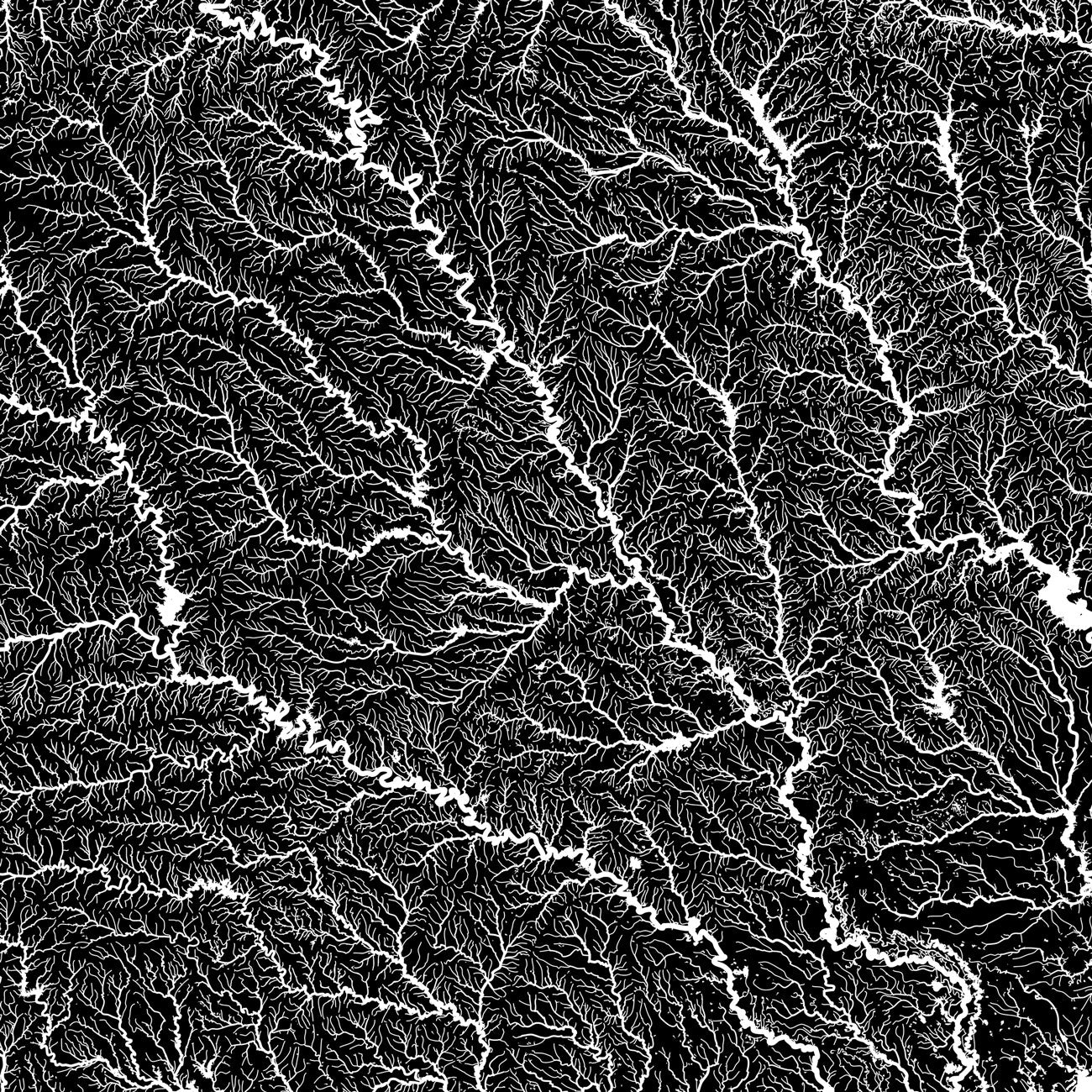
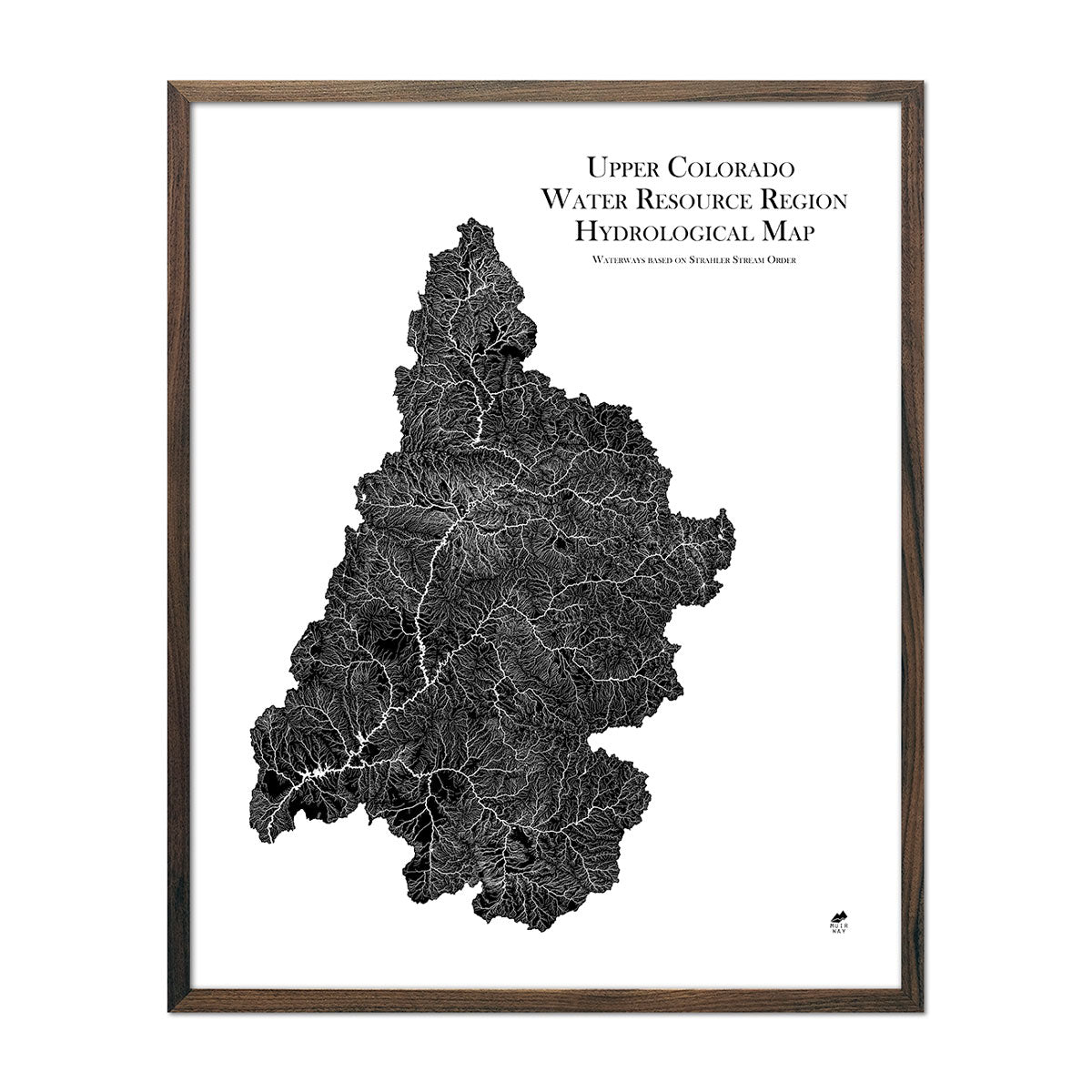
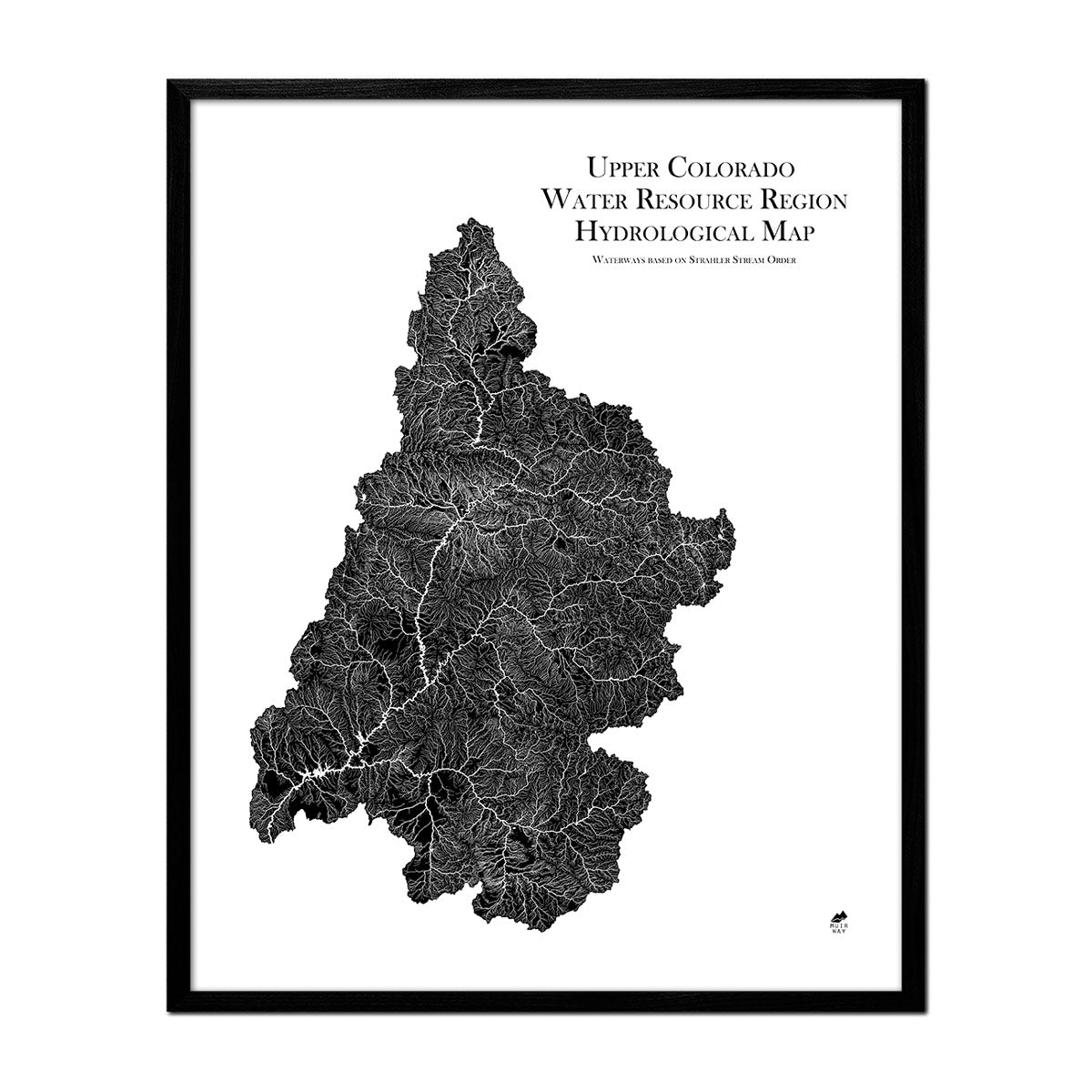
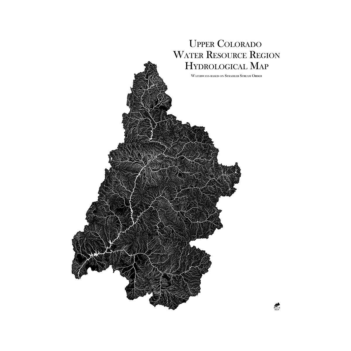
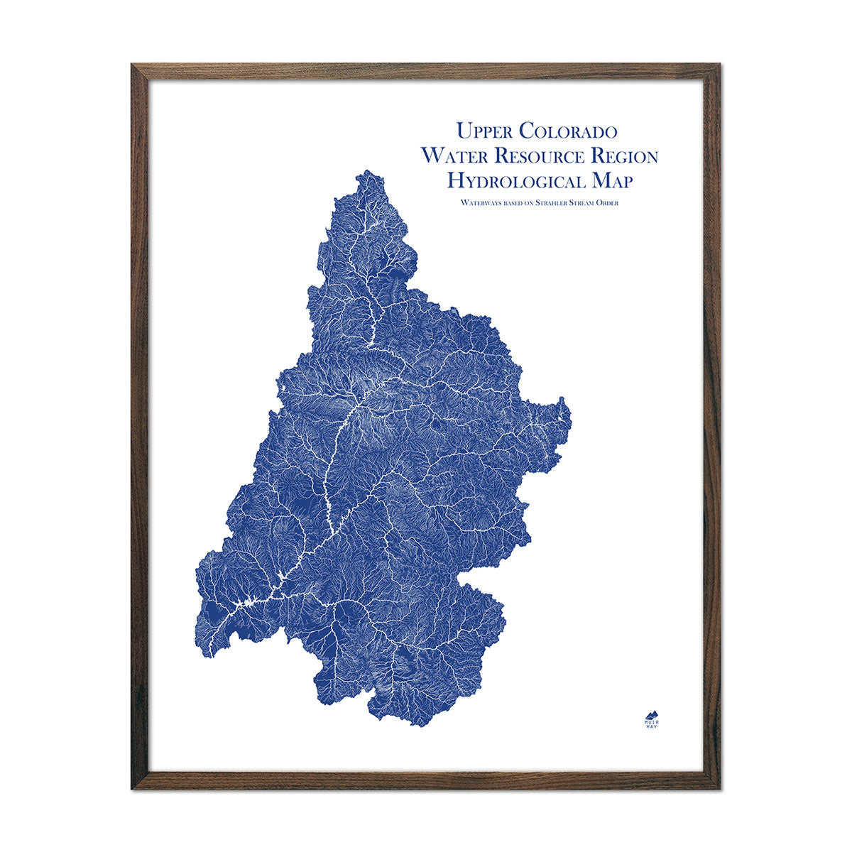
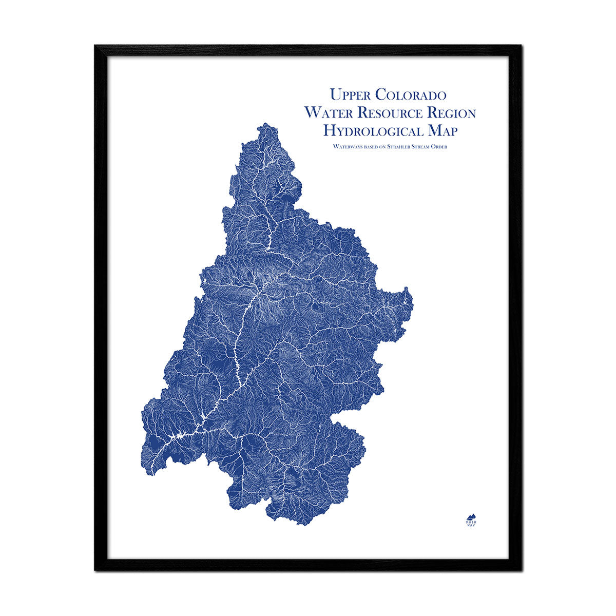
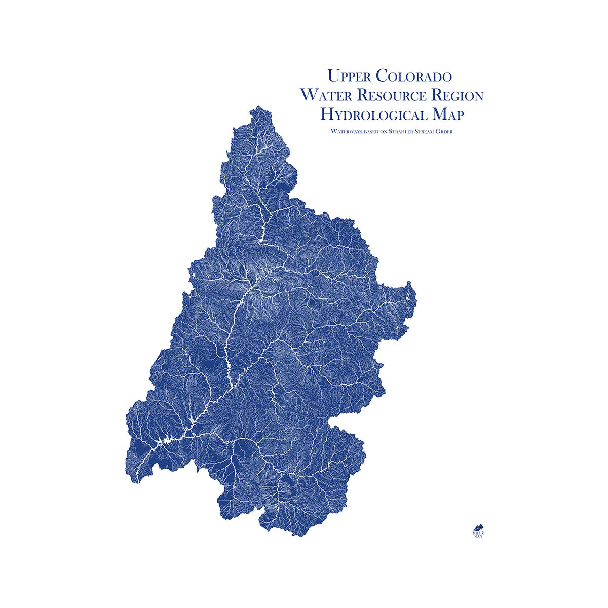
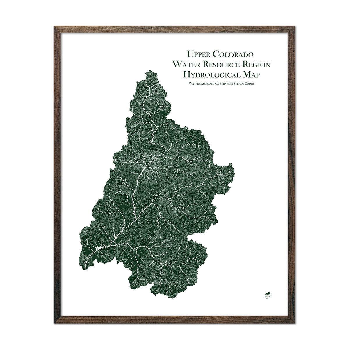
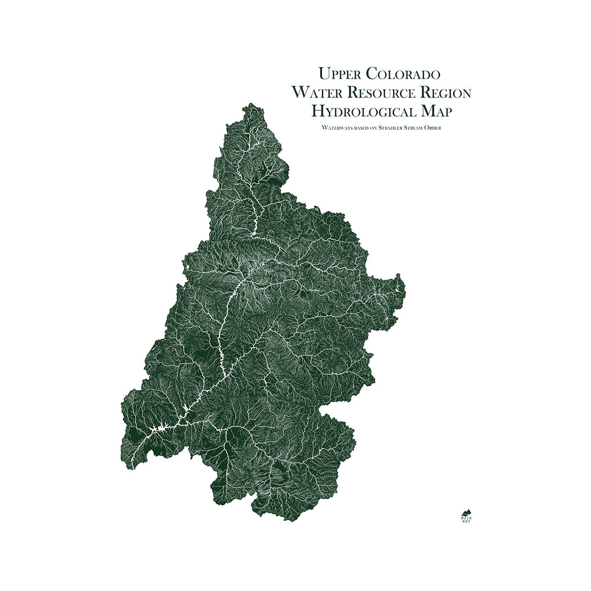
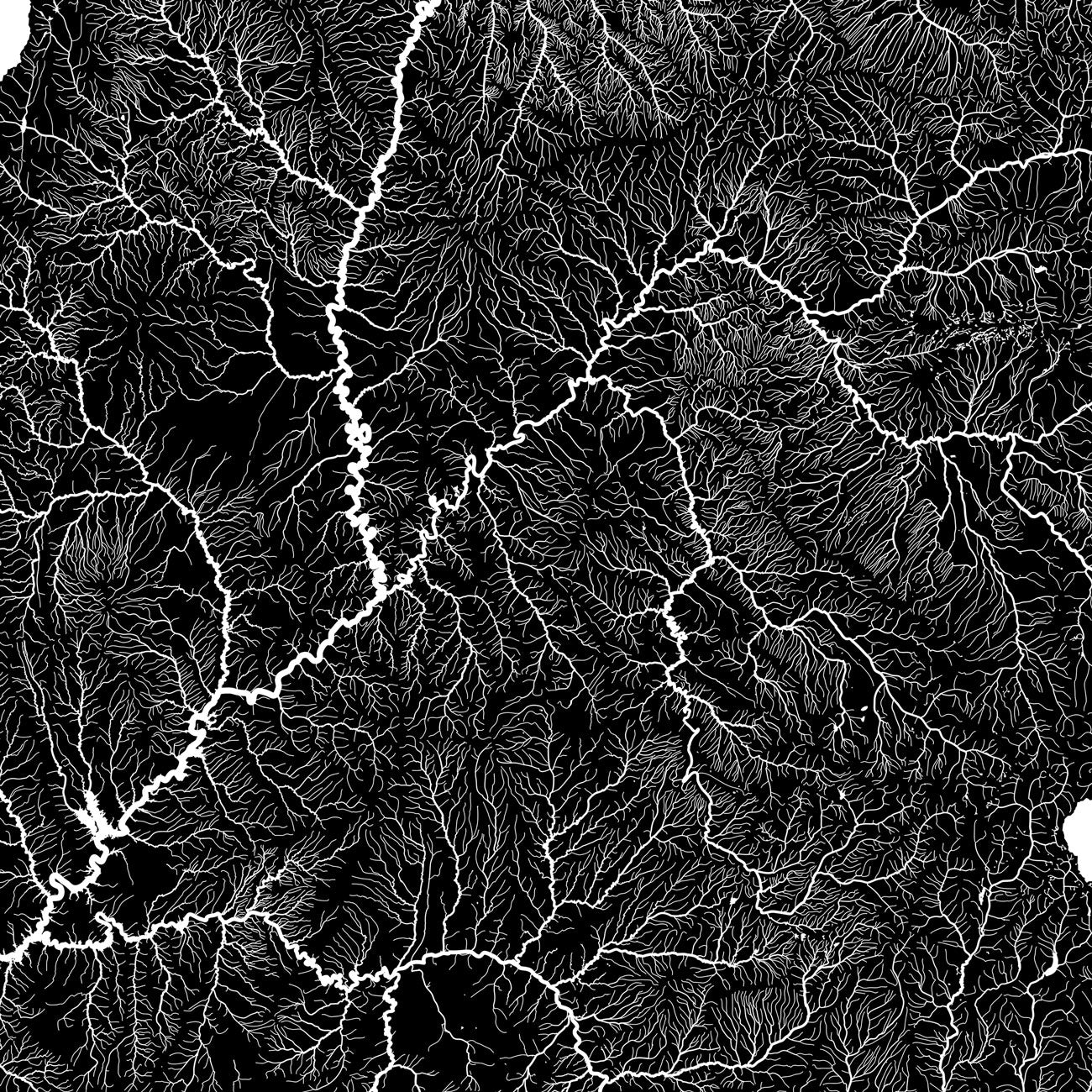
New Mexico hydrological maps - Our hydrological maps showcase the intricate network of waterways, from sprawling lakes to narrow tributaries that flow into larger rivers. Trace New Mexico’s waterways on our New Mexico Hydrological map and you’ll see every body of water greater than 0.2 mi in diameter. What makes our hydrological maps unique? We apply a method called the Strahler Stream Order to show the hierarchy of streams as they flow from their source, with rivers shown thicker as they acquire the flow of tributaries. Map available in black, blue, or green. Want to see the ‘big picture?’ See our Rio Grande Regional Hydrological map and our Texas-Gulf Regional Hydrological map.
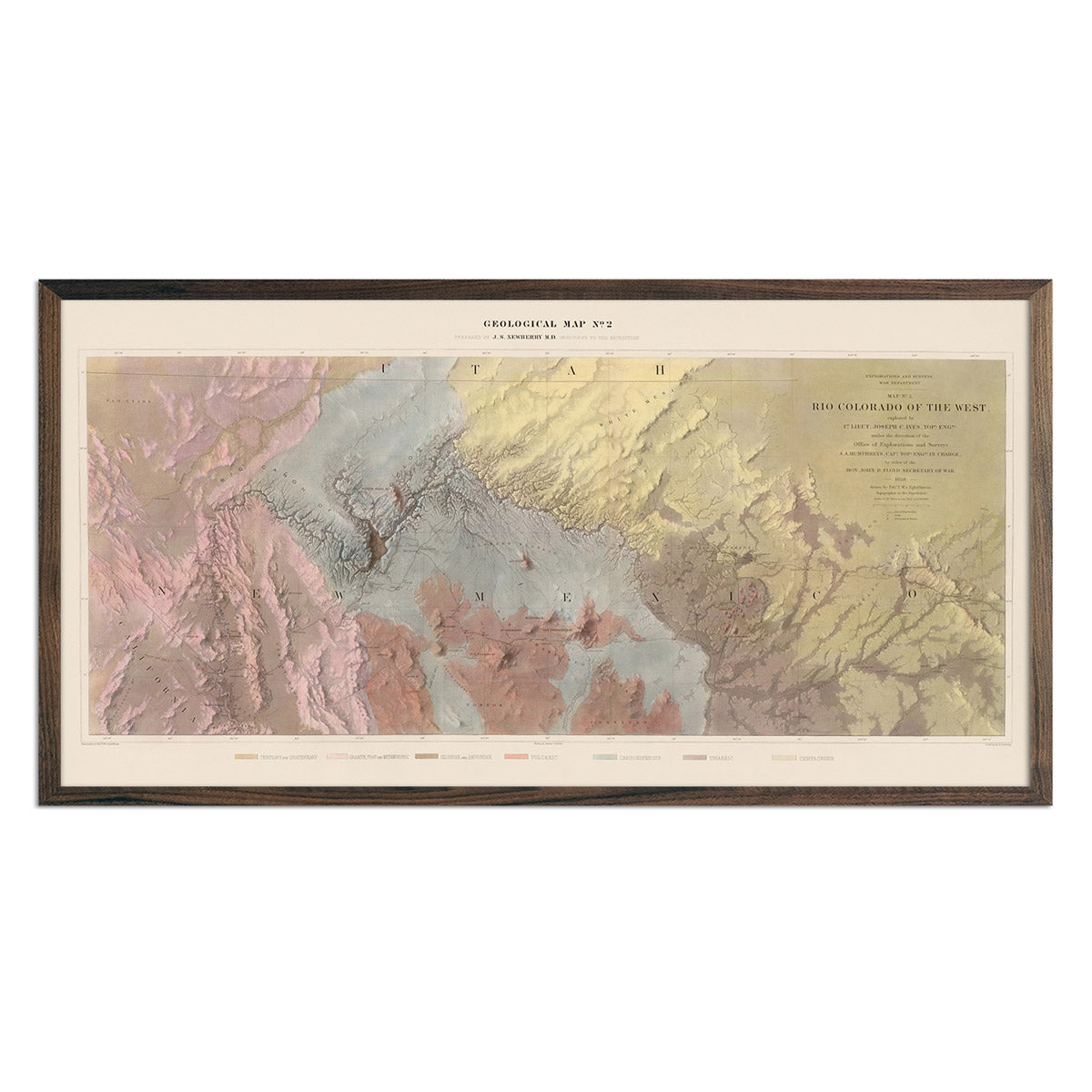
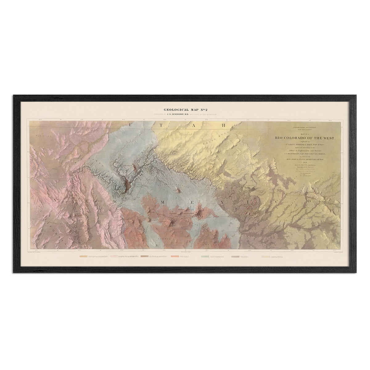
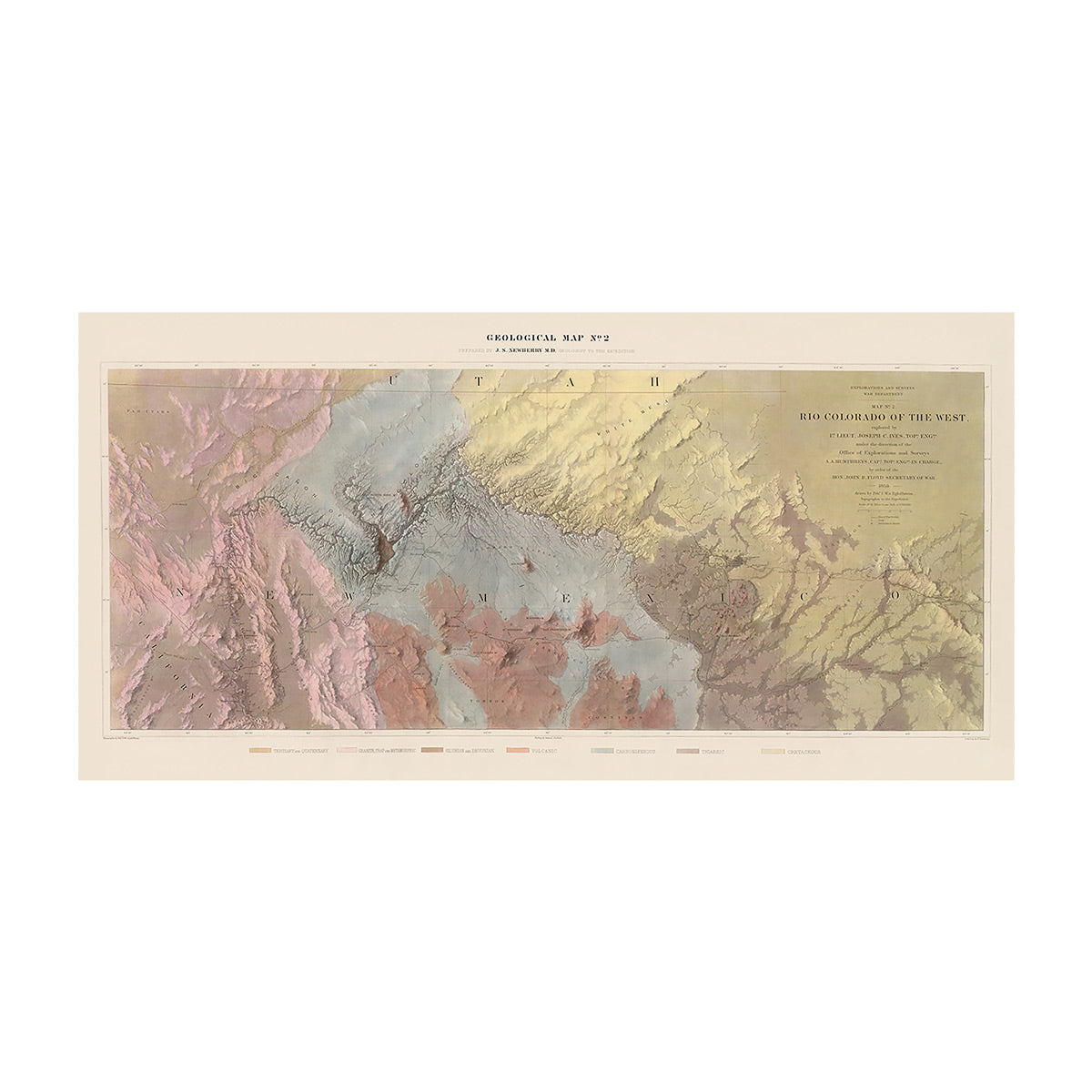
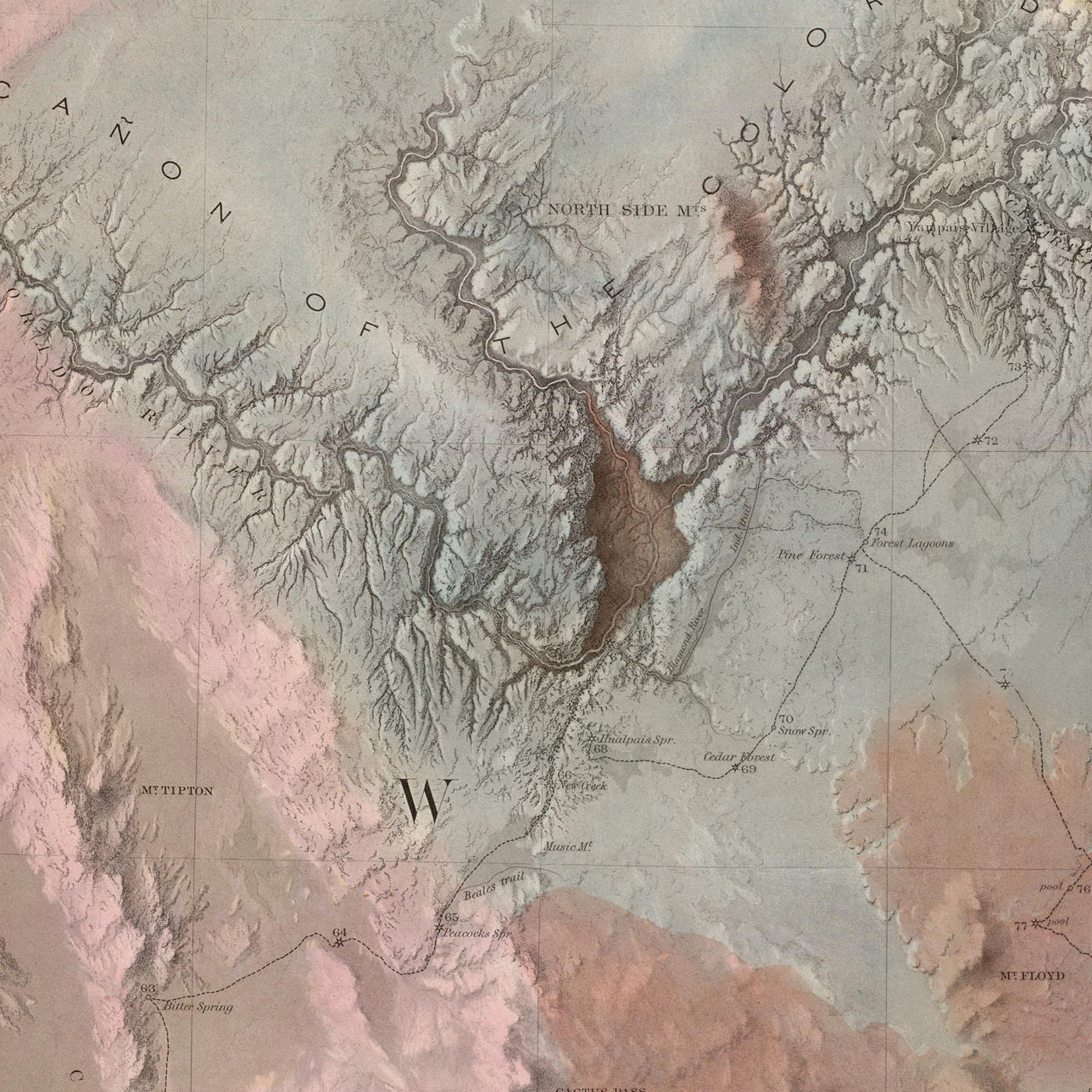
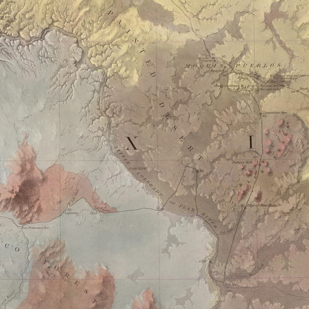
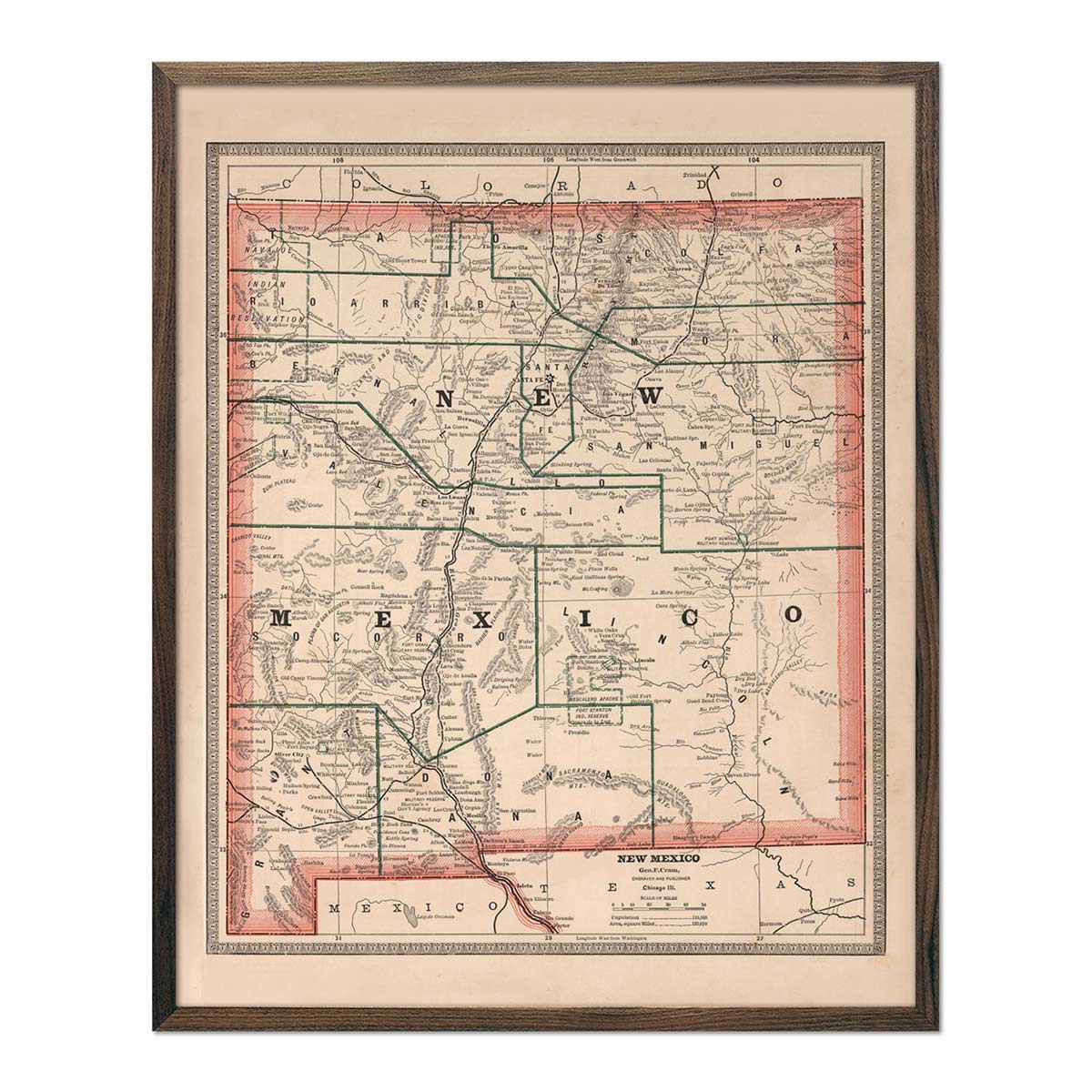
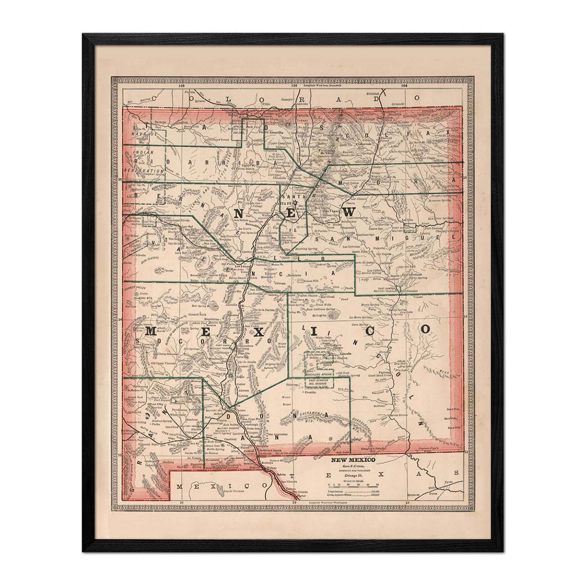
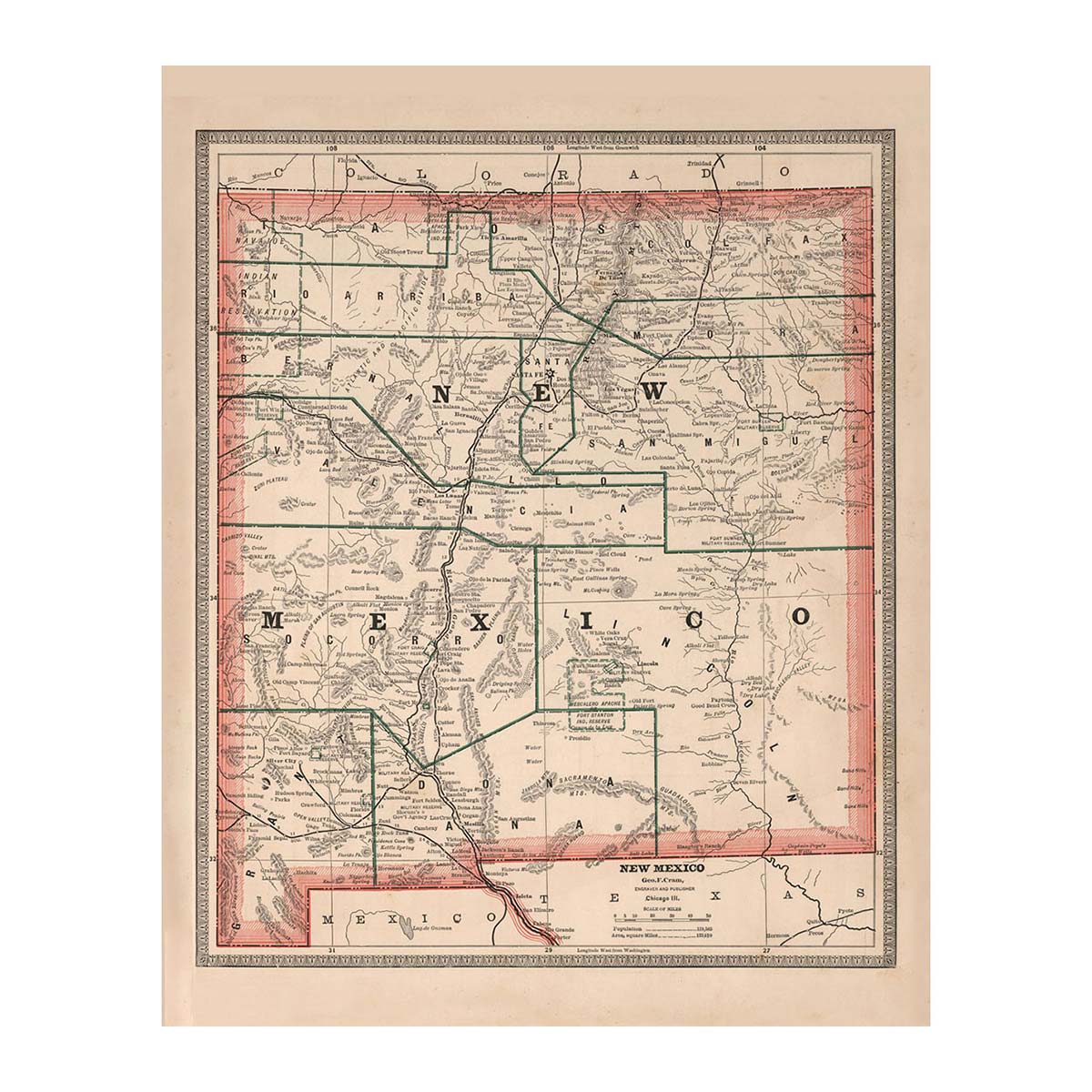
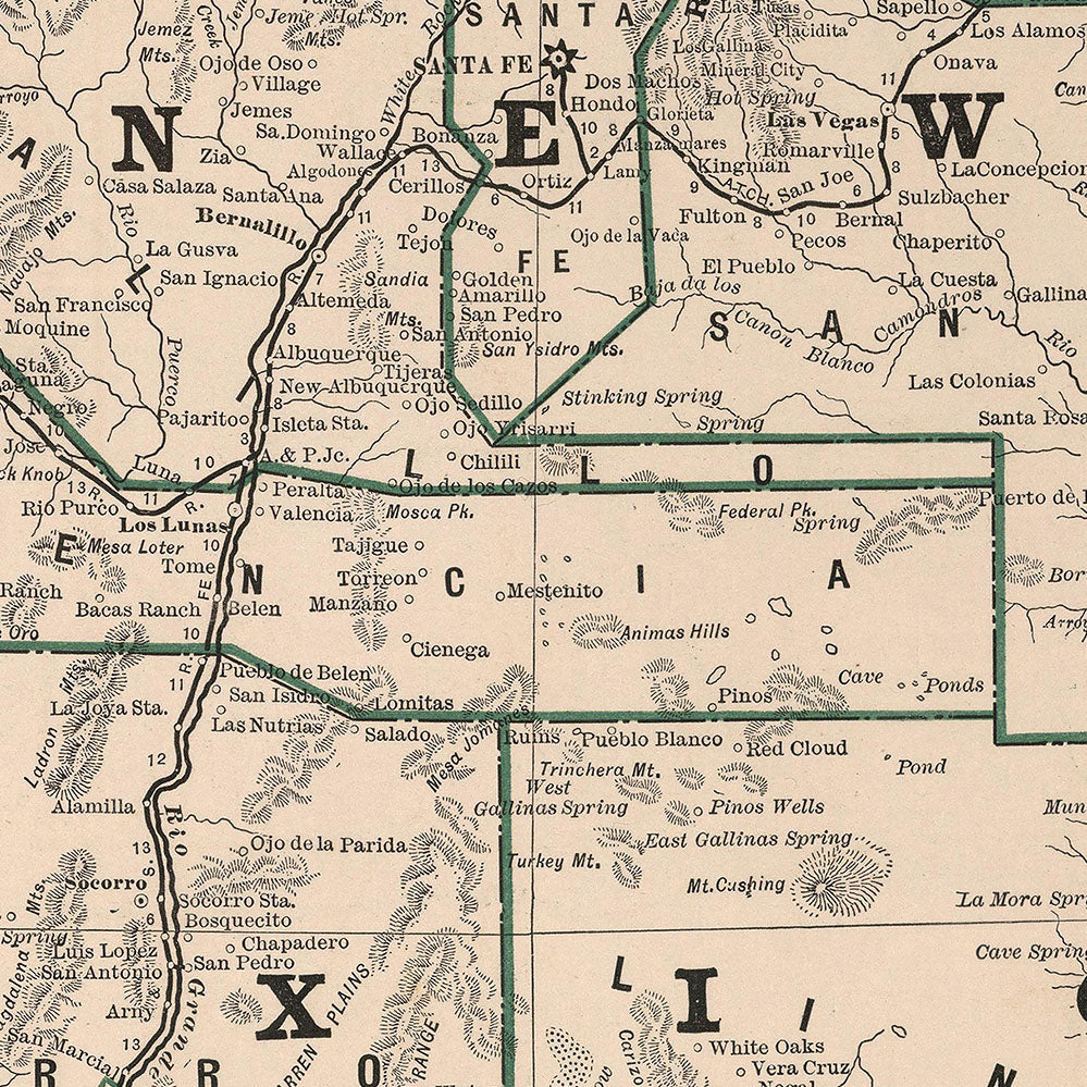
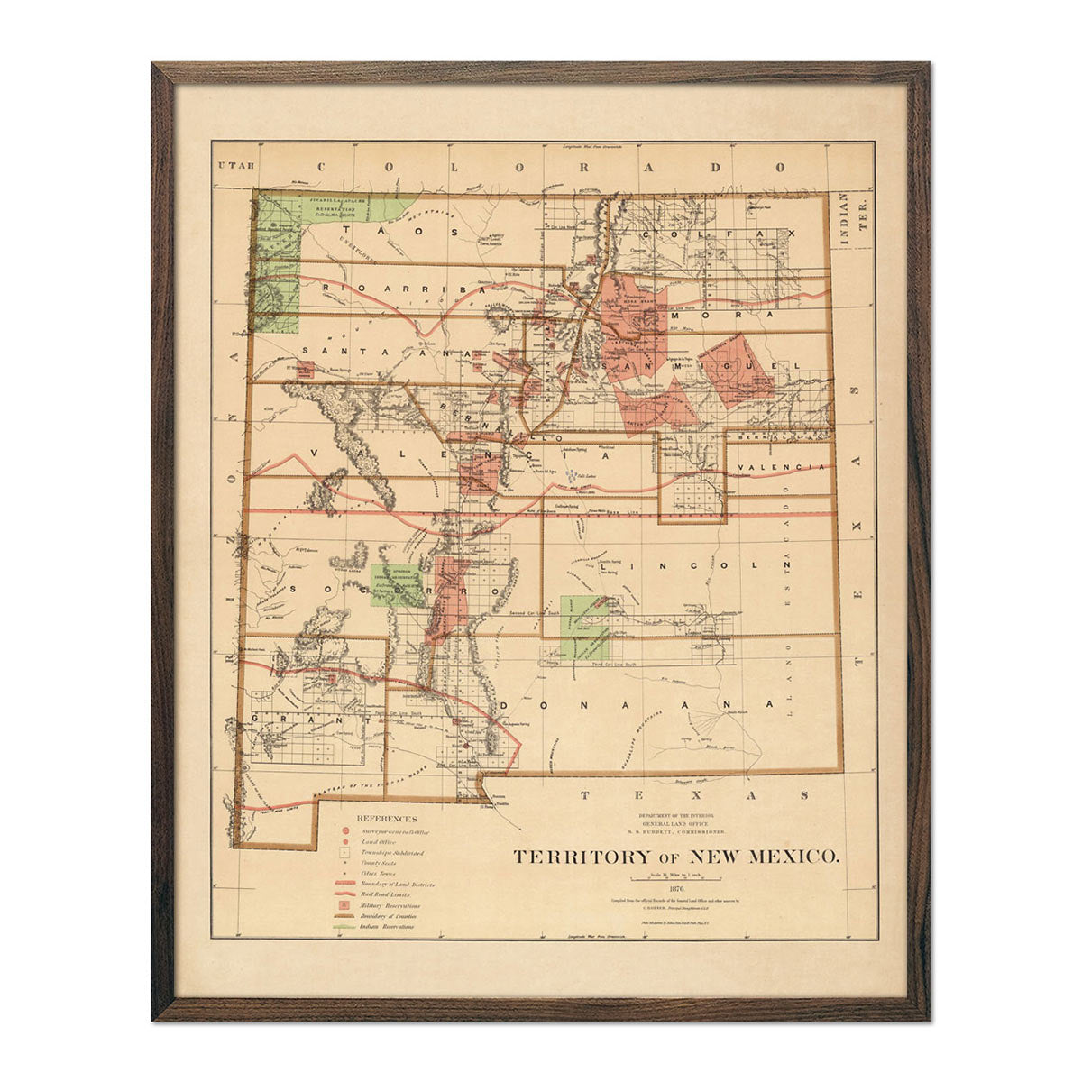
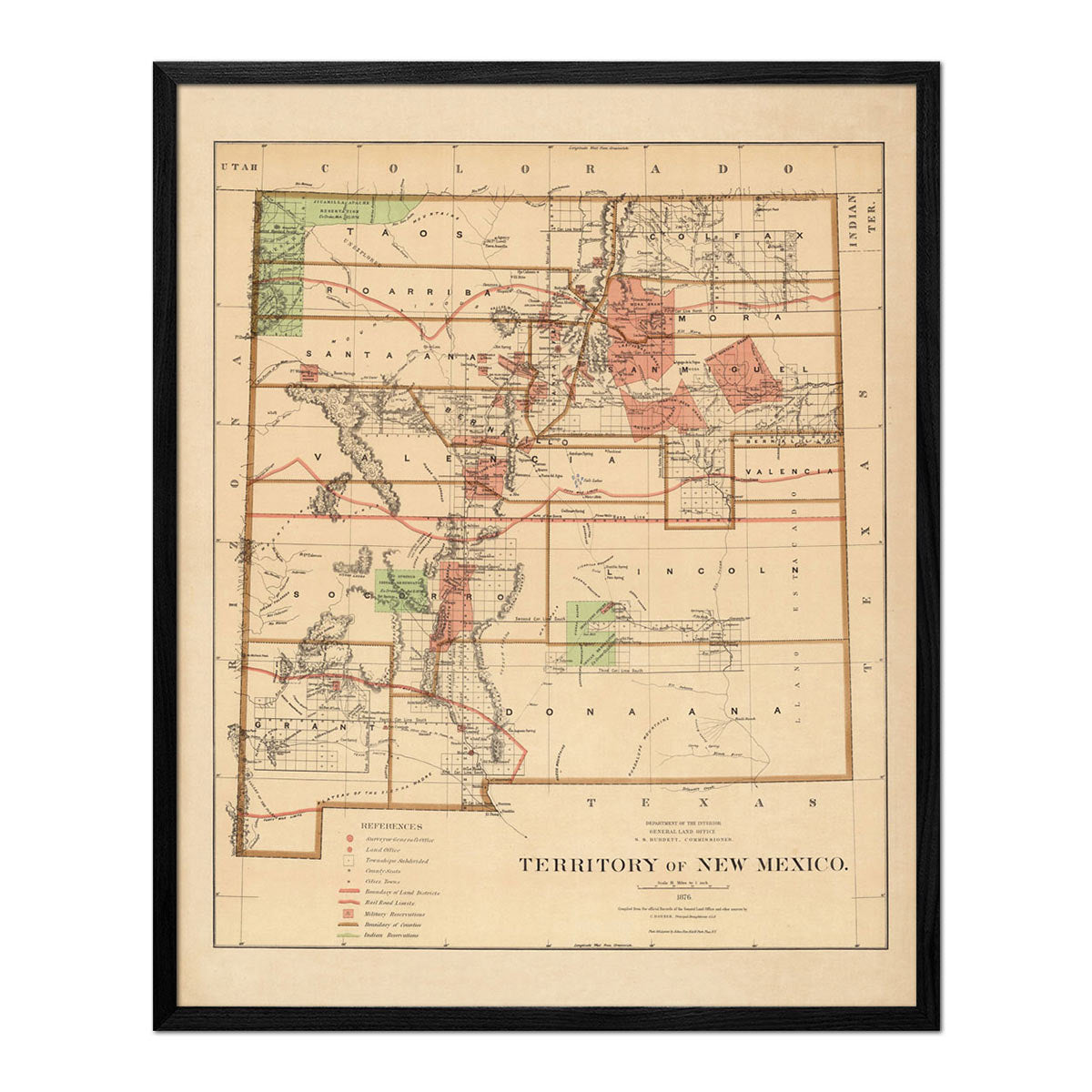
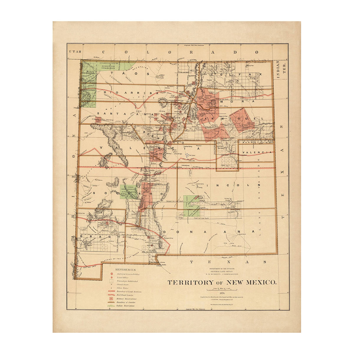
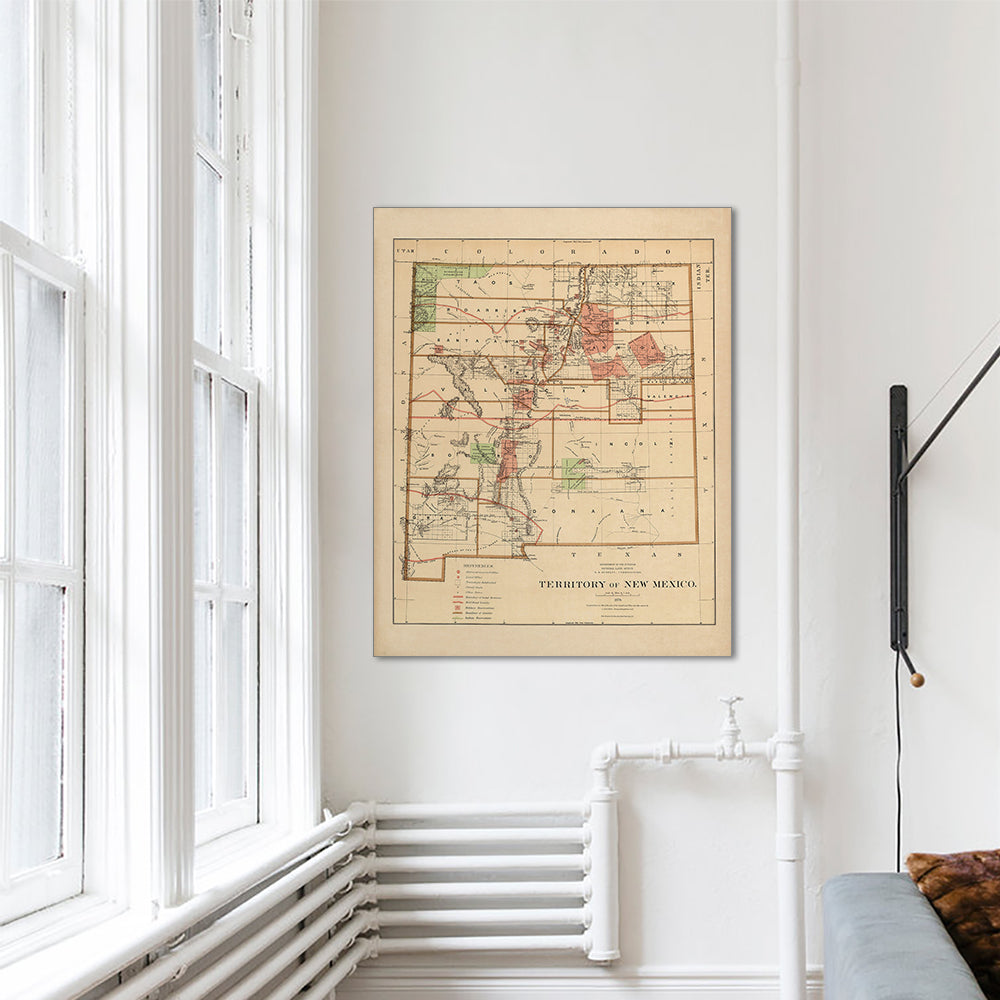
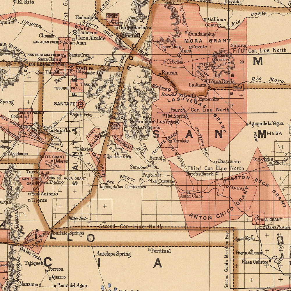
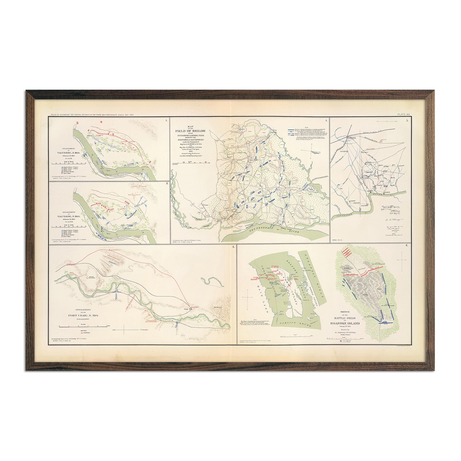
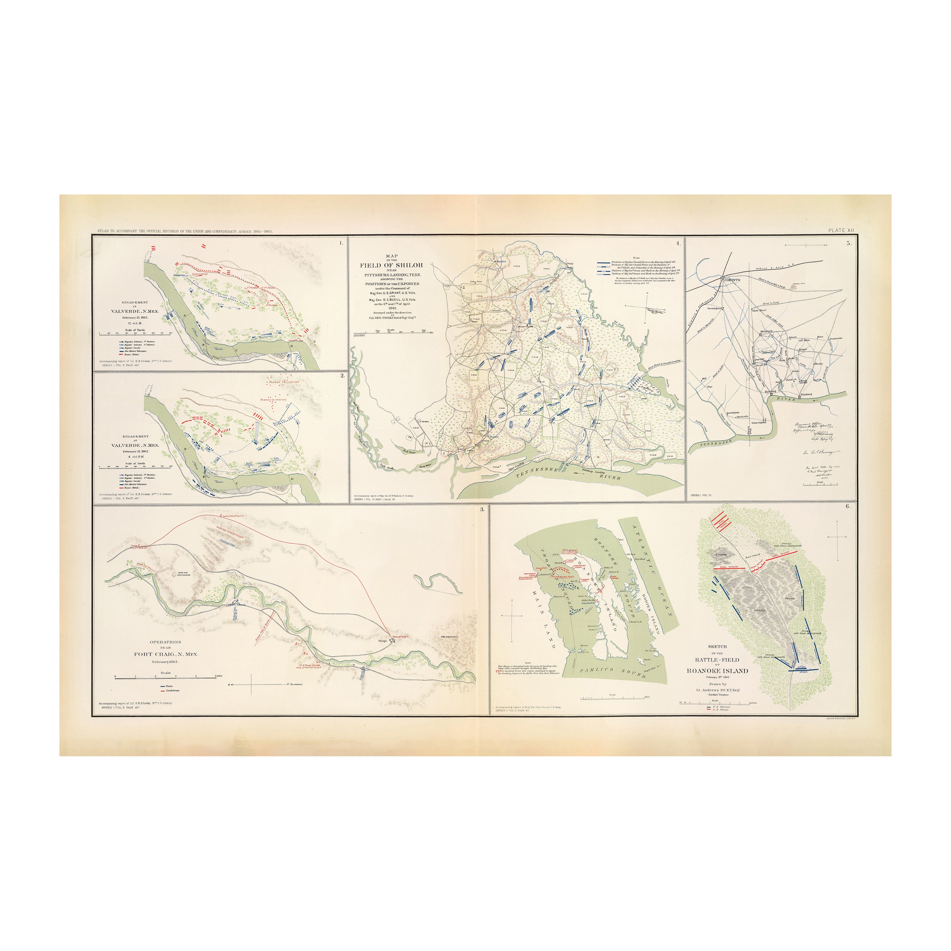
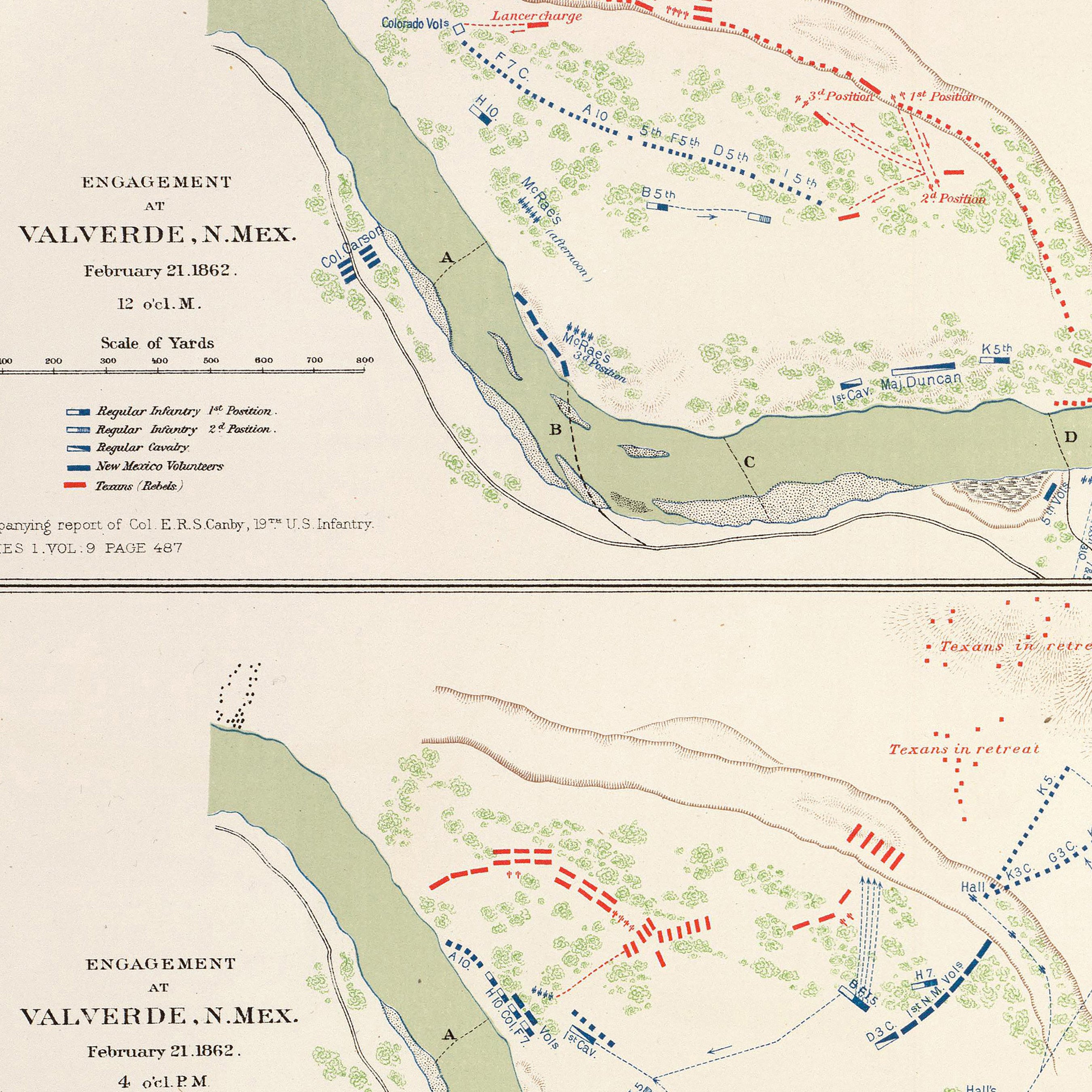
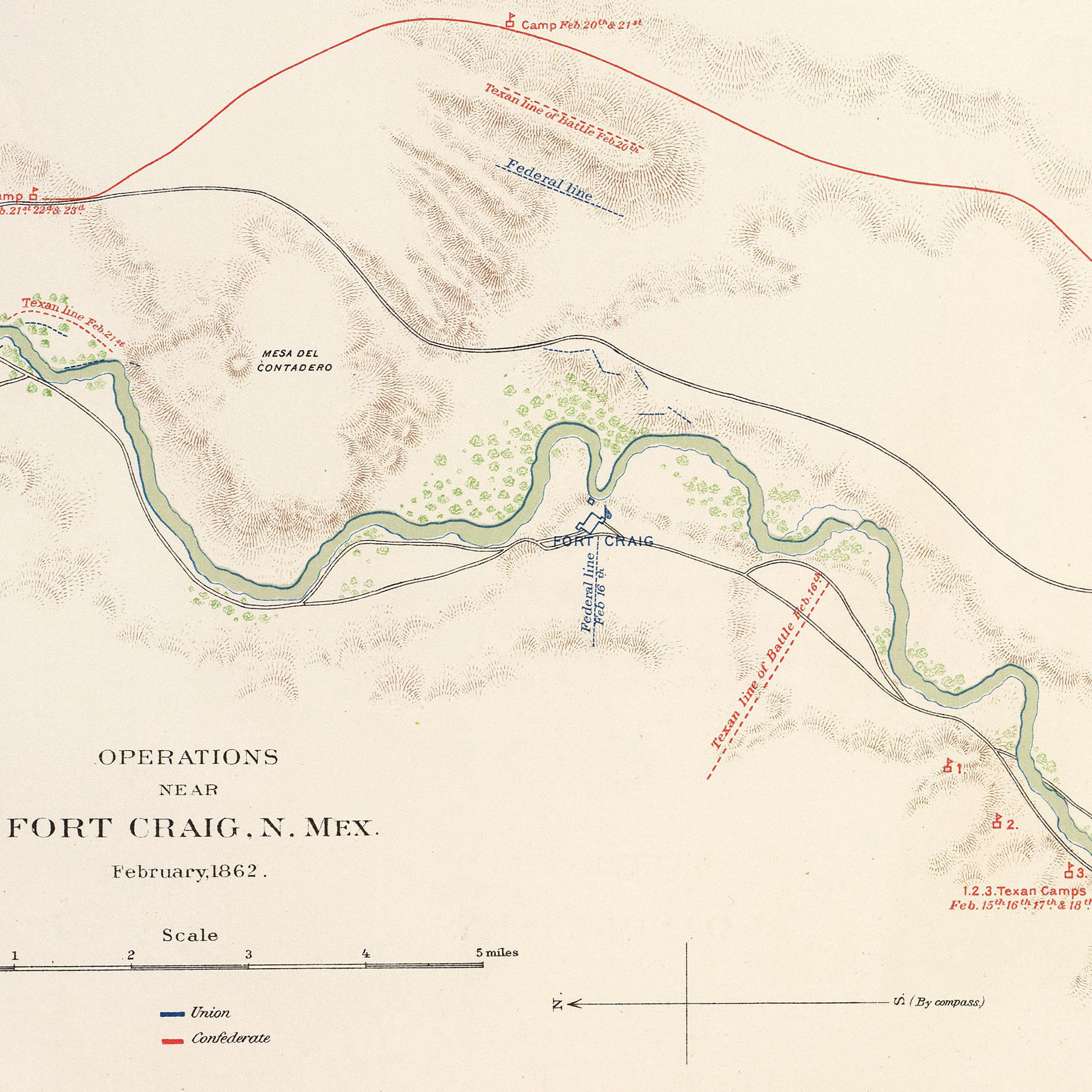
Enhanced vintage New Mexico maps - Enjoy the history and charm of vintage maps in a new way with our New Mexico Territory 1876 map or our New Mexico 1883 map. Check out the historical topographical details on our Rio Colorado Geologic 1858 map. Unlike our elevation maps, Muir Way historical maps don’t feature enhanced elevation effects, but they do feature a record of history beautifully restored to retain its vintage charm without the wear and tear. Our vintage New Mexico maps are also custom printed using archival materials.
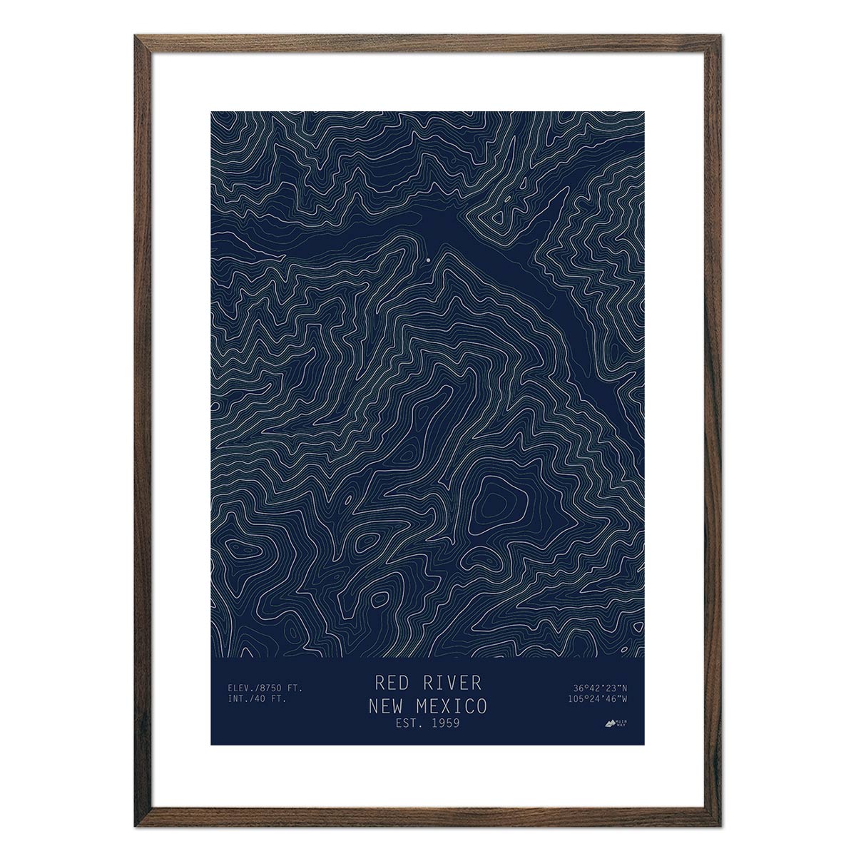
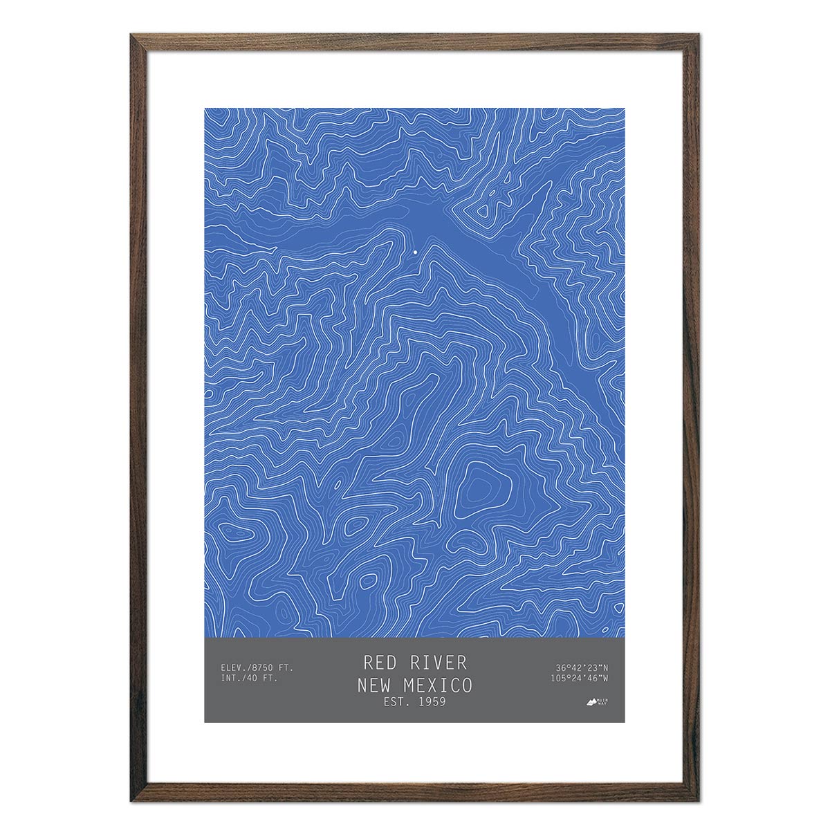
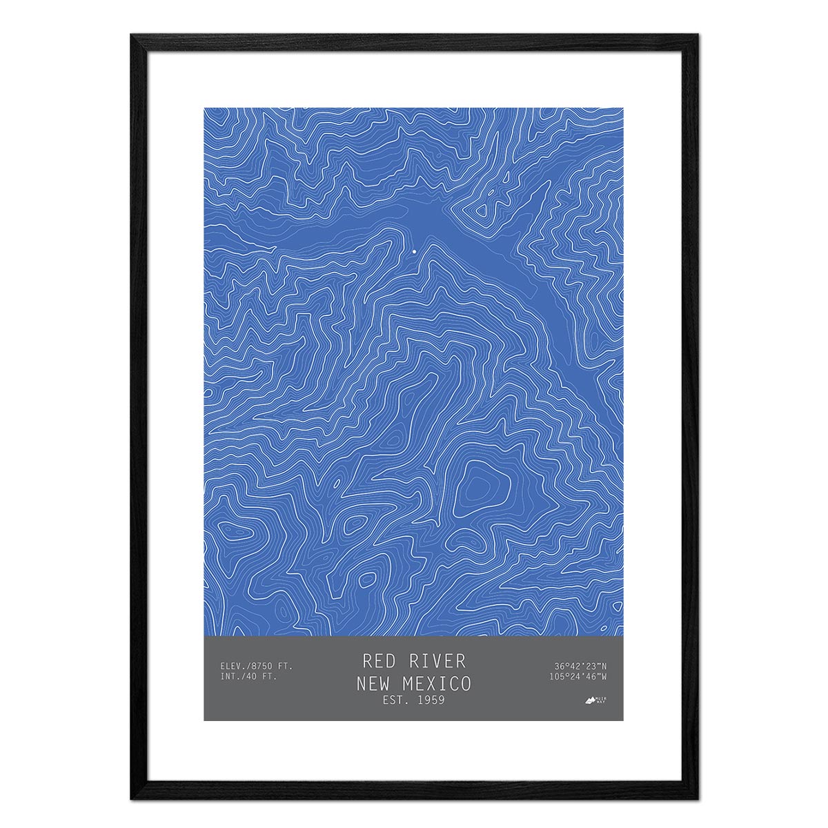
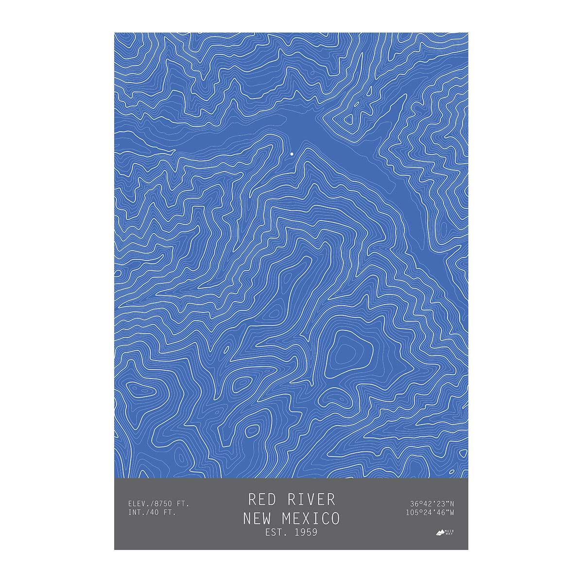
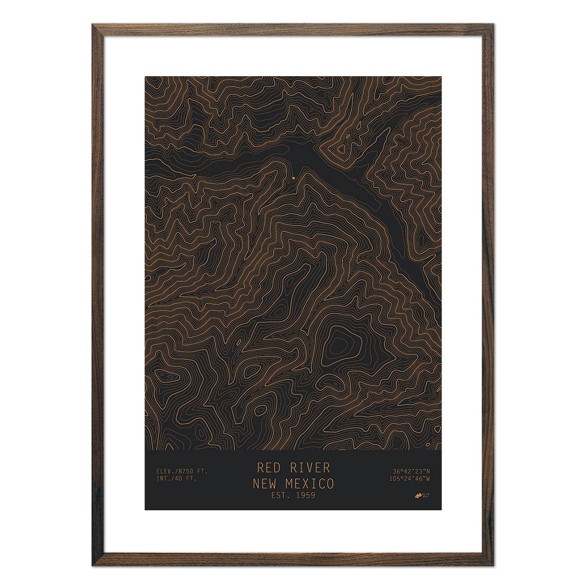
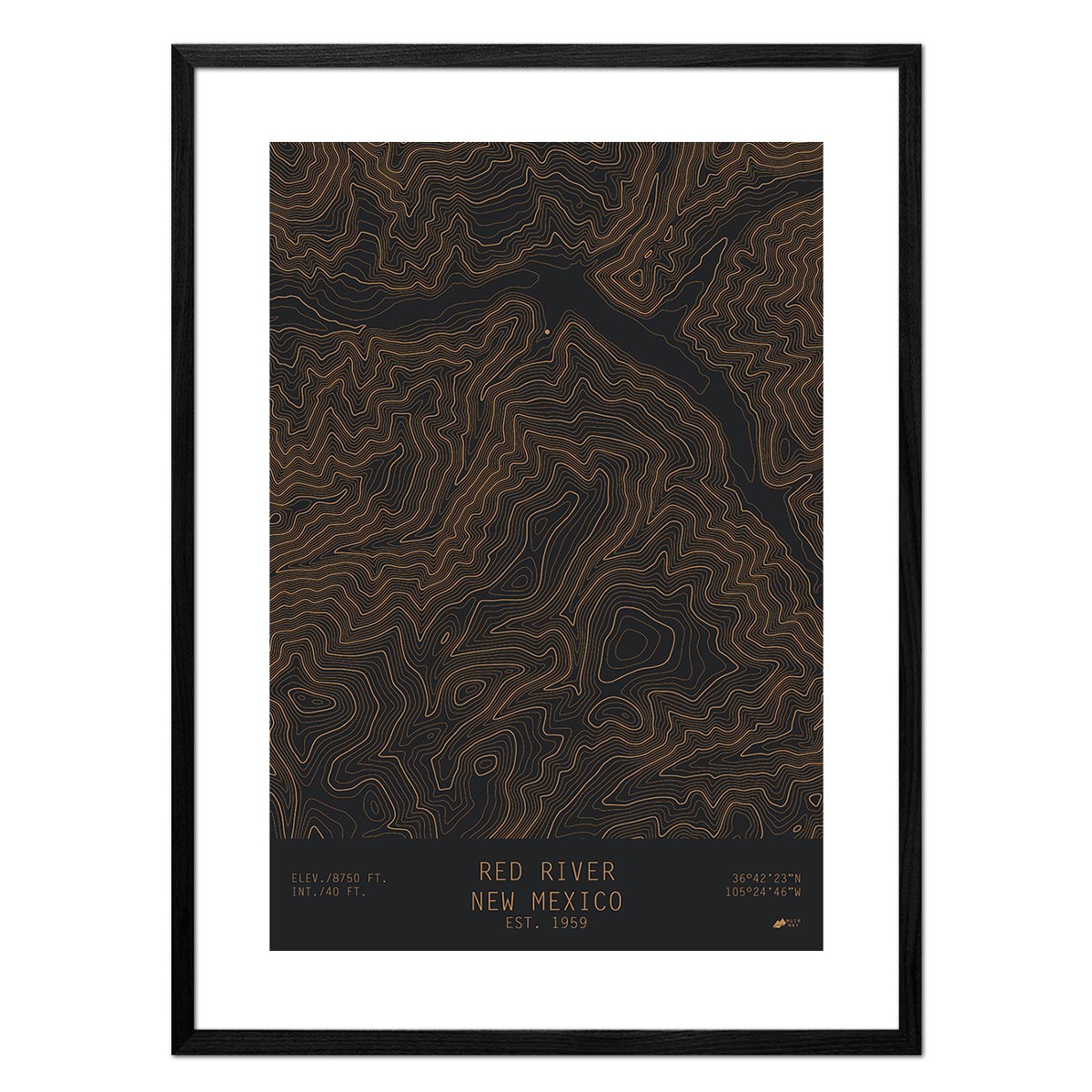
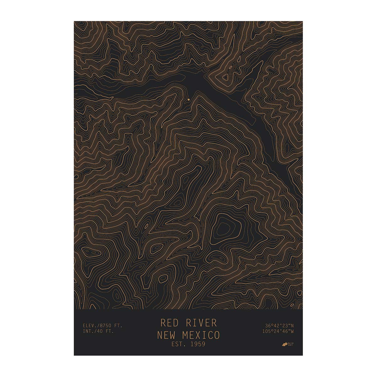
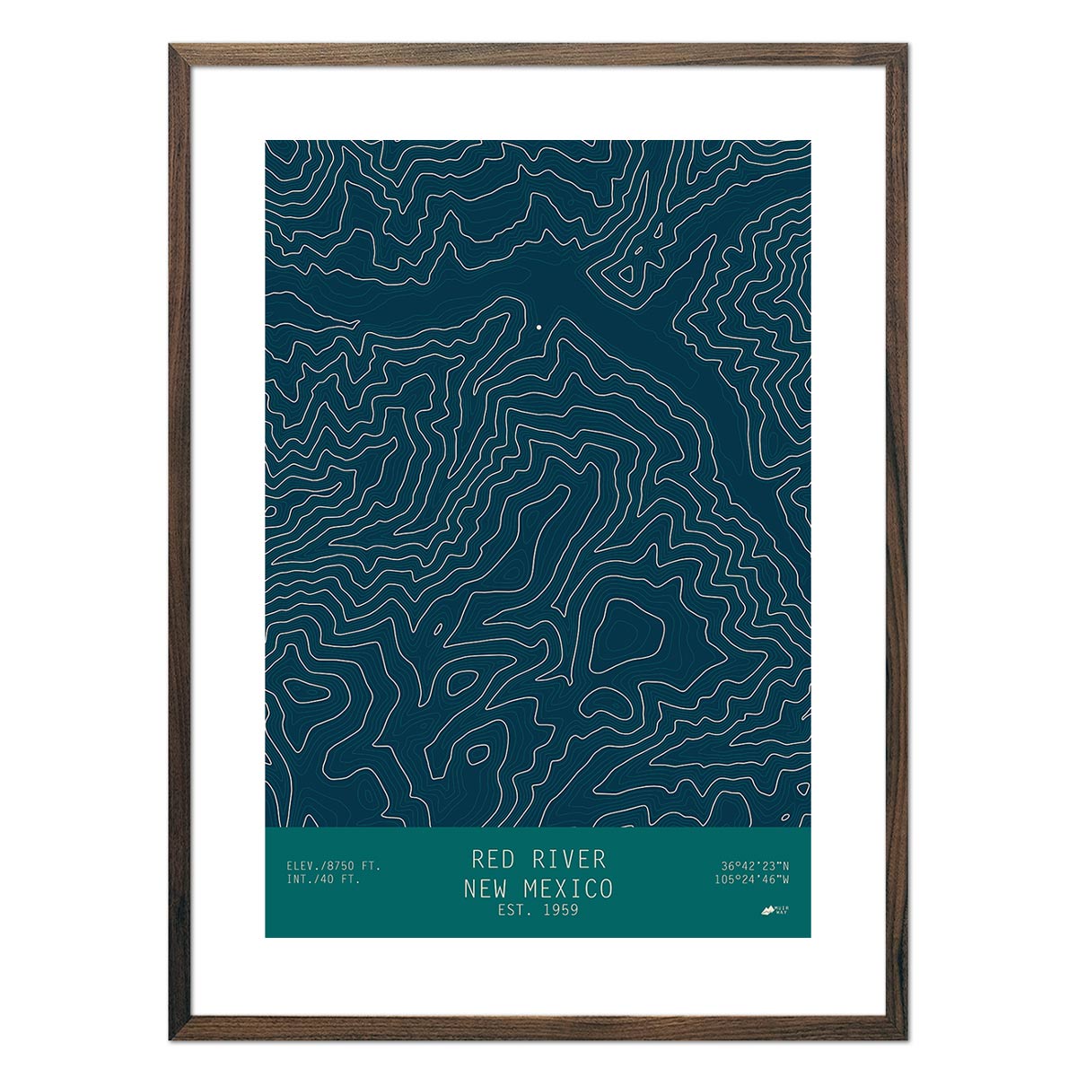
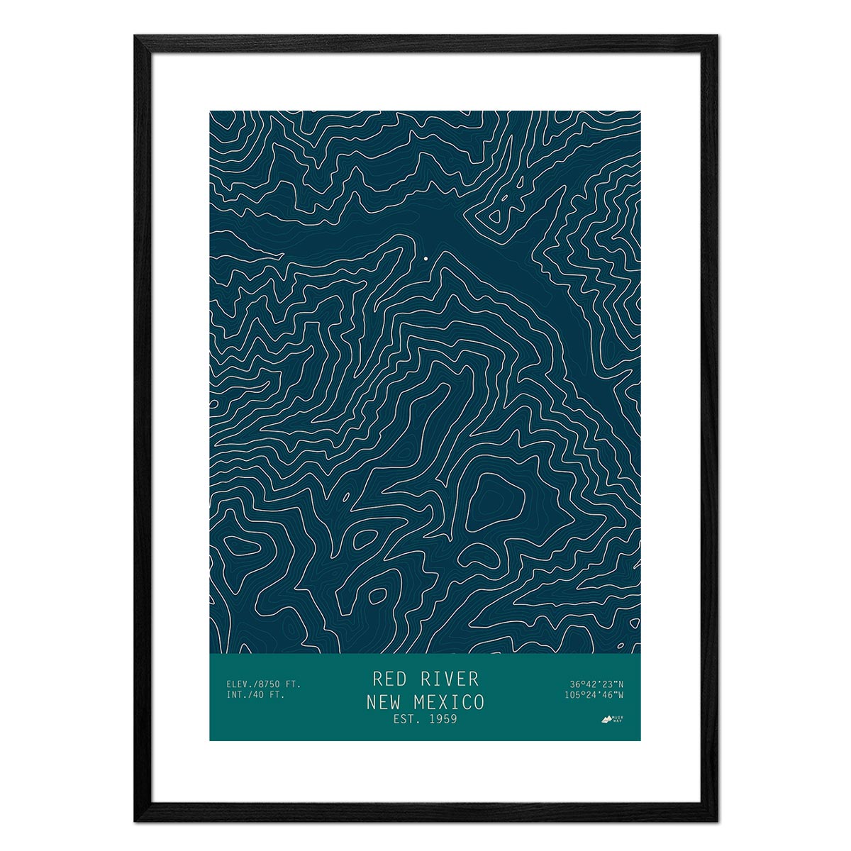
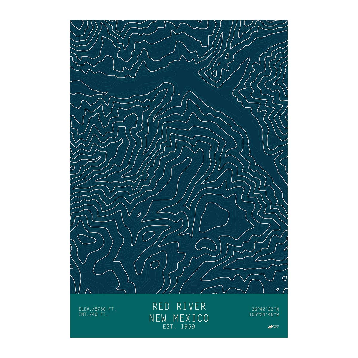
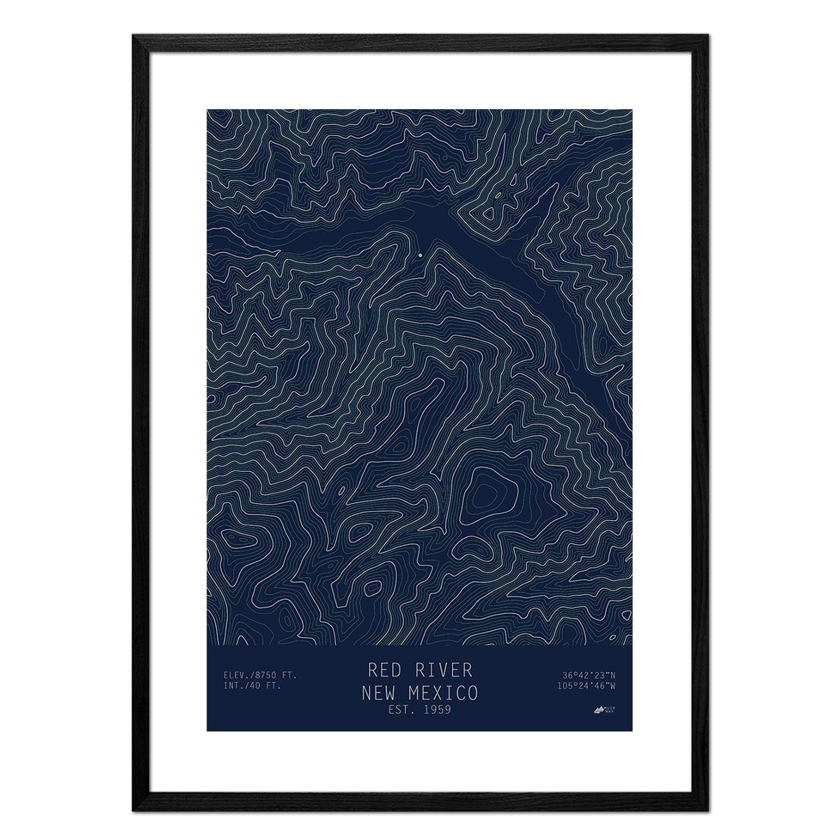
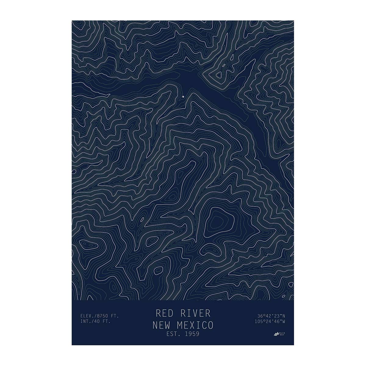
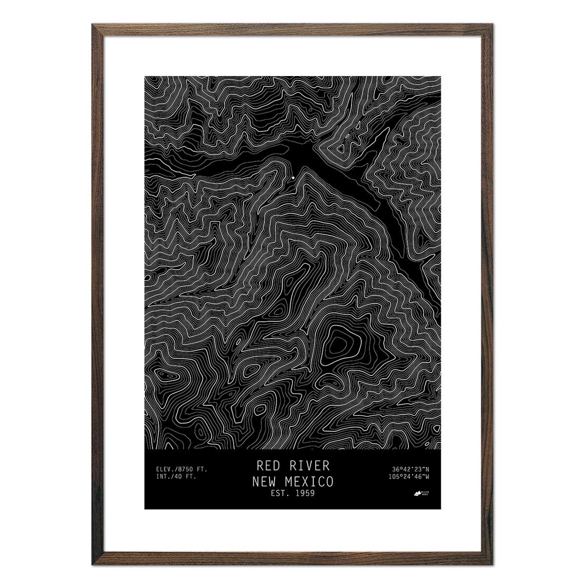
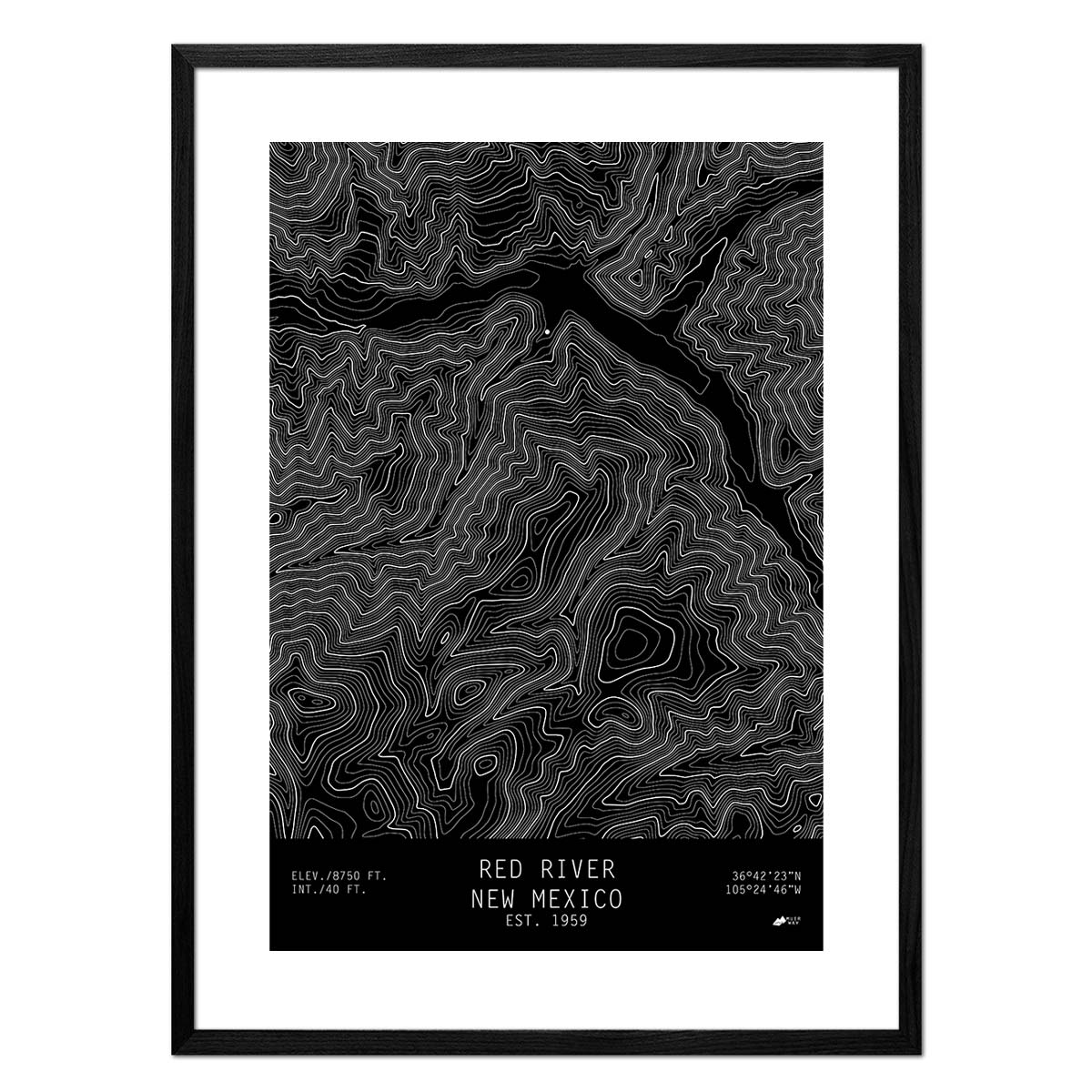
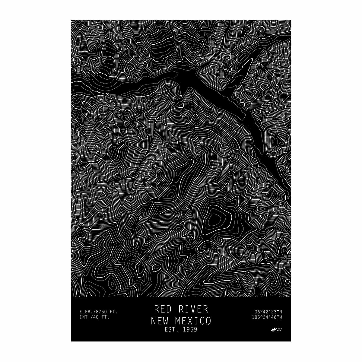
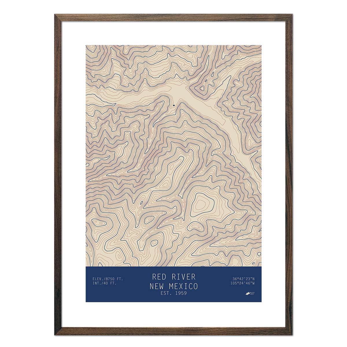
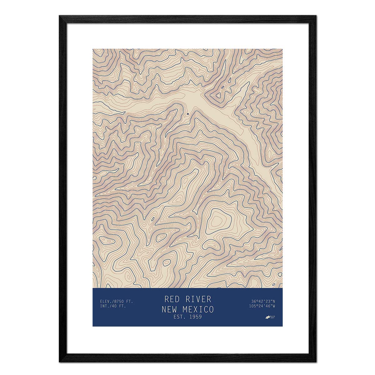
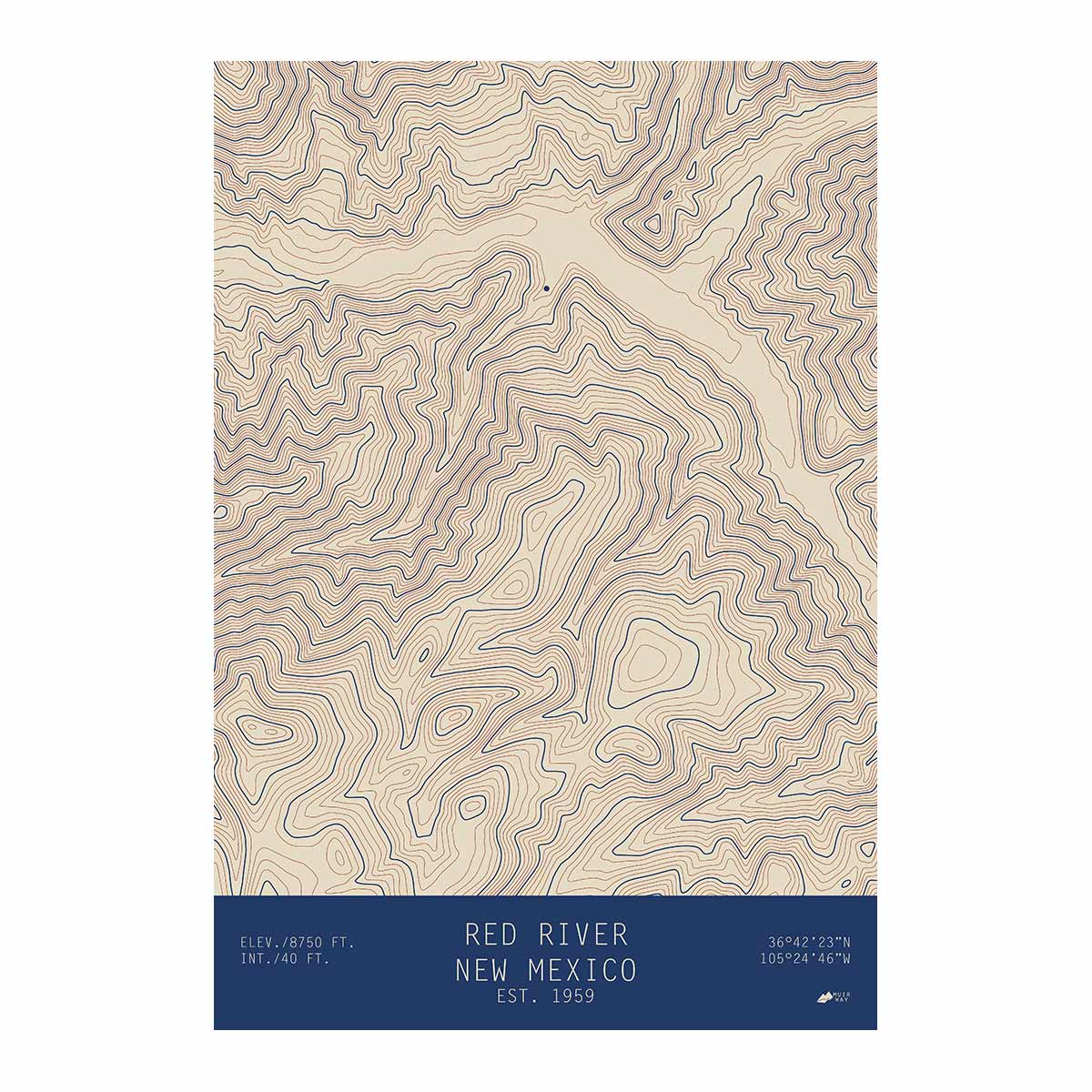
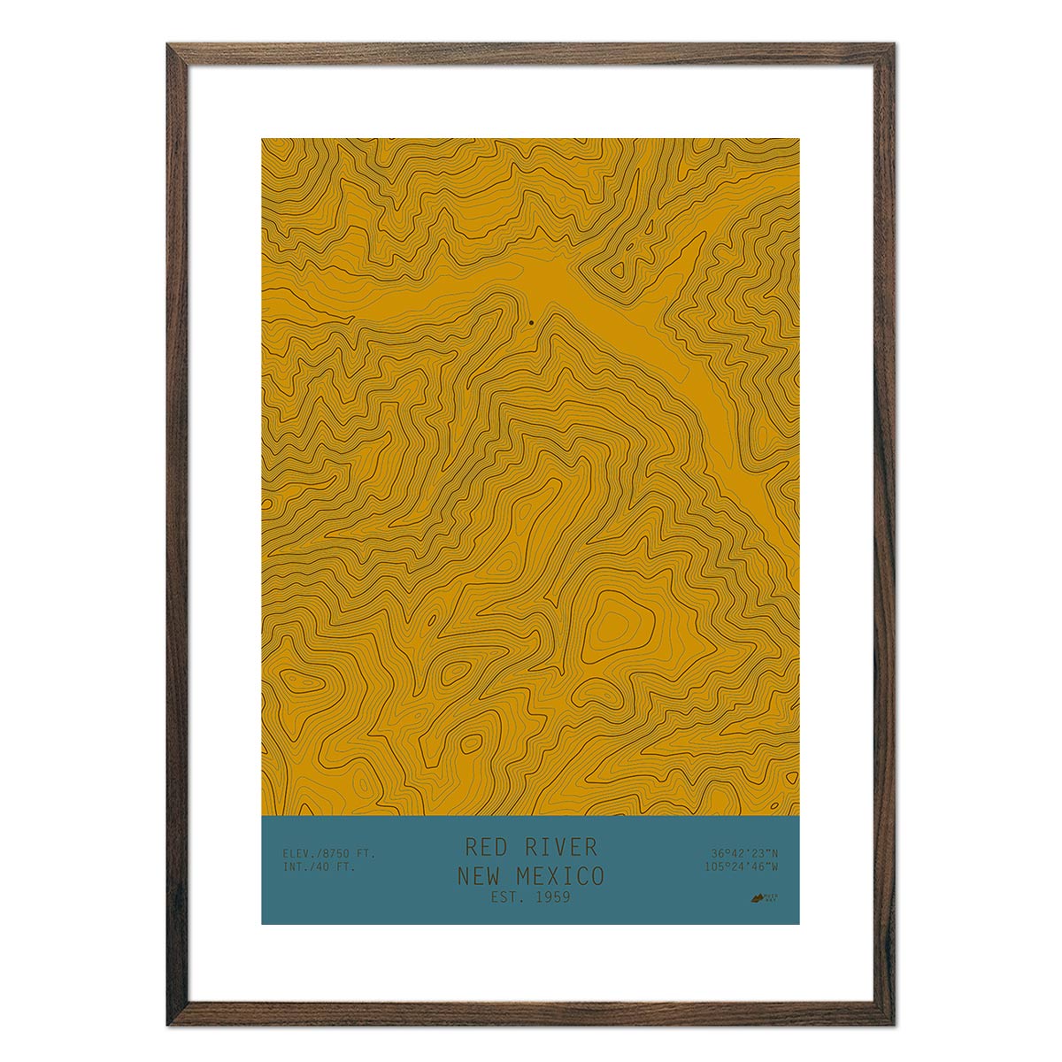
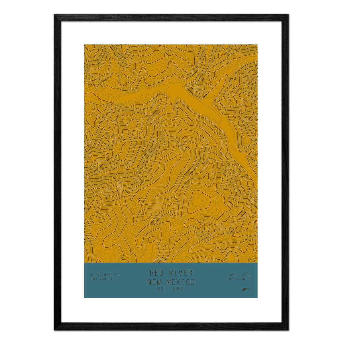
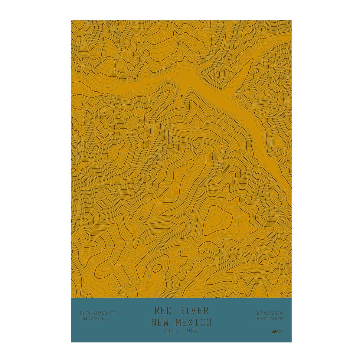
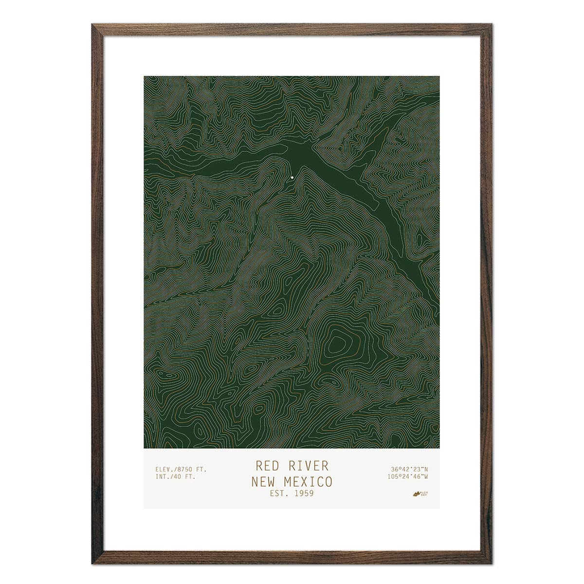
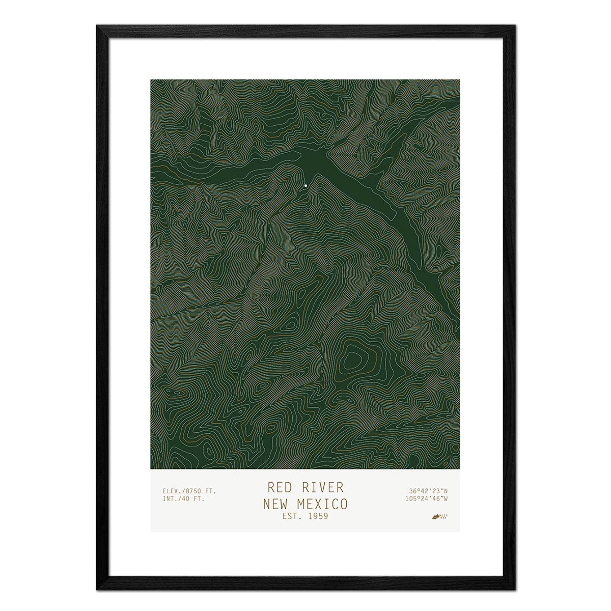
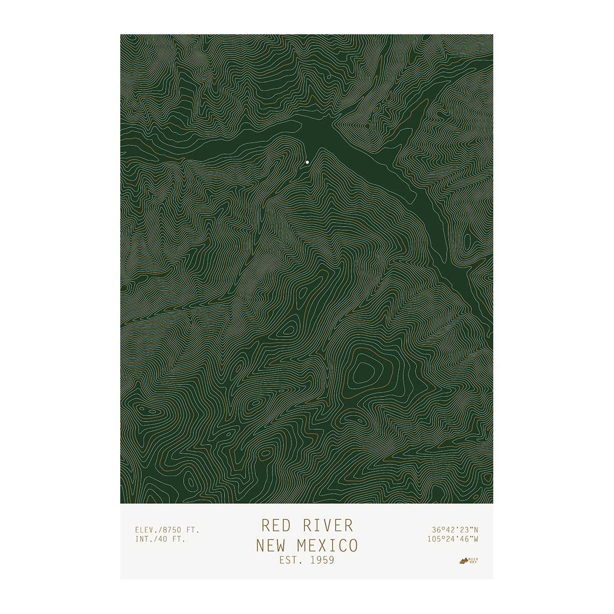
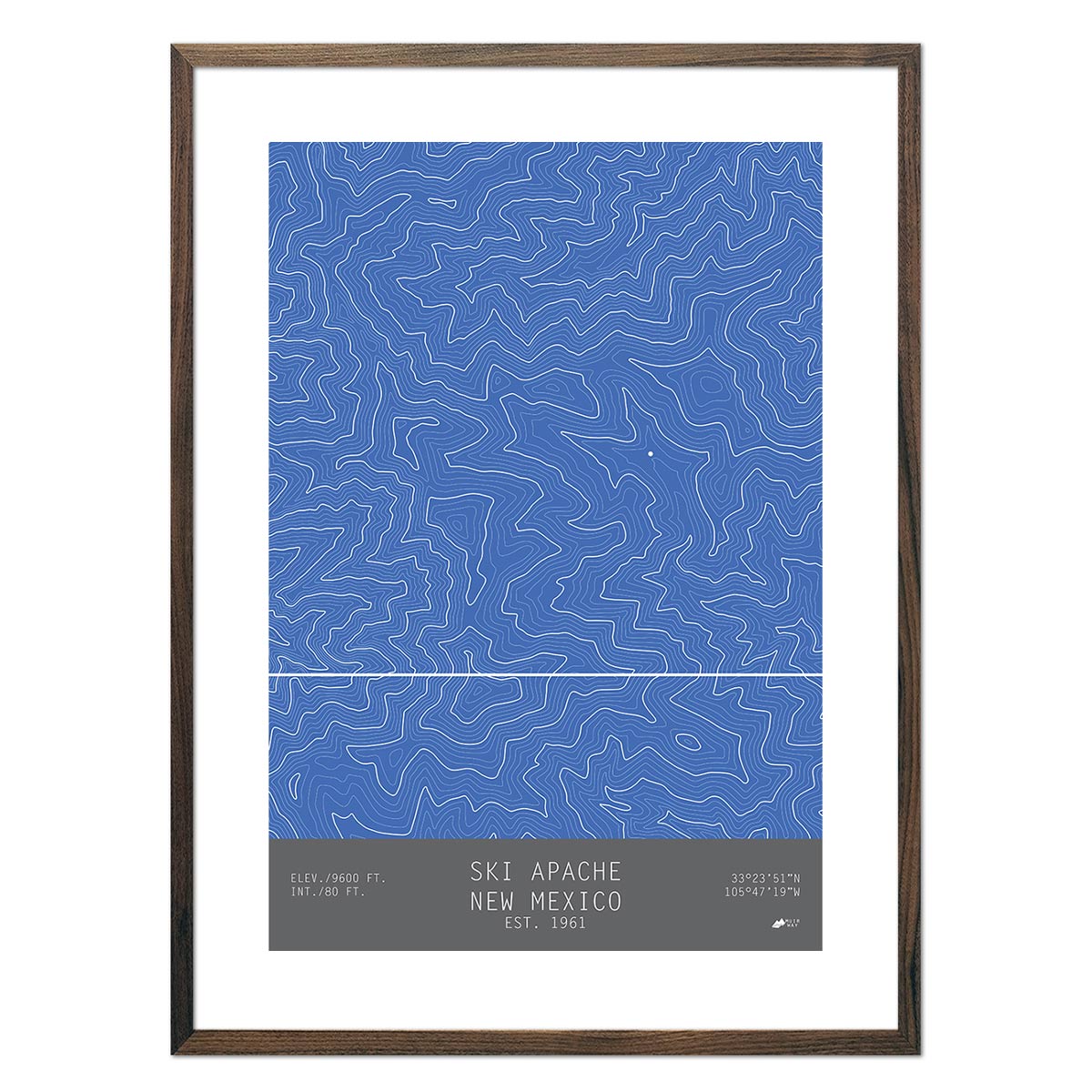
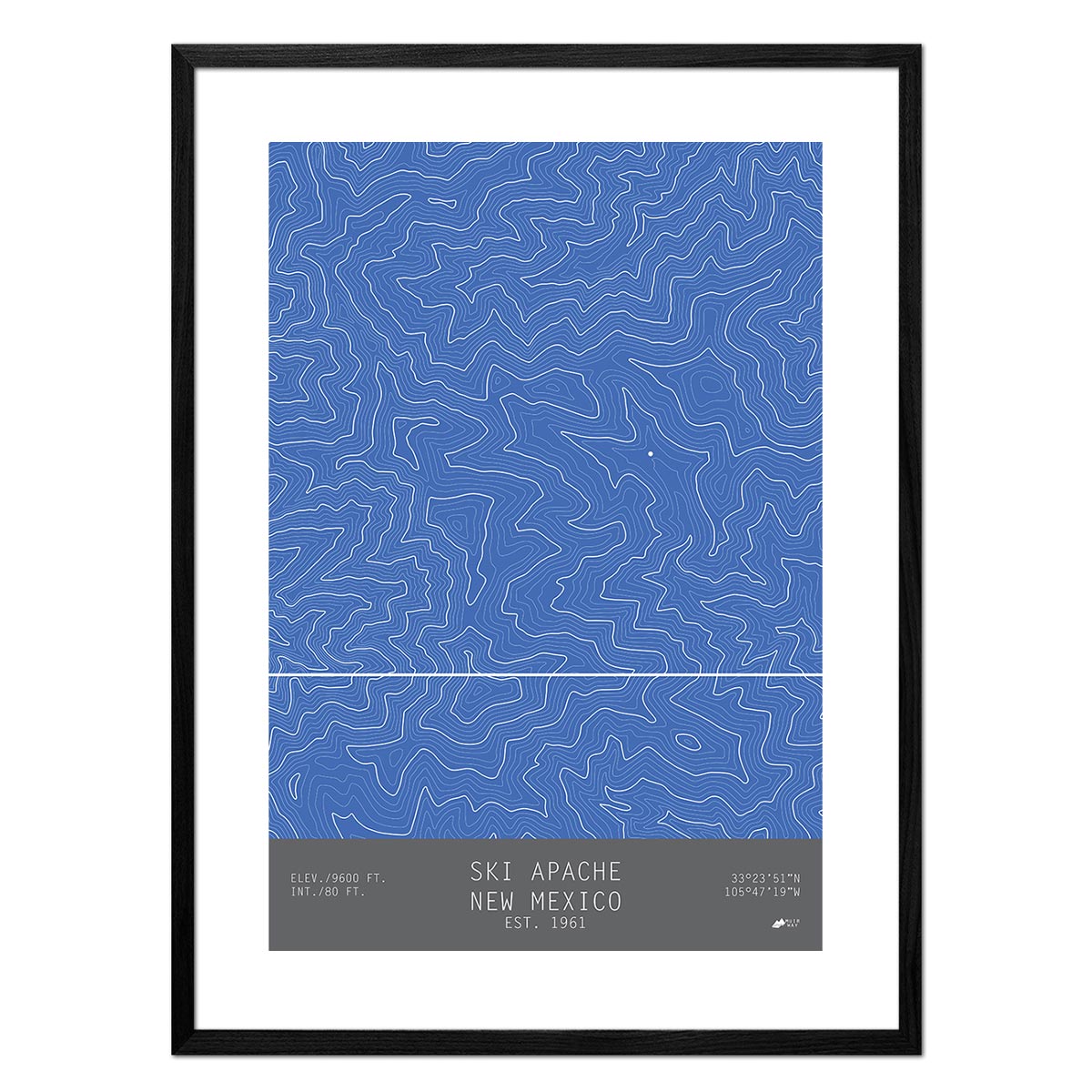
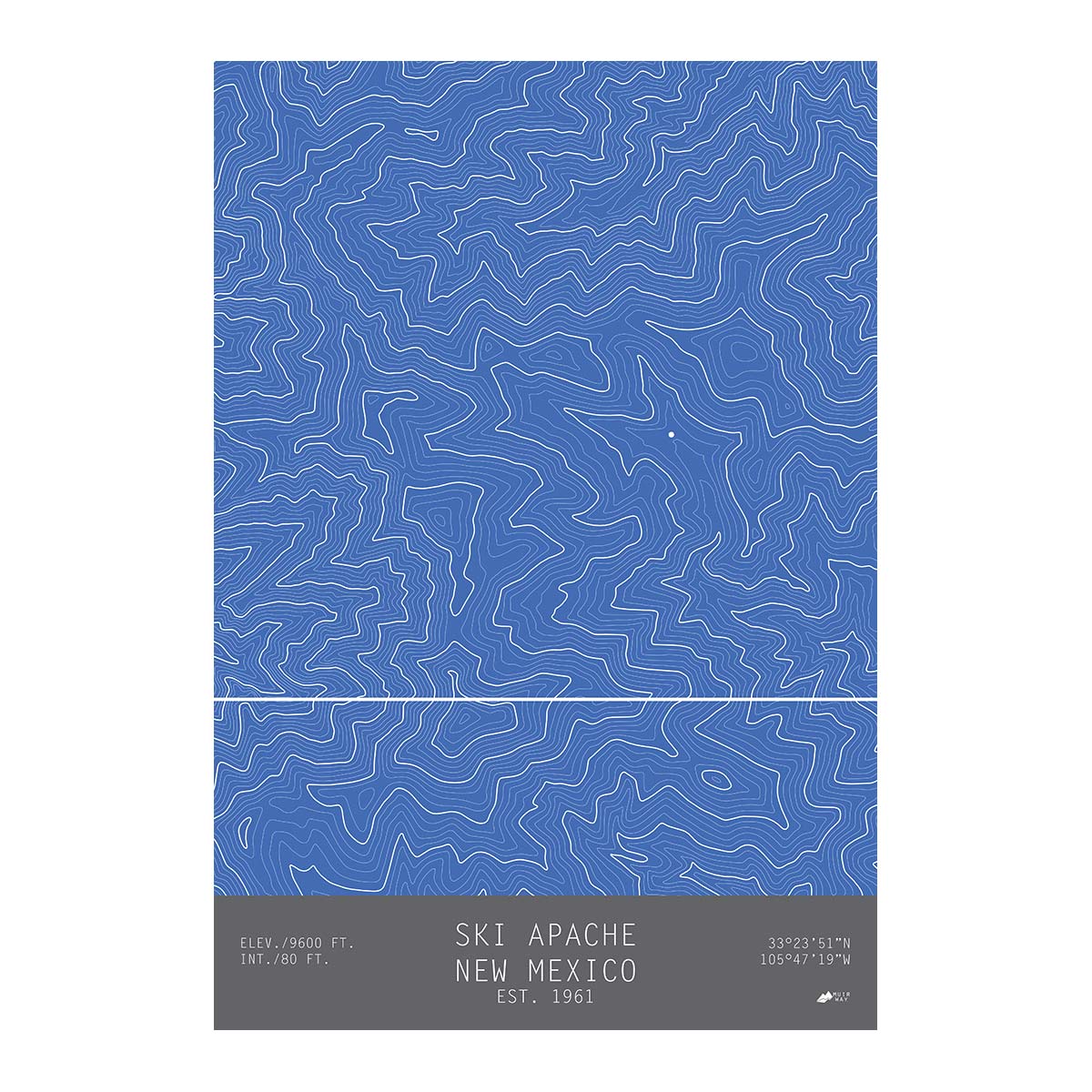
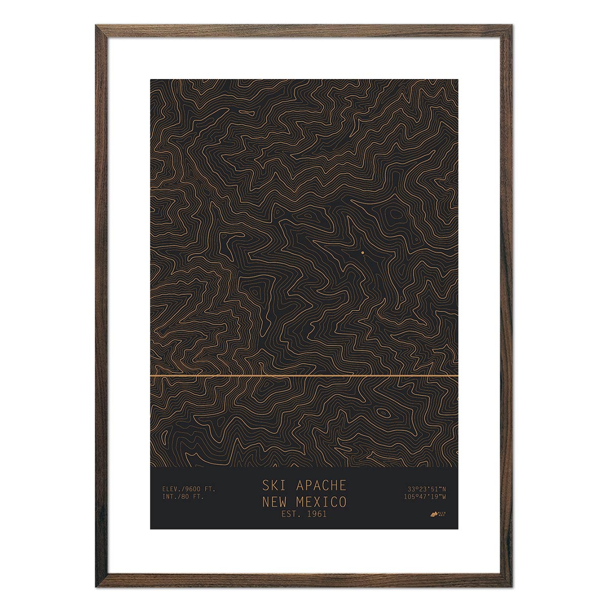
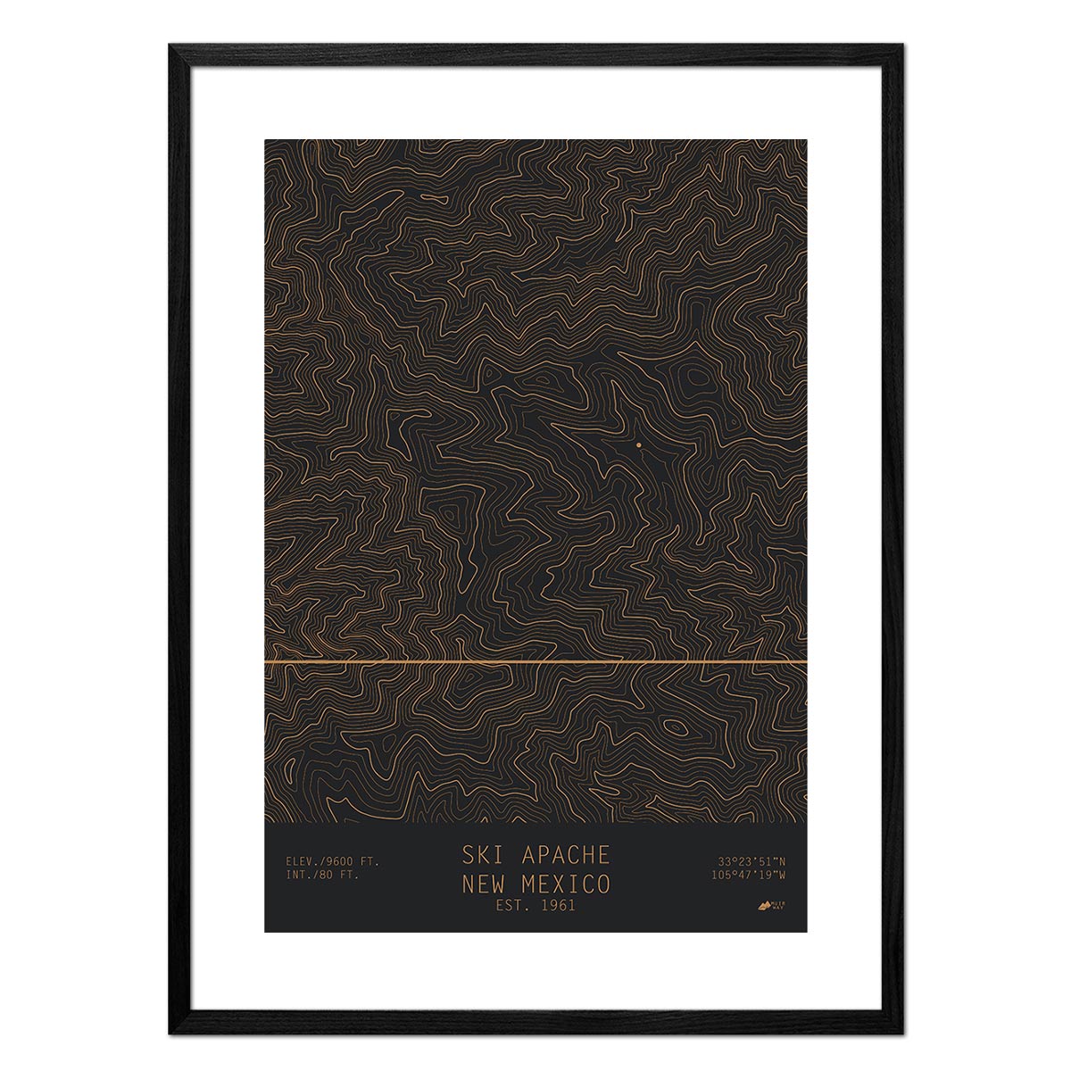
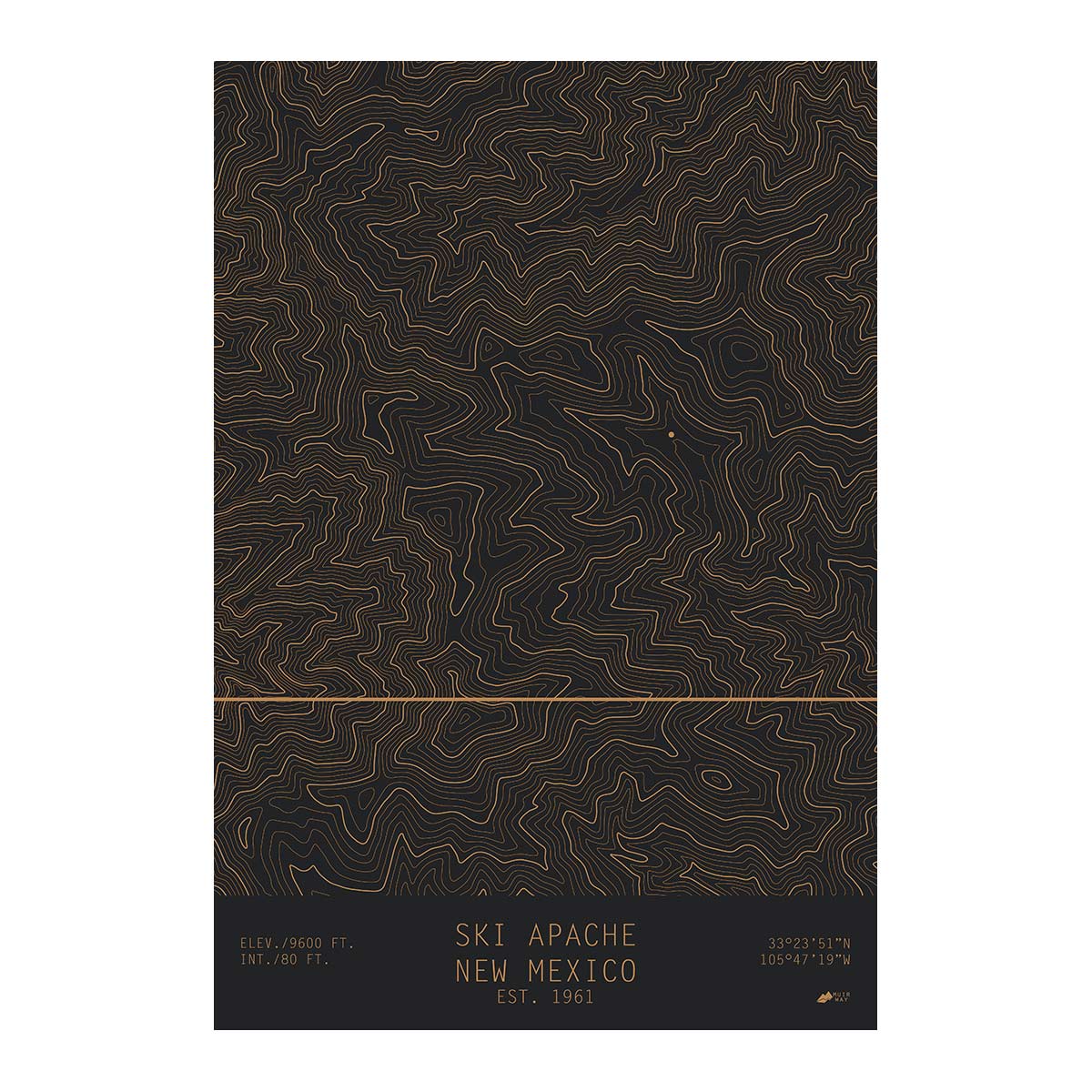
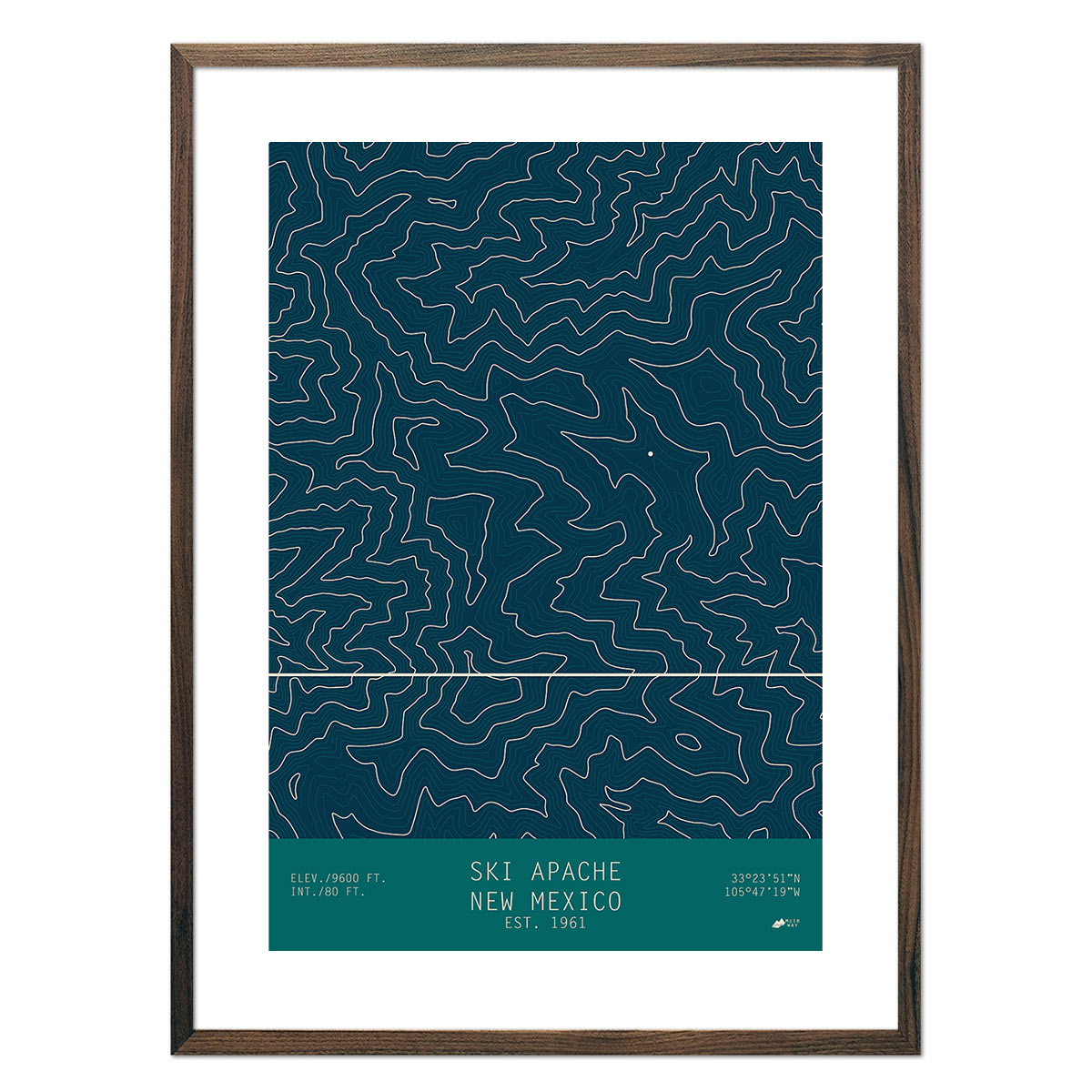
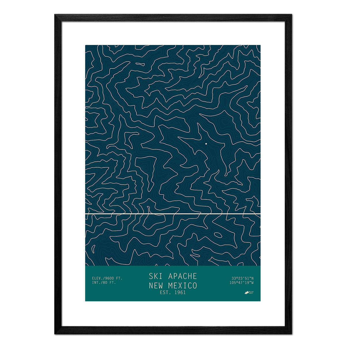
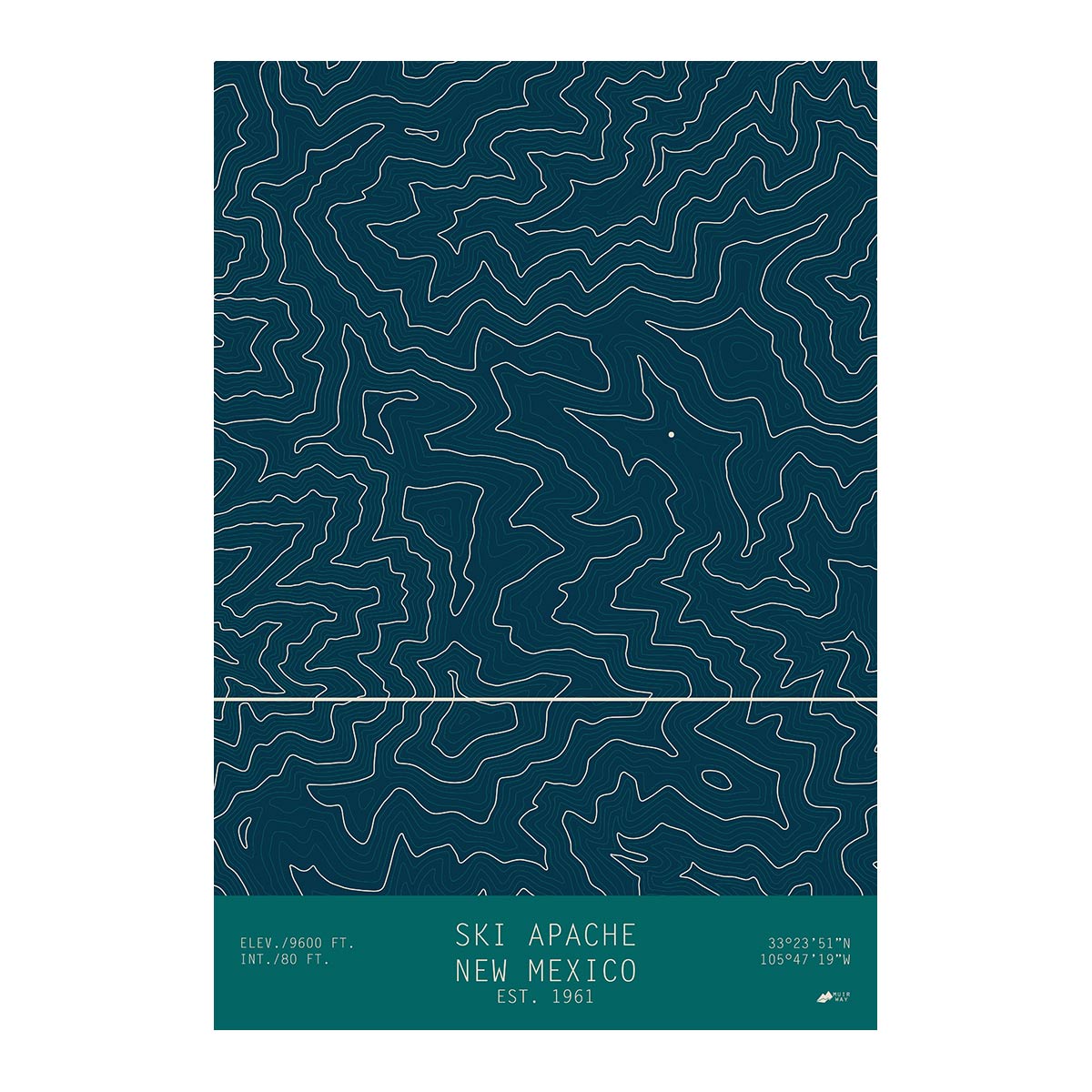
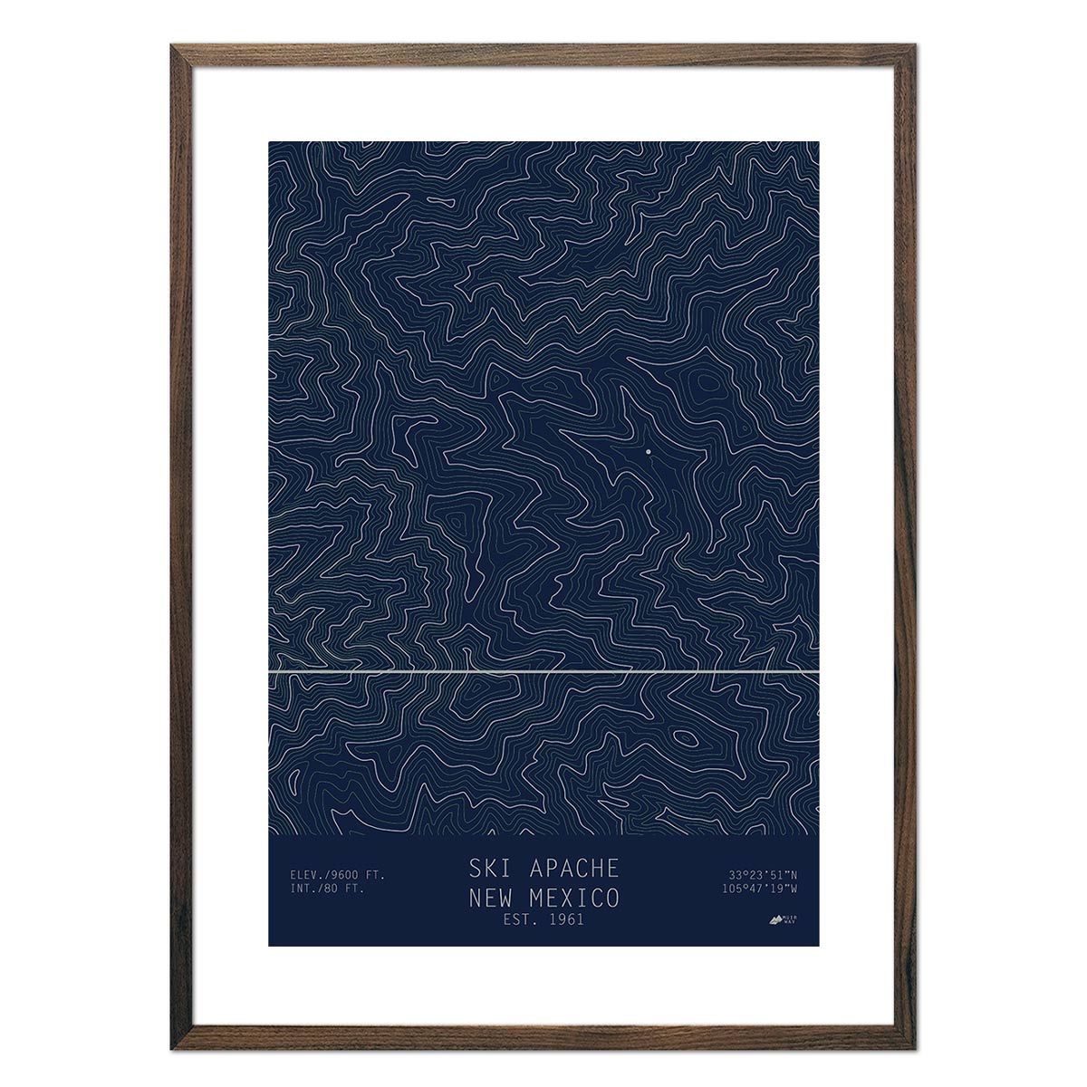
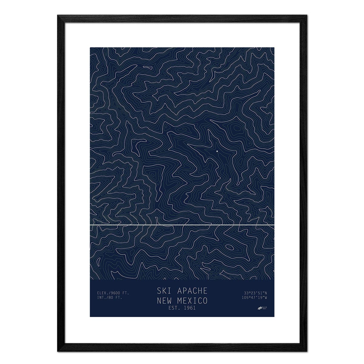
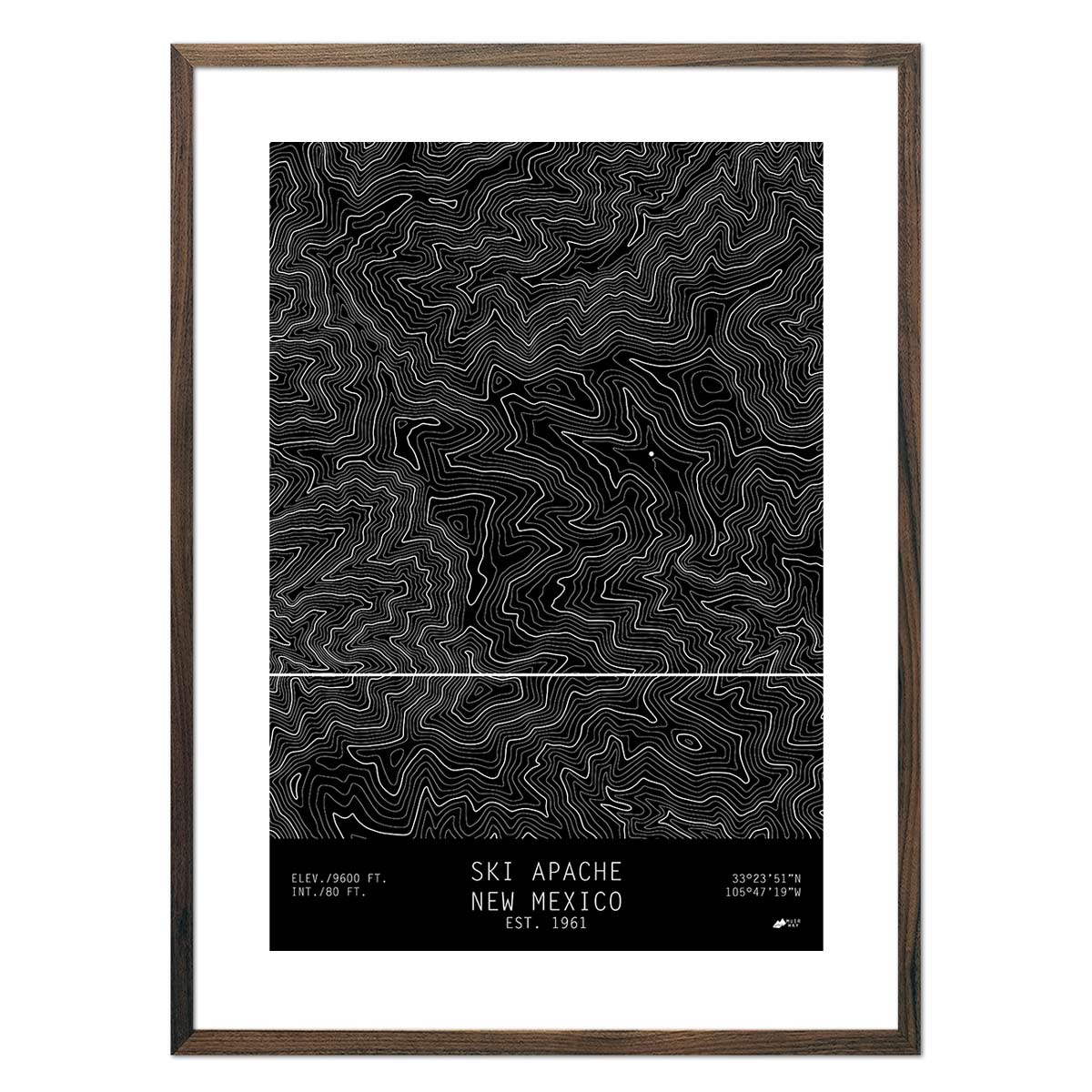
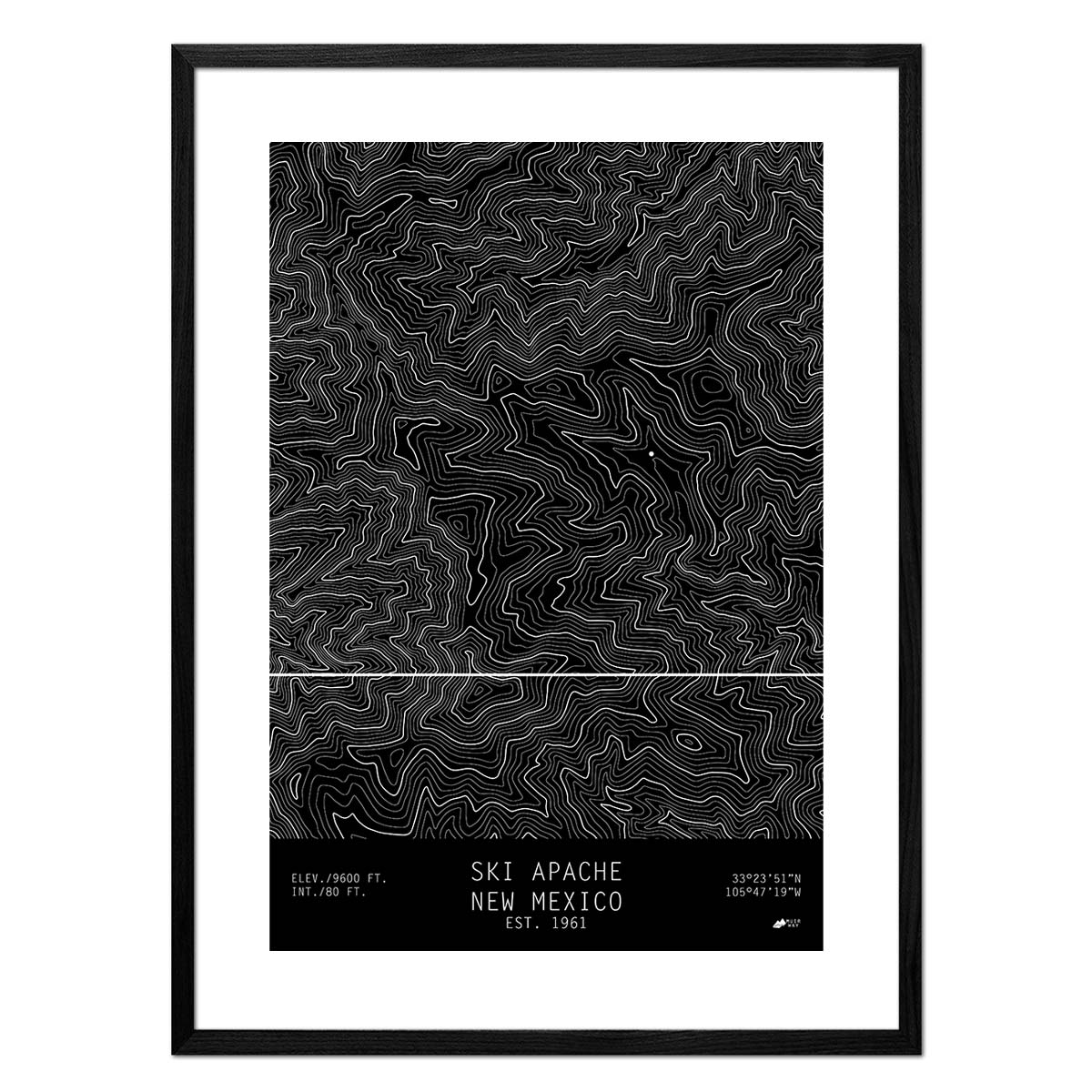
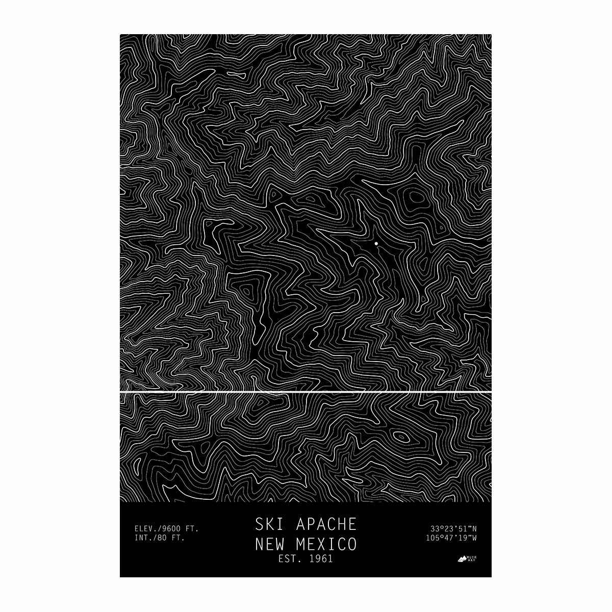
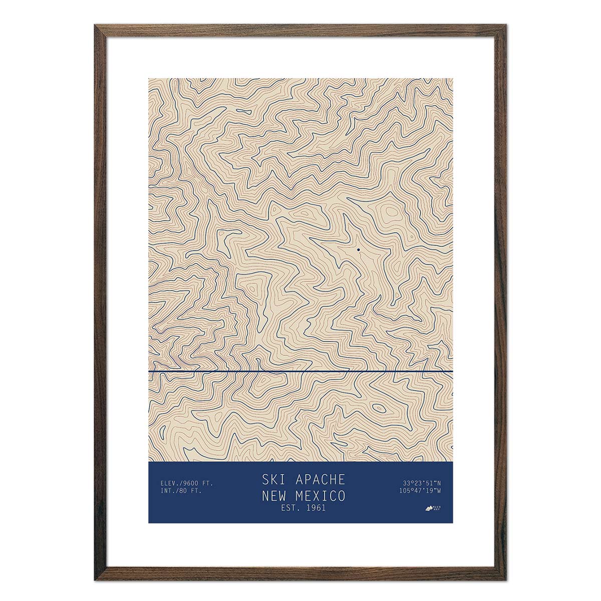
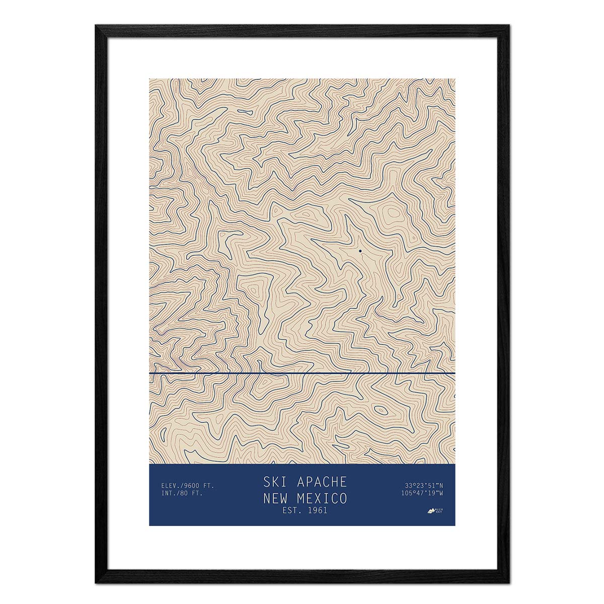
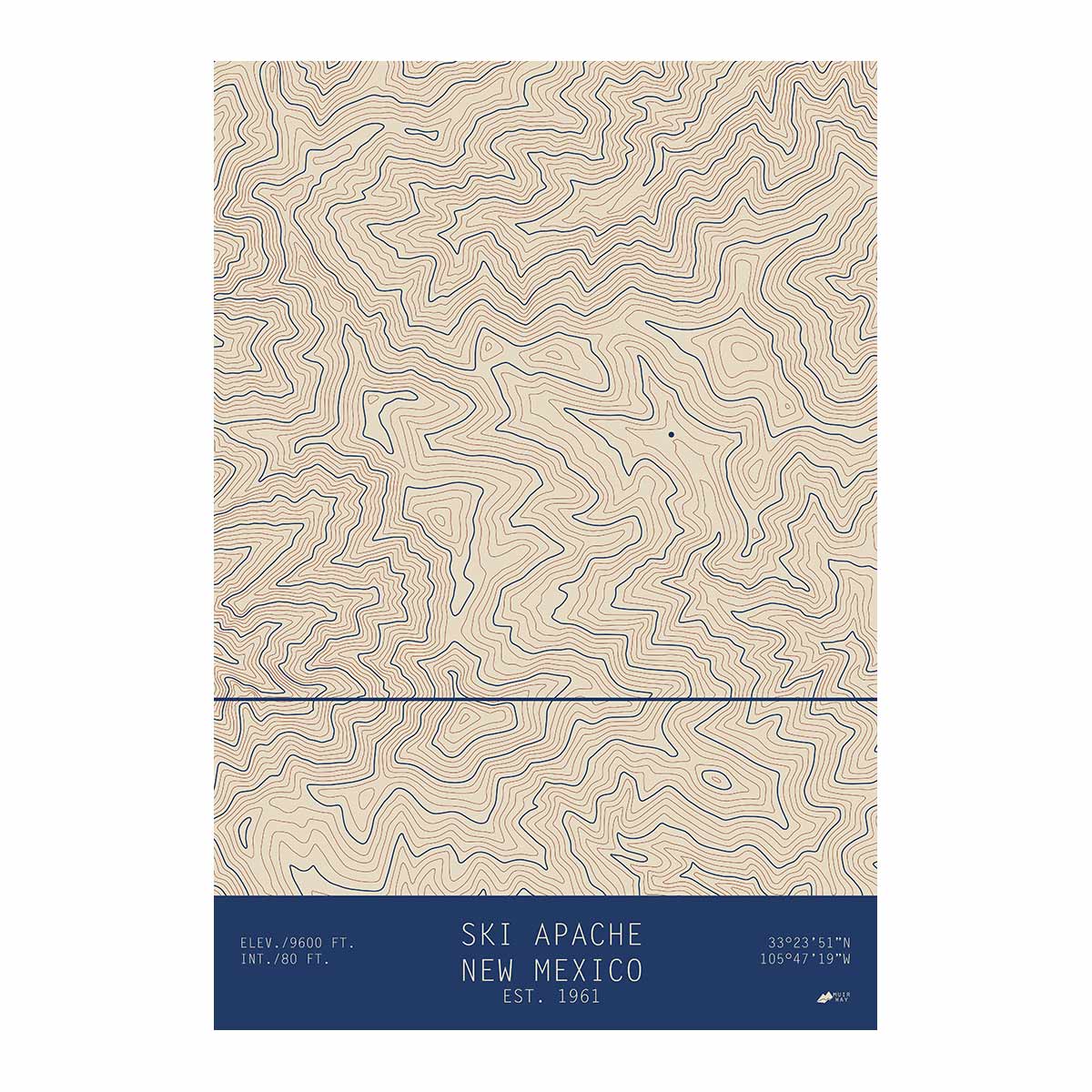
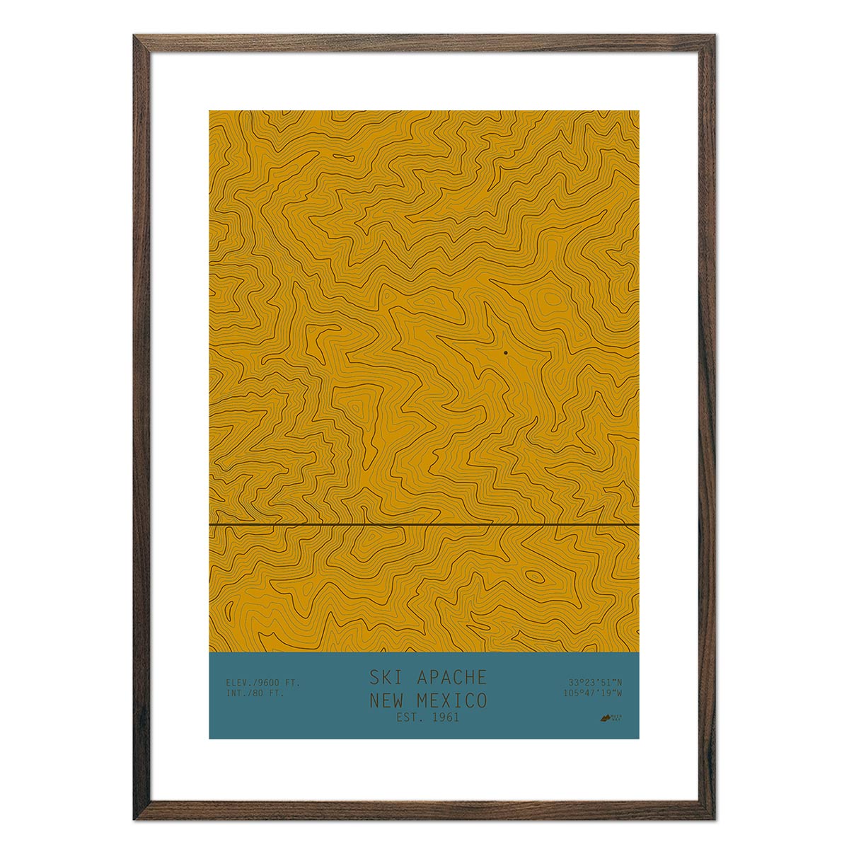
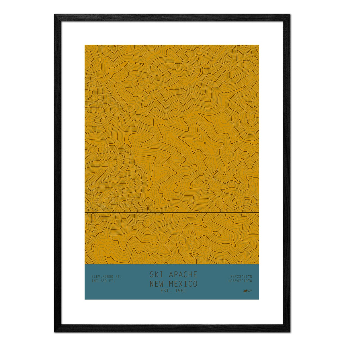
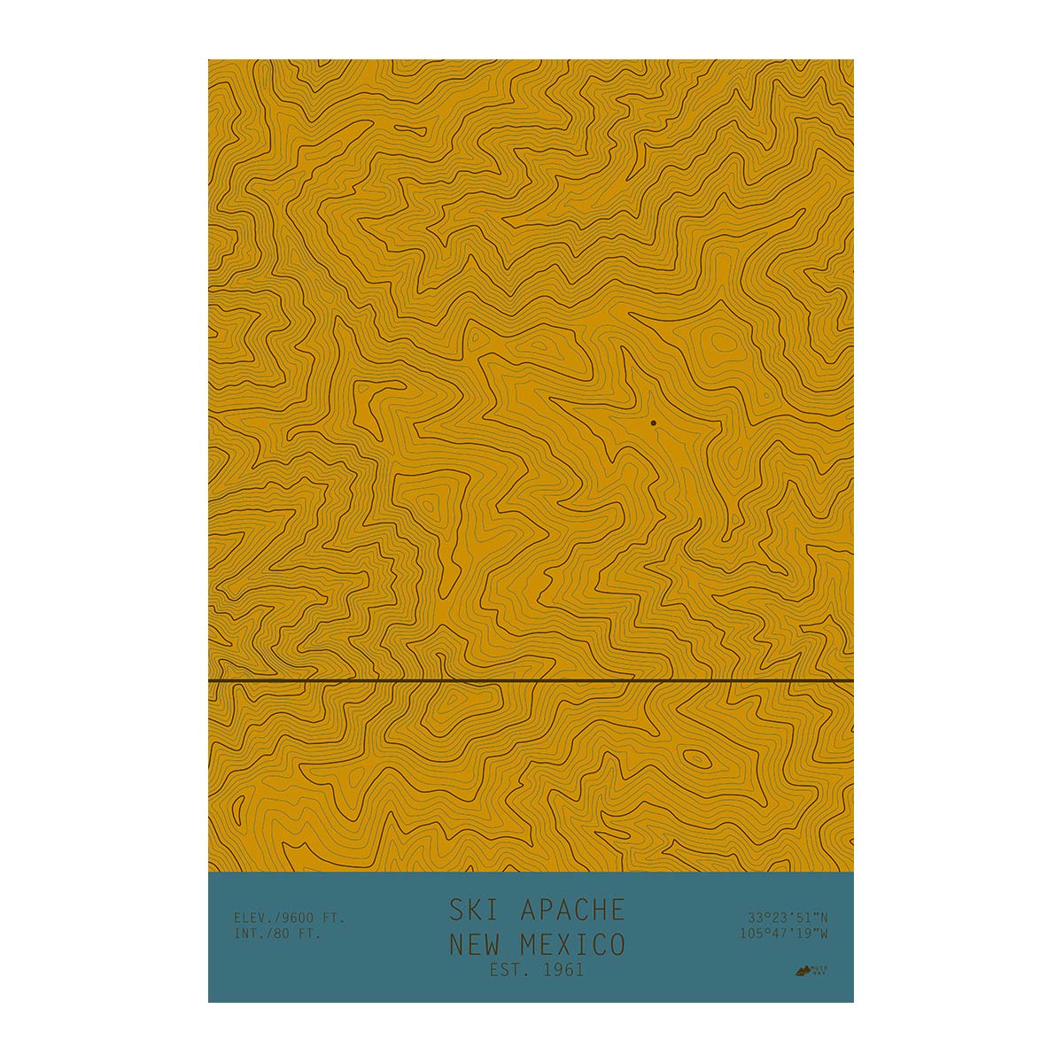
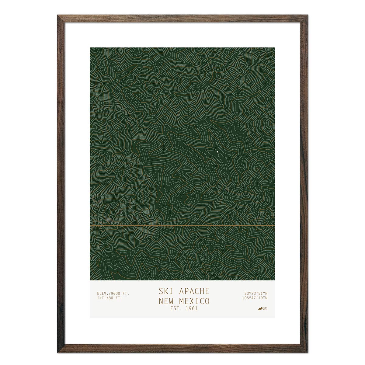
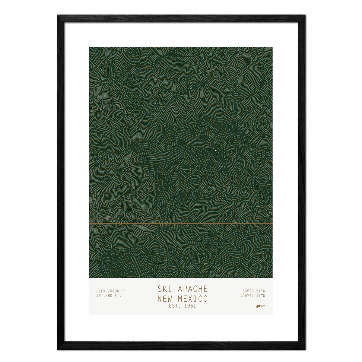
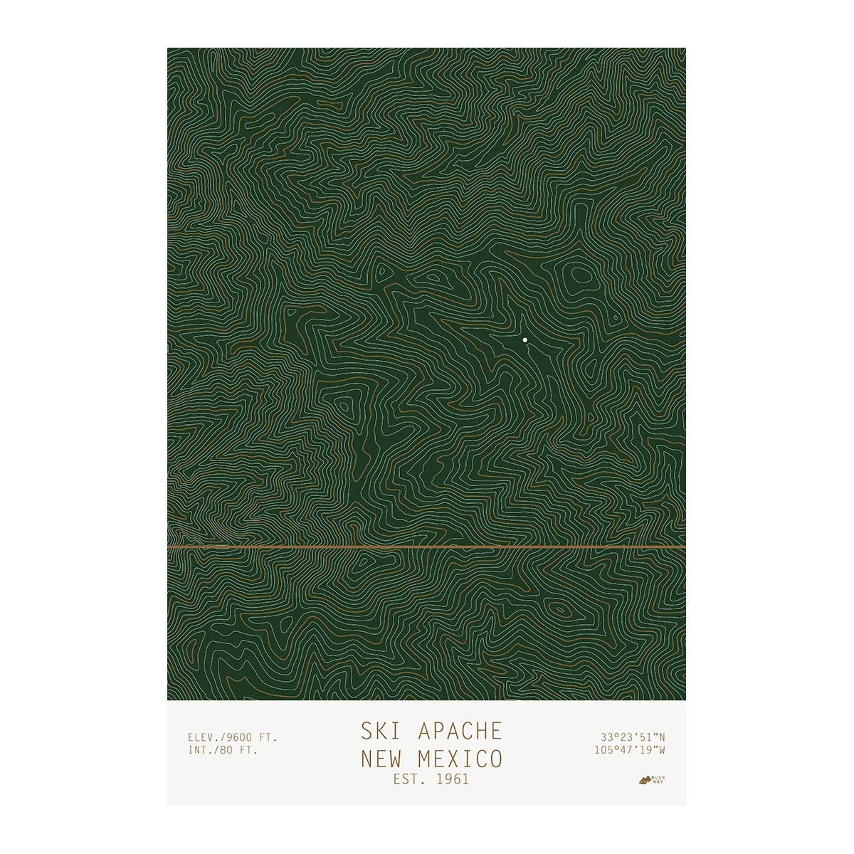
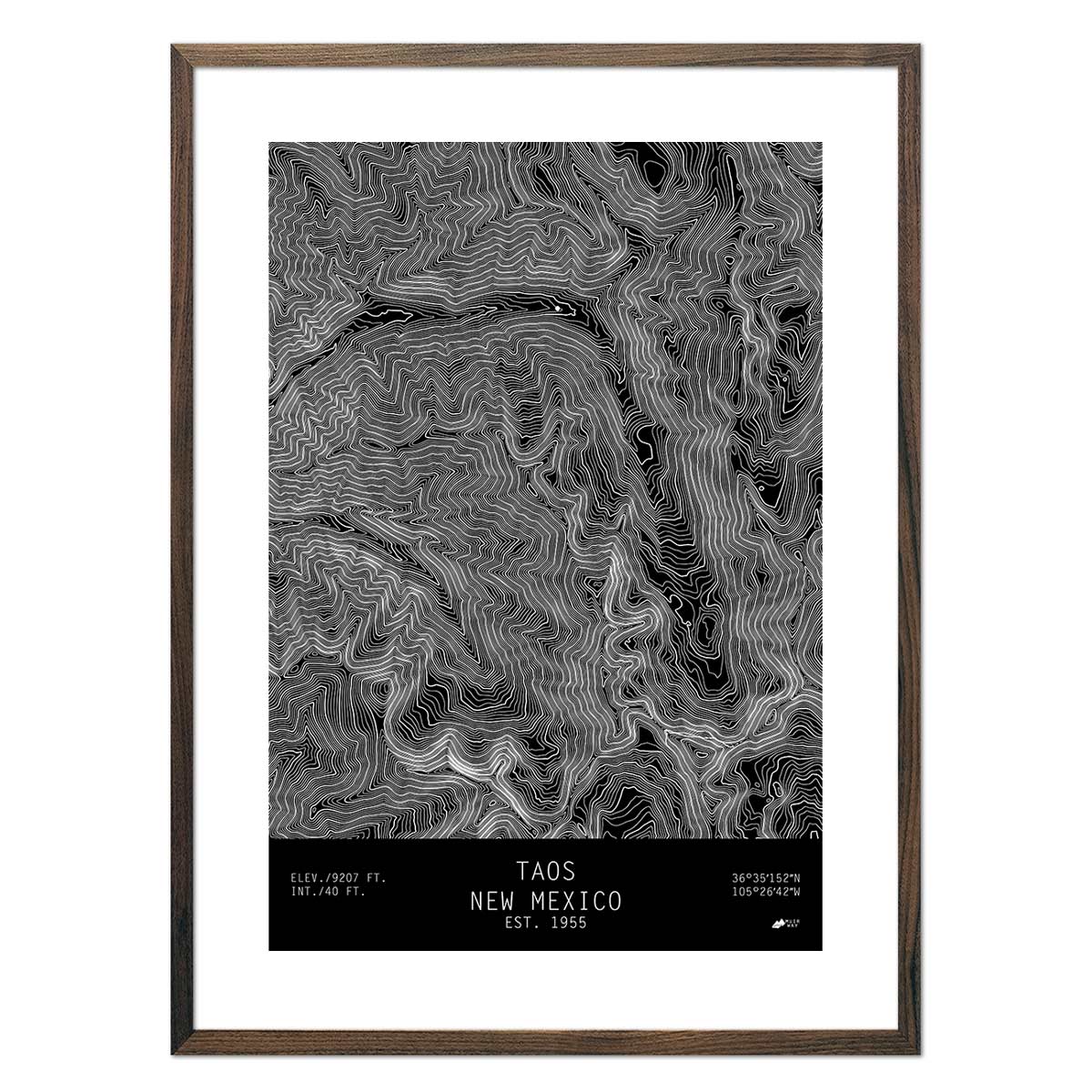
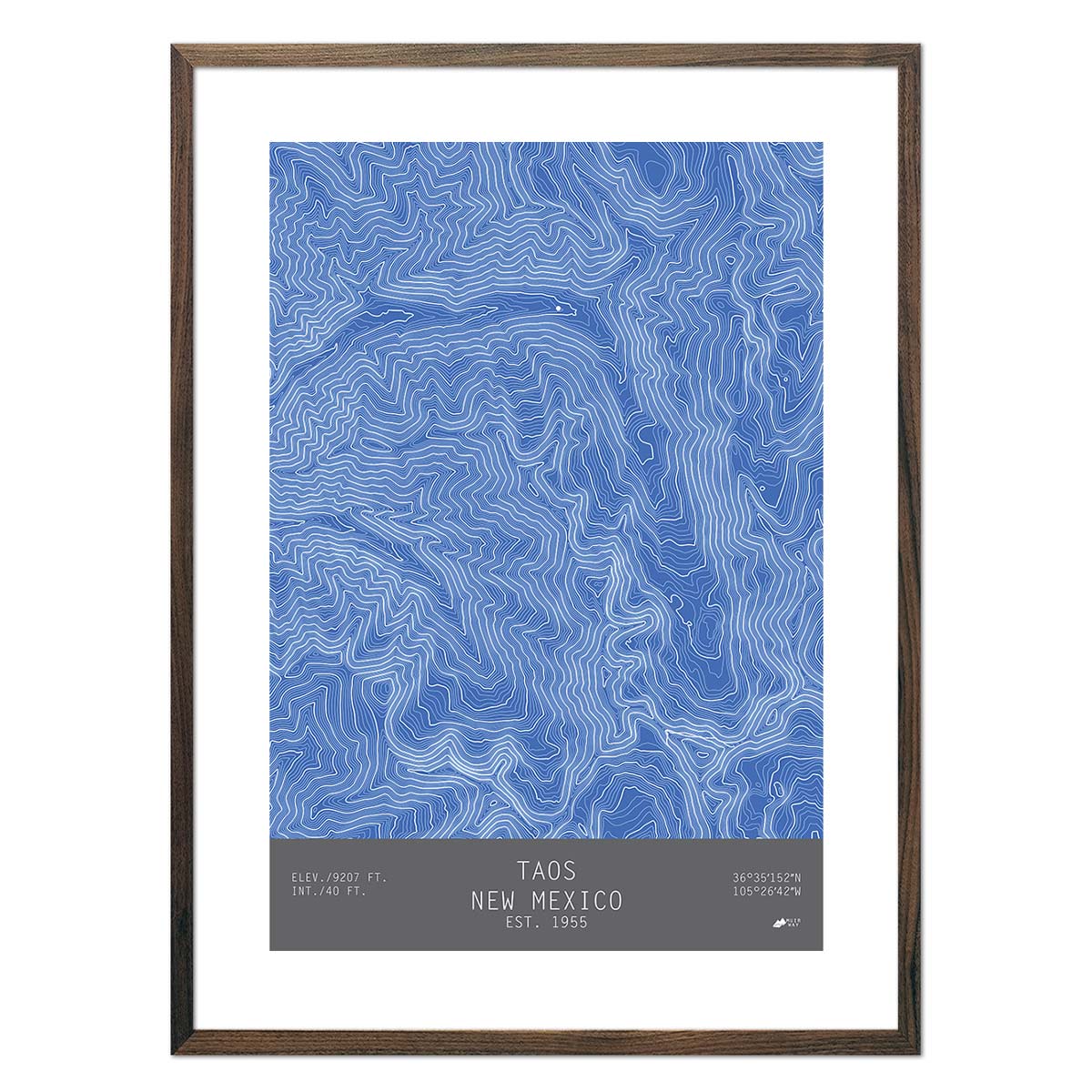
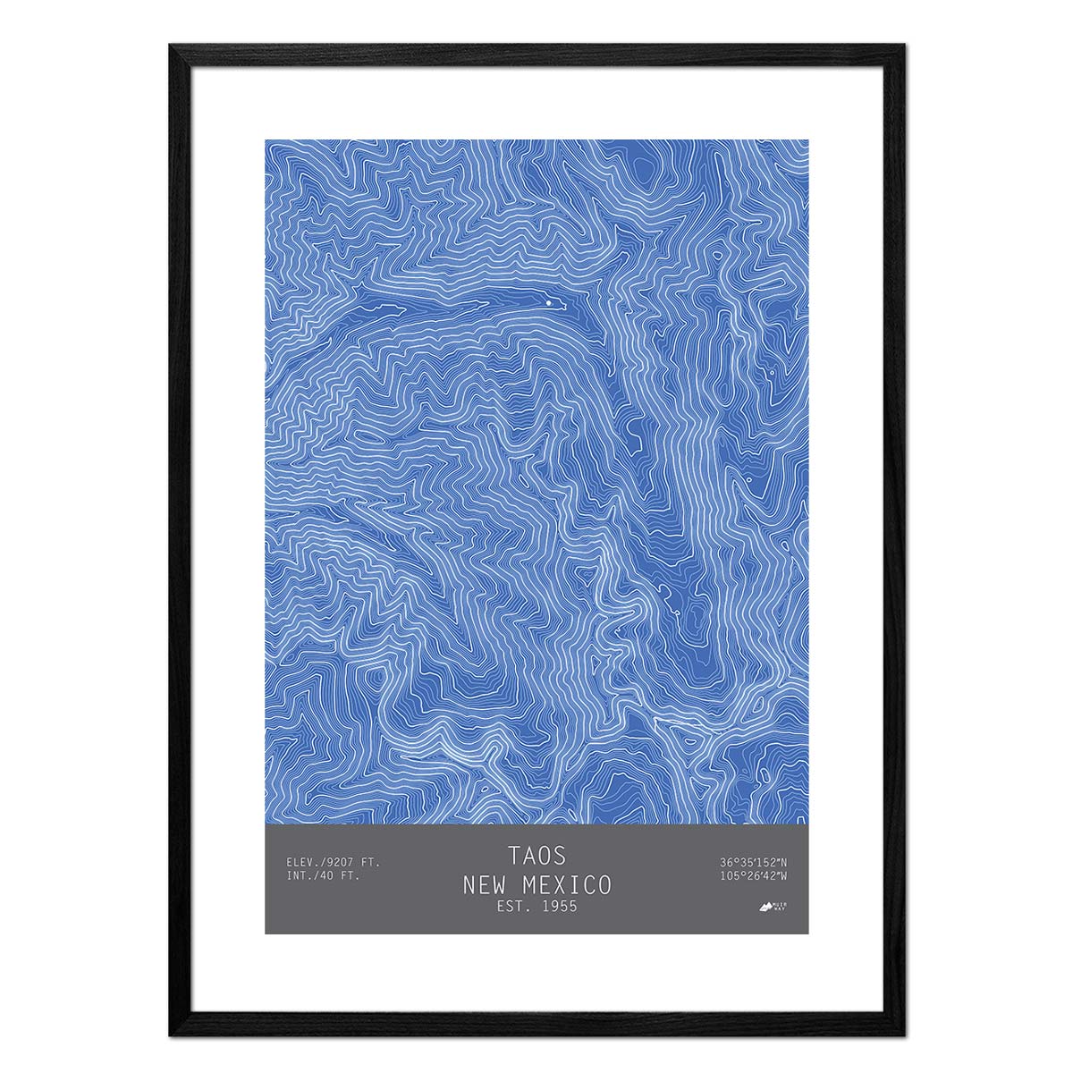
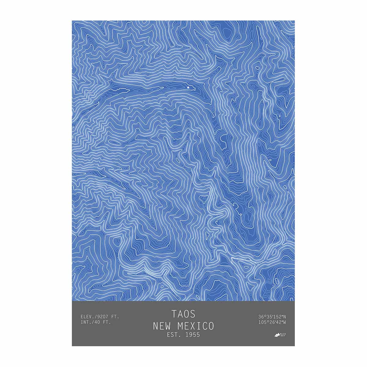
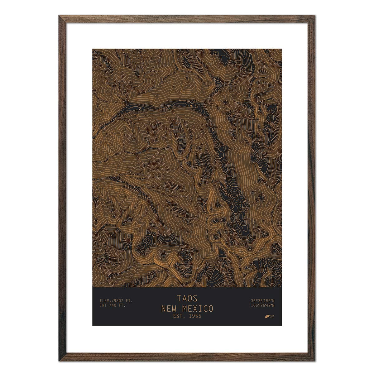
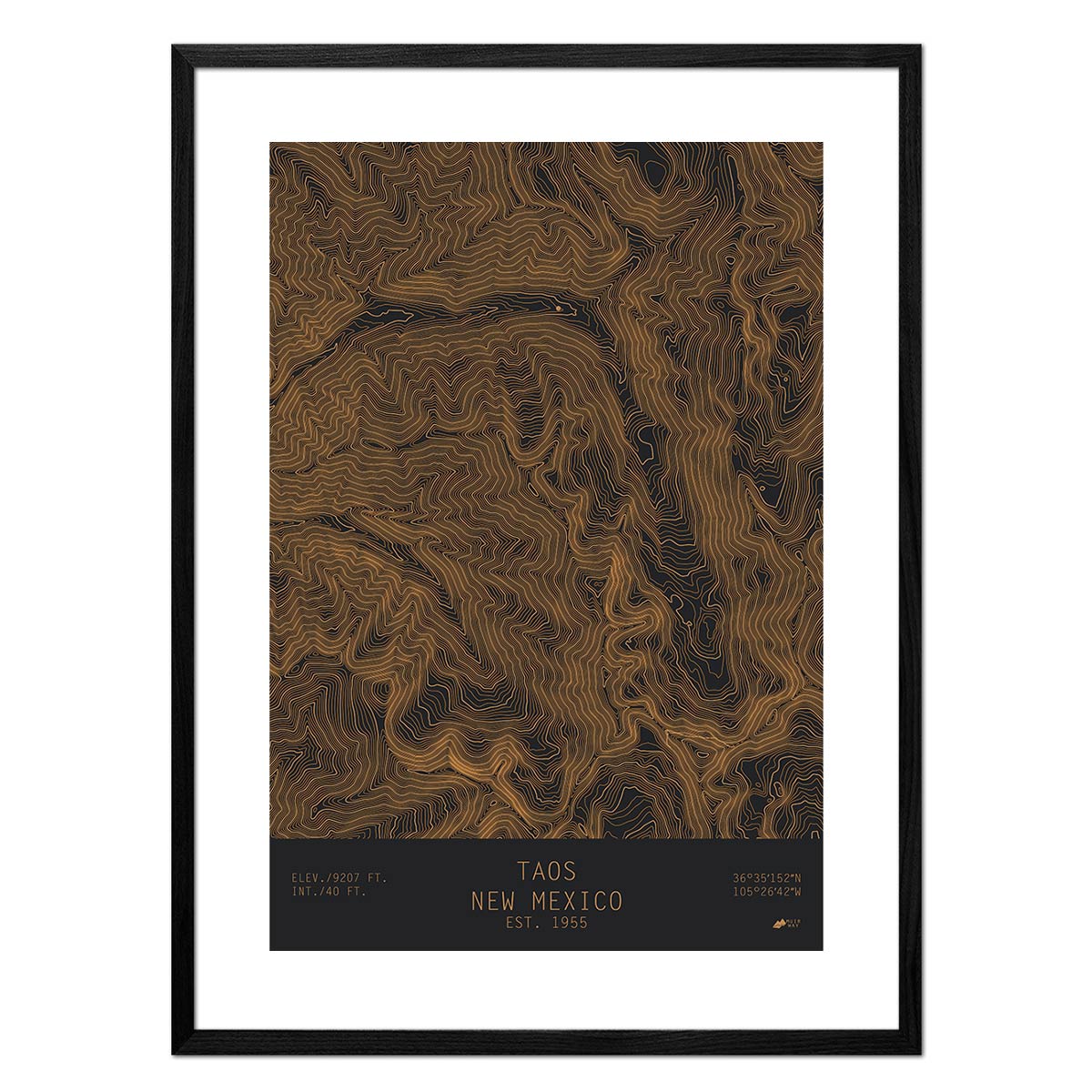
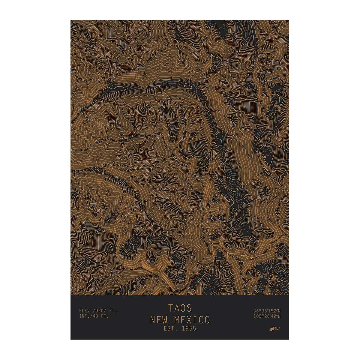
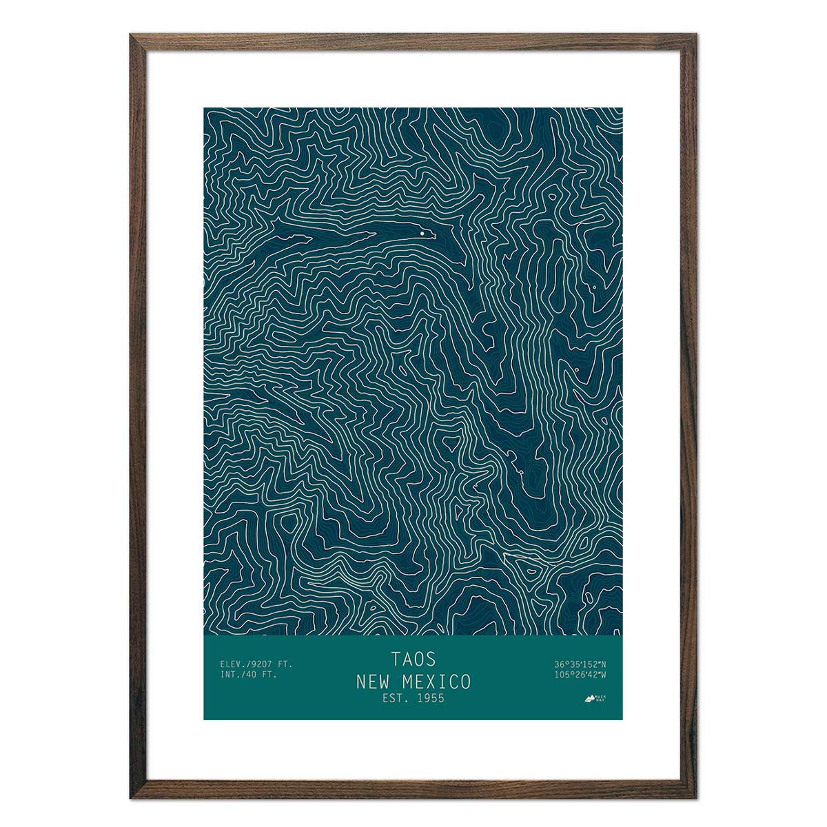
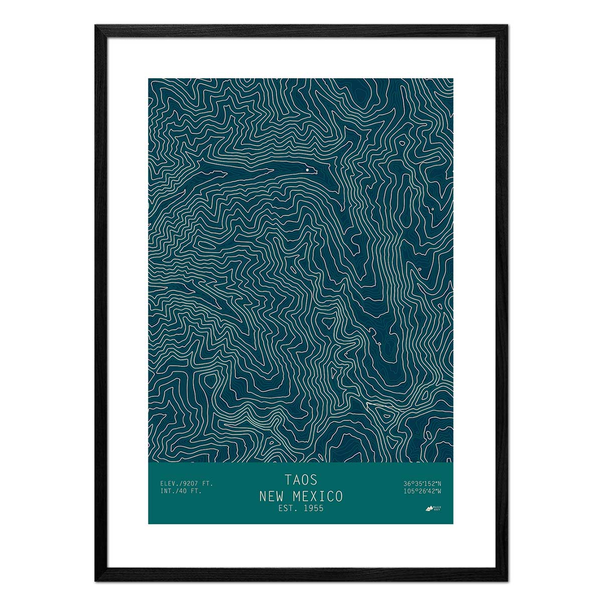
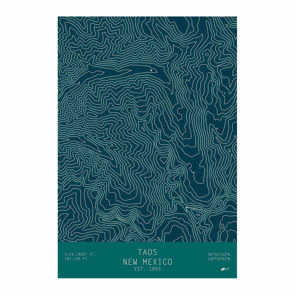
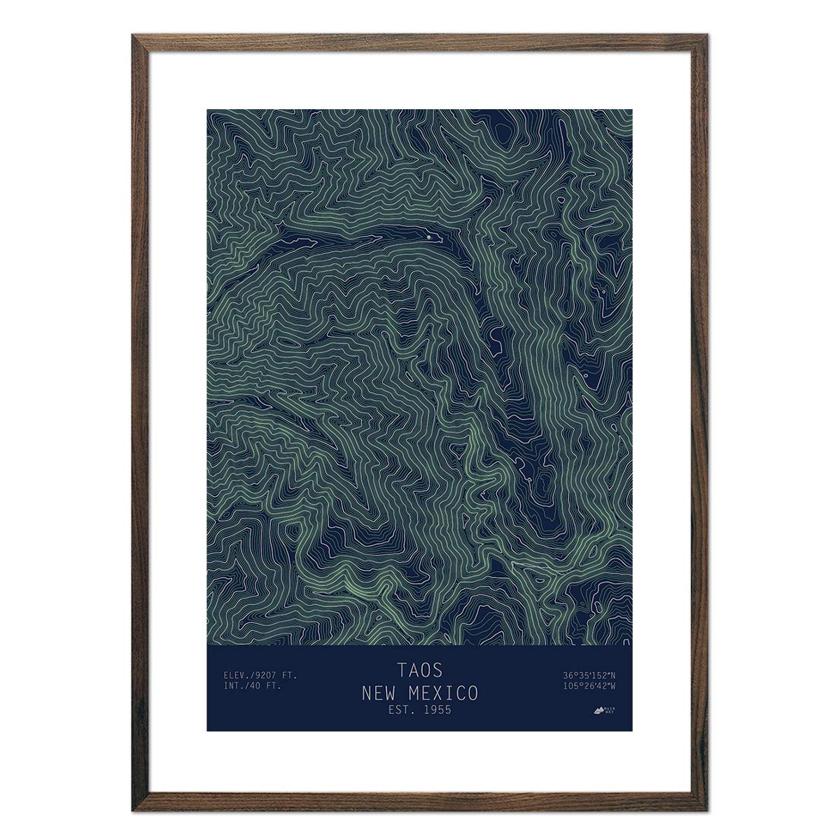
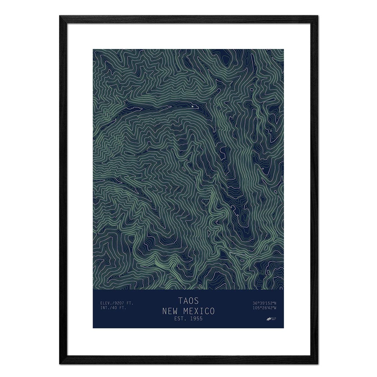
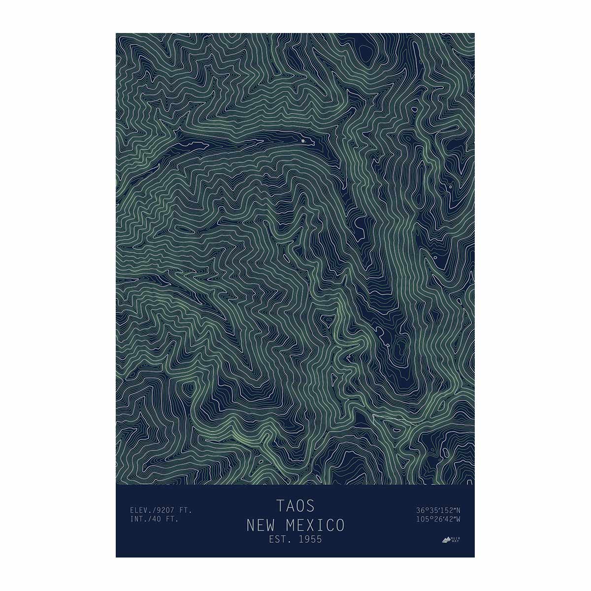
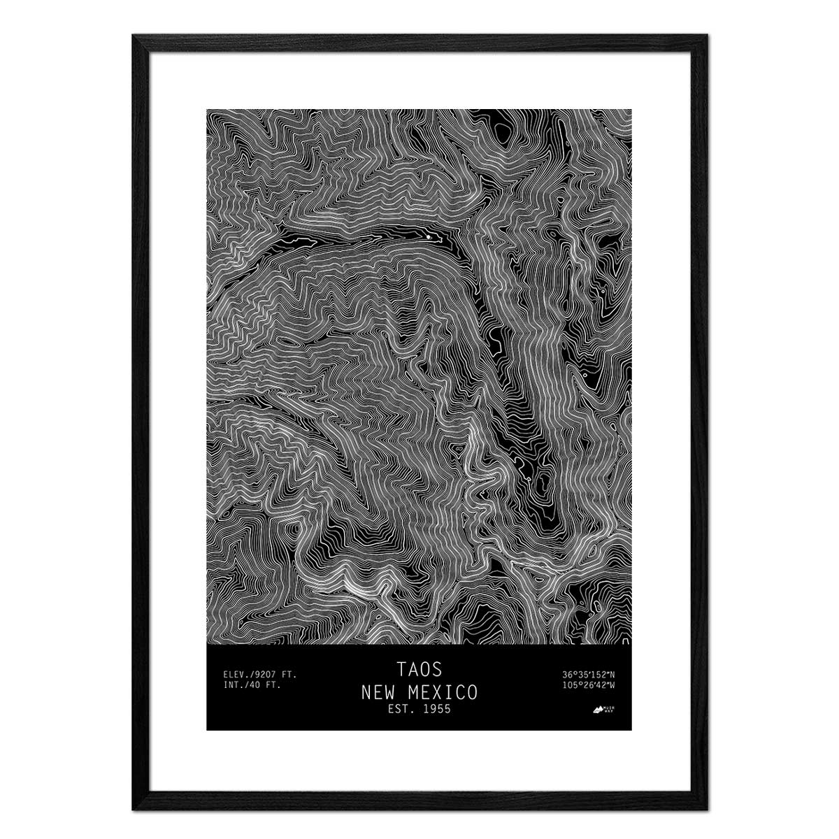
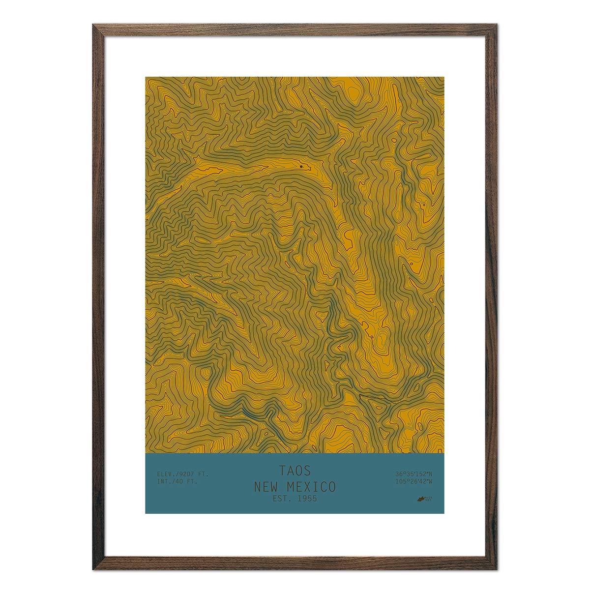
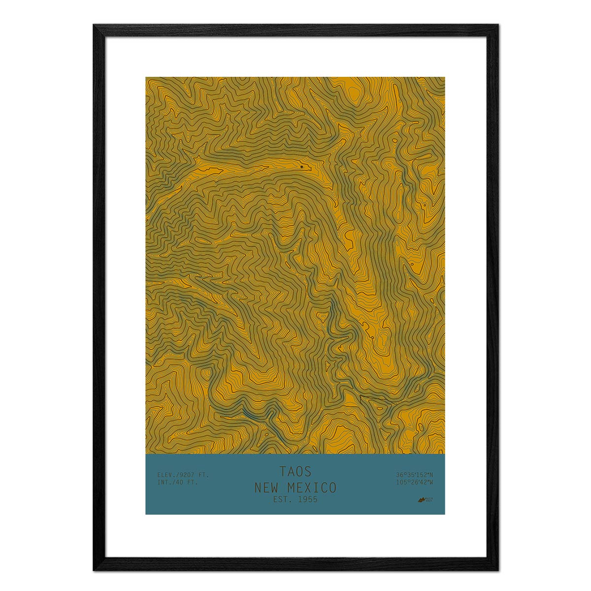
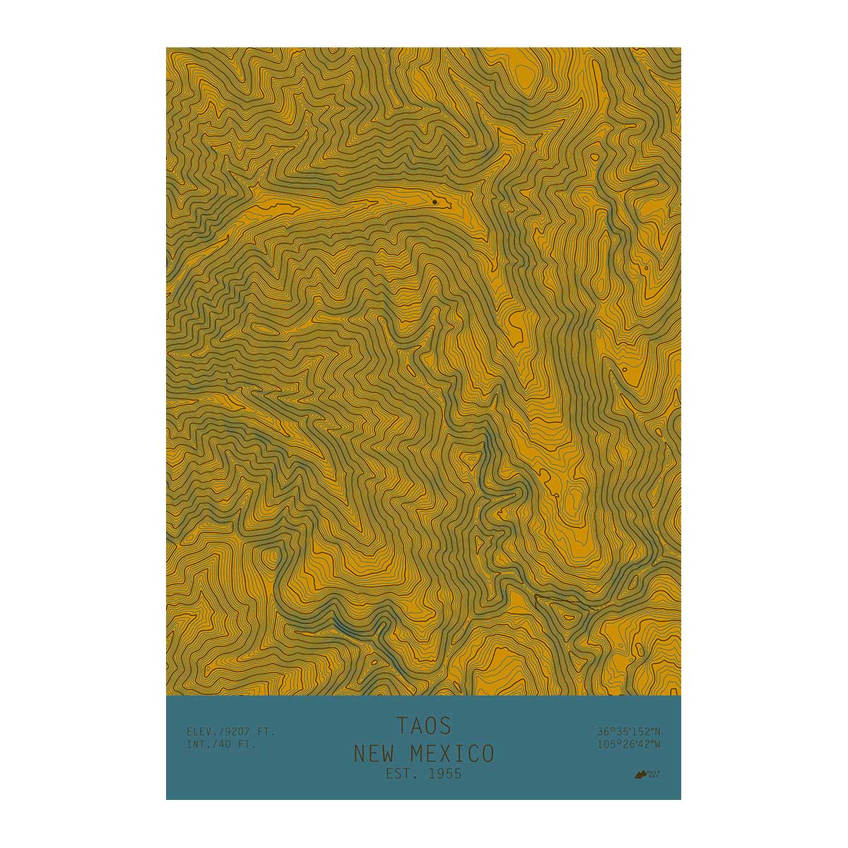
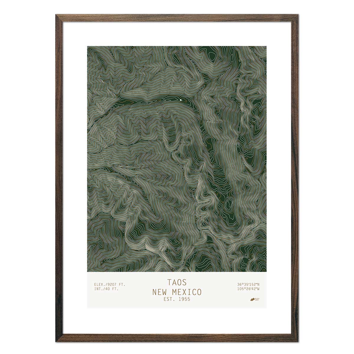
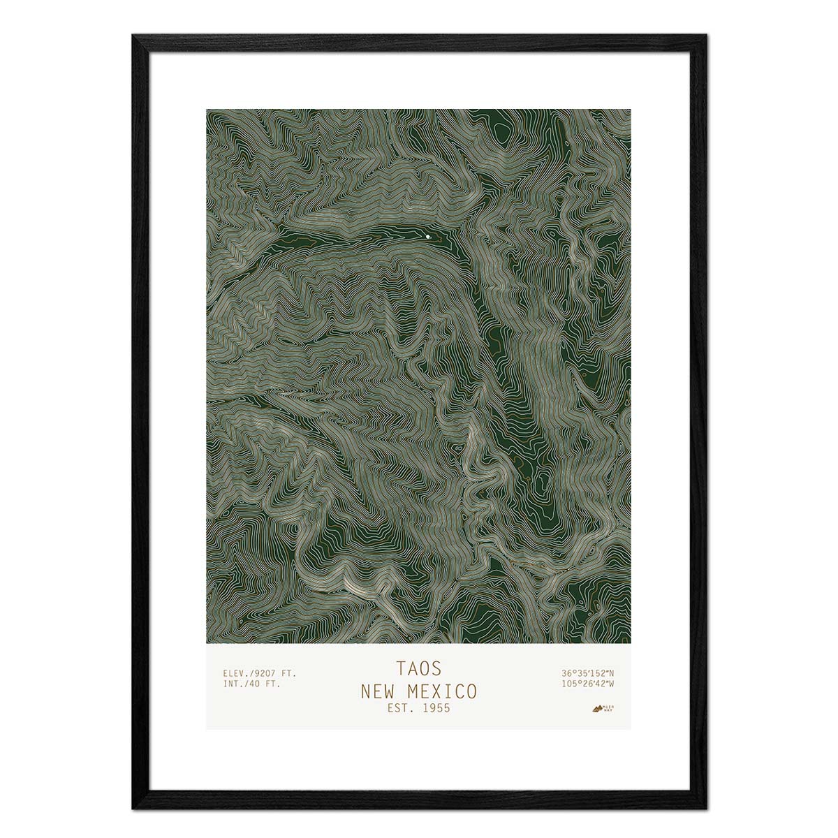
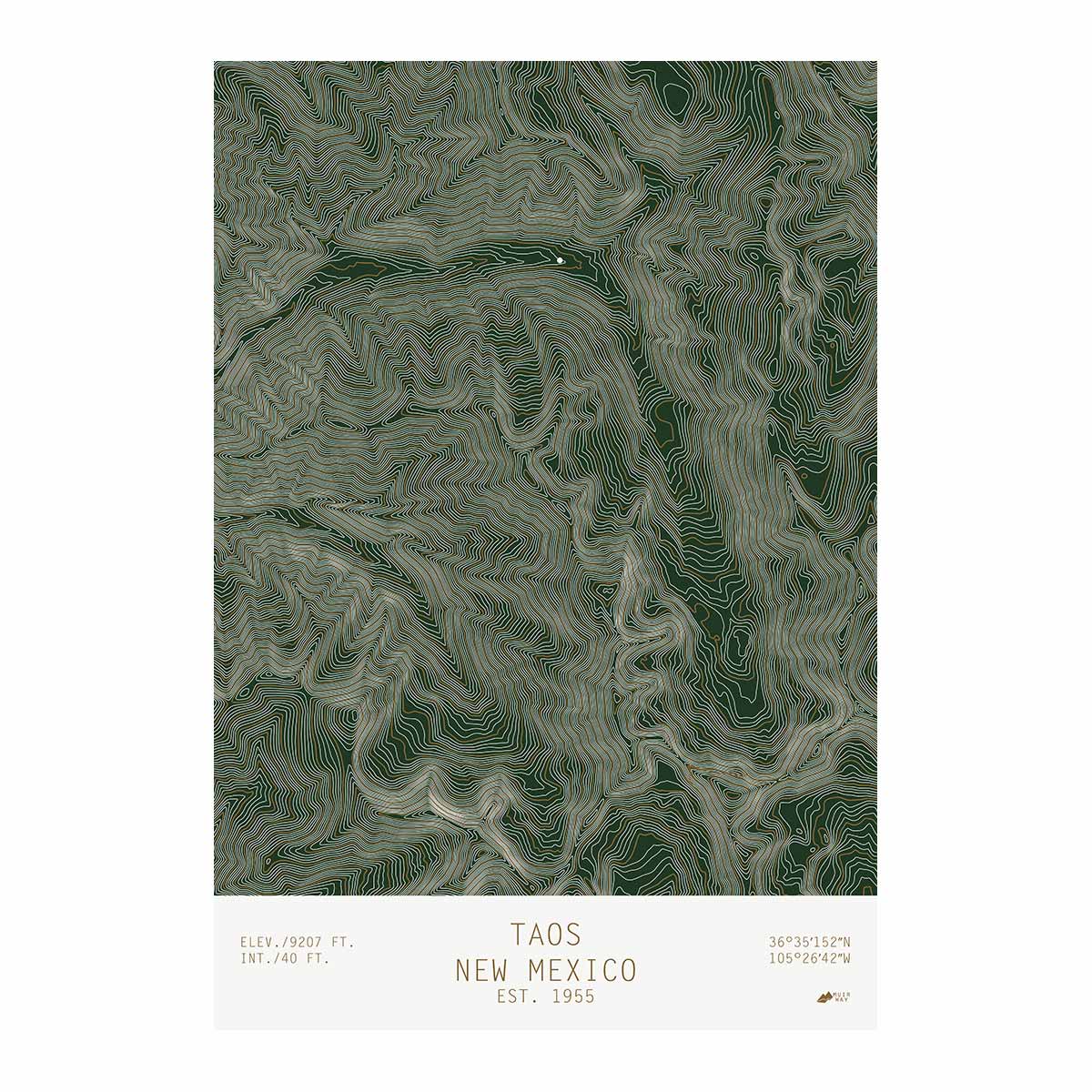
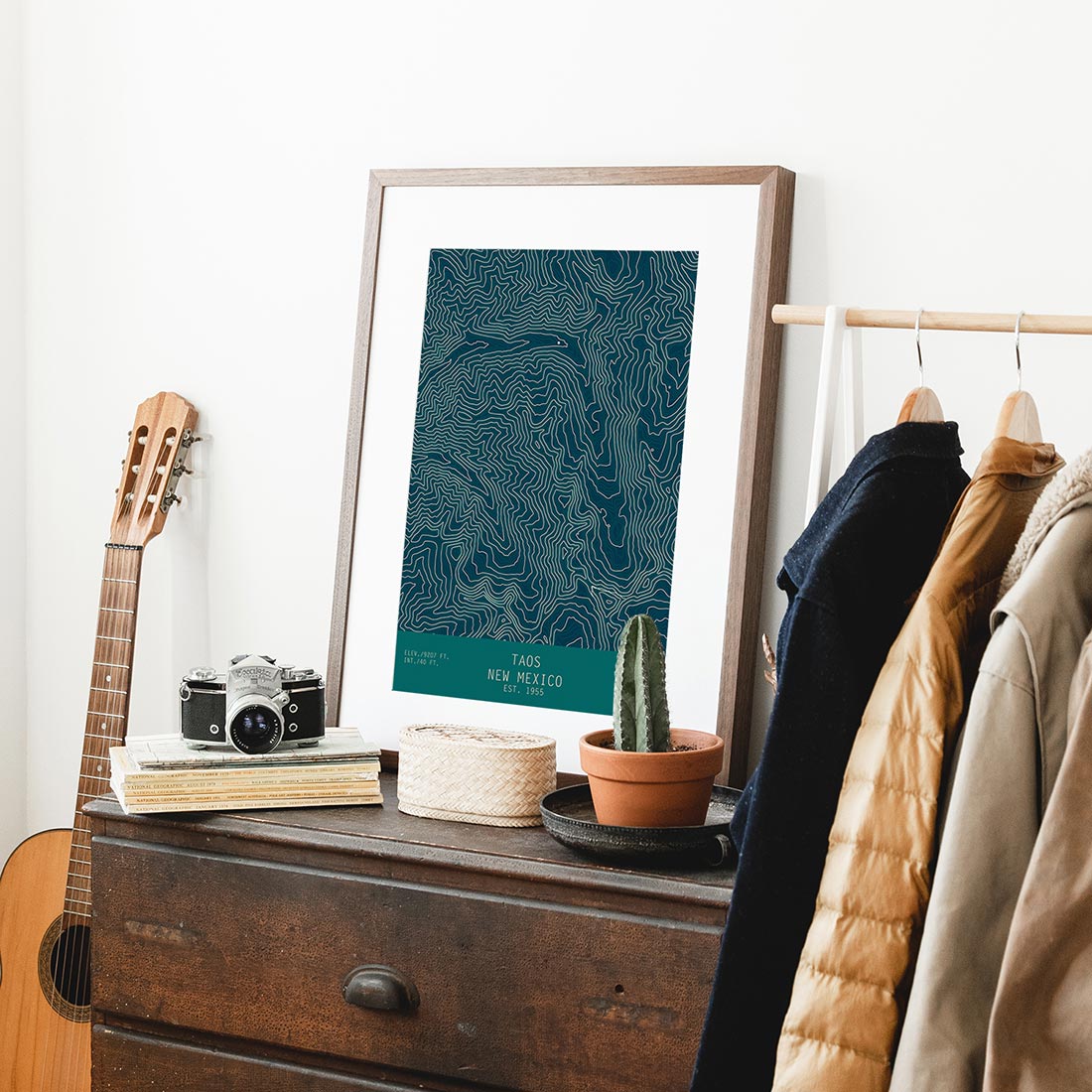
New Mexico Topo Series - We offer a series of 3 topo maps of mountains and resorts that use USGS data to show the contour lines of the mountains. A single white dot represents the resort location. The result depicts the dramatic elevation changes in a simple and elegant way. Included in the New Mexico series are Red River, Ski Apache, and Taos.
What are some prominent features on the map of New Mexico?
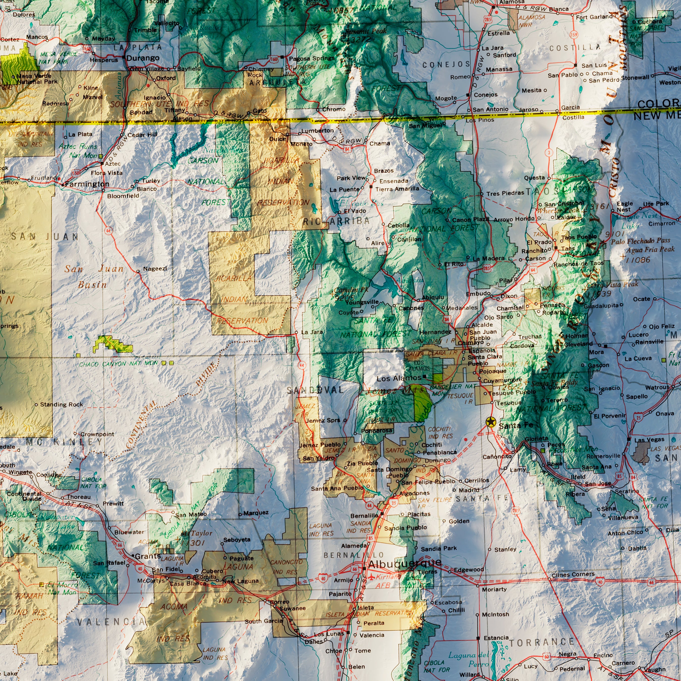
New Mexico has a varied terrain that includes forests, mountains, deserts and fertile river valleys. In the northwest part of New Mexico, the state meets with Arizona, Colorado and Utah to create the Four Corners, the only point in the United States that is shared by four states.
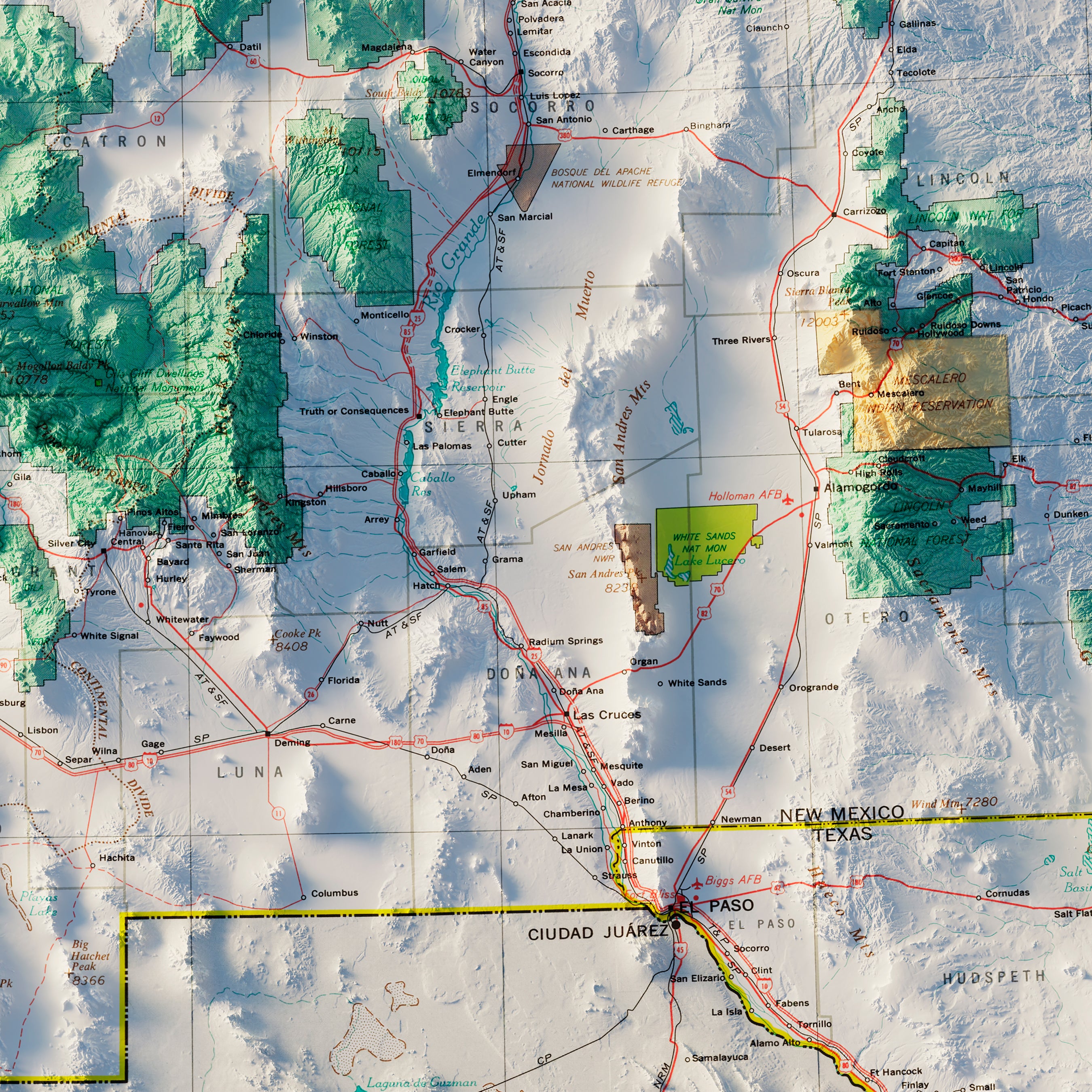
The Carlsbad Caverns are located in the Chihuahuan Desert in southern New Mexico. These are a series of 119 caves formed by sulfuric acid dissolved limestone.
In the northern part of the state is Taos Pueblo, the oldest living Native American community. It has been continuously inhabited for over 1000 years.
In the south is the Rio Grande, one of the principal rivers in the southwestern United States. Full of scenic views and activities like whitewater rafting, it also makes up the border with Mexico.
What are the regions in New Mexico?
New Mexico has three main geographical regions:
- The Great Plains - The eastern third of New Mexico is covered by the Great Plains. The area runs from a high plateau in the north to the Pecos River in the south. The plateau has been cut by rivers, creating deep canyons. This area is used for sheep and cattle ranches. In the south, the land is irrigated and farmed.
- The Rocky Mountains - The Rocky Mountains extend into New Mexico, covering the northern part of the state. The Rio Grande River cuts through the Rocky Mountains, creating the Rio Grande Valley, which is characterized by farmland. Wheeler Peak, the highest point in New Mexico, is found in the Sangre de Cristo (Blood of Christ) Mountain range.
- The Basin and Range Region - This area is south of the Rocky Mountains and is marked by rugged mountain ranges separated by desert basins. The Rio Grande River flows north to south through the Basin and Range Region and exits New Mexico in the south to form the border between Texas and Mexico.
If you like our collection of New Mexico maps, you may also be interested in maps of other Southwest states. Click below to browse:


