Skip to content
Facebook
Instagram
Pinterest
FREE SHIPPING on orders over $50 within US
Father's Day Sale – 10% OFF with code DAD10
Country/Region
United States (USD $)
United States (USD $)
Search
Account
Search
Cart
Popular Collections
3D Raised Relief Maps
Vintage Shaded Relief Maps
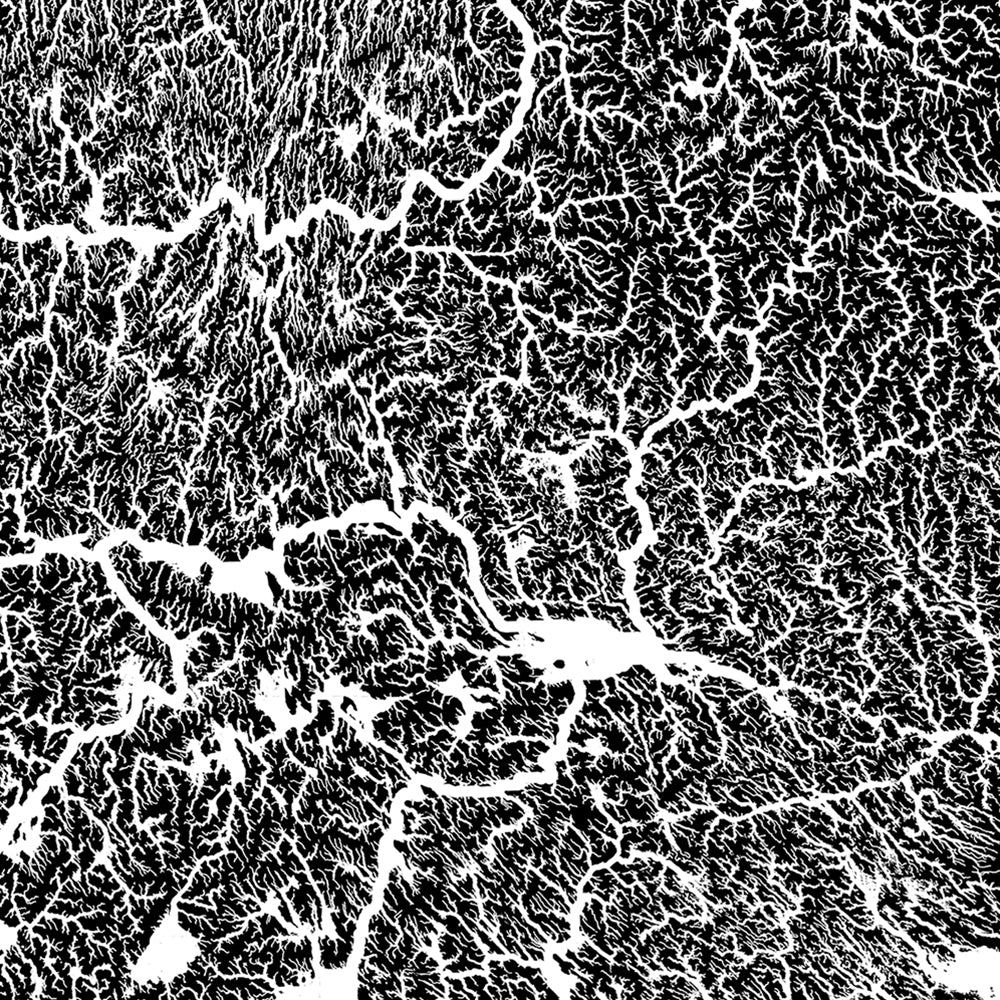
Hydrological Maps
Apparel
Best Sellers
Shop by Location
USA Maps
State Maps
International Maps
National Park Maps
Shop by Type
Collections
3D Raised Relief
2D Vintage Shaded Relief
Hydrology Series
TOPO Series
National Park Series
2D Elevation Relief
2D Shaded Relief
Mountain Range
3D Raised Relief Maps
Shaded Relief Maps
Hydrological Maps
Historical Prints
Illustrations and Photographs
1884 Fish Drawings
1875 Zoology Drawings
1868 Yosemite Photos
1873 Yellowstone Photos
1874 Moon Photos
Historical Maps
Astronomy
Civil War Maps
Assorted Vintage
USGS Quadrant Maps
1876 State Maps
1876 Geologic/Topographic
1883 State Maps
1904 Yellowstone Maps
1906 Hawaii Maps
1884 Fish Drawings
Astronomy
Civil War Maps
Apparel
About Us
Our Story
Reviews
FAQs
Shipping and Returns
Contact Us
All Muir Way Maps
Filter
Sort by
Best selling
Best selling
Alphabetically, A-Z
Alphabetically, Z-A
Date, old to new
Date, new to old
Filters
Continent Maps
Continent Map
6
US States
Alabama
2
Alaska
7
Arizona
7
Arkansas
2
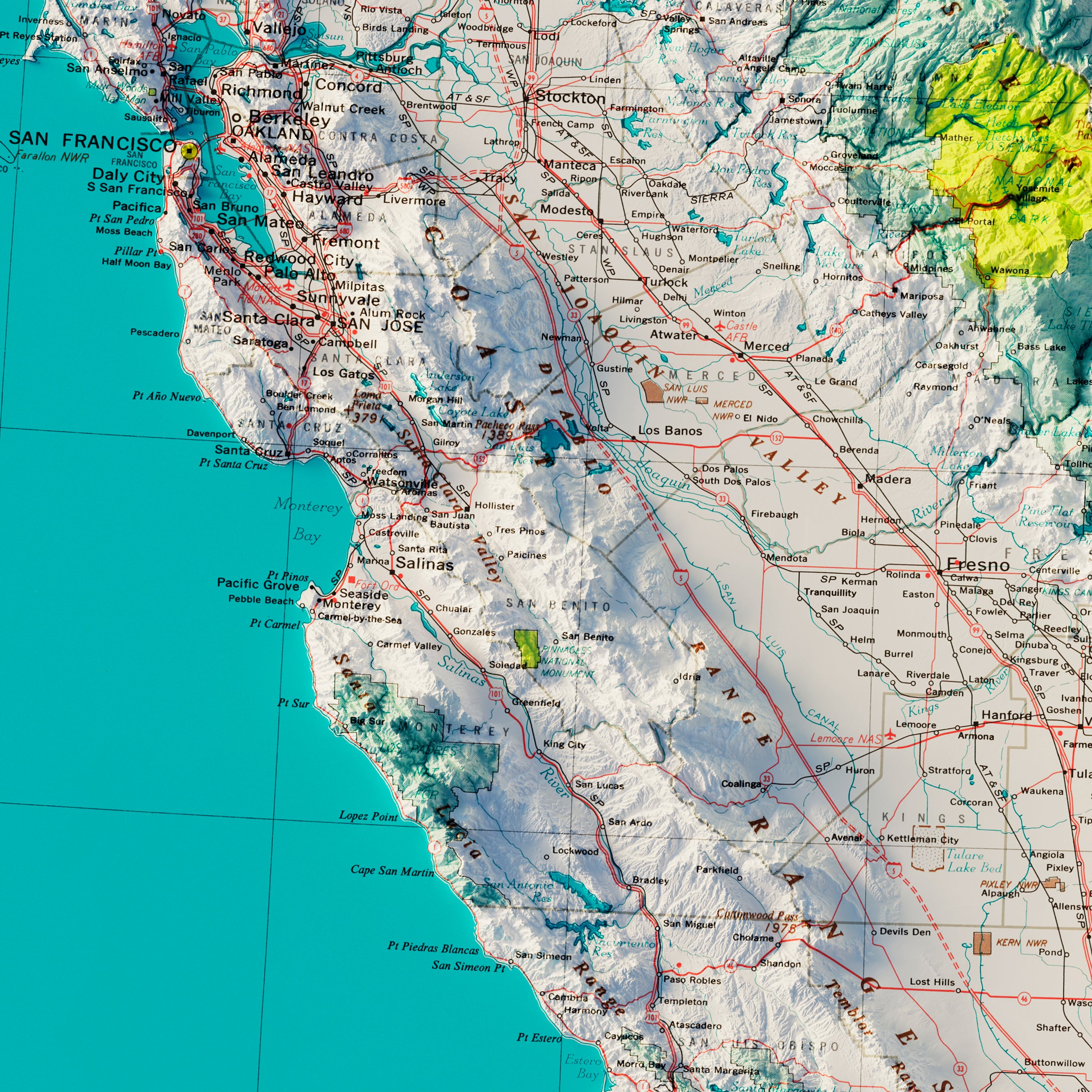
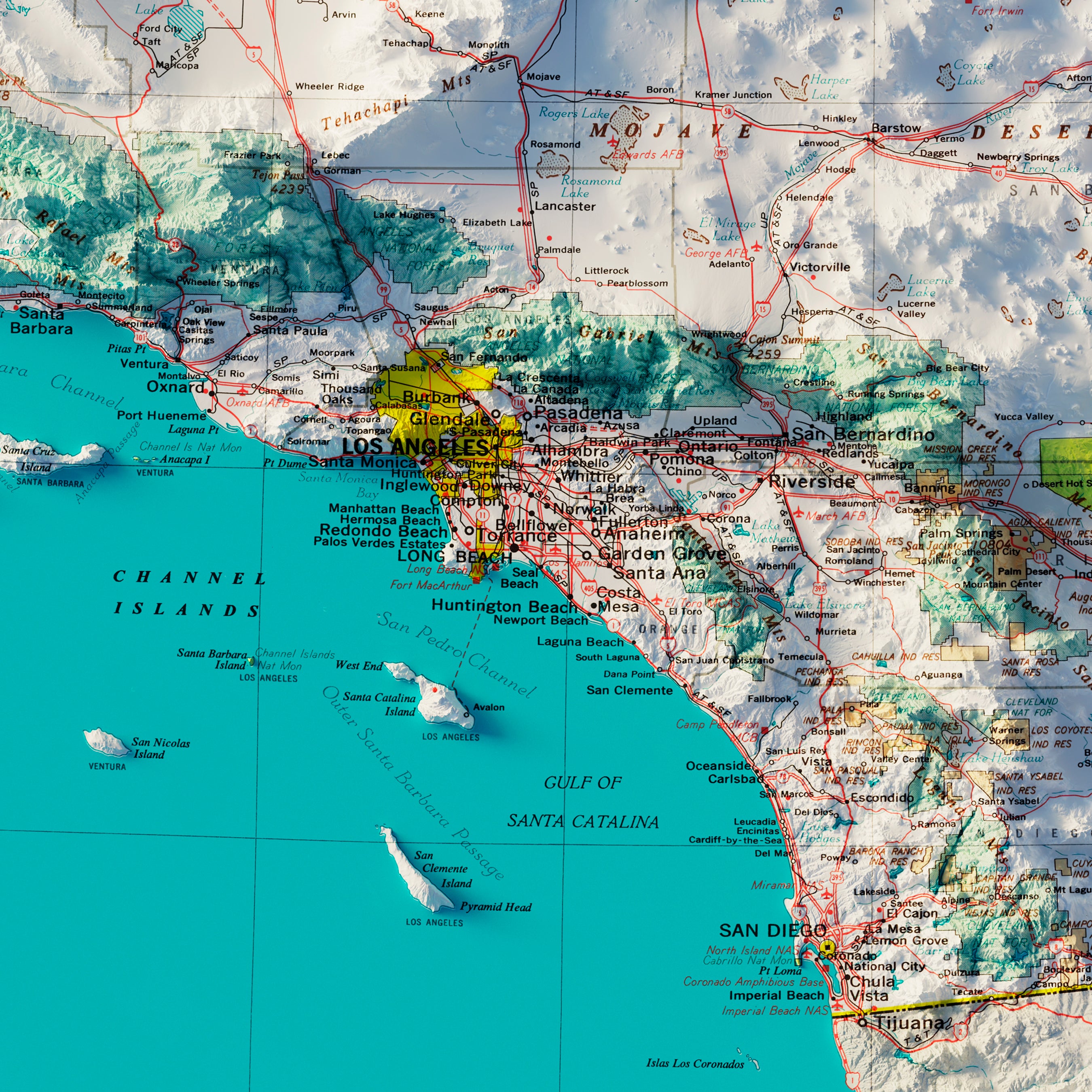
California
19
CALIFORNIA
1
Colorado
11
Connecticut
4
Delaware
1
Georgia
2
Guam
1
Hawaii
3
Idaho
2
Illinois
2
Indiana
1
Iowa
2
Kansas
2
Kentucky
5
Louisiana
1
Maine
6
Maryland
3
Massachusetts
4
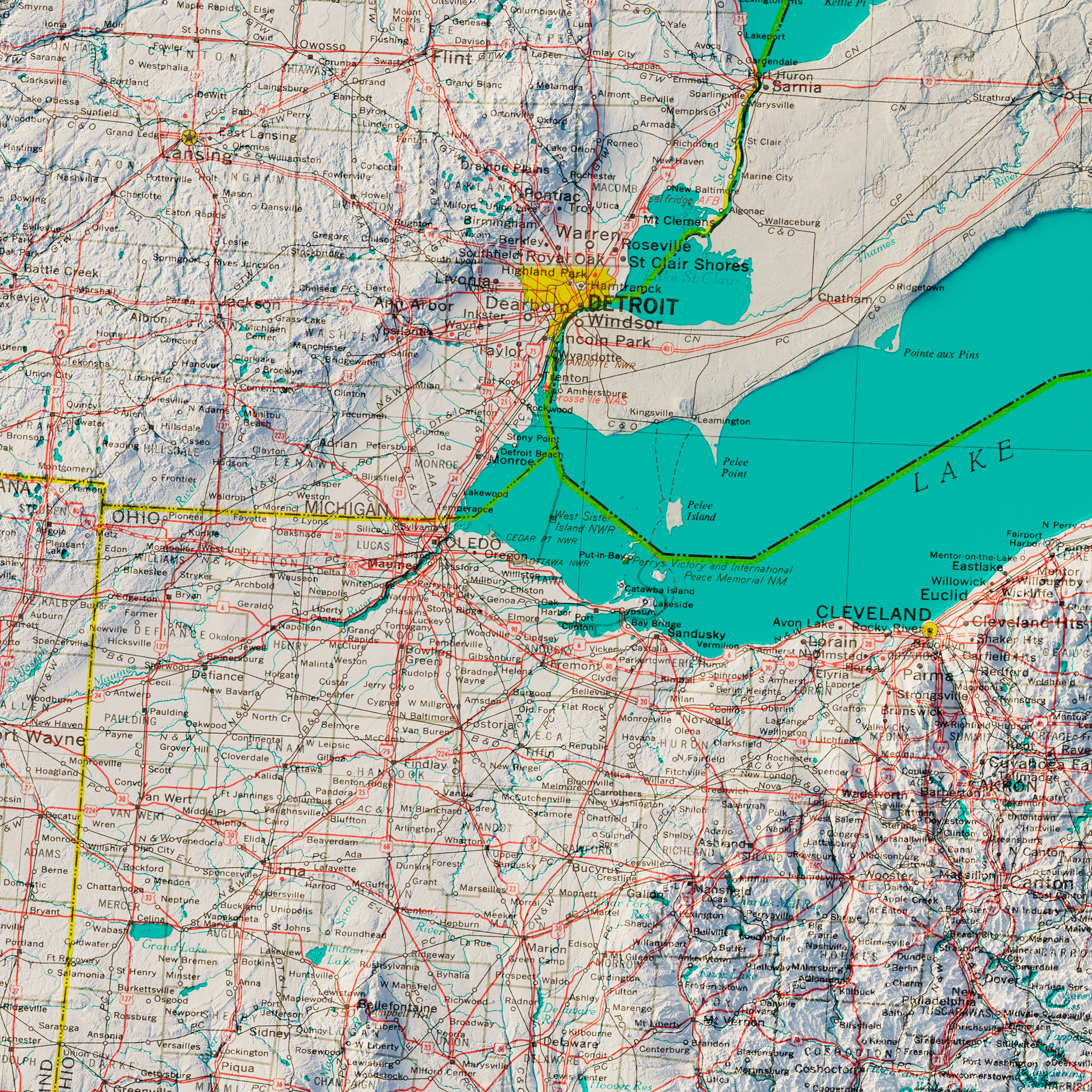
Michigan
6
Minnesota
2
Missouri
1
Montana
7
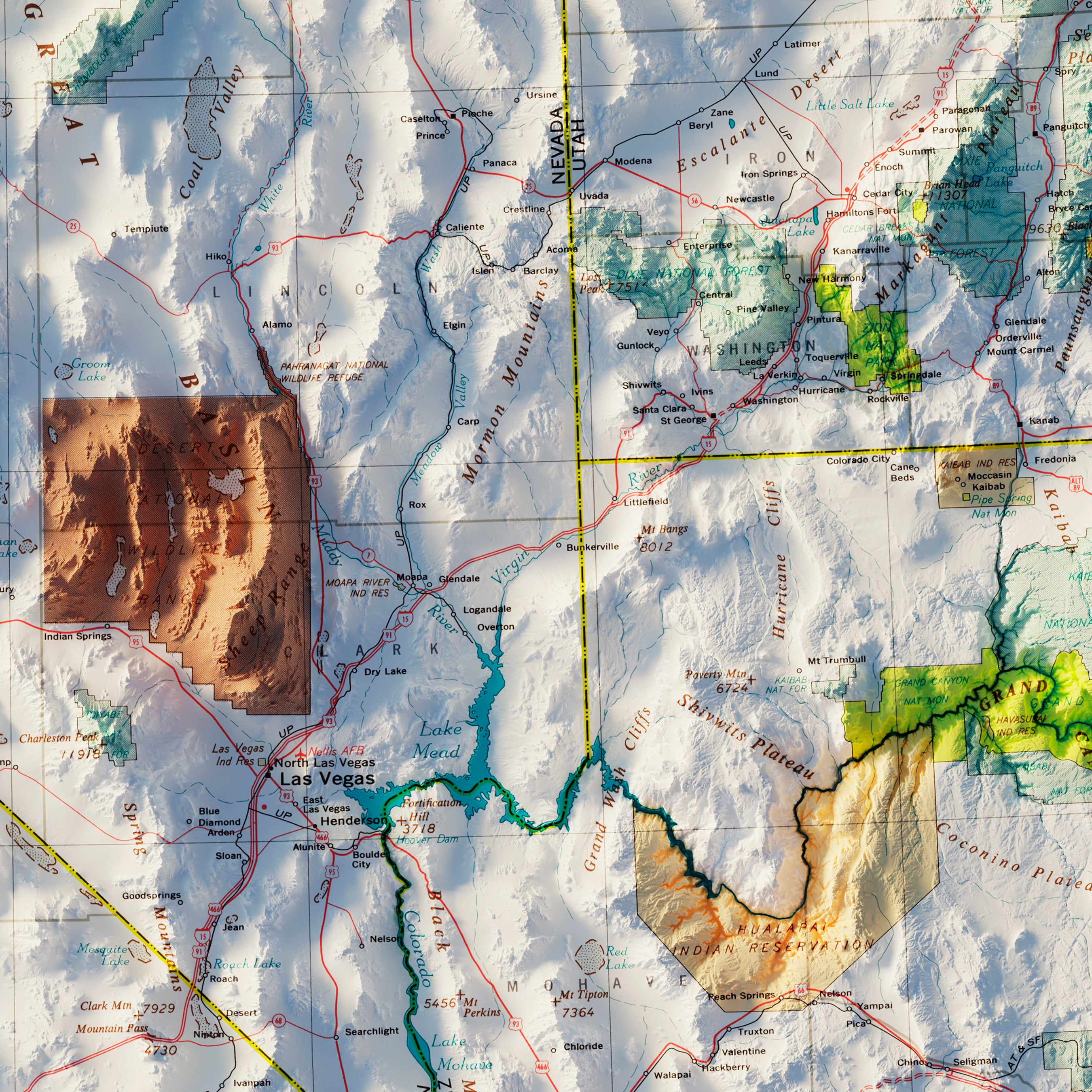
Nevada
3
New Hampshire
2
New Jersey
3
New Mexico
5
New York
8
North Carolina
3
North Dakota
1
Ohio
3
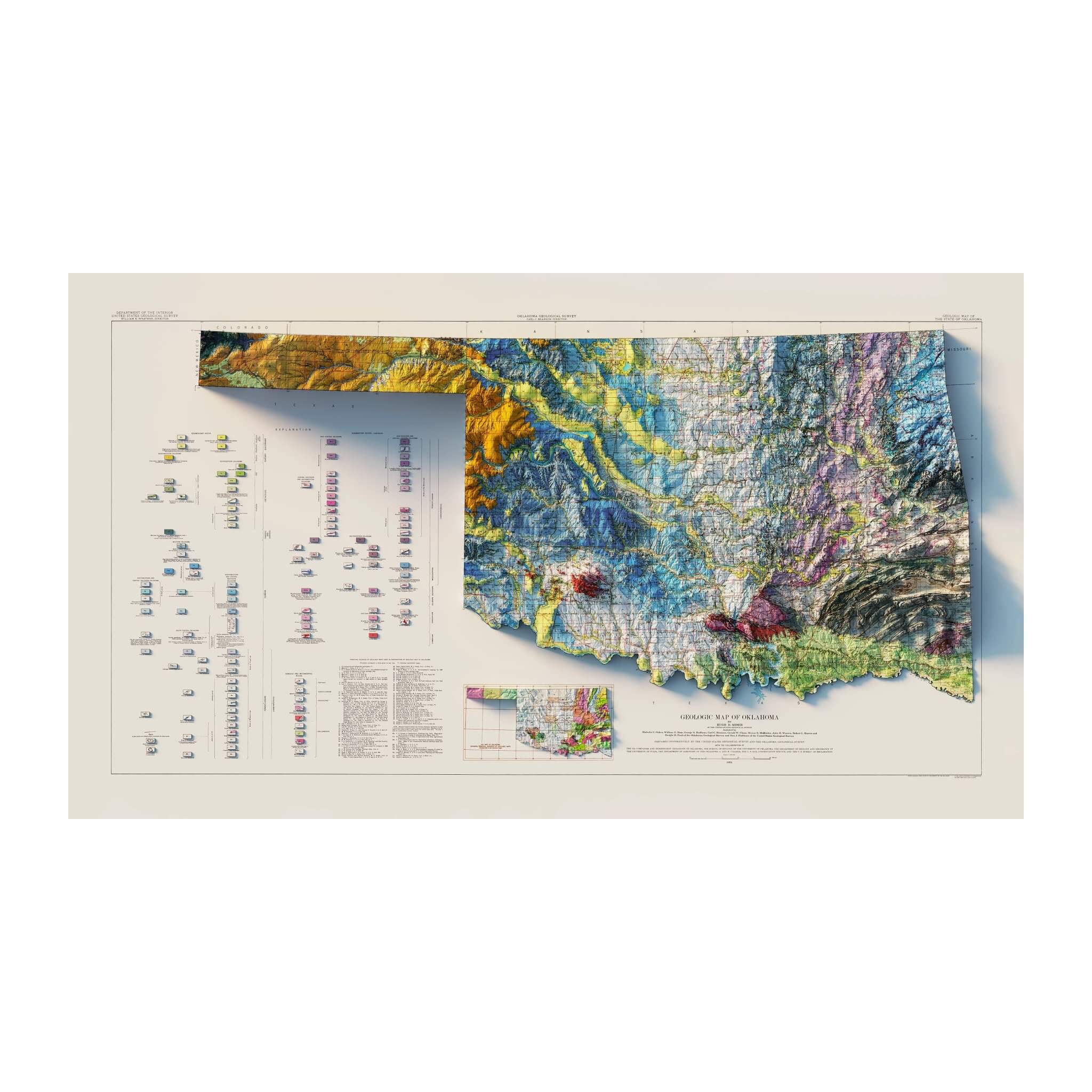
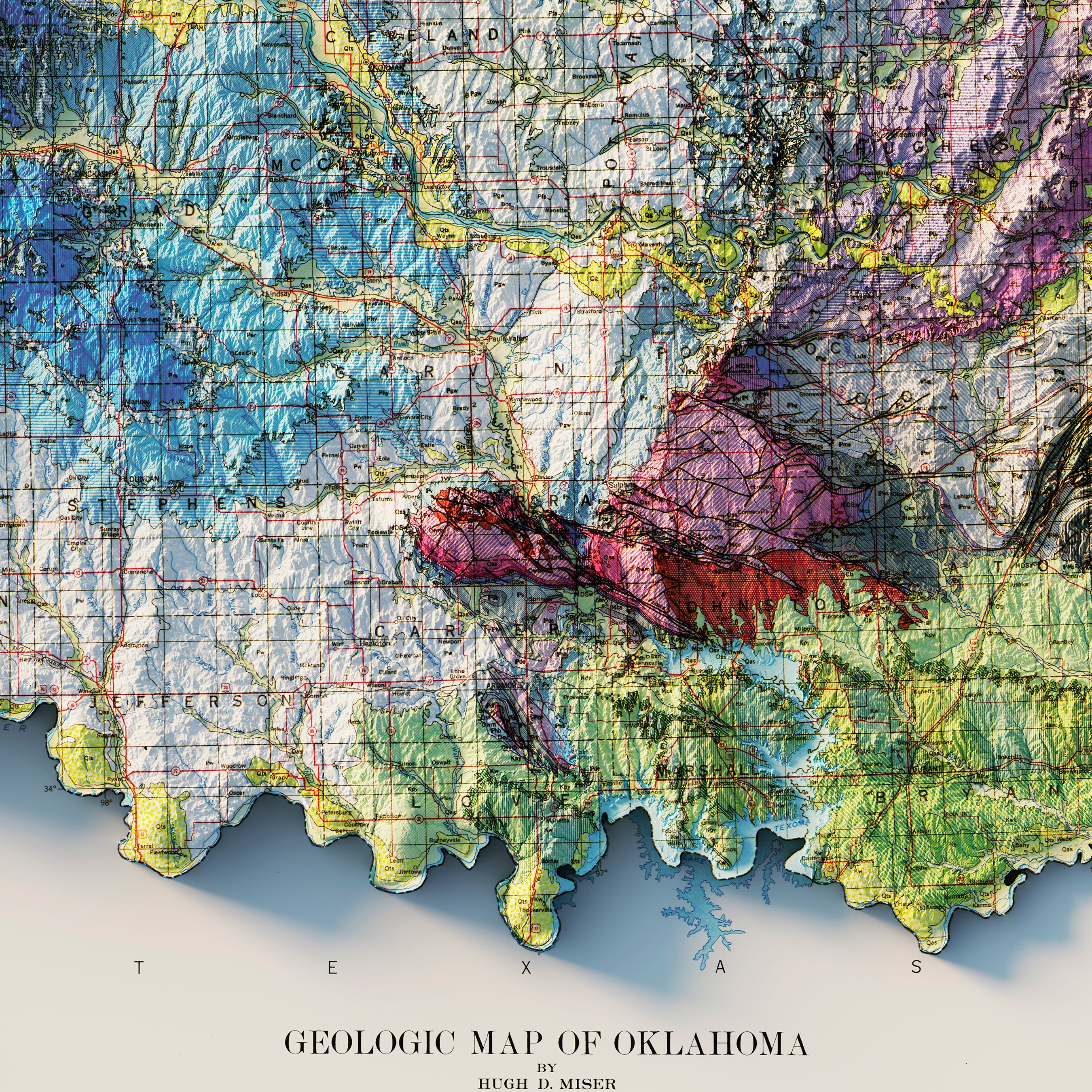
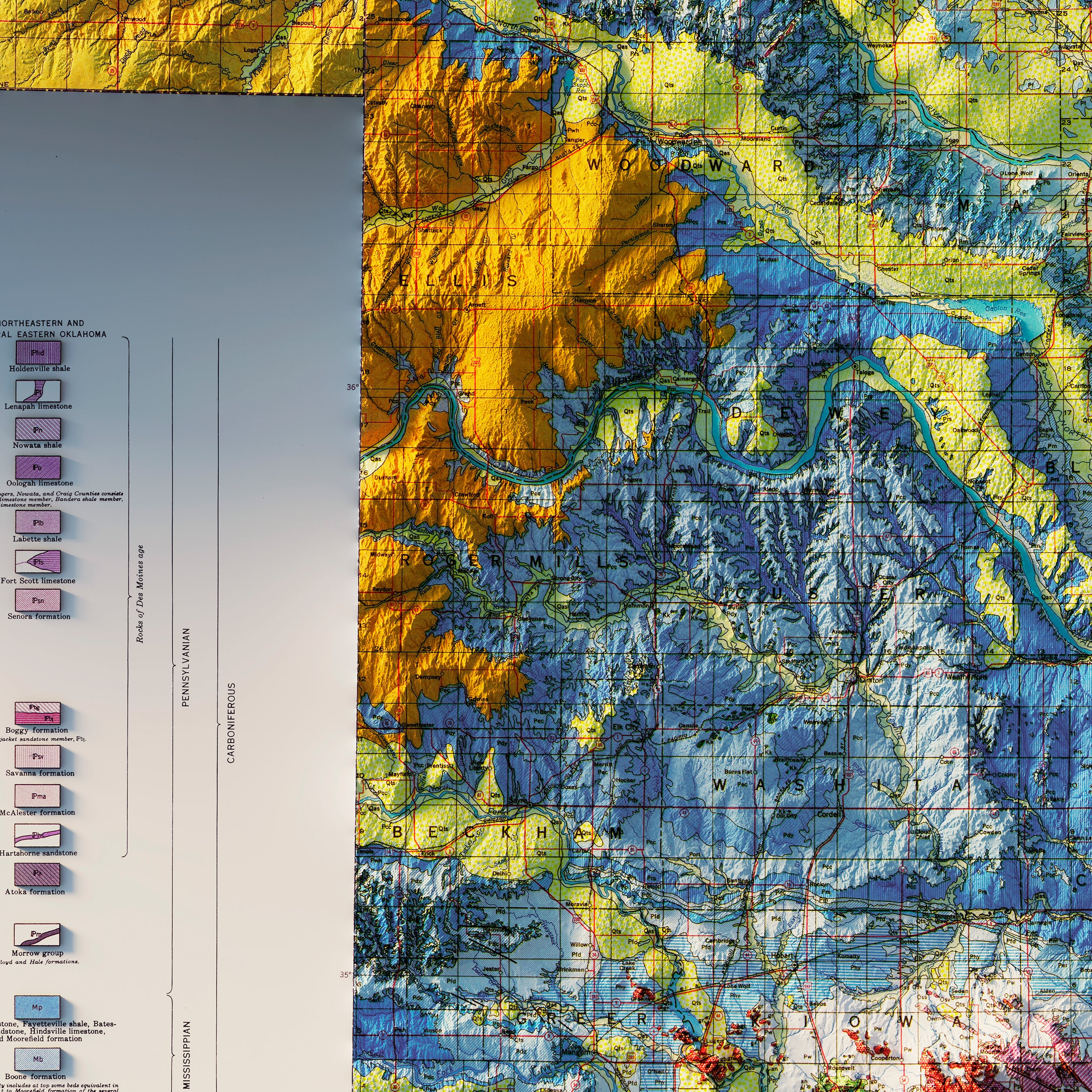
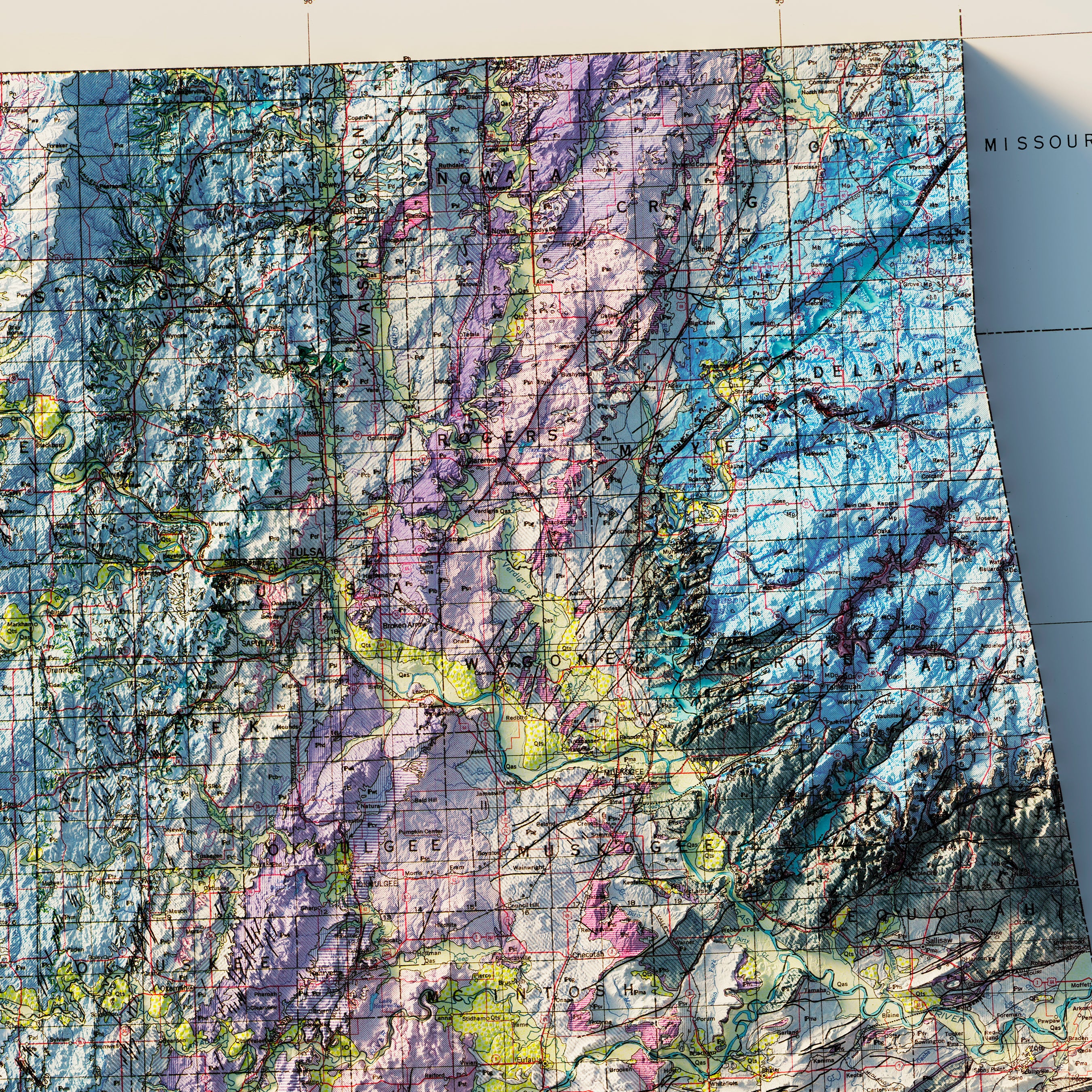
Oklahoma
2
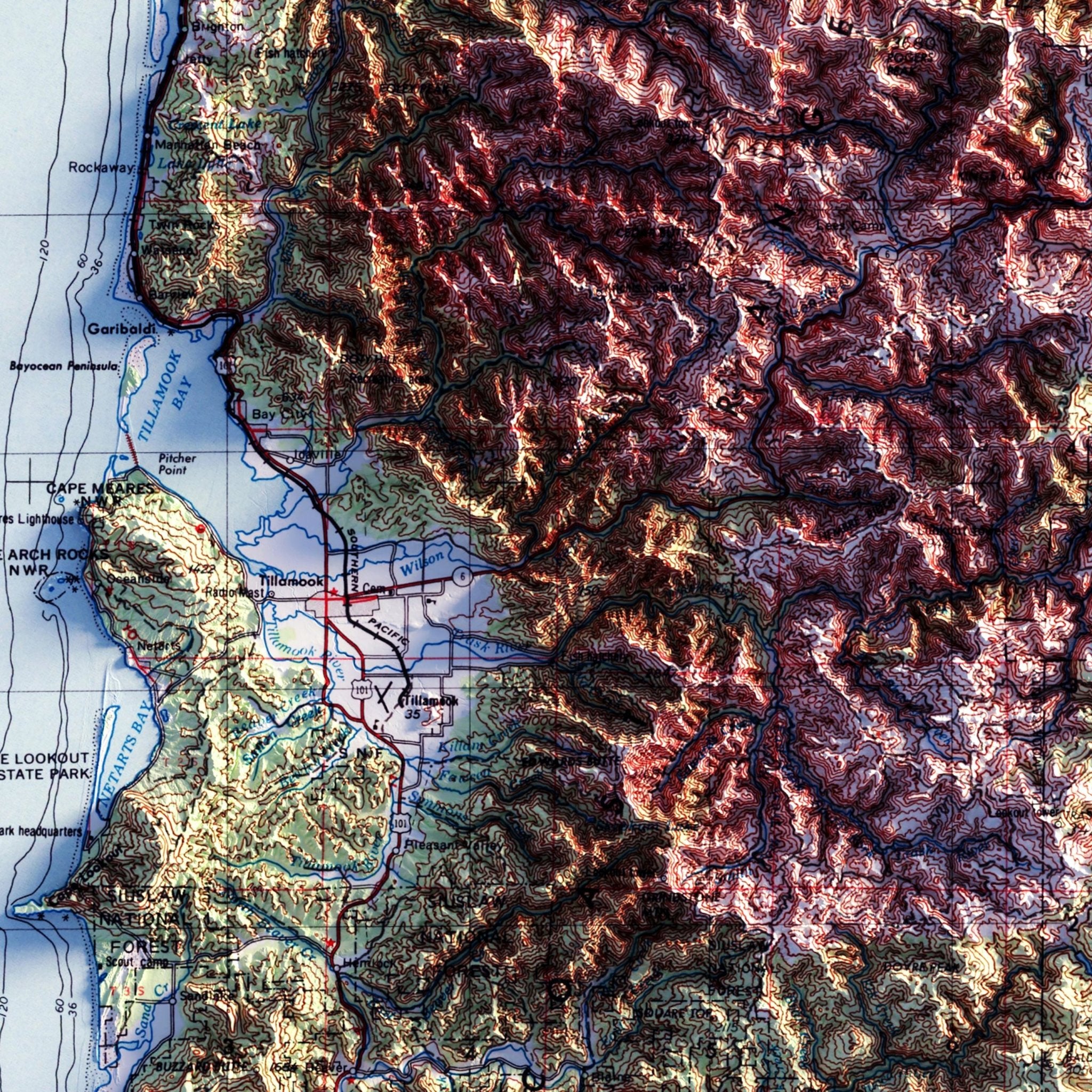
Oregon
5
Pennsylvania
8
Puerto Rico
3
Rhode Island
4
South Carolina
1
South Dakota
1
Tennessee
3
Texas
4
Utah
10
Vermont
2
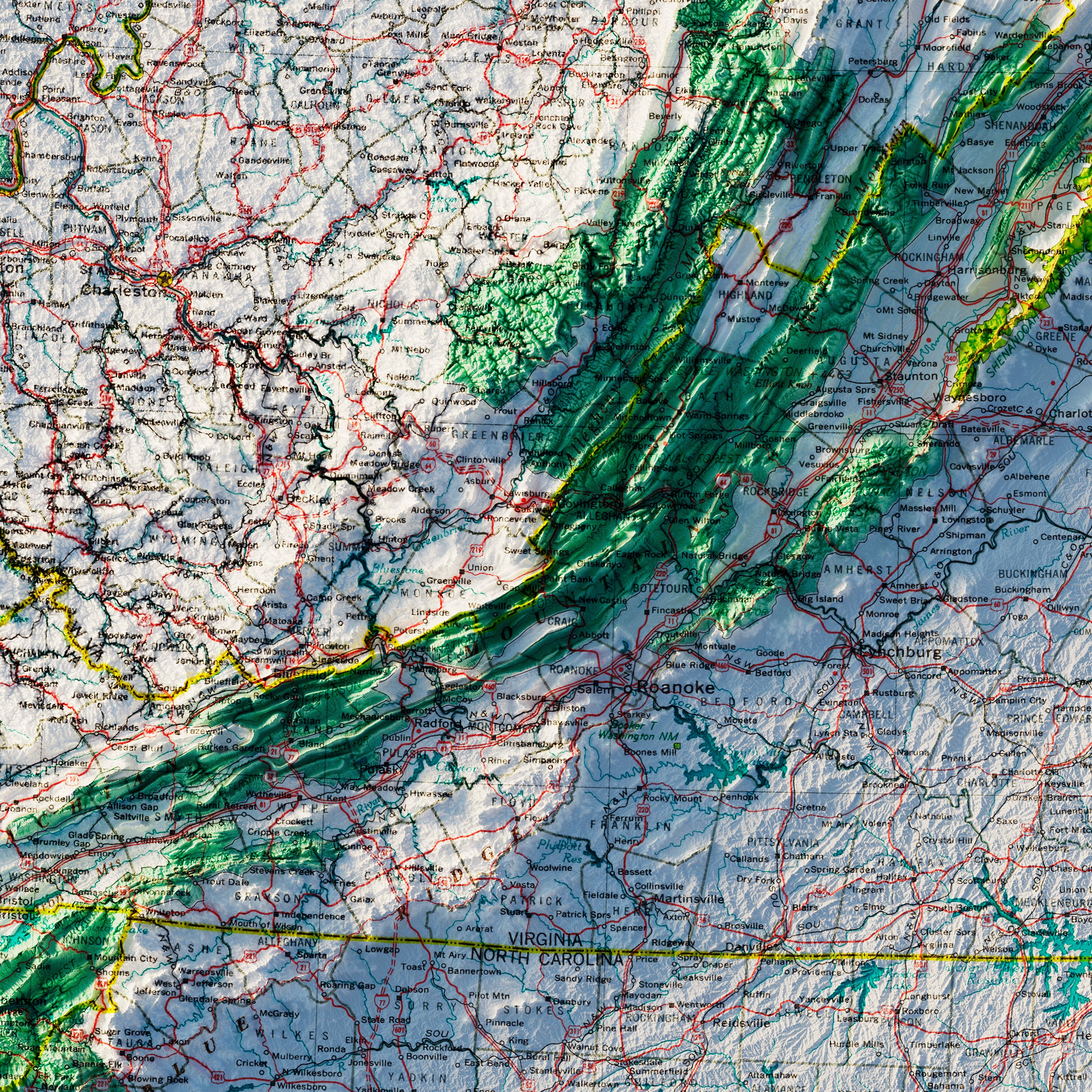
Virginia
4
Washington
11
West Virginia
2
Wisconsin
3
Wyoming
2
Europe
Great Britain
1
Scandinavia
1
National Parks
Acadia
2
Arches
2
Big Bend
1
Canyonlands
2
Crater Lake
2
Death Valley
2
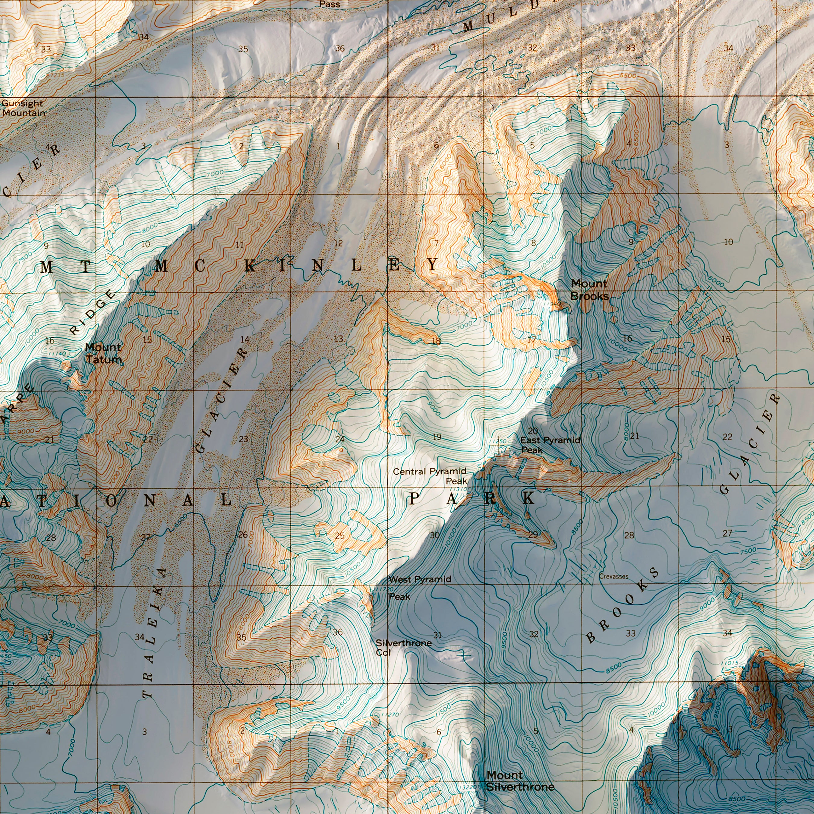
Denali
2
Glacier
2
Grand Canyon
3
Grand Teton
1
Great Sand Dune
1
Great Smoky Mountains
2
Isle Royale
1
Kings Canyon
1
Lassen
1
Mammoth Cave
1
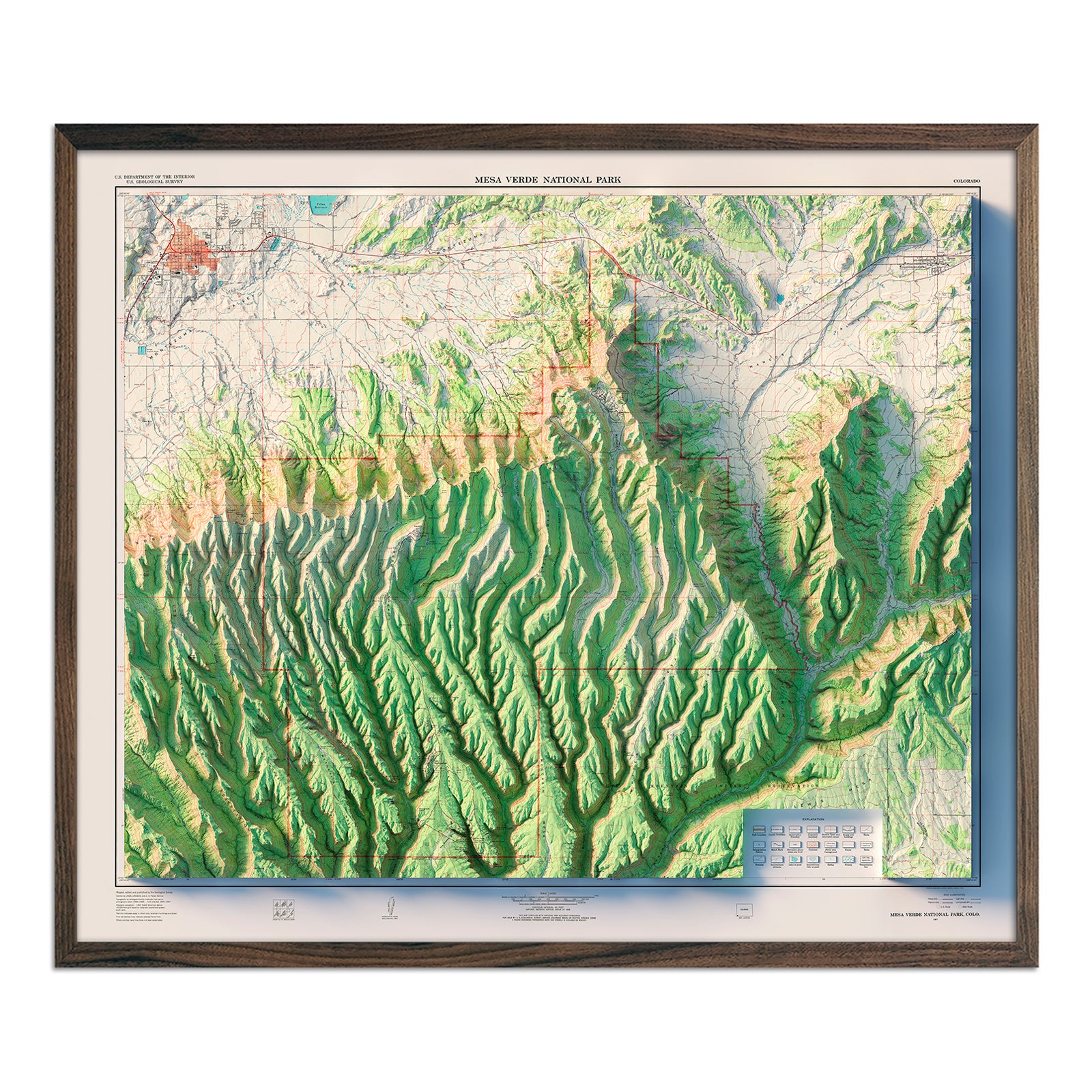
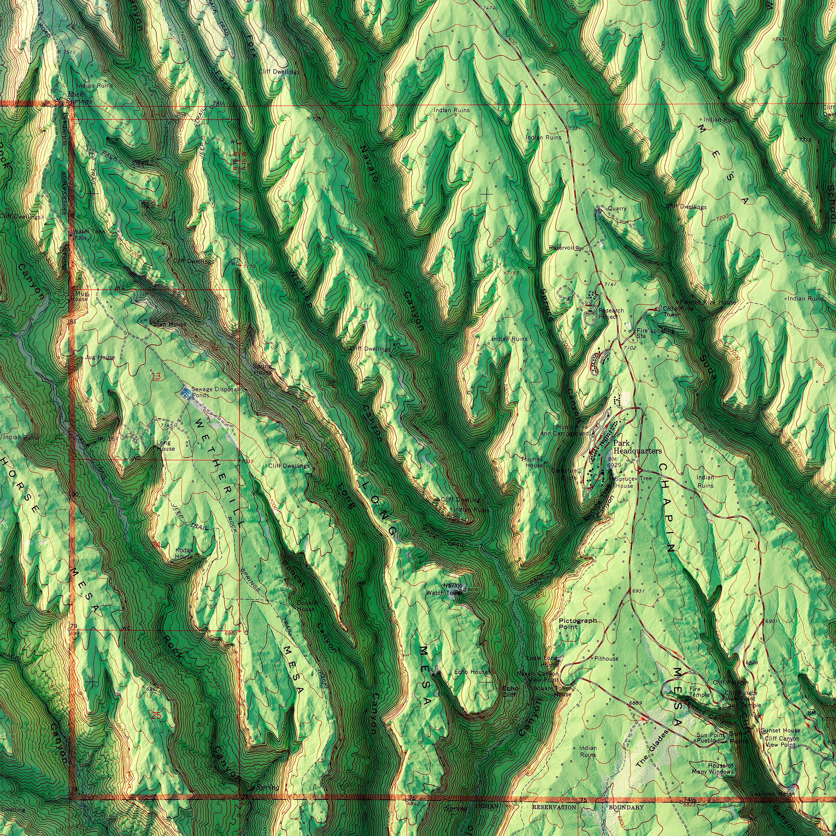
Mesa Verde
1
Mount Rainier
2
Mt Rainier
2
North Cascades
1
Rocky Mountain
1
Sequoia
1
Shenandoah
2
Snoqualmie
1
St Elias
1
Wind Cave
1
Wrangell
1
Yellowstone
1
Yosemite
4
Zion
1
North America
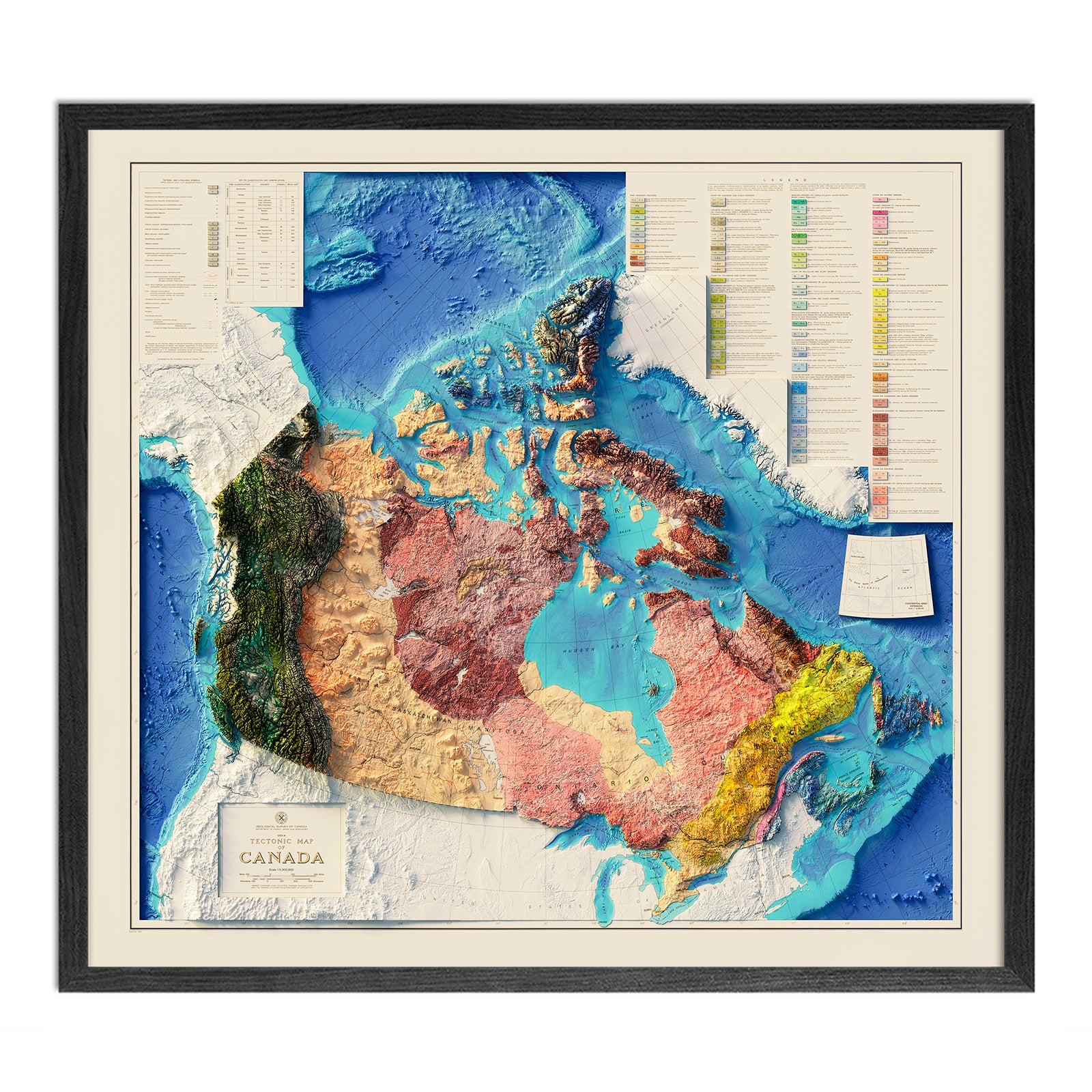
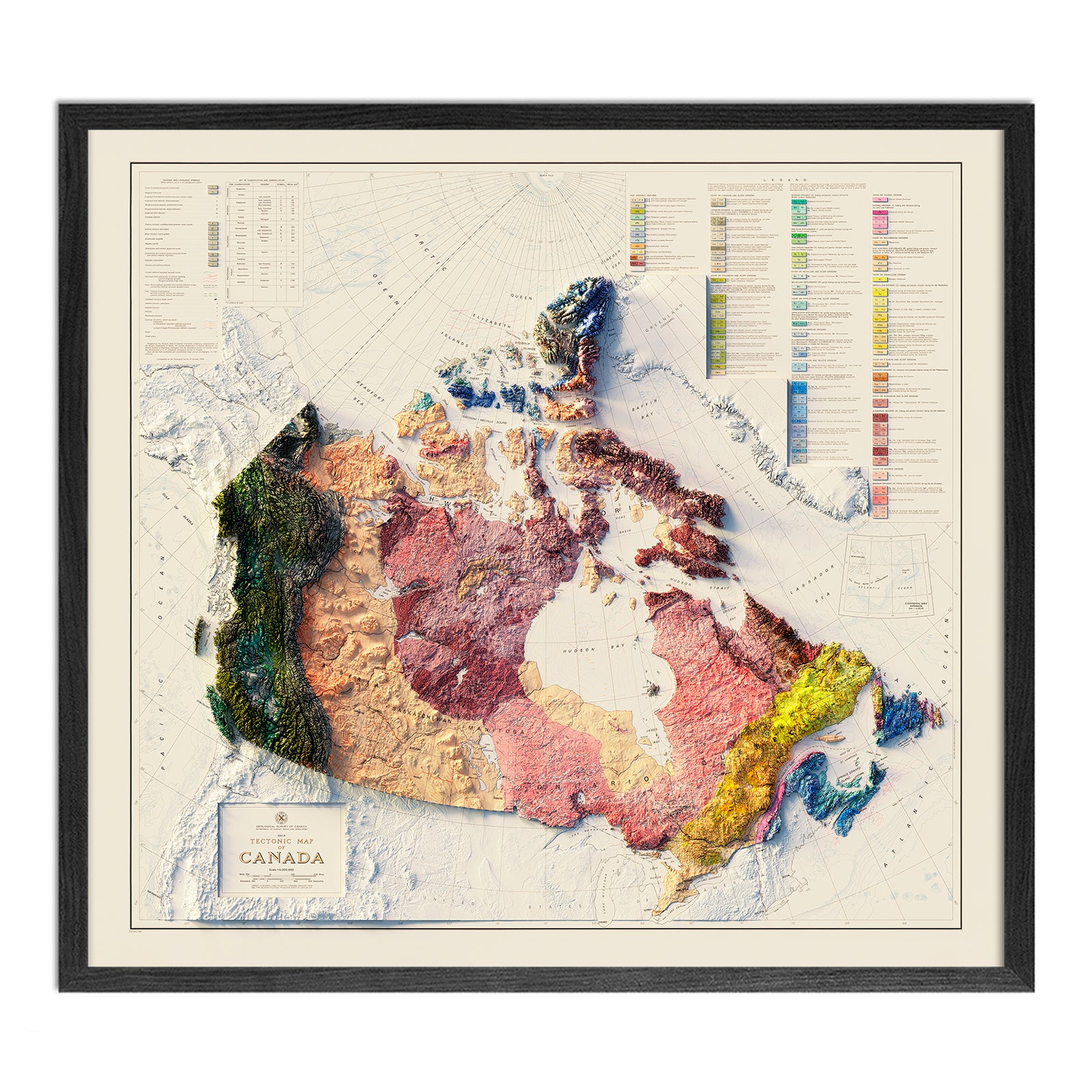
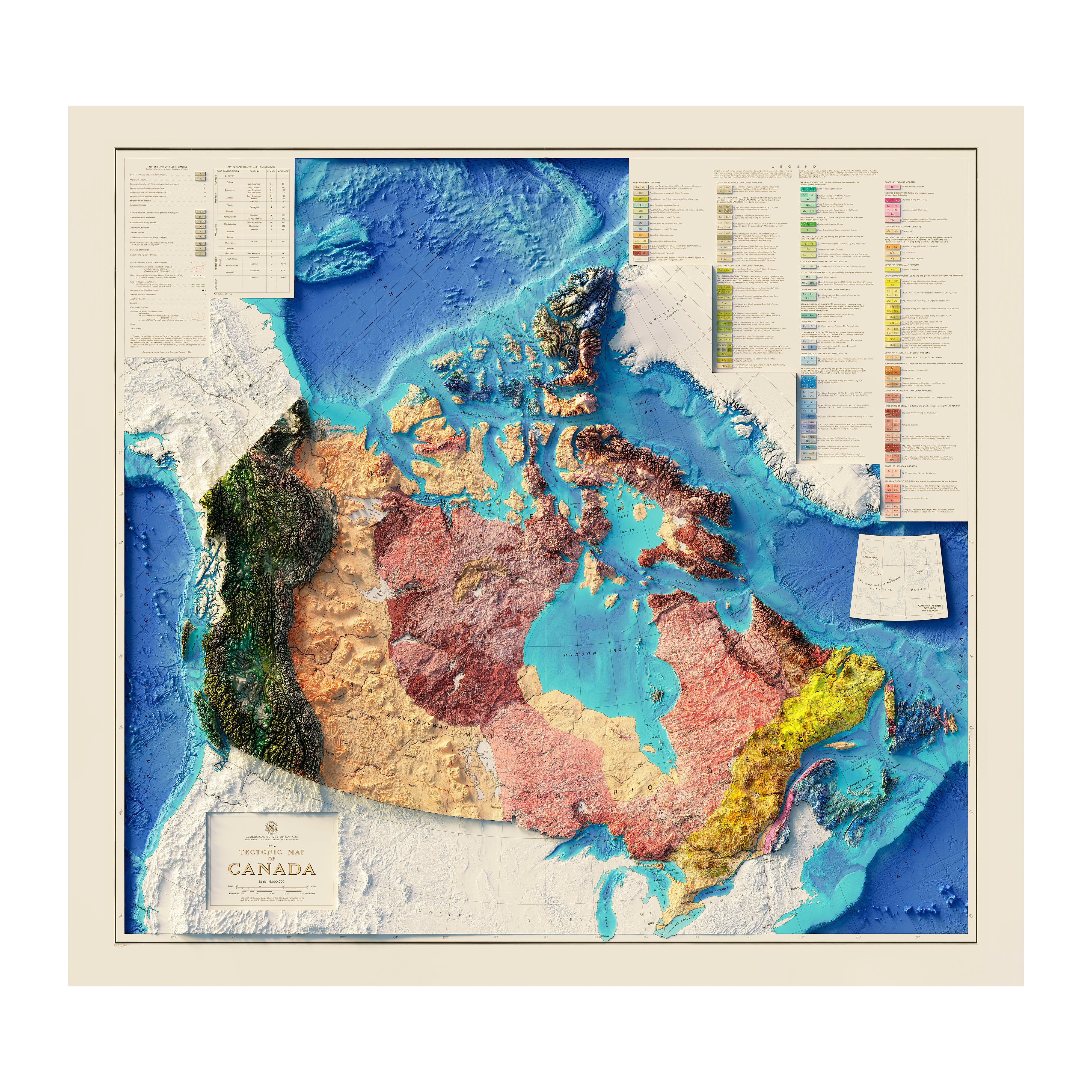
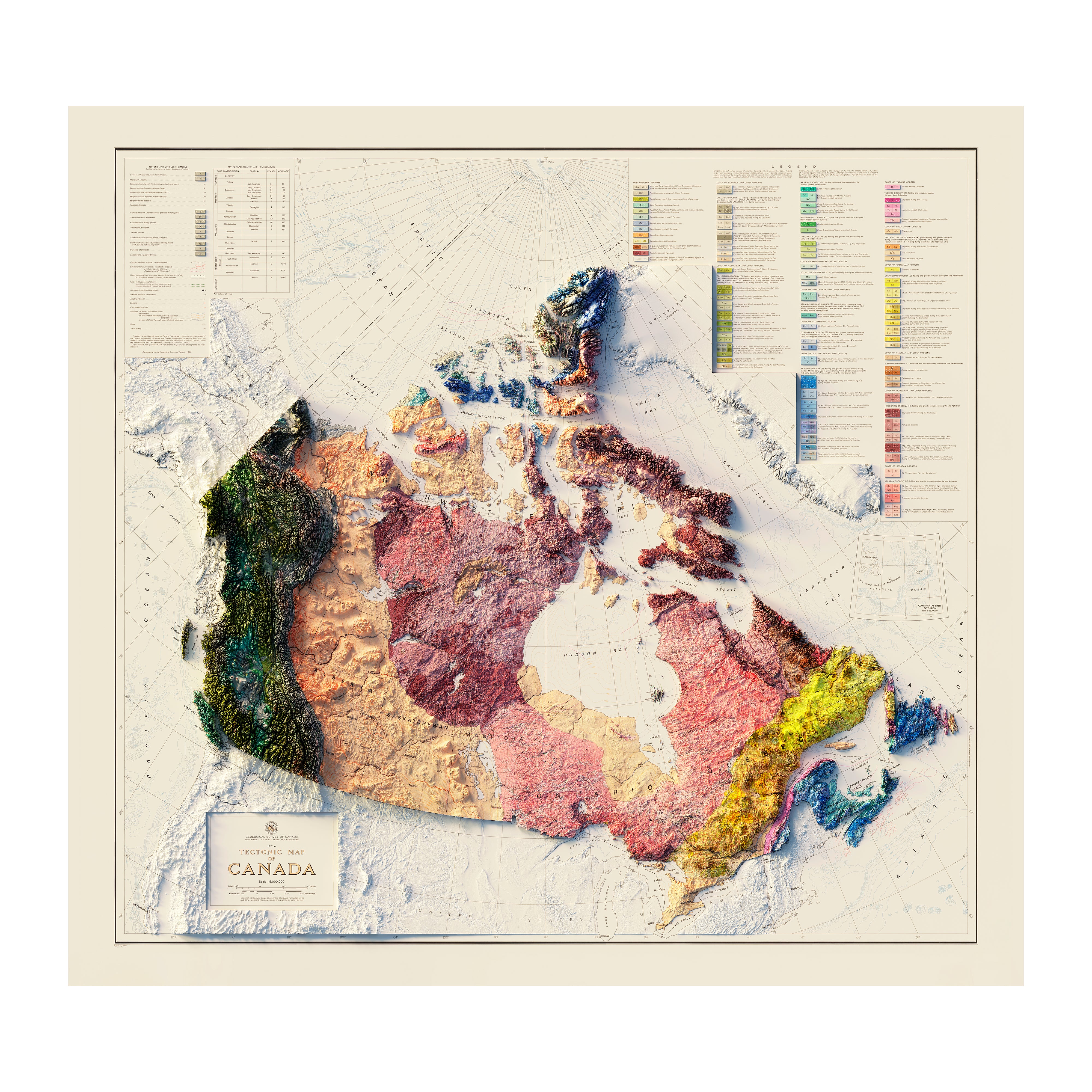
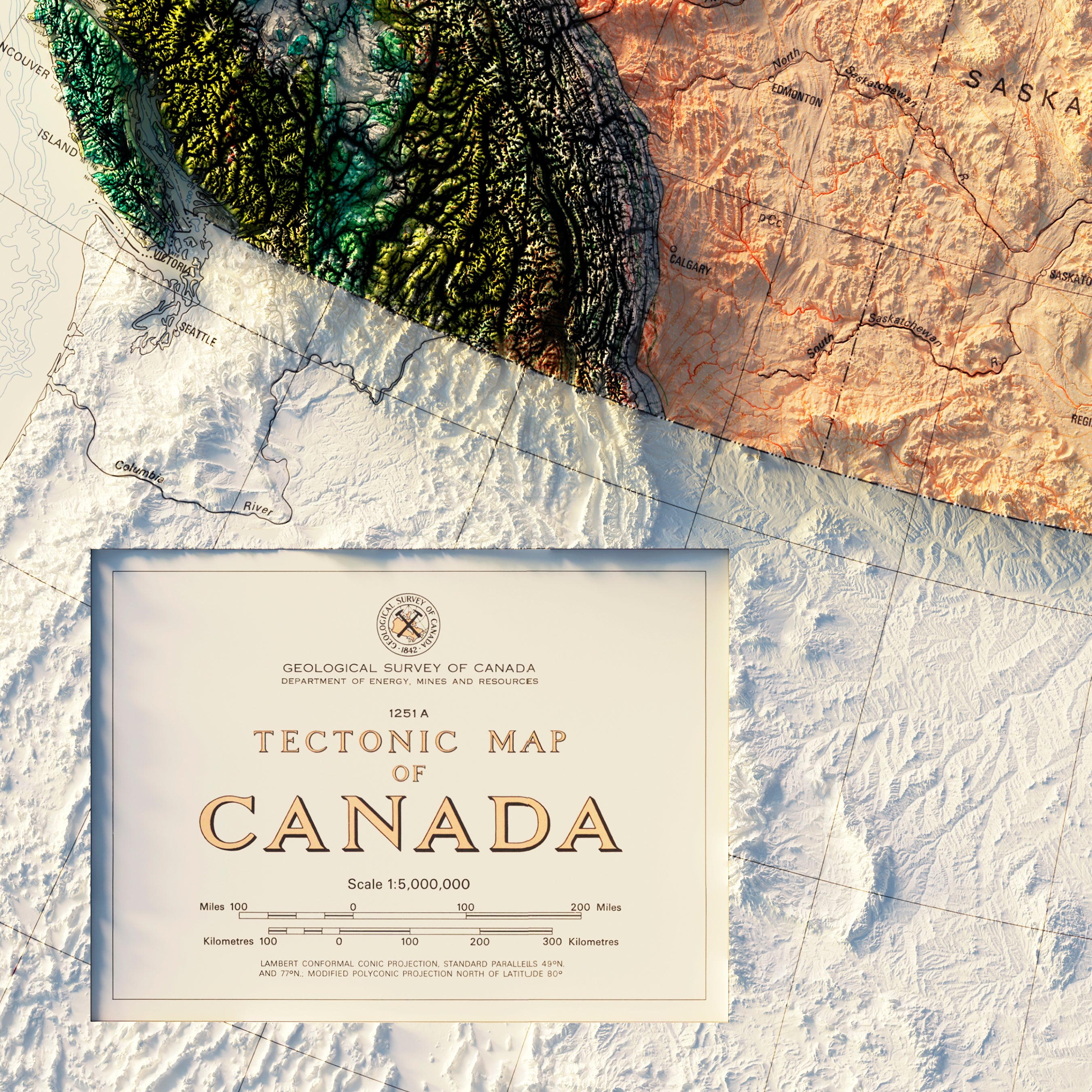
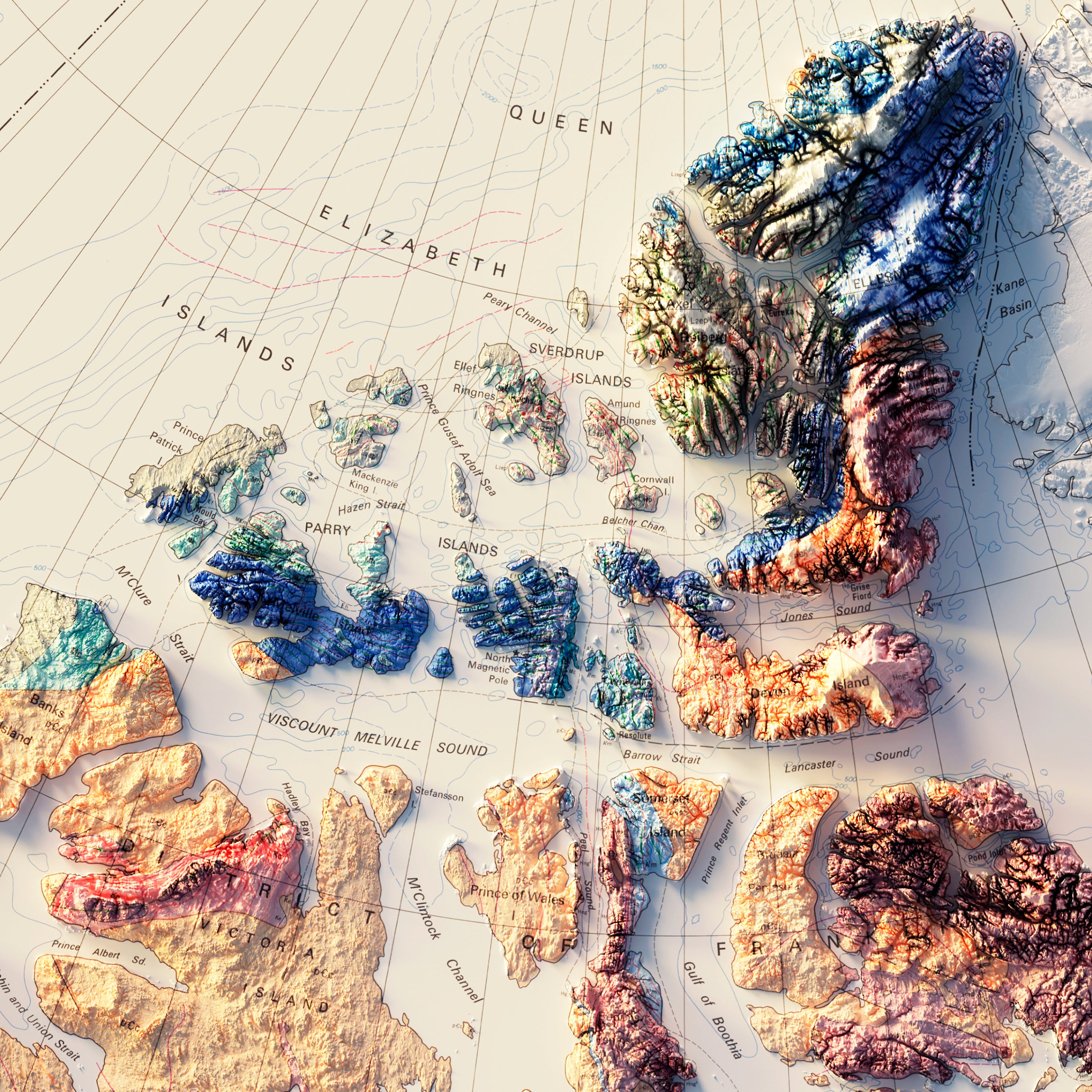
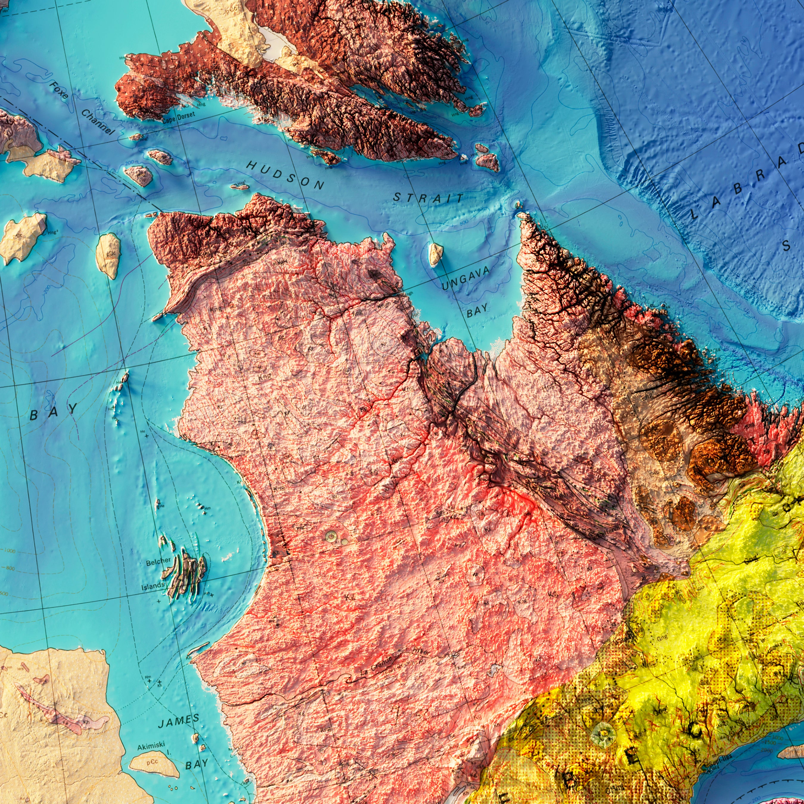
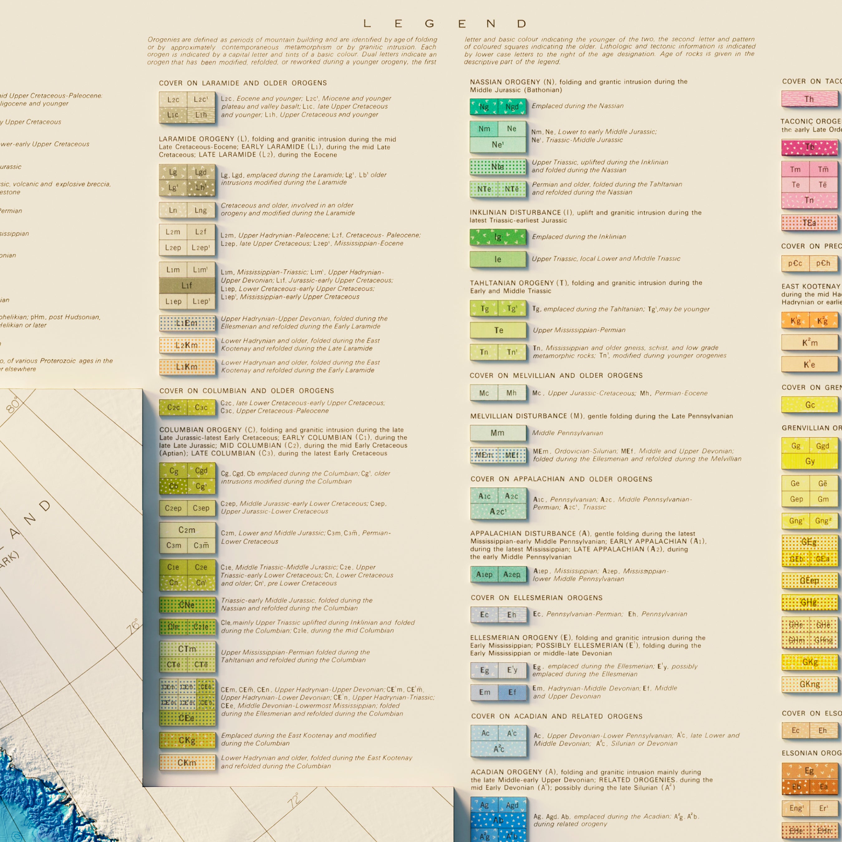
Canada
25
Central America
1
Continent Map
6
Cuba
1
Jamaica
1
Mexico
4
North America
1
Sort by
Best selling
Alphabetically, A-Z
Alphabetically, Z-A
Date, old to new
Date, new to old
Apply
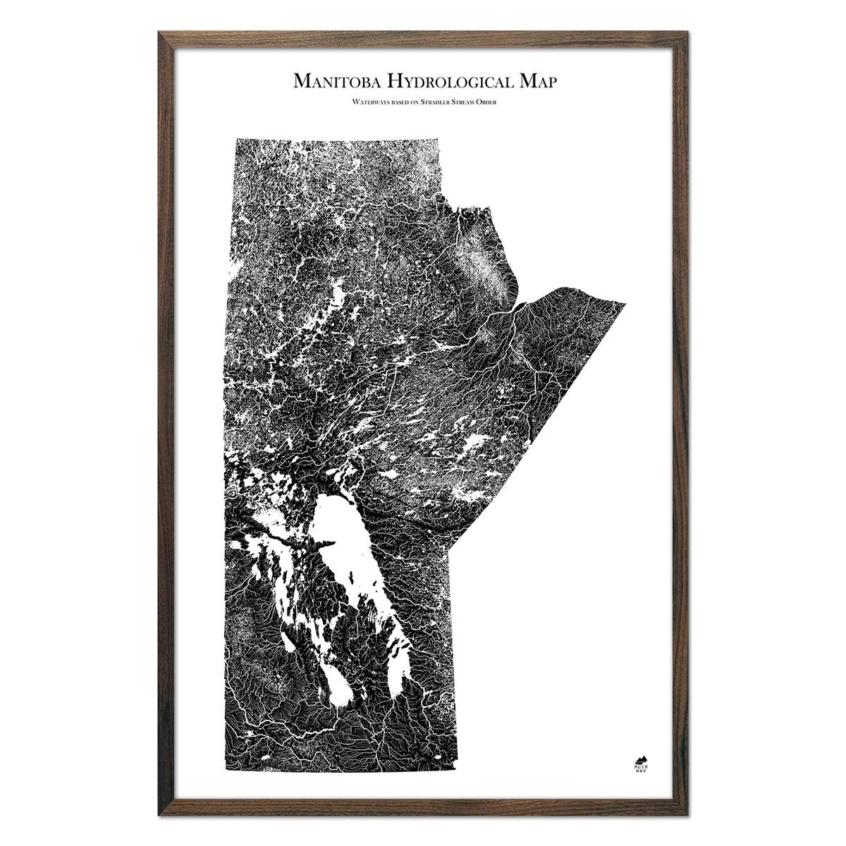
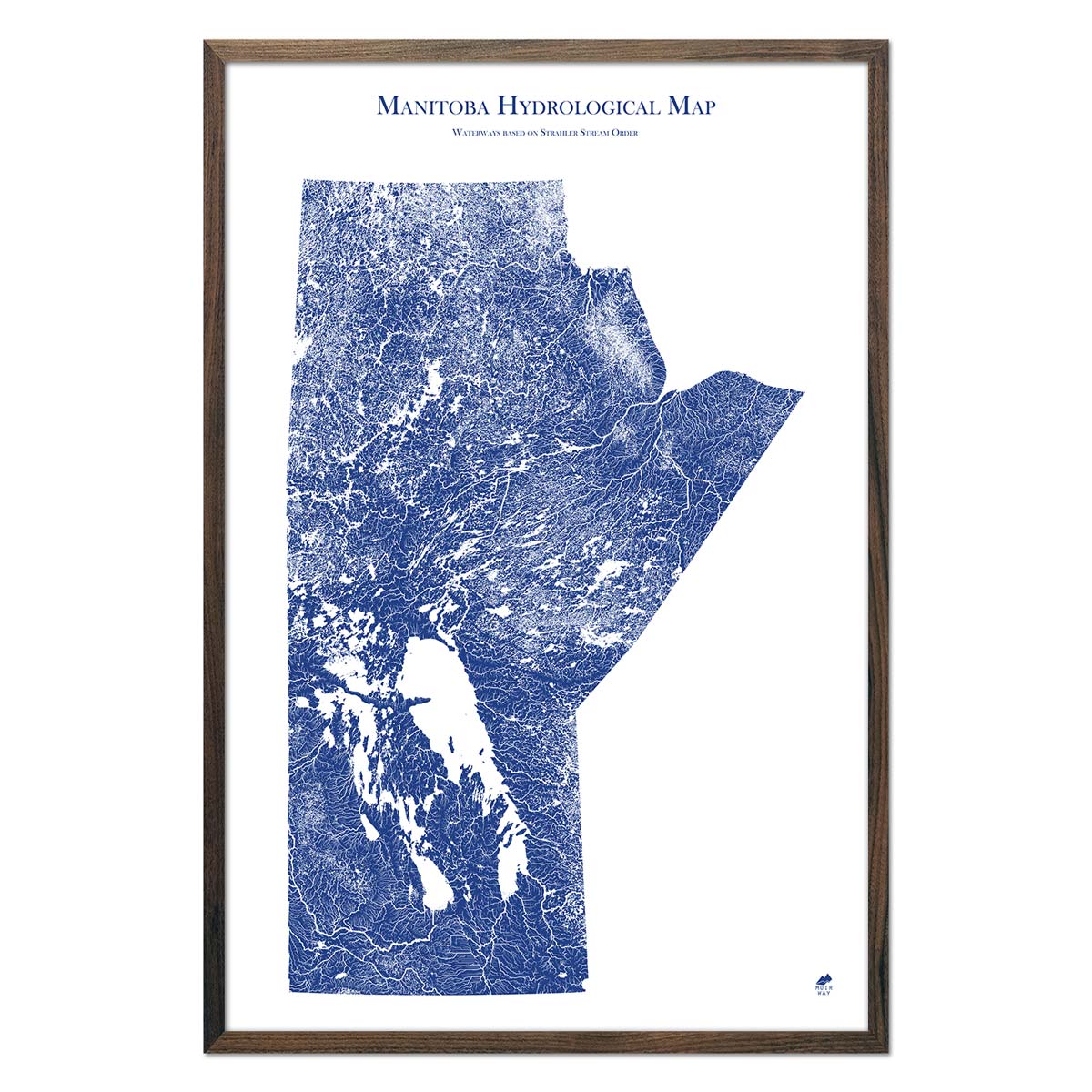
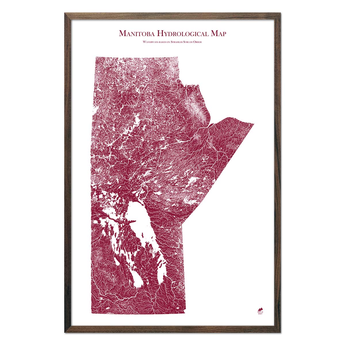
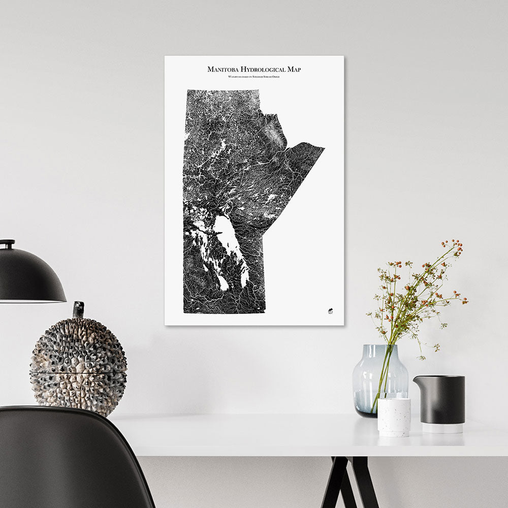
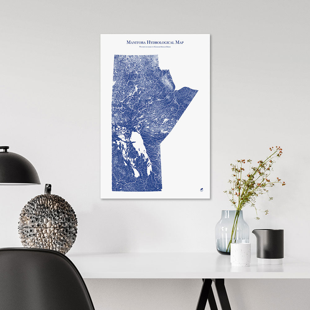
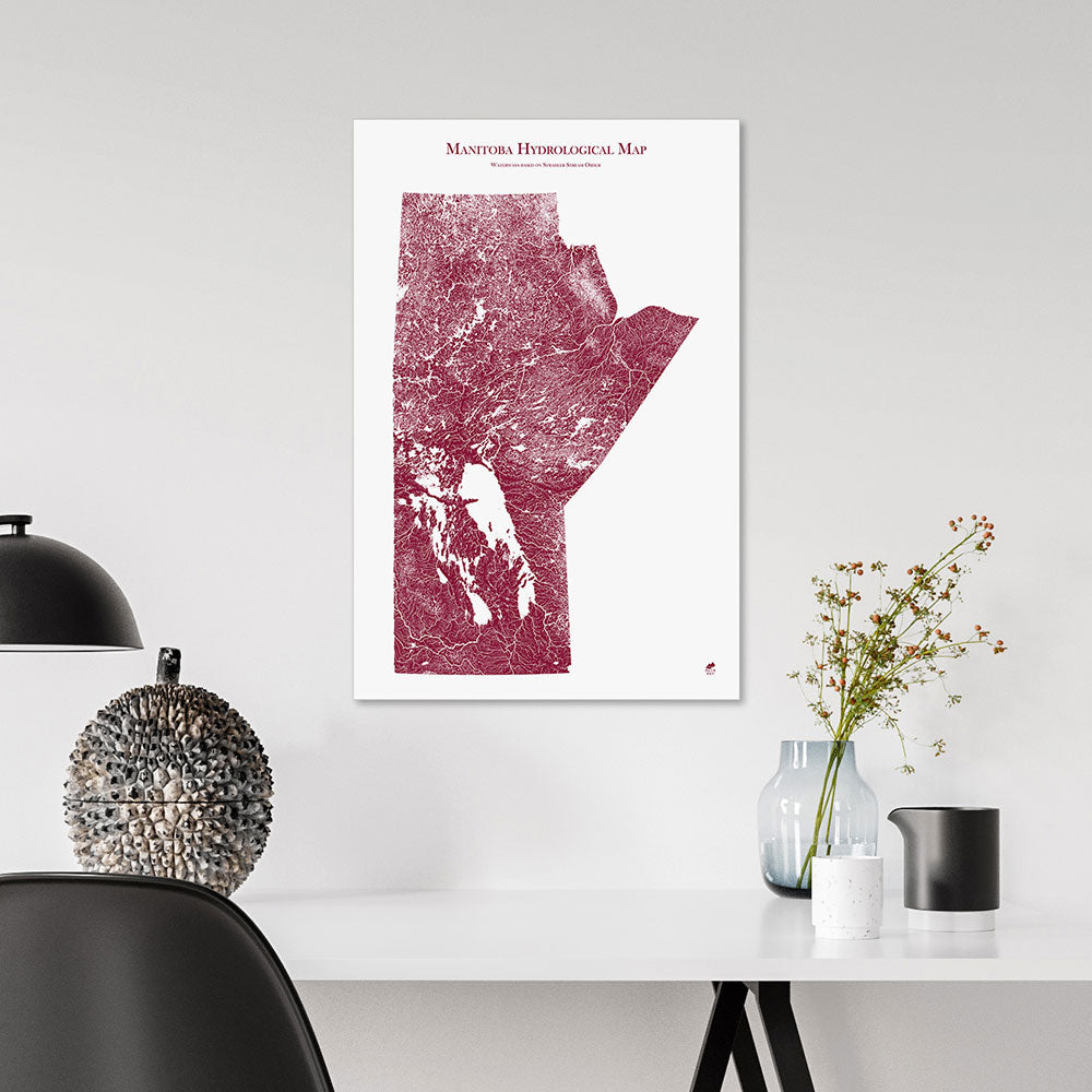
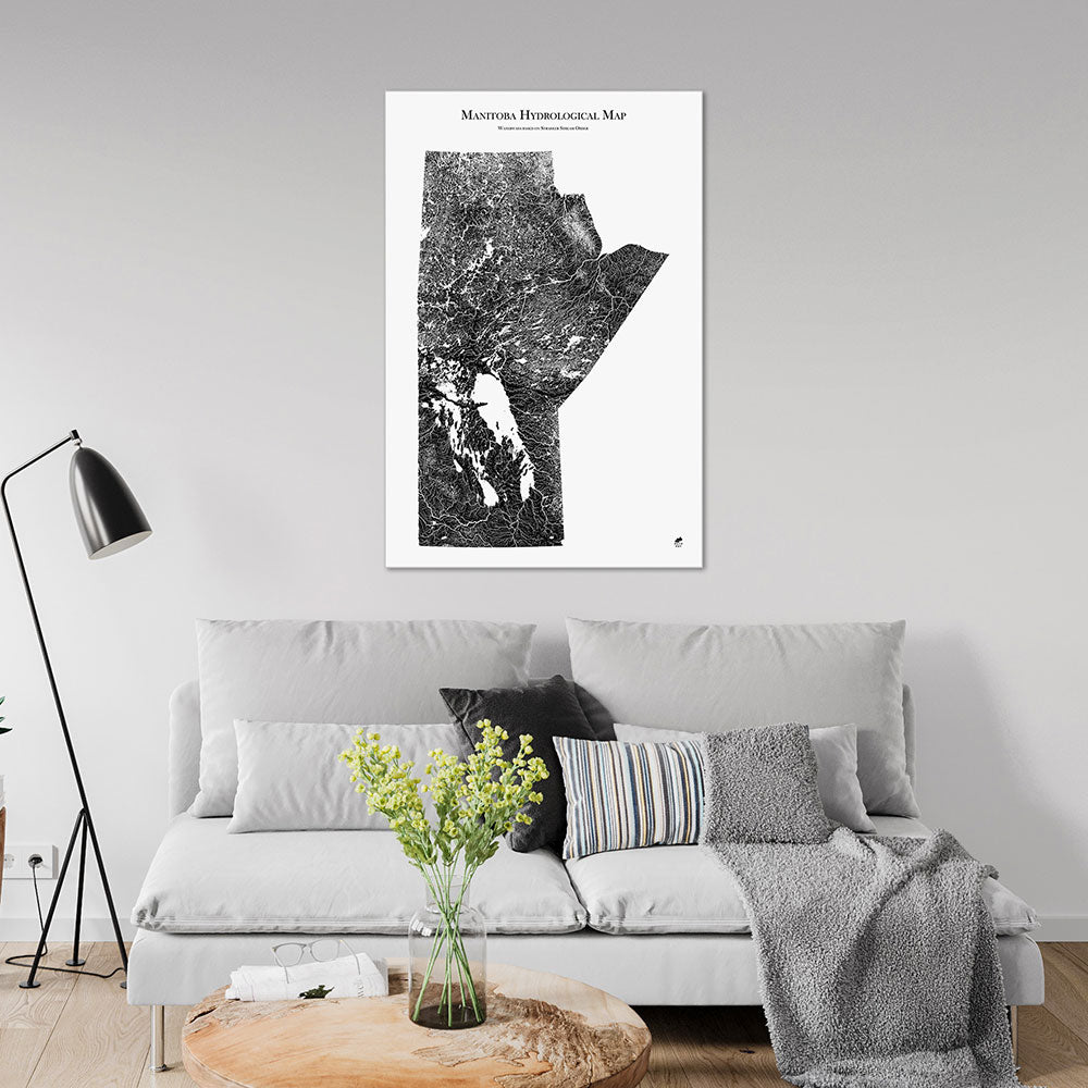
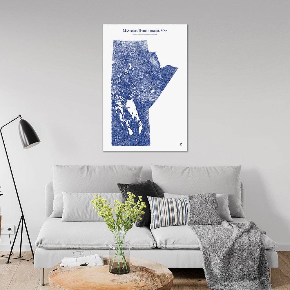
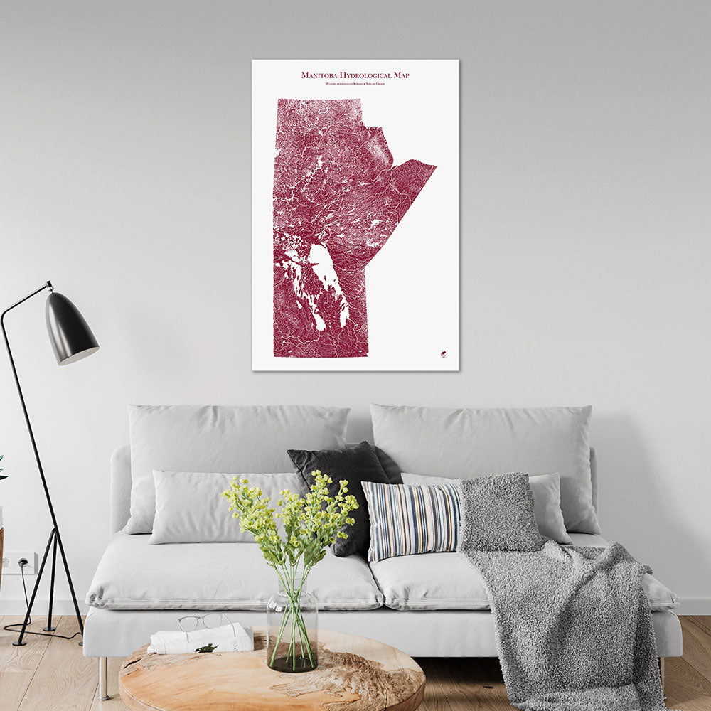
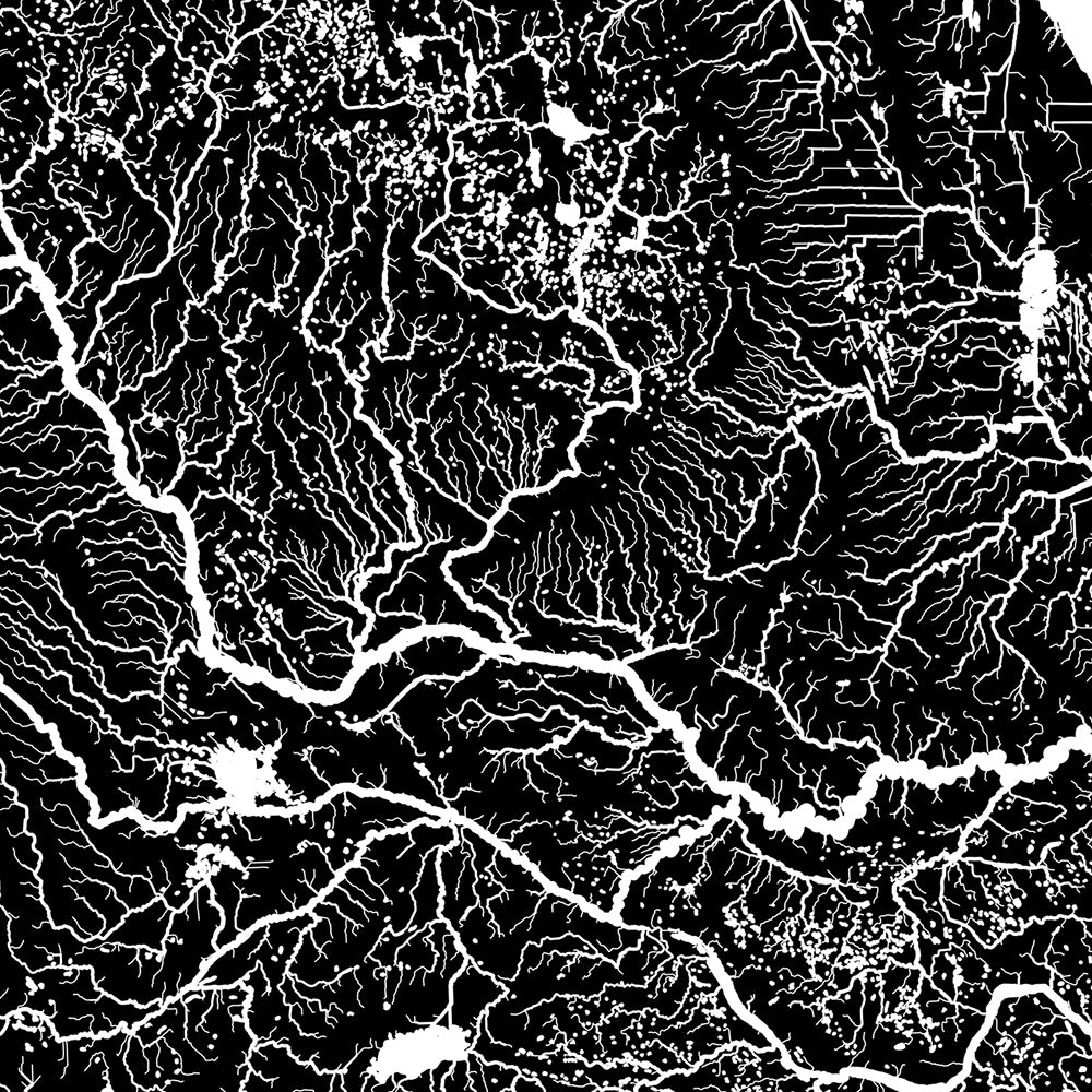
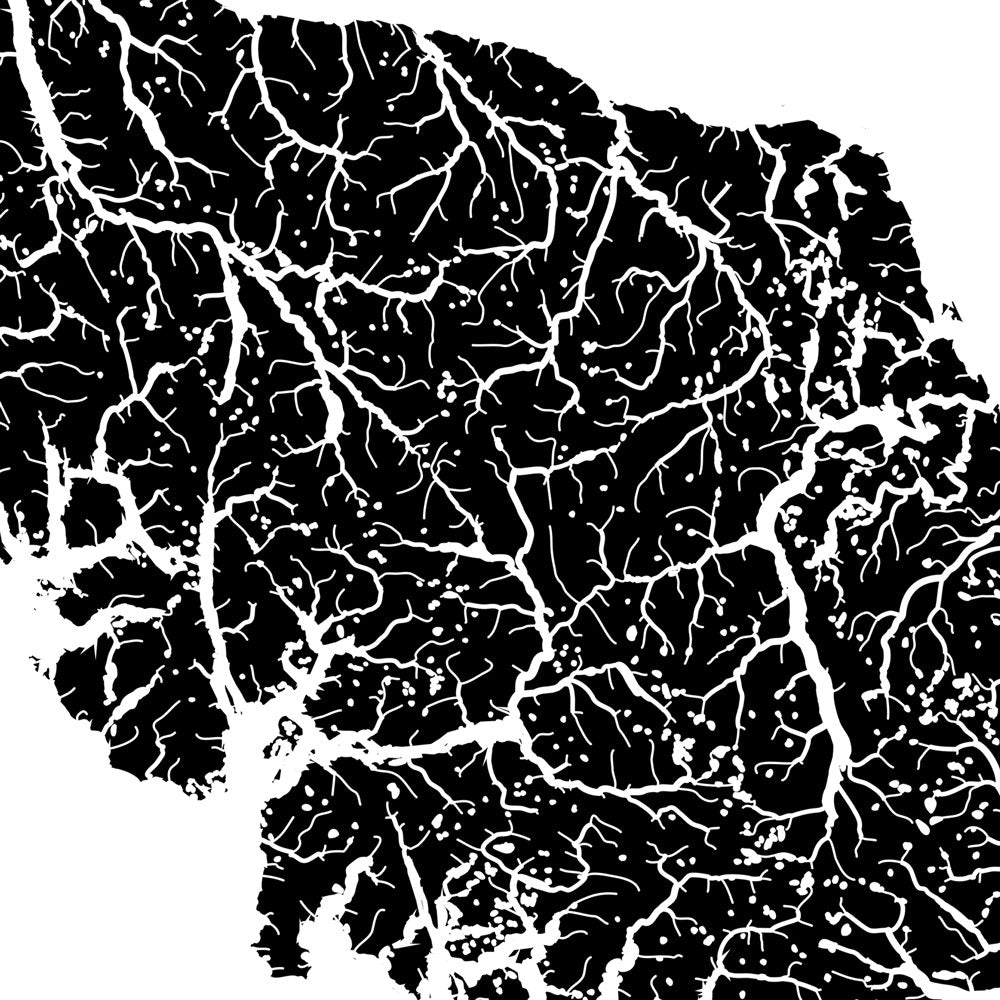
Manitoba Hydrological Map
From
$ 59.00 USD
5.0 / 5.0
1640 reviews
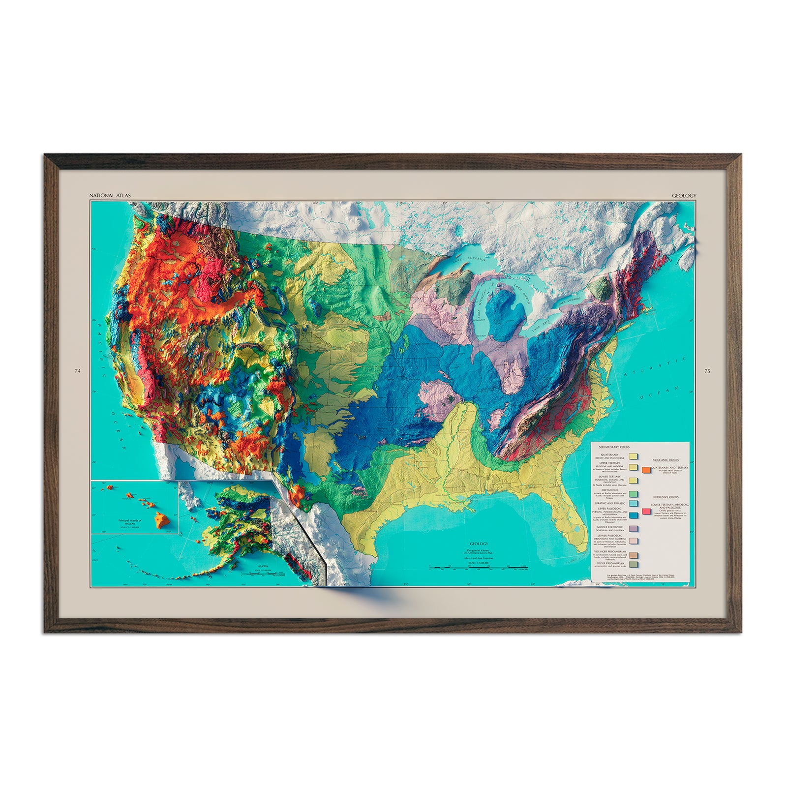
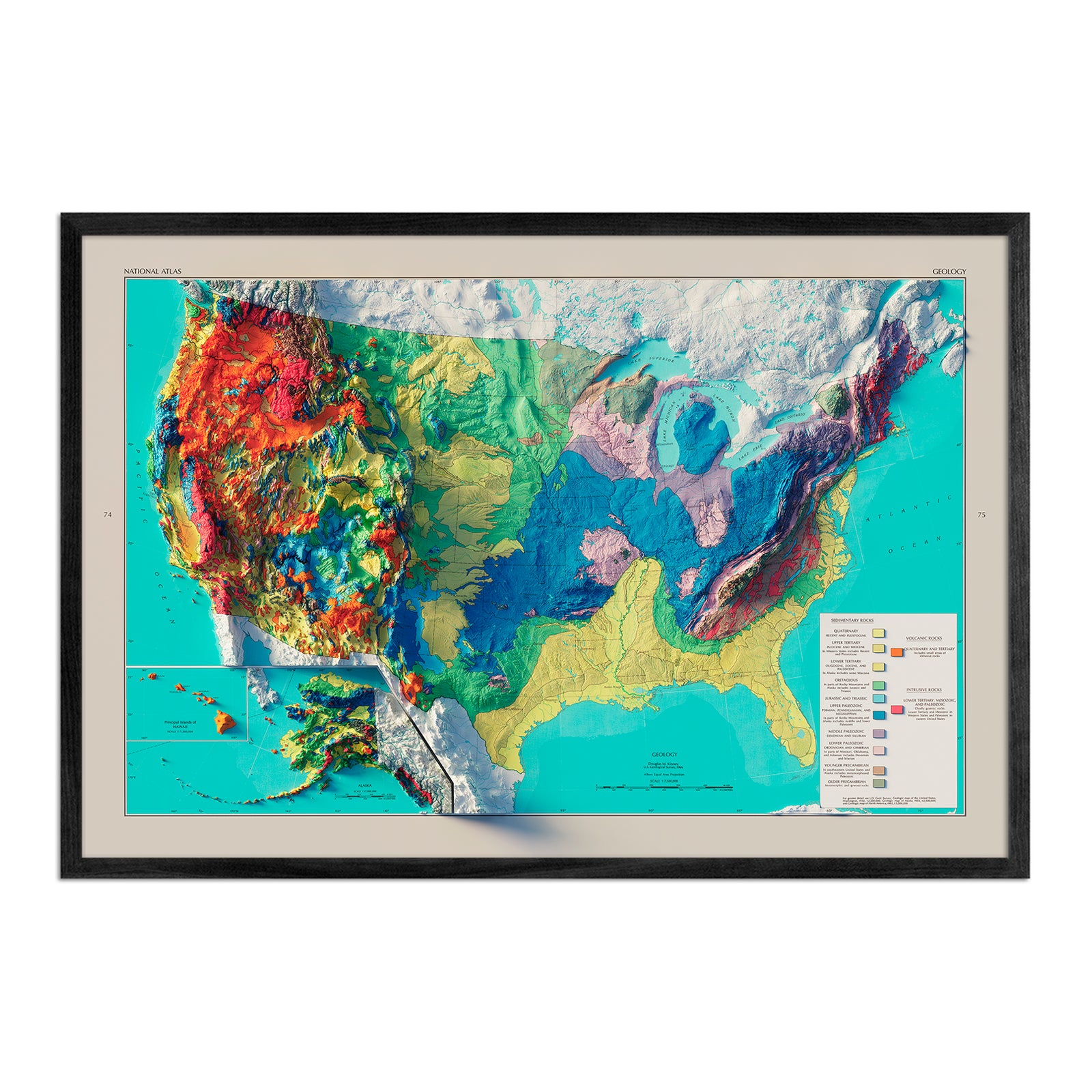
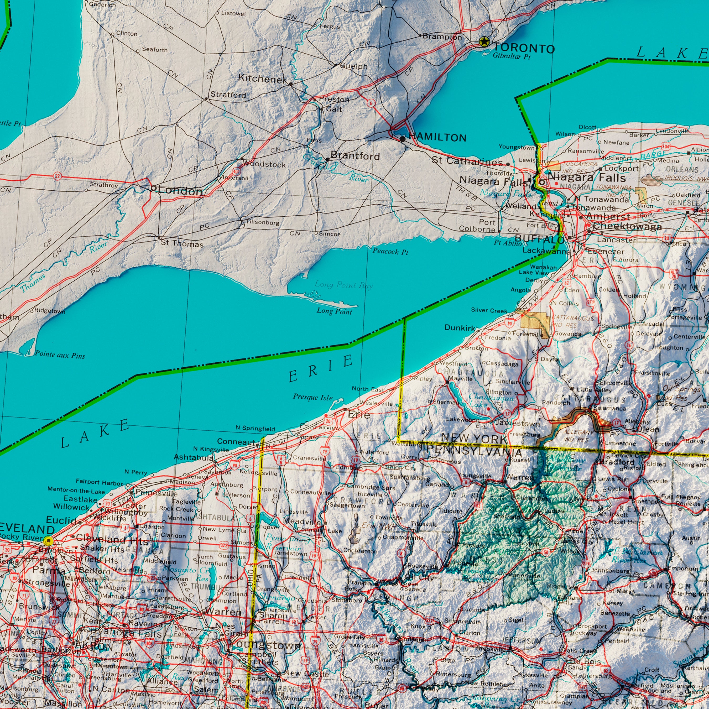
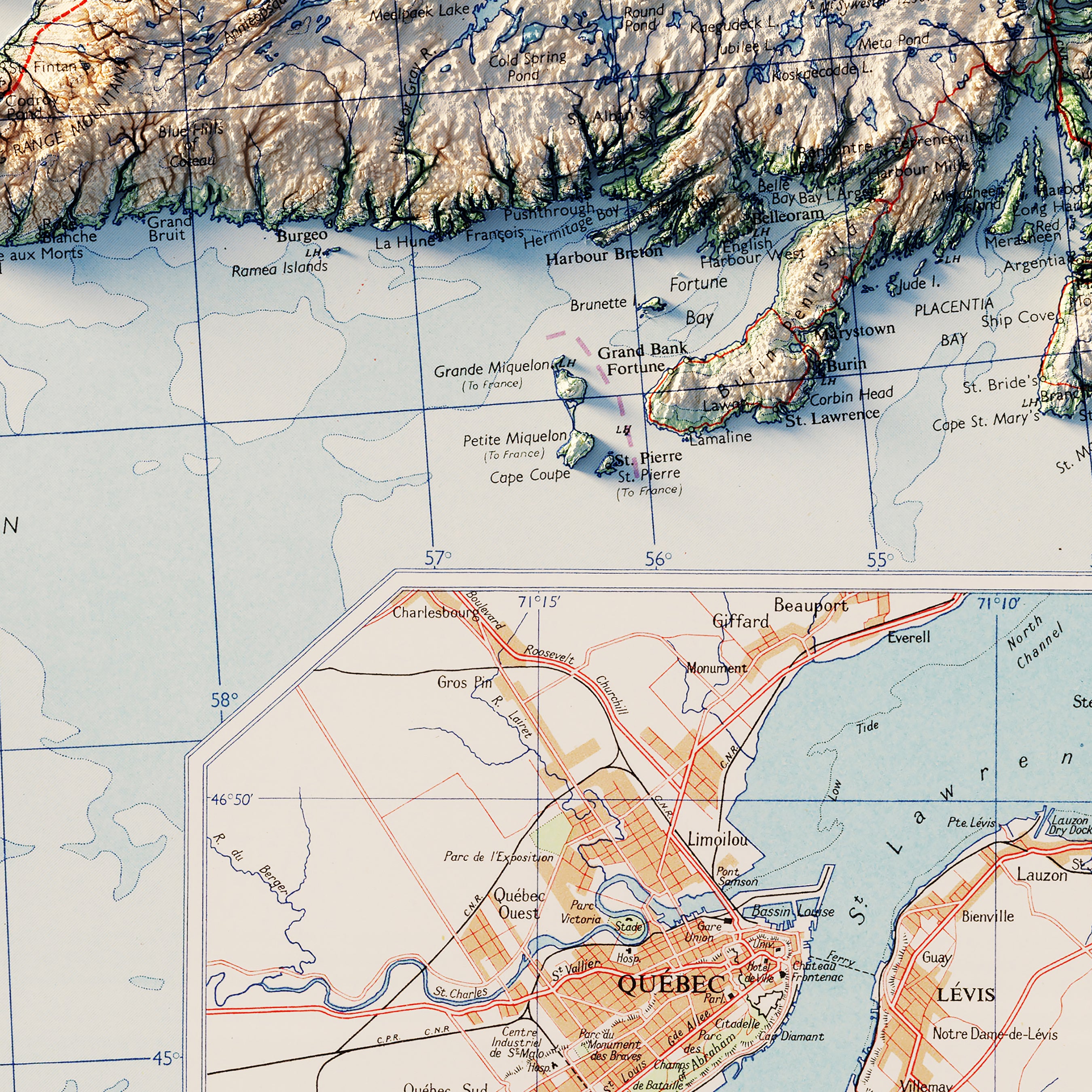
USA Geologic 1970 Shaded Relief Map
From
$ 79.00 USD
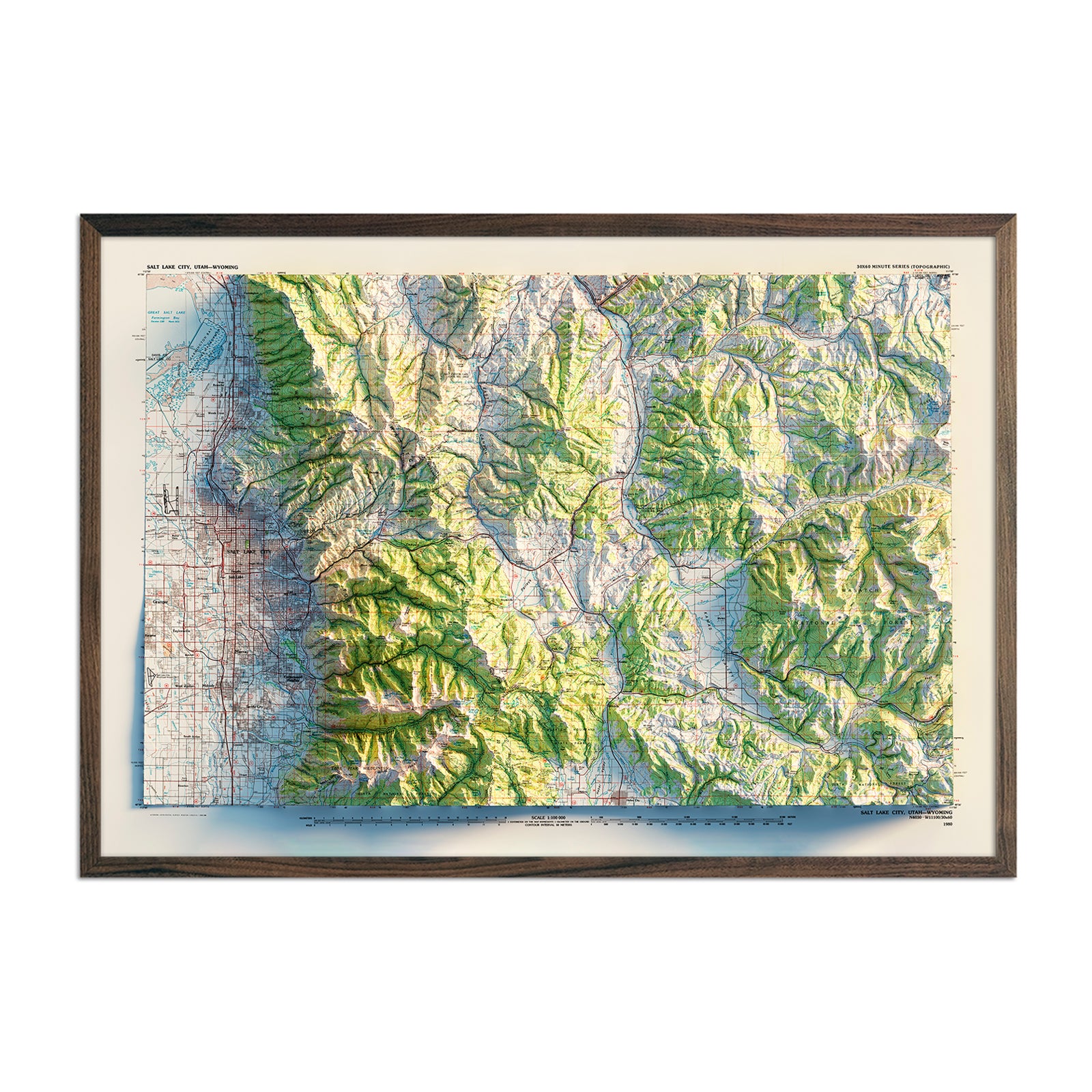
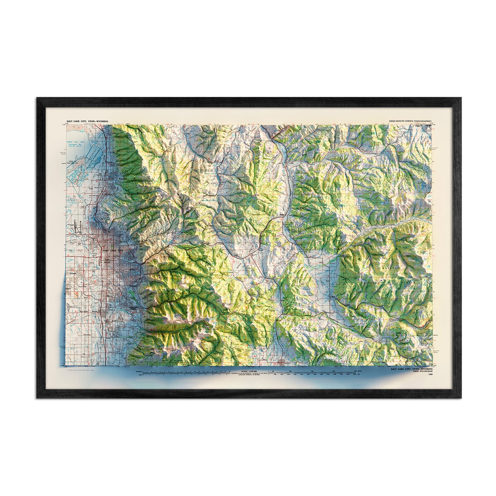
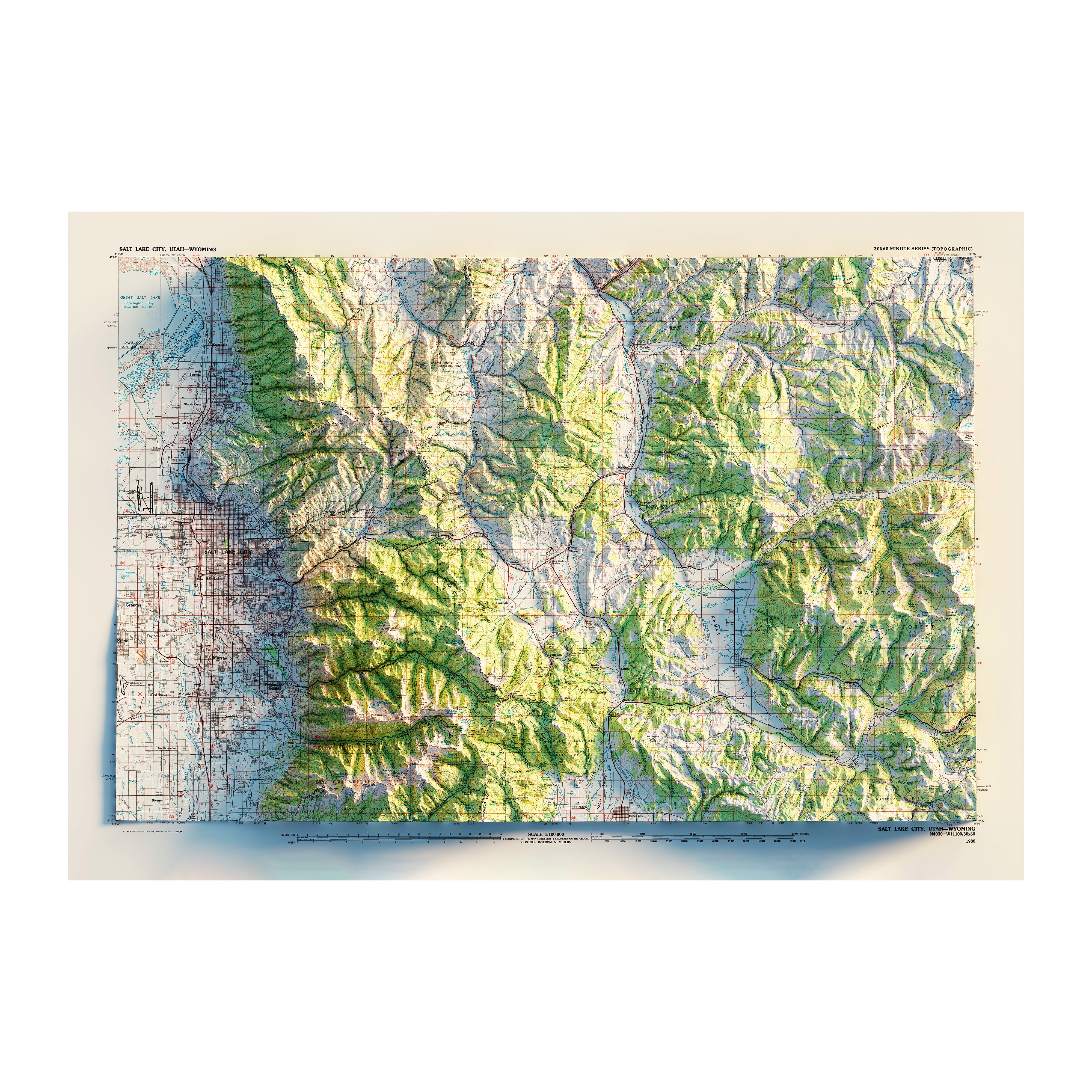
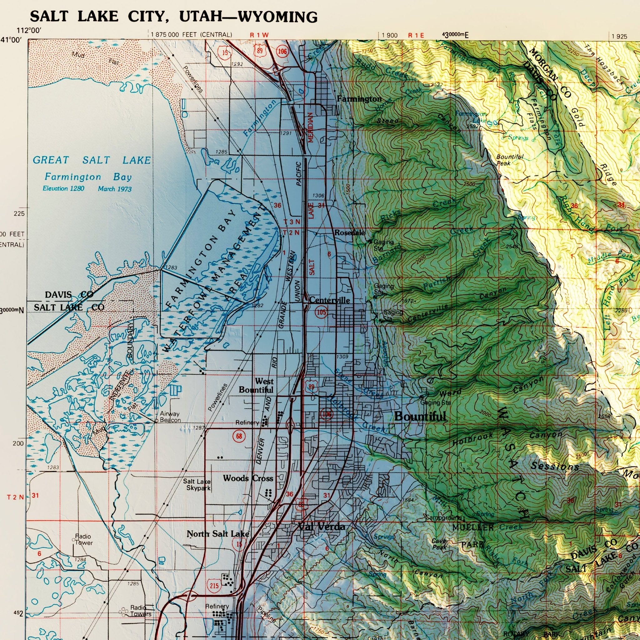
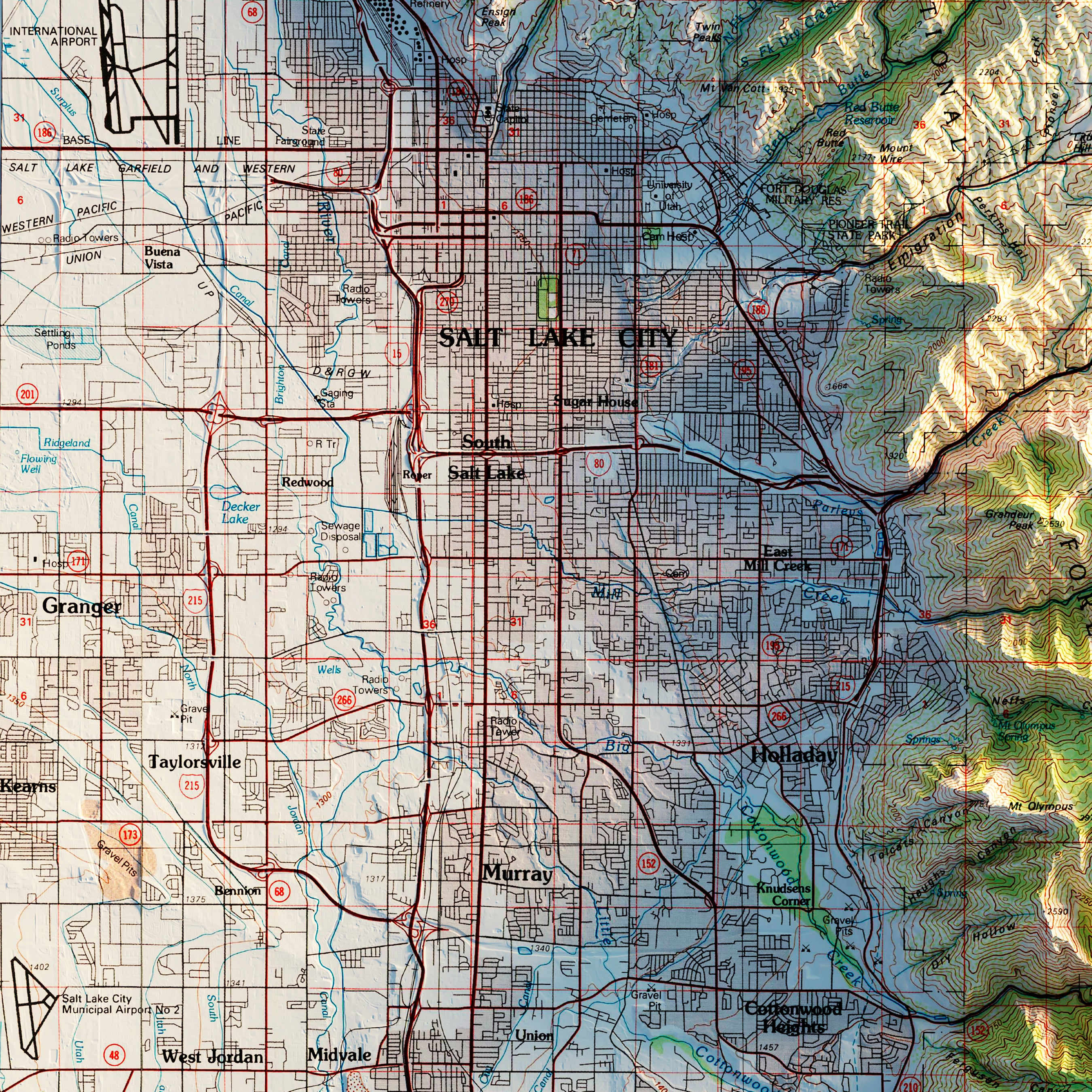
Salt Lake City, Utah 1980 Shaded Relief Map
From
$ 79.00 USD
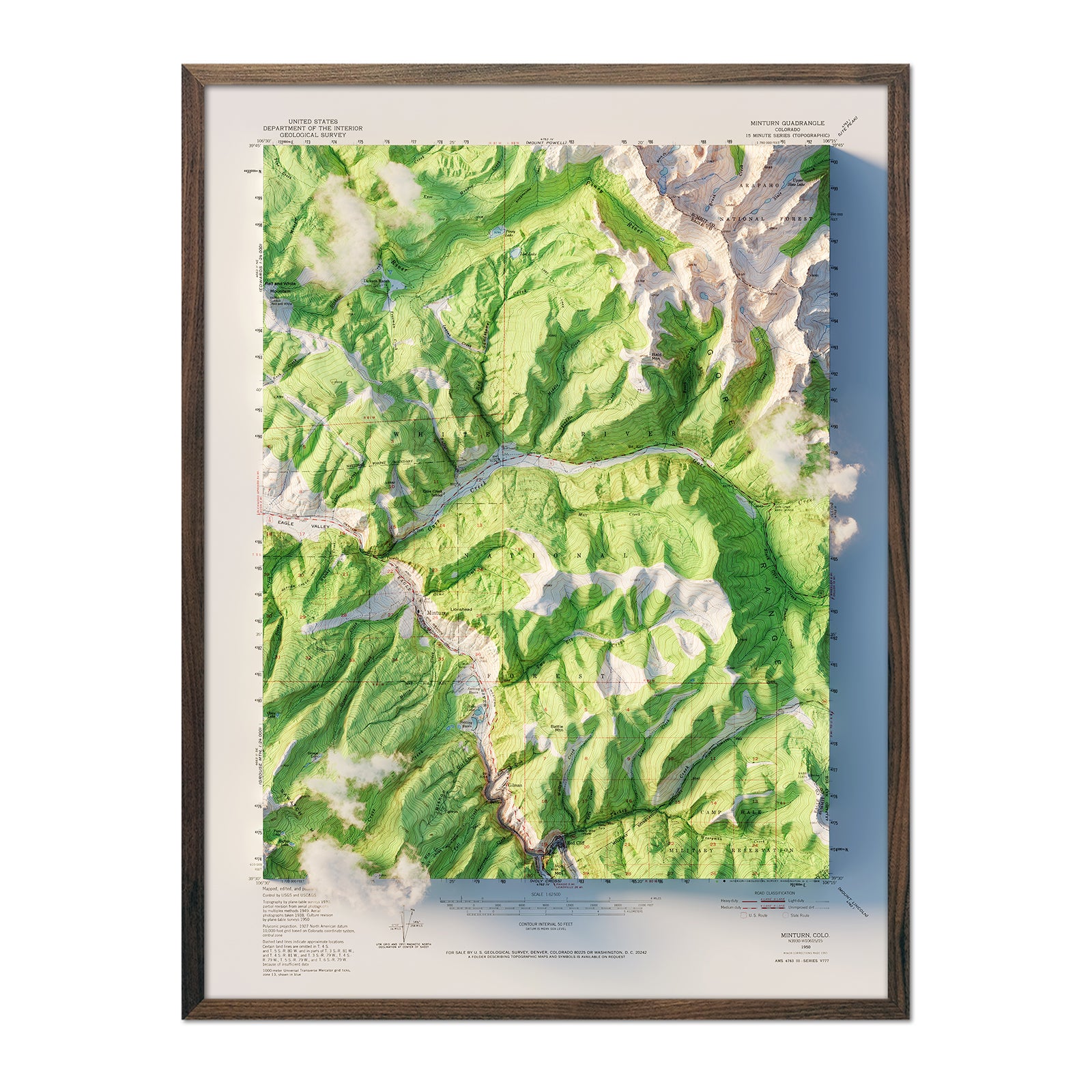
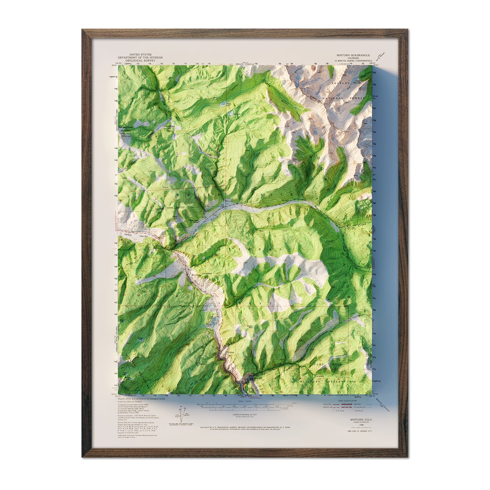
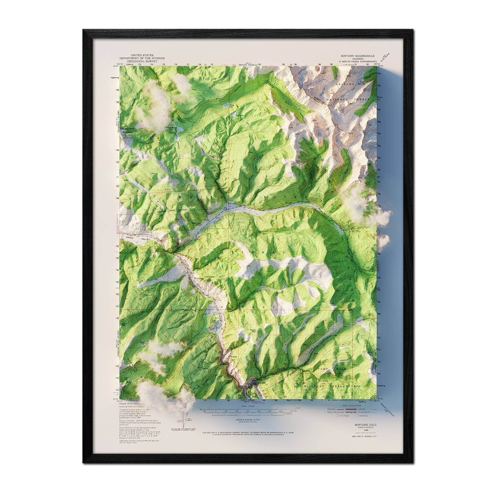
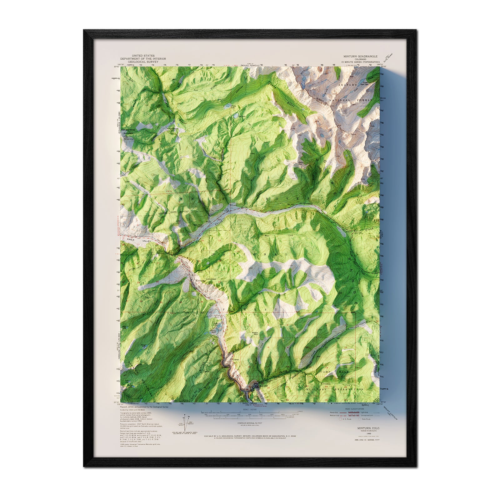
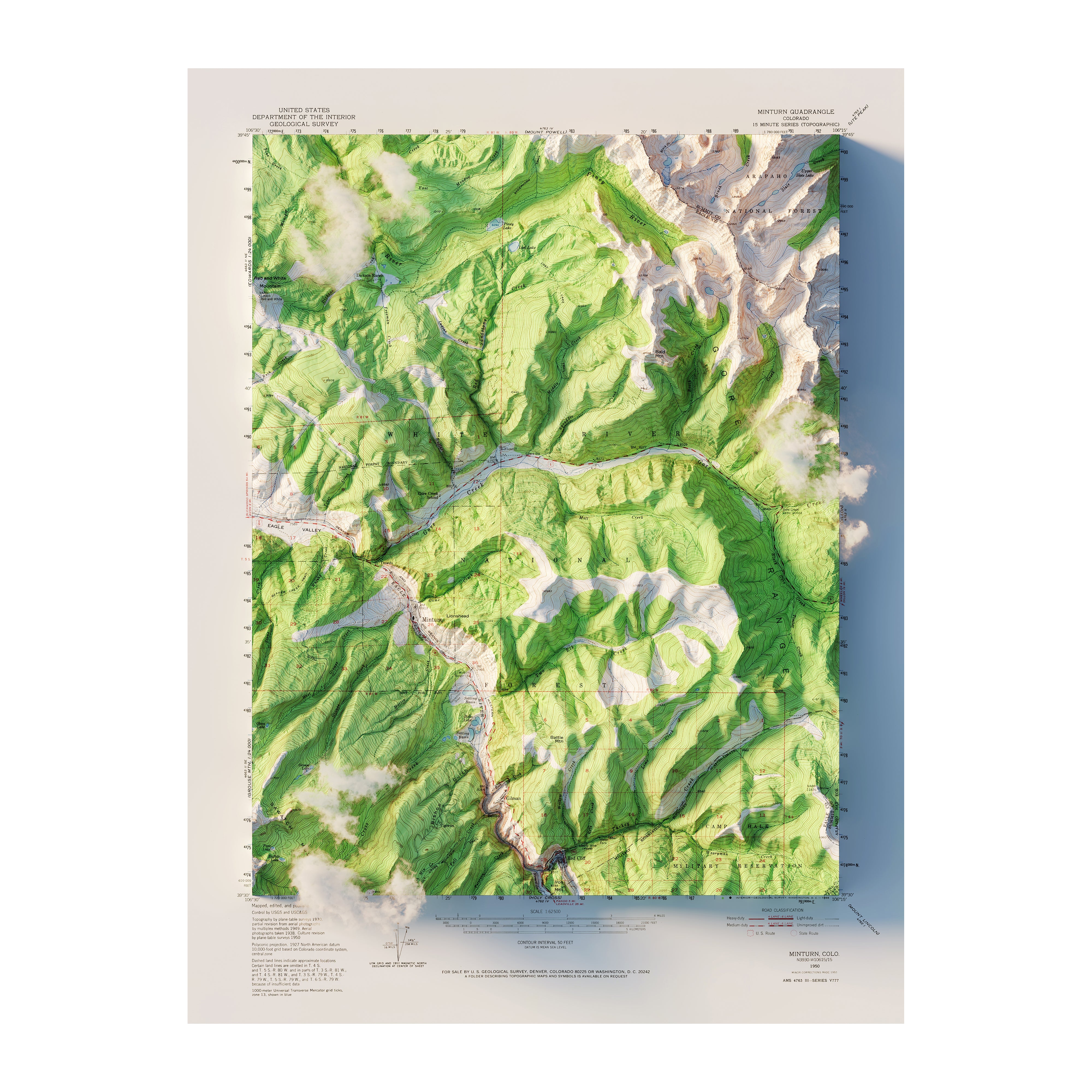
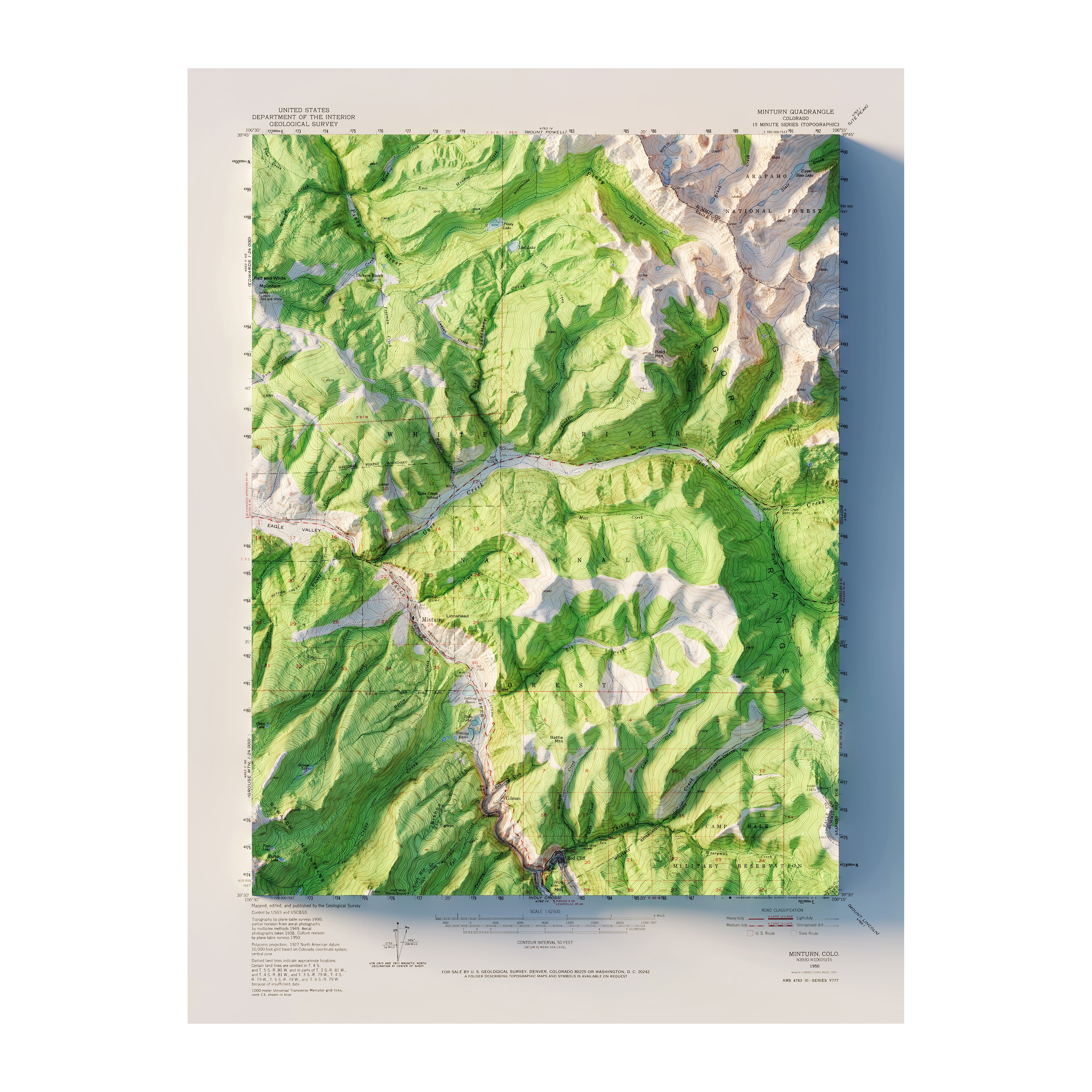
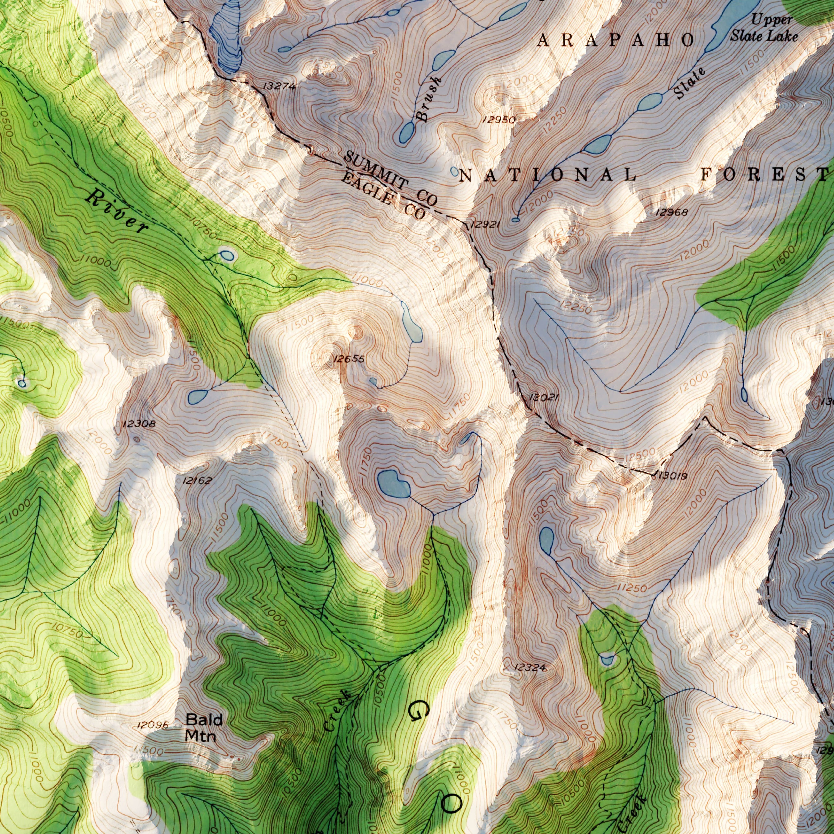
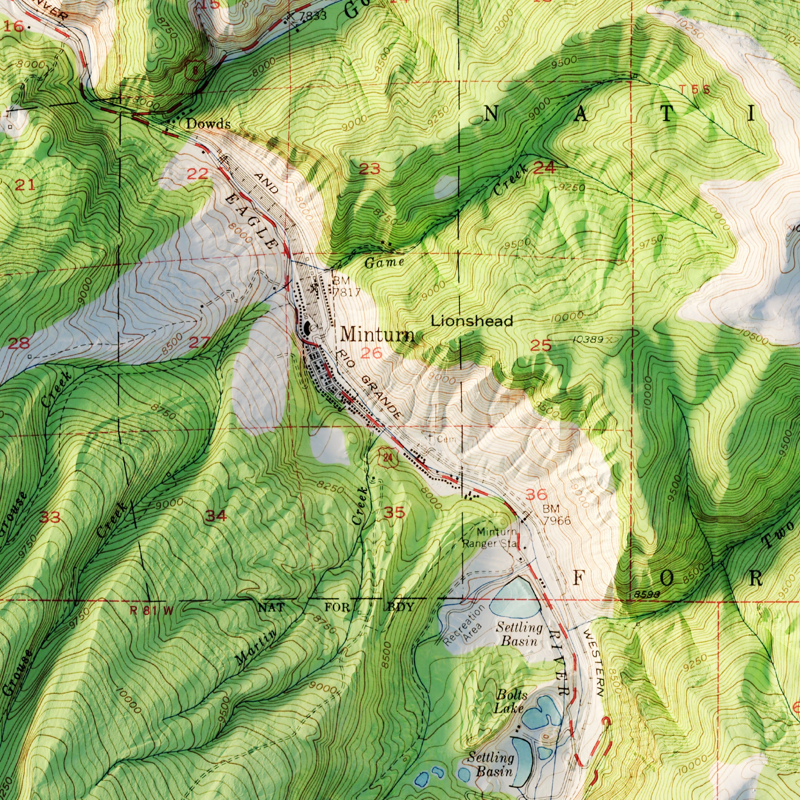
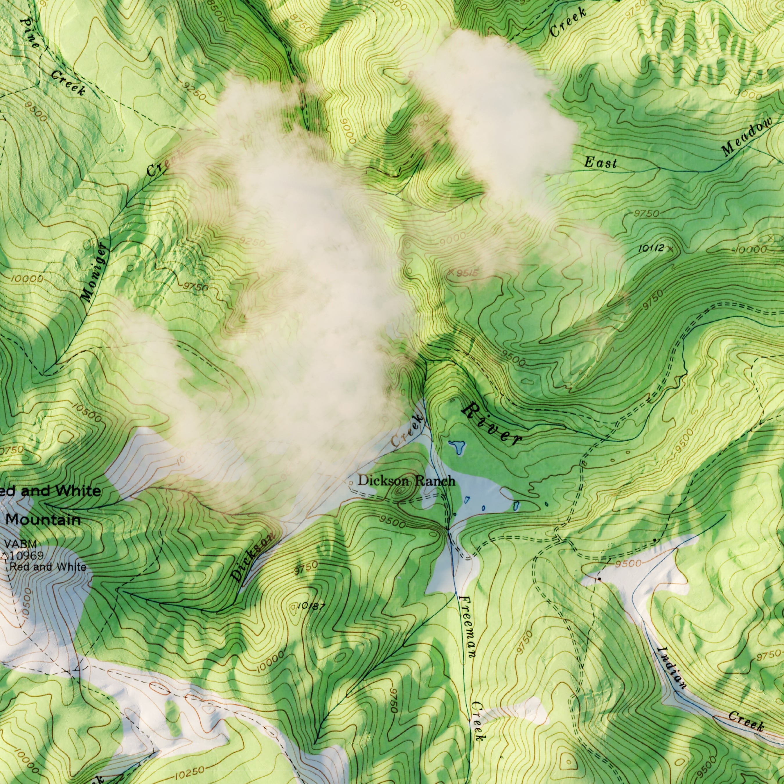
Vail, Colorado 1950 Shaded Relief Map
From
$ 79.00 USD
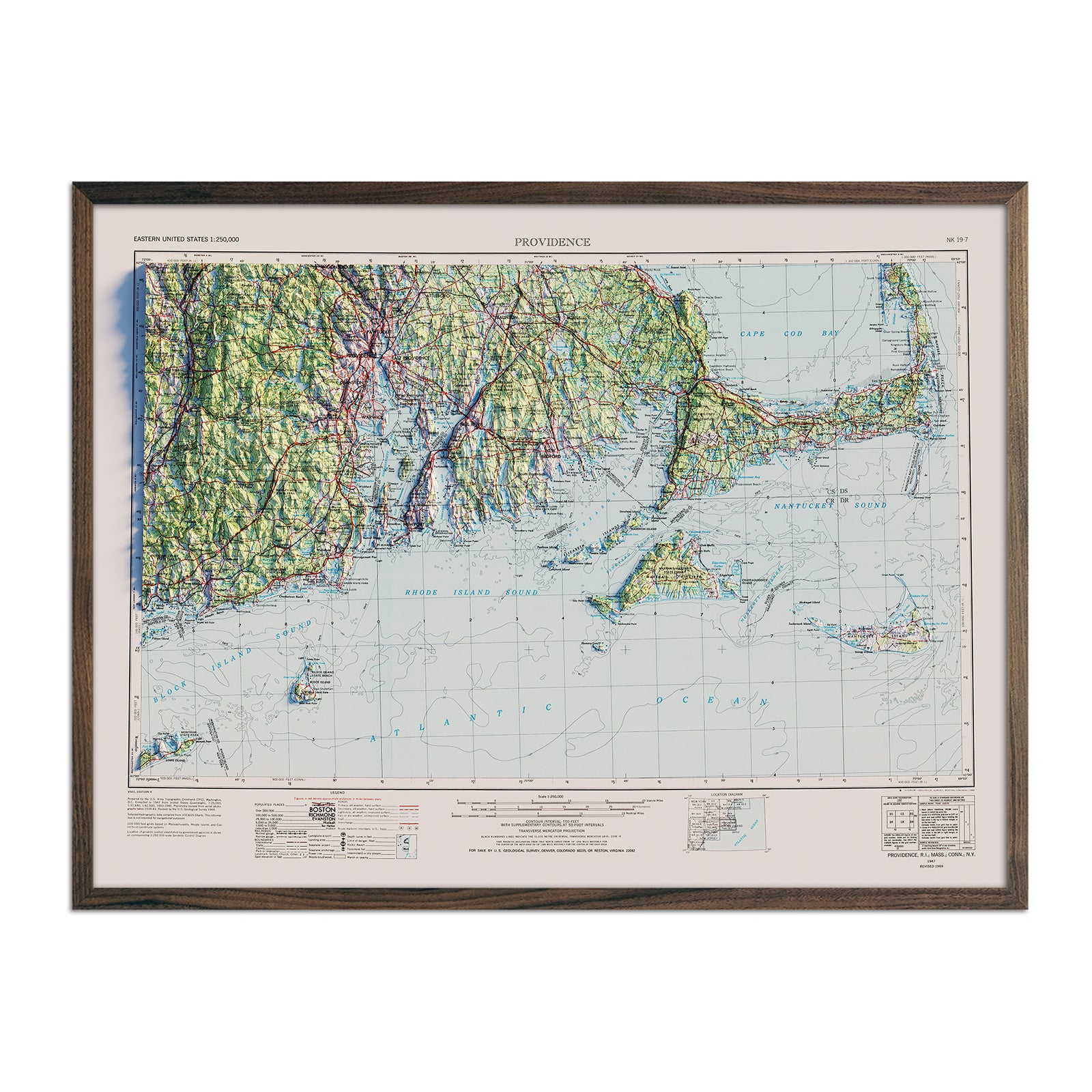
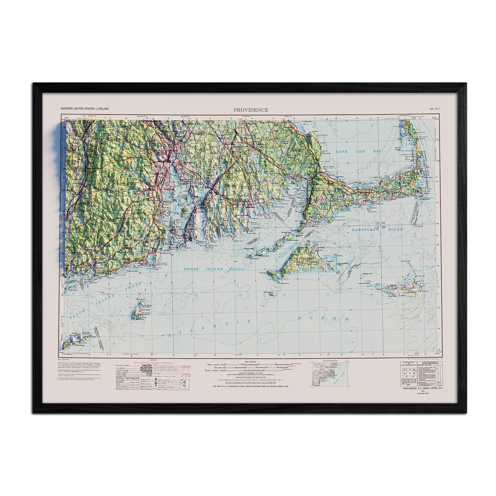
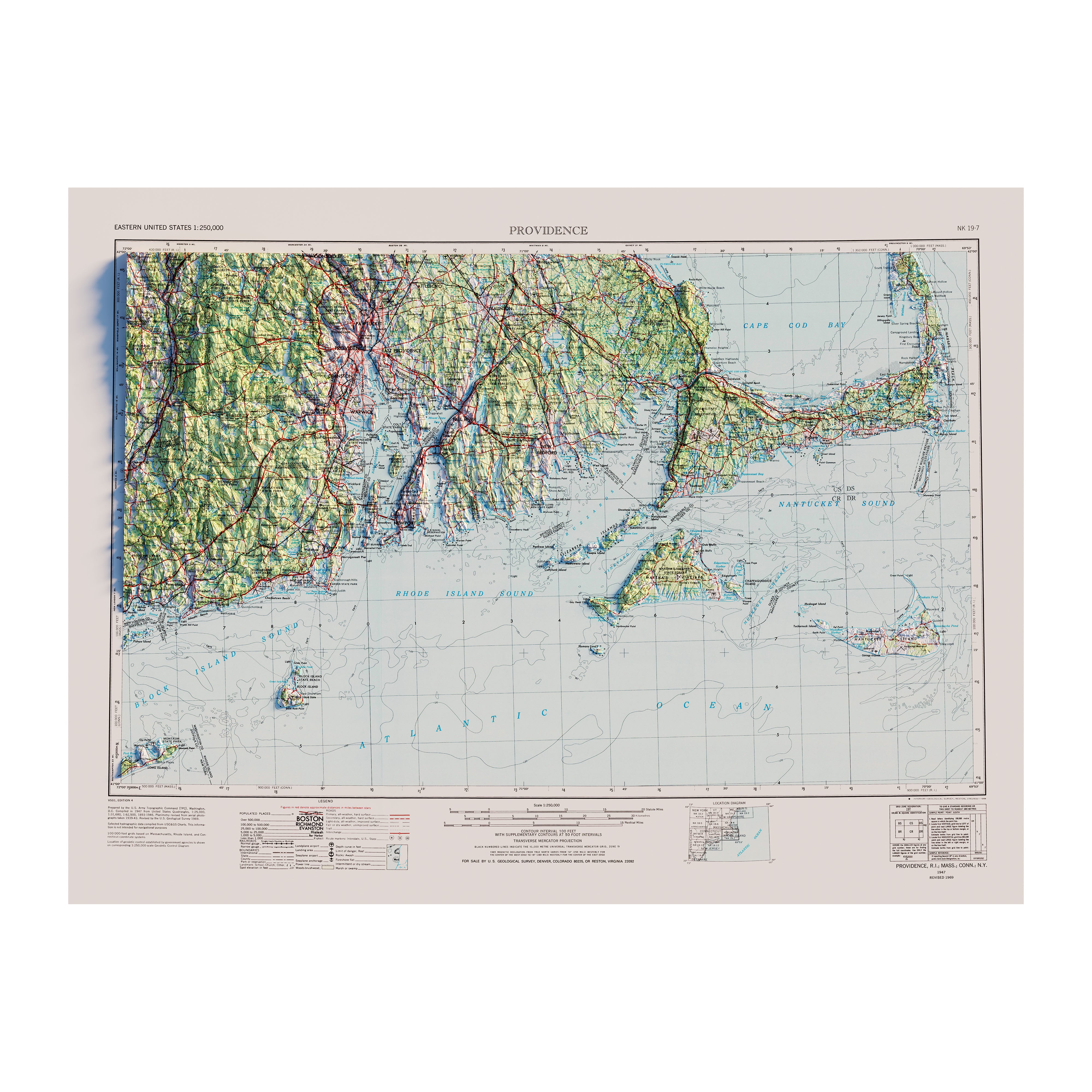
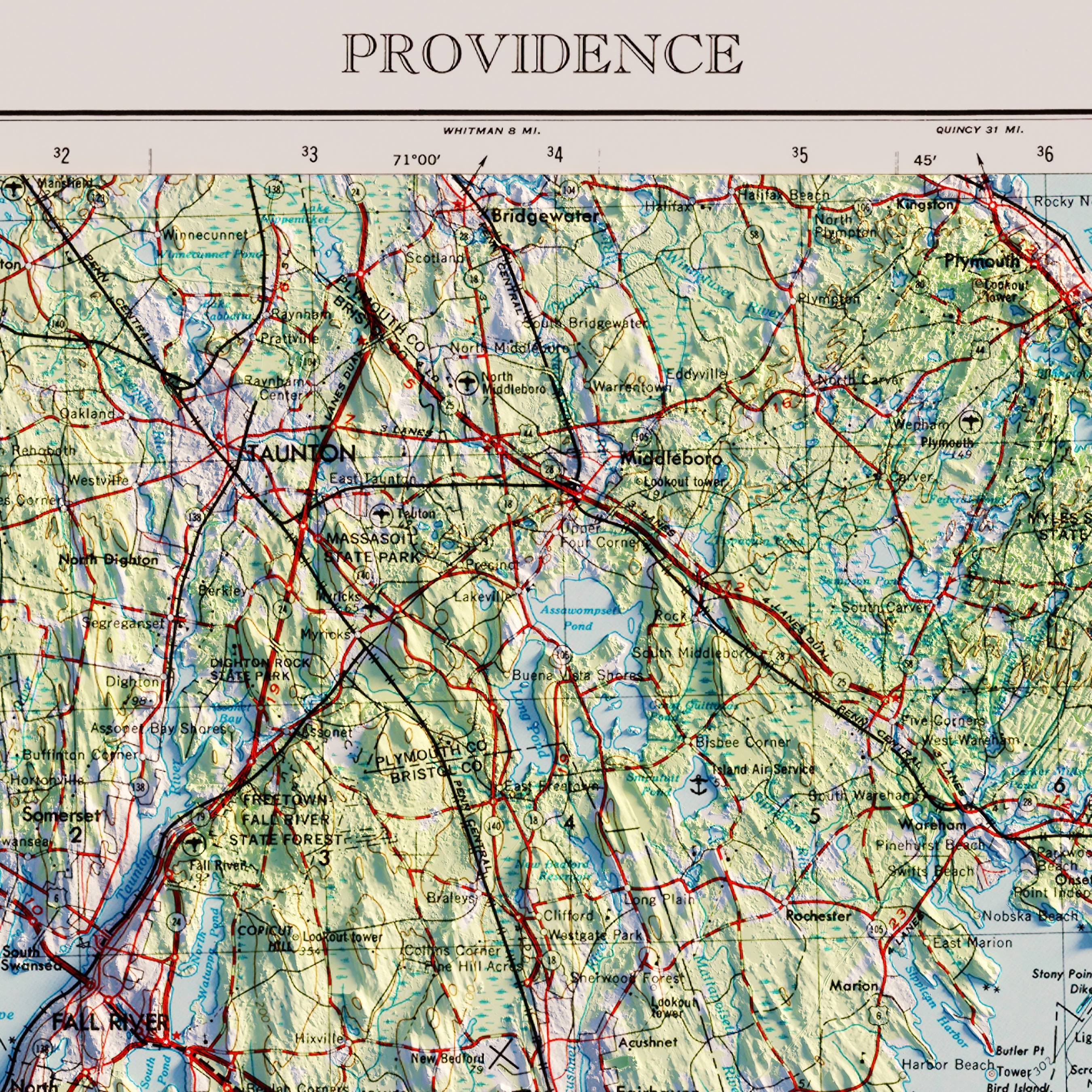
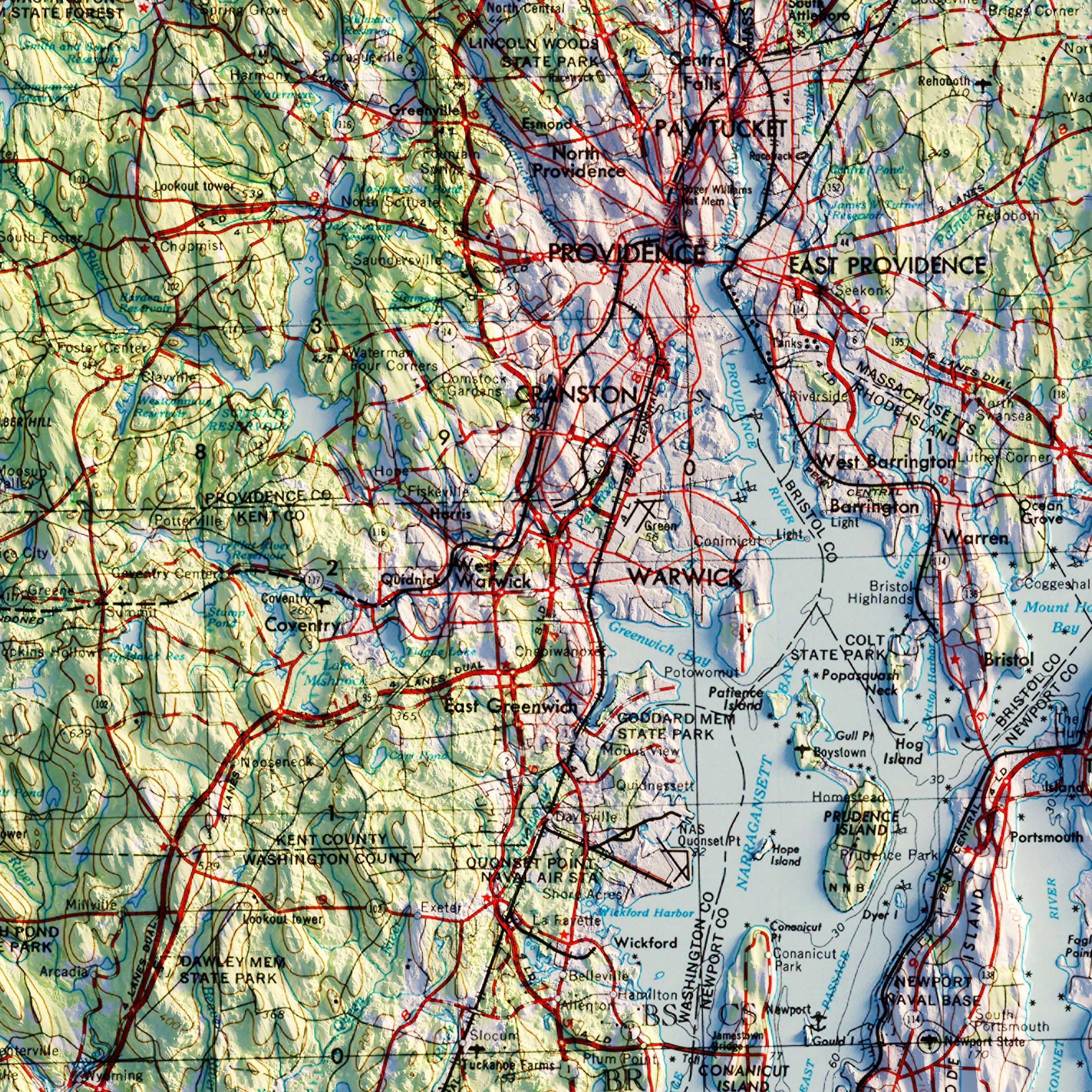
Providence, RI 1947 Shaded Relief Map
From
$ 79.00 USD
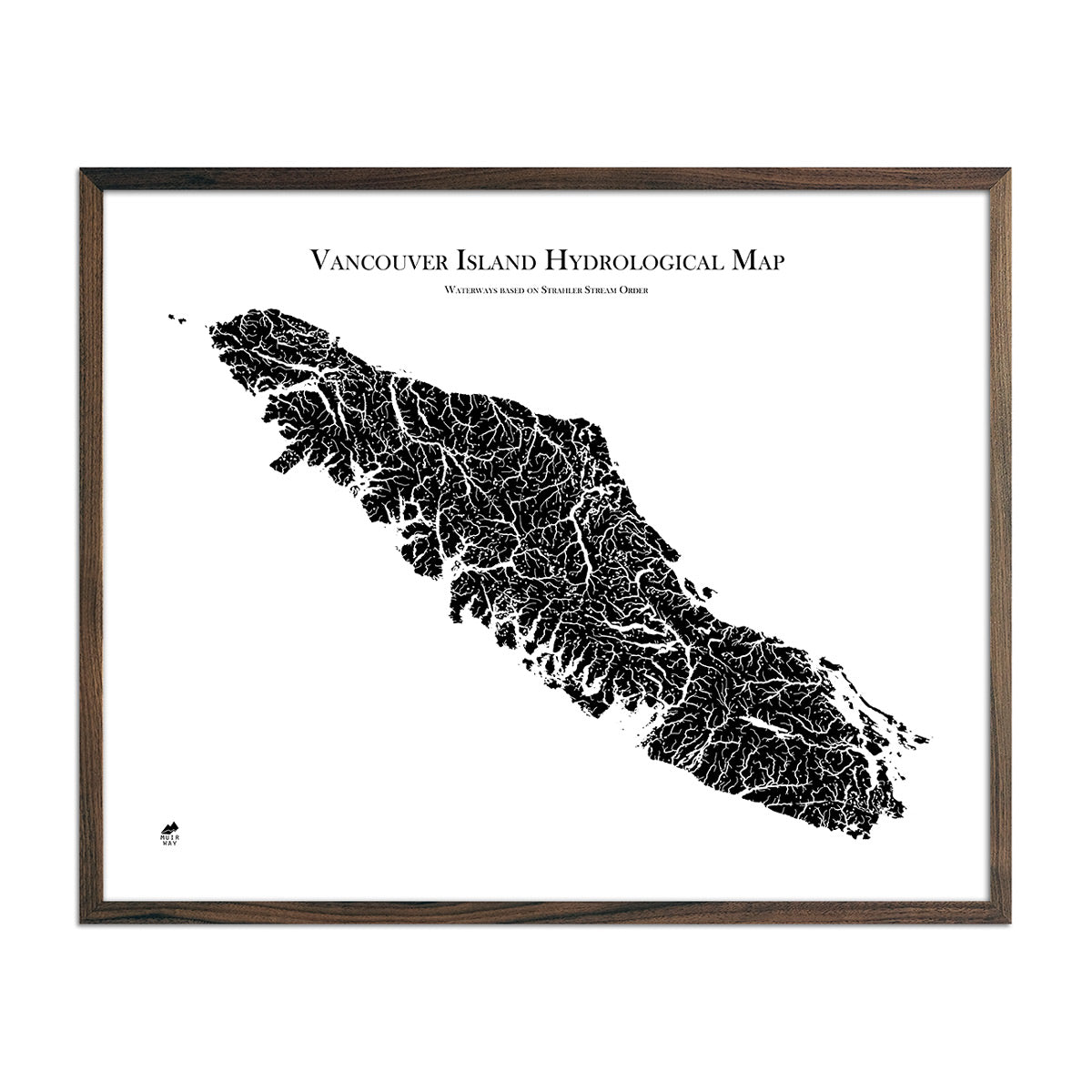
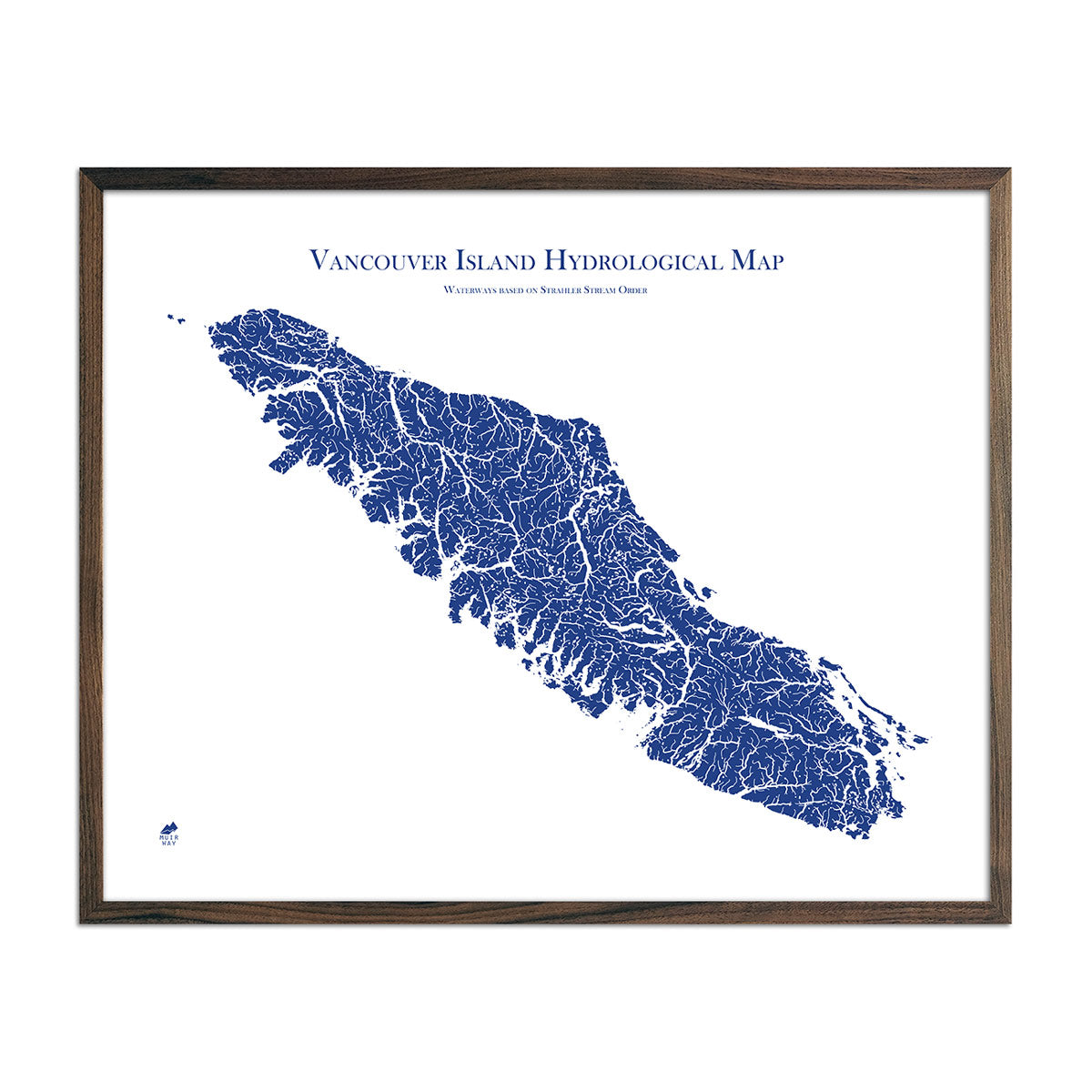
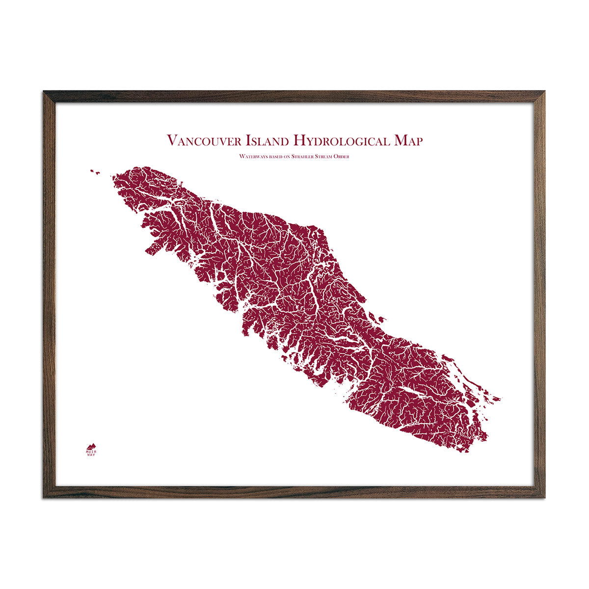
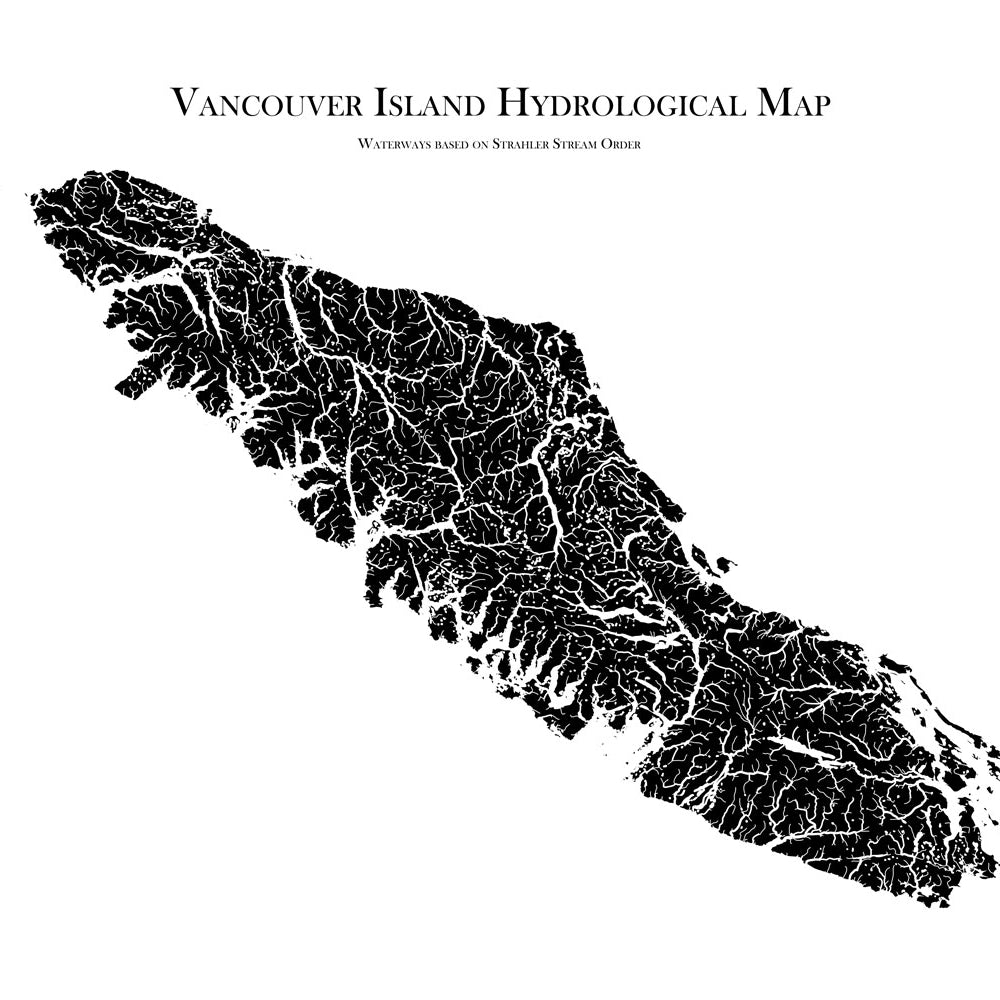
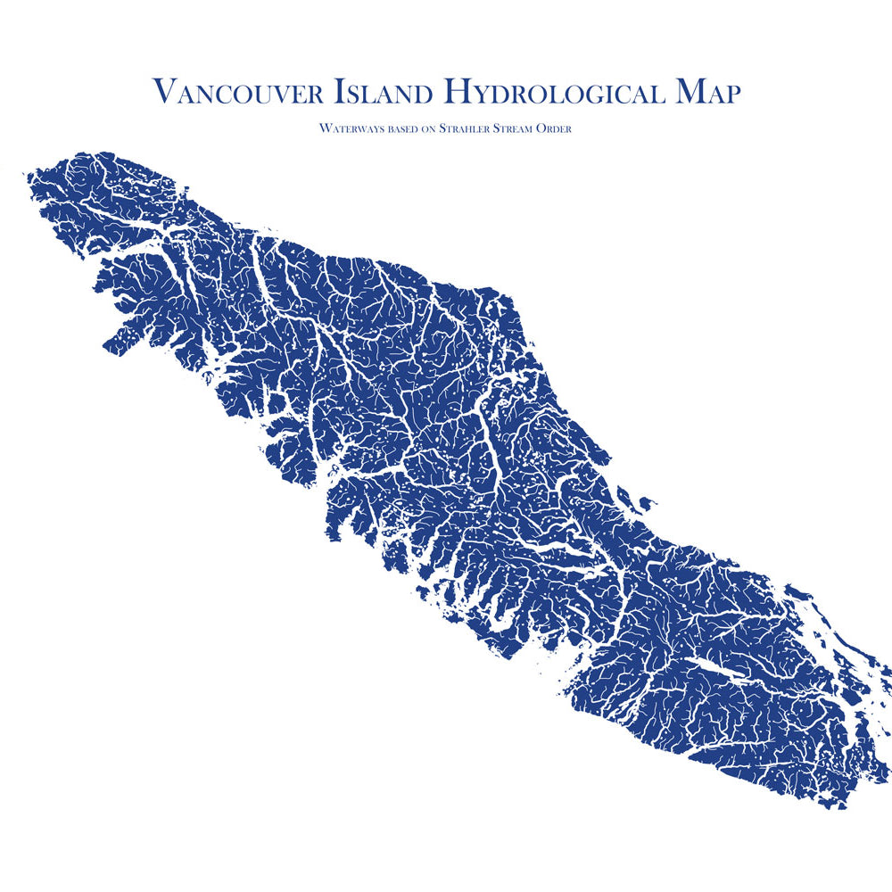
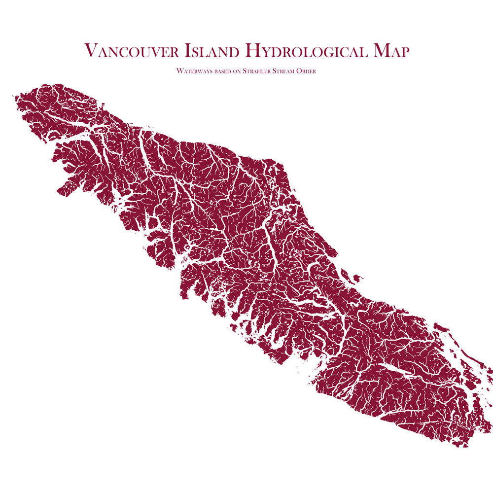
Vancouver Island Hydrological Map
From
$ 64.00 USD
5.0 / 5.0
1640 reviews
New arrival
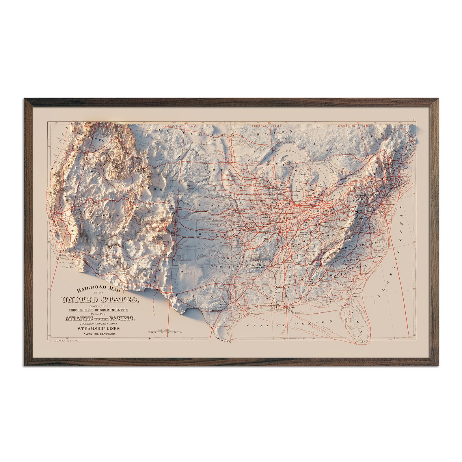
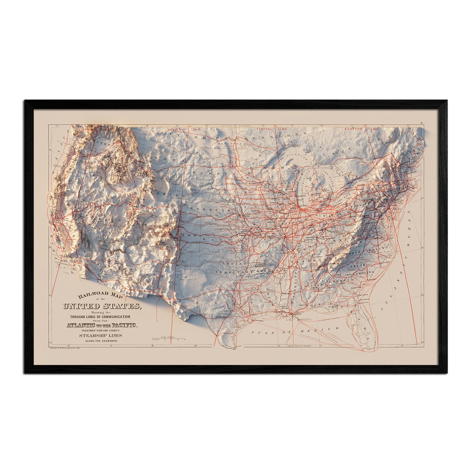
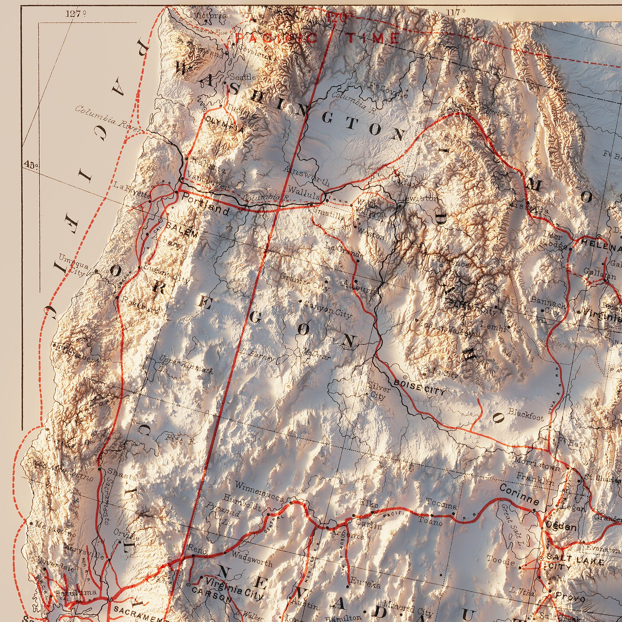
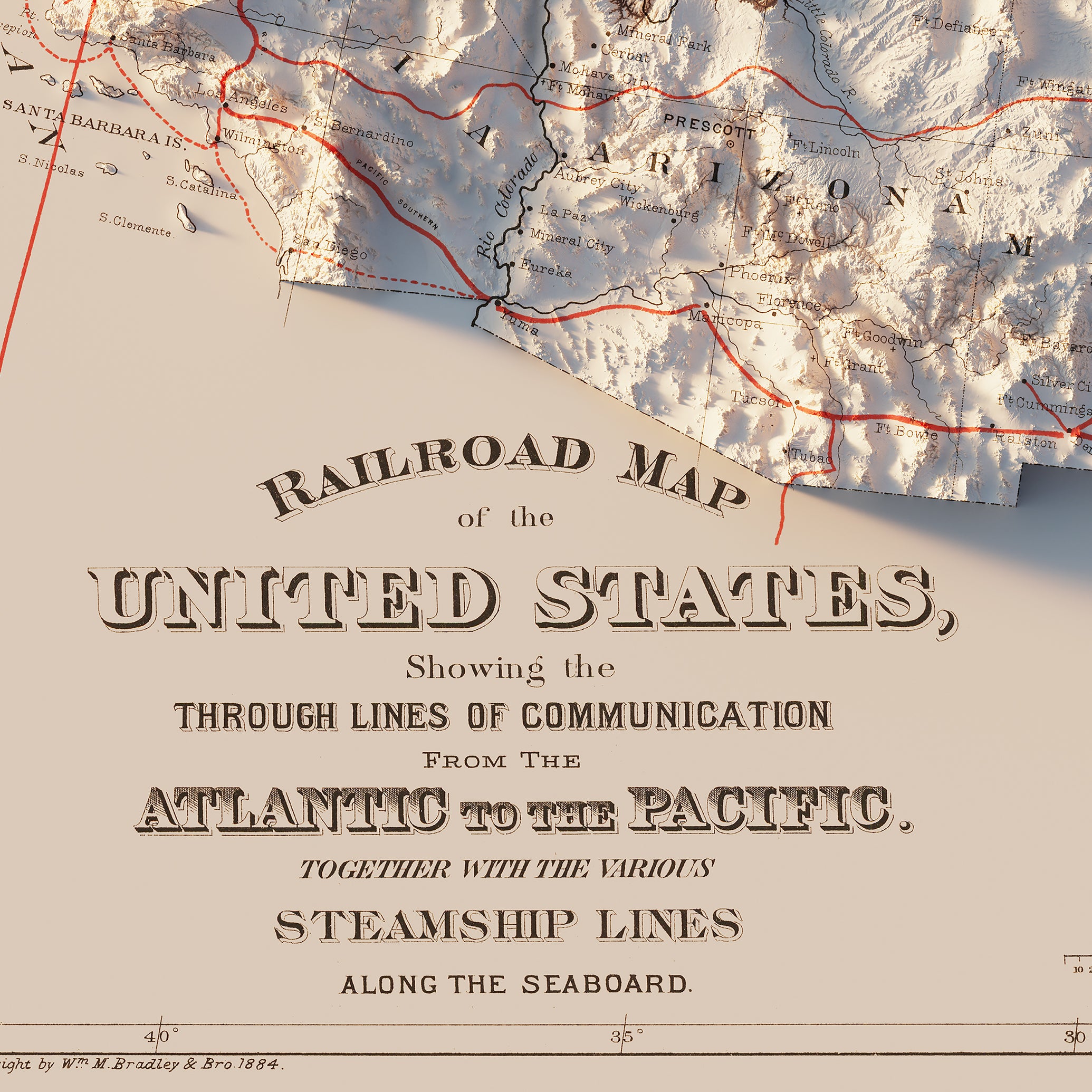
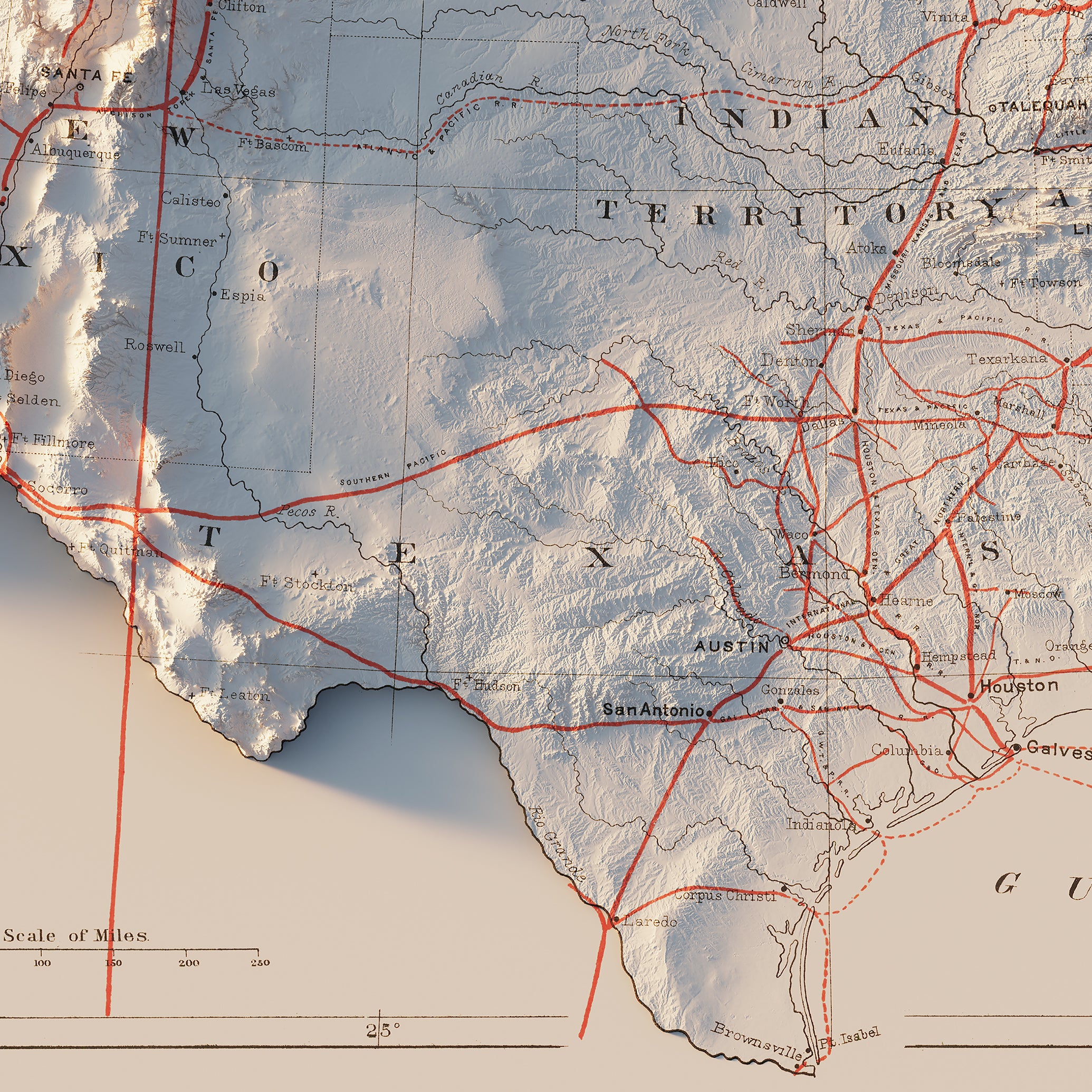
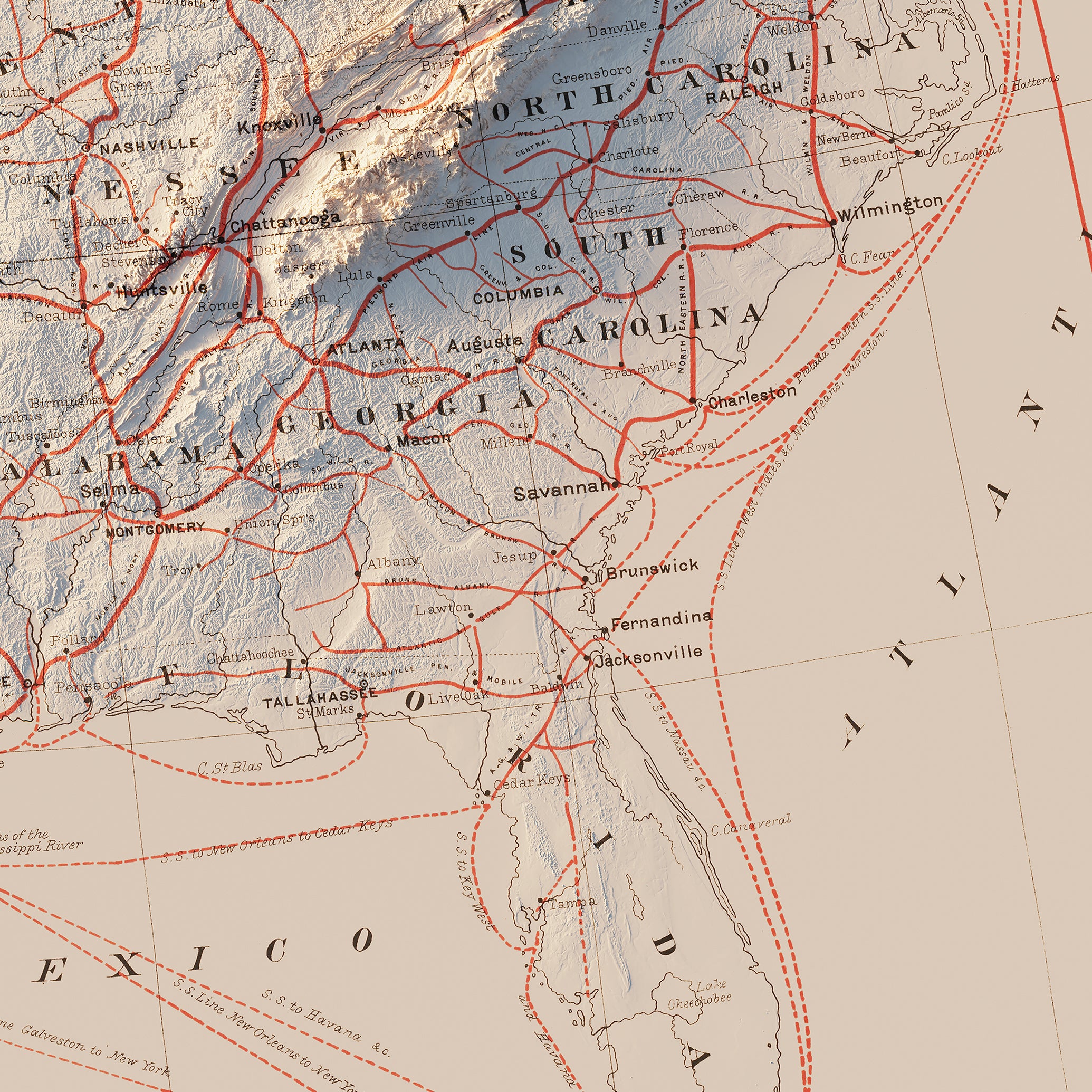
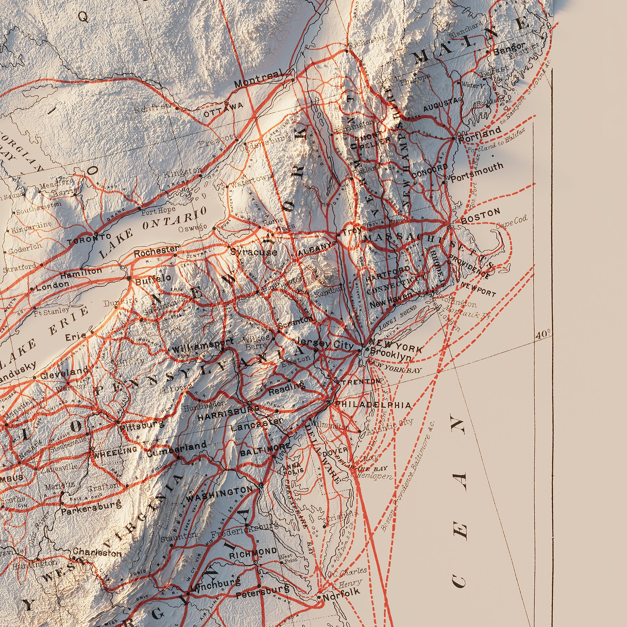
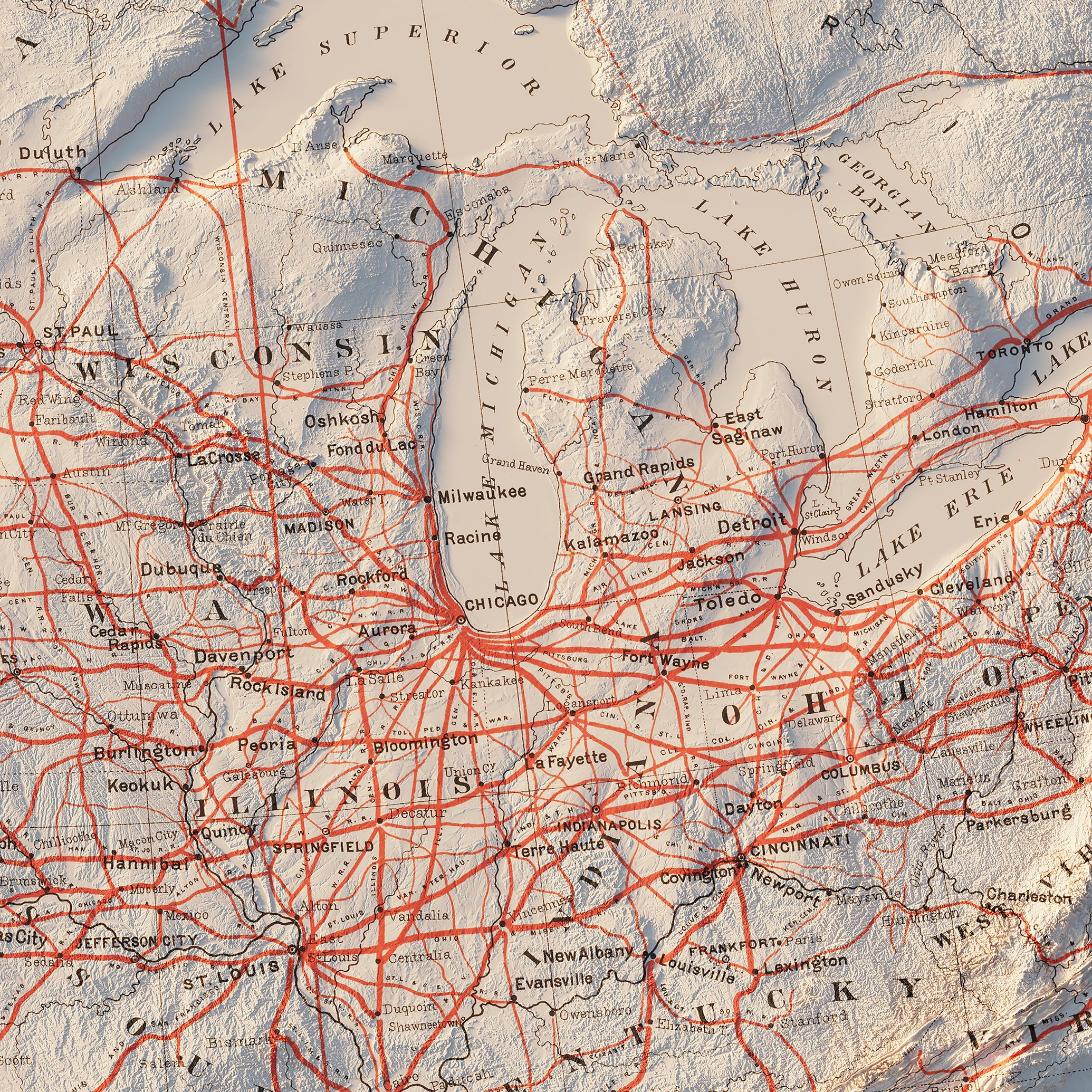
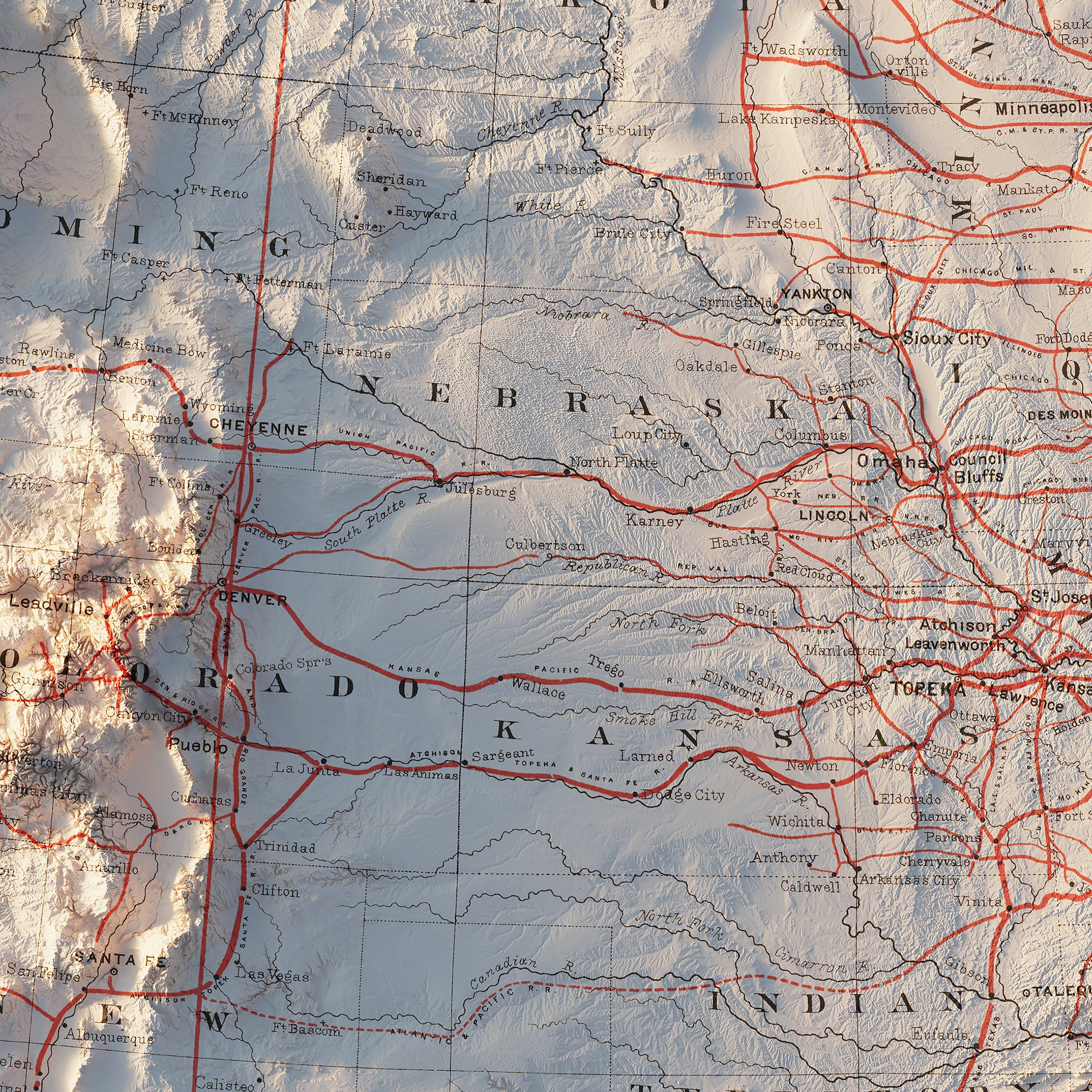
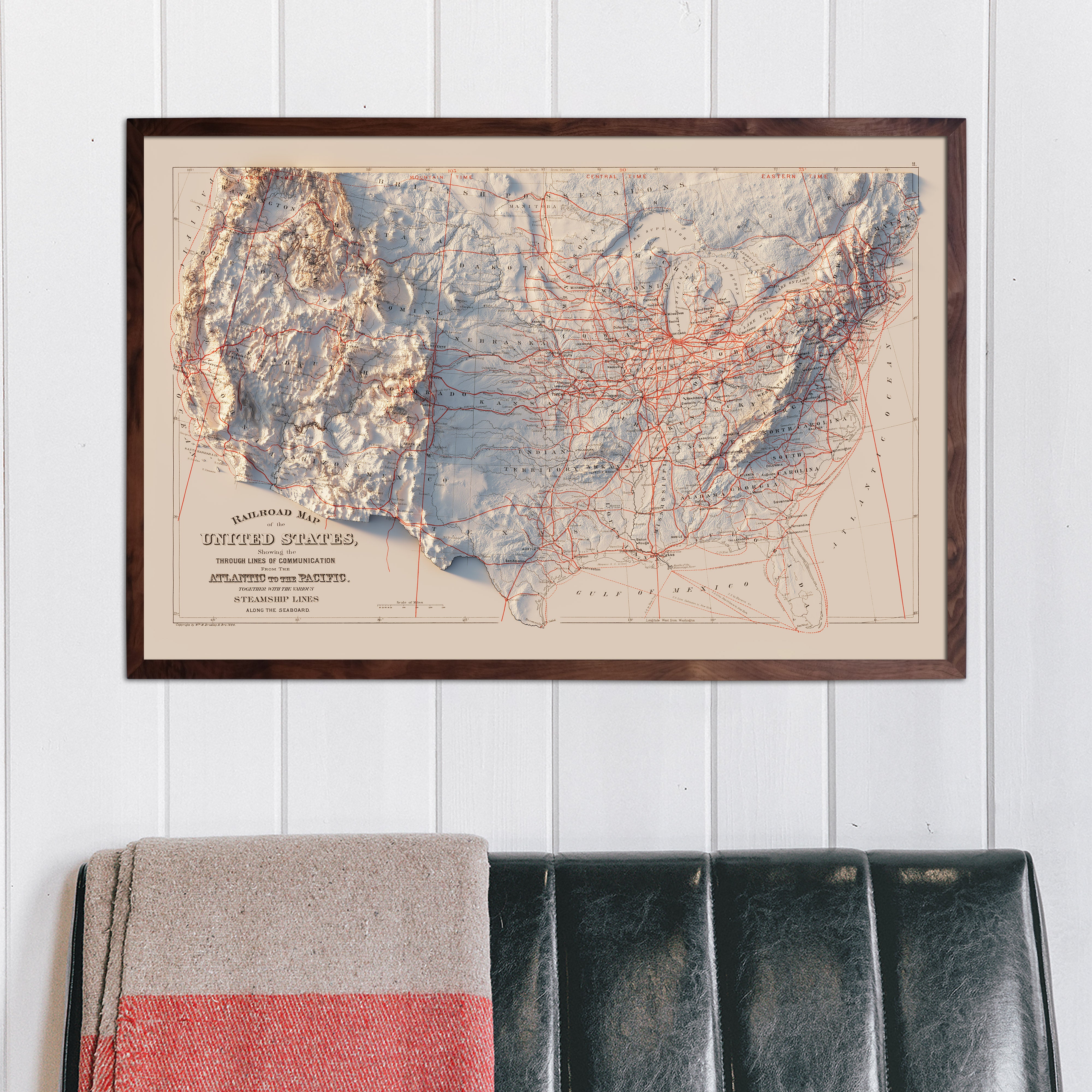
USA Railroad 1884 Shaded Relief Map
From
$ 89.00 USD
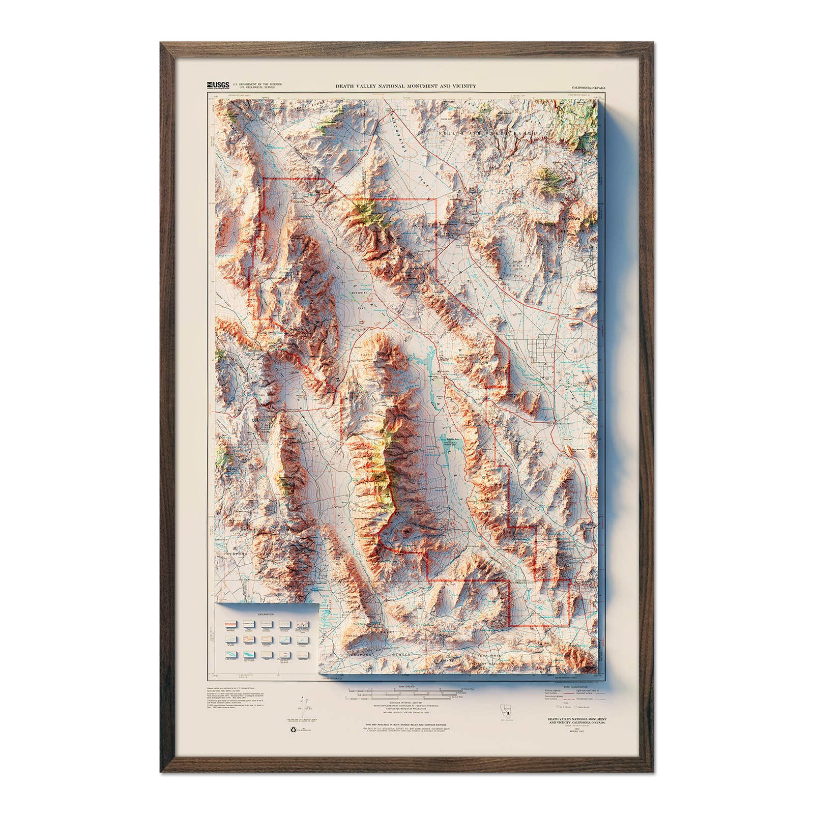
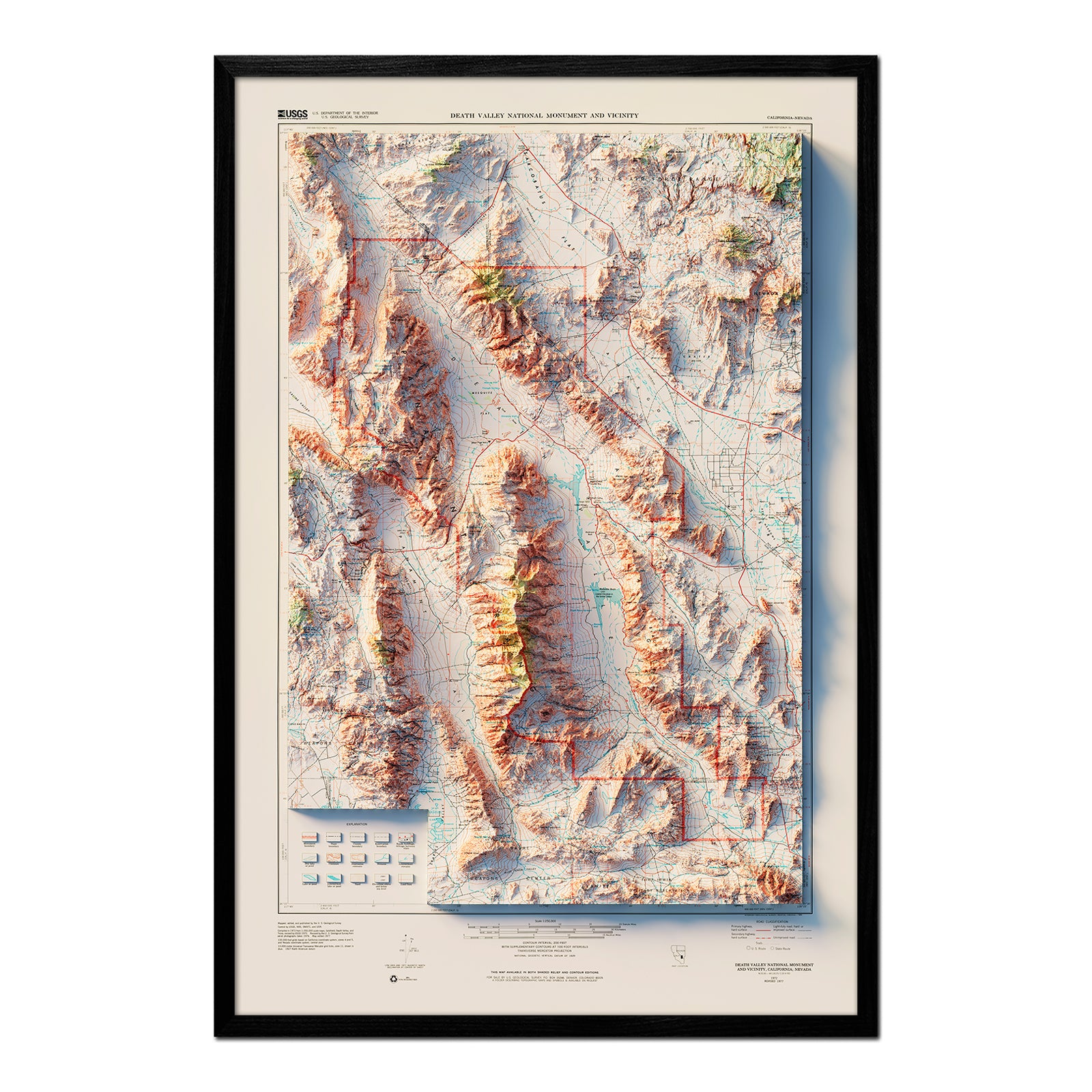
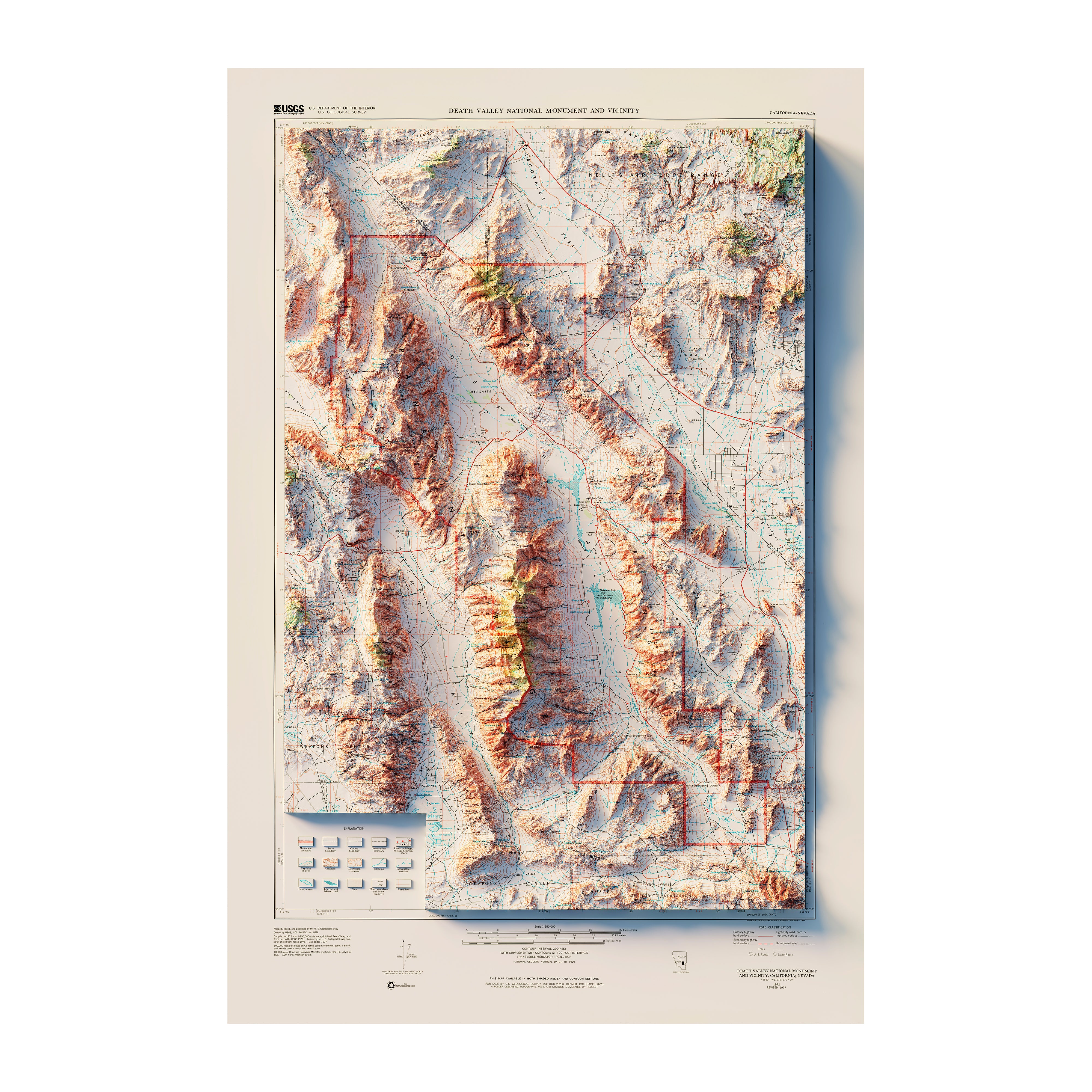
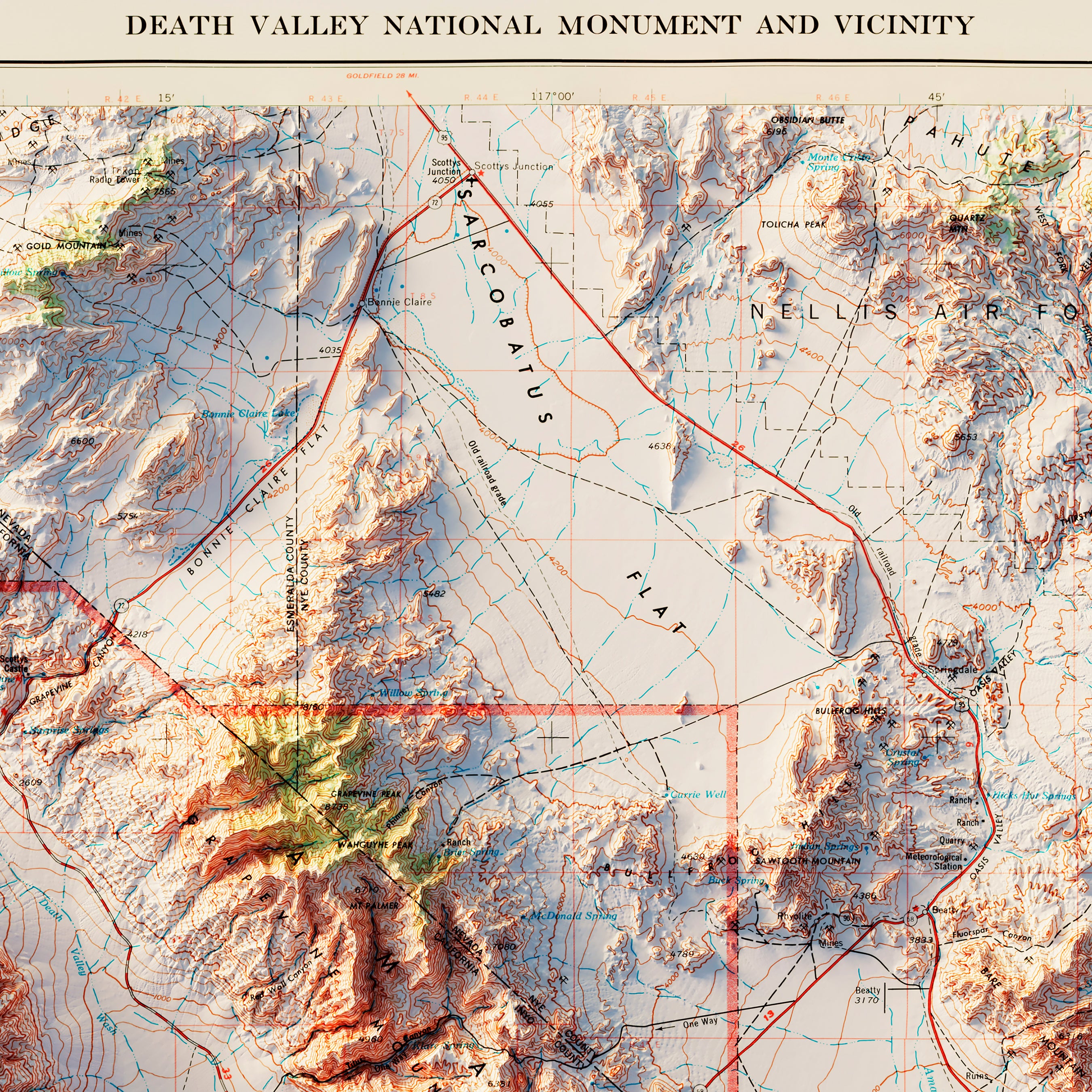
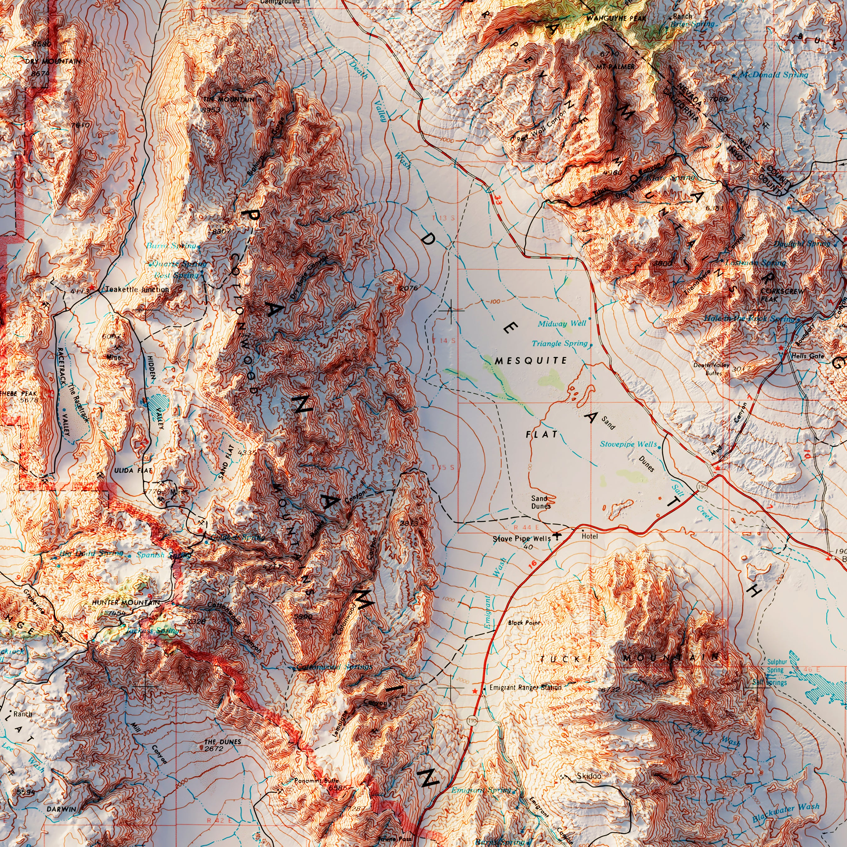
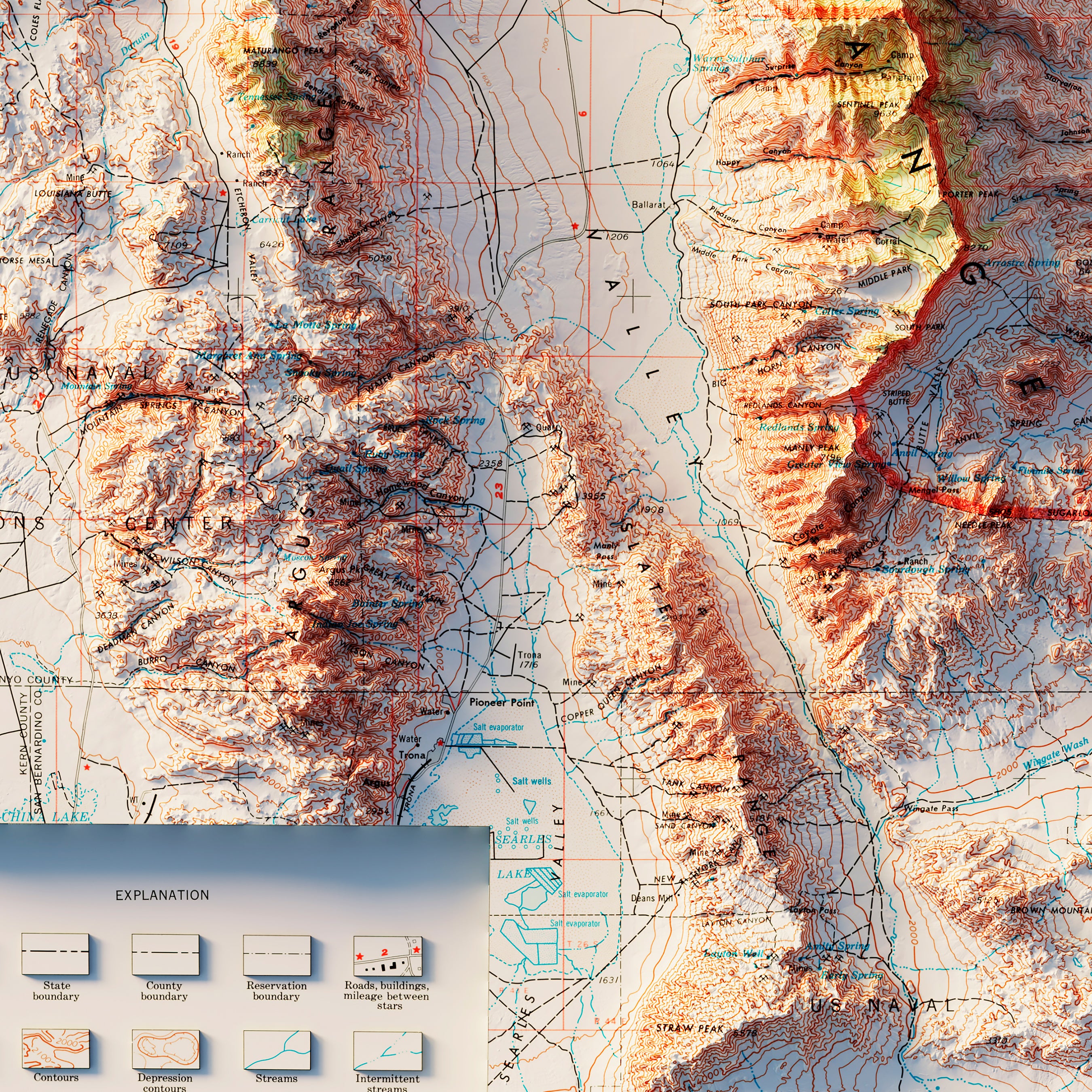
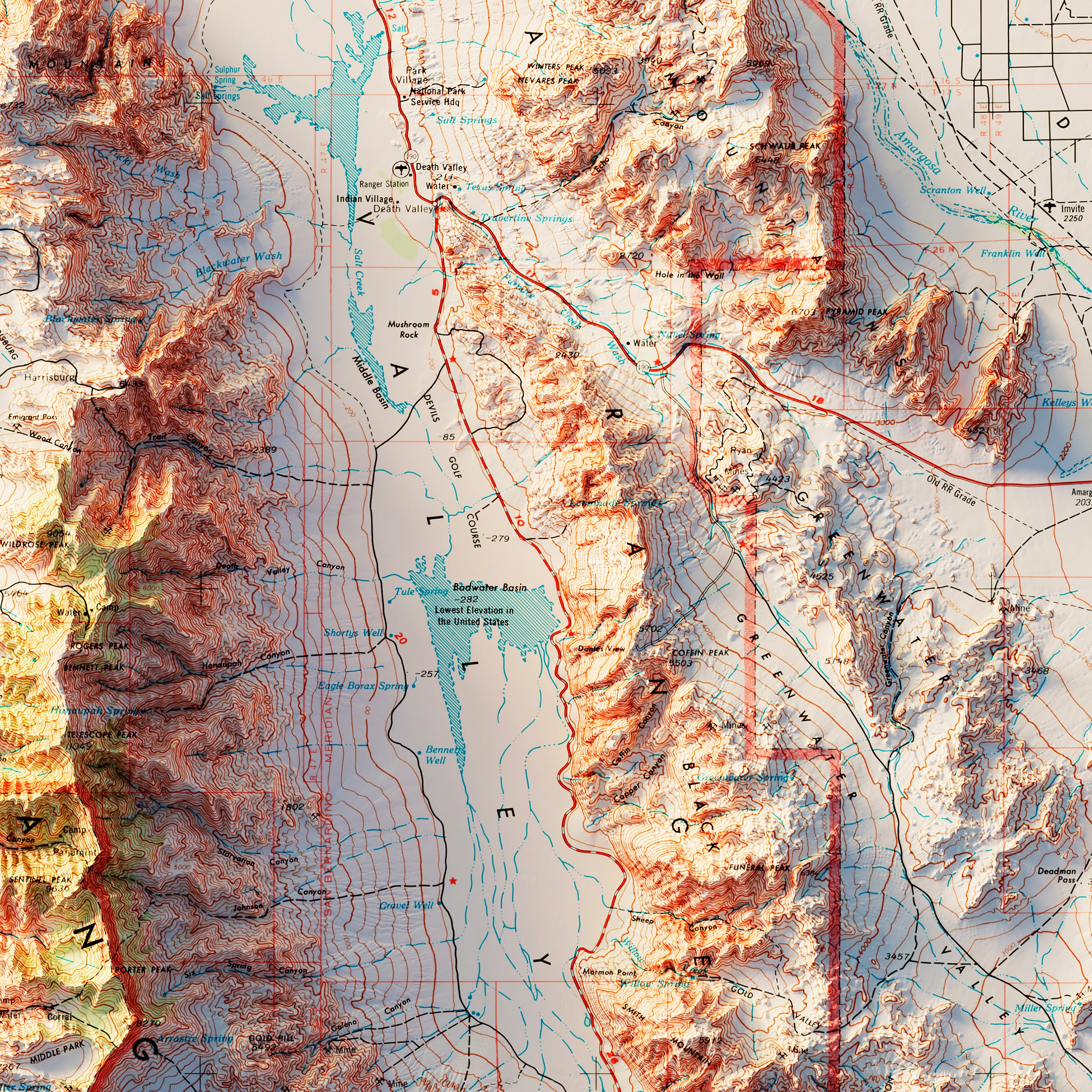
Death Valley 1977 Shaded Relief Map
From
$ 79.00 USD
5.0 / 5.0
3 reviews
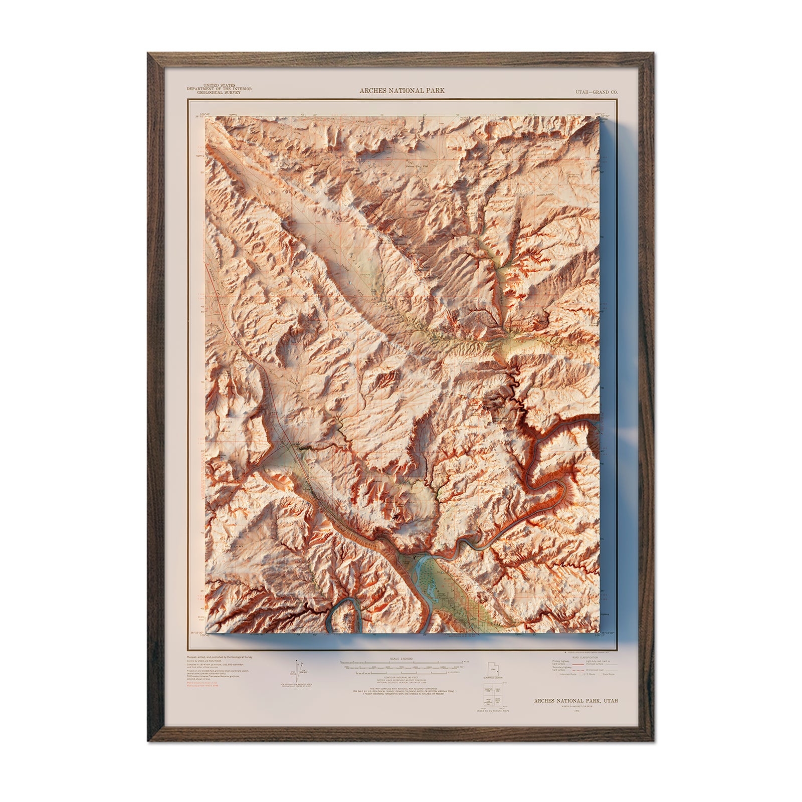
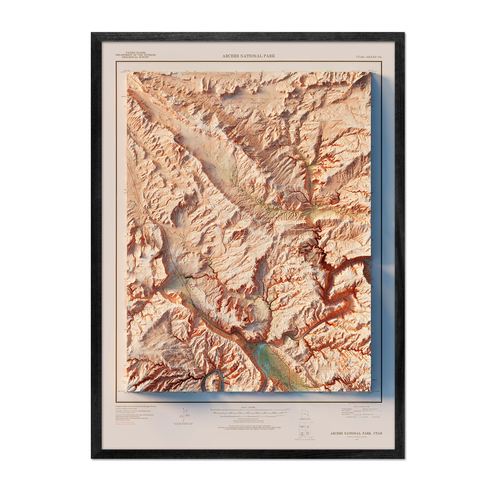
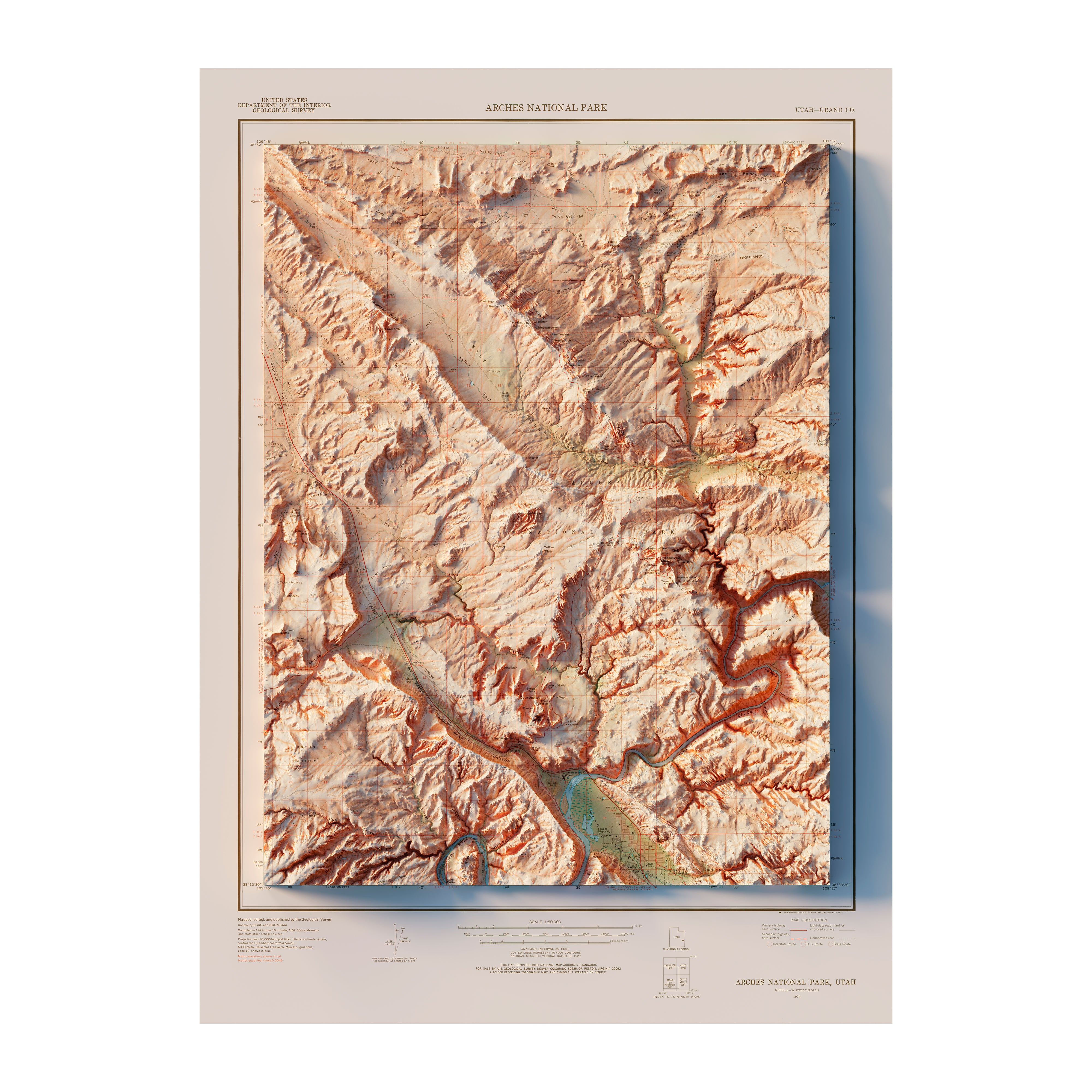
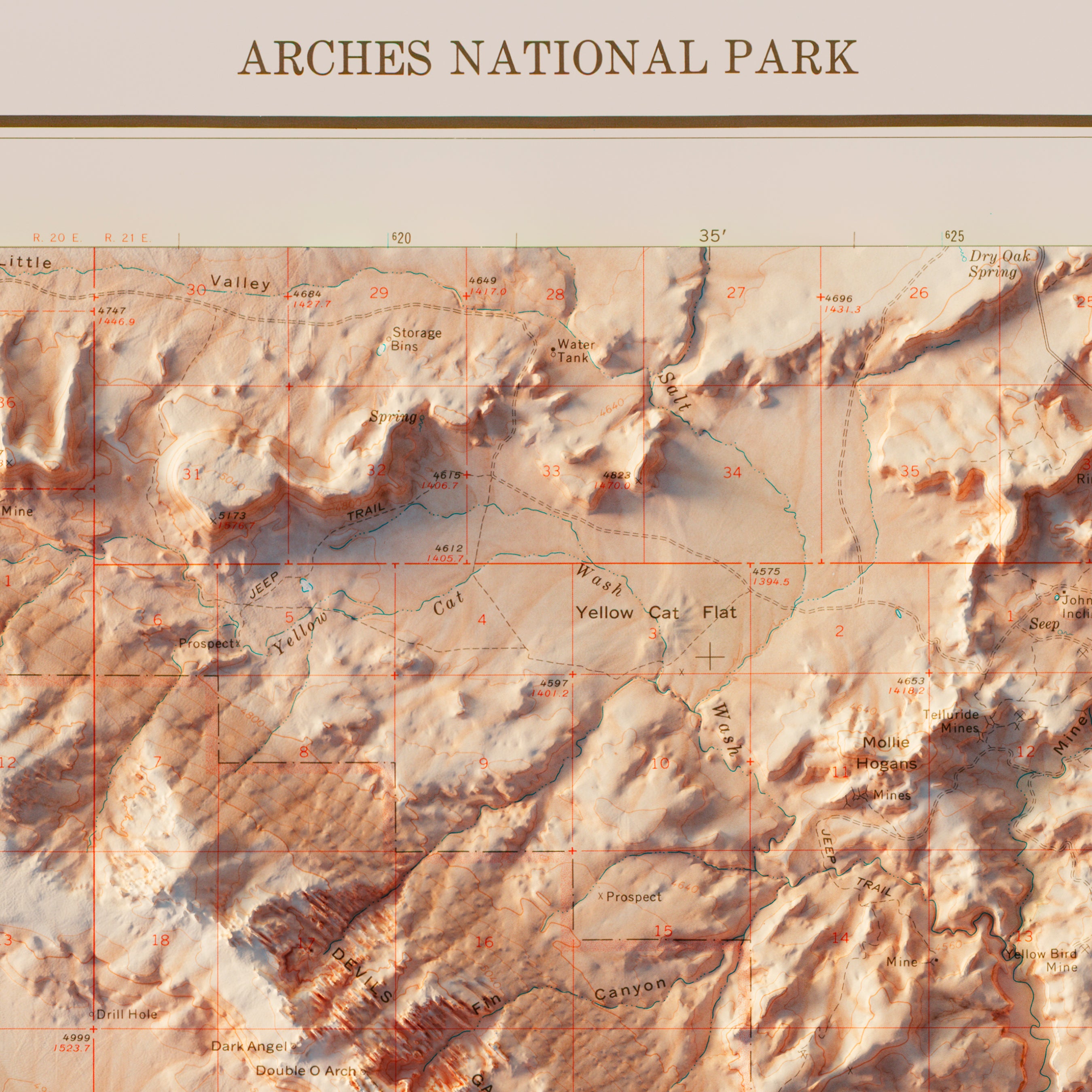
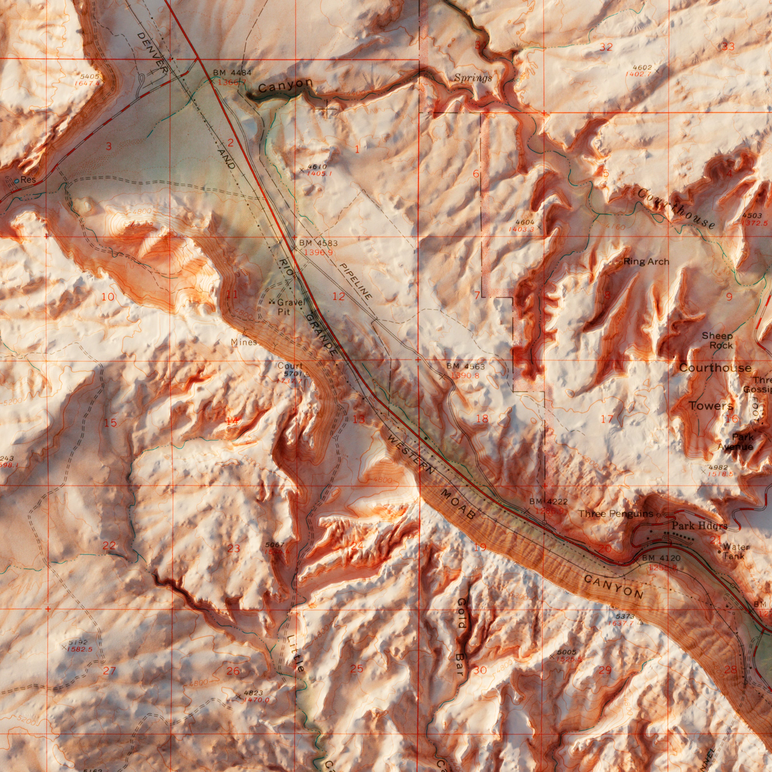
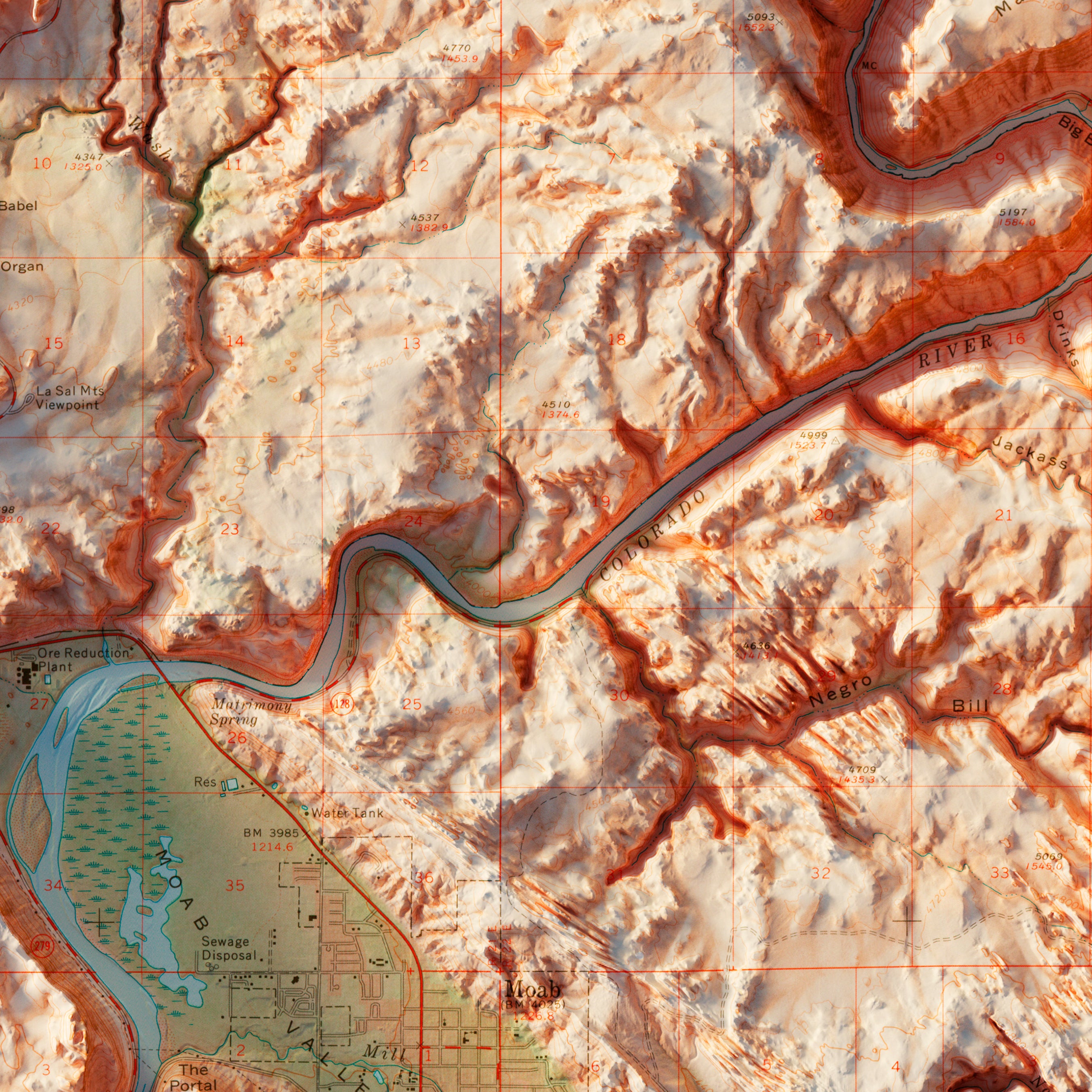
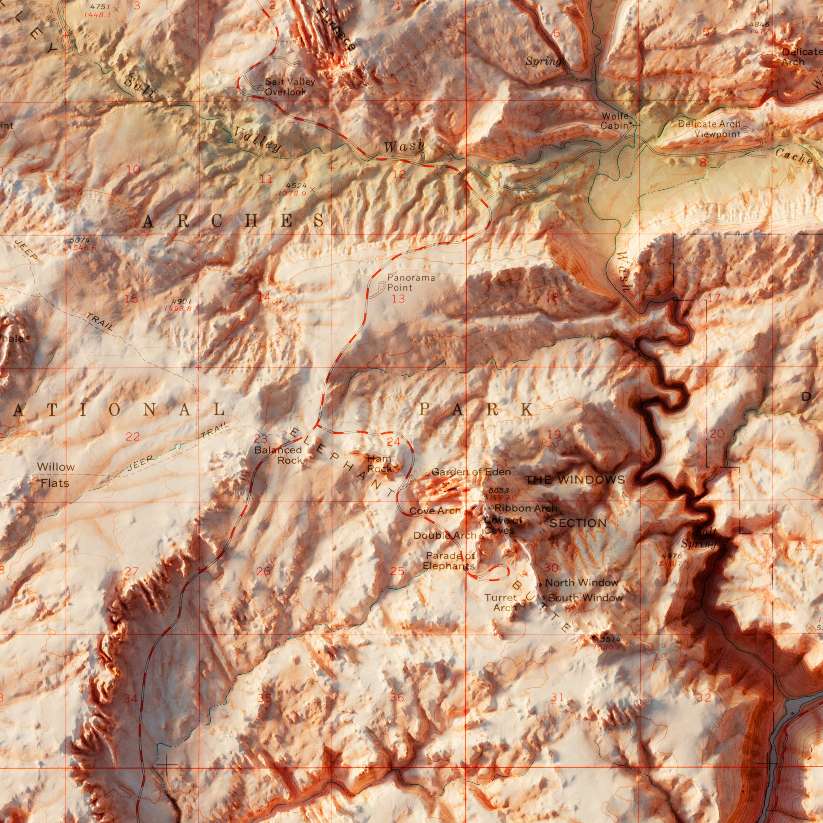
Arches National Park 1974 Shaded Relief Map
From
$ 79.00 USD
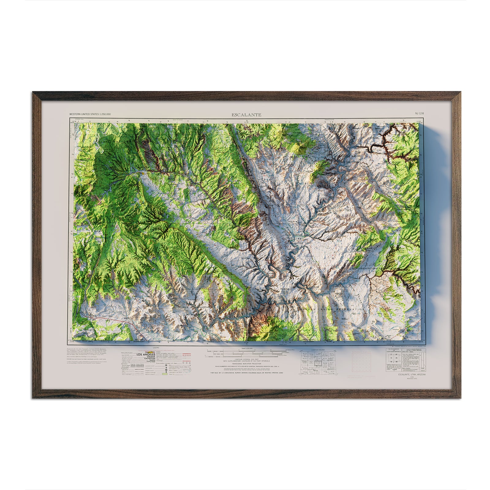
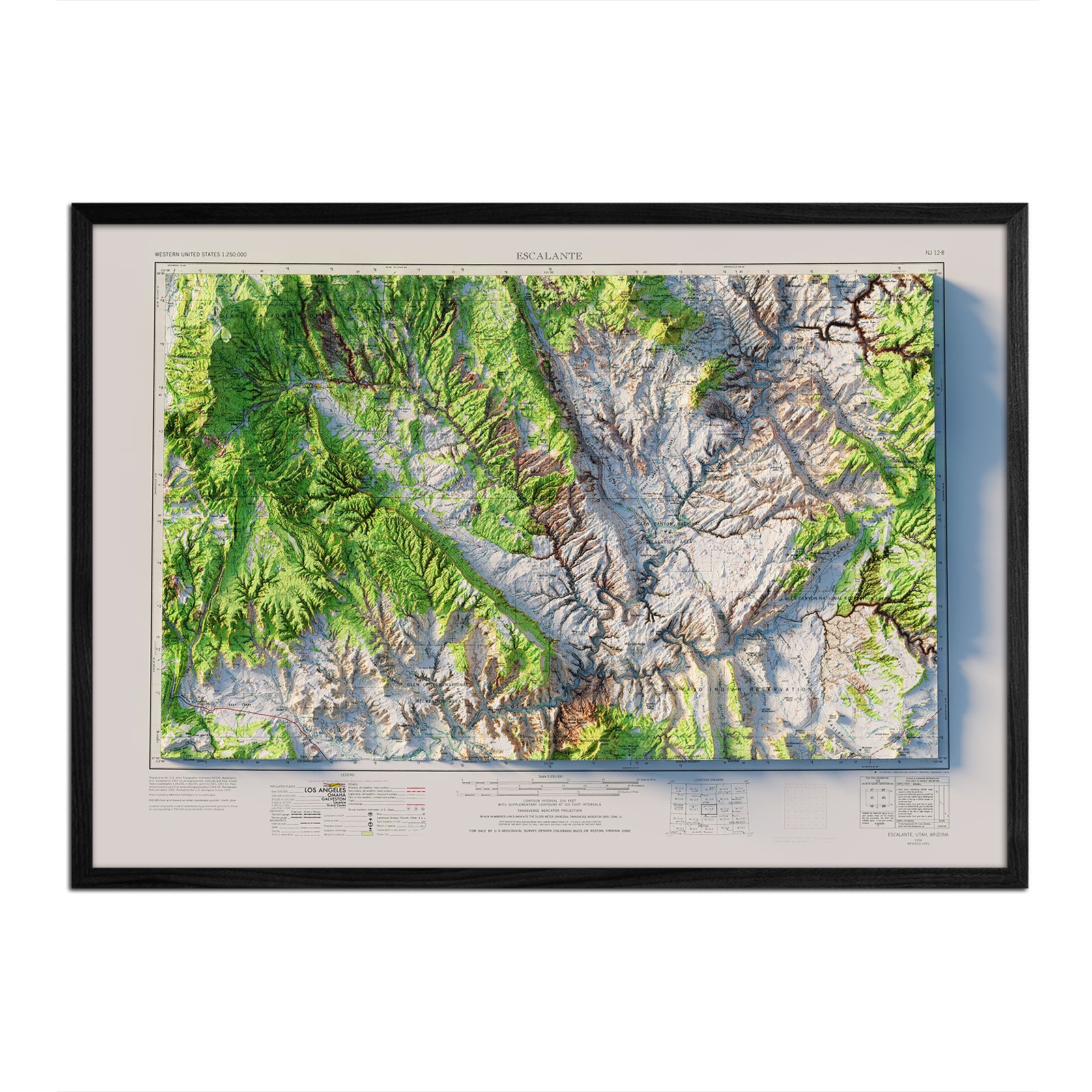
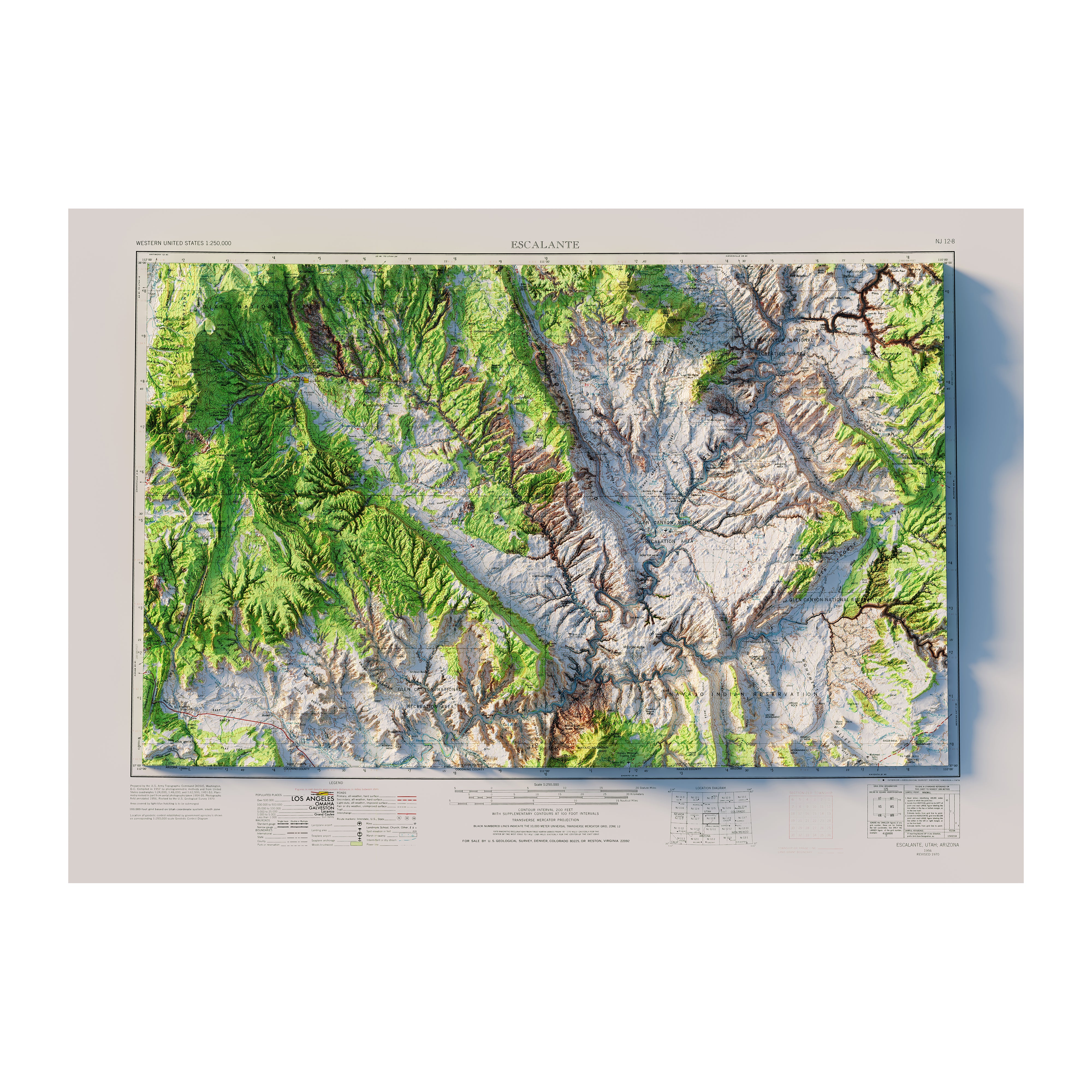
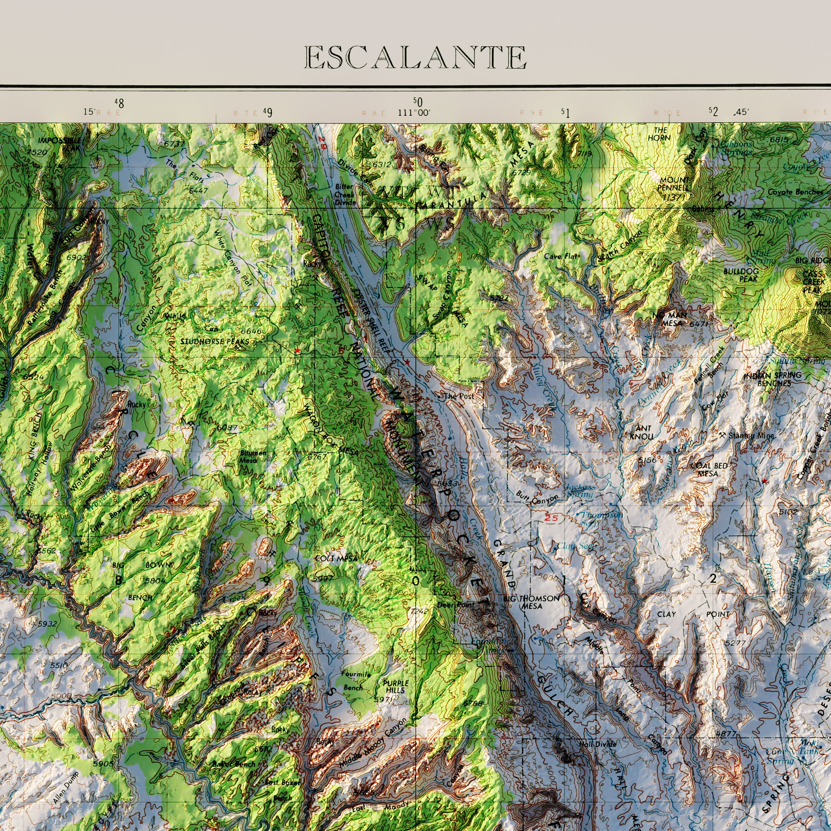
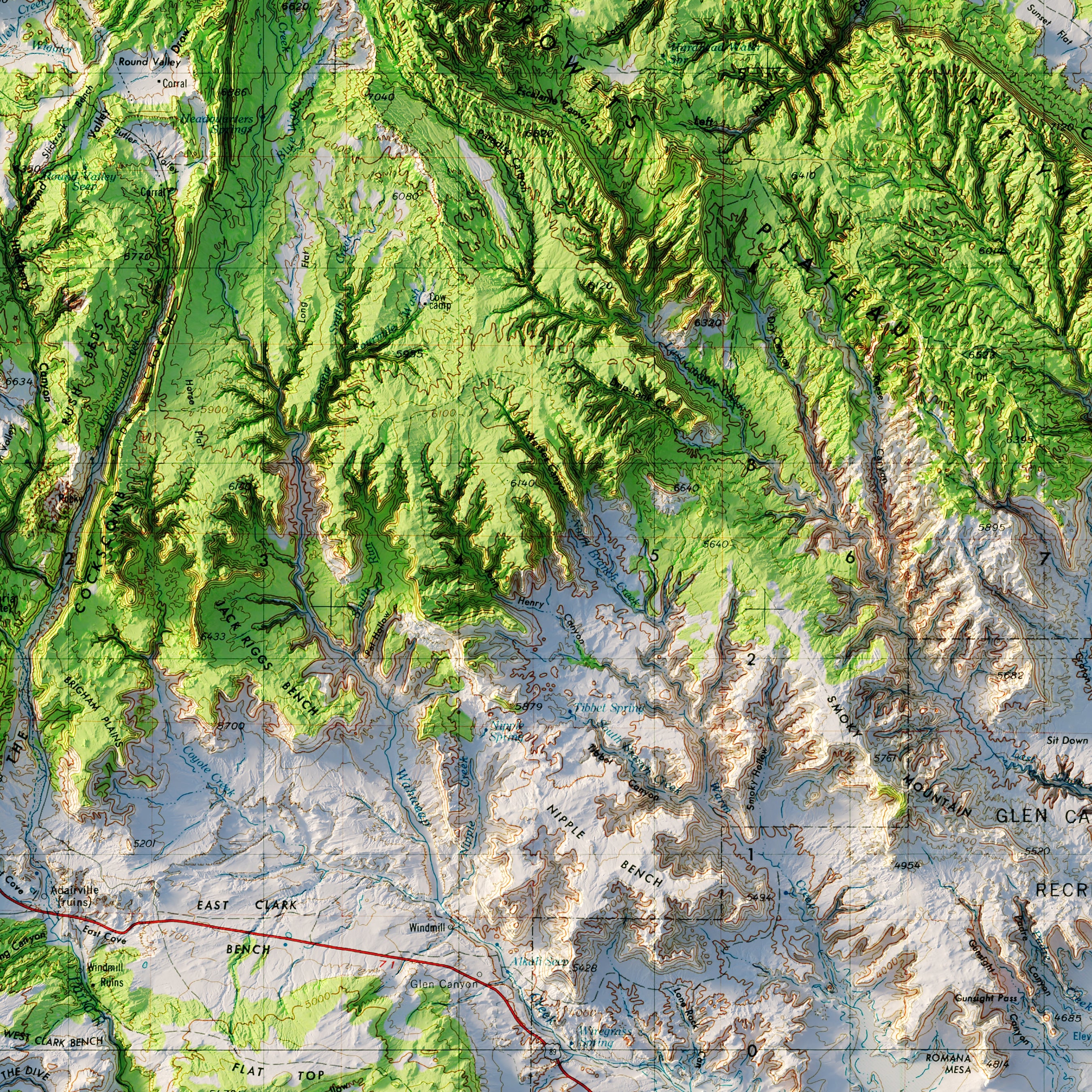
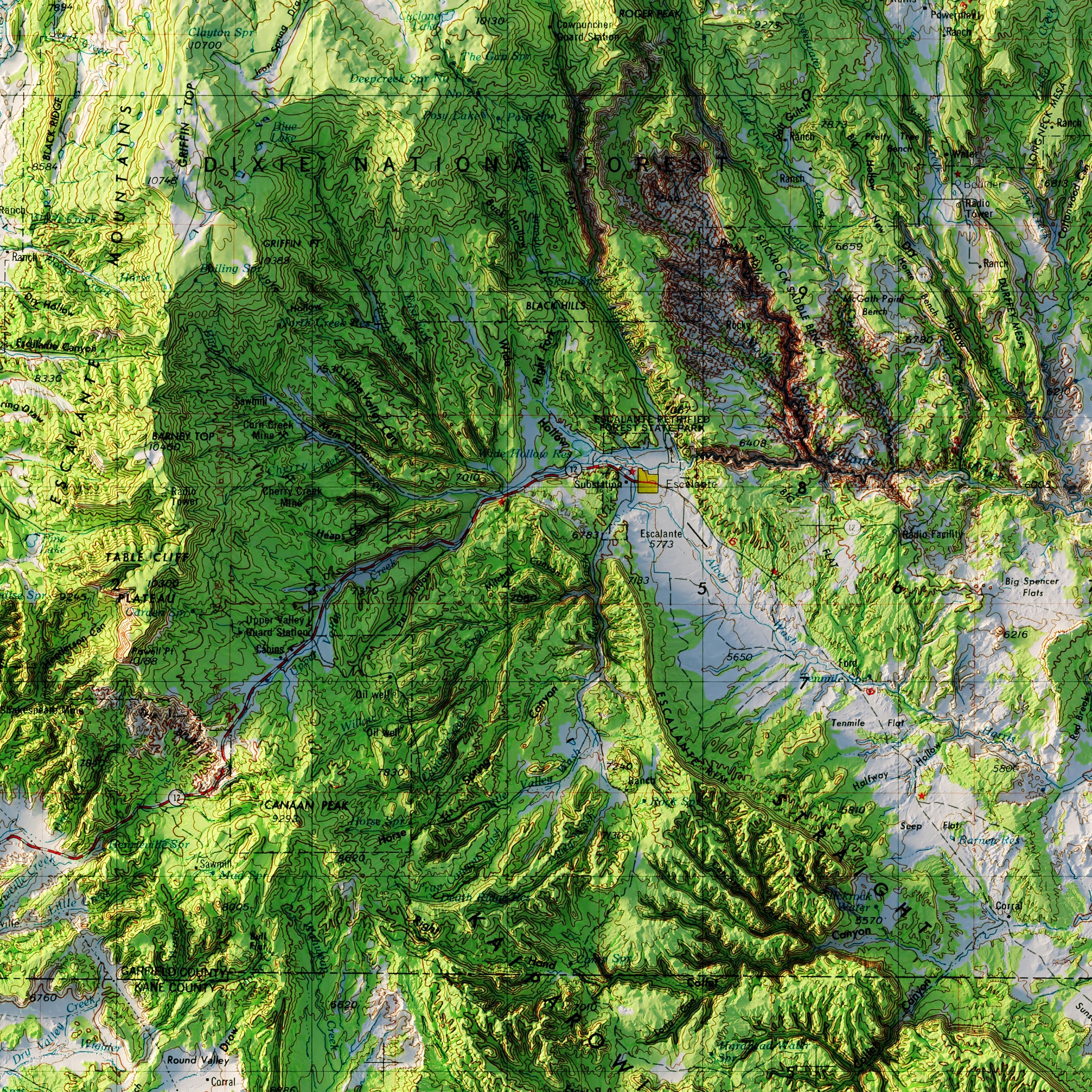
Escalante, Utah 1956 Shaded Relief Map
From
$ 79.00 USD
5.0 / 5.0
2 reviews
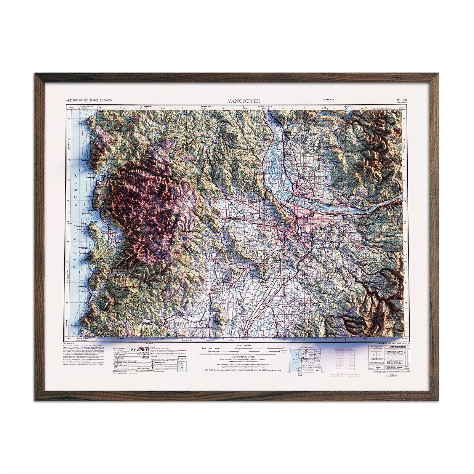
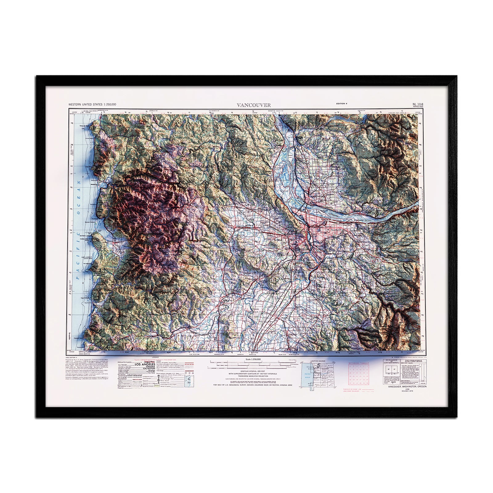
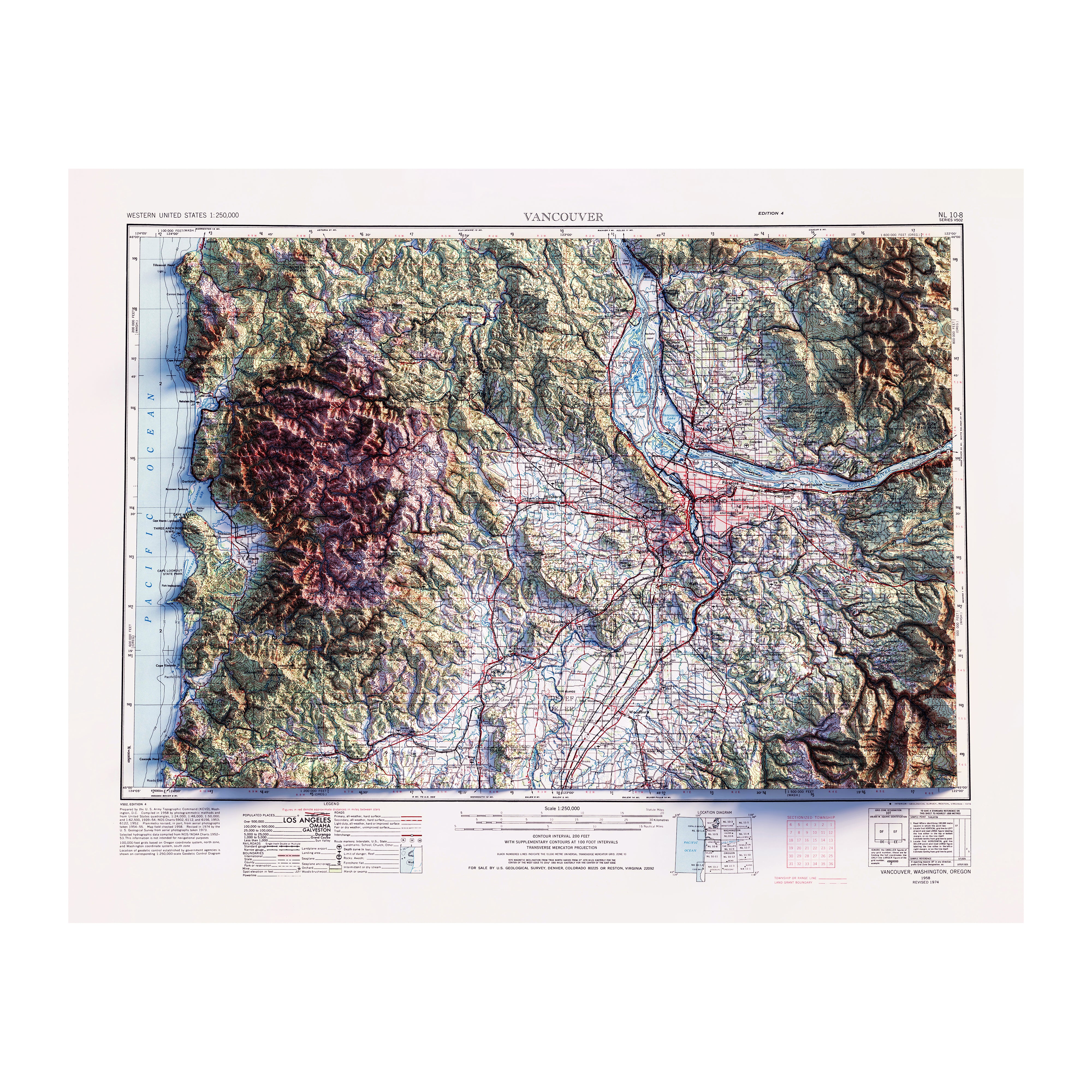
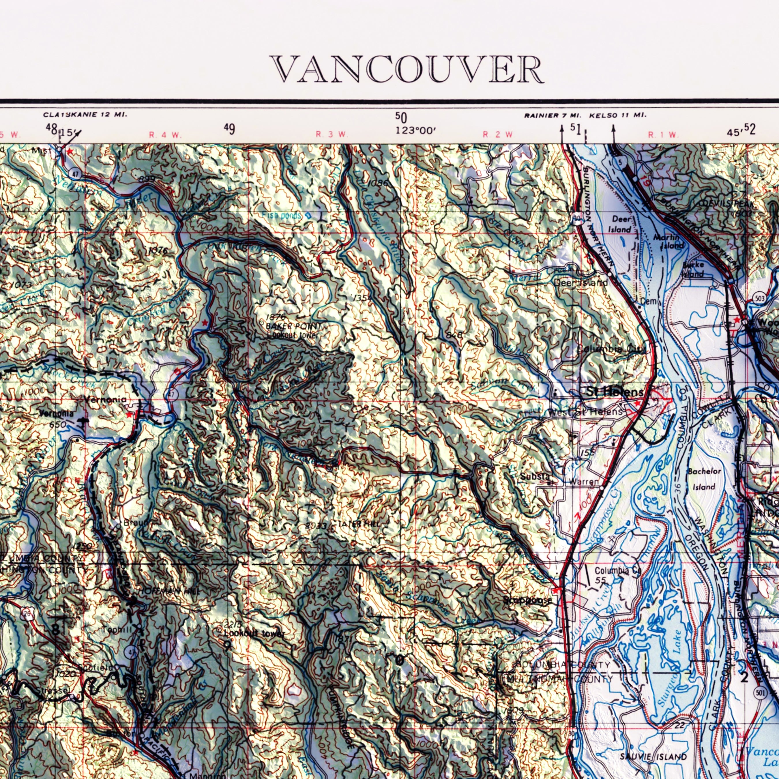
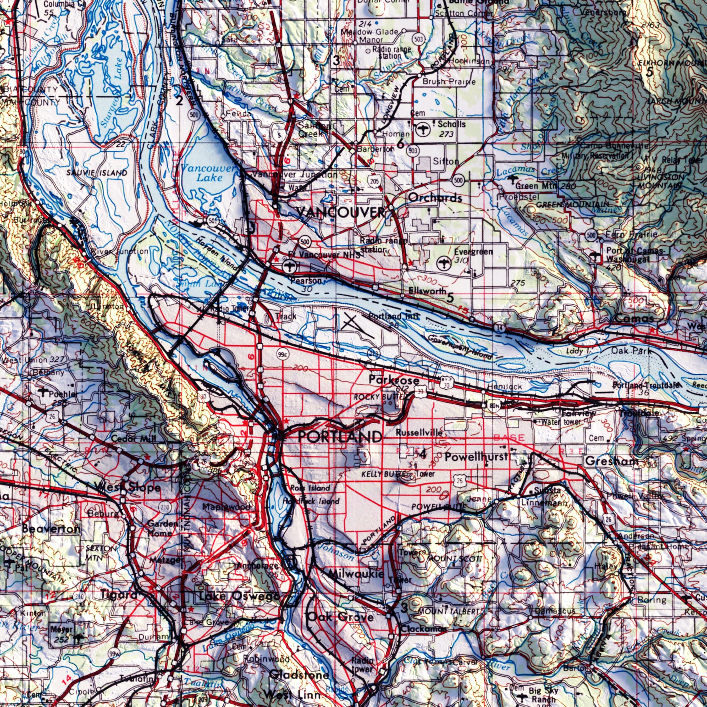
Vancouver, Washington 1958 Shaded Relief Map
From
$ 64.00 USD
5.0 / 5.0
1 review
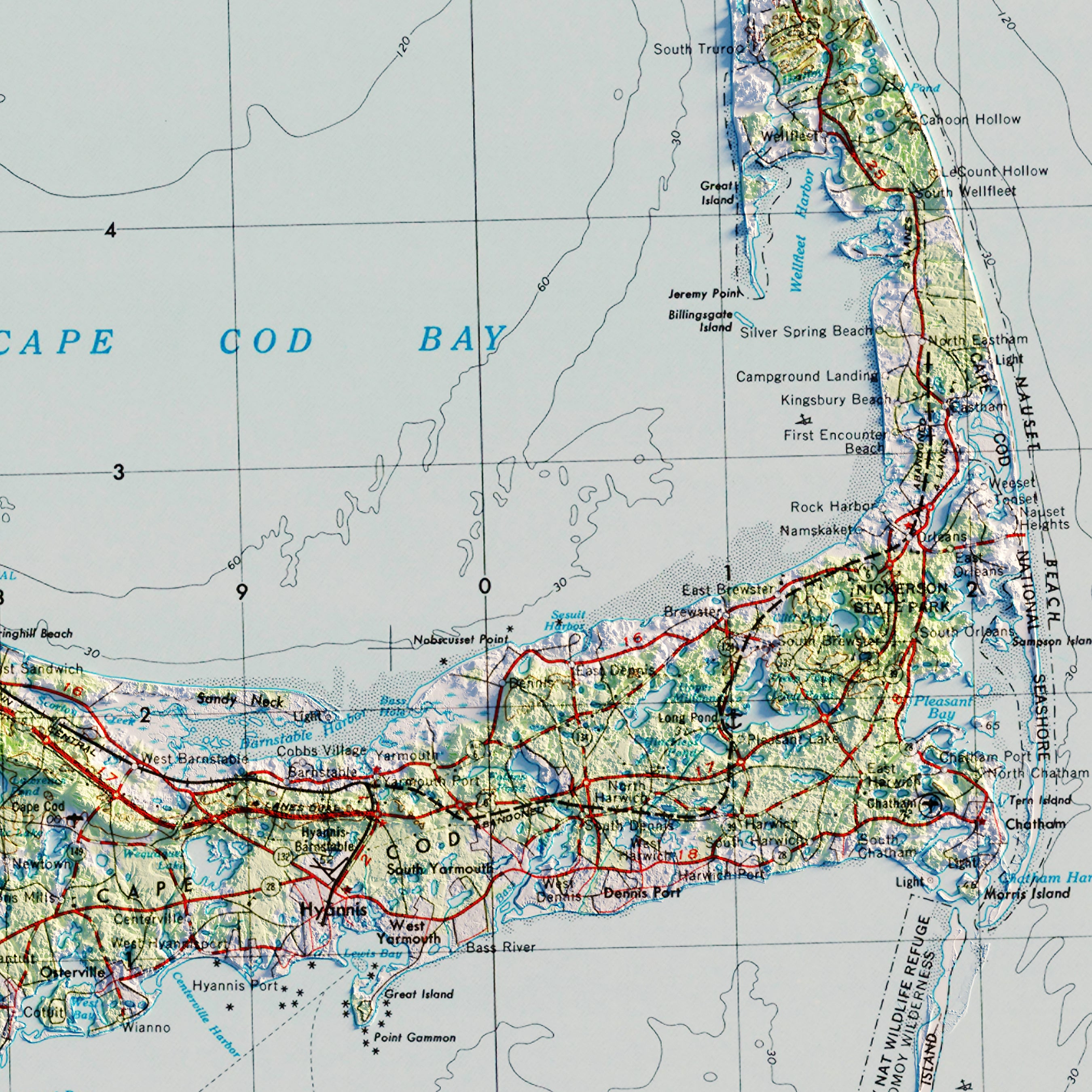
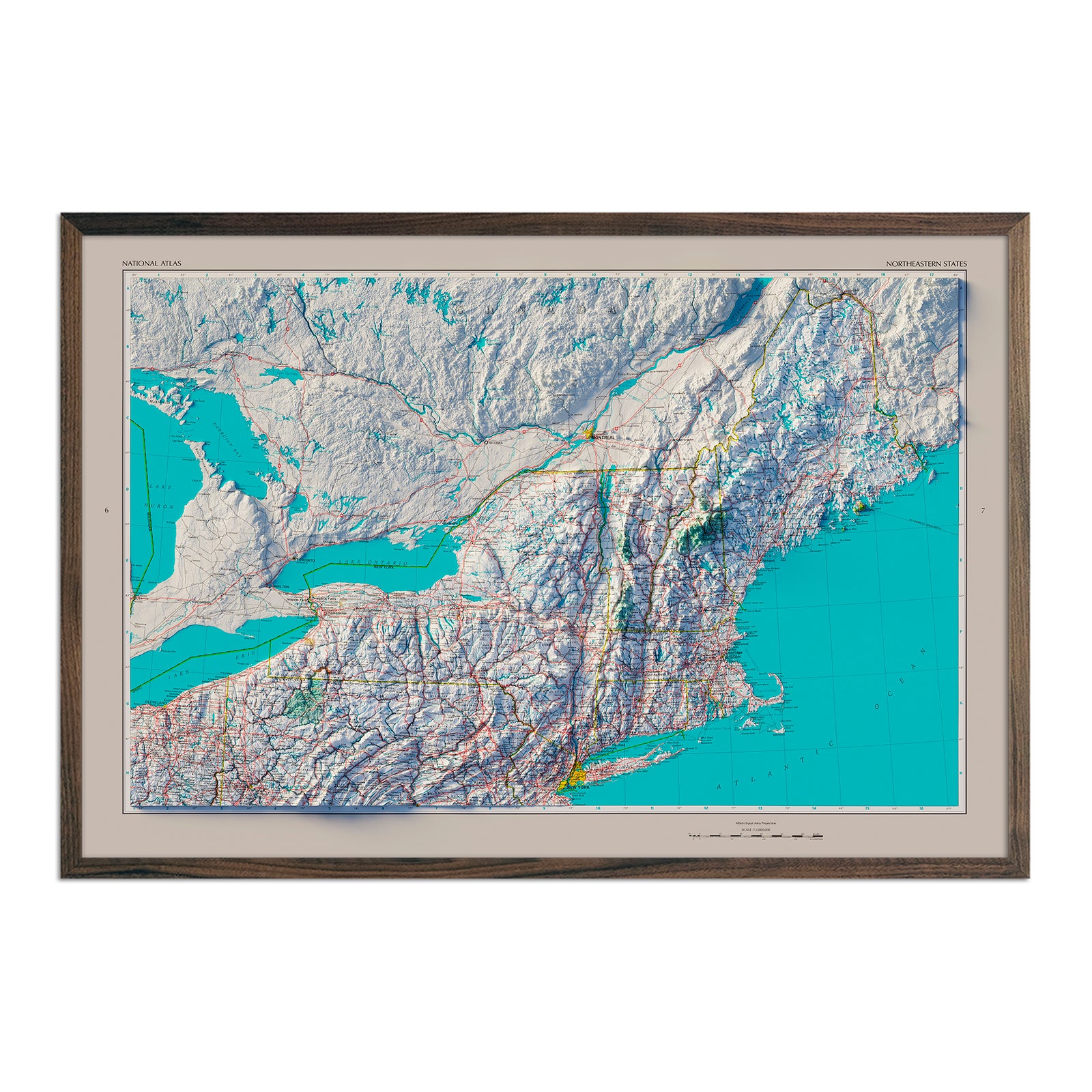
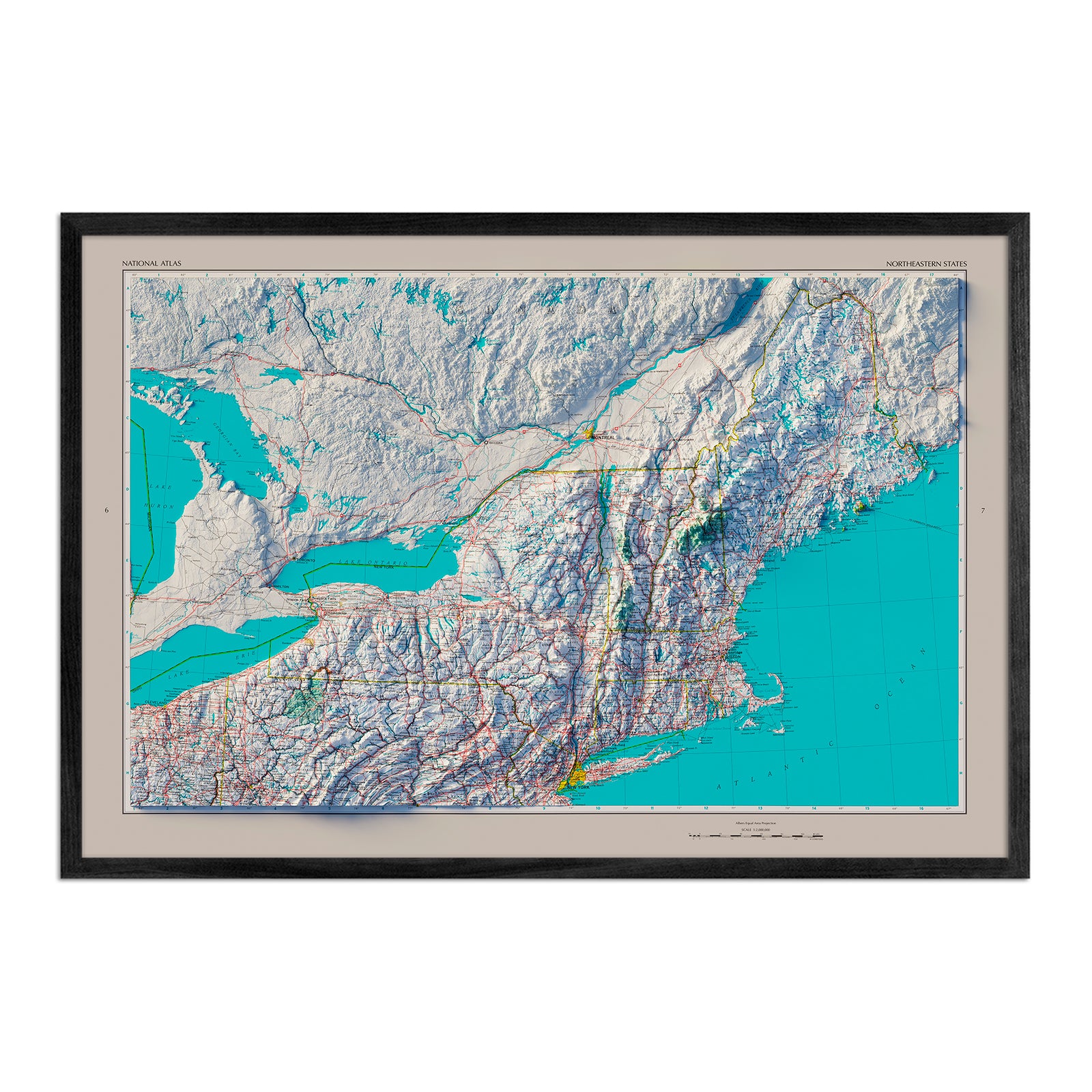
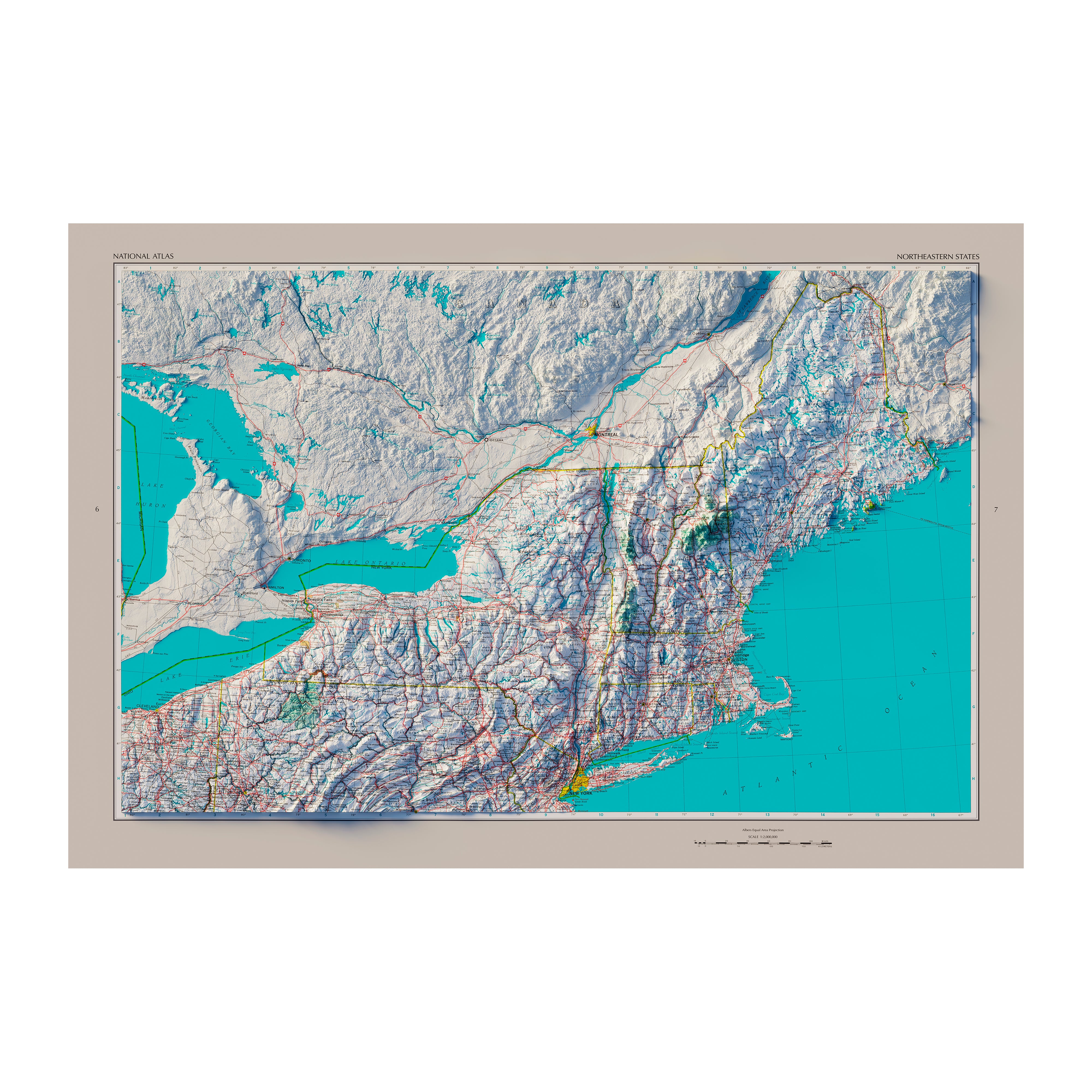
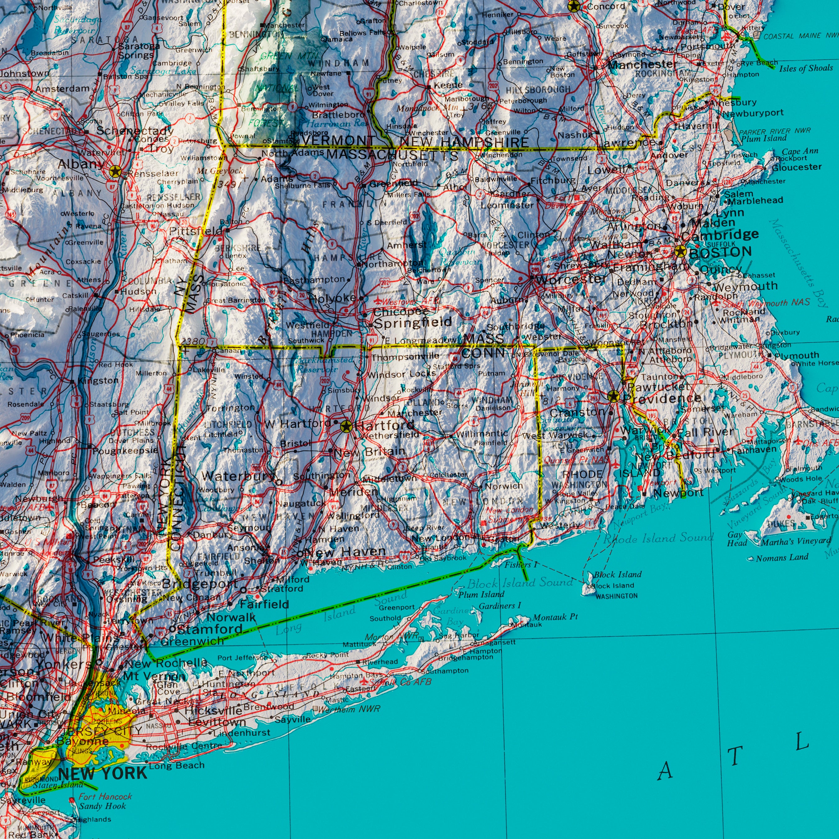
Northeastern States 1970 Shaded Relief Map
From
$ 79.00 USD
5.0 / 5.0
1 review
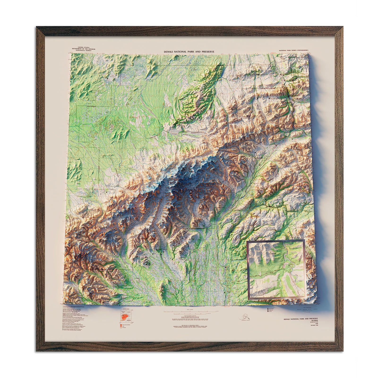
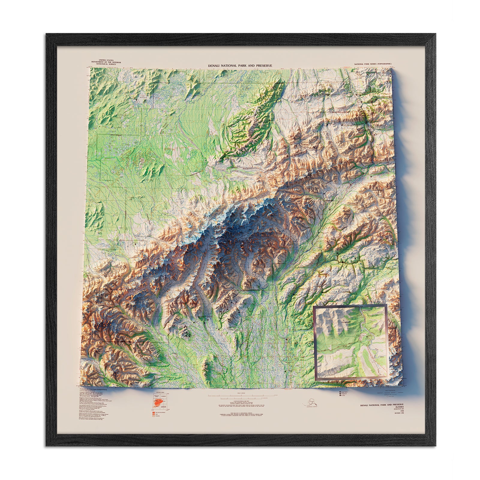
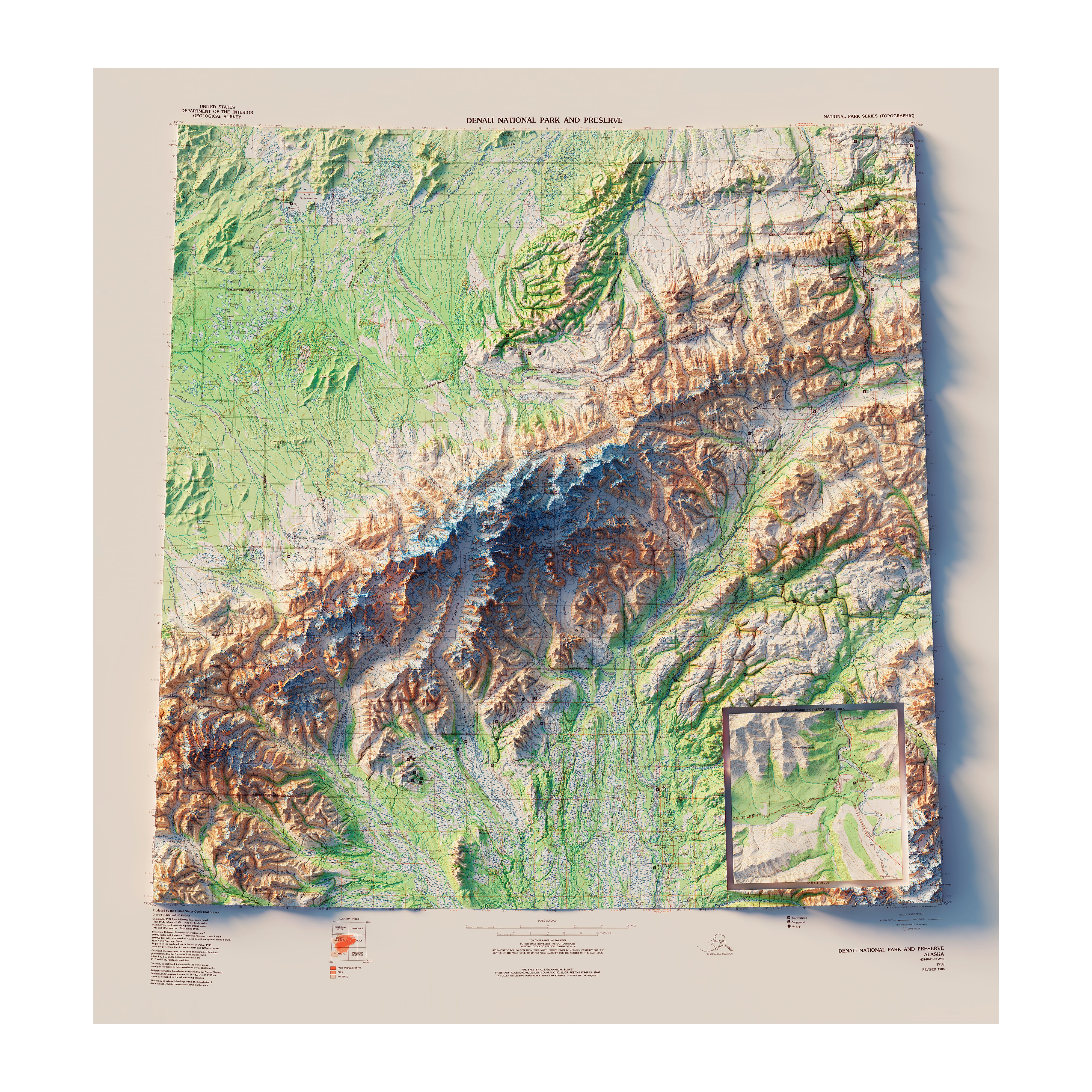
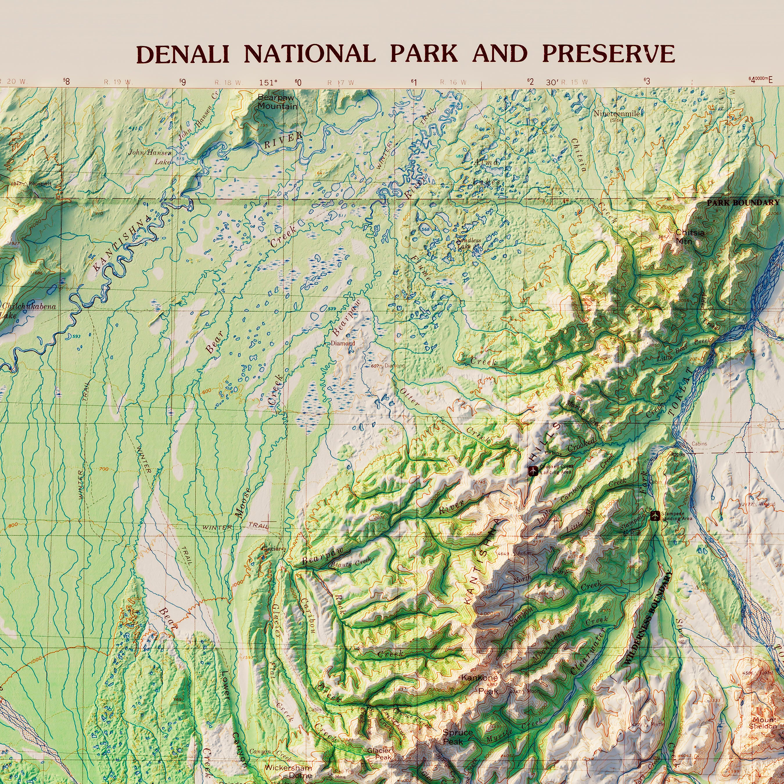
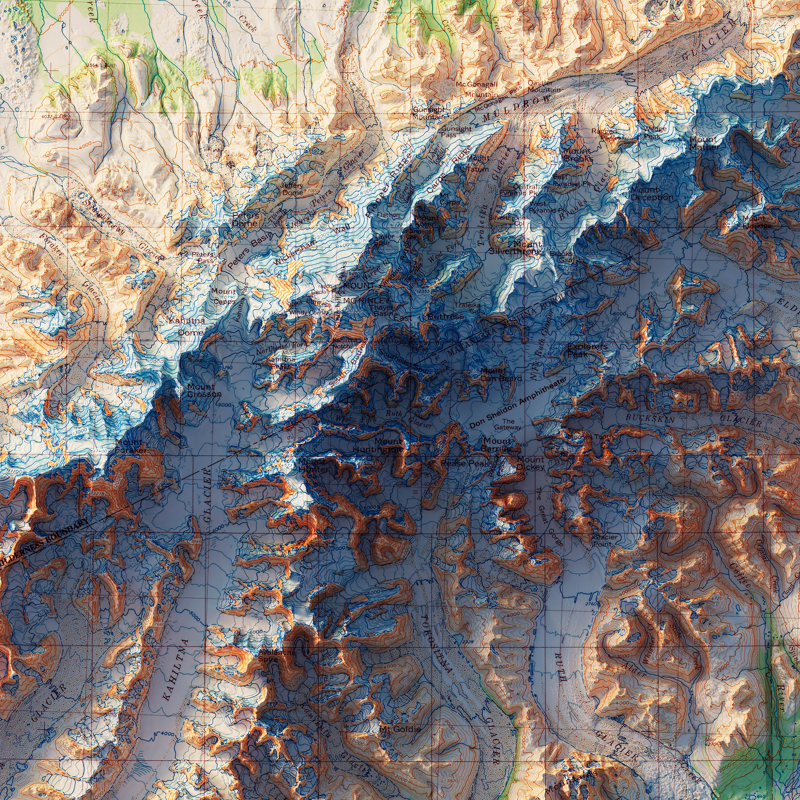
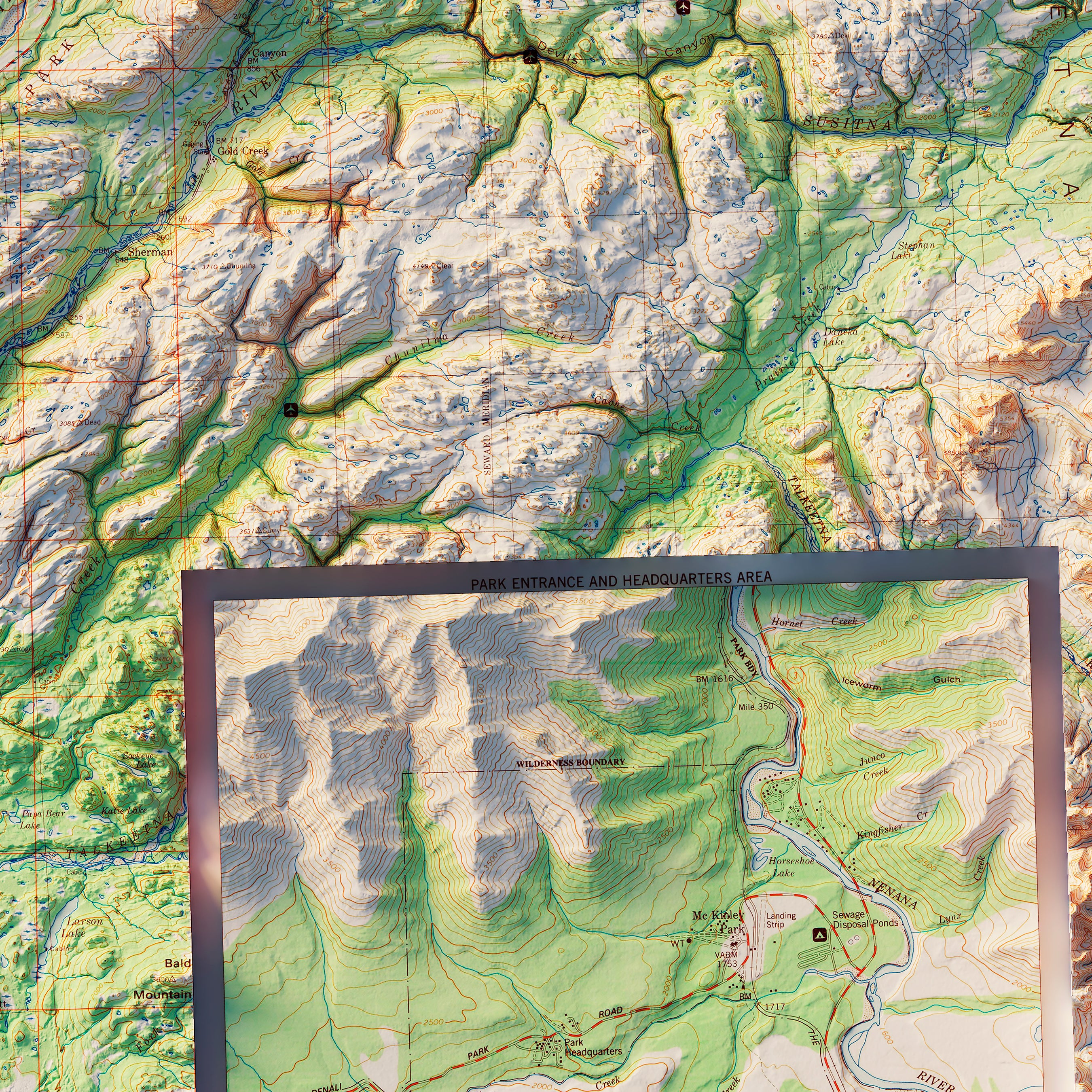
Denali National Park 1986 Shaded Relief Map
From
$ 89.00 USD
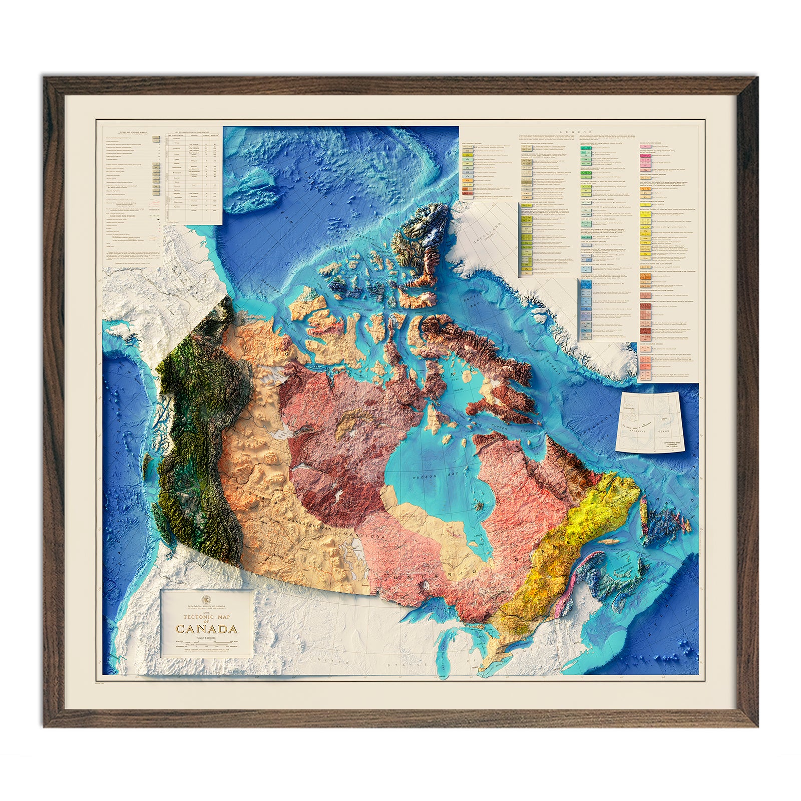
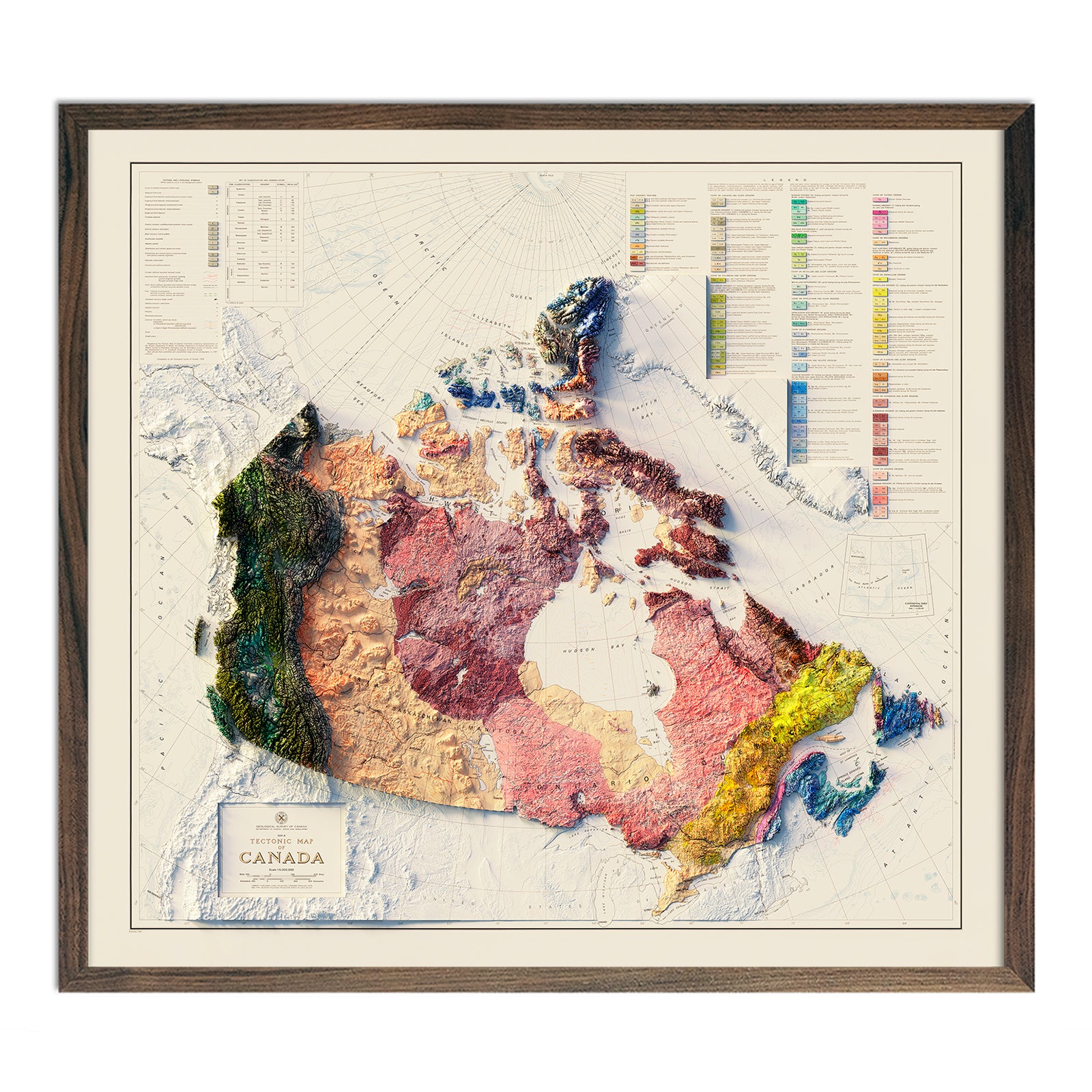
Canada 1968 Shaded Relief Map
From
$ 89.00 USD
5.0 / 5.0
1 review
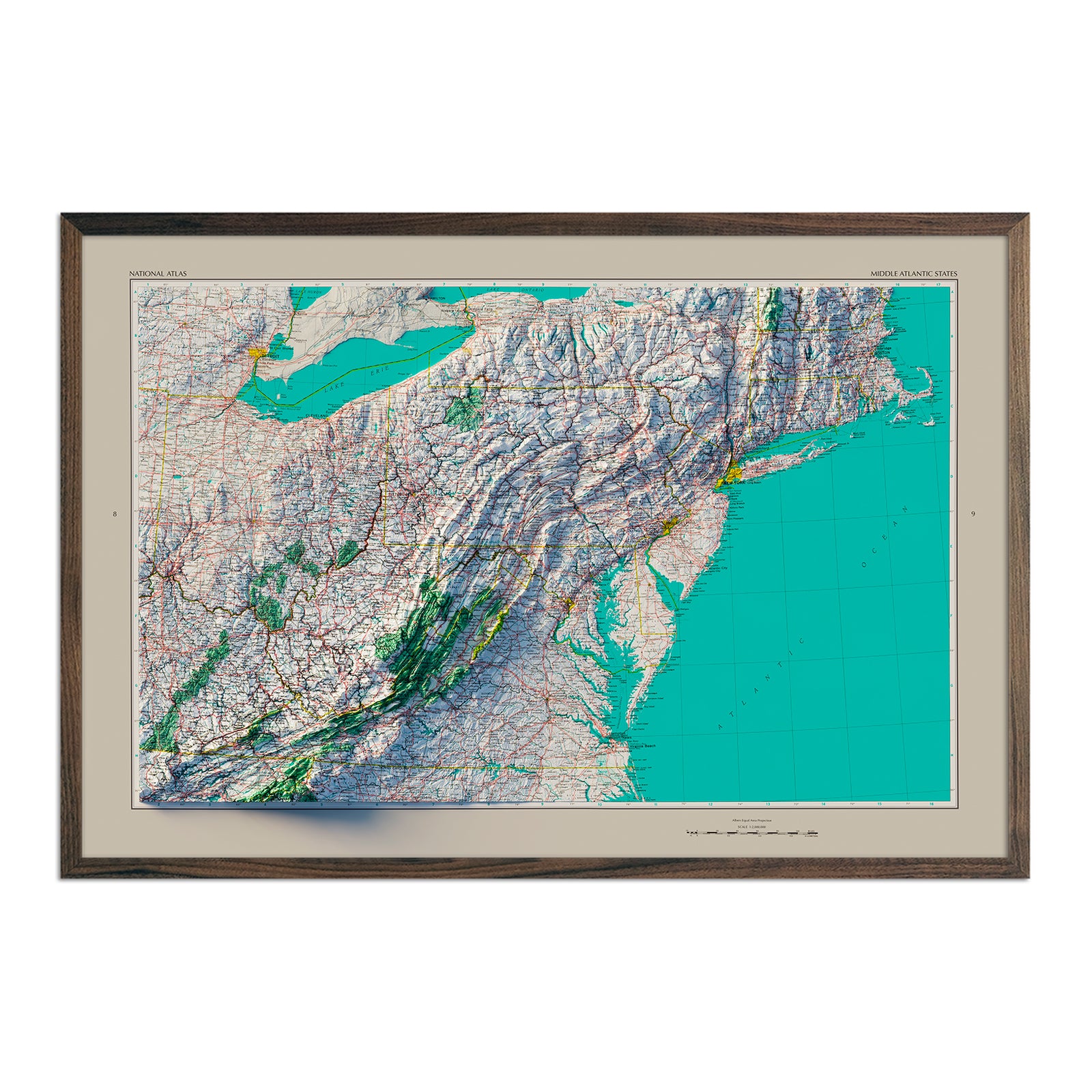
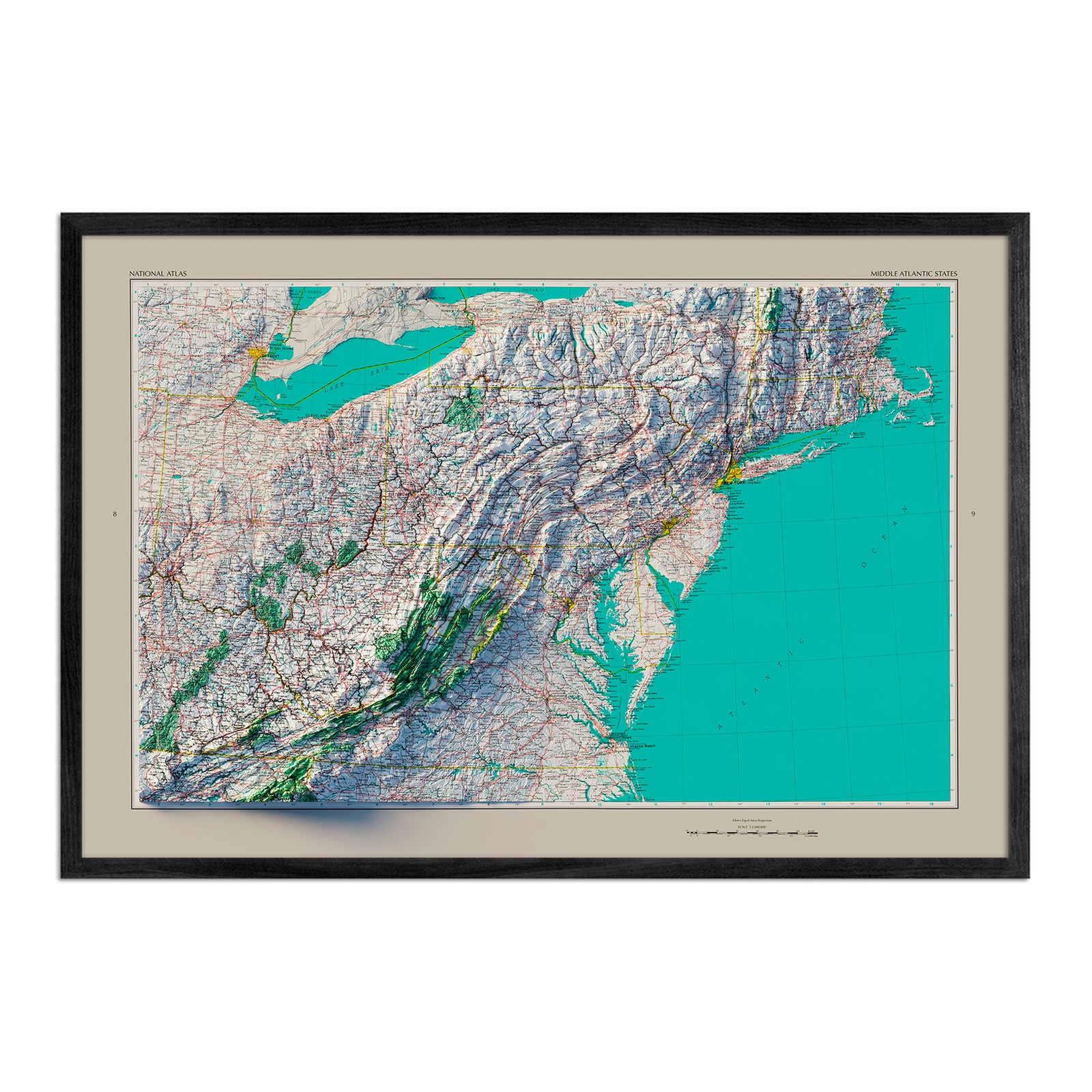
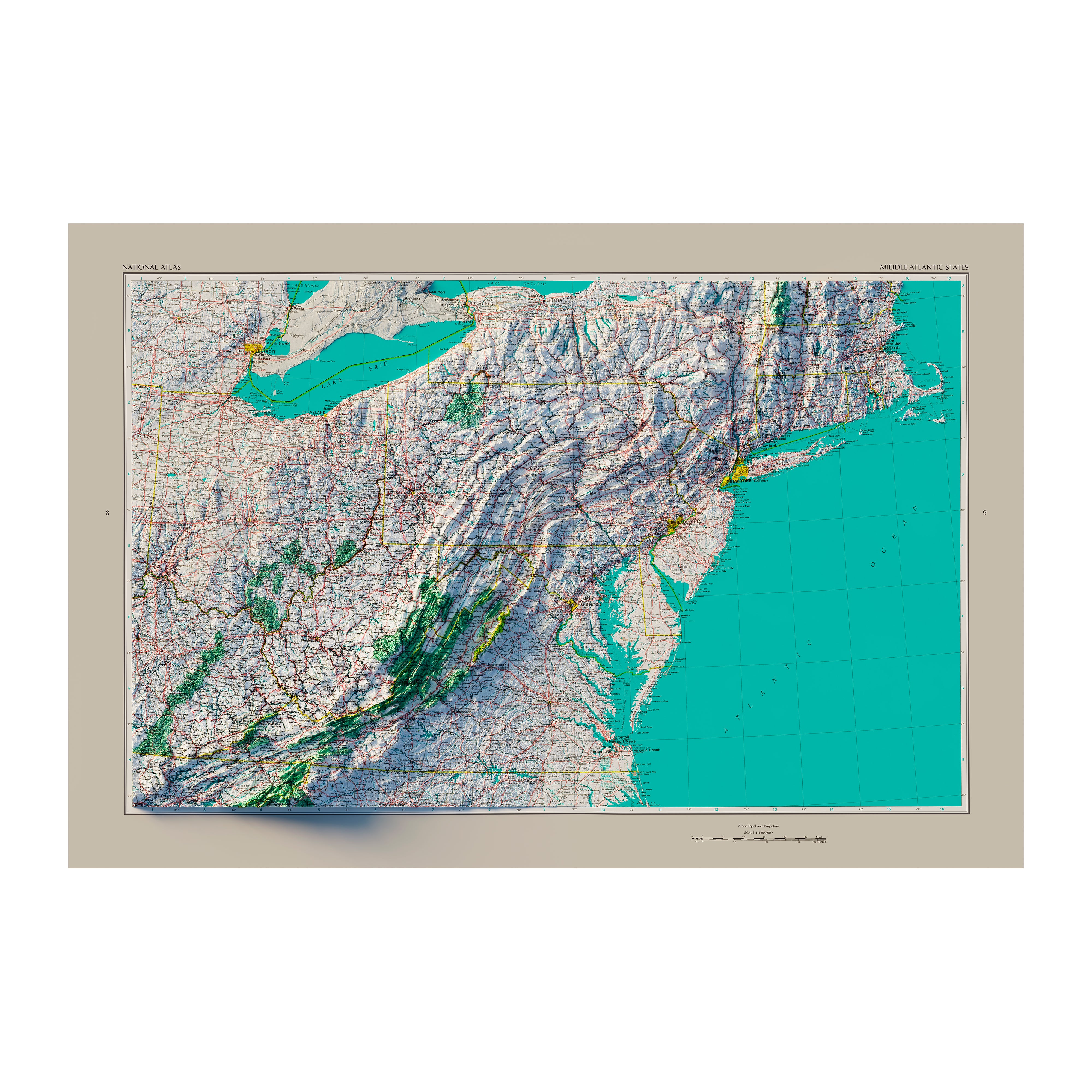
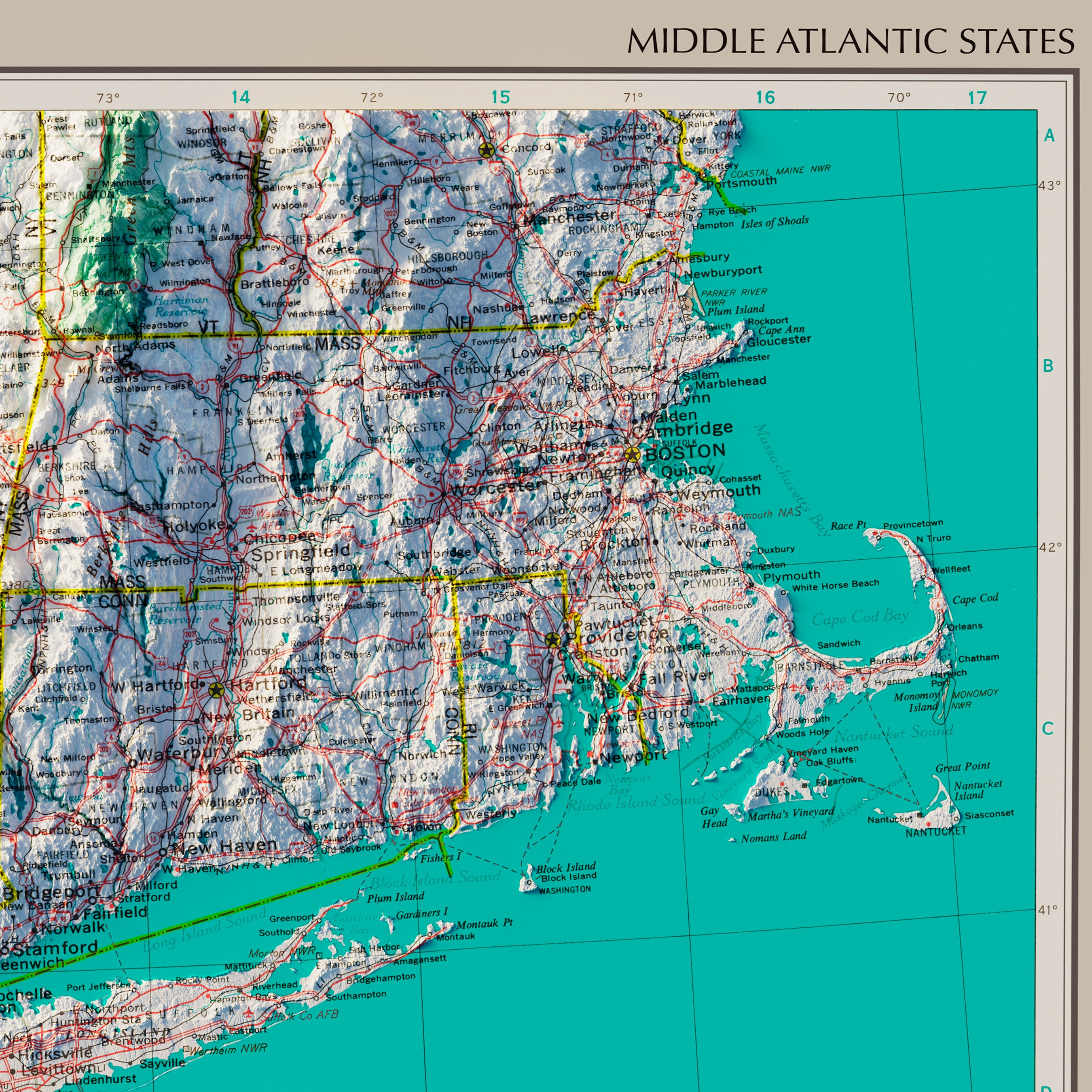
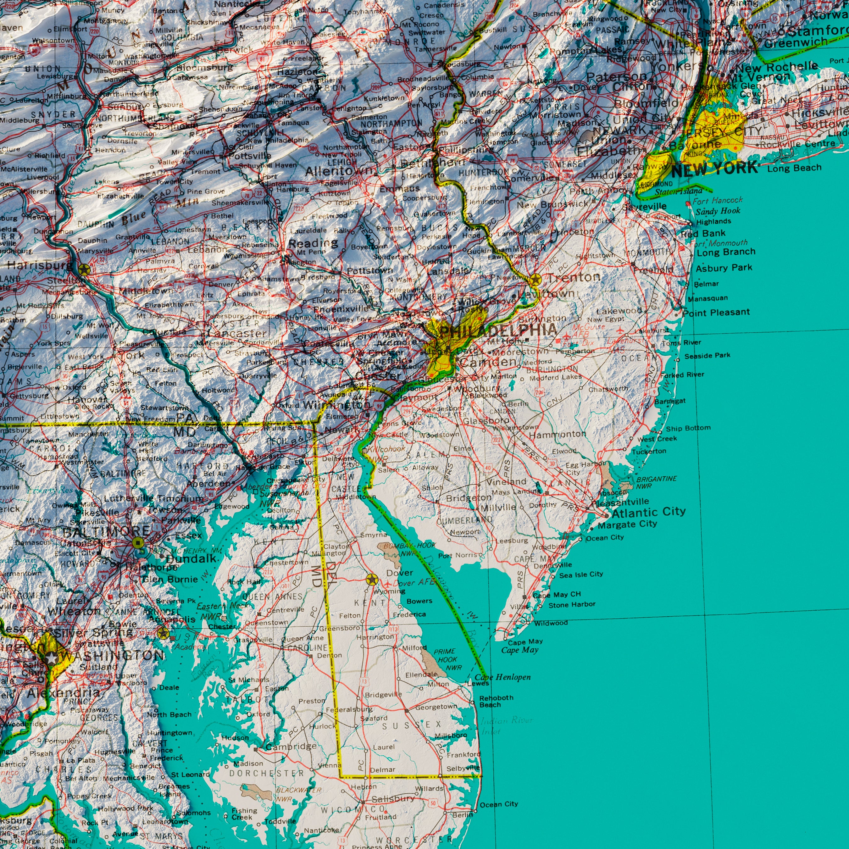
Middle Atlantic States 1970 Shaded Relief Map
From
$ 79.00 USD
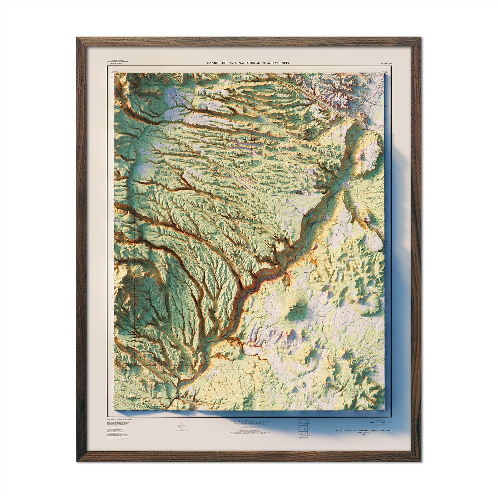
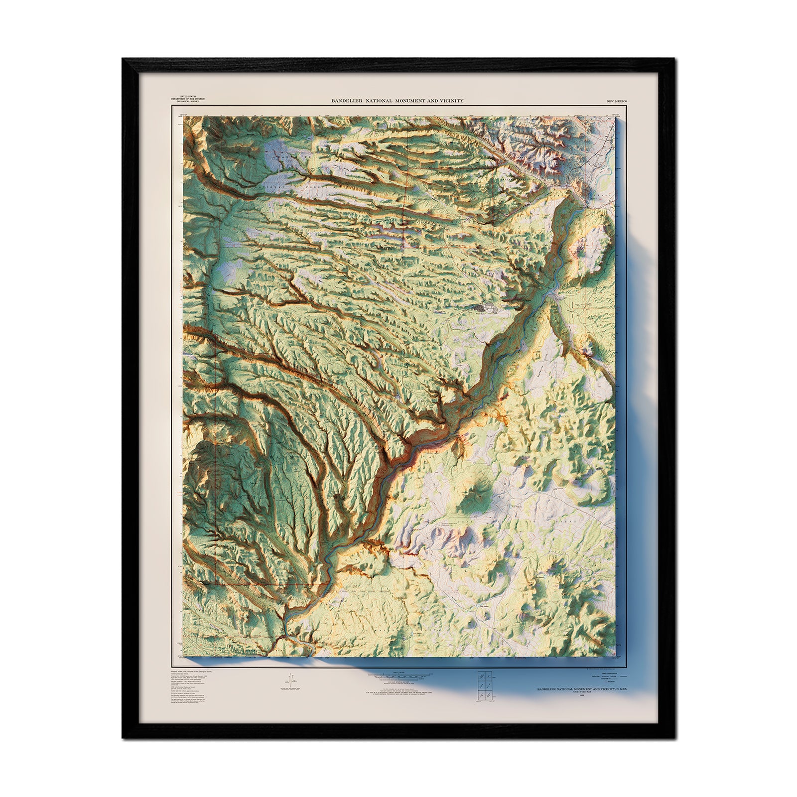
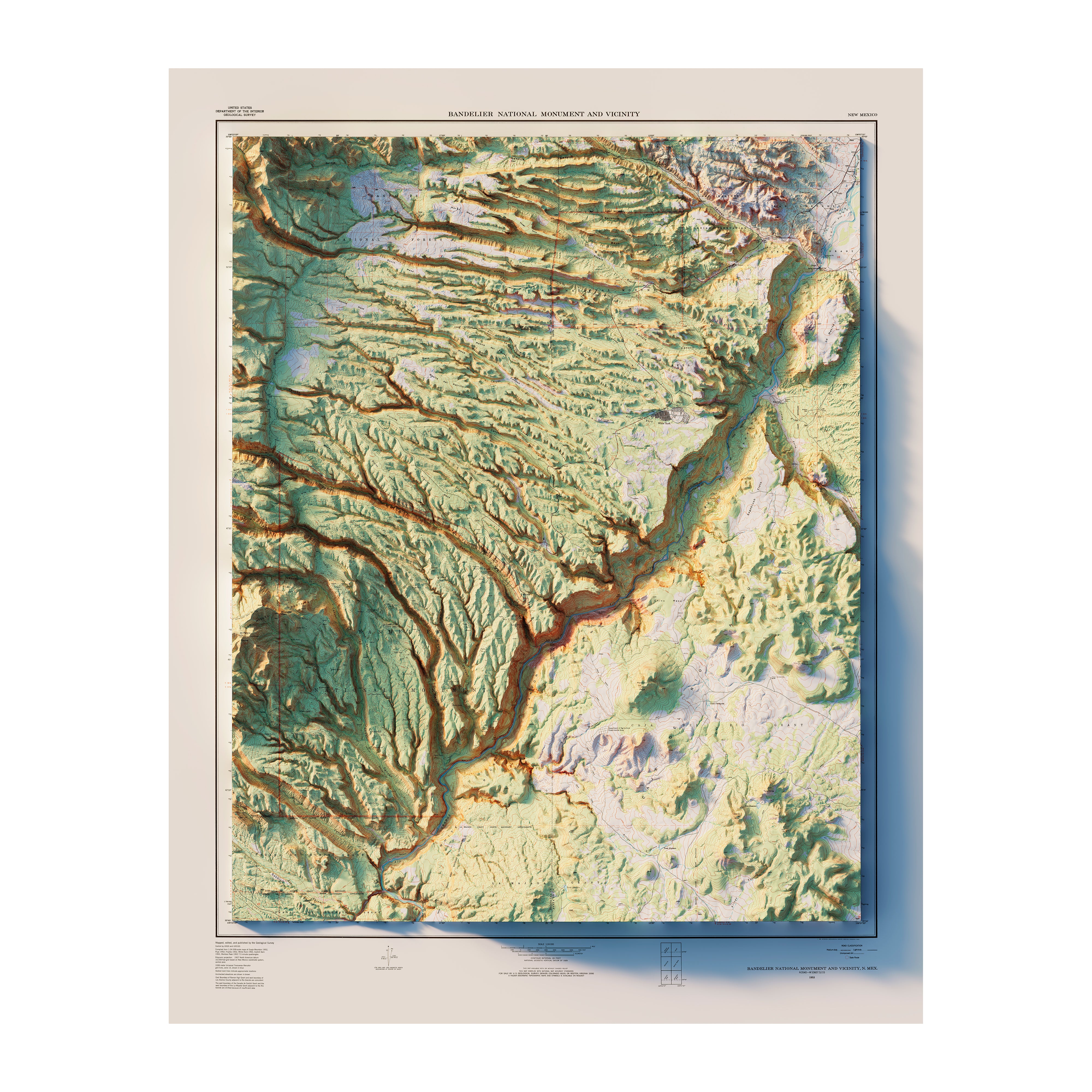
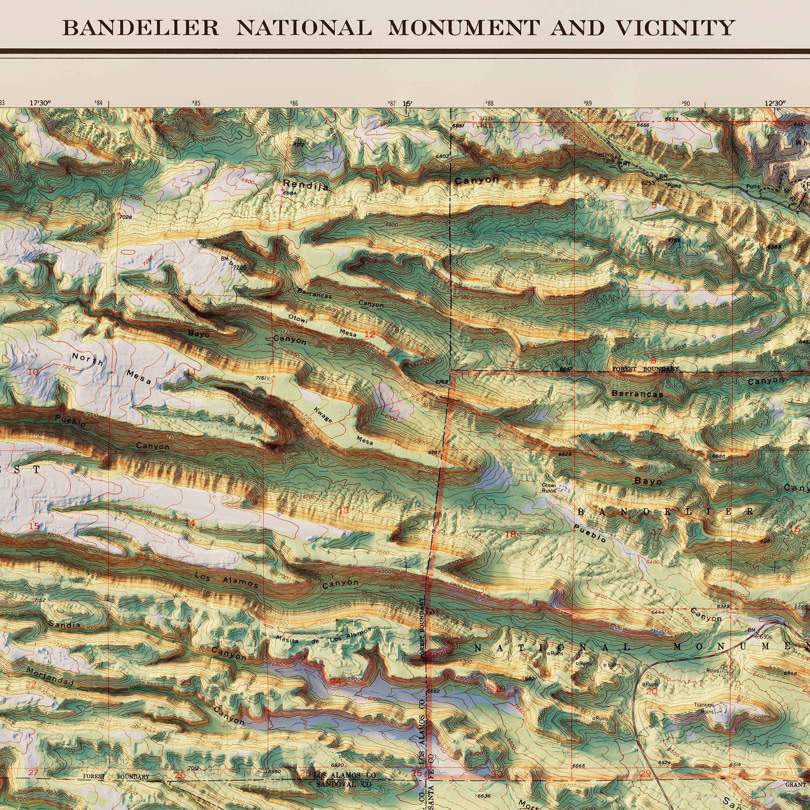
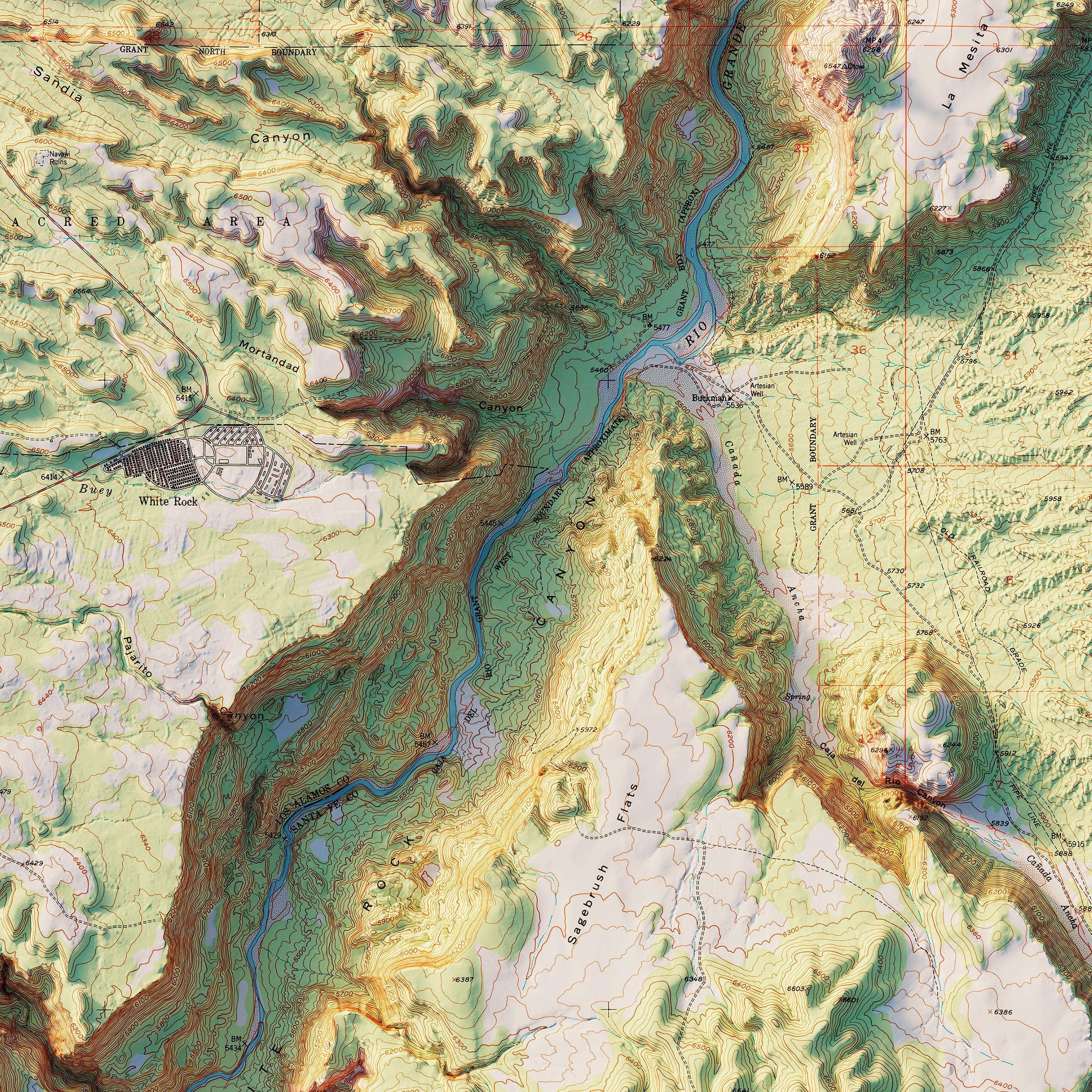
Bandelier 1953 Shaded Relief Map
From
$ 64.00 USD
Eastern Canada 1959 Shaded Relief Map
From
$ 64.00 USD
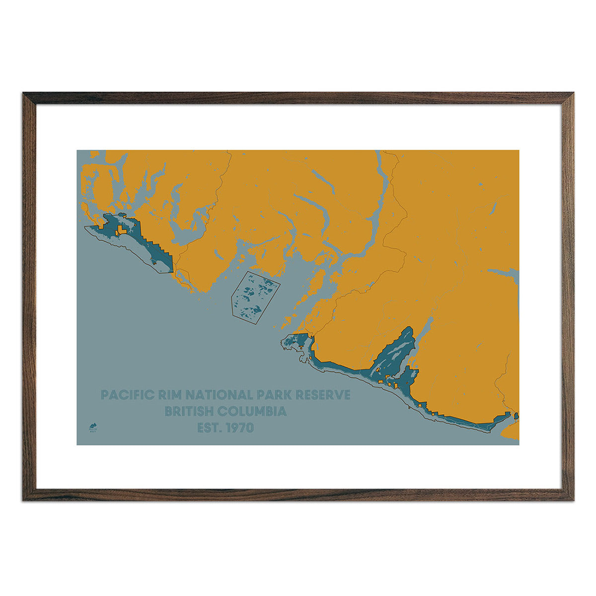
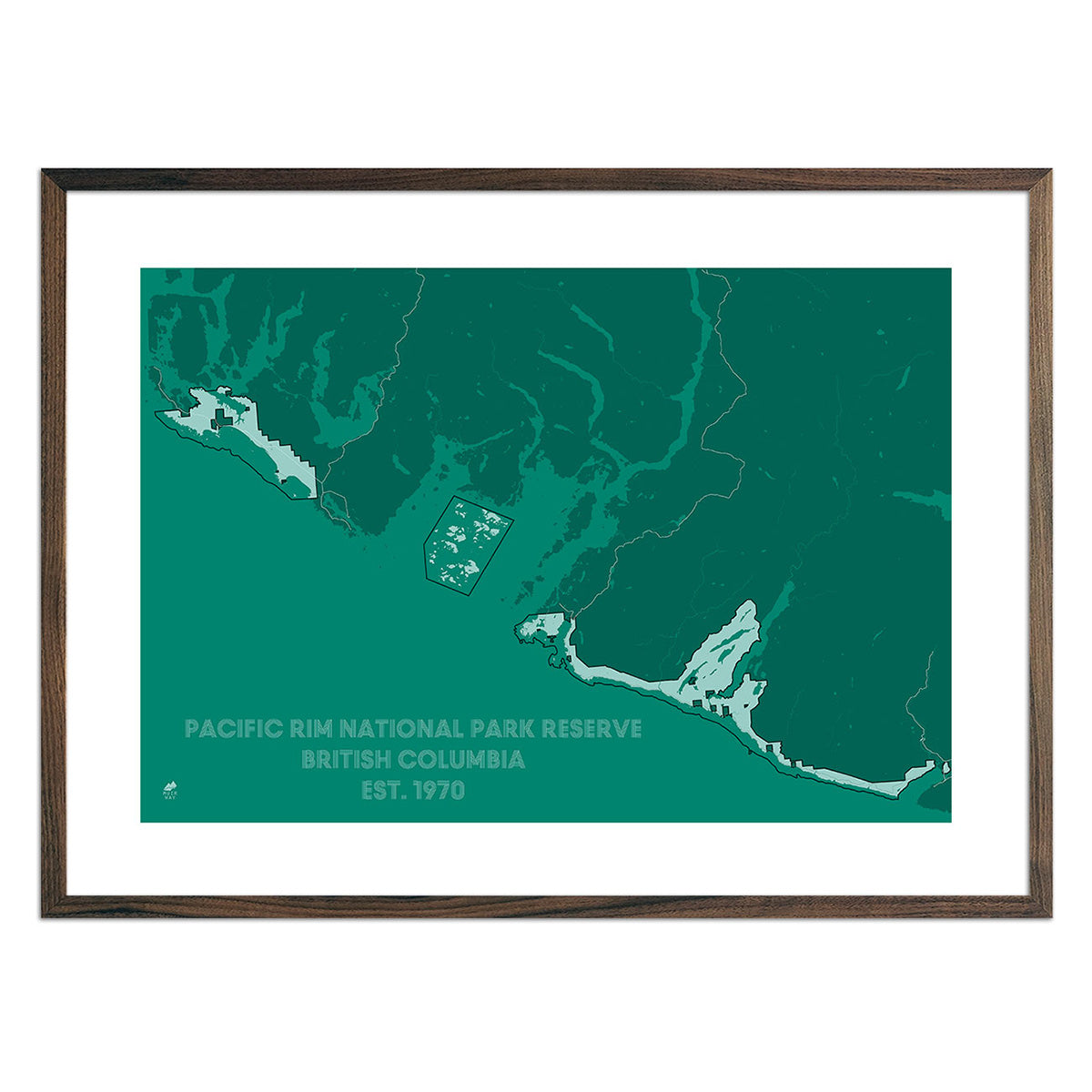
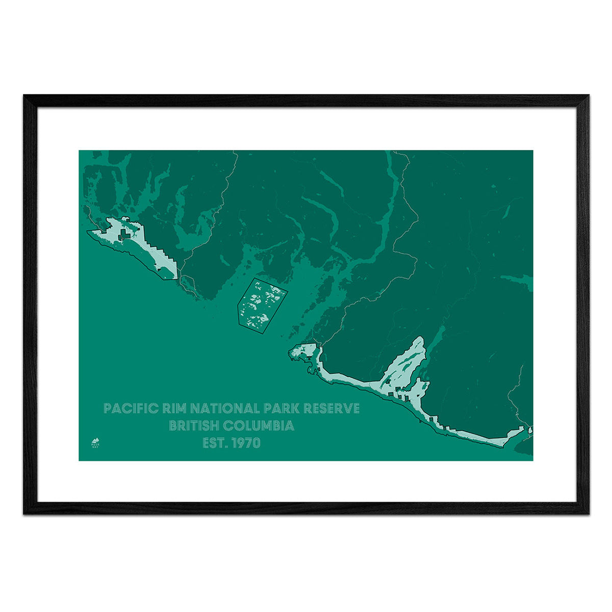
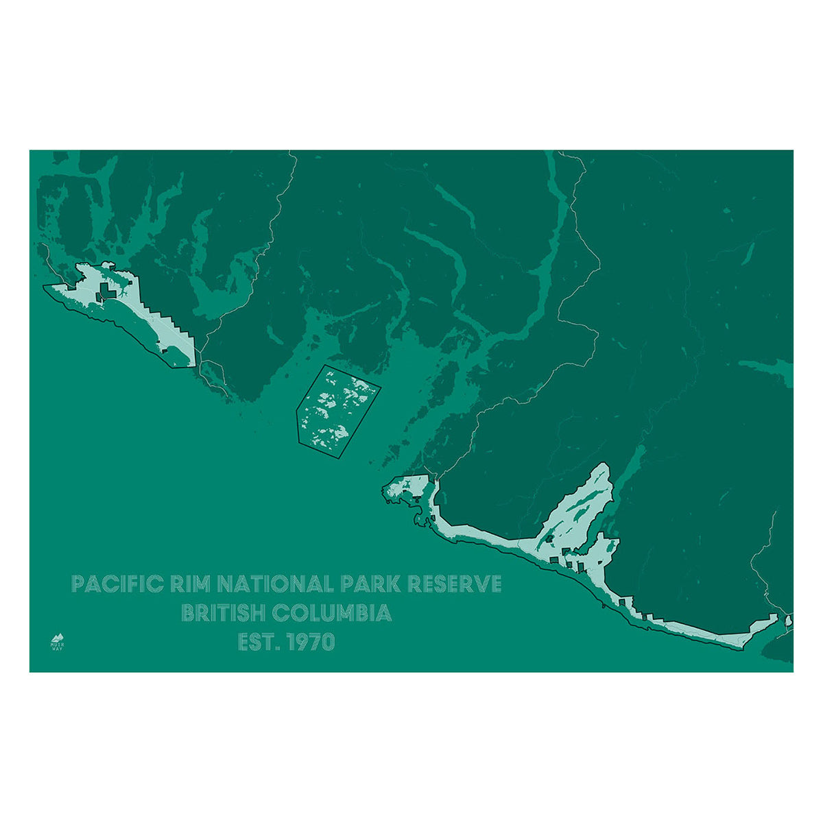
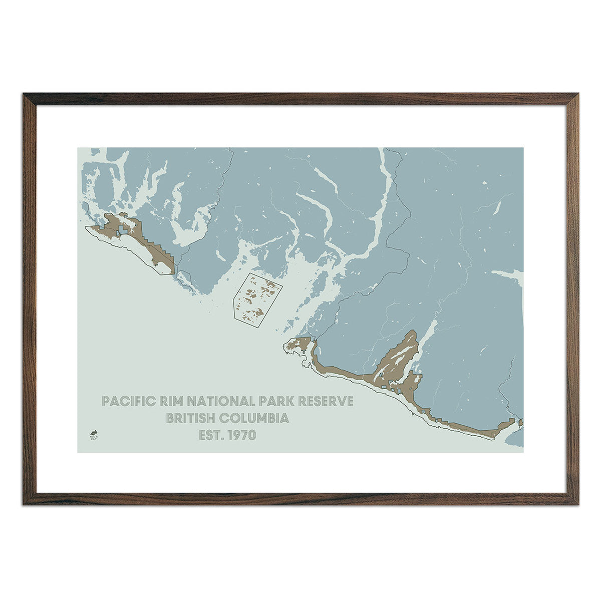
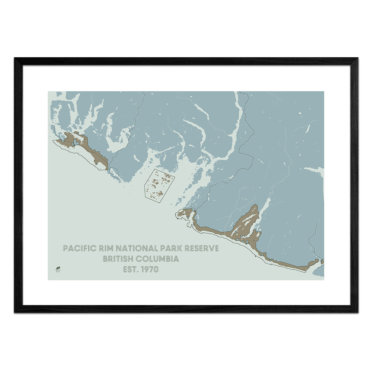
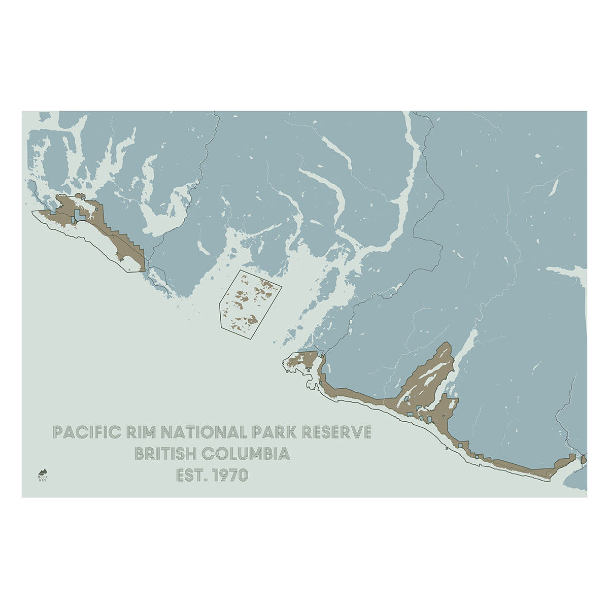
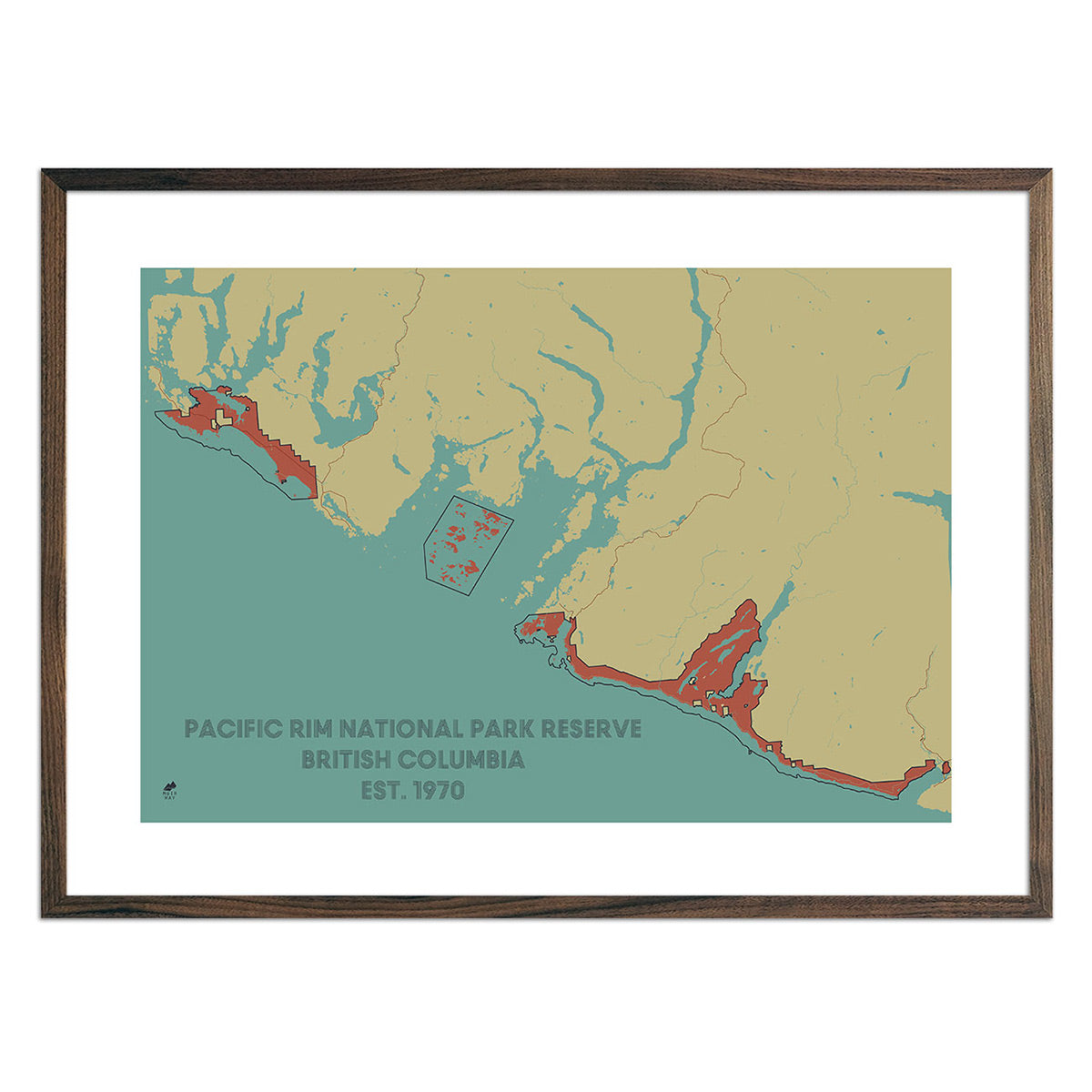
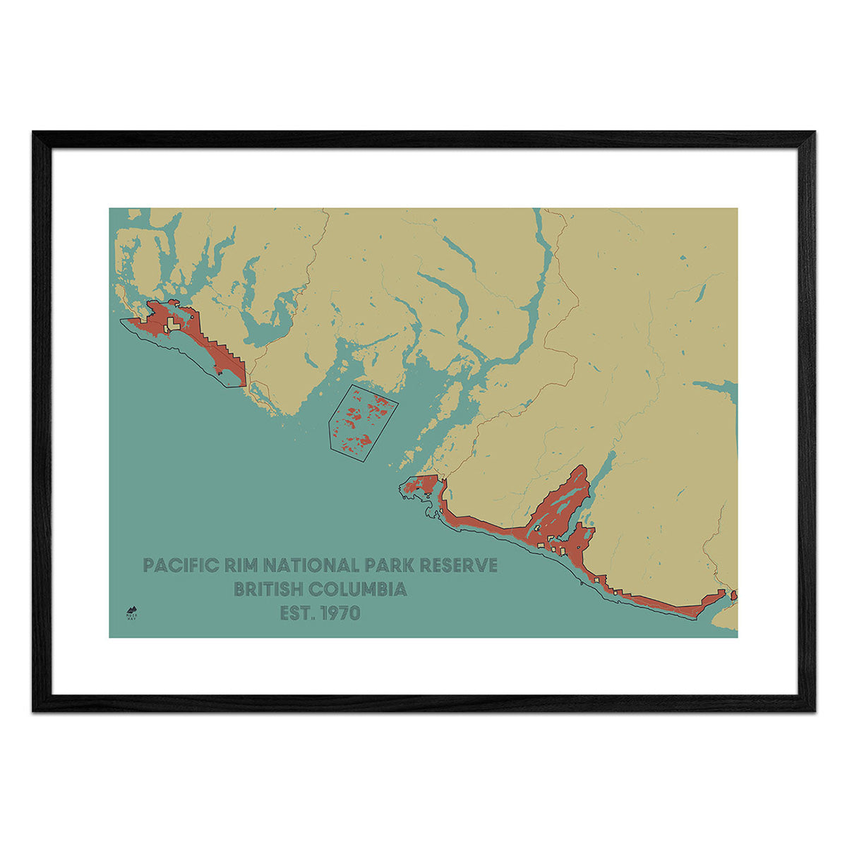
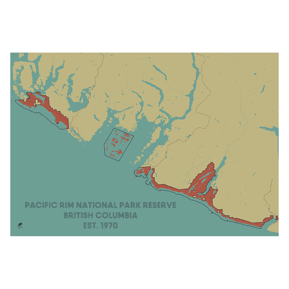
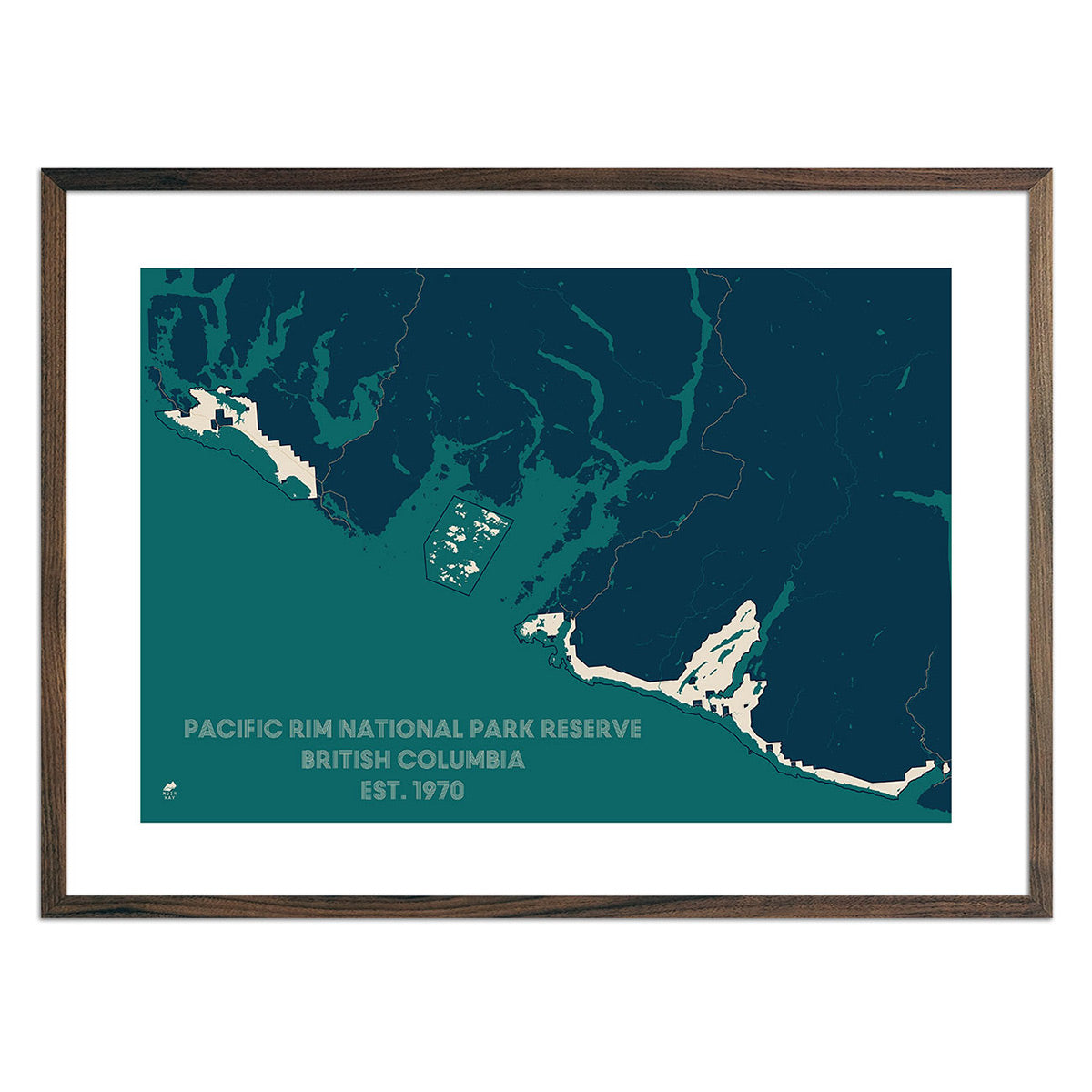
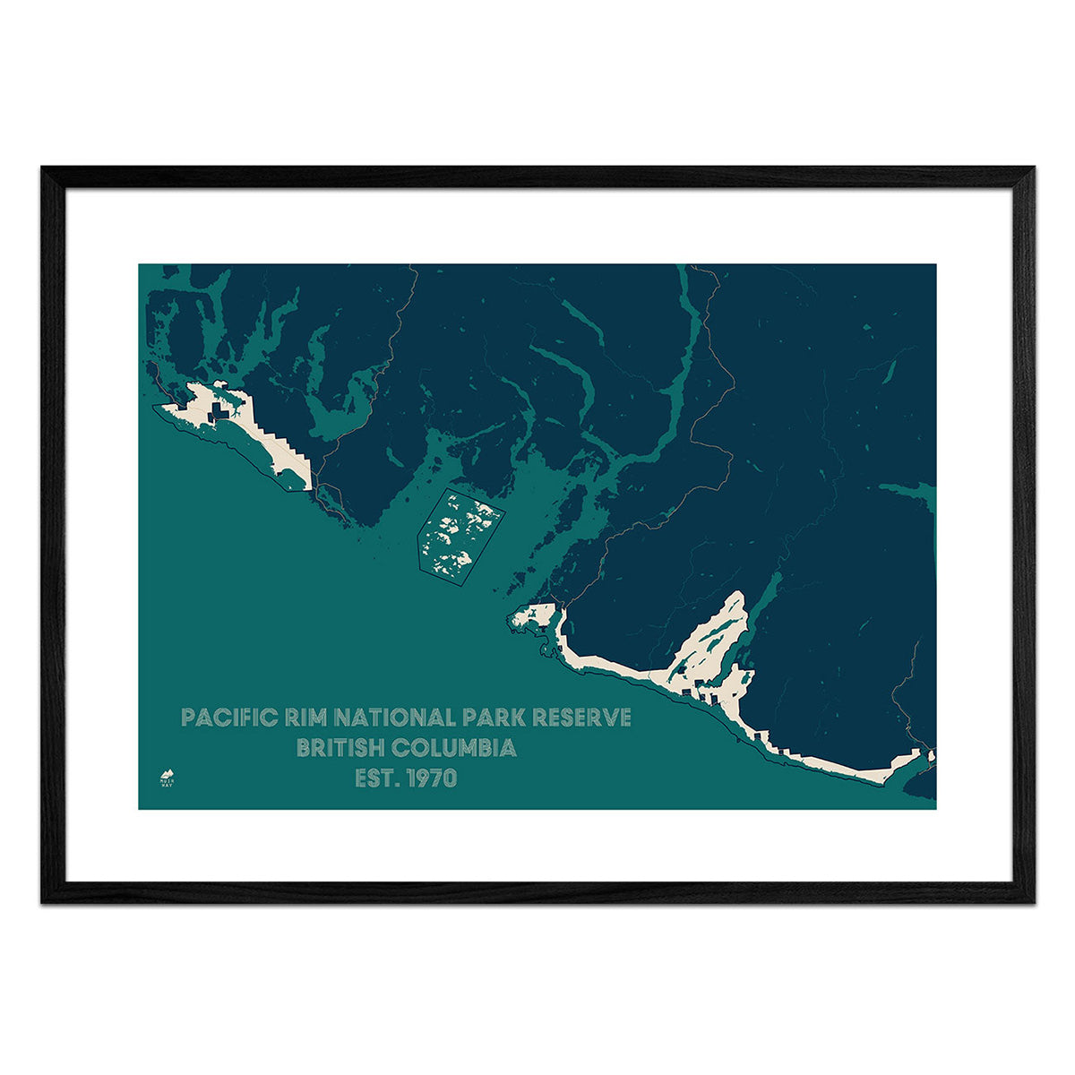
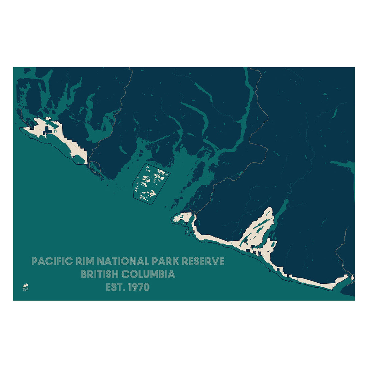
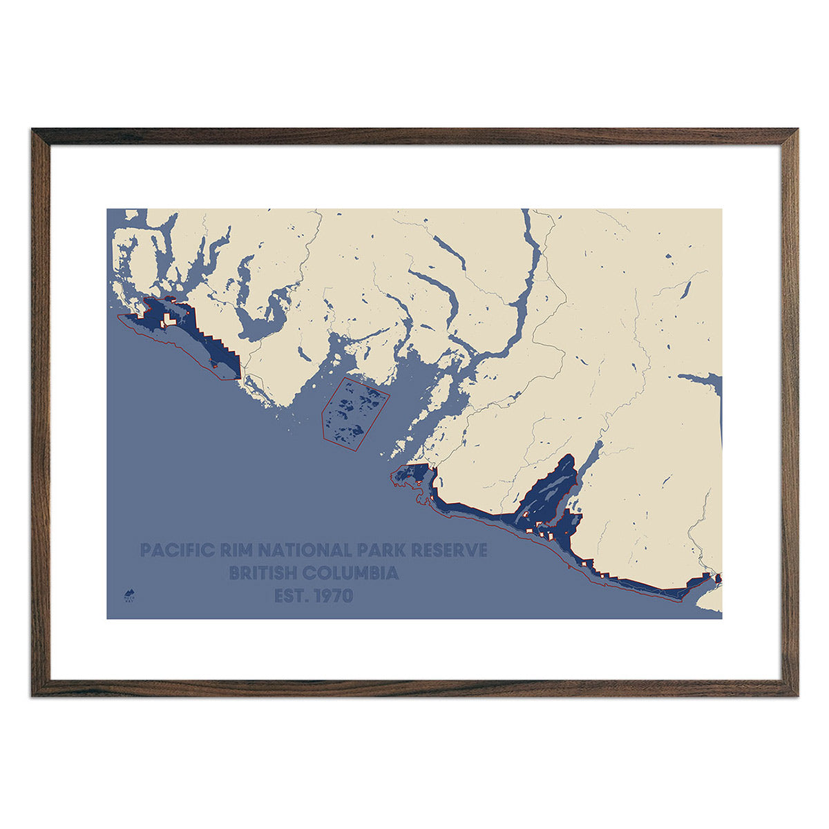
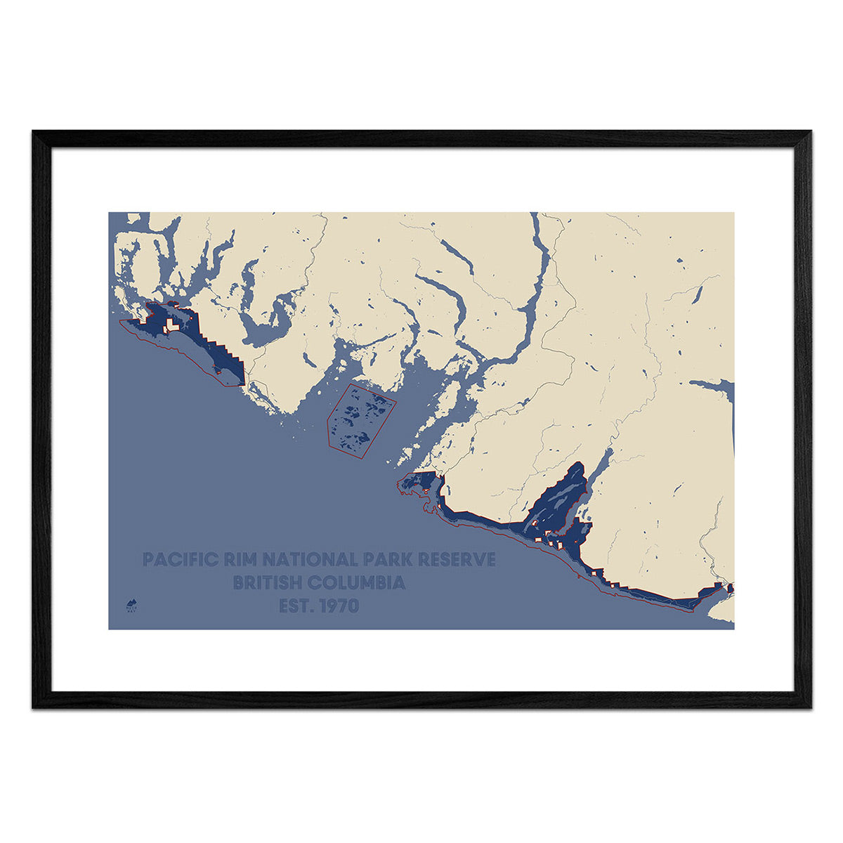
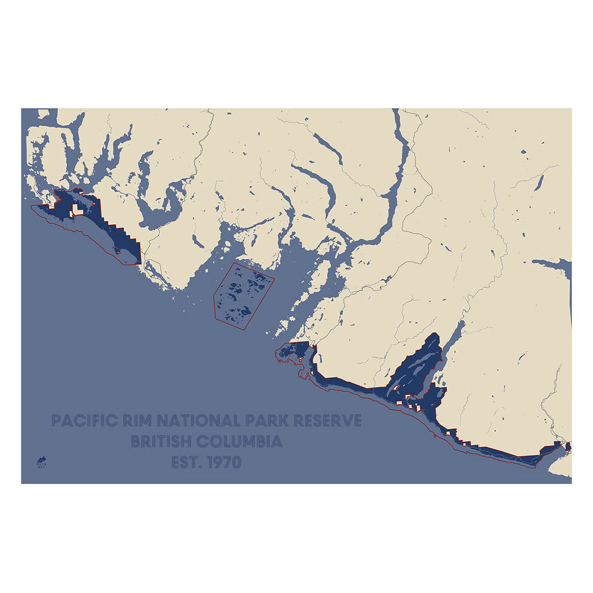
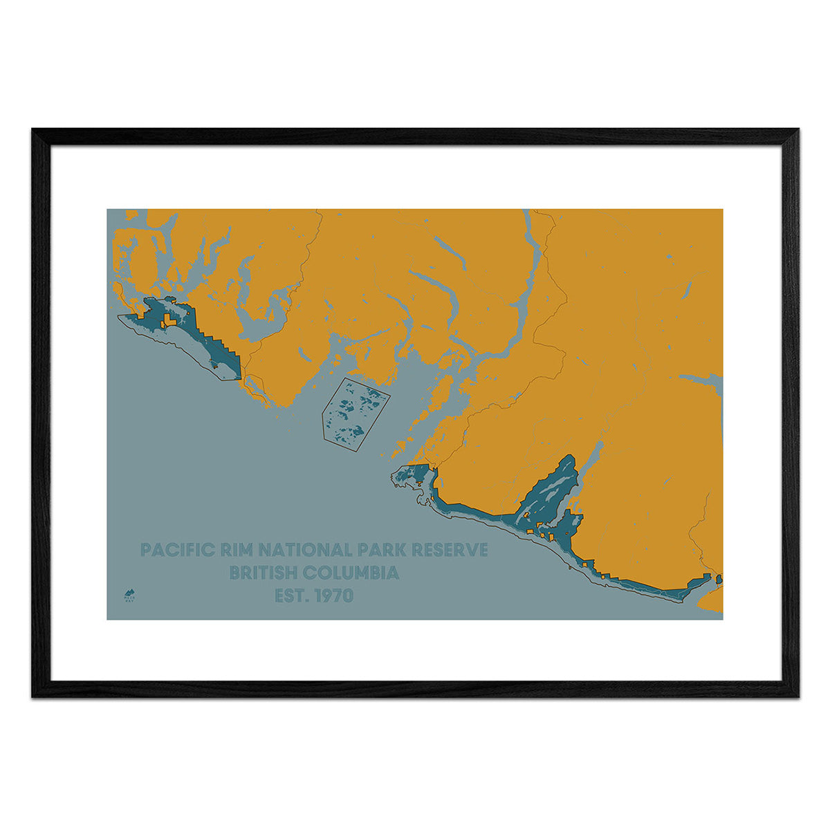
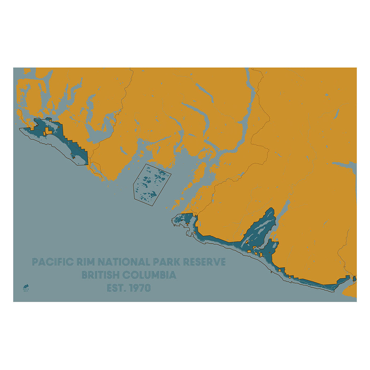
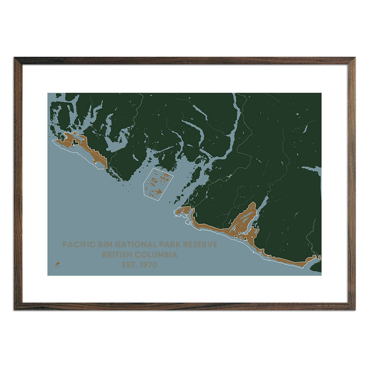
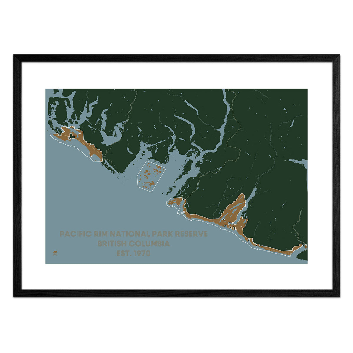
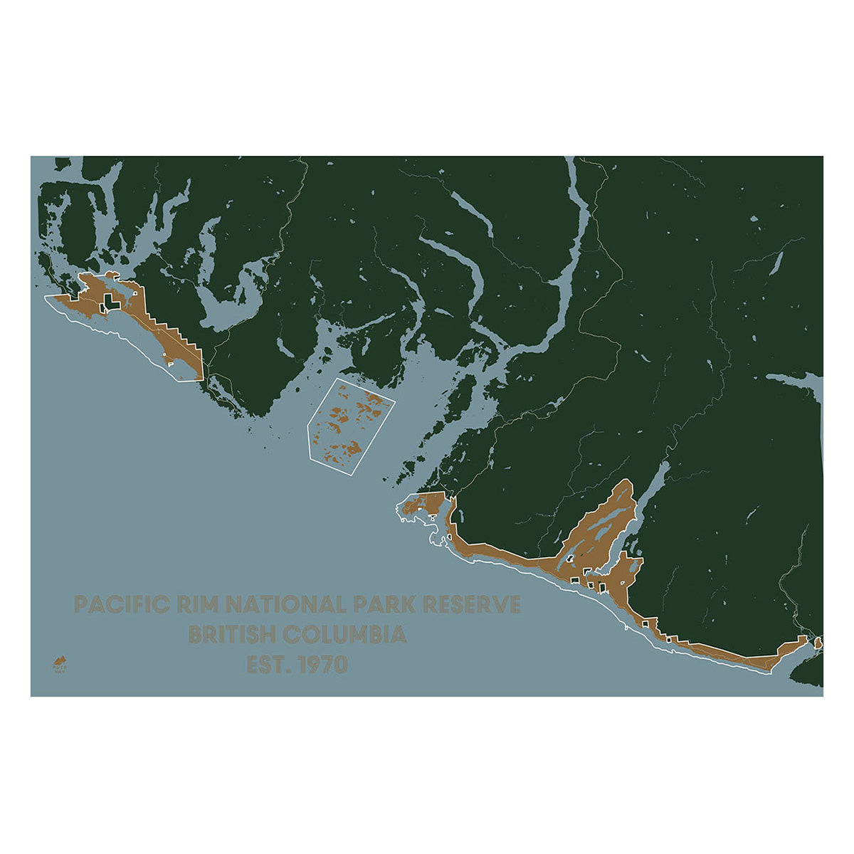
Pacific Rim National Park Reserve Map
From
$ 49.00 USD
5.0 / 5.0
283 reviews
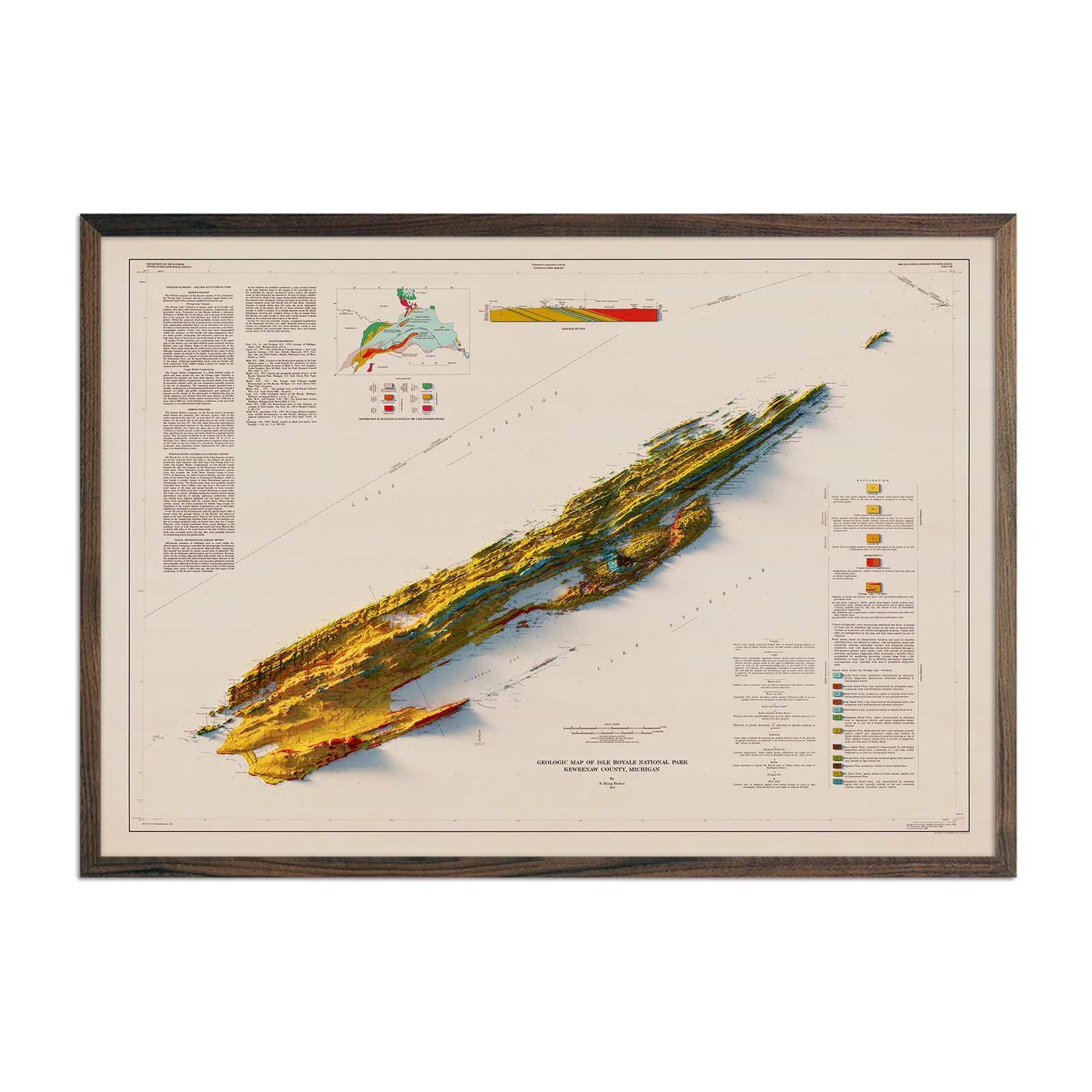
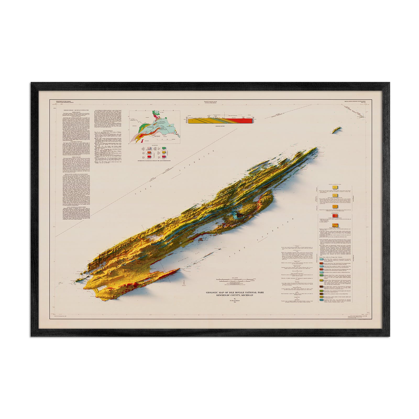
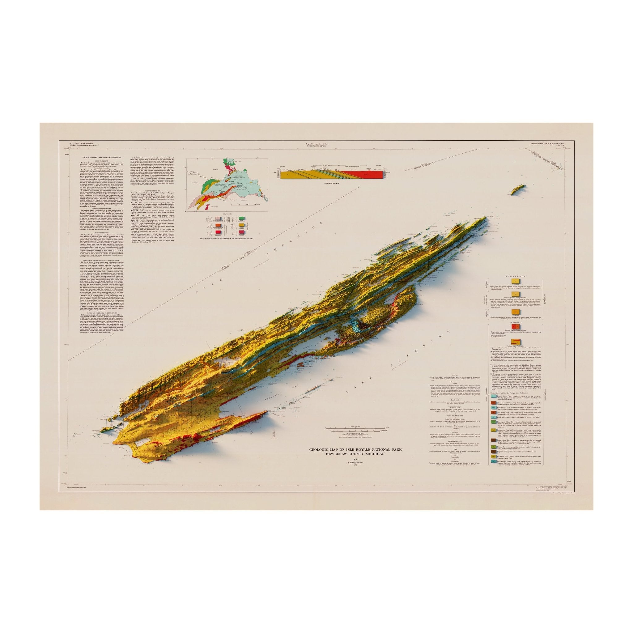
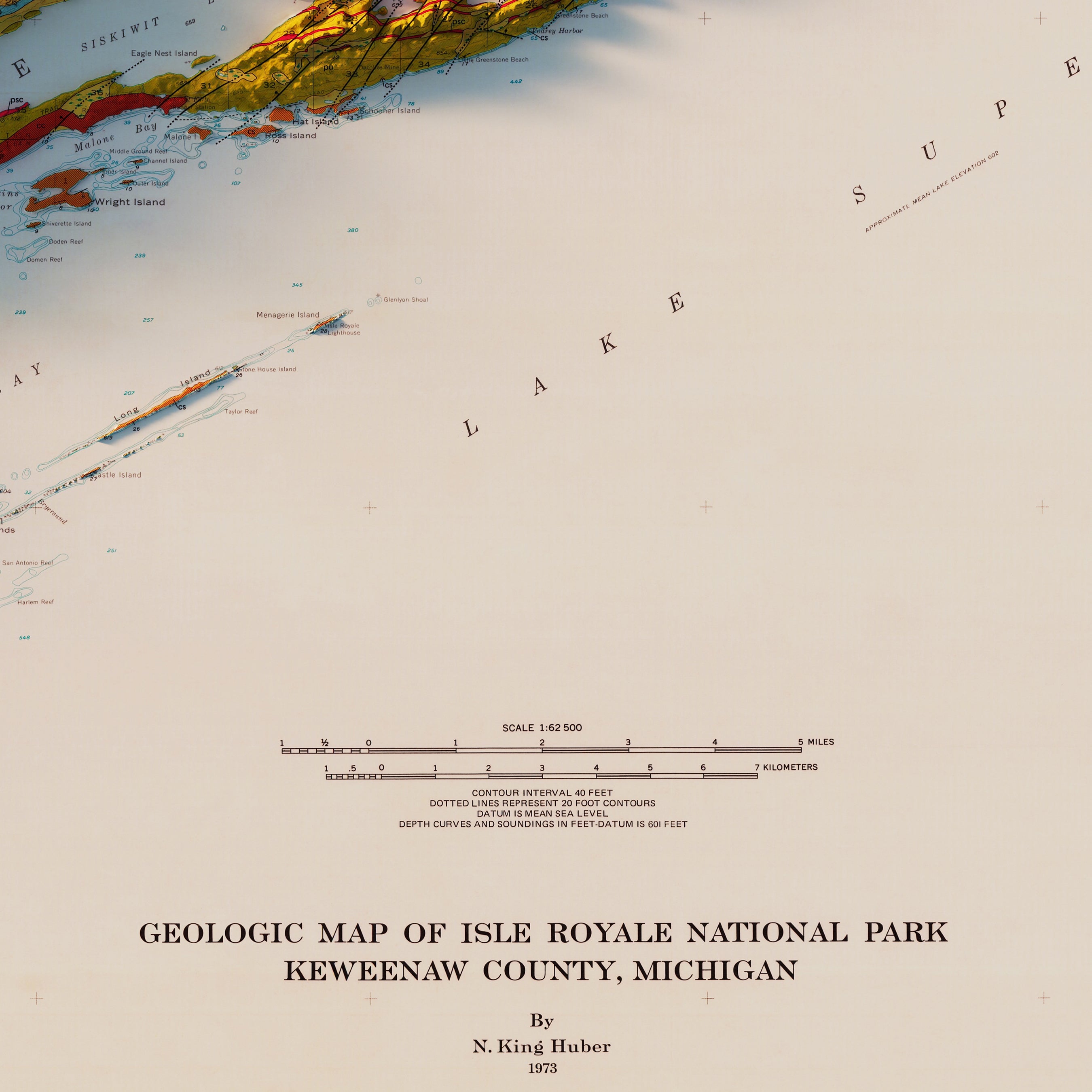
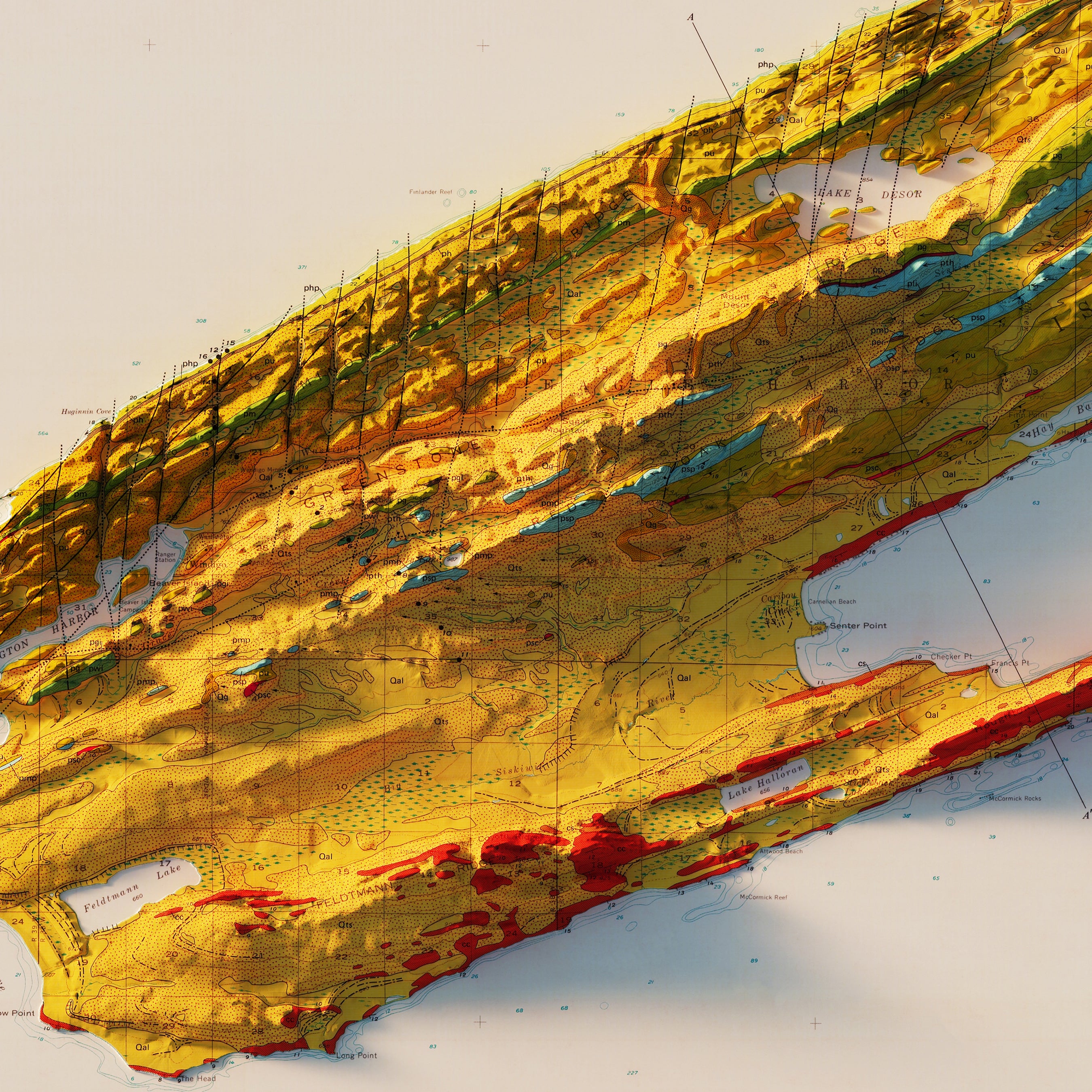
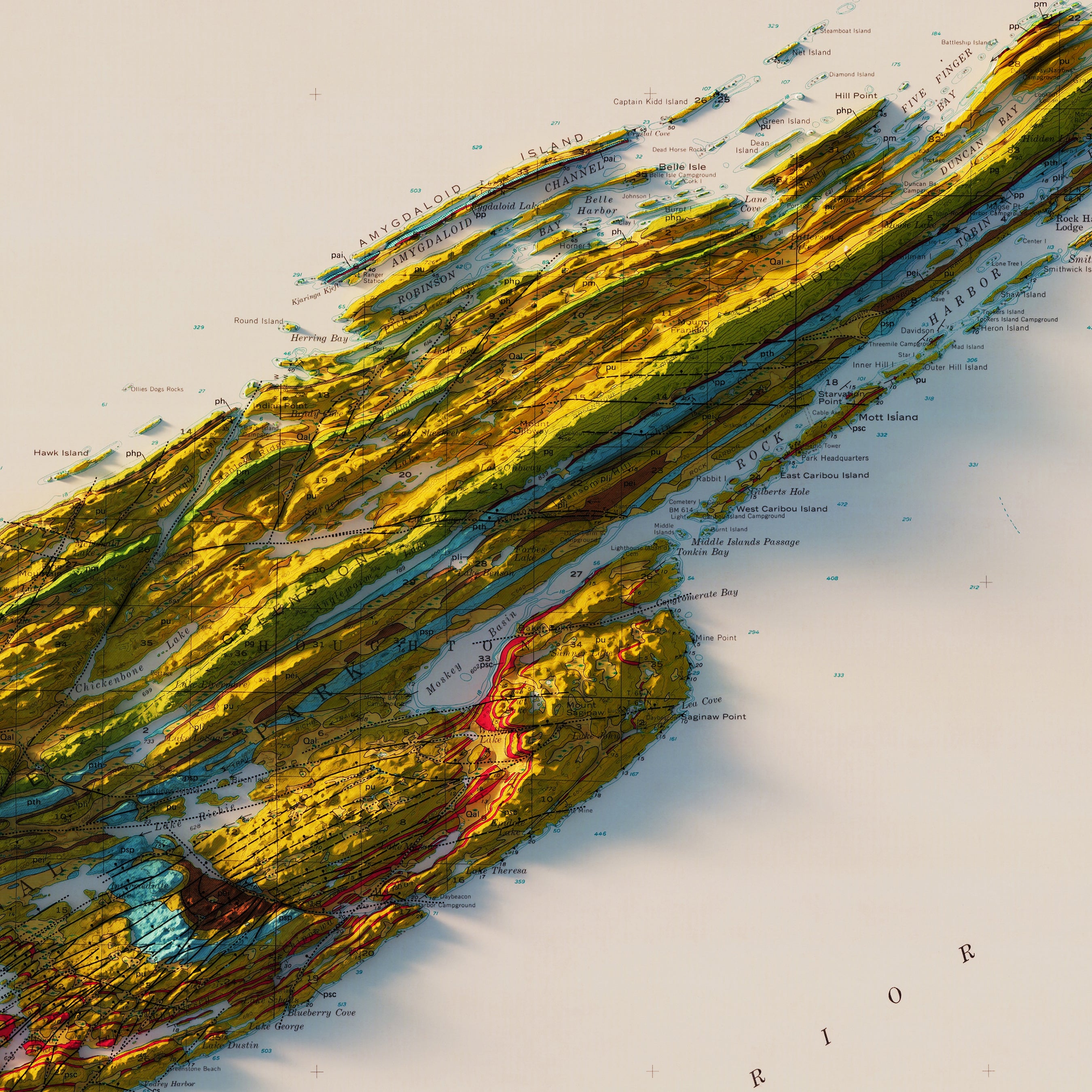
Isle Royale National Park 1973 Shaded Relief Map
From
$ 79.00 USD
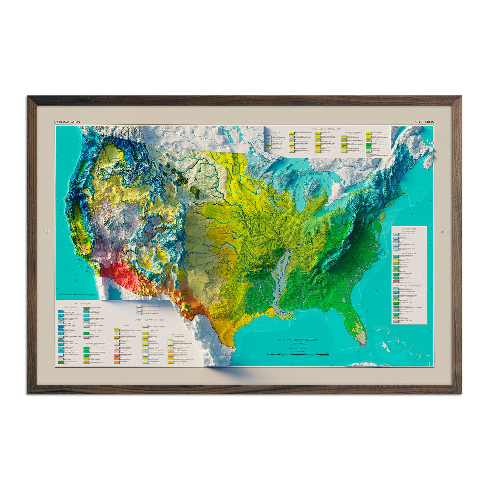
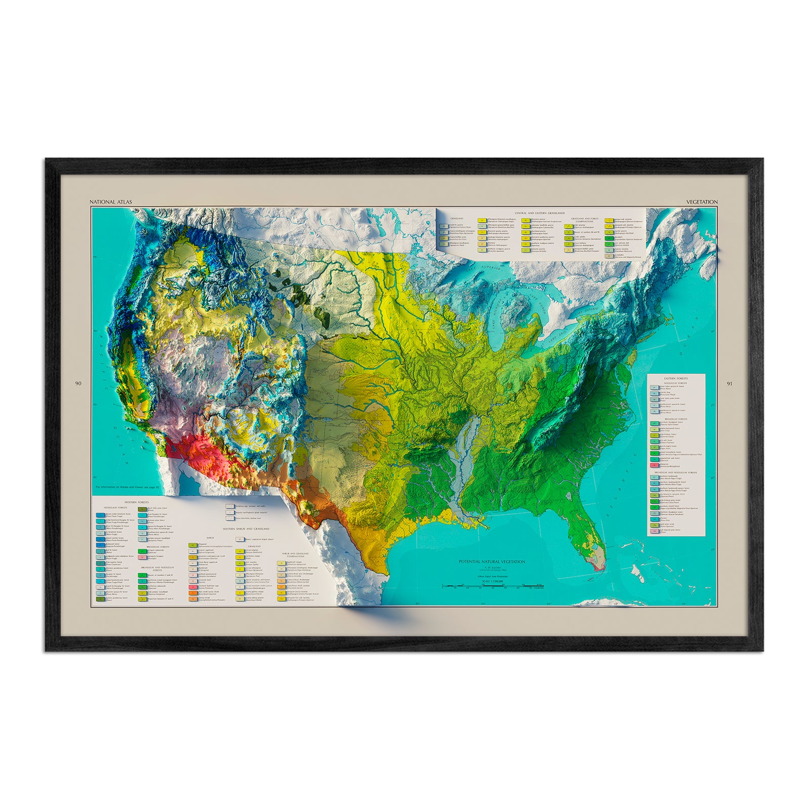
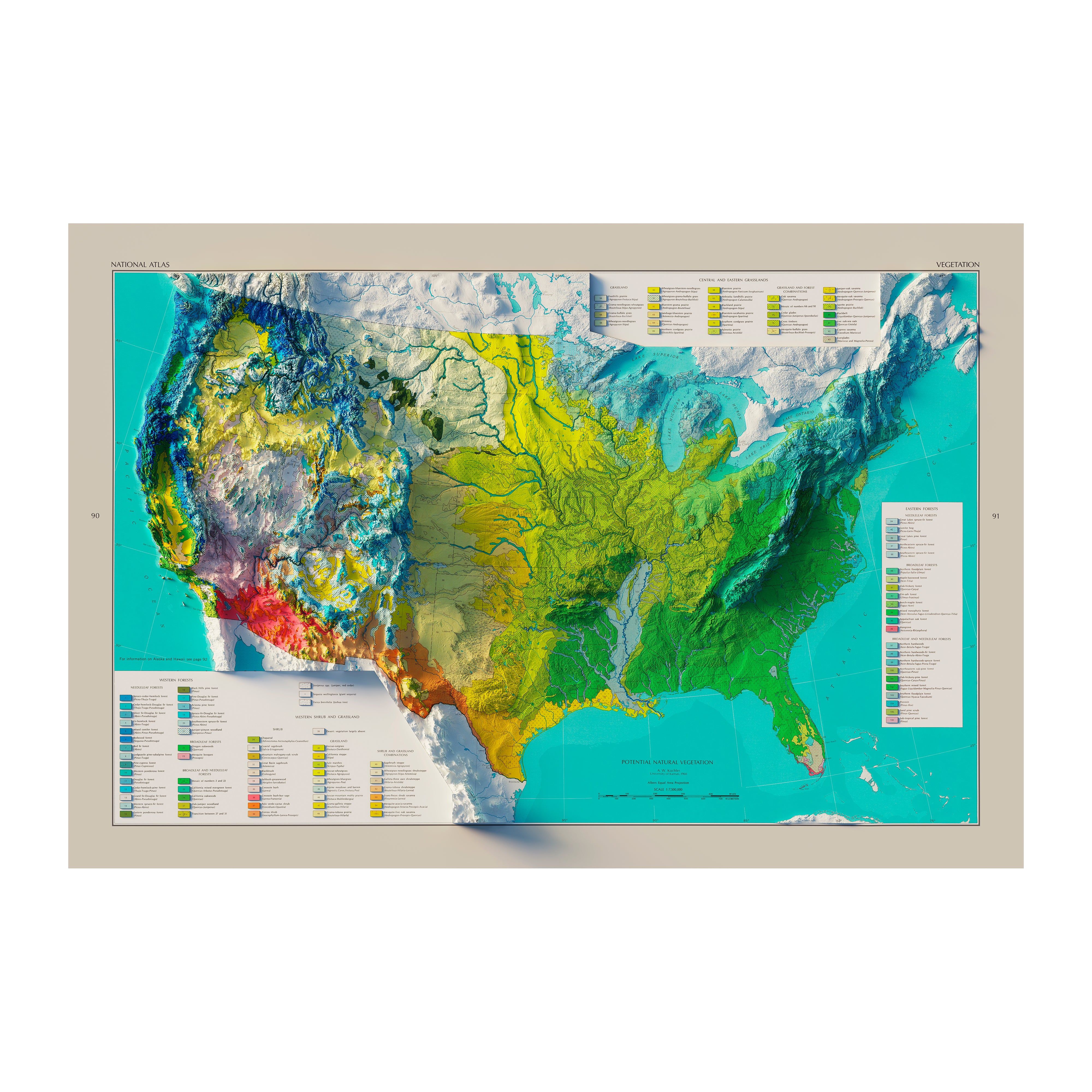
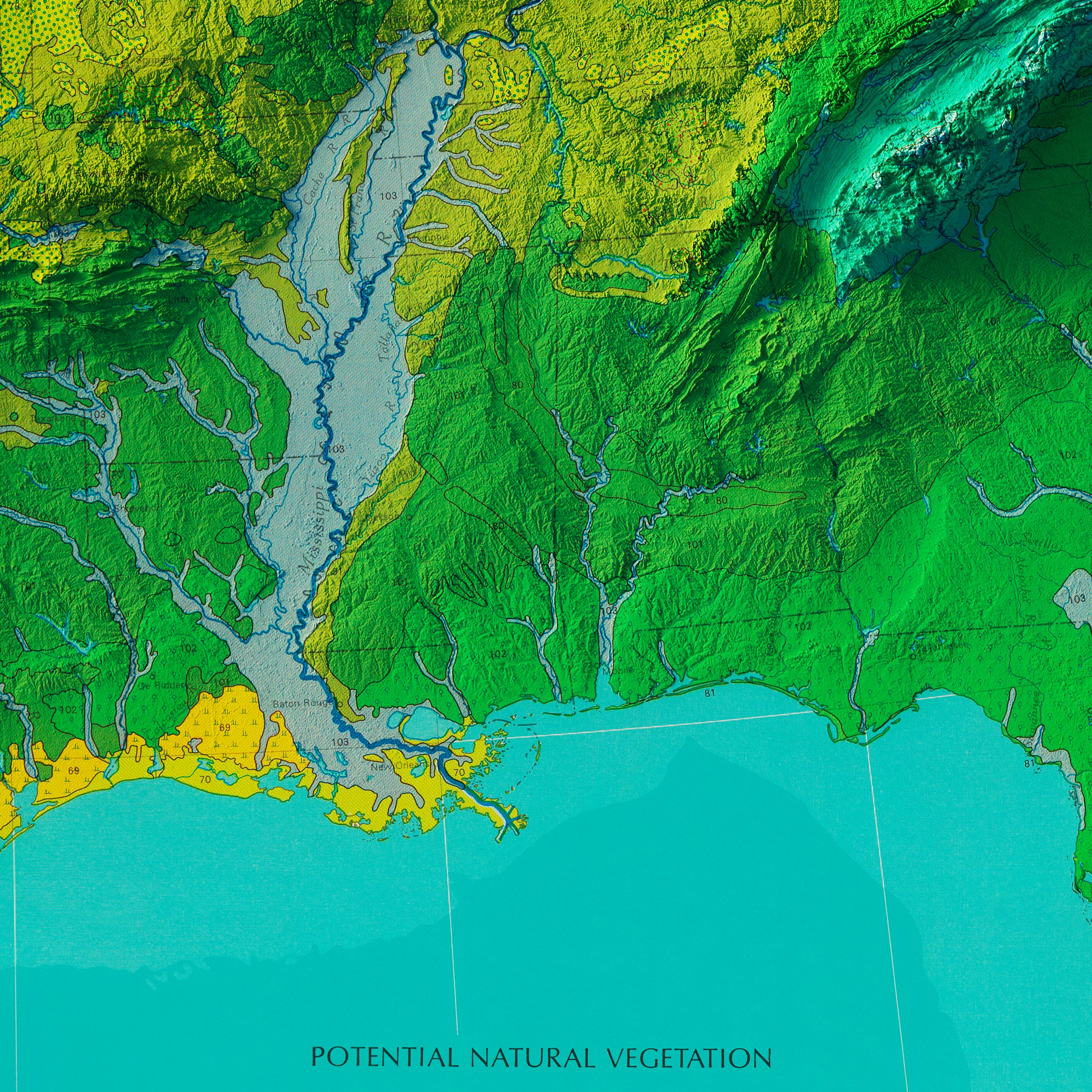
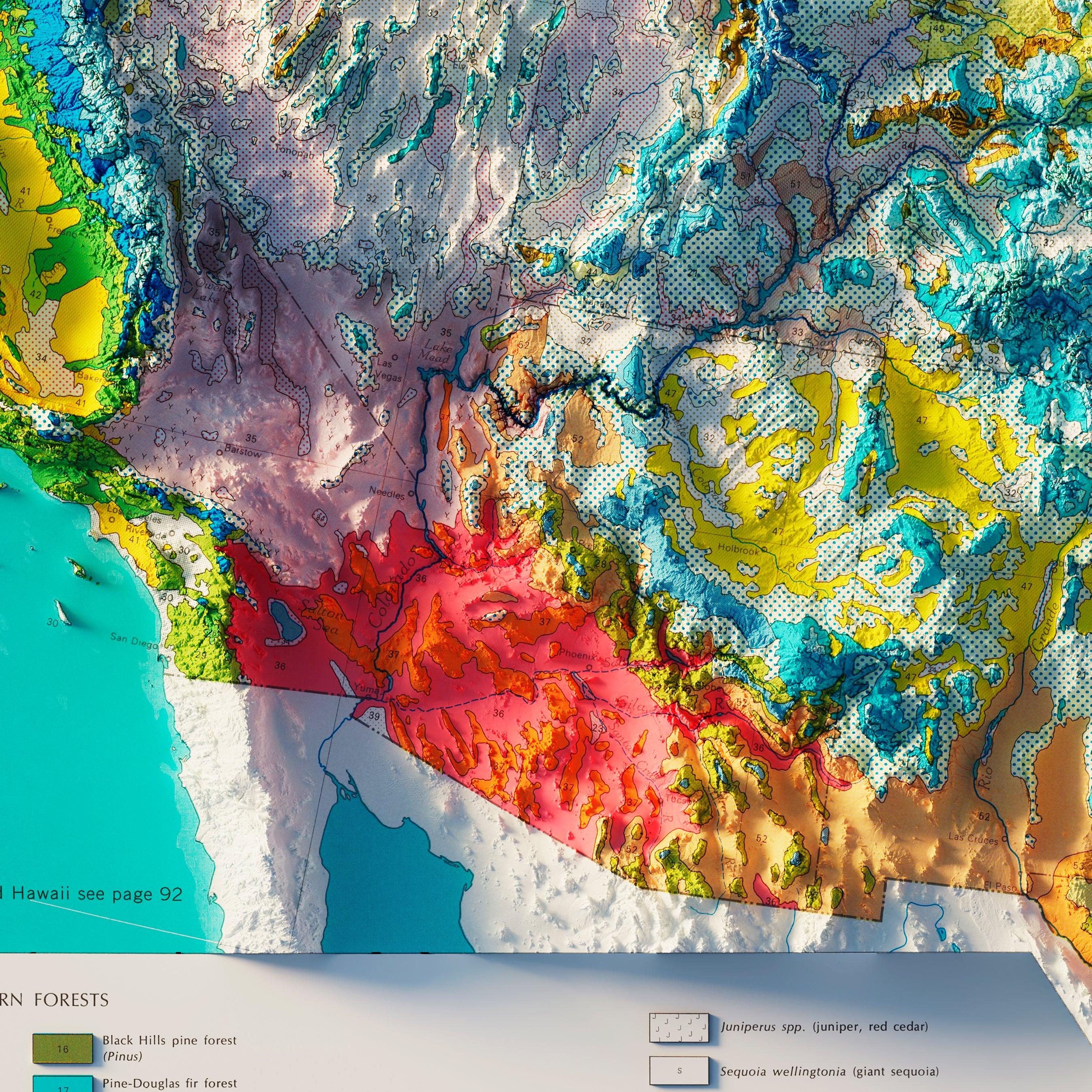
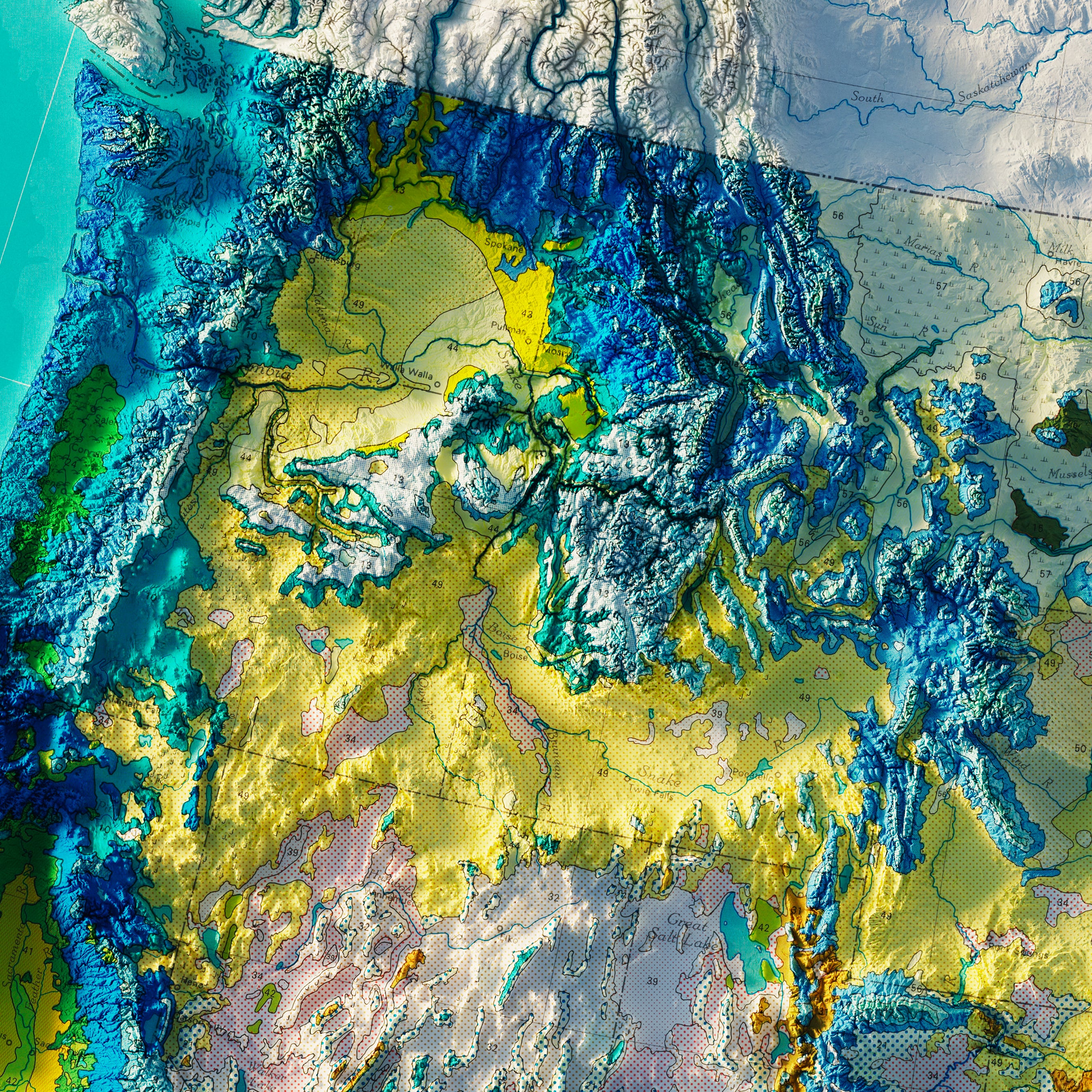
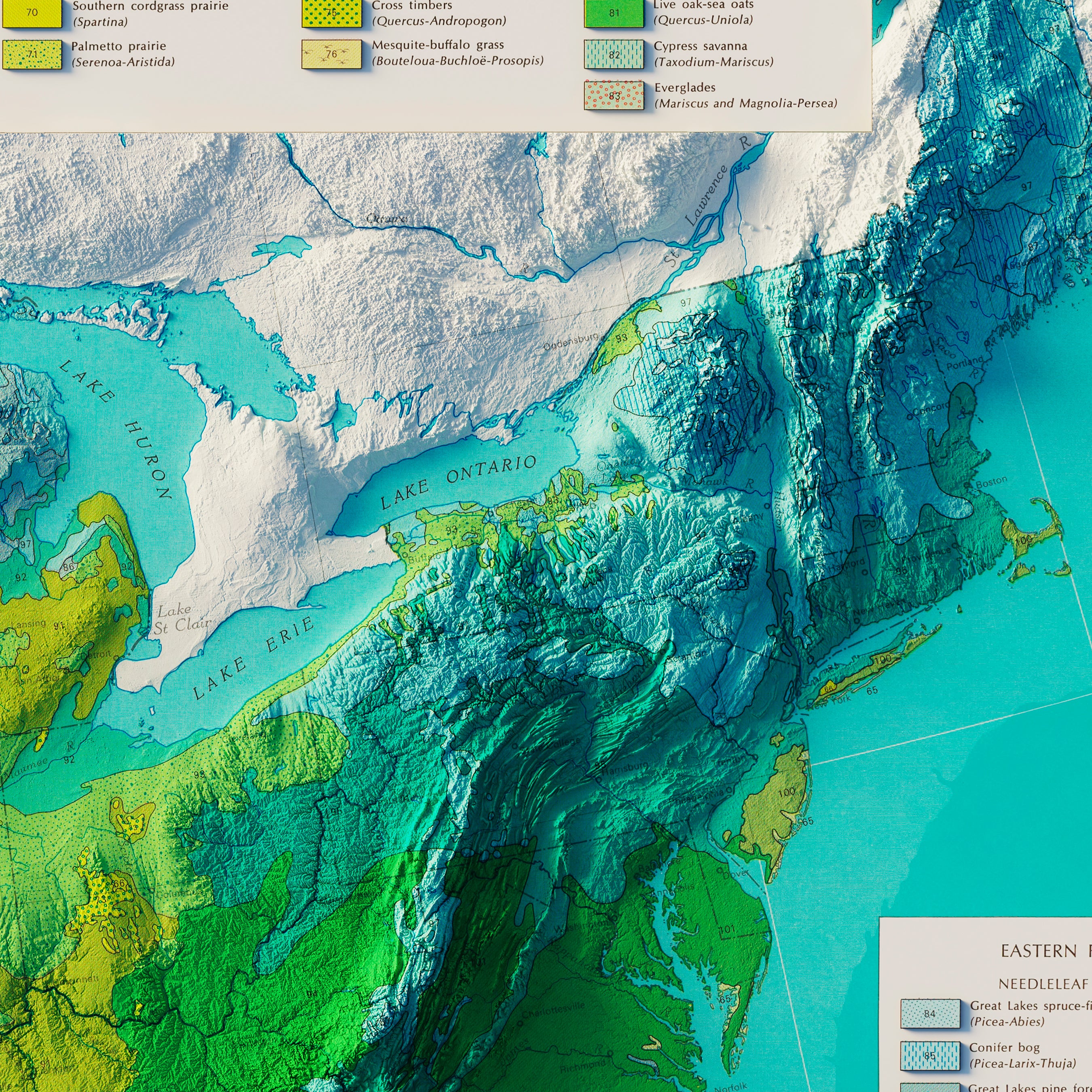
USA Natural Vegetation 1970 Shaded Relief Map
From
$ 79.00 USD
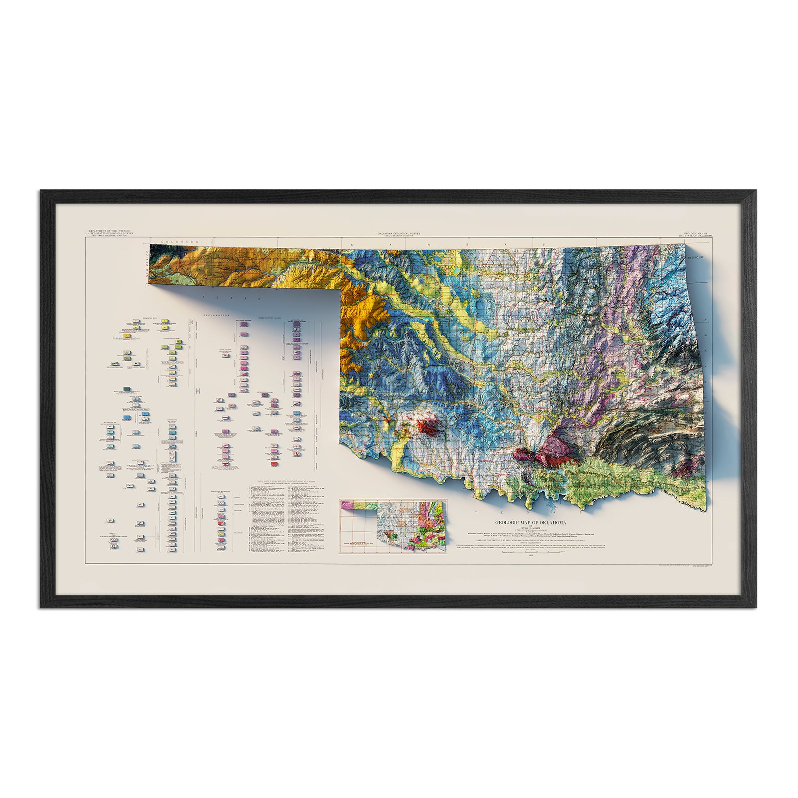
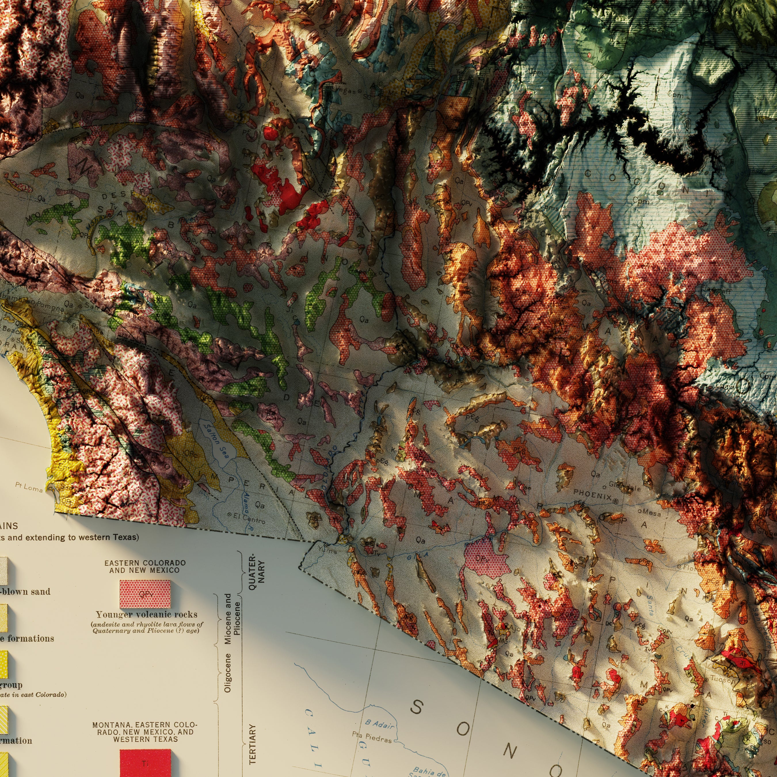
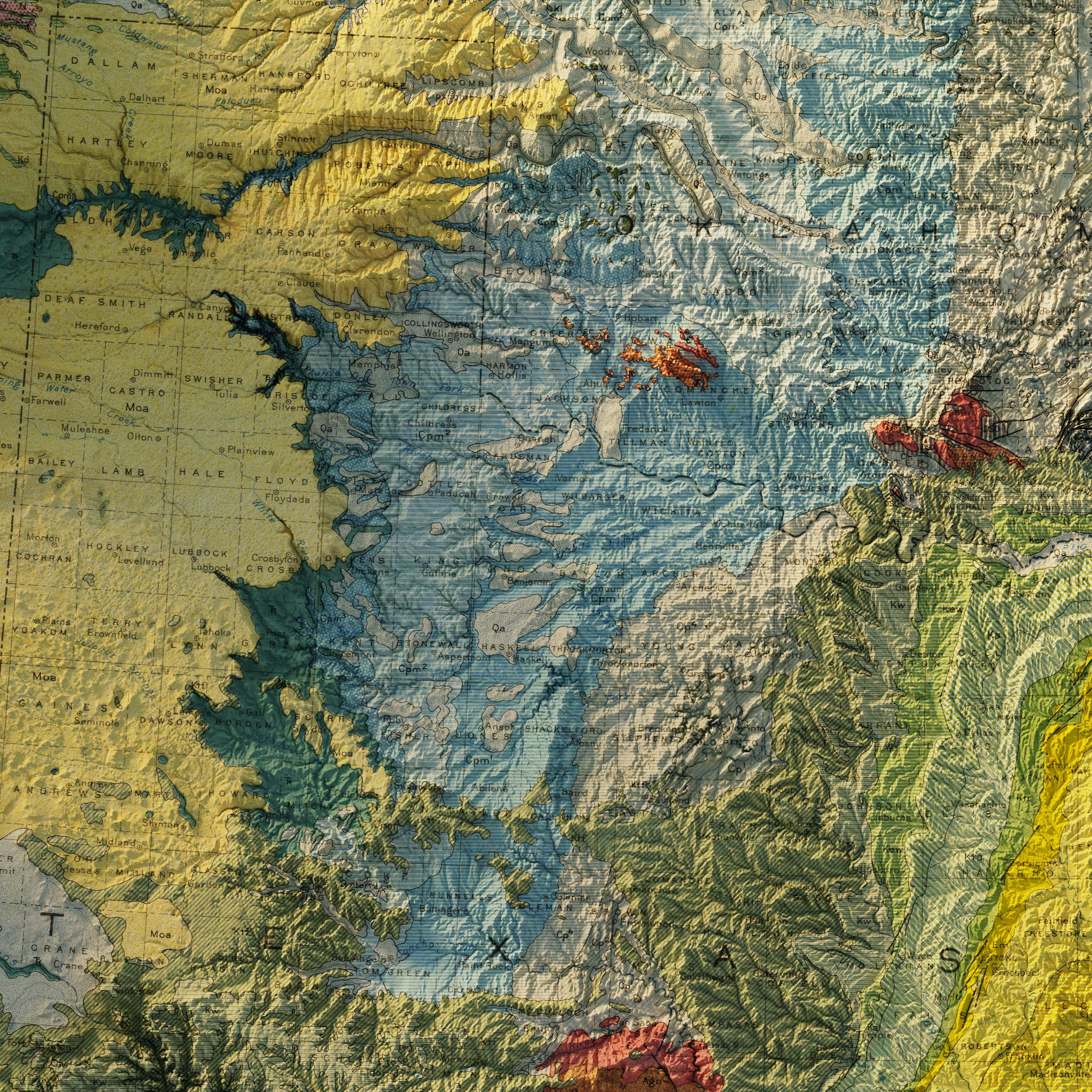
Oklahoma 1954 Shaded Relief Map
From
$ 89.00 USD
5.0 / 5.0
1 review
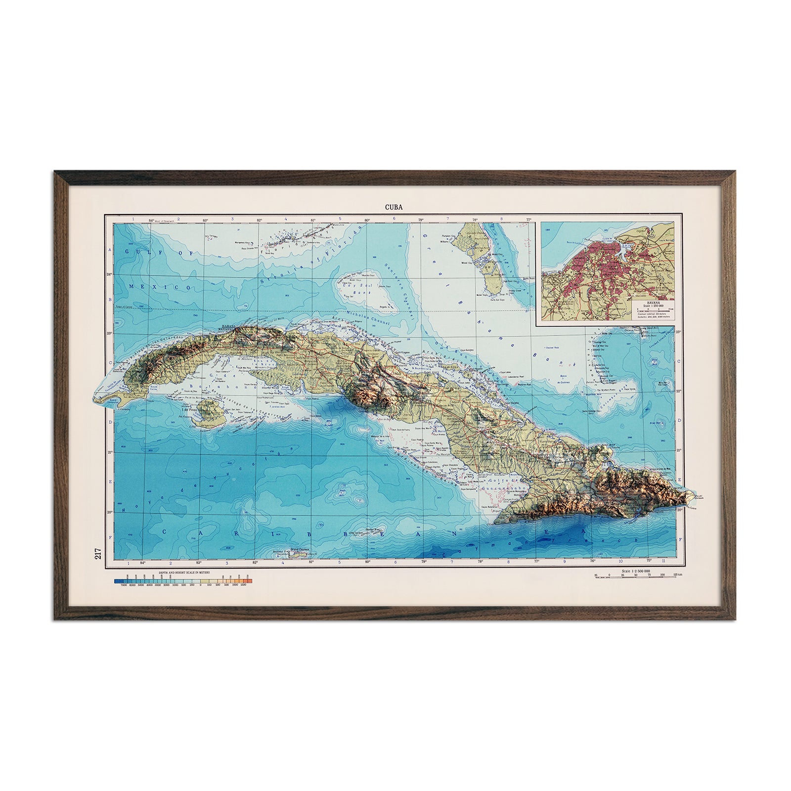
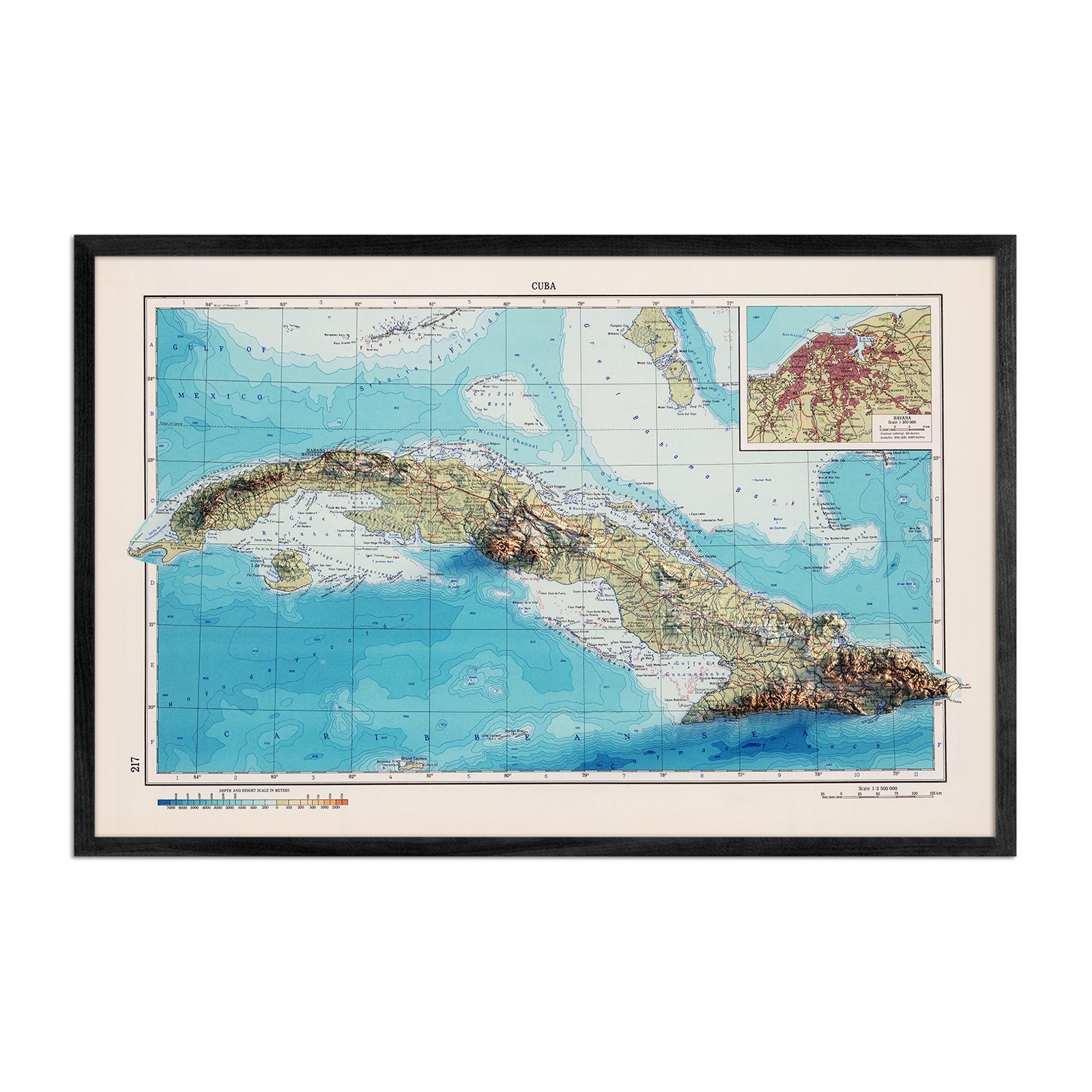
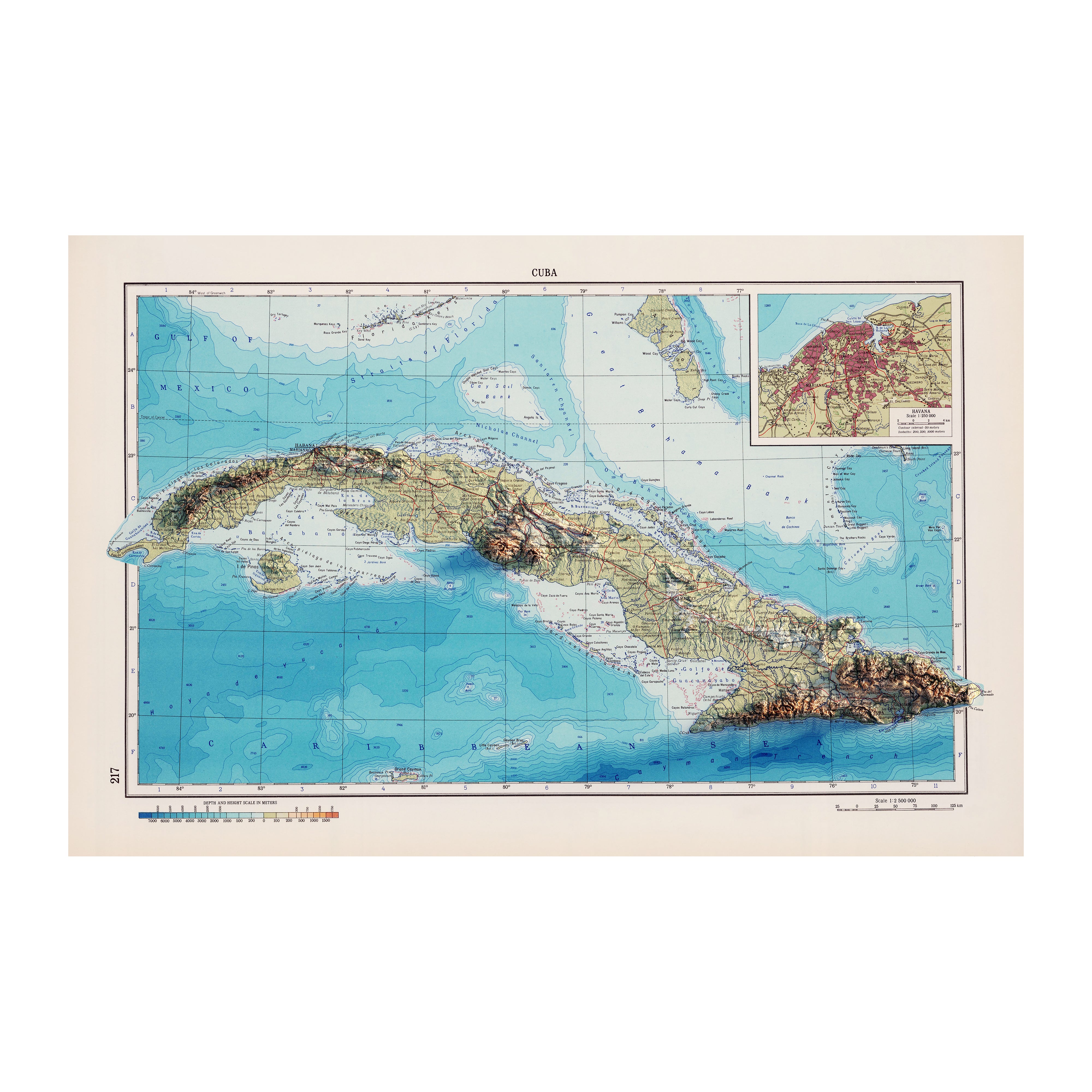
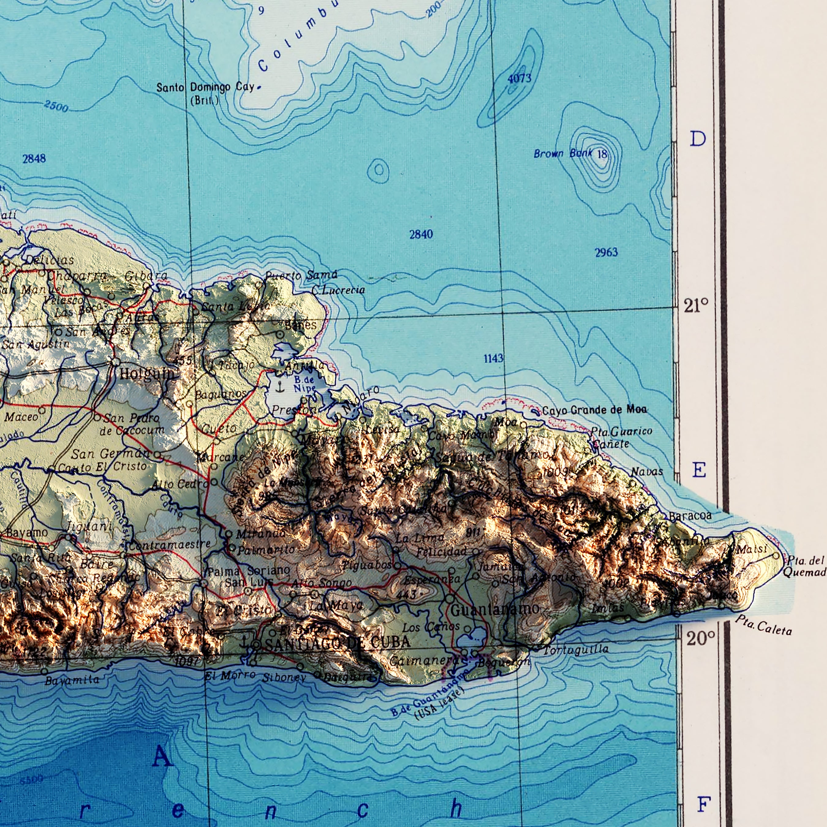
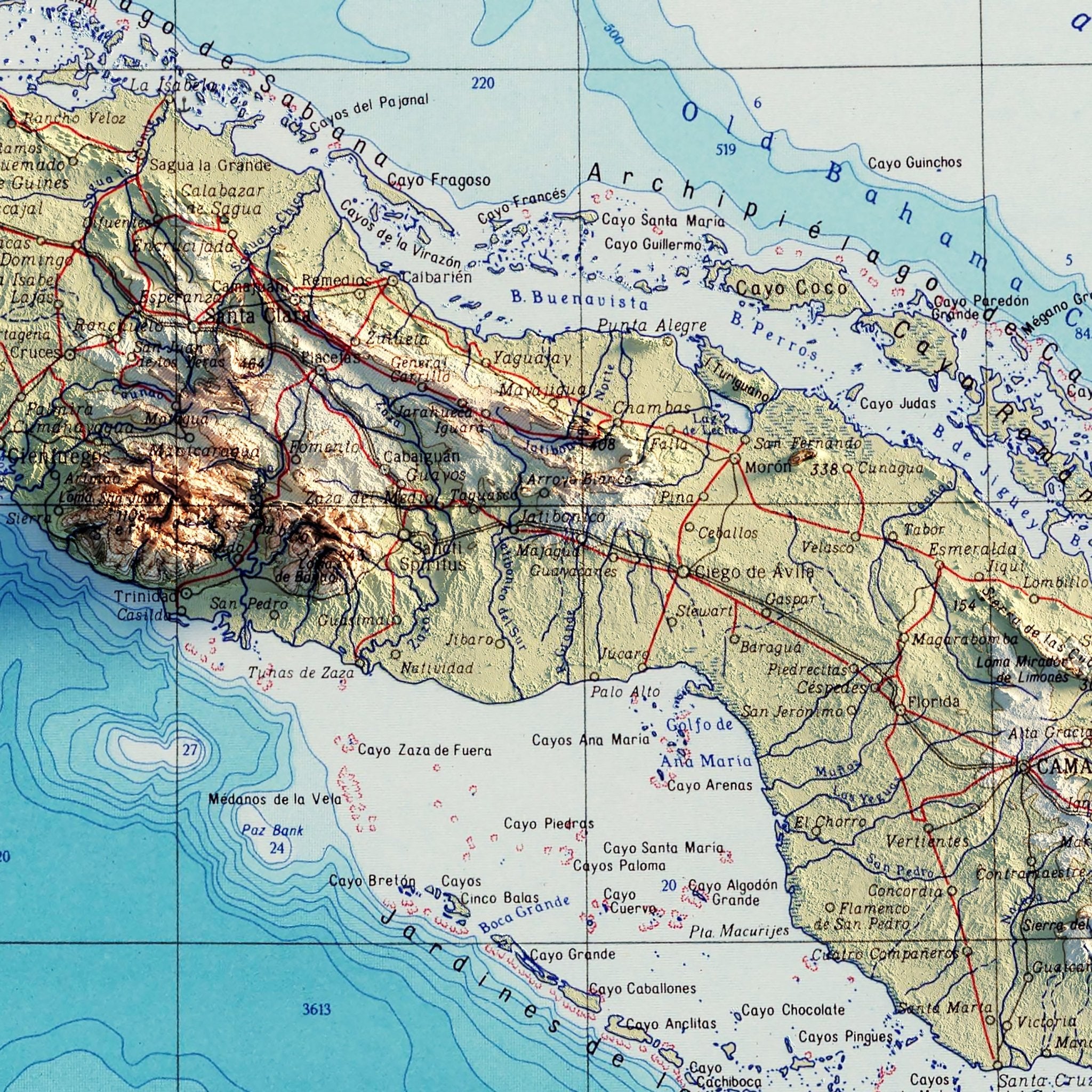
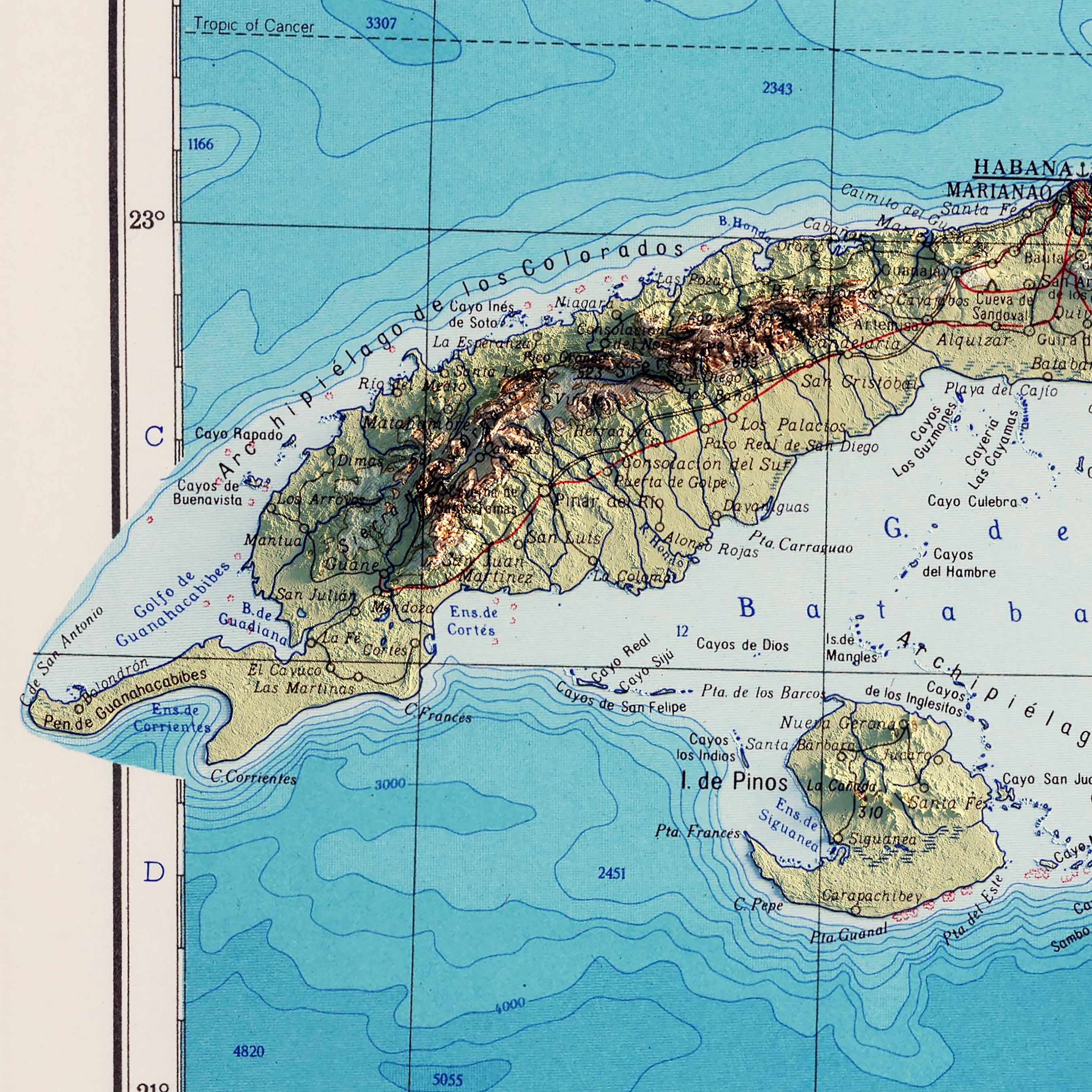
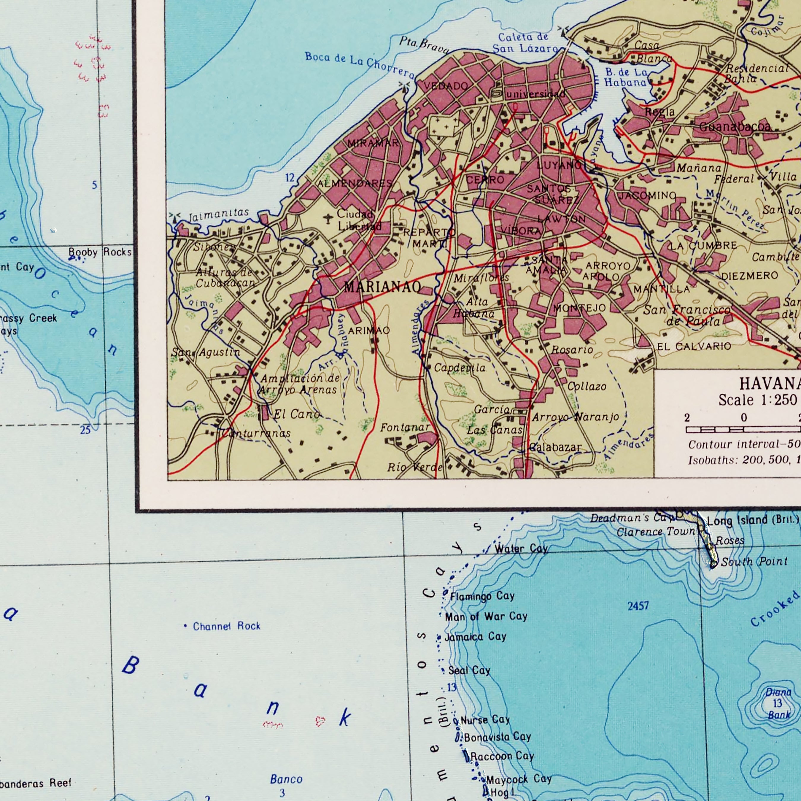
Cuba 1967 Shaded Relief Map
From
$ 89.00 USD
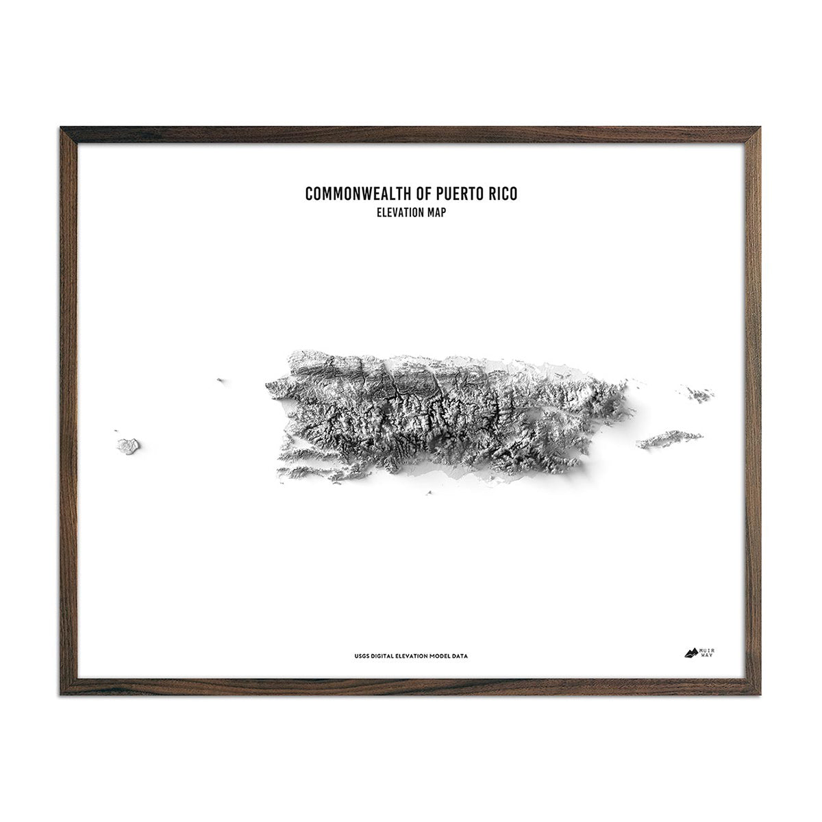
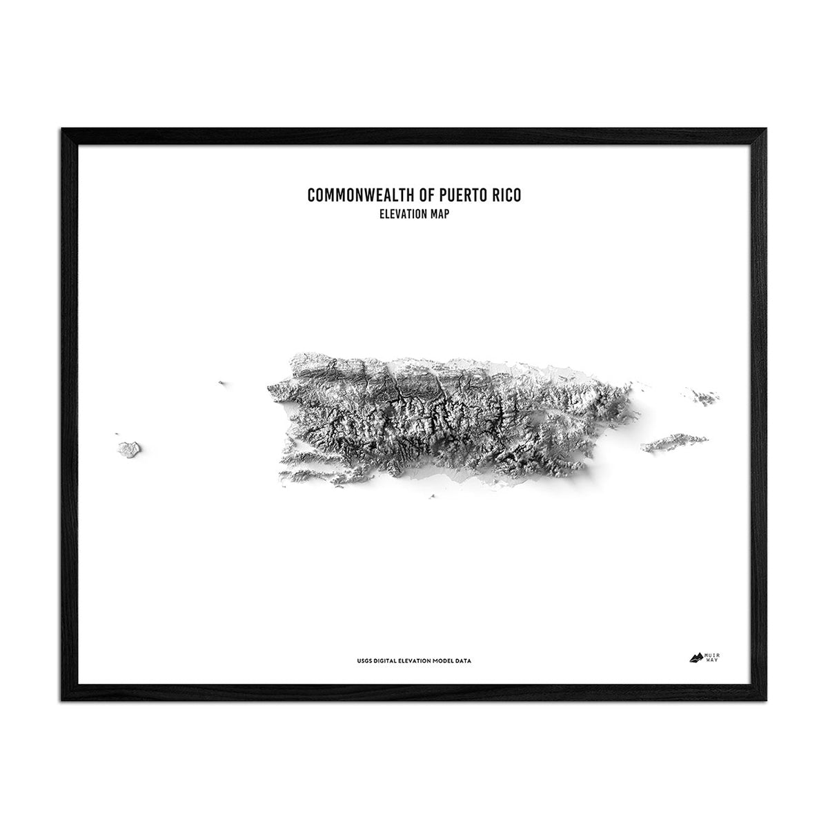
Puerto Rico Elevation Map
From
$ 79.00 USD
4.9 / 5.0
261 reviews
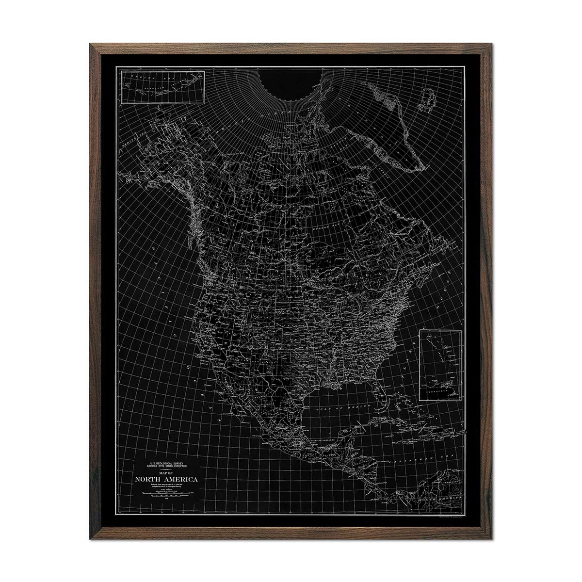
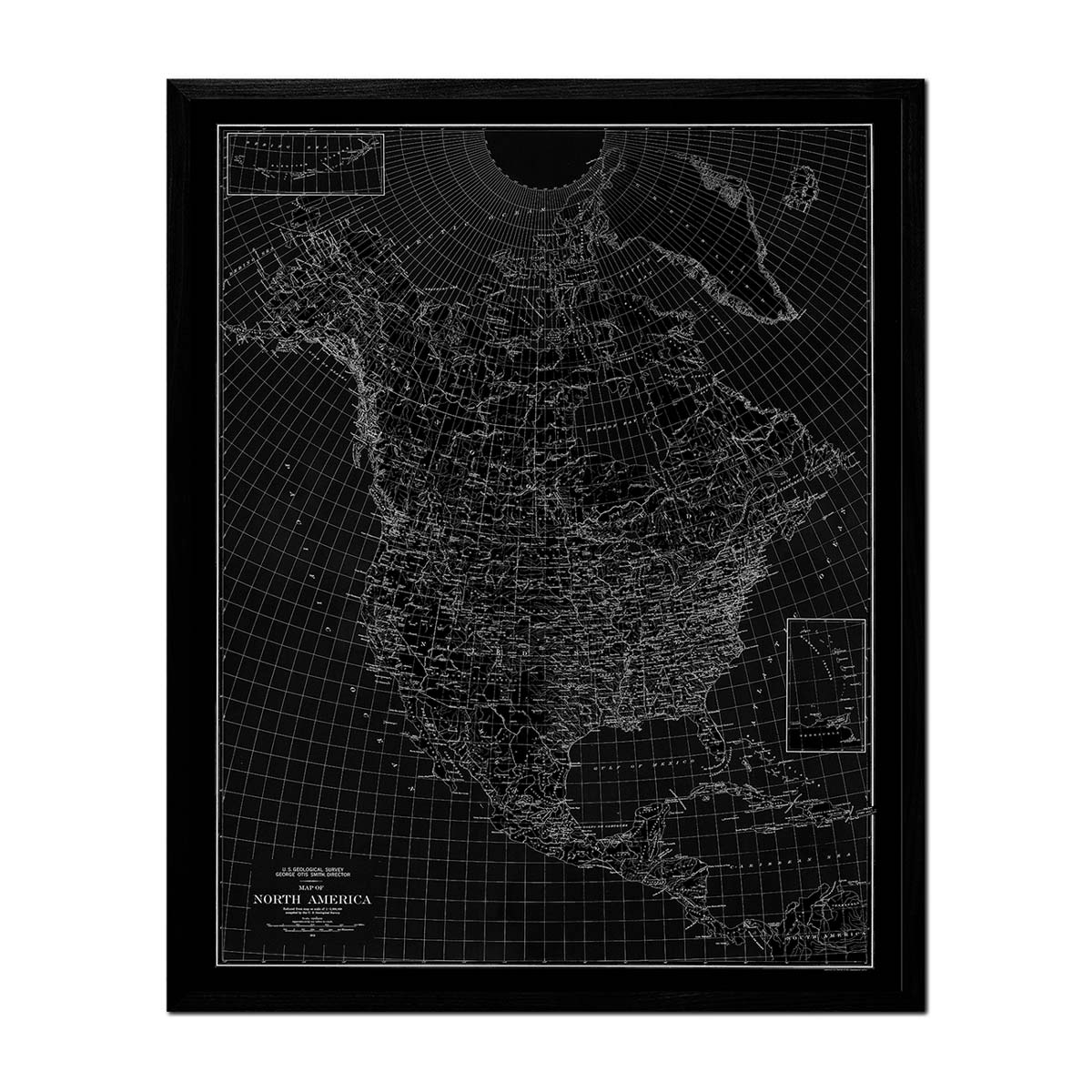
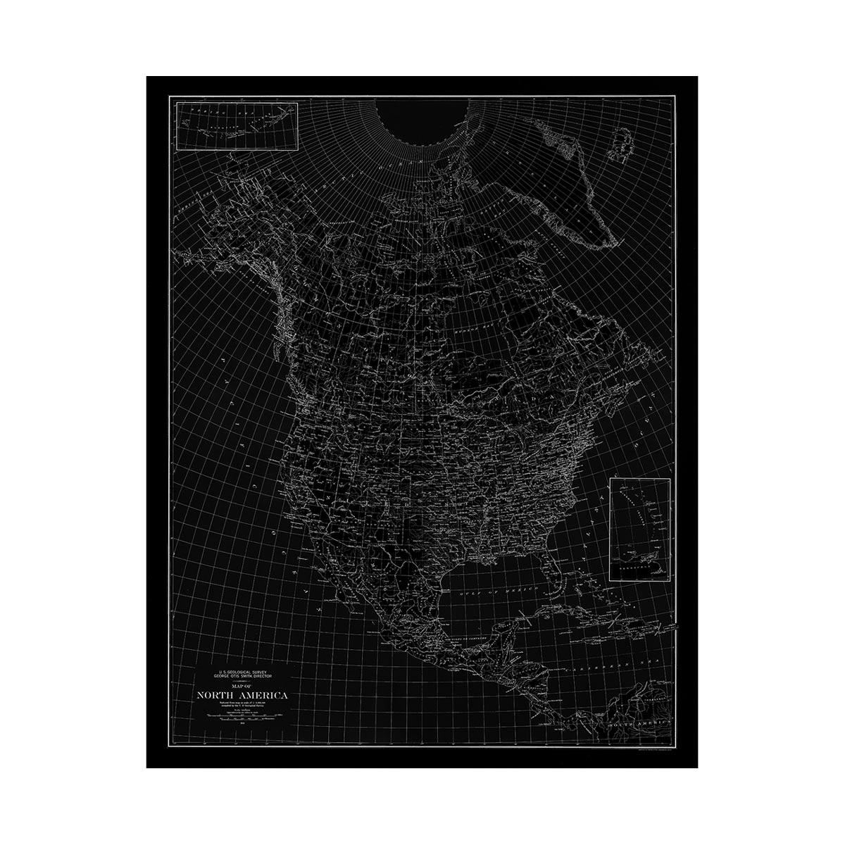
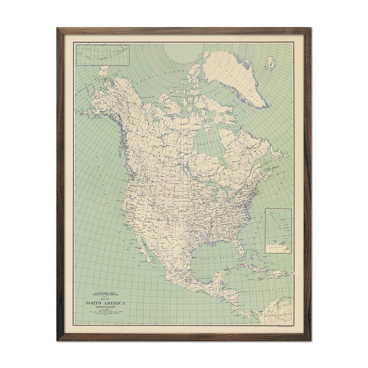
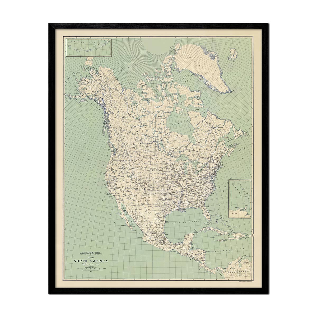
North America 1912 USGS Map Black
From
$ 64.00 USD
5.0 / 5.0
105 reviews
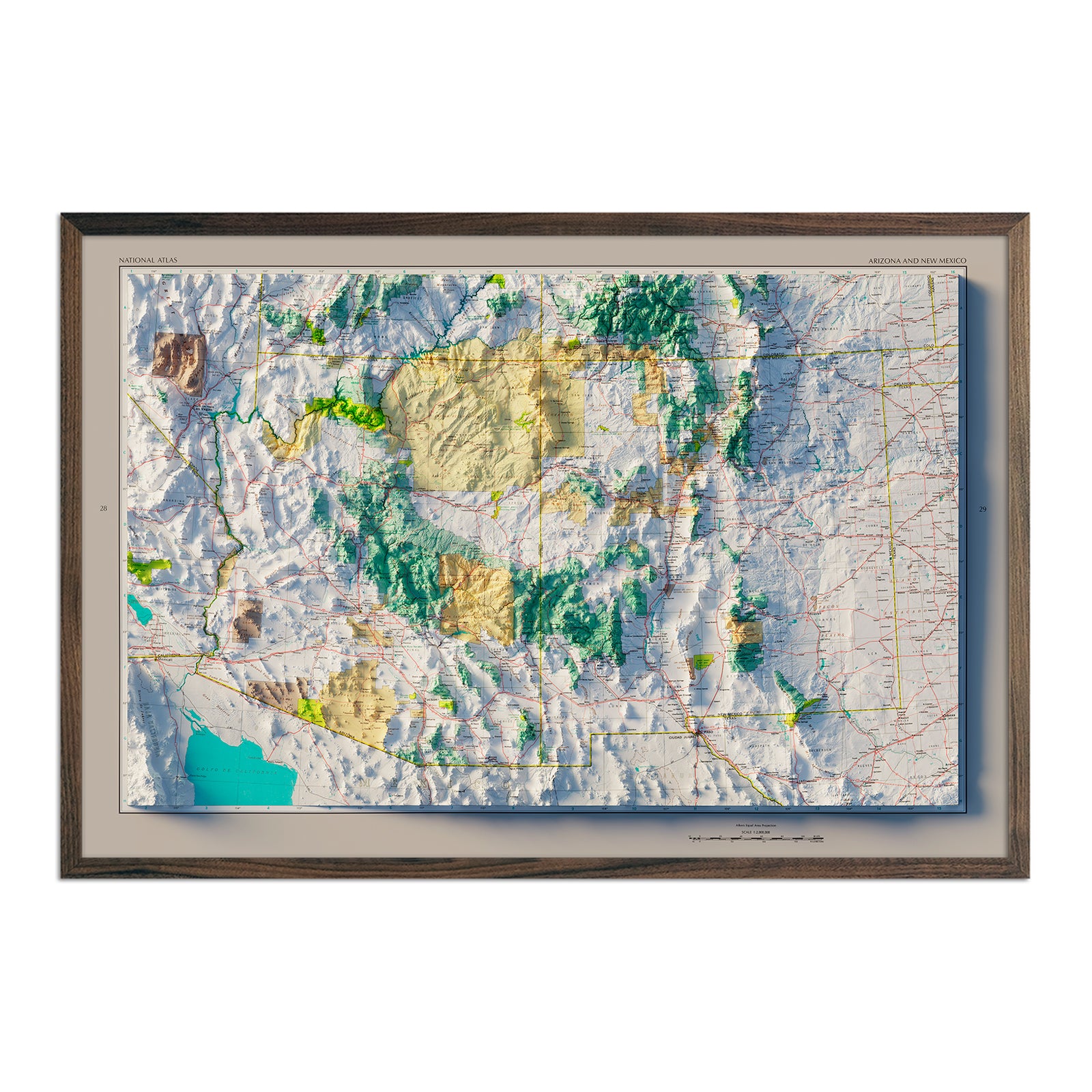
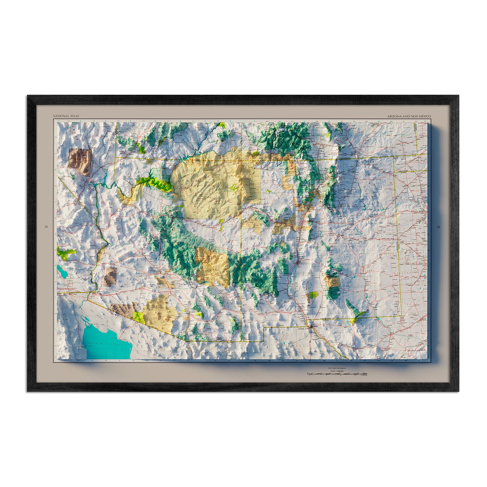
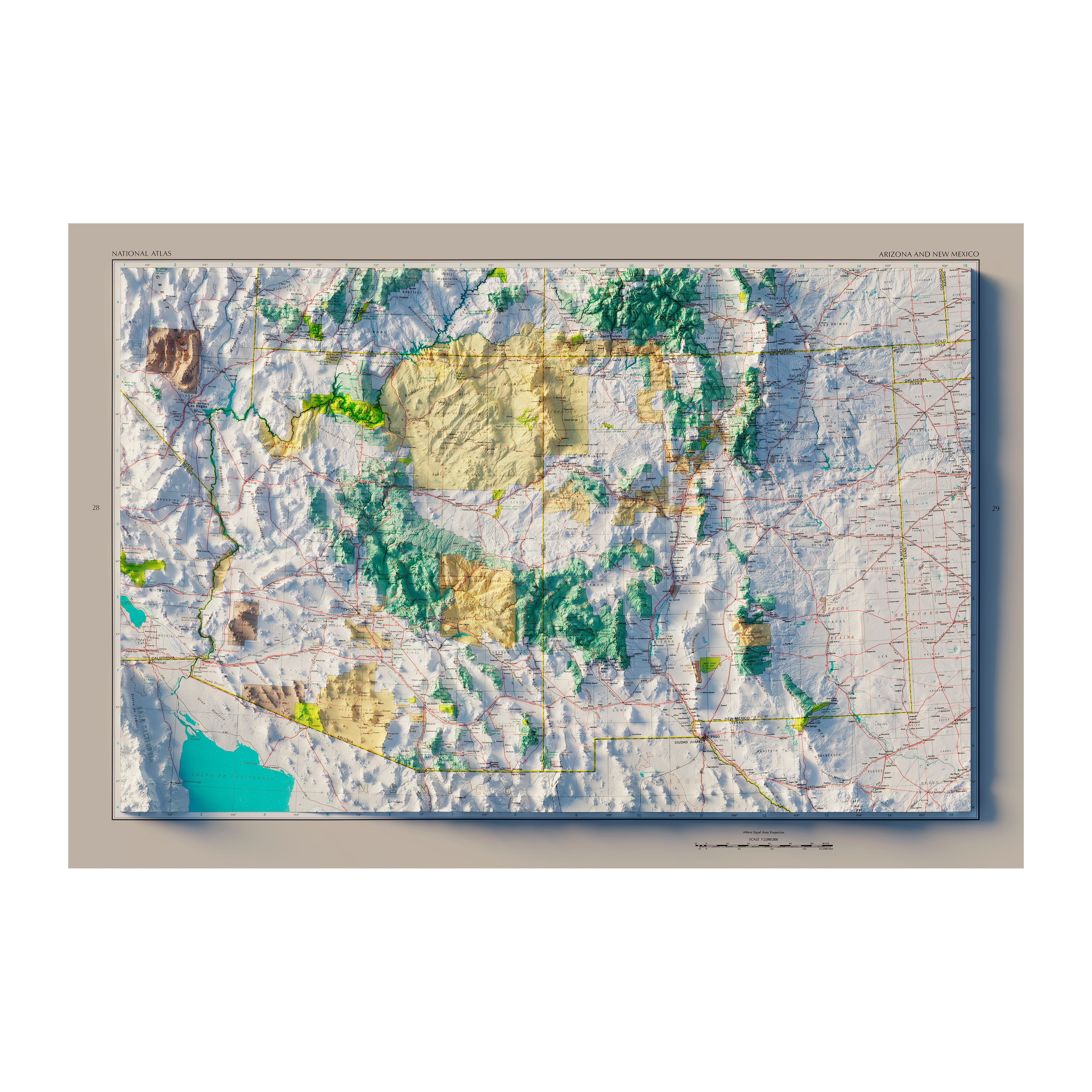
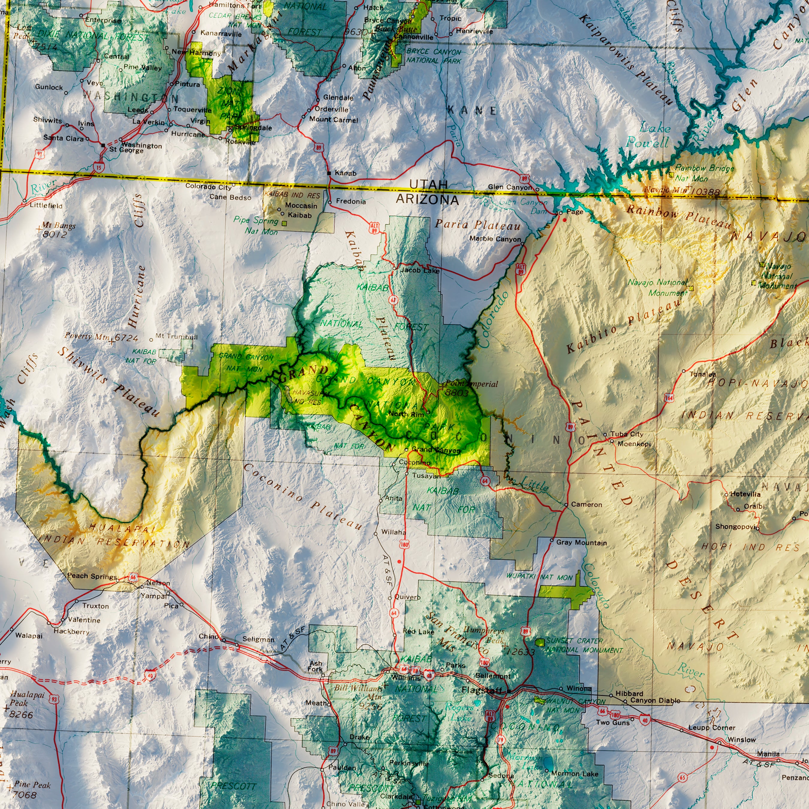
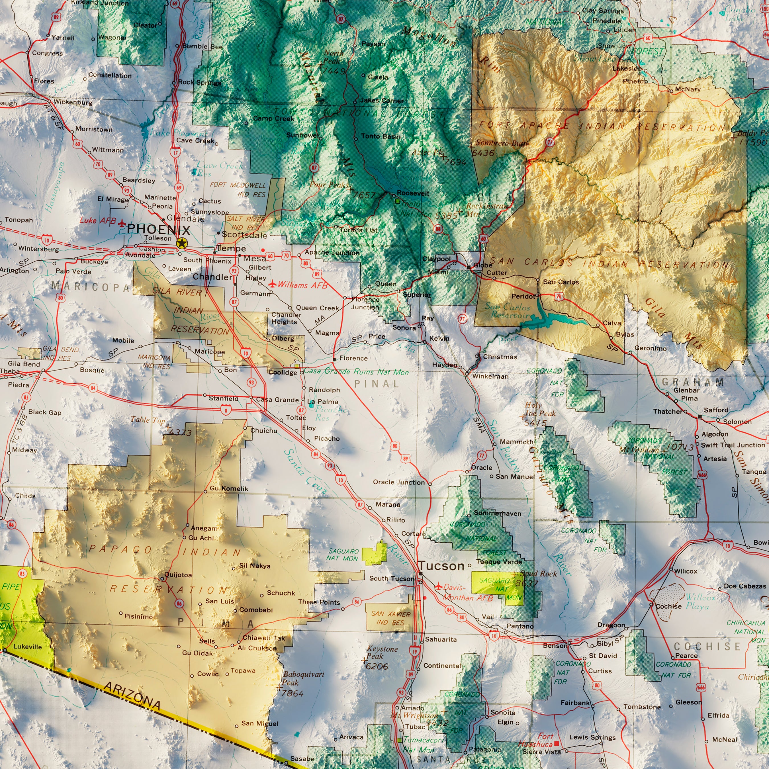
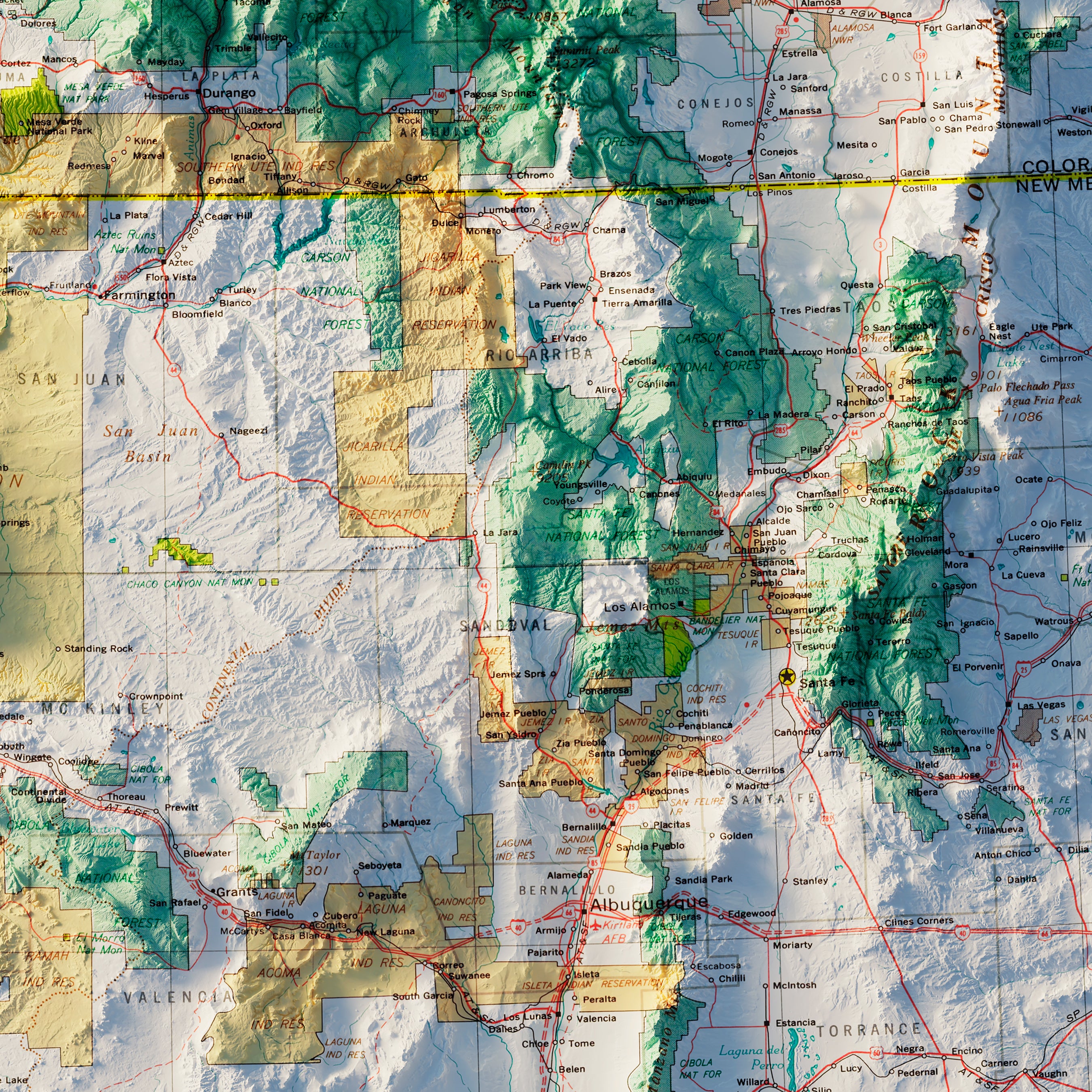
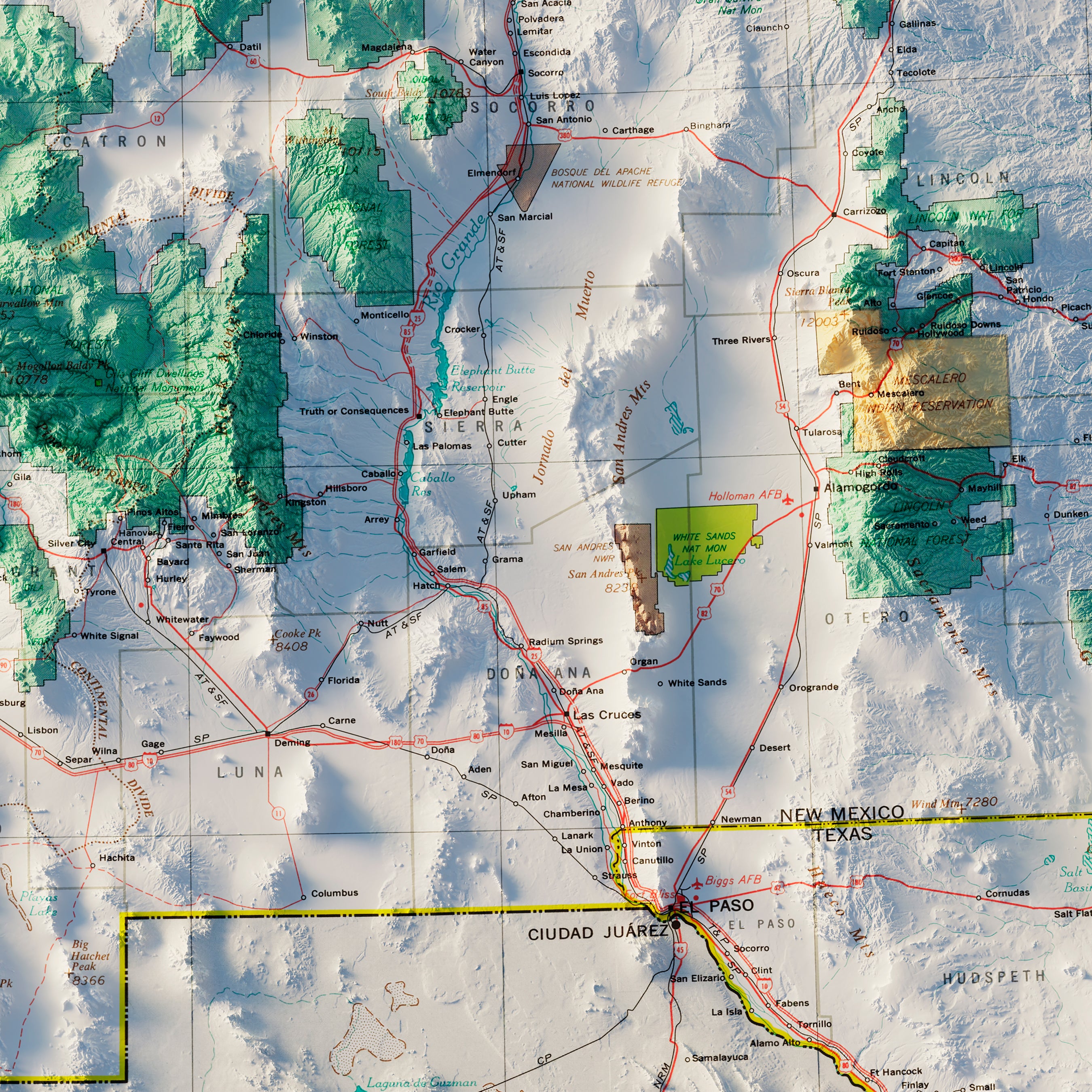
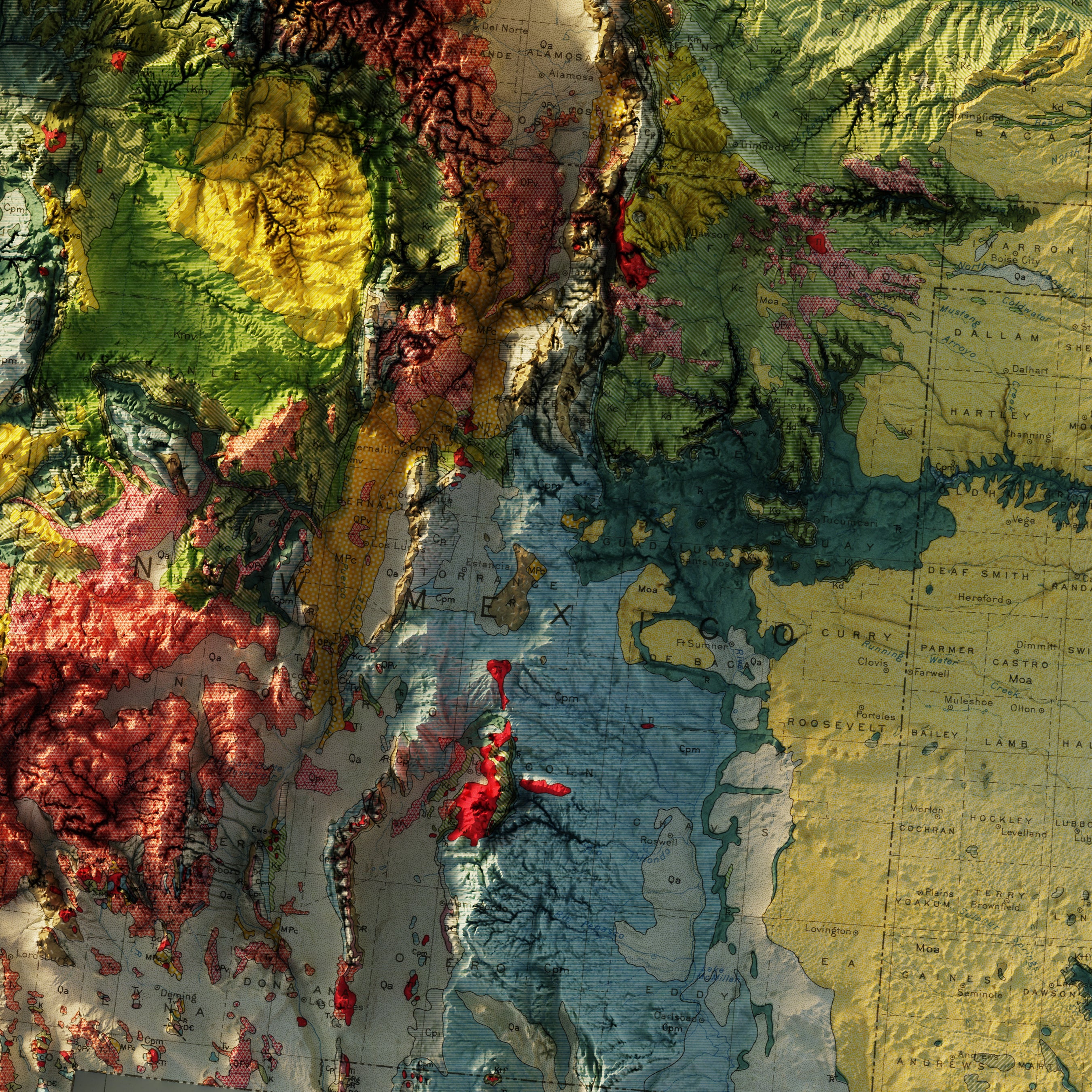
Arizona and New Mexico 1970 Shaded Relief Map
From
$ 79.00 USD
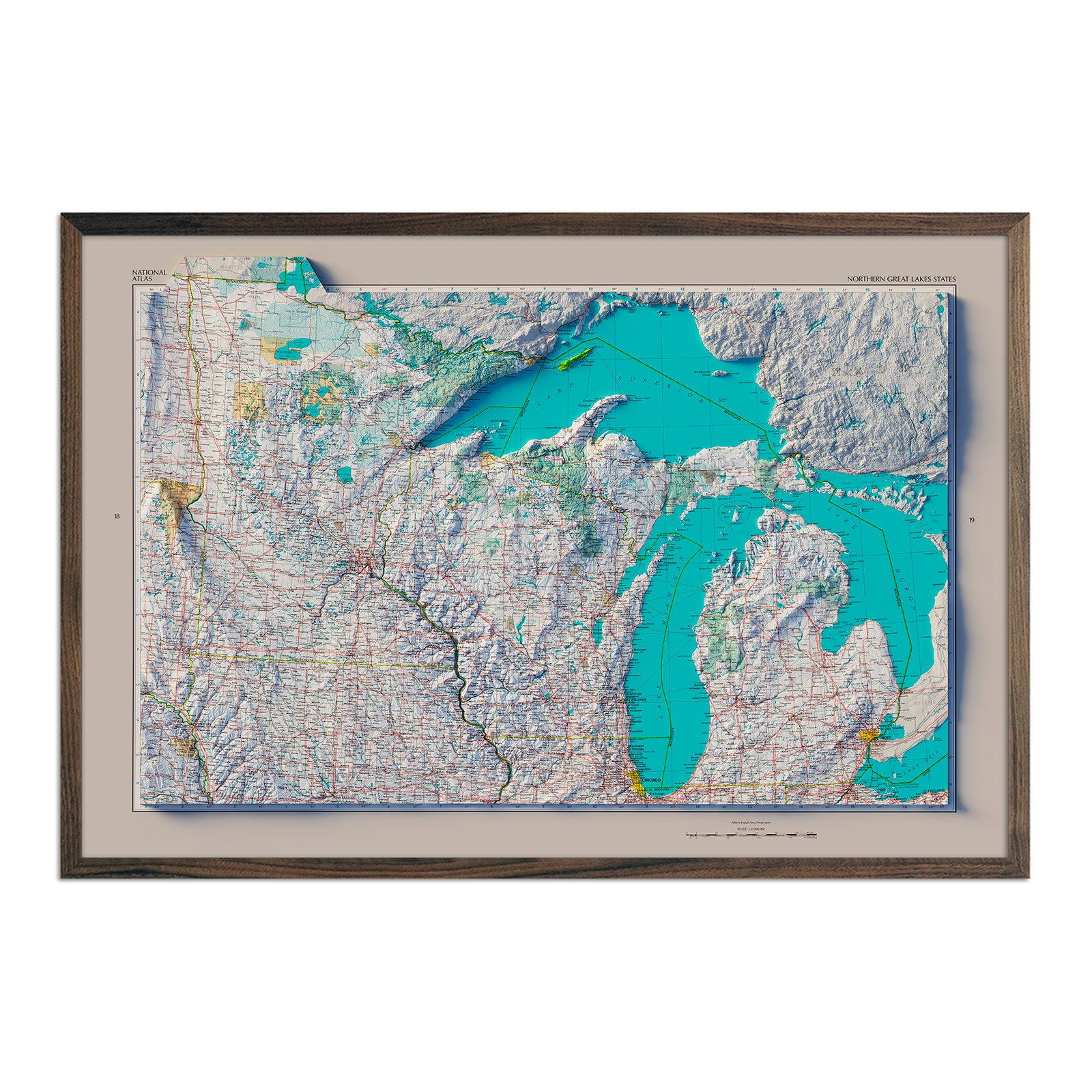
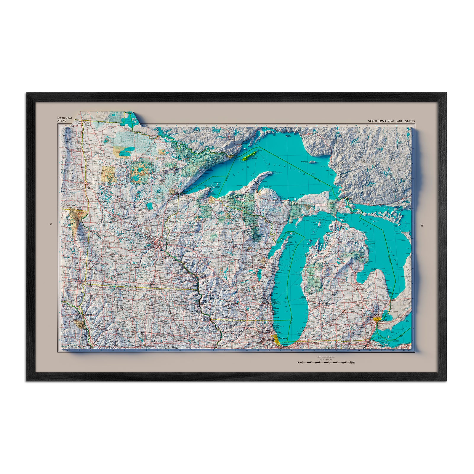
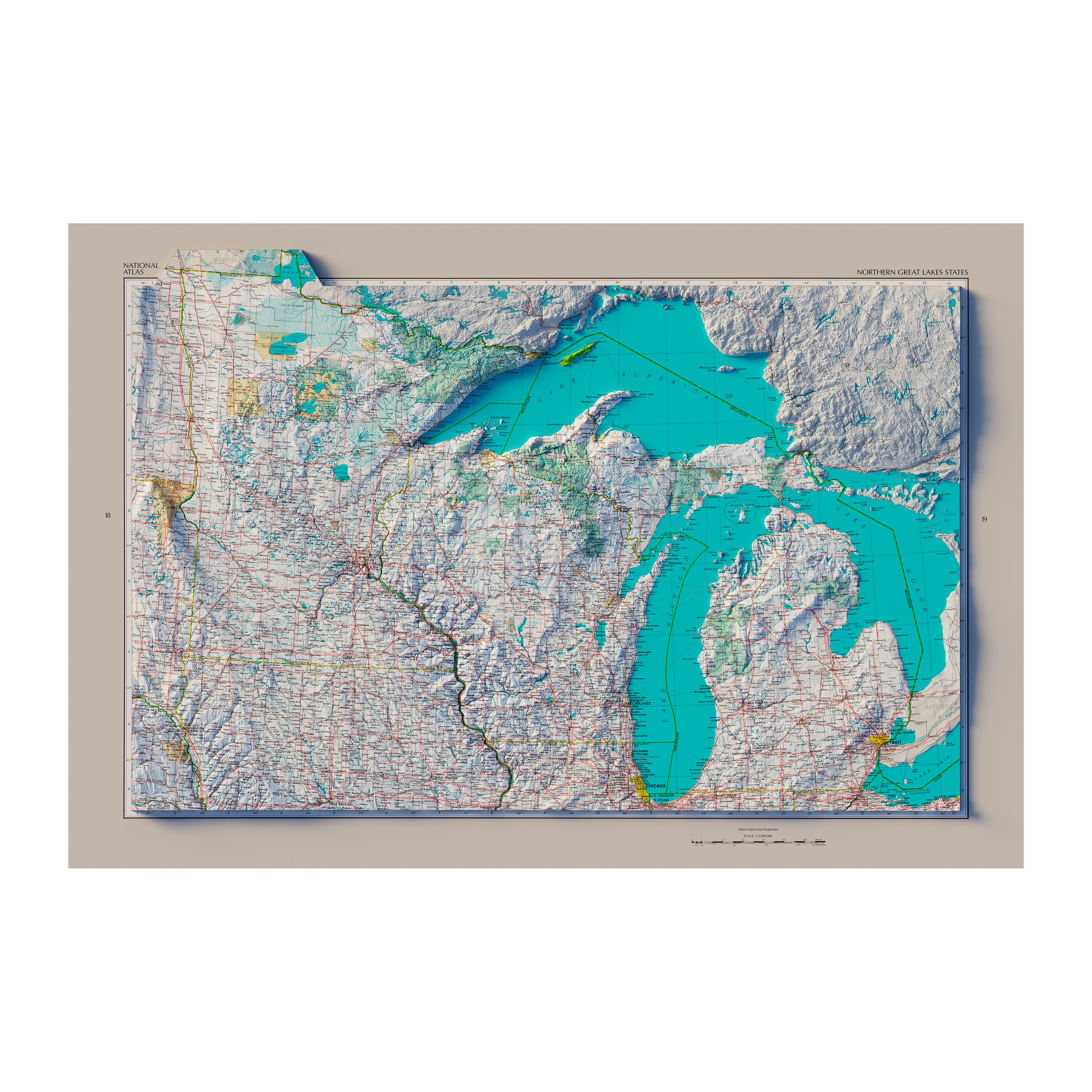
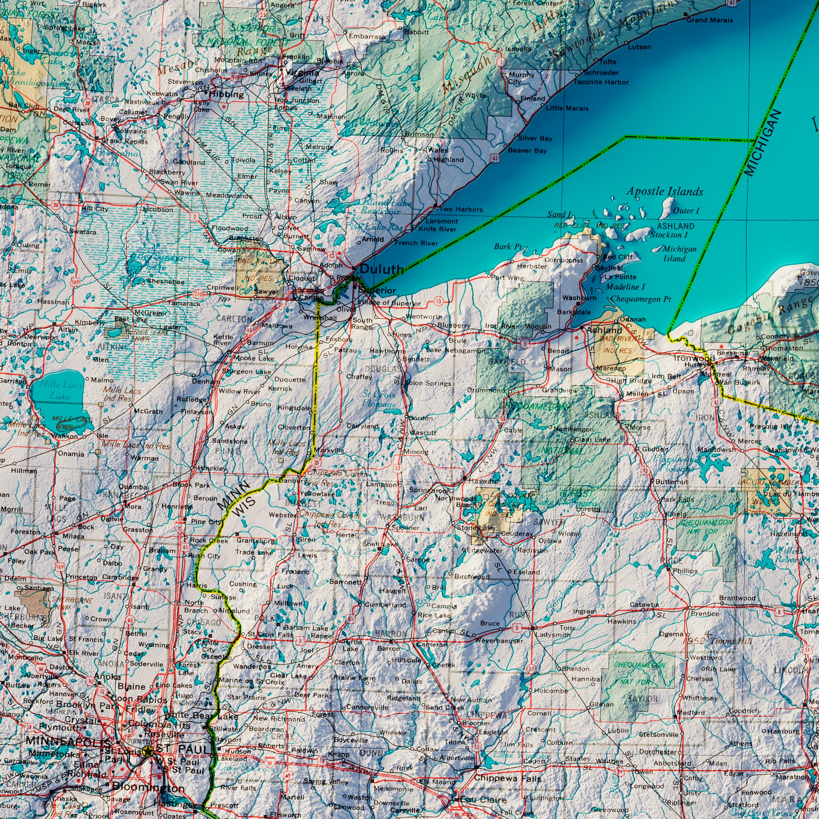
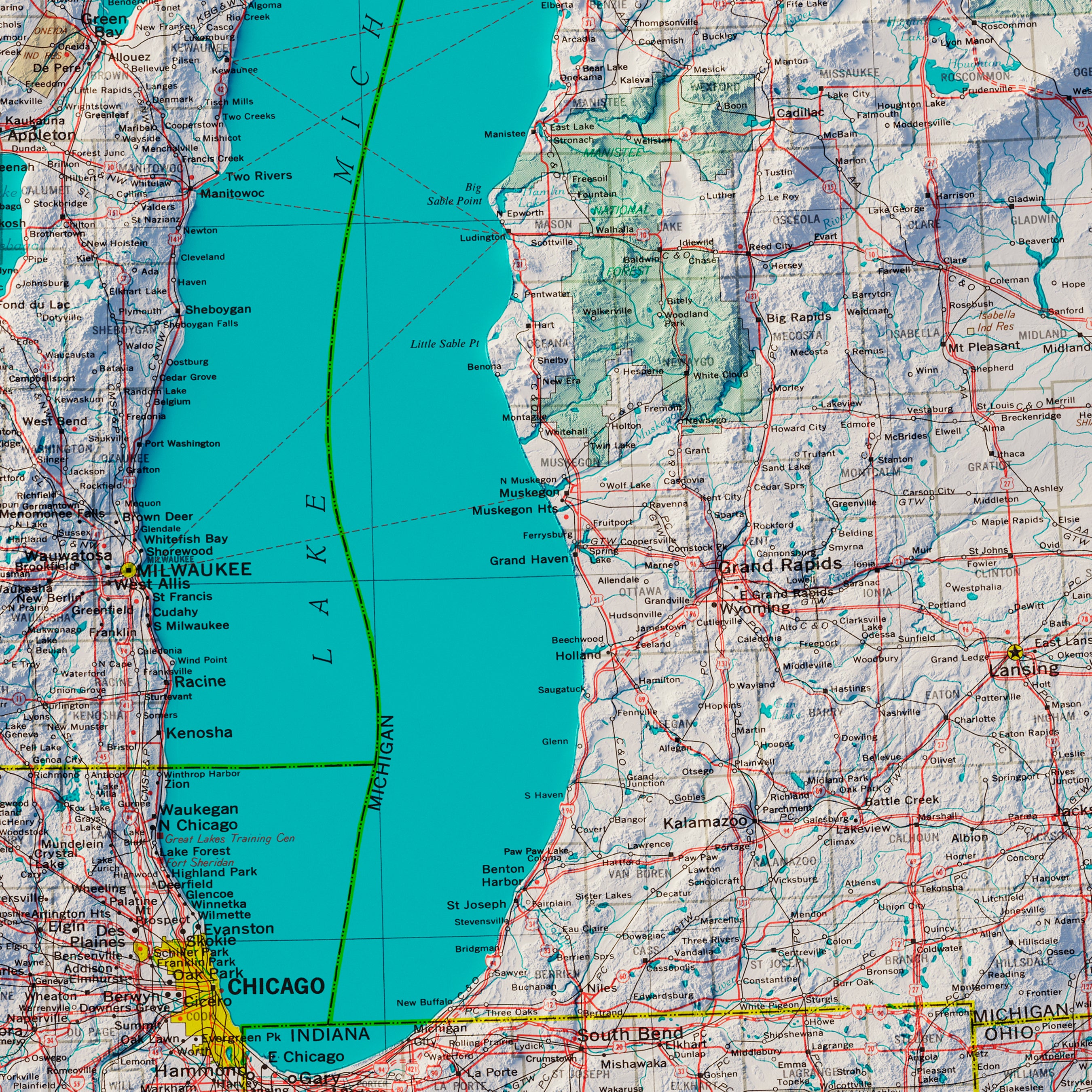
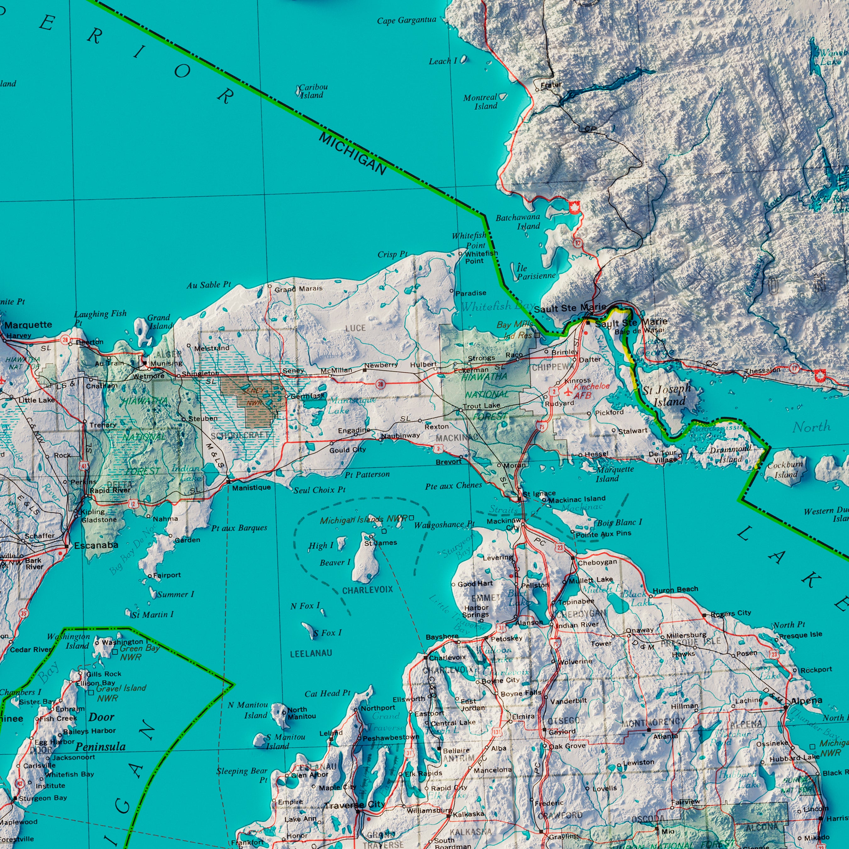
Northern Great Lakes States 1970 Shaded Relief Map
From
$ 79.00 USD
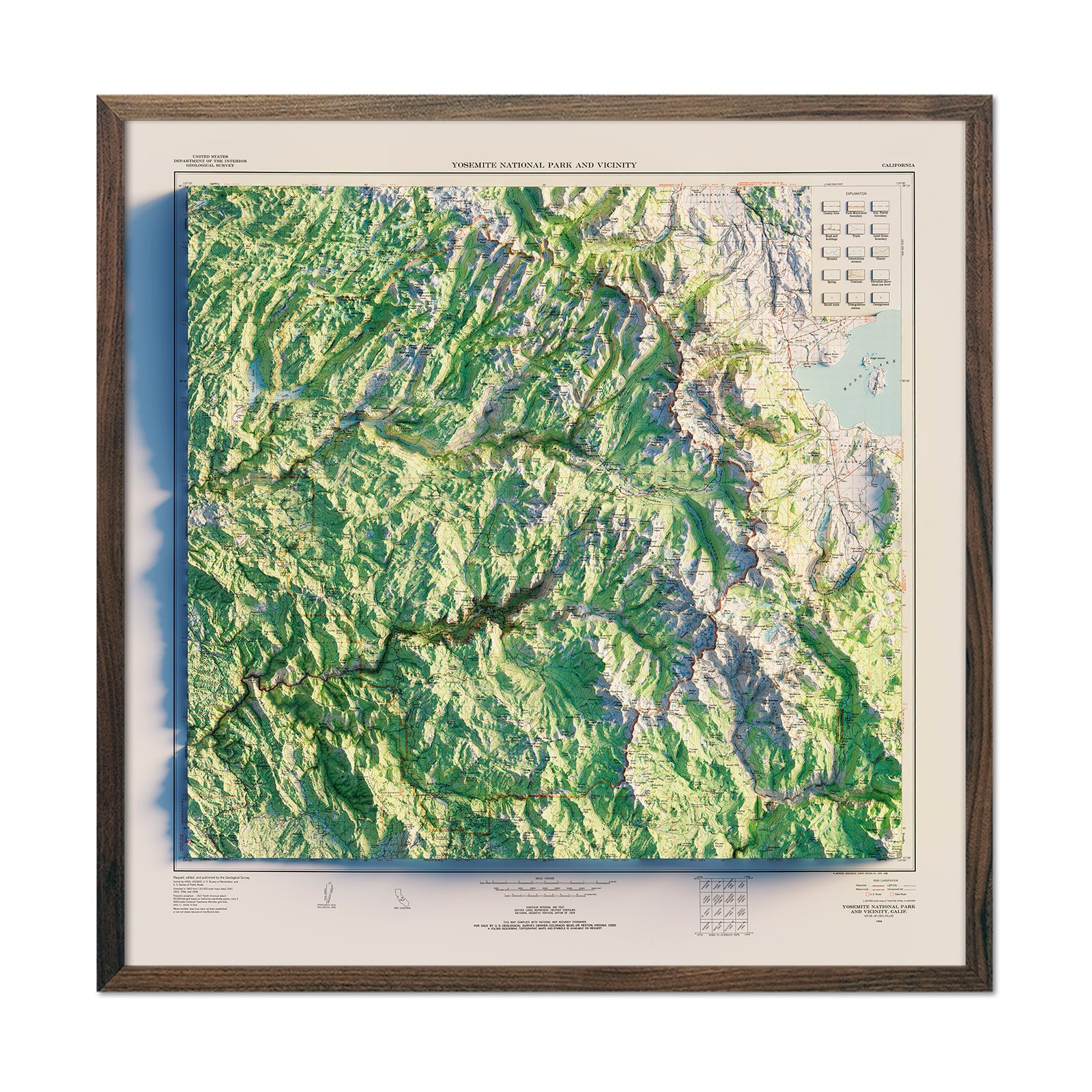
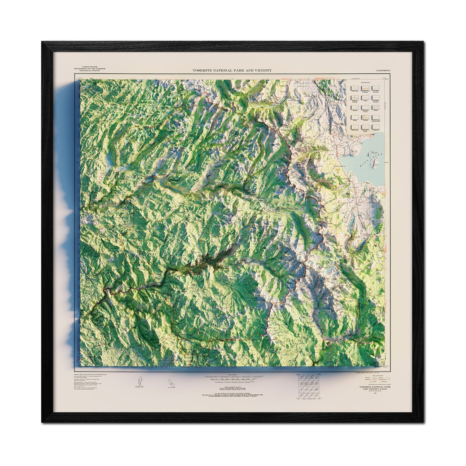
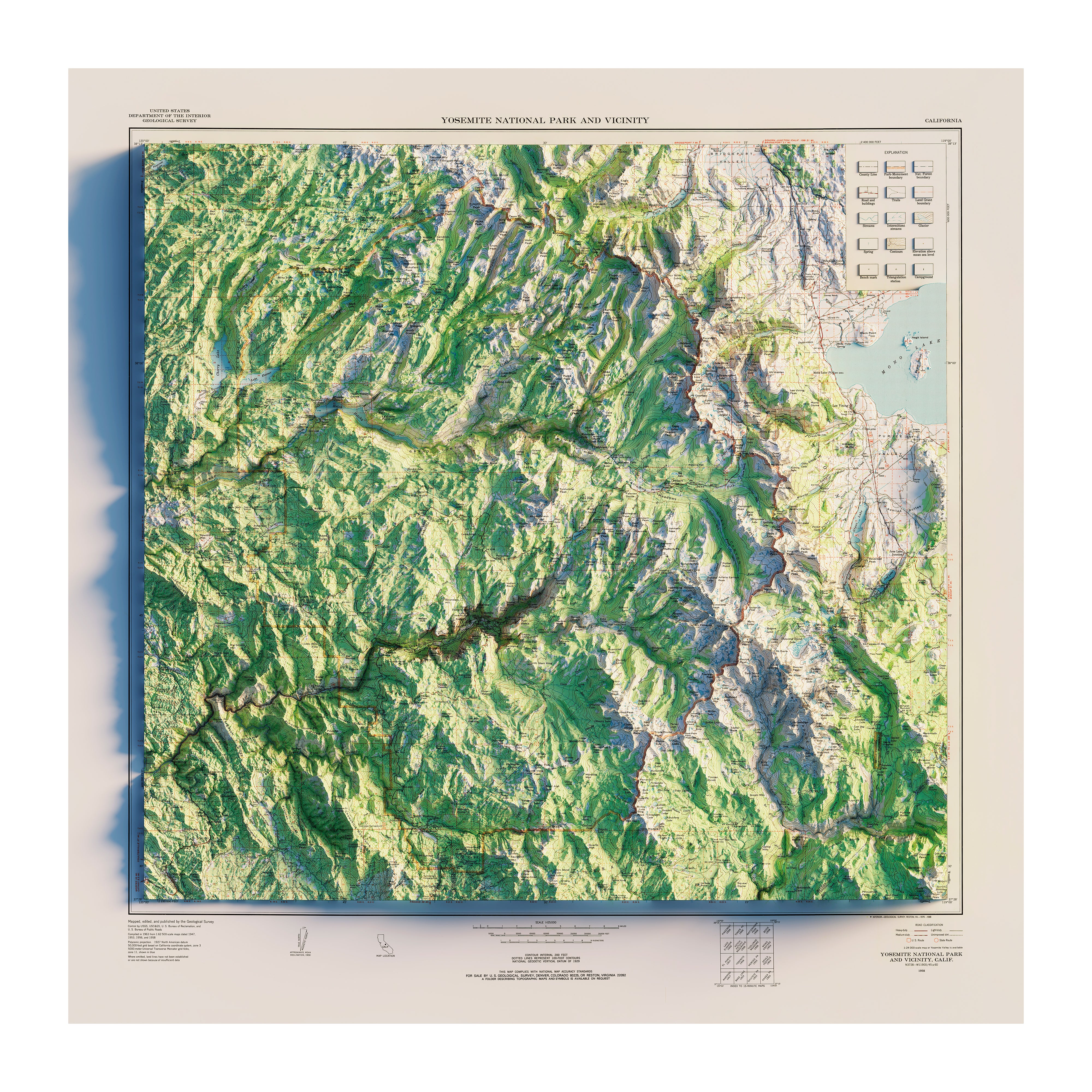
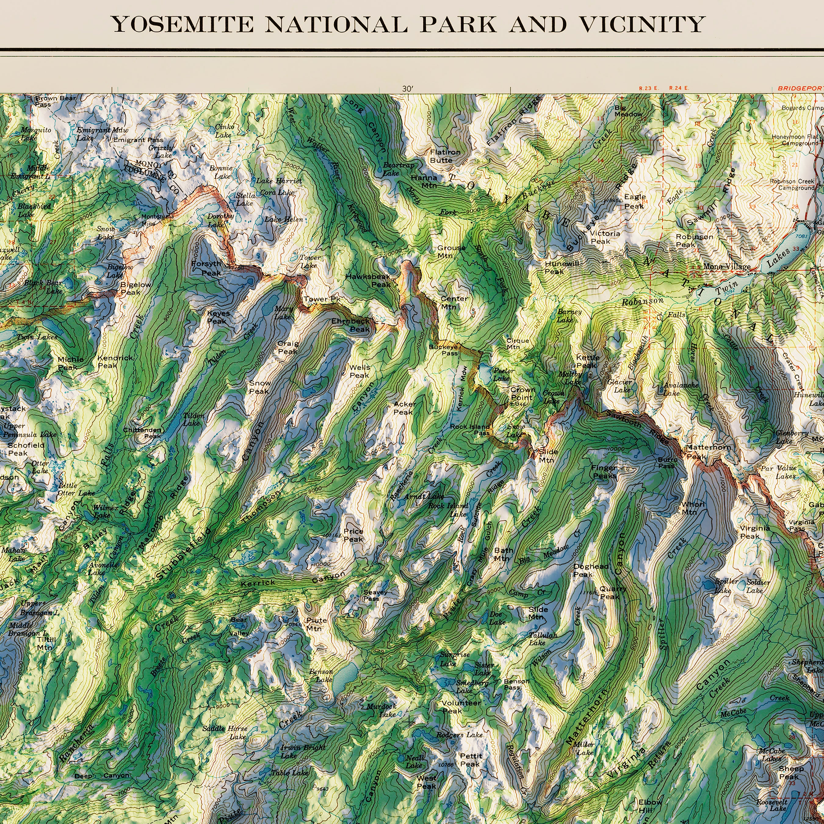
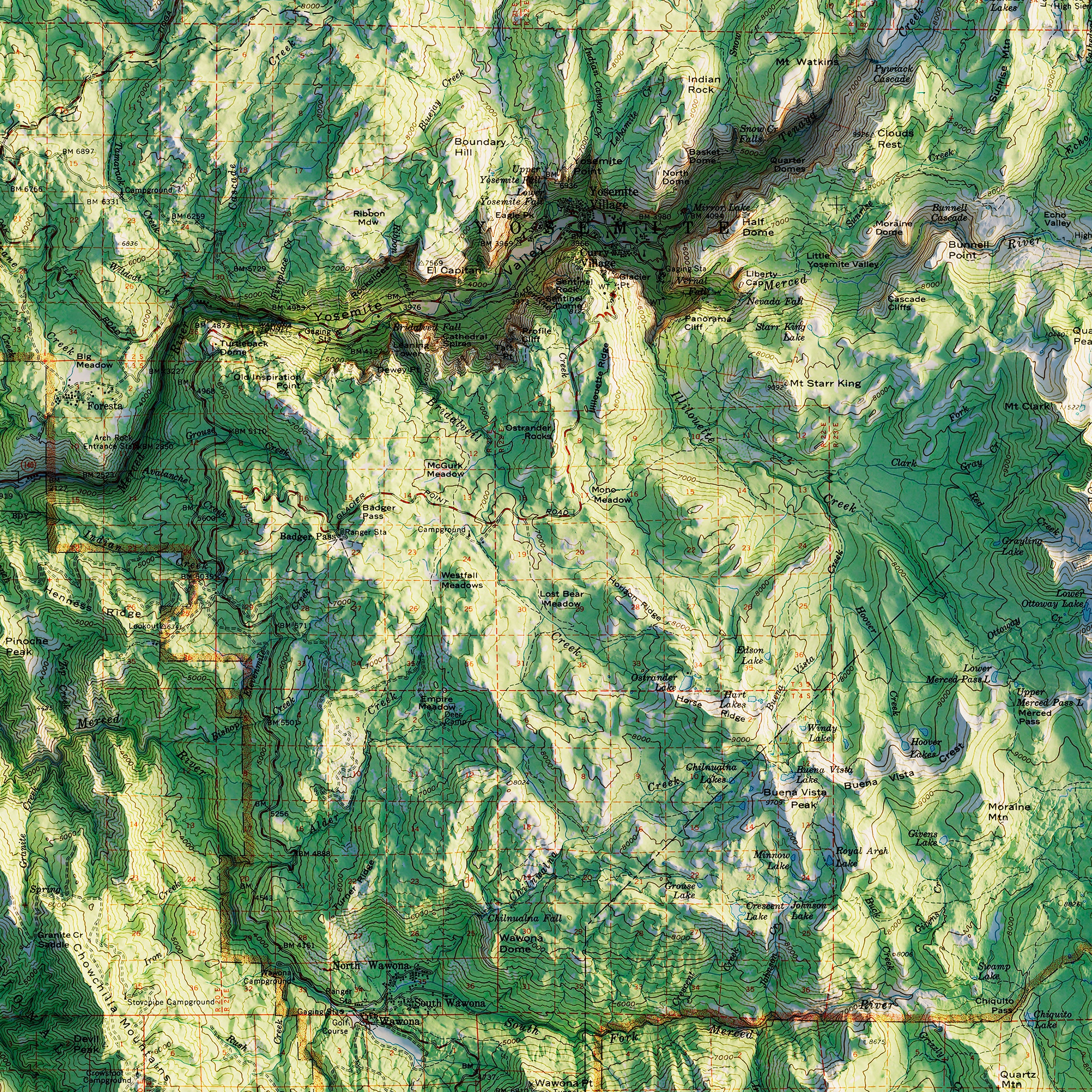
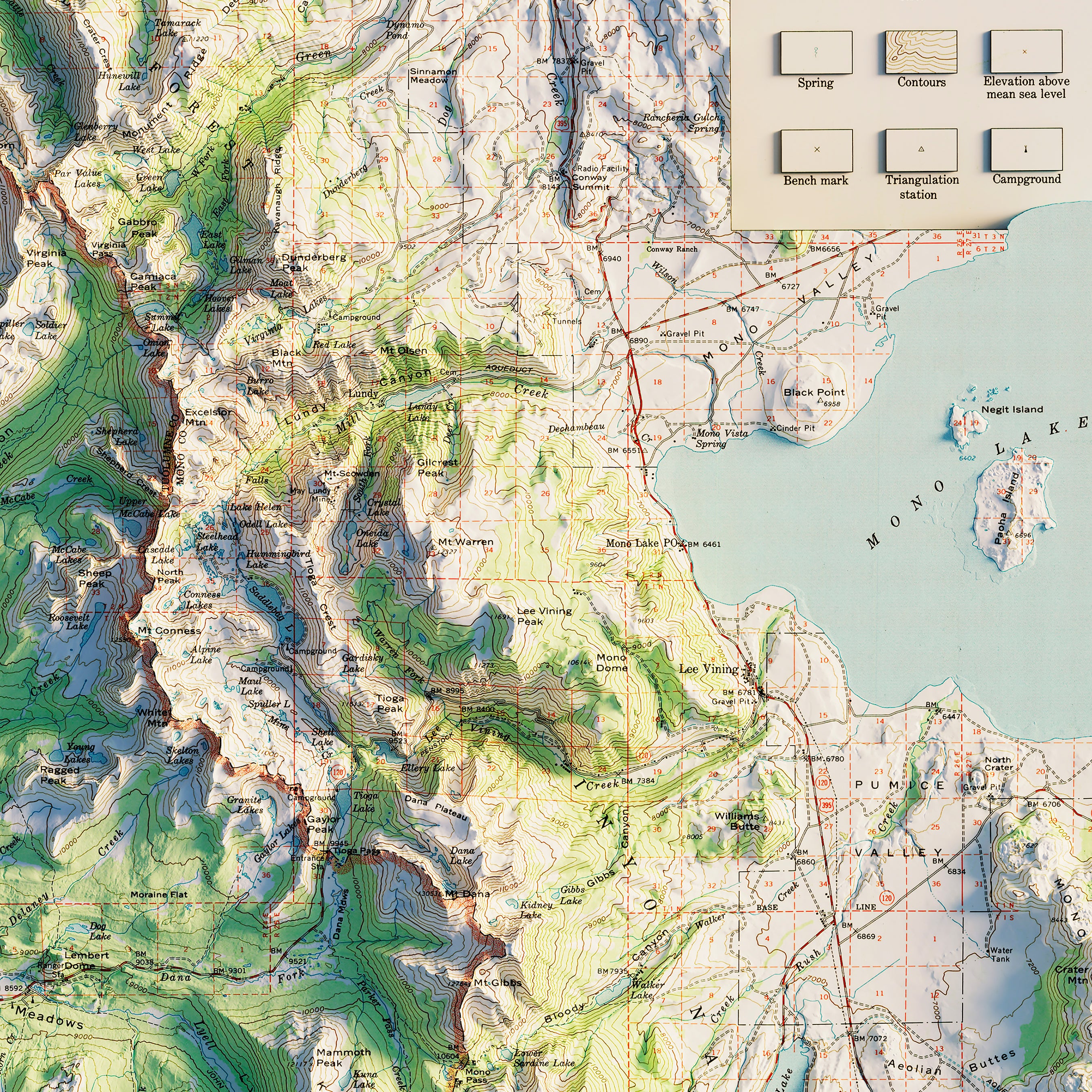
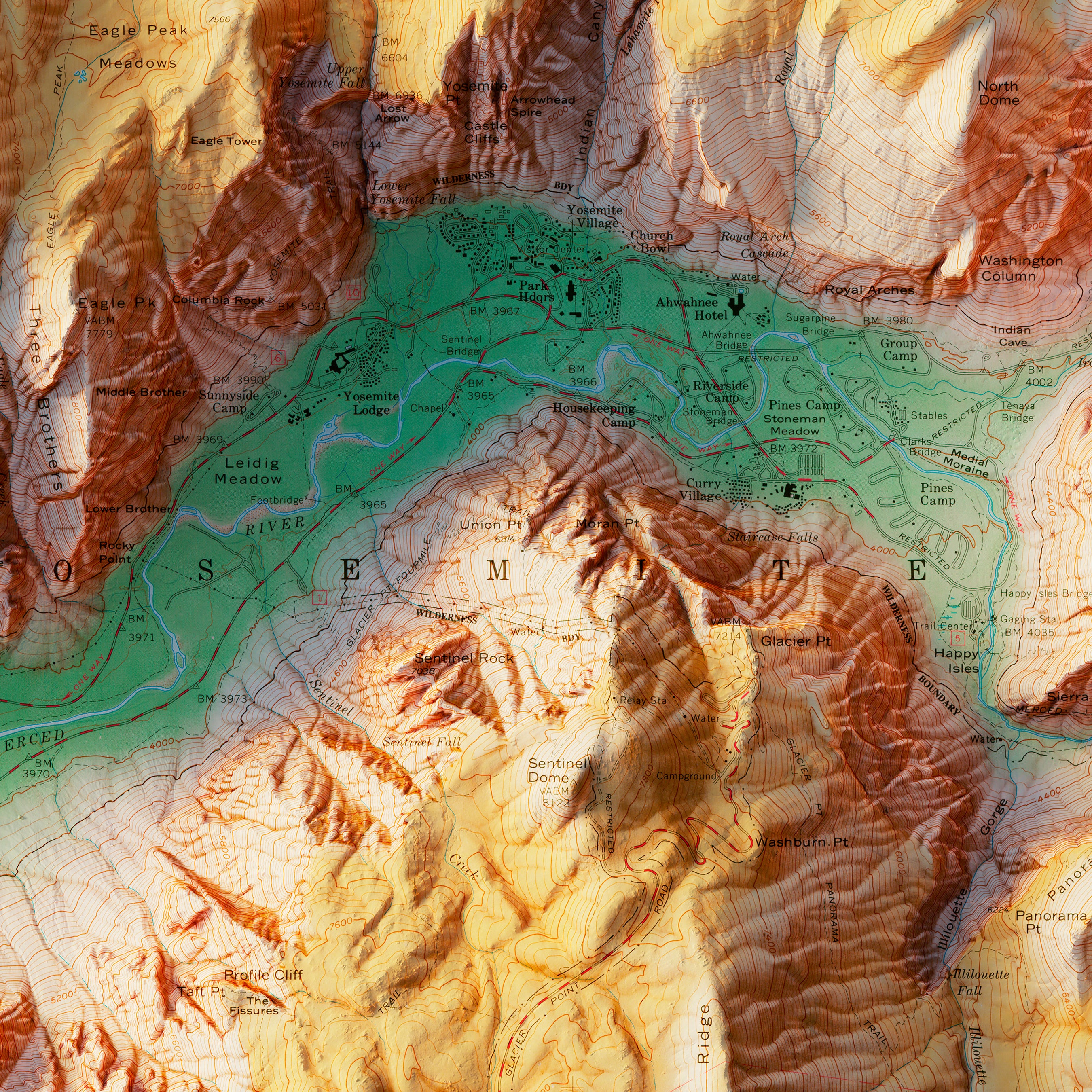
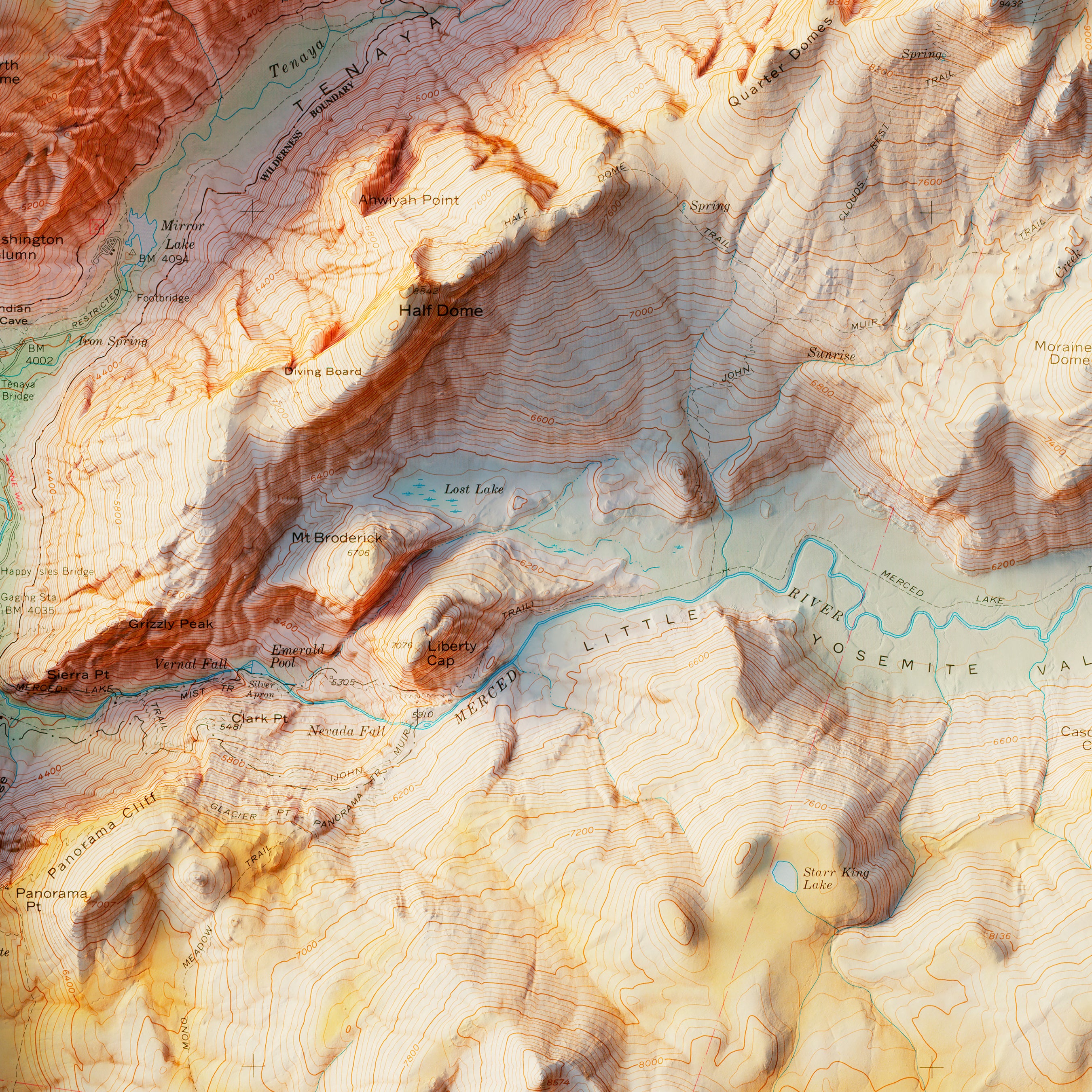
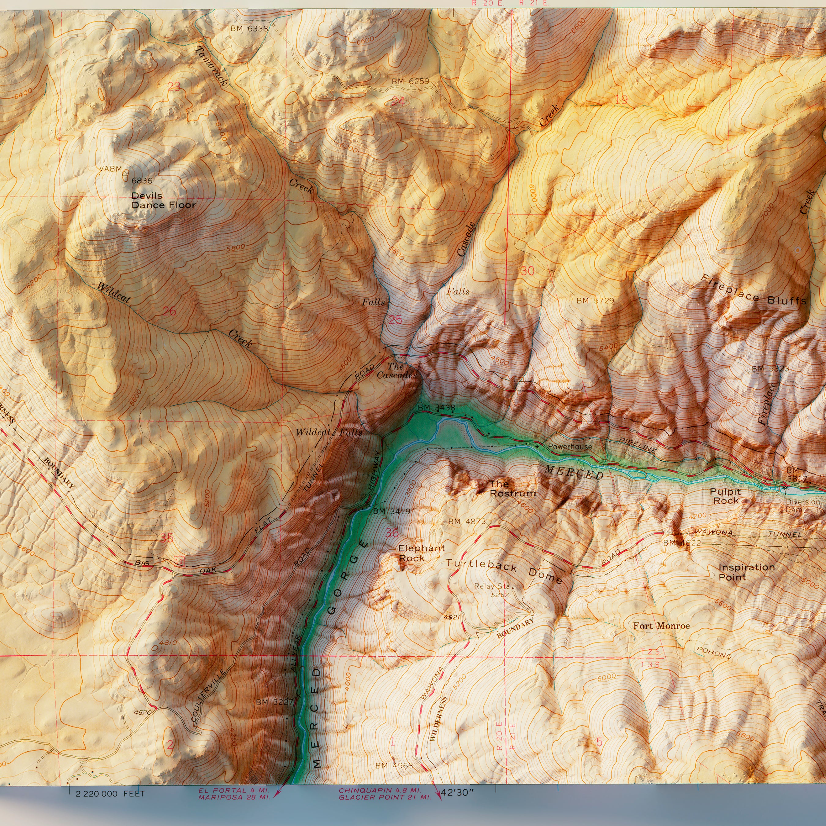
Yosemite National Park 1958 Shaded Relief Map
From
$ 89.00 USD
4.5 / 5.0
2 reviews
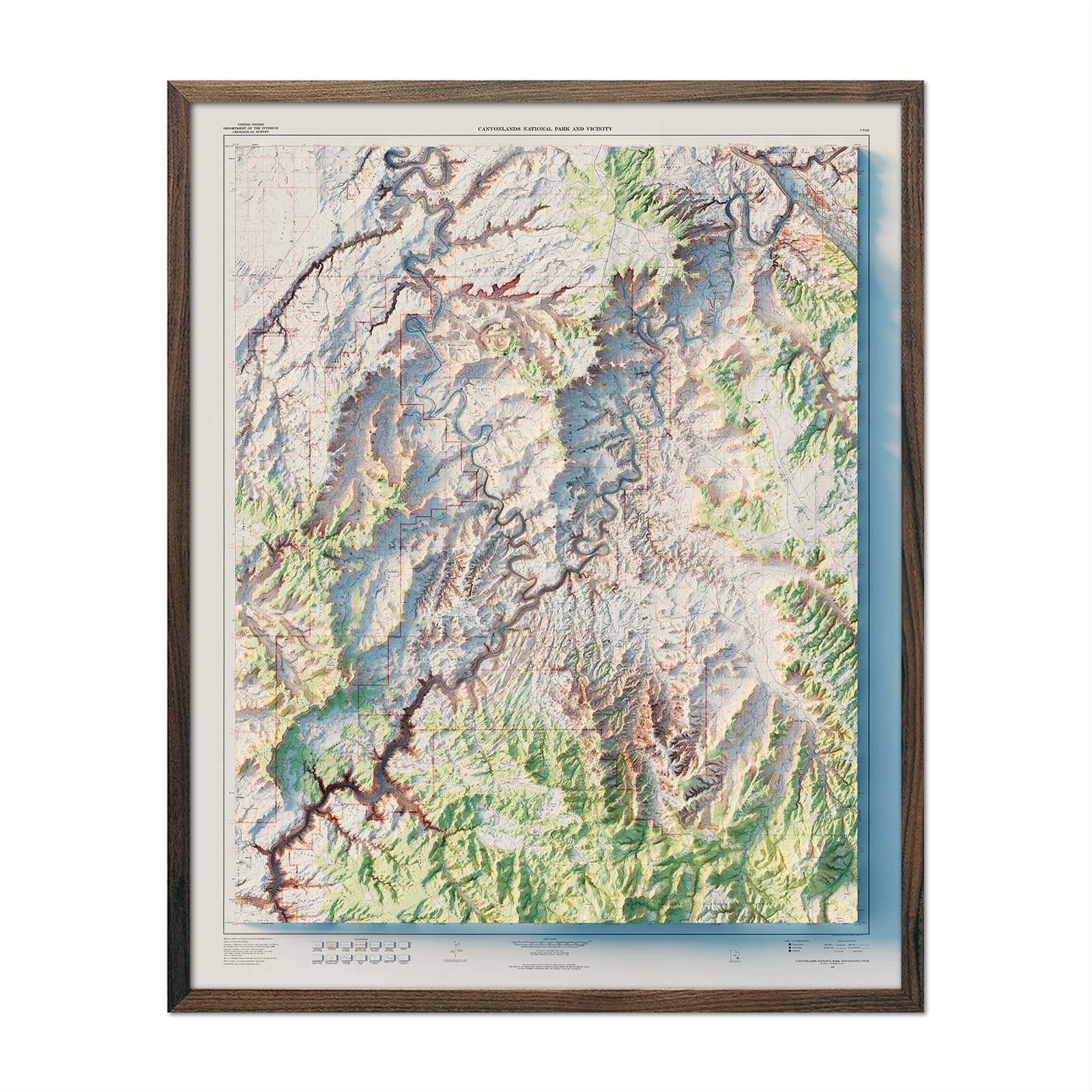
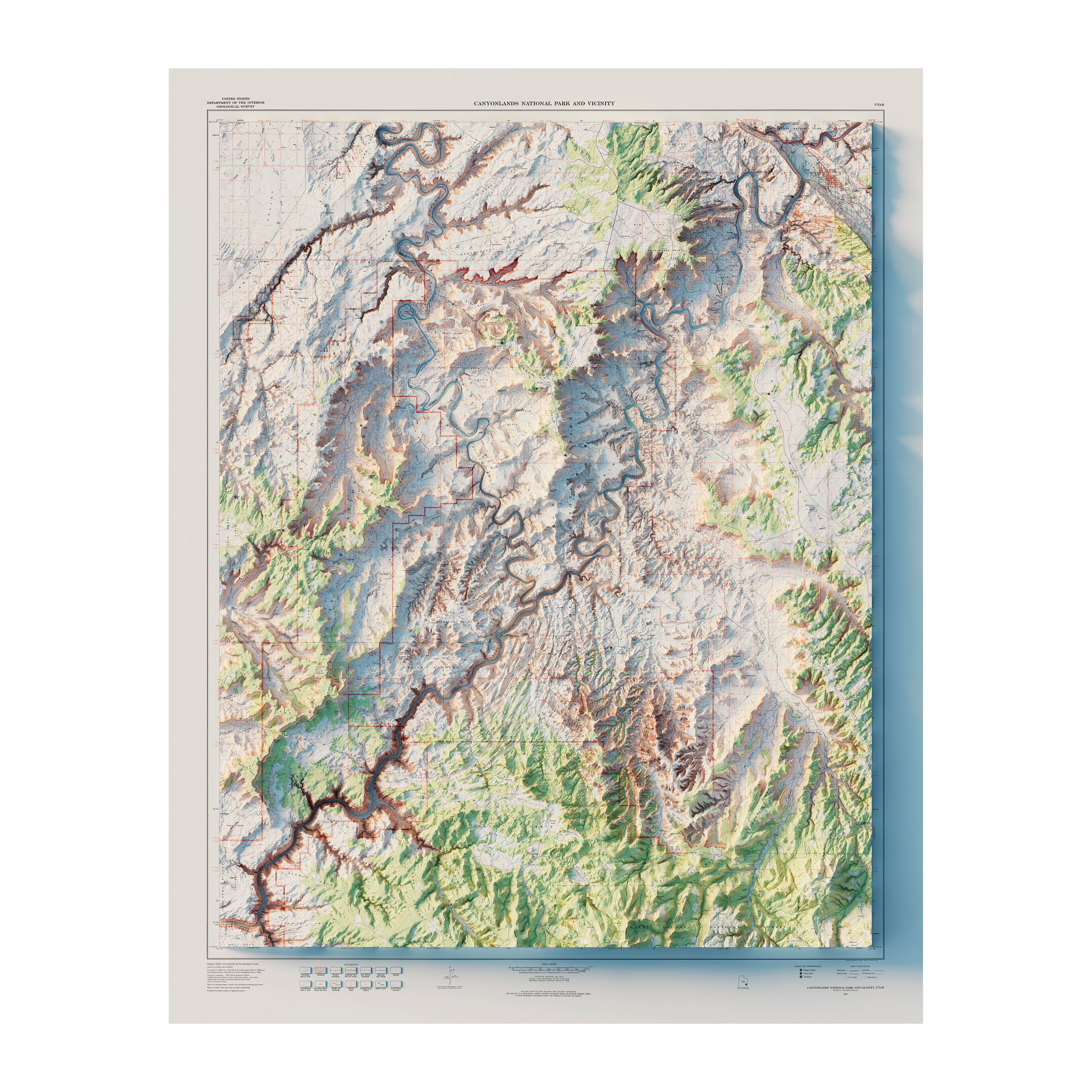
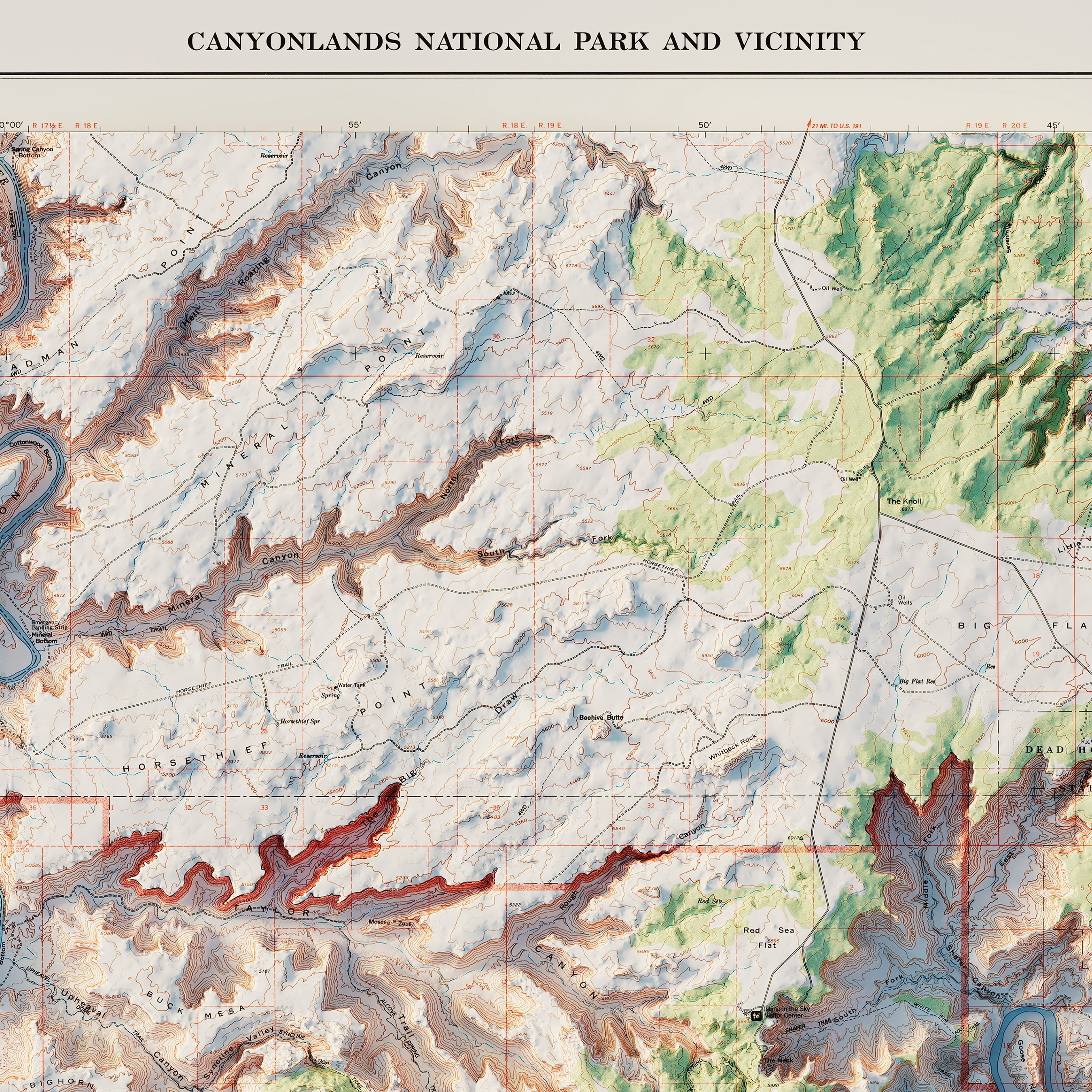
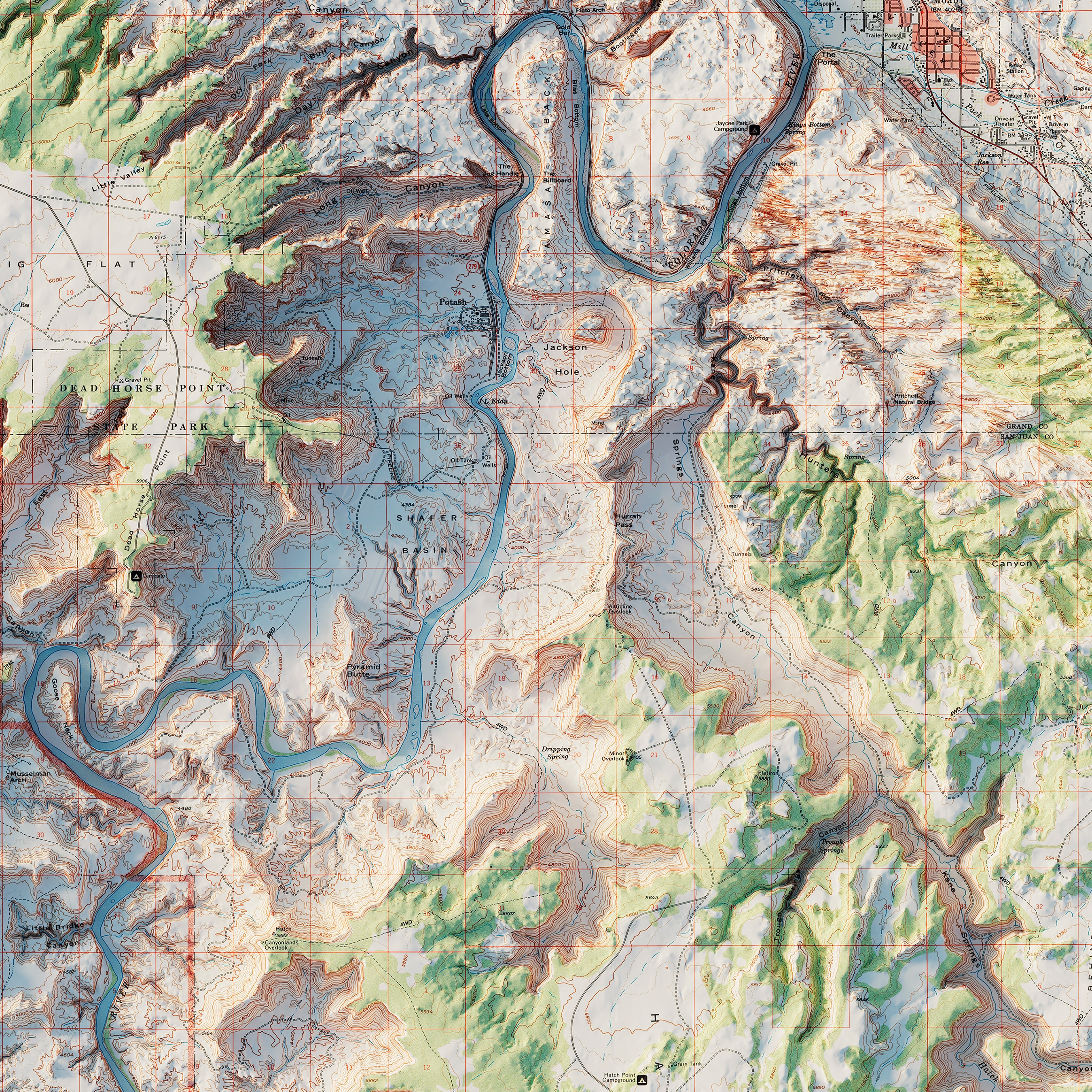
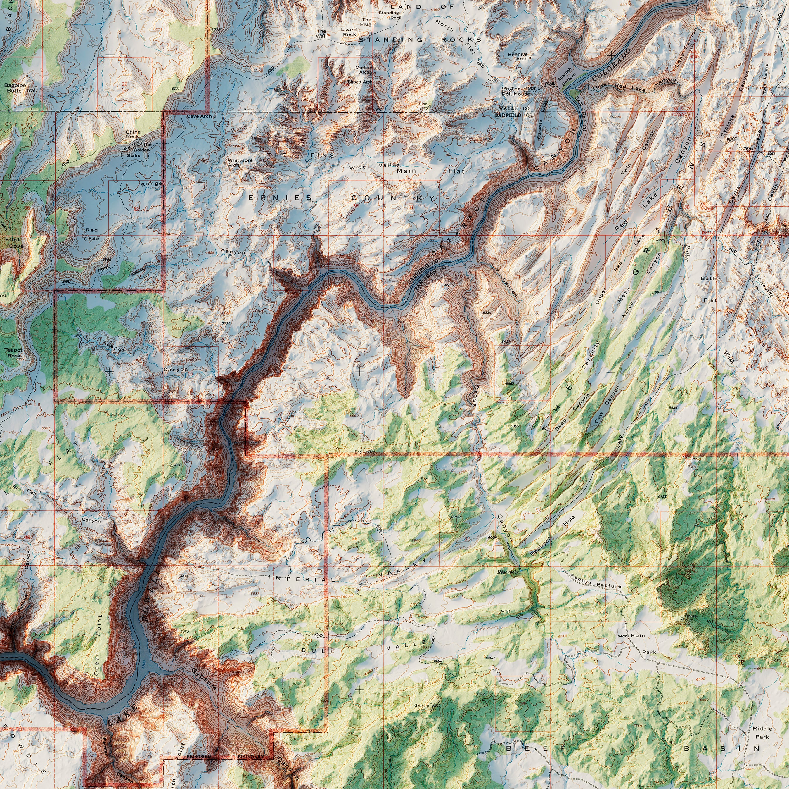
Canyonlands National Park 1968 Shaded Relief Map
From
$ 64.00 USD
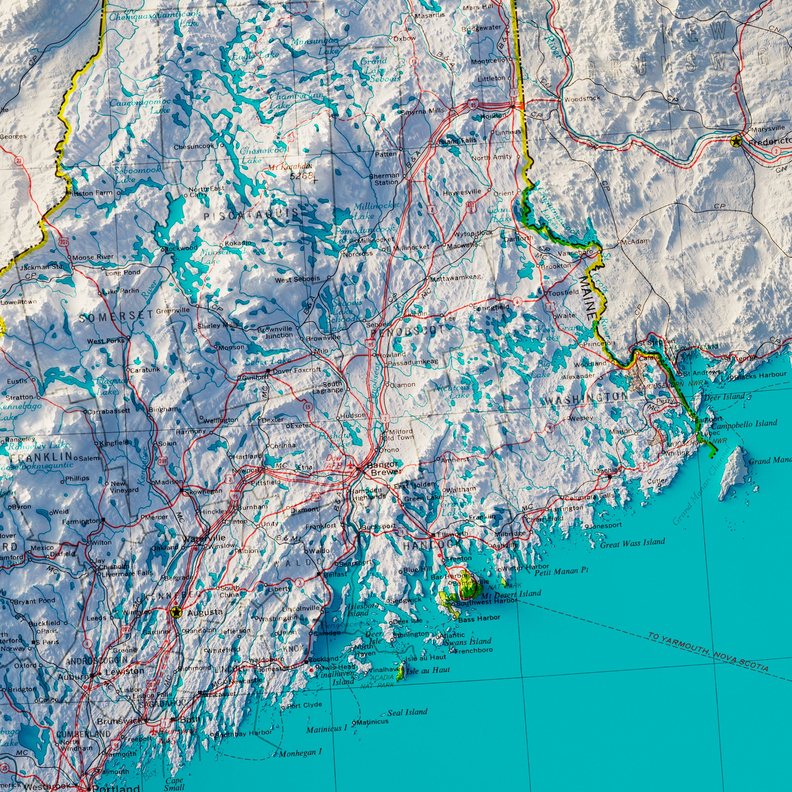
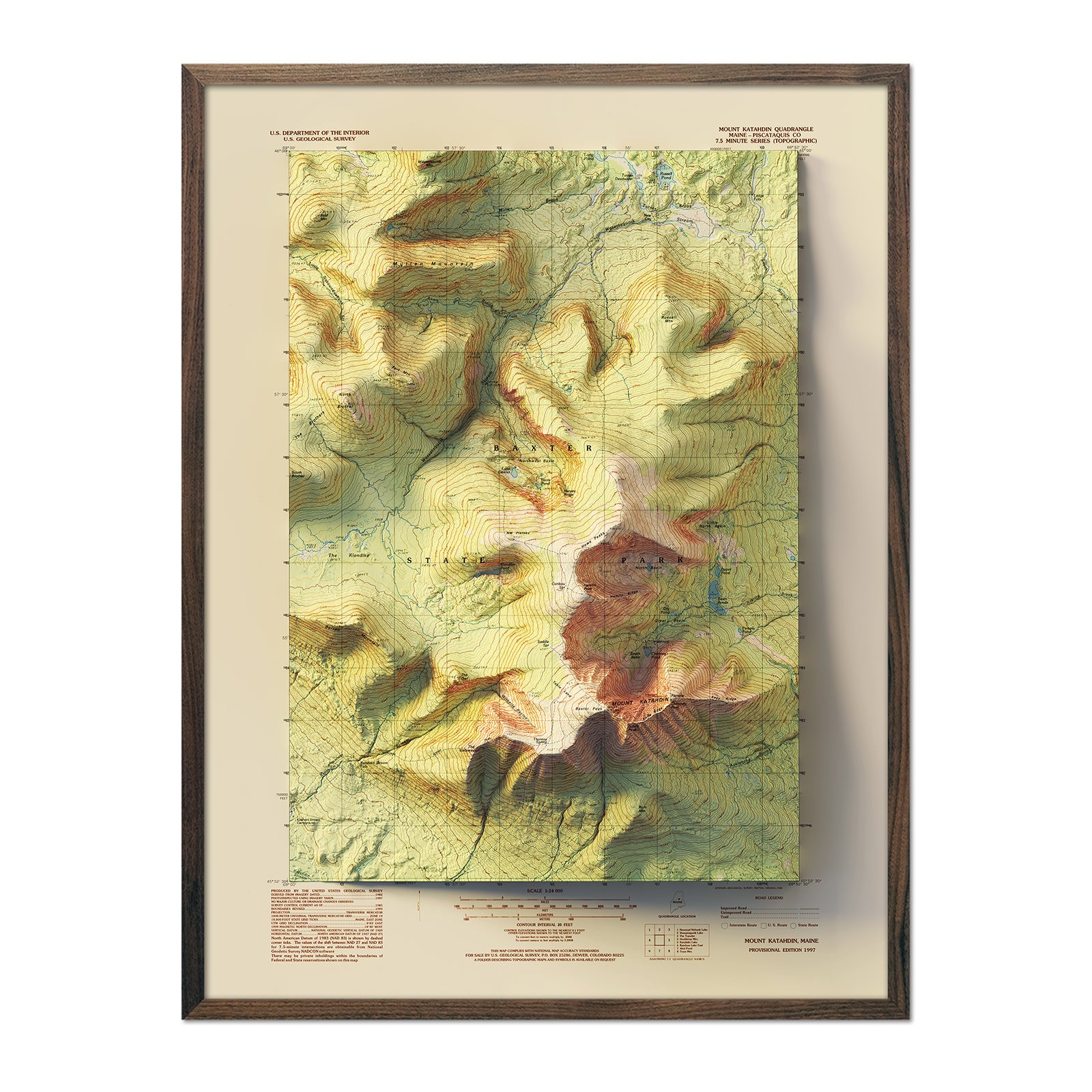
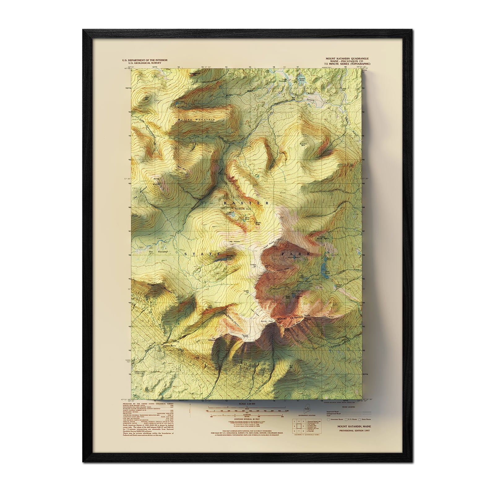
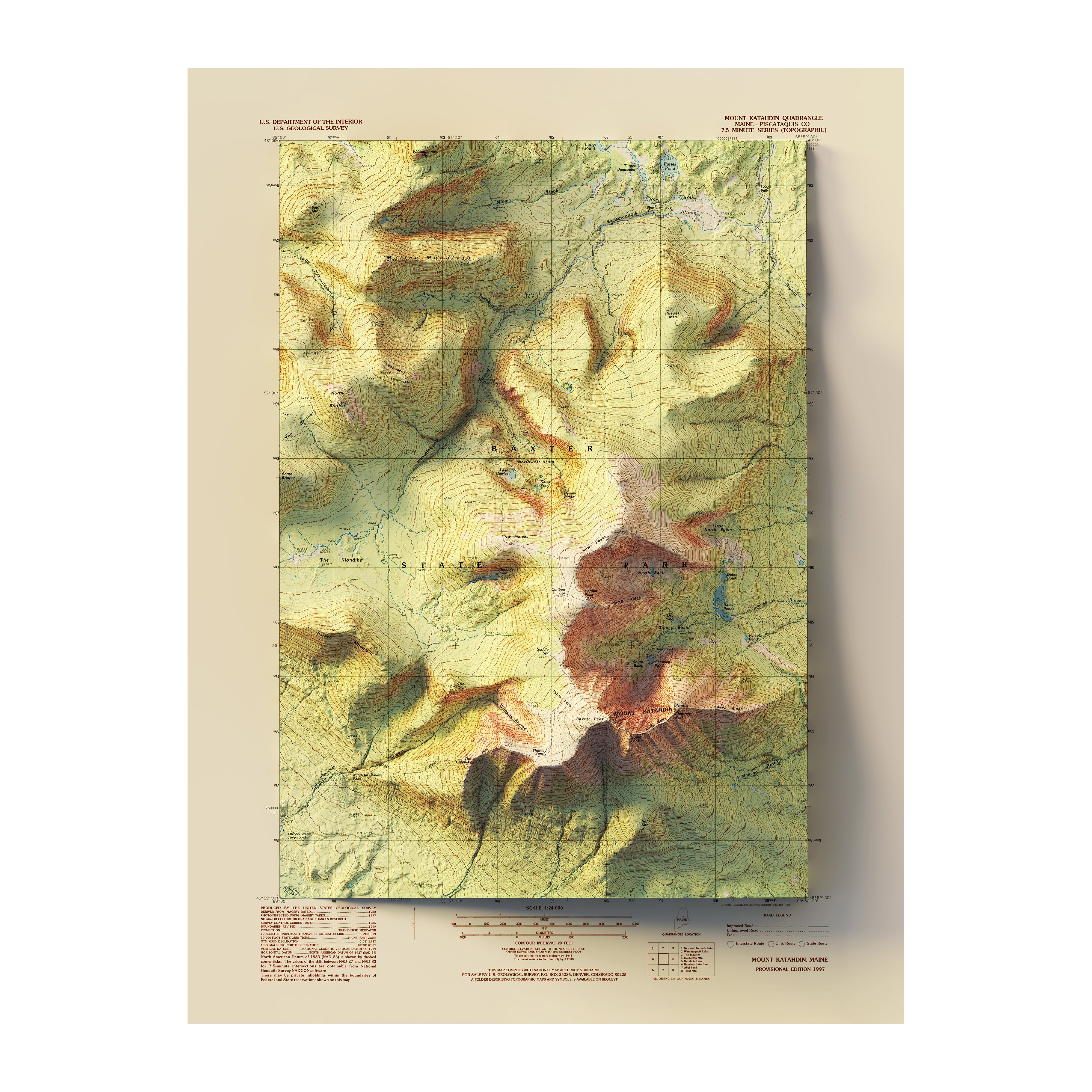
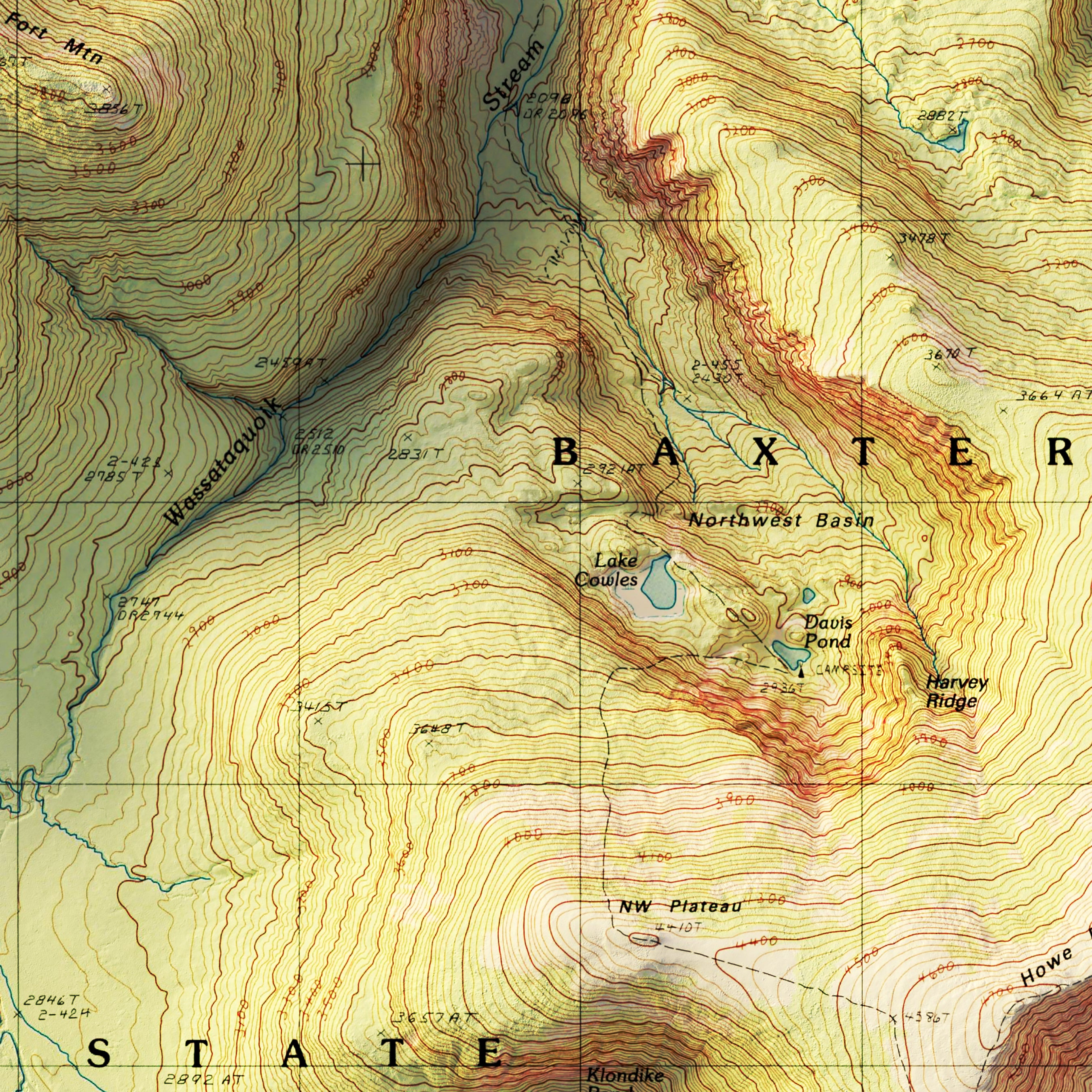
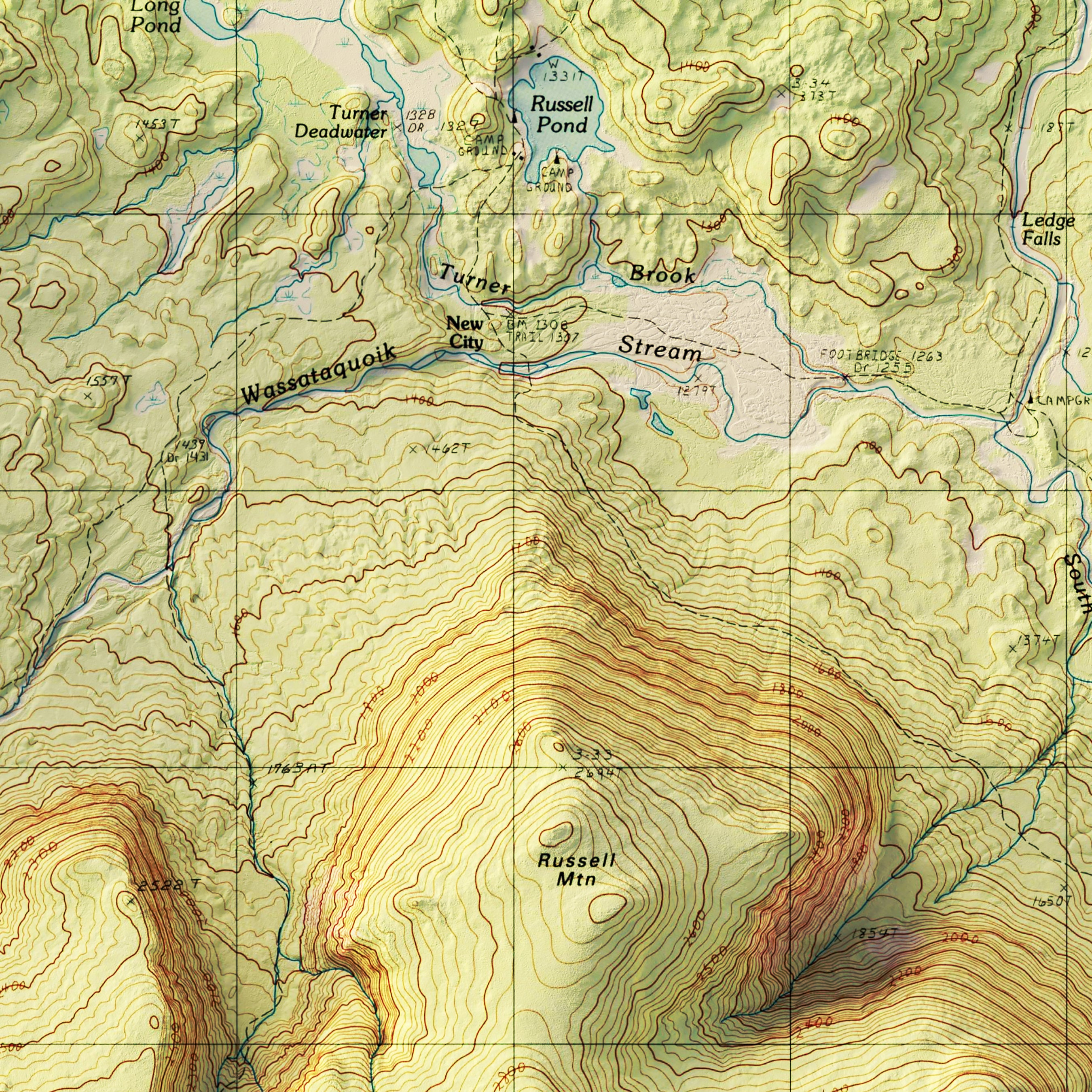
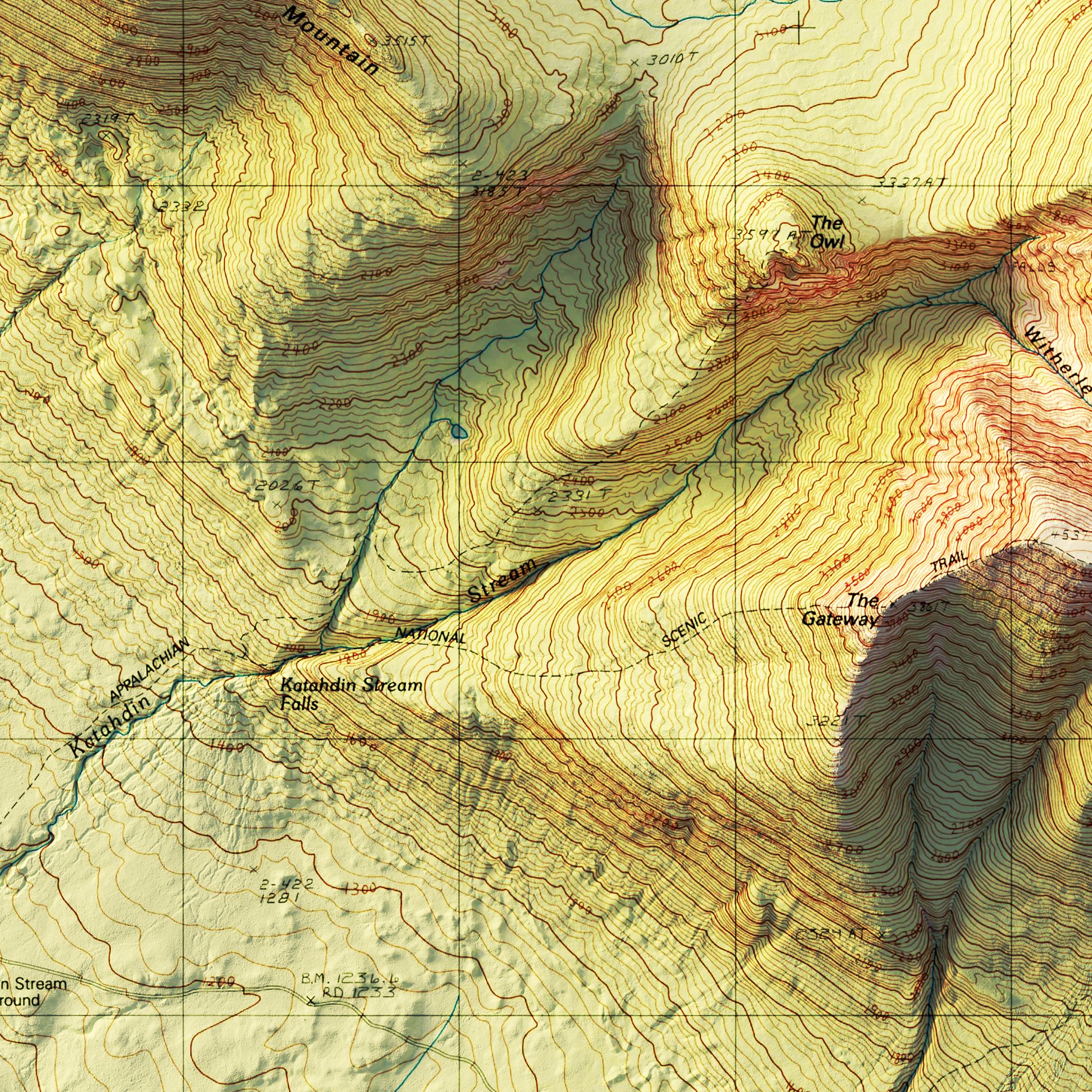
Mt. Katahdin, Maine 1997 Shaded Relief Map
From
$ 79.00 USD
5.0 / 5.0
1 review
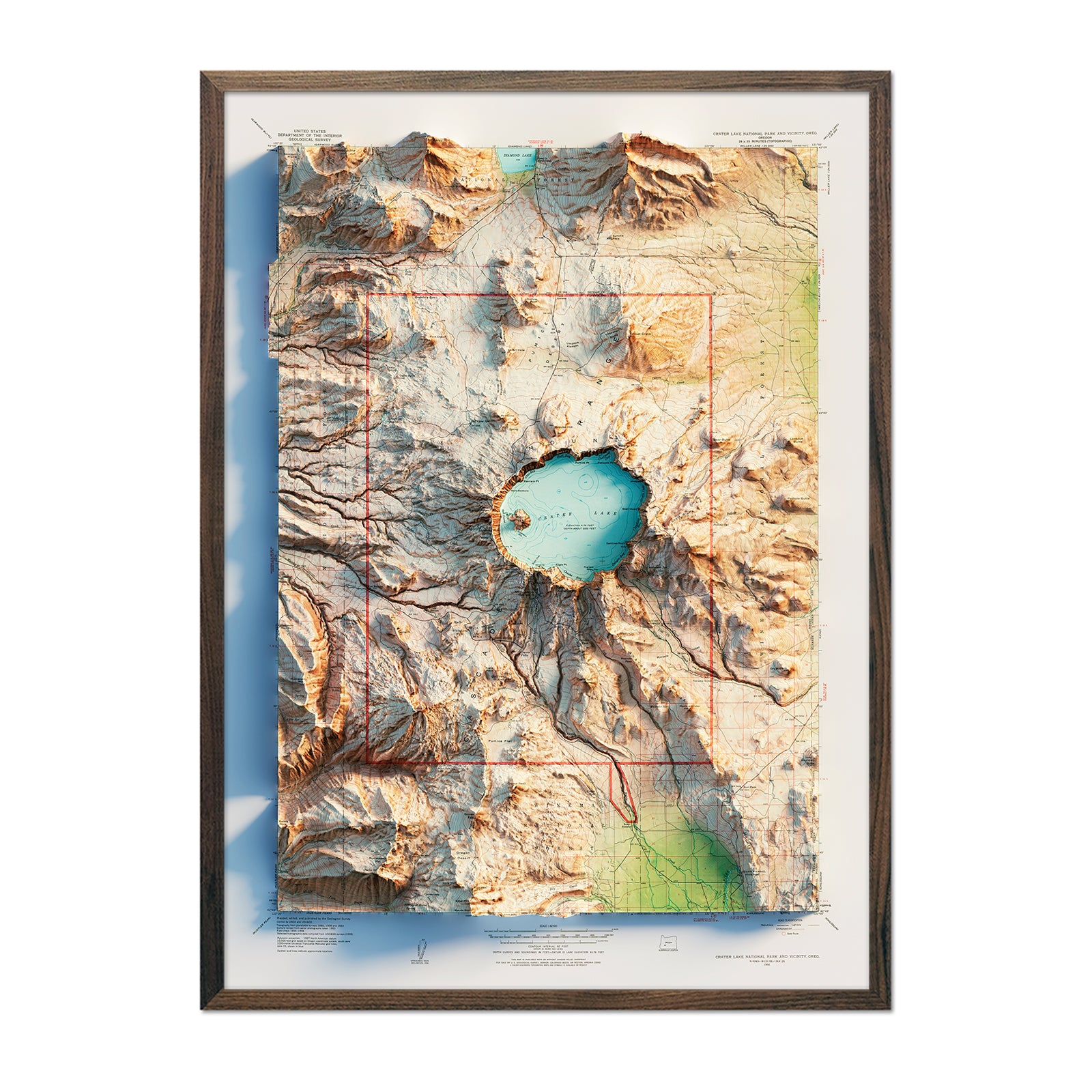
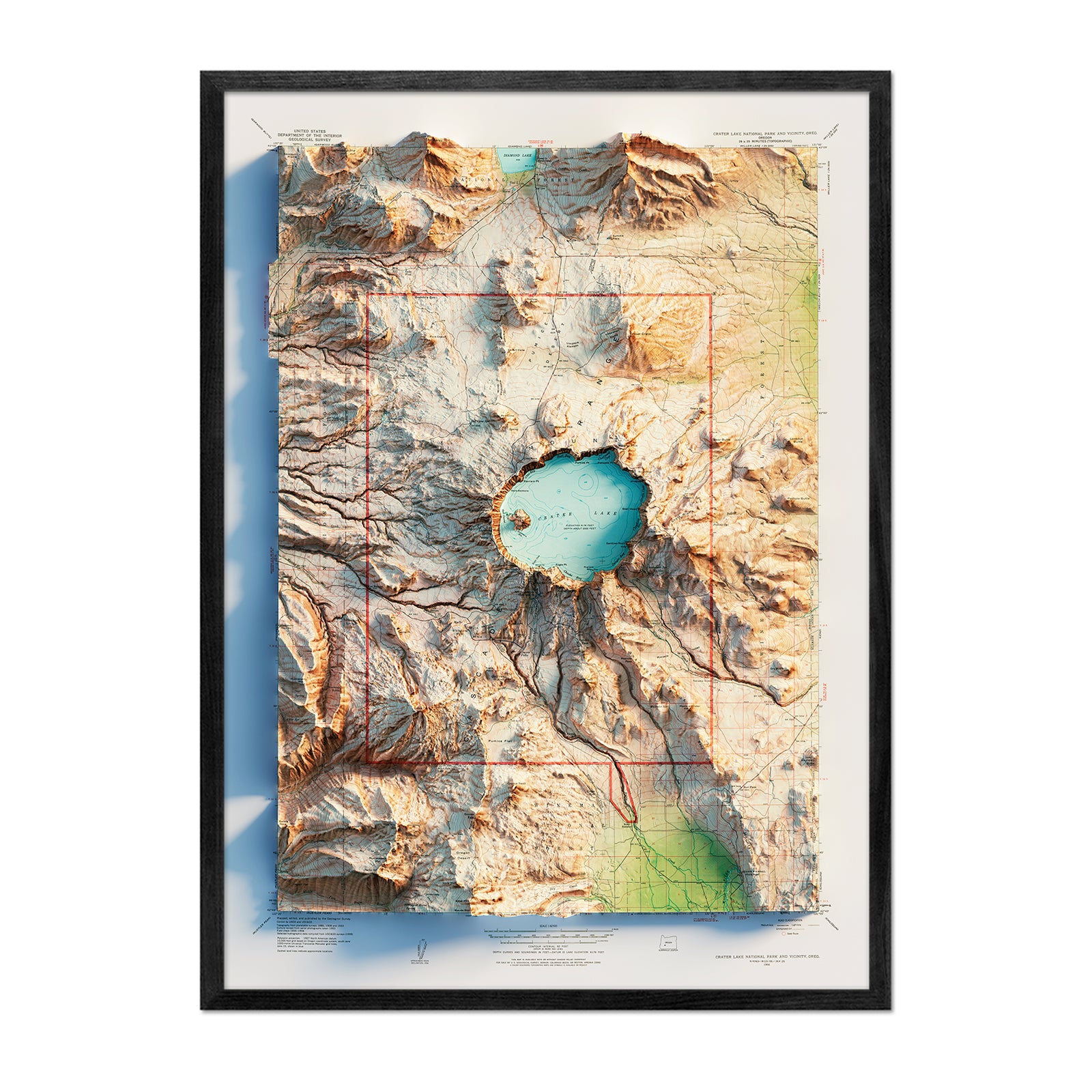
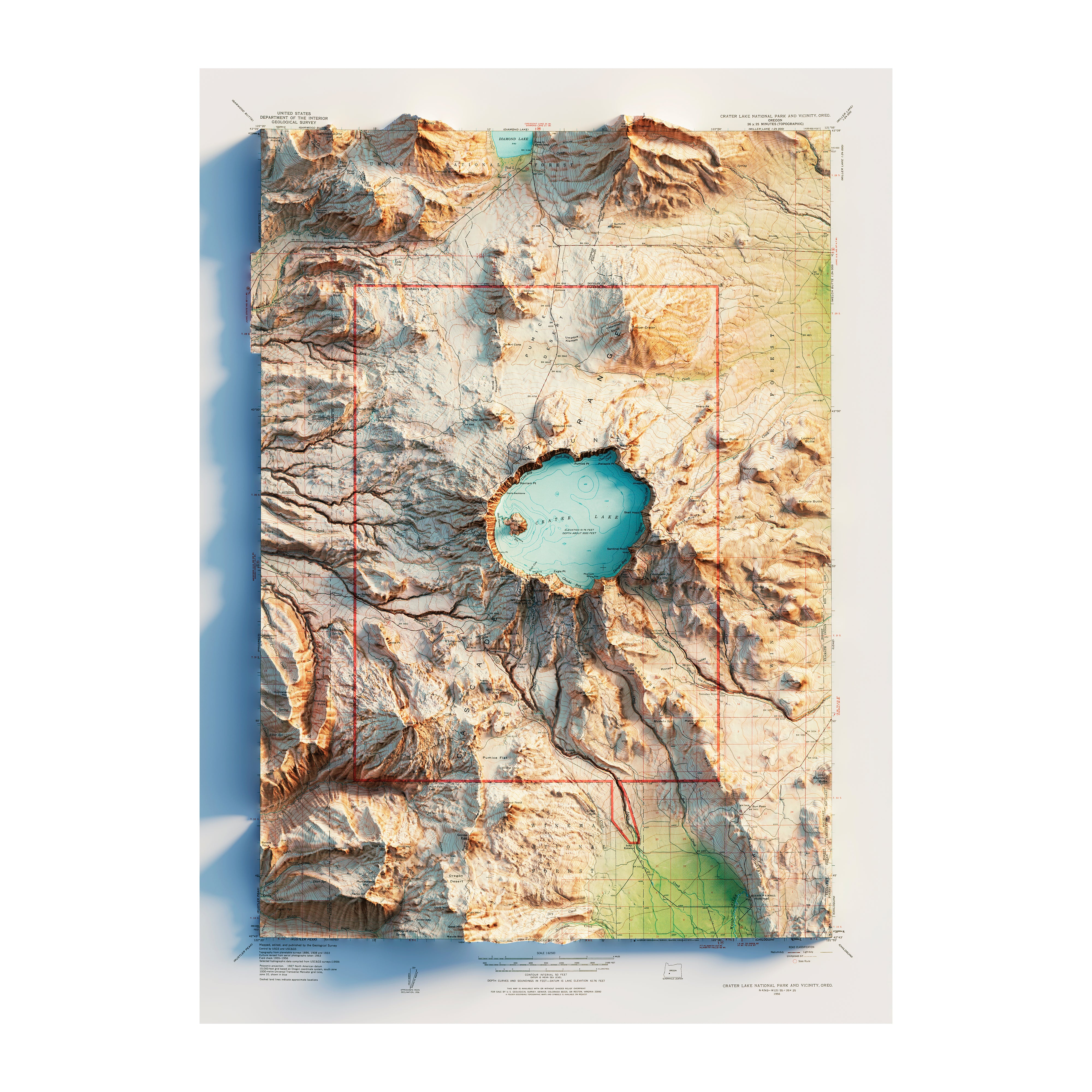
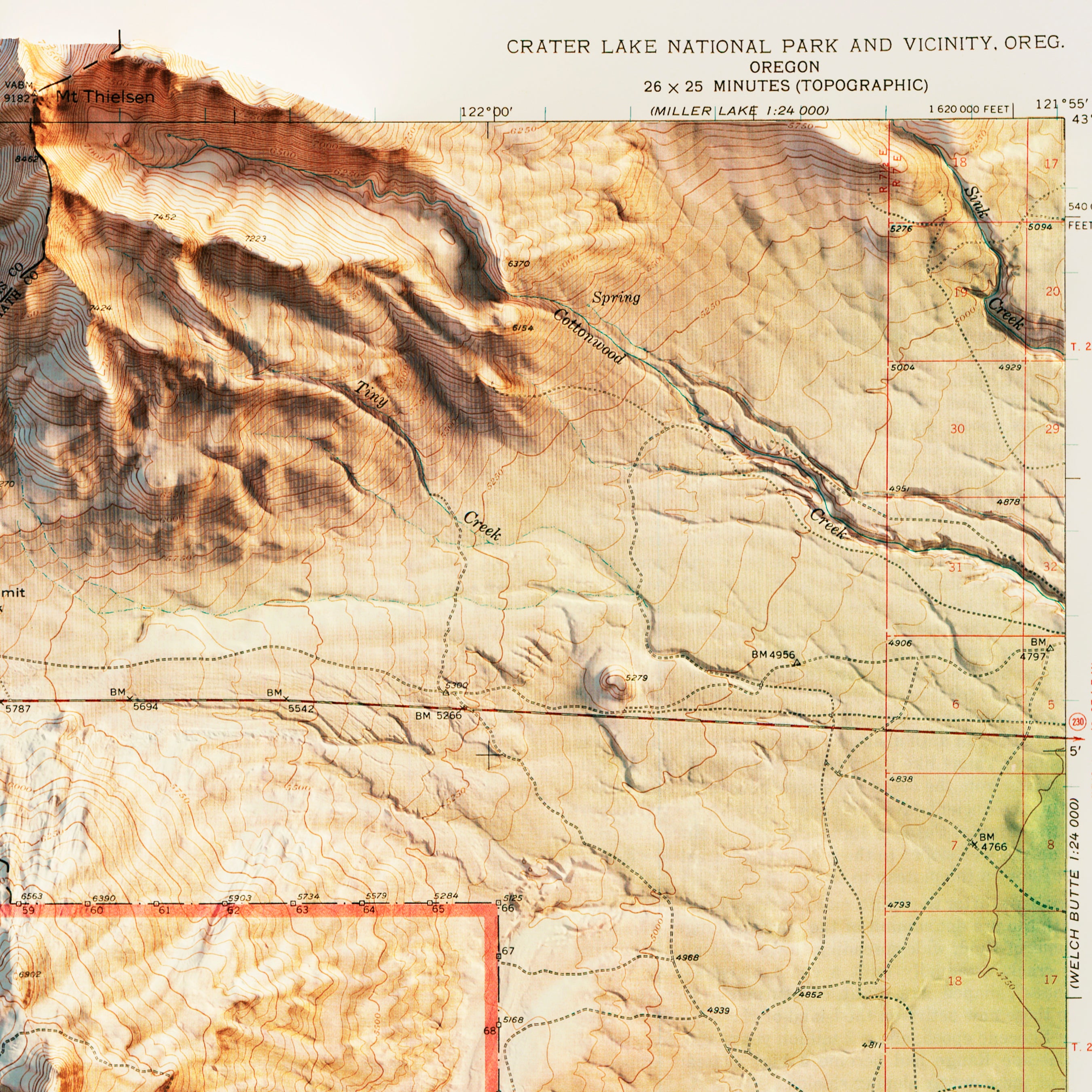
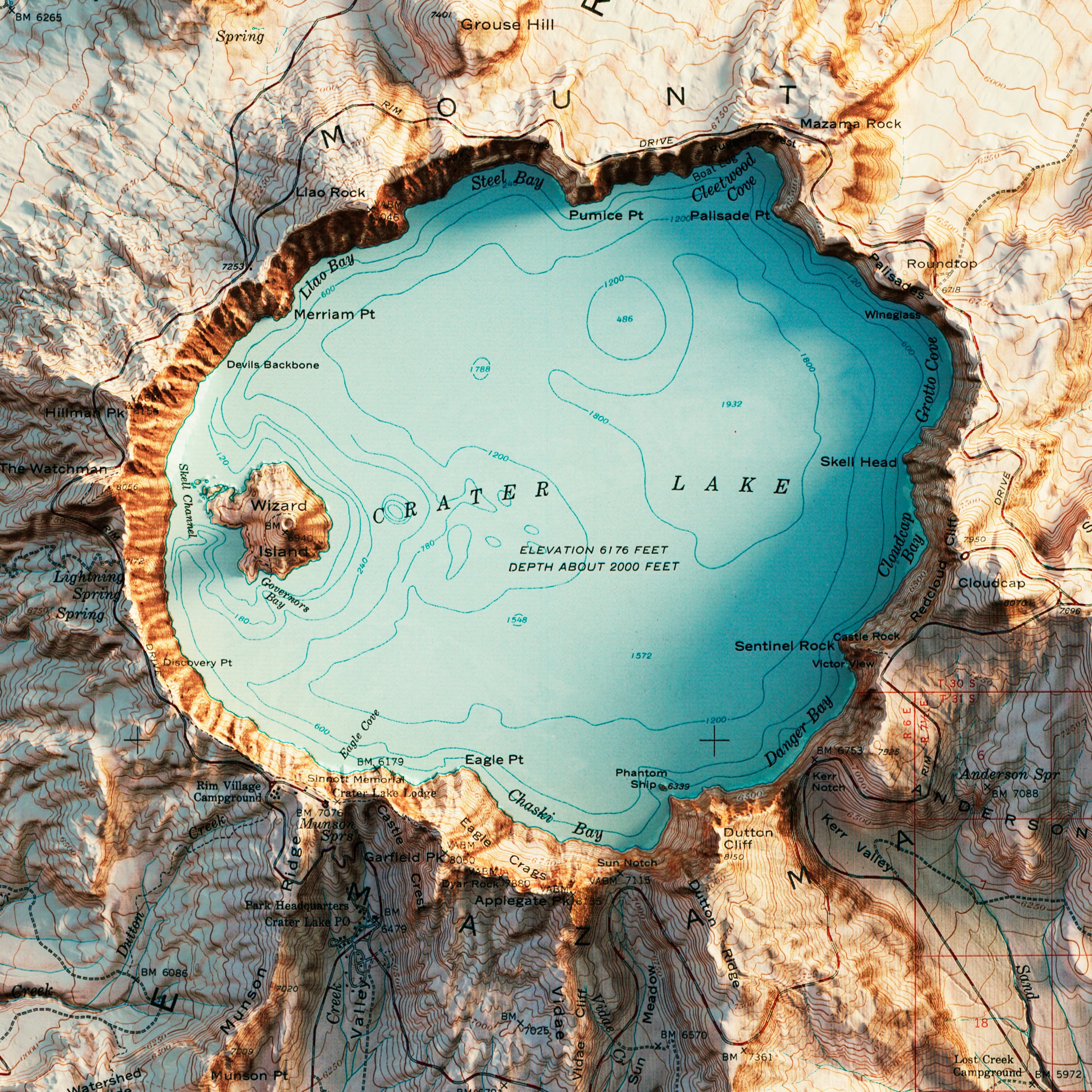
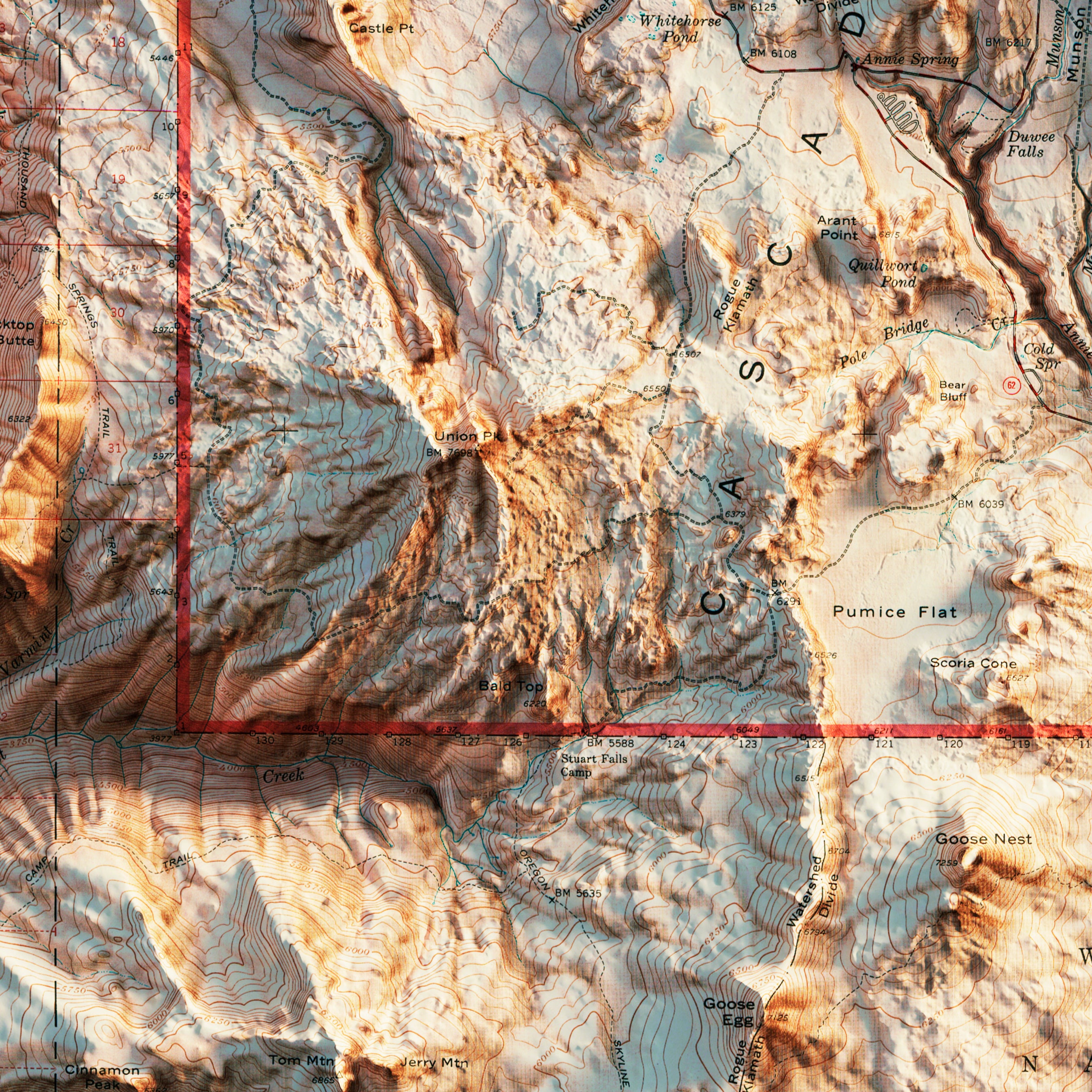
Crater Lake 1956 Shaded Relief Map
From
$ 79.00 USD
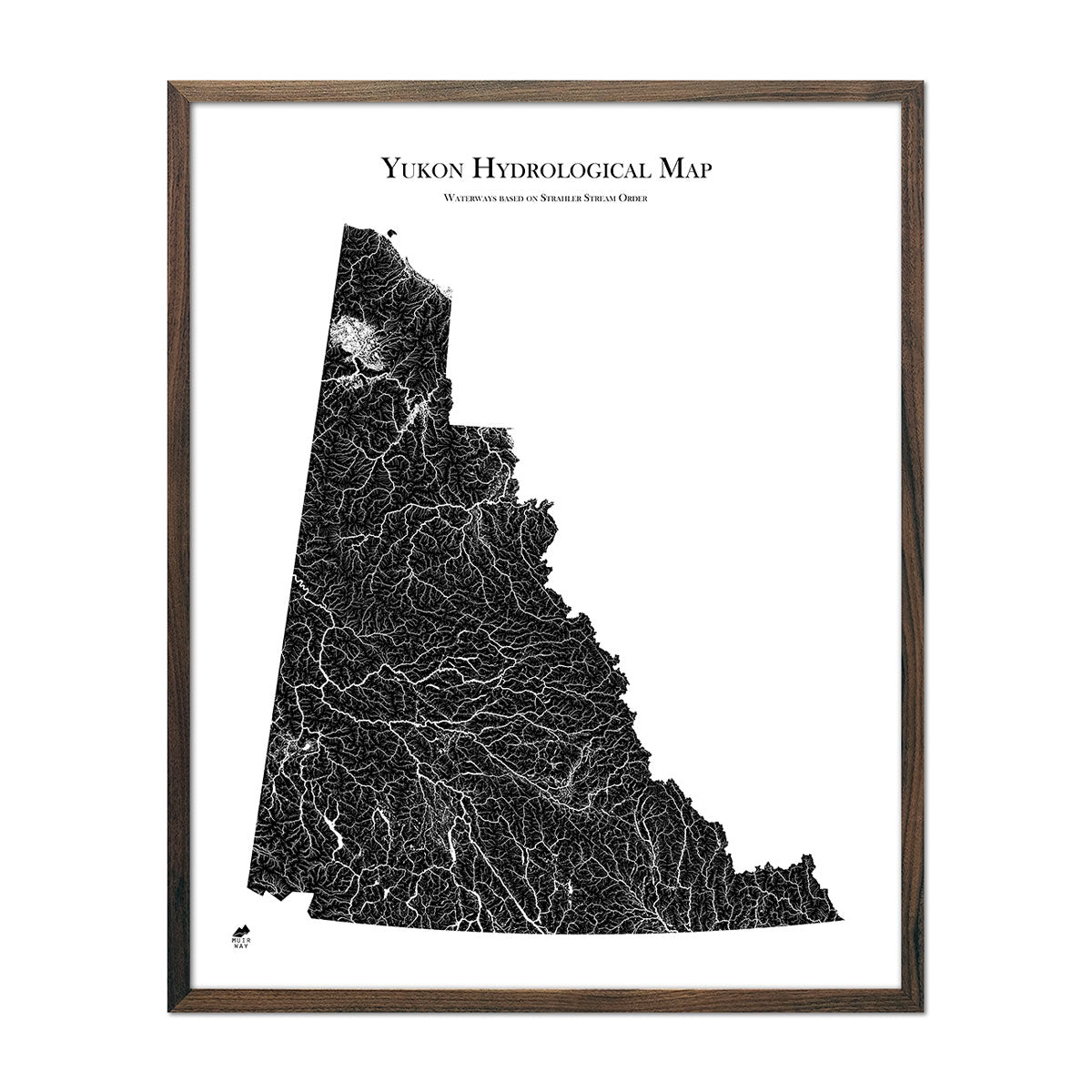
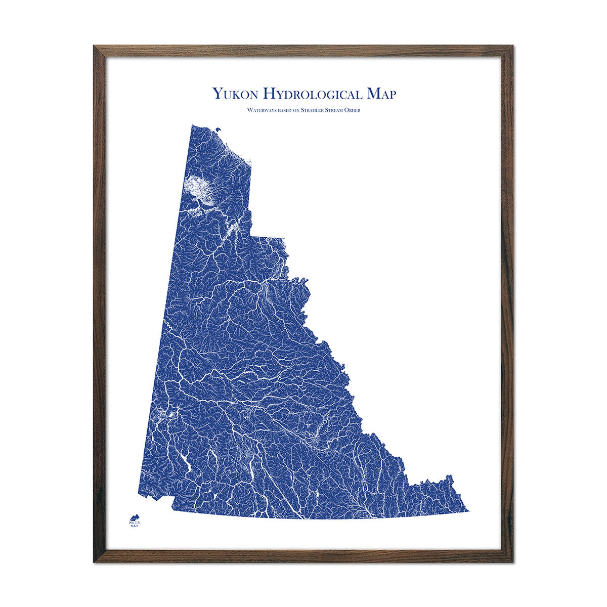
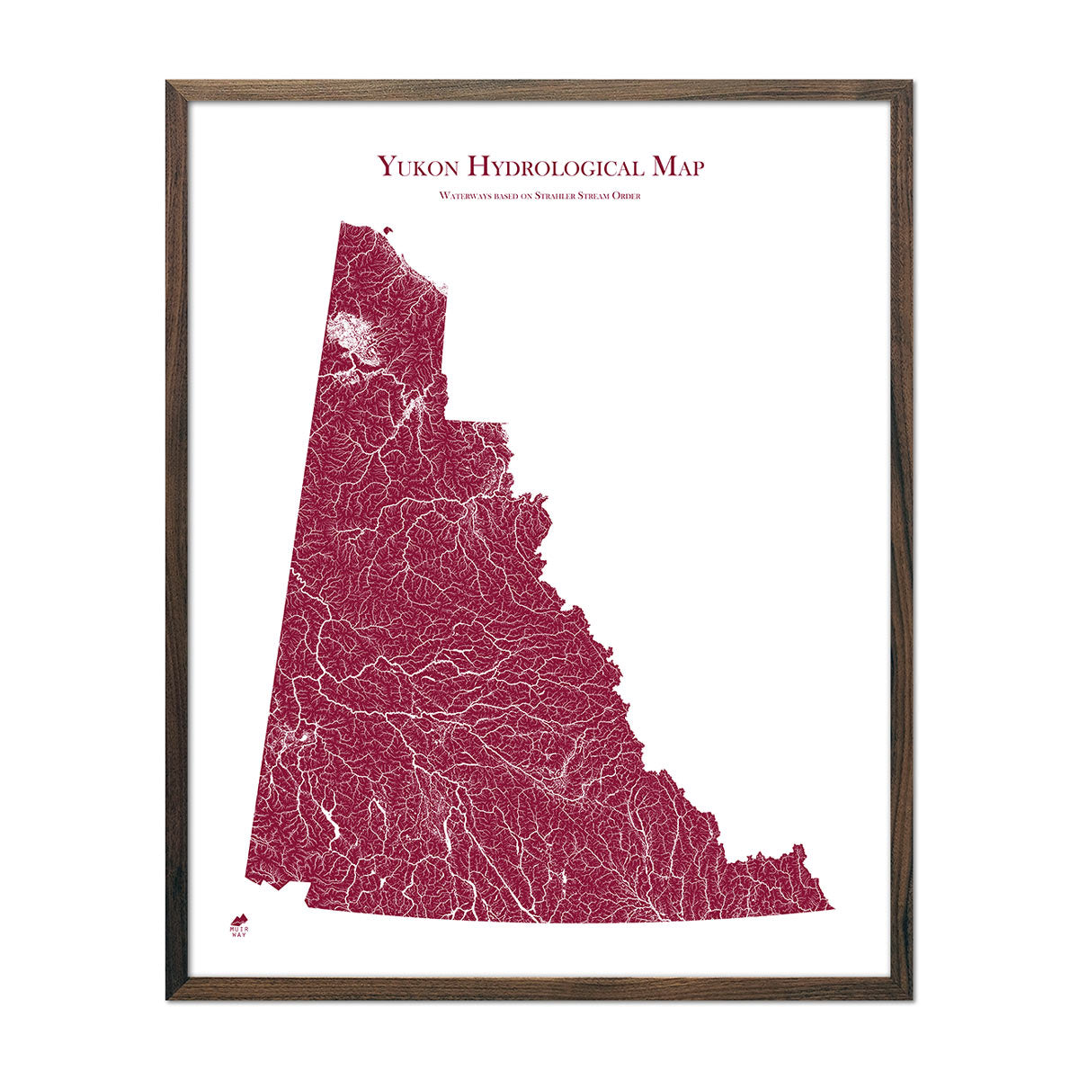
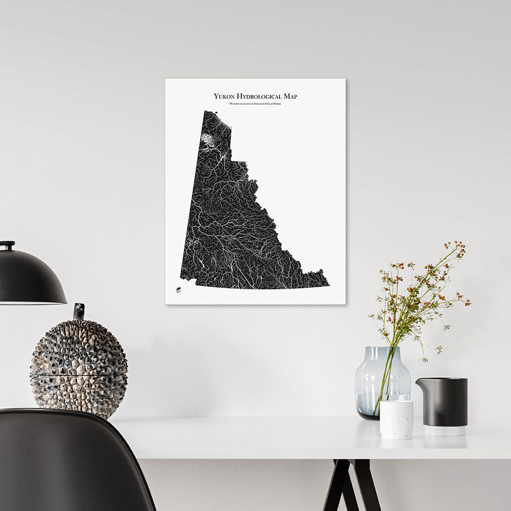
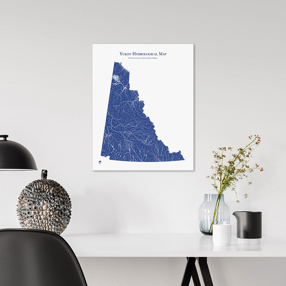
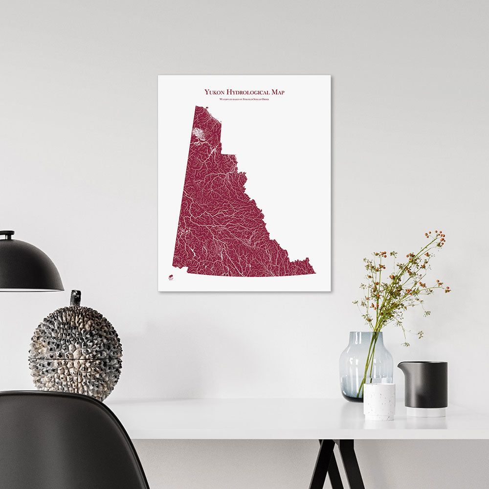
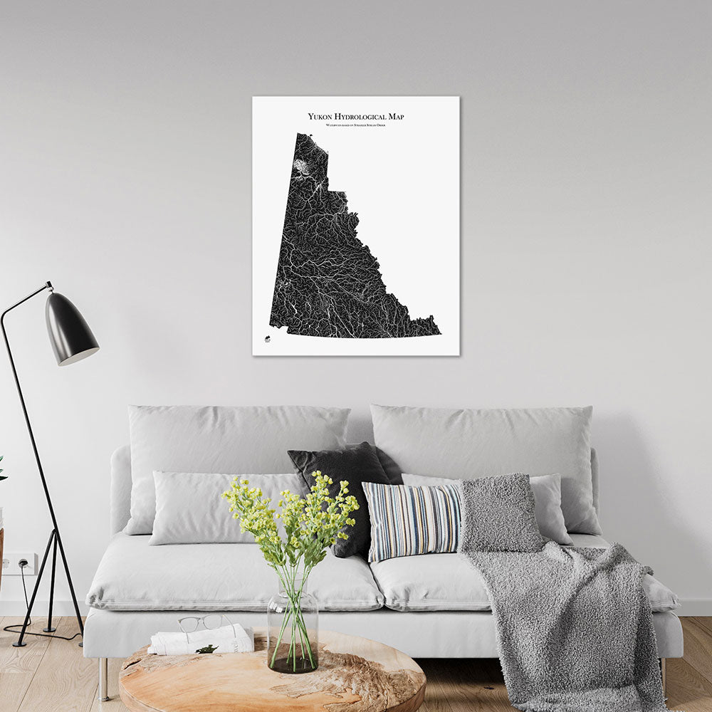
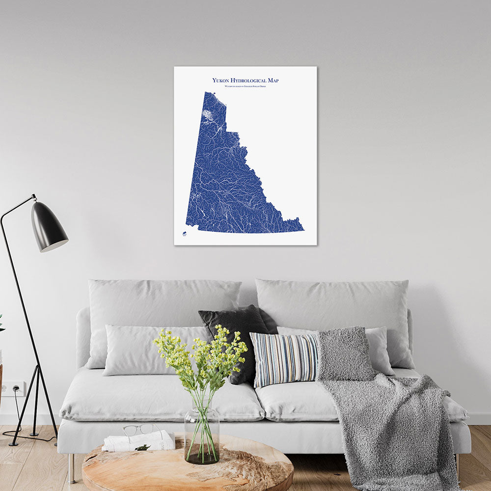
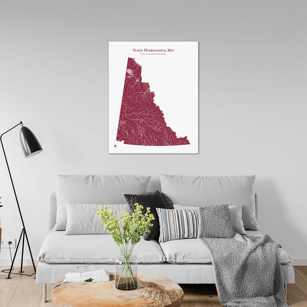
Yukon Hydrological Map
From
$ 64.00 USD
5.0 / 5.0
1640 reviews
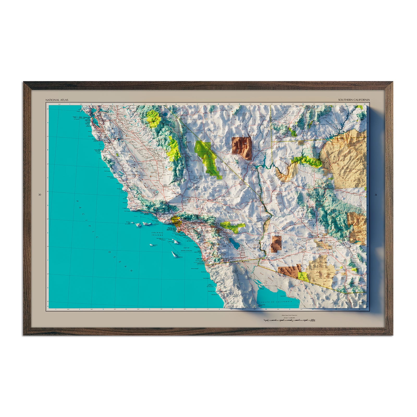
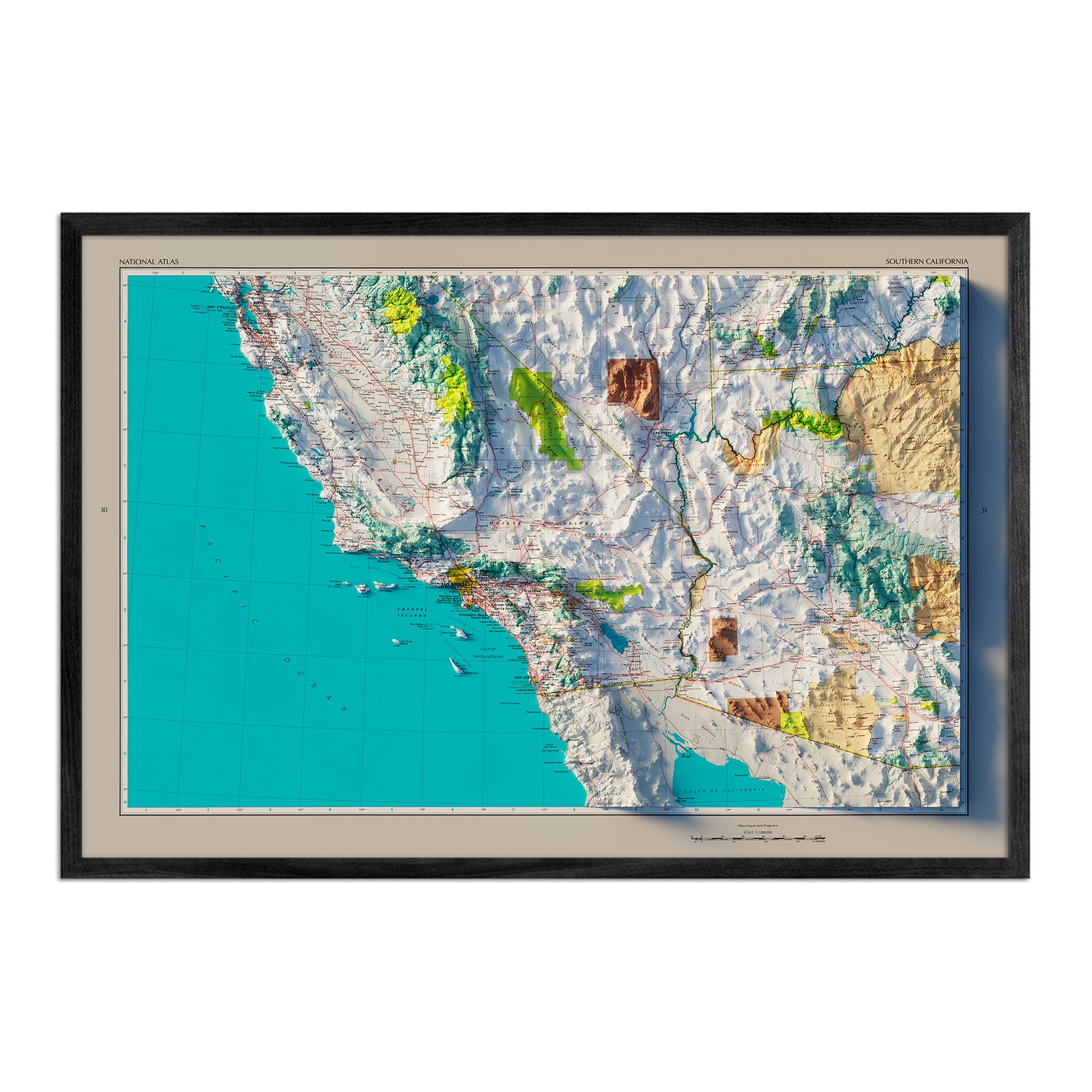
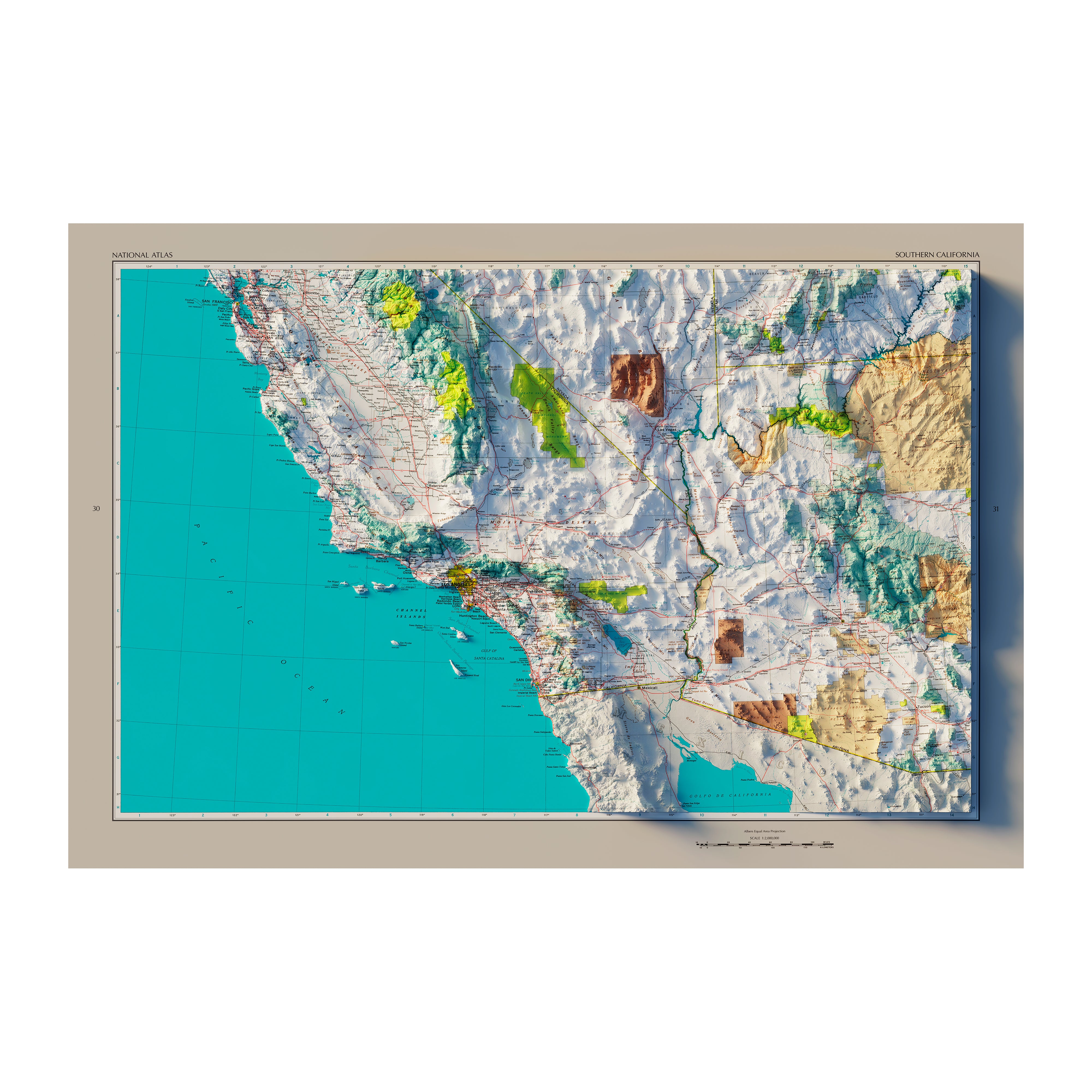
Southern California 1970 Shaded Relief Map
From
$ 79.00 USD
5.0 / 5.0
1 review
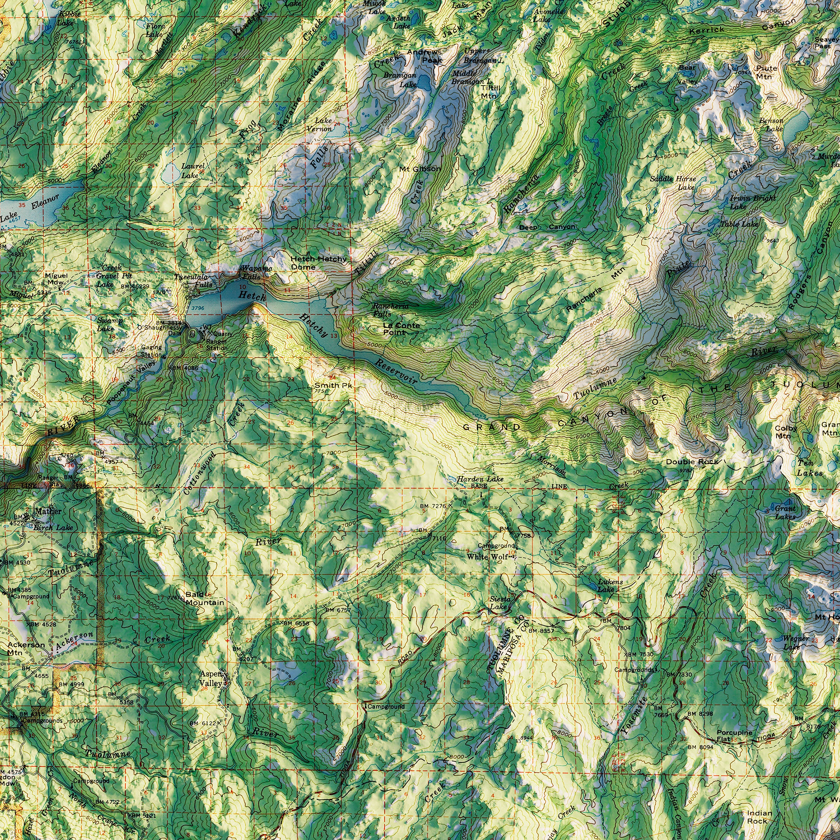
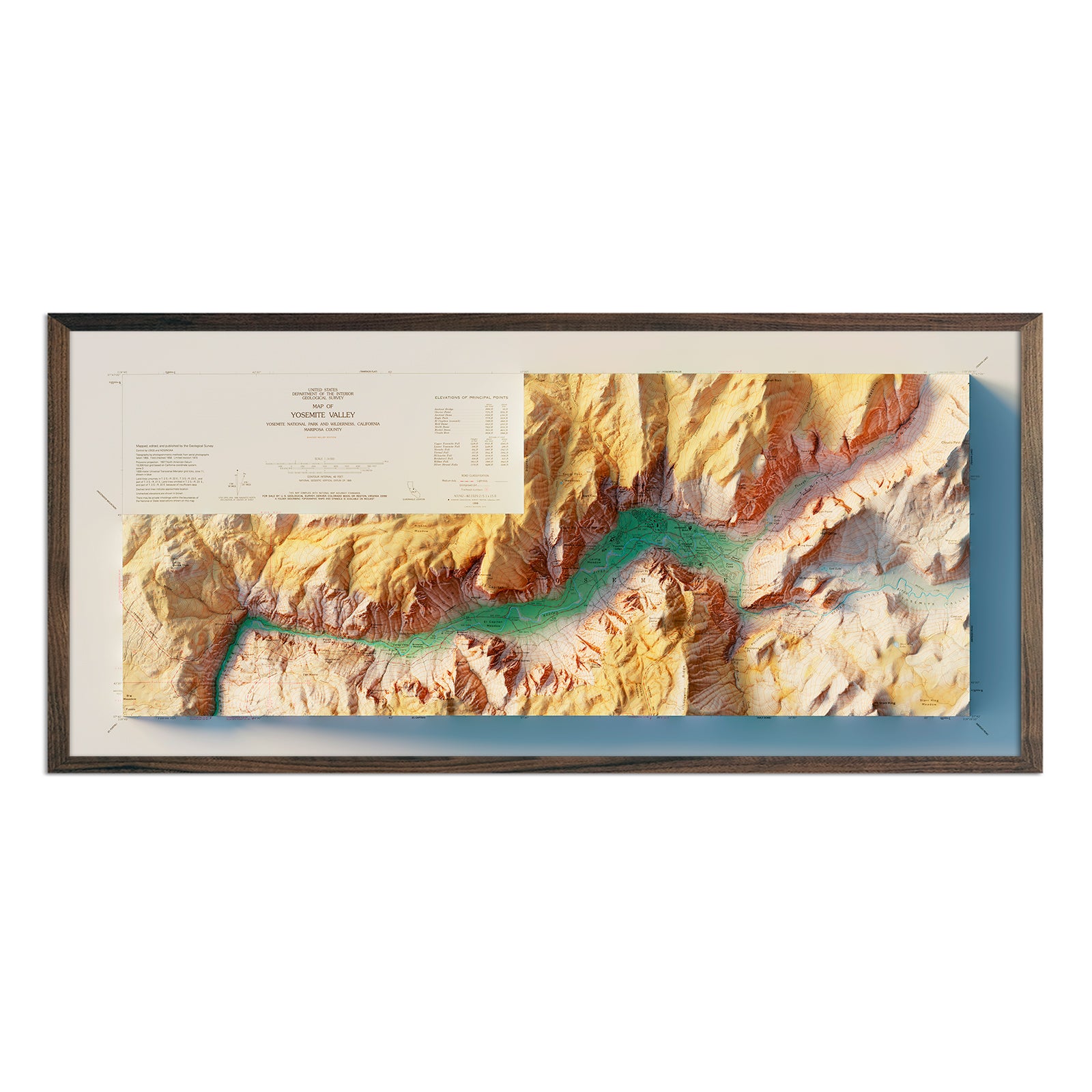
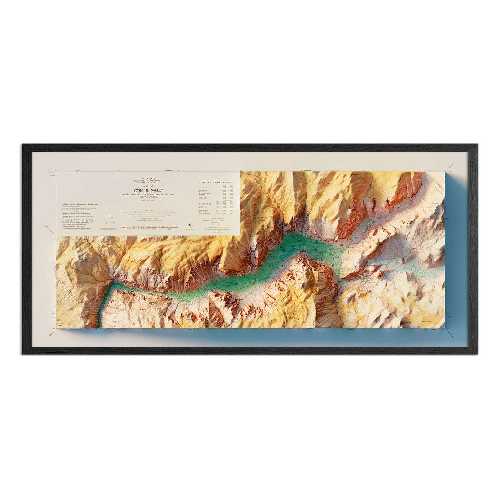
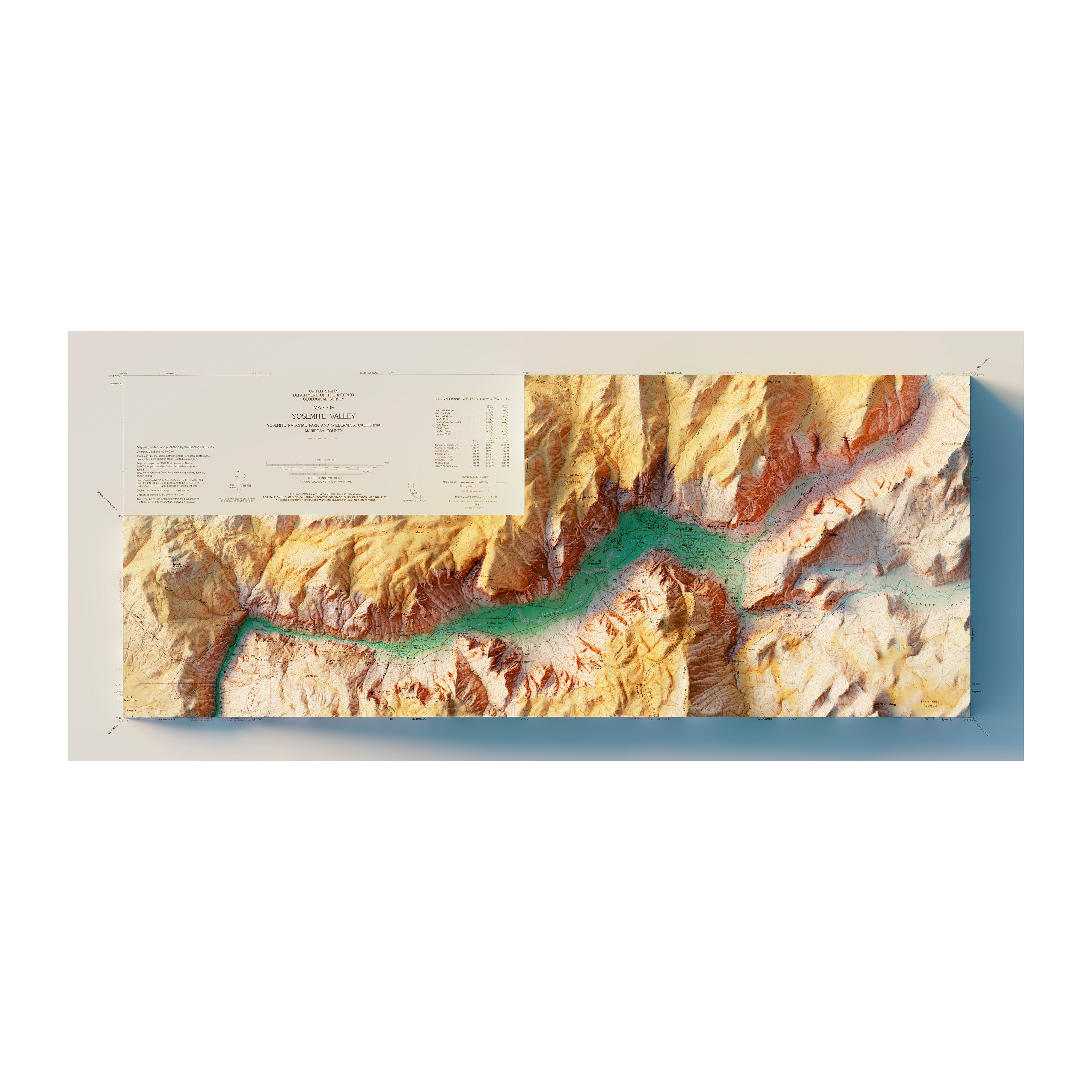
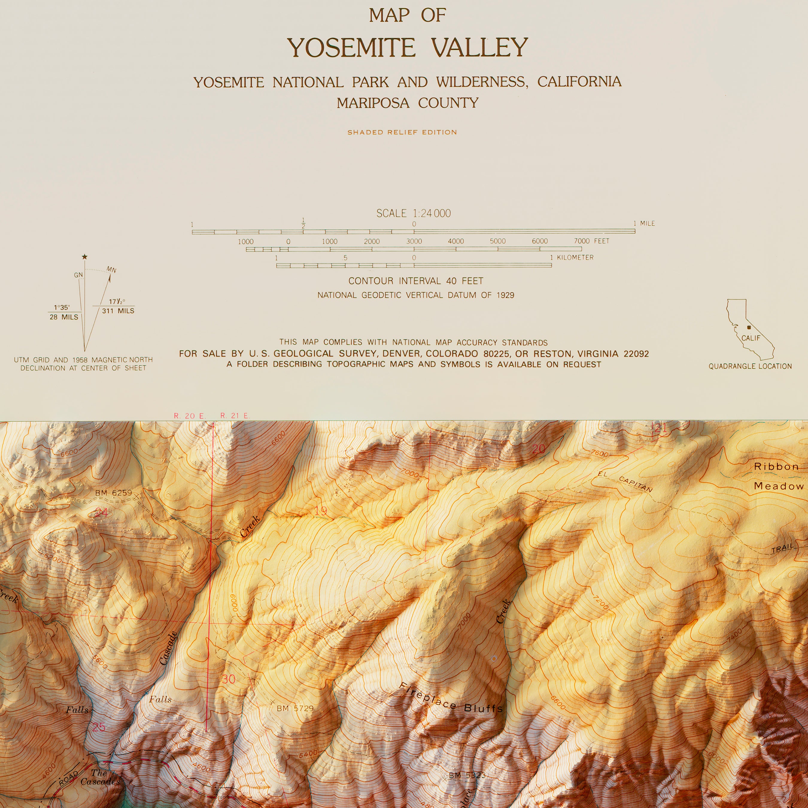
Yosemite Valley 1970 Shaded Relief Map
From
$ 69.00 USD
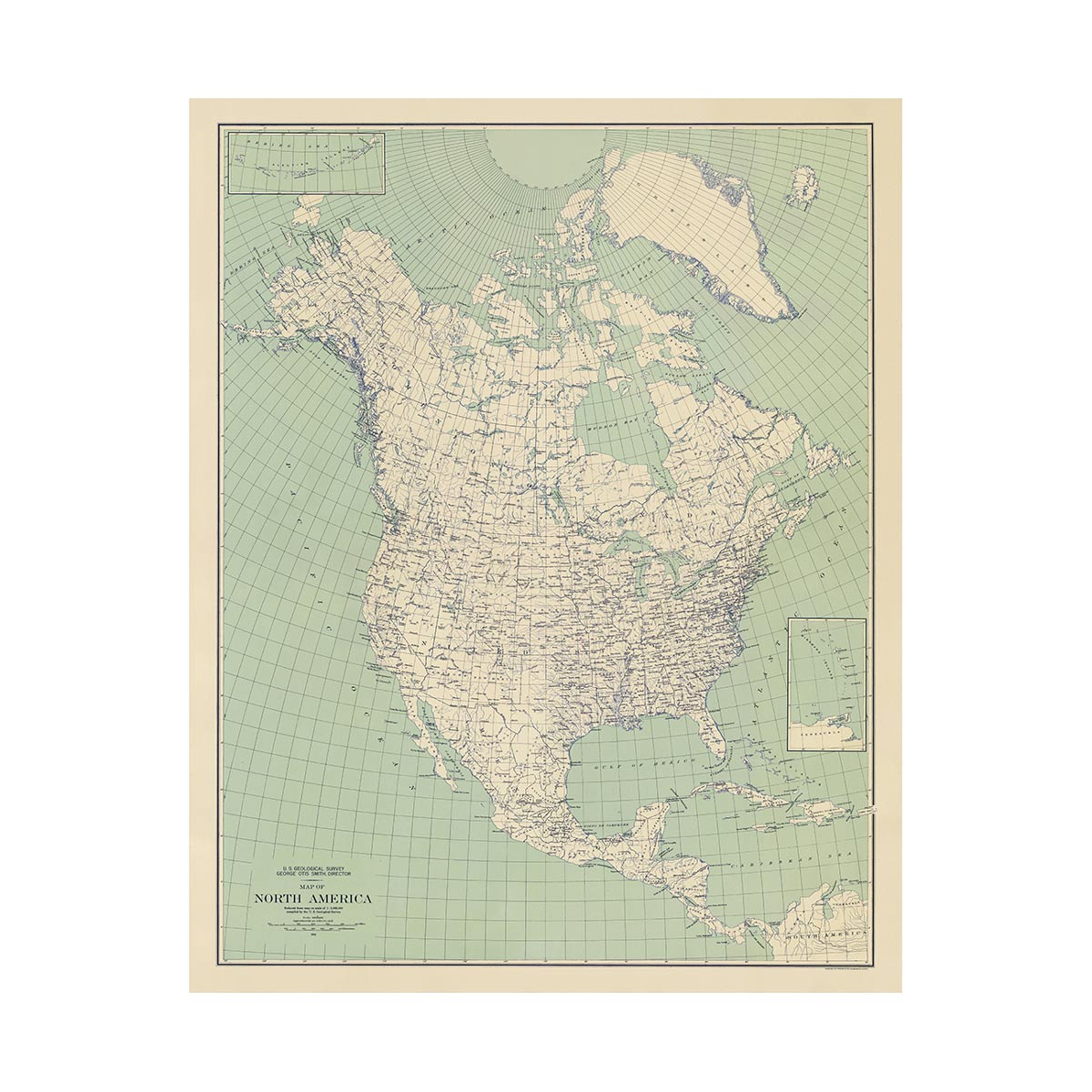
North America 1912 USGS Map Natural
From
$ 64.00 USD
5.0 / 5.0
105 reviews
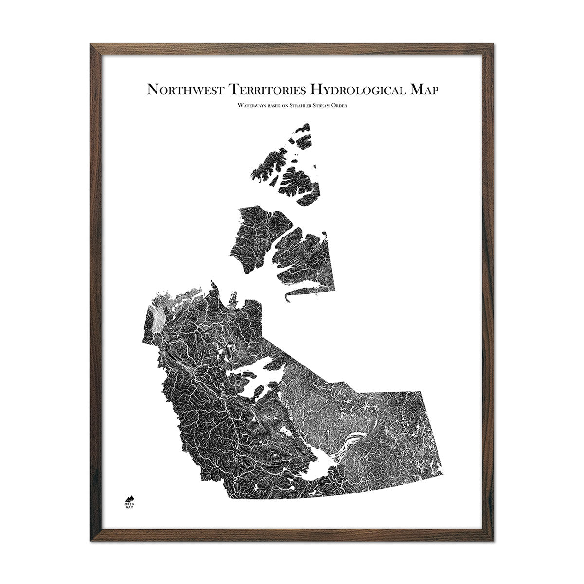
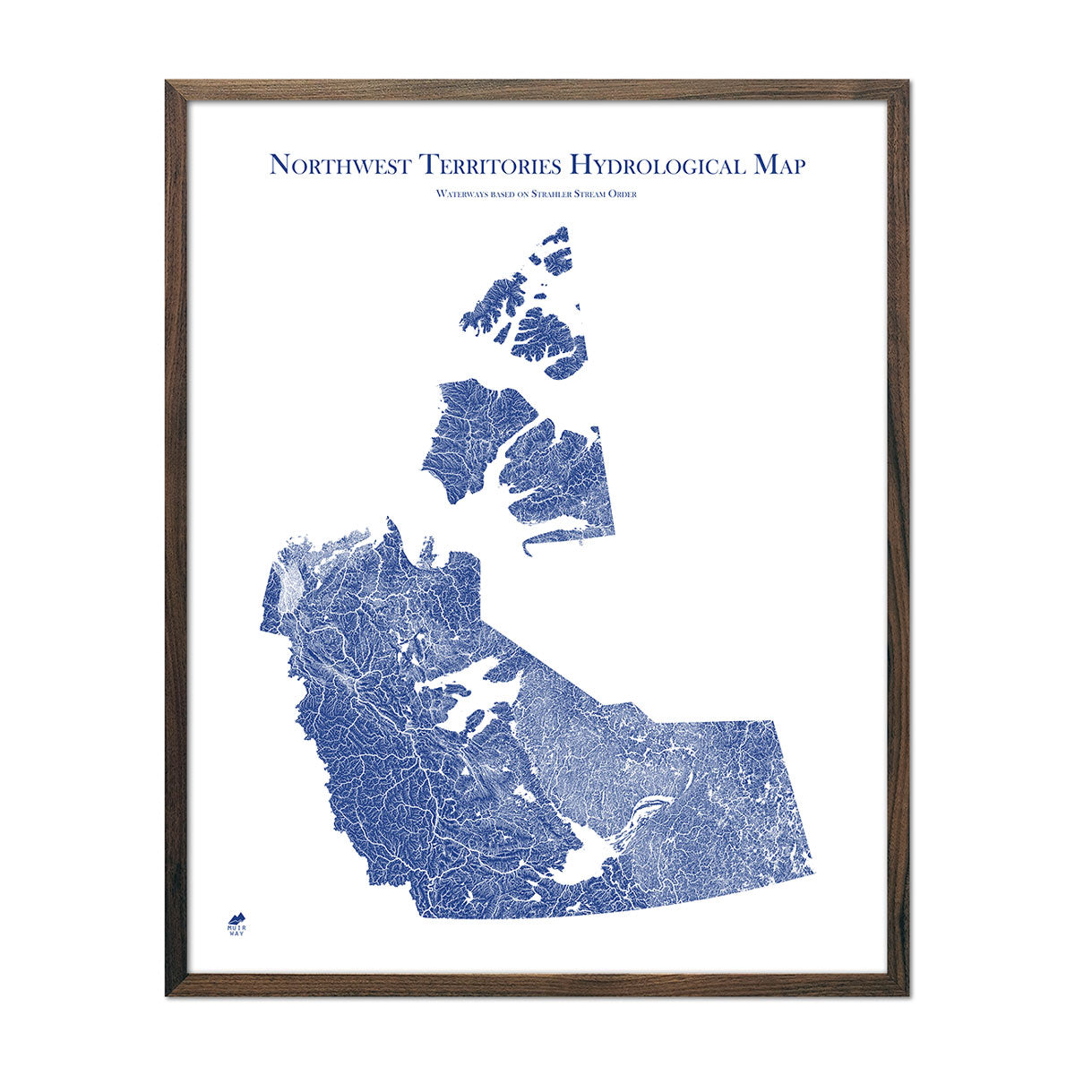
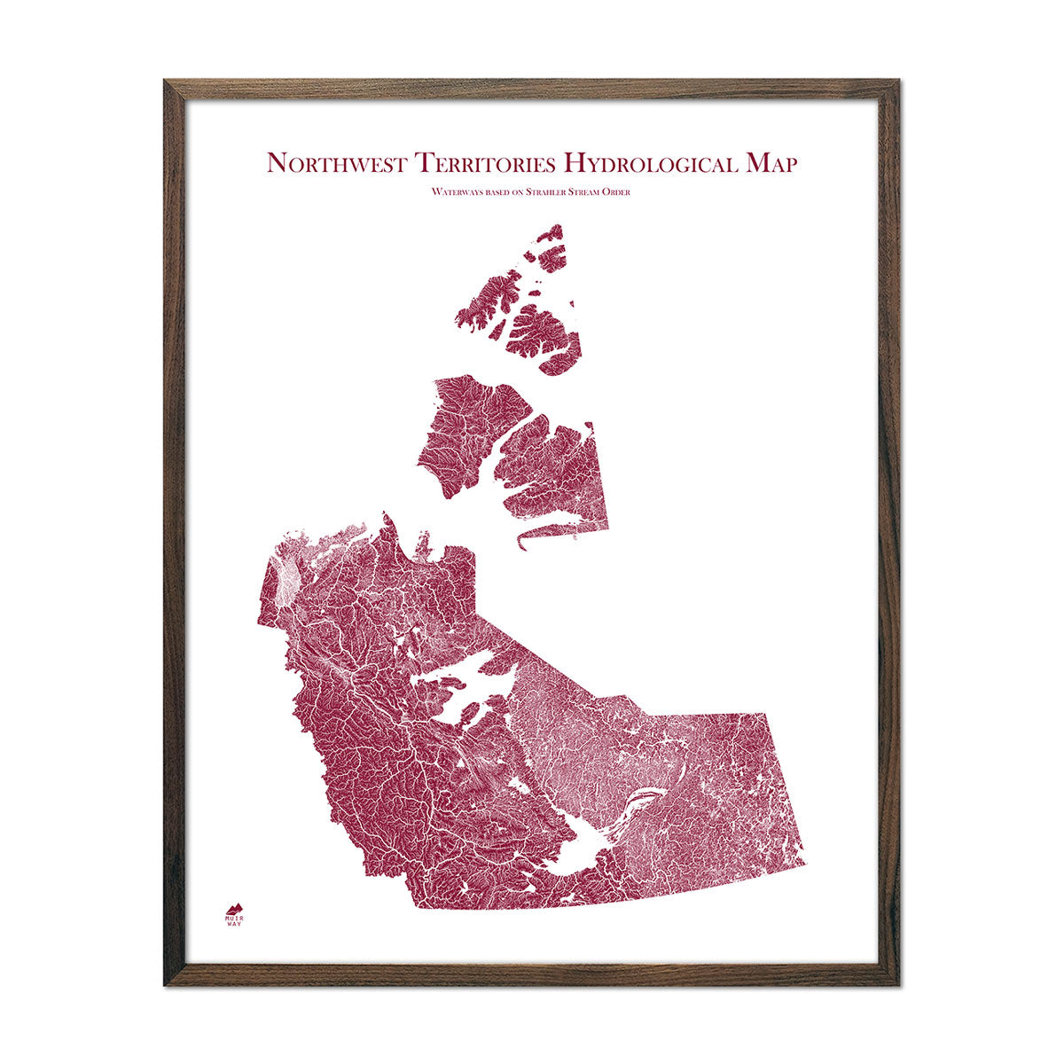
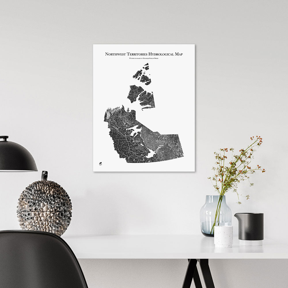
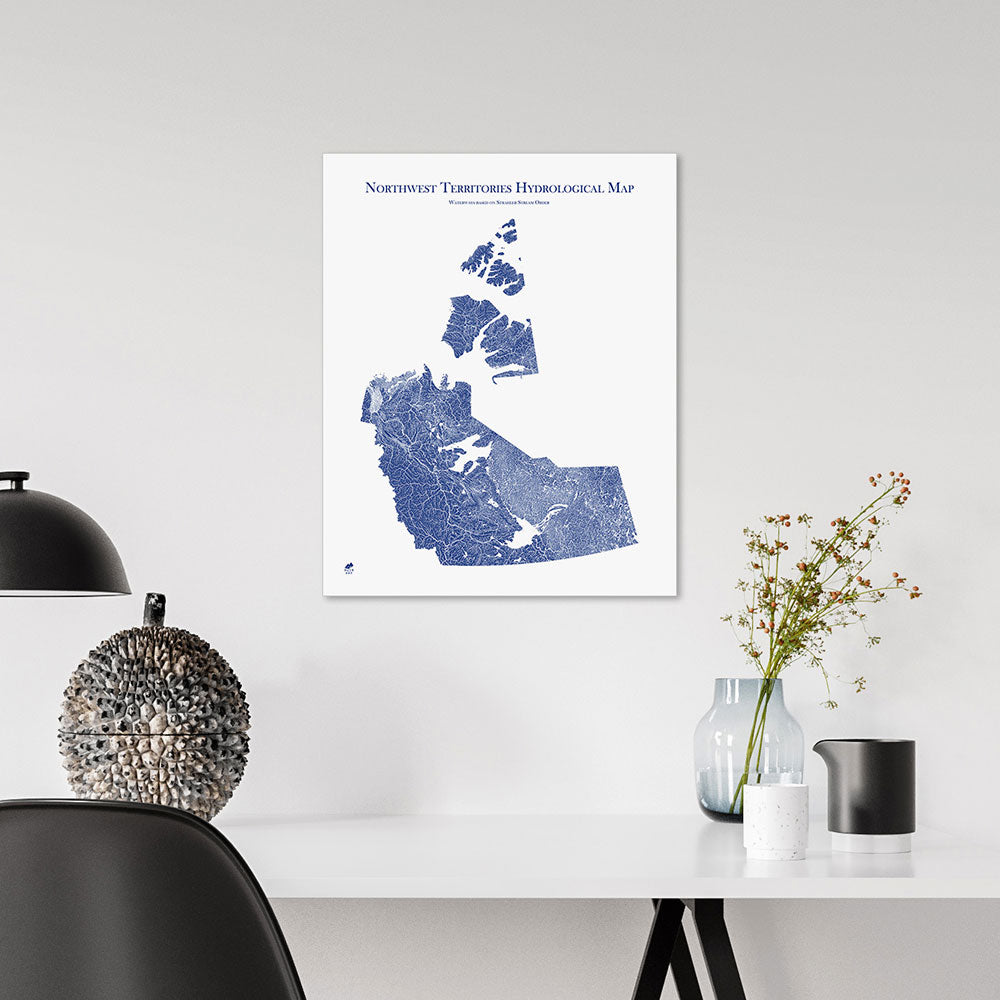
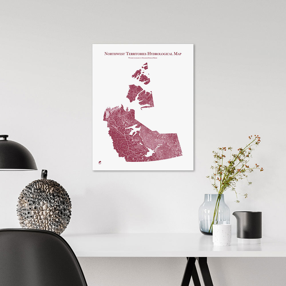
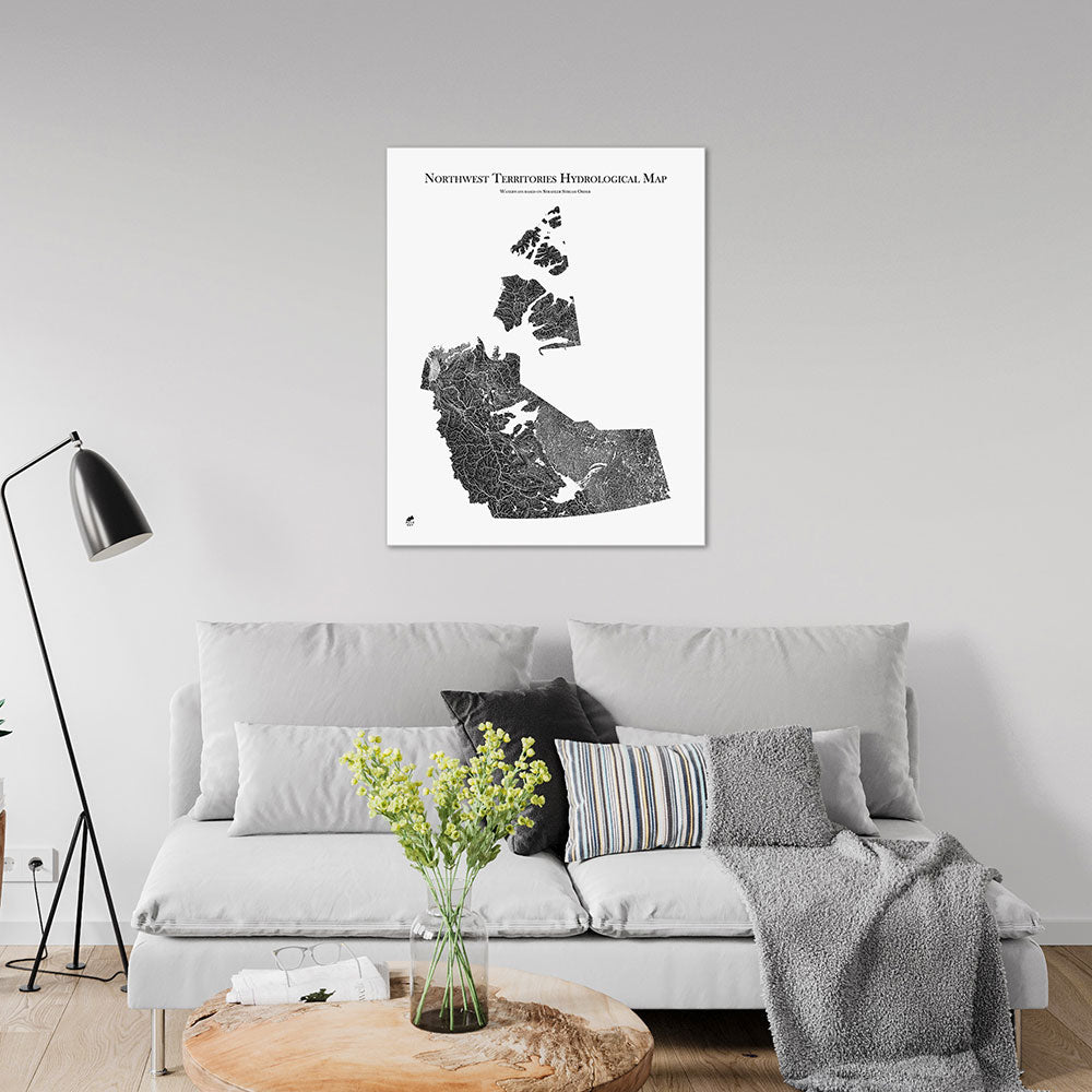
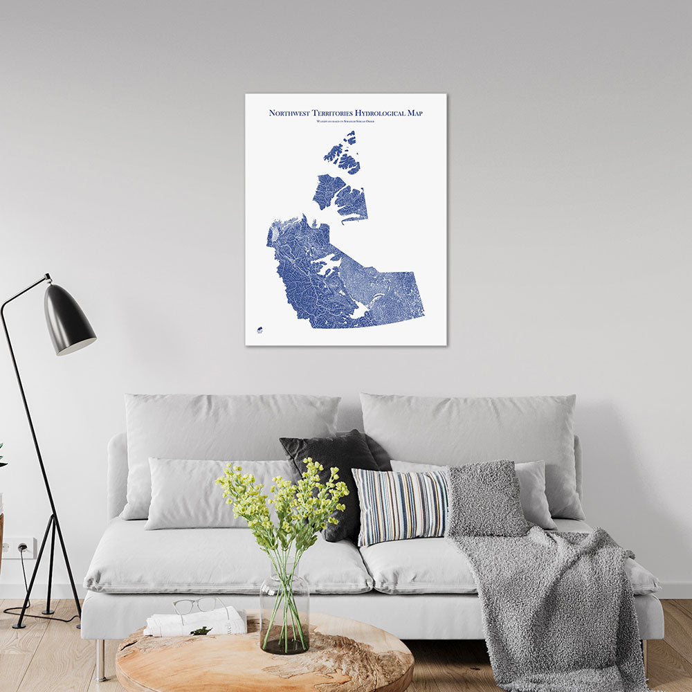
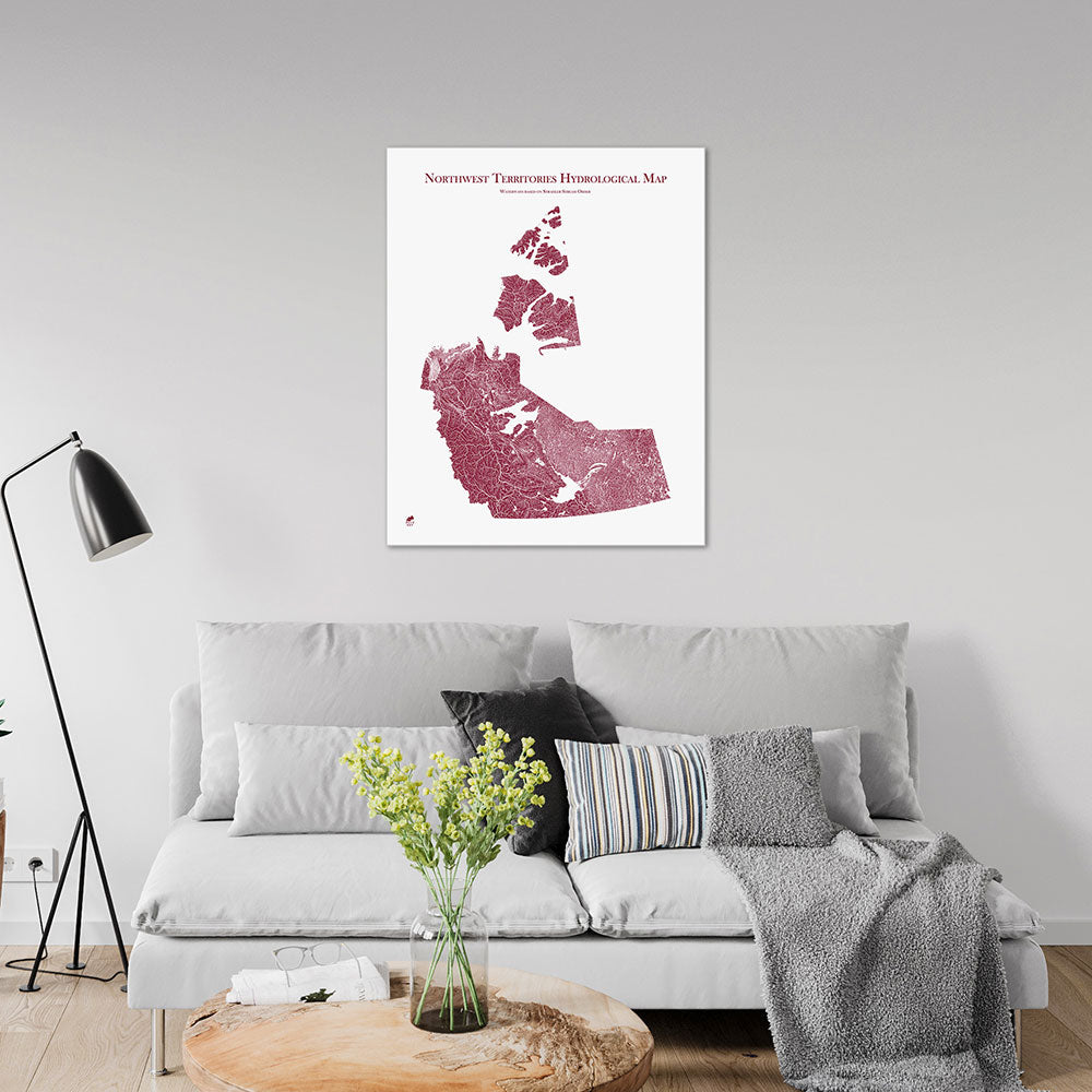
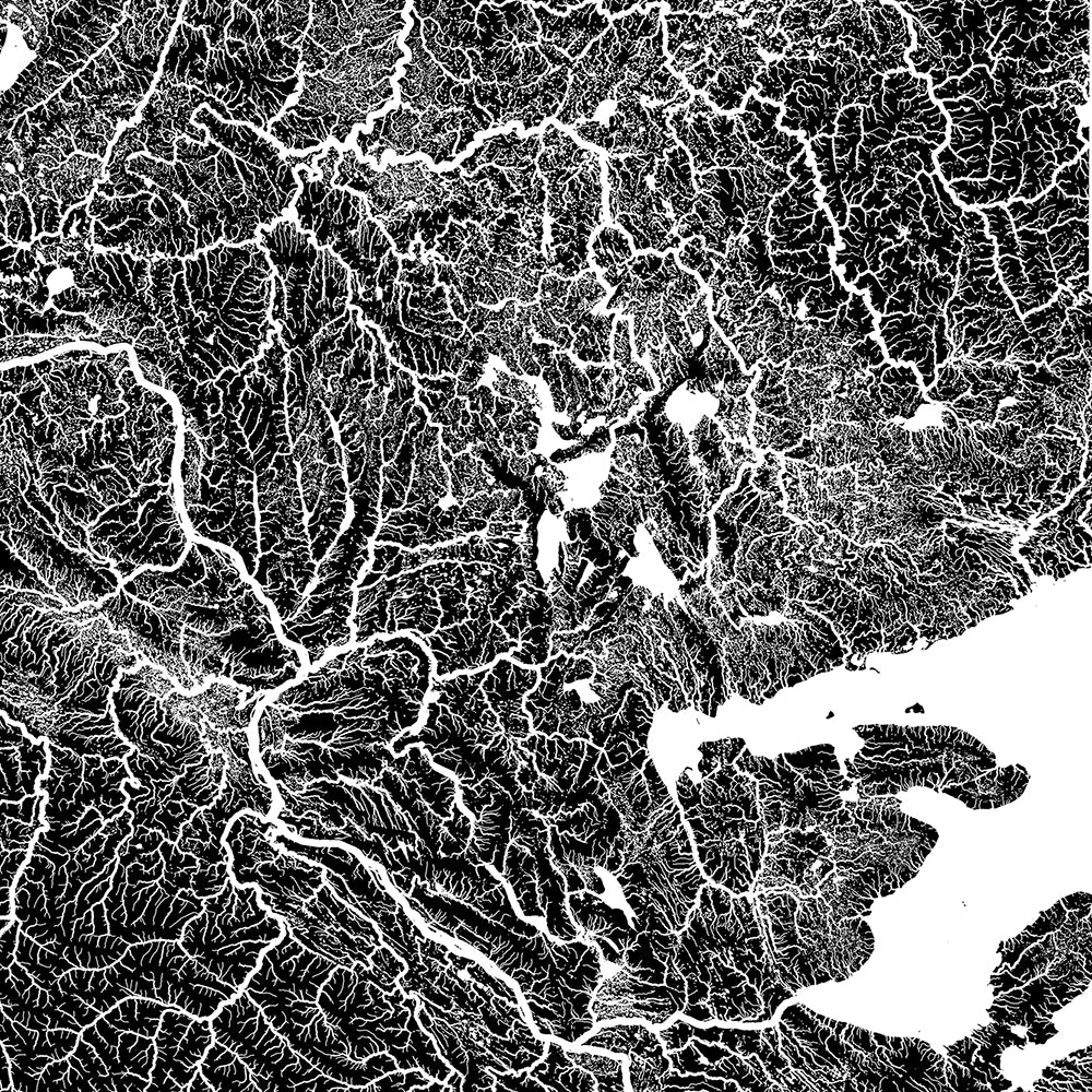
Northwest Territories Hydrological Map
From
$ 64.00 USD
5.0 / 5.0
1640 reviews
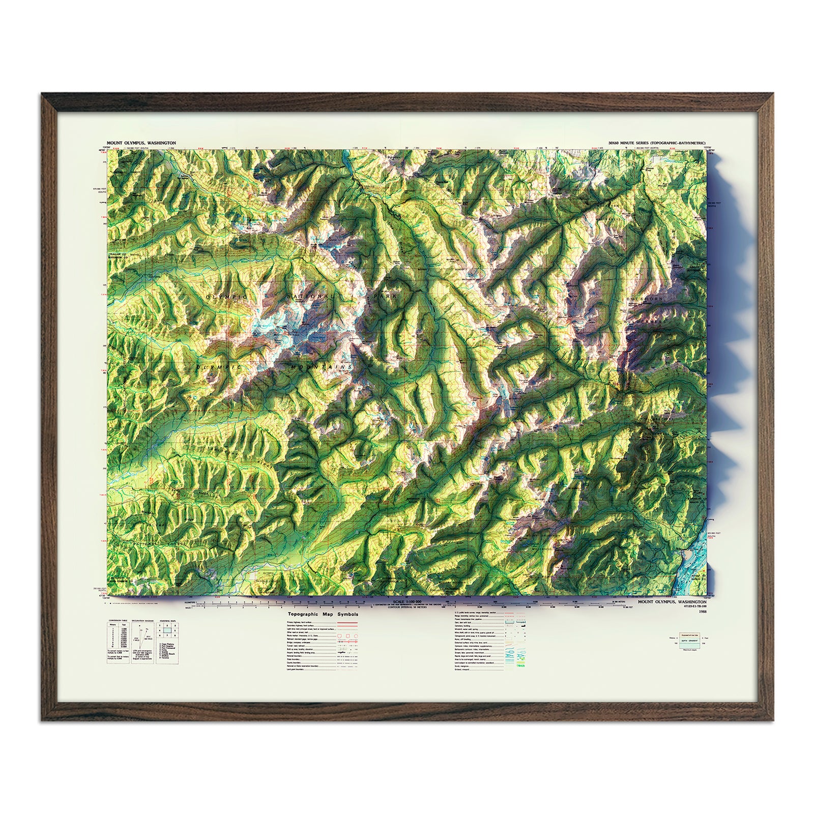
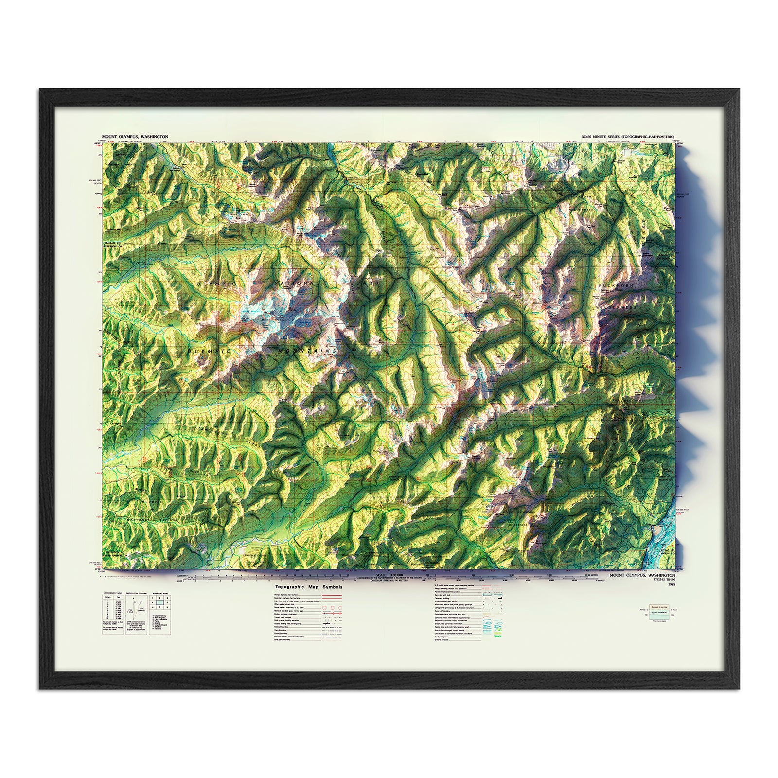
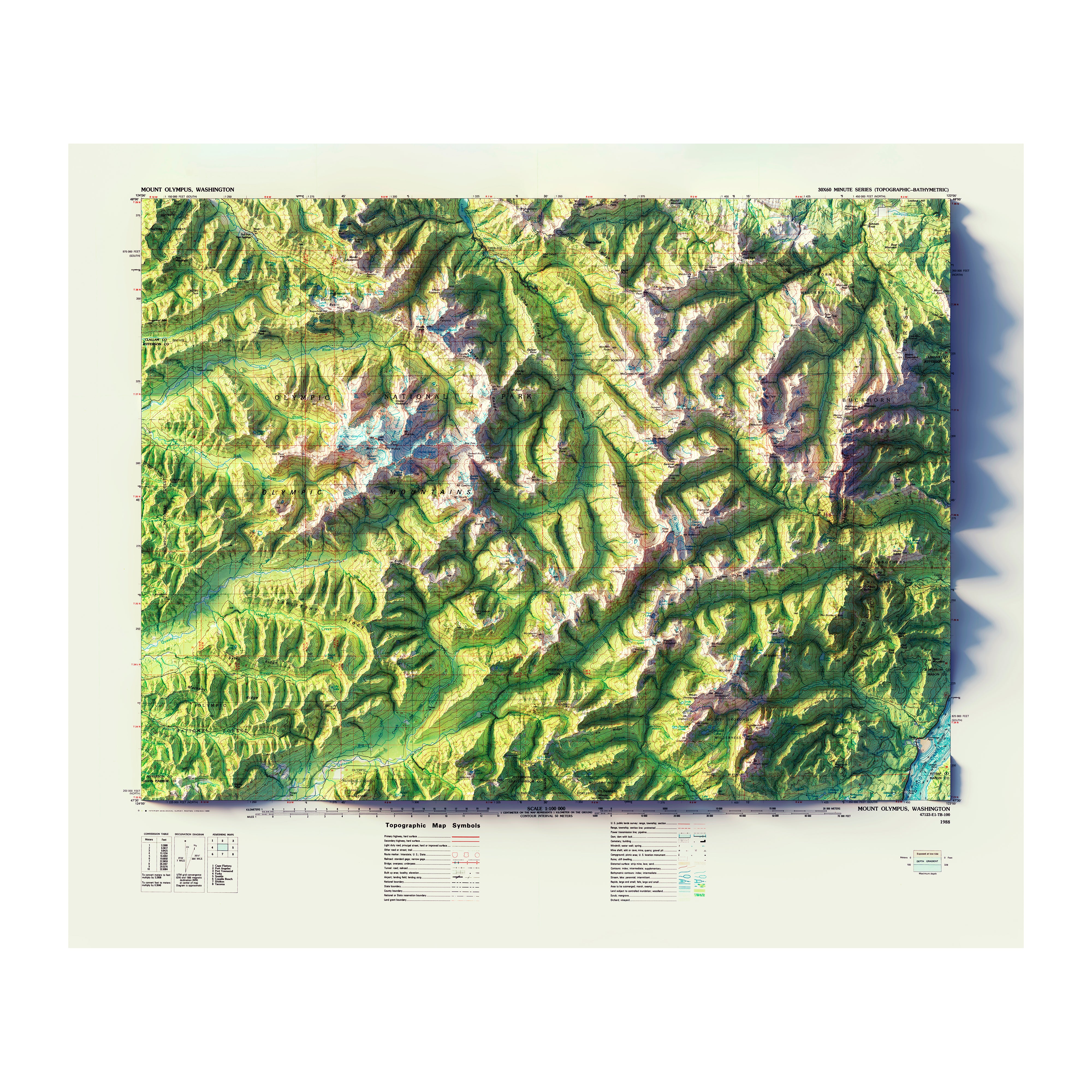
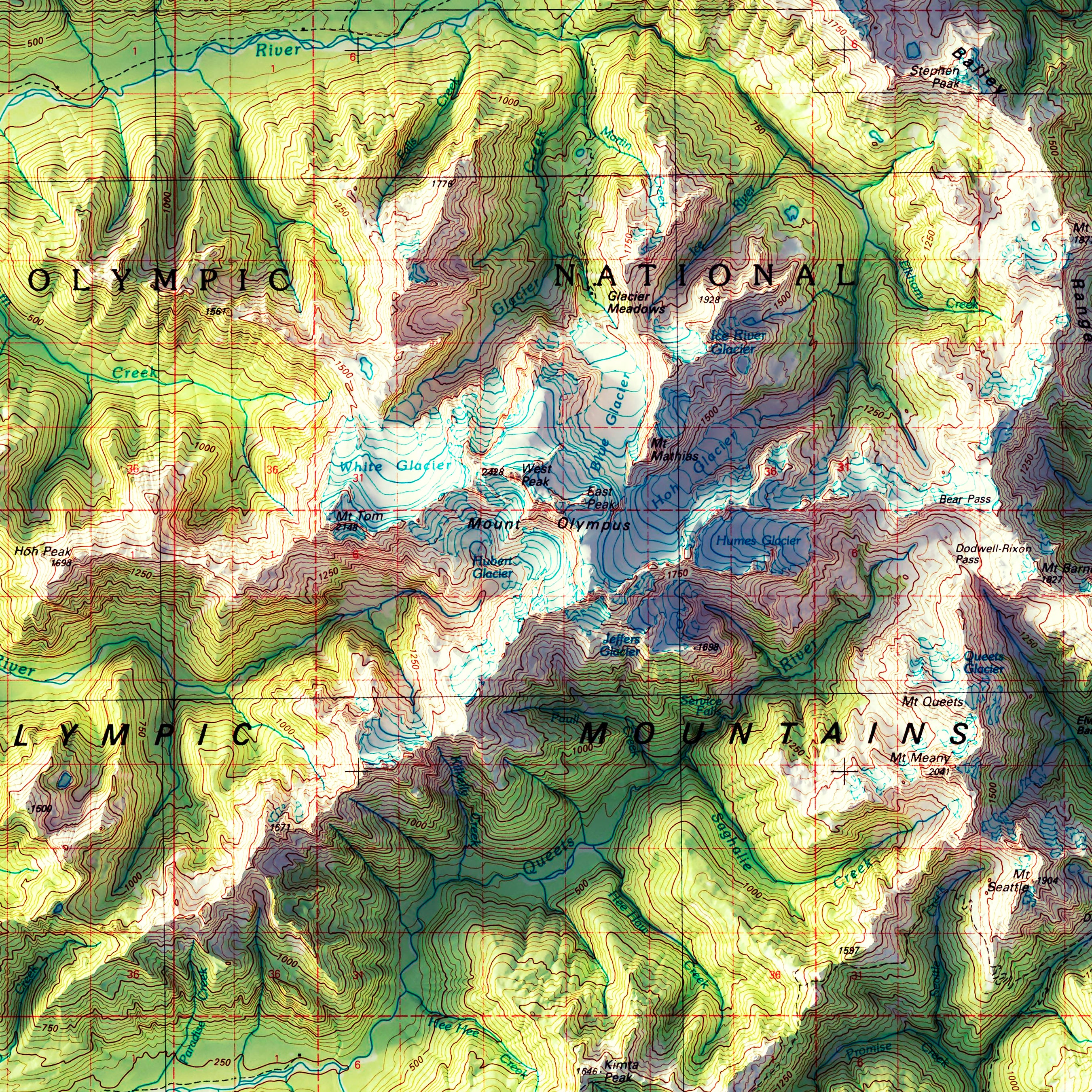
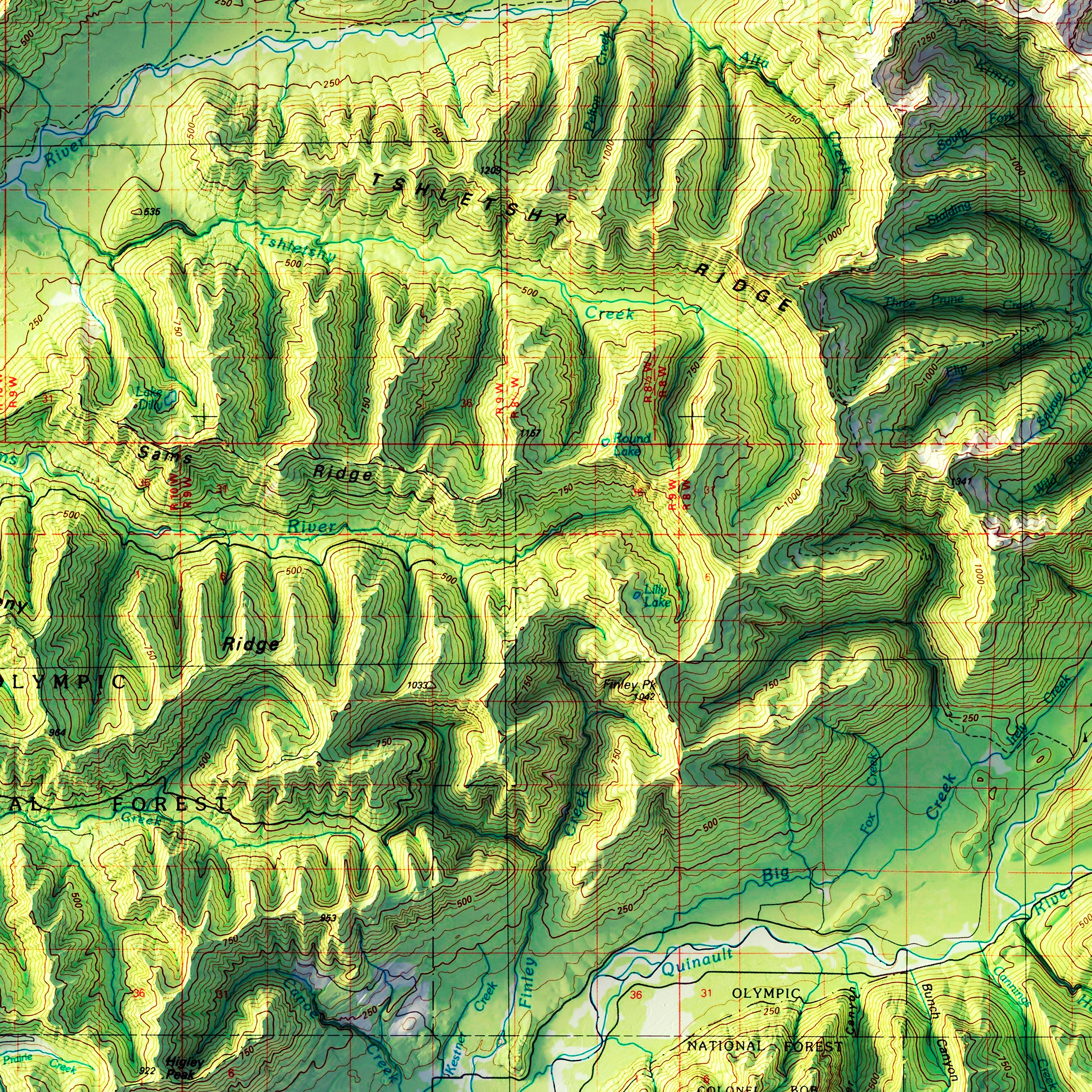
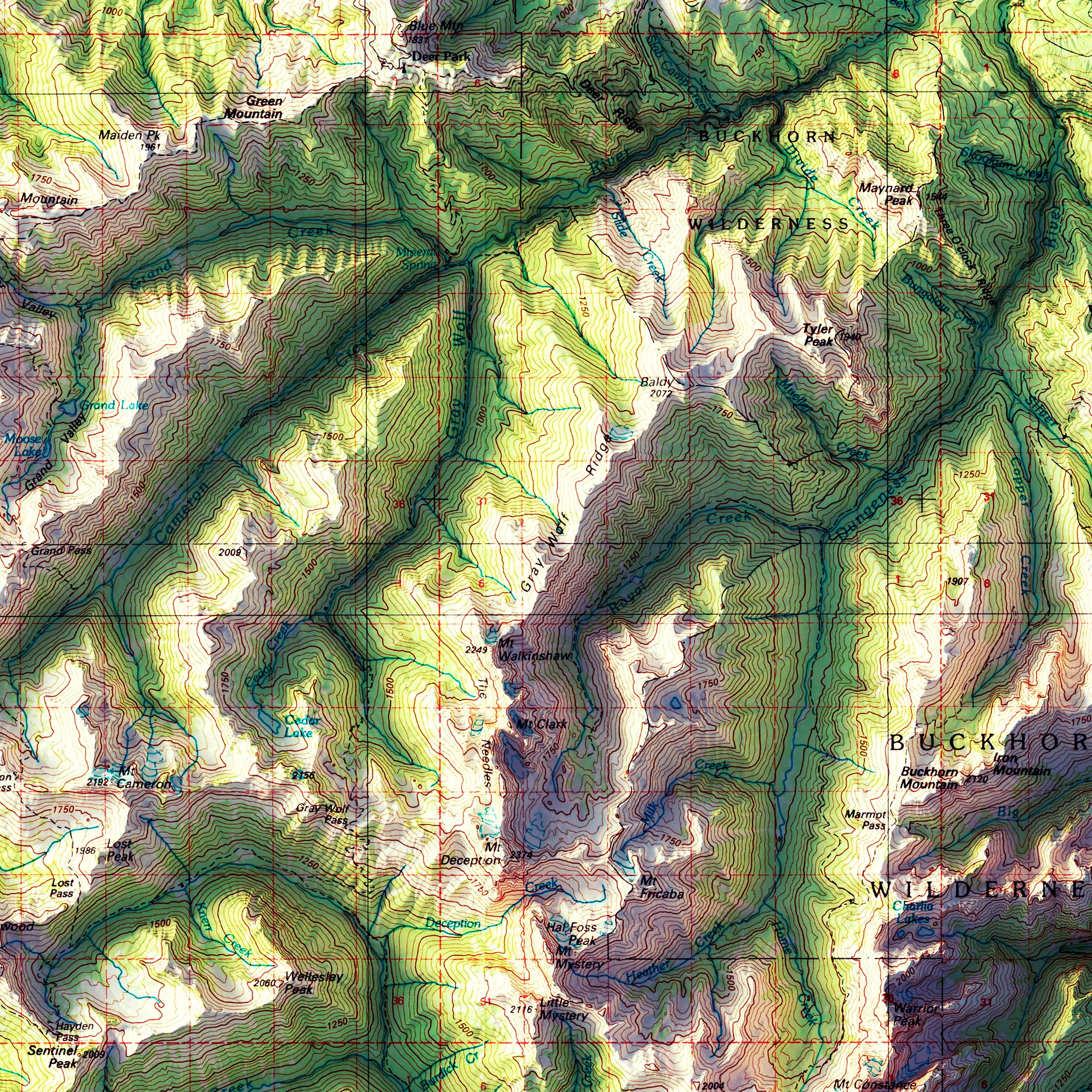
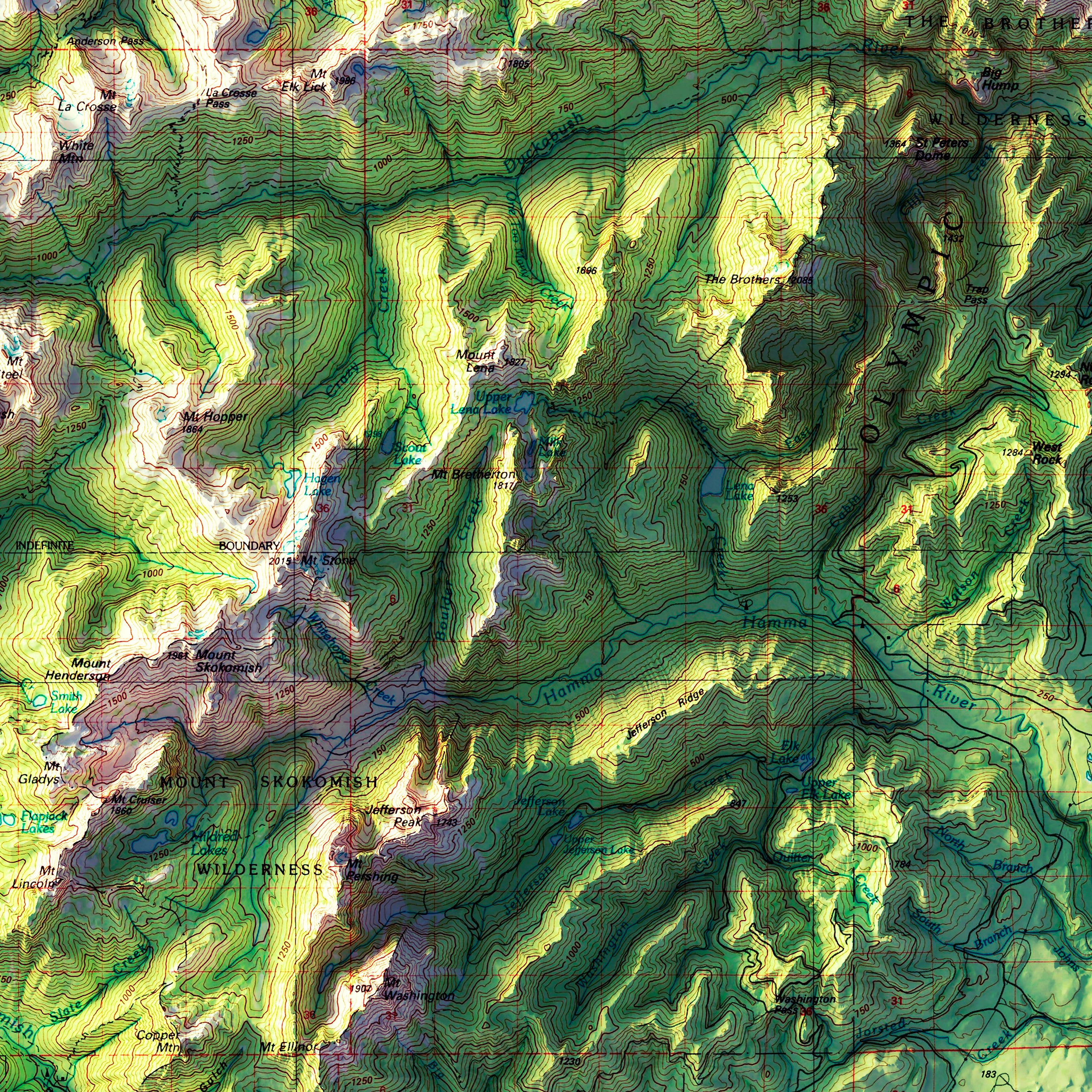
Mount Olympus, WA 1988 Shaded Relief Map
From
$ 99.00 USD
5.0 / 5.0
1 review
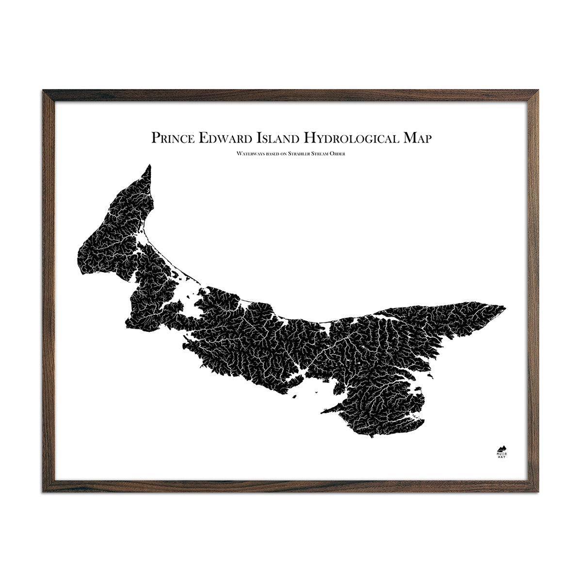
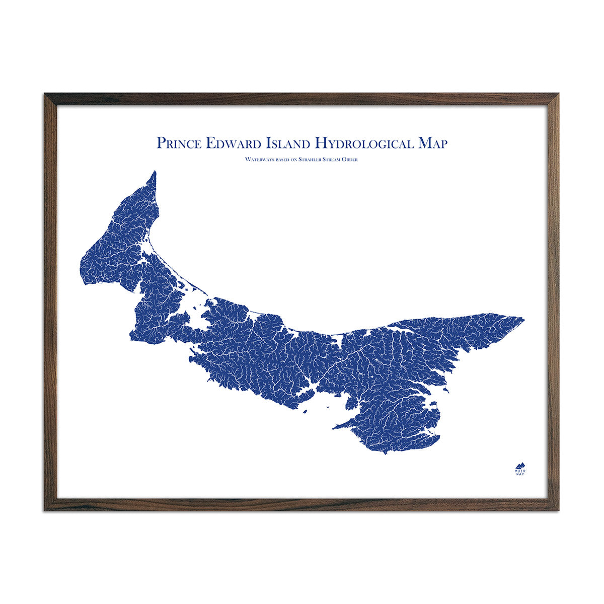
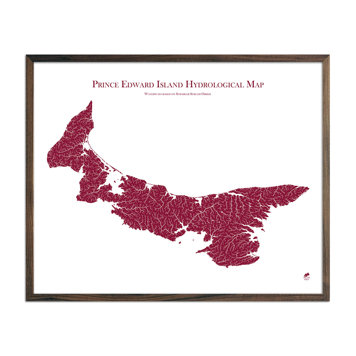
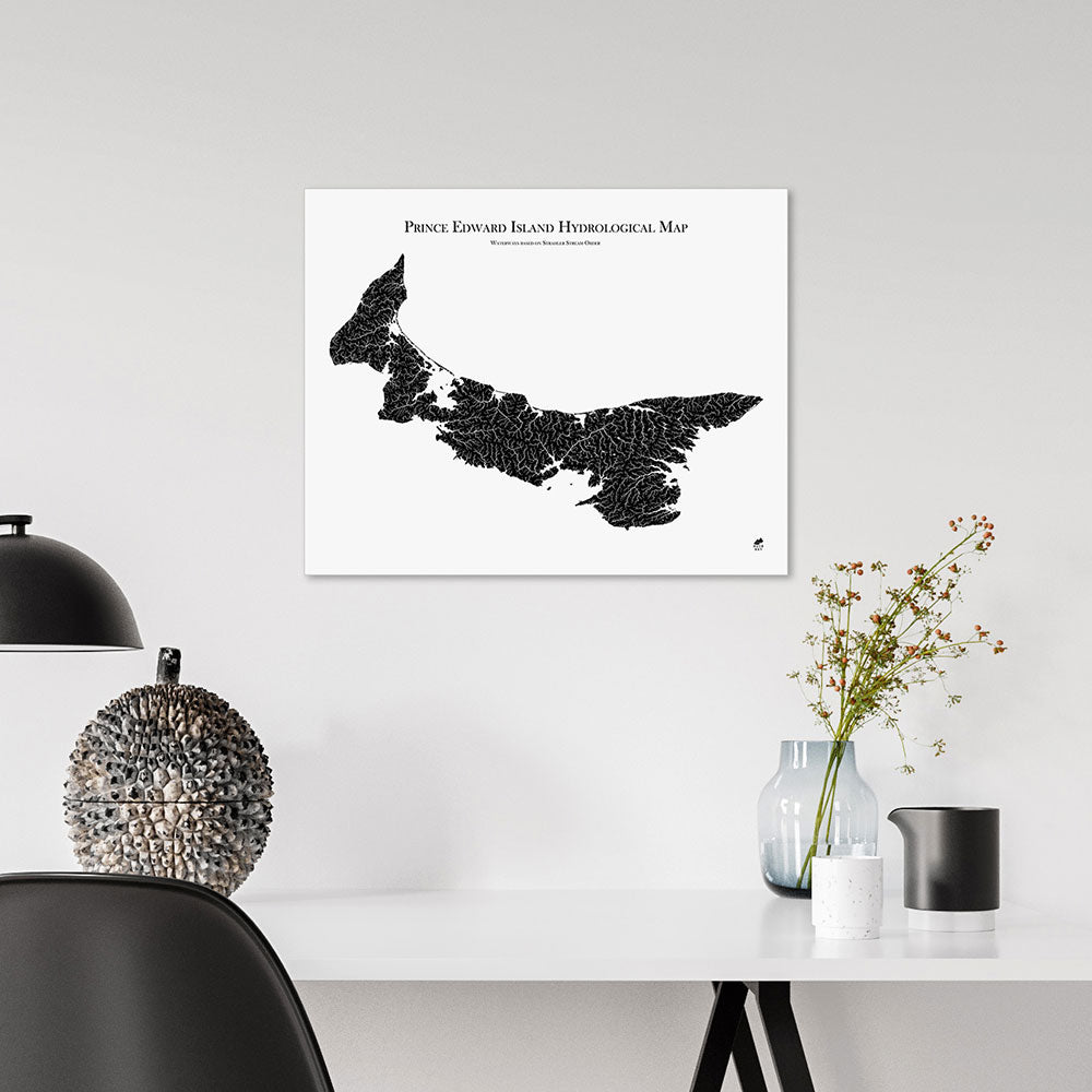
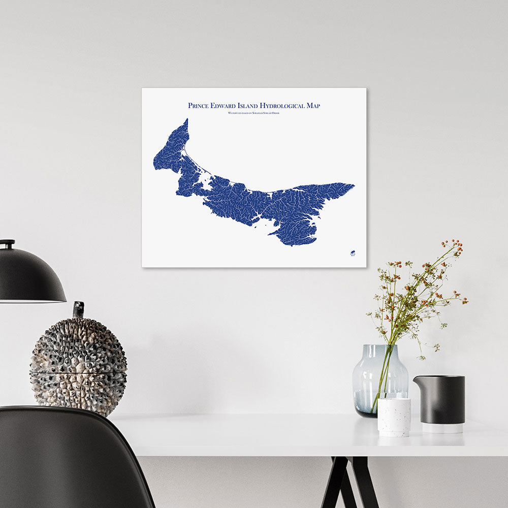
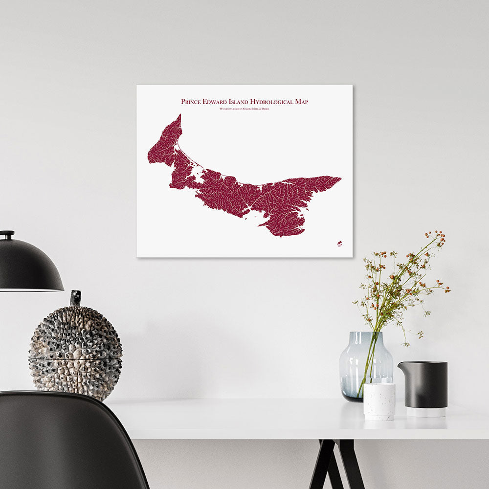
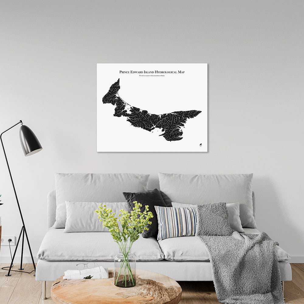
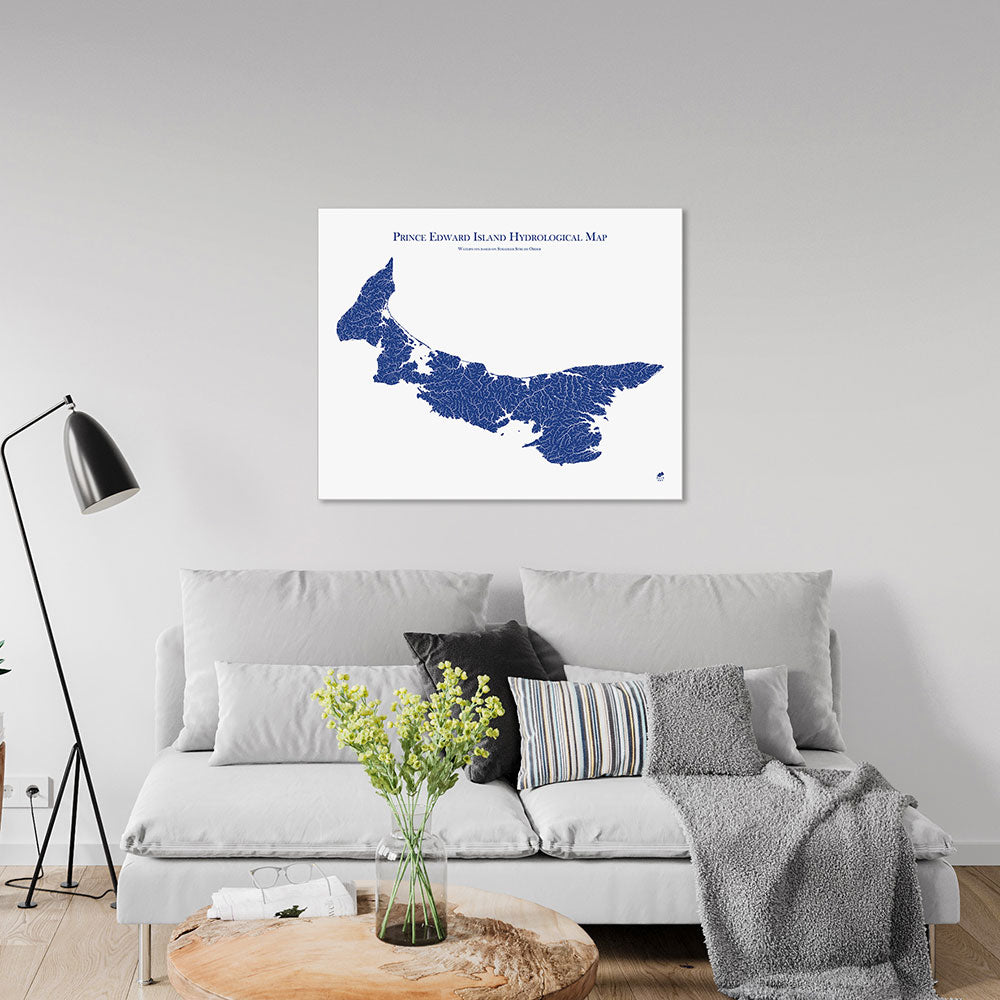
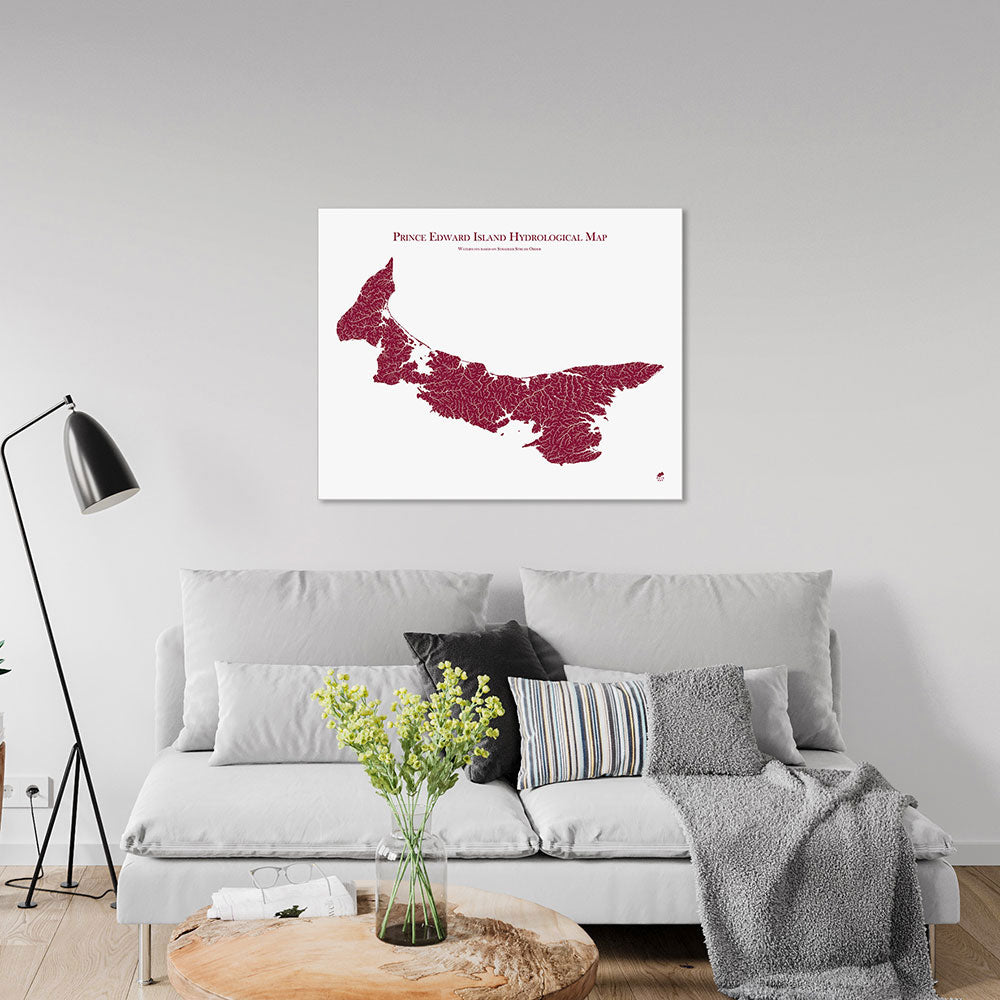
Prince Edward Island Hydrological Map
From
$ 64.00 USD
5.0 / 5.0
1640 reviews
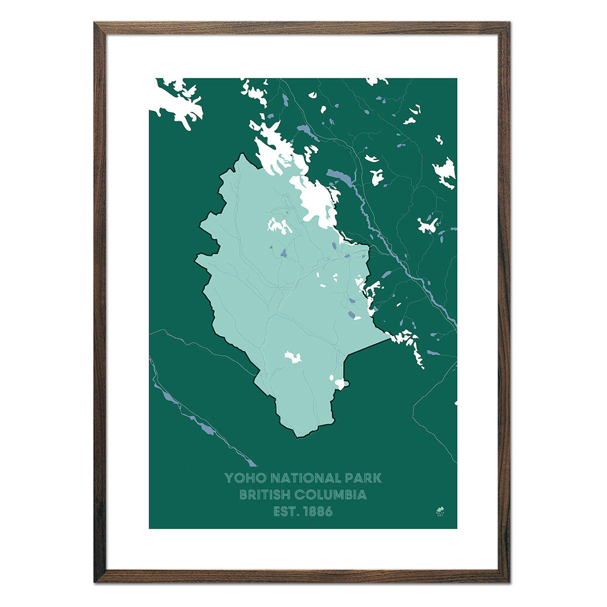
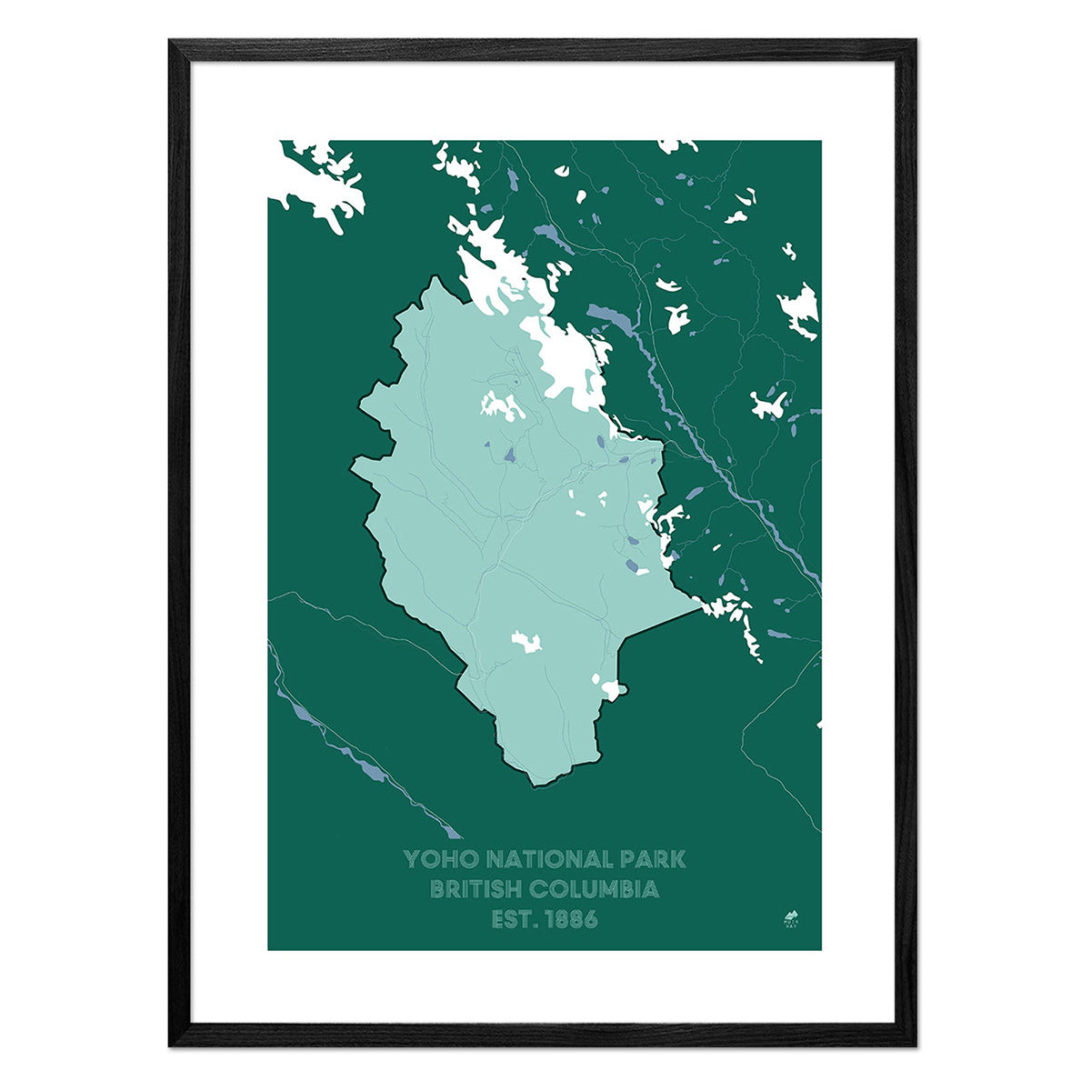
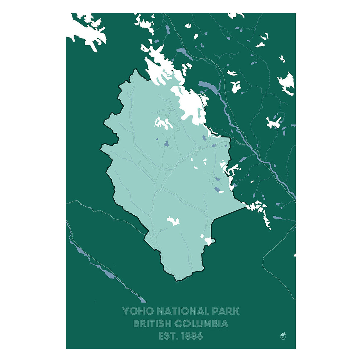
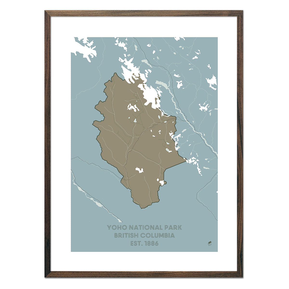
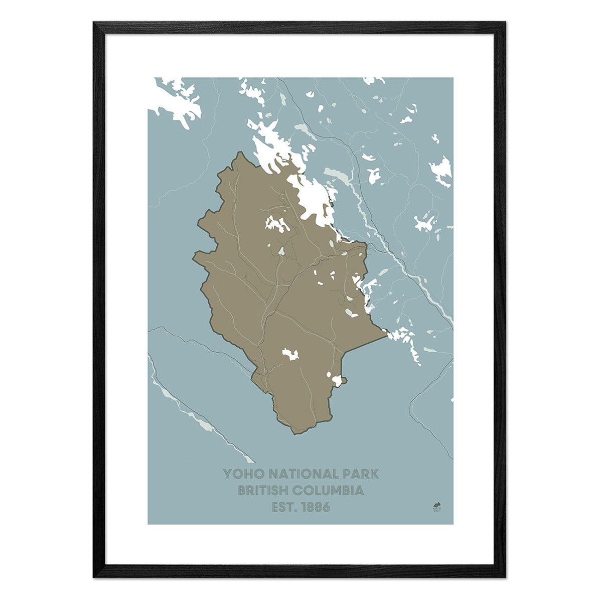
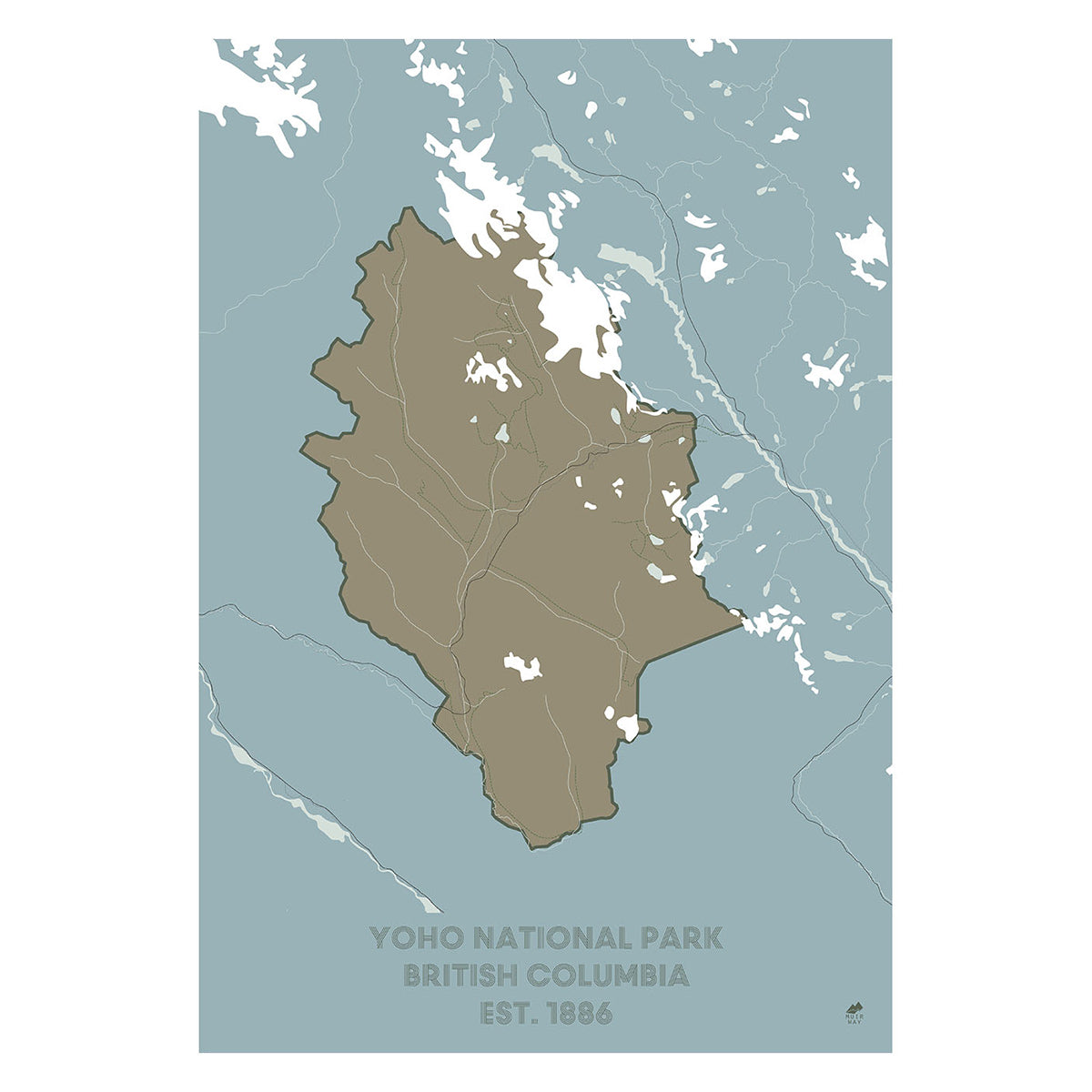
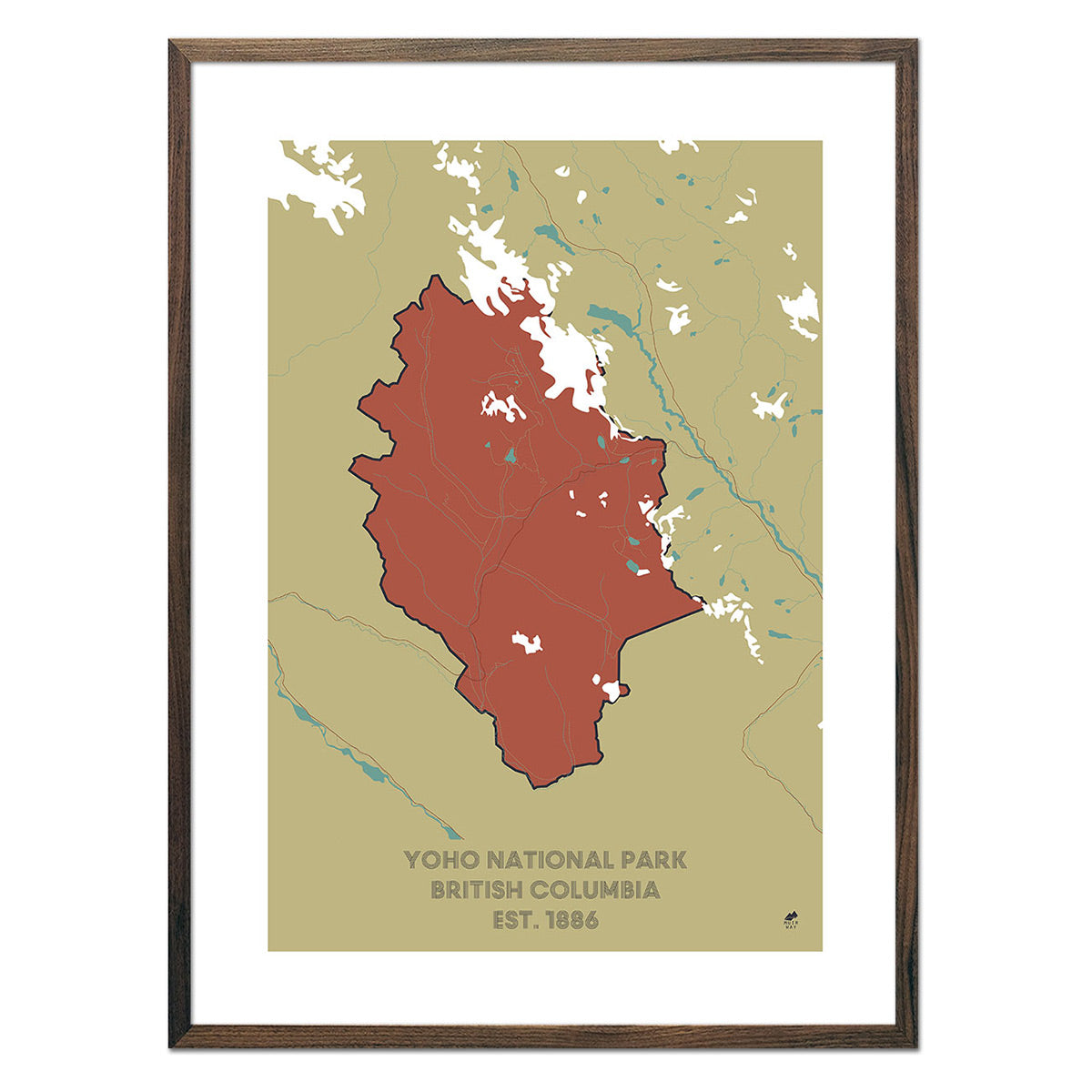
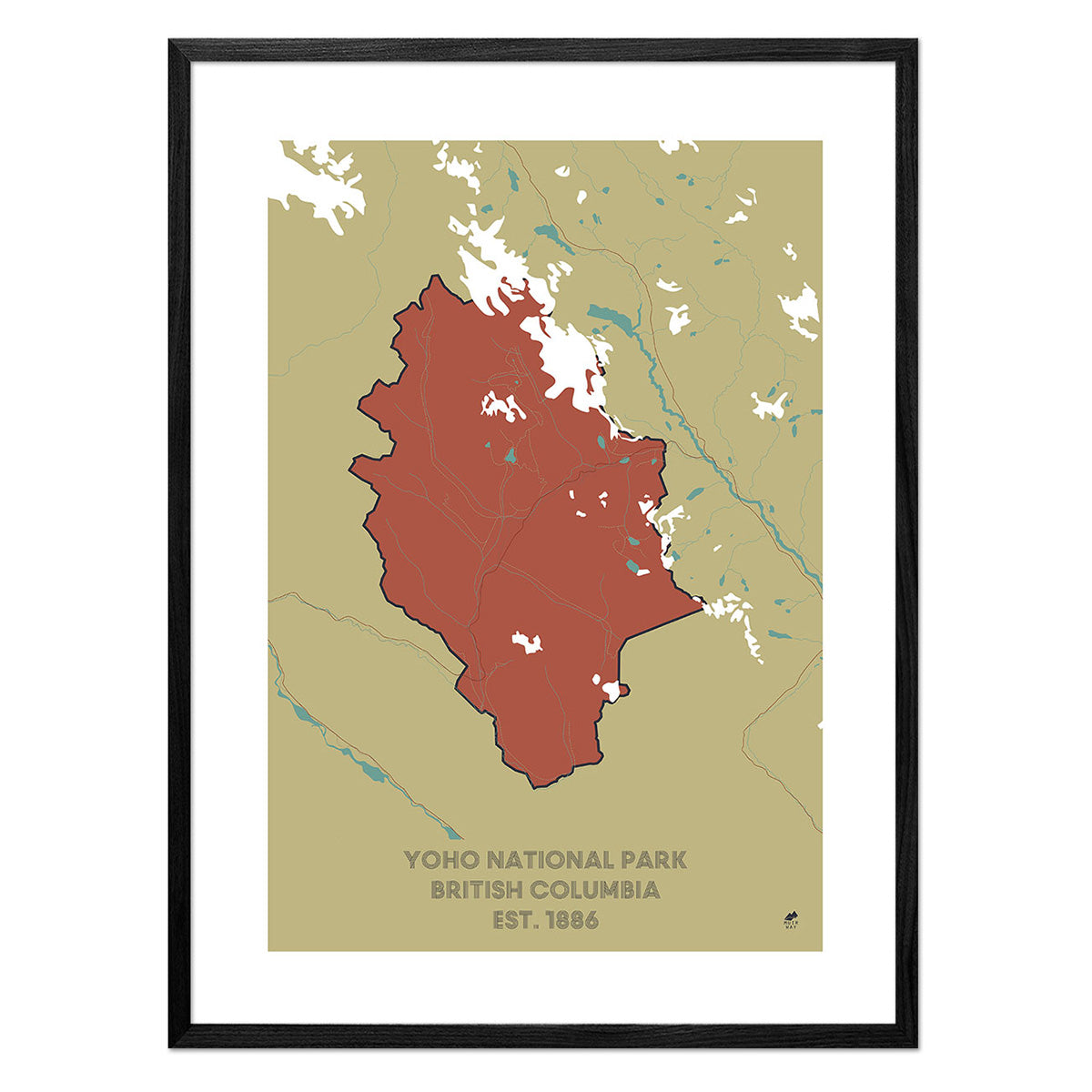
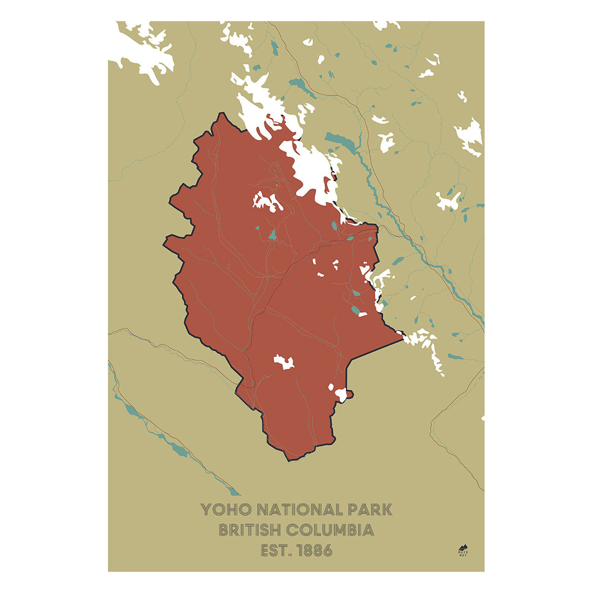
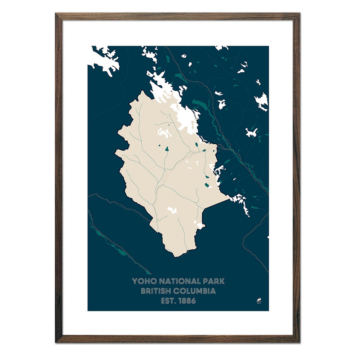
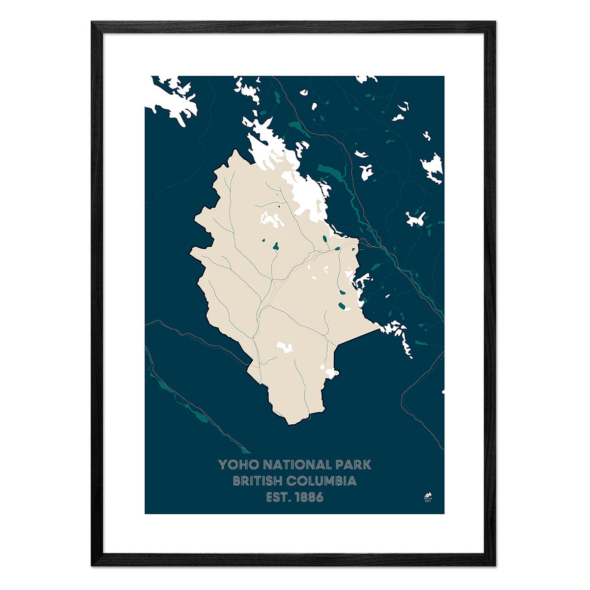
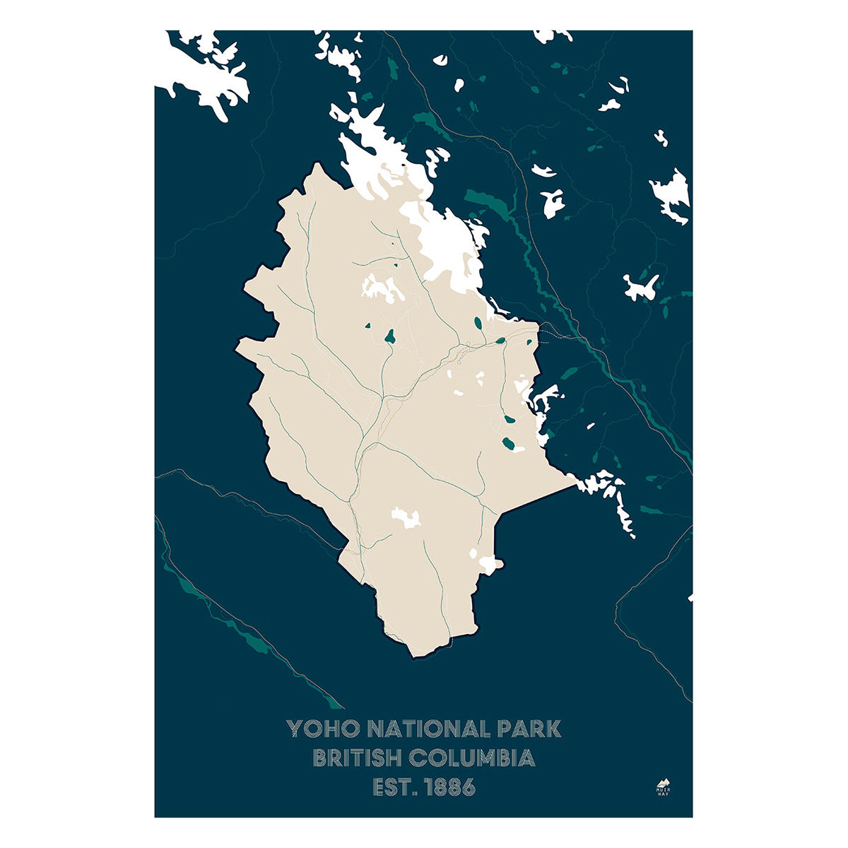
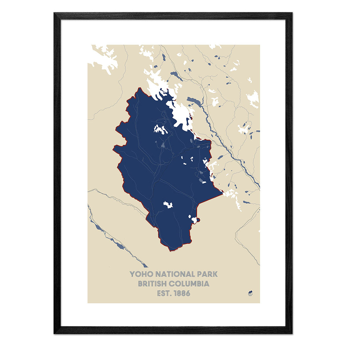
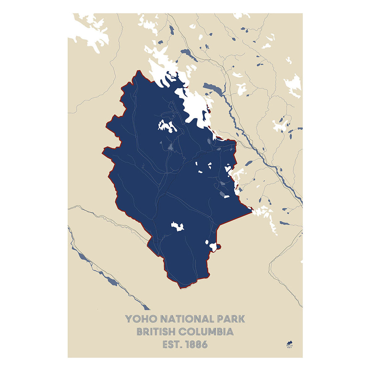
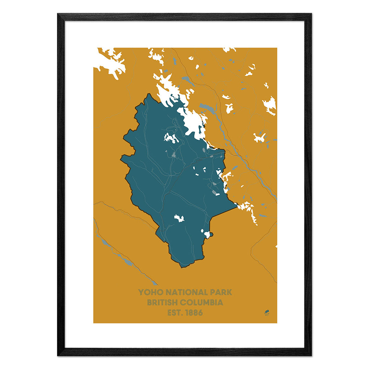
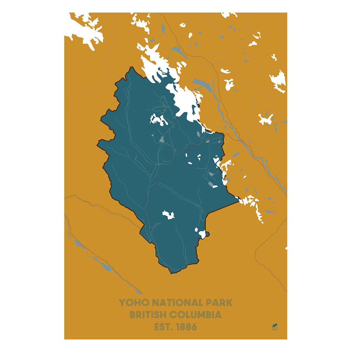
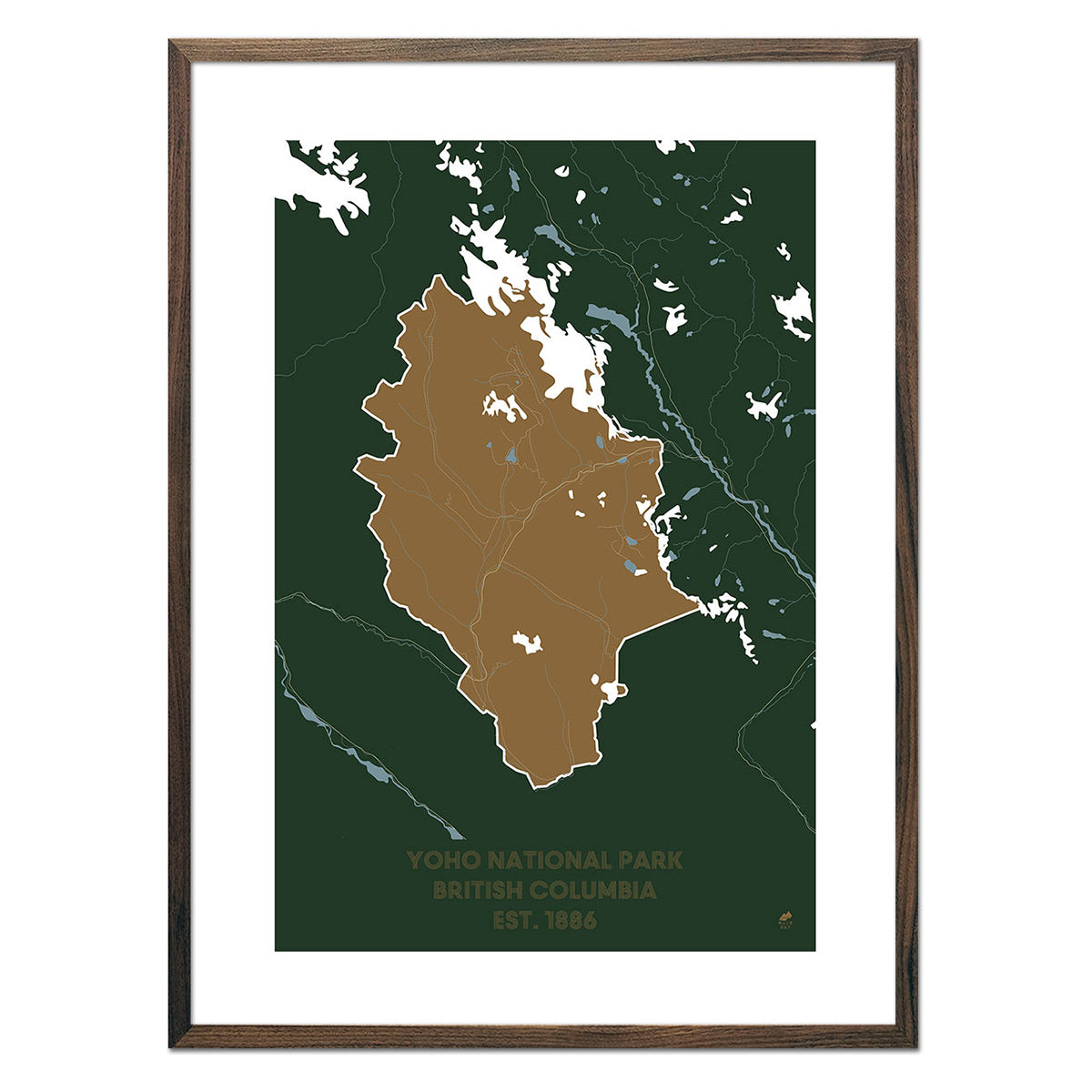
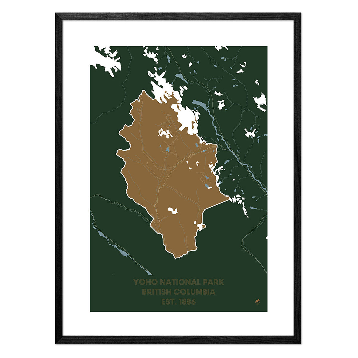
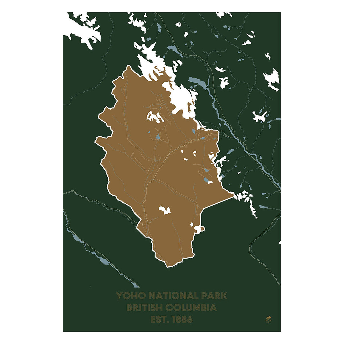
Yoho National Park Map
From
$ 49.00 USD
5.0 / 5.0
283 reviews
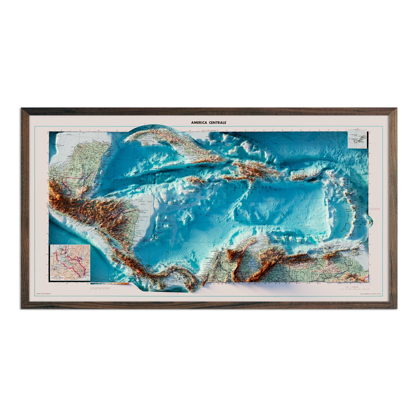
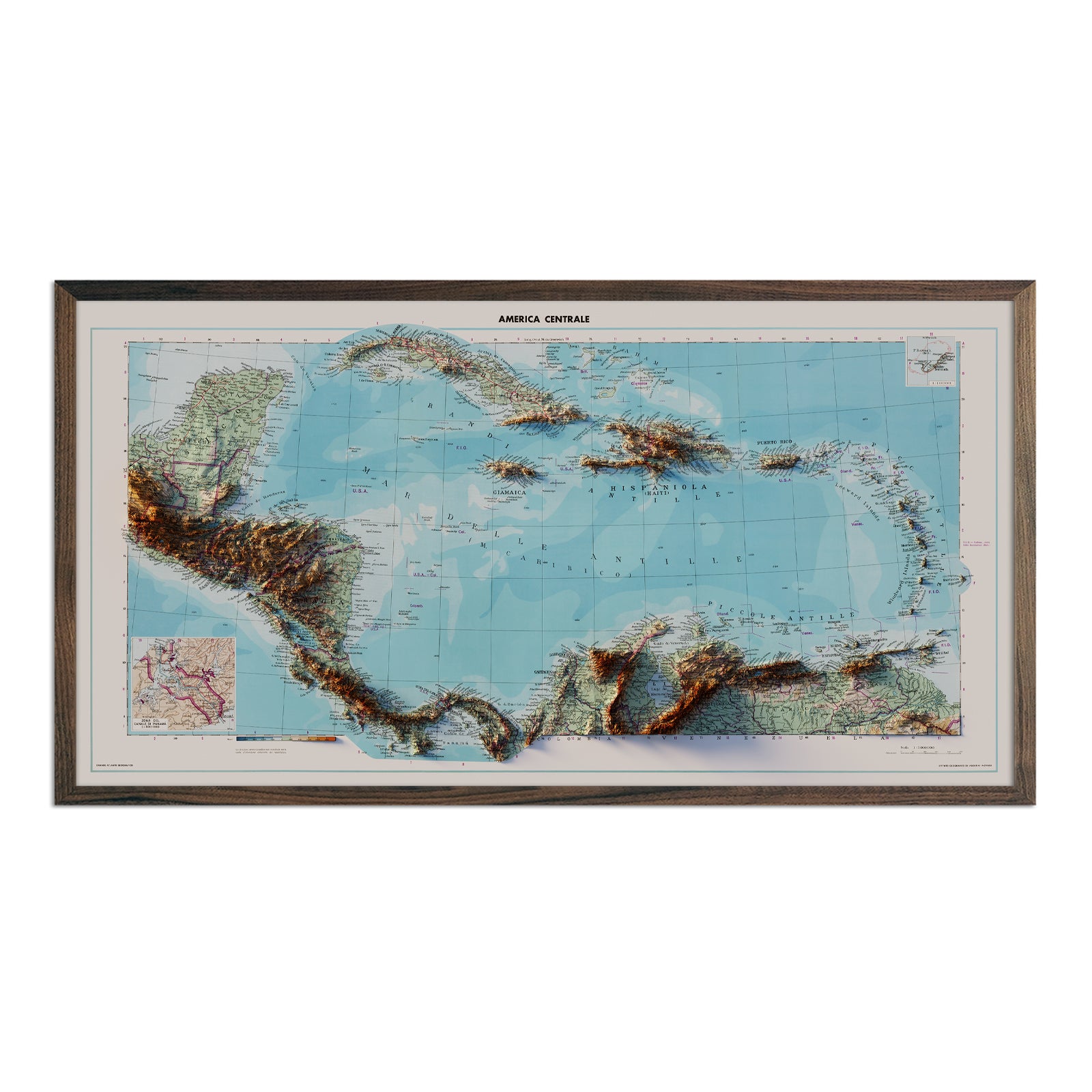
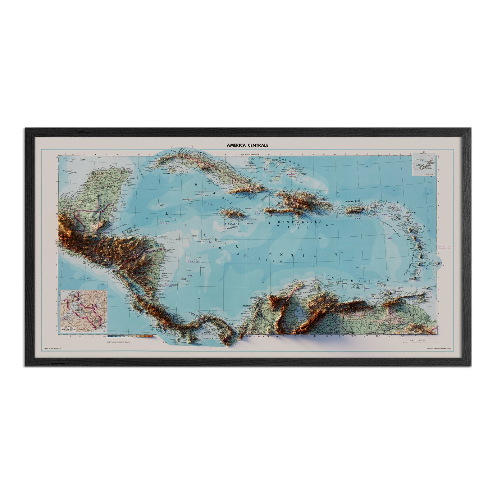
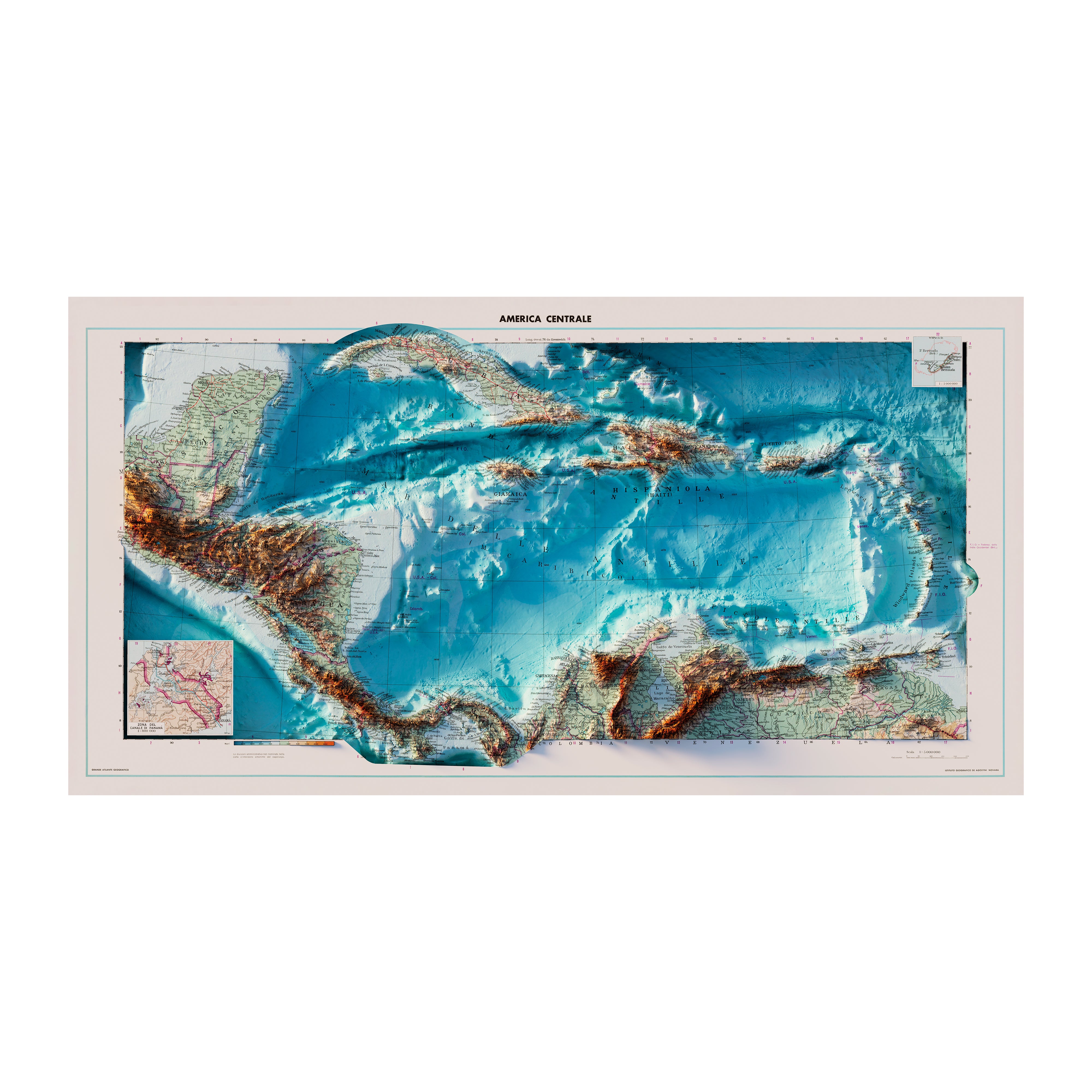
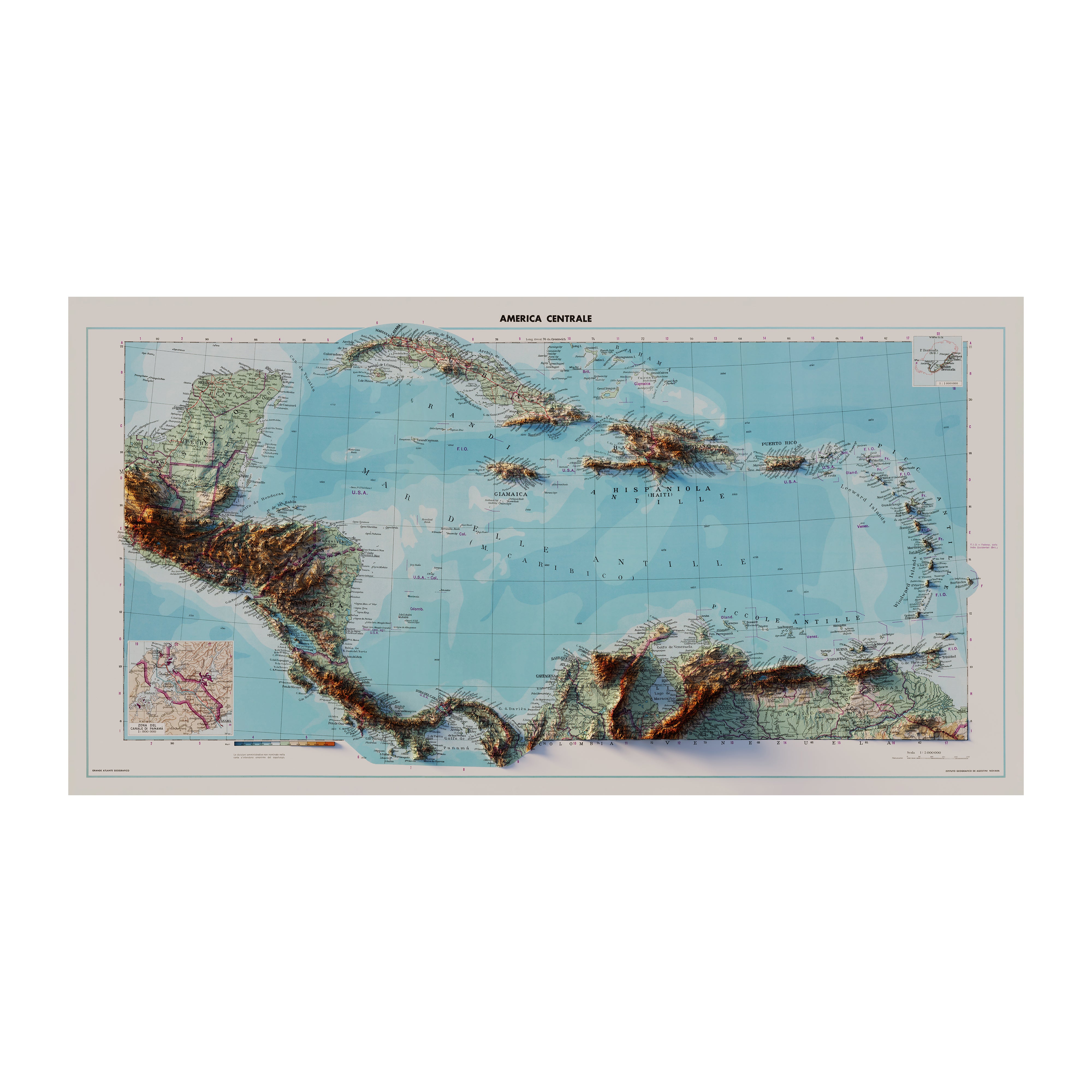
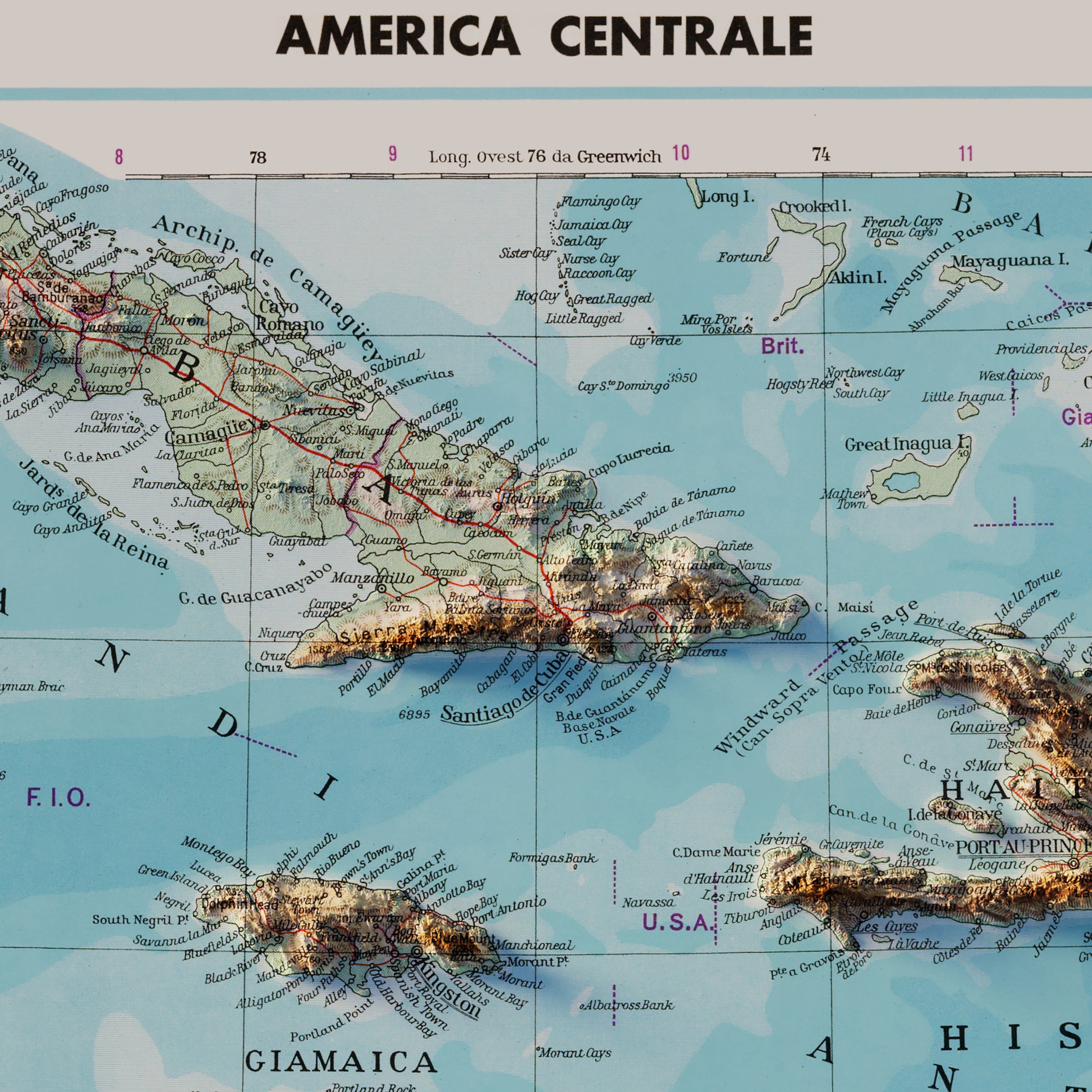
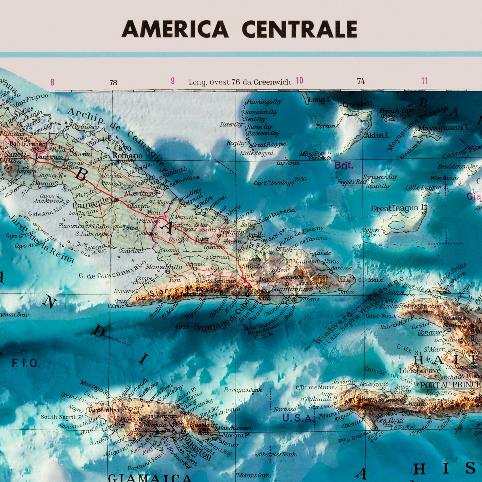
Central America 1952 Shaded Relief Map
From
$ 119.00 USD
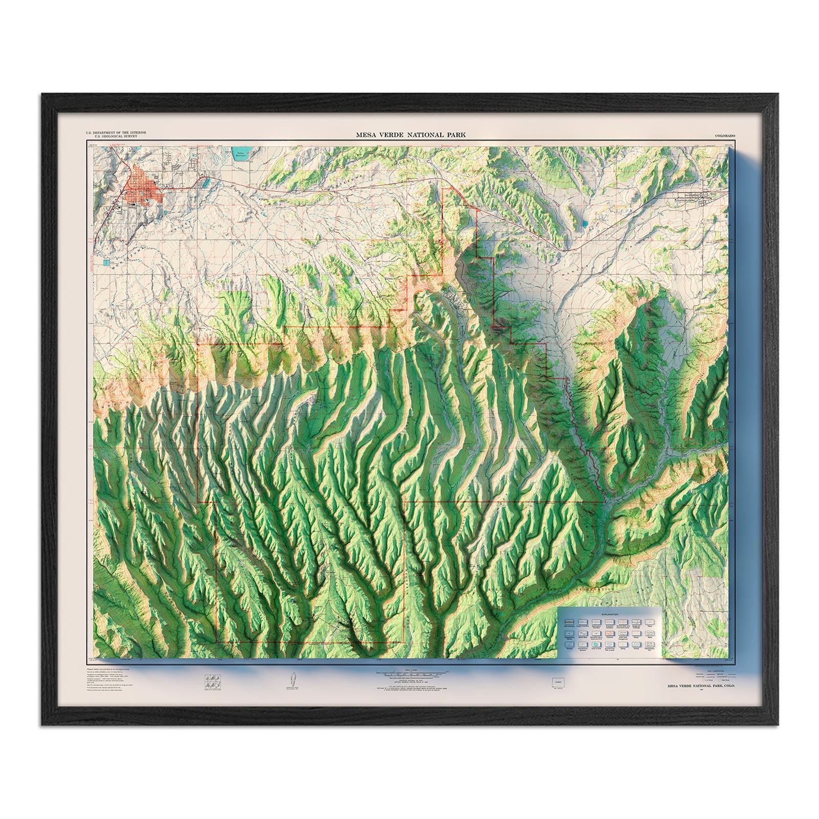
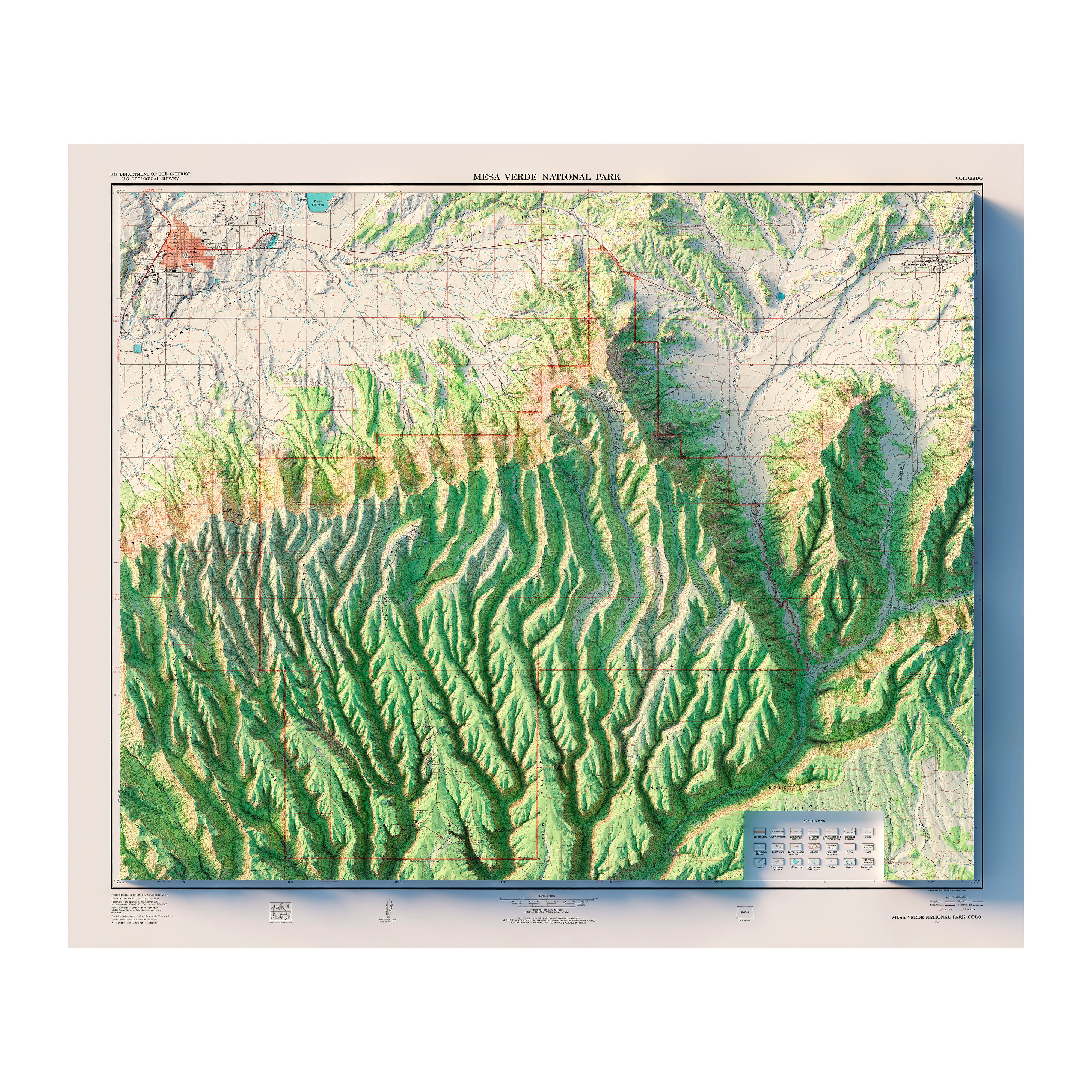
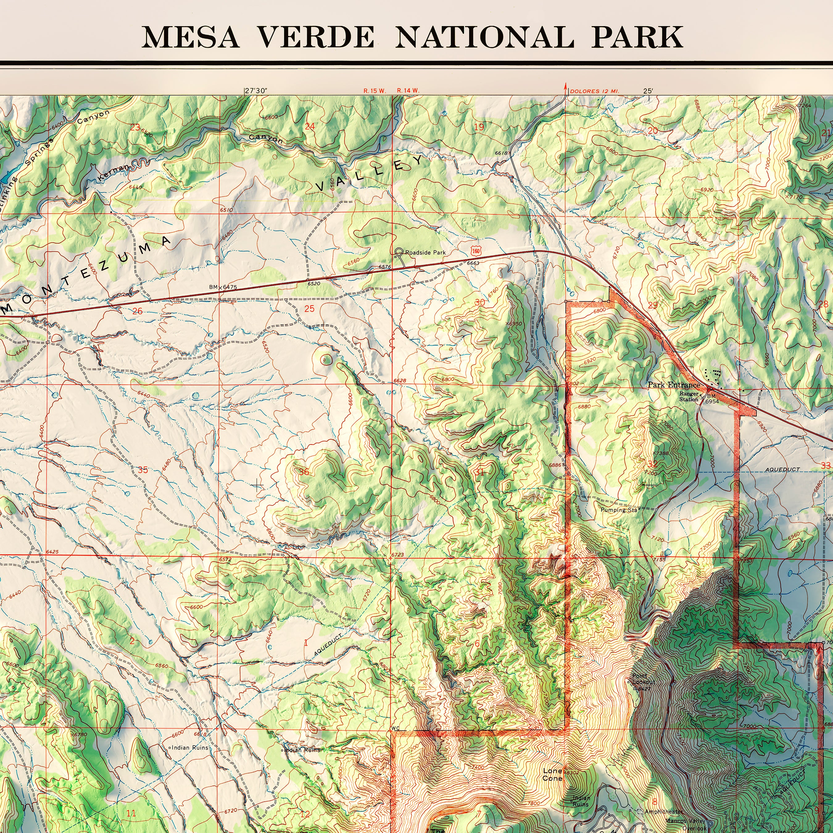
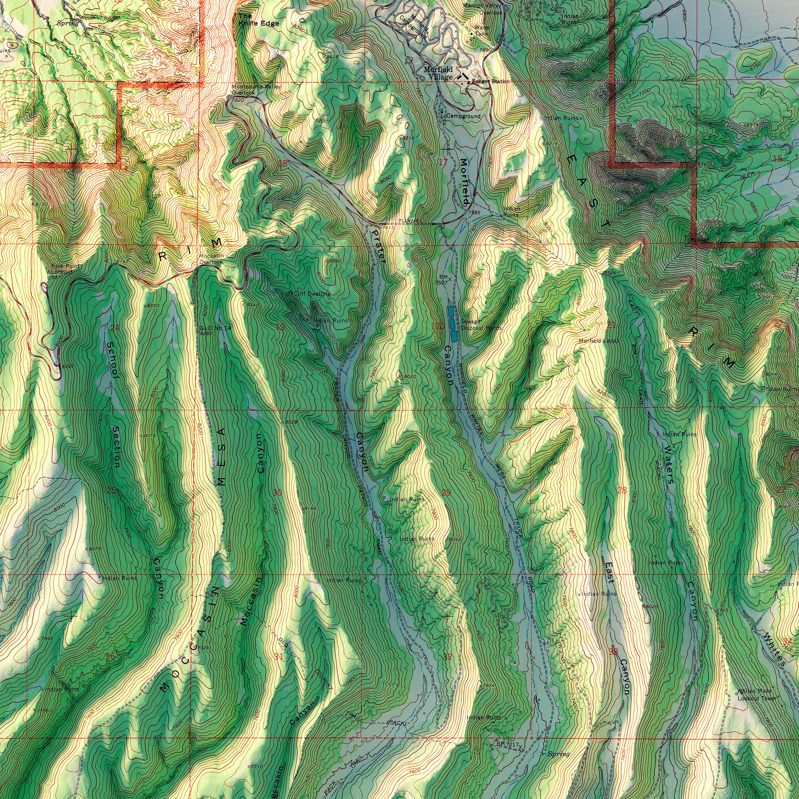
Mesa Verde National Park 1967 Shaded Relief Map
From
$ 99.00 USD
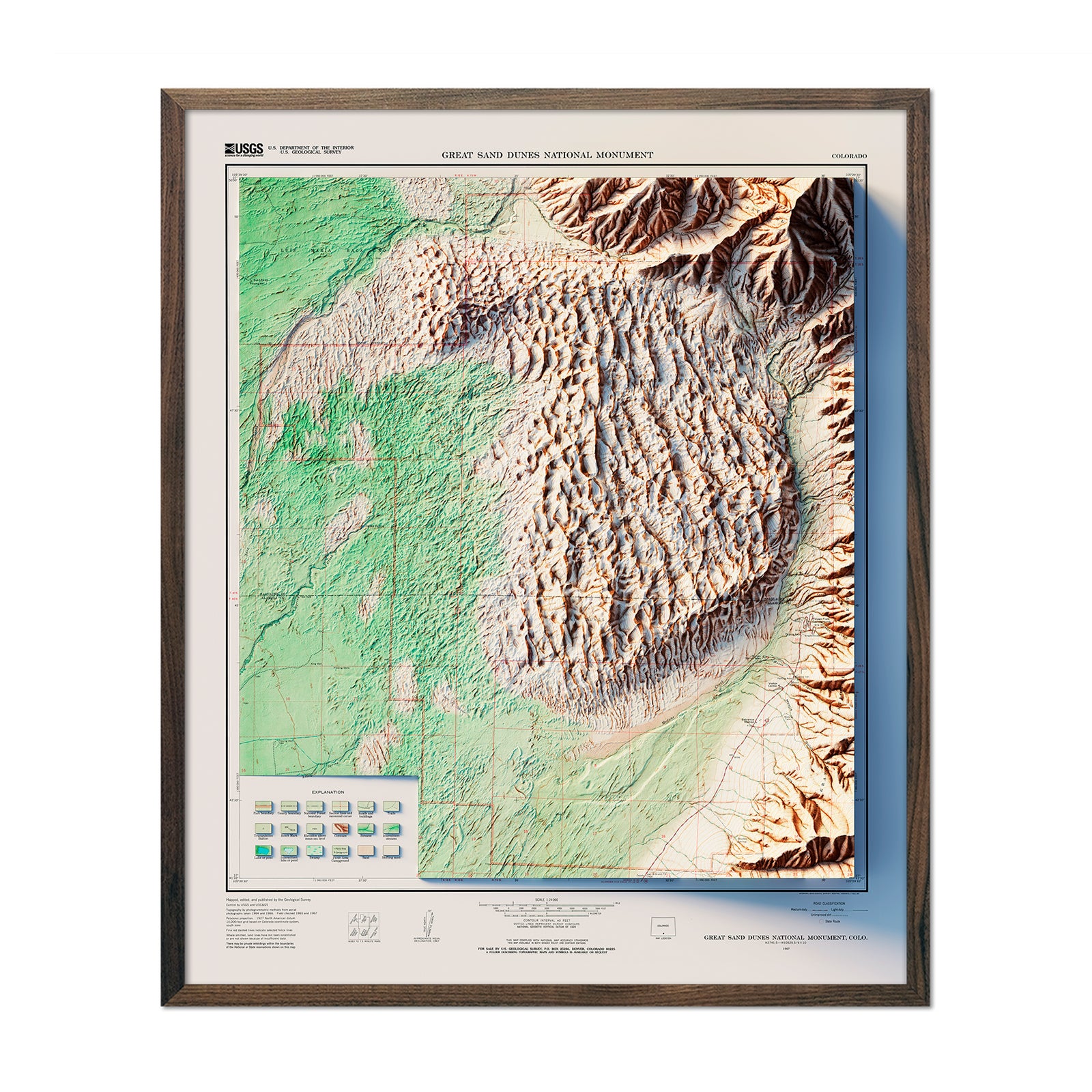
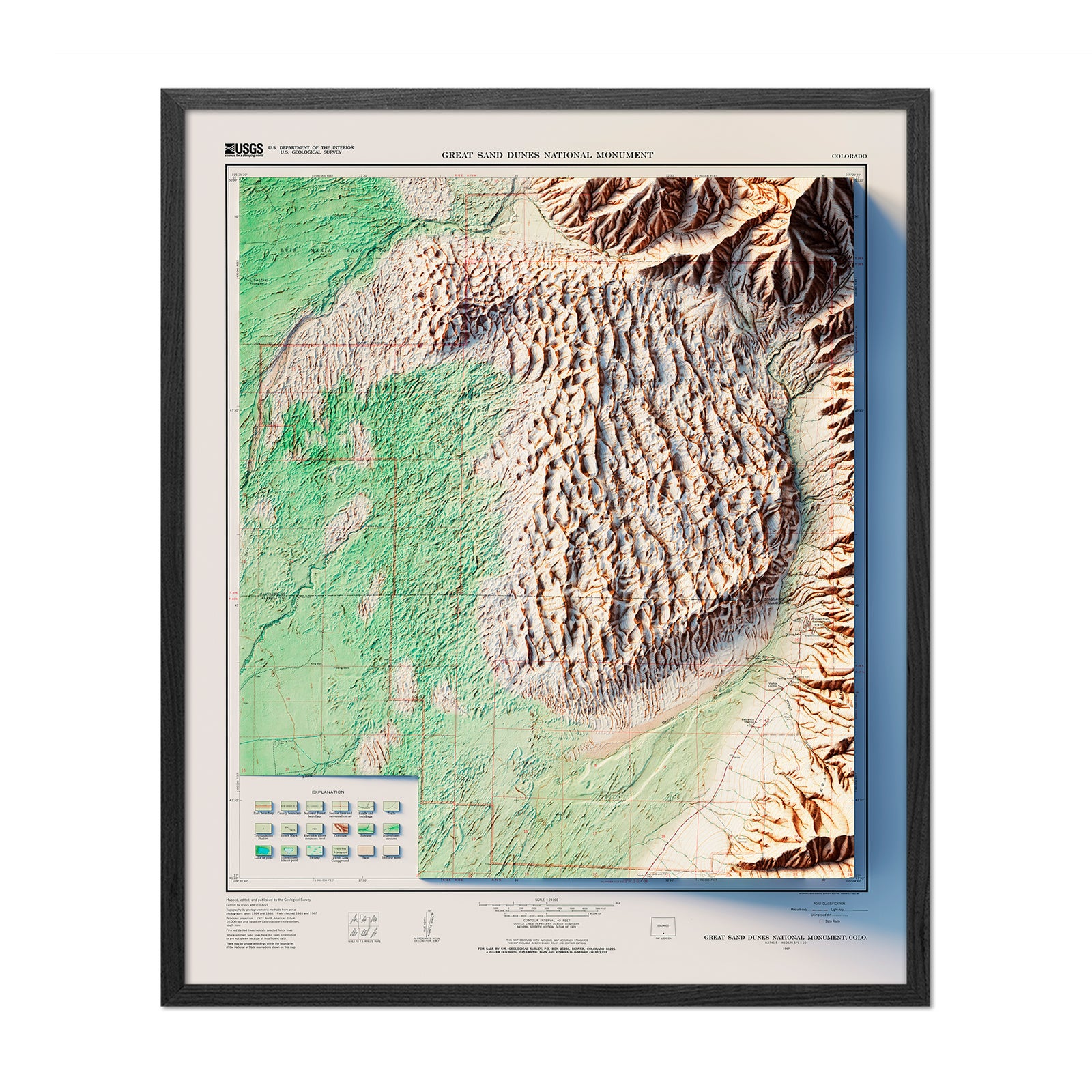
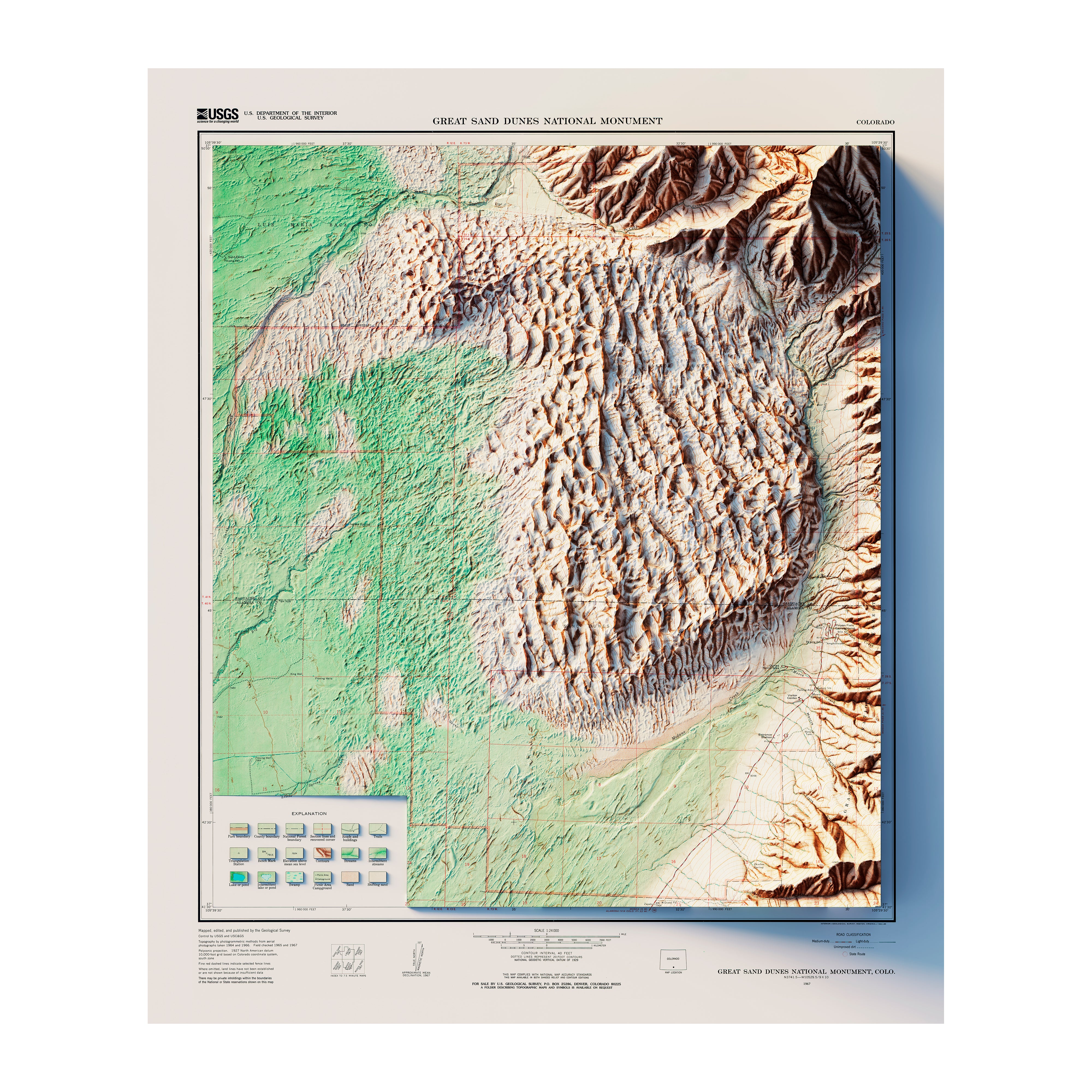
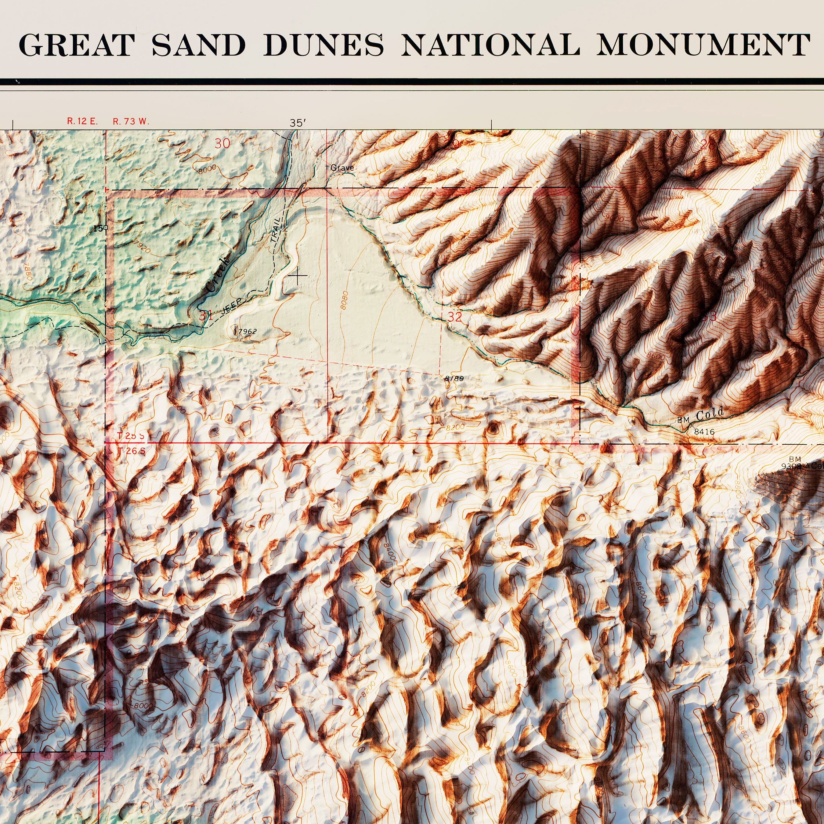
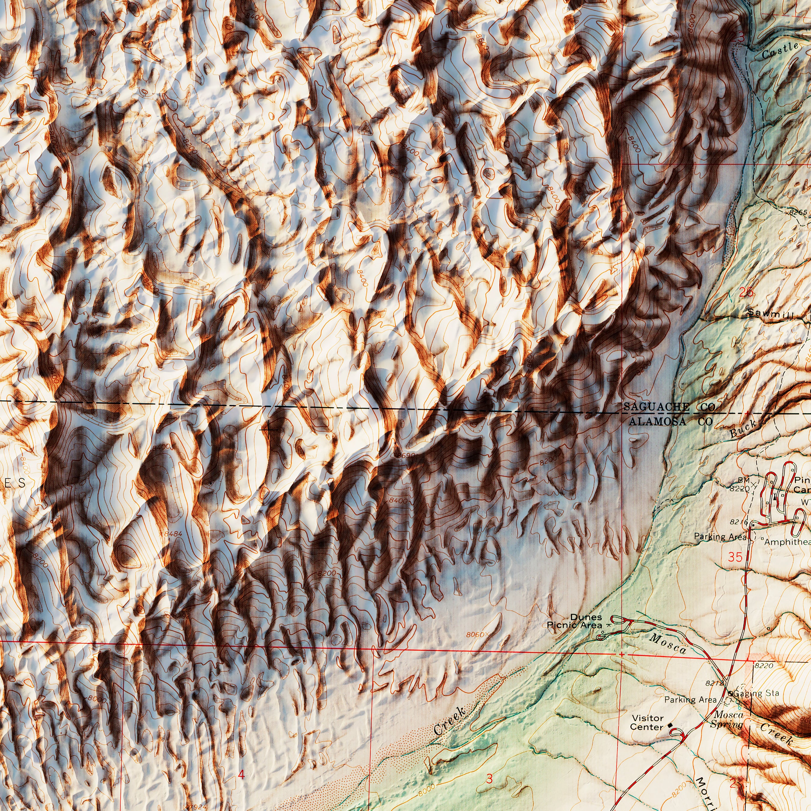
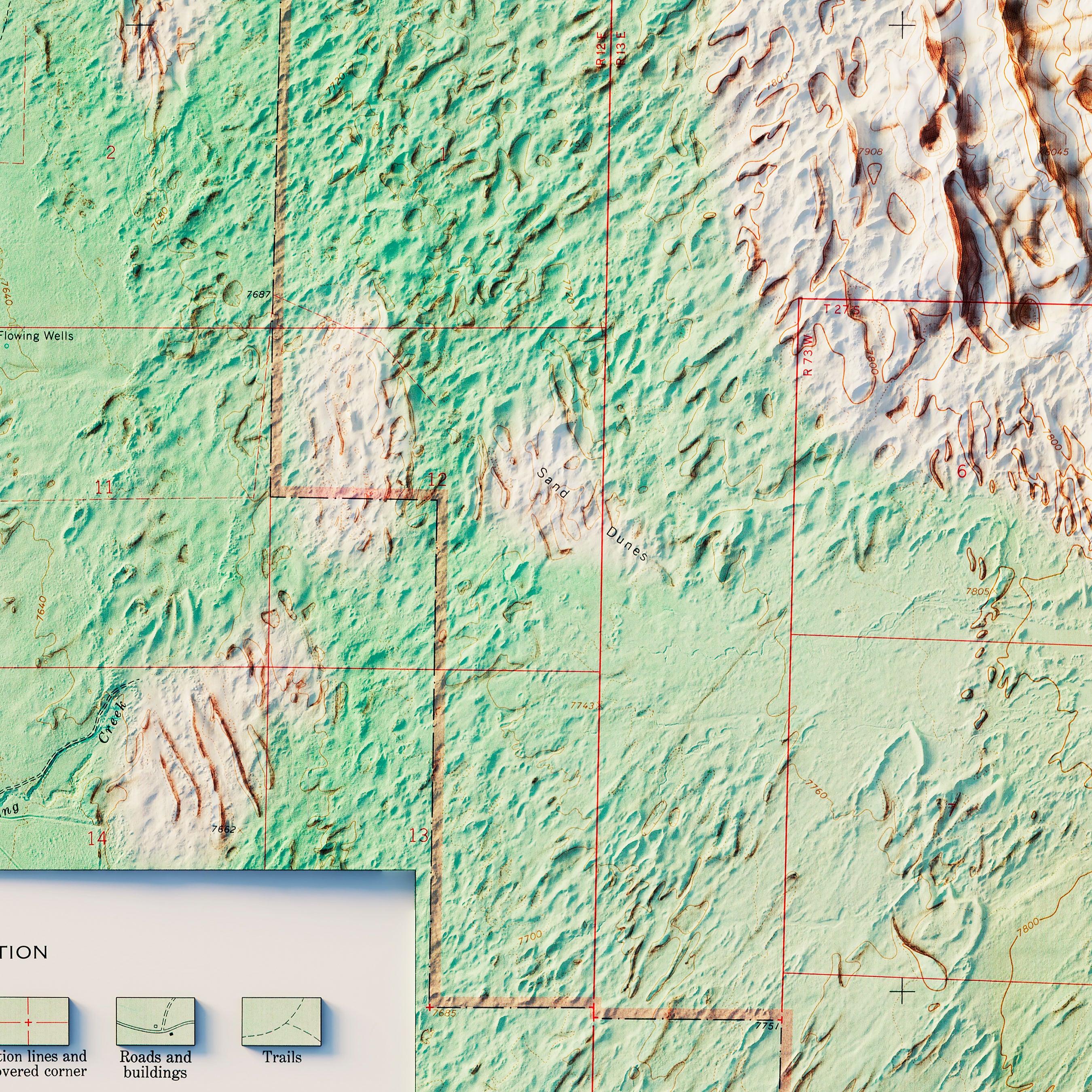
Great Sand Dunes National Park 1967 Shaded Relief Map
From
$ 99.00 USD
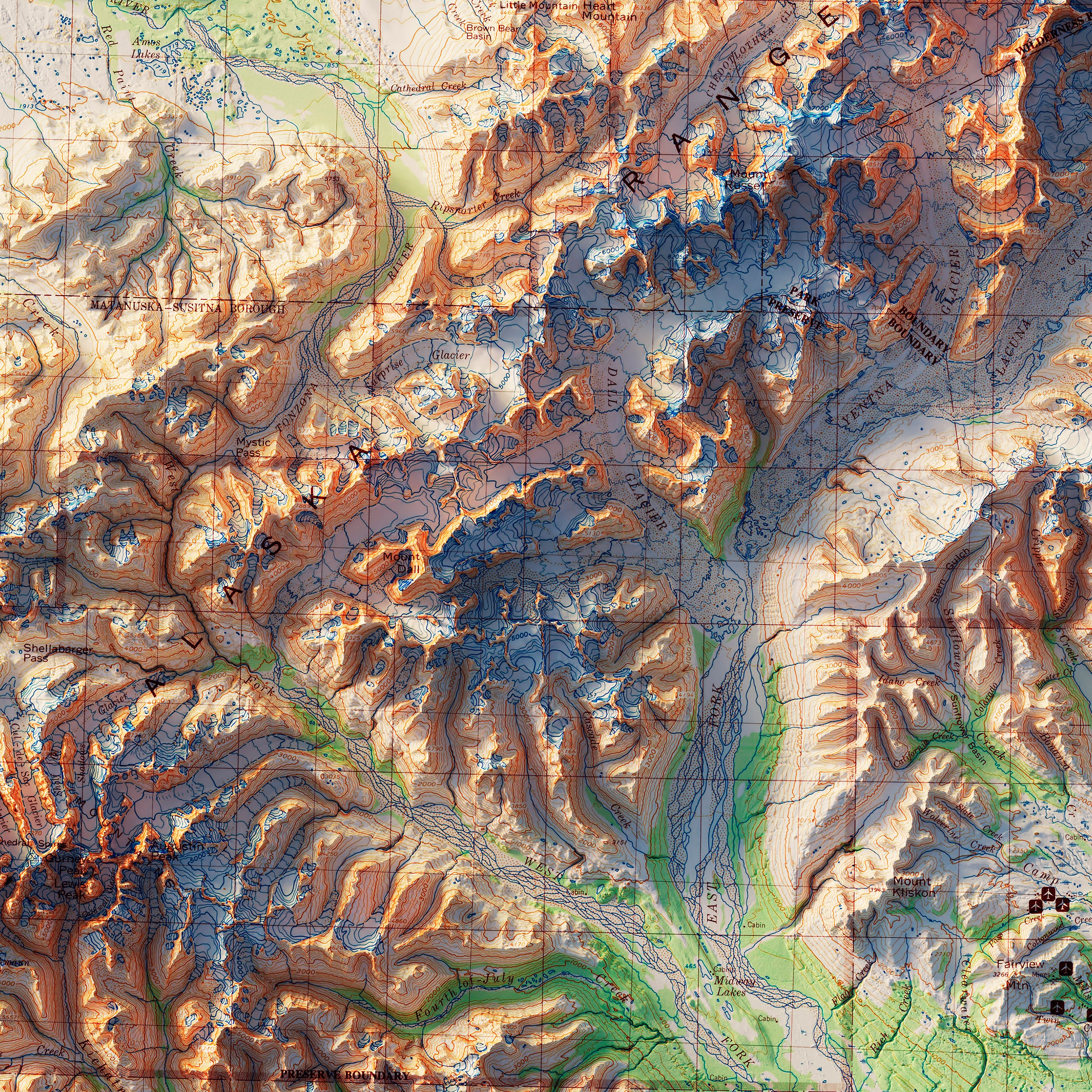
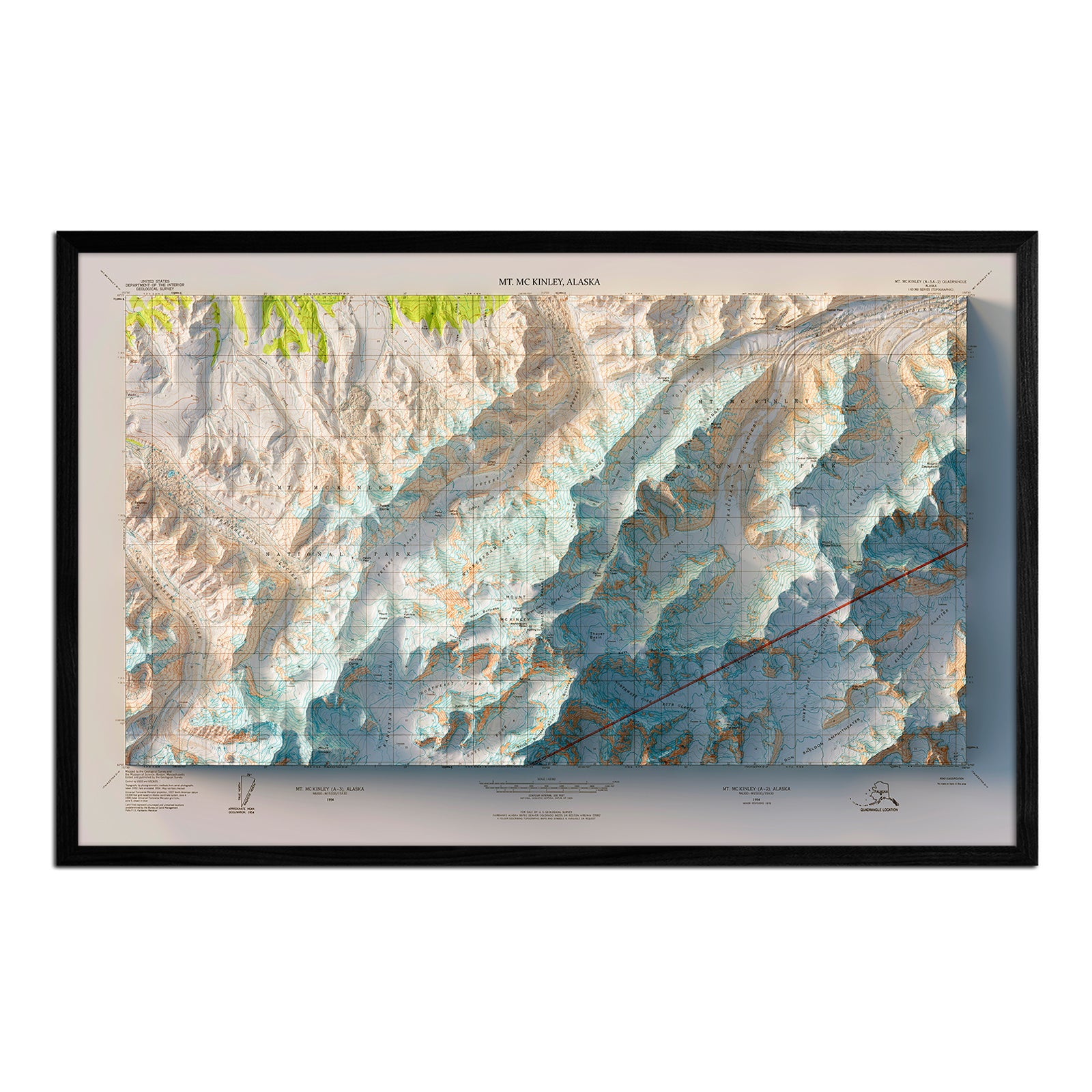
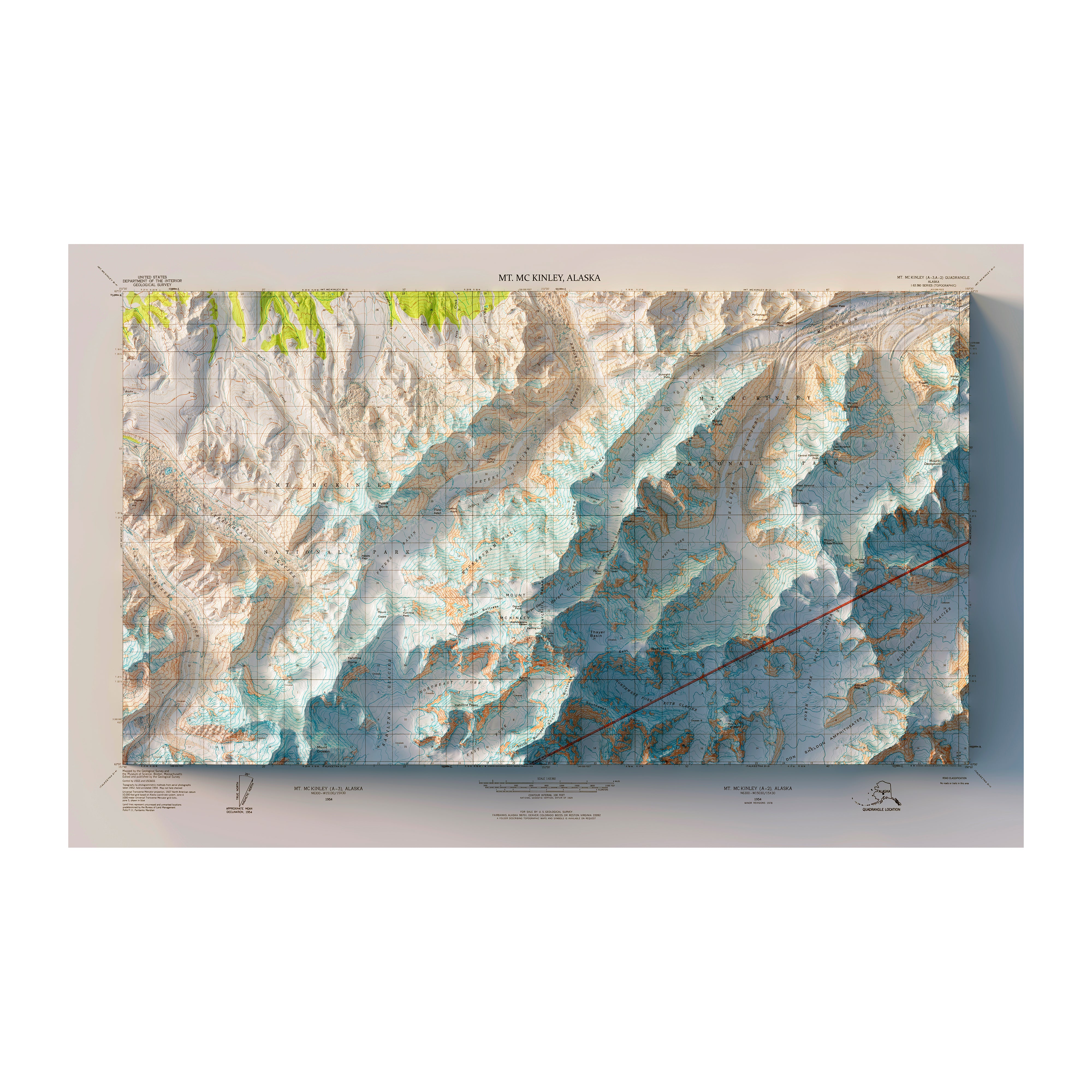
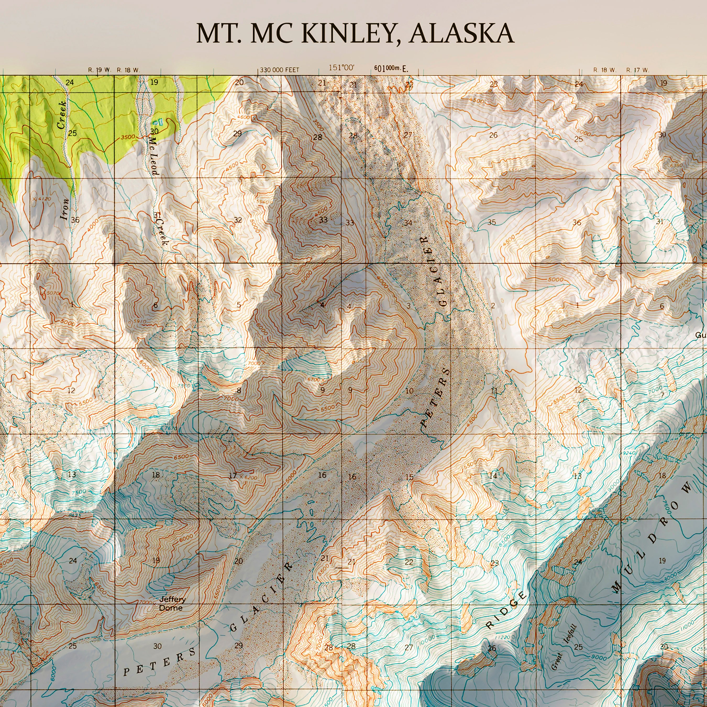
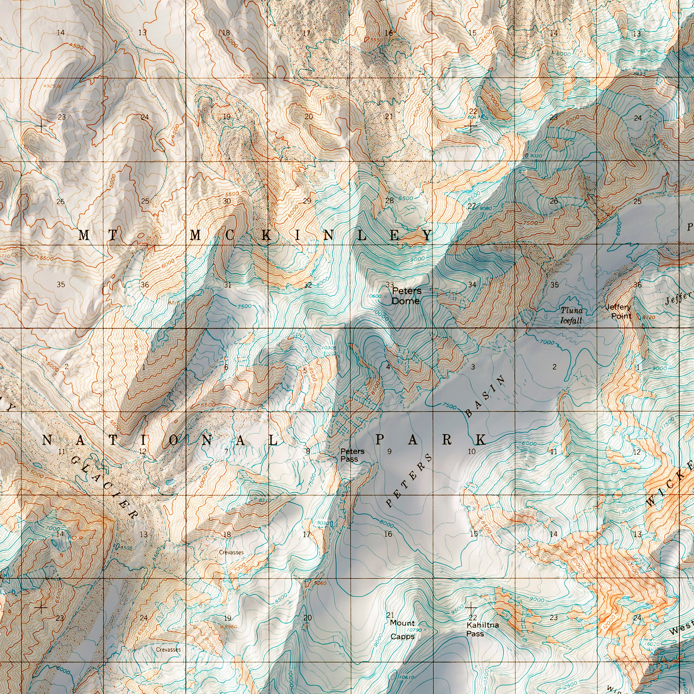
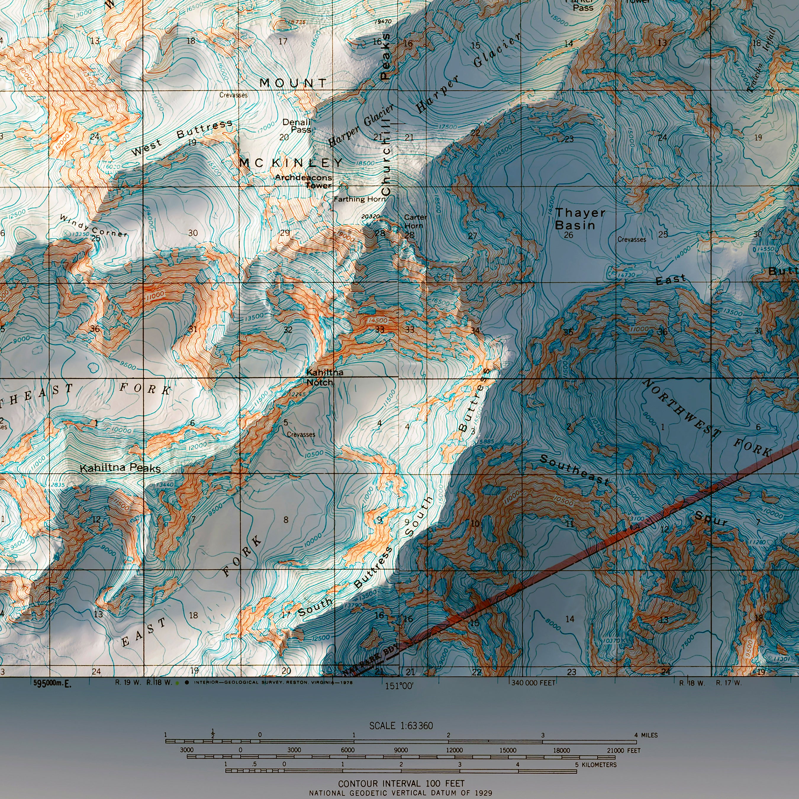
Denali, AK 1954 Shaded Relief Map
From
$ 99.00 USD
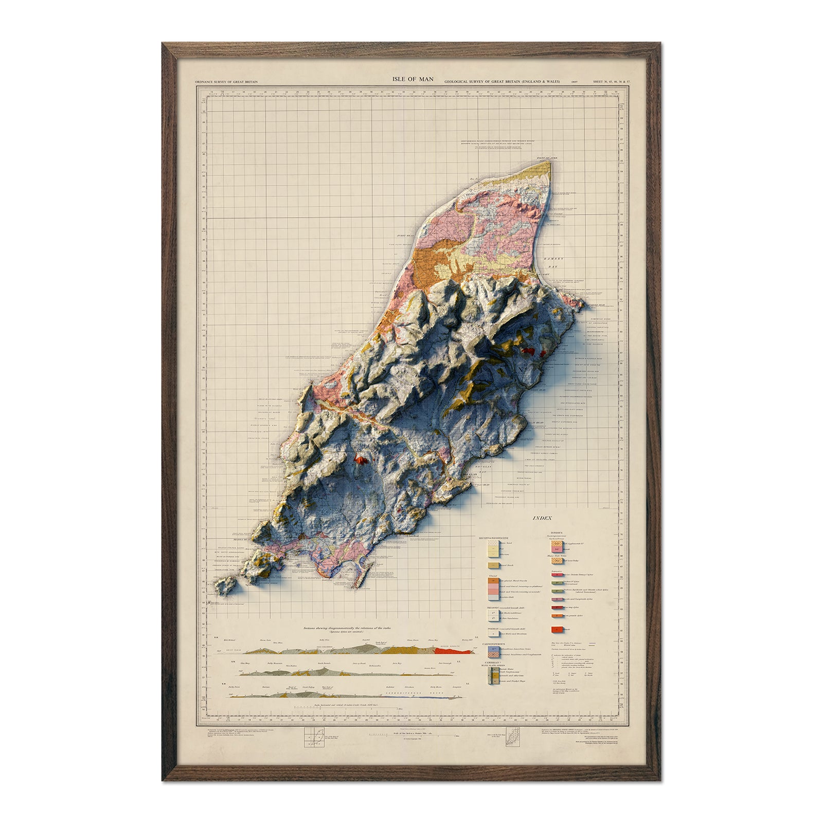
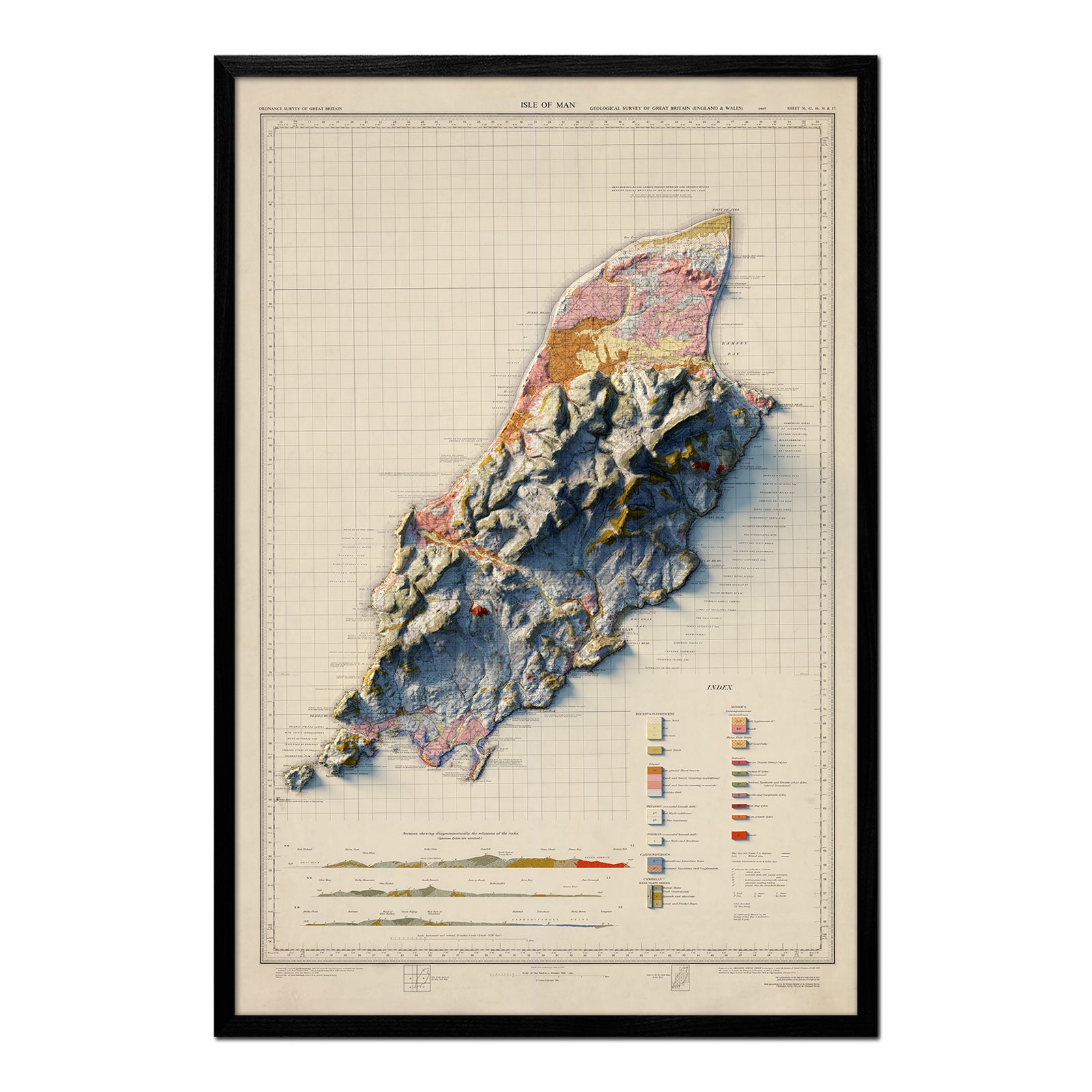
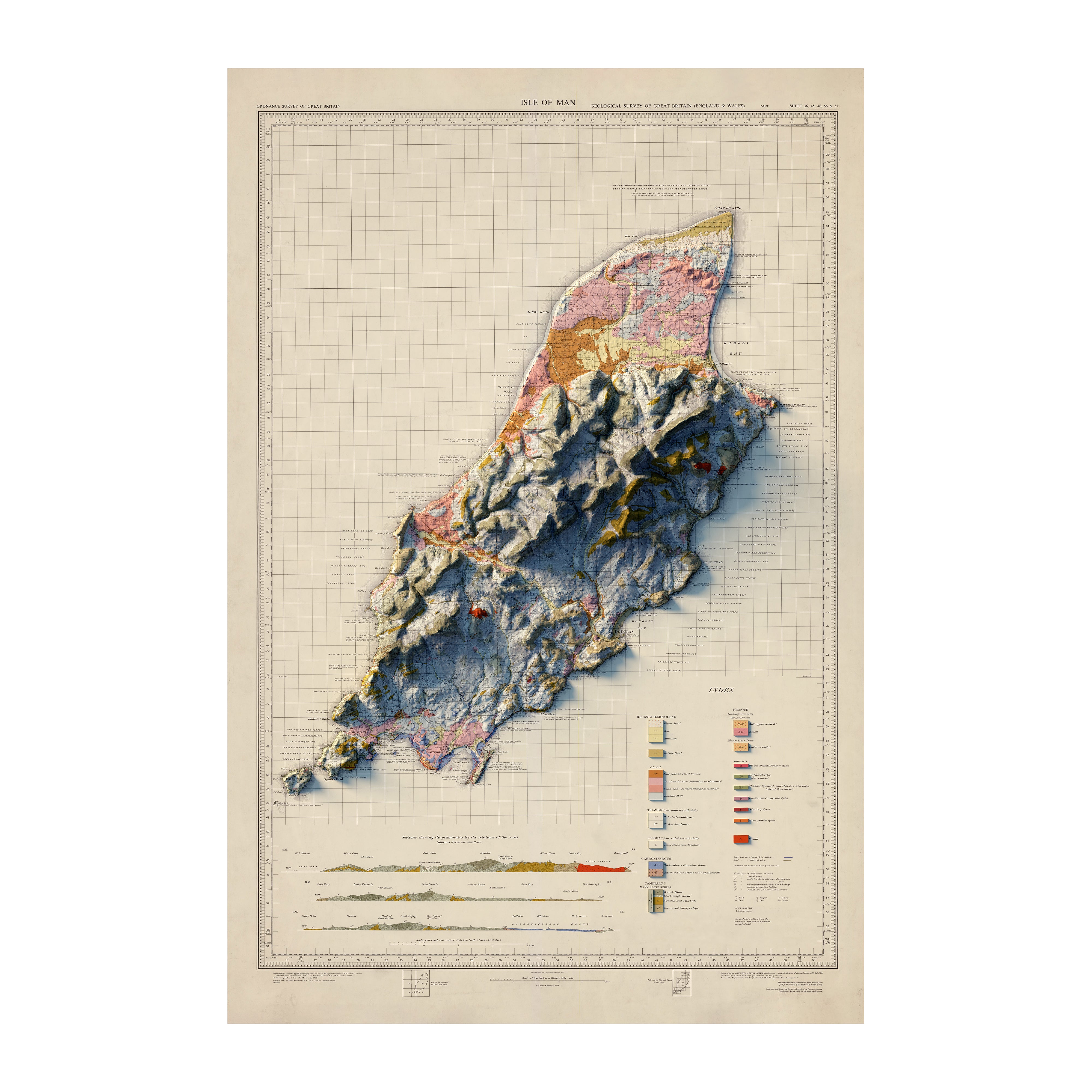
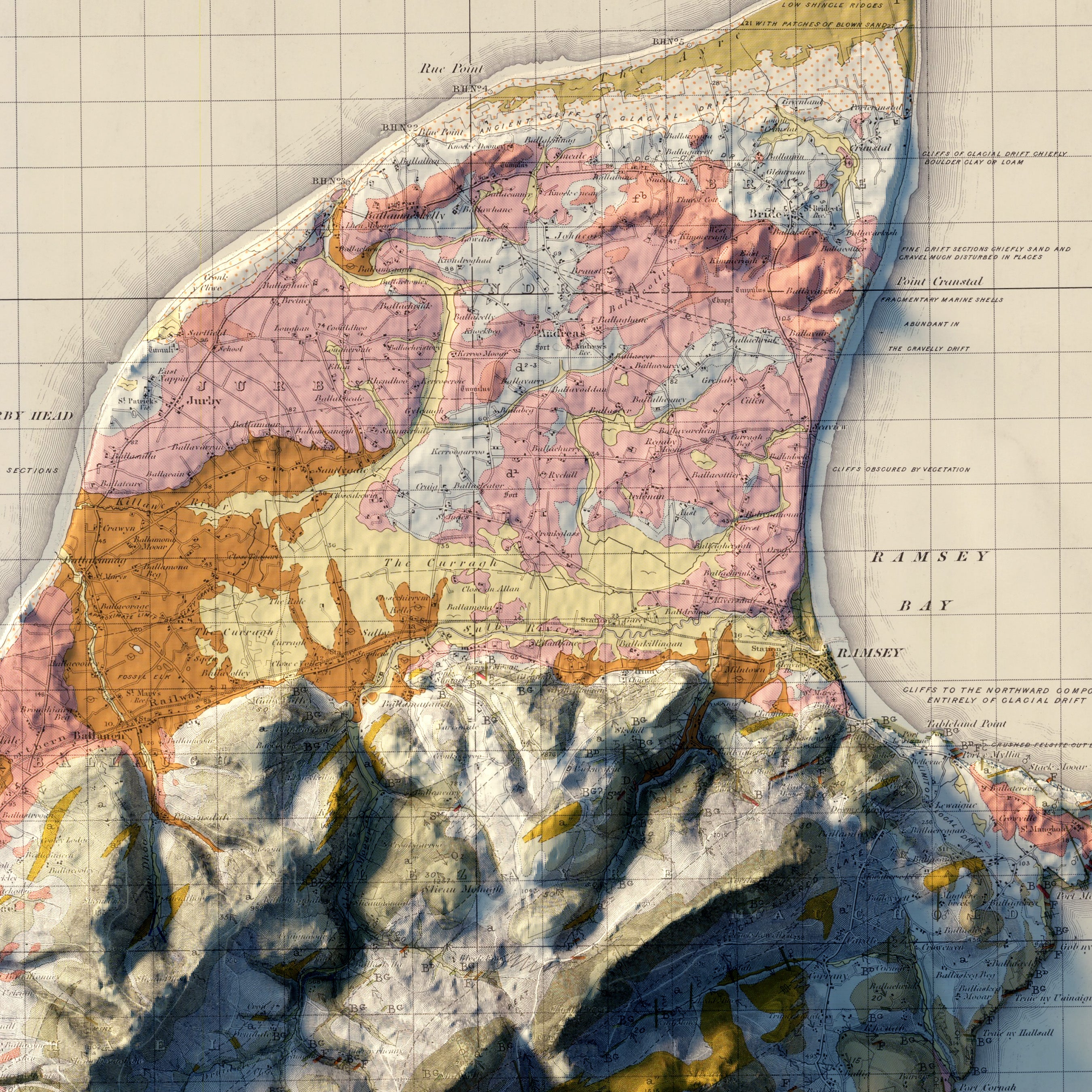
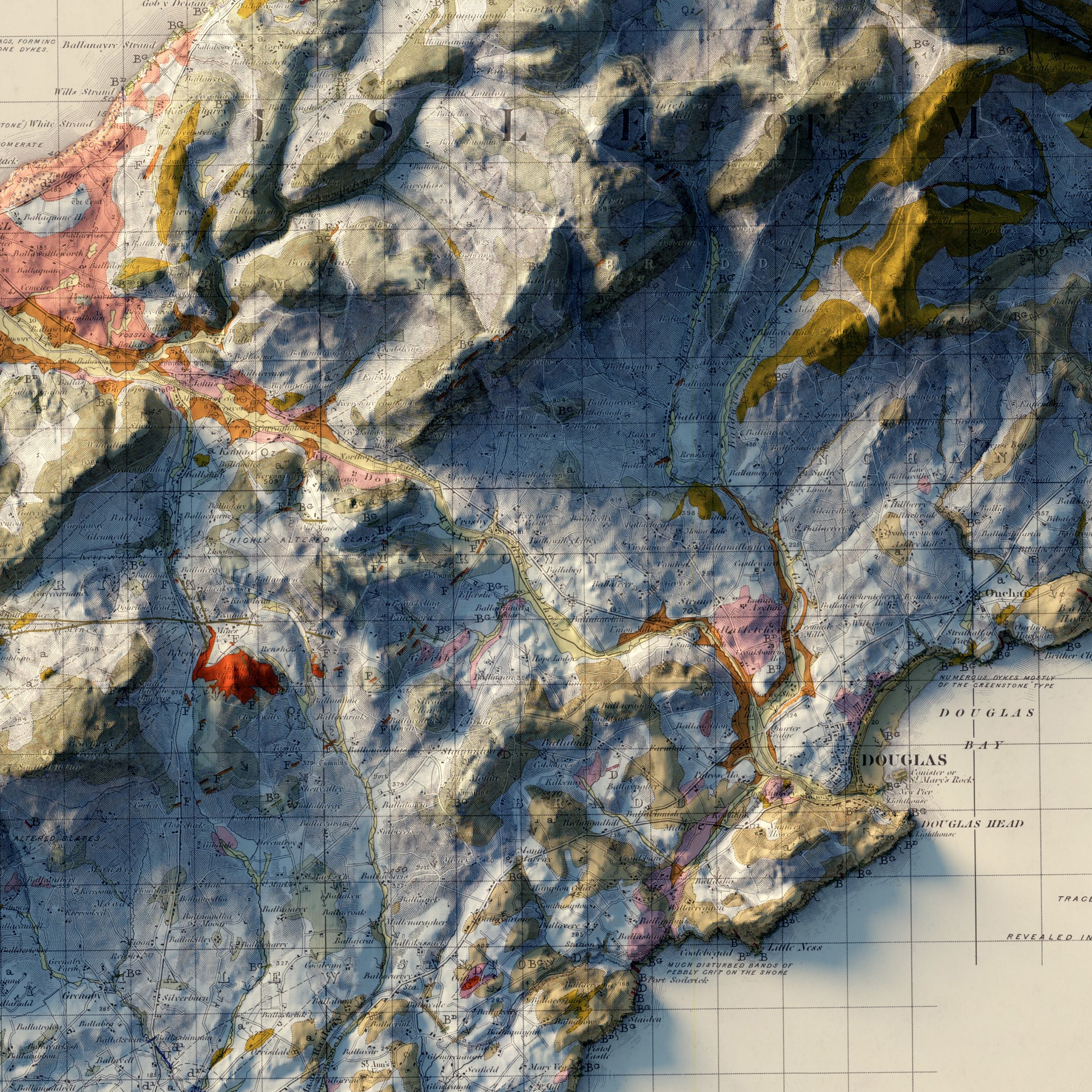
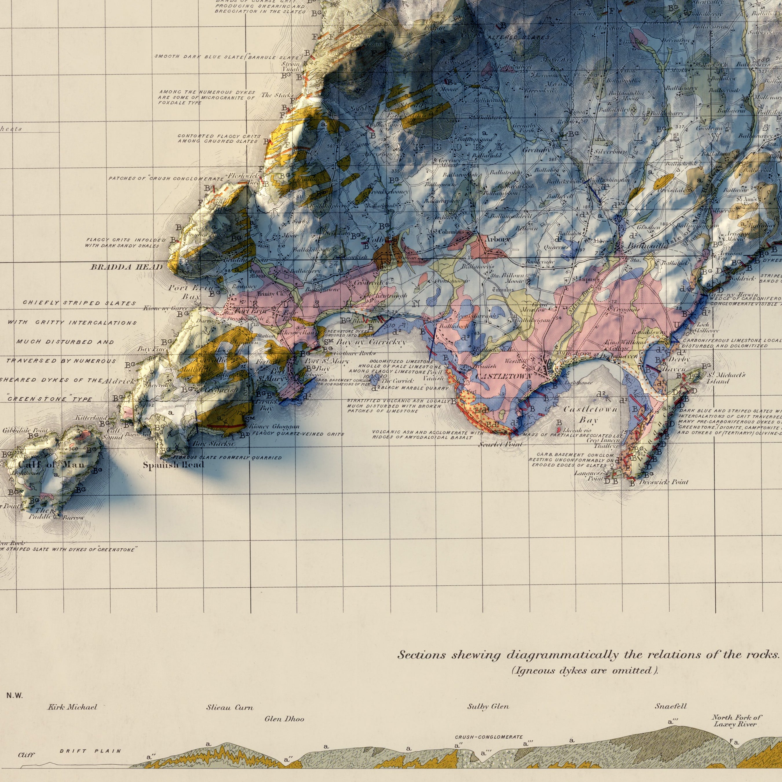
Isle of Man 1966 Shaded Relief Map
From
$ 79.00 USD
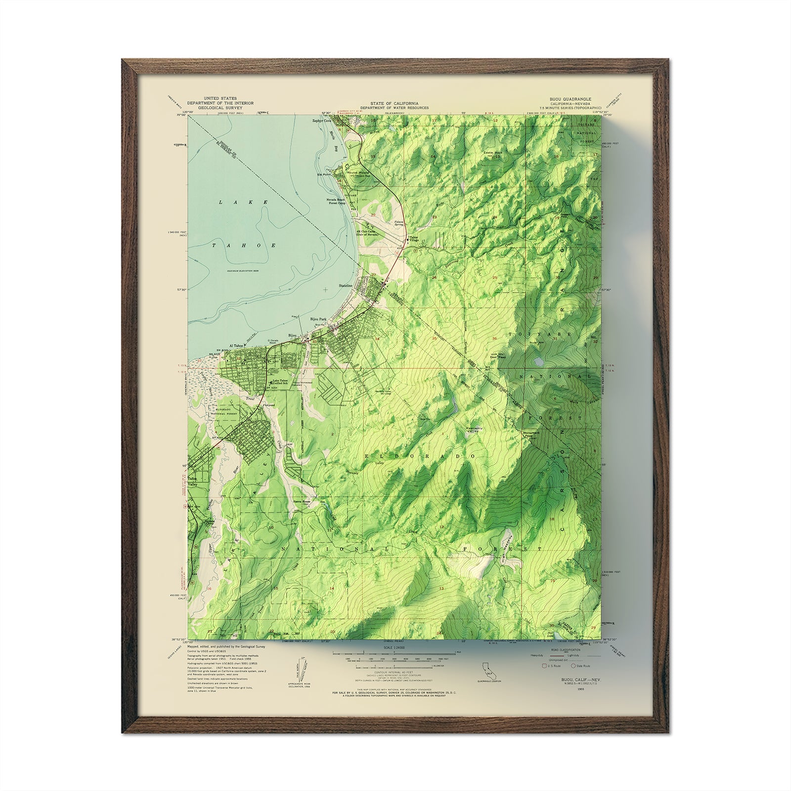
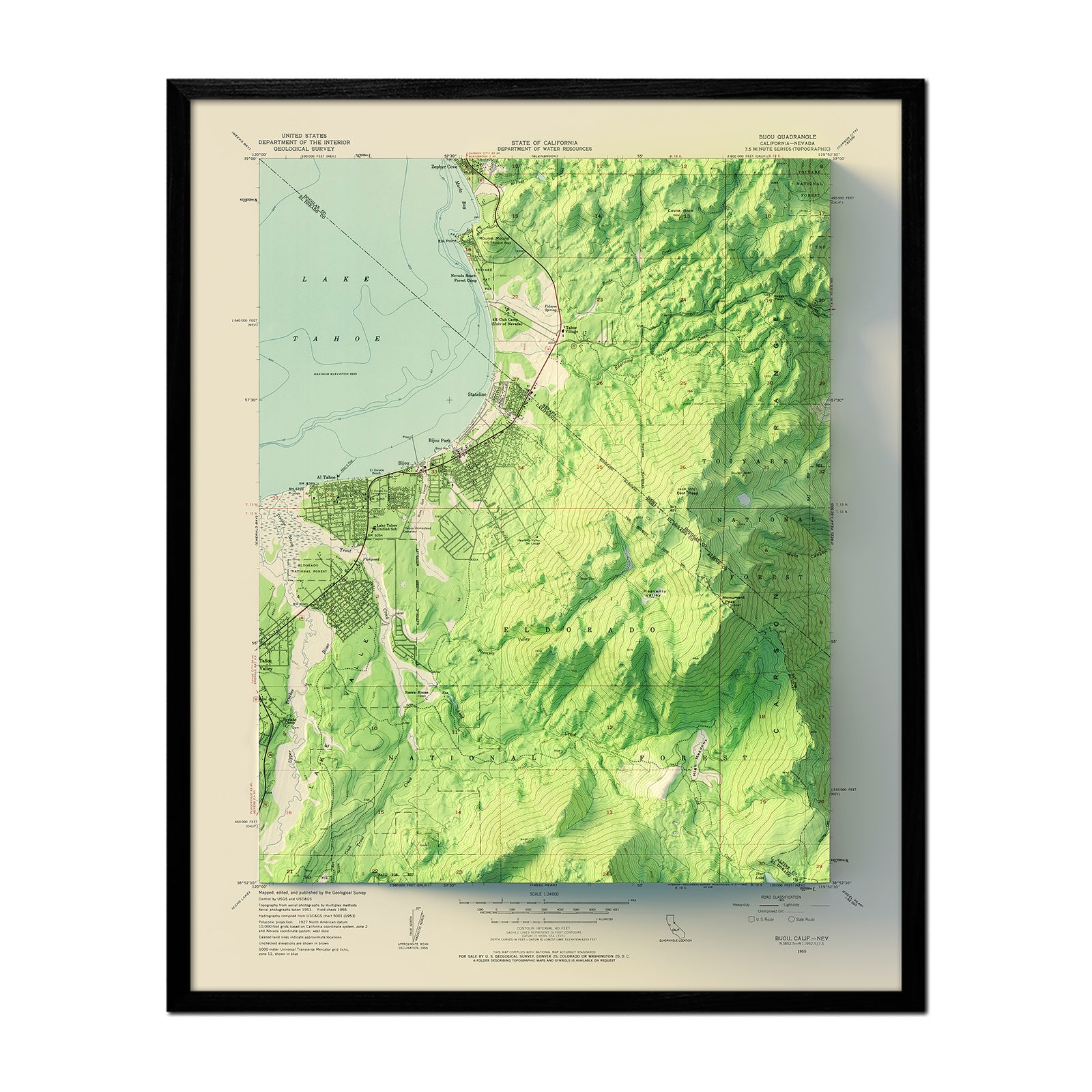
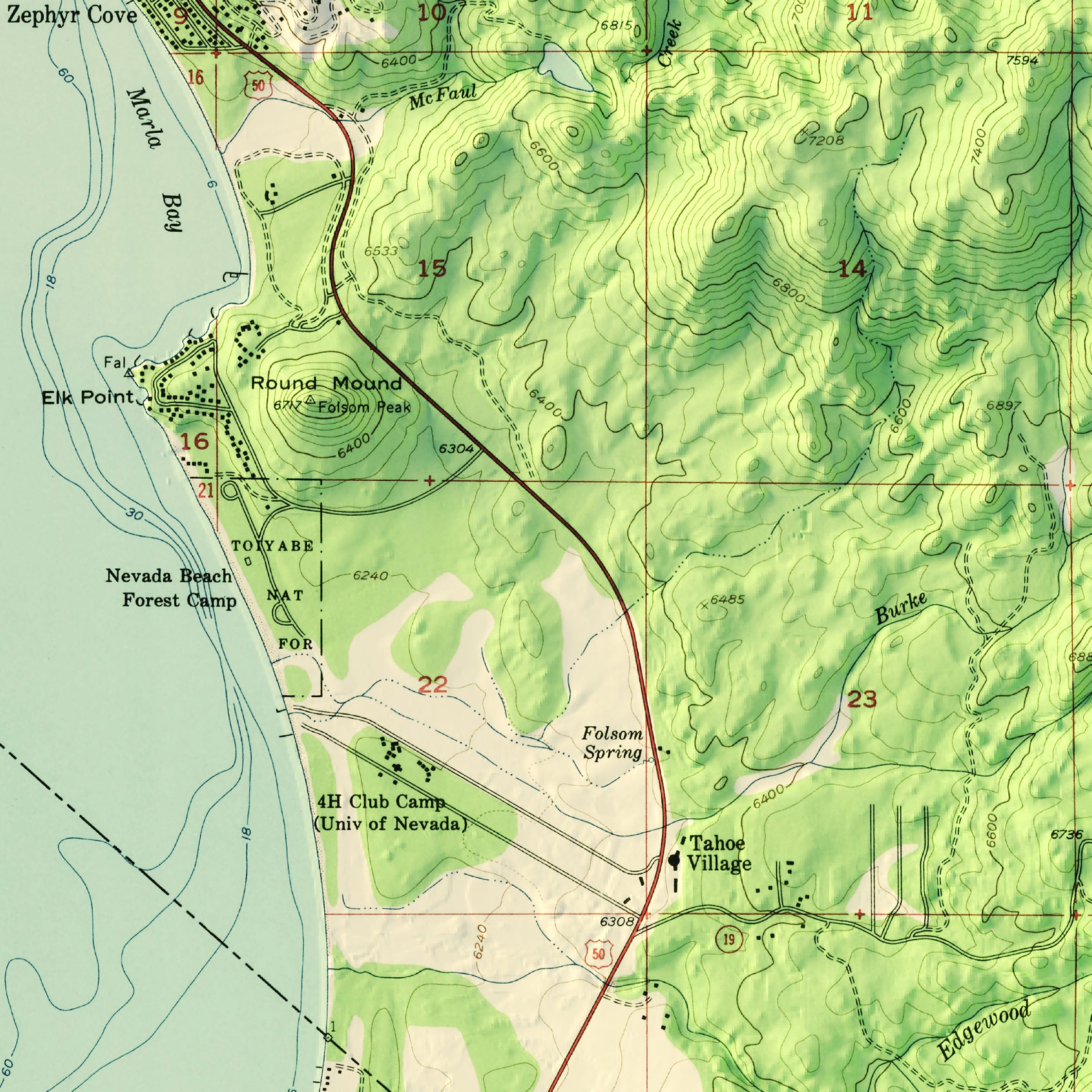
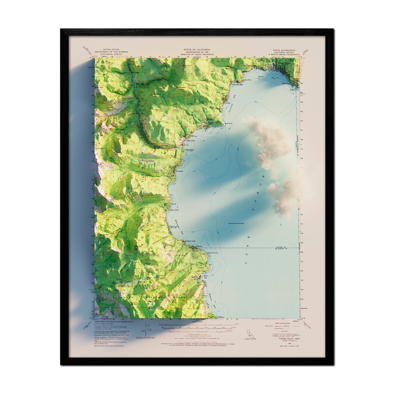
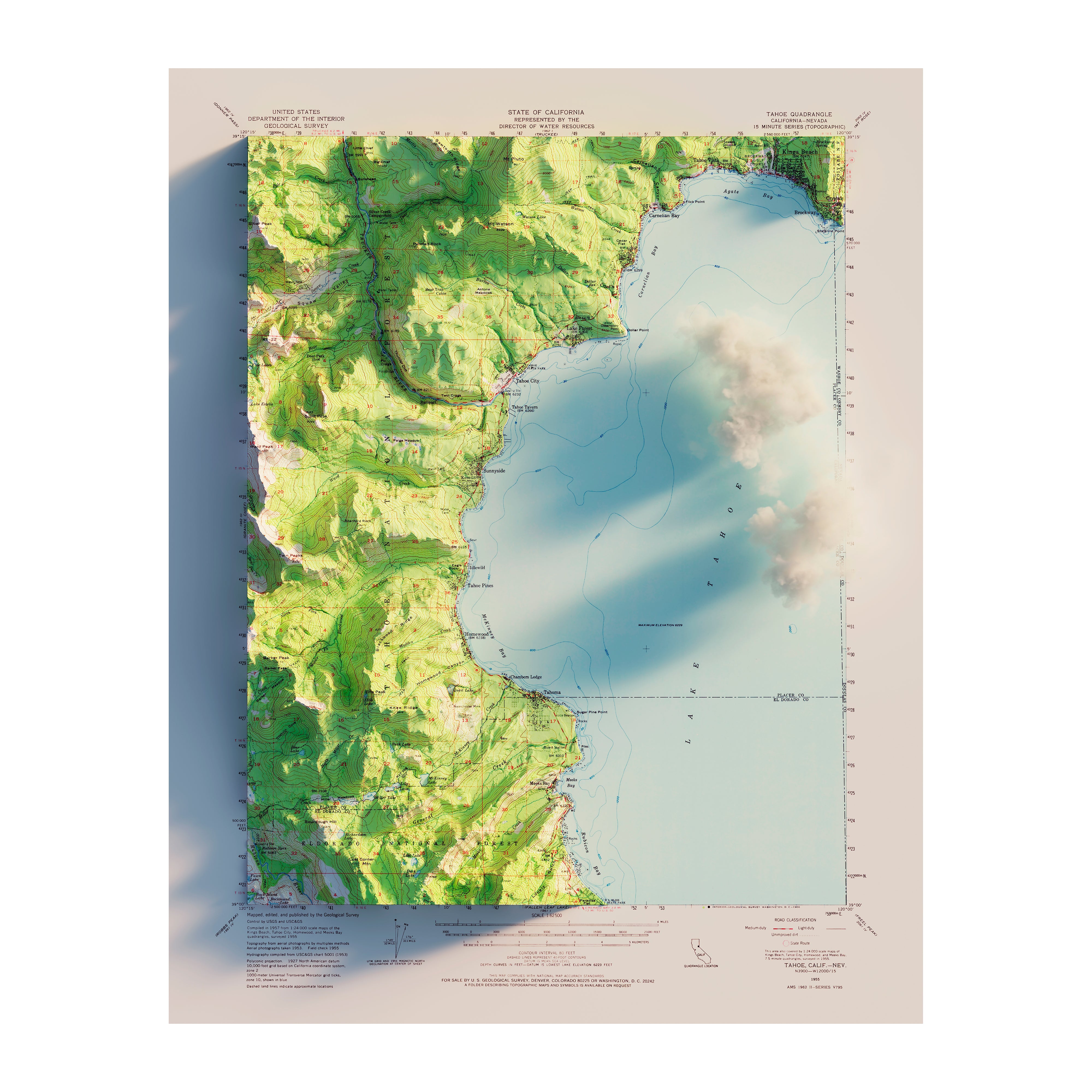
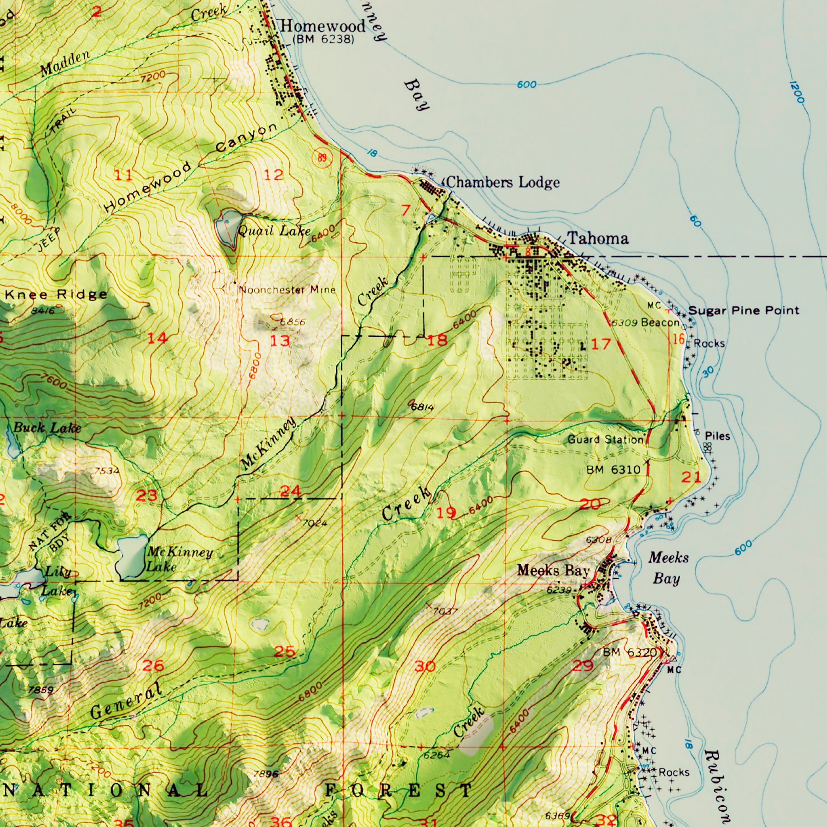
South Tahoe, CA 1955 Shaded Relief Map
From
$ 64.00 USD
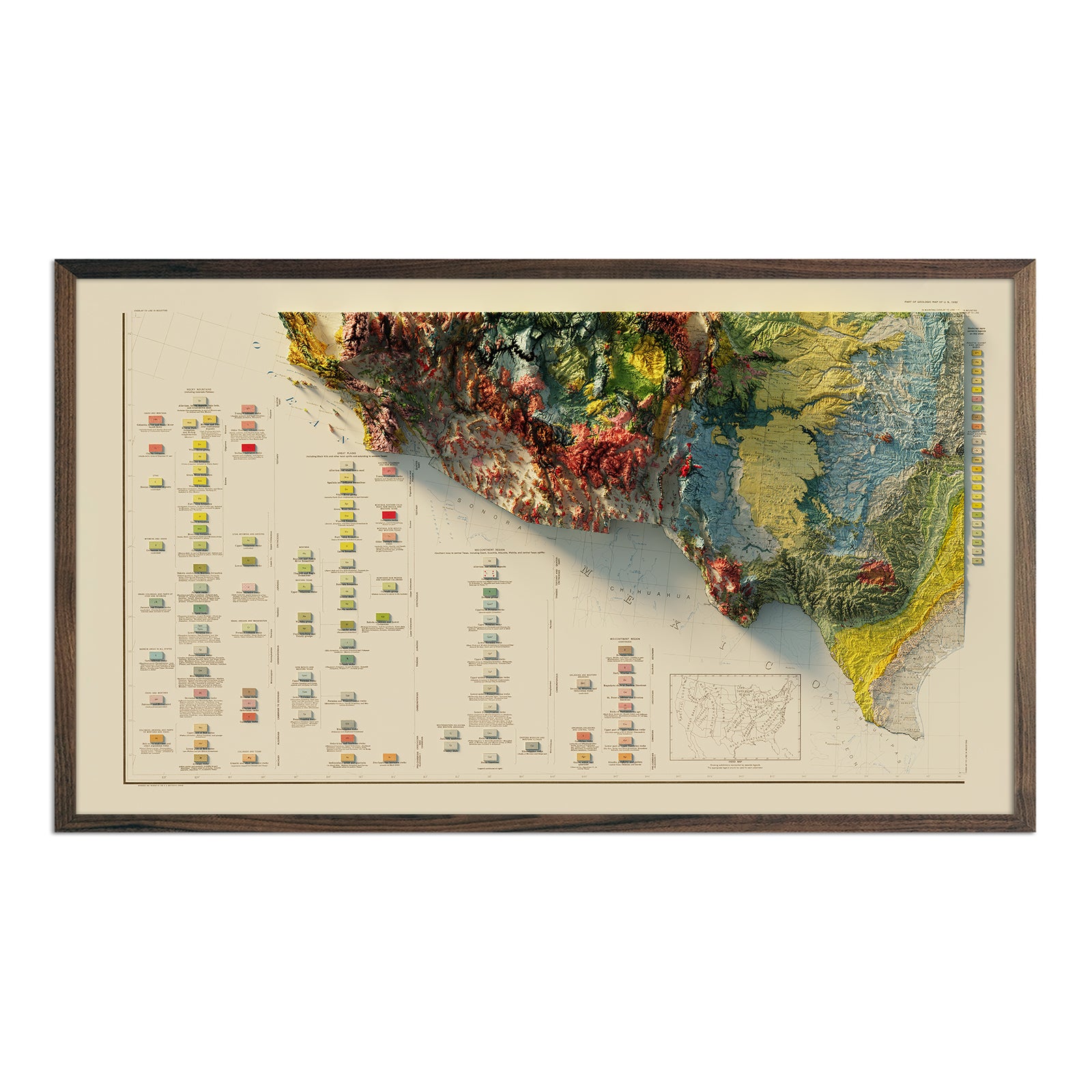
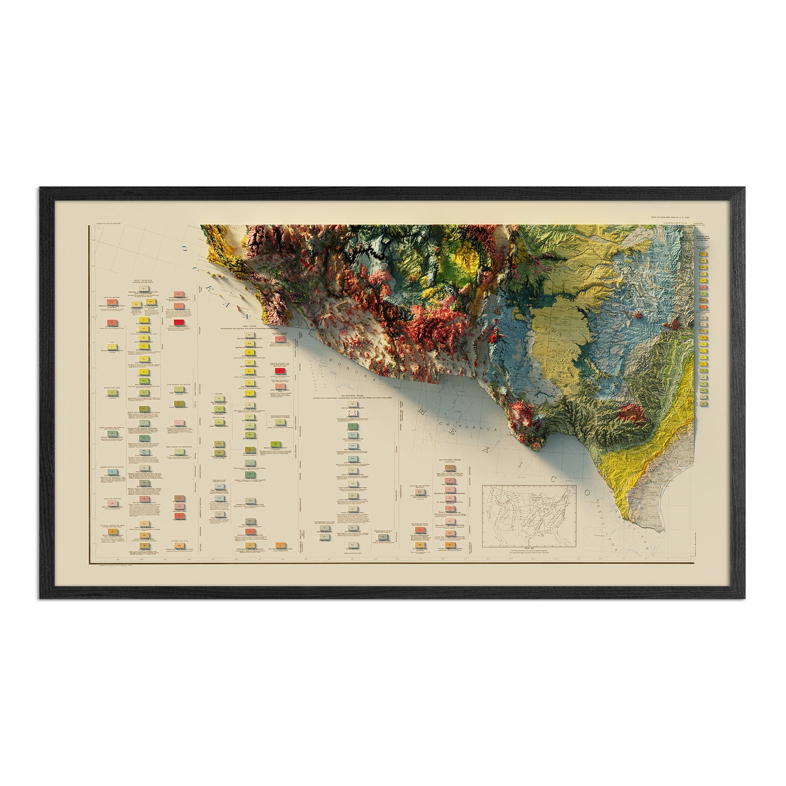
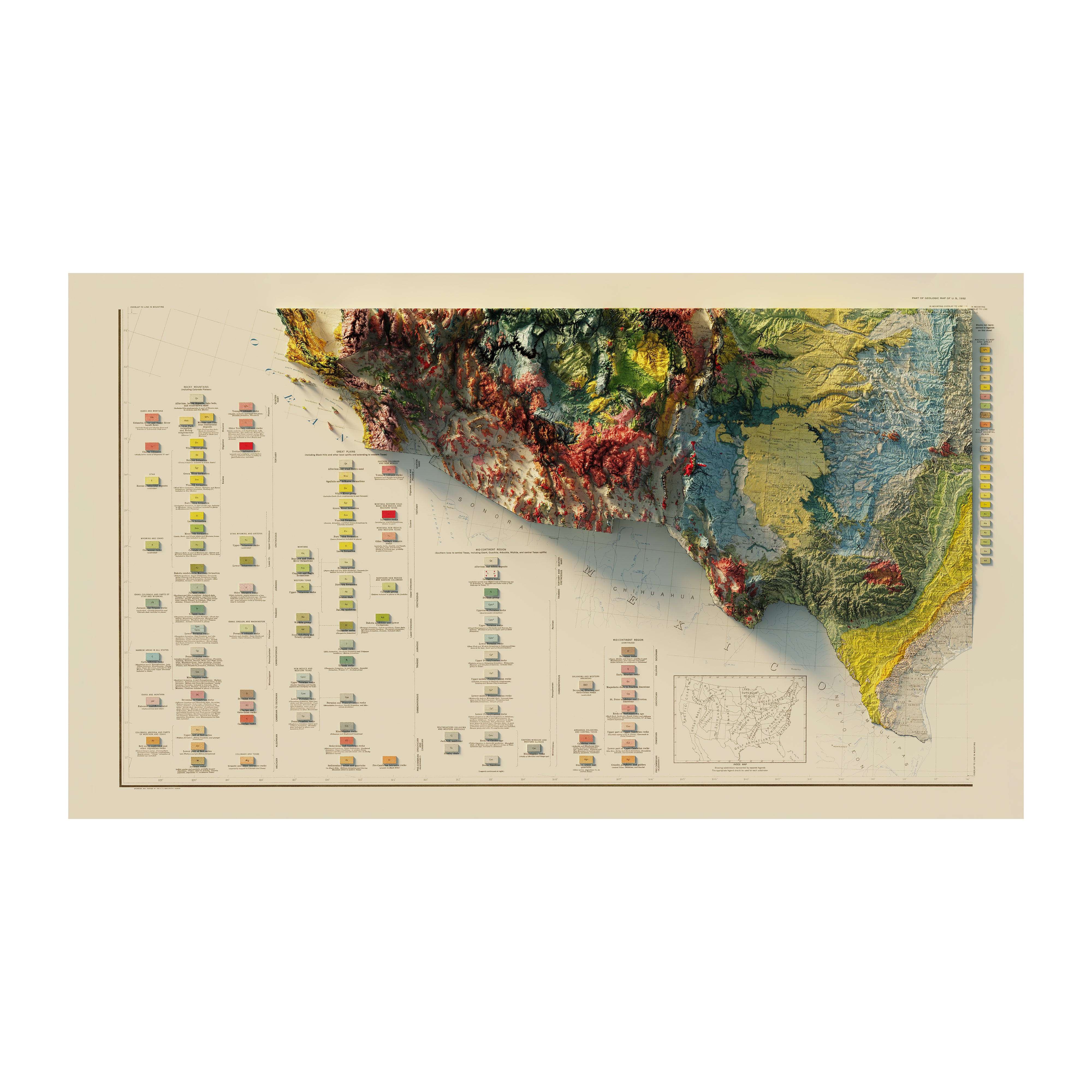
USA Quadrant SW 1932 Shaded Relief Map
From
$ 89.00 USD
5.0 / 5.0
1 review
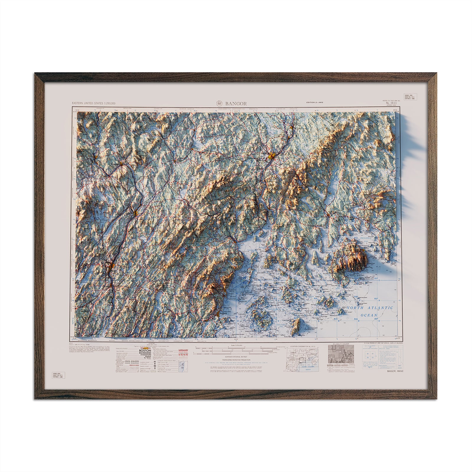
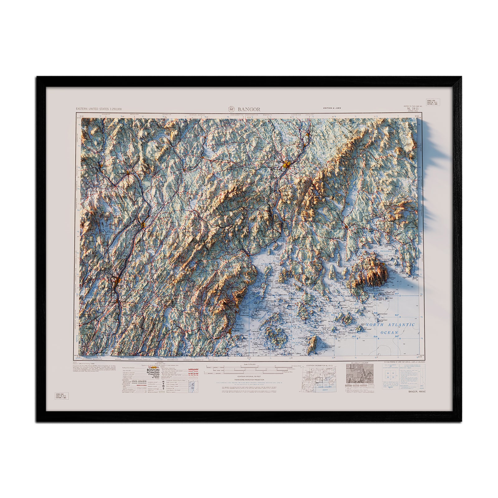
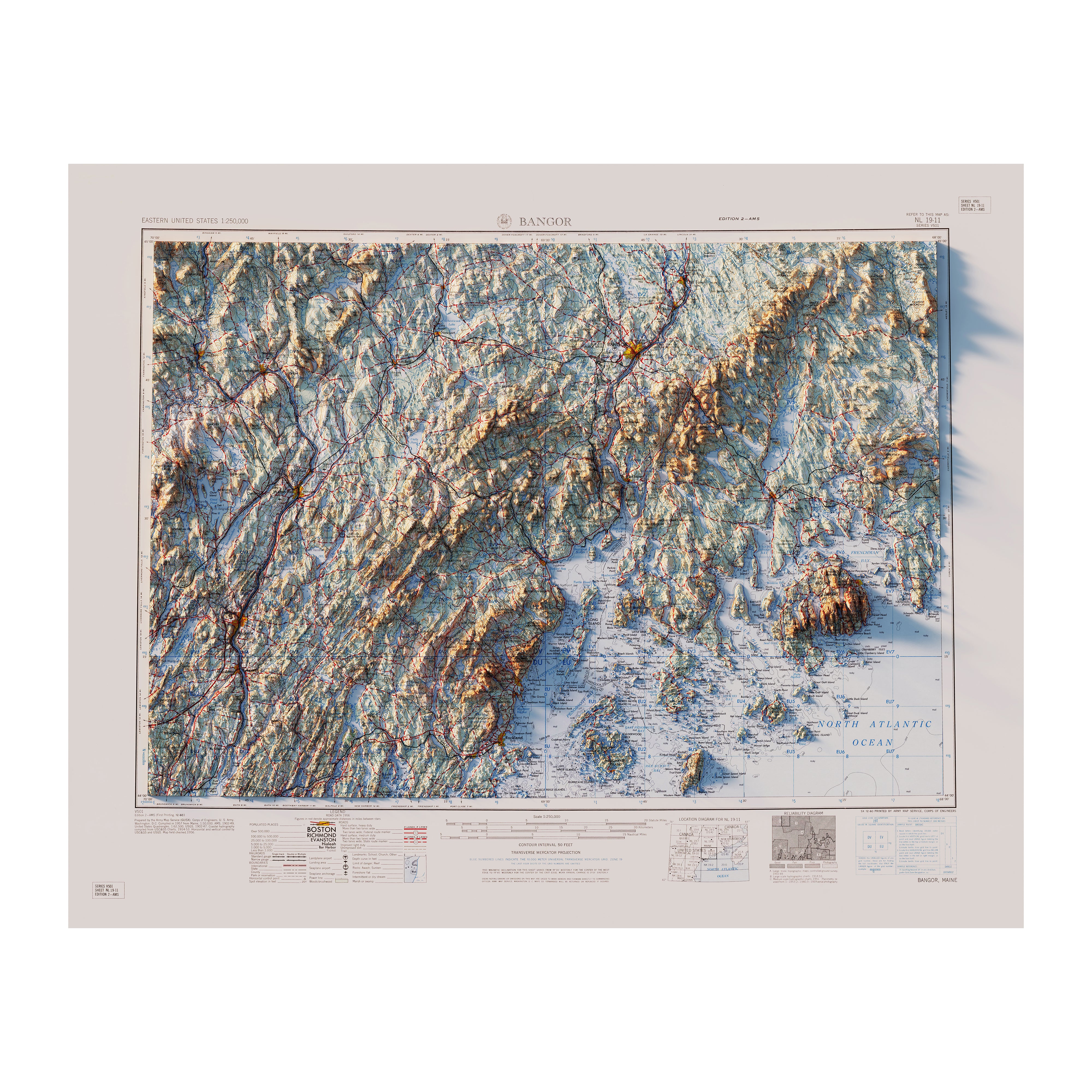
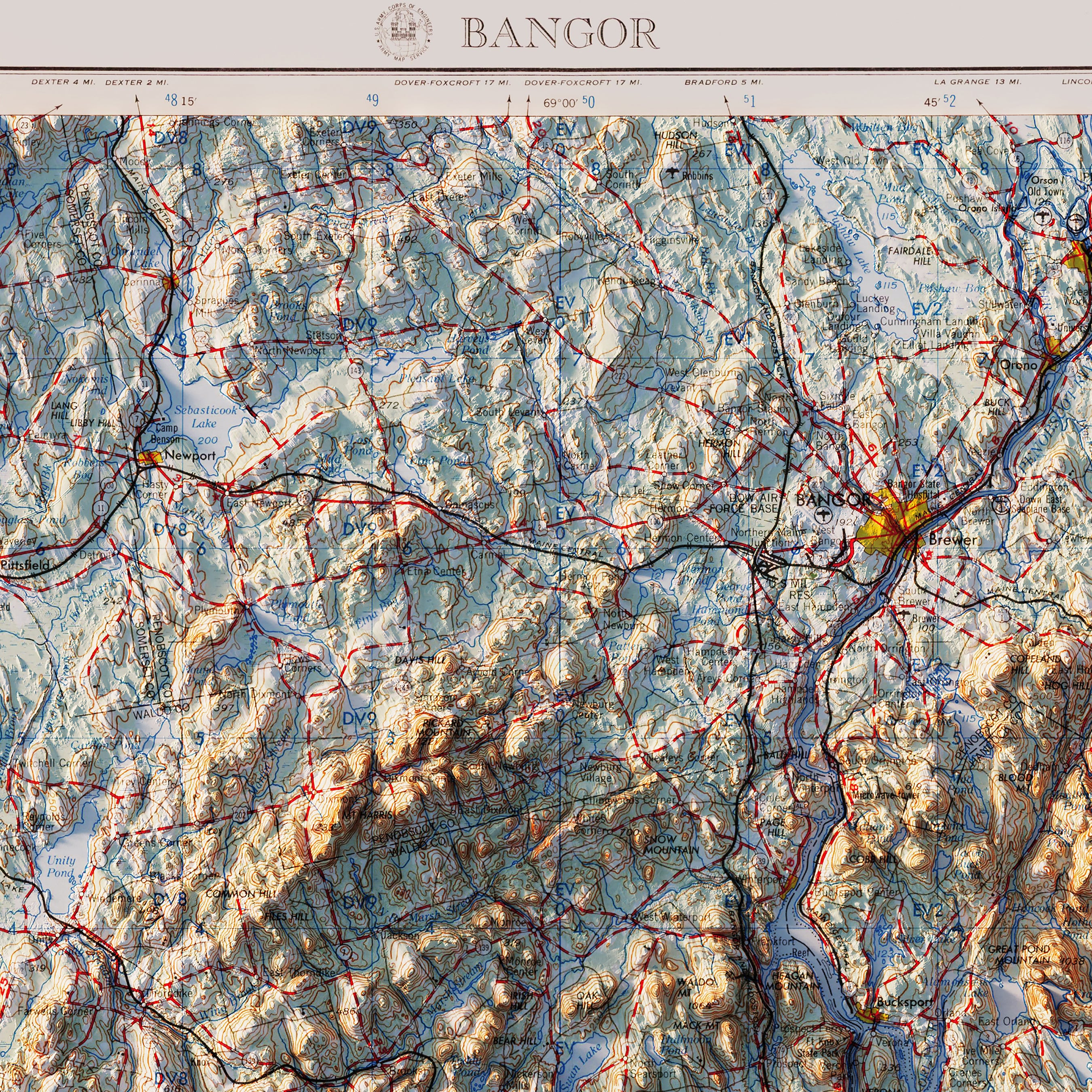
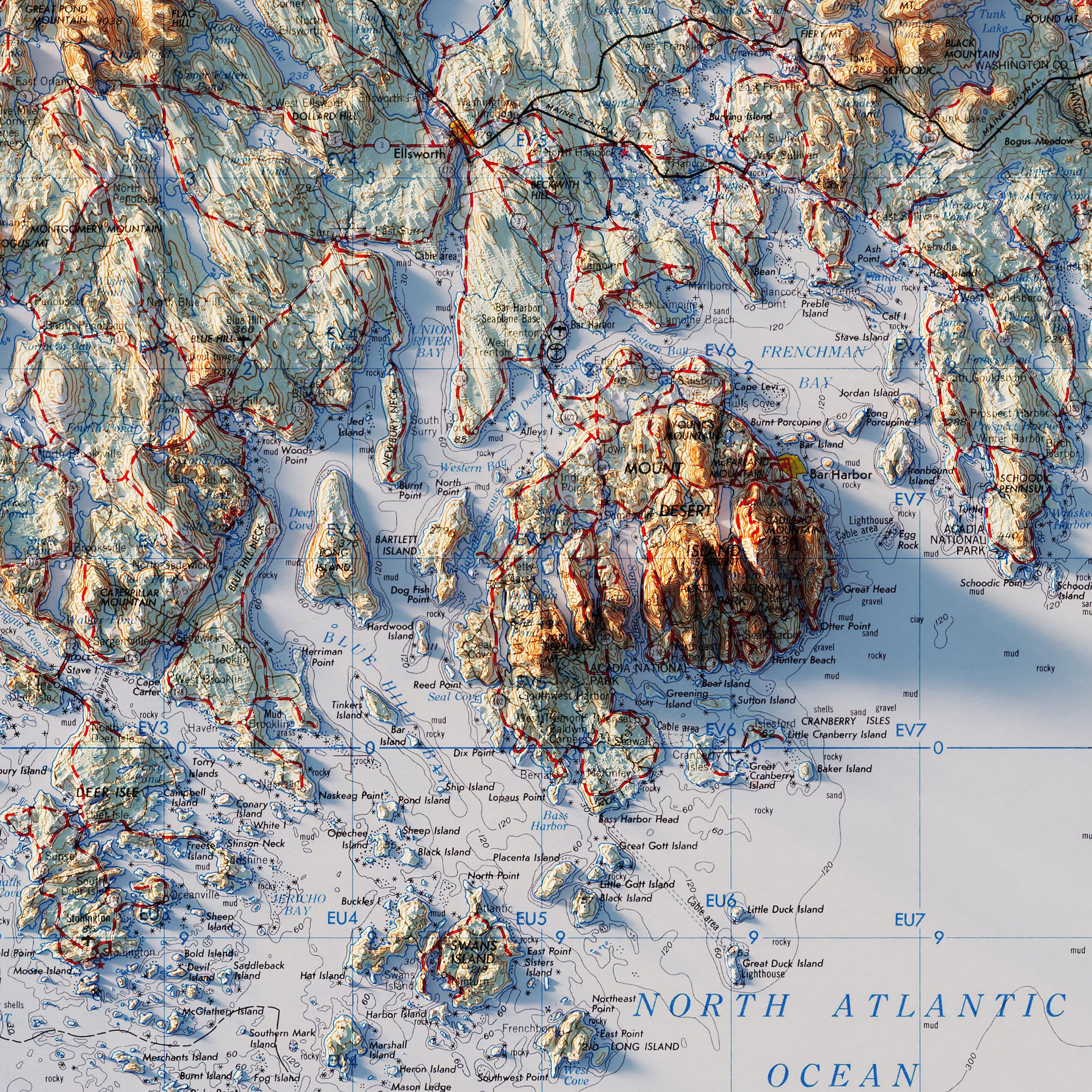
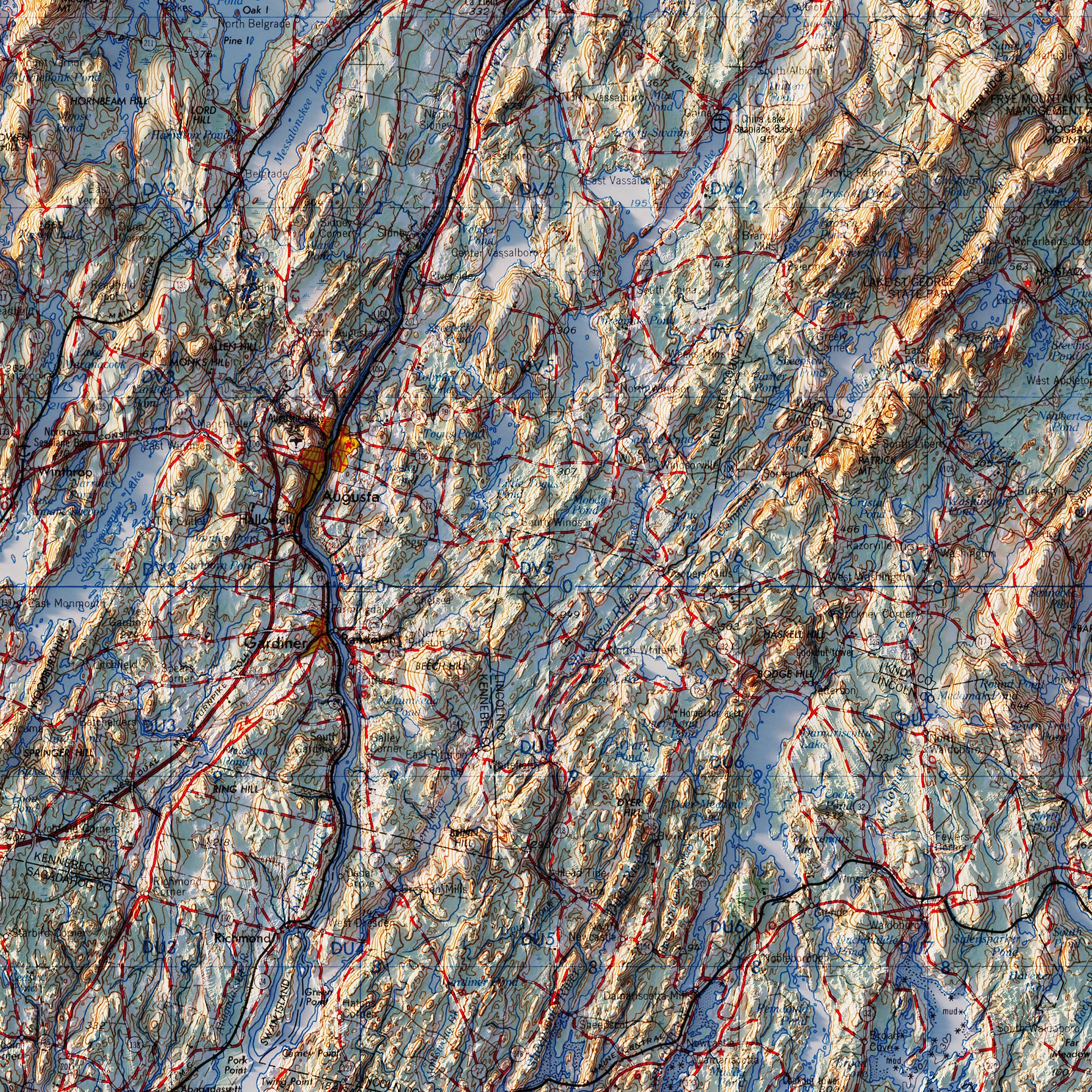
Bangor, Maine 1960 Shaded Relief Map
From
$ 64.00 USD
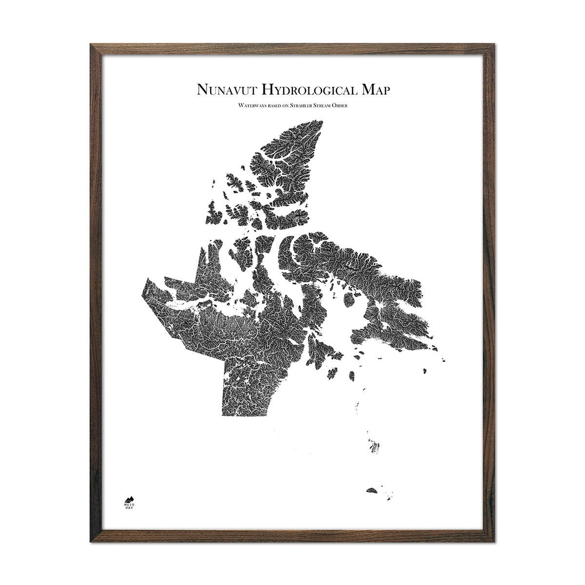
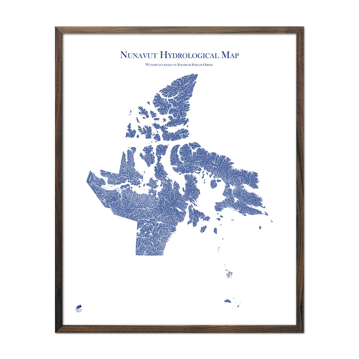
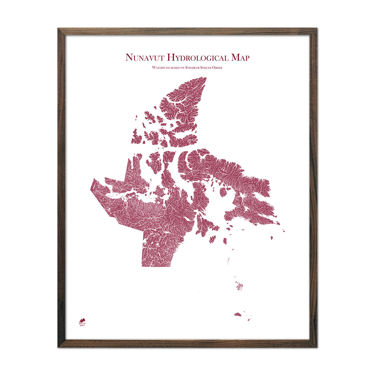
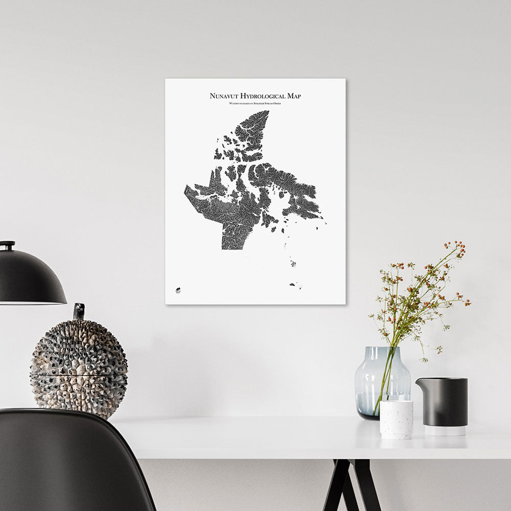
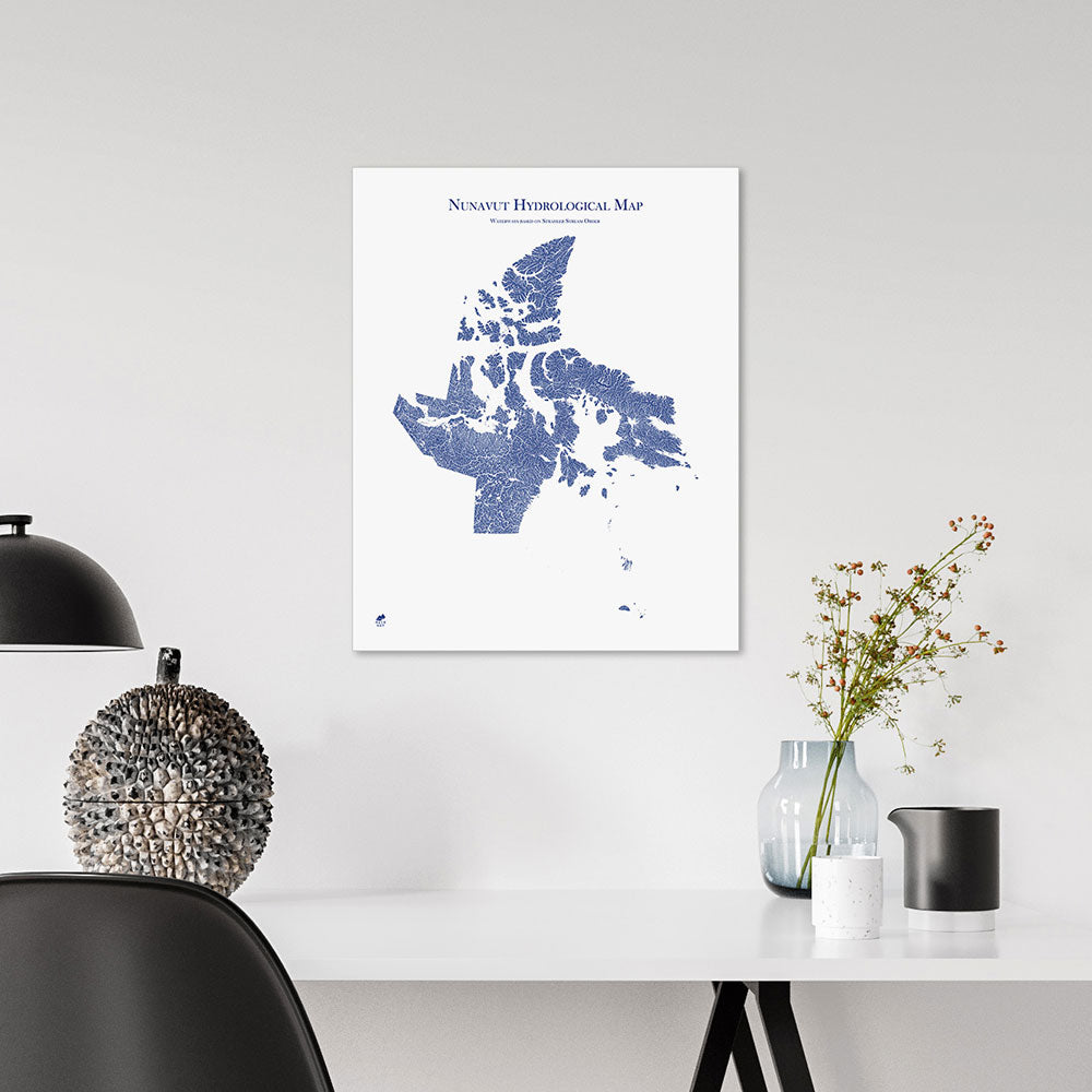
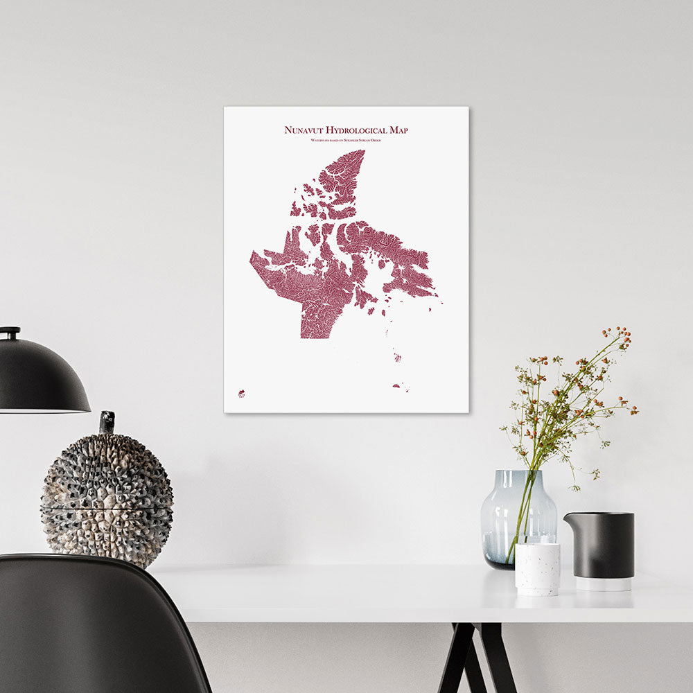
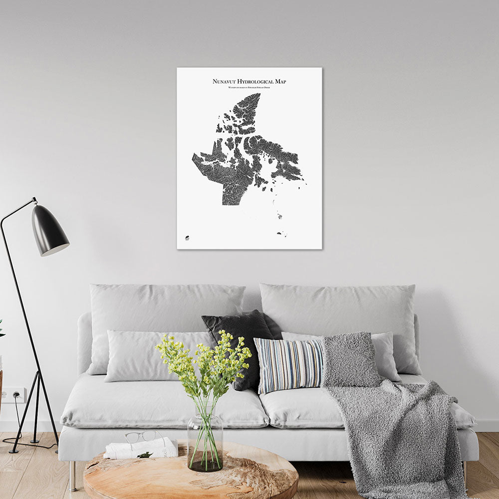
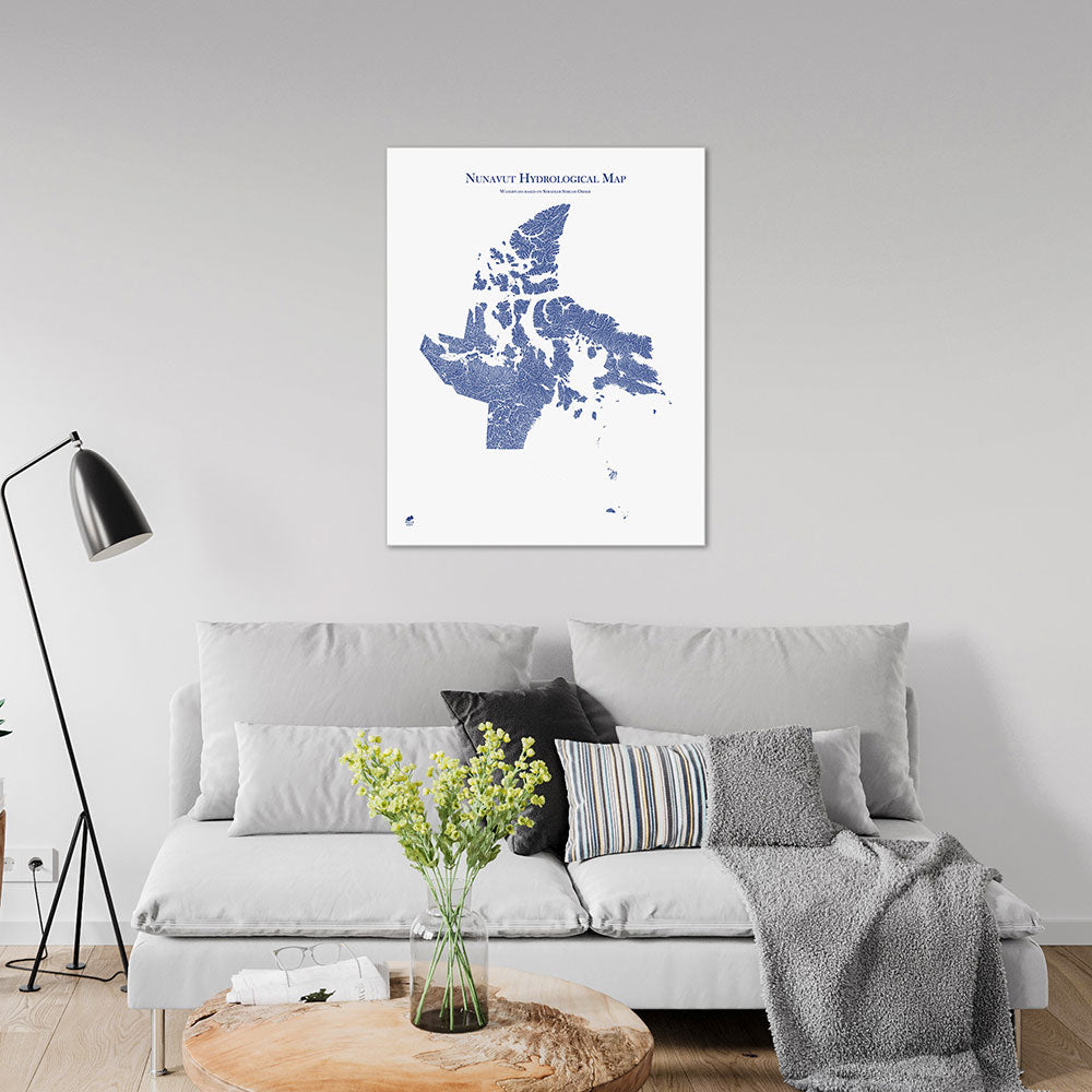
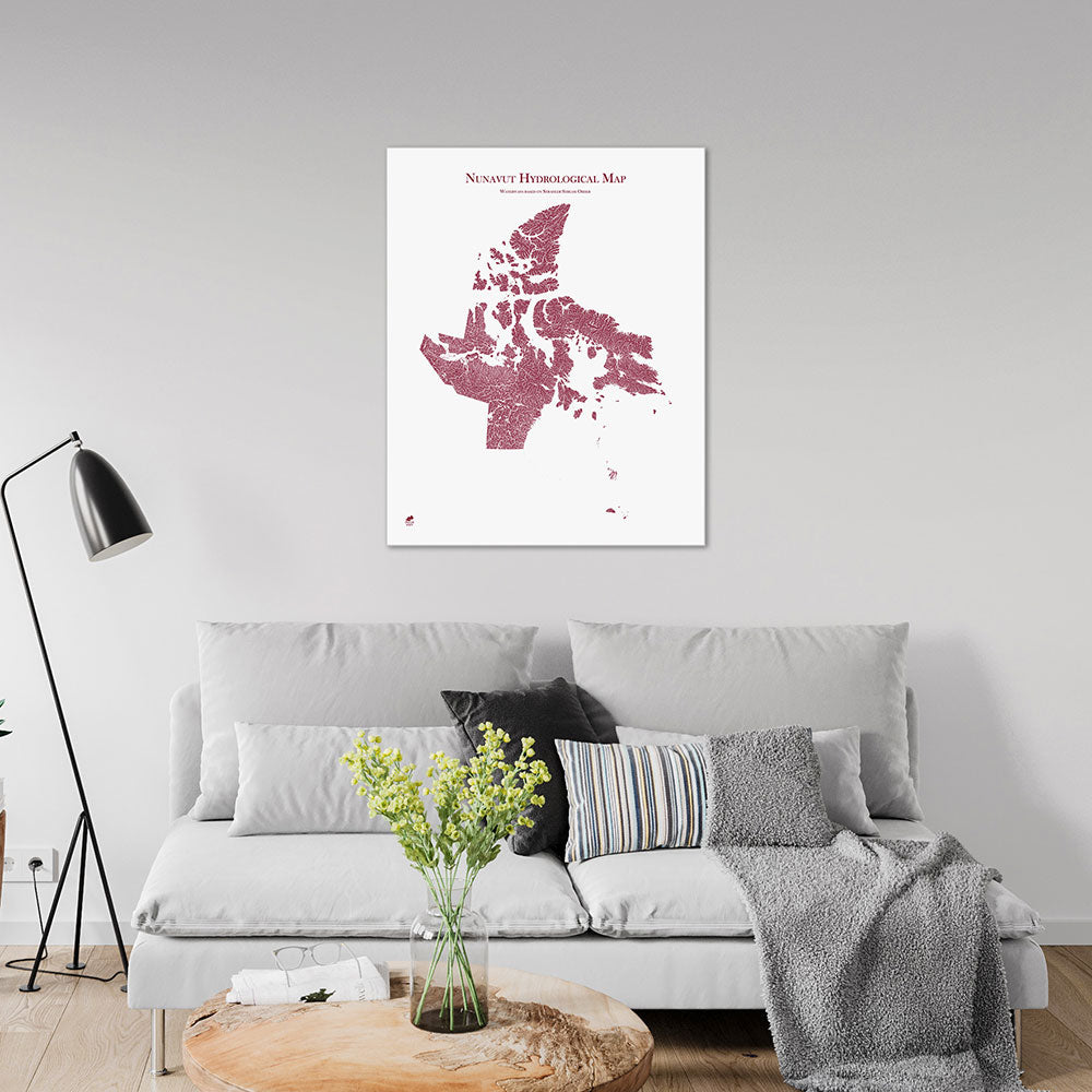
Nunavut Hydrological Map
From
$ 64.00 USD
5.0 / 5.0
1640 reviews
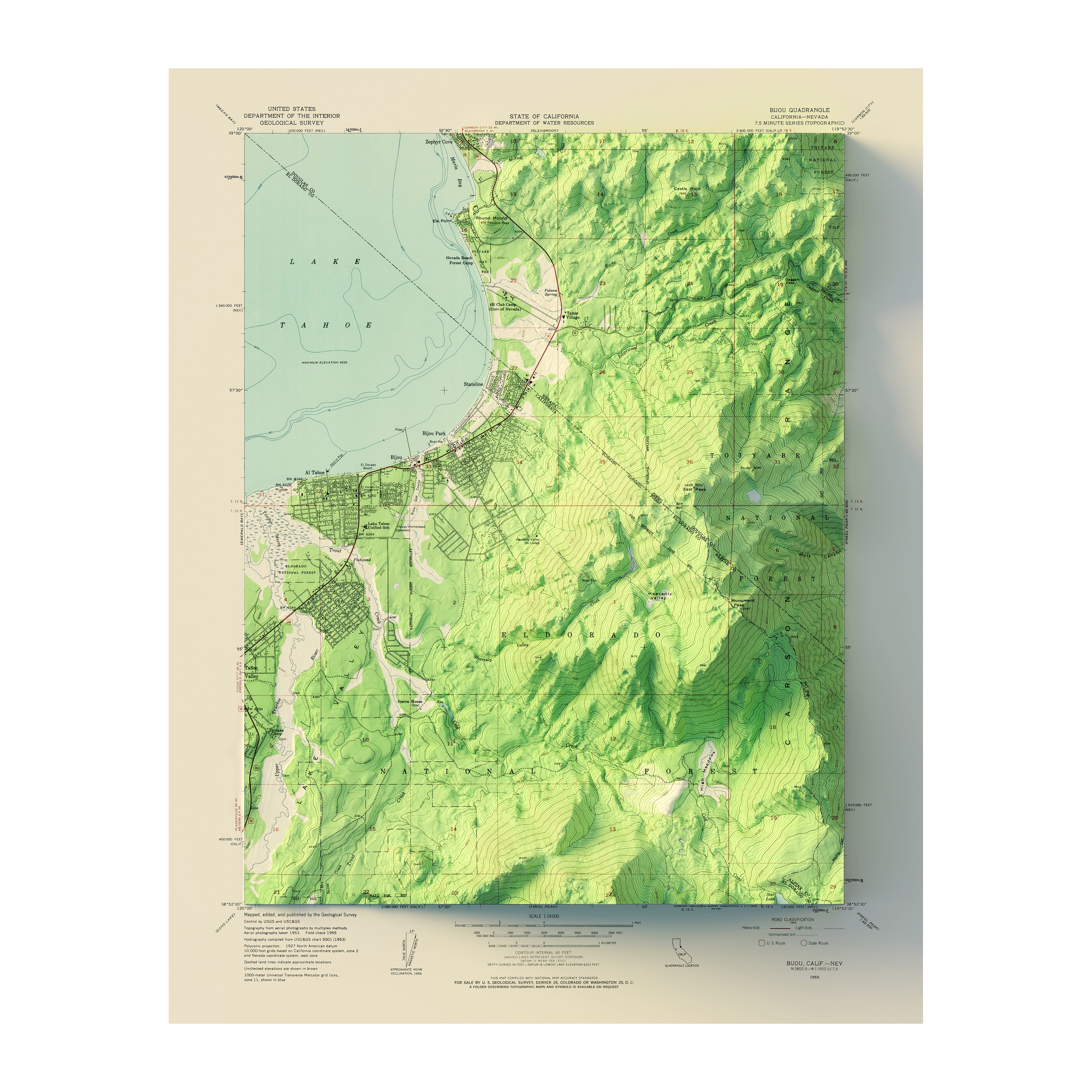
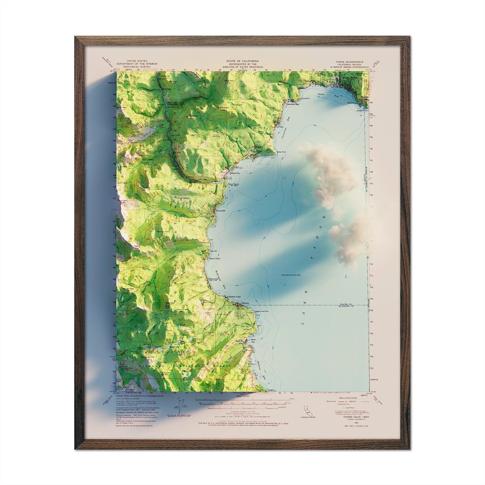
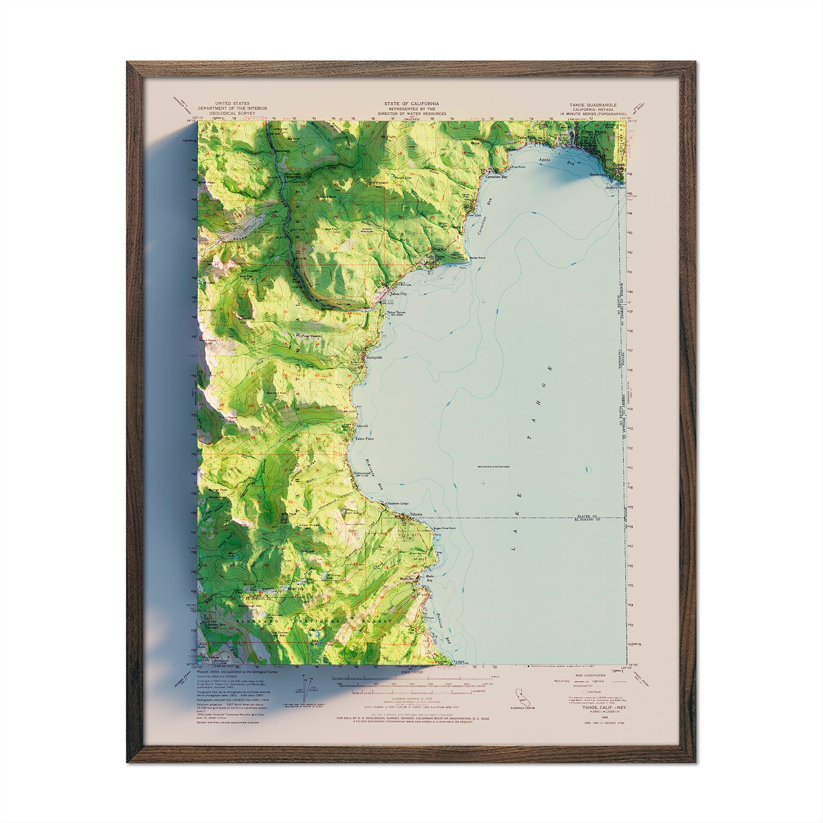
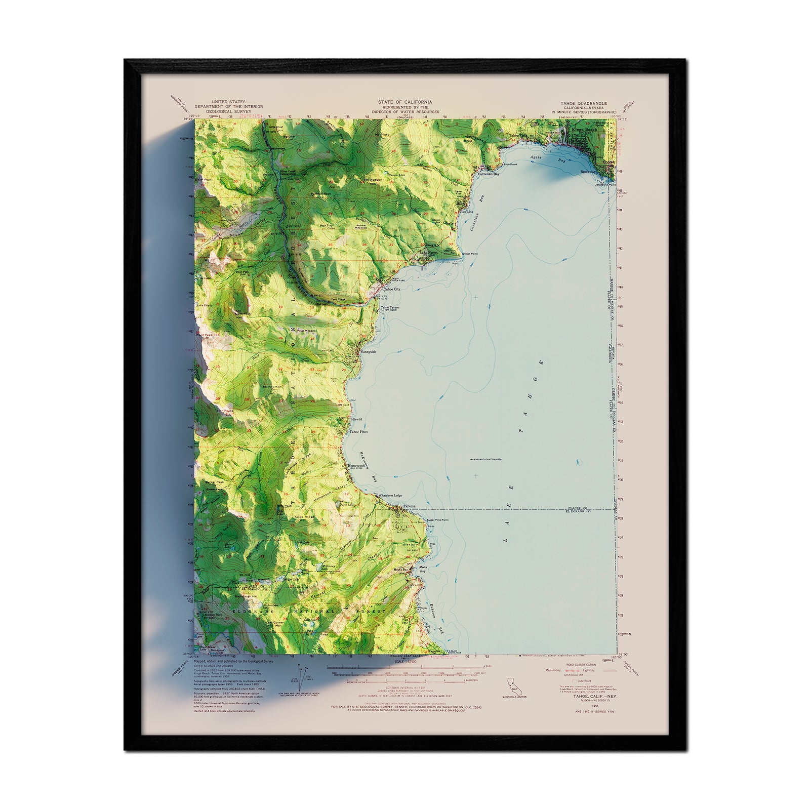
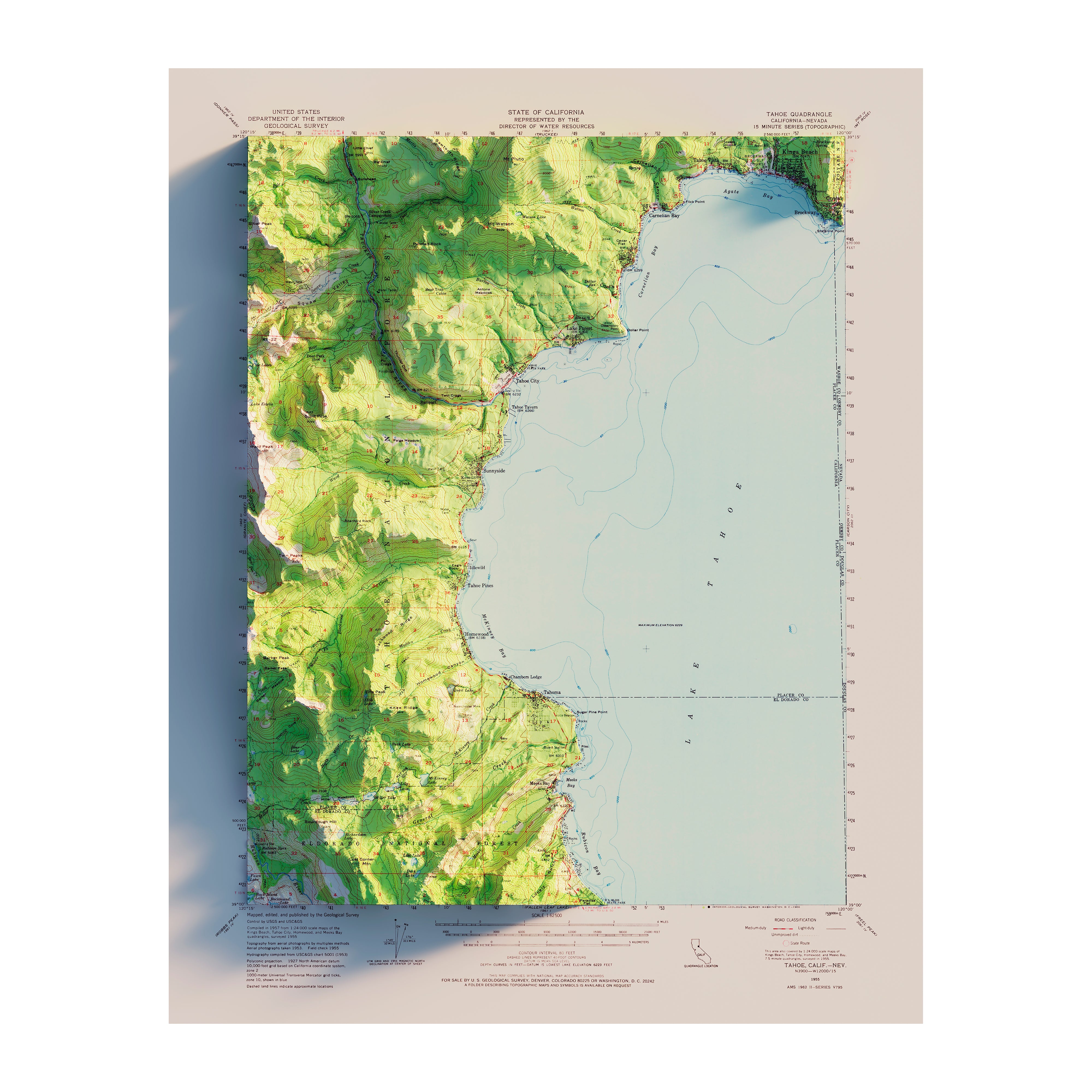
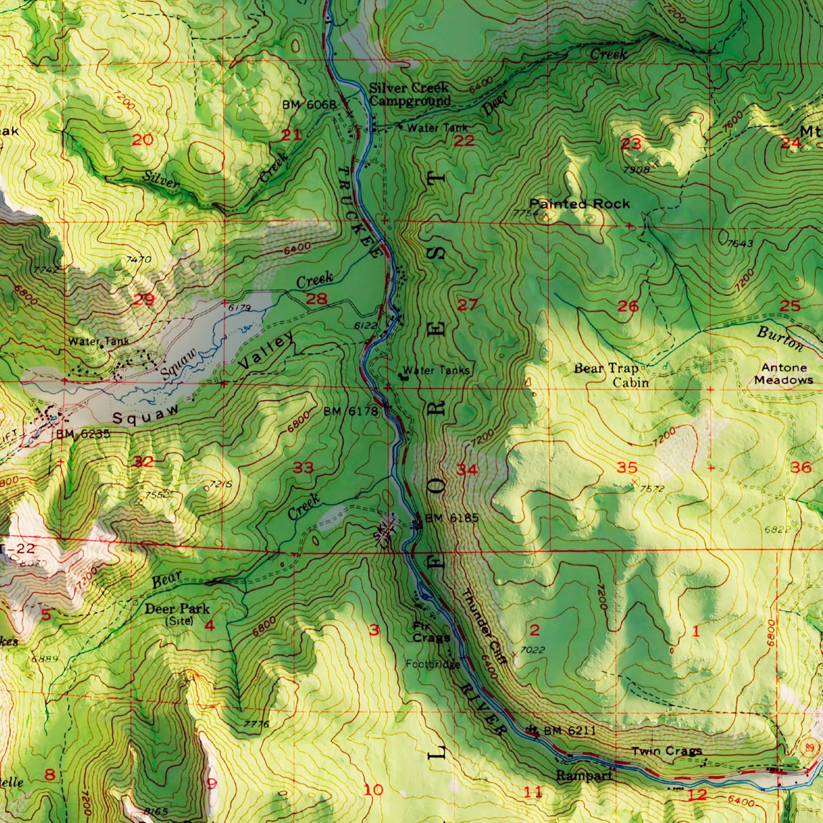
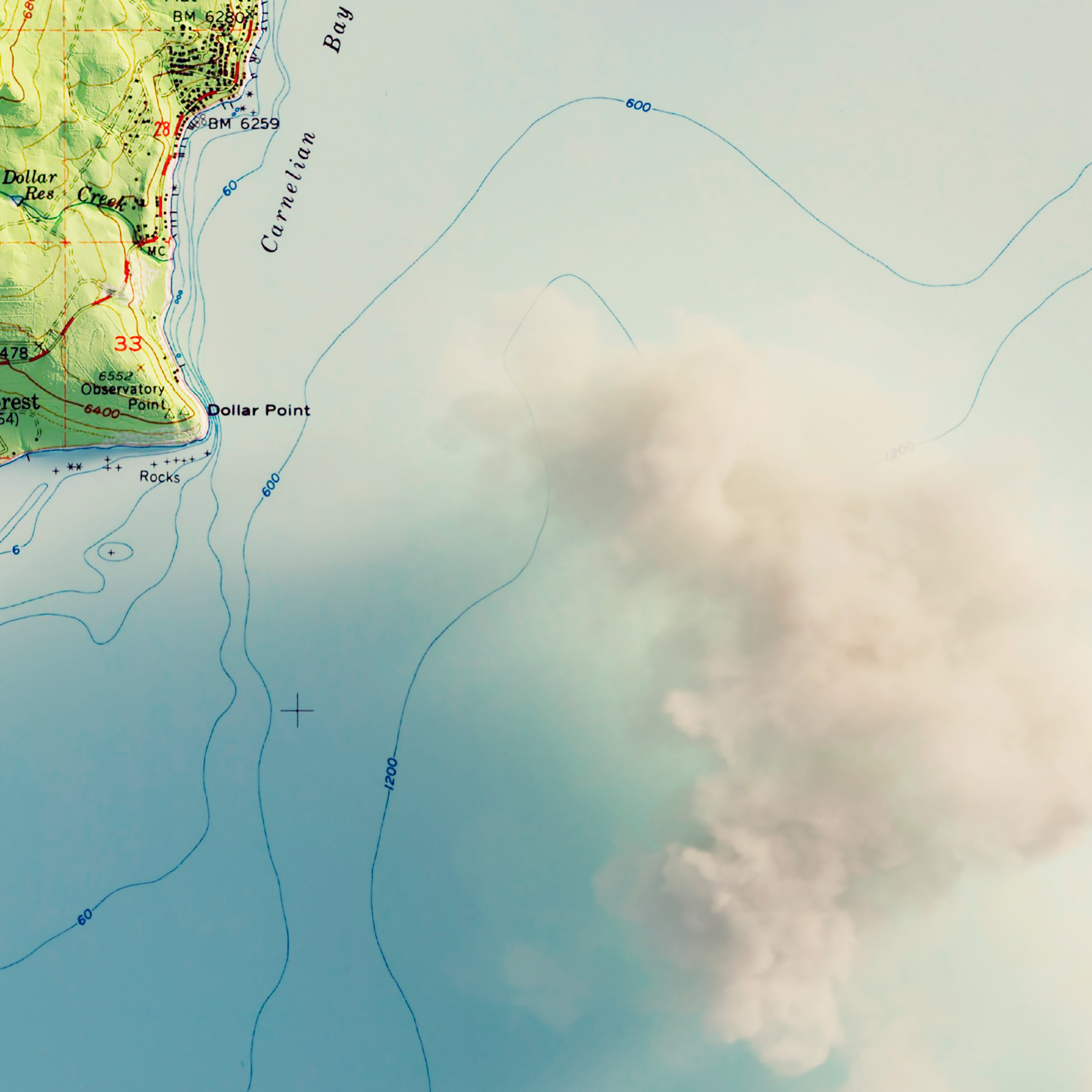
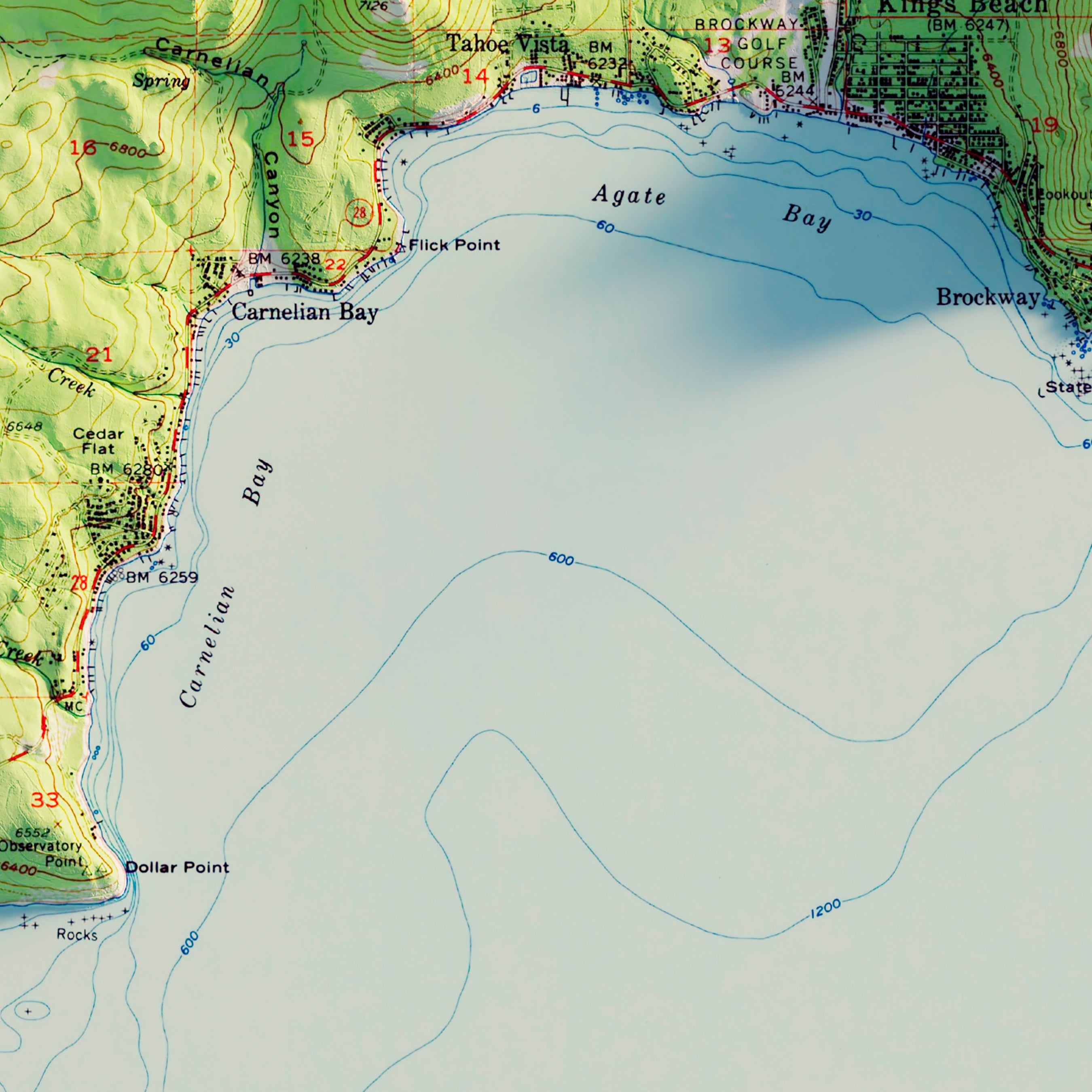
Lake Tahoe, CA 1955 Shaded Relief Map
From
$ 64.00 USD
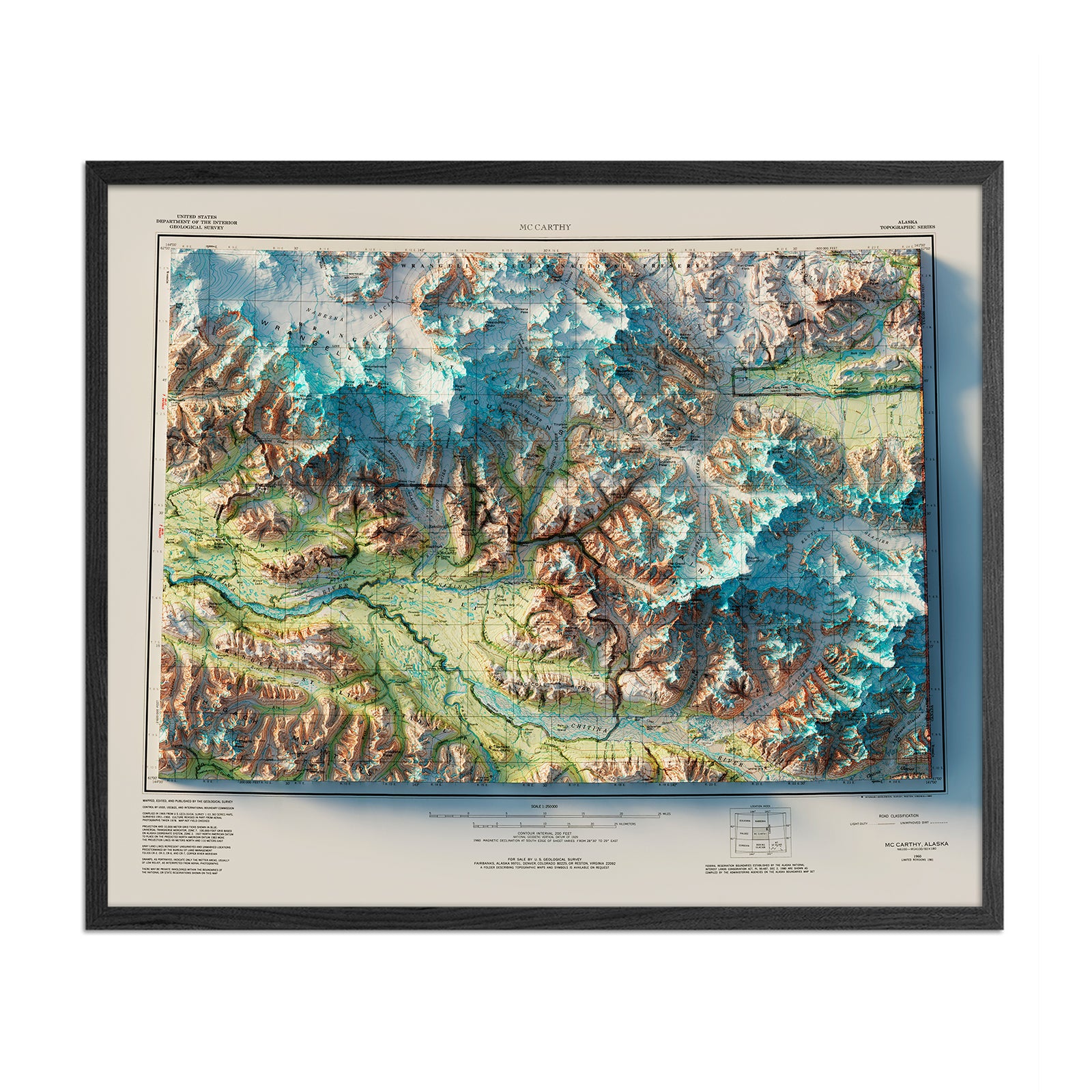
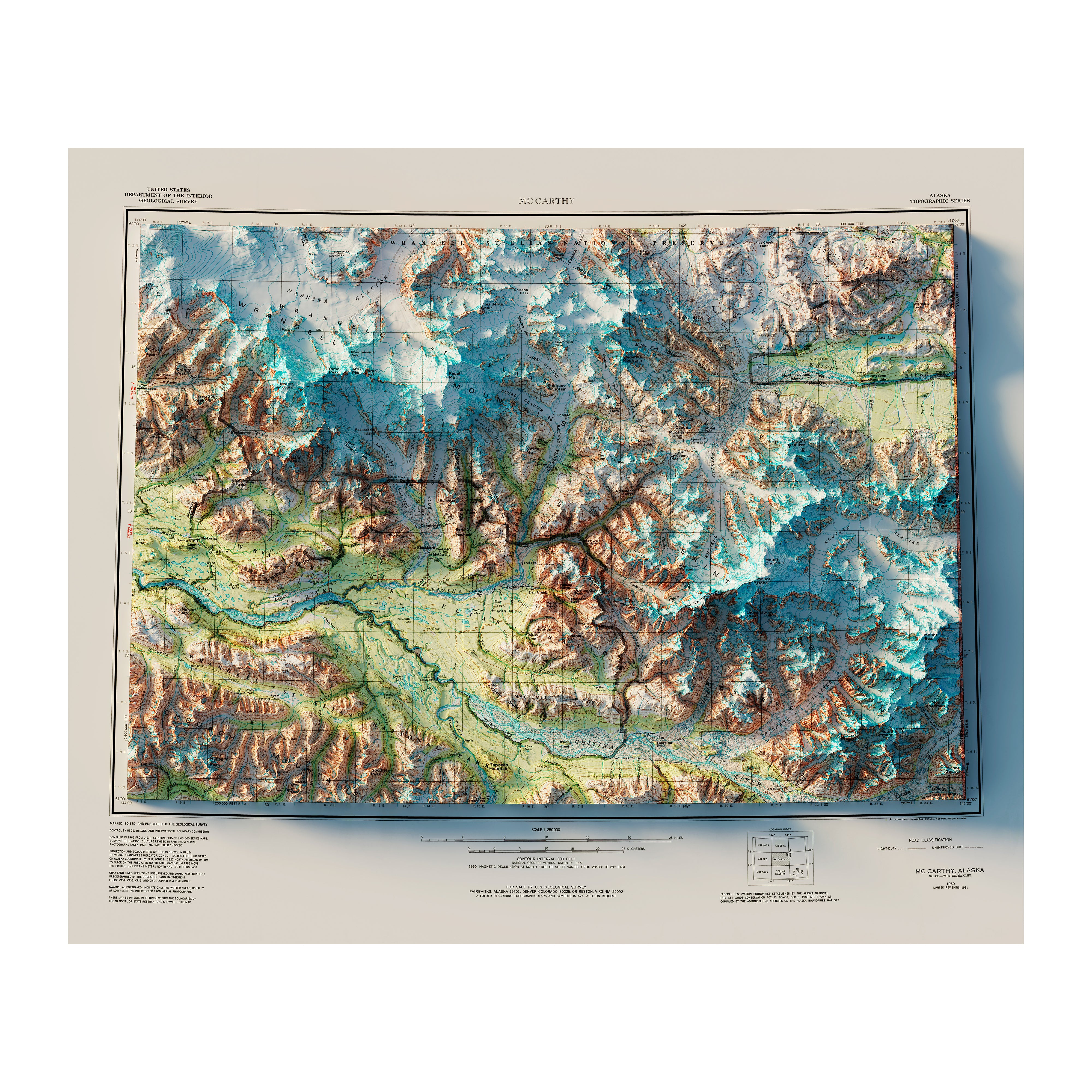
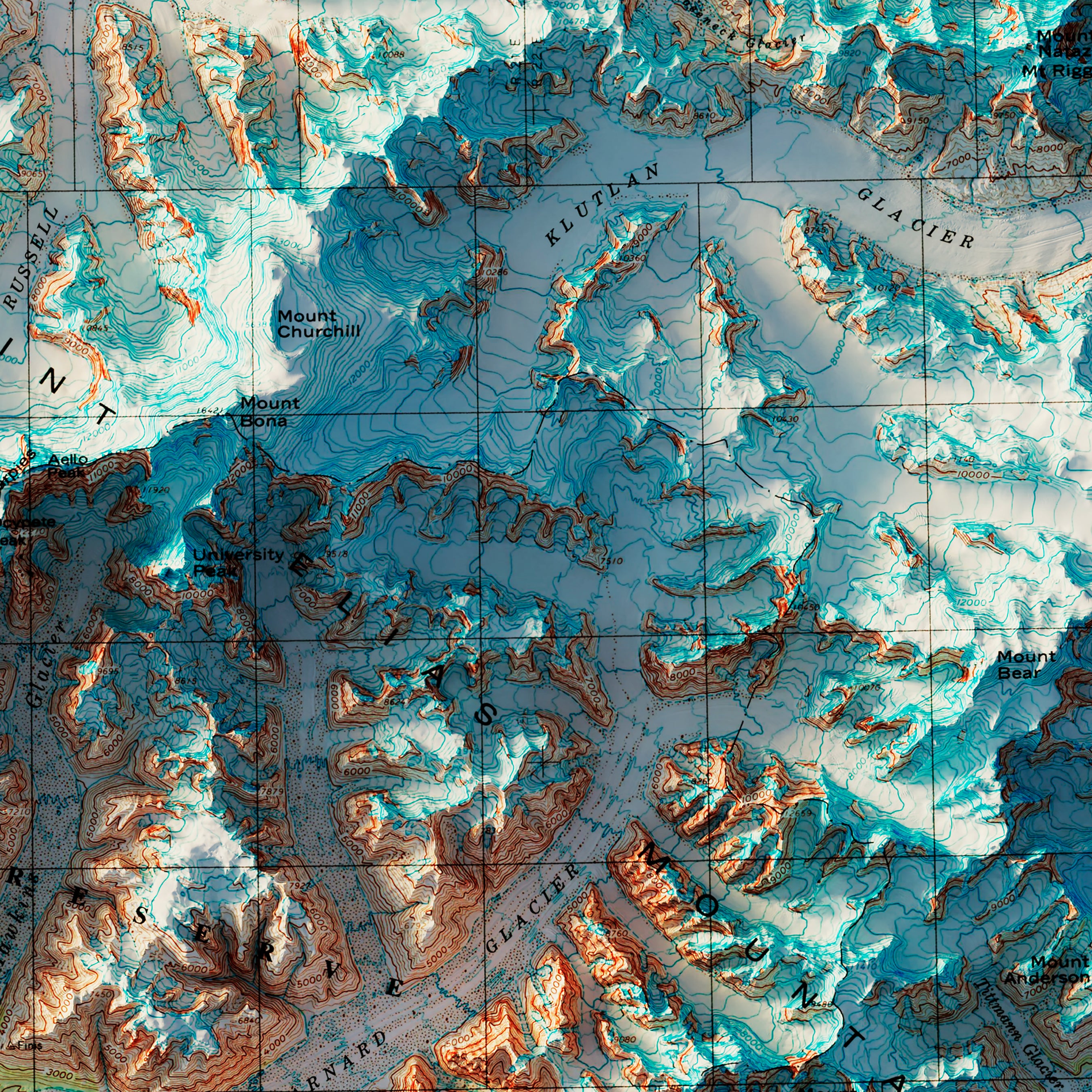
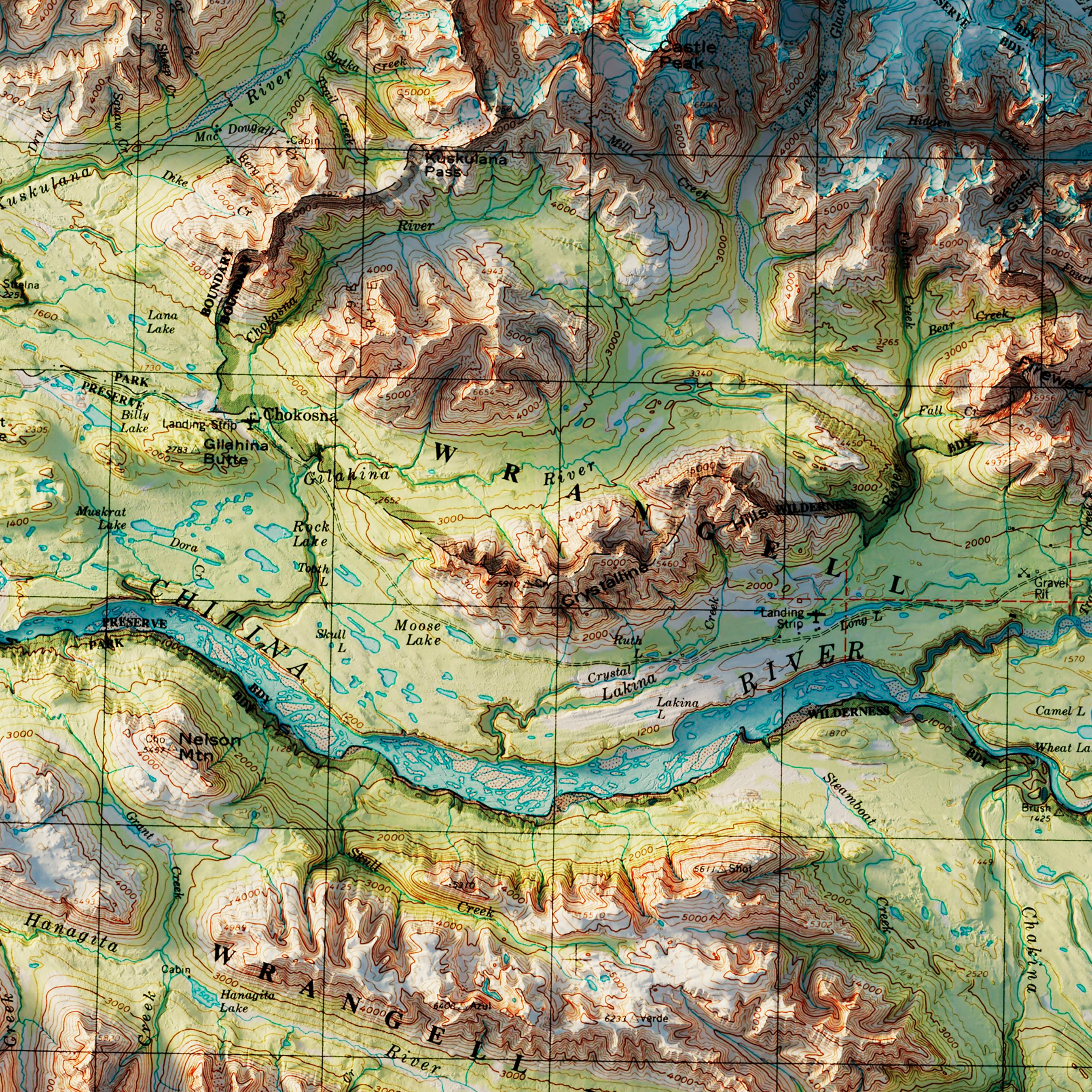
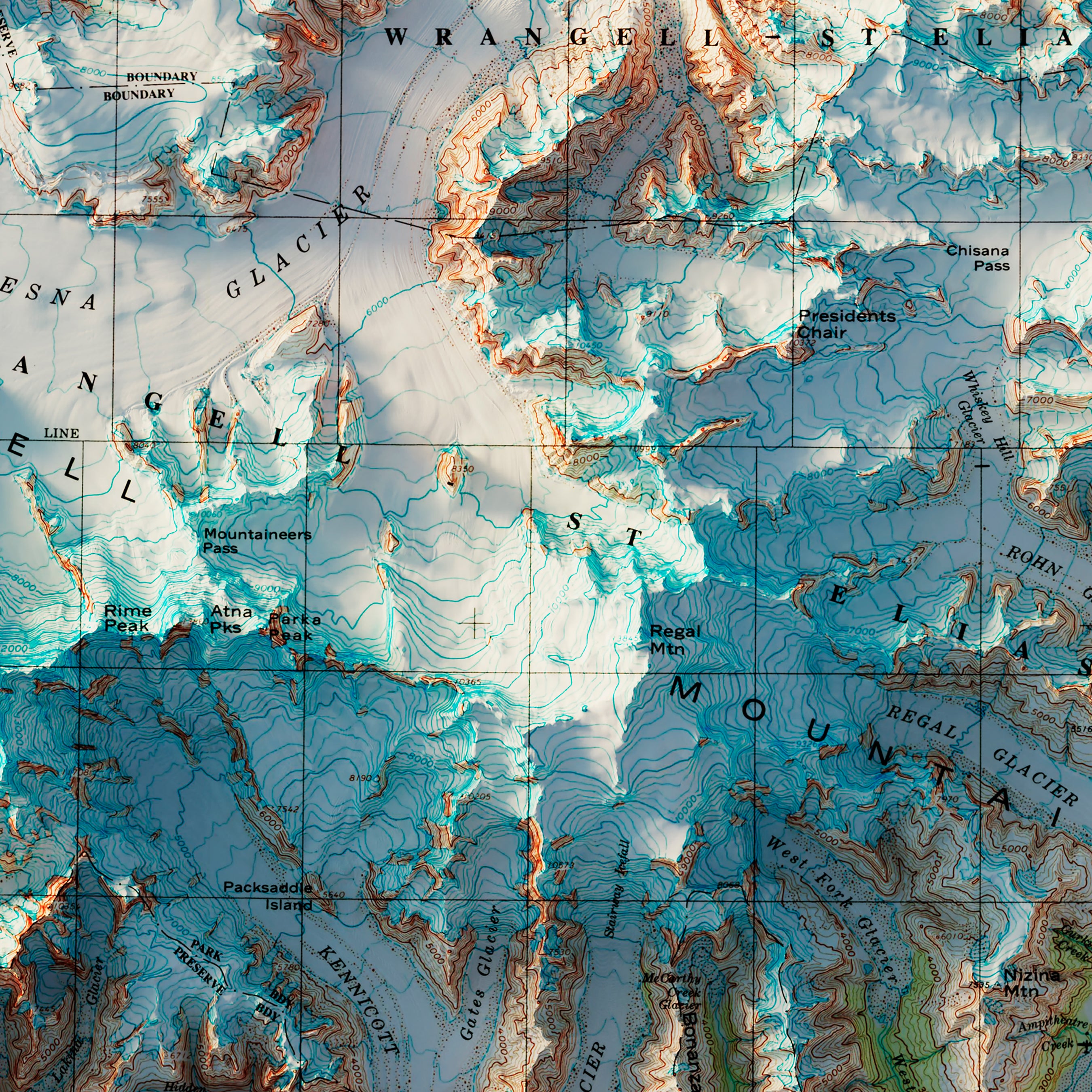
Wrangell-St. Elias, Alaska 1960 Shaded Relief Map
From
$ 99.00 USD
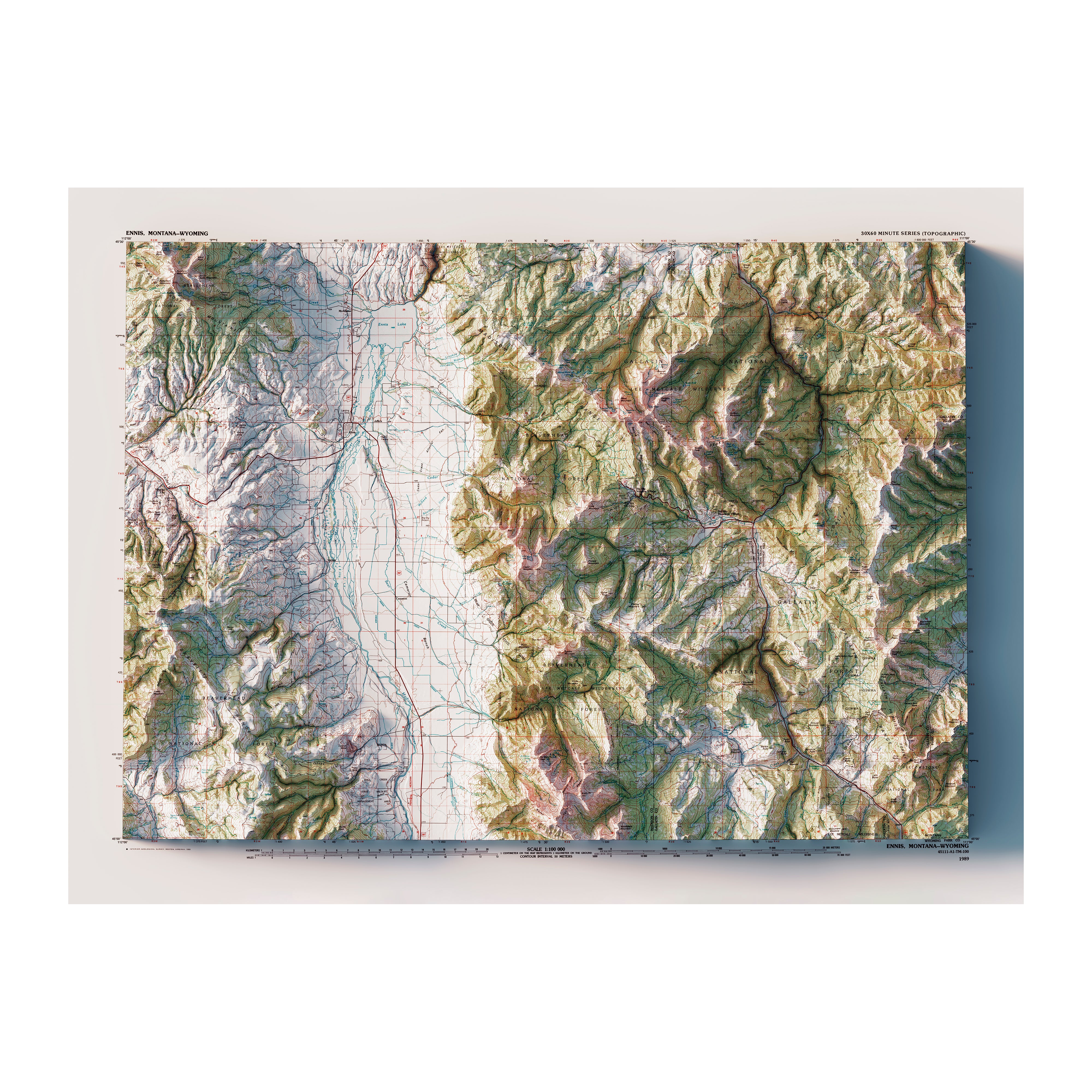
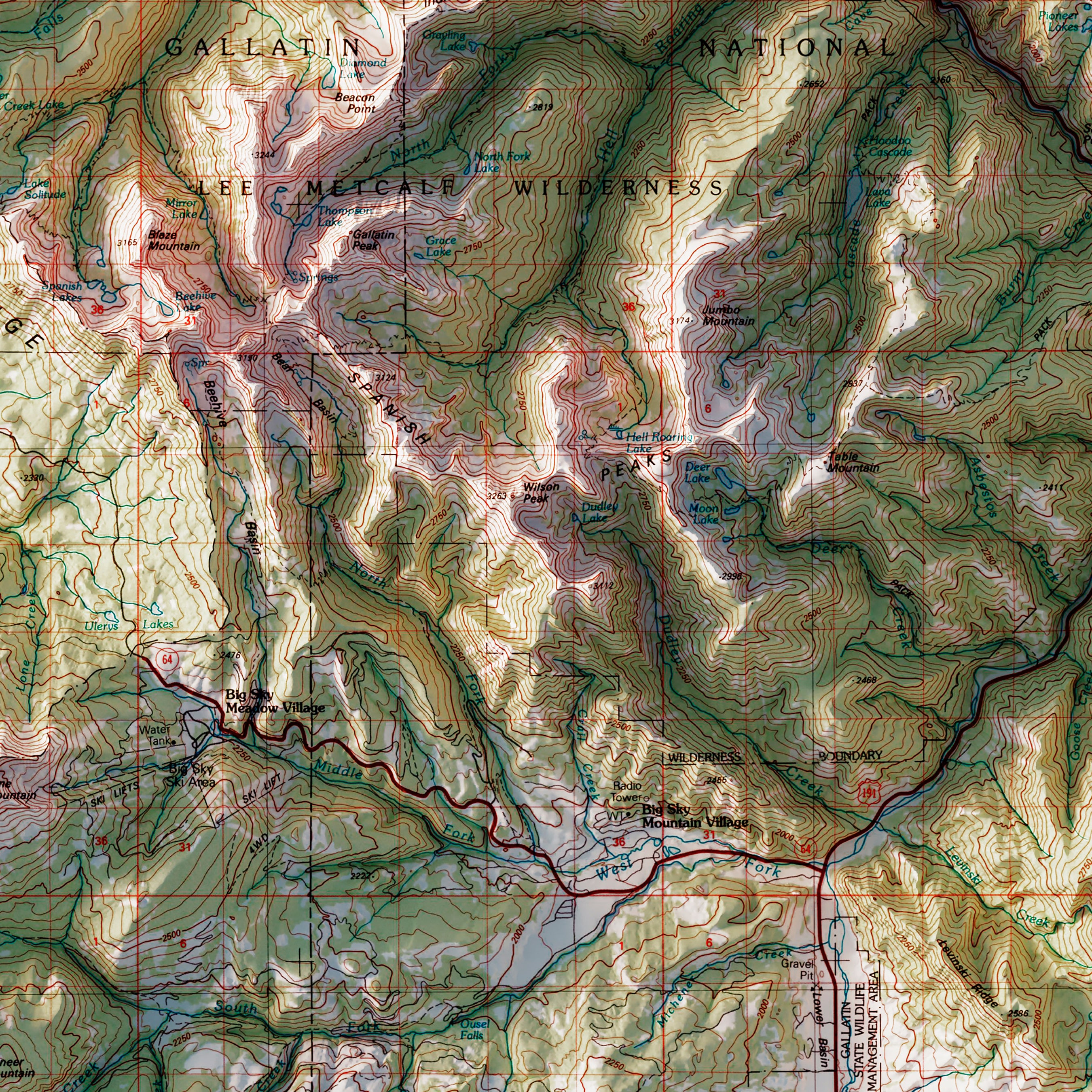
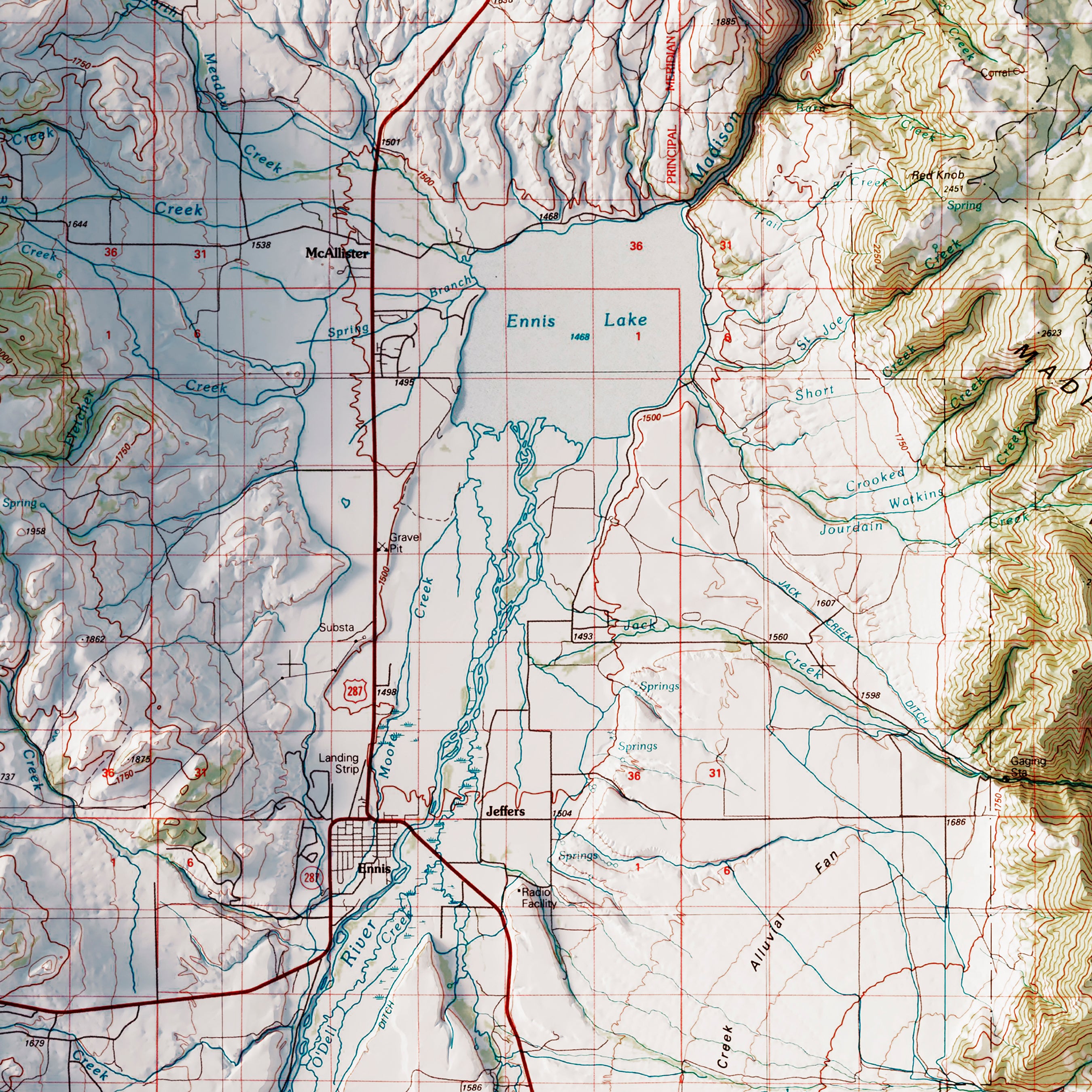
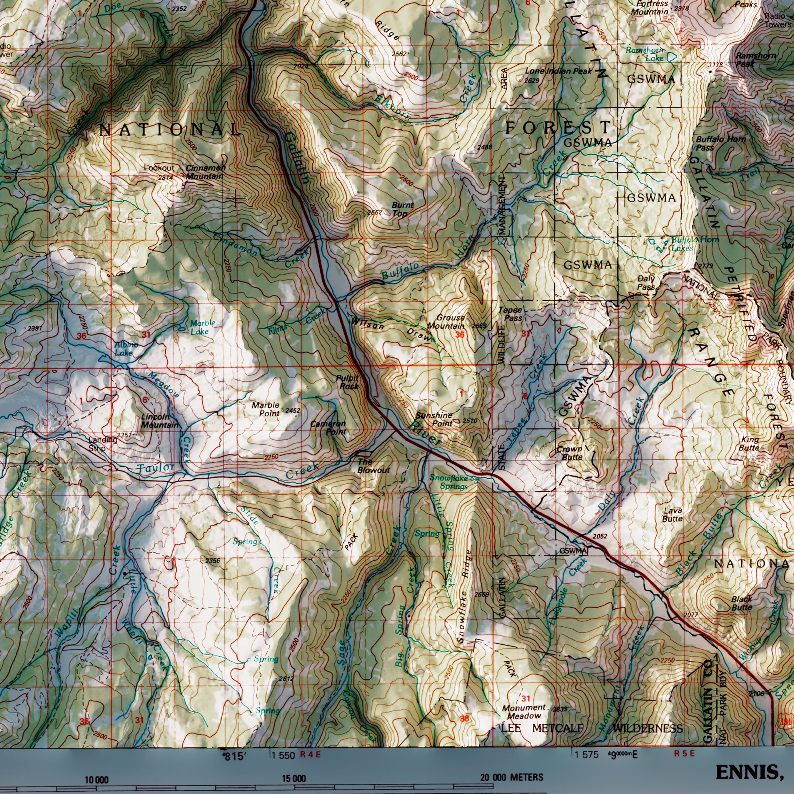
Big Sky, Montana 1989 Shaded Relief Map
From
$ 79.00 USD
« Previous
·
1
2
3
4
5
·
Next »
Your cart
Close
Close
Your cart is empty
Start shopping
Added to your
Cart