


Massachusetts Maps
Massachusetts Map Prints, Elevation & Hydrological Maps
Whether you were born and raised in the Bay State, spent your college years there, or call it home today, you’ve come to the right place if you're looking for a unique way to cherish the State of Massachusetts.
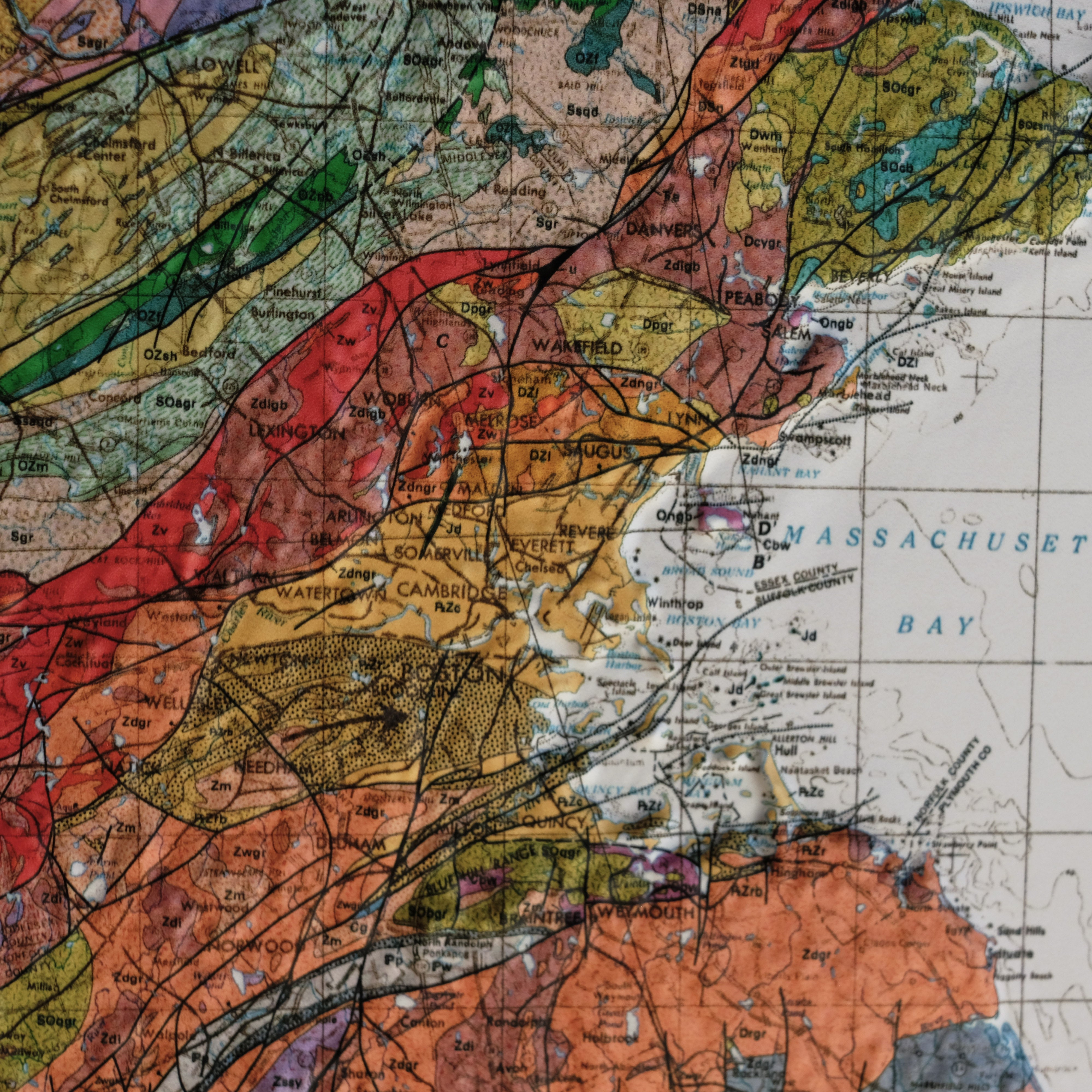
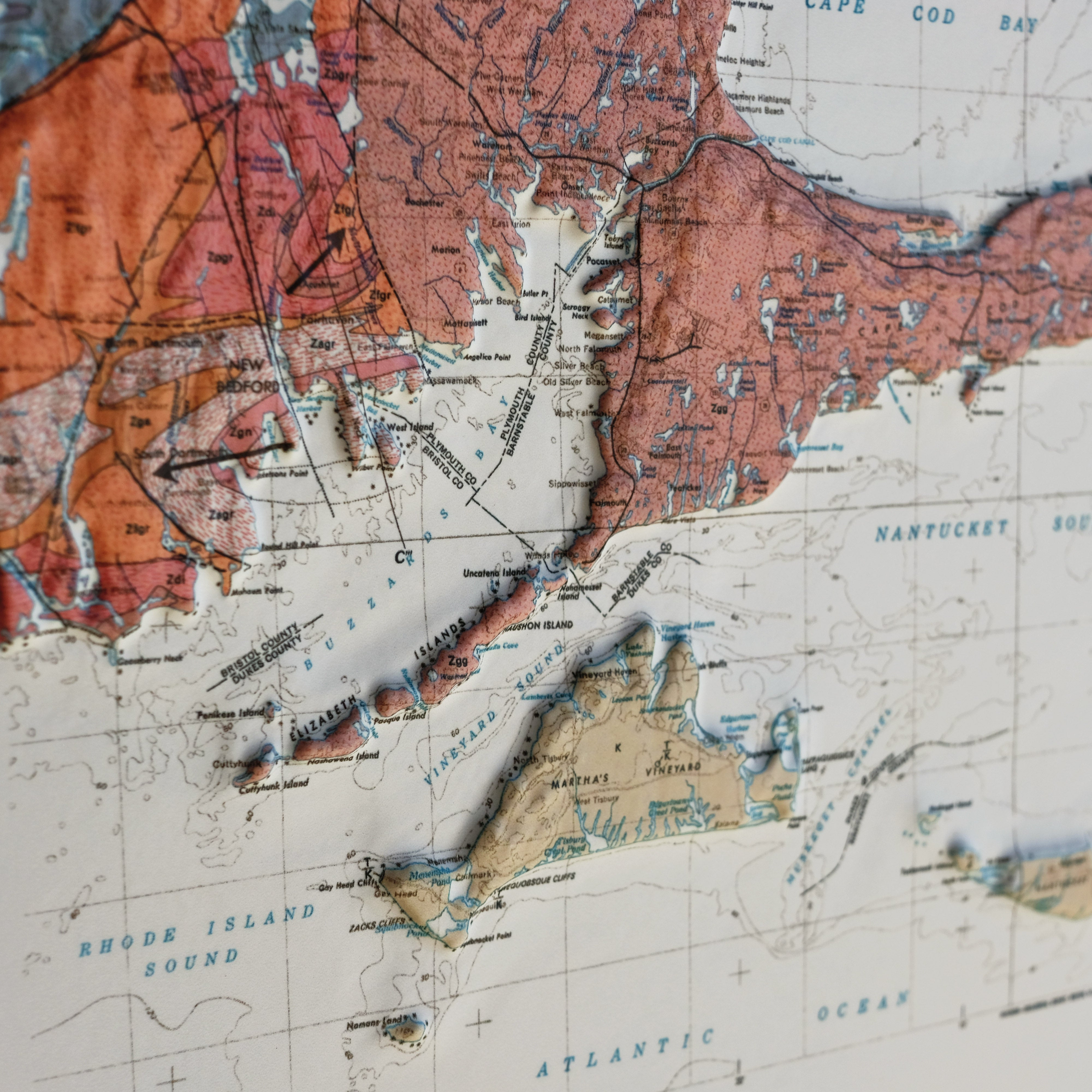
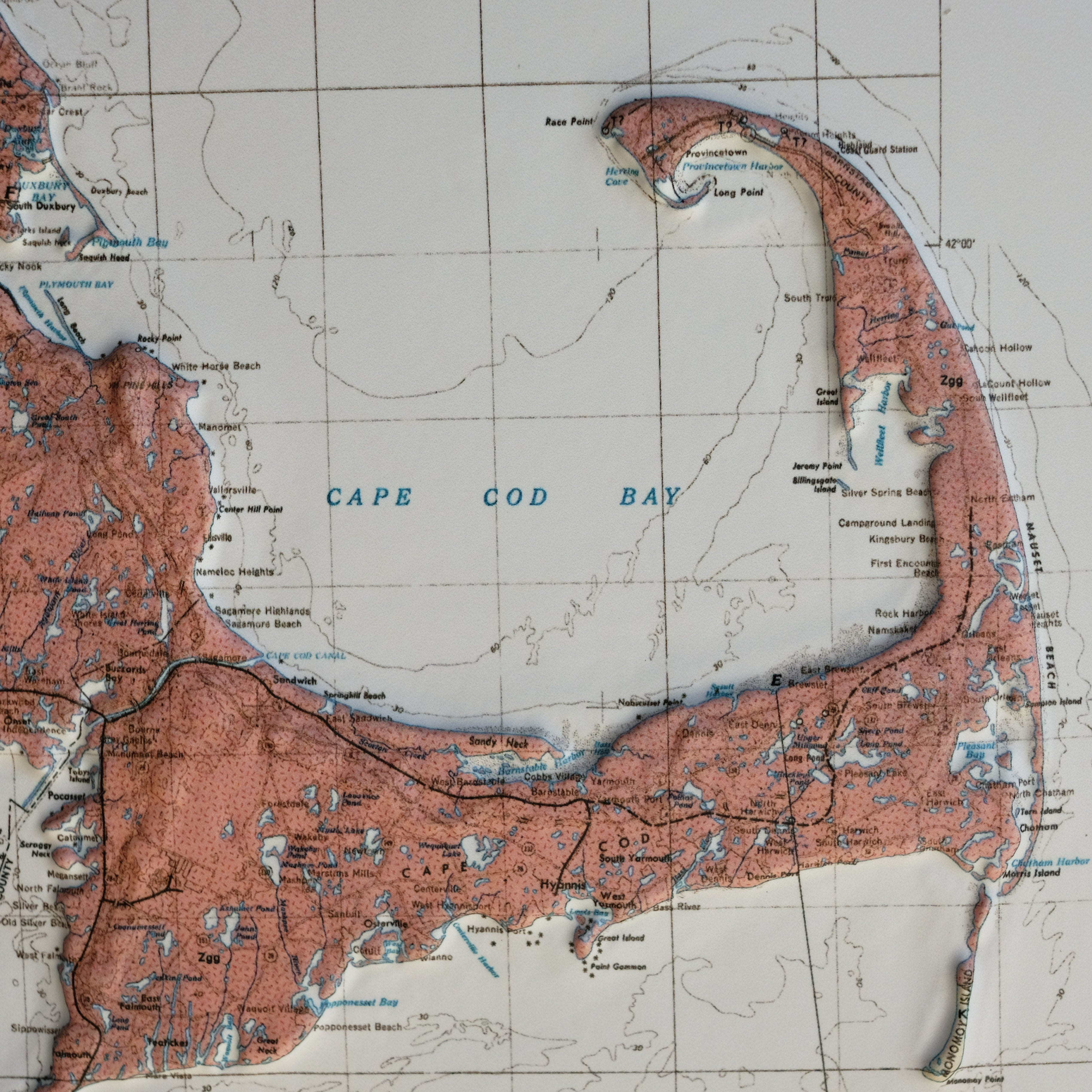
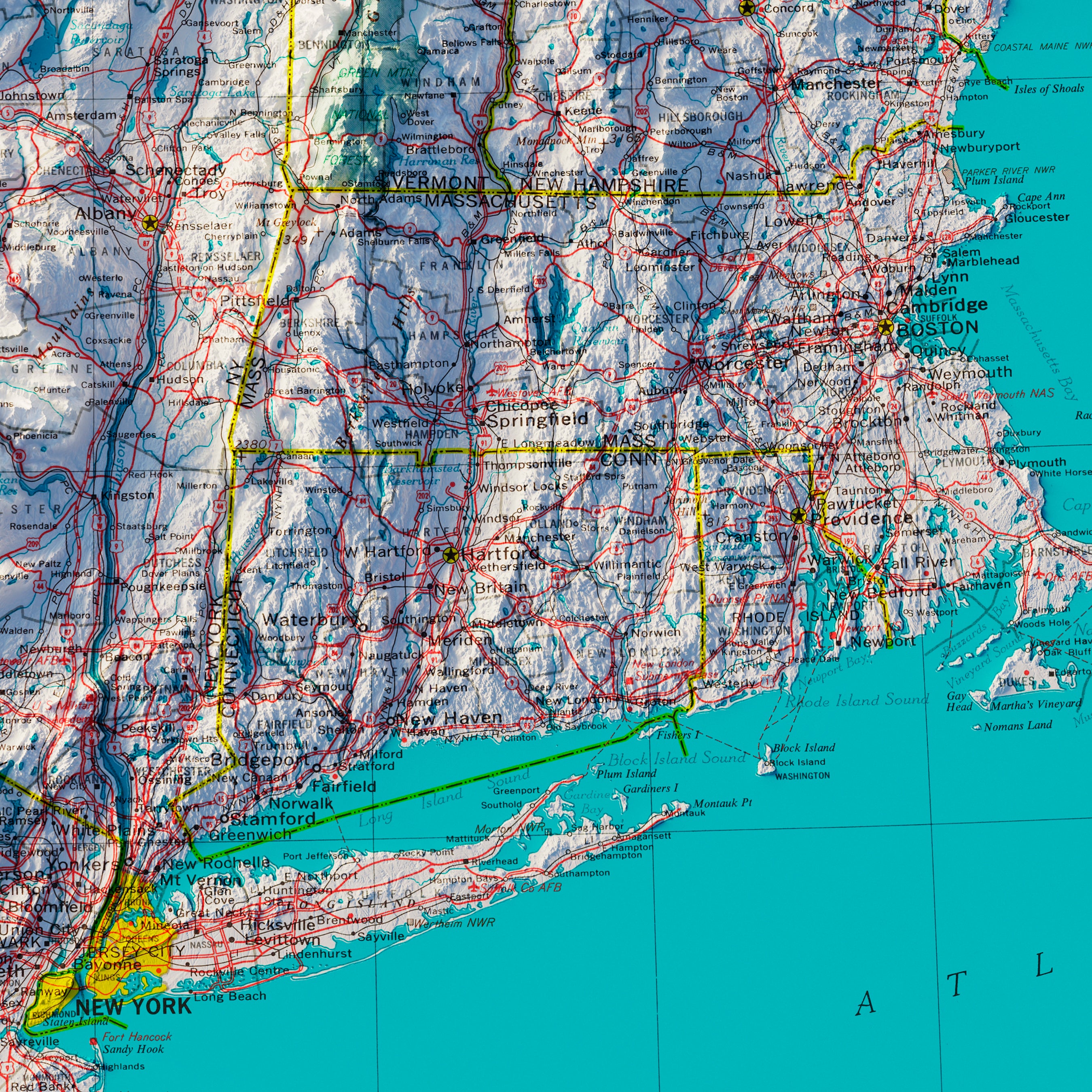
With a history that begins well before the United States declared its independence, Massachusetts offers history enthusiasts a pathway to explore the US from its beginnings to the modern day. From the Plymouth Colony located near Plymouth, Barnstable, and Bristol counties to the infamous Salem Witch Trials, much of the state's history has left a large imprint on our country.
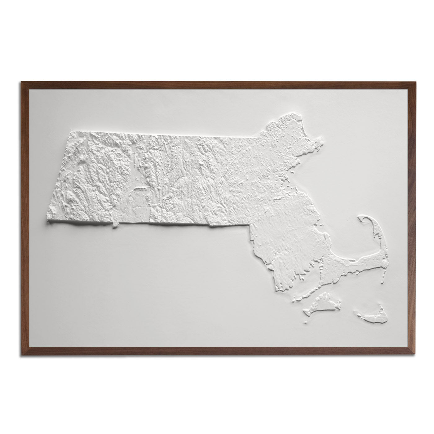
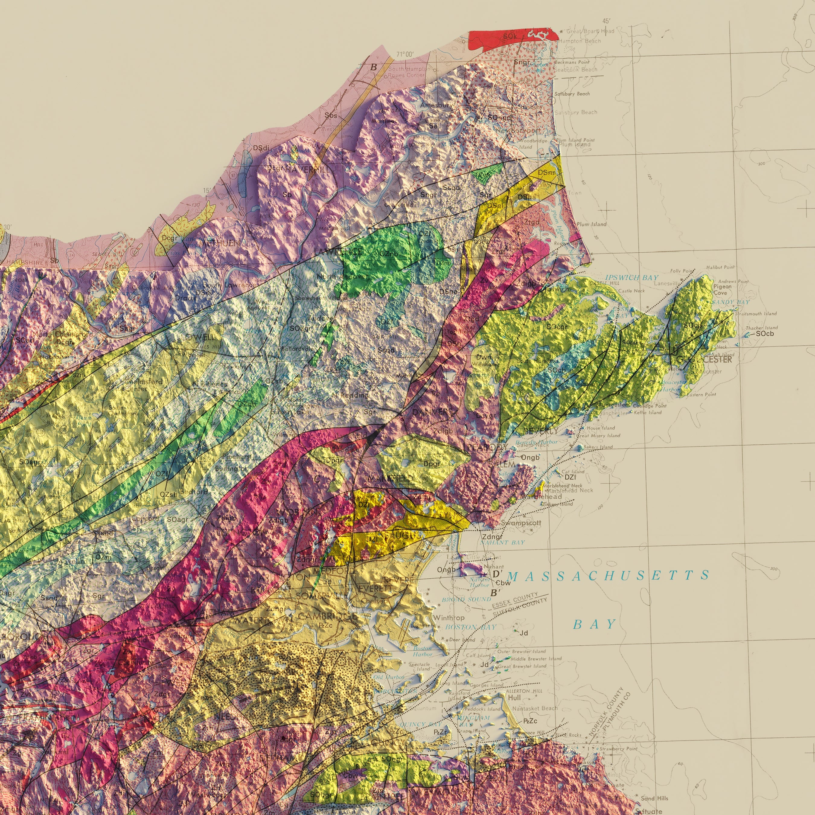
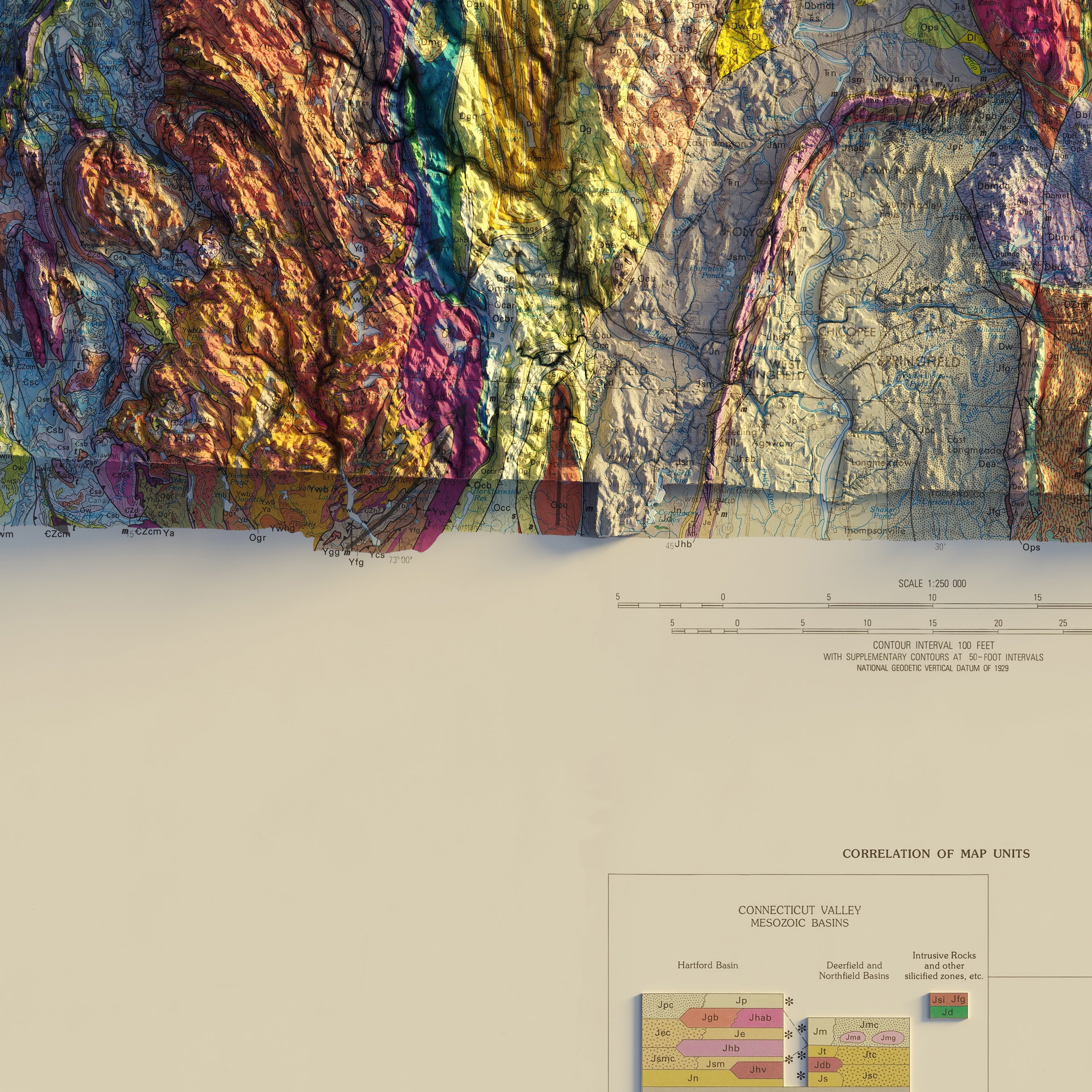
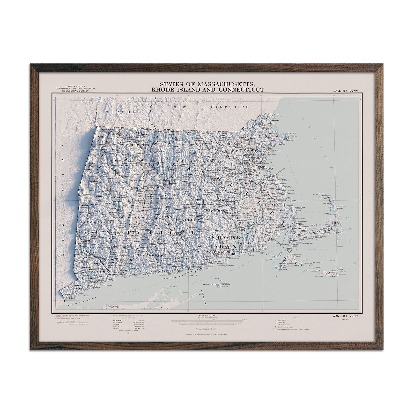
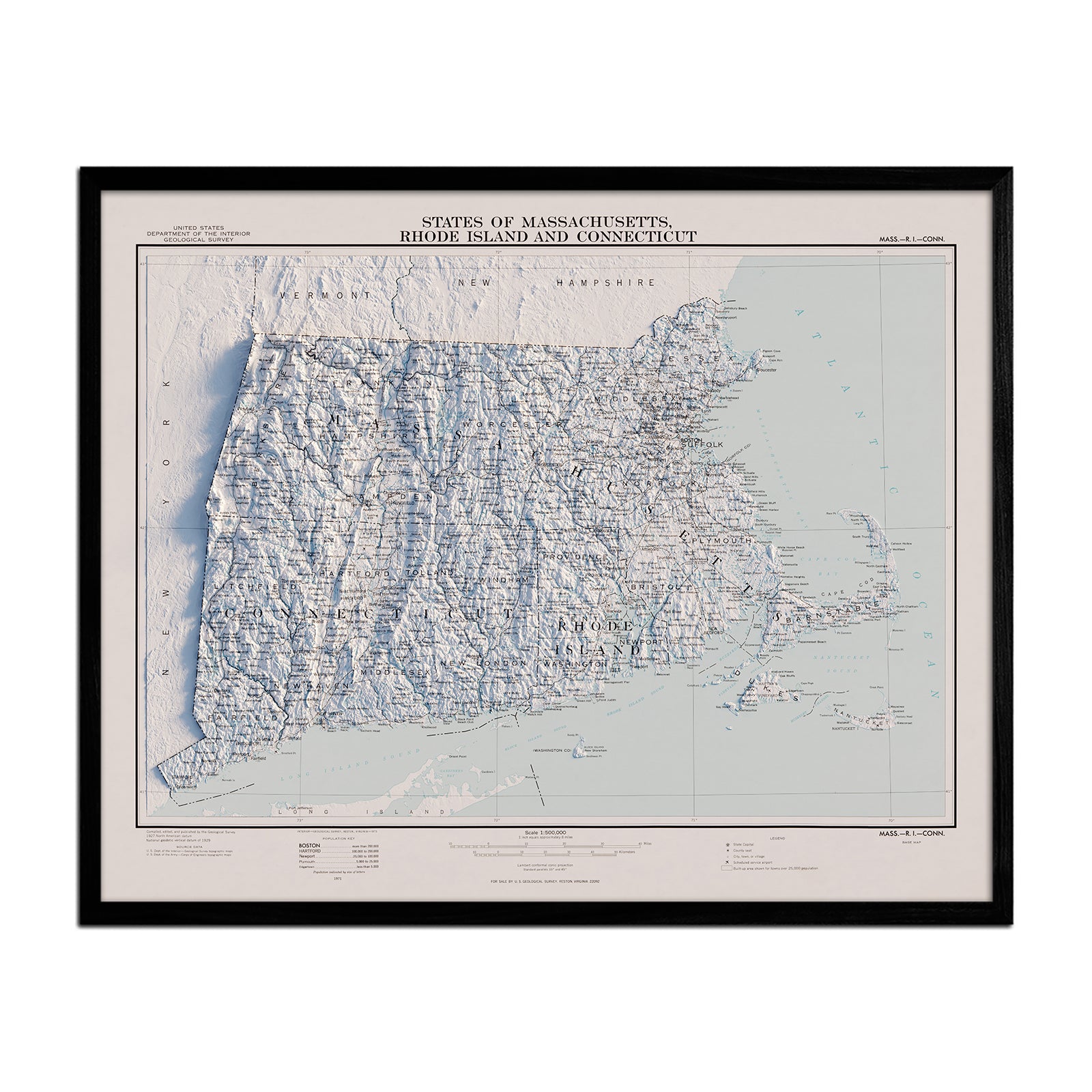
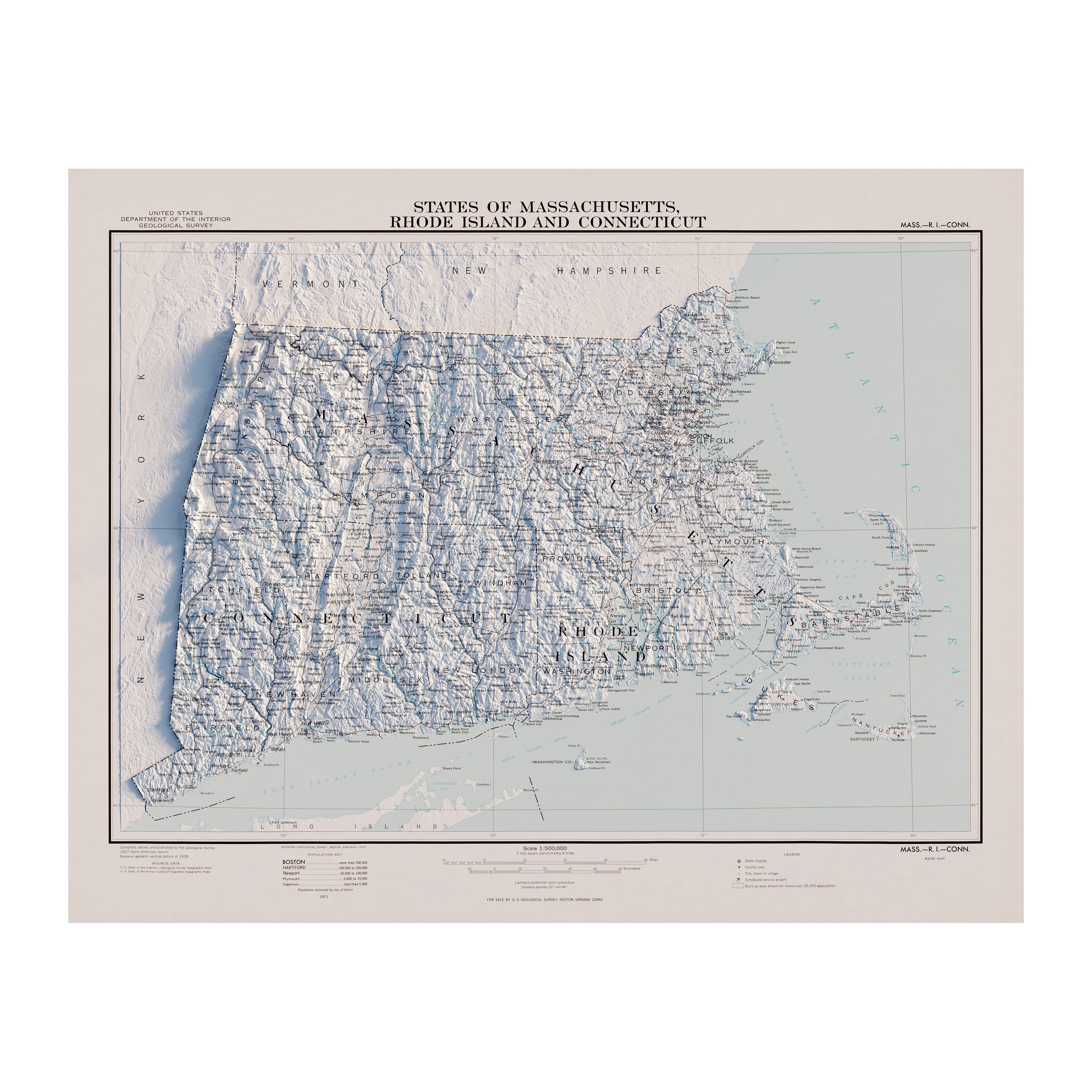
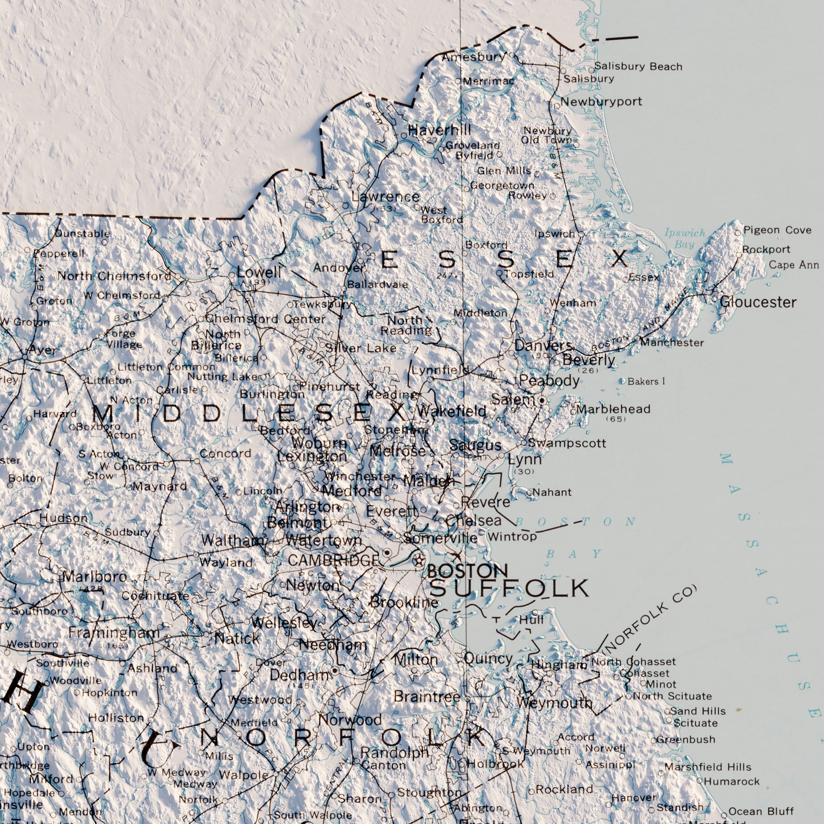
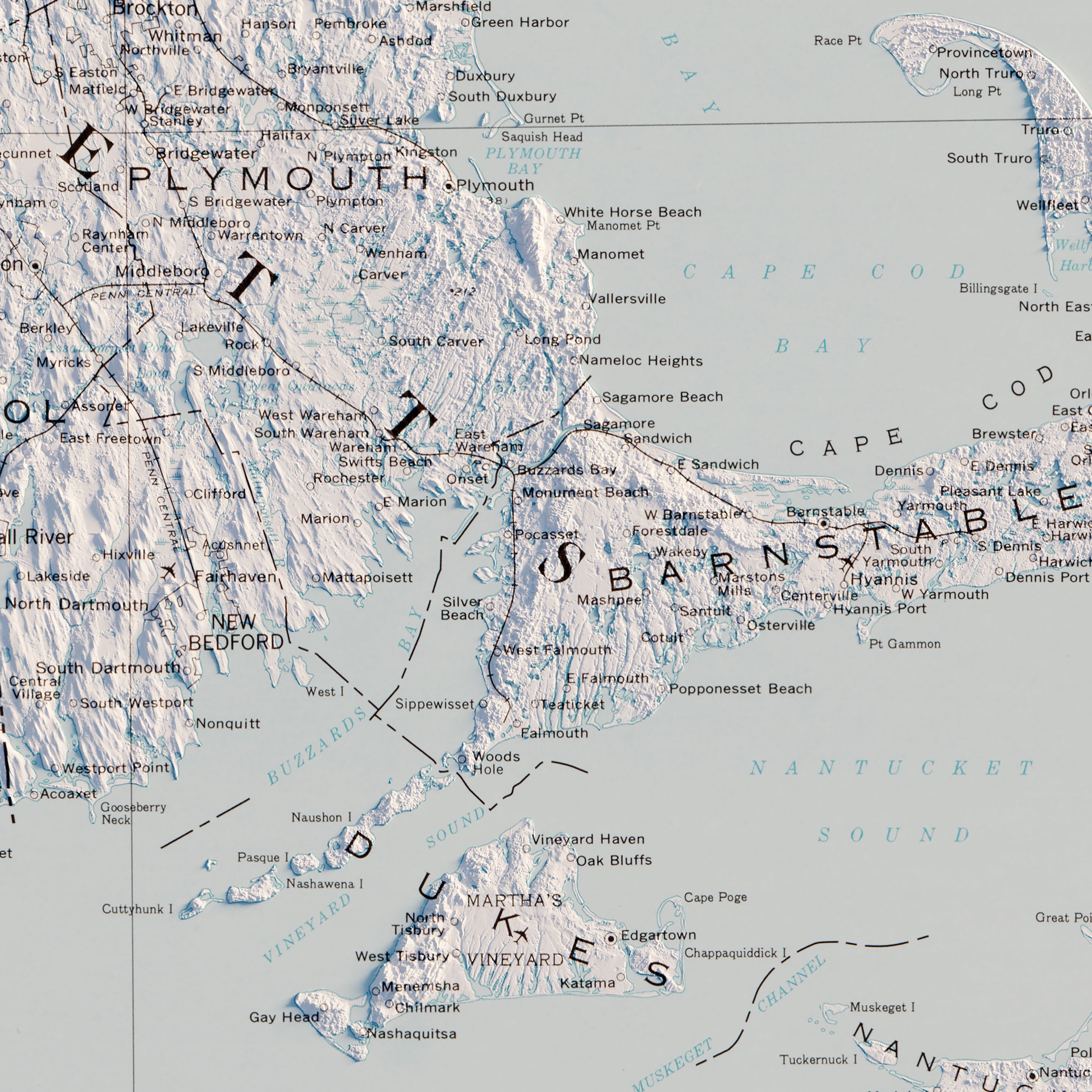
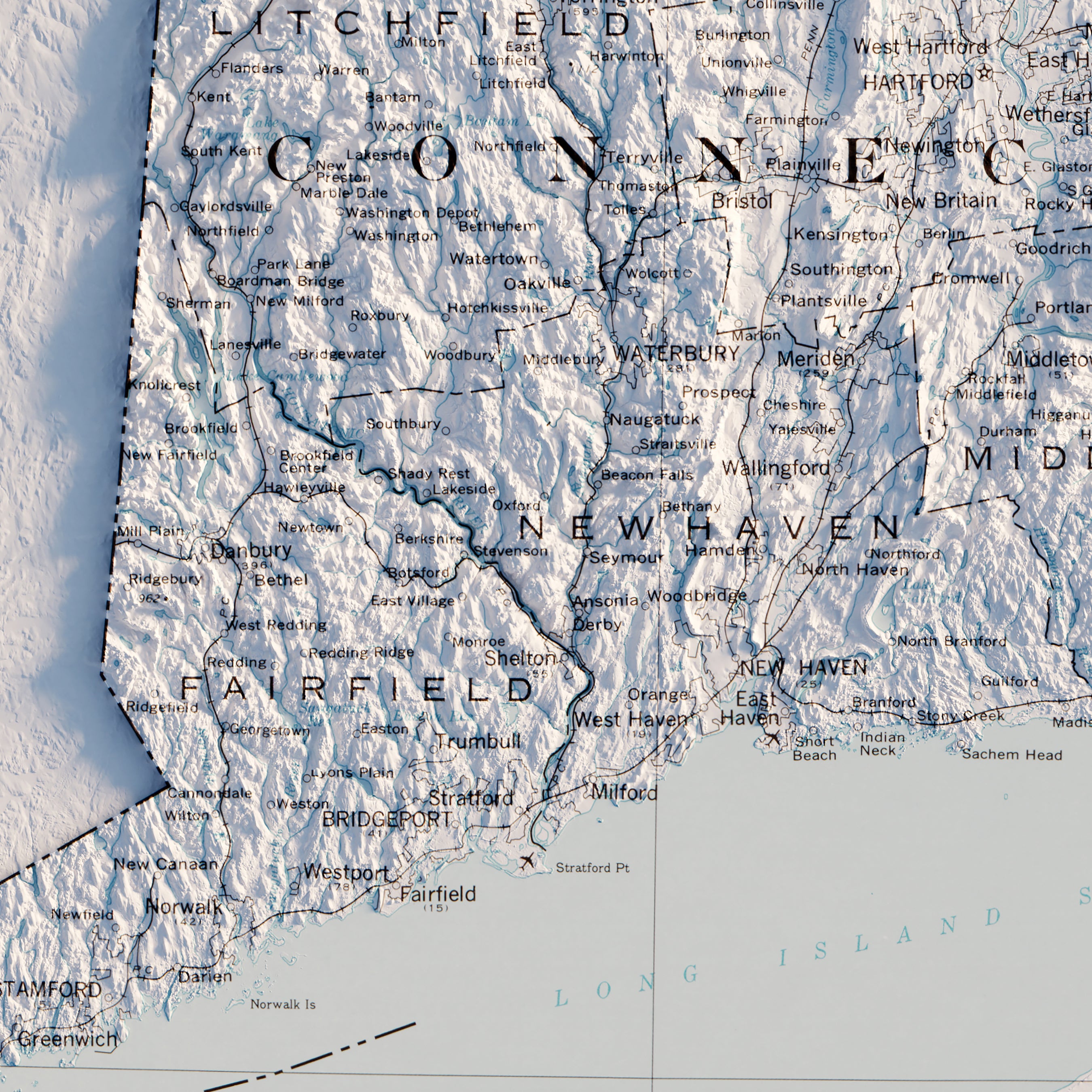
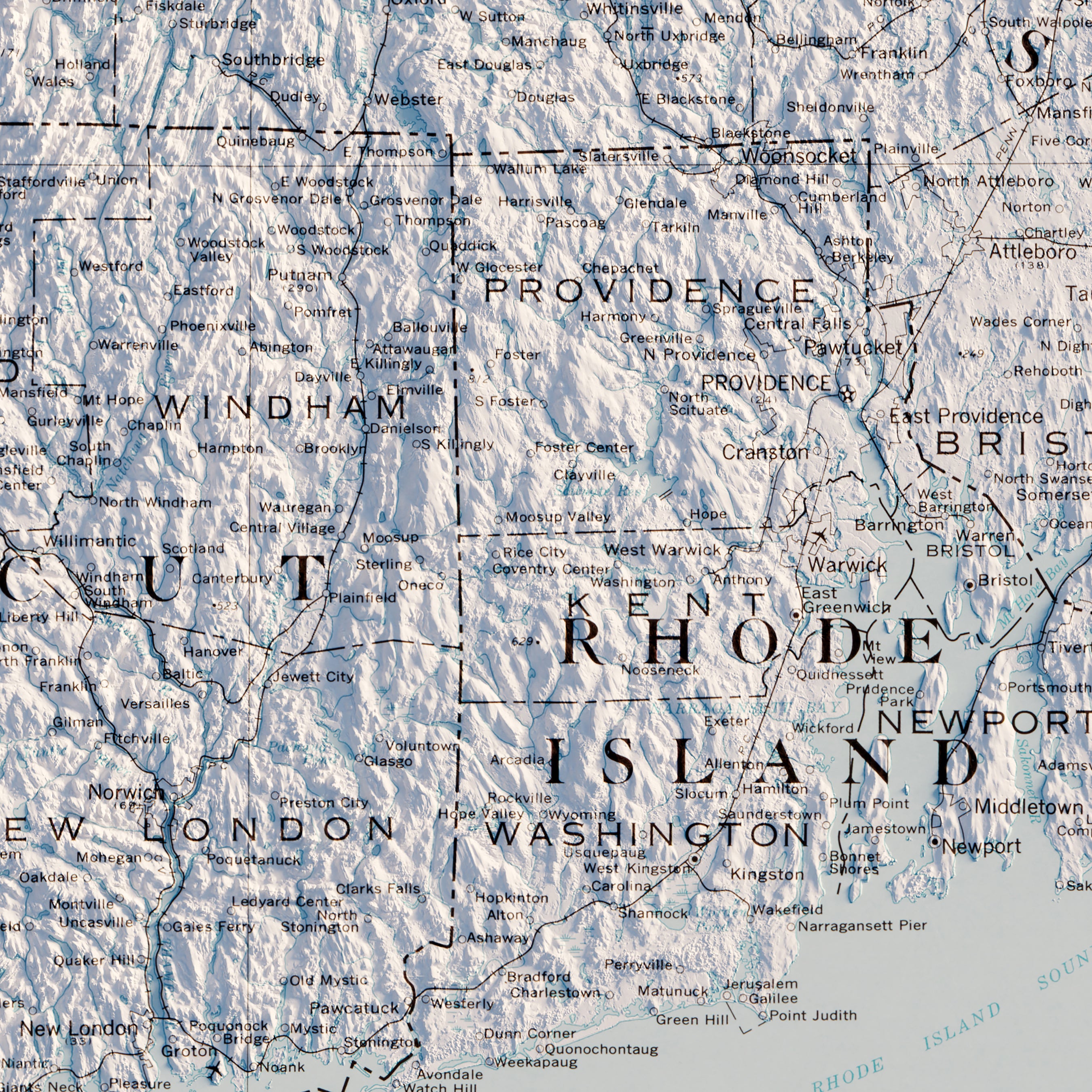
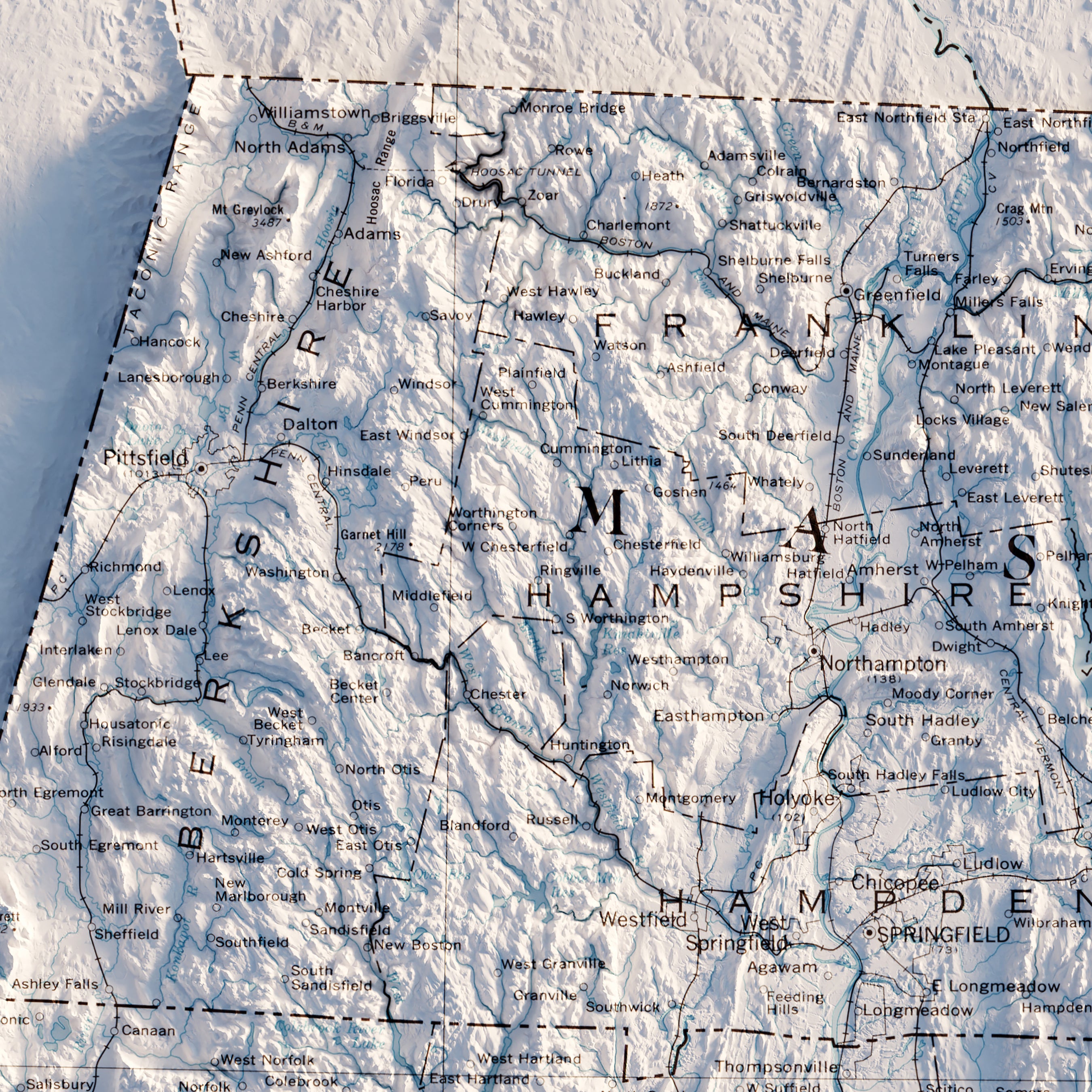
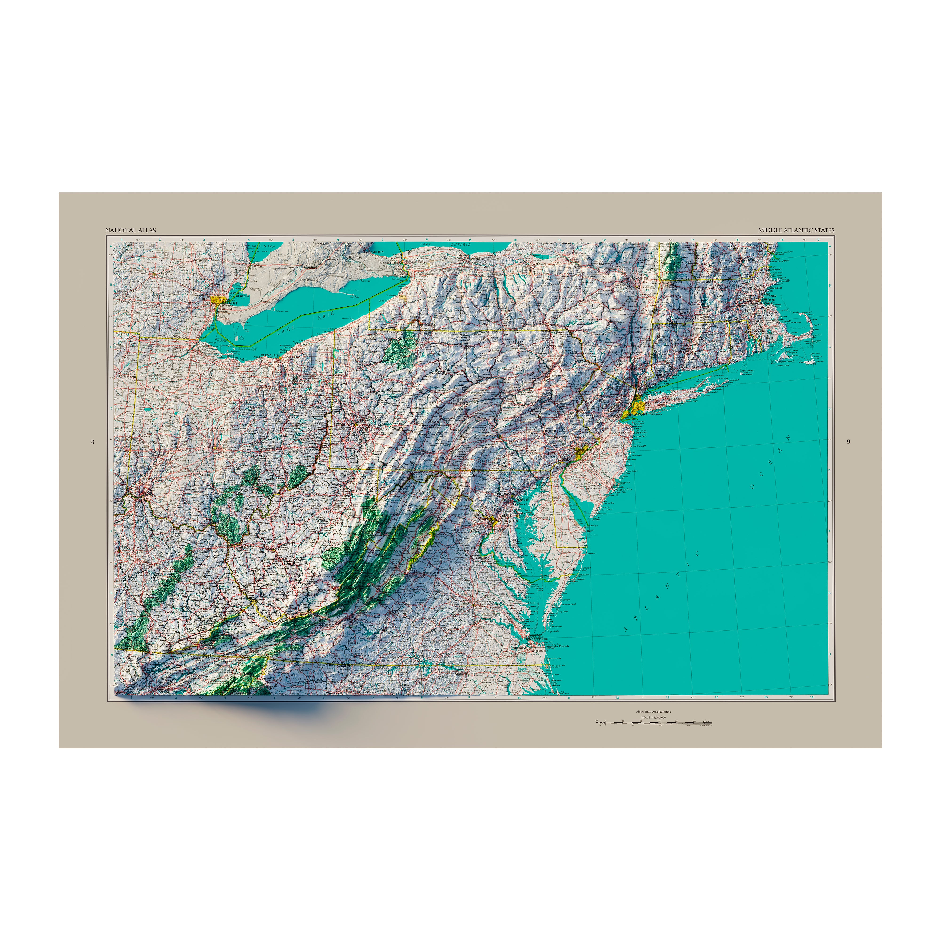
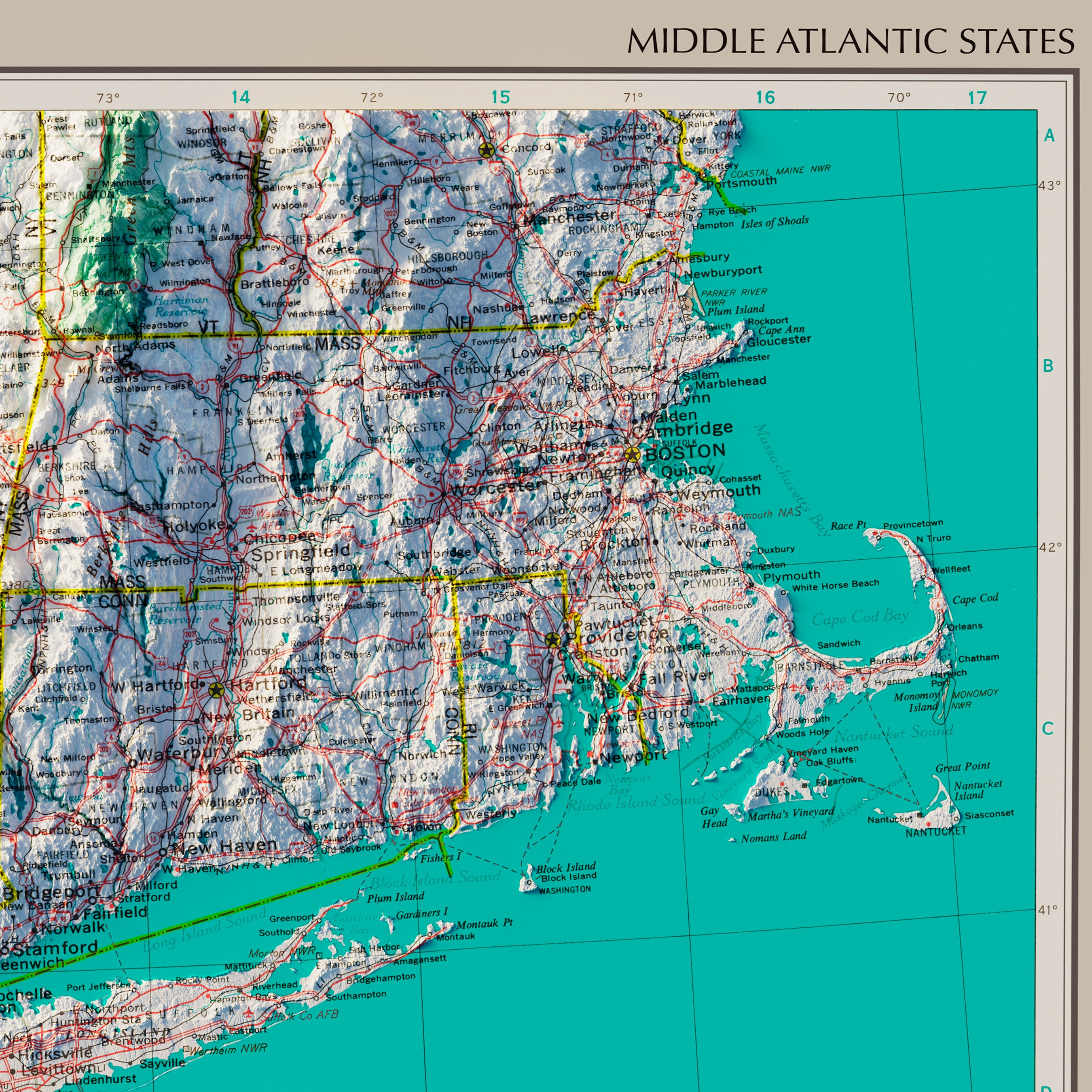
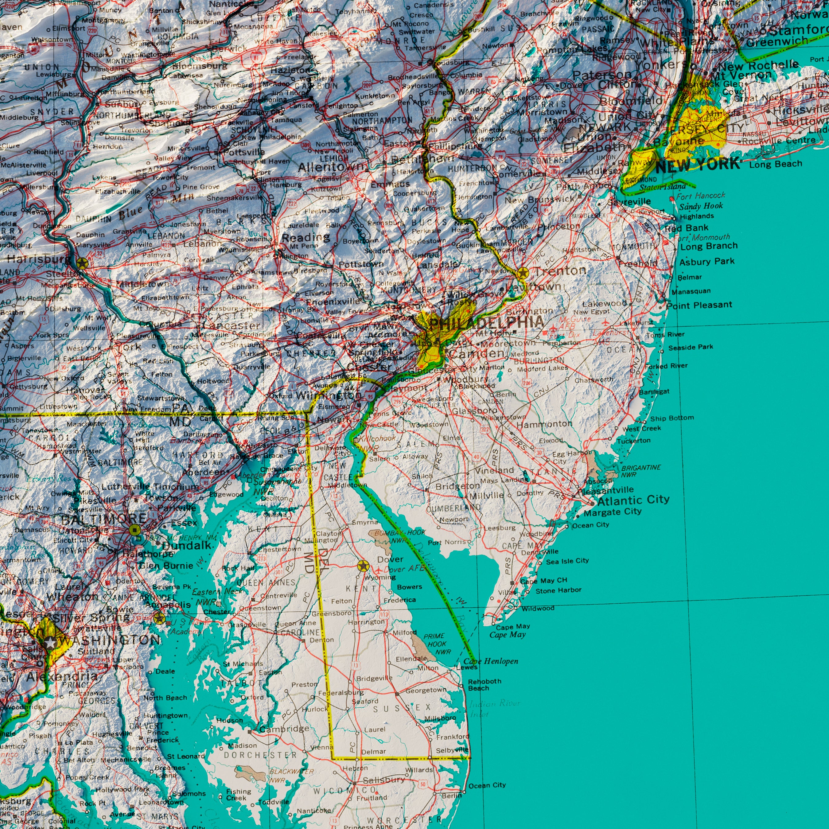
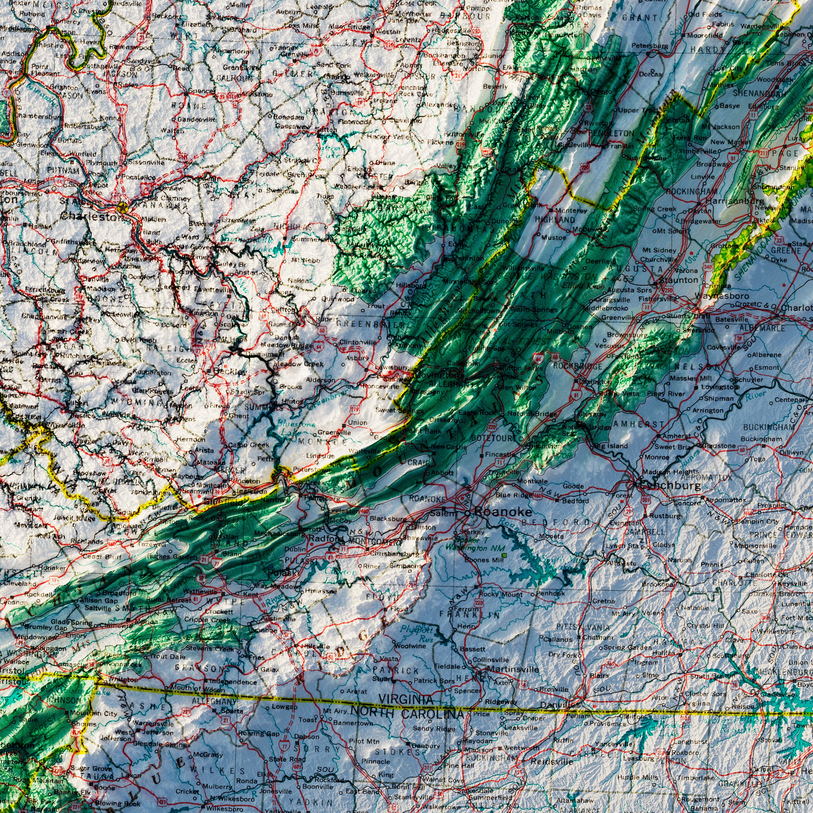
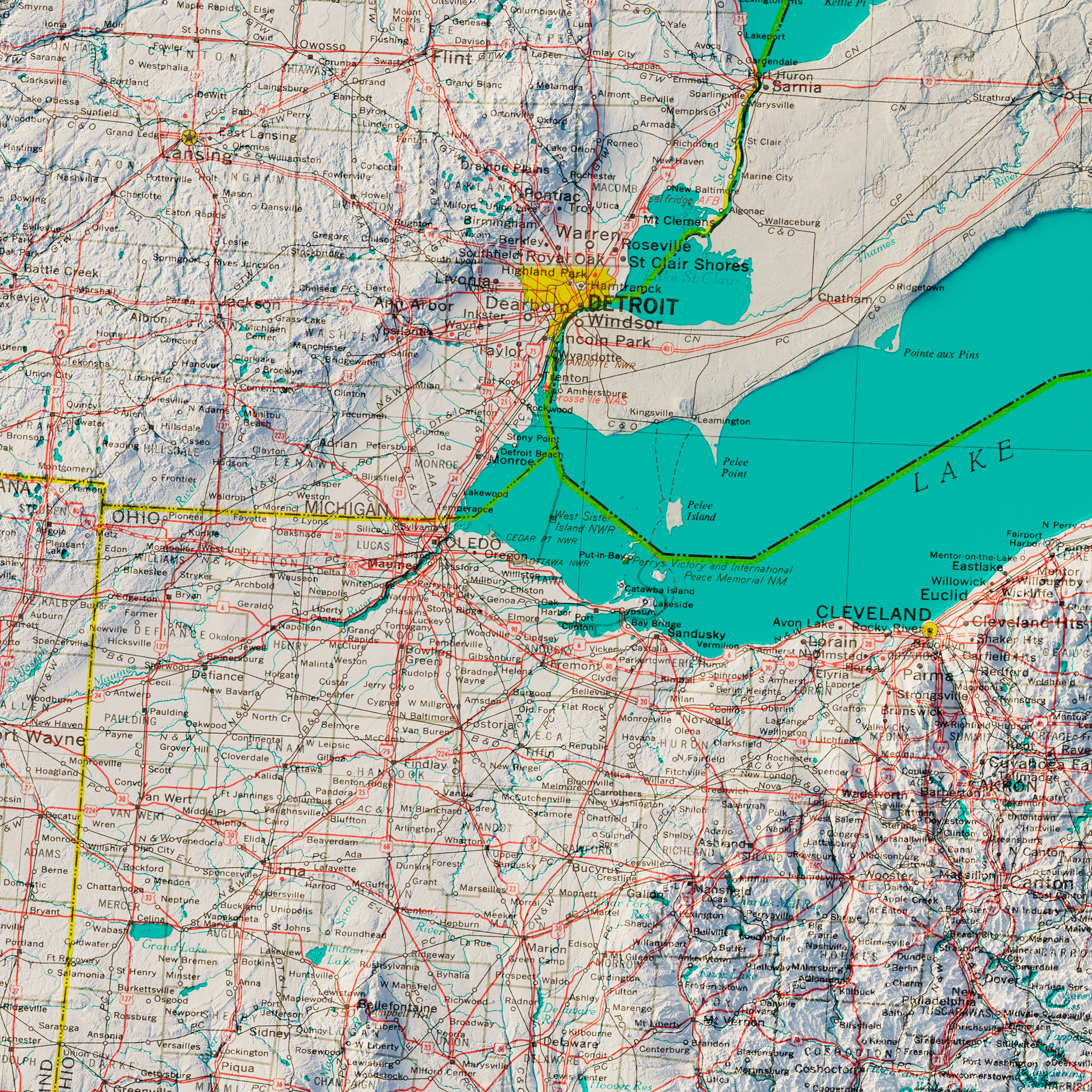
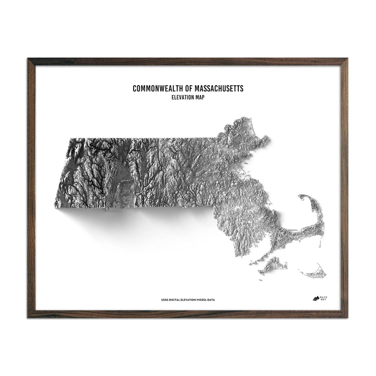
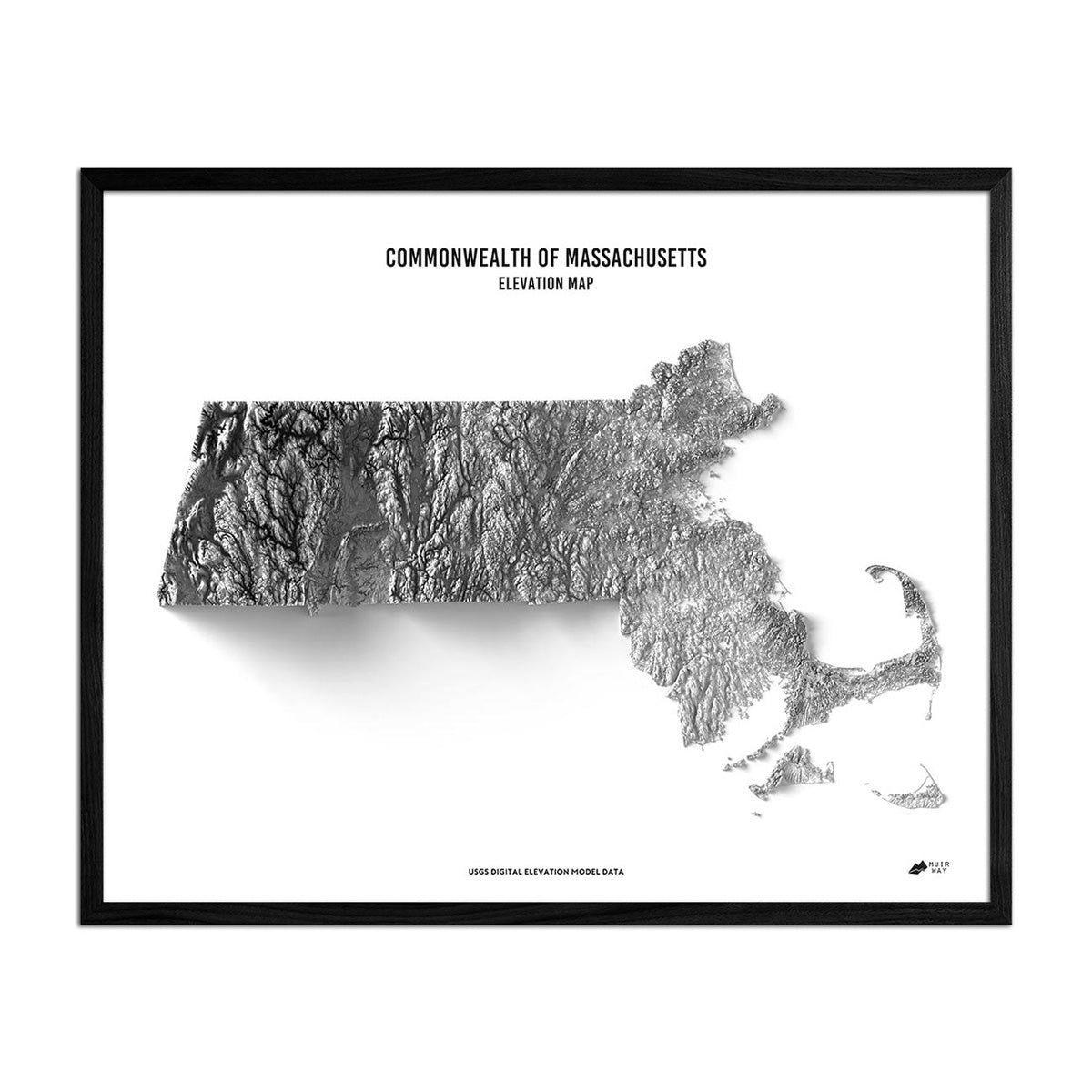
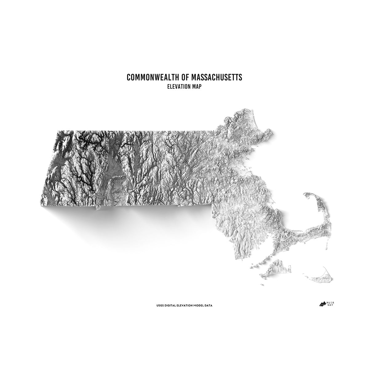
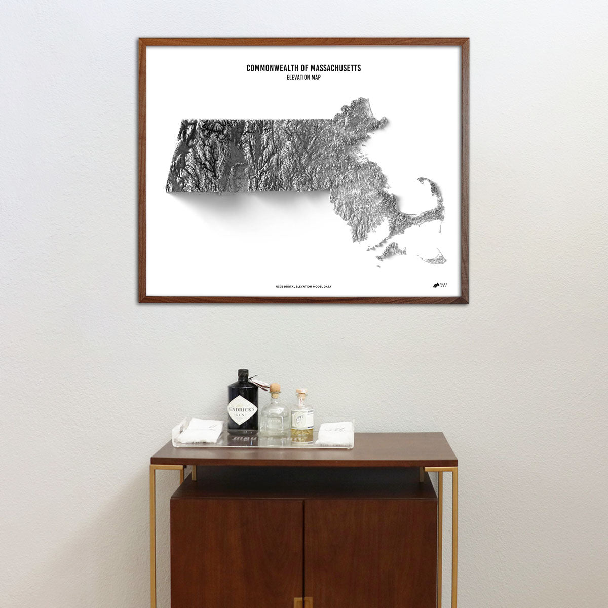
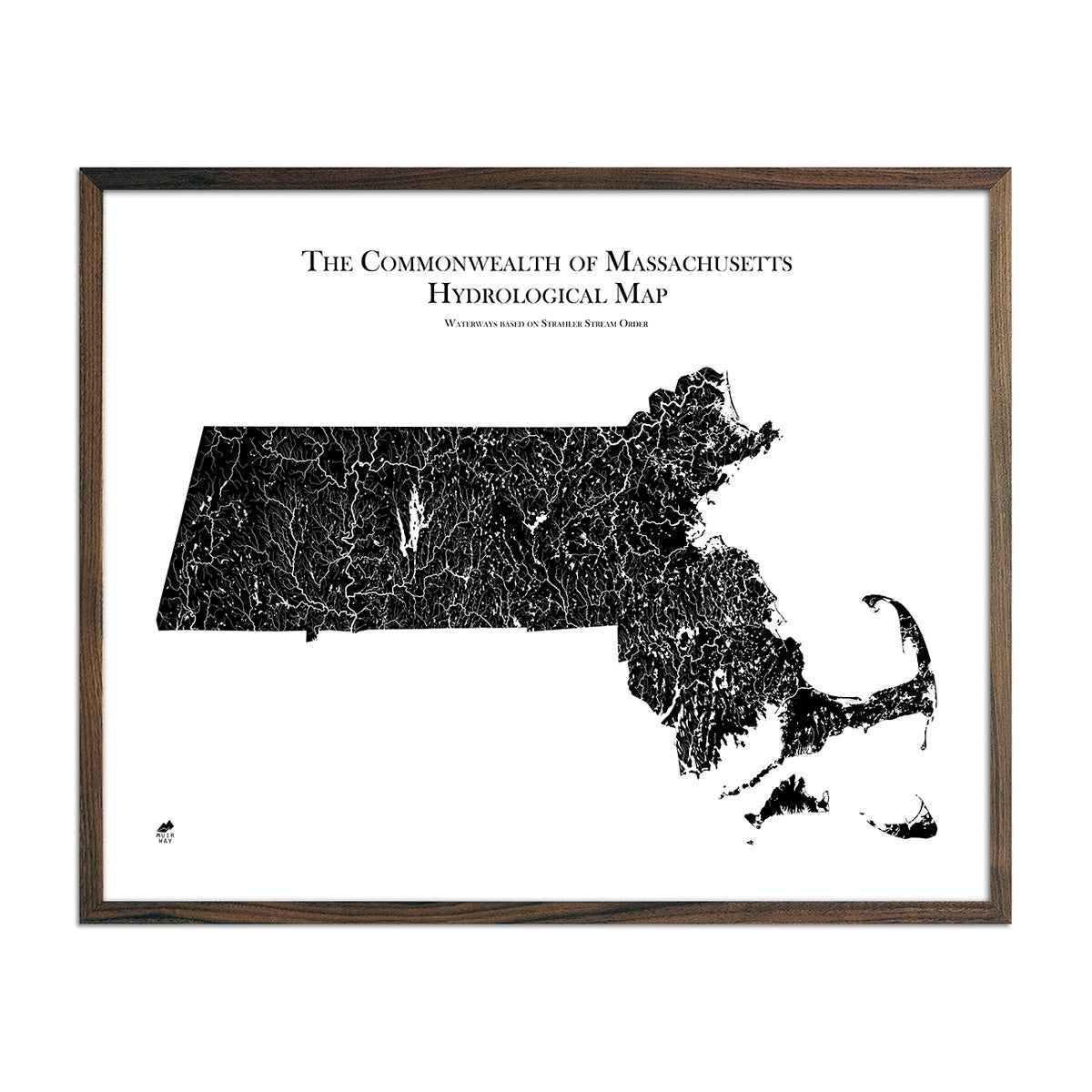
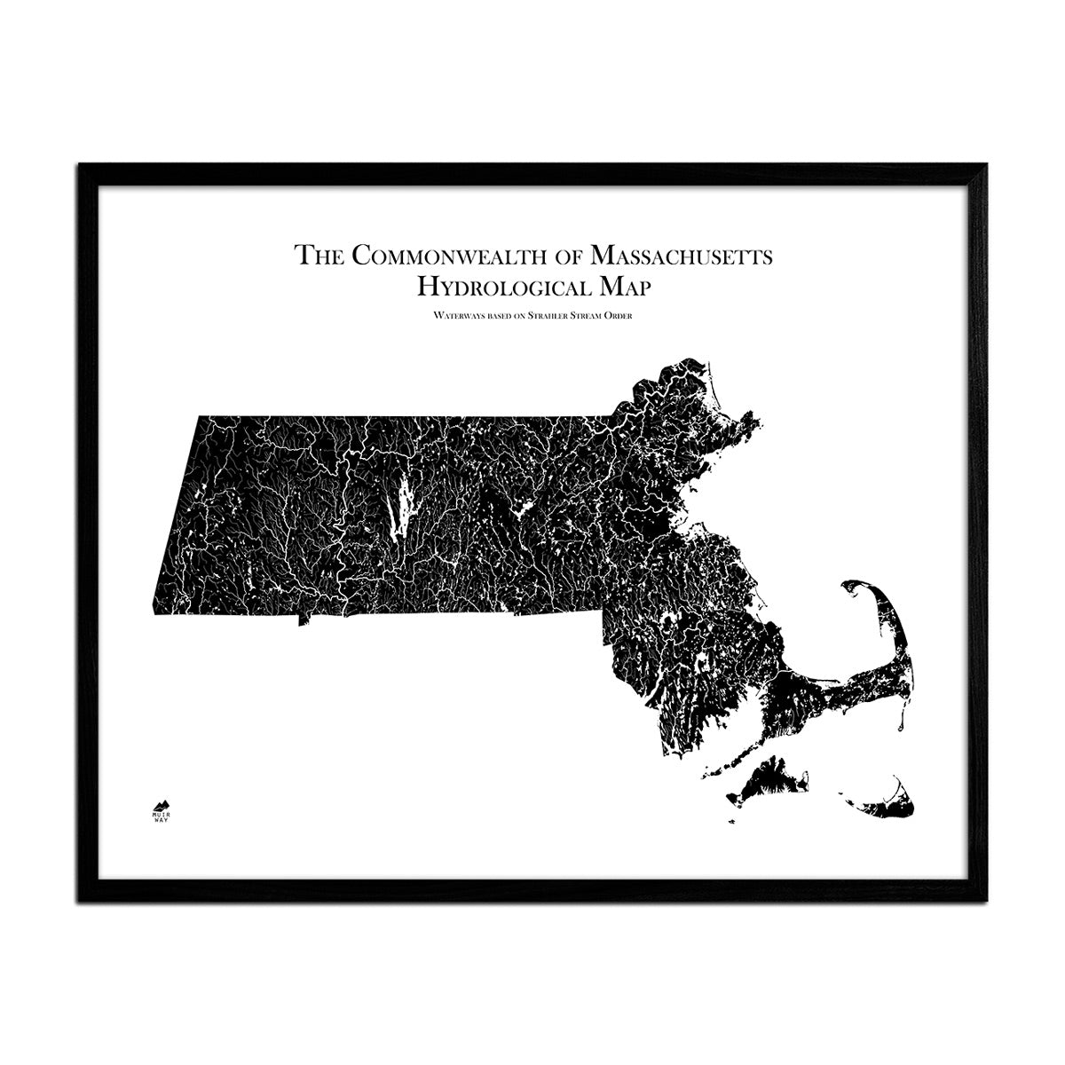
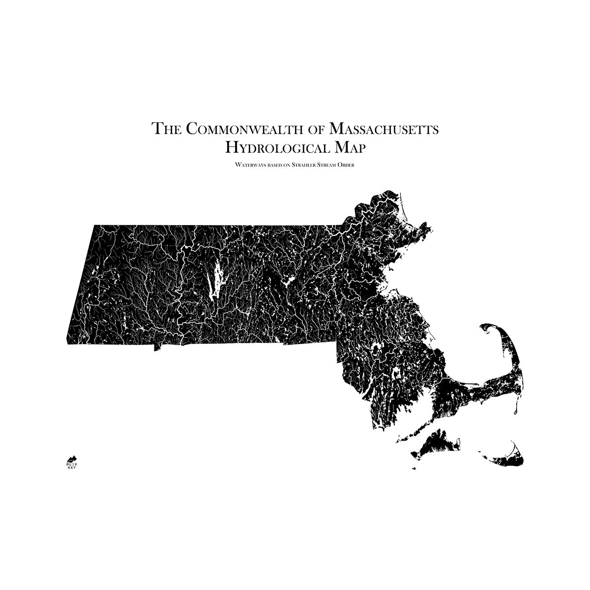
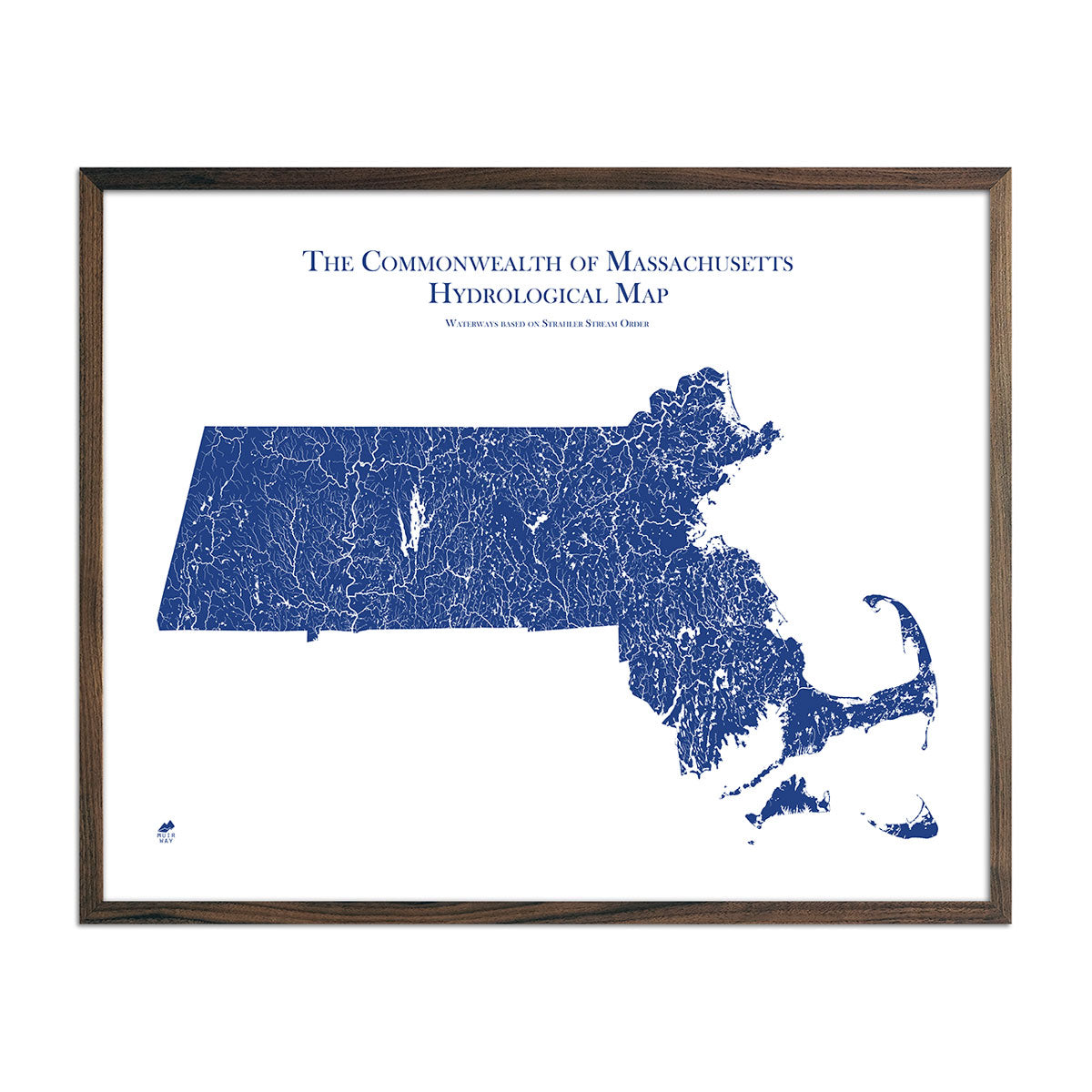
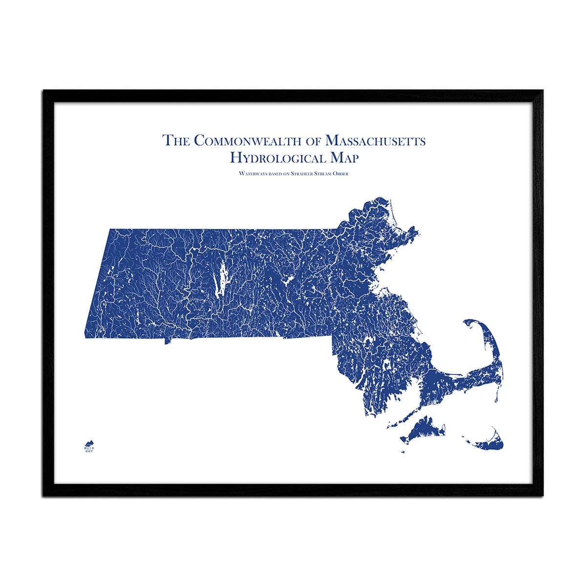
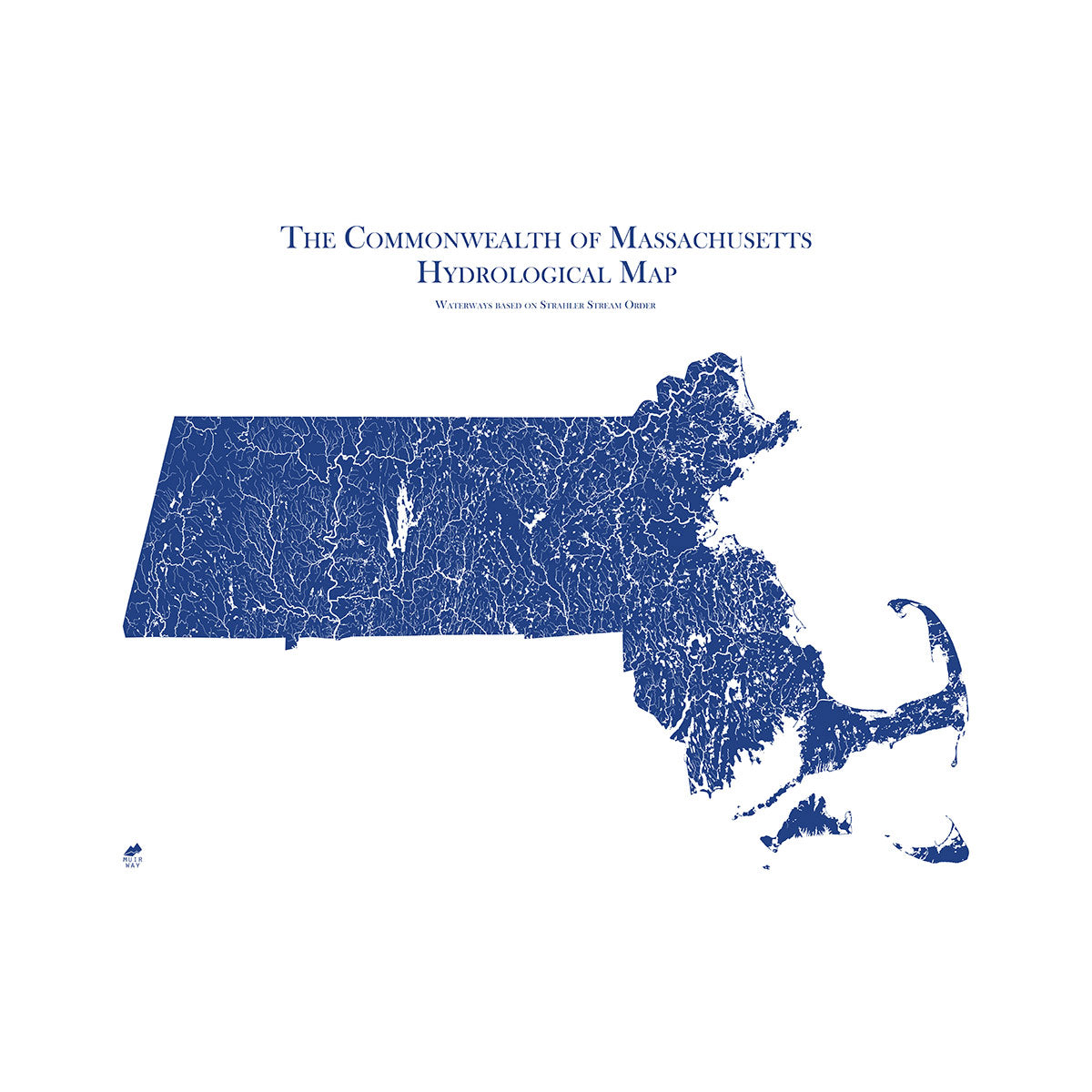
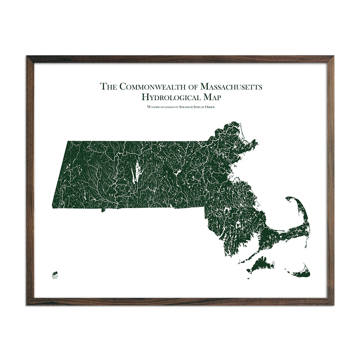
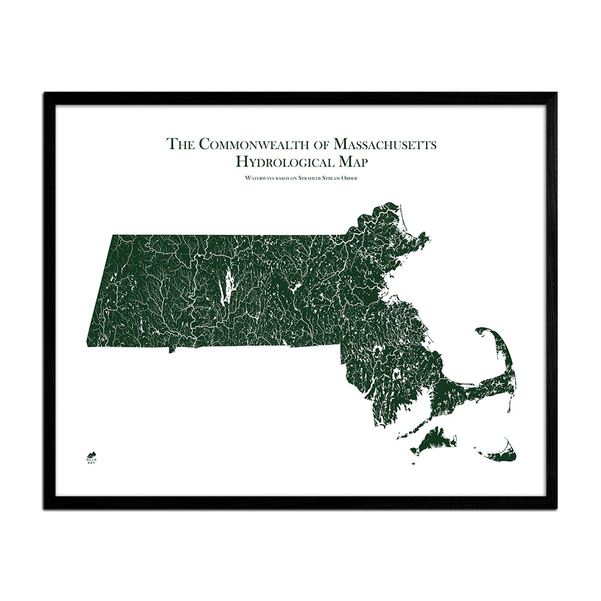
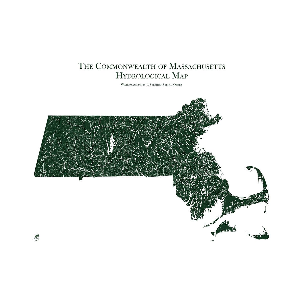
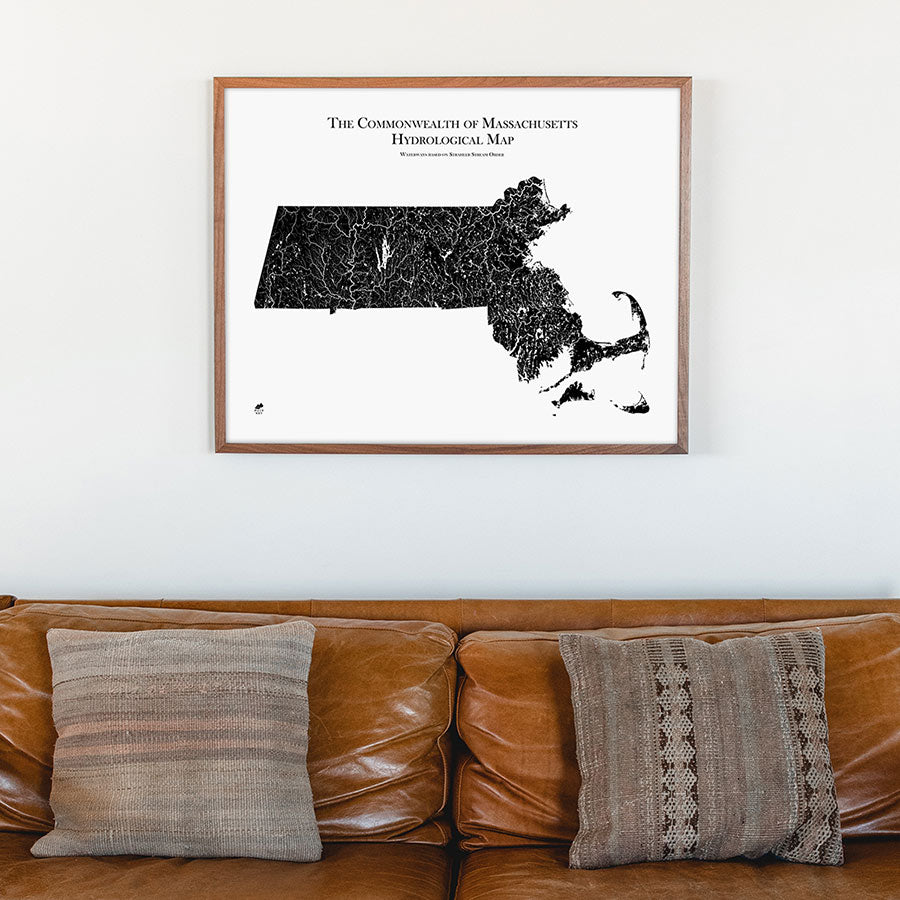
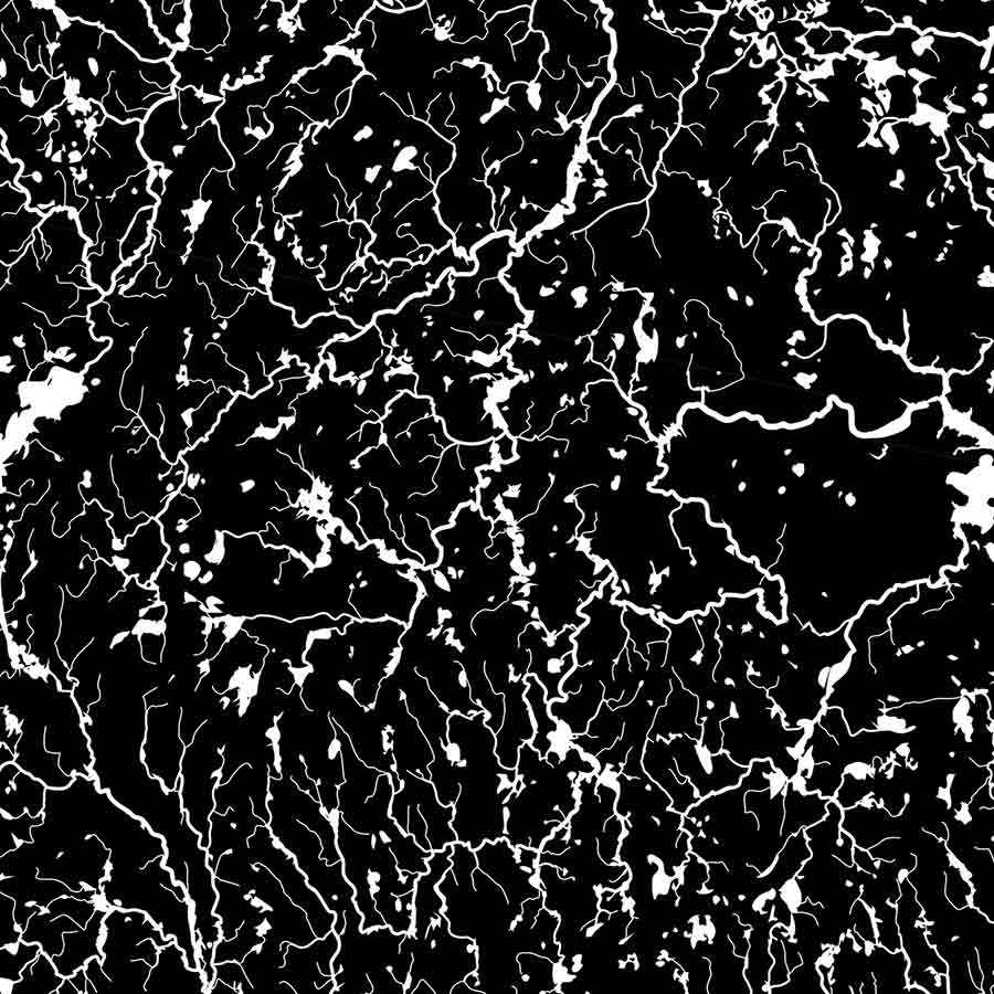
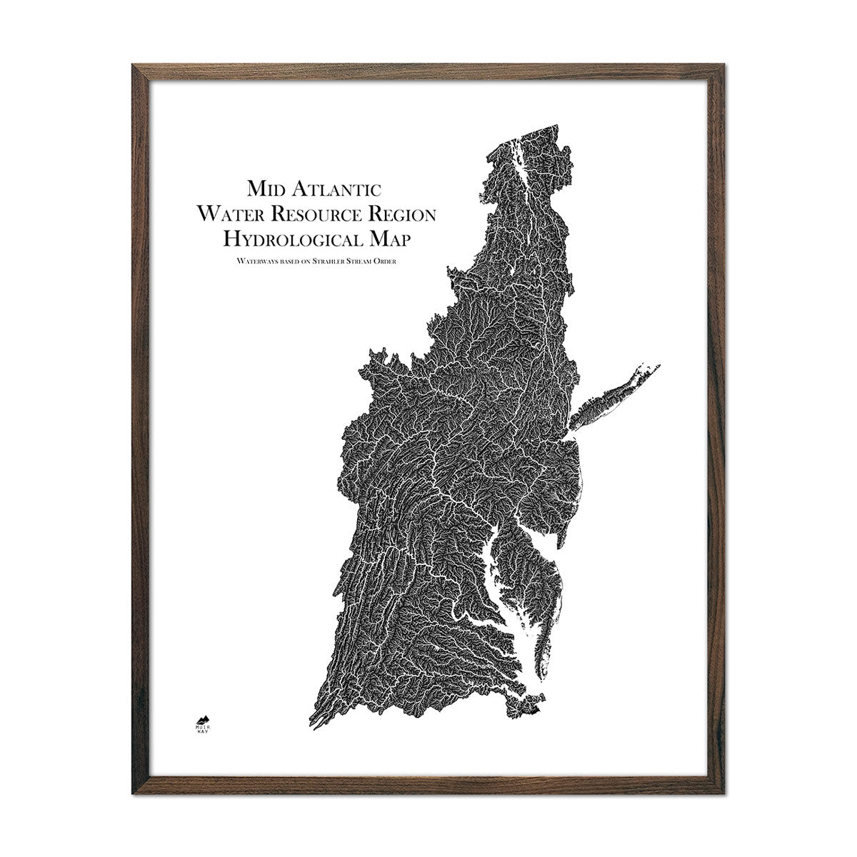
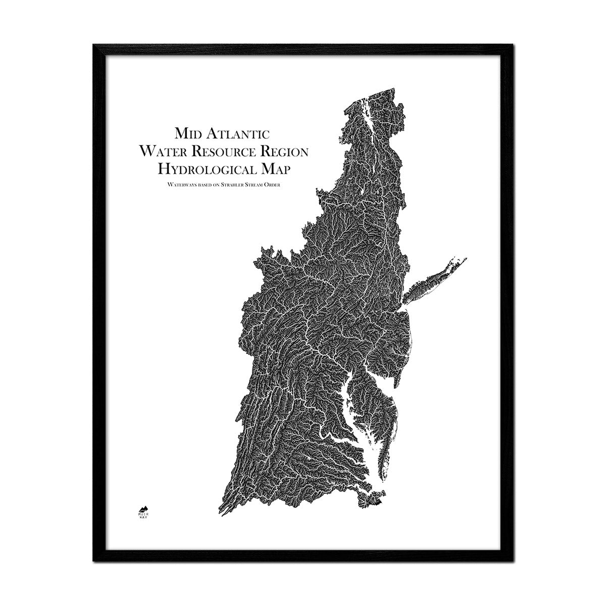
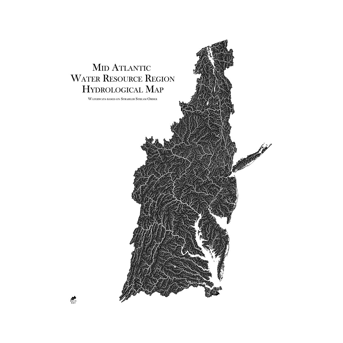
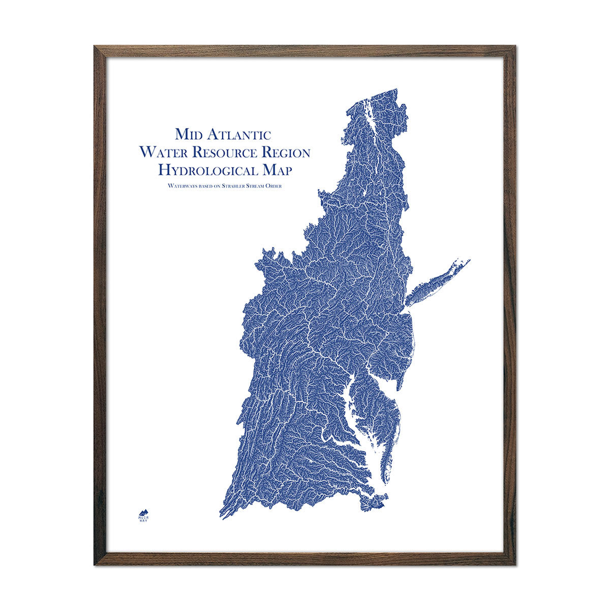
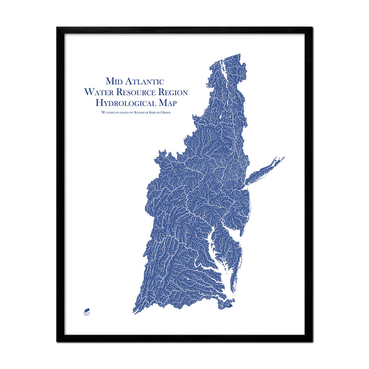
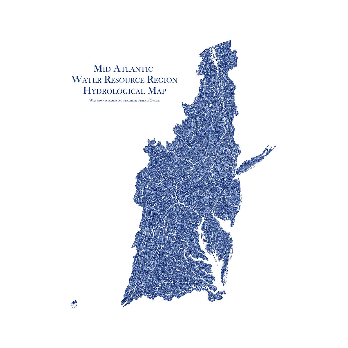
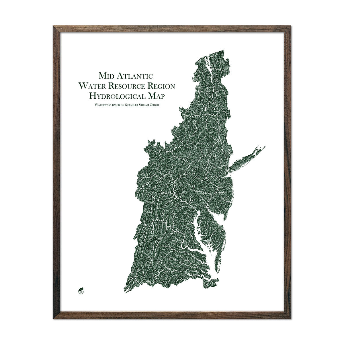
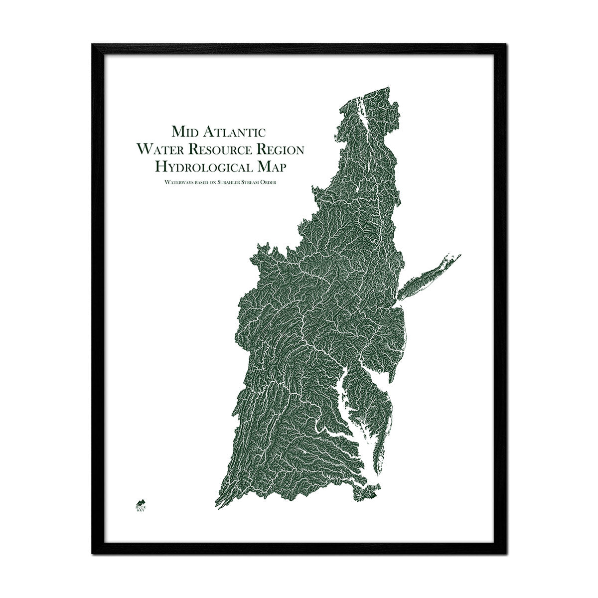
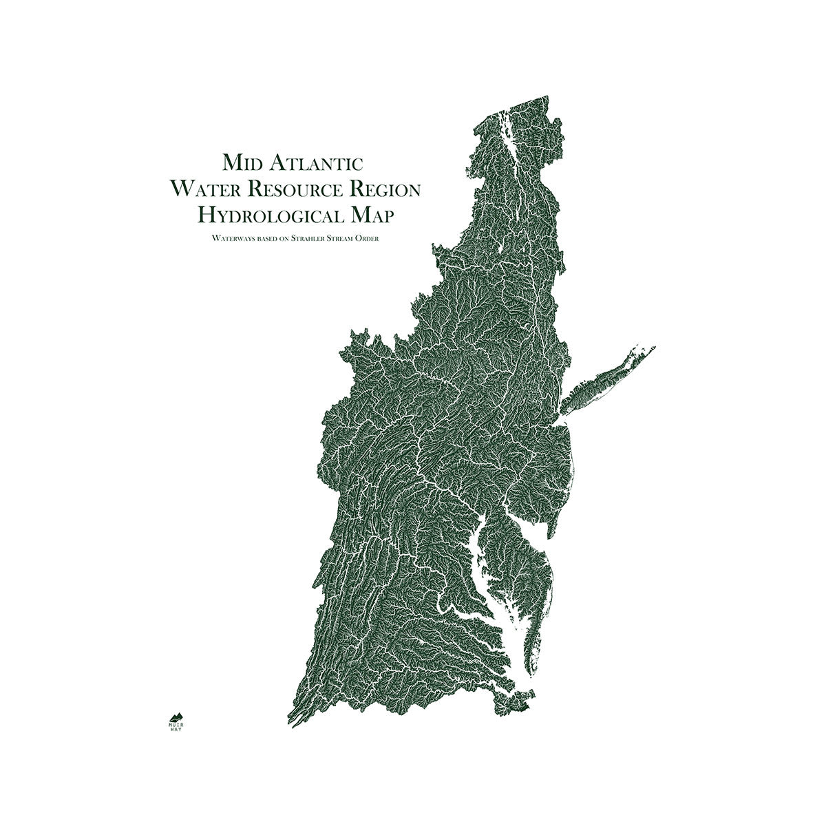
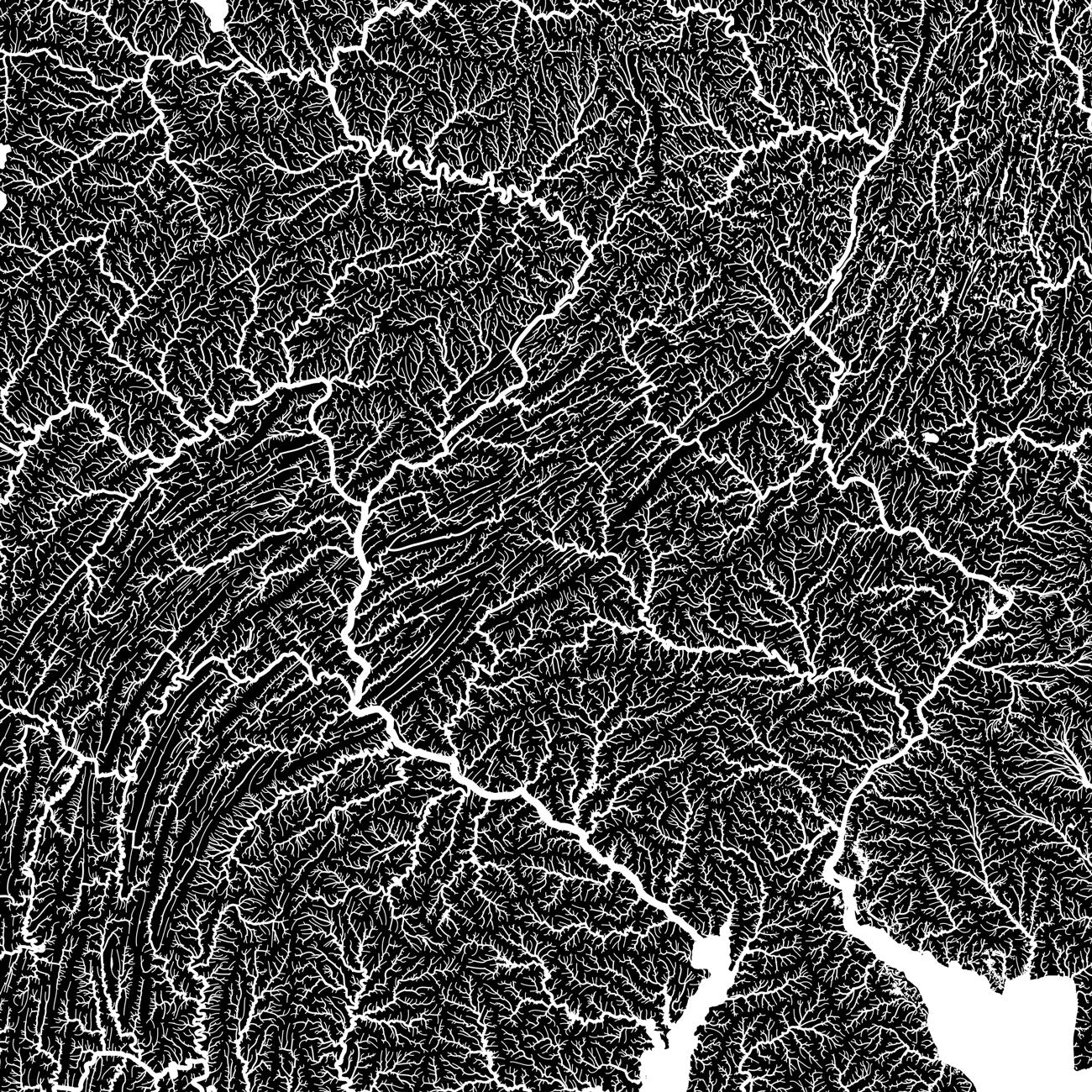
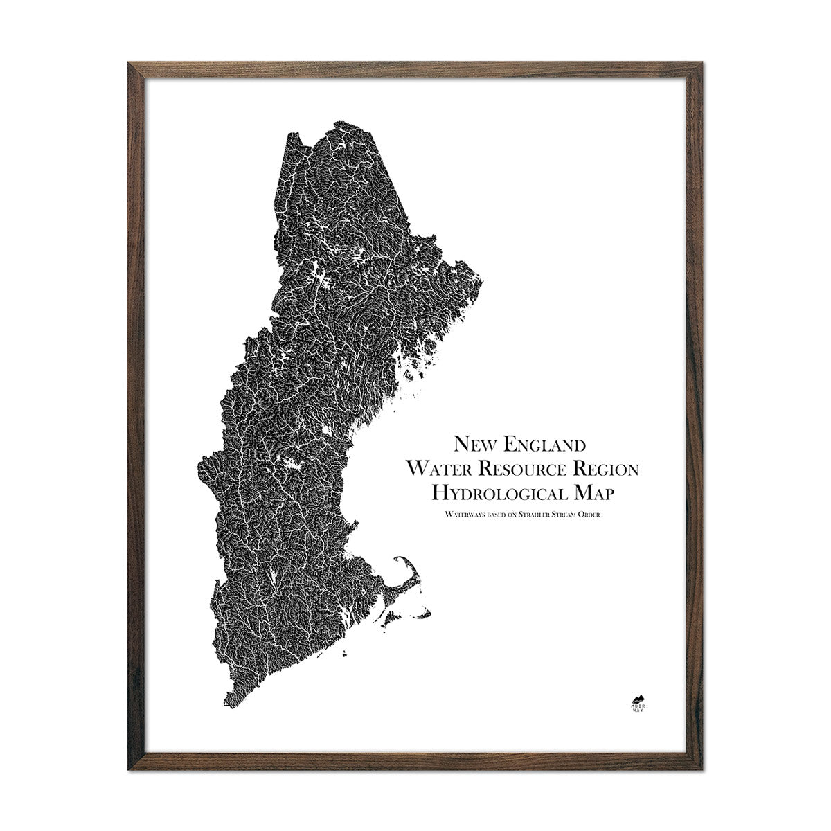
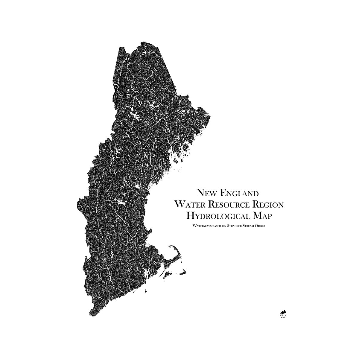
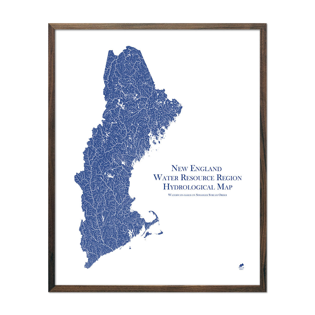
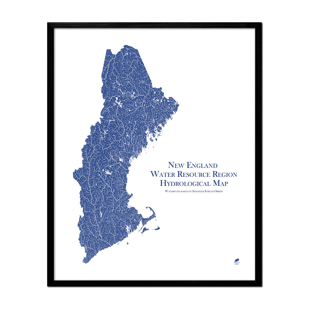
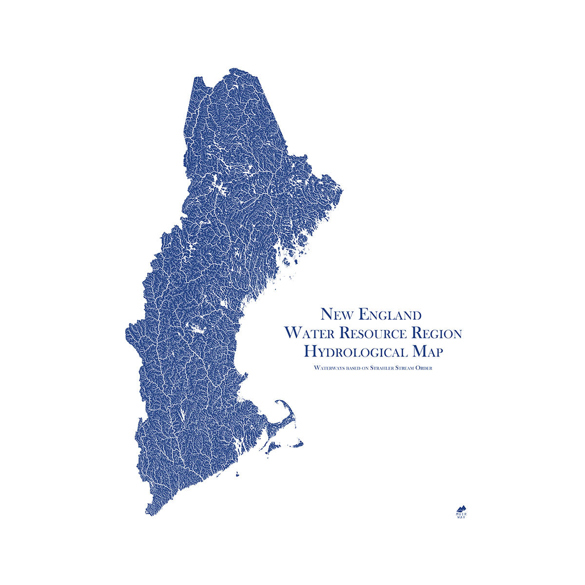
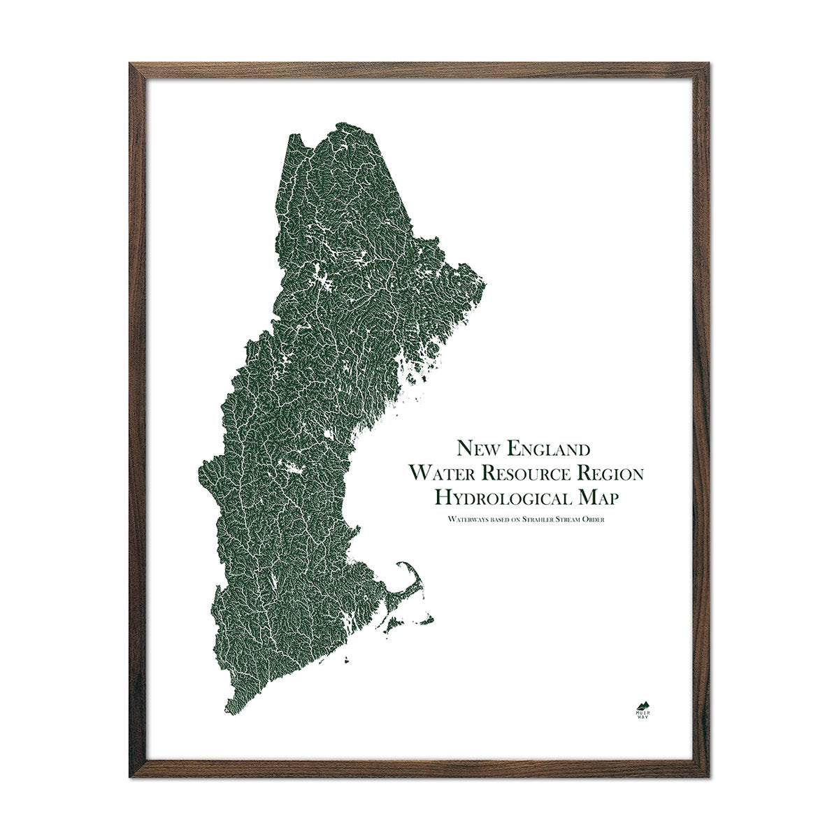
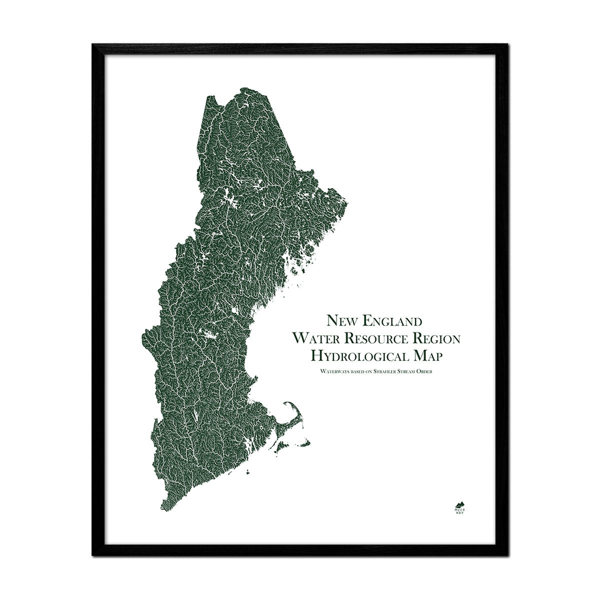
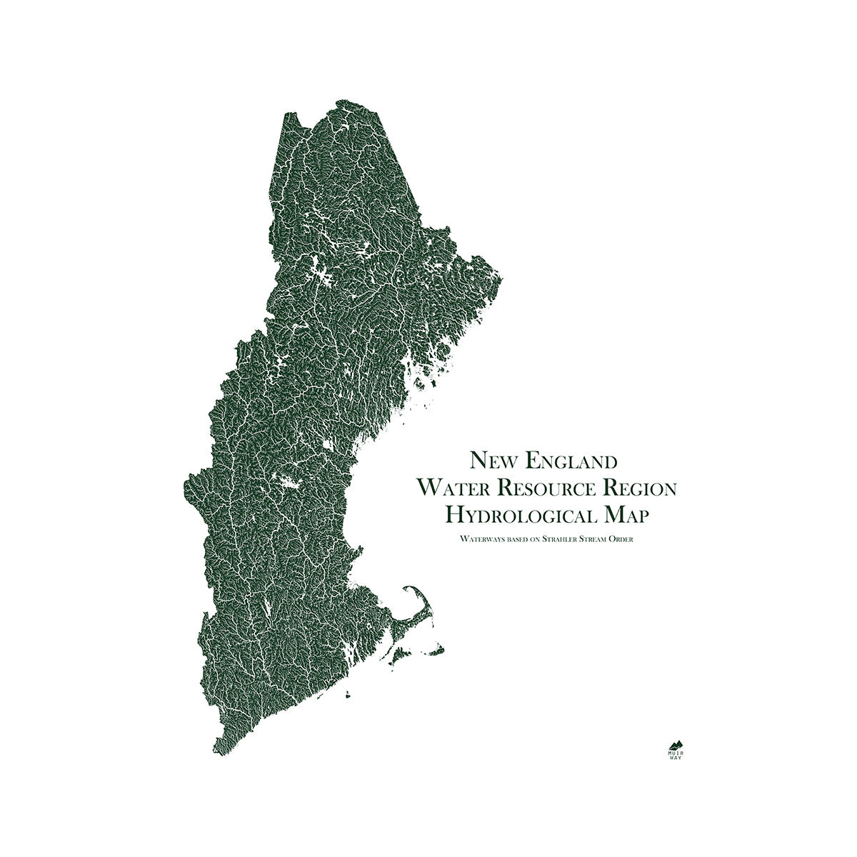
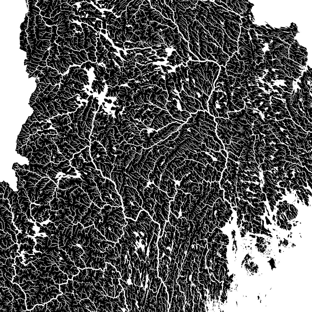
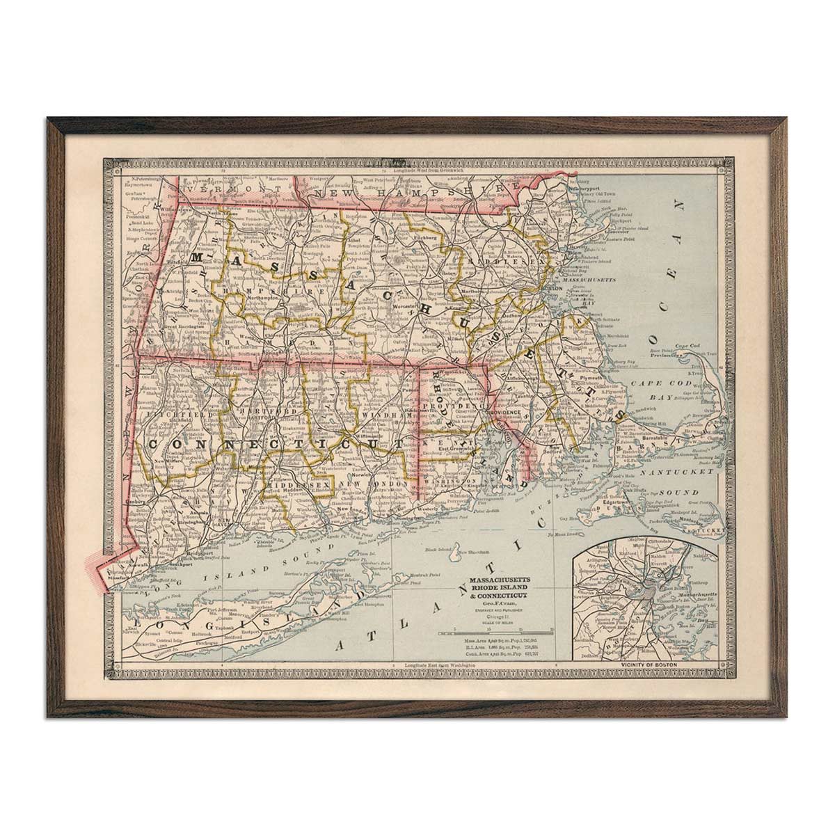
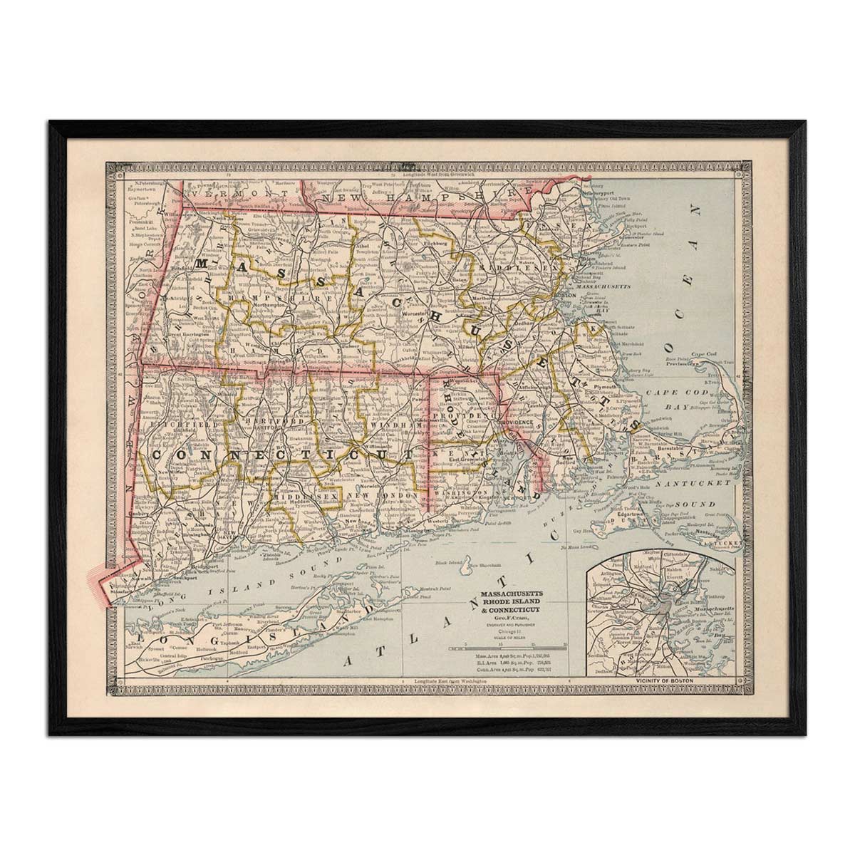
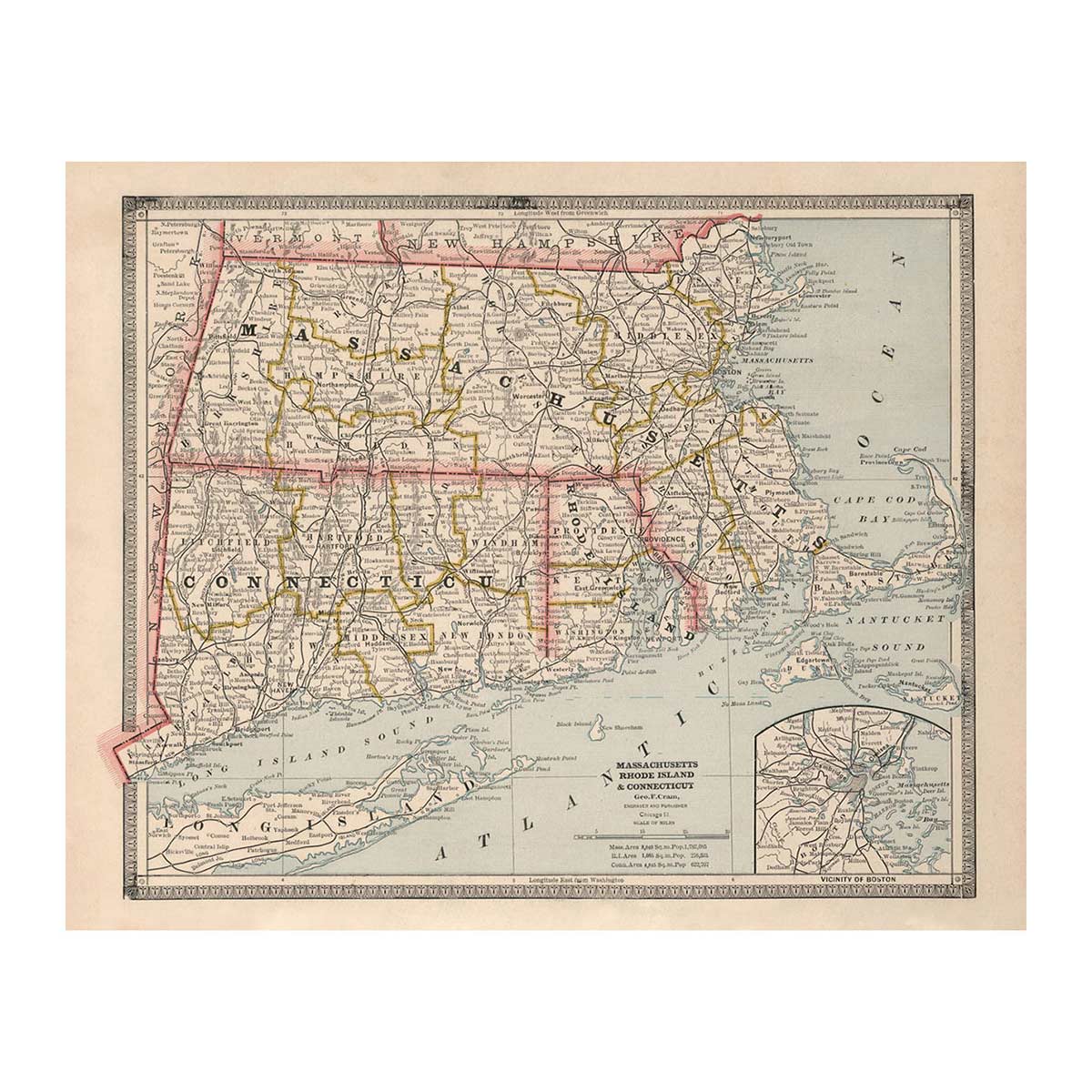
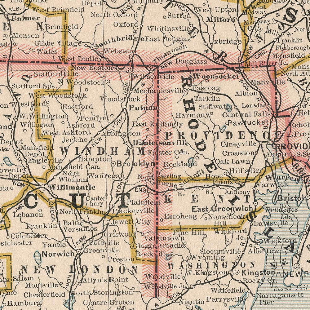
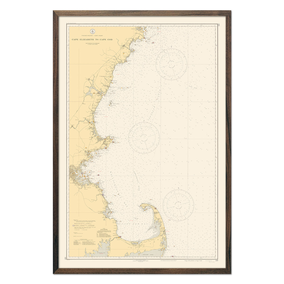
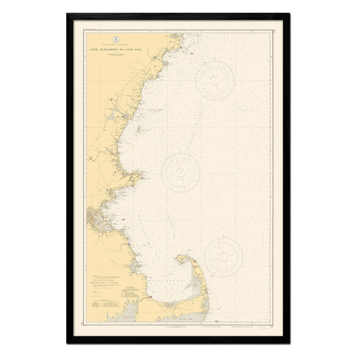
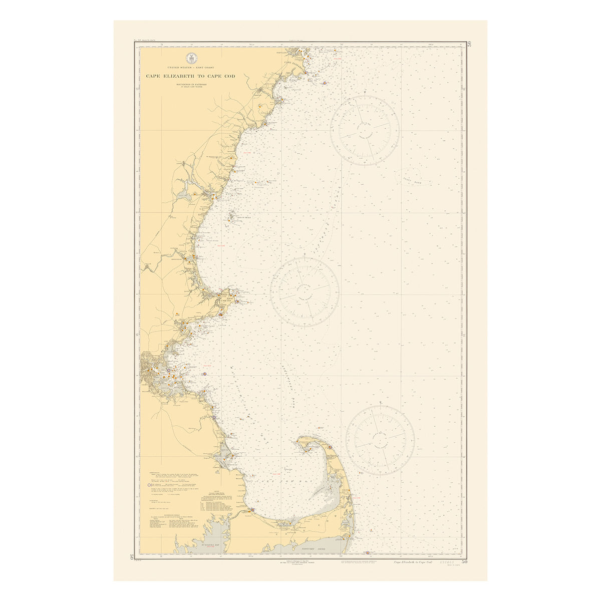
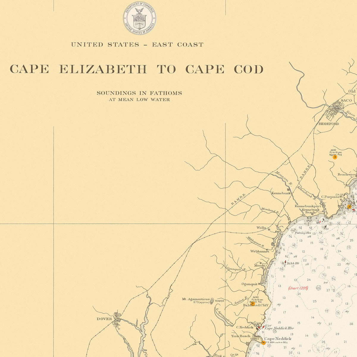
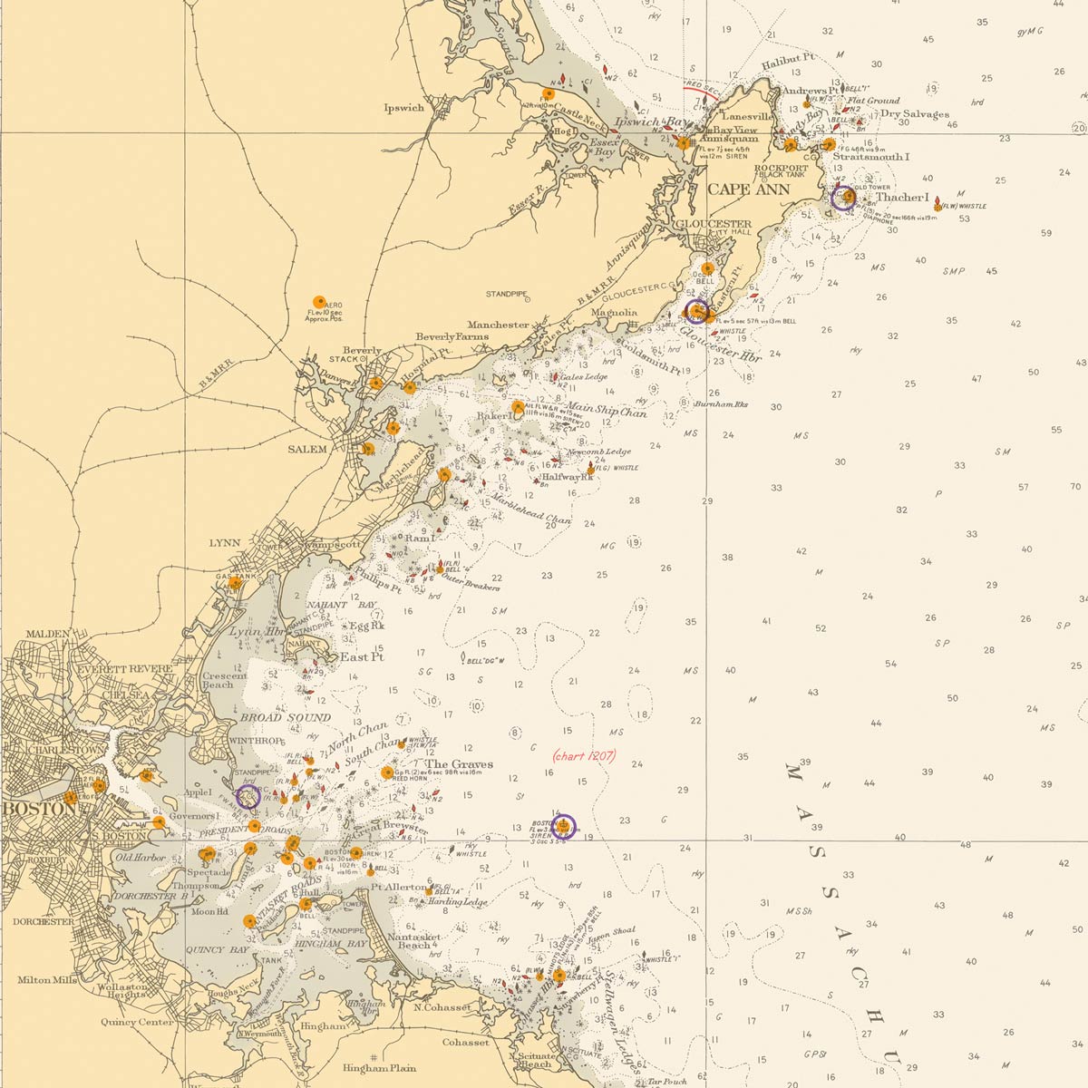
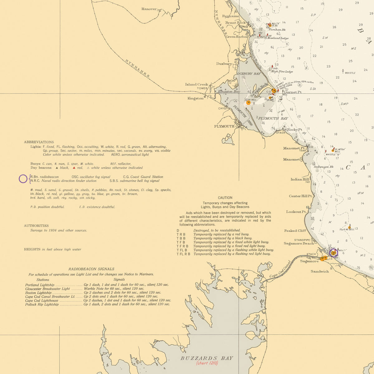
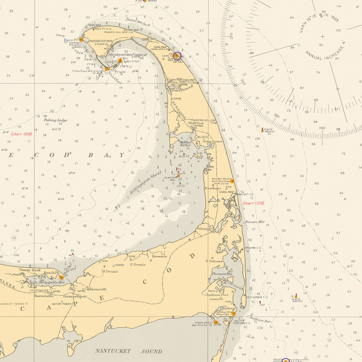
Our collection of Massachusetts map prints allows you to explore the state in a whole new way. The Massachusetts Elevation Map highlights the terrain of the state using DEM data from the USGS. And the Massachusetts Hydrological Map highlights the various waterways throughout the state in extreme detail using the Strahler Stream Order.
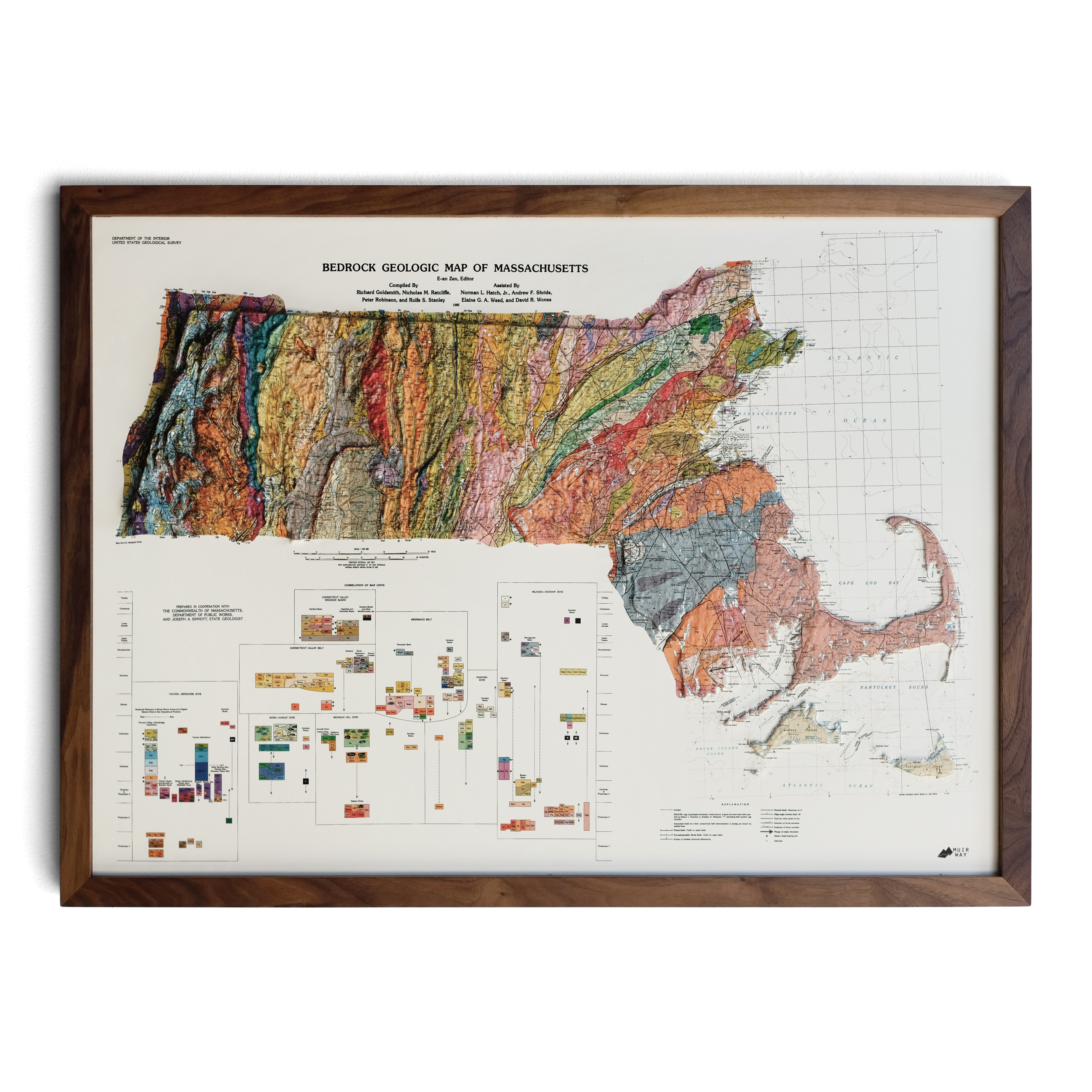
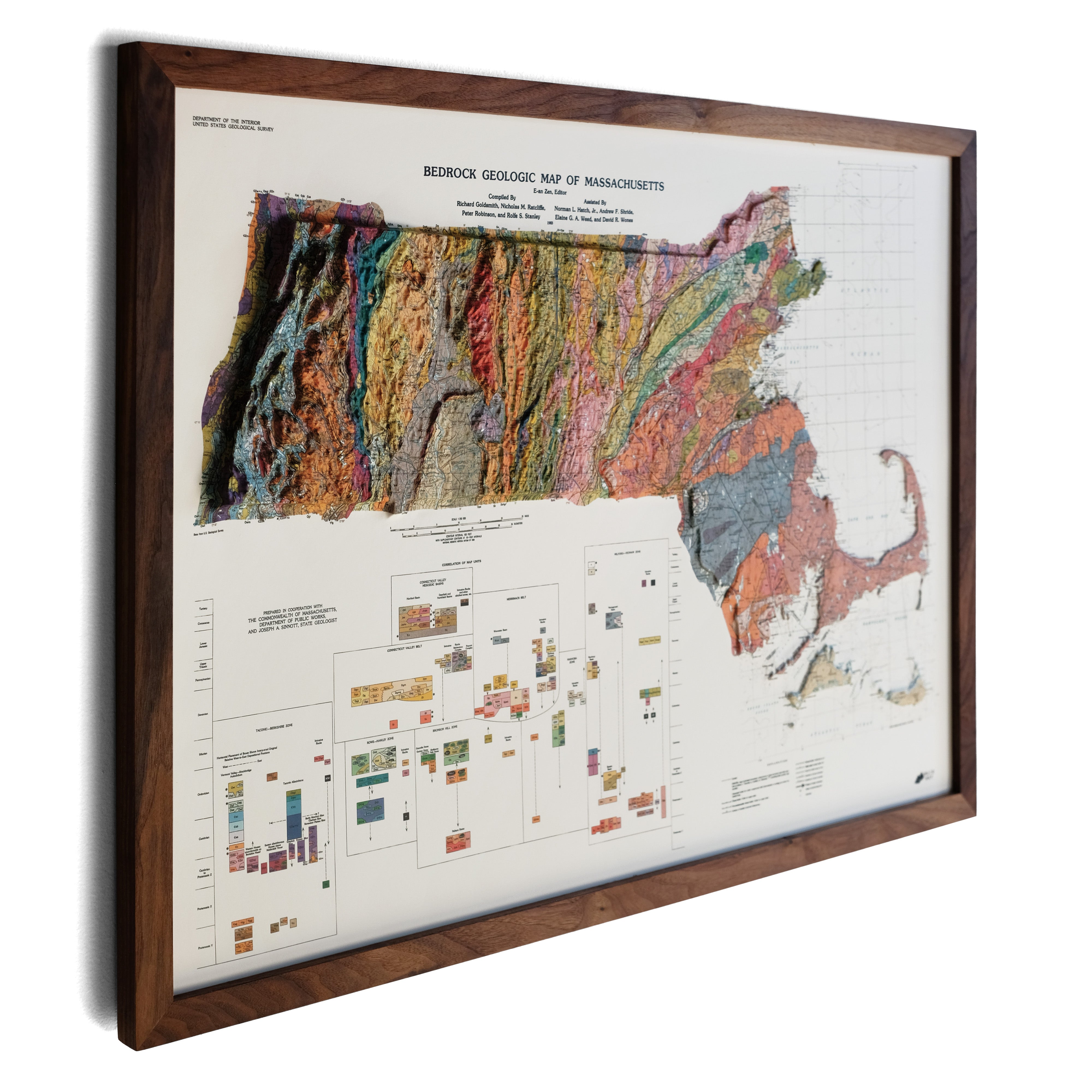
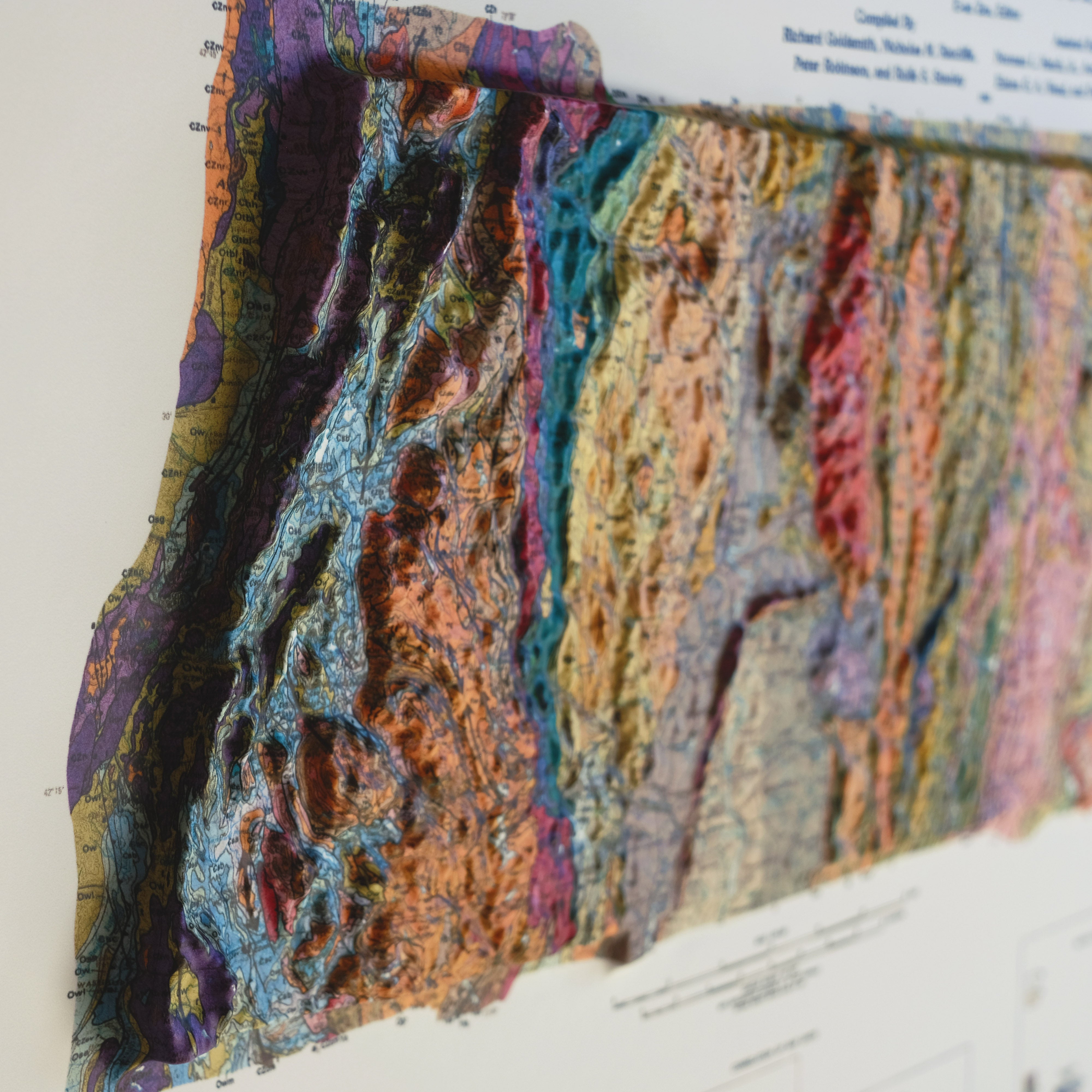
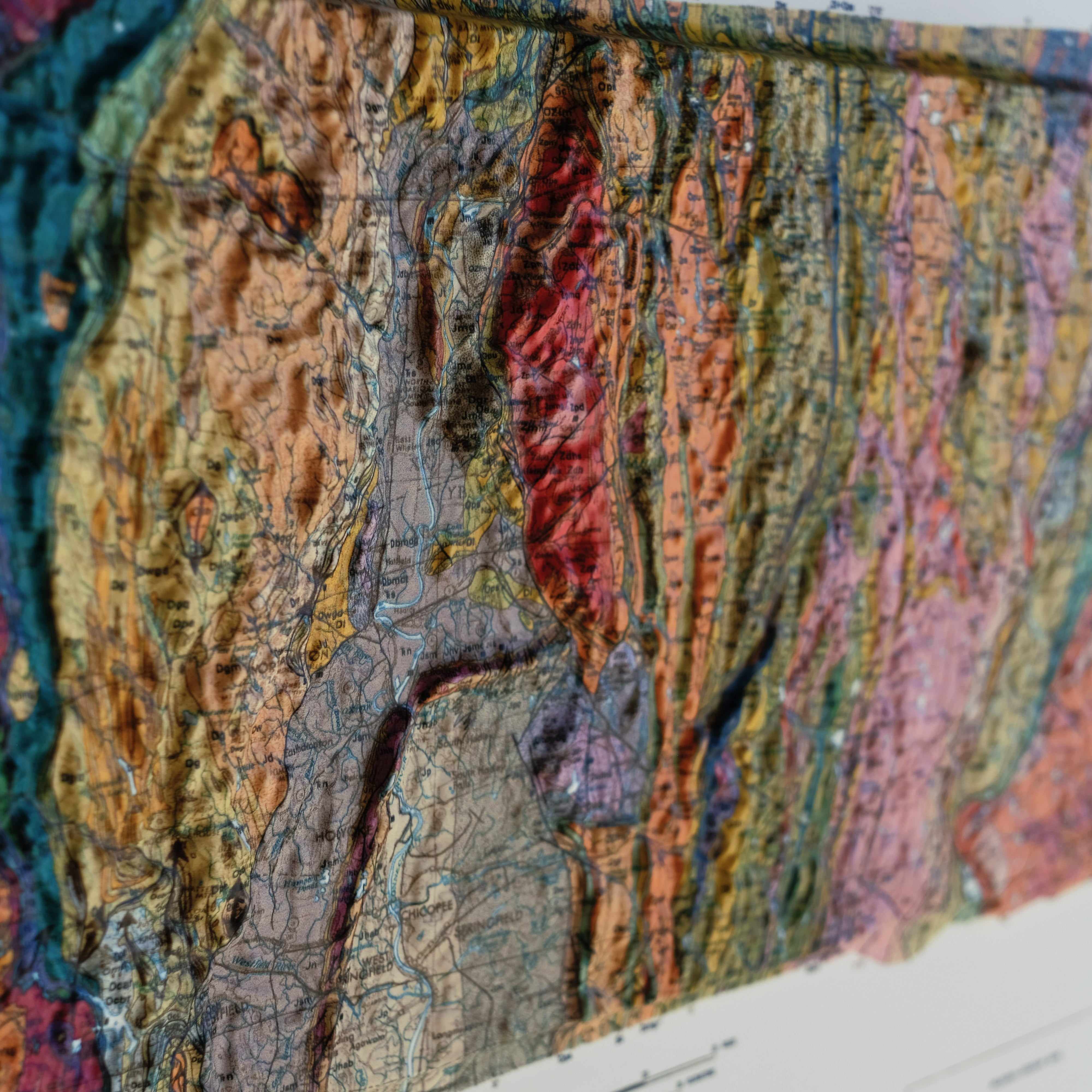
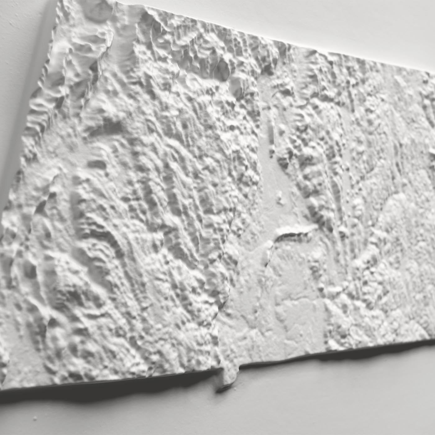
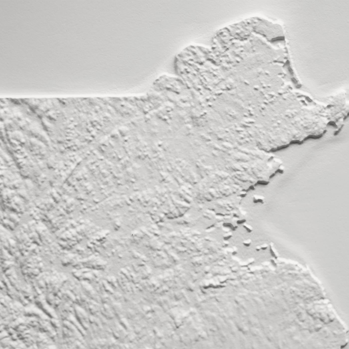
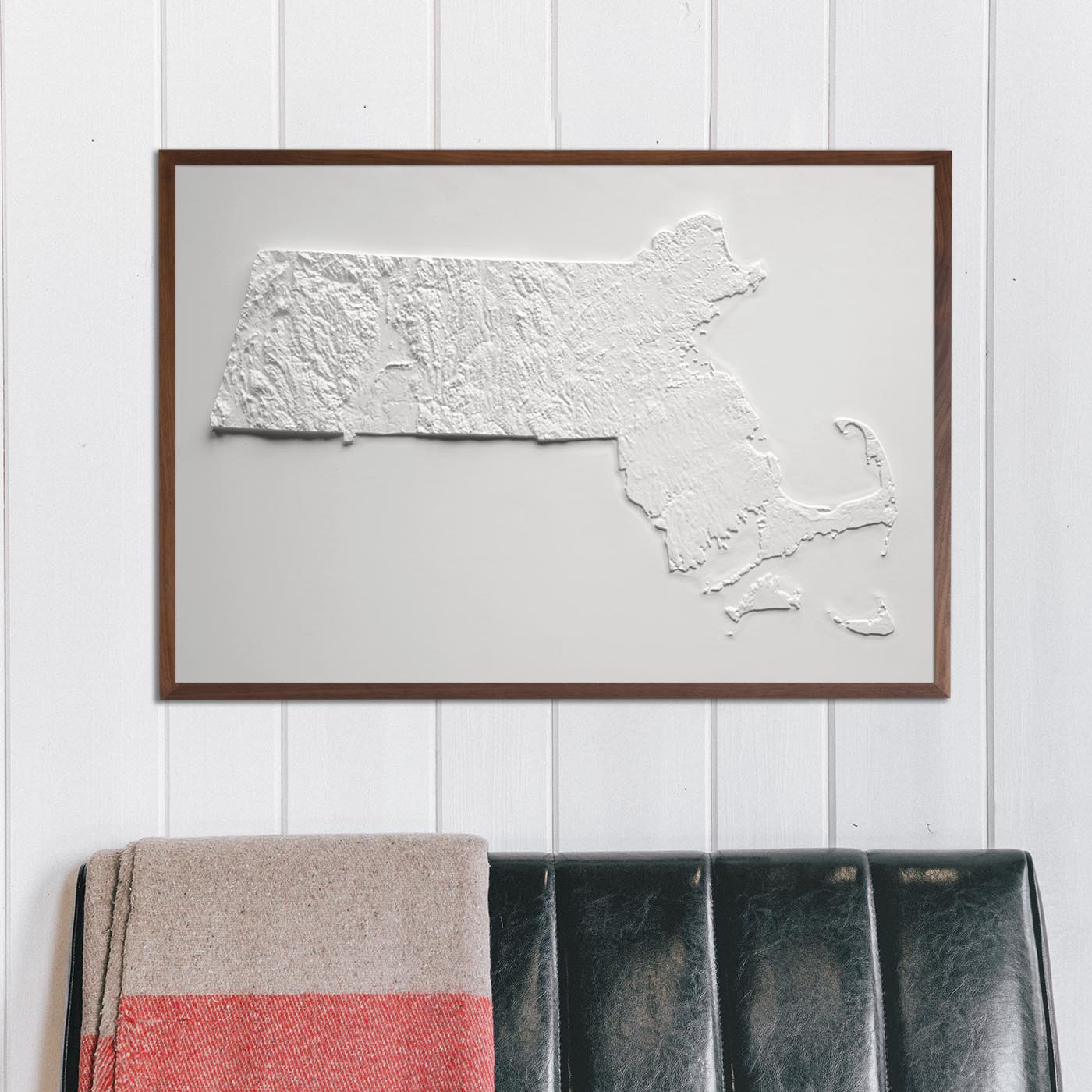
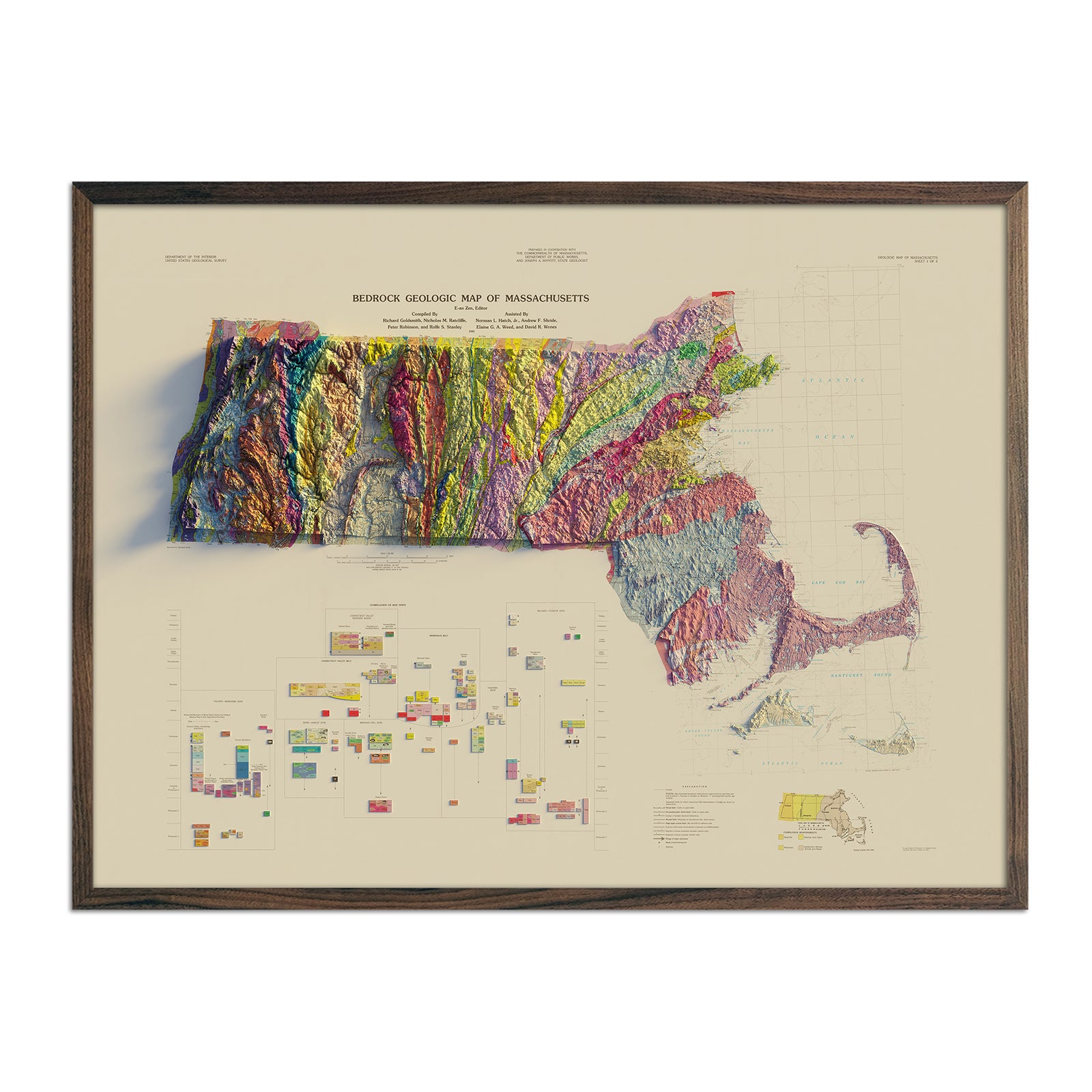
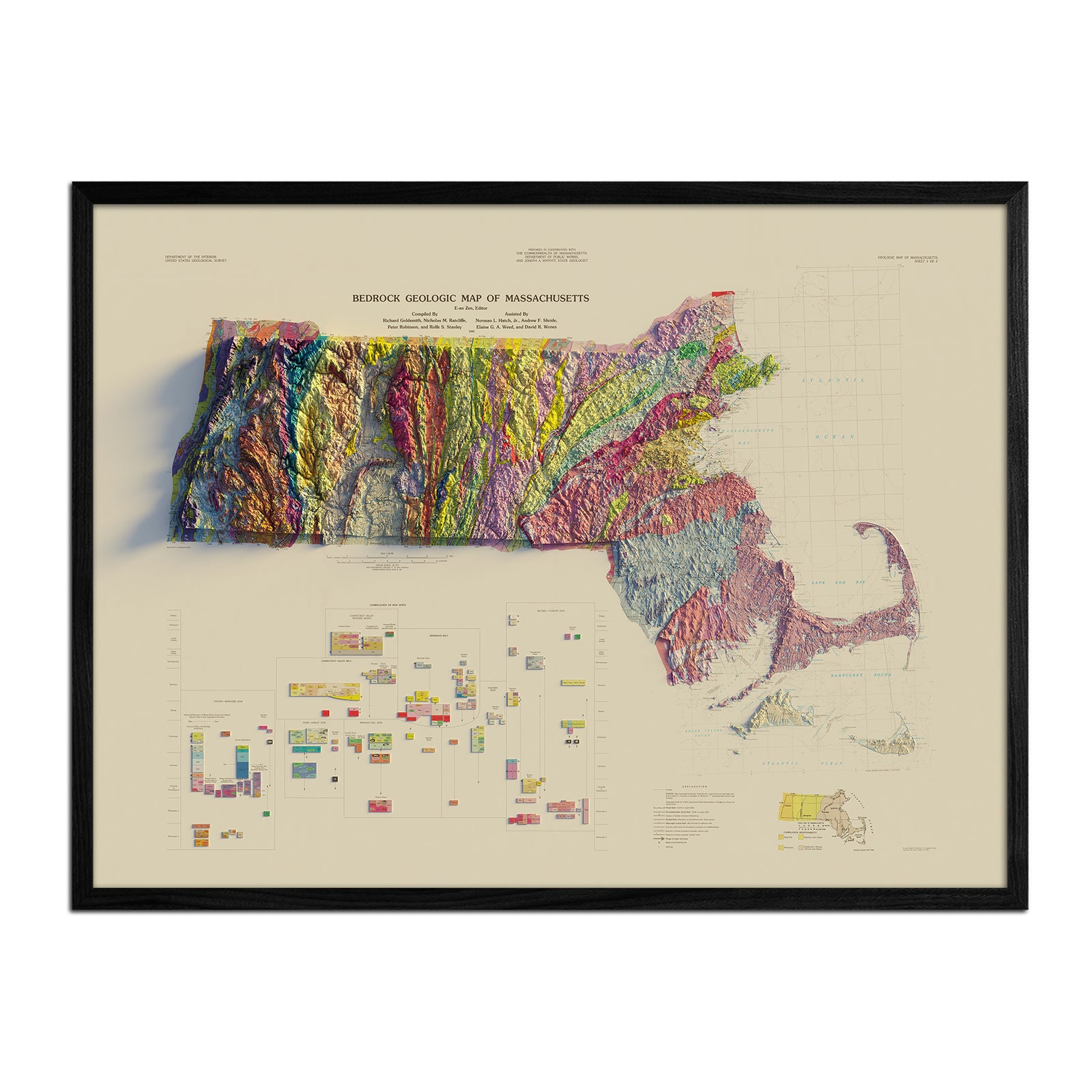
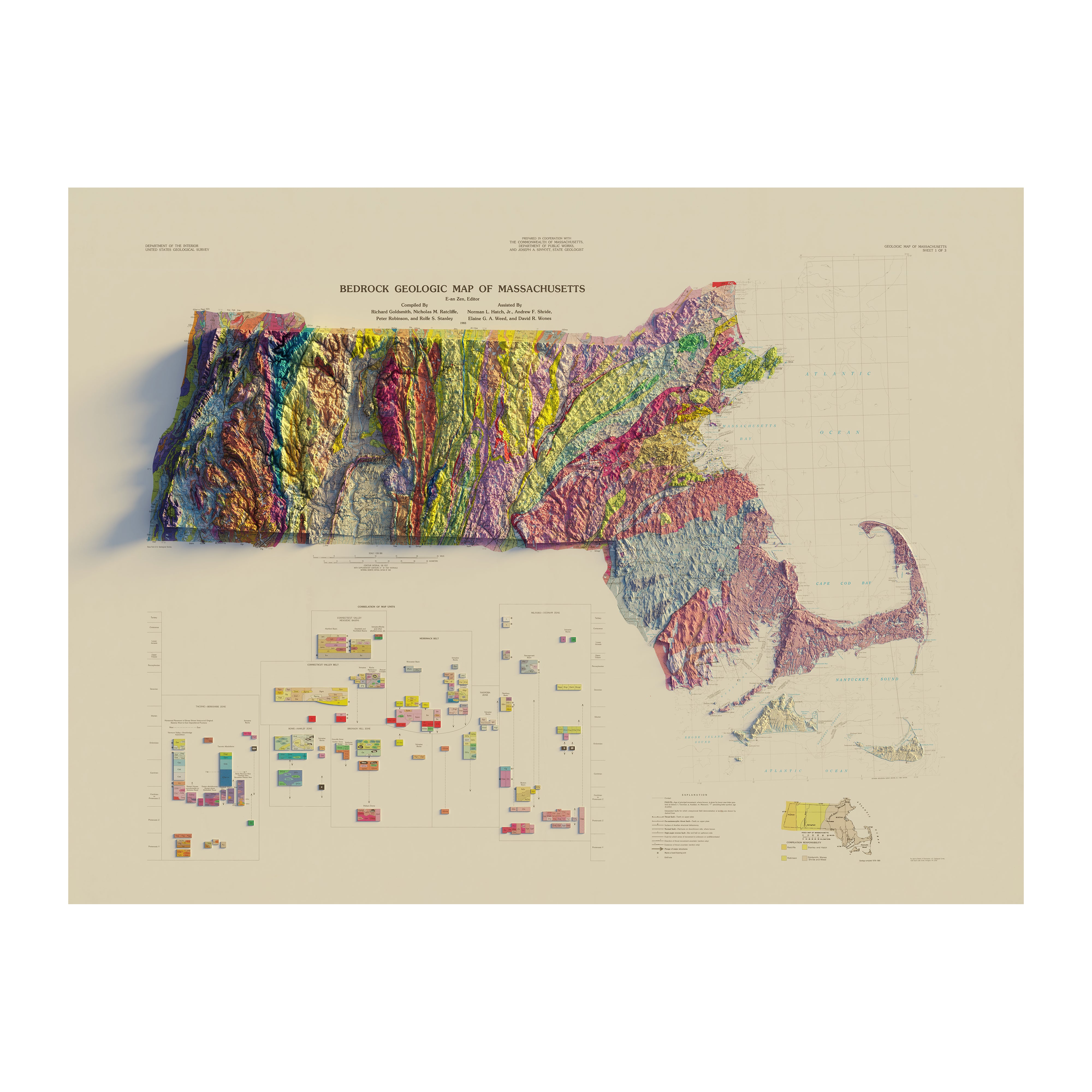
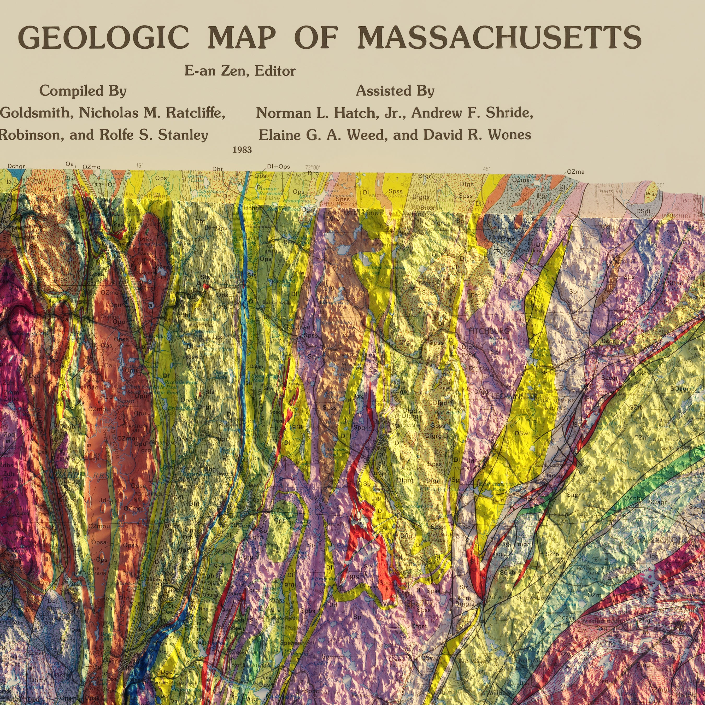
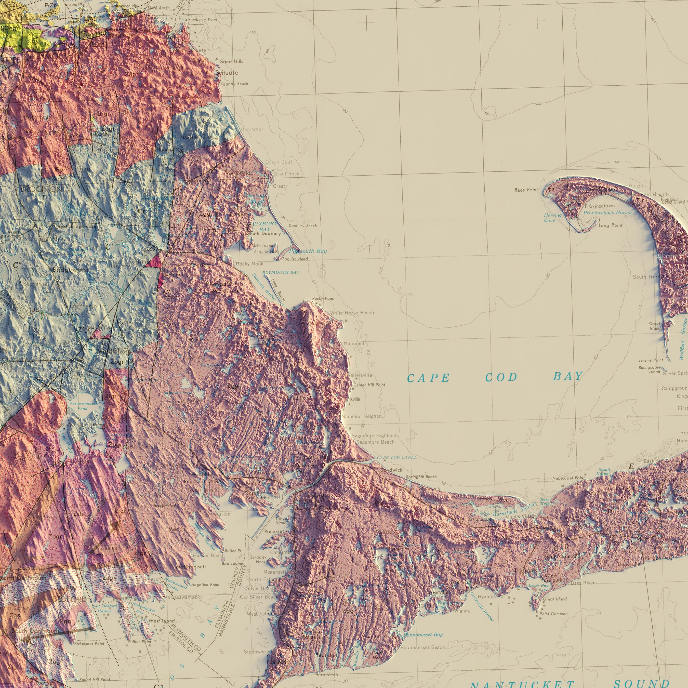
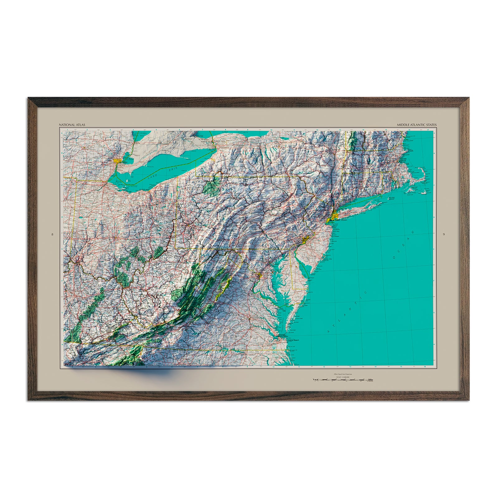
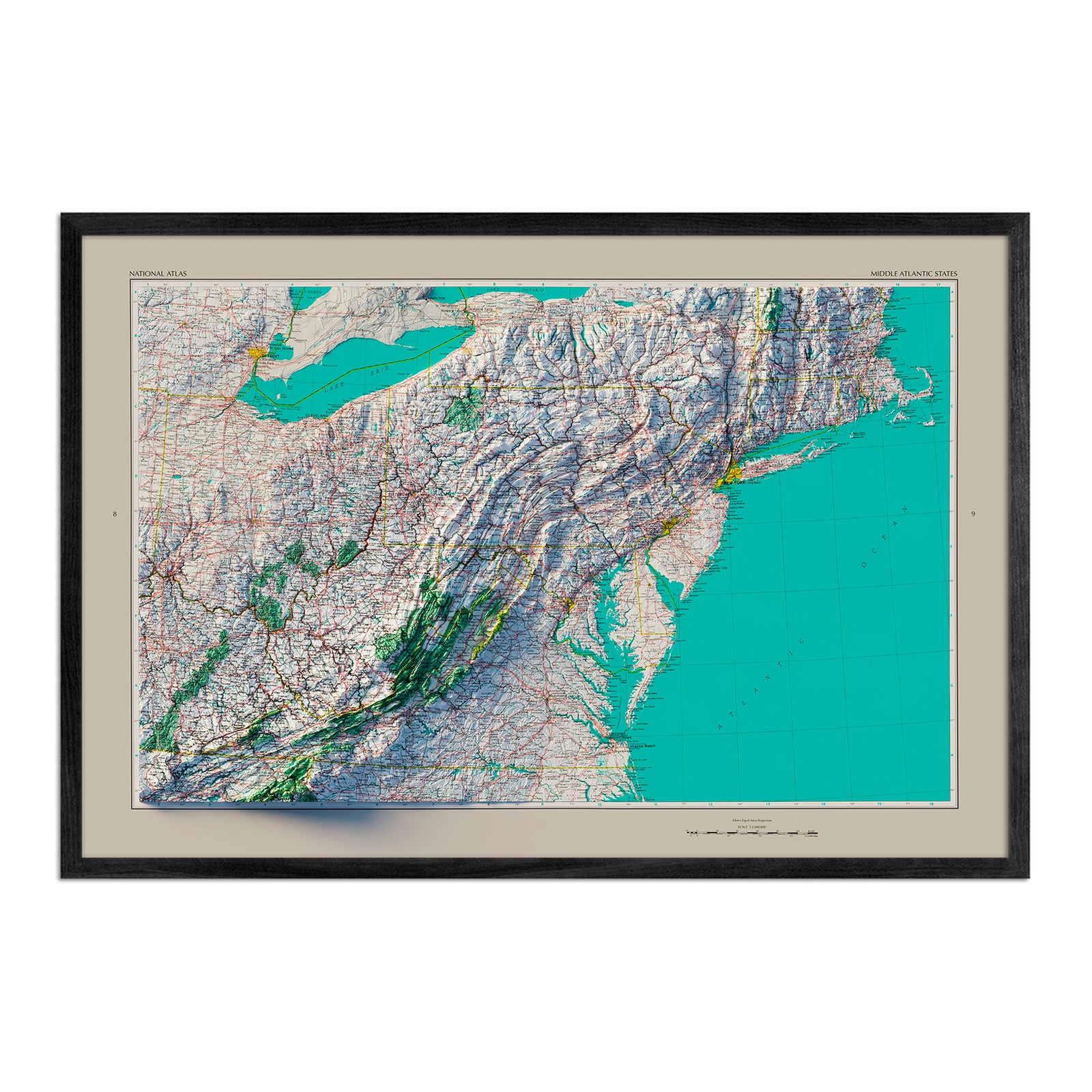
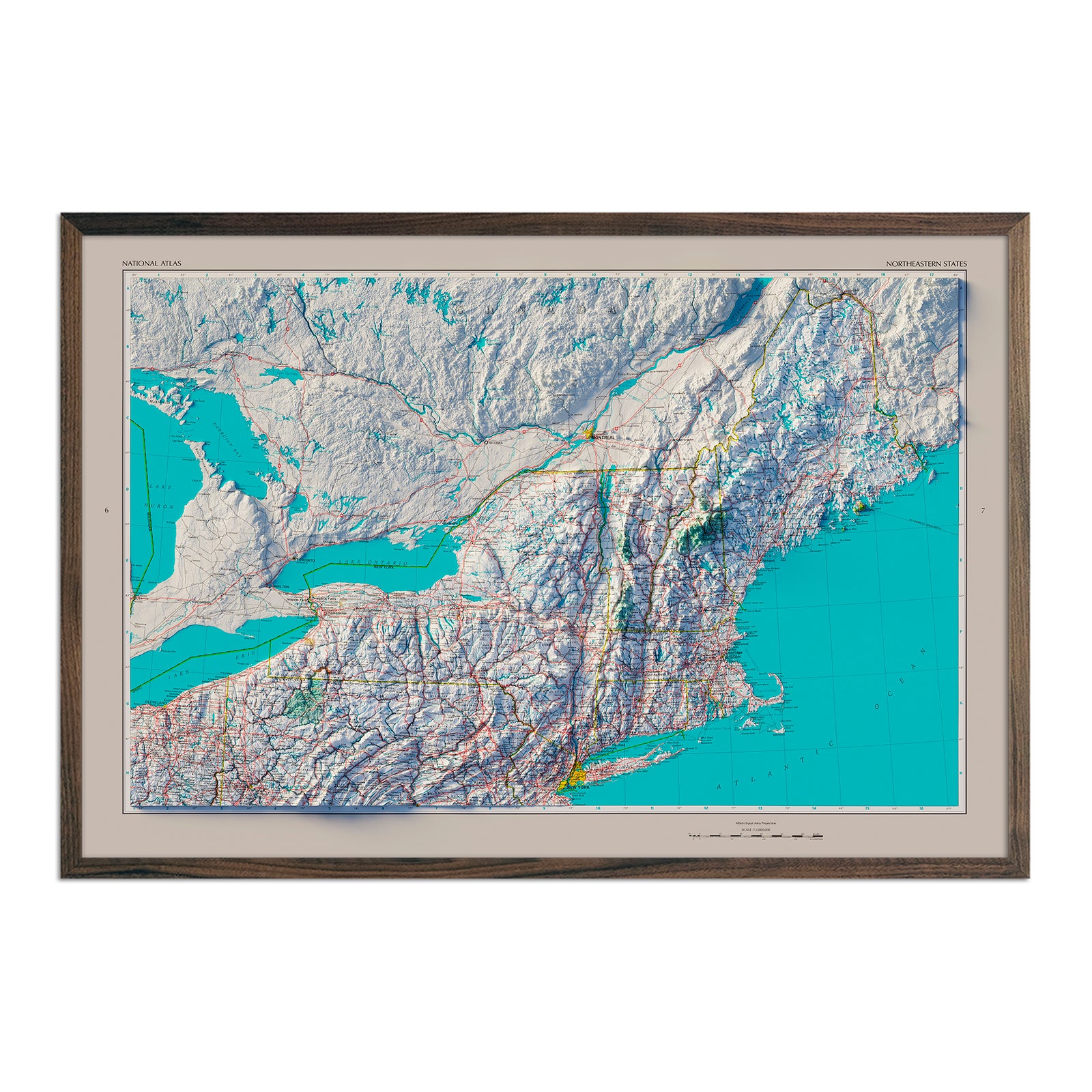
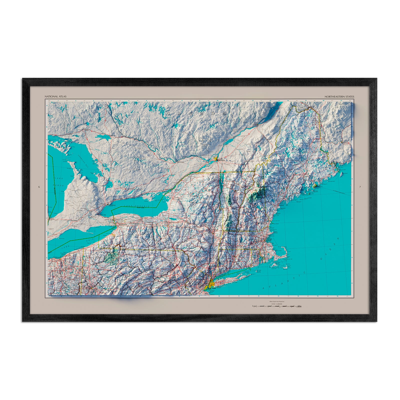
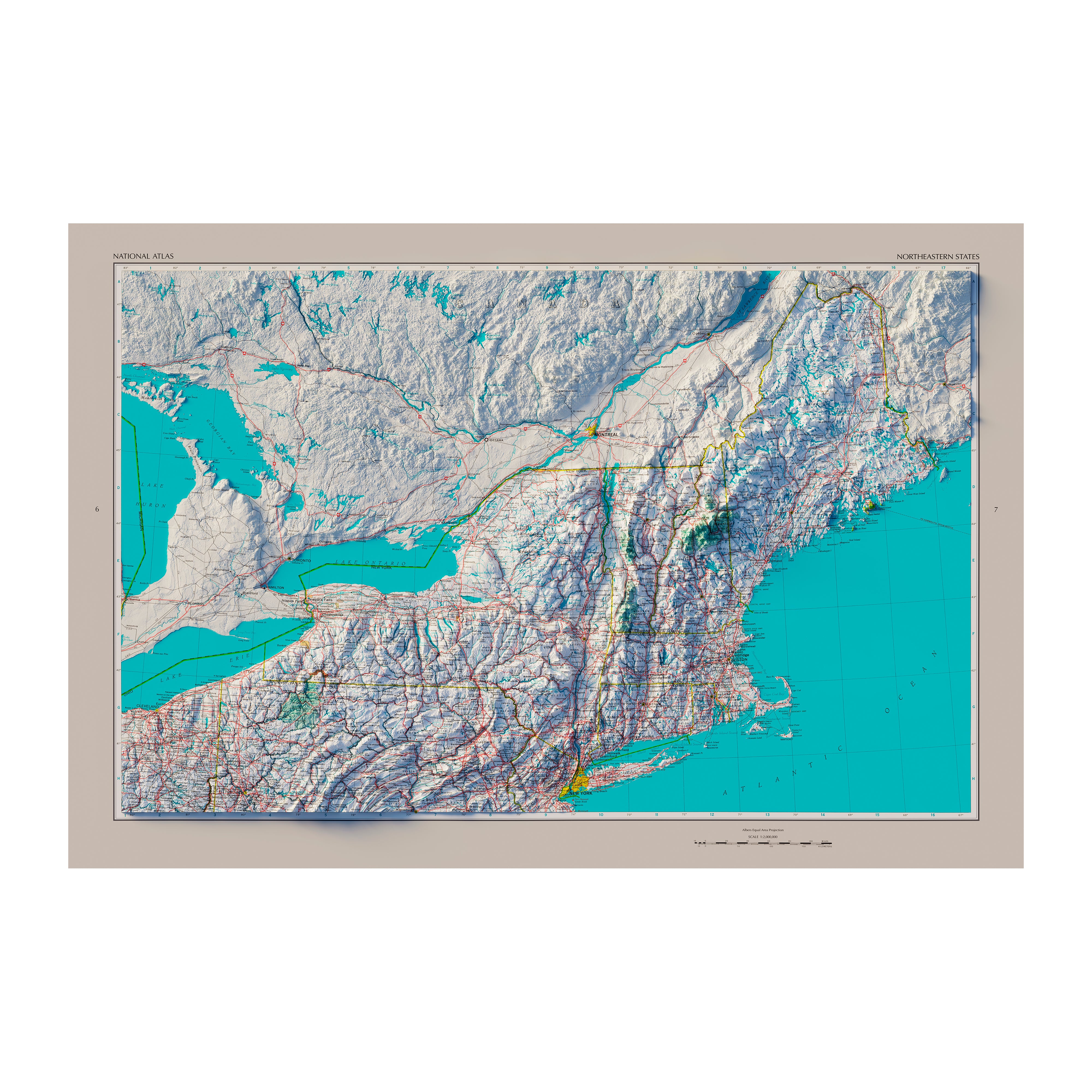
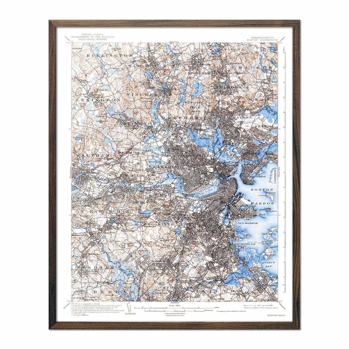
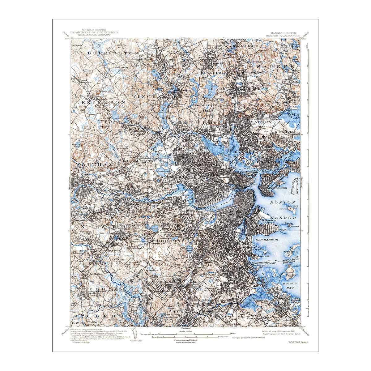
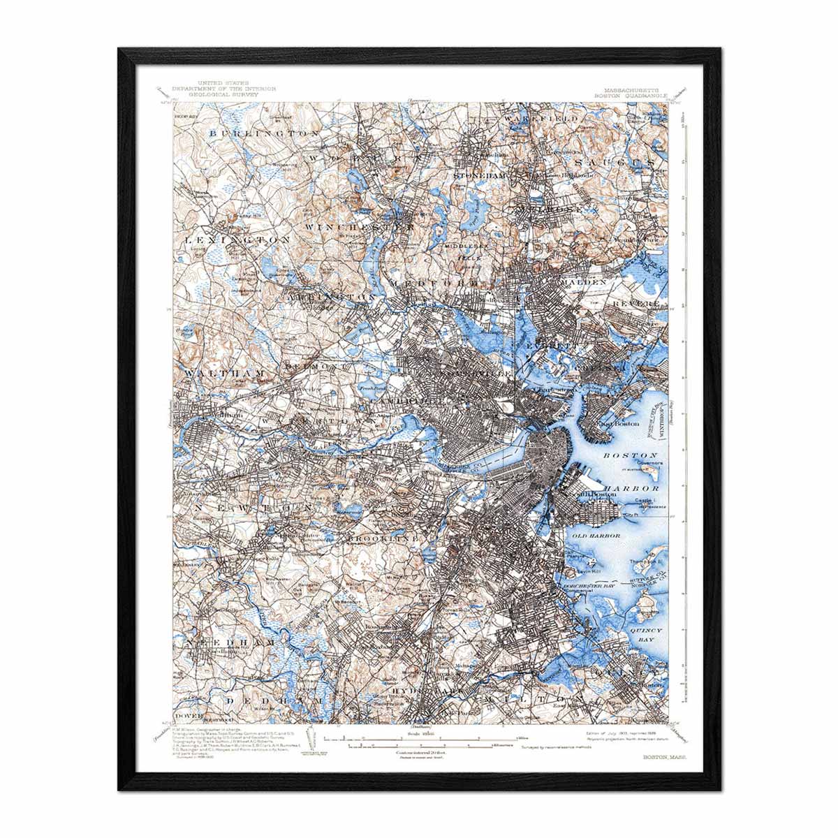
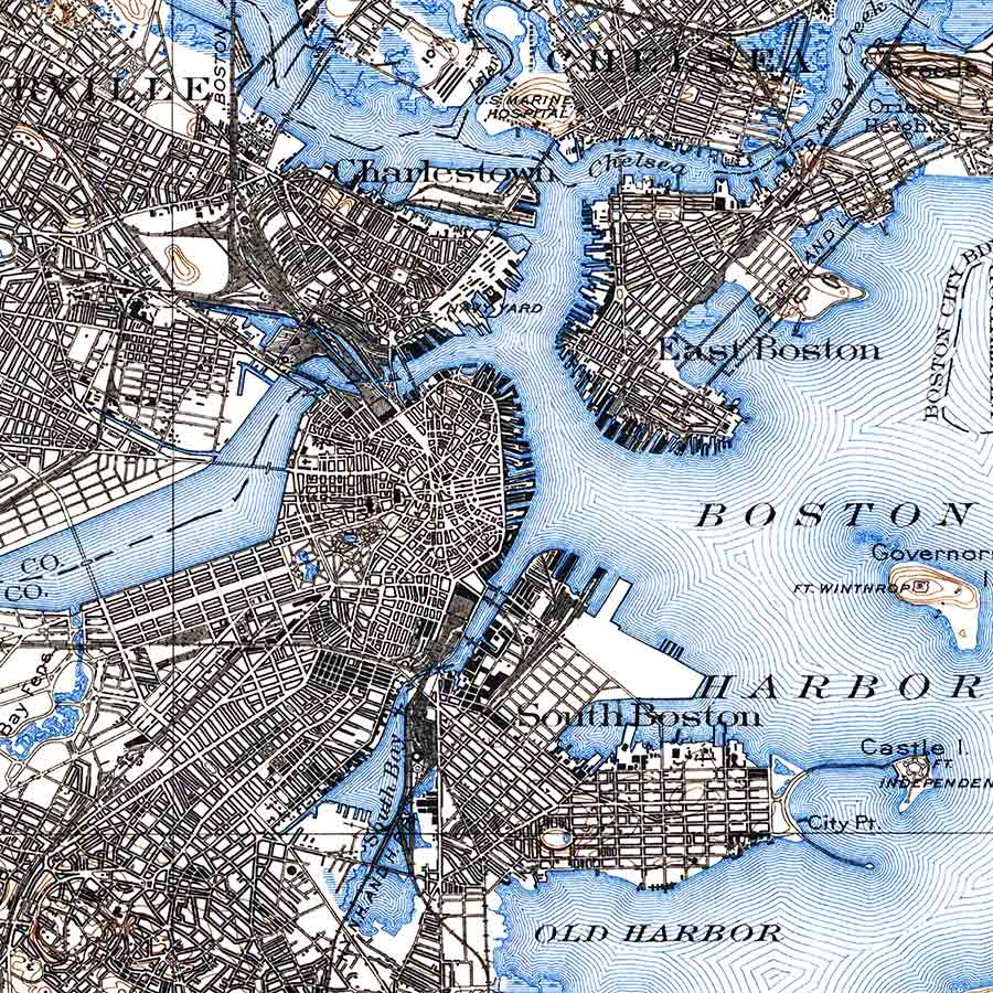
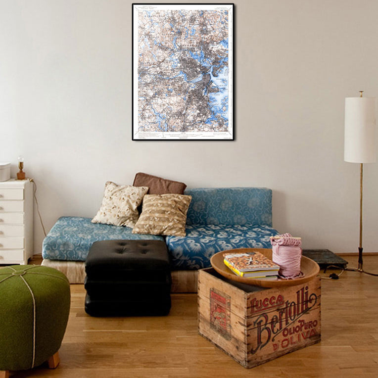
In addition to our elevation and hydrological maps of Massachusetts, we also have shaded relief maps from 1970, 1975, and 1983, as well as a 3D raised relief map, and a USGS map of Boston.
The Shaded Relief Maps create a 3D look on a 2D surface that will make the impressive peaks of the Appalachians and intertwined waterways of the state come to life. And the 3D Raised Relief Map of Massachusetts, features a raised surface, allowing you to run your hand across the Berkshires down to the Cape Cod Peninsula.
Whether for your home or office, our Massachusetts map prints will take you on an intimate journey through the state’s compelling geophysical and historical narrative.
Our Massachusetts map prints are museum-quality and are printed in the USA using archival inks guaranteed never to fade. We pair these quality inks with 100% cotton, OBA-free, and acid-free heavyweight paper. This ensures durability, longevity, and vibrancy.
But, the beauty of our framed Massachusetts map prints extends beyond the aesthetic appeal. We believe in making a positive impact on our environment, which is why a portion of every sale goes directly to supporting organizations that protect our land, water, and air from human impact.
No matter which map print you choose these maps will provide a new way to explore the geographic regions of Massachusetts. From Martha's Vineyard in the Coastal Lowlands to the Eastern New England Upland, Connecticut Valley Lowland, Western New England Upland, Berkshire Valley, and Taconic Mountains, you will have a new way to appreciate the Bay State.
In addition to our Massachusetts map prints, you can explore other Northeastern maps - like our elevation map of Pennsylvania, Connecticut state maps, New York state maps, maps of Delaware, and more. We also have 1883 maps of the US States, national park maps, US mountain ranges maps, and a wide range of international map prints too.


