


Range Series
Mountain Range Maps
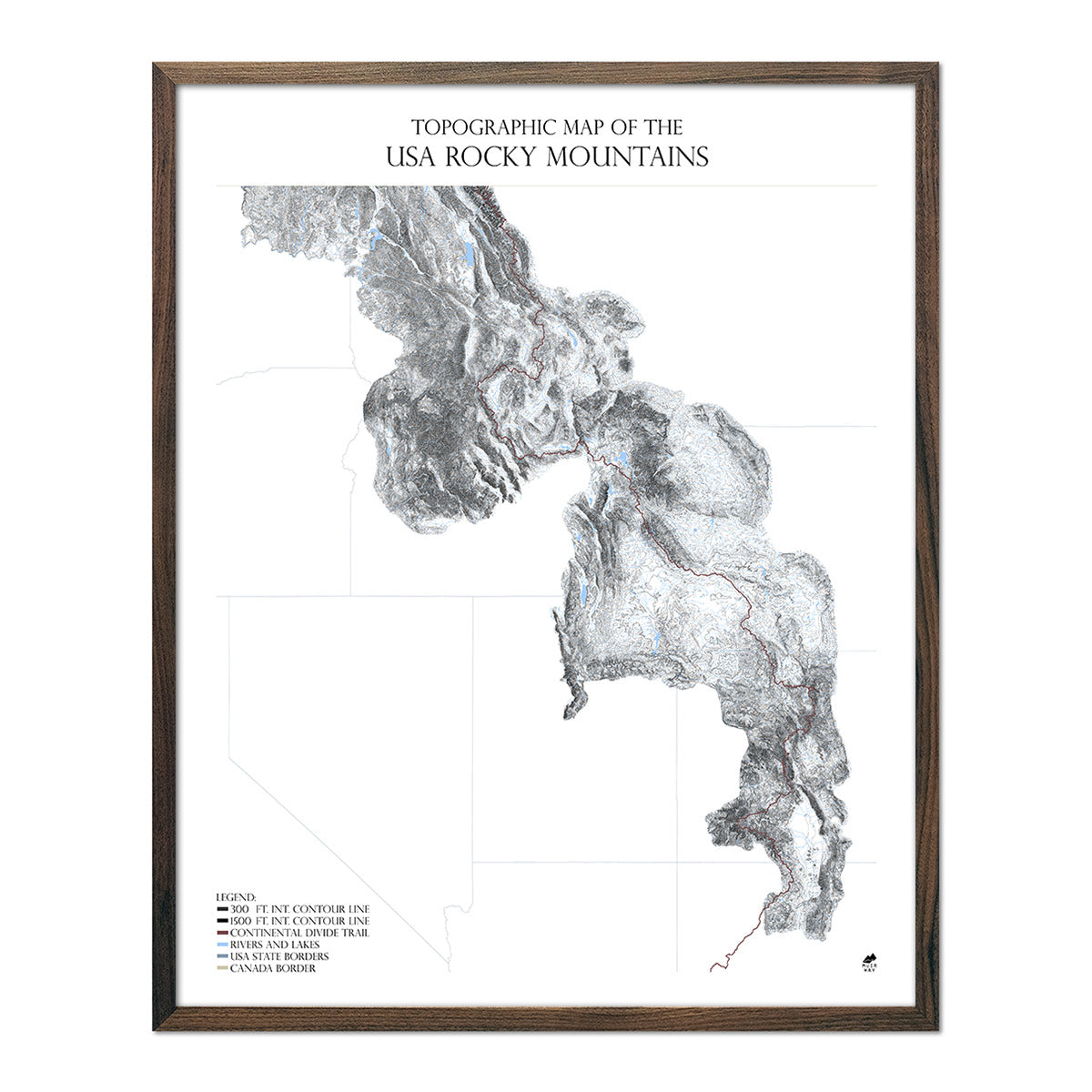
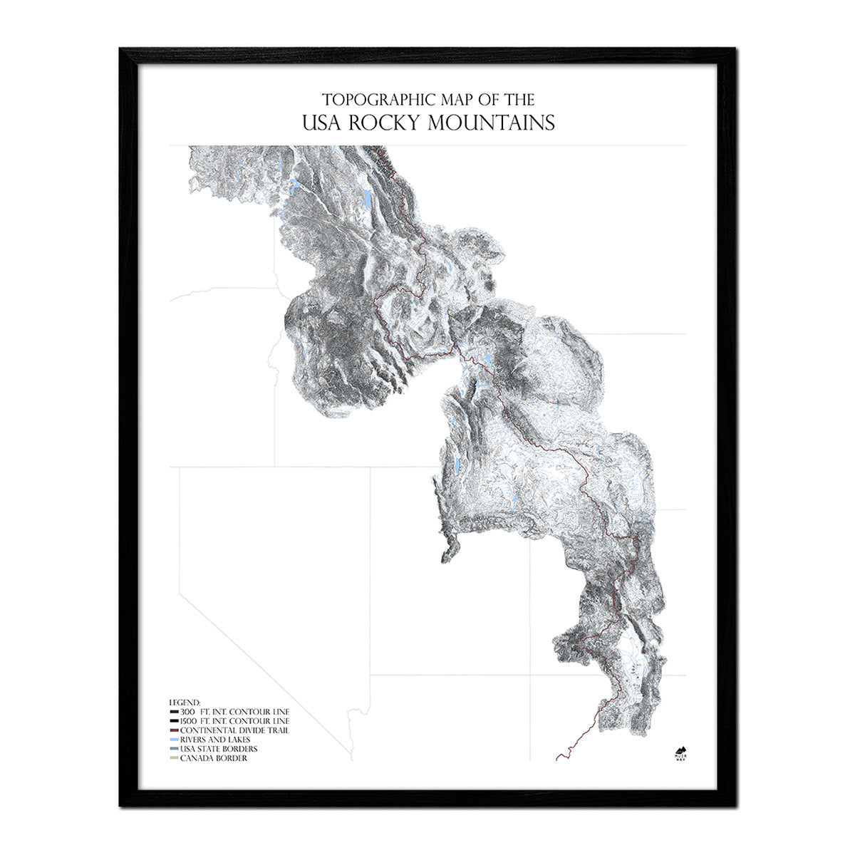
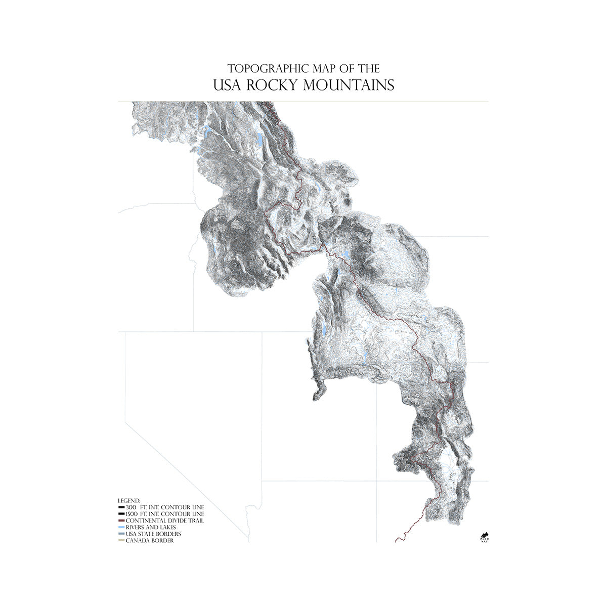
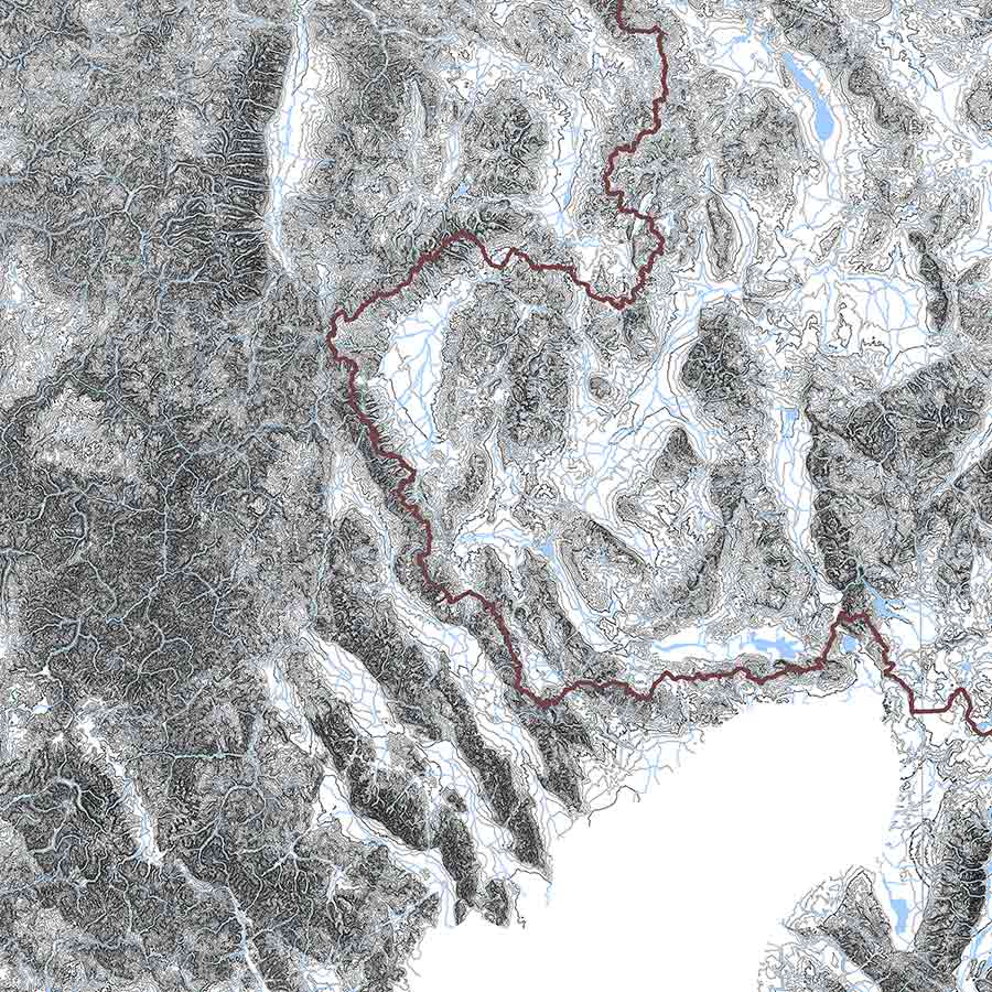
A one-of-a-kind series of accurate and intricate contour mountain range maps that cover some of our most majestic mountain ranges. They are primarily crafted in black-and-white, with blue indicating water bodies, to ensure the mountain relief and detailed contour lines feature most prominently. We have a few in the series that are either grey or blue. Major hiking trails are also mapped. The boundaries of the maps correspond with the edges of the foothills of the mapped ranges in question, creating artful outlines for elegant works of map art. We currently cover US mountain ranges in our series, including Alaska.
How Many Mountain Ranges Are in the USA?
We cover the United States’ most famous major ranges. Some subranges and ridges are so small, there is only local knowledge of them. How many ranges are in the USA is up to interpretation and debate, akin to how many neighborhoods does the USA have?
Our Main Ranges:
*MYA: million years ago
- Appalachian Mountains: Old and heavily eroded ranges which formed around 480 MYA. This gives these low ranges their ancient, rounded appearance. The range is heavily forested by mostly deciduous forest and stretches from Alabama and Georgia in the south to New Brunswick in the north, and discontinuously to the Long Range Mountains of Newfoundland.
- Blue Ridge Mountains: An eastern subrange of the Appalachians that forms the highest backbone of the main range from Georgia to southern Pennsylvania. This subrange contains notable national parks, like Shenandoah and Great Smoky Mountains. It also contains the eastern USA’s highest peak: Mt. Mitchell at 6,684 ft (2,037 m).
-
Green Mountains: Another Appalachian subrange that is associated with the Berkshires, stretching from western Massachusetts to most of central Vermont. The highest peak in Mt. Mansfield at 4,395 ft (1,340 m).
-
White Mountains: A previously glaciated Appalachian subrange in New Hampshire becoming the Mahoosucs in Maine. Unique in that they were formed by magma intrusions due to the New England hotspot 124-100 MYA. Contains the Northeast’s highest peak, Mt. Washington at 6,288.3 ft (1,916.7 m)
-
Adirondack Mountains: Not geologically part of the Appalachians; these unique ranges are closely related to the 2,000 MYA rocks of the Canadian Shield, with a complex method of formation associated with the Grenville Orogeny and later hotspot uplift. Highest mountain is Mt. Marcy at 5,343 ft (1,629 m).
-
Ozarks and Ouachita Mountains: Old, low ranges between Oklahoma, Arkansas and Missouri, associated with the uplift of the Appalachains. This relationship with the US Central Highlands, as they’re also known, remains poorly understood. Highest point is Mount Magazine at 2,753 ft (839 m).
-
Rocky Mountains: Arguably our most iconic range. The Rockies form the jagged backbone of the continent as its largest, named range: stretching 1,900 miles (3,000 kms) from northern British Columbia to north-central New Mexico. It was formed by tectonic collisions and folding during the Laramide Orogeny of 80-55 MYA. Highest peaks are located in Colorado, with Mt Elbert the tallest at 4,401 meters (14,440 ft).
-
Wasatch Range & Uinta Mountains: Formed primarily 28-34 MYA when magma intruded along a thrust fault, these ranges are loosely associated with the anticline folded-and-uplifted Uinta Mountains, Rockies and Colorado Plateau. These ranges rise abruptly in central Utah out of the Great Basin to the west. Kings Peak in the Uintas is the highest point, at 13,528 feet (4,123 m).
- Sierra Nevada: This Californian mountain range contains the highest peak in the lower-48 and has a unique geological history, in that it was formed primarily by upward, block lifting along a fault, with the bulk of the crustal tilting starting around 10 MYA. It has beautiful glaciated landforms and a unique flora, giving rise to some exquisite national parks like Kings Canyon, Sequoia, and Yosemite. The highest peak is Mt Whitney at 14,505 ft (4,421 m).
- Cascade Range: These volcanic and folded mountains of the Pacific Northwest form part of the Pacific Ring of Fire. Stretching from the Fraser River in British Columbia to Lassen Peak in California, the range hosts some of the USA’s most iconic peaks and all of the lower-48’s active volcanoes. Mountain building and volcanism has been active since 37 MYA, associated with the subducting Juan de Fuca plate. The highest peak in Mt. Rainier at 14,411 ft (4,392 m).
- Olympic Mountains: Small in extent, but quite well-known, the Washington state Olympics are exceedingly wet, hosting one of the few tracts of temperate rainforest in the world. Their formation is an oddity, in being a piece of oceanic crust that was shaved off in plate subduction and thrust upwards, called an obducted clastic wedge. The highest peak is Mt. Olympus at 7,962 ft (2,427 m).
- Alaska Range: The highest range of mountains in North America. This south-central Alaskan mountain range is only 400 miles (650 km) long, however outside the Andes and Himalayan complex in Central Asia, contains the highest peaks in the world, topping out at 20,343 ft (6,201 m) at Denali (prev. Mt. McKinley). This area is still tectonically active, with the ranges continuing to form as the Pacific Plate dives beneath the North American plate.
What are the Mountain Ranges in North America with a map?
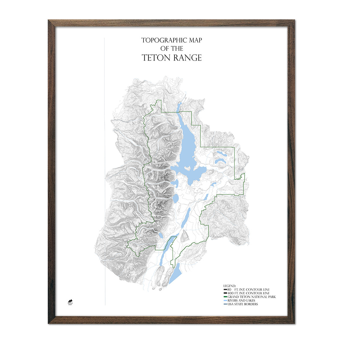
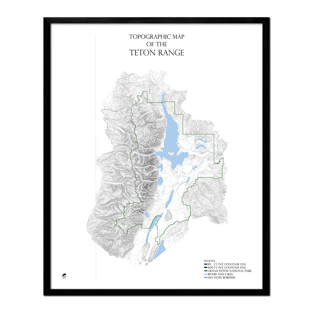
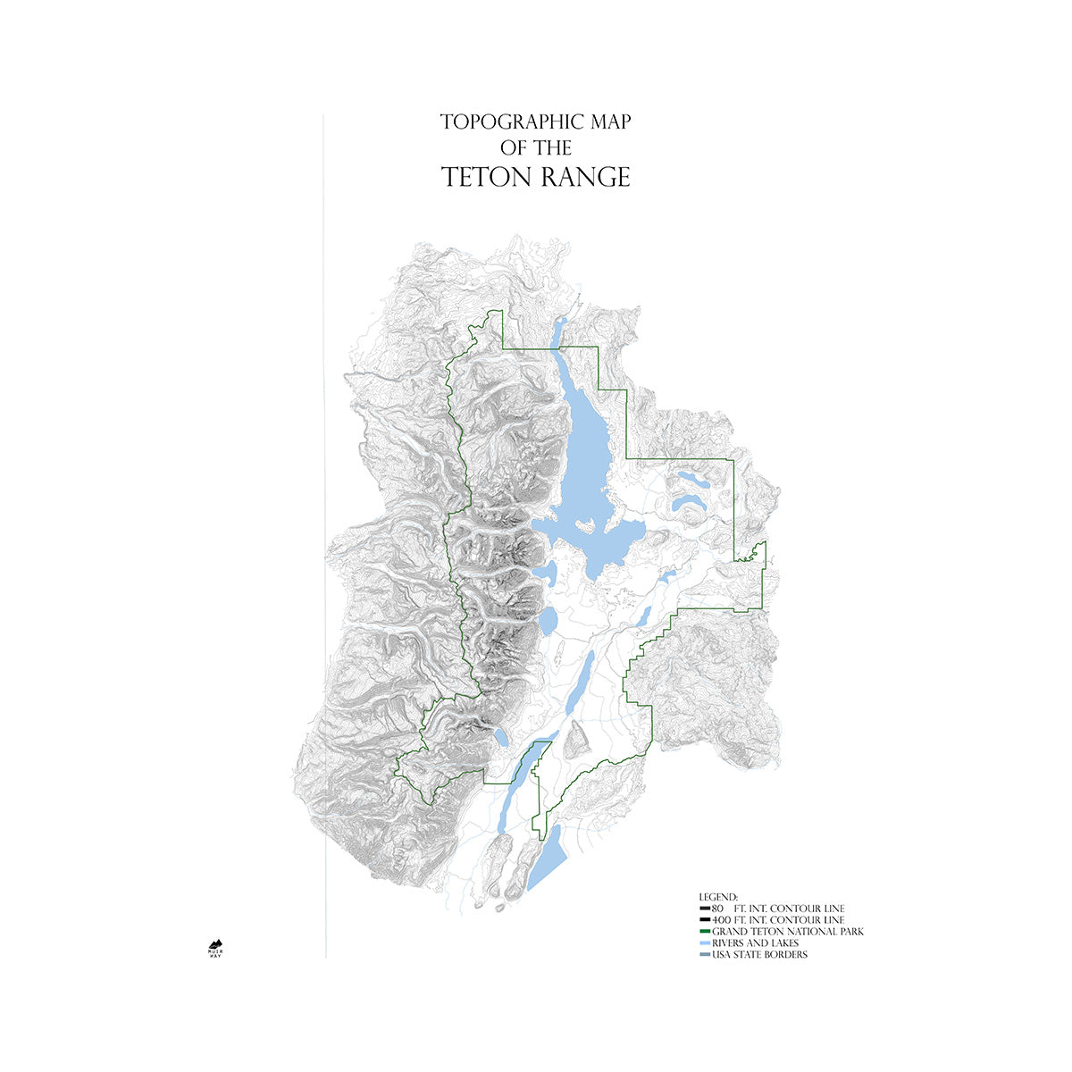
We have a great selection of 18 range maps; these include: Rocky Mountains, Cascade Range, Appalachian Mountains, Sierra Nevada, Wasatch and Uinta Ranges, White Mountains, San Juan Mountains, Wind River Mountains, Green Mountains, Frank Church-River of No Return Wilderness, Blue Ridge Mountains, Teton Range, Adirondack Mountains, Spokane Watershed, Chugach Mountains, New River Gorge, Prince William Sound, and Talkeetna Mountain Range.
What are the Most Popular Mountain Range Maps?
- Appalachian Mountains Map featuring the Appalachian Trail
A very detailed, contour map, in mostly black and white, of the entire Appalachian Mountain chain and all its subranges from Alabama to New Brunswick. Rivers and the Appalachian Trail are prominently indicated. The map includes all the well-known subranges: the Green, White, and Blue Ridge Mountains, the Berkshires, and the Allegheny and Cumberland Plateau, even the geologically, unrelated Adirondacks, Catskills, and Poconos are included. - Sierra Nevada Mountains Map & the Pacific Crest Trail
A very detailed, mostly black and white, contour map of the entire Sierra Nevada chain, from the northern California border south to Tehachapi. The map illustrates the Pacific Crest and John Muir Trails. This map includes some natural gems, like Yosemite, Sequoia, Lassen Volcanic, and King Canyon National Parks, and the lower-48’s highest mountain, Mt. Whitney. - Rocky Mountains
A very detailed, contour map, in mostly black and white, of the entire US portion of the Rocky Mountains, from the Canadian border, south to central New Mexico. Includes all associated subranges: the Bitterroots, Sawtooths, Tetons, Absaroka-Beartooths, Wind River Range, Bighorn, Front Range, San Juan, Sangre de Christo, Wasatch, and Uinta Mountains.


