Skip to content
Facebook
Instagram
Pinterest
Free Shipping on orders over $50
Country/Region
United States (USD $)
United States (USD $)
Search
Account
Search
Cart
Popular Collections
3D Raised Relief Maps
Vintage Shaded Relief Maps
Hydrological Maps
Apparel
Best Sellers
Shop by Location
USA Maps
State Maps
International Maps
National Park Maps
Shop by Type
Collections
3D Raised Relief
2D Vintage Shaded Relief
Hydrology Series
TOPO Series
National Park Series
2D Elevation Relief
2D Shaded Relief
Mountain Range
3D Raised Relief Maps
Shaded Relief Maps
Hydrological Maps
Historical Prints
Illustrations and Photographs
1884 Fish Drawings
1875 Zoology Drawings
1868 Yosemite Photos
1873 Yellowstone Photos
1874 Moon Photos
Historical Maps
Astronomy
Civil War Maps
Assorted Vintage
USGS Quadrant Maps
1876 State Maps
1876 Geologic/Topographic
1883 State Maps
1904 Yellowstone Maps
1906 Hawaii Maps
1884 Fish Drawings
Astronomy
Civil War Maps
Apparel
About Us
Our Story
Reviews
FAQs
Shipping and Returns
Contact Us
All Muir Way Maps
Filter
Sort by
Best selling
Best selling
Alphabetically, A-Z
Alphabetically, Z-A
Date, old to new
Date, new to old
Filters
US States
Alabama
2
Arkansas
1
Delaware
1
Georgia
3
Illinois
1
Indiana
1
Kentucky
2
Louisiana
1
Maine
1
Maryland
1
Mississippi
2
Missouri
1
New Hampshire
1
New Mexico
1
New York
1
North Carolina
22
Pennsylvania
1
Rhode Island
1
South Carolina
5
Tennessee
9
Virginia
3
West Virginia
1
National Parks
Cape Hatteras
1
Great Smoky Mountains
6
Sort by
Best selling
Alphabetically, A-Z
Alphabetically, Z-A
Date, old to new
Date, new to old
Apply
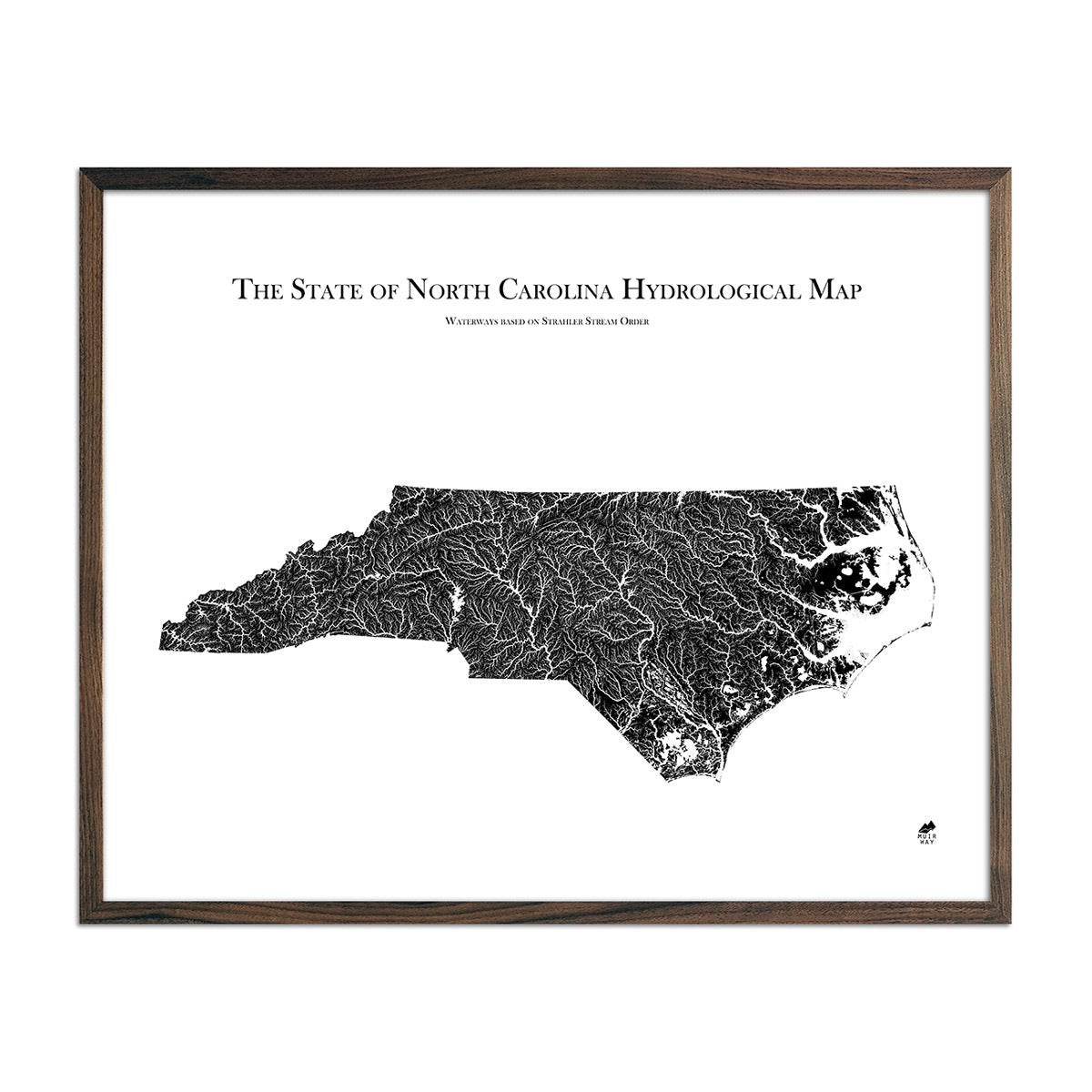
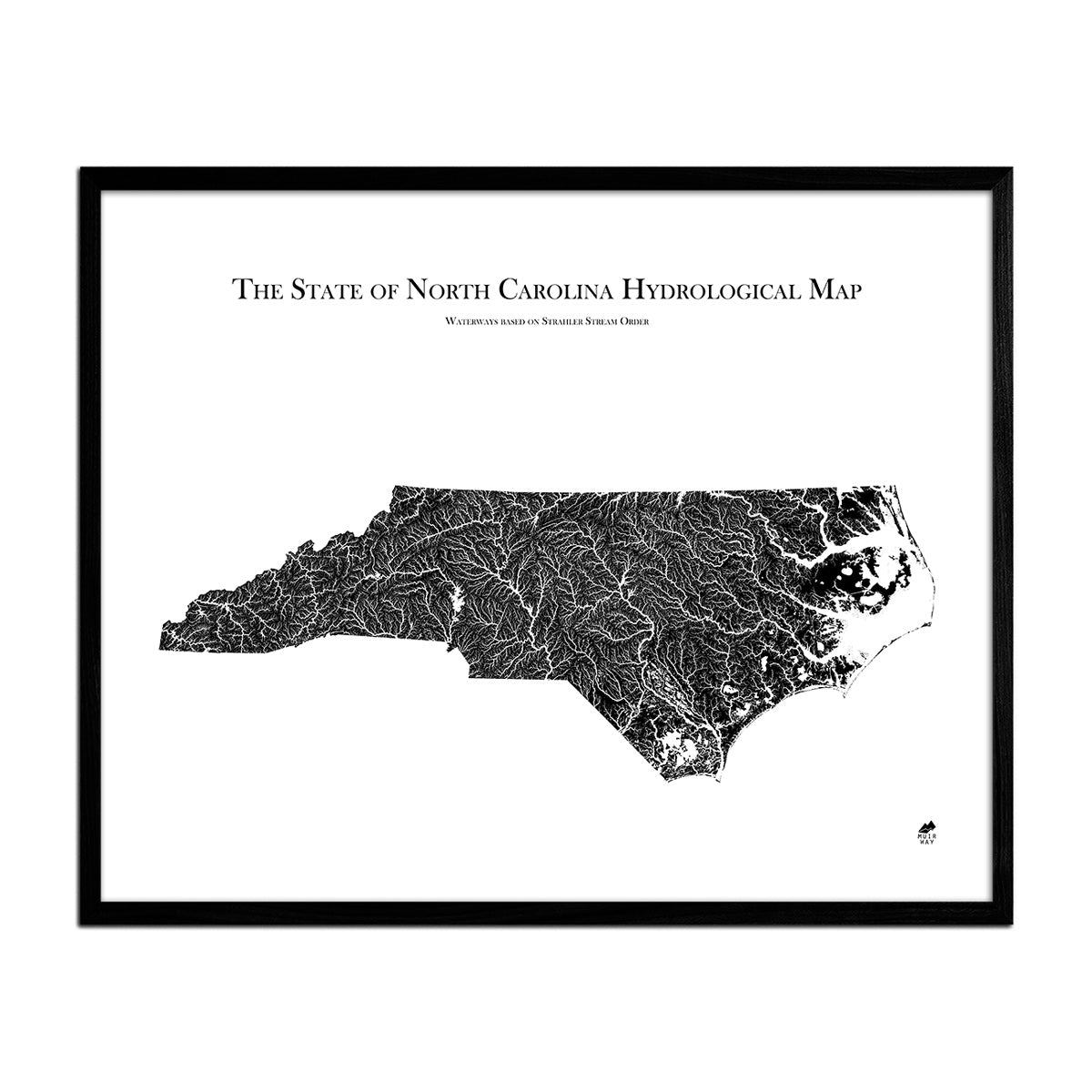
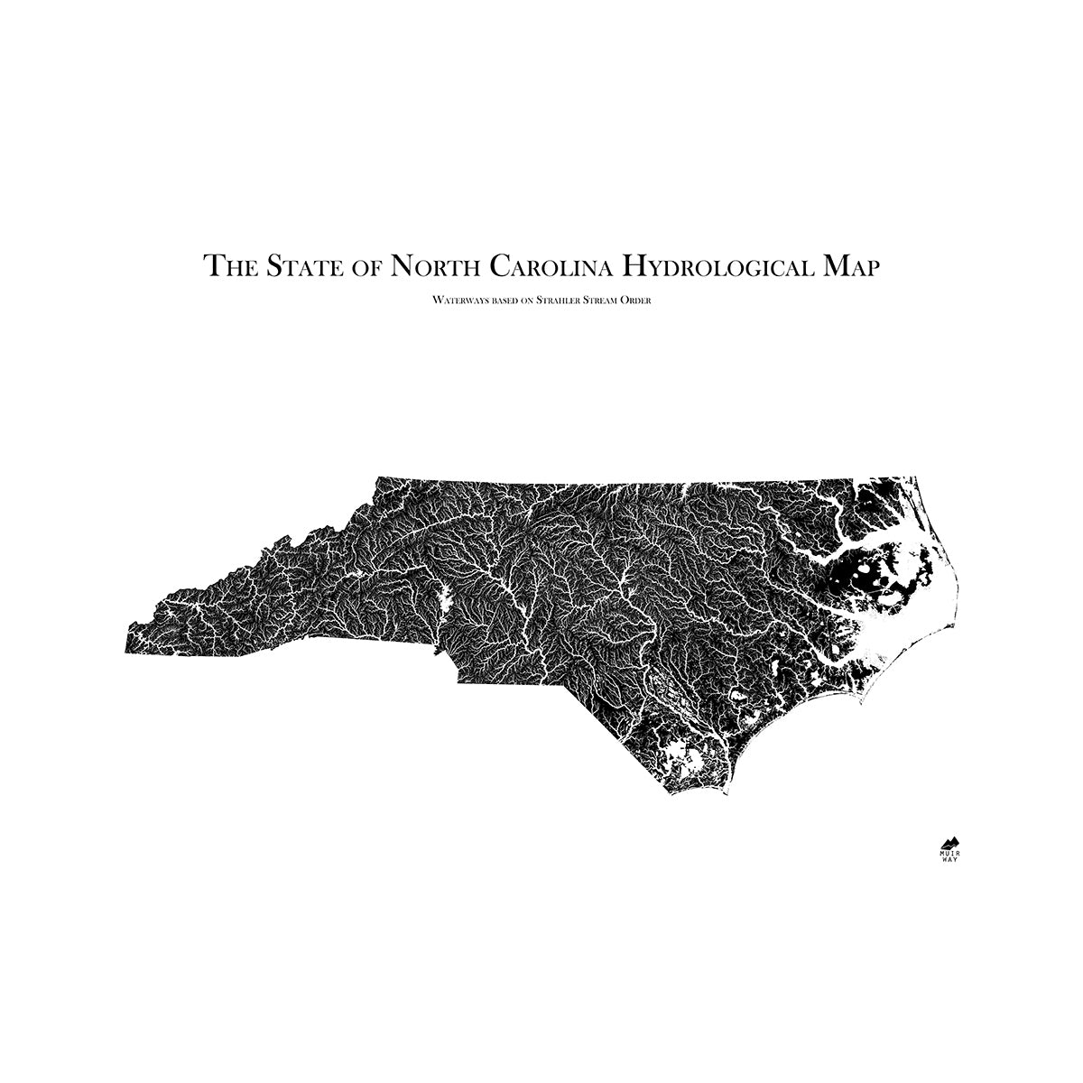
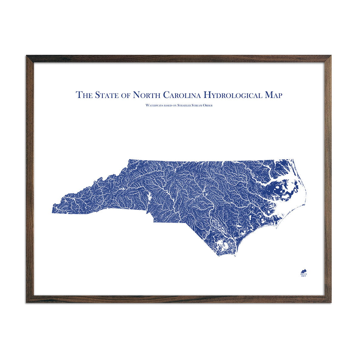
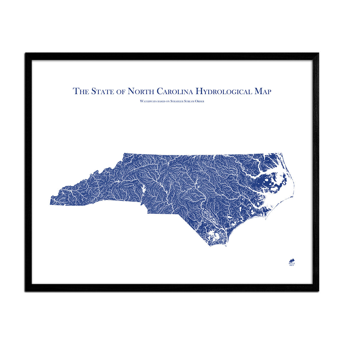
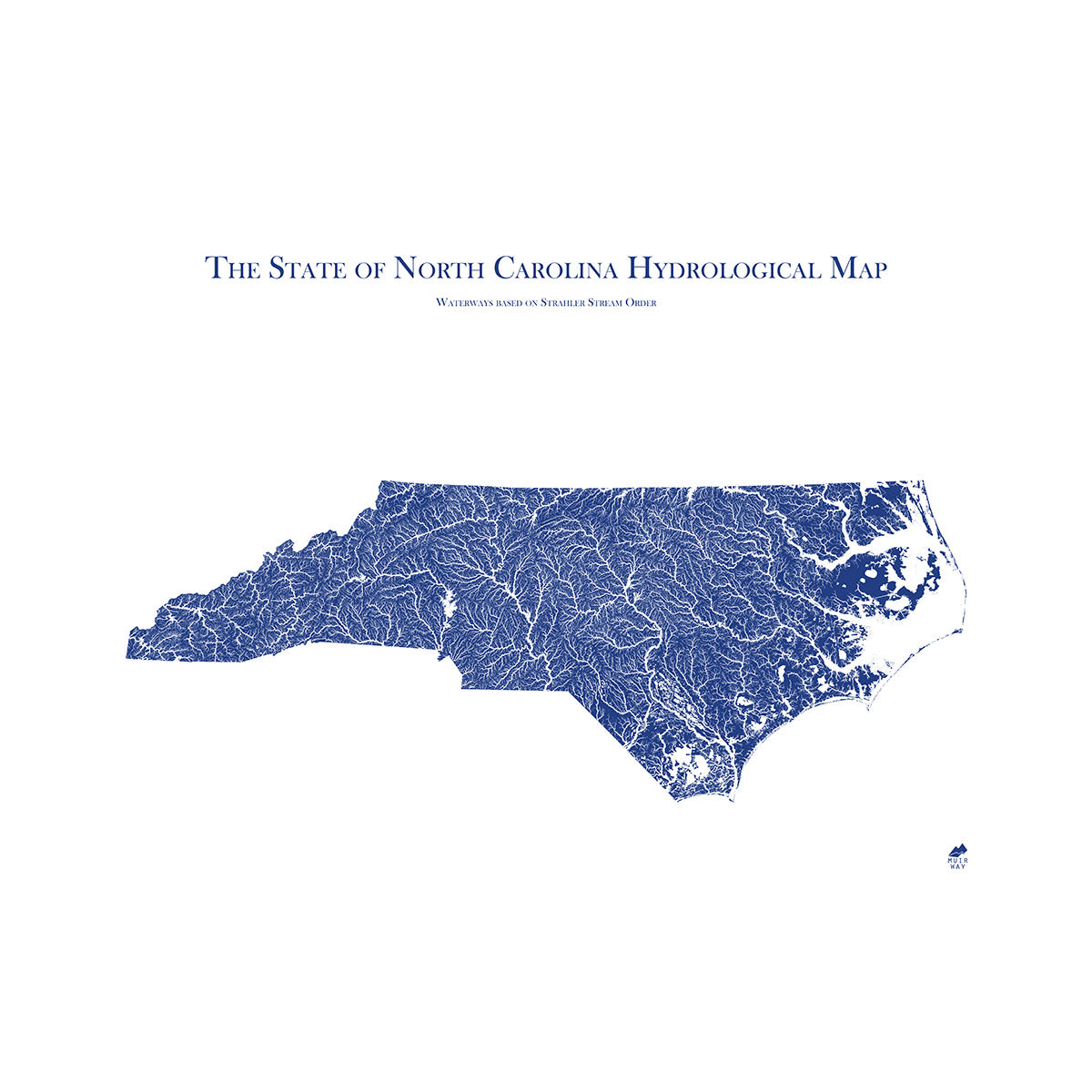
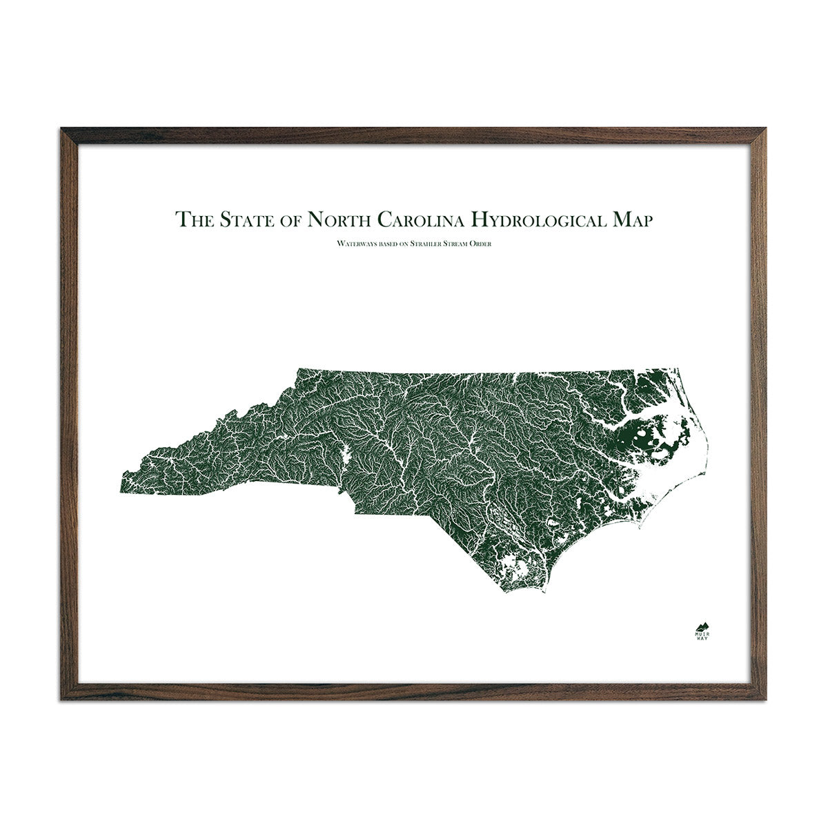
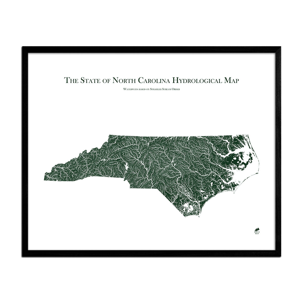
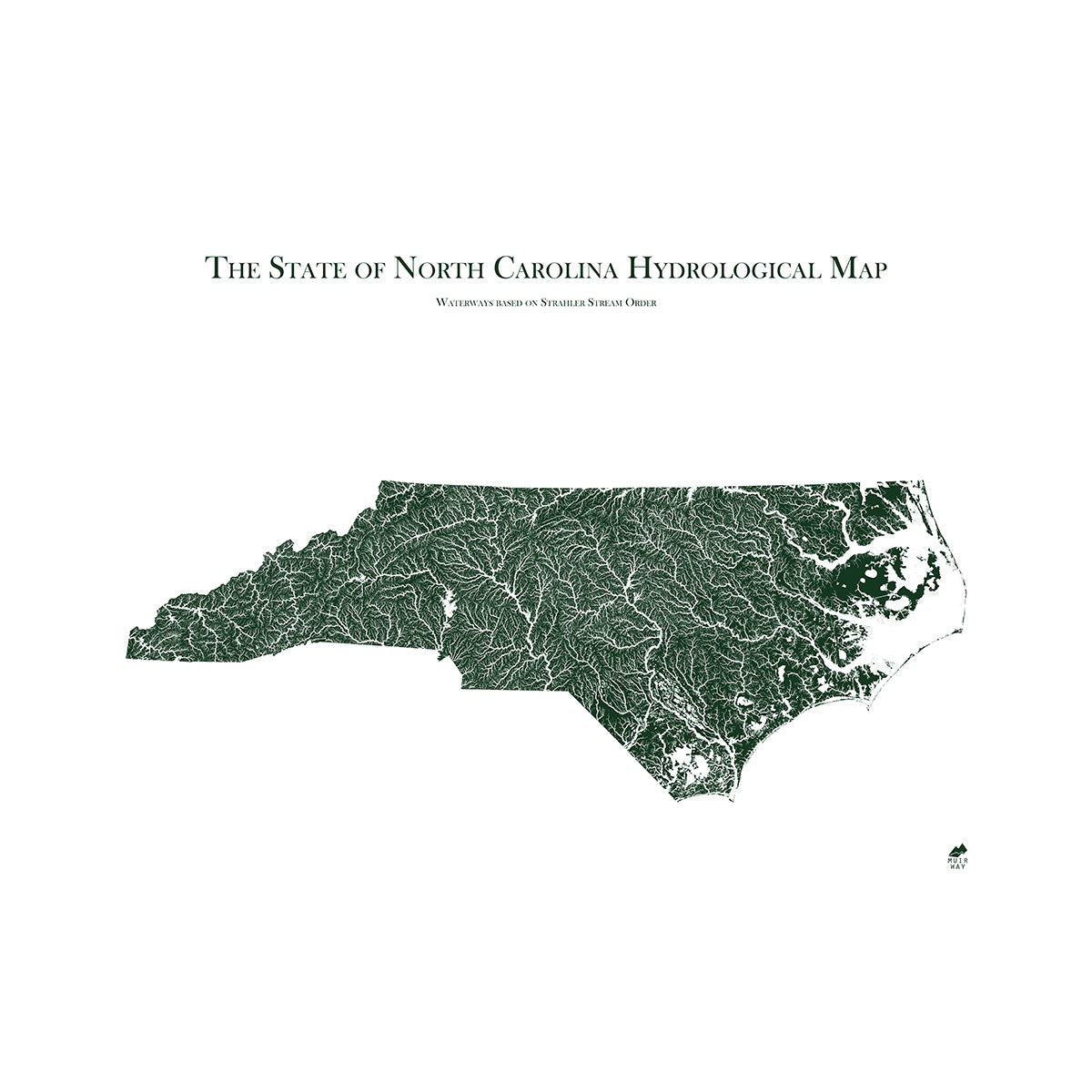
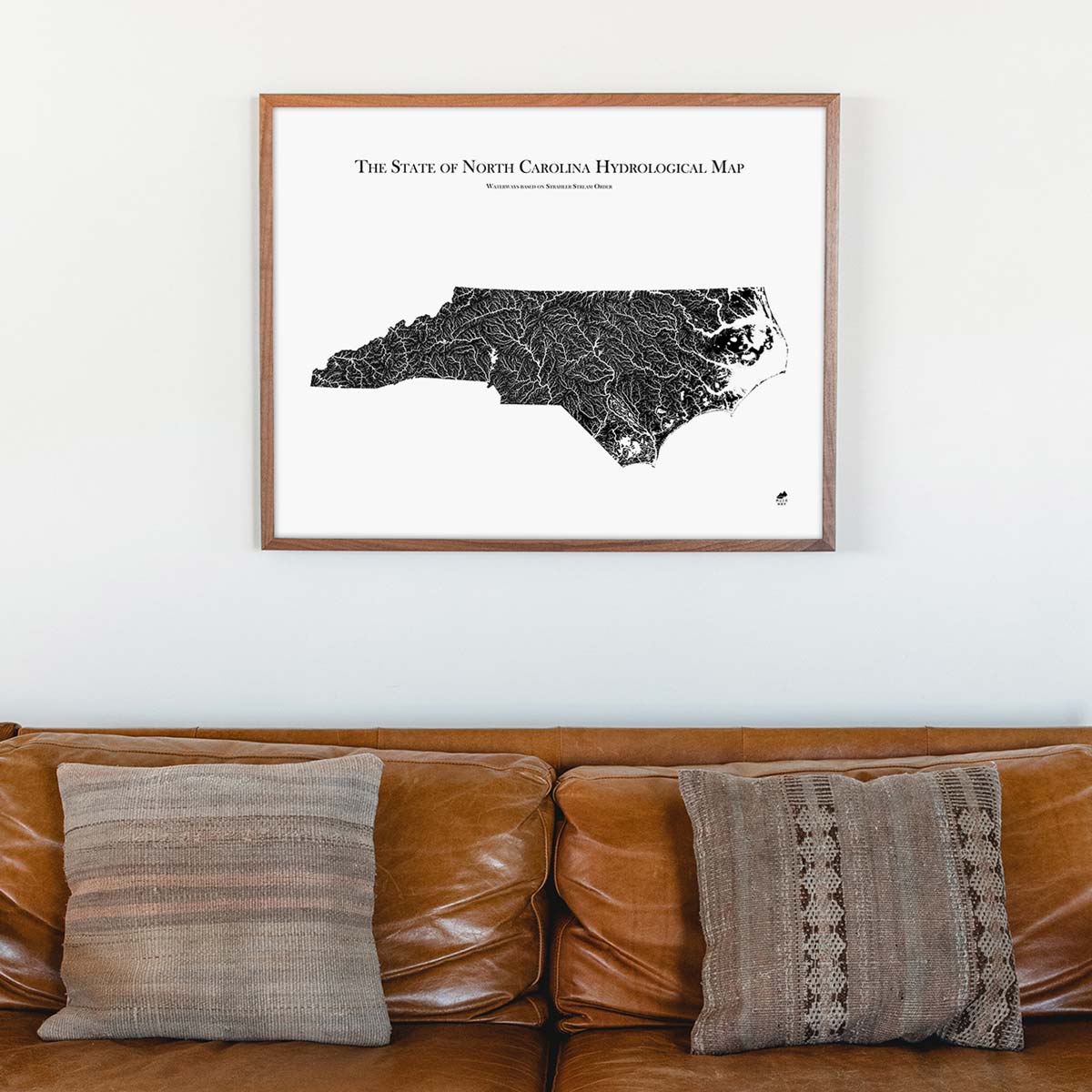
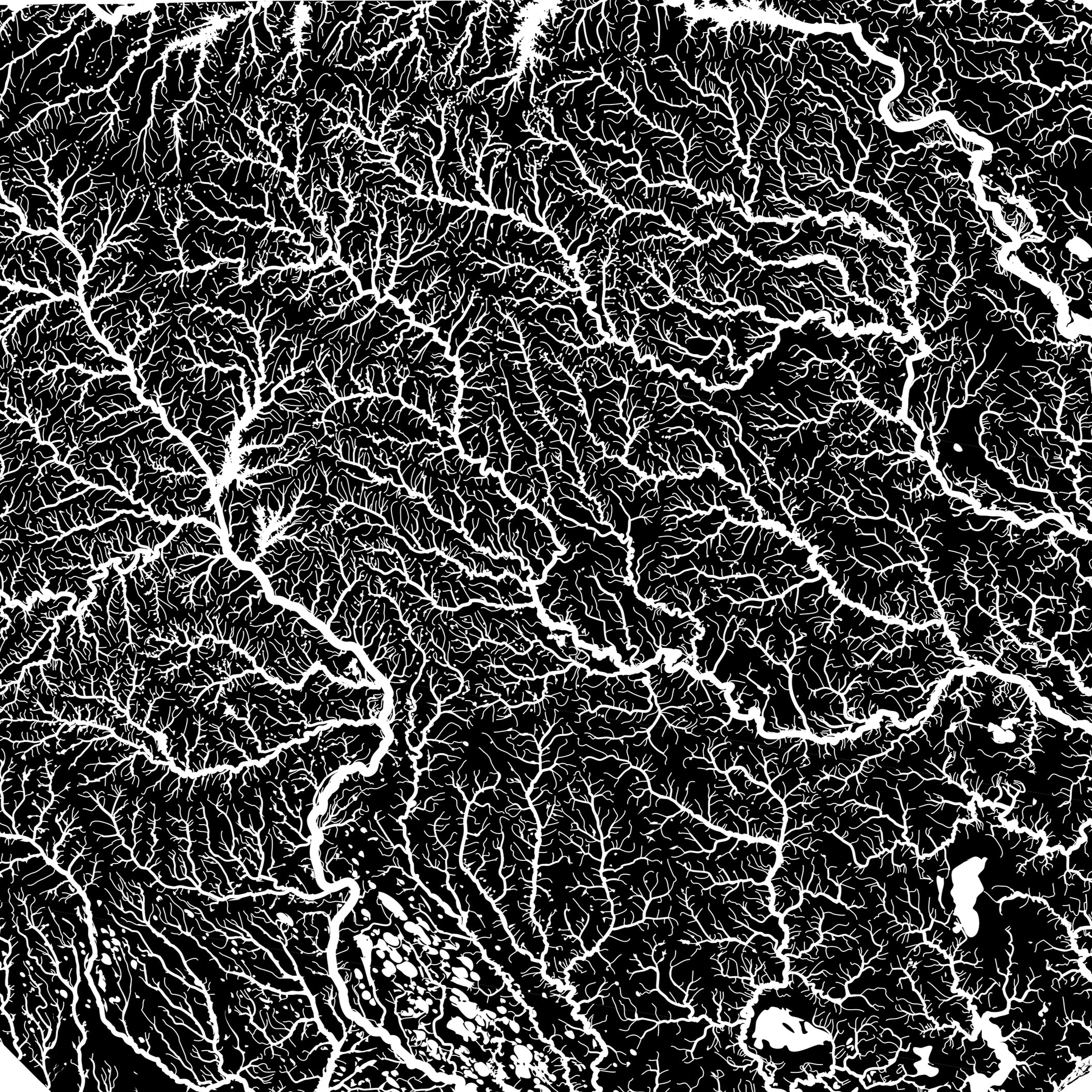
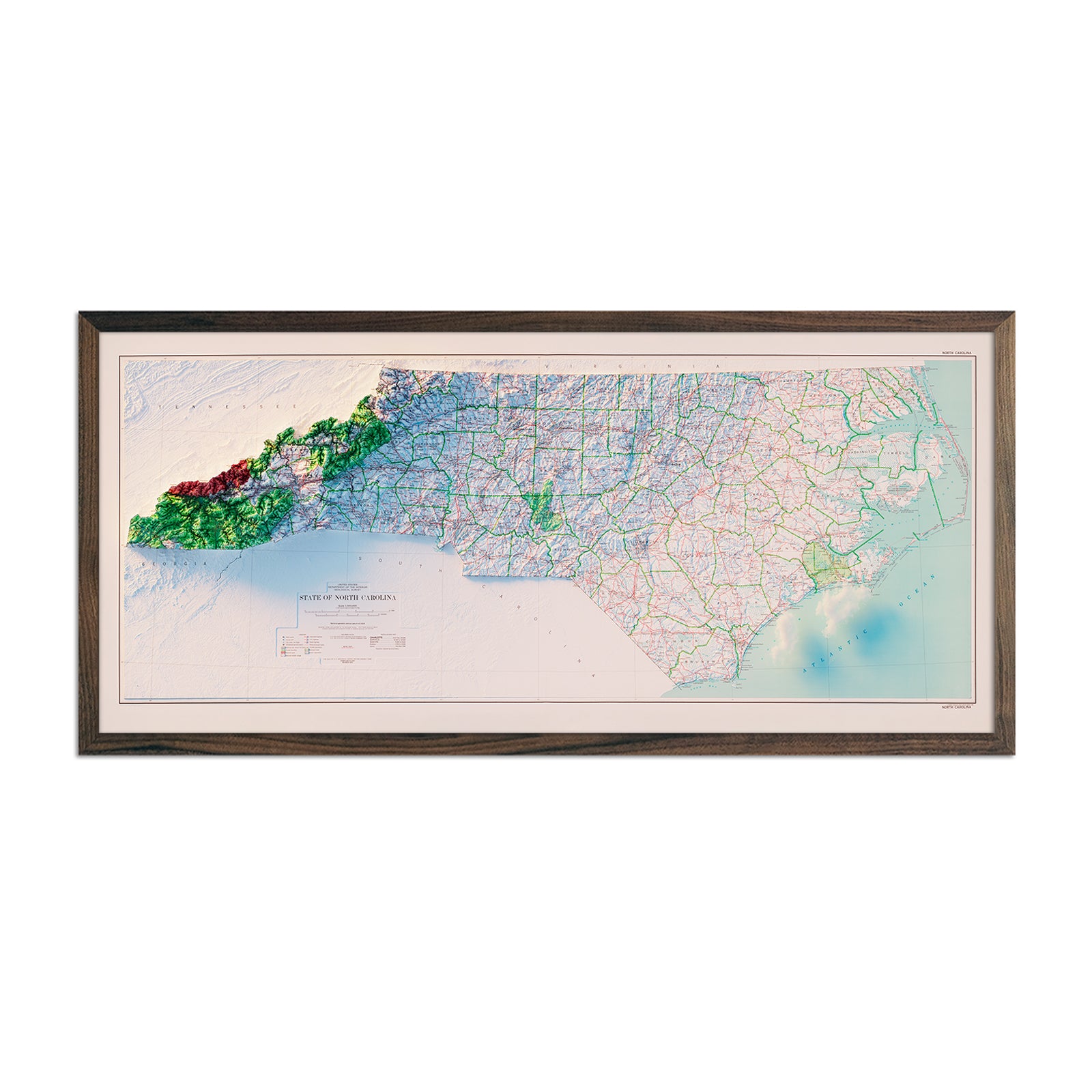
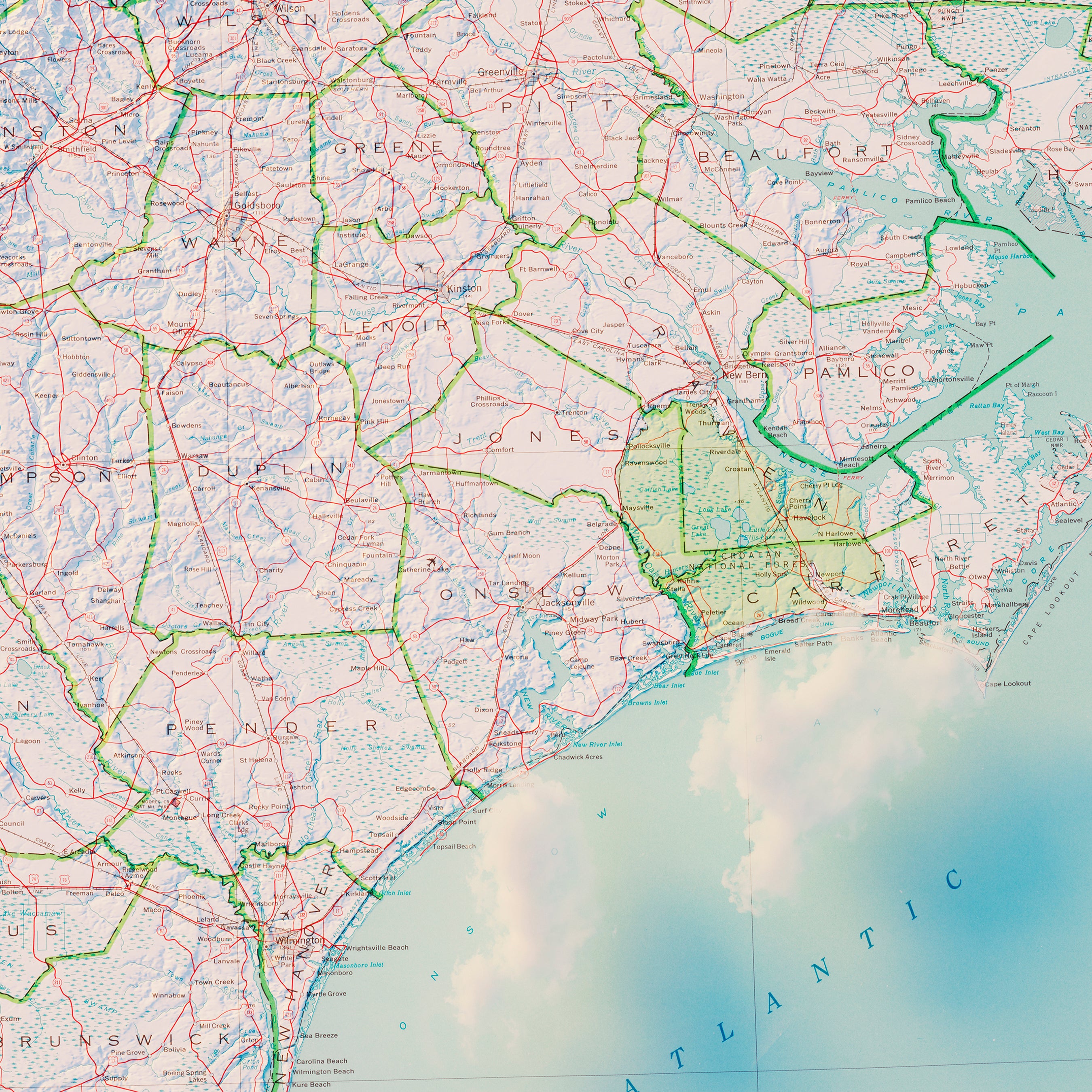
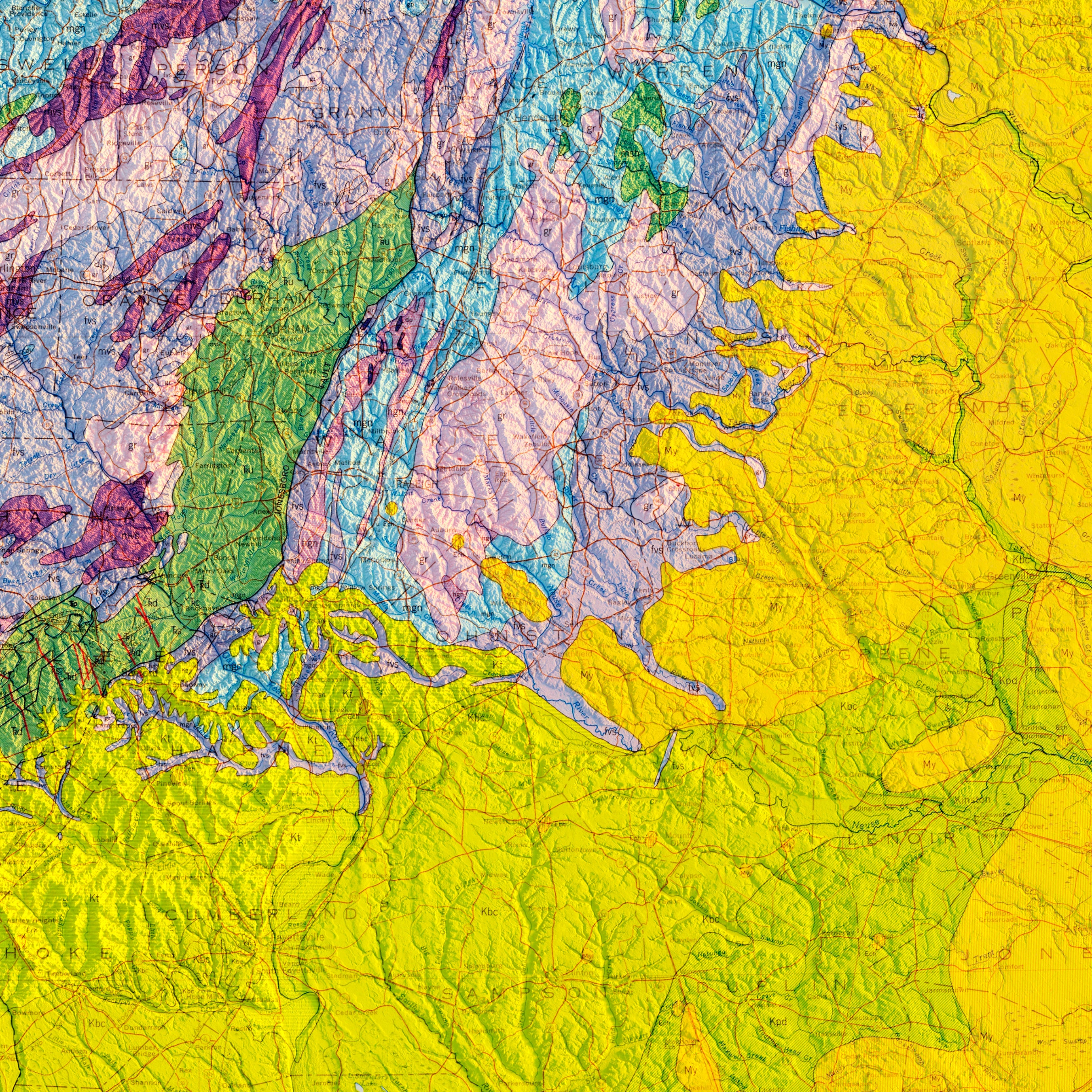
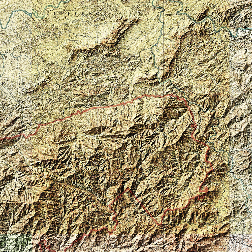
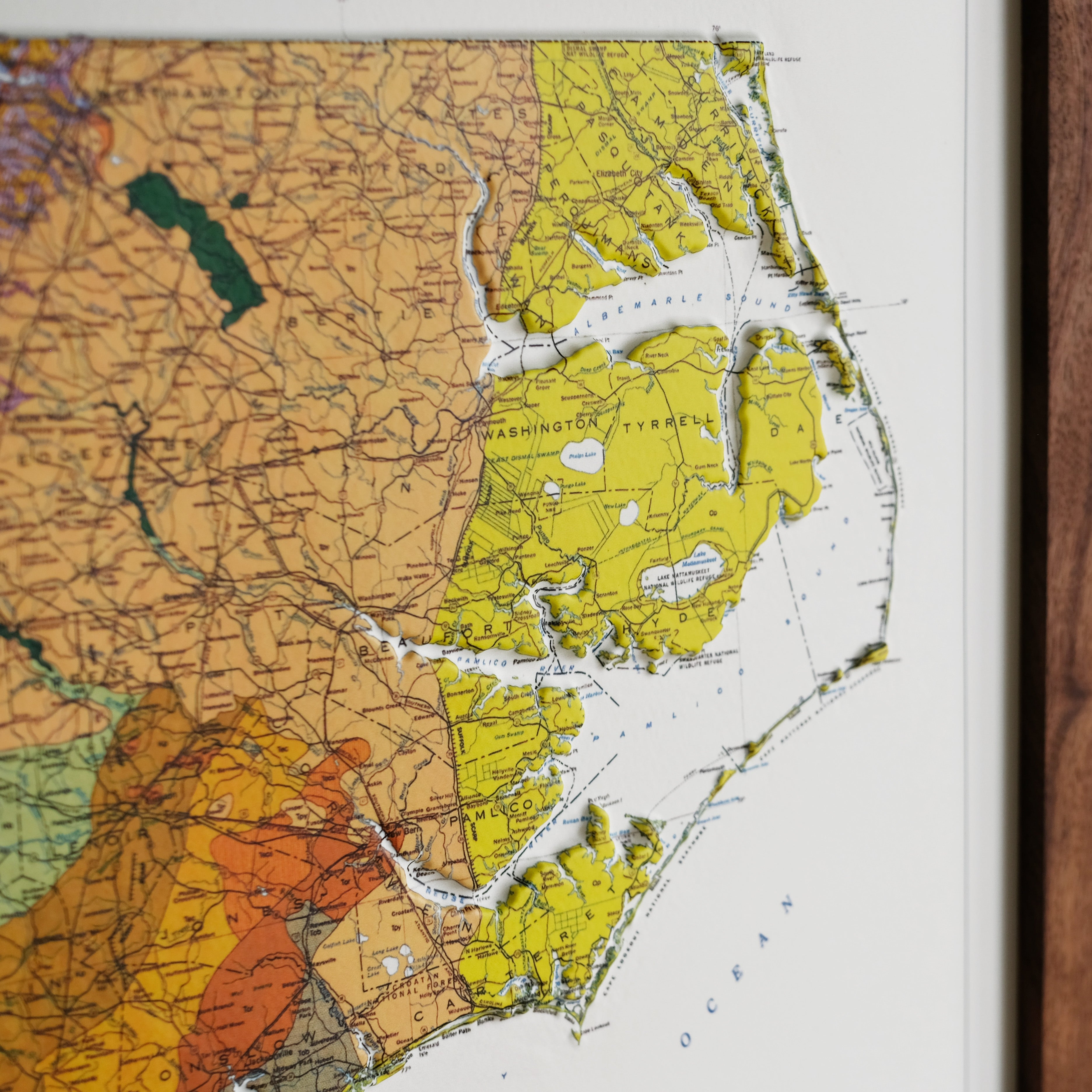
North Carolina Hydrological Map
From
$ 79.00 USD
5.0 / 5.0
1639 reviews
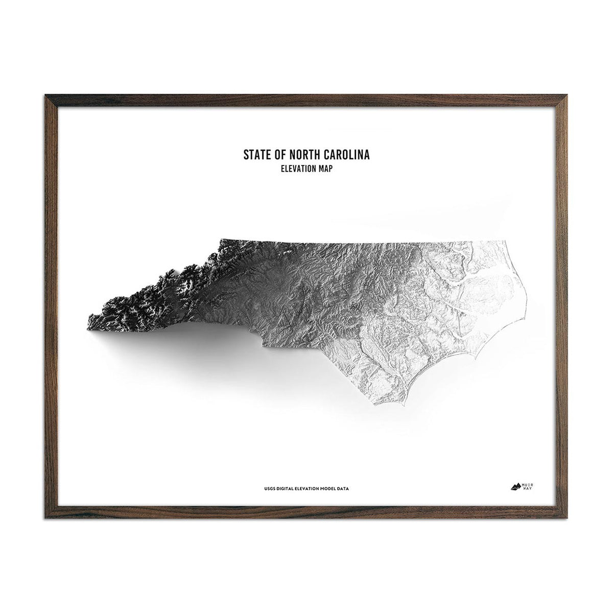
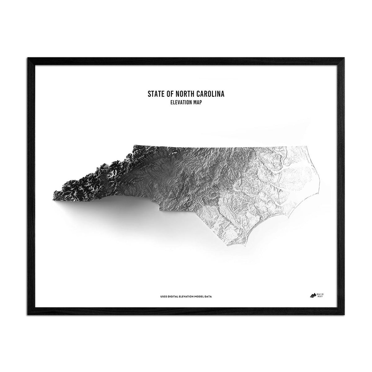
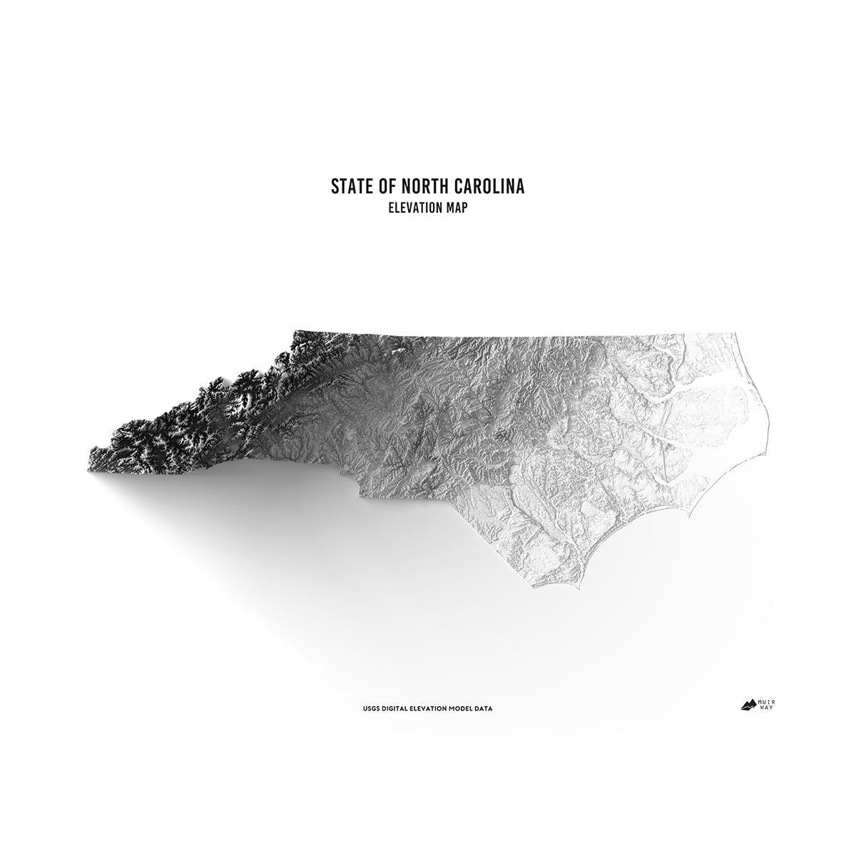
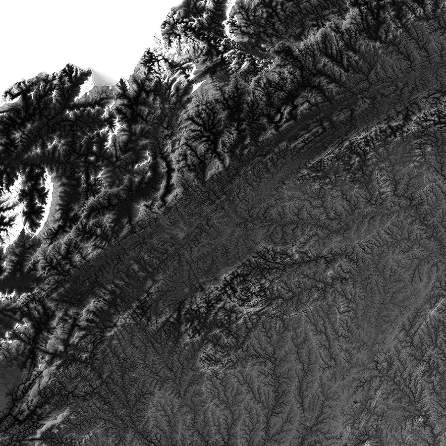
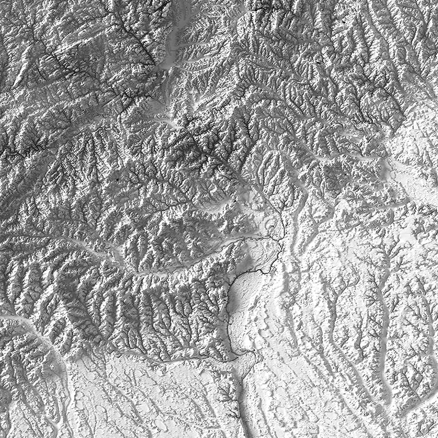
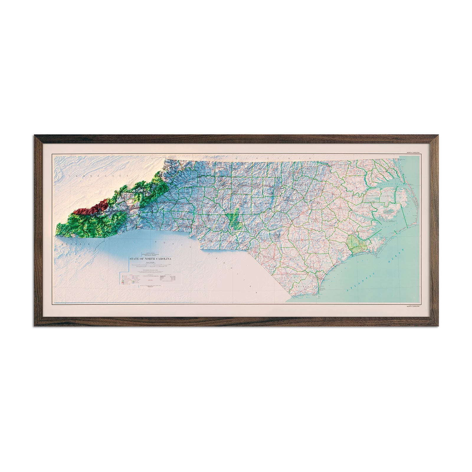
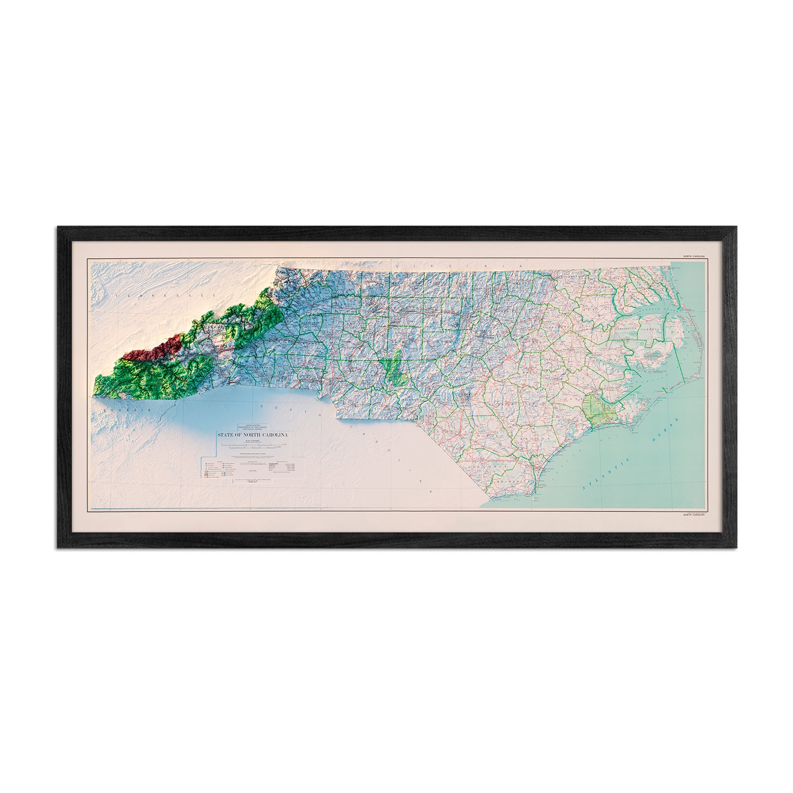
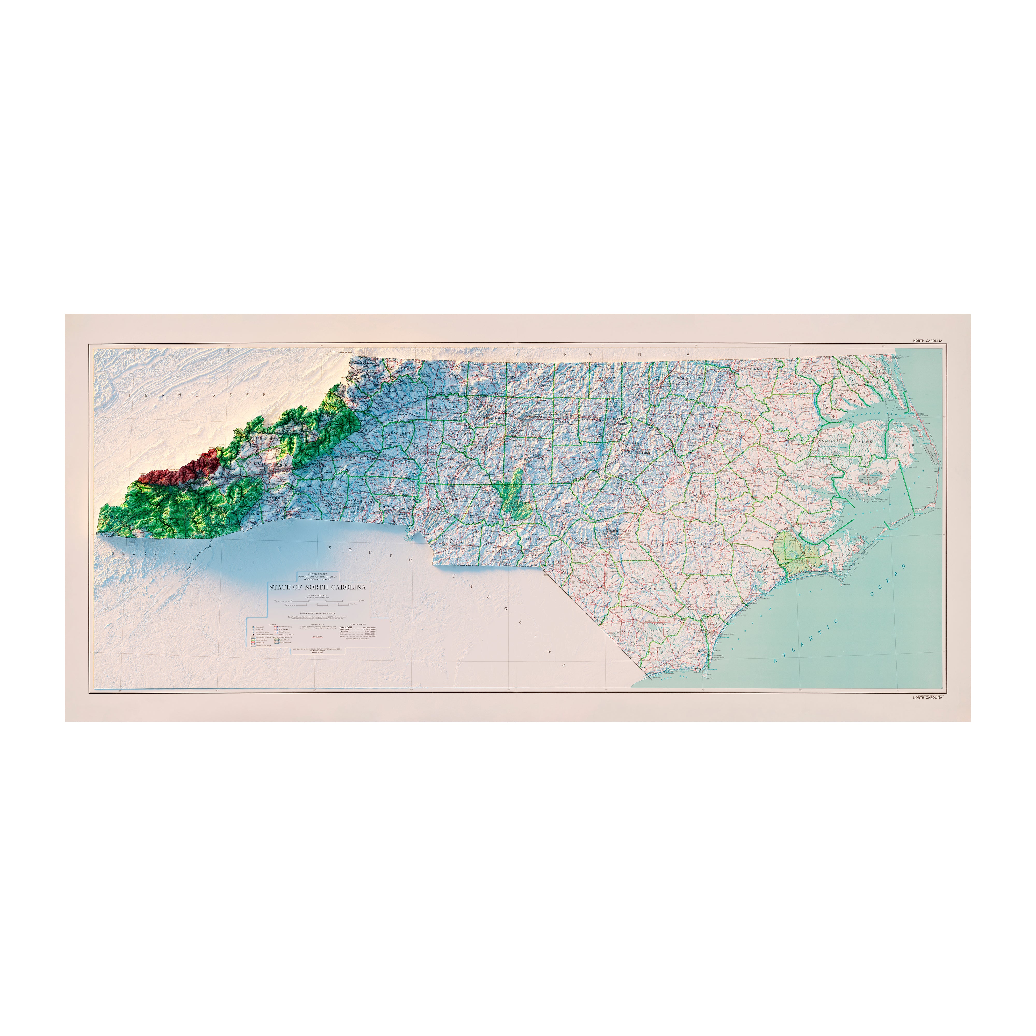
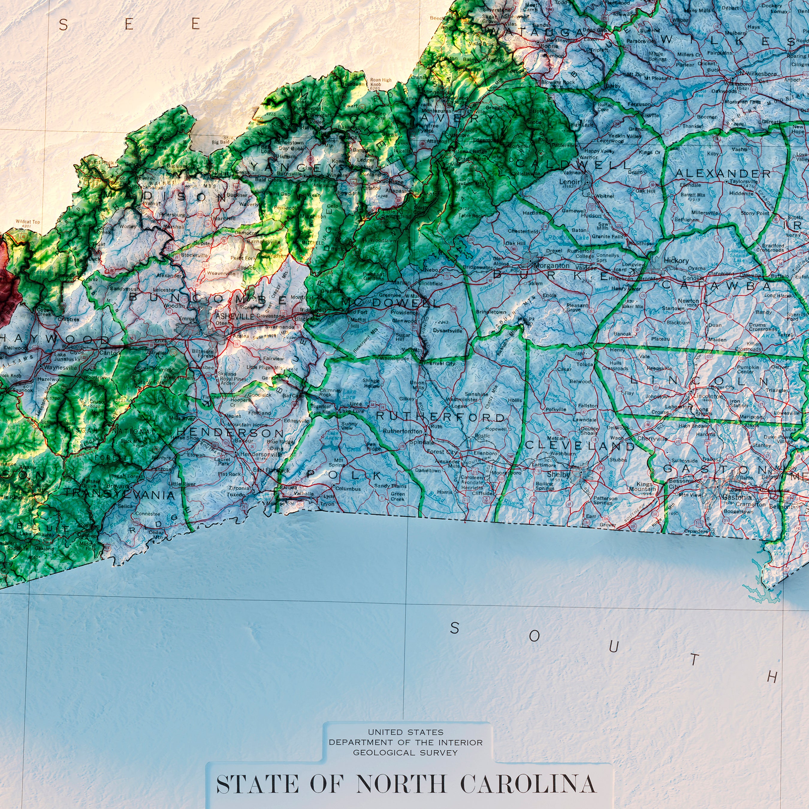
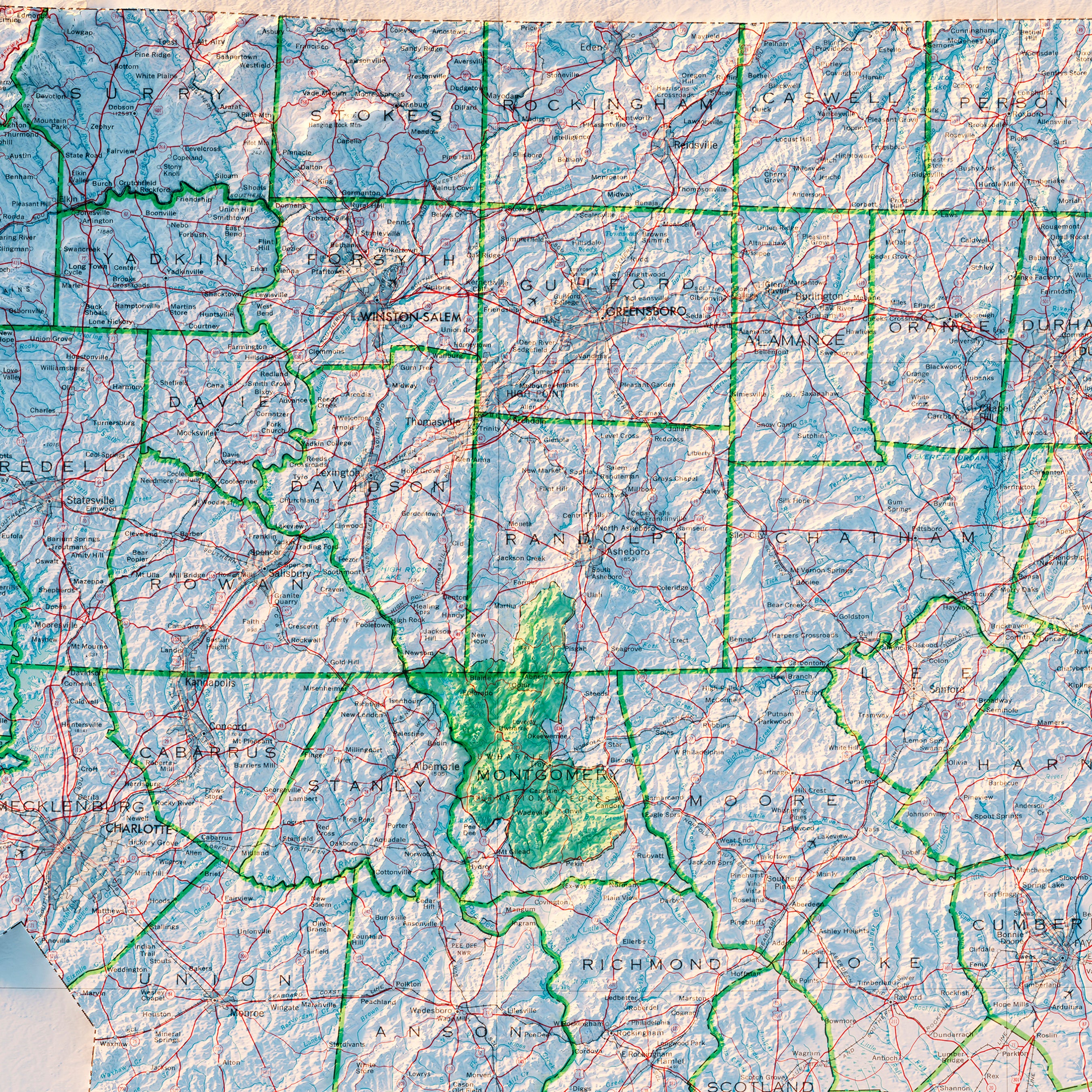
North Carolina Elevation Map
From
$ 79.00 USD
4.9 / 5.0
259 reviews
25% off
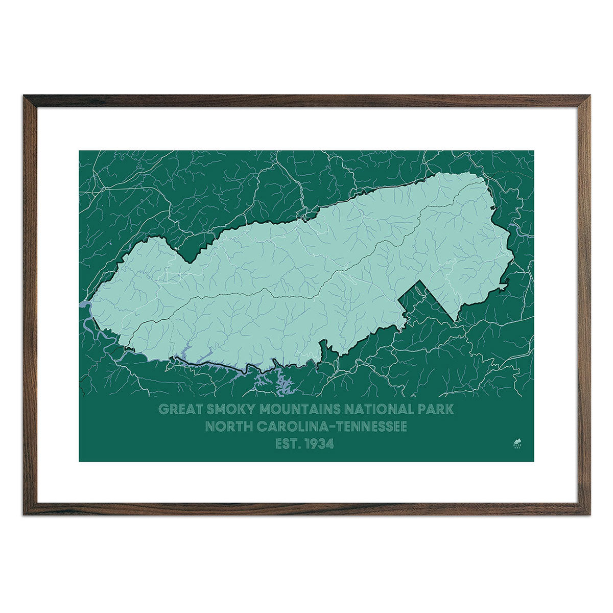
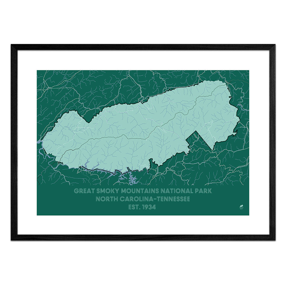
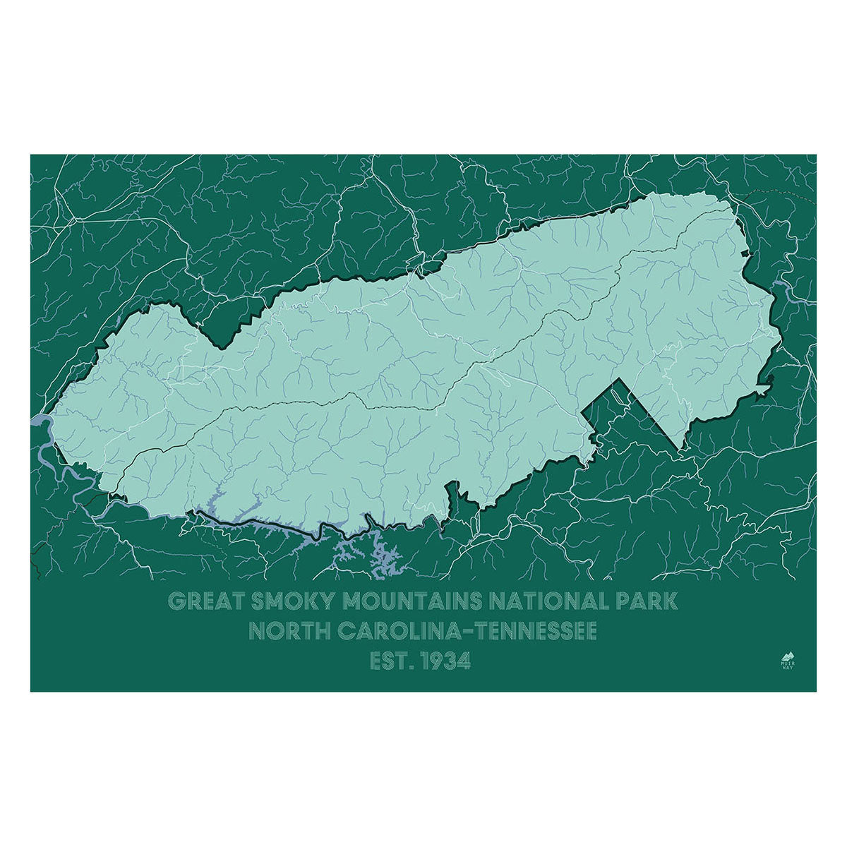
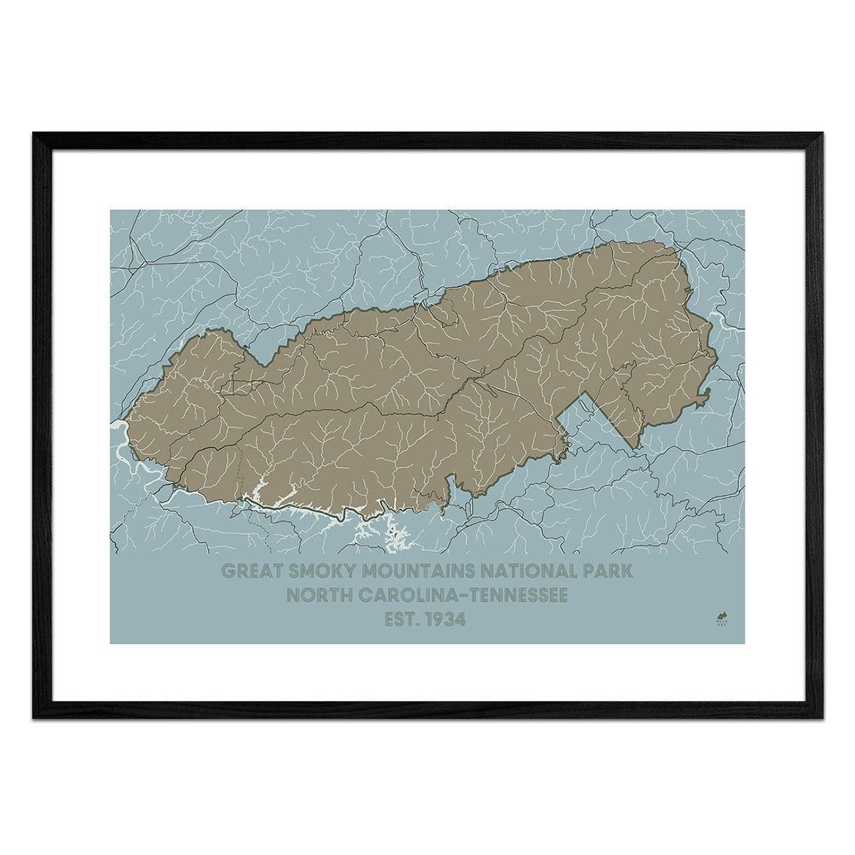
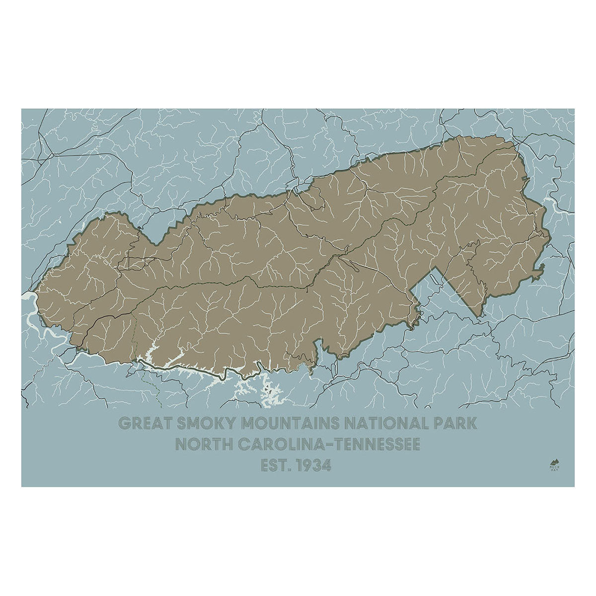
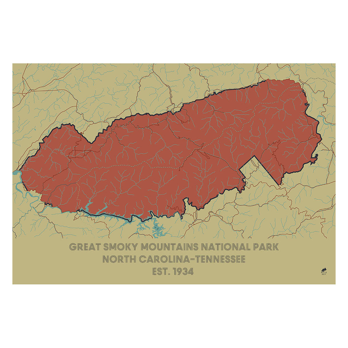
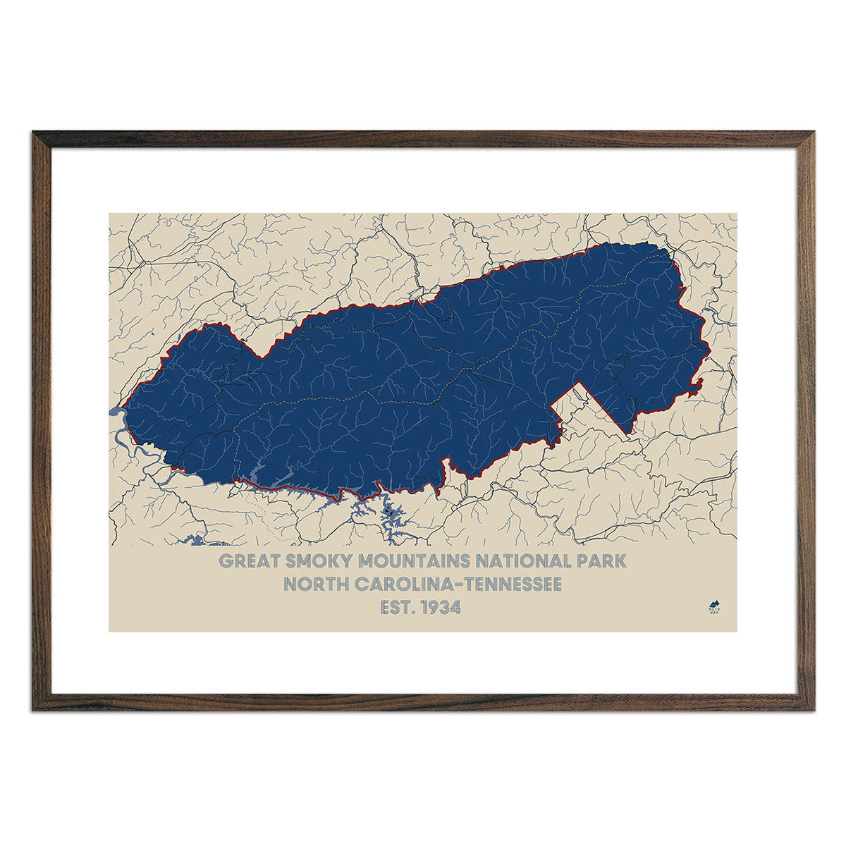
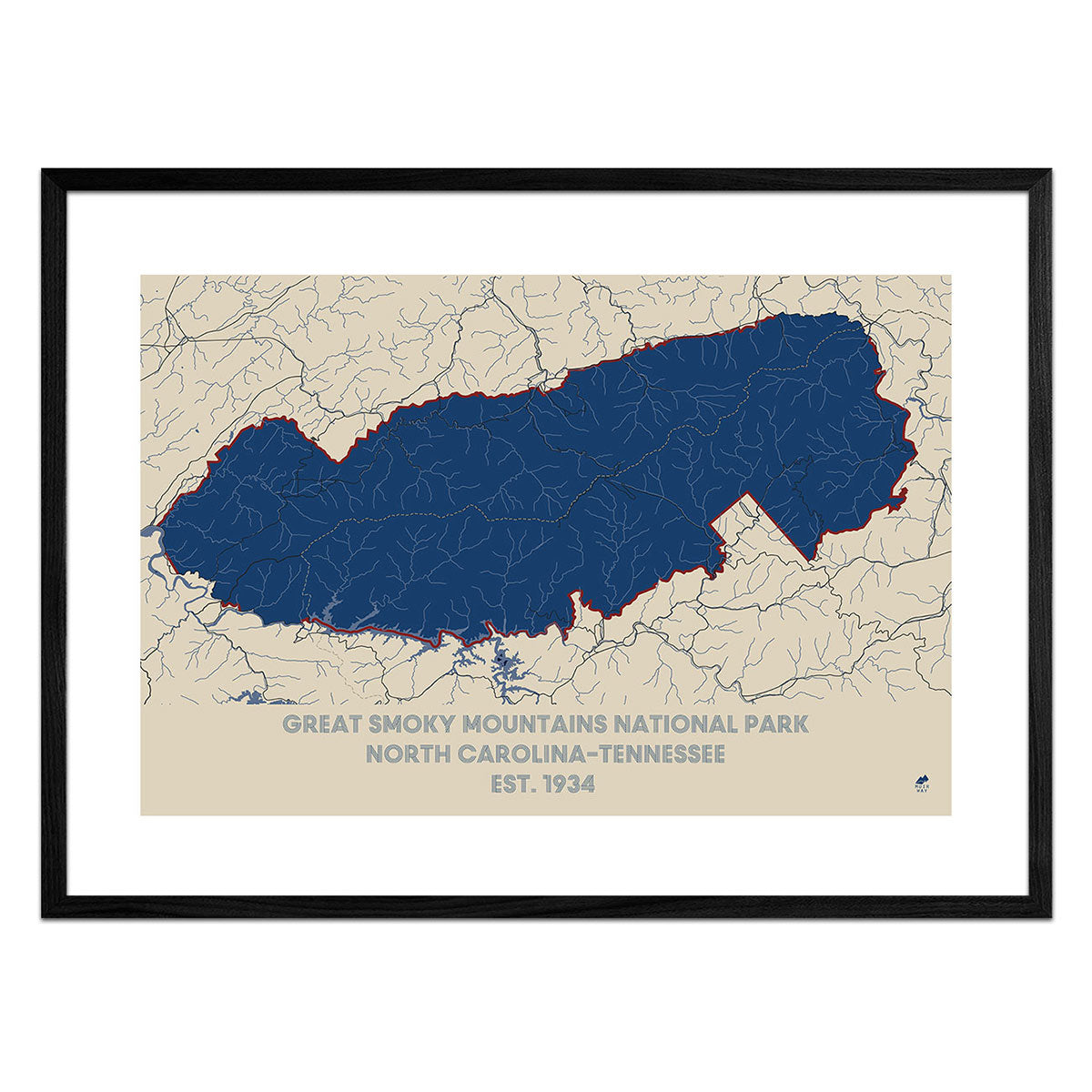
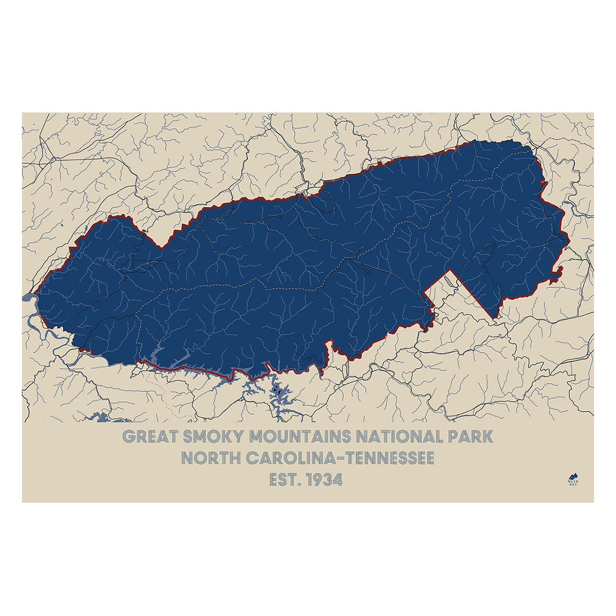
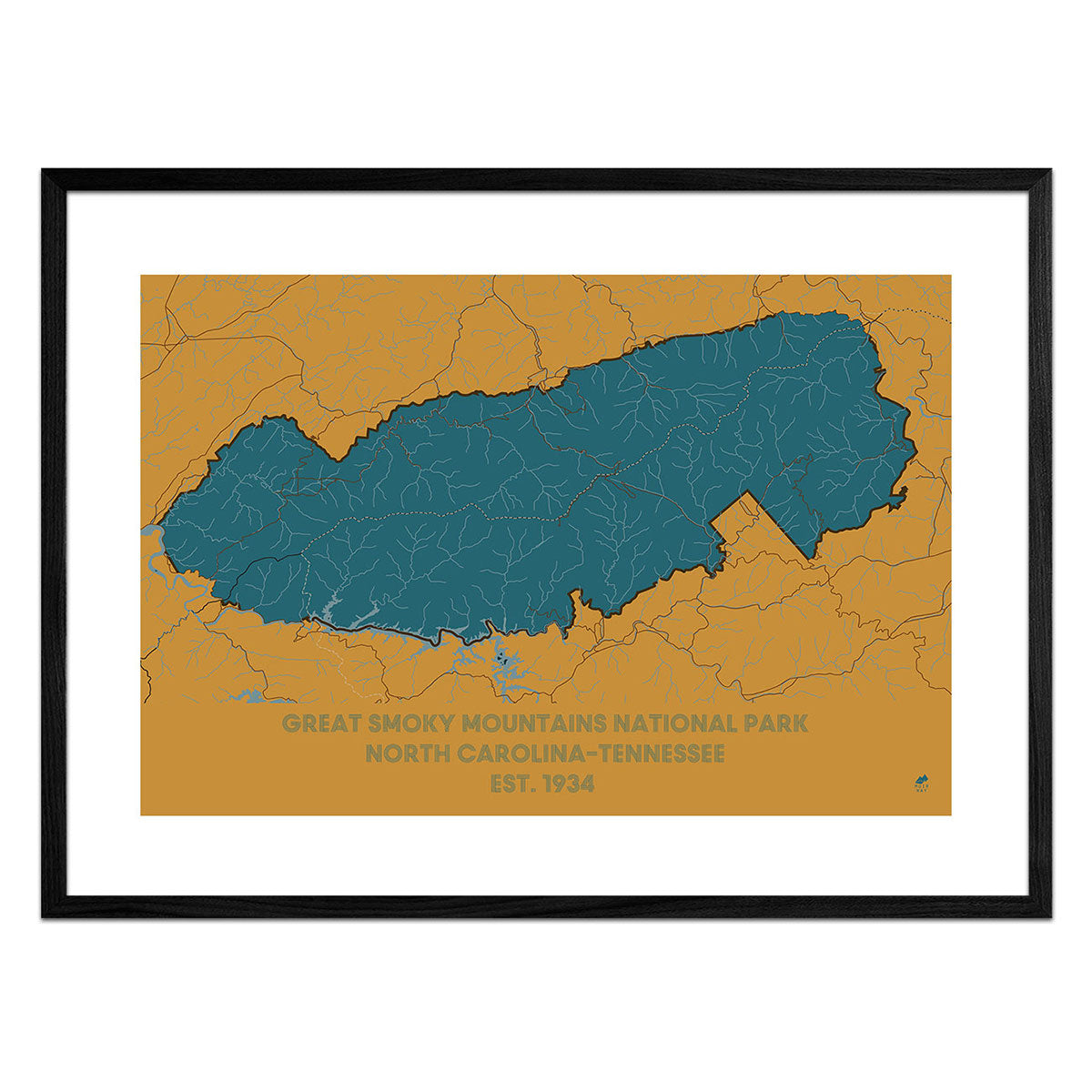
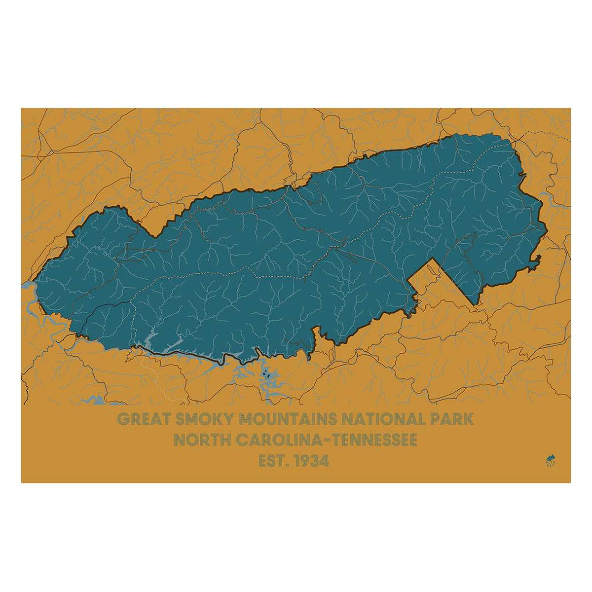
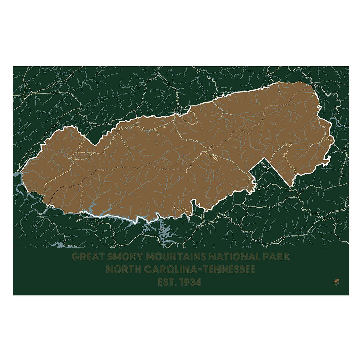
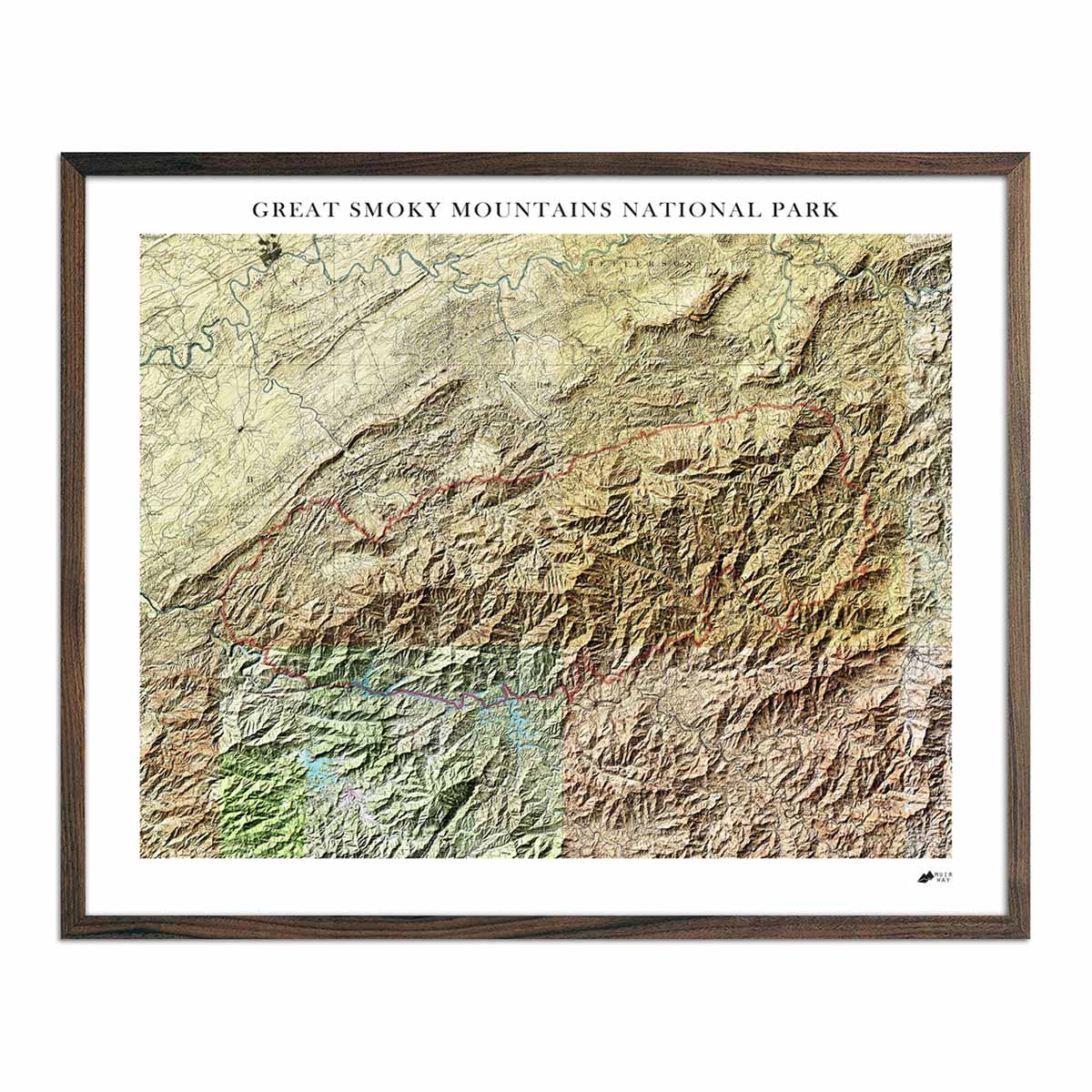
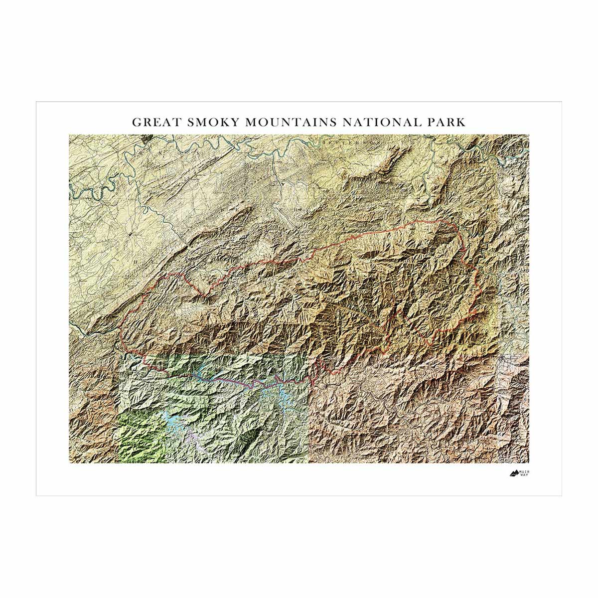
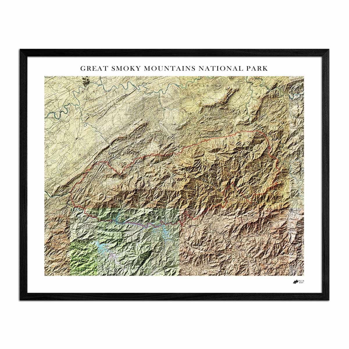
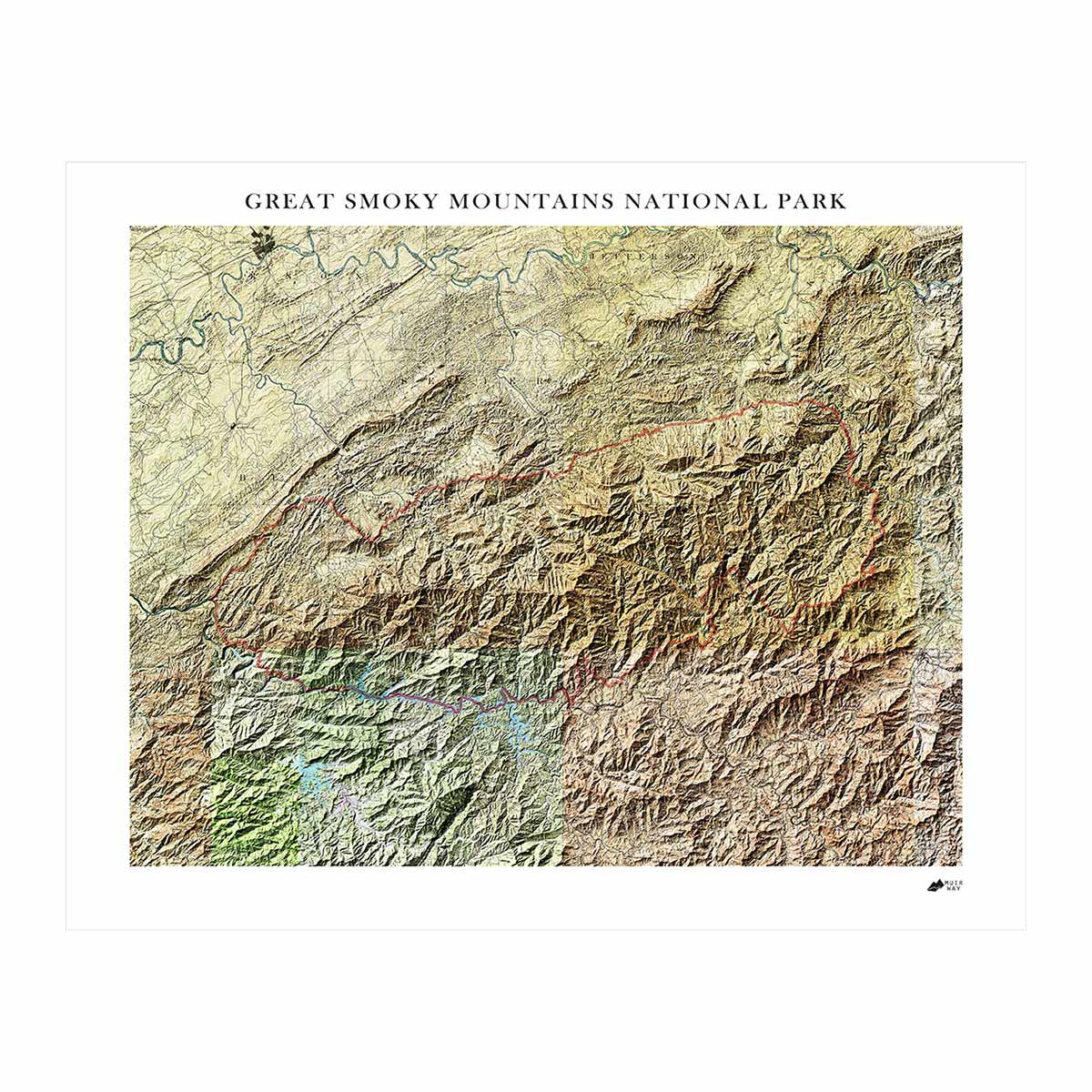
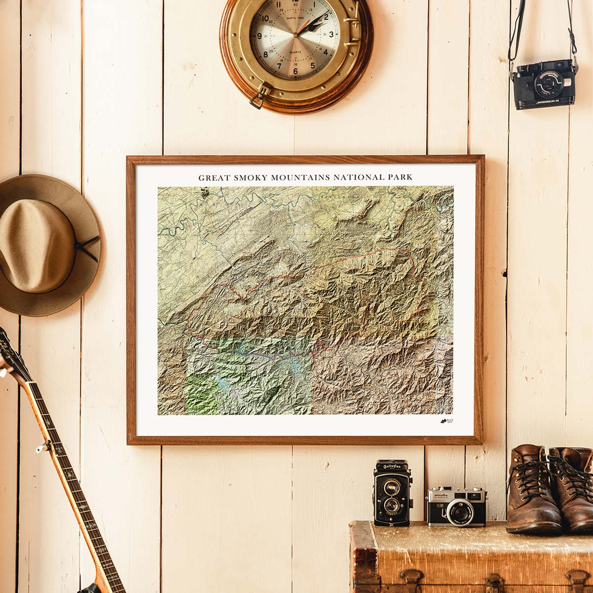
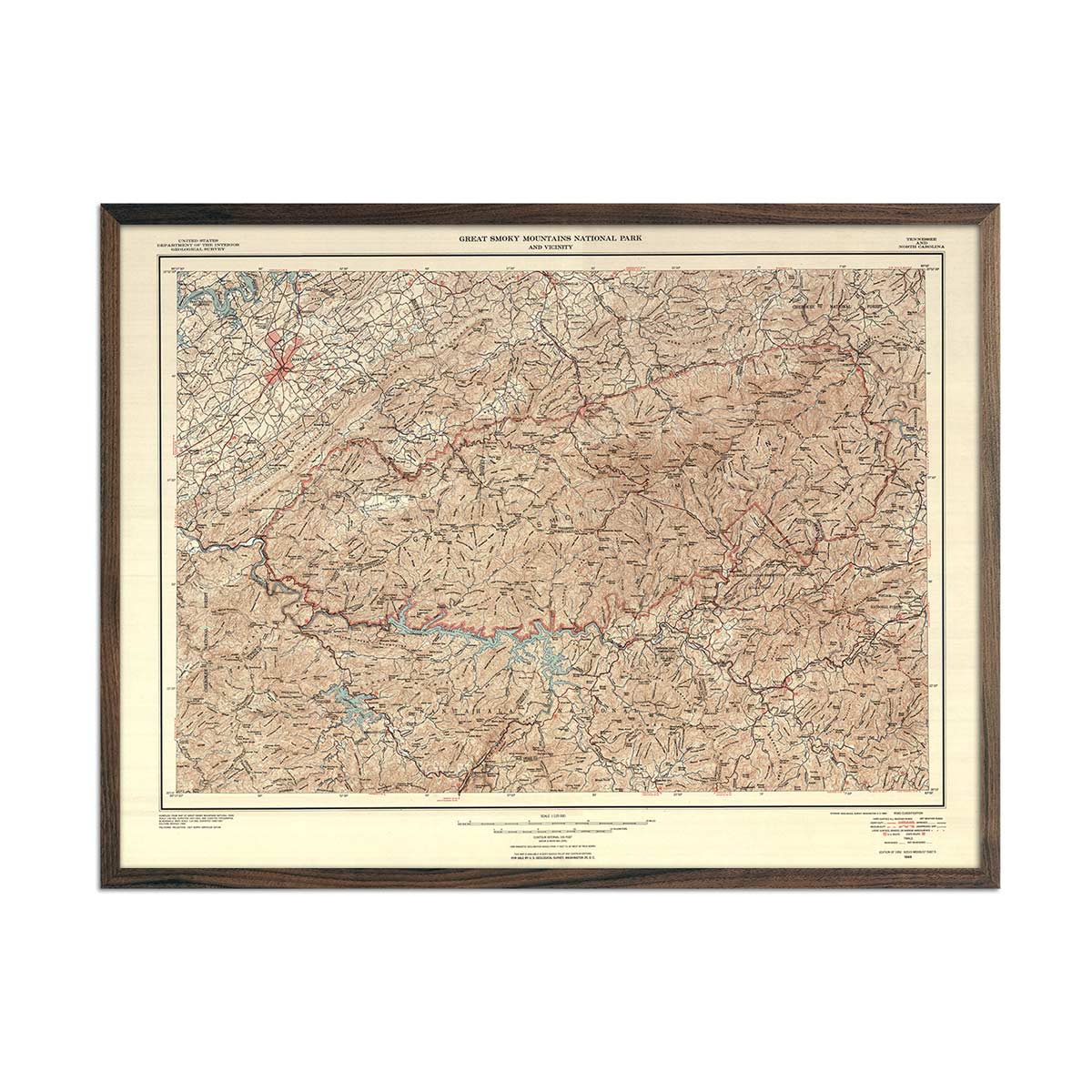
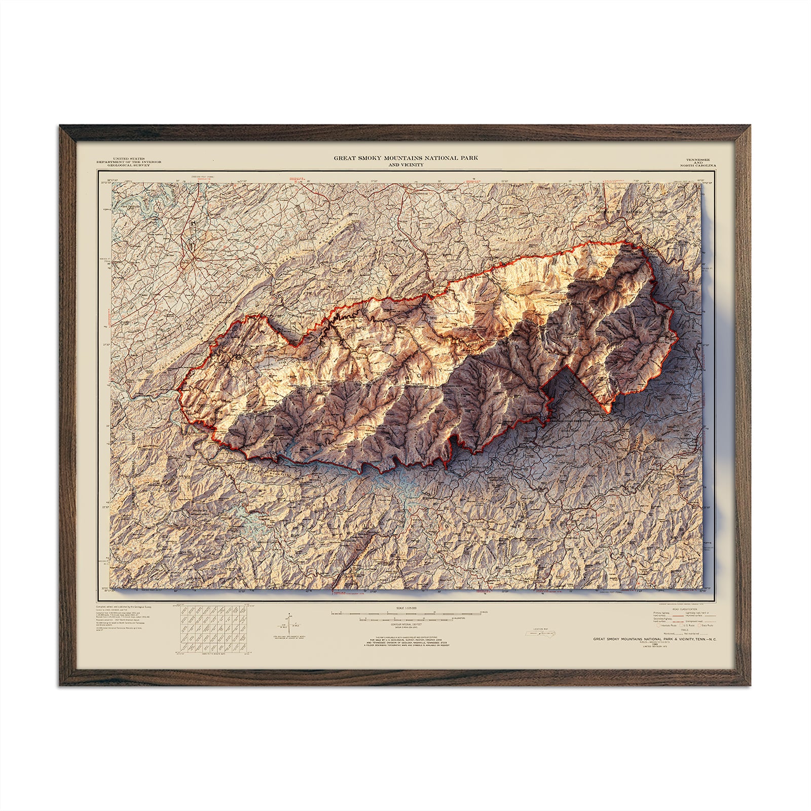
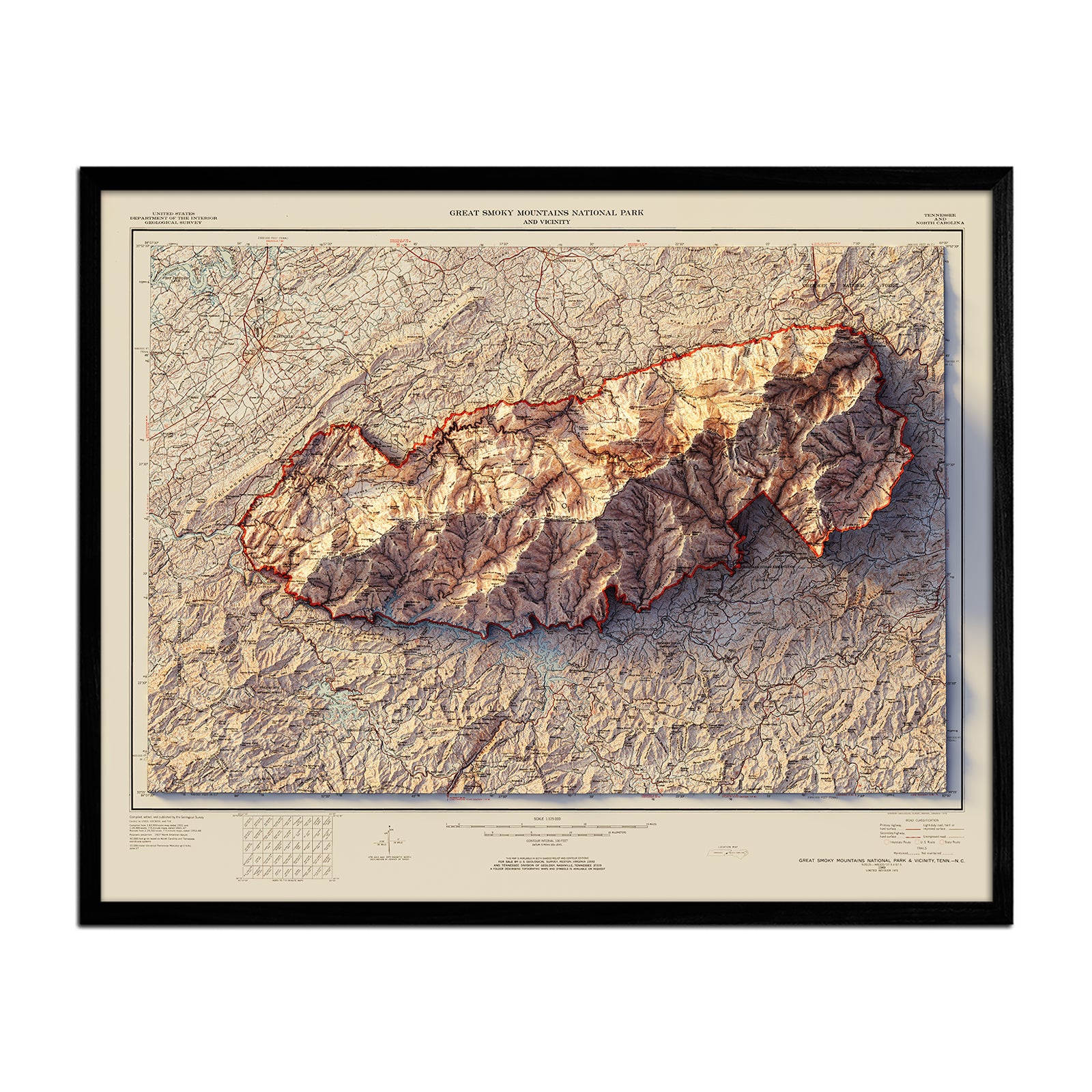
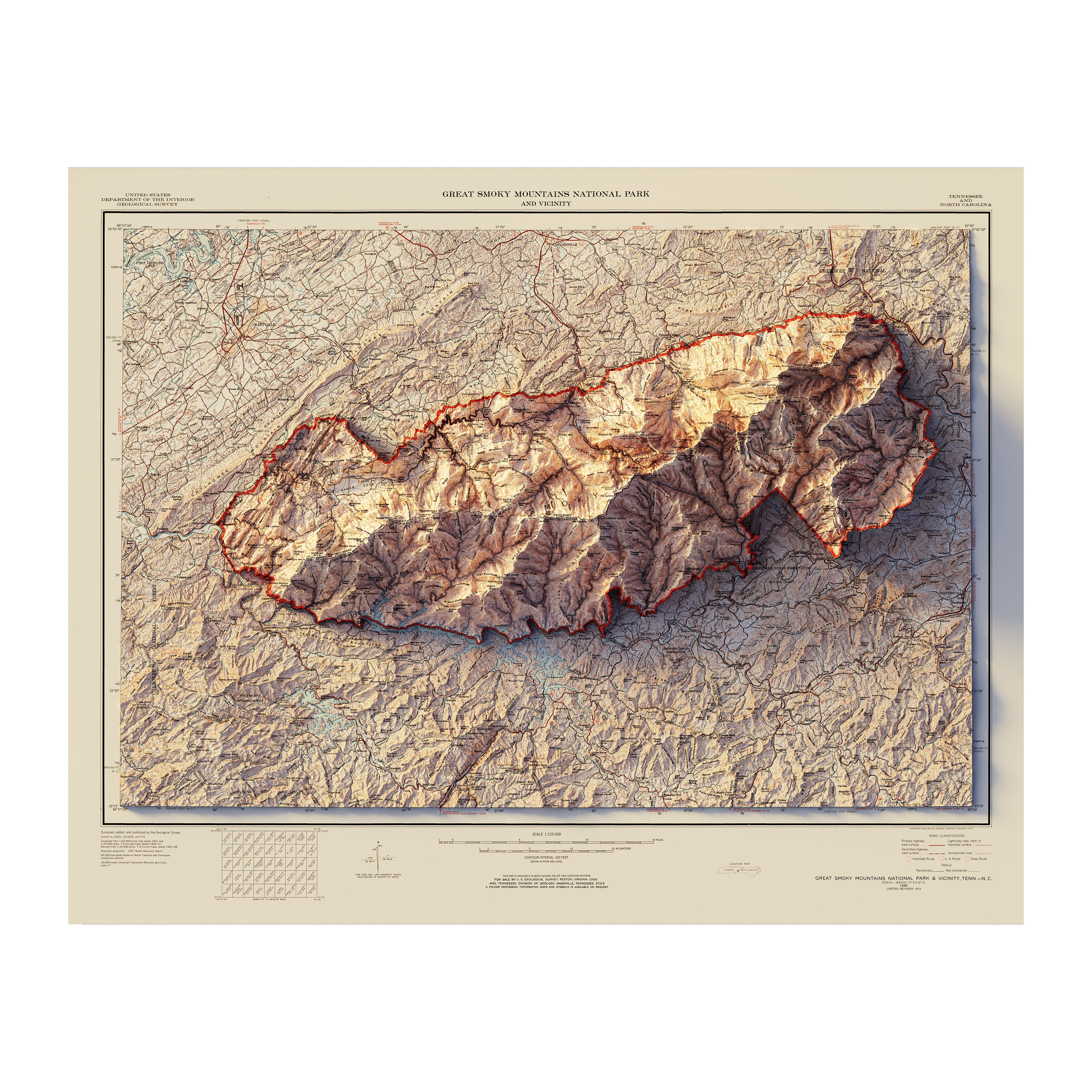
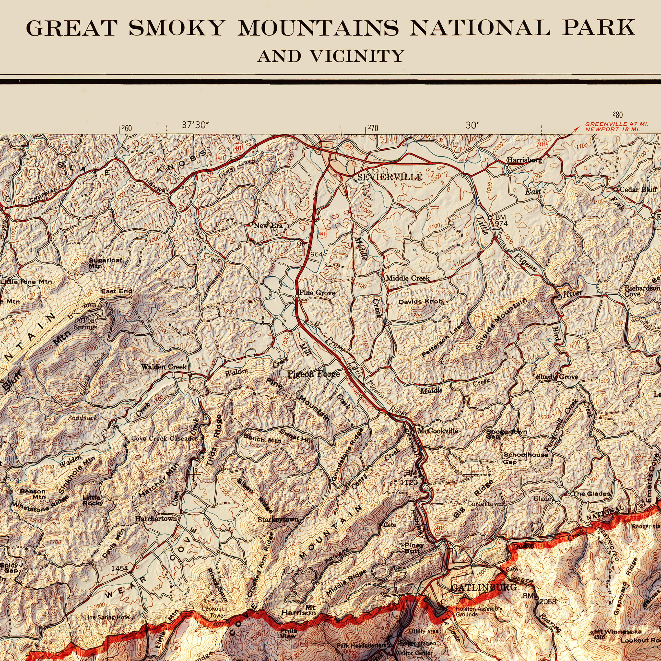
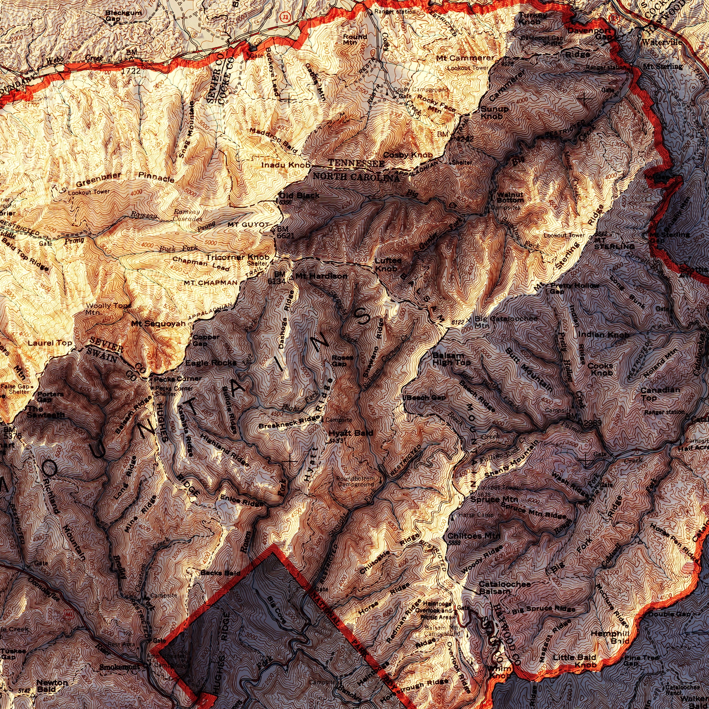
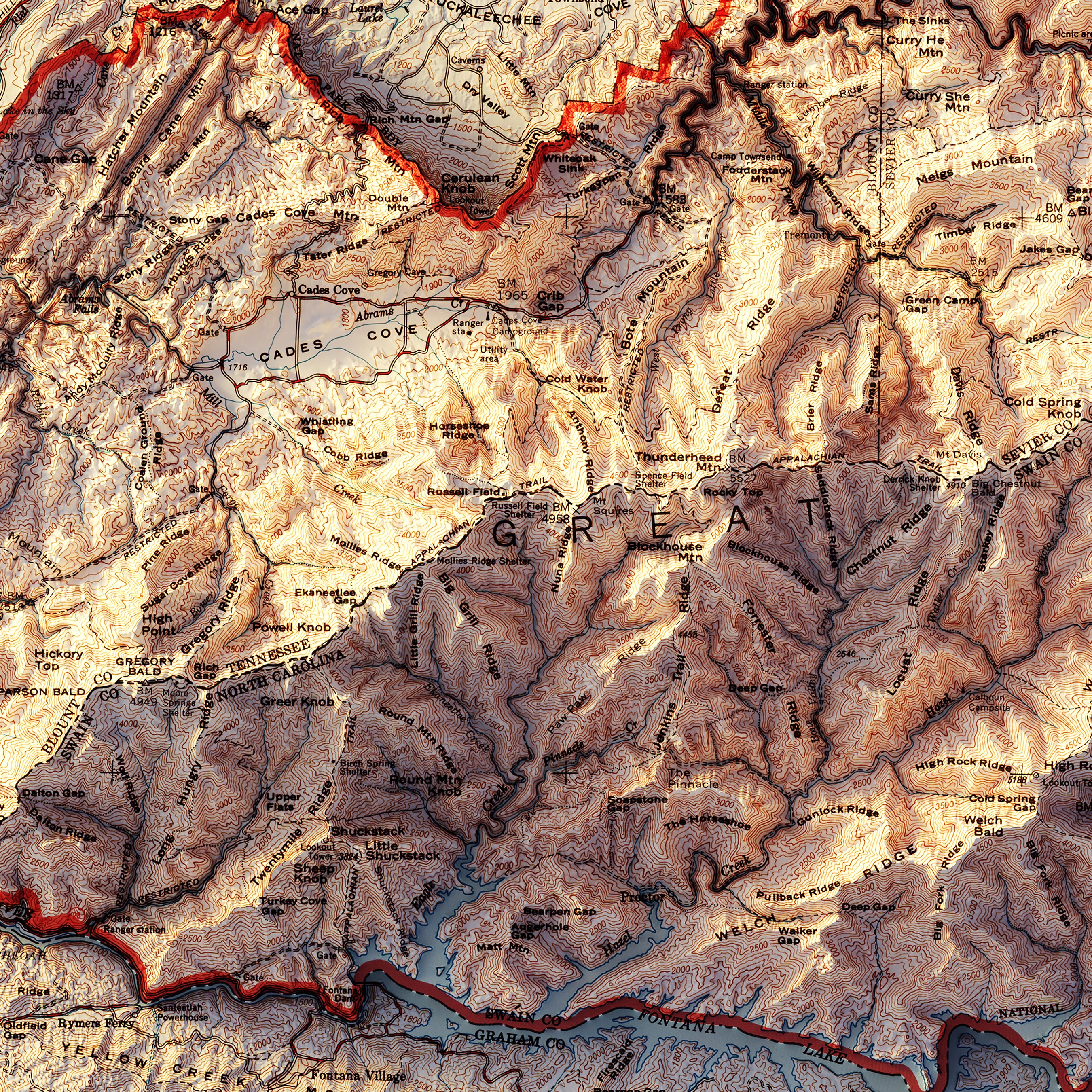
Great Smoky Mountains National Park Map
From
$ 36.75 USD
$ 49.00 USD
Sale
5.0 / 5.0
283 reviews
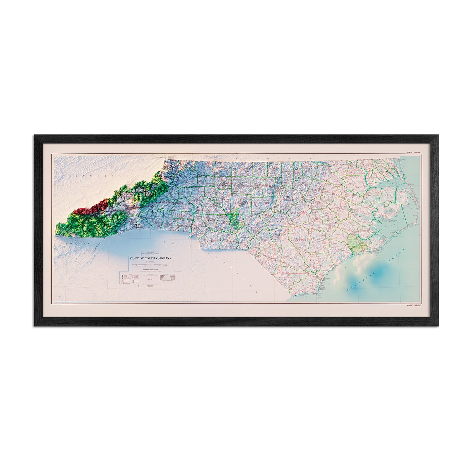
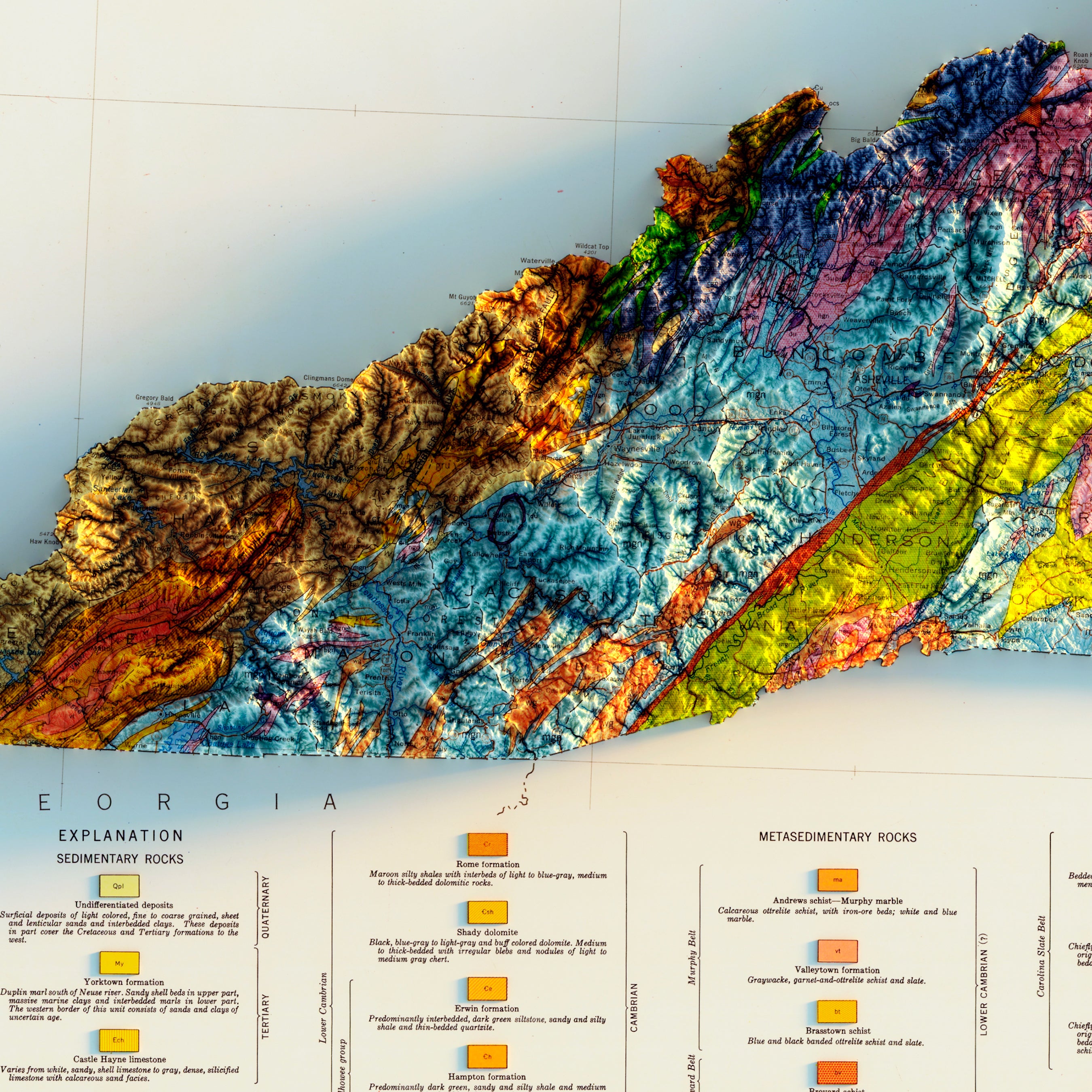
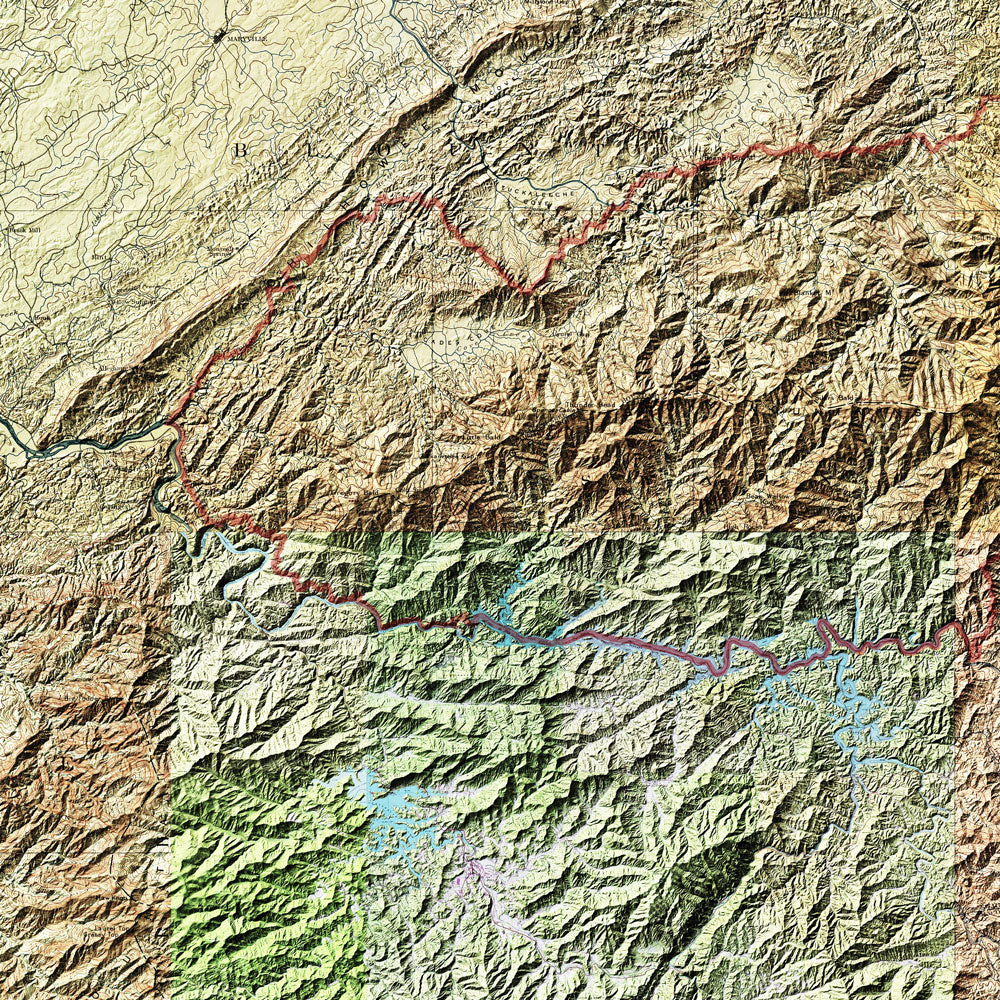
North Carolina 1972 Shaded Relief Map
From
$ 69.00 USD
4.8 / 5.0
6 reviews
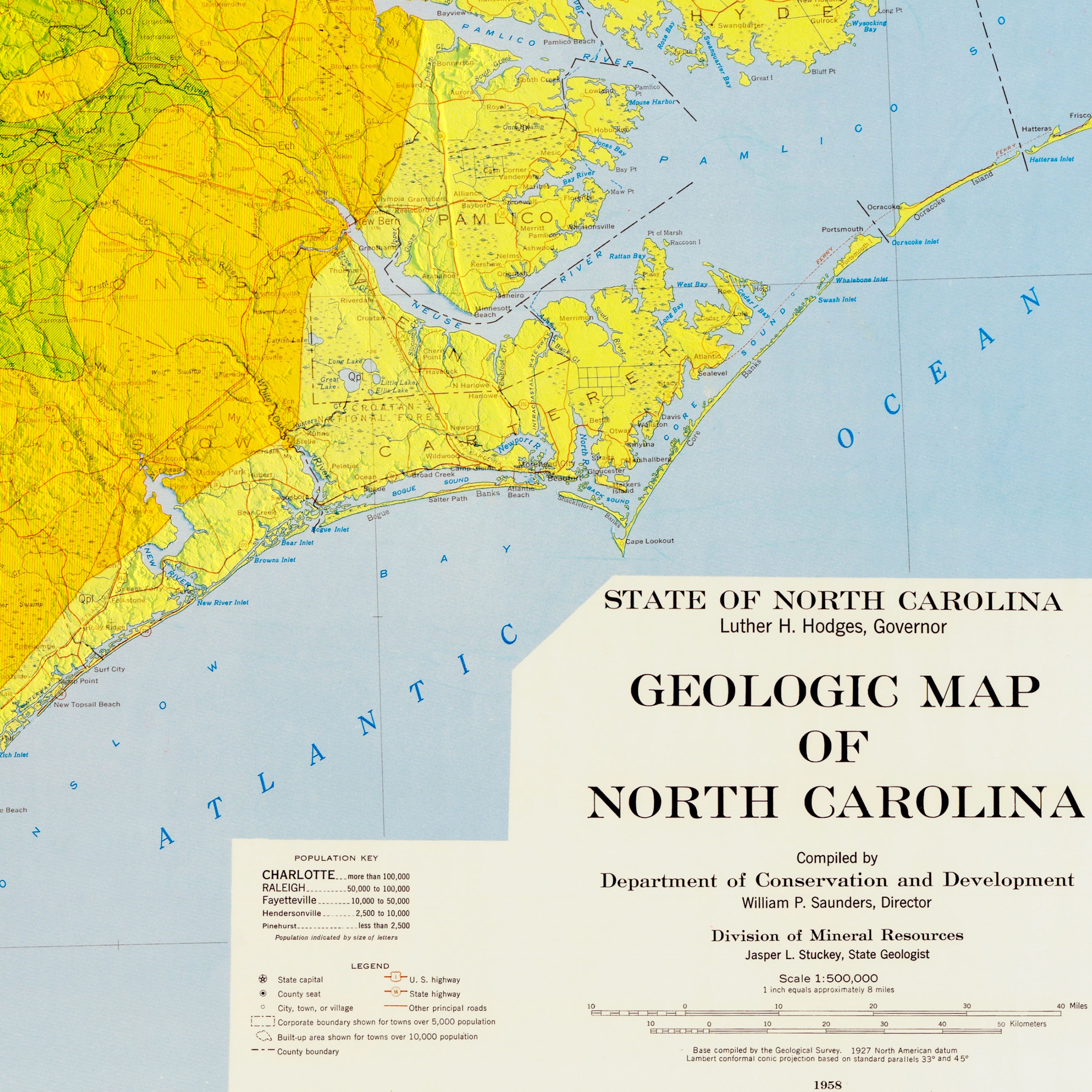
North Carolina 1958 Shaded Relief Map
From
$ 99.00 USD
5.0 / 5.0
3 reviews
25% off
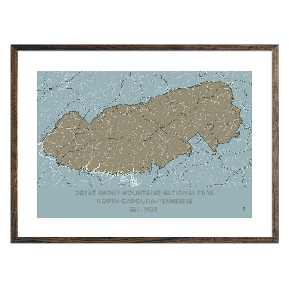
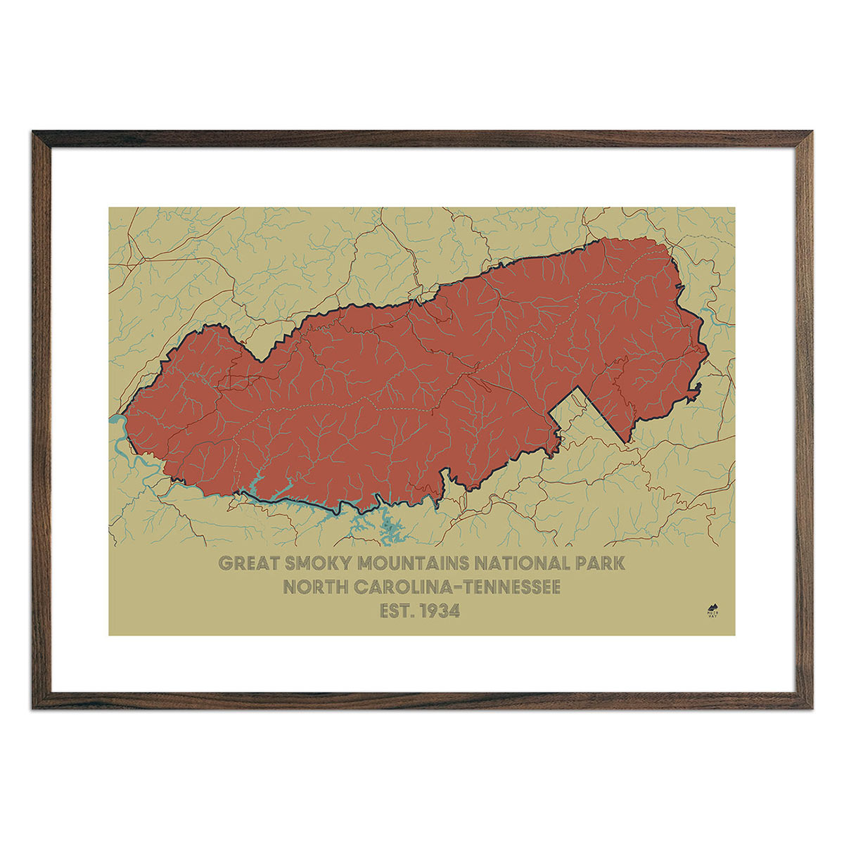
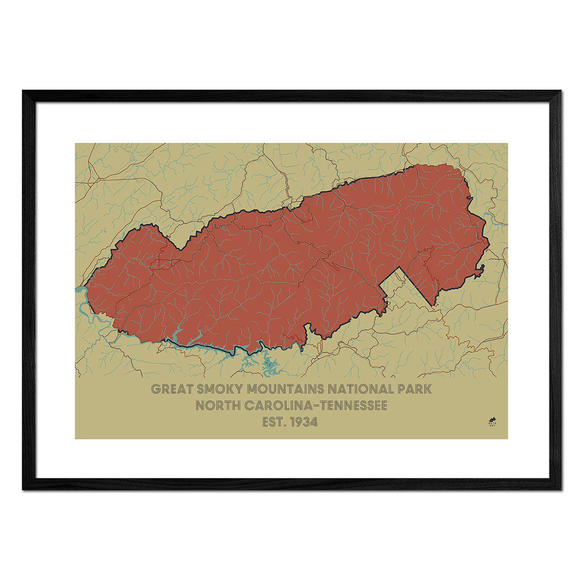
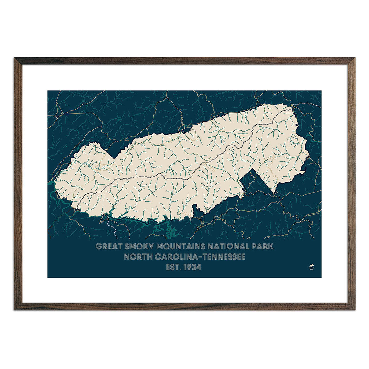
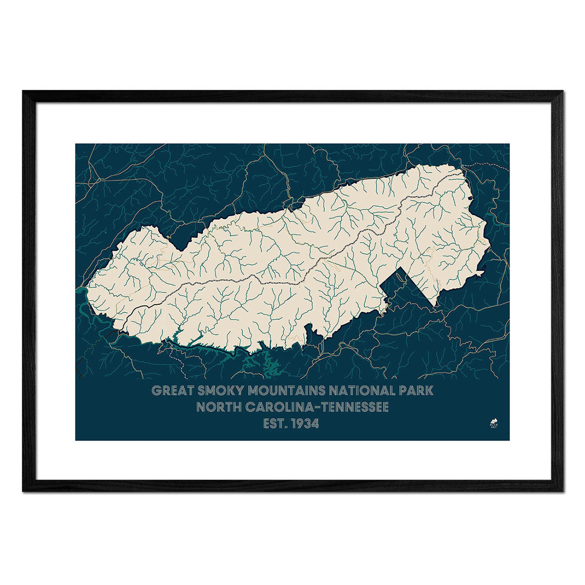
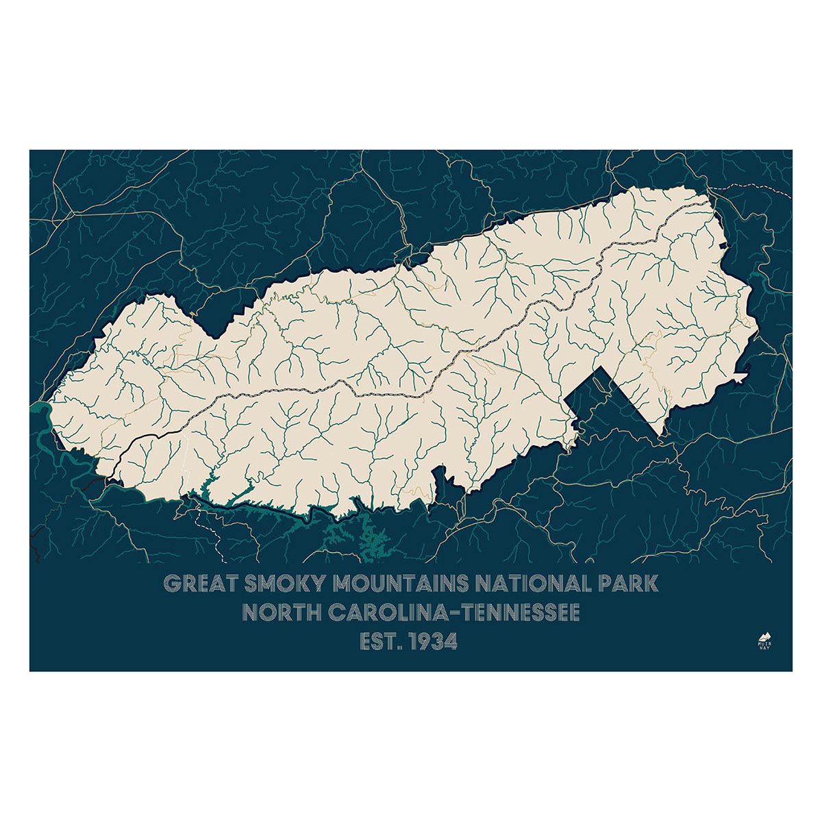
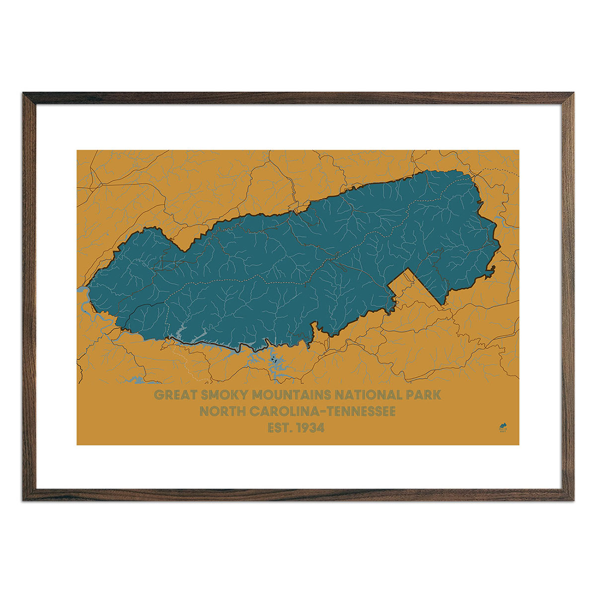
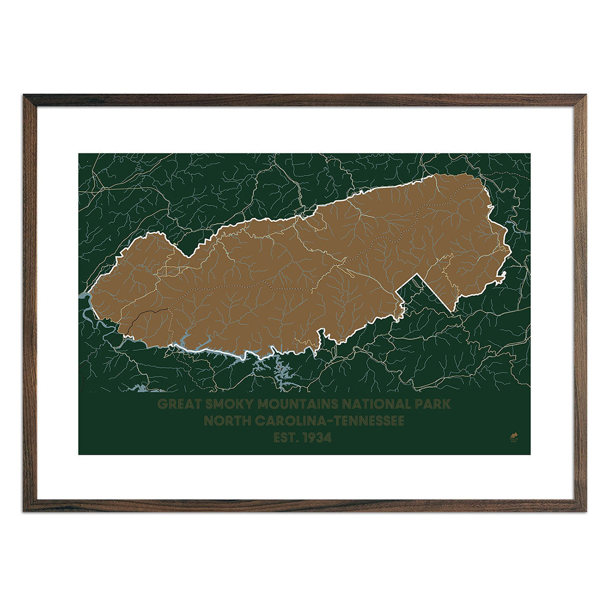
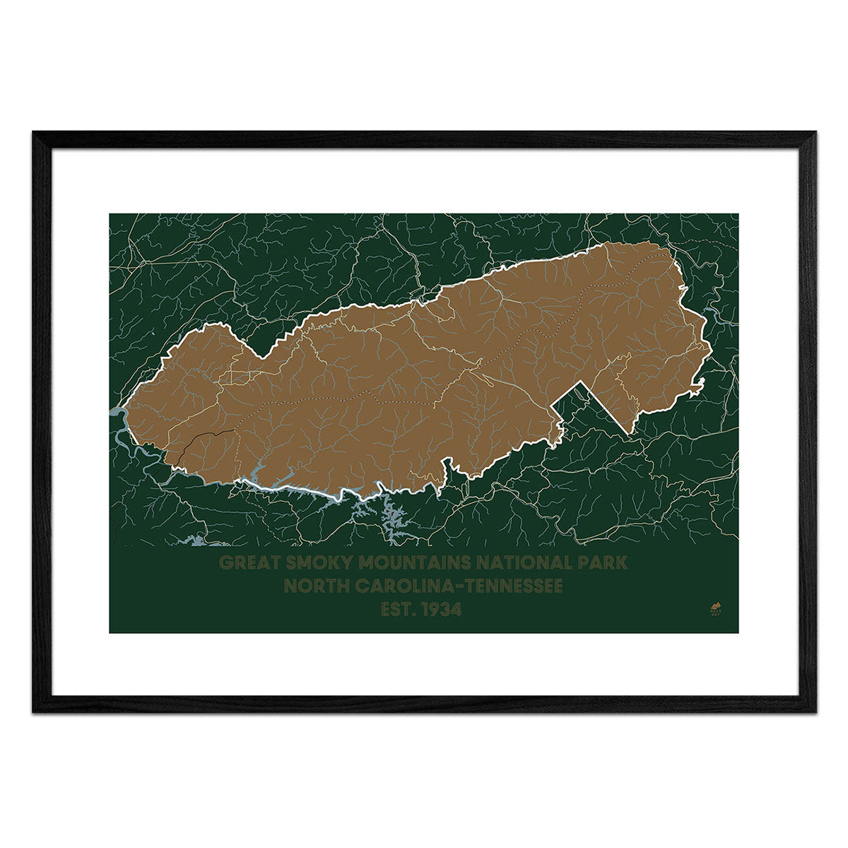
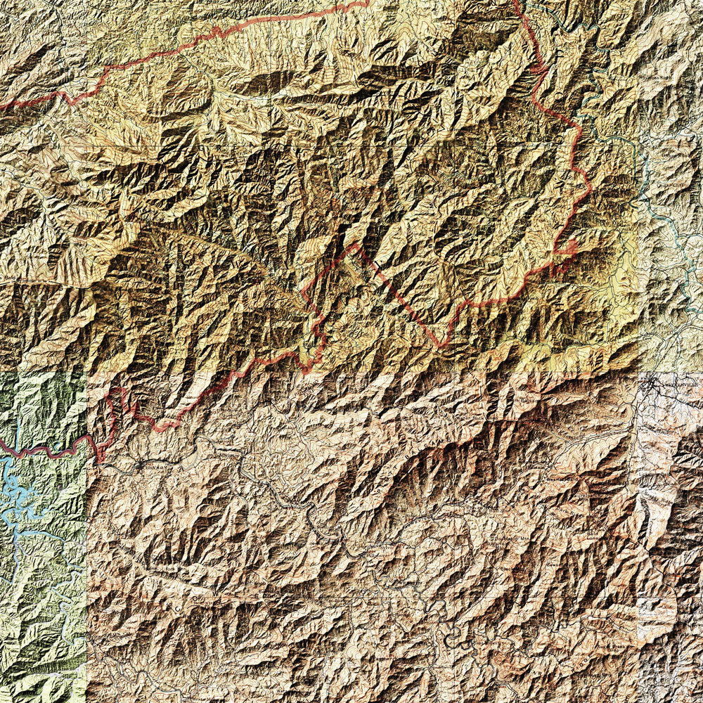
Great Smoky Mountains Shaded Relief Map
From
$ 59.25 USD
$ 79.00 USD
Sale
5.0 / 5.0
1 review
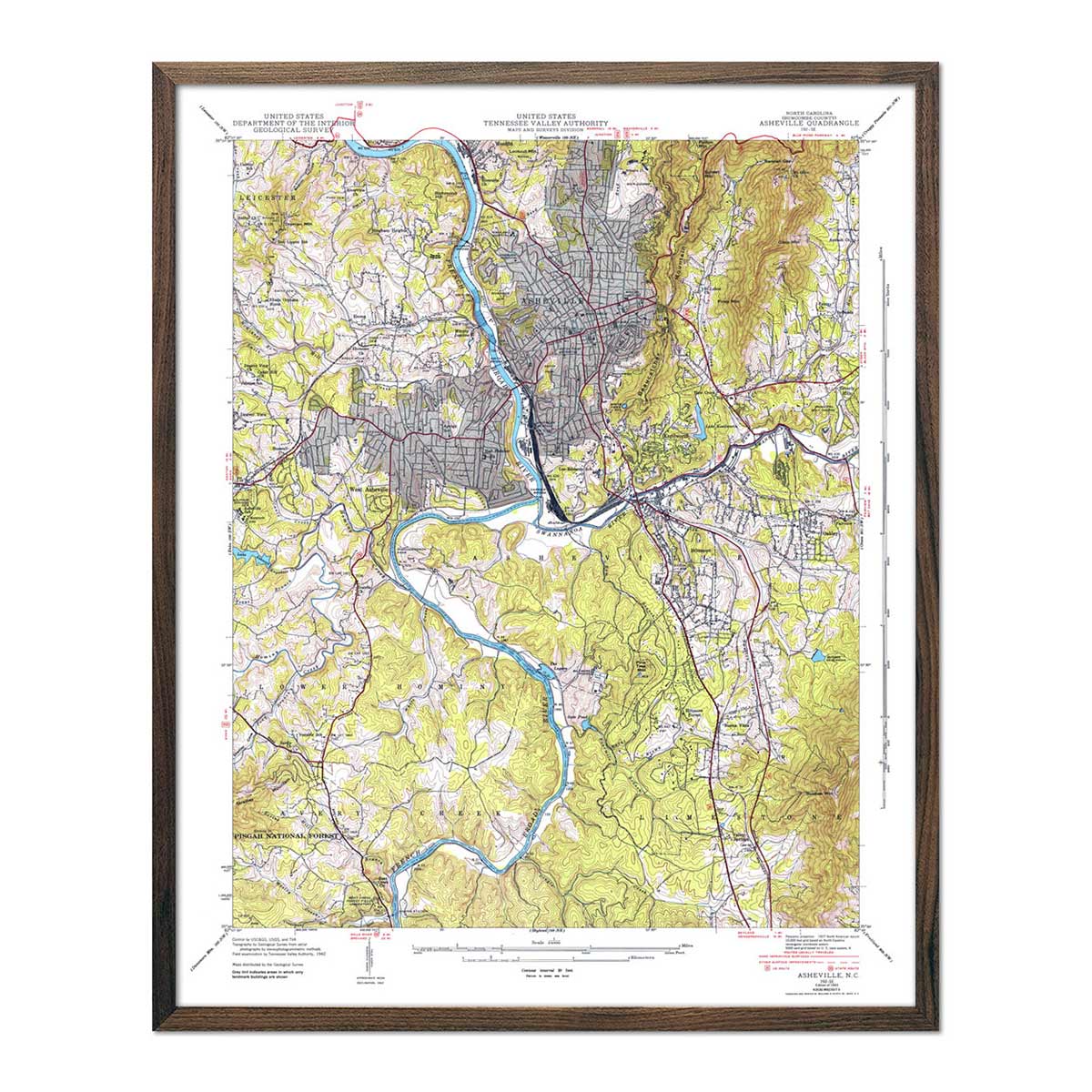
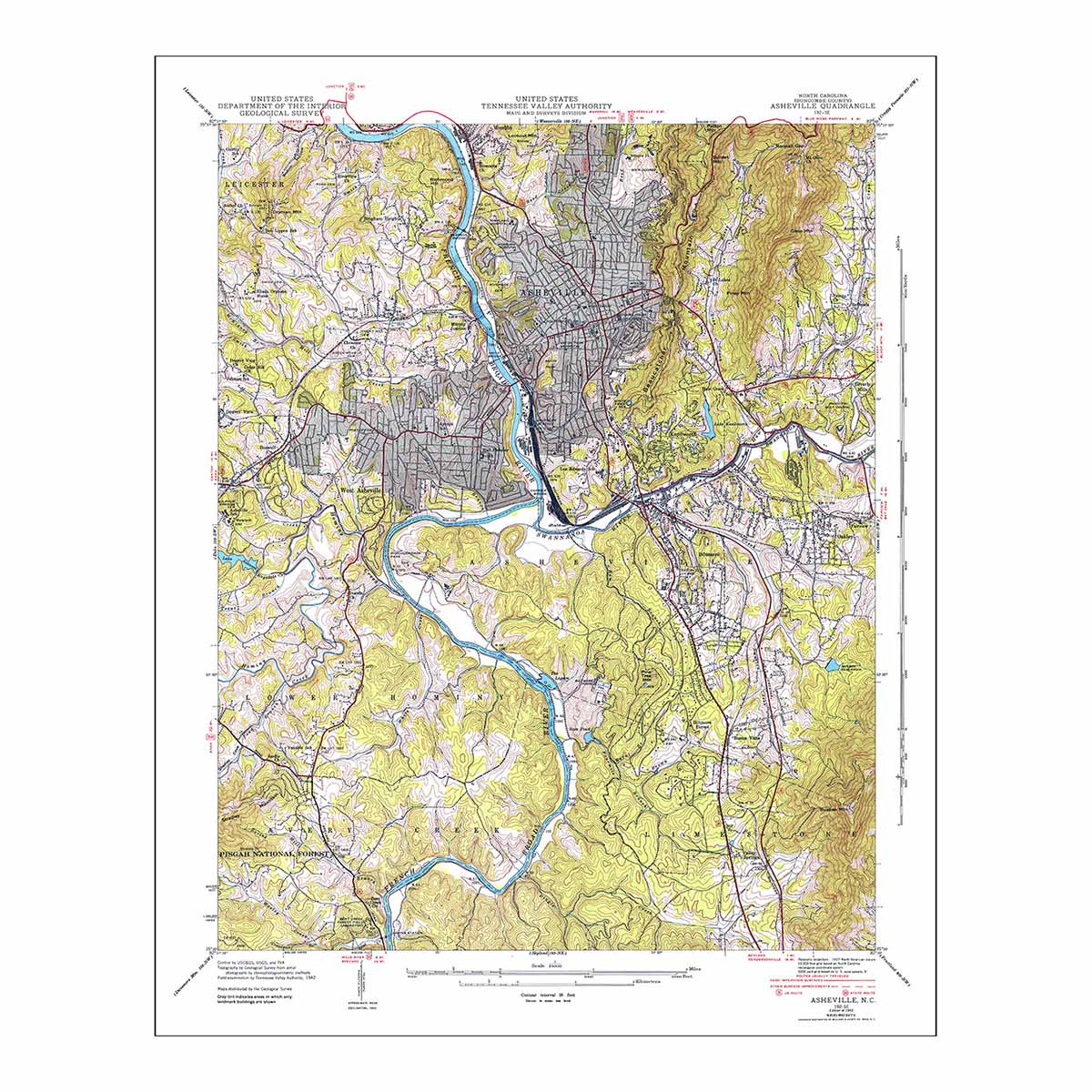
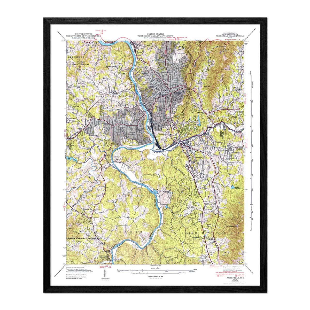
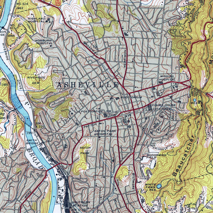
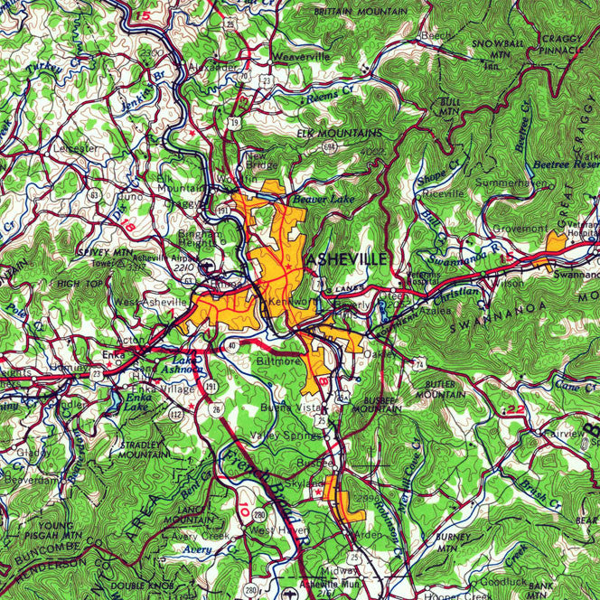
Asheville, NC 1943 USGS Map
From
$ 64.00 USD
4.9 / 5.0
142 reviews
25% off
Great Smoky Mountains National Park Map 1953
From
$ 59.25 USD
$ 79.00 USD
Sale
5.0 / 5.0
104 reviews
25% off
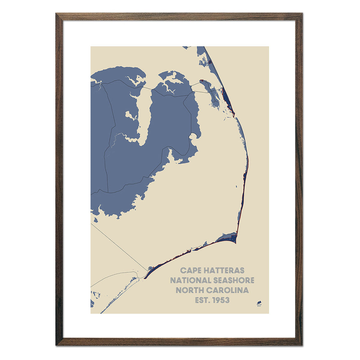
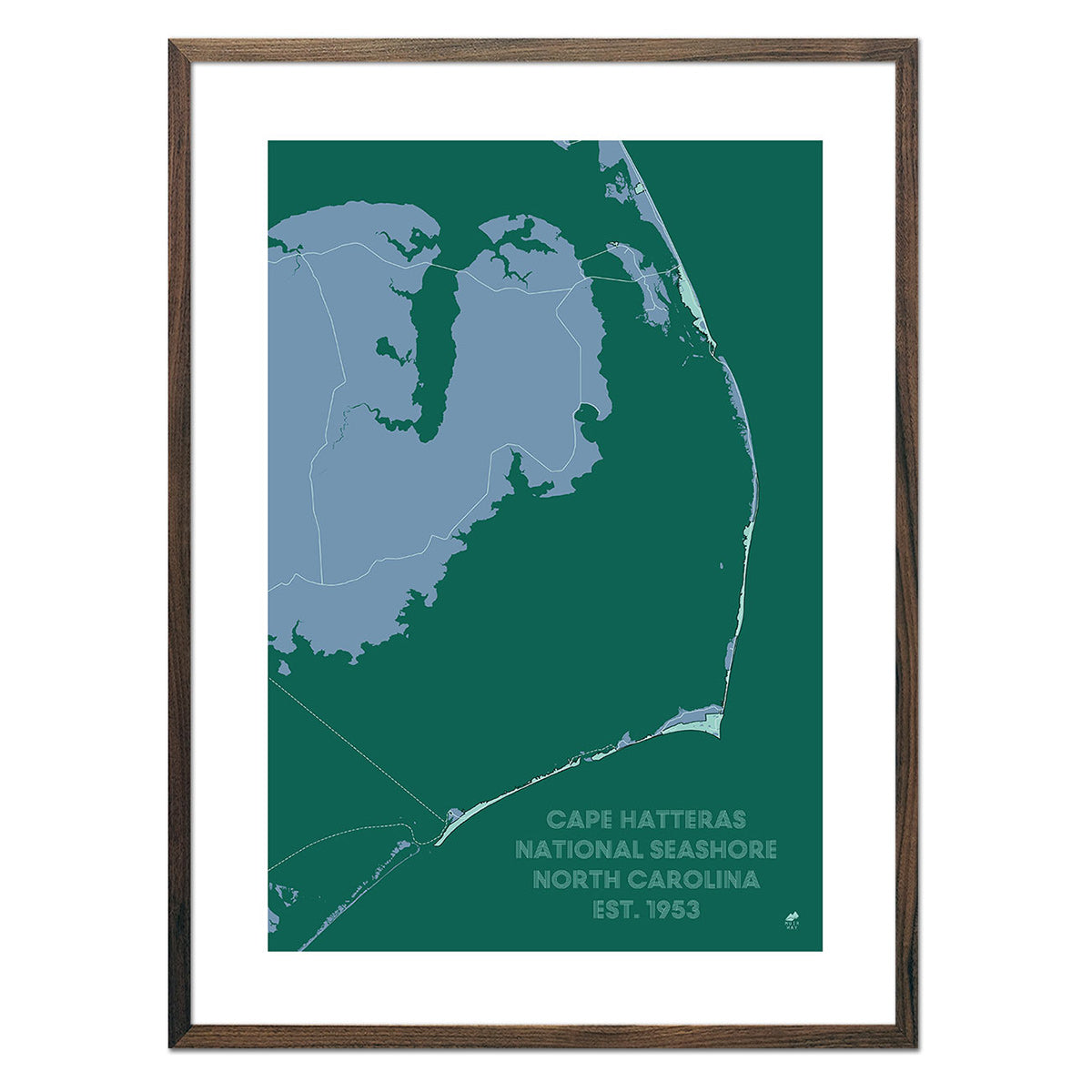
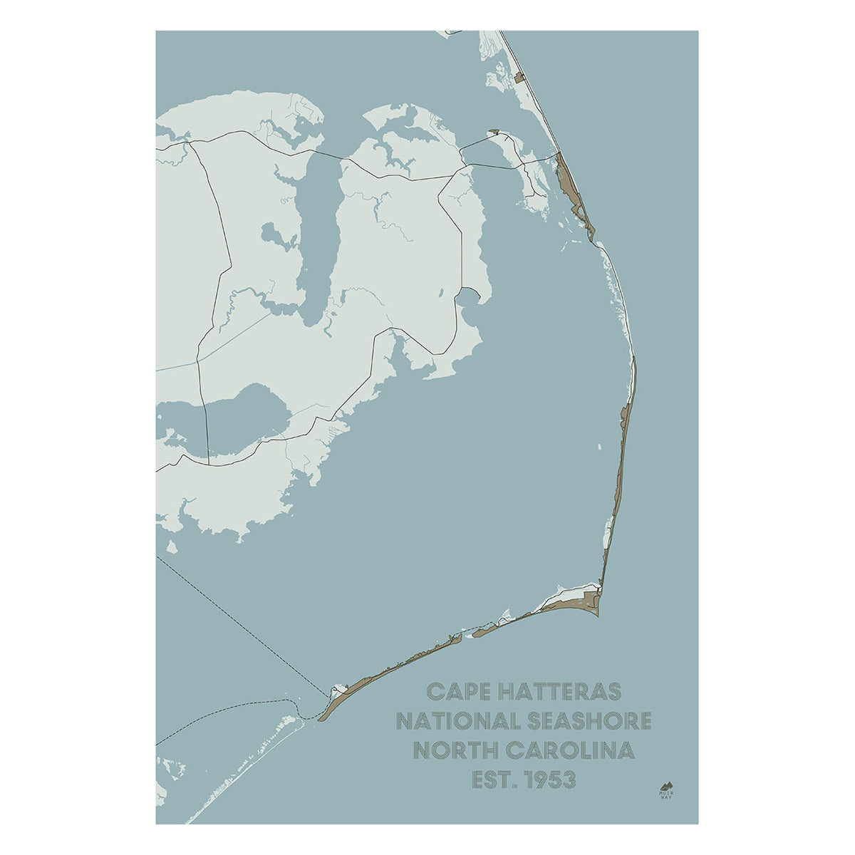
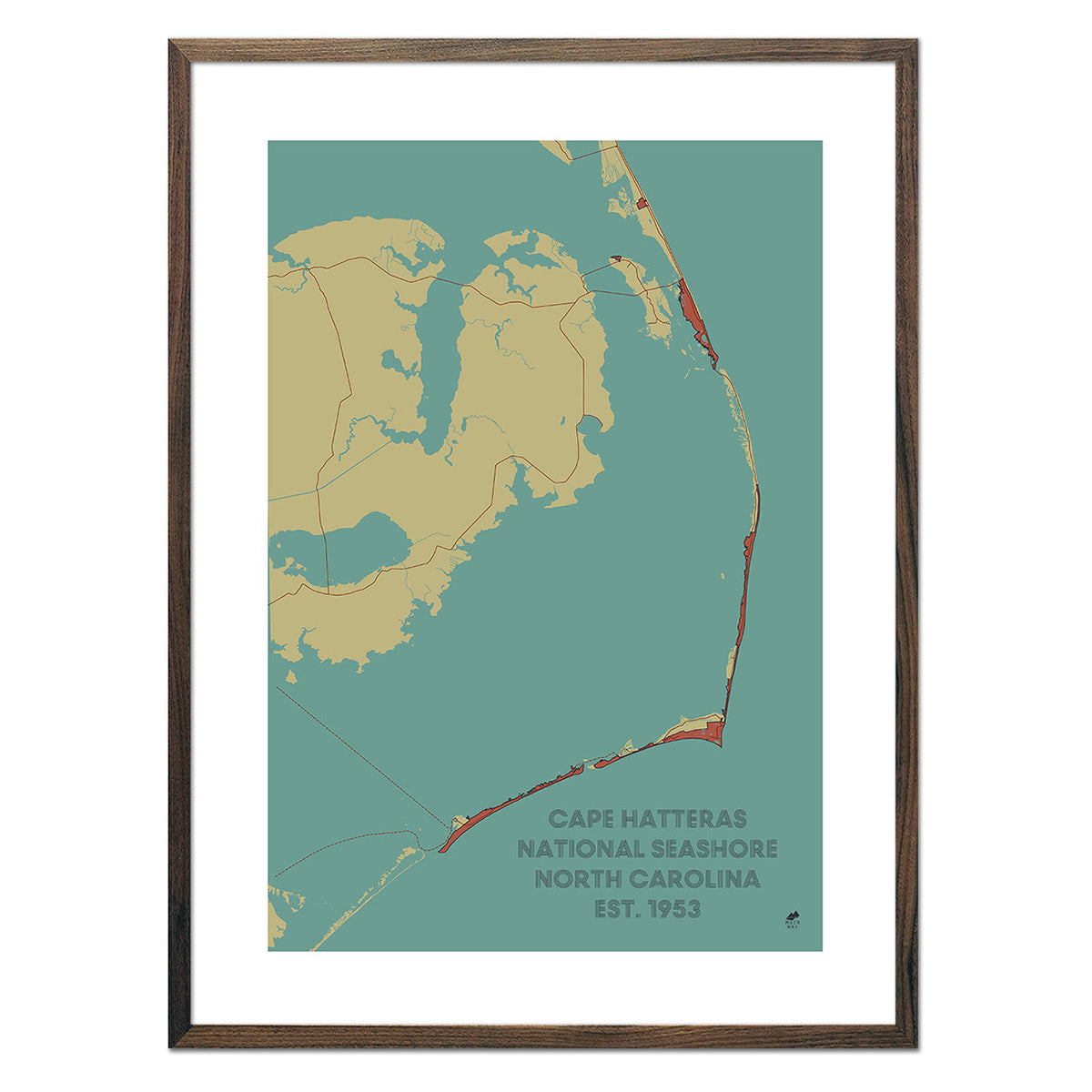
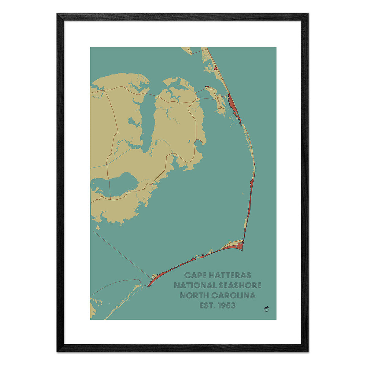
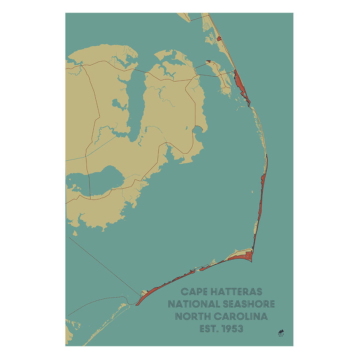
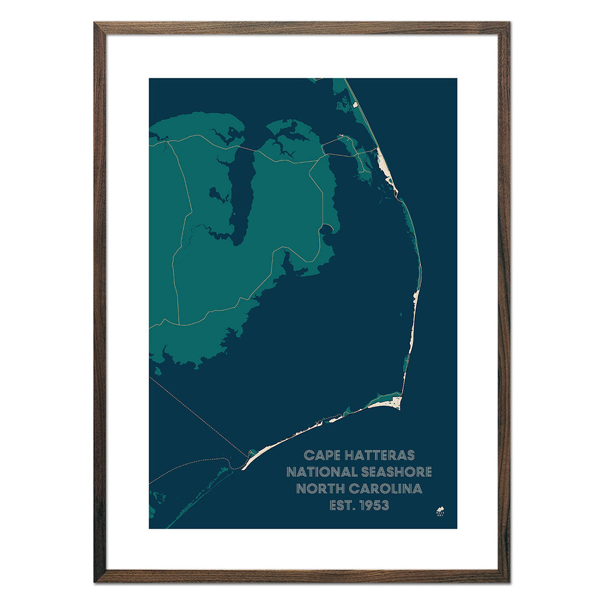
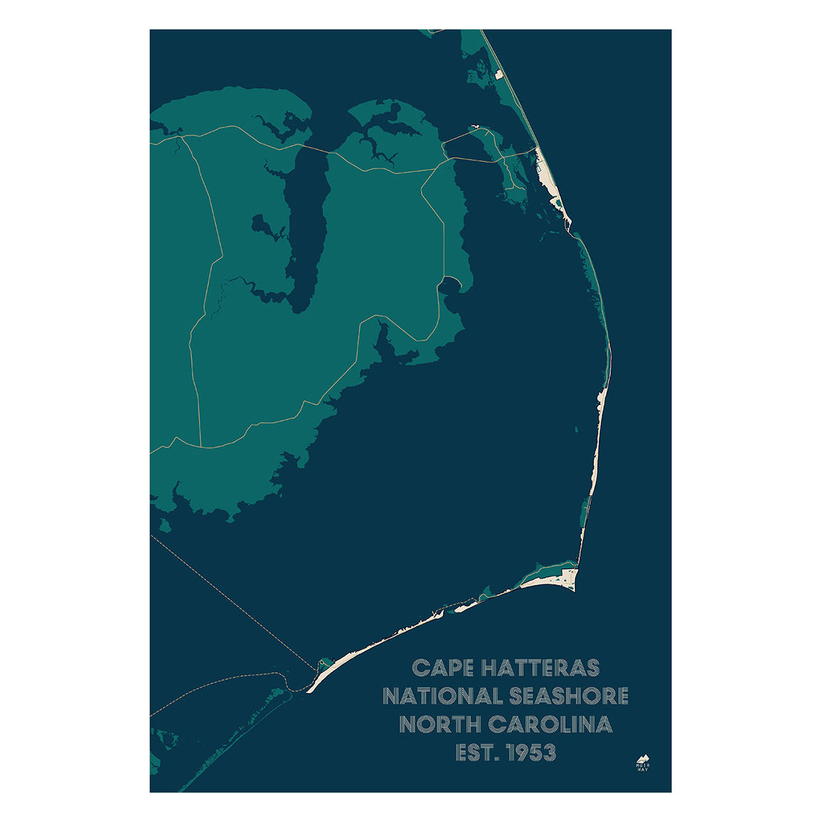
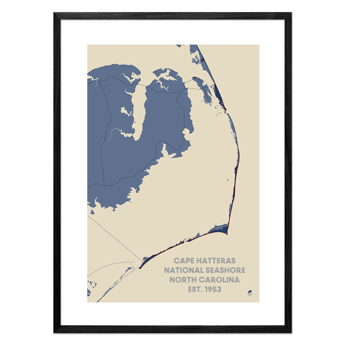
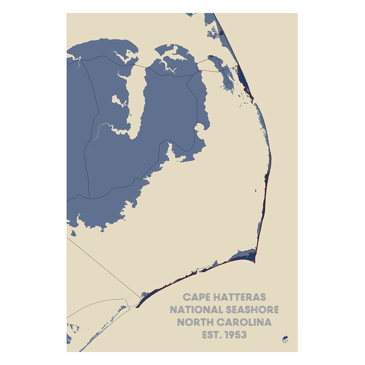
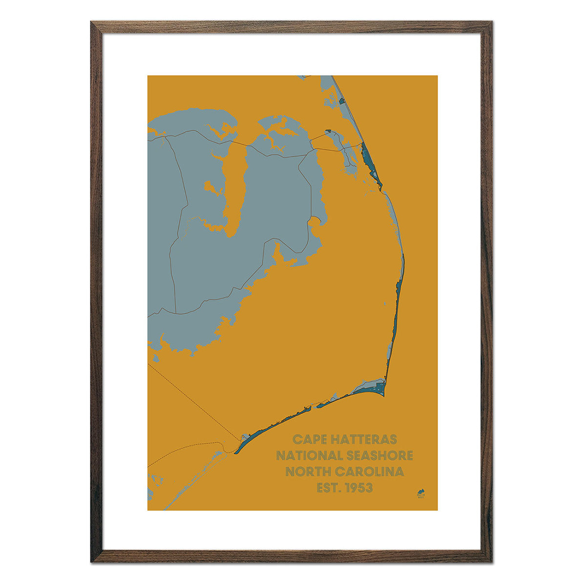
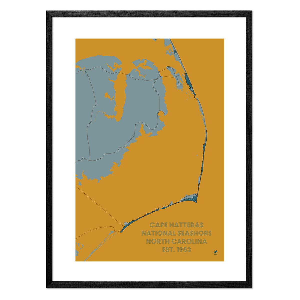
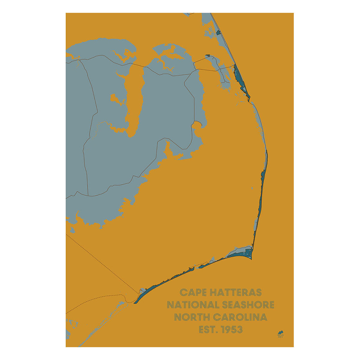
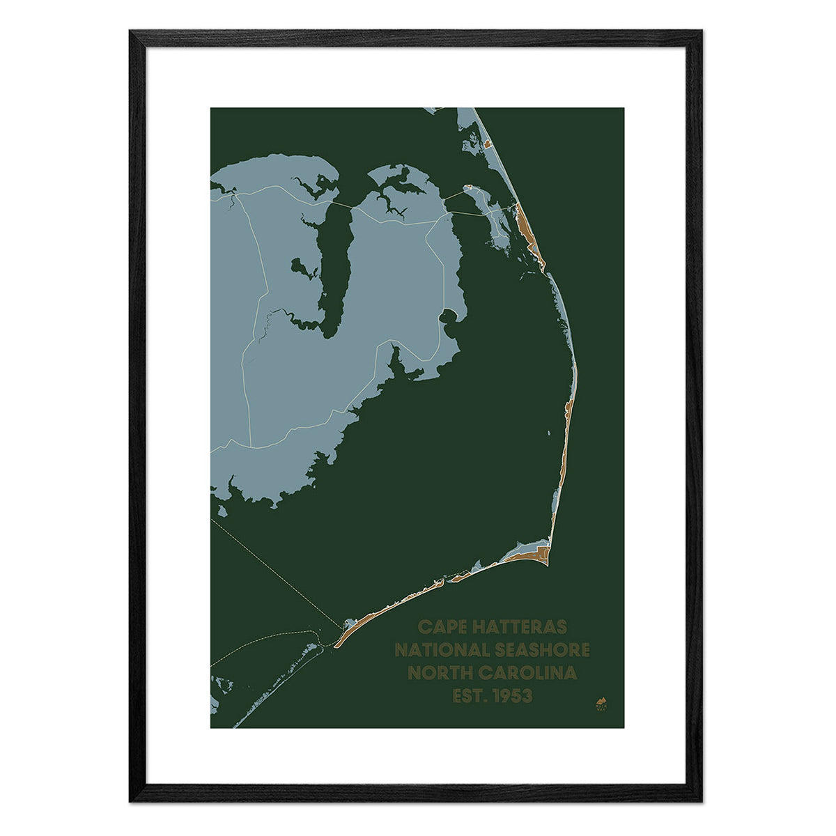
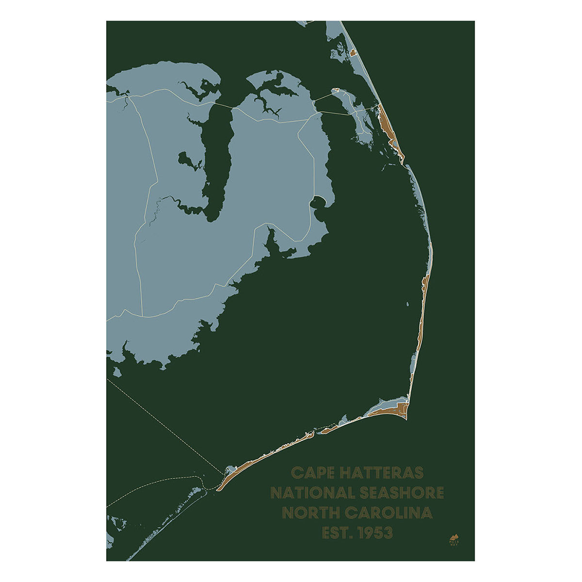
Cape Hatteras National Park Map
From
$ 36.75 USD
$ 49.00 USD
Sale
5.0 / 5.0
283 reviews
25% off
Great Smoky Mountains 1974 Shaded Relief Map
From
$ 74.25 USD
$ 99.00 USD
Sale
5.0 / 5.0
3 reviews
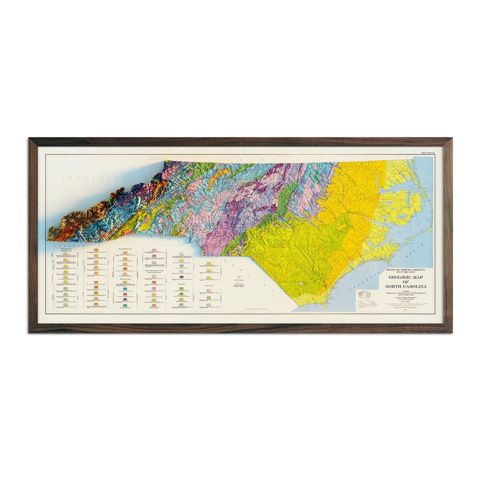
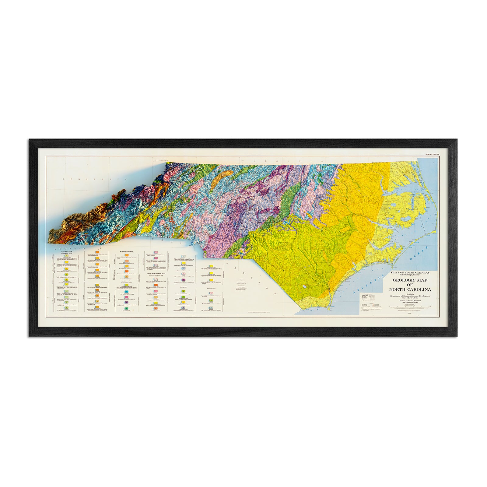
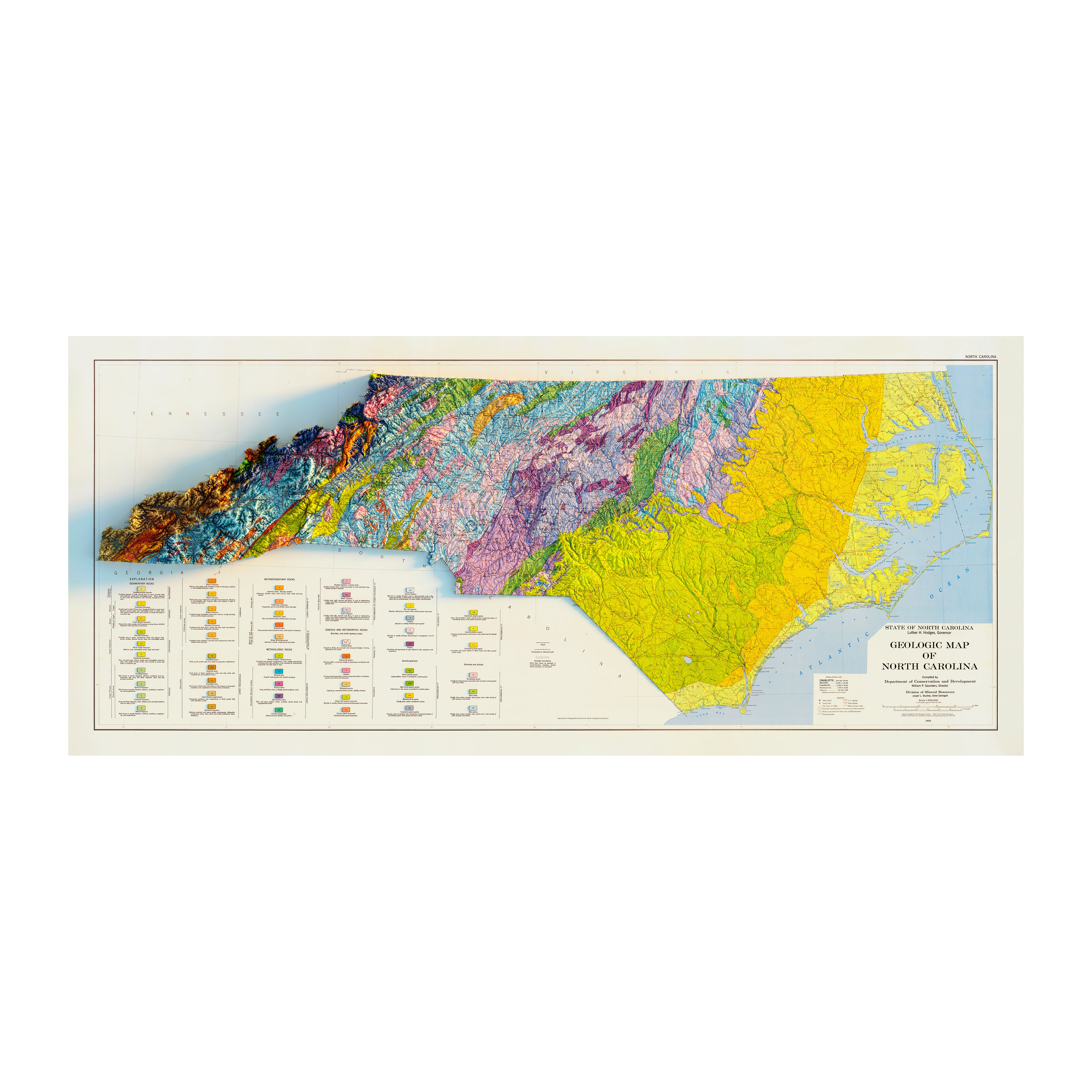
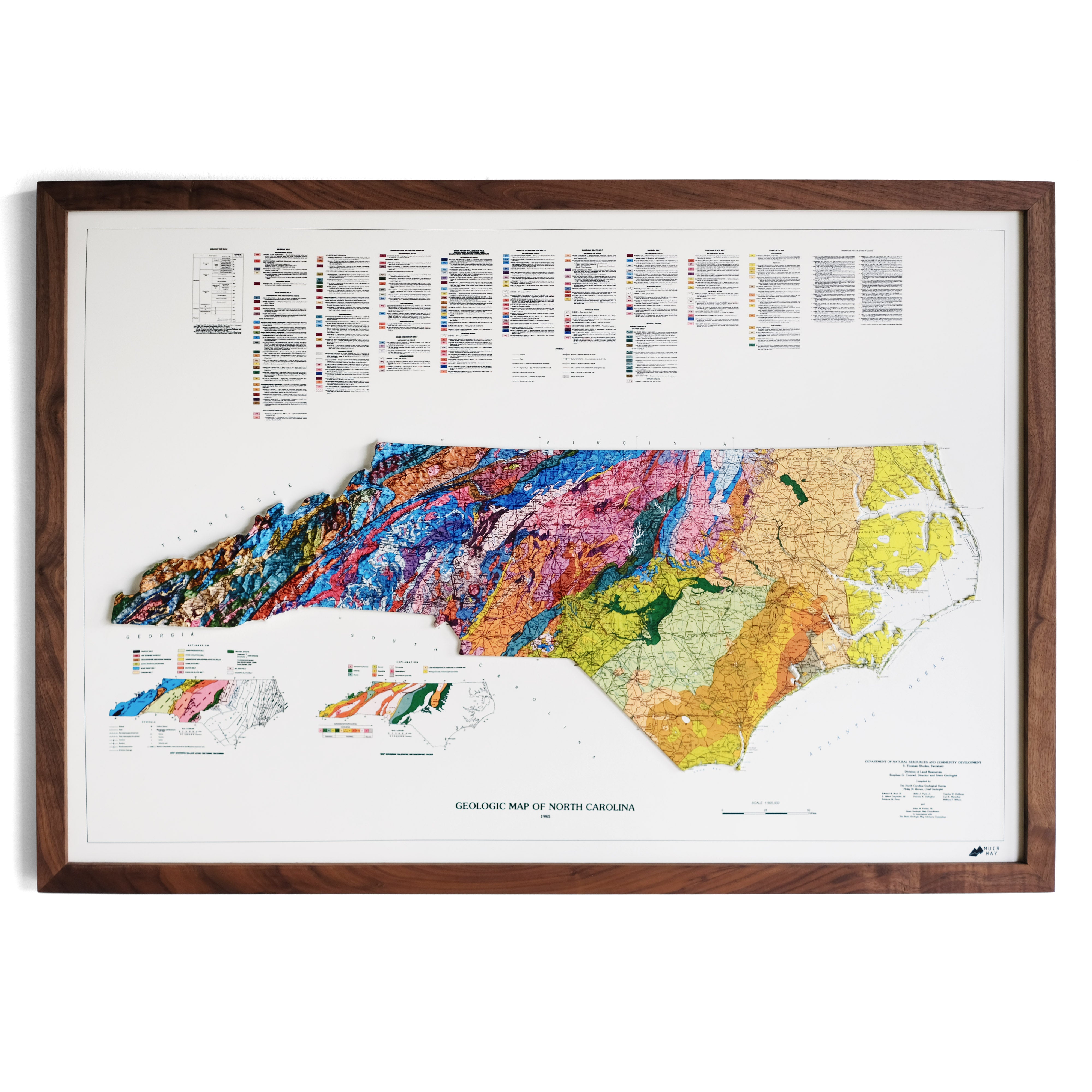
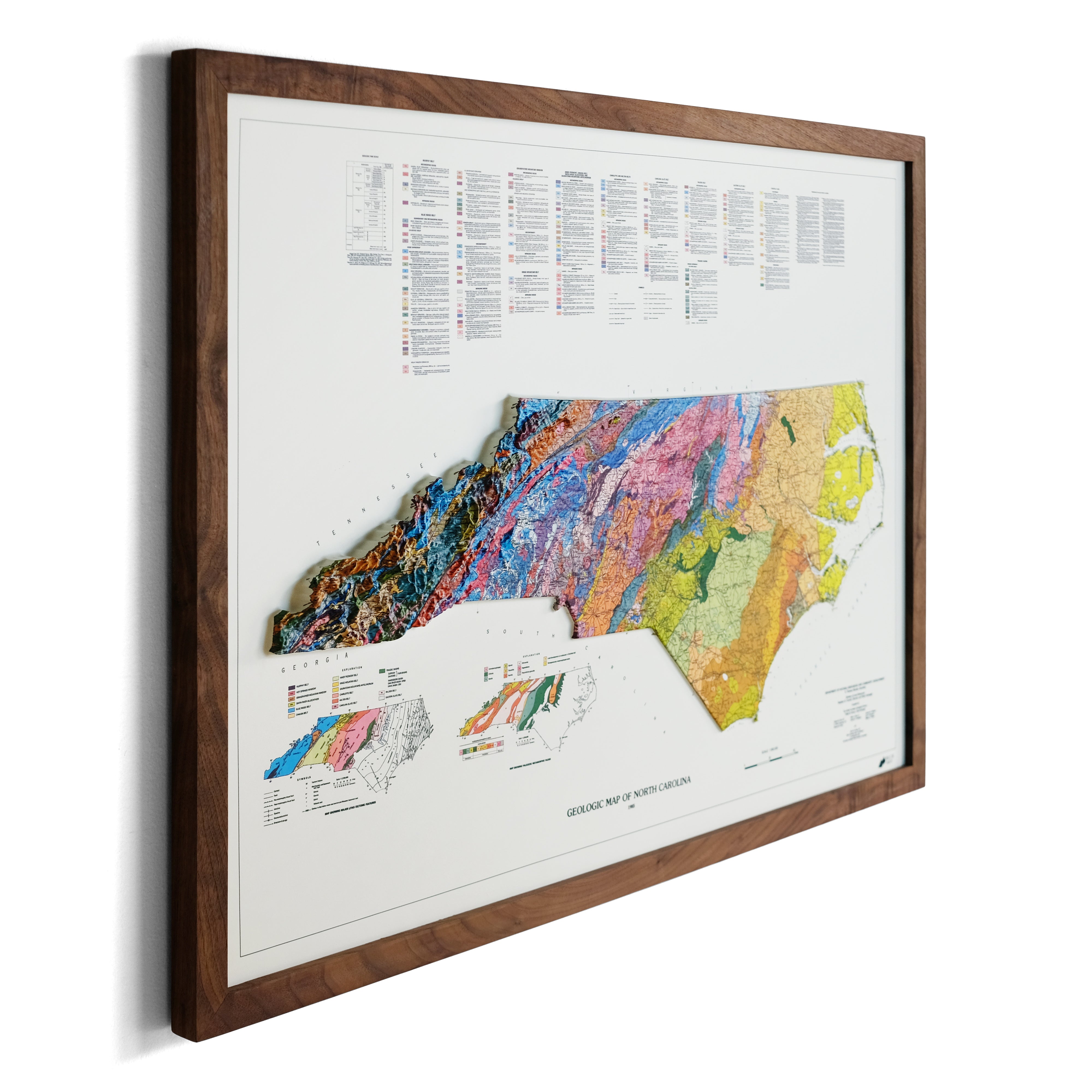
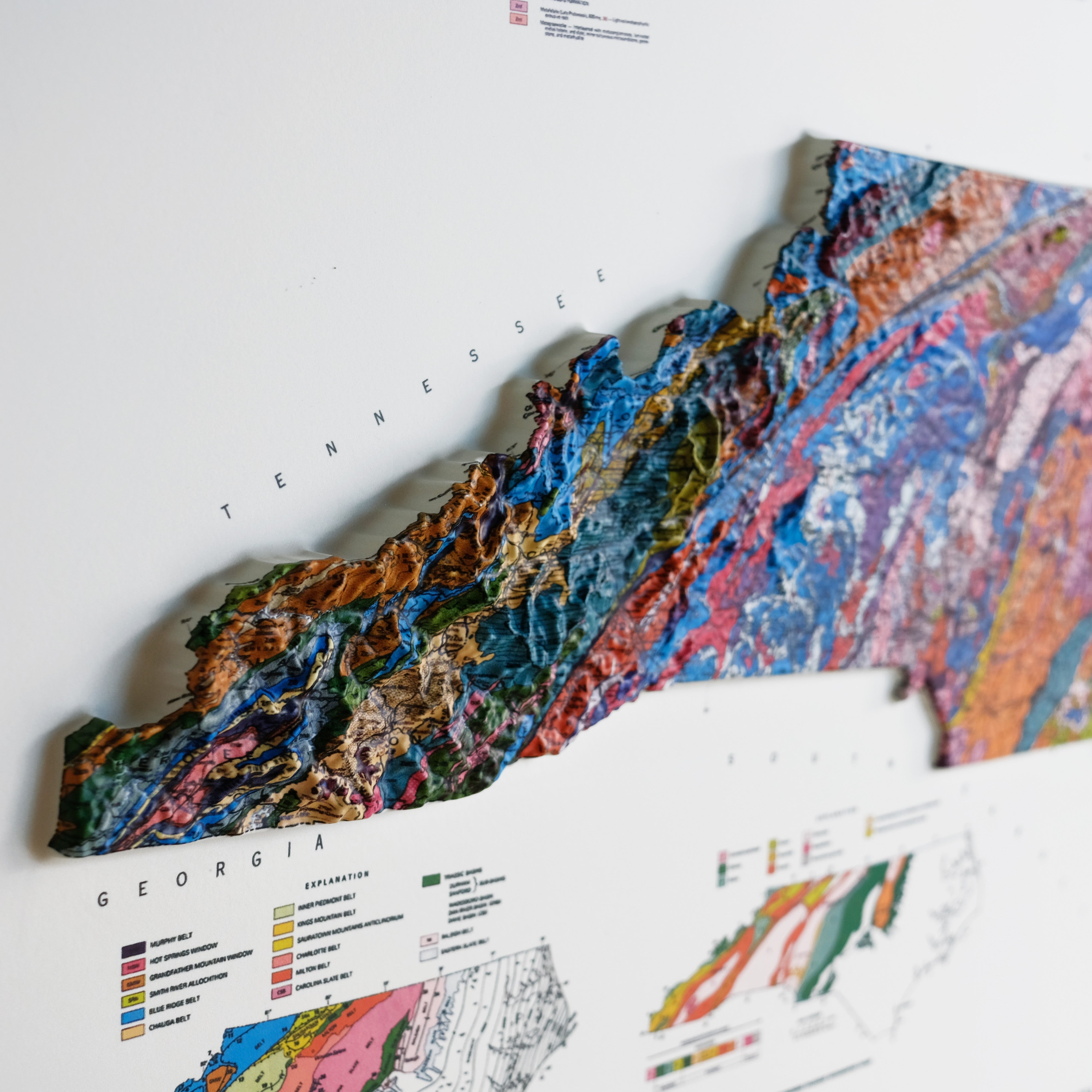
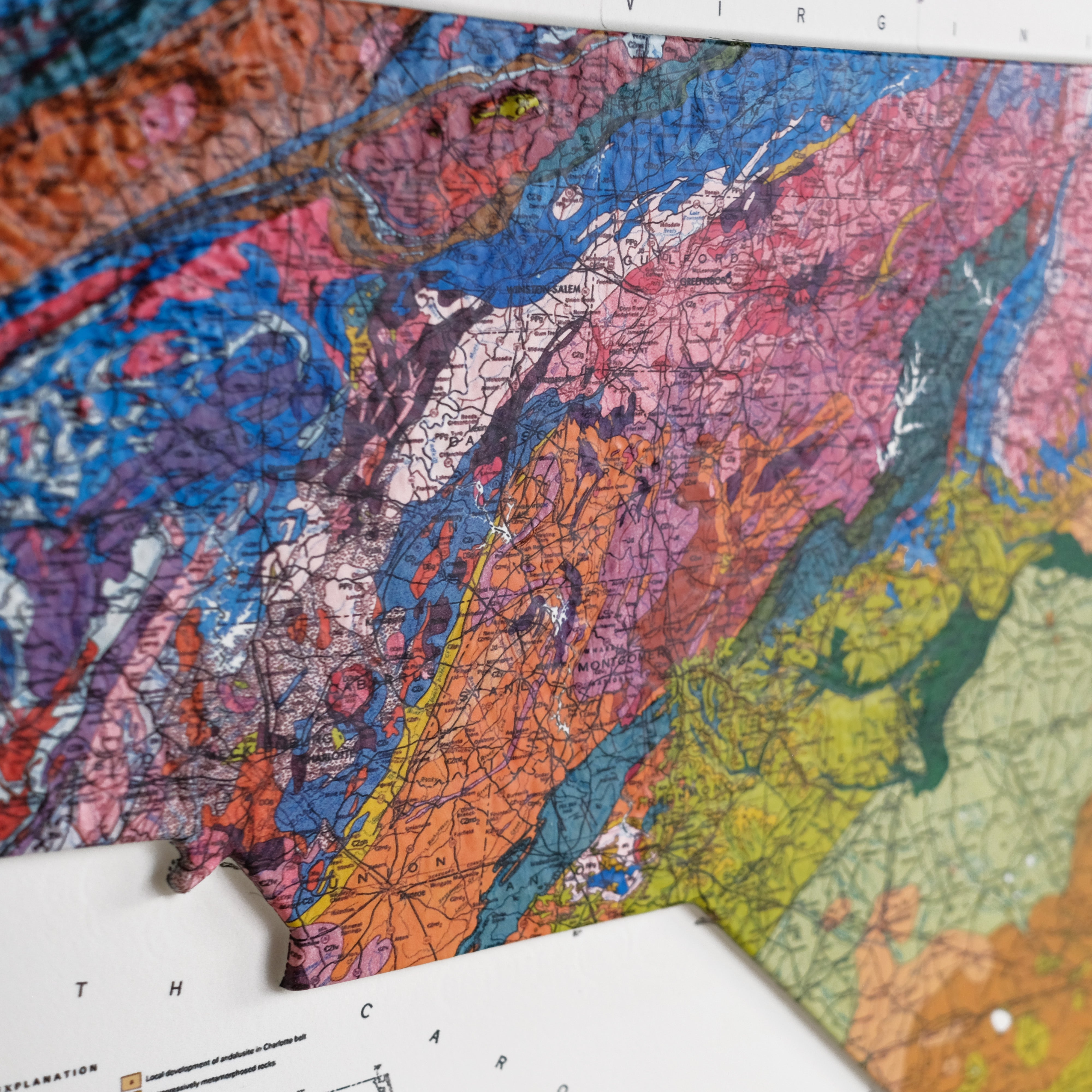
North Carolina 1985 3D Raised Relief Map
From
$ 170.00 USD
5.0 / 5.0
1 review
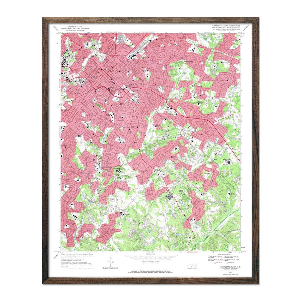
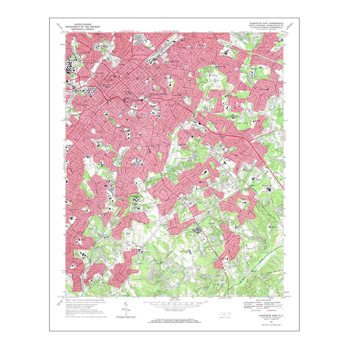
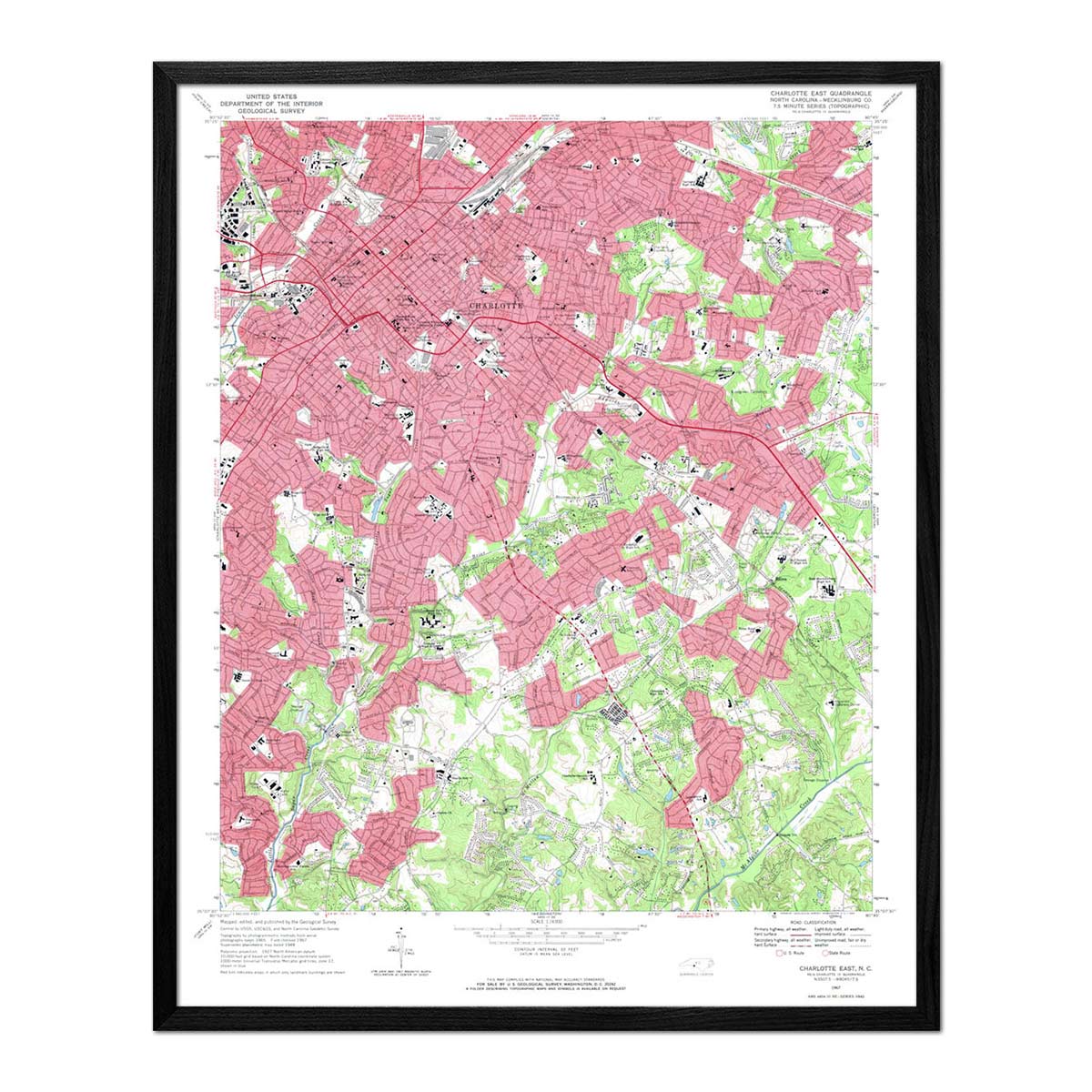
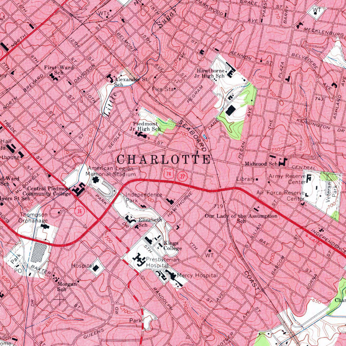
Charlotte, NC 1967 USGS Map
From
$ 64.00 USD
4.9 / 5.0
142 reviews
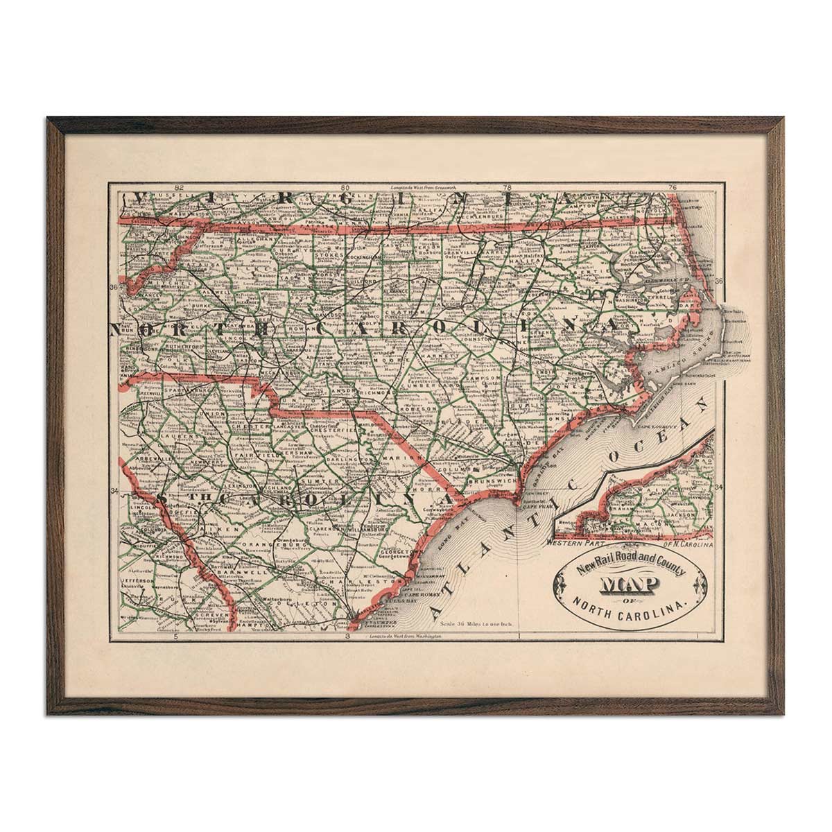
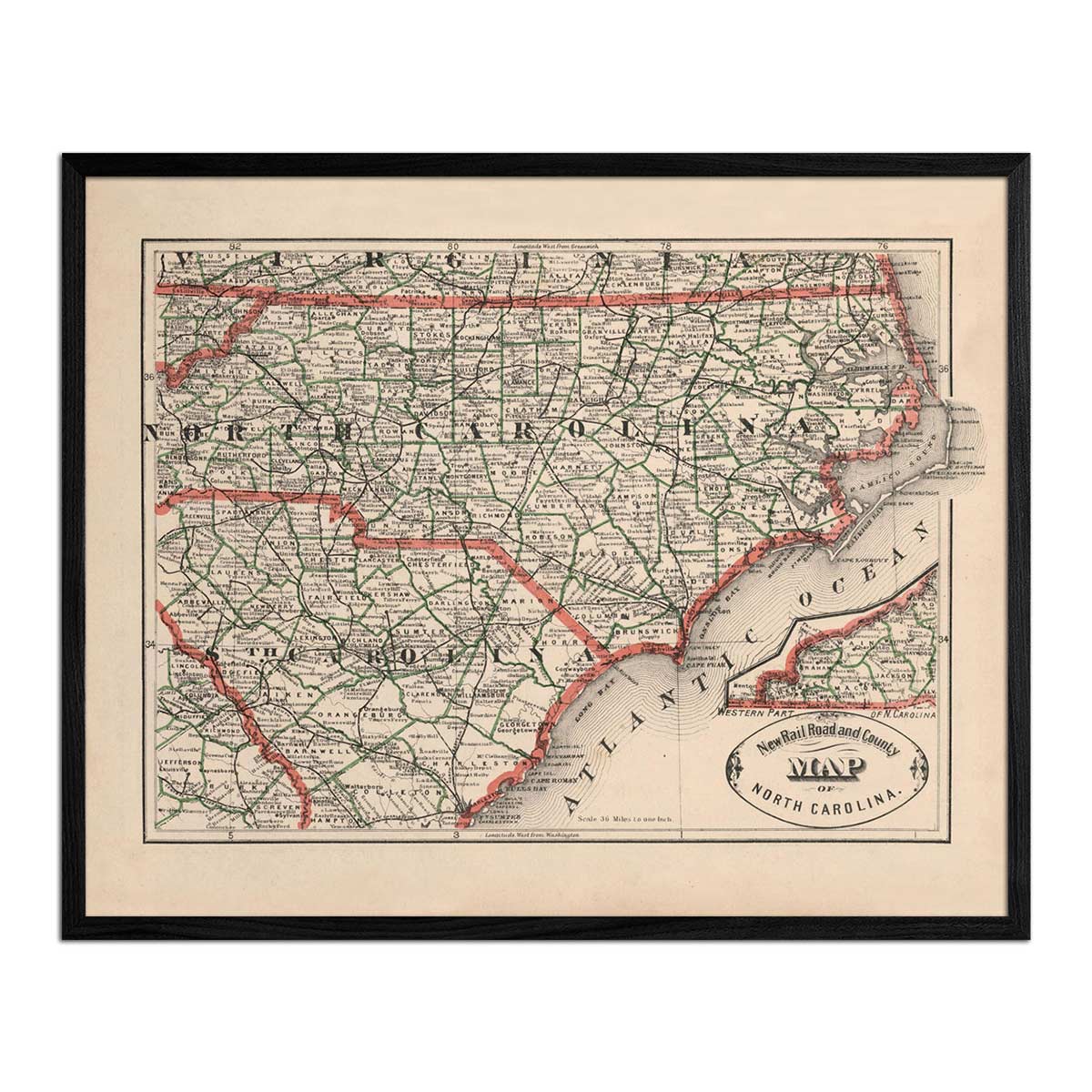
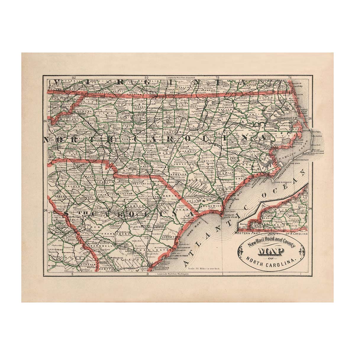
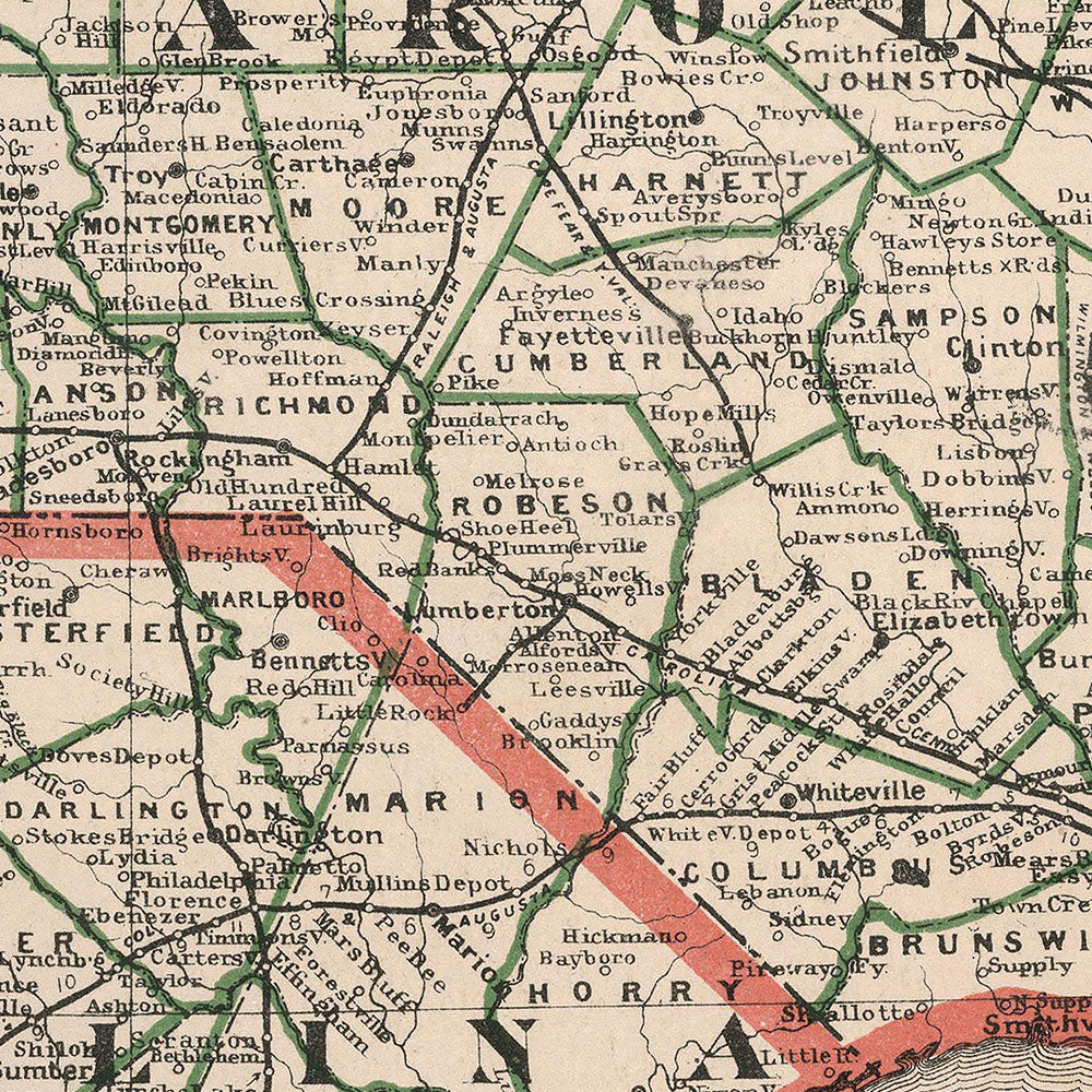
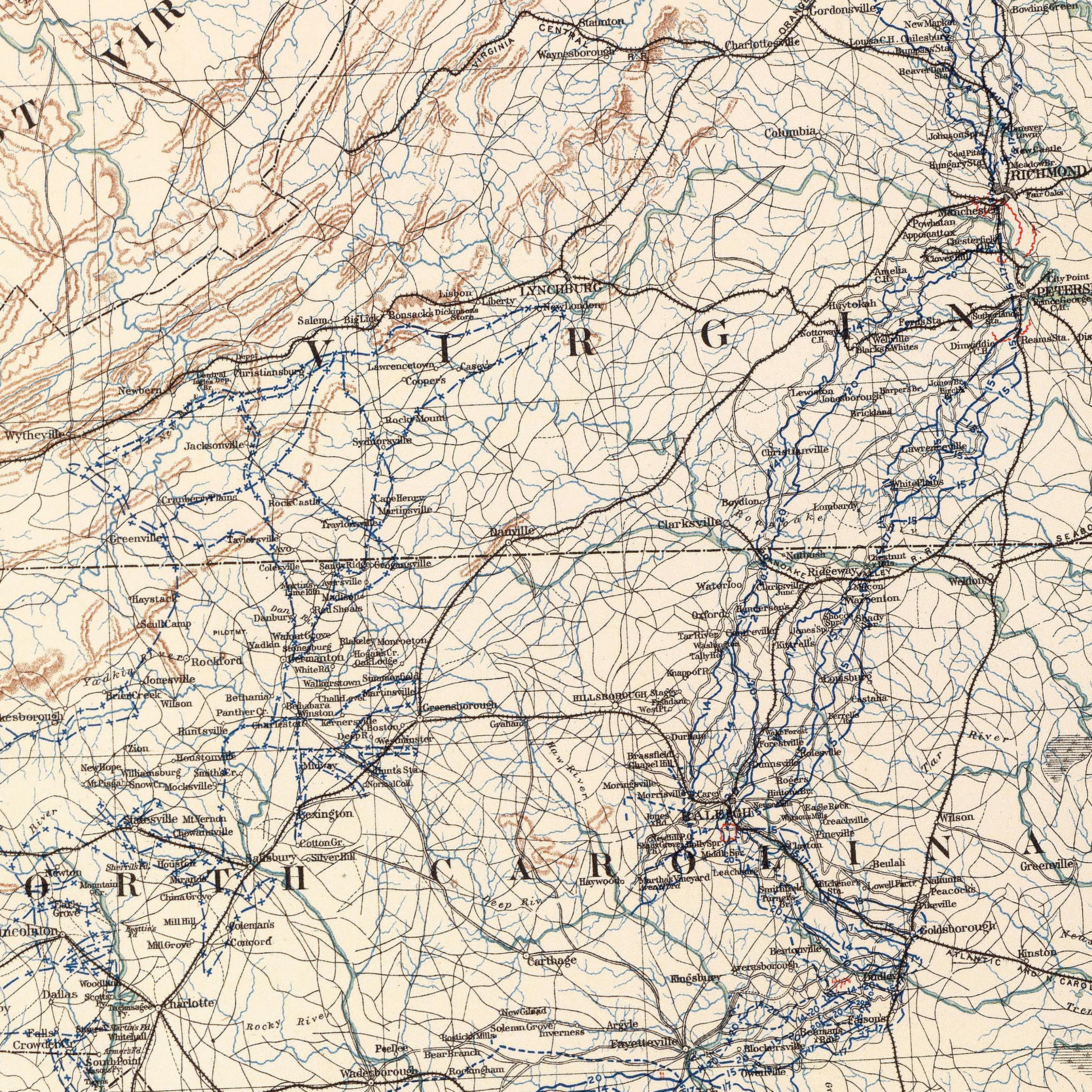
North Carolina 1883 Map
From
$ 64.00 USD
25% off
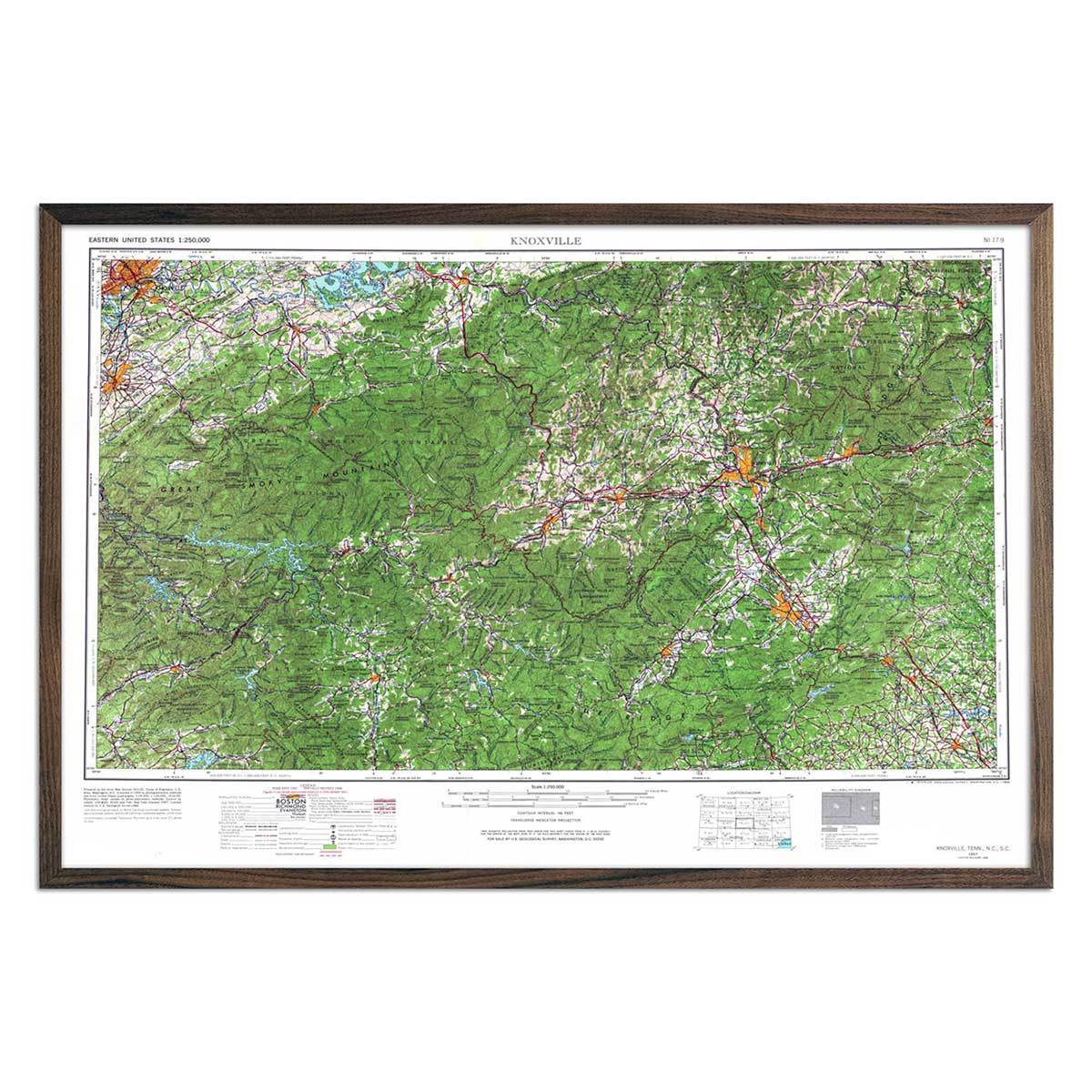
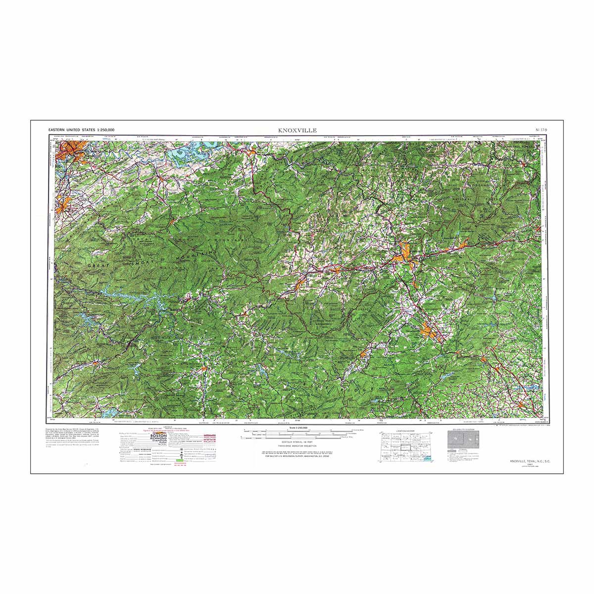
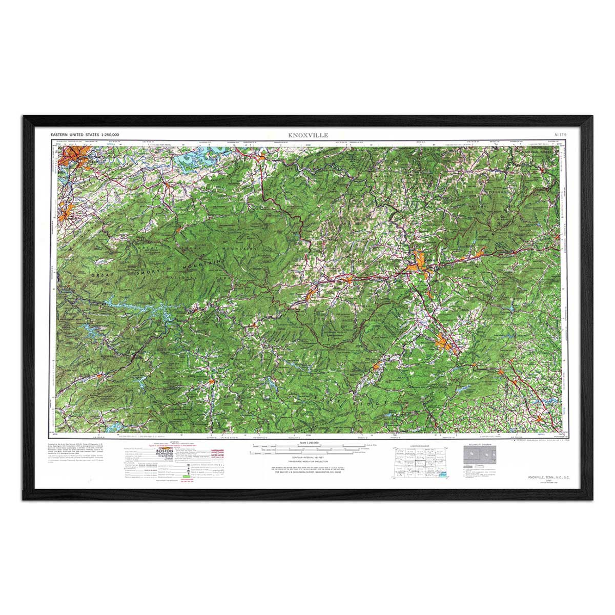
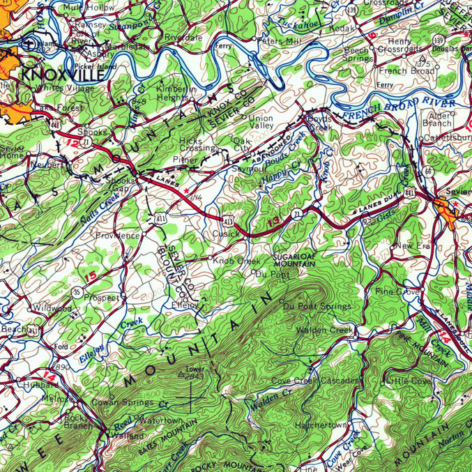
Vintage Knoxville, TN Map - USGS 1966
From
$ 51.75 USD
$ 69.00 USD
Sale
4.9 / 5.0
142 reviews
25% off
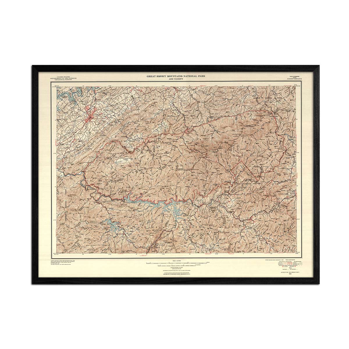
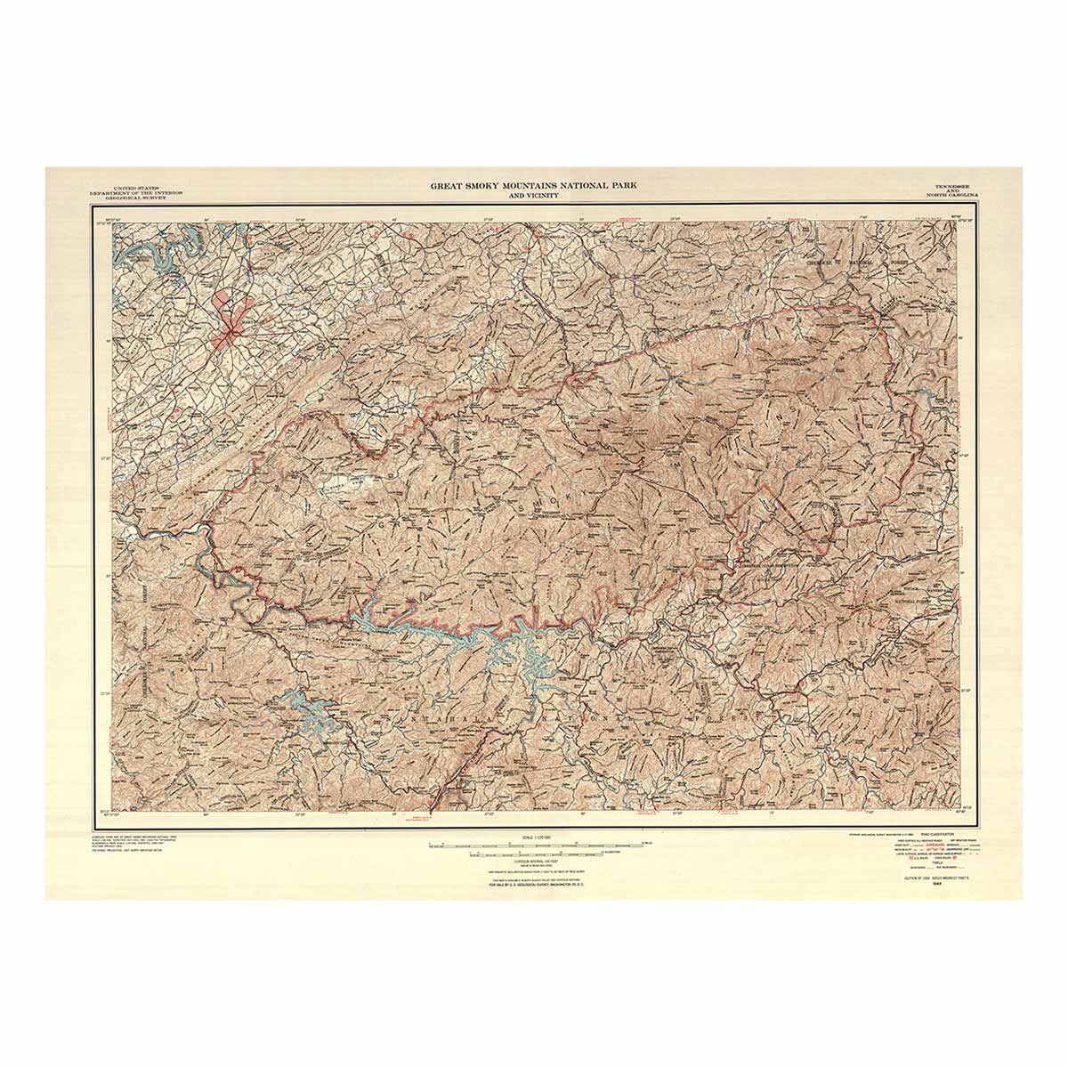
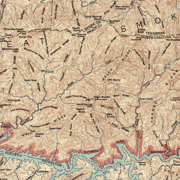
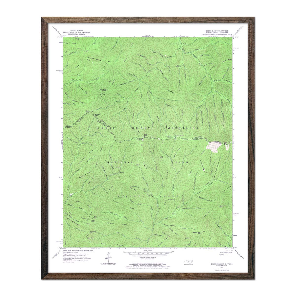
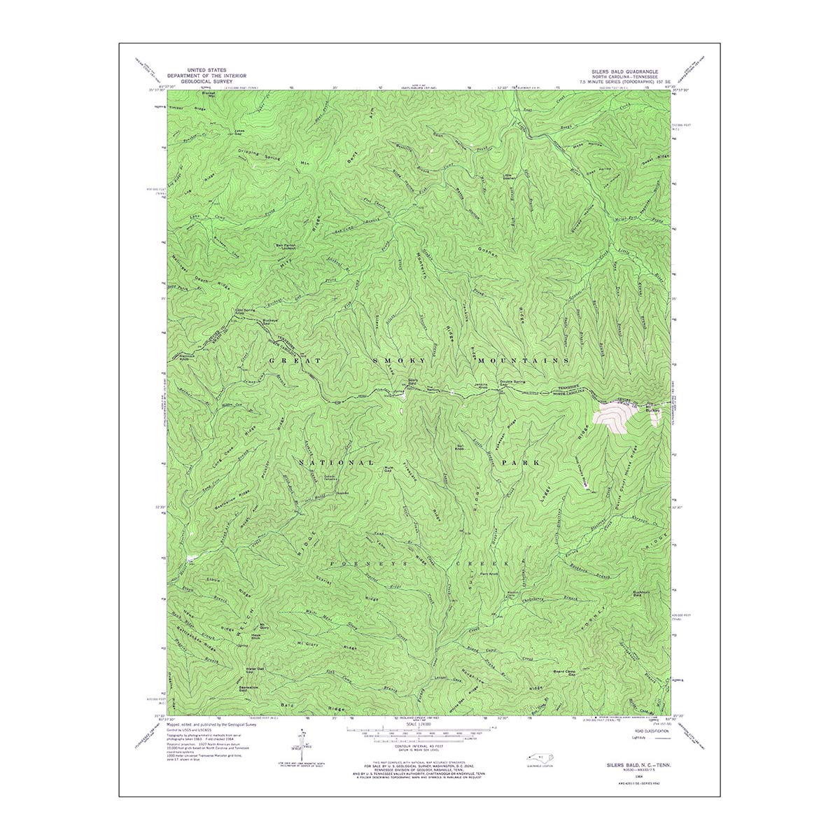
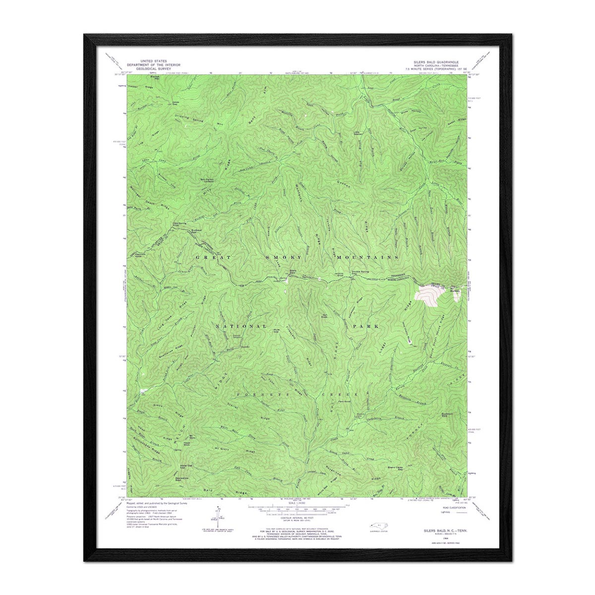
Great Smoky Mountains National Park 1964 USGS Map
From
$ 48.00 USD
$ 64.00 USD
Sale
4.9 / 5.0
142 reviews
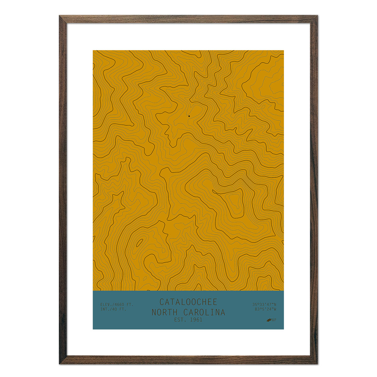
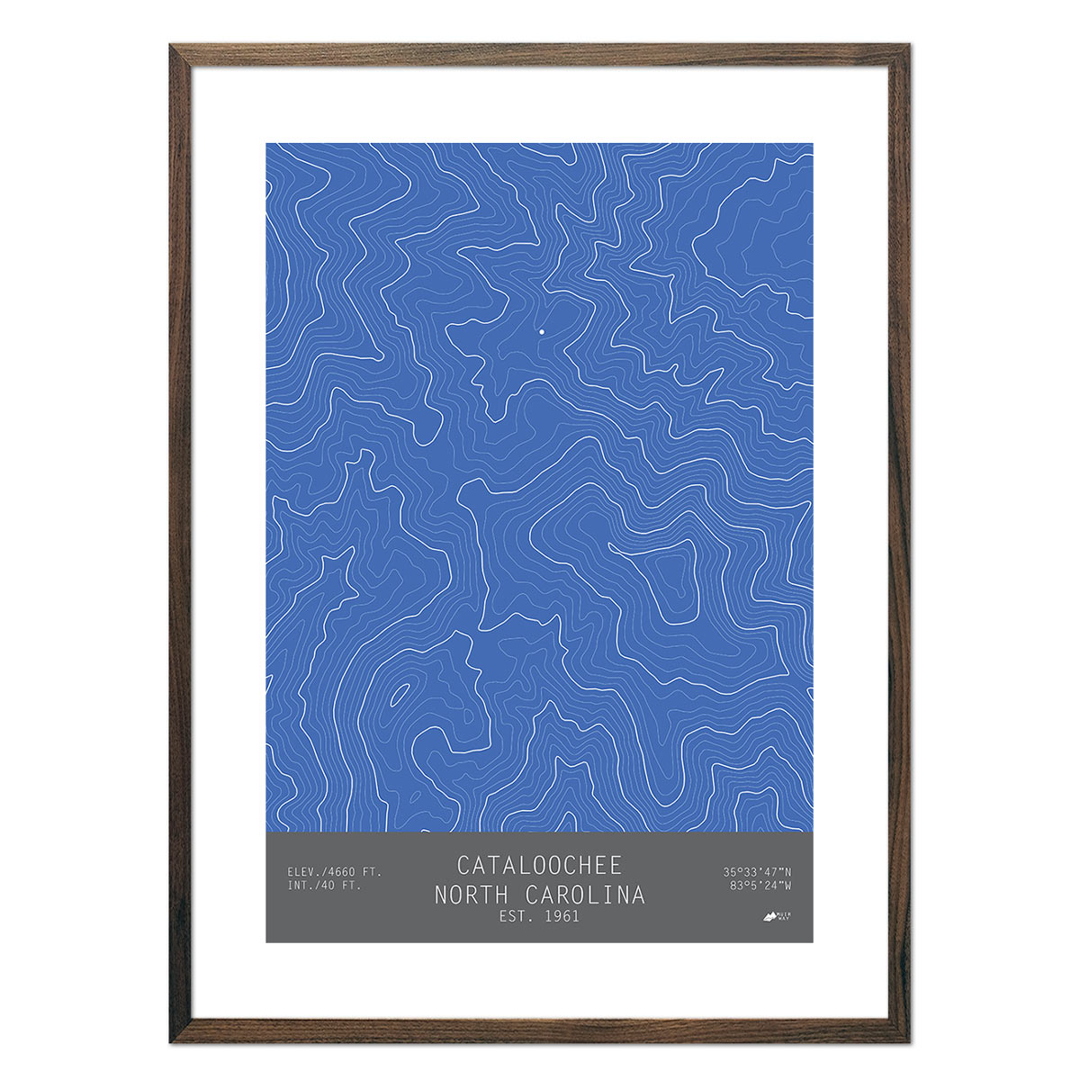
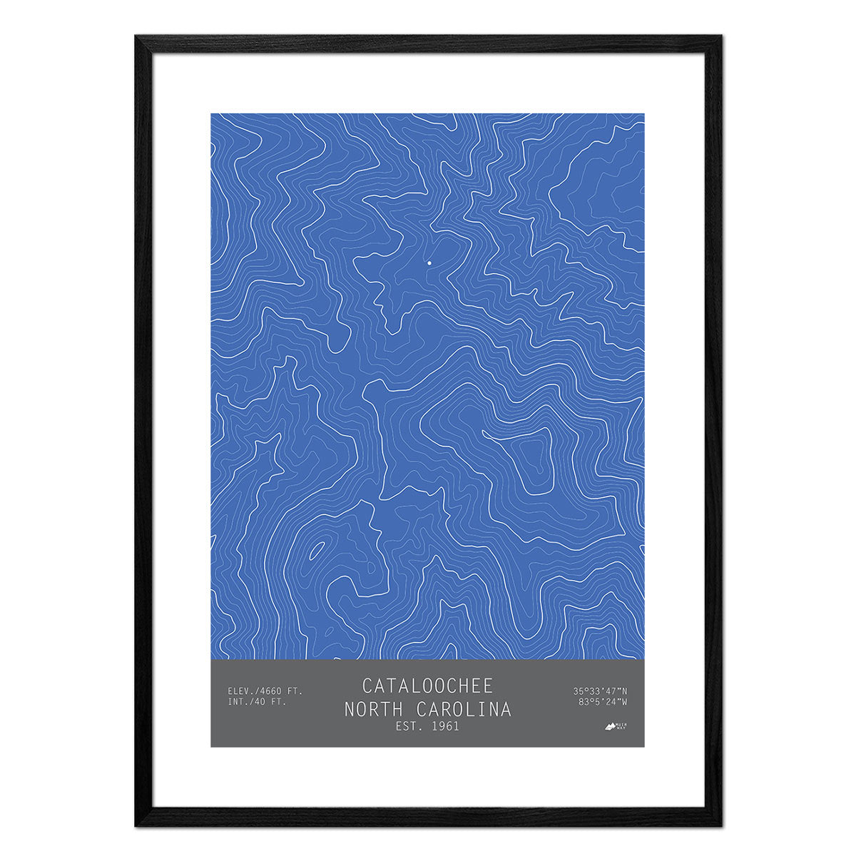
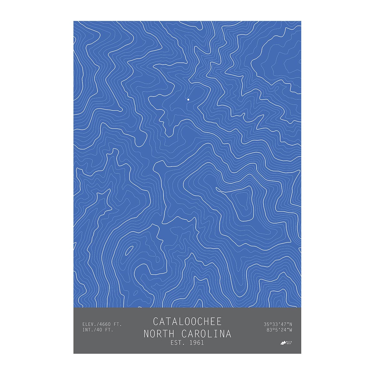
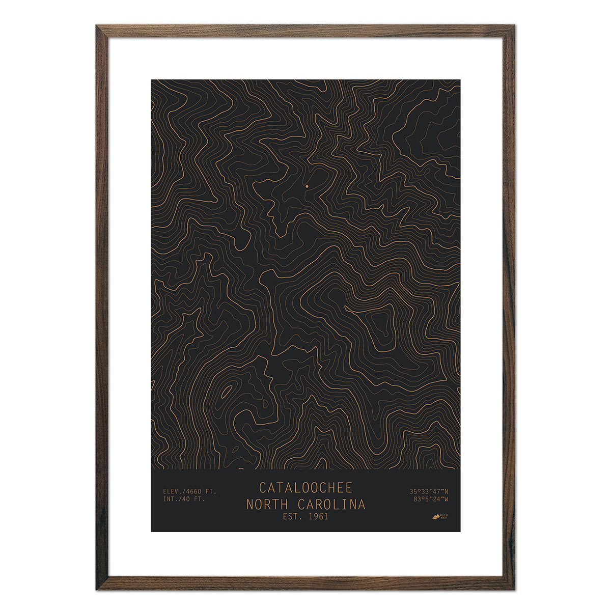
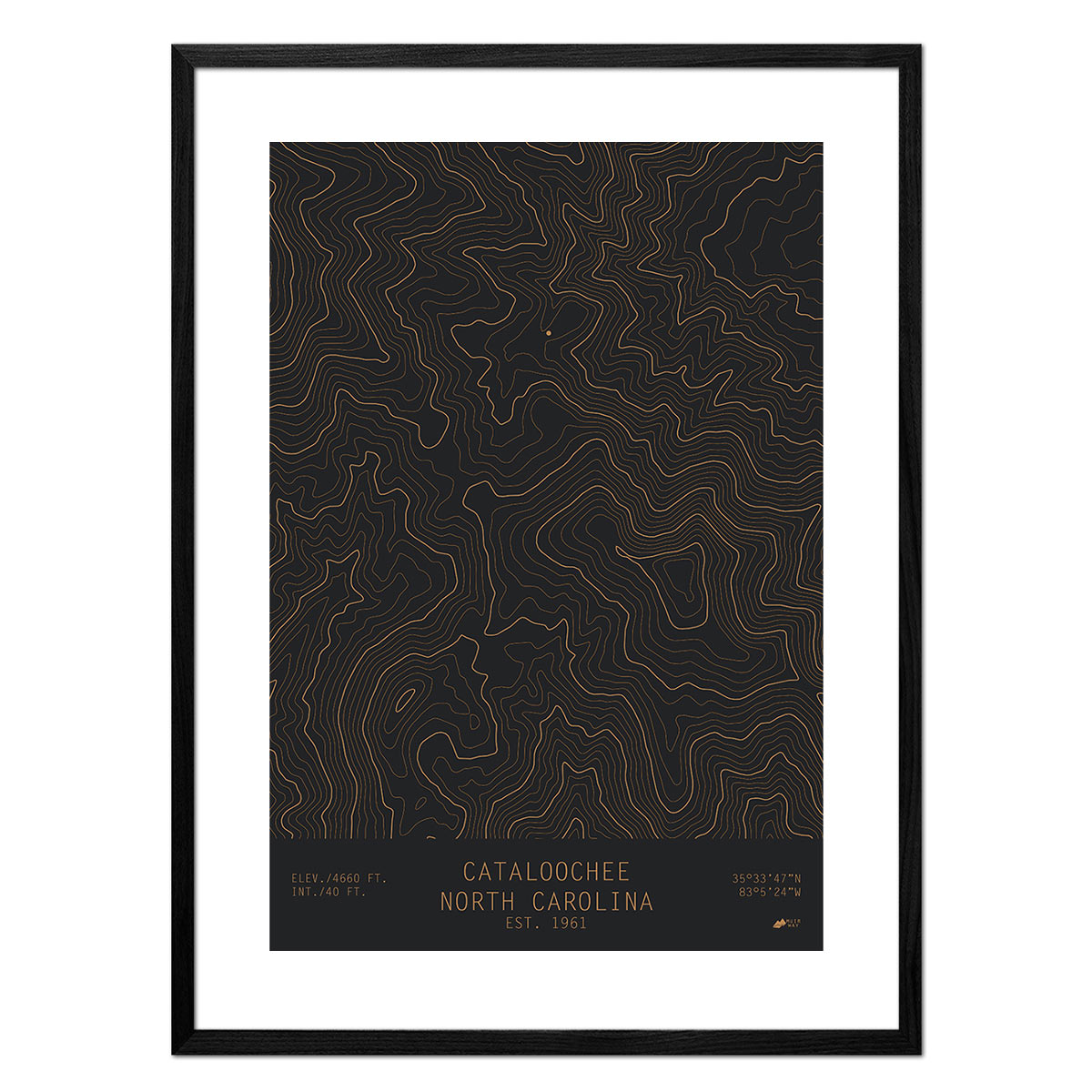
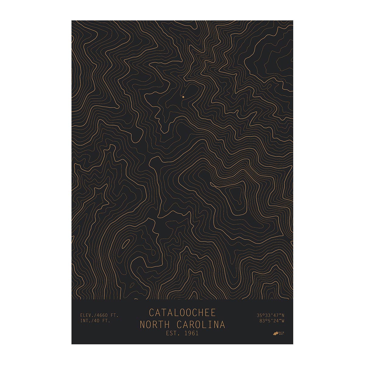
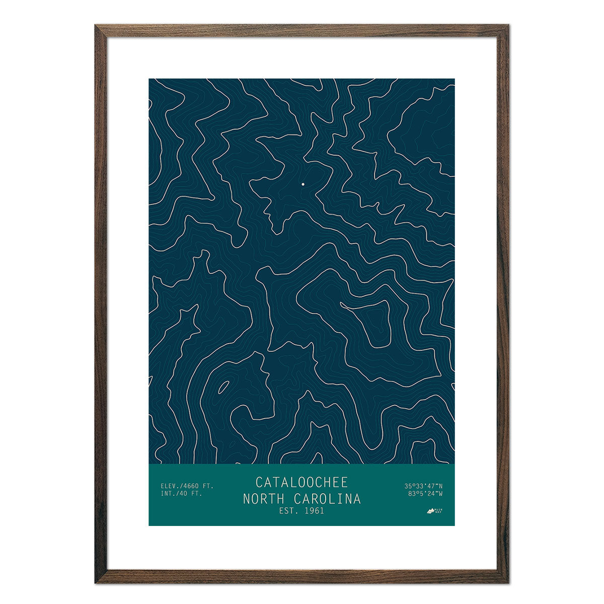
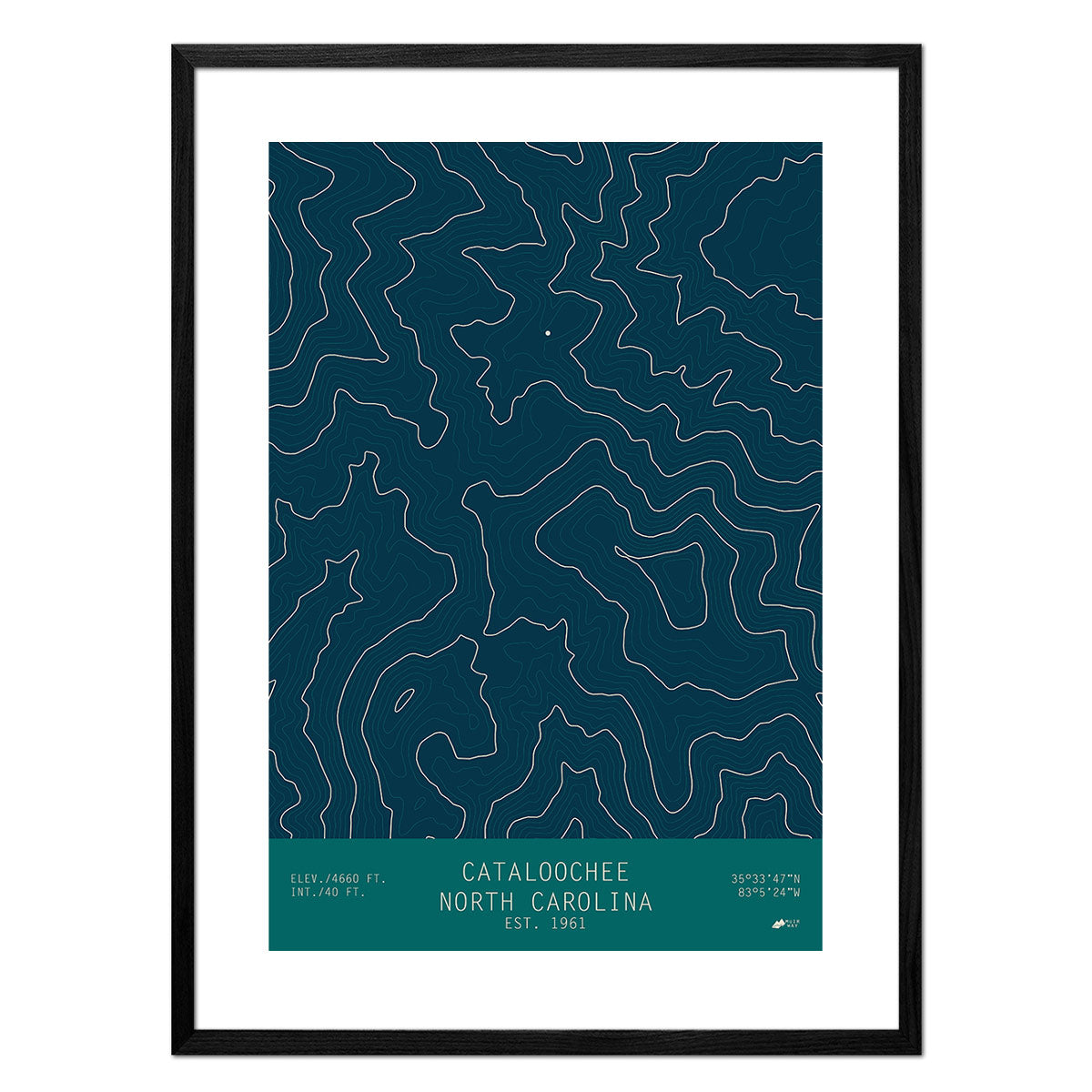
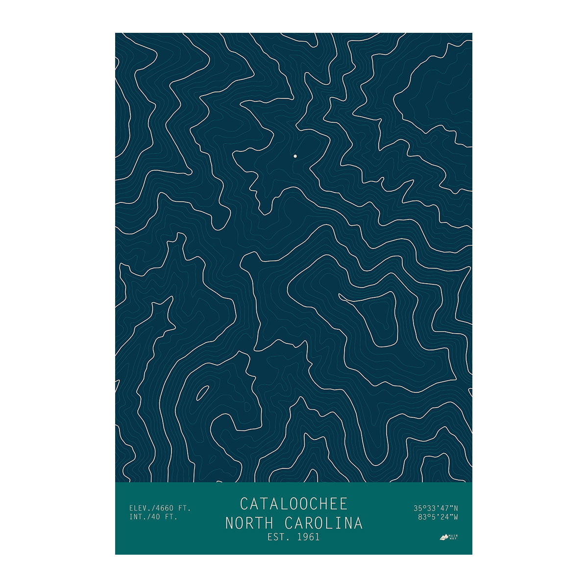
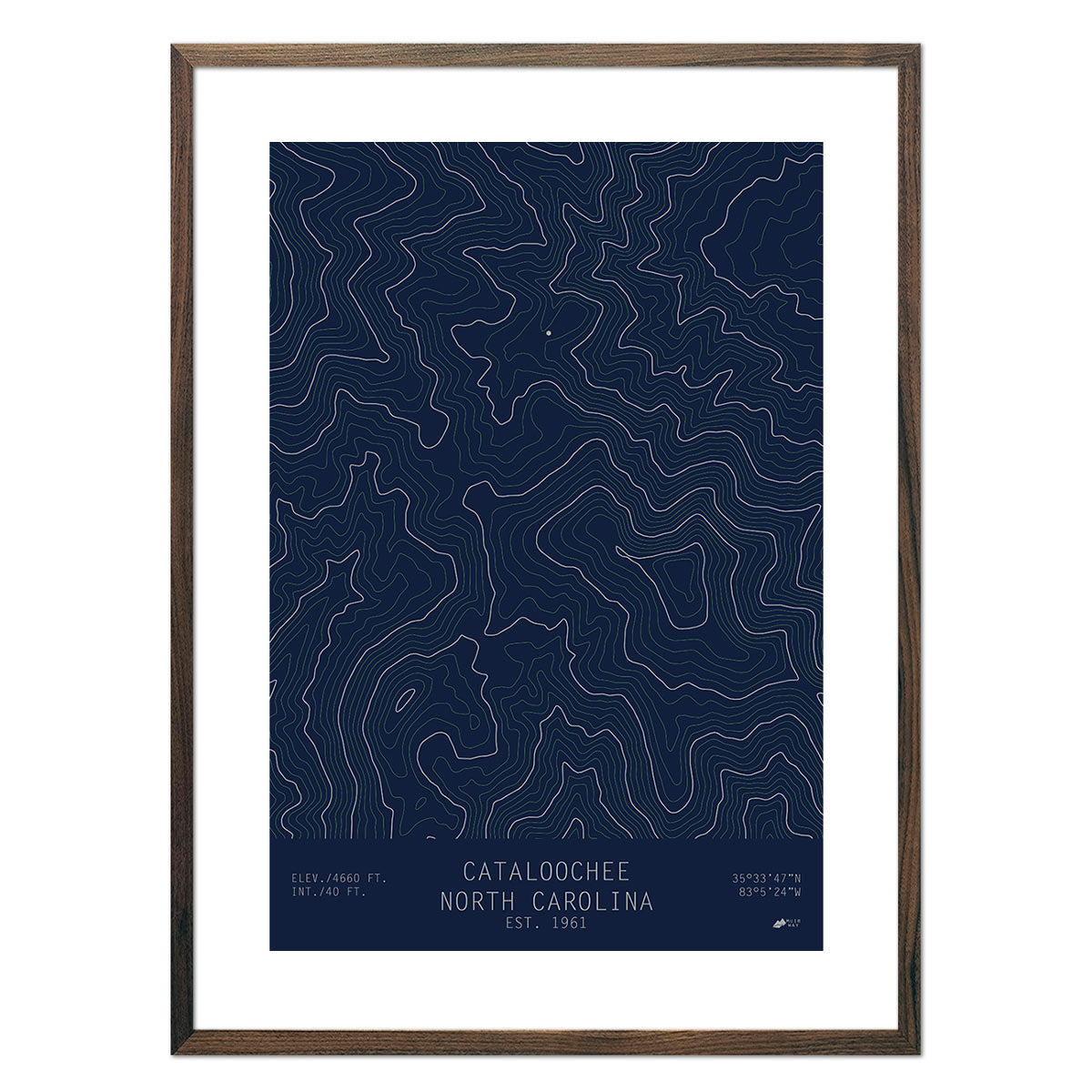
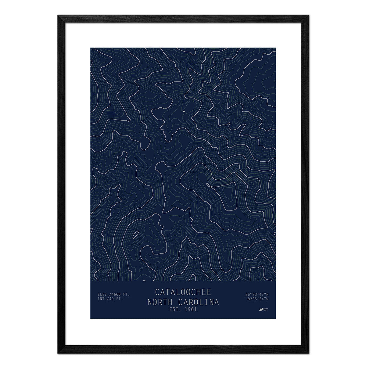
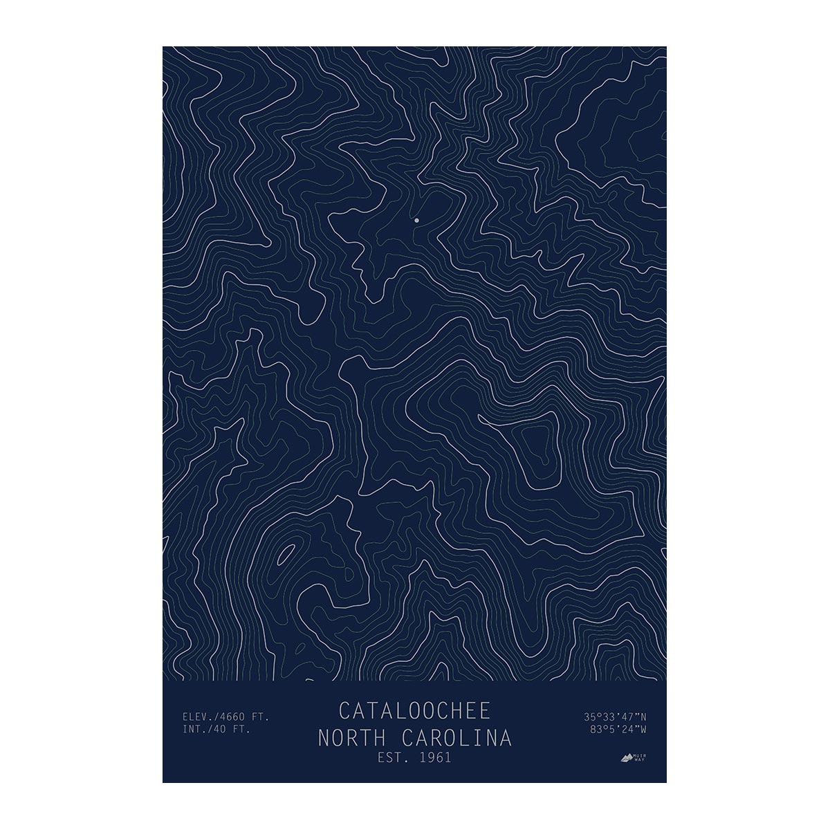
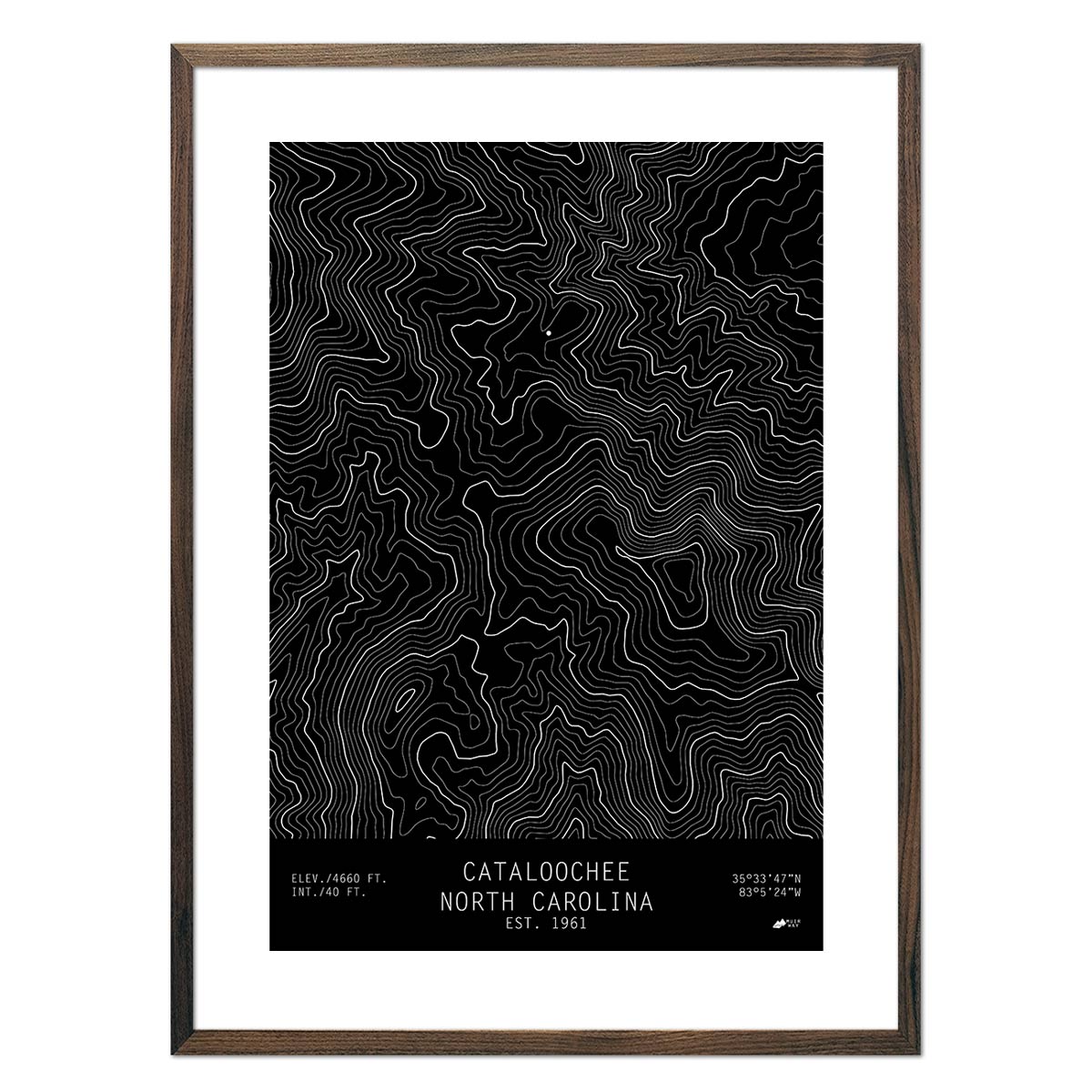
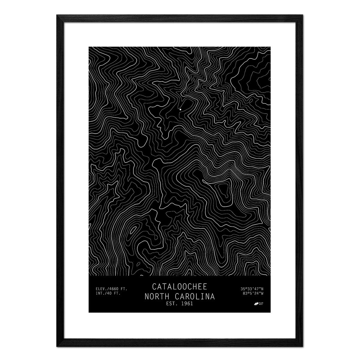
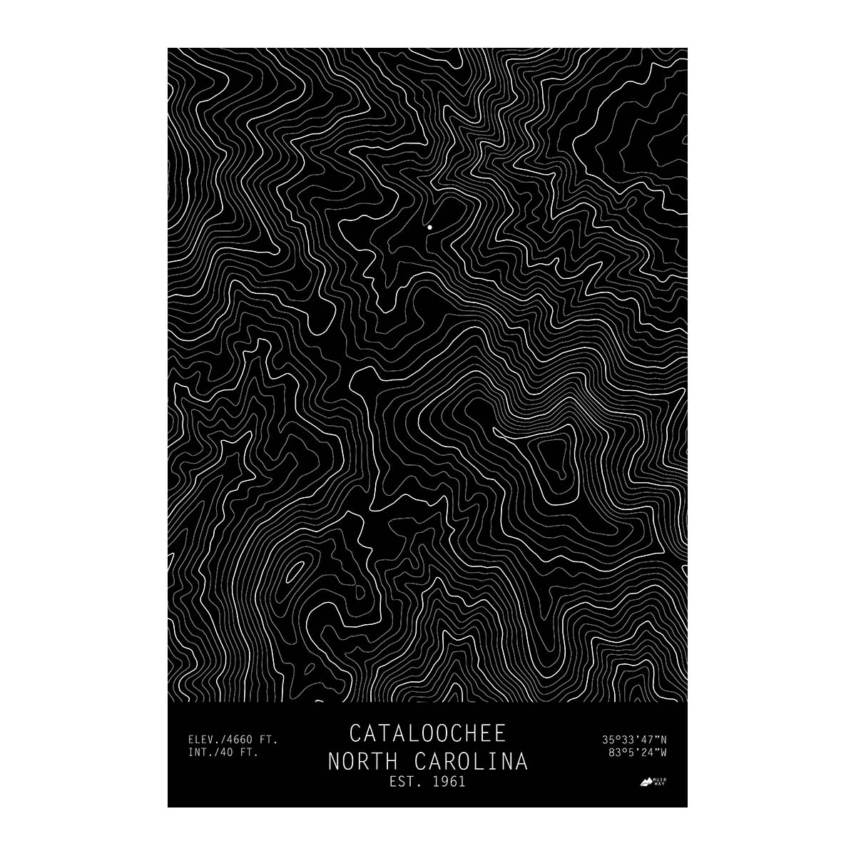
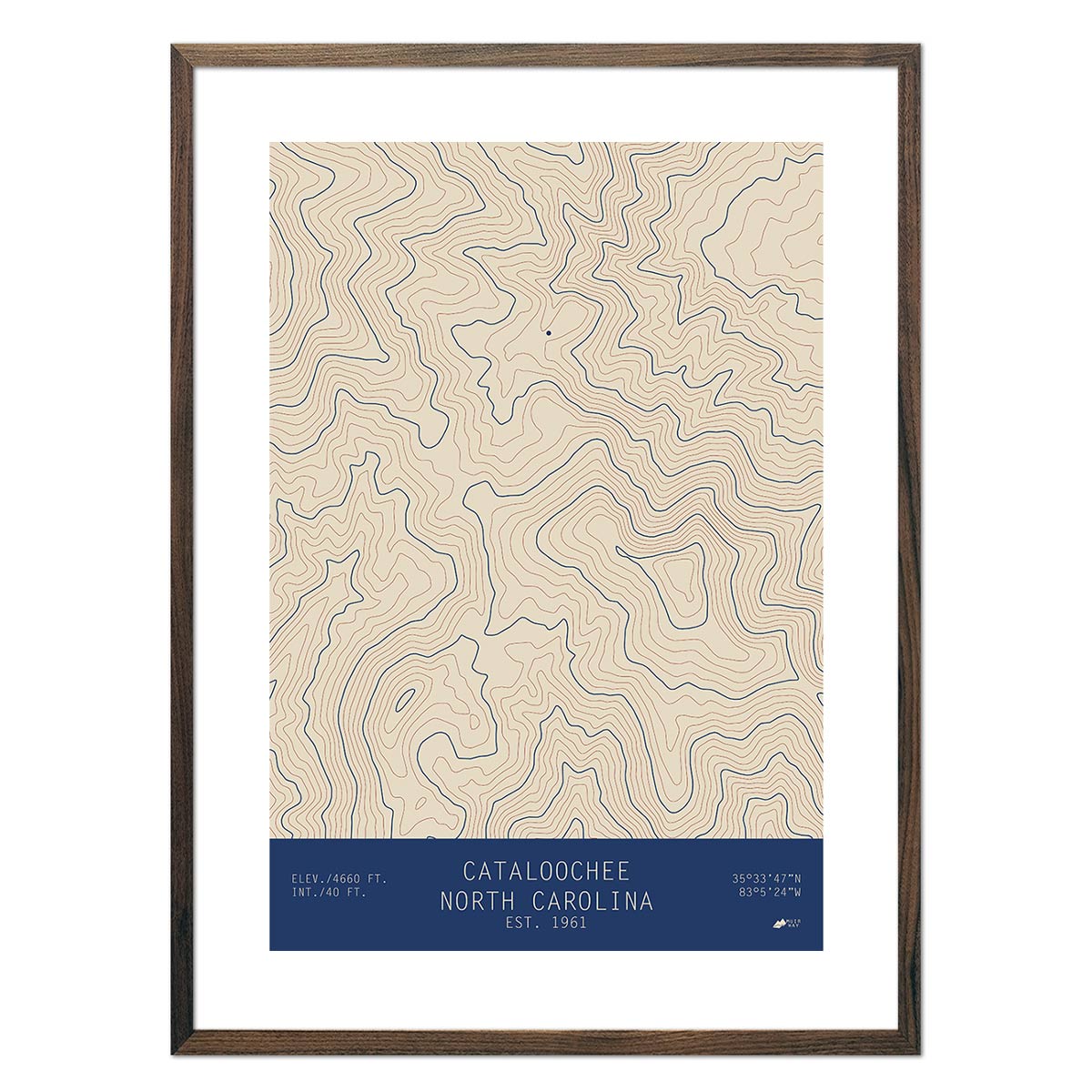
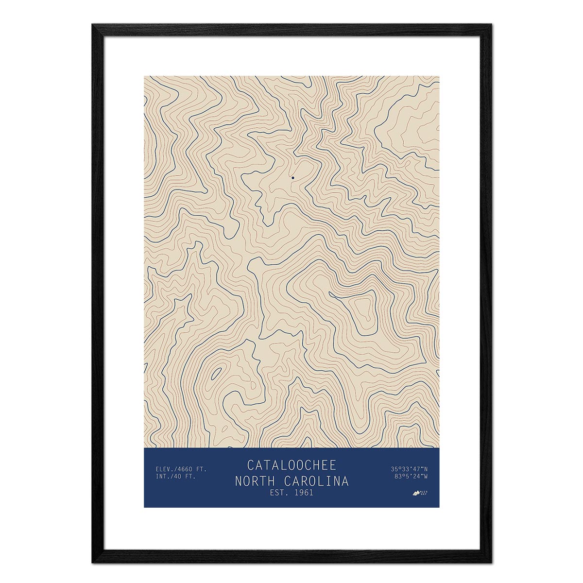
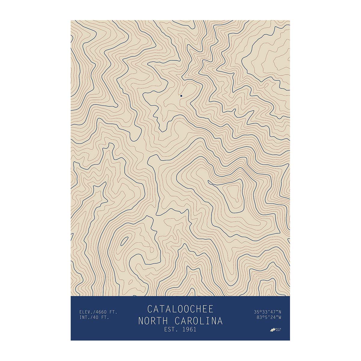
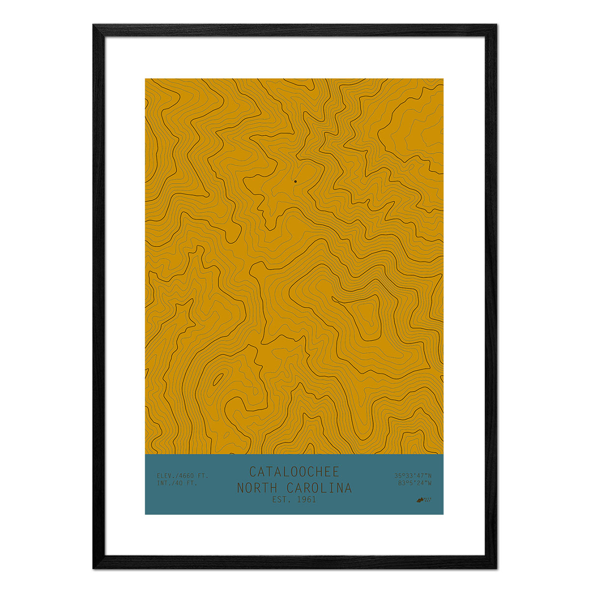
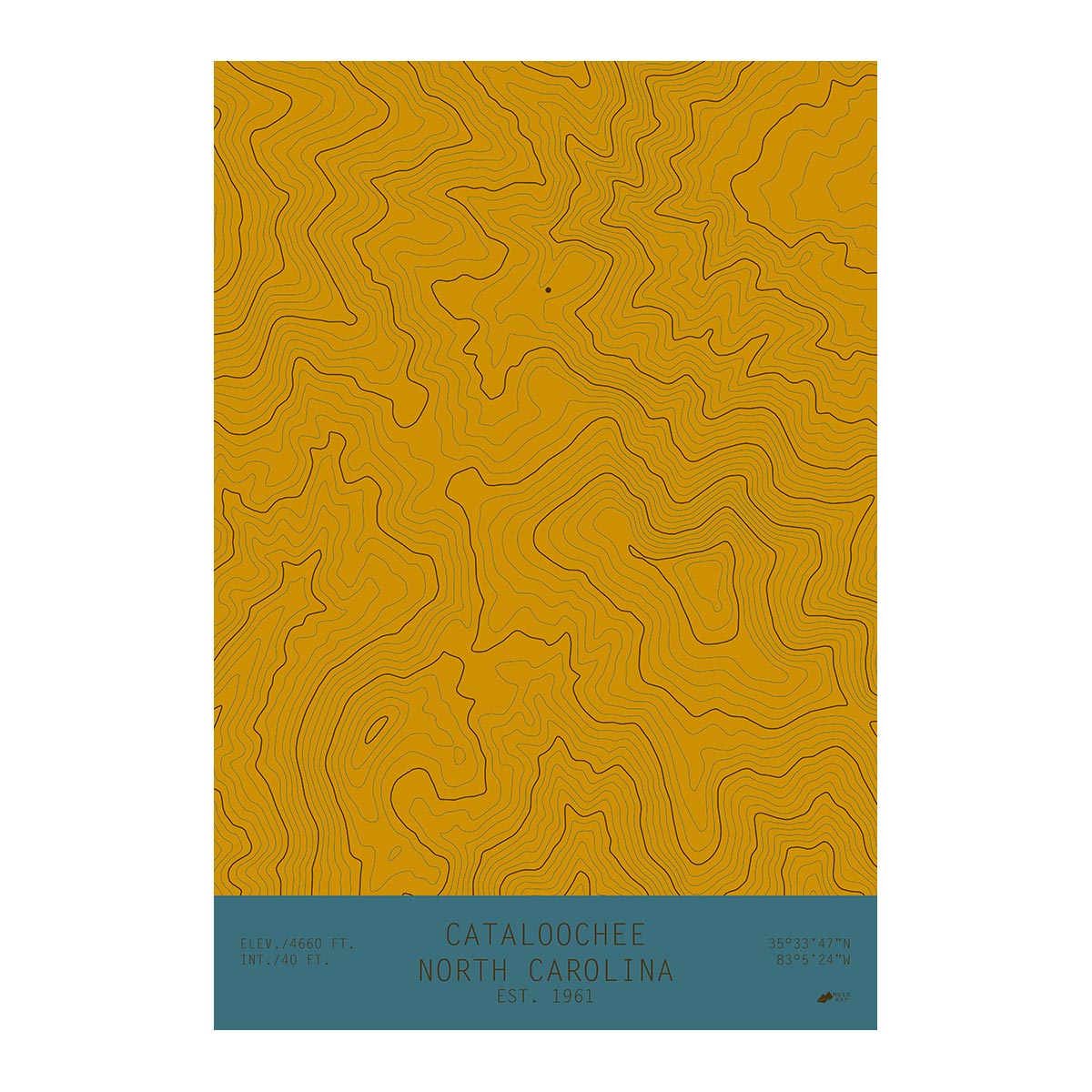
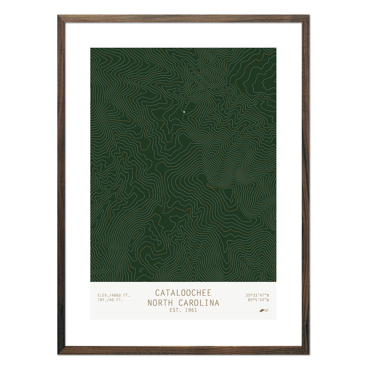
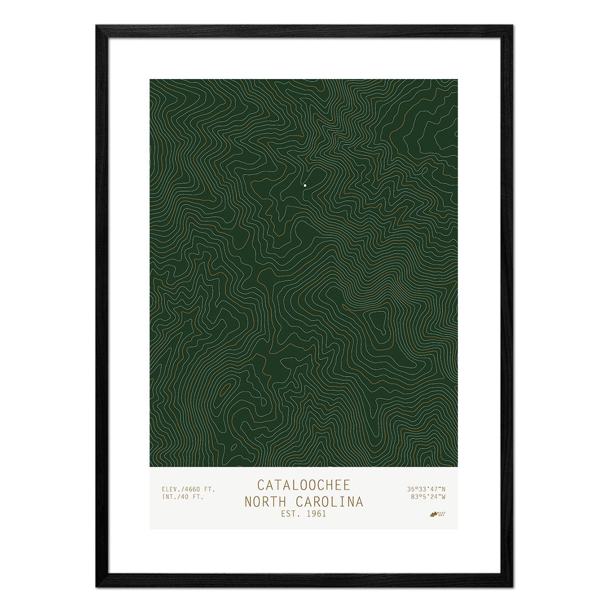
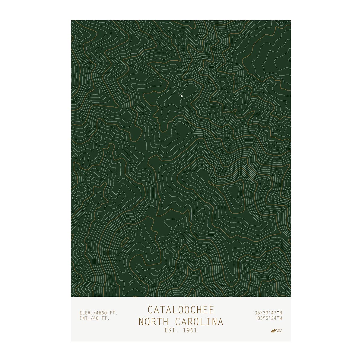
Cataloochee, North Carolina
From
$ 49.00 USD
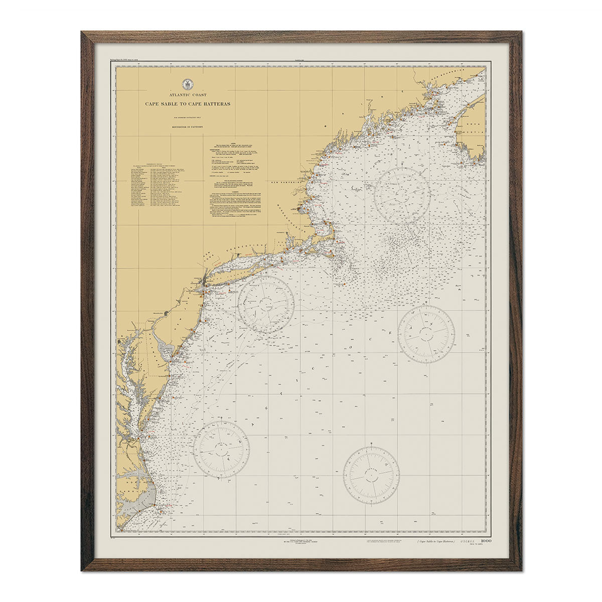
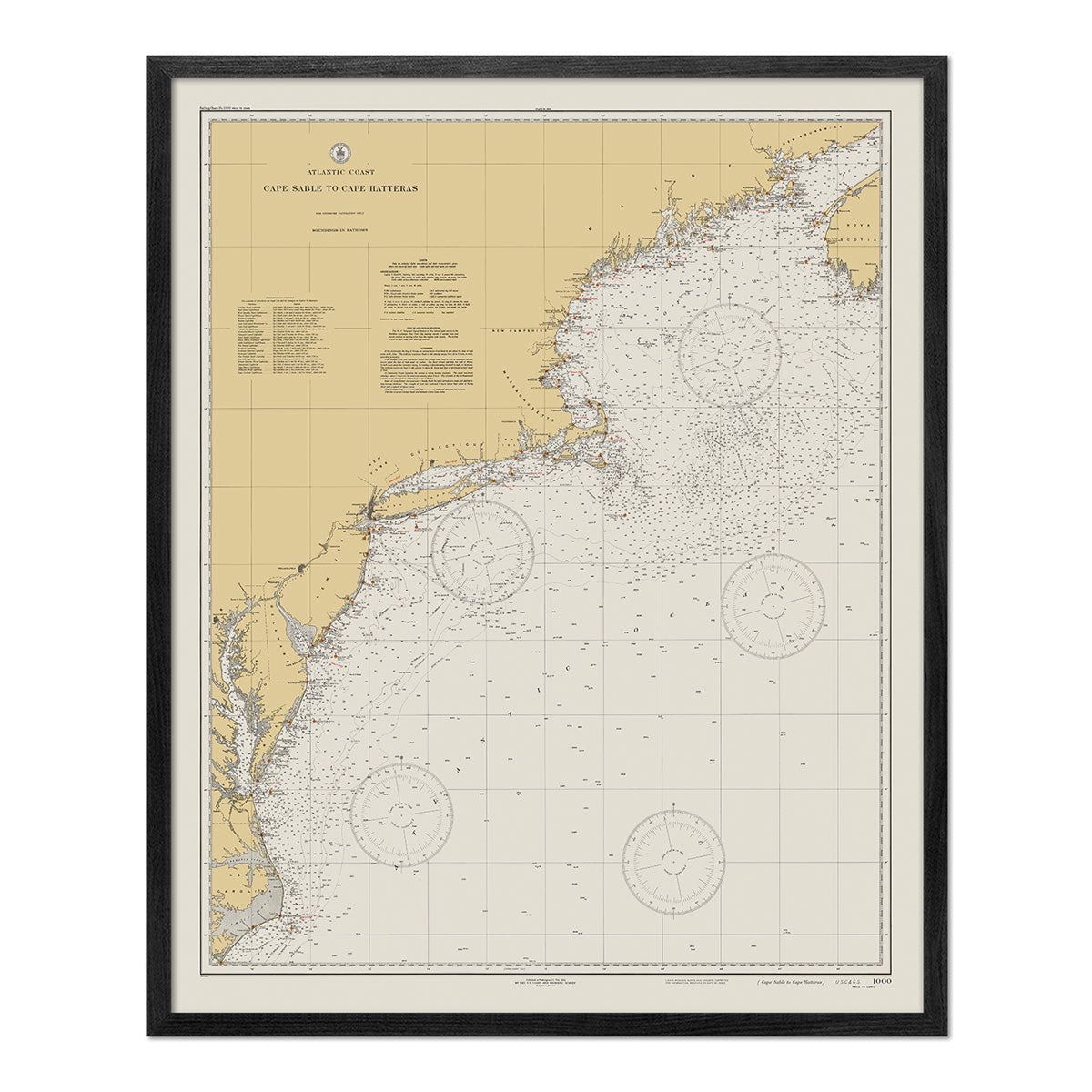
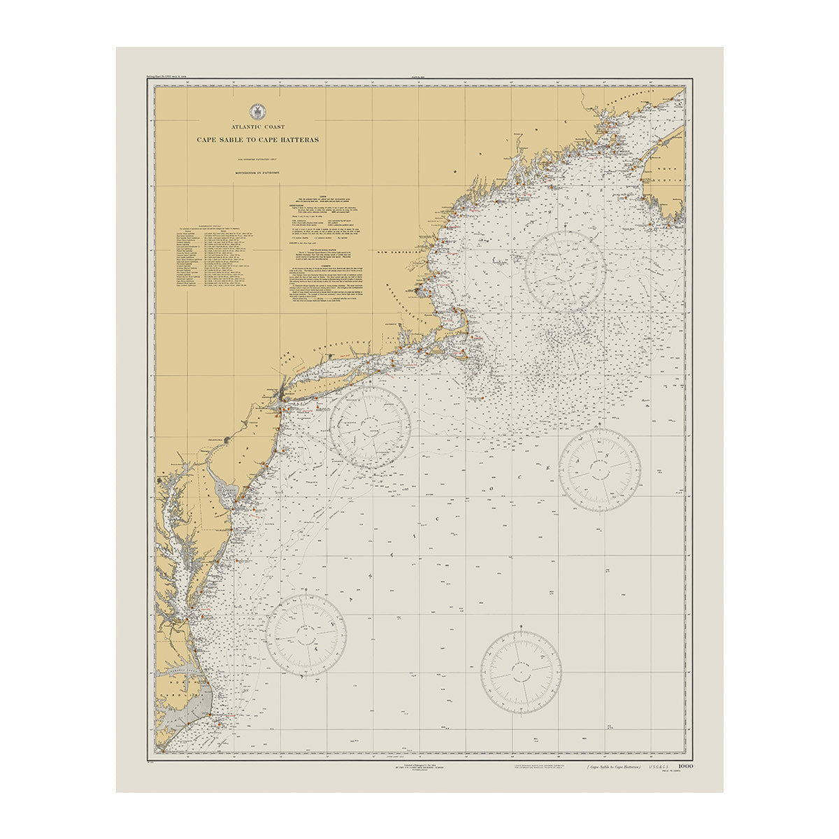
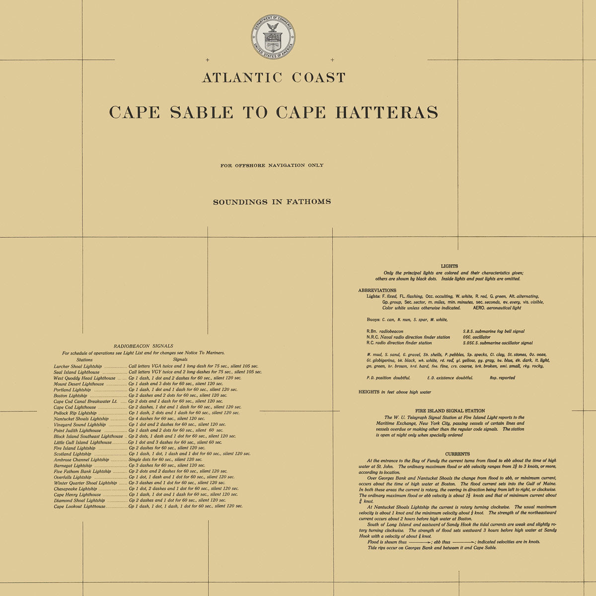
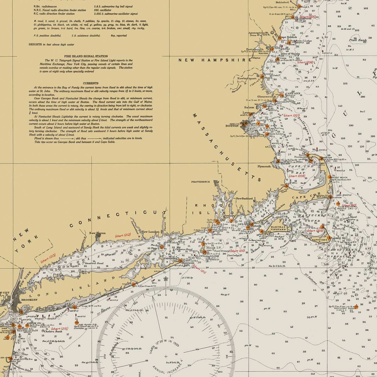
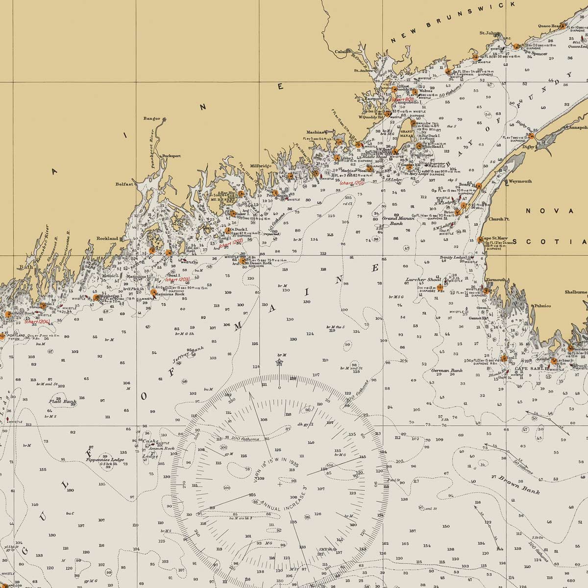
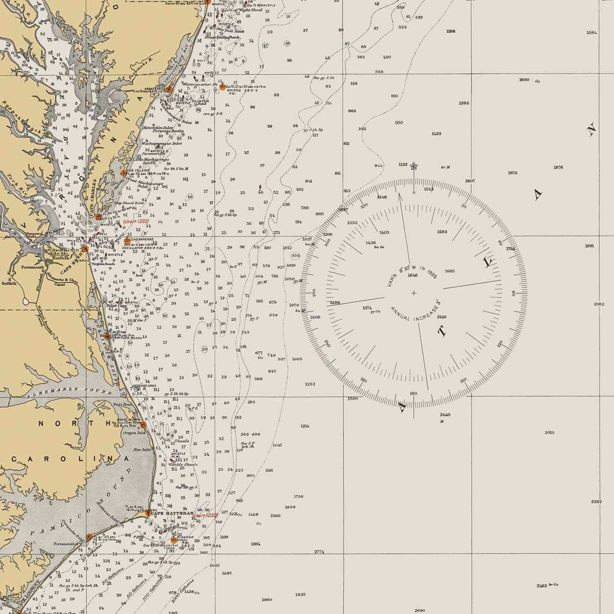
Cape Sable to Cape Hatteras Nautical Chart 1934
From
$ 64.00 USD
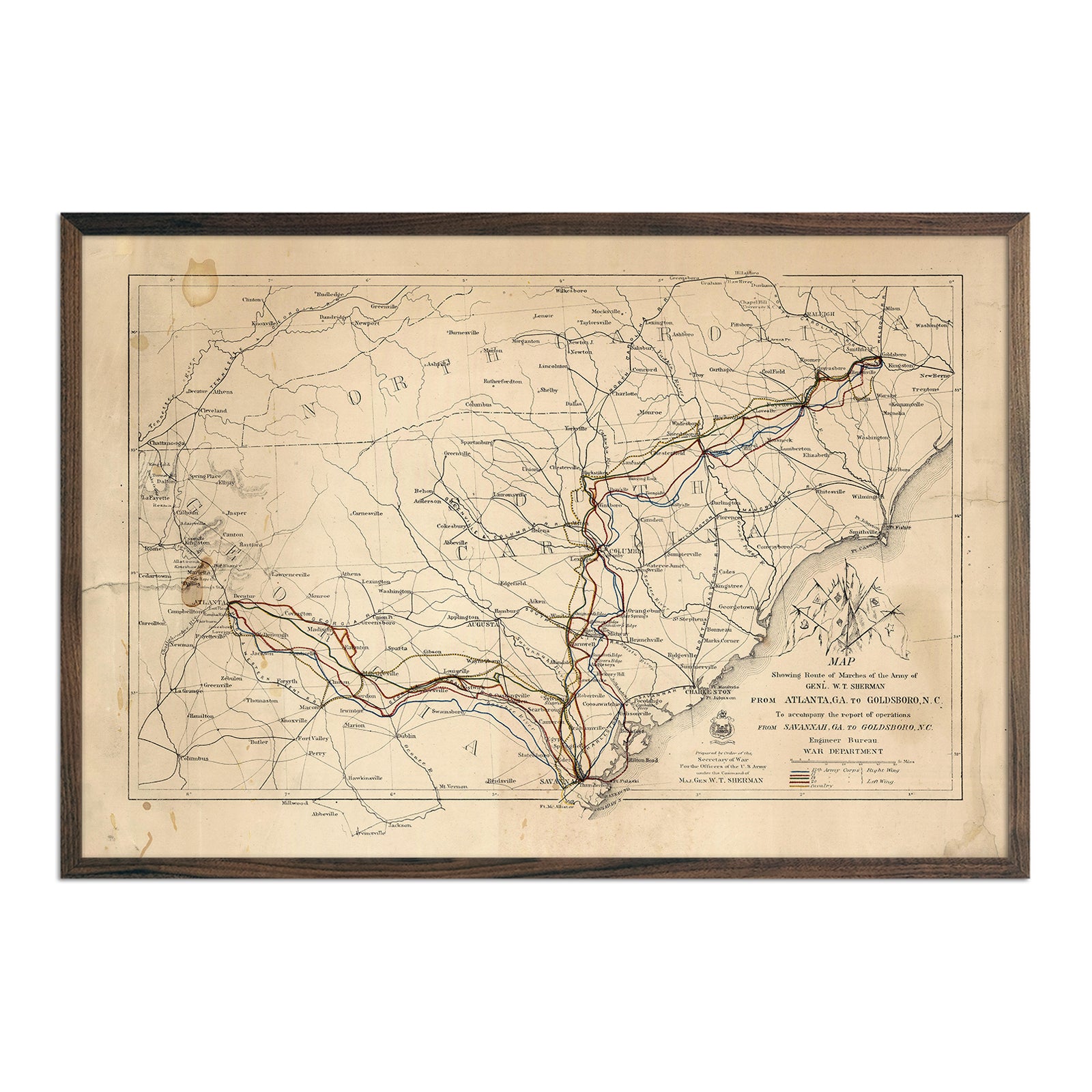
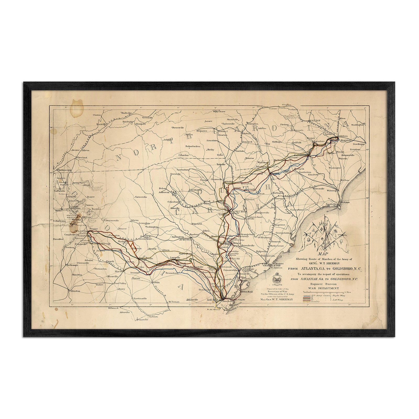
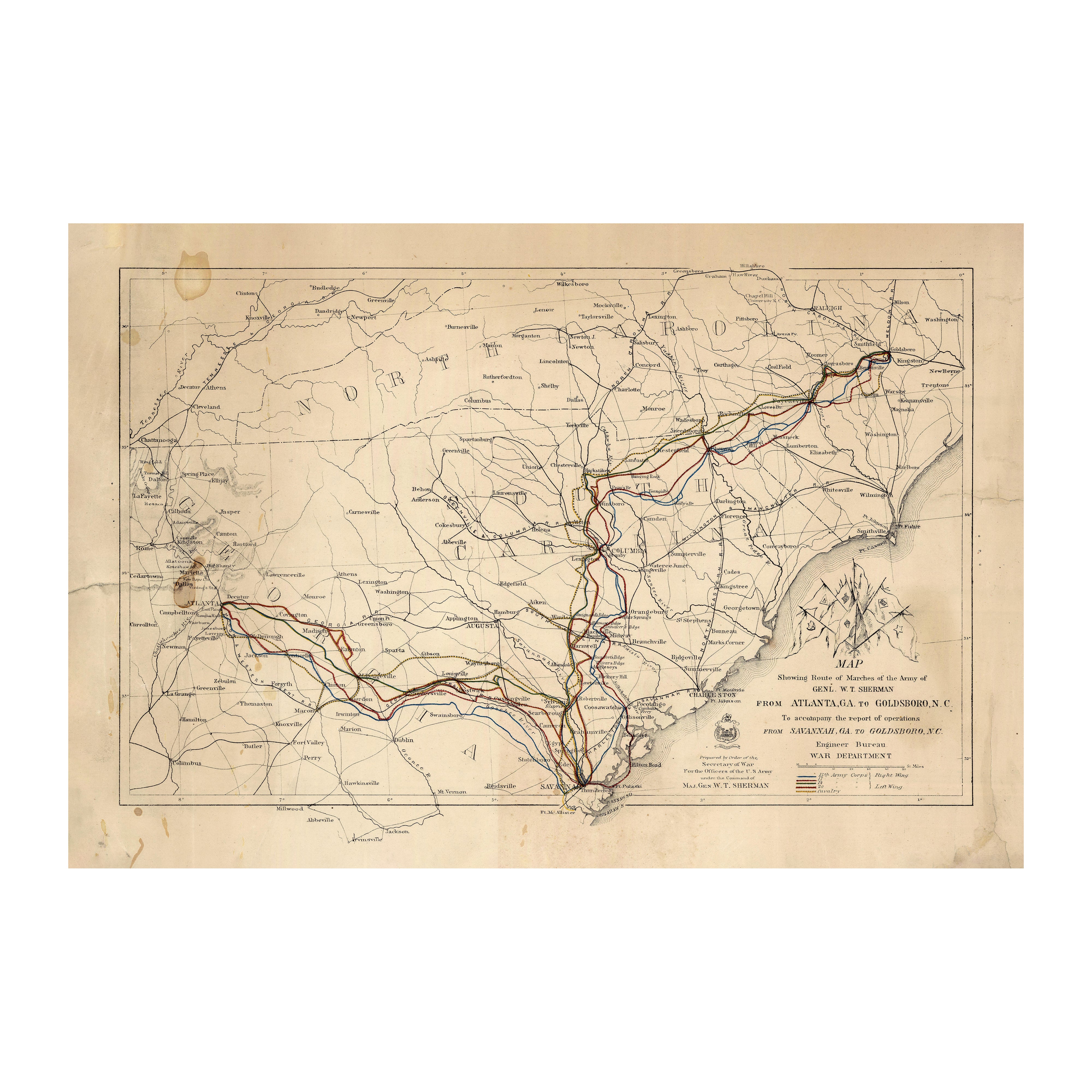
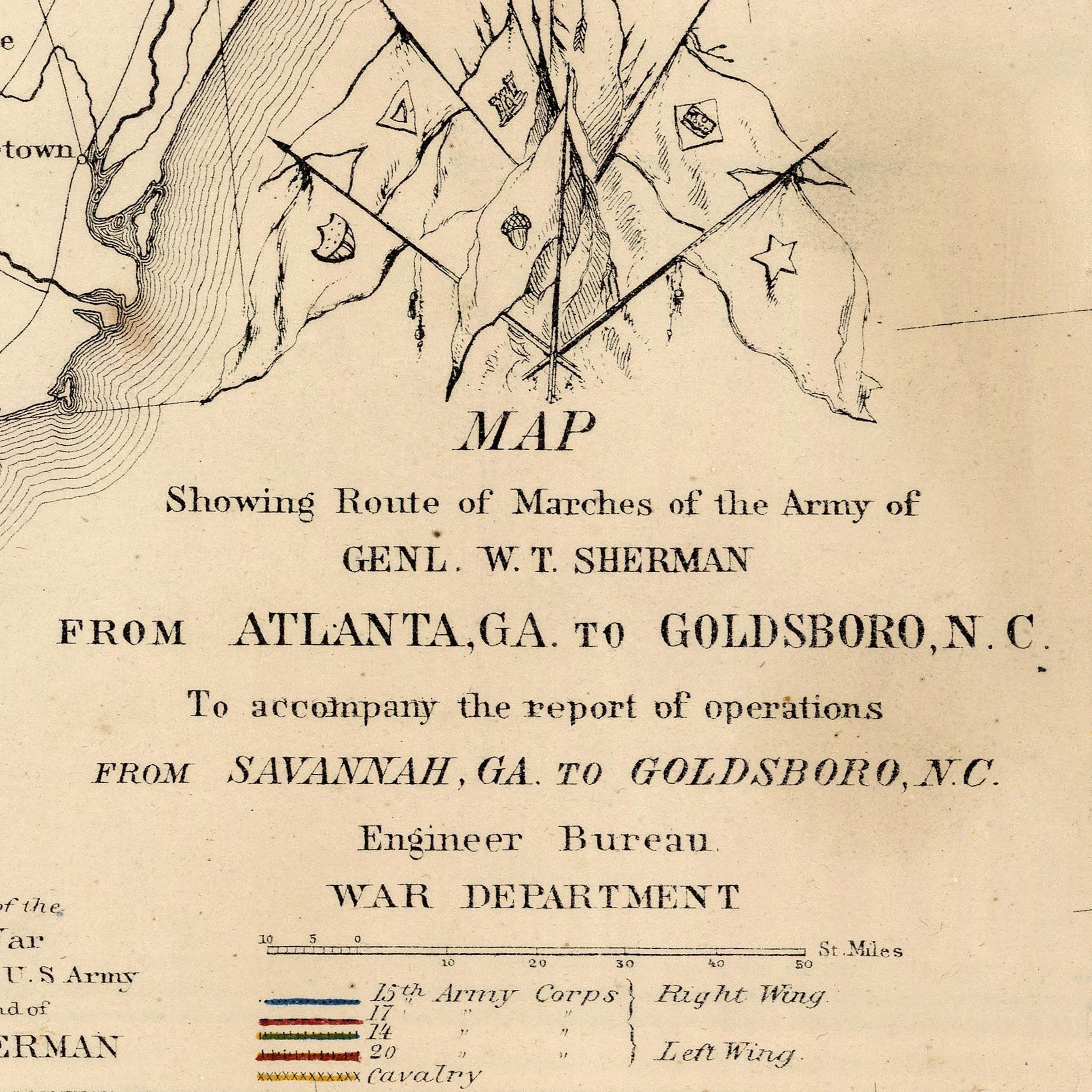
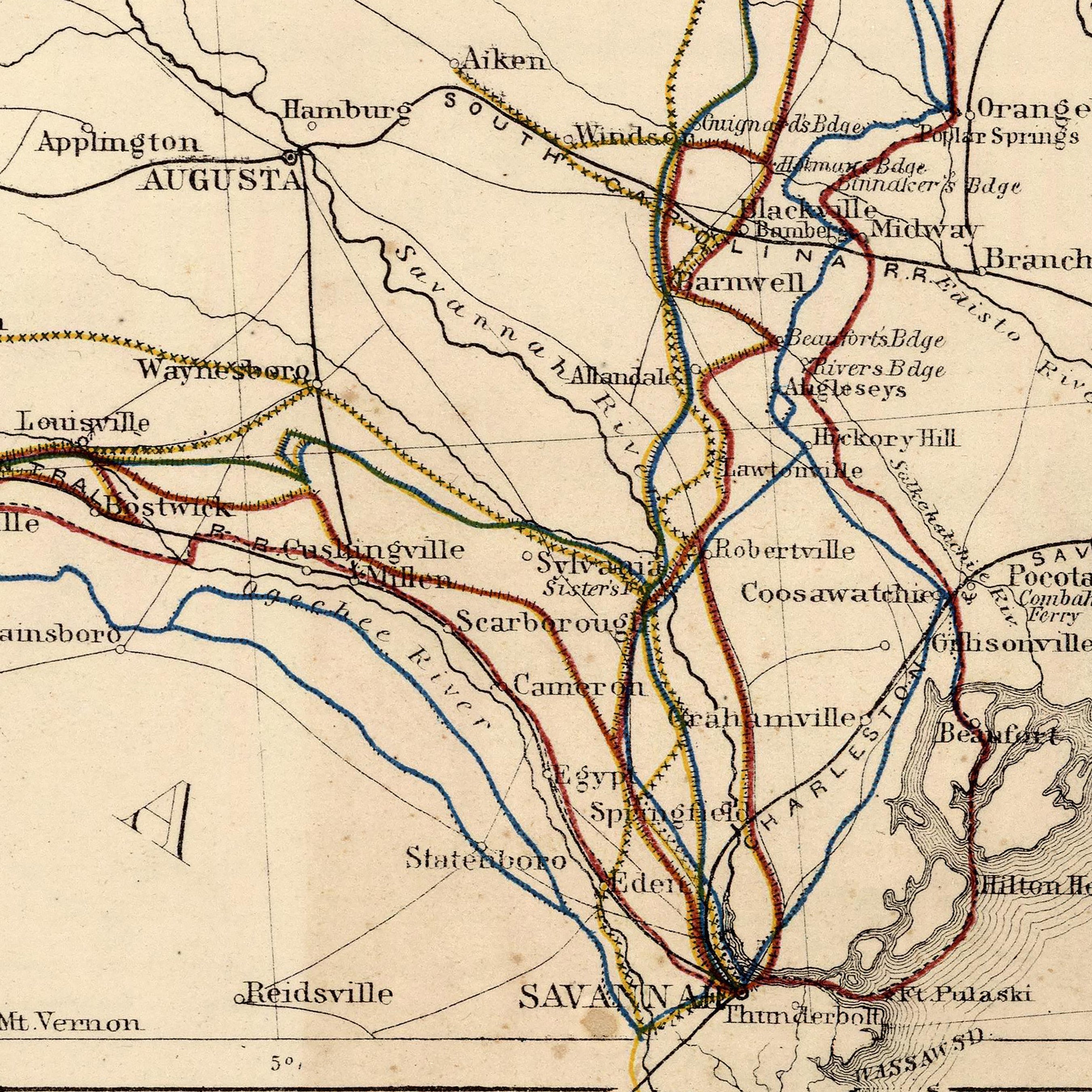
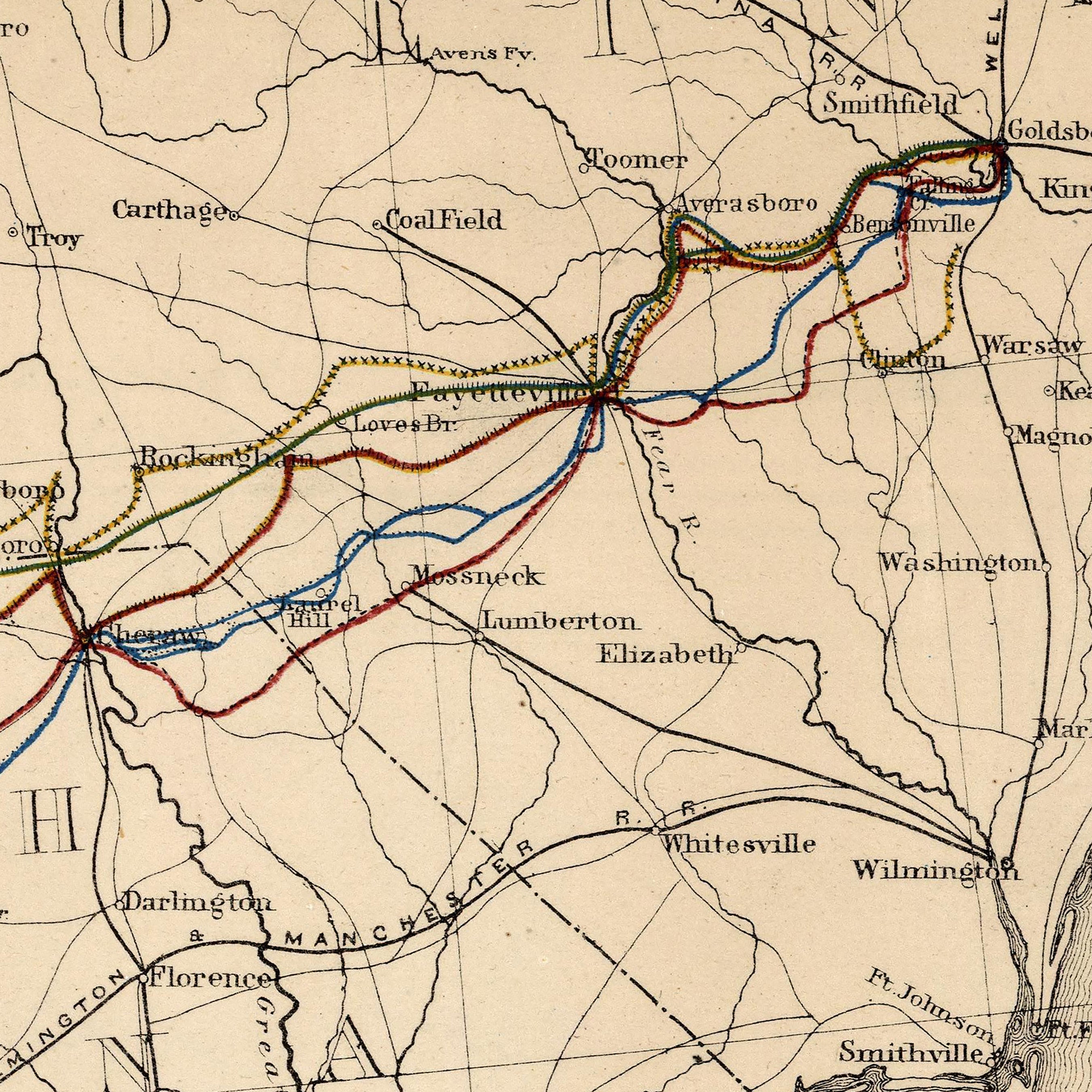
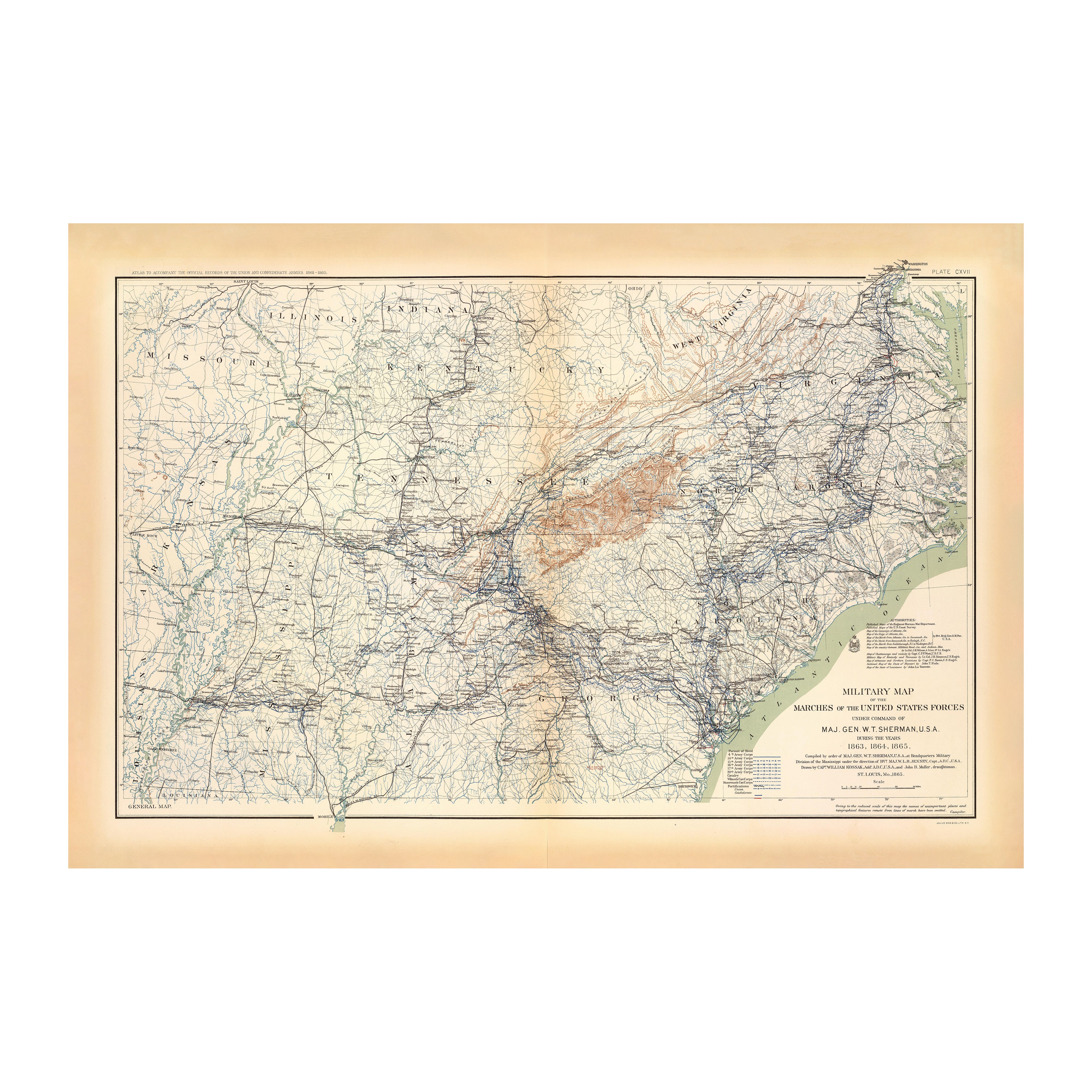
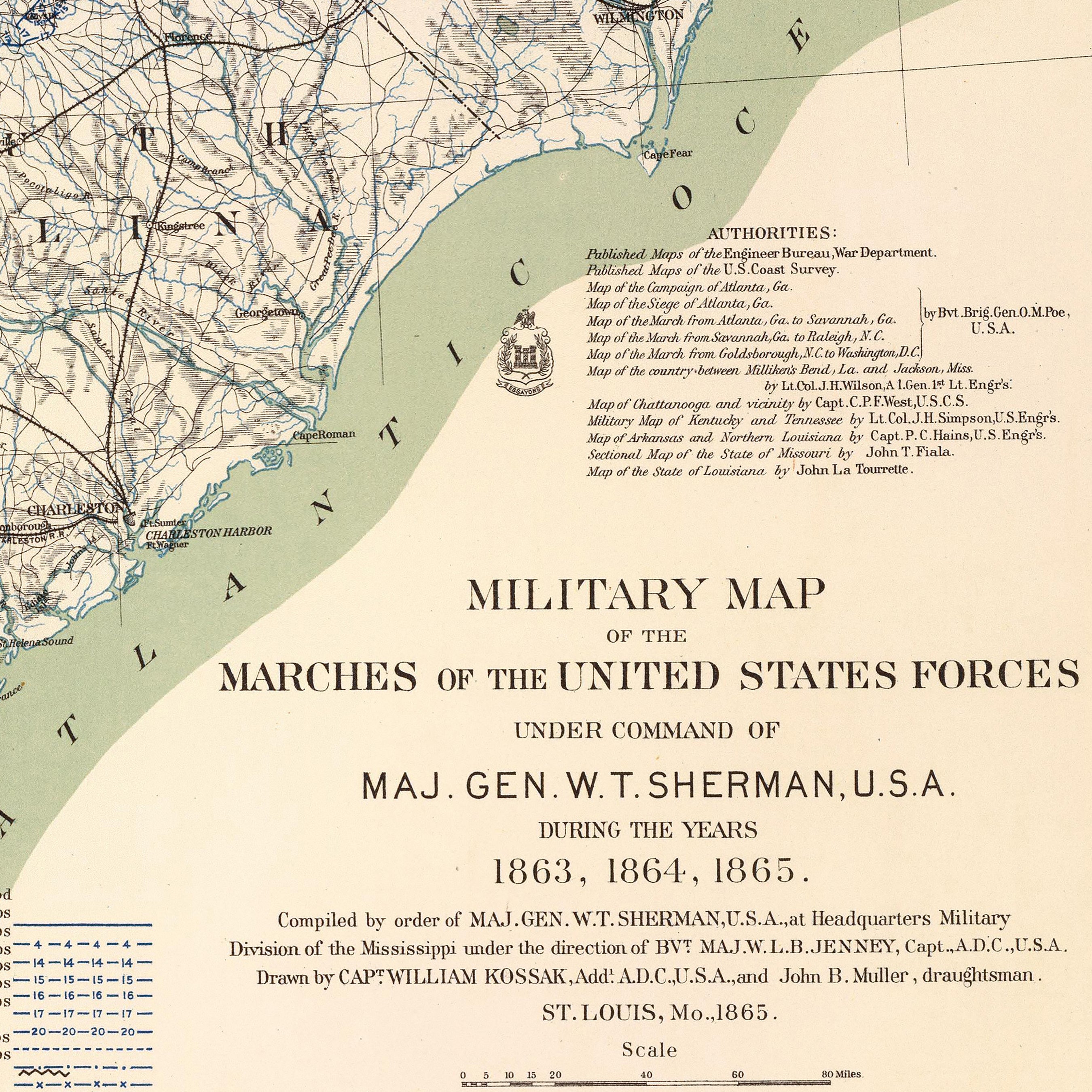
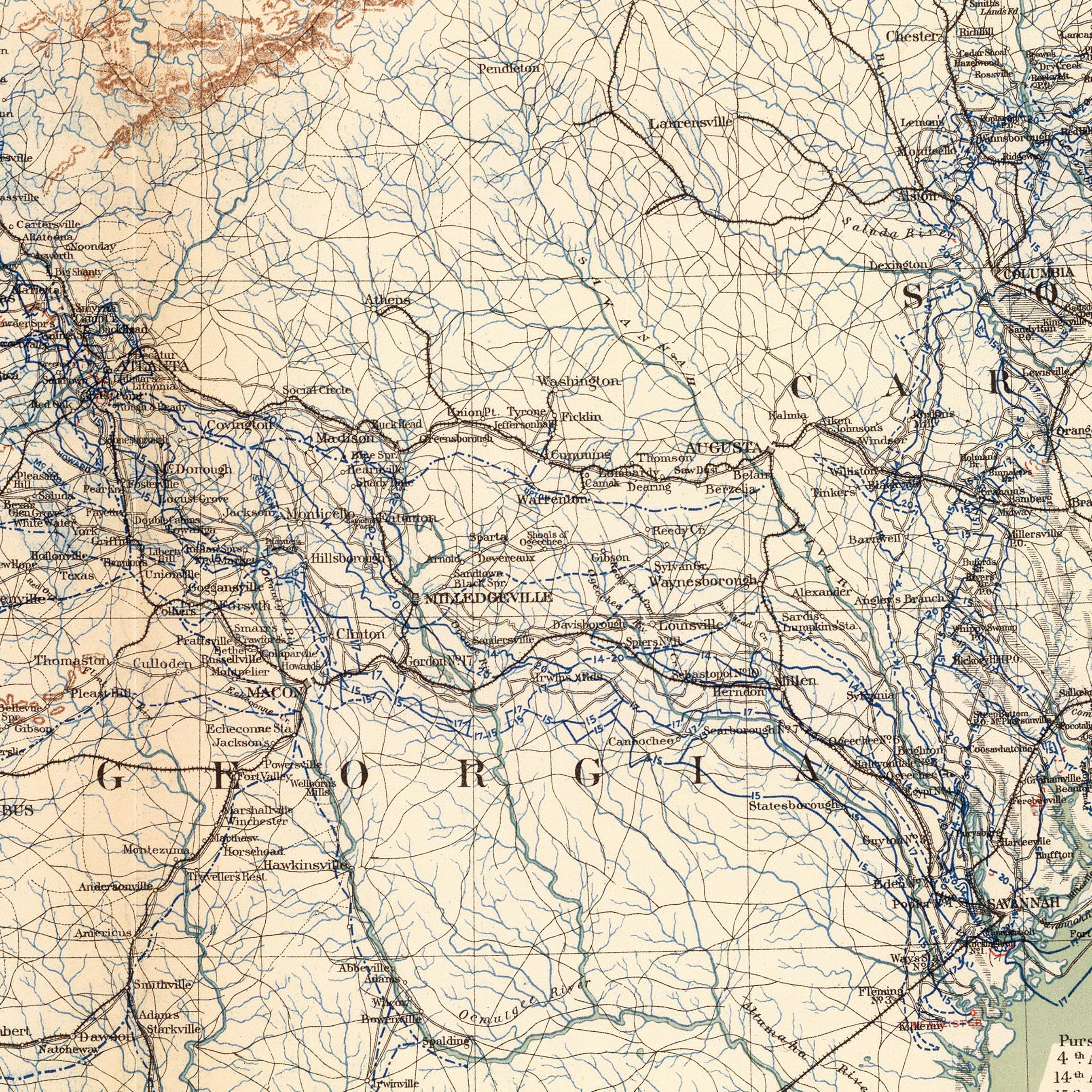
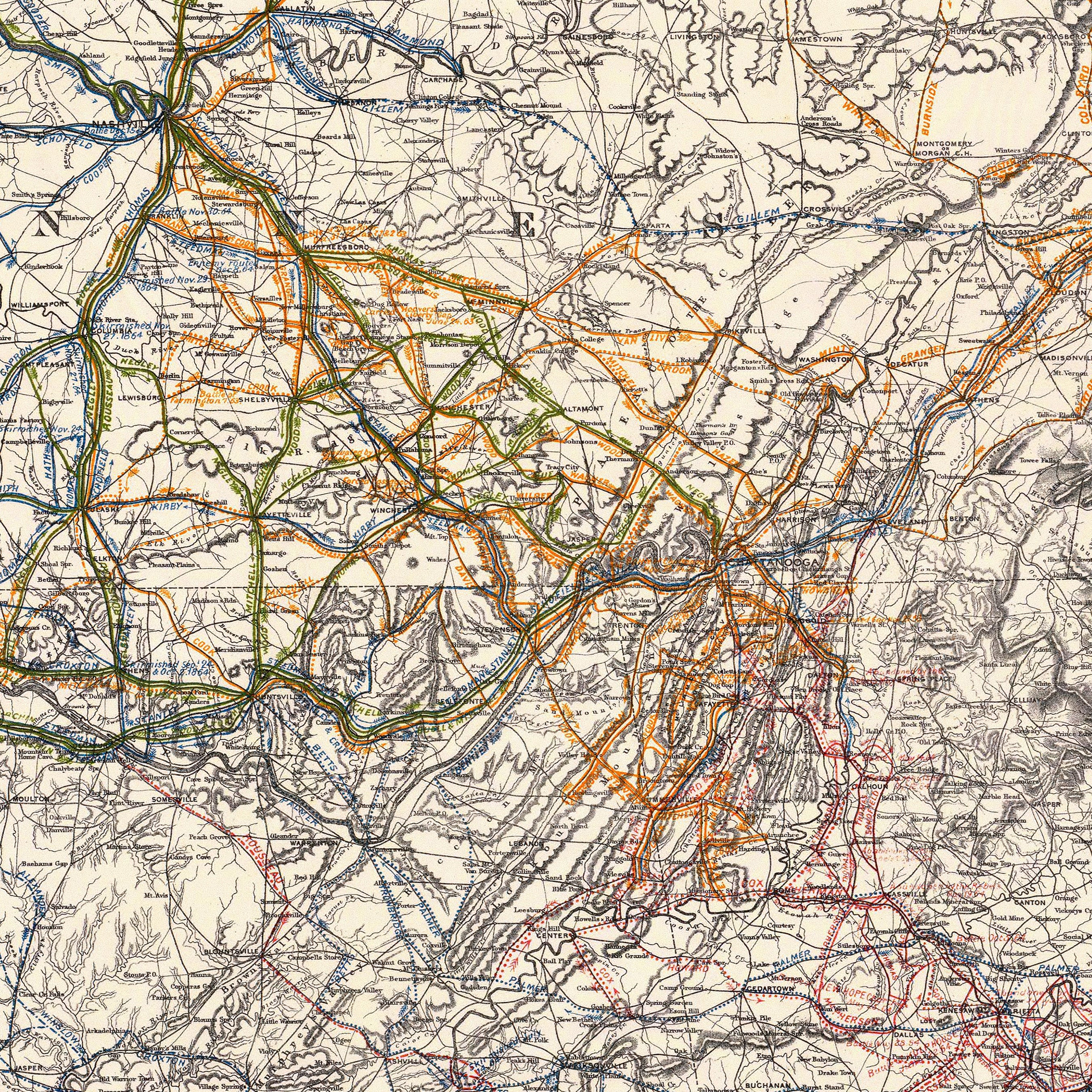
Route of Marches of the Army of General W.T. Sherman
From
$ 79.00 USD
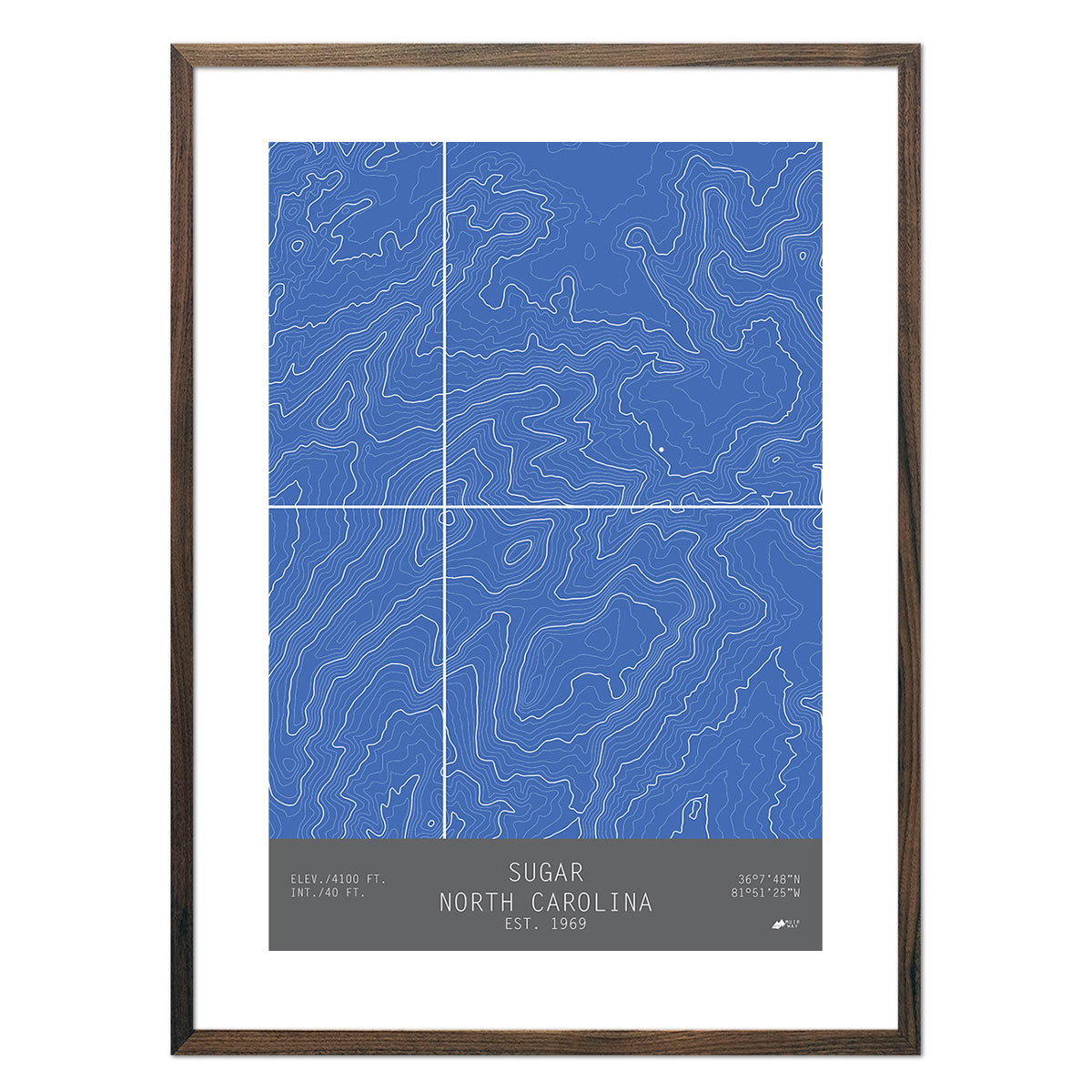
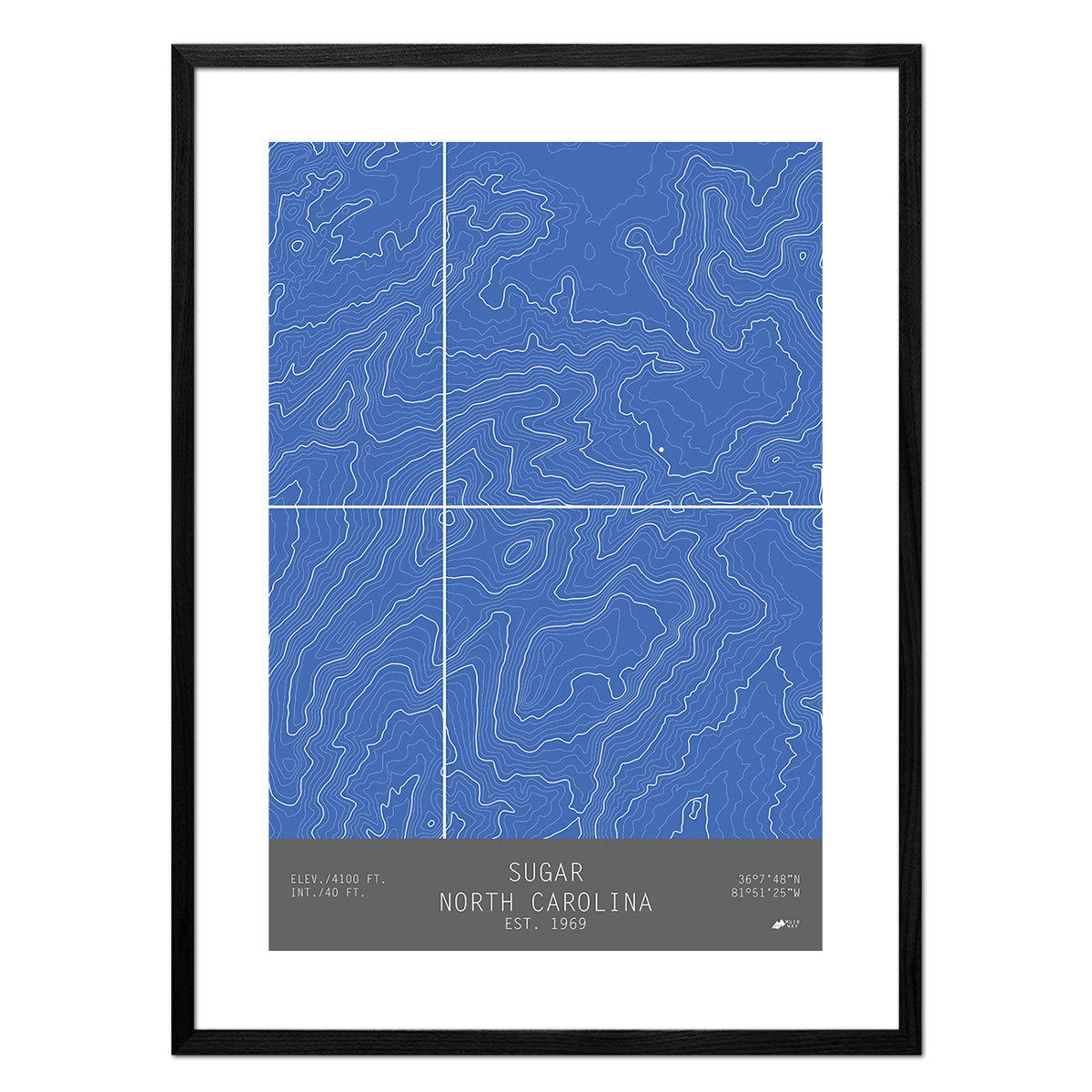
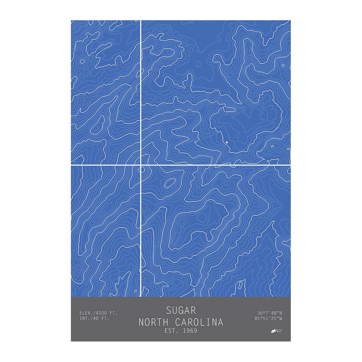
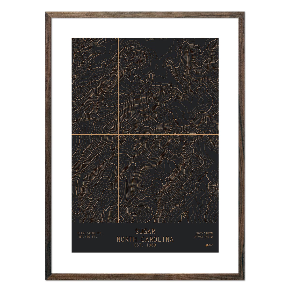
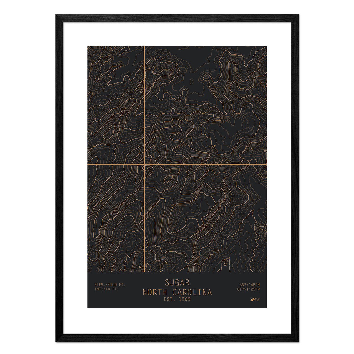
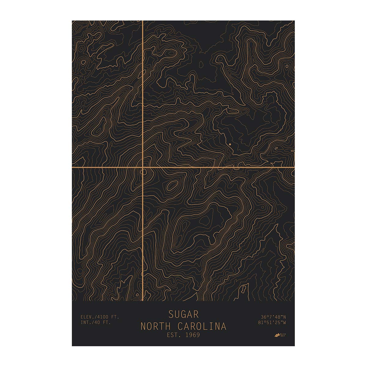
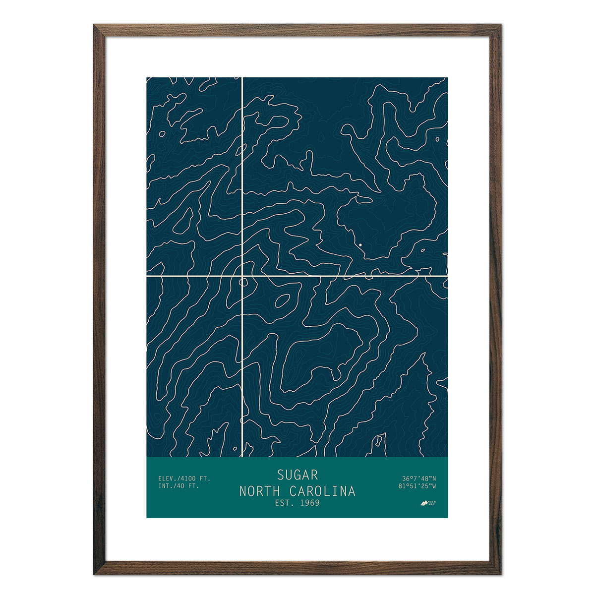
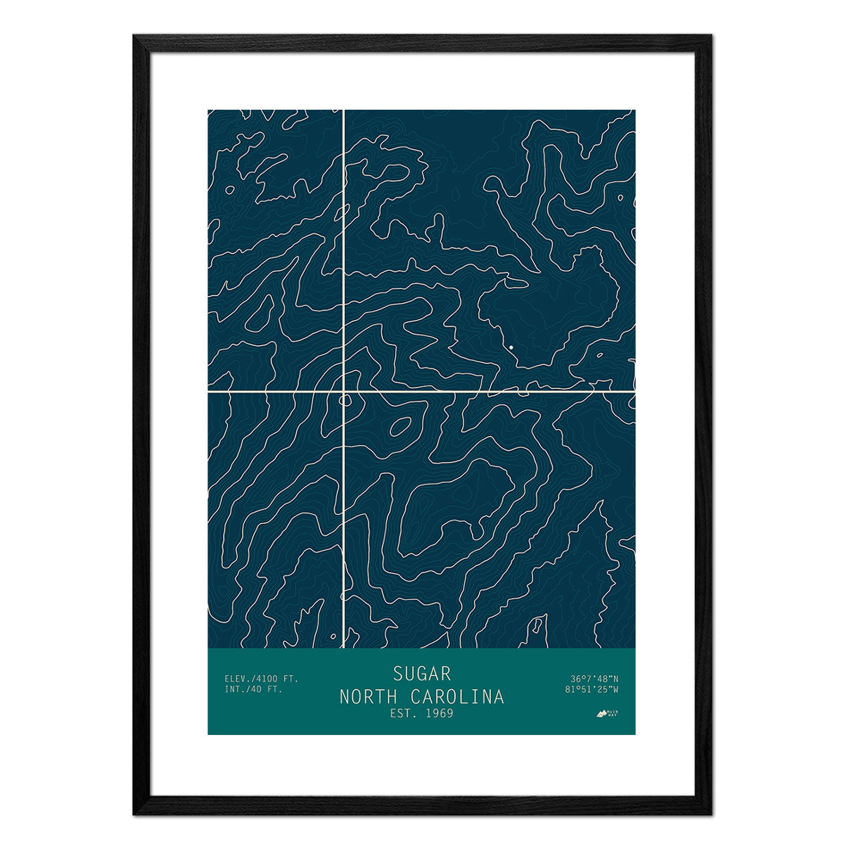
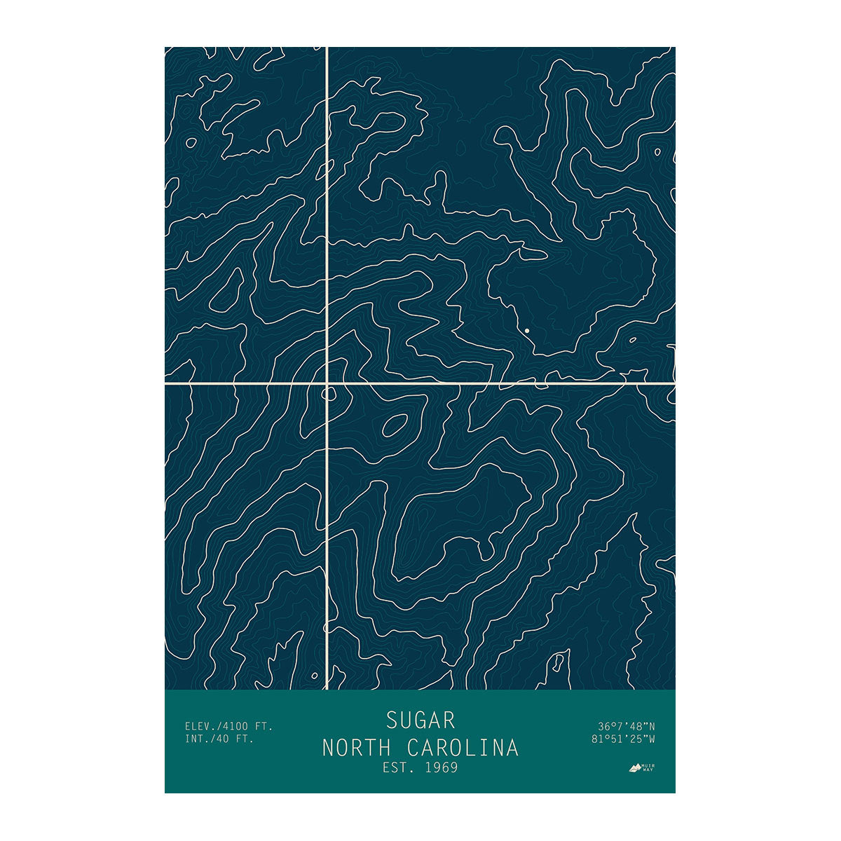
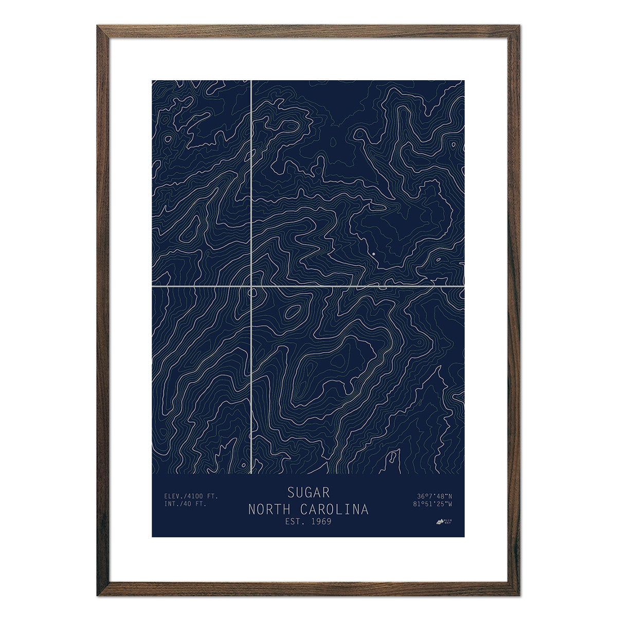
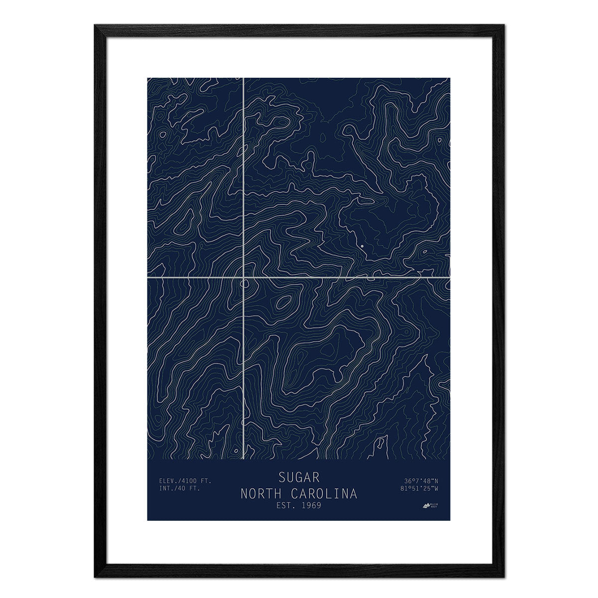
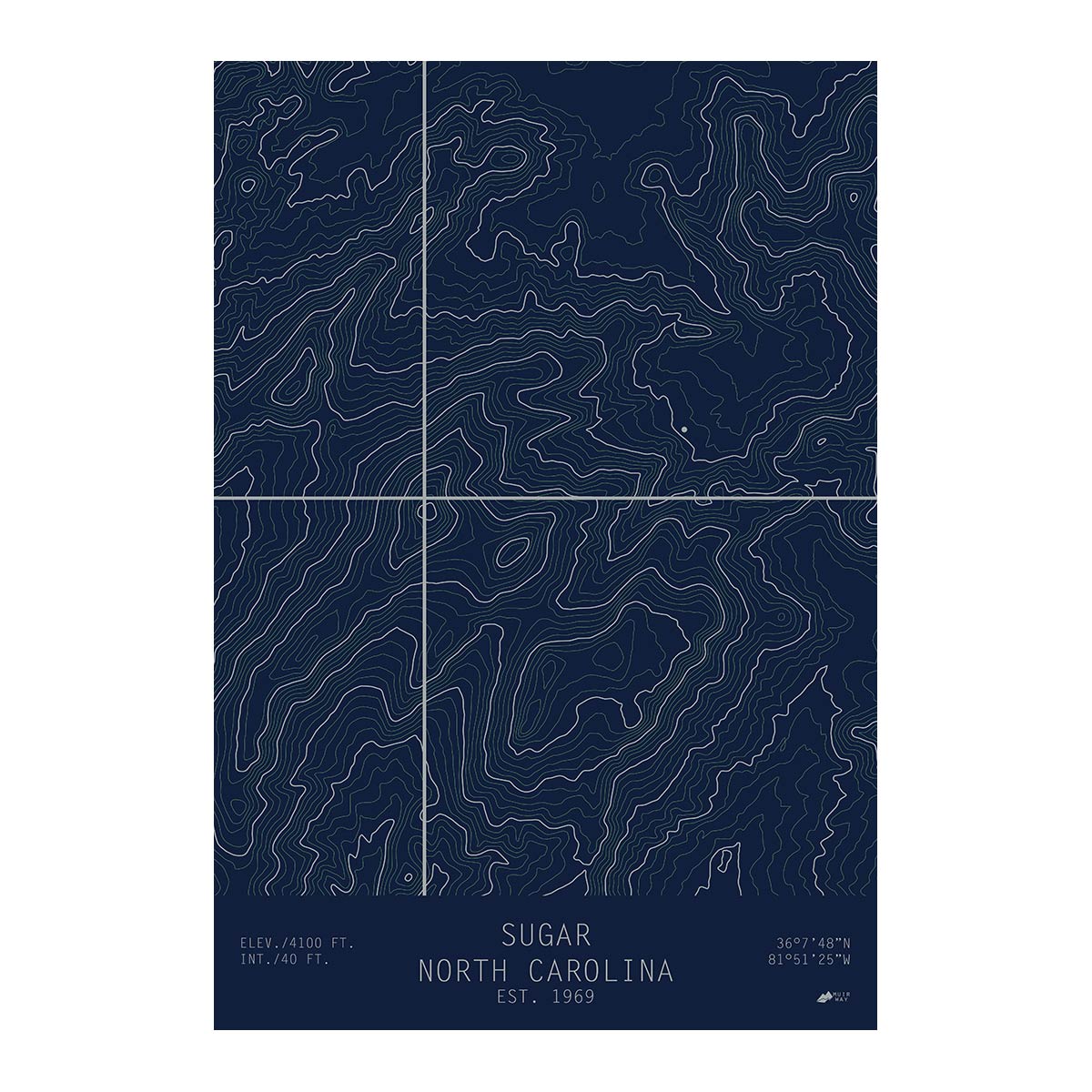
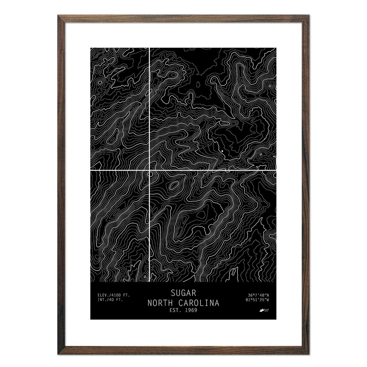
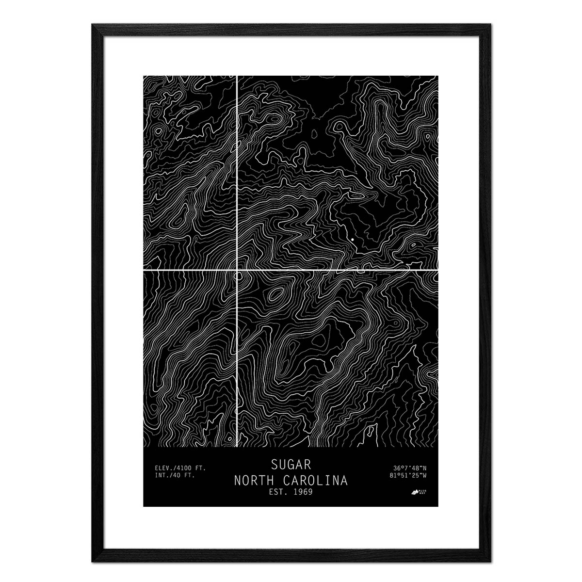
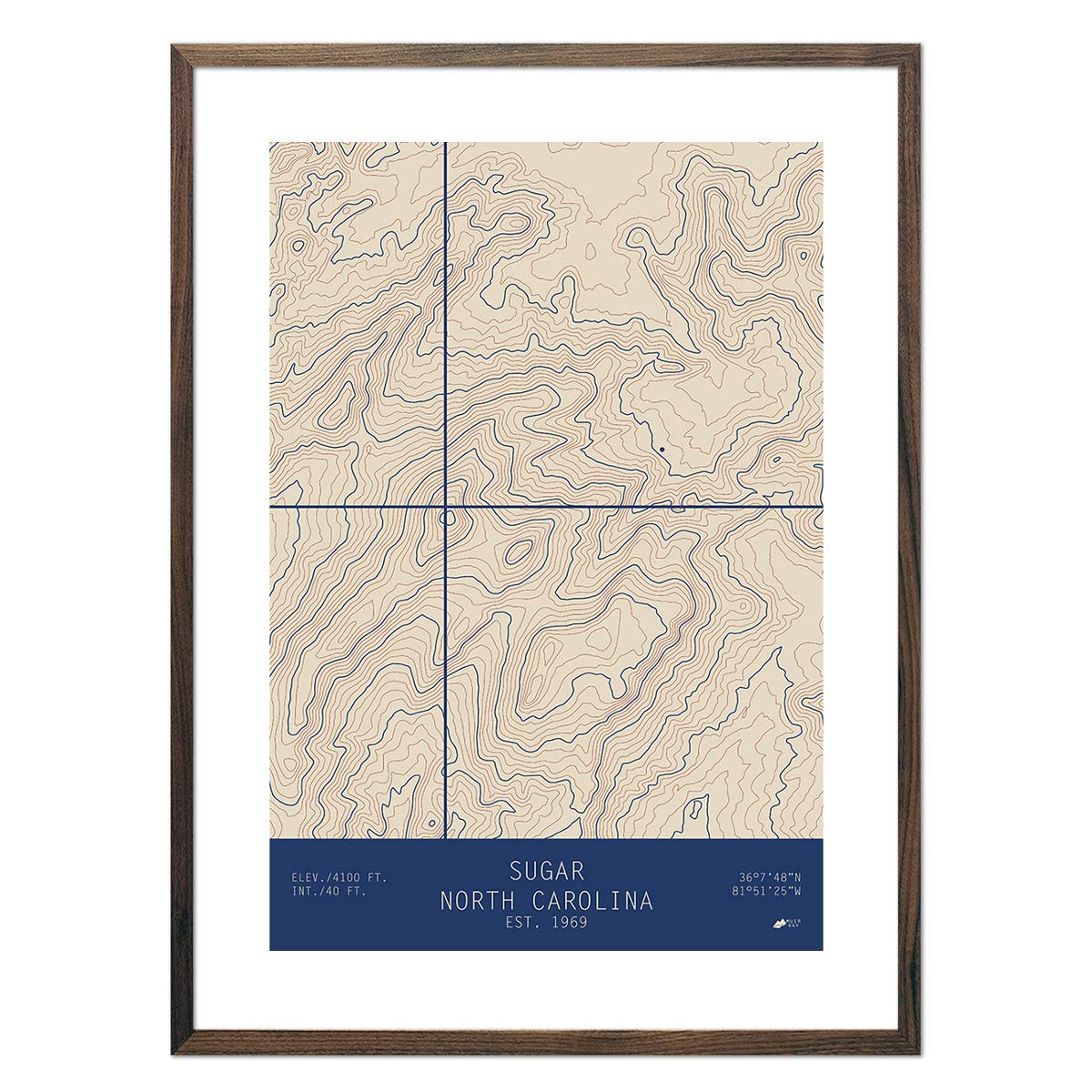
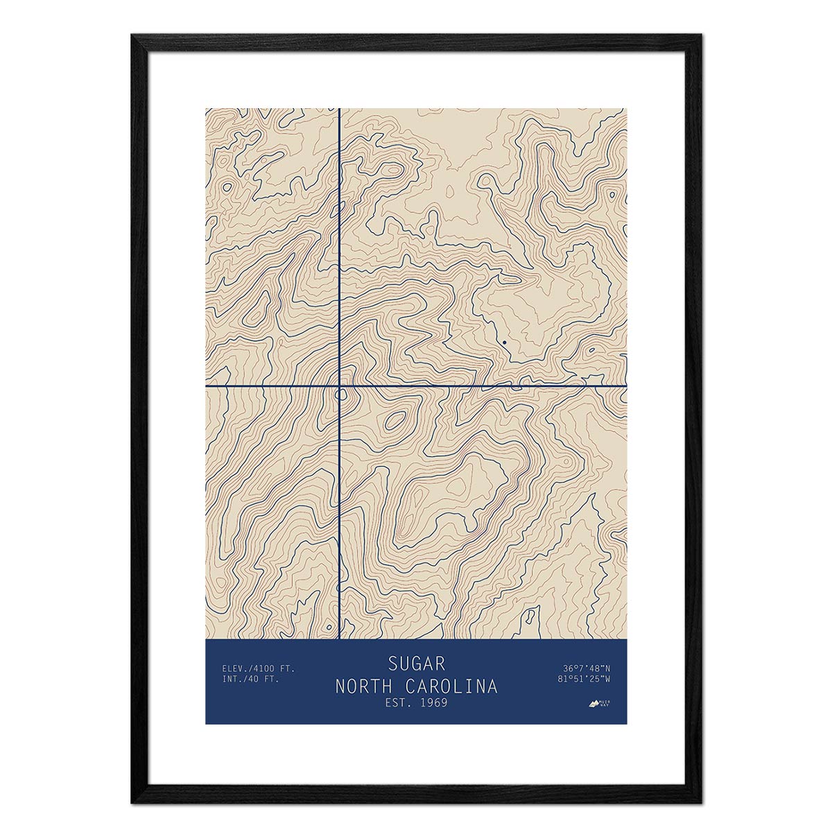
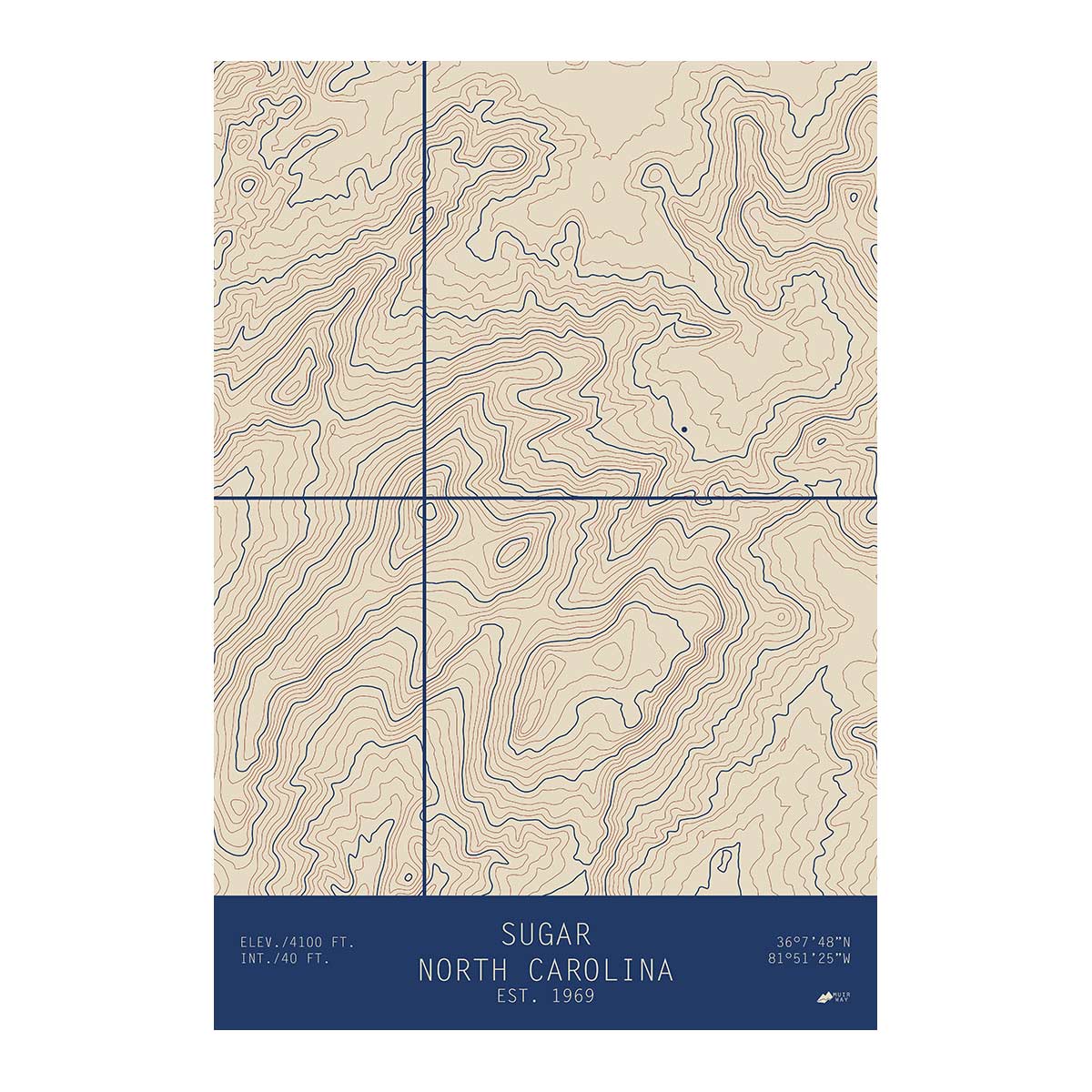
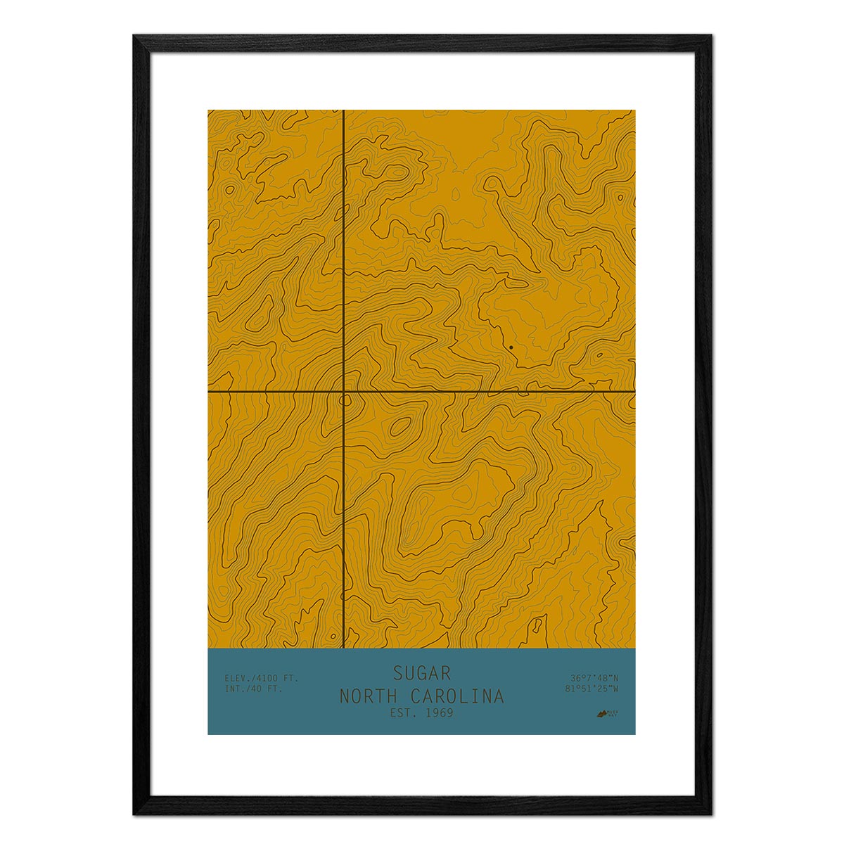
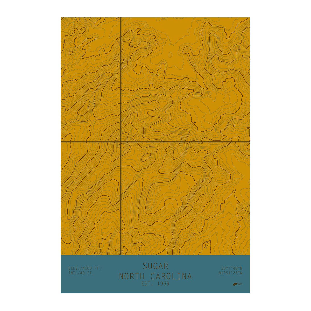
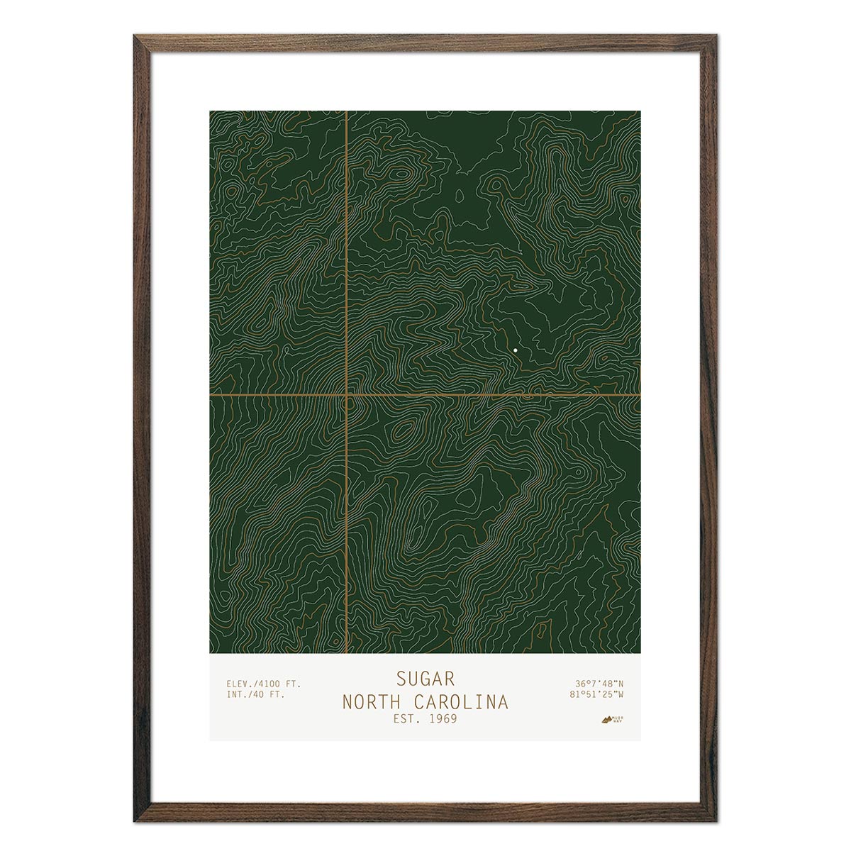
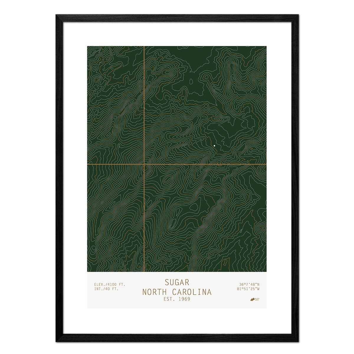
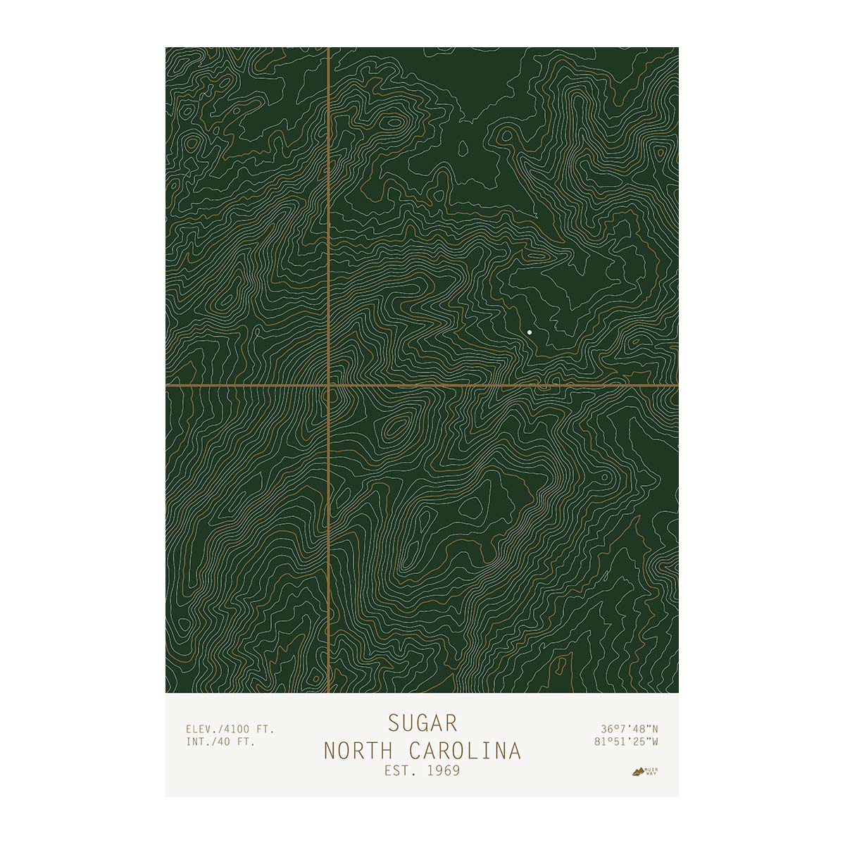
Sugar, North Carolina
From
$ 49.00 USD
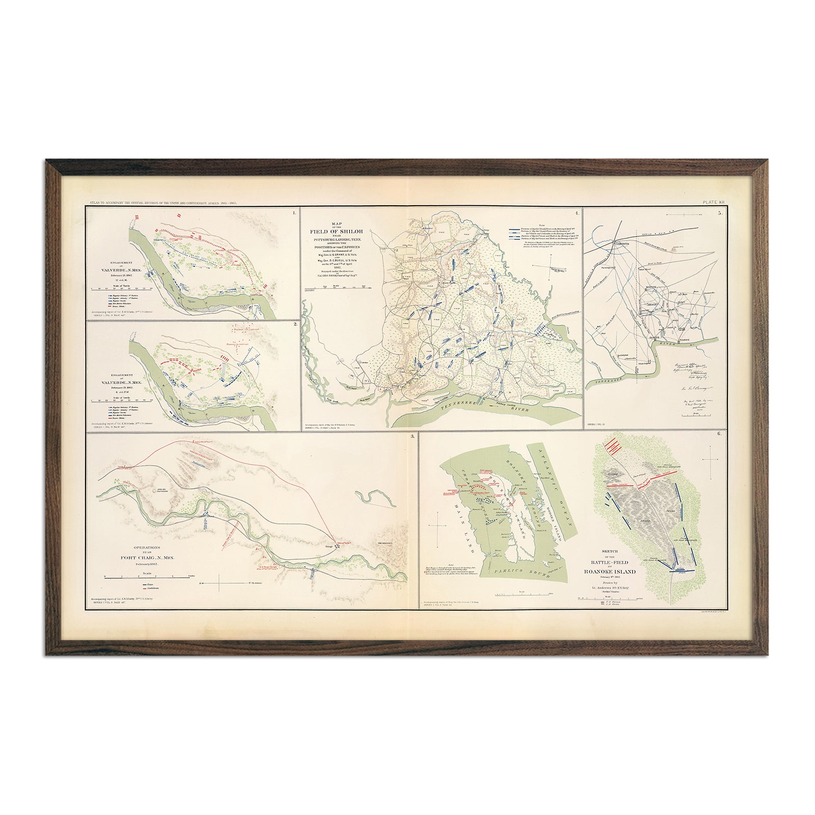
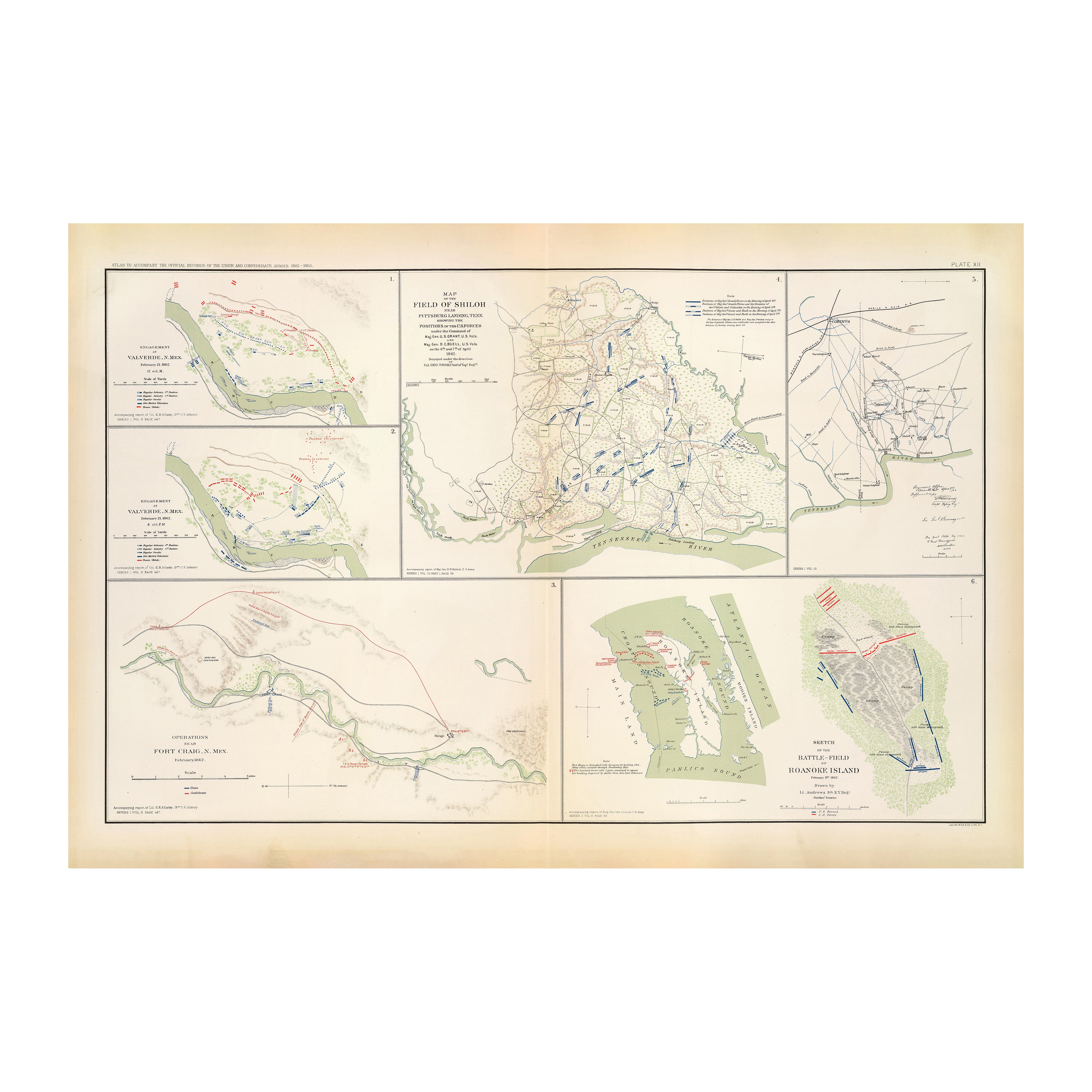
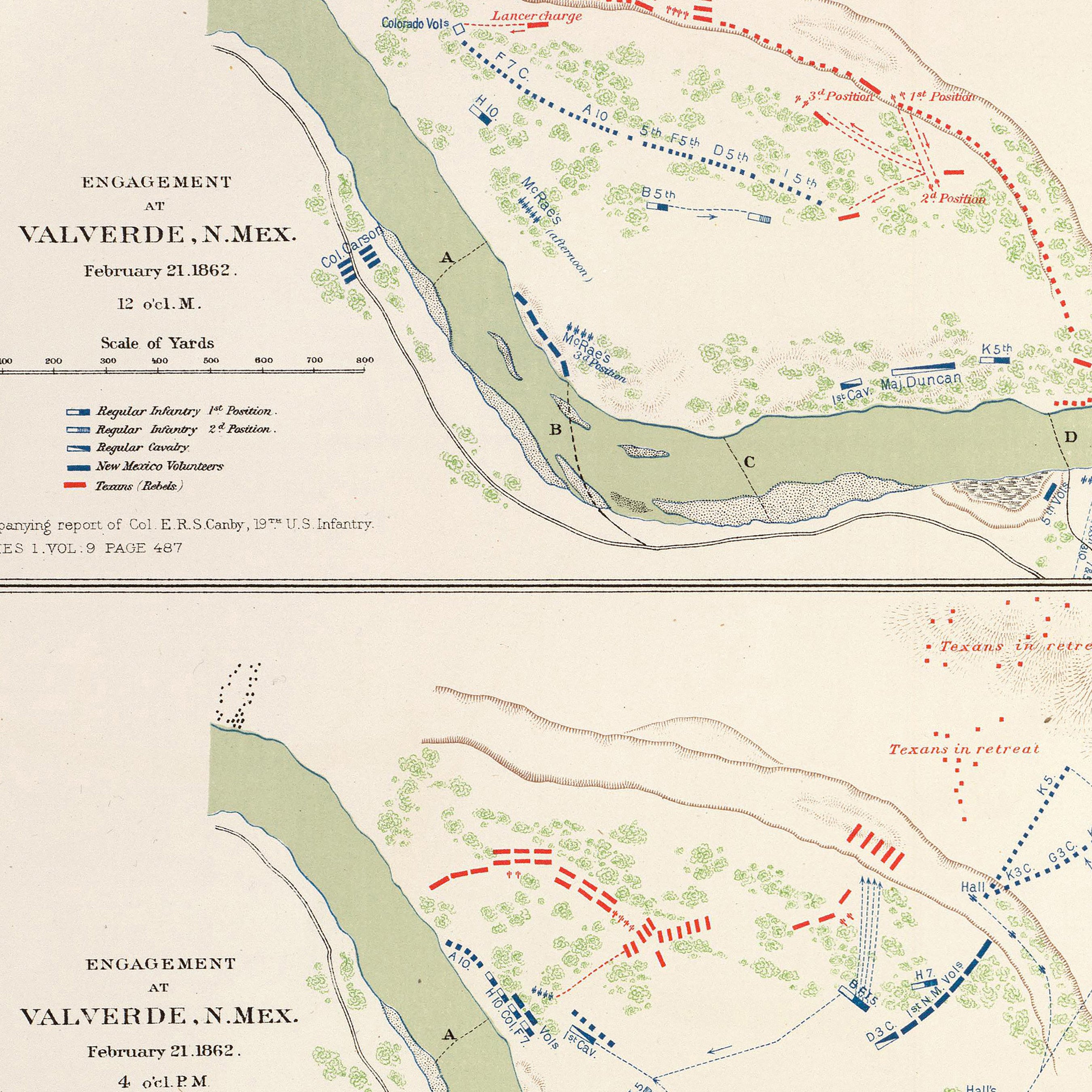
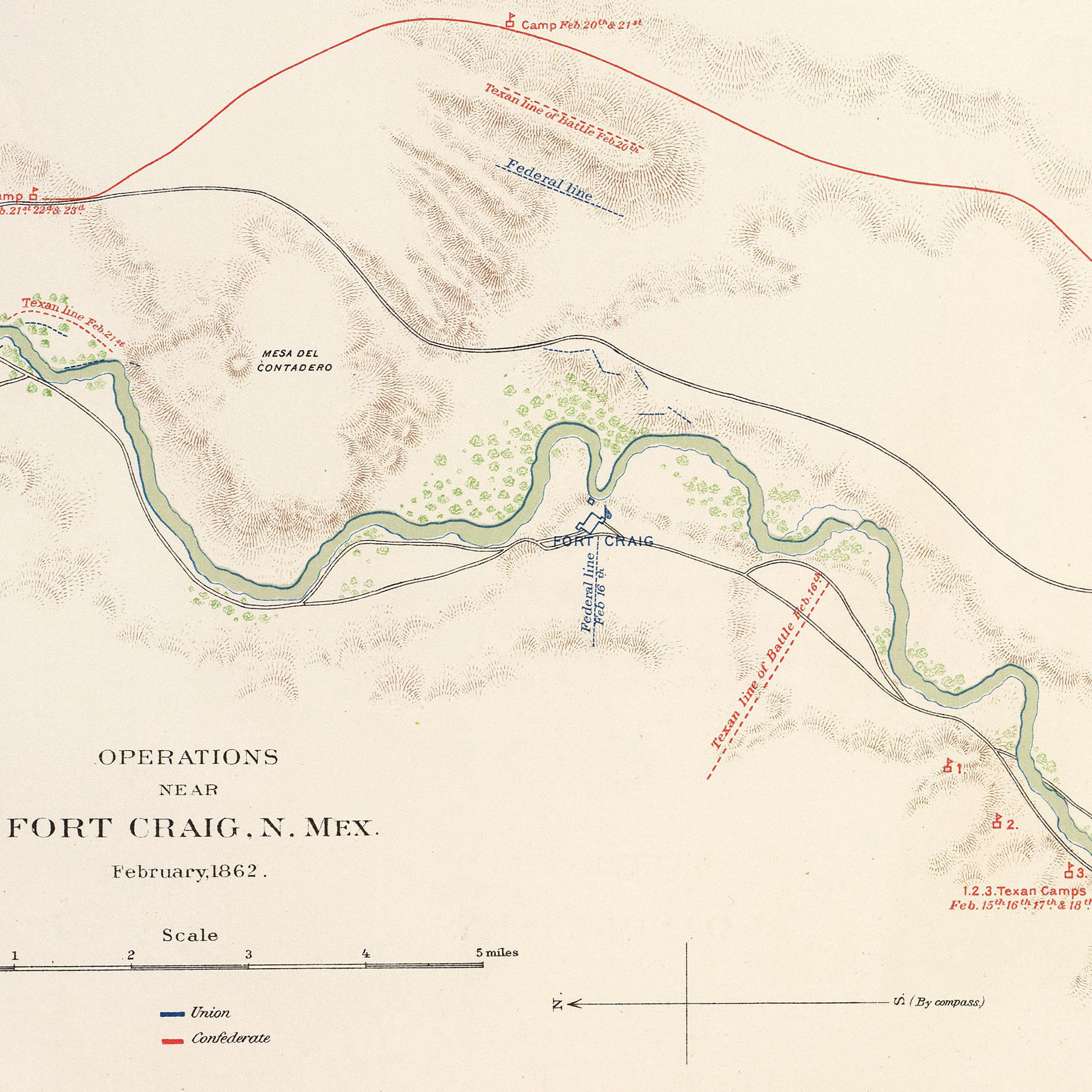
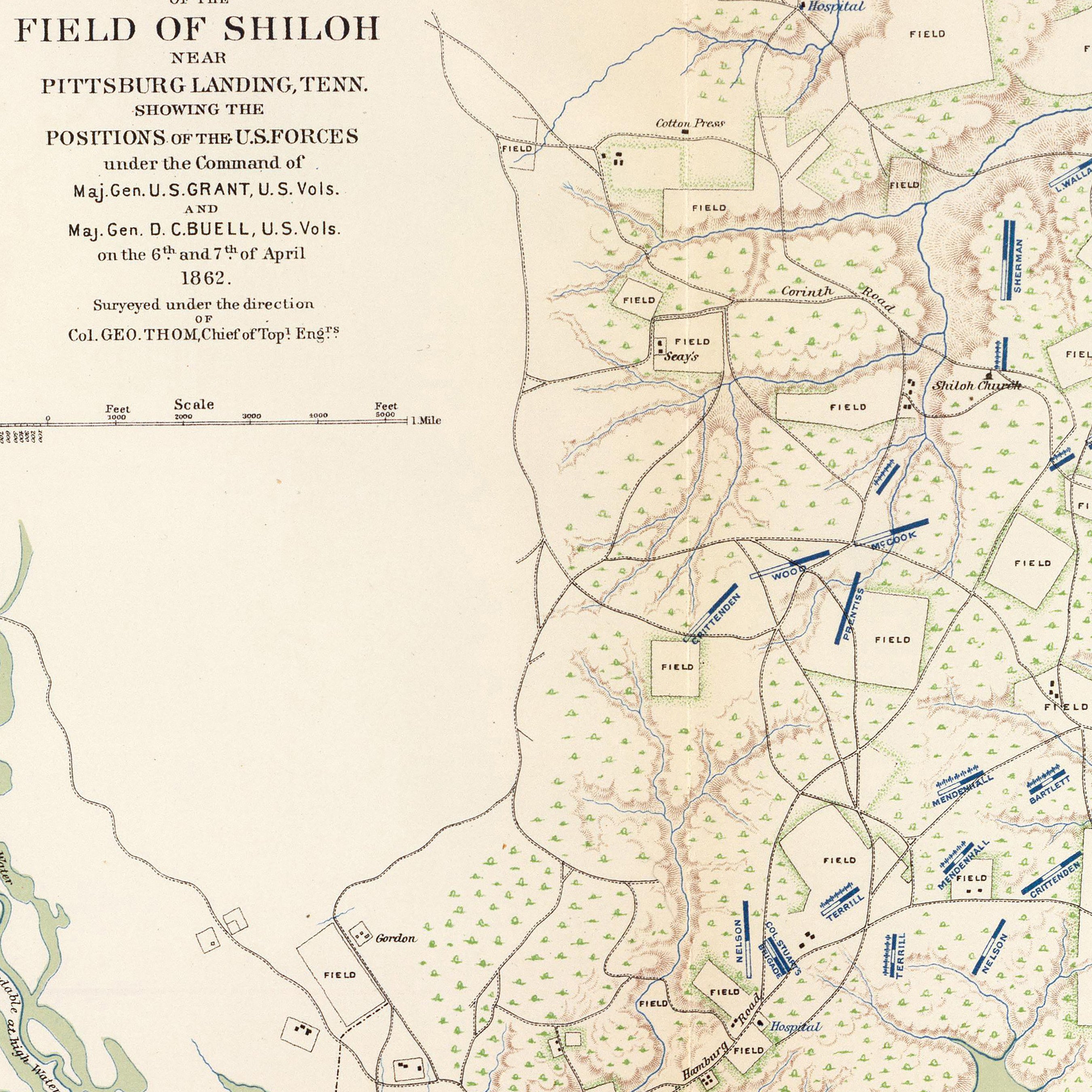
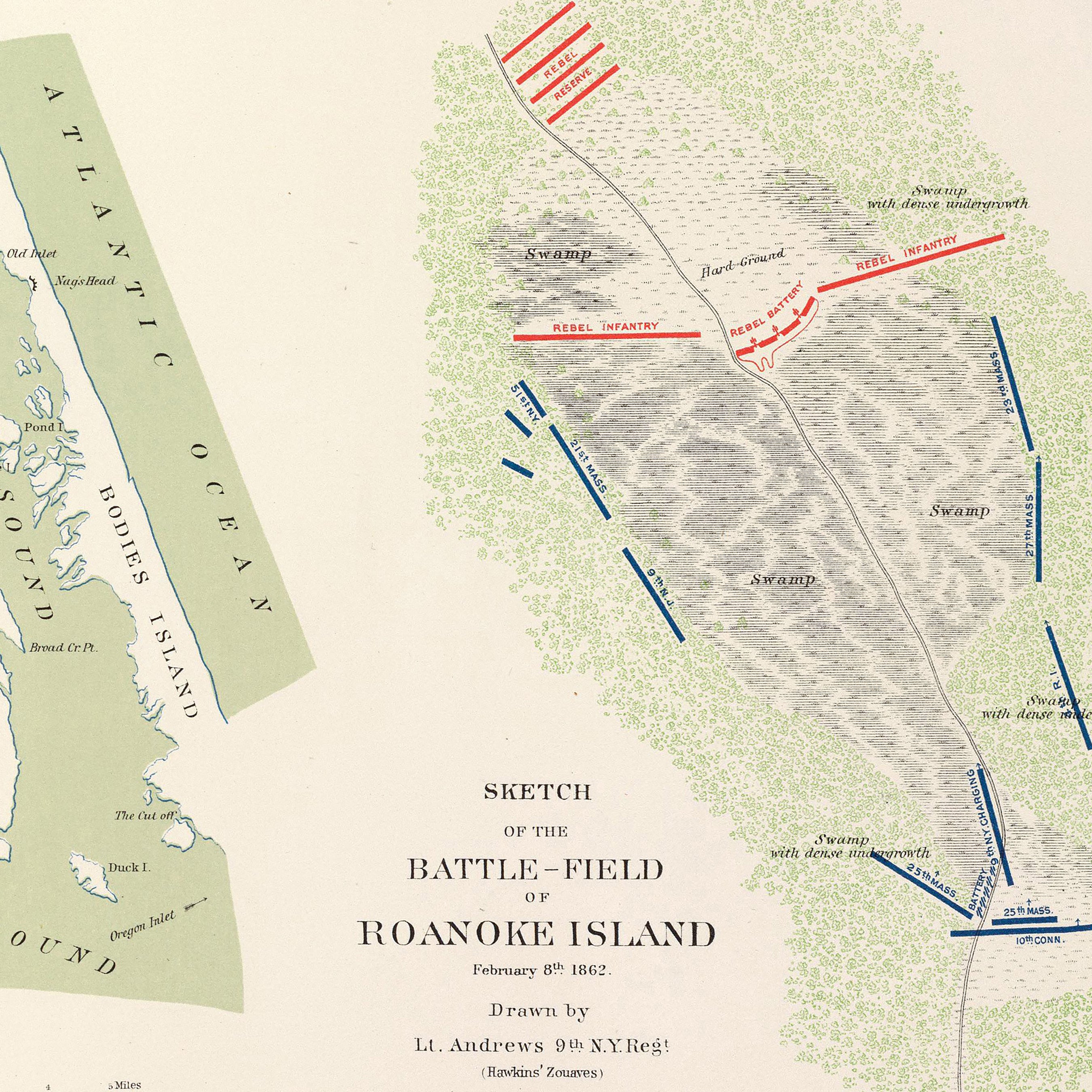
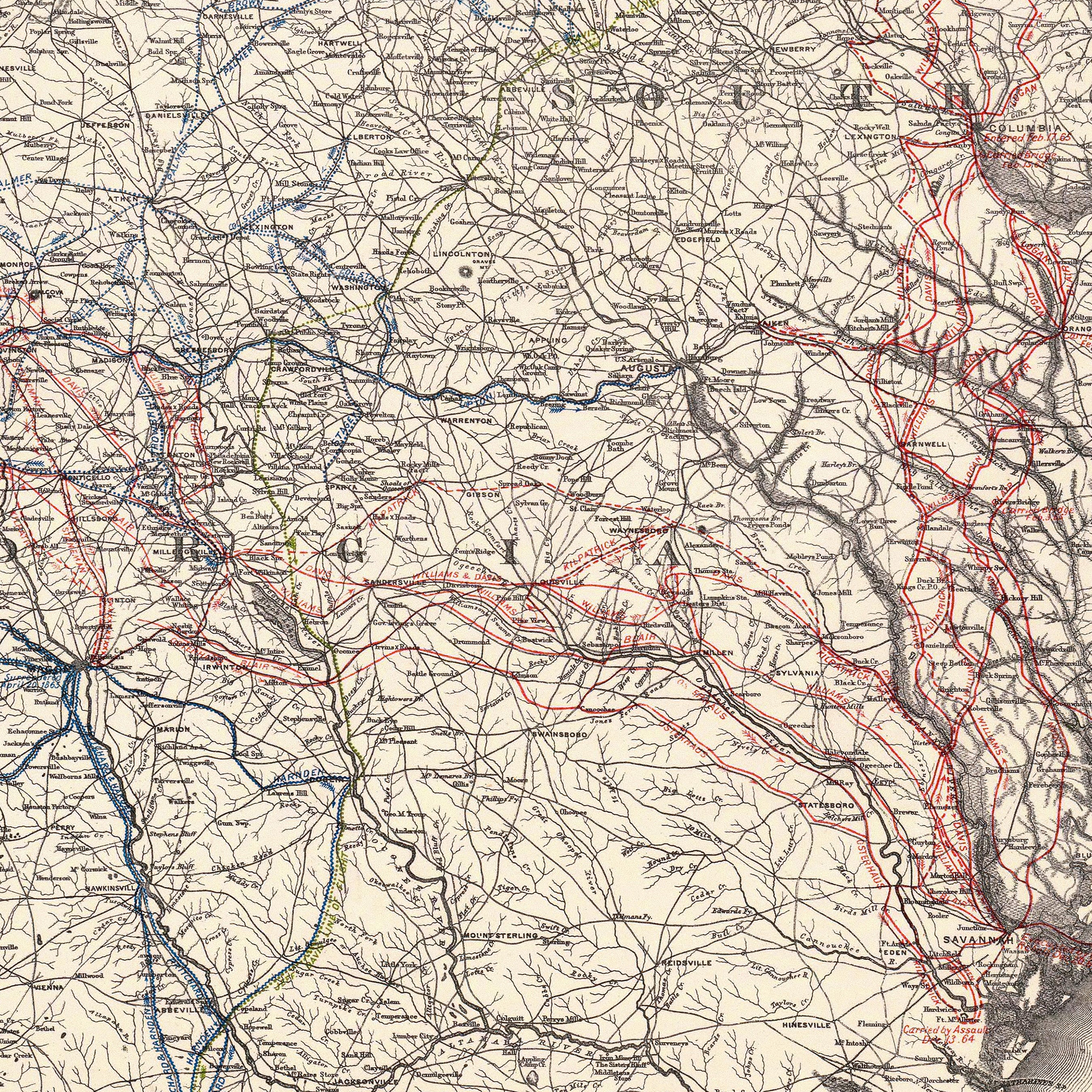
Valverde, Shiloh, Ft. Craig and Roanoke Island
From
$ 79.00 USD
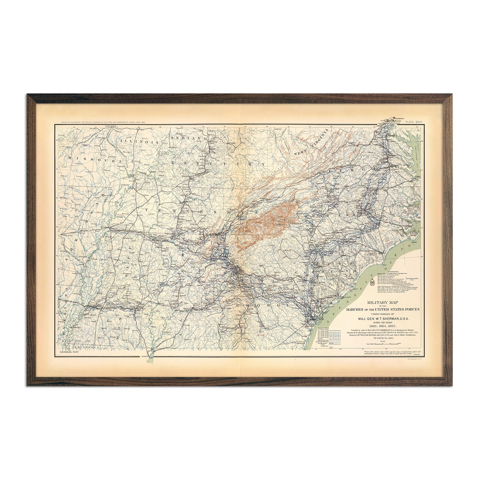
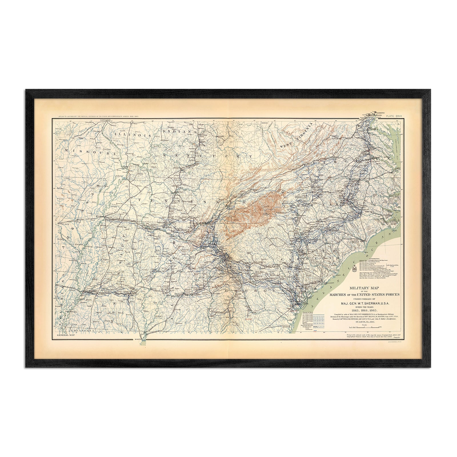
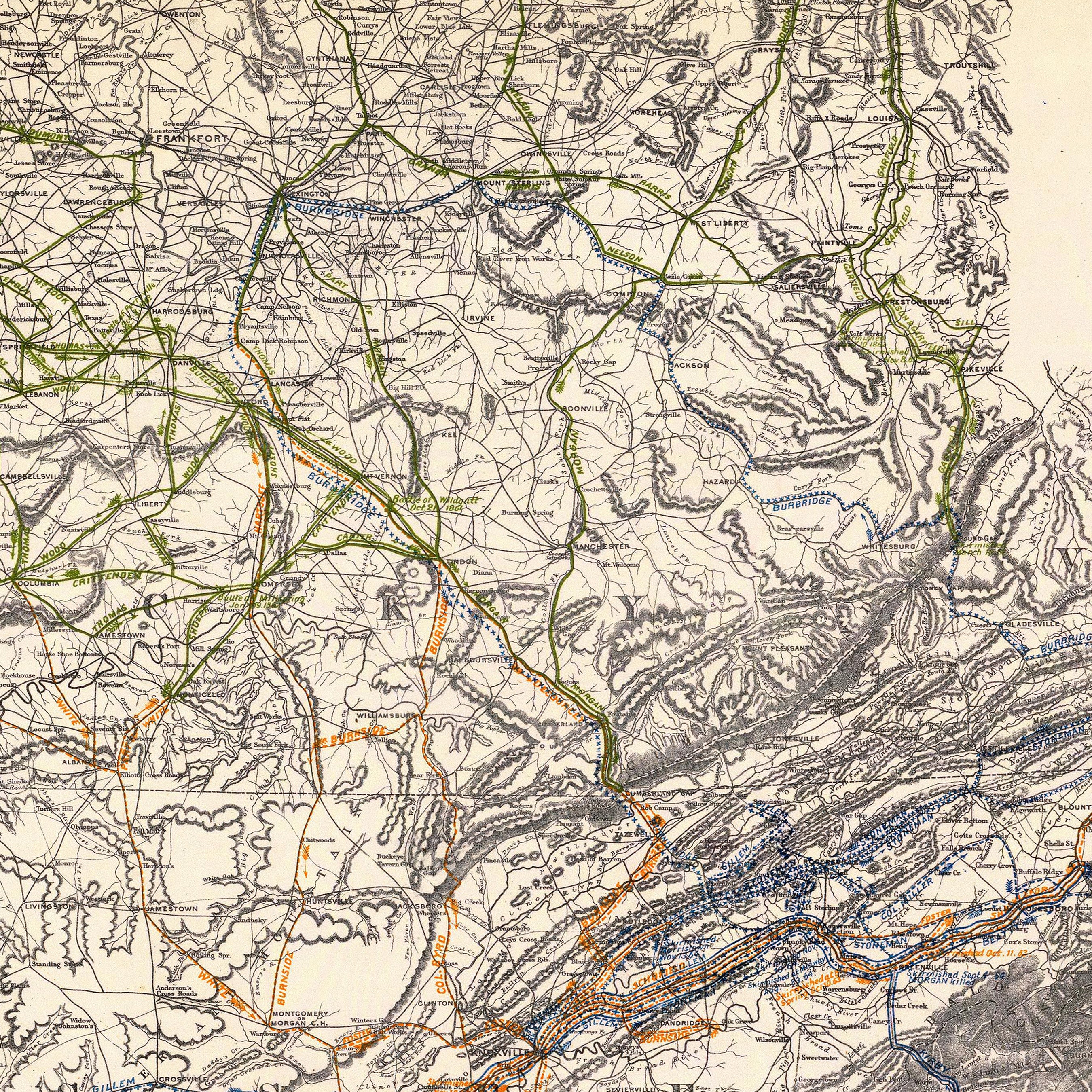
Military Map of Marches by W.T. Sherman
From
$ 79.00 USD
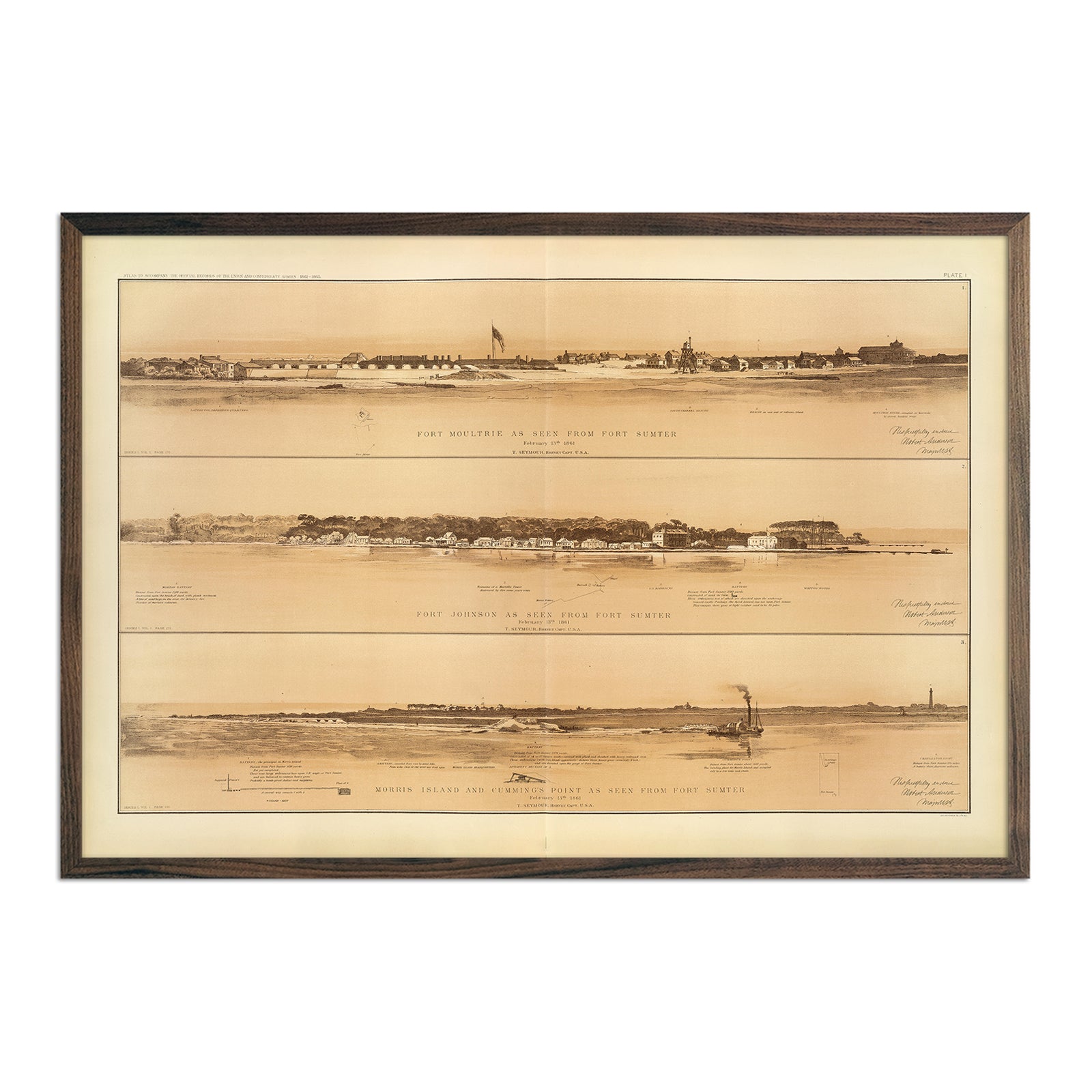
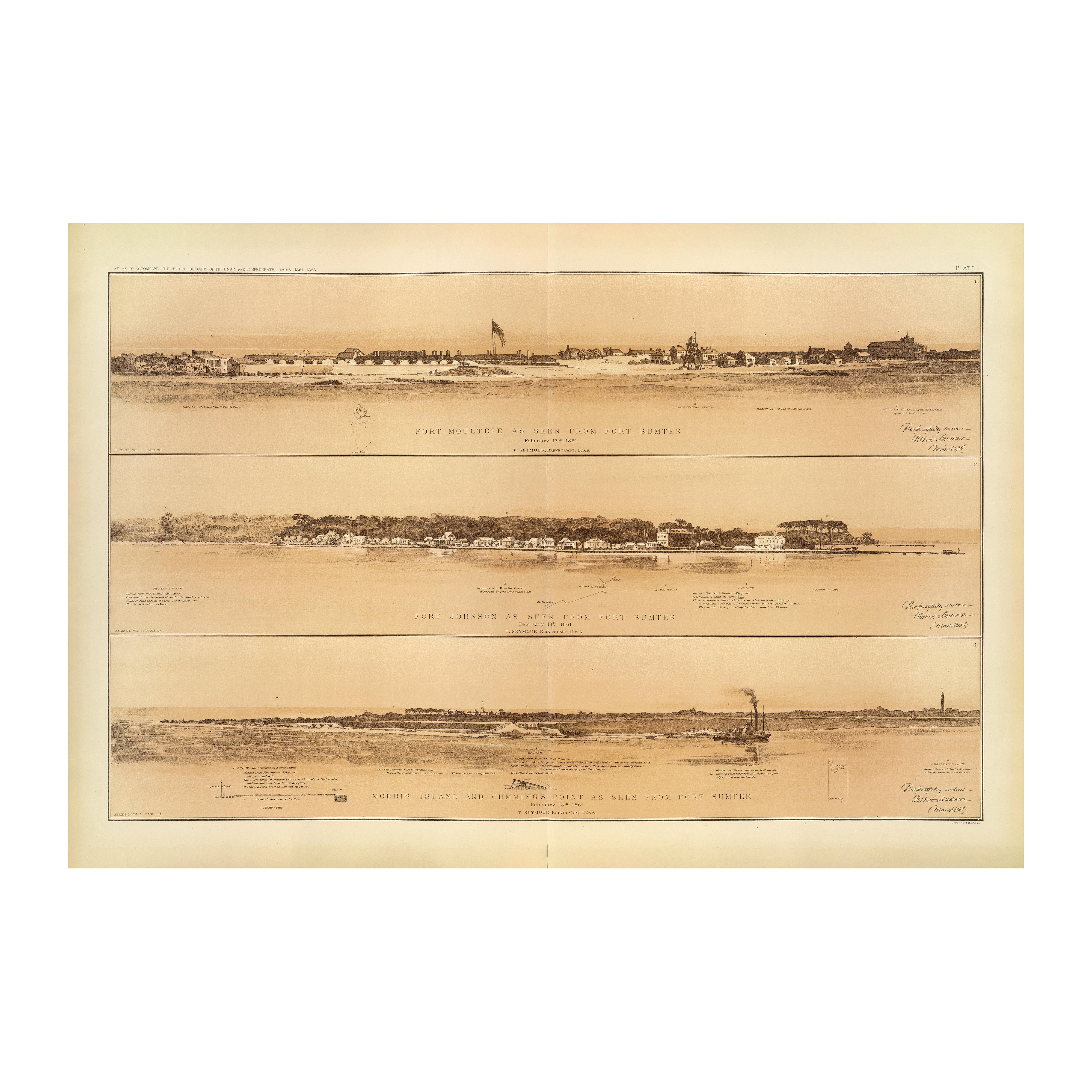
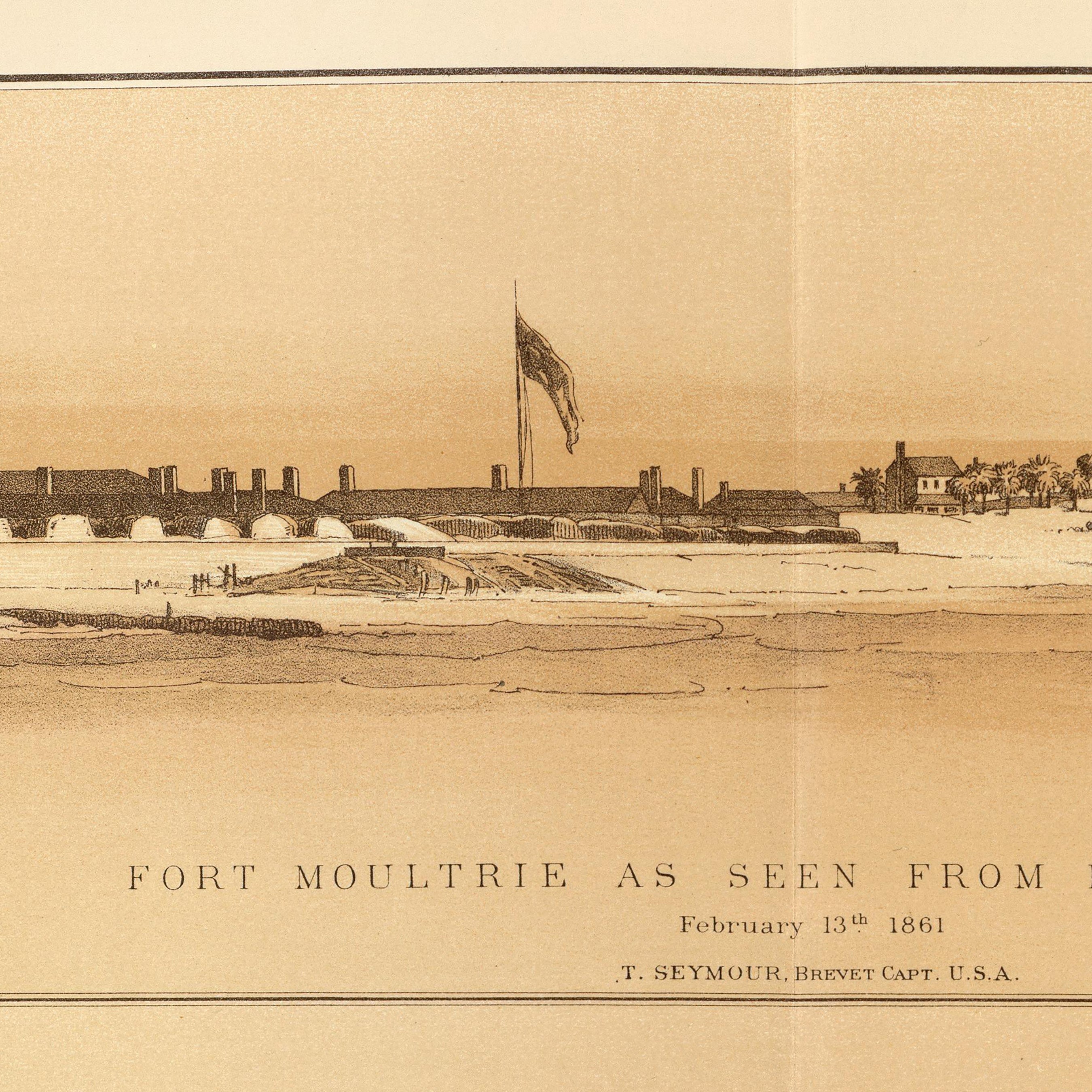
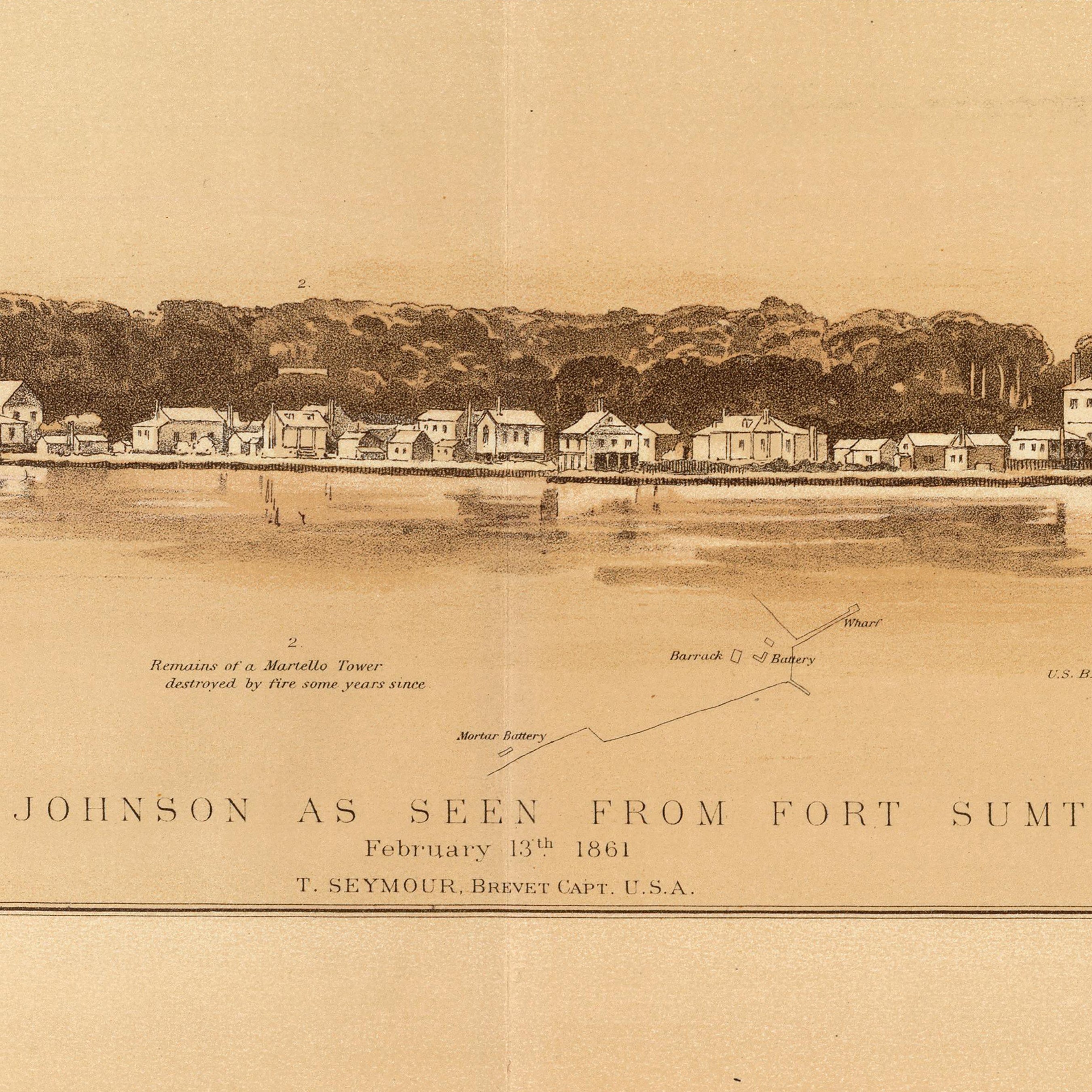
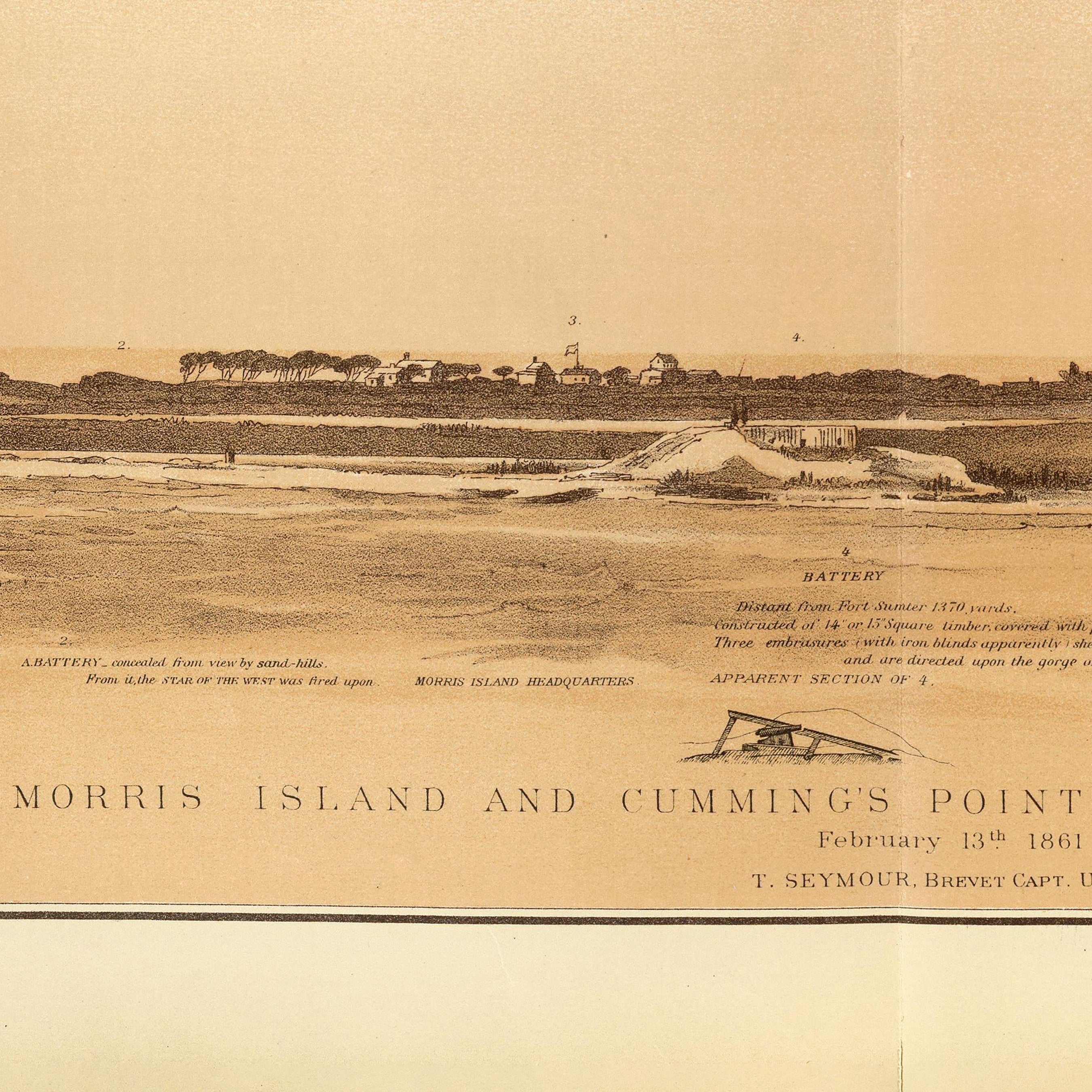
Ft. Moultrie, Ft. Johnson, Morris Island, Cumming's Pt. as seen from Ft. Sumter
From
$ 79.00 USD
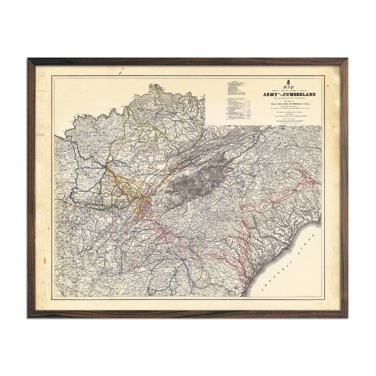
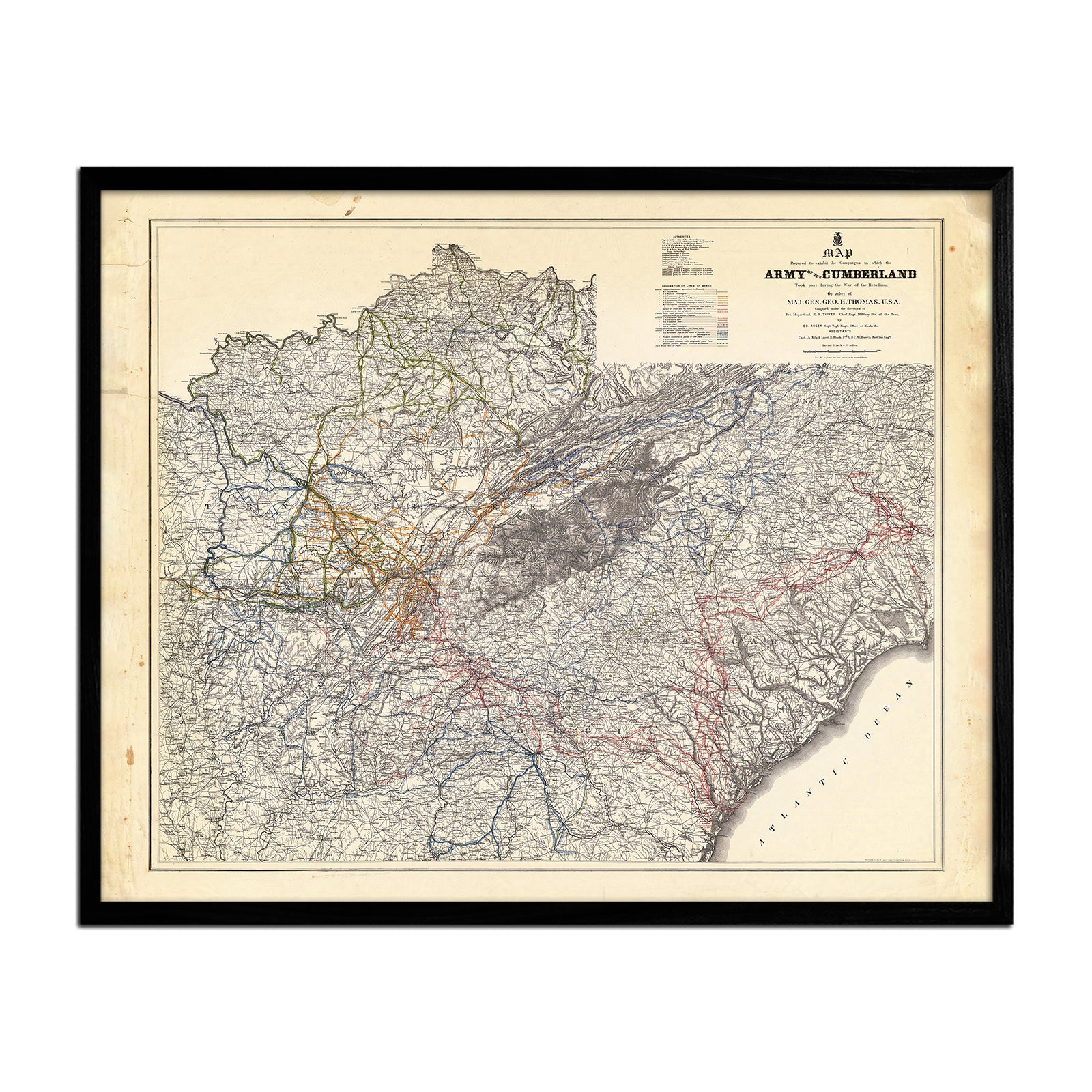
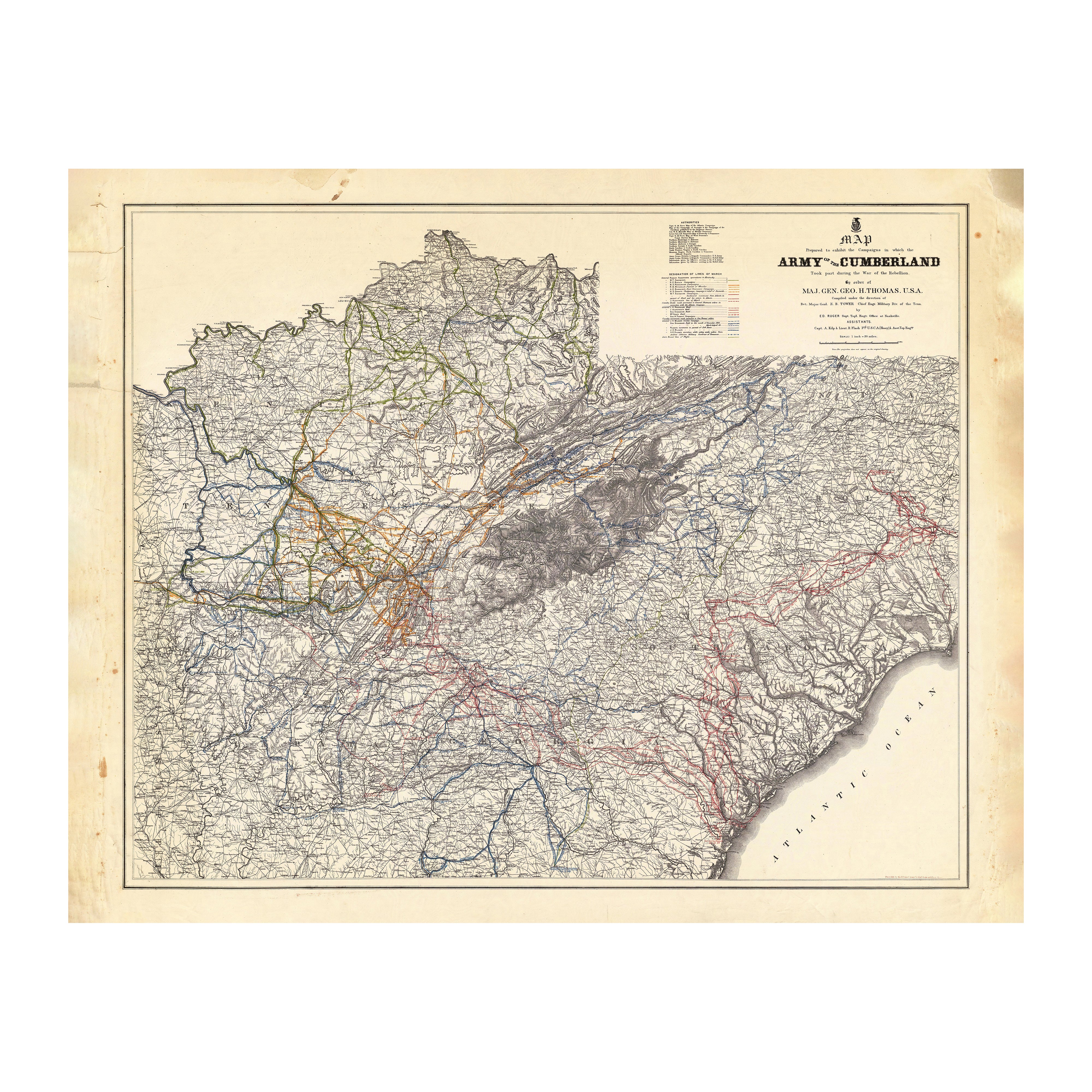
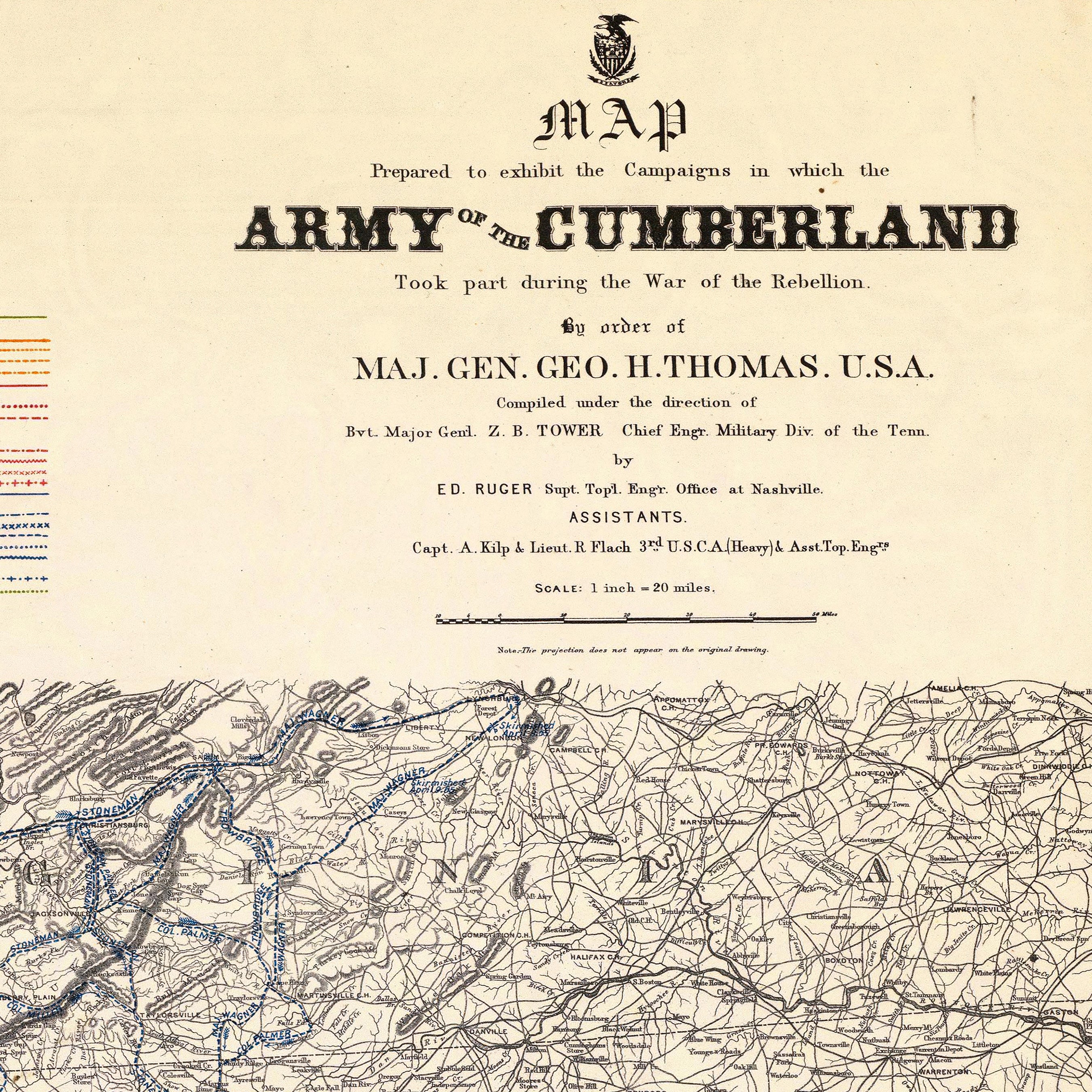
Campaigns in which Army of the Cumberland Took Part
From
$ 64.00 USD
Your cart
Close
Close
Your cart is empty
Start shopping
Added to your
Cart